-
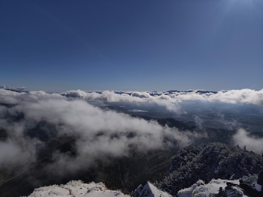
Veľký choč
A beautiful sunny autumn Sunday, perfect for the mountains.
We started in Likavka near Ružomberok and after just a few kilometers we came across the first attraction – Likavka Castle, but we only saw its outer walls because it has been closed for a long time due to reconstruction.
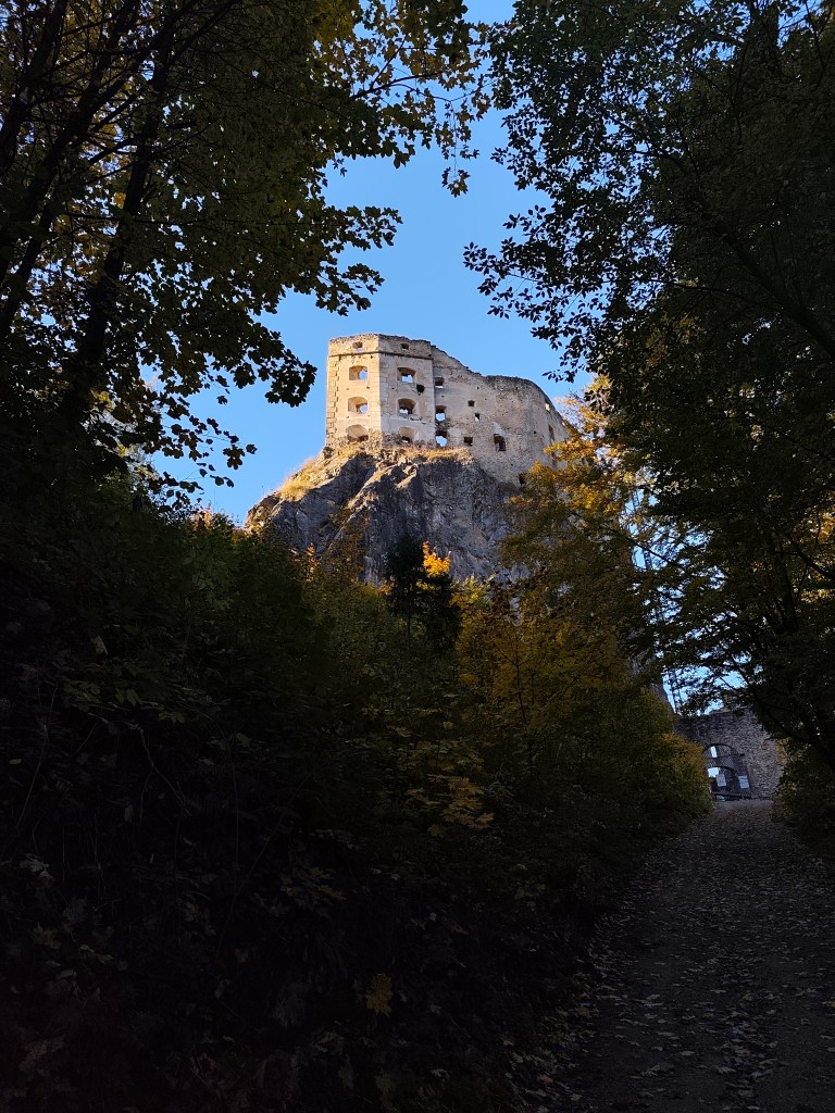
Castle Likava Even so, it stands majestically on the rocky spur of Predný Choč and is worth visiting, as Likava is one of the largest castle buildings in central Slovakia, and the massiveness and height of the palace-like complex of the upper castle (more than 36 m measured at the highest point of the northern palace) ranks it among the highest castles in Slovakia.
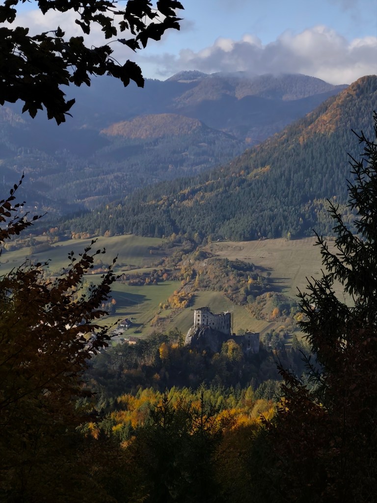
Výhľad na hrad Likava We continue with the red mark, at the crossroads we also go to a viewpoint on a meadow below the peak of Predný Choč. The viewpoint is located at an altitude of 1170 m above sea level and consists of a meadow, surrounded by a forest on three sides. The viewpoint provides a view mainly to the south. From the viewpoint we will have a view of the city of Ružomberok, the Dolný Liptov region and the Veľká Fatra and Nízke Tatry mountains.
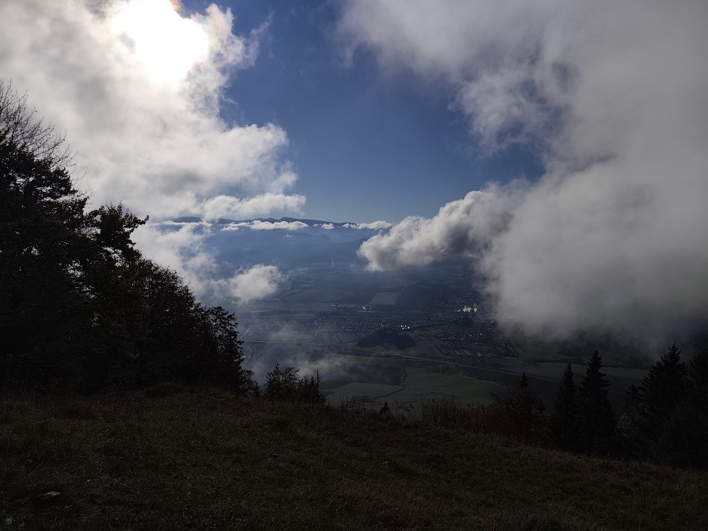
At the Spuštiak saddle we continue to Stredná Poľana, from where we choose the winter road to Veľký Choč.
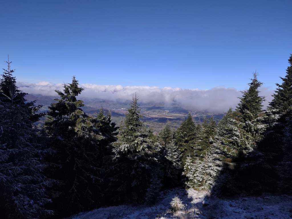
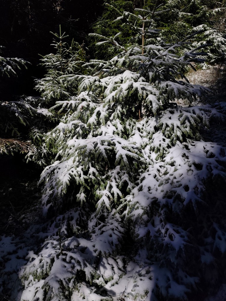
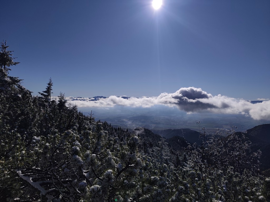
Veľký Choč (1,611.0 m above sea level) is the highest peak in the Choč Mountains in Slovakia. The peak is very popular with tourists. It has the shape of an irregular pyramid with numerous cliffs. There is an excellent circular view from the top of Choč. Its peak is covered with pine trees, from Valaská Dubová it has a slightly rising shape, while from the north and from Lúčky it is in a steep slope. And it was this steep slope that we descended. Due to the snow, mud and rocky ground, we descended carefully and slowly. Fortunately, the most dangerous places were secured with chains.
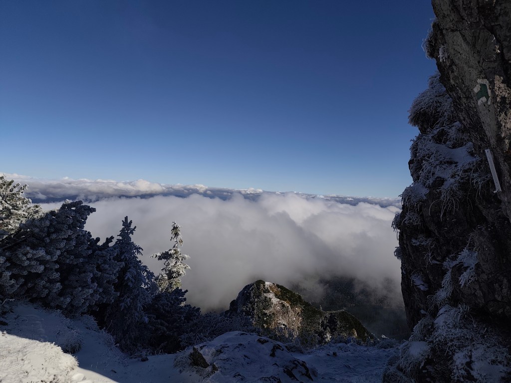
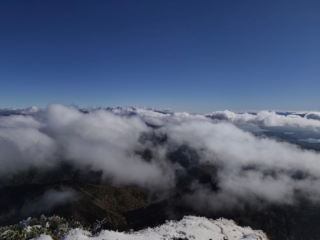
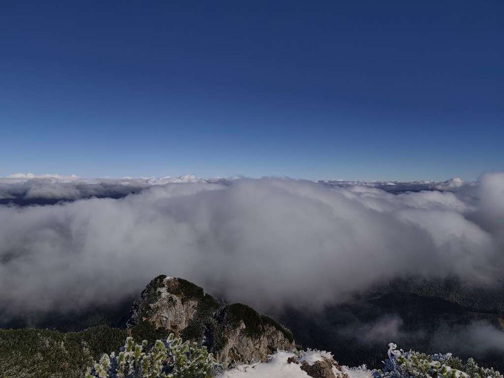
At Žimerová we turned off the red one and headed towards Turícký tajch. It is a really small body of water, but at least it served as a reference point for us (we turned off here onto an inconspicuous forest path, which led us back to the blue tourist trail. We continued along the blue trail to Likavka (well, almost, because we took a wrong turn and ran across the field to the castle :D)
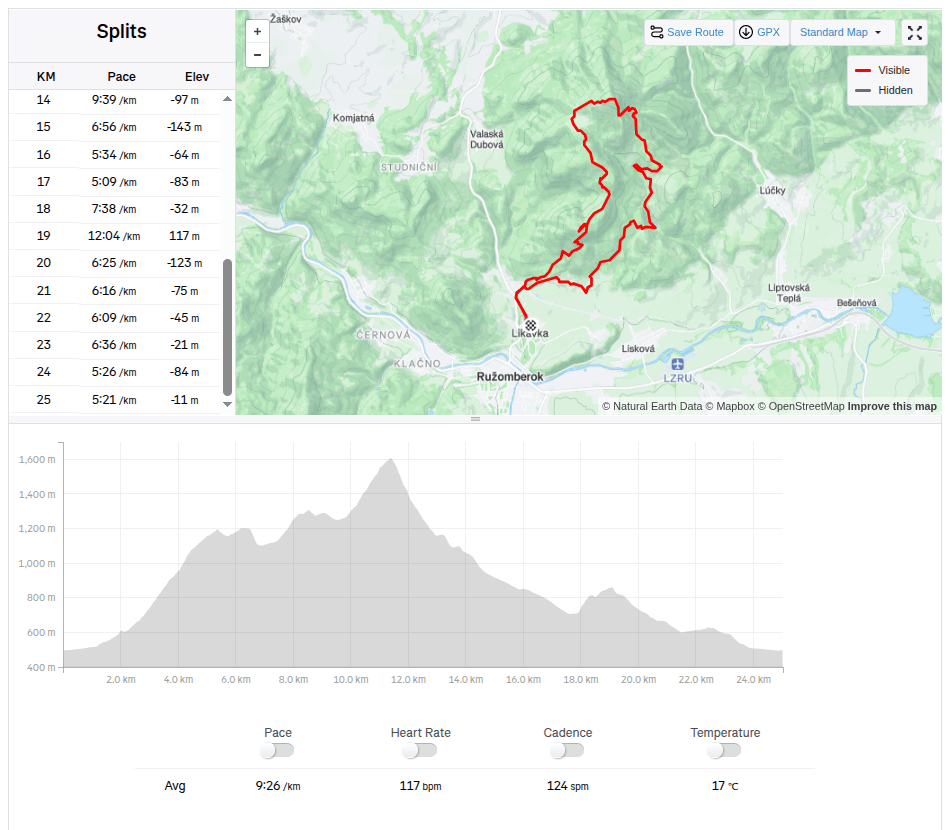
25km, 3h56min active time, 4:38 total, 1566 metre ascend -
Slovenia 2025
4 day short trip to Slovenia, on the edge of Triglav National Park. The guys were running the Julian Alps Trail Run and Lucka and I went to support them and do a little running.
The first day we arrived in the afternoon so the only thing on the to do list was to find a good restaurant, buy groceries and see Lake Jasna.
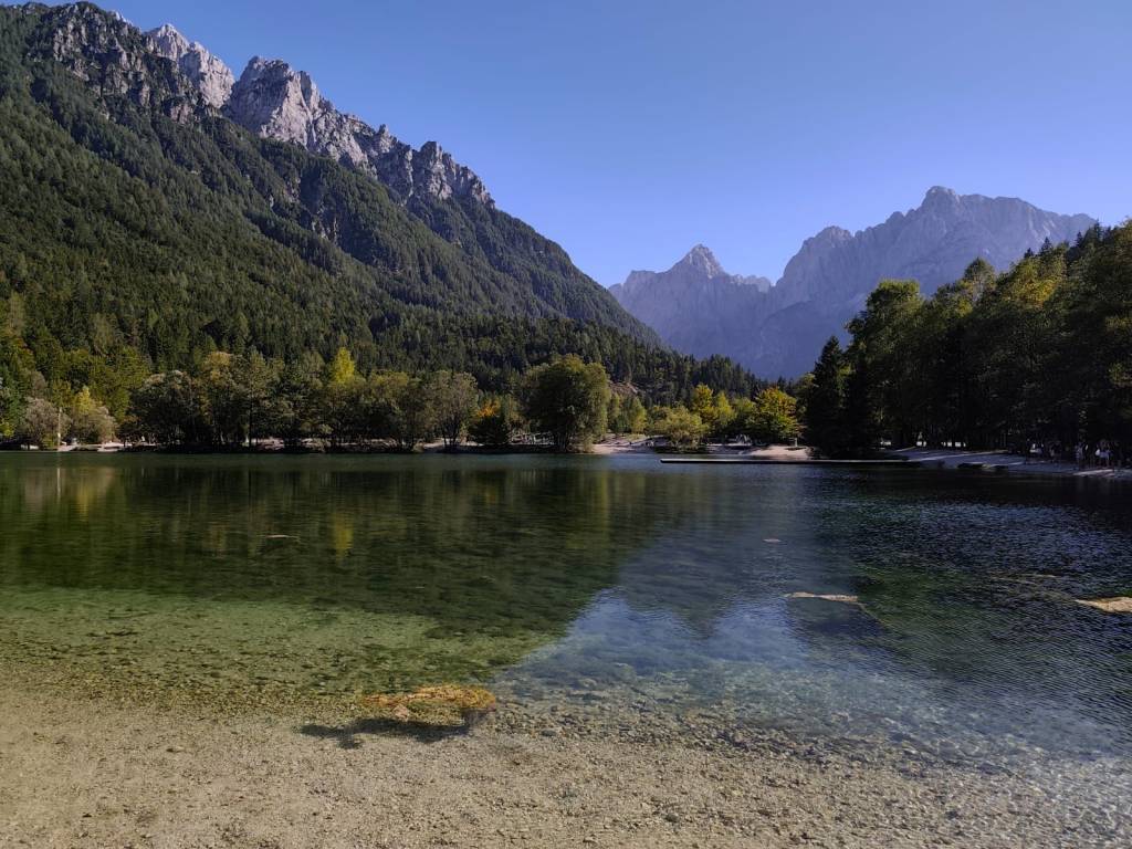
Lake Jasna is the name of two interconnected lakes located just a short distance from Kranjska Gora. It is an alpine lake with crystal clear water and breathtaking mountain scenery.
We also walked through the center of Krajnska Gora, where it was already bustling with the upcoming race. It is a smaller alpine town with a bunch of good restaurants and stalls in the center.
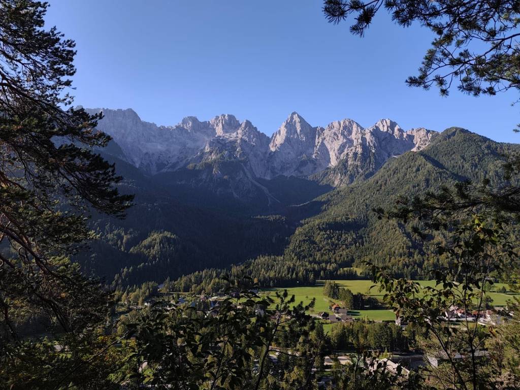
The guys were supposed to start on Friday evening, and Lucka and I went to run one of the shorter routes from the Julian Alps Trail Run in the morning. We chose a 25km route that took us into the hills above the valley with great views of the Julian Alps, especially the Špik peak. But for our taste, there was quite a lot of asphalt on this route and not enough water:D It took us almost 4 hours to run. In the afternoon, we returned to the restaurant from the previous day (Figo restaurant) where we really enjoyed it.
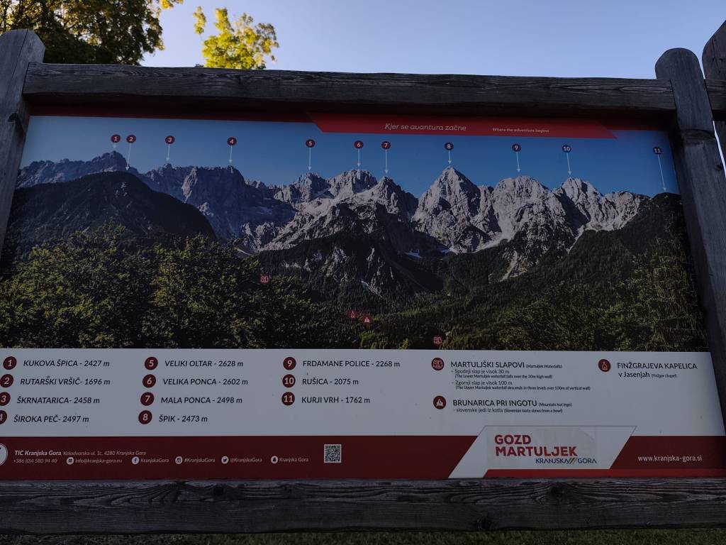
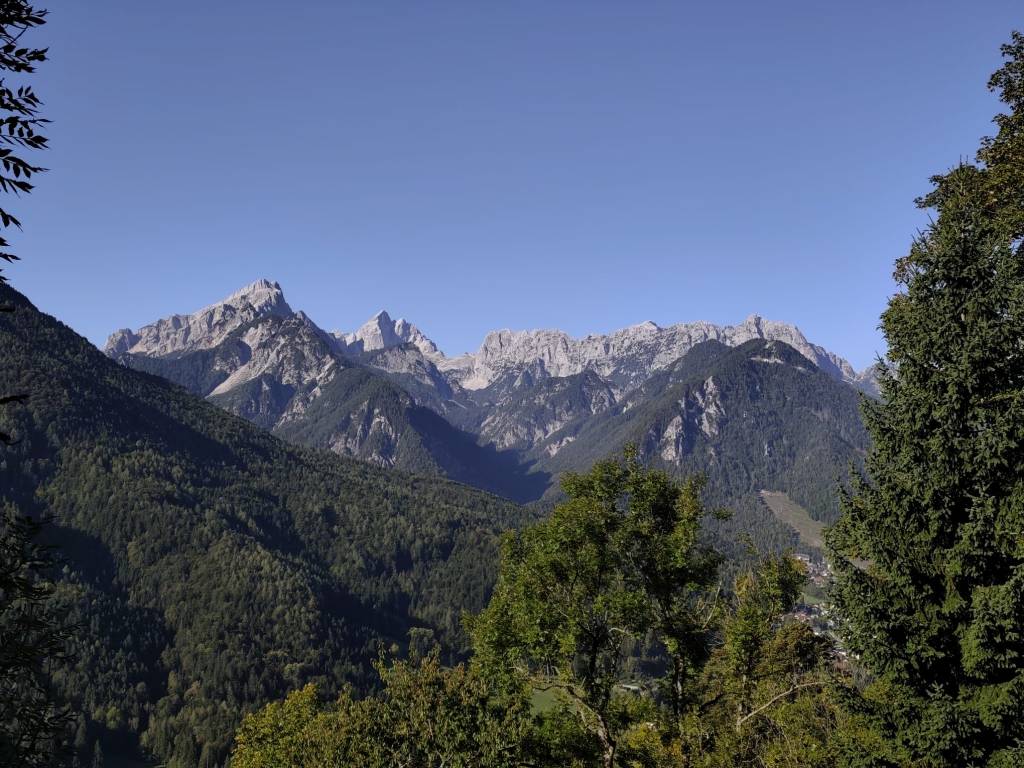
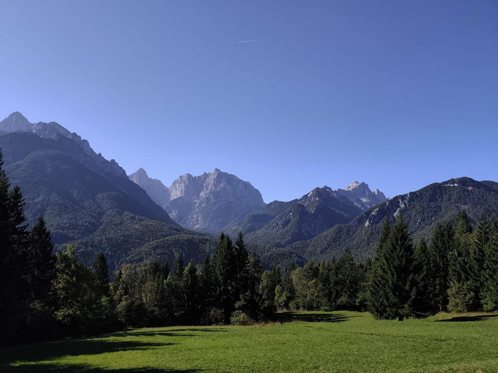
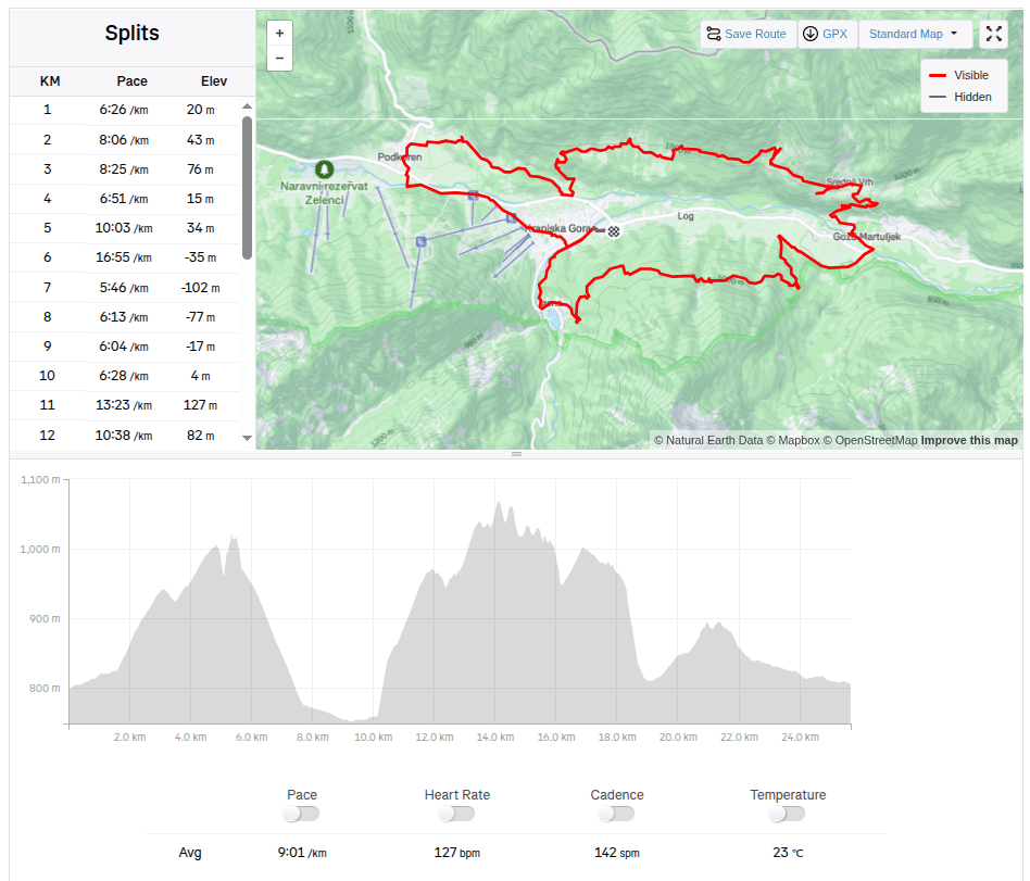
25.67km, 3h 51min, 875m ascend On Saturday, the plan was to encourage the boys, so we packed the stroller and bike for Anton and ran 15km to the village of Gozd Matjulek – on the way we noticed a turnoff to the waterfalls and that really caught my attention. I would have liked to see them. But there was no time, we got to the refreshment station about half an hour before Jožko, so for now we walked through the village of Dovje, in the middle of it there was a reservoir with water and giant trout in it.
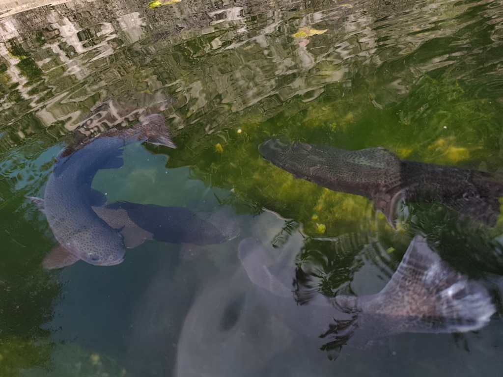
Trouts And it had beautiful views of the Alps. Jožko finished his 107 kilometer at about 3 pm, he was really overheated and his stomach was protesting, but his legs were still going. Miloš was supposed to arrive at 6 pm and that was quite late, we couldn’t wait for him. So we continued running to the last refreshment stop and from there quickly to the finish line where we managed to arrive before Jožko by about a minute 🙂
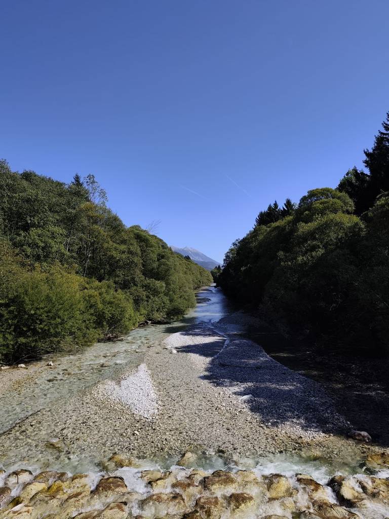
From cycle path to Dovje And since we wanted to encourage Miloš too, we went back for the last refreshment stop and then back to the finish line. Both guys did it brilliantly in under 24 hours.
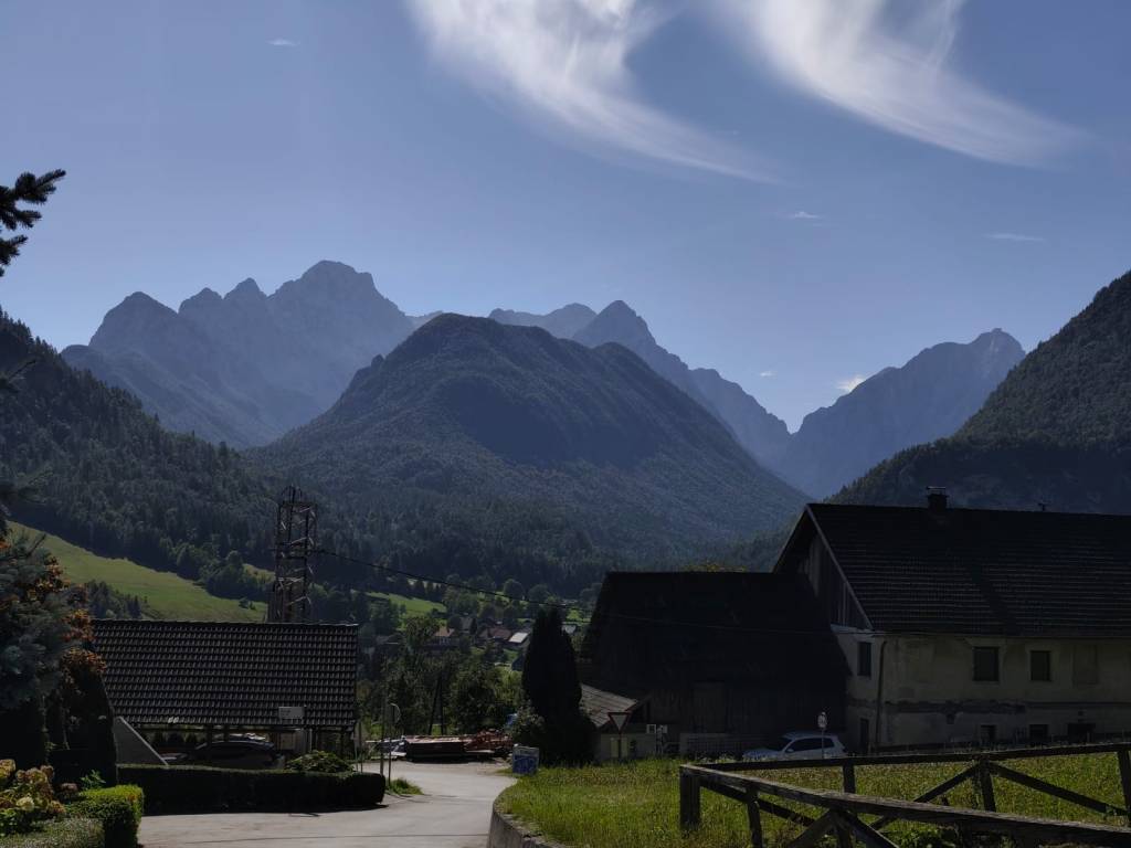
Village Dovje On Sunday, no one wanted to go, but I just couldn’t get the waterfalls out of my head, so I set my alarm so I could get around them before the planned departure at 10 a.m. After 3 kilometers of asphalt, I ran into the Martujlek Valley, which is named after the Martujlek stream, which springs high in the mountains. As the stream descends, beautiful waterfalls appear.
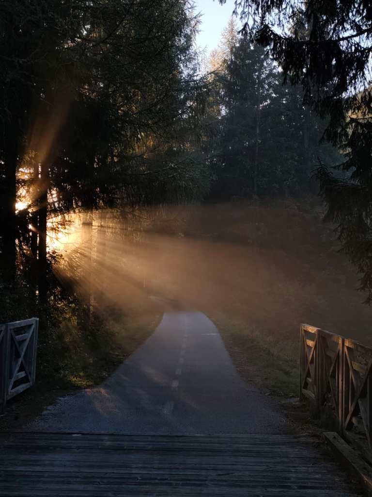
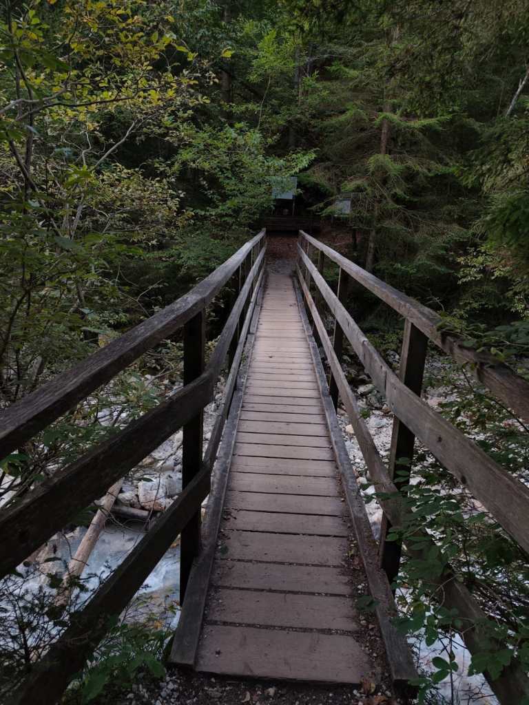
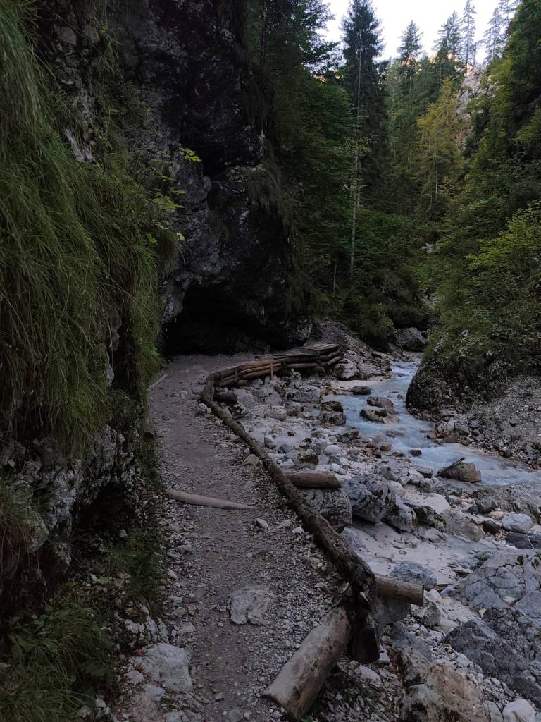
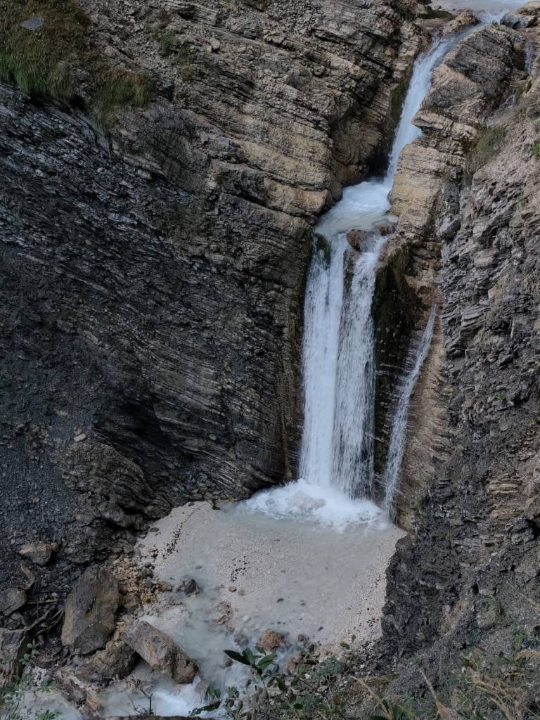
The Lower Martuljek Waterfall is the largest and most impressive of the waterfalls, cascading into a picturesque canyon from a height of over 50 meters. It can be admired from viewing platforms on the hiking trail.
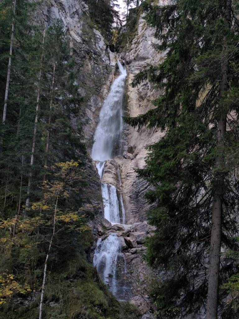
Lower Martuljeks waterfall Above the lower waterfall is the upper Martuljek waterfall, a hidden gem hidden among the rocks of the gorge. The upper waterfall is smaller, but no less magnificent. It is reached by a path secured with safety ropes.
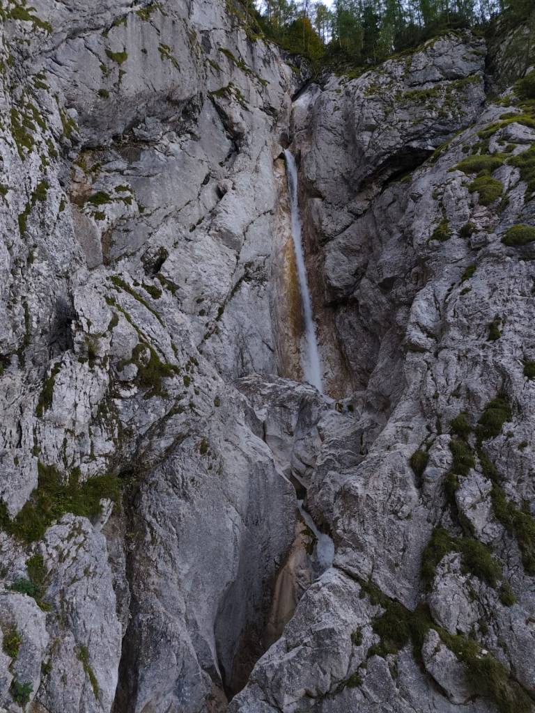
Upper Martuljeks waterfall 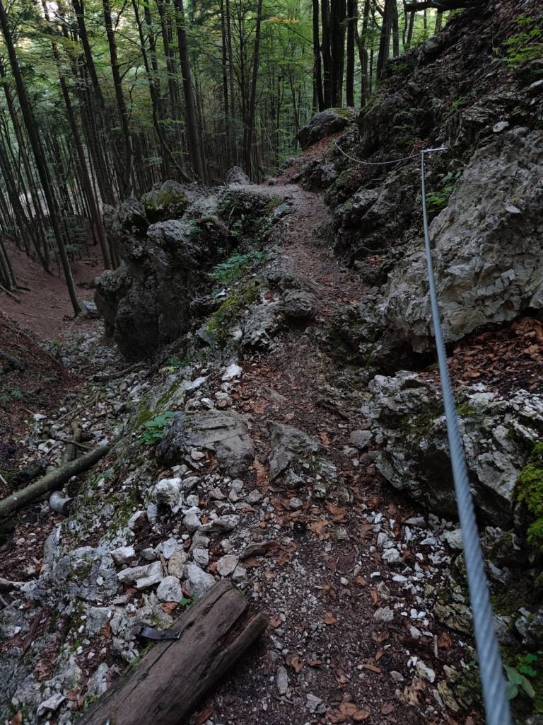
Some parts of the path were even marked as a ferrata on the map (however, in the photo, the part is marked as a ladder) 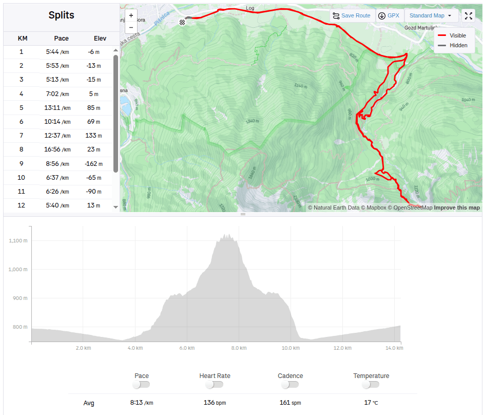
14.25km, 1h 57 min, 479m ascend
-
Subscribe
Subscribed
Have a WordPress.com account? Log in now.

