-
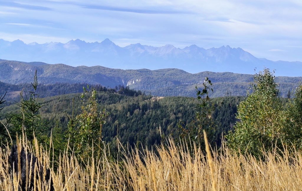
SNP girl’s project, day 17
The next stage of the SNP Heroes’ Trail,was taking us from the Štós Spa to Dobšinský Kopec. A long stage lay ahead, compounded by a lengthy drive that required a very early start. We left Bystrica at 4:30 AM, and I enjoyed my breakfast and morning coffee in the car along the way. We arrived at the Štós Spa at 7:15 AM, and just a few minutes later, we were already jogging along the red-marked trail.
The air warmed up quickly, and after just a few kilometers, I was already changing from my jacket into shorts. There were supposed to be plenty of springs along the route, so we were each carrying only two half-liter bottles—supplies that were disappearing very fast. The first water source was supposed to be at the Pipitka hunting lodge, but when we ran up to it full of hope, there wasn’t a single drop of water. We quickly scanned the map for the next spring, as we were down to our last two deciliters of water. Fortunately, the nearest spring was only 3.5 km away, so we pressed on.
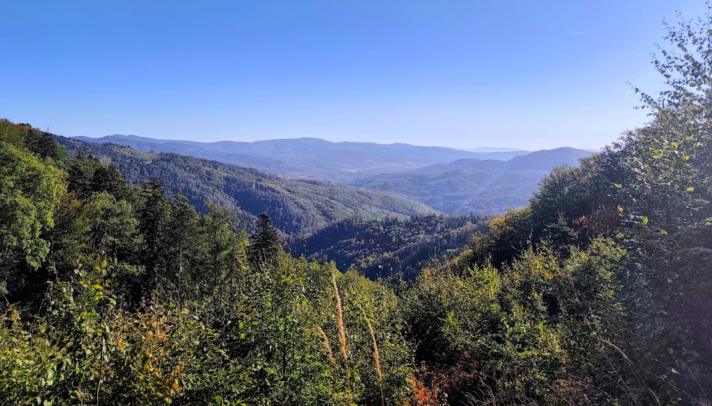
At first, the route was less generous with views. At the SNP Úhorná shelter, we run into two guys who spent the night there and ask about water. They tell us that while there is water at the Smolník spring, it’s only a trickle; they had placed a cut-off bottle there the day before, and we are welcome to take whatever has collected in it. They saved us at least half an hour of waiting for the water to drip into all our bottles (thanks to them, we filled five out of six very quickly). And while we wait for that last half-liter, we snack on bread rolls and refuel.
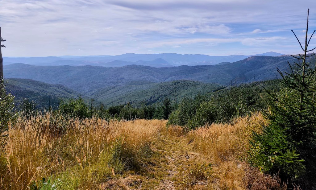
The early autumn in Slovak mountains We are crossing the Úhorná Pass, and halfway to Skalisko we meet Jožko, who had driven the car to the finish point and was running back to meet us. He is much faster than we are, so we have covered almost the same distance—he has 30 kilometers, and we have 31.
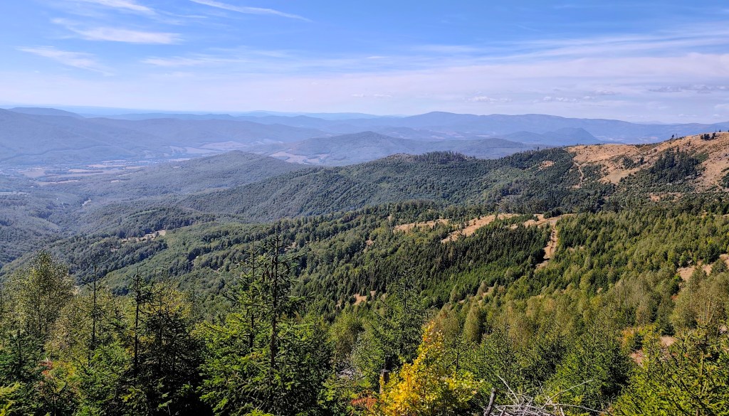
After Volovec mountain hut We head down from Skalisko to the Volovec mountain hut—partly for a radler, and partly because we’re running out of water again, with the next supply 15 kilometers away. The radler is wonderfully refreshing for all of us, and after half an hour, we’re back on our feet, heading toward Súľová Saddle.
View on HighTatras From the saddle, one more nasty climb awaits us, and after that, they say it’s just rolling hills. Well, you need energy for rolling hills, too! 😀
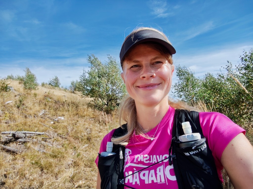
On the climb from Súľová Saddle Along the way, we pass the Gálová shelter—a beautiful spot with a stunning view—though the cabin was closed for disinfection.
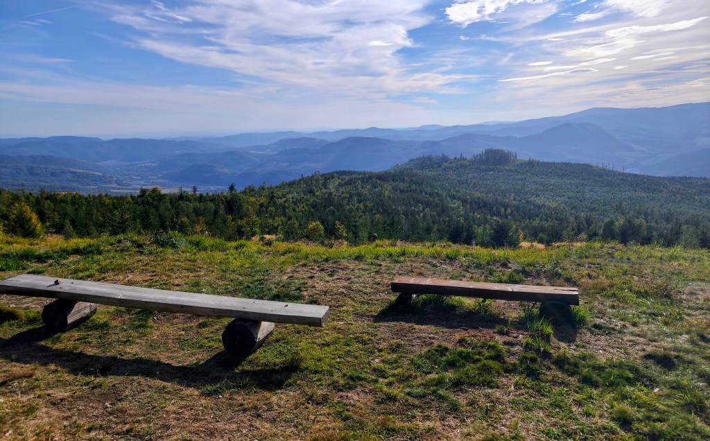
View from Gálová 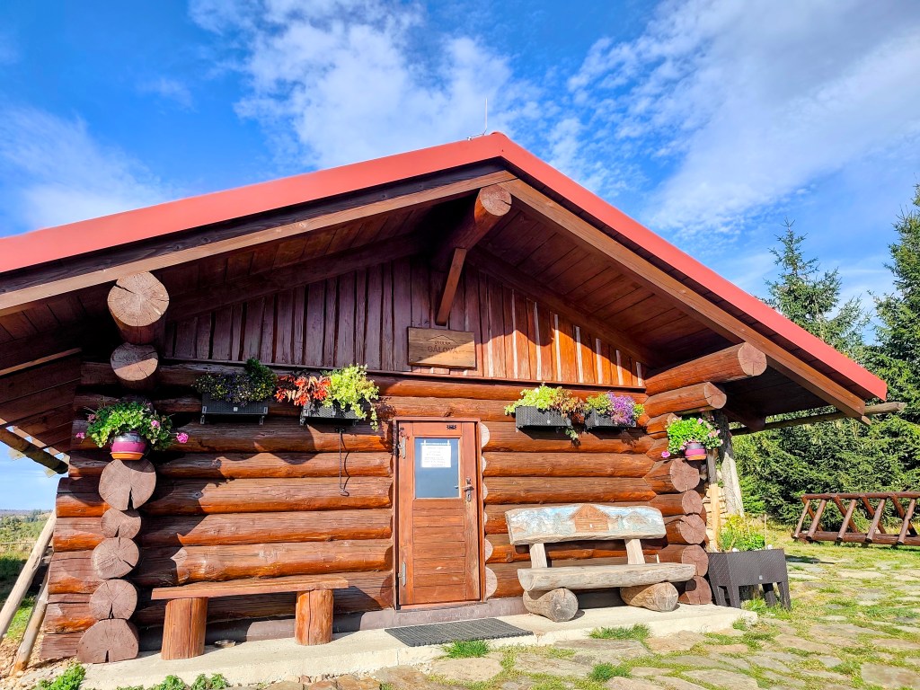
Shelter Gálová Next comes a run down a forest path—finally a more relaxed stretch leading to the Suchý Vrch lookout tower, where we leave the cycle path and have to start climbing uphill again. Honestly, we’re pretty worn out; we’ve got over 50 kilometers in our legs, and every little hill is starting to feel like a challenge.
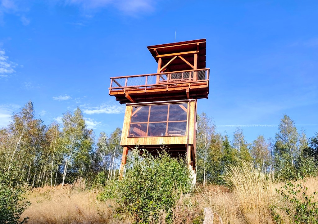
Viewpoint Suchý vrch We finally reach the Kruhová saddle—a spot we already know, having run the next section from this point—and thanks God, there are only 5 kilometers left. We’re out of steam, so we walk the rest of the way as the sun sets. Even so, we’re all happy we made it.
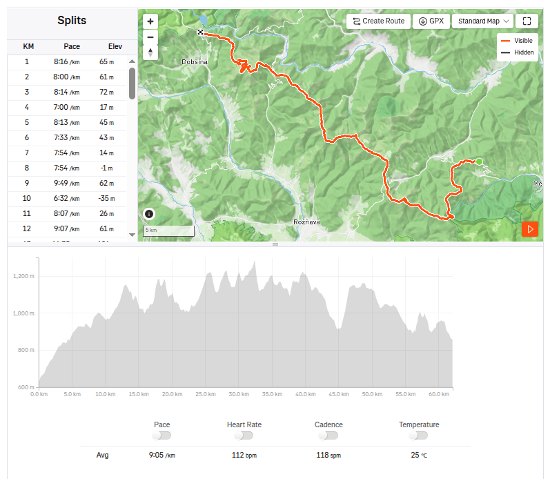
62.1km, 9:23 active time, 10:55 total, 2399m ascend -
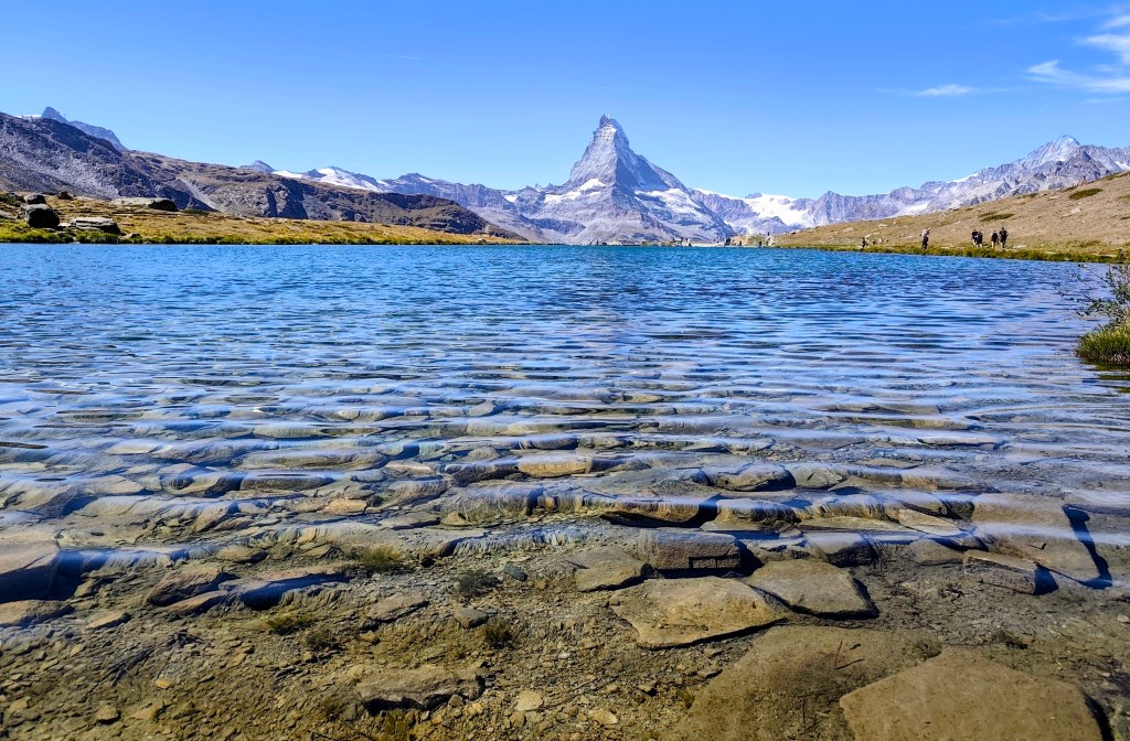
5 lakes trail with Matterhorn views
We had two possible routes planned for today: a shorter one starting from Zermatt, going up past the five lakes and back to Zermatt, or a longer one extending all the way to Täsch.
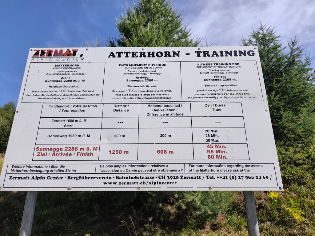
Matterhorn training In the morning, we drove to Täsch—essentially the last point accessible by car; beyond that, you can only travel on foot or by the Zermatt train. Since we had big plans for the day, we opted for the train. It operates as a shuttle service running every half hour.
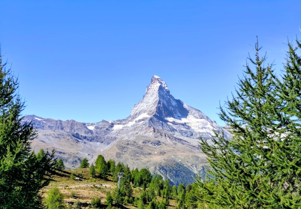
First view on Matterhorn In Zermatt, we waited for the guys running the Ultra Trail Monte Rosa, cheered them on, and then headed towards the mountains 🙂
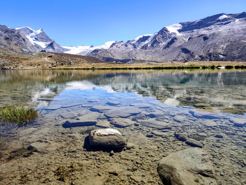
Crystal-clear water reflecting the hills Our first challenge was a training route for the Matterhorn—a 1.1 km-long path from Zermatt to the Sunnegga cable car station. What makes it a training route is the 600-meter elevation gain from start to finish; it is truly steep!
If you complete it in under 45 minutes, you’re “Matterhorn fit”; 55 minutes is borderline, and anything over 60 minutes puts you out of the running. I managed to hike it in 34 and a half minutes, though I was only carrying a fully packed running backpack—which probably doesn’t count as Matterhorn gear 🙂
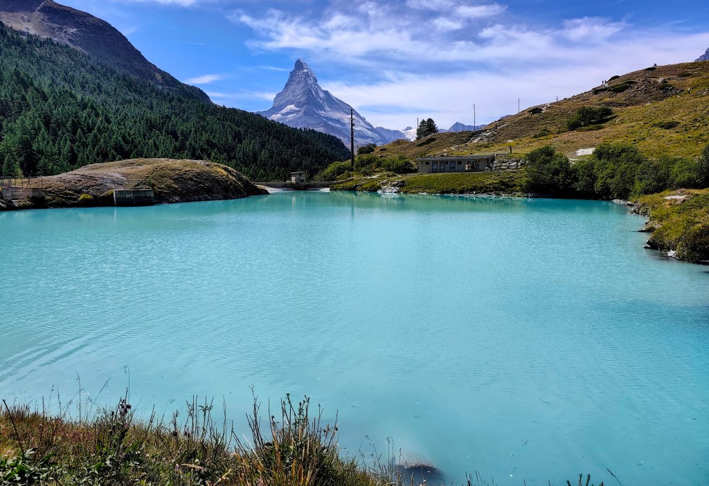
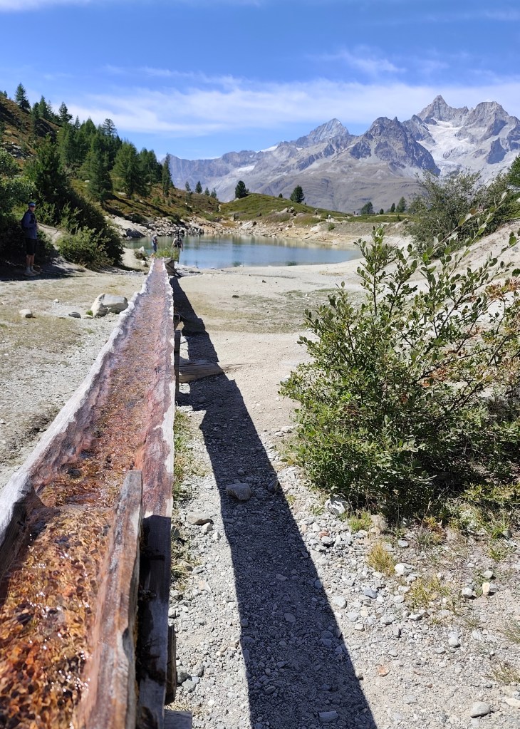
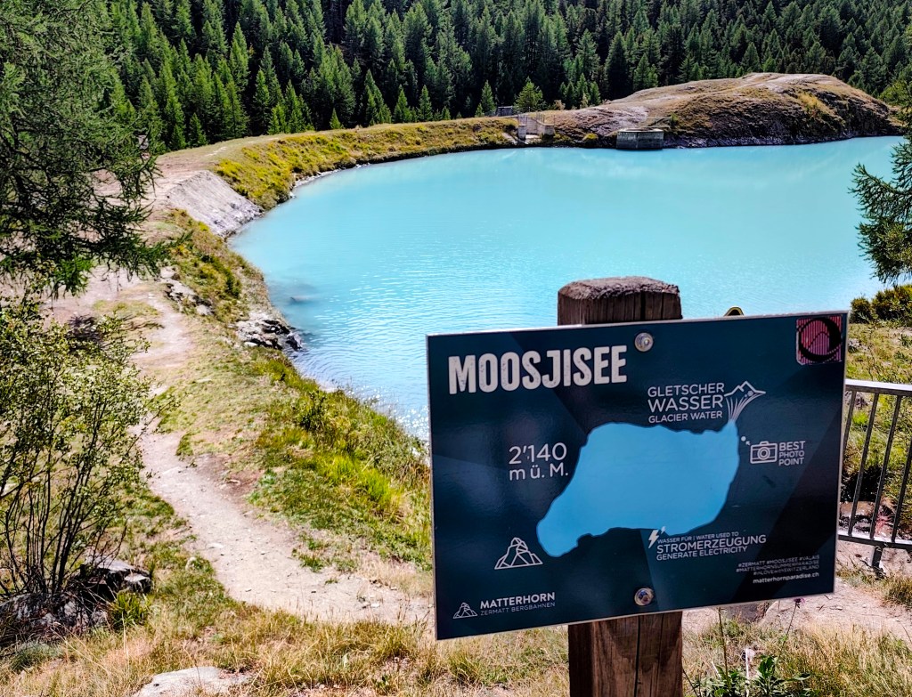
Glacier water inMoosjisee The 5-Lakes Trail starts at Sunnega—taking in Tellisee, Grindjisee, Grünsee, Moosjisee, and Leisee—though I couldn’t say for sure which is which anymore 🙂
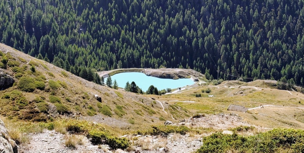
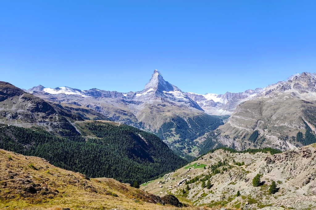
The circuit around them is 10 kilometers long, and you can even swim in two of them. This loop offers beautiful views of the Matterhorn.
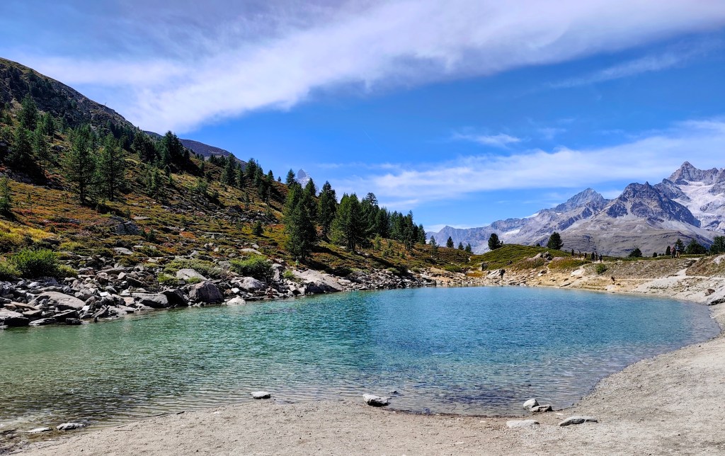
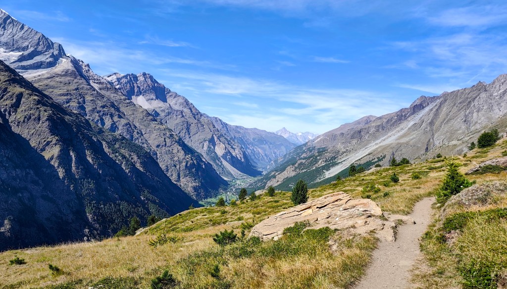
A lake where you can swimm Since we still had time and the will, we decided to save the 8-franc train fare and walk to Täsch instead. It’s a fantastic, scenic walk, as you spend most of the time above the tree line. One section was a bit unsettling due to the risk of rockfalls; along a stretch of about 900 meters, there were four shelters where one could take cover should such a slide occur. Fortunately, nothing happened while we were there.
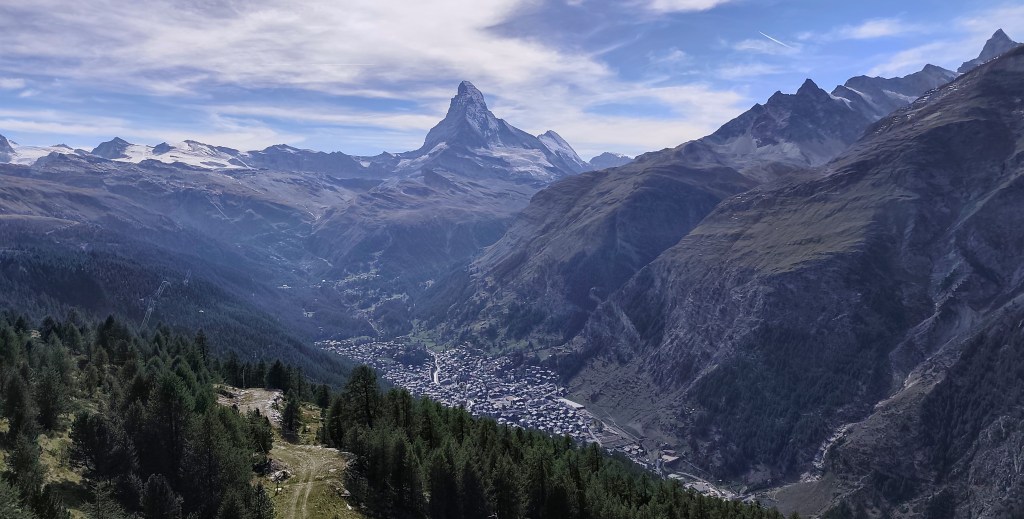
And as a final bonus, there was a beautiful waterfall at the beginning of Tasch.
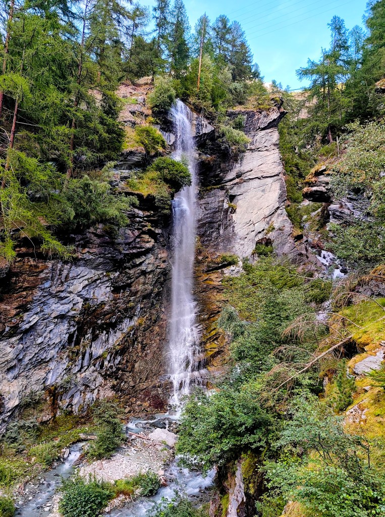
Tasch Waterfall 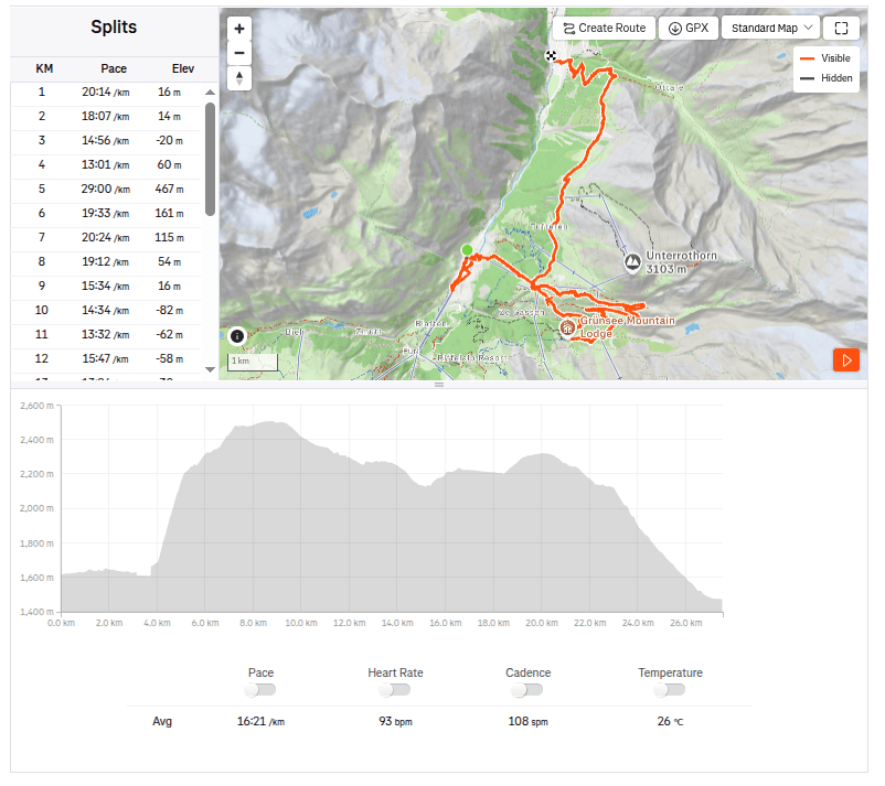
27.5km, 7:30 active time, 9:59 total, 1319 metres ascend
-
Subscribe
Subscribed
Have a WordPress.com account? Log in now.

