-
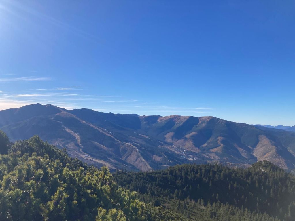
Krakova hoľa
We started at Demänovská jaskyňa slobody. The Demänovská Caves National Natural Monument on the northern side of the Low Tatras is the longest cave system in Slovakia.
But we wasn’t there for the cave, we planned hike to Krakova hoľa, for me totally unknown place.
Krakova hoľa is a massive hill in the northern part of the Ďumbier Tatras. Thanks to its location, which is outside the main ridge at an altitude of 1751.6 m above sea level, it dominates the wide surroundings, above which it protrudes and provides an interesting circular view. Krakova hoľa is located between the Demänovská valley and the Jánská valley. The eastern and southern parts of the hoľa belong to the Ďumbier National Nature Reserve with the 5th level of protection.
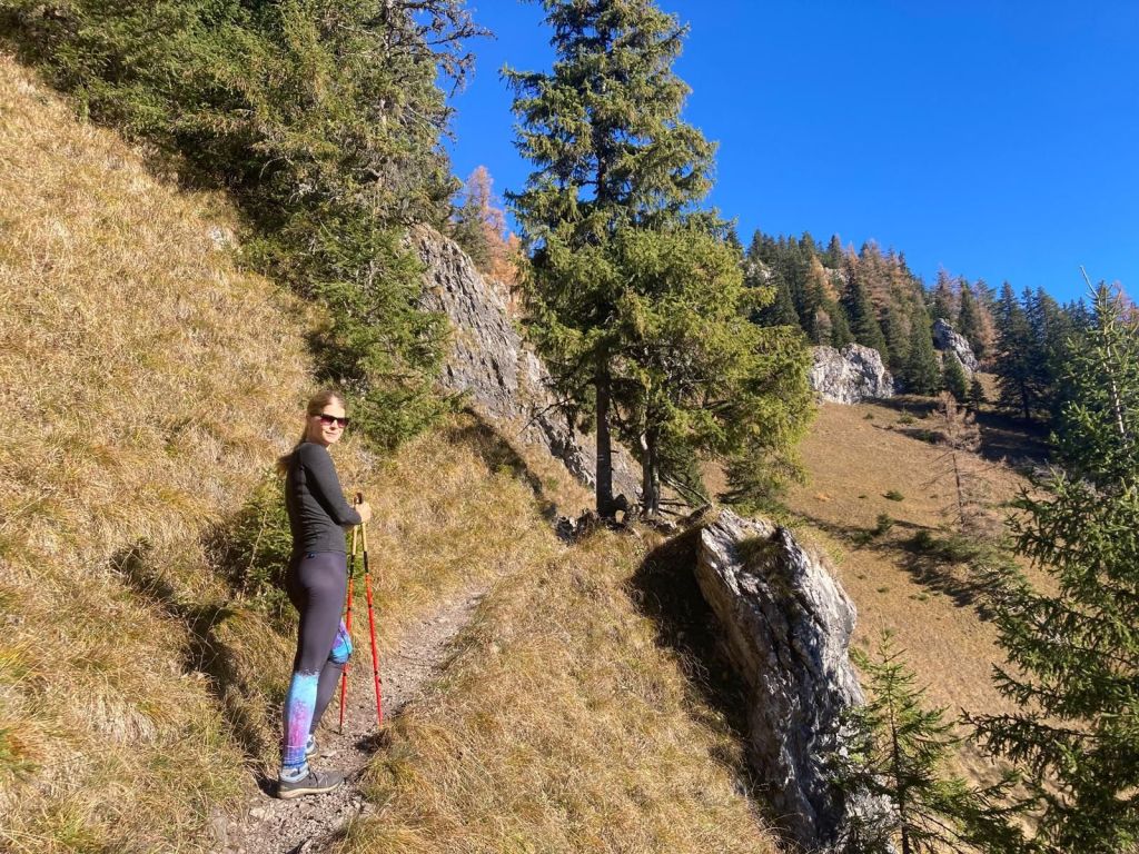
Under Machnatô 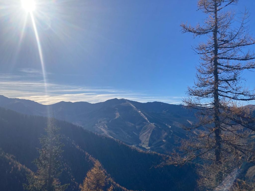
Views to Chopok 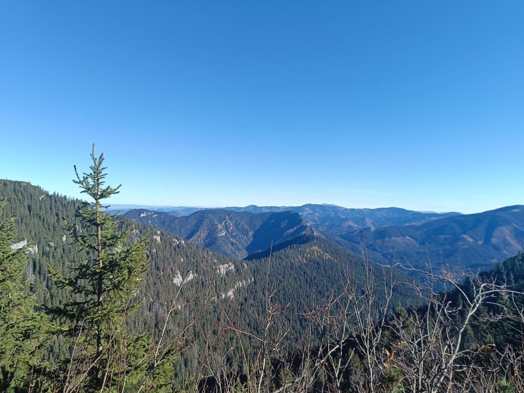
That day, the visibility was excellent 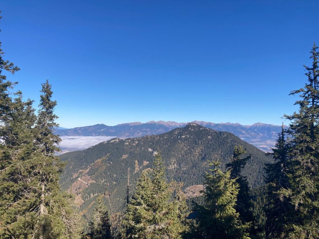
For me a surprise was the valley Vyvieranie on our path back.
We dive into the narrow Vyvieranie valley, and the trail often leads directly along the stream bed. It is neither deep nor wide, but it flows swiftly through the rocky bedrock. You often have to overcome rock gates, cascades, or jump over the stream. In some places, the route is led by bridges and here and there you will also come across chains. Overall, the valley in the lower part has the character of a small but wild gorge. It is humid here, which results in a beautiful forest. Since it is part of the National Park, fallen trees remain here, only here and there they are cut down so that tourists can get between them.
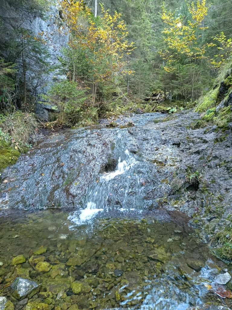
Vyvieranie valley 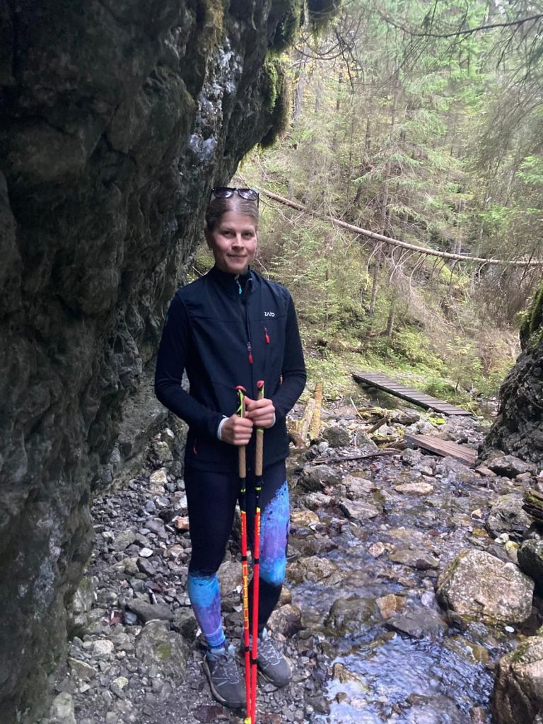
Through Vyvieranie 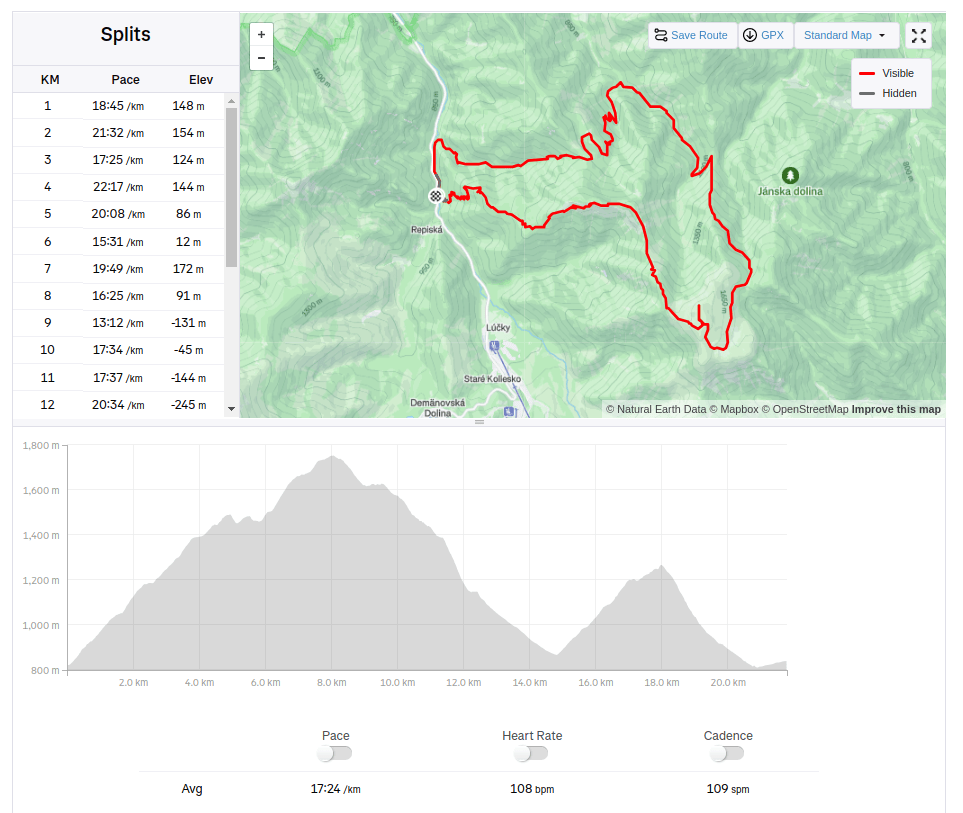
21.79km, 1478m ascent, 6h 34 min -
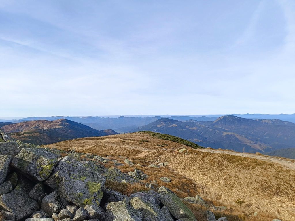
Ďurková
Originally called the shelter under Chabenec (1623 m) is located just below the main ridge of the Low Tatras and is built on the site of a former mountain hut.
We started from village Magurka, located at an altitude of 1080 m. It is located in the beautiful natural environment of the Low Tatras at the end of the Ľupčianska valley under the peaks of Latiborská hola (1648 m.a.s.l.), Ďurková (1749 m.a.s.l.), Chabenec (1955 m.a.s.l.).
Magurka was founded in the 14th century as part of the mining business in its surroundings. Gold mining began around 1250. At that time, it was still privately owned. Later, Magurka was owned by the municipality and individuals, but the mined gold had to be handed over to the imperial treasury. During the reign of Maria Theresa, gold mining passed into the hands of the state. In 1835, new shafts were opened – Ritterstein and Kilian, and in 1848 the Ruseger adit. Gold was mined according to the old system, water steps and manual washing, later machine washing. In 1860, houses began to be built here and in 1888 250 miners worked here. In the same year, antimony was discovered on Magurka. 10-11 kg of gold, the same amount of silver and 3000 – 4000 m3 of antimony were extracted here annually. The largest was the Kilian shaft – 3 km long, Ruseger measured 1600 m, Ritterstein 1400 m. The others were shorter. The produced material was transported to Ružomberok, only later a cable car was built from the galleries to the entrances. This tedious work was the reason that production was much more expensive than the revenues from mining, and so in 1923 mining was stopped forever. The state transported the machines to Banská Štiavnica, the buildings were sold off, and only a few families remained in Magurka. In 1928, Magurka had 20 houses and 75 people. An exceptionally rare object is the mining church. In its tower, a huge rapkáč has been preserved to this day, which could be heard far and wide. In the past, it was used to call miners to work and announce the end of the “shift”, but it was also used on other occasions.
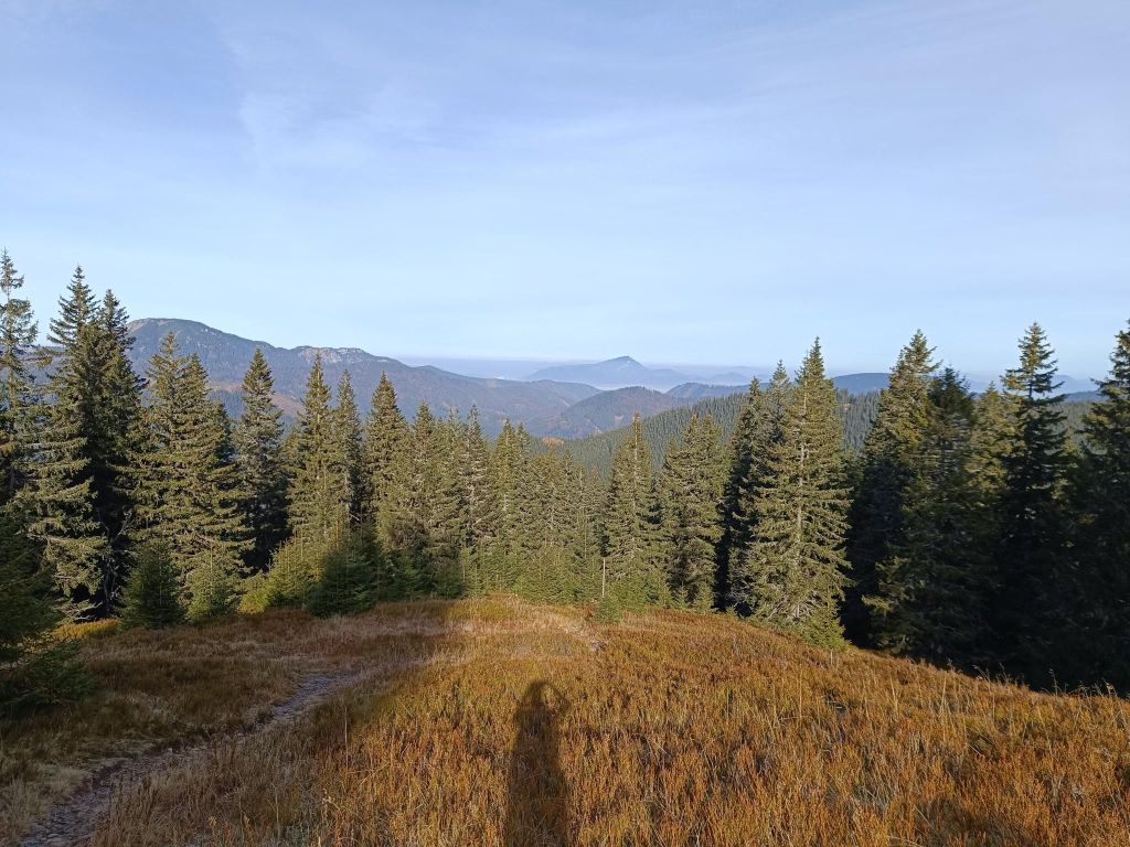
Trees are combined with blueberries at the beginning 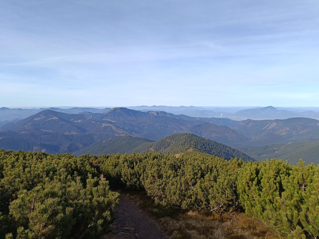
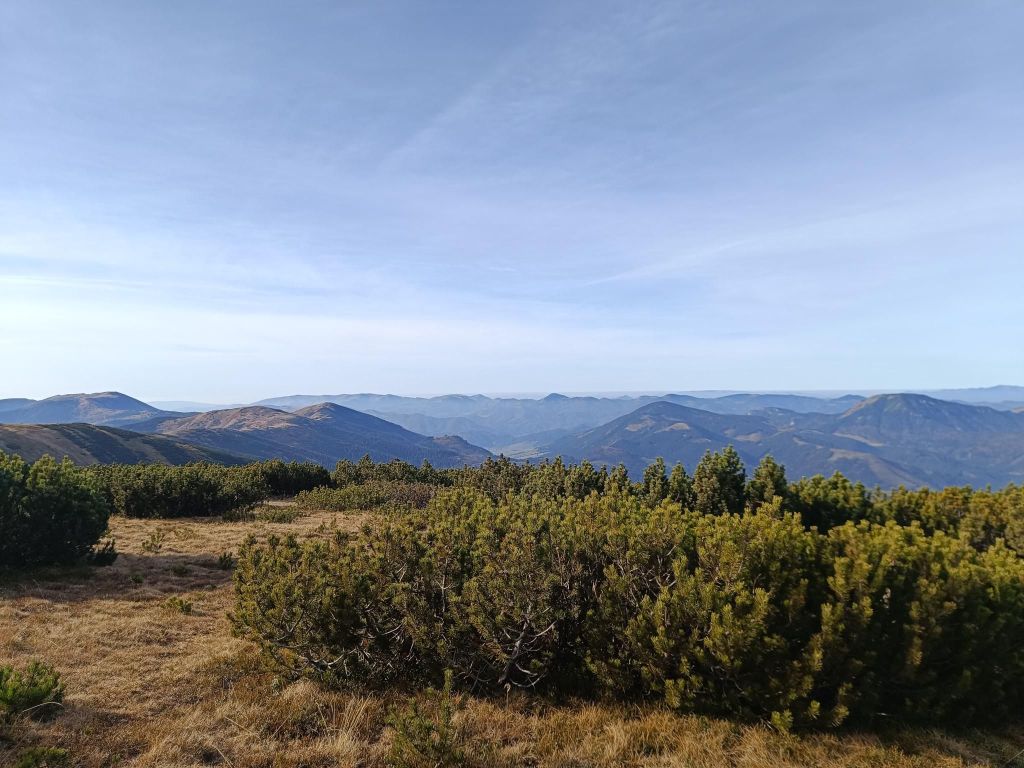
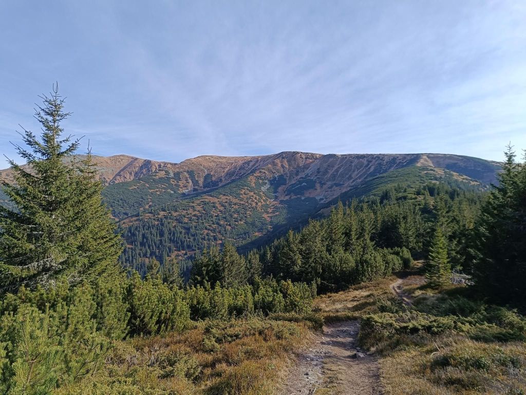
Then there was pinewoods 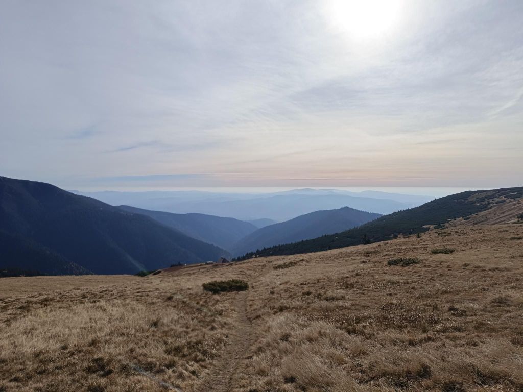
Just under the main ridge, there is Ďurková 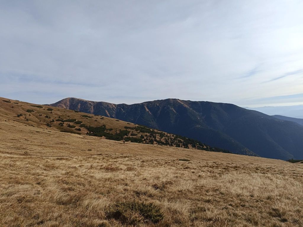
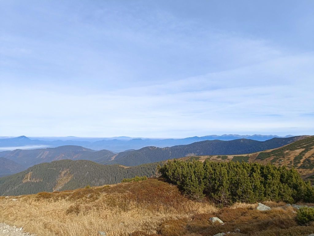
Beautiful views from the main ridge 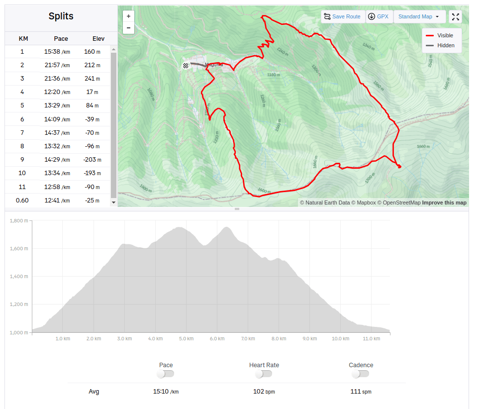
11.6km, 912m ascent, 2:55 moving time, 4h 5min total
-
Subscribe
Subscribed
Have a WordPress.com account? Log in now.

