Category: en

  • Uhliská – Sklené Teplice

    Uhliská – Sklené Teplice

    I have the best parents, they support me a lot. This time our family day looked like this: early in the morning my dad drove me on top of the mountain range, where the tourist path crosses a road, then I run to Sklené Teplice where we end our day with bathing in healing springs.

    This time I ran alone, trail I didn’t know, through Štiavnica mountains. Adventure:) It was hot, sunny, summer day.

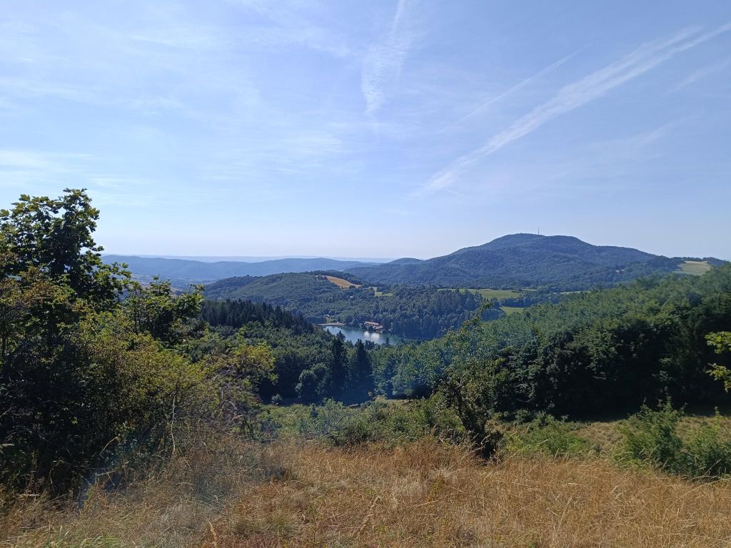
    Uhliská is a small village, the inhabitants were coal miners, they supplied coal to Levice Castle in the 16th century
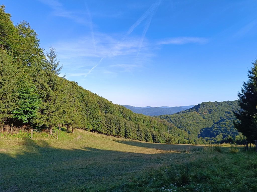
    Meadow near Uhliská

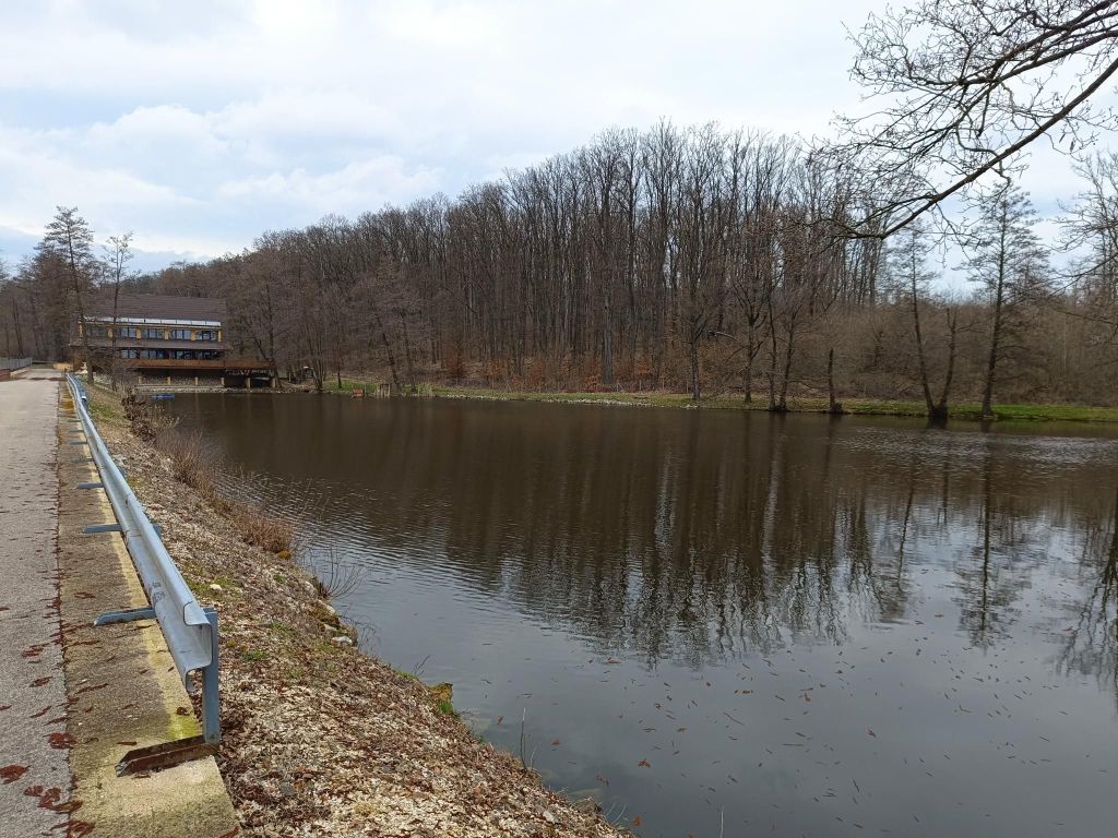
    Next stop was Richňava lakes. They are artificial lakes near Štiavnické Bany. Originally it was just one large tajch, built in the 18th century, which served as a water reservoir for the mining industry. Due to the excessive size of the tajch, there was a danger of water seepage and dam damage or rupture. That is why they divided the tajch into two halves, lowering the water level in the threatened part and strengthening the dam. Thus, the present two lakes were created, which, although separated by a dam, are also connected to each other inside the dam.

    In the summer months, the lakes offer the possibility of swimming.
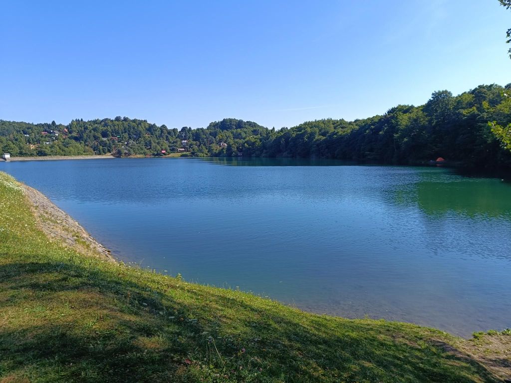
    Richňava lake

    The path then leads above Štiavnické bane and Banská Štiavnica. the hot weather turned the grass into hay and the ground was powdery and dusty.
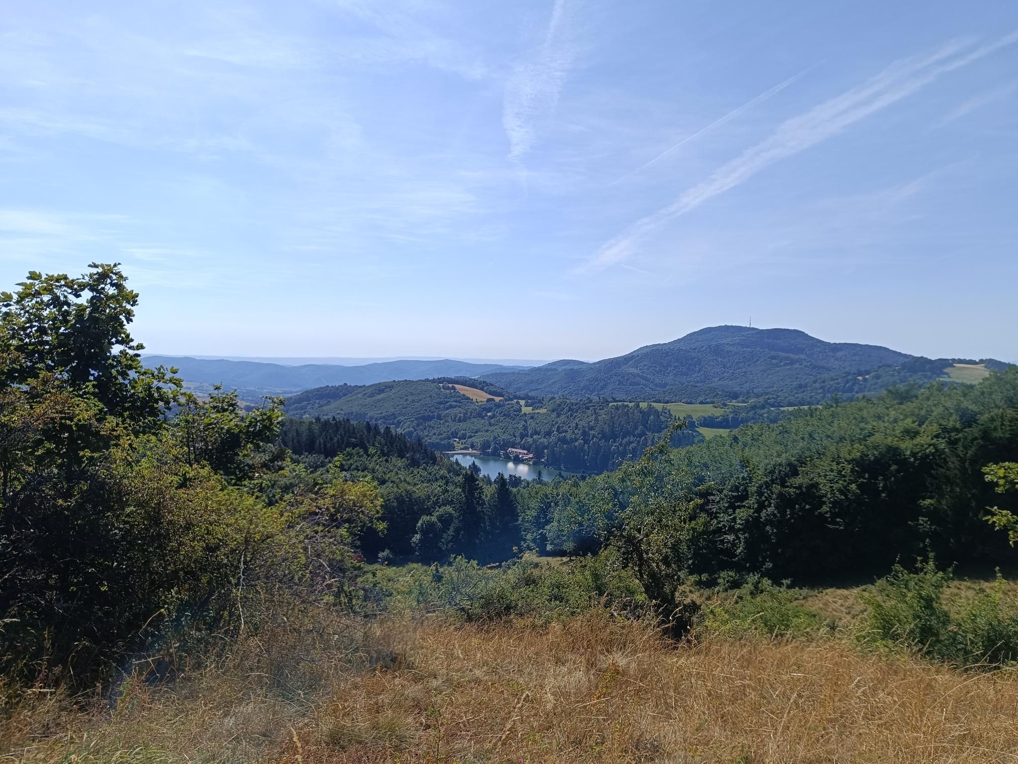
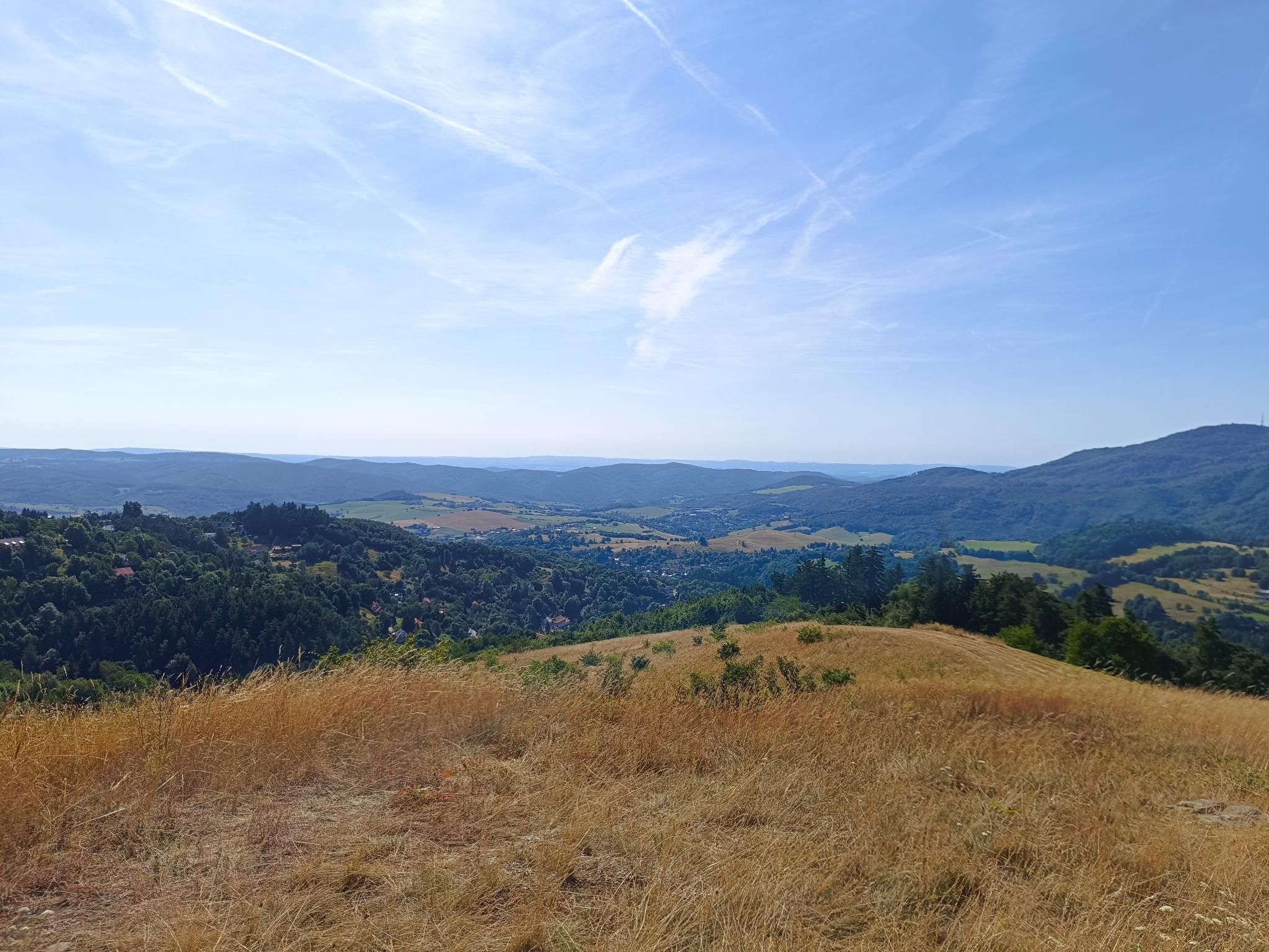


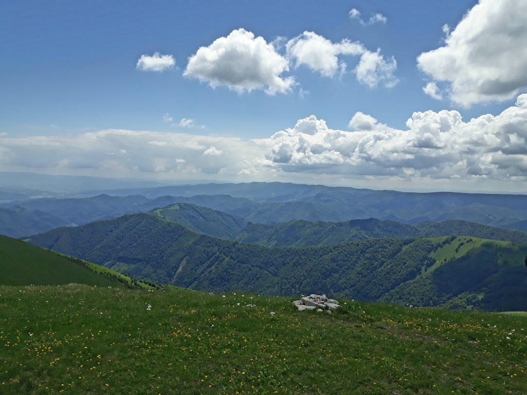
    Paradajs is 939 m above sea level. m. the third highest peak of the Štiavnické vrchy after Sitna and Petrov vrch. Although the peak is overgrown with forest, the surrounding meadows provide one of the most beautiful views of Banská Štiavnica. On top of Paradajs, there is a large open meadow with an interesting stone structure – a menhir. According to tsome people, the stone circle is meant to harmonize and replenish vital energy.
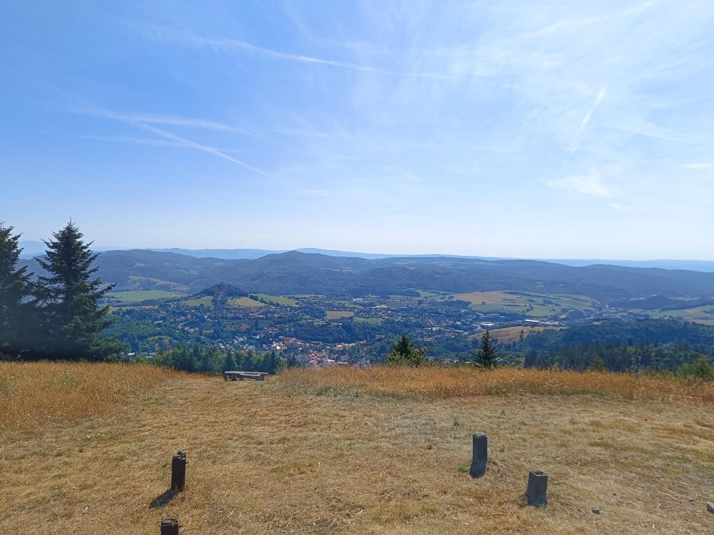
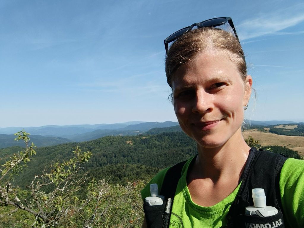
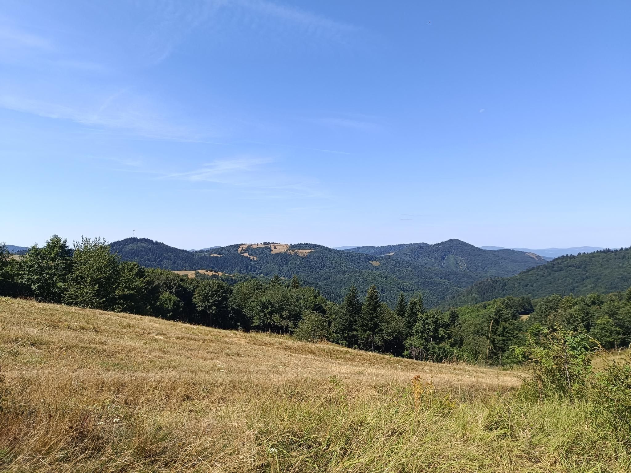
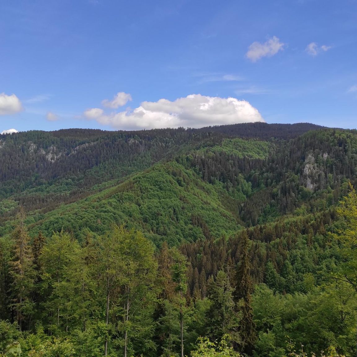
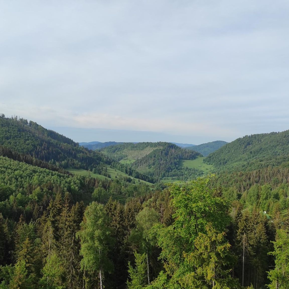
    Views from Paradajs
    I drank all of my water on that meadows, luckily, the rest was pure descent
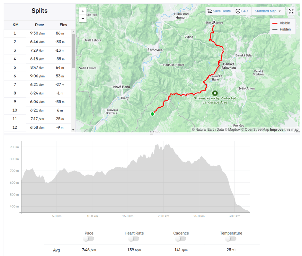
    32.14km, 930m ascent, 4h 26min
  • Muránska planina

    Muránska planina

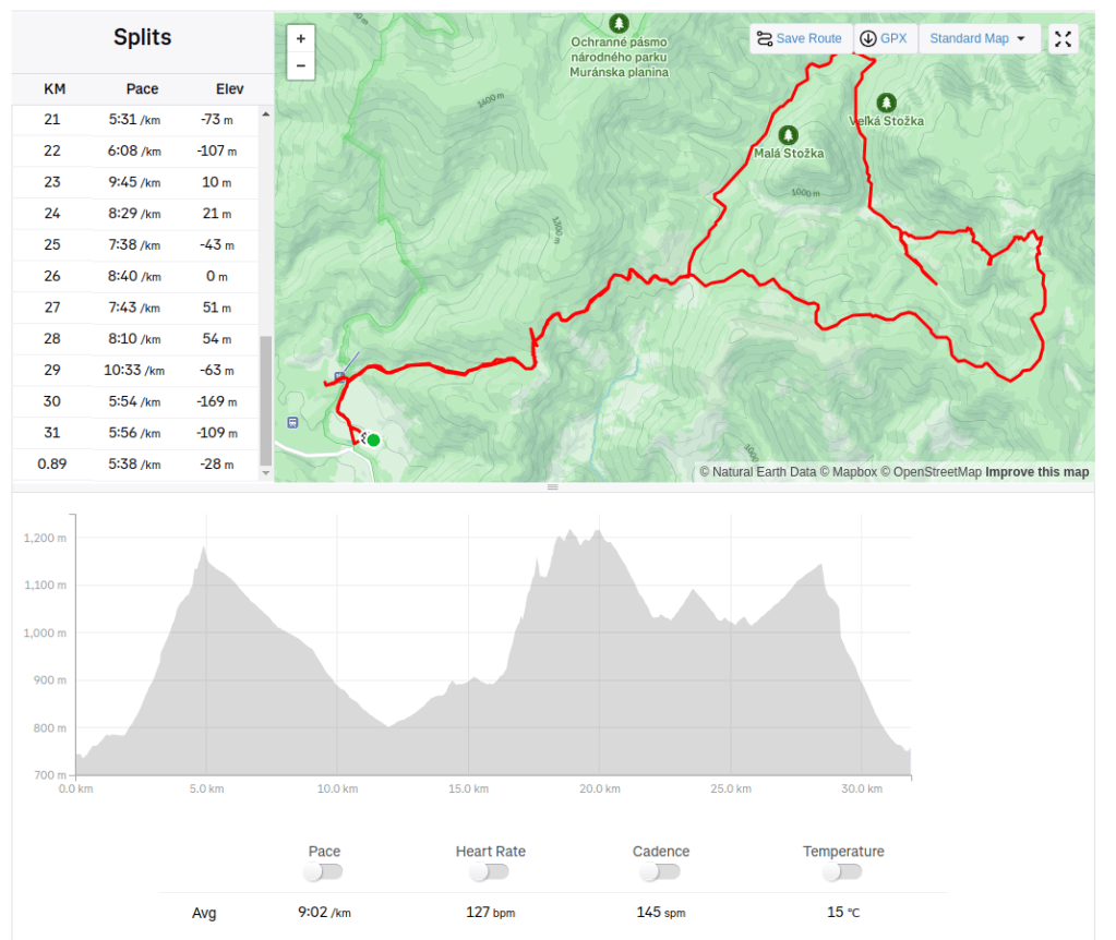
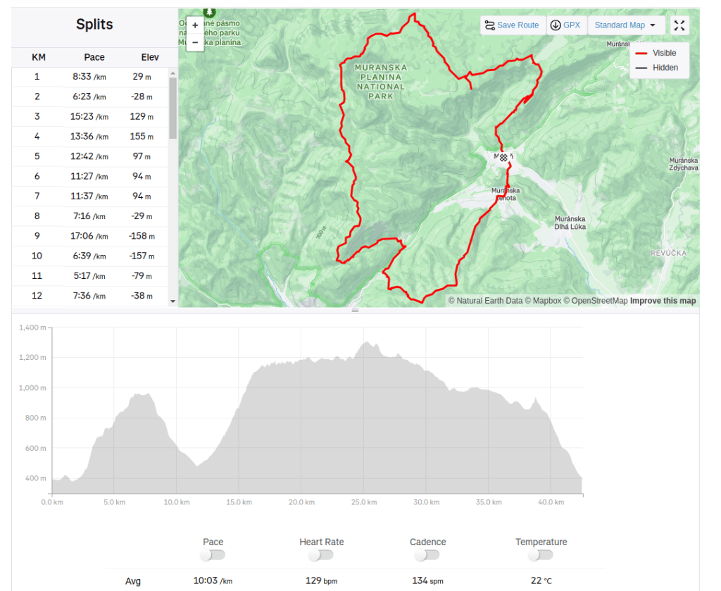
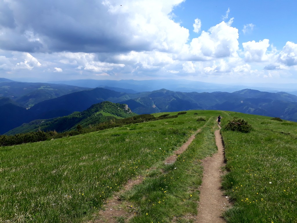
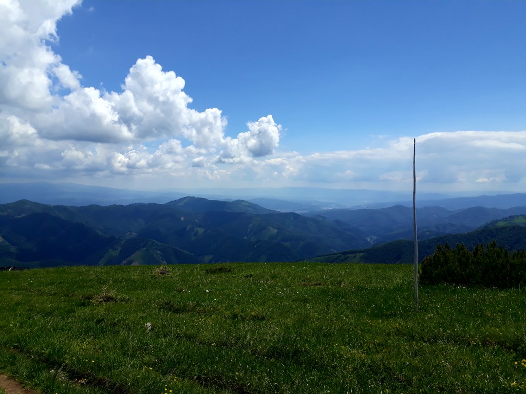
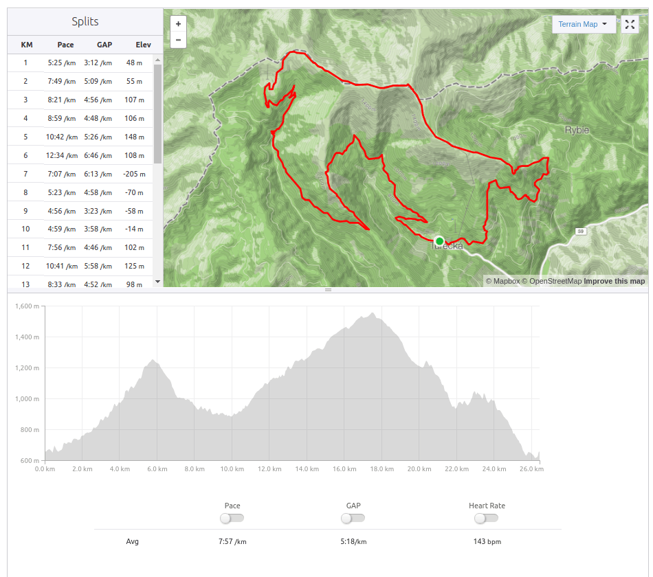
    Muránska planina is quite a big nature park, so one time there wasn’t enough. This time from Zbojská between Malá and Veľká Stožka to Skalná brána and back.

    Zbojská is a mountain saddle in the main ridge of the Veporské vrchy. There is restaurant and sightseeing tower.
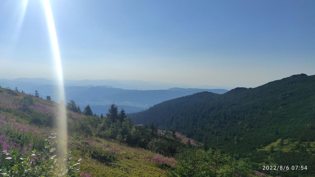
    Veľká and Malá Stožka are the two oldest reservations in the Horehron part of the Muránska planina. Both are characterized by rock relief formed by dolomitic limestones and a complex of old forests

    32km, 1200m ascent, 4h 52 min
  • Vtáčnik

    Vtáčnik

    The entire mountain range created in ancient times by volcanic activity, there are beautiful andesite rock formations. The Vtáčnik Hill and its surroundings are part of the same national nature reserve, characterized by old forest stands of places of forest-like character.

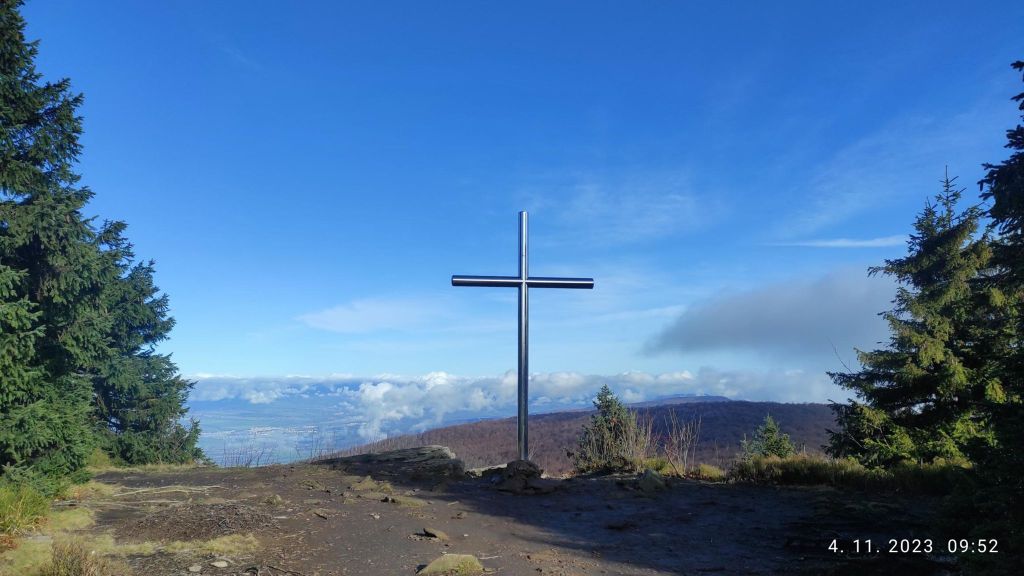
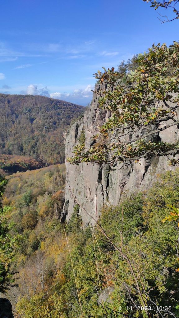
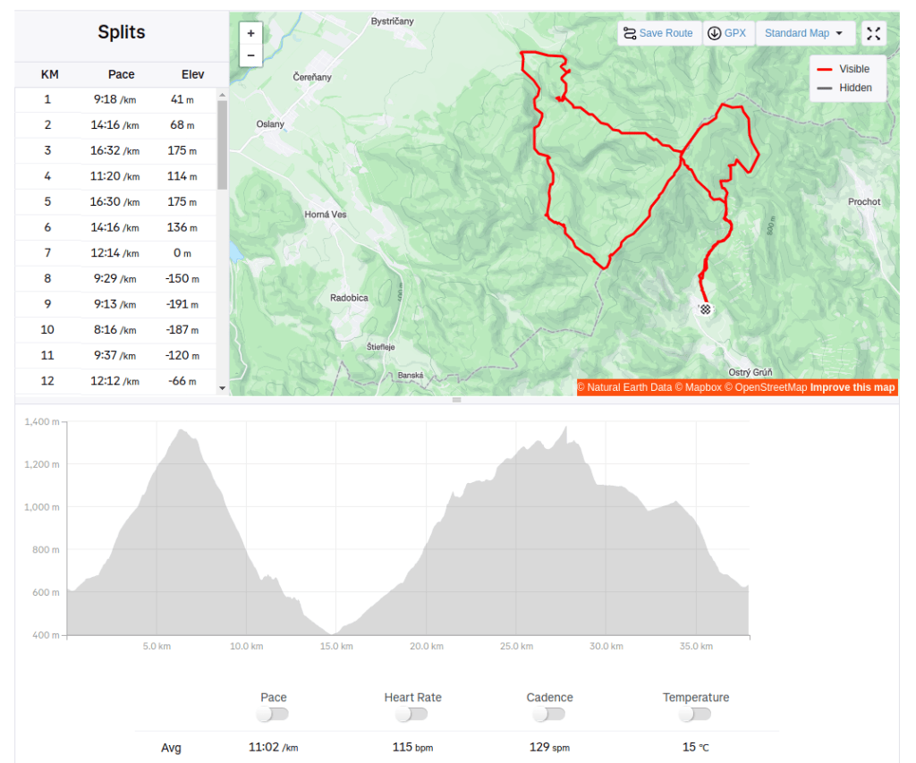
    We started 4.11.2023 early in the morning from Kľak village speedhiking to the hill Vtáčnik, then we run down to Končitá and back through Bystrianska valley to Rúbaný vrch back to the Vtáčnik again:)

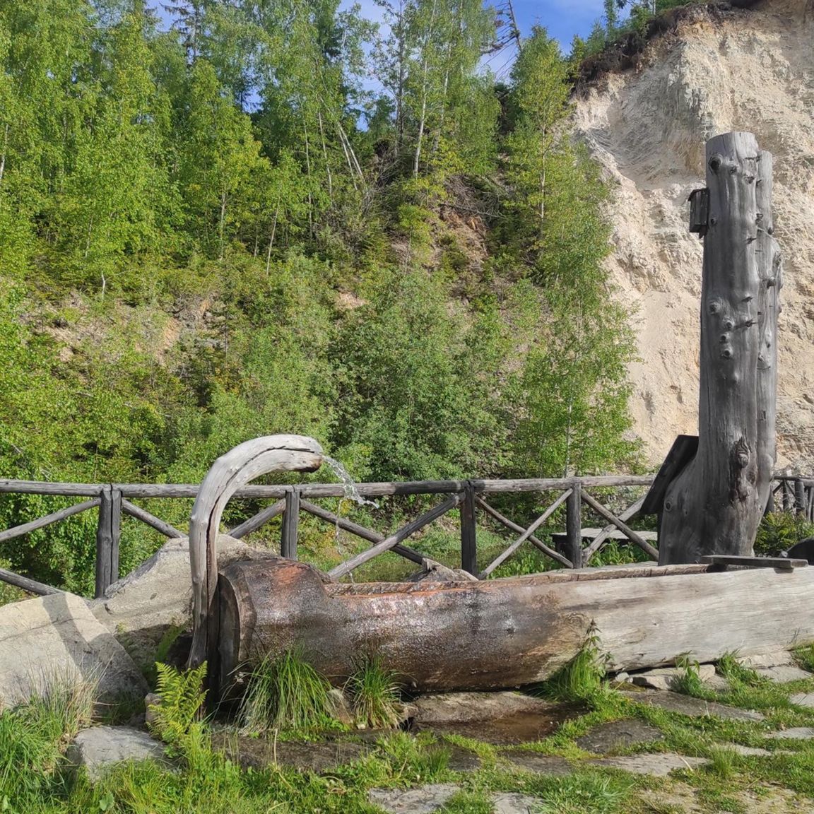
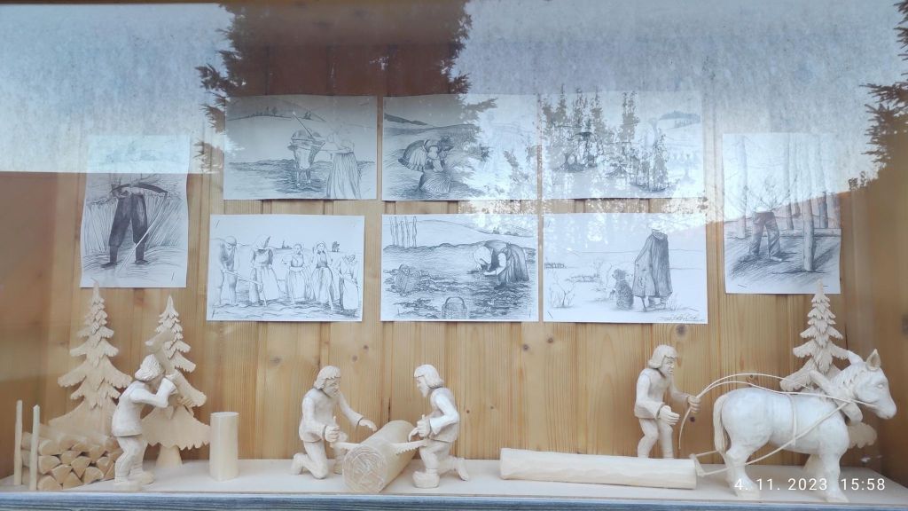
    Nice woodwork in Kľak
    Cross on top of the Vtáčnik

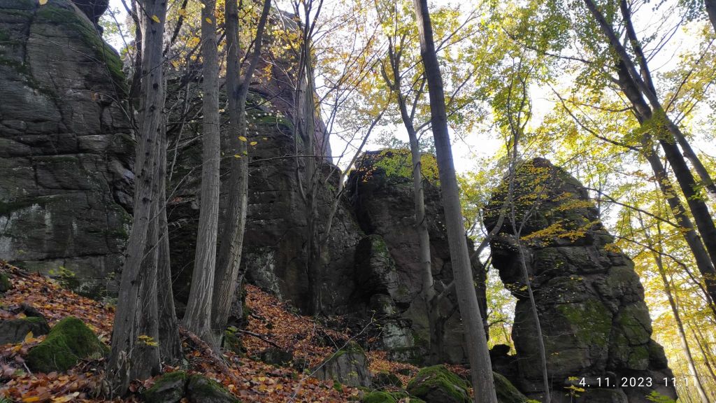
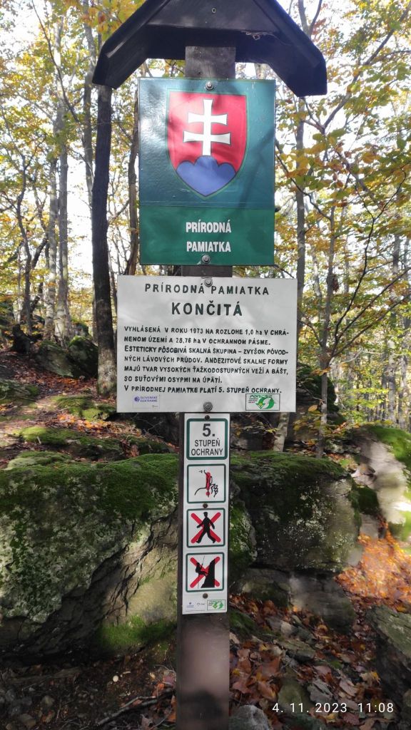
    Končitá is a nature monument, with lots of andesite rocks. Končita is dominated by a 30-meter high andesite tower. There is a cottage under Končitá where you can grab a coffee, drink or some food. We enjoyed coffee and radler.

    Rocks monuments in Končitá
    Konitá has the highest degree of protection

    Hrádok is a site with archaeological finds. Around the year 1000 BC, a castle was built here, different cultures alternated here, and in the 9th century this place was settled by Slavs. On the upper plateau there was a permanent citadel and in the 13th century a watchtower and a residential tower.

    In addition to the historical value of this location, Hrádok is the second most important climbing location after the Tatra Mountains. This rock wall is approximately 400 meters long, with a height of 100 meters, where more than 70 climbing routes are marked.

    There is a ferrata on Hrádok too.

    Hrádok
    37.94km, 1988m ascent, 7h 36min
  • Divín

    Divín

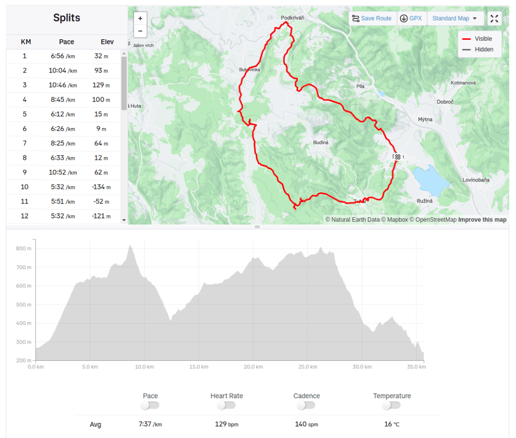
    From Divín, to Podkriváň, through Budínska skala, Bralce and Divín castle on 24.2.2024.

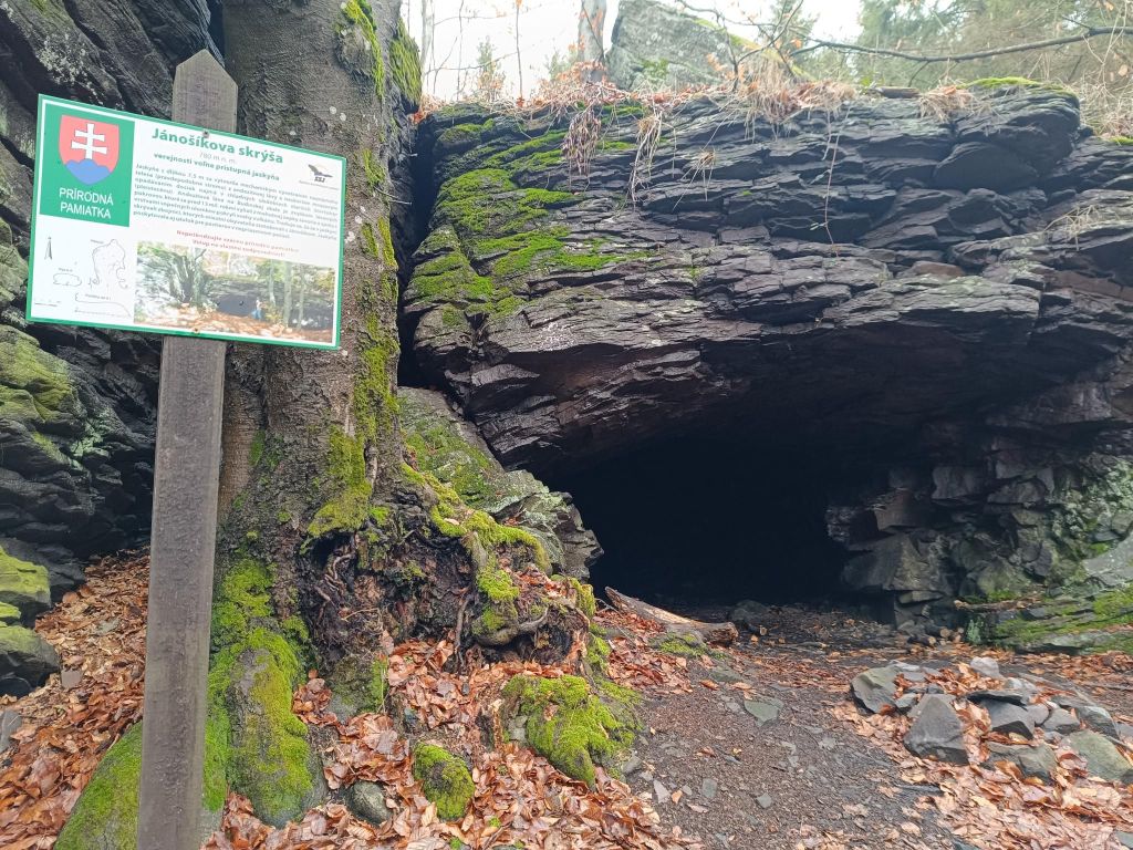
    Inside the andesite massif of Budínska Rock there is a smaller 7.5-metre-high cave, called Jánošík’s Room or Jánošík’s Shelter.

    This cave is a natural monument and it is freely accessible to the public. The andesite lava at Budínska Rock is the remnants of the lava cover that poured out from the massive Javorie volcano 13 million years ago; alongside volcano fragments, it covered the slopes of the volcano

    Tradition says that bandits used to hide in the cave, the locals linking it with Jánošík. The cave also served as a shelter for shepherds in unfavourable weather conditions.

    Jánošík’s shelter
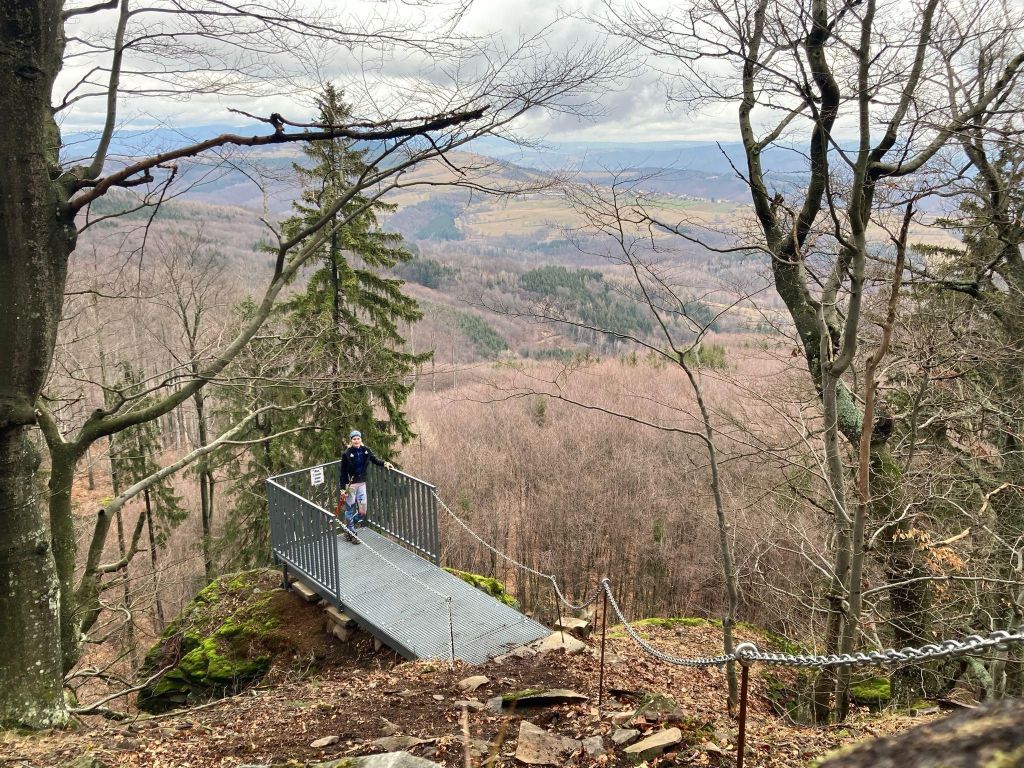
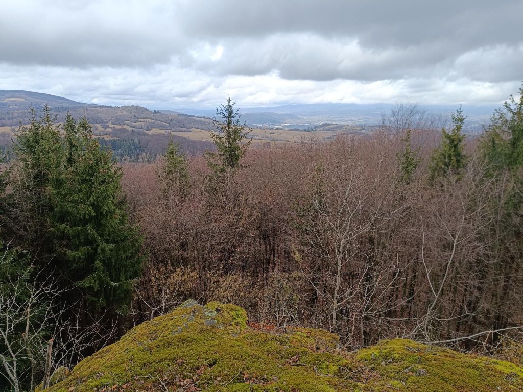
    Viewpoint Javor
    newly created viewpoint
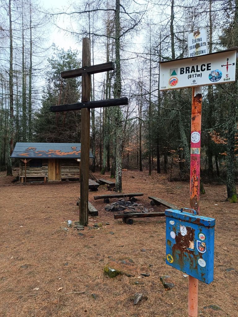
    Tourist shelter Bralce

    The village Divín is situated next to the water reservoir Ružiná in south of central Slovakia.  Ruins of the medieval Divín Castle can be seen above the village.

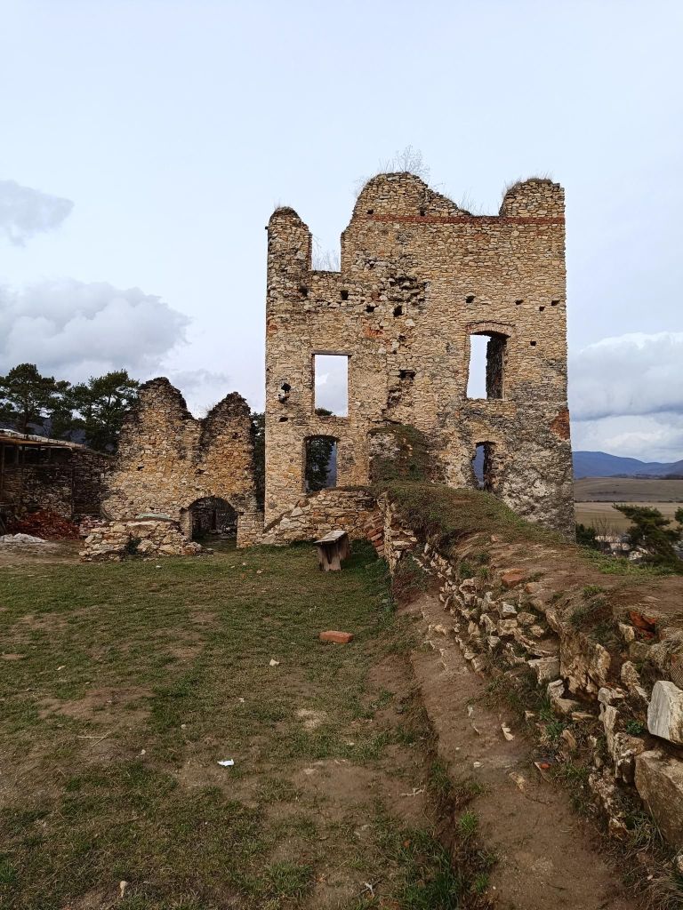
    The Castle was built by the end of the 13th century and it played an important role as an anti-Turkish fort in the 16th century. Its ill-famed owner Imrich Balassa, robber knight seated here in the 17th century and undertook assaults in its environs. After his death, the Castle was conquered by the Imperial troops in 1683 and fell in decay. Only parts of some walls survive.

    Fortified and likewise abandoned Renaissance manor house, Baroque church and the building of parsonage with the oldest sundial in region of Novohrad are in Divín. Interesting events are organized here in summer months.

    Castle Divín
    35.68km, 1299 ascent, 4h 56 min
  • Muráň

    Muráň

    I think my man will never forget this run. Not because of the hot weather, not because of castle Muráň, but because of nearly 2 meters high nettle in Martin’s valley on educational trail Voniaca 🙂

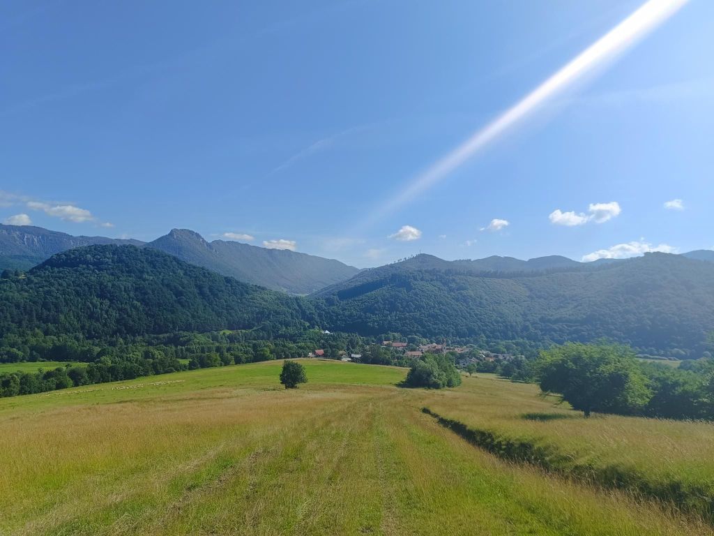
    Through meadows near Muránska Lehota

    A yellow-marked trail led us to the mouth of Martin’s valley. The valley is almost completely covered with forests and when we were there unfortunately with nettle. A lot of nettle. A lot…

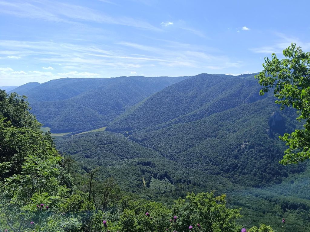
    The valley is flanked on the sides by high, sometimes almost vertical, rocky slopes and the cliffs of Strelnica and Šarkanica. It is 3.4km long with ascent of 520 metres, the hiking trail leads to a small mountain meadow with a view rock cliff.

    view from Voniaca

    Then we run to Well on muránska planina, to Poludnica and then to Muráň castle.

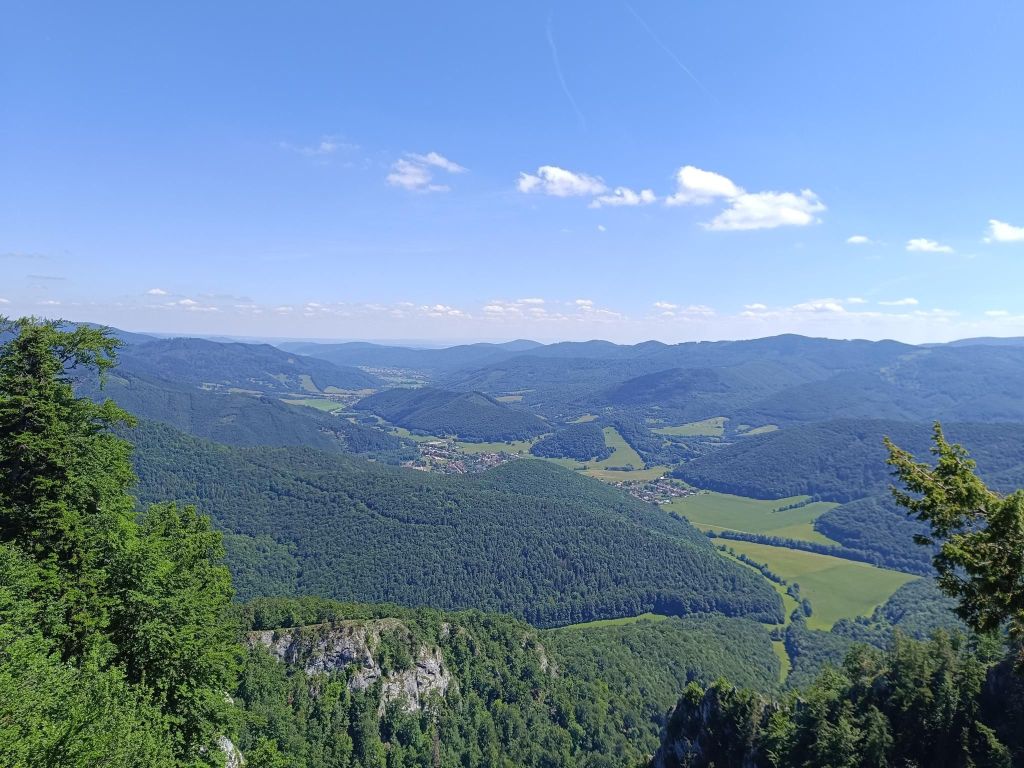
    Poludnica nature viewpoint is a spectacular rock cliff and the sime time natural reserve that stretches below it. This cliff stands out of the dense forest near the former Marketiná mine. This is the most impressive viewpoint in the NP Muránska planina.

    Poludnica

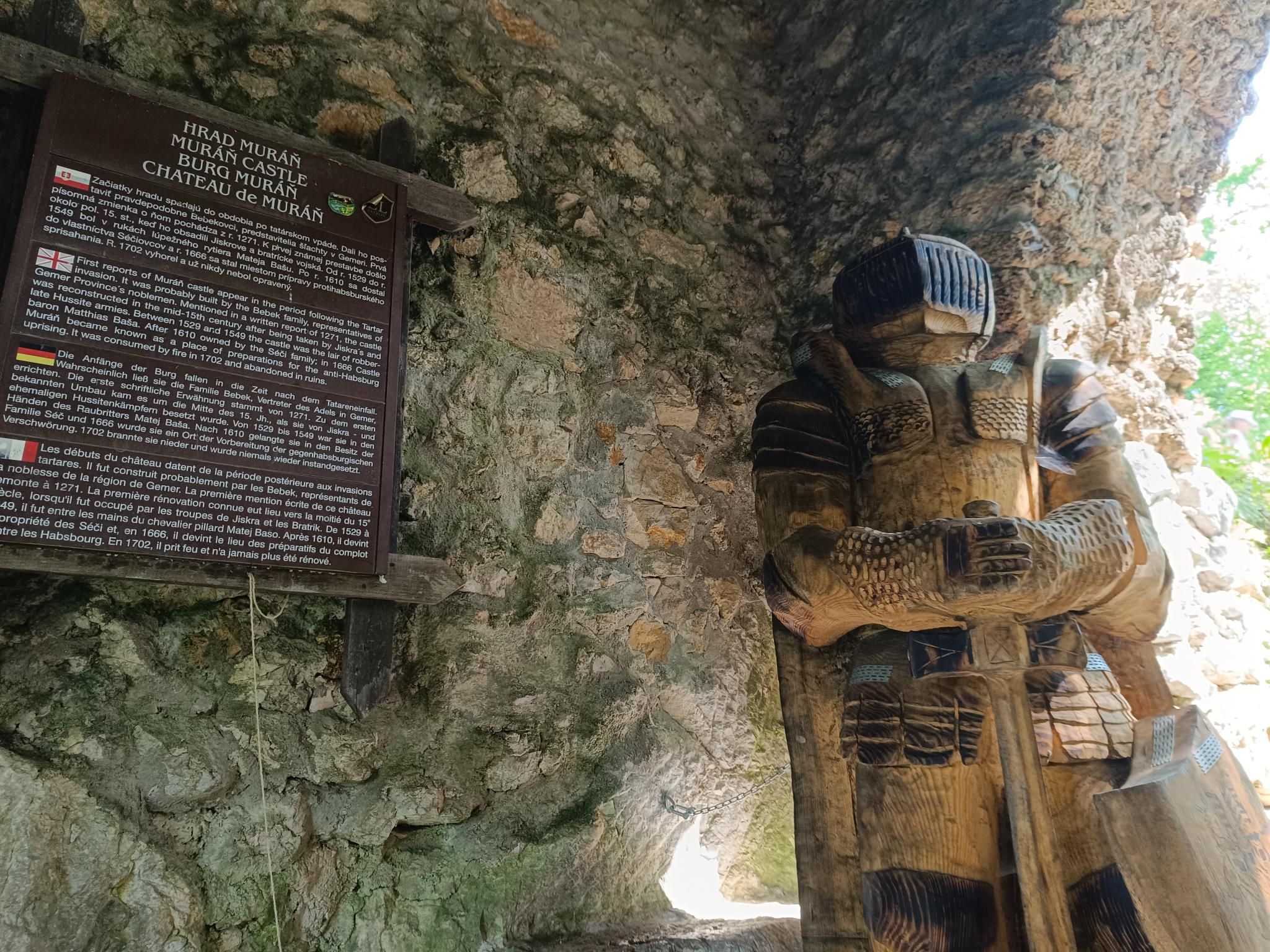
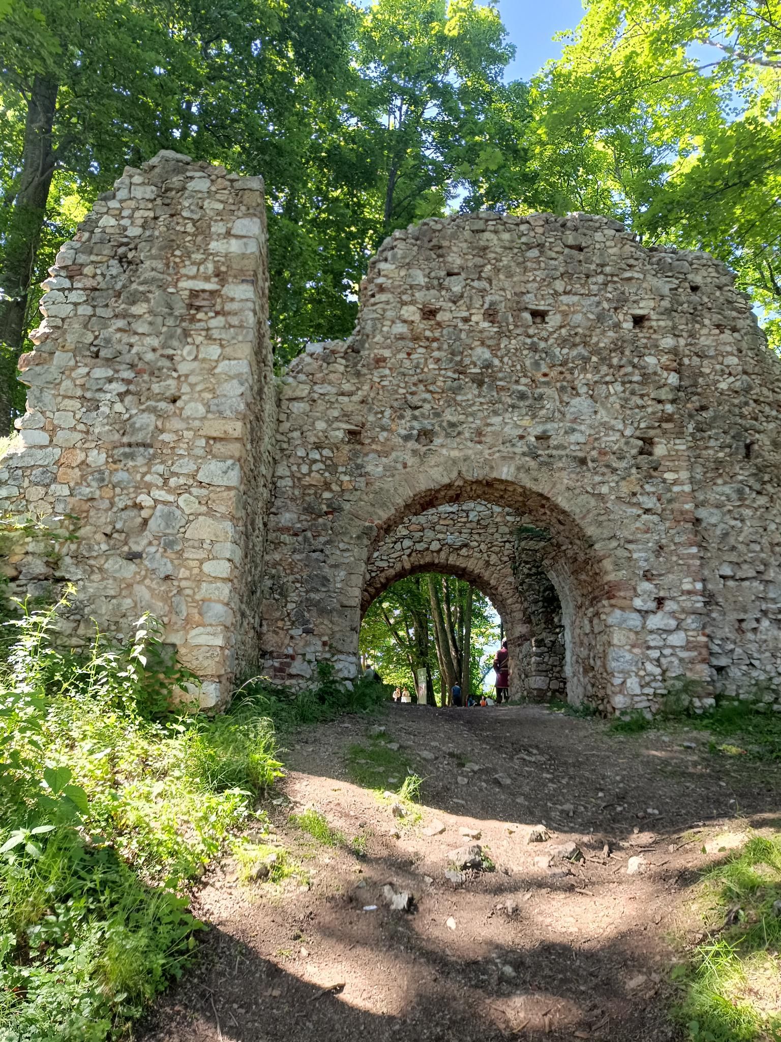
    The Muráň Castle, one of the highest situated castles of Slovakia, was built as the royal sentry castle on top of the Cigánka cliff at the height of 935 m in the 13th century.

    The castle thrived in time when it was owned by Maria Széchy, famous for her beauty. She was often referred to as the Venus of Muráň. The castle was then luxuriously restored and it became the meeting place of the nobility. Beautiful and bold Mária even defended the Castle against King Leopold I in 1666 but could not resist its occupation in 1670.

    The Castle burnt in 1702 and was renovated only partially.

    The Muráň Castle is now in ruins – only the entrance gate and tower survive. The complex occupies the area of 360×96 m. Its Gothic palace, fragments of walls and several service buildings are traceable.

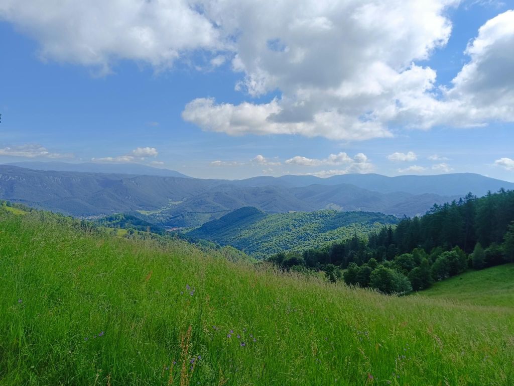
    Meadows on Muránska planina
    42.57km, 1969m ascent, 7h 29min
  • Tribeč – Black caste – Hrušov castle

    Tribeč – Black caste – Hrušov castle

    The Tribeč mountain range is 50 km (31 mi) in length and about 18 km (11 mi) in width, which places it as the 50th largest series of mountains in Slovakia.

    Since the popular Slovak bestseller book Trhlina and its follow-up film adaptation with the same name (The Rift), Tribeč became associated with conspiracies. Some are calling it the Bermuda Triangle of Slovakia.

    The history of these strange disappearances dates back to the 18th and 19th century, when the first known legend was written.

    But we didn’t go there because of legends, we just like to visit new places.

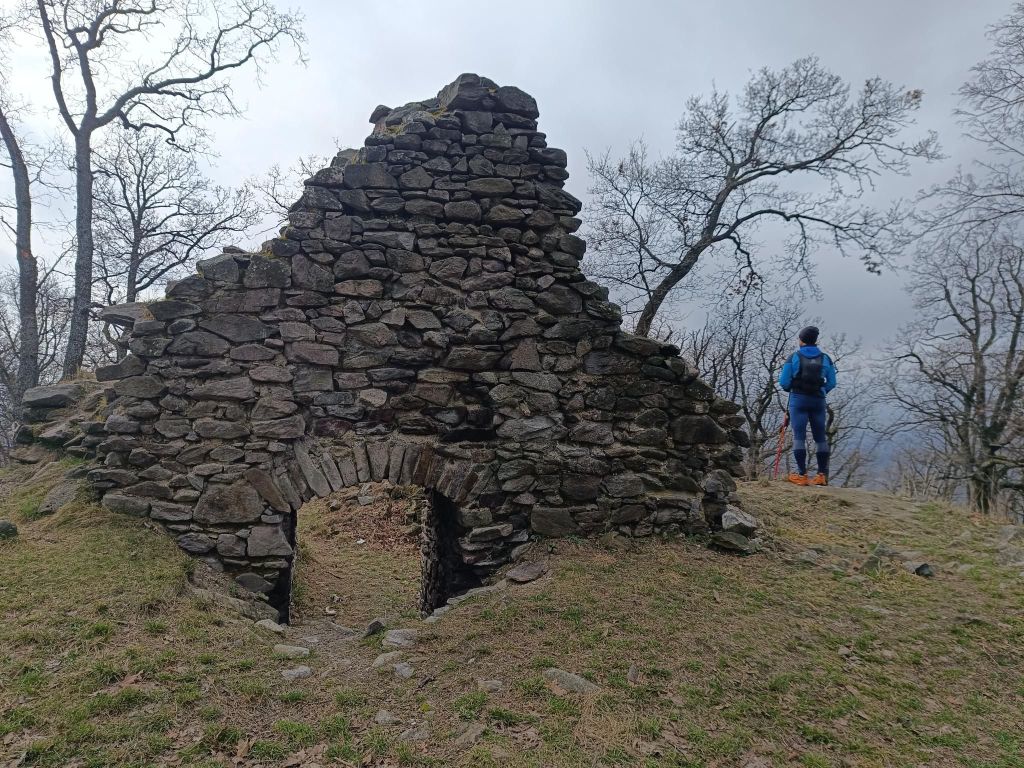
    Black castle is a ruin from 13th century, in Tribec mountains, 573m above sea level near village Zlatno. In the past the the castle did not guard any important medieval communication and probably was built to defend the gold deposits in the surrounding streams.

    Black castle

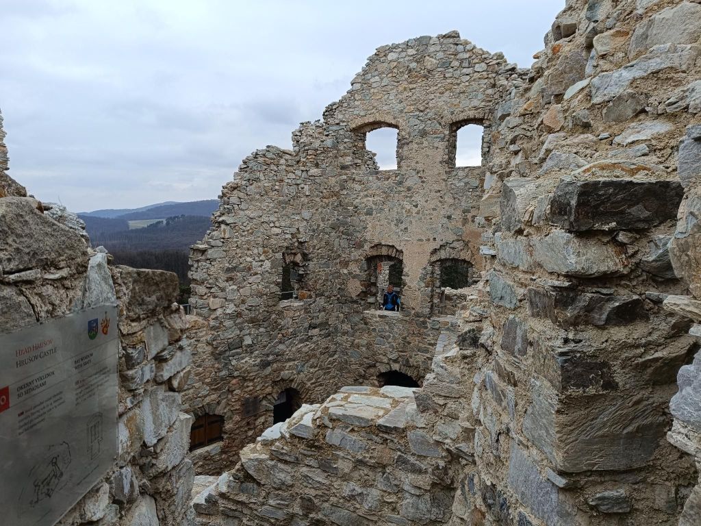
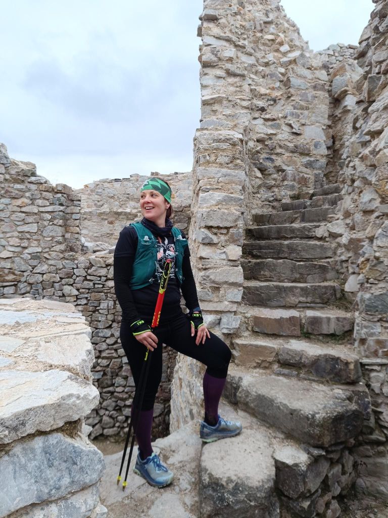
    Ruins of the Hrušov Castle are towering on top of the Skalka Mt. at the height of 488 m.

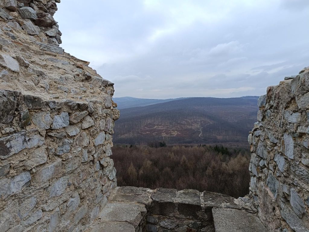
    This royal castle built in the 13th century guarded the trade road passing over the mountain range Tribeč. It was destroyed by the Imperial army in 1708 and is in decay since then. However, its surviving walls induce a romantic atmosphere and provide a nice panoramic view of the Tribeč and Pohronský Inovec Mts.

    Lucka is a ultrarunner by heart and you cannot wish for better companion when you get into any troubles 🙂
    46 km, 1634m ascent, 6h 42min

  • Low Tatras ridge

    Low Tatras ridge

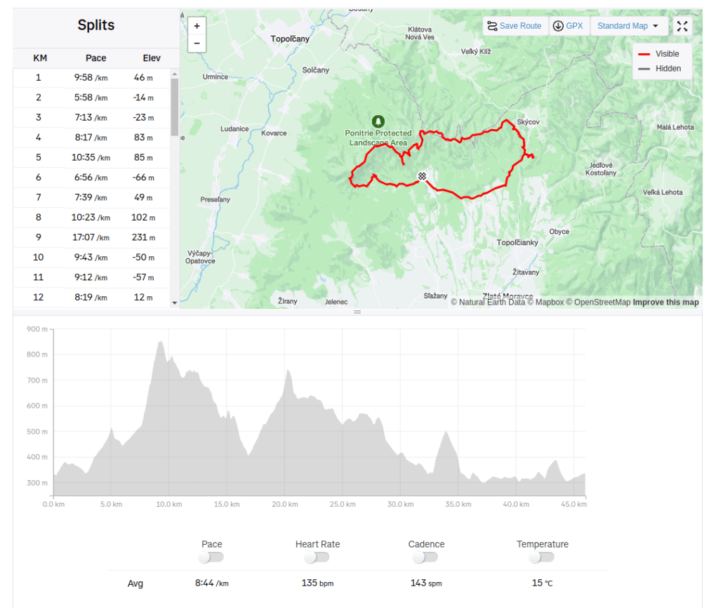
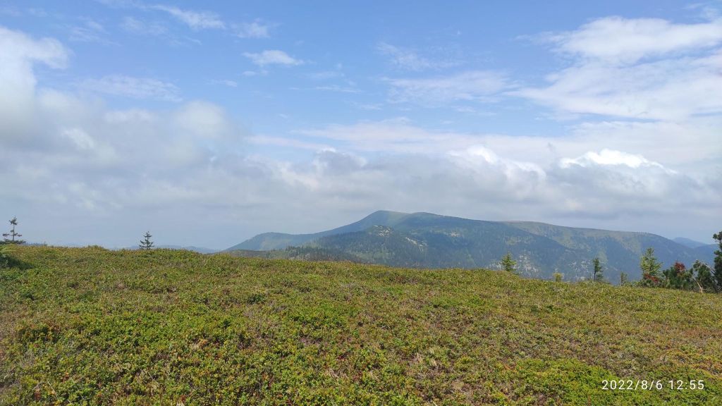
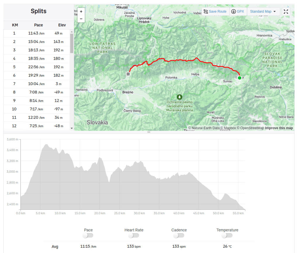
    On 6th august 2022, nice hot and sunny day, we came to Telgárt to start our run through a half of the Low Tatras ridge. We leave our car in Brezno and then take the bus to the start of our journey.

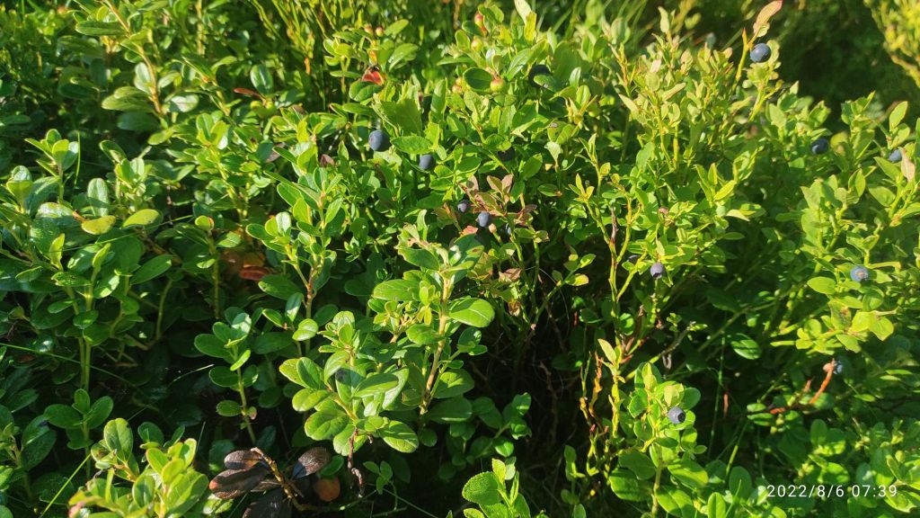
    wild blueberries as a first snack

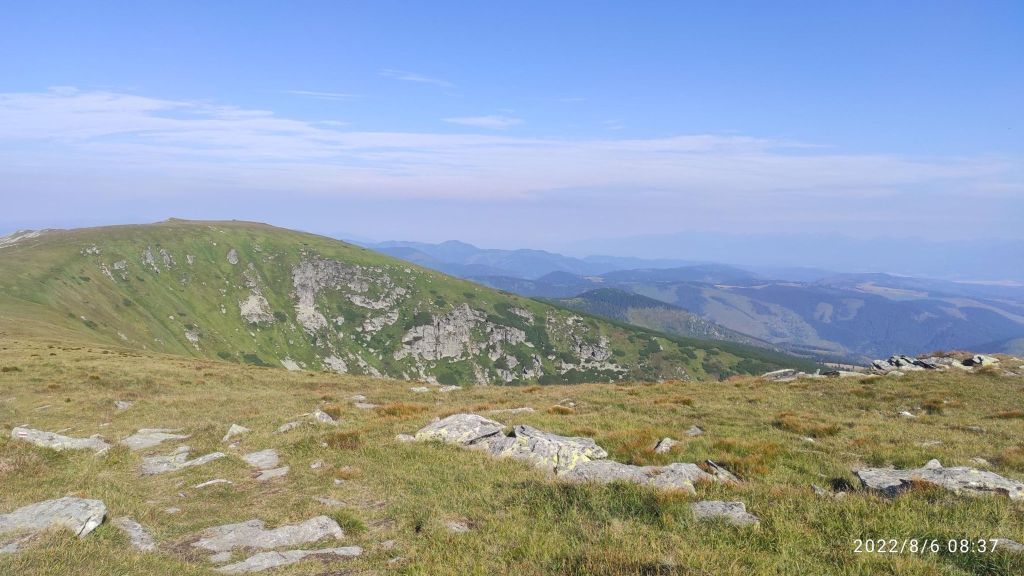
    First breakpoint on our run was Kráľova hoľa. Kráľova hoľa is situated in the main ridge of the Low Tatras. It is the first, counting from the east, peak reaching over treeline peak in this group and also the highest mountain in the east of these mountains. Treeline sometimes reachinig level 1750 m asl. Upper part is covered by mountain medaows. Since 1960 landmark of the summit is a huge TV relay station with visible from far away transmitter mast. To the station leads a narrow road with a length of 11.5 kilometers. The road is closed to public traffic, with the exception of bicycles. Kralova hola is one of the most visited peak of the Low Tatras. It is known for its excellent panorama.

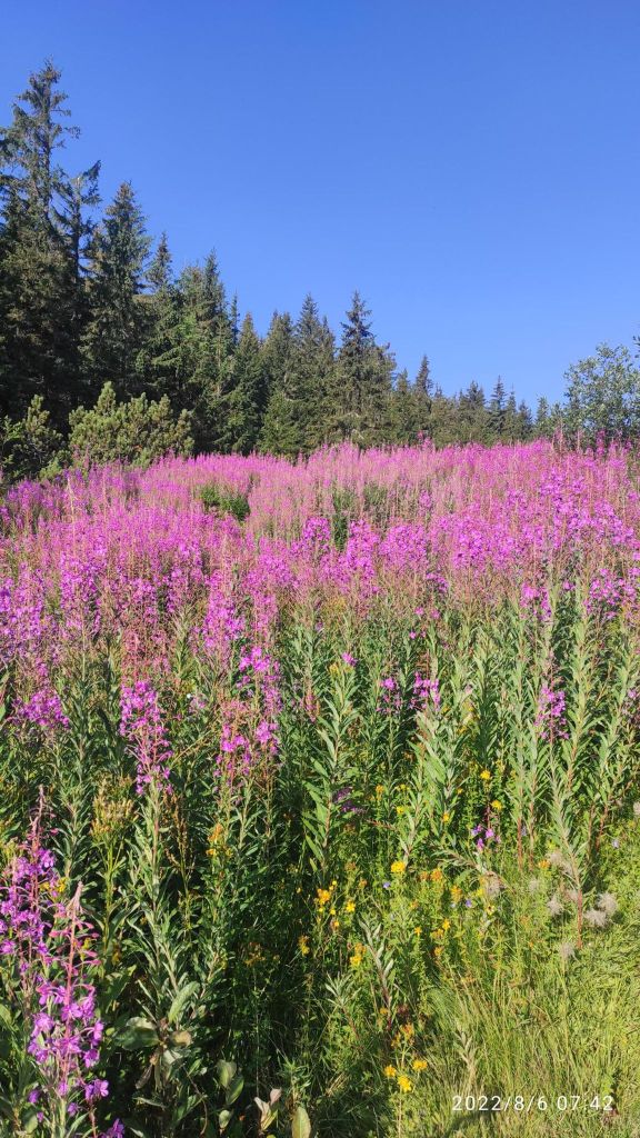
    Flowers under Kráľova hoľa
    First nice views
    After almost 1000m of ascend

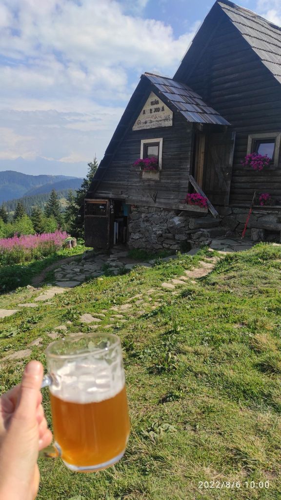
    We are heading then to Andrejcová. Tourist Andrejcova shelter is one of the few places where it is allowed to stay overnight when crossing the Low Tatras. And you can get a real craft beer there!

    Andrejcová refuge

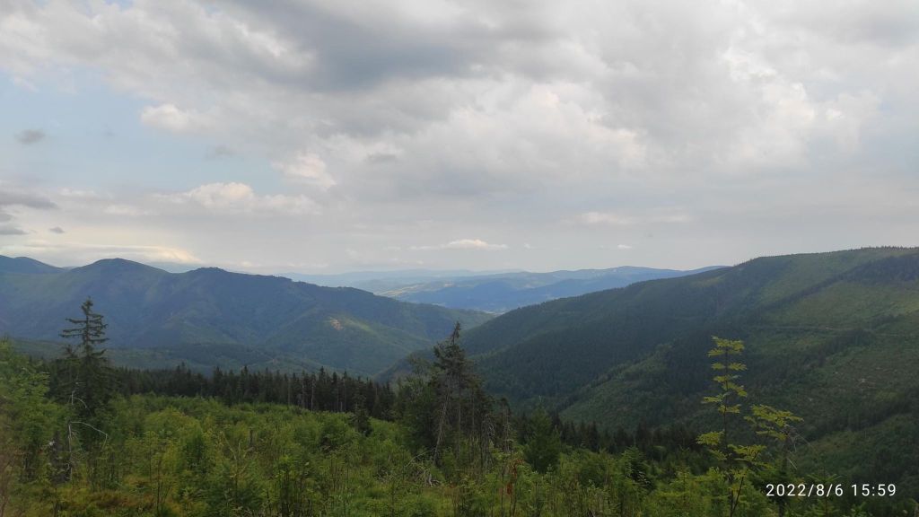
    The weather became hot, and there is only a few places where you can fill you water flask, so we were overheated for half of our run, but we enjoy it nonetheless.

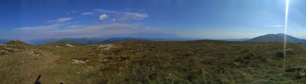
    the views are really nice

    Our journey through the mountains ends at Certovica, thanks God, they have Radler 😀 then we needed to run down back to the car, we got lucky and stop a car maybe halfway 🙂

    56.75km, 11h47m elapsed time, 10h 38min moving time, 2676m ascent

  • BB – Nová Baňa

    BB – Nová Baňa

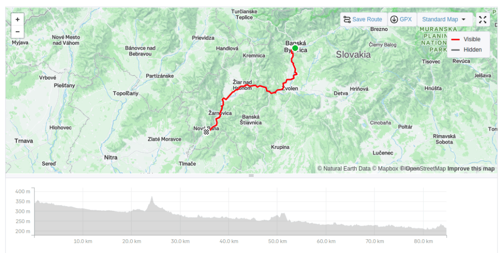
    Short after a bought my e-bike I want to try longer ride. Something challenging. So me and my man started in Banská Bystrica, heading to Nová Baňa on old roads.

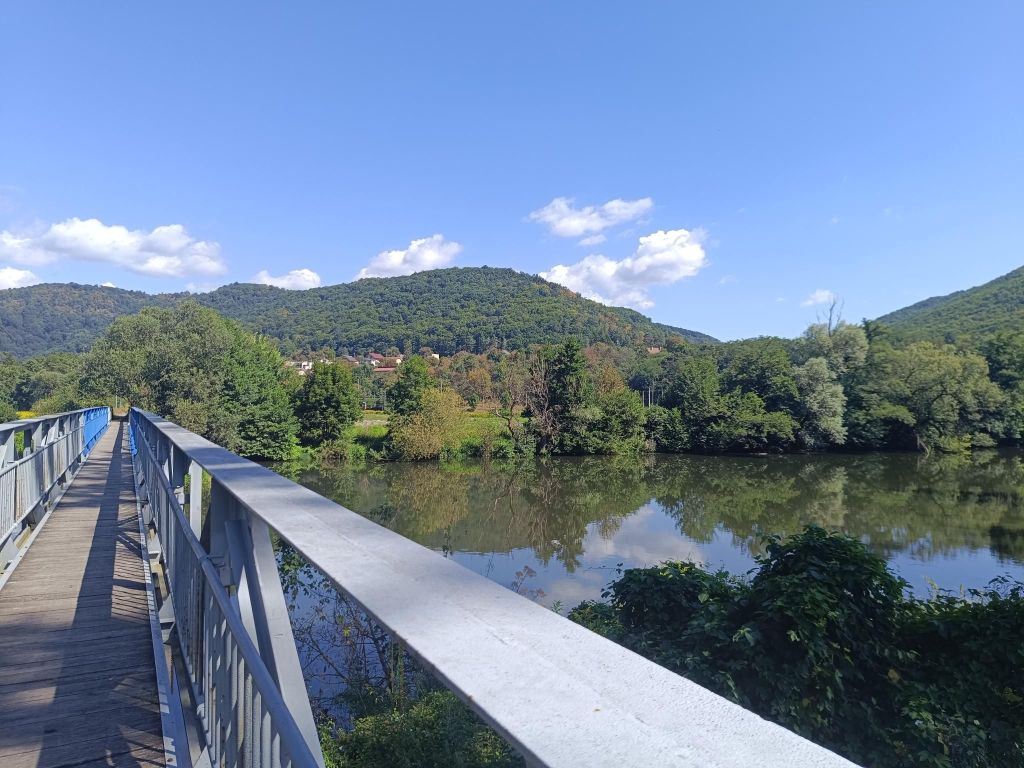
    Old bridge through river Hron
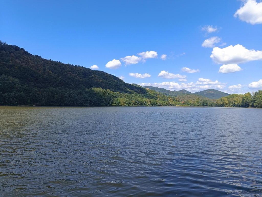
    lake Revištské Podzámčie

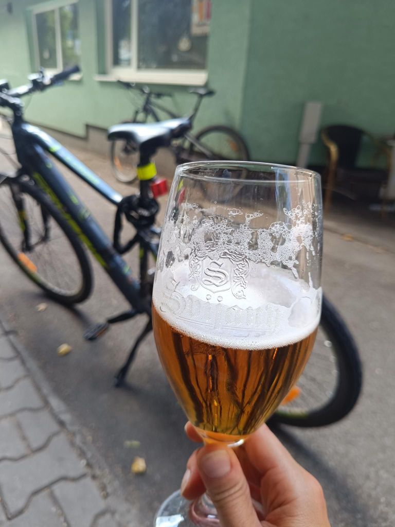
    We take a lunch break on the shore of the lake, enjoying views and nice weather. I started to feel tired around 65km, but completed the ride with minimal use of battery. So I’m proud of myself. And coffee and beer in Nová Baňa was so refreshing, that I’m willing to try it again 🙂

    Svijany in Nová Baňa

    We go back with train, i had enough for one day…

    84.77km, 4:08 moving time, 5h 15min elapsed time, 462m ascent

  • Poľana

    Poľana

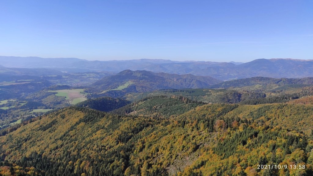
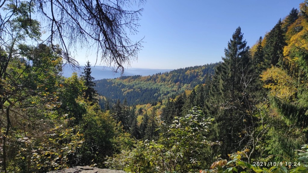
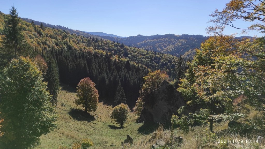
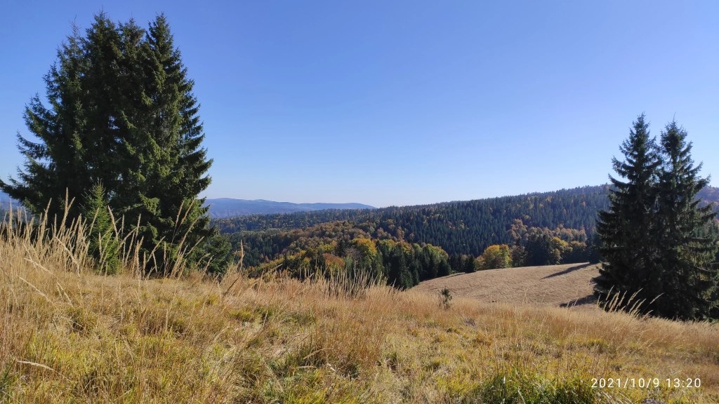
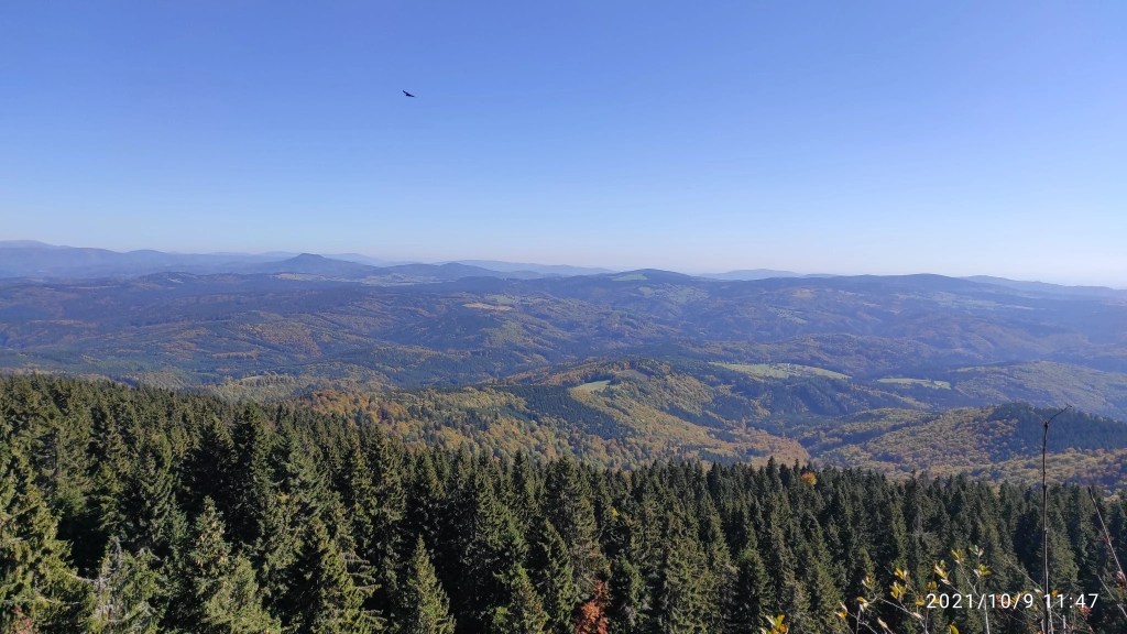
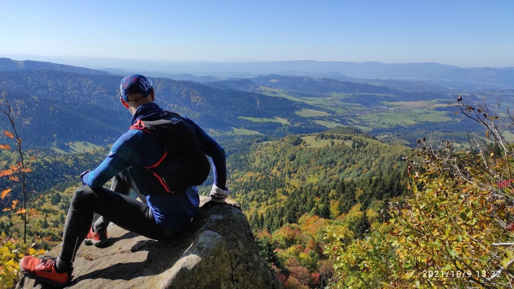
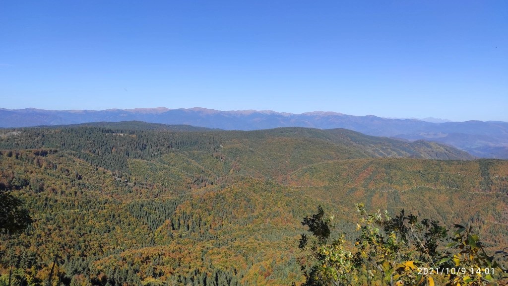
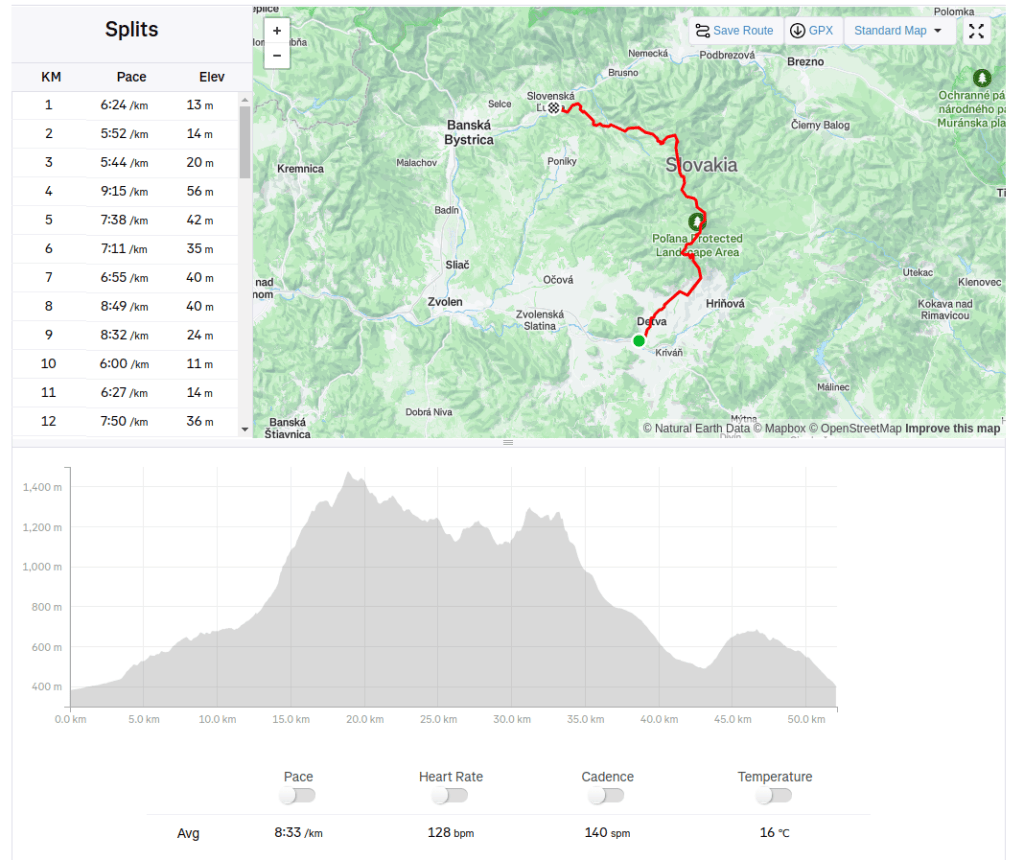
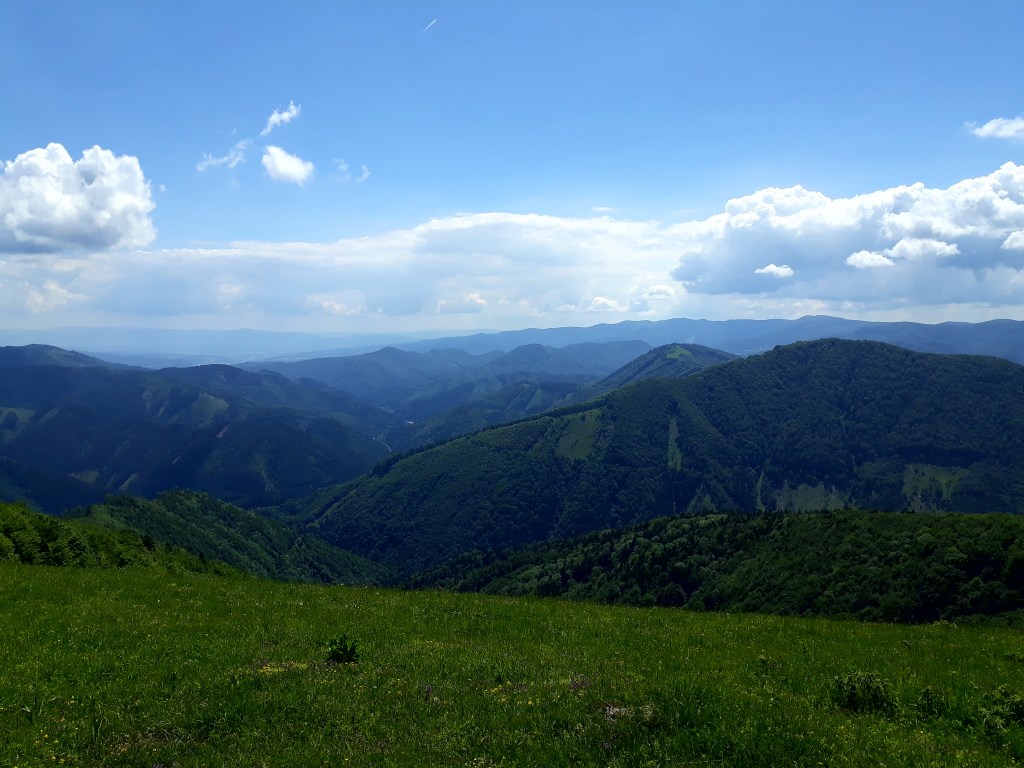
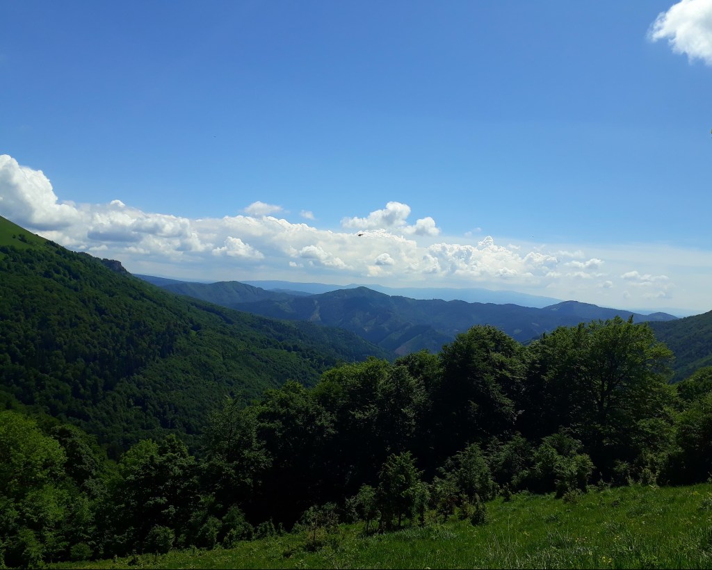
    I have a lot of running dreams and run across Poľana mountains was one of them. My friends allow to make this dream real few days after my birthday on 9.10.2021. It was breathtaking, beautiful, full of emotions and smiles.

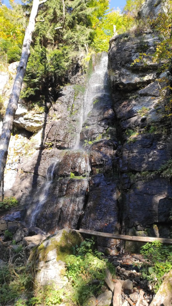
    waterfall Bystré

    On the southern slopes of Poľana, approximately 8 km north of Hriňová, there is the Bystré Waterfall national natural monument. Its impressive height of 23 m and the amount of water make it one of the highest and at the same time the most powerful Slovak waterfalls

    The Poľana protected landscape area is included in the UNESCO list. Its area is 20 360 ha. The Poľana mountain range is our highest volcanic mountain range and its peak of the same name reaches 1458 meters. There are only two recreational facilities in the entire area: the Poľana Mountain Hotel and the Pod Hrbom Cottage.

    when you find people with the same passion, everything is possible
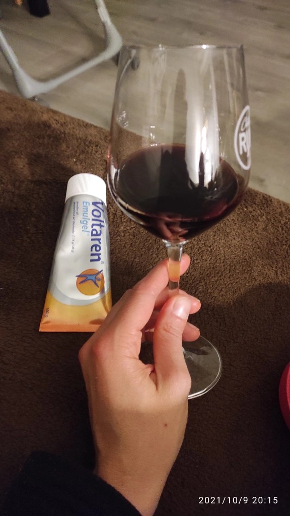
    Sometimes after a long run, you need to treat yourself well
    52.1 km, 1918m ascent, 7h 56min
  • Krížna Krížom Krážom 2018

    Krížna Krížom Krážom 2018

    This was one of the most beautiful races I ever have done. And the hardest.

    Start was at 11:00, so it was already quite hot (25 degrees C), first refreshment station was at 14th kilometer, after a lot of ascend (almost all of it). I was sweating like never before and i must to hike a lot. But then I reached the ridge of Krížna and there were breathtaking views… Suddenly all the effort was worth it.

    Úplaz
    Krížna

    I really enjoyed the views, usually I didn’t take photos during the race, but this time I cannot resist. Surprisingly the hardest part of this run was the downhill. It was really steep, muddy and slippery, so I needed to slowing down (ouch my thighs…) and carefully choose my next steps.

    Summary: 26.5km, 1980m ascend, 3:30min moving time. 4th place.