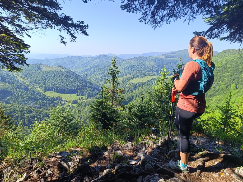
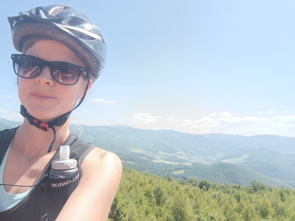
Our first big hike with David. Only me and him, the first time hiking, which could be called a ridge hike, without the possibility of shortening.
It mainly required courage, patience, playfulness and a lot of food and water 🙂
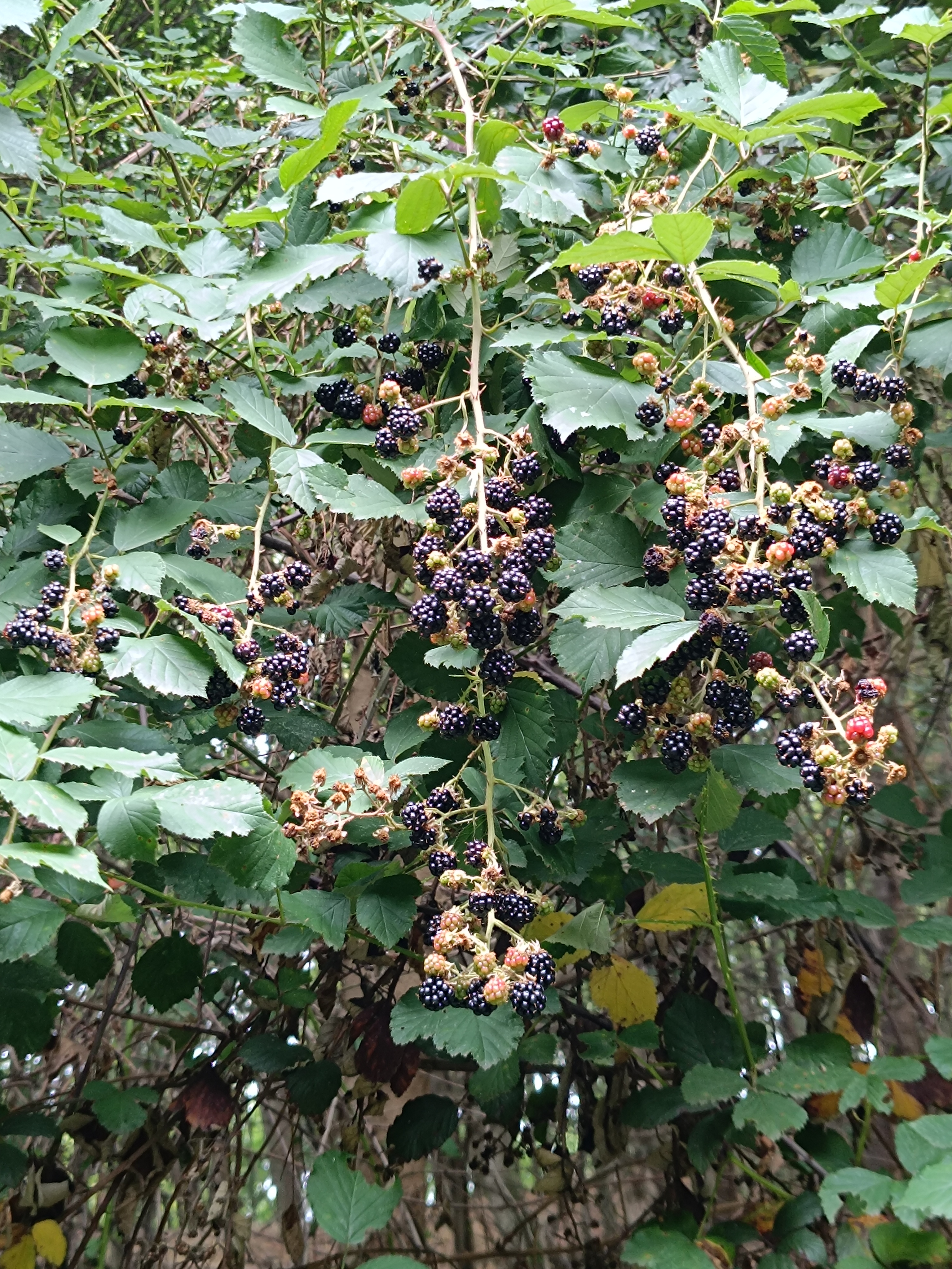
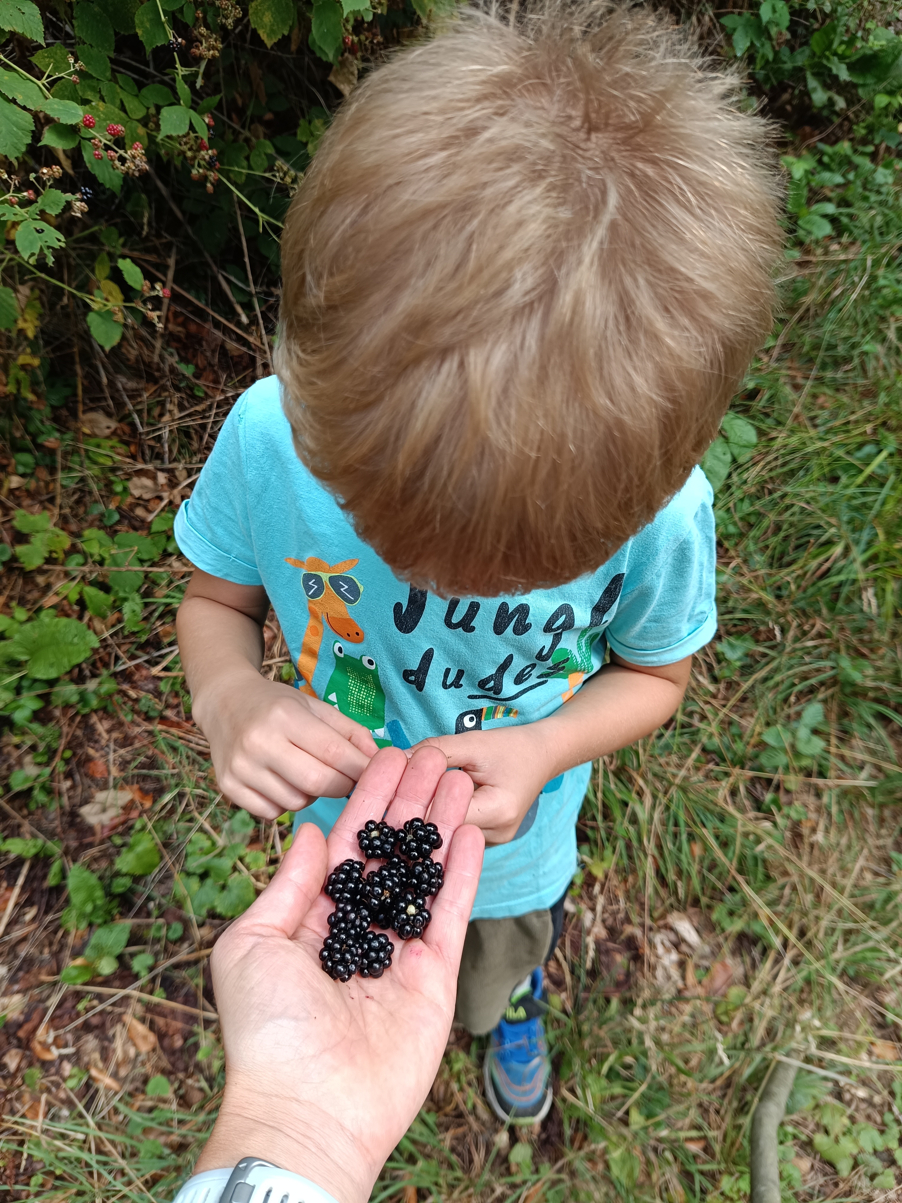
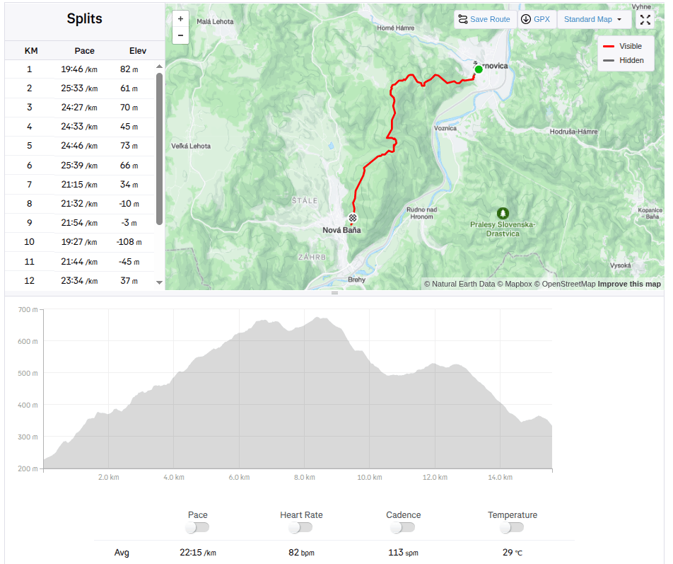
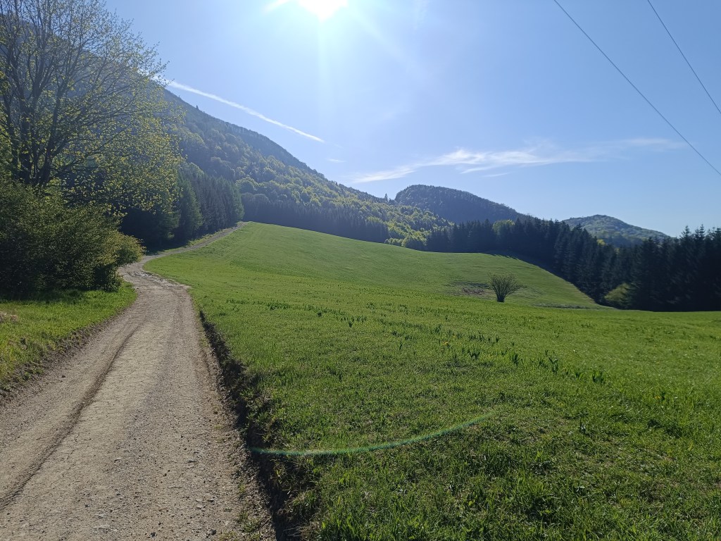
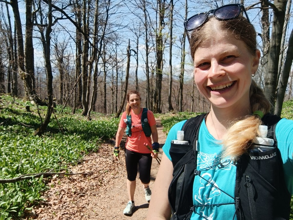
We start under the Calvary in Žarnovica and follow the blue hiking trail the whole time. As we climb, we enter the forest, where it is pleasantly cool, in some places we must climb over fallen logs – remnants of logging, in other places we stop to pick up lots of sweet blackberries.
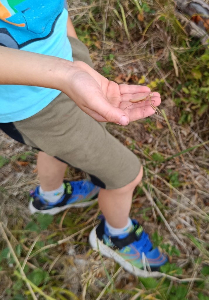
In a clearing under the power lines we managed to meet three small wild boars and a little further in the forest a deer. David even found a praying mantis, invisible to me because it was the color of dry grass.
praying mantis
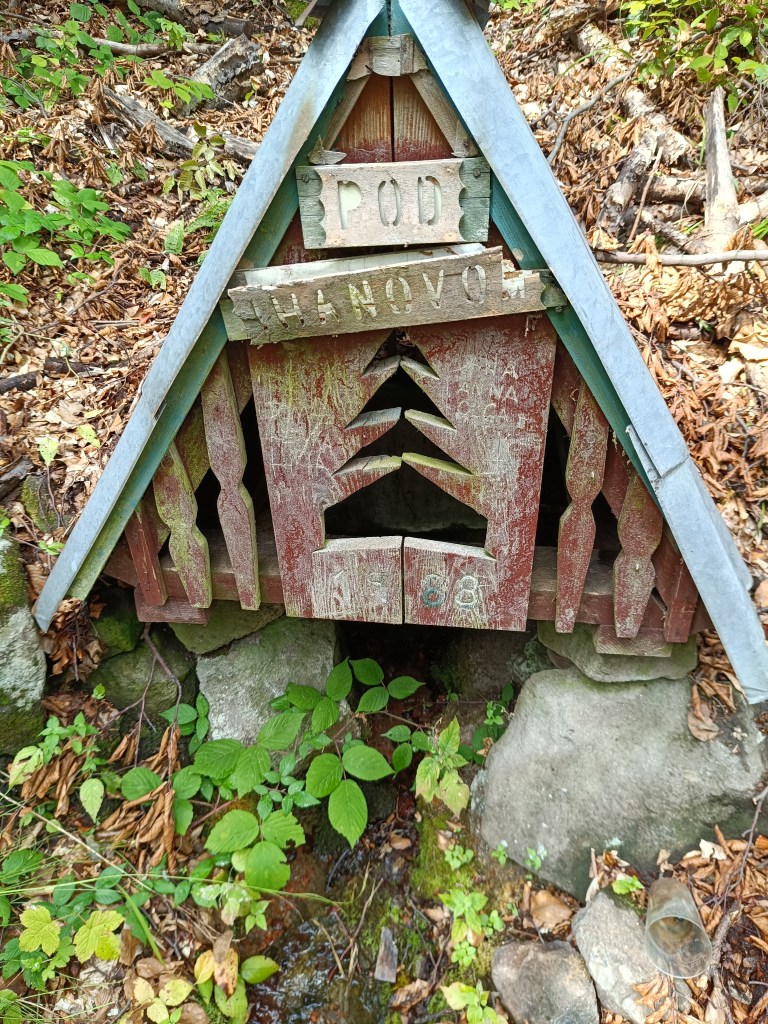
A picnic in the meadow gave us strength and a bag of sweets helped us overcome the crisis 🙂 We refreshed ourselves in a spring below Ihanovo, where there was plenty of water despite the dry summer.
well
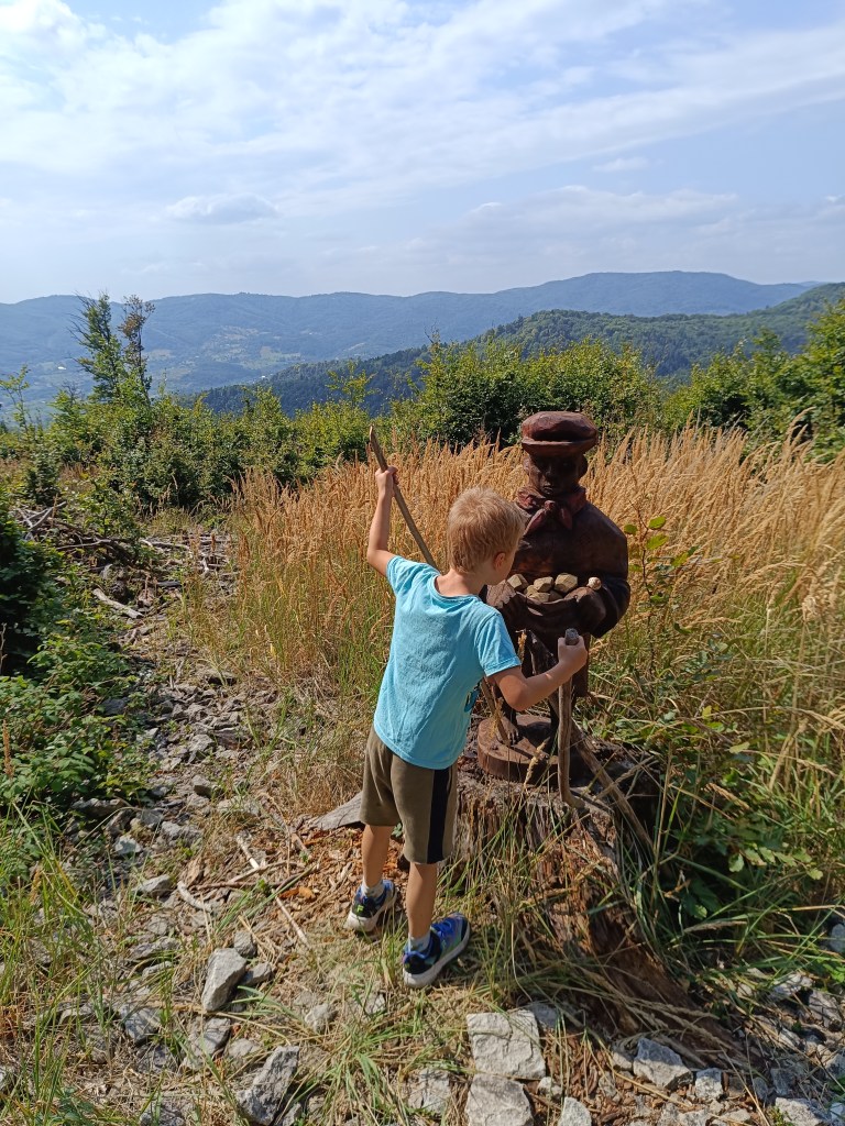
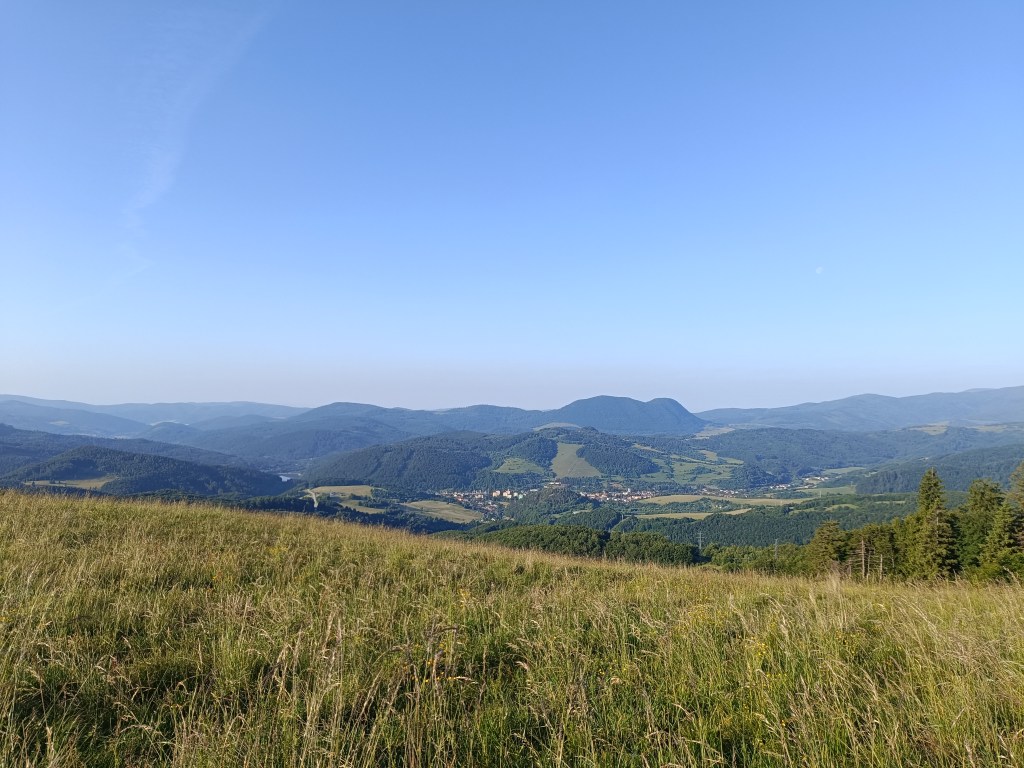
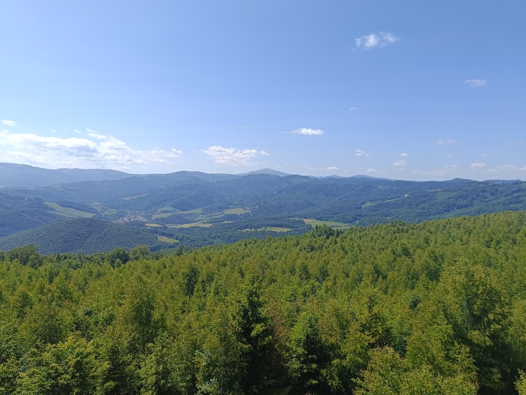
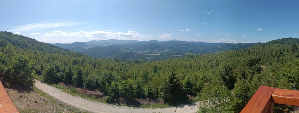
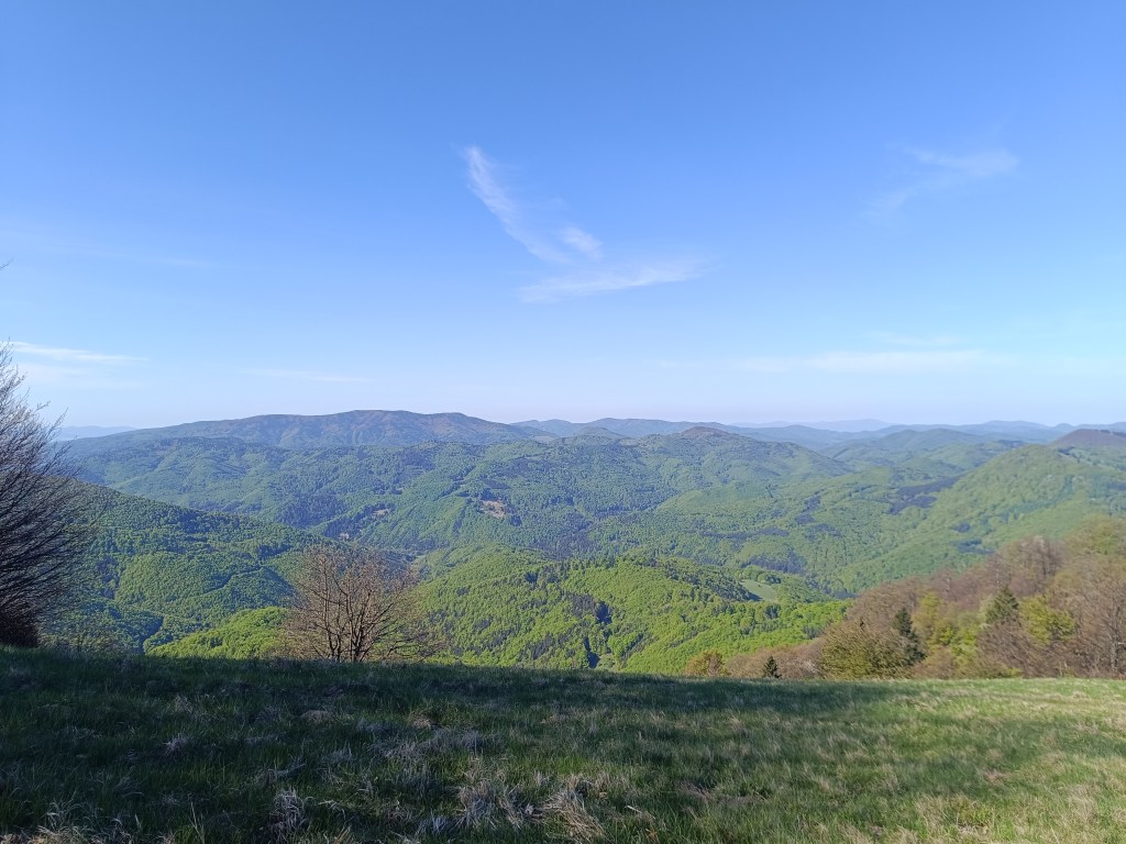
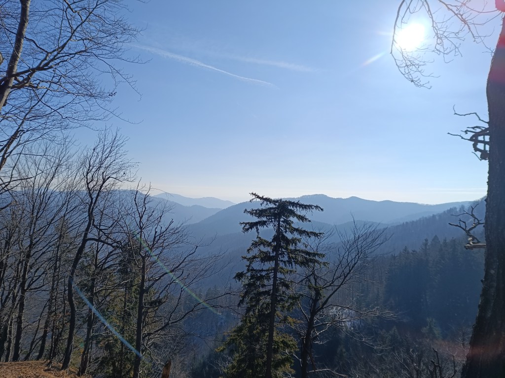
The highest point was hill Johan, which is also part of the Novobanské povesti educational trail. It also offers the most beautiful views.
hill Johan
The last few kilometers, Dávid made up games for us (now we can’t step on any stone…) and so it went by quickly. We ended the hike at the Zvonička in Nova Baňa, Dávid with a well-deserved popsicle and juice and I with a craft beer.
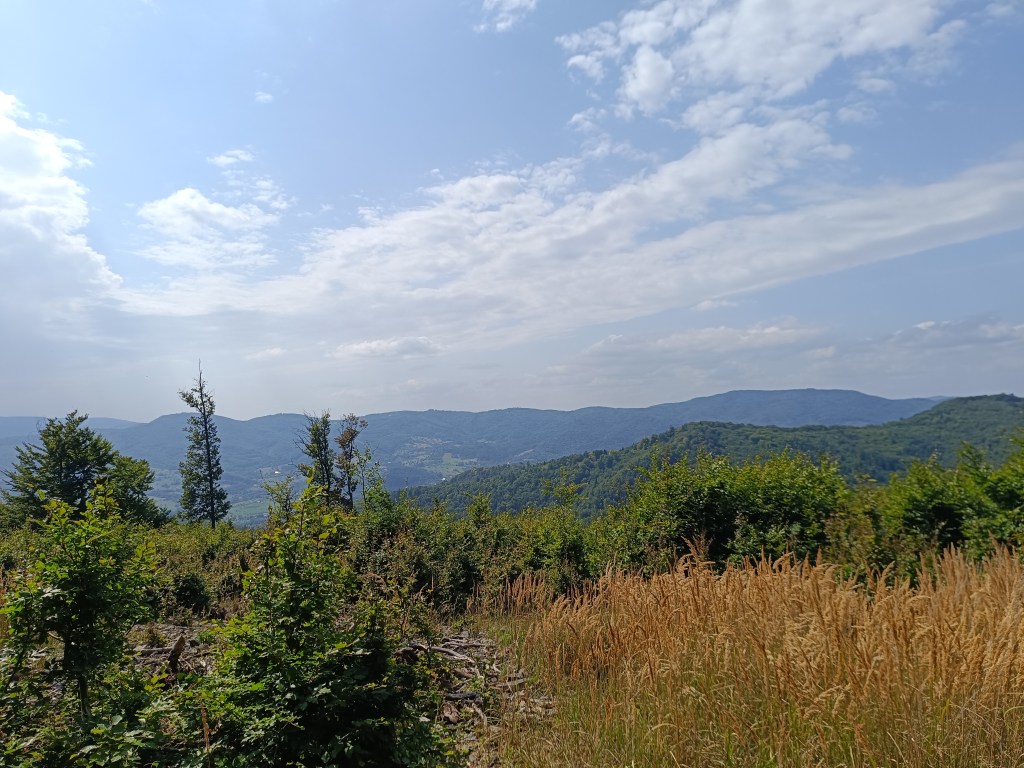
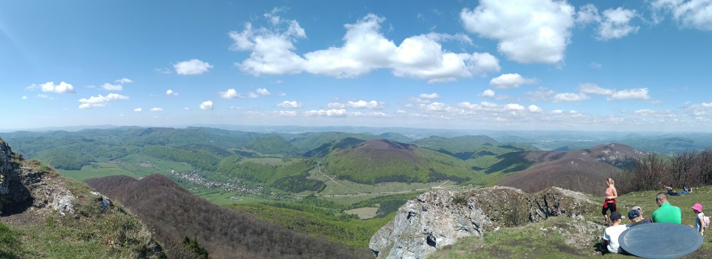
Views from Johan
Yes, it was long, sometimes challenging to motivate, and my legs were sore from standing and waiting, but it was also beautiful, and I am incredibly proud of him.
He was freshly 6 years old at the time of the hike.
15.59km, 582m ascend, 5h46 min active time, 8h 33min total
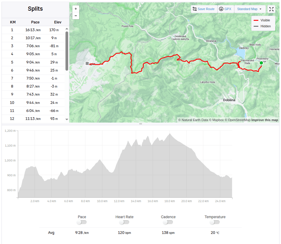
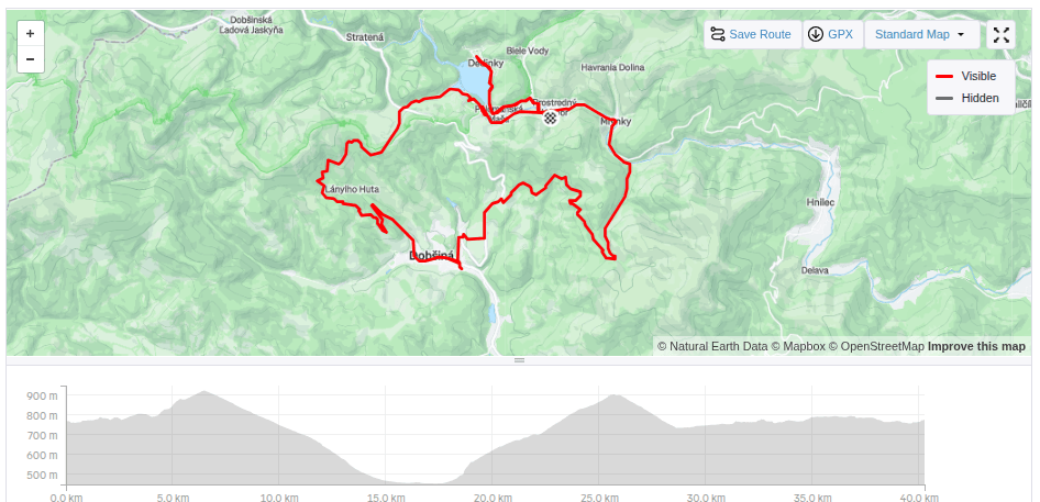
We start at 6 am from our accommodation in Mlynky. Today we have in plan Dobšinský kopec, Voniarky, Čuntava and we finish in Telgárt.
My legs haven’t fully recovered from Thursday’s run in the Veľká Fatra, running downhill really hurts. But we have to take advantage of the fact that we are already here, we’ll at least do a shorter stage.
From our accommodation, we need to go to the Kruhové saddle, to join red SNP path. It takes one kilometer and 170 vertical metres. It’s fresh morning and we’re making our way through a little wet raspeberries from the morning dew. We sometimes shout a little, after all, we saw warning signs about the increased incidence of bears yesterday.
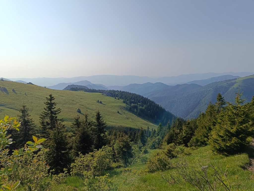
First morning views
We descend through the meadows to the Dobšiná hill, cross the asphalt and head towards Voniarky among a herd of cows. Yesterday we were here on bicycles, today on our own feet. I get water at the Gápel cottage. The path meanders through the trees, sometimes taking us to flowery meadows. It is beautiful here. Lucka and I agree that this is the most beautiful section for us so far.
As the sun rises, so does the temperatureMeadows with great biodiversity are beautifulVýhľad before Strmá prť
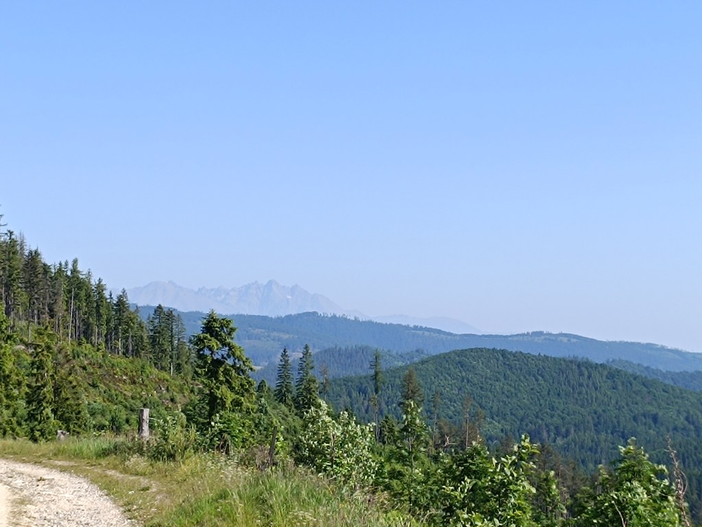
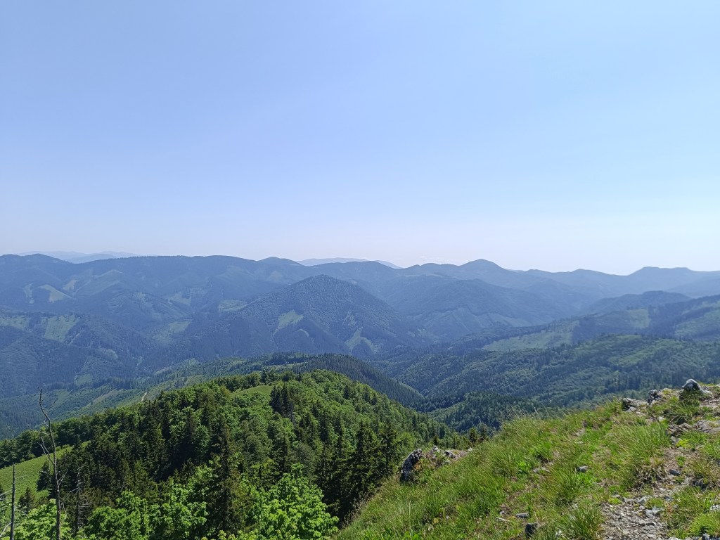
From the Čuntava spot, the route continues only on a gravel road, less interesting to us than the joyful forest paths. As if to excuse it, a view of the Tatras opens up and we admire it. We are guessing it is Lomnický štít.
Tatras in the background
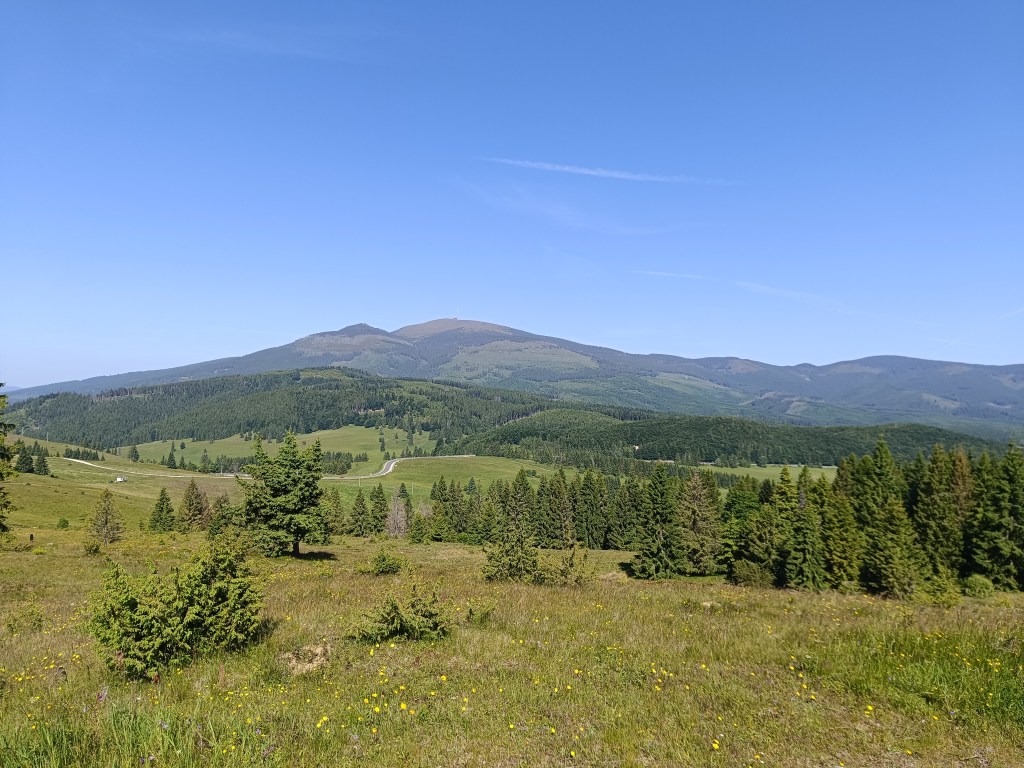
Around the last curve, Kráľova hoľa is now visible to us. But it will wait for us next time, during the Low Tatras ridge, we end today in Telgárt.
Kráľova hoľa
We’re already craving coffee, the route is taking us to asphalt, we don’t really like it, but whatever, there’s no getting off the red path:)
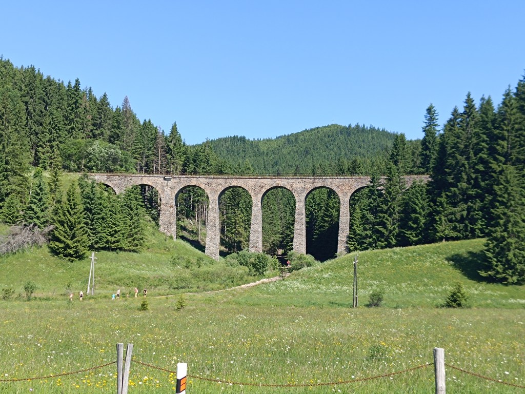
Chmaroššký viadukt
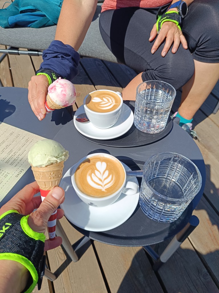
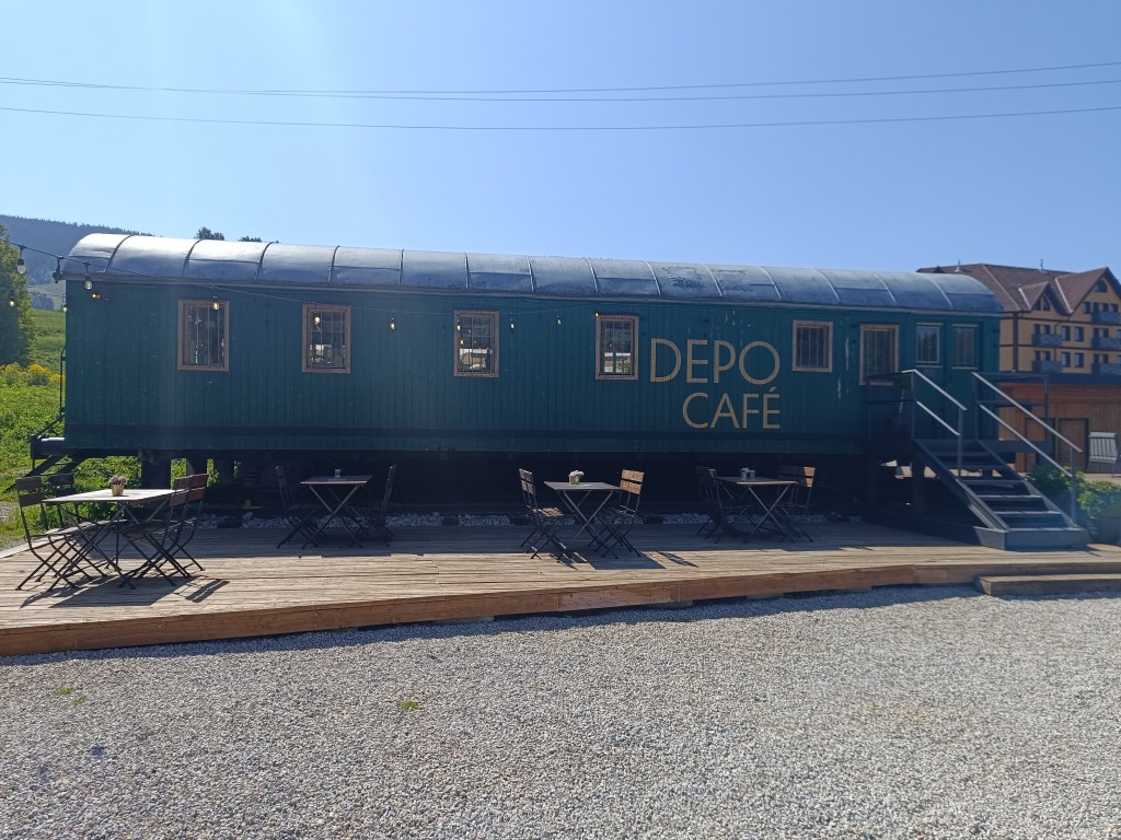
We run along the source of the Hron River and opposite of the Chmarošský Viaduct we take a break in the famous Depo Kafe. We have to admit, their coffee is good, but the ice cream could be much better. The bridge dates back to 1933 and is the first articulated arch structure made of reinforced concrete in Czechoslovakia. The Telgártska loop is one of the most demanding railway engineering structures in Slovakia, because thanks to the Telgárt tunnel, the Telgárt and Chmarošský Viaducts, it overcomes a difficult climb of up to 31 meters and a gradient of 12.5 %. The viaduct consists of 9 arches. It is 18 m high, 113 meters long and passes over the Gregorova dolina valley, called Chmaroška. This unique viaduct was built during the economic crisis in the 1930s and more than 7,000 people participated in its construction. Men and women, mostly local residents, worked on the construction site.
We reach Telgárt, where we meet Ľubka by the church, who very willingly brought our car from Mlynky and thus allowed us to run this stage. It was a truly beautiful stage, and a great morning in the mountains.
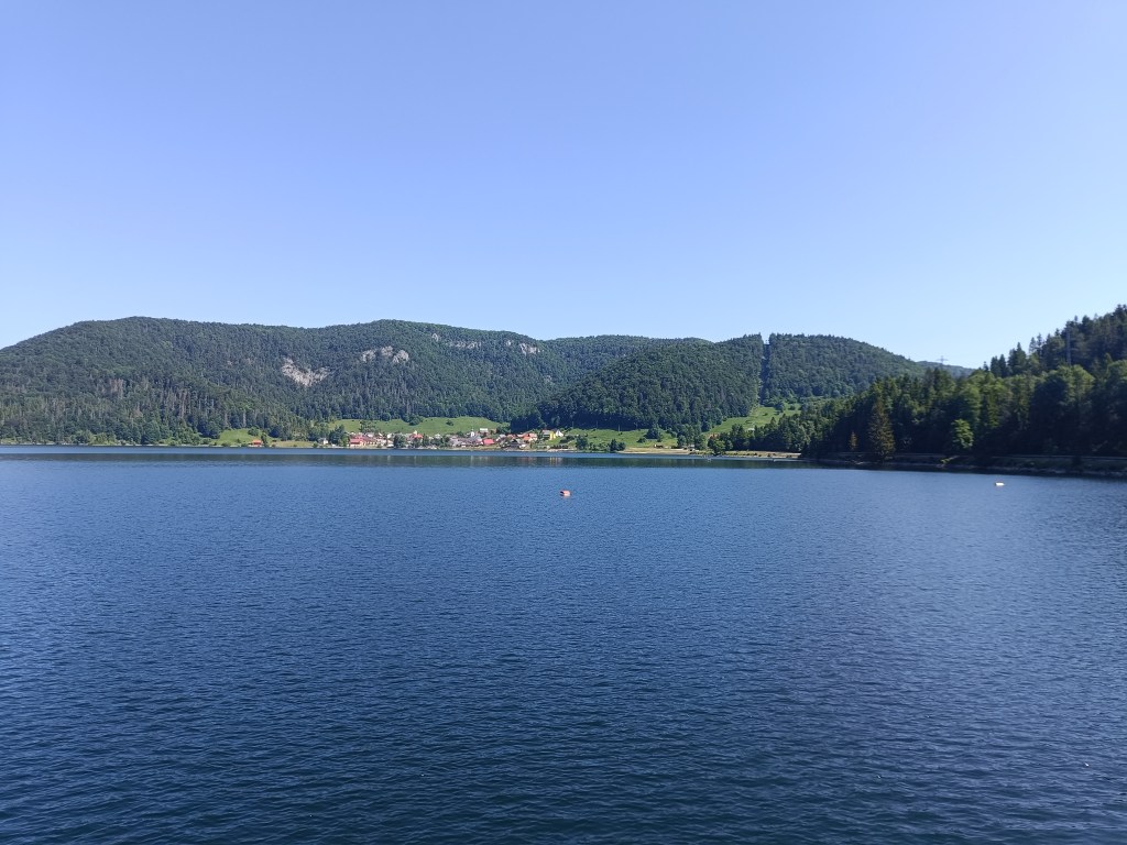
Mlynky is a small village on the edge of the Slovak Paradise and lies a short distance from Palcmanská maša.
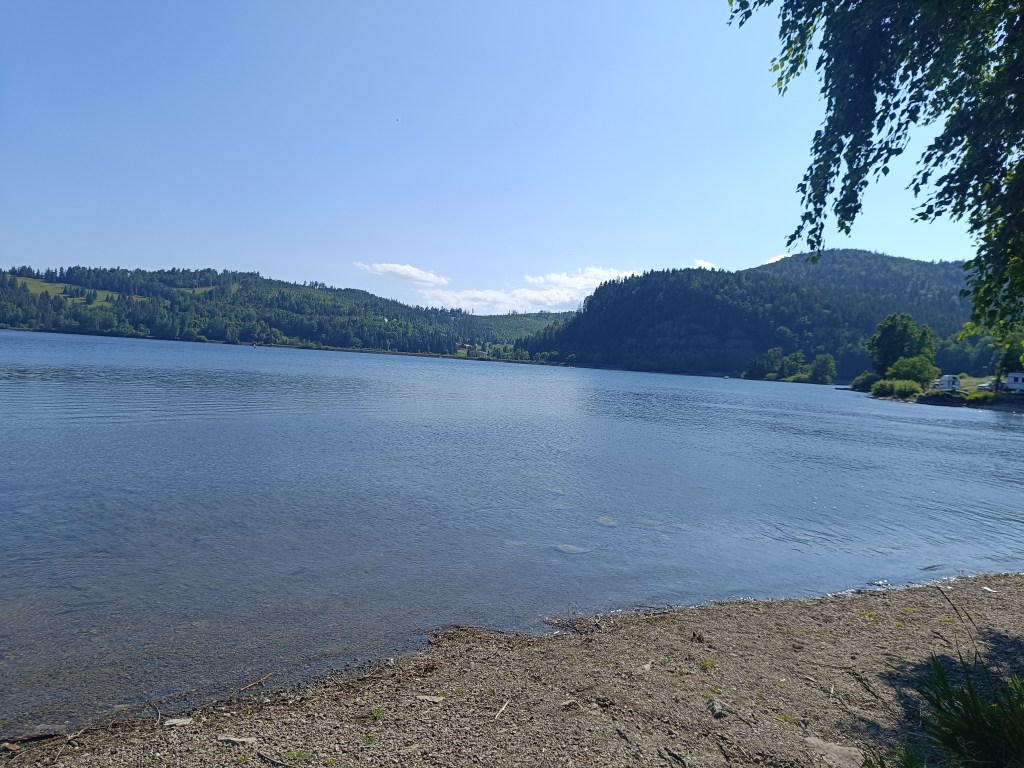
Palcmanská maša is the largest water reservoir in the Slovak Paradise, created on the upper reaches of the Hnilec River. This reservoir is an important part of the Dobšiná pumped-storage hydroelectric power plant, the first pumped-storage hydroelectric power plant in Slovakia.
Palcmanská maša
From Mlynky we went past Palcmanska maša to Dobšinský kopec, today it was certainly not a flat bike ride, the climb was quite steep. Next is the descent down to Dobšiná along the forest road, the girls have better technique and so they just fly past me 🙂 In Dobšiná we have a problem finding something open where we could refresh ourselves, but the locals are very nice and guided us to the side streets to a wonderful innkeeper. The beer has a real whipped cream foam, but since I don’t drink on my bike, I choose a non-alcoholic radler.
Next comes the climb up the Dobšiná hill, we have to walk a few kilometers on the main busy road. We are all happy when we turn off onto a forest path, heading towards some newly built lookout tower.
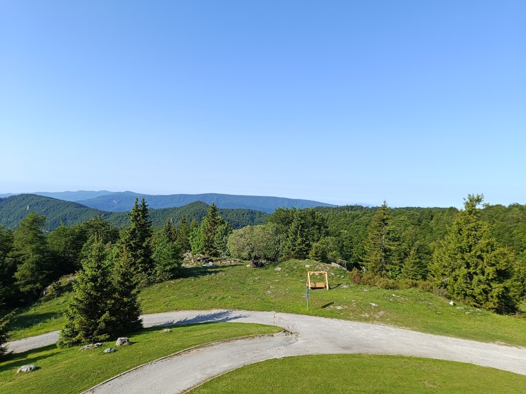
To viewpoint
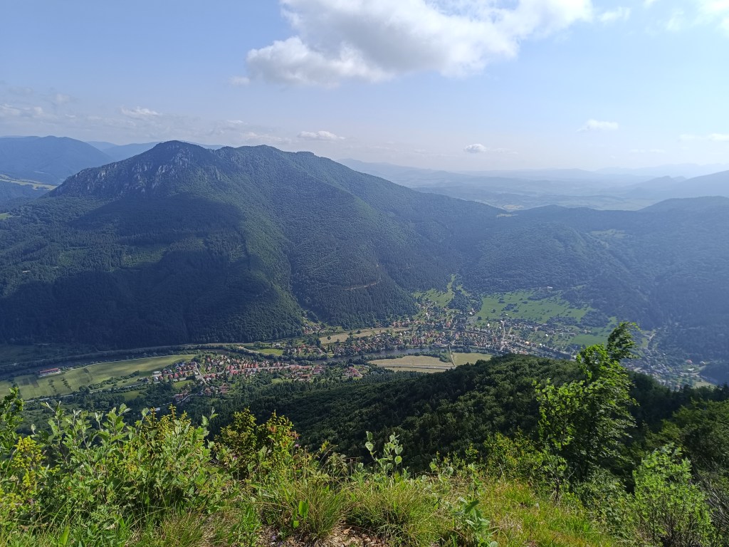
On the way to the lookout tower we climb almost 700 meters in altitude. But the view is worth it. We can see all the way to Kráľova hola.
Kráľova hoľa in the backgroundViews
All that’s left for us is the descent back to the Mlynky, the girls take their swimsuits and head to the water in Palcmanská maša. I dont like cold water and just stick my feet in there, but I admire them swimming in the cold water.
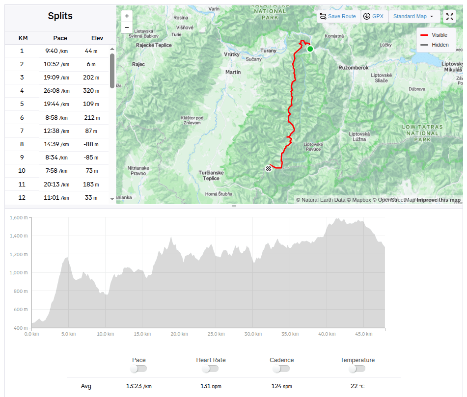
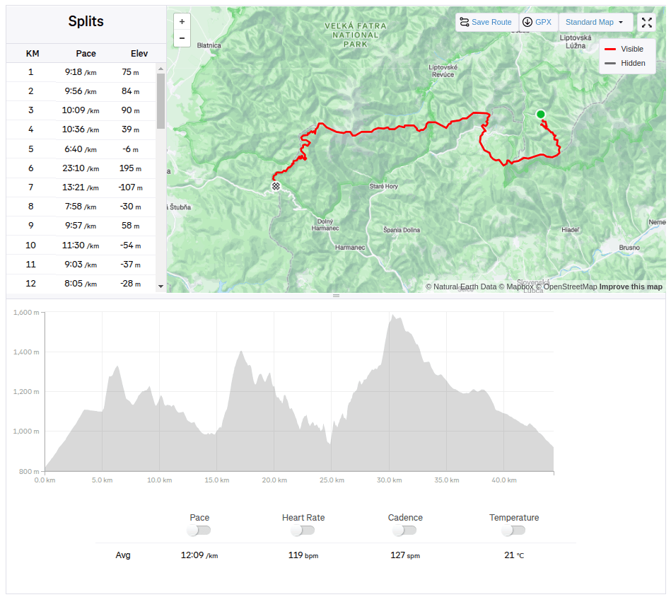
The weather forecast was absolutely calling for taking a few days off and spending them outside the city. I immediately had the idea, let’s go through the Veľká Fatra. Jožko immediately agrees, but suggests a route that neither of us has ever done, the real Veľká Fatra ridge hiking trail, from Ľubochna (not from Ružomberok as most people, including me, usually hike). I agree without much thought.
The plan is to run the whole hiking trail in one day, sleep at Kráľová studna, and after breakfast run down to civilisation. We pack our little backpacks, they are full and heavy, because we also take things for the colder evening, sleeping, hygiene and more food than usual, after all 47km and 3500 meters climbed will take us some time.
View from Kopa
In the morning we get on the bus, have breakfast and get off in Ľubochňa at 8:20. The beginning is gentle, great for start moving the stiff body. But then the real fun begins 😀 We climb steeply towards Kopa, where on the top a cross and a beautiful view await us.
Water in Vyšný Rudno, first refreshment
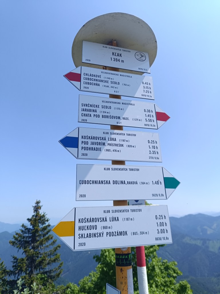
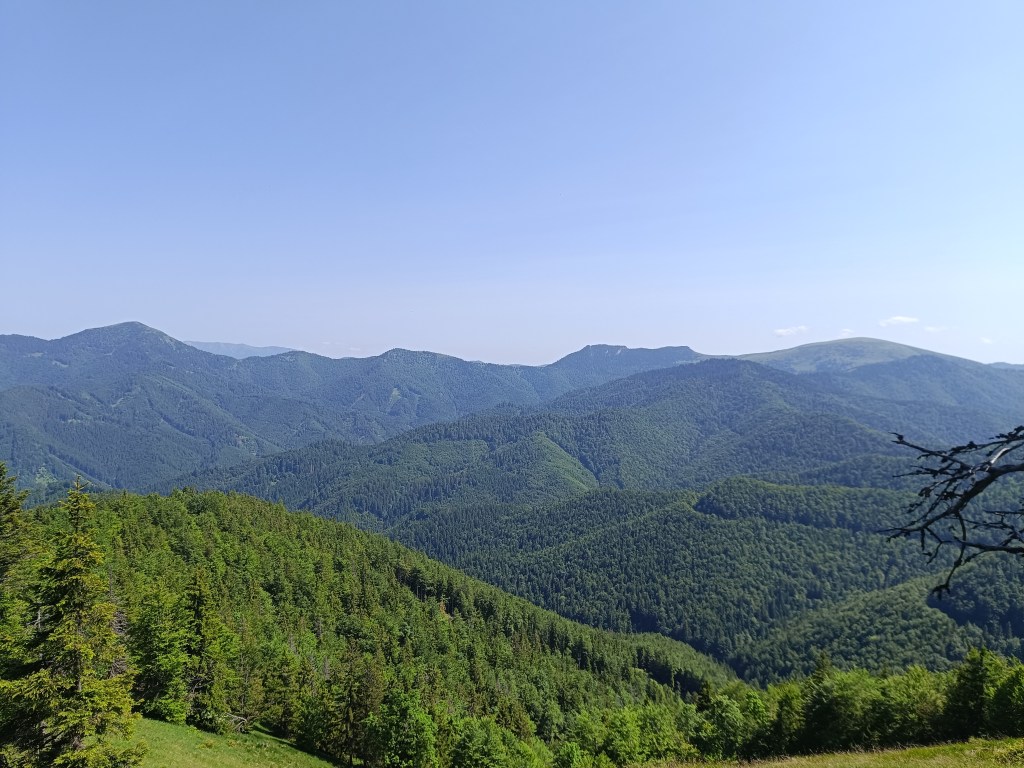
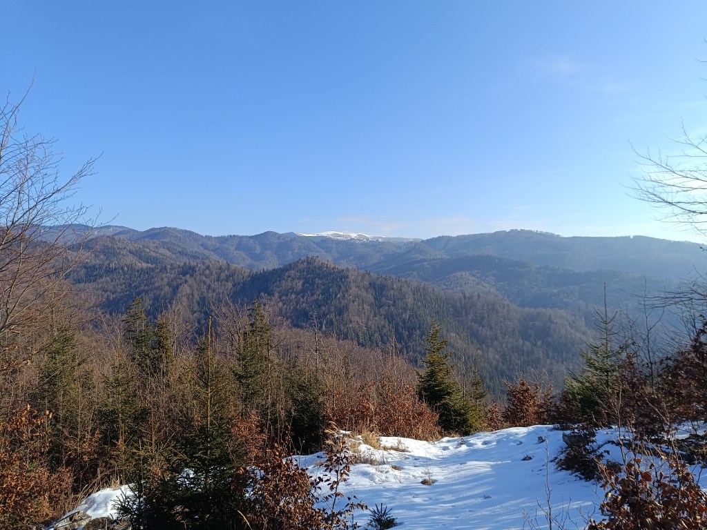
Then we descend to the Ľubochnianske saddle and again steeply up to Vyšné rudno. The road is either overgrown or there is no marking after logging and there are lots of big branches lying on the path. We push forward and through the Príslop saddle we begin the ascent to Kľak. The climb is long, because Kľak is 1394 meters above sea level, but at the top there is a great view in all directions, we sit on the rocks, take out lunch (meaning a slice of bread with butter and cheese:D ) and enjoy the views.
signpost on KľakView from Kľak
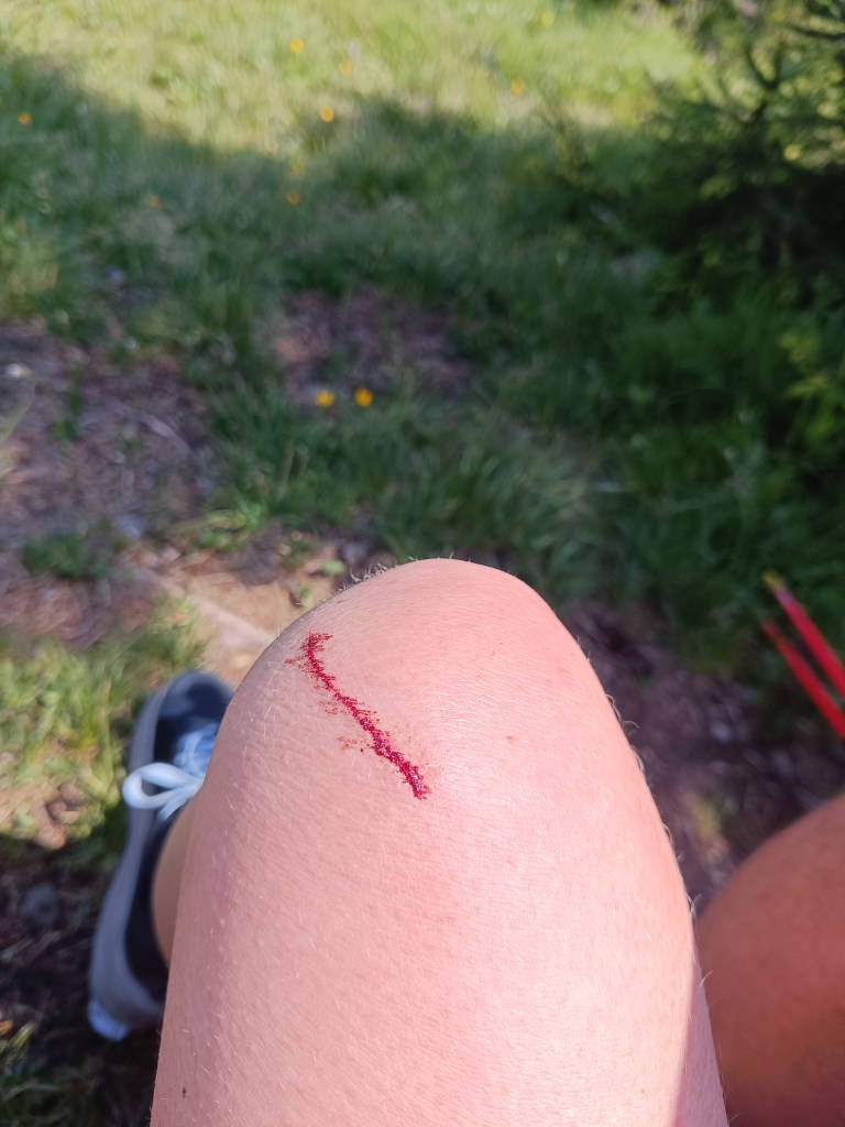
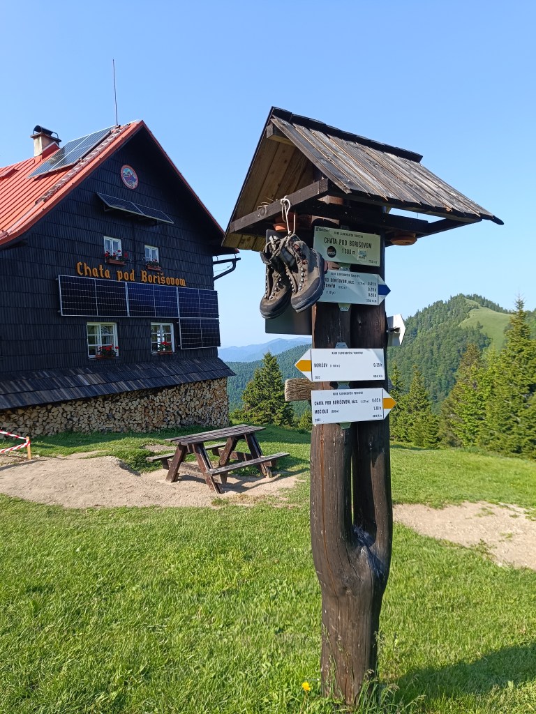
I say to myself: fine, there is already a cottage under Borišov, there I will have a beer, it will be good: D but the route still leads either steeply up or steeply down and my energy is declining, thighs from steep downhills hurt. And as a bonus, I lightly injured my knee when I climbed the fallen tree on the way to the second well (100 altitude down from the ridge, just because of a half -liter of water? but past experience has taught us that going without water is even worse than going down the hard-earned meters to it)
The knee then became quite swollen and turned blue.
We are climbing to Javorinka and I’m quite exhausted, I’m chewing a cookie at the top and the signpost says that we should be in Borisov in half an hour.
on the path to Javorinka
I tell myself, okay, she’ll be over the next hill. I climb up the hill and she’s really there… Except not under the hill I’m standing on, but on the opposite one, and not in the saddle, but a good bit uphill. I curse, grit my teeth and go.
Jožko is already waiting for me with beer and radler.
It’s still a long way from the hut under Borisov, but it seems surprisingly easier than before, the climbs are not as steep, the terrain less technical, but I don’t have as much energy as I would like. We walk for a while, we run for a while, the further we go, the more we walk and the less we run xD.
On the way to Krížna
These paths are already familiar to us, so I send Jožko ahead to arrange dinner for us on Krížna. We must hurry, so that they don’t close the kitchen, because we don’t have any food left. I run a few more straights, but then I’m definitely out of energy and from Kráľová skala I just walk.
From Kráľova studňa
I enter the room, lie down straight on the carpet, happy that I did it, but really exhausted.. And now Jožko is urging me to take a shower, we have 15 minutes until the kitchen closes 😀 My stomach is tight and it takes me a good hour to eat dinner. But I’m proud of myself, this was the hardest run of my life so far. We drink a beer and night falls on the Veľká Fatra.
47.89km, 3467m ascend , 11h15min, from which 10h40min active time
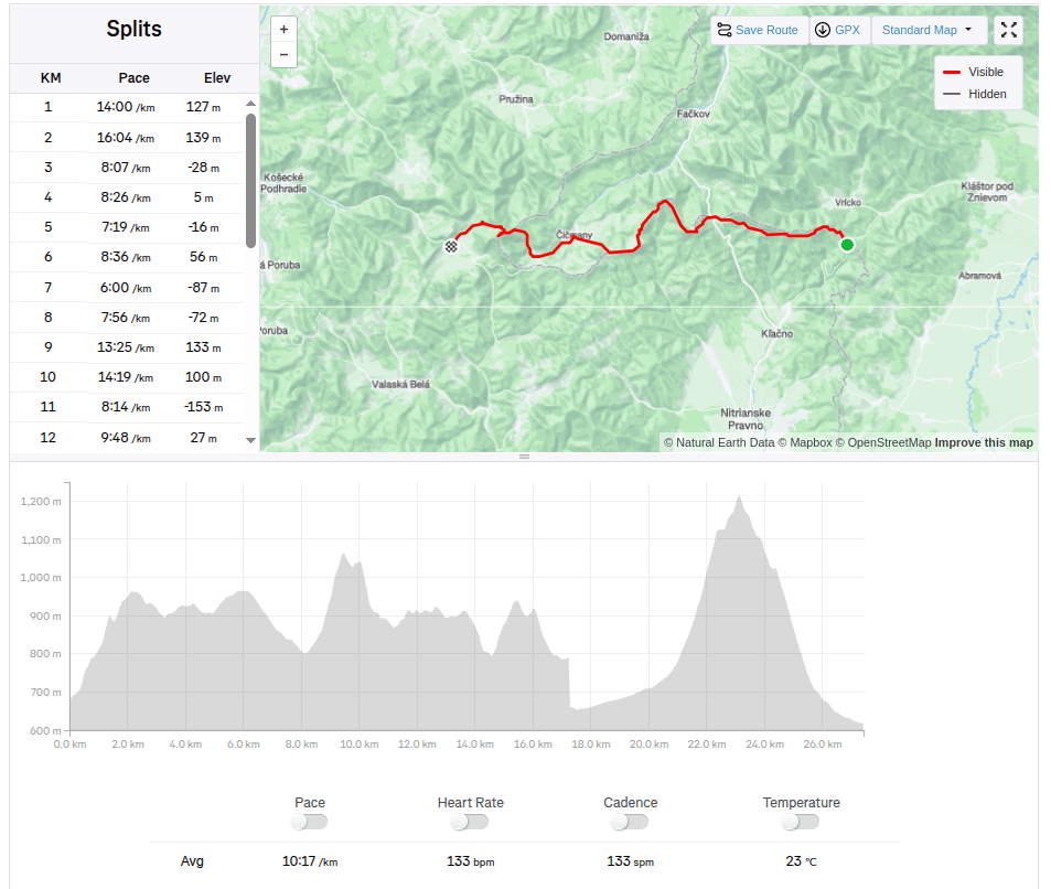
From Vrícké sedlo via Fačkovské sedlo, Čičmany, Strážov to Zlichov.
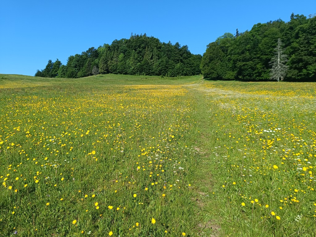
Yesterday was a perfect day for running, sun, 20 degrees, fresh green forests and blooming meadows.
Jožko drove us to the start at Vrícké sedlo, we all still have a vivid memory of how we ended one stage exactly at this place. It is a fresh morning, 7 o’clock and after breakfast eaten on the way in the car and coffee from a thermos, Lucka and I set off. Jožko is going to drive the car to Zliechov and will go to meet us.
Near Fačkov saddle
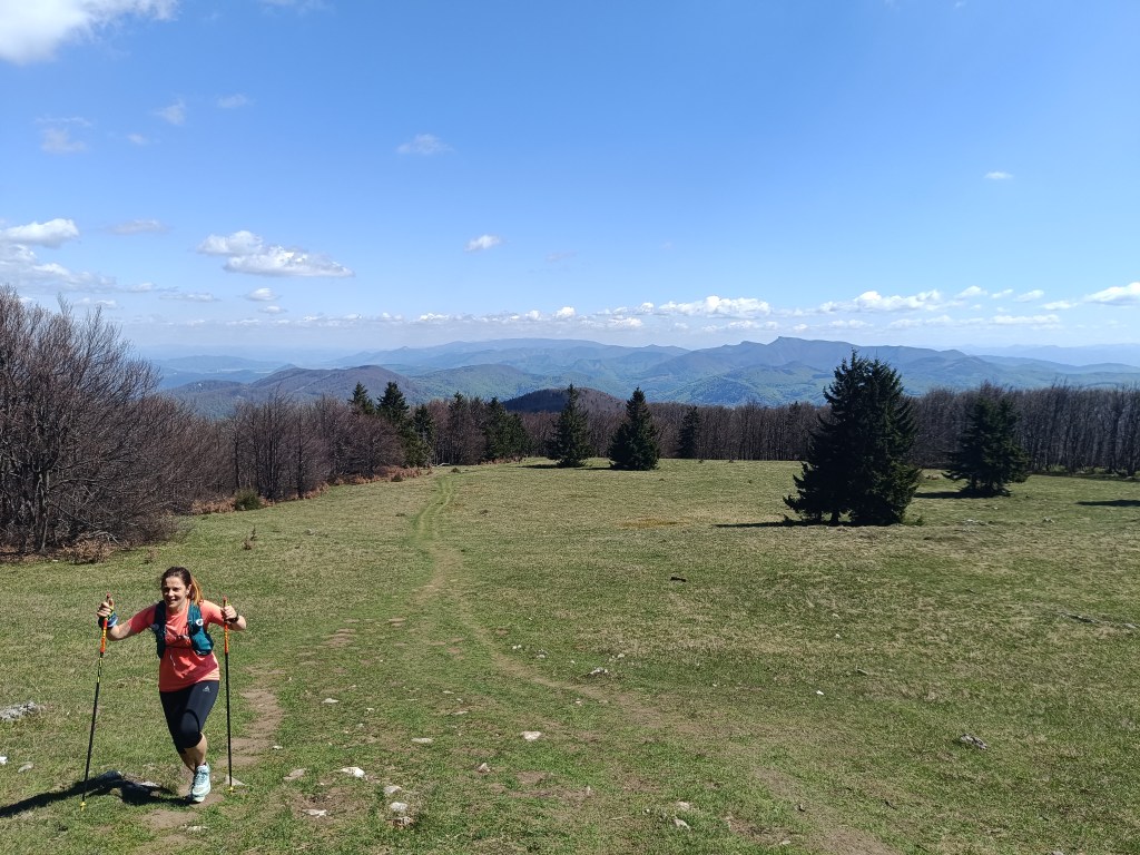
The forest path here and there runs out into a meadow and Lucka and I chat and don’t even know how the time flies. We reach the Fačkov saddle after about an hour and a half. Here we leave the Malá Fatra and enter the Strážovské Vrchy, which are a completely unexplored part of Slovakia for me. And it’s so beautiful here. There are great views from the top of the slope.
Views above Fačkov saddle
This is followed by a descent to Čičmany, just before them in the middle of the meadow we meet Jožko, the score is 15.6km for girls, 12.8km Jožko.
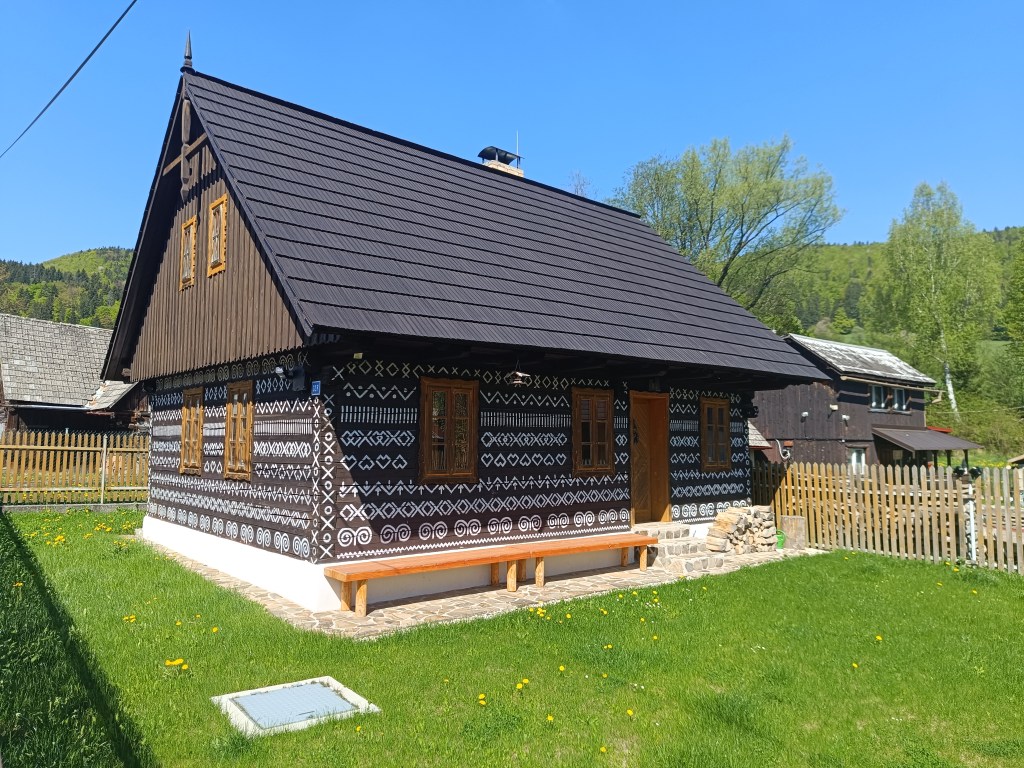
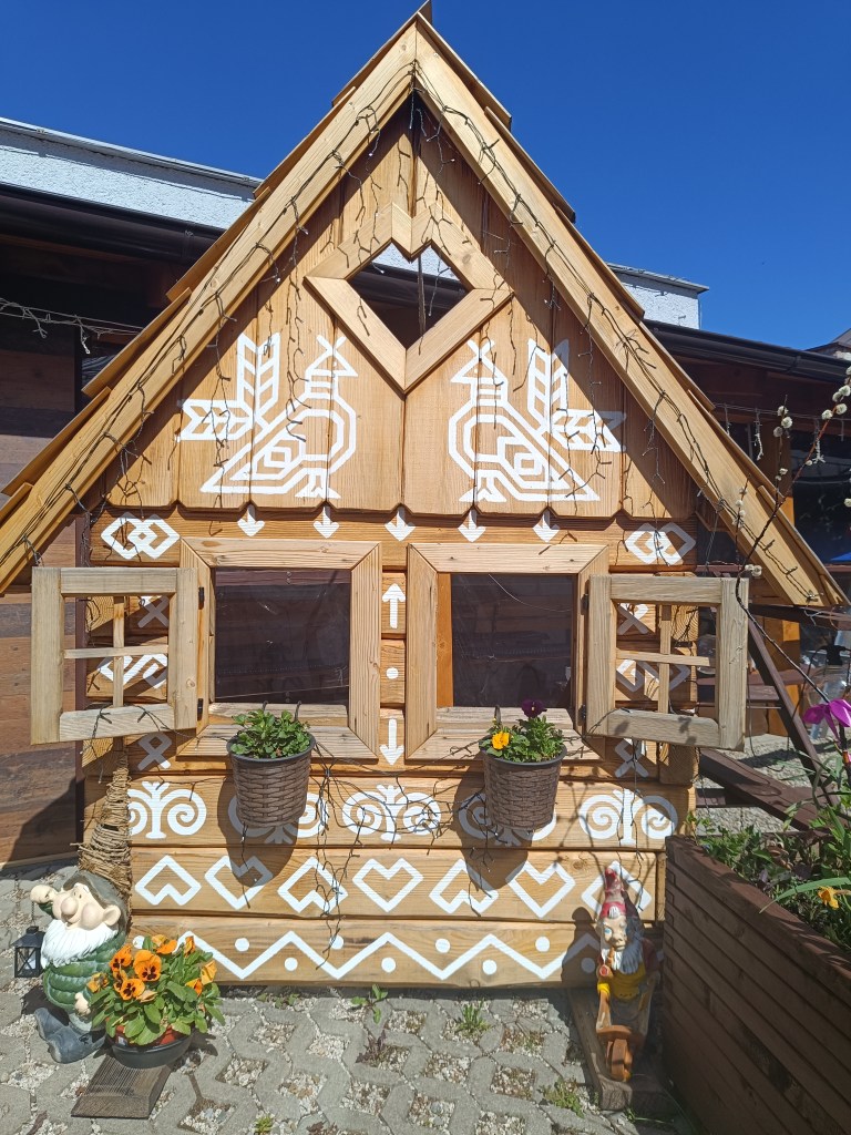
Čičmany are known for their preserved folk architecture – painted log cabins. The architecture here resembles gingerbread houses, mainly thanks to the exterior decoration of the houses. We admire them and in the center of the village we even find an open pub connected to a souvenir shop. The things they sell are beautiful and we would buy the entire shop. However, our backpacks can only hold a magnet map of Slovakia with the SNP route marked and the point where Čičmany are located. We have coffee and non-alcoholic beer. What a pleasure, Bernard’s Grep non-alcoholic beer is really divine. I pour half of mine into an already empty bottle – it will come in handy later.
Houses in ČičmanyČičmany
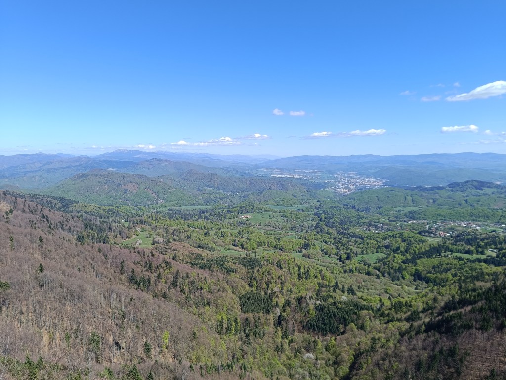
We climb to Strážov, the peak itself is a bit of a detour from the SNP route, but we can’t miss it. It has a height of 1213 m above sea level and is the highest peak of the Strážovské vrchy. Thanks to its altitude and location, Strážov offers interesting and distant views. The rocky peak offers a circular panorama of the surrounding hills and neighboring mountain ranges. Under suitable conditions, it is possible to see the Malá Fatra, the Vtáčnik mountain range or Považský Inovec. It is truly beautiful there.
A path lined with wild garlicMeadow under Strážov
At the end, we only have a steep descent and one gentle slope to go and we are in Zliechov. All three of us are smiling and satisfied, today it went great.
Strážov and its views28.4km, 4:41 aktive time, 1518m ascent
Dávid had wanted to go to Skalka for a long time, I don’t know why he chose this particular hill, but he mentioned it to me very often. So we decided to make this childhood dream come true.
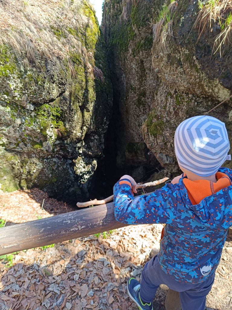
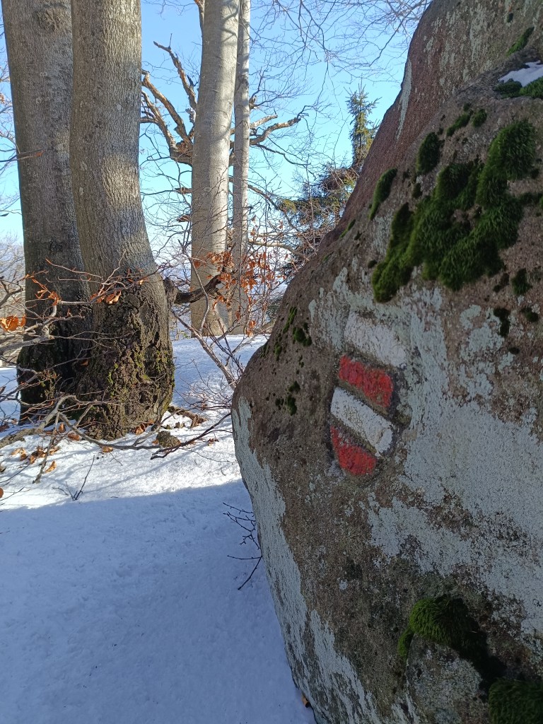
We drove to Skalka by car and from there we walked to the red marked tourist trail – the path of the heroes of the SNP (and mommy, can we walk the entire path of the heroes of the SNP?) He really enjoyed climbing the rocks and was also fascinated by the via ferrata chimney on Skalka, where he also wants to go, of course:)
Feratta Chimney
We went along the ridge to the Görgely Tunnel. It was built in the 16th century and bears the name of the famous fighter for Hungarian independence, General Görgely Artur.
Its origin is attributed to the period after 1498, when Thurzo, as an experienced entrepreneur (Thurzo-Fugger mining company), was aware of the costs associated with transporting metals along circular roads from Banská Bystrica to Kremnica. The connection between Kremnica and Banská Bystrica existed only as a lengthy detour along two roads. Thus, the tunnel in the Kremnické vrchy was, and even after the demise of the Thurzo-Fugger mining company, remained an important connection between Kremnica and Banská Bystrica.
After World War II, the tunnel and its access roads fell into disrepair due to lack of interest, and in 1955 the tunnel was almost completely filled in. In an effort to save this unique historical monument and tourist attraction of the Kremnica Mountains, members of the Slovak Tourists’ Club from Banská Bystrica and Kremnica decided in 1996 to reconstruct and reinforce the tunnel with steel reinforcements. It is 30 meters long.
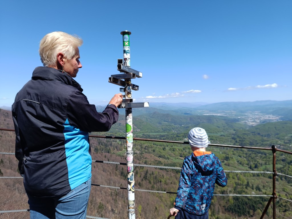
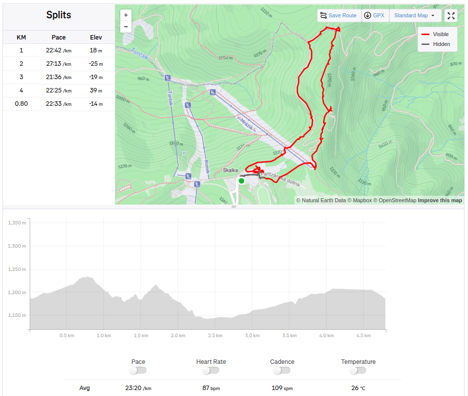
View with Banská Bystrica in the backgroundViewpoint on the ridge of the Kremnica Mountains4.8km, 1:51 active, 166m ascend
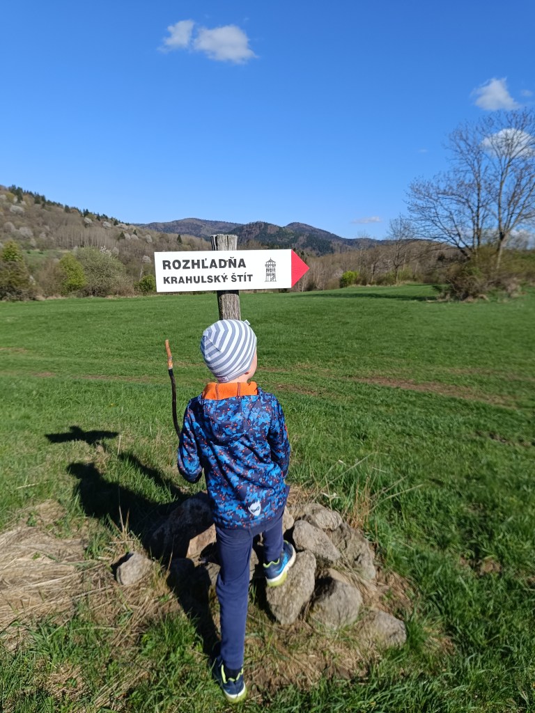
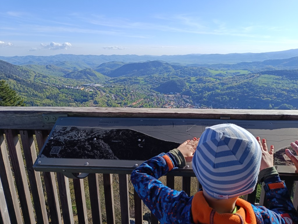
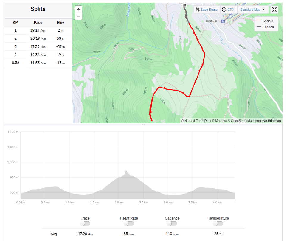
And since we had already been to this location, we also went to see the lookout tower on Krahulsky štít, it is about 2.5km from Krahule through fairly easy terrain. The lookout tower offers a beautiful view of Kremnica and the mountains in the background – Vtáčnik, Sitno…
On its top floor we find signposts to well-known surrounding destinations with the distance as the crow flies, e.g. Center of Europe, Cottage Hostinec, etc. Directly below the observation tower is a wooden terrace with seating and a view of Kremnica. Wooden benches and tables are also located in the immediate vicinity of the observation tower.
Marking to Krahulský štítView from lookout tower
We stopped along the way to see the geographical center of Europe, but we were actually more interested in the church that is very close by. It has a beautiful blue altar and breathes history.
The third stage was from Hiadeľské sedlo to Šturec sedlo. And since Hiadeľské sedlo cannot be reached by car, we had to hike there. This added the first extra kilometers to the SNP route, namely 5.1km and 287 vertical meters. However, the weather was beautiful and the initial -2degrees celsius quickly turned into plus values, so we even took off our jackets in the saddle and continued only in long-sleeved shirts. Today, the problem wasn’t that our water freeze, it was more a problem to have enough of it.
Kozí Chrbát
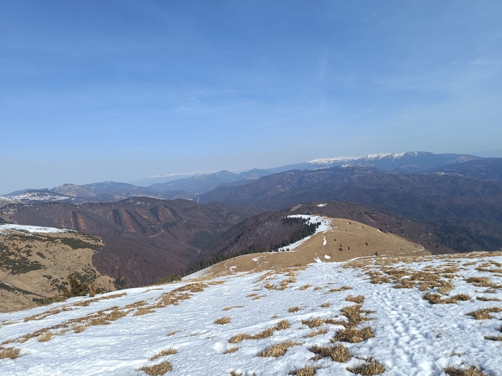
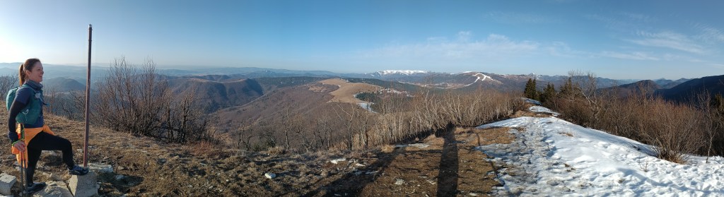
We continue to Kozí Chrbát, a hill with a beautiful view, I definitely recommend it, then continue via Kečka to Donovaly. There is still some snow on the ridge in shady places, but most of it has already disappeared. The descent through the forest to Donovaly was worse, where ice cover is still present on the cross-country ski trails. But we managed it and in Donovaly we take a break for coffee and radler. It is warm and we are thirsty.
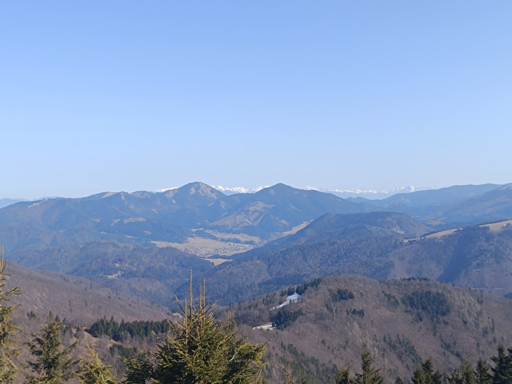
The visibility was great, the High Tatras are visible in the background
Refreshed, we climb to Zvolen, overcoming approximately 400 meters in altitude, but we are rewarded with great views. From Zvolen we continue along the forested ridge to the Veľký Šturec saddle (which is still quite far from the Malý Šturec saddle, where we end the stage).
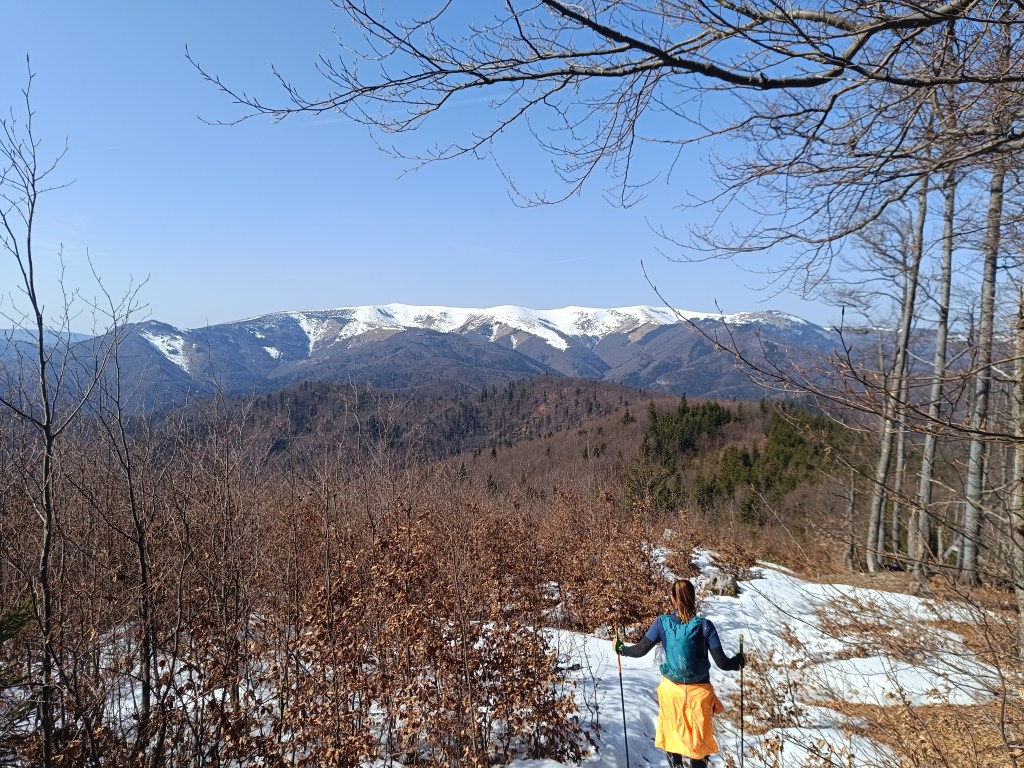
The ridge between Zvolen and Križna (in the background)
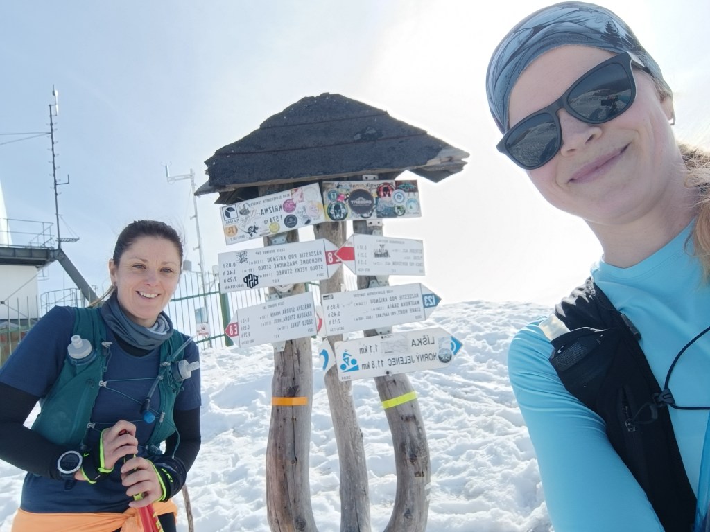
We climb over larger and smaller hills until we reach Krížna, which is still completely covered in snow. On the last big climb we wade through the snow, our feet are wet, the snow is melting, but with the vision of the last climb we climb up to Krížna (1574 meters above sea level).
At the bottom of climb to KrižnaAnd the last few metresKrižna finally
The descent to Kráľova studňa turns into dancing in wet snow, in some places there was up to 5 cm of water on the path. We have a flood in our shoes, but cola at Kráľova studňa raises our morale. The last 10 km downhill run to the finish. But half of them were covered in wet snow with water flowing through them.
Cez 10km na snehu
Jožko is waiting for us at the finish line with a non-alcoholic beer, a great surprise.
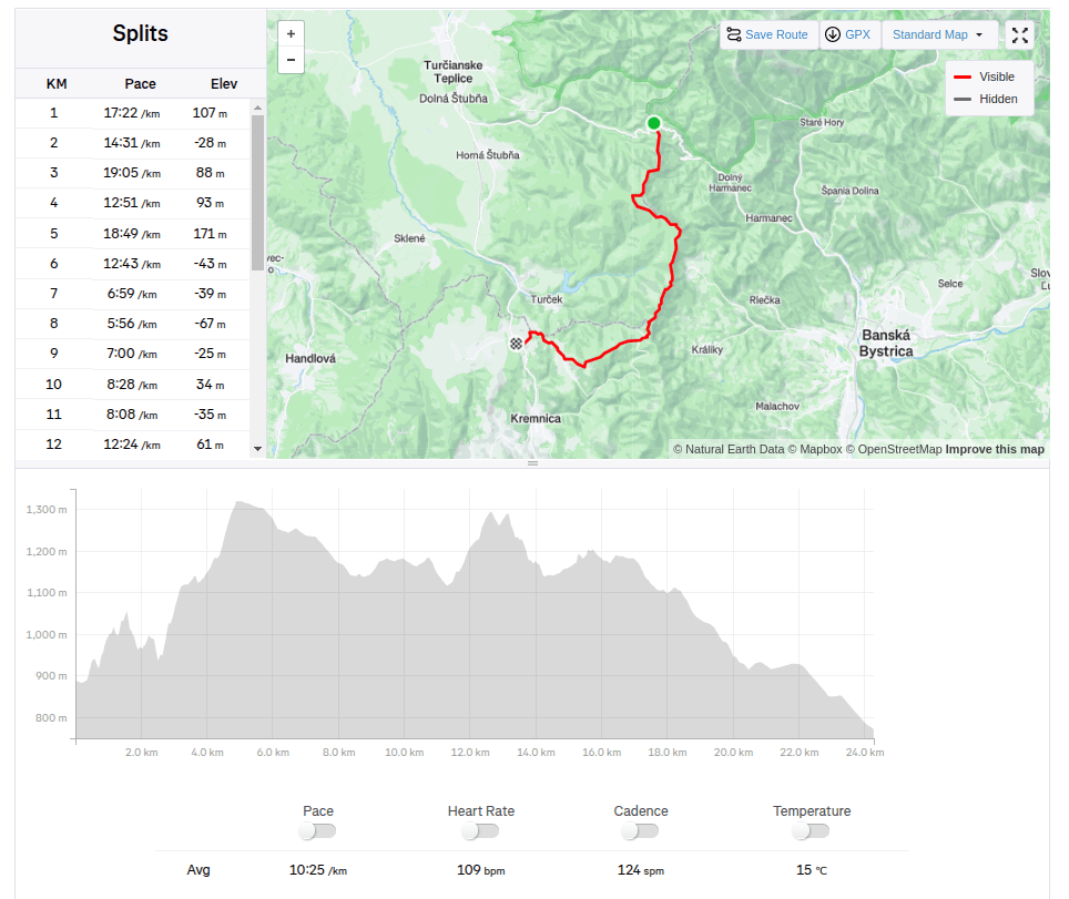
44.33km, 2263m ascend, 8h 58 min active time, 9h 41min total
We start our second stage from the Šturec saddle to Kremnické Bane. It’s cold, the thermometer in the car shows -6 degrees Celsius. We step out of the car and find out that not only is it cold, but there’s also a pretty strong cold wind blowing… The nearest opportunity to do the stage is in two weeks, so I clench my teeth (I don’t really like the cold weather, my fingers and hands freeze painfully quickly) and we start..
Above saddle Šturec
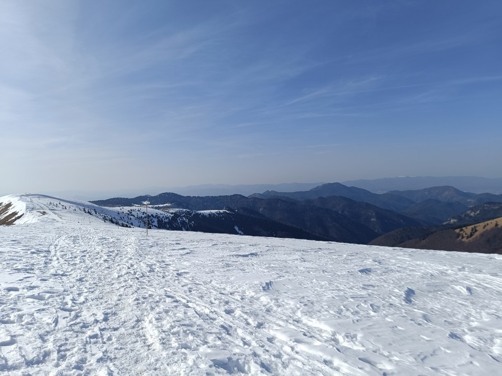
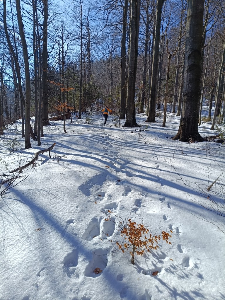
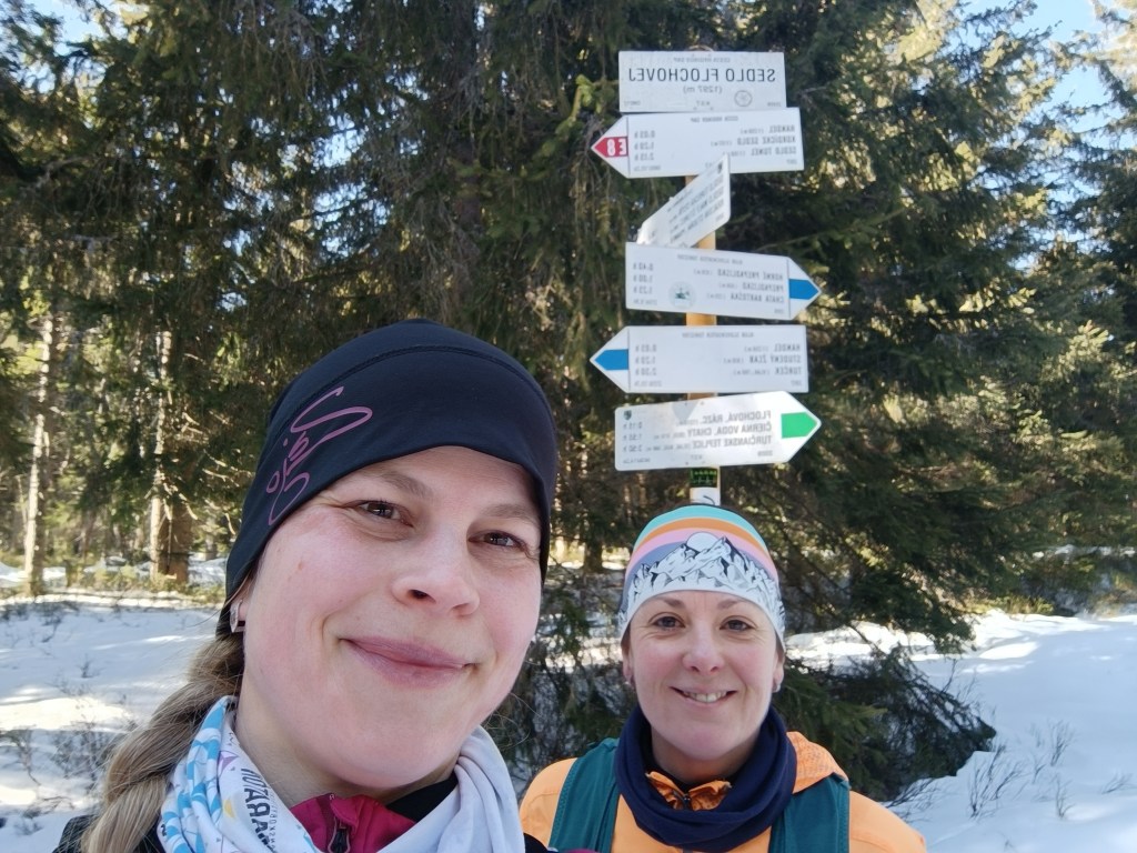
We spent some time looking for the start of the red trail, but then we were accompanied by a beautifully marked hiking trail the whole time. We climb over Priečný vrch covered in frozen snow, and then to the Flochová saddle. I think there is half a meter of snow up there. A beautiful winter fairy tale.
Sedlo Flochová – najvyšší bod
From Flochová it’s a wavy ridge to Skalka and it’s so cold that the water in my hydration pack freezes. At Skalka we take a short break for coffee and a protein bar and continue to Kremnické Bane.
Every break has an unwanted effect on me, my body quickly cools down and my fingers freeze again and again – the painful tingling lasts an unpleasant 10-15 minutes until my body warms up again.
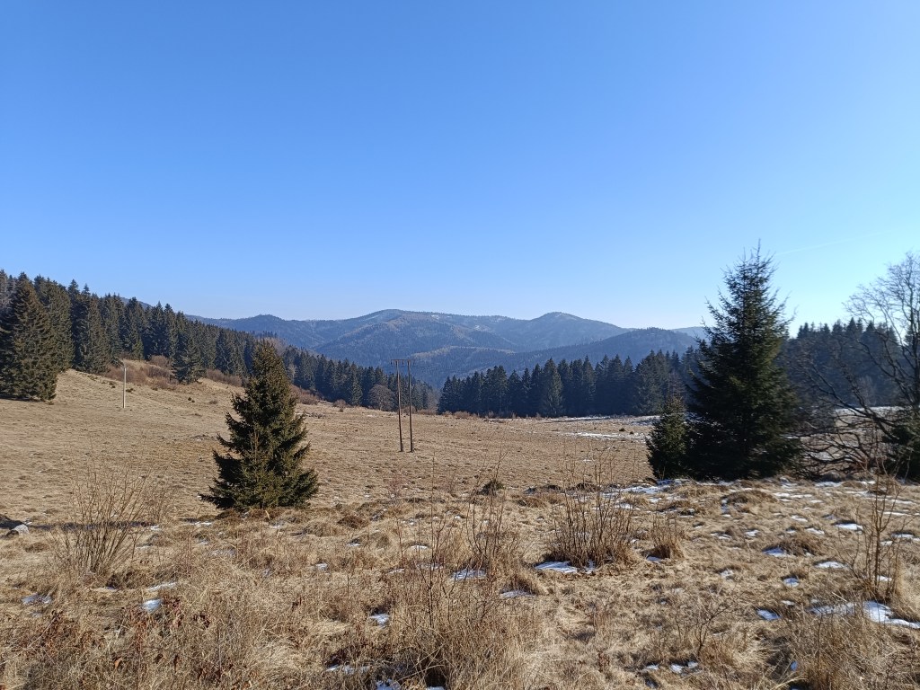
We run down a beautiful tree-lined path and after 3 kilometers we run out of the forest into sun-drenched meadows and suddenly it is warm, a different world, without snow and with sun-warmed meadows.
Above Krahule
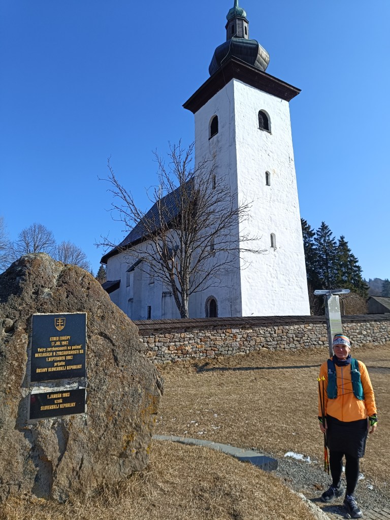
On the way, we turn towards the Center of Europe, next to the ancient Church of St. Ján Krstiteľ there is an erected stone. It announces that this is the geographical center of Europe.
Geografical centre of Europe
This important geographical point is marked by a small monument near the defensive wall of the church. On the occasion of the founding of the Slovak Republic, the foundation stone of Slovak statehood was also laid here.