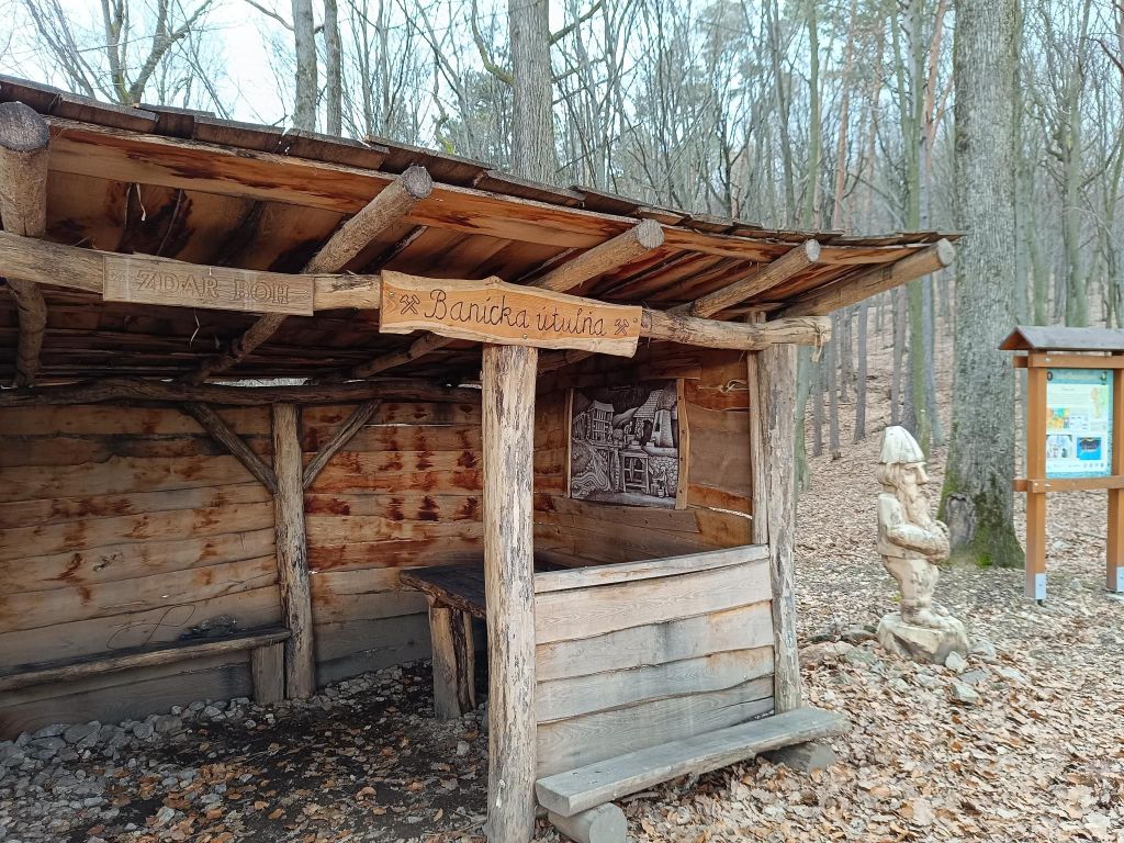
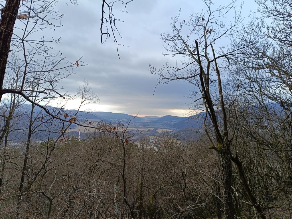
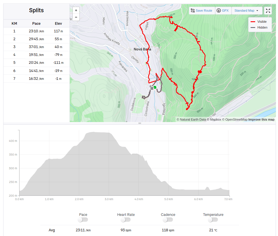
The route of the educational trail leads past the most important mining-technical and historical monuments related to the mining of precious metal ores in Nová Baňa. The trail is divided into two historical-thematic circuits. Route A (black), with a length of 4.3 km and an elevation of 210 m, leads along the traces of surface and underground mining activities in the Middle Ages, passing through more demanding forest terrain in the area of Mýtný vrch and Gupno in the southern part of the deposit. Route B (green) is slightly less demanding and leads mainly in the built-up area of the city in the Vŕšky part. It is 5.6 km long and has an elevation of 130 m. It mainly presents mining from the 16th to the 19th century, including ore treatment facilities and the mining water management system.
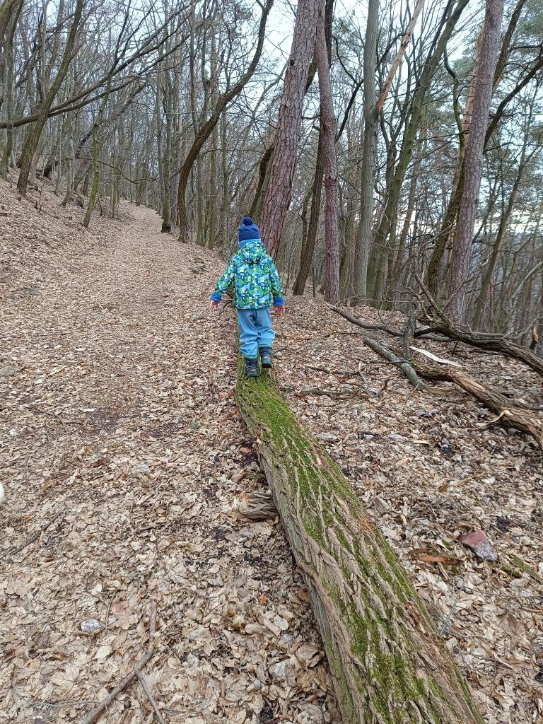
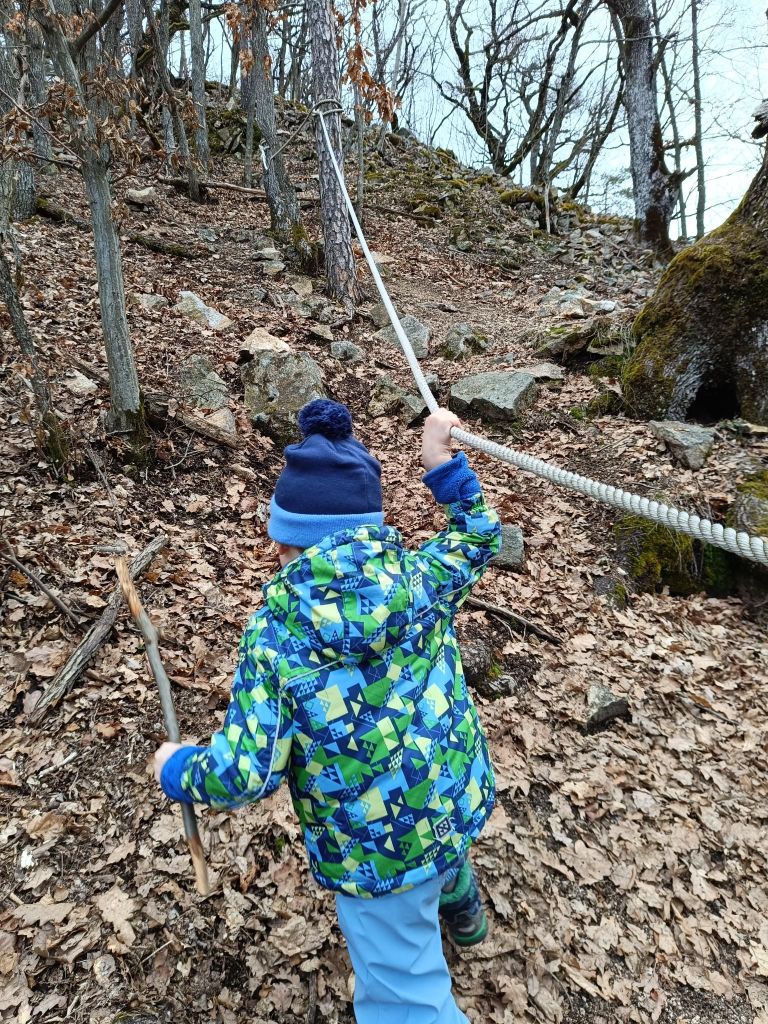
David was 4 years old at that time.