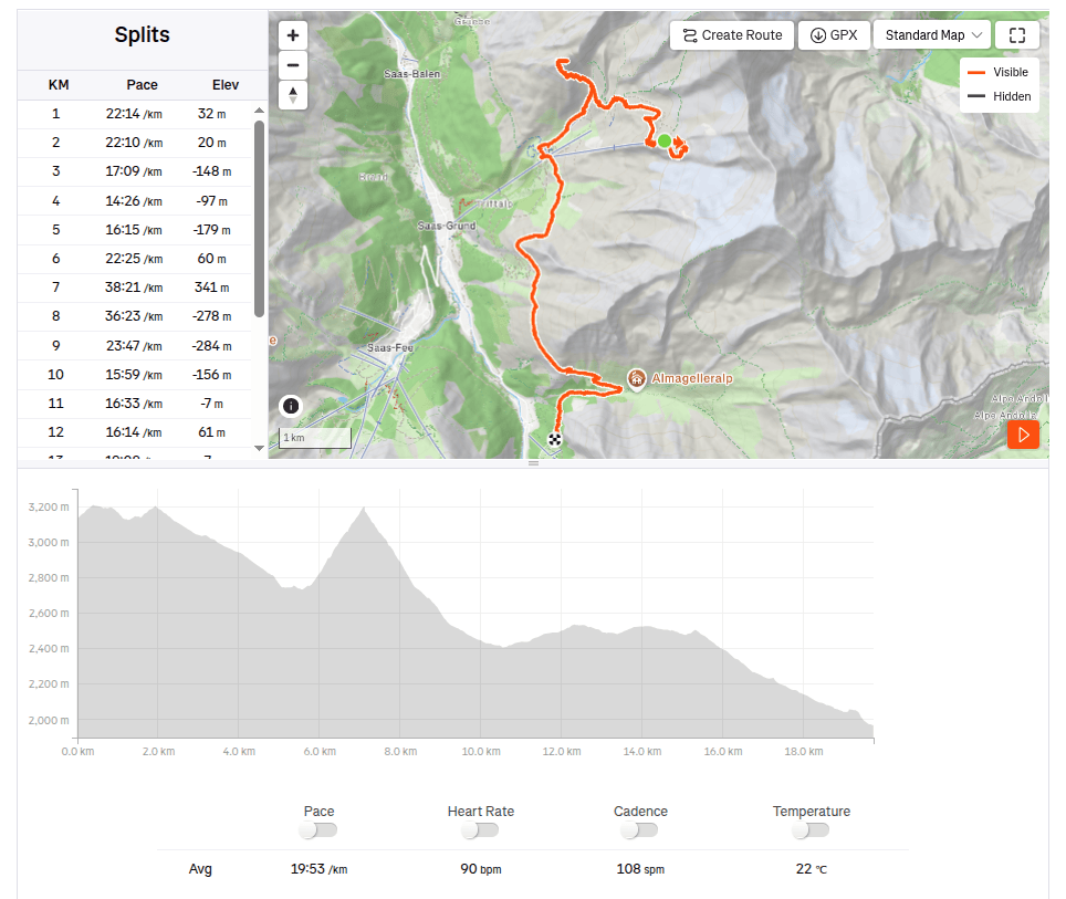
In the morning, we drove from Grächen to Saas-Grund, where we bought one-way cable car tickets to Hohsaas (the adult fare was 37 francs). The cable car took us from an altitude of 1,550 meters up to a stunning 3,140 meters, saving us half a day of hiking 🙂
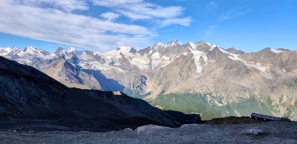
Not far from the cable car, you will find the Hochsaas mountain hut as well as a circular trail that took us past the 18 peaks of the Saas Valley that rise above 4,000 meters.
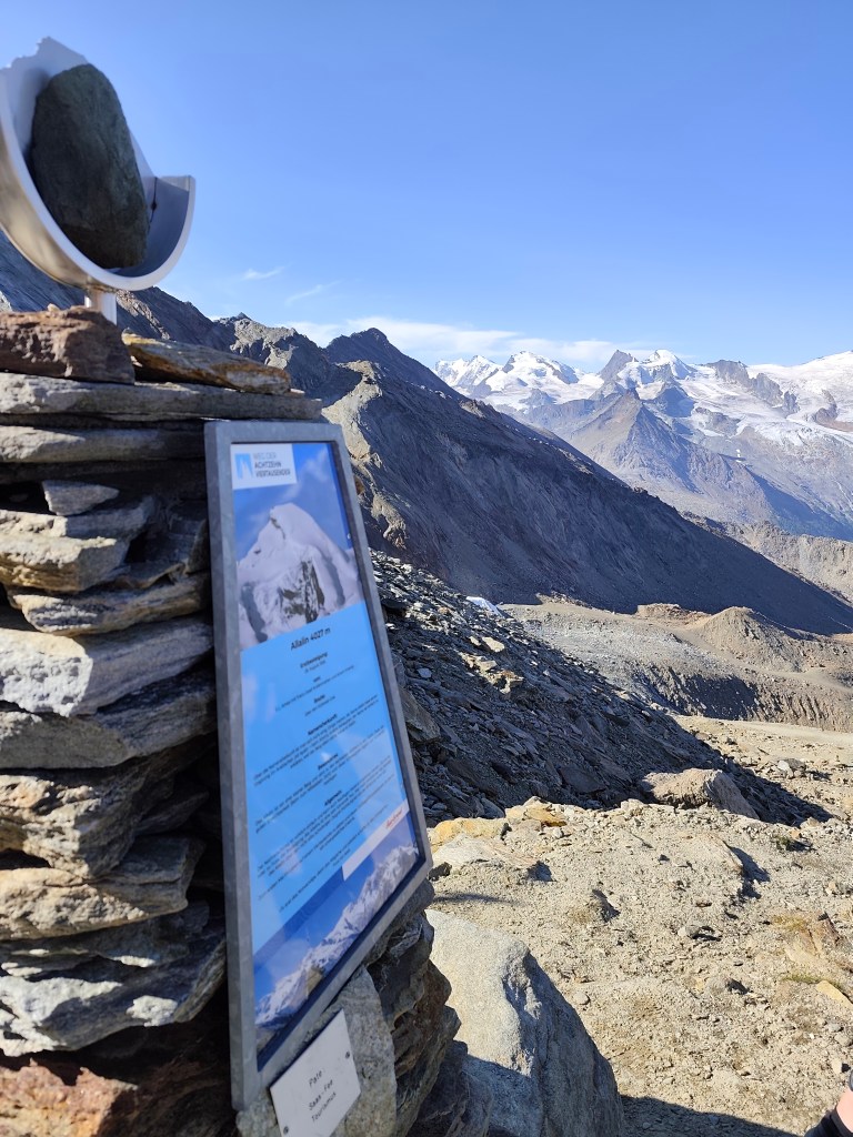
There are information boards here where we could read about the specific characteristics of the peaks, as well as historical milestones—such as when a particular peak was first summited.
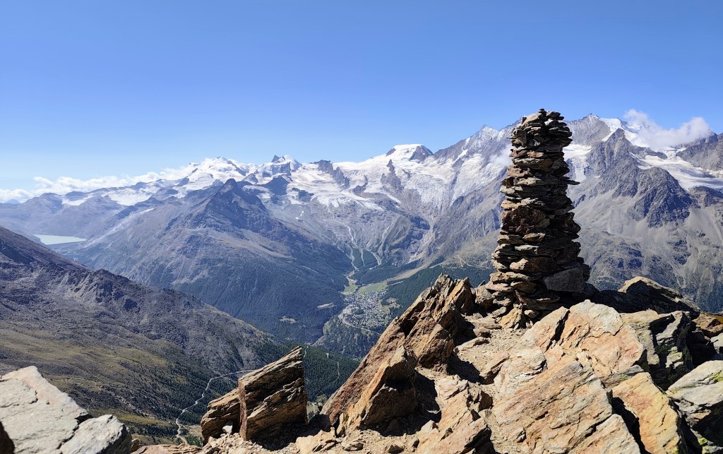
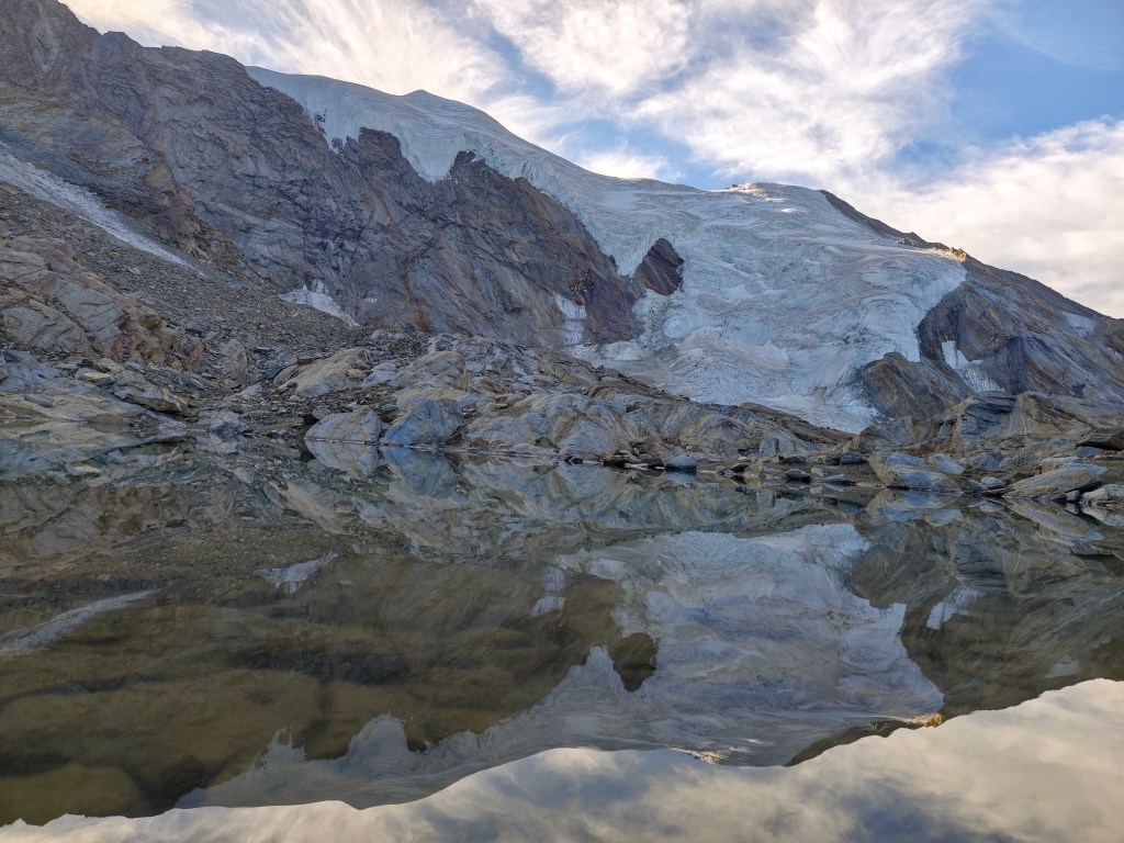
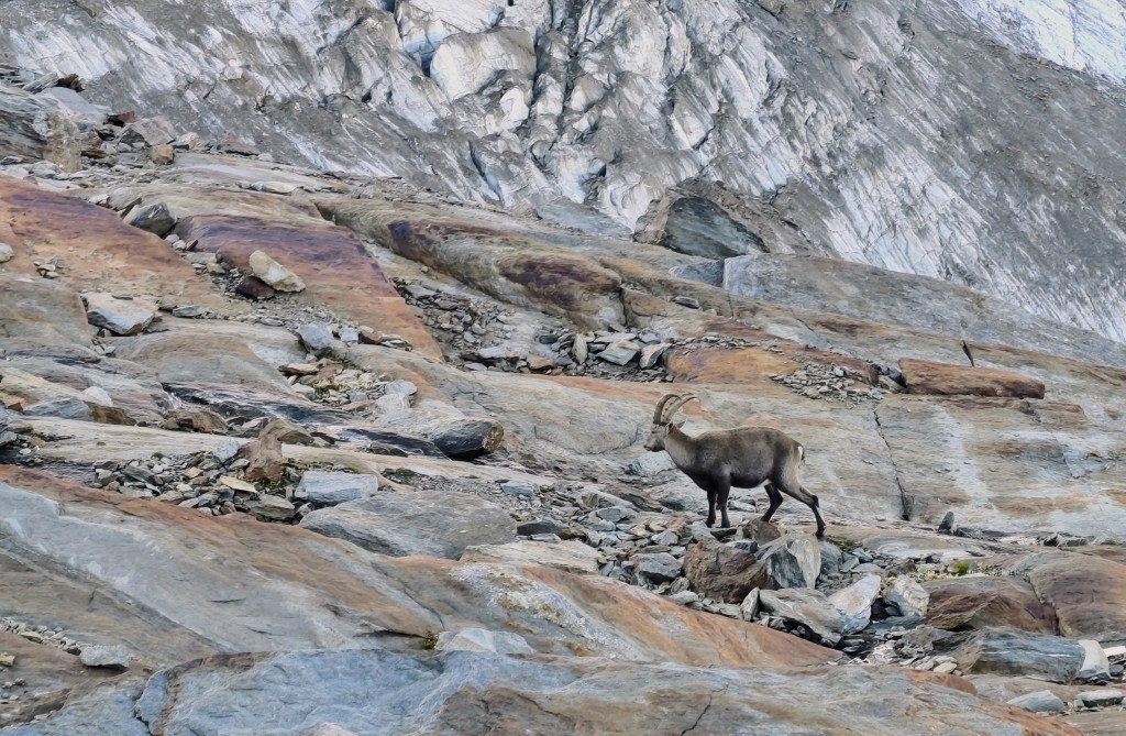
We also walked past a small glacial lake, and a young capricorn posed for us; it wasn’t afraid of us at all and allowed us to approach within just about 20 meters.
The next item on the itinerary was Jegihorn, which I was a bit affraid of, as the maps marked it not as a hiking trail, but as an easy climbing route.
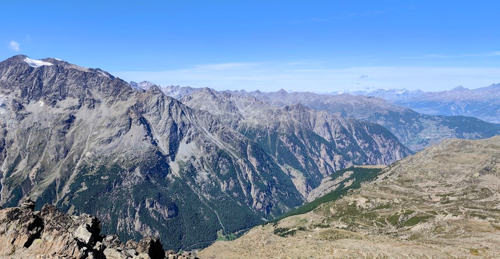
By the way, the highest via ferrata in Switzerland also leads up it. Jegihorn stands over 3,200 meters tall and offers a magnificent panoramic view of the surrounding area.
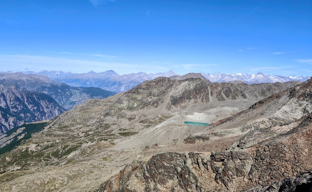
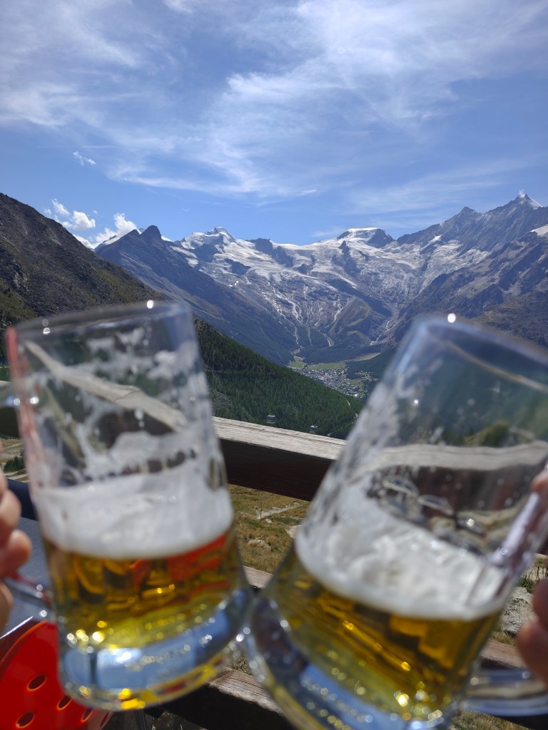
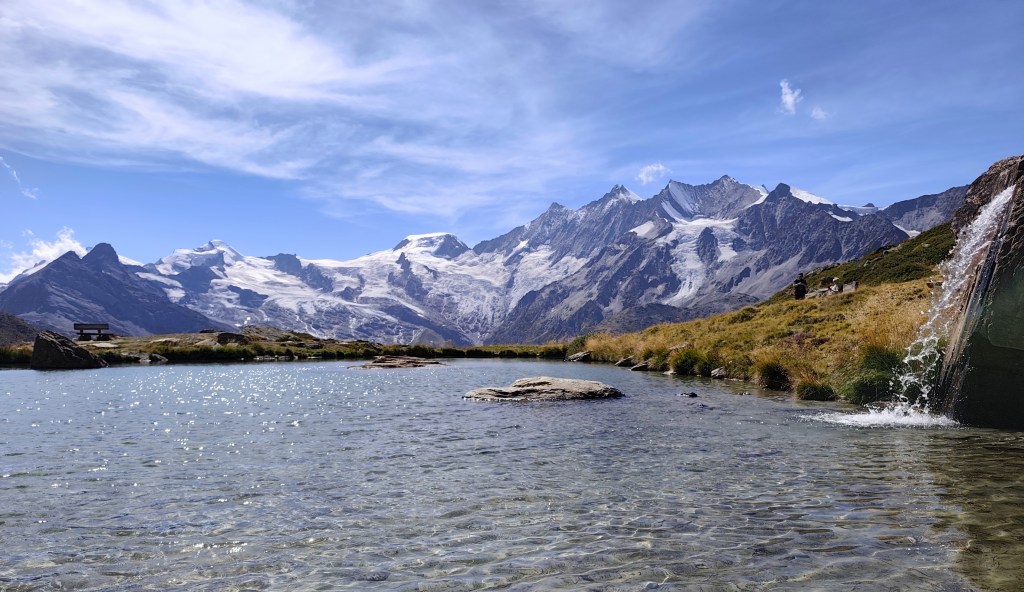
We descend from Jegihorn to Kreuzboden, admire the reflection of the mountains in the small lake, and enjoy our only draft beer of the entire trip to Switzerland 🙂
We aren’t ready to head home just yet, though, so we opt for a detour via the Alpenblumenpromenade towards AlmagellerAlp.
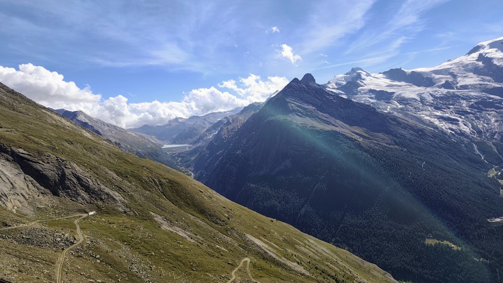
Along the way, we are also treated to a view of the Mattmark Reservoir. We return to Saas-Almagell via the “Adventure Trail”—a route that is technically more demanding but far more interesting.
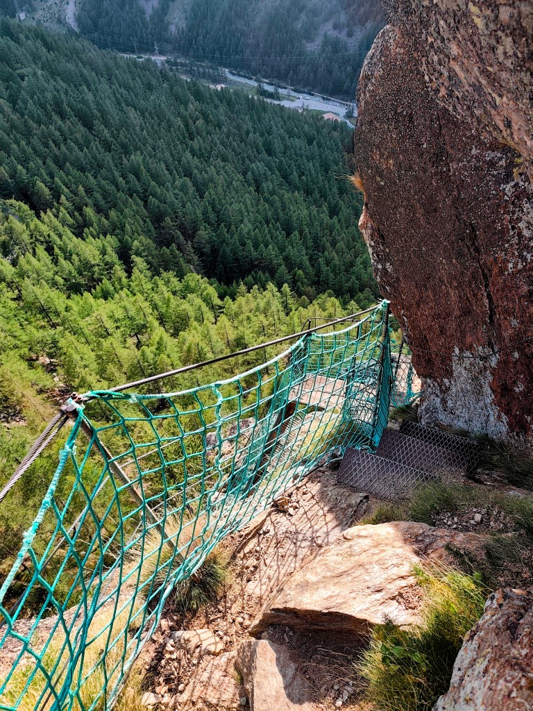
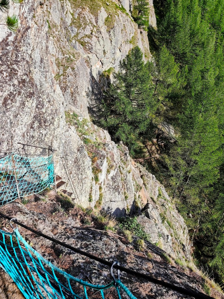
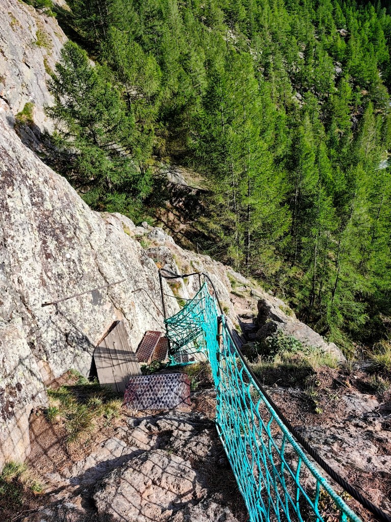
It leads across two suspension bridges, ladders, and peg-style steps, making for a fantastic finale to a great day.