-
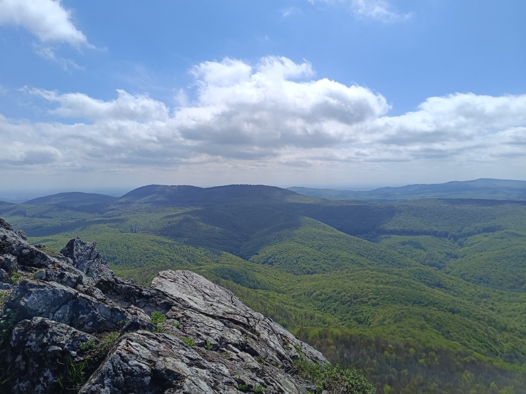
SNP girls project day 5
Jožko drove us to the place where we finished yesterday’s stage. The asphalt road later turns into a forest cycle path, the gentle waves are a easy, simple path for now, and we managed to cut the hiking times in half.
The first interesting point is the magical chateau – the former Pálffy mountain lodge Mon Repos.
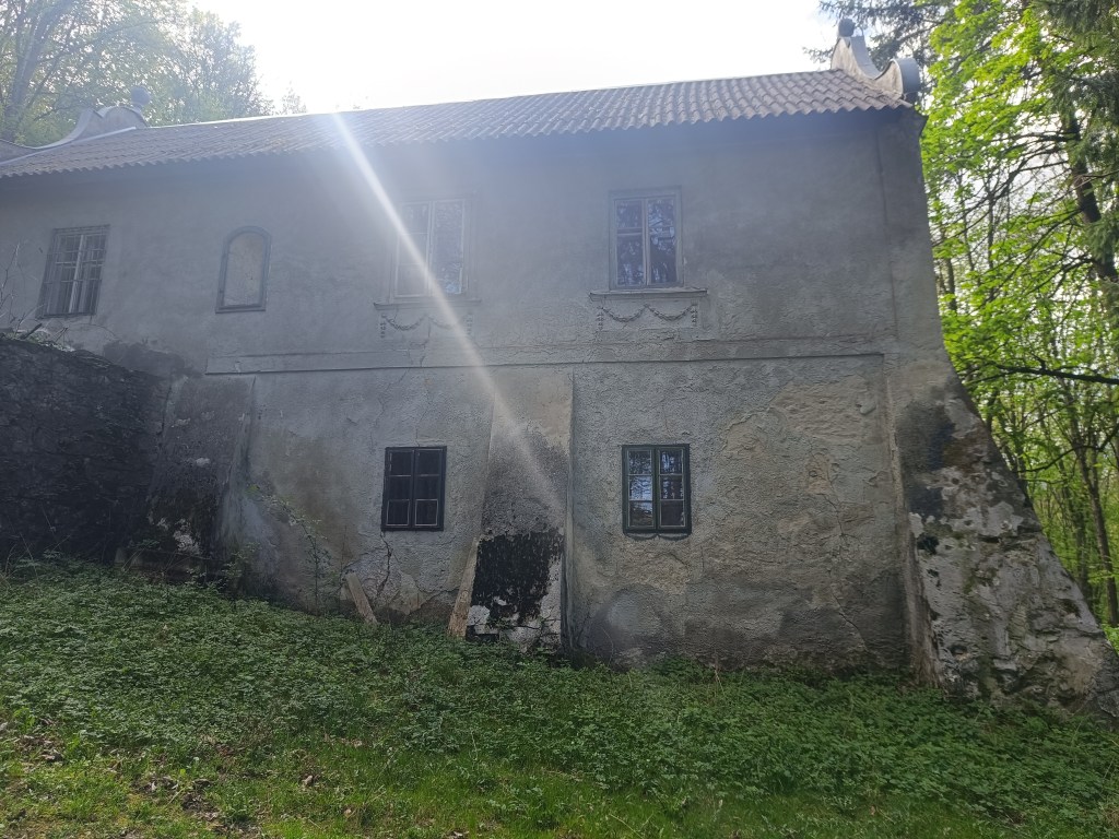
Mon Repos Through Amon’s meadow we climb to Klokoč, where we meet Jožko, who was running towards us from the finish line. The Klokoč nature reserve, which also includes the hill of the same name, is completely different in character from the surrounding hills. Thanks to its volcanic origin and significant wild vegetation, it seems as if it does not even belong to the Little Carpathians. From the top and the entire ridge there are beautiful views of the surrounding ridges of the Little Carpathians. The peak of Klokoč itself is marked with a small wooden cross, into which you can hammer a nail.
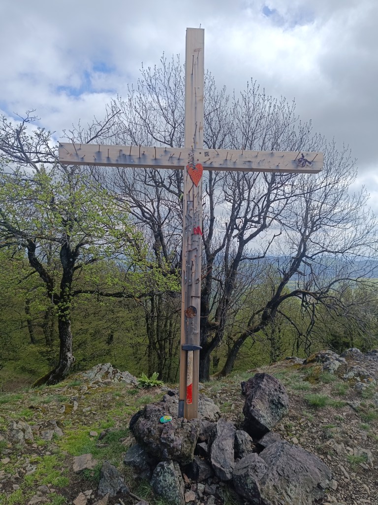
Wooden cross on Klokoč 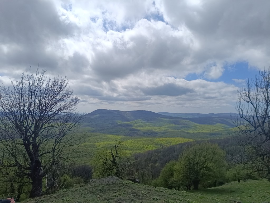
Views from Klokoč Only Vápenná, or Roštún, awaits us today. It is the third highest peak of the Little Carpathians. Its altitude is 752 meters and it is located between the villages of Plavecké podhradie and Sološnica. It is one of the most beautiful peaks of the Little Carpathians. There is a beautiful view not only of the rocky cliffs and limestone fragments, but also of the vast surroundings.
From Vápenná A 3-kilometer steep descent follows and we are at the finish line of today’s stage – in Sološnická dolina.
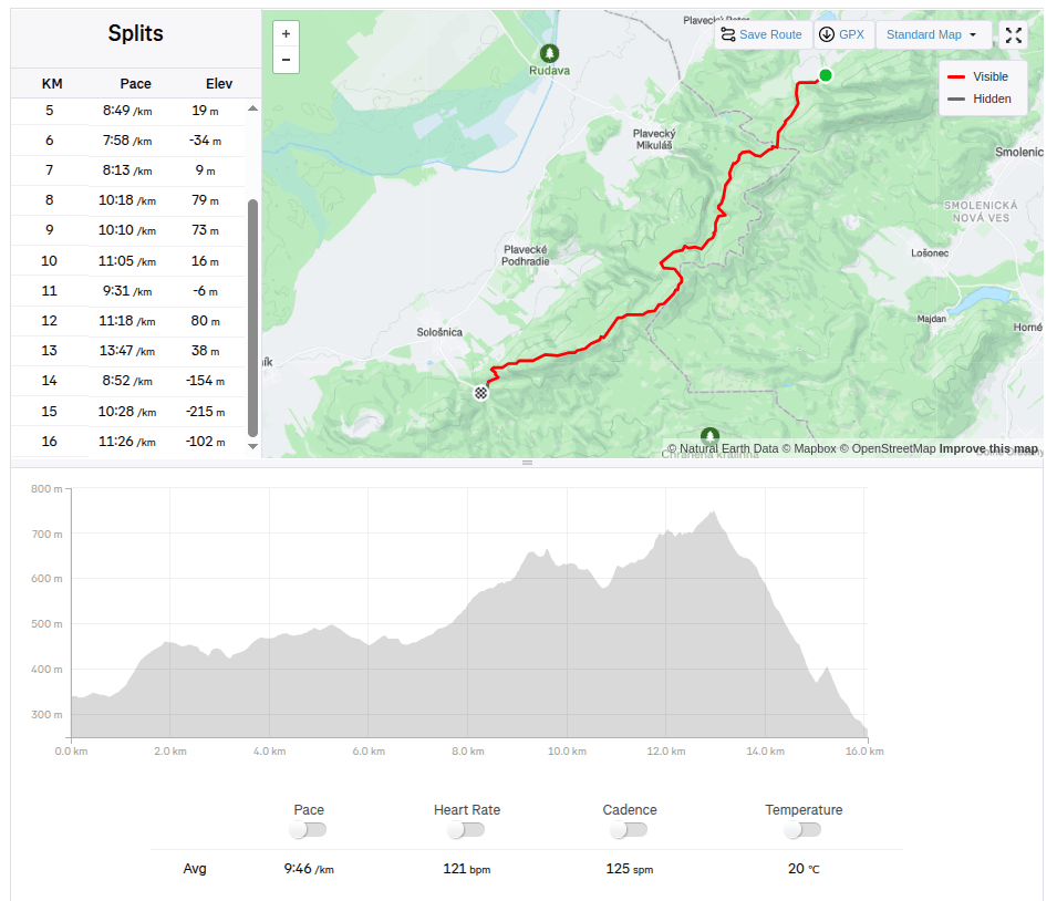
16km, 2:36 aactive time, 733m ascend -
SNP girl’s project day 4
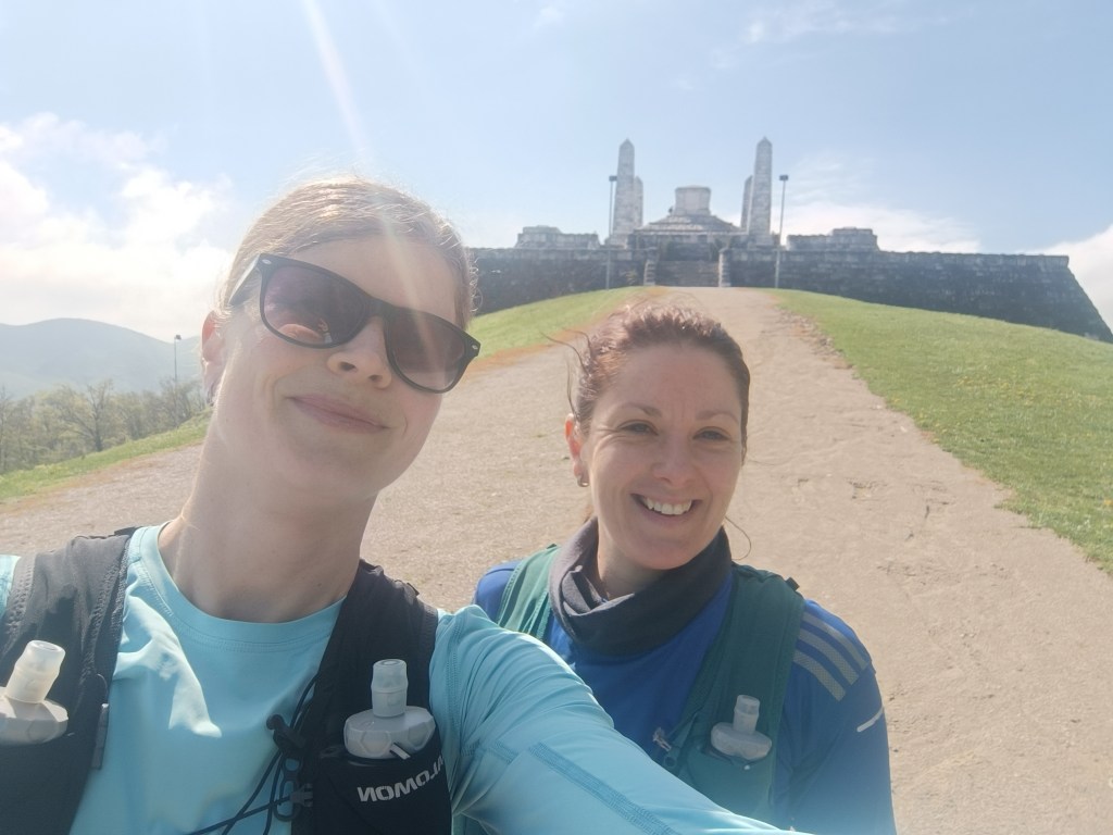
We start at 8:30 in the morning in Myjava, after 2 hours in the car our stiff body doesn’t feel like it. We head to Bradlo. Bradlo is the highest peak of the Myjava Hills. However, it is mainly known for the fact that on its top stands the mound of M.R. Štefánik.
M.R.Štefánik mound Below Bradlo is the beautifully renovated Bradlo cottage, where we had a great cappuccino.
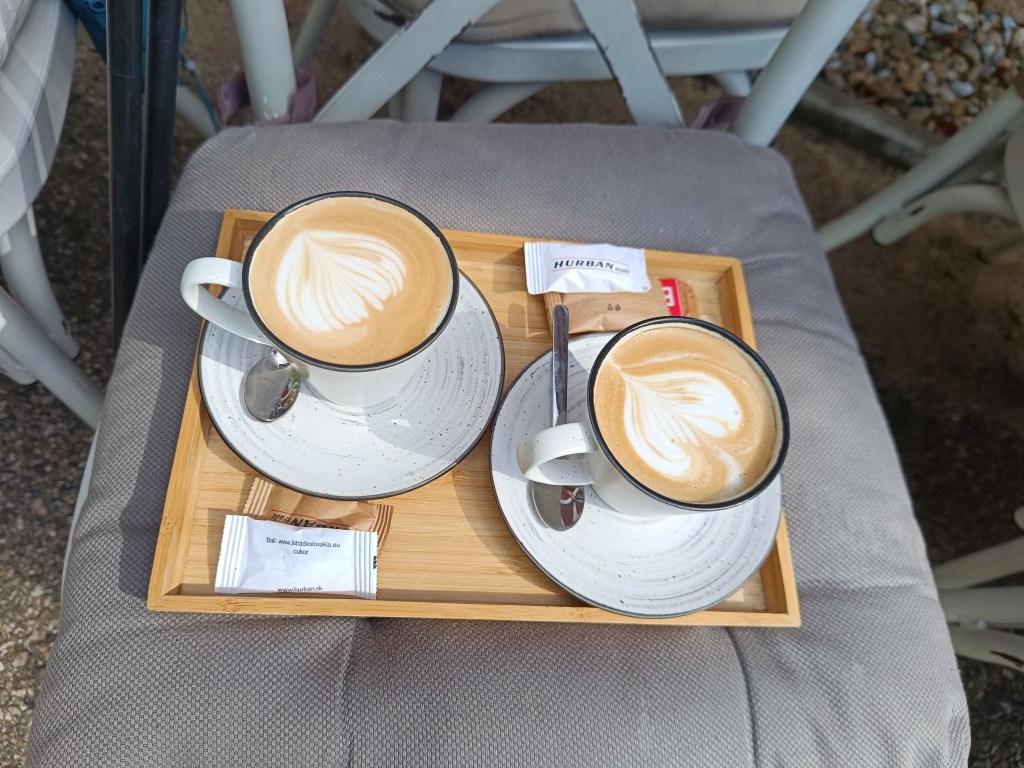
First refreshment From Bradlo we run through Brezová pod Bradlom, a fairly long asphalt section. Then we find ourselves again in a forest, which is beautifully scented with wild garlic. We enjoy the first spring greenery.
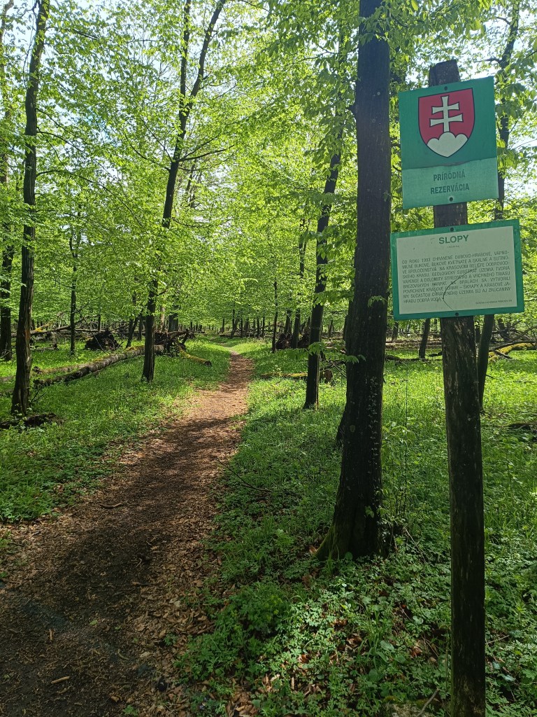
Beautiful, minimally human-impacted forests We turn off the route to the Dobrá voda castle, because we still have strength and the table shows only 10 minutes. The Dobrá Voda castle is a Gothic castle located in the central part of the Little Carpathians and is part of the Slopy nature reserve, covering 8467 square meters. The name of the castle is derived from the numerous water springs in the area. The castle is now in ruins. Of the buildings, part of the masonry with fortifications and the remains of several buildings have been preserved. The process of its destruction is also affected by the amount of greenery that overgrows the entire object. Nevertheless, its ruins are a picturesque addition to this part of the Little Carpathian landscape.
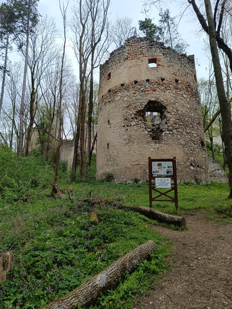
Dobrá voda We run to the village of Dobrá voda, where Jožko is already waiting for us, who ran to us from the finish line where he parked his car. He has not entirely encouraging news for us, that we still have 25 km to go (we counted with 19). But there is no other way, but to go 😀 We climb to Mihalová, where there is a beautiful Jozef Mak shelter, which serves mainly long-distance tourists.
The sun is shining and the temperature is rising, we no longer like hte taste of water and we dream of a non-alcoholic radler or kofola. My knees are starting to hurt, my ITB tendons are starting to hurt due to neglected yoga.
However, Jožko boosts morale, he noticed a sign near the cottage area that if we walk 250 meters from path, we should reach Stan’s pub. We don’t hesitate, and in 5 minutes we are enjoying a fresh pomelo grapefruit radler.
Next comes an unpleasant stretch of asphalt without a sidewalk, since it is a main road, we have a bad feeling about it. Fortunately, it is only about a kilometer and we run into the trees again. Next comes the climb to Záruby. Záruby is the highest peak of the Little Carpathians.
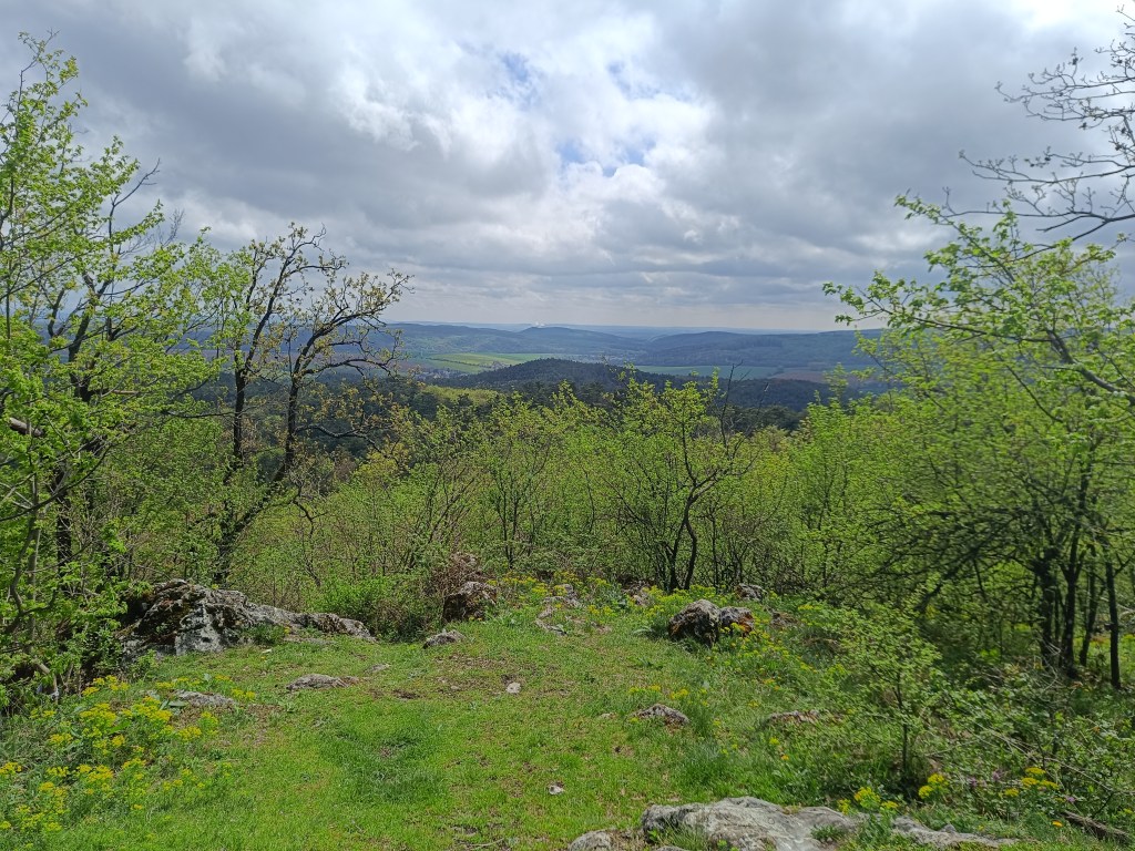
Path to Záruby In many parts, limestone cliffs, characteristic of this part of the mountain range, stand out. They provide interesting views of the surroundings. At the top stands a cross.
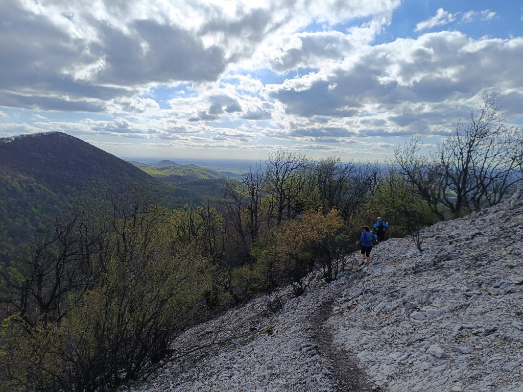
A bit dangerous path to Ostrý kameň castle 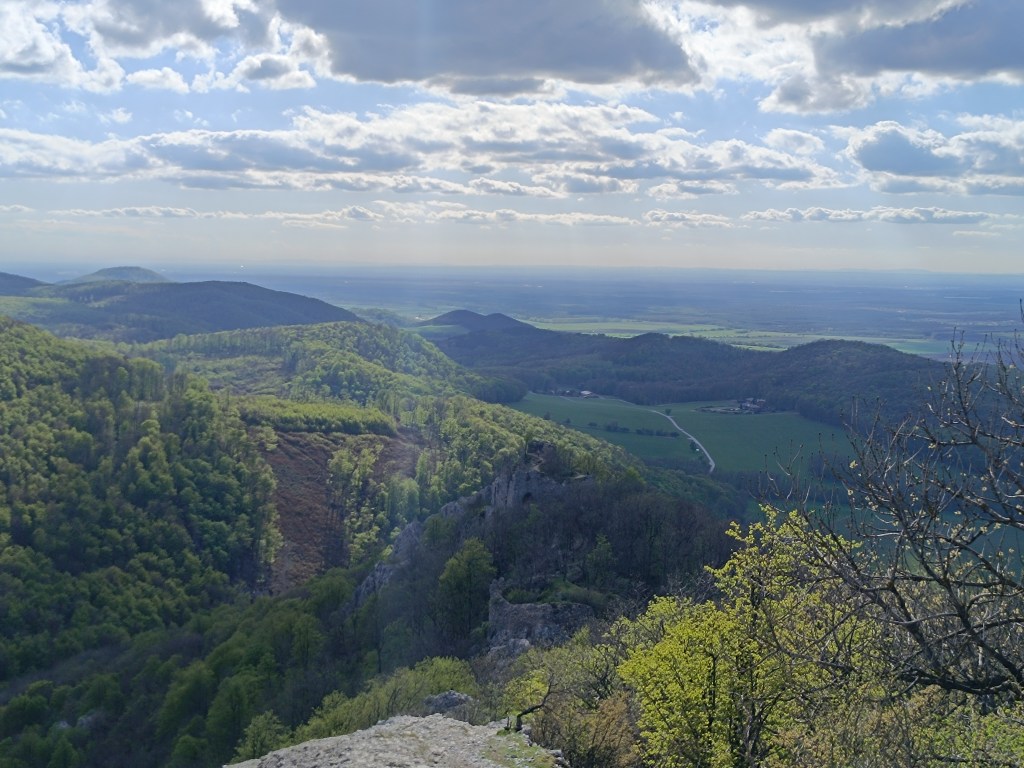
Ruins of Ostrý kameň Ostrý kameň Castle was a border castle built to protect the Czech Road in the 13th century. After being damaged during the Rákóczi Uprising, the castle turned into ruins. It was built at the end of a steep mountain ridge, from which it is separated by a moat cut into the rock. It consisted of a residential palace, an observation and guard-defense prismatic tower.
A steep descent follows, where my knees are already suffering considerably. Another 2 kilometers on asphalt to the car and we are at the finish line. Parched, we open non-alcoholic radlers to replenish fluids and sugar. Today was a difficult section, but thanks to that, tomorrow we only have a 15km long stage.
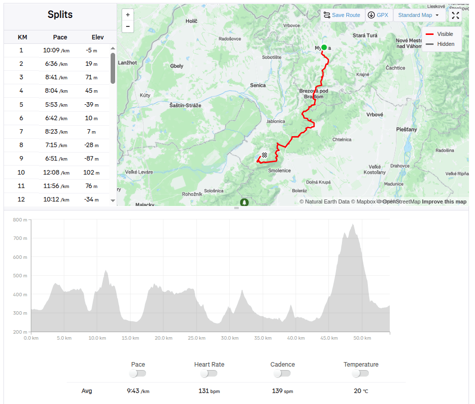
54.2km 8:46 active time, 1733m ascend
-
Subscribe
Subscribed
Have a WordPress.com account? Log in now.

