-
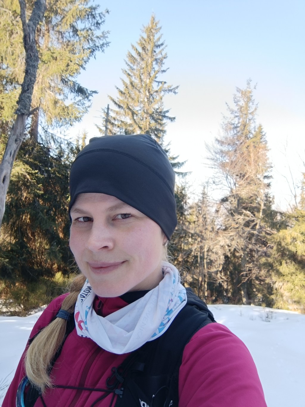
SNP – girl’s project #day2
We start our second stage from the Šturec saddle to Kremnické Bane. It’s cold, the thermometer in the car shows -6 degrees Celsius. We step out of the car and find out that not only is it cold, but there’s also a pretty strong cold wind blowing… The nearest opportunity to do the stage is in two weeks, so I clench my teeth (I don’t really like the cold weather, my fingers and hands freeze painfully quickly) and we start..
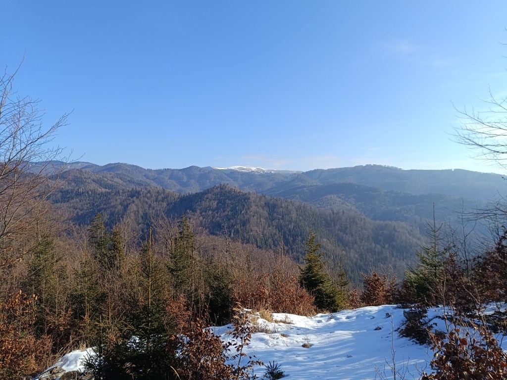
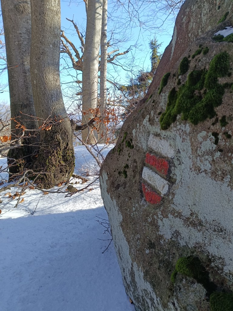
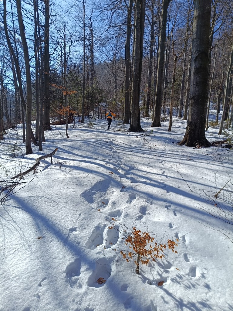
Above saddle Šturec We spent some time looking for the start of the red trail, but then we were accompanied by a beautifully marked hiking trail the whole time. We climb over Priečný vrch covered in frozen snow, and then to the Flochová saddle. I think there is half a meter of snow up there. A beautiful winter fairy tale.
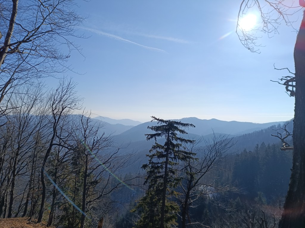
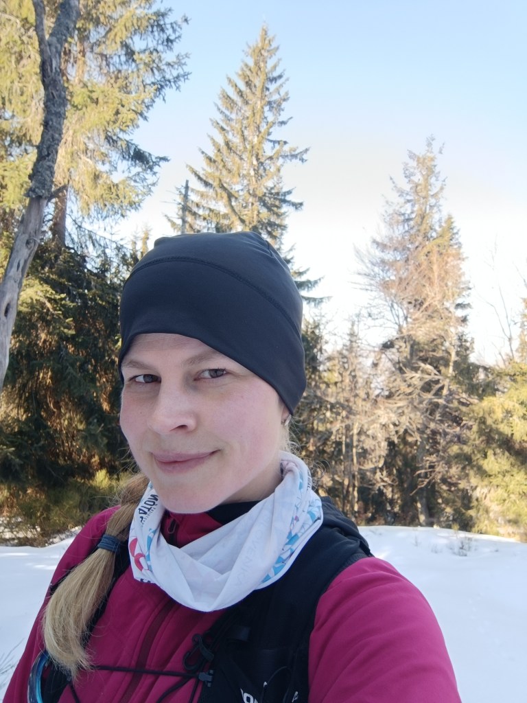
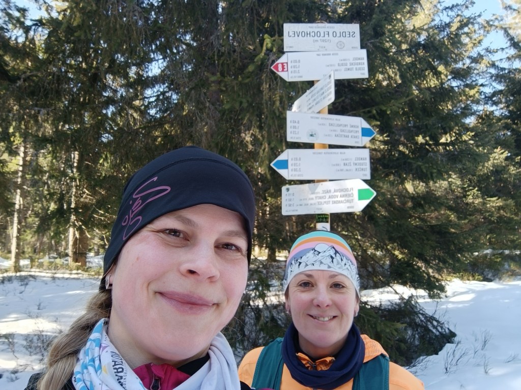
Sedlo Flochová – najvyšší bod From Flochová it’s a wavy ridge to Skalka and it’s so cold that the water in my hydration pack freezes. At Skalka we take a short break for coffee and a protein bar and continue to Kremnické Bane.
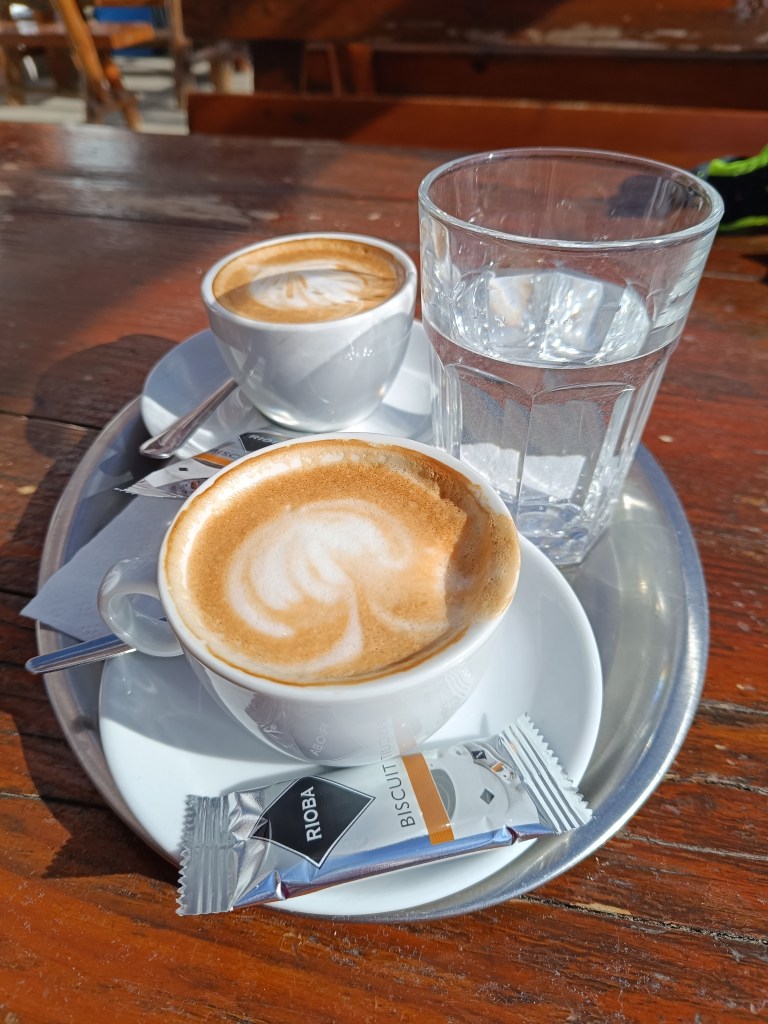
Every break has an unwanted effect on me, my body quickly cools down and my fingers freeze again and again – the painful tingling lasts an unpleasant 10-15 minutes until my body warms up again.
We run down a beautiful tree-lined path and after 3 kilometers we run out of the forest into sun-drenched meadows and suddenly it is warm, a different world, without snow and with sun-warmed meadows.
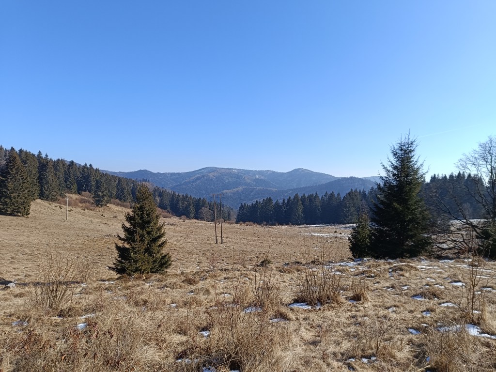
Above Krahule On the way, we turn towards the Center of Europe, next to the ancient Church of St. Ján Krstiteľ there is an erected stone. It announces that this is the geographical center of Europe.
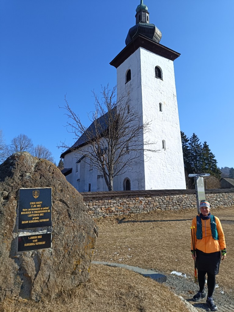
Geografical centre of Europe This important geographical point is marked by a small monument near the defensive wall of the church. On the occasion of the founding of the Slovak Republic, the foundation stone of Slovak statehood was also laid here.
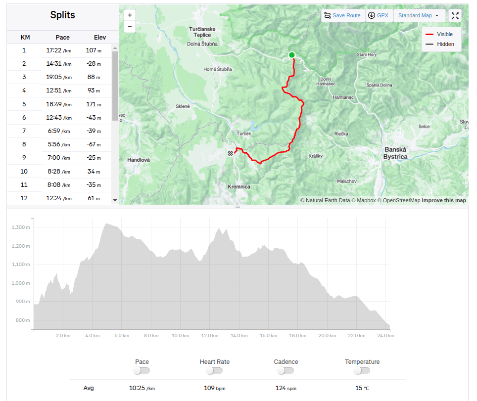
24.28km, 1124m ascend, 4h 12min -
SNP – girl’s project #day1
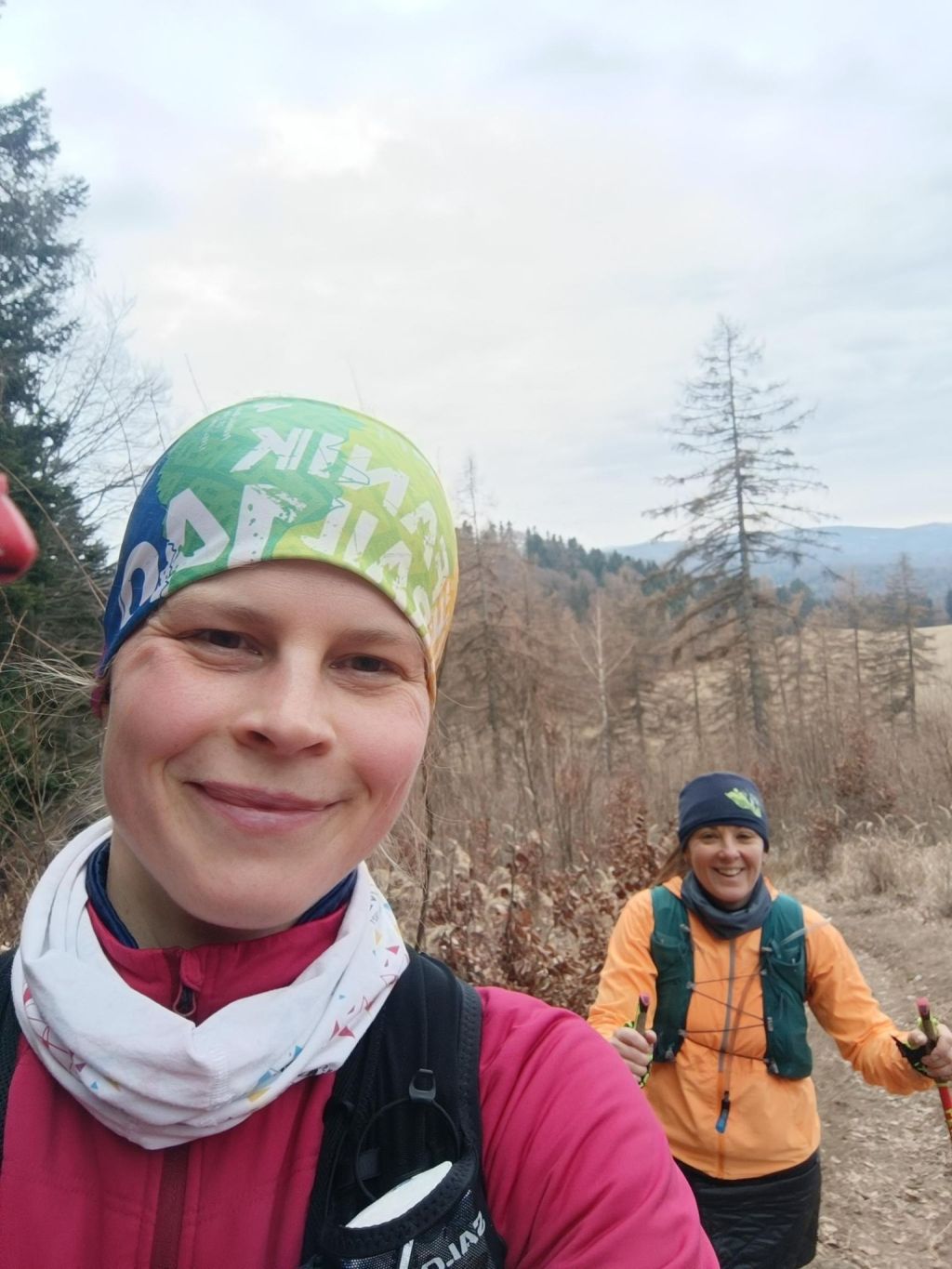
Two working mothers, two trail runners, one dream. To run the whole E8 long distance hiking path – SNP trail. 770km, 31000m elevation. But we have full time jobs and kids, so we decided to divide it into stages and run a stage whenever we find time and then put it all together, start where we end, through every meter of this path. We hope to find enough time to finish it within this year. On the path we are selfsupported, but outside the path we have support from our men, they drive us to start, or from end of stage. First stage: Kremnické Bane-> Vrícke sedlo, temperature around 2°C. It was just BEAUTIFUL
When we started at Kremnické bane it was around -3 degrees Celsius, so we need to run to keep ourselves warm.. We were excited that it is really happening, we run and we talked a lot.
We were so excited, that we forget to made the start photo:D
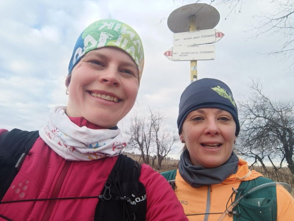
First E8 sign 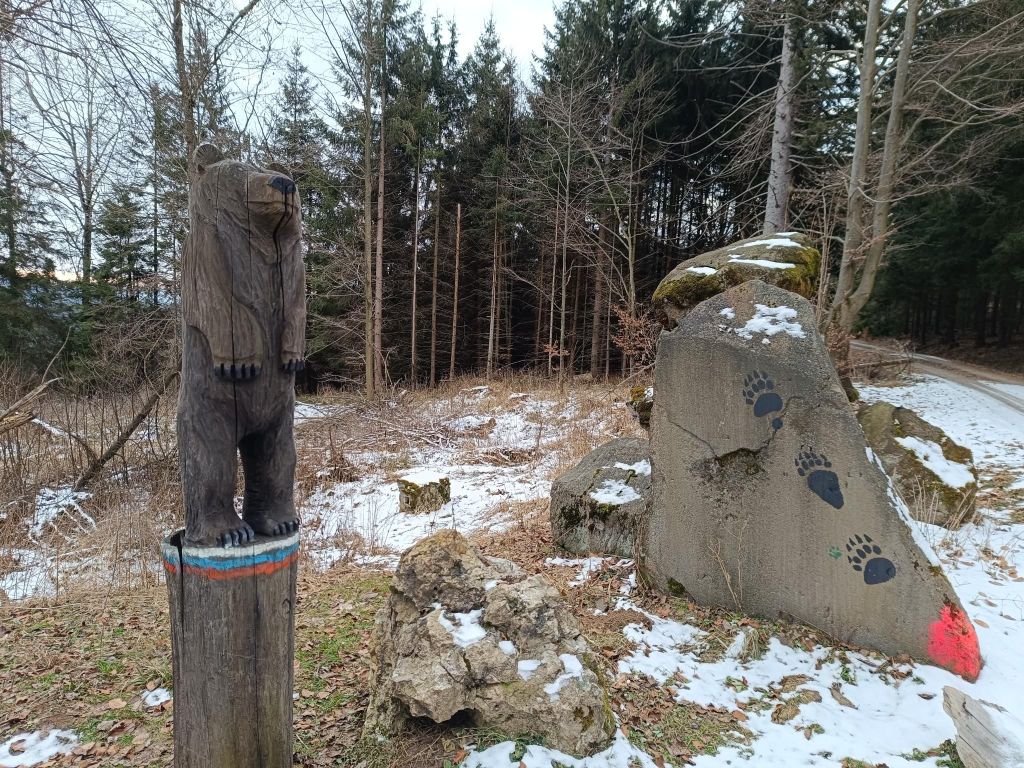
Luckily the only bear we met 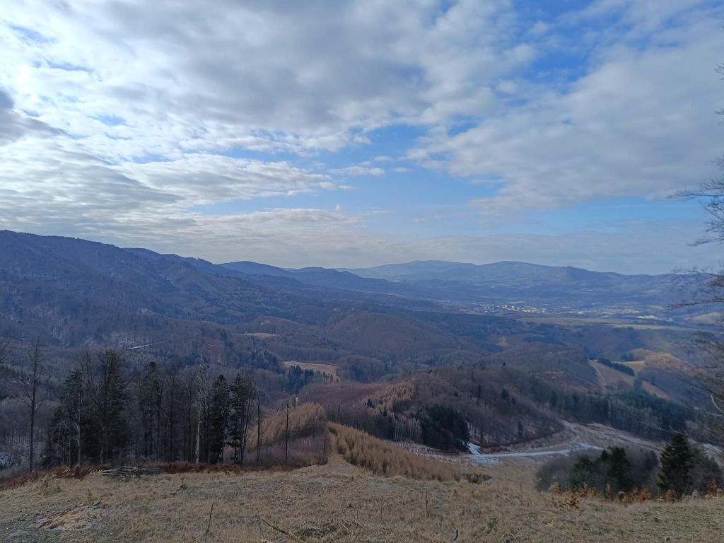
The path leads mainly through forest, but sometimes it opens and show us views 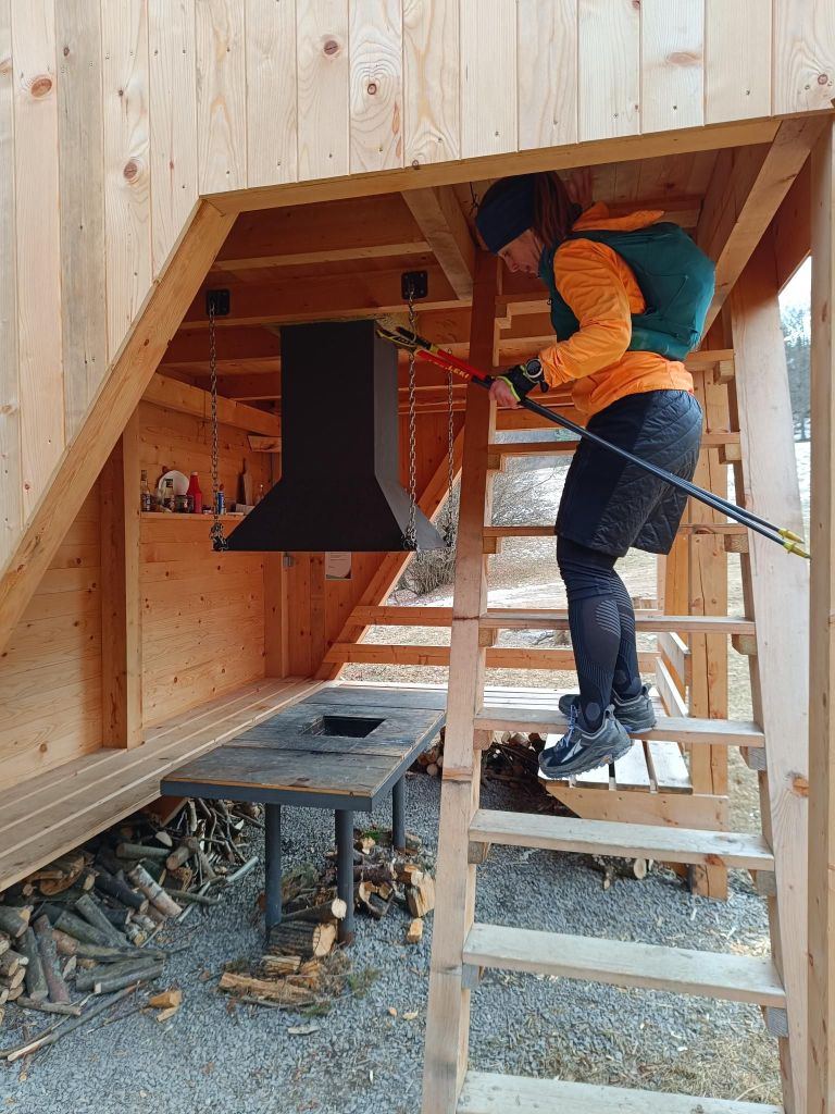
Tourist shelter for SNP hikers – shelter Sklené 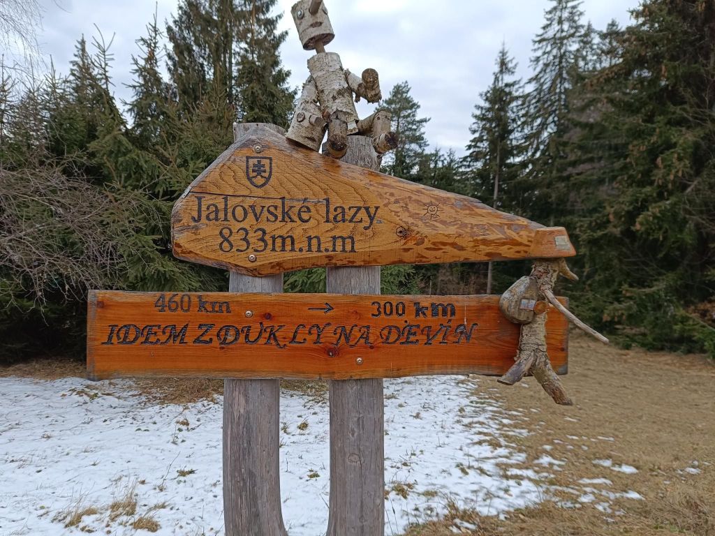
I run from Dukla to Devín 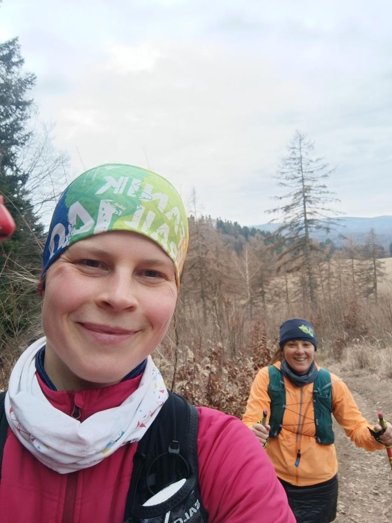
30 kilometers and smiling 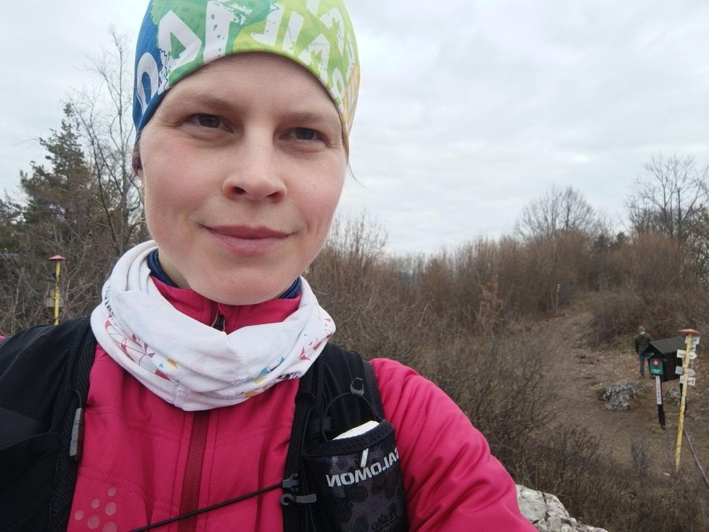
Vyšehrad The southwestern part of the Malá Fatra passes to the south into the forested Žiar Mountains. On the ridge of the Žiar Mountains, which is the border between Turiec and Nitra, there is the high-altitude Vyšehrad hillfort at an altitude of 829 m, which is one of the important archaeological and natural sites of the upper Ponitrie and Turiec.
Due to its natural uniqueness and historical significance, and its extremely important geographical and strategic position at the crossroads of two regions along an ancient trade route, Vyšehrad became a protected natural and archaeological monument.The fort is bordered on the south and east by steep rocks, but access from the west is also relatively difficult. The total area is 455 ares. The entire area of the fort has a powerful rampart fortification, separated from each other by a system of ramparts into four separate parts, in which we can clearly see the courtyards.
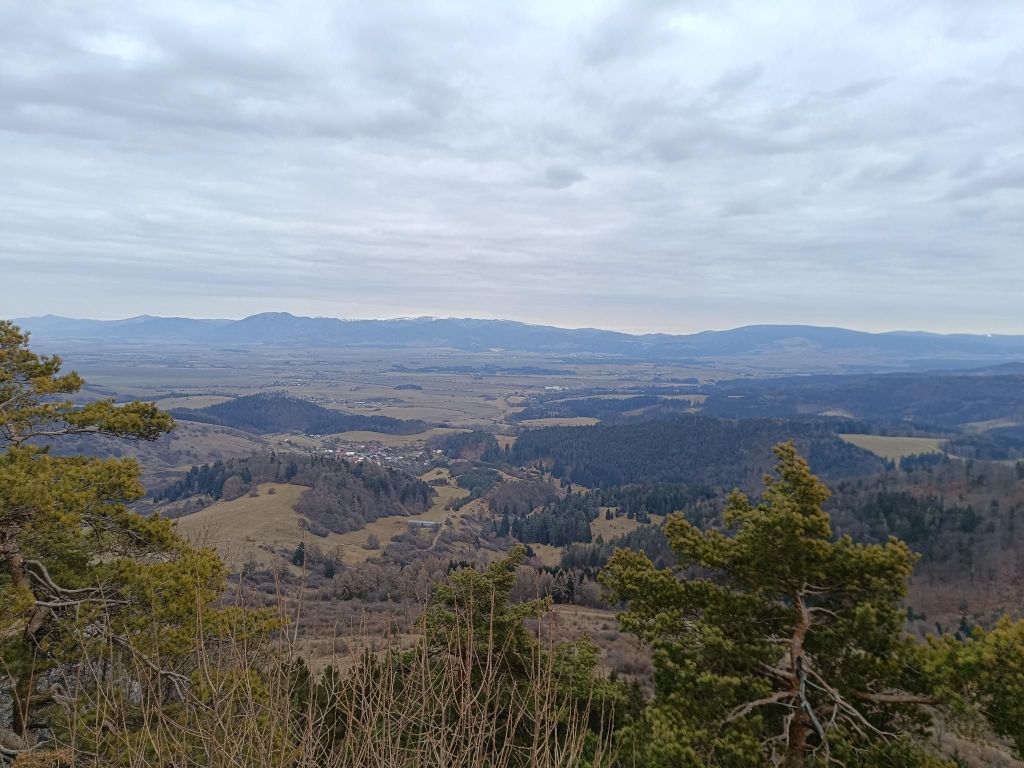
View from Vyšehrad This part of SNP was covered by nice singletrails, forest roads and it was quite runnable. Unfortunately Lucka’s knees started to hurt, so we take it slowly and cannot run downhills. I hope that some compensation exercises will help and we can run another part soon.
We left one car at the starting point and have support to pick up at the ending point, then go fr the first car.. I think this will be logistically interesting project too.
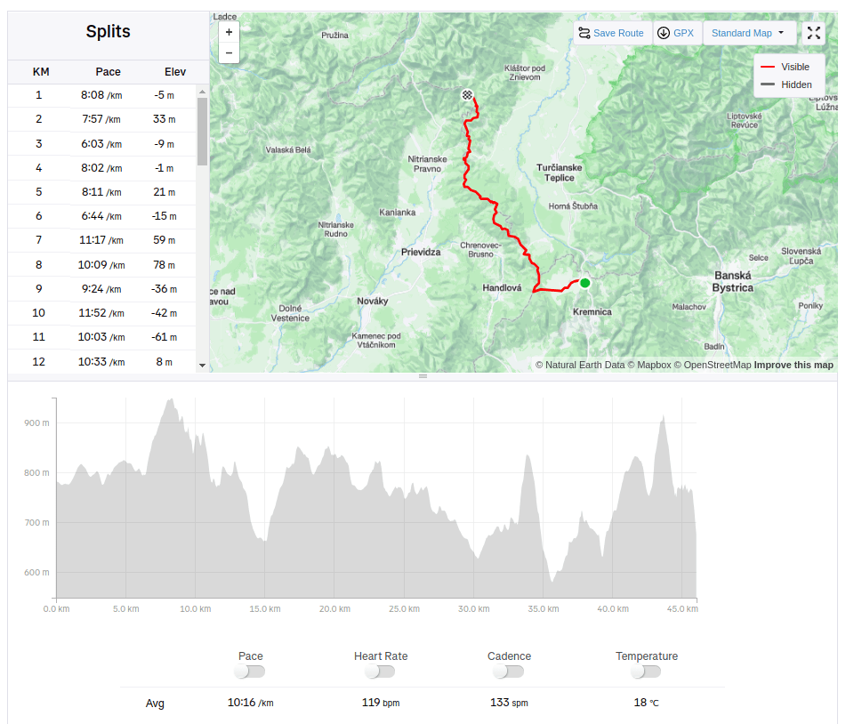
46.02km, 1734m ascnet, 7h 57min
-
Subscribe
Subscribed
Have a WordPress.com account? Log in now.

