-
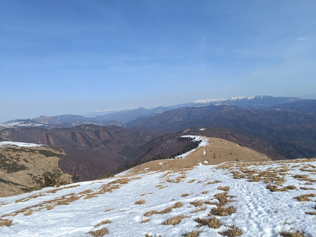
SNP – girl’s project #day3
The third stage was from Hiadeľské sedlo to Šturec sedlo. And since Hiadeľské sedlo cannot be reached by car, we had to hike there. This added the first extra kilometers to the SNP route, namely 5.1km and 287 vertical meters. However, the weather was beautiful and the initial -2degrees celsius quickly turned into plus values, so we even took off our jackets in the saddle and continued only in long-sleeved shirts. Today, the problem wasn’t that our water freeze, it was more a problem to have enough of it.
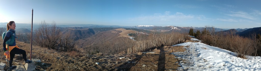
Kozí Chrbát We continue to Kozí Chrbát, a hill with a beautiful view, I definitely recommend it, then continue via Kečka to Donovaly. There is still some snow on the ridge in shady places, but most of it has already disappeared. The descent through the forest to Donovaly was worse, where ice cover is still present on the cross-country ski trails. But we managed it and in Donovaly we take a break for coffee and radler. It is warm and we are thirsty.
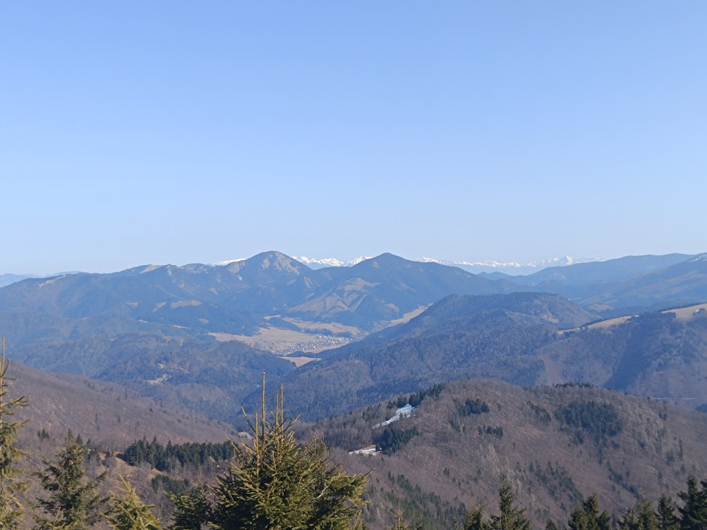
The visibility was great, the High Tatras are visible in the background Refreshed, we climb to Zvolen, overcoming approximately 400 meters in altitude, but we are rewarded with great views. From Zvolen we continue along the forested ridge to the Veľký Šturec saddle (which is still quite far from the Malý Šturec saddle, where we end the stage).
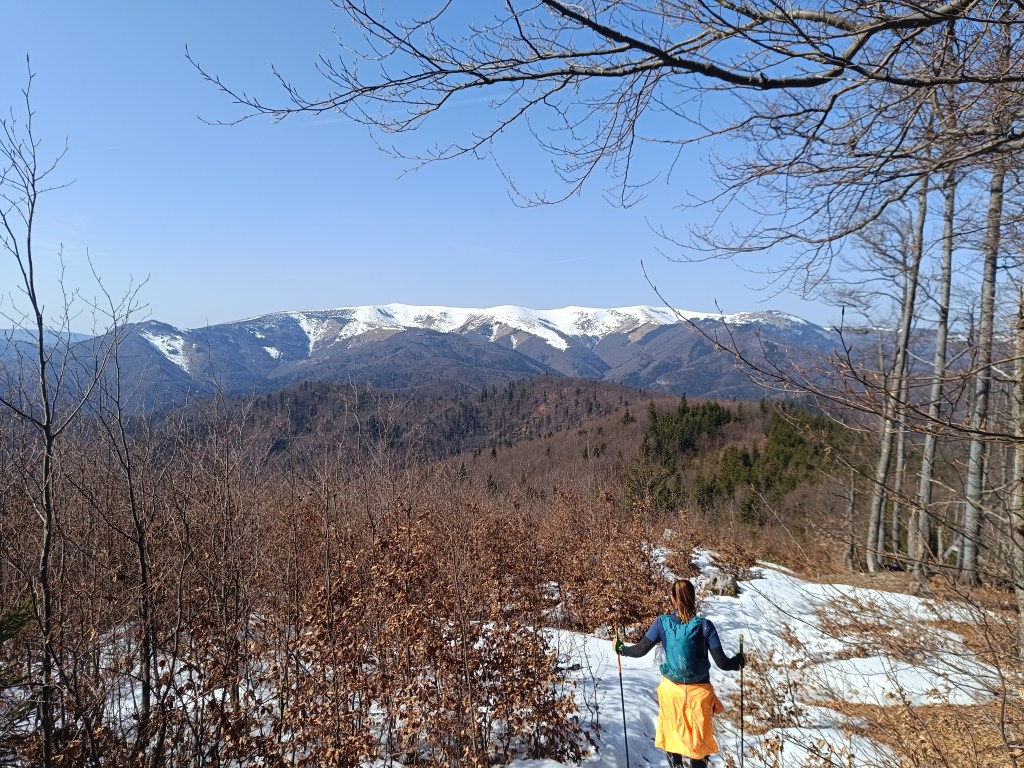
The ridge between Zvolen and Križna (in the background) We climb over larger and smaller hills until we reach Krížna, which is still completely covered in snow. On the last big climb we wade through the snow, our feet are wet, the snow is melting, but with the vision of the last climb we climb up to Krížna (1574 meters above sea level).
At the bottom of climb to Križna 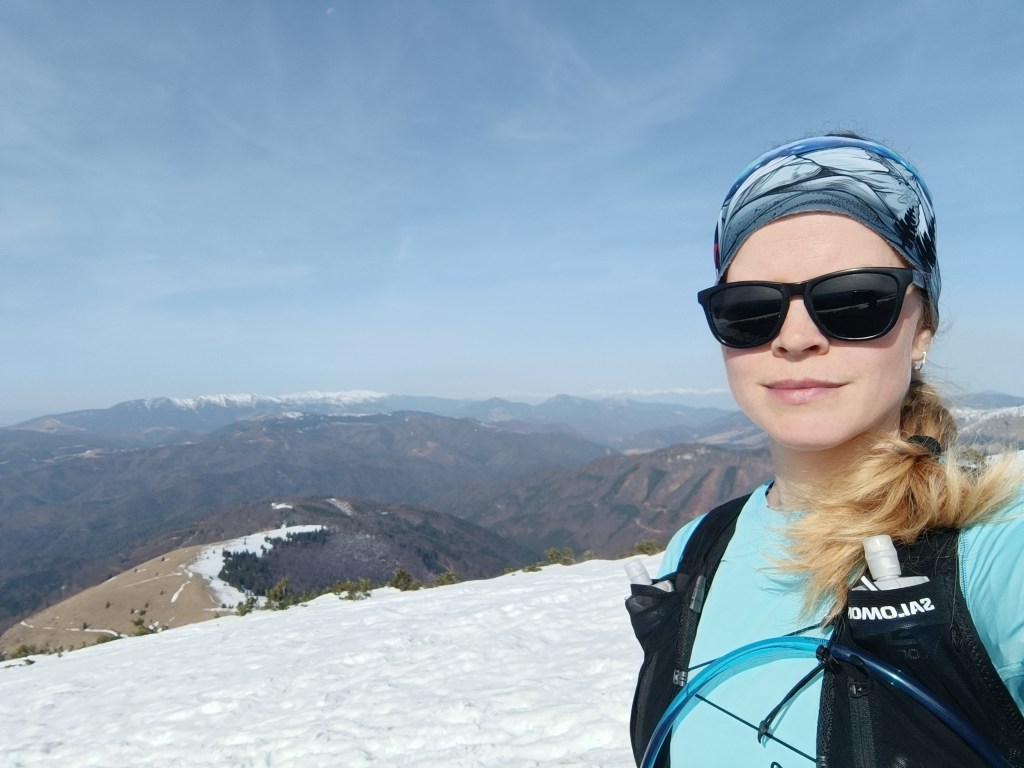
And the last few metres 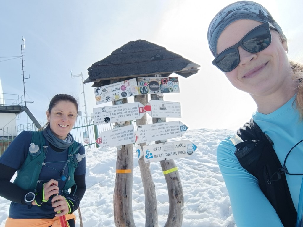
Križna finally The descent to Kráľova studňa turns into dancing in wet snow, in some places there was up to 5 cm of water on the path. We have a flood in our shoes, but cola at Kráľova studňa raises our morale. The last 10 km downhill run to the finish. But half of them were covered in wet snow with water flowing through them.
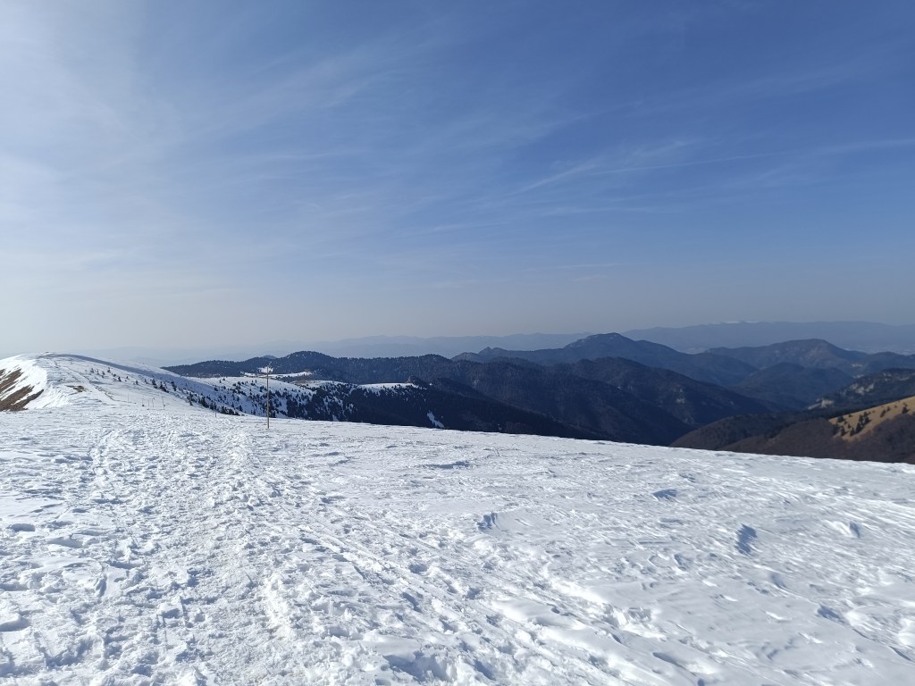
Cez 10km na snehu Jožko is waiting for us at the finish line with a non-alcoholic beer, a great surprise.
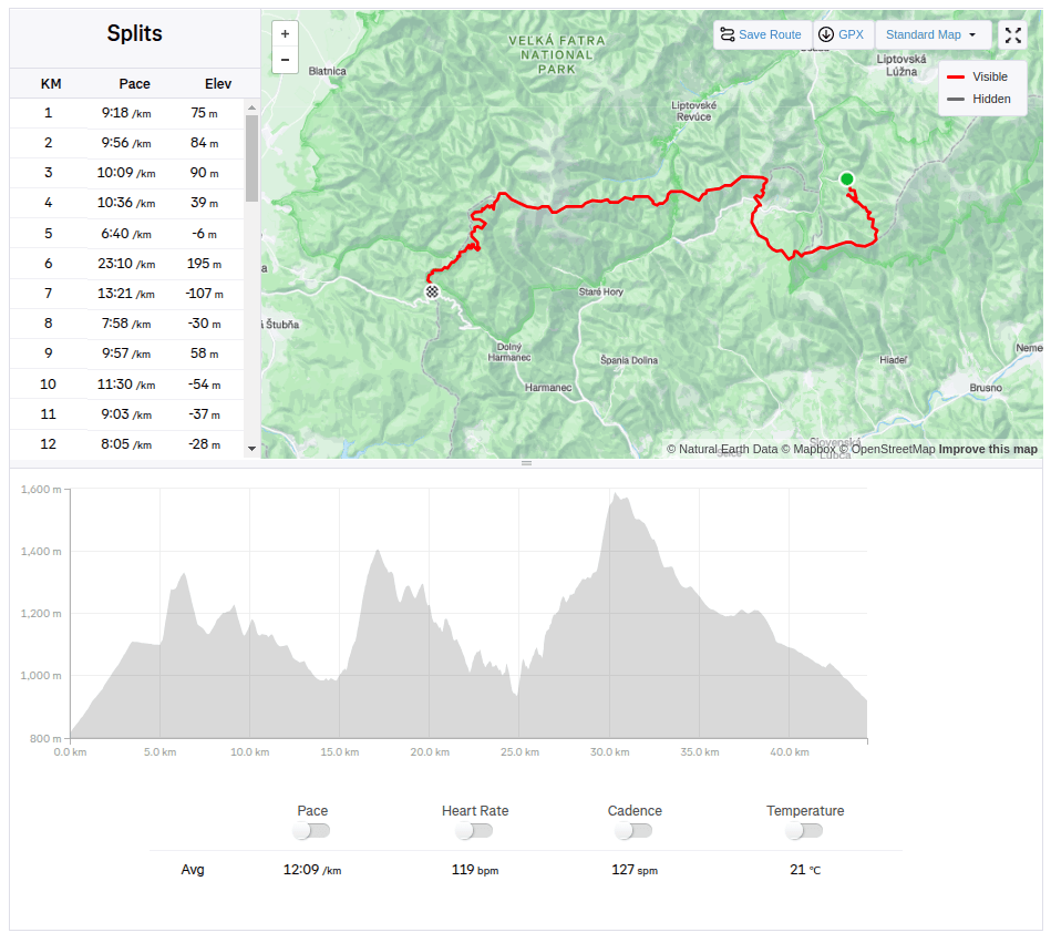
44.33km, 2263m ascend, 8h 58 min active time, 9h 41min total -
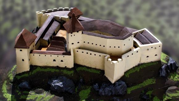
Divín castle and Kalamárka
Near the Ružiná reservoir in the south of central Slovakia lies the village of Divín, above which the ruins of Divín Castle rise.
The castle was built at the end of the 13th century to protect the road to the central Slovak mining area. Especially in the second half of the 16th century, it played an important role in the defense system of central Slovak towns against the Turks. In the second half of the 17th century, it was unfortunately made famous by its owner Imrich Balassa, who raided and plundered the surrounding villages. After his death in 1683, the imperial army captured the castle and it has been in ruins since then. Only some of the walls, window openings and loopholes have been partially preserved.
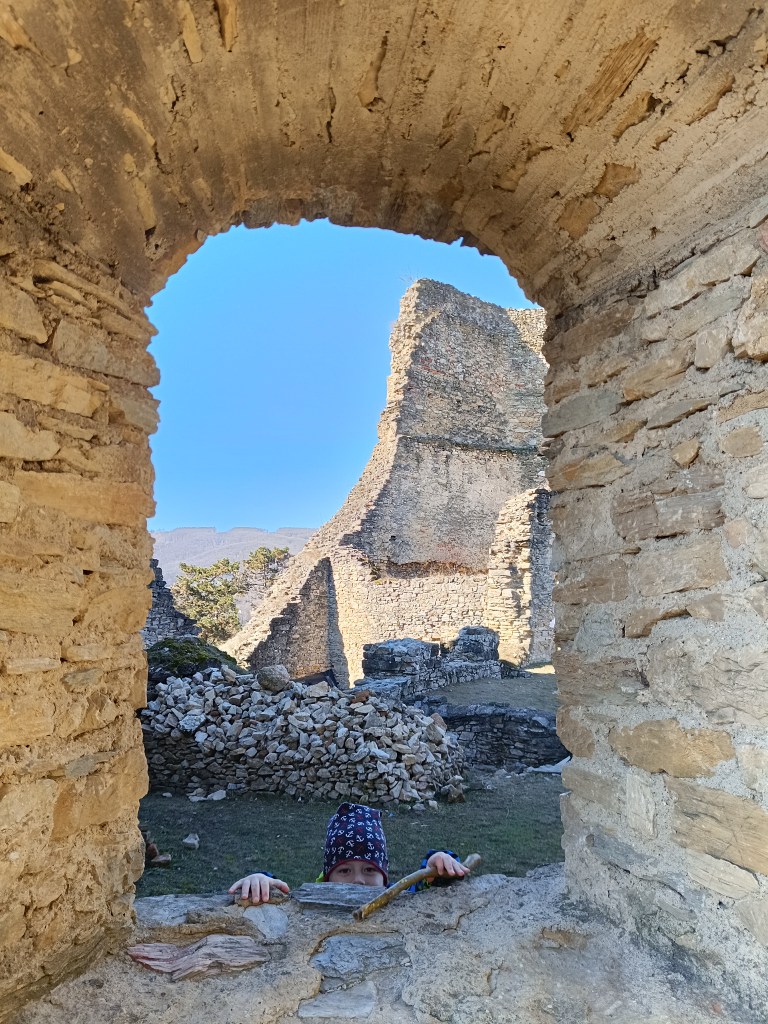
Caslte Divín The original castle, today’s upper castle, was built on top of a limestone cliff. The castle’s ground plan is elongated in a west-east direction. It is adapted to the shape of the top of the rocky cliff. A thick perimeter wall, which regularly bends according to the unevenness and irregularity of the terrain, formed the outer shell of the castle. Residential and farm wings were added to it inside. Between them was a small courtyard, on which a cistern can be assumed. The perimeter wall was not reinforced with bastions or other protrusions that would allow flanking – protecting the wall by shooting from the sides. The castle builders probably counted more on passive protection than active. Passive protection was enabled by a massive, about 2 m thick wall. Active defense was shooting through slit windows in the wall, which are still noticeable in places despite the latest brickwork.
How the castle probably looked The tourist attraction of Kalamárka is one of the most important natural sites in Podpoľanie. What will enchant you in this location is the extremely rugged relief, which has a long climbing tradition, which is why it is called the andesite bastion of sport climbing.
In addition to climbers, many tourists who crave adrenaline experiences from these rock walls also come here every year. The entire summit plateau on Zadná Kaľamárka is freely accessible to tourists. There is a prehistoric hillfort there – an archaeological site, where you can see a water cistern as a trace of the first inhabitants of Kaľamárka. For climbers, this andesite cliff offers two climbing sectors, namely the upper rocks on Zadná Kaľamárka and the lower rocks on Predná Kaľamárka, which are up to 20 meters high. There is also a viewpoint over the Detva Basin and one of the most beautiful rock climbing routes in Slovakia – Indián.
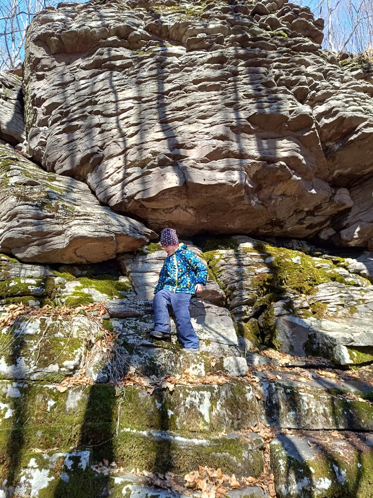
A liitle bit of climbing can be done there with small children too 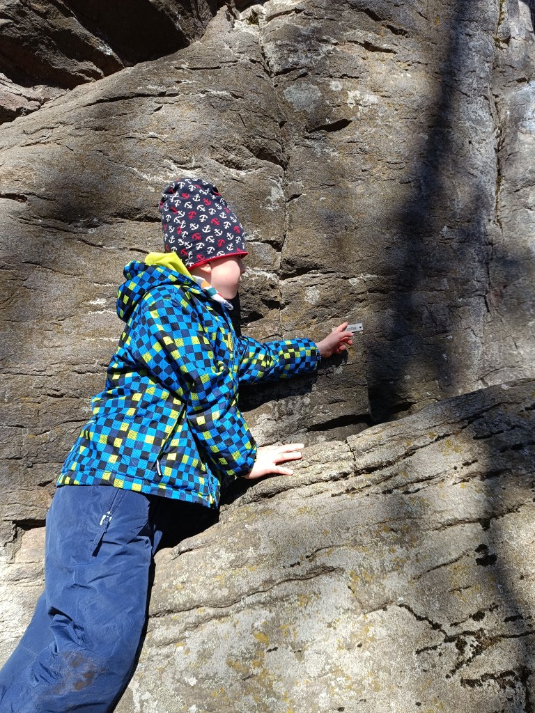
Some of the paths has names there This is a very easy hike, as there is a parking lot very close to both.
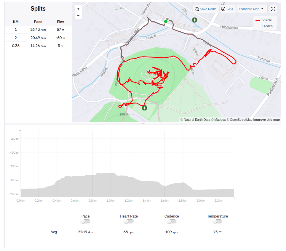
Divín, 2.36km, 1 hod 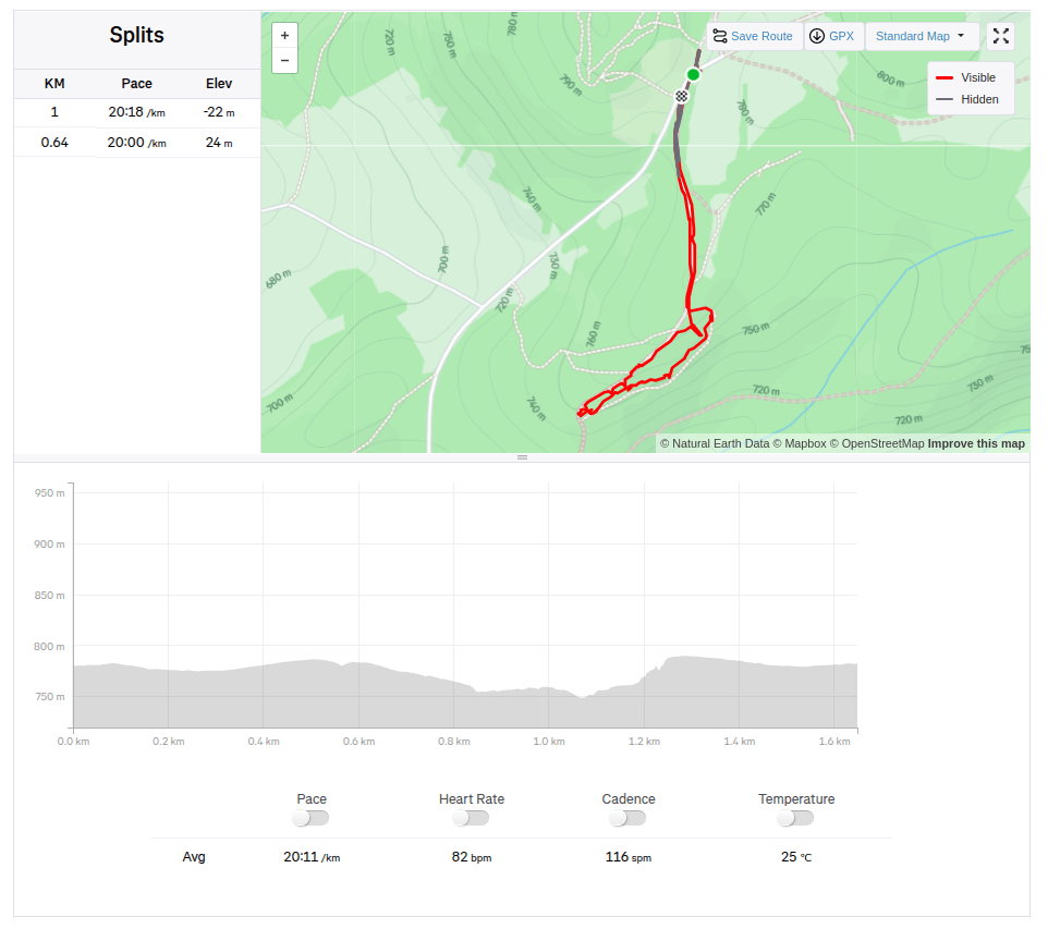
Kalamárka: 1.6km, 40 min
-
Subscribe
Subscribed
Have a WordPress.com account? Log in now.

