-
Wannehorn (Switzerland 2026)
Wannehorn rises to an elevation of 2,669 meters above sea level, towering over the village of Grächen in the Swiss canton of Valais. In good conditions, it offers a panoramic view of the surrounding area.
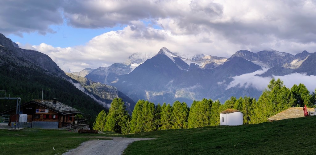
HannigAlp We set out from Grächen in the morning and hiked up to Hannigalp (which is also accessible by cable car); after navigating a few switchbacks, we reached the ridge, revealing views of the neighboring valley. Cranberries and blueberries grew all around us, and most of them were beautifully ripe.
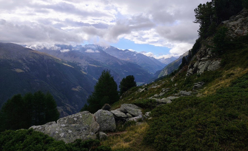
View to Saas Valley A little higher up, however, the vegetation disappeared, and the path led across rocks and scree. We were unlucky that day, as a cloud rolled over the summit just as we arrived, so there were no views to speak of—the only thing we could see was the cross at the top.
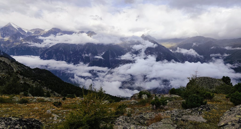
Clouds partially obscured the views. We had planned to reach Grächan via a loop beneath Seetalhorn, but the original hiking trail was closed due to a rockslide and a high risk of further falling rocks. We therefore chose to bypass this dangerous area, even though it meant gaining elevation again.
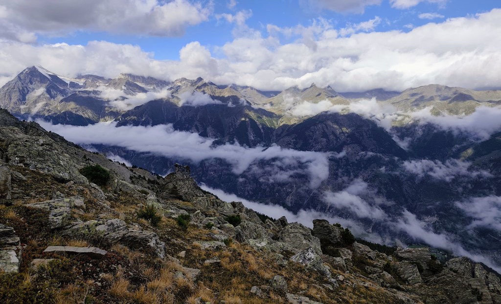
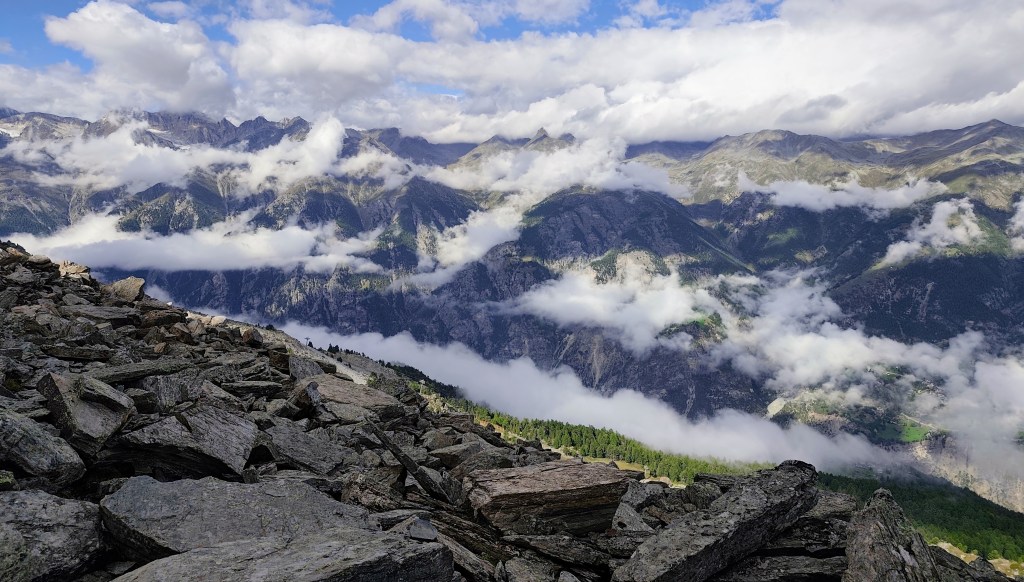
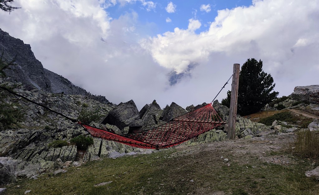
On the way back to Grächan, we came across two more viewpoints, and this time the view really opened up. At one spot, we were even able to relax in a hammock.
Relaxation spot under Seetalhorn We were returning past the “Zum See” pond, which is located just above the village of Grächen.
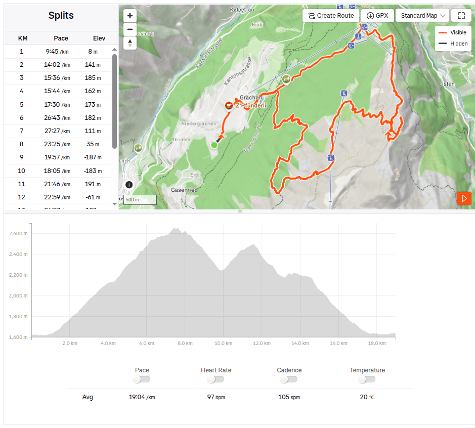
18.97km, 6:01 active time, 8:27 total, 1441 meters ascend -
SNP girl’s project, day 16
We finally made it happen! We had planned this stage about five times before, but we always had to postpone it due to unsuitable weather on the ridge or other issues. And so, we finally ran from Telgárt all the way to Čertovica.
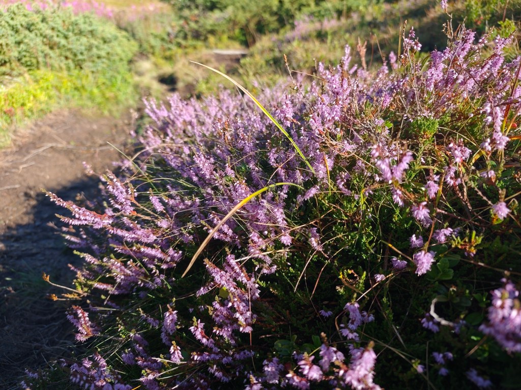
Flowering heather We park in Telgárt near the church, at the exact spot where our previous stage ended. We jog through the town and soon reach the turnoff into the woods. It rained yesterday, so the grass and trees are still wet—which, of course, means my feet get wet after just a short while. We climb first through dense forest, then pass beneath power pylons up to the mountain pastures; the weather shifts between sun and fog, warmth and cold.
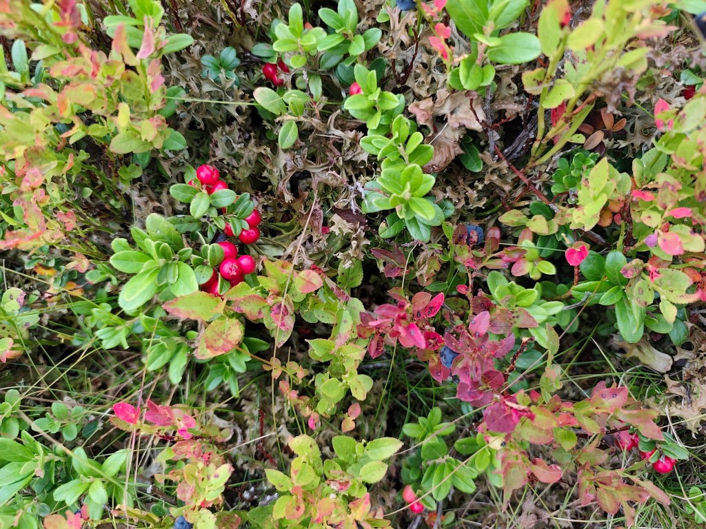
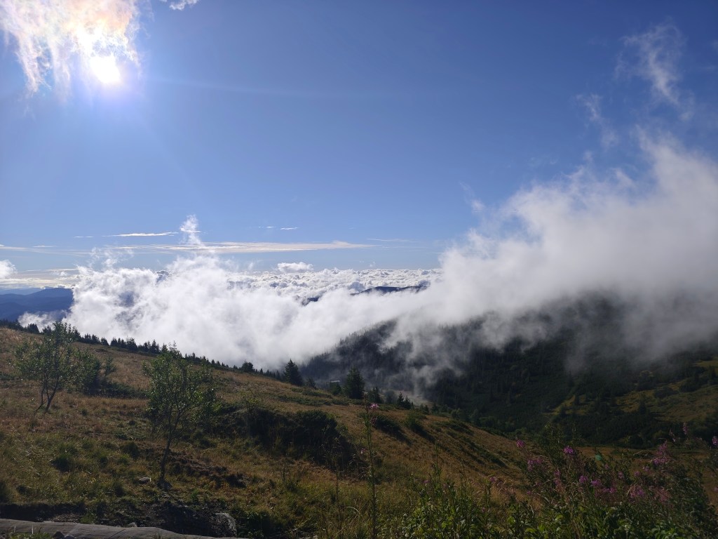
Cranberries and blueberries On the way to Kráľova hoľa, nature put on a magnificent spectacle for us, but at the summit itself, everything was shrouded in an impenetrable fog that clung to us for quite a few kilometers more.
In ascend to Kráľova hola At Andrejcová, we took a break for a beer and a bite to eat, and refilled our bottles at the spring. I had been looking forward to the view of the High Tatras—which is magnificent from there—but we weren’t granted that sight today, so we carried on.
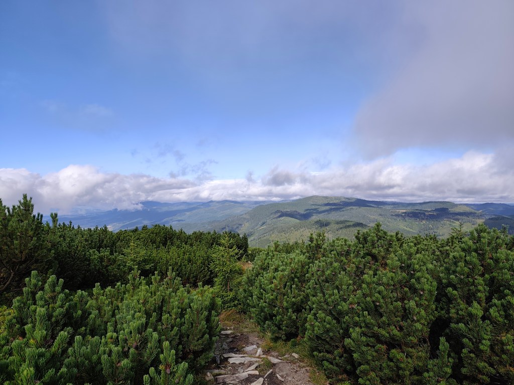
A path through the mountain pine 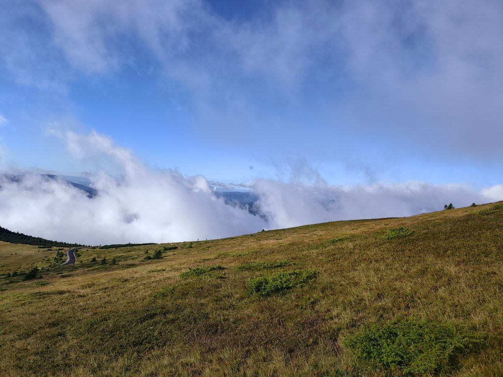
Rolling fog The sun shone for the rest of the journey, and thanks to yesterday’s rain, the springs were full.
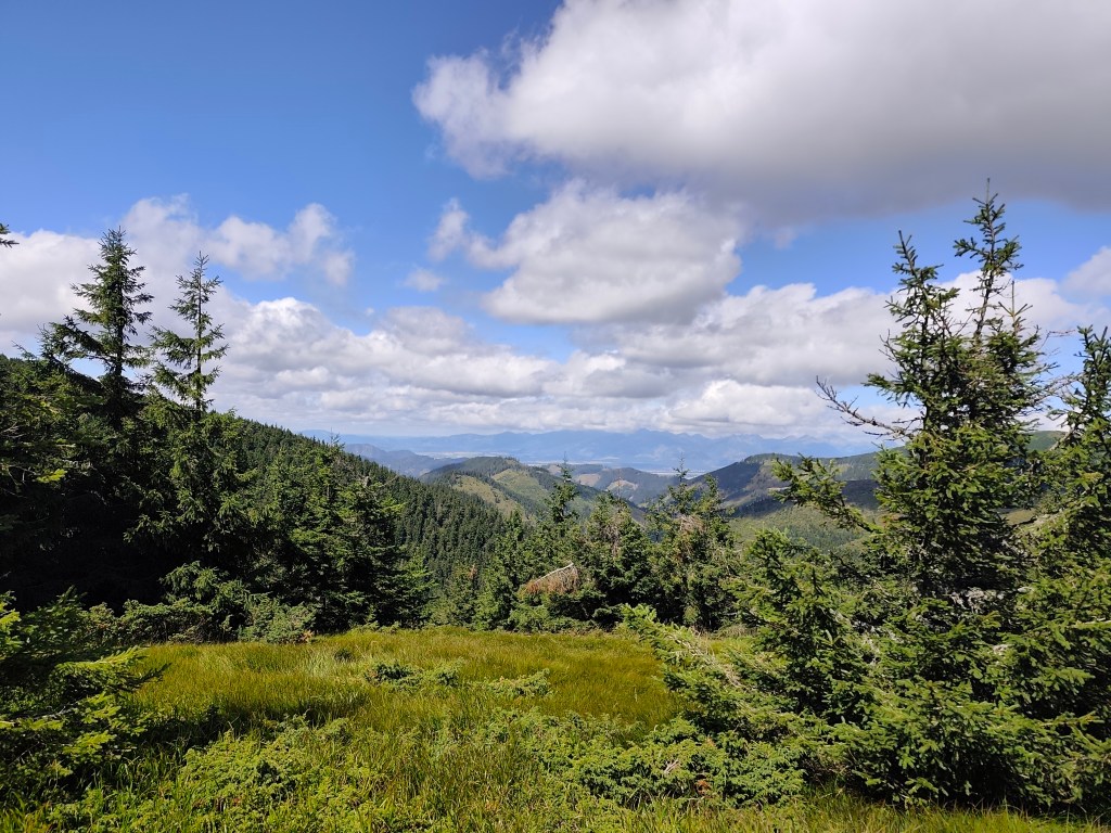
Every now and then, a view would open up in the second half. However, from the Ramža shelter almost all the way to Čertovica, the trail was quite overgrown, so running was more or less out of the question, and we made slow progress. Personally, I enjoyed the first half of the day much more than the second, despite the strenuous climb up Kráľova hoľa.
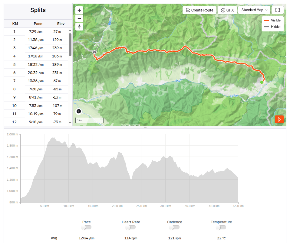
45km, 9:25 active time, 9:46 total, 2704 meter ascend
-
Subscribe
Subscribed
Have a WordPress.com account? Log in now.

