-
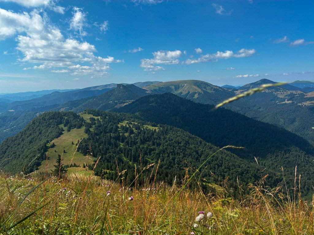
Great Fatra mountain ridge
This time we chose the easier option from Staré hory to Ružomberok. We parked the car in Staré hory near the chapel at 5:30 in the morning and, following the blue hiking trail, we started climbing to Majerova skala, which offers a beautiful semicircular view of the surrounding hills and valleys from its rocky plateau at an altitude of 1283 meters above sea level.
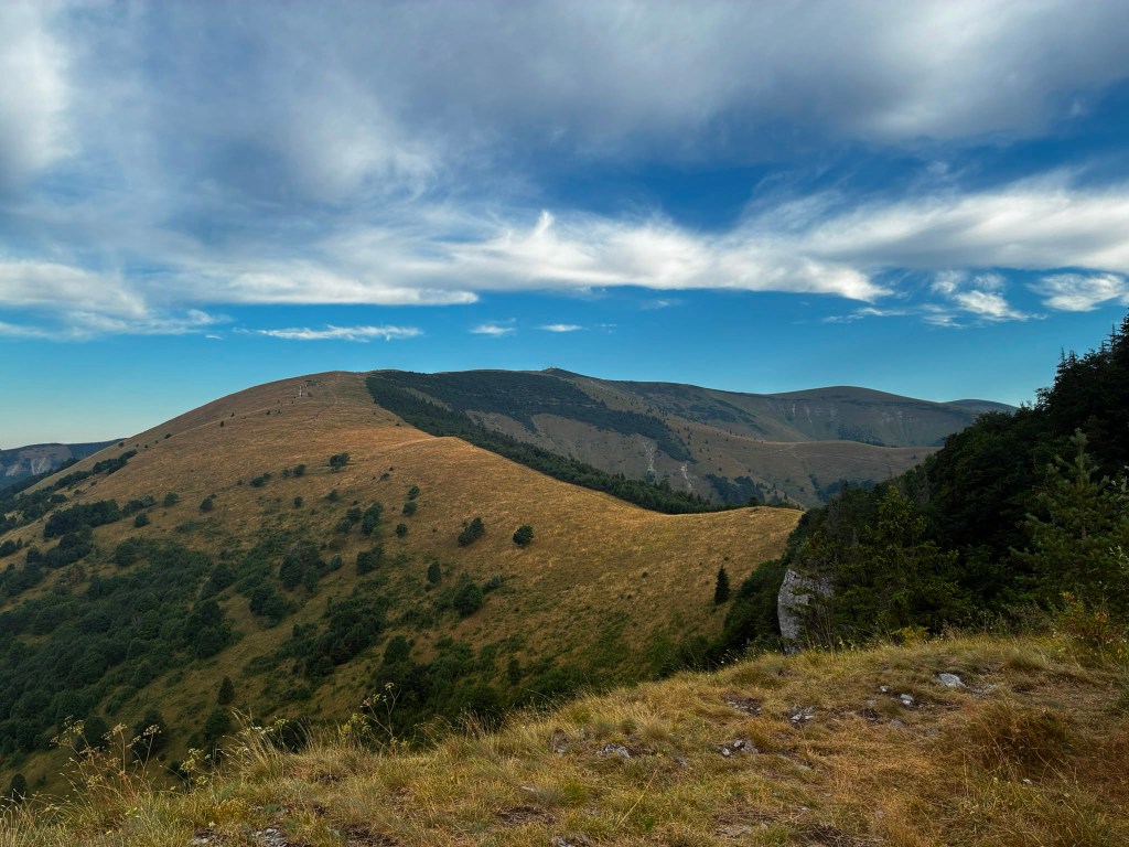
From Majerova skala to Krížna From Majerova skaly we continue to Krížna, on the ridge the wind is really blowing and it is cold, it feels like 8 degrees Celsius, so we continue through Frčkov, Ostredok and do not stop until we are in the lee below Ploska, where we turn to the cottage below Borisov. I have been to the cottage a few times, but never to Borisov itself, so we are going to warm up by climbing up. Borisov is 1510 meters high and the climb to it is steep. However, it will reward us with circular views, where with good visibility it is possible to see Poľana or the Low Tatras.
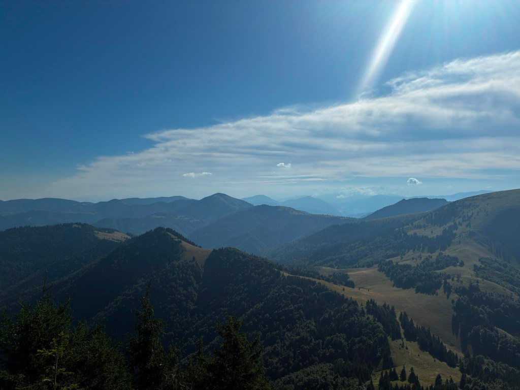
From Borišov We gather at the hut below Borišov, where we have a radler and a sandwich (our proven source of energy for longer runs).
The temperature rises and we climb Ploska, where by chance we become participants in the 43rd year of the Ploska climb, we even receive a participation certificate :). We leave the red mark and after a little praise, which is accompanied by yellow, we turn onto the green mark below Čierny Kameň. By the way, my favorite craft brewery is also named after this distinctive rock formation :). There is also a nature reserve of the same name here, which is supposed to protect the primeval forest of spruce, rowan and maple. It is really beautiful here.
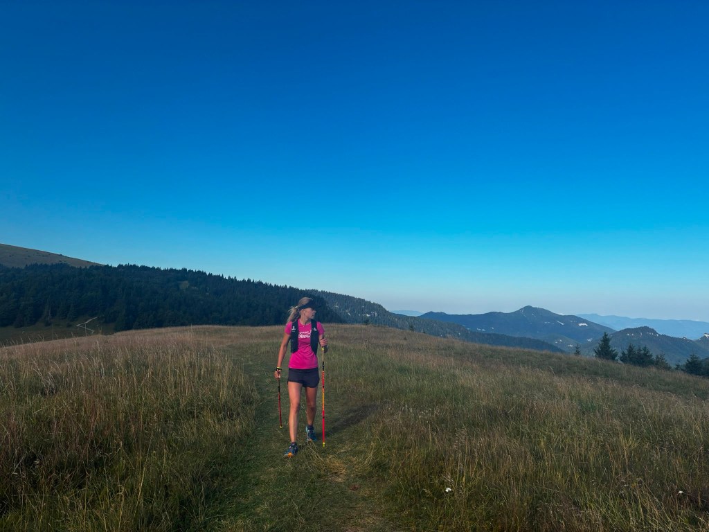
On Ploská We continue under Minčol to Rakytov. Rakytov (1,567 m above sea level) is the highest peak of the Liptov branch of the main ridge of the Great Fatra and provides a circular view, and when climbing it you have to pass through an impressive rock gate.
Views from Rakytov, Ploská in background The Smrekovica mountain hut awaits us and we are already looking forward to refreshment. However, we will not stay there for long, because we do not dare to estimate how long it will take us to Ružomberok, where we have to catch our only bus back to the Staré hory. We run along a path lined with ripe blueberries until the Šiprún saddle, if we had time, we could eat our fill, there are so many of them. The only piece of asphalt on the route from the saddles under Vtáčnik to the Vlkolínec meadows awaits us.
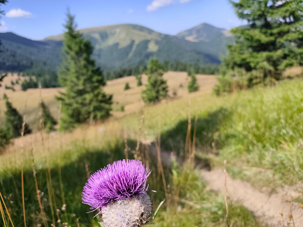
Blooming thistles accompanied us everywhere Ahead of us lies the final major climb up to Sidorovo; the path is steep and our legs are already reluctant, but fortunately, the summit is less than a kilometer away, and a viewpoint awaits us at the top. Vlkolínec lies spread out beneath us, and we can also see the Low Tatras, the Liptov Basin, and even the High Tatras. A few more undulations lie ahead, followed simply by the descent into Ružomberok through the calvary.
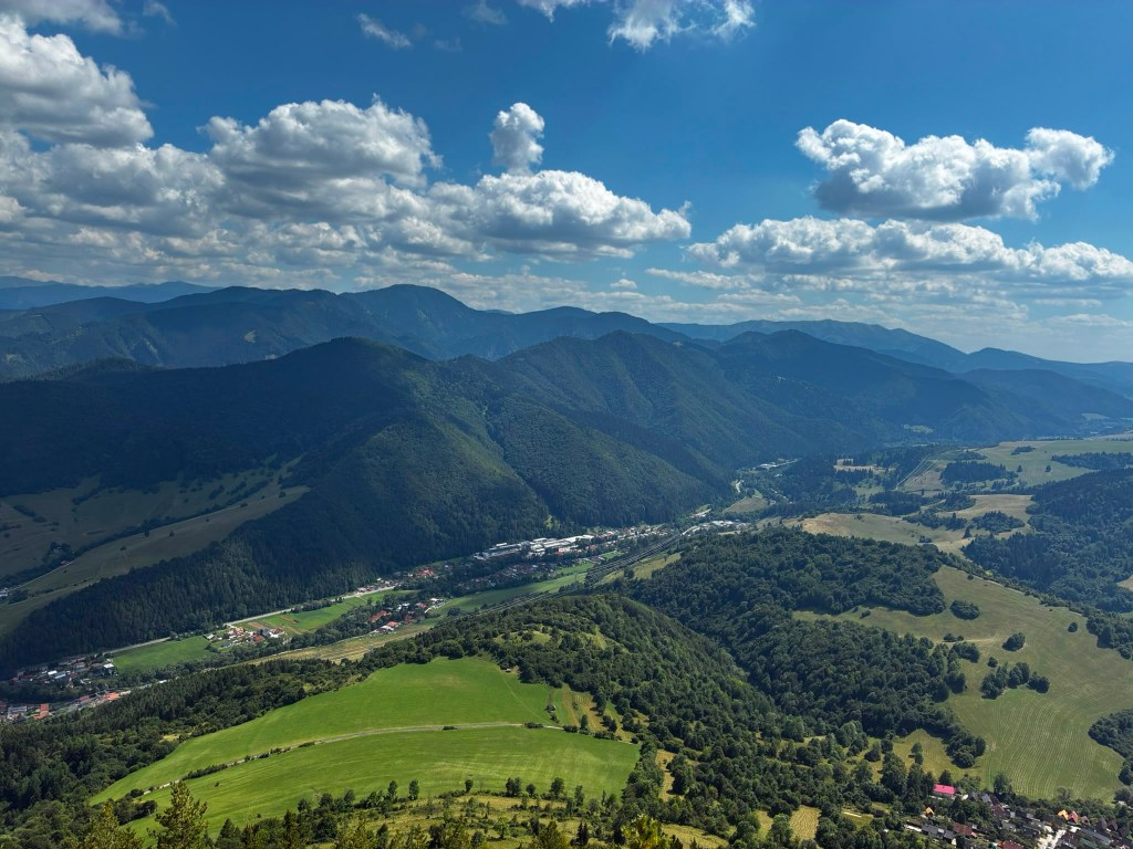
Sidorovo We arrived in Ružomberok an hour before the bus, so we just walked through the city, bought orange mineral water at the store, and the 3 liters just disappeared inside us.
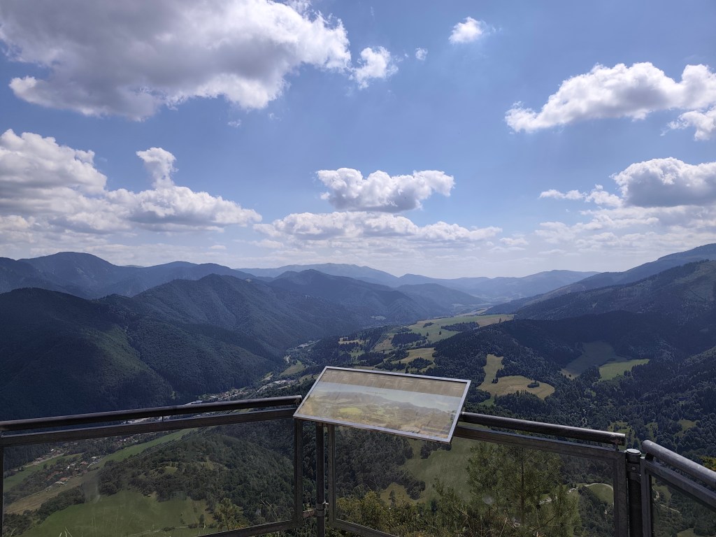
View on Sidorovo Our legs are dirty with dust up to our knees, so we use the time to get to the bus and wash them in the local park with the water we had left in our bottles, the sight of us must have been comical 😀
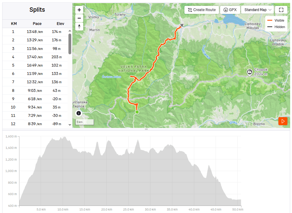
50.79km, 9:08 active time, 10:15 total, 3011m ascend -
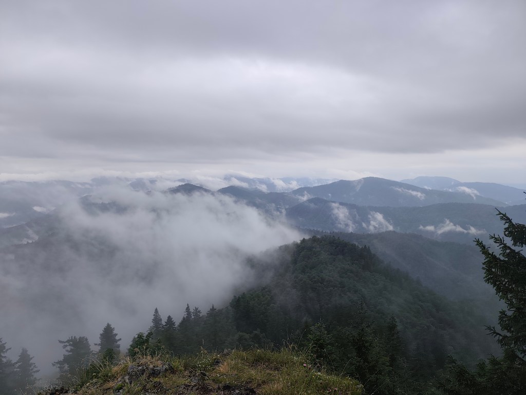
Kľak, Veľký Lysec, Katova skala
The original plan for this day was Malá Fatra, but when we arrived at the place it was raining heavily. We checked the forecasts (I use the Ventusky application, where I can see the weather development by the hour) and the decision was made to finally move to Veľka Fatra, where it was not supposed to rain all day, but only for about two hours. A quick replanning of the route and off we go.
We stop in the village of Podhradie, from where we climb almost 1000 vertical meters to Kľak. After about the first kilometer it starts to rain, so we put on waterproof jackets, but our feet are completely wet. The rain accompanies us all the way to the last meadow just below Kľak.
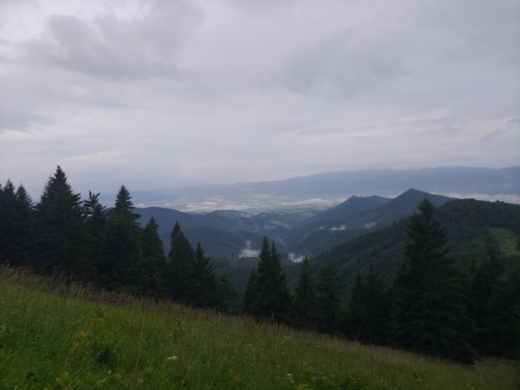
Meadovw below Kľak But for me, it has its own charm, the water evaporating and creating a rolling fog is mystical, and we hardly meet anyone on the hiking trails.
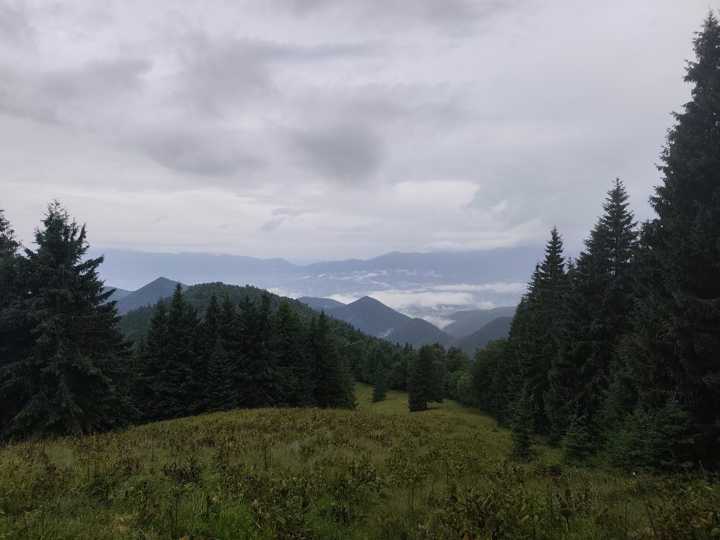
Meadow belowKľak I’ve been to Kľak once before, but now the surroundings, shrouded in mist, look completely different. At the top, I’m pleased with the stone with the inscription: A crown that not everyone can bear -> the goal. However, for us, Kľak is not the goal, but only part of the journey:)
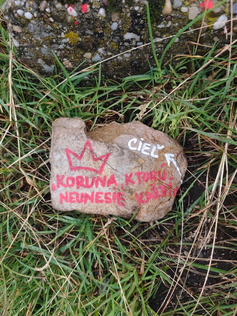
On the top of Kľak 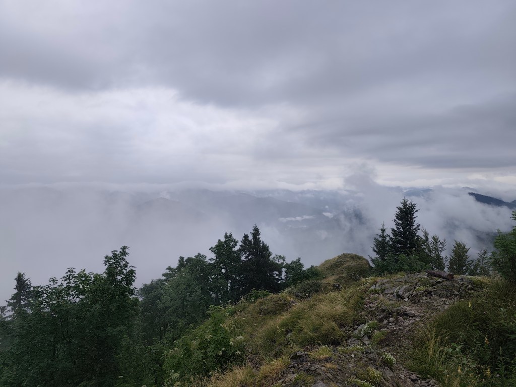
Fog on Kľak We are considering whether to just go along Jarabiná and back from there, or turn off at Malý Lysec. It is not raining, although our feet are constantly wet, because the narrow path leads through dense blueberry bushes, on which a lot of water still remains. However, at Jarabiná we continue along the ridge, the running is good and we do not want to end prematurely.
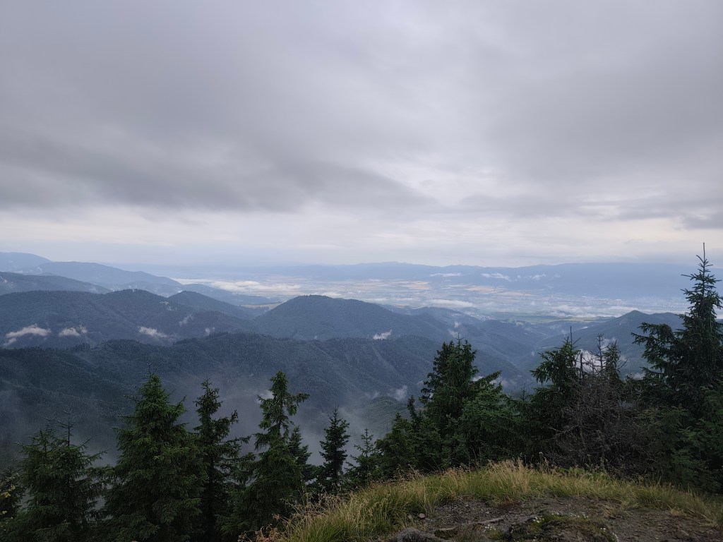
Heavy clouds accompanied us almost the whole day After the small Lysec we turn to Lysec, the sun is breaking through the fog and it is hot, but at its peak the fog completely covers our views. It doesn’t matter, the path leads through a beautifully flowered mountain meadow and makes up for it. From Lysec we go down to the valley, the path is muddy and slippery, I don’t know how we managed to stay on our feet the whole time and not bathe in the mud:D
Evaporating water We continue to Sklabinsky podzámok, where the signposts promise craft beer, I’m starting to get excited. However, there’s a sign in front of the restaurant door that says they’re only opening at 4 today due to the rain. I like beer, but I’m definitely not going to wait two hours for it 🙂
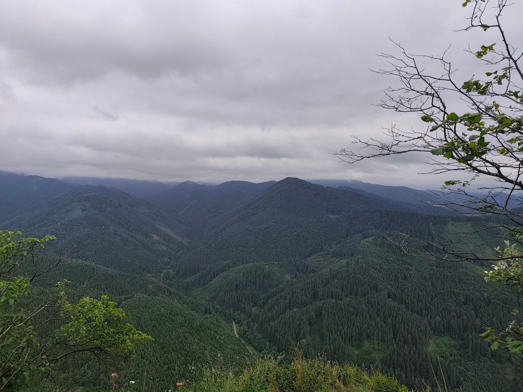
From Katova skala ( Executioner’s Rock) We climb the Katova skala (Executioner’s Rock), a viewpoint from which we return to Podhradie. The Executioner’s Rock owes its name to the executioner from Sklabin Castle, for whom it served as a place of execution. The rock is also associated with a tragic legend. According to it, a young girl is cursed in the rock, who was locked in it by a tyrant to force her to become his wife.
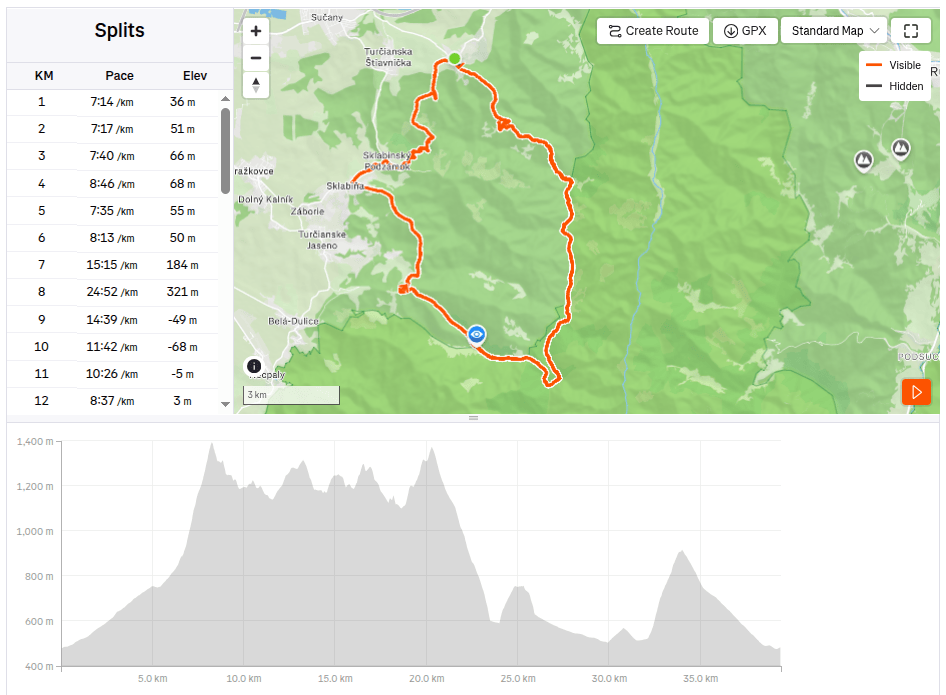
39.41km, 6:38 active time, 7:28 total, 2421m ascend
-
Subscribe
Subscribed
Have a WordPress.com account? Log in now.

