-
Alpe Adria Trail, first day
Alpe Adria is a long-distance route leading from Austria (from under the Grosglocker) to the sea in northern Italy, the length of the entire route is 750km, but we didn’t have time to do it all, so we cut out at least a part of it: Alpe Adria Three-Country Circular Tour.
It leads through Austria, Italy and Slovenia and is 140km long. It took a bit of planning, but in the end we managed to divide the route into 3 days (classic tourist guides divide it into 7 one-day stages). We arrived in Arnoldstein a day in advance, we chose it as our starting point, even though most guides start at Faaker See. Arnoldstein worked out best for us in terms of the distribution of kilometers and meters climbed. Even though it is not completely on the route (3km detour), we had to look for a place where we could stay and where we could leave the car there for 3 days.
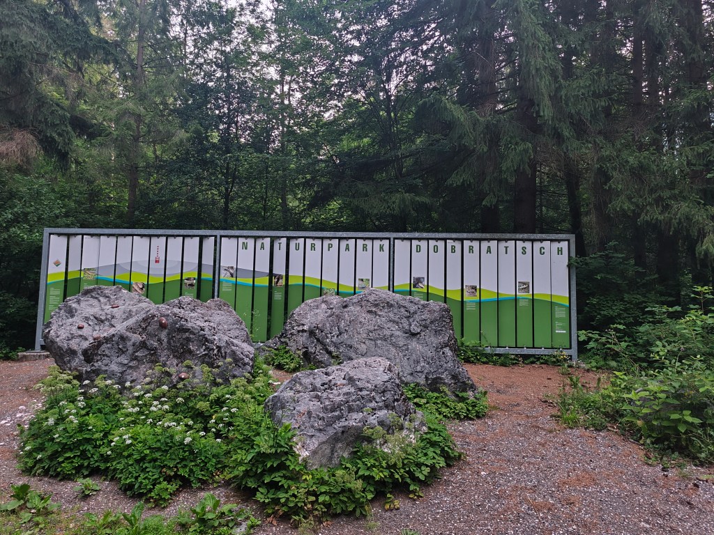
Nature park Dobratsch near Arnoldstein We set off at 4:58 in the morning, the forecast promised a beautiful and quite warm day. After half an hour we spotted our first Alpe Adria Trail sign and continued along the cycle path towards Notsch, where we refilled our water for the first time.
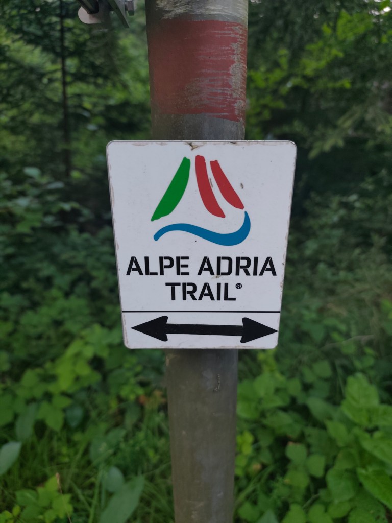
This sign accompanied us for three whole days We keep running and after 15 kilometers we finally start climbing our first hill. And what a hill it is 🙂 1100 meters climbed in 10 kilometers. Fortunately we climb through the forest and there are at least 5 waterfalls along the way, which are not drinkable, but they served as a great refreshment.
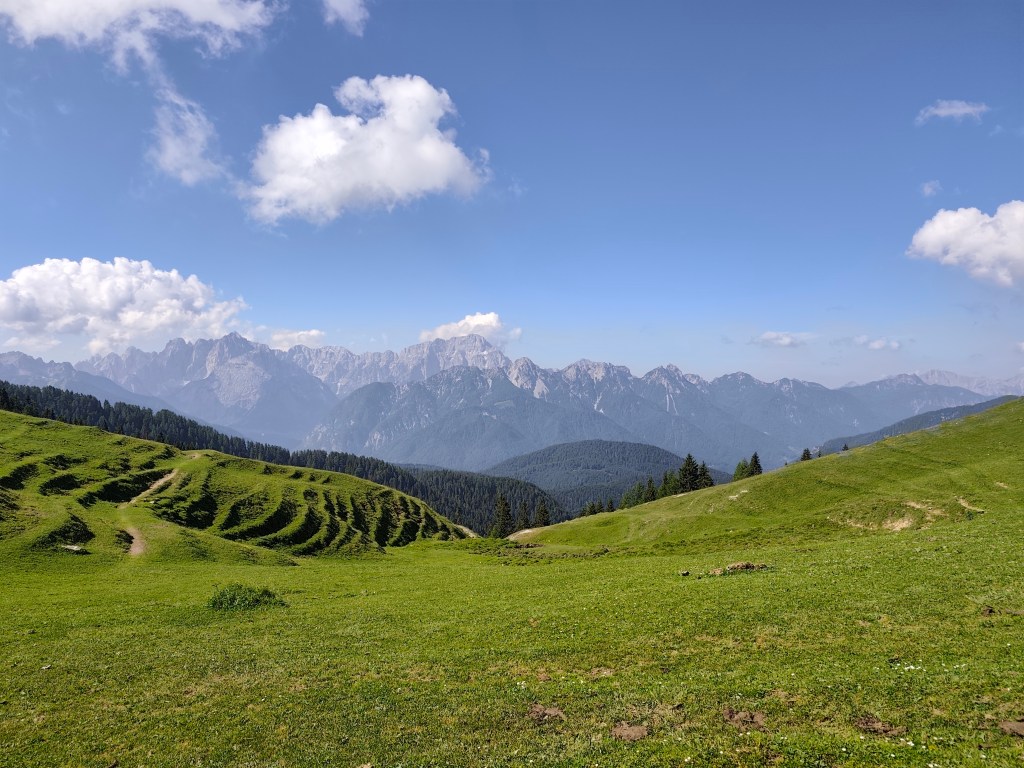
Feistritzer alm After a long day of hiking, we take our first break at the Feistritzer Alm, a mountain hut on the border with Italy. We enjoy a radler and our first great views. It is located at an altitude of 1735 meters above sea level and is located at the foot of the 2,052 meter high Oisternig.
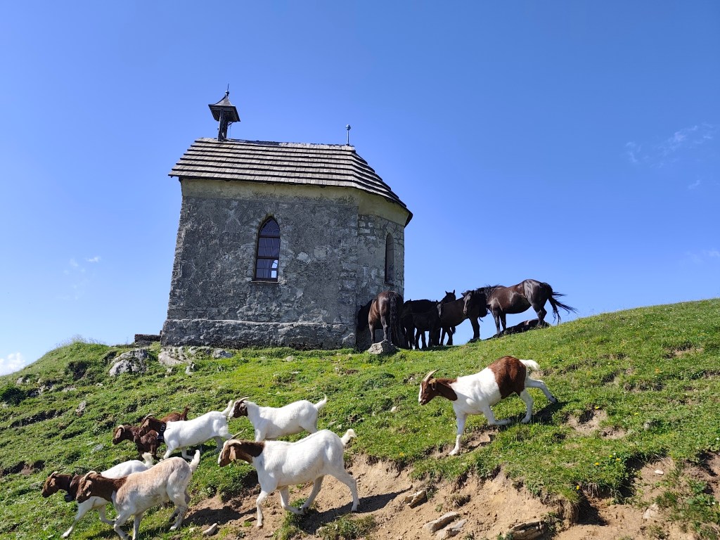
Alpine pastures on the border between Austria and Italy We run through alpine pastures, among goats, horses and marmots, and from below Monte Acomizza we begin to descend towards Camporosso, but we only pass it by the wayside and continue to Valbruna for a real Italian espresso and radler.
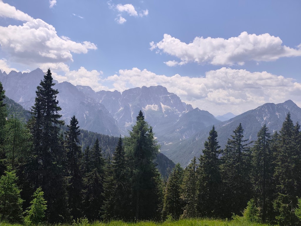
The temperature is rising and we are facing our second big climb of the day up Monte Lussari. It was quite a massacre, I have never experienced such a steep climb before, 1000 elevation gain in 3 kilometers, they gave us a hard time in that heat.
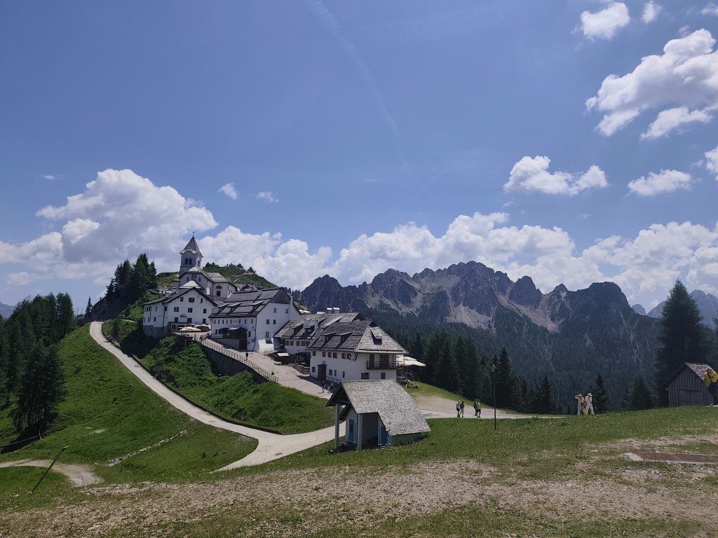
Monte Santo Lussari Monte Santo Lussari is a pilgrimage site with a beautiful view of the surrounding mountains. At the top of Monte Lussari (1,789 m above sea level) there is a church dedicated to the Virgin Mary. The history of this church dates back to the 14th century, when, according to legend, a shepherd found a statue of the Virgin Mary there. After this discovery, a church was built here, which became an important pilgrimage site.
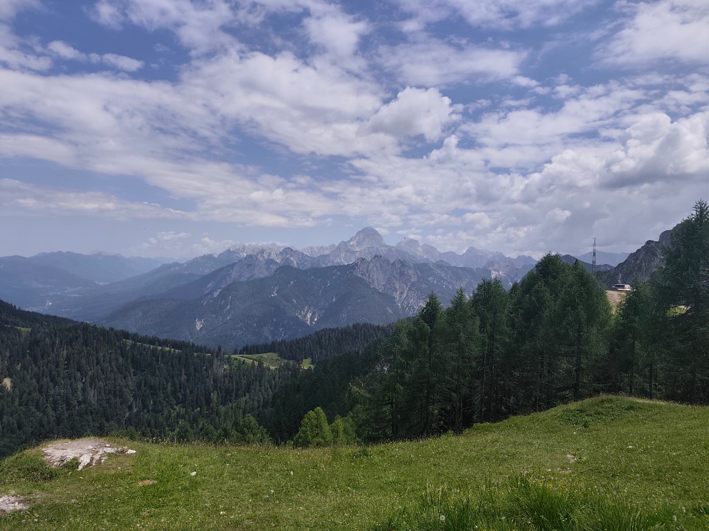
From the top of monte Lussari At the top, we can’t miss a radler (it will become our traditional drink on this trip :)) and after a few summit photos, we descend back to Camporosso, this time on the other side of the hill. Today we end in the town of Tarvisio, where we stuffed ourselves with great cheeses and real Italian prosciutto crudo.
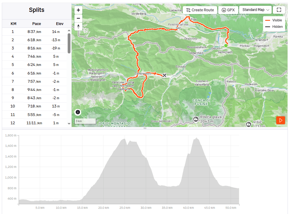
52km, 9:24 active time, 10:41 total, 2400 m. ascend -
Girls bike training camp
For me, this was the second year of a fantastic two-day biking trip, this time in the area around Kokava nad Rimavicou. We stayed at the Old School in Kokava, a classic “box-shaped” building from the 1970s that has been given a modern interior with references to the glassmaking tradition of Zlatá Zuzana. The complex also hosts various exhibitions aimed at breathing new life into the glassmaking craft.
On the first day, we started in Kokava, and our first stop was the Finnish cottages in Utekáč. These are wooden prefabricated houses from Northern Europe, which local glassmakers received sometime in the 1950s in exchange for a train carload of thermos flasks.
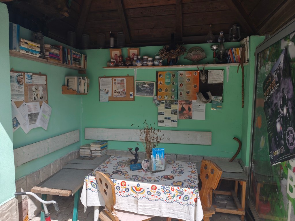
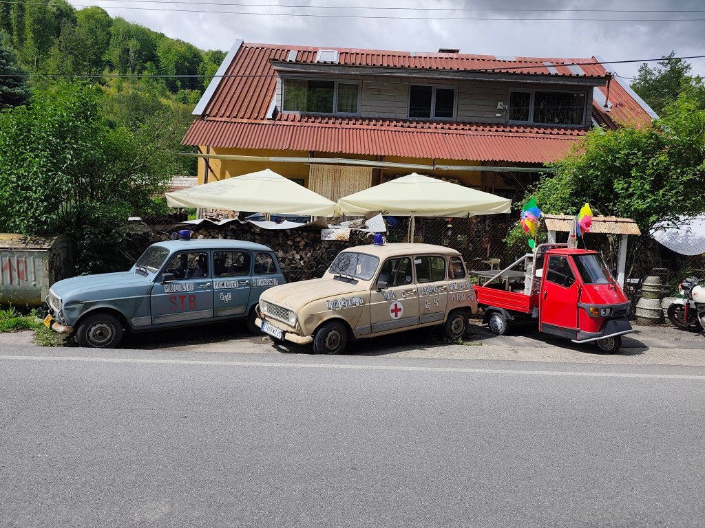
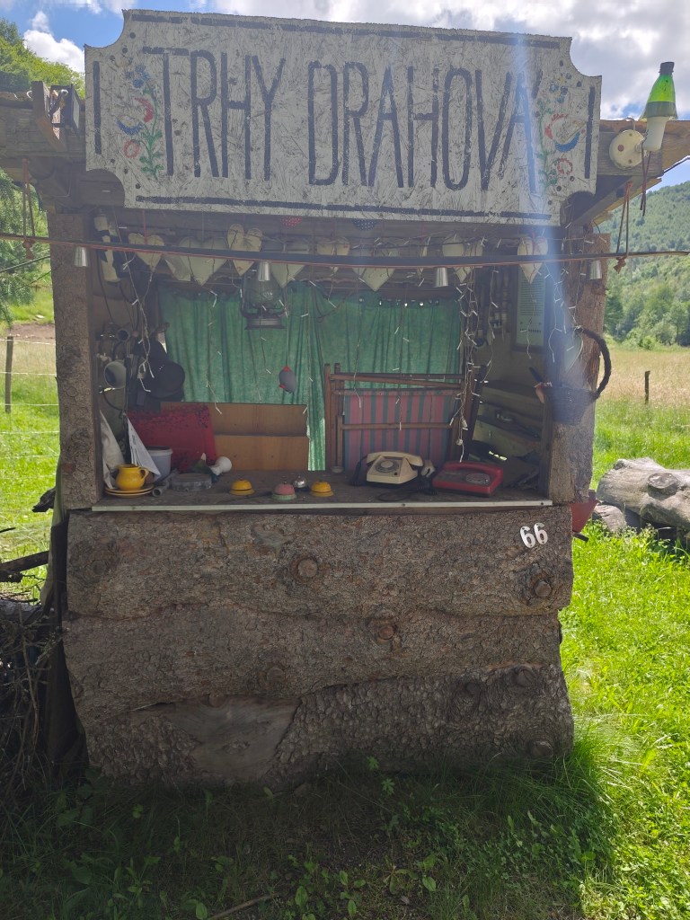
According to local historian Ján Haluka, the houses from Finland were transported to Lučenec by rail. The prefabricated components of two large houses were then transported by car by glass factory workers to Utekáč, where they were assembled in the Salajka neighborhood.
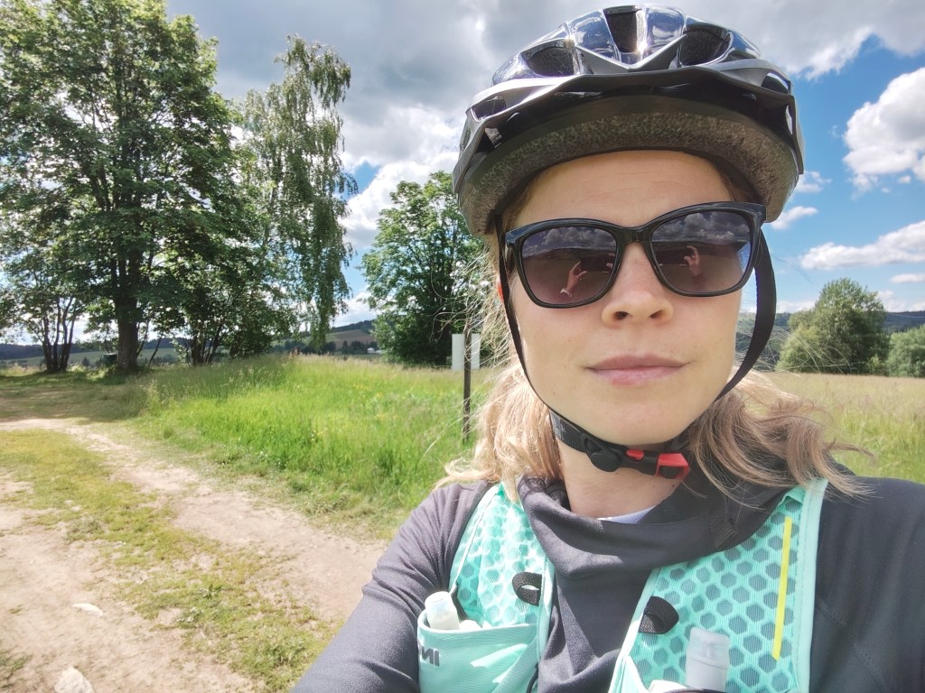
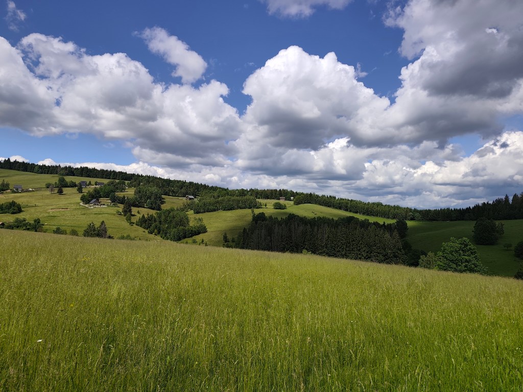
Above Marek’s farmstead From Utekáč, we continued on to Sihla, where we were welcomed at Marek’s farmstead; they prepared a nice lunch and coffee for us, and, refreshed, we set off through Lom nad Rimavicou on the final descent all the way to Kokava.
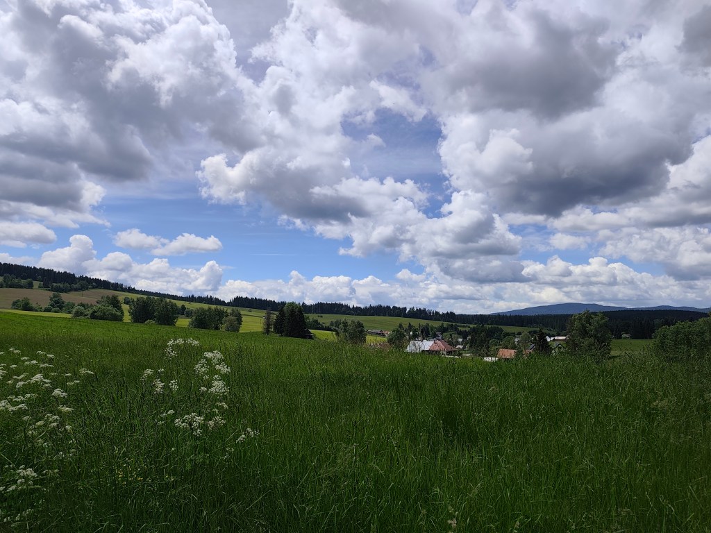
Sihla 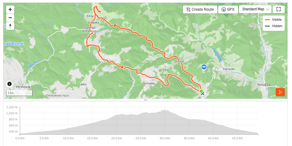
49.26 km, 3h36min active time, 933 m ascend. The second day was more focused on cultural experiences. The plan was to visit the old churches in Rimavská Baňa and Kraskov and the Kyjatice Culture burial ground.
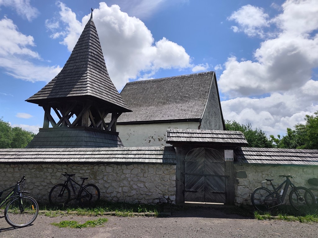
The church in Rimavská Baňa is located within a fortified complex and remains a prominent landmark of the village and the surrounding countryside, visible from afar. It was likely built around the year 1300. The church was originally painted both inside and out. I. Groh partially uncovered the paintings in 1893, but the complete uncovering and restoration did not take place until 1956–1958.
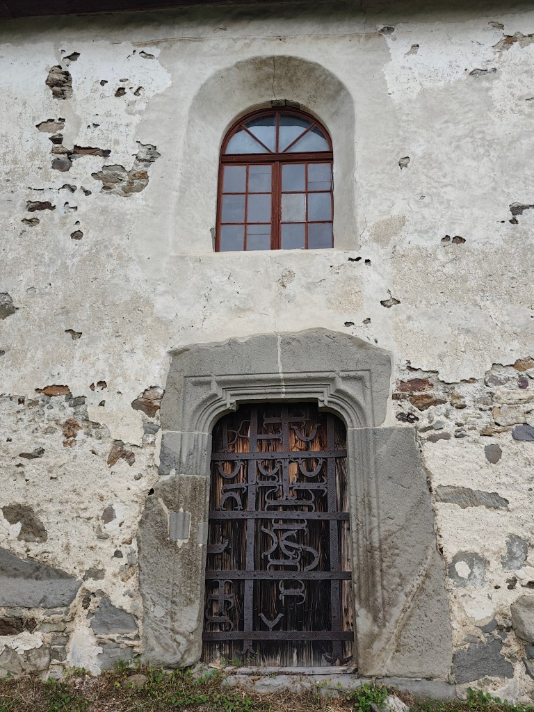
Entrance to the church in Rimavská Baňa The best-preserved painting in the church, on the north wall of the nave, depicts the legend of St. Ladislaus—a dynamic composition celebrating heroism and the life of a knight. The story begins on the left, where the walls of Varadín rise up, behind which one can see the anxious gazes of women and the mourning figure of a young maiden at the foot of the walls. In the center is depicted the battle between the Hungarian and Cumans cavalry at Čerhalm. In contrast to the peaceful depiction of the legend in Kraskov, this scene captures a relentless battle full of emotion. The artist took great care to depict in detail the harnesses, the colors of the horses, the clothing, and the headgear that distinguish the Hungarian and Cumans armies. Although the subsequent parts of the scene—St. Ladislaus’s struggle with a Cumans, Ladiva’s assistance in his killing, and the king’s rest in her lap—are significantly damaged, they still allow us to form a picture of this medieval story, composed into a dramatic narrative framework through the use of bold lines.
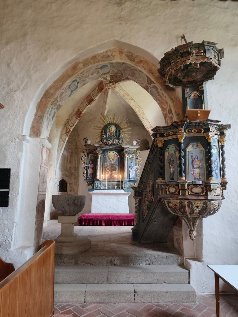
inside the church in Rimavská Baňa The interior also features a valuable, recently restored coffered ceiling from 1783, a Baroque altar from 1745 with a pulpit from 1747, and a carved stallum from 1695.
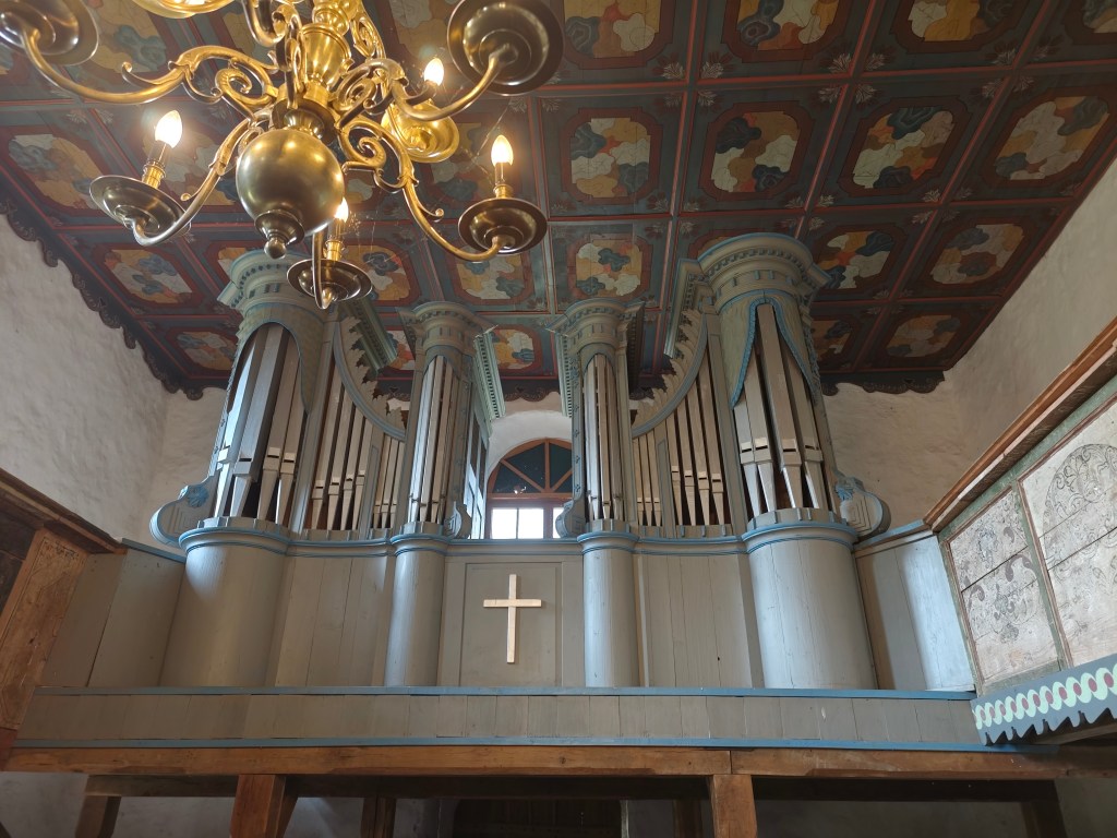
The organ and the pulpit ceiling in Rimaska Baňa. The small church in Kraskov was built on elevated ground sometime in the first half of the 14th century on the site of a slightly older structure. It was a typical early Gothic building of that era, still featuring some Romanesque elements. Sometime between the 1360s and 1380s, it was decorated with frescoes, likely painted by a master from Italy.
Kraskovo In the 15th century, the building was fortified and remodeled in the Late Gothic style. In 1555, the small church was damaged during a raid by Turkish troops. Since 1596, it has belonged to the Evangelicals, who adapted it to their liturgical needs and painted over the murals.
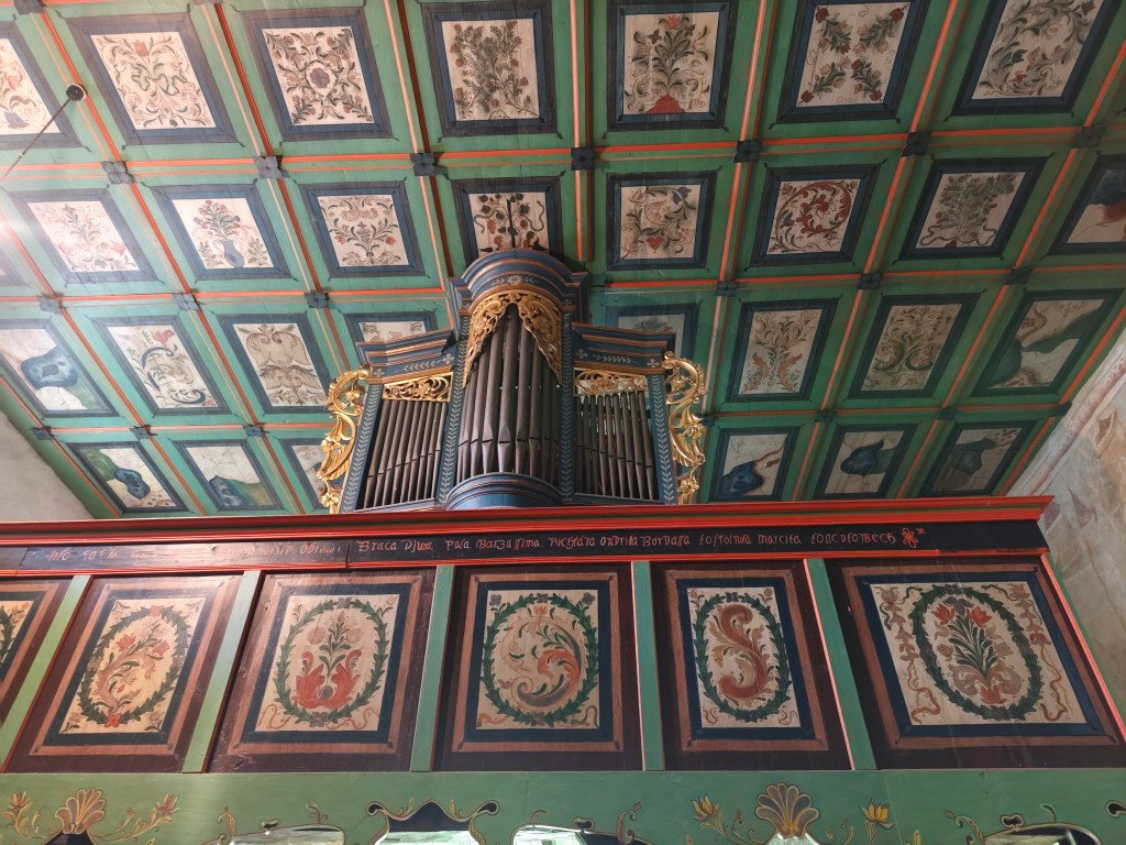
The Organ and the Coffered Ceiling in Kraksovo In 1751, the building was given a new roof; the coffered ceiling in the nave dates to 1758–68. In 1814, the original Gothic windows were enlarged.
In 1901, I. Huszko discovered medieval frescoes, and in 1906, he restored them—albeit not entirely successfully.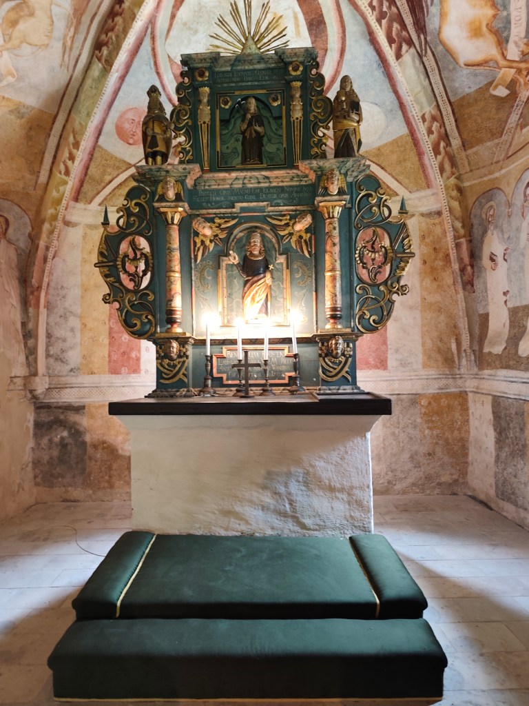
The Altar in Kraskovo In the mountains above Kyjatice stands the archaeological Monument to the People of the Kyjatice Culture, depicting a prehistoric cremation cemetery from the Middle and Late Bronze Ages (1100–700 BCE).
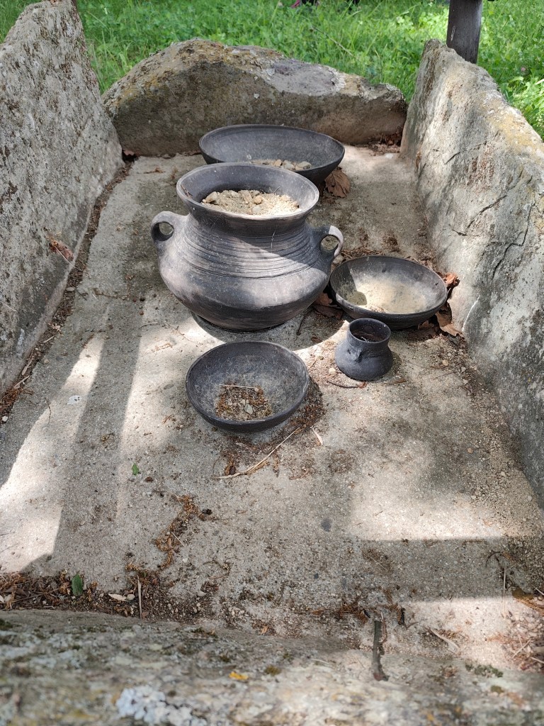
Burial Ground of the Kyjatice Culture It consists of three burial mounds, beneath which are chamber cremation graves, a funeral pyre, and two chamber graves containing imitation pottery. Archaeological research examined a total of 192 cremation graves, identified the location of the settlement, and uncovered a bronze hoard and other bronze objects. The people of the Kyjatice culture were engaged in agriculture, had developed bronze metallurgy, and had also mastered iron production. They inhabited caves and built massive hillforts. The burial ground is of European significance.
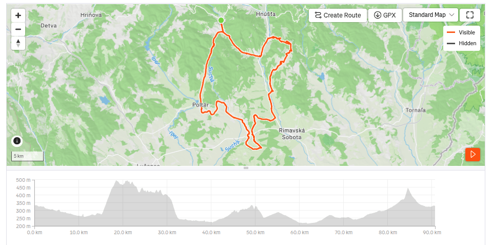
90.7km, 5:07 active time, 979 m ascend
-
Subscribe
Subscribed
Have a WordPress.com account? Log in now.

