-
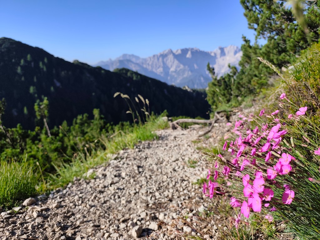
Alpe Adria, third day
Our last day on the route, we will cross the Karavan Mountains back into Austria followed by a 30 km long relatively straight section back to Arnoldstein.
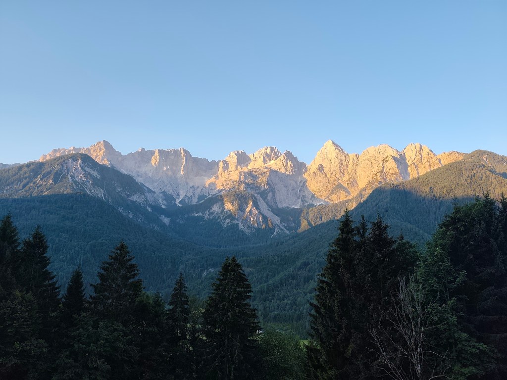
Morning sun over Gozd-Matjulek We wake up at 4 in the morning, our hostel’s cafeteria is fortunately open non-stop, also with a coffee machine, so we have a quick coffee and leave the hostel at 4:42 in the morning. We have breakfast on the way through Krajnska gora, enjoying the morning chill. Today is supposed to be hot, the forecast says 33 degrees, so we just hope that the second half of the route through Austria will not be sunny, because we will boil ourselves alive.
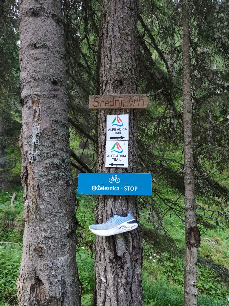
Strednji vrh,in ascend to Mittasgkogel We leave the Krajnska gora behind and for the first few kilometers we run along the foot of the mountain along the river. At the 5th kilometer we start to climb and climb steeply to the ridge. However, at the top we leave the Alpe Adria trail for a moment and go less than a kilometer to the Techantinger Mittagskogel with an altitude of 1823 meters above sea level. It offers beautiful views not only of the Karavanke Mountains, but also of the lowlands in Austria and also of Faaker See.
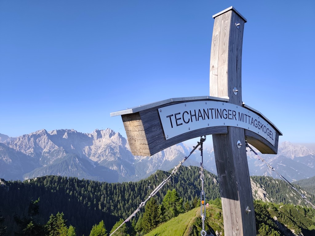
Mittagskogel It follows a 6km run on beautiful ridge with breathtaking views, we would have liked to run much further along it. However, Alpe Adria leads us in a different direction.
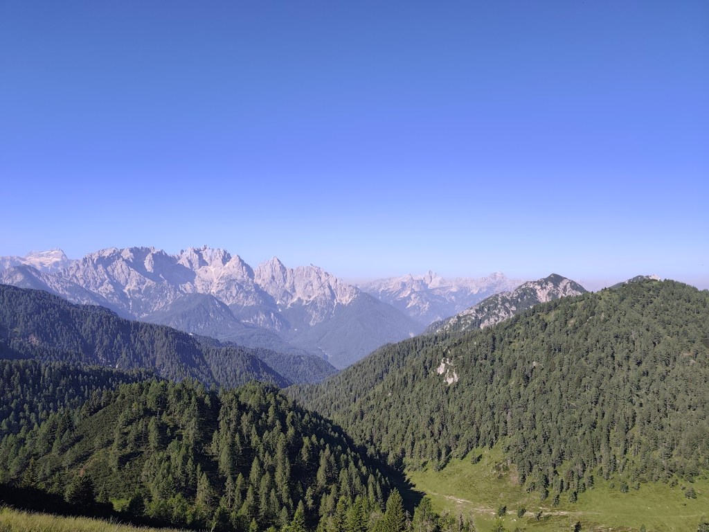
From ridge of Karavanke Mountains We start to descend and the route becomes flatter and flatter. We run through a few villages to Faaker See, where, almost out of water, we stop at a buffet on the shore of Faaker See. Radler is a classic, we refill our bottles and wash our sweaty faces, the temperature rises, it feels like it’s over 30.
Going off the trail to Mittagskogel was worth it Next for us is one of the most difficult parts, through the Finkenstein moor, a marsh with tall reeds, through which a long straight dirt road leads, in the midday sun, without a single bit of shade. Fortunately, a forest followed it and a few kilometers further we came across the Gail River, we couldn’t resist and went to it to cool down. It’s a shame that in that heat we were dry again in just a few minutes.
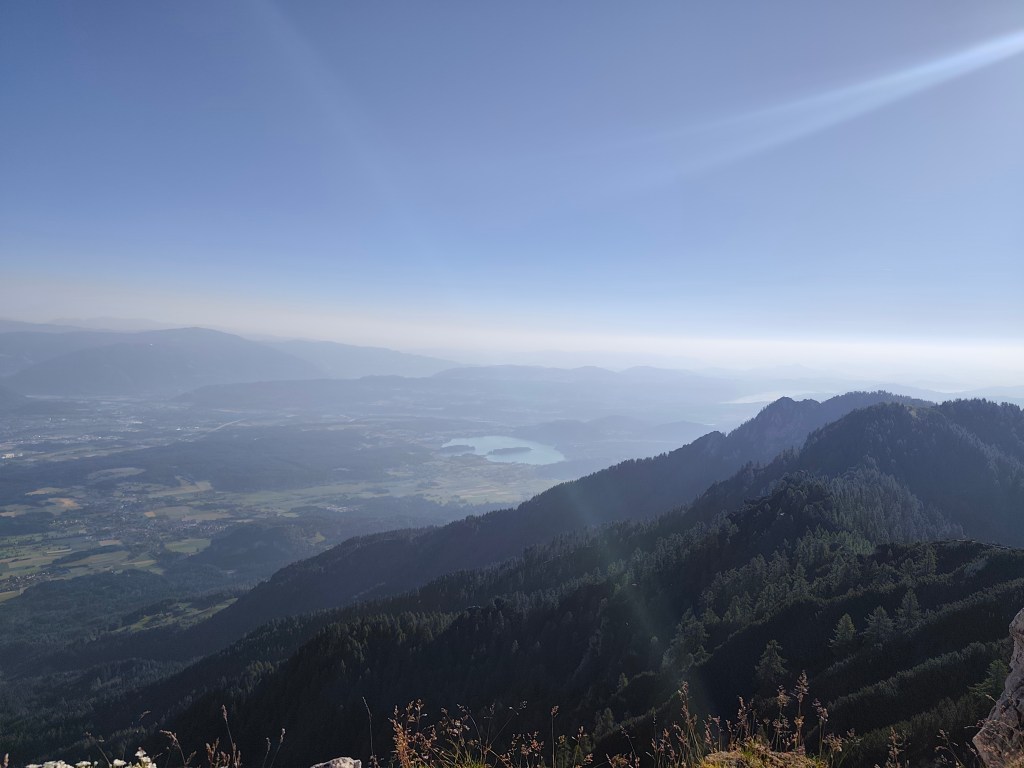
Faaker See in background We arrive in the spa town of Warmbad, and since we can smell how many kilometers we have behind us, we prefer to stay on the terrace of a local restaurant, even though the interior is air-conditioned. The Radler in us quickly disappears and we have no choice but to continue riding 🙂 The spa park is truly beautiful with carpets of meadow flowers.
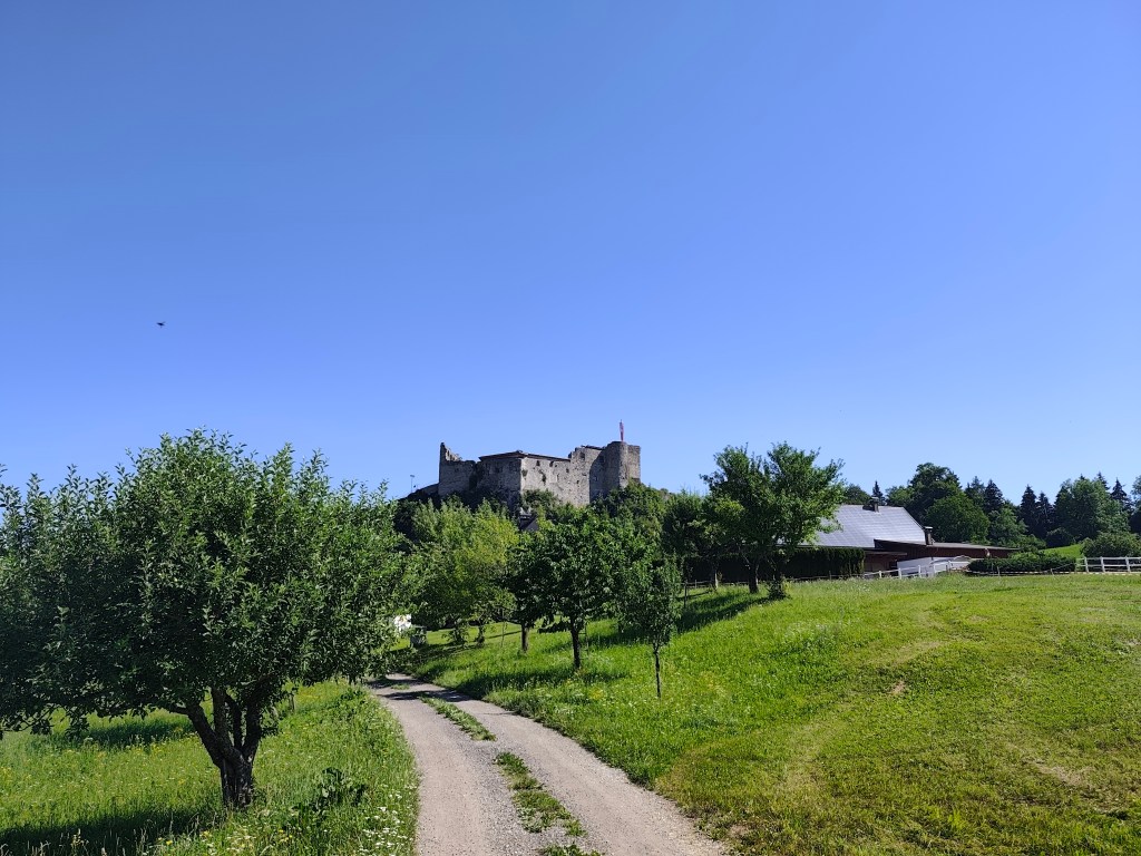
Austria We continue along the old Roman road, which is still visible today thanks to the deep ruts left in the rock by the wheels of the carts. There should also be a waterfall and a spring here, but it is too dry and we only find a dry riverbed. We are saved by a stream a few kilometres before Oberschutt, where we at least cool down, and then a spring in the square in Oberschutt, where we fill our completely empty bottles. I almost jump from joy when we saw it there, I was already overheated and really thirsty.
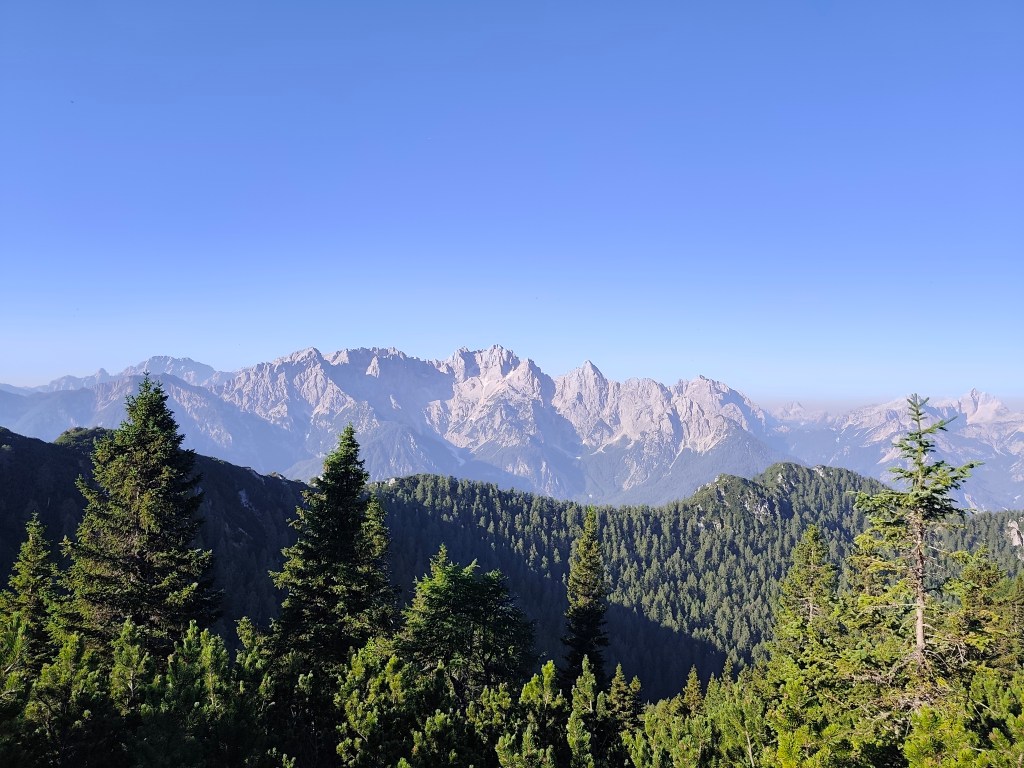
Karavanke Mountains The last 10 kilometers await us, mostly on a cycle path that is fortunately mostly covered with trees. After an hour and a half we reach Arnoldstein and our destination is not out accommodation, but a local shop, because we have been looking forward to a flavored orange mineral water for at least an hour 😀
It was a great experience full of emotions, views, steep climbs and equally steep descents, adrenaline and sweat, which I will remember for a long time.
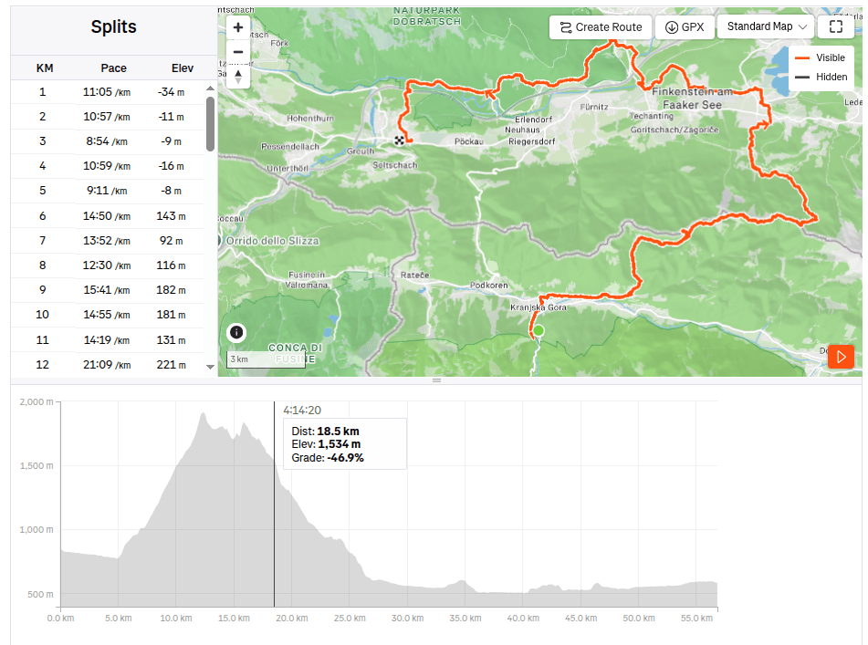
56.81km, 10:15 active time, 10:49 total, 1858 m ascend -
Alpe Adria Trail, second day
The second day on the route was a bit more relaxing, we had a little less kilometers than the remaining two days, this time “only” 37. So we could afford to leave later and enjoy a great Italian breakfast (which of course paid off a little, because I ran for the first three hours with a completely full stomach and it was already very hot). But the croissant was worth it 🙂
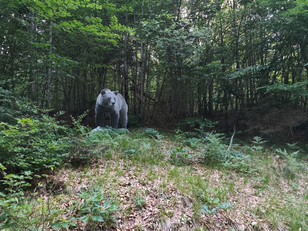
I will be scared to go this path in night:) We started from Tarvisio at 8:00 in the direction of Coccau. A great forest trail enriched with life-size models of animals. After Coccau, an adrenaline attraction was waiting for us in the form of an old suspended bridge over the Gailitz river, with rotten boards.
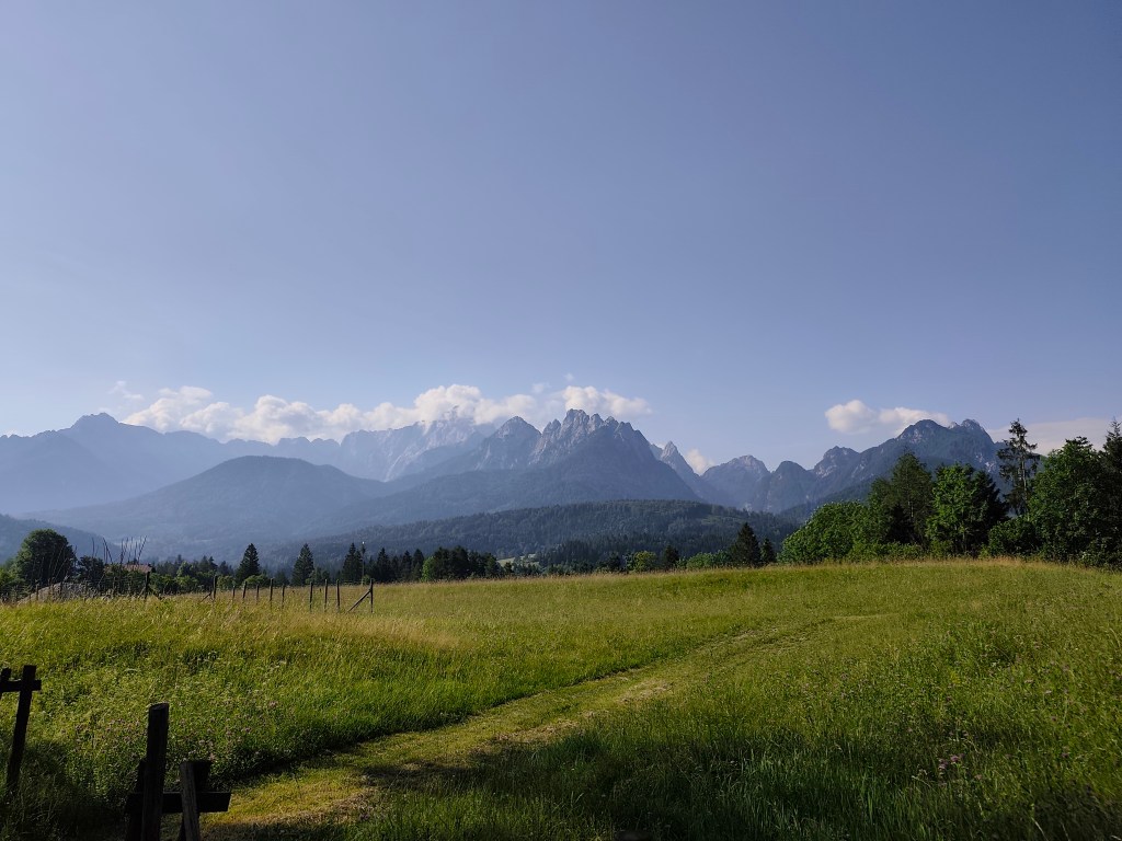
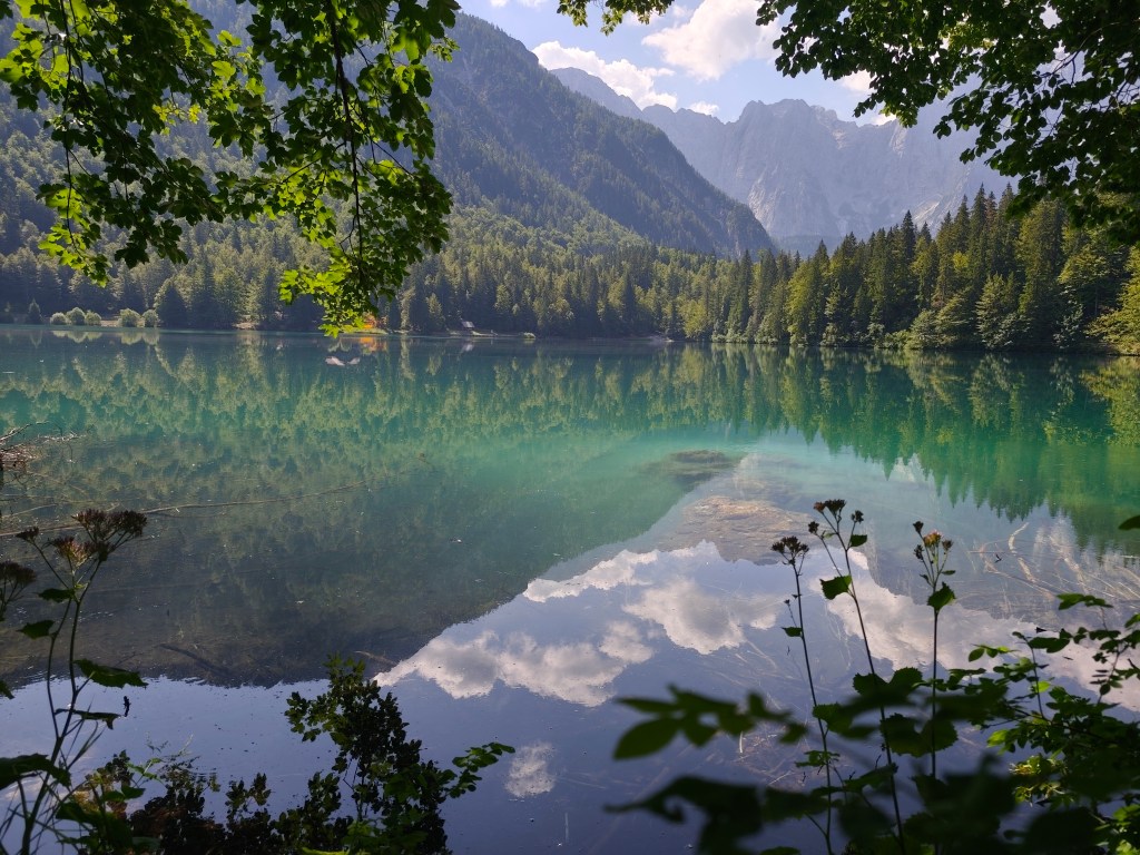
meadows after Coccau Fortunately, they kept us and we could continue on the ever warmer meadows to the most beautiful part of today’s trail – Lagos di Fusine. These are two crystal glacial lakes on the border between Italy and Slovenia, surrounded by the Julian Alps.
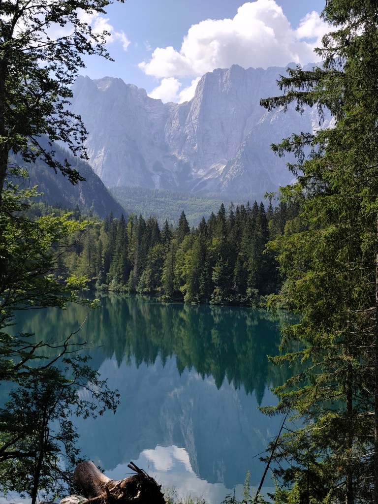
Our first view of Lago di Fusine 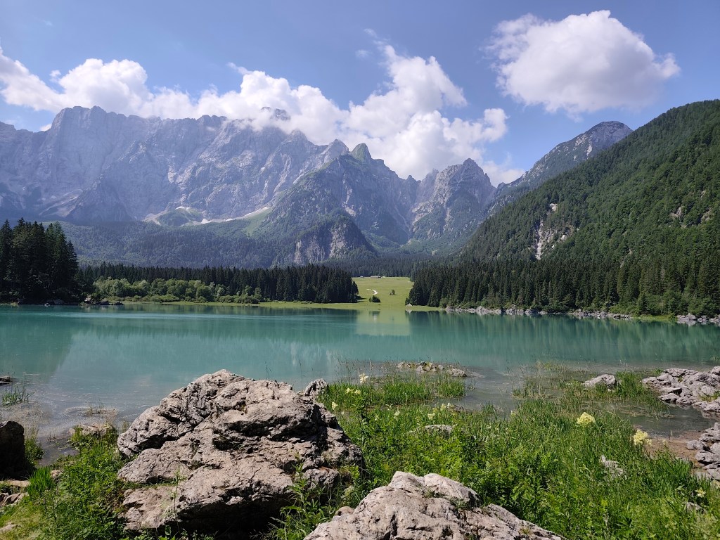
Upper lake with Manghart mountain range in background We pass from the lower, darker, transparent lake to the upper lake with a beautiful blue surface. There is a buffet above the lakes, where we traditionally have a radler and start our ascent to the Rifugio Zacchi hut, located at 1380 meters above sea level.
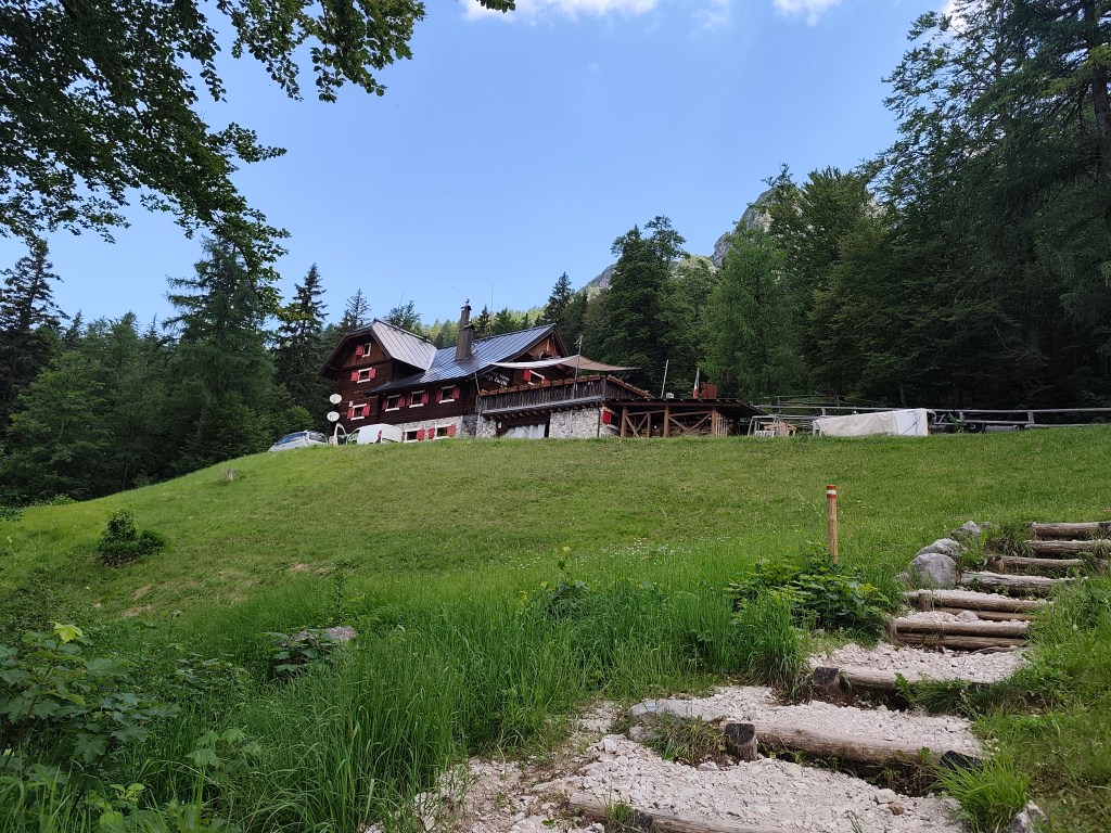
Refugio Zachi We have a great coffee and continue towards the Ponza cottage, where beautiful views of the valley and the lakes open up.
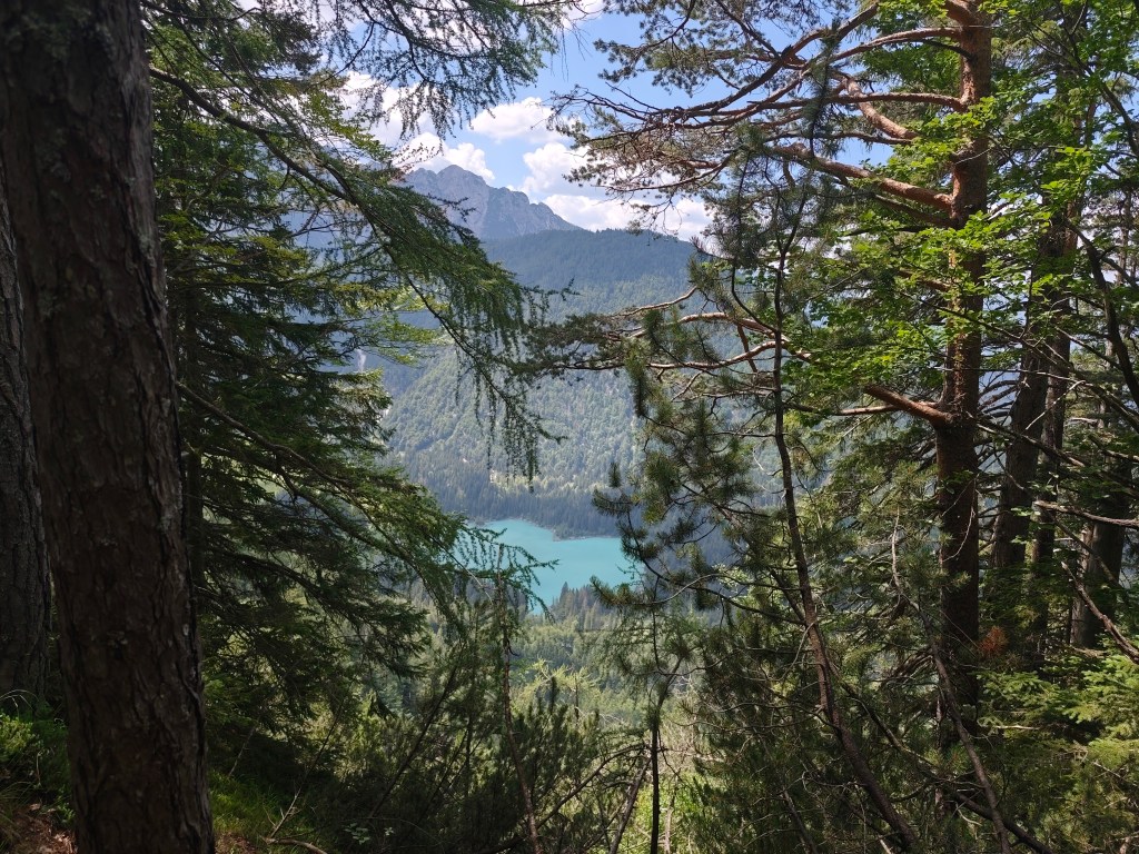
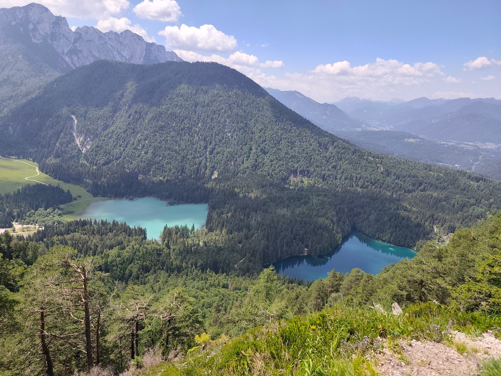
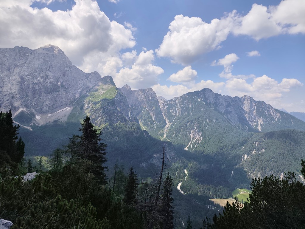
After a while, however, we come to a section where the original walkway with chains has collapsed and we have to go around it on a rather steep path between rhombuses, it manage to go up quite well, but on the way down my legs were quite shaking and I had to be very careful not to slip on the unstable ground. we managed it, and then we run back to the lower lake, where we take our last break of the day. We enjoy the beauty of the mountains reflected on the surface of the lake.
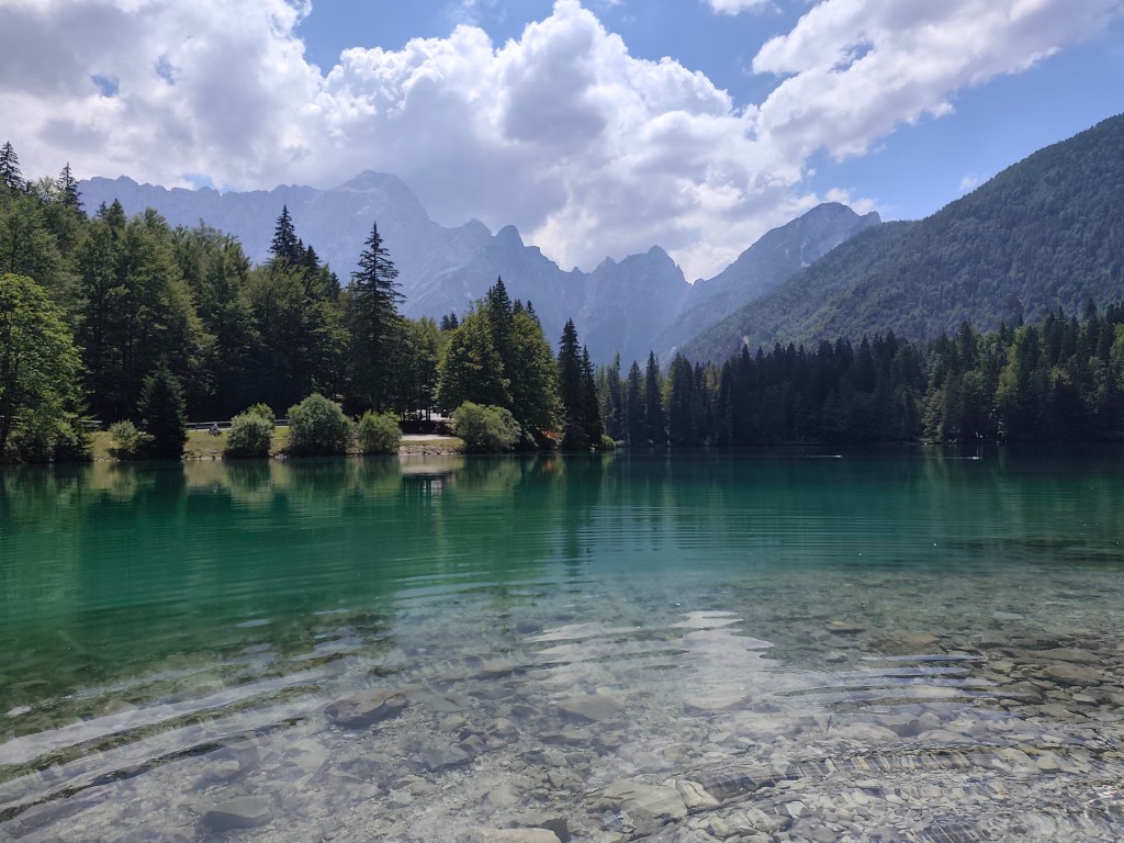
The end of the day is 12 km along a flat bike path, not covered by trees, and I can’t run it anymore, I’m overheating, so we alternate between running and walking. We found accommodation almost on the shore of Lake Jasna in Krajnská Gora, so we end today’s stage waist-deep in a cold water of glacial lake 🙂 We cool our overheated muscles and enjoy the views of the surrounding mountains.
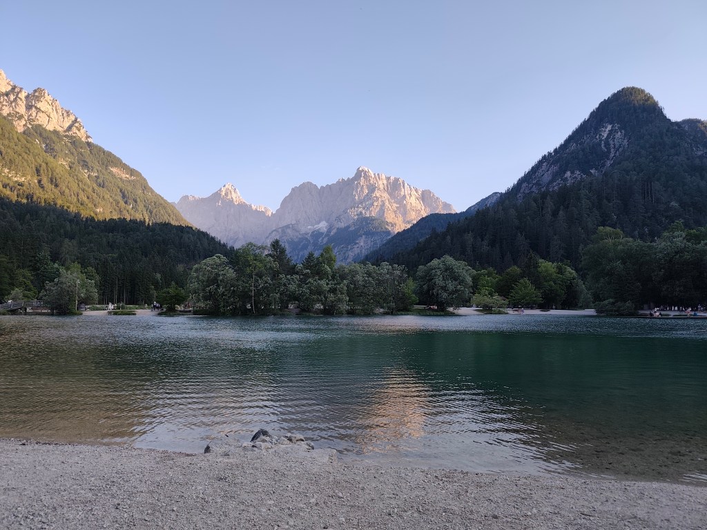
Lake Jasnain Slovenia 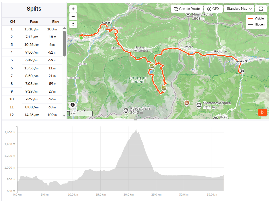
37.12km, 6:52 active time, 8:14 total, 1466m ascend
-
Subscribe
Subscribed
Have a WordPress.com account? Log in now.

