Category: hike

  • Tematín and Beckov castle with David

    Tematín and Beckov castle with David

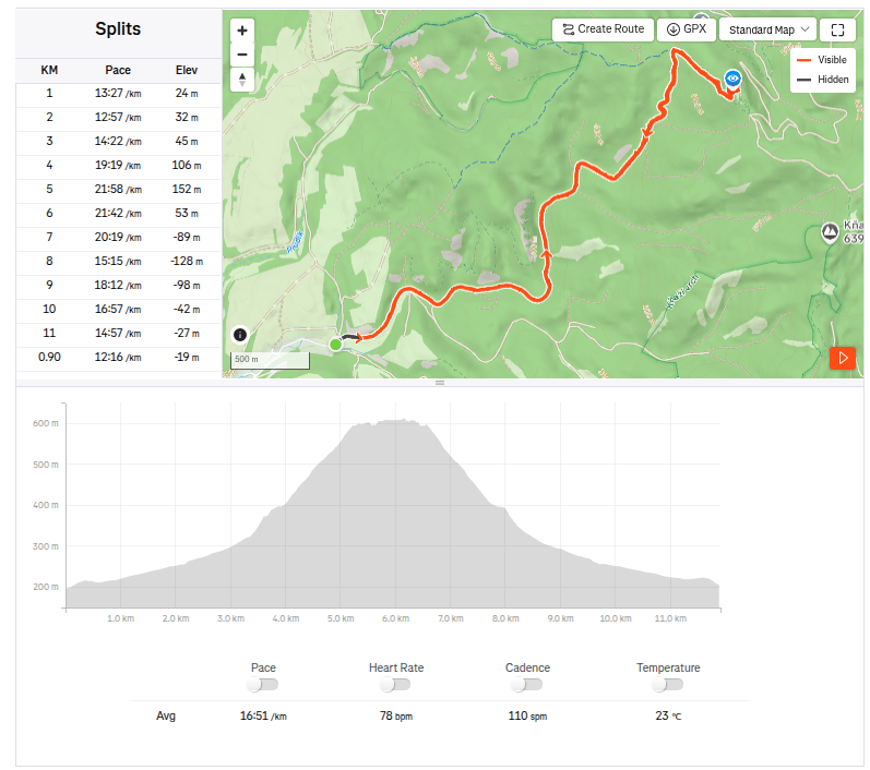
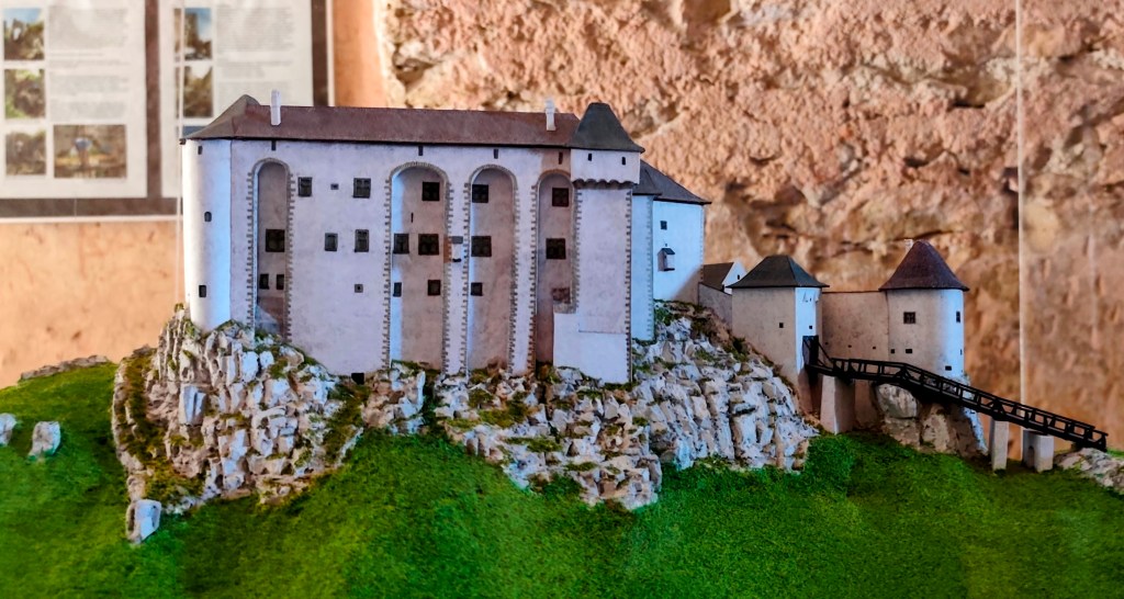
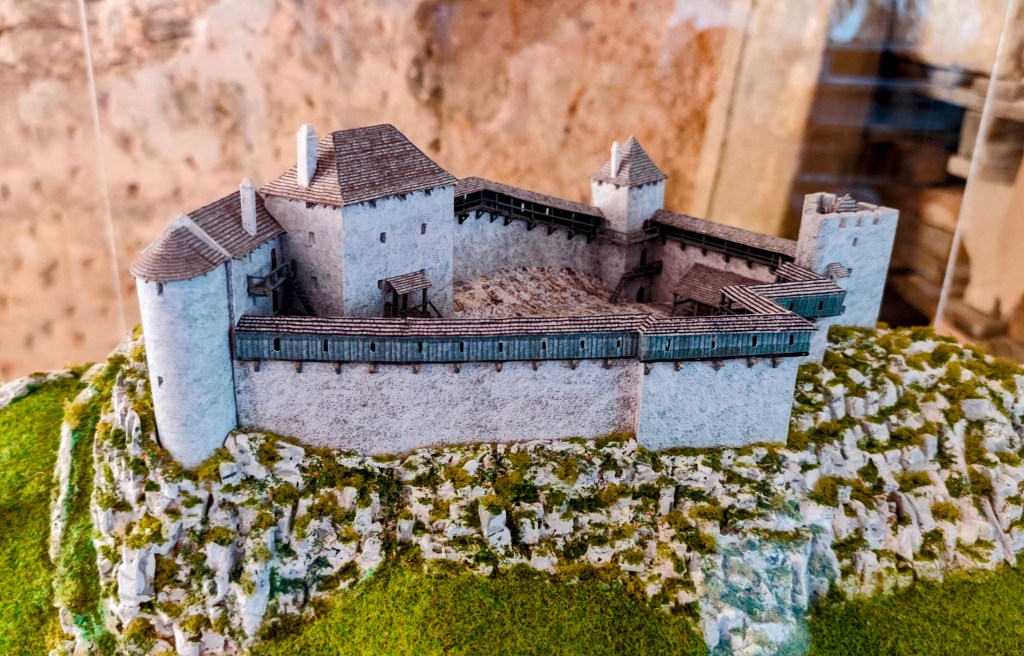
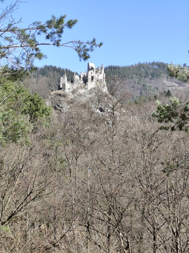
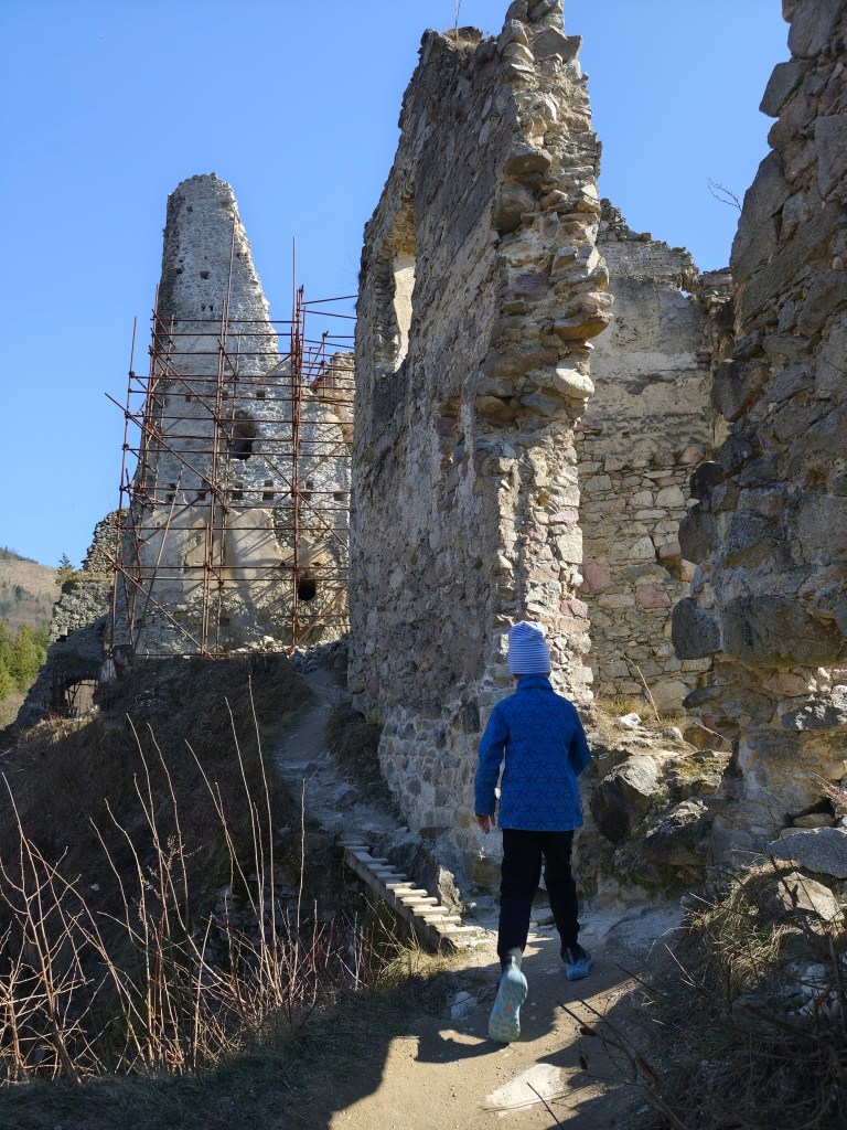
    Inspired by the mini-book Považská castle road, which we managed to get last time at Uhrovec castle and which immediately kicked me off to new adventures, we went to Tematín castle. Tematín is located in the Považský Inovec mountains in the west of Slovakia. It was created around the year 1250 near the border of Hungary after the invasion of Tatar troops on other territory. In 1710, the castle was damaged and has been abandoned since then, fortunately volunteers took over and its reconstruction began.
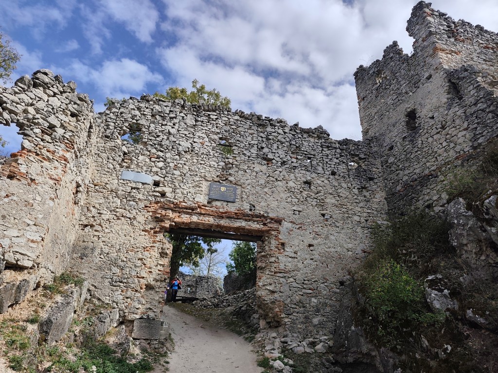
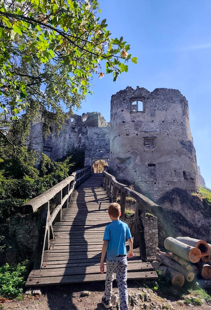
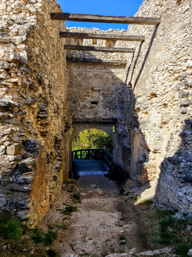
    Entrance to Tamatín castle

    Tematín is not one of the castles you can drive to by car, you have to step on it, and you can choose from several routes. We chose the 5-kilometer route from the village of Lúka, which at the end overcomes quite a large elevation gain.
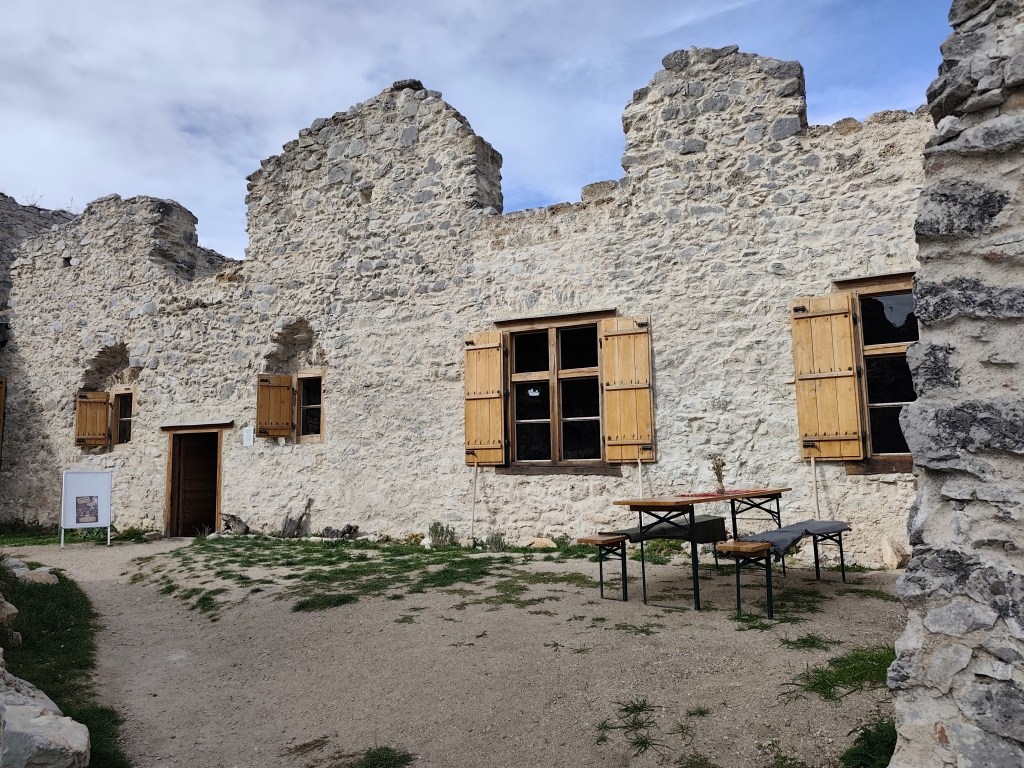
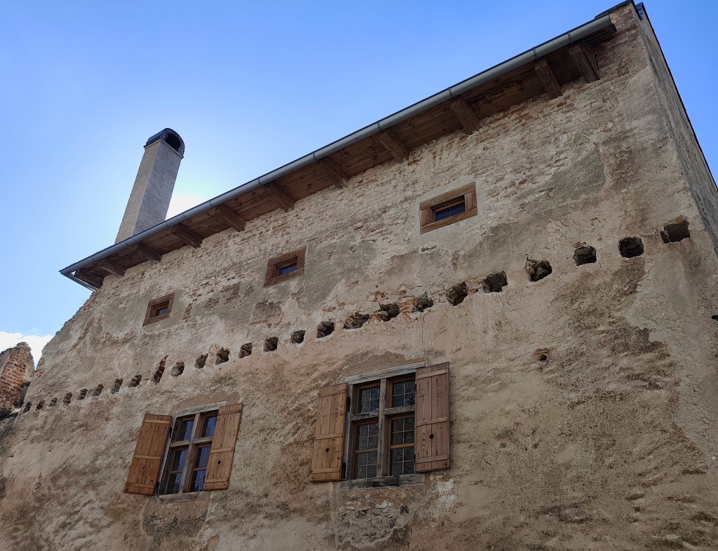
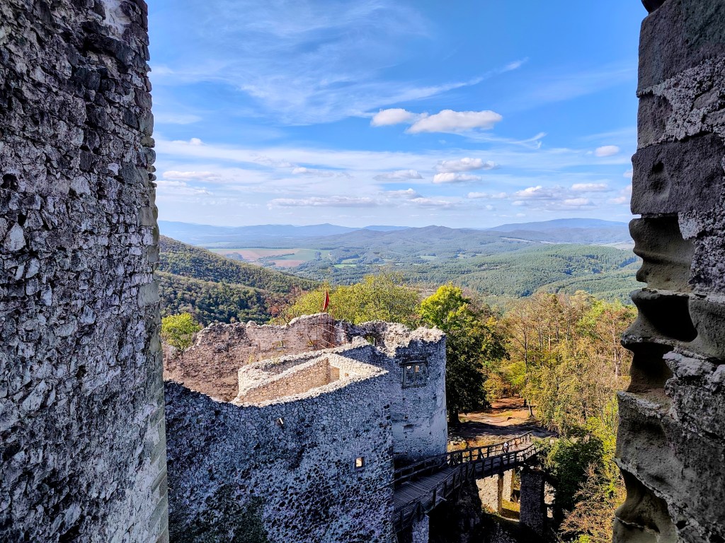
    Renovated buildings of Tematín Castle

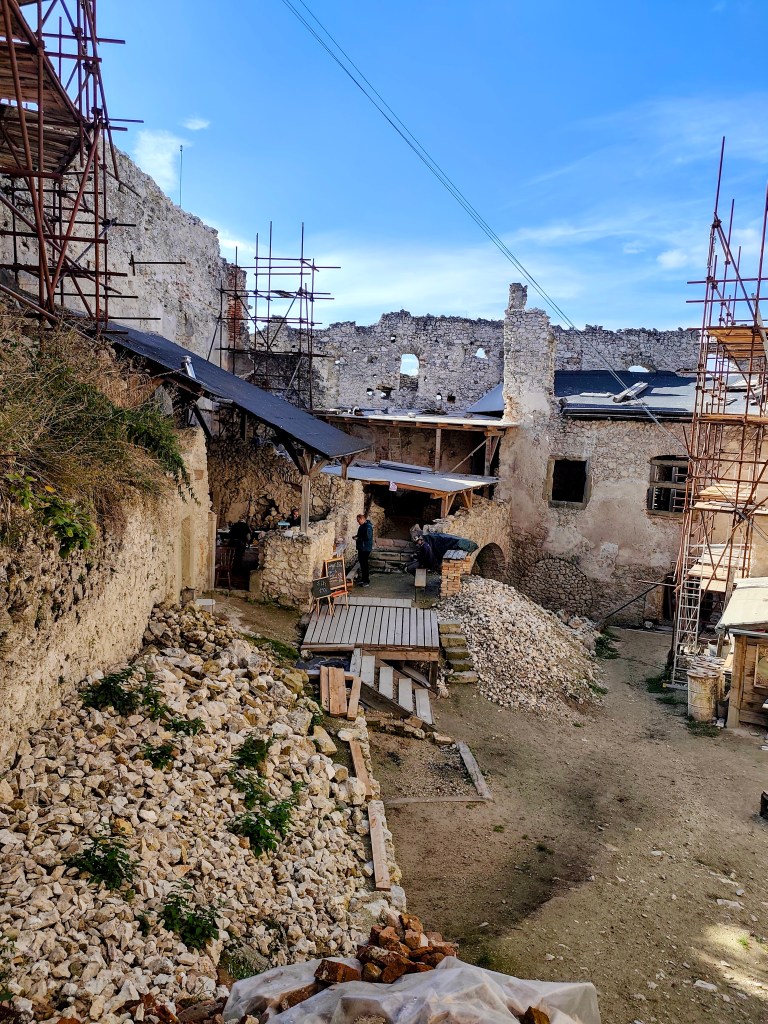
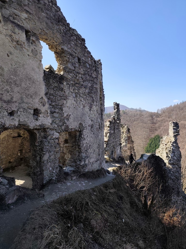
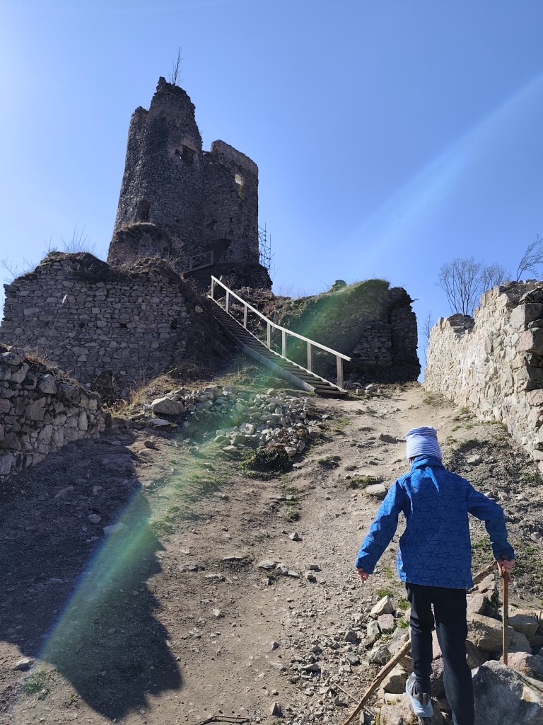
    At the castle there is a symbolic entrance fee, a buffet, and one beautifully reconstructed residential part, the remaining ruins are either partly reconstructed, or their reconstruction is still waiting.
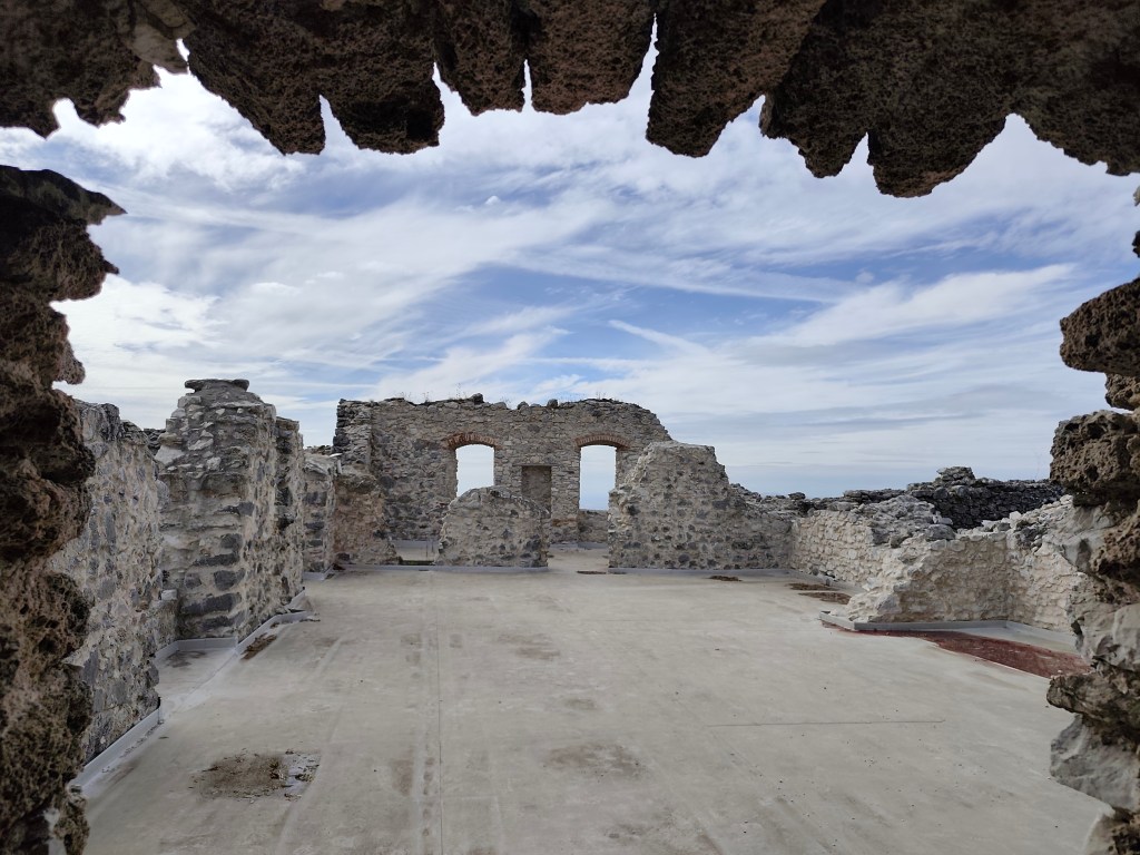
    Tematín

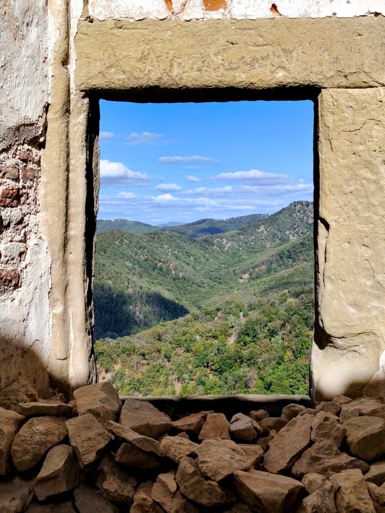
    There is a beautiful view from the castle and during our visit there were even workshops for children.
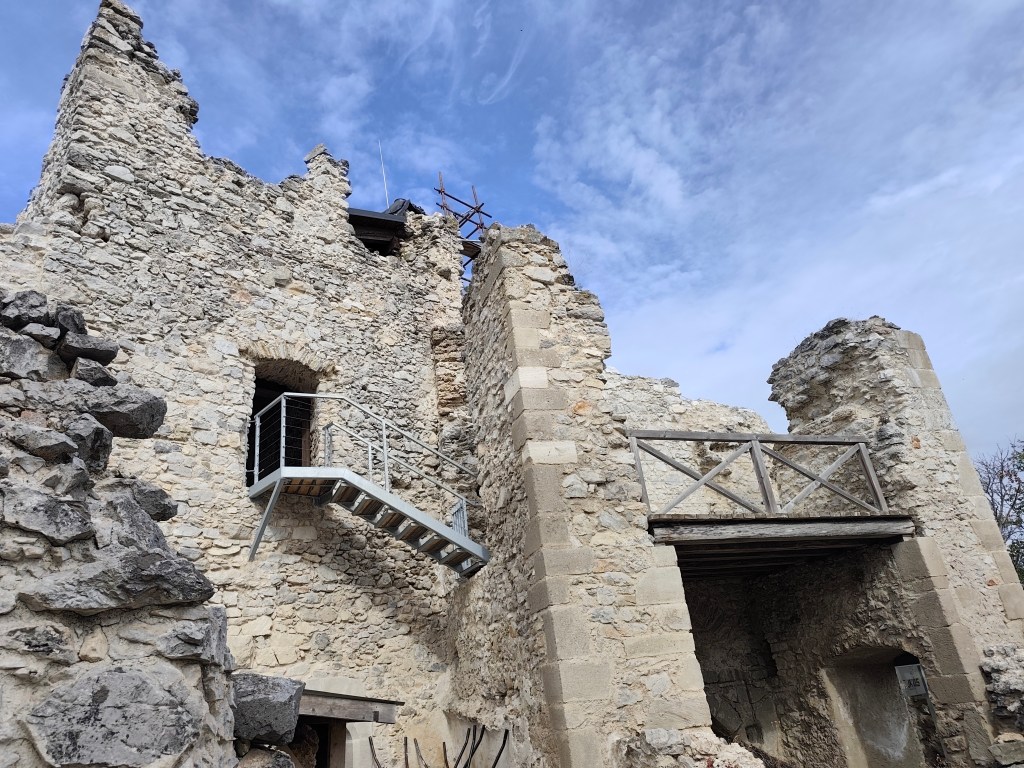
    Tematín

    There was also a map of the above-mentioned Považská castle road, and when I found out that the Beckov castle was only a short distance from us, there was no way back and it was the next (unplanned) stop on today’s trip.
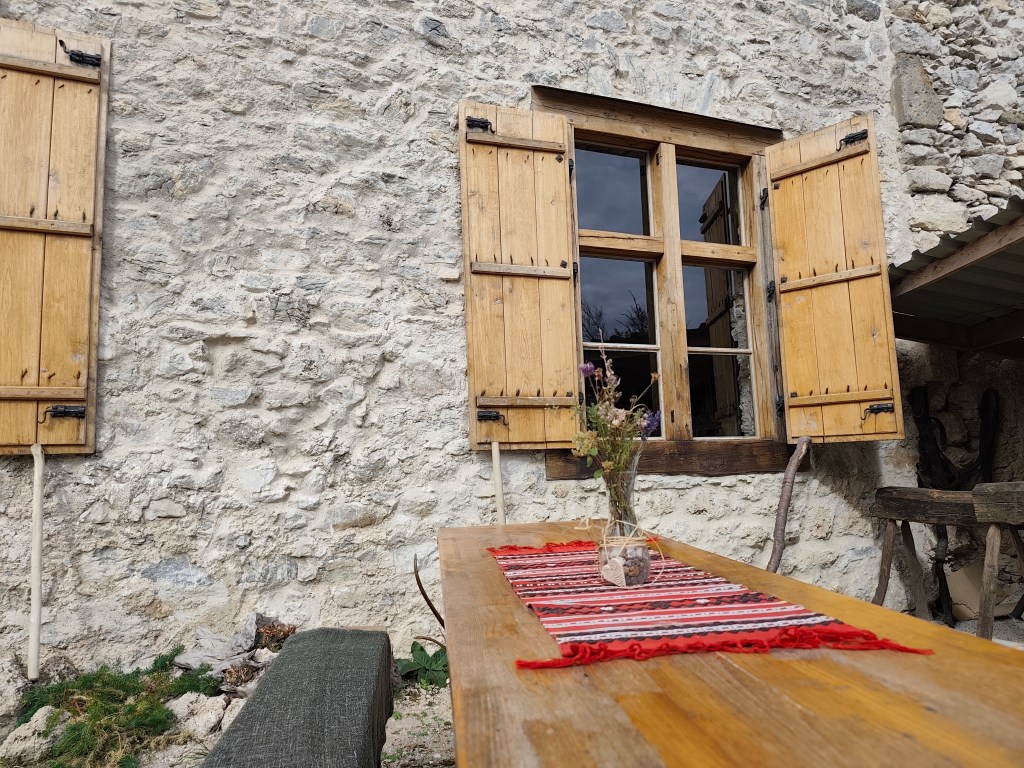
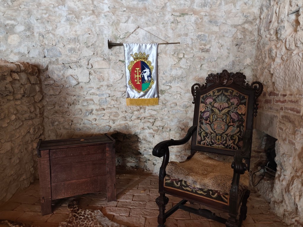
    As for Beckov, you can get almost to the castle by car, the castle is really big and largely renovated. What is no longer symbolic is the entrance fee and parking fee:D

    Inside the castle, there are even exhibitions with original ceramics, games, period clothing, you can put together a wooden puzzle of the castle, watch videos about life in the castle, or write with a quill pen. The chapel has beautifully restored windows and some rooms have also been restored. However, we liked the castle well the most, which was guarded by a dragon, even though we had to climb a lot of stairs to get to it.
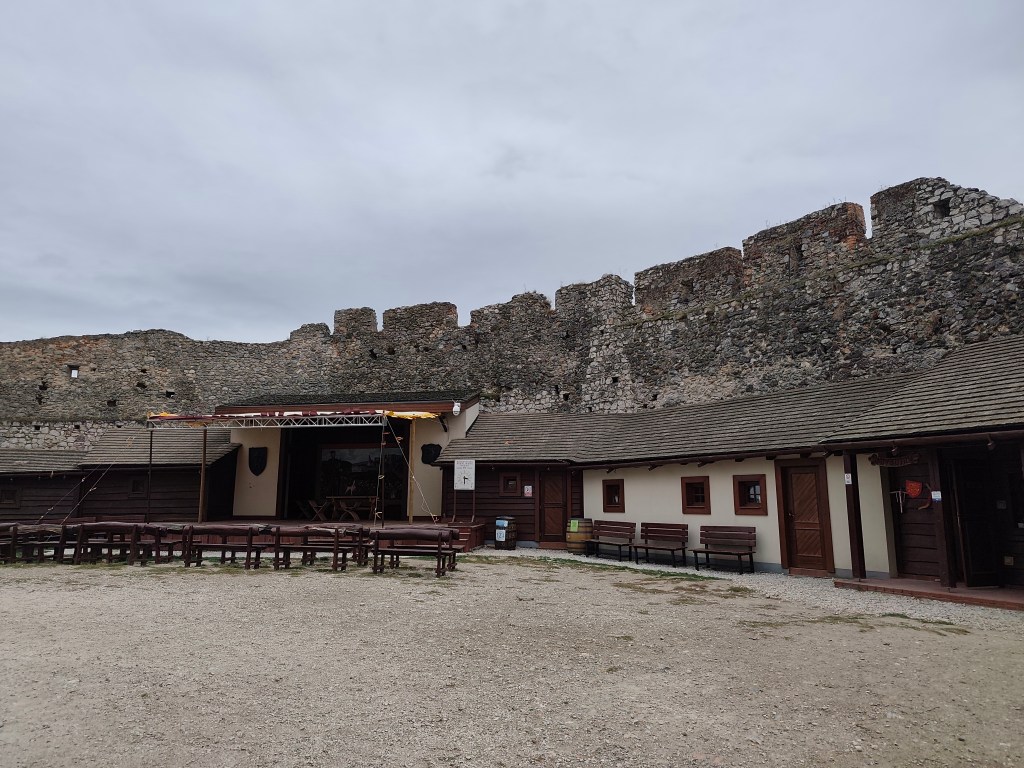
    The courtyard at the Beck castle

    For this castle, the hour we had left until the final session is definitely not enough, I recommend that you reserve at least two 🙂
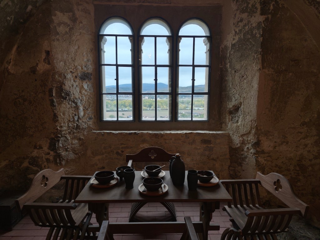
    Period dining at the Beck castle

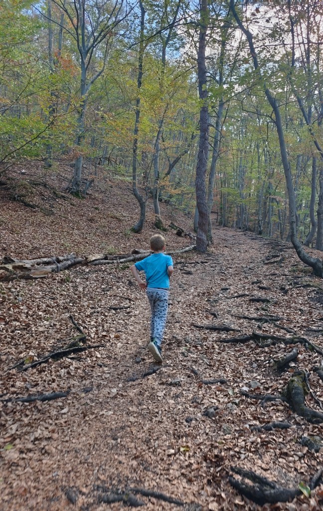
    Dávid was 7 years old at that time.
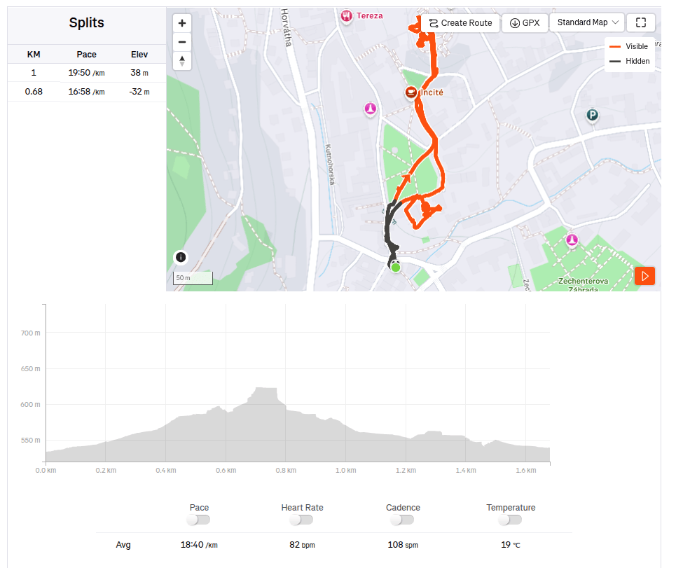
    11.91km, 3:20 active time, 4:24 total, 433 metre ascend
  • Castle Uhrovec with Dávid

    Castle Uhrovec with Dávid

    We’ve already visited all the castles in our immediate area, so now we have to travel quite a bit further for adventure. I’d had my eye on Uhrovec Castle for a while, and when the timing finally worked out, we set off one sunny Saturday to explore it.

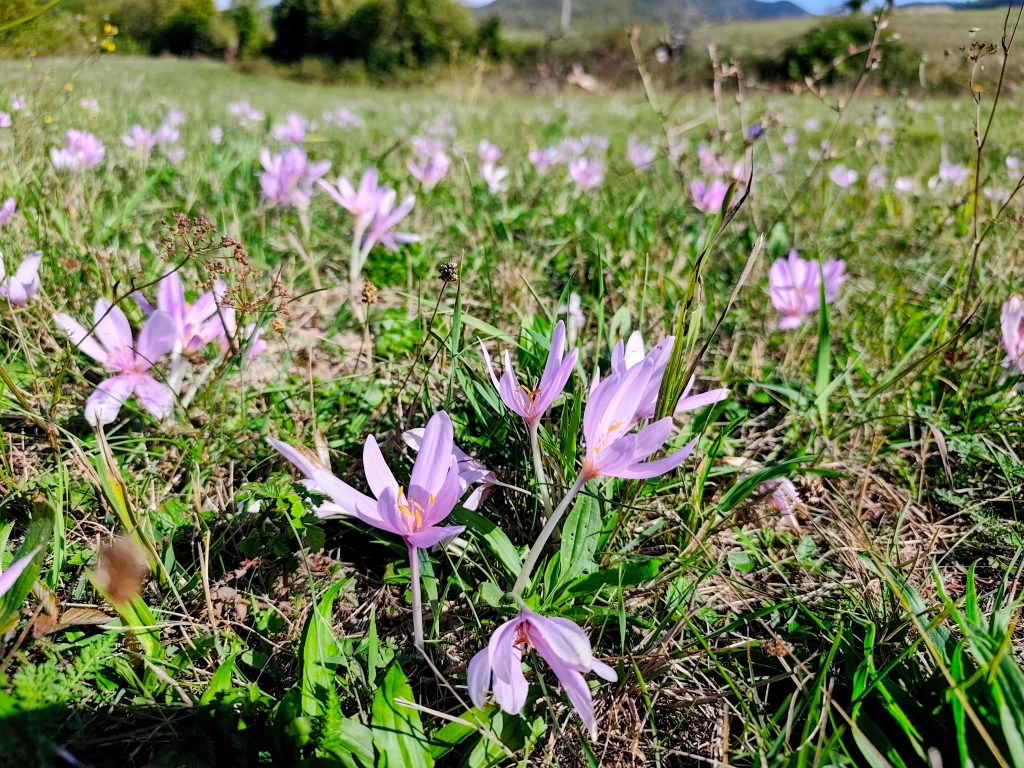
    It was just Dávid and me, so I entered “Uhrovecké Podhradie” into the GPS. Don’t trust the car’s navigation system! It led us to the end of the road and then tried to send us another 7 kilometers through the forest. After a quick look at the map, I managed to correct the destination, though we had already made a good half-hour detour. We didn’t drive right up to the foot of the castle; I chose a slightly longer route—after all, the weather was beautiful—so we walked across the meadows to Uhrovec instead. And the meadows rewarded us with lovely crocuses.

    Crocuses

    A hiking sign by the parking lot below the castle indicated it was a 45-minute walk to the top; Dávid took this as a challenge and practically ran up the hill. We reached the castle in 25 minutes—and even that was only because I couldn’t keep up. 😀

    On our way to castle

    Uhrovec Castle is located in the Strážov Mountains; it features a well-preserved chapel and towers, as well as a large palace where one can still see a fireplace, latrines, and cisterns.

    Castle entrance gate

    The castle was very well situated; consequently, it did not become a center of combat, and it is said that for this reason, it was never conquered.

    However, the castle lost its original function during the 18th century and began to fall into ruin after a fire in 1848. Currently, there are efforts to save and restore it.

    partially renovated building

    There is even a snack bar at the castle, and if you’re lucky, very friendly ladies will be frying up fresh langoše and doughnuts (we were lucky enough to have one of those langoš as an afternoon snack).

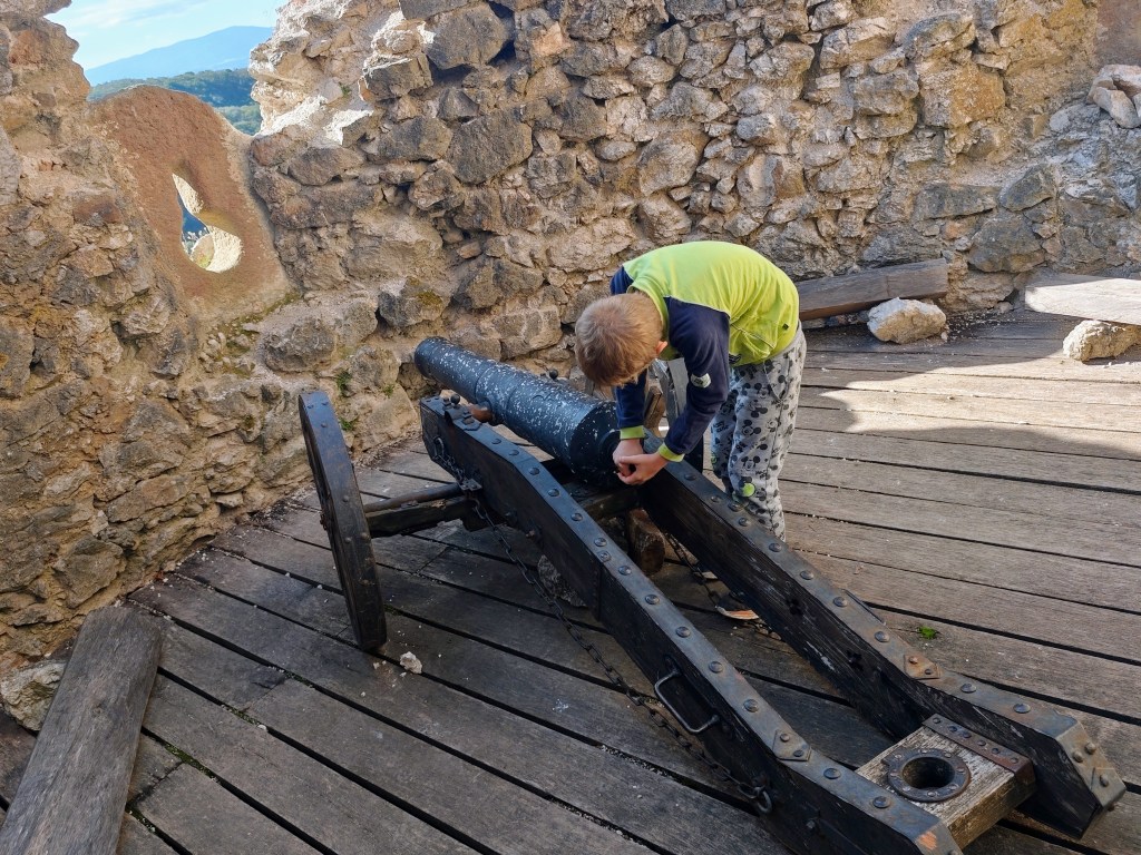
    Cannon and embrasure
    Castel ruins

    Dávid was 7 years old at the time of the trip.

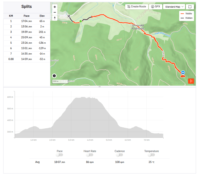
    7.88km, 2:22 active time, 3:00 total, 379 metre ascend
  • 5 lakes trail with Matterhorn views

    5 lakes trail with Matterhorn views

    We had two possible routes planned for today: a shorter one starting from Zermatt, going up past the five lakes and back to Zermatt, or a longer one extending all the way to Täsch.

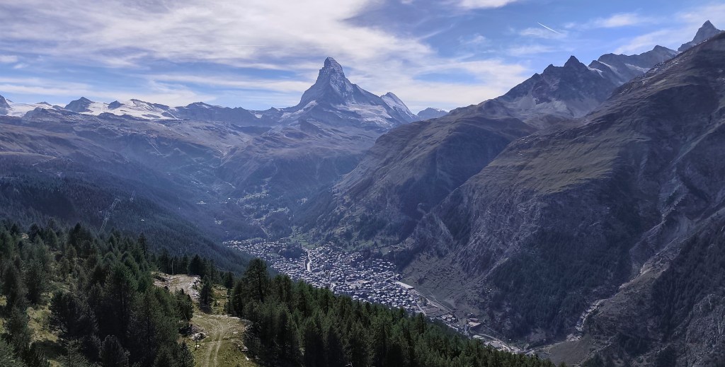
    Matterhorn training

    In the morning, we drove to Täsch—essentially the last point accessible by car; beyond that, you can only travel on foot or by the Zermatt train. Since we had big plans for the day, we opted for the train. It operates as a shuttle service running every half hour.

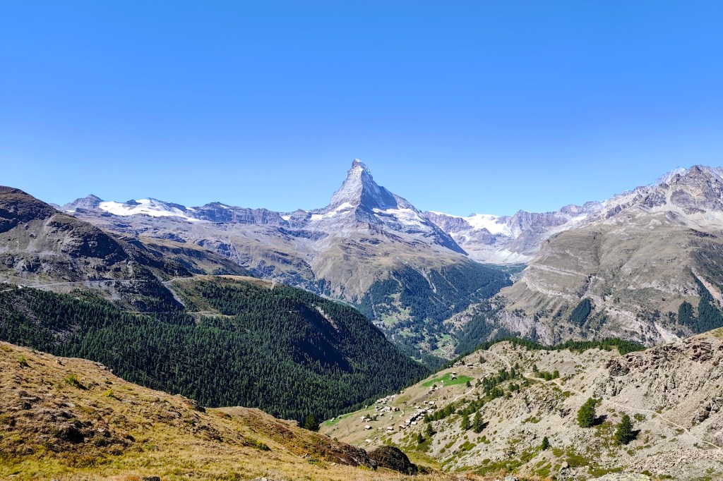
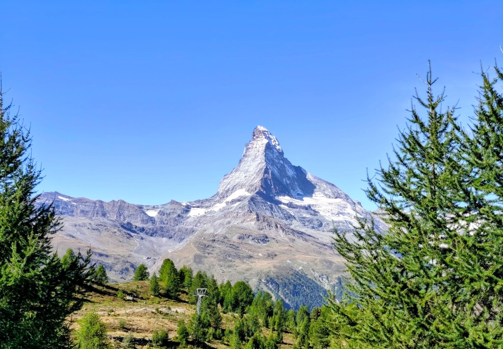
    First view on Matterhorn

    In Zermatt, we waited for the guys running the Ultra Trail Monte Rosa, cheered them on, and then headed towards the mountains 🙂

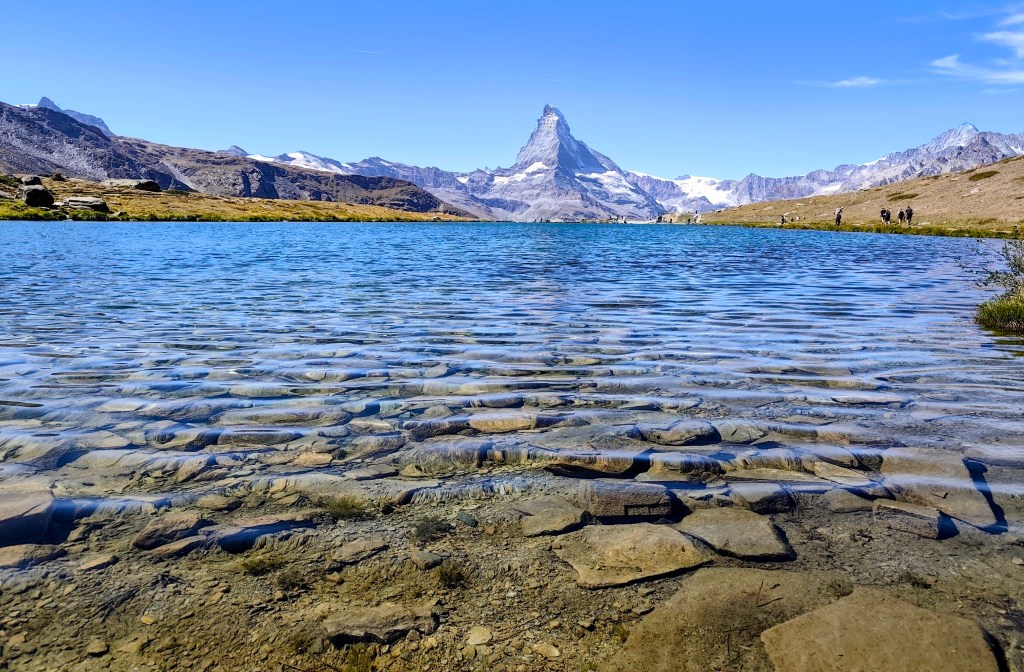
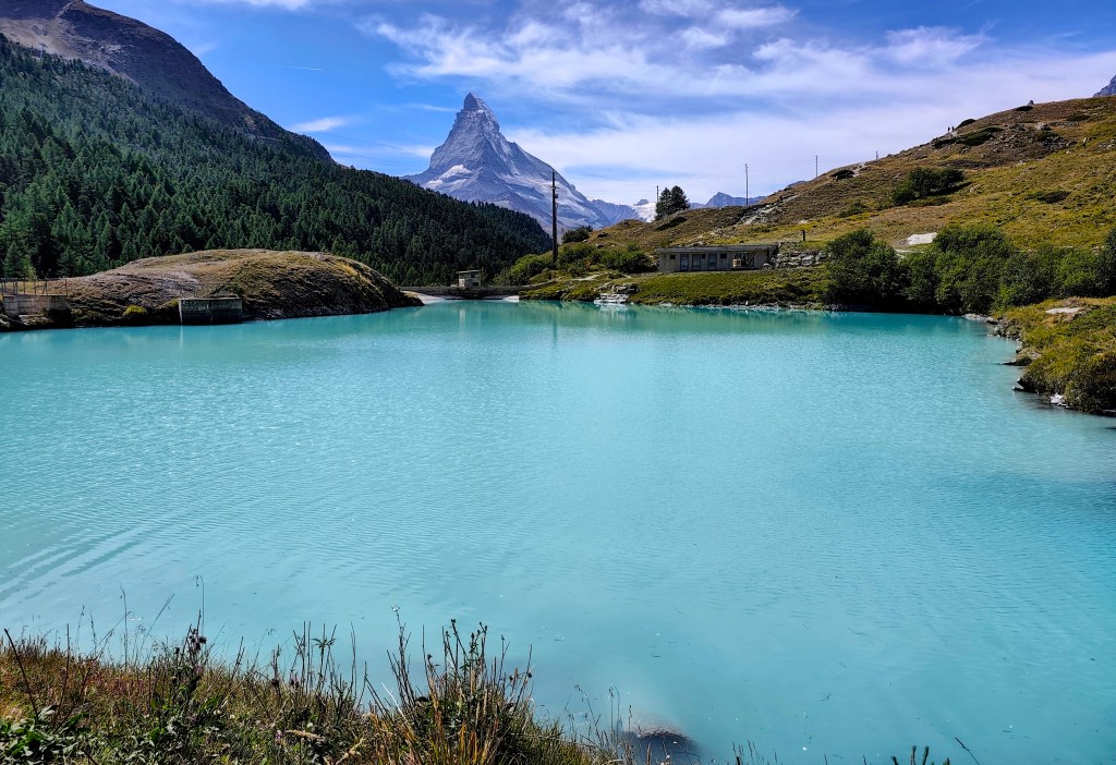
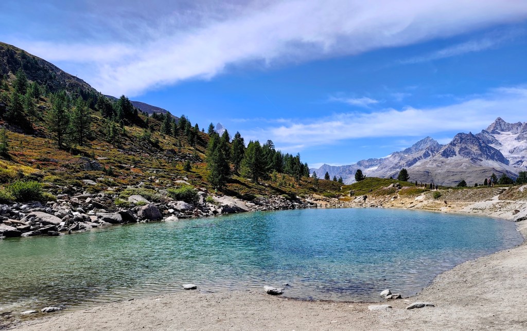
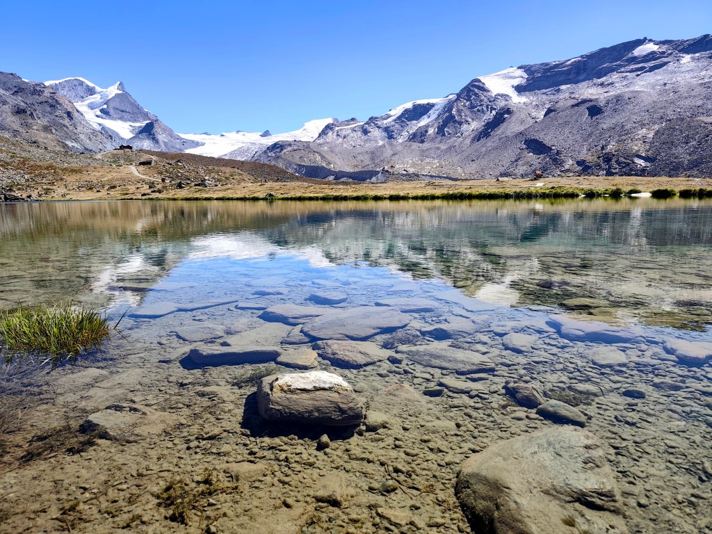
    Crystal-clear water reflecting the hills

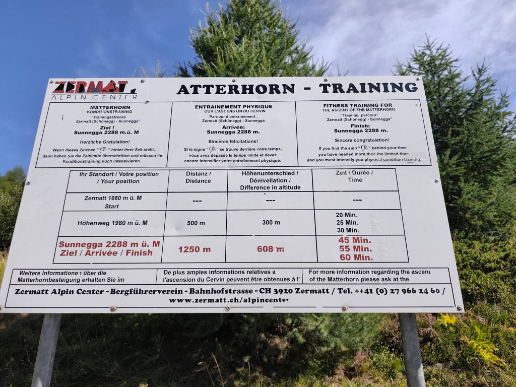
    Our first challenge was a training route for the Matterhorn—a 1.1 km-long path from Zermatt to the Sunnegga cable car station. What makes it a training route is the 600-meter elevation gain from start to finish; it is truly steep!

    If you complete it in under 45 minutes, you’re “Matterhorn fit”; 55 minutes is borderline, and anything over 60 minutes puts you out of the running. I managed to hike it in 34 and a half minutes, though I was only carrying a fully packed running backpack—which probably doesn’t count as Matterhorn gear 🙂

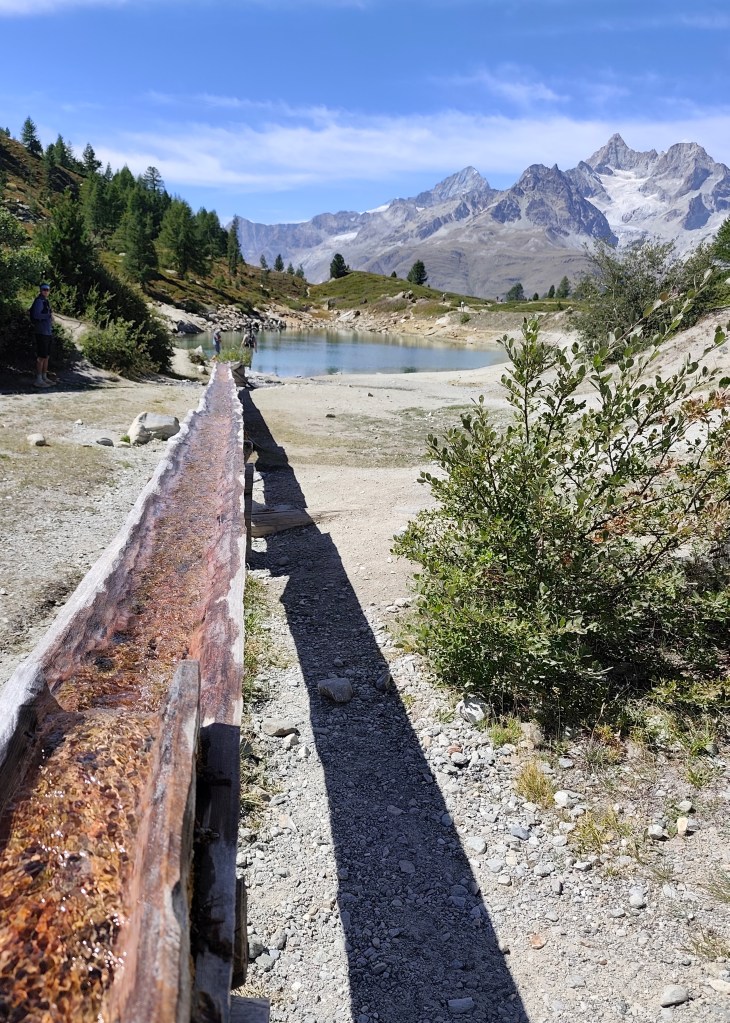
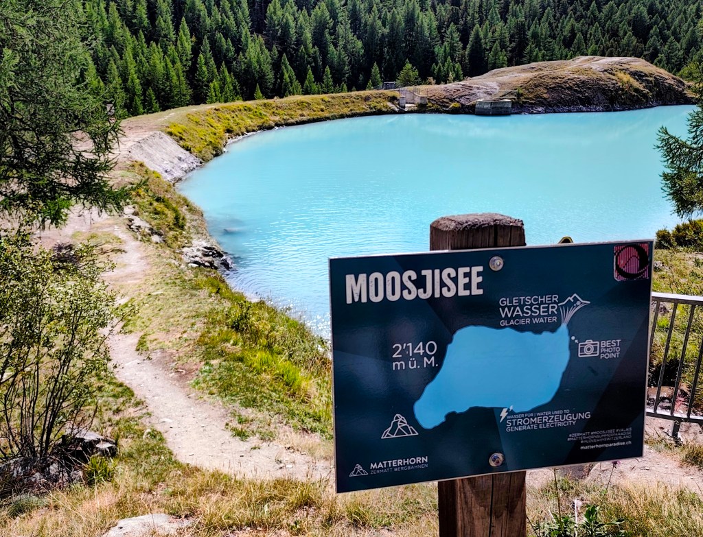
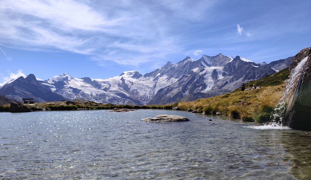
    Glacier water inMoosjisee

    The 5-Lakes Trail starts at Sunnega—taking in Tellisee, Grindjisee, Grünsee, Moosjisee, and Leisee—though I couldn’t say for sure which is which anymore 🙂

    The circuit around them is 10 kilometers long, and you can even swim in two of them. This loop offers beautiful views of the Matterhorn.

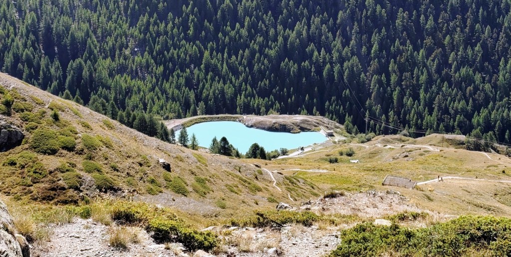
    A lake where you can swimm

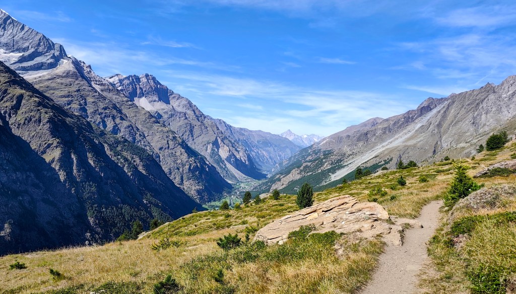
    Since we still had time and the will, we decided to save the 8-franc train fare and walk to Täsch instead. It’s a fantastic, scenic walk, as you spend most of the time above the tree line. One section was a bit unsettling due to the risk of rockfalls; along a stretch of about 900 meters, there were four shelters where one could take cover should such a slide occur. Fortunately, nothing happened while we were there.

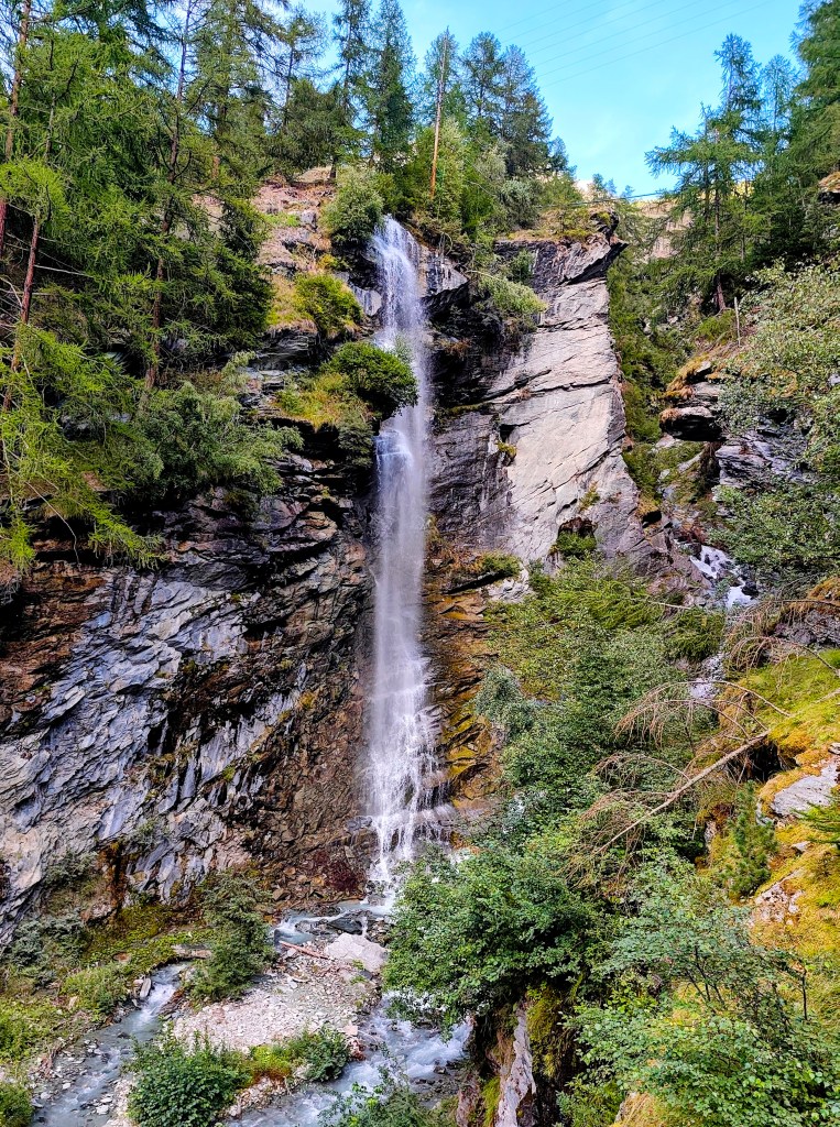
    And as a final bonus, there was a beautiful waterfall at the beginning of Tasch.

    Tasch Waterfall
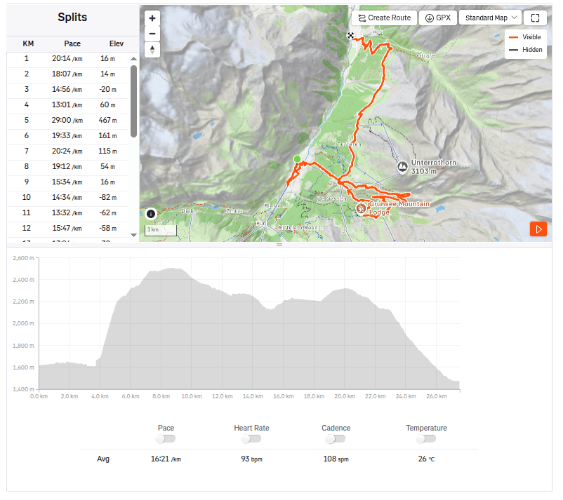
    27.5km, 7:30 active time, 9:59 total, 1319 metres ascend
  • Europahutte and one of Europe’s longest suspension bridges (Switzerland 2026)

    Europahutte and one of Europe’s longest suspension bridges (Switzerland 2026)

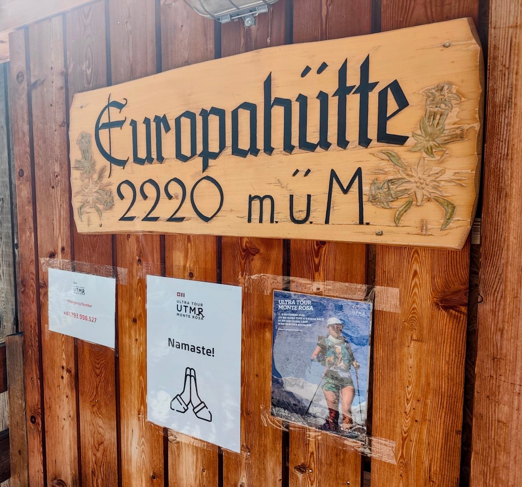
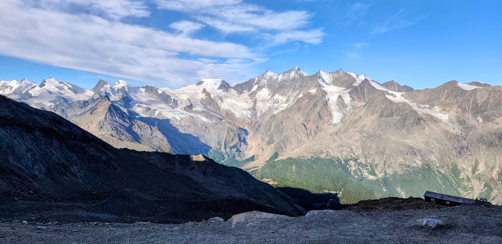
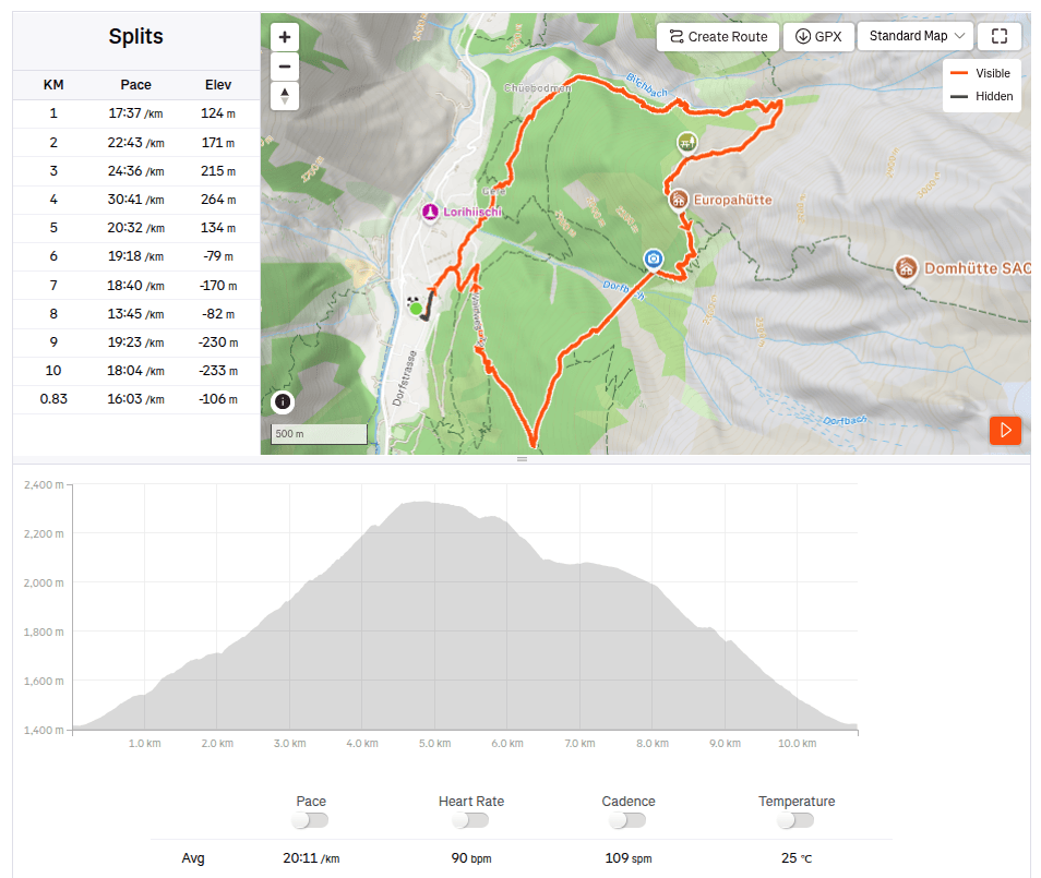
    We set off in the morning from the village of Randa towards the Europahütte. The Europahütte was built by the Randa community in 1999; it offers accommodation for up to 42 people, serves meals, and boasts a beautiful view from the terrace.

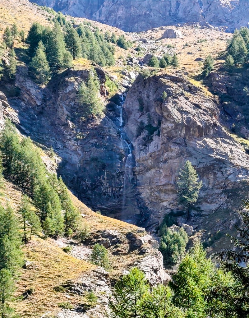
    waterfalls above Chuebodmen

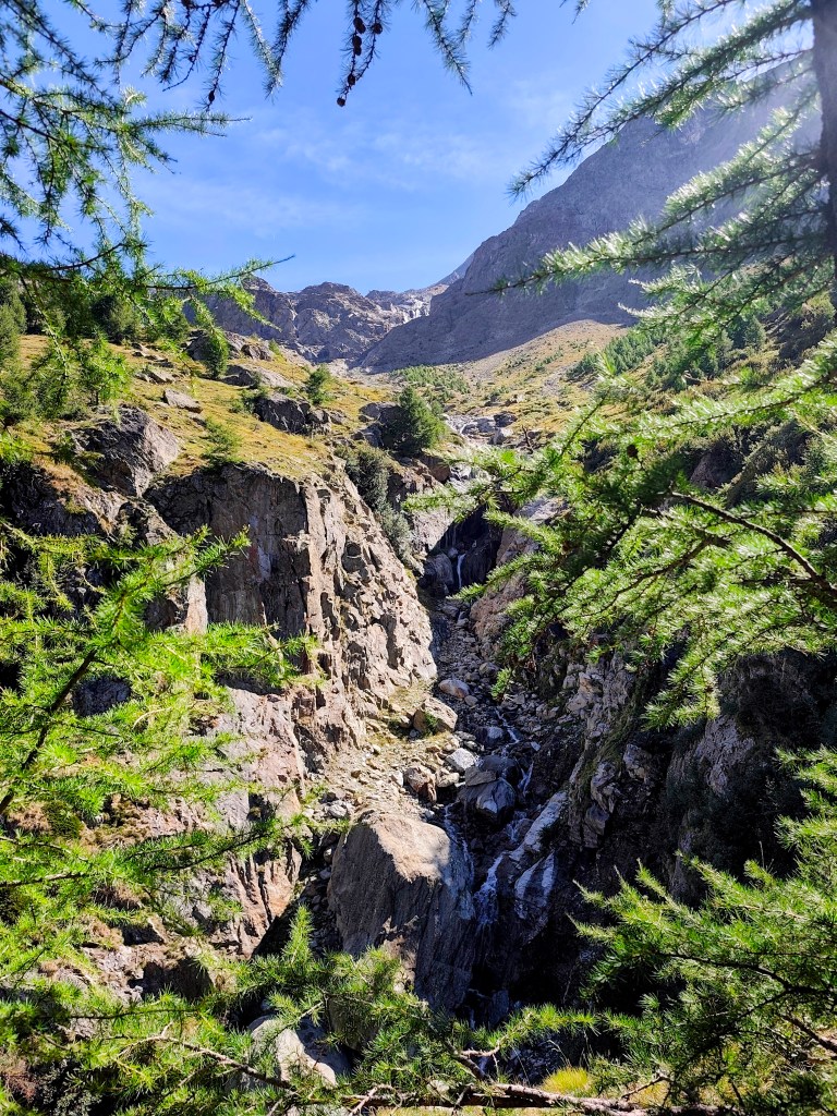
    The Europahütte can be reached via several hiking trails; we chose the route through Chuebodmen, followed by an ascent along the Birchbach stream, which features several waterfalls.

    Waterfall

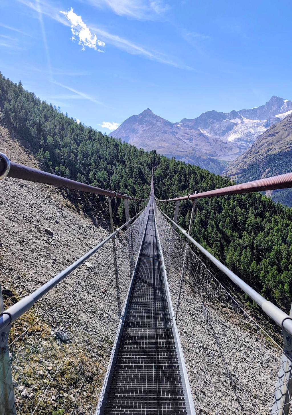
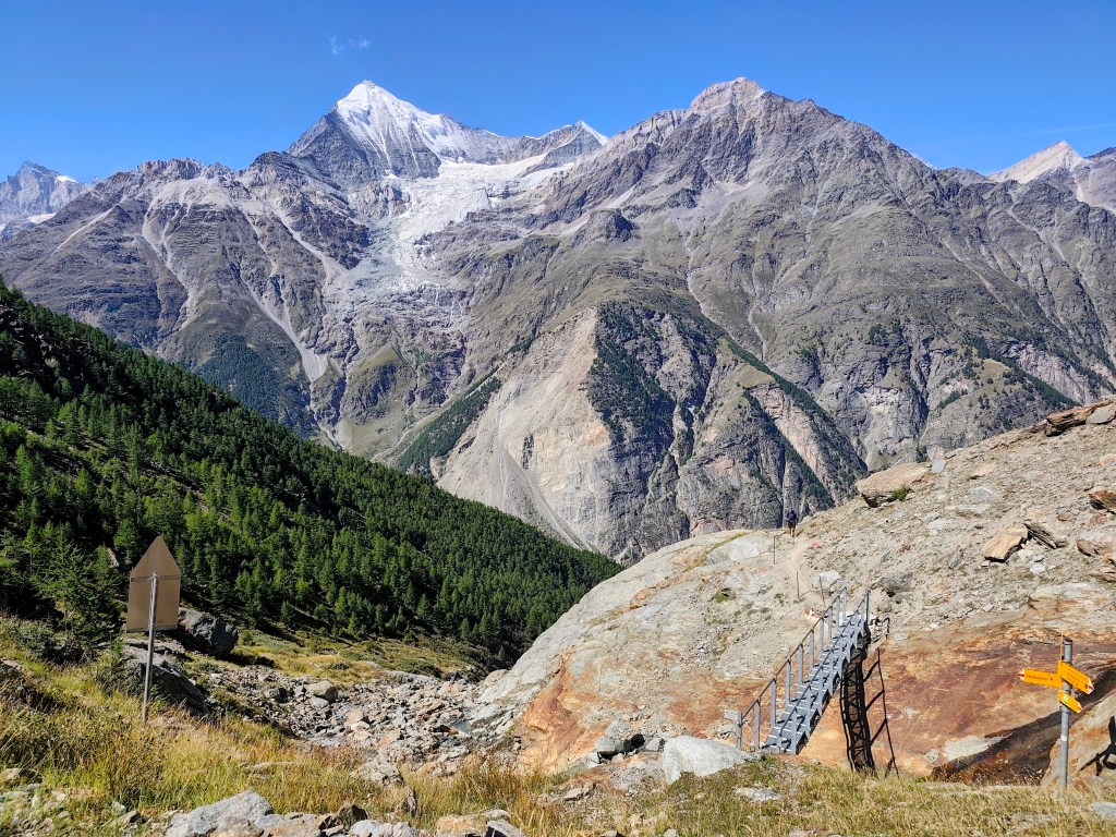
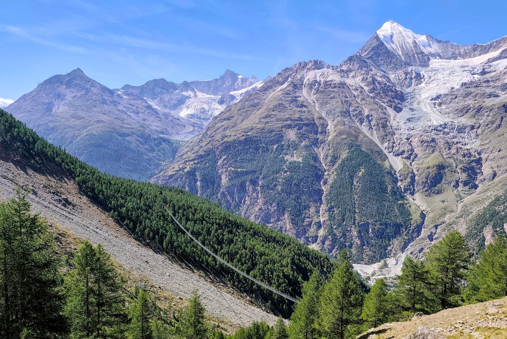
    From Europahütte, we descend to the Charles Kuonen Suspension Bridge (which is no longer the longest, though it held that title for five years).

    The climb is done; the Europahütte is just around the corner.
    A modern metal bridge replaced the original wooden one here.
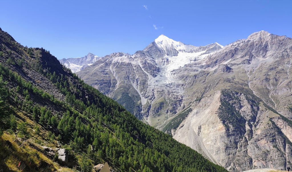
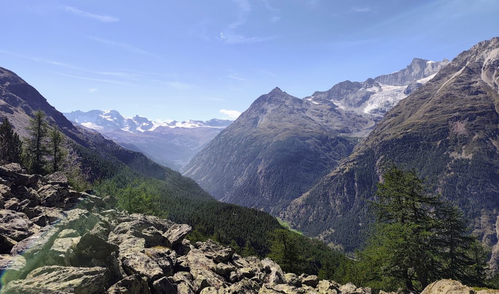
    View to the Zermatt valley
    Europahutte

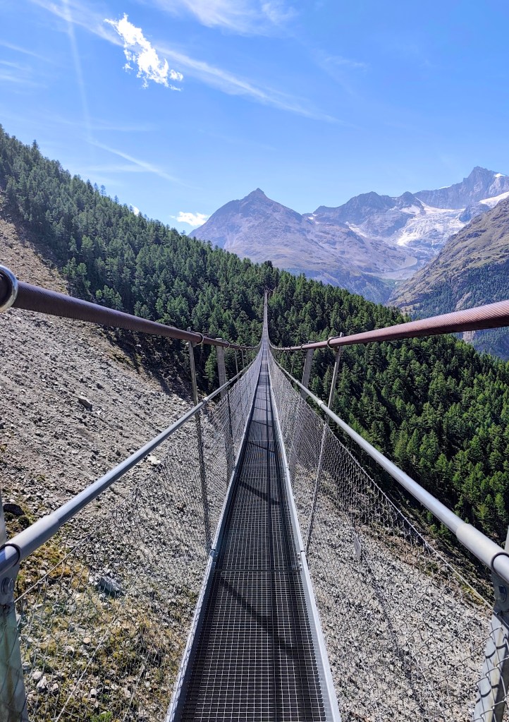
    The suspension bridge measures 500 meters in length, with an 85-meter drop beneath its deepest point. It opened in 2017 to replace the Europabrücke bridge; seven years earlier, that bridge had been destroyed by a rockslide after just two months of operation, forcing hikers to descend 500 meters into the valley—which made the route less attractive and caused visitor numbers to drop.

    The suspension bridge
    Seemingly endless

    Surprisingly, the construction of the bridge took a local company only two and a half months. Incidentally, Charles Kuonen is the owner of a local winery and was the main sponsor of the bridge’s construction.

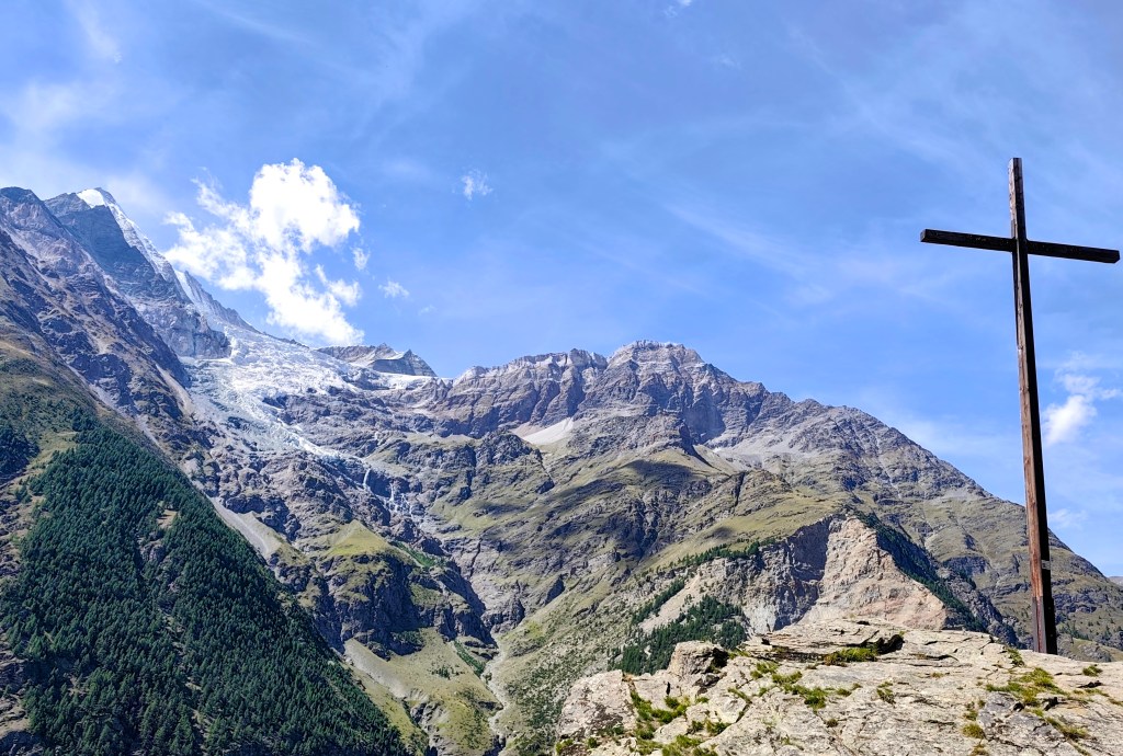
    On the way down, we could still admire the views of the glaciers. Who knows how much longer they’ll be there?
    10.83km, 3:38 moving time, 4:37 total, 949 meters ascend
  • Jegihorn (Switzerland 2026)

    Jegihorn (Switzerland 2026)

    In the morning, we drove from Grächen to Saas-Grund, where we bought one-way cable car tickets to Hohsaas (the adult fare was 37 francs). The cable car took us from an altitude of 1,550 meters up to a stunning 3,140 meters, saving us half a day of hiking 🙂

    View from the upper cable car station

    Not far from the cable car, you will find the Hochsaas mountain hut as well as a circular trail that took us past the 18 peaks of the Saas Valley that rise above 4,000 meters.

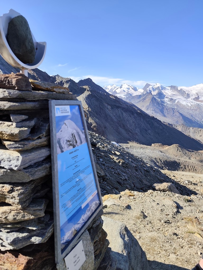
    There are information boards here where we could read about the specific characteristics of the peaks, as well as historical milestones—such as when a particular peak was first summited.

    Mattmark in the background

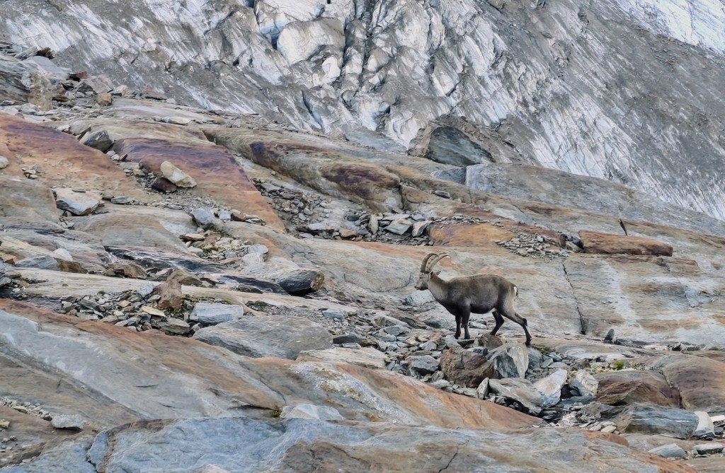
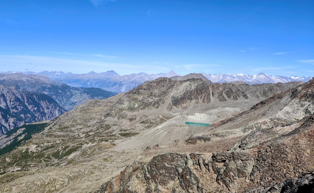
    We also walked past a small glacial lake, and a young capricorn posed for us; it wasn’t afraid of us at all and allowed us to approach within just about 20 meters.

    Capricorn

    The next item on the itinerary was Jegihorn, which I was a bit affraid of, as the maps marked it not as a hiking trail, but as an easy climbing route.

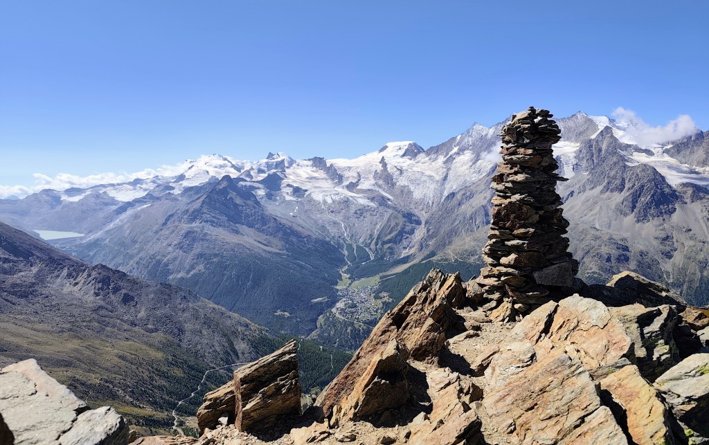
    From Jegihorn

    By the way, the highest via ferrata in Switzerland also leads up it. Jegihorn stands over 3,200 meters tall and offers a magnificent panoramic view of the surrounding area.

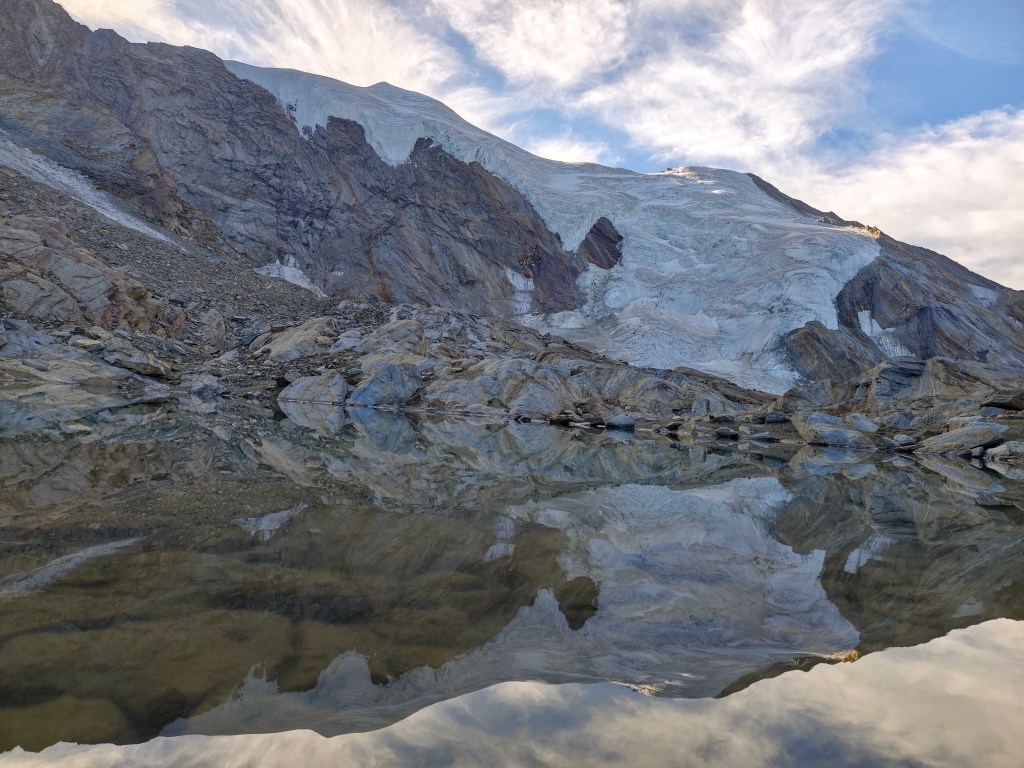
    Glacial lake – Fellsee

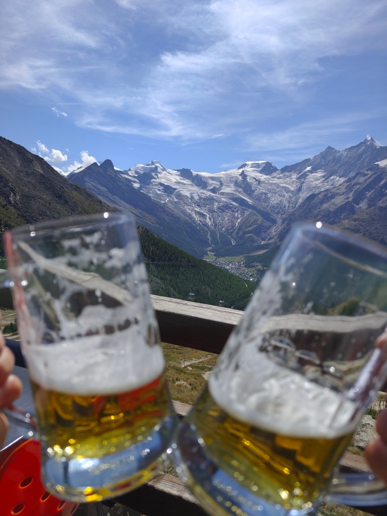
    We descend from Jegihorn to Kreuzboden, admire the reflection of the mountains in the small lake, and enjoy our only draft beer of the entire trip to Switzerland 🙂

    View on Saas Fee
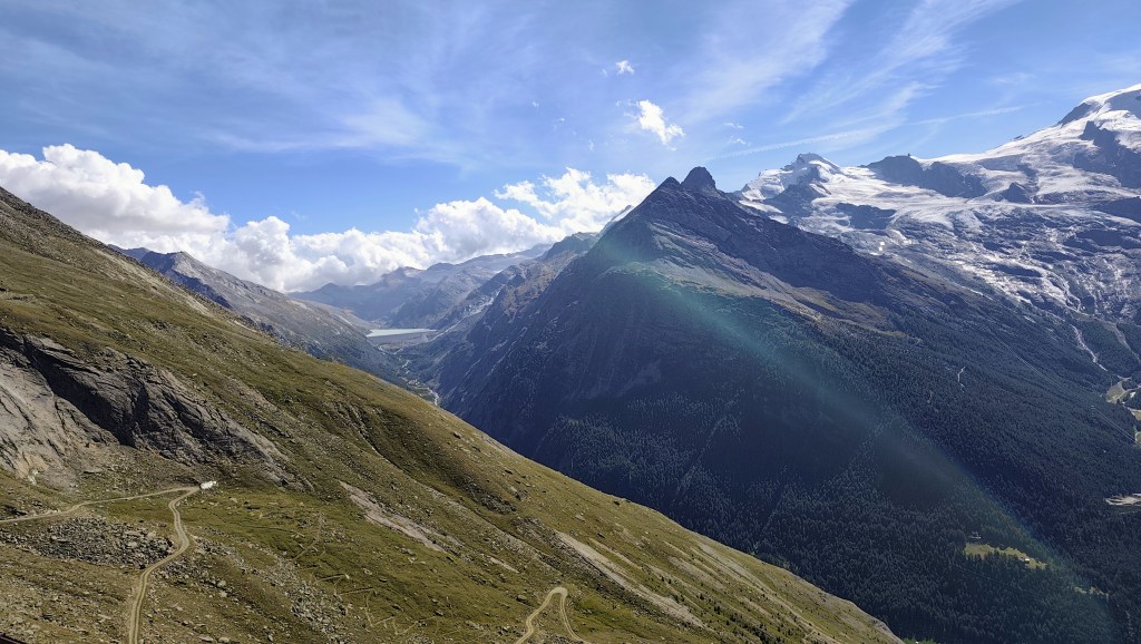
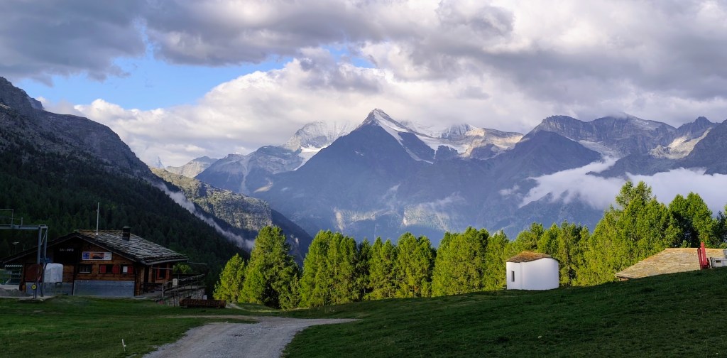
    One of the most beautiful views of the 4,000-meter peaks above the Saas Valley.

    We aren’t ready to head home just yet, though, so we opt for a detour via the Alpenblumenpromenade towards AlmagellerAlp.

    On the Alpenblumenpromenade

    Along the way, we are also treated to a view of the Mattmark Reservoir. We return to Saas-Almagell via the “Adventure Trail”—a route that is technically more demanding but far more interesting.

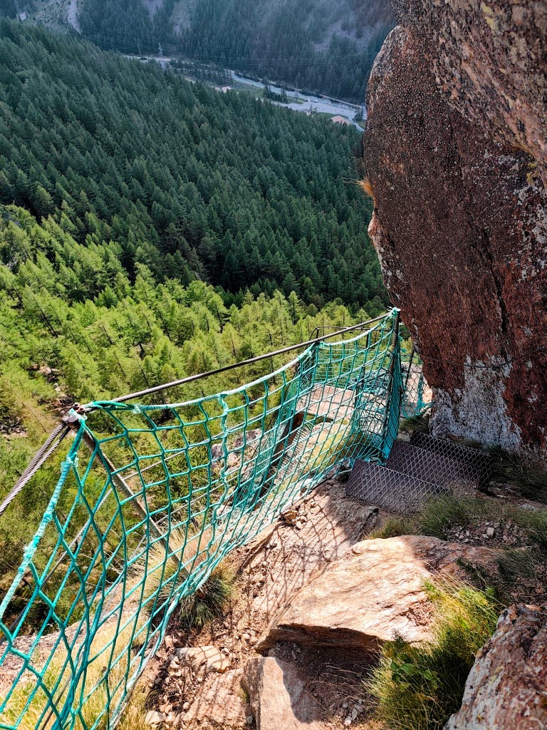
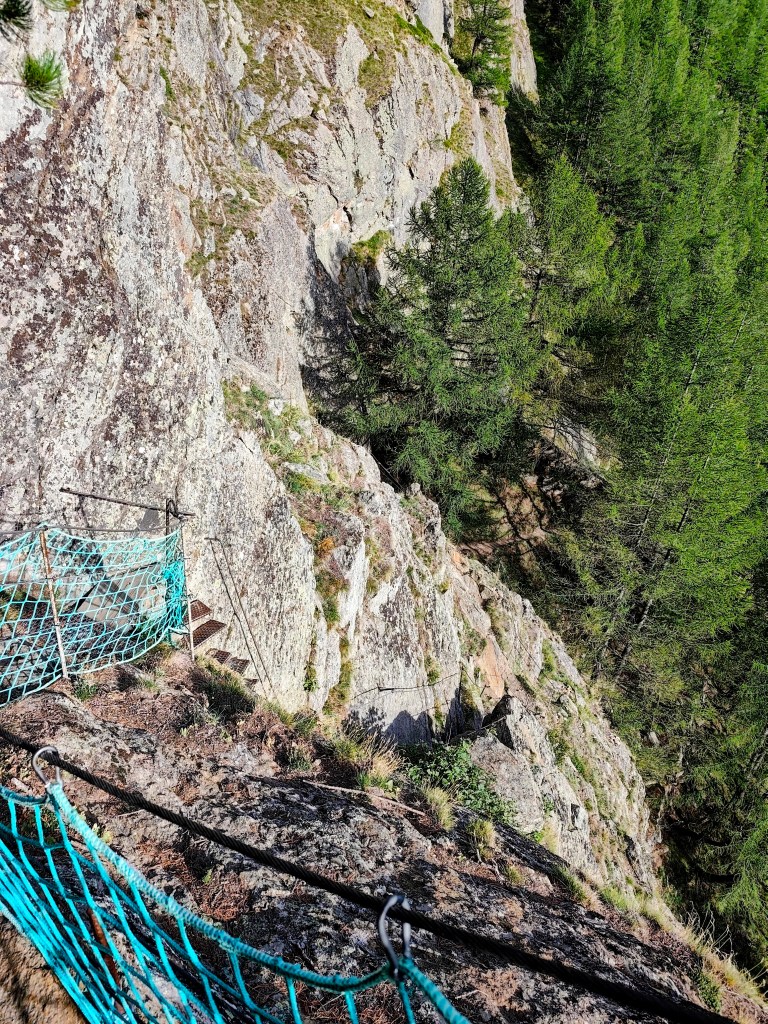
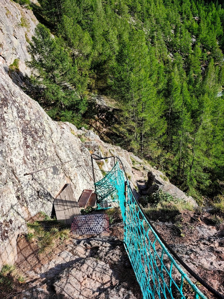
    It leads across two suspension bridges, ladders, and peg-style steps, making for a fantastic finale to a great day.

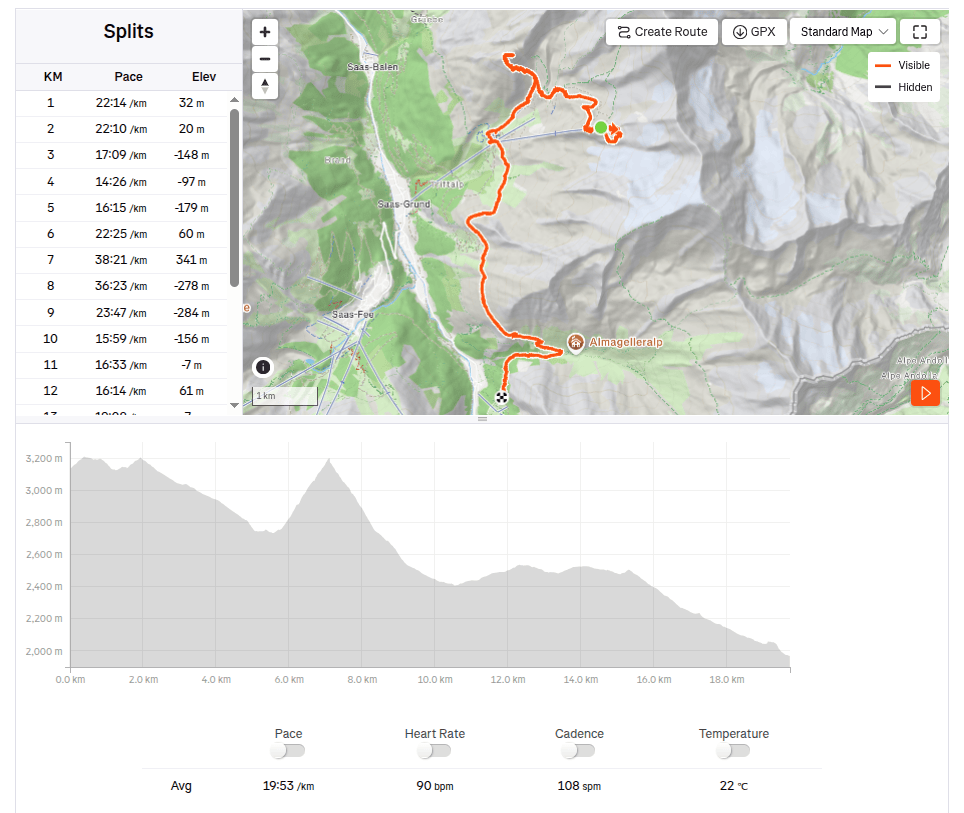
    19.73km, 6:32 moving time, 9:07 total, 918m ascend
  • Wannehorn (Switzerland 2026)

    Wannehorn (Switzerland 2026)

    Wannehorn rises to an elevation of 2,669 meters above sea level, towering over the village of Grächen in the Swiss canton of Valais. In good conditions, it offers a panoramic view of the surrounding area.

    HannigAlp

    We set out from Grächen in the morning and hiked up to Hannigalp (which is also accessible by cable car); after navigating a few switchbacks, we reached the ridge, revealing views of the neighboring valley. Cranberries and blueberries grew all around us, and most of them were beautifully ripe.

    View to Saas Valley

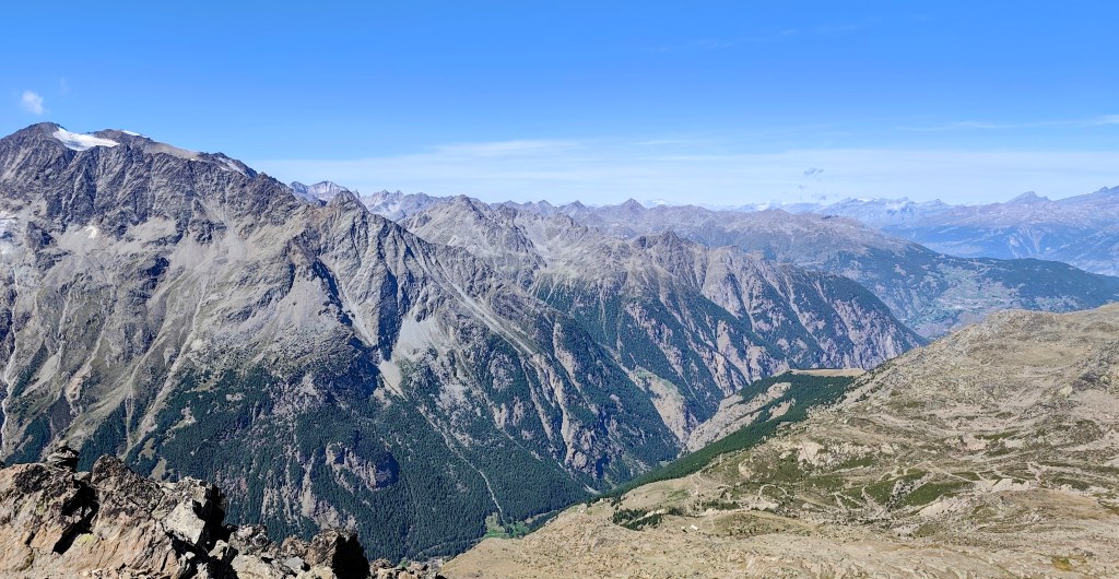
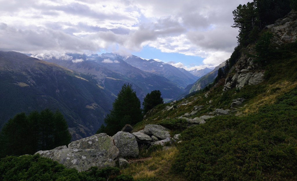
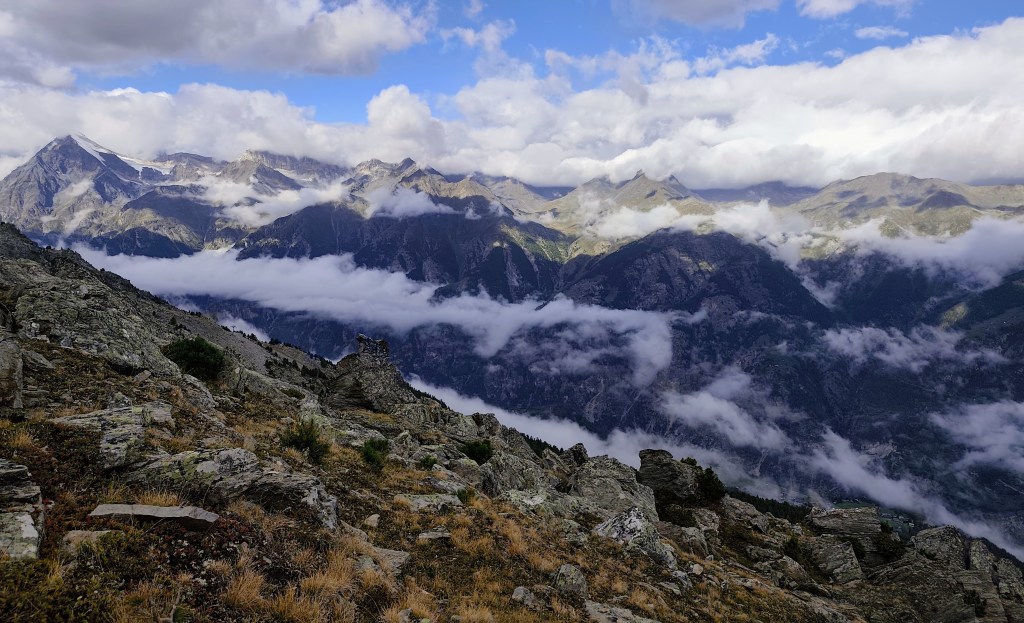
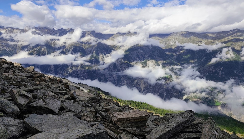
    A little higher up, however, the vegetation disappeared, and the path led across rocks and scree. We were unlucky that day, as a cloud rolled over the summit just as we arrived, so there were no views to speak of—the only thing we could see was the cross at the top.

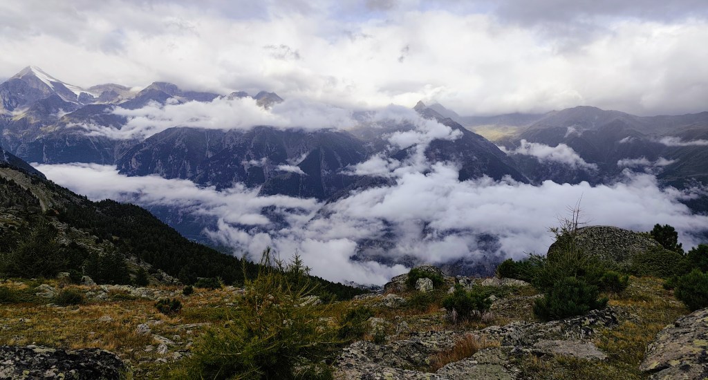
    Clouds partially obscured the views.

    We had planned to reach Grächan via a loop beneath Seetalhorn, but the original hiking trail was closed due to a rockslide and a high risk of further falling rocks. We therefore chose to bypass this dangerous area, even though it meant gaining elevation again.

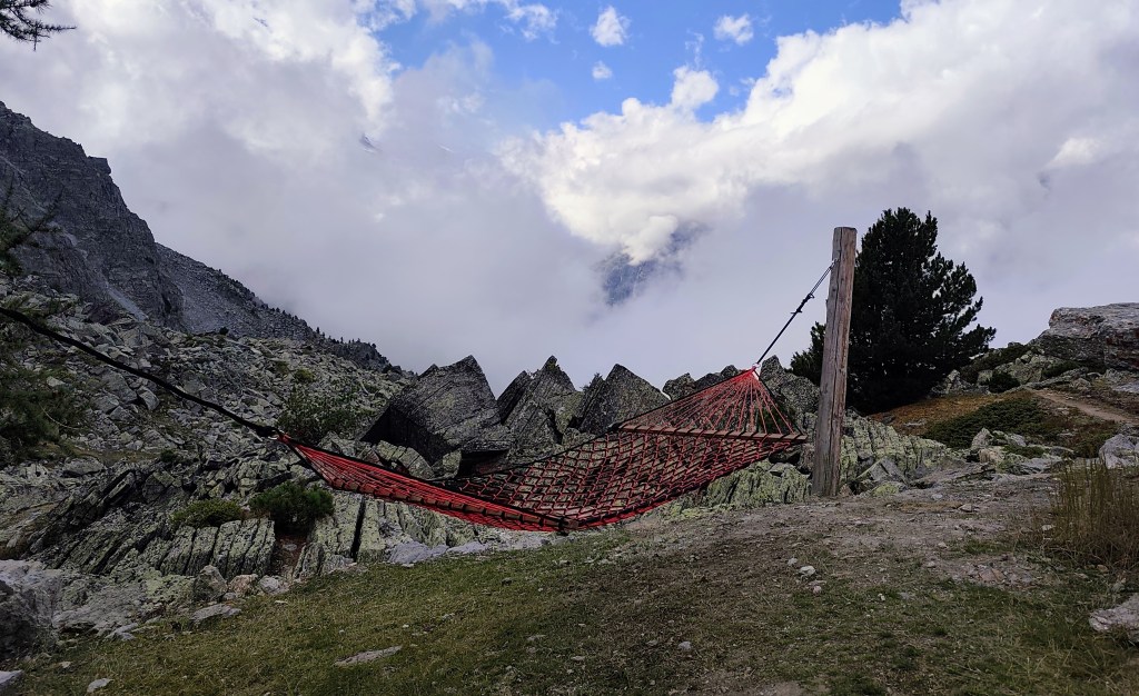
    On the way back to Grächan, we came across two more viewpoints, and this time the view really opened up. At one spot, we were even able to relax in a hammock.

    Relaxation spot under Seetalhorn

    We were returning past the “Zum See” pond, which is located just above the village of Grächen.

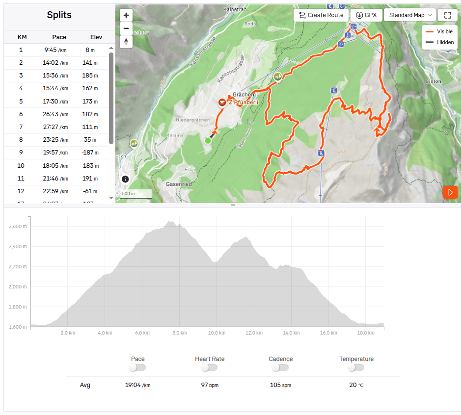
    18.97km, 6:01 active time, 8:27 total, 1441 meters ascend
  • Bojnice, Remata with David

    Bojnice, Remata with David

    In an effort to minimize screen time and maximize quality time spent together (ideally outdoors), I look for all kind of possibilities for trips. This time, the main target was the Čajka observation tower overlooking Bojnice.

    Čajka in the clouds

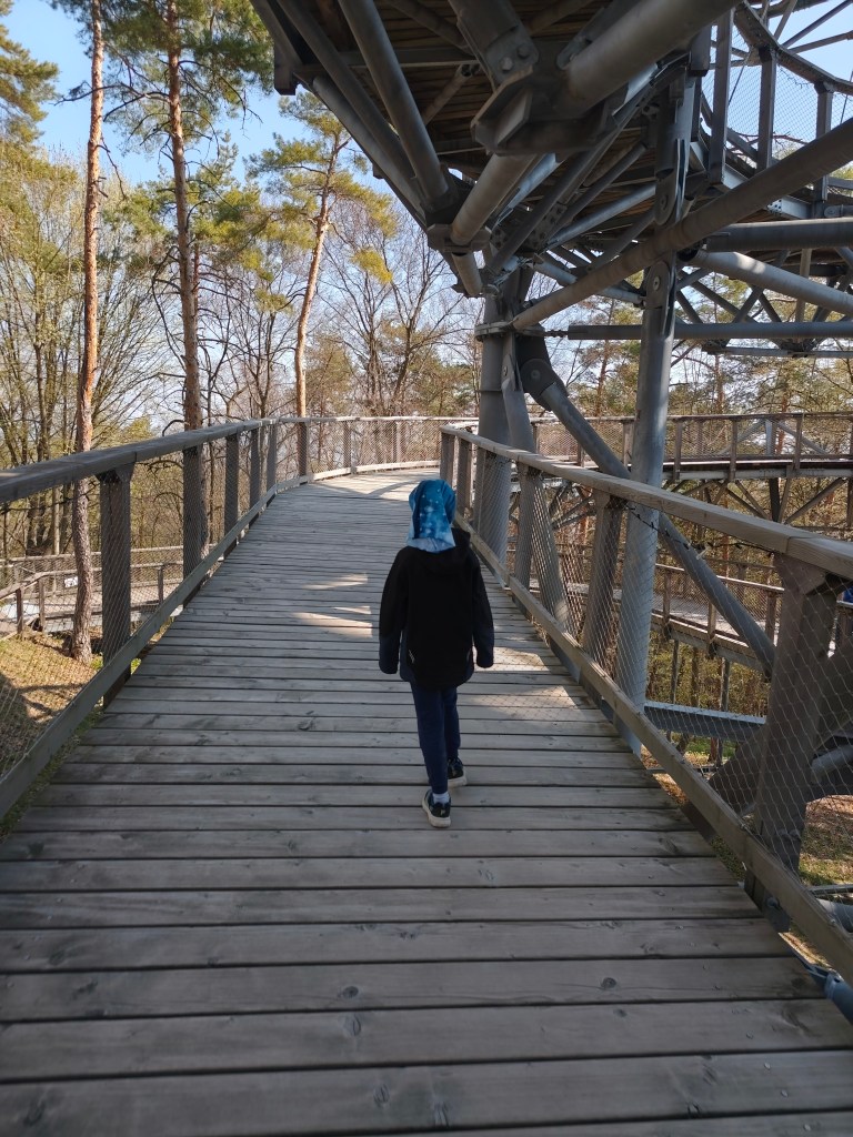
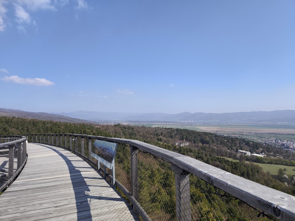
    Its total height is 30 meters and a wooden footbridge leads to its top. it offers really beautiful views, but in my opinion, the entrance fee for this attraction is set relatively high (12 euros/person), considering that we went around it in about half an hour.

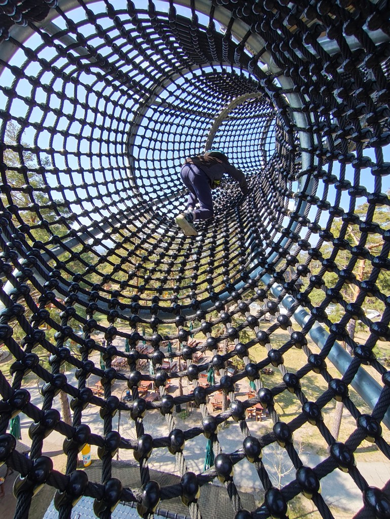
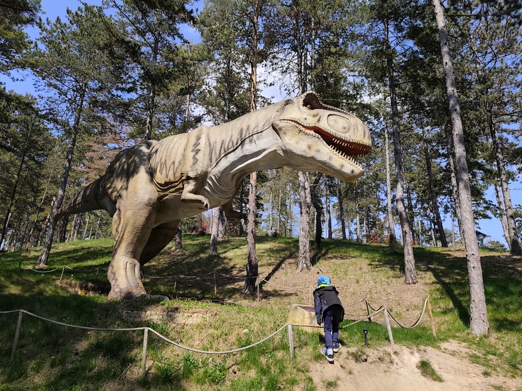
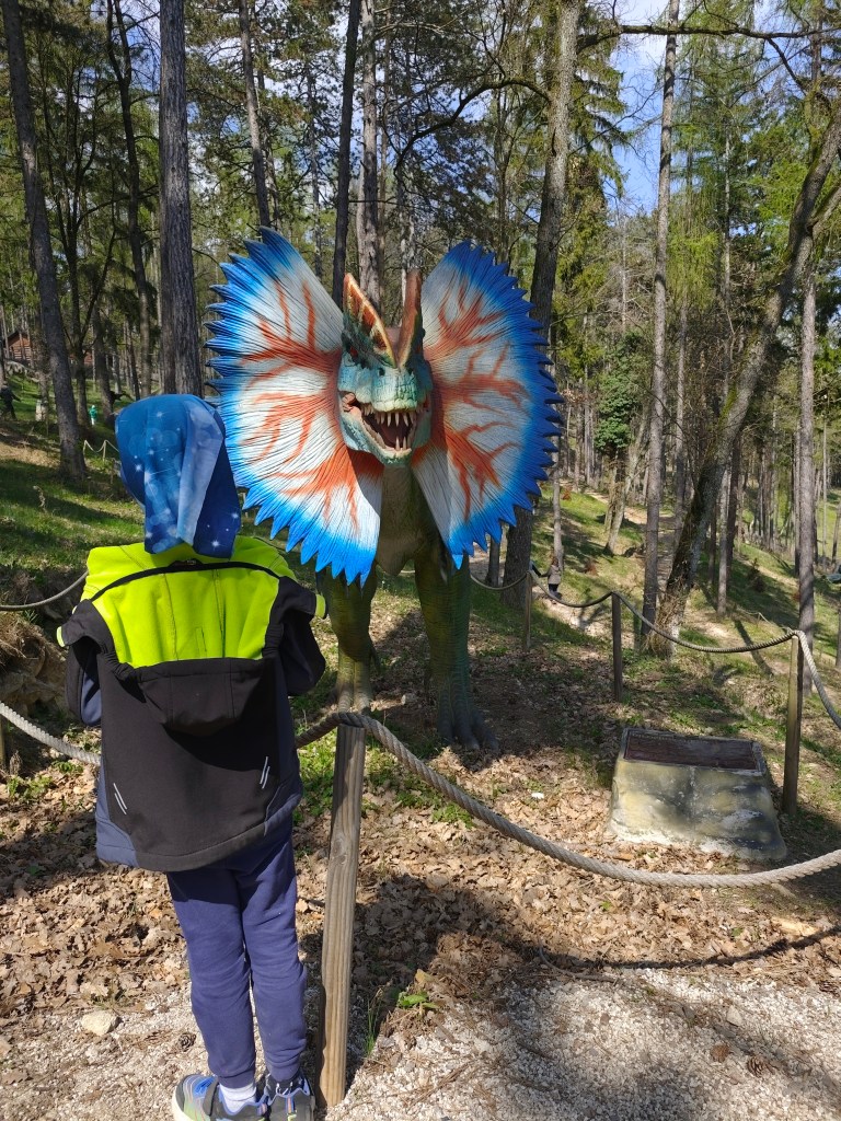
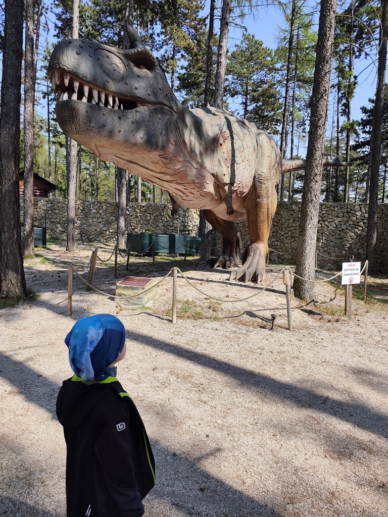
    But a big bonus for us was the adjacent children’s playground, which is really huge. And not far from Čajka there is also a dinopark, which of course we couldn’t just bypass (also 12 euros/person).

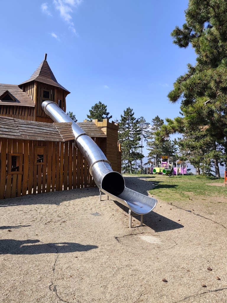
    The playground also included such a great castle with a sled, which even I couldn’t miss

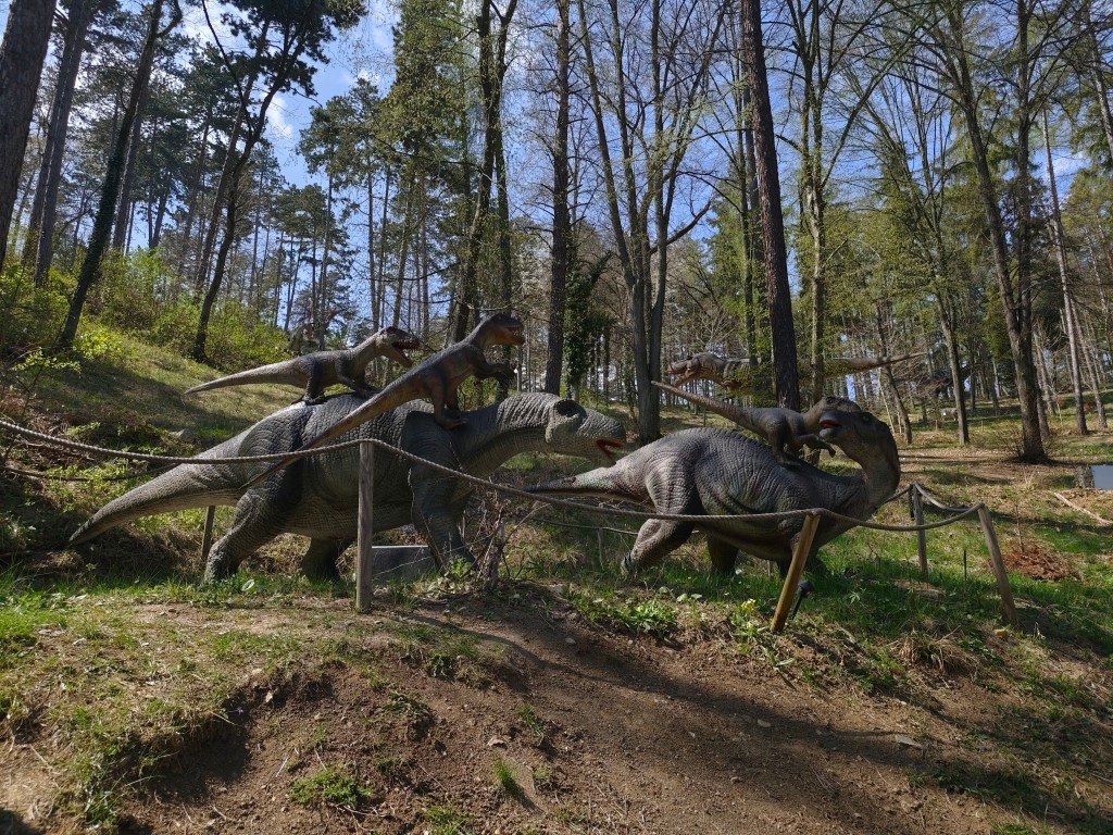
    However, we really liked the Dinopark, it was vast, with more than 100 exhibits, some of which were really huge. We liked that the paths led through the forest, which enhanced the atmosphere. Dinosaurs moved and made sounds.

    Dinopark

    We walked here for more than an hour and if we had other plans, I believe we would have had something to fight for another hour. For us, better minute money compared to the lookout tower.

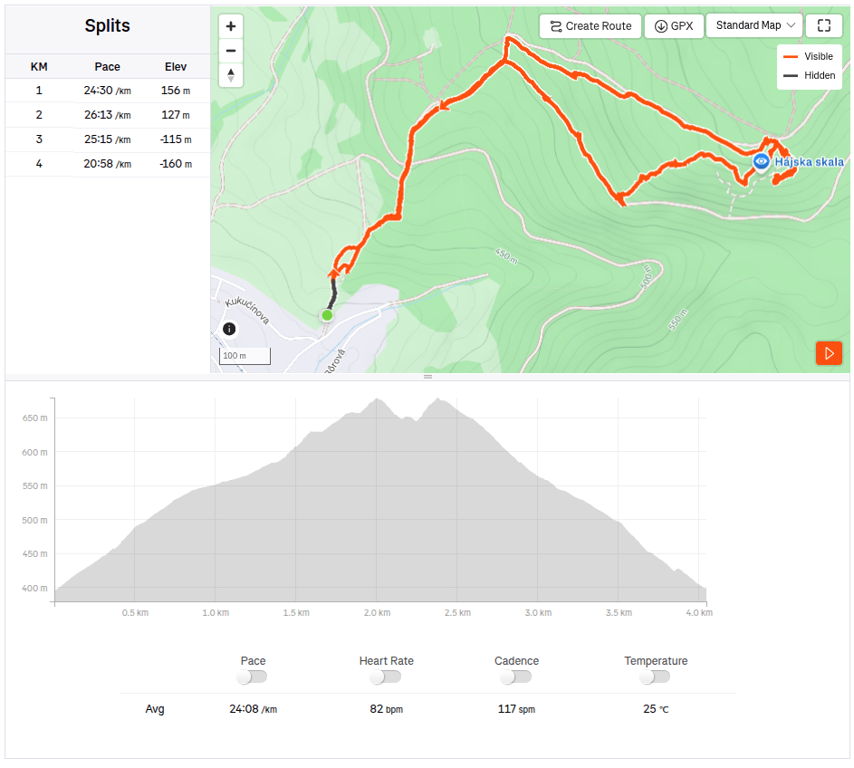
    On the way to Remata, where we had arranged accommodation, we had one more stop – Hájska skala above the village of Ráztočno. It’s about 2 kilometers to Hájska skala, but you have to climb quite a hill to get the great view.

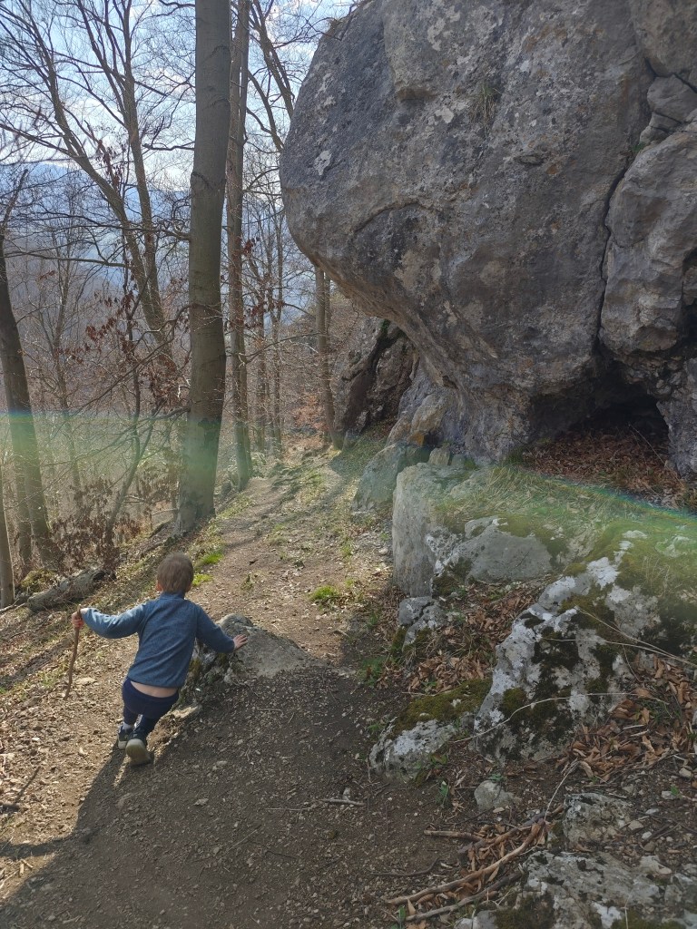
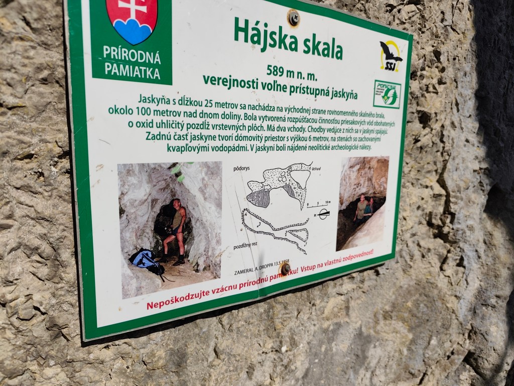
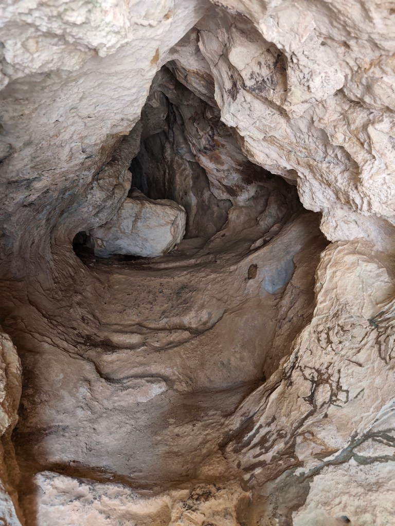
    Under the Hájská rock is also the Hájska cave – the only freely accessible cave in the Žar Mountains, it is 25 meters long with a 6-meter-high dome.

    Entrance to the cave
    4km, 1h 53 min, 320 meter ascend

    We slept at the Poniklec cottage. It is tourist accommodation in a “retro” style – but fully sufficient for us, and I must say that we slept like babies, curled up in fragrant duvets and woke up an hour later than we usually wake up:)

    On the way to Bralova skala

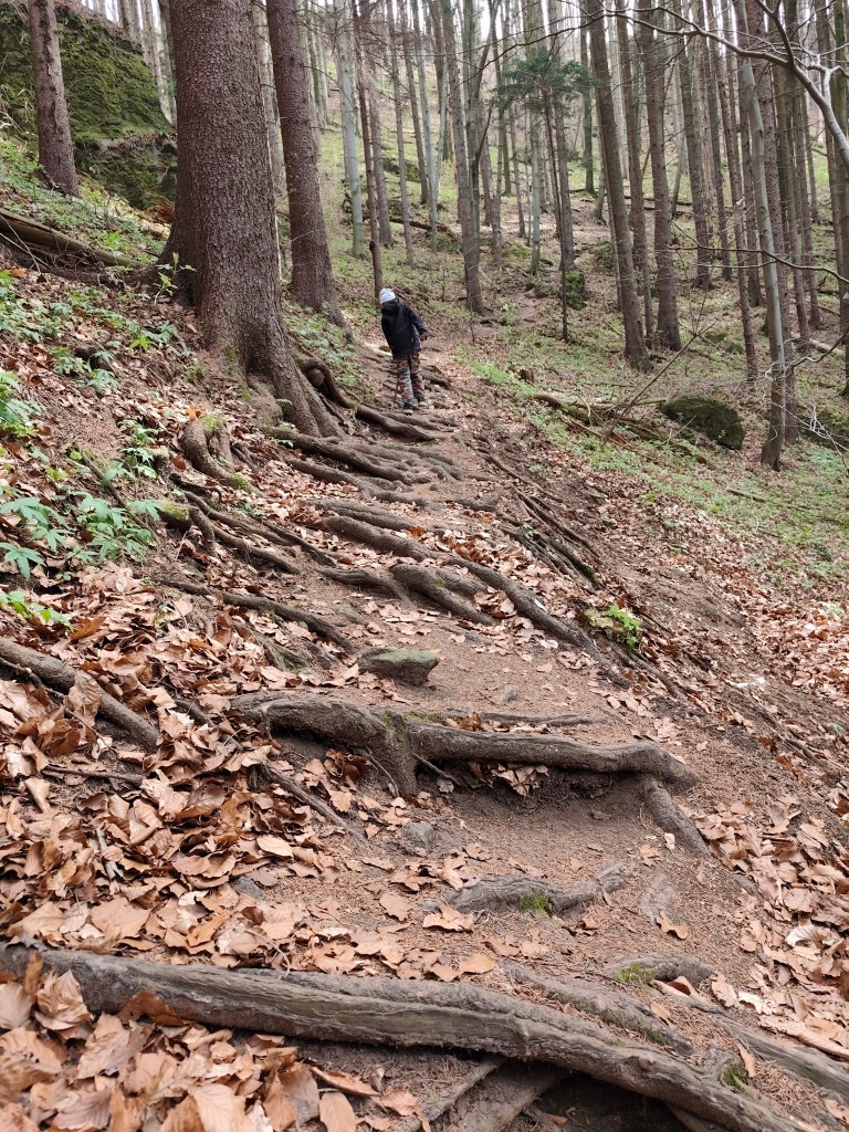
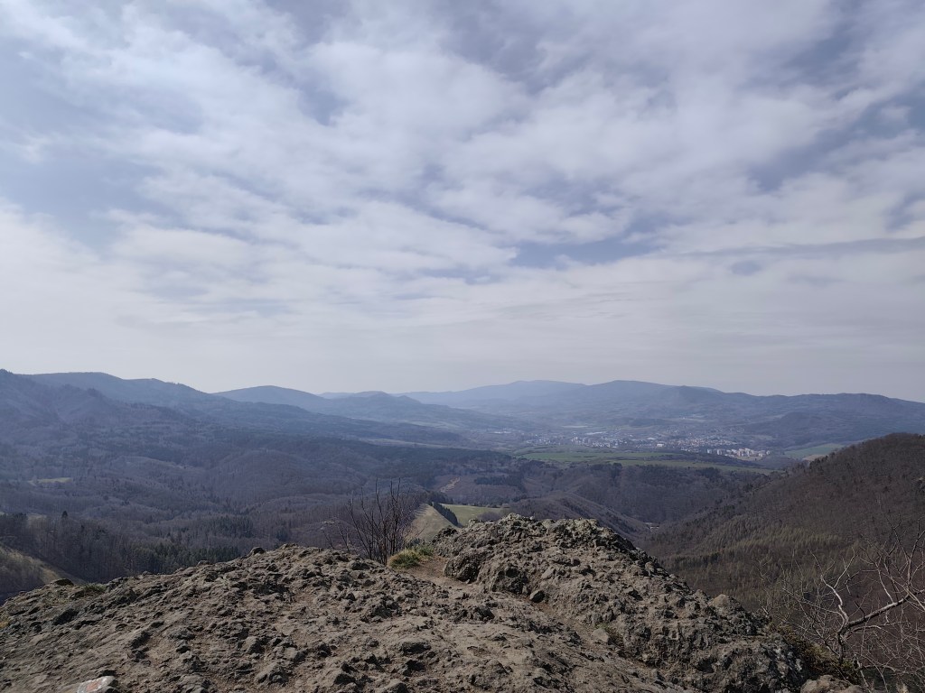
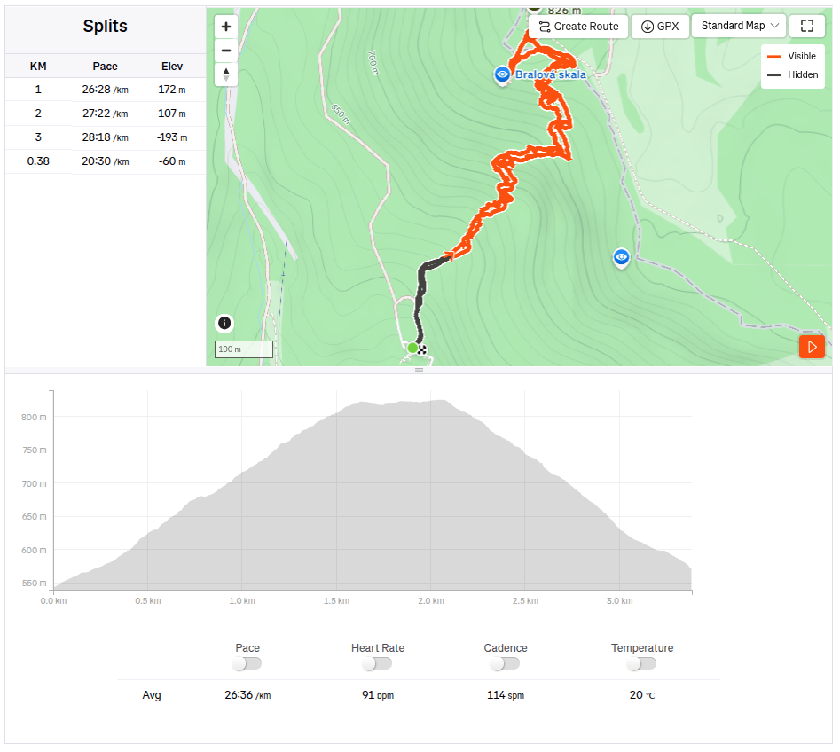
    The next day we went to see the Bralová skala, whose rocky cliff offers a very good view of the Handlovská and Turčianska basins, the Kremnické vrchy, Vtáčnik, or even Malá and Veľká Fatra. The ascent was only less than 2 kilometers long, but at the end it was quite steep.

    Bralova skala

    We ended the weekend with a visit to Rematské ornamental ponds – it is an agro-tourism area, it offers fishing, a great children’s playground, a mini-farm and a zipline. David really liked it here. He was 6 years old at that time.
    3.38km, 1h 46min, 280 meter ascend
  • Chata pod Suchým with David

    Chata pod Suchým with David

    Our first sleepover together at a mountain hut, where we had to carry everything we needed on our own backs. Great adventure in Mala Fatra.

    An ordinary thing for someone, for us it was something really big, Dávid packed his own backpack for the first time (lego and sweets, he obviously knows what’s important:) ) and I packed two people in one backpack for the first time.

    Starhrad

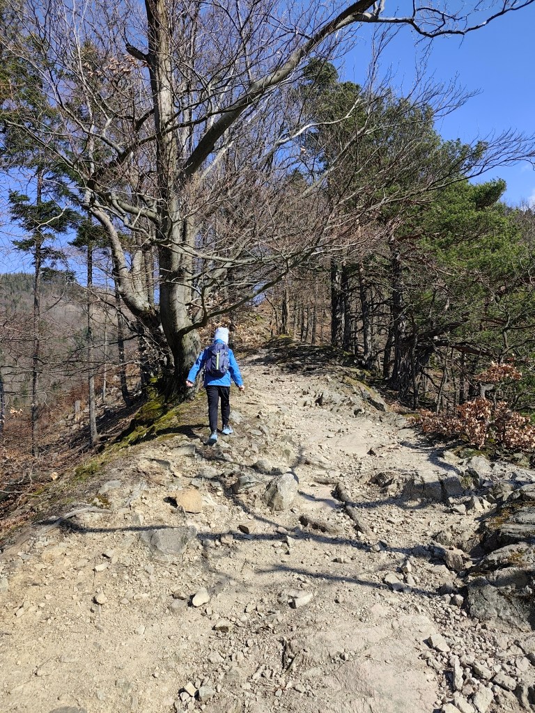
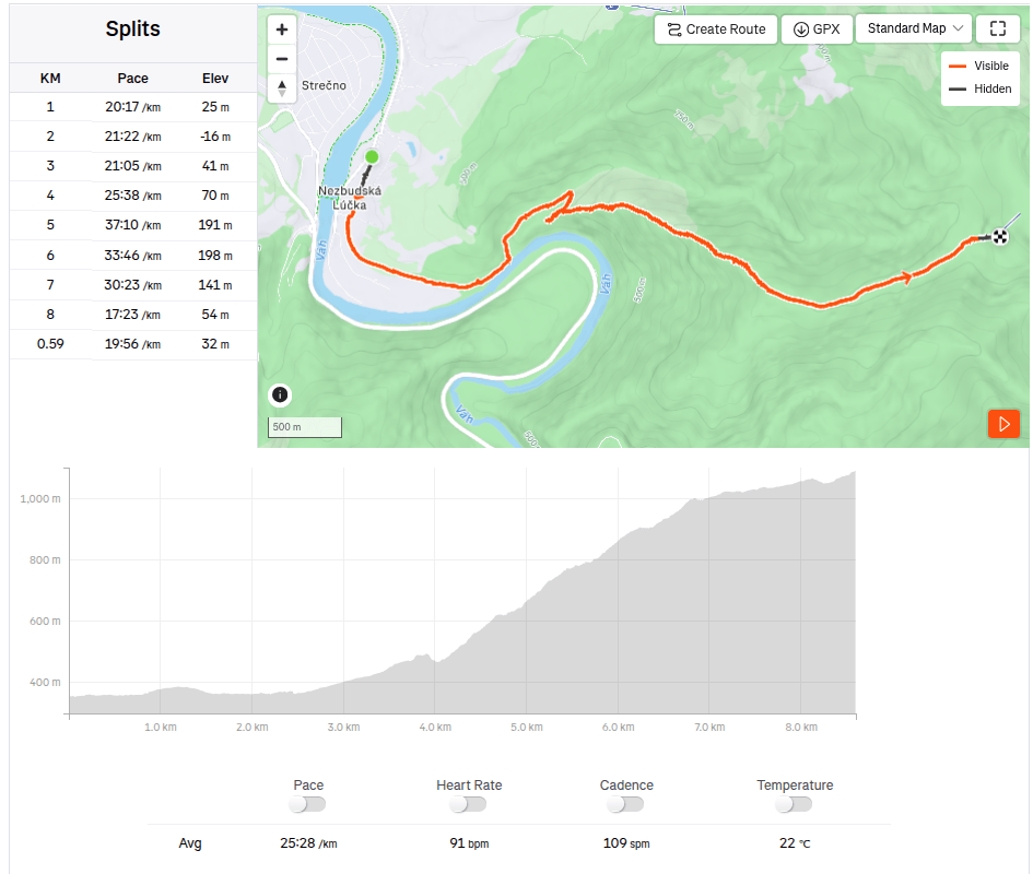
    Several hiking trails lead to Chata pod Suchým, and I chose the one from Nezbudská Lúčka around the ruins of Starhrad. We came to Nezbudská Lúčka by train, and from there it is 8.6 km and a healthy 931 meters of altitude up to the cottage.

    Ruins of Starhrad

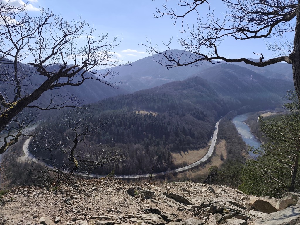
    Starhrad is located opposite of Strečno Castle, on the other bank of the Váh River above the Domašínsky meander. The castle has preserved the masonry and layout of a medieval castle. The tower is still preserved up to the height of the second floor. To the west of it, the remains of the palace are visible, and the other damaged walls trace the terrain of the rock cliff.The original windows and entrances have been preserved in some places. A part of the Gothic bay window can be seen on the palace. There is a beautiful view from the ruins. It is an ideal place to take a break and strengthen before the most demanding part of the ascent to the hut.

    This is followed by a really steep climb up to the Plešel hill, during which I heard “when will we be at the cottage?” about 47 times.

    steep climb begins

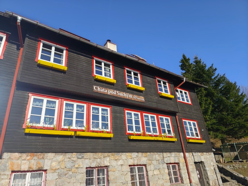
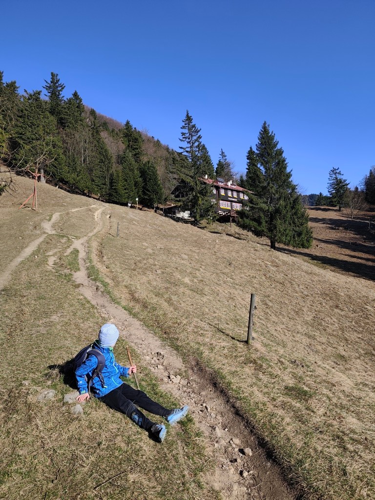
    The cottage itself is located at an altitude of 1075 m.a.s.l., under Suchý Hill. The original cottage was from 1938, the cottage was a two-story building with an attic, it was built in a very modern style and there were a total of 80 beds in the tastefully furnished rooms and the common dormitory. The generator-lit cottage also had a dining room and a kitchen where tourists could prepare their meals. There was also water supply. However, this cottage was set on fire by German soldiers in 1944, it burned for 25 hours and the cottagers were not allowed to put it out.

    View on Váh

    Only the foundations and the chimney remained from the original cottage, the construction of the new one began in 1947. First, the construction of the farm building began. The beginnings were very difficult, they lived in a tent, later in a lumberjack’s hut. The material was transported from Strečno on wagons under the Starhrad, there was a transshipment area covered with a tarpaulin, and from there it was carried up by people and mules along the sidewalks. The cottage was completed in the summer of 1949. It was almost identical to the first cottage, just without front windows in the attic part, as the gable roof was replaced with a symmetrical one.

    We made it

    The current cottage offers a year-round kitchen and tourist rooms with shared bathroom facilities. Since the electricity is supplied by a generator, everything goes out at 10 and even hot water is only available in a limited amount 🙂

    But it was a wonderful experience for us that we managed the ascent together and enjoyed our stay even with such “uncomfortable” conditions for the modern world.

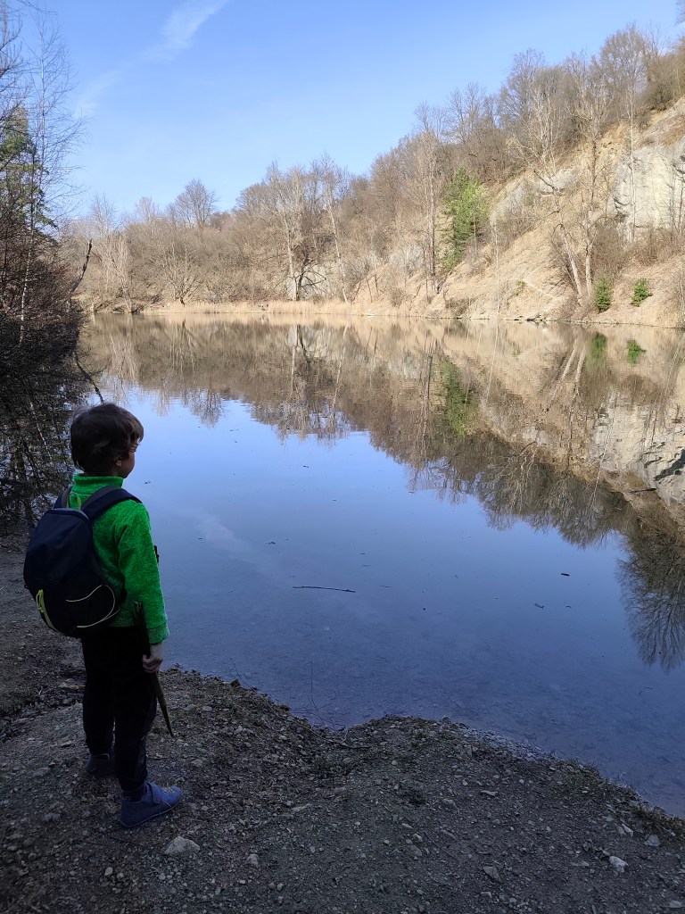
    The next day we literally ran down and therefore we had some time to see the Nezbud quarry before the train – it is a flooded quarry where asphalt crumb was once mined, it has a nice green-blue color and you can walk around it.

    Quarry Nezbud

    Dávid was 6 years old at that time.
    to the cottage: 8.6km, 3:39 active time, 5:13 total, 931 m ascend
  • Stone sea in Vyhne

    Stone sea in Vyhne

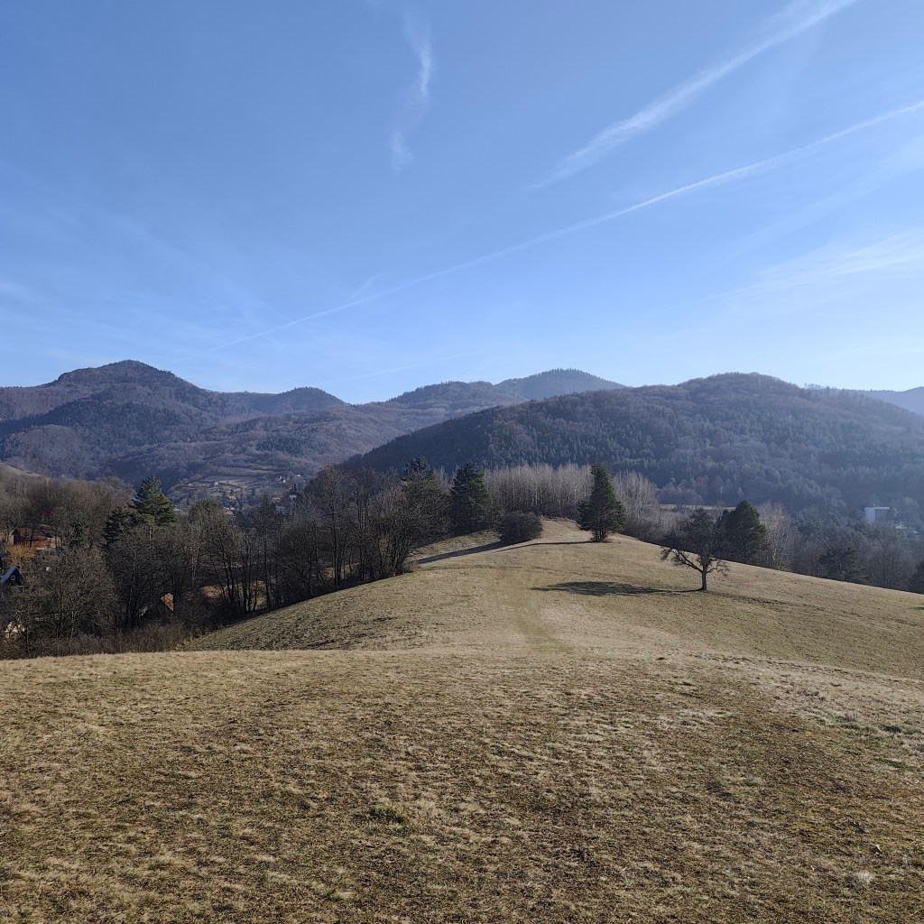
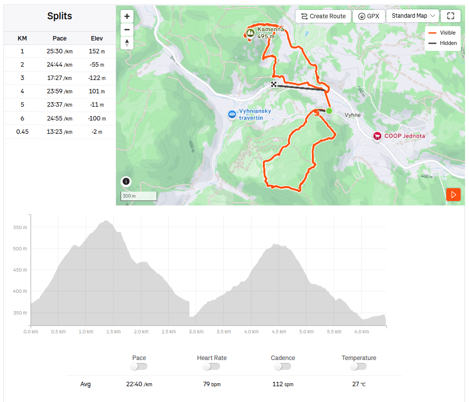
    Spring and sun are finally here. Although nothing is green yet, you can already see the first flowers, even butterflies. And with that, more opportunities to rummage around outside. This time we went around Vyhne, to see Hájska skala and stone sea.
    On the way to Hájska skala

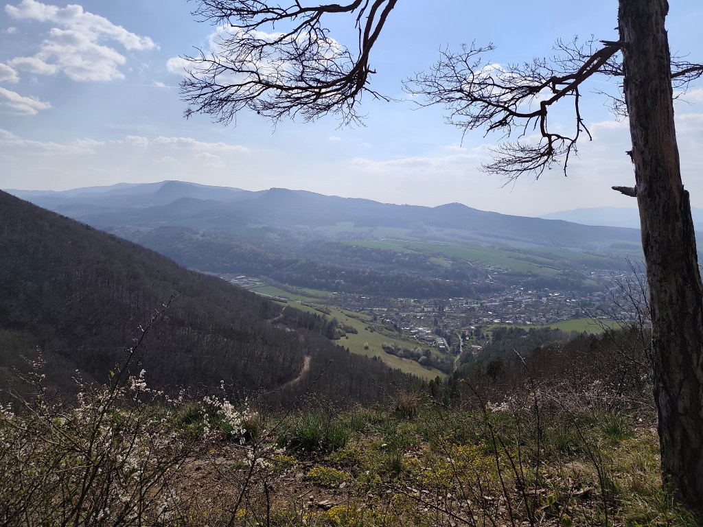
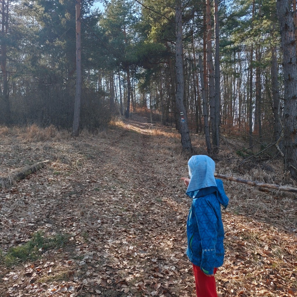
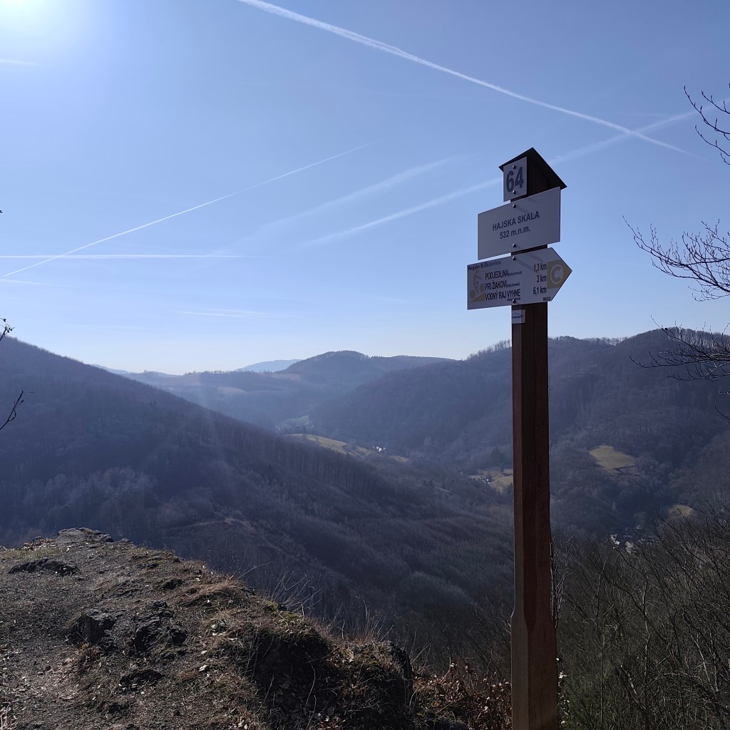
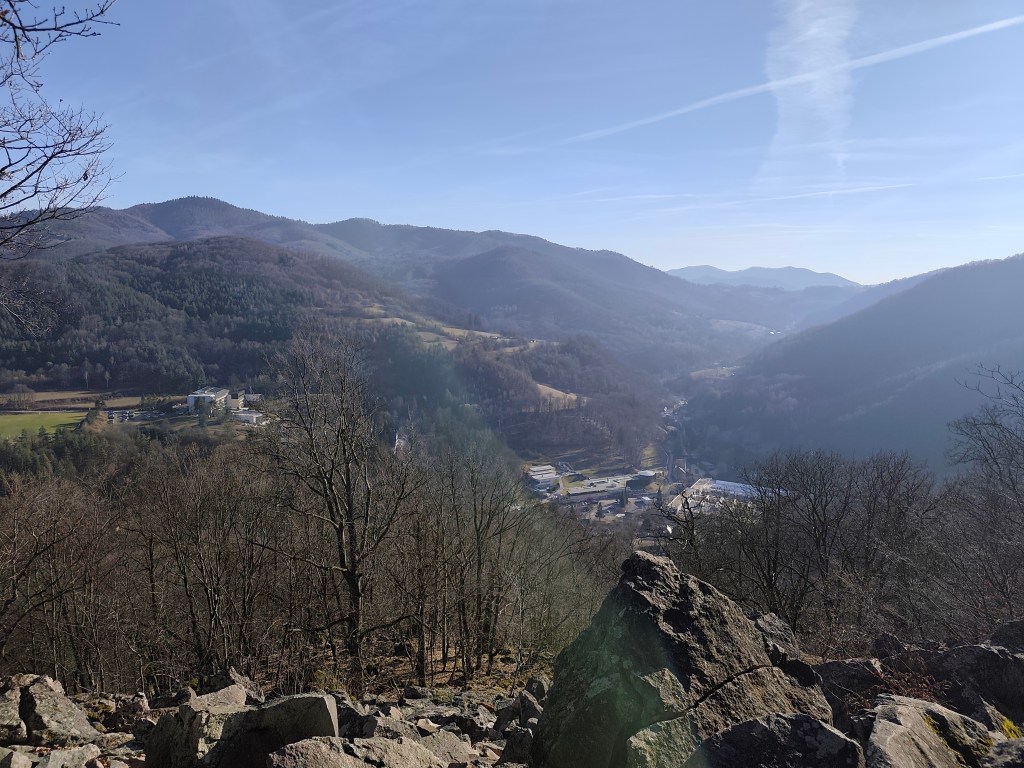
    Hájska skala is a view point in the village of Vyhne, only 1.3 km away from the parking lot, along a nice narrow path between the trees. And it offers great views.

    Hájska skala

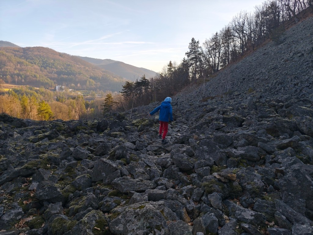
    Stone sea is located on the opposite hill, so we have to go down from Hájská skala again to Vyhne and climb another hill. The stone sea in Vyhne is the largest rhyolite stone sea in the volcanic part of the Carpathians.

    Local meadows

    In the past, rhyolite was mined in these places, which was also used for the production of millstones for several decades. This activity severely damaged the steep slope, and the higher debris therefore collapsed a significant part of the slope. Stone mining was stopped here in 1936, thanks to the declaration of the Stone Sea as a nature reserve.

    Viewpoint on the top of stone sea

    For Dávid, it was the best part of the trip, because he could jump and climb on rocks, and he loves it. The footpath was barely visible, so it was necessary to actively search for the path and markings.

    The tourist sign leads directly through the stone sea
    6.5km, 2h 26min, 388 m ascend
  • Kremnica castle

    Kremnica castle

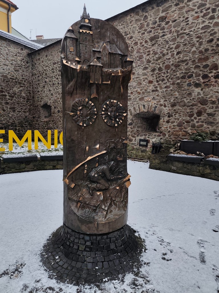
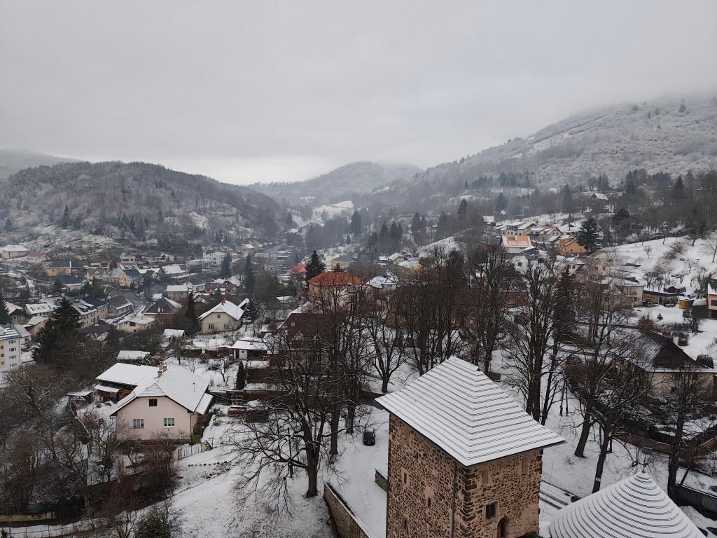
    It’s the end of January and it’s still cold, so I decided to brighten up this cloudy and cold day with a trip to Kremnica. We’ve passed through it many times, but we’ve never been here before. We came mainly to see the Kremnica Castle, but as a bonus, we got entry to the Museum of Coins and Medals with our ticket.

    Kremnica has beautiful historical centre

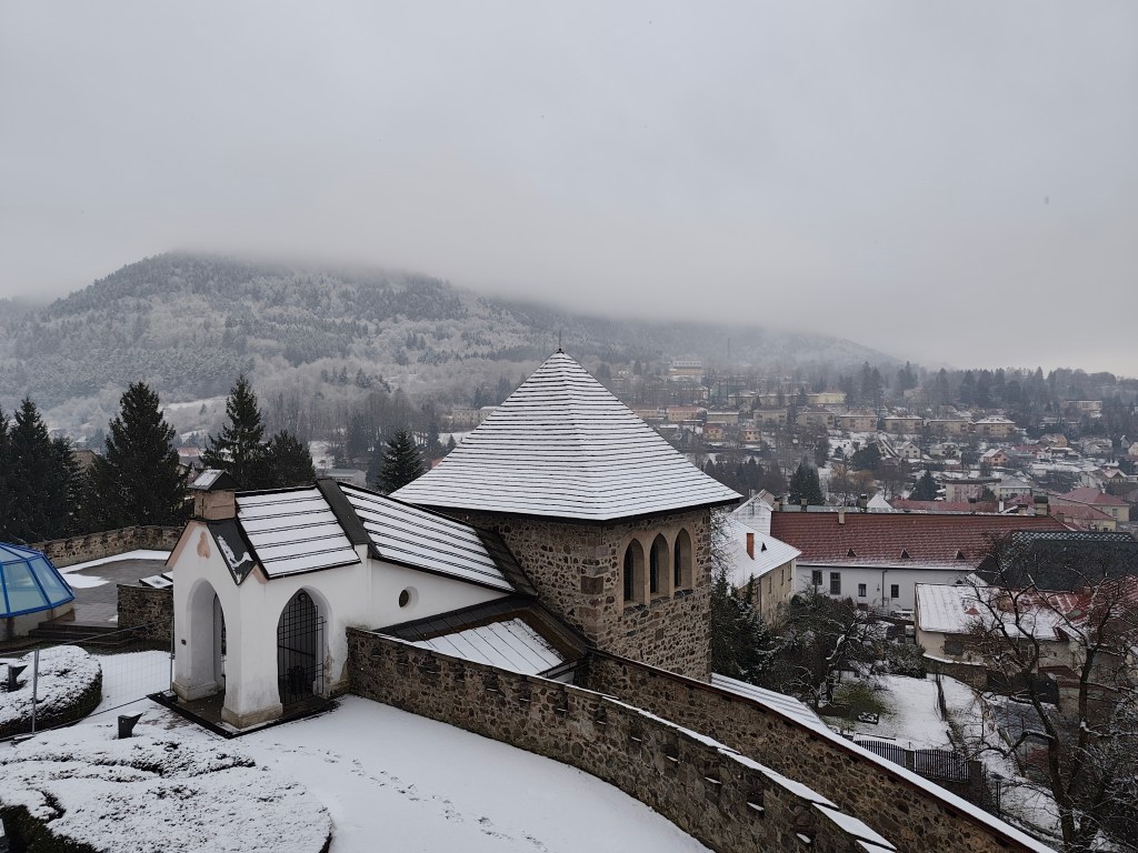
    The Kremnica Castle is a complex of buildings from the 14th-15th centuries, protected by a double fortification, which is joined by some of the best-preserved city walls in Slovakia. In the center of the complex stands the dominant Gothic Church of St. Catherine.

    The castle also includes other buildings such as a rectory, an entrance gate with a barbican, and defensive bastions. The construction was undertaken by the townspeople exclusively for the needs of the administration and defense of their town, and they were its sole owners.

    We enter through the fortifications

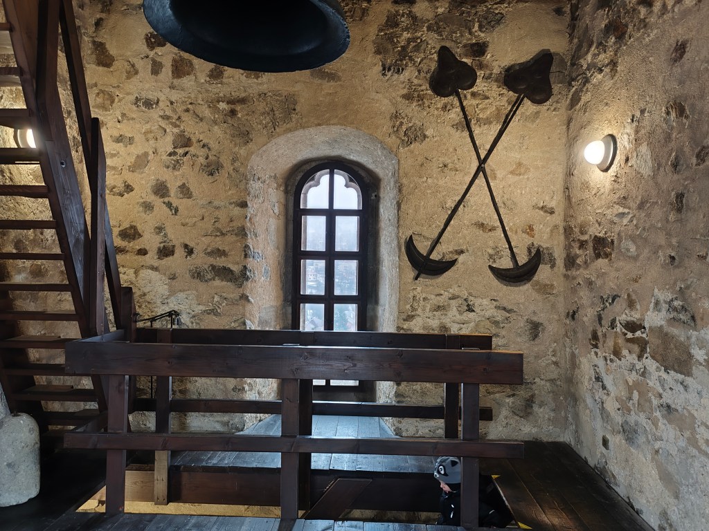
    A tower was loosely attached to the church in the 15th century. For centuries, it housed guards and announced danger.

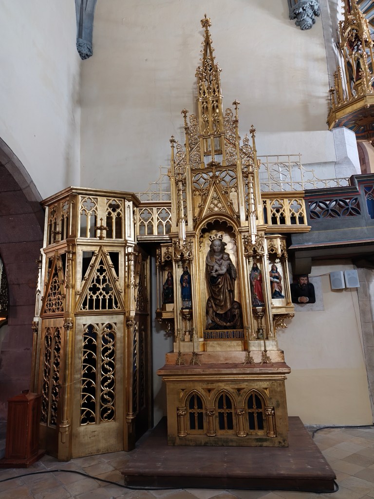
    In the church of ST. Catherine

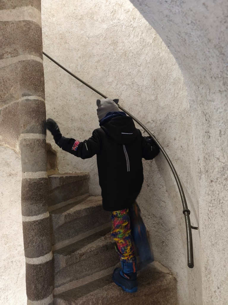
    The guards’ room currently functions as an exhibition and offers the most beautiful view of the city skyline and surrounding hills. Visitors can reach it by climbing 127 winding stone steps.

    From the castle we went to the Museum of Coins and Medals, which has 4 floors. Each floor has a different exhibition: the history of money in Slovakia, the history of the city of Kremnica, Kremnica mining and metallurgy, and a section dedicated to medals.

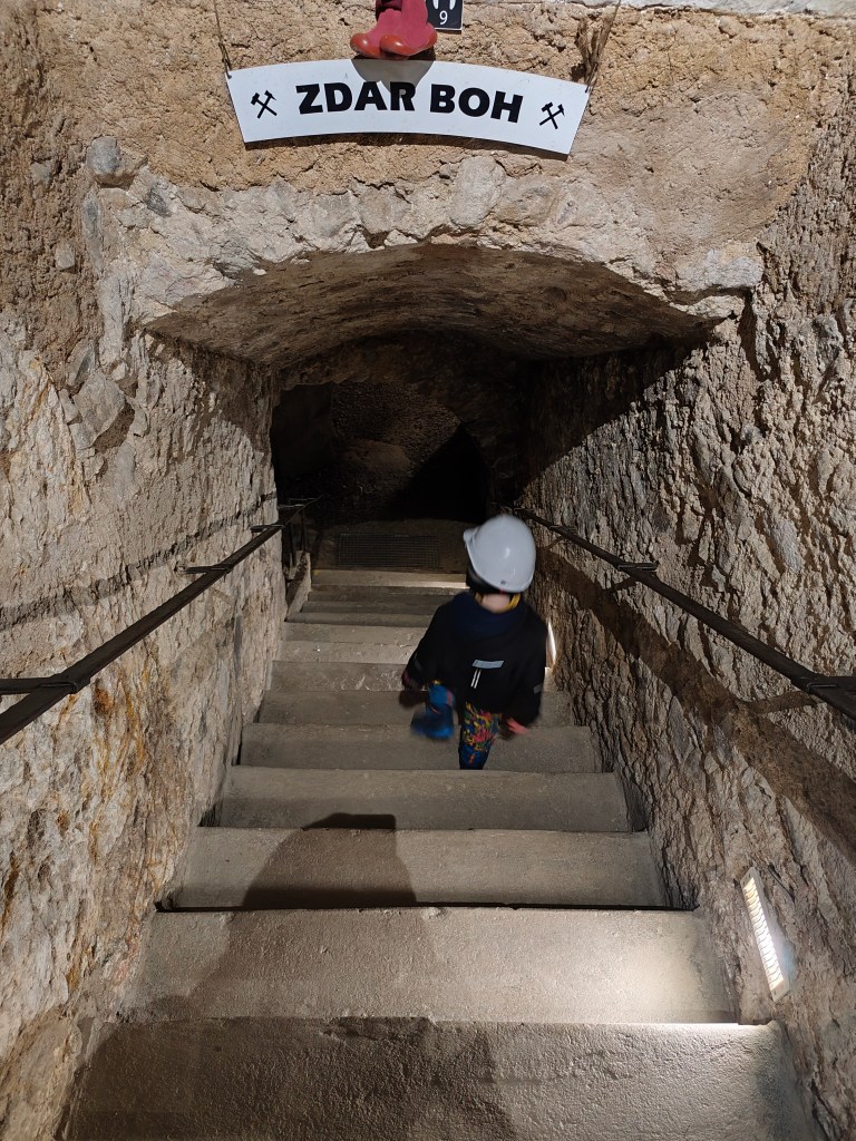
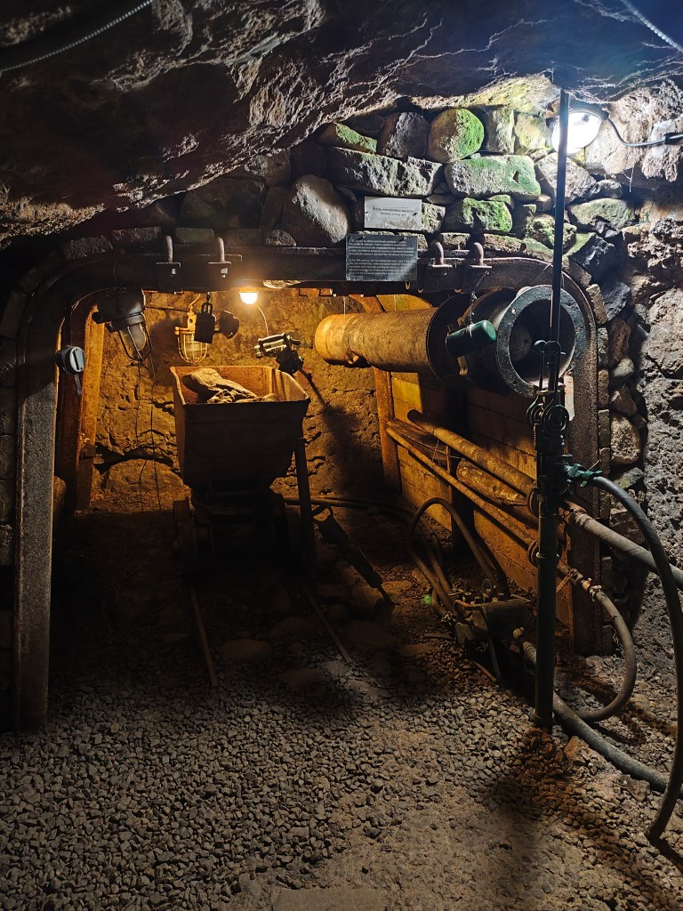
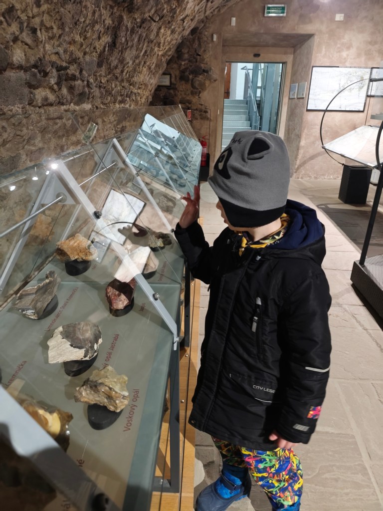
    We liked the lowest floor about mining the most, there were various minerals, gold and machines used to mine and process ores on display. There is also a small gallery.

    Collection of minerals
    1.7km, 1h 10min