Category: hike with kids

  • Súľov castle

    Súľov castle

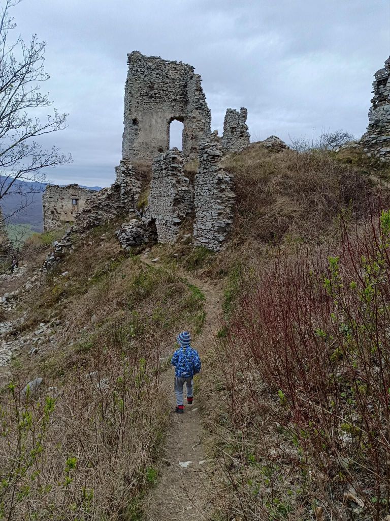
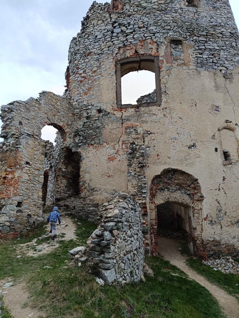
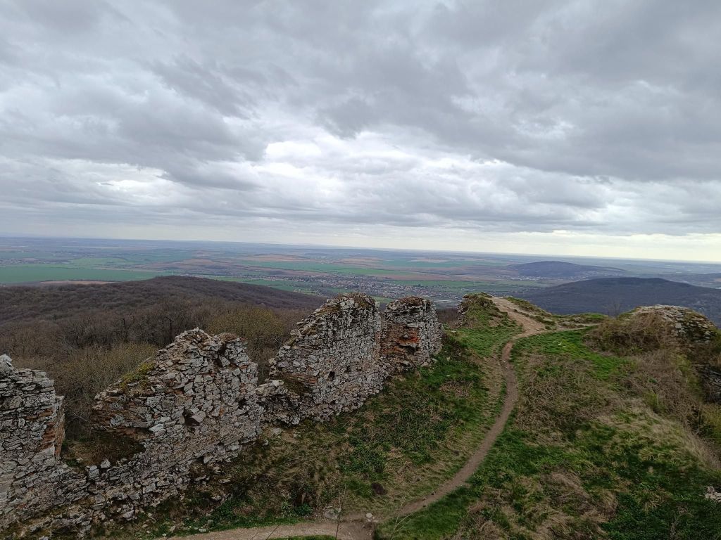
    Súľov Castle is located on a popular tourist route through the Súľov Rocks. Súľov Castle is built on a rocky cliff and offers beautiful views. The hike leads along an educational trail – it is an approximately 5km circuit with 17 stops.
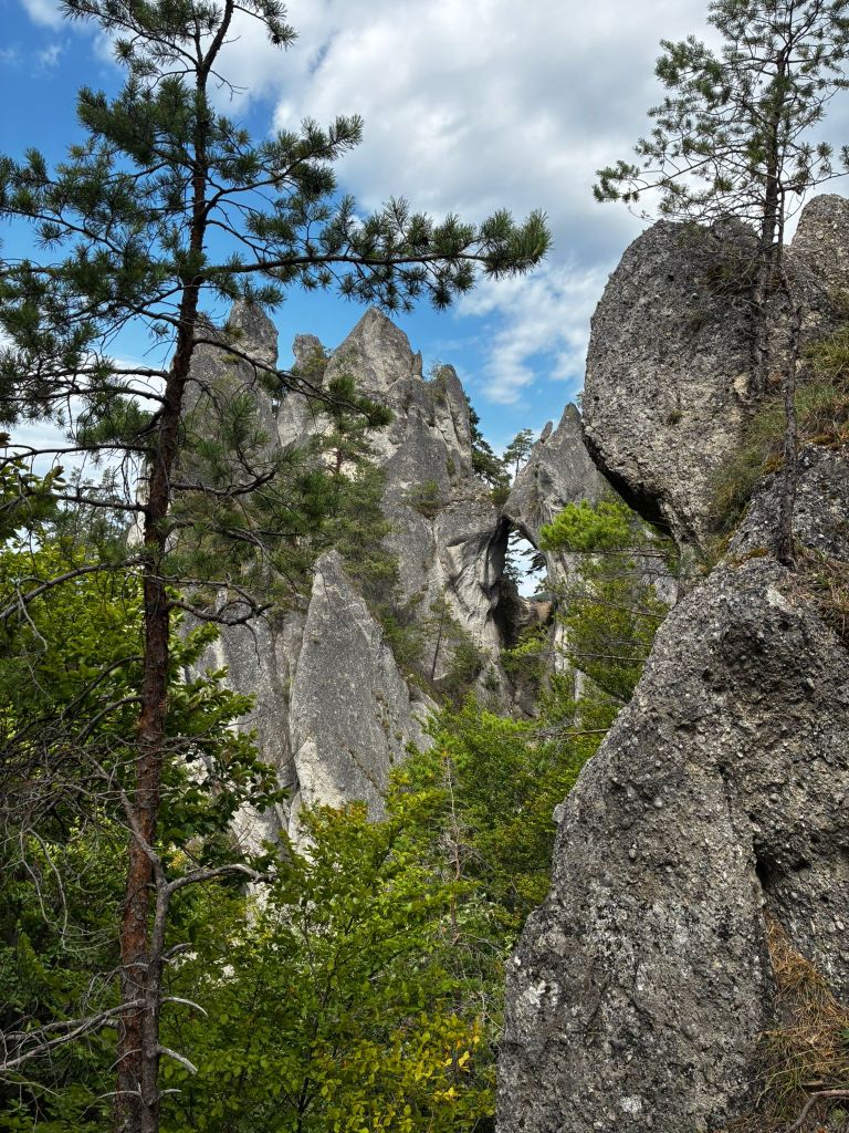
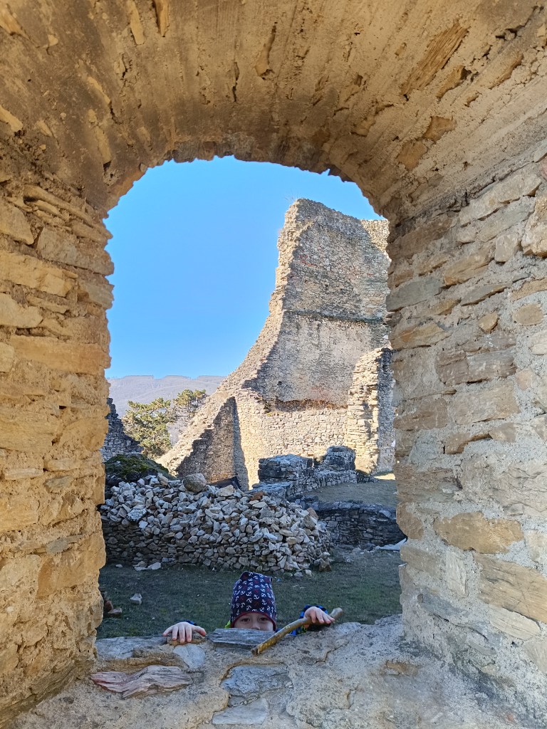
    rock window

    The castle was built in the 13th century to protect a nearby road. It is also considered one of the most difficult castles to access in the area. The castle was built between three massive rock formations. The ruins still show how the foundations of the castle adapted to the terrain. The castle complex consisted of an upper and lower castle, with an estimated distance of 25 meters between the two parts of the castle, and a height difference of 14 meters from the level of the lower castle to the first floor of the upper castle. The height of the ruins is approximately 18 meters.
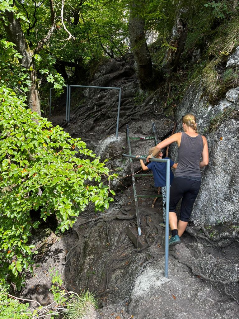
    to the castle

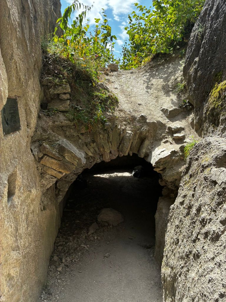
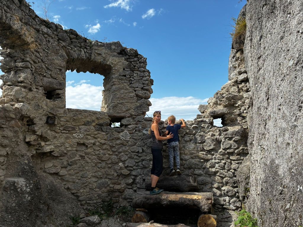
    The foundations of the buildings and traces of beams and anchors of the vault cut into the rock, as well as slight remains of walls with window openings, have been preserved from the constructions.
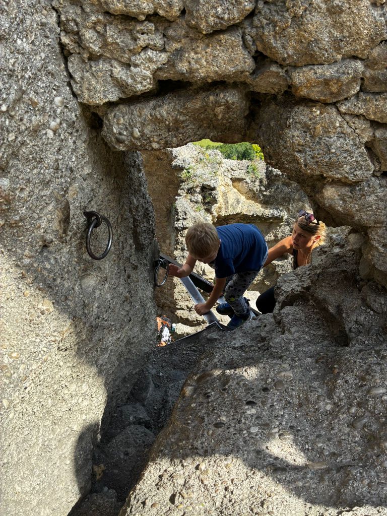
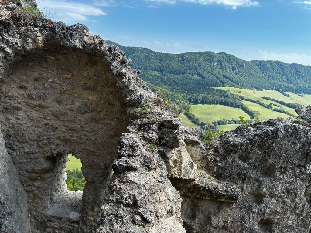
    In the lower castle, a part of the palace with an observation platform on its supporting rock is preserved, the entrance to the castle with an embrasure in the rock and a dug-out rock gorge before the entrance to the upper castle are also noticeable.

    In the upper castle, in the middle palace there is a vault and traces of a stone staircase, a rock pylon, which bears traces of a staircase and at which one enters the highest part of the castle with traces of a cistern and a lookout tower through a hole in the masonry and an iron ladder.
    path from the castle

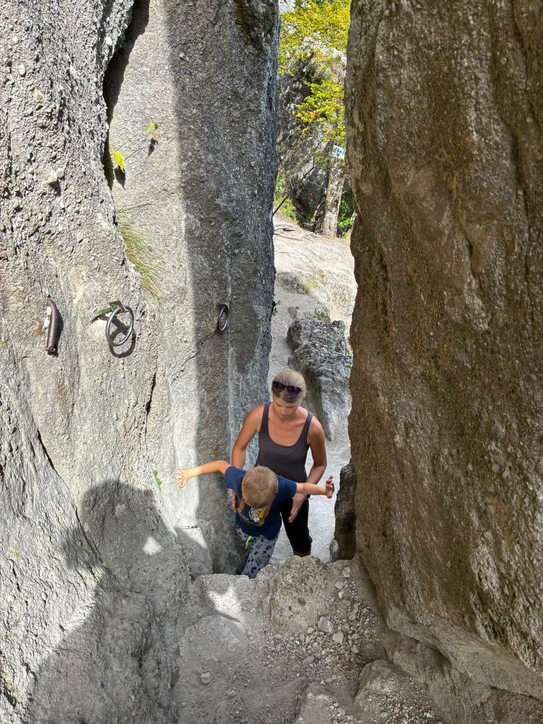
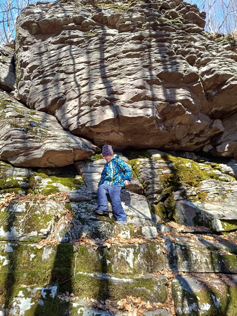
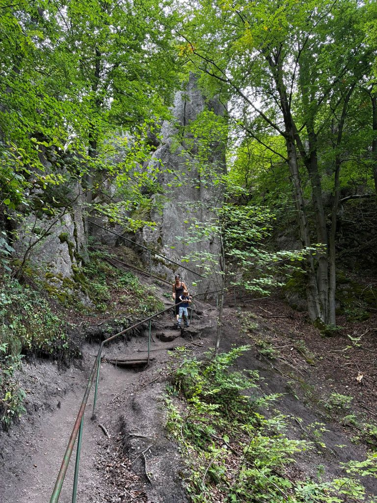
    The path from the castle is quite slippery for the first few hundred meters and even though there are handrails, it is still quite an adrenaline rush. But we managed it without falling. At the time of the hike, David was just 6 years old.
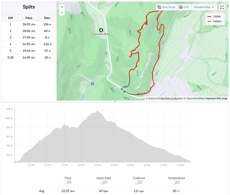
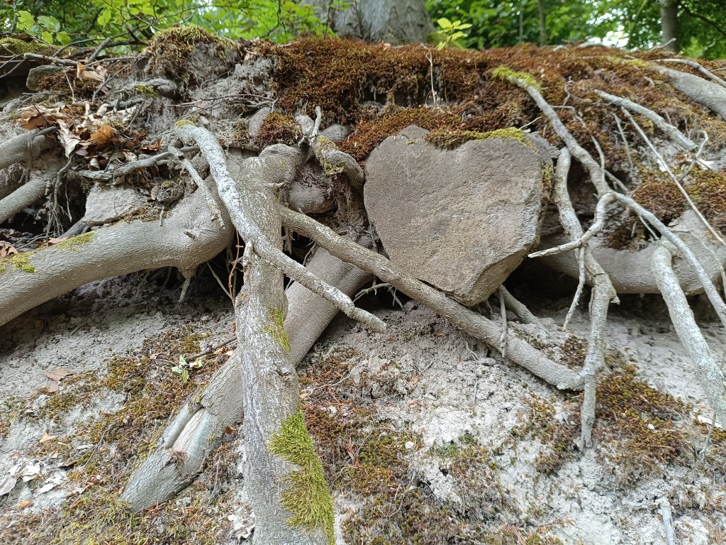
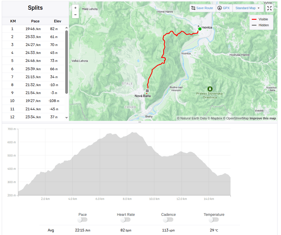
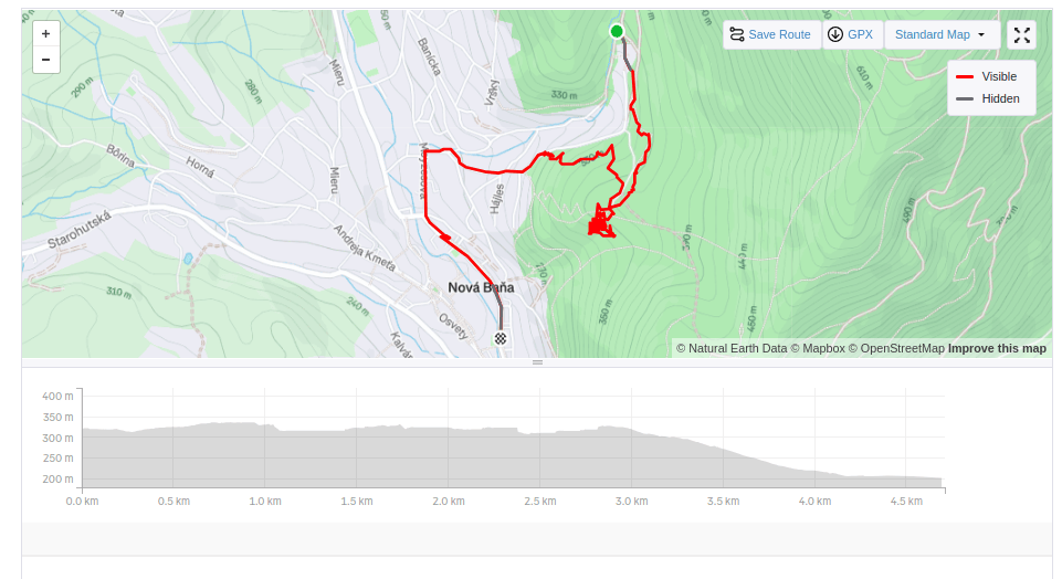
    5,28km, 1h 58min active time, 2h 53min total
  • From Žarnovica to Nová Baňa

    From Žarnovica to Nová Baňa

    Our first big hike with David. Only me and him, the first time hiking, which could be called a ridge hike, without the possibility of shortening.
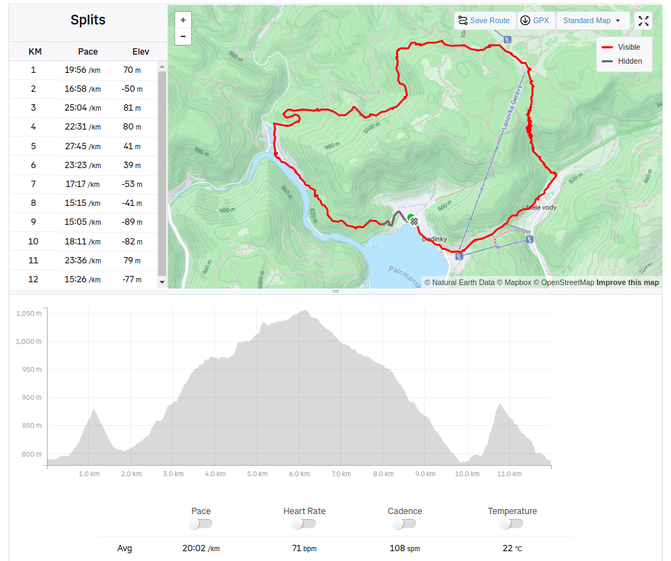
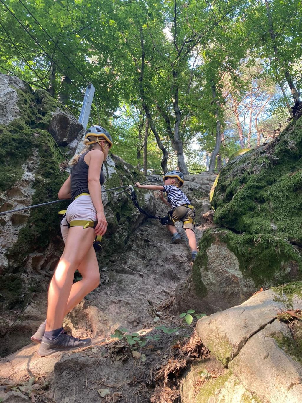
    It mainly required courage, patience, playfulness and a lot of food and water 🙂

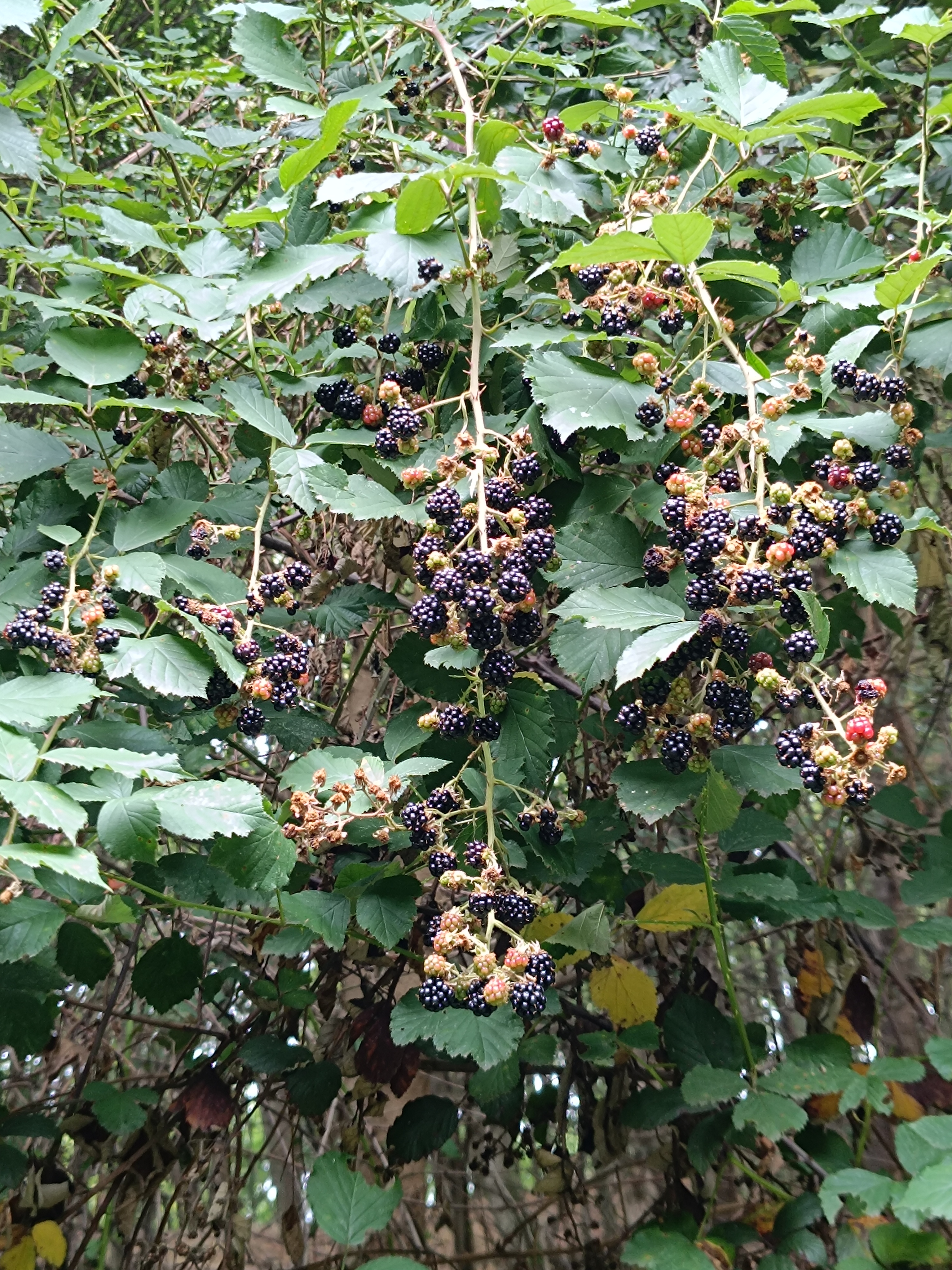
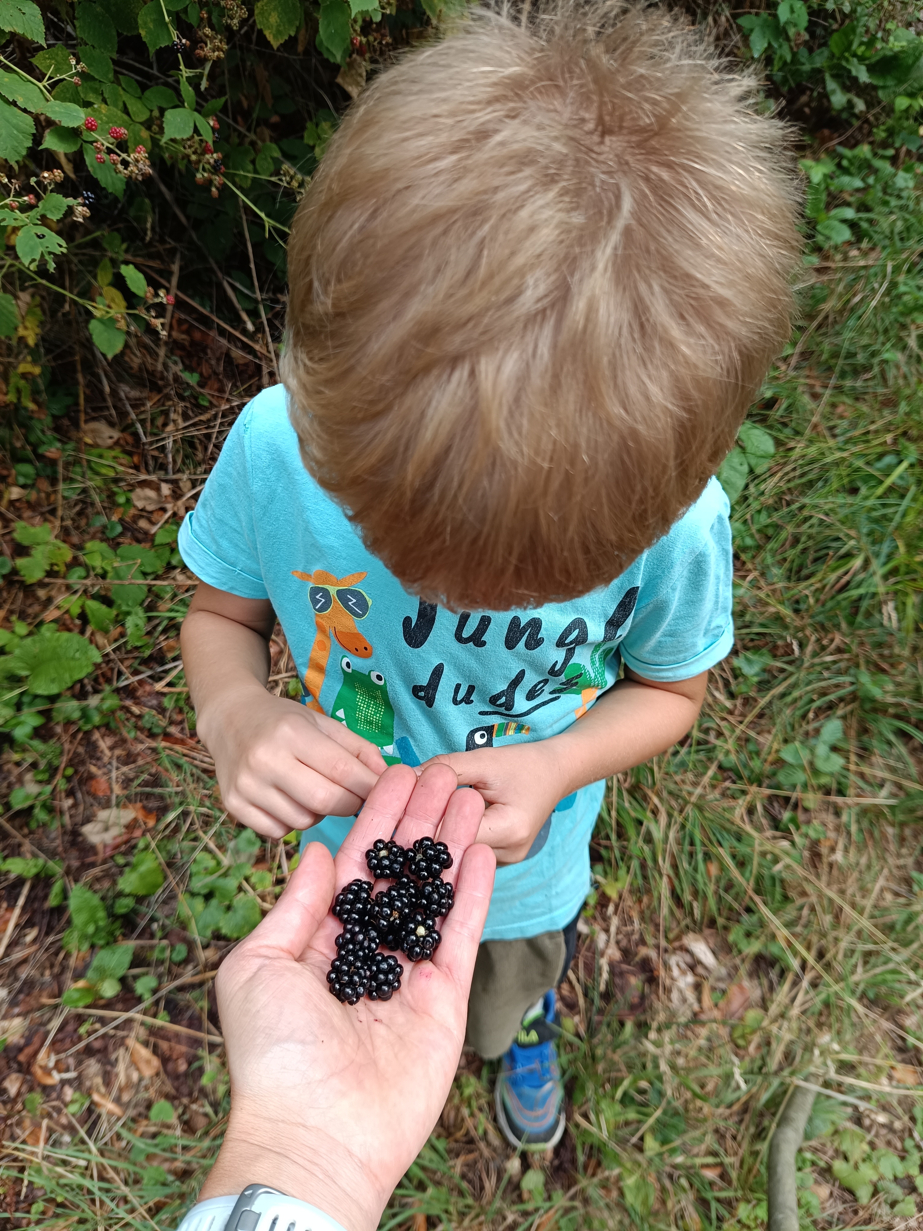
    We start under the Calvary in Žarnovica and follow the blue hiking trail the whole time. As we climb, we enter the forest, where it is pleasantly cool, in some places we must climb over fallen logs – remnants of logging, in other places we stop to pick up lots of sweet blackberries.

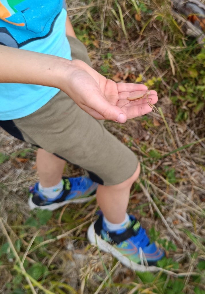
    In a clearing under the power lines we managed to meet three small wild boars and a little further in the forest a deer. David even found a praying mantis, invisible to me because it was the color of dry grass.

    praying mantis

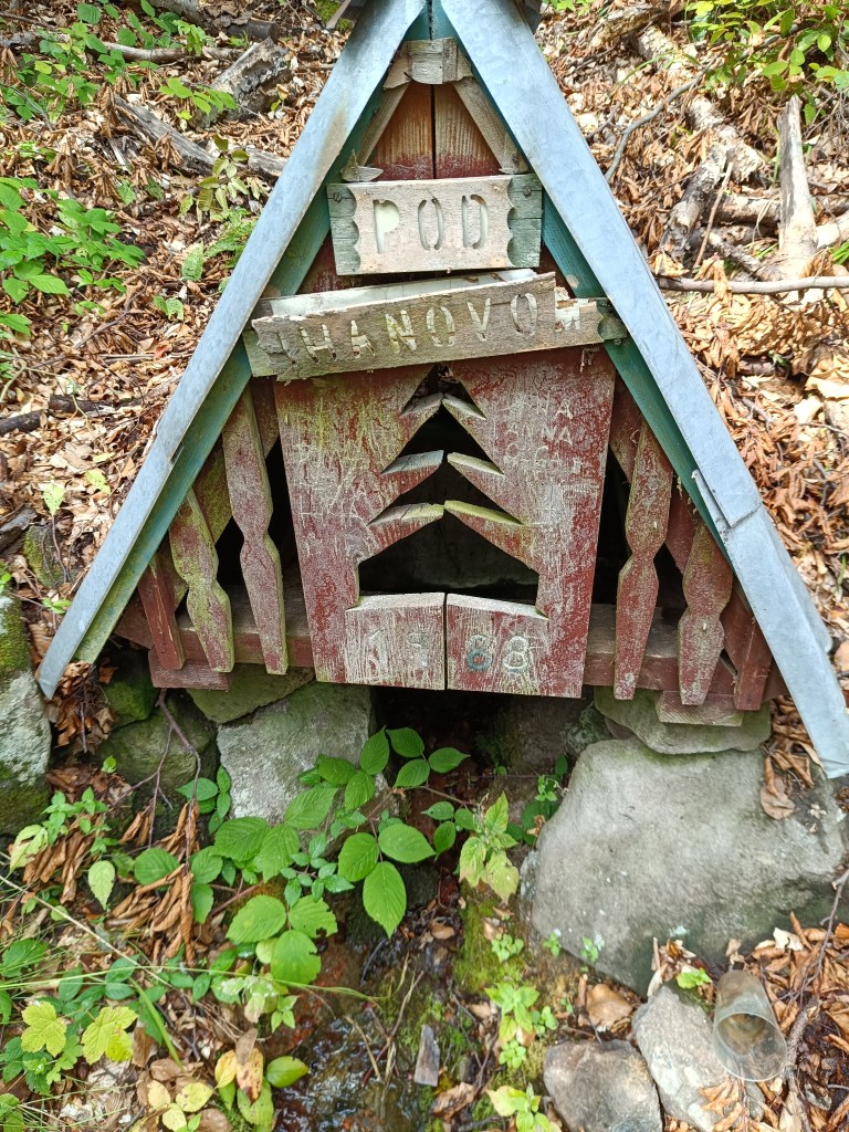
    A picnic in the meadow gave us strength and a bag of sweets helped us overcome the crisis 🙂 We refreshed ourselves in a spring below Ihanovo, where there was plenty of water despite the dry summer.

    well

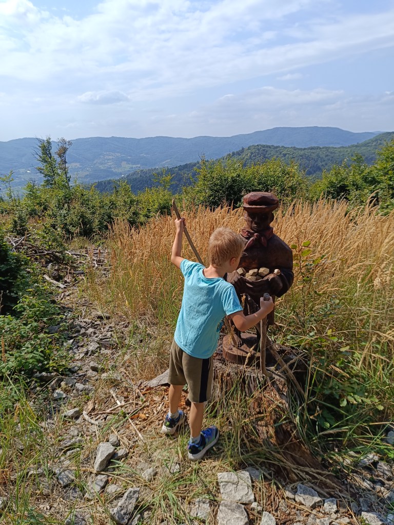
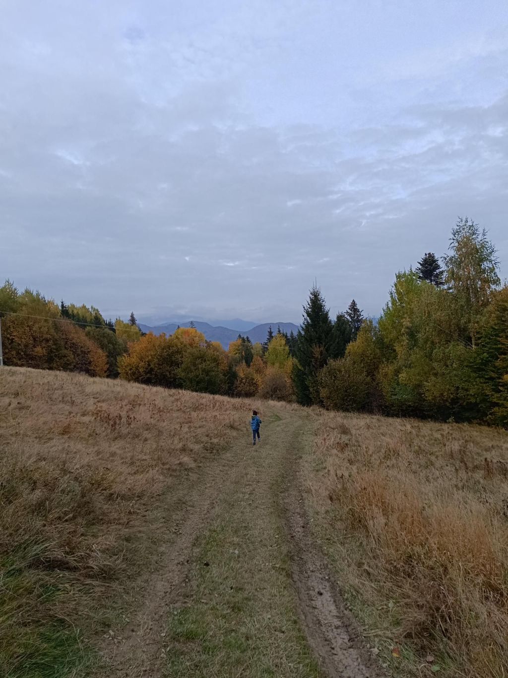
    The highest point was hill Johan, which is also part of the Novobanské povesti educational trail. It also offers the most beautiful views.

    hill Johan

    The last few kilometers, Dávid made up games for us (now we can’t step on any stone…) and so it went by quickly. We ended the hike at the Zvonička in Nova Baňa, Dávid with a well-deserved popsicle and juice and I with a craft beer.

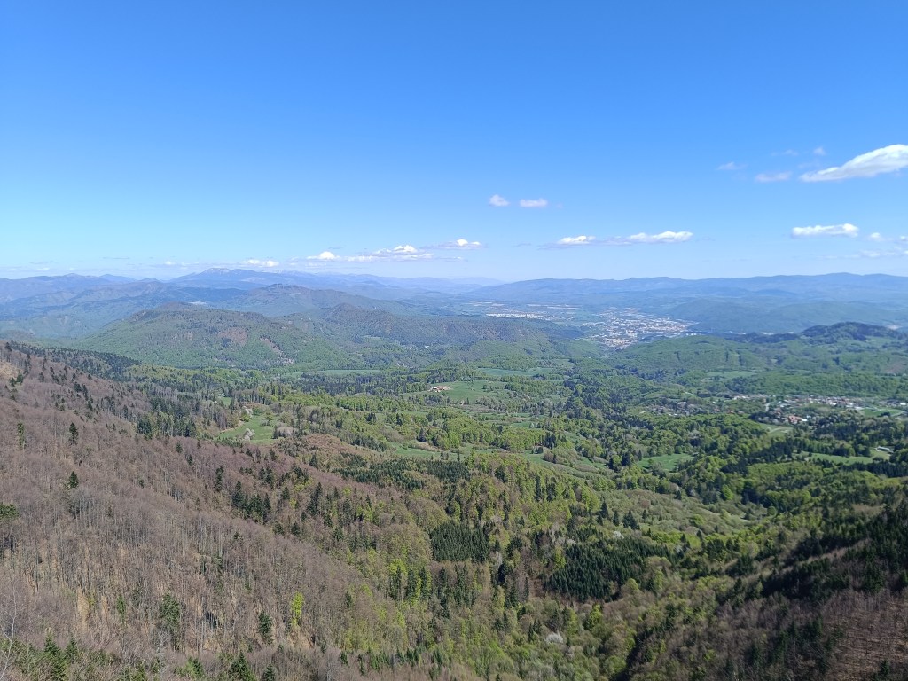
    Views from Johan

    Yes, it was long, sometimes challenging to motivate, and my legs were sore from standing and waiting, but it was also beautiful, and I am incredibly proud of him.

    He was freshly 6 years old at the time of the hike.

    15.59km, 582m ascend, 5h46 min active time, 8h 33min total
  • Skalka, Krahulský štít

    Skalka, Krahulský štít

    Dávid had wanted to go to Skalka for a long time, I don’t know why he chose this particular hill, but he mentioned it to me very often. So we decided to make this childhood dream come true.

    We drove to Skalka by car and from there we walked to the red marked tourist trail – the path of the heroes of the SNP (and mommy, can we walk the entire path of the heroes of the SNP?) He really enjoyed climbing the rocks and was also fascinated by the via ferrata chimney on Skalka, where he also wants to go, of course:)

    Feratta Chimney

    We went along the ridge to the Görgely Tunnel. It was built in the 16th century and bears the name of the famous fighter for Hungarian independence, General Görgely Artur.

    Its origin is attributed to the period after 1498, when Thurzo, as an experienced entrepreneur (Thurzo-Fugger mining company), was aware of the costs associated with transporting metals along circular roads from Banská Bystrica to Kremnica. The connection between Kremnica and Banská Bystrica existed only as a lengthy detour along two roads. Thus, the tunnel in the Kremnické vrchy was, and even after the demise of the Thurzo-Fugger mining company, remained an important connection between Kremnica and Banská Bystrica.

    After World War II, the tunnel and its access roads fell into disrepair due to lack of interest, and in 1955 the tunnel was almost completely filled in. In an effort to save this unique historical monument and tourist attraction of the Kremnica Mountains, members of the Slovak Tourists’ Club from Banská Bystrica and Kremnica decided in 1996 to reconstruct and reinforce the tunnel with steel reinforcements. It is 30 meters long.

    View with Banská Bystrica in the background
    Viewpoint on the ridge of the Kremnica Mountains
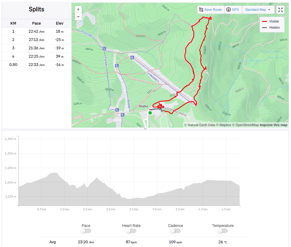
    4.8km, 1:51 active, 166m ascend

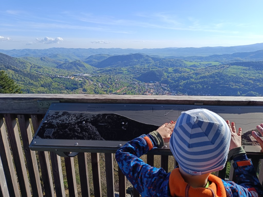
    And since we had already been to this location, we also went to see the lookout tower on Krahulsky štít, it is about 2.5km from Krahule through fairly easy terrain. The lookout tower offers a beautiful view of Kremnica and the mountains in the background – Vtáčnik, Sitno…

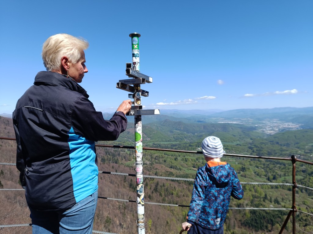
    On its top floor we find signposts to well-known surrounding destinations with the distance as the crow flies, e.g. Center of Europe, Cottage Hostinec, etc. Directly below the observation tower is a wooden terrace with seating and a view of Kremnica. Wooden benches and tables are also located in the immediate vicinity of the observation tower.

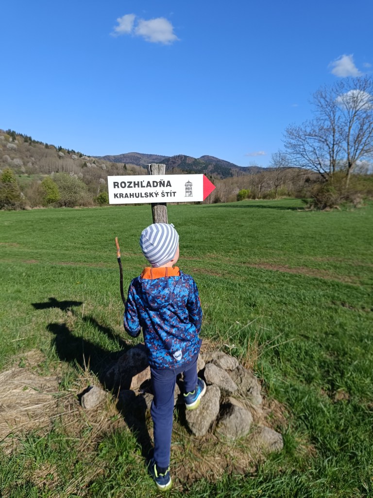
    Marking to Krahulský štít
    View from lookout tower

    We stopped along the way to see the geographical center of Europe, but we were actually more interested in the church that is very close by. It has a beautiful blue altar and breathes history.

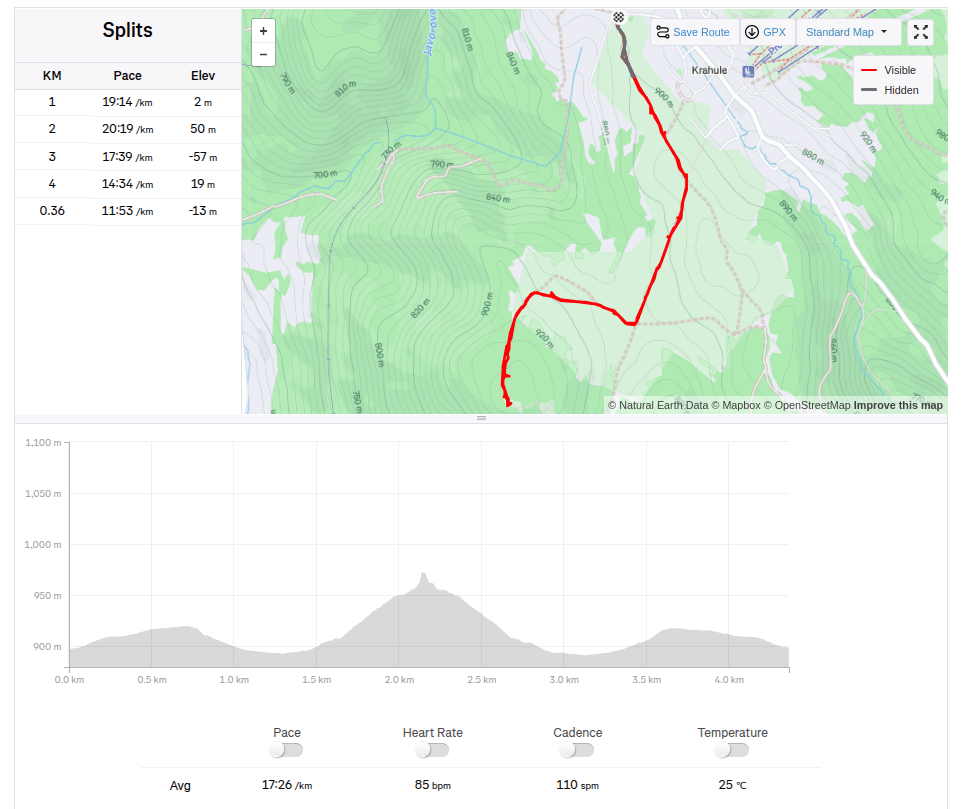
    4.36km, 1:16 active, 126m ascend
  • Sivý kameň Castle, Končita

    Sivý kameň Castle, Končita

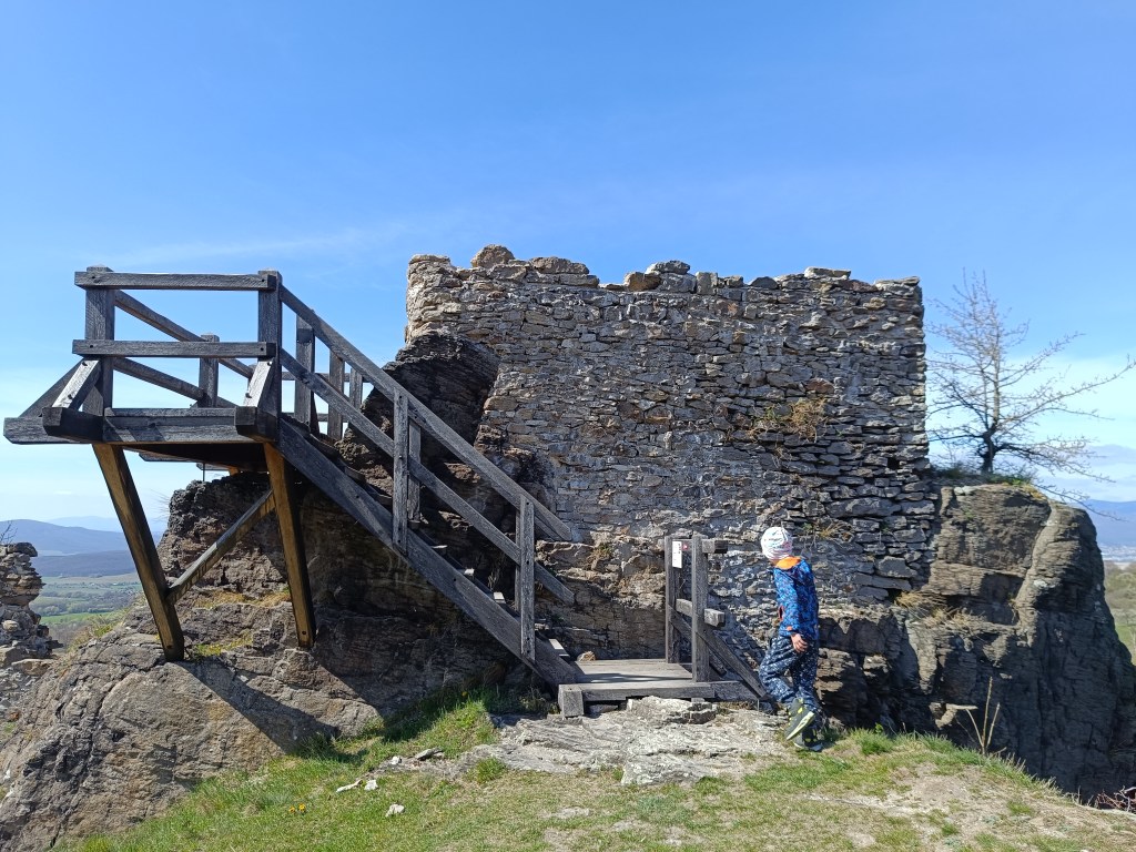
    The ruins of the Sivý kameň Castle are located on an andesite cliff above the village of Podhradie near Prievidza. Although relatively little of the castle has survived to this day, the castle cliff provides a beautiful view of the surrounding landscape.

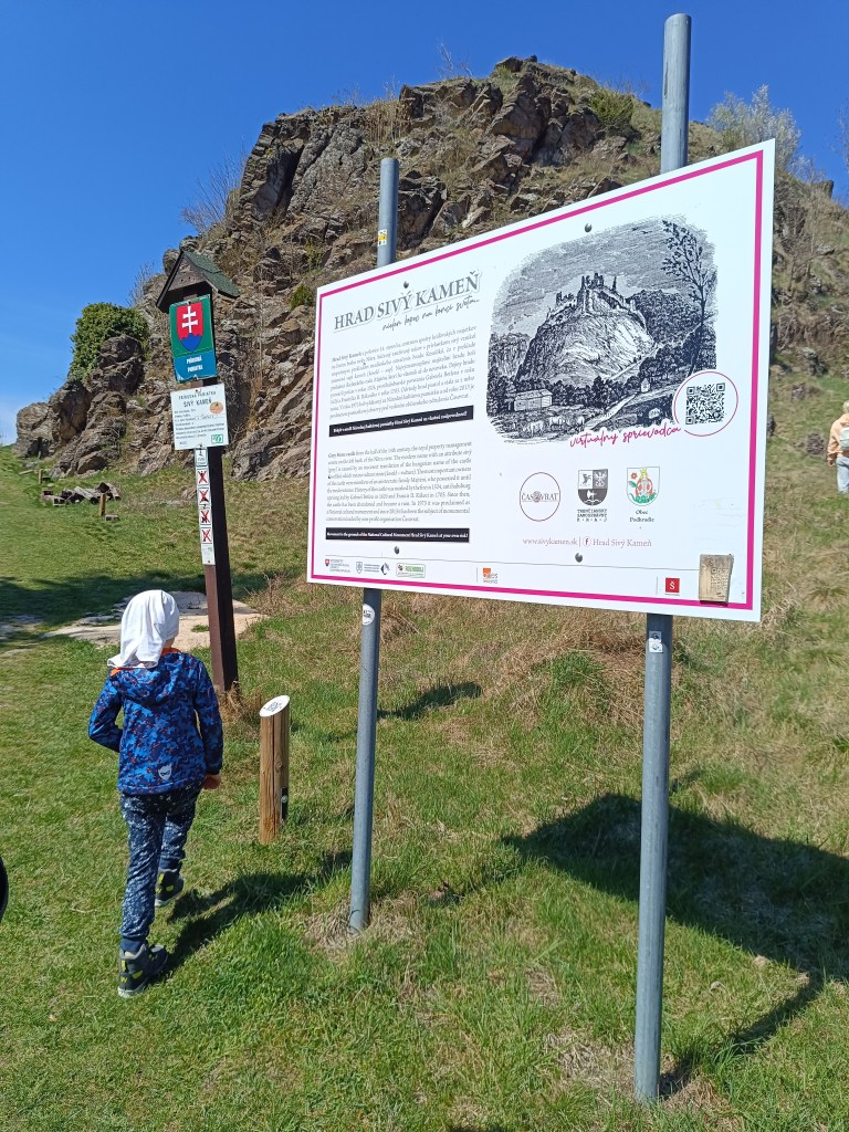
    Under the castle

    The remains of the castle from the mid-14th century are visible directly from the village. A short climb from the village center will soon take you to a dirt road. Here, a sign with the inscription Sivý Kameň will alert you to the right direction. The entire climb to the castle takes approximately 15 minutes.

    Nowadays, when visiting the castle, we can observe its small remains, which at least indicate its size and the remains of the masonry. From the inner Gothic castle, the perimeter walls of the prismatic tower have been preserved.

    Andessite cliff, on which the castle is build
    One of the few remains of the castle

    The Sivý Kameň Castle was built shortly before 1350 as a royal castle. The construction of the castle was necessitated by the circumstances that arose after the death of Matúš Čák in 1321. Since there was no other castle in the vicinity besides Bojnice Castle, the need arose to build another administrative center.

    Later the castle belonged to different families. In 1430 both castles reverted to the crown. In 1431 the king donated the castle of Sivý Kameň to Gregor Majthényi and his heirs. Since then the castle and the estate have remained in permanent possession of the Majthényi family.

    The castle began to decline in the late 16th and early 17th centuries. In 1626, Gabriel Bethlen’s rebels attacked the castle and other Majthényi properties and thoroughly plundered them.

    The first decade of the 18th century brought further attacks on the castle, this time by Rákoczi’s soldiers. Soon the important estate became a ruin. The remains of the castle were subsequently dismantled by the inhabitants of Podhradie.

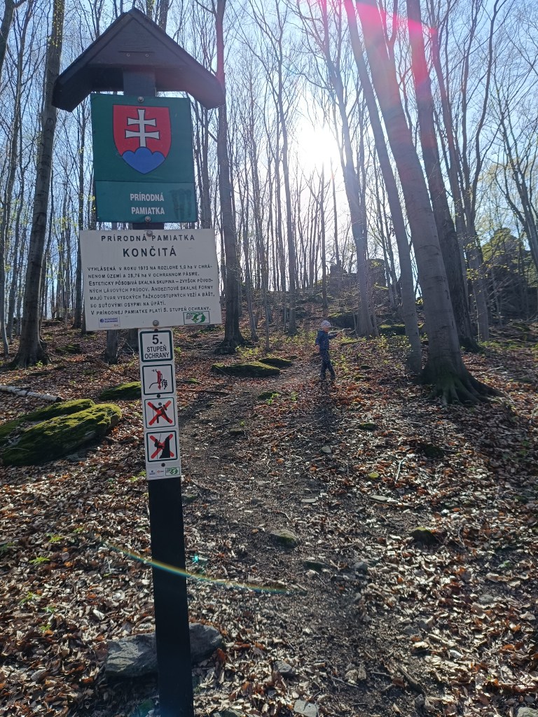
    Končitá

    Natural monument končitá

    From the cottage below Končita, in Gebňárova Valley, which we can reach from the village of Kamenec pod Vtáčnikom, an unmarked trail leads to the peak cliffs of Končita.

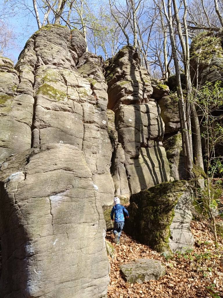
    Behind the stream rise the rock formations of Končita, to which a well-trodden path leads. Končita was declared a Natural Monument in 1973.

    In the vicinity there are smaller and larger rockeries covered with deep green moss. The Končitaj cliffs are dominated by a 30-meter-high andesite tower. From Končita, following the ridge to the left, we come to the Devil’s Paths. There are huge boulders also covered with green moss, rocky cliffs, windows and narrow gorges.

    Devil’s Paths
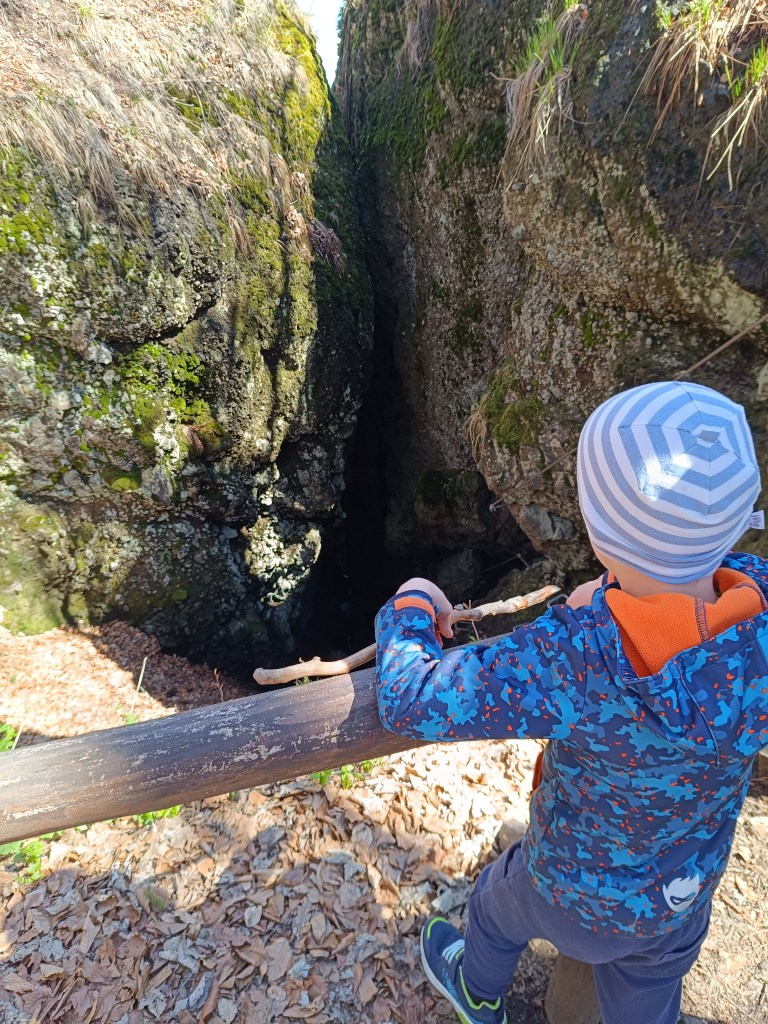
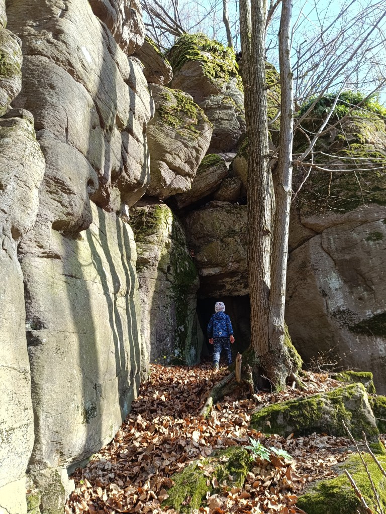
    a cave in the stone

  • Bzovík

    Bzovík

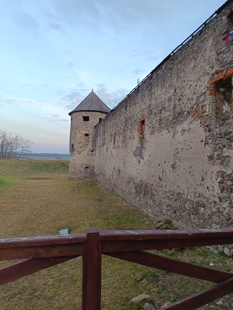
    It is originally a Benedictine (later Premonstratensian) monastery rebuilt into a fortress (castle), near the village of Bzovík.

    The monastery in Bzovík was founded in the first half of the 12th century. The Benedictines were replaced sometime between 1179 and 1181 by the Premonstratensians from Olomouc, who spread spiritual culture and education, but also new economic knowledge and new methods of tilling the land.

    Outside walls

    The Romanesque double-towered church, to which a monastery building with a paradise courtyard and a cloister was later added after renovations, was one of our most important Romanesque architectural monuments. The church and monastery were often the target of attacks during the 15th century; the building burned down several times, after which it was immediately repaired and partially rebuilt.

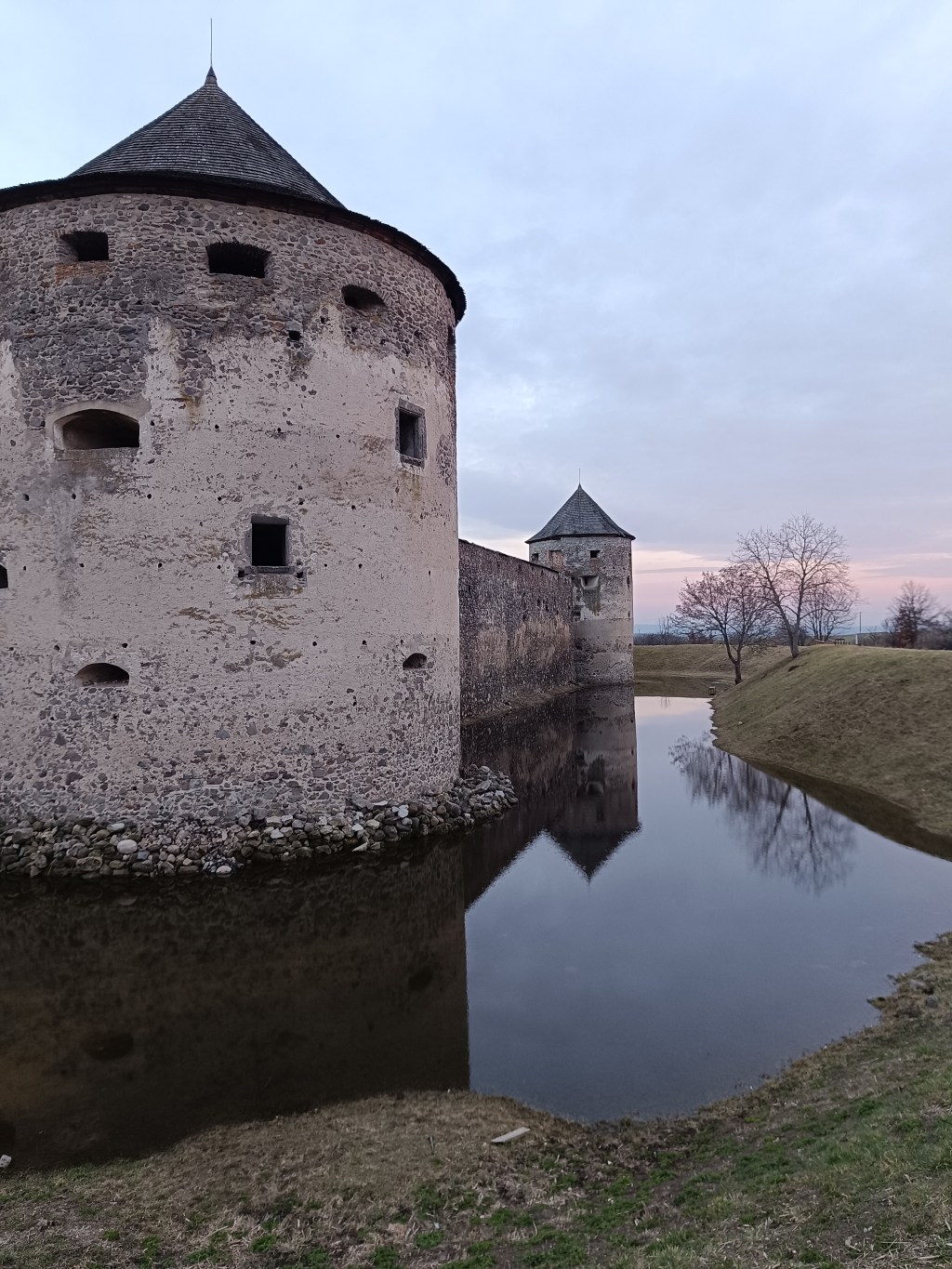
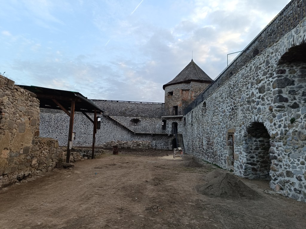
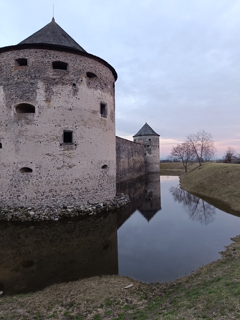
    Sigismund Balaša expelled the monks from the monastery around 1530 and immediately began rebuilding the monastery into a manor house surrounded by massive fortifications. The walls were given massive shooting range and internal galleries. Dwellings for soldiers and farm buildings were added to them from the inside. The entire area was protected by wide moats and massive corner bastions.

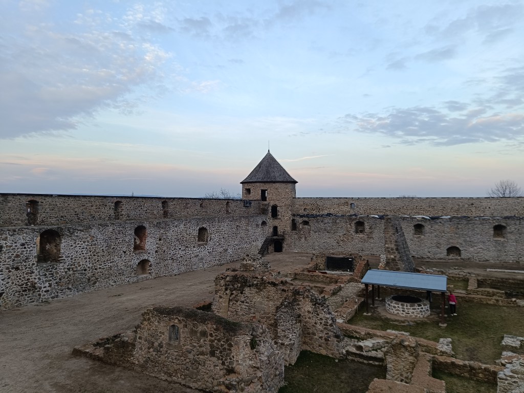
    Object is in reconstruction

    In 1620 the monastery burned down, but at the end of the 17th century it was returned to the church. In 1678 it was conquered by the rebels of Imrich Tököli.

    The next period was already approaching its demise. After a short ownership by the Jesuit order and the Archbishop of Esztergom, the building began to fall into disrepair at the beginning of the 19th century. The final blow in the process of decay was dealt to it by the fighting during World War II and the subsequent destruction by the local population.

    The outer walls are better preserved than the inner structures.

    The former monastery complex is in ruins, except for the outer fortifications, which show signs of preservation and reconstruction. You can park right next to the building.

    Moat with water in it

  • Divín castle and Kalamárka

    Divín castle and Kalamárka

    Near the Ružiná reservoir in the south of central Slovakia lies the village of Divín, above which the ruins of Divín Castle rise.

    The castle was built at the end of the 13th century to protect the road to the central Slovak mining area. Especially in the second half of the 16th century, it played an important role in the defense system of central Slovak towns against the Turks. In the second half of the 17th century, it was unfortunately made famous by its owner Imrich Balassa, who raided and plundered the surrounding villages. After his death in 1683, the imperial army captured the castle and it has been in ruins since then. Only some of the walls, window openings and loopholes have been partially preserved.

    Caslte Divín

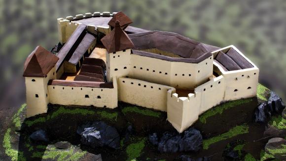
    The original castle, today’s upper castle, was built on top of a limestone cliff. The castle’s ground plan is elongated in a west-east direction. It is adapted to the shape of the top of the rocky cliff. A thick perimeter wall, which regularly bends according to the unevenness and irregularity of the terrain, formed the outer shell of the castle. Residential and farm wings were added to it inside. Between them was a small courtyard, on which a cistern can be assumed. The perimeter wall was not reinforced with bastions or other protrusions that would allow flanking – protecting the wall by shooting from the sides. The castle builders probably counted more on passive protection than active. Passive protection was enabled by a massive, about 2 m thick wall. Active defense was shooting through slit windows in the wall, which are still noticeable in places despite the latest brickwork.

    How the castle probably looked

    The tourist attraction of Kalamárka is one of the most important natural sites in Podpoľanie. What will enchant you in this location is the extremely rugged relief, which has a long climbing tradition, which is why it is called the andesite bastion of sport climbing.

    In addition to climbers, many tourists who crave adrenaline experiences from these rock walls also come here every year. The entire summit plateau on Zadná Kaľamárka is freely accessible to tourists. There is a prehistoric hillfort there – an archaeological site, where you can see a water cistern as a trace of the first inhabitants of Kaľamárka. For climbers, this andesite cliff offers two climbing sectors, namely the upper rocks on Zadná Kaľamárka and the lower rocks on Predná Kaľamárka, which are up to 20 meters high. There is also a viewpoint over the Detva Basin and one of the most beautiful rock climbing routes in Slovakia – Indián.

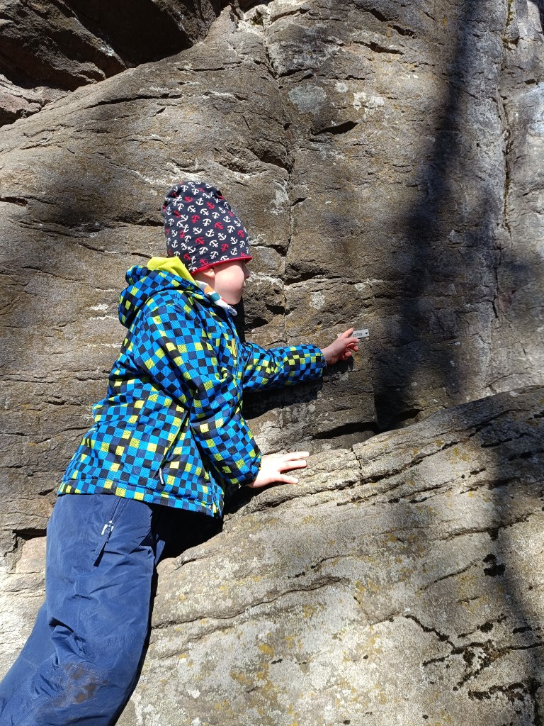
    A liitle bit of climbing can be done there with small children too
    Some of the paths has names there

    This is a very easy hike, as there is a parking lot very close to both.

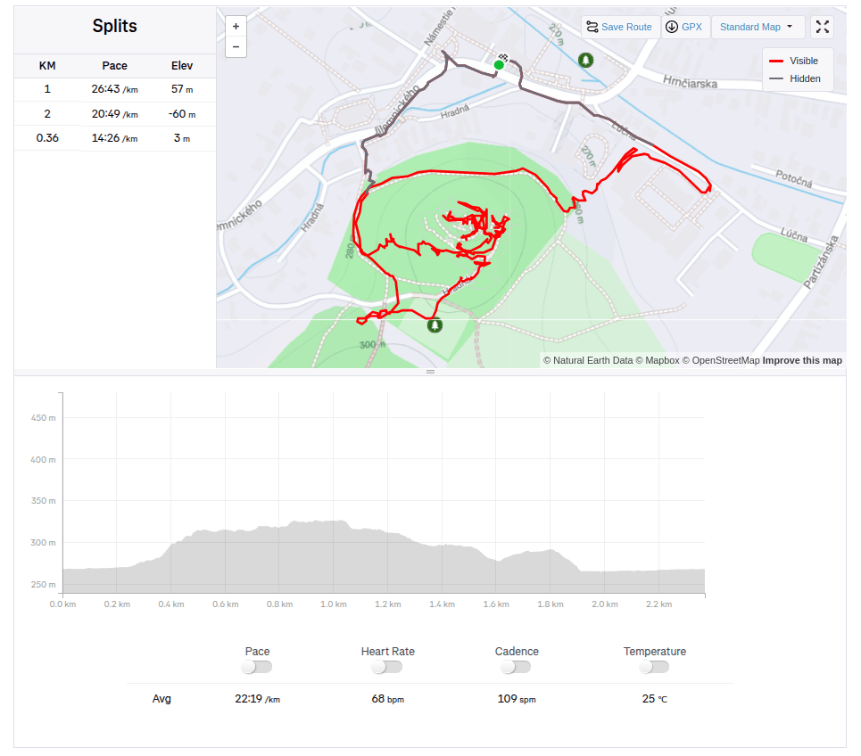
    Divín, 2.36km, 1 hod
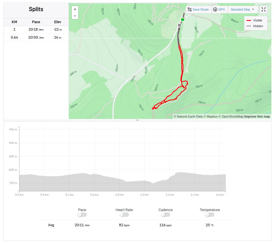
    Kalamárka: 1.6km, 40 min
  • Zejmarská gorge (with David)

    Zejmarská gorge (with David)

    Zejmarská gorge is the shortest gorge in the Slovak Paradise, but it still contains everything that every gorge should have. Although this gorge does not have as many waterfalls as other gorges, you will find the waterfalls of Captain Ján Nálepka, which are definitely worth it.

    The starting point of the gorge is the settlement of Biele Vody.The Zejmarská gorge is marked by a blue tourist trail and is only passable in one direction – upstream. It is 1 km long with a gradient of 227 m.

    We choose a longer and more attractive circular route through Dedinky – Zejmarská roklina, mouth – Geravy – Veľké and Malé Zajfy – Stratenská píla – Dedinky, Palcmanská Maša (the circular route is 3:30 hours long – with kids a bit longer…, elevation gain 591 m)

    David was 5 years old at that time

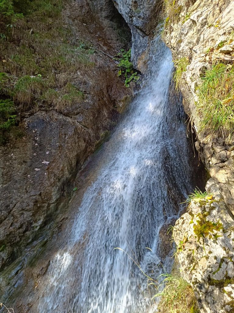
    There were smaller waterfalls
    And a bigger ones.
    The entrance to Stratenská píla
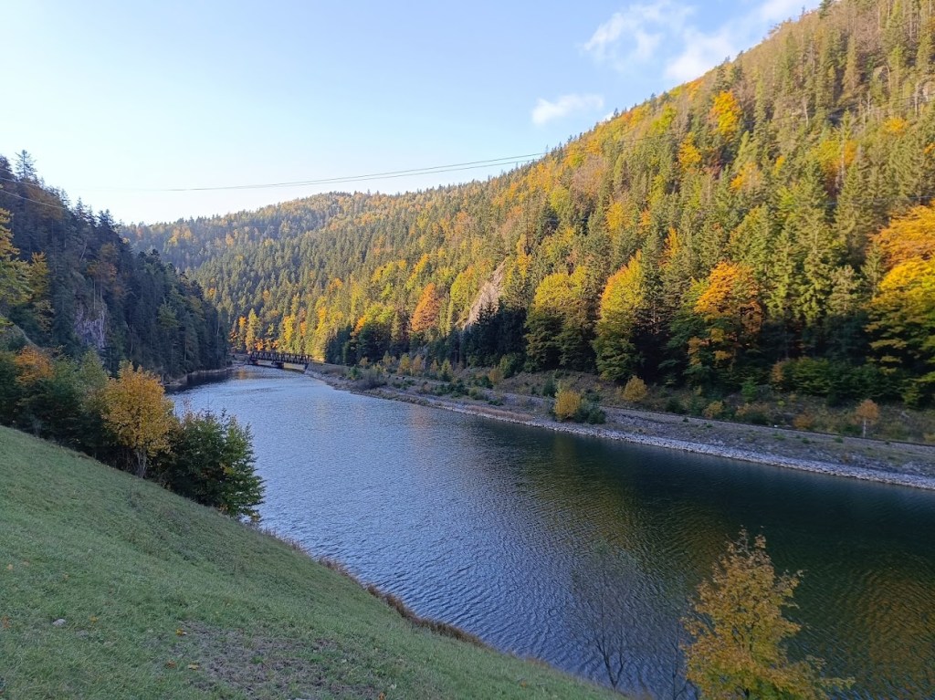
    Part of Palcmanská maša lake
    12km, 462m ascent, 4h 26min
  • Kids ferrata (with David)

    Kids ferrata (with David)

    The area around the ancient bell tower and the Háj mountain range breathes with history, it was a place where our ancestors were engaged in mining, mill wheel production and forestry. History can be felt at every step. The city of Nová Baňa decided to transform this precious place into a zone of active recreation associated with spending time in nature and exploring it. The bell tower with its educational trail, the Háj lookout tower, the Červená and Havraňá skala, the Kohútovo pilgrimage site, the Záhradný les and the newly opened Zvonička buffet currently creates a supra-regional dimension.

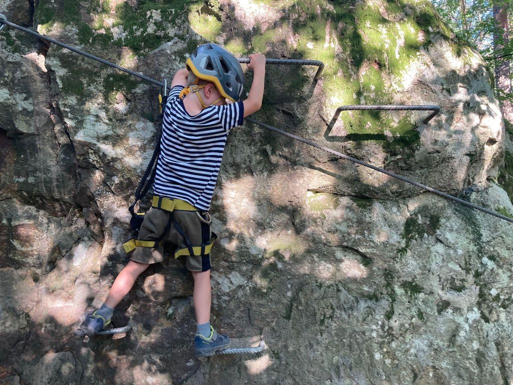
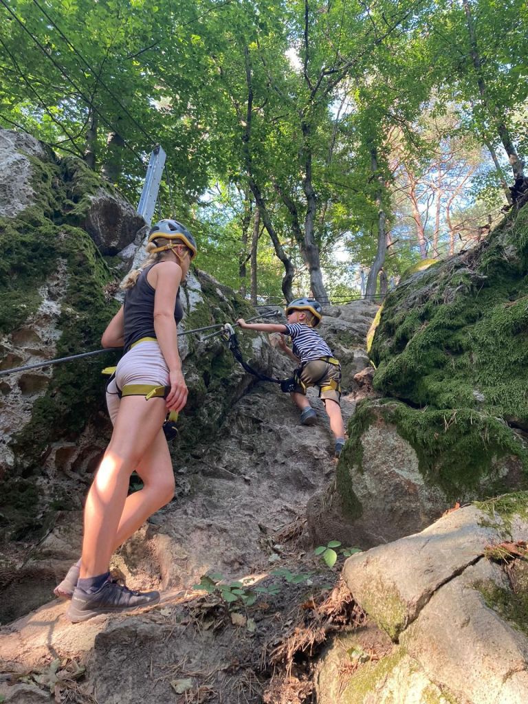
    The children’s via ferrata area in the immediate vicinity of the Zvonička buffet enhances and completes the complexity of this precious and sunny place. The area was designed and created for families who are looking for active movement in a natural environment, where parents with children can spend their free time. Via ferratas, bridges, rope nets, falcon nests await their visitors, who will teach them how to move in the mountains on rocks, motor skills, overcoming themselves, overcoming fear of heights.

    Of course, all this requires full compliance with safety measures and focusing on movement in exposed terrain. The Zvonička via ferrata area is unique in its design. 285 m of via ferrata routes have been built on small rock massifs in a steep forest environment. Adventure via ferratas offer unprecedented variations of movement, walking and balancing on ropes, nets, walkable acacia trunks and rock climbing.

    The ferrata sectors are connected by forest trails. Not only children and parents will have fun, but also adults, especially beginners, whose first steps on the rock will be in our Zvonička area. And you don’t need to worry that you don’t have equipment, you can borrow one (or more) there.

    We were there on David’s 5th birthday to celebrate.

    He was begging me to go there for a long time
    He was really proud of himself

    we walked there and then back to the city

    4.7km, 1h 46min
  • Trávny Ždiar (with David)

    Trávny Ždiar (with David)

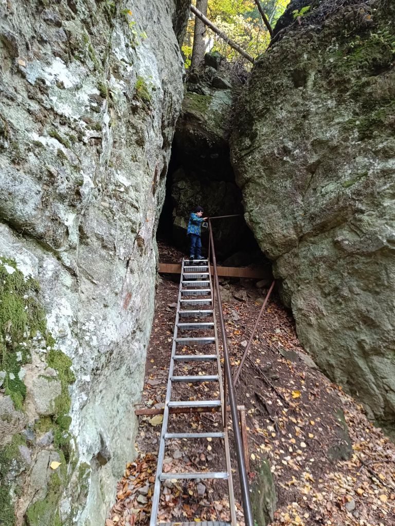
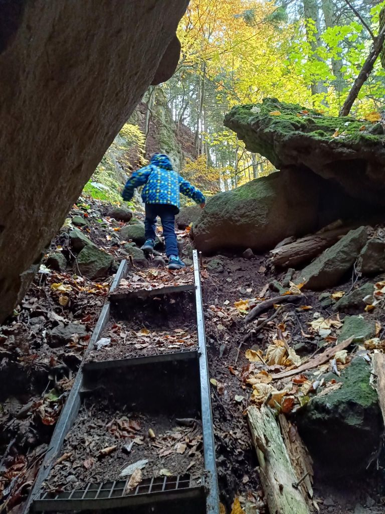
    Above Banská Bystrica, you can find a piece of Slovak Paradise. It is called Trávny Ždiar rock lookout on Suchý vrch. There you will find a magical forest, rocks of various sizes and remarkable shapes, often covered with a carpet of moss, scattered under the rock wall before your eyes. You climb up the high cliff using a system of metal ladders that will help you overcome some exposed spots.

    The circular route to the rock lookout is approximately 800 meters long, so it can be done relatively quickly. But it is definitely worth going to take a look at this picturesque mini-ravine, where the only thing missing to feel like you are in paradise is a waterfall.

    It is quick and easily accessed by car, parking spot is nearby and we have real fun there. David was 5 years old at that time.

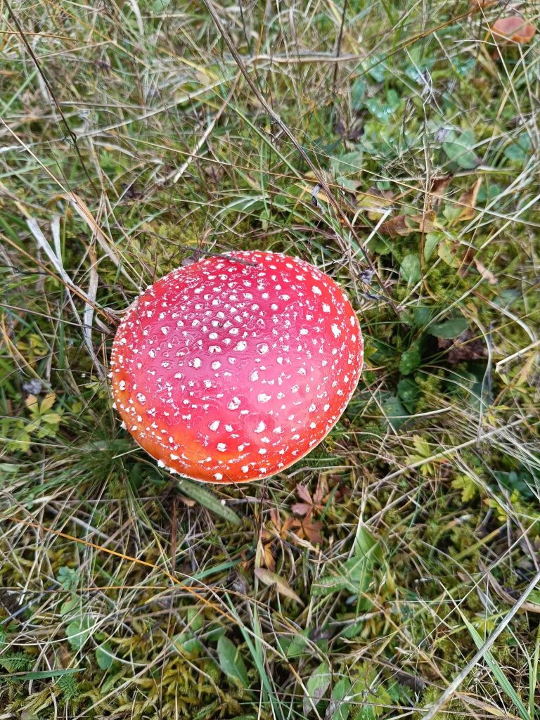
    Edible mushrooms are there too
    There isn’t need for special equipment, but there is place, where you need to watch you head
    I really like to make memories like this
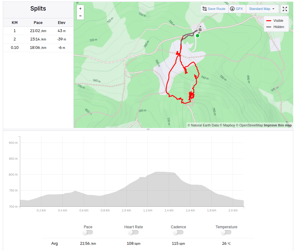
    2.1km, 104m ascent, 46min
  • Gýmeš castle (with David)

    Gýmeš castle (with David)

    Gýmeš is a castle ruin on the steep quartzite hill Dúň (514 m above sea level) on the southern slope of the Tribeč Mountains, approximately 5 km north of the village of Jelenec (Gýmeš). The ruin is a prominent landmark of the wide surroundings. Gýmeš is one of the ancestral castles of the noble Forgáč family – together with the Galician Castle.

    The castle was built in the 13th century and was one of the last where construction work was still underway in the 18th century. Gýmeš was finally abandoned only in the 19th century.

    There are several theories about the origin of the name. The word “gím” meant deer in Old Hungarian. The second version also speaks of the folk name of the hill “Dym” and from this name the village of Dýmeš, later Gýmeš, was also named.

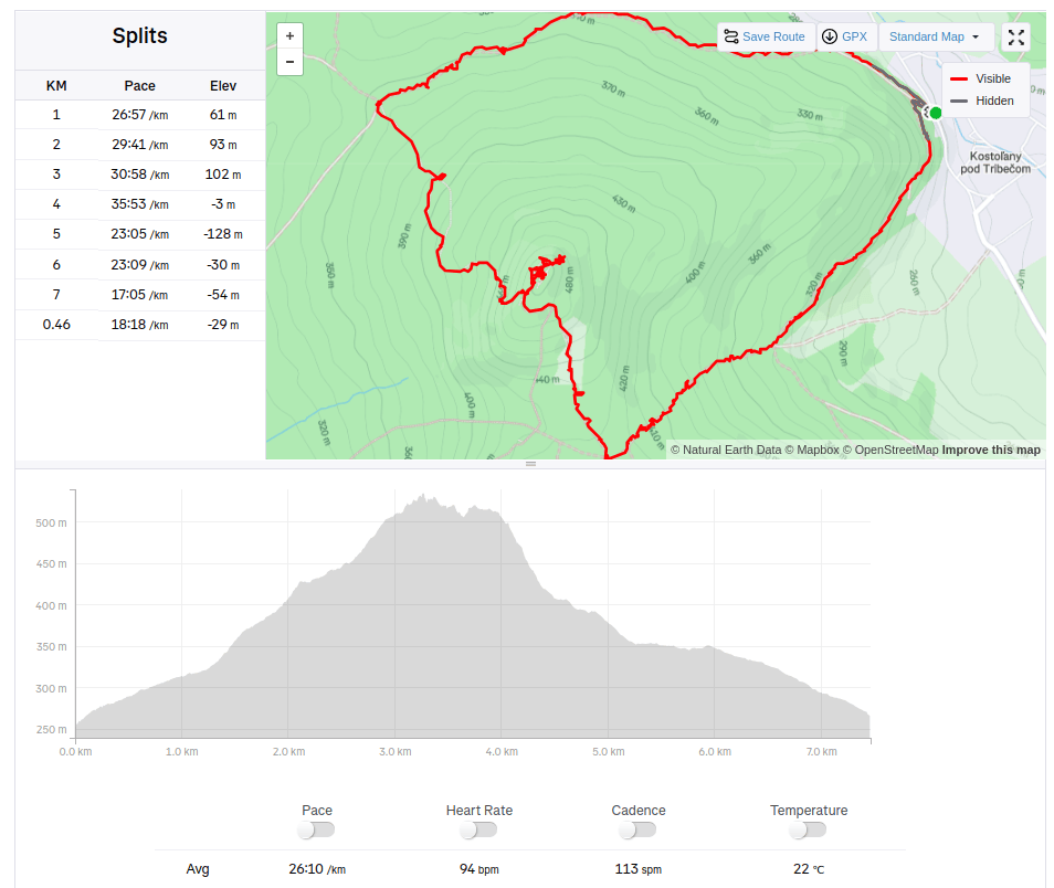
    We started from village Kostoľany pod Tribečom and made a circular hike. David was 4 years old at that time.

    He likes ruins, but a nice castles with commented tours are boring for him.
    the views are worth it too
    Some passages are still standing
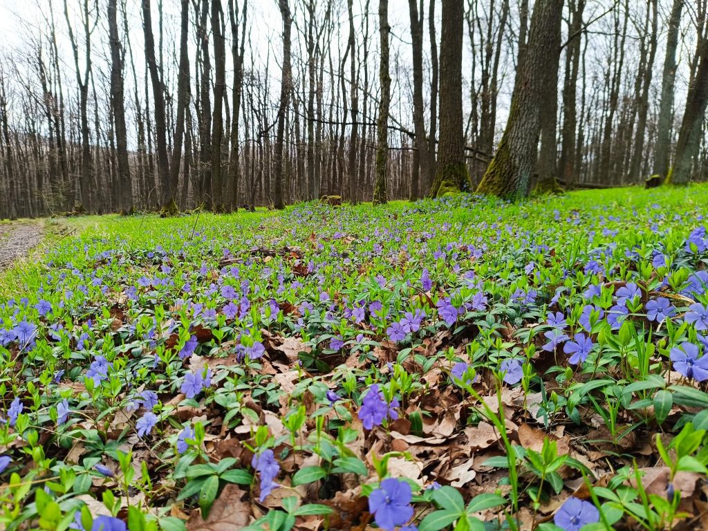
    If you pick the right time, flower beds like this are lining the path
    7.46km, 313m ascent, 3h 24min