Category: en

  • Alpe Adria, third day

    Alpe Adria, third day

    Our last day on the route, we will cross the Karavan Mountains back into Austria followed by a 30 km long relatively straight section back to Arnoldstein.
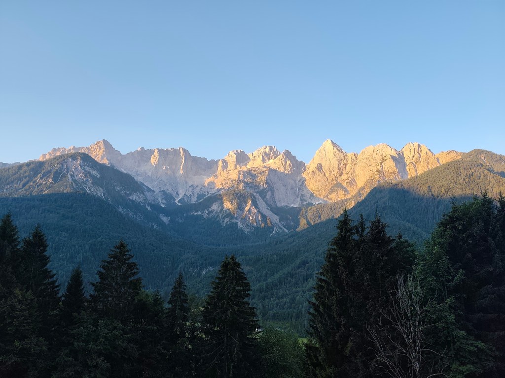
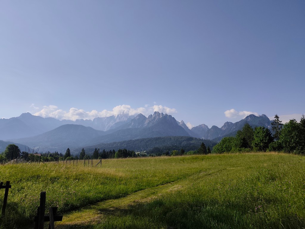
    Morning sun over Gozd-Matjulek

    We wake up at 4 in the morning, our hostel’s cafeteria is fortunately open non-stop, also with a coffee machine, so we have a quick coffee and leave the hostel at 4:42 in the morning. We have breakfast on the way through Krajnska gora, enjoying the morning chill. Today is supposed to be hot, the forecast says 33 degrees, so we just hope that the second half of the route through Austria will not be sunny, because we will boil ourselves alive.
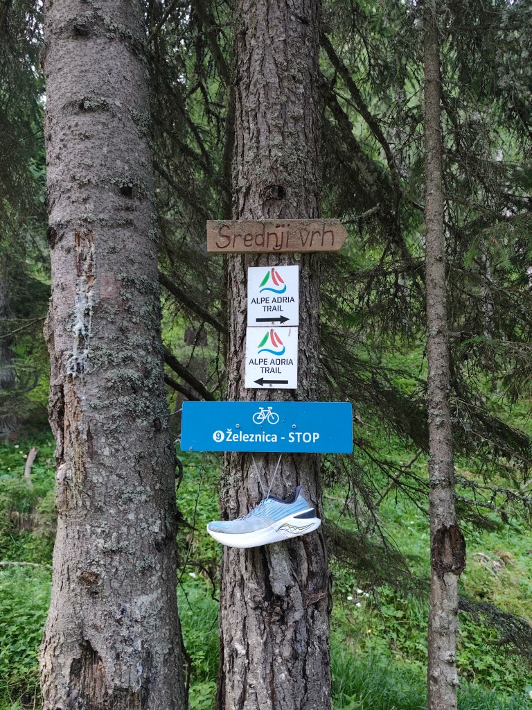
    Strednji vrh,in ascend to Mittasgkogel

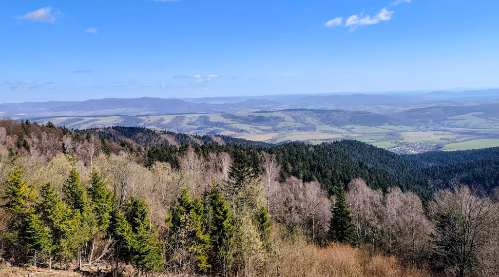
    We leave the Krajnska gora behind and for the first few kilometers we run along the foot of the mountain along the river. At the 5th kilometer we start to climb and climb steeply to the ridge. However, at the top we leave the Alpe Adria trail for a moment and go less than a kilometer to the Techantinger Mittagskogel with an altitude of 1823 meters above sea level. It offers beautiful views not only of the Karavanke Mountains, but also of the lowlands in Austria and also of Faaker See.
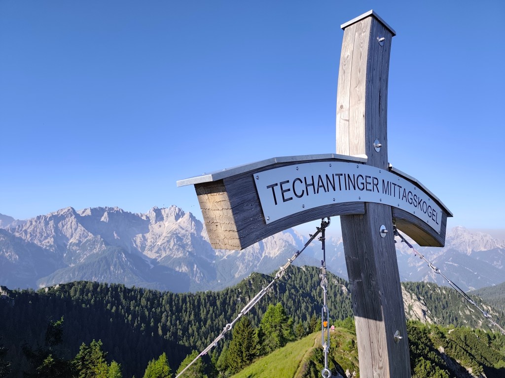
    Mittagskogel

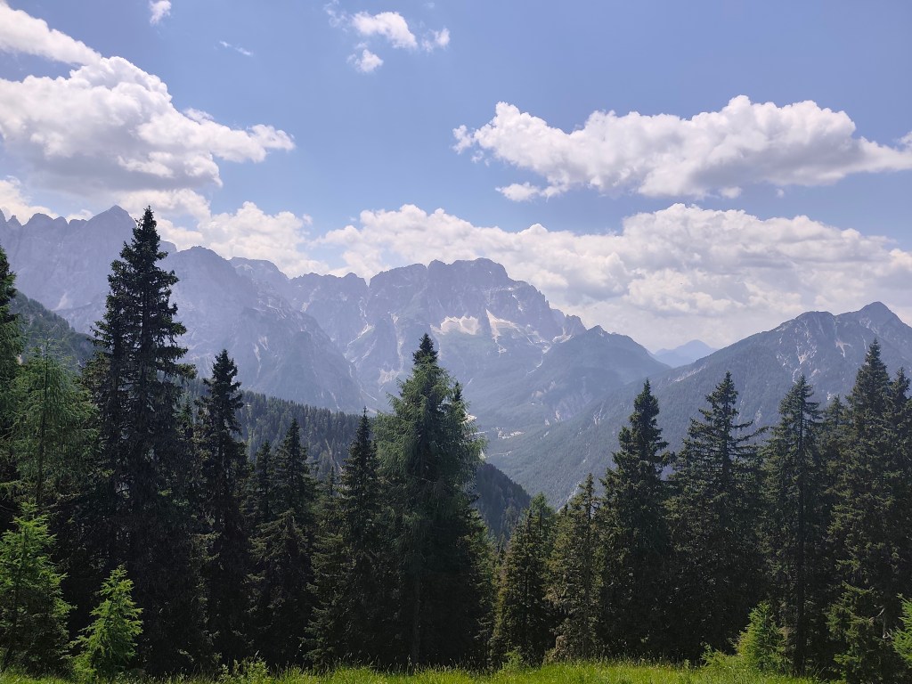
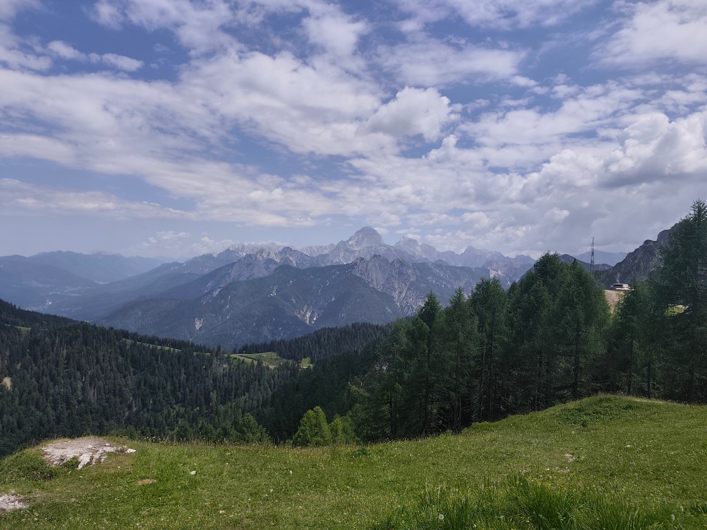
    It follows a 6km run on beautiful ridge with breathtaking views, we would have liked to run much further along it. However, Alpe Adria leads us in a different direction.
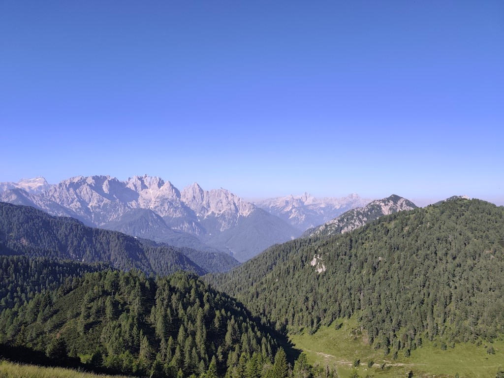
    From ridge of Karavanke Mountains

    We start to descend and the route becomes flatter and flatter. We run through a few villages to Faaker See, where, almost out of water, we stop at a buffet on the shore of Faaker See. Radler is a classic, we refill our bottles and wash our sweaty faces, the temperature rises, it feels like it’s over 30.
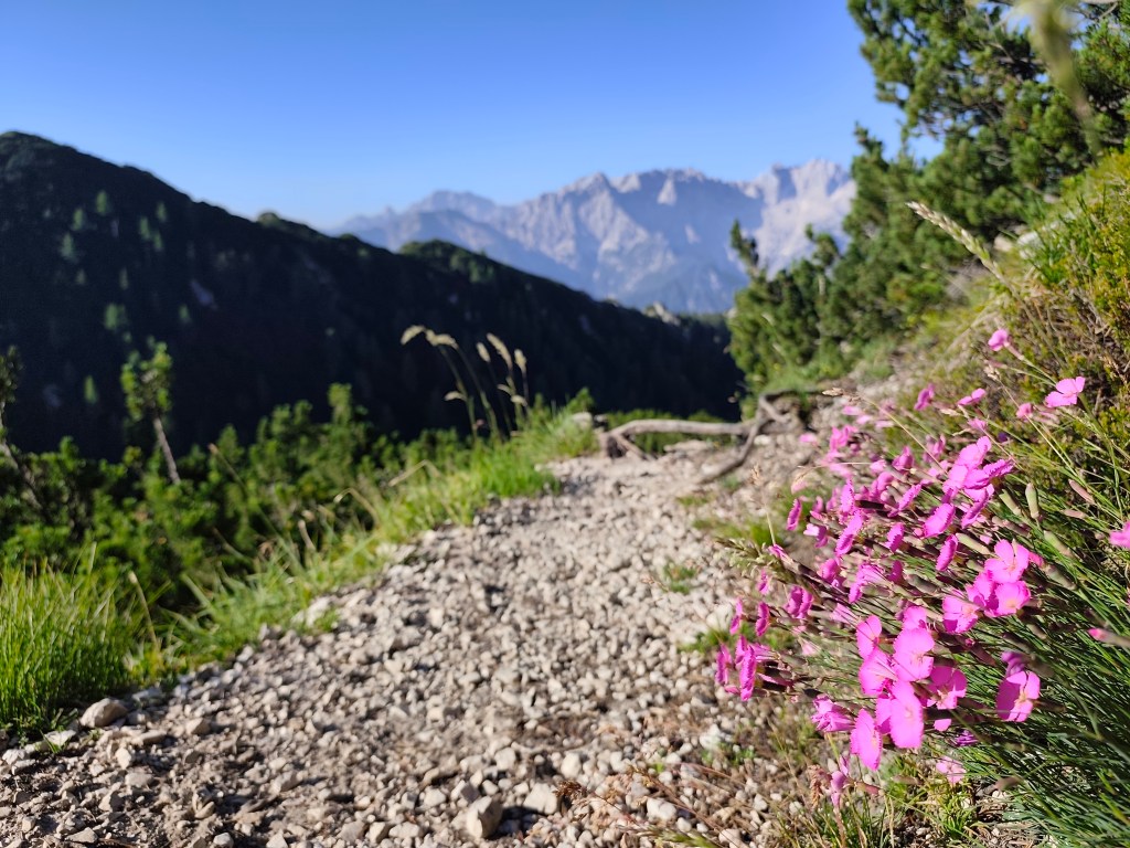
    Going off the trail to Mittagskogel was worth it

    Next for us is one of the most difficult parts, through the Finkenstein moor, a marsh with tall reeds, through which a long straight dirt road leads, in the midday sun, without a single bit of shade. Fortunately, a forest followed it and a few kilometers further we came across the Gail River, we couldn’t resist and went to it to cool down. It’s a shame that in that heat we were dry again in just a few minutes.
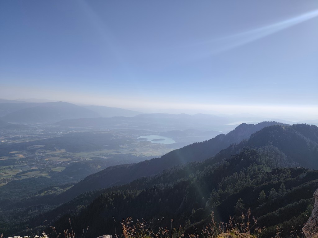
    Faaker See in background

    We arrive in the spa town of Warmbad, and since we can smell how many kilometers we have behind us, we prefer to stay on the terrace of a local restaurant, even though the interior is air-conditioned. The Radler in us quickly disappears and we have no choice but to continue riding 🙂 The spa park is truly beautiful with carpets of meadow flowers.
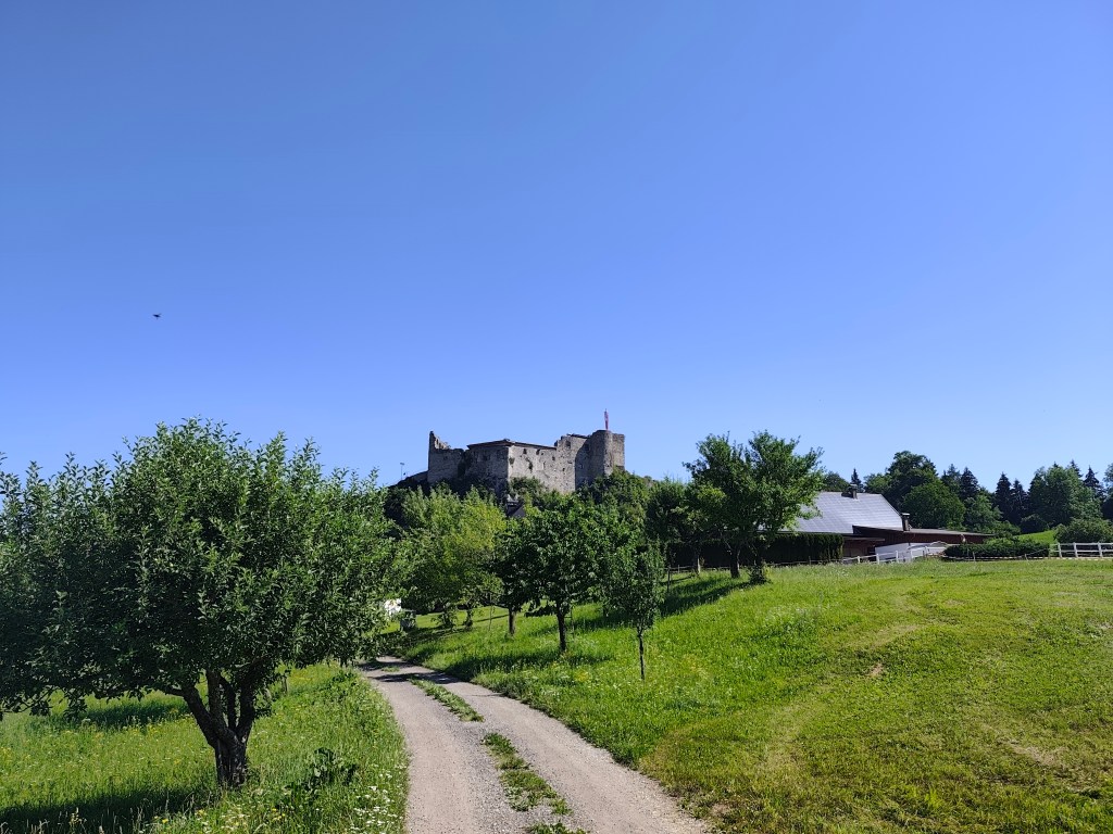
    Austria

    We continue along the old Roman road, which is still visible today thanks to the deep ruts left in the rock by the wheels of the carts. There should also be a waterfall and a spring here, but it is too dry and we only find a dry riverbed. We are saved by a stream a few kilometres before Oberschutt, where we at least cool down, and then a spring in the square in Oberschutt, where we fill our completely empty bottles. I almost jump from joy when we saw it there, I was already overheated and really thirsty.
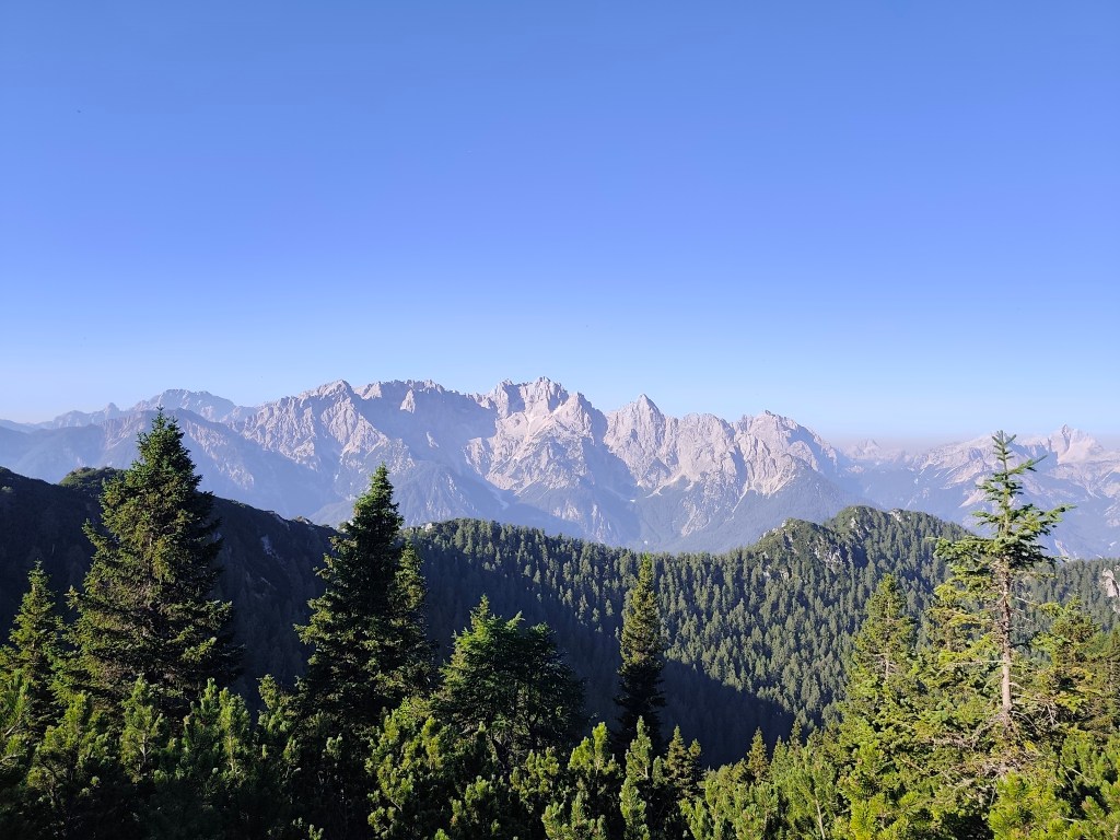
    Karavanke Mountains

    The last 10 kilometers await us, mostly on a cycle path that is fortunately mostly covered with trees. After an hour and a half we reach Arnoldstein and our destination is not out accommodation, but a local shop, because we have been looking forward to a flavored orange mineral water for at least an hour 😀

    It was a great experience full of emotions, views, steep climbs and equally steep descents, adrenaline and sweat, which I will remember for a long time.
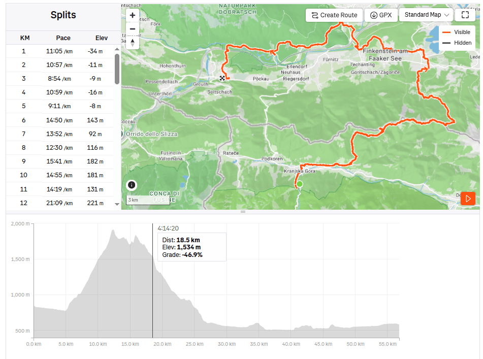
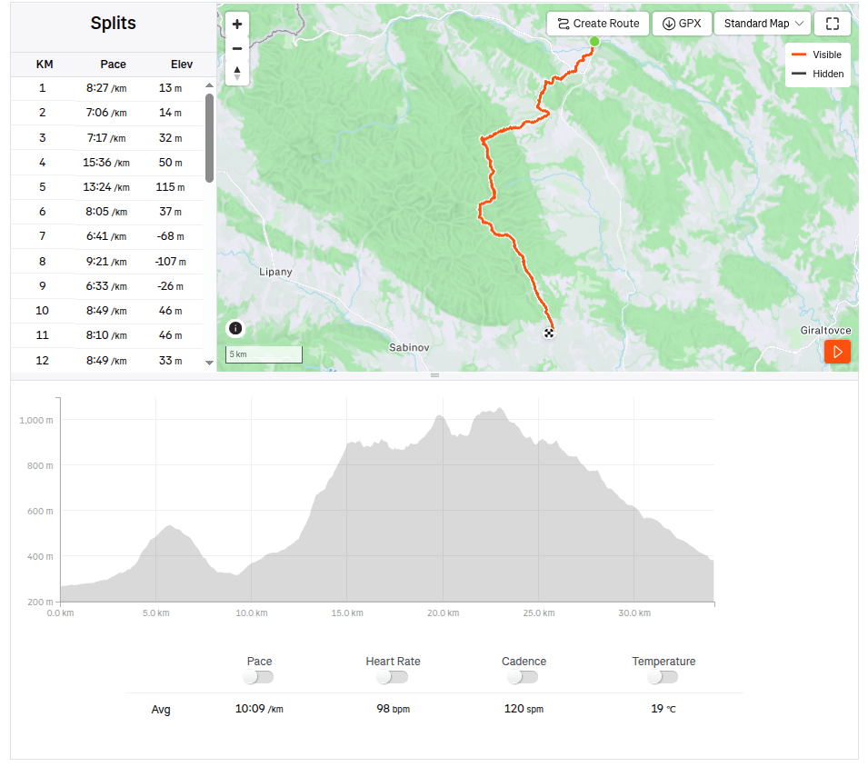
    56.81km, 10:15 active time, 10:49 total, 1858 m ascend
  • Alpe Adria Trail, second day

    Alpe Adria Trail, second day

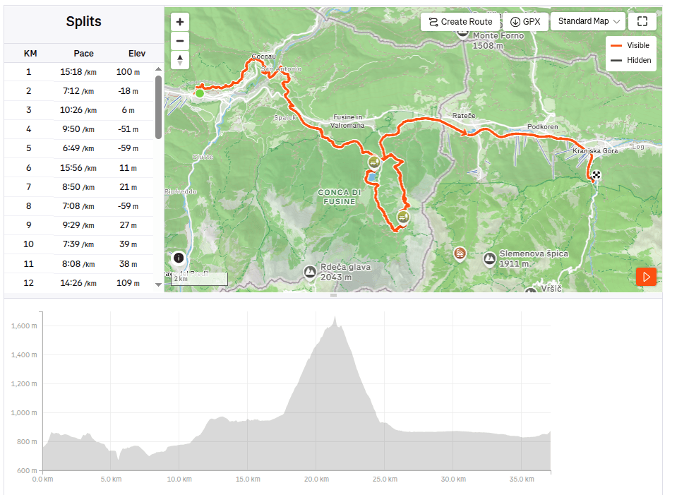
    The second day on the route was a bit more relaxing, we had a little less kilometers than the remaining two days, this time “only” 37. So we could afford to leave later and enjoy a great Italian breakfast (which of course paid off a little, because I ran for the first three hours with a completely full stomach and it was already very hot). But the croissant was worth it 🙂

    I will be scared to go this path in night:)

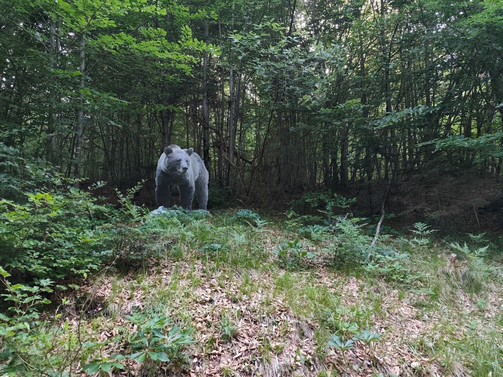
    We started from Tarvisio at 8:00 in the direction of Coccau. A great forest trail enriched with life-size models of animals. After Coccau, an adrenaline attraction was waiting for us in the form of an old suspended bridge over the Gailitz river, with rotten boards.

    meadows after Coccau

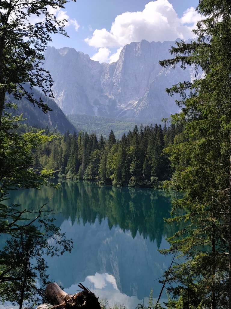
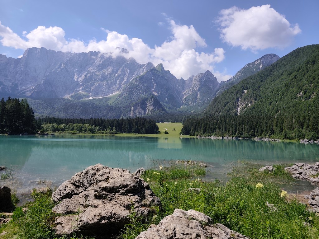
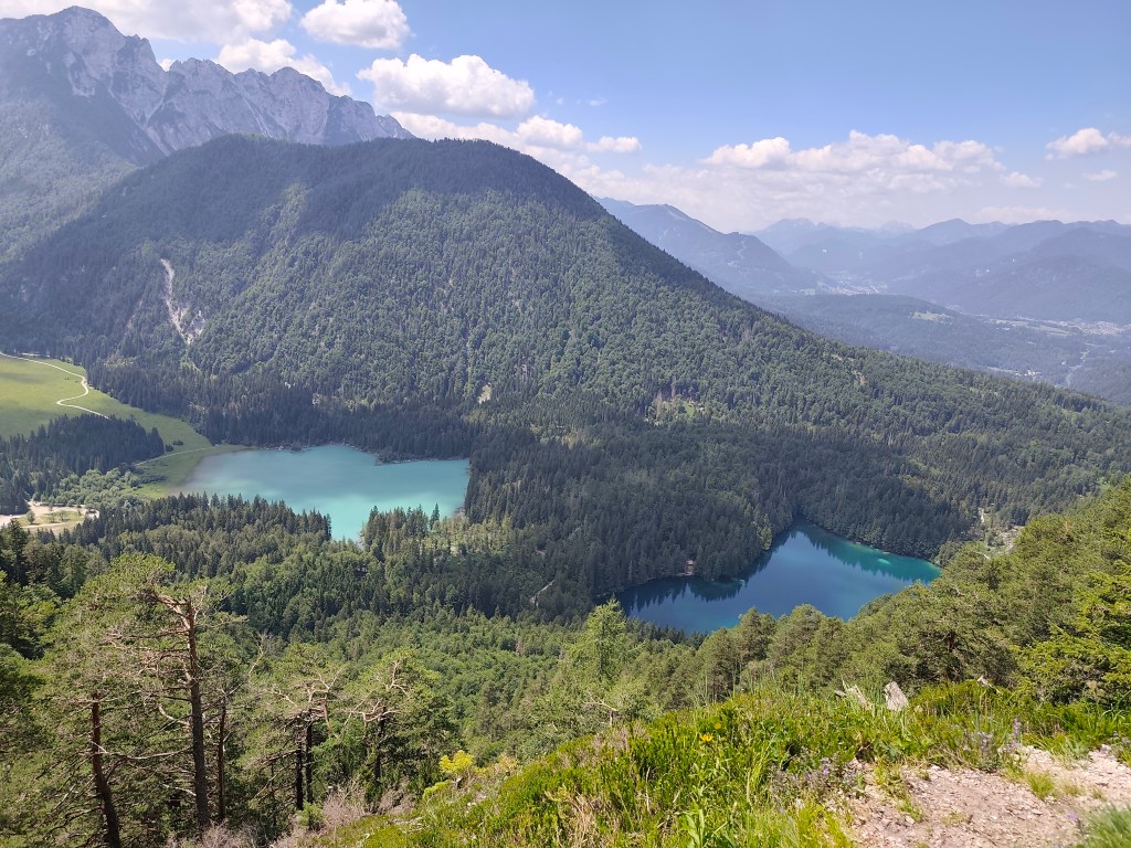
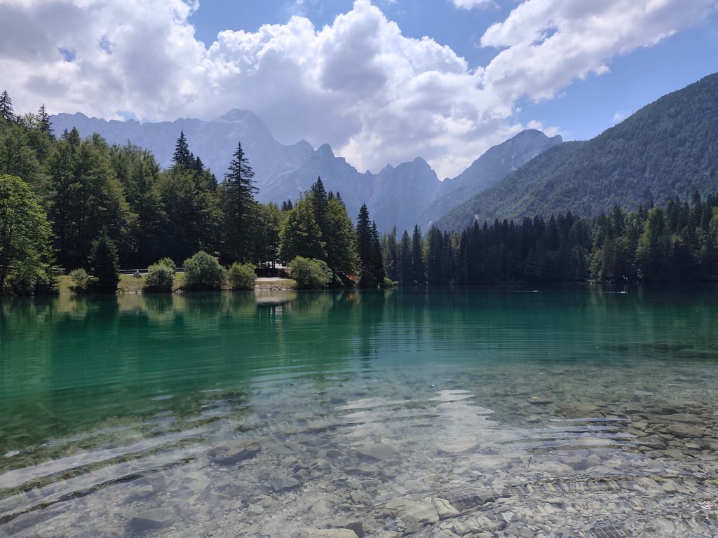
    Fortunately, they kept us and we could continue on the ever warmer meadows to the most beautiful part of today’s trail – Lagos di Fusine. These are two crystal glacial lakes on the border between Italy and Slovenia, surrounded by the Julian Alps.

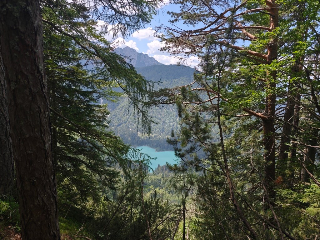
    Our first view of Lago di Fusine
    Upper lake with Manghart mountain range in background

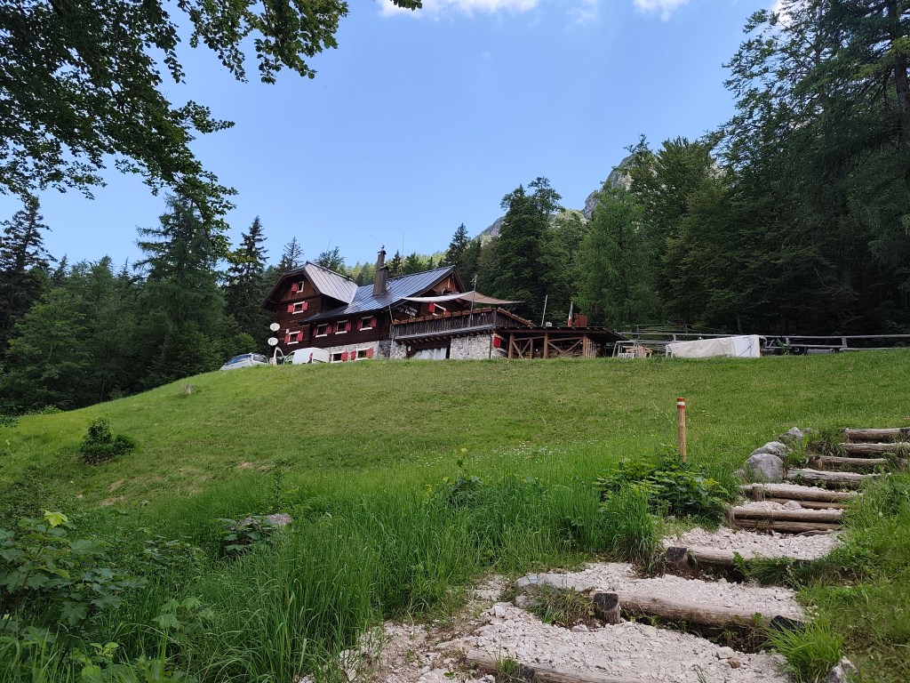
    We pass from the lower, darker, transparent lake to the upper lake with a beautiful blue surface. There is a buffet above the lakes, where we traditionally have a radler and start our ascent to the Rifugio Zacchi hut, located at 1380 meters above sea level.

    Refugio Zachi

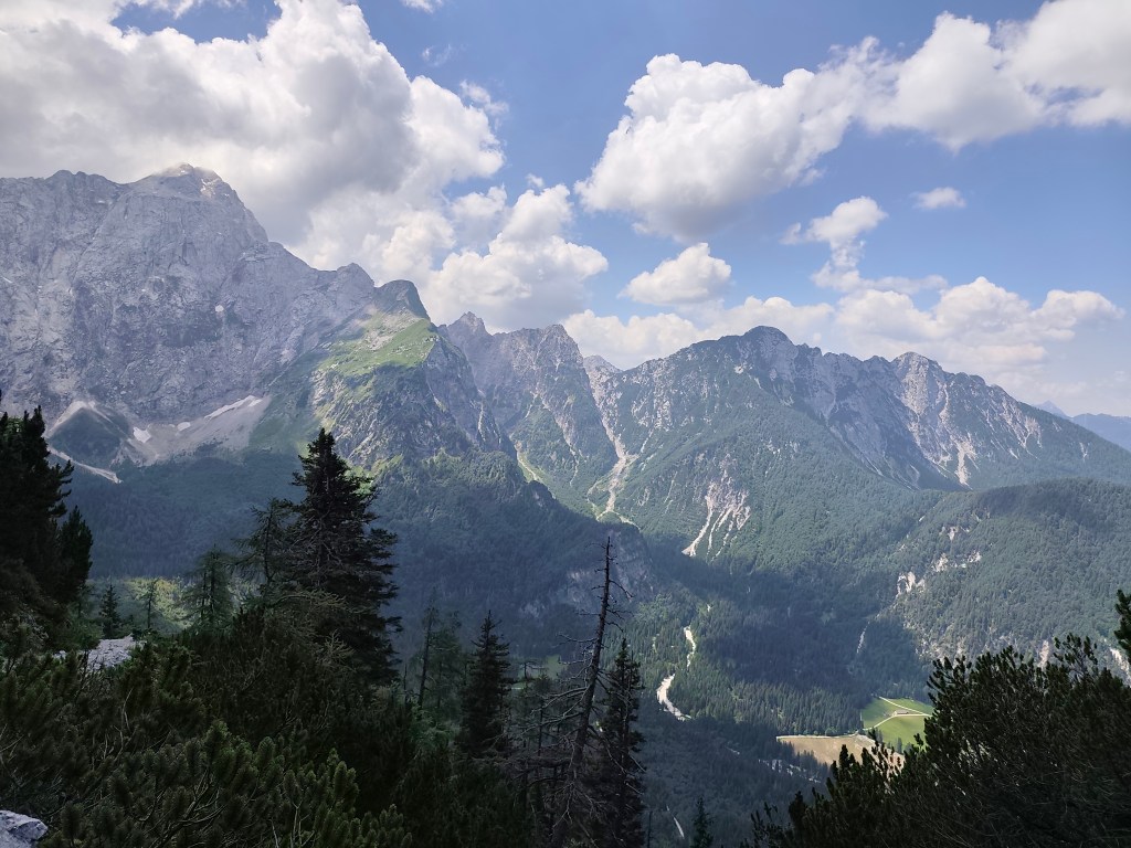
    We have a great coffee and continue towards the Ponza cottage, where beautiful views of the valley and the lakes open up.

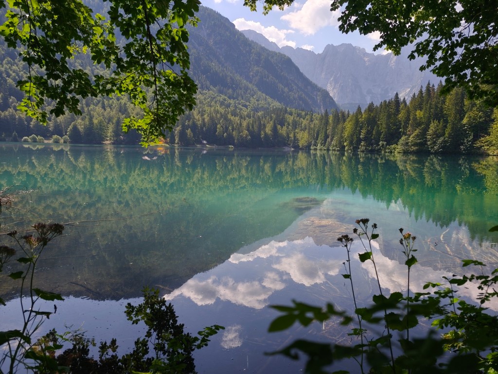
    After a while, however, we come to a section where the original walkway with chains has collapsed and we have to go around it on a rather steep path between rhombuses, it manage to go up quite well, but on the way down my legs were quite shaking and I had to be very careful not to slip on the unstable ground. we managed it, and then we run back to the lower lake, where we take our last break of the day. We enjoy the beauty of the mountains reflected on the surface of the lake.

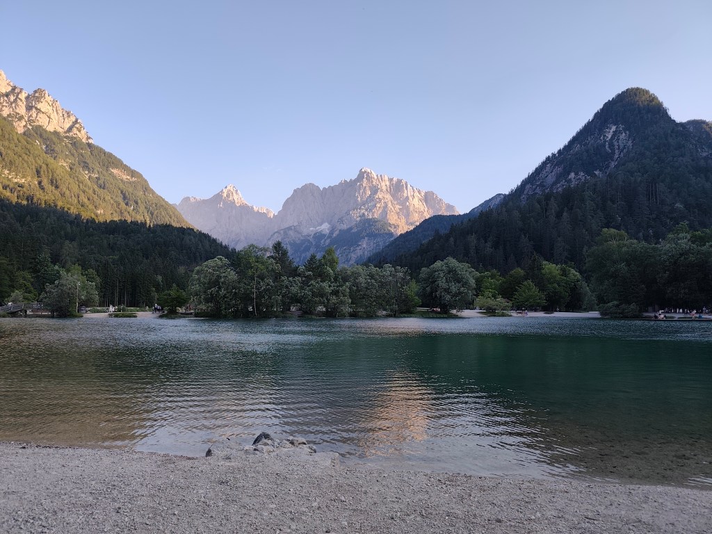
    The end of the day is 12 km along a flat bike path, not covered by trees, and I can’t run it anymore, I’m overheating, so we alternate between running and walking. We found accommodation almost on the shore of Lake Jasna in Krajnská Gora, so we end today’s stage waist-deep in a cold water of glacial lake 🙂 We cool our overheated muscles and enjoy the views of the surrounding mountains.

    Lake Jasnain Slovenia
    37.12km, 6:52 active time, 8:14 total, 1466m ascend

  • Alpe Adria Trail, first day

    Alpe Adria Trail, first day

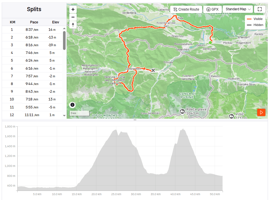
    Alpe Adria is a long-distance route leading from Austria (from under the Grosglocker) to the sea in northern Italy, the length of the entire route is 750km, but we didn’t have time to do it all, so we cut out at least a part of it: Alpe Adria Three-Country Circular Tour.

    It leads through Austria, Italy and Slovenia and is 140km long. It took a bit of planning, but in the end we managed to divide the route into 3 days (classic tourist guides divide it into 7 one-day stages). We arrived in Arnoldstein a day in advance, we chose it as our starting point, even though most guides start at Faaker See. Arnoldstein worked out best for us in terms of the distribution of kilometers and meters climbed. Even though it is not completely on the route (3km detour), we had to look for a place where we could stay and where we could leave the car there for 3 days.

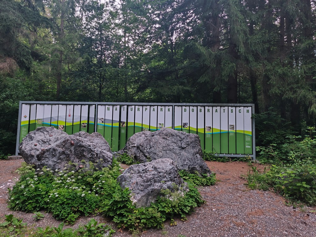
    Nature park Dobratsch near Arnoldstein

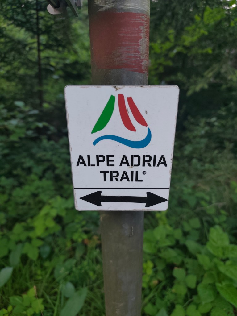
    We set off at 4:58 in the morning, the forecast promised a beautiful and quite warm day. After half an hour we spotted our first Alpe Adria Trail sign and continued along the cycle path towards Notsch, where we refilled our water for the first time.
    This sign accompanied us for three whole days

    We keep running and after 15 kilometers we finally start climbing our first hill. And what a hill it is 🙂 1100 meters climbed in 10 kilometers. Fortunately we climb through the forest and there are at least 5 waterfalls along the way, which are not drinkable, but they served as a great refreshment.

    Feistritzer alm

    After a long day of hiking, we take our first break at the Feistritzer Alm, a mountain hut on the border with Italy. We enjoy a radler and our first great views. It is located at an altitude of 1735 meters above sea level and is located at the foot of the 2,052 meter high Oisternig.

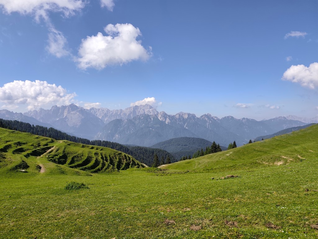
    Alpine pastures on the border between Austria and Italy

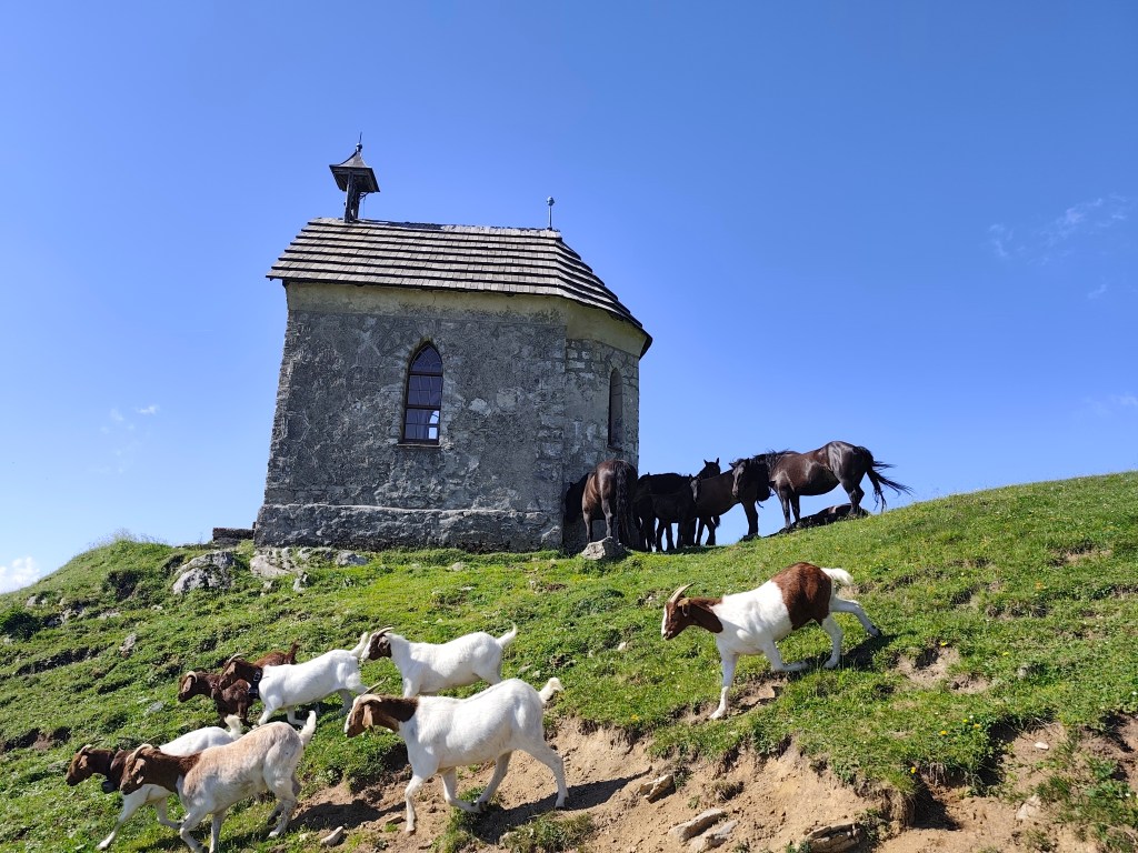
    We run through alpine pastures, among goats, horses and marmots, and from below Monte Acomizza we begin to descend towards Camporosso, but we only pass it by the wayside and continue to Valbruna for a real Italian espresso and radler.

    The temperature is rising and we are facing our second big climb of the day up Monte Lussari. It was quite a massacre, I have never experienced such a steep climb before, 1000 elevation gain in 3 kilometers, they gave us a hard time in that heat.

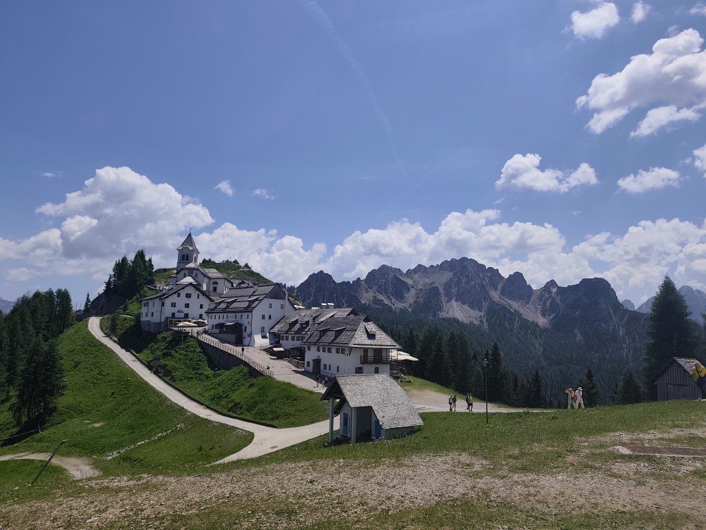
    Monte Santo Lussari

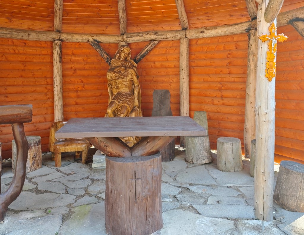
    Monte Santo Lussari is a pilgrimage site with a beautiful view of the surrounding mountains. At the top of Monte Lussari (1,789 m above sea level) there is a church dedicated to the Virgin Mary. The history of this church dates back to the 14th century, when, according to legend, a shepherd found a statue of the Virgin Mary there. After this discovery, a church was built here, which became an important pilgrimage site.

    From the top of monte Lussari

    At the top, we can’t miss a radler (it will become our traditional drink on this trip :)) and after a few summit photos, we descend back to Camporosso, this time on the other side of the hill. Today we end in the town of Tarvisio, where we stuffed ourselves with great cheeses and real Italian prosciutto crudo.

    52km, 9:24 active time, 10:41 total, 2400 m. ascend
  • Girls bike training camp

    Girls bike training camp

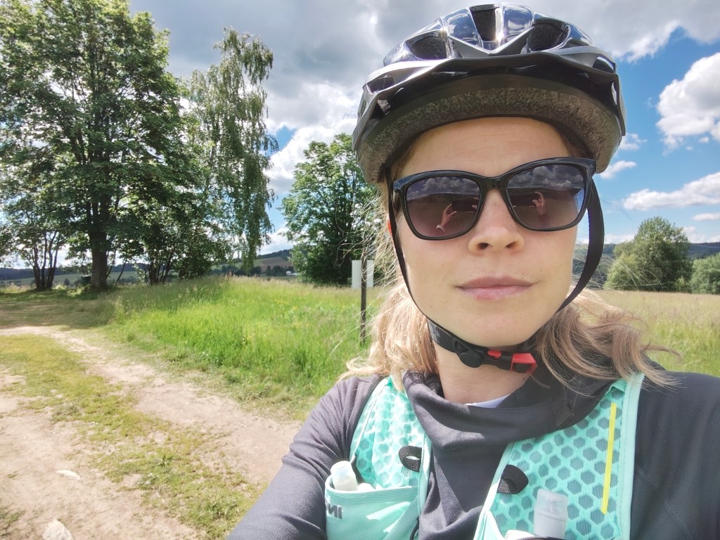
    For me, this was the second year of a fantastic two-day biking trip, this time in the area around Kokava nad Rimavicou. We stayed at the Old School in Kokava, a classic “box-shaped” building from the 1970s that has been given a modern interior with references to the glassmaking tradition of Zlatá Zuzana. The complex also hosts various exhibitions aimed at breathing new life into the glassmaking craft.

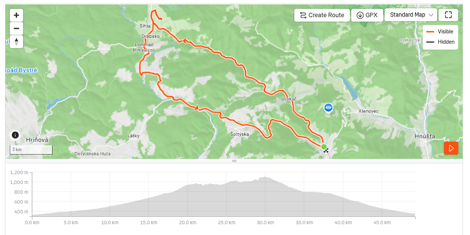
    On the first day, we started in Kokava, and our first stop was the Finnish cottages in Utekáč. These are wooden prefabricated houses from Northern Europe, which local glassmakers received sometime in the 1950s in exchange for a train carload of thermos flasks.

    According to local historian Ján Haluka, the houses from Finland were transported to Lučenec by rail. The prefabricated components of two large houses were then transported by car by glass factory workers to Utekáč, where they were assembled in the Salajka neighborhood.

    Above Marek’s farmstead

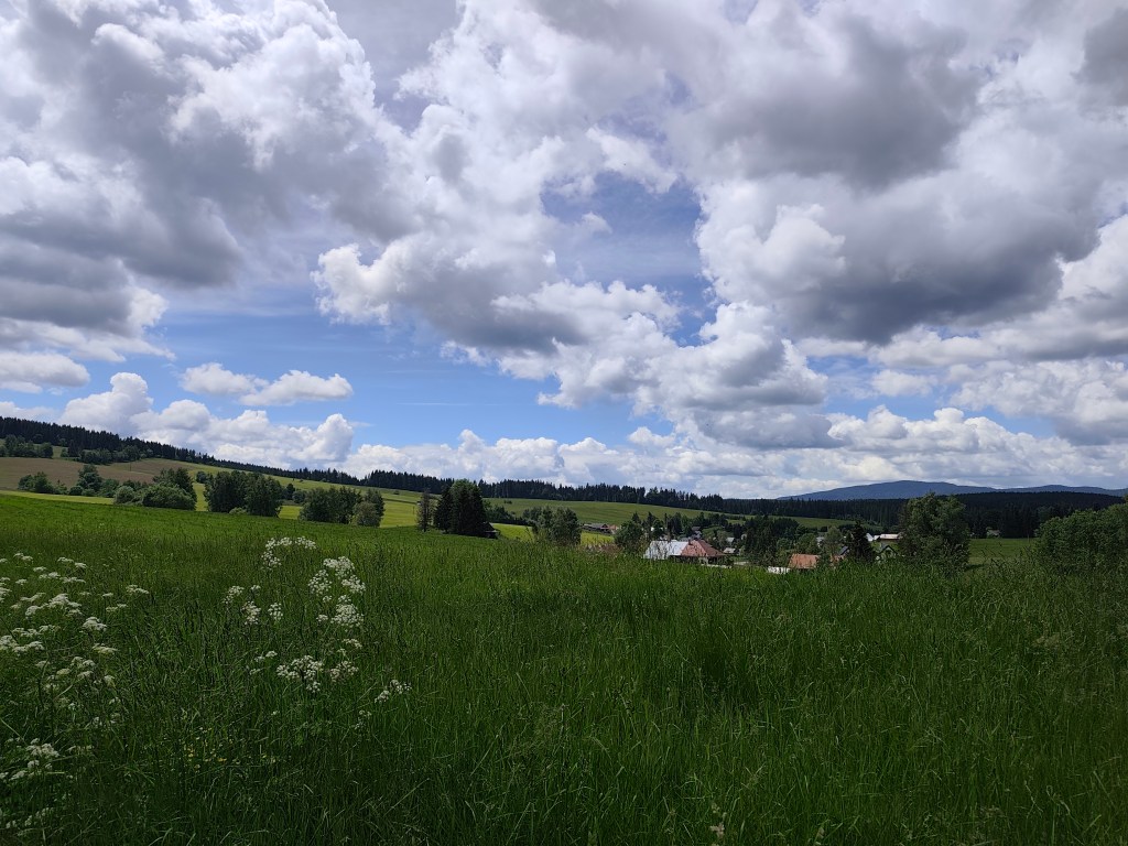
    From Utekáč, we continued on to Sihla, where we were welcomed at Marek’s farmstead; they prepared a nice lunch and coffee for us, and, refreshed, we set off through Lom nad Rimavicou on the final descent all the way to Kokava.

    Sihla
    49.26 km, 3h36min active time, 933 m ascend.

    The second day was more focused on cultural experiences. The plan was to visit the old churches in Rimavská Baňa and Kraskov and the Kyjatice Culture burial ground.

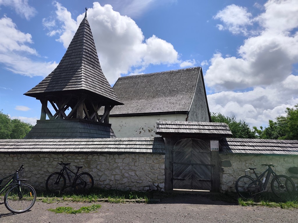
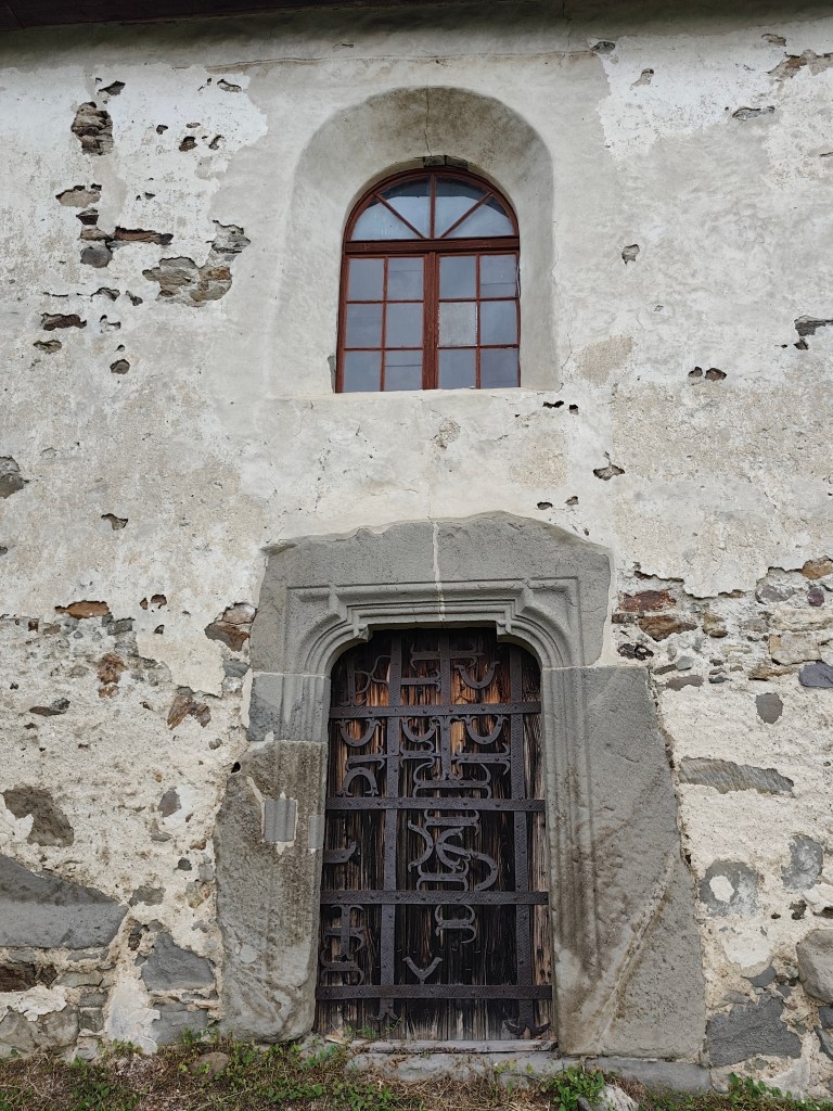
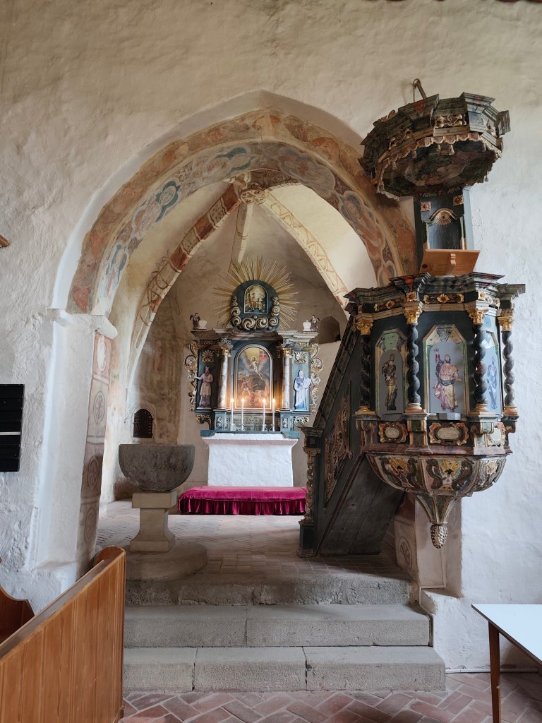
    The church in Rimavská Baňa is located within a fortified complex and remains a prominent landmark of the village and the surrounding countryside, visible from afar. It was likely built around the year 1300. The church was originally painted both inside and out. I. Groh partially uncovered the paintings in 1893, but the complete uncovering and restoration did not take place until 1956–1958.

    Entrance to the church in Rimavská Baňa

    The best-preserved painting in the church, on the north wall of the nave, depicts the legend of St. Ladislaus—a dynamic composition celebrating heroism and the life of a knight. The story begins on the left, where the walls of Varadín rise up, behind which one can see the anxious gazes of women and the mourning figure of a young maiden at the foot of the walls. In the center is depicted the battle between the Hungarian and Cumans cavalry at Čerhalm. In contrast to the peaceful depiction of the legend in Kraskov, this scene captures a relentless battle full of emotion. The artist took great care to depict in detail the harnesses, the colors of the horses, the clothing, and the headgear that distinguish the Hungarian and Cumans armies. Although the subsequent parts of the scene—St. Ladislaus’s struggle with a Cumans, Ladiva’s assistance in his killing, and the king’s rest in her lap—are significantly damaged, they still allow us to form a picture of this medieval story, composed into a dramatic narrative framework through the use of bold lines.

    inside the church in Rimavská Baňa

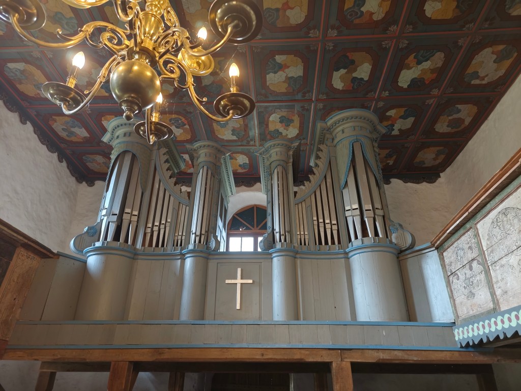
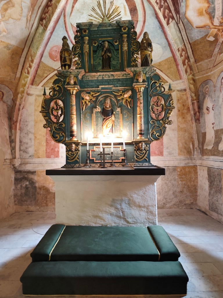
    The interior also features a valuable, recently restored coffered ceiling from 1783, a Baroque altar from 1745 with a pulpit from 1747, and a carved stallum from 1695.

    The organ and the pulpit ceiling in Rimaska Baňa.

    The small church in Kraskov was built on elevated ground sometime in the first half of the 14th century on the site of a slightly older structure. It was a typical early Gothic building of that era, still featuring some Romanesque elements. Sometime between the 1360s and 1380s, it was decorated with frescoes, likely painted by a master from Italy.

    Kraskovo

    In the 15th century, the building was fortified and remodeled in the Late Gothic style. In 1555, the small church was damaged during a raid by Turkish troops. Since 1596, it has belonged to the Evangelicals, who adapted it to their liturgical needs and painted over the murals.

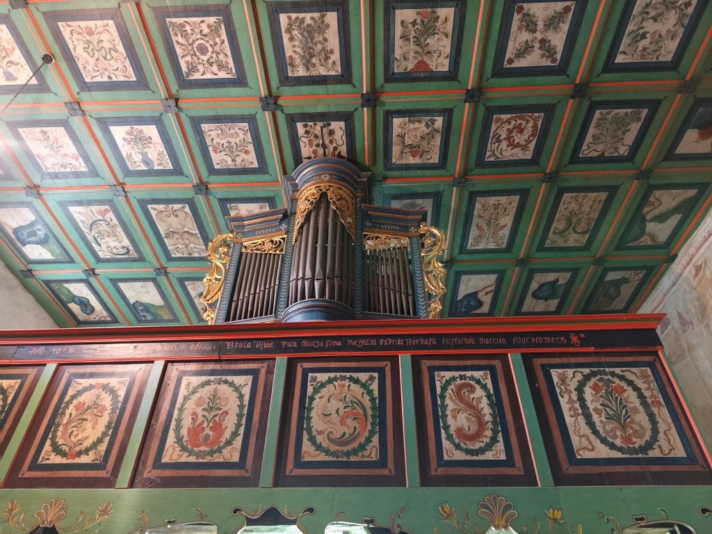
    The Organ and the Coffered Ceiling in Kraksovo

    In 1751, the building was given a new roof; the coffered ceiling in the nave dates to 1758–68. In 1814, the original Gothic windows were enlarged.
    In 1901, I. Huszko discovered medieval frescoes, and in 1906, he restored them—albeit not entirely successfully.

    The Altar in Kraskovo

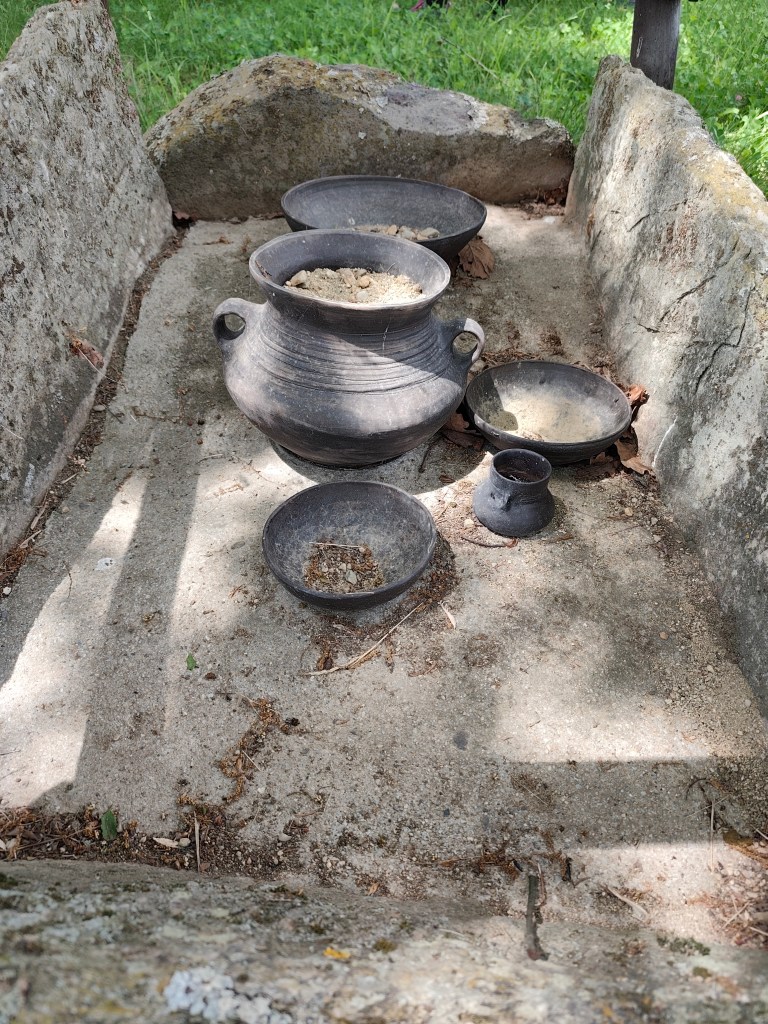
    In the mountains above Kyjatice stands the archaeological Monument to the People of the Kyjatice Culture, depicting a prehistoric cremation cemetery from the Middle and Late Bronze Ages (1100–700 BCE).

    Burial Ground of the Kyjatice Culture

    It consists of three burial mounds, beneath which are chamber cremation graves, a funeral pyre, and two chamber graves containing imitation pottery. Archaeological research examined a total of 192 cremation graves, identified the location of the settlement, and uncovered a bronze hoard and other bronze objects. The people of the Kyjatice culture were engaged in agriculture, had developed bronze metallurgy, and had also mastered iron production. They inhabited caves and built massive hillforts. The burial ground is of European significance.

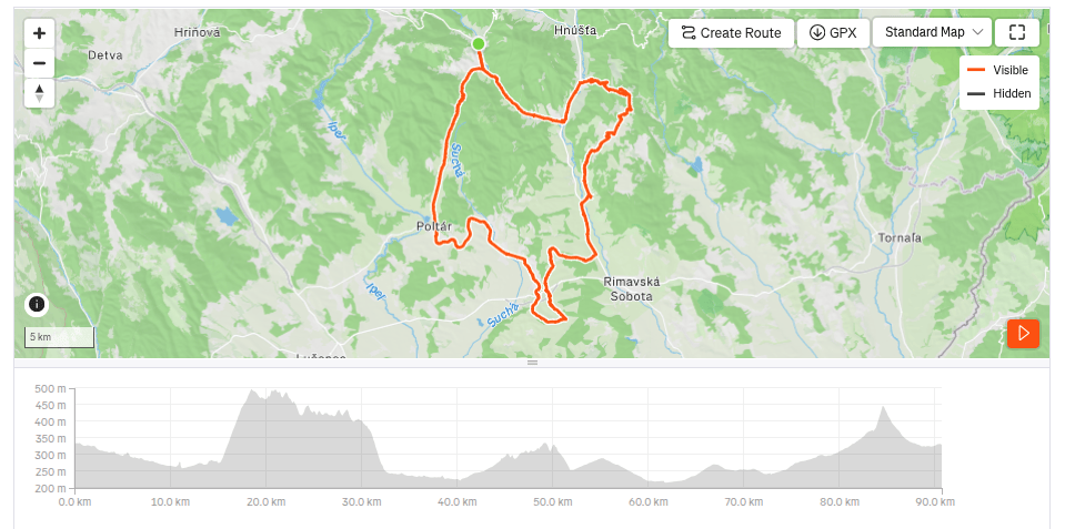
    90.7km, 5:07 active time, 979 m ascend

  • SNP girls project, day 15

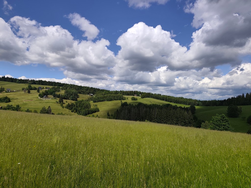
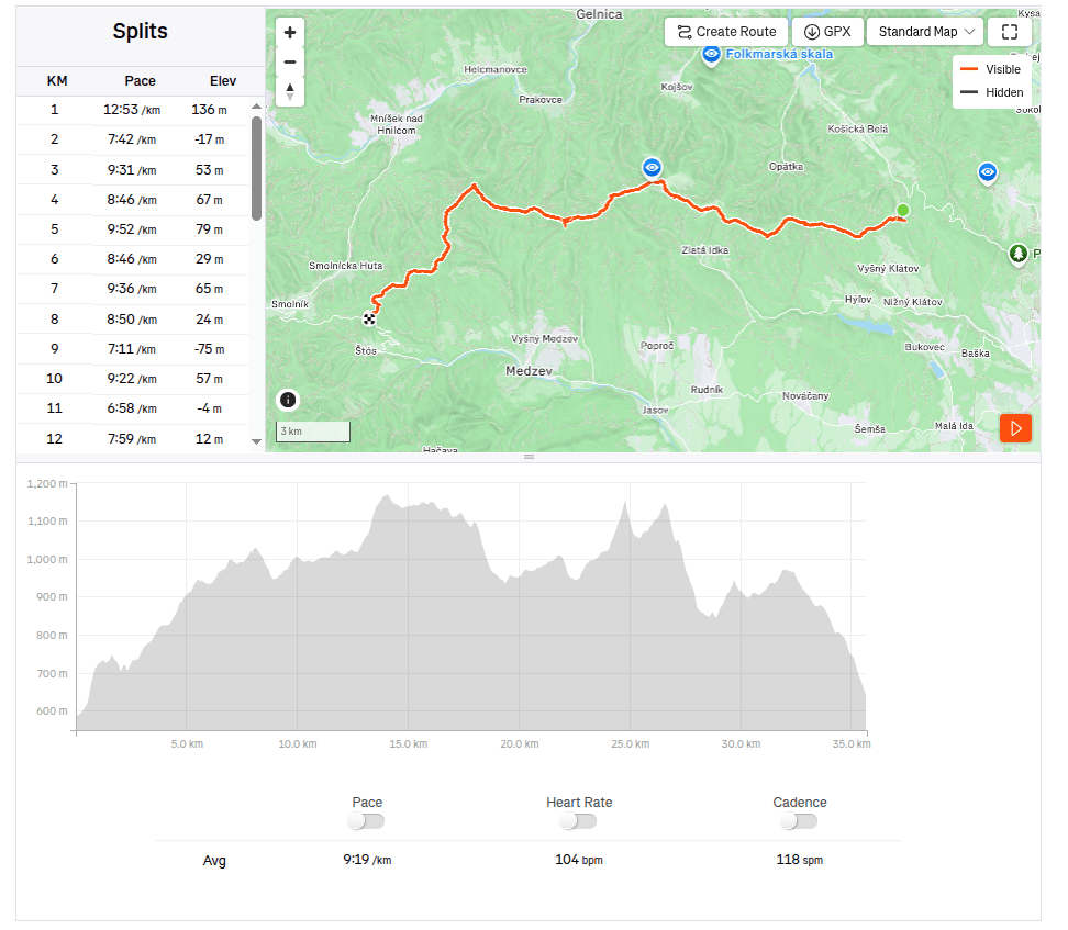
    This time from Jahodná to Štós. We continue for the third day in a row, in the morning we get out of the car at the same place where we left off yesterday. It is morning, but the sun is already peeking out and promises us a warm day.

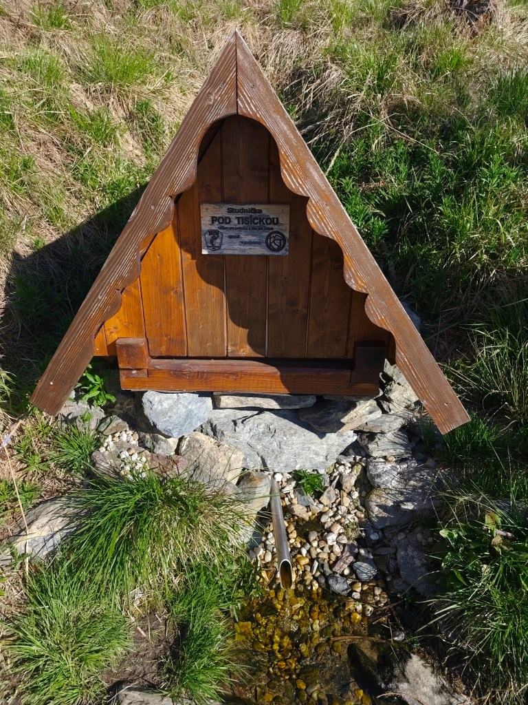
    well “pod Tisíckou”

    We climb up the slope to the top of Jahodná hill, followed by a nice forest path and arrive at Holý Vrch. We refill our water at the well below Tisícká – we can’t help it, because there is an inscription next to it that says whoever drinks from the well will conquer the SNP. So I guess we’ll conquer it 🙂

    We continue towards Kojšovská hola and to our surprise, the SNPčka does not lead through the very top, it turns to the Erika cottage in the saddle below Kojšovská hola. At the Erika cottage we admire the views, the High Tatras are in the palm of our hands and they accompany us on the road for a long time like silent guardians. It is beautiful here.

    High Tatras in background

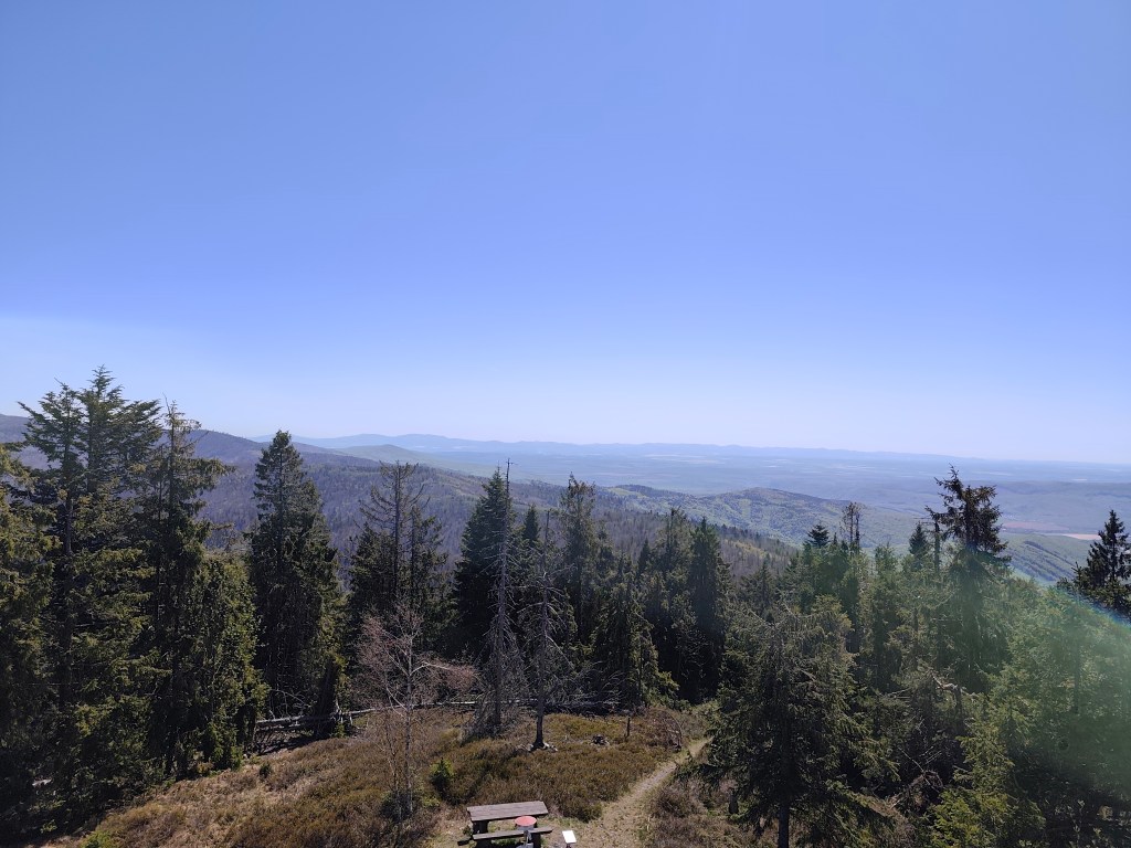
    We continue to Kloptáň, where there is also a lookout tower – this lookout tower is only for the brave, steep ladders without a railing and only a small platform at the top. But I couldn’t resist and with shaking knees I climbed all the way to the top.

    From viewtower Kloptáň

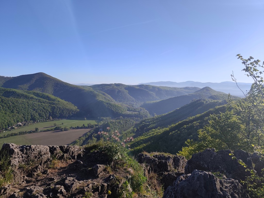
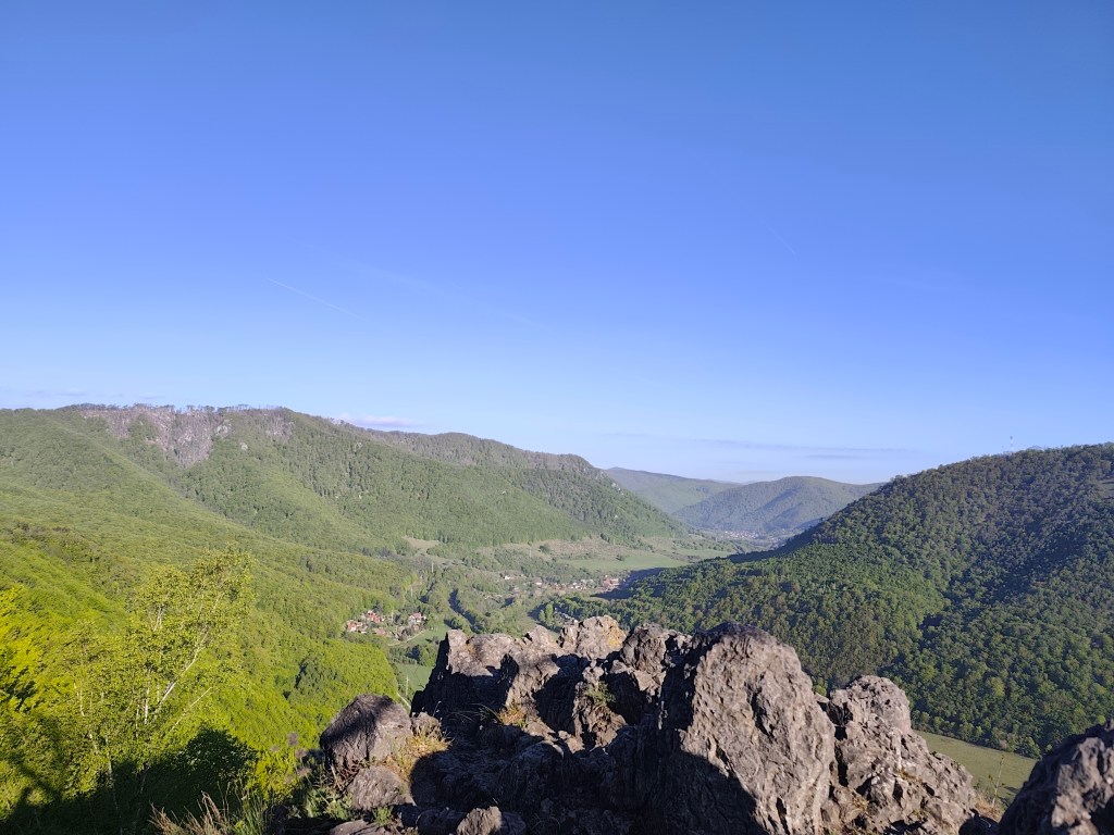
    We enjoy one of the last views on Zbojnícká skala and slowly descend to the spa in Štós, where we have our last overnight stay on this route. The spa itself is a disappointment for us, it is too expensive and the buildings have already seen their best days. However, the air here is great, that must be admitted 🙂

    35.7km, 5:32min, 1465 m ascend
  • SNP girls project day 14

    SNP girls project day 14

    Or from Kysak to Jahodná:)

    We start in the morning in front of the municipal office in Kysak, but we only walk through the village briefly and get to a forest path leading along a stream.

    Jánošíkova bašta

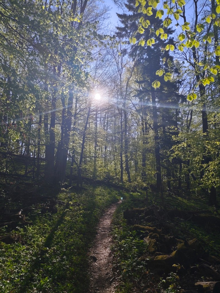
    We pass the cottage area and begin to climb to Janošík’s Bastion. It is an approximately 50-meter-high rock massif that acts as a natural fortress (probably hence the name), from which you can see panoramic views of the landscape around Košice. We enjoy the views for just a moment and then dive back into the forest, which has a wonderfully fresh green color.

    View from Jánošíkova bašta

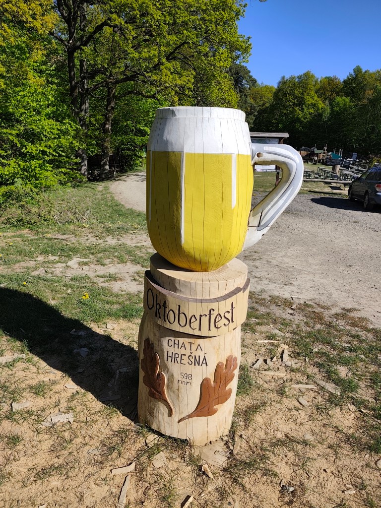
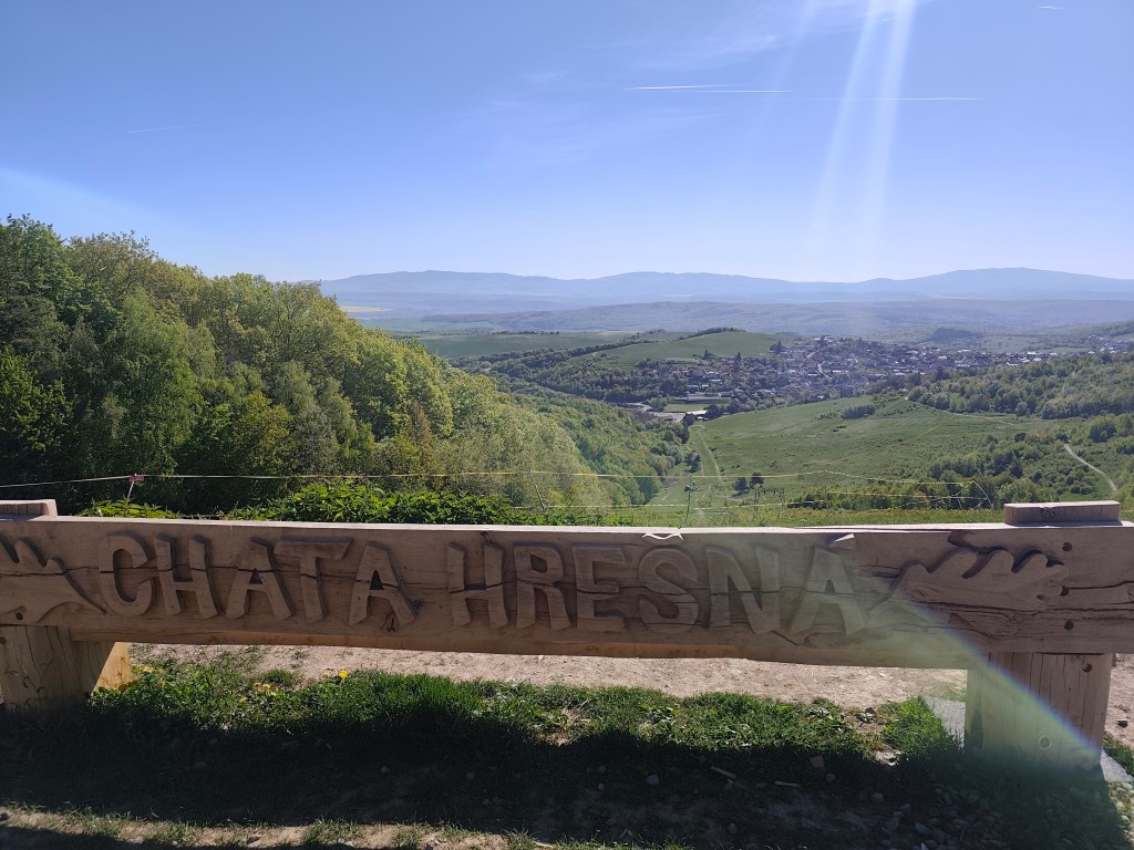
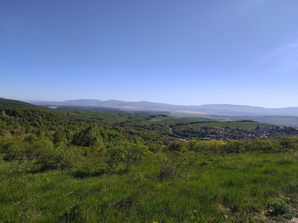
    These forest trails are a very pleasant change from yesterday. We continue through the forest to the Hrešná cottage, where there are cozy-looking chairs with a view of Košice.

    This time without a beer:)
    Hrešná

    We resist the temptation to sit down and just laze around and continue down the dirt road to Košice. The sun is starting to warm up and the water is running out, so we hope that the buffet in Čermel in Košice will be open. We’re probably too fast, we get there half an hour before opening 😀

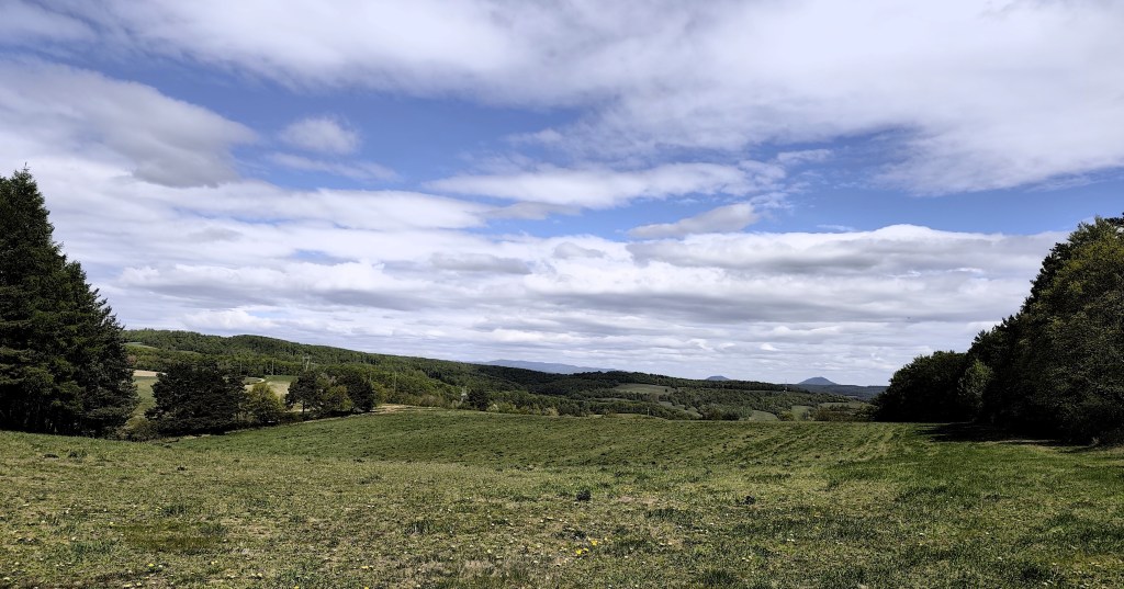
    meadows around Košice

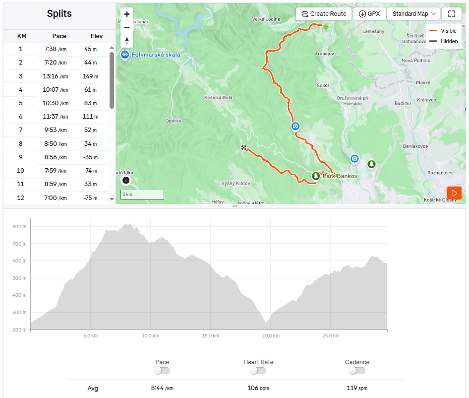
    We continue to Bankov, where we finally managed to find an open hotel café, refilling our water, coffee, radler…

    This stage was a reward after yesterday

    The last 7 kilometers await us, mostly a gentle climb, fortunately through the forest, which, thanks to refreshments in the café, pass relatively quickly. We end today’s stage in front of the cottage on Jahodná. Lucka and I have a grapefruit non-alcoholic beer from Bernard, which is simply divine and we remember the stage in Čičmany, where we drank it for the first time. Thanks to this project of ours, we got to know so many beautiful places in Slovakia that we had no idea existed and that’s still a few stages ahead of us 🙂
    29.7km 4:19 active time, 4:48 total, 1169m ascent.
  • SNP girl’s project, day 13

    SNP girl’s project, day 13

    In the morning we set off from Košice to Terno. We park the car in the same place by the church where we last finished the stage. It is partly cloudy and relatively warm, but fortunately not too much, because we have quite a lot of asphalt waiting for us on this stage.

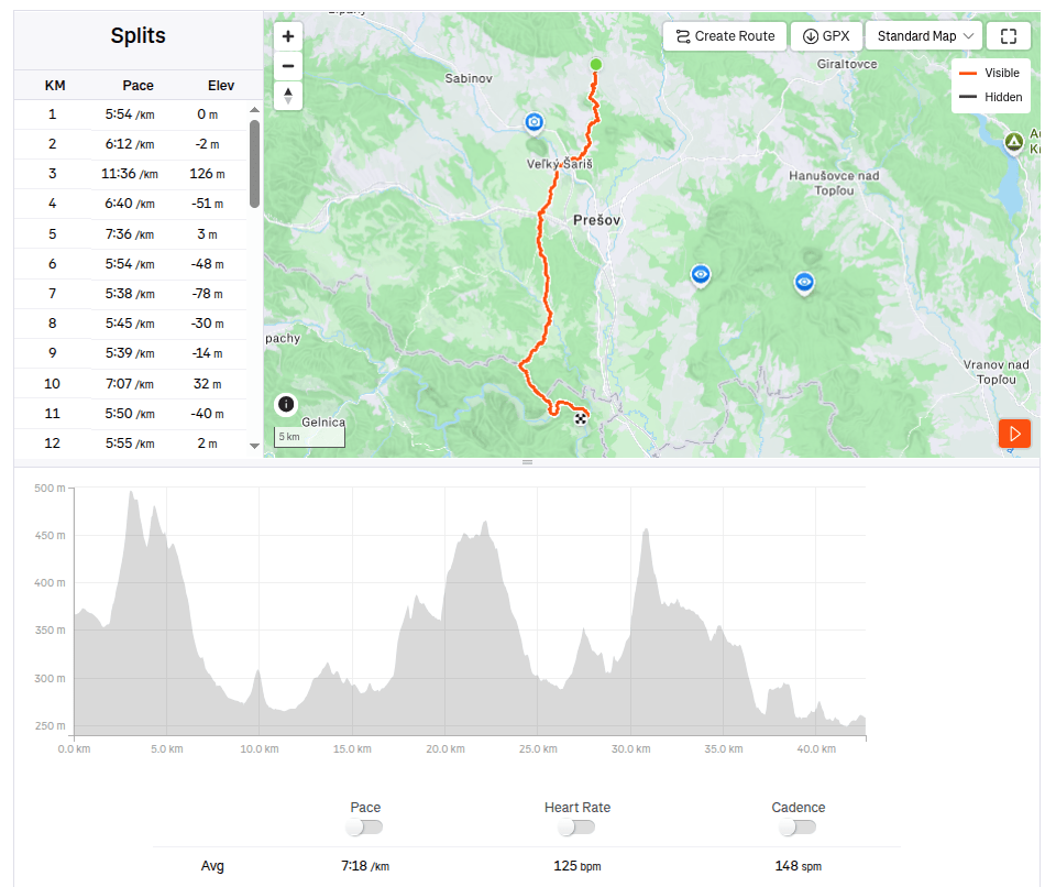
    The asphalt alternates regularly with bits of meadows or forest. After about 20 kilometers, we all agree that this is the least interesting stage so far and the most interesting thing we saw was the brewery. We run through Veľký and Malý Šariš and it’s starting to get warm. I’m honestly glad that I’m just running this part of the SNP and don’t have to walk it all day on hot asphalt with a giant backpack.

    We reach Cemjata and here we run past a wild boar park and beautiful ponds, continue through Janov and Radice and meet Jožek, who has driven the car to the finish line in Kysak and is running towards us.

    Ahead of us is the most beautiful part of today’s run, a nice forest path bordering Hornád.

    In Kysak, we are all happy that today’s rather tiring asphalt stage is behind us 🙂 However, in the evening we will make ourselves happy and go see Košice, specifically the old town, and we will manage to come across the longest-running restaurant in Slovakia (over 500 years of operation), where they have great craft beer.

    42.67km, 5h 11min active time, 5h 28min total, 887 m ascent
  • Bojnice, Remata with David

    Bojnice, Remata with David

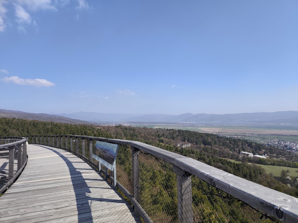
    In an effort to minimize screen time and maximize quality time spent together (ideally outdoors), I look for all kind of possibilities for trips. This time, the main target was the Čajka observation tower overlooking Bojnice.

    Čajka in the clouds

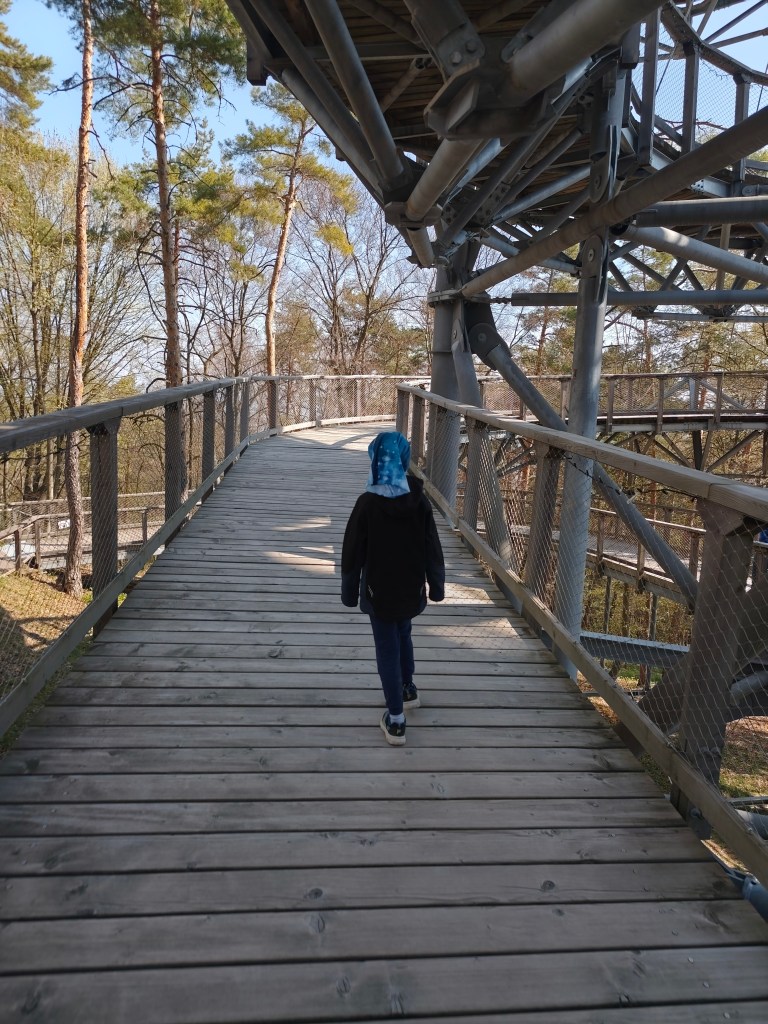
    Its total height is 30 meters and a wooden footbridge leads to its top. it offers really beautiful views, but in my opinion, the entrance fee for this attraction is set relatively high (12 euros/person), considering that we went around it in about half an hour.

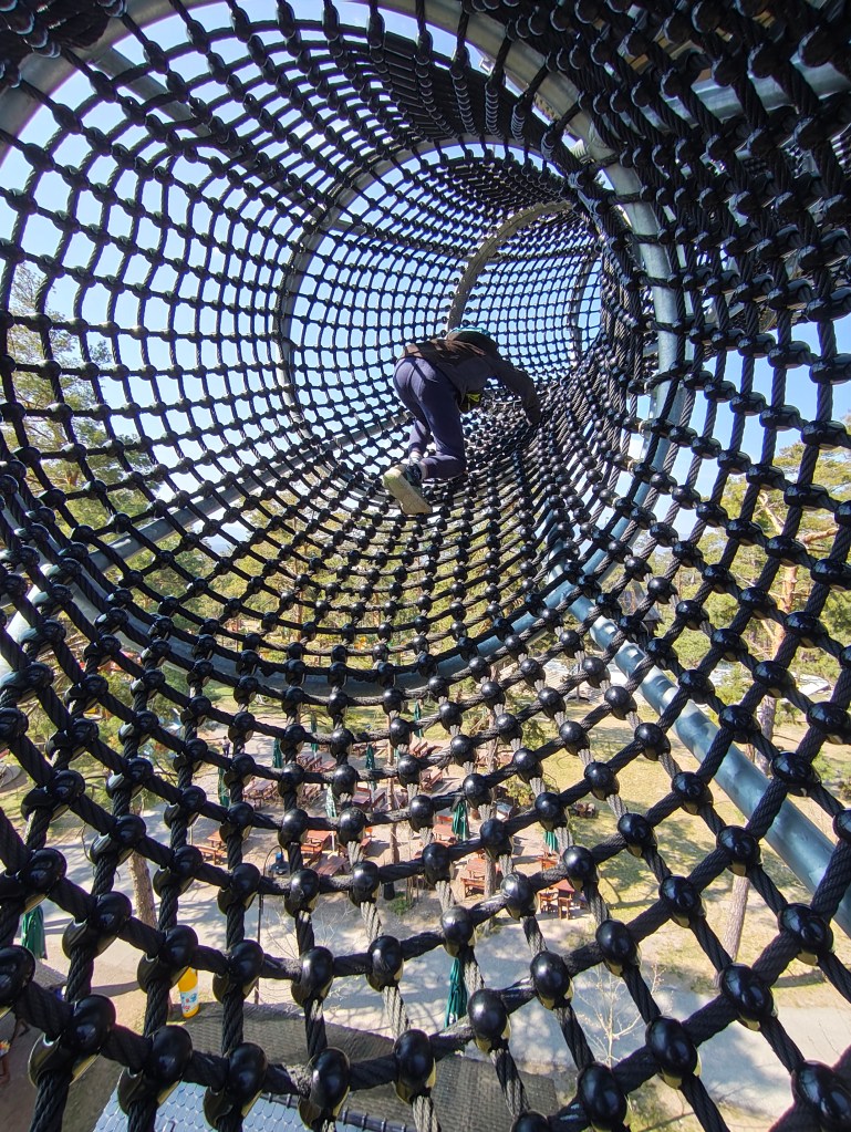
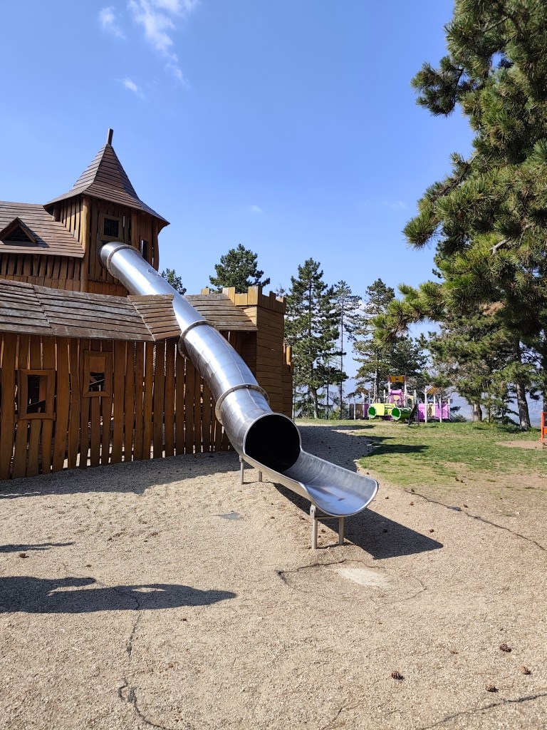
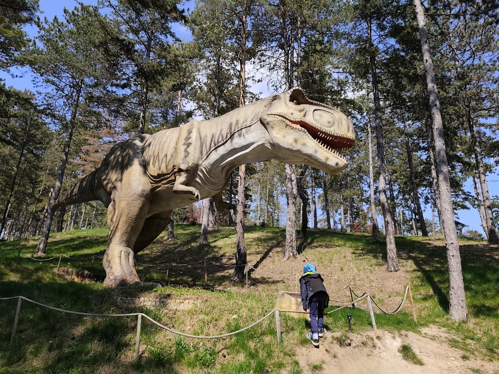
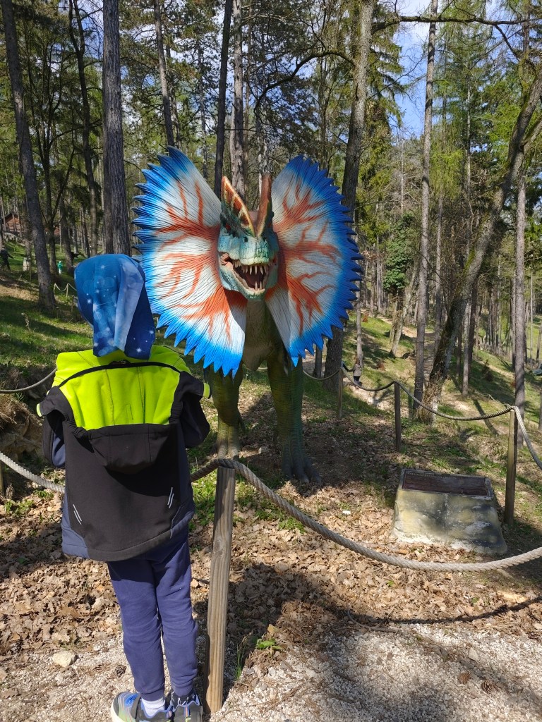
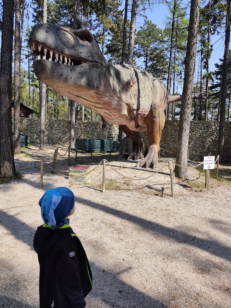
    But a big bonus for us was the adjacent children’s playground, which is really huge. And not far from Čajka there is also a dinopark, which of course we couldn’t just bypass (also 12 euros/person).

    The playground also included such a great castle with a sled, which even I couldn’t miss

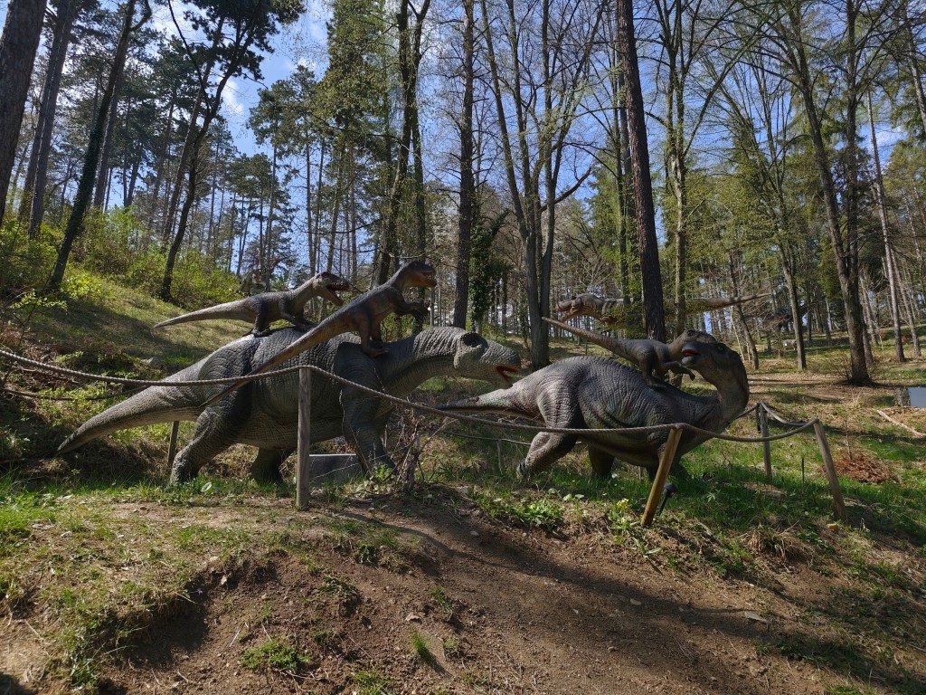
    However, we really liked the Dinopark, it was vast, with more than 100 exhibits, some of which were really huge. We liked that the paths led through the forest, which enhanced the atmosphere. Dinosaurs moved and made sounds.

    Dinopark

    We walked here for more than an hour and if we had other plans, I believe we would have had something to fight for another hour. For us, better minute money compared to the lookout tower.

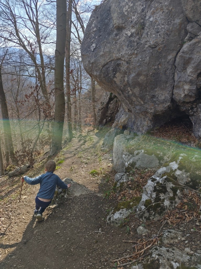
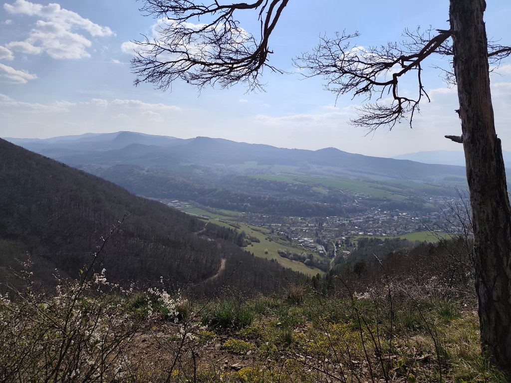
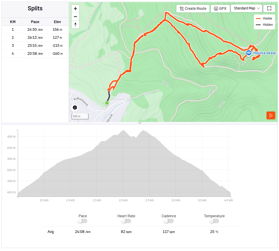
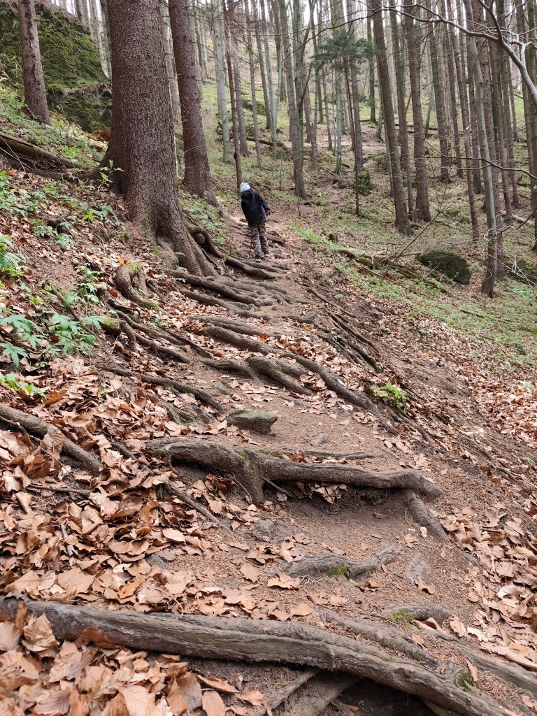
    On the way to Remata, where we had arranged accommodation, we had one more stop – Hájska skala above the village of Ráztočno. It’s about 2 kilometers to Hájska skala, but you have to climb quite a hill to get the great view.

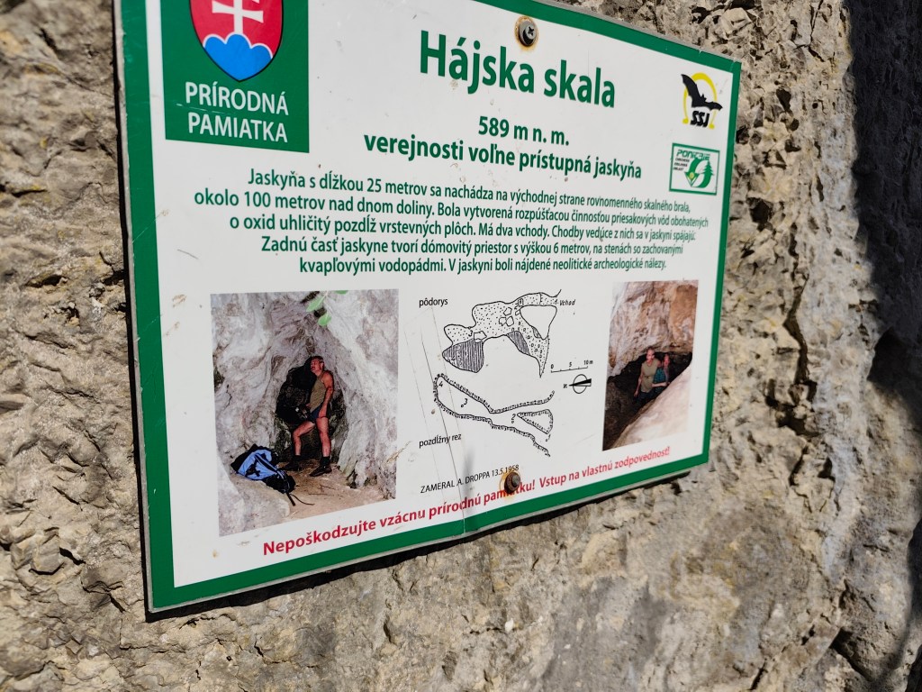
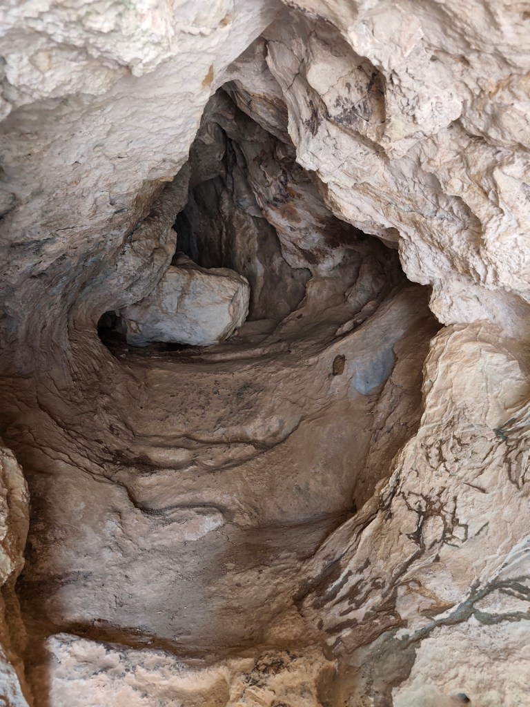
    Under the Hájská rock is also the Hájska cave – the only freely accessible cave in the Žar Mountains, it is 25 meters long with a 6-meter-high dome.

    Entrance to the cave
    4km, 1h 53 min, 320 meter ascend

    We slept at the Poniklec cottage. It is tourist accommodation in a “retro” style – but fully sufficient for us, and I must say that we slept like babies, curled up in fragrant duvets and woke up an hour later than we usually wake up:)

    On the way to Bralova skala

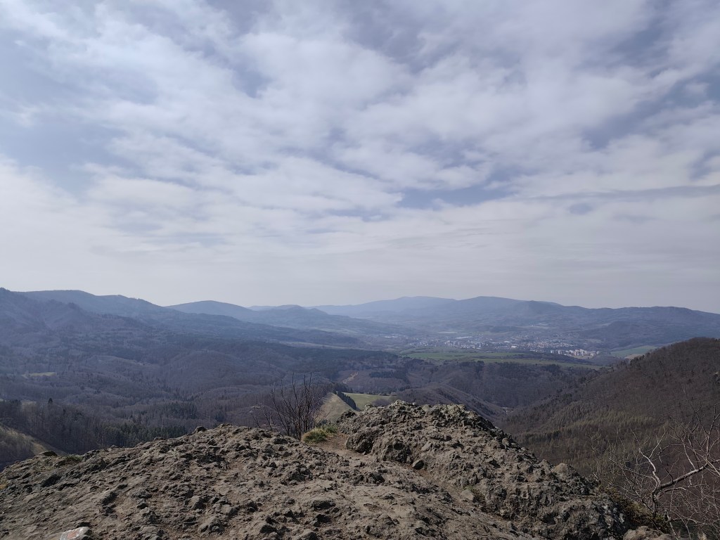
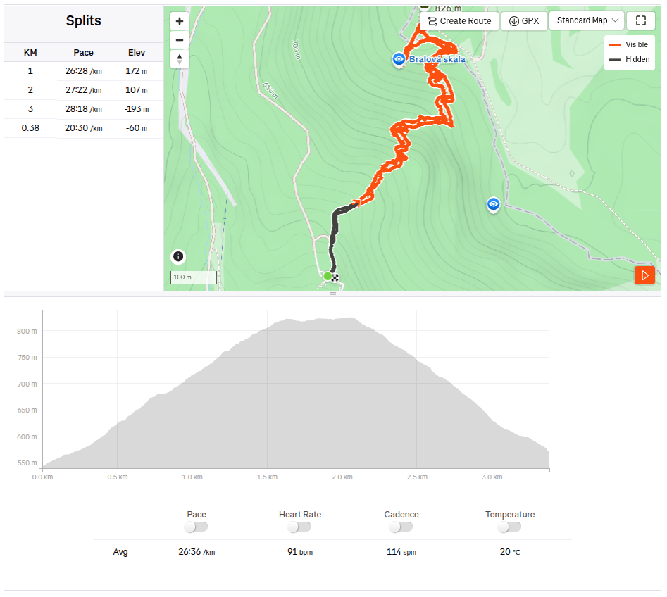
    The next day we went to see the Bralová skala, whose rocky cliff offers a very good view of the Handlovská and Turčianska basins, the Kremnické vrchy, Vtáčnik, or even Malá and Veľká Fatra. The ascent was only less than 2 kilometers long, but at the end it was quite steep.

    Bralova skala

    We ended the weekend with a visit to Rematské ornamental ponds – it is an agro-tourism area, it offers fishing, a great children’s playground, a mini-farm and a zipline. David really liked it here. He was 6 years old at that time.
    3.38km, 1h 46min, 280 meter ascend
  • SNP girl’s project, day 12

    SNP girl’s project, day 12

    The third day in the east, where we had covered more than 80 kilometers in the last two days, was slower. In the morning we start from the same point in Bardejov where we finished yesterday’s stage.
    By the way, Bardejov Town Hall Square is one of the most beautiful in Slovakia. It is a great pity that the SNP bypasses it, it is definitely worth making a small detour.
    The square is rectangular and is surrounded on three sides by a row of typical narrow townhouses. On the north side of the square is the dominant of the city – the Basilica Minor of St. Egidius, connected to the Renaissance building of the former city humanities school.

    The indescribable atmosphere of Bardejov Square is enhanced by its representative town hall building from the 16th century, built in the Gothic-Renaissance style. It houses the exhibition of the Šariš Museum dedicated to the history of the city.

    Mihaľov

    We pass through the picturesque village of Mihaľov and continue to Hervatov, running for a surprisingly long time on asphalt roads, which is significantly faster, but less fun :).

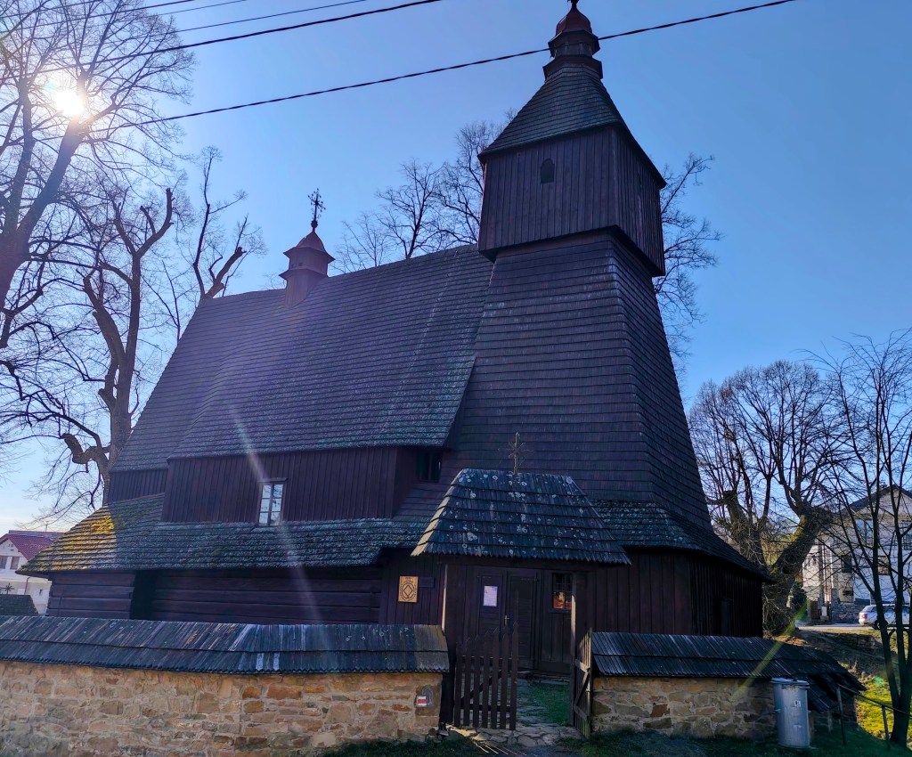
    Church of sv. Francis z Assisi

    In Hervatov there is a wooden church of St. Francis of Assisi and it is surrounded by a stone wall covered with wooden shingles. This church is also on the UNESCO World Heritage List. It was built at the end of the 15th century in the Gothic style and is our oldest preserved wooden church in the Gothic style. Its exterior has remained almost untouched even after more than half a millennium. However, we were unable to get inside.

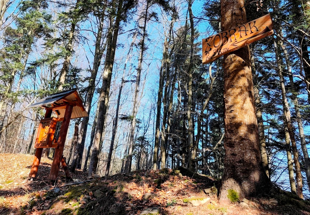
    calvary on the way to Žobrák

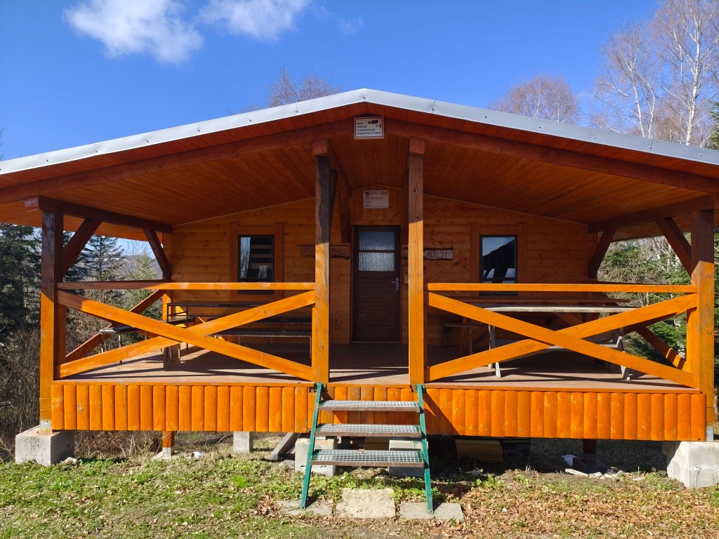
    We leave the asphalt and start climbing a really steep dirt road to Žobrák Hill. At its top there is a small chapel and a little further on there is a shelter and a lookout tower.

    Views from the viewpoint on the top of Žobrák

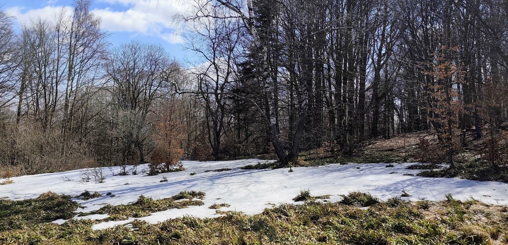
    We continue through Bukový vrch to Čergov, which is the highest point of today’s stage. Around Bukový vrch we still found remnants of snow cover.

    From Čergov, all that’s left for us is the descent to Terňa, it’s starting to get warm, we only have a pinch of water left and we’re already looking forward to the radler that we have left in the car at the finish line 🙂

    34.19km, 5:47 active time, 1346m ascend
  • SNP girl’s project, day 11

    SNP girl’s project, day 11

    Our legs are working surprisingly well after yesterday and we are going on the next stage, this time from Kurimka to Bardejov.


    Three-dimensional coat of arms of Zborov

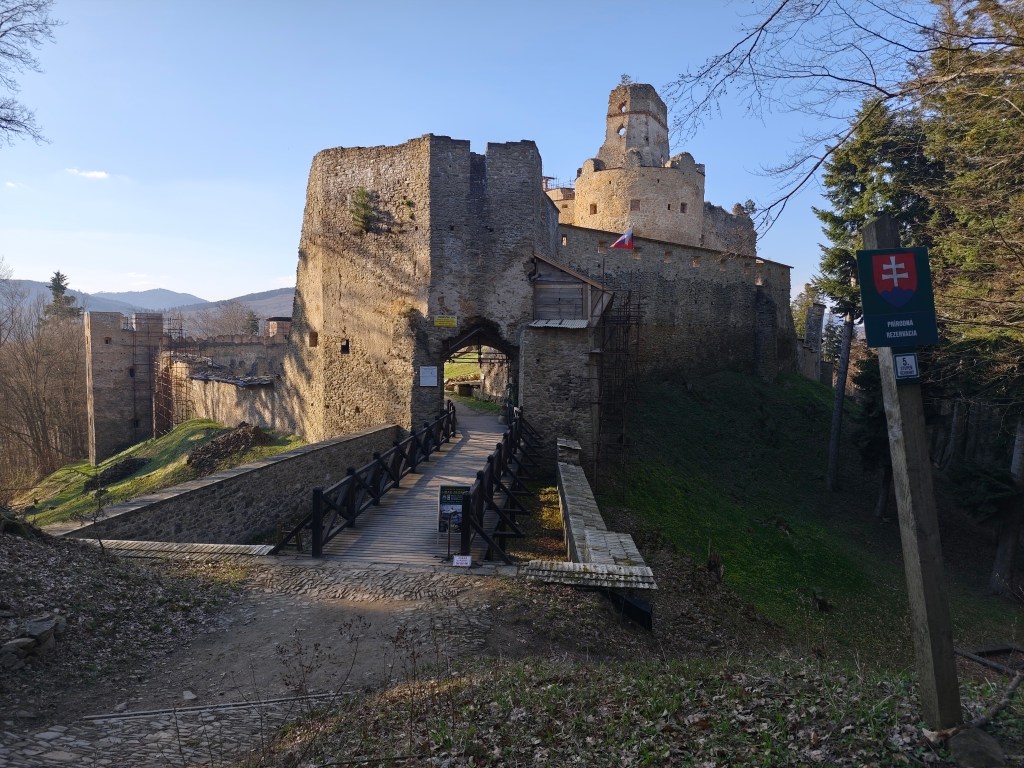
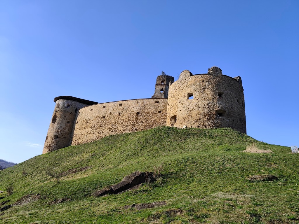
    A beautiful addition to the route is Zborov Castle (to which there is a detour, that’s why we went to see it yesterday as part of active regeneration:) The oldest mentions of Zborov Castle, or also nicknamed Makovický Castle, come from the beginning of the 14th century.In the past, it was an important defensive castle.

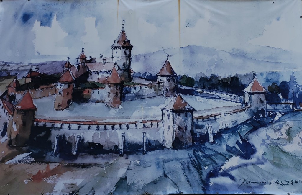
    The original royal Gothic castle did not initially have a large area. It consisted of a massive prismatic tower, a palace and an irregular courtyard, to which other buildings were added later. At a time when the country was preparing to defend itself against Ottoman aggression, this Gothic castle was rebuilt into a very modern Renaissance representative fortress with basic fortifications modeled after Italian architecture. The new owners renovated the oldest parts, expanded the living and farm premises and the walls. In addition to the reconstruction of the basic upper castle, they also rebuilt the second courtyard and added a third courtyard with a semicircular bastion, defensive wall and embrasures. The third courtyard was entered through an ingenious entrance gate on the southwest side with a drawbridge. The triple fortification system was supposed to prevent the castle from being raided and secure it against conquest even if the enemy occupied the entrance gate. However, it fell into disrepair from 1680, and its fate was sealed in 1914 by the fighting between the Russian army and the Austro-Hungarian army in the neighborhood of the village, which badly damaged the ruins of the castle. After the war, the castle continued to fall apart, and only ruins remained of the once majestic feudal residence.

    Inner courtyard of Zborov

    Today, the walls and torso of the architecture have been preserved in the area of ​​Zborovské hrad. In some places, embrasures, corner framing, window and door openings have been preserved in the walls. Since 2010, the castle has been undergoing revitalization works.

    Castle Zborov

    From Zborov we start to climb Stebnícka Magura, it is warm, the sun is shining and snowdrops are blooming in the forest. That’s beautiful, but bottled water runs out suspiciously quickly 🙂

    Viewpoint at Stebníckej Magure

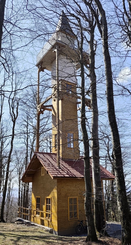
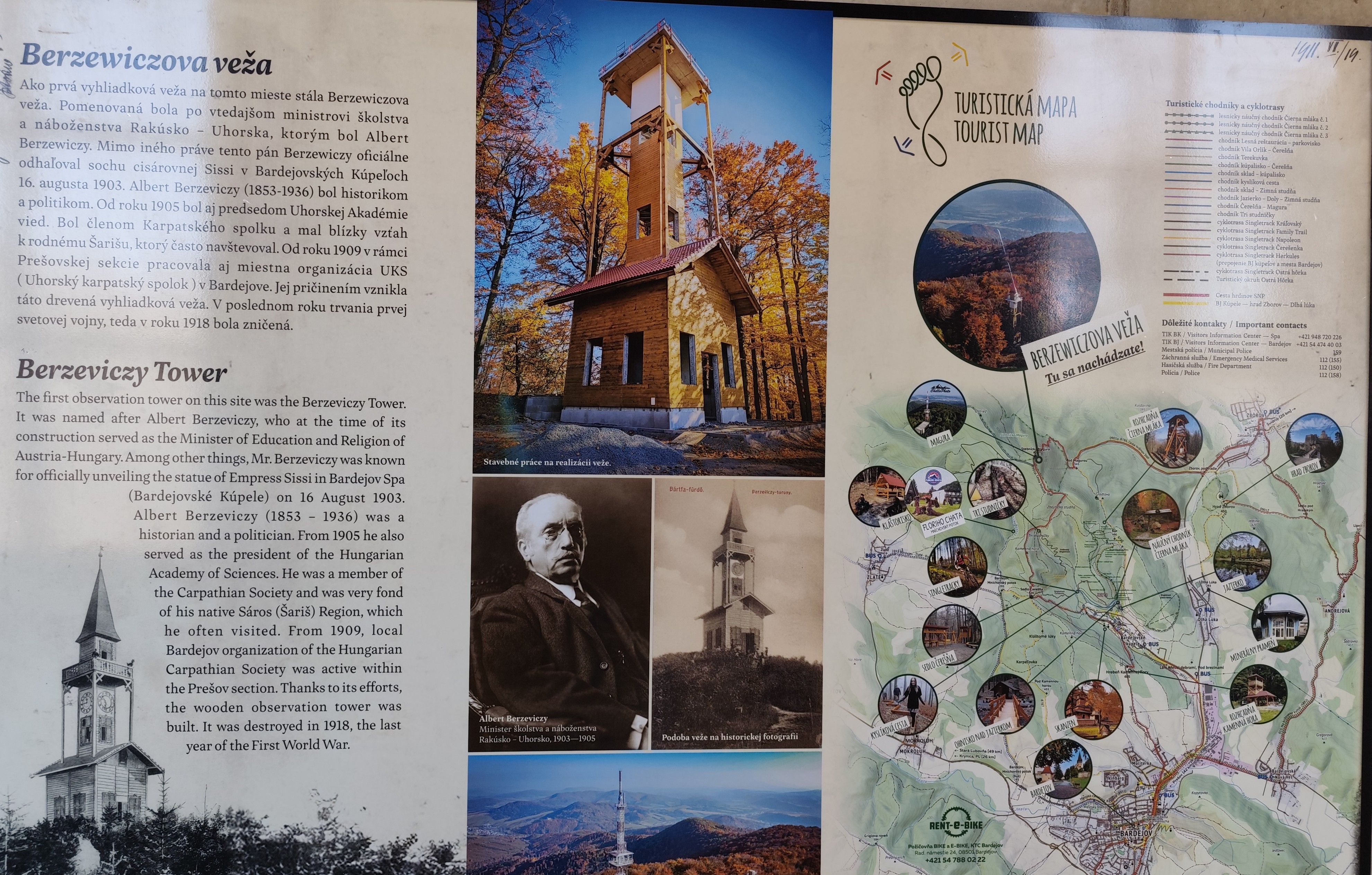
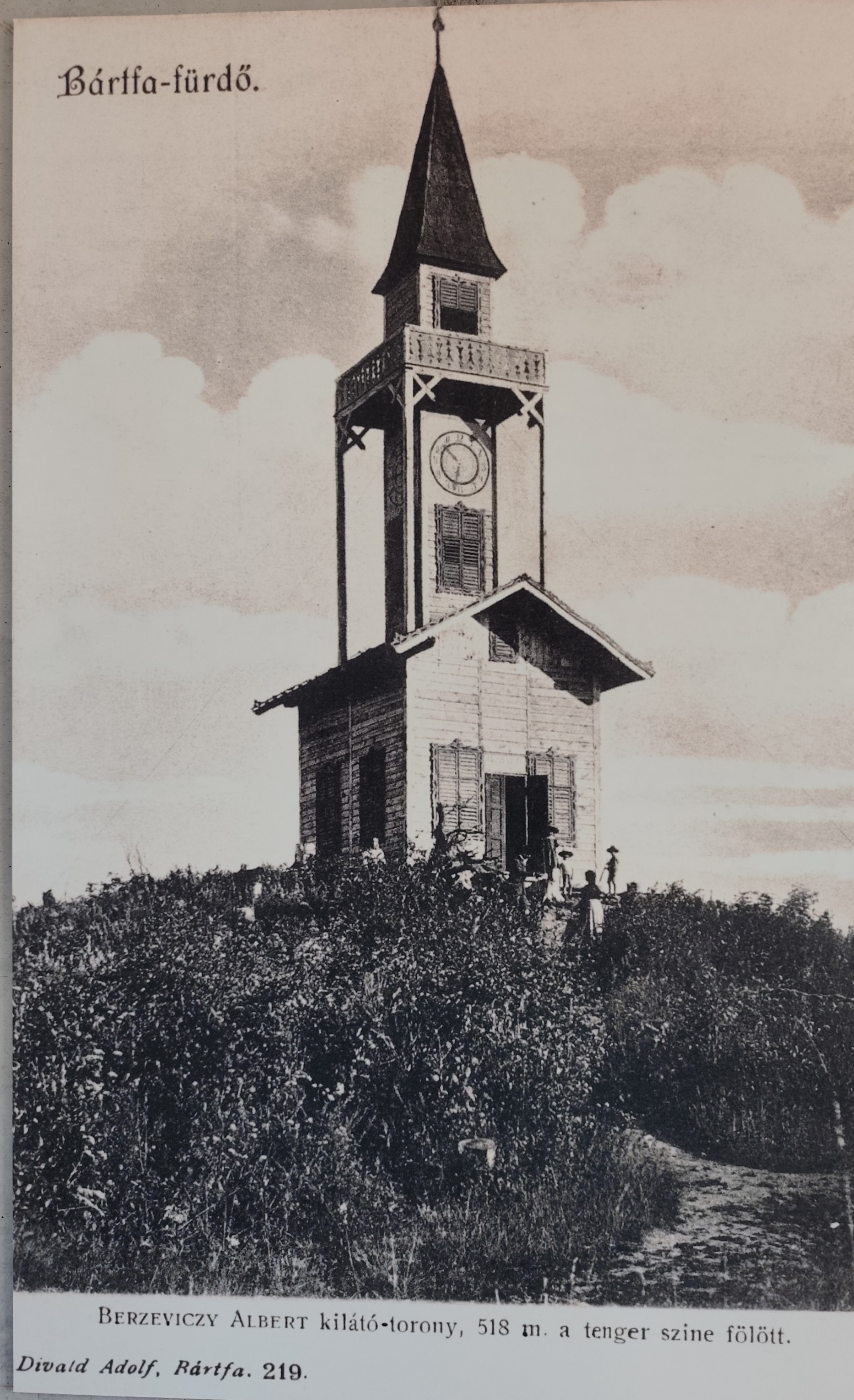
    At the top of Stebník Magura there is a wonderful lookout tower (to which an endless spiral staircase leads). The newly built observation tower resembles the so-called Berzewicz Tower built in 1905 on the same site, which was destroyed during the First World War in 1918, the replica tower reflects the original design.

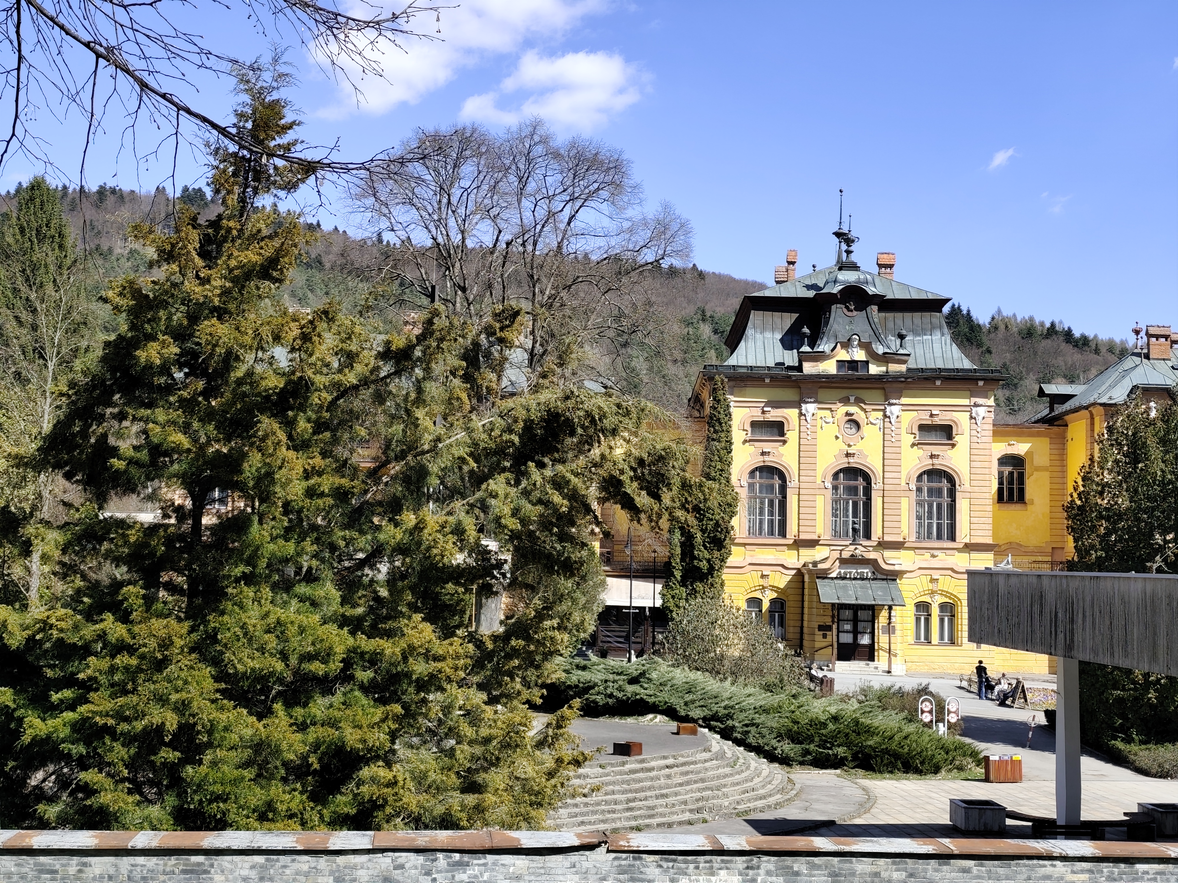
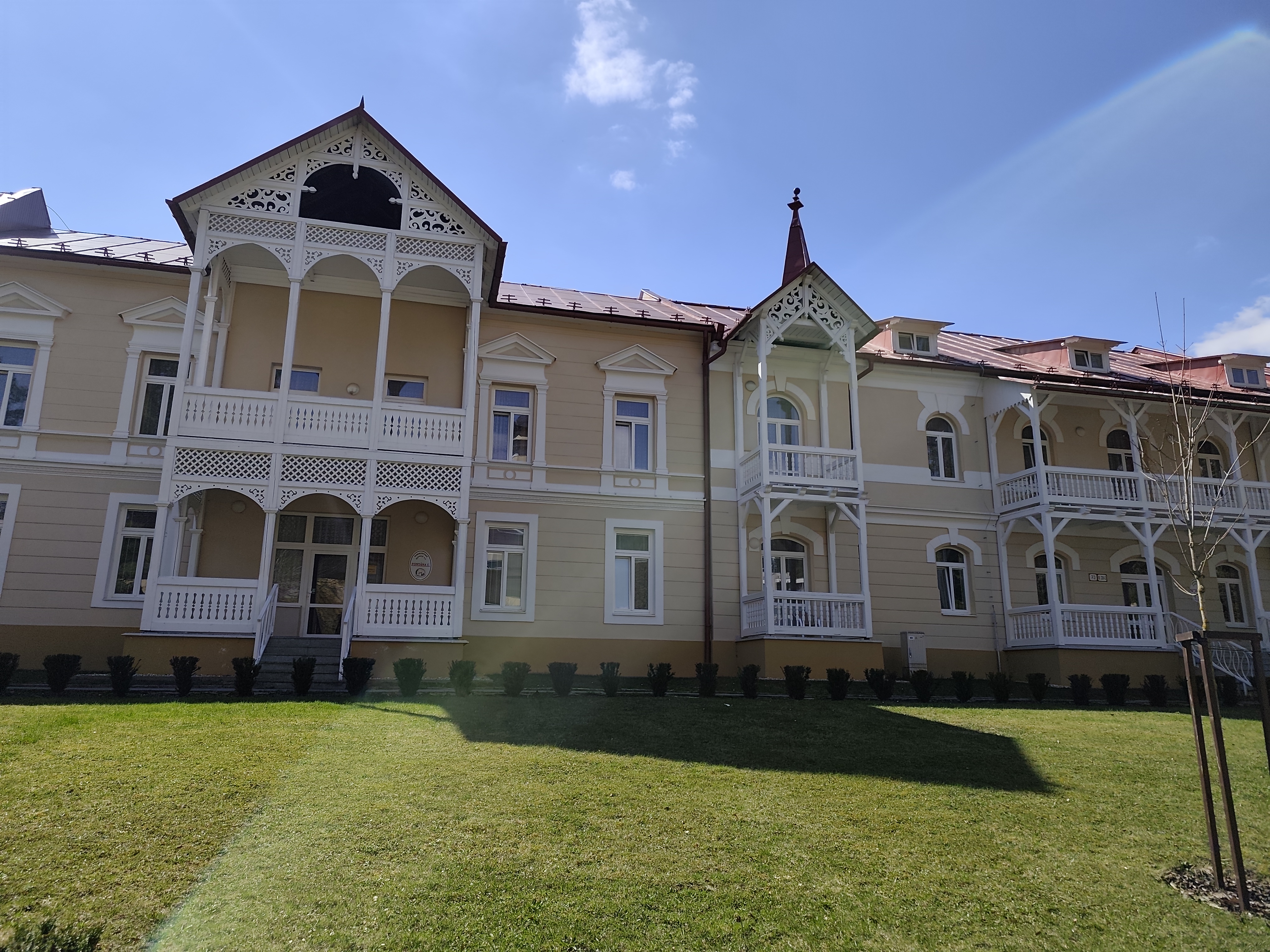
    Thirsty, we run down to the Bardejov spa, where after a while of wandering and searching we find mineral springs.

    They are our salvation, we refill the bottles and set off along the spa promenade to the last hill that separates us from Bardejov.

    Bardejov mineral springs
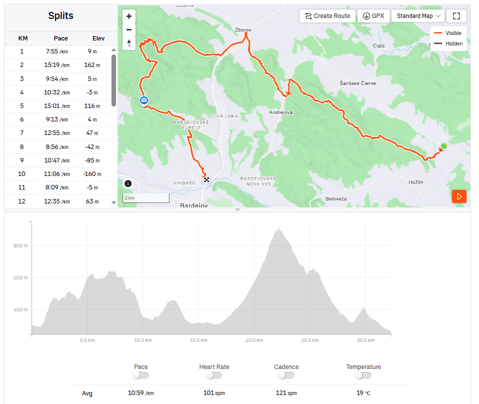
    32.34km, 5:55 active time, 1402 m ascend