Category: en

  • Skymaraton Chopok

    Skymaraton Chopok

    I haven’t raced in a long time, mainly because we have a lot of our own projects and few free weekends:)

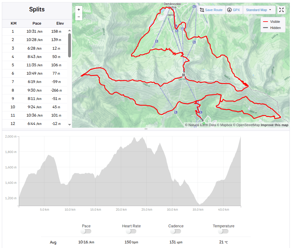
    But when I received the entry fee for the Chopok Skymarathon, I didn’t refuse and so on September 6, 2025 I stood at the start under Chopok in front of the Srdiečko hotel.

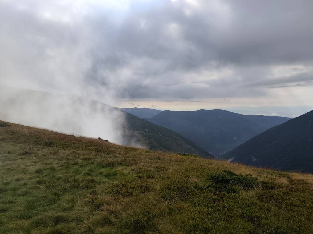
    The starting gun was accompanied by thunder in the background and even though the storms were predicted for the afternoon, they arrived right in the morning. Within 30 minutes I was soaked to the bone and the conditions were even more difficult, slippery roots, wet stones, mud.. But at least it wasn’t hot.
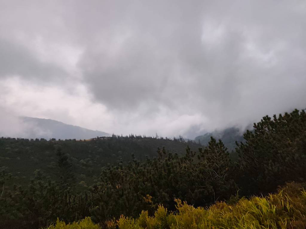
    During the storm

    After the initial climb to Kosodrevina, there was a traverse almost to the M.R. Štefánik hut and quite a few sections were runnable, from the hut there was a fairly long steep section down to the cave of dead bats, where it was quite slippery. I went relatively slowly and managed it without falling. There was a nice, quite runnable path back to Kosodrevina and so I ran as much as I could.
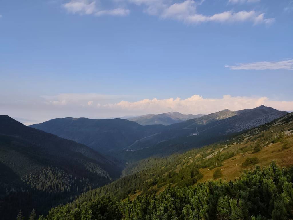
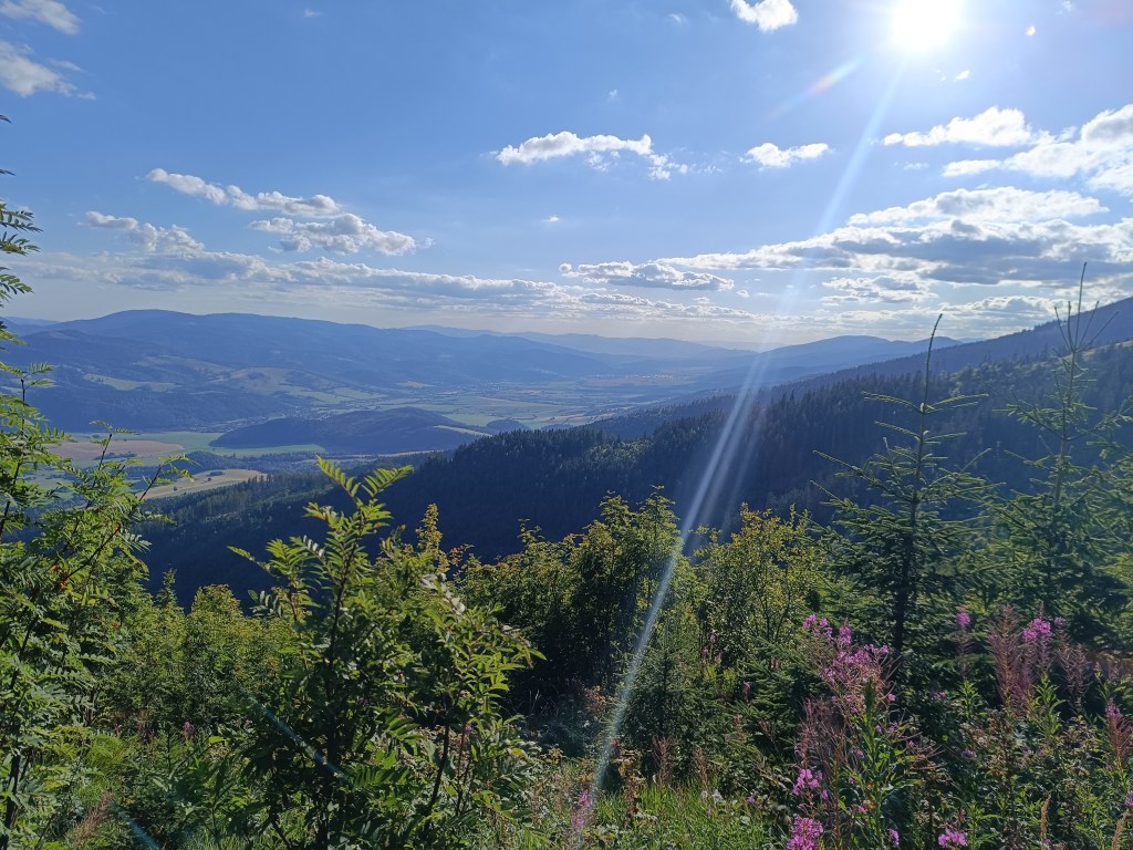
    There is sun after the storm

    I ran the refreshment stop only with a refill of ionts and a long, really long climb to the Krížské sedlo awaited me. Here I started to feel that my strength was waning and there was a reason, almost 20km and I had eaten almost nothing.. mistake..
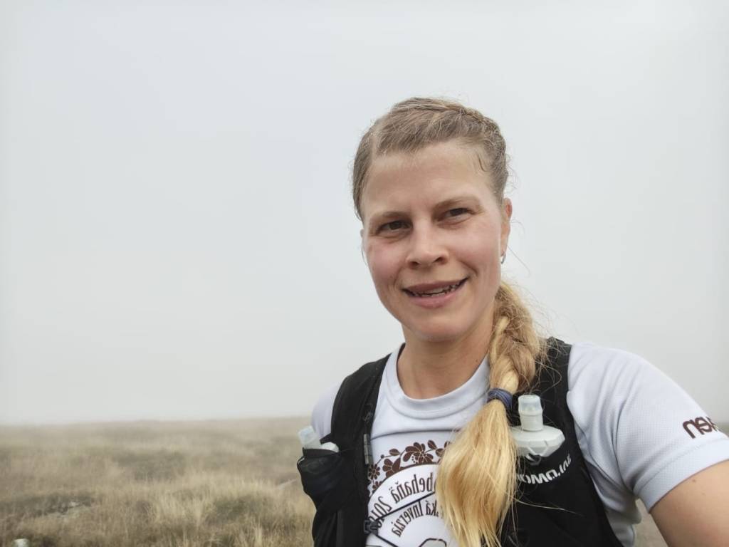
    After first half

    I mostly walked to the refreshment stop on Chopok, where I stuffed myself with a banana and a chocolate bar, replenished my fluids, and jumped over the Tatra granite to the Demänovský saddle, where the trail started to rise again. I already felt that today would be very difficult, because I had less strength than I would have liked, especially uphill.
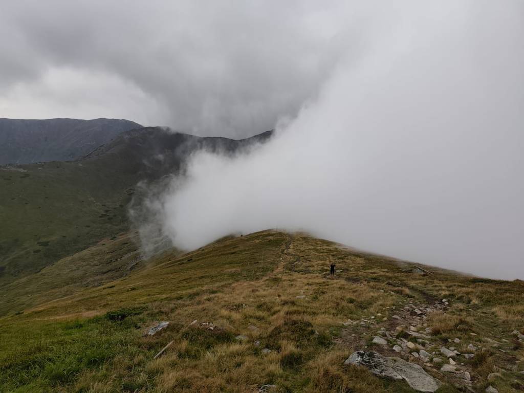
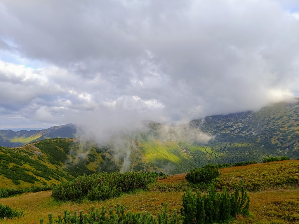
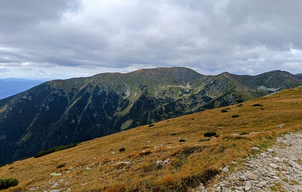
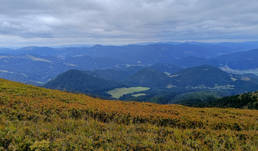
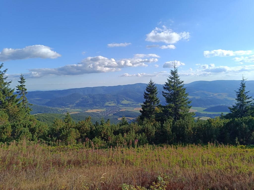
    Half foggy, half sunny

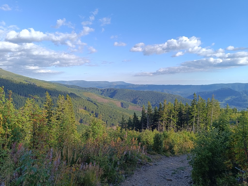
    The descent from Krúpov saddle was steep, rocky, muddy and strenuous, it took a lot of my strength, but the forest from Záver širokej doliny was beautifully foggy, mystical, covered in moss, I enjoyed it..
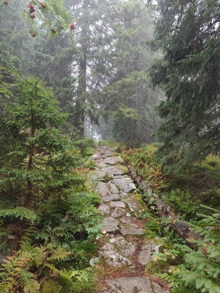
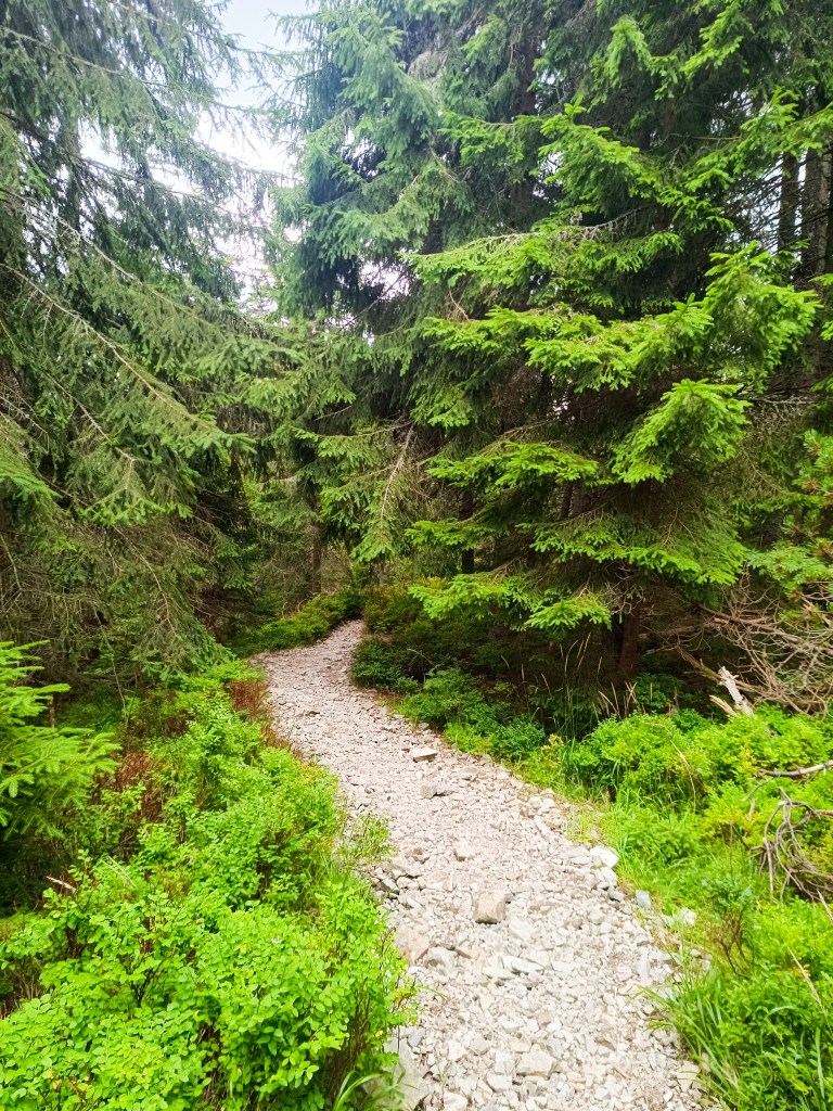
    Mystical forest

    The last refreshment stop on Biela Púť and now it’s just a climb, I tried to replenish my energy, but I knew that it would be more walking than running.. It was quite easy up to Orlia Skala, I walked quite briskly. But up the slope? That completely turned me off and I could barely move from one foot to the other, my head was starting to hurt, my stomach was protesting… It wasn’t the performance of the year, but I didn’t give up, and I walked all the way to the finish line, I was the 6th woman at the finish line with a time of 7h 33min.
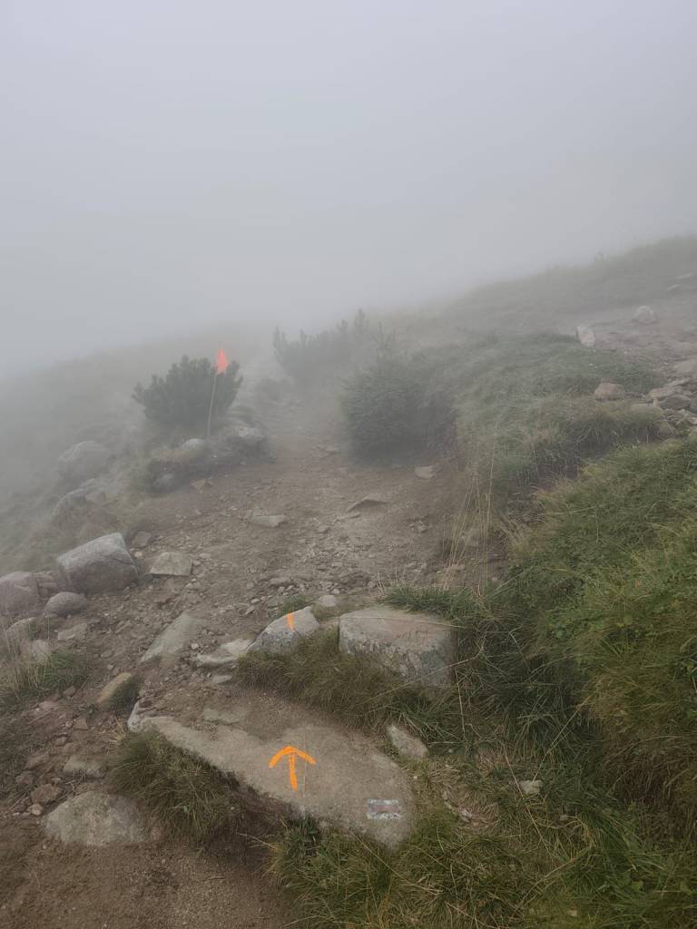
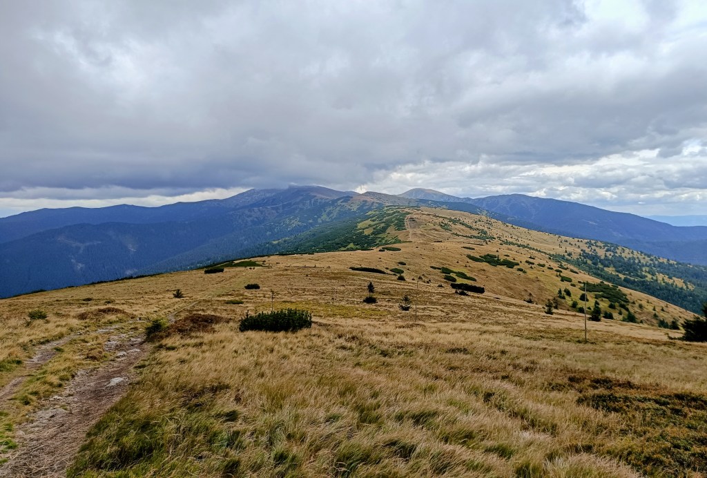
    Slowly and gloomily up the slope, in places the sign was almost invisible
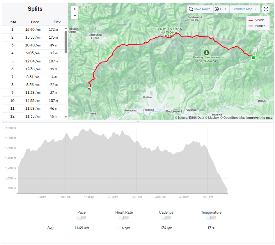
    43,4 km, 7h 33min, 2680m ascend
  • Považský and Lietava castle

    Považský and Lietava castle

    We love castles, and we especially like ruins that we can explore on our own, without a guide. And during our weekend in the Súľovské vrchy, we managed to see two such castles.

    Považský hrad is the ruin of a castle on a steep hill on the right bank of the Váh River. According to unverified reports, the castle was built in 1128 to protect the important Považský road. However, the first mention of it dates back to 1316, where it is mentioned as Bystrický hrad.

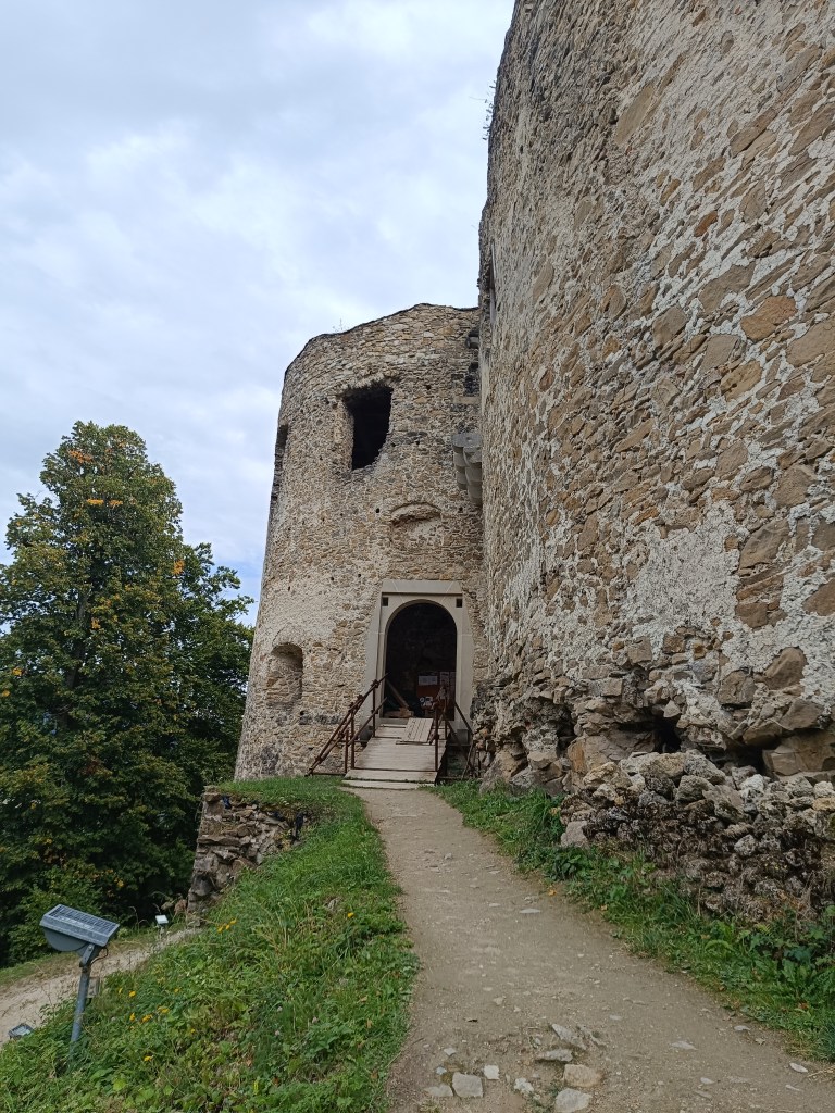
    Entrance to Považskéhý castle

    The oldest part of the castle was the tower, standing on the highest point of the rampart, and the Gothic palace. The large oval-shaped forecourt was surrounded by a castle wall, which was protected from the NE by two prismatic towers. The access road, leading to the castle from the NE, is still visible in the terrain today. The entrance gate was protected by a prismatic tower with a barbican.

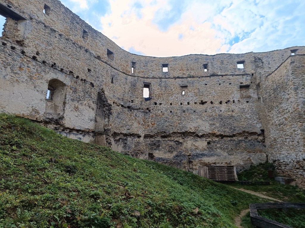
    Preserved walls of the castle

    The walls of the palace, towers and fortifications have been partially preserved. Window openings are visible on the palace, in places with preserved Renaissance cornices. Of the former farm buildings built in the courtyard, only parts of the walls, or their foundations, are visible. In some rooms there are remains of Renaissance vaults.

    2.5km, 1h

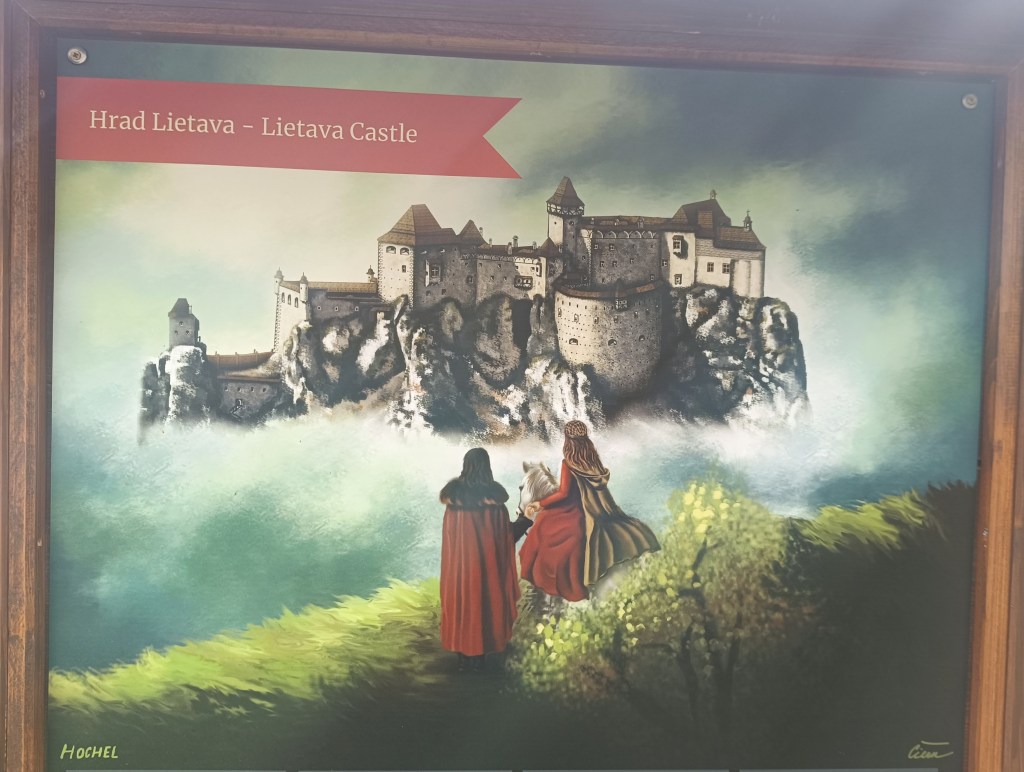
    Lietava Castle is located 10 km from the regional capital Žilina near the Cibuľník hill on the eastern edge of the Súľovské vrchy mountains.

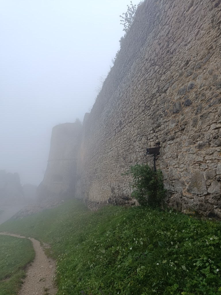
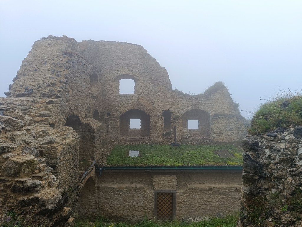
    Walls of Lietava

    In terms of its level of preservation, it is among the largest (1 hectare of built-up area) and most beautifully preserved ruins not only in Slovakia, but also in Central Europe.

    Lietava is pretty big

    The demise of the Gothic-Renaissance castle dates back to 1753 and the ruins were abandoned in the forest until 1999. That is when the Lietava Castle Preservation Association was established, which has been saving the buildings since 2003, through sensitive stabilization, conservation and partial restoration. The castle is still a freely accessible ruin.
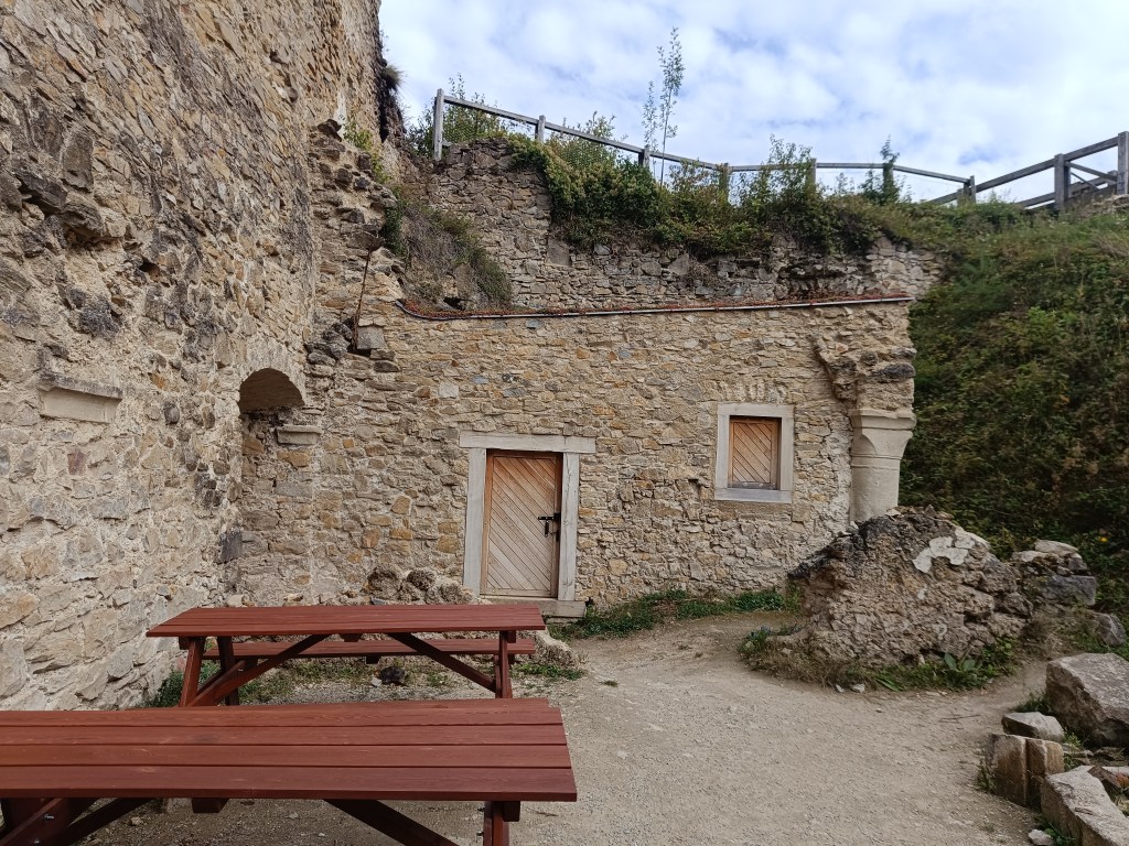
    The castle proudly towers over the landscape and offers a wonderful view of the surroundings. The castle walls of the individual buildings still stand to a considerable height. They have preserved window openings, possibly entrances and architectural details, stone profiled consoles of the former bay window, arched attics, cannon and key loopholes, and in places parts of profiled linings. In the premises of the former chapel, the ramparts of stone Gothic ribs and the remains of plaster on some walls have been preserved.

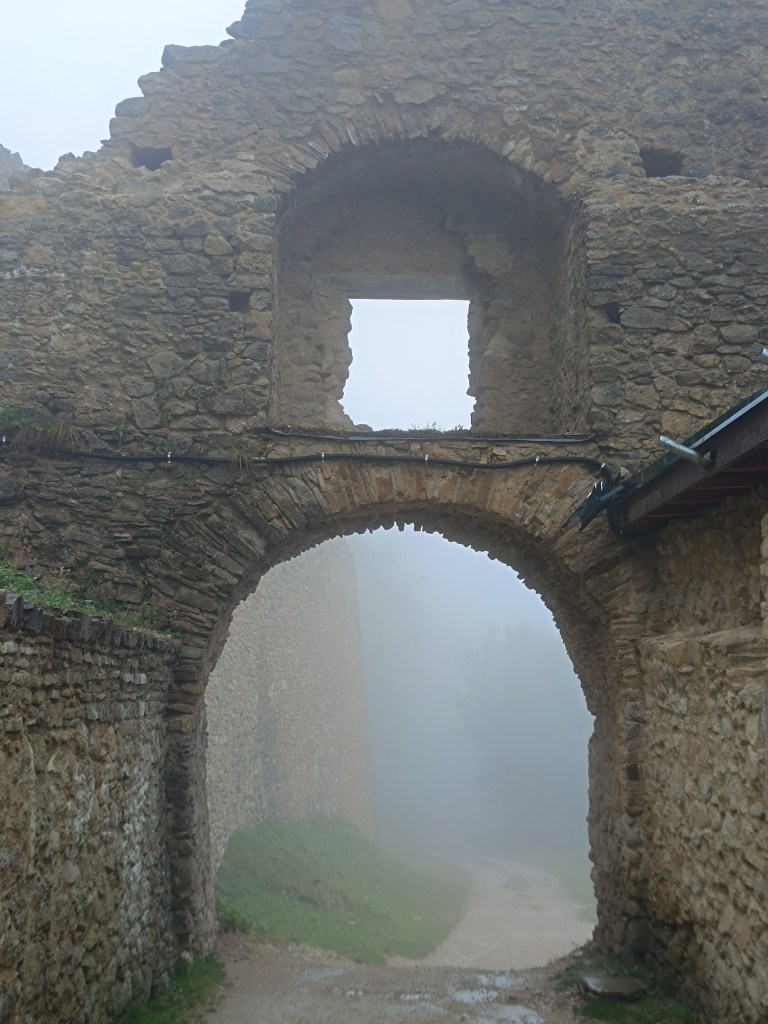
    Entrance gate

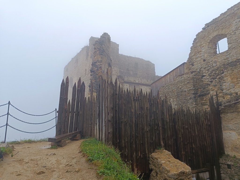
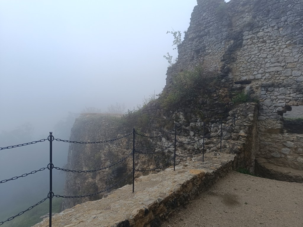
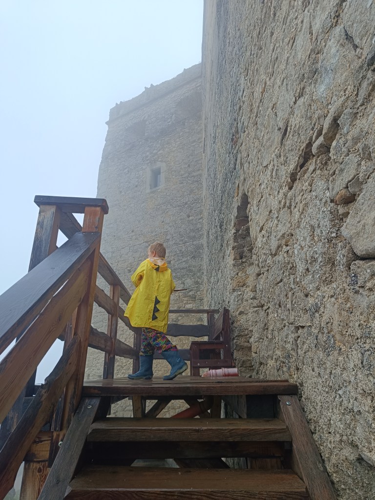
    However, we couldn’t enjoy the views because it rained the whole way up and the castle was surrounded by thick fog.

    Lietava in its most famous times
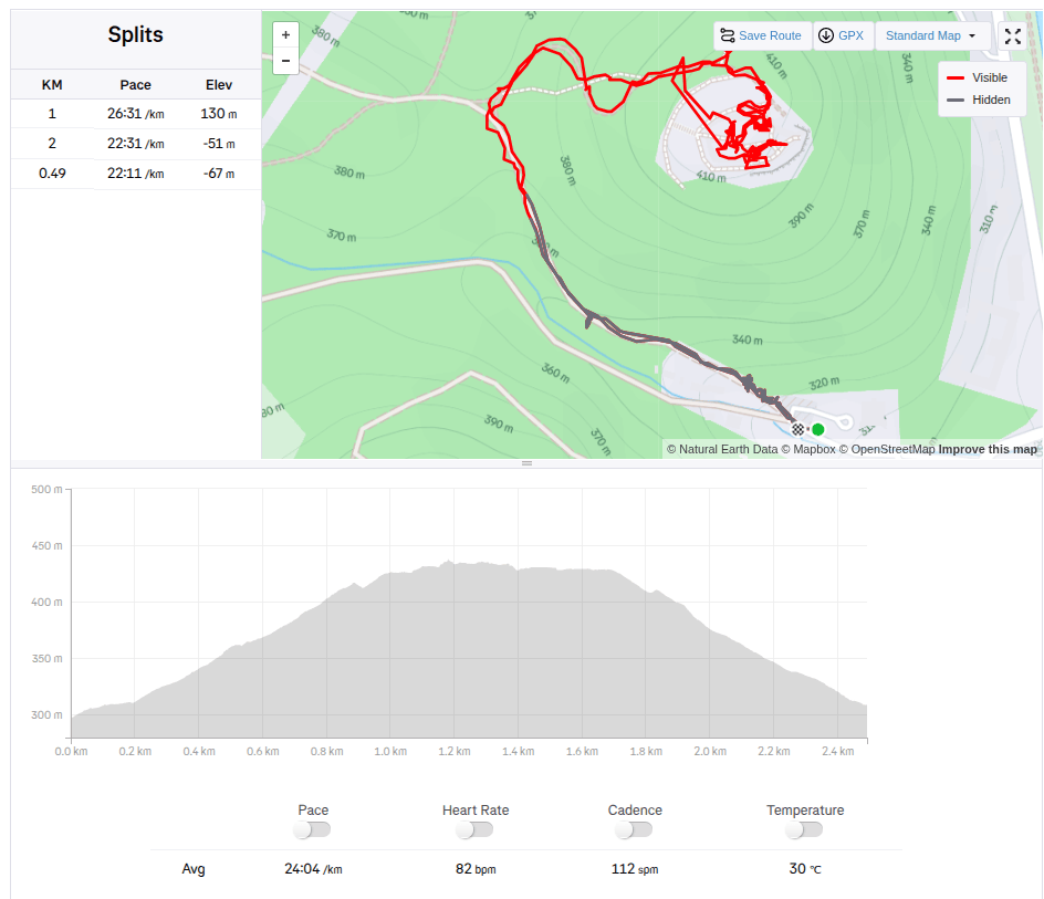
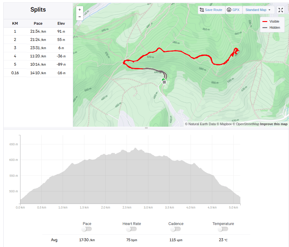
    5.16km, 1h 30 min active time, 2h total
  • Manínska Tiesňava

    Manínska Tiesňava

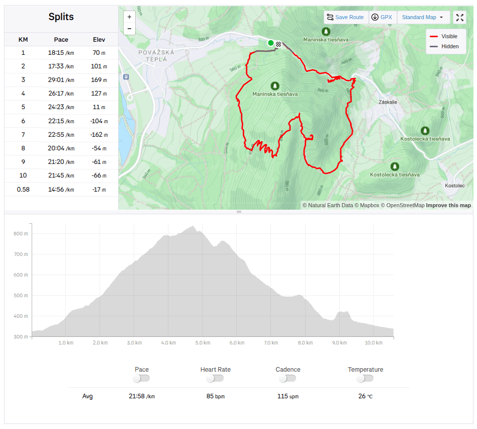
    Since the Manínska tiesňava itself is very short and I didn’t feel like traveling from such a distance just for about 200 meters, we decided to take a circuit through the Partizánska cave and end at the Manínska tiesňava.

    We parked at the campsite below the Manínskov tiesňava, where the yellow tourist sign also starts. The campsite is great with a swimming pool, new kitchen and sanitary facilities, we plan to come back here next year and spend a few nights here:)

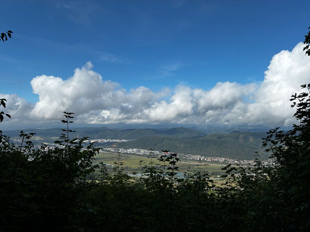
    View from switchbacks

    The sign after about a kilometer starts to climb quite steeply until it turns into switchbacks. Some of them offer a beautiful view of the Považský Castle and the valley in front of it. After climbing the switchbacks, we come to a resting place with a fireplace and prepared wood. However, we have nothing to grill, so we just quickly refresh ourselves and continue to the cave.

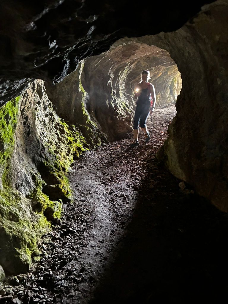
    Partizánska cave, at the end there is almost complete darkness

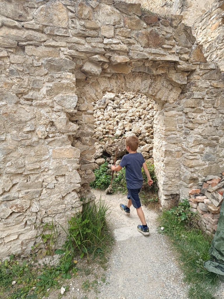
    Partizánska Cave is a freely accessible cave. It consists of a single passage, approximately 20 meters long. The cave itself is located on the rocky cliff of Veľký Manín and, despite the fact that it does not contain any karst decoration, it was very interesting for us. The last few meters to the cave lead along a rock with safety features. And Dávid loves that.

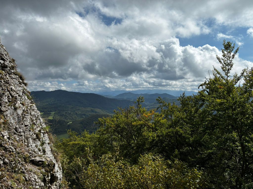
    View from the cave

    Apparently, just by the name, it will be clear to everyone what this cave was used for. It is a place where partisans hid during the SNP.

    From the cave we descend almost the whole time to the mouth of the Manínska tiesňava.

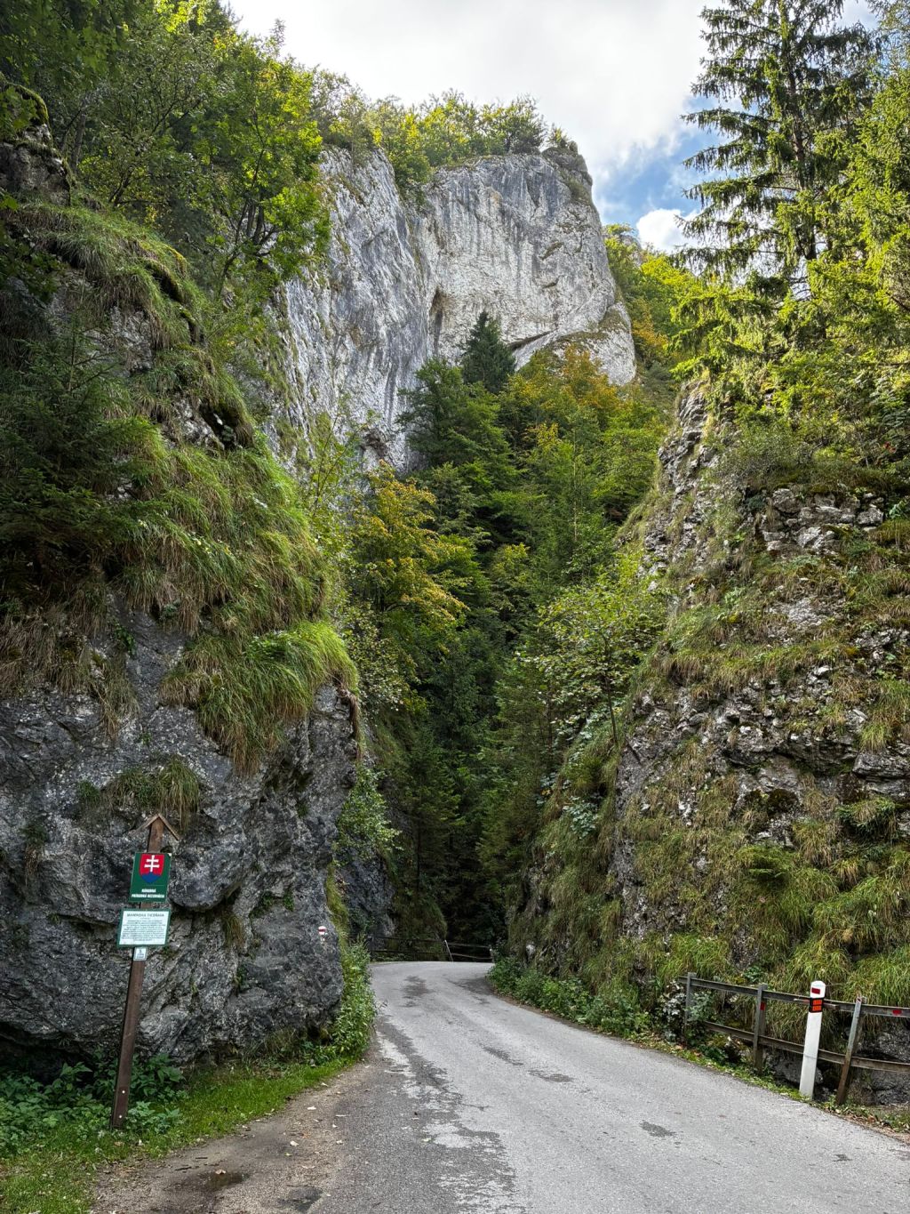
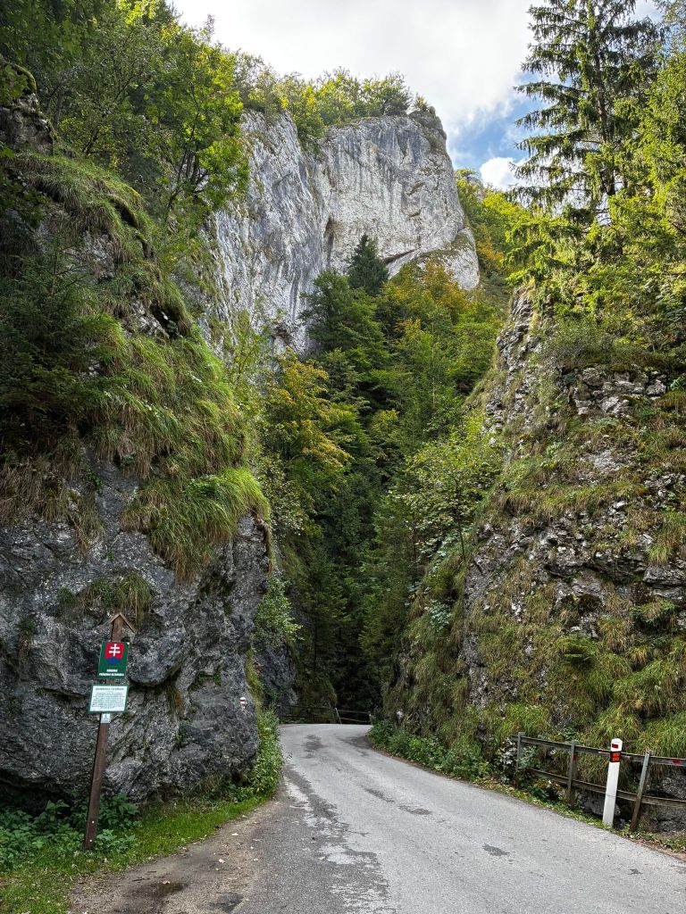
    Manínska tiesňava

    Just 100 years ago, the gorge had a completely different shape. Its rocks were not covered with vegetation, as they are today.

    The narrowest part was impassable for wagons, and the carters had to unload the load, disassemble the wagons and reassemble them after. This was the case until 1933, when part of the cliff was blasted away. At that time, a paved road was built across the gorge.

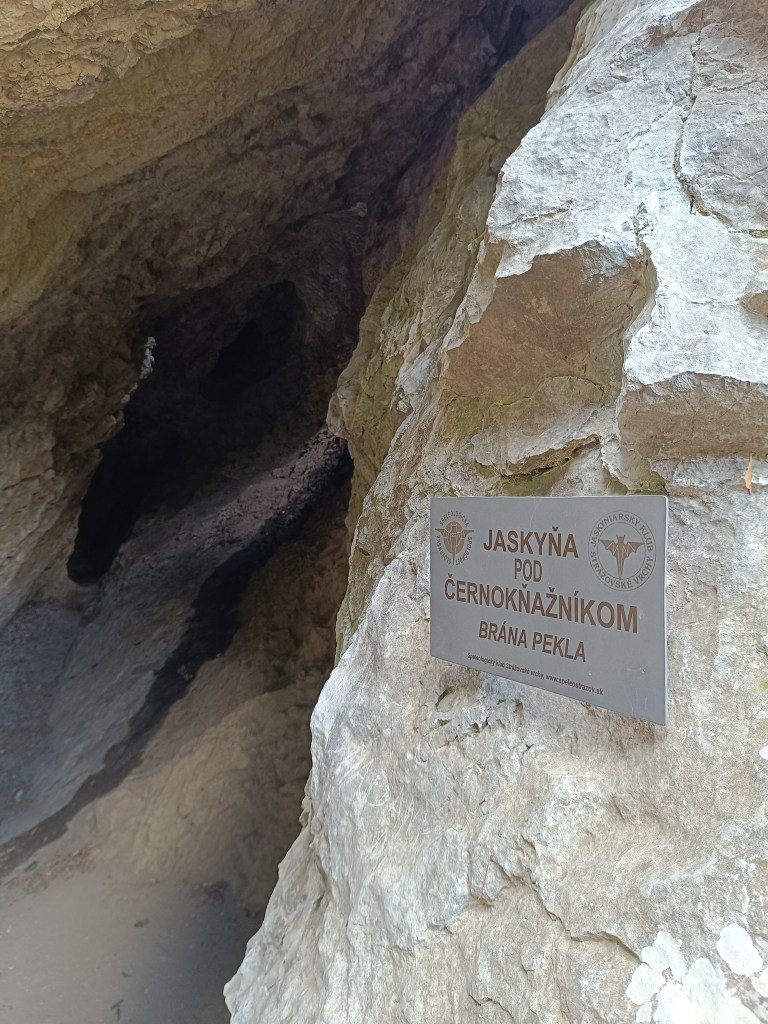
    One more cave

    After passing through the gorge, we turned to the cave under Černokňažník, which was smaller than the Partizánska cave, but we discovered a bat in it and the view was worth it.

    At the time of the hike, Dávid was just 6 years old.

    10.58km, 3h52min active time, 4h 25min total
  • Súľov castle

    Súľov castle

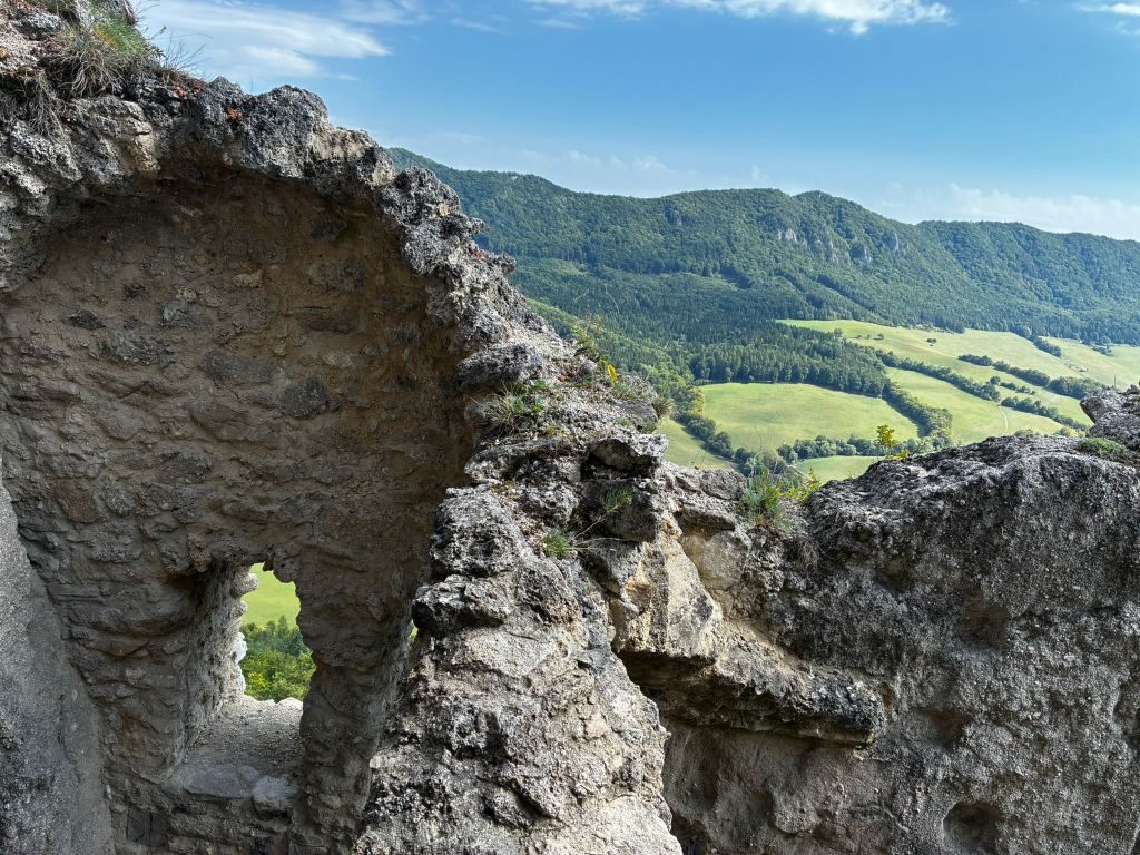
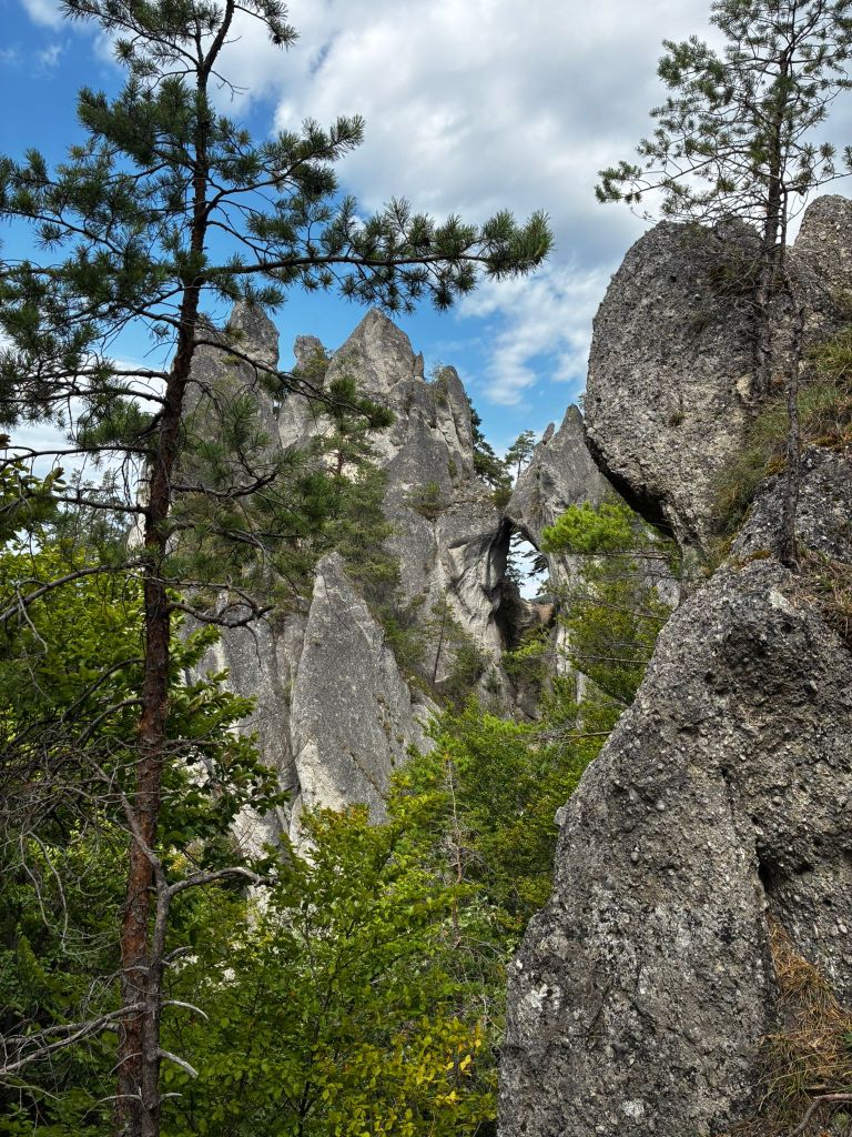
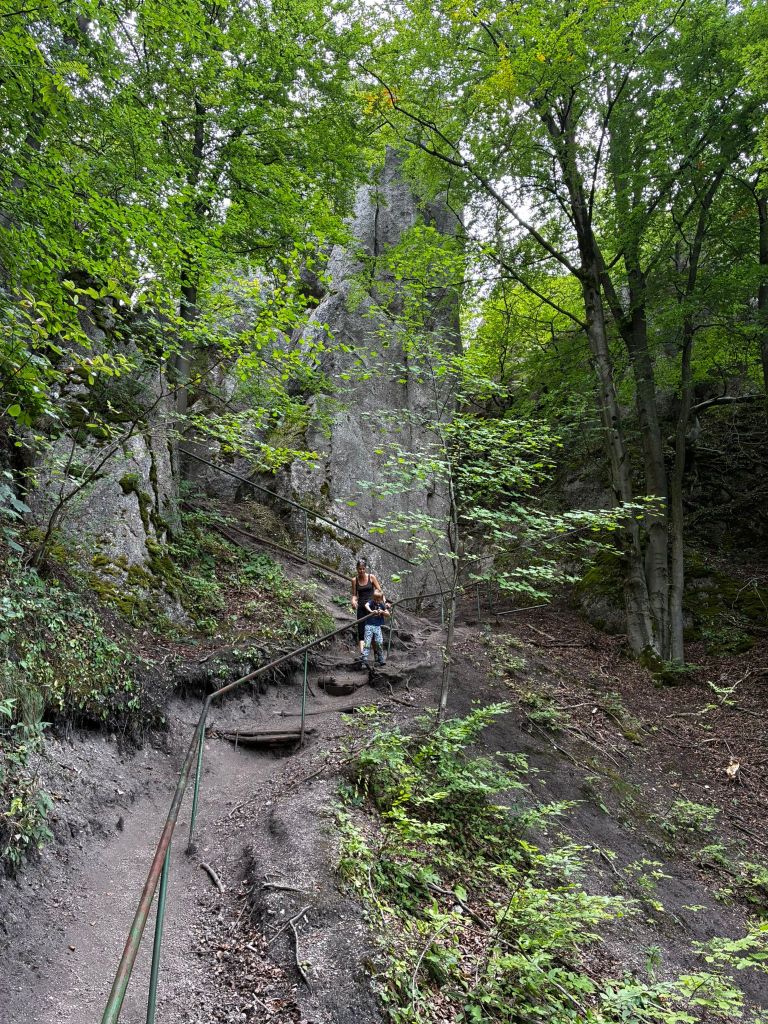
    Súľov Castle is located on a popular tourist route through the Súľov Rocks. Súľov Castle is built on a rocky cliff and offers beautiful views. The hike leads along an educational trail – it is an approximately 5km circuit with 17 stops.

    rock window

    The castle was built in the 13th century to protect a nearby road. It is also considered one of the most difficult castles to access in the area. The castle was built between three massive rock formations. The ruins still show how the foundations of the castle adapted to the terrain. The castle complex consisted of an upper and lower castle, with an estimated distance of 25 meters between the two parts of the castle, and a height difference of 14 meters from the level of the lower castle to the first floor of the upper castle. The height of the ruins is approximately 18 meters.
    to the castle

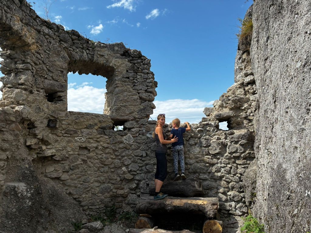
    The foundations of the buildings and traces of beams and anchors of the vault cut into the rock, as well as slight remains of walls with window openings, have been preserved from the constructions.

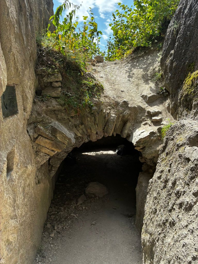
    In the lower castle, a part of the palace with an observation platform on its supporting rock is preserved, the entrance to the castle with an embrasure in the rock and a dug-out rock gorge before the entrance to the upper castle are also noticeable.

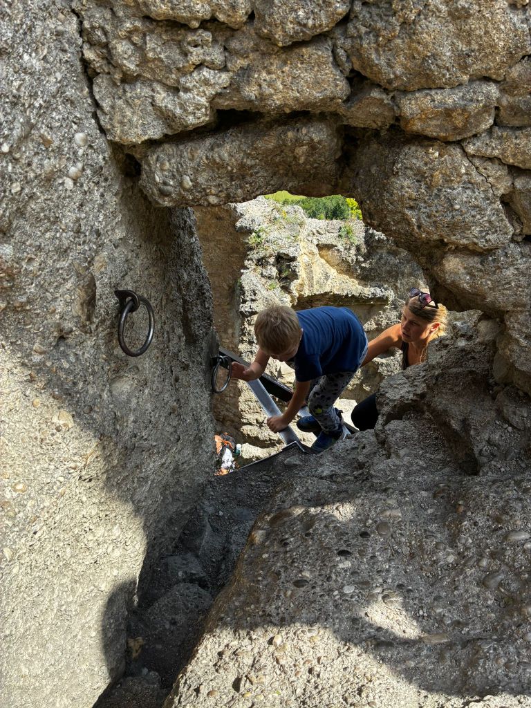
    In the upper castle, in the middle palace there is a vault and traces of a stone staircase, a rock pylon, which bears traces of a staircase and at which one enters the highest part of the castle with traces of a cistern and a lookout tower through a hole in the masonry and an iron ladder.

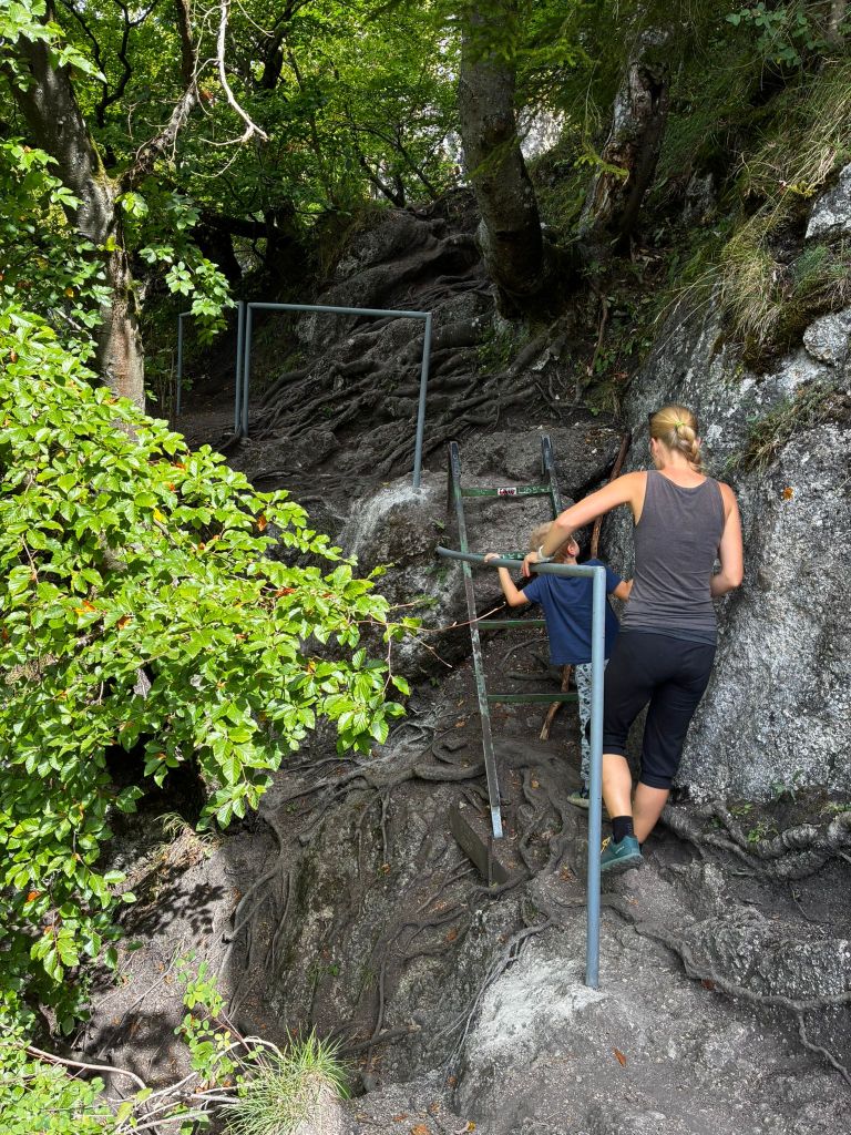
    path from the castle

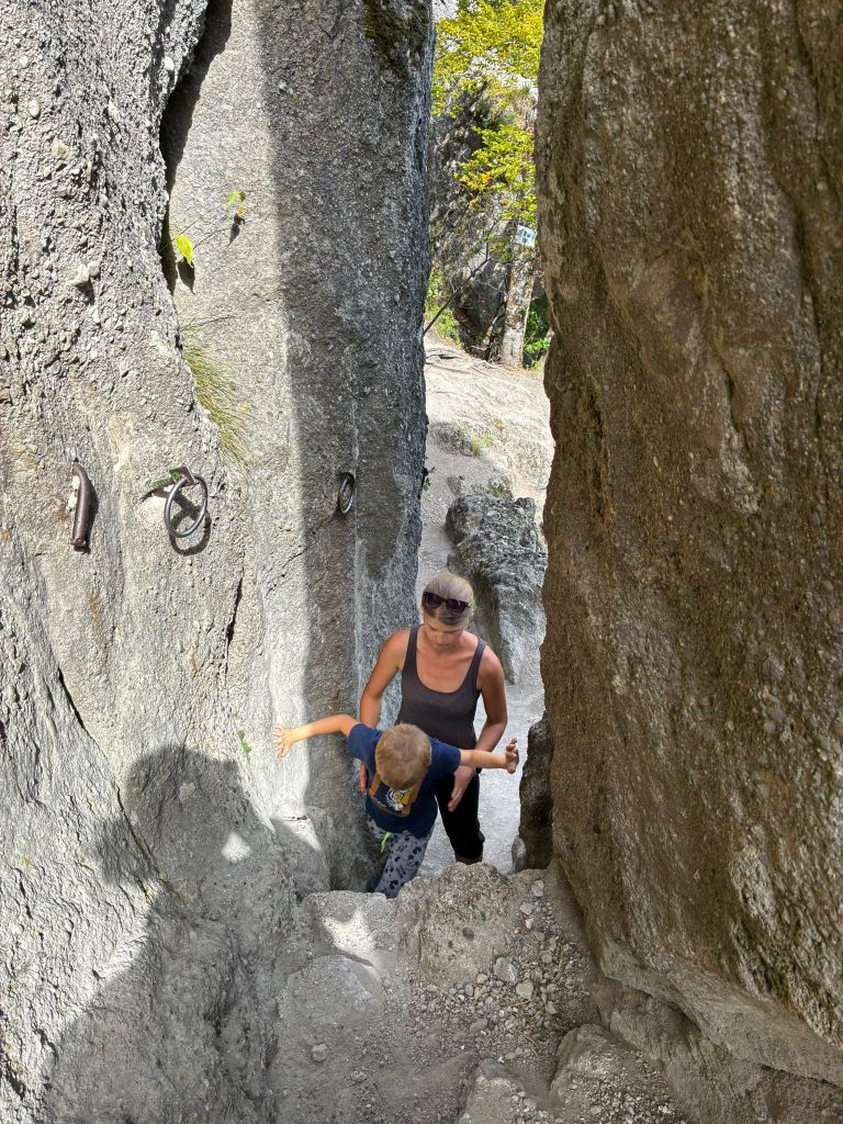
    The path from the castle is quite slippery for the first few hundred meters and even though there are handrails, it is still quite an adrenaline rush. But we managed it without falling. At the time of the hike, David was just 6 years old.

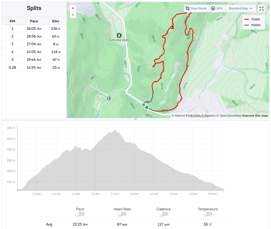
    5,28km, 1h 58min active time, 2h 53min total
  • SNP Girl’s project day 8

    SNP Girl’s project day 8

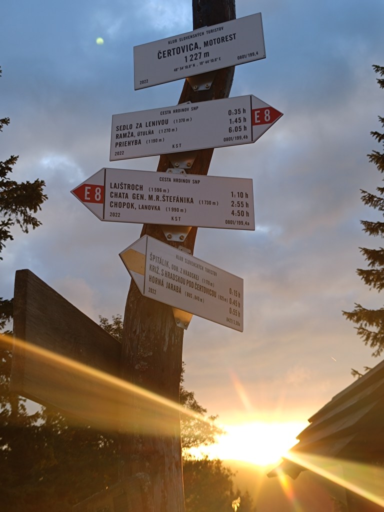
    Another stage of our journey on the SNP , this time from Čertovica to Hiadeľské sedlo.

    For us, one of the most beautiful stages along the ridge of the Low Tatras, a bit more demanding in terms of logistics and also in terms of weather. We were mainly afraid of getting overheating, because on this part of the ridge you can only refill your water at mountain huts and surprisingly, in the end we were cold 😀 The 5 degrees in the morning barely climbed to 10 during the day and in the wind the feeling temperature was even lower. Half the way I ran with gloves and a headband was also a must. A day later it even snowed in the High Tatras.

    starting point – čertovica

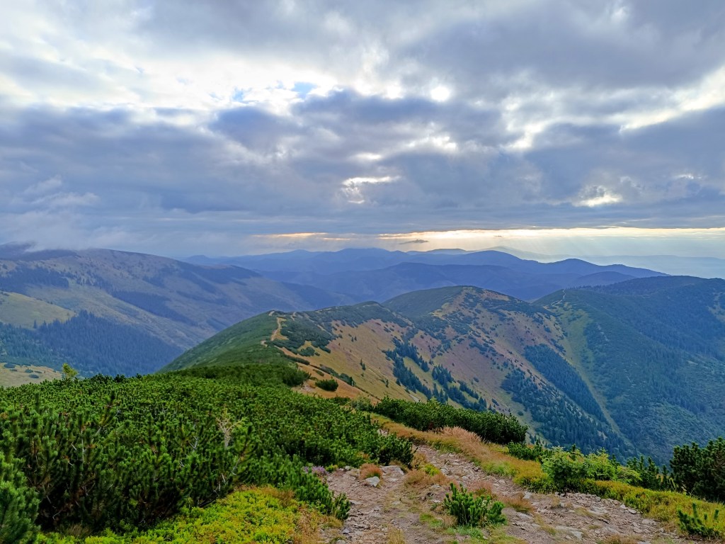
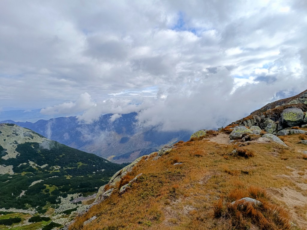
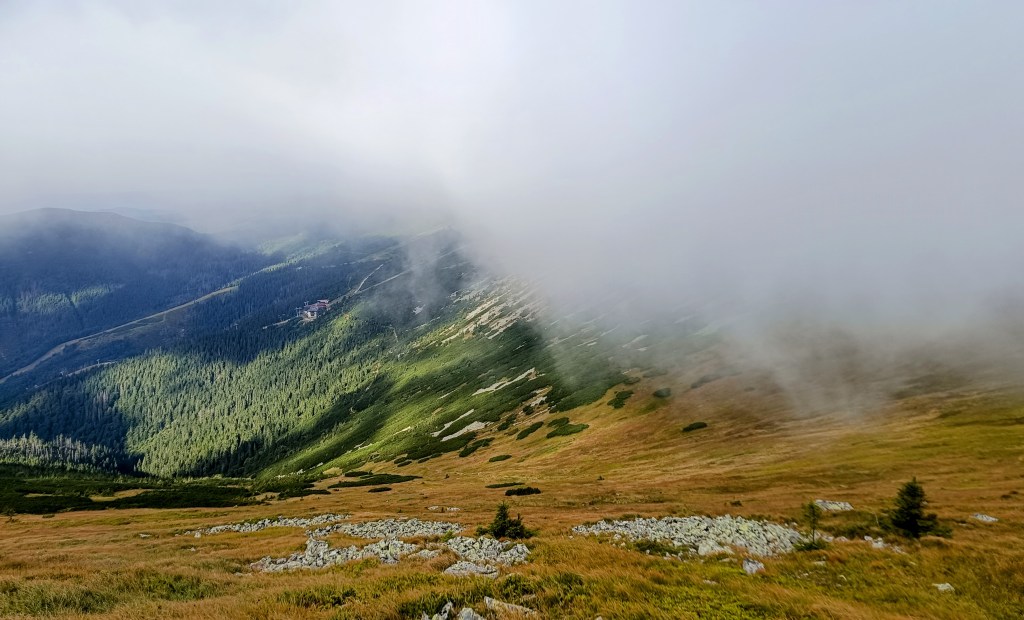
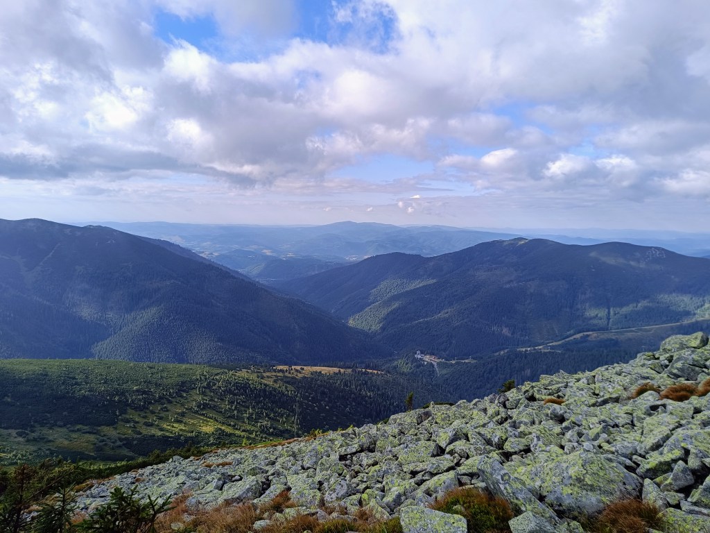
    The main peaks were in the clouds, but we still enjoyed the beautiful views. Also, this stage was much more visited by tourists than the previous ones.

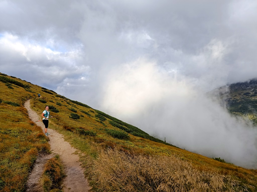
    Clouds rolled over the hills all day

    From Čertovica, it starts with a climb to Kumštove sedlo, there are ripe raspberries and blueberries everywhere along the path, and higher even cranberries. But there really wasn’t time to graze on them. After less than 2 hours, we are at the M. R. Štefánik hut, but we don’t stop, bacause we plan to have coffee on a Kamenná hut. From štefánik hut, the path is much more technical, we pass through stone fields, which slows down our progress considerably, and we slowly start to feel hungry.

    Lucka on the way to Stefánik hut

    After three hours we arrive at Kamienná hut, where we enjoy a coffee, a great tea made from mountain herbs and a bun. 15km, 3 hours and 1100 meters climbed. Today will be a full-day trip 🙂
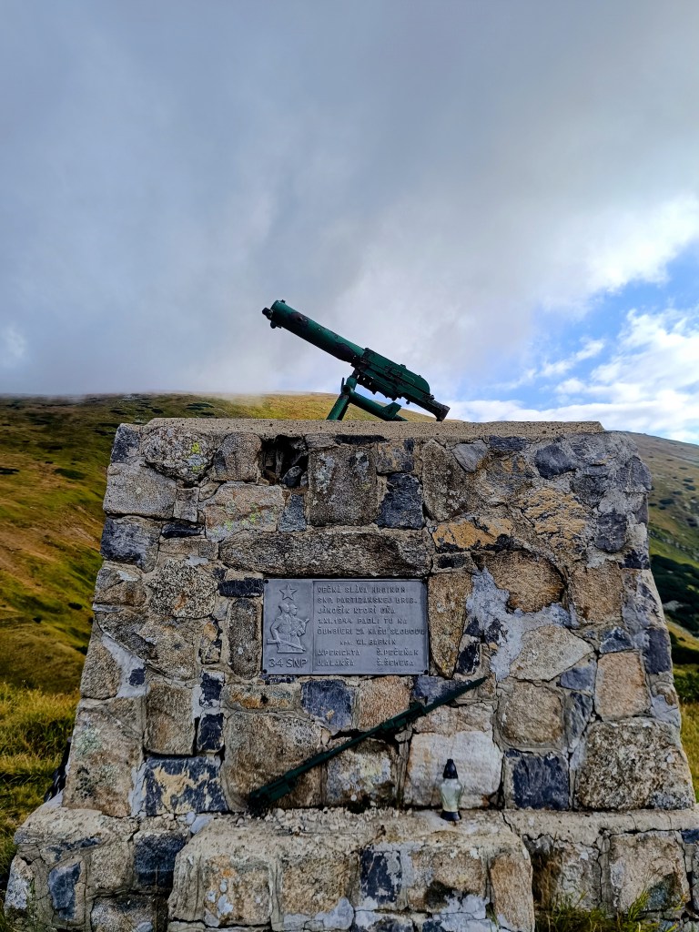
    Monument for the heroes of Slovak National Uprising (SNP)

    We continue through Dereše, Poľana, Chabenec to the saddle above the Ďurková shelter, where Jožko separates from us and returns to get the car. Lucka and I decide not to stop, we have enough water and it is not so hot that we have to refill it. We have covered 26km in almost 5 hours and we are eating another bun. Today we eat a lot 😀

    We are heading to Chochuľa, where we should meet Miloš and run the rest of the ridge with him. Lucka and I are really enjoying the ridge, even though I am cold sometimes, mainly on the higher peaks. Miloš is fast and manages to run down to the saddle under Skalka. Our legs are already quite tired and there are still 12km to go.

    We manage to run slowly most the time, but when we cross Prašiva, we slow down completely to a walk, the steep terrain and gravel pose too much of a risk of slipping for Lucka, her legs are tired and she’s afraid of falling. Actually, I don’t mind at all and I walk with her, my legs are already pretty sloppy.

    Mountain meadows

    We reach the Hiadeľ saddle and memories come flooding back to us of how we started the stage to the Šturec saddle at this very place. We walk down the steep slope, but when we get down to the asphalt, we heroically start running and run all the way to the car. A non-alcoholic radler, flip-flops and a dry T-shirt make us perfectly happy people:D We meet Jožko in a restaurant, where we have a late lunch of the size of “I ran all day”. It was great.

    44.19km, 8h 42 min active time (9:07 total), 2277m ascend

  • Andrejcová Challenge

    Andrejcová Challenge

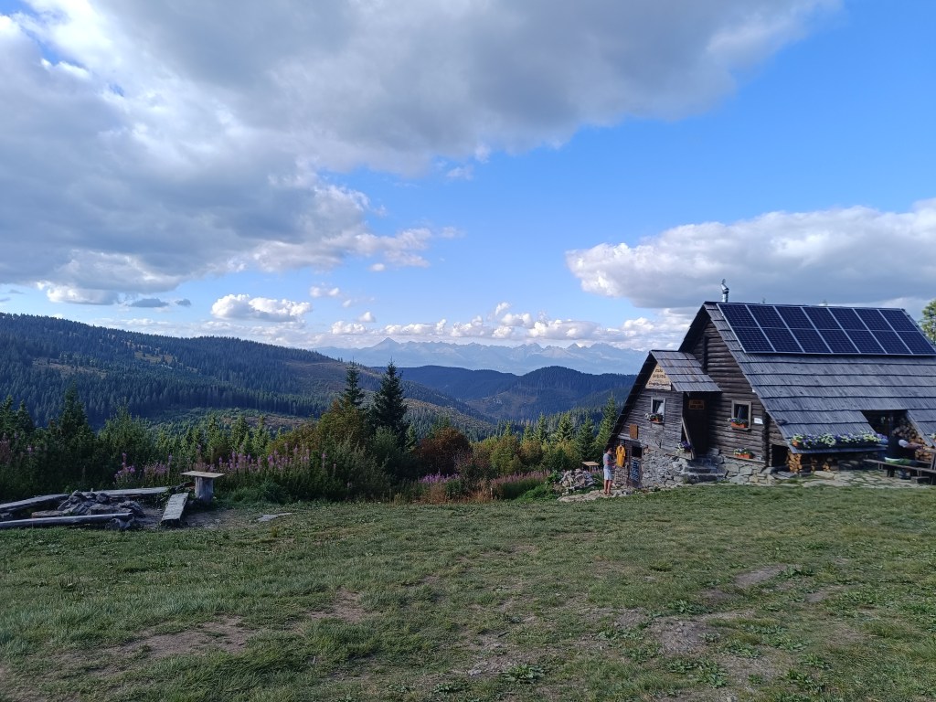
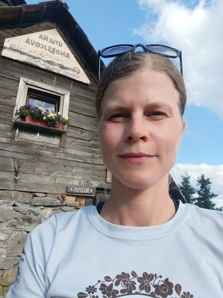
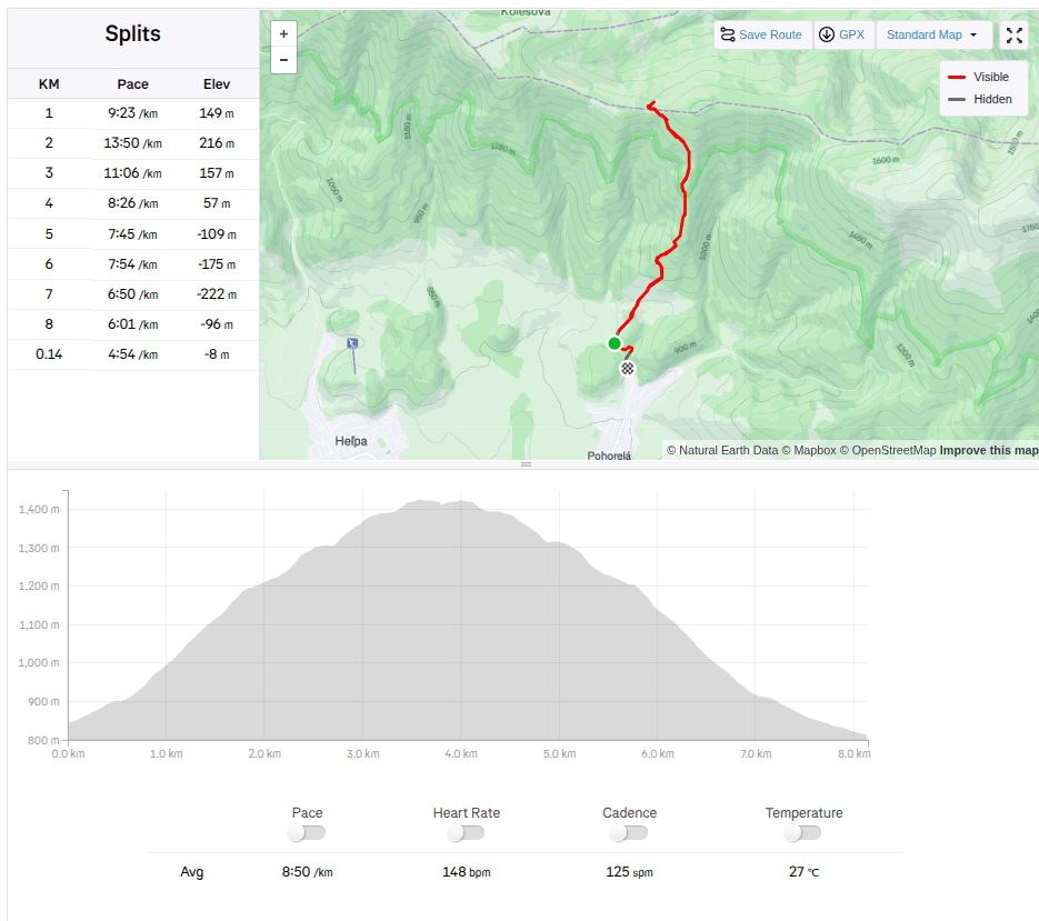
    This month there is a challenge to Andrejcová. Andrejcová is a shelter in the Low Tatras with beautiful views of the High Tatras. It is located at an altitude of 1410 meters above sea level. I have visited it once in the past, when we ran along the ridge of the Low Tatras, but I have never gone to it from Pohorela, where the start of this challenge was. So I decided to give it a try.

    927 / 5 000

    The route is relatively short (3.5km), but the climb is quite steep (595 m climbed). So I really sweated while I climbed to the top. I conquered this challenge in 39min and 22s.

    The construction of the shelter itself began in May 1968 and largely local raw materials were used; stone and wood. A nearby spring was also modified and the building was approved in October 1968. It was used from the beginning by tourists and hikers, and during the summer grazing of the mountain meadows it also provided shelter for shepherds and even the cattle themselves.

    The building fell into disrepair for a long time and was not significantly repaired until 2005, when the shelter was partially reconstructed.

    Since 2014, the shelter has been under the management of cottage owner Marek Šurina, who, with the help of local enthusiasts, is gradually revitalizing and improving the building and its surroundings. The roof covering was changed again, the chimney with the heating element was repaired, and the cottage was gradually completely insulated so that it could provide comfort and safety even in the winter months.

    The climb itself offers beautiful views and as a bonus you can eat sweet raspberries, of which there were truly plenty.

    Shelter with a nice view on High Tatras
    8.14km, 1h 11min, 595m ascend
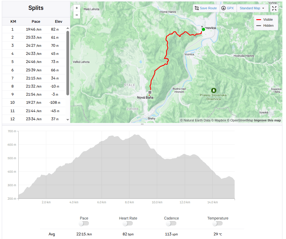
  • From Žarnovica to Nová Baňa

    From Žarnovica to Nová Baňa

    Our first big hike with David. Only me and him, the first time hiking, which could be called a ridge hike, without the possibility of shortening.

    It mainly required courage, patience, playfulness and a lot of food and water 🙂

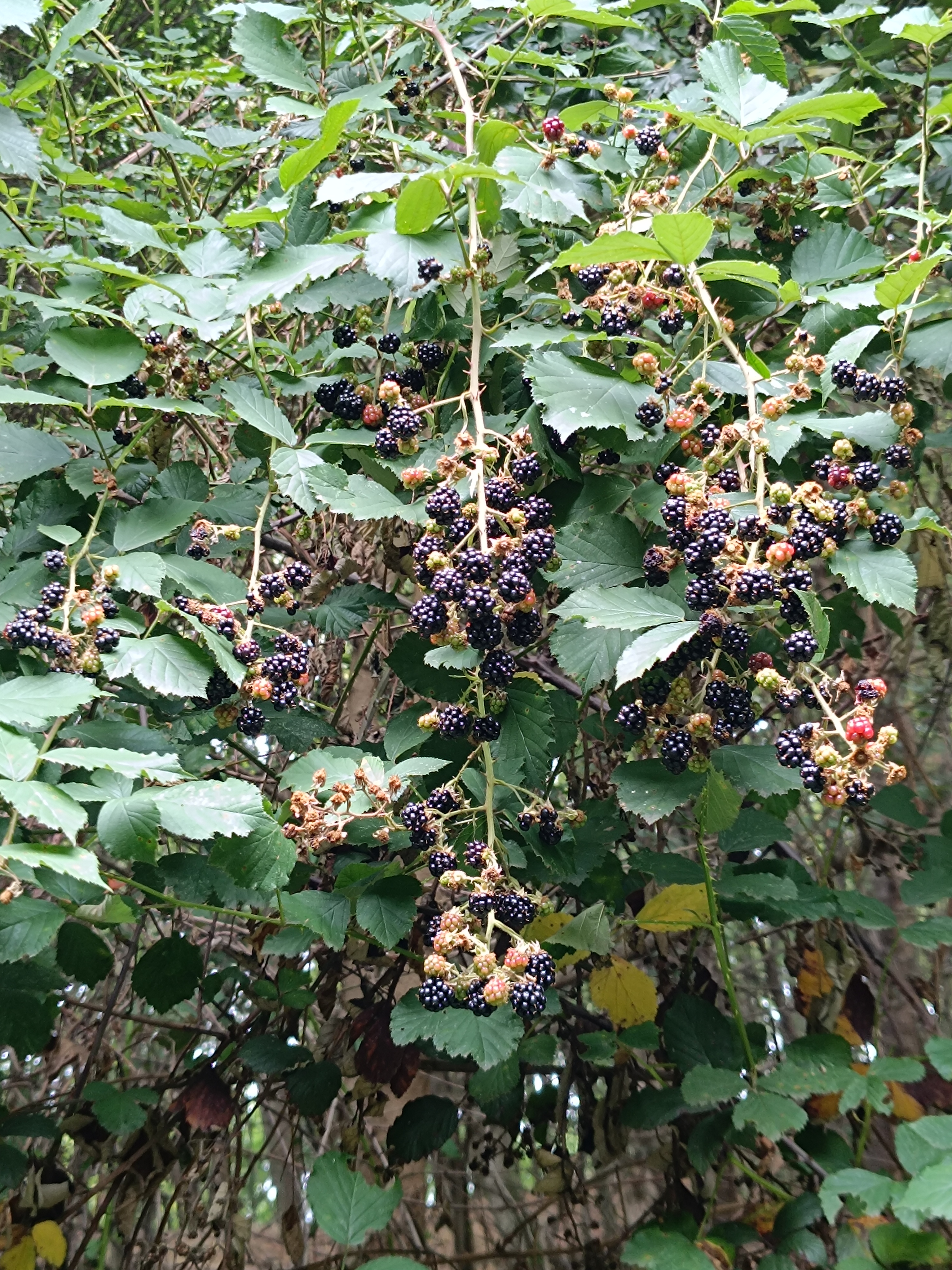
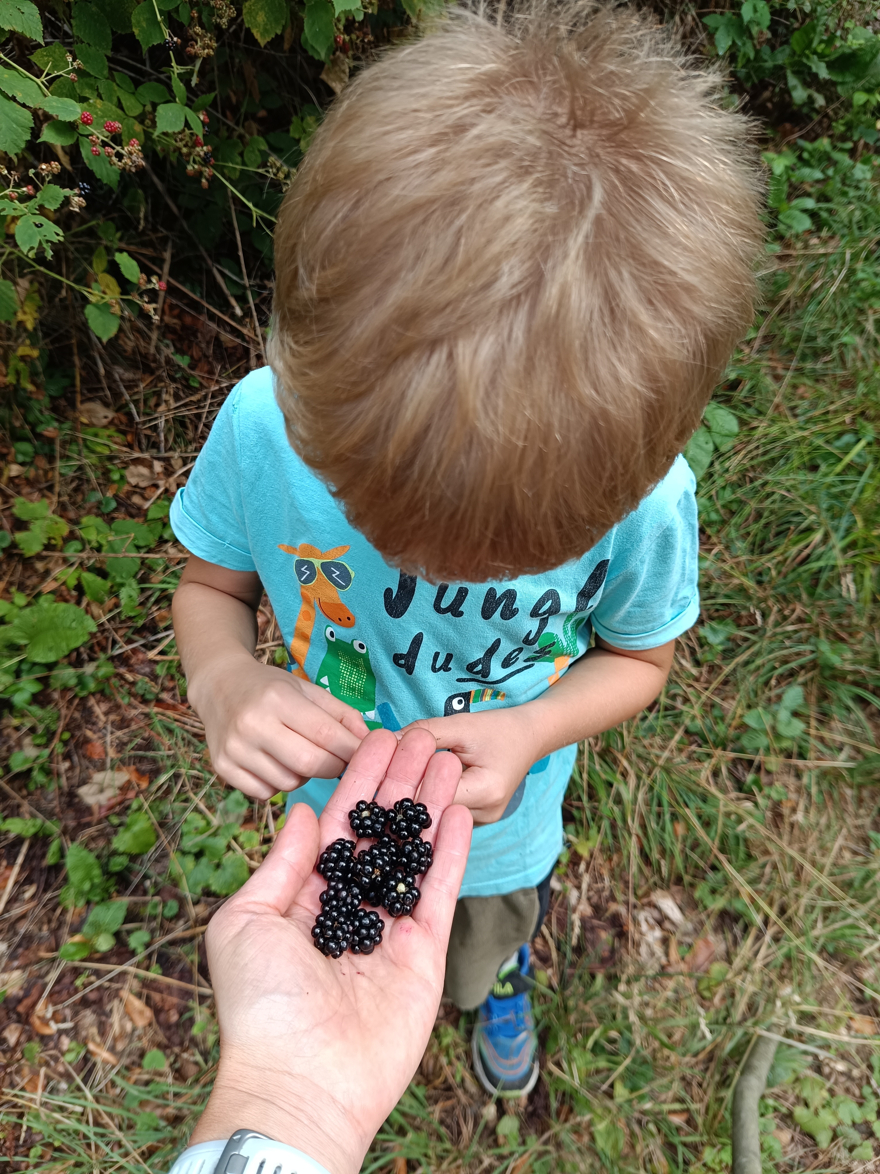
    We start under the Calvary in Žarnovica and follow the blue hiking trail the whole time. As we climb, we enter the forest, where it is pleasantly cool, in some places we must climb over fallen logs – remnants of logging, in other places we stop to pick up lots of sweet blackberries.

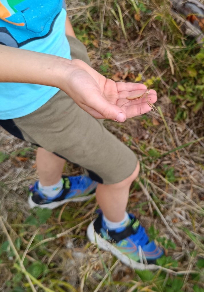
    In a clearing under the power lines we managed to meet three small wild boars and a little further in the forest a deer. David even found a praying mantis, invisible to me because it was the color of dry grass.

    praying mantis

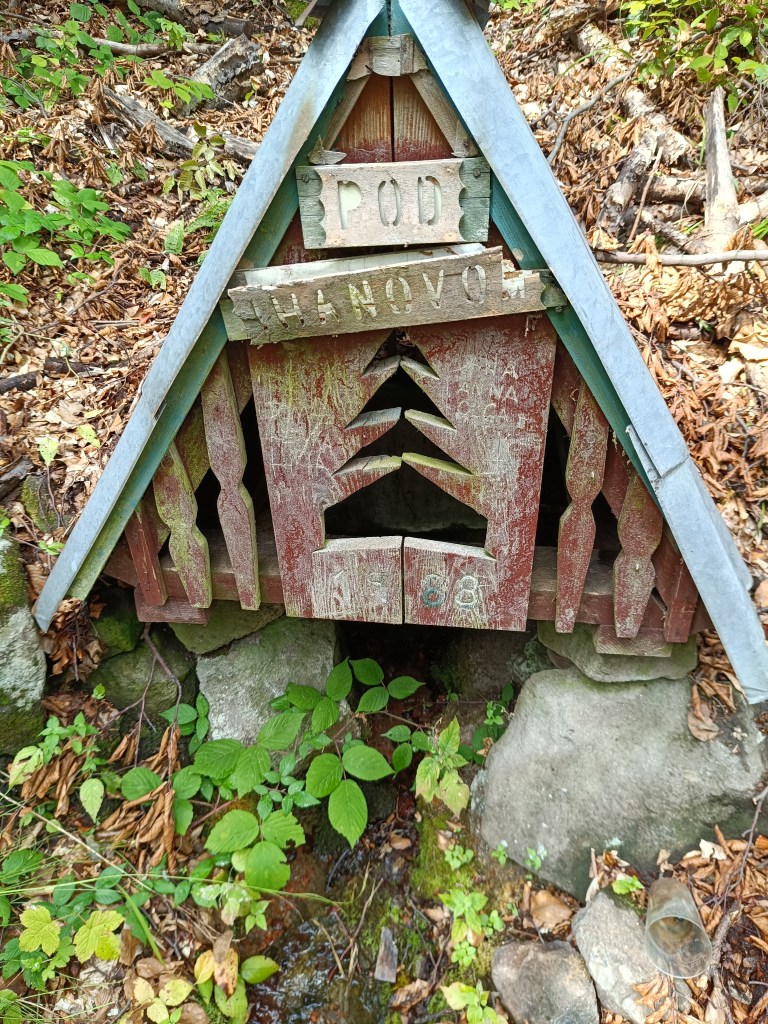
    A picnic in the meadow gave us strength and a bag of sweets helped us overcome the crisis 🙂 We refreshed ourselves in a spring below Ihanovo, where there was plenty of water despite the dry summer.

    well

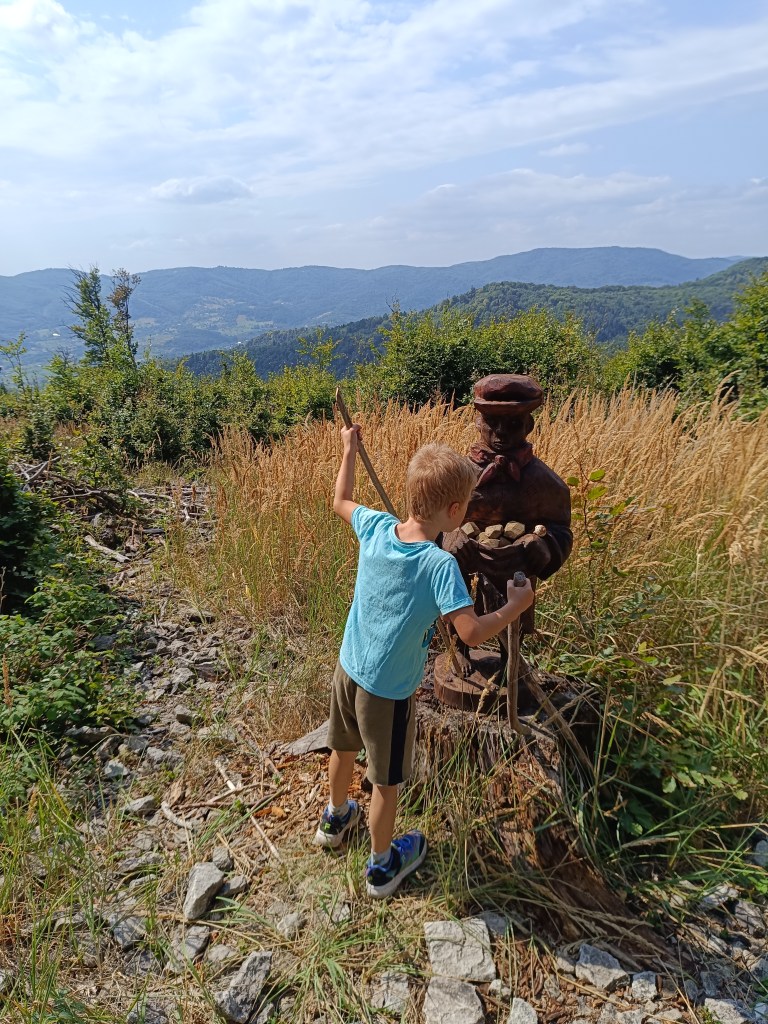
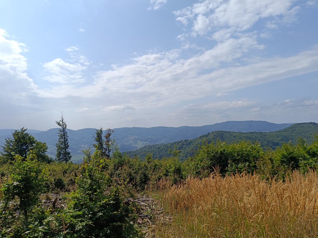
    The highest point was hill Johan, which is also part of the Novobanské povesti educational trail. It also offers the most beautiful views.

    hill Johan

    The last few kilometers, Dávid made up games for us (now we can’t step on any stone…) and so it went by quickly. We ended the hike at the Zvonička in Nova Baňa, Dávid with a well-deserved popsicle and juice and I with a craft beer.

    Views from Johan

    Yes, it was long, sometimes challenging to motivate, and my legs were sore from standing and waiting, but it was also beautiful, and I am incredibly proud of him.

    He was freshly 6 years old at the time of the hike.

    15.59km, 582m ascend, 5h46 min active time, 8h 33min total
  • Active holiday in Moravia

    Active holiday in Moravia

    South Moravia is a region of endless vineyards, picturesque villages, castles, chateaux and lakes. It is located not far from the border with Slovakia and is ideal for cycling.

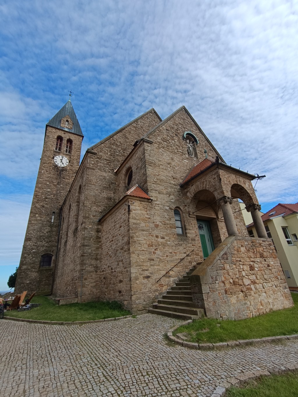
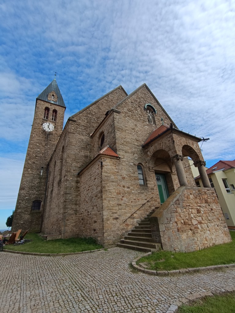
    Church on a hill overlooking Zaječí

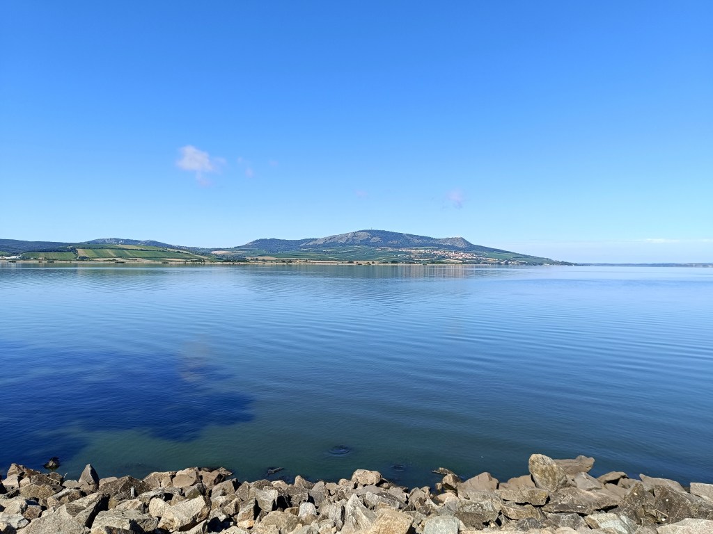
    Our starting point was Zaječí, where we were staying. Every morning we started by running to the Nové mlyny reservoir, we ran along the water and returned through the vineyards. After breakfast we got on our bikes and went exploring the surroundings.

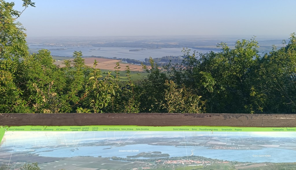
    reservoir Nové Mlyny

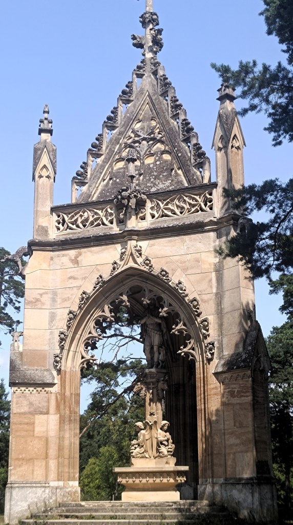
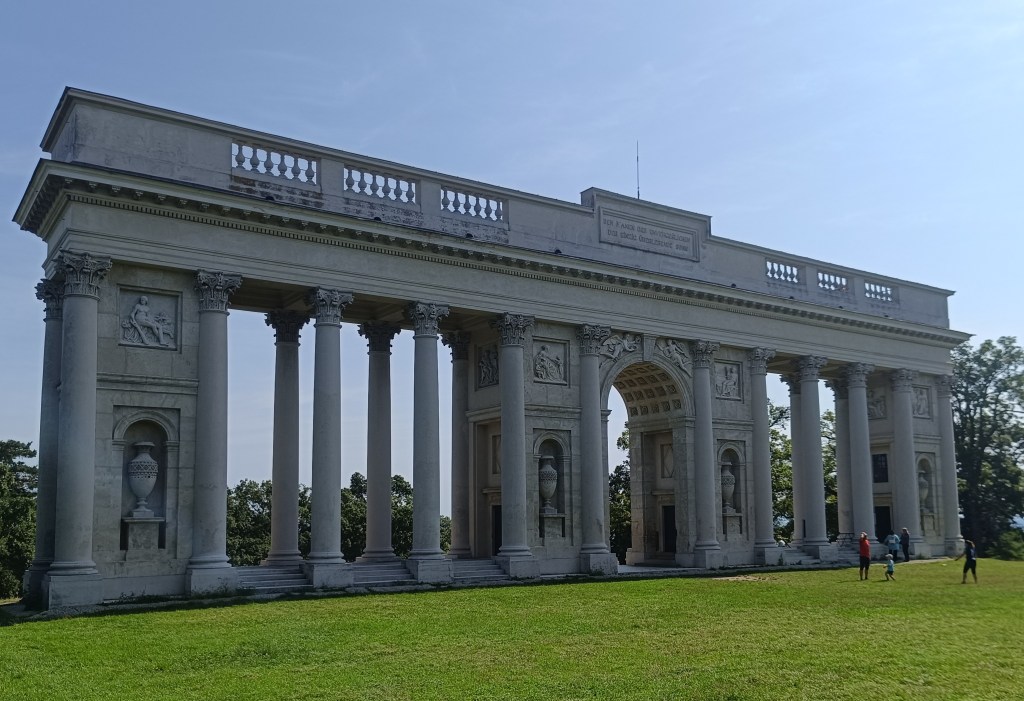
    Very interesting are the monuments, seemingly randomly distributed in the Lednice-Valtice area, such as the Three Graces – a covered colonnade in front of which stands a sculpture group, for which the name Three Graces was deduced. The Chapel of St. Hubert is a three-sided building in the center of which is a statue of St. Hubert, standing on a pedestal with statues of angels.

    Chapel of St. Hubert

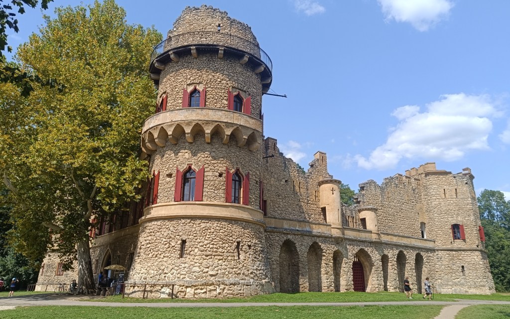
    Janov Castle is an artificial ruin of a medieval castle, it was inhabited and served as a hunting lodge.

    Janov Castle
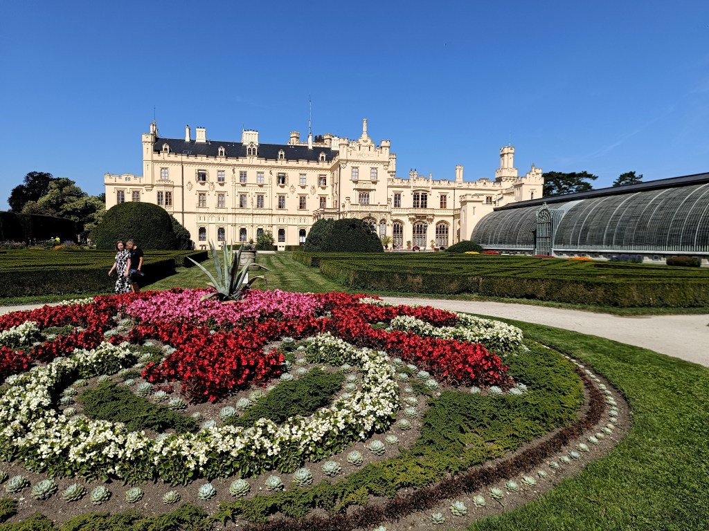
    Lednice chateau

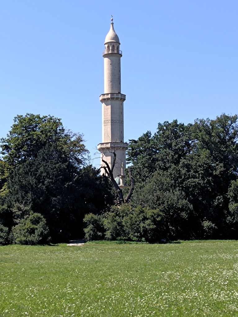
    The state chateau in Lednice is one of the most visited monuments in the Czech Republic, surrounded by beautiful gardens and including a palm greenhouse. The adjacent park also includes an aqueduct, a Chinese pavilion, a Venetian fountain and a minaret.

    minaret

    One day we took a bike trip to Austria, on the way we saw the colonnade in Rejstno, but we all agreed that it was more interesting for us on the Czech side of the border.

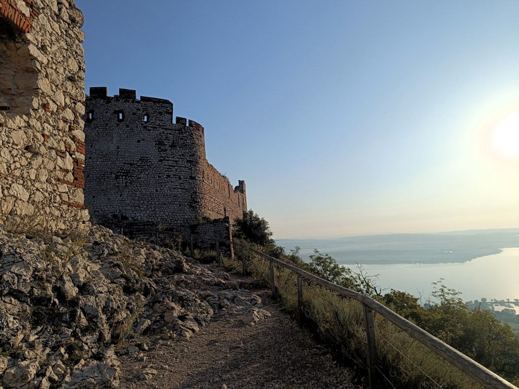
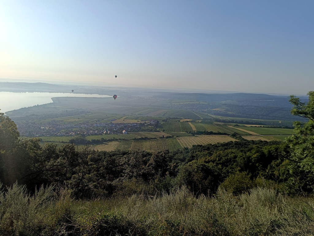
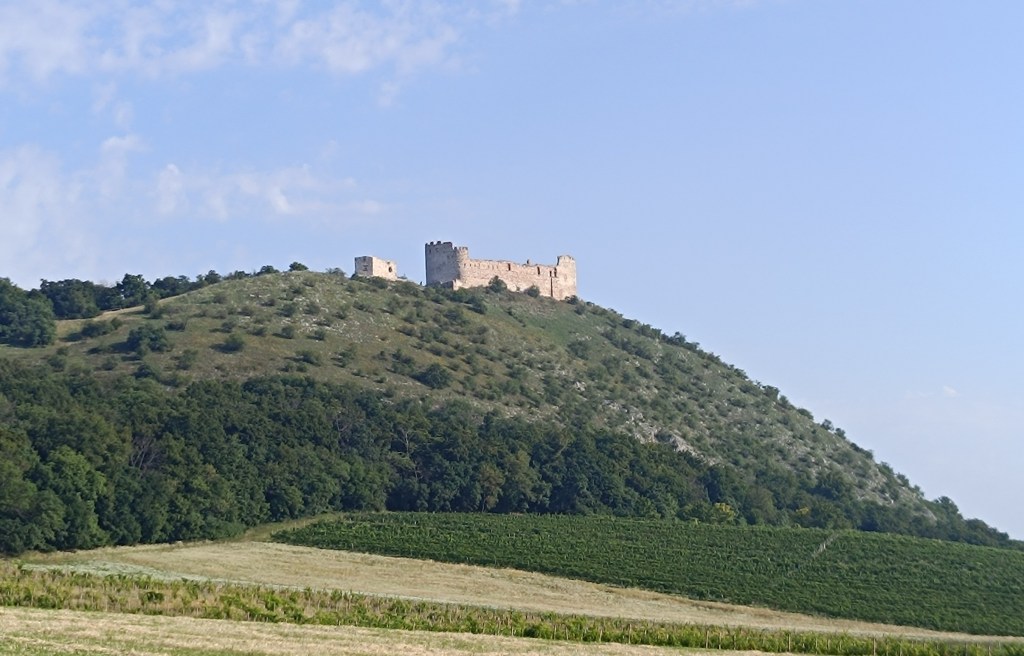
    And since we love hills, we couldn’t resist running through the Pavlov Hills, a limestone mountain range above the village of Pavlov with the highest peak Devín (550 meters above sea level). There is also the Devičky castle ruin – according to legend, the name of the castle comes from three petrified girls, who today stand as three rocky cliffs in front of the castle.

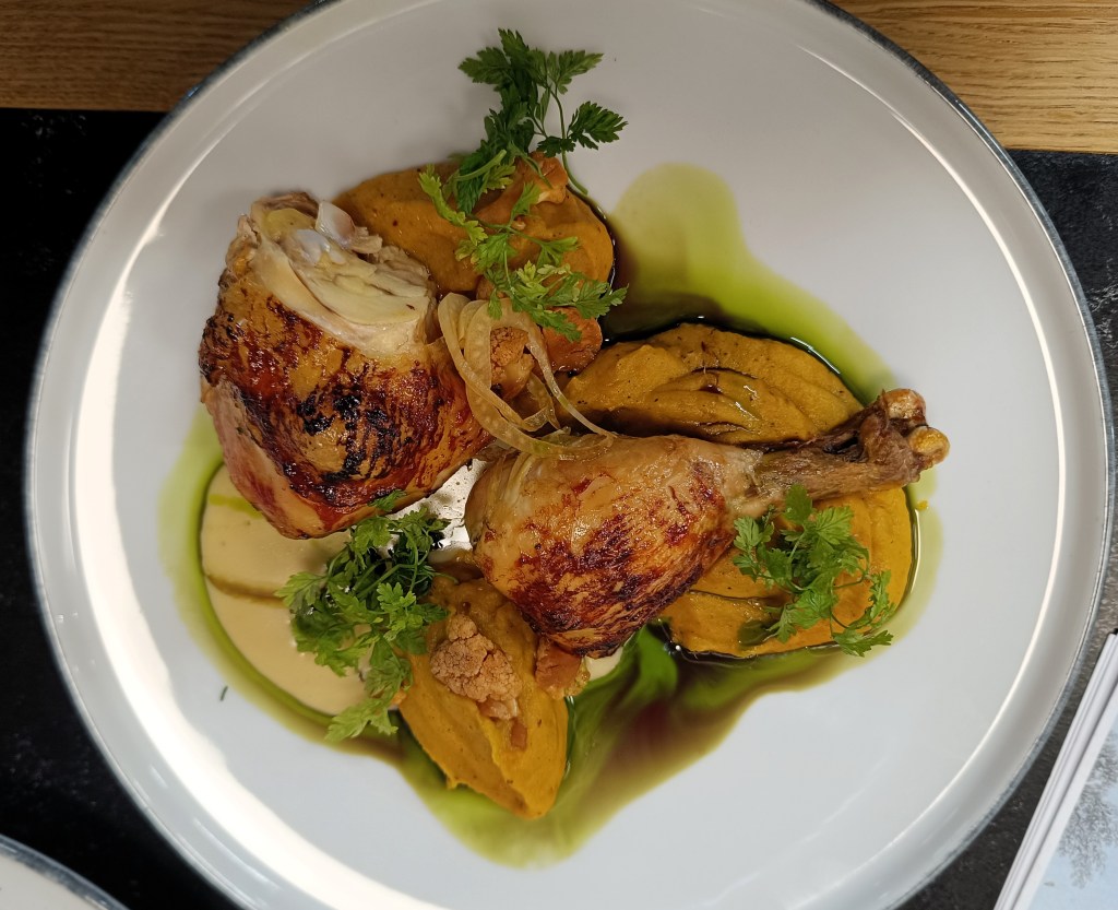
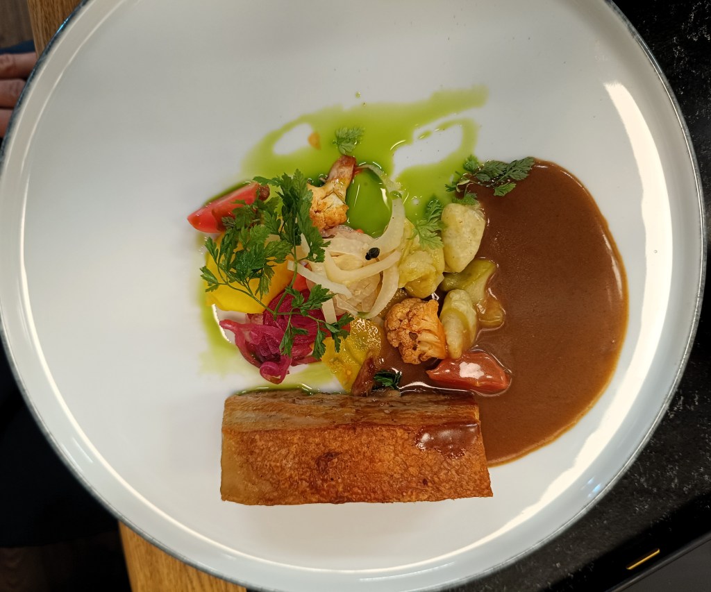
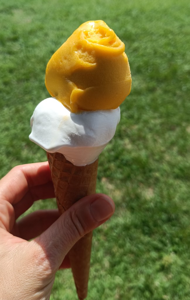
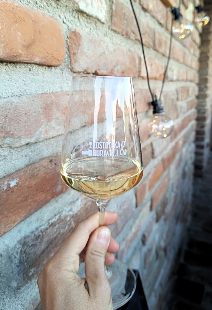
    and of course we tasted: delicious wines, refreshing beers, sweet ice creams and some culinary specialties

    In a week we cycled 185 km, ran another 85 and walked a few extra kilometers.

  • SNP girl’s project day 7

    SNP girl’s project day 7

    We start at 6 am from our accommodation in Mlynky. Today we have in plan Dobšinský kopec, Voniarky, Čuntava and we finish in Telgárt.

    My legs haven’t fully recovered from Thursday’s run in the Veľká Fatra, running downhill really hurts. But we have to take advantage of the fact that we are already here, we’ll at least do a shorter stage.

    From our accommodation, we need to go to the Kruhové saddle, to join red SNP path. It takes one kilometer and 170 vertical metres. It’s fresh morning and we’re making our way through a little wet raspeberries from the morning dew. We sometimes shout a little, after all, we saw warning signs about the increased incidence of bears yesterday.

    First morning views

    We descend through the meadows to the Dobšiná hill, cross the asphalt and head towards Voniarky among a herd of cows. Yesterday we were here on bicycles, today on our own feet. I get water at the Gápel cottage. The path meanders through the trees, sometimes taking us to flowery meadows. It is beautiful here. Lucka and I agree that this is the most beautiful section for us so far.

    As the sun rises, so does the temperature
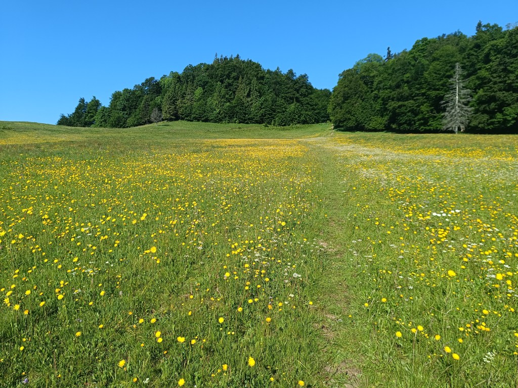
    Meadows with great biodiversity are beautiful
    Výhľad before Strmá prť

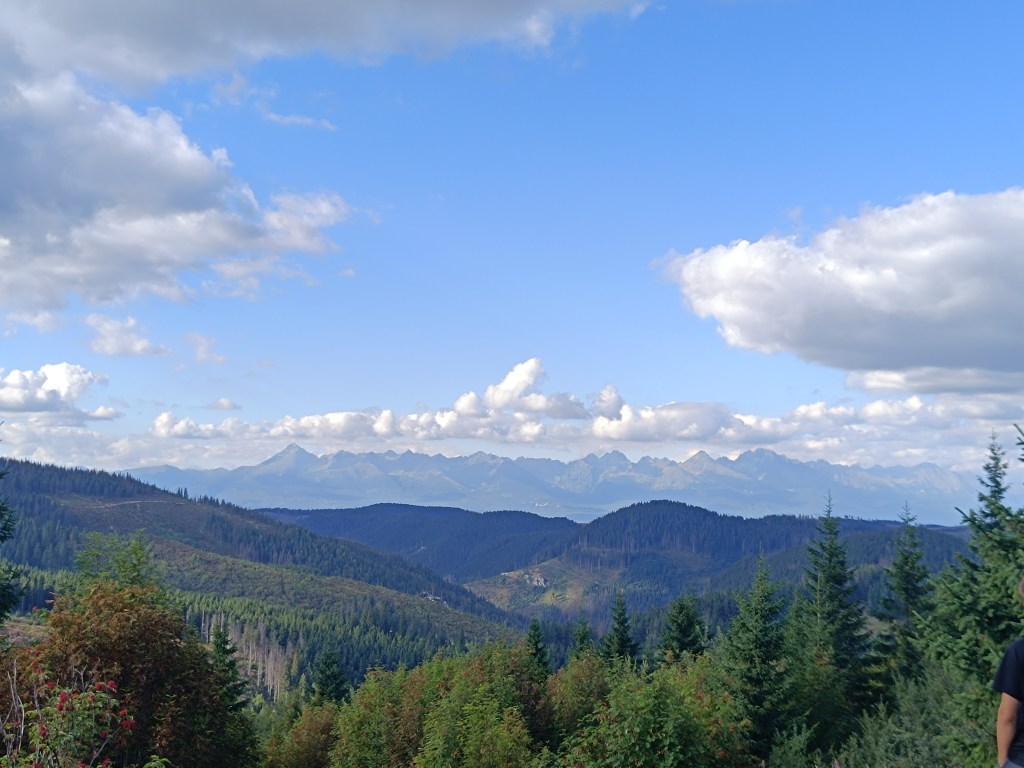
    From the Čuntava spot, the route continues only on a gravel road, less interesting to us than the joyful forest paths. As if to excuse it, a view of the Tatras opens up and we admire it. We are guessing it is Lomnický štít.

    Tatras in the background

    Around the last curve, Kráľova hoľa is now visible to us. But it will wait for us next time, during the Low Tatras ridge, we end today in Telgárt.

    Kráľova hoľa

    We’re already craving coffee, the route is taking us to asphalt, we don’t really like it, but whatever, there’s no getting off the red path:)

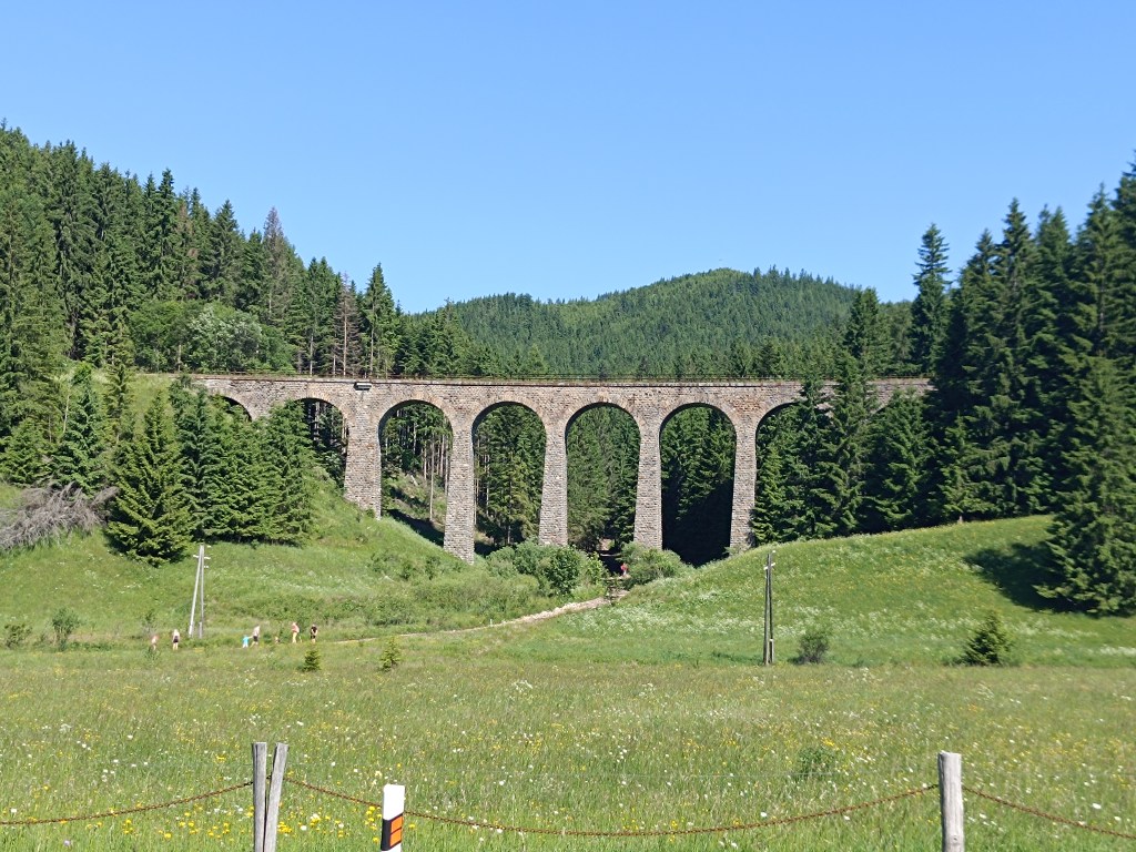
    Chmaroššký viadukt

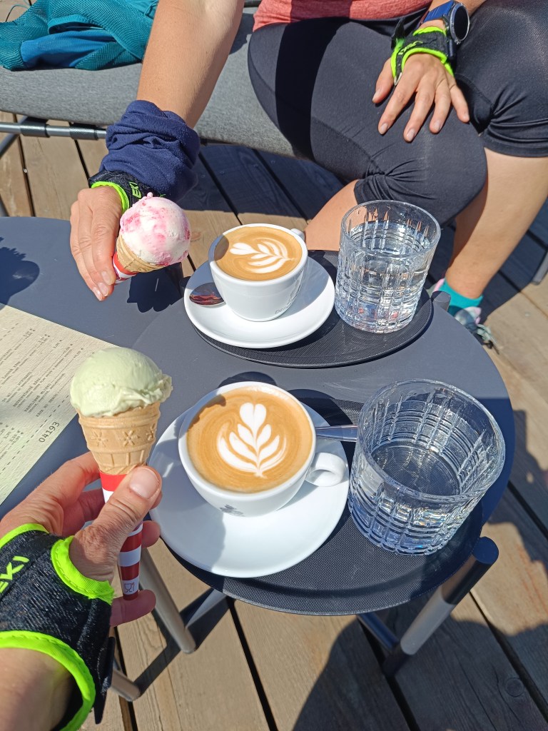
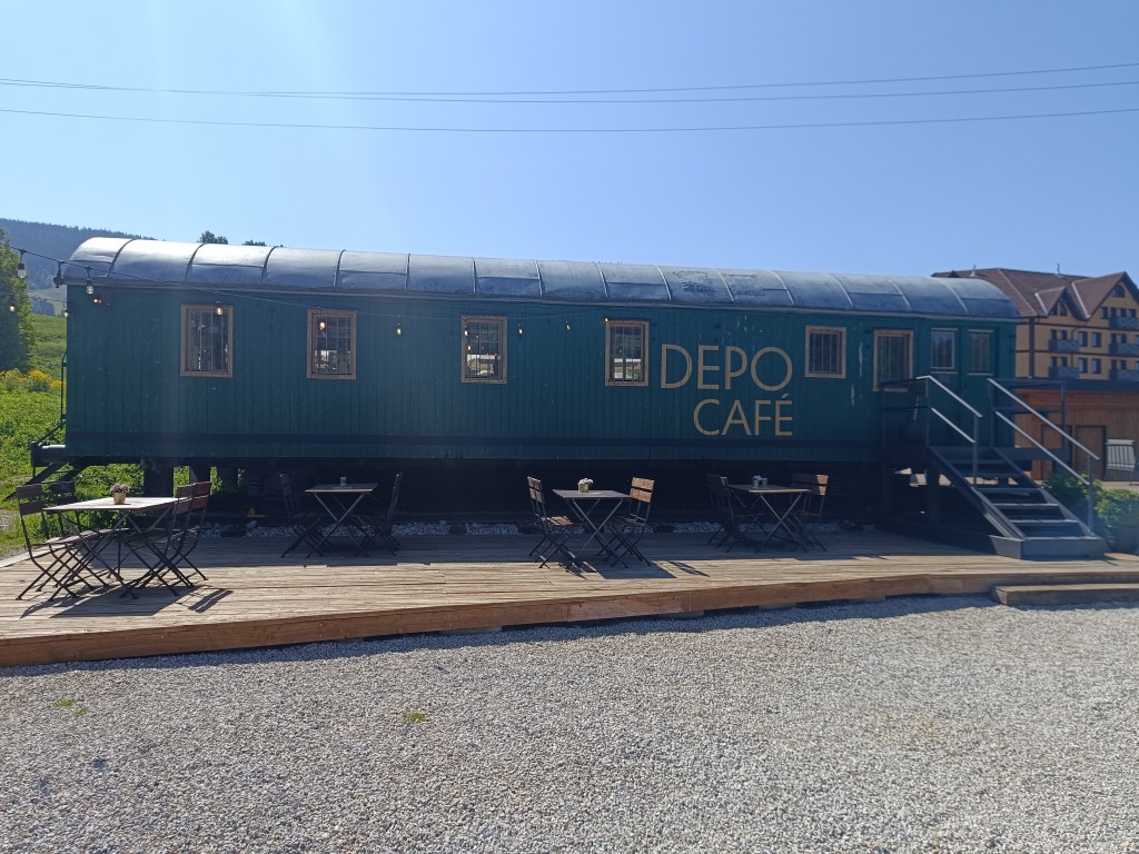
    We run along the source of the Hron River and opposite of the Chmarošský Viaduct we take a break in the famous Depo Kafe. We have to admit, their coffee is good, but the ice cream could be much better. The bridge dates back to 1933 and is the first articulated arch structure made of reinforced concrete in Czechoslovakia. The Telgártska loop is one of the most demanding railway engineering structures in Slovakia, because thanks to the Telgárt tunnel, the Telgárt and Chmarošský Viaducts, it overcomes a difficult climb of up to 31 meters and a gradient of 12.5 %. The viaduct consists of 9 arches. It is 18 m high, 113 meters long and passes over the Gregorova dolina valley, called Chmaroška. This unique viaduct was built during the economic crisis in the 1930s and more than 7,000 people participated in its construction. Men and women, mostly local residents, worked on the construction site.

    We reach Telgárt, where we meet Ľubka by the church, who very willingly brought our car from Mlynky and thus allowed us to run this stage. It was a truly beautiful stage, and a great morning in the mountains.

    25.42km, 931 m ascend, 4:00 active time
  • Mlynky on bike

    Mlynky on bike

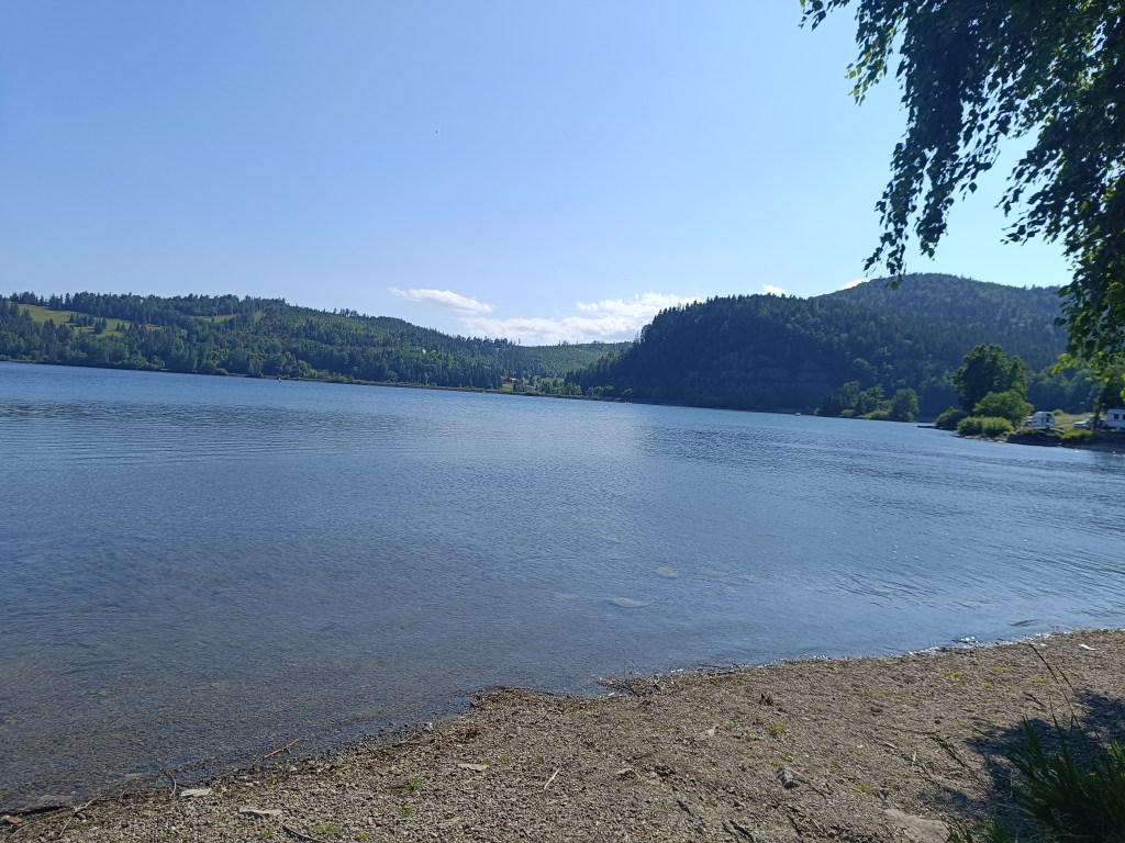
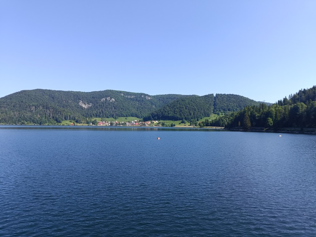
    Mlynky is a small village on the edge of the Slovak Paradise and lies a short distance from Palcmanská maša.

    Palcmanská maša is the largest water reservoir in the Slovak Paradise, created on the upper reaches of the Hnilec River. This reservoir is an important part of the Dobšiná pumped-storage hydroelectric power plant, the first pumped-storage hydroelectric power plant in Slovakia.

    Palcmanská maša

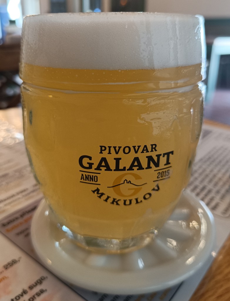
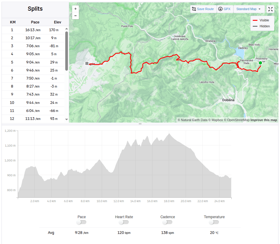
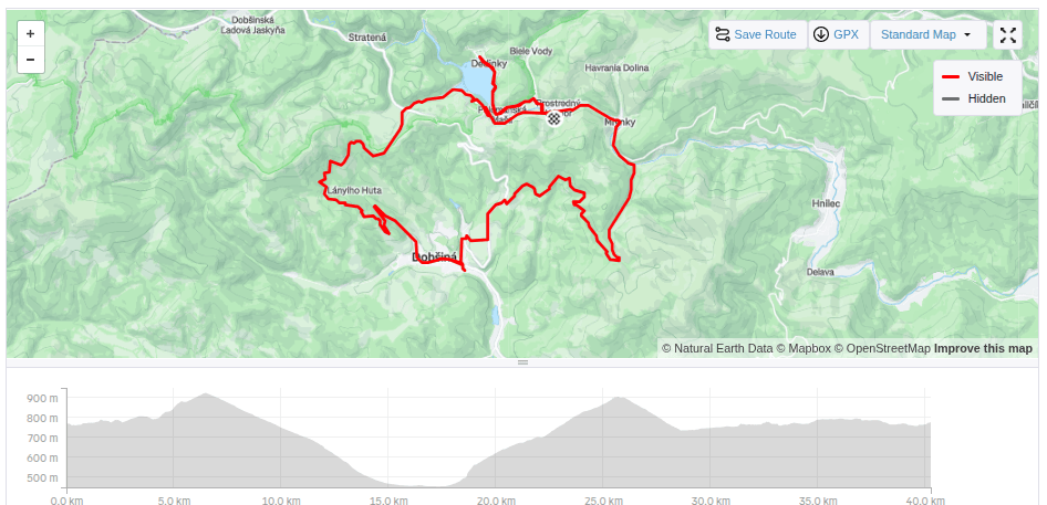
    From Mlynky we went past Palcmanska maša to Dobšinský kopec, today it was certainly not a flat bike ride, the climb was quite steep. Next is the descent down to Dobšiná along the forest road, the girls have better technique and so they just fly past me 🙂 In Dobšiná we have a problem finding something open where we could refresh ourselves, but the locals are very nice and guided us to the side streets to a wonderful innkeeper. The beer has a real whipped cream foam, but since I don’t drink on my bike, I choose a non-alcoholic radler.

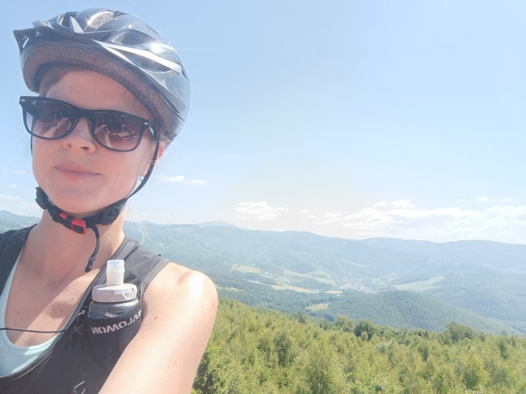
    Next comes the climb up the Dobšiná hill, we have to walk a few kilometers on the main busy road. We are all happy when we turn off onto a forest path, heading towards some newly built lookout tower.

    To viewpoint

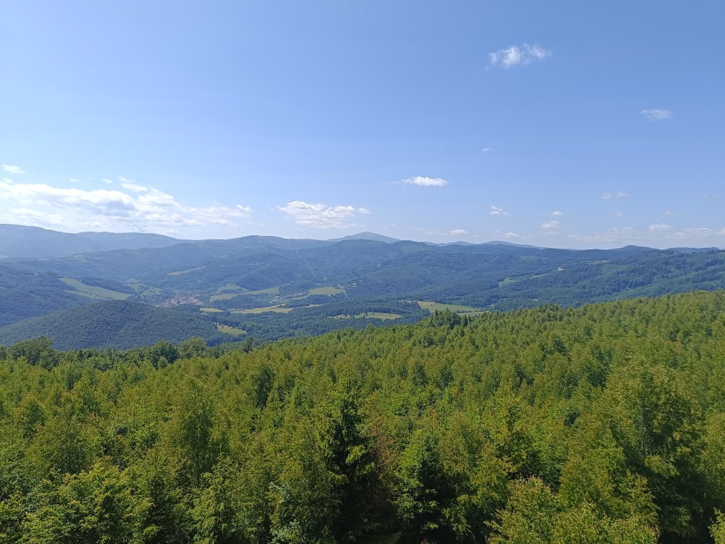
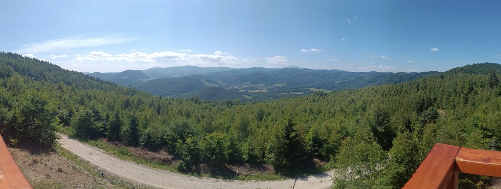
    On the way to the lookout tower we climb almost 700 meters in altitude. But the view is worth it. We can see all the way to Kráľova hola.

    Kráľova hoľa in the background
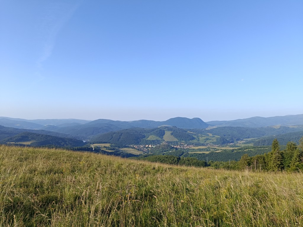
    Views

    All that’s left for us is the descent back to the Mlynky, the girls take their swimsuits and head to the water in Palcmanská maša. I dont like cold water and just stick my feet in there, but I admire them swimming in the cold water.

    Beaches on maša
    40km, 788 m ascend, 3h 38min