Category: run

  • SNP girl’s project, day 17

    SNP girl’s project, day 17

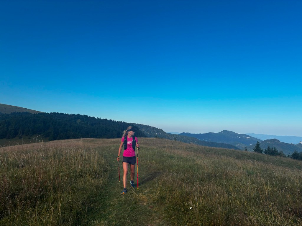
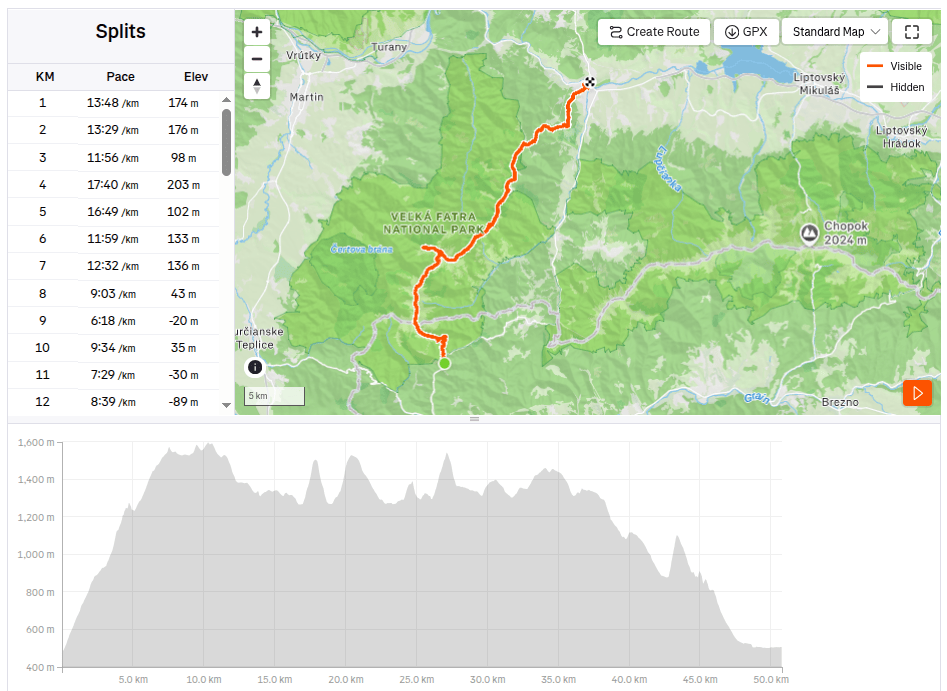
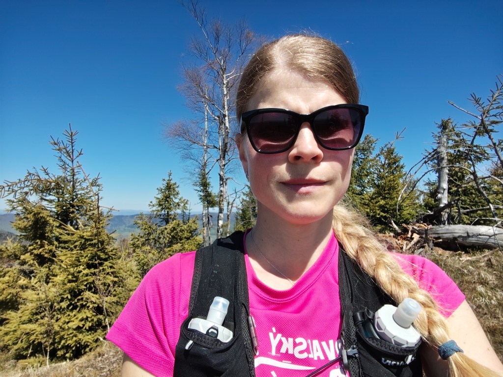
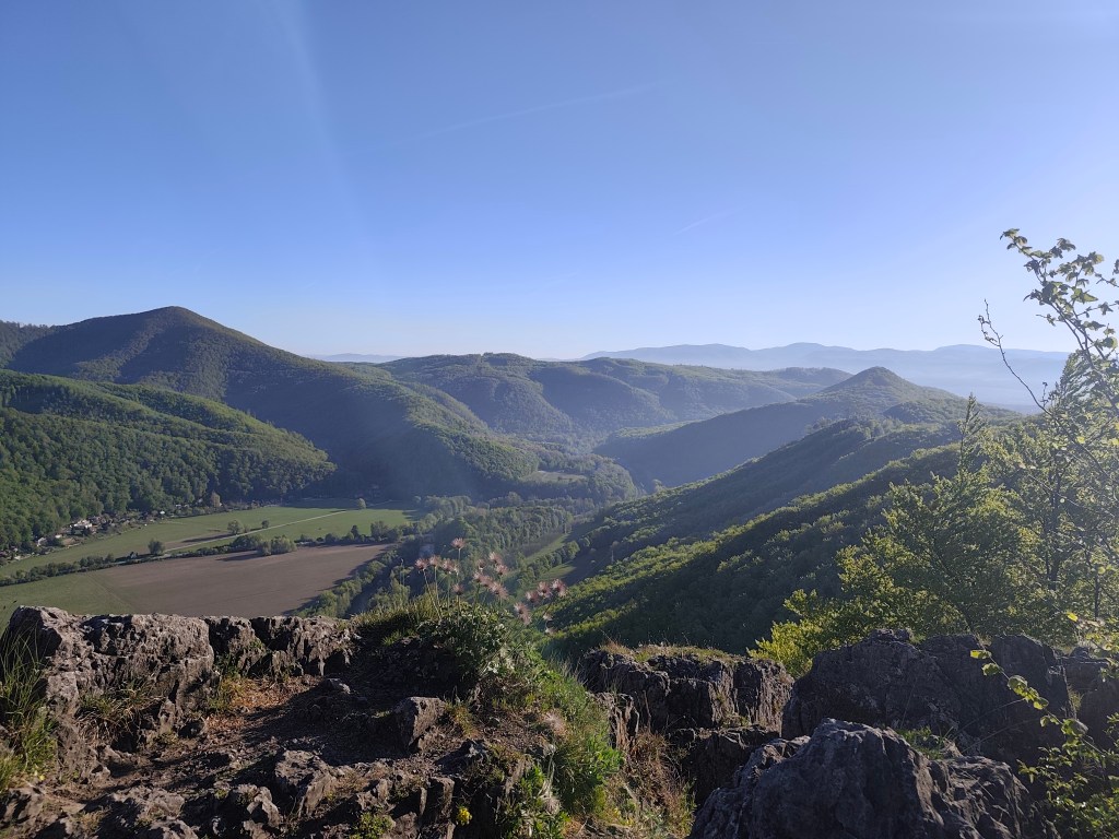
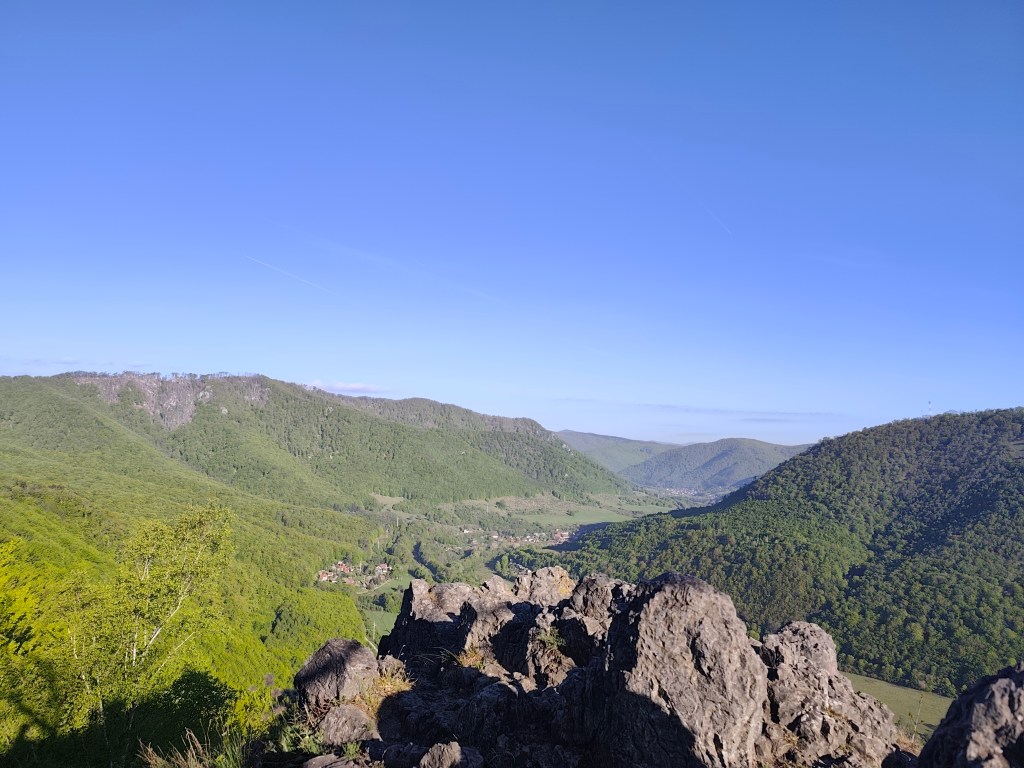
    The next stage of the SNP Heroes’ Trail,was taking us from the Štós Spa to Dobšinský Kopec. A long stage lay ahead, compounded by a lengthy drive that required a very early start. We left Bystrica at 4:30 AM, and I enjoyed my breakfast and morning coffee in the car along the way. We arrived at the Štós Spa at 7:15 AM, and just a few minutes later, we were already jogging along the red-marked trail.

    The air warmed up quickly, and after just a few kilometers, I was already changing from my jacket into shorts. There were supposed to be plenty of springs along the route, so we were each carrying only two half-liter bottles—supplies that were disappearing very fast. The first water source was supposed to be at the Pipitka hunting lodge, but when we ran up to it full of hope, there wasn’t a single drop of water. We quickly scanned the map for the next spring, as we were down to our last two deciliters of water. Fortunately, the nearest spring was only 3.5 km away, so we pressed on.
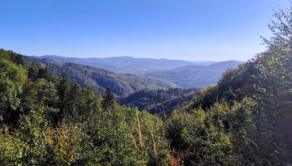
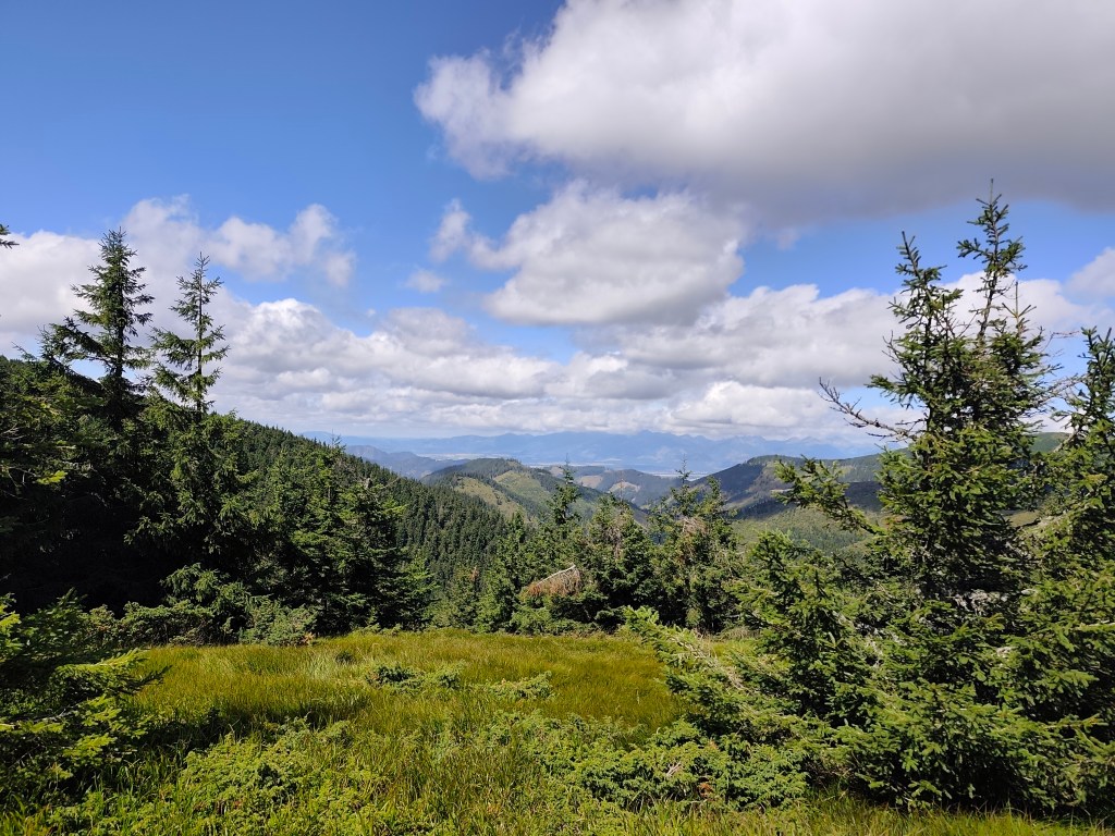
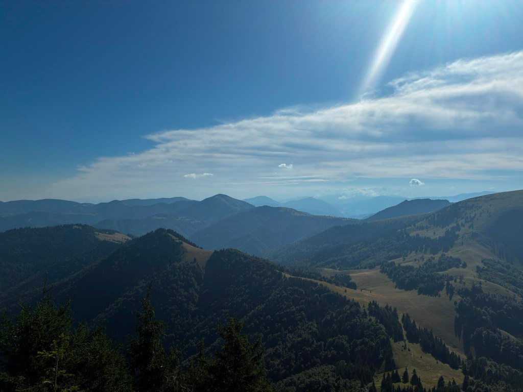
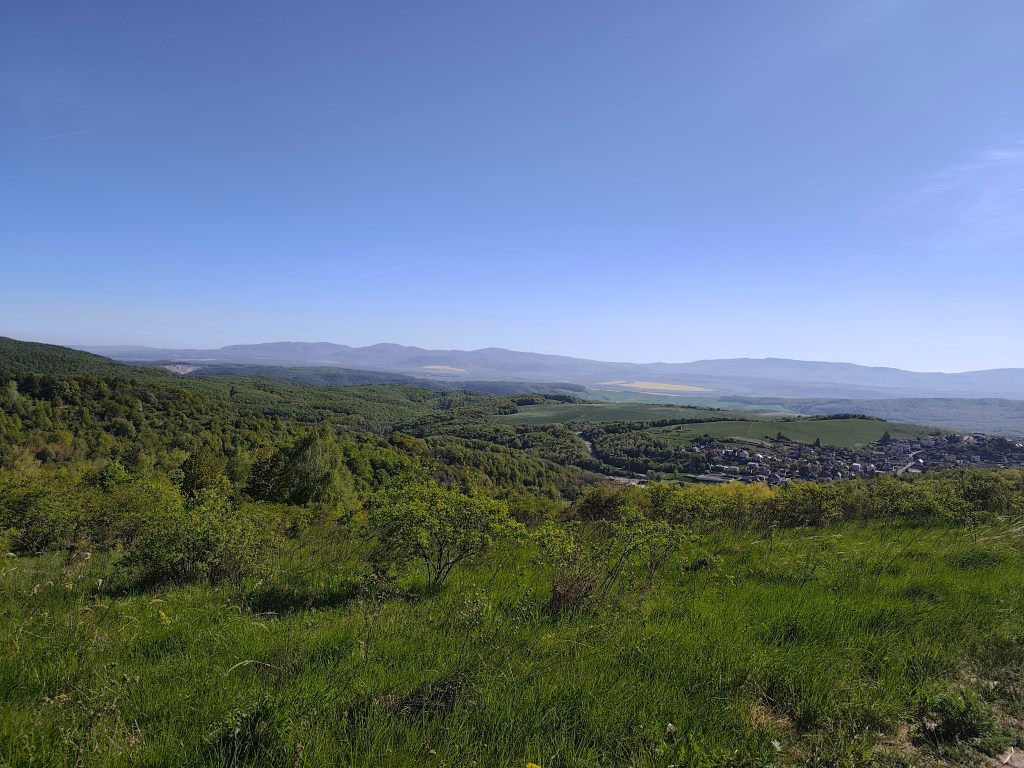
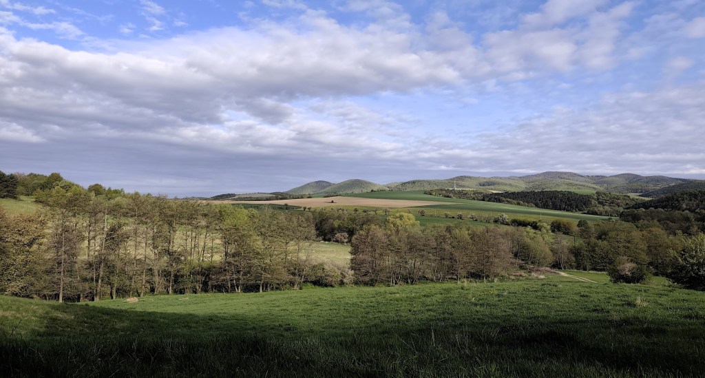
    At first, the route was less generous with views.

    At the SNP Úhorná shelter, we run into two guys who spent the night there and ask about water. They tell us that while there is water at the Smolník spring, it’s only a trickle; they had placed a cut-off bottle there the day before, and we are welcome to take whatever has collected in it. They saved us at least half an hour of waiting for the water to drip into all our bottles (thanks to them, we filled five out of six very quickly). And while we wait for that last half-liter, we snack on bread rolls and refuel.
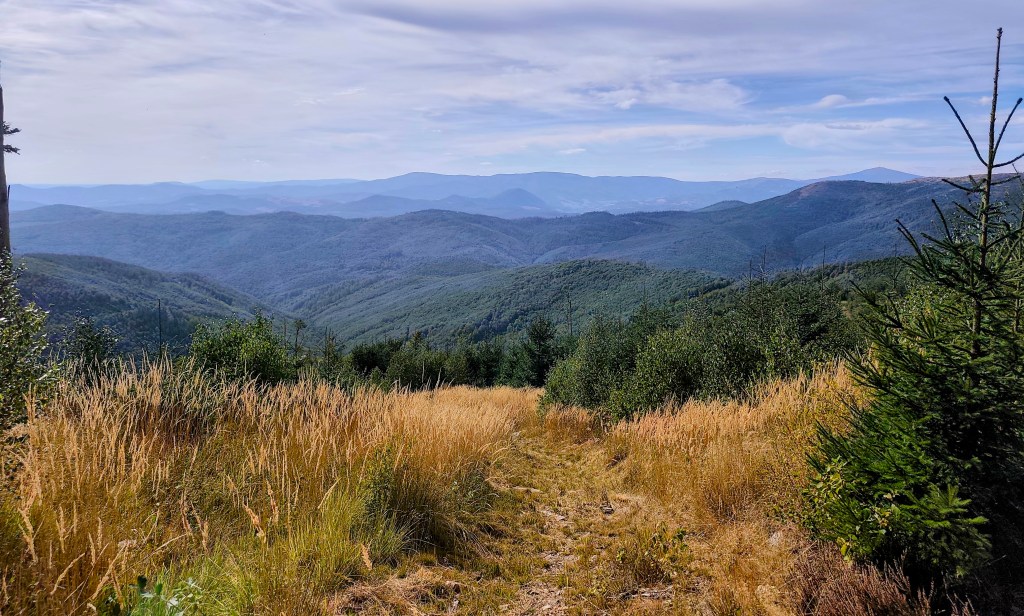
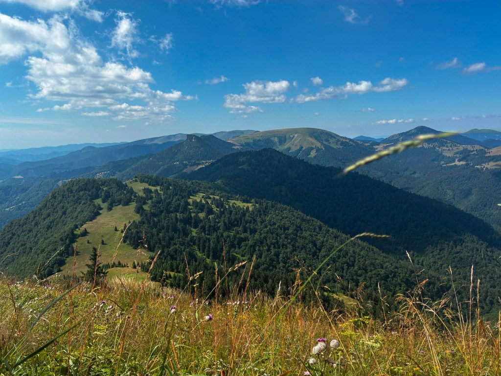
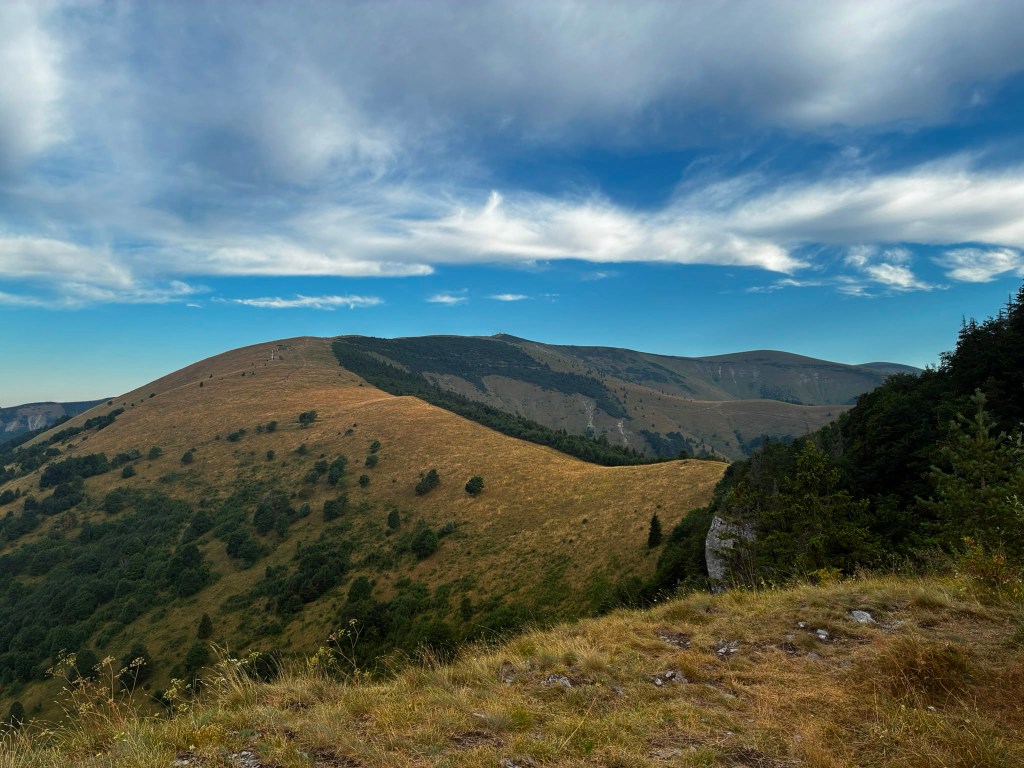
    The early autumn in Slovak mountains

    We are crossing the Úhorná Pass, and halfway to Skalisko we meet Jožko, who had driven the car to the finish point and was running back to meet us. He is much faster than we are, so we have covered almost the same distance—he has 30 kilometers, and we have 31.
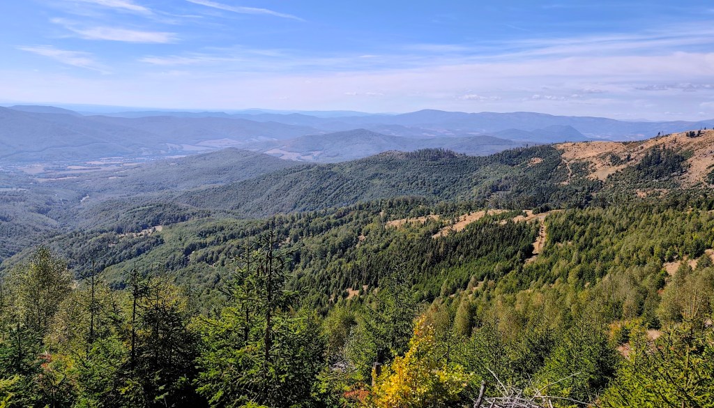
    After Volovec mountain hut

    We head down from Skalisko to the Volovec mountain hut—partly for a radler, and partly because we’re running out of water again, with the next supply 15 kilometers away. The radler is wonderfully refreshing for all of us, and after half an hour, we’re back on our feet, heading toward Súľová Saddle.
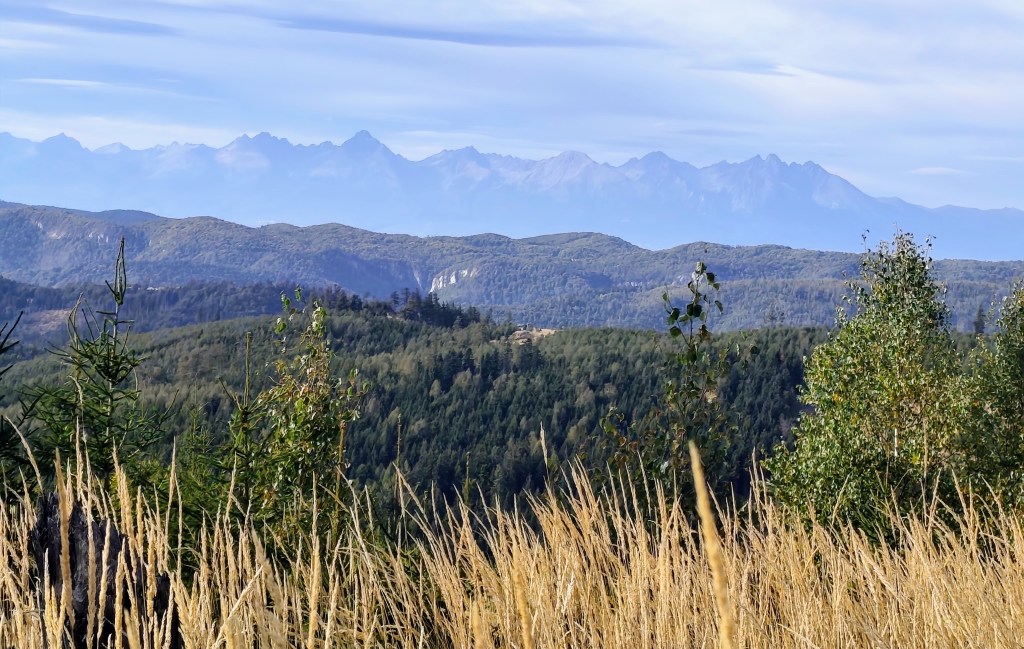
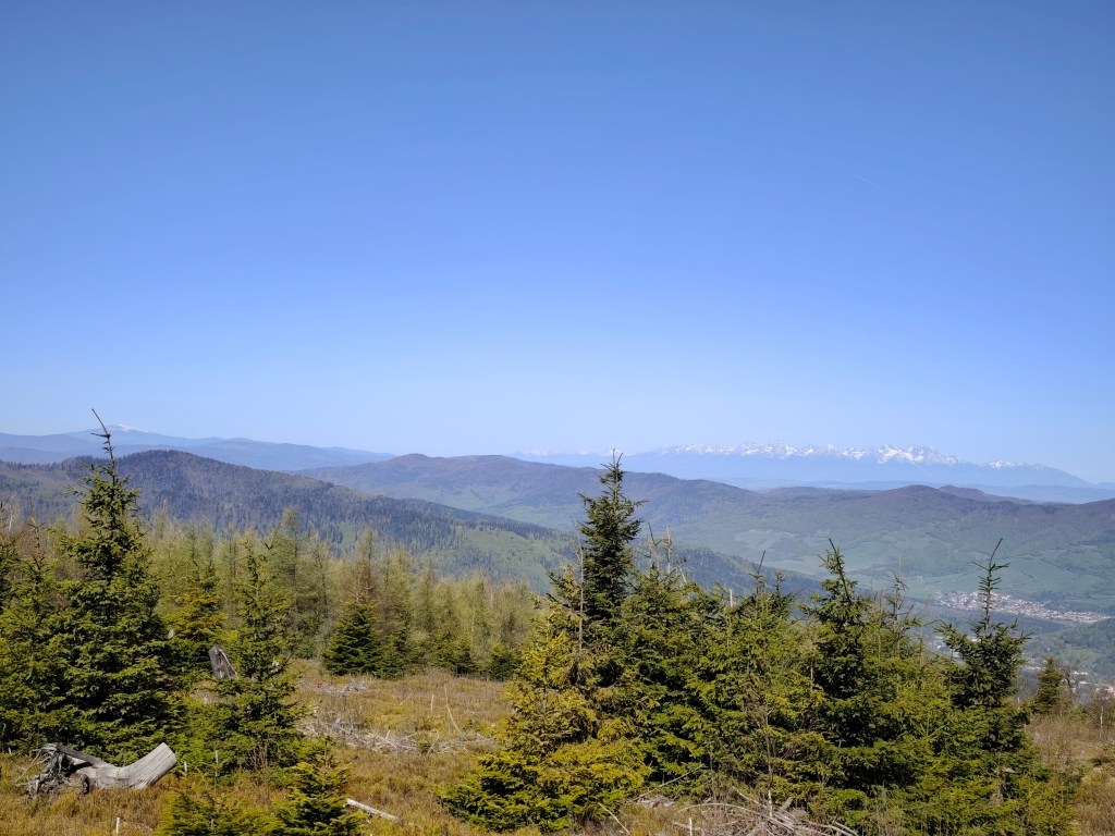
    View on HighTatras

    From the saddle, one more nasty climb awaits us, and after that, they say it’s just rolling hills. Well, you need energy for rolling hills, too! 😀
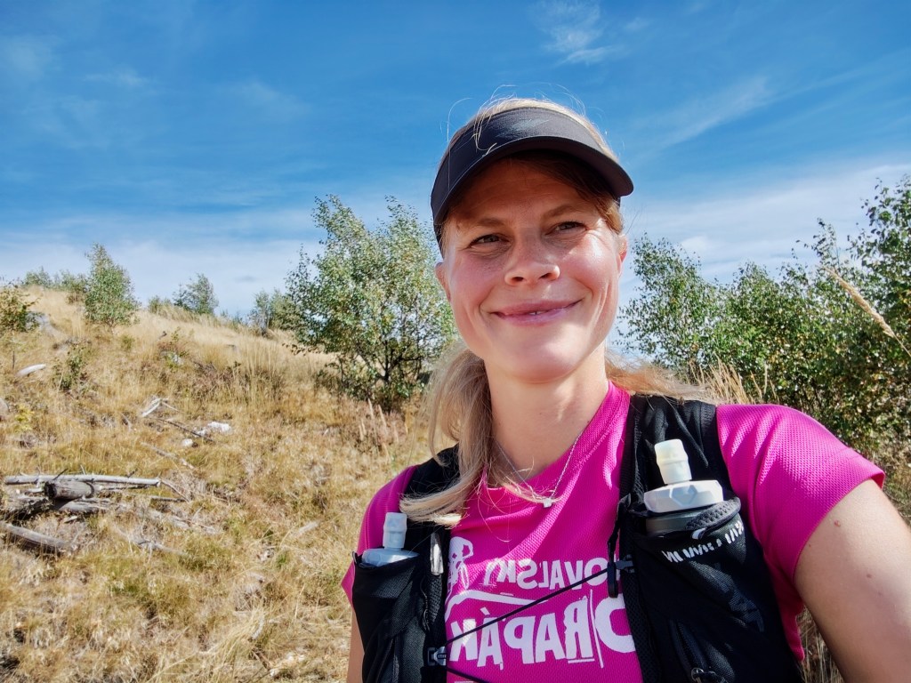
    On the climb from Súľová Saddle

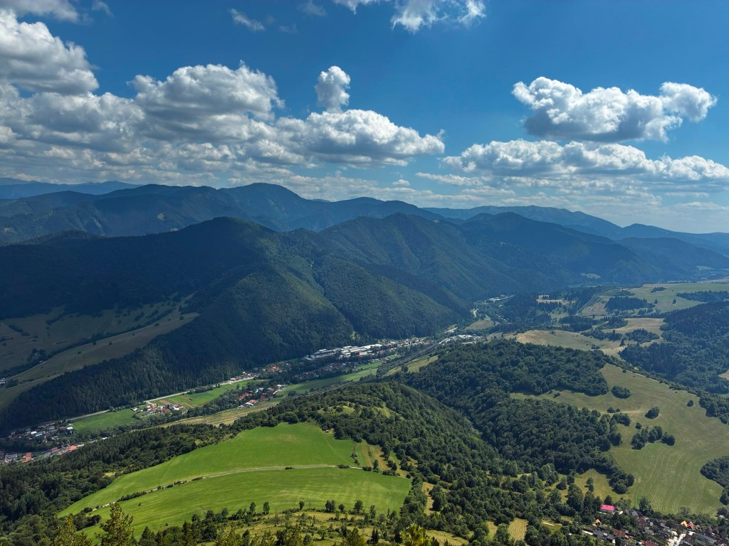
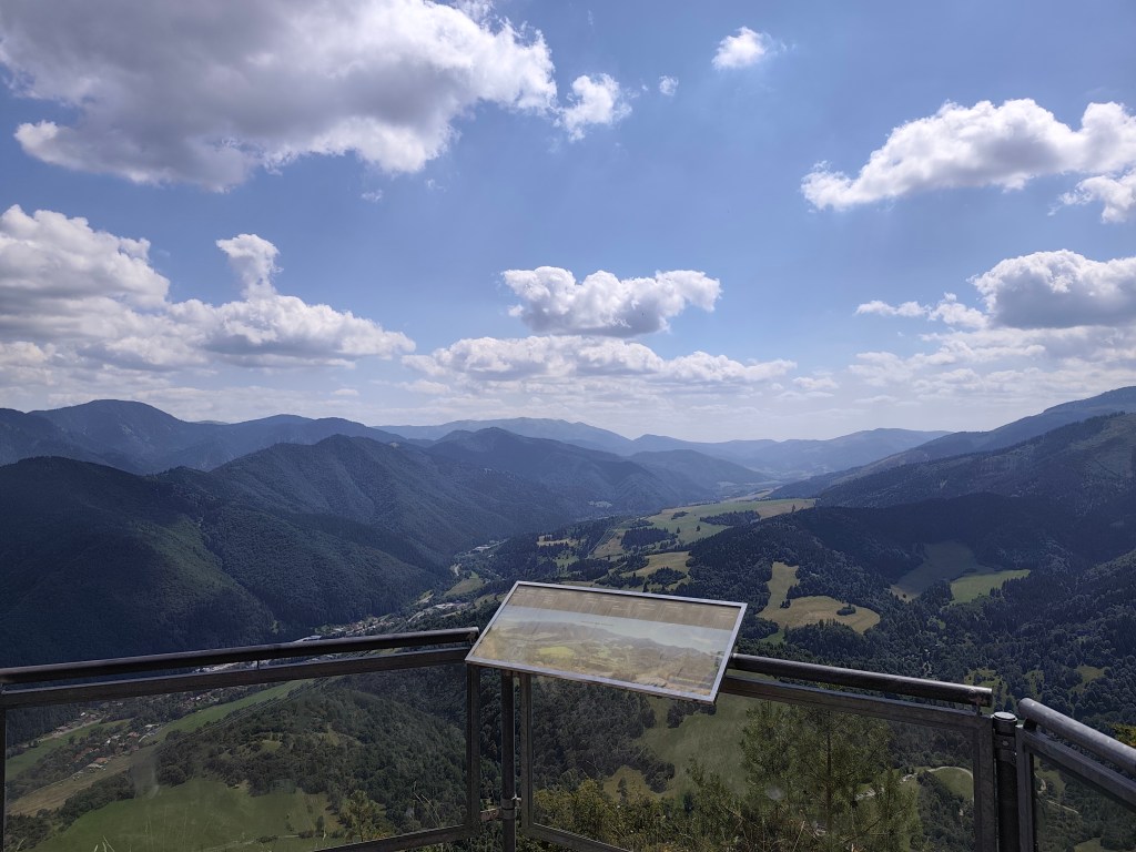
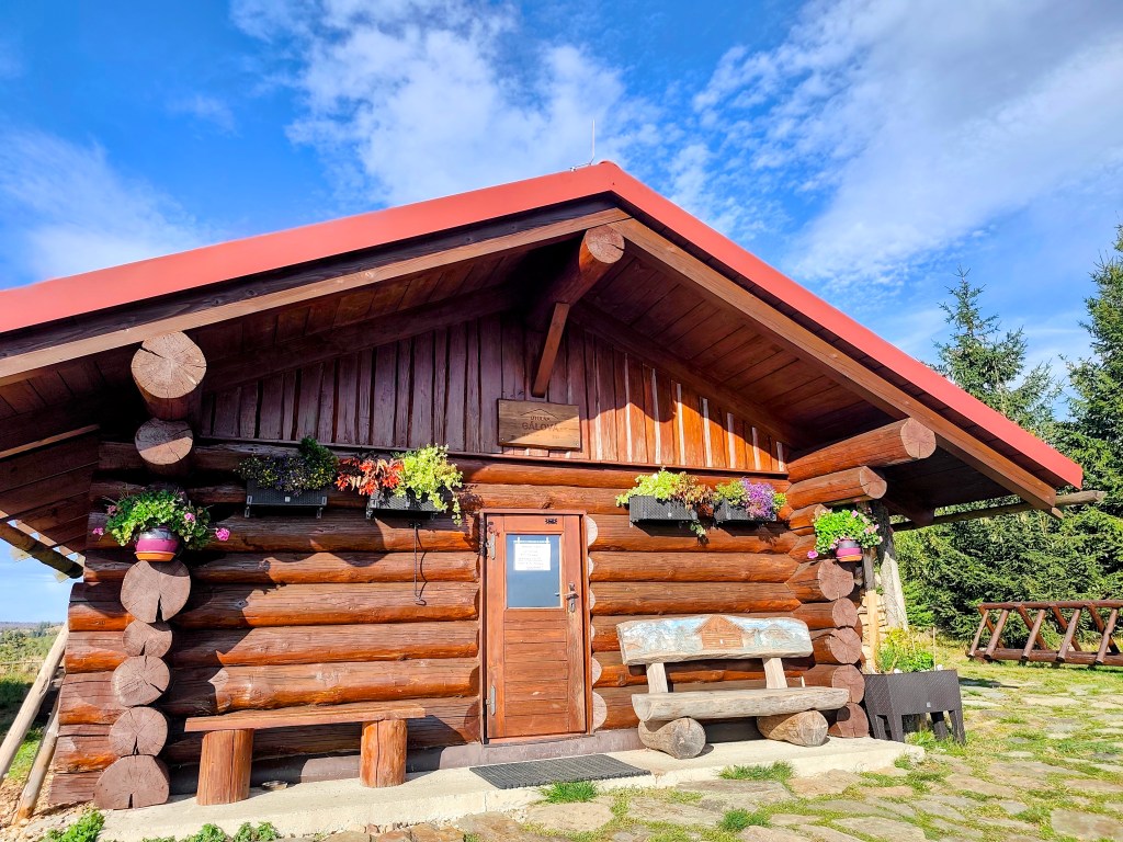
    Along the way, we pass the Gálová shelter—a beautiful spot with a stunning view—though the cabin was closed for disinfection.
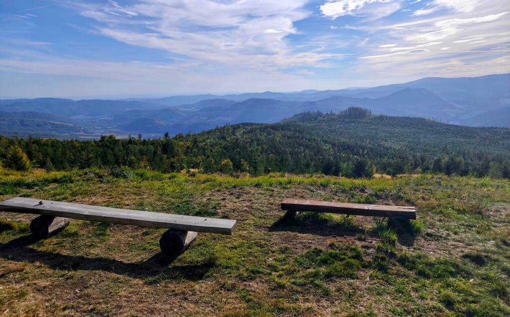
    View from Gálová
    Shelter Gálová

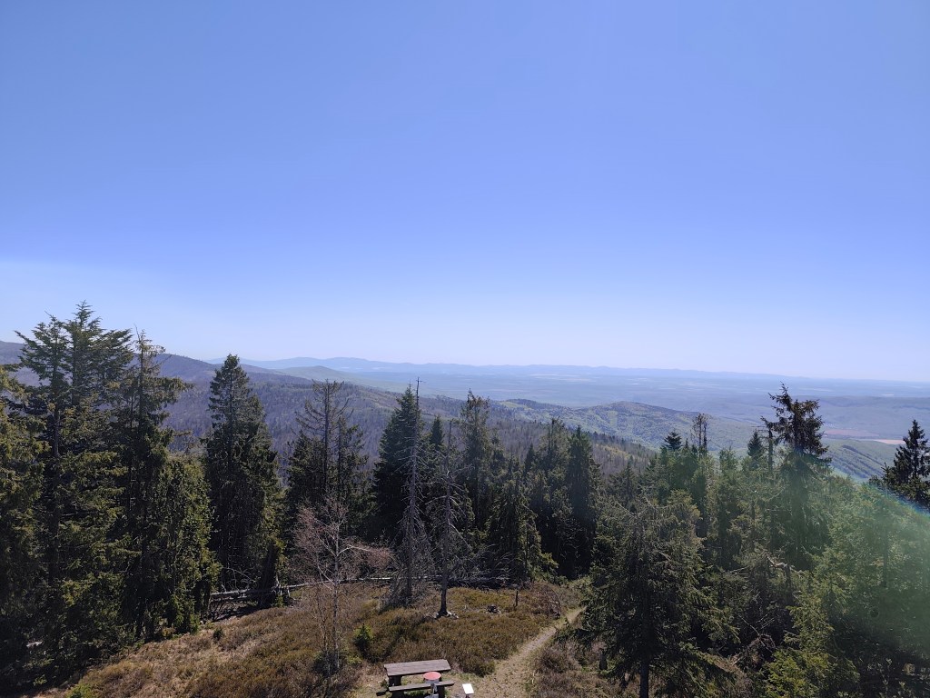
    Next comes a run down a forest path—finally a more relaxed stretch leading to the Suchý Vrch lookout tower, where we leave the cycle path and have to start climbing uphill again. Honestly, we’re pretty worn out; we’ve got over 50 kilometers in our legs, and every little hill is starting to feel like a challenge.
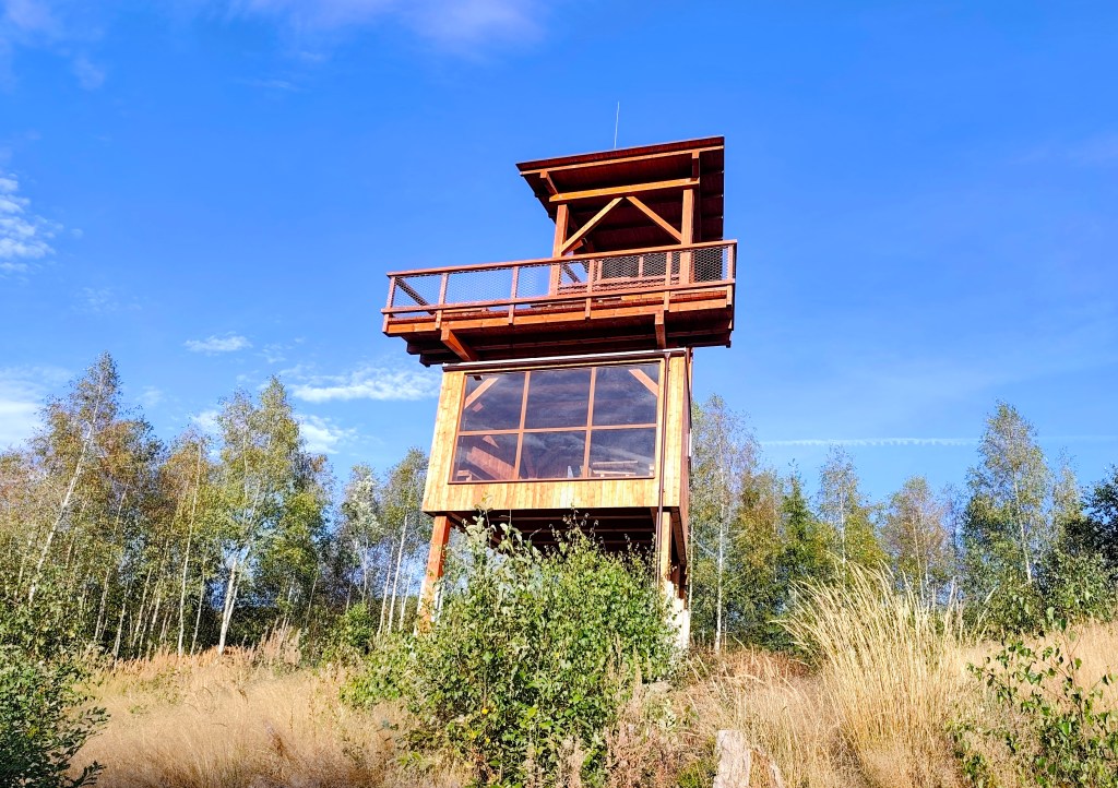
    Viewpoint Suchý vrch

    We finally reach the Kruhová saddle—a spot we already know, having run the next section from this point—and thanks God, there are only 5 kilometers left. We’re out of steam, so we walk the rest of the way as the sun sets. Even so, we’re all happy we made it.
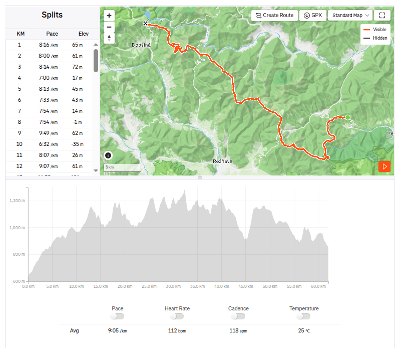
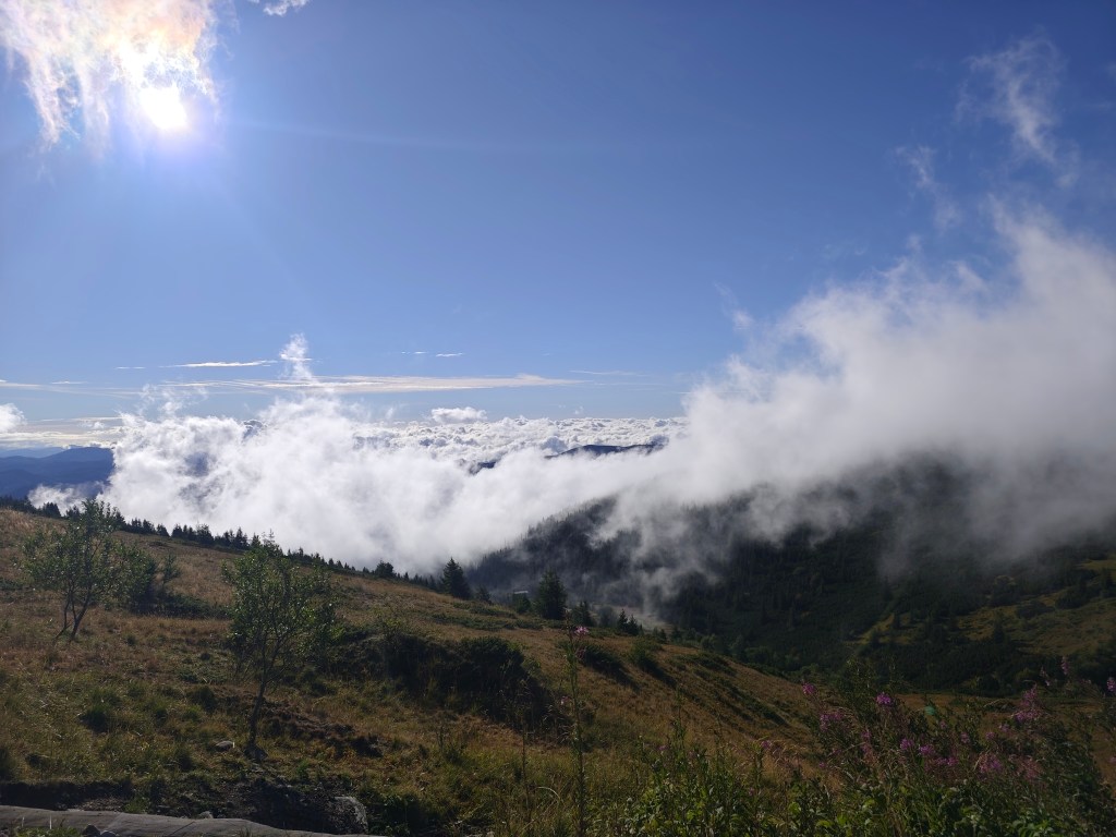
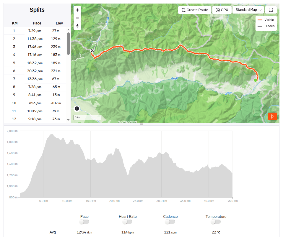
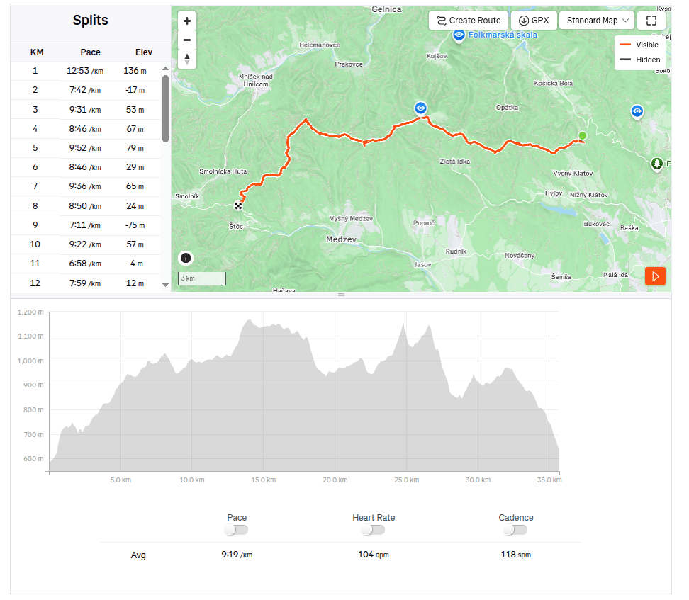
    62.1km, 9:23 active time, 10:55 total, 2399m ascend
  • SNP girl’s project, day 16

    SNP girl’s project, day 16

    We finally made it happen! We had planned this stage about five times before, but we always had to postpone it due to unsuitable weather on the ridge or other issues. And so, we finally ran from Telgárt all the way to Čertovica.

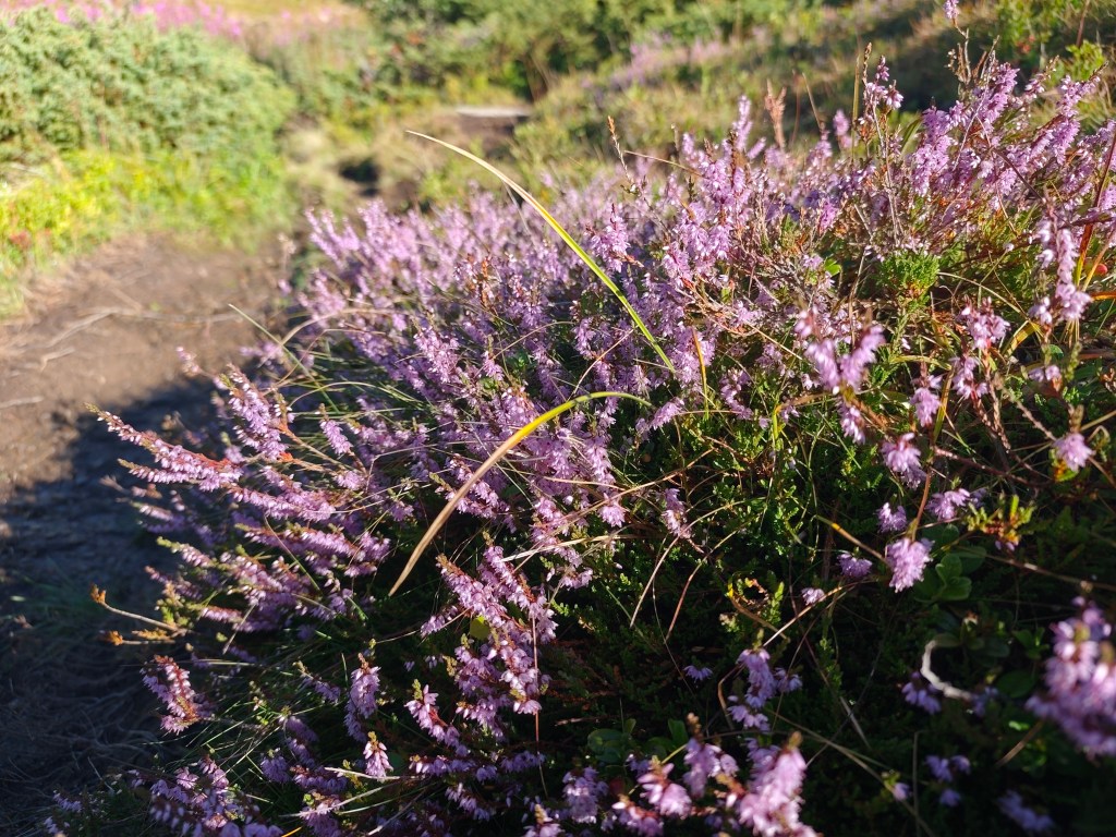
    Flowering heather

    We park in Telgárt near the church, at the exact spot where our previous stage ended. We jog through the town and soon reach the turnoff into the woods. It rained yesterday, so the grass and trees are still wet—which, of course, means my feet get wet after just a short while. We climb first through dense forest, then pass beneath power pylons up to the mountain pastures; the weather shifts between sun and fog, warmth and cold.

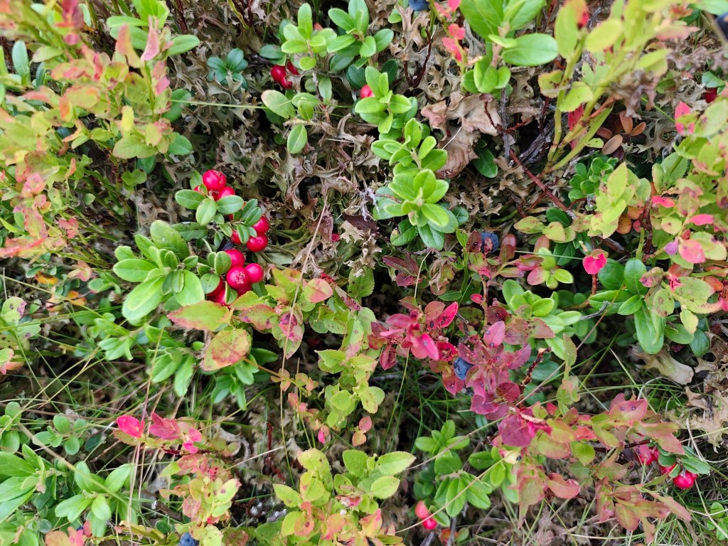
    Cranberries and blueberries

    On the way to Kráľova hoľa, nature put on a magnificent spectacle for us, but at the summit itself, everything was shrouded in an impenetrable fog that clung to us for quite a few kilometers more.

    In ascend to Kráľova hola

    At Andrejcová, we took a break for a beer and a bite to eat, and refilled our bottles at the spring. I had been looking forward to the view of the High Tatras—which is magnificent from there—but we weren’t granted that sight today, so we carried on.

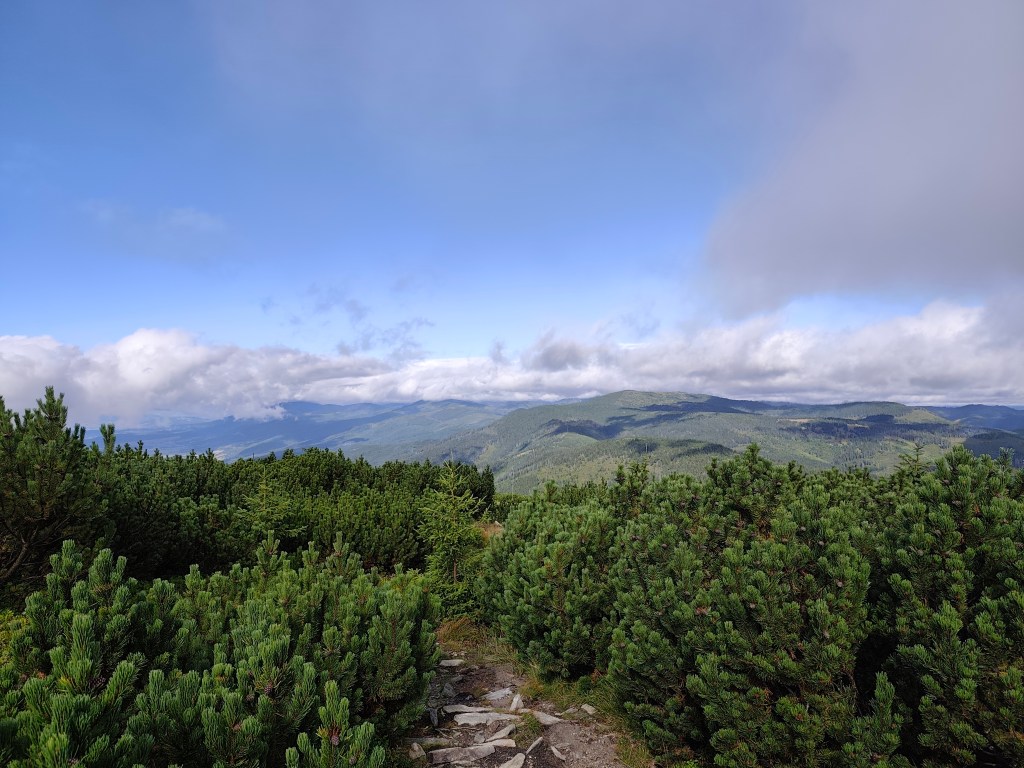
    A path through the mountain pine
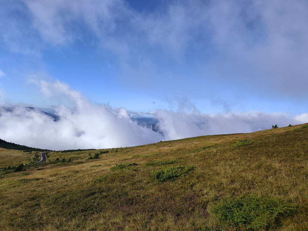
    Rolling fog

    The sun shone for the rest of the journey, and thanks to yesterday’s rain, the springs were full.

    Every now and then, a view would open up in the second half.

    However, from the Ramža shelter almost all the way to Čertovica, the trail was quite overgrown, so running was more or less out of the question, and we made slow progress. Personally, I enjoyed the first half of the day much more than the second, despite the strenuous climb up Kráľova hoľa.

    45km, 9:25 active time, 9:46 total, 2704 meter ascend
  • Great Fatra mountain ridge

    Great Fatra mountain ridge

    This time we chose the easier option from Staré hory to Ružomberok. We parked the car in Staré hory near the chapel at 5:30 in the morning and, following the blue hiking trail, we started climbing to Majerova skala, which offers a beautiful semicircular view of the surrounding hills and valleys from its rocky plateau at an altitude of 1283 meters above sea level.

    From Majerova skala to Krížna

    From Majerova skaly we continue to Krížna, on the ridge the wind is really blowing and it is cold, it feels like 8 degrees Celsius, so we continue through Frčkov, Ostredok and do not stop until we are in the lee below Ploska, where we turn to the cottage below Borisov. I have been to the cottage a few times, but never to Borisov itself, so we are going to warm up by climbing up. Borisov is 1510 meters high and the climb to it is steep. However, it will reward us with circular views, where with good visibility it is possible to see Poľana or the Low Tatras.

    From Borišov

    We gather at the hut below Borišov, where we have a radler and a sandwich (our proven source of energy for longer runs).

    The temperature rises and we climb Ploska, where by chance we become participants in the 43rd year of the Ploska climb, we even receive a participation certificate :). We leave the red mark and after a little praise, which is accompanied by yellow, we turn onto the green mark below Čierny Kameň. By the way, my favorite craft brewery is also named after this distinctive rock formation :). There is also a nature reserve of the same name here, which is supposed to protect the primeval forest of spruce, rowan and maple. It is really beautiful here.

    On Ploská

    We continue under Minčol to Rakytov. Rakytov (1,567 m above sea level) is the highest peak of the Liptov branch of the main ridge of the Great Fatra and provides a circular view, and when climbing it you have to pass through an impressive rock gate.

    Views from Rakytov, Ploská in background

    The Smrekovica mountain hut awaits us and we are already looking forward to refreshment. However, we will not stay there for long, because we do not dare to estimate how long it will take us to Ružomberok, where we have to catch our only bus back to the Staré hory. We run along a path lined with ripe blueberries until the Šiprún saddle, if we had time, we could eat our fill, there are so many of them. The only piece of asphalt on the route from the saddles under Vtáčnik to the Vlkolínec meadows awaits us.

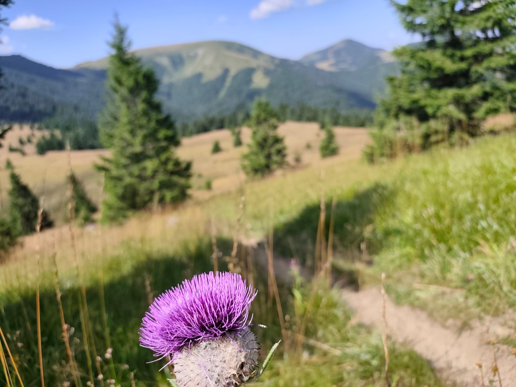
    Blooming thistles accompanied us everywhere

    Ahead of us lies the final major climb up to Sidorovo; the path is steep and our legs are already reluctant, but fortunately, the summit is less than a kilometer away, and a viewpoint awaits us at the top. Vlkolínec lies spread out beneath us, and we can also see the Low Tatras, the Liptov Basin, and even the High Tatras. A few more undulations lie ahead, followed simply by the descent into Ružomberok through the calvary.

    Sidorovo

    We arrived in Ružomberok an hour before the bus, so we just walked through the city, bought orange mineral water at the store, and the 3 liters just disappeared inside us.

    View on Sidorovo

    Our legs are dirty with dust up to our knees, so we use the time to get to the bus and wash them in the local park with the water we had left in our bottles, the sight of us must have been comical 😀

    50.79km, 9:08 active time, 10:15 total, 3011m ascend
  • Kľak, Veľký Lysec, Katova skala

    Kľak, Veľký Lysec, Katova skala

    The original plan for this day was Malá Fatra, but when we arrived at the place it was raining heavily. We checked the forecasts (I use the Ventusky application, where I can see the weather development by the hour) and the decision was made to finally move to Veľka Fatra, where it was not supposed to rain all day, but only for about two hours. A quick replanning of the route and off we go.

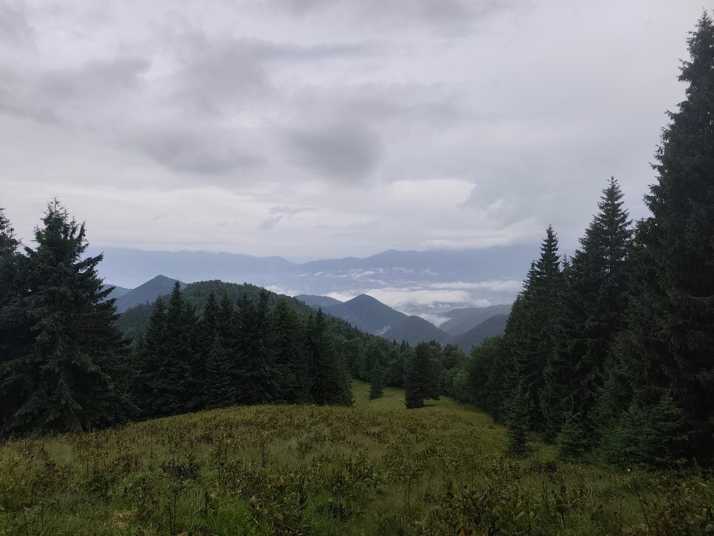
    We stop in the village of Podhradie, from where we climb almost 1000 vertical meters to Kľak. After about the first kilometer it starts to rain, so we put on waterproof jackets, but our feet are completely wet. The rain accompanies us all the way to the last meadow just below Kľak.

    Meadovw below Kľak

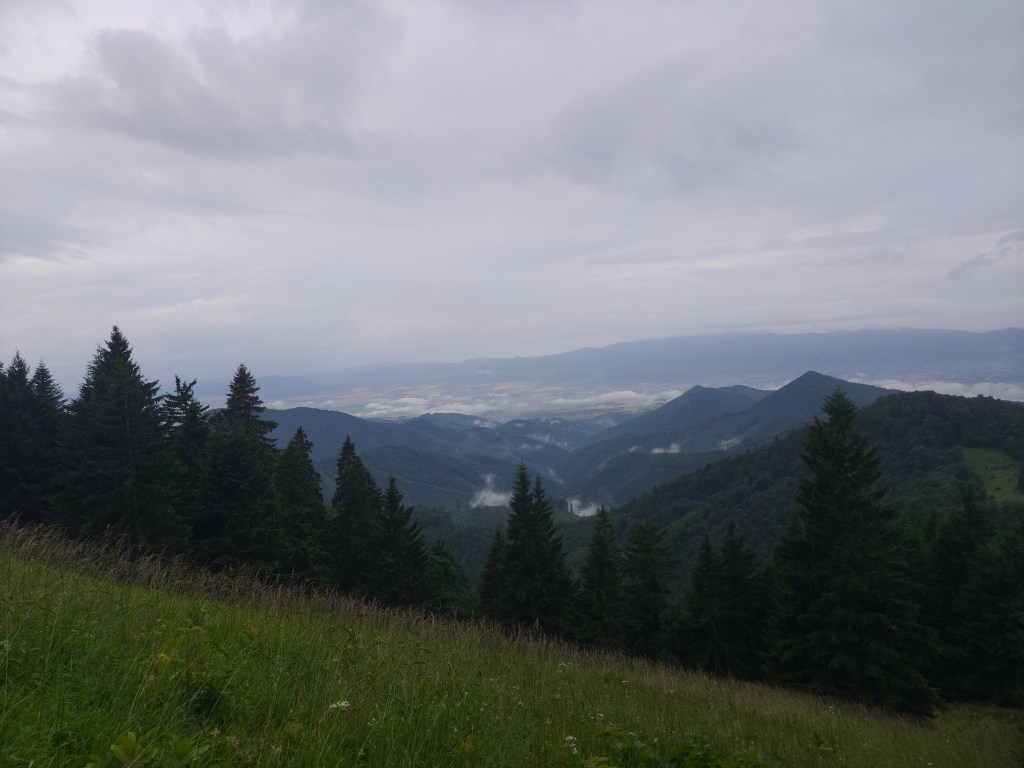
    But for me, it has its own charm, the water evaporating and creating a rolling fog is mystical, and we hardly meet anyone on the hiking trails.

    Meadow belowKľak

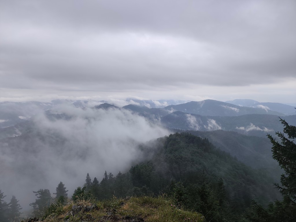
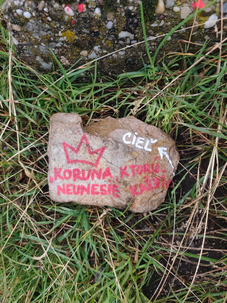
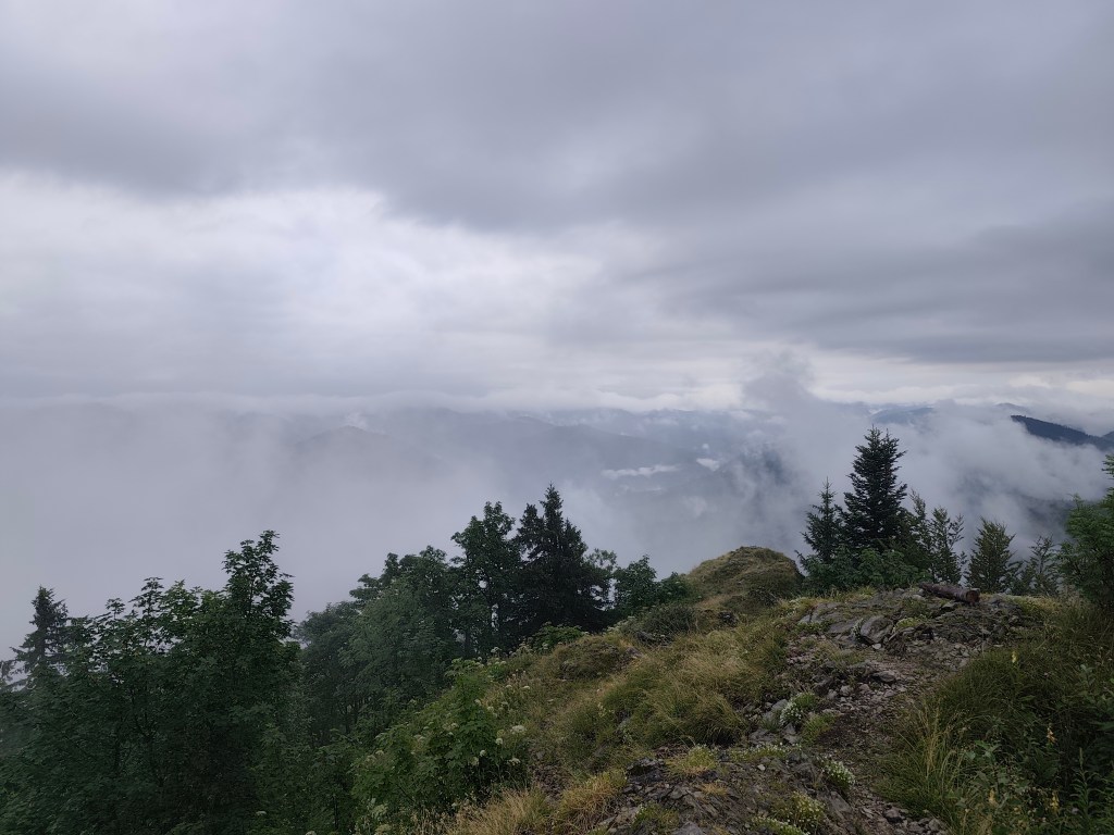
    I’ve been to Kľak once before, but now the surroundings, shrouded in mist, look completely different. At the top, I’m pleased with the stone with the inscription: A crown that not everyone can bear -> the goal. However, for us, Kľak is not the goal, but only part of the journey:)

    On the top of Kľak
    Fog on Kľak

    We are considering whether to just go along Jarabiná and back from there, or turn off at Malý Lysec. It is not raining, although our feet are constantly wet, because the narrow path leads through dense blueberry bushes, on which a lot of water still remains. However, at Jarabiná we continue along the ridge, the running is good and we do not want to end prematurely.

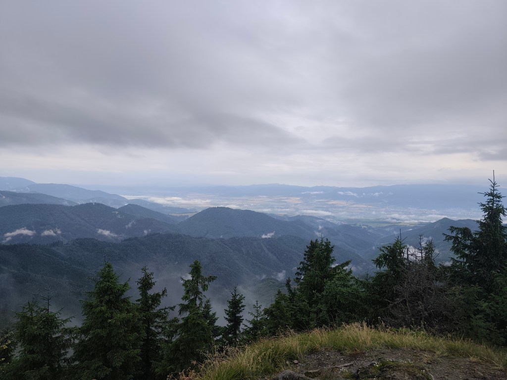
    Heavy clouds accompanied us almost the whole day

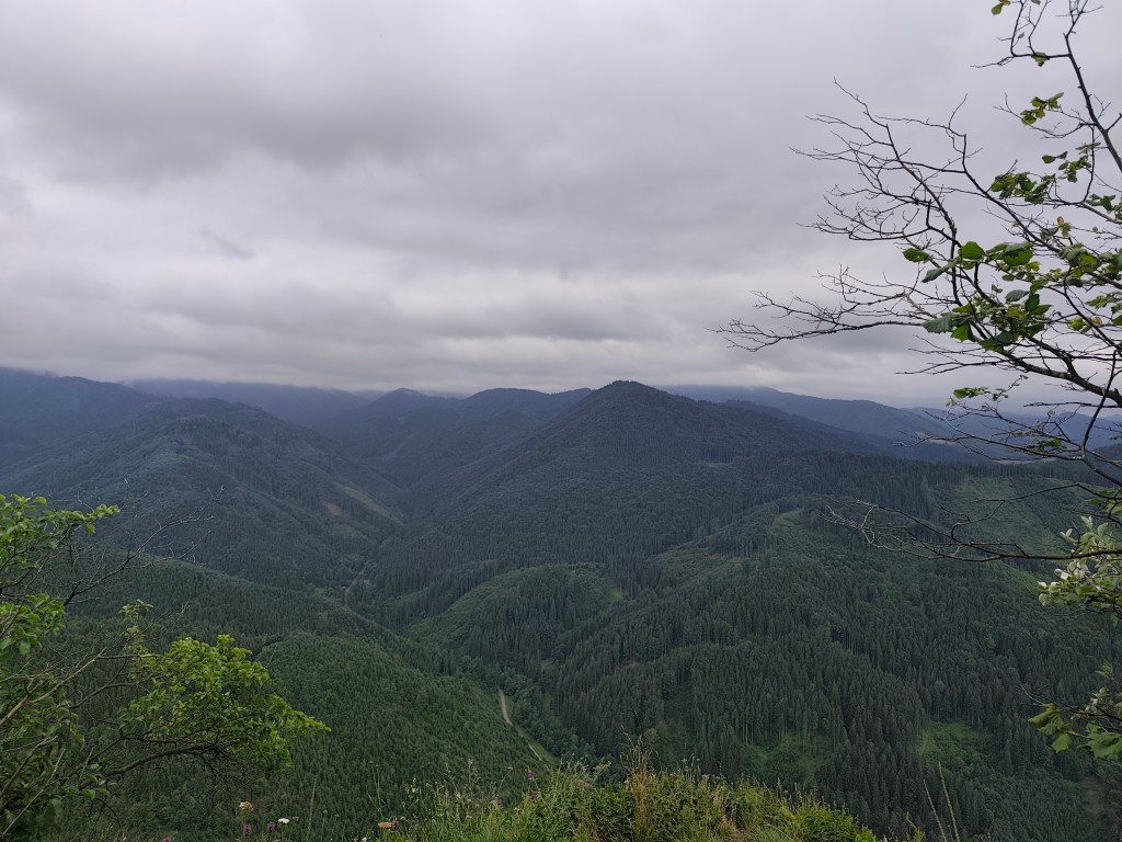
    After the small Lysec we turn to Lysec, the sun is breaking through the fog and it is hot, but at its peak the fog completely covers our views. It doesn’t matter, the path leads through a beautifully flowered mountain meadow and makes up for it. From Lysec we go down to the valley, the path is muddy and slippery, I don’t know how we managed to stay on our feet the whole time and not bathe in the mud:D
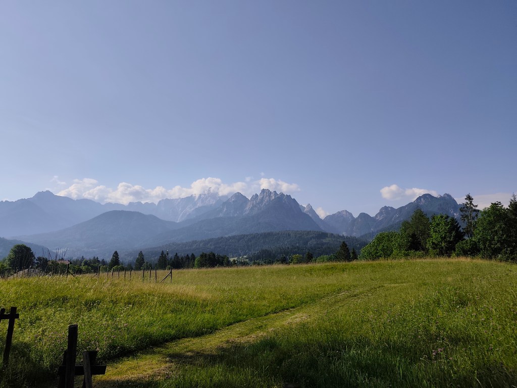
    Evaporating water

    We continue to Sklabinsky podzámok, where the signposts promise craft beer, I’m starting to get excited. However, there’s a sign in front of the restaurant door that says they’re only opening at 4 today due to the rain. I like beer, but I’m definitely not going to wait two hours for it 🙂

    From Katova skala ( Executioner’s Rock)

    We climb the Katova skala (Executioner’s Rock), a viewpoint from which we return to Podhradie. The Executioner’s Rock owes its name to the executioner from Sklabin Castle, for whom it served as a place of execution. The rock is also associated with a tragic legend. According to it, a young girl is cursed in the rock, who was locked in it by a tyrant to force her to become his wife.

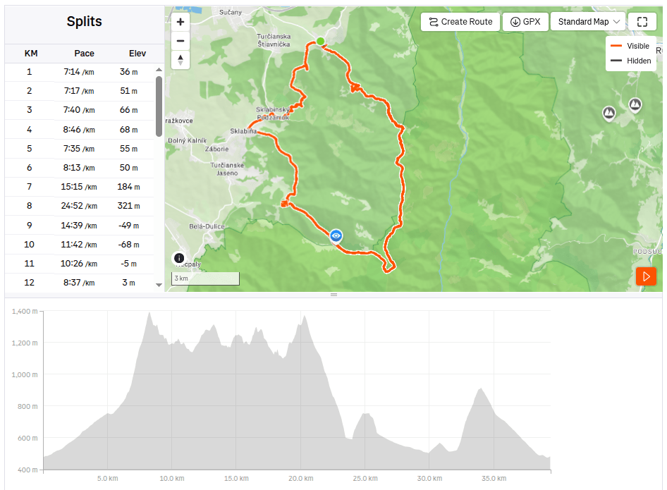
    39.41km, 6:38 active time, 7:28 total, 2421m ascend
  • Alpe Adria, third day

    Alpe Adria, third day

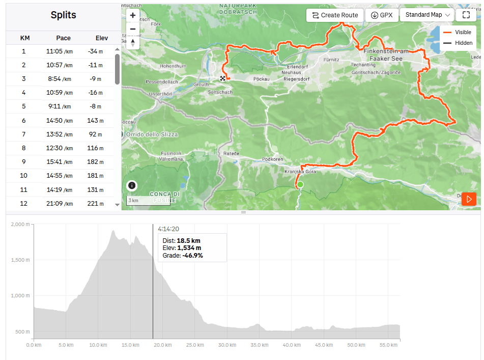
    Our last day on the route, we will cross the Karavan Mountains back into Austria followed by a 30 km long relatively straight section back to Arnoldstein.

    Morning sun over Gozd-Matjulek

    We wake up at 4 in the morning, our hostel’s cafeteria is fortunately open non-stop, also with a coffee machine, so we have a quick coffee and leave the hostel at 4:42 in the morning. We have breakfast on the way through Krajnska gora, enjoying the morning chill. Today is supposed to be hot, the forecast says 33 degrees, so we just hope that the second half of the route through Austria will not be sunny, because we will boil ourselves alive.

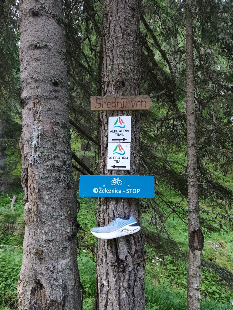
    Strednji vrh,in ascend to Mittasgkogel

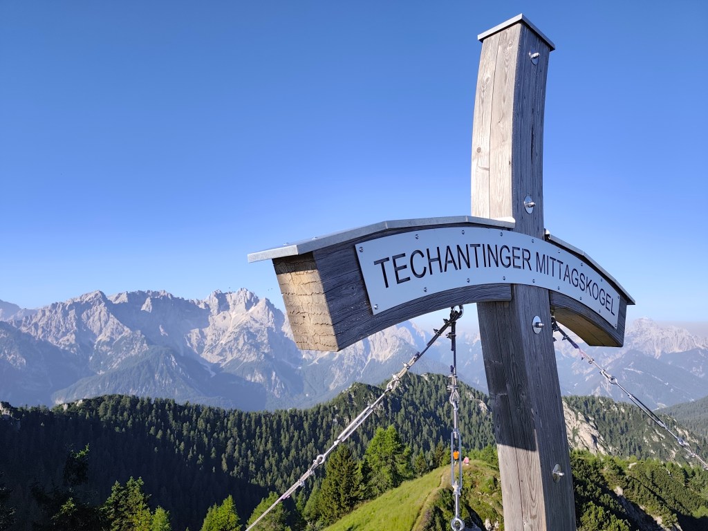
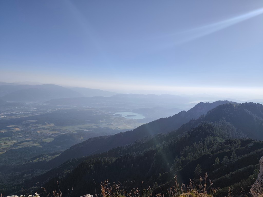
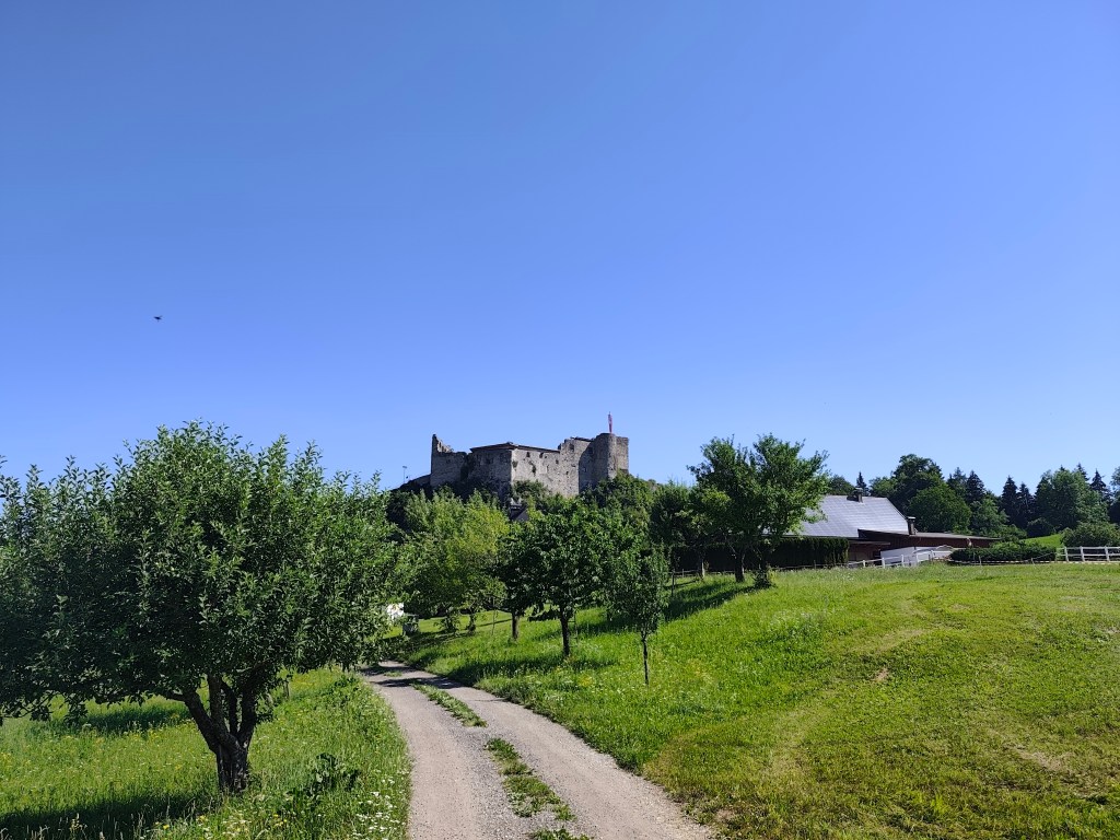
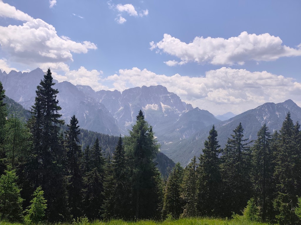
    We leave the Krajnska gora behind and for the first few kilometers we run along the foot of the mountain along the river. At the 5th kilometer we start to climb and climb steeply to the ridge. However, at the top we leave the Alpe Adria trail for a moment and go less than a kilometer to the Techantinger Mittagskogel with an altitude of 1823 meters above sea level. It offers beautiful views not only of the Karavanke Mountains, but also of the lowlands in Austria and also of Faaker See.

    Mittagskogel

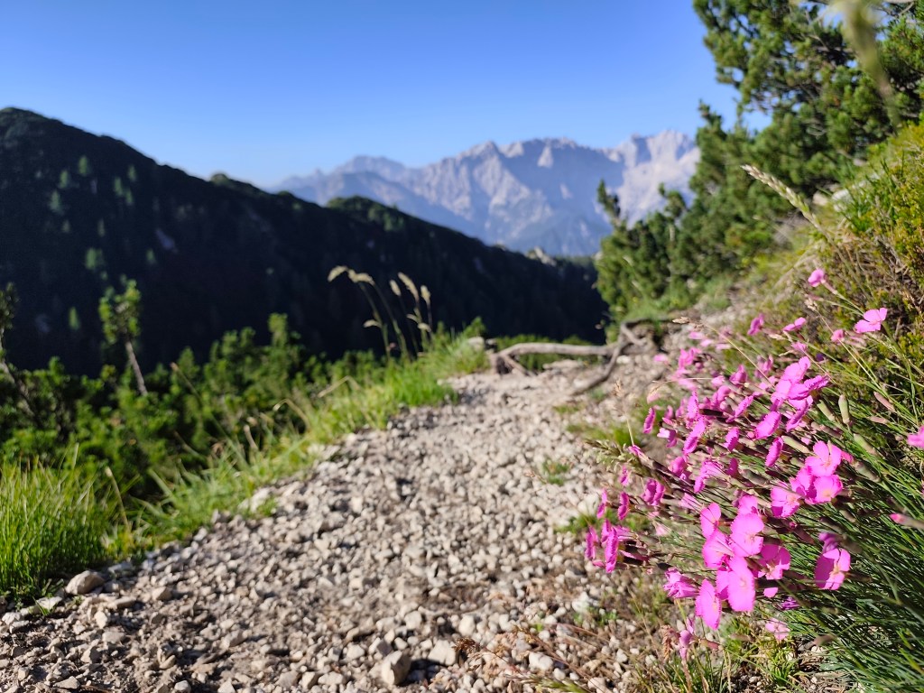
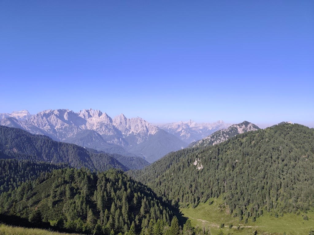
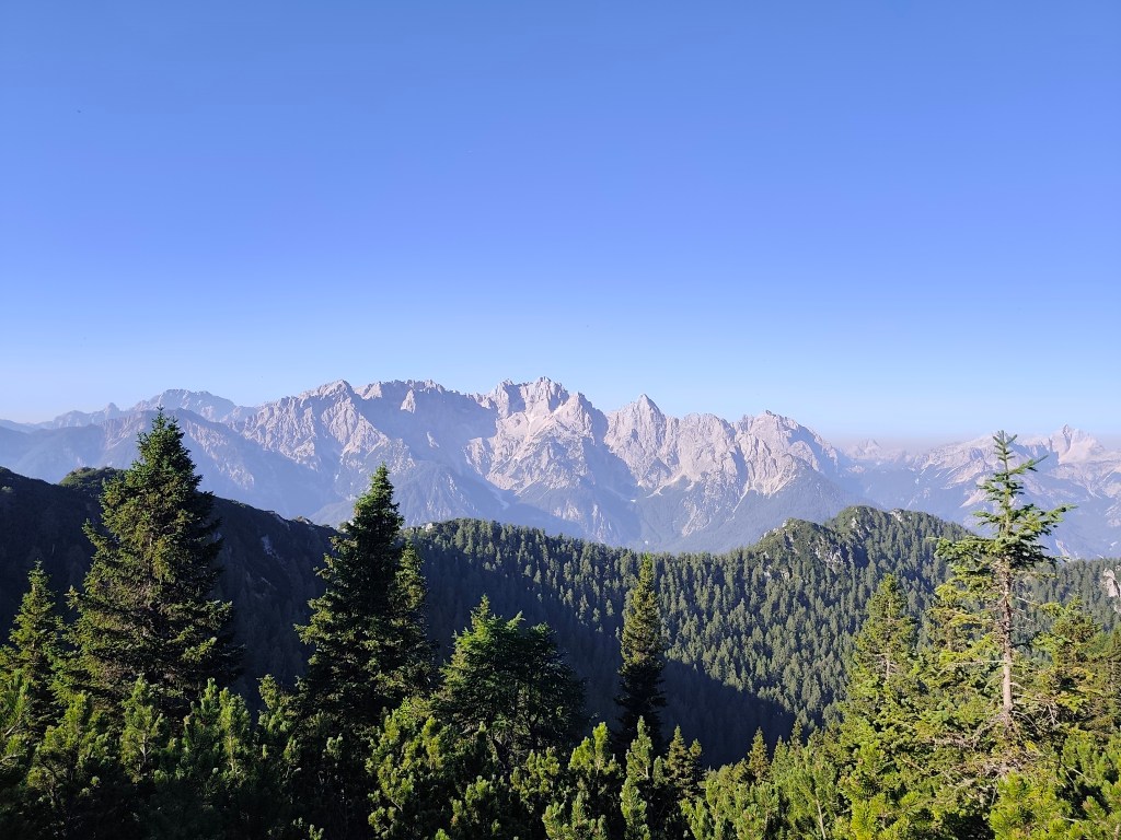
    It follows a 6km run on beautiful ridge with breathtaking views, we would have liked to run much further along it. However, Alpe Adria leads us in a different direction.
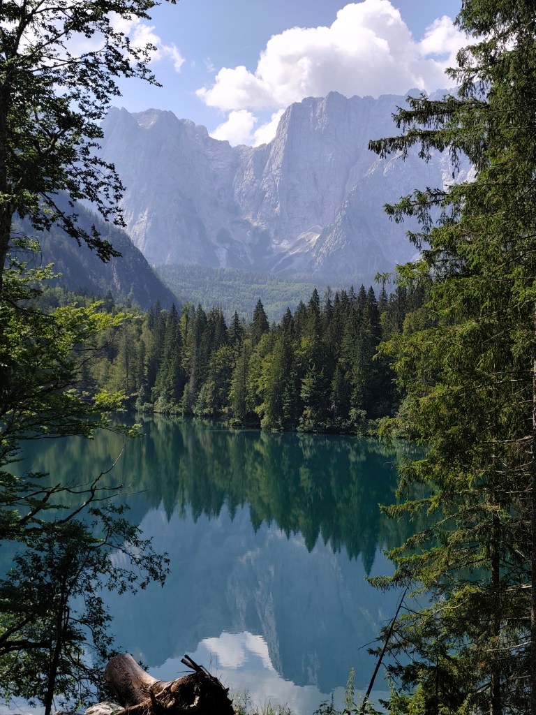
    From ridge of Karavanke Mountains

    We start to descend and the route becomes flatter and flatter. We run through a few villages to Faaker See, where, almost out of water, we stop at a buffet on the shore of Faaker See. Radler is a classic, we refill our bottles and wash our sweaty faces, the temperature rises, it feels like it’s over 30.

    Going off the trail to Mittagskogel was worth it

    Next for us is one of the most difficult parts, through the Finkenstein moor, a marsh with tall reeds, through which a long straight dirt road leads, in the midday sun, without a single bit of shade. Fortunately, a forest followed it and a few kilometers further we came across the Gail River, we couldn’t resist and went to it to cool down. It’s a shame that in that heat we were dry again in just a few minutes.

    Faaker See in background

    We arrive in the spa town of Warmbad, and since we can smell how many kilometers we have behind us, we prefer to stay on the terrace of a local restaurant, even though the interior is air-conditioned. The Radler in us quickly disappears and we have no choice but to continue riding 🙂 The spa park is truly beautiful with carpets of meadow flowers.

    Austria

    We continue along the old Roman road, which is still visible today thanks to the deep ruts left in the rock by the wheels of the carts. There should also be a waterfall and a spring here, but it is too dry and we only find a dry riverbed. We are saved by a stream a few kilometres before Oberschutt, where we at least cool down, and then a spring in the square in Oberschutt, where we fill our completely empty bottles. I almost jump from joy when we saw it there, I was already overheated and really thirsty.

    Karavanke Mountains

    The last 10 kilometers await us, mostly on a cycle path that is fortunately mostly covered with trees. After an hour and a half we reach Arnoldstein and our destination is not out accommodation, but a local shop, because we have been looking forward to a flavored orange mineral water for at least an hour 😀

    It was a great experience full of emotions, views, steep climbs and equally steep descents, adrenaline and sweat, which I will remember for a long time.

    56.81km, 10:15 active time, 10:49 total, 1858 m ascend
  • Alpe Adria Trail, second day

    Alpe Adria Trail, second day

    The second day on the route was a bit more relaxing, we had a little less kilometers than the remaining two days, this time “only” 37. So we could afford to leave later and enjoy a great Italian breakfast (which of course paid off a little, because I ran for the first three hours with a completely full stomach and it was already very hot). But the croissant was worth it 🙂

    I will be scared to go this path in night:)

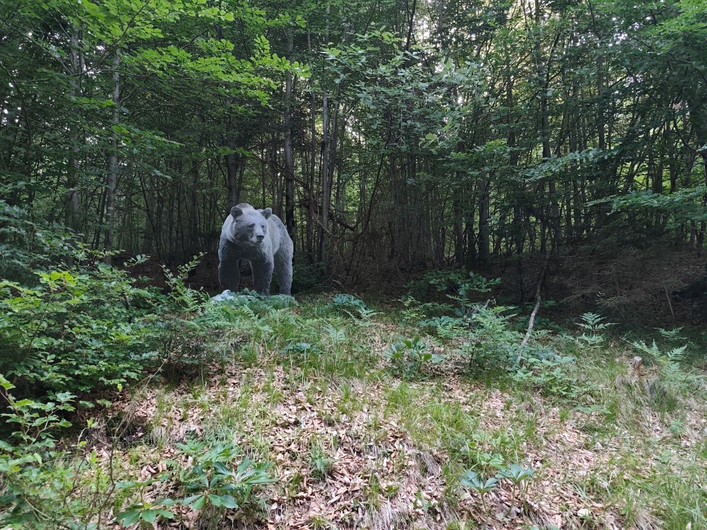
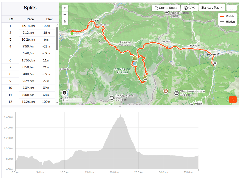
    We started from Tarvisio at 8:00 in the direction of Coccau. A great forest trail enriched with life-size models of animals. After Coccau, an adrenaline attraction was waiting for us in the form of an old suspended bridge over the Gailitz river, with rotten boards.

    meadows after Coccau

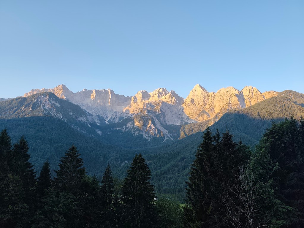
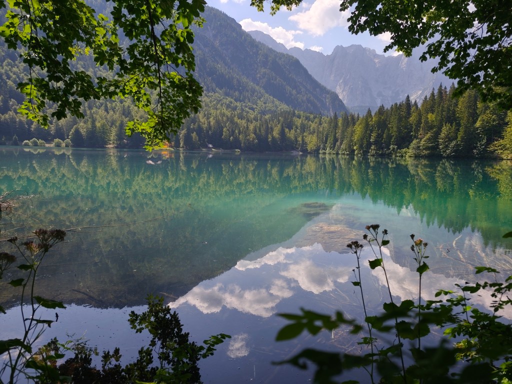
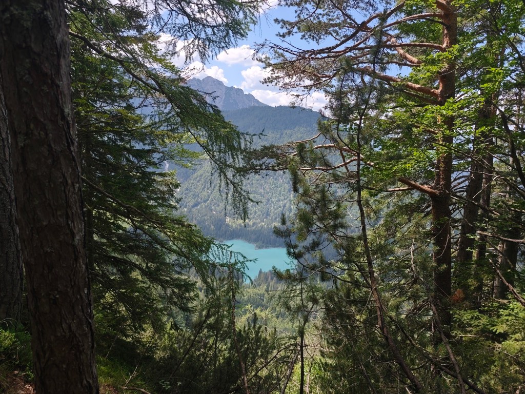
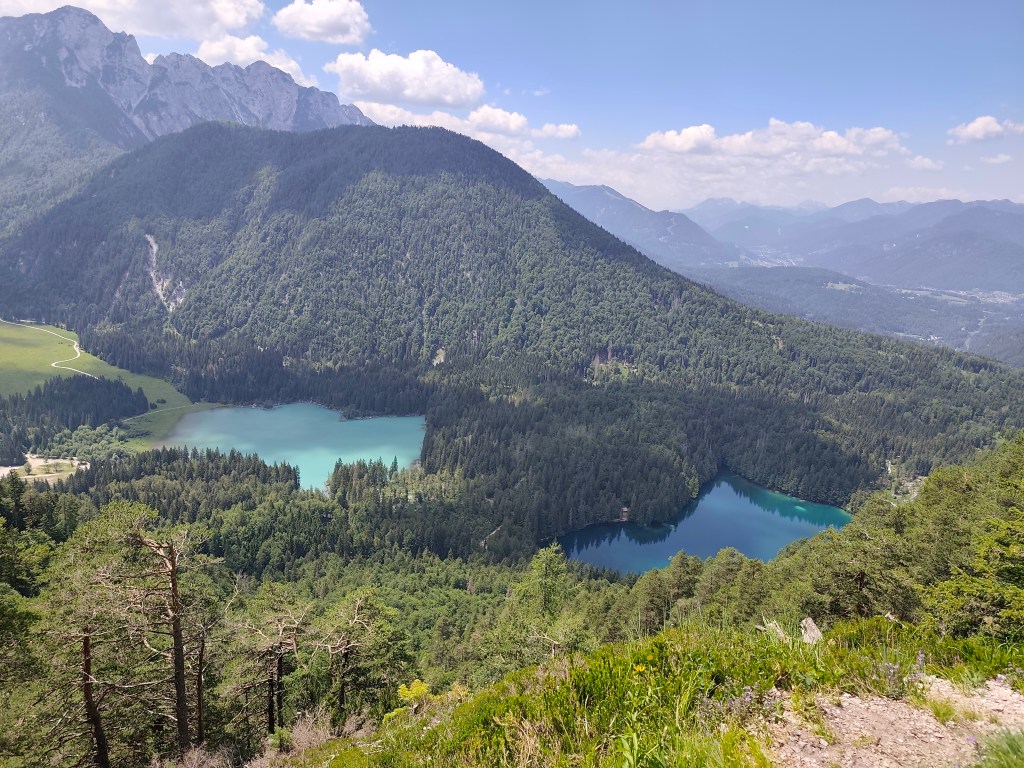
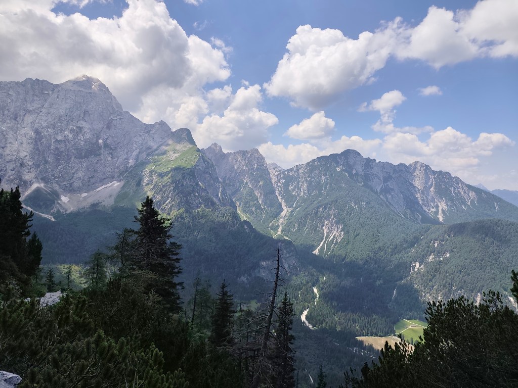
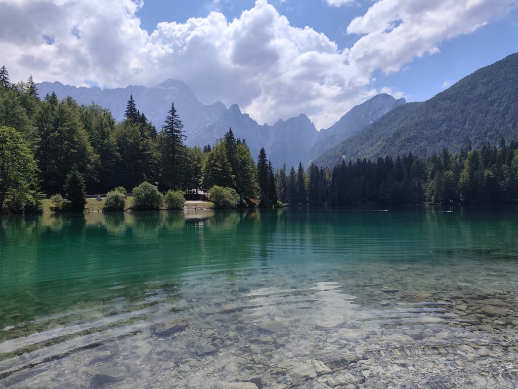
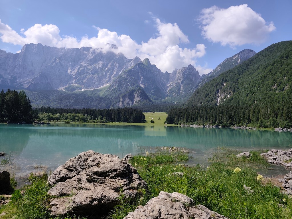
    Fortunately, they kept us and we could continue on the ever warmer meadows to the most beautiful part of today’s trail – Lagos di Fusine. These are two crystal glacial lakes on the border between Italy and Slovenia, surrounded by the Julian Alps.

    Our first view of Lago di Fusine
    Upper lake with Manghart mountain range in background

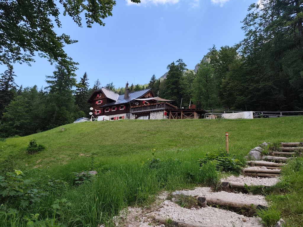
    We pass from the lower, darker, transparent lake to the upper lake with a beautiful blue surface. There is a buffet above the lakes, where we traditionally have a radler and start our ascent to the Rifugio Zacchi hut, located at 1380 meters above sea level.

    Refugio Zachi

    We have a great coffee and continue towards the Ponza cottage, where beautiful views of the valley and the lakes open up.

    After a while, however, we come to a section where the original walkway with chains has collapsed and we have to go around it on a rather steep path between rhombuses, it manage to go up quite well, but on the way down my legs were quite shaking and I had to be very careful not to slip on the unstable ground. we managed it, and then we run back to the lower lake, where we take our last break of the day. We enjoy the beauty of the mountains reflected on the surface of the lake.

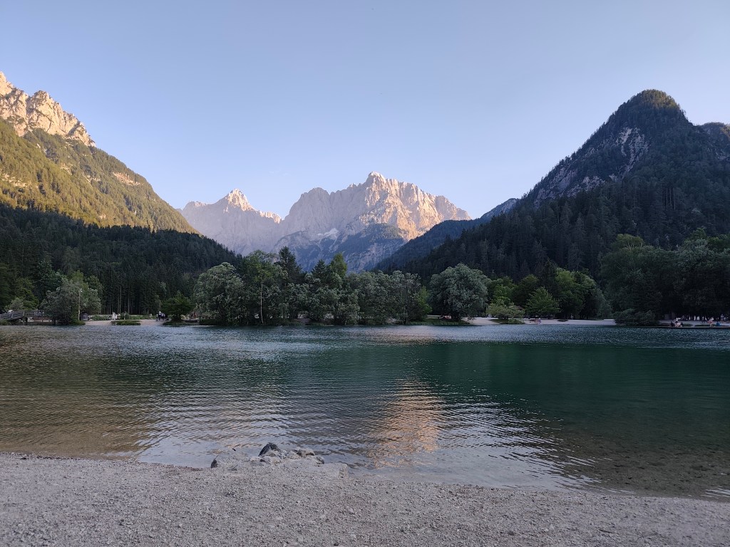
    The end of the day is 12 km along a flat bike path, not covered by trees, and I can’t run it anymore, I’m overheating, so we alternate between running and walking. We found accommodation almost on the shore of Lake Jasna in Krajnská Gora, so we end today’s stage waist-deep in a cold water of glacial lake 🙂 We cool our overheated muscles and enjoy the views of the surrounding mountains.

    Lake Jasnain Slovenia
    37.12km, 6:52 active time, 8:14 total, 1466m ascend

  • Alpe Adria Trail, first day

    Alpe Adria Trail, first day

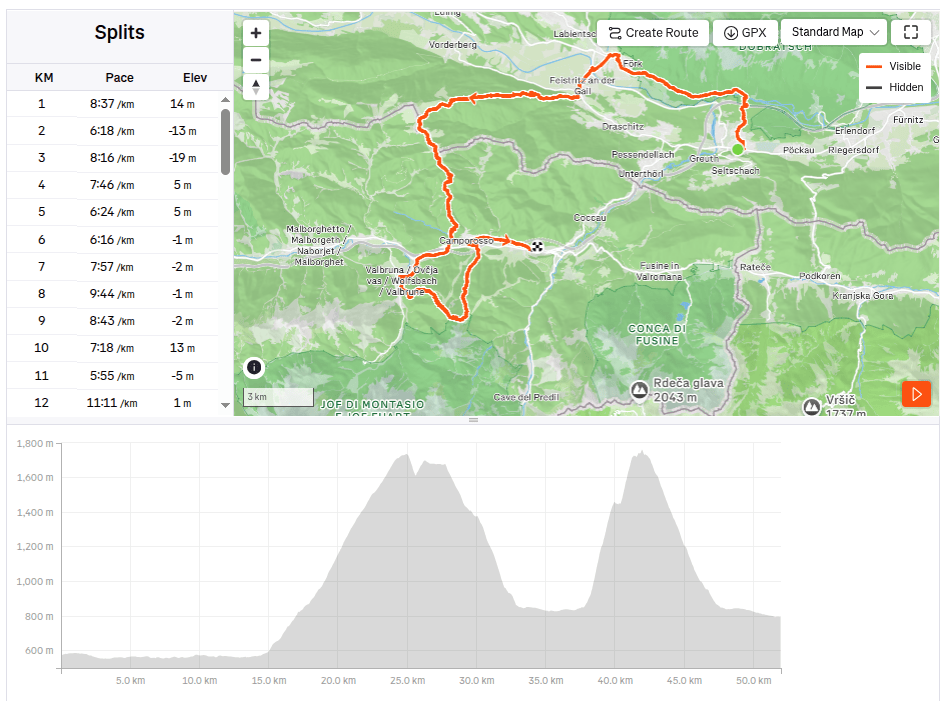
    Alpe Adria is a long-distance route leading from Austria (from under the Grosglocker) to the sea in northern Italy, the length of the entire route is 750km, but we didn’t have time to do it all, so we cut out at least a part of it: Alpe Adria Three-Country Circular Tour.

    It leads through Austria, Italy and Slovenia and is 140km long. It took a bit of planning, but in the end we managed to divide the route into 3 days (classic tourist guides divide it into 7 one-day stages). We arrived in Arnoldstein a day in advance, we chose it as our starting point, even though most guides start at Faaker See. Arnoldstein worked out best for us in terms of the distribution of kilometers and meters climbed. Even though it is not completely on the route (3km detour), we had to look for a place where we could stay and where we could leave the car there for 3 days.

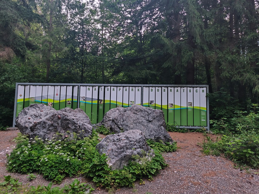
    Nature park Dobratsch near Arnoldstein

    We set off at 4:58 in the morning, the forecast promised a beautiful and quite warm day. After half an hour we spotted our first Alpe Adria Trail sign and continued along the cycle path towards Notsch, where we refilled our water for the first time.

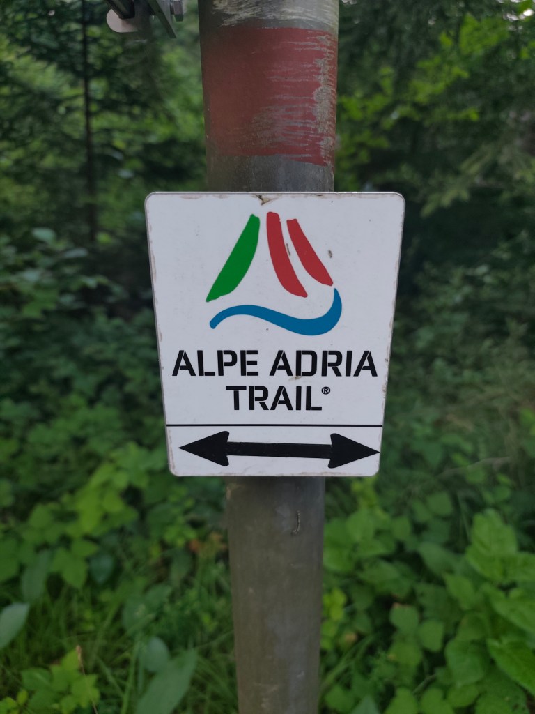
    This sign accompanied us for three whole days

    We keep running and after 15 kilometers we finally start climbing our first hill. And what a hill it is 🙂 1100 meters climbed in 10 kilometers. Fortunately we climb through the forest and there are at least 5 waterfalls along the way, which are not drinkable, but they served as a great refreshment.
    Feistritzer alm

    After a long day of hiking, we take our first break at the Feistritzer Alm, a mountain hut on the border with Italy. We enjoy a radler and our first great views. It is located at an altitude of 1735 meters above sea level and is located at the foot of the 2,052 meter high Oisternig.
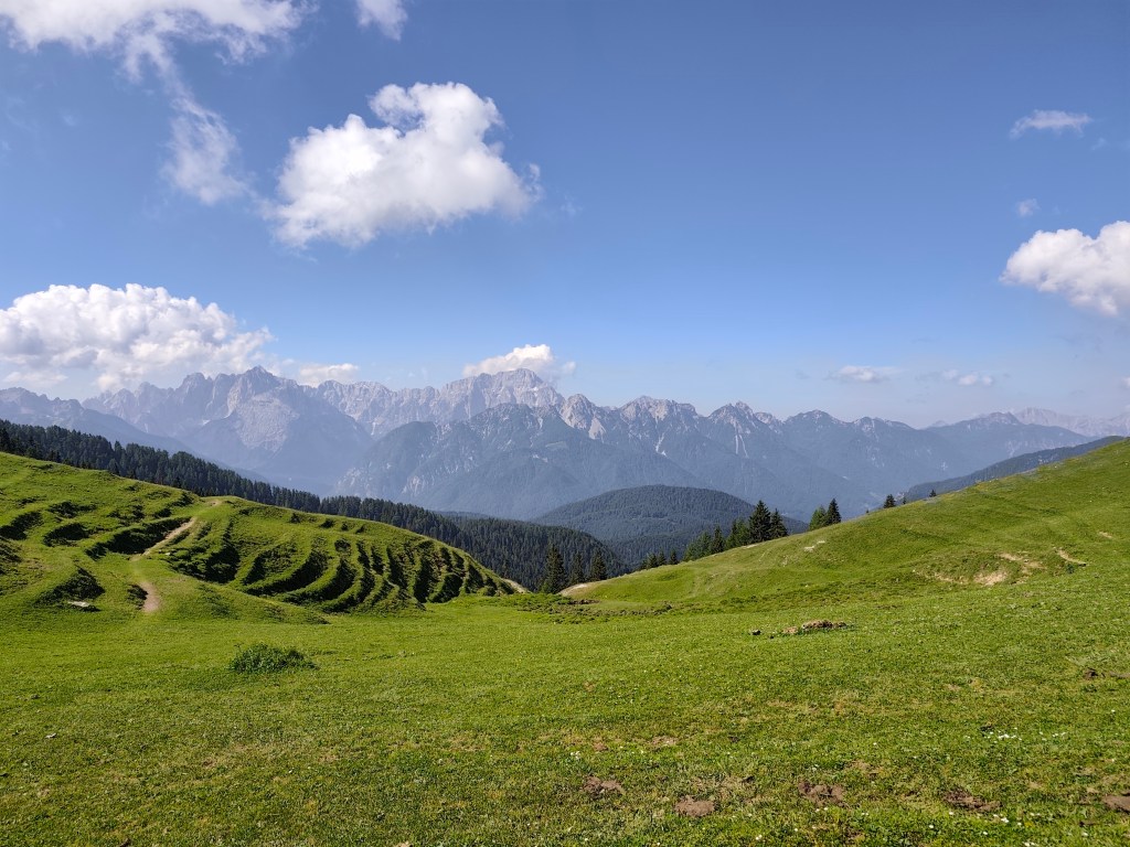
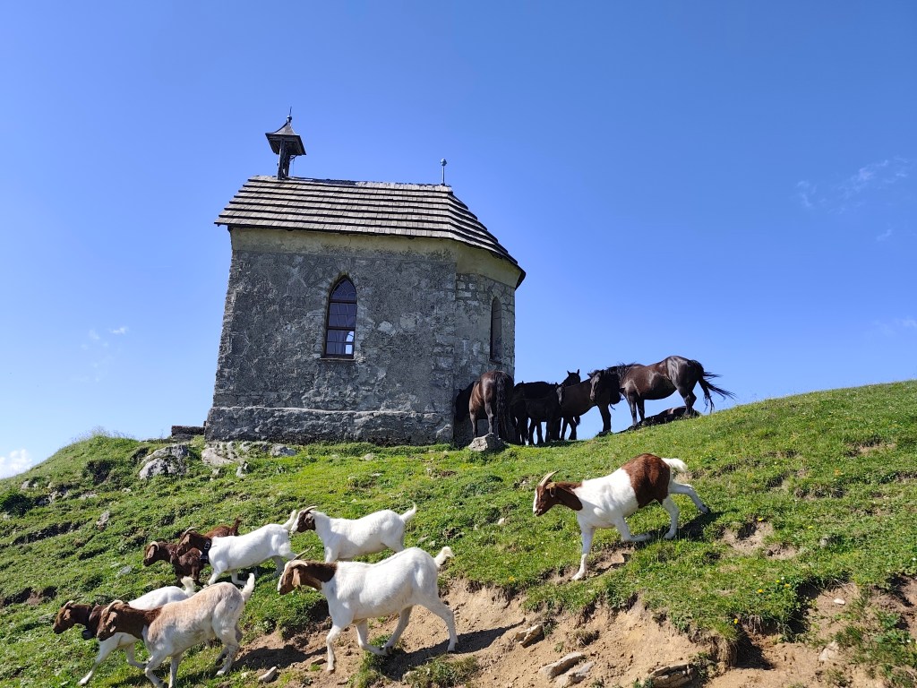
    Alpine pastures on the border between Austria and Italy

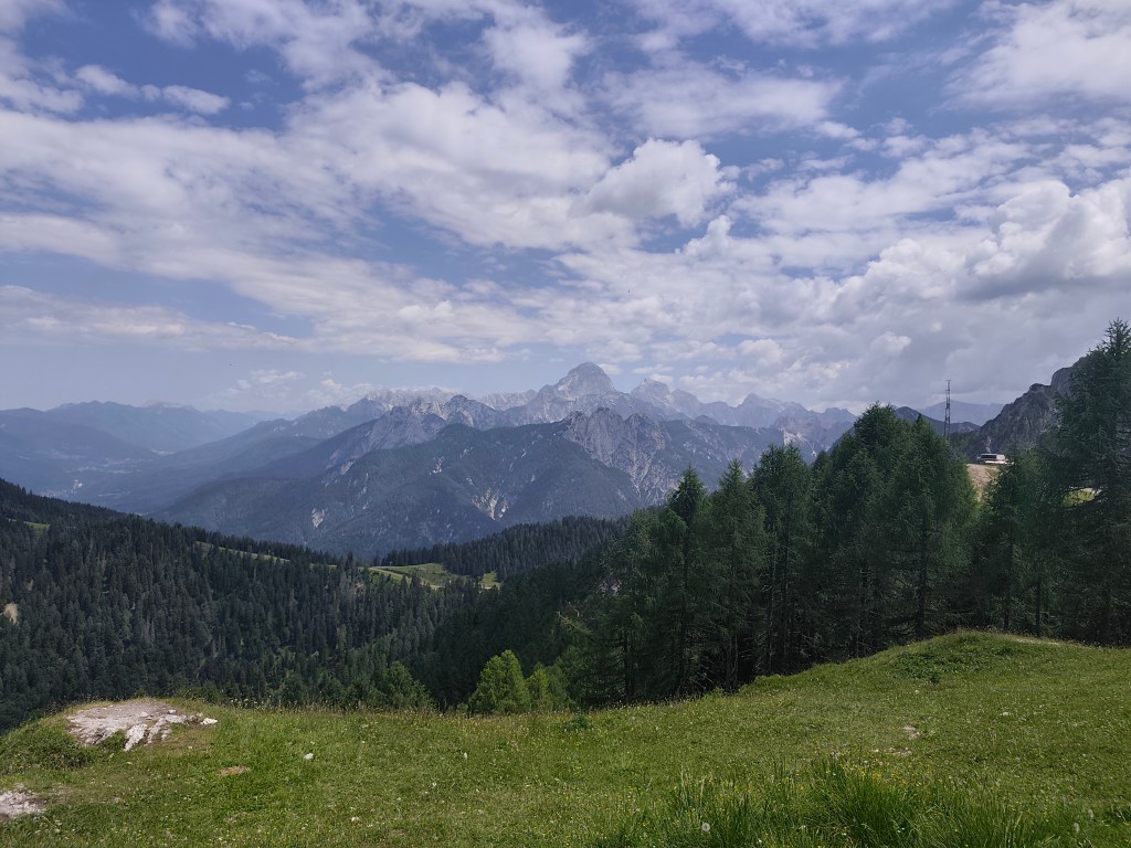
    We run through alpine pastures, among goats, horses and marmots, and from below Monte Acomizza we begin to descend towards Camporosso, but we only pass it by the wayside and continue to Valbruna for a real Italian espresso and radler.

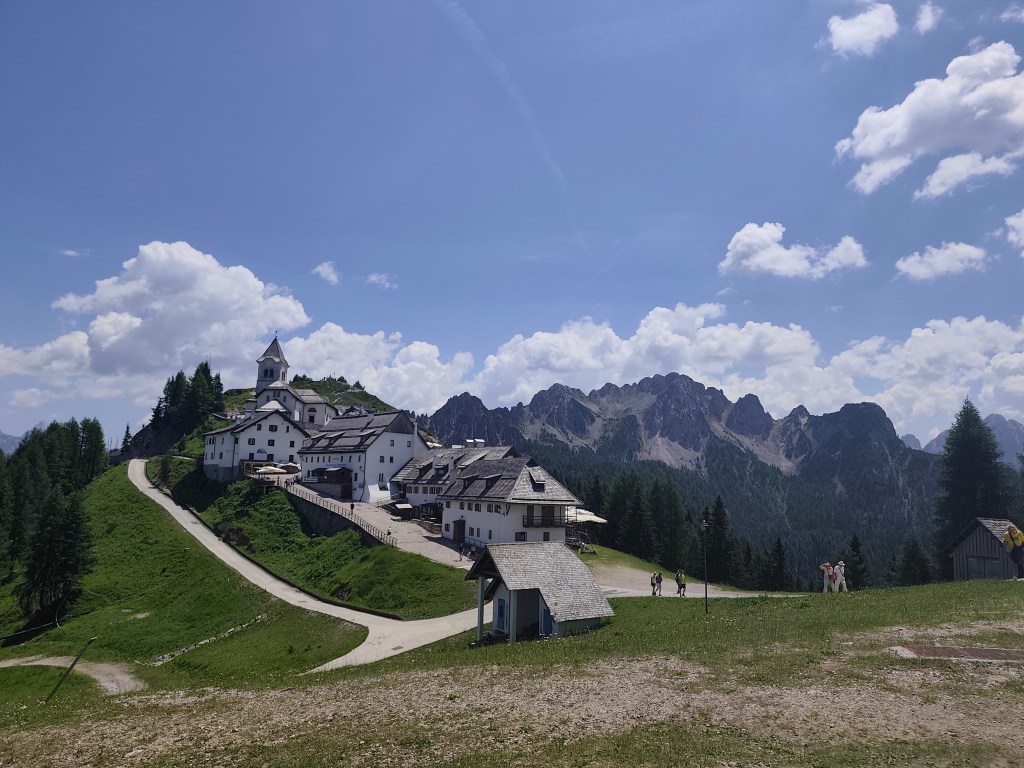
    The temperature is rising and we are facing our second big climb of the day up Monte Lussari. It was quite a massacre, I have never experienced such a steep climb before, 1000 elevation gain in 3 kilometers, they gave us a hard time in that heat.

    Monte Santo Lussari

    Monte Santo Lussari is a pilgrimage site with a beautiful view of the surrounding mountains. At the top of Monte Lussari (1,789 m above sea level) there is a church dedicated to the Virgin Mary. The history of this church dates back to the 14th century, when, according to legend, a shepherd found a statue of the Virgin Mary there. After this discovery, a church was built here, which became an important pilgrimage site.

    From the top of monte Lussari

    At the top, we can’t miss a radler (it will become our traditional drink on this trip :)) and after a few summit photos, we descend back to Camporosso, this time on the other side of the hill. Today we end in the town of Tarvisio, where we stuffed ourselves with great cheeses and real Italian prosciutto crudo.

    52km, 9:24 active time, 10:41 total, 2400 m. ascend
  • SNP girls project, day 15

    This time from Jahodná to Štós. We continue for the third day in a row, in the morning we get out of the car at the same place where we left off yesterday. It is morning, but the sun is already peeking out and promises us a warm day.

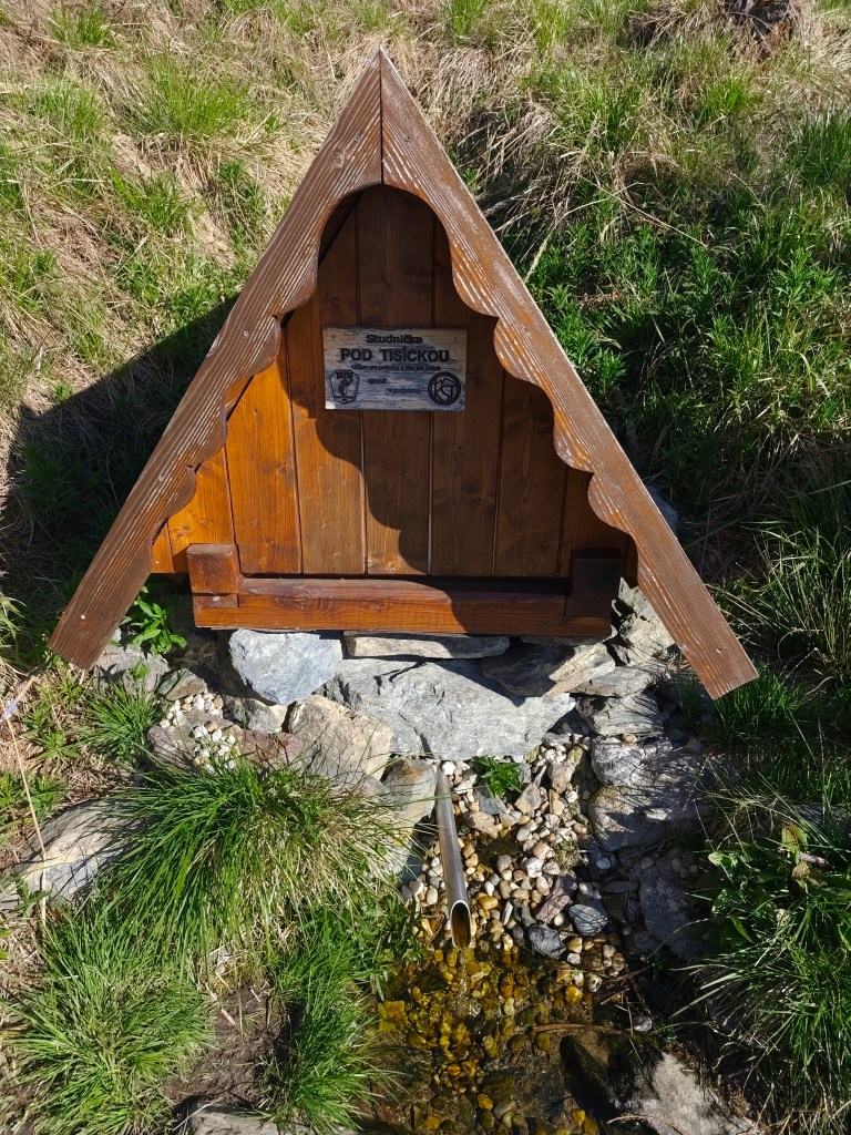
    well “pod Tisíckou”

    We climb up the slope to the top of Jahodná hill, followed by a nice forest path and arrive at Holý Vrch. We refill our water at the well below Tisícká – we can’t help it, because there is an inscription next to it that says whoever drinks from the well will conquer the SNP. So I guess we’ll conquer it 🙂

    We continue towards Kojšovská hola and to our surprise, the SNPčka does not lead through the very top, it turns to the Erika cottage in the saddle below Kojšovská hola. At the Erika cottage we admire the views, the High Tatras are in the palm of our hands and they accompany us on the road for a long time like silent guardians. It is beautiful here.

    High Tatras in background

    We continue to Kloptáň, where there is also a lookout tower – this lookout tower is only for the brave, steep ladders without a railing and only a small platform at the top. But I couldn’t resist and with shaking knees I climbed all the way to the top.

    From viewtower Kloptáň

    We enjoy one of the last views on Zbojnícká skala and slowly descend to the spa in Štós, where we have our last overnight stay on this route. The spa itself is a disappointment for us, it is too expensive and the buildings have already seen their best days. However, the air here is great, that must be admitted 🙂

    35.7km, 5:32min, 1465 m ascend
  • SNP girls project day 14

    SNP girls project day 14

    Or from Kysak to Jahodná:)

    We start in the morning in front of the municipal office in Kysak, but we only walk through the village briefly and get to a forest path leading along a stream.

    Jánošíkova bašta

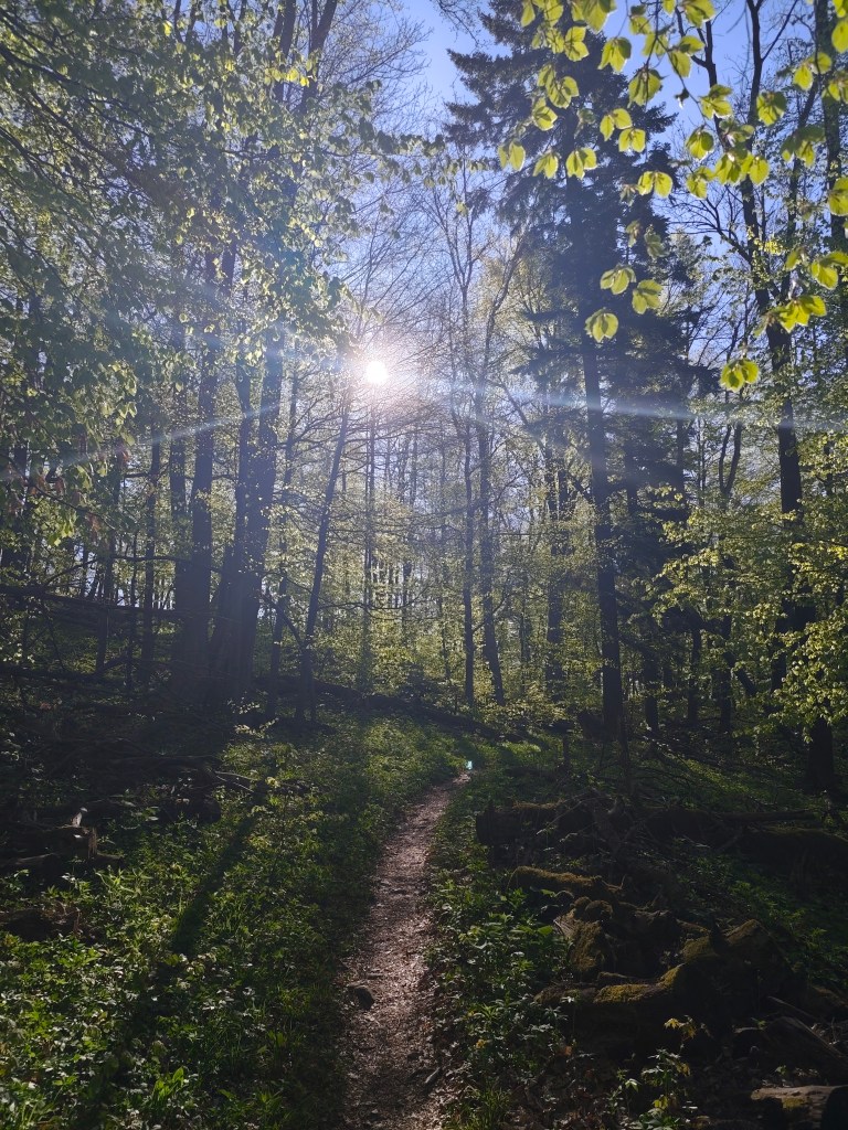
    We pass the cottage area and begin to climb to Janošík’s Bastion. It is an approximately 50-meter-high rock massif that acts as a natural fortress (probably hence the name), from which you can see panoramic views of the landscape around Košice. We enjoy the views for just a moment and then dive back into the forest, which has a wonderfully fresh green color.

    View from Jánošíkova bašta

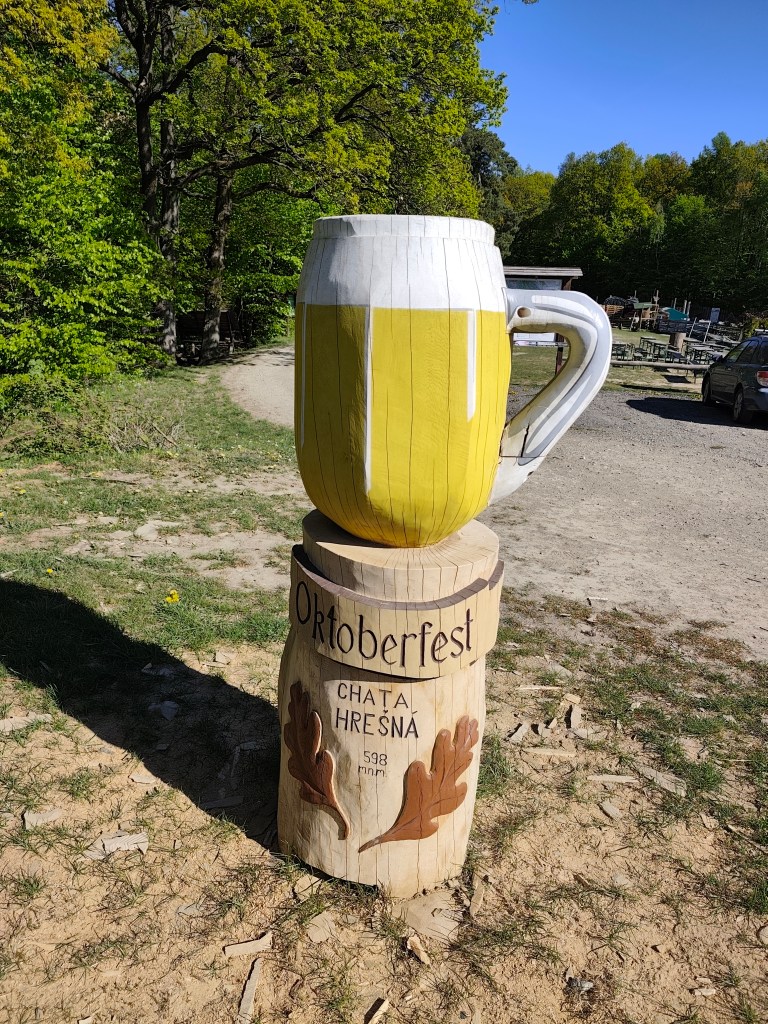
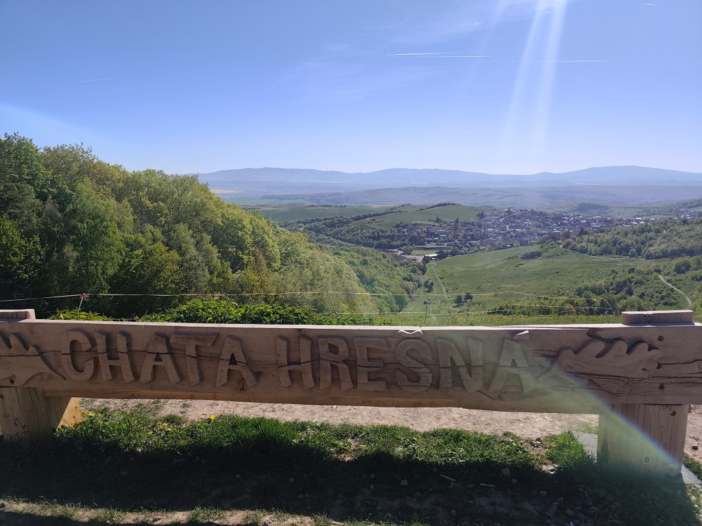
    These forest trails are a very pleasant change from yesterday. We continue through the forest to the Hrešná cottage, where there are cozy-looking chairs with a view of Košice.

    This time without a beer:)
    Hrešná

    We resist the temptation to sit down and just laze around and continue down the dirt road to Košice. The sun is starting to warm up and the water is running out, so we hope that the buffet in Čermel in Košice will be open. We’re probably too fast, we get there half an hour before opening 😀

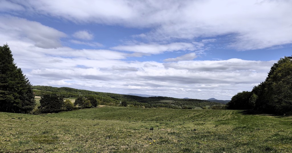
    meadows around Košice

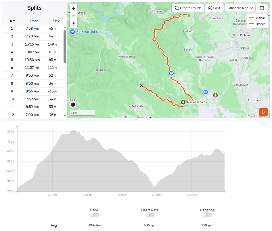
    We continue to Bankov, where we finally managed to find an open hotel café, refilling our water, coffee, radler…

    This stage was a reward after yesterday

    The last 7 kilometers await us, mostly a gentle climb, fortunately through the forest, which, thanks to refreshments in the café, pass relatively quickly. We end today’s stage in front of the cottage on Jahodná. Lucka and I have a grapefruit non-alcoholic beer from Bernard, which is simply divine and we remember the stage in Čičmany, where we drank it for the first time. Thanks to this project of ours, we got to know so many beautiful places in Slovakia that we had no idea existed and that’s still a few stages ahead of us 🙂

    29.7km 4:19 active time, 4:48 total, 1169m ascent.
  • SNP girl’s project, day 13

    SNP girl’s project, day 13

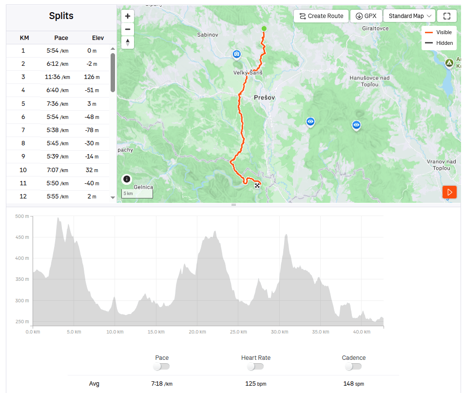
    In the morning we set off from Košice to Terno. We park the car in the same place by the church where we last finished the stage. It is partly cloudy and relatively warm, but fortunately not too much, because we have quite a lot of asphalt waiting for us on this stage.

    The asphalt alternates regularly with bits of meadows or forest. After about 20 kilometers, we all agree that this is the least interesting stage so far and the most interesting thing we saw was the brewery. We run through Veľký and Malý Šariš and it’s starting to get warm. I’m honestly glad that I’m just running this part of the SNP and don’t have to walk it all day on hot asphalt with a giant backpack.

    We reach Cemjata and here we run past a wild boar park and beautiful ponds, continue through Janov and Radice and meet Jožek, who has driven the car to the finish line in Kysak and is running towards us.

    Ahead of us is the most beautiful part of today’s run, a nice forest path bordering Hornád.

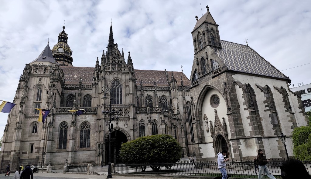
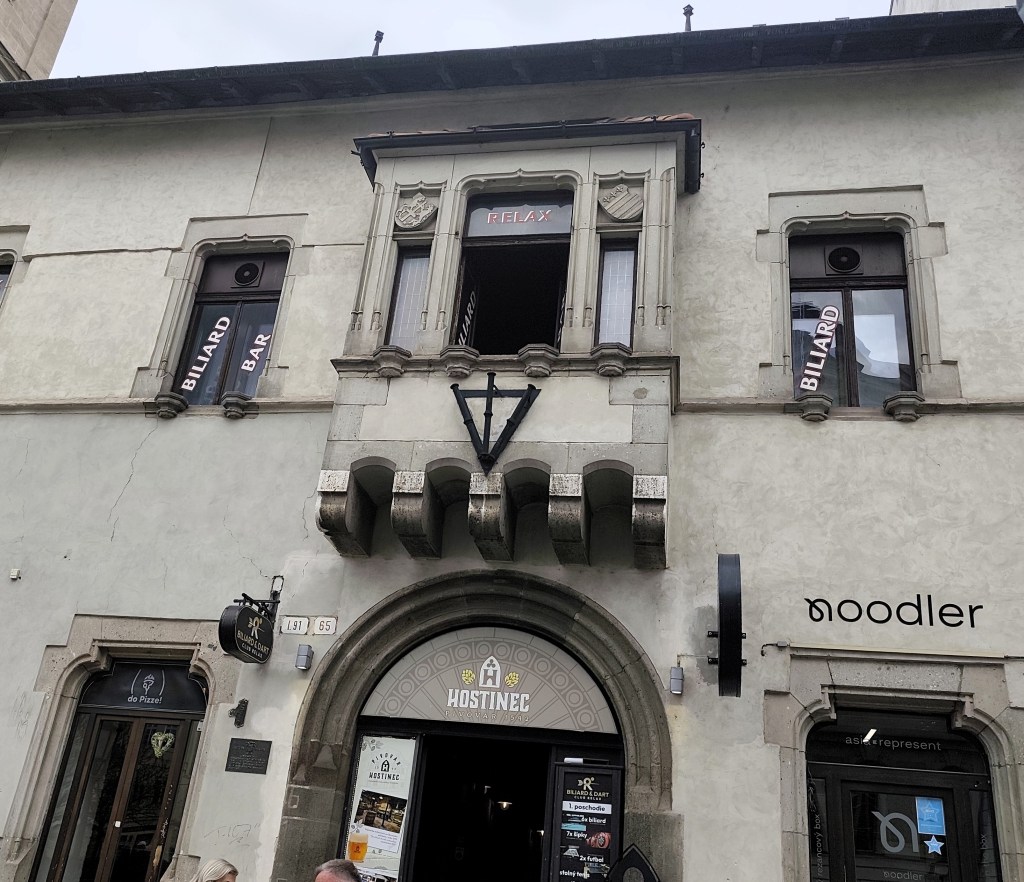
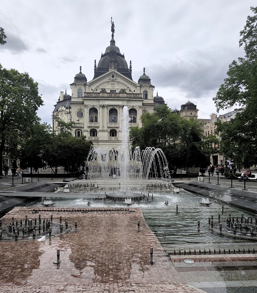
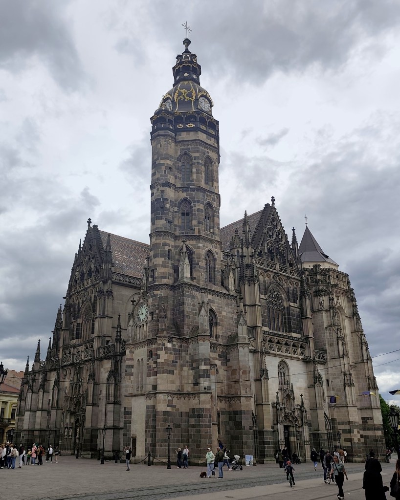
    In Kysak, we are all happy that today’s rather tiring asphalt stage is behind us 🙂 However, in the evening we will make ourselves happy and go see Košice, specifically the old town, and we will manage to come across the longest-running restaurant in Slovakia (over 500 years of operation), where they have great craft beer.

    42.67km, 5h 11min active time, 5h 28min total, 887 m ascent