Category: run

  • SNP girl’s project, day 12

    SNP girl’s project, day 12

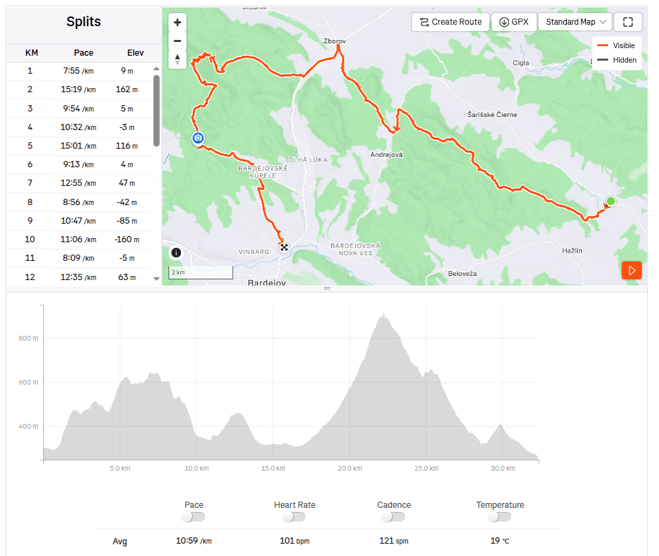
    The third day in the east, where we had covered more than 80 kilometers in the last two days, was slower. In the morning we start from the same point in Bardejov where we finished yesterday’s stage.
    By the way, Bardejov Town Hall Square is one of the most beautiful in Slovakia. It is a great pity that the SNP bypasses it, it is definitely worth making a small detour.

    The square is rectangular and is surrounded on three sides by a row of typical narrow townhouses. On the north side of the square is the dominant of the city – the Basilica Minor of St. Egidius, connected to the Renaissance building of the former city humanities school.

    The indescribable atmosphere of Bardejov Square is enhanced by its representative town hall building from the 16th century, built in the Gothic-Renaissance style. It houses the exhibition of the Šariš Museum dedicated to the history of the city.
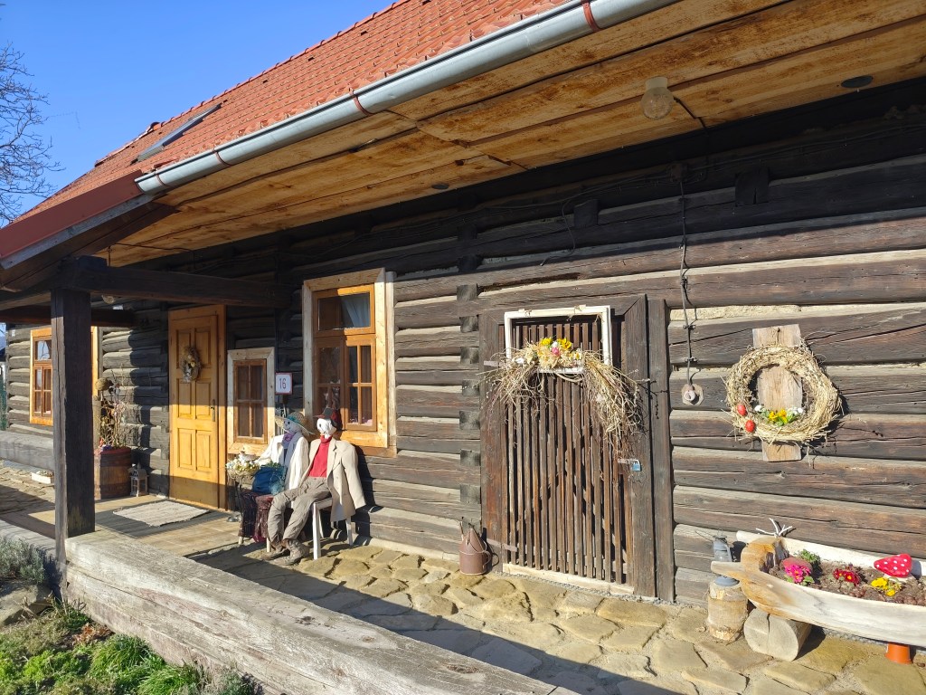
    Mihaľov

    We pass through the picturesque village of Mihaľov and continue to Hervatov, running for a surprisingly long time on asphalt roads, which is significantly faster, but less fun :).
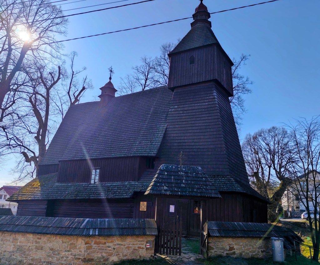
    Church of sv. Francis z Assisi

    In Hervatov there is a wooden church of St. Francis of Assisi and it is surrounded by a stone wall covered with wooden shingles. This church is also on the UNESCO World Heritage List. It was built at the end of the 15th century in the Gothic style and is our oldest preserved wooden church in the Gothic style. Its exterior has remained almost untouched even after more than half a millennium. However, we were unable to get inside.
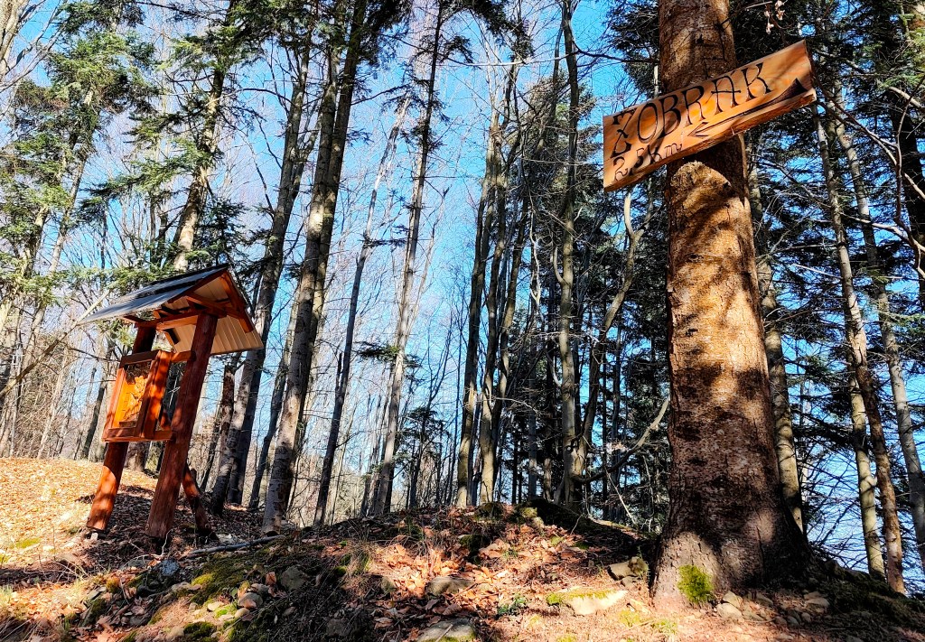
    calvary on the way to Žobrák

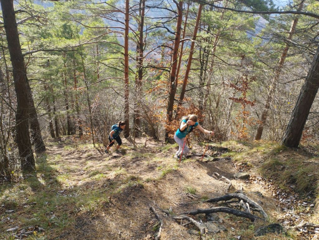
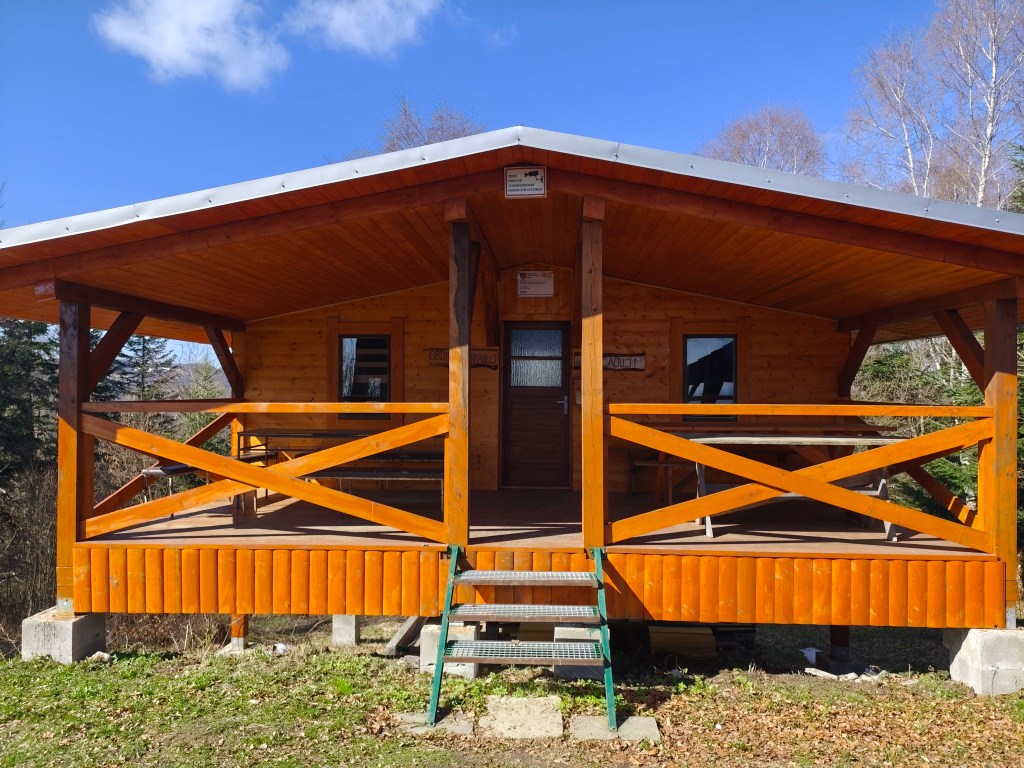
    We leave the asphalt and start climbing a really steep dirt road to Žobrák Hill. At its top there is a small chapel and a little further on there is a shelter and a lookout tower.
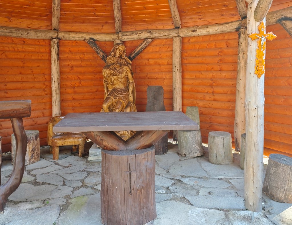
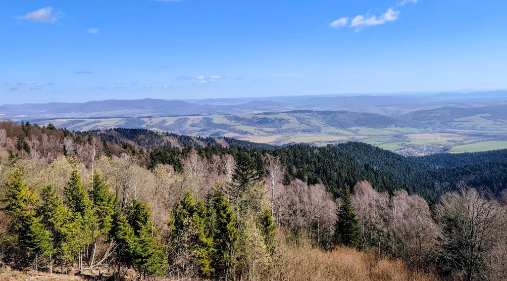
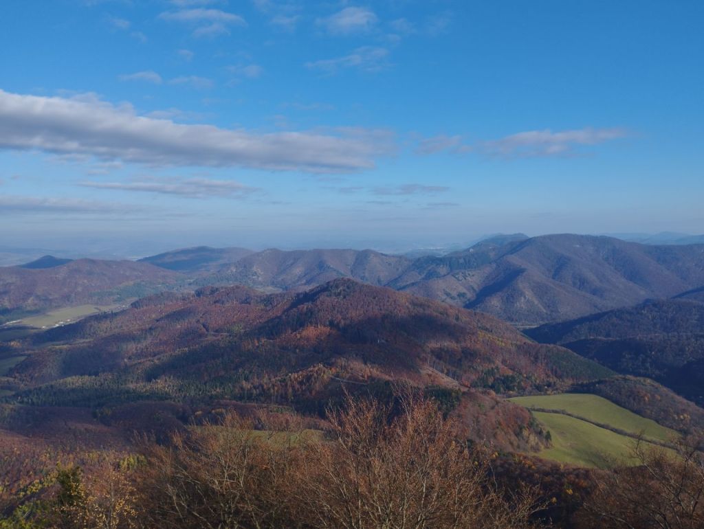
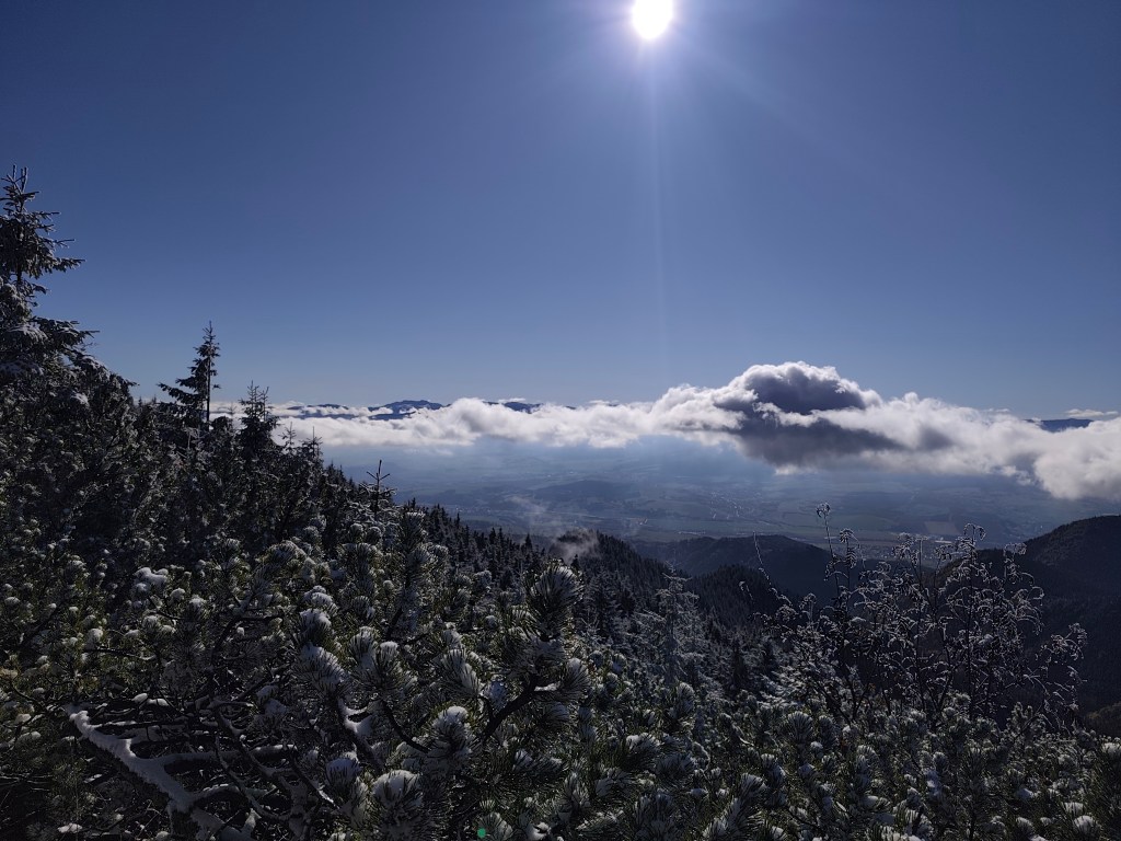
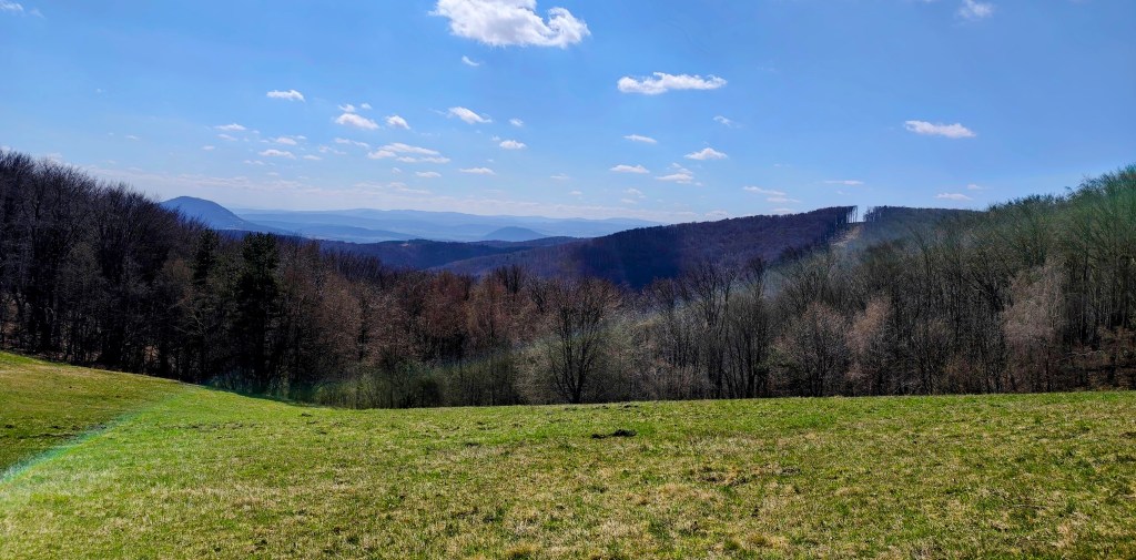
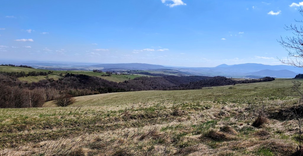
    Views from the viewpoint on the top of Žobrák

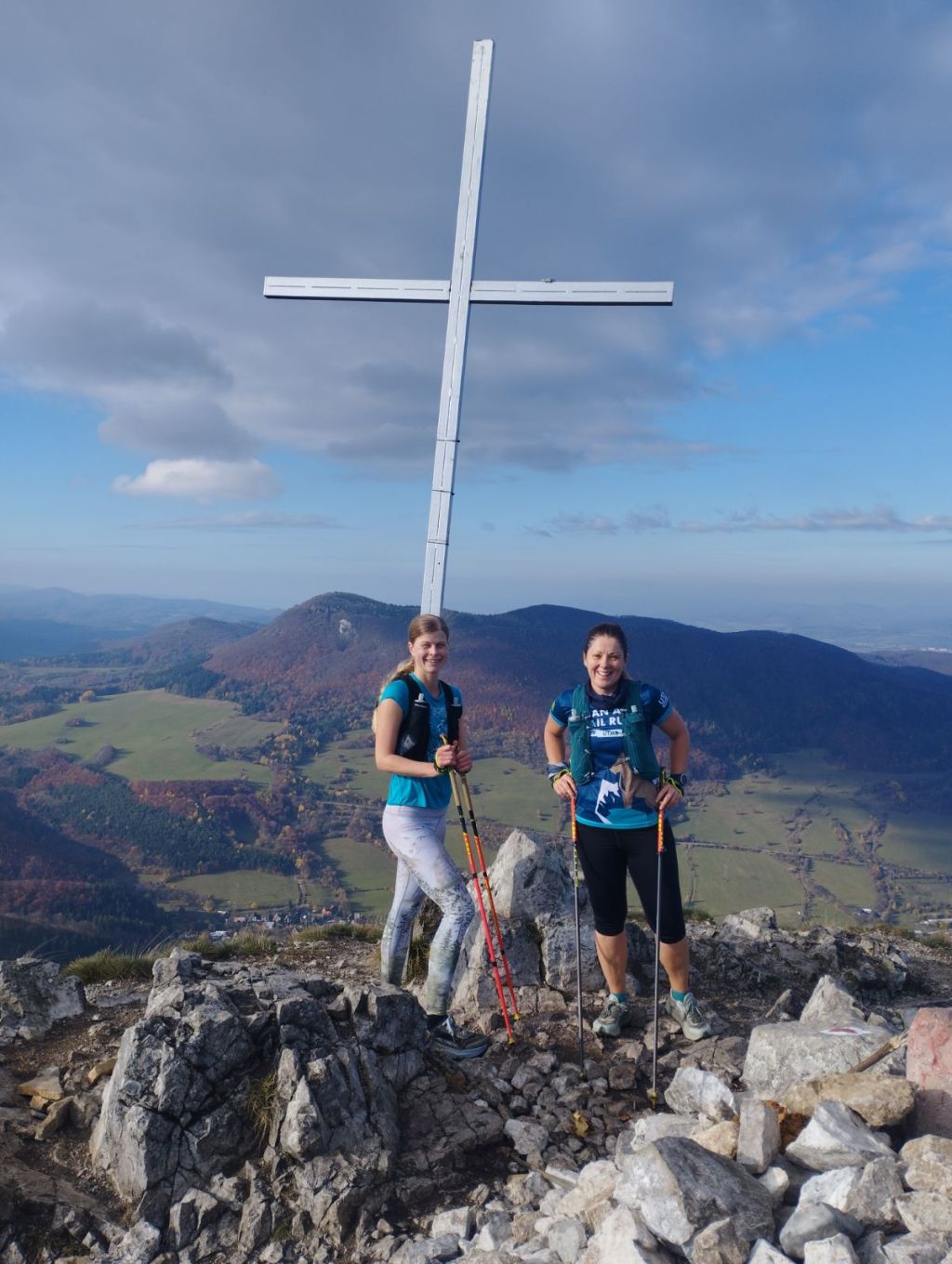
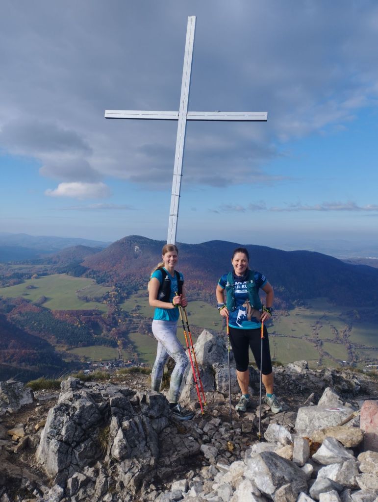
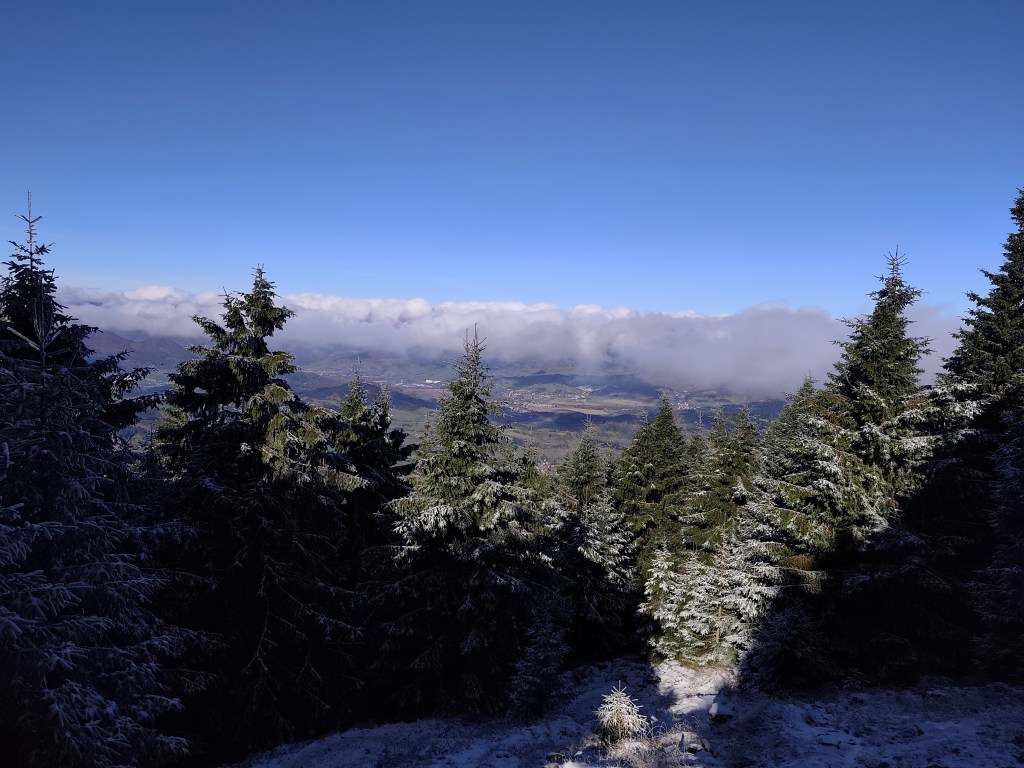
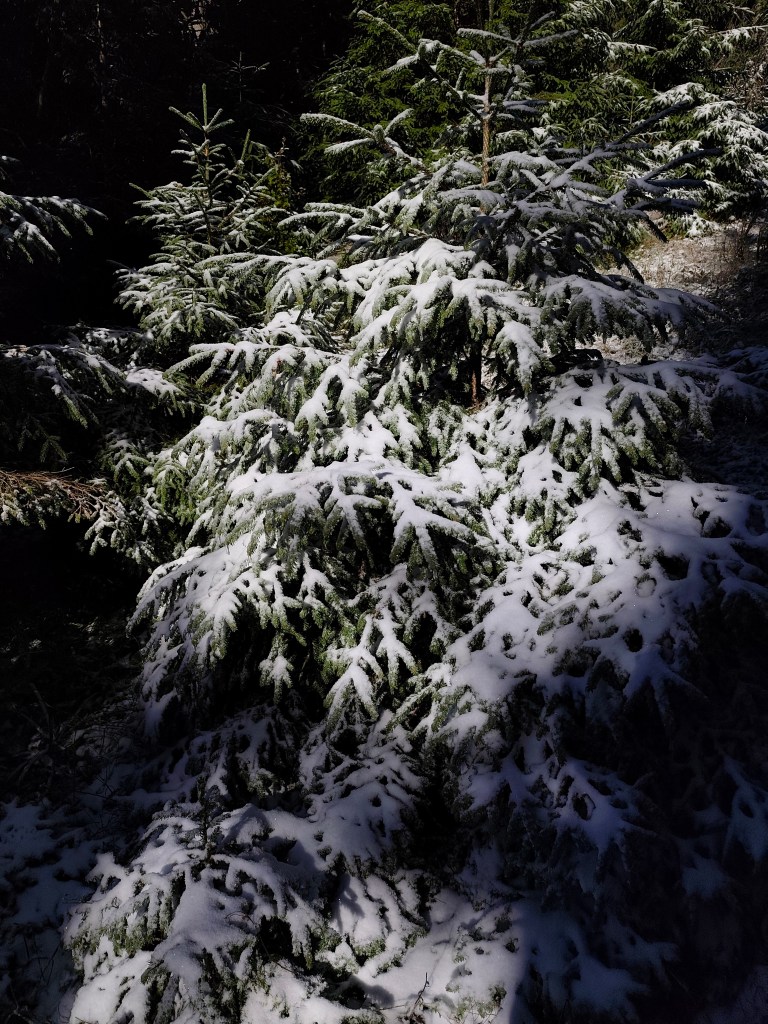
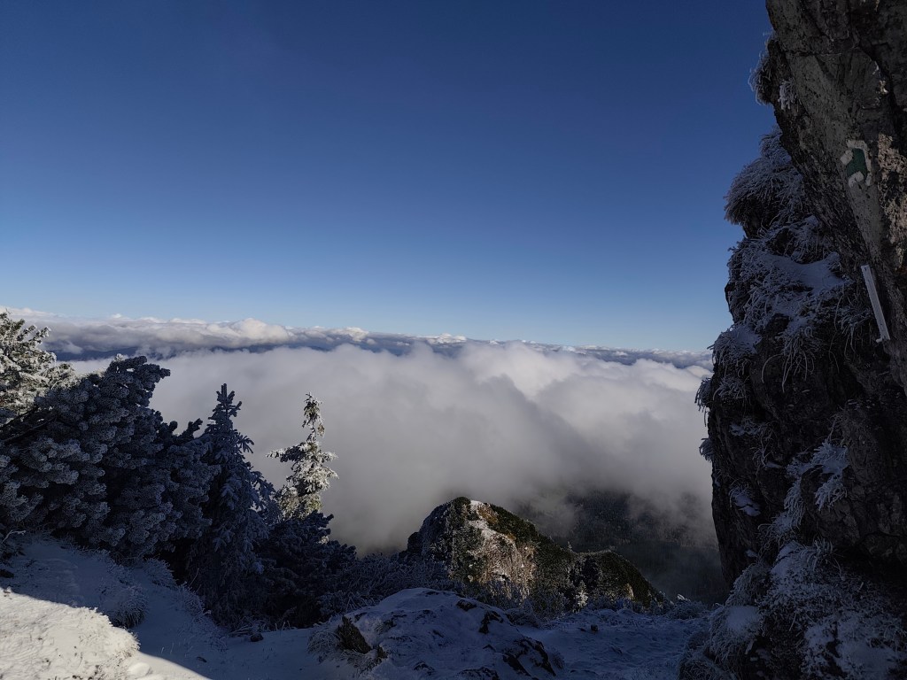
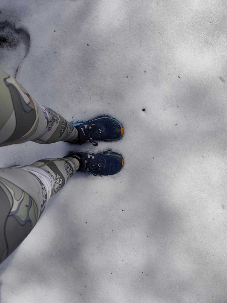
    We continue through Bukový vrch to Čergov, which is the highest point of today’s stage. Around Bukový vrch we still found remnants of snow cover.
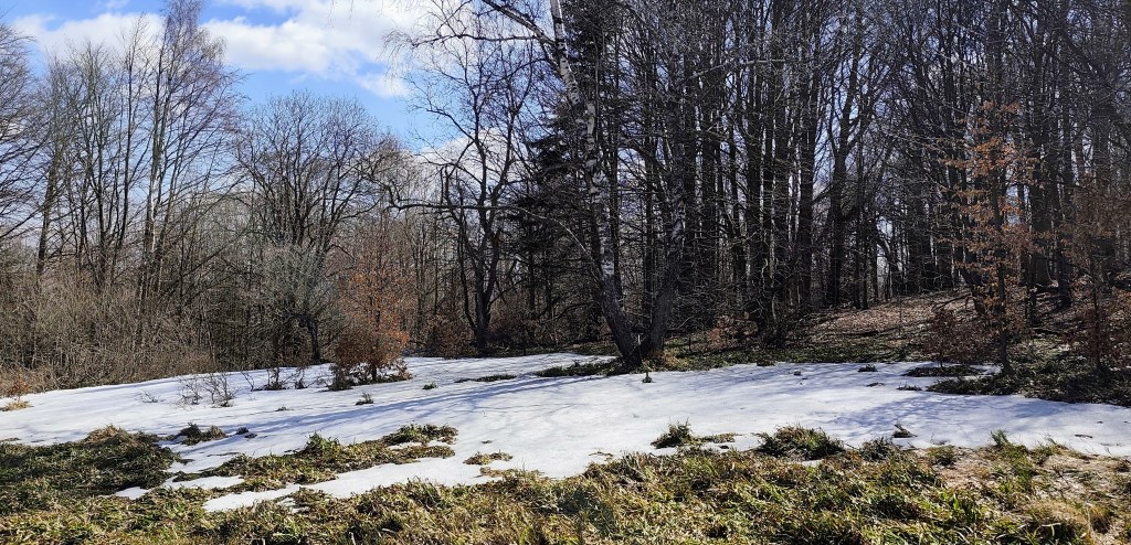
    From Čergov, all that’s left for us is the descent to Terňa, it’s starting to get warm, we only have a pinch of water left and we’re already looking forward to the radler that we have left in the car at the finish line 🙂
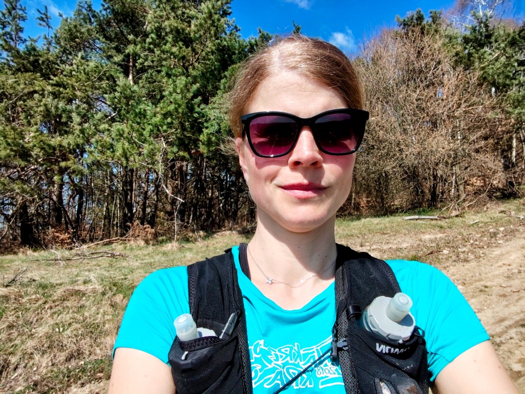
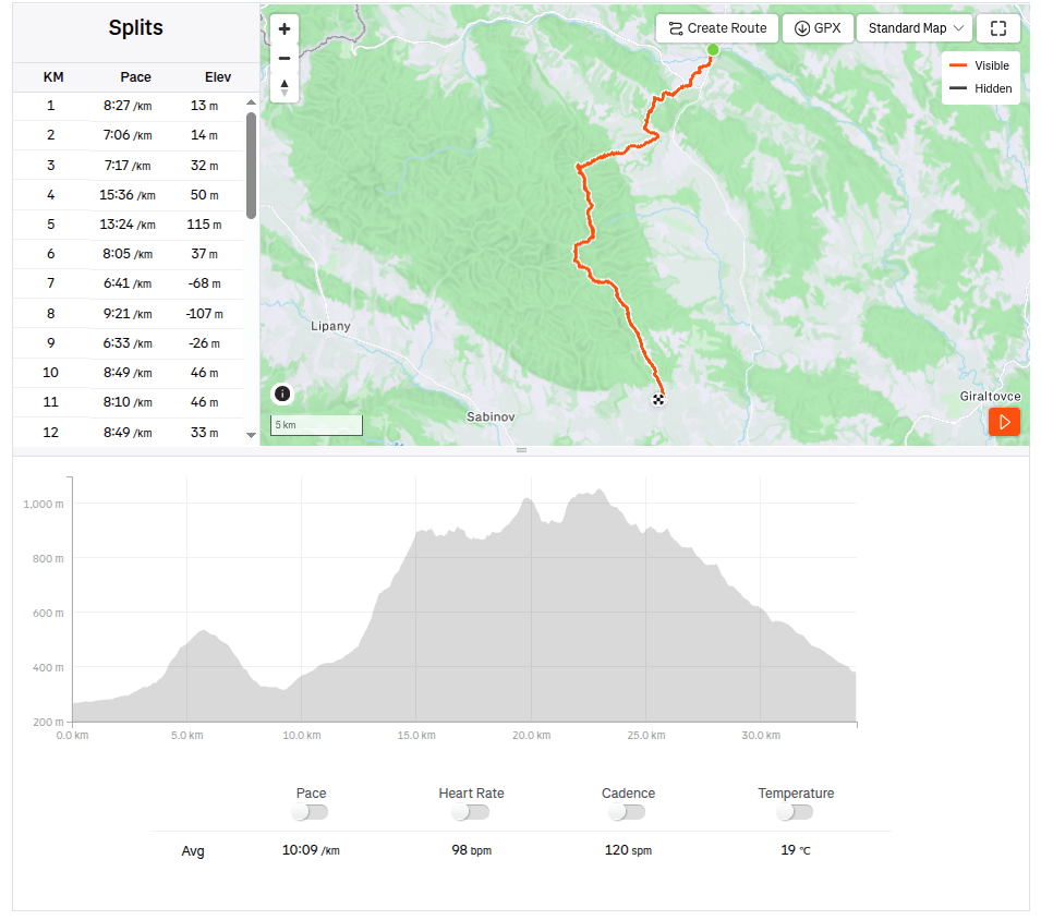
    34.19km, 5:47 active time, 1346m ascend
  • SNP girl’s project, day 11

    SNP girl’s project, day 11

    Our legs are working surprisingly well after yesterday and we are going on the next stage, this time from Kurimka to Bardejov.


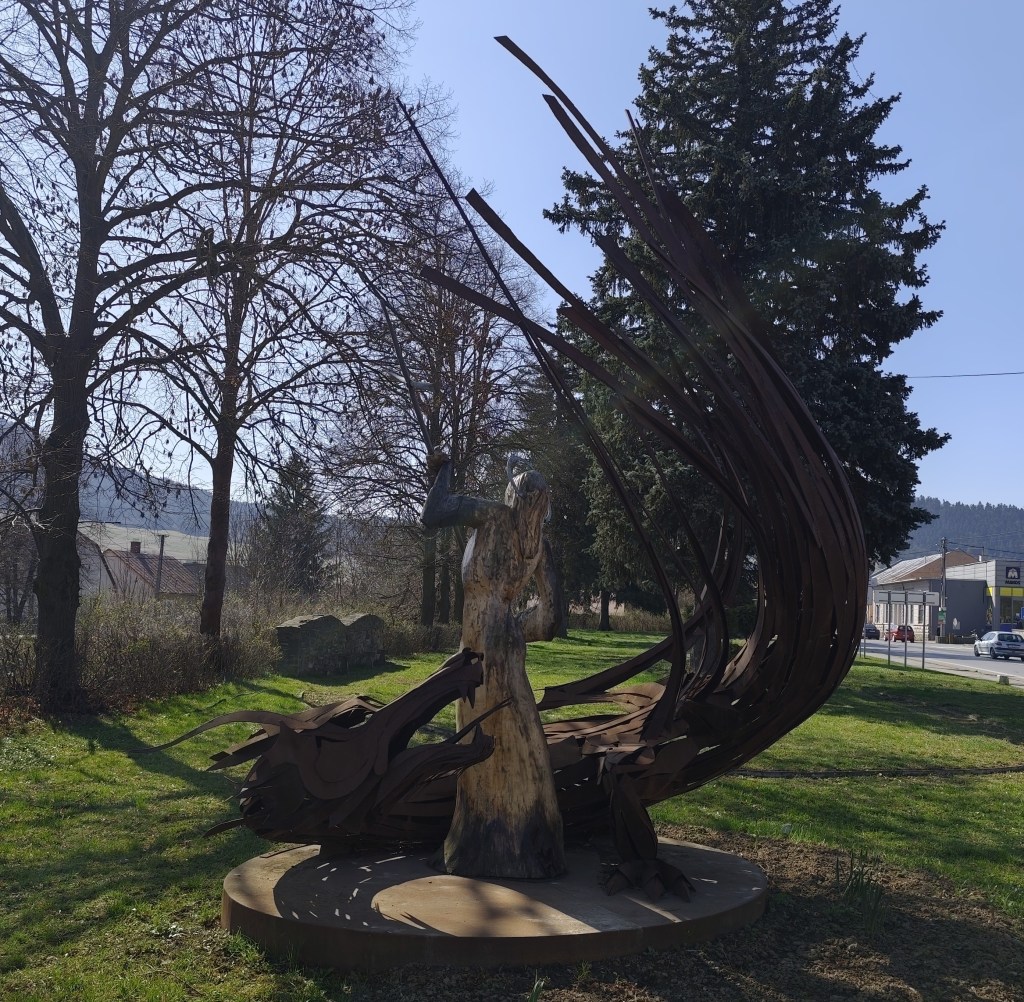
    Three-dimensional coat of arms of Zborov

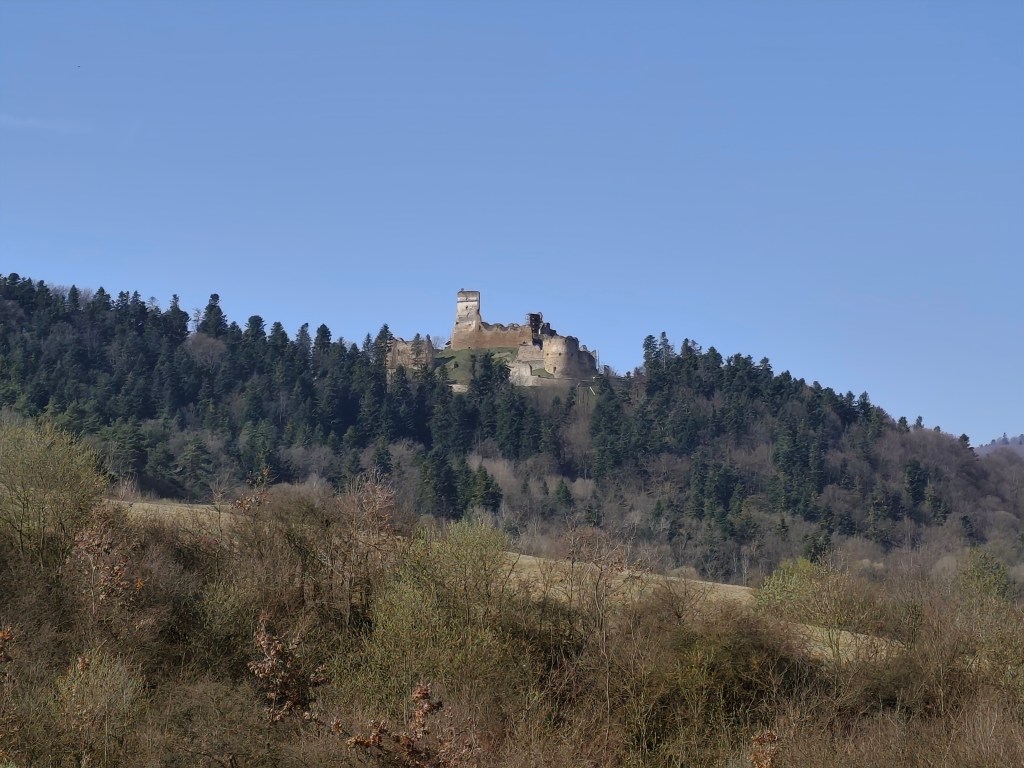
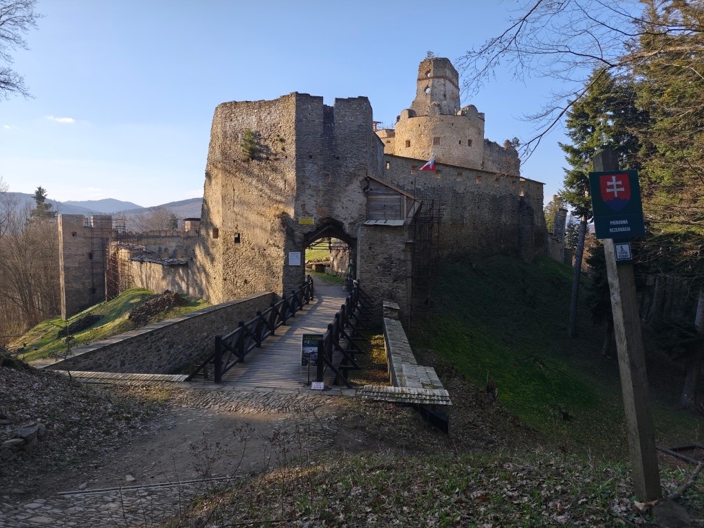
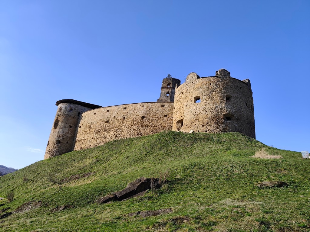
    A beautiful addition to the route is Zborov Castle (to which there is a detour, that’s why we went to see it yesterday as part of active regeneration:) The oldest mentions of Zborov Castle, or also nicknamed Makovický Castle, come from the beginning of the 14th century.In the past, it was an important defensive castle.

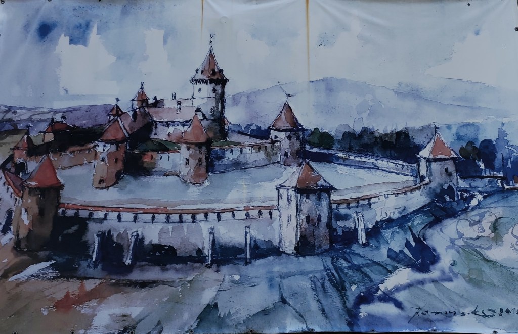
    The original royal Gothic castle did not initially have a large area. It consisted of a massive prismatic tower, a palace and an irregular courtyard, to which other buildings were added later. At a time when the country was preparing to defend itself against Ottoman aggression, this Gothic castle was rebuilt into a very modern Renaissance representative fortress with basic fortifications modeled after Italian architecture. The new owners renovated the oldest parts, expanded the living and farm premises and the walls. In addition to the reconstruction of the basic upper castle, they also rebuilt the second courtyard and added a third courtyard with a semicircular bastion, defensive wall and embrasures. The third courtyard was entered through an ingenious entrance gate on the southwest side with a drawbridge. The triple fortification system was supposed to prevent the castle from being raided and secure it against conquest even if the enemy occupied the entrance gate. However, it fell into disrepair from 1680, and its fate was sealed in 1914 by the fighting between the Russian army and the Austro-Hungarian army in the neighborhood of the village, which badly damaged the ruins of the castle. After the war, the castle continued to fall apart, and only ruins remained of the once majestic feudal residence.

    Inner courtyard of Zborov

    Today, the walls and torso of the architecture have been preserved in the area of ​​Zborovské hrad. In some places, embrasures, corner framing, window and door openings have been preserved in the walls. Since 2010, the castle has been undergoing revitalization works.

    Castle Zborov

    From Zborov we start to climb Stebnícka Magura, it is warm, the sun is shining and snowdrops are blooming in the forest. That’s beautiful, but bottled water runs out suspiciously quickly 🙂

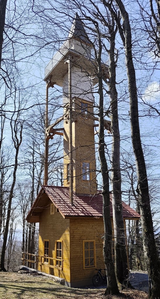
    Viewpoint at Stebníckej Magure

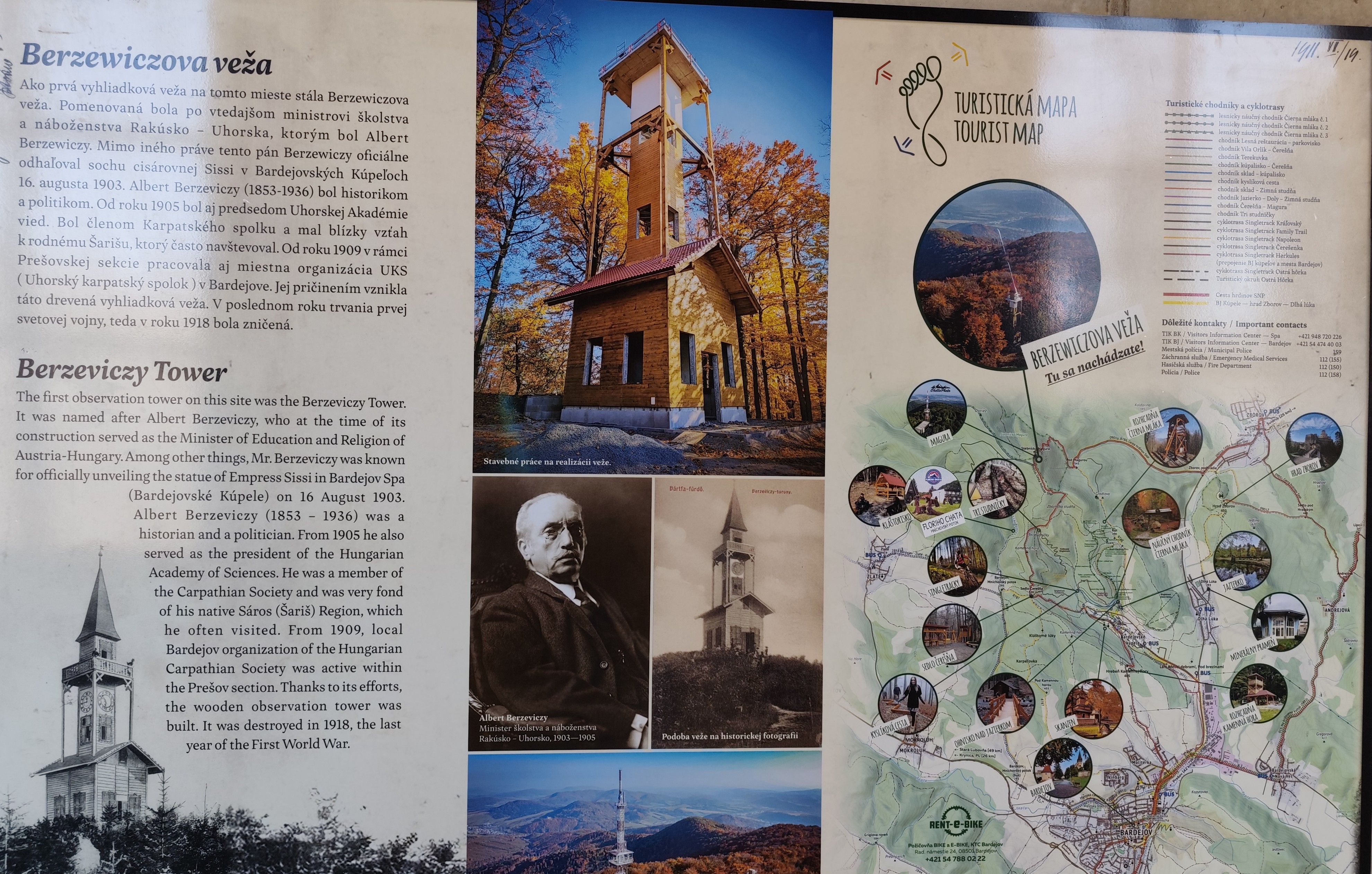
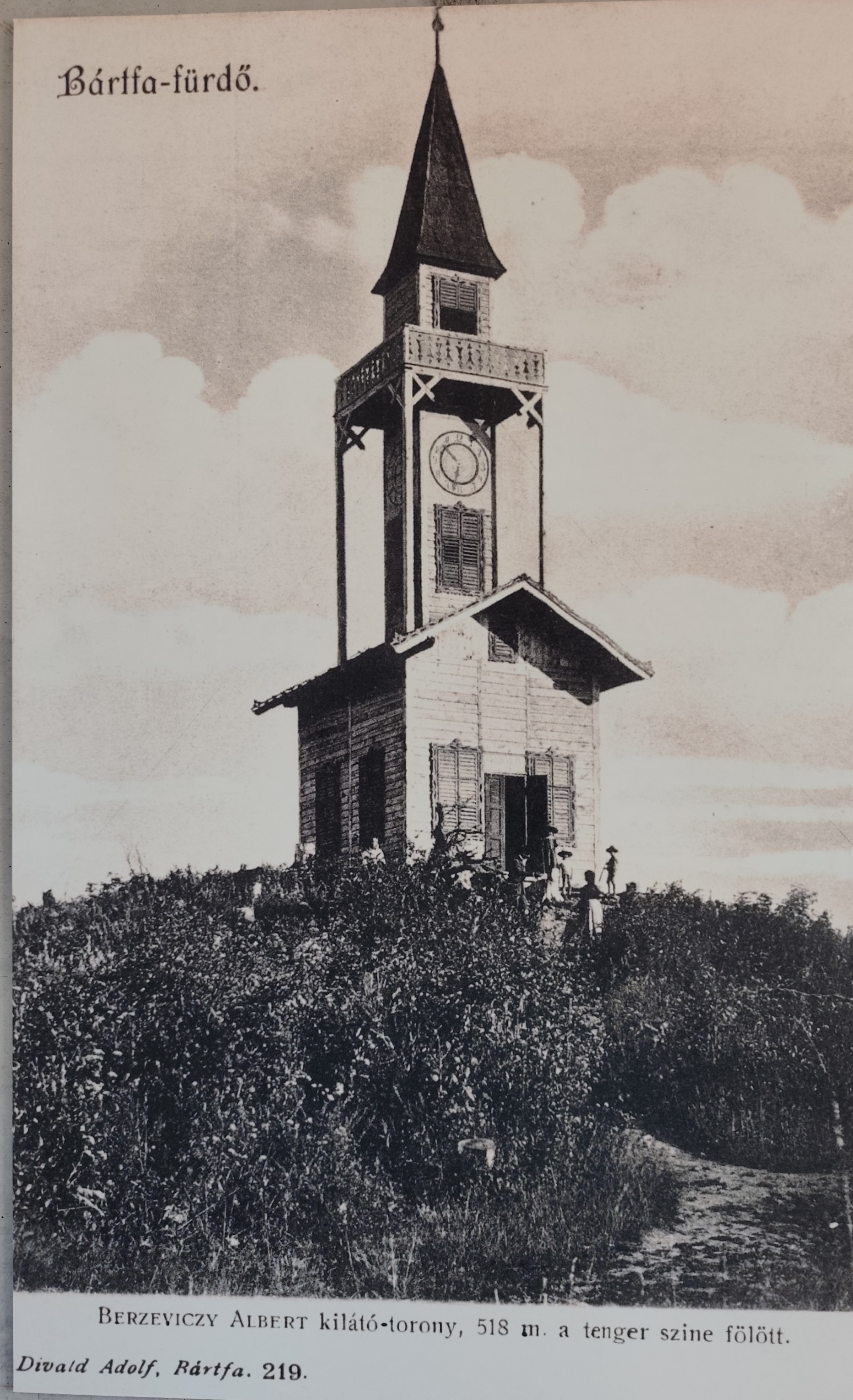
    At the top of Stebník Magura there is a wonderful lookout tower (to which an endless spiral staircase leads). The newly built observation tower resembles the so-called Berzewicz Tower built in 1905 on the same site, which was destroyed during the First World War in 1918, the replica tower reflects the original design.

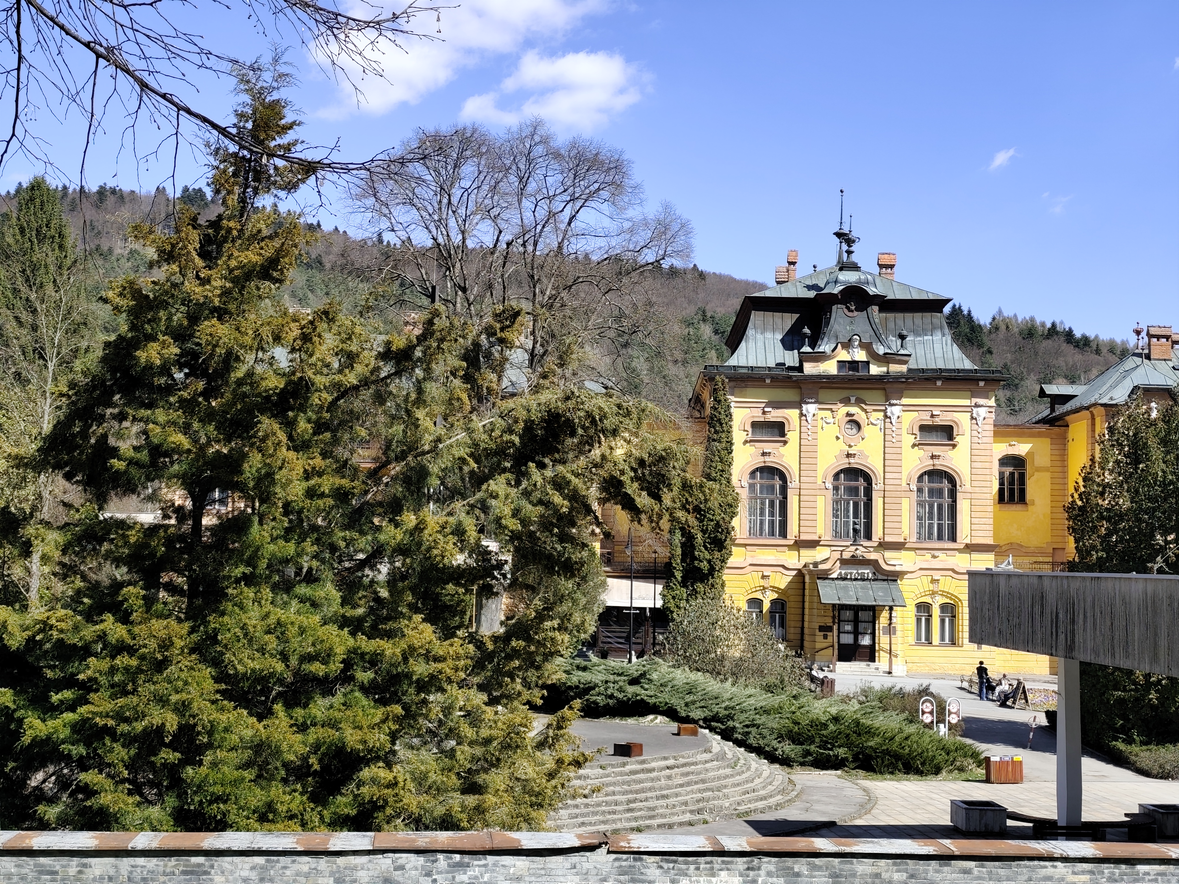
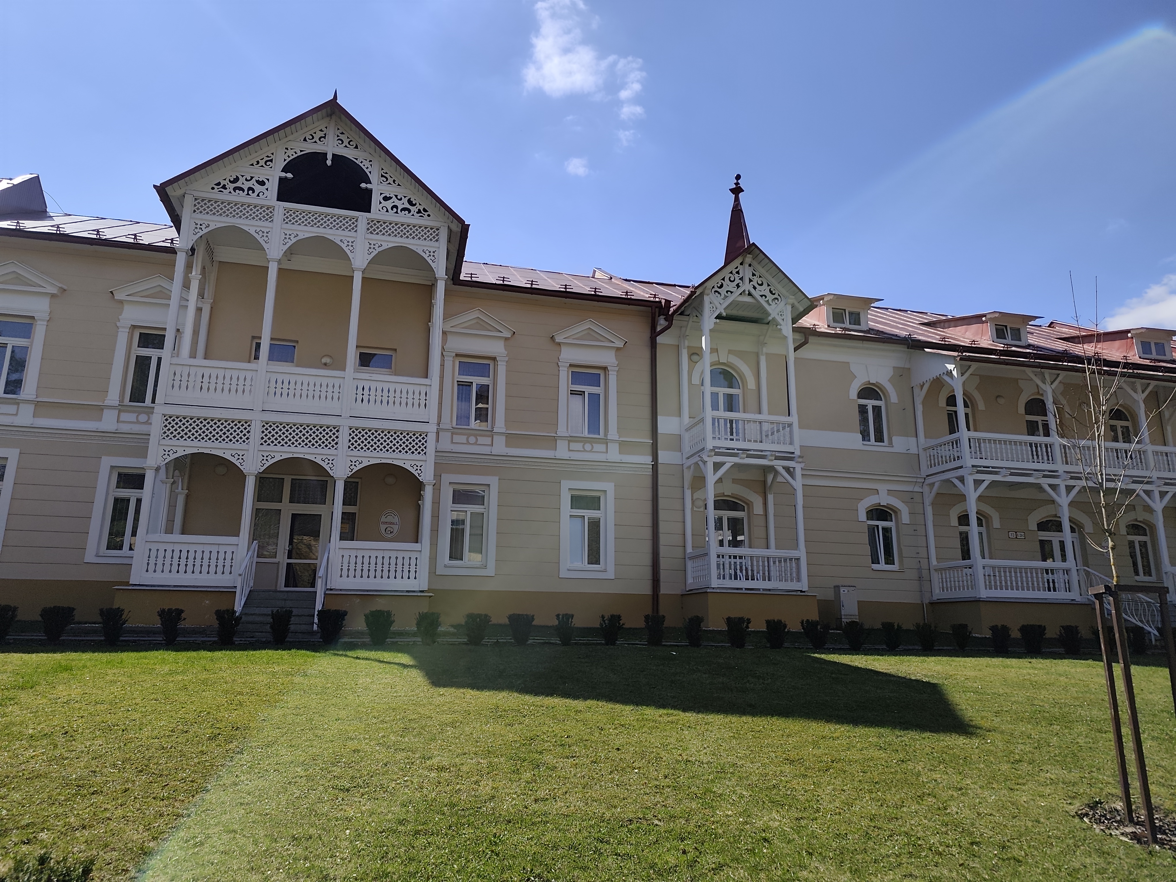
    Thirsty, we run down to the Bardejov spa, where after a while of wandering and searching we find mineral springs.

    They are our salvation, we refill the bottles and set off along the spa promenade to the last hill that separates us from Bardejov.

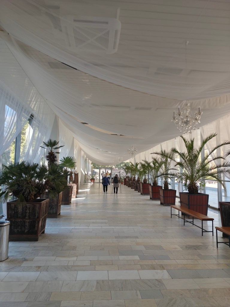
    Bardejov mineral springs
    32.34km, 5:55 active time, 1402 m ascend
  • SNP girl’s project, day 10

    SNP girl’s project, day 10

    We finally managed to get to the east and stand at the start of the SNP, which begins in the Dukla Pass on the border with Poland. The legendary Slovak ridge path is almost a hundred years old. It originated as the Štefánik Trail, which disappeared and was revived as The path  of the heroes of the Slovak National Uprising.

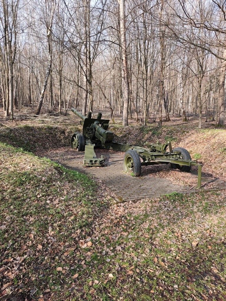
    This stage was mainly accompanied by tanks

    The new form of the highway was brought about by a meeting of the chairmen of the regional sign commissions in 1956, where it was decided to build the Slovak Highway from Devín to Dukla. Despite the fact that the period after 1938 was not favorable for tourism, about ¾ of the original Štefánik Road was preserved and incorporated into the new long-distance route with number 001. The name “The Path of the Heroes of the Slovak National Uprising” was introduced only in 1959.

    So that what happened here in the past is never forgotten

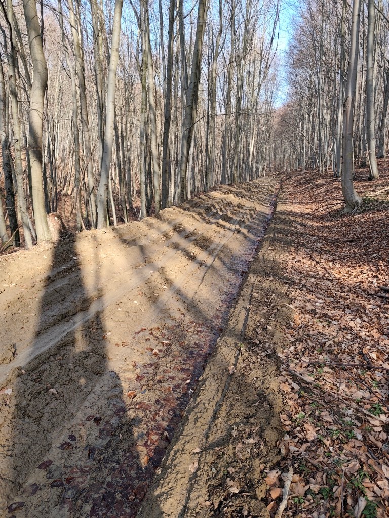
    And the Dukla Pass was still dangerous in the first years after the war, because there were minefields there, so we tried to deviate from the route as little as possible, which was not always easy, especially on the approximately 3-kilometer section damaged by mining, which was full of mud up to the ankles.

    This is a tourist path too

    This stage was special for us, mainly because it was the first time we encountered monuments and remnants of the war. At the Dukla Pass itself, there is a monument and cemetery of the members of the 1st Czechoslovak Army Corps, in the cemetery there are graves with the names of 1,265 fallen soldiers. Under the saddle stands a stone pylon (it is truly monumental, it is 28 m high).

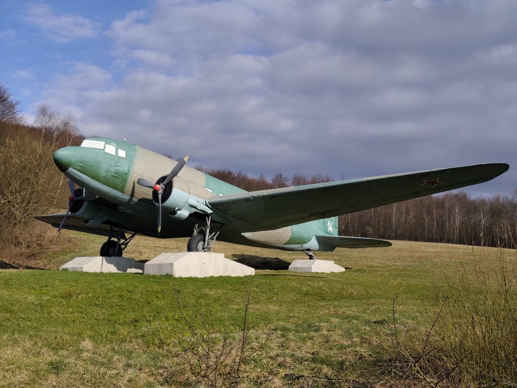
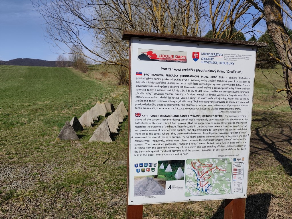
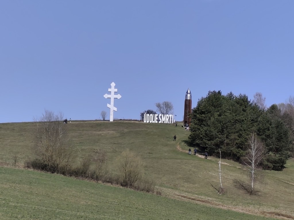
    Then we ran around the plane and between the tanks and after a few kilometers we reached the Valley of Death. In 1969, a so-called tank company in attack was built in the area of ​​the Valley of Death as a symbol of heavy tank battles. It consists of eight medium tanks deployed in a combat position on a meadow located between the villages of Kapišová, Kružlová and Nižná Pisaná. Along with the installation of tank technology, trenches were also created in this area and German anti-tank obstacles in the form of so-called dragon teeth were installed. In April 2019, the inscription “ÚDOLIE SMRTI” with dimensions of 9.98 x 2.90 meters was also installed in the tank company area. This is the largest horizontal inscription placed outdoors in Slovakia. In October 2021, a 13.5-meter-high four-story observation tower was subsequently built next to it, which with its specific shape resembles a cartridge for a Czechoslovak model 24 rifle.

    anti-tank dragon teeth
    The valley of death

    651

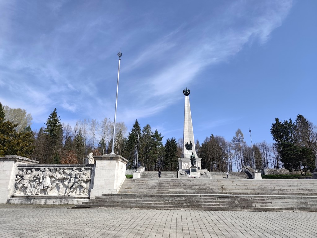
    We reach Svidník and right on its edge is the area of ​​the Dukla battlefield with the monumental Soviet Army Memorial. The pylon of the memorial itself has the shape of a four-sided pyramid and its total height reaches 37 meters. It is topped by a five-pointed star measuring 3.5 meters. Large-scale artistic reliefs were installed in the square pedestal of the pylon. Spiš travertine, which was imported from Spišské Podhradie, was used as the basic building material. The original memorial dates from 1954, but in 2017-2021 it underwent a complete revitalization. Next to the memorial there is also an outdoor museum exhibition with exhibits of military equipment.

    Memorial in Svidníku

    We leave the city and climb to Čierna Hora, where there is a relatively newly built shelter and an observation tower, which is quite an adrenaline attraction when the wind blows.

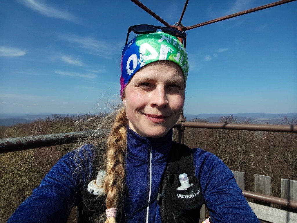
    On the obervation tower

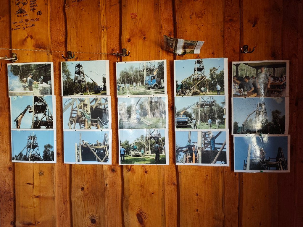
    There are interesting photos in the shelter documenting the construction of this observation tower.

    Inside the shelter

    Dnešnú etapu končíme v Kurimke, odkiaľ plánujeme zajtra pokračovať.

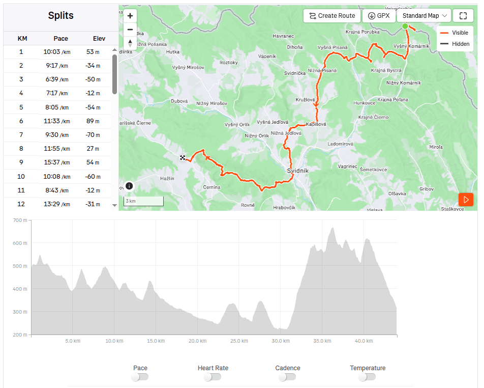
    44km, 7:08 active, 1277m ascend
  • Vyhne, Repište, Červená Studňa

    Vyhne, Repište, Červená Studňa

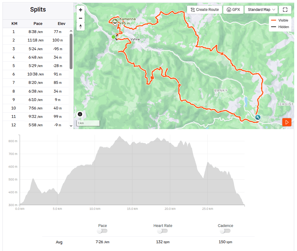
    Running at the beginning of March can still be treacherous, there can still be quite deep snow fields in the mountains, especially in shady sections the snow sometimes last until May. So we chose the route at lower altitudes. And this route is absolutely ideal for spring, it is runnable, often leads through meadows that would be too hot from the sun in summer. And in the middle of the hill there is a Hájovňa, where you can buy coffee, radler, cookies…

    I recommend the route in this direction, with the first stop near Repiste, where Marcus Castle is located. It is a replica of a medieval castle, which was built only in the 21st century. It includes the Chapel of St. Barbara, which is one of the stops on the Barbora Trail. The chapel stands on the spot where miners once stopped on their way to work and prayed to their patron saint for good luck and protection. However, you will not be able to get to the bottom, as it is private property that is not accessible to the public.

    Marcus

    From the Marcus Castle we continue along the Barborska Road to the Červená Studňa saddle, where the Červená Studňa tajch and Hájovňa are located. The construction of the tajch was designed by J. K. Hell. He wanted to use its strategic location to build a driving ditch that would bring water to the Amália shaft to power a water column pumping machine.

    This route has a lot of beautiful views

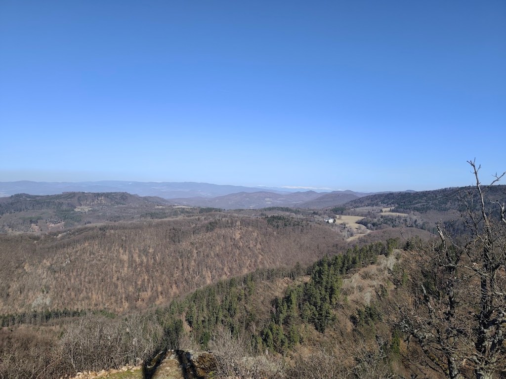
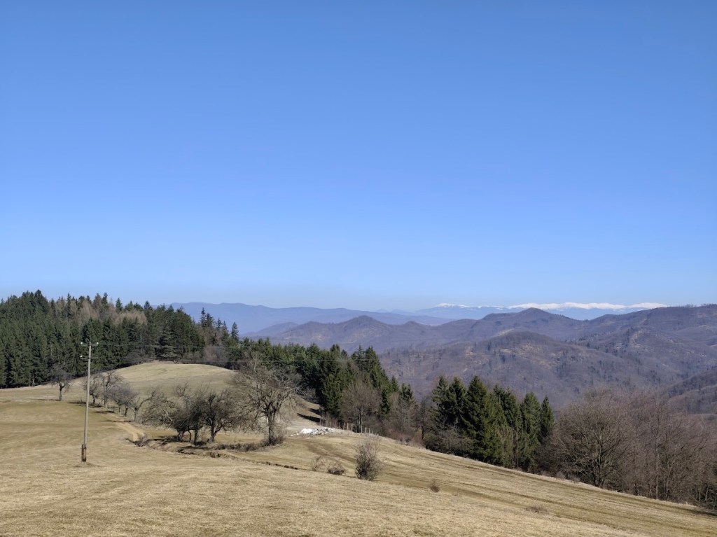
    We had coffee and a radler in Hájovňa, and since it was warm, we enjoyed them in the sun on a bench in front of Hájovňa. Back to Vyhne we went along the ridge on the opposite side of the valley, along the Andrej Kmeť educational trail. This is a nice cycle path, which also offers views of the Marcus Castle. We turn off cycle path to follow yellow marking and to see the views from Jelenia skala. From its top, under favorable conditions, you can see the beautiful landscape from Tribeč to the Low Tatras. From the surrounding hills, you will see Vtáčnik, Kremnické vrchy or Pohronský Inovec.

    Snow covered Lower tatras in the background

    From Jelenia skala we descend along the green path down to the valley and make up for the lost meters by climbing steeply along an unmarked forest path. We reach a not-so-used green tourist trail and follow it, descending slightly, to Hájska skala.

    Cross on the top of Jelenia skala

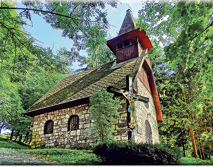
    We return to the parking lot past the spa chapel of Our Lady of the Crown. This is an early work of the famous architect Ladislav Hudec. It survived the devastating spa fire in 1945 and today stands on a hill above the village as a monument to the spa’s past glory, hiding a sculpture of St. John of Nepomuk.

    The chappel (source internet)
    29.93km, 3:42 active time, 4:18 total, 1233 m ascend
  • SNP girl’s project day 9

    SNP girl’s project day 9

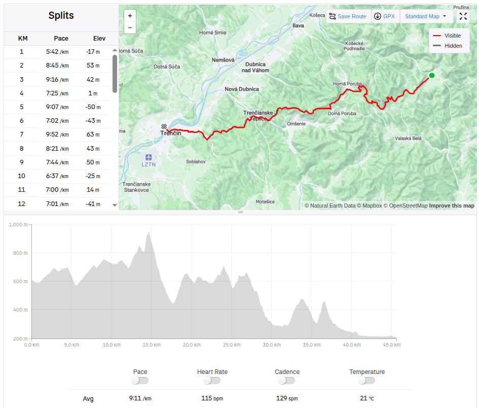
    This time we had a 45km long stage from Zliechov to Trenčín. In the morning at 7:00 we stopped the car in front of the same grocery store where we ended the stage last time. It was an above-average warm day for November, the sun shone through the clouds, ideal weather for running.

    Steep part of the climb

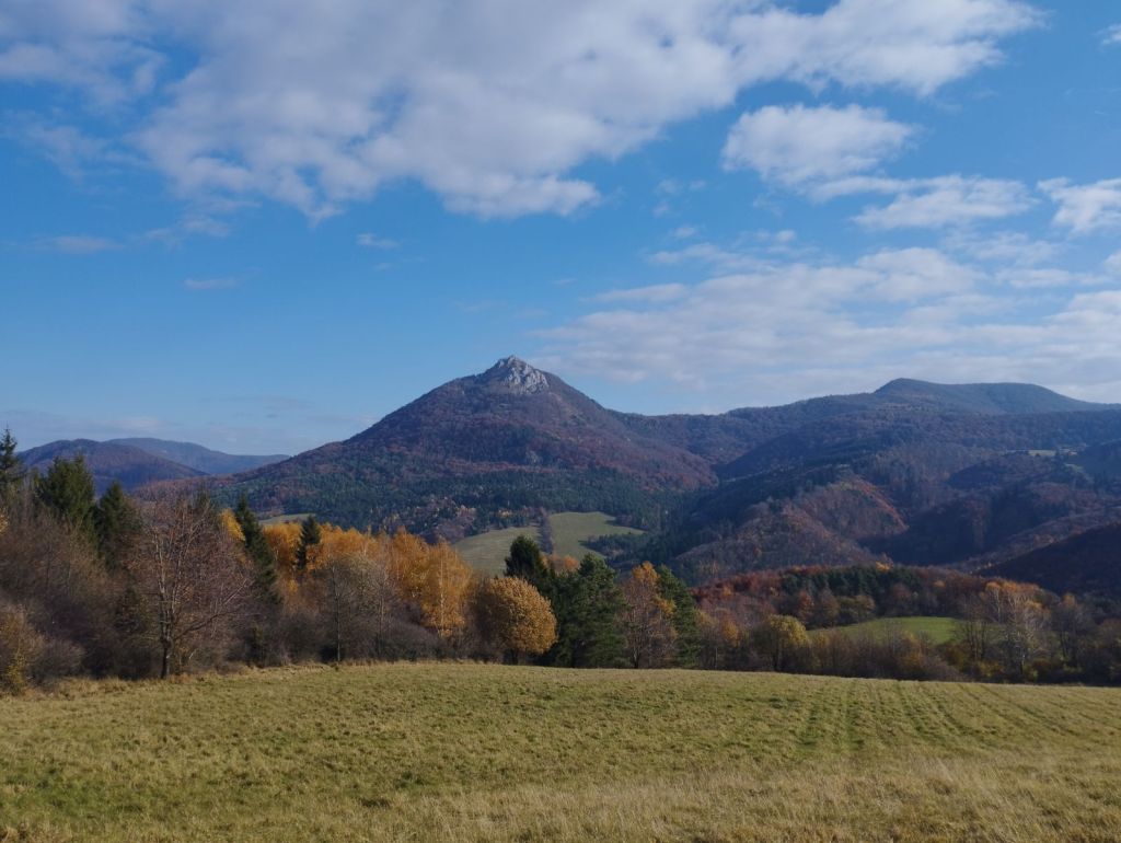
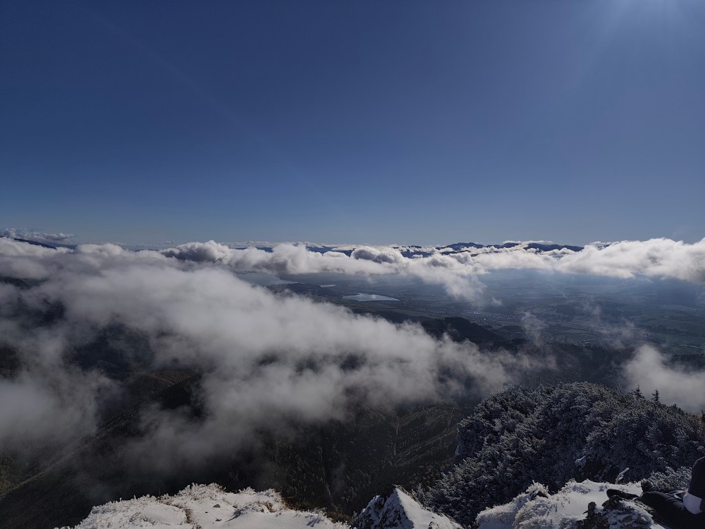
    The path undulated up and down through meadows, later turning into a forest path and we slowly climbed to Vápeč. The climb was long, I think about 10 kilometers, but only very gentle. The very end was steeper, but Vápeč rewarded us with a beautiful circular view of the wide surroundings.

    On Vápeč
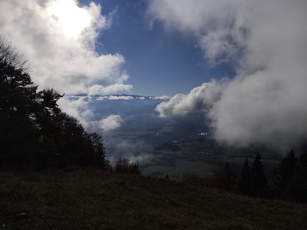
    View from Vápeč

    Then we descended to Horná Poruba and continued along a long forest path covered with leaves. The leaves covered puddles, mud and even roots or stones, so each of us jumped into at least one puddle. Somewhere near the stone gate we met Jožko, who was going to drive the car to the destination in Trenčín and was running towards us. We were all looking forward to some refreshments in Trenčianske Teplice. We found a pub by the lake and the non-alcoholic radler just disappeared inside us.

    After Horná Poruba

    From Teplice to Trenčín it was again a leafy forest path, so to speak just over the hill. However, Trenčín tormented us, 5 kilometers on asphalt, running from one side of the road to the other and the only interesting thing it offered us along the way was the silhouette of the castle in the background.

    But overall we enjoyed it, this autumn day was perfect for such a beautiful stage with rustling leaves.

    45.5km, 6h 58min, 1645 m ascend
  • Veľký choč

    Veľký choč

    A beautiful sunny autumn Sunday, perfect for the mountains.

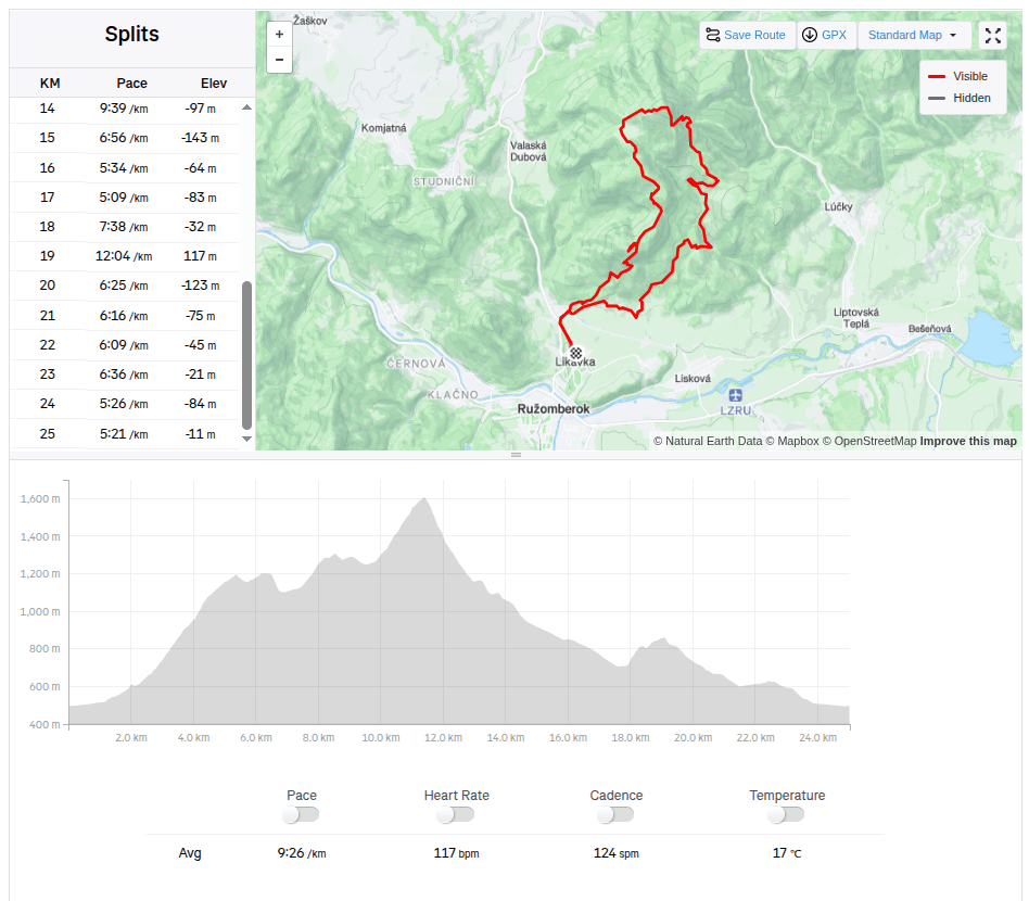
    We started in Likavka near Ružomberok and after just a few kilometers we came across the first attraction – Likavka Castle, but we only saw its outer walls because it has been closed for a long time due to reconstruction.

    Castle Likava

    Even so, it stands majestically on the rocky spur of Predný Choč and is worth visiting, as Likava is one of the largest castle buildings in central Slovakia, and the massiveness and height of the palace-like complex of the upper castle (more than 36 m measured at the highest point of the northern palace) ranks it among the highest castles in Slovakia.

    Výhľad na hrad Likava

    We continue with the red mark, at the crossroads we also go to a viewpoint on a meadow below the peak of Predný Choč. The viewpoint is located at an altitude of 1170 m above sea level and consists of a meadow, surrounded by a forest on three sides. The viewpoint provides a view mainly to the south. From the viewpoint we will have a view of the city of Ružomberok, the Dolný Liptov region and the Veľká Fatra and Nízke Tatry mountains.

    At the Spuštiak saddle we continue to Stredná Poľana, from where we choose the winter road to Veľký Choč.

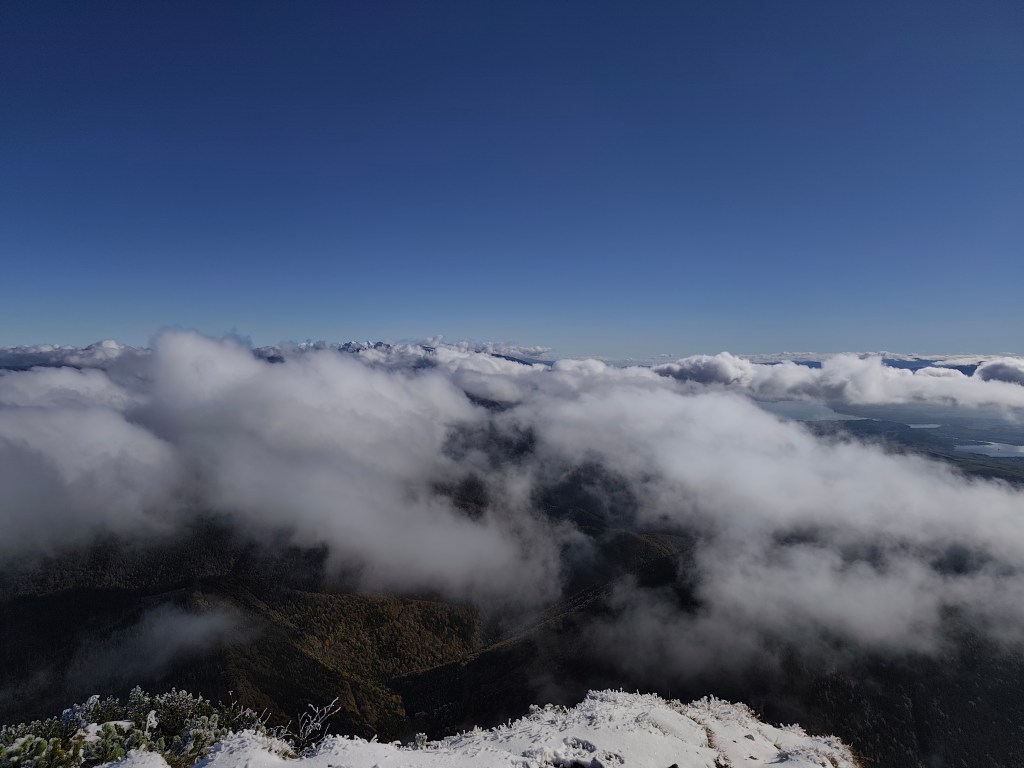
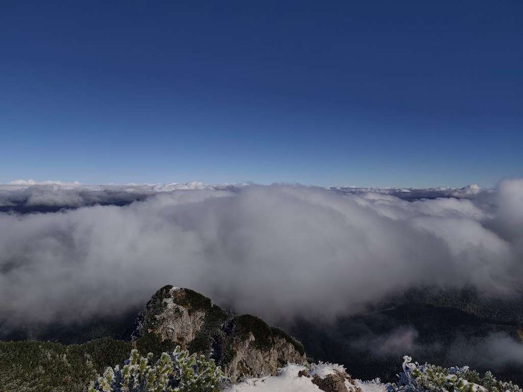
    Veľký Choč (1,611.0 m above sea level) is the highest peak in the Choč Mountains in Slovakia. The peak is very popular with tourists. It has the shape of an irregular pyramid with numerous cliffs. There is an excellent circular view from the top of Choč. Its peak is covered with pine trees, from Valaská Dubová it has a slightly rising shape, while from the north and from Lúčky it is in a steep slope. And it was this steep slope that we descended. Due to the snow, mud and rocky ground, we descended carefully and slowly. Fortunately, the most dangerous places were secured with chains.

    At Žimerová we turned off the red one and headed towards Turícký tajch. It is a really small body of water, but at least it served as a reference point for us (we turned off here onto an inconspicuous forest path, which led us back to the blue tourist trail. We continued along the blue trail to Likavka (well, almost, because we took a wrong turn and ran across the field to the castle :D)

    25km, 3h56min active time, 4:38 total, 1566 metre ascend
  • Slovenia 2025

    Slovenia 2025

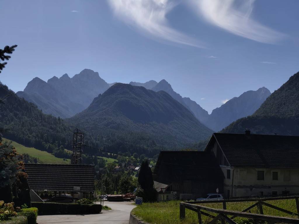
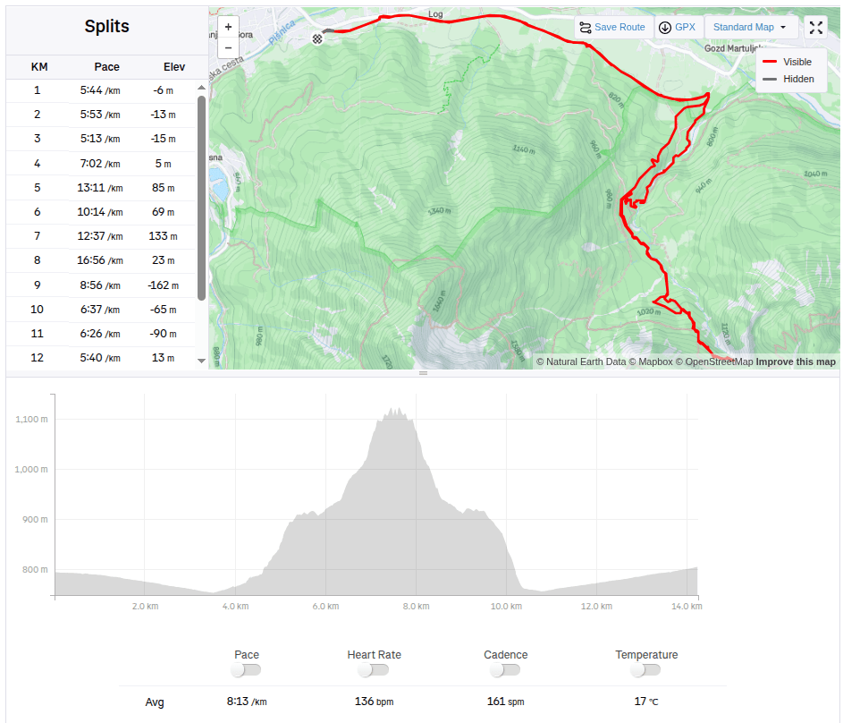
    4 day short trip to Slovenia, on the edge of Triglav National Park. The guys were running the Julian Alps Trail Run and Lucka and I went to support them and do a little running.

    The first day we arrived in the afternoon so the only thing on the to do list was to find a good restaurant, buy groceries and see Lake Jasna.

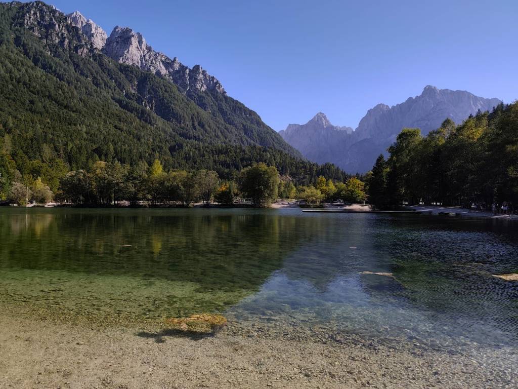
    Lake Jasna is the name of two interconnected lakes located just a short distance from Kranjska Gora. It is an alpine lake with crystal clear water and breathtaking mountain scenery.

    We also walked through the center of Krajnska Gora, where it was already bustling with the upcoming race. It is a smaller alpine town with a bunch of good restaurants and stalls in the center.

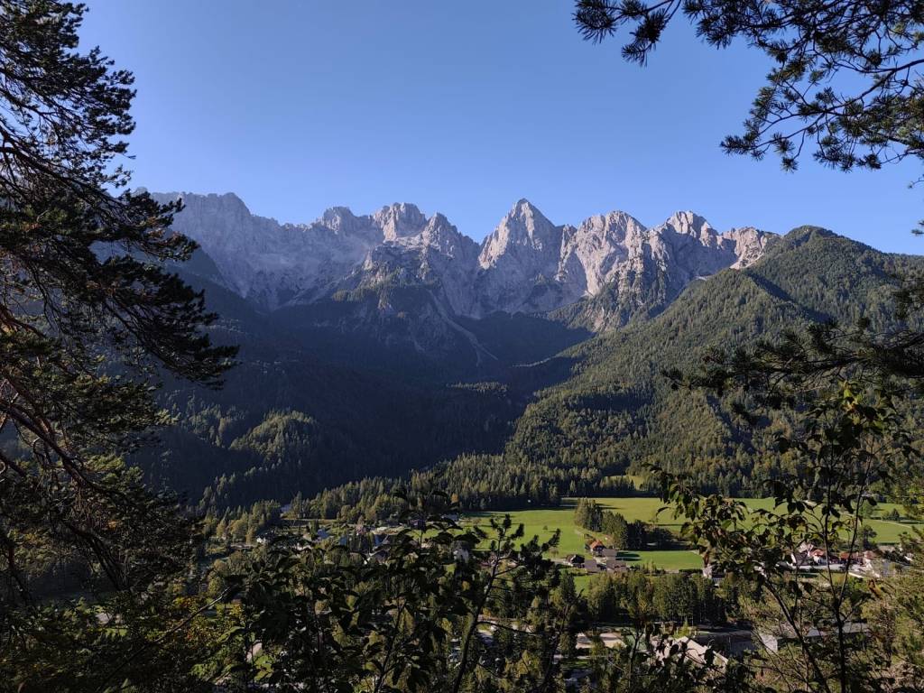
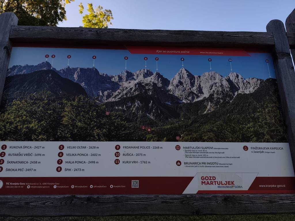
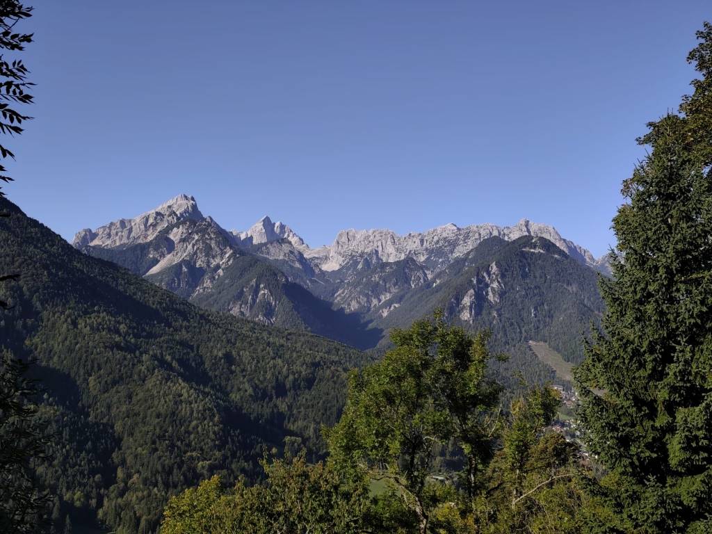
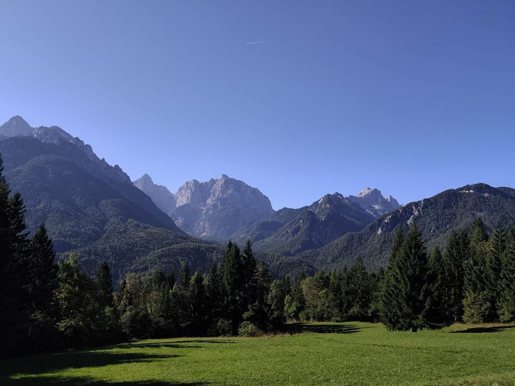
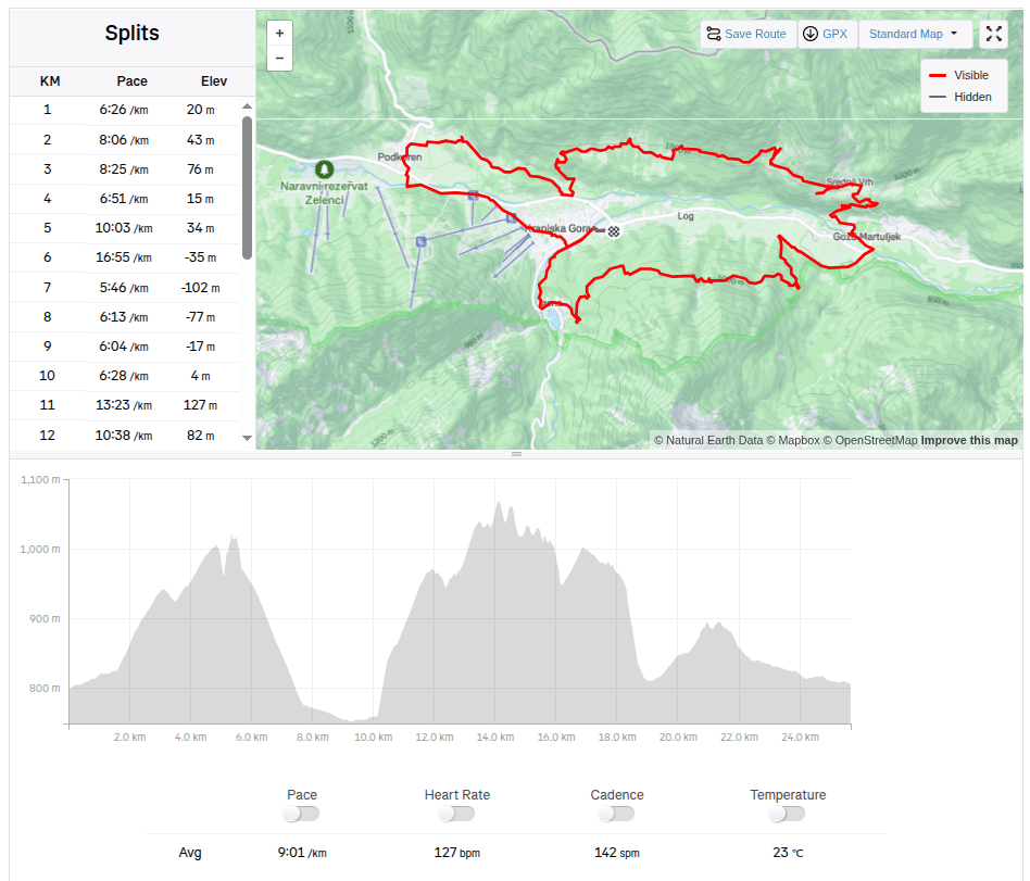
    The guys were supposed to start on Friday evening, and Lucka and I went to run one of the shorter routes from the Julian Alps Trail Run in the morning. We chose a 25km route that took us into the hills above the valley with great views of the Julian Alps, especially the Špik peak. But for our taste, there was quite a lot of asphalt on this route and not enough water:D It took us almost 4 hours to run. In the afternoon, we returned to the restaurant from the previous day (Figo restaurant) where we really enjoyed it.

    25.67km, 3h 51min, 875m ascend

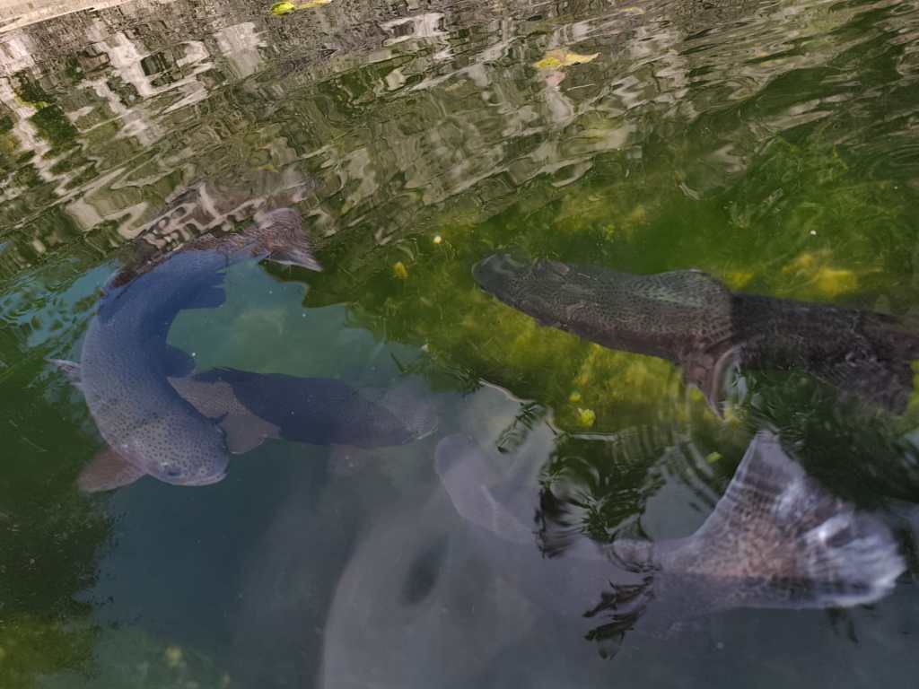
    On Saturday, the plan was to encourage the boys, so we packed the stroller and bike for Anton and ran 15km to the village of Gozd Matjulek – on the way we noticed a turnoff to the waterfalls and that really caught my attention. I would have liked to see them. But there was no time, we got to the refreshment station about half an hour before Jožko, so for now we walked through the village of Dovje, in the middle of it there was a reservoir with water and giant trout in it.

    Trouts

    And it had beautiful views of the Alps. Jožko finished his 107 kilometer at about 3 pm, he was really overheated and his stomach was protesting, but his legs were still going. Miloš was supposed to arrive at 6 pm and that was quite late, we couldn’t wait for him. So we continued running to the last refreshment stop and from there quickly to the finish line where we managed to arrive before Jožko by about a minute 🙂
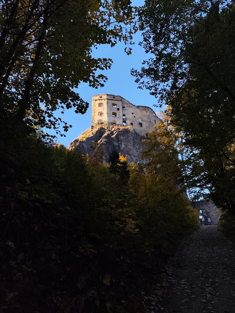
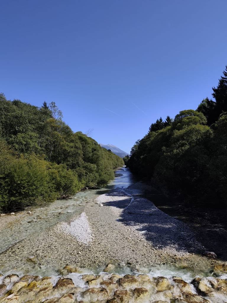
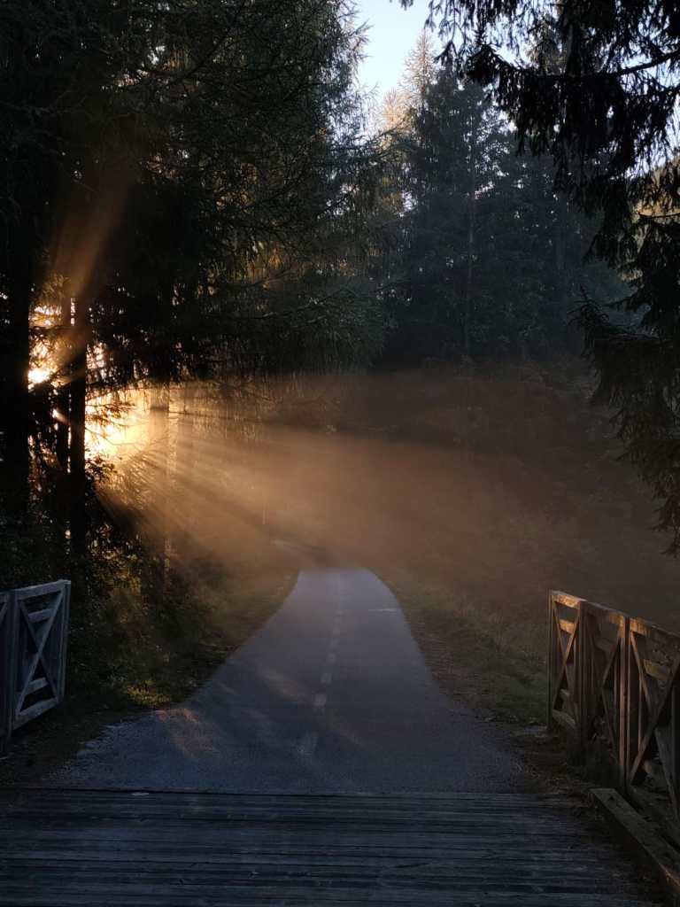
    From cycle path to Dovje

    And since we wanted to encourage Miloš too, we went back for the last refreshment stop and then back to the finish line. Both guys did it brilliantly in under 24 hours.

    Village Dovje

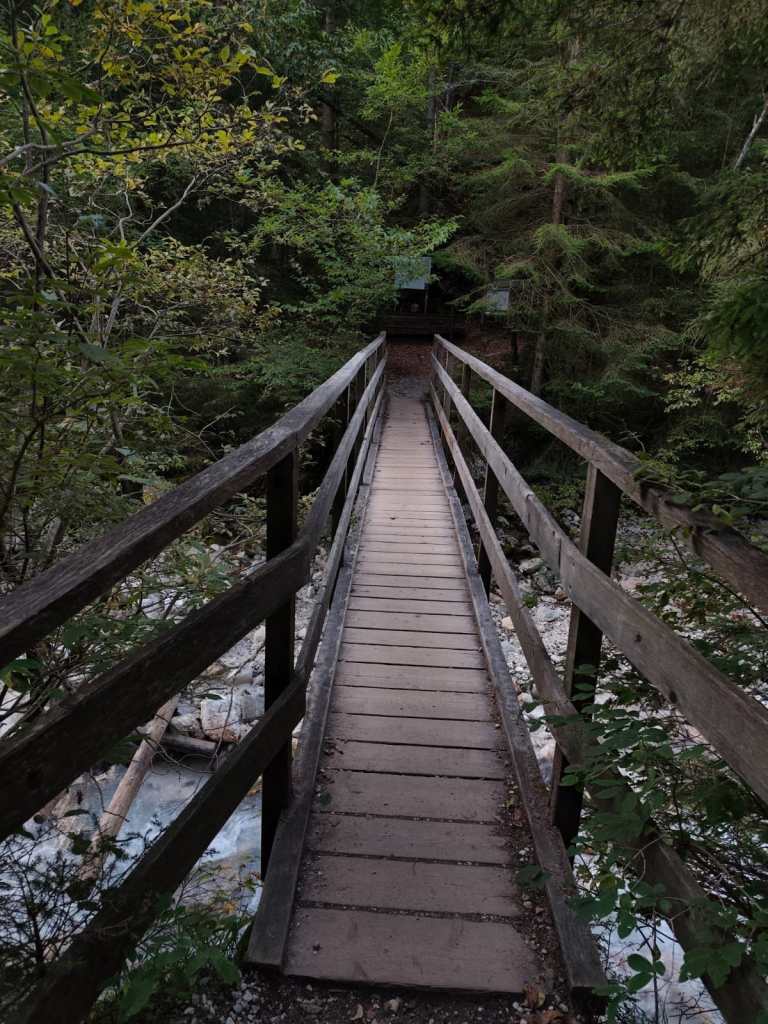
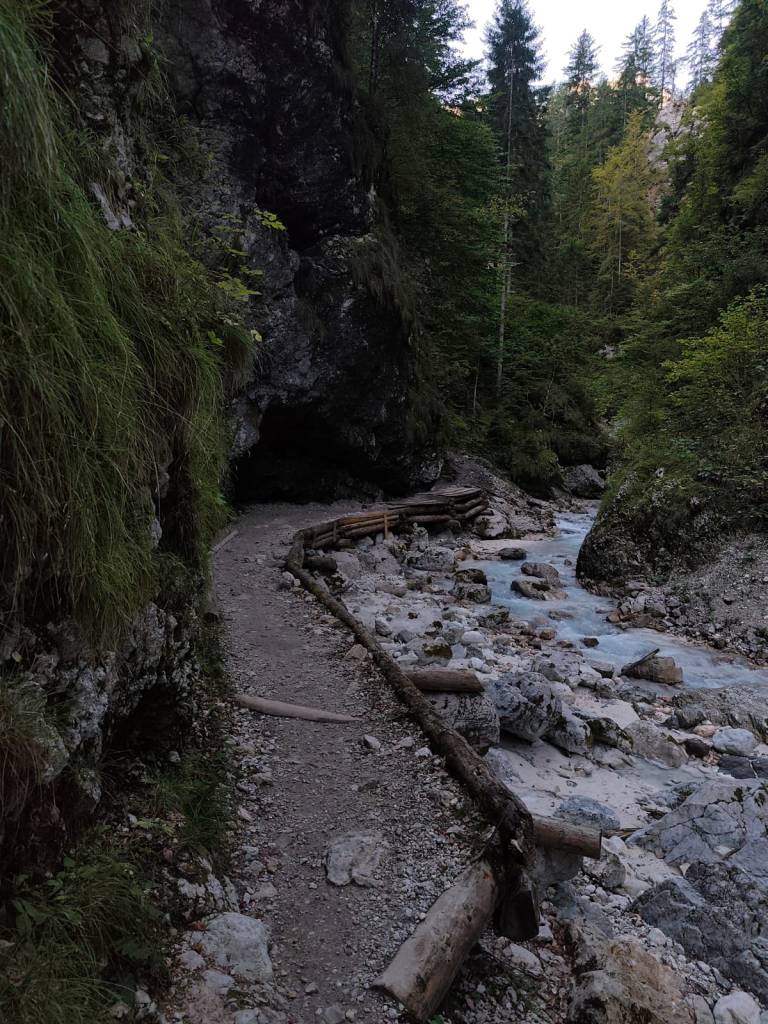
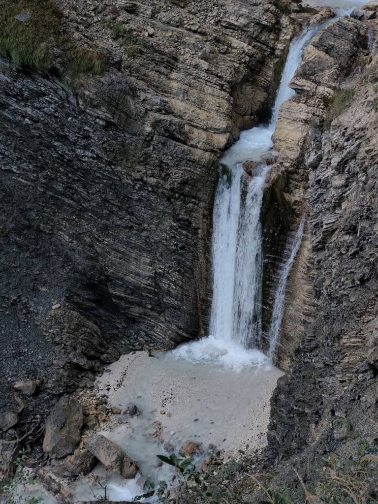
    On Sunday, no one wanted to go, but I just couldn’t get the waterfalls out of my head, so I set my alarm so I could get around them before the planned departure at 10 a.m. After 3 kilometers of asphalt, I ran into the Martujlek Valley, which is named after the Martujlek stream, which springs high in the mountains. As the stream descends, beautiful waterfalls appear.

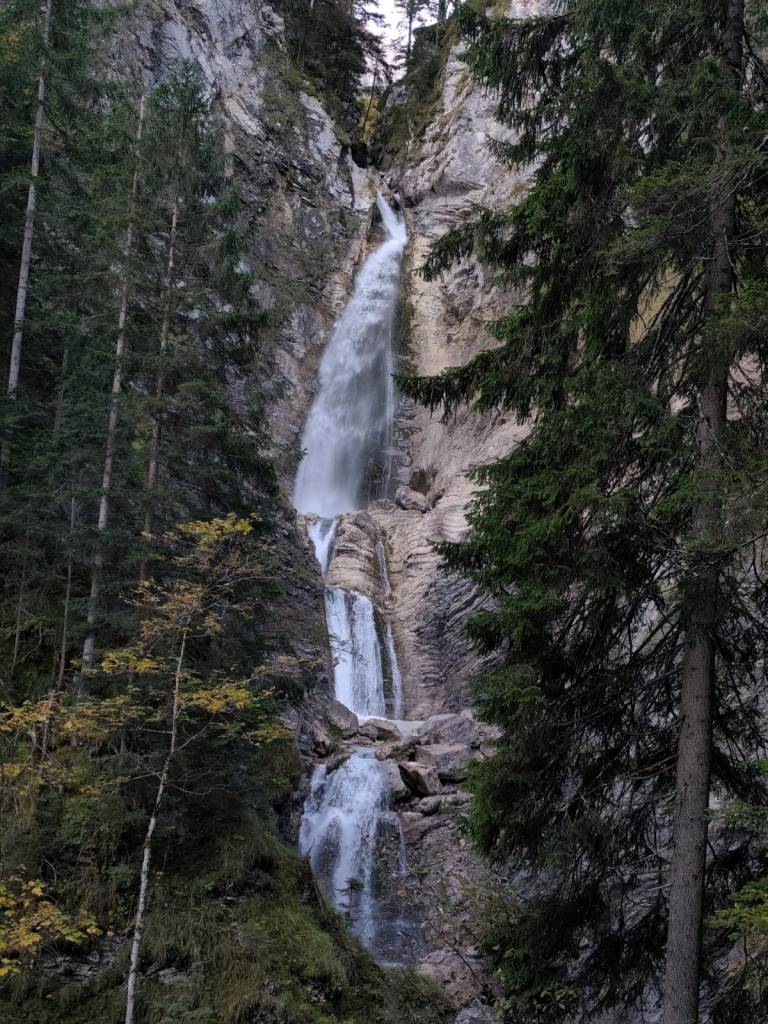
    The Lower Martuljek Waterfall is the largest and most impressive of the waterfalls, cascading into a picturesque canyon from a height of over 50 meters. It can be admired from viewing platforms on the hiking trail.

    Lower Martuljeks waterfall

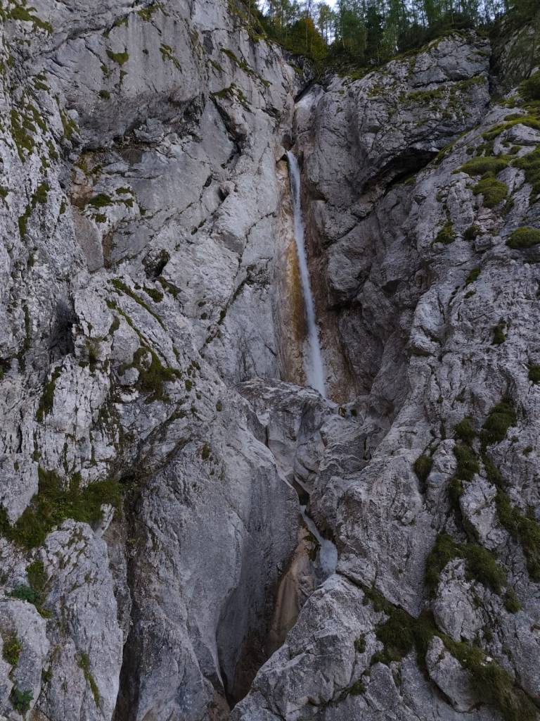
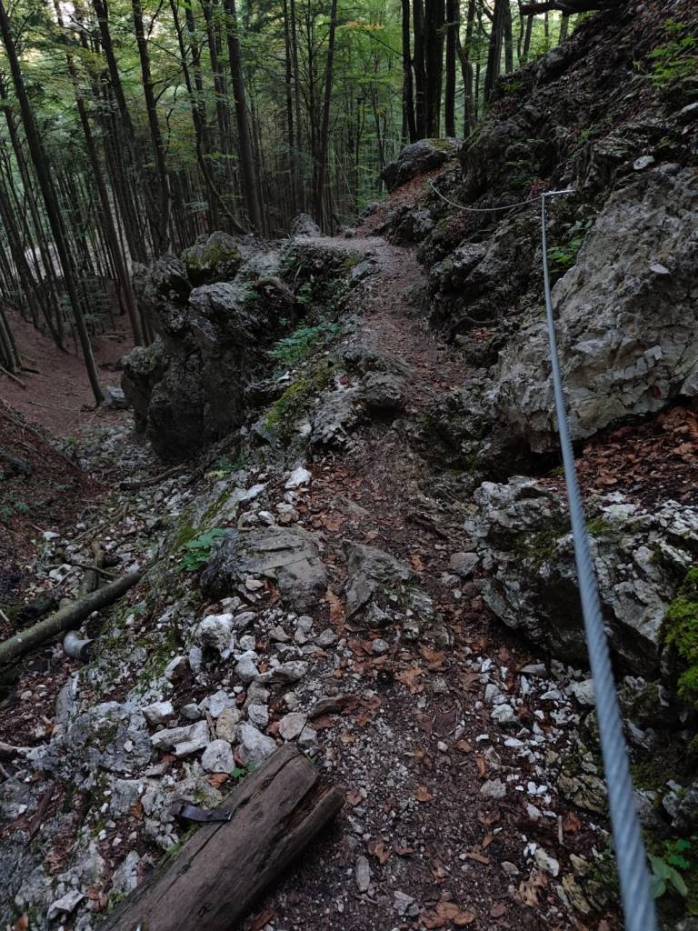
    Above the lower waterfall is the upper Martuljek waterfall, a hidden gem hidden among the rocks of the gorge. The upper waterfall is smaller, but no less magnificent. It is reached by a path secured with safety ropes.

    Upper Martuljeks waterfall
    Some parts of the path were even marked as a ferrata on the map (however, in the photo, the part is marked as a ladder)
    14.25km, 1h 57 min, 479m ascend
  • Skymaraton Chopok

    Skymaraton Chopok

    I haven’t raced in a long time, mainly because we have a lot of our own projects and few free weekends:)

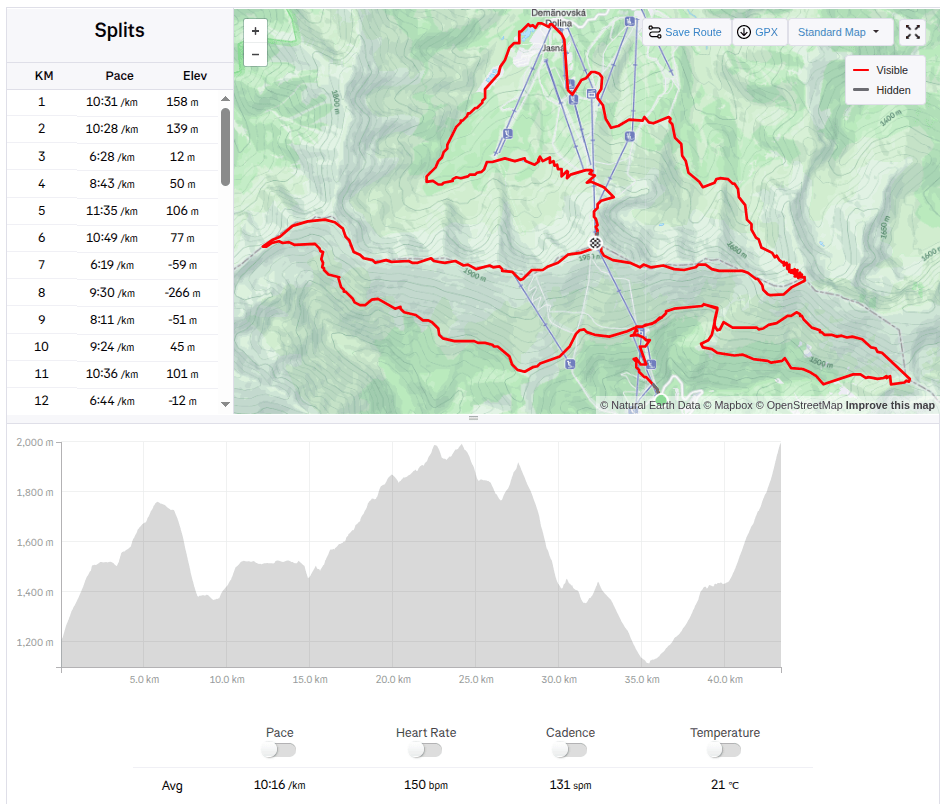
    But when I received the entry fee for the Chopok Skymarathon, I didn’t refuse and so on September 6, 2025 I stood at the start under Chopok in front of the Srdiečko hotel.

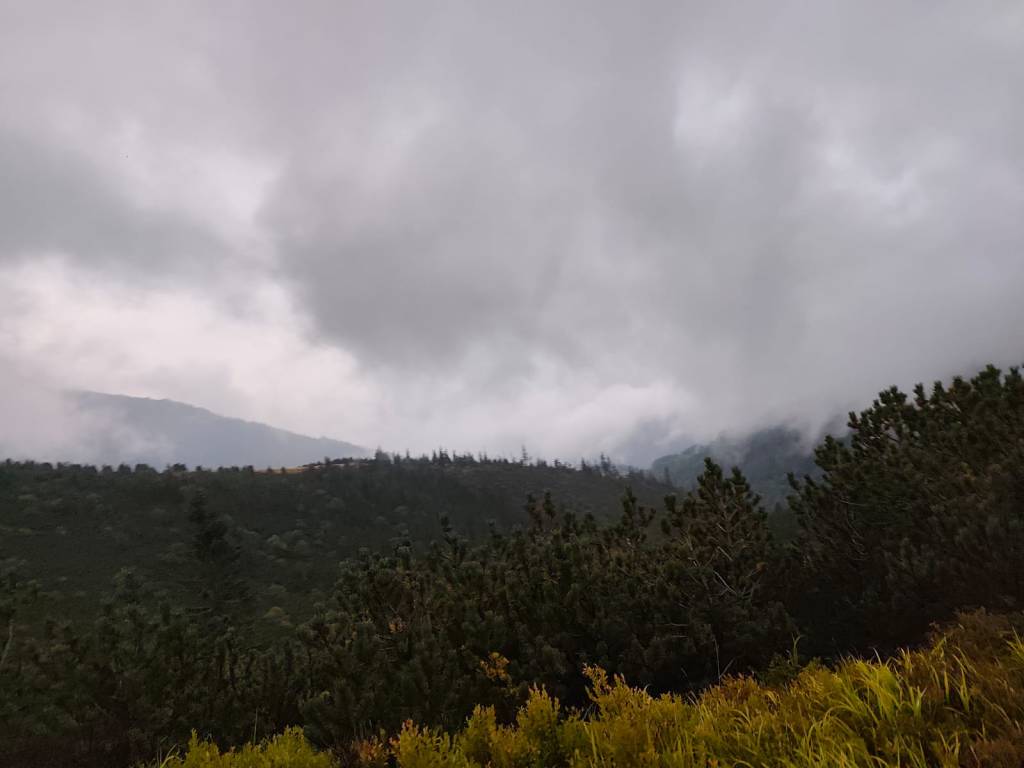
    The starting gun was accompanied by thunder in the background and even though the storms were predicted for the afternoon, they arrived right in the morning. Within 30 minutes I was soaked to the bone and the conditions were even more difficult, slippery roots, wet stones, mud.. But at least it wasn’t hot.

    During the storm

    After the initial climb to Kosodrevina, there was a traverse almost to the M.R. Štefánik hut and quite a few sections were runnable, from the hut there was a fairly long steep section down to the cave of dead bats, where it was quite slippery. I went relatively slowly and managed it without falling. There was a nice, quite runnable path back to Kosodrevina and so I ran as much as I could.

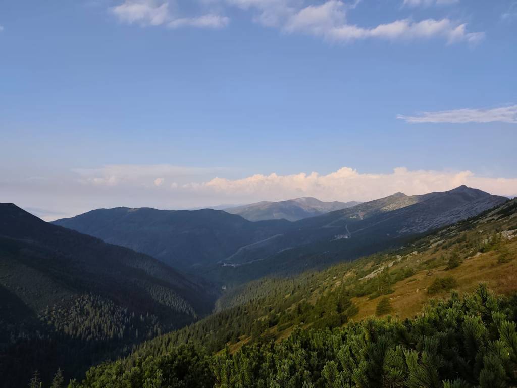
    There is sun after the storm

    I ran the refreshment stop only with a refill of ionts and a long, really long climb to the Krížské sedlo awaited me. Here I started to feel that my strength was waning and there was a reason, almost 20km and I had eaten almost nothing.. mistake..

    After first half

    I mostly walked to the refreshment stop on Chopok, where I stuffed myself with a banana and a chocolate bar, replenished my fluids, and jumped over the Tatra granite to the Demänovský saddle, where the trail started to rise again. I already felt that today would be very difficult, because I had less strength than I would have liked, especially uphill.

    Half foggy, half sunny

    The descent from Krúpov saddle was steep, rocky, muddy and strenuous, it took a lot of my strength, but the forest from Záver širokej doliny was beautifully foggy, mystical, covered in moss, I enjoyed it..

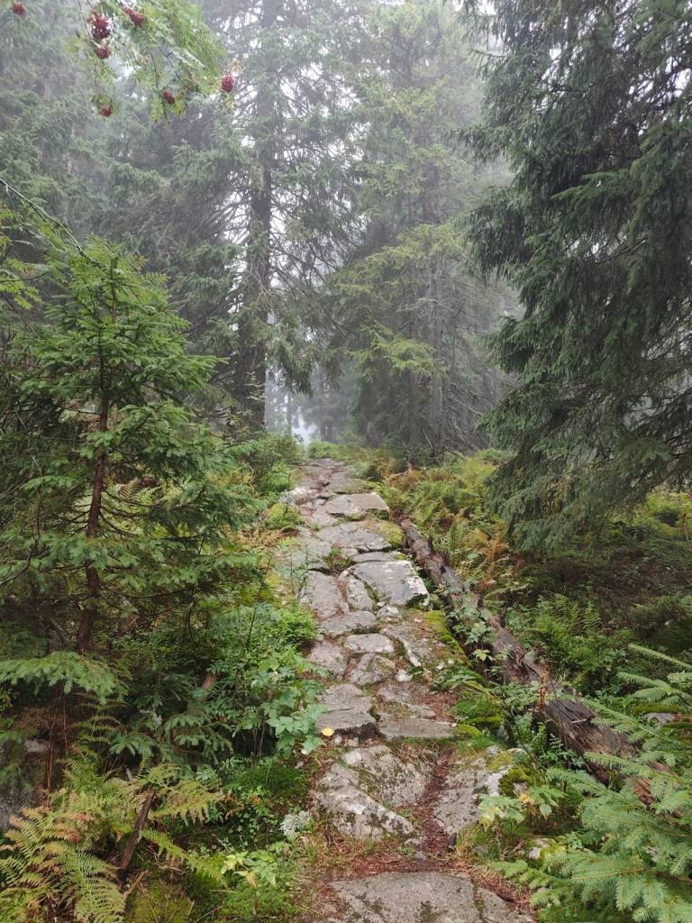
    Mystical forest

    The last refreshment stop on Biela Púť and now it’s just a climb, I tried to replenish my energy, but I knew that it would be more walking than running.. It was quite easy up to Orlia Skala, I walked quite briskly. But up the slope? That completely turned me off and I could barely move from one foot to the other, my head was starting to hurt, my stomach was protesting… It wasn’t the performance of the year, but I didn’t give up, and I walked all the way to the finish line, I was the 6th woman at the finish line with a time of 7h 33min.

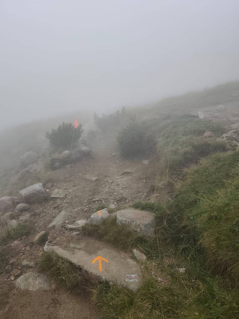
    Slowly and gloomily up the slope, in places the sign was almost invisible
    43,4 km, 7h 33min, 2680m ascend
  • SNP Girl’s project day 8

    SNP Girl’s project day 8

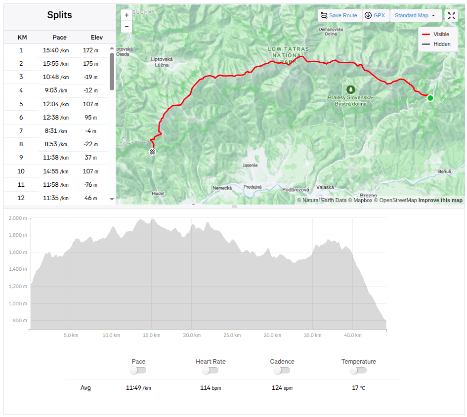
    Another stage of our journey on the SNP , this time from Čertovica to Hiadeľské sedlo.

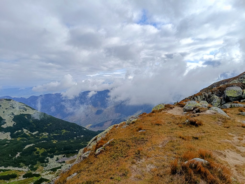
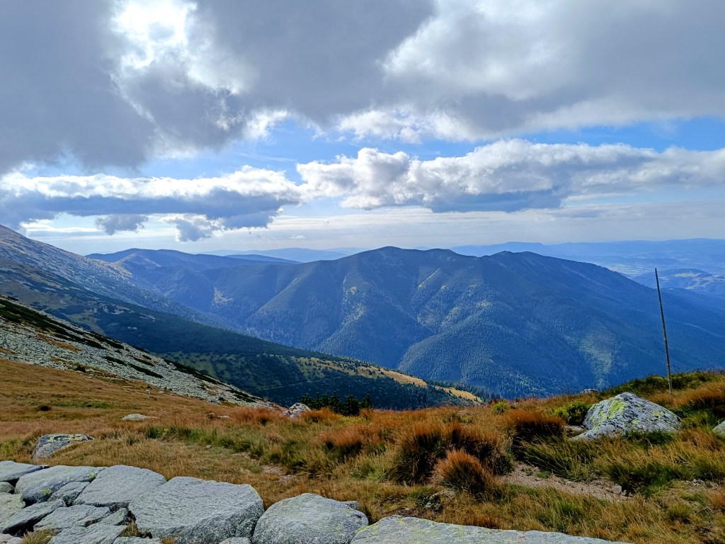
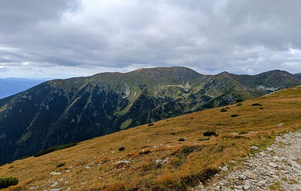
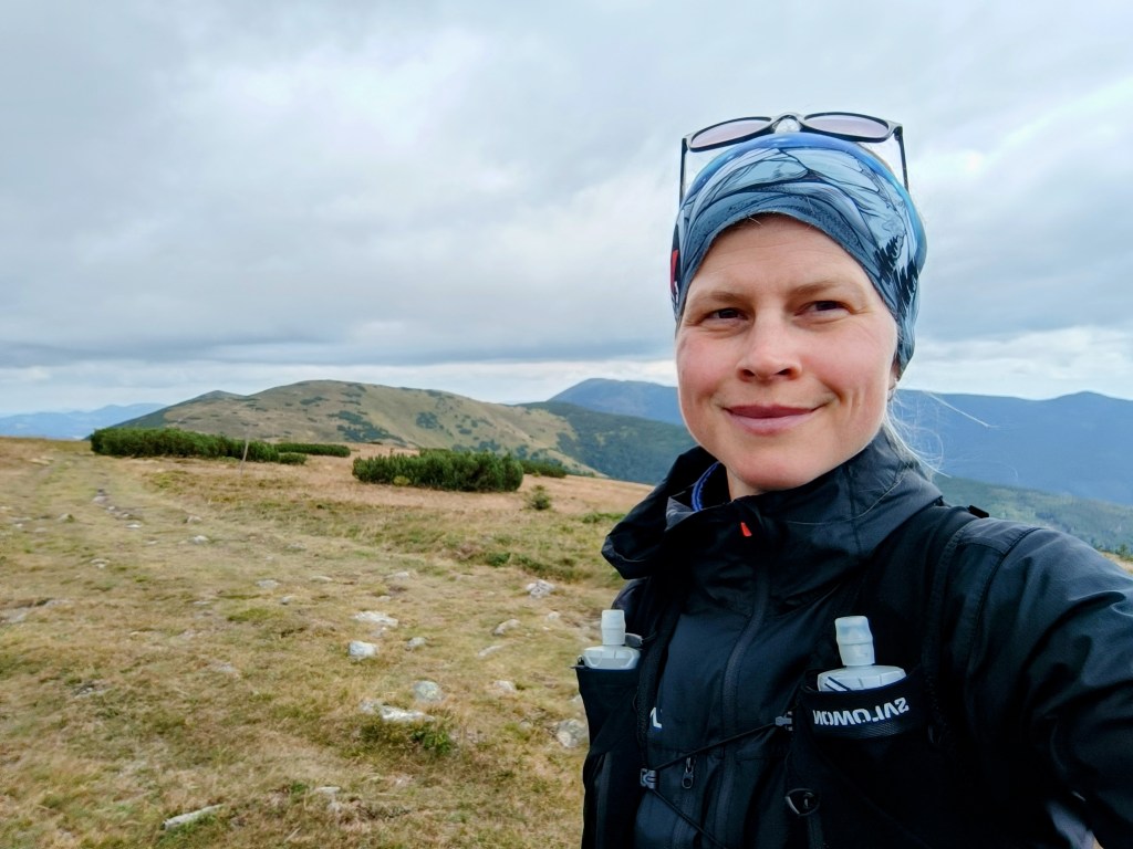
    For us, one of the most beautiful stages along the ridge of the Low Tatras, a bit more demanding in terms of logistics and also in terms of weather. We were mainly afraid of getting overheating, because on this part of the ridge you can only refill your water at mountain huts and surprisingly, in the end we were cold 😀 The 5 degrees in the morning barely climbed to 10 during the day and in the wind the feeling temperature was even lower. Half the way I ran with gloves and a headband was also a must. A day later it even snowed in the High Tatras.

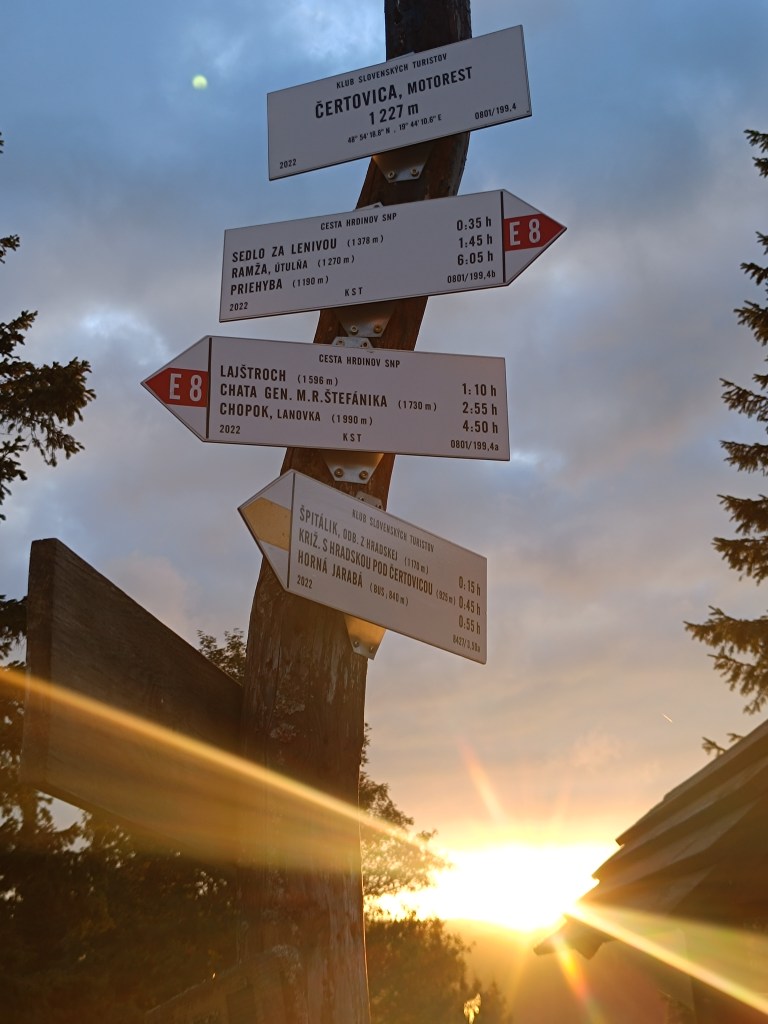
    starting point – čertovica

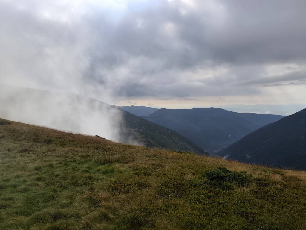
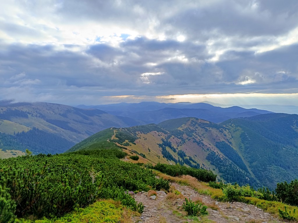
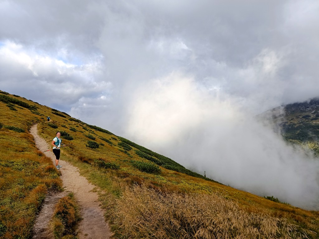
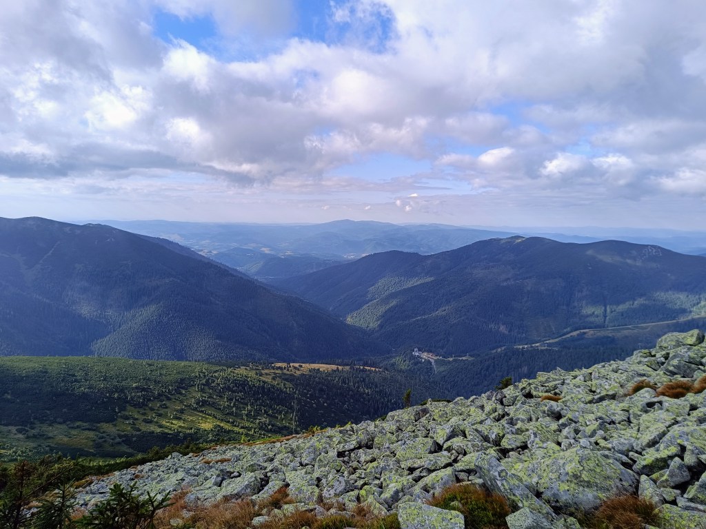
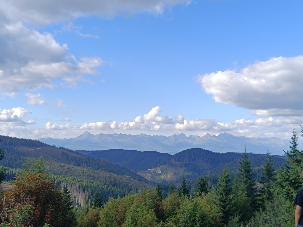
    The main peaks were in the clouds, but we still enjoyed the beautiful views. Also, this stage was much more visited by tourists than the previous ones.

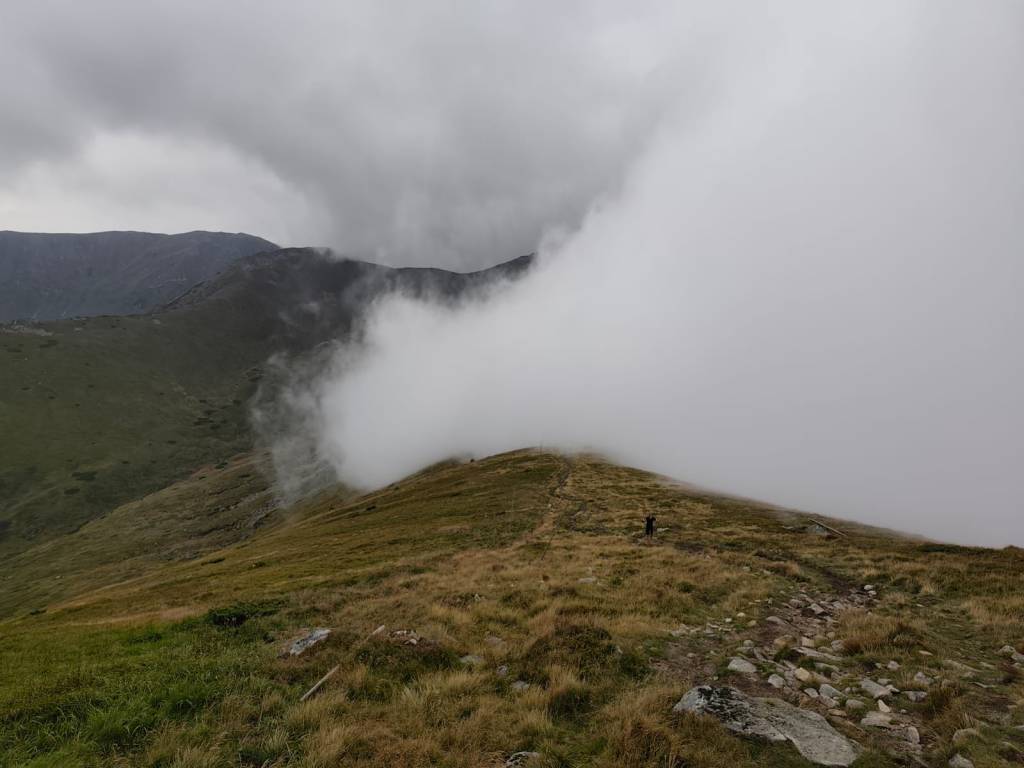
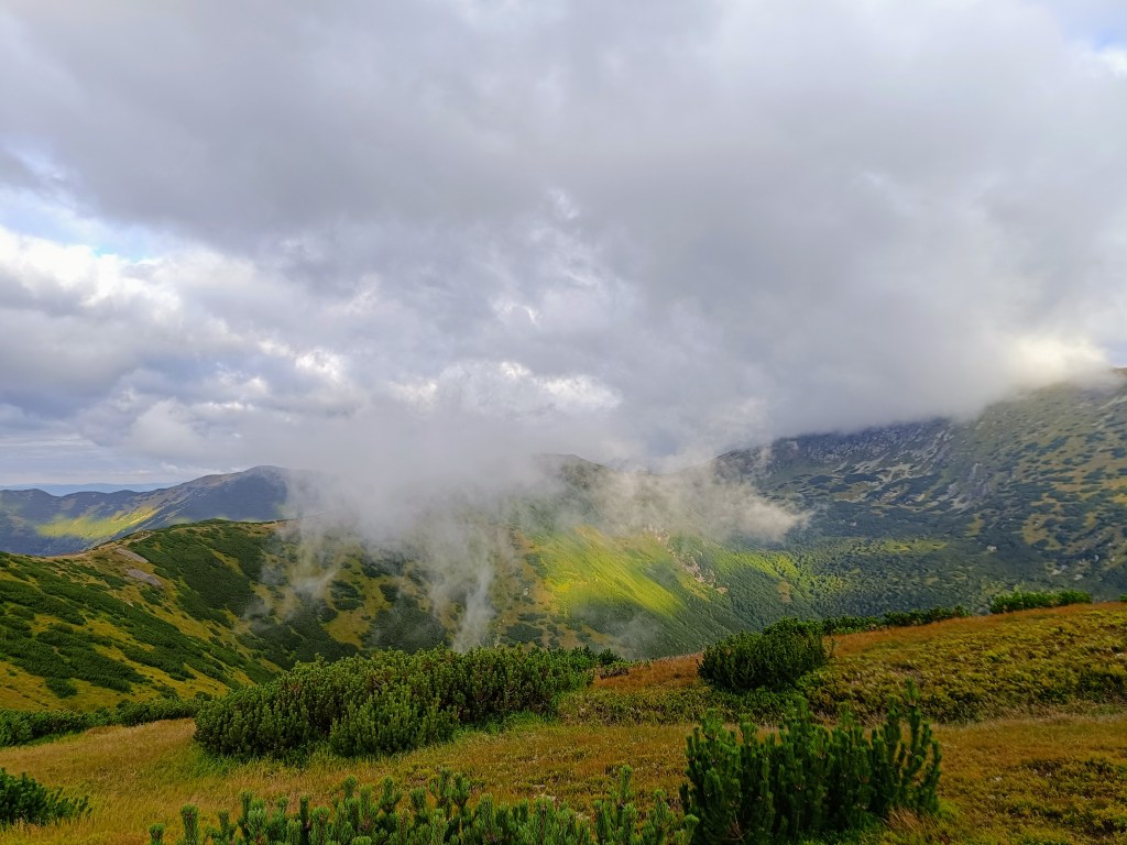
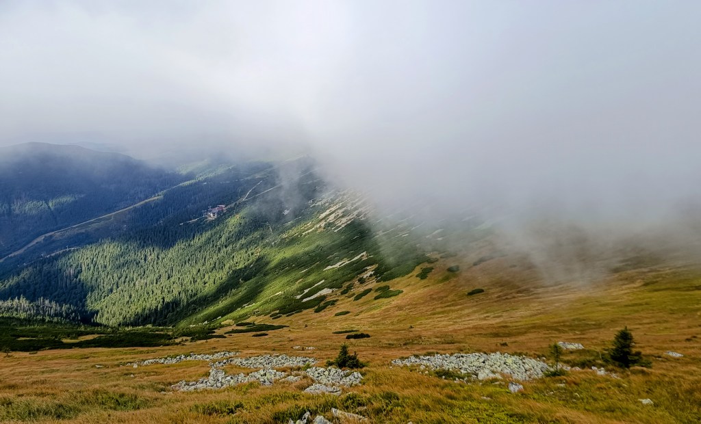
    Clouds rolled over the hills all day

    From Čertovica, it starts with a climb to Kumštove sedlo, there are ripe raspberries and blueberries everywhere along the path, and higher even cranberries. But there really wasn’t time to graze on them. After less than 2 hours, we are at the M. R. Štefánik hut, but we don’t stop, bacause we plan to have coffee on a Kamenná hut. From štefánik hut, the path is much more technical, we pass through stone fields, which slows down our progress considerably, and we slowly start to feel hungry.

    Lucka on the way to Stefánik hut

    After three hours we arrive at Kamienná hut, where we enjoy a coffee, a great tea made from mountain herbs and a bun. 15km, 3 hours and 1100 meters climbed. Today will be a full-day trip 🙂
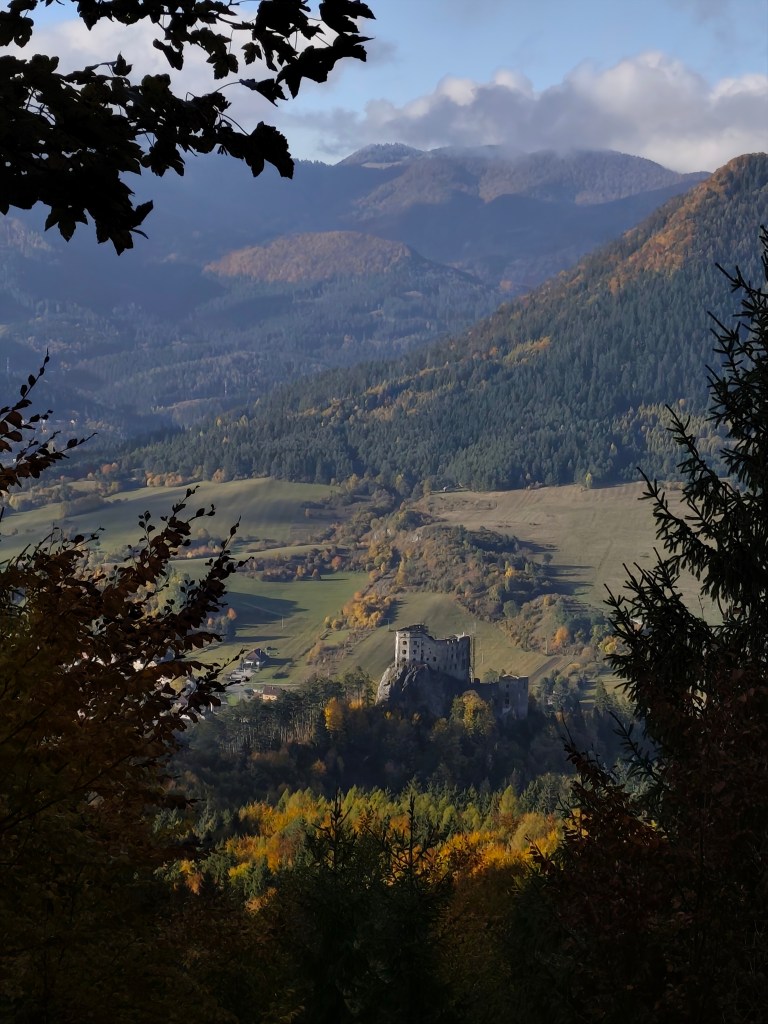
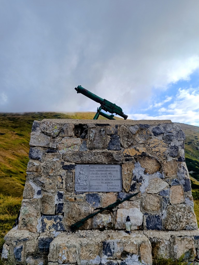
    Monument for the heroes of Slovak National Uprising (SNP)

    We continue through Dereše, Poľana, Chabenec to the saddle above the Ďurková shelter, where Jožko separates from us and returns to get the car. Lucka and I decide not to stop, we have enough water and it is not so hot that we have to refill it. We have covered 26km in almost 5 hours and we are eating another bun. Today we eat a lot 😀

    We are heading to Chochuľa, where we should meet Miloš and run the rest of the ridge with him. Lucka and I are really enjoying the ridge, even though I am cold sometimes, mainly on the higher peaks. Miloš is fast and manages to run down to the saddle under Skalka. Our legs are already quite tired and there are still 12km to go.

    We manage to run slowly most the time, but when we cross Prašiva, we slow down completely to a walk, the steep terrain and gravel pose too much of a risk of slipping for Lucka, her legs are tired and she’s afraid of falling. Actually, I don’t mind at all and I walk with her, my legs are already pretty sloppy.

    Mountain meadows

    We reach the Hiadeľ saddle and memories come flooding back to us of how we started the stage to the Šturec saddle at this very place. We walk down the steep slope, but when we get down to the asphalt, we heroically start running and run all the way to the car. A non-alcoholic radler, flip-flops and a dry T-shirt make us perfectly happy people:D We meet Jožko in a restaurant, where we have a late lunch of the size of “I ran all day”. It was great.

    44.19km, 8h 42 min active time (9:07 total), 2277m ascend

  • Andrejcová Challenge

    Andrejcová Challenge

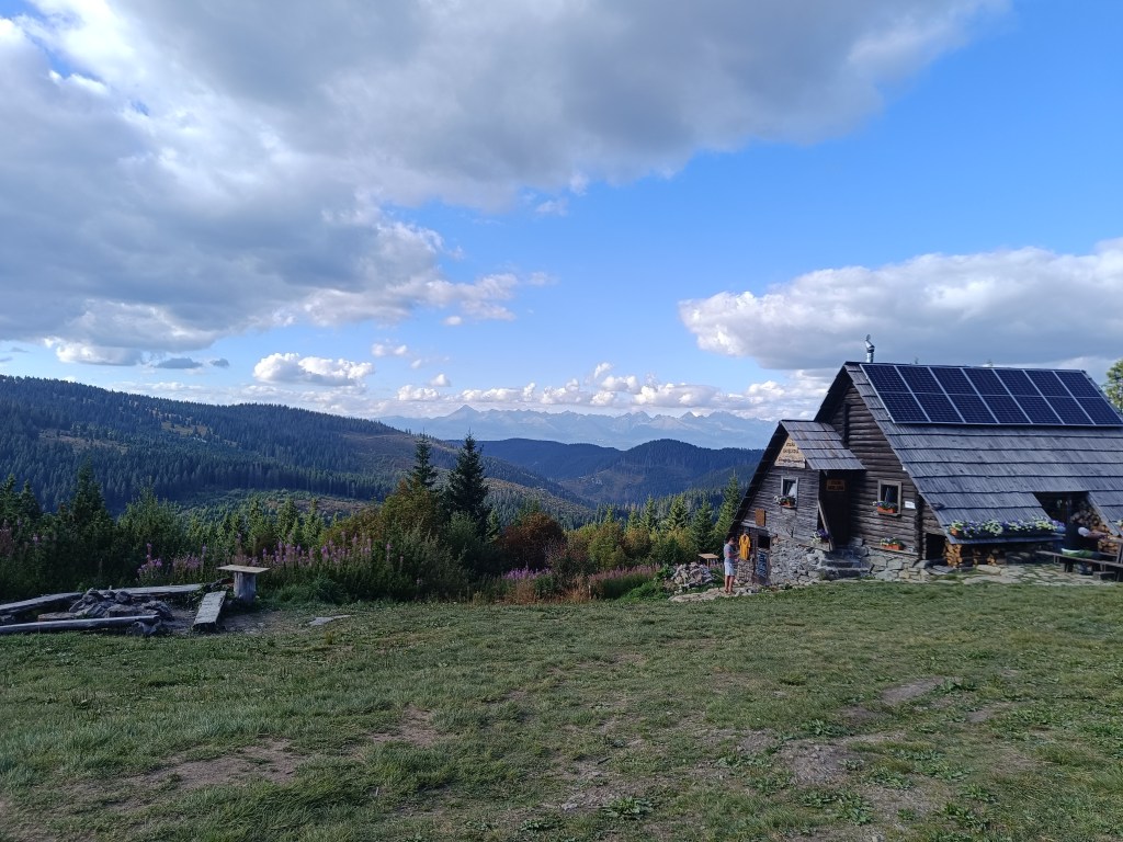
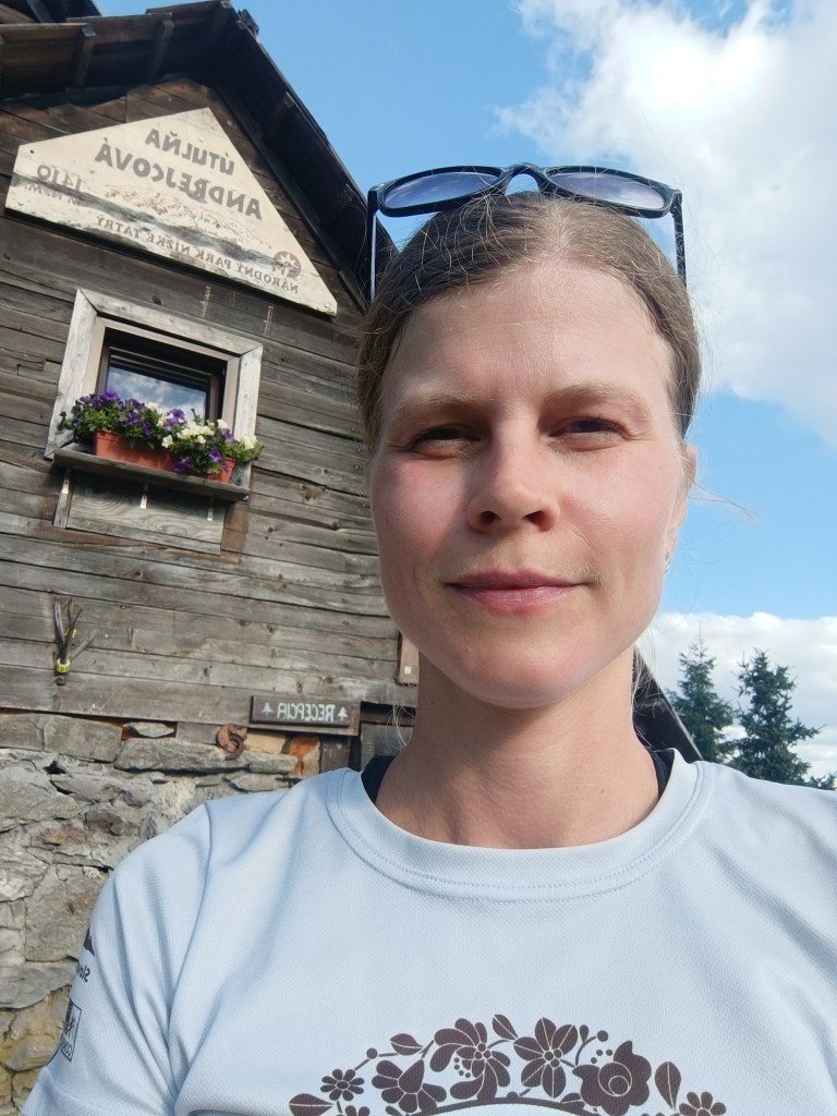
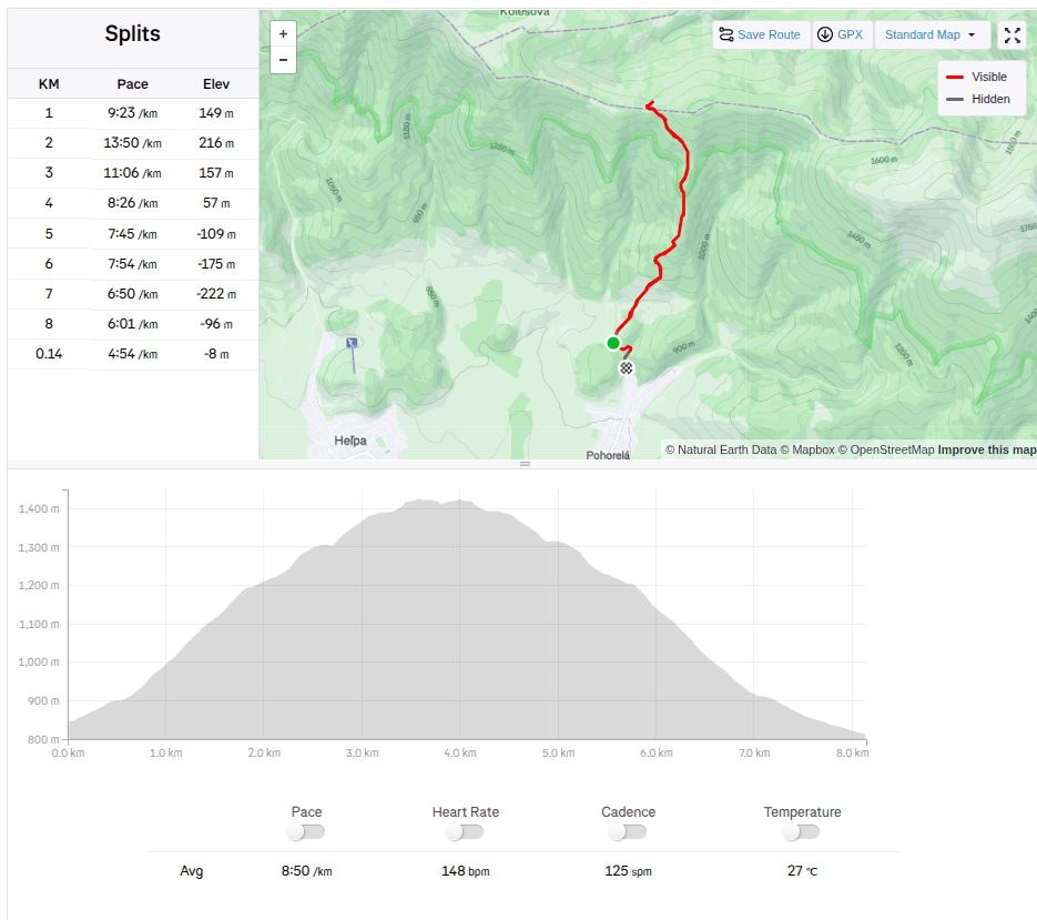
    This month there is a challenge to Andrejcová. Andrejcová is a shelter in the Low Tatras with beautiful views of the High Tatras. It is located at an altitude of 1410 meters above sea level. I have visited it once in the past, when we ran along the ridge of the Low Tatras, but I have never gone to it from Pohorela, where the start of this challenge was. So I decided to give it a try.

    927 / 5 000

    The route is relatively short (3.5km), but the climb is quite steep (595 m climbed). So I really sweated while I climbed to the top. I conquered this challenge in 39min and 22s.

    The construction of the shelter itself began in May 1968 and largely local raw materials were used; stone and wood. A nearby spring was also modified and the building was approved in October 1968. It was used from the beginning by tourists and hikers, and during the summer grazing of the mountain meadows it also provided shelter for shepherds and even the cattle themselves.

    The building fell into disrepair for a long time and was not significantly repaired until 2005, when the shelter was partially reconstructed.

    Since 2014, the shelter has been under the management of cottage owner Marek Šurina, who, with the help of local enthusiasts, is gradually revitalizing and improving the building and its surroundings. The roof covering was changed again, the chimney with the heating element was repaired, and the cottage was gradually completely insulated so that it could provide comfort and safety even in the winter months.

    The climb itself offers beautiful views and as a bonus you can eat sweet raspberries, of which there were truly plenty.

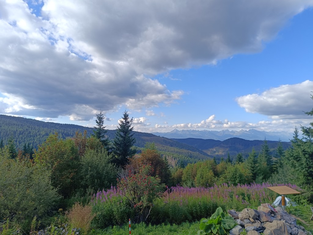
    Shelter with a nice view on High Tatras
    8.14km, 1h 11min, 595m ascend