Category: SNP

  • SNP girl’s project, day 17

    SNP girl’s project, day 17

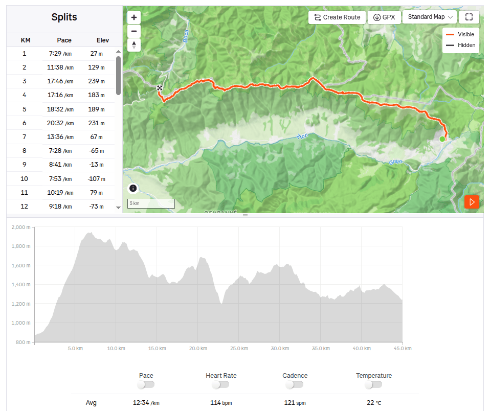
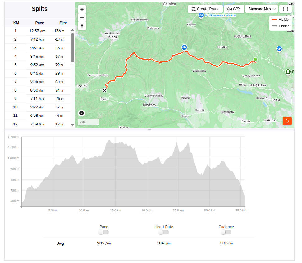
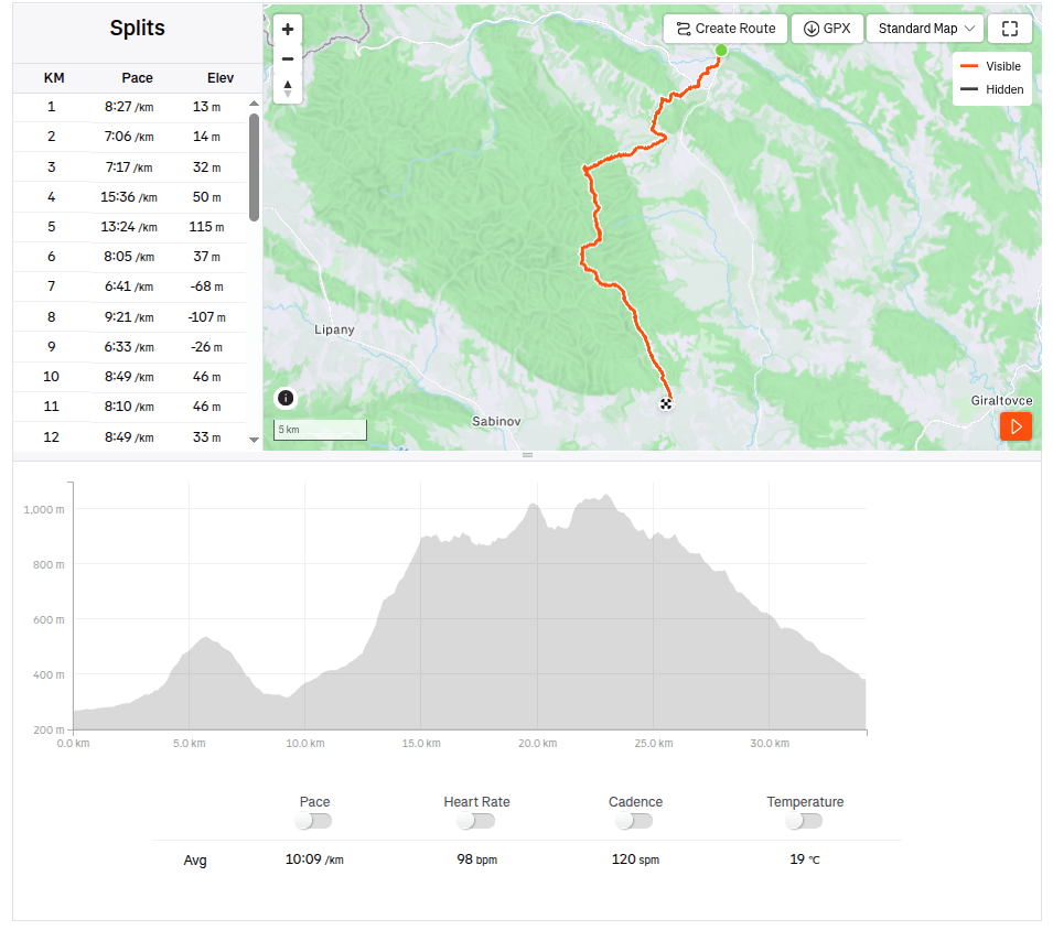
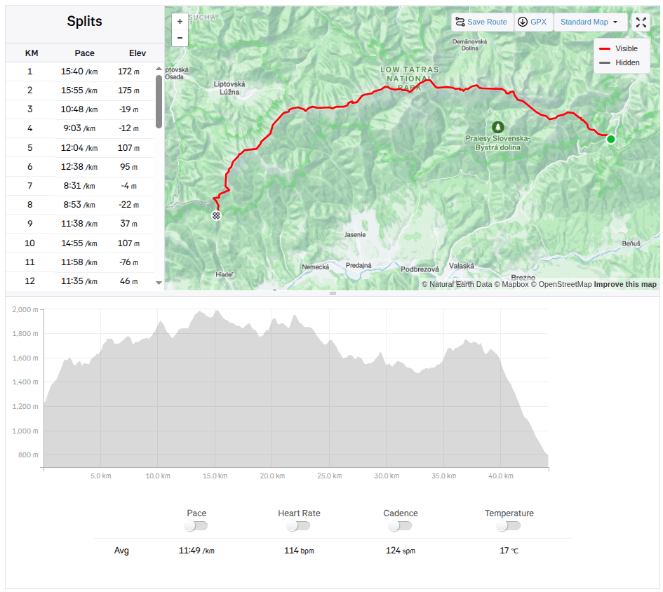
    The next stage of the SNP Heroes’ Trail,was taking us from the Štós Spa to Dobšinský Kopec. A long stage lay ahead, compounded by a lengthy drive that required a very early start. We left Bystrica at 4:30 AM, and I enjoyed my breakfast and morning coffee in the car along the way. We arrived at the Štós Spa at 7:15 AM, and just a few minutes later, we were already jogging along the red-marked trail.

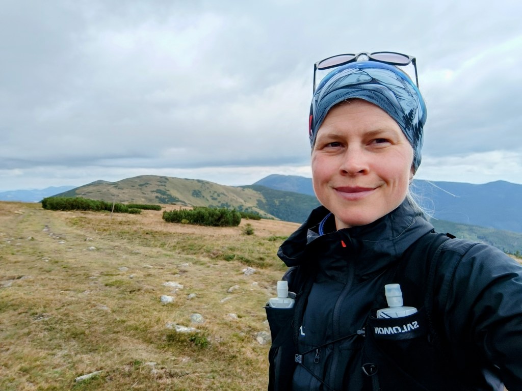
    The air warmed up quickly, and after just a few kilometers, I was already changing from my jacket into shorts. There were supposed to be plenty of springs along the route, so we were each carrying only two half-liter bottles—supplies that were disappearing very fast. The first water source was supposed to be at the Pipitka hunting lodge, but when we ran up to it full of hope, there wasn’t a single drop of water. We quickly scanned the map for the next spring, as we were down to our last two deciliters of water. Fortunately, the nearest spring was only 3.5 km away, so we pressed on.
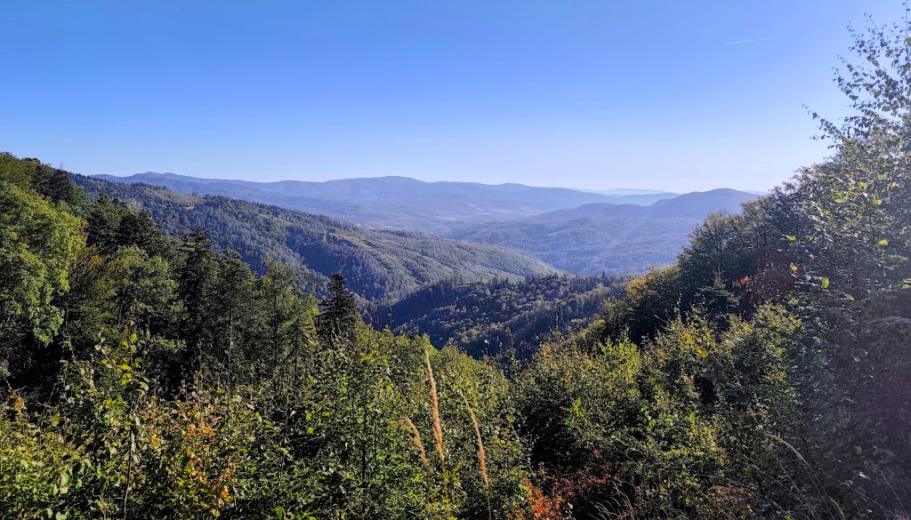
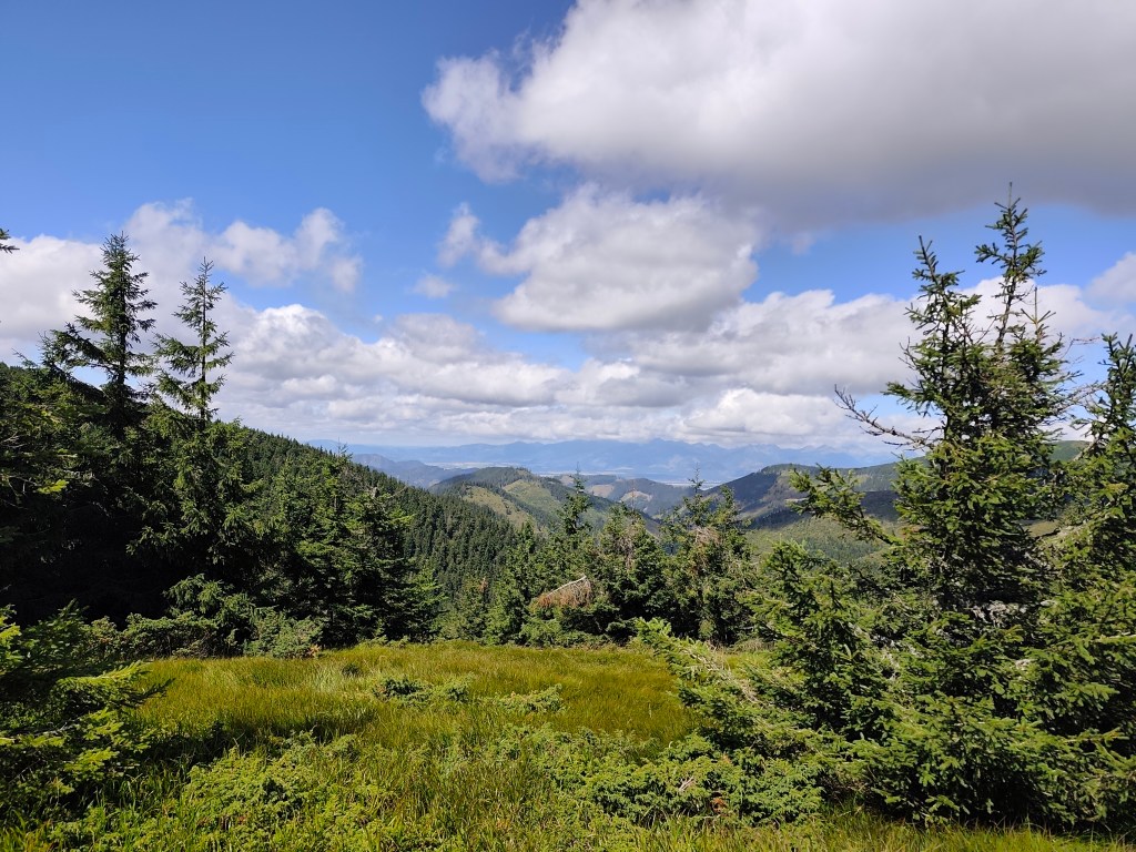
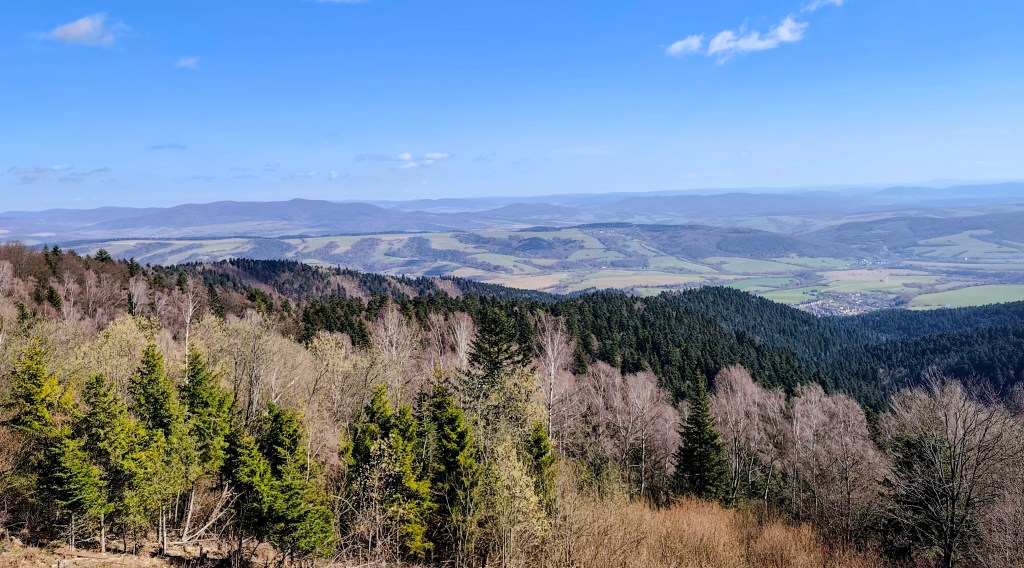
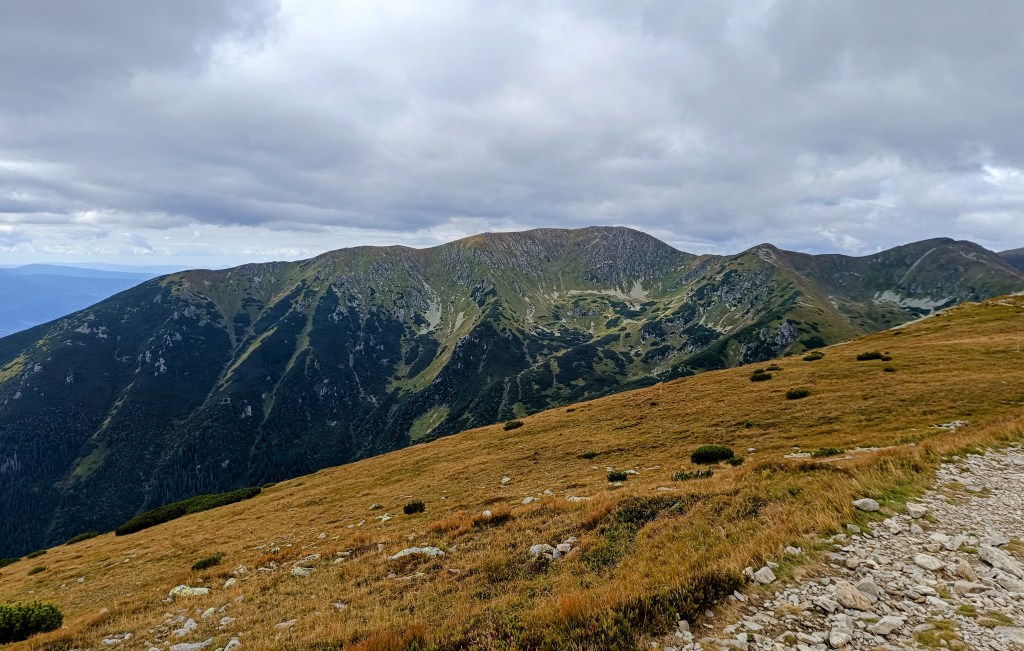
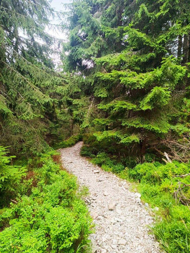
    At first, the route was less generous with views.

    At the SNP Úhorná shelter, we run into two guys who spent the night there and ask about water. They tell us that while there is water at the Smolník spring, it’s only a trickle; they had placed a cut-off bottle there the day before, and we are welcome to take whatever has collected in it. They saved us at least half an hour of waiting for the water to drip into all our bottles (thanks to them, we filled five out of six very quickly). And while we wait for that last half-liter, we snack on bread rolls and refuel.
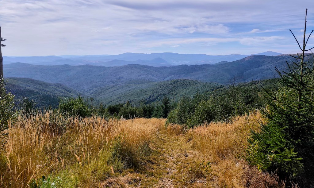
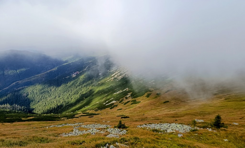
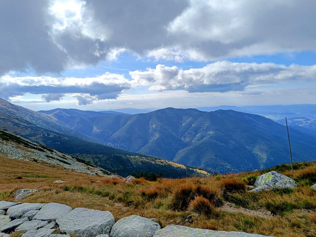
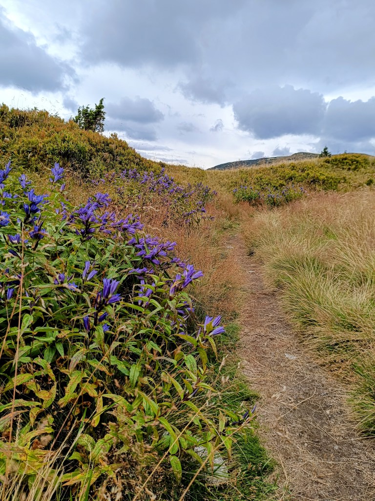
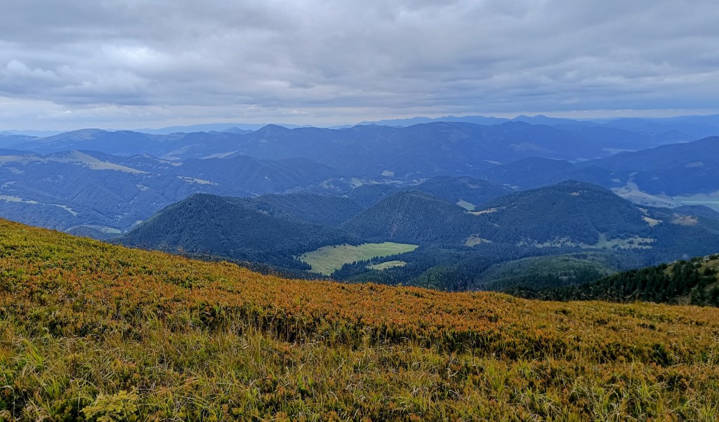
    The early autumn in Slovak mountains

    We are crossing the Úhorná Pass, and halfway to Skalisko we meet Jožko, who had driven the car to the finish point and was running back to meet us. He is much faster than we are, so we have covered almost the same distance—he has 30 kilometers, and we have 31.
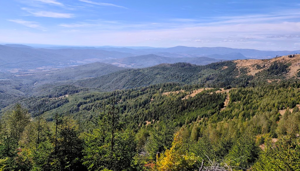
    After Volovec mountain hut

    We head down from Skalisko to the Volovec mountain hut—partly for a radler, and partly because we’re running out of water again, with the next supply 15 kilometers away. The radler is wonderfully refreshing for all of us, and after half an hour, we’re back on our feet, heading toward Súľová Saddle.
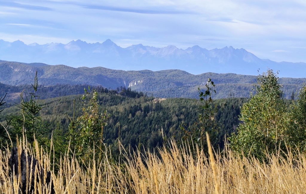
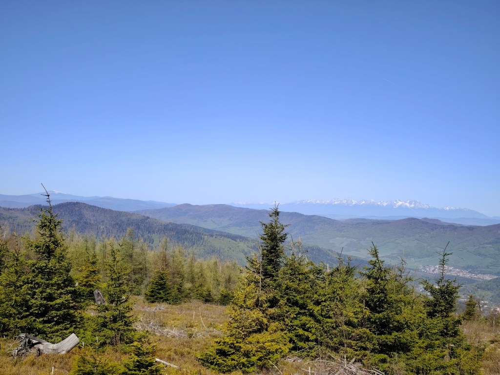
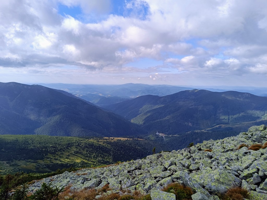
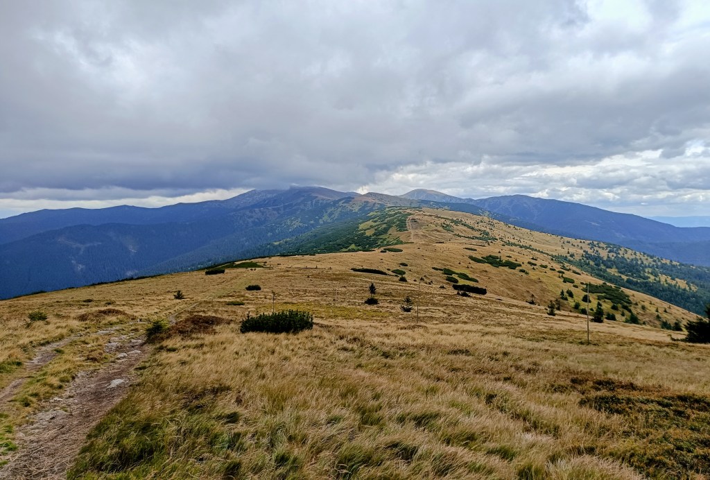
    View on HighTatras

    From the saddle, one more nasty climb awaits us, and after that, they say it’s just rolling hills. Well, you need energy for rolling hills, too! 😀
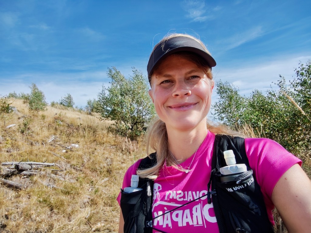
    On the climb from Súľová Saddle

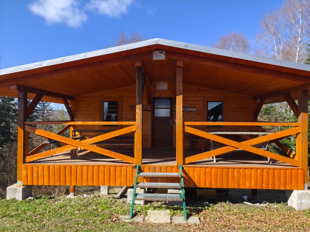
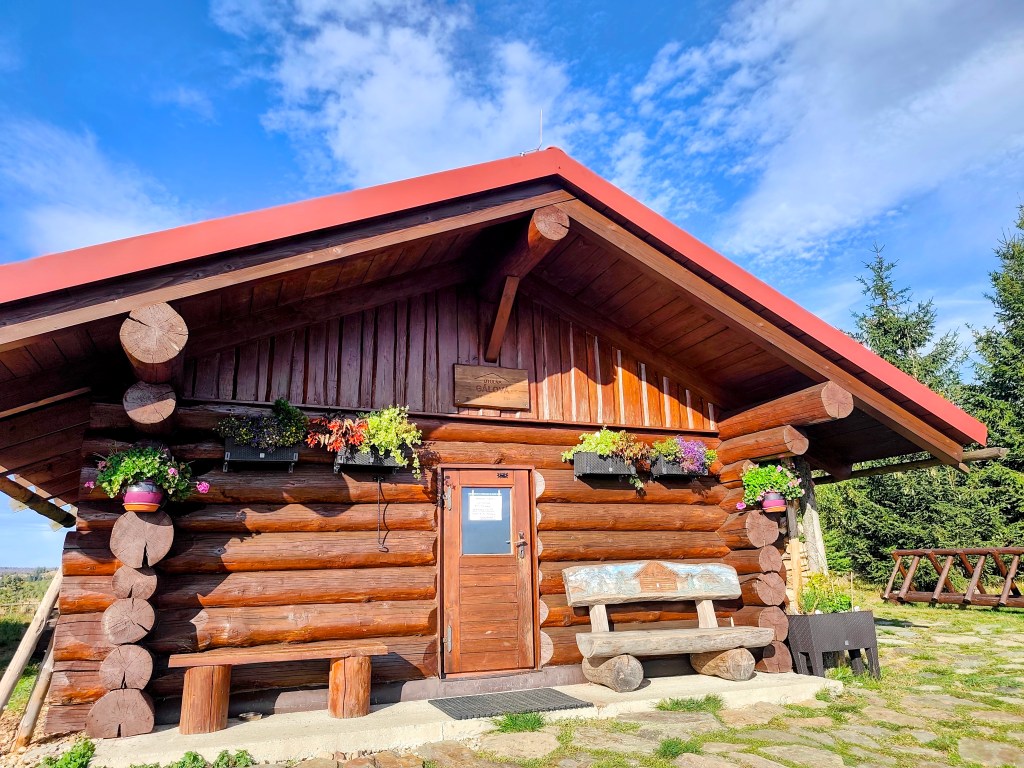
    Along the way, we pass the Gálová shelter—a beautiful spot with a stunning view—though the cabin was closed for disinfection.
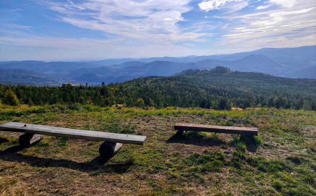
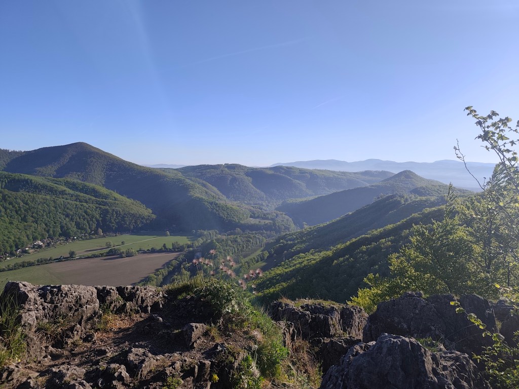
    View from Gálová
    Shelter Gálová

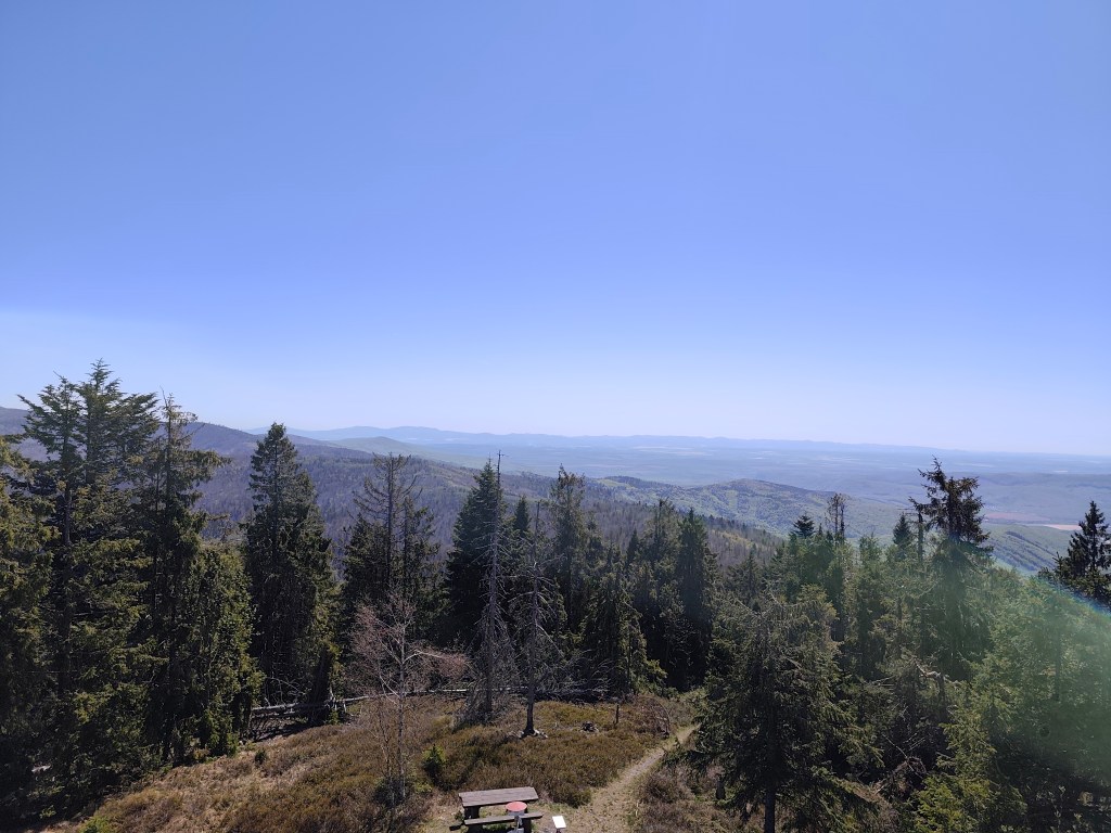
    Next comes a run down a forest path—finally a more relaxed stretch leading to the Suchý Vrch lookout tower, where we leave the cycle path and have to start climbing uphill again. Honestly, we’re pretty worn out; we’ve got over 50 kilometers in our legs, and every little hill is starting to feel like a challenge.
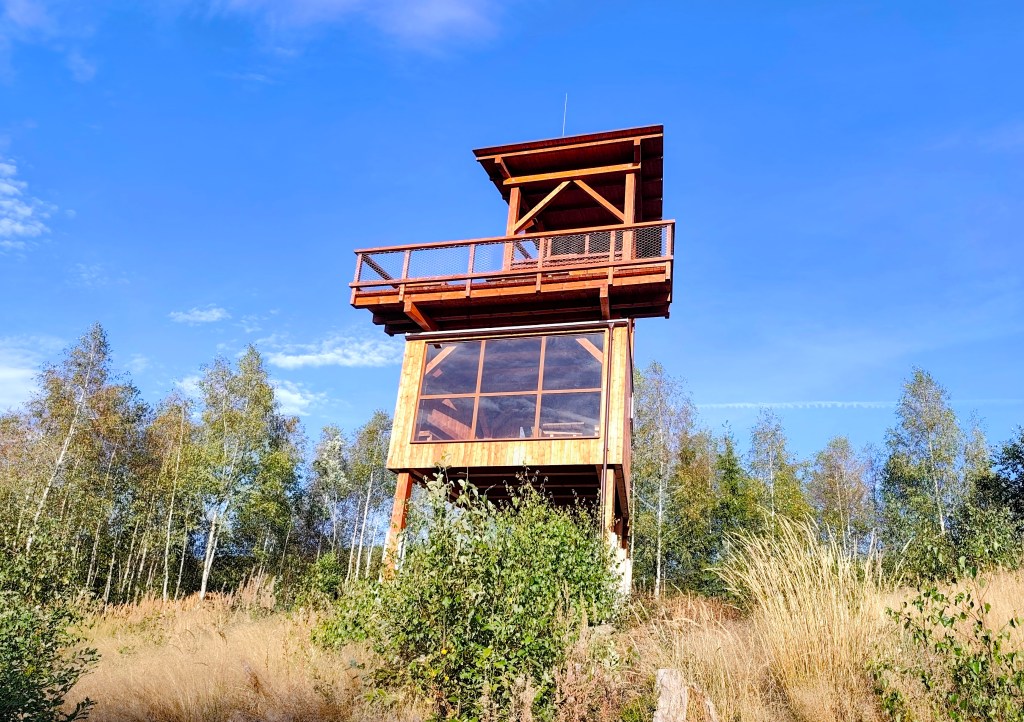
    Viewpoint Suchý vrch

    We finally reach the Kruhová saddle—a spot we already know, having run the next section from this point—and thanks God, there are only 5 kilometers left. We’re out of steam, so we walk the rest of the way as the sun sets. Even so, we’re all happy we made it.
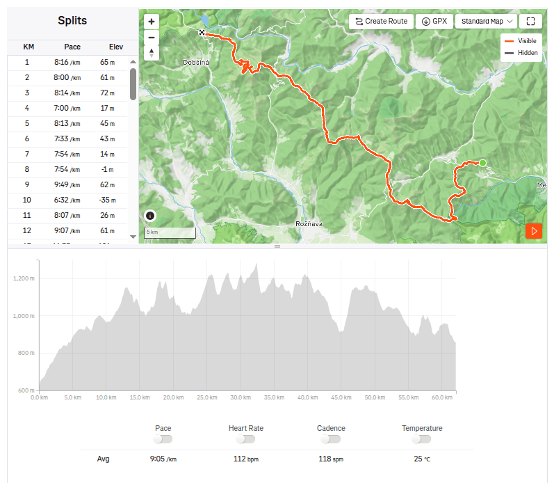
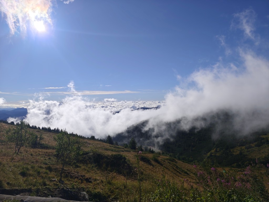
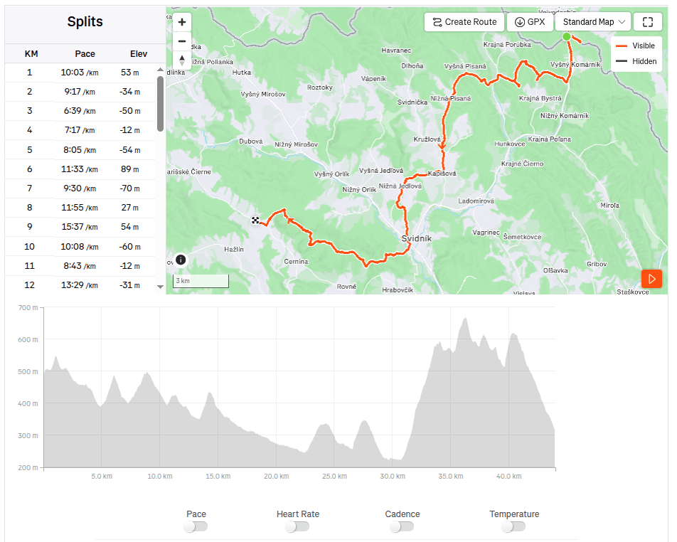
    62.1km, 9:23 active time, 10:55 total, 2399m ascend
  • SNP girl’s project, day 16

    SNP girl’s project, day 16

    We finally made it happen! We had planned this stage about five times before, but we always had to postpone it due to unsuitable weather on the ridge or other issues. And so, we finally ran from Telgárt all the way to Čertovica.

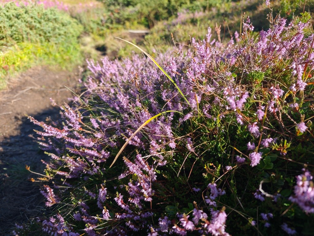
    Flowering heather

    We park in Telgárt near the church, at the exact spot where our previous stage ended. We jog through the town and soon reach the turnoff into the woods. It rained yesterday, so the grass and trees are still wet—which, of course, means my feet get wet after just a short while. We climb first through dense forest, then pass beneath power pylons up to the mountain pastures; the weather shifts between sun and fog, warmth and cold.

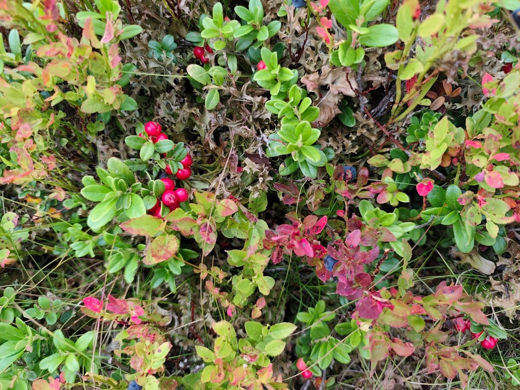
    Cranberries and blueberries

    On the way to Kráľova hoľa, nature put on a magnificent spectacle for us, but at the summit itself, everything was shrouded in an impenetrable fog that clung to us for quite a few kilometers more.

    In ascend to Kráľova hola

    At Andrejcová, we took a break for a beer and a bite to eat, and refilled our bottles at the spring. I had been looking forward to the view of the High Tatras—which is magnificent from there—but we weren’t granted that sight today, so we carried on.

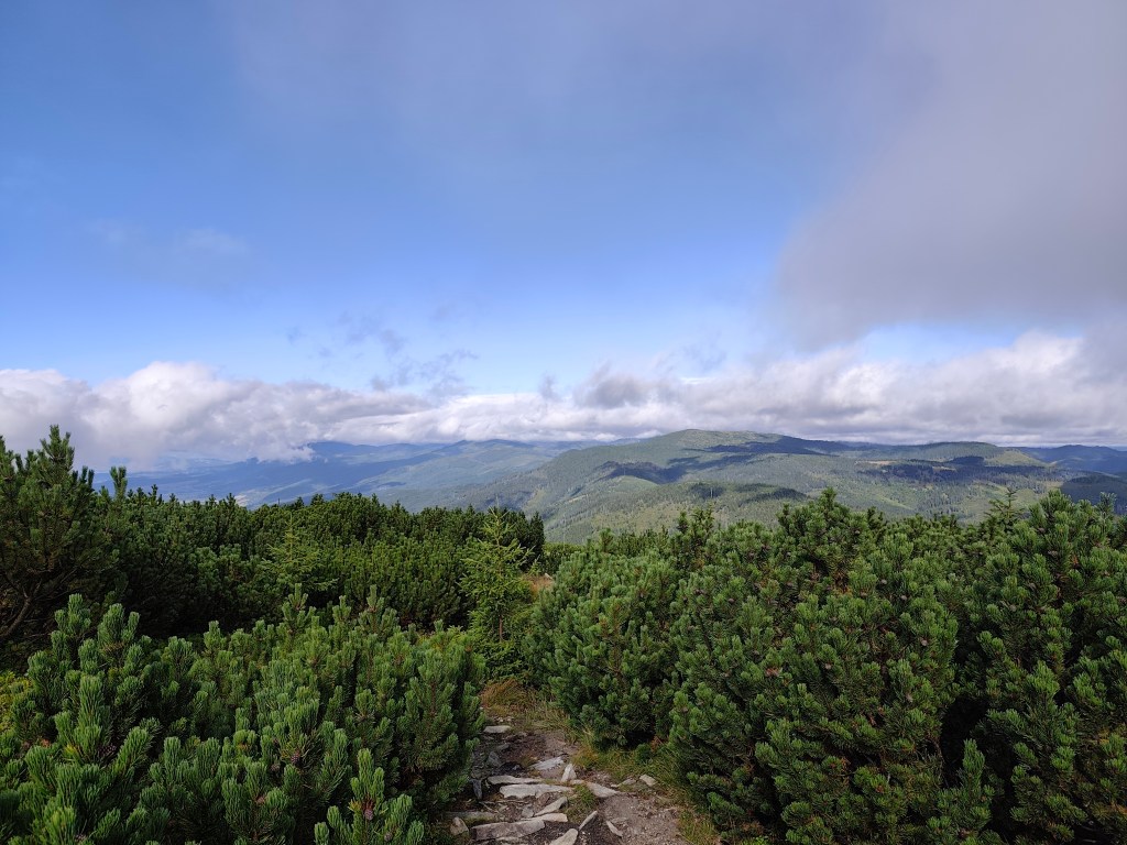
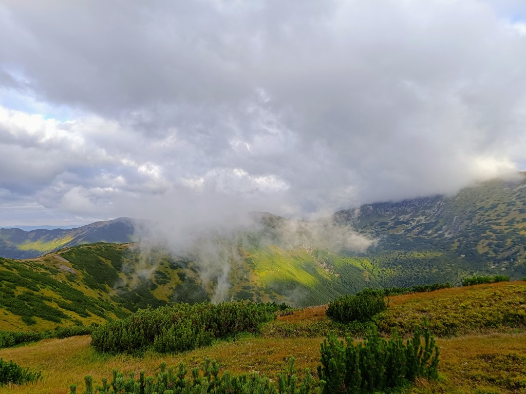
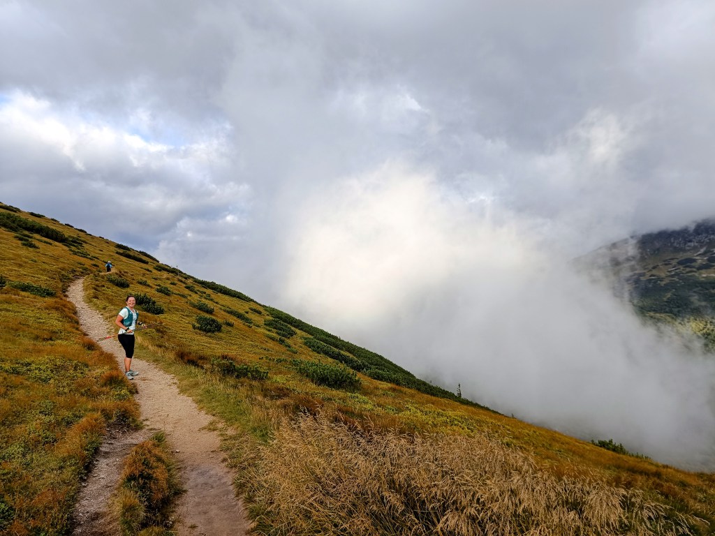
    A path through the mountain pine
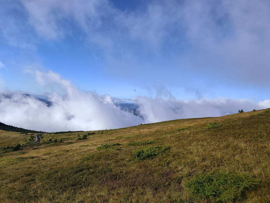
    Rolling fog

    The sun shone for the rest of the journey, and thanks to yesterday’s rain, the springs were full.

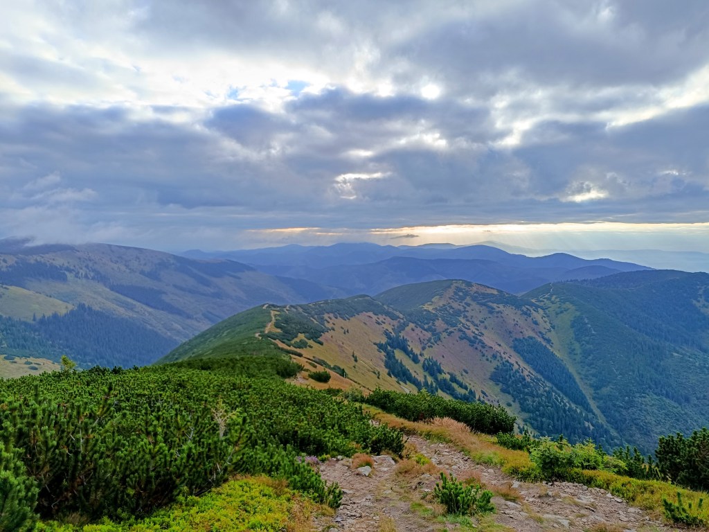
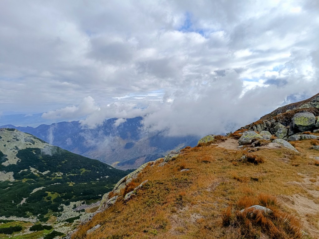
    Every now and then, a view would open up in the second half.

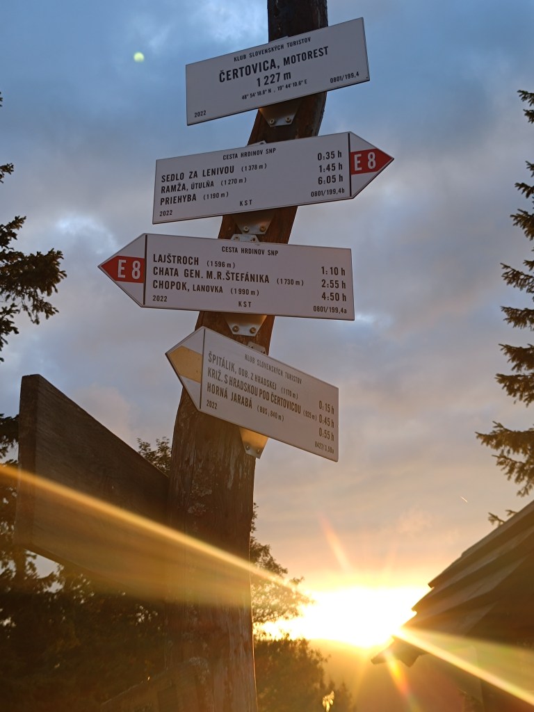
    However, from the Ramža shelter almost all the way to Čertovica, the trail was quite overgrown, so running was more or less out of the question, and we made slow progress. Personally, I enjoyed the first half of the day much more than the second, despite the strenuous climb up Kráľova hoľa.

    45km, 9:25 active time, 9:46 total, 2704 meter ascend
  • SNP girls project, day 15

    This time from Jahodná to Štós. We continue for the third day in a row, in the morning we get out of the car at the same place where we left off yesterday. It is morning, but the sun is already peeking out and promises us a warm day.

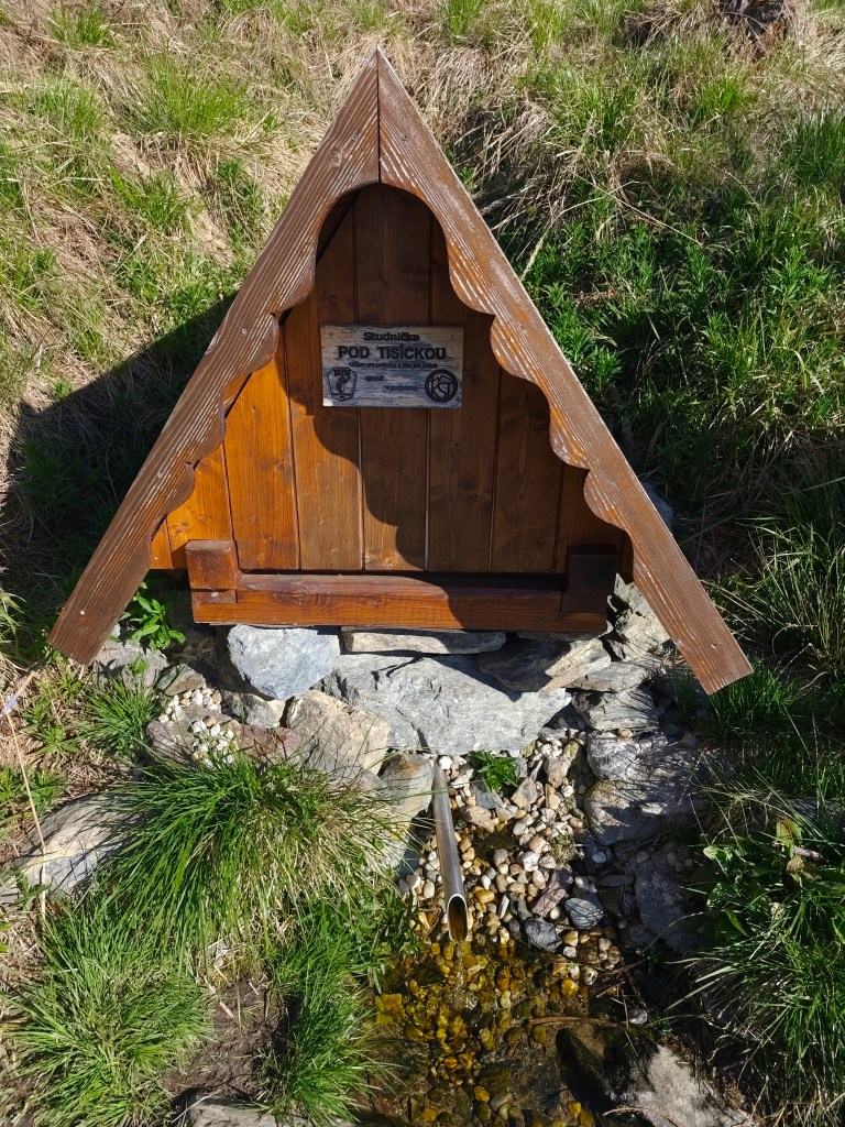
    well “pod Tisíckou”

    We climb up the slope to the top of Jahodná hill, followed by a nice forest path and arrive at Holý Vrch. We refill our water at the well below Tisícká – we can’t help it, because there is an inscription next to it that says whoever drinks from the well will conquer the SNP. So I guess we’ll conquer it 🙂

    We continue towards Kojšovská hola and to our surprise, the SNPčka does not lead through the very top, it turns to the Erika cottage in the saddle below Kojšovská hola. At the Erika cottage we admire the views, the High Tatras are in the palm of our hands and they accompany us on the road for a long time like silent guardians. It is beautiful here.

    High Tatras in background

    We continue to Kloptáň, where there is also a lookout tower – this lookout tower is only for the brave, steep ladders without a railing and only a small platform at the top. But I couldn’t resist and with shaking knees I climbed all the way to the top.

    From viewtower Kloptáň

    We enjoy one of the last views on Zbojnícká skala and slowly descend to the spa in Štós, where we have our last overnight stay on this route. The spa itself is a disappointment for us, it is too expensive and the buildings have already seen their best days. However, the air here is great, that must be admitted 🙂

    35.7km, 5:32min, 1465 m ascend
  • SNP girls project day 14

    SNP girls project day 14

    Or from Kysak to Jahodná:)

    We start in the morning in front of the municipal office in Kysak, but we only walk through the village briefly and get to a forest path leading along a stream.

    Jánošíkova bašta

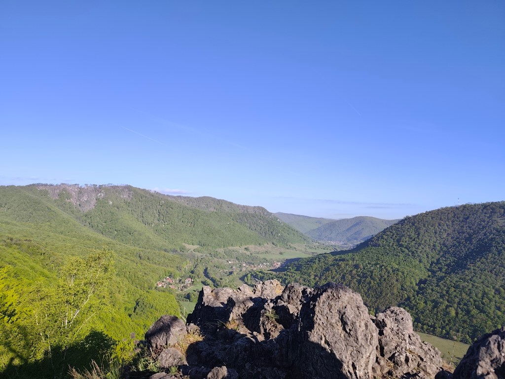
    We pass the cottage area and begin to climb to Janošík’s Bastion. It is an approximately 50-meter-high rock massif that acts as a natural fortress (probably hence the name), from which you can see panoramic views of the landscape around Košice. We enjoy the views for just a moment and then dive back into the forest, which has a wonderfully fresh green color.

    View from Jánošíkova bašta

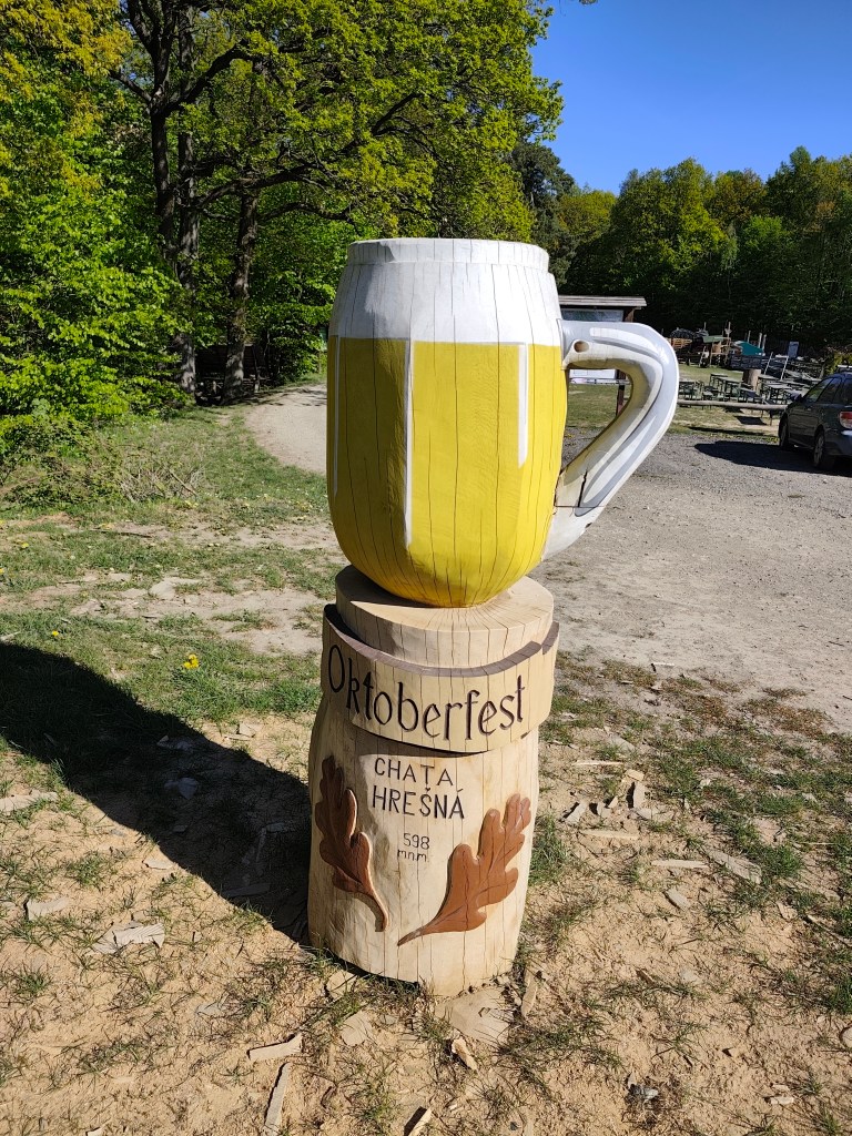
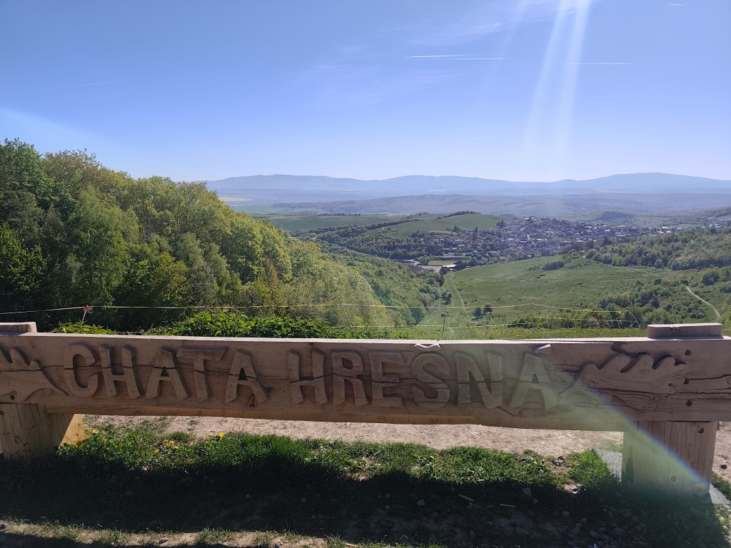
    These forest trails are a very pleasant change from yesterday. We continue through the forest to the Hrešná cottage, where there are cozy-looking chairs with a view of Košice.

    This time without a beer:)
    Hrešná

    We resist the temptation to sit down and just laze around and continue down the dirt road to Košice. The sun is starting to warm up and the water is running out, so we hope that the buffet in Čermel in Košice will be open. We’re probably too fast, we get there half an hour before opening 😀

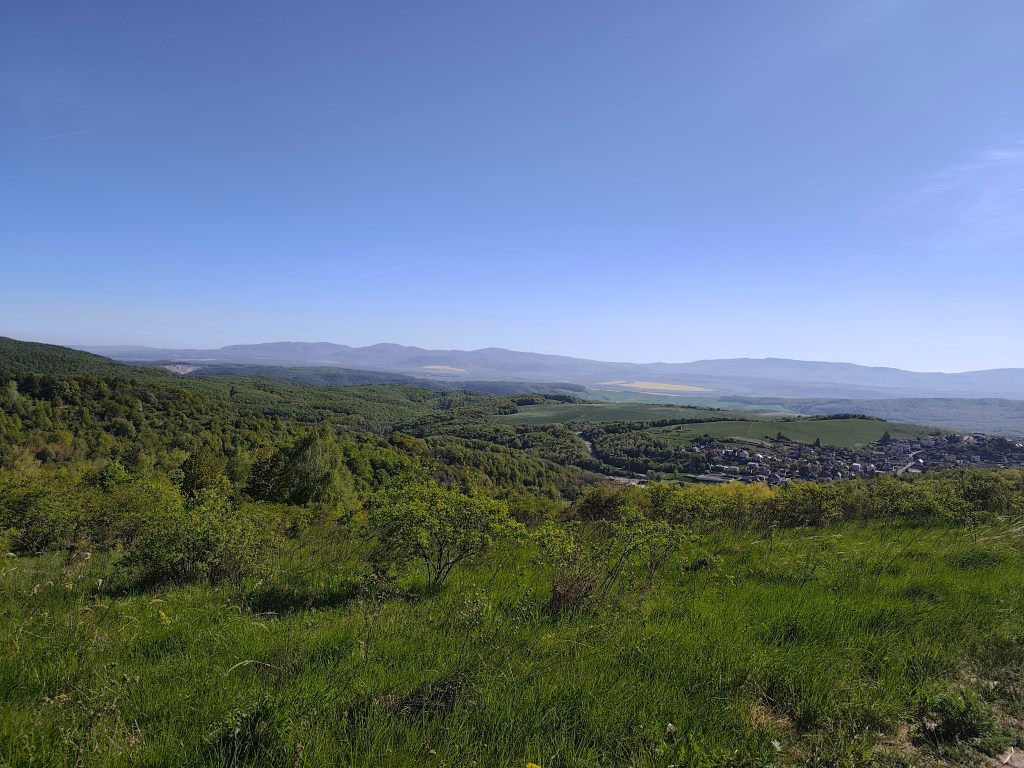
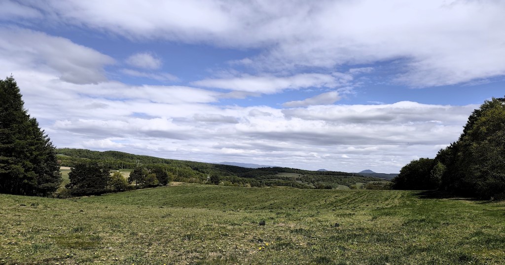
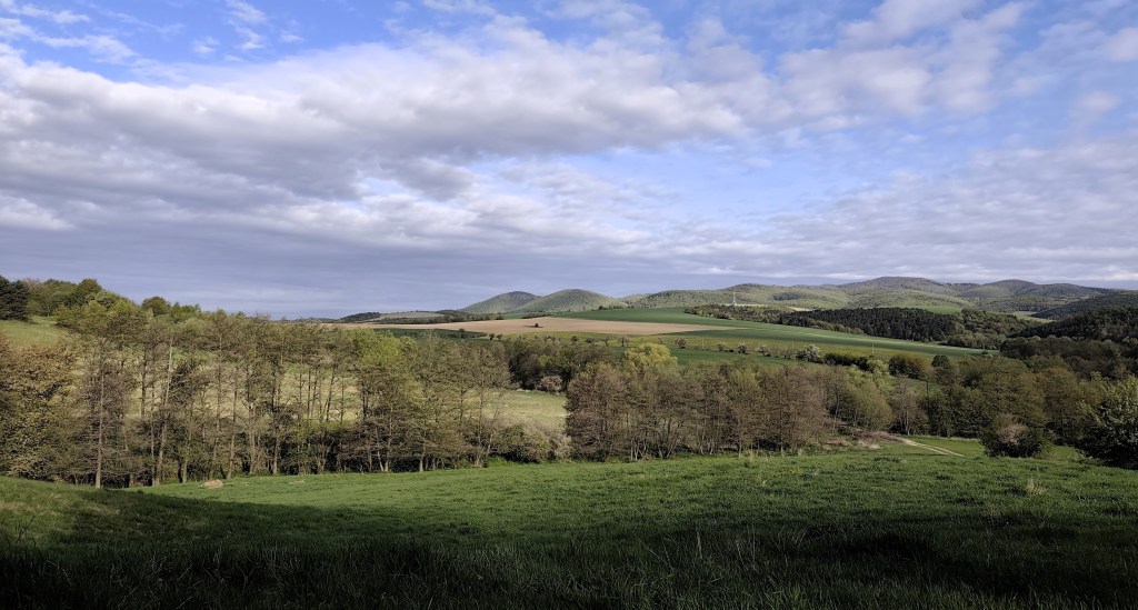
    meadows around Košice

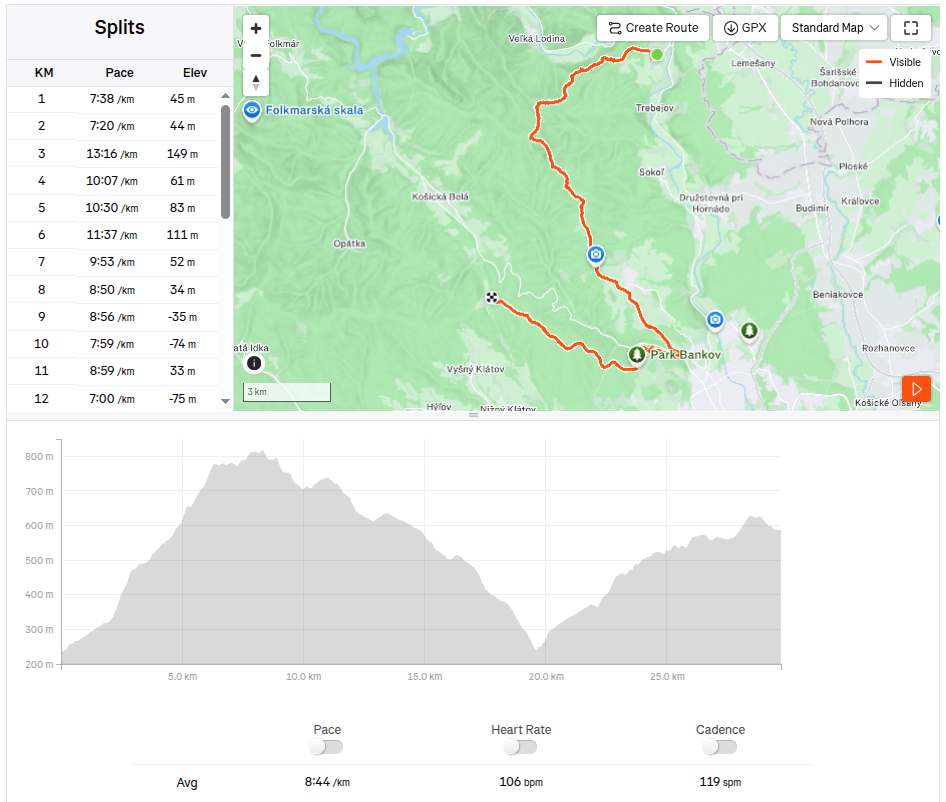
    We continue to Bankov, where we finally managed to find an open hotel café, refilling our water, coffee, radler…

    This stage was a reward after yesterday

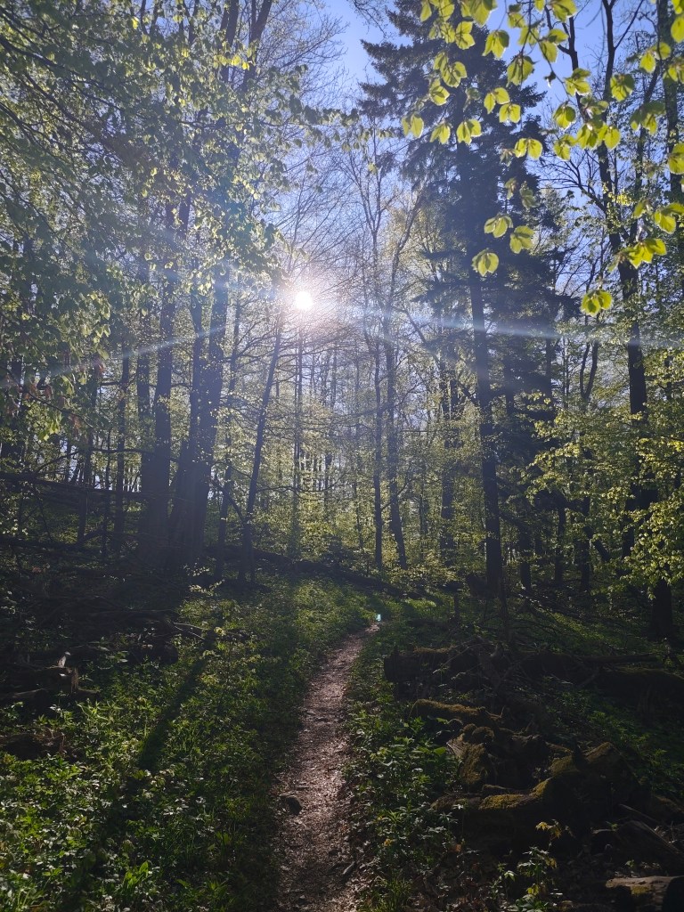
    The last 7 kilometers await us, mostly a gentle climb, fortunately through the forest, which, thanks to refreshments in the café, pass relatively quickly. We end today’s stage in front of the cottage on Jahodná. Lucka and I have a grapefruit non-alcoholic beer from Bernard, which is simply divine and we remember the stage in Čičmany, where we drank it for the first time. Thanks to this project of ours, we got to know so many beautiful places in Slovakia that we had no idea existed and that’s still a few stages ahead of us 🙂

    29.7km 4:19 active time, 4:48 total, 1169m ascent.
  • SNP girl’s project, day 13

    SNP girl’s project, day 13

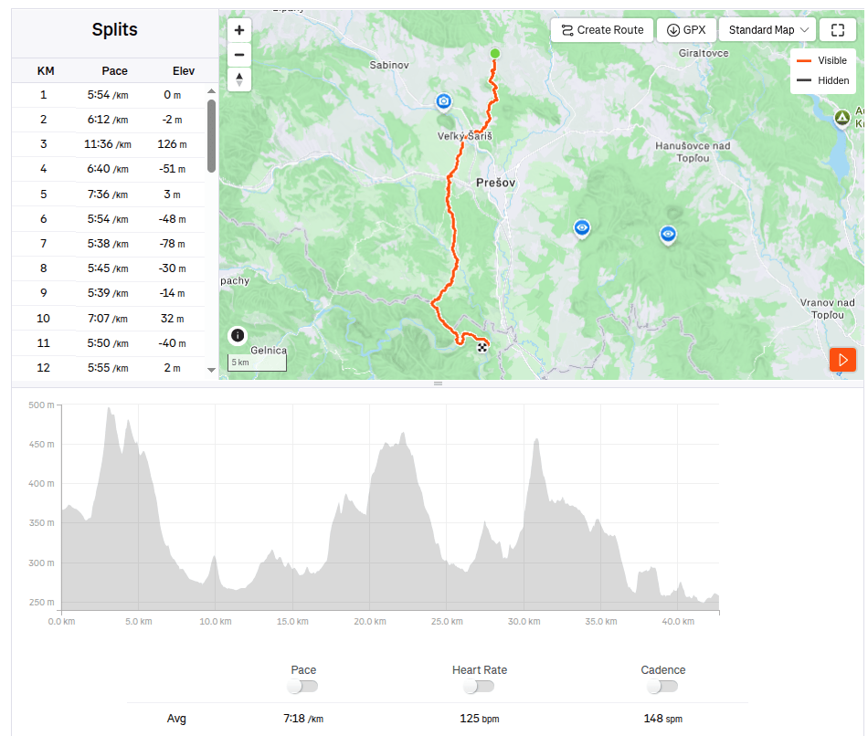
    In the morning we set off from Košice to Terno. We park the car in the same place by the church where we last finished the stage. It is partly cloudy and relatively warm, but fortunately not too much, because we have quite a lot of asphalt waiting for us on this stage.

    The asphalt alternates regularly with bits of meadows or forest. After about 20 kilometers, we all agree that this is the least interesting stage so far and the most interesting thing we saw was the brewery. We run through Veľký and Malý Šariš and it’s starting to get warm. I’m honestly glad that I’m just running this part of the SNP and don’t have to walk it all day on hot asphalt with a giant backpack.

    We reach Cemjata and here we run past a wild boar park and beautiful ponds, continue through Janov and Radice and meet Jožek, who has driven the car to the finish line in Kysak and is running towards us.

    Ahead of us is the most beautiful part of today’s run, a nice forest path bordering Hornád.

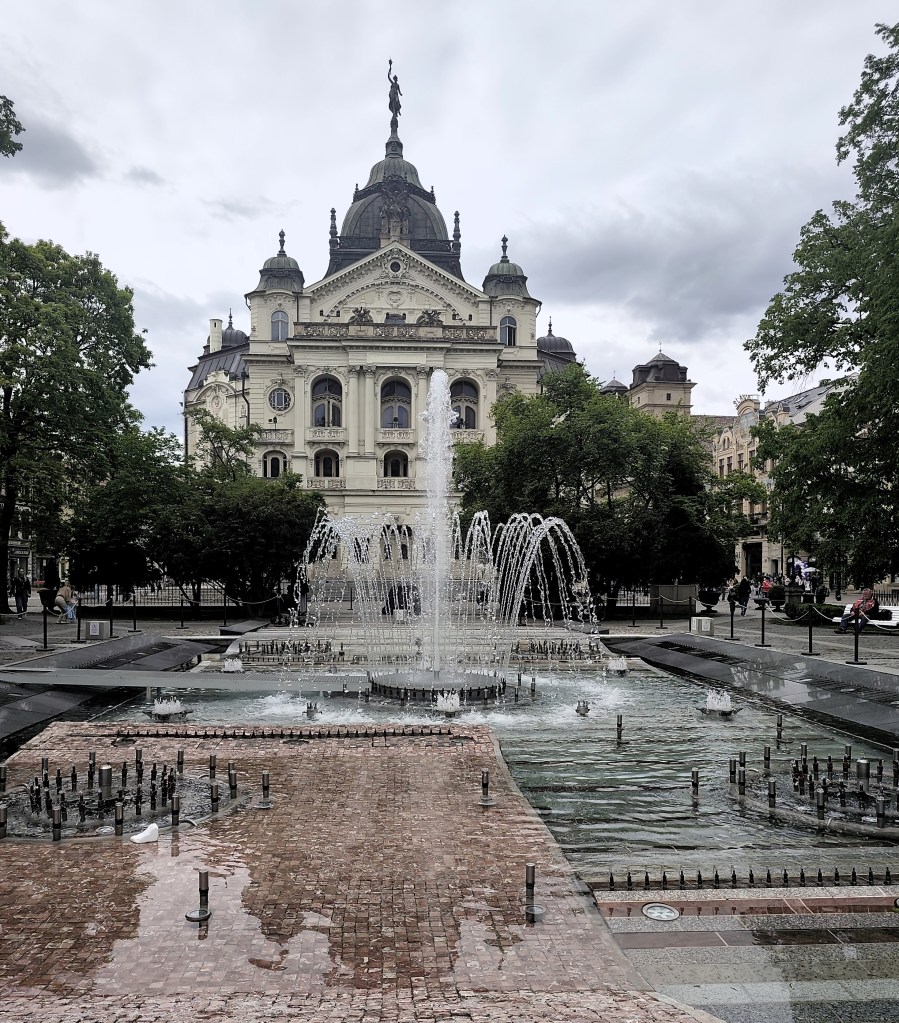
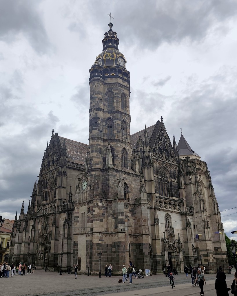
    In Kysak, we are all happy that today’s rather tiring asphalt stage is behind us 🙂 However, in the evening we will make ourselves happy and go see Košice, specifically the old town, and we will manage to come across the longest-running restaurant in Slovakia (over 500 years of operation), where they have great craft beer.

    42.67km, 5h 11min active time, 5h 28min total, 887 m ascent
  • SNP girl’s project, day 12

    SNP girl’s project, day 12

    The third day in the east, where we had covered more than 80 kilometers in the last two days, was slower. In the morning we start from the same point in Bardejov where we finished yesterday’s stage.

    By the way, Bardejov Town Hall Square is one of the most beautiful in Slovakia. It is a great pity that the SNP bypasses it, it is definitely worth making a small detour.

    The square is rectangular and is surrounded on three sides by a row of typical narrow townhouses. On the north side of the square is the dominant of the city – the Basilica Minor of St. Egidius, connected to the Renaissance building of the former city humanities school.

    The indescribable atmosphere of Bardejov Square is enhanced by its representative town hall building from the 16th century, built in the Gothic-Renaissance style. It houses the exhibition of the Šariš Museum dedicated to the history of the city.

    Mihaľov

    We pass through the picturesque village of Mihaľov and continue to Hervatov, running for a surprisingly long time on asphalt roads, which is significantly faster, but less fun :).

    Church of sv. Francis z Assisi

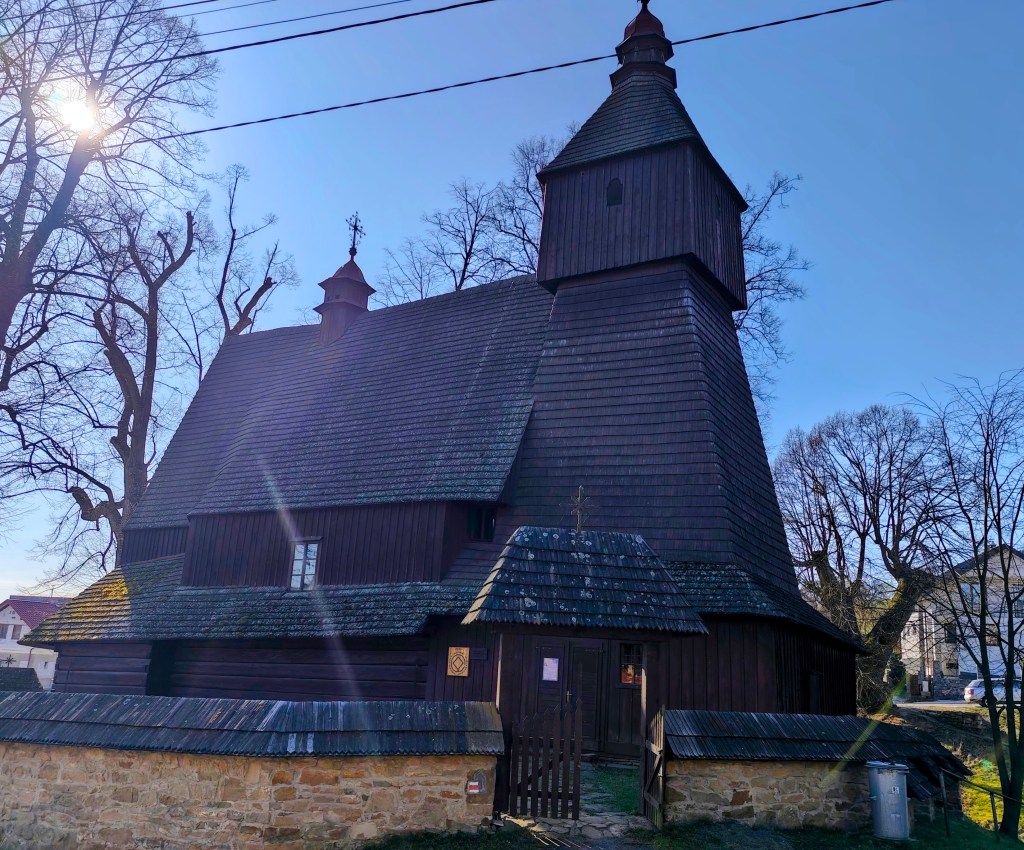
    In Hervatov there is a wooden church of St. Francis of Assisi and it is surrounded by a stone wall covered with wooden shingles. This church is also on the UNESCO World Heritage List. It was built at the end of the 15th century in the Gothic style and is our oldest preserved wooden church in the Gothic style. Its exterior has remained almost untouched even after more than half a millennium. However, we were unable to get inside.

    calvary on the way to Žobrák

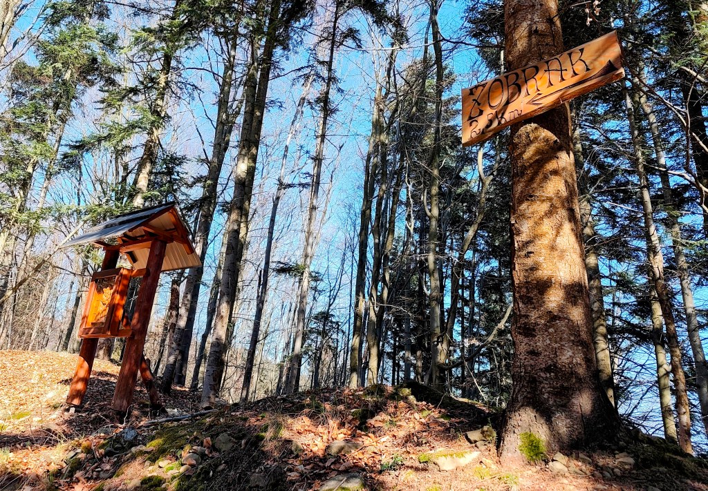
    We leave the asphalt and start climbing a really steep dirt road to Žobrák Hill. At its top there is a small chapel and a little further on there is a shelter and a lookout tower.

    Views from the viewpoint on the top of Žobrák

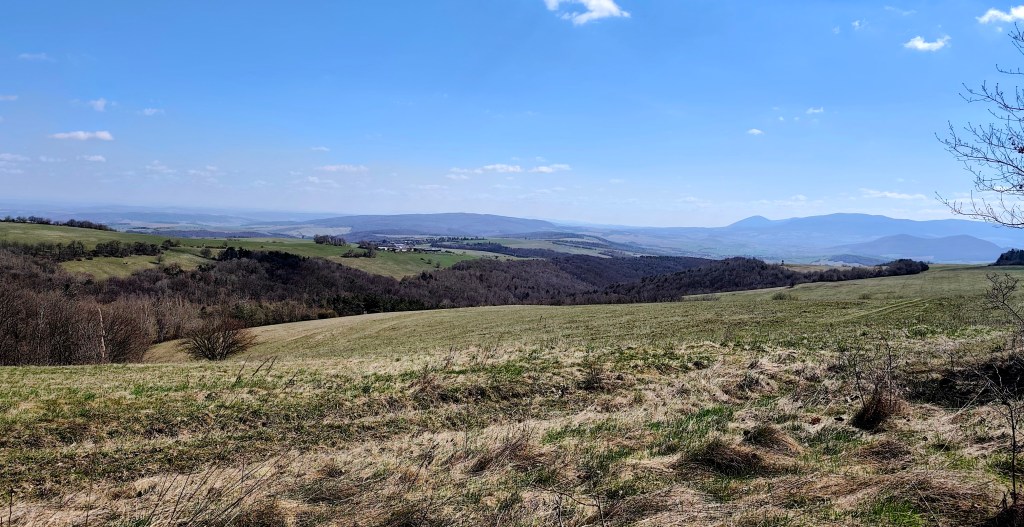
    We continue through Bukový vrch to Čergov, which is the highest point of today’s stage. Around Bukový vrch we still found remnants of snow cover.

    From Čergov, all that’s left for us is the descent to Terňa, it’s starting to get warm, we only have a pinch of water left and we’re already looking forward to the radler that we have left in the car at the finish line 🙂

    34.19km, 5:47 active time, 1346m ascend
  • SNP girl’s project, day 11

    SNP girl’s project, day 11

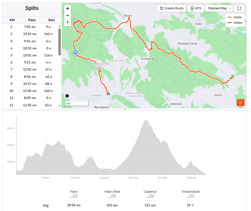
    Our legs are working surprisingly well after yesterday and we are going on the next stage, this time from Kurimka to Bardejov.


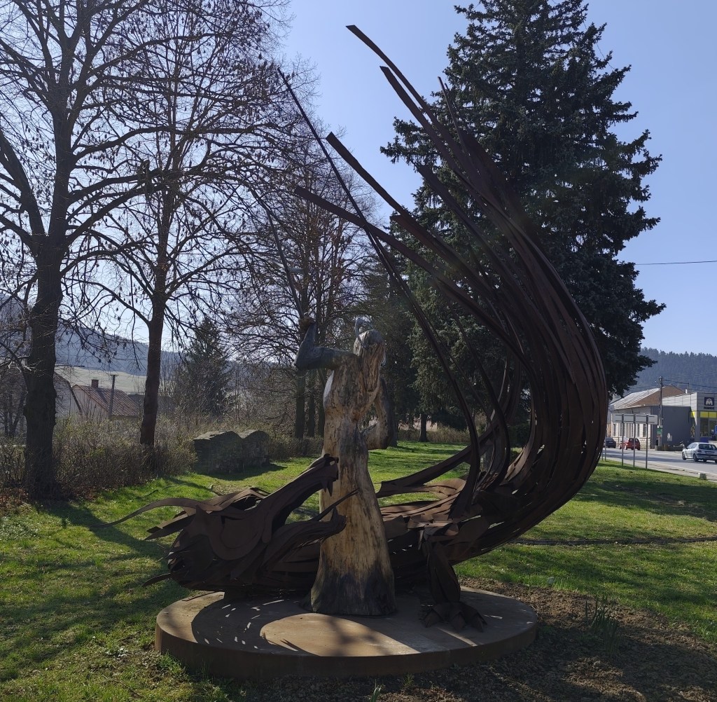
    Three-dimensional coat of arms of Zborov

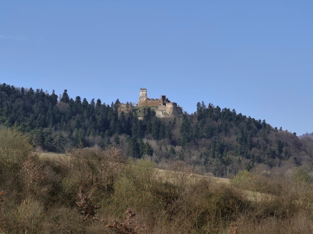
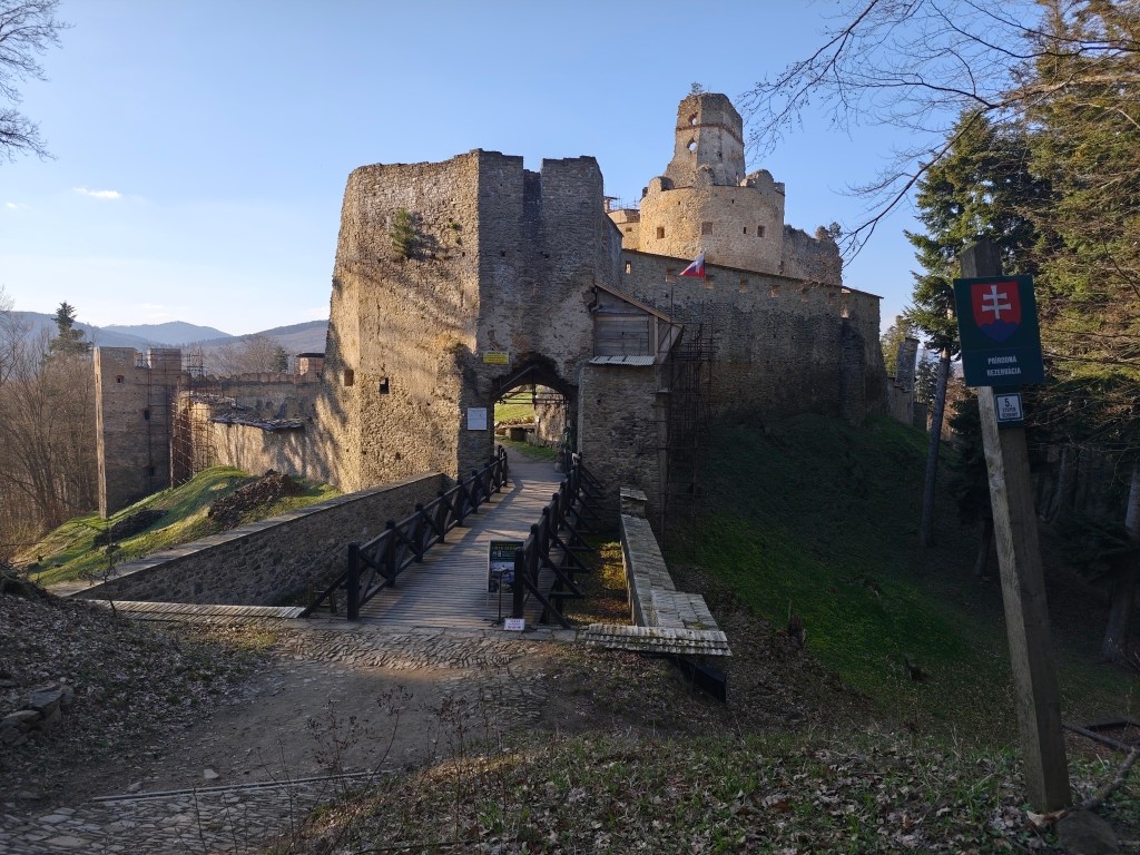
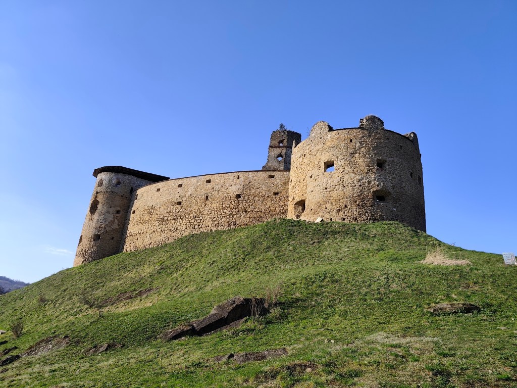
    A beautiful addition to the route is Zborov Castle (to which there is a detour, that’s why we went to see it yesterday as part of active regeneration:) The oldest mentions of Zborov Castle, or also nicknamed Makovický Castle, come from the beginning of the 14th century.In the past, it was an important defensive castle.

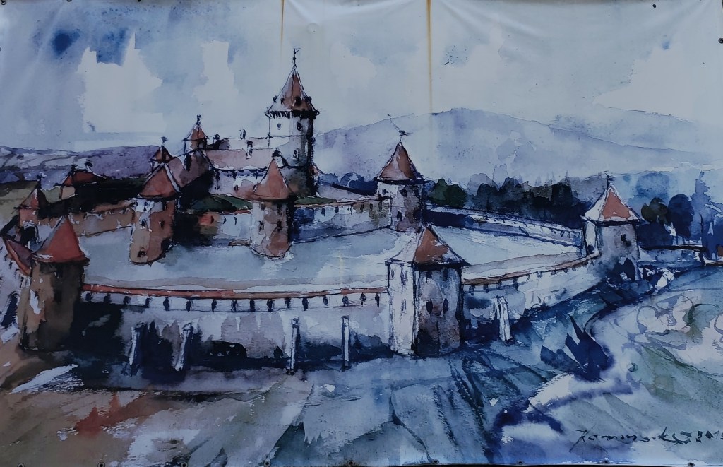
    The original royal Gothic castle did not initially have a large area. It consisted of a massive prismatic tower, a palace and an irregular courtyard, to which other buildings were added later. At a time when the country was preparing to defend itself against Ottoman aggression, this Gothic castle was rebuilt into a very modern Renaissance representative fortress with basic fortifications modeled after Italian architecture. The new owners renovated the oldest parts, expanded the living and farm premises and the walls. In addition to the reconstruction of the basic upper castle, they also rebuilt the second courtyard and added a third courtyard with a semicircular bastion, defensive wall and embrasures. The third courtyard was entered through an ingenious entrance gate on the southwest side with a drawbridge. The triple fortification system was supposed to prevent the castle from being raided and secure it against conquest even if the enemy occupied the entrance gate. However, it fell into disrepair from 1680, and its fate was sealed in 1914 by the fighting between the Russian army and the Austro-Hungarian army in the neighborhood of the village, which badly damaged the ruins of the castle. After the war, the castle continued to fall apart, and only ruins remained of the once majestic feudal residence.

    Inner courtyard of Zborov

    Today, the walls and torso of the architecture have been preserved in the area of ​​Zborovské hrad. In some places, embrasures, corner framing, window and door openings have been preserved in the walls. Since 2010, the castle has been undergoing revitalization works.

    Castle Zborov

    From Zborov we start to climb Stebnícka Magura, it is warm, the sun is shining and snowdrops are blooming in the forest. That’s beautiful, but bottled water runs out suspiciously quickly 🙂

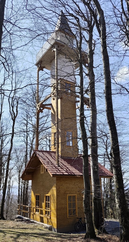
    Viewpoint at Stebníckej Magure

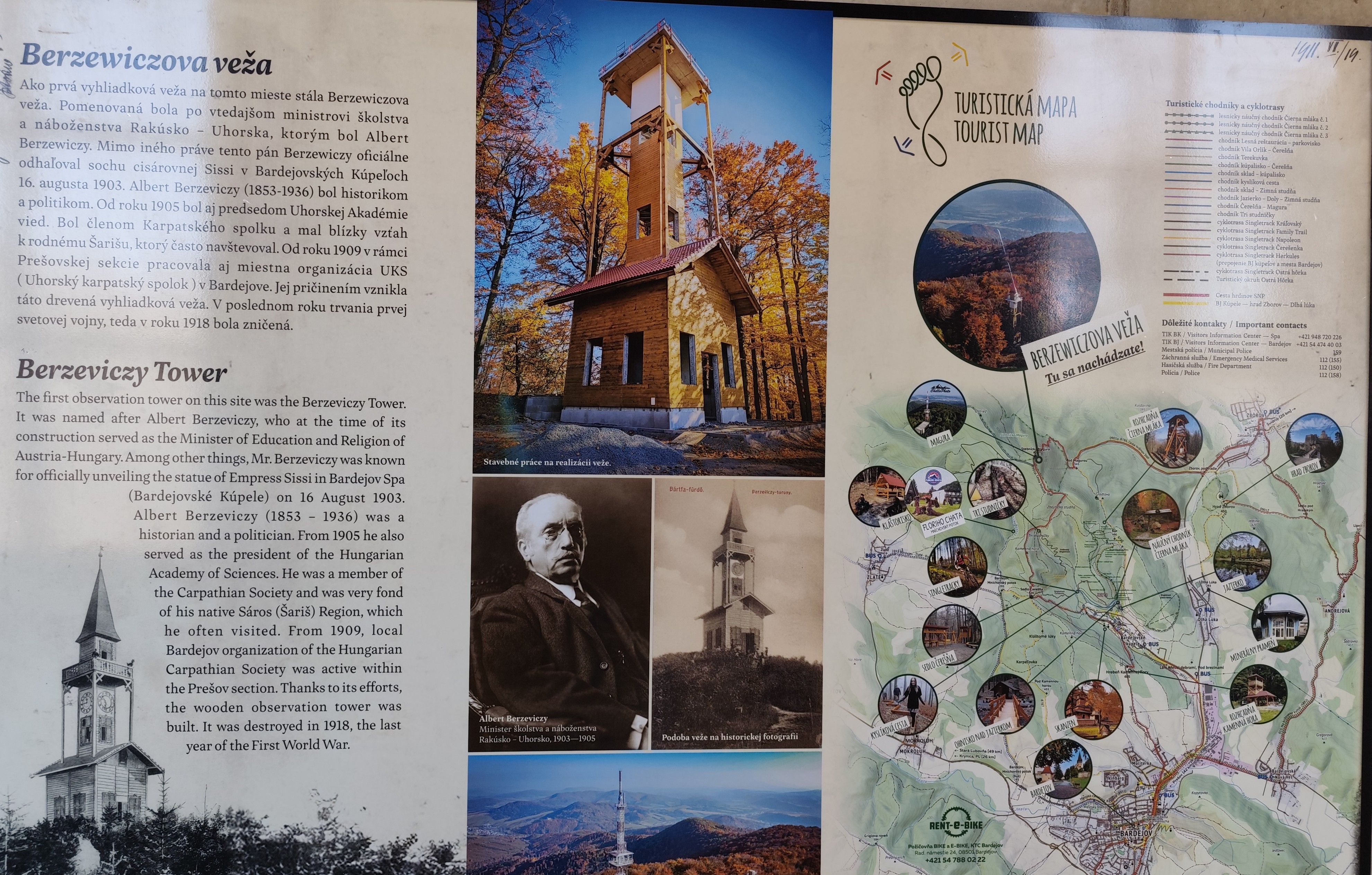
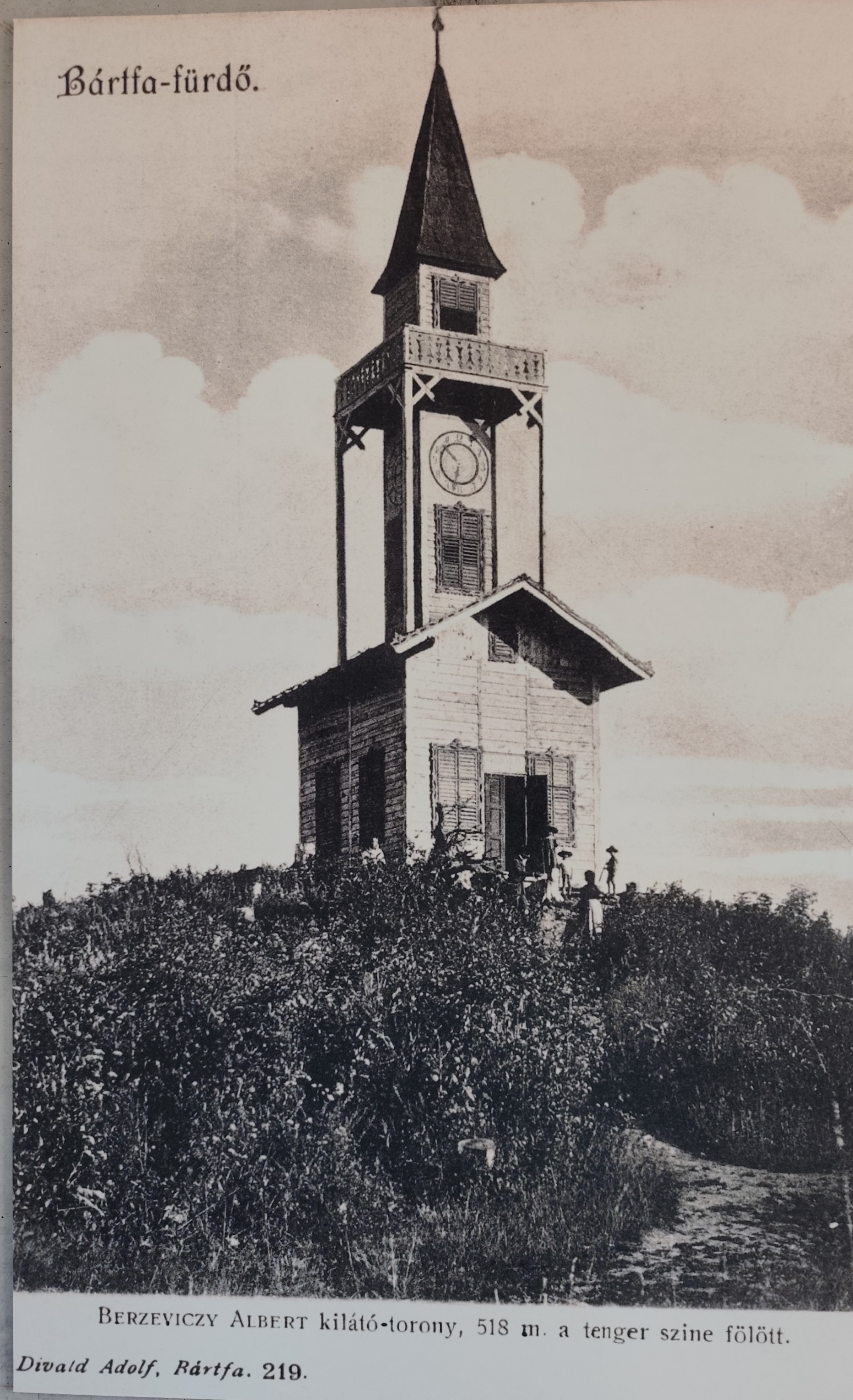
    At the top of Stebník Magura there is a wonderful lookout tower (to which an endless spiral staircase leads). The newly built observation tower resembles the so-called Berzewicz Tower built in 1905 on the same site, which was destroyed during the First World War in 1918, the replica tower reflects the original design.

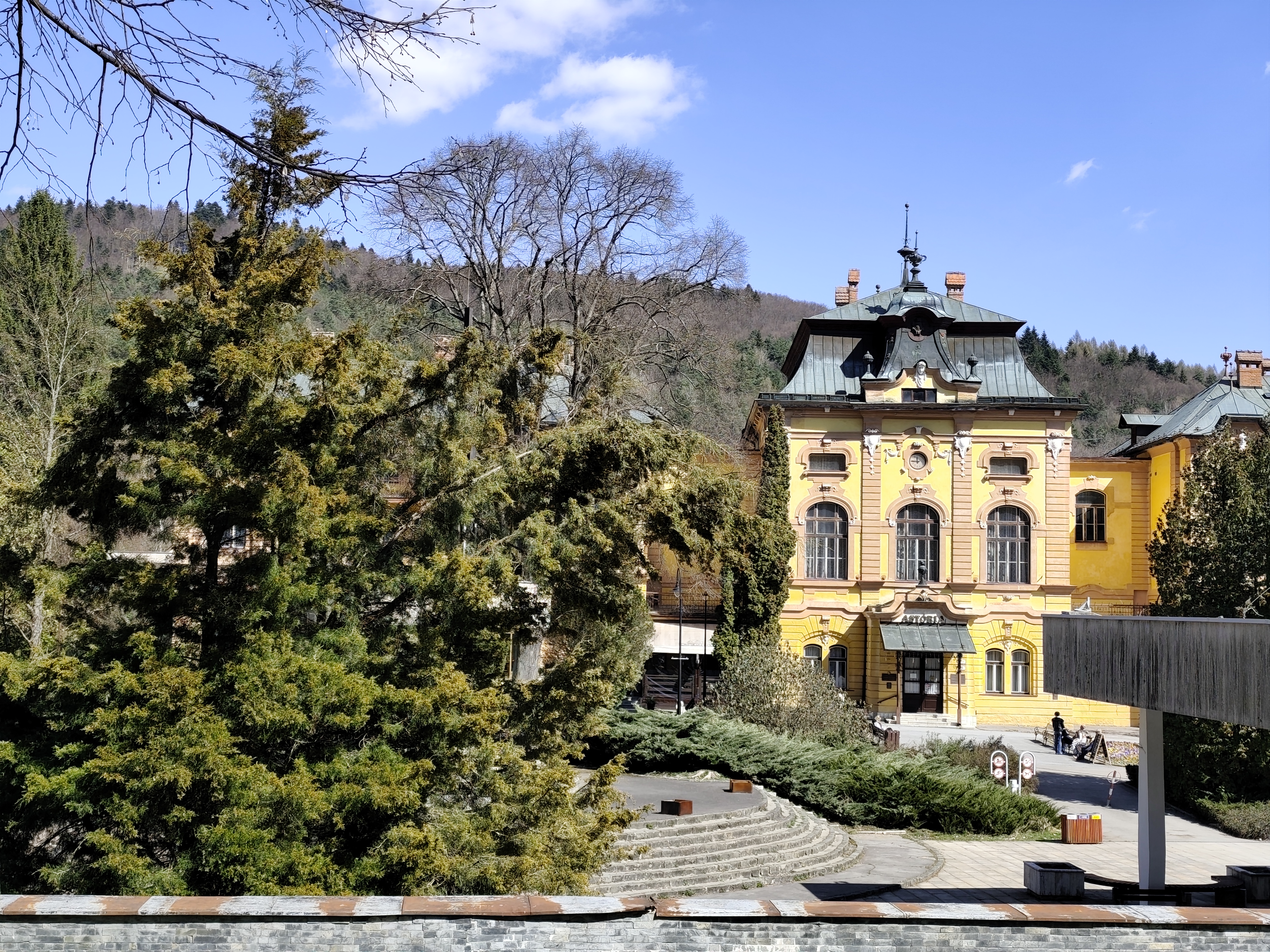
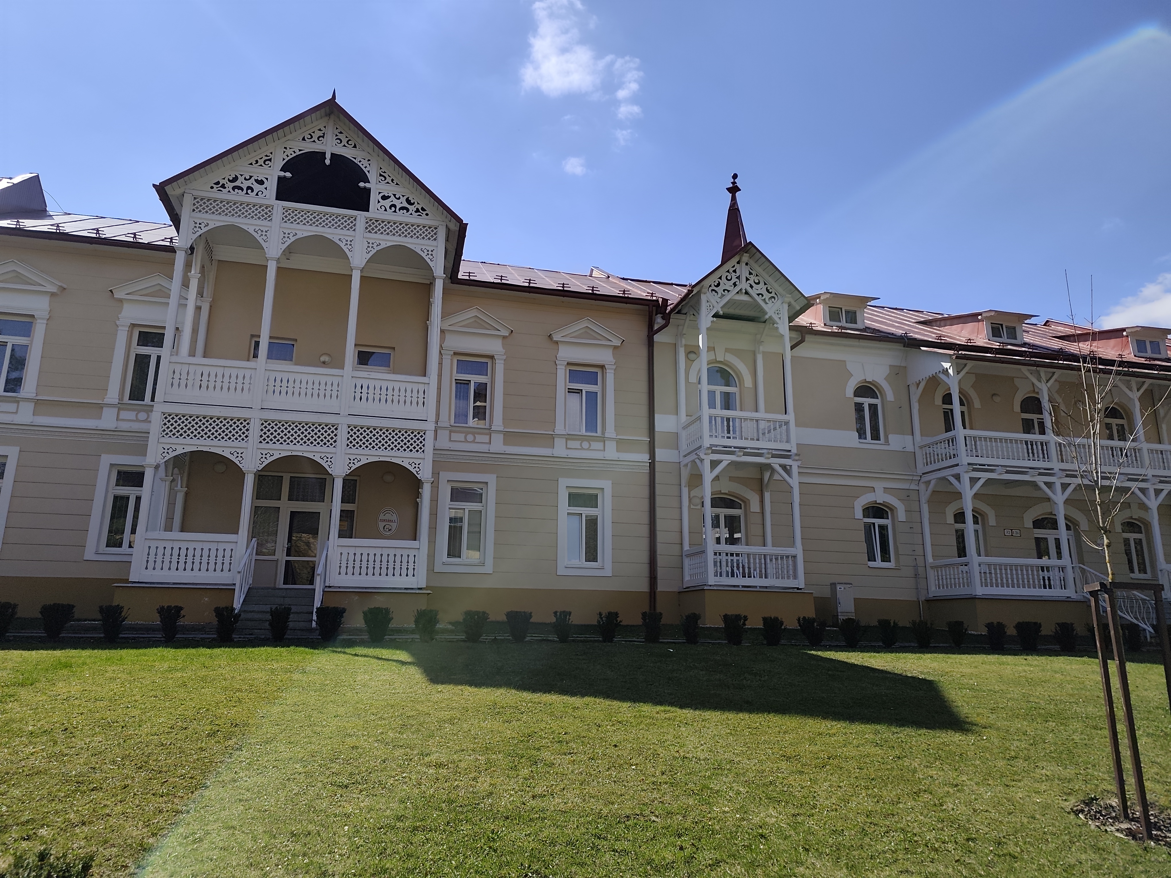
    Thirsty, we run down to the Bardejov spa, where after a while of wandering and searching we find mineral springs.

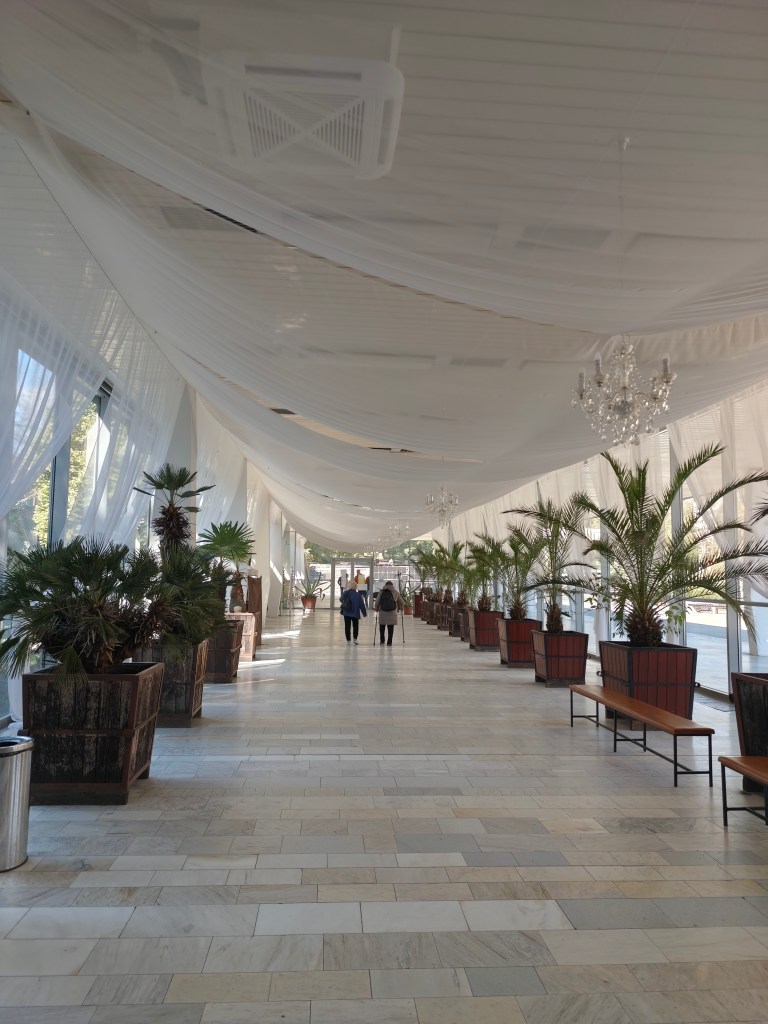
    They are our salvation, we refill the bottles and set off along the spa promenade to the last hill that separates us from Bardejov.

    Bardejov mineral springs
    32.34km, 5:55 active time, 1402 m ascend
  • SNP girl’s project, day 10

    SNP girl’s project, day 10

    We finally managed to get to the east and stand at the start of the SNP, which begins in the Dukla Pass on the border with Poland. The legendary Slovak ridge path is almost a hundred years old. It originated as the Štefánik Trail, which disappeared and was revived as The path  of the heroes of the Slovak National Uprising.

    This stage was mainly accompanied by tanks

    The new form of the highway was brought about by a meeting of the chairmen of the regional sign commissions in 1956, where it was decided to build the Slovak Highway from Devín to Dukla. Despite the fact that the period after 1938 was not favorable for tourism, about ¾ of the original Štefánik Road was preserved and incorporated into the new long-distance route with number 001. The name “The Path of the Heroes of the Slovak National Uprising” was introduced only in 1959.

    So that what happened here in the past is never forgotten

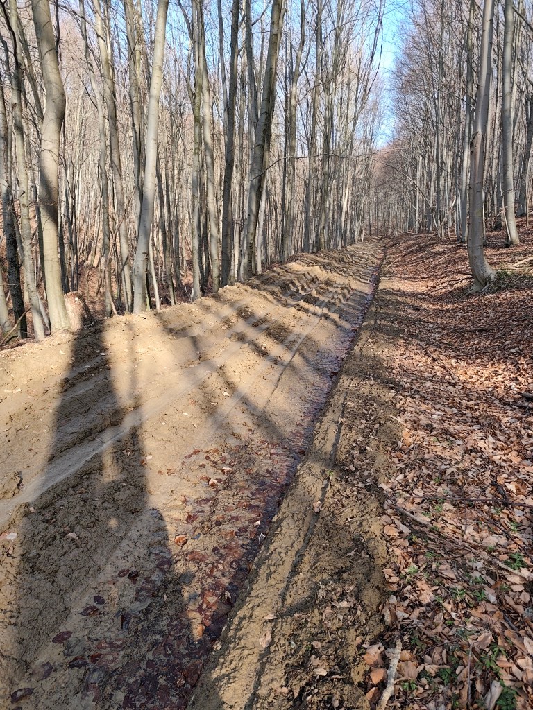
    And the Dukla Pass was still dangerous in the first years after the war, because there were minefields there, so we tried to deviate from the route as little as possible, which was not always easy, especially on the approximately 3-kilometer section damaged by mining, which was full of mud up to the ankles.

    This is a tourist path too

    This stage was special for us, mainly because it was the first time we encountered monuments and remnants of the war. At the Dukla Pass itself, there is a monument and cemetery of the members of the 1st Czechoslovak Army Corps, in the cemetery there are graves with the names of 1,265 fallen soldiers. Under the saddle stands a stone pylon (it is truly monumental, it is 28 m high).

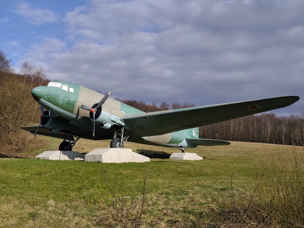
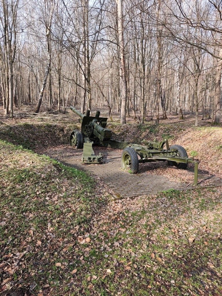
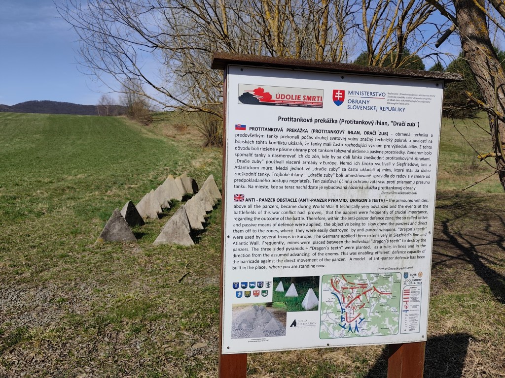
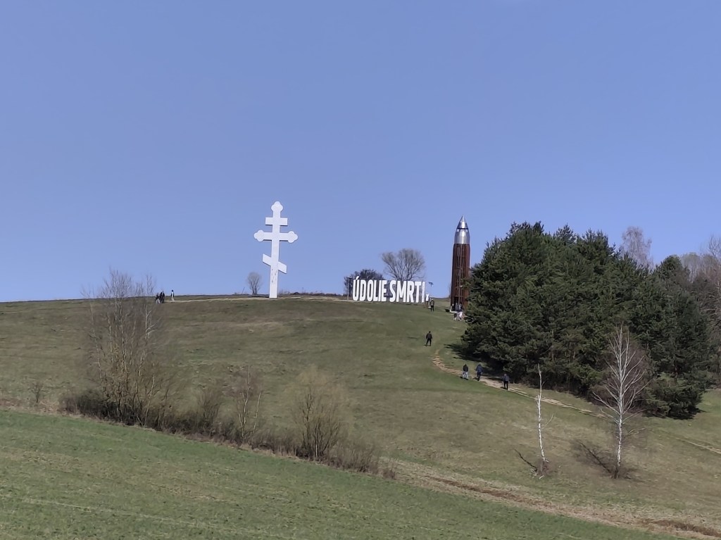
    Then we ran around the plane and between the tanks and after a few kilometers we reached the Valley of Death. In 1969, a so-called tank company in attack was built in the area of ​​the Valley of Death as a symbol of heavy tank battles. It consists of eight medium tanks deployed in a combat position on a meadow located between the villages of Kapišová, Kružlová and Nižná Pisaná. Along with the installation of tank technology, trenches were also created in this area and German anti-tank obstacles in the form of so-called dragon teeth were installed. In April 2019, the inscription “ÚDOLIE SMRTI” with dimensions of 9.98 x 2.90 meters was also installed in the tank company area. This is the largest horizontal inscription placed outdoors in Slovakia. In October 2021, a 13.5-meter-high four-story observation tower was subsequently built next to it, which with its specific shape resembles a cartridge for a Czechoslovak model 24 rifle.

    anti-tank dragon teeth
    The valley of death

    651

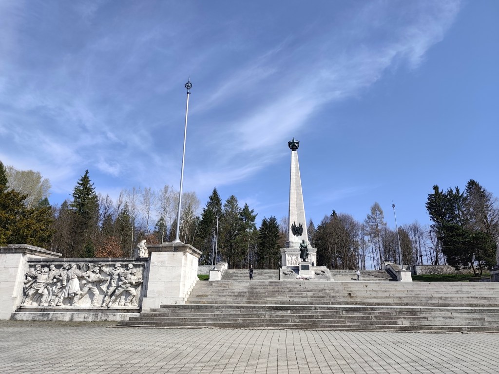
    We reach Svidník and right on its edge is the area of ​​the Dukla battlefield with the monumental Soviet Army Memorial. The pylon of the memorial itself has the shape of a four-sided pyramid and its total height reaches 37 meters. It is topped by a five-pointed star measuring 3.5 meters. Large-scale artistic reliefs were installed in the square pedestal of the pylon. Spiš travertine, which was imported from Spišské Podhradie, was used as the basic building material. The original memorial dates from 1954, but in 2017-2021 it underwent a complete revitalization. Next to the memorial there is also an outdoor museum exhibition with exhibits of military equipment.

    Memorial in Svidníku

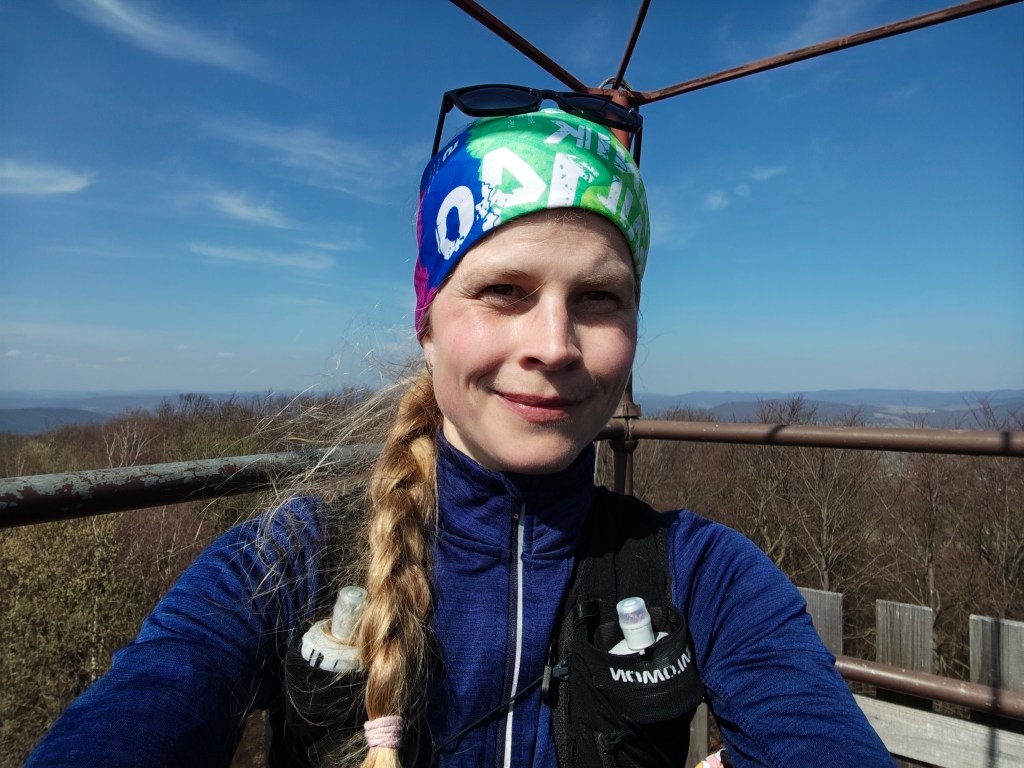
    We leave the city and climb to Čierna Hora, where there is a relatively newly built shelter and an observation tower, which is quite an adrenaline attraction when the wind blows.

    On the obervation tower

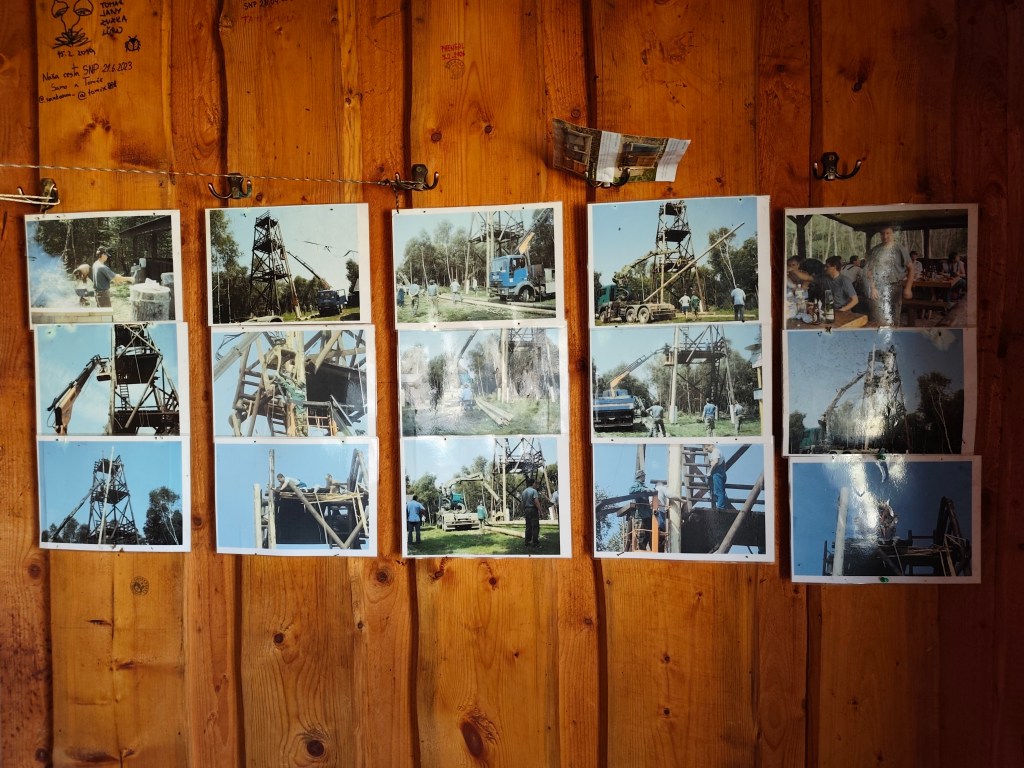
    There are interesting photos in the shelter documenting the construction of this observation tower.

    Inside the shelter

    Dnešnú etapu končíme v Kurimke, odkiaľ plánujeme zajtra pokračovať.

    44km, 7:08 active, 1277m ascend
  • SNP girl’s project day 9

    SNP girl’s project day 9

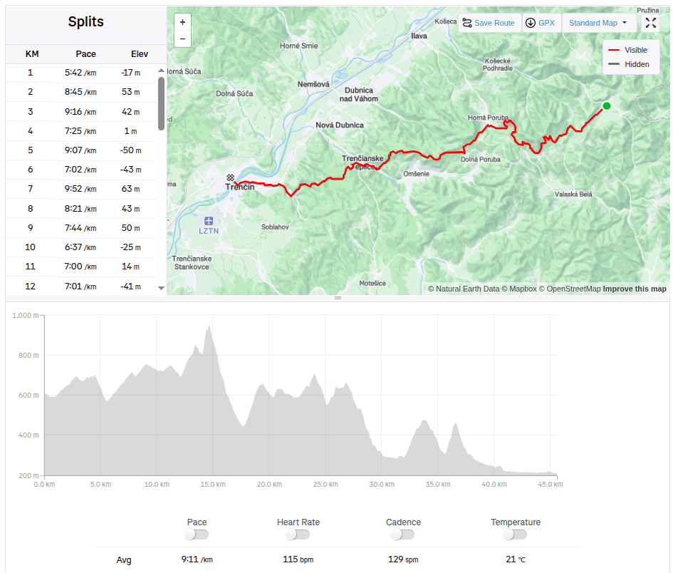
    This time we had a 45km long stage from Zliechov to Trenčín. In the morning at 7:00 we stopped the car in front of the same grocery store where we ended the stage last time. It was an above-average warm day for November, the sun shone through the clouds, ideal weather for running.

    Steep part of the climb

    The path undulated up and down through meadows, later turning into a forest path and we slowly climbed to Vápeč. The climb was long, I think about 10 kilometers, but only very gentle. The very end was steeper, but Vápeč rewarded us with a beautiful circular view of the wide surroundings.

    On Vápeč
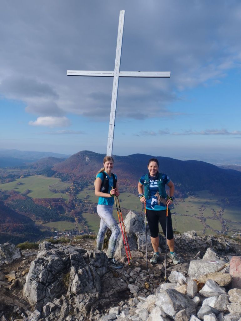
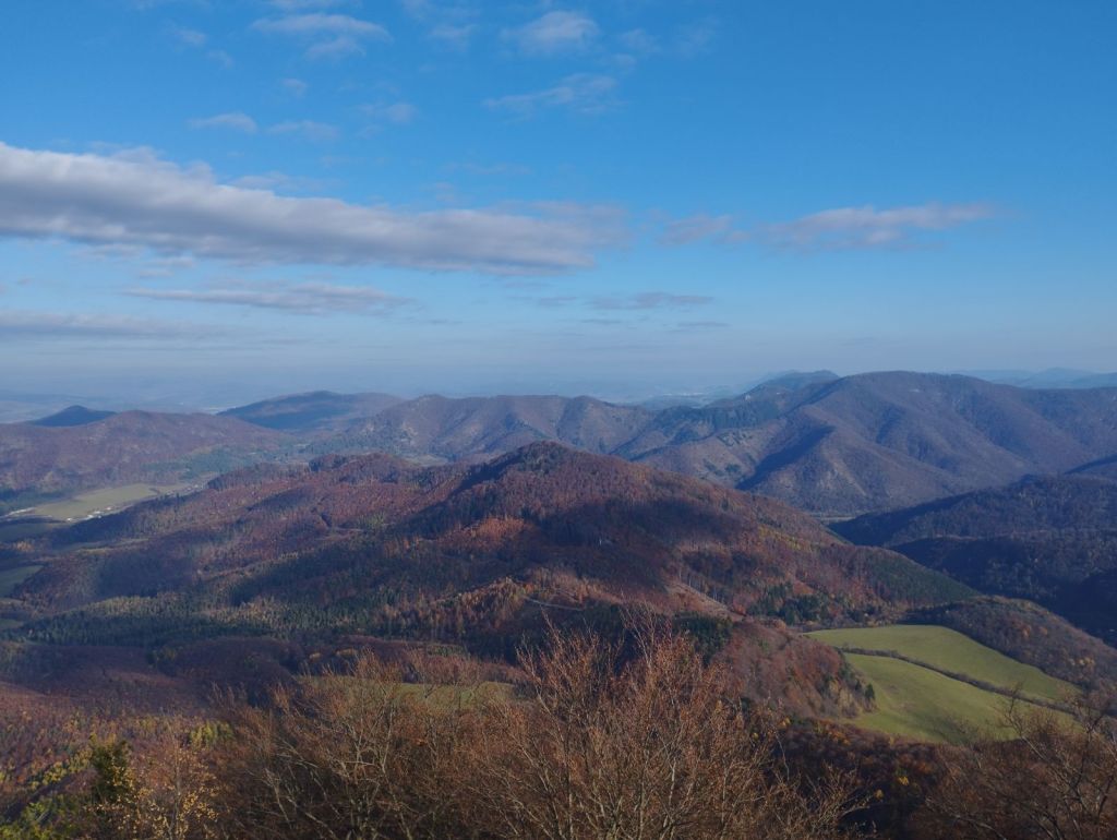
    View from Vápeč

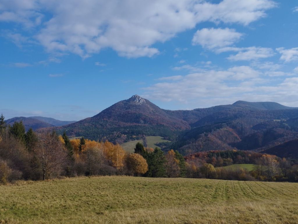
    Then we descended to Horná Poruba and continued along a long forest path covered with leaves. The leaves covered puddles, mud and even roots or stones, so each of us jumped into at least one puddle. Somewhere near the stone gate we met Jožko, who was going to drive the car to the destination in Trenčín and was running towards us. We were all looking forward to some refreshments in Trenčianske Teplice. We found a pub by the lake and the non-alcoholic radler just disappeared inside us.

    After Horná Poruba

    From Teplice to Trenčín it was again a leafy forest path, so to speak just over the hill. However, Trenčín tormented us, 5 kilometers on asphalt, running from one side of the road to the other and the only interesting thing it offered us along the way was the silhouette of the castle in the background.

    But overall we enjoyed it, this autumn day was perfect for such a beautiful stage with rustling leaves.

    45.5km, 6h 58min, 1645 m ascend
  • SNP Girl’s project day 8

    SNP Girl’s project day 8

    Another stage of our journey on the SNP , this time from Čertovica to Hiadeľské sedlo.

    For us, one of the most beautiful stages along the ridge of the Low Tatras, a bit more demanding in terms of logistics and also in terms of weather. We were mainly afraid of getting overheating, because on this part of the ridge you can only refill your water at mountain huts and surprisingly, in the end we were cold 😀 The 5 degrees in the morning barely climbed to 10 during the day and in the wind the feeling temperature was even lower. Half the way I ran with gloves and a headband was also a must. A day later it even snowed in the High Tatras.

    starting point – čertovica

    The main peaks were in the clouds, but we still enjoyed the beautiful views. Also, this stage was much more visited by tourists than the previous ones.

    Clouds rolled over the hills all day

    From Čertovica, it starts with a climb to Kumštove sedlo, there are ripe raspberries and blueberries everywhere along the path, and higher even cranberries. But there really wasn’t time to graze on them. After less than 2 hours, we are at the M. R. Štefánik hut, but we don’t stop, bacause we plan to have coffee on a Kamenná hut. From štefánik hut, the path is much more technical, we pass through stone fields, which slows down our progress considerably, and we slowly start to feel hungry.

    Lucka on the way to Stefánik hut

    After three hours we arrive at Kamienná hut, where we enjoy a coffee, a great tea made from mountain herbs and a bun. 15km, 3 hours and 1100 meters climbed. Today will be a full-day trip 🙂

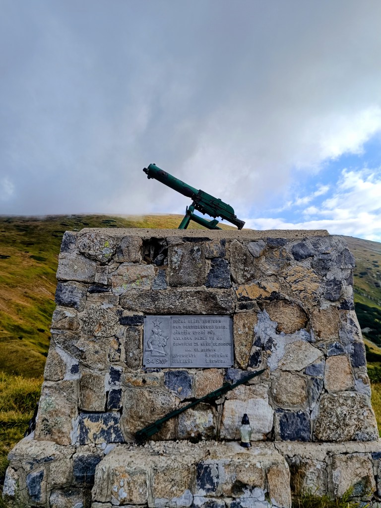
    Monument for the heroes of Slovak National Uprising (SNP)

    We continue through Dereše, Poľana, Chabenec to the saddle above the Ďurková shelter, where Jožko separates from us and returns to get the car. Lucka and I decide not to stop, we have enough water and it is not so hot that we have to refill it. We have covered 26km in almost 5 hours and we are eating another bun. Today we eat a lot 😀
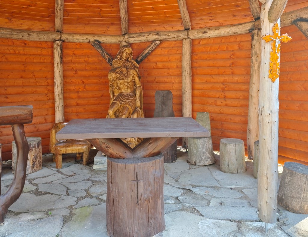
    We are heading to Chochuľa, where we should meet Miloš and run the rest of the ridge with him. Lucka and I are really enjoying the ridge, even though I am cold sometimes, mainly on the higher peaks. Miloš is fast and manages to run down to the saddle under Skalka. Our legs are already quite tired and there are still 12km to go.

    We manage to run slowly most the time, but when we cross Prašiva, we slow down completely to a walk, the steep terrain and gravel pose too much of a risk of slipping for Lucka, her legs are tired and she’s afraid of falling. Actually, I don’t mind at all and I walk with her, my legs are already pretty sloppy.

    Mountain meadows

    We reach the Hiadeľ saddle and memories come flooding back to us of how we started the stage to the Šturec saddle at this very place. We walk down the steep slope, but when we get down to the asphalt, we heroically start running and run all the way to the car. A non-alcoholic radler, flip-flops and a dry T-shirt make us perfectly happy people:D We meet Jožko in a restaurant, where we have a late lunch of the size of “I ran all day”. It was great.
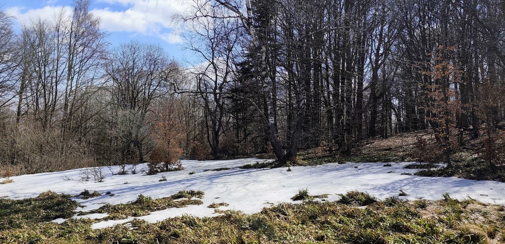
    44.19km, 8h 42 min active time (9:07 total), 2277m ascend