Category: SNP

  • SNP girl’s project day 7

    SNP girl’s project day 7

    We start at 6 am from our accommodation in Mlynky. Today we have in plan Dobšinský kopec, Voniarky, Čuntava and we finish in Telgárt.

    My legs haven’t fully recovered from Thursday’s run in the Veľká Fatra, running downhill really hurts. But we have to take advantage of the fact that we are already here, we’ll at least do a shorter stage.

    From our accommodation, we need to go to the Kruhové saddle, to join red SNP path. It takes one kilometer and 170 vertical metres. It’s fresh morning and we’re making our way through a little wet raspeberries from the morning dew. We sometimes shout a little, after all, we saw warning signs about the increased incidence of bears yesterday.
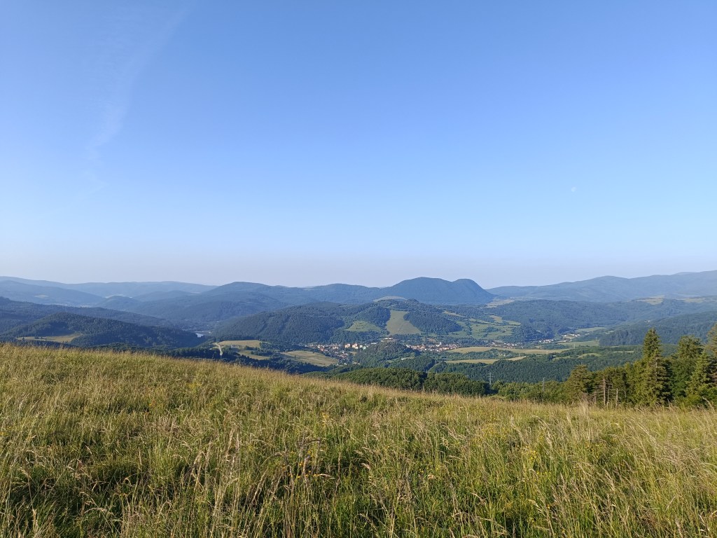
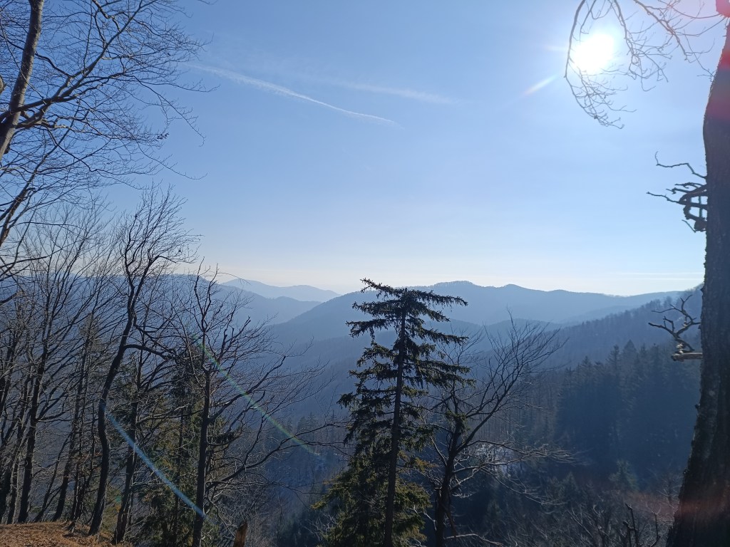
    First morning views

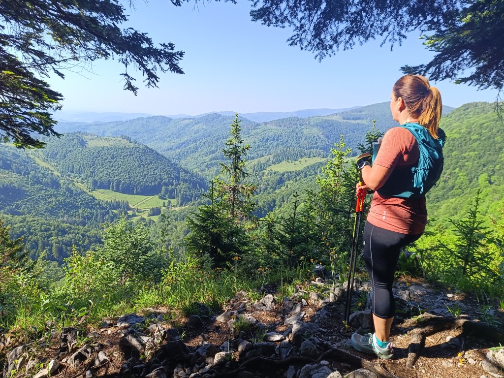
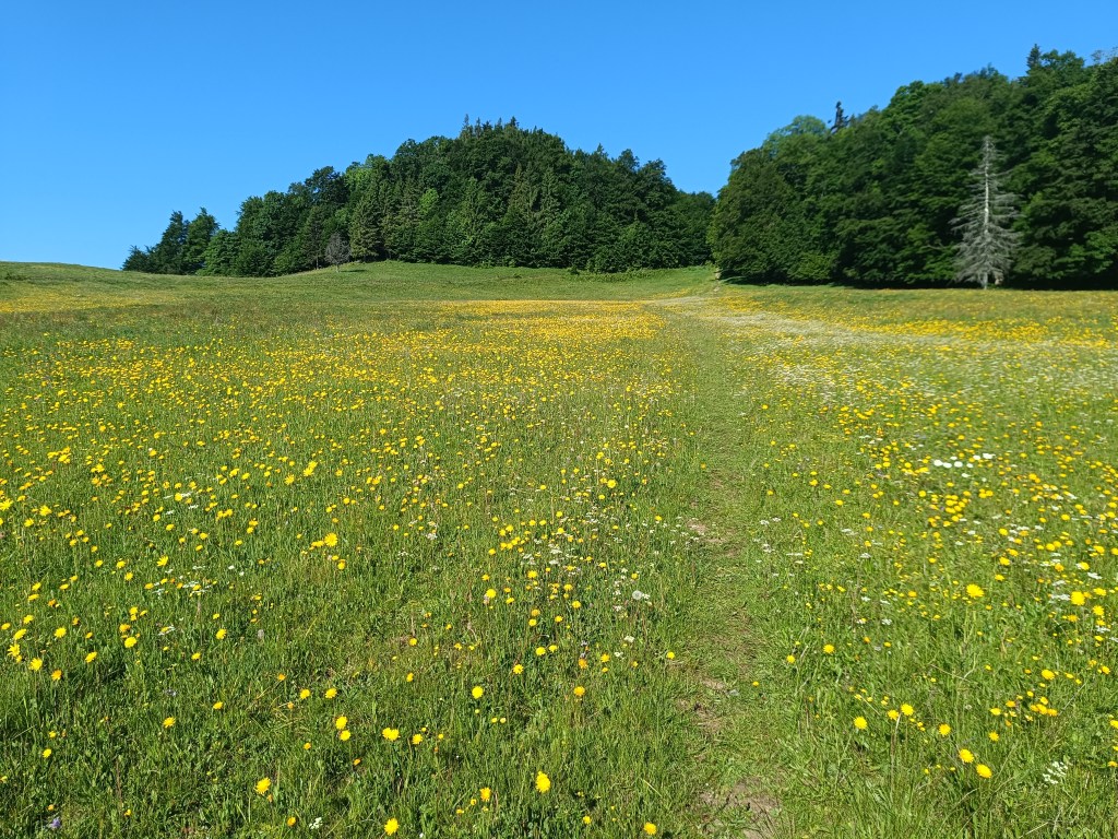
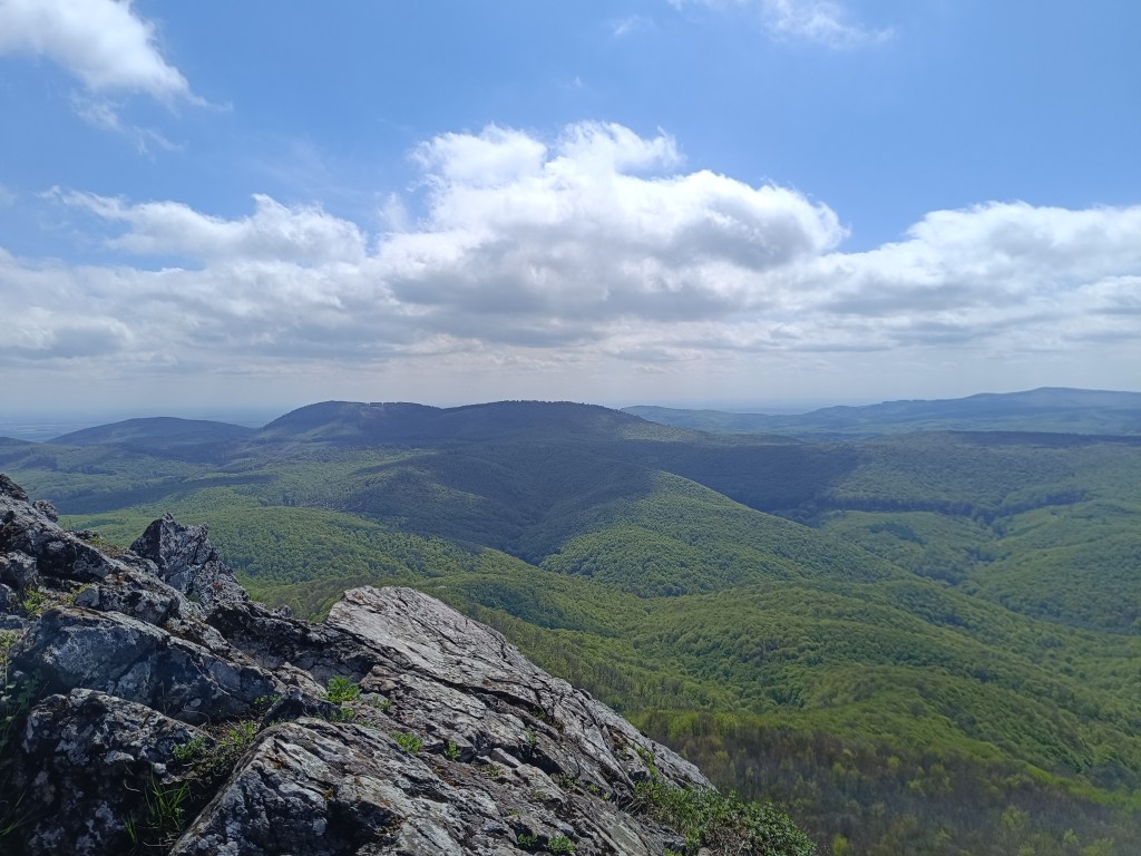
    We descend through the meadows to the Dobšiná hill, cross the asphalt and head towards Voniarky among a herd of cows. Yesterday we were here on bicycles, today on our own feet. I get water at the Gápel cottage. The path meanders through the trees, sometimes taking us to flowery meadows. It is beautiful here. Lucka and I agree that this is the most beautiful section for us so far.
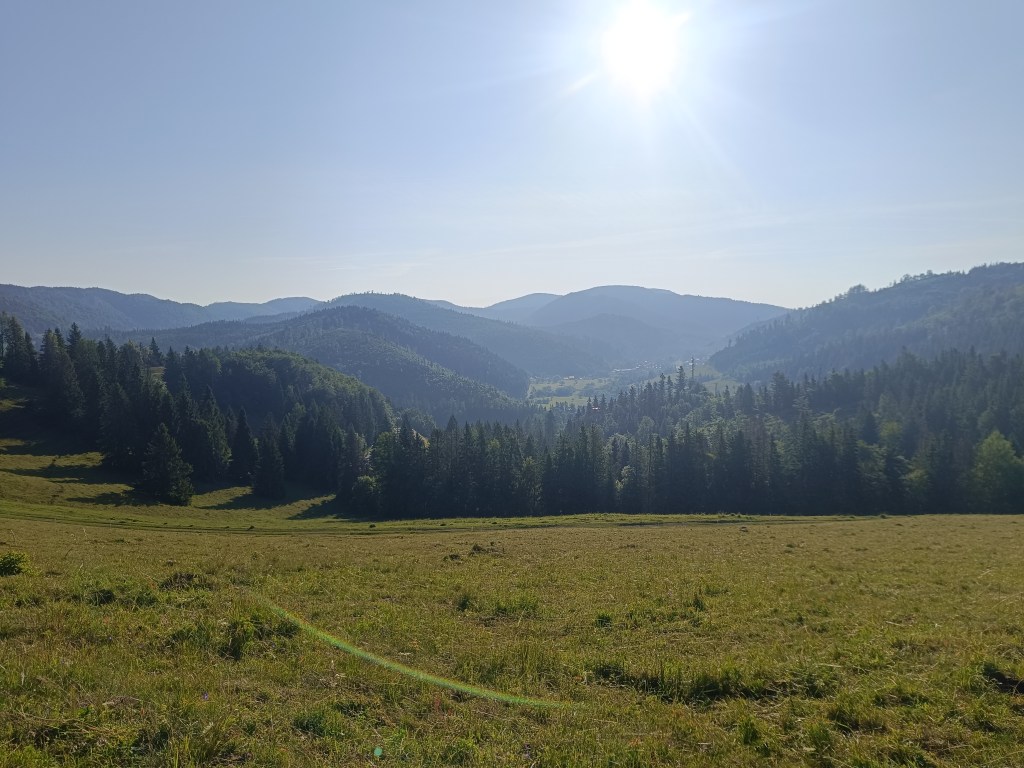
    As the sun rises, so does the temperature
    Meadows with great biodiversity are beautiful
    Výhľad before Strmá prť

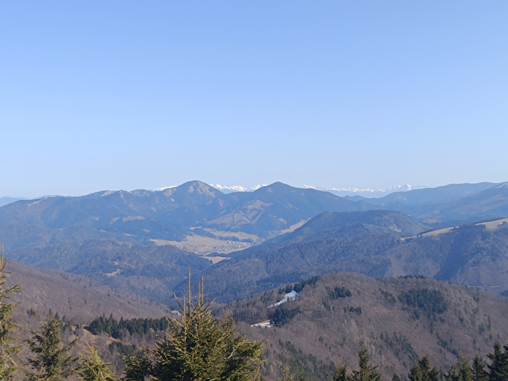
    From the Čuntava spot, the route continues only on a gravel road, less interesting to us than the joyful forest paths. As if to excuse it, a view of the Tatras opens up and we admire it. We are guessing it is Lomnický štít.
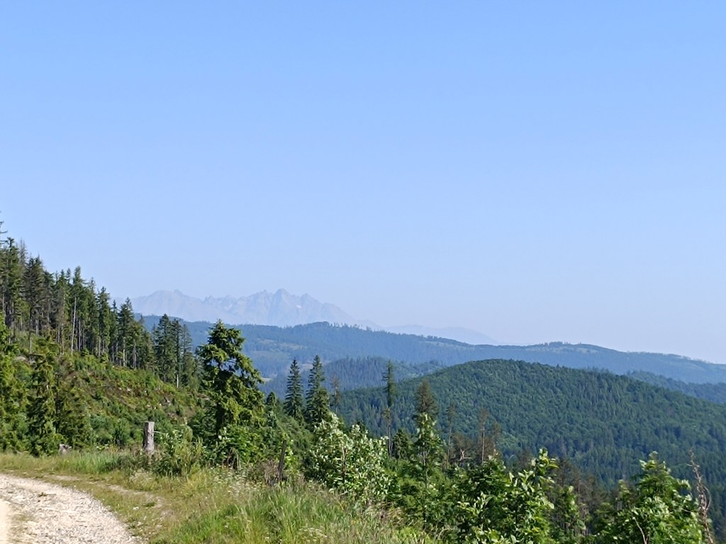
    Tatras in the background

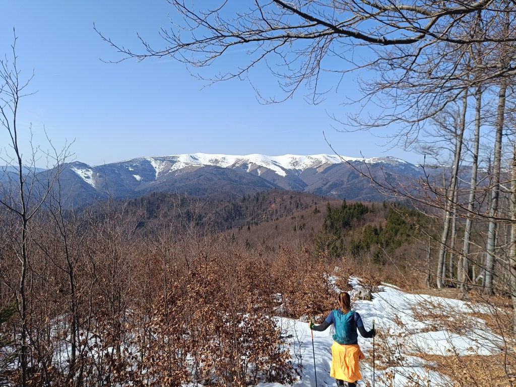
    Around the last curve, Kráľova hoľa is now visible to us. But it will wait for us next time, during the Low Tatras ridge, we end today in Telgárt.
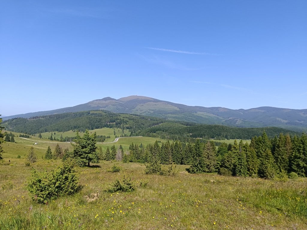
    Kráľova hoľa

    We’re already craving coffee, the route is taking us to asphalt, we don’t really like it, but whatever, there’s no getting off the red path:)
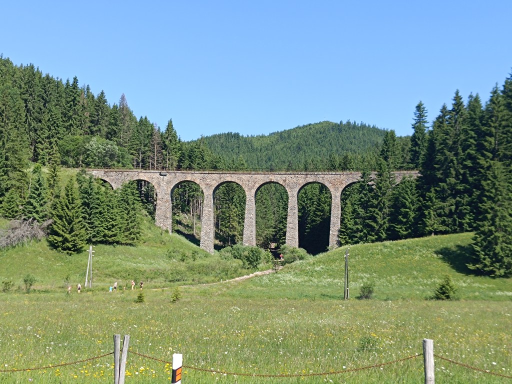
    Chmaroššký viadukt

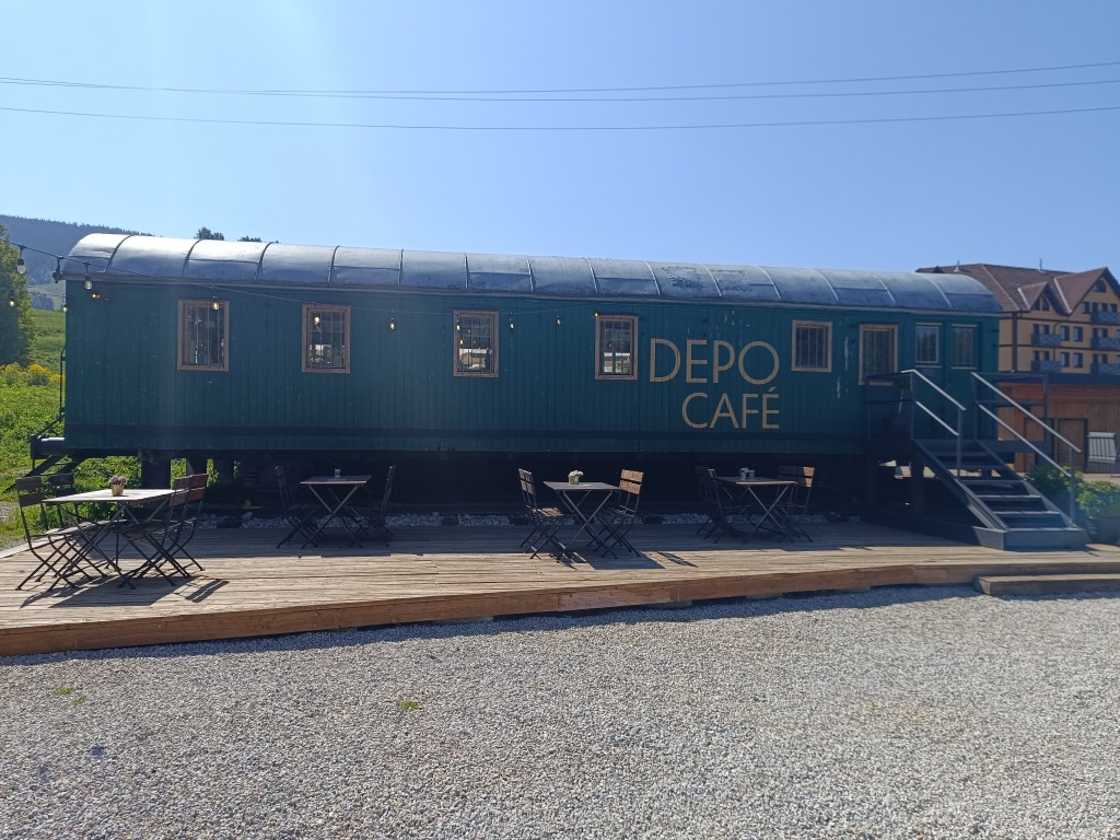
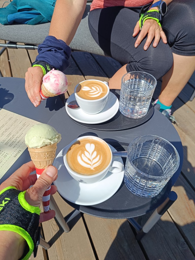
    We run along the source of the Hron River and opposite of the Chmarošský Viaduct we take a break in the famous Depo Kafe. We have to admit, their coffee is good, but the ice cream could be much better. The bridge dates back to 1933 and is the first articulated arch structure made of reinforced concrete in Czechoslovakia. The Telgártska loop is one of the most demanding railway engineering structures in Slovakia, because thanks to the Telgárt tunnel, the Telgárt and Chmarošský Viaducts, it overcomes a difficult climb of up to 31 meters and a gradient of 12.5 %. The viaduct consists of 9 arches. It is 18 m high, 113 meters long and passes over the Gregorova dolina valley, called Chmaroška. This unique viaduct was built during the economic crisis in the 1930s and more than 7,000 people participated in its construction. Men and women, mostly local residents, worked on the construction site.
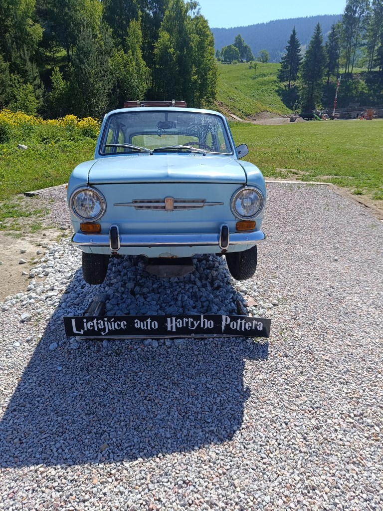
    We reach Telgárt, where we meet Ľubka by the church, who very willingly brought our car from Mlynky and thus allowed us to run this stage. It was a truly beautiful stage, and a great morning in the mountains.
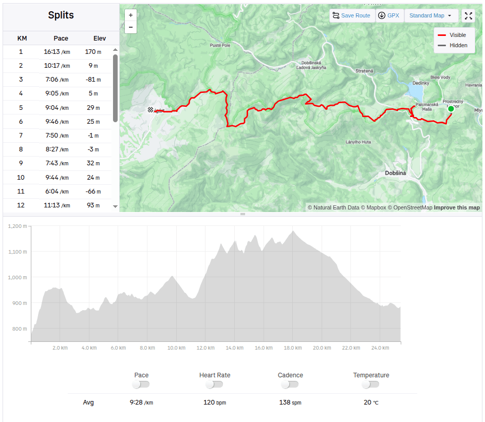
    25.42km, 931 m ascend, 4:00 active time
  • SNP girls project day 5

    SNP girls project day 5

    Jožko drove us to the place where we finished yesterday’s stage. The asphalt road later turns into a forest cycle path, the gentle waves are a easy, simple path for now, and we managed to cut the hiking times in half.

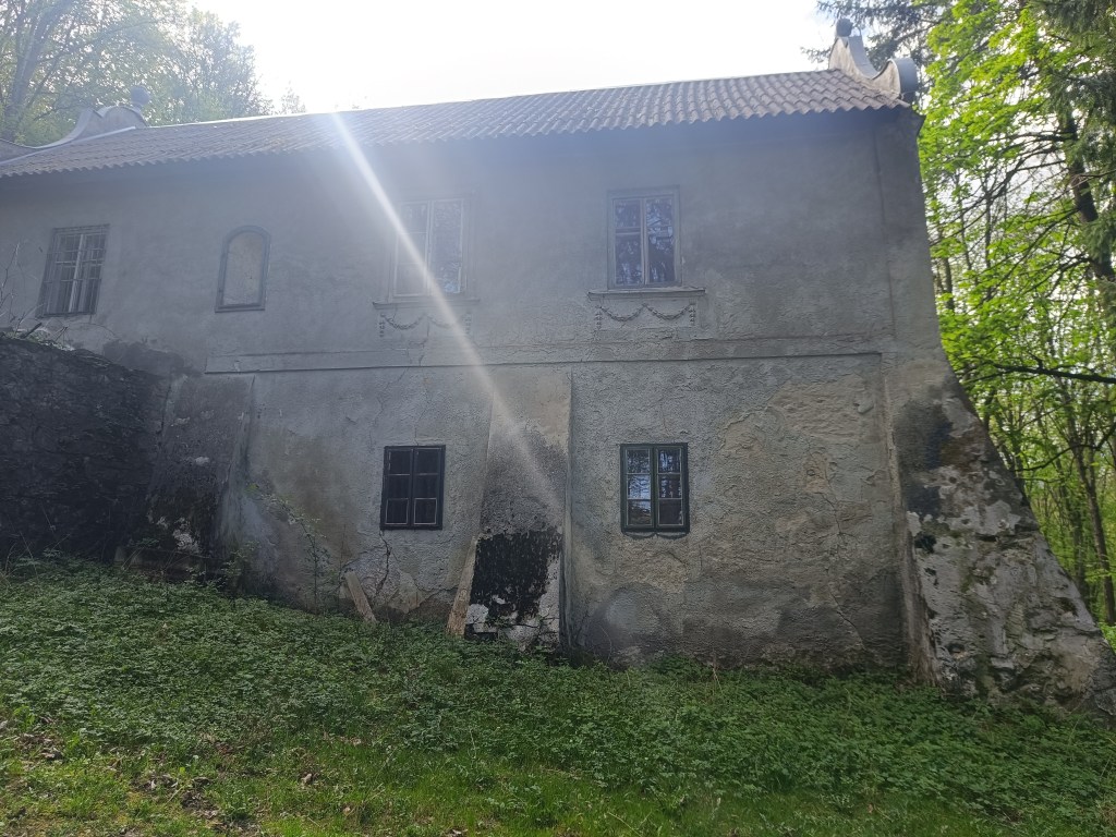
    The first interesting point is the magical chateau – the former Pálffy mountain lodge Mon Repos.

    Mon Repos

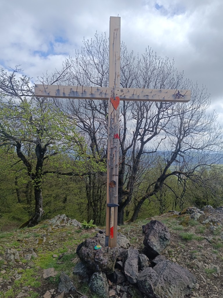
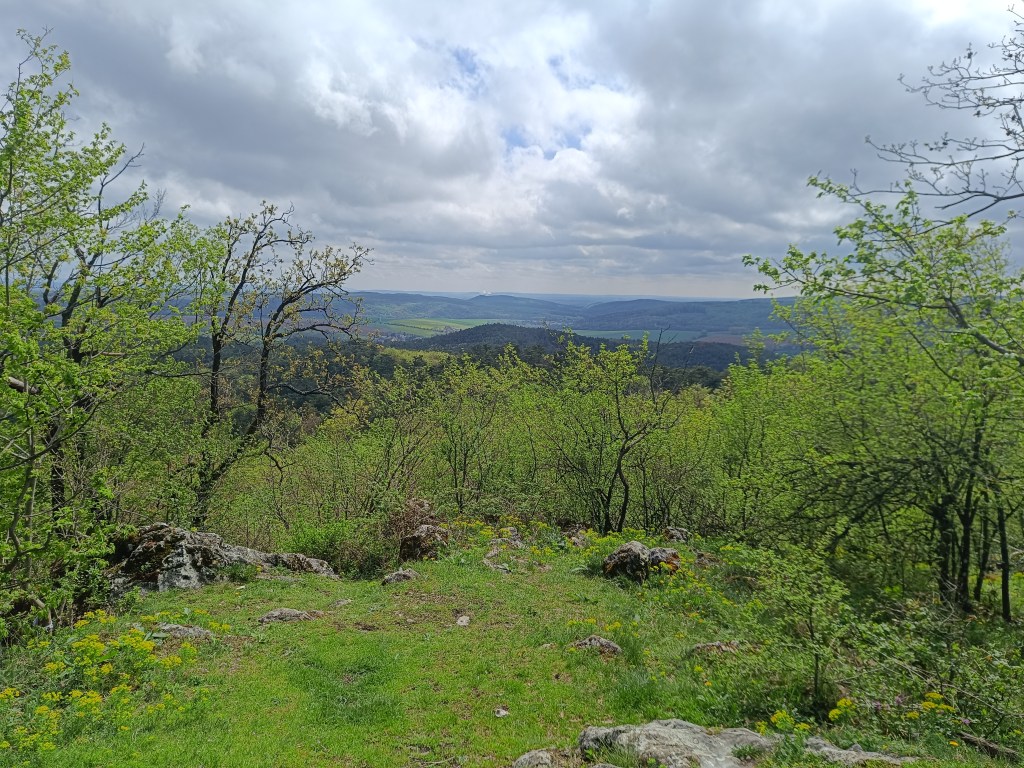
    Through Amon’s meadow we climb to Klokoč, where we meet Jožko, who was running towards us from the finish line. The Klokoč nature reserve, which also includes the hill of the same name, is completely different in character from the surrounding hills. Thanks to its volcanic origin and significant wild vegetation, it seems as if it does not even belong to the Little Carpathians. From the top and the entire ridge there are beautiful views of the surrounding ridges of the Little Carpathians. The peak of Klokoč itself is marked with a small wooden cross, into which you can hammer a nail.

    Wooden cross on Klokoč
    Views from Klokoč

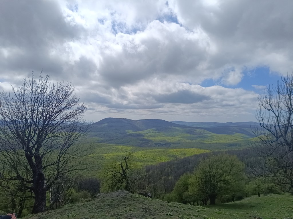
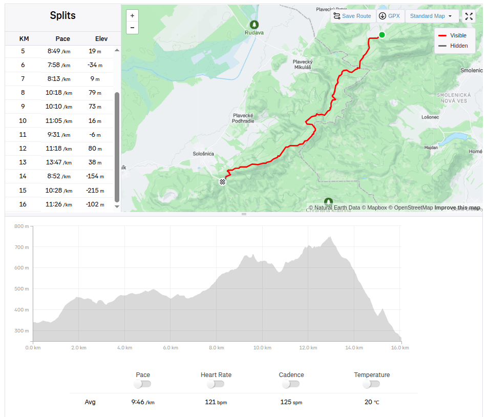
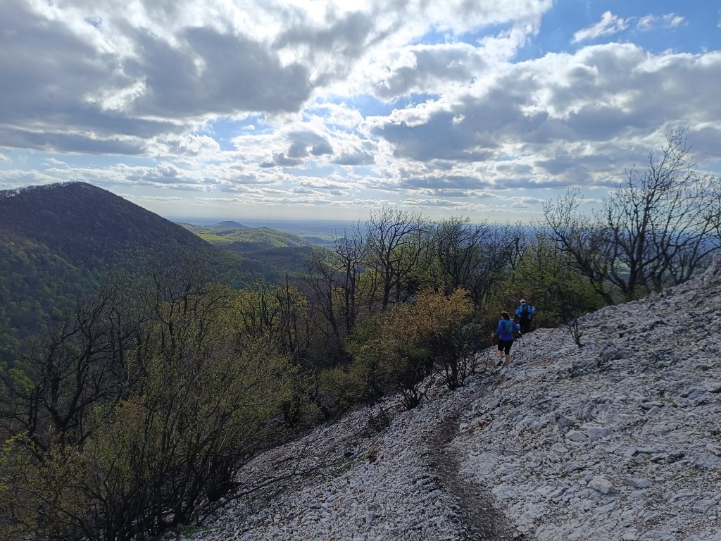
    Only Vápenná, or Roštún, awaits us today. It is the third highest peak of the Little Carpathians. Its altitude is 752 meters and it is located between the villages of Plavecké podhradie and Sološnica. It is one of the most beautiful peaks of the Little Carpathians. There is a beautiful view not only of the rocky cliffs and limestone fragments, but also of the vast surroundings.

    From Vápenná

    A 3-kilometer steep descent follows and we are at the finish line of today’s stage – in Sološnická dolina.

    16km, 2:36 aactive time, 733m ascend
  • SNP girl’s project day 4

    SNP girl’s project day 4

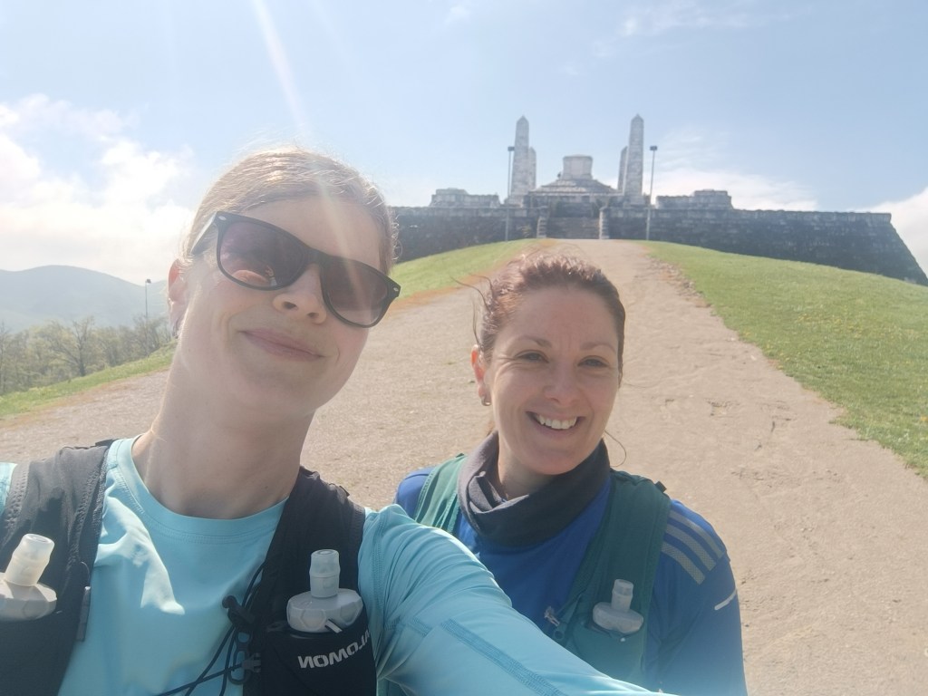
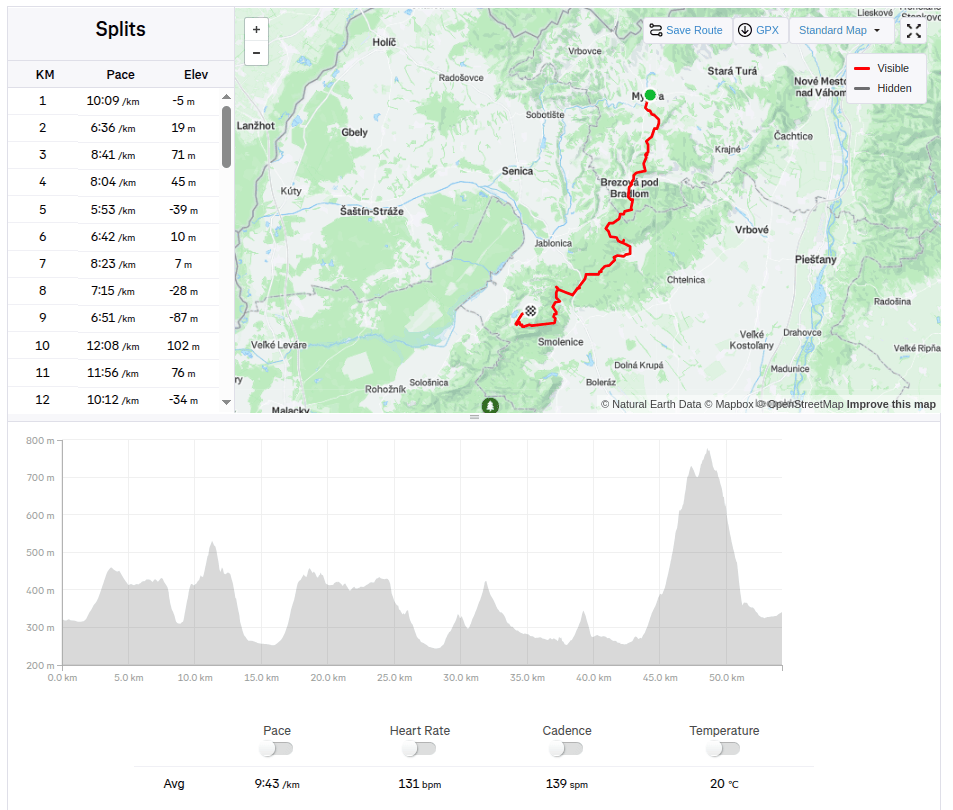
    We start at 8:30 in the morning in Myjava, after 2 hours in the car our stiff body doesn’t feel like it. We head to Bradlo. Bradlo is the highest peak of the Myjava Hills. However, it is mainly known for the fact that on its top stands the mound of M.R. Štefánik.

    M.R.Štefánik mound

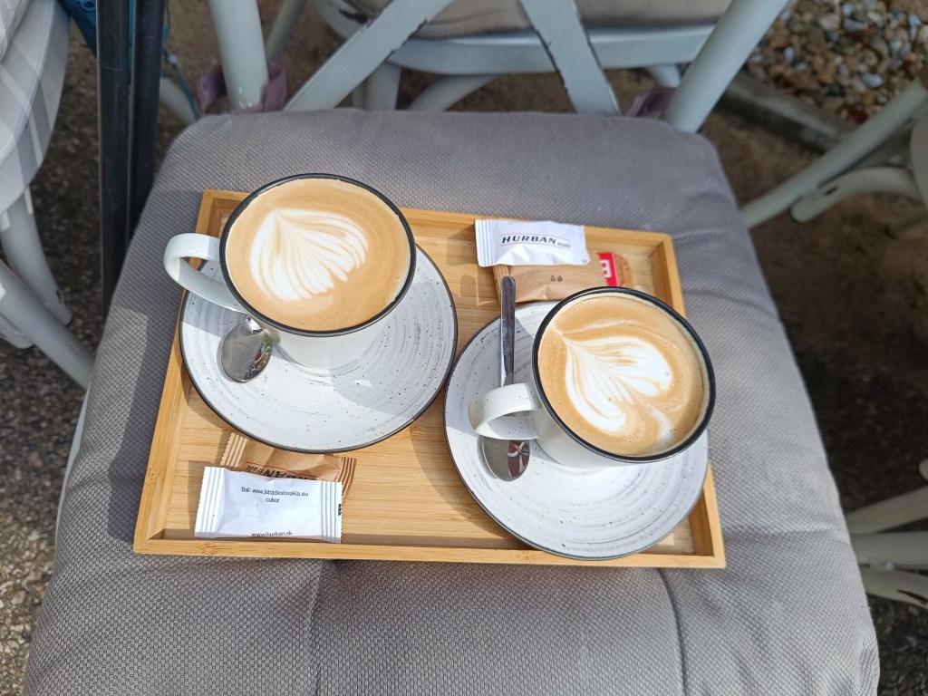
    Below Bradlo is the beautifully renovated Bradlo cottage, where we had a great cappuccino.

    First refreshment

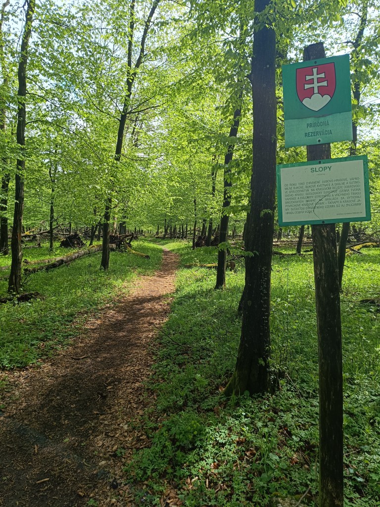
    From Bradlo we run through Brezová pod Bradlom, a fairly long asphalt section. Then we find ourselves again in a forest, which is beautifully scented with wild garlic. We enjoy the first spring greenery.

    Beautiful, minimally human-impacted forests

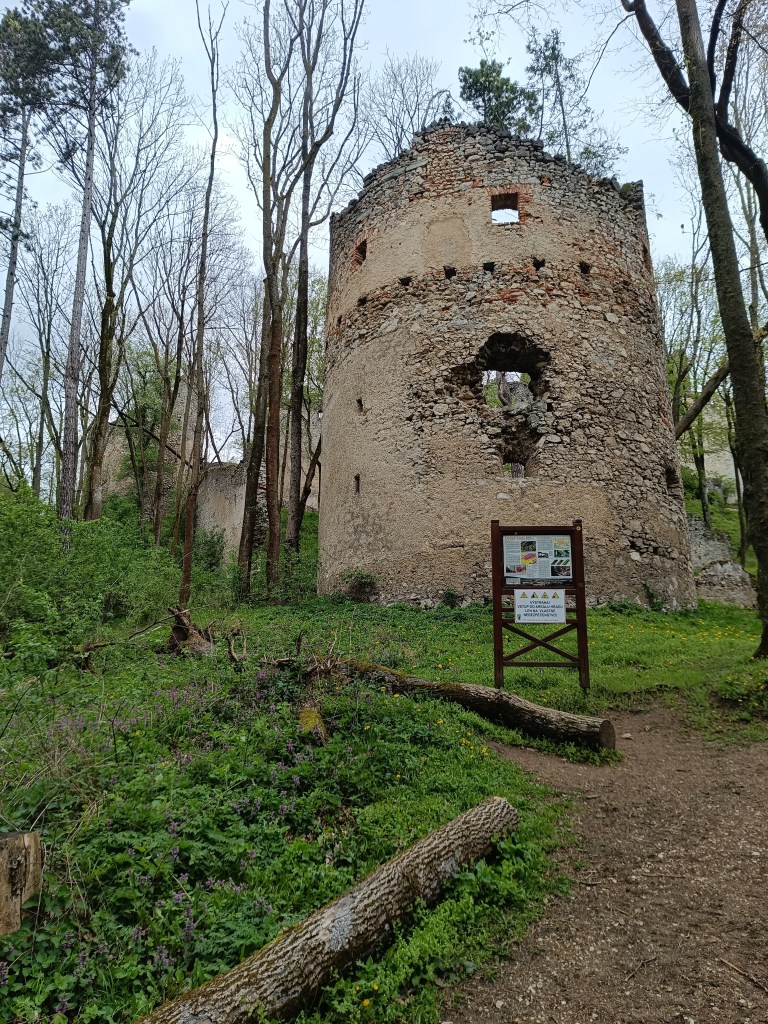
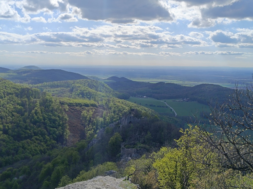
    We turn off the route to the Dobrá voda castle, because we still have strength and the table shows only 10 minutes. The Dobrá Voda castle is a Gothic castle located in the central part of the Little Carpathians and is part of the Slopy nature reserve, covering 8467 square meters. The name of the castle is derived from the numerous water springs in the area. The castle is now in ruins. Of the buildings, part of the masonry with fortifications and the remains of several buildings have been preserved. The process of its destruction is also affected by the amount of greenery that overgrows the entire object. Nevertheless, its ruins are a picturesque addition to this part of the Little Carpathian landscape.

    Dobrá voda

    We run to the village of Dobrá voda, where Jožko is already waiting for us, who ran to us from the finish line where he parked his car. He has not entirely encouraging news for us, that we still have 25 km to go (we counted with 19). But there is no other way, but to go 😀 We climb to Mihalová, where there is a beautiful Jozef Mak shelter, which serves mainly long-distance tourists.

    The sun is shining and the temperature is rising, we no longer like hte taste of water and we dream of a non-alcoholic radler or kofola. My knees are starting to hurt, my ITB tendons are starting to hurt due to neglected yoga.

    However, Jožko boosts morale, he noticed a sign near the cottage area that if we walk 250 meters from path, we should reach Stan’s pub. We don’t hesitate, and in 5 minutes we are enjoying a fresh pomelo grapefruit radler.

    Next comes an unpleasant stretch of asphalt without a sidewalk, since it is a main road, we have a bad feeling about it. Fortunately, it is only about a kilometer and we run into the trees again. Next comes the climb to Záruby. Záruby is the highest peak of the Little Carpathians.

    Path to Záruby

    In many parts, limestone cliffs, characteristic of this part of the mountain range, stand out. They provide interesting views of the surroundings. At the top stands a cross.

    A bit dangerous path to Ostrý kameň castle
    Ruins of Ostrý kameň

    Ostrý kameň Castle was a border castle built to protect the Czech Road in the 13th century. After being damaged during the Rákóczi Uprising, the castle turned into ruins. It was built at the end of a steep mountain ridge, from which it is separated by a moat cut into the rock. It consisted of a residential palace, an observation and guard-defense prismatic tower.

    A steep descent follows, where my knees are already suffering considerably. Another 2 kilometers on asphalt to the car and we are at the finish line. Parched, we open non-alcoholic radlers to replenish fluids and sugar. Today was a difficult section, but thanks to that, tomorrow we only have a 15km long stage.

    54.2km 8:46 active time, 1733m ascend

  • SNP – girl’s project #day3

    SNP – girl’s project #day3

    The third stage was from Hiadeľské sedlo to Šturec sedlo. And since Hiadeľské sedlo cannot be reached by car, we had to hike there. This added the first extra kilometers to the SNP route, namely 5.1km and 287 vertical meters. However, the weather was beautiful and the initial -2degrees celsius quickly turned into plus values, so we even took off our jackets in the saddle and continued only in long-sleeved shirts. Today, the problem wasn’t that our water freeze, it was more a problem to have enough of it.

    Kozí Chrbát

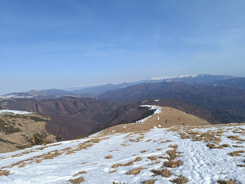
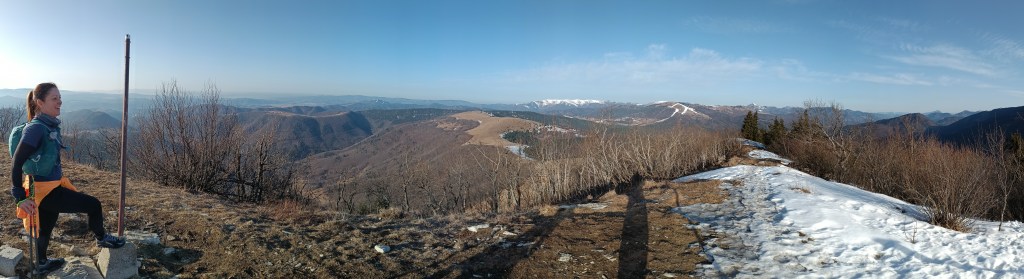
    We continue to Kozí Chrbát, a hill with a beautiful view, I definitely recommend it, then continue via Kečka to Donovaly. There is still some snow on the ridge in shady places, but most of it has already disappeared. The descent through the forest to Donovaly was worse, where ice cover is still present on the cross-country ski trails. But we managed it and in Donovaly we take a break for coffee and radler. It is warm and we are thirsty.

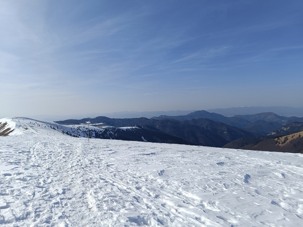
    The visibility was great, the High Tatras are visible in the background

    Refreshed, we climb to Zvolen, overcoming approximately 400 meters in altitude, but we are rewarded with great views. From Zvolen we continue along the forested ridge to the Veľký Šturec saddle (which is still quite far from the Malý Šturec saddle, where we end the stage).

    The ridge between Zvolen and Križna (in the background)

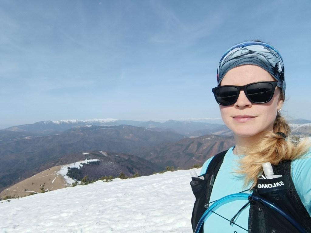
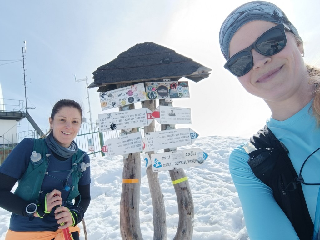
    We climb over larger and smaller hills until we reach Krížna, which is still completely covered in snow. On the last big climb we wade through the snow, our feet are wet, the snow is melting, but with the vision of the last climb we climb up to Krížna (1574 meters above sea level).

    At the bottom of climb to Križna
    And the last few metres
    Križna finally

    The descent to Kráľova studňa turns into dancing in wet snow, in some places there was up to 5 cm of water on the path. We have a flood in our shoes, but cola at Kráľova studňa raises our morale. The last 10 km downhill run to the finish. But half of them were covered in wet snow with water flowing through them.

    Cez 10km na snehu

    Jožko is waiting for us at the finish line with a non-alcoholic beer, a great surprise.

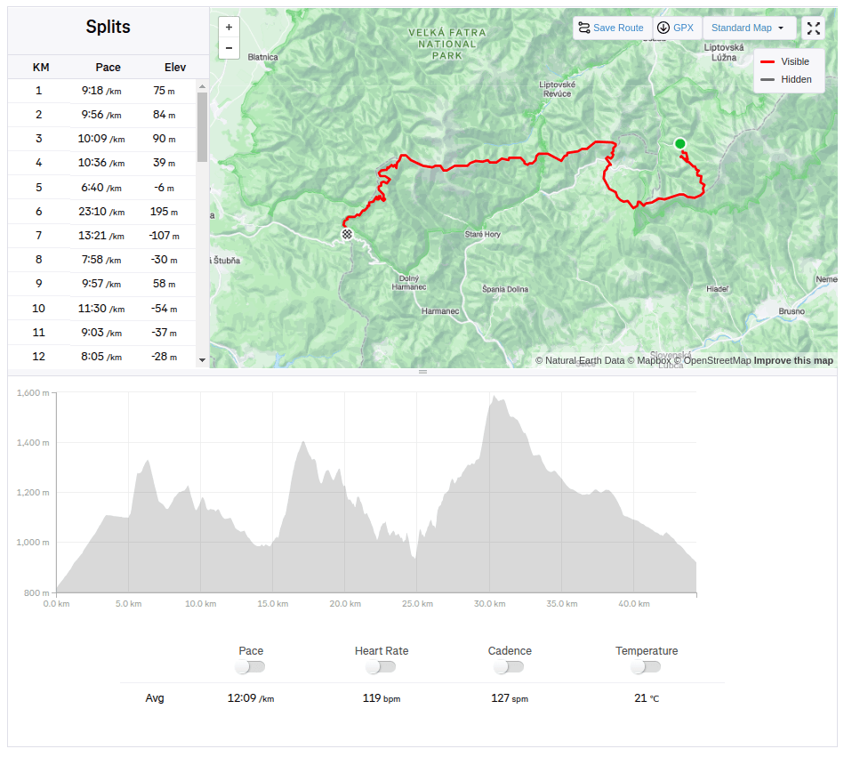
    44.33km, 2263m ascend, 8h 58 min active time, 9h 41min total
  • SNP – girl’s project #day2

    SNP – girl’s project #day2

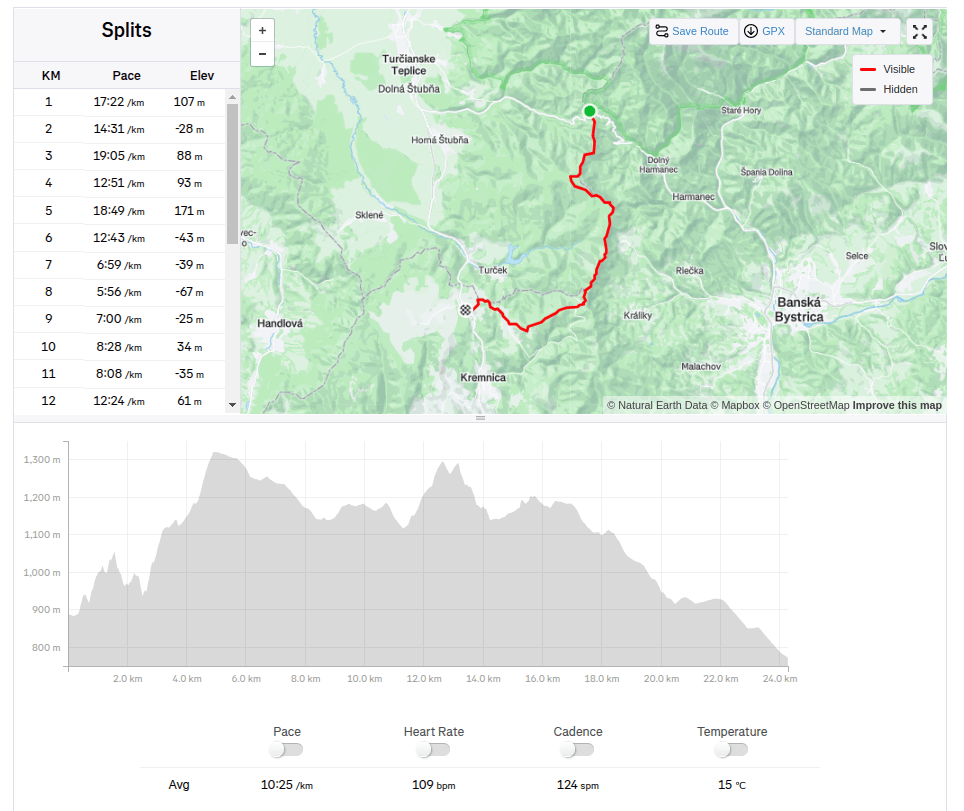
    We start our second stage from the Šturec saddle to Kremnické Bane. It’s cold, the thermometer in the car shows -6 degrees Celsius. We step out of the car and find out that not only is it cold, but there’s also a pretty strong cold wind blowing… The nearest opportunity to do the stage is in two weeks, so I clench my teeth (I don’t really like the cold weather, my fingers and hands freeze painfully quickly) and we start..

    Above saddle Šturec

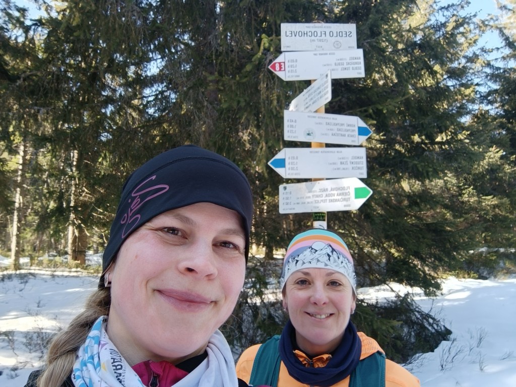
    We spent some time looking for the start of the red trail, but then we were accompanied by a beautifully marked hiking trail the whole time. We climb over Priečný vrch covered in frozen snow, and then to the Flochová saddle. I think there is half a meter of snow up there. A beautiful winter fairy tale.

    Sedlo Flochová – najvyšší bod

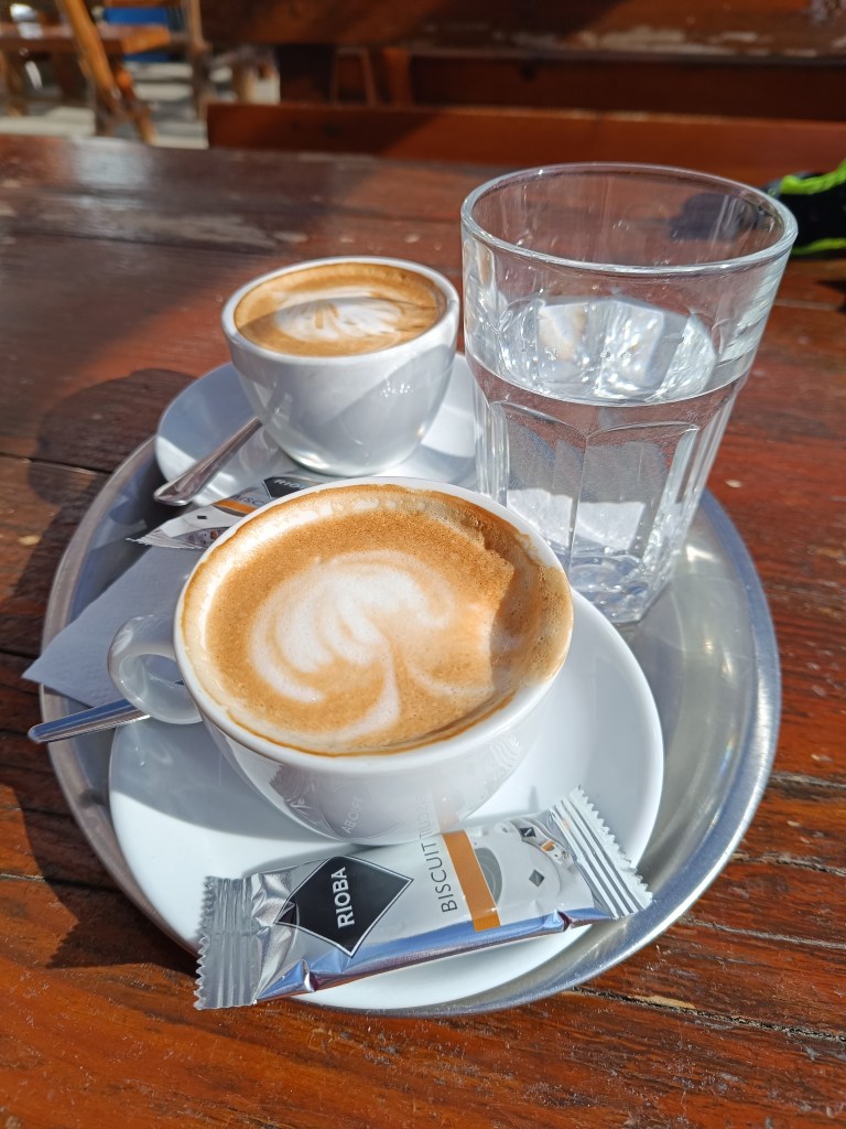
    From Flochová it’s a wavy ridge to Skalka and it’s so cold that the water in my hydration pack freezes. At Skalka we take a short break for coffee and a protein bar and continue to Kremnické Bane.

    Every break has an unwanted effect on me, my body quickly cools down and my fingers freeze again and again – the painful tingling lasts an unpleasant 10-15 minutes until my body warms up again.

    We run down a beautiful tree-lined path and after 3 kilometers we run out of the forest into sun-drenched meadows and suddenly it is warm, a different world, without snow and with sun-warmed meadows.

    Above Krahule

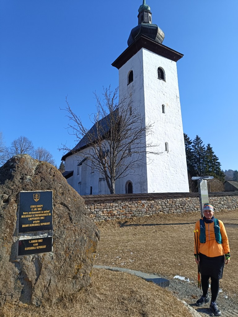
    On the way, we turn towards the Center of Europe, next to the ancient Church of St. Ján Krstiteľ there is an erected stone. It announces that this is the geographical center of Europe.

    Geografical centre of Europe

    This important geographical point is marked by a small monument near the defensive wall of the church. On the occasion of the founding of the Slovak Republic, the foundation stone of Slovak statehood was also laid here.

    24.28km, 1124m ascend, 4h 12min
  • SNP – girl’s project #day1

    SNP – girl’s project #day1

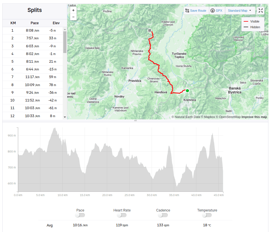
    Two working mothers, two trail runners, one dream. To run the whole E8 long distance hiking path – SNP trail. 770km, 31000m elevation. But we have full time jobs and kids, so we decided to divide it into stages and run a stage whenever we find time and then put it all together, start where we end, through every meter of this path. We hope to find enough time to finish it within this year. On the path we are selfsupported, but outside the path we have support from our men, they drive us to start, or from end of stage. First stage: Kremnické Bane-> Vrícke sedlo, temperature around 2°C. It was just BEAUTIFUL 

    When we started at Kremnické bane it was around -3 degrees Celsius, so we need to run to keep ourselves warm.. We were excited that it is really happening, we run and we talked a lot.

    We were so excited, that we forget to made the start photo:D

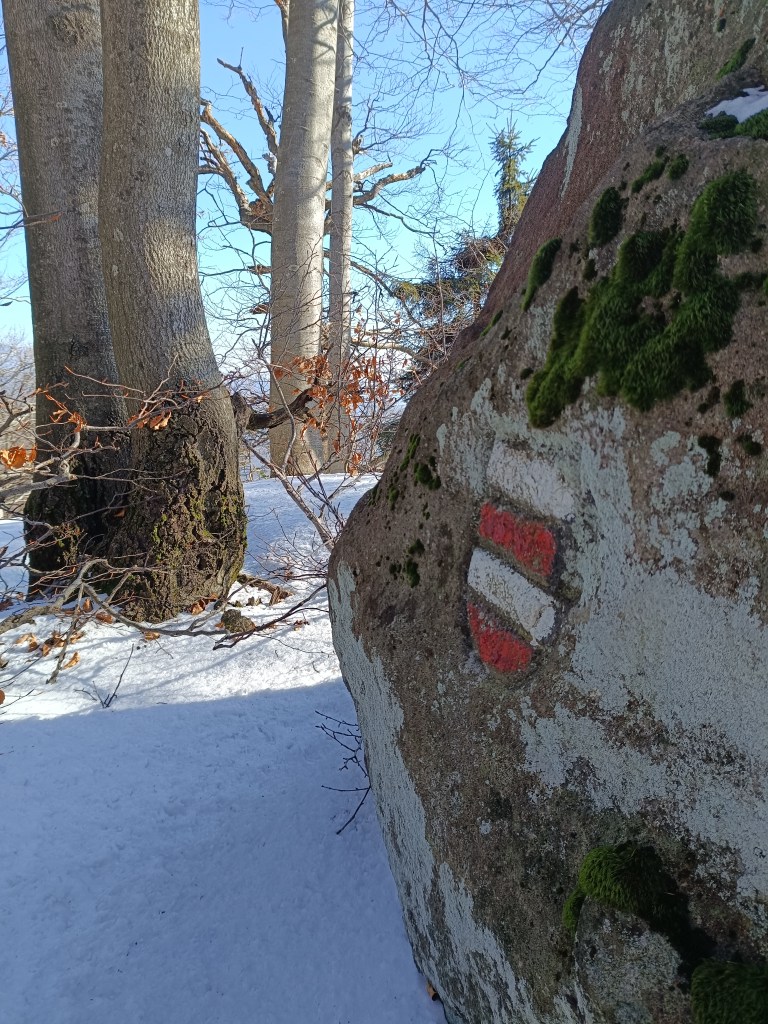
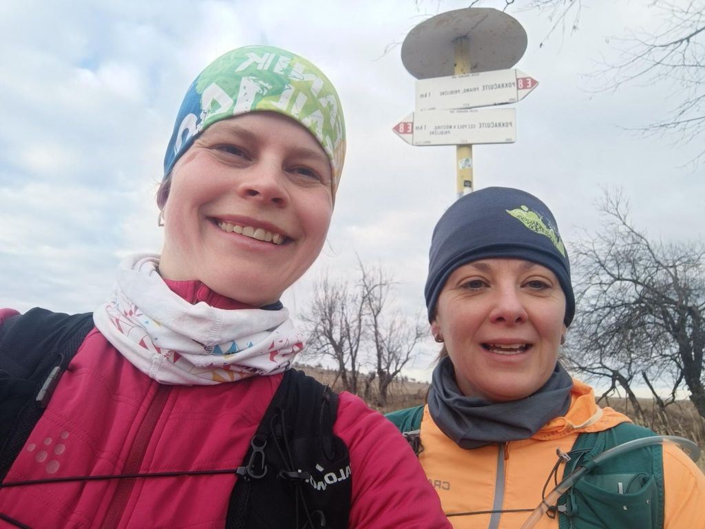
    First E8 sign
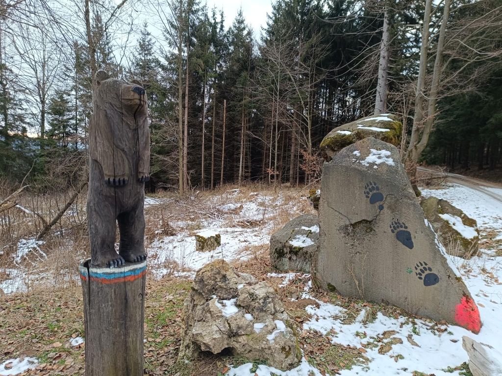
    Luckily the only bear we met
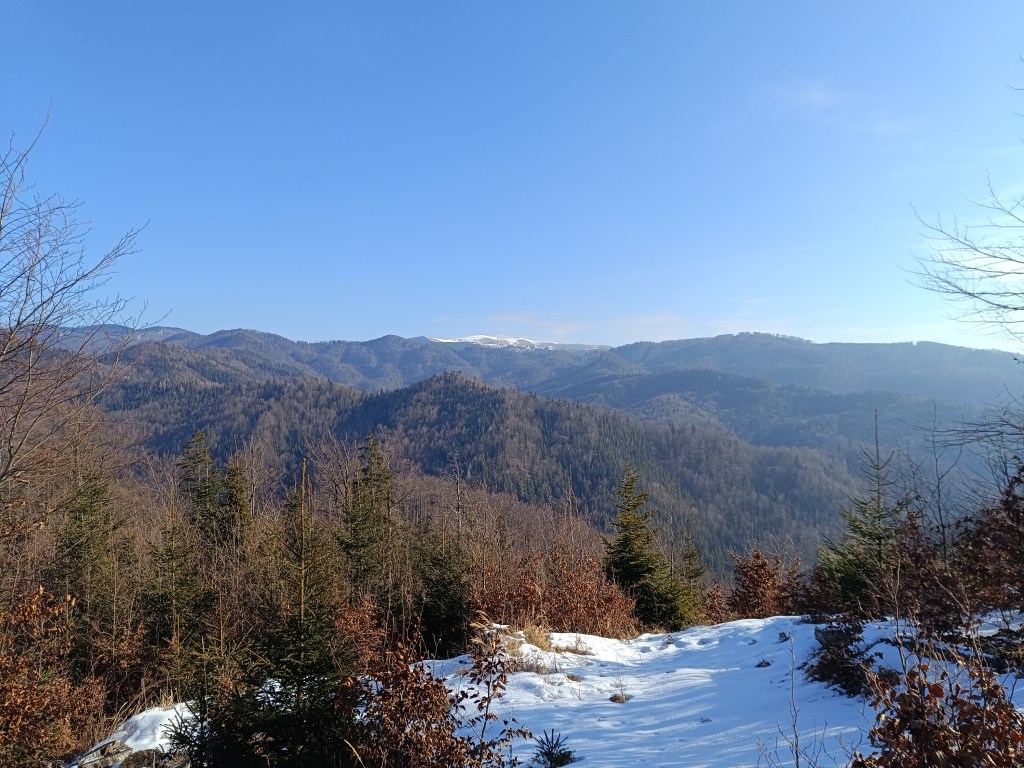
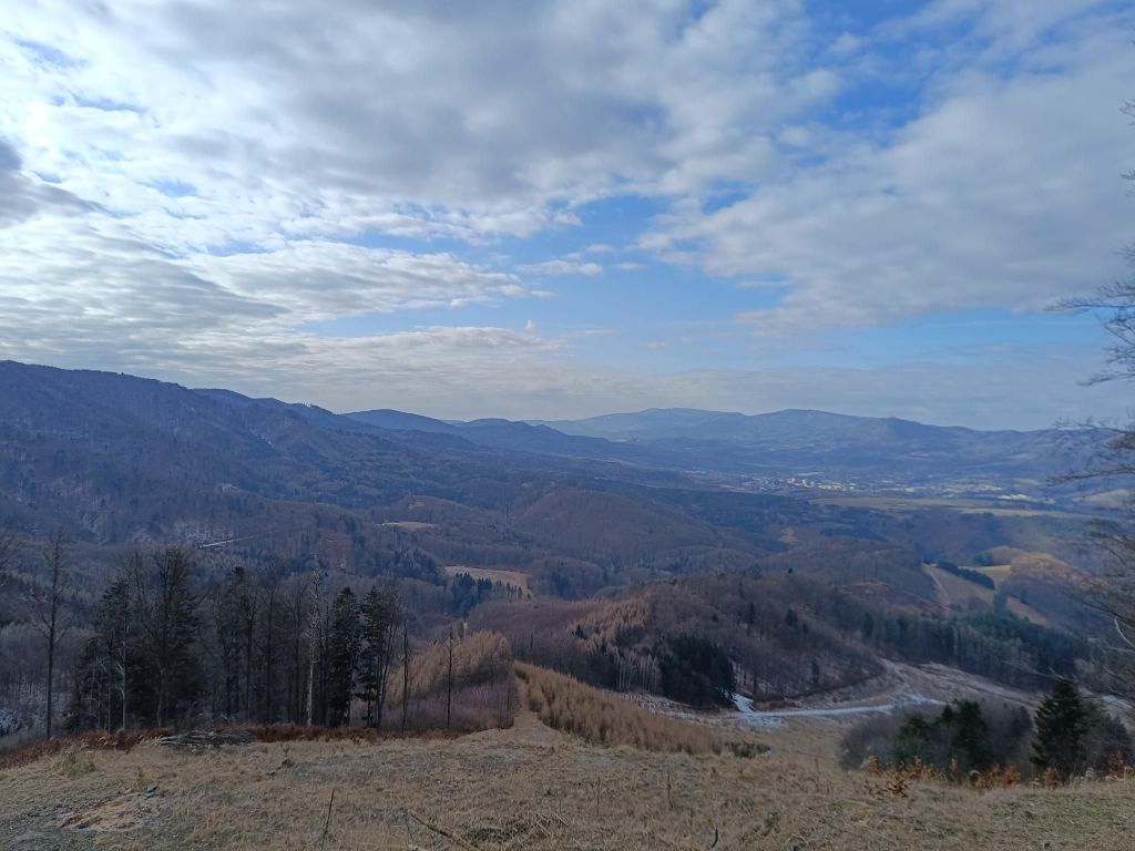
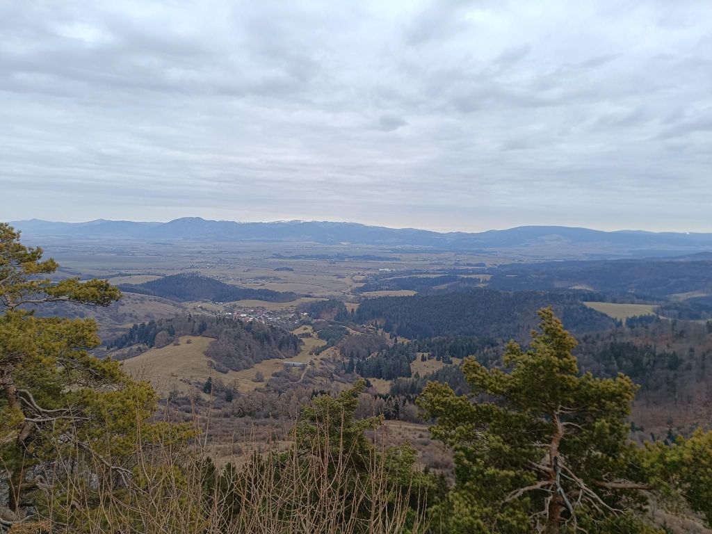
    The path leads mainly through forest, but sometimes it opens and show us views
    Tourist shelter for SNP hikers – shelter Sklené
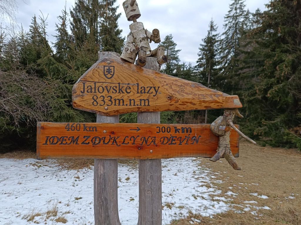
    I run from Dukla to Devín
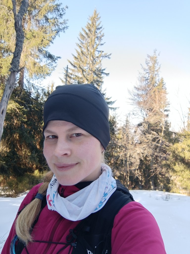
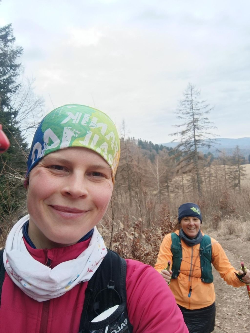
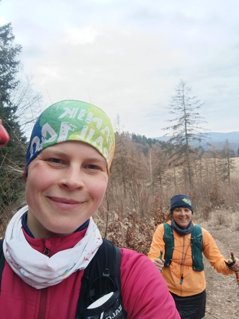
    30 kilometers and smiling
    Vyšehrad

    The southwestern part of the Malá Fatra passes to the south into the forested Žiar Mountains. On the ridge of the Žiar Mountains, which is the border between Turiec and Nitra, there is the high-altitude Vyšehrad hillfort at an altitude of 829 m, which is one of the important archaeological and natural sites of the upper Ponitrie and Turiec.
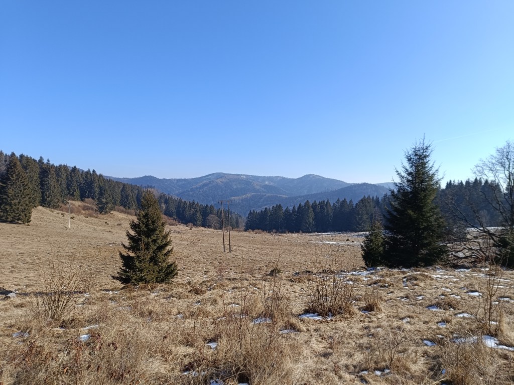
    Due to its natural uniqueness and historical significance, and its extremely important geographical and strategic position at the crossroads of two regions along an ancient trade route, Vyšehrad became a protected natural and archaeological monument.

    The fort is bordered on the south and east by steep rocks, but access from the west is also relatively difficult. The total area is 455 ares. The entire area of ​​the fort has a powerful rampart fortification, separated from each other by a system of ramparts into four separate parts, in which we can clearly see the courtyards.
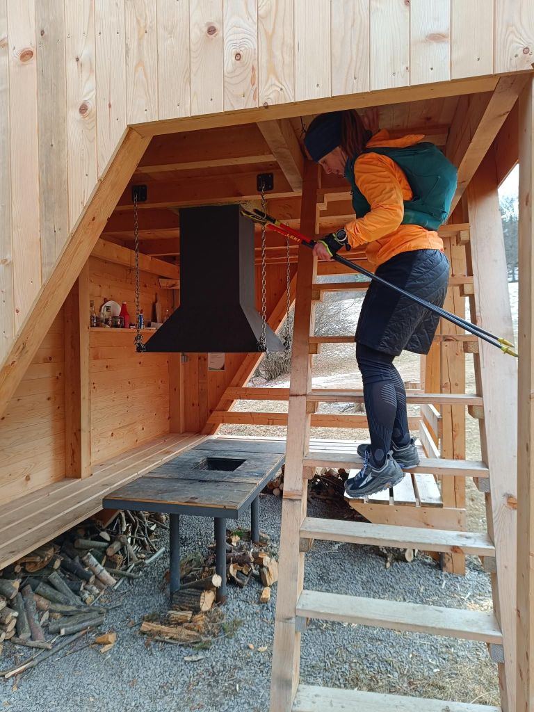
    View from Vyšehrad

    This part of SNP was covered by nice singletrails, forest roads and it was quite runnable. Unfortunately Lucka’s knees started to hurt, so we take it slowly and cannot run downhills. I hope that some compensation exercises will help and we can run another part soon.

    We left one car at the starting point and have support to pick up at the ending point, then go fr the first car.. I think this will be logistically interesting project too.

    46.02km, 1734m ascnet, 7h 57min