Saas-Grund (1559m above sea level) is situated at the heart of the holiday destination Saas-Fee/Saastal, enchanting visitors with its rustic houses and narrow streets. Just above Saas-Grund, you’ll find the starting points for numerous hiking trails, such as the Almagelleralp and Gspon high Alpine trails, starting at the Kreuzboden, and the famous ’18 4,000-metre Peaks’ trail at Hohsaas.
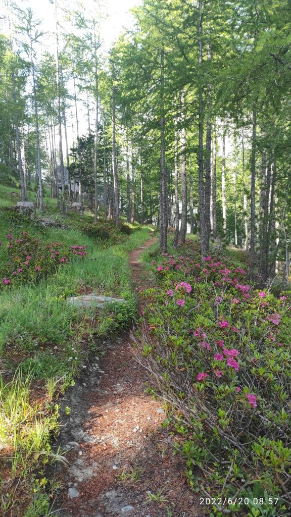
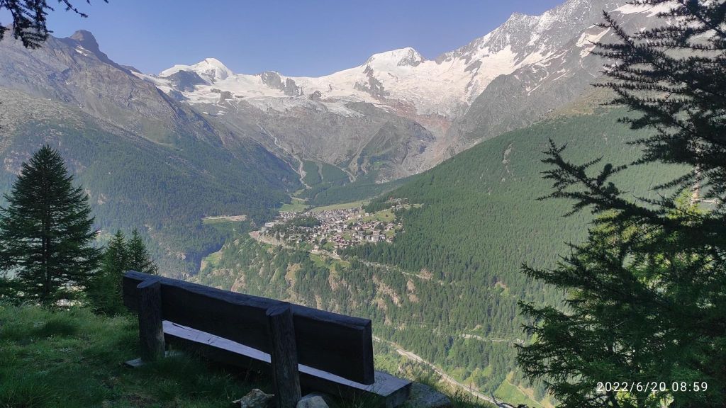
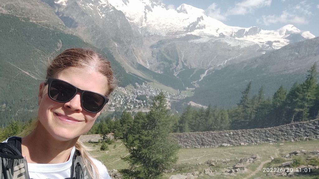
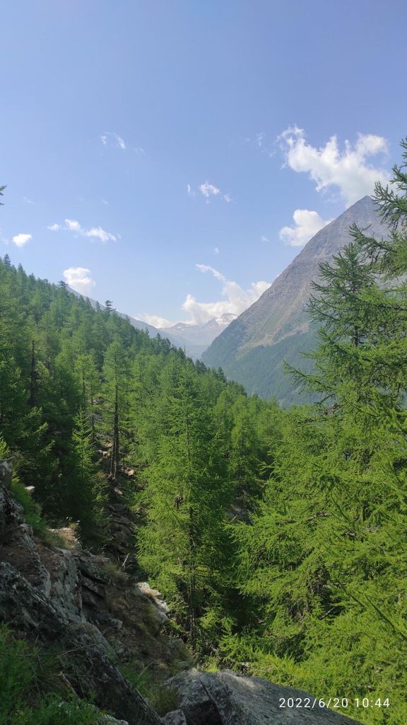
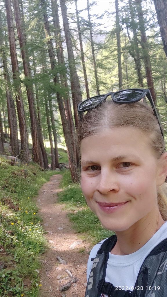
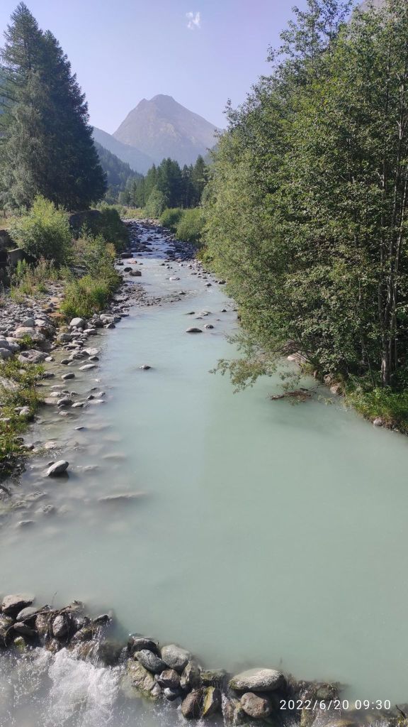
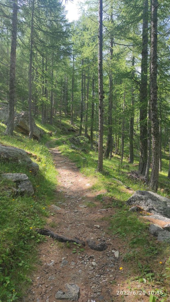
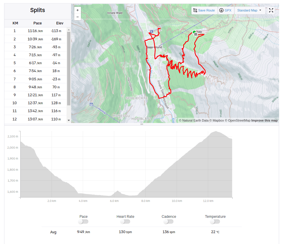
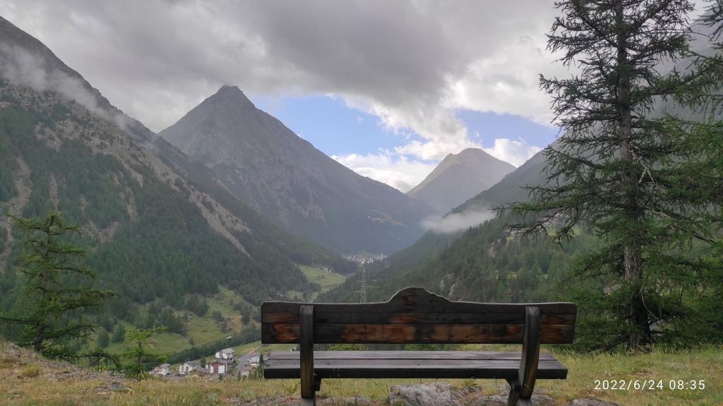
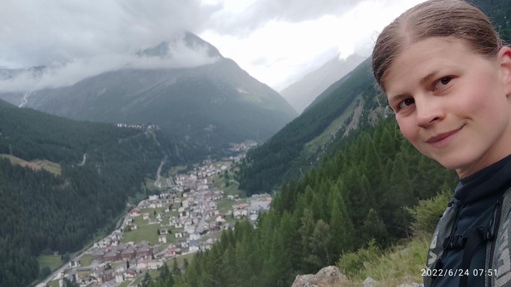
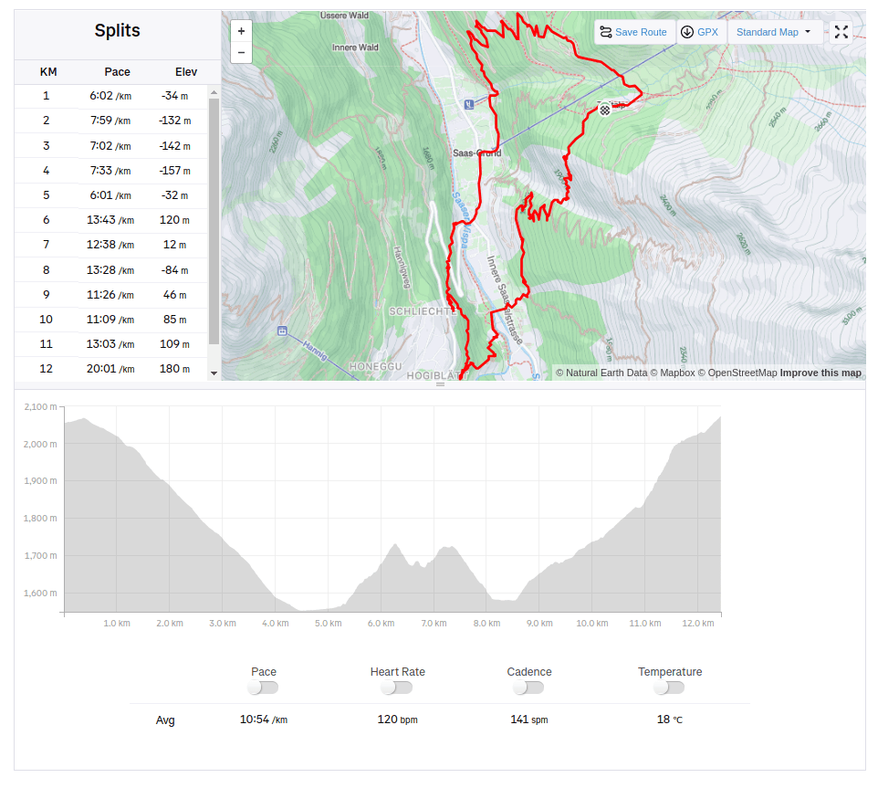
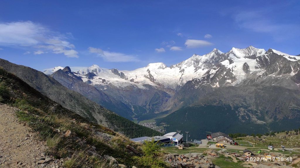
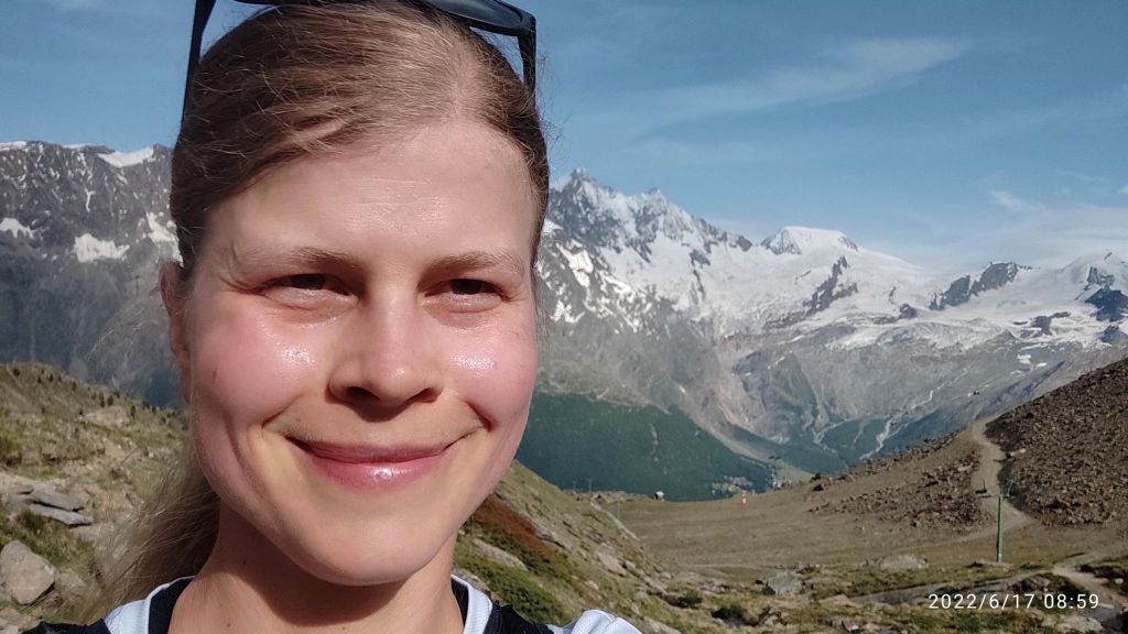
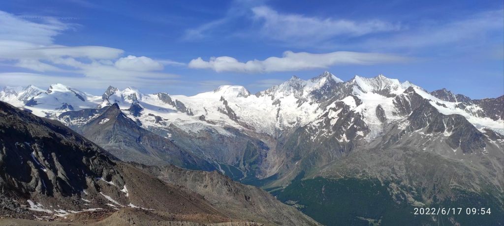
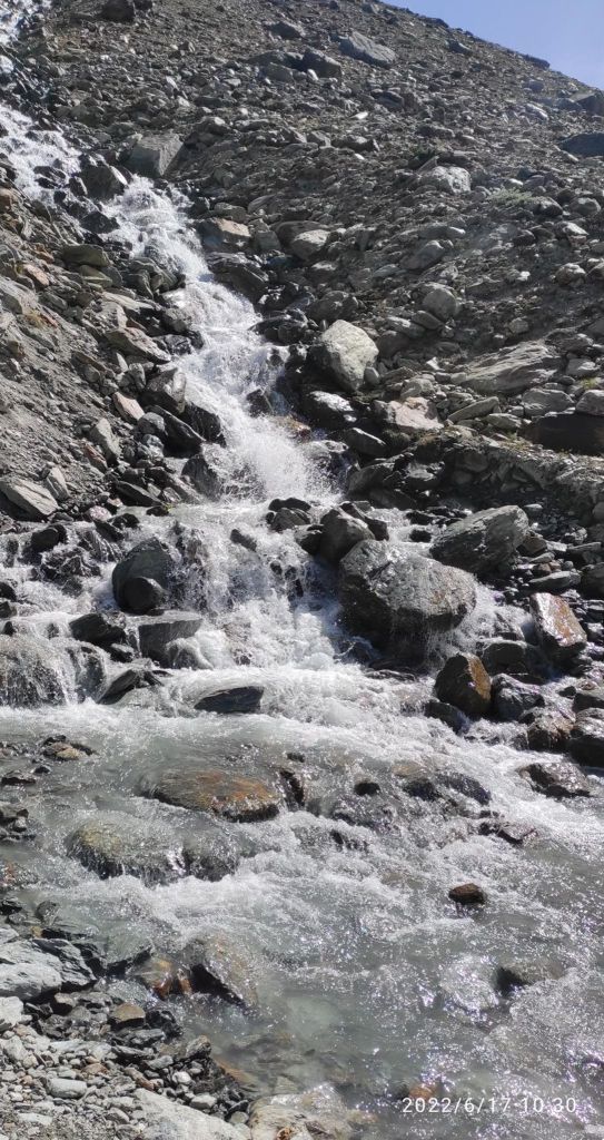
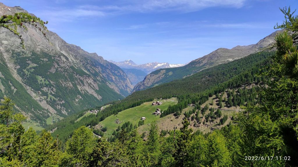
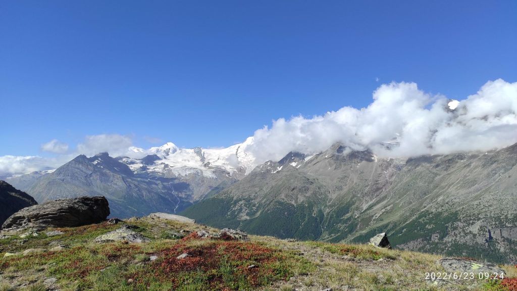
I love singletrailsViewpoint above Saas Grund. Under the mountains it Saas Fee villageThis is a running heaven for me a glacier river with it typical blue colorA nice forest singletrail13.54km, 638m ascent, 2h 22min
Saas Fee is a world-famous glacier town. It has its own unique architecture and lives its own life, interesting for example that it is not allowed to drive a car in it. The Saas Valley is located in the middle of the highest mountains in Switzerland. It is located on a plateau at an altitude of 1800 m above sea level at the foot of the highest Swiss mountains of the so-called Mischabel chain.
Saas Fee is surrounded by 18 four-thousanders – so there is something to see.The fact that it is a car-free village has preserved the classic romantic character of high-altitude Alpine villages.
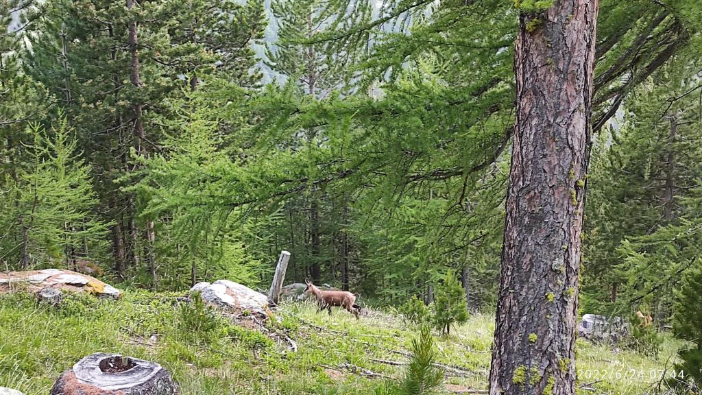
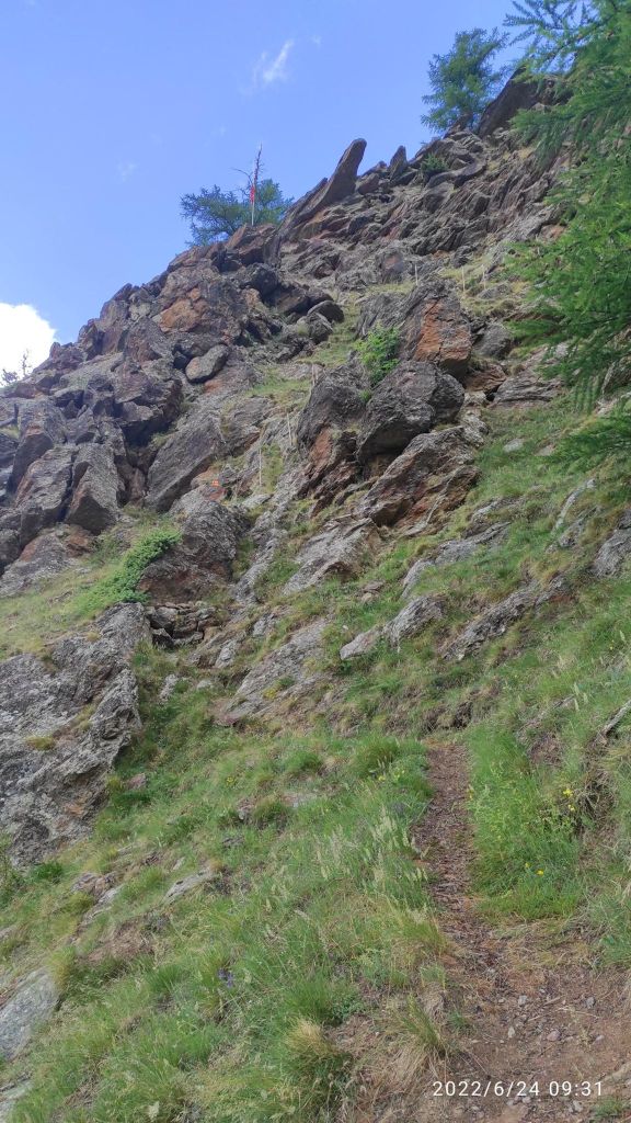
You can see chamois in the woods in Saas valleysometimes it was more climbing than running 12.43km, 740m ascent, 2h 17min
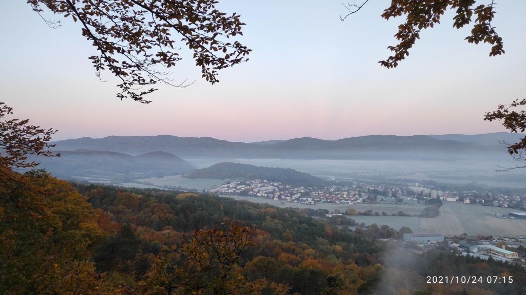
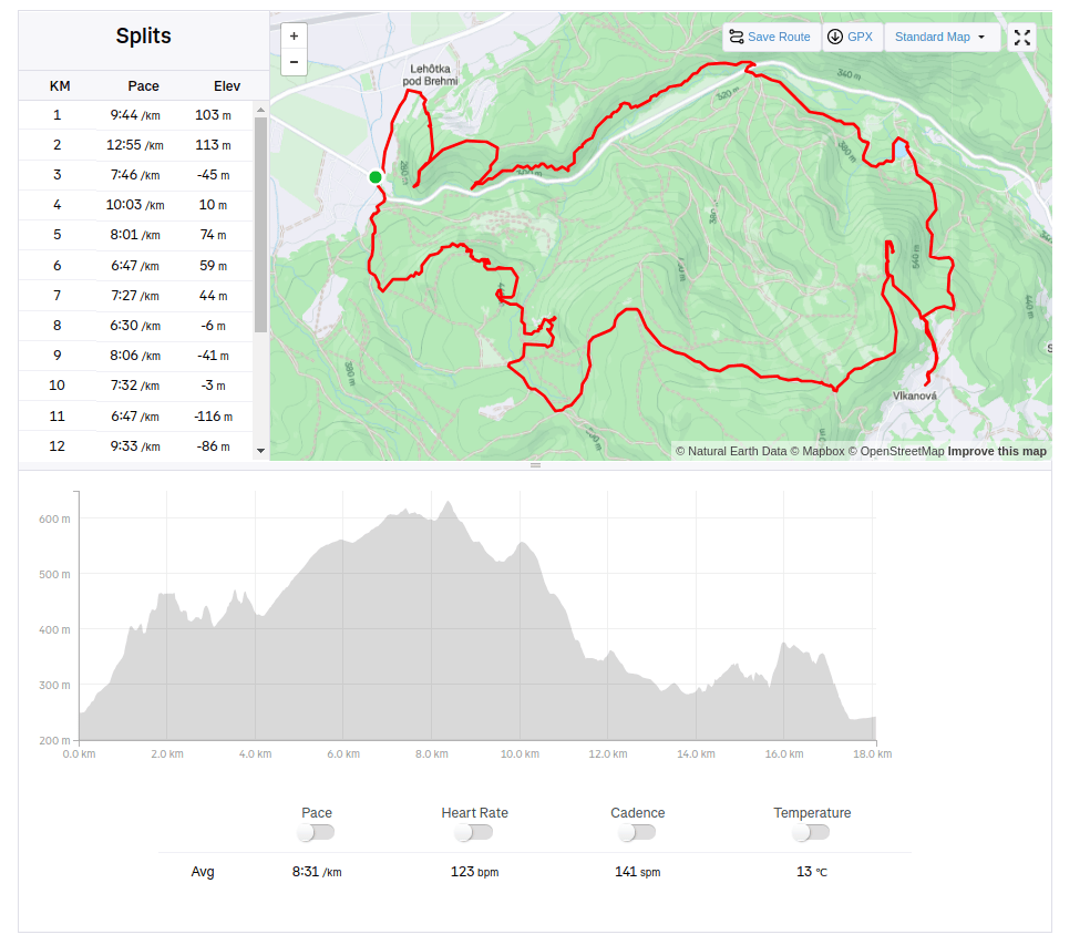
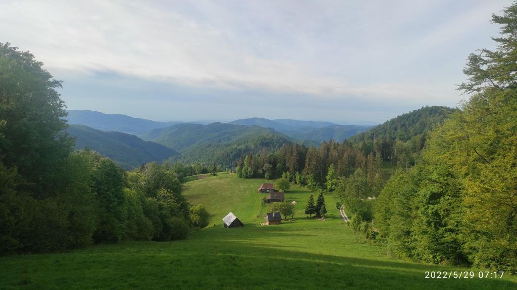
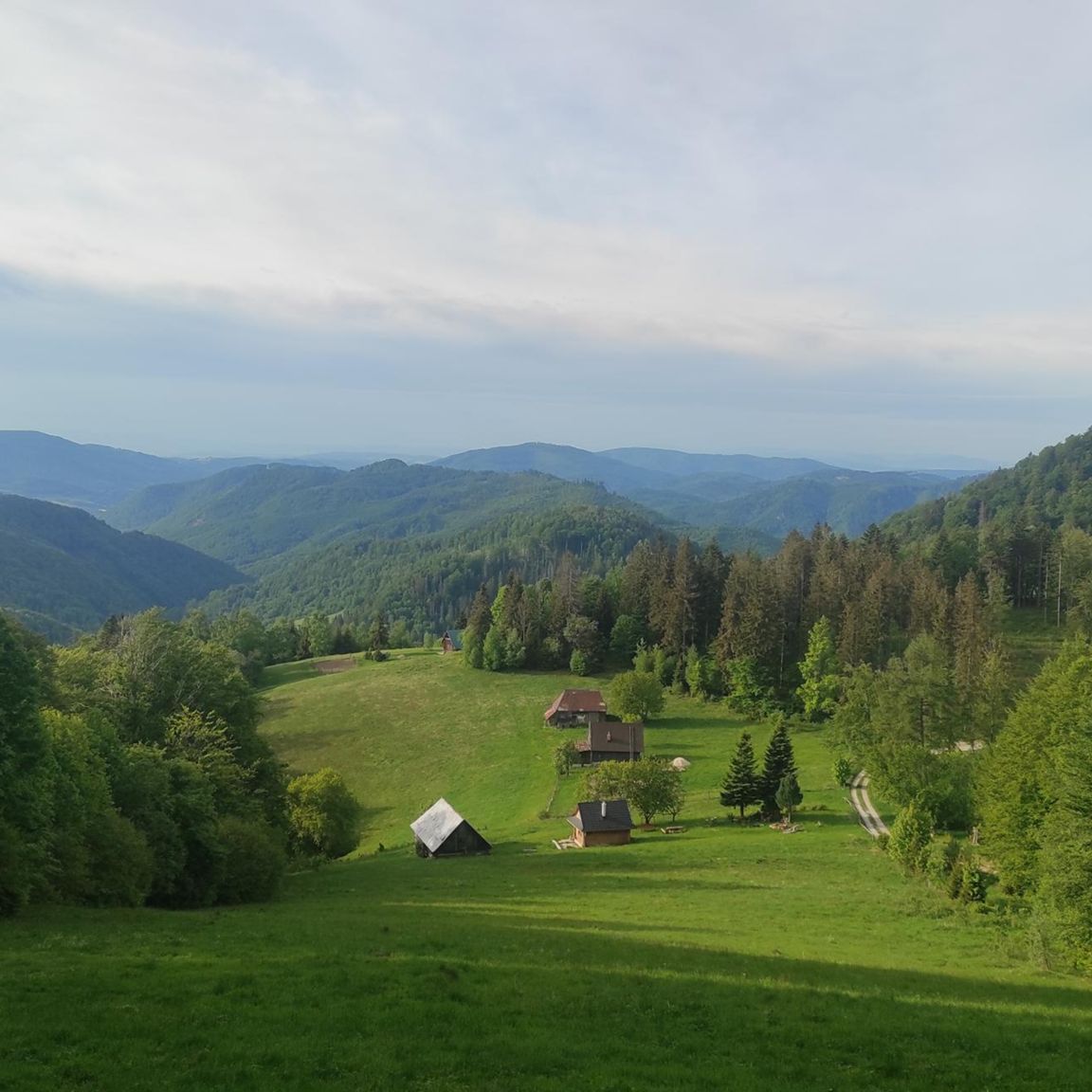
The Bralce Nature Reserve is located at the foot of Panská hora in the Štiavnické vrchy Mountains. Its highest point is Panský vrch (Kečka), which attracts hikers from afar. It is a very beautiful, although lesser-known location near the village of Hliník nad Hronom.
Sunrise at Bralce
There are also very interesting sections with iron rails and chains between massive rocks. There will also be a variety of rock formations such as ravines, rock needles, canyons, rock windows and seas created by ancient stone mining.
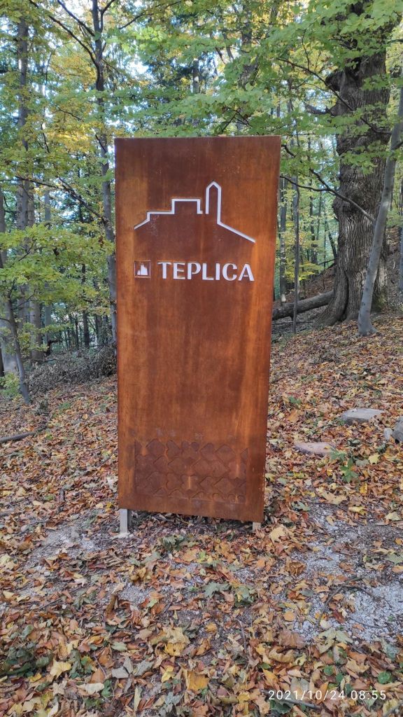
On our path there was an old castle called Teplica, but only a few rocks forming a wall remains from it.
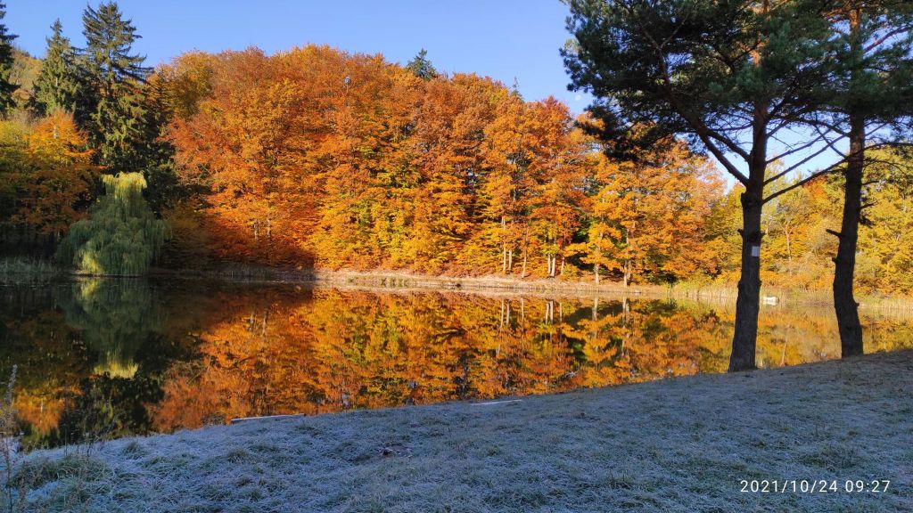
Teplica castle sign.Small pond under Kapitulské bralá in a nice autumn day.
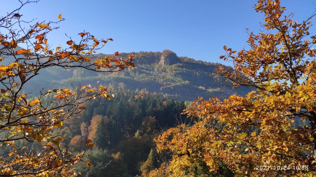
In the forests above the village of Lehôtka pod Brehmi, the Kapitulské bralá cliffs, formed by rhyolite lavas, rise up. During their activity, they created remarkable rock piles, seas and tall rock towers up to 20-30 meters high, which today form a kind of gateway to the Štiavnica Mountains.
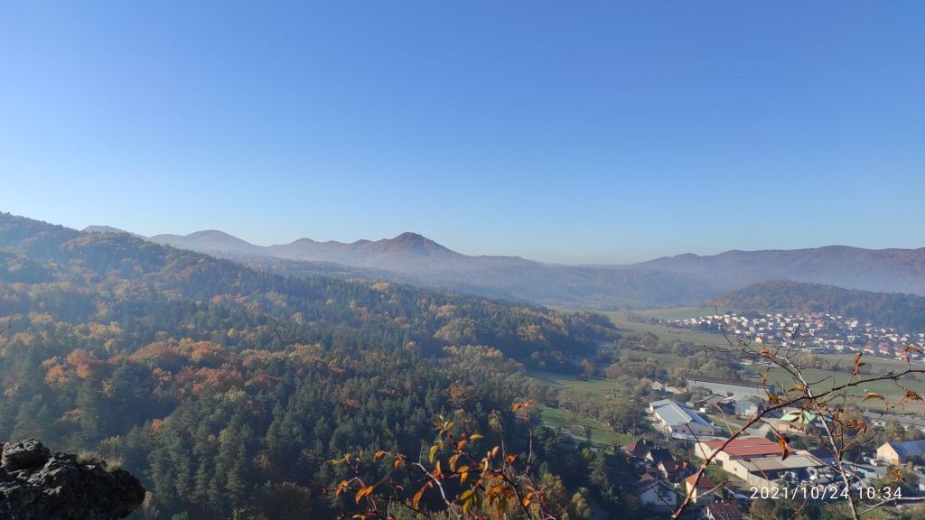
View from Kapitulské bralá, you can see rock top of Kečka.
Szabóova skala is an approximately 90-meter-high rock formation created by volcanic activity, which is typical for this area and the mountains in it. It belongs to the VCHU – Protected Landscape Area Štiavnické vrchy.
It was named after the Hungarian geologist Jozef Szaba, who conducted geological research in the Štiavnické vrchy. Szabóova skala forms an impressive stone entrance to the Teplá Valley. Its coloration, which is made up of pink and gray rhyolite, is also interesting.
On top of Szaboova skala18.9km, 883m ascent, 2h 33 min moving time
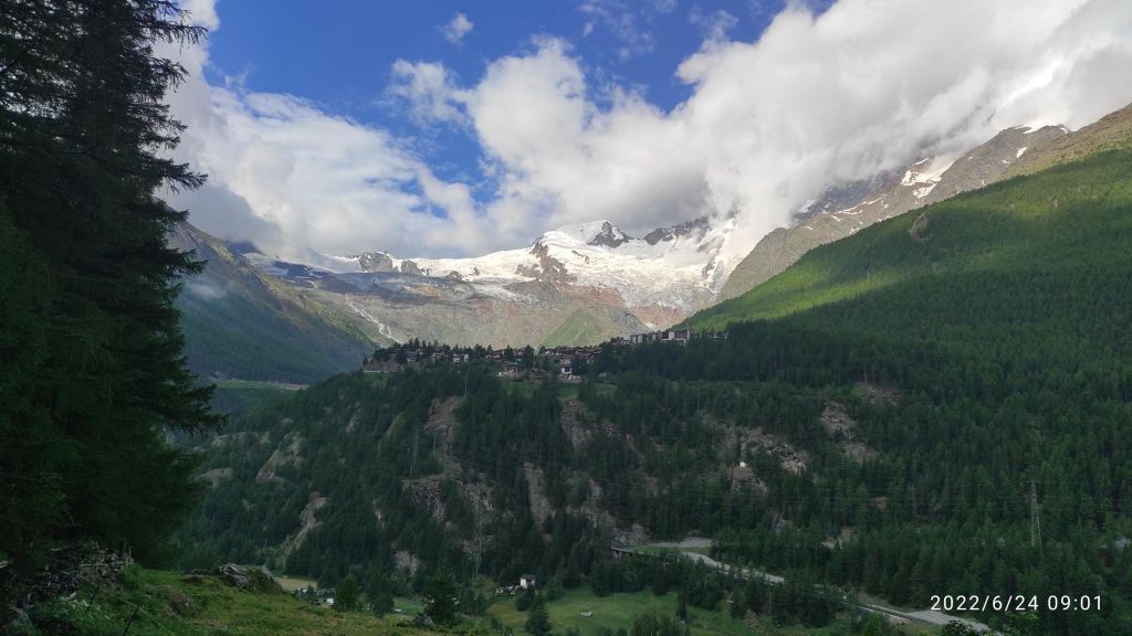
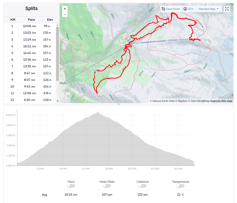
From Triftalpt, through Kreuzboden, Weissmies hutte to the upper cable car station Hochsaas.
Kreuzboden from above, with 4000m high moutains in the back500m ascend and I am completely wet and just happy that I can be there
The Weissmieshütte of the SAC Olten section is located at 2726 m above sea level on a sun terrace above Saas Grund and with its panoramic view of 18 four-thousand-meter peaks it is one of the most beautifully situated mountain huts in the Valais.
It is the starting point for the four-thousanders Weissmies and Lagginhorn, the almost four-thousand-meter Fletschhorn, the sport climbing routes in the Jegihorn south face, the highest fixed rope route in the Alps, the Gsponer Höhenweg as well as numerous ski and snowboard tours. And the man that work there is a runner too! I must admit, that he outrun me 😀
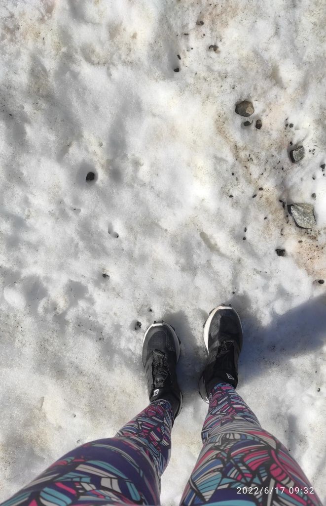
Then the path started to cross a snowfields, i was lucky that the sun wasn’t strong enough yet to melt the snow more
Snow in the middle of juneFrom Hochsaas
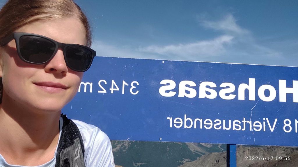
In Hochsaas there is a restaurant, cable car station and mostly unforgettable view of the Monte Rose massif and the imposing mountains of the Saas Valley. There is a starting point for the glacier hike on the Trift glacier.
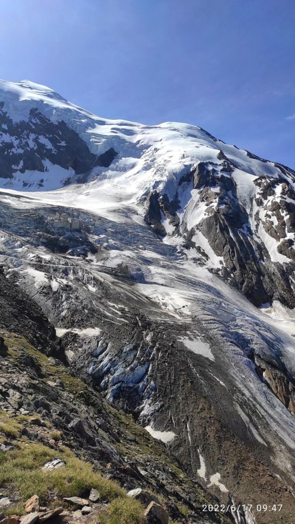
Trift glacierMy highest pointSometimes you just need to cross a small, really cold river. I took my shoes off and almost froze to death:DDown there is completely another world, greener, more alive, more breathable for me:)
I love running, I love that feeling, that I need just my legs to go somewhere, I love every part of it. When my thighs are burning, my heart is beating fast, lungs are full of fresh air, but what I love most is that feeling when you stand up there and you can tell yourself I made it, every step however hard it was, was worth it.
And then there are that enjoyable descends, or singletrails, or views. There is a lot of beauty in it for me.
I really love Switzerland, the majestic mountains, breathtaking views, steep hills, alpine streams, everything…
Starting at Triftalp above Saasgrund, where I was visiting my brother, who worked there during the summer season. Triftalp is the main alpine pasture in the municipality of Saas-Grund. Every year it is farmed with dairy and Ering cows between mid-June and mid-September. The milk produced is used to make cheese directly on the alp.
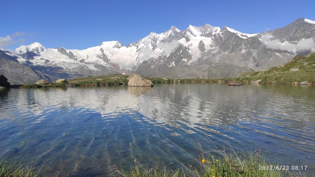
First climb was to Kreuzboden, which is a popular destination for families in summer as well as in winter. There is a cable car station too. Lake Kreuzboden is a reservoir above the village of Saas-Grund, just across the valley. It is known for its picturesque views of the Mischabel mountains with the Allalinhorn, the Alphubel and Täschhorn, the Dom, the Lenzspitze, the Nadelhorn and other four-thousand-metre peaks. And, of course, it offers a magnificent view of the Alps.
Lake at Kreuzboden, you can see 4000m high mountains from here
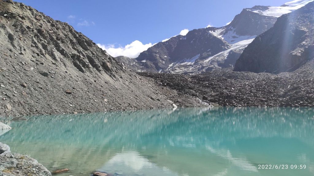
Then I run maybe 3 kilometers on contour line to Grüebe-Alp. The path was rocky and technical, but with really nice views. From Grüebe-Alp the trail curves gently to the left and past a barrier. From there, there is a more strenuous climb comprising zigzagging switchback bends, but the effort is rewarded in the end. Fellsee stands at 2,768 metres above sea level.
Fellsee
For my back route I choose one through the forest maybe 500m lower. There was nice passages with water canals. For me is quite hard to run above 2000m above sea level, i didn’t have enough oxygen 🙂
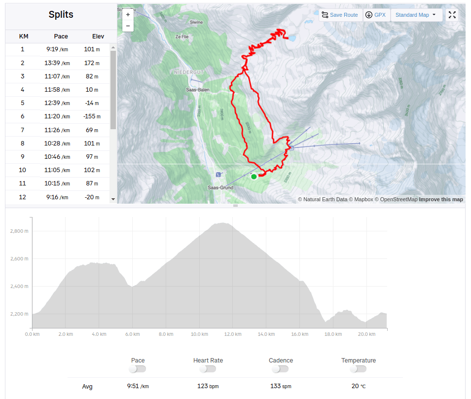
View from Gruebe-alp.21.23km, 1044m ascent, 3h 36 min
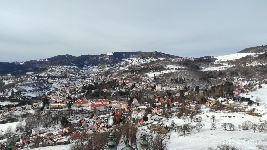
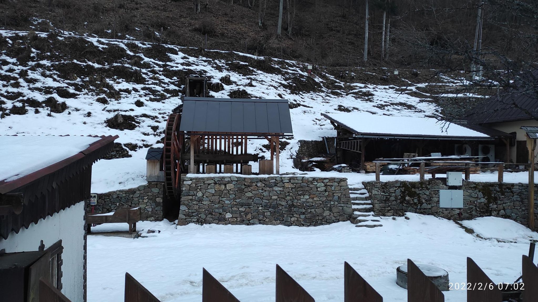
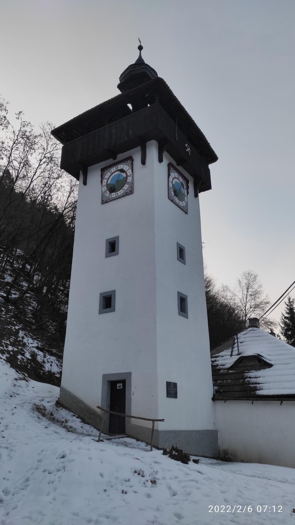
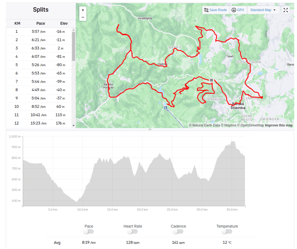
A roundtrip from Štiavnica to Banská Hodruša and back. We started our run with famous Banská Štiavnica calvary.
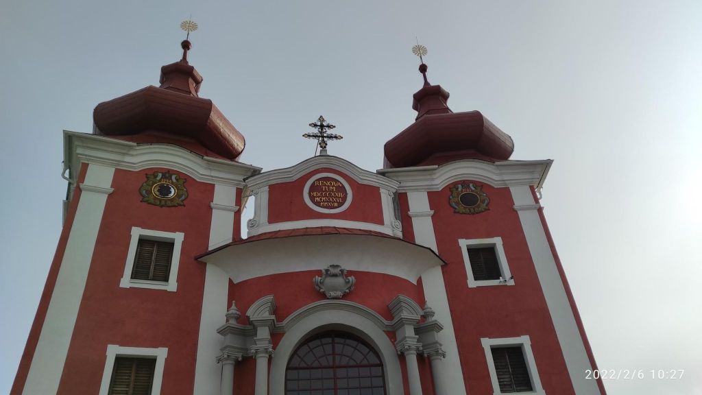
Calvary Banská Štiavnica is the most important Baroque calvary in Slovakia and in the whole former Kingdom of Hungary – probably even in the whole of Europe. This calvary is a complex of 3 churches and 22 chapels with precious painting decorations, furnished by wooden and blacksmith movables and wooden painted reliefs. All buildings of churches and chapels are set into the western side of a solid lava column in the middle of an ancient volcano – a hill named Scharffenberg
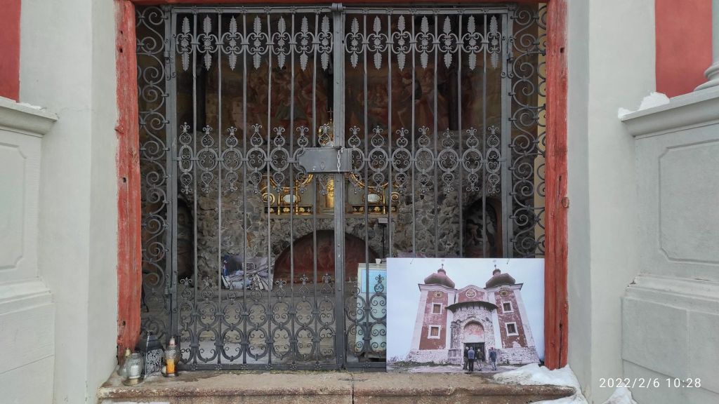
Calvary before and after reconstructionBanská Štiavnica from calvary
Then we go through Banky to Jelenia skala above the town Vyhne.
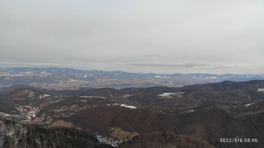
Jelenia skala is only 800m above sea level, but the views are quite good, you can see Tribeč and Low Tatras from there.
View from Jelenia skala
Banská Hodruša is old mining town, first mentions are from 13th century, they mined gold and silver.Banská Hodruša has a lot of natural, technical and cultural monuments. Many mining handiwork and buildings have been preserved here until today, which is very valuable in Slovakian terms. Gold has been mined in Mine Rozália since 1993. It is today the only ore mine in Slovakia and the only gold mine in Central Europe. A private company mines gold ore here. To date, about four tons of gold have been extracted in the mine. Logged ore is transported underground for 5 kilometers, then crushed, ground and processed by flotation on the surface.
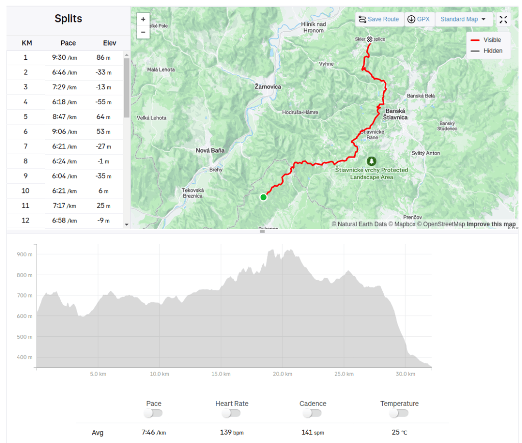
I have the best parents, they support me a lot. This time our family day looked like this: early in the morning my dad drove me on top of the mountain range, where the tourist path crosses a road, then I run to Sklené Teplice where we end our day with bathing in healing springs.
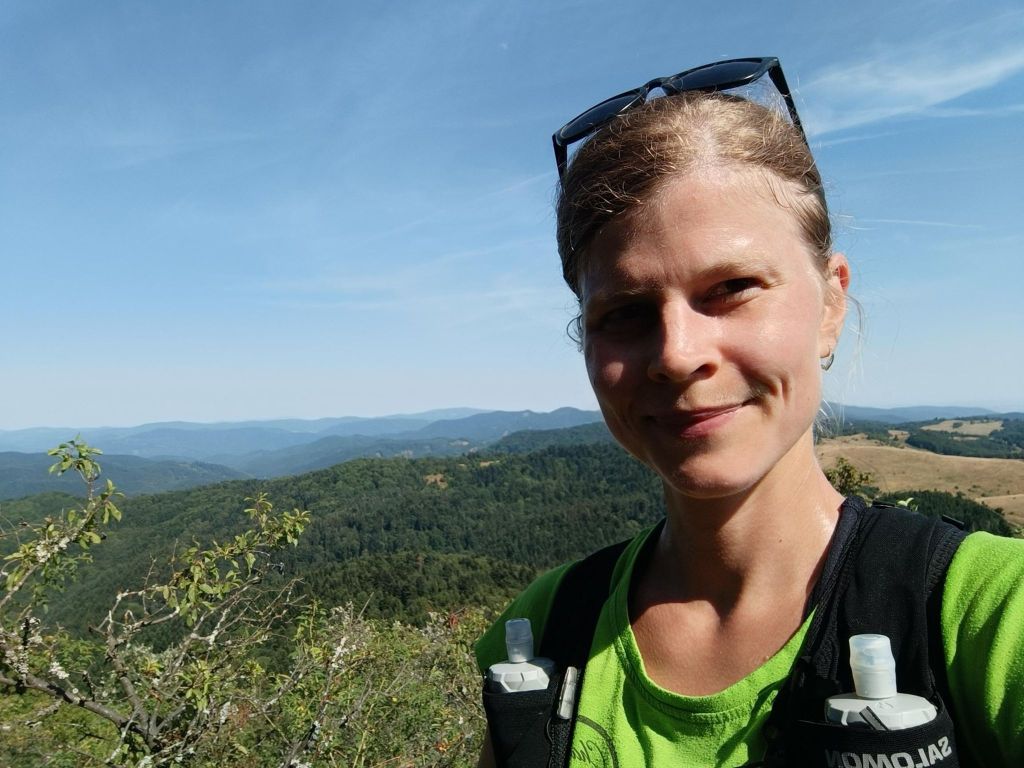
This time I ran alone, trail I didn’t know, through Štiavnica mountains. Adventure:) It was hot, sunny, summer day.
Uhliská is a small village, the inhabitants were coal miners, they supplied coal to Levice Castle in the 16th century
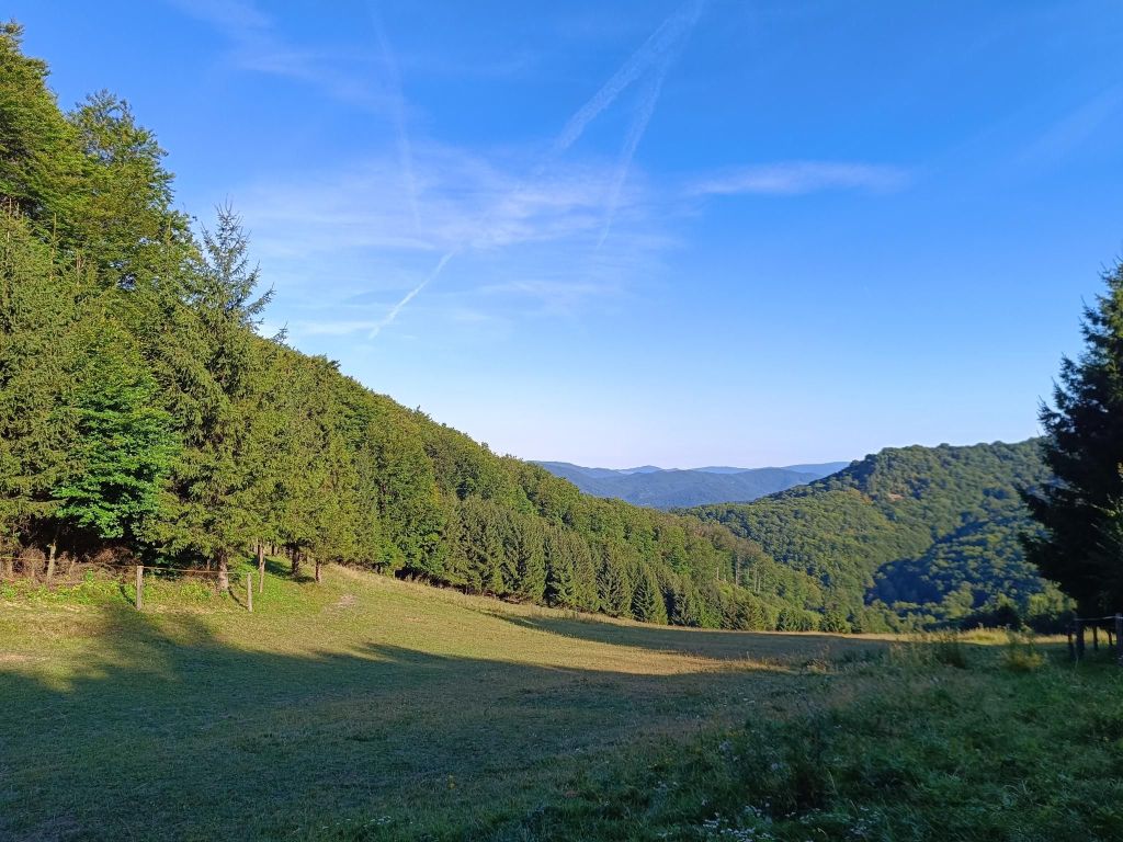
Meadow near Uhliská
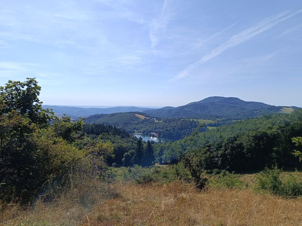
Next stop was Richňava lakes. They are artificial lakes near Štiavnické Bany. Originally it was just one large tajch, built in the 18th century, which served as a water reservoir for the mining industry. Due to the excessive size of the tajch, there was a danger of water seepage and dam damage or rupture. That is why they divided the tajch into two halves, lowering the water level in the threatened part and strengthening the dam. Thus, the present two lakes were created, which, although separated by a dam, are also connected to each other inside the dam.
In the summer months, the lakes offer the possibility of swimming.
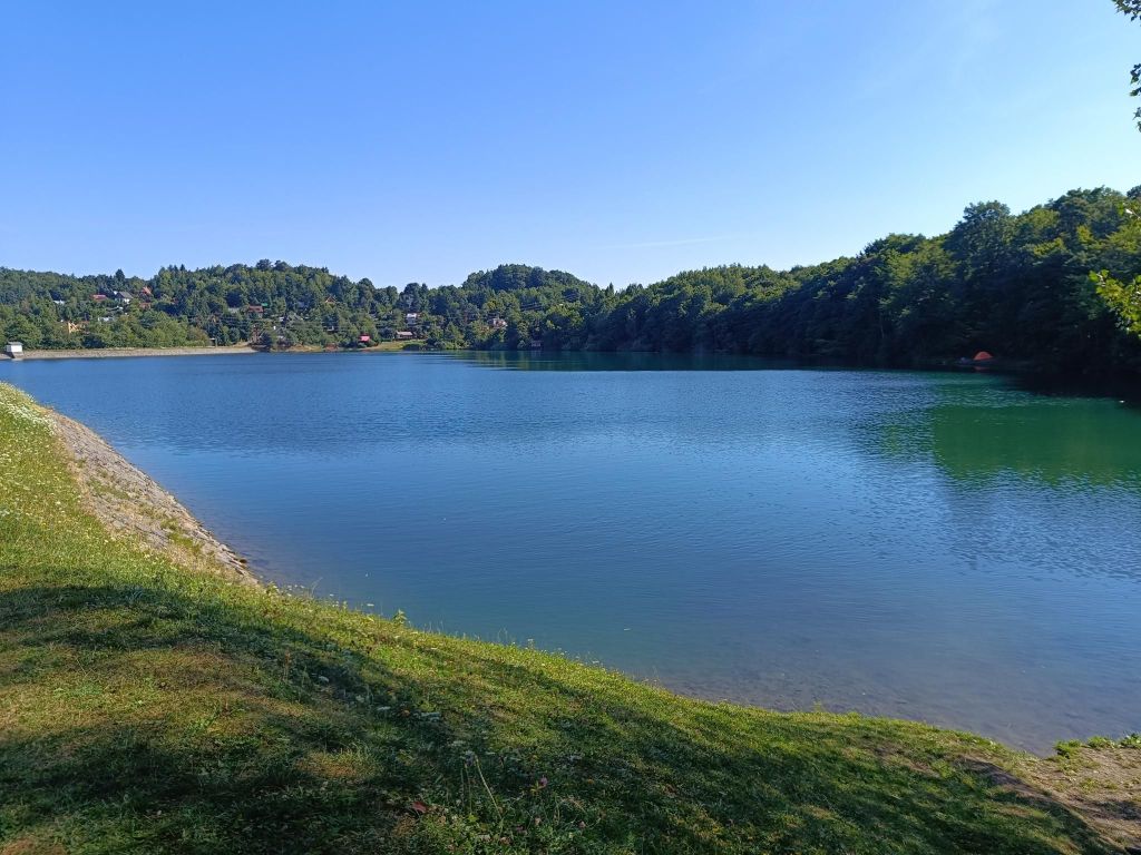
Richňava lake
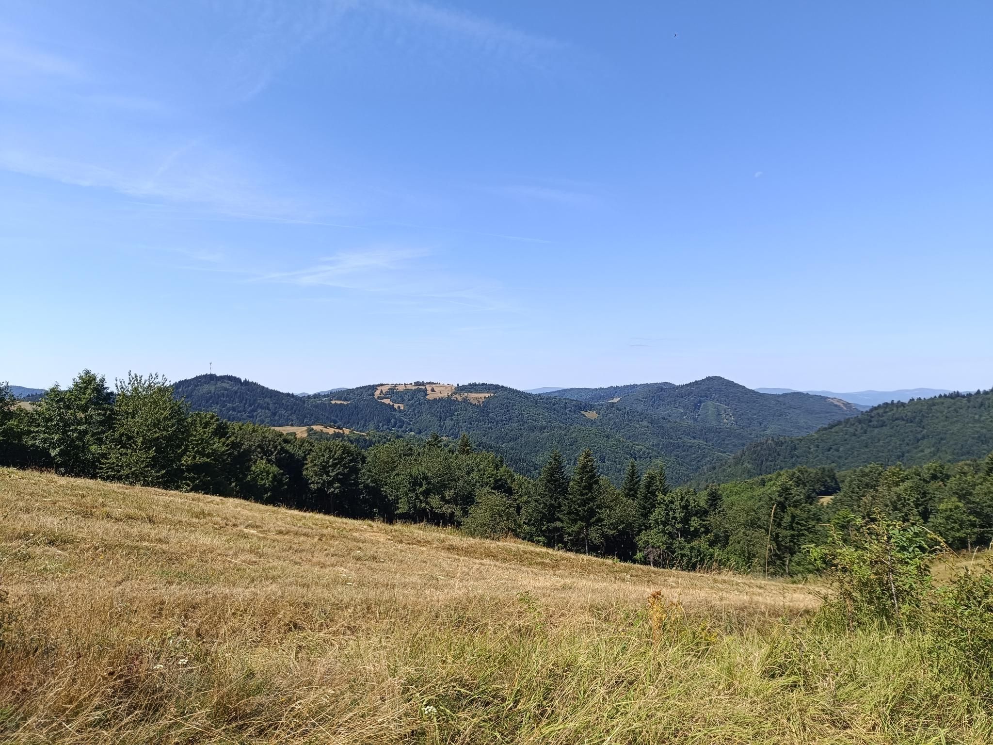
The path then leads above Štiavnické bane and Banská Štiavnica. the hot weather turned the grass into hay and the ground was powdery and dusty.
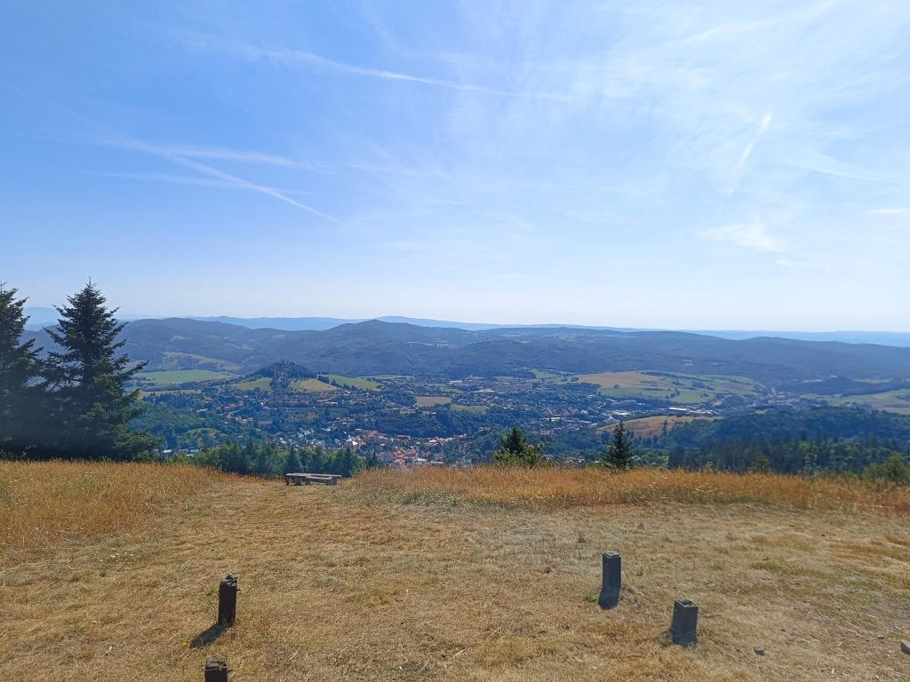
Paradajs is 939 m above sea level. m. the third highest peak of the Štiavnické vrchy after Sitna and Petrov vrch. Although the peak is overgrown with forest, the surrounding meadows provide one of the most beautiful views of Banská Štiavnica. On top of Paradajs, there is a large open meadow with an interesting stone structure – a menhir. According to tsome people, the stone circle is meant to harmonize and replenish vital energy.
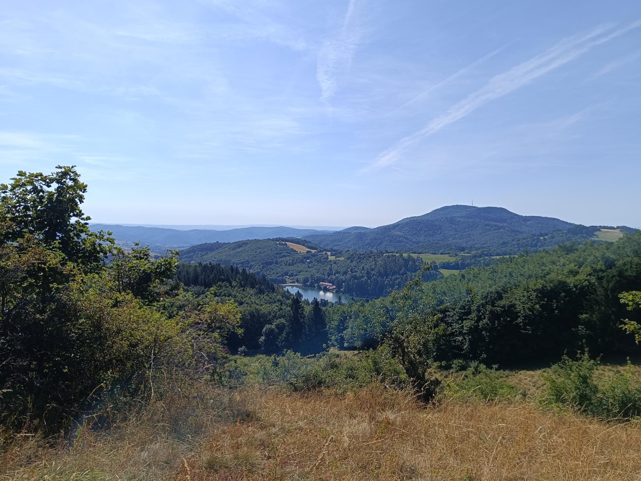
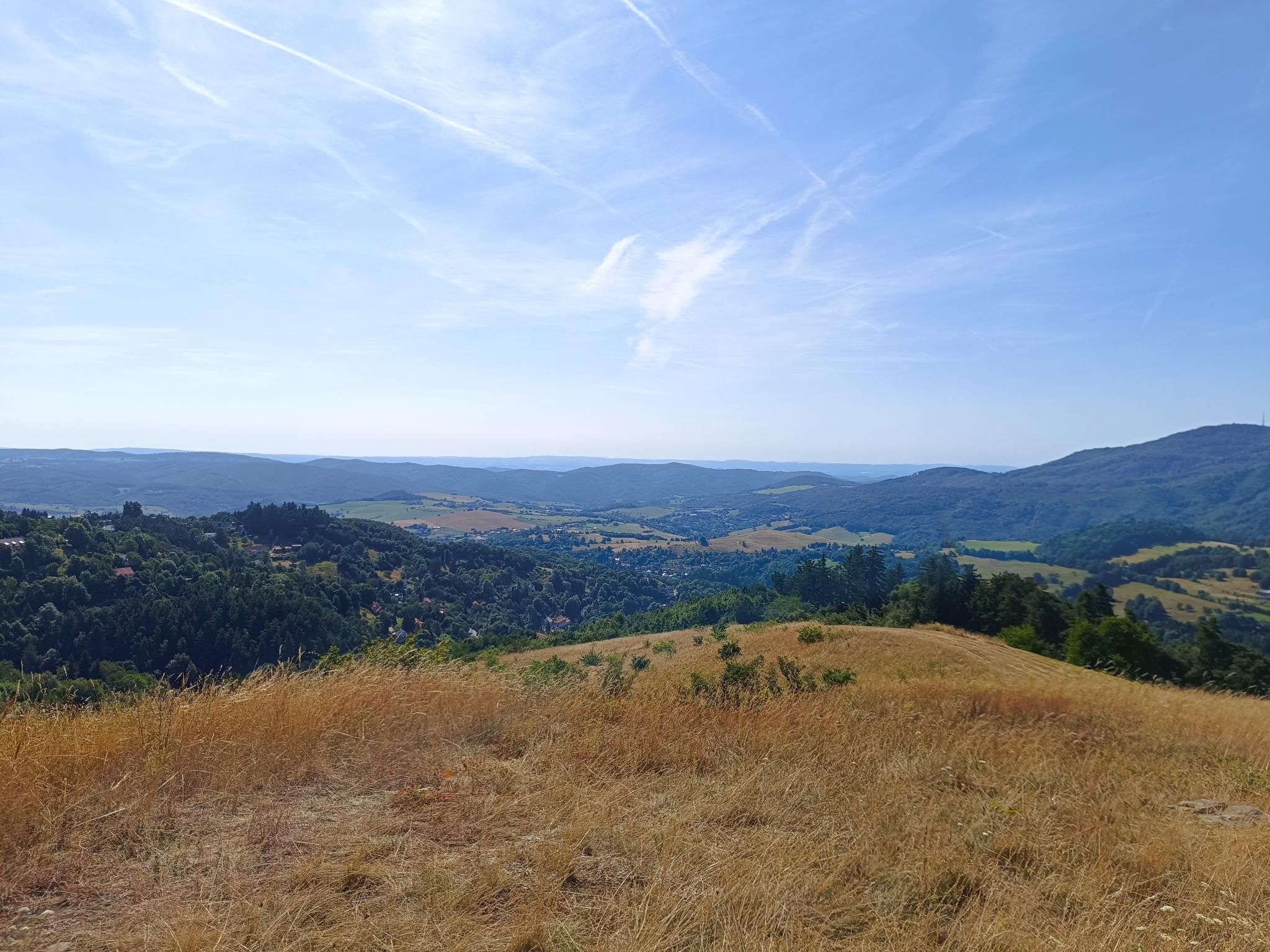
Views from ParadajsI drank all of my water on that meadows, luckily, the rest was pure descent32.14km, 930m ascent, 4h 26min
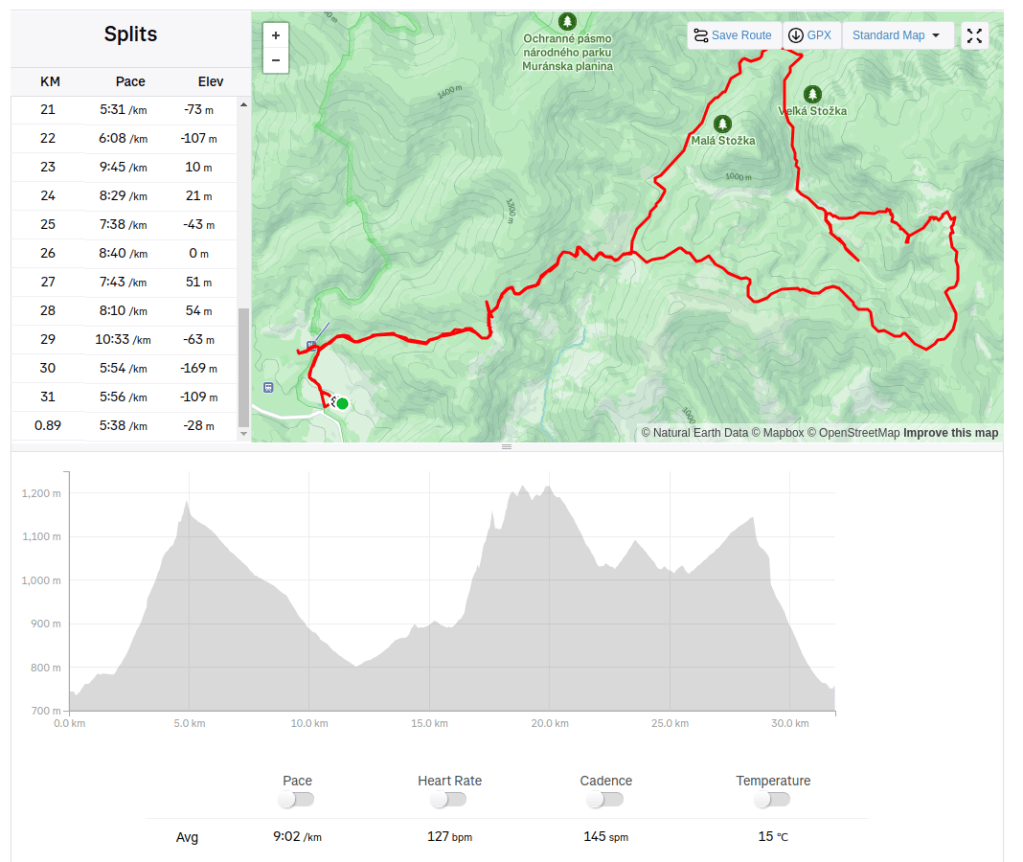
Muránska planina is quite a big nature park, so one time there wasn’t enough. This time from Zbojská between Malá and Veľká Stožka to Skalná brána and back.
Zbojská is a mountain saddle in the main ridge of the Veporské vrchy. There is restaurant and sightseeing tower.
Veľká and Malá Stožka are the two oldest reservations in the Horehron part of the Muránska planina. Both are characterized by rock relief formed by dolomitic limestones and a complex of old forests
The entire mountain range created in ancient times by volcanic activity, there are beautiful andesite rock formations. The Vtáčnik Hill and its surroundings are part of the same national nature reserve, characterized by old forest stands of places of forest-like character.
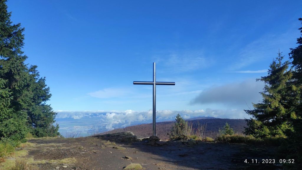
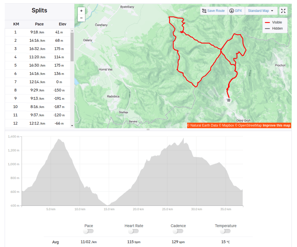
We started 4.11.2023 early in the morning from Kľak village speedhiking to the hill Vtáčnik, then we run down to Končitá and back through Bystrianska valley to Rúbaný vrch back to the Vtáčnik again:)
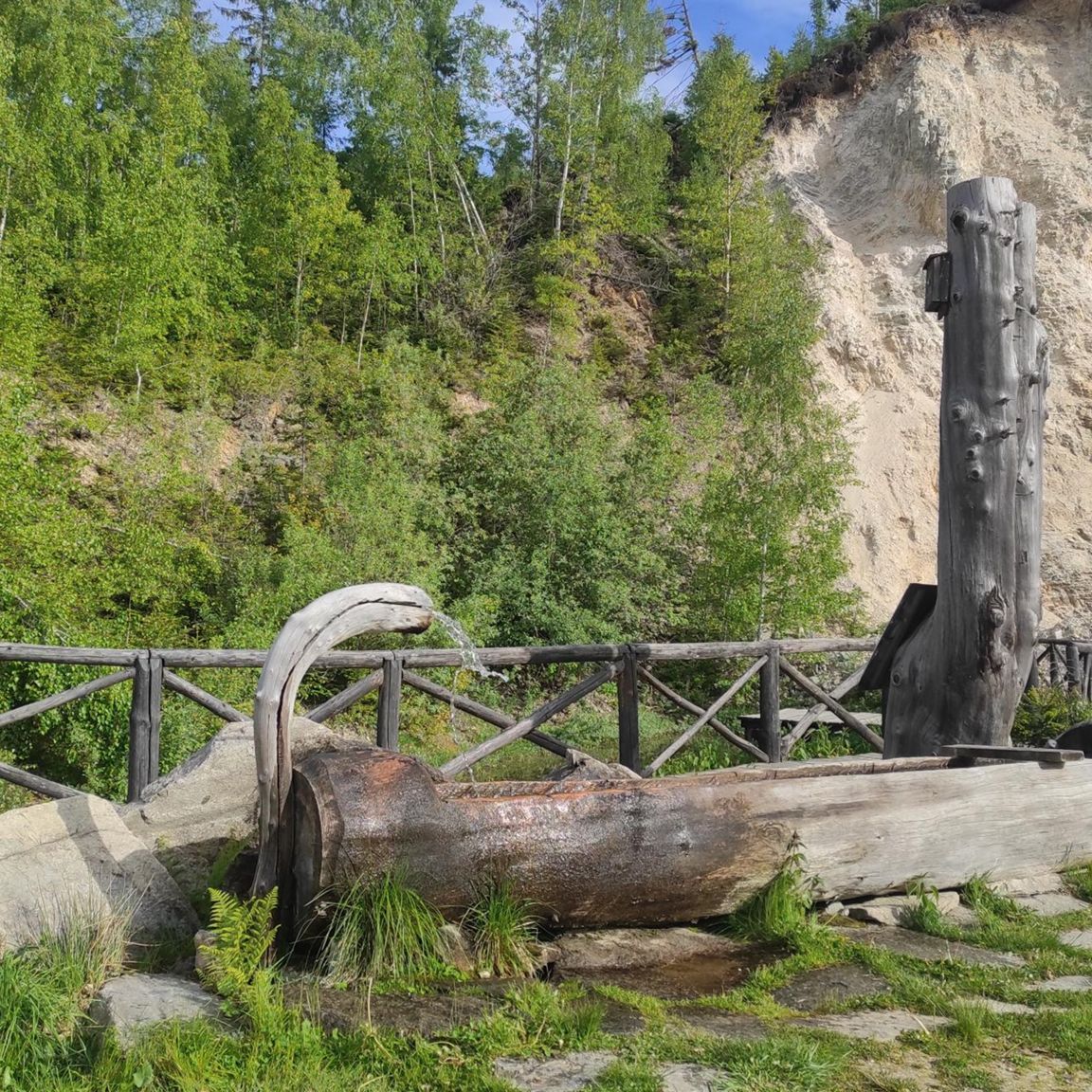
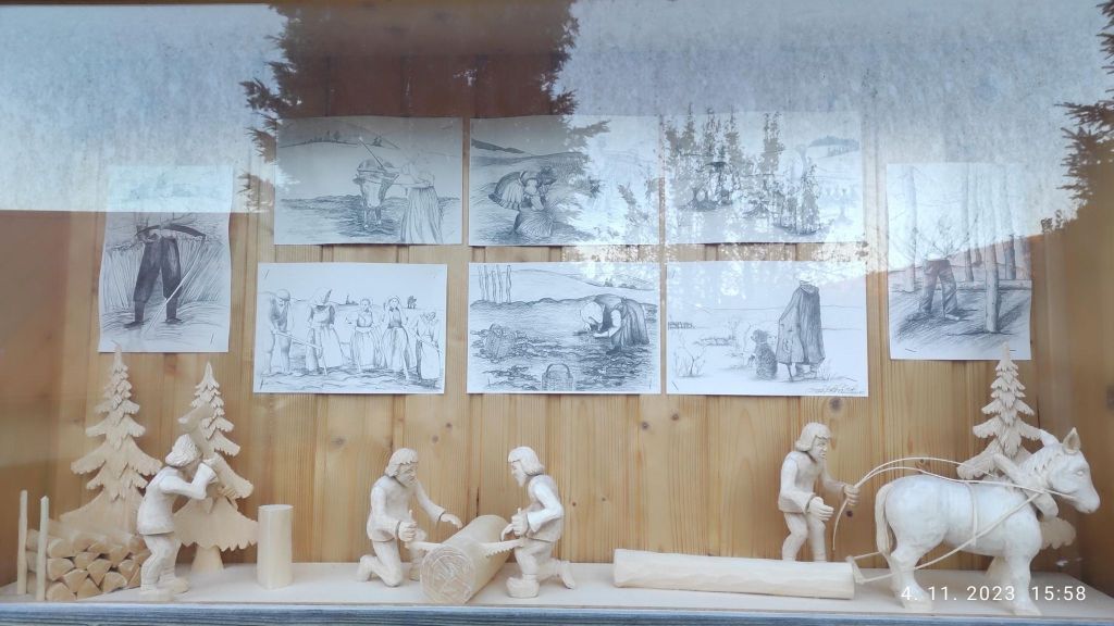
Nice woodwork in KľakCross on top of the Vtáčnik
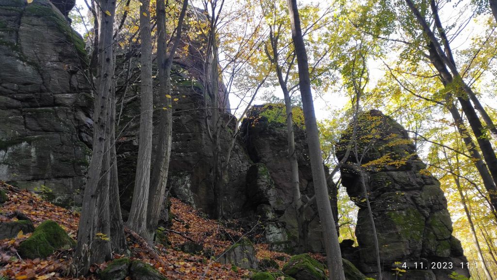
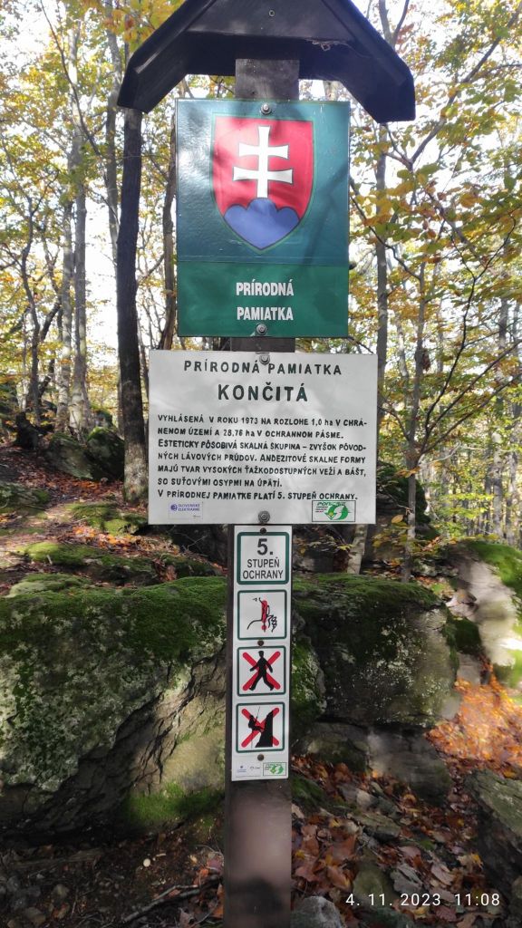
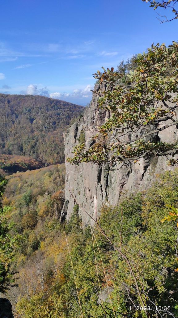
Končitá is a nature monument, with lots of andesite rocks. Končita is dominated by a 30-meter high andesite tower. There is a cottage under Končitá where you can grab a coffee, drink or some food. We enjoyed coffee and radler.
Rocks monuments in KončitáKonitá has the highest degree of protection
Hrádok is a site with archaeological finds. Around the year 1000 BC, a castle was built here, different cultures alternated here, and in the 9th century this place was settled by Slavs. On the upper plateau there was a permanent citadel and in the 13th century a watchtower and a residential tower.
In addition to the historical value of this location, Hrádok is the second most important climbing location after the Tatra Mountains. This rock wall is approximately 400 meters long, with a height of 100 meters, where more than 70 climbing routes are marked.
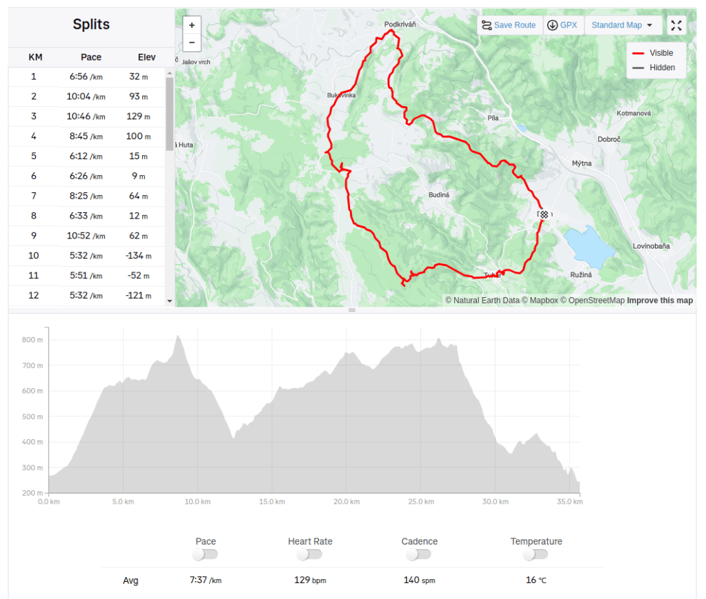
From Divín, to Podkriváň, through Budínska skala, Bralce and Divín castle on 24.2.2024.
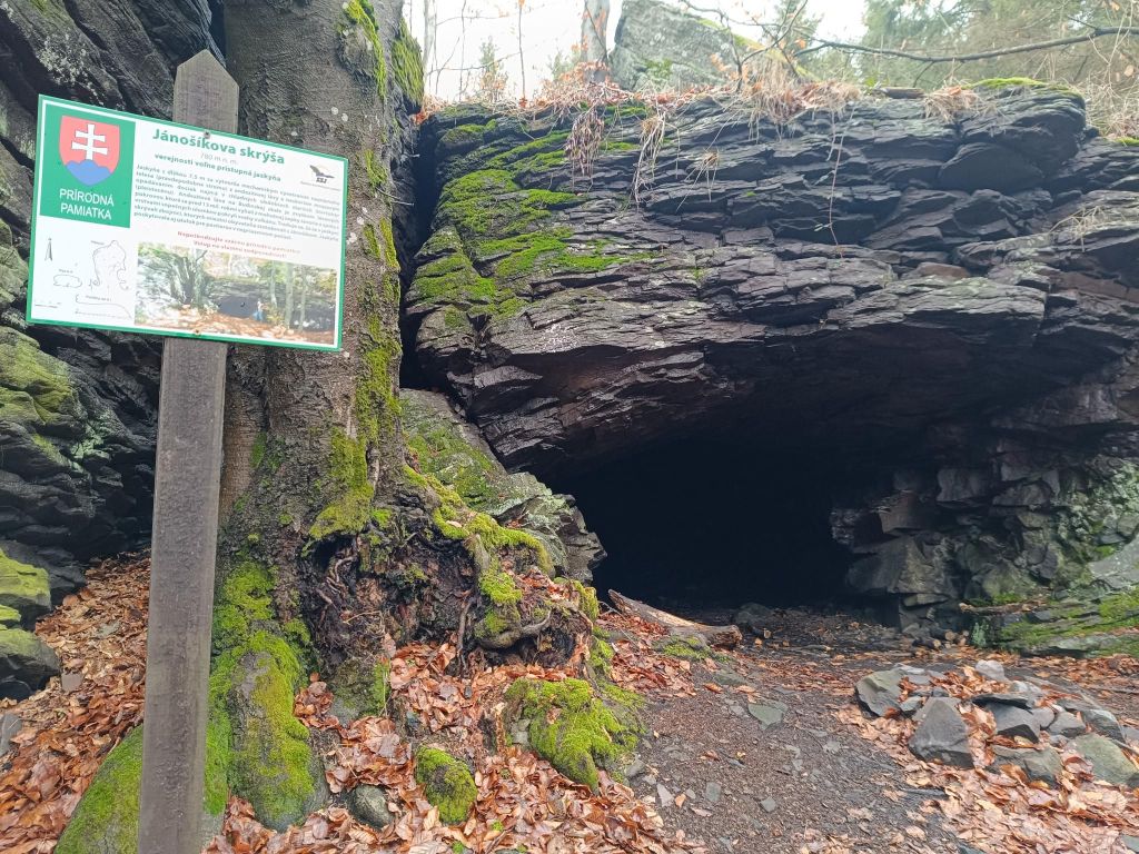
Inside the andesite massif of Budínska Rock there is a smaller 7.5-metre-high cave, called Jánošík’s Room or Jánošík’s Shelter.
This cave is a natural monument and it is freely accessible to the public. The andesite lava at Budínska Rock is the remnants of the lava cover that poured out from the massive Javorie volcano 13 million years ago; alongside volcano fragments, it covered the slopes of the volcano
Tradition says that bandits used to hide in the cave, the locals linking it with Jánošík. The cave also served as a shelter for shepherds in unfavourable weather conditions.
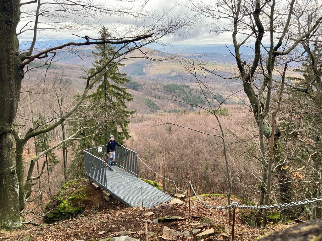
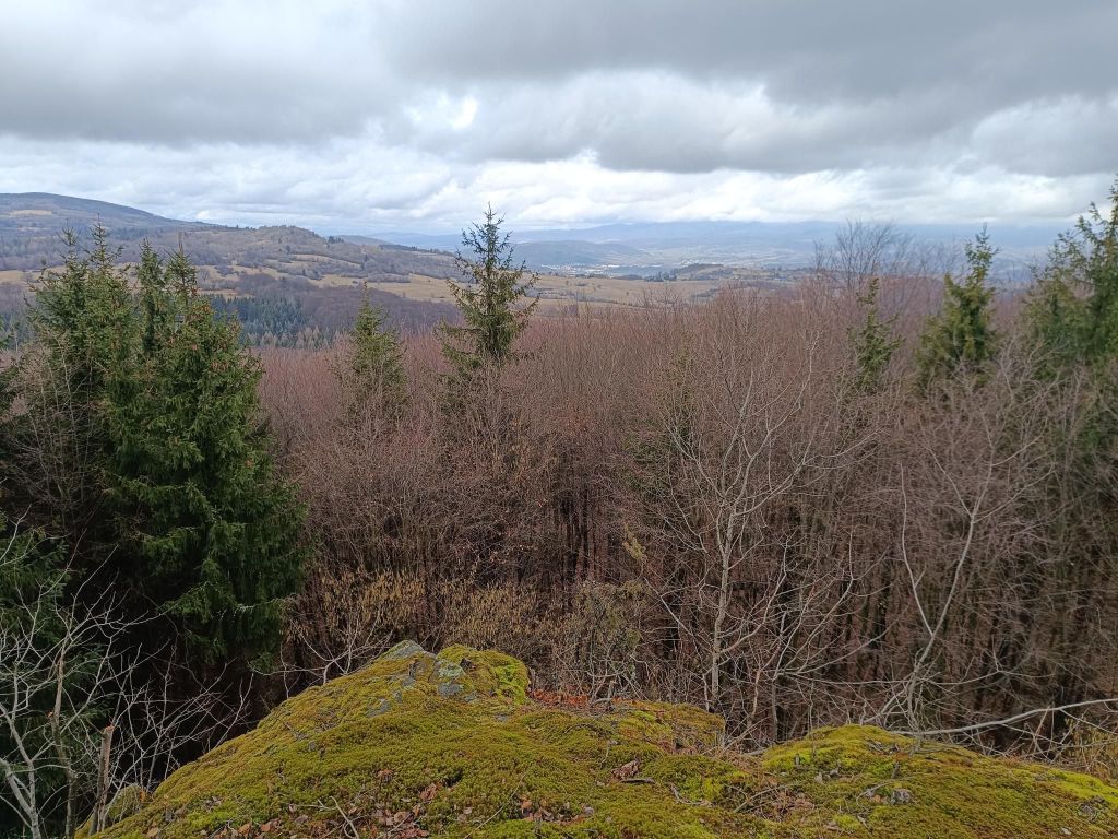
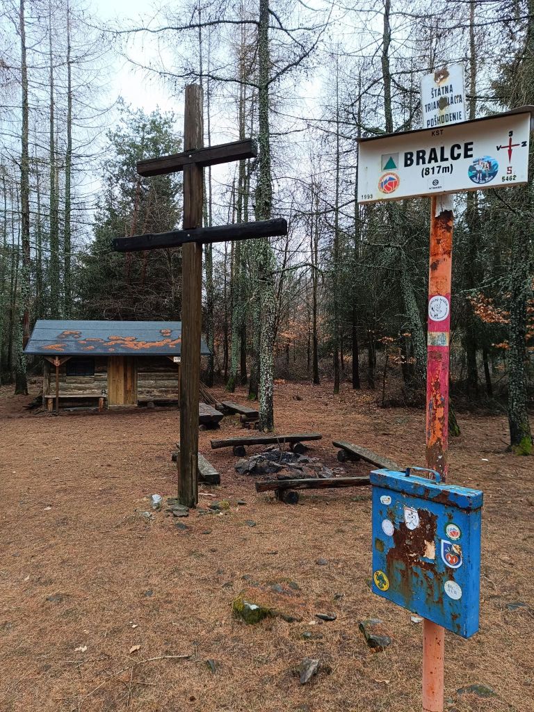
Jánošík’s shelterViewpoint Javornewly created viewpointTourist shelter Bralce
The village Divín is situated next to the water reservoir Ružiná in south of central Slovakia. Ruins of the medieval Divín Castle can be seen above the village.
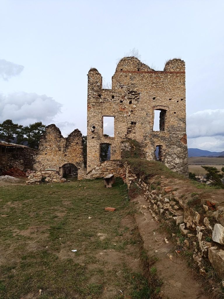
The Castle was built by the end of the 13th century and it played an important role as an anti-Turkish fort in the 16th century. Its ill-famed owner Imrich Balassa, robber knight seated here in the 17th century and undertook assaults in its environs. After his death, the Castle was conquered by the Imperial troops in 1683 and fell in decay. Only parts of some walls survive.
Fortified and likewise abandoned Renaissance manor house, Baroque church and the building of parsonage with the oldest sundial in region of Novohrad are in Divín. Interesting events are organized here in summer months.