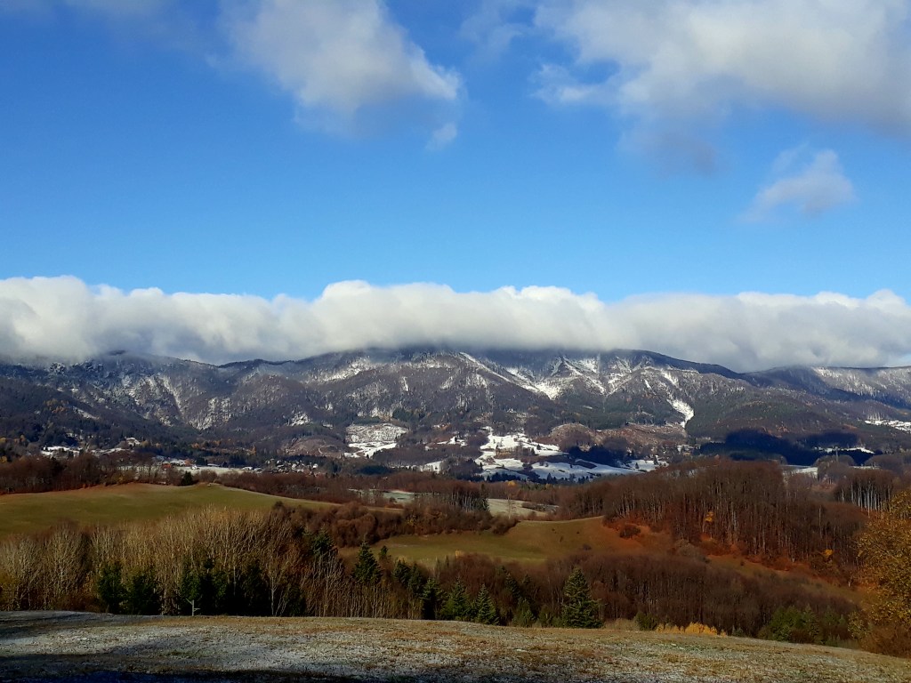
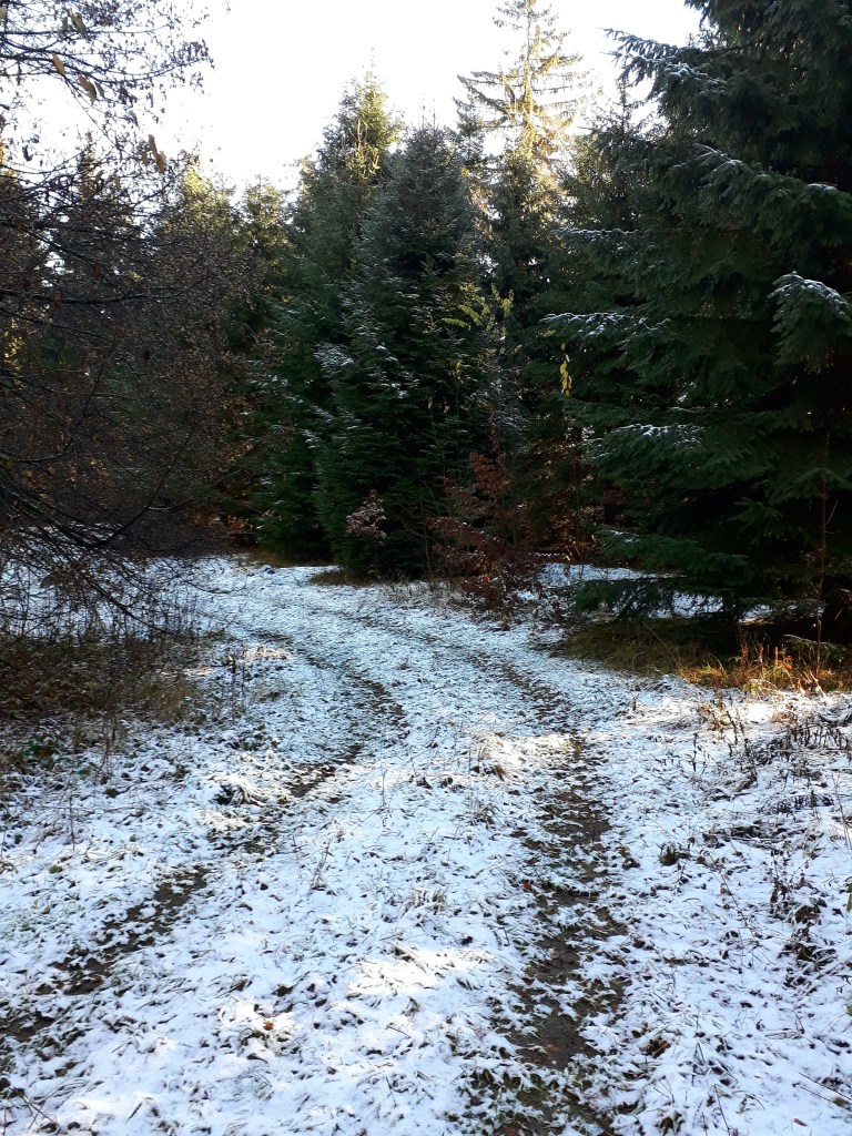
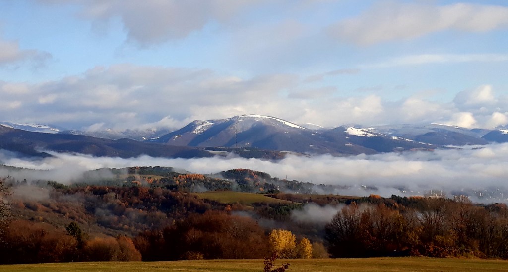
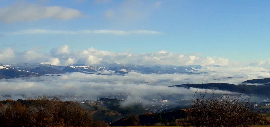
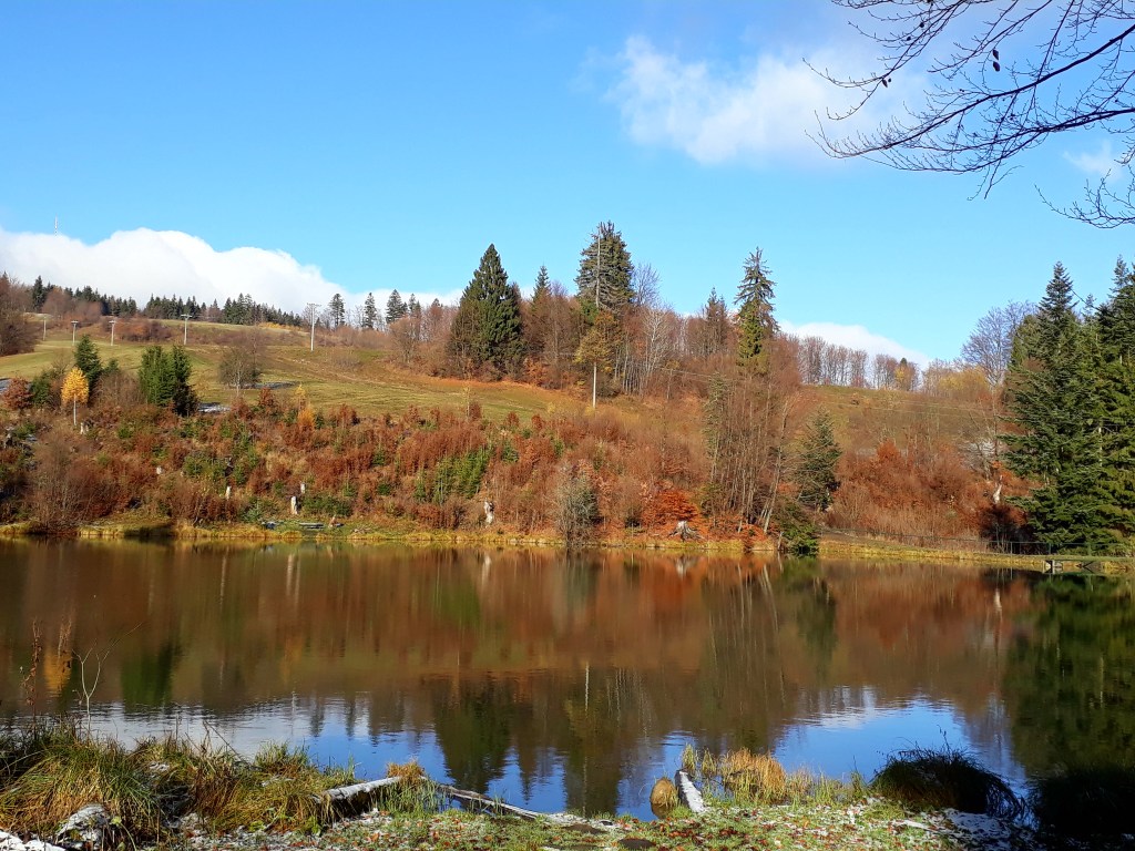
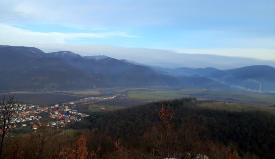
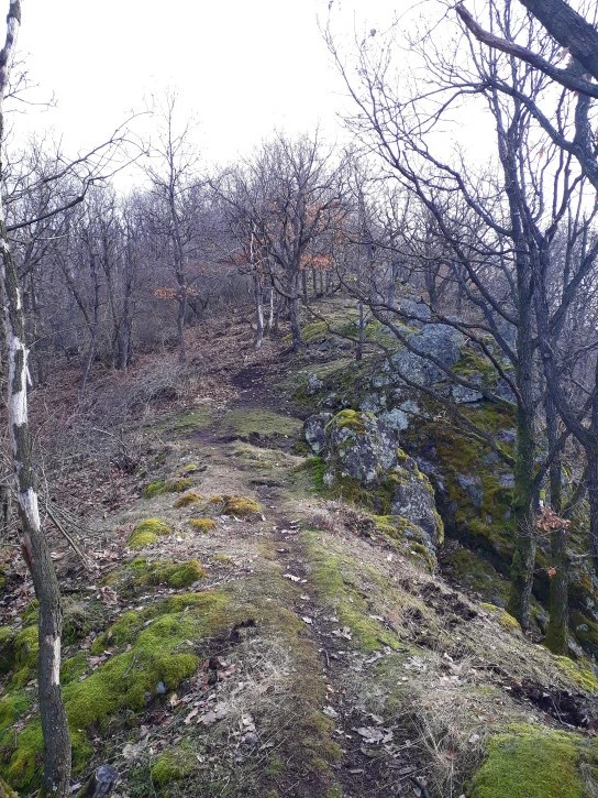
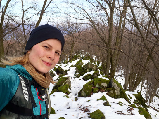
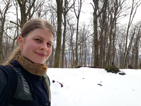
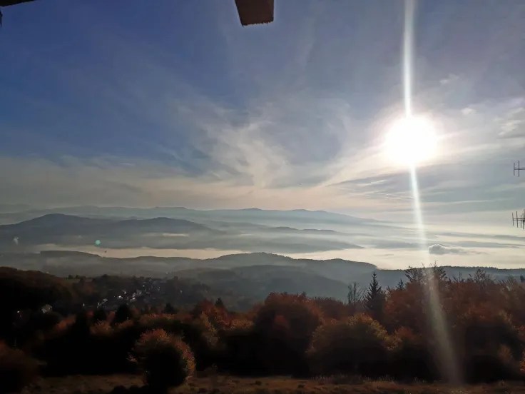
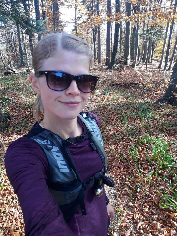
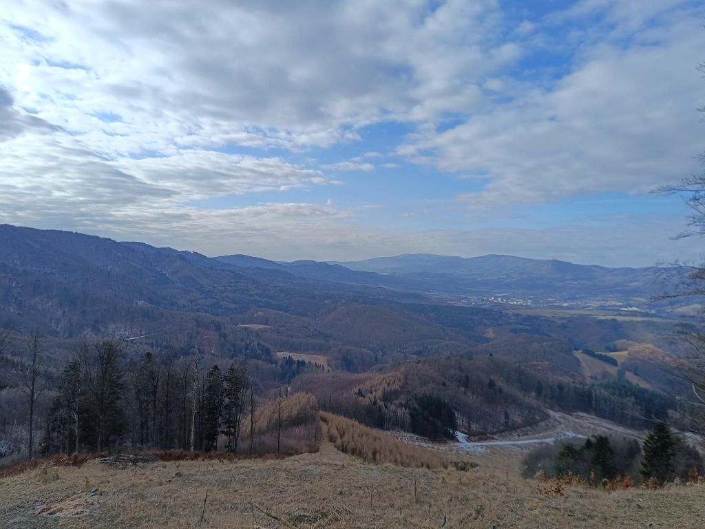
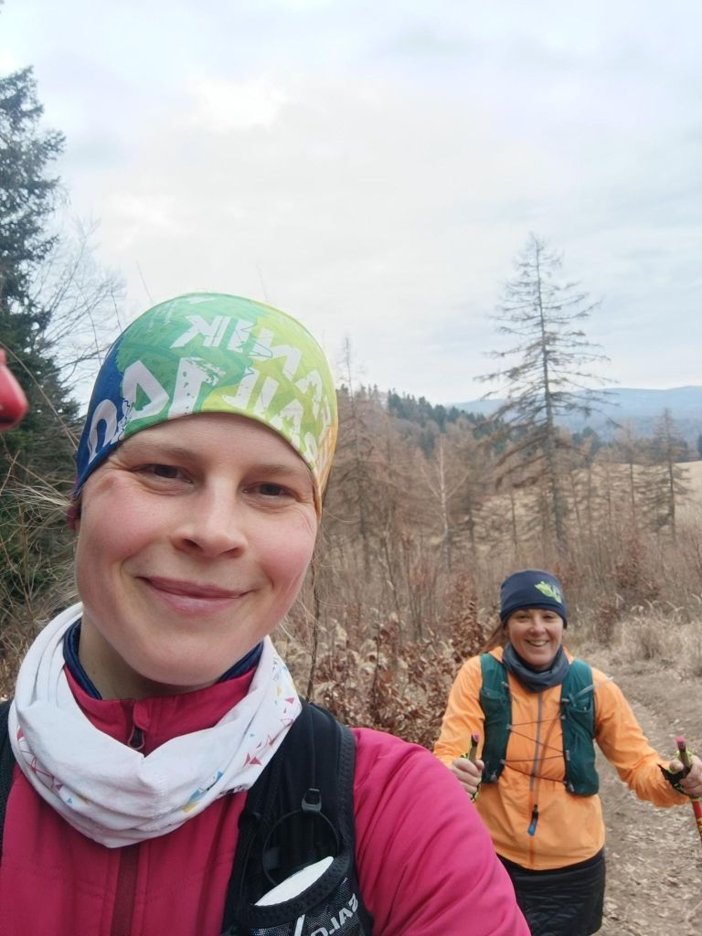
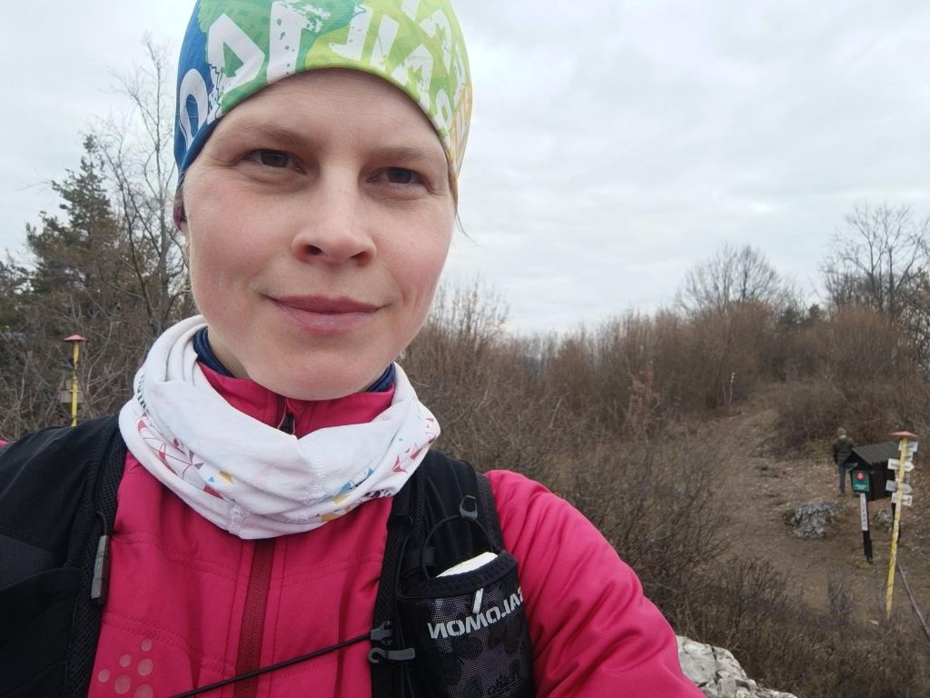
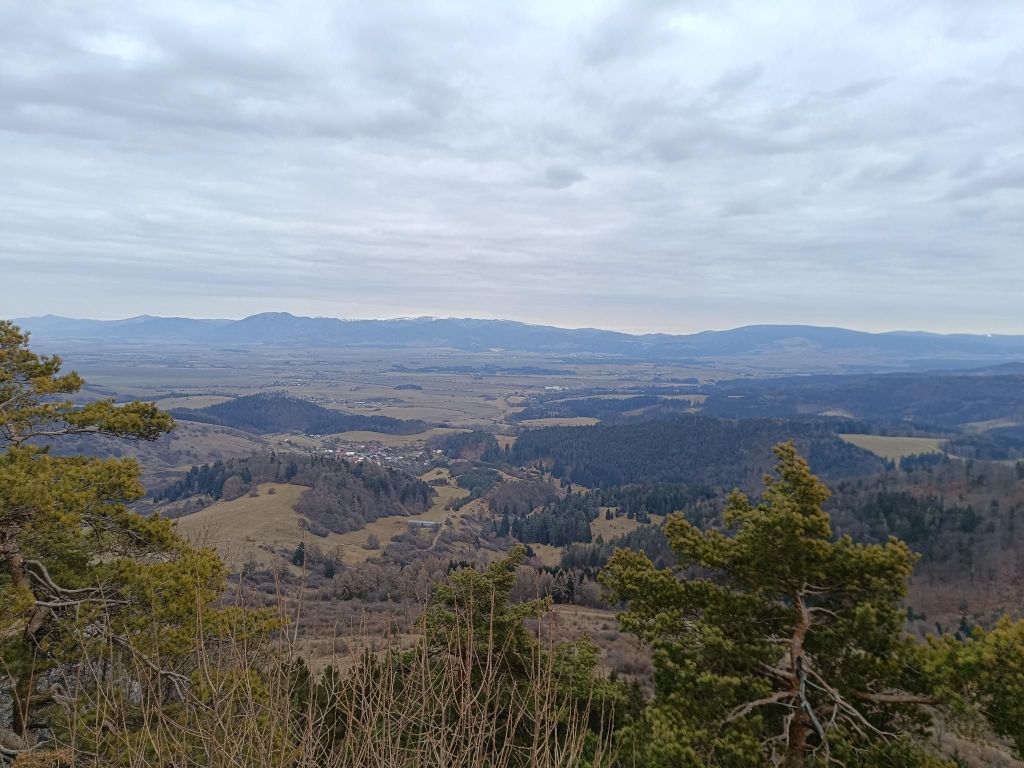
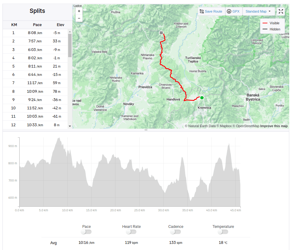
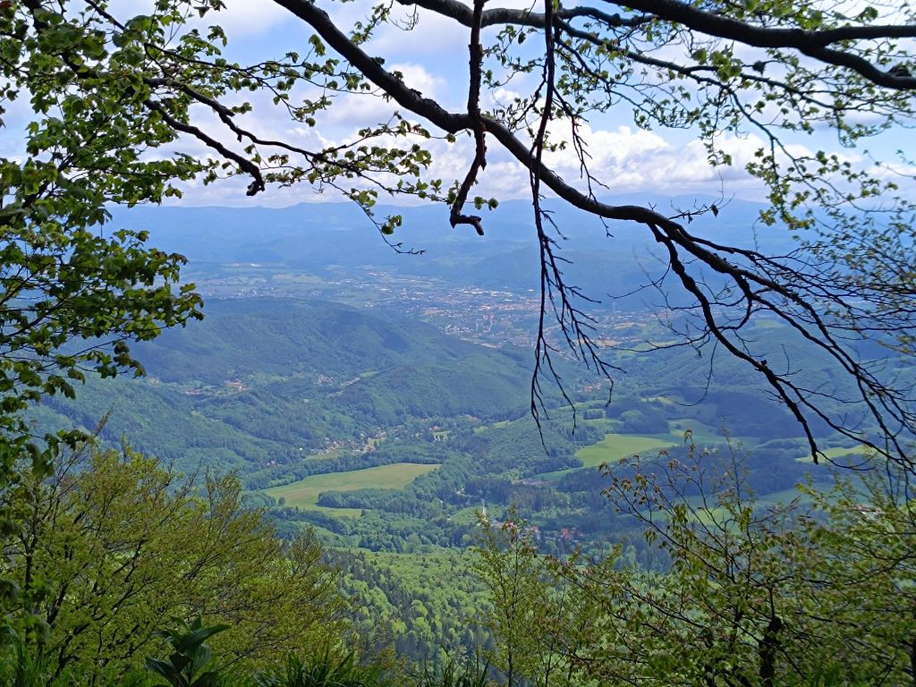
Predpoveď počasia nebola ideálna. Ale bola som rozhodnutá, že si aj tak pôjdem zabehať. Bolo teda milým prekvapením vstať do slnečného dňa. Vzduch bol chladný a na zemi na niektorých miestach ležal sneh. Celý môj beh mi svietilo slnko, takže moju radosť z neho nemôže pokaziť ani blatistý terén.
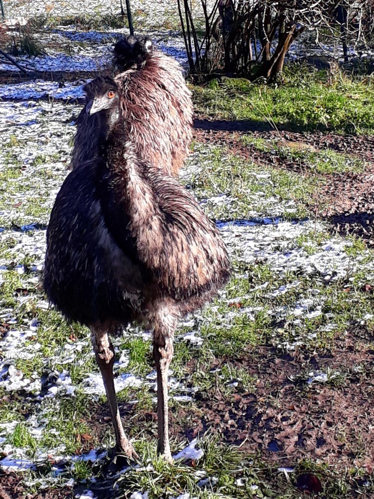
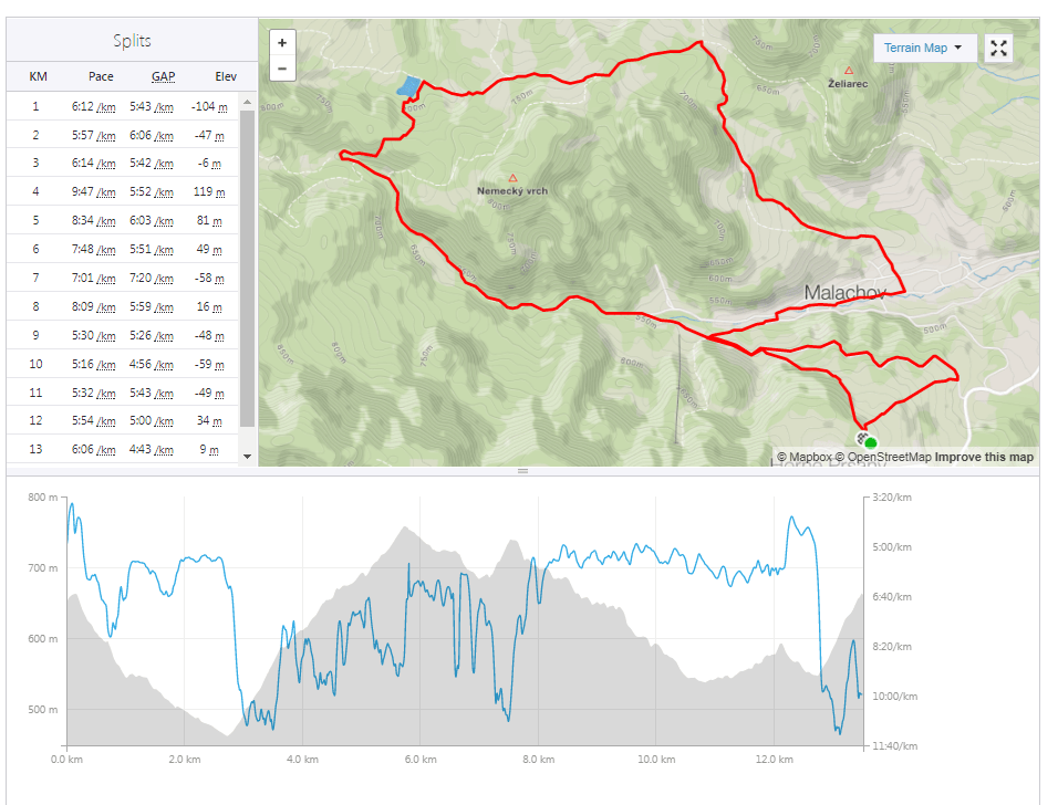
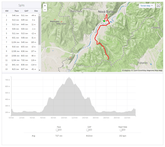
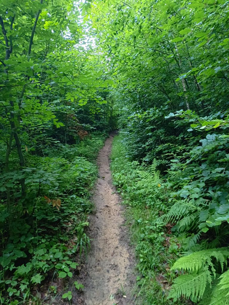
niekde v tých oblakoch je Skalka.Blato pokryté snehom – “ideálny” podklad na behV strede Slovenska môžete nájsť aj … EMU 13,5km 1:33 aktívny čas, 594m stúpania
Nová Baňa… Niekto si môže myslieť, že keď som tu strávila prakticky celé detstvo, spoznala som už každý kút… Ale ja z neho poznám len malú časť (väčšinou okolo domu mojej starej mamy). Skutočne som začala objavovať okolie, až keď som začala behať.
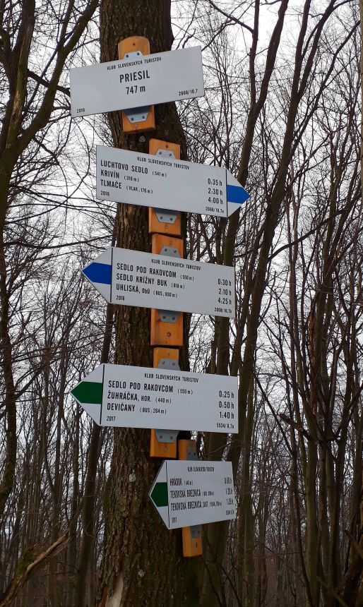
Tentoraz mám namierené na kopec Priesil. Cestou by mal byť hrad hrad na kopci Hrádok nad obcou Tekovká Breznica (samozrejme som ho nenašla). Z hradu Breznica, ktorý bol postavený v 13. storočí, zostali len ruiny. Niekoľkokrát ho vypálili Turci a koncom 18. storočia strácal na význame, čoraz viac chátral. Dážď a mráz zničili múry. A potom v pokojnejších časoch to ľudia rozobrali a postavili si domy. Kedy hrad úplne zanikol, nie je známe. Na stavbu kostola boli použité veľké bloky z veží. Posledné stojace spomienky sú vysoké asi 1 meter, rozpadajúce sa pozostatky jednej veže.
Stúpanie na Hrádok
Keď som vyrazila (okolo 8. hodiny ráno), počasie nebolo celkom príjemné – mrholenie a pochmúrne vyzerajúce mraky. Aj to môže byť dôvod, prečo som narazila na stádo 20 srniek a jedného jeleňa (jasné, že v tom momente, keď som sa snažila fotiť, utiekli).
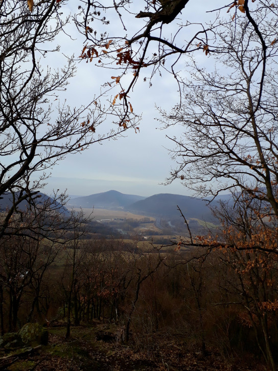
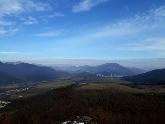
Výstup na Hrádok je dosť náročný, potrebujem párkrát prejsť do kroku. Cesta je sotva viditeľná, ale značky sú nové a pekne viditeľné. Je tu vyhliadka (len 200 m od cesty)
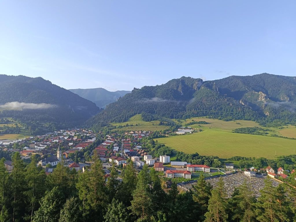
výhľad na obec Tekovská Breznicavýhľad na opačnú stranu
Ako som stúpala na Priesil, sneh bol čoraz hlbší. Terén bol dosť technický, veľa balvanov a menších skál a cesta bola málo využívaná. Chvíľu sa zabávam pri rozlišovaní stôp zvierat (líška, jeleň, jeleň, jazvec a samozrejme diviak). Sneh bol hlboký, stúpanie náročné a ja som začala uvažovať o zmene plánu (prvý plán bol okruh, ale predo mnou je asi 8 km v tomto snehu). Rozhodla som sa vrátiť z Priesilu tou istou cestou.
Blízko Priesilu bol sneh po kolená a keď som stála pod posledným stúpaním, skoro som to vzdala. Ale vďaka mojej tvrdohlavosti stúpam hore (treba použiť ruky, pulz 200, celá spotená…)
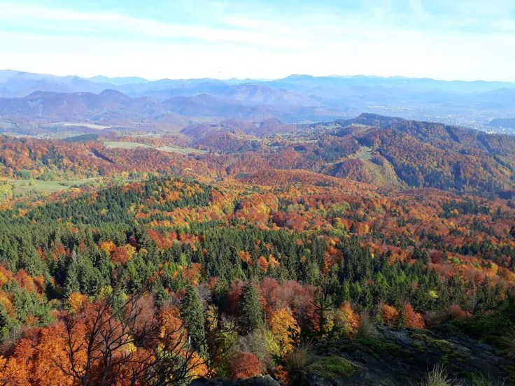
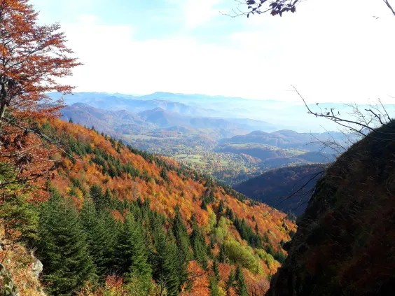
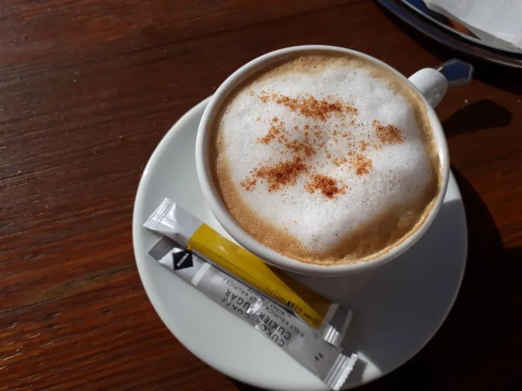
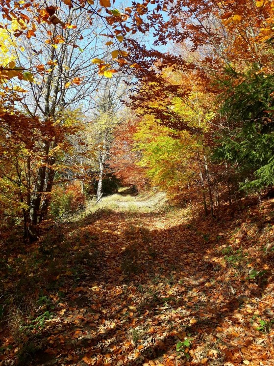
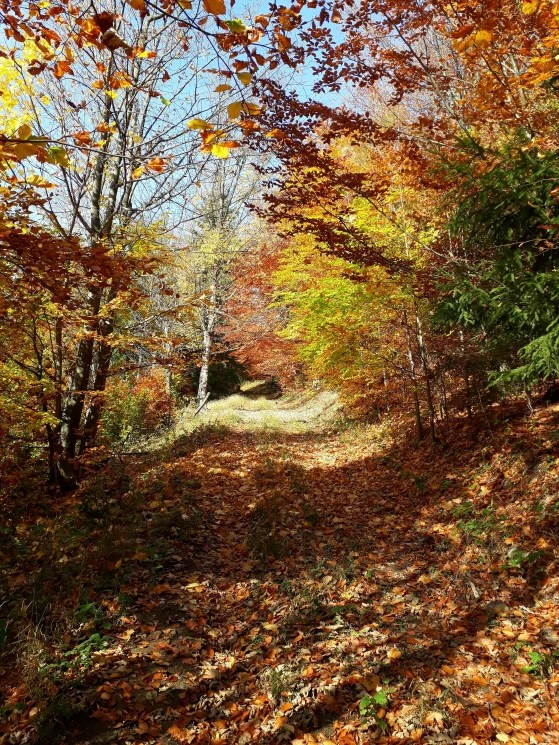
Naša slovenská jeseň je naozaj krásna s farebnými stromami, vonku je relatívne teplo a zem je pokrytá vlniacim sa lístím. Víkend je teda ideálny čas na dlhší trailový beh. A keď si môžete urobiť zastávku na kávu, čo môže byť lepšie?
Vyrazil som okolo ôsmej, aby som stihla ranné hmly, no v čase, keď som dorazil na vrchol kopca, sa už hmla strácala. Ale slniečko sľubovalo pekný deň.
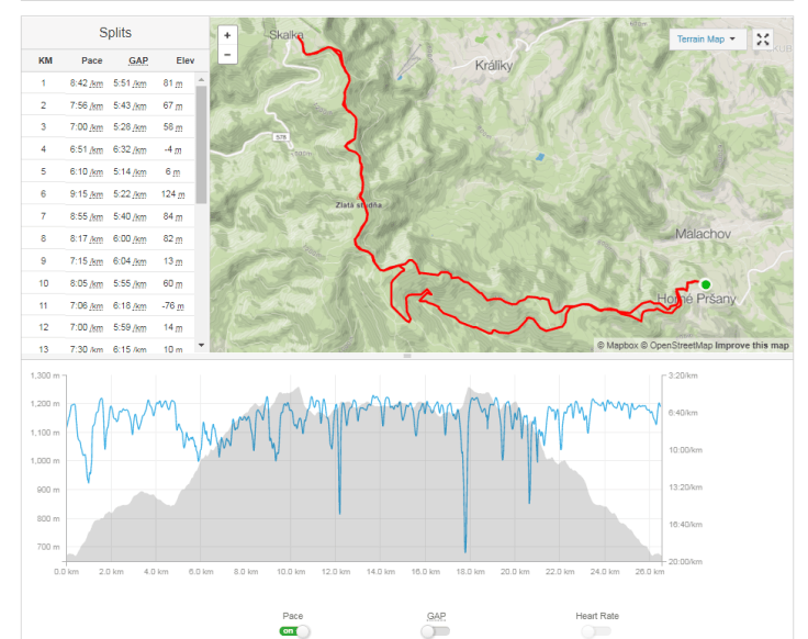
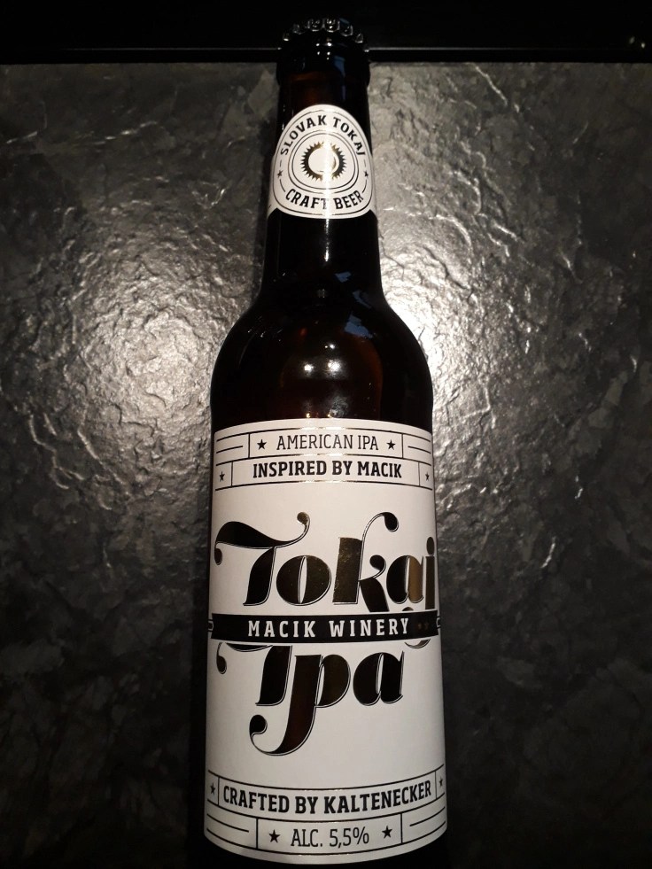
26 km, okolo 1000 m stúpania, 4hodiny vrátane pauzy na kávu.Zaslúžená odmena, remeselné pivo Tokaj-IPA.. Áno, som veľký milovník remeselného piva
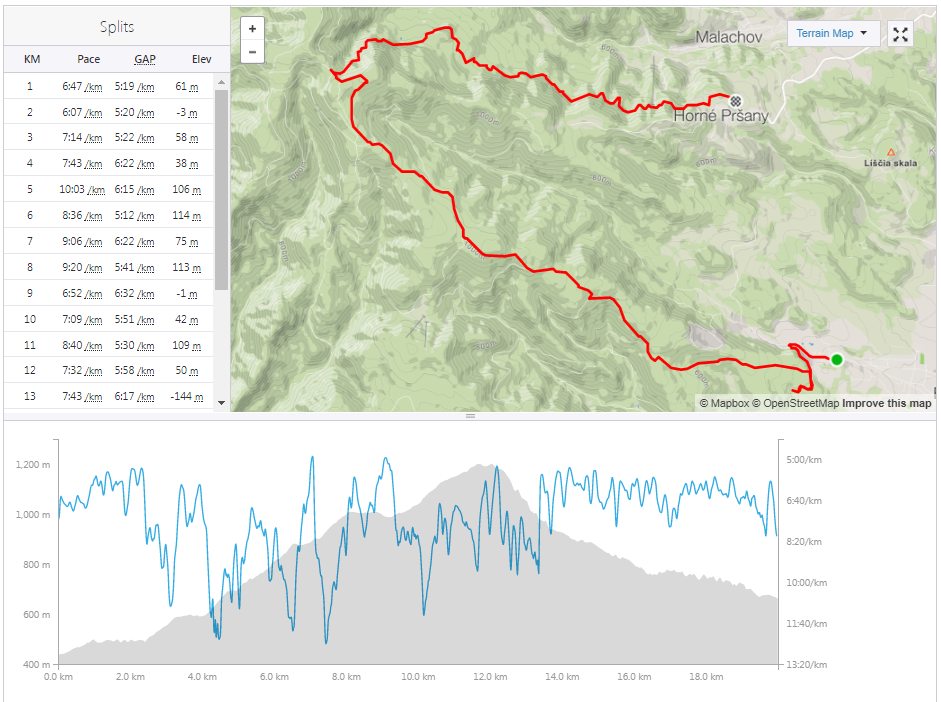
Babie leto bolo skoro za nami a tak som sa rozhodla, že jeden z posledných slnečných dní využijem na behanie. V práci som si vzala pol dňa dovolenky a naplánovala som si trasu z Badína cez Tri kríže na Horné Pršany.
Z badína na Tri kríže vedie veľmi pekná turistická trasa, ale jej najlepšie časy sú už za nami. Bolo jasné, že tadiaľto veľa ľudí nechodí, pretože značky na stromoch boli takmer neviditeľné. Dokonca som sa musela dvakrát vracať a hľadať cestu (a to si myslí, že mám celkom dobrý zmysel pre orientáciu). Čerstvo popadané lístie síce krásne šuchotalo, ale nájsť cestu bolo vďaka nemu ešte oveľa ťažšie.
13 kilometrov nepretržitého stúpania mi dalo celkom zabrať a tak som bola rada, keĎ som dorazila do sedla Tri kríže, čo bol na tejto trase najvyšší bol a znamenalo to,že odtiaľto sa bude už len klesať:)
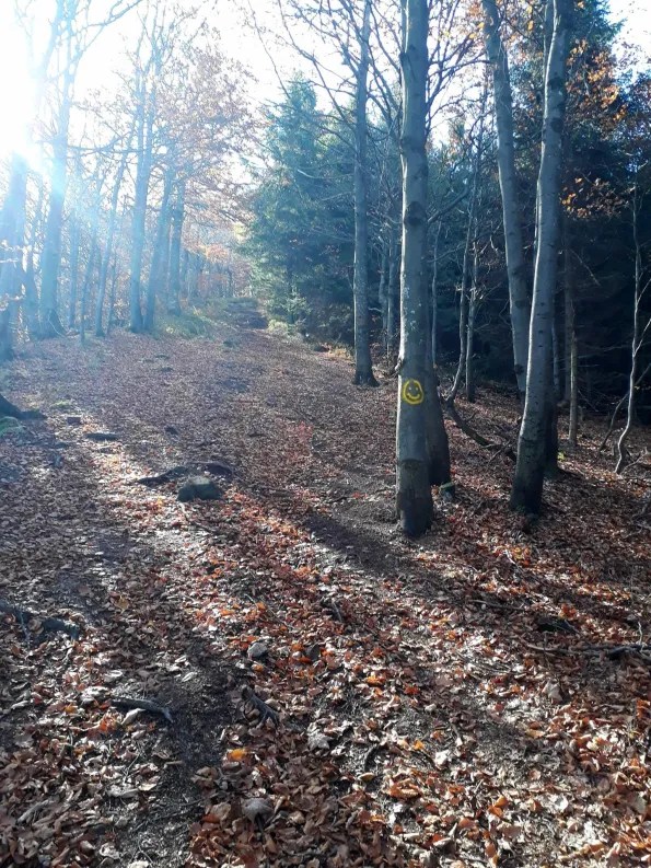
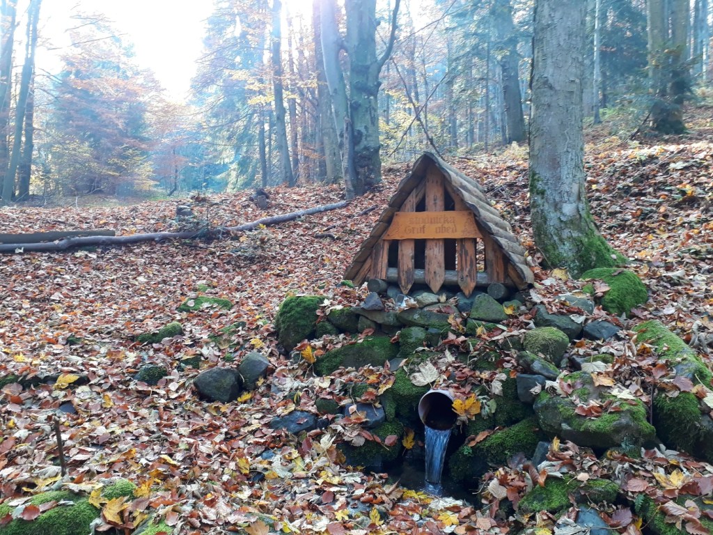
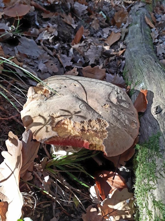
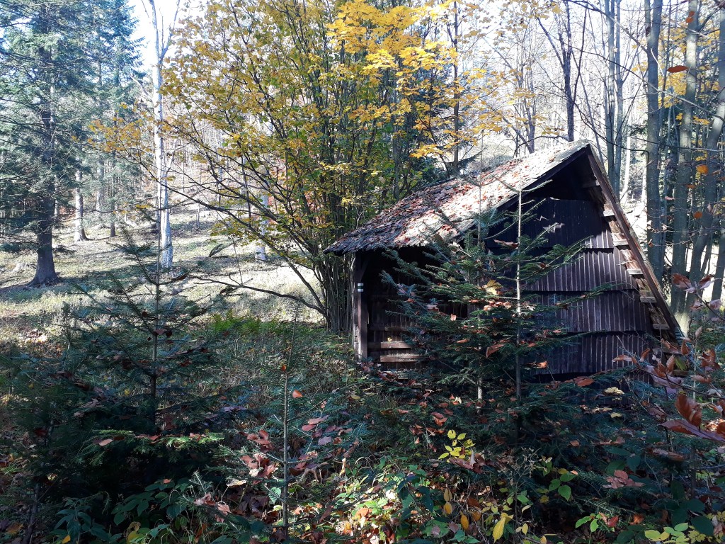
studnička grófov obed, ponukajúca sviežu pitnú vodu20 km, 1113m stúpania, 2:30 aktívny, celkový čas okolo 3hJedlé hríby takmer na chodníku značili, že sem veľa ľudí nechodíPrekrásny jesenný deň v srdci slovenských hôrTuristický prístrešok s veľkými dierami v streche a stromy rastúce stredom chodníka
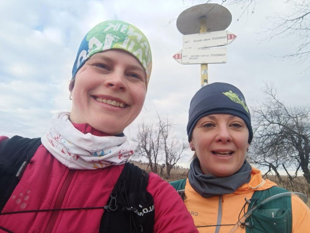
Two working mothers, two trail runners, one dream. To run the whole E8 long distance hiking path – SNP trail. 770km, 31000m elevation. But we have full time jobs and kids, so we decided to divide it into stages and run a stage whenever we find time and then put it all together, start where we end, through every meter of this path. We hope to find enough time to finish it within this year. On the path we are selfsupported, but outside the path we have support from our men, they drive us to start, or from end of stage. First stage: Kremnické Bane-> Vrícke sedlo, temperature around 2°C. It was just BEAUTIFUL
When we started at Kremnické bane it was around -3 degrees Celsius, so we need to run to keep ourselves warm.. We were excited that it is really happening, we run and we talked a lot.
We were so excited, that we forget to made the start photo:D
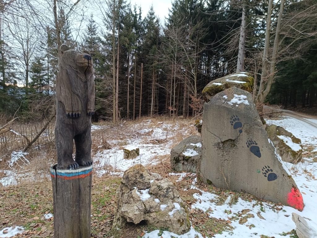
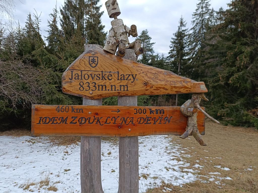
First E8 signLuckily the only bear we metThe path leads mainly through forest, but sometimes it opens and show us viewsTourist shelter for SNP hikers – shelter SklenéI run from Dukla to Devín30 kilometers and smilingVyšehrad
The southwestern part of the Malá Fatra passes to the south into the forested Žiar Mountains. On the ridge of the Žiar Mountains, which is the border between Turiec and Nitra, there is the high-altitude Vyšehrad hillfort at an altitude of 829 m, which is one of the important archaeological and natural sites of the upper Ponitrie and Turiec. Due to its natural uniqueness and historical significance, and its extremely important geographical and strategic position at the crossroads of two regions along an ancient trade route, Vyšehrad became a protected natural and archaeological monument.
The fort is bordered on the south and east by steep rocks, but access from the west is also relatively difficult. The total area is 455 ares. The entire area of the fort has a powerful rampart fortification, separated from each other by a system of ramparts into four separate parts, in which we can clearly see the courtyards.
View from Vyšehrad
This part of SNP was covered by nice singletrails, forest roads and it was quite runnable. Unfortunately Lucka’s knees started to hurt, so we take it slowly and cannot run downhills. I hope that some compensation exercises will help and we can run another part soon.
We left one car at the starting point and have support to pick up at the ending point, then go fr the first car.. I think this will be logistically interesting project too.
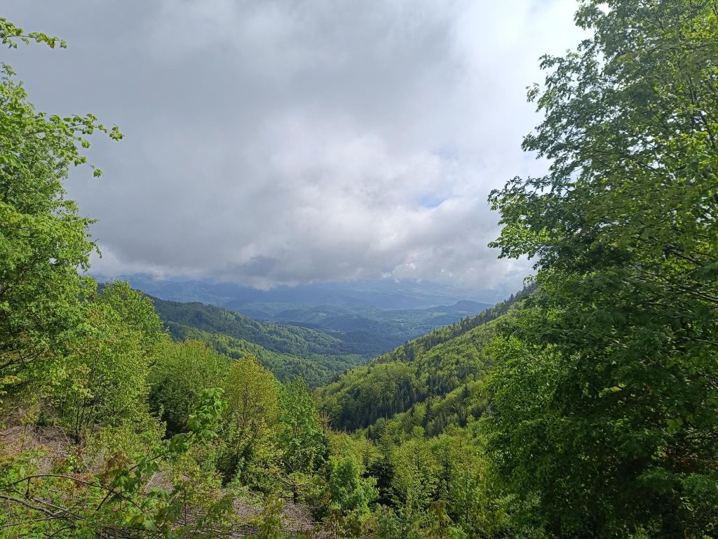
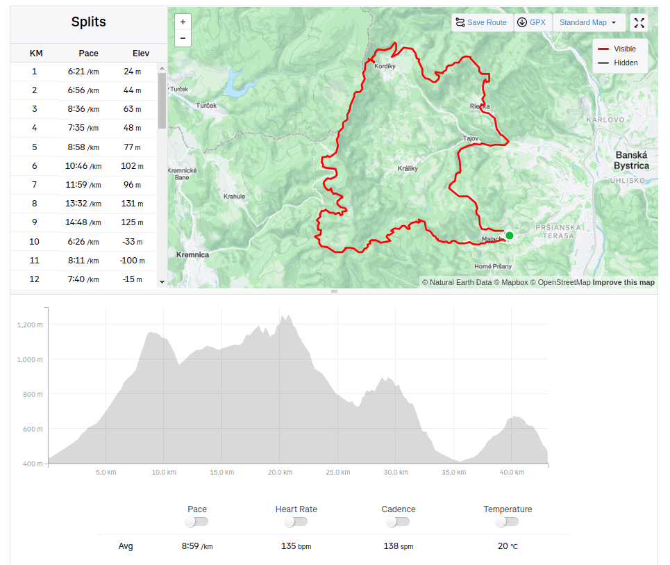
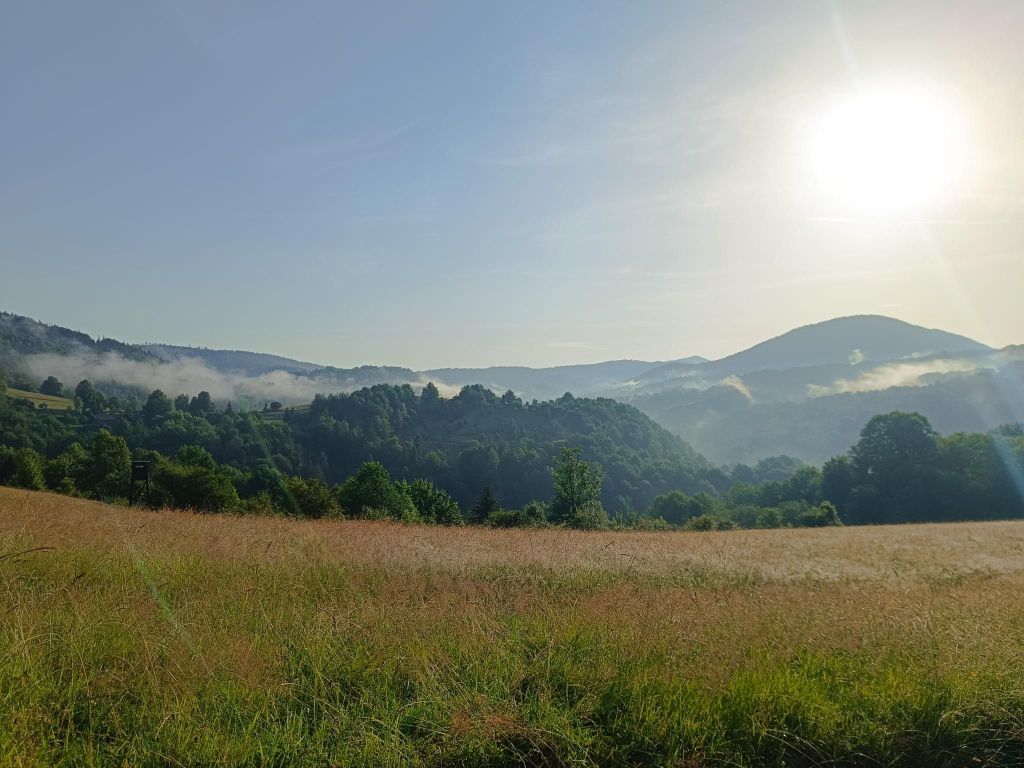
Our run goes uphill to Skalka, then to Kordíky, Tajov and through Suchý vrch back to Malachov. Skalka is located in the Veľká Fatra mountains in the Kremnica Hills, near the medieval royal mining town of Kremnica.
Tri Kríže- a view point and a crossing only a few kilometers before Skalka
Kordíky is village under Kremnica mountains.The original inhabitants made their living by charcoal mining, making wooden utensils, herding, and raising cattle.
A viewpoint between Skalka and Riečka
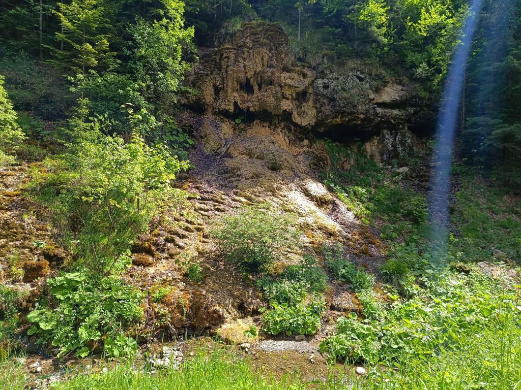
Then we run to Tajov to check Tajovská kopa. Tajovská Kopa is a protected natural formation located near the village of Tajov in the Kremnické vrchy Mountains. It is an interesting 18-meter-high sloped travertine mound with a cascading waterfall and stalactite formations created by flowing calcareous water.
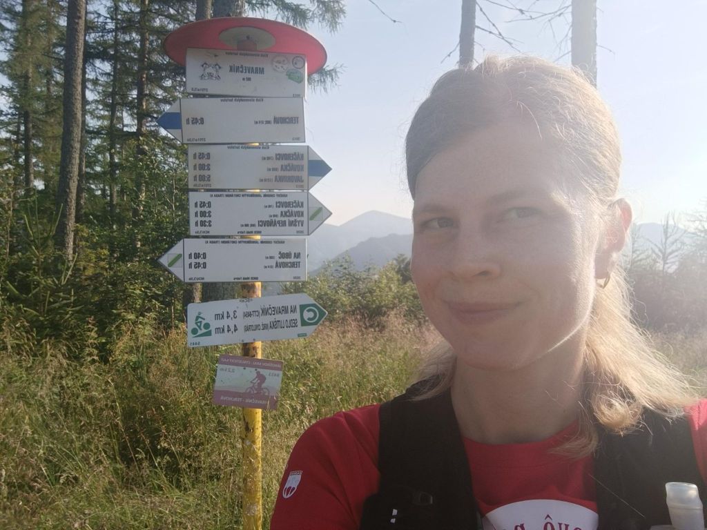
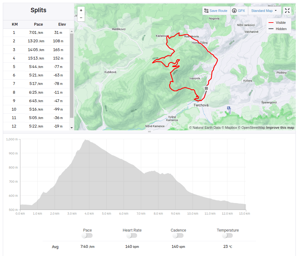
Mravečník (992.5 m above sea level) is a peak in the Kysucká Highlands. It is located above the village of Terchová. The peak lies within the protection zone of the Malá Fatra National Park.
The hiking trail begins in the village of Terchová and leads along the blue mark below the Terchovské srdce lookout tower.
The 30-meter-high Terchovské srdce lookout tower is built on Oblaz Hill.
The lookout tower was opened to tourists on October 28, 2015. The author of the design of the lookout tower is the famous folk artist Alojz Mucha. He was inspired by the gallows prop that stood in the same place on Oblaz Hill in 1935 during the filming of the now legendary Jánošík. The name Terchovské srdce is based on the song: “The Terchov heart is divided into two, one side is crying, the other is rejoicing…”
There are 3 terraces on the observation tower, from which we can admire the views, especially of the village of Terchová and the surrounding peaks of Mala Fatra.
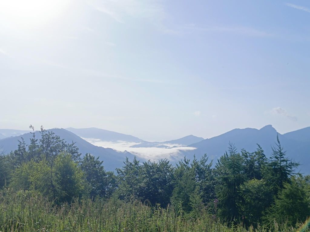
On top of Terchovské srdceMeadows after Terchovské srdceSometimes i feel comfortable being alone in the woods, sometimes the idea of that I will run into a bear comes into my mind.. But I try to fight my fears and don’t allow them to scare me enough that I will not follow my dreams Mravenčík hillI love fog in the mountains (when I’m not in it:D)13km, 511m ascent, 1h 40 min
This route was shorter version of Fellsee, without the climb to the lake itself. But the beauty of the singletrails leads me here again.
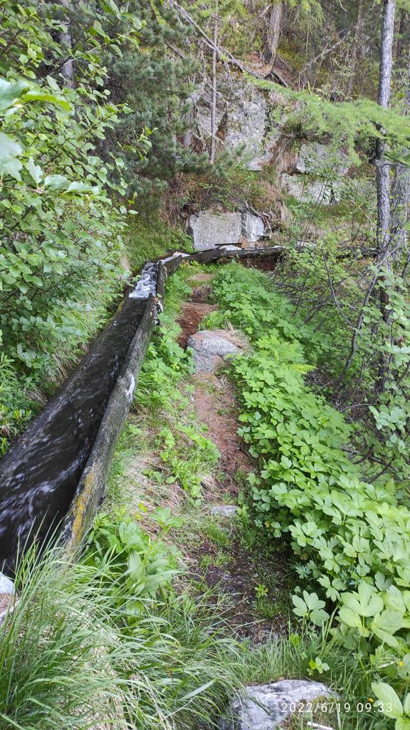
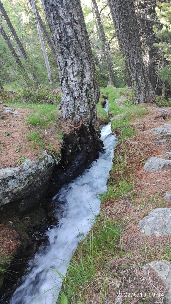
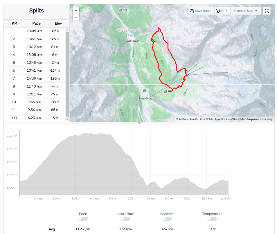
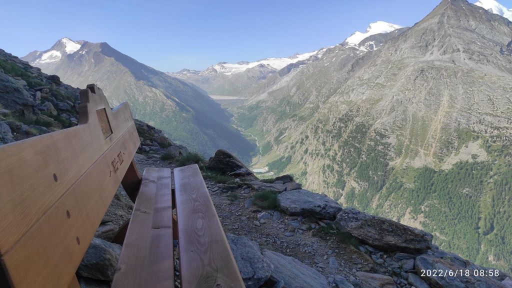
If you will to take a break, you will hardly find a better viewThe most technical path that I run in Switzerland. Yes there is a hike route on the right side of the picture 🙂It was hard to look under your foot when you have views like thisIn Switzerland every path is marked as red, but it is not so hard to find the right oneOne of my favorite path there, in hot weather it was really refreshingPart of it was under the ground level, part above and it sounded amazing11.17km, 596m ascent, 2h 14min
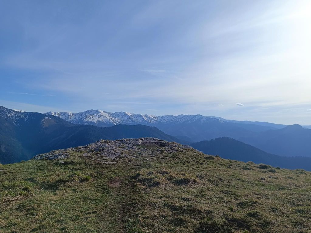
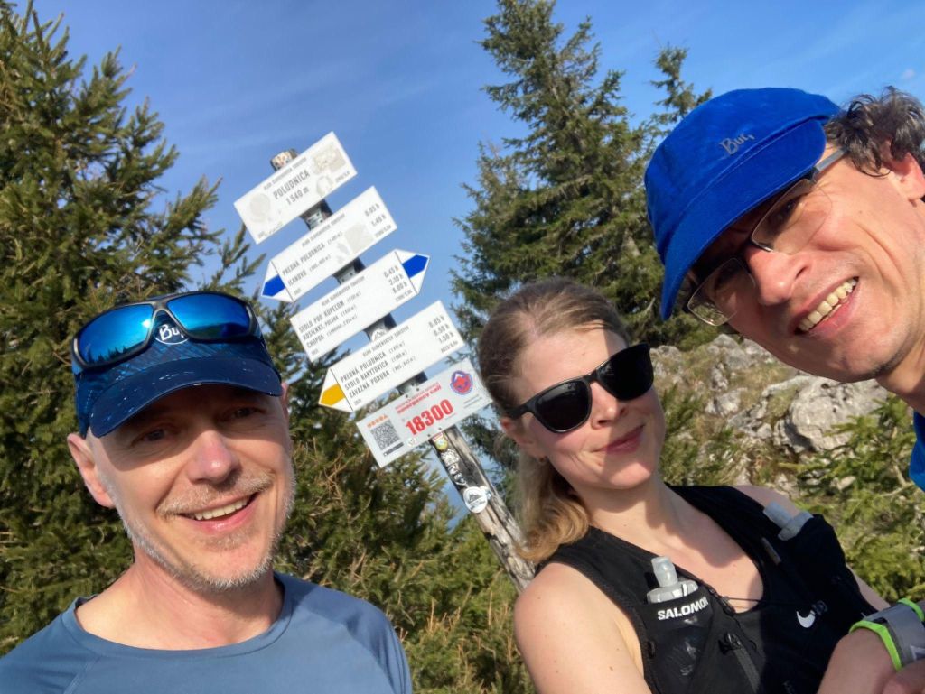
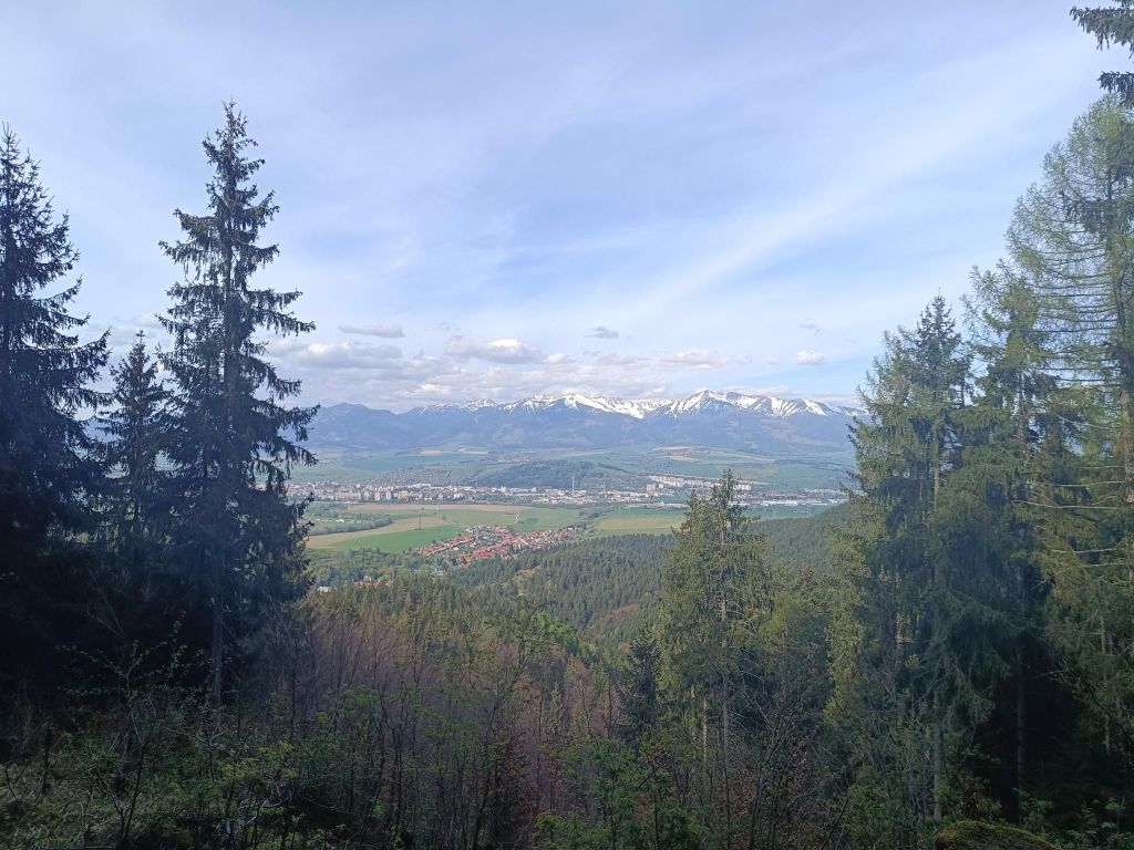
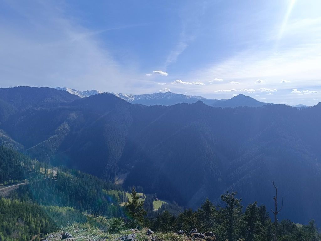
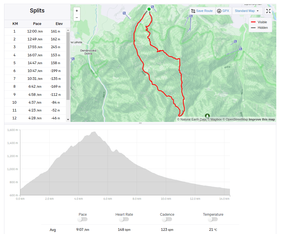
Poludnica (1549 m above sea level) offers tourists an unforgettable panoramic view of the entire Liptov region.
From the top of Poludnice you will have a unique view of Liptovská Mara, the Western and High Tatras. There is also a rocky outcrop from where you can take a legendary photo of the Tatra Kriváň.
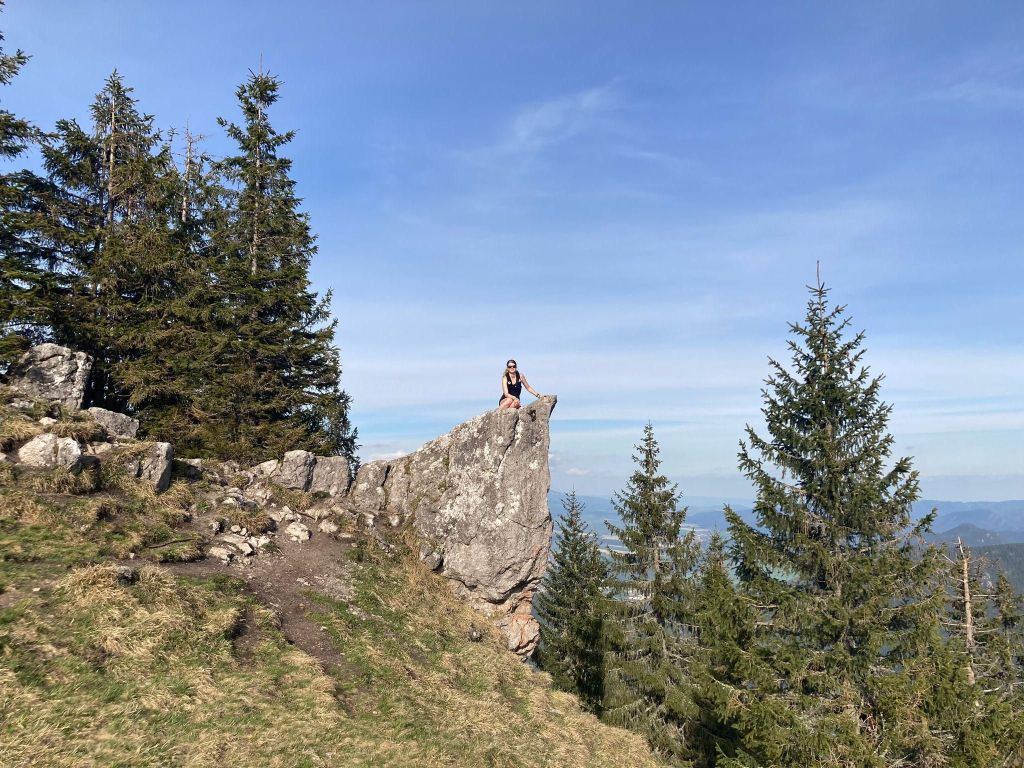
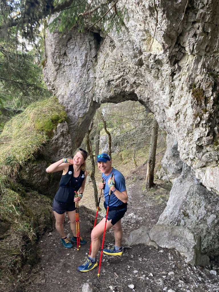
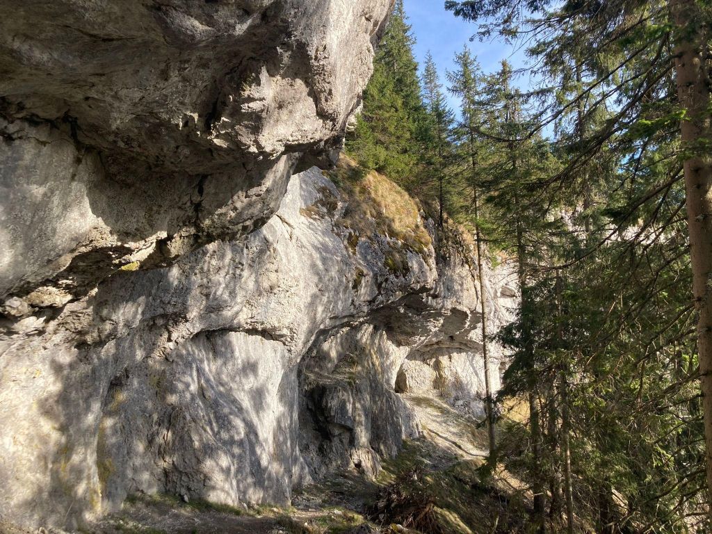
View from PoludnicaI have a fear of heights, so I needed to fight myself to climb thereon the top of the mountainWhen you find people with the same passion, the fun begins 😛A lots of interesting rock massifs were there
It is said that the old Liptov people gave it its name, who noticed that when the sun reached its peak, it was noon (poludnie) – that is, lunch time.
Descent through Ilanova valley was long and on road, so maybe it will be better to try other side to go down.