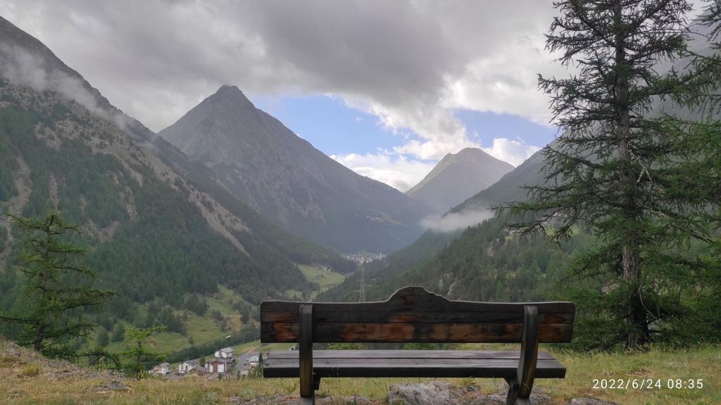
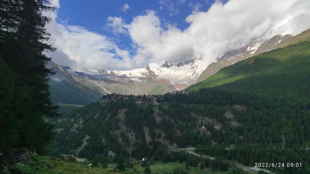
Saas Fee is a world-famous glacier town. It has its own unique architecture and lives its own life, interesting for example that it is not allowed to drive a car in it. The Saas Valley is located in the middle of the highest mountains in Switzerland. It is located on a plateau at an altitude of 1800 m above sea level at the foot of the highest Swiss mountains of the so-called Mischabel chain.
Saas Fee is surrounded by 18 four-thousanders – so there is something to see.The fact that it is a car-free village has preserved the classic romantic character of high-altitude Alpine villages.
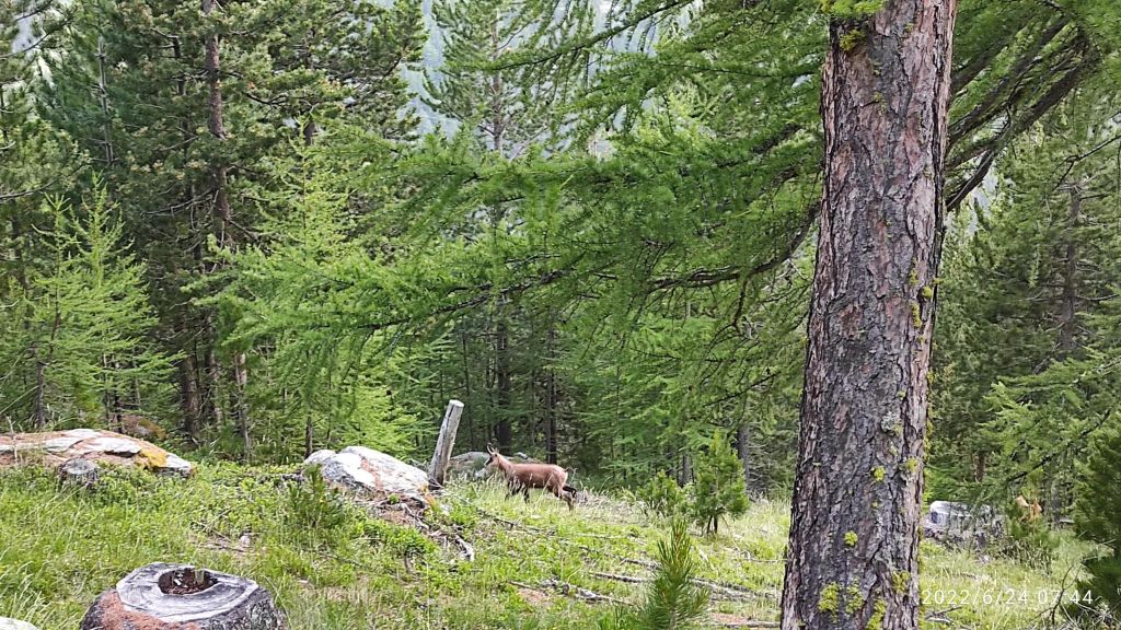
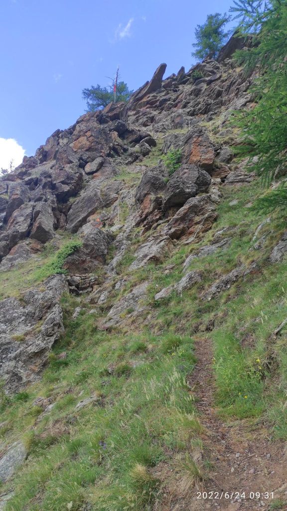
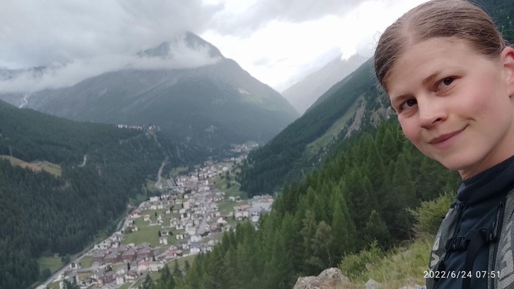
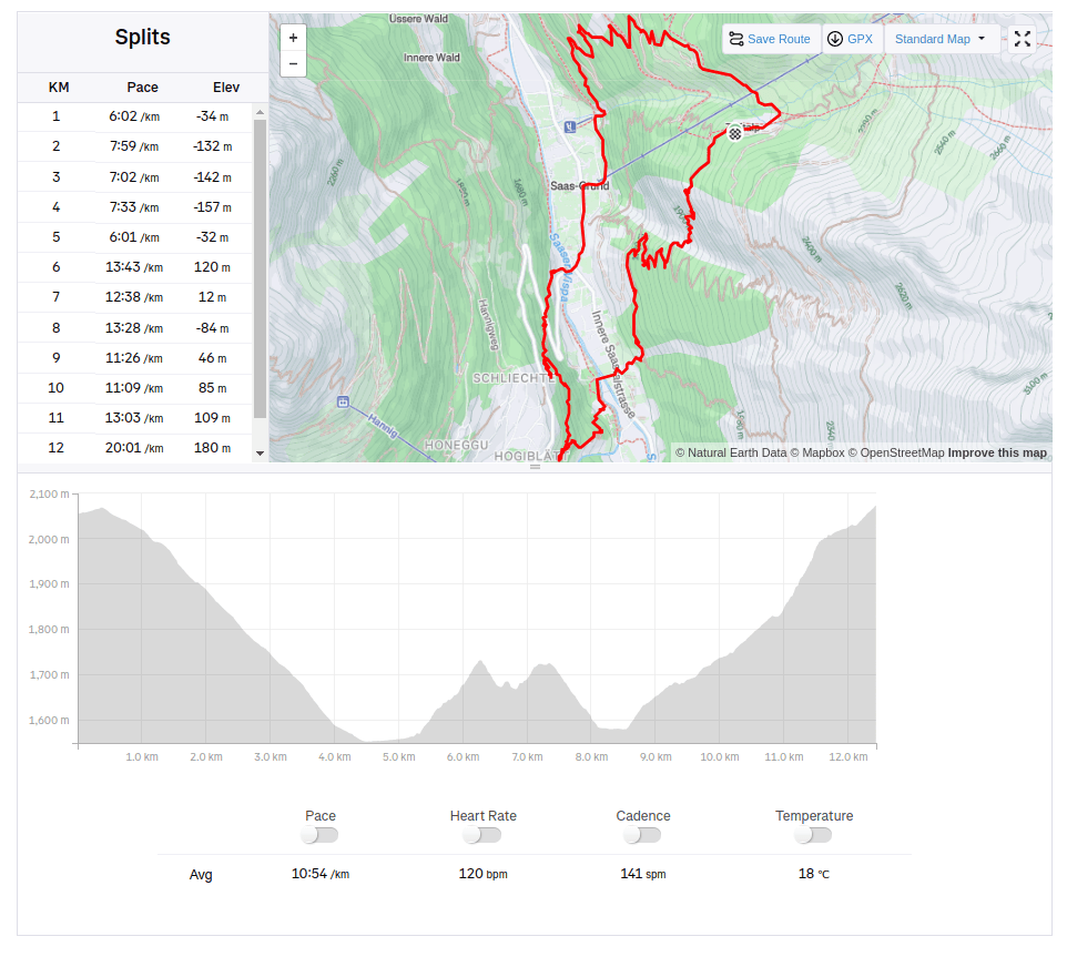
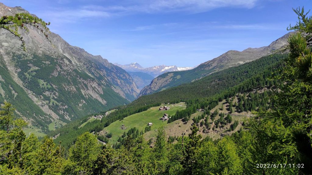
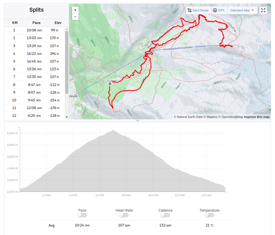
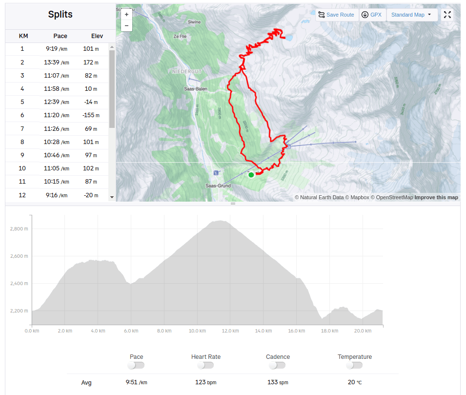
You can see chamois in the woods in Saas valleysometimes it was more climbing than running 12.43km, 740m ascent, 2h 17min
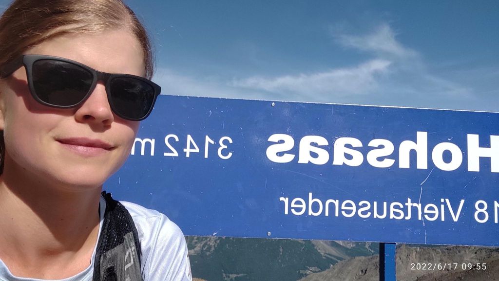
From Triftalpt, through Kreuzboden, Weissmies hutte to the upper cable car station Hochsaas.
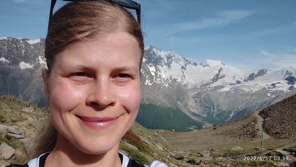
Kreuzboden from above, with 4000m high moutains in the back500m ascend and I am completely wet and just happy that I can be there
The Weissmieshütte of the SAC Olten section is located at 2726 m above sea level on a sun terrace above Saas Grund and with its panoramic view of 18 four-thousand-meter peaks it is one of the most beautifully situated mountain huts in the Valais.
It is the starting point for the four-thousanders Weissmies and Lagginhorn, the almost four-thousand-meter Fletschhorn, the sport climbing routes in the Jegihorn south face, the highest fixed rope route in the Alps, the Gsponer Höhenweg as well as numerous ski and snowboard tours. And the man that work there is a runner too! I must admit, that he outrun me 😀
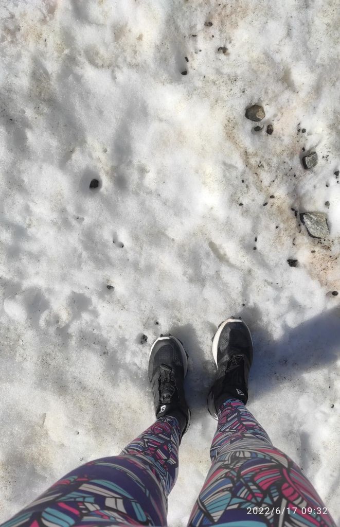
Then the path started to cross a snowfields, i was lucky that the sun wasn’t strong enough yet to melt the snow more
Snow in the middle of juneFrom Hochsaas
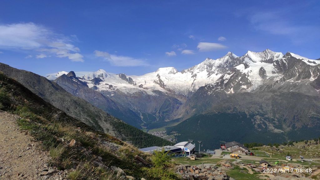
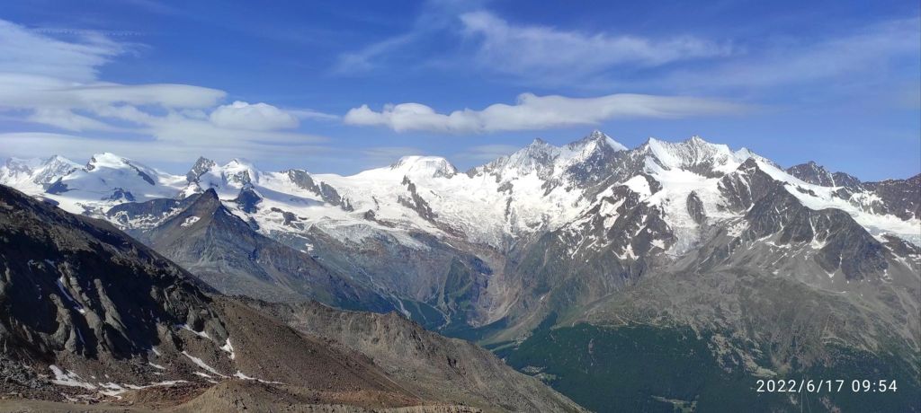
In Hochsaas there is a restaurant, cable car station and mostly unforgettable view of the Monte Rose massif and the imposing mountains of the Saas Valley. There is a starting point for the glacier hike on the Trift glacier.
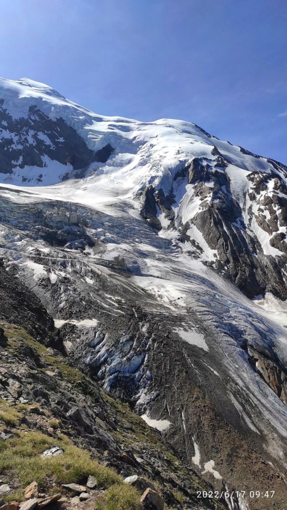
Trift glacierMy highest pointSometimes you just need to cross a small, really cold river. I took my shoes off and almost froze to death:DDown there is completely another world, greener, more alive, more breathable for me:)
I love running, I love that feeling, that I need just my legs to go somewhere, I love every part of it. When my thighs are burning, my heart is beating fast, lungs are full of fresh air, but what I love most is that feeling when you stand up there and you can tell yourself I made it, every step however hard it was, was worth it.
And then there are that enjoyable descends, or singletrails, or views. There is a lot of beauty in it for me.
I really love Switzerland, the majestic mountains, breathtaking views, steep hills, alpine streams, everything…
Starting at Triftalp above Saasgrund, where I was visiting my brother, who worked there during the summer season. Triftalp is the main alpine pasture in the municipality of Saas-Grund. Every year it is farmed with dairy and Ering cows between mid-June and mid-September. The milk produced is used to make cheese directly on the alp.
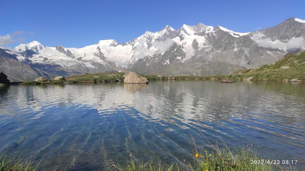
First climb was to Kreuzboden, which is a popular destination for families in summer as well as in winter. There is a cable car station too. Lake Kreuzboden is a reservoir above the village of Saas-Grund, just across the valley. It is known for its picturesque views of the Mischabel mountains with the Allalinhorn, the Alphubel and Täschhorn, the Dom, the Lenzspitze, the Nadelhorn and other four-thousand-metre peaks. And, of course, it offers a magnificent view of the Alps.
Lake at Kreuzboden, you can see 4000m high mountains from here
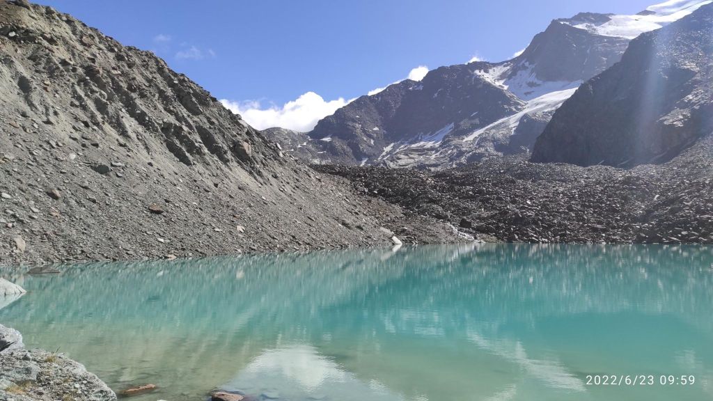
Then I run maybe 3 kilometers on contour line to Grüebe-Alp. The path was rocky and technical, but with really nice views. From Grüebe-Alp the trail curves gently to the left and past a barrier. From there, there is a more strenuous climb comprising zigzagging switchback bends, but the effort is rewarded in the end. Fellsee stands at 2,768 metres above sea level.
Fellsee
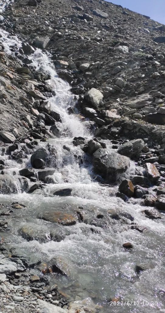
For my back route I choose one through the forest maybe 500m lower. There was nice passages with water canals. For me is quite hard to run above 2000m above sea level, i didn’t have enough oxygen 🙂
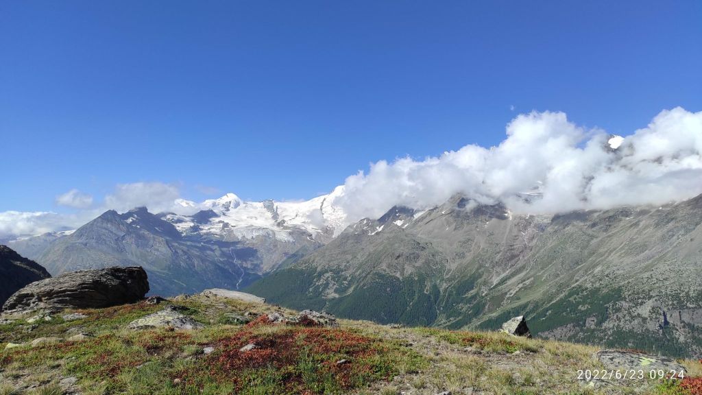
View from Gruebe-alp.21.23km, 1044m ascent, 3h 36 min