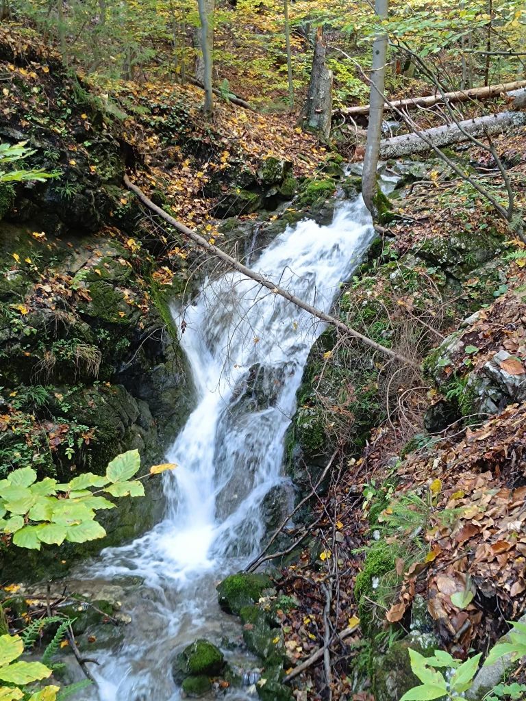
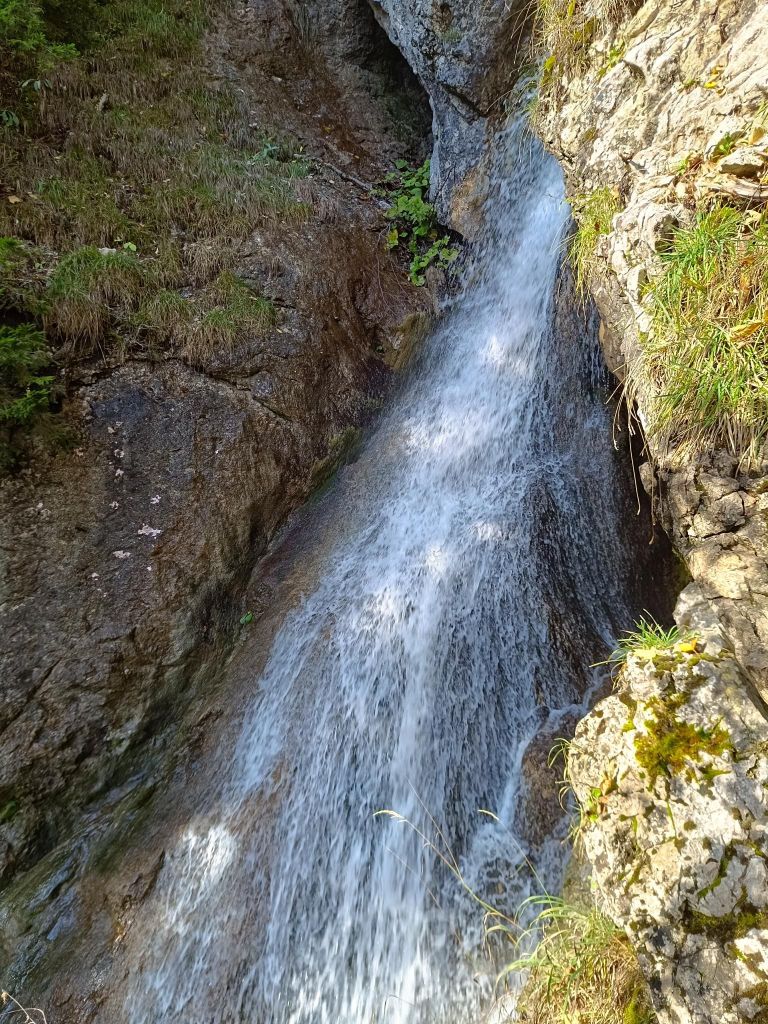
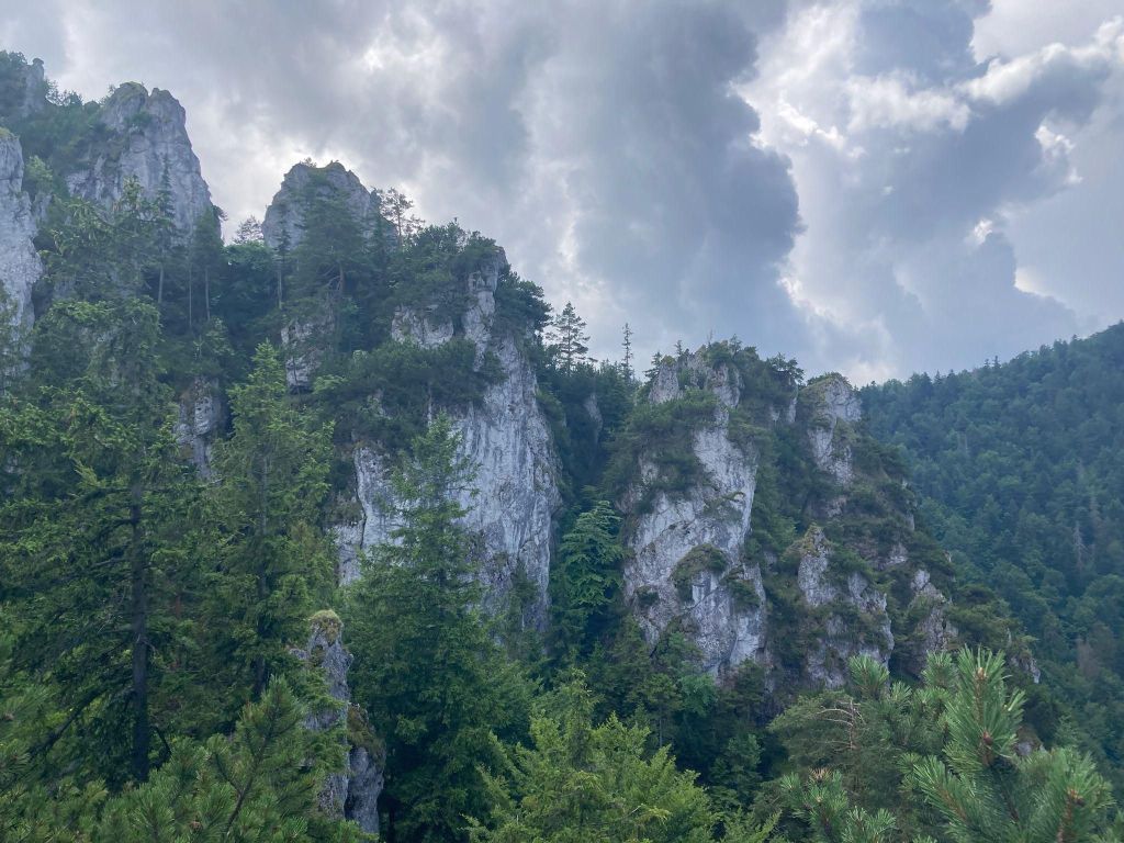
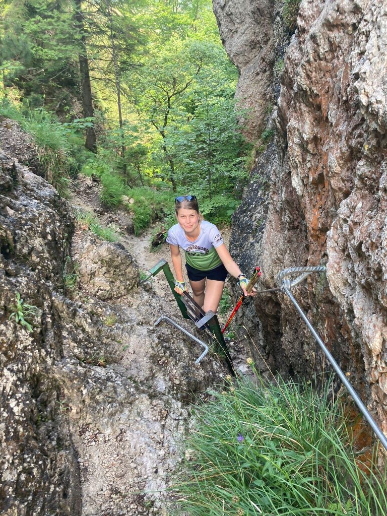
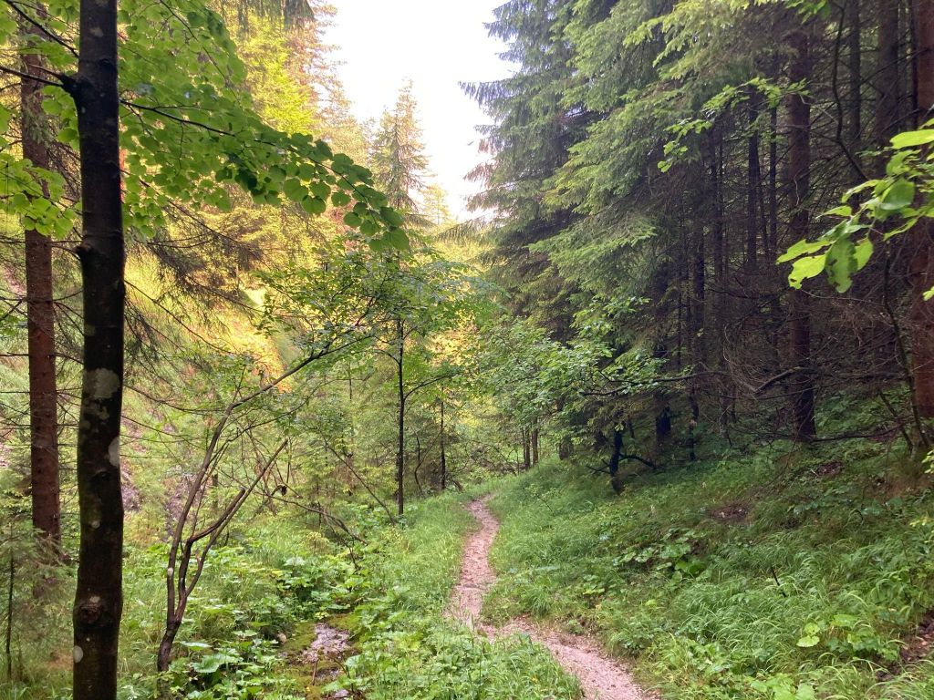
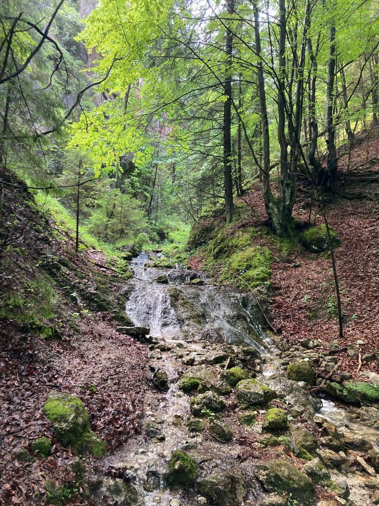
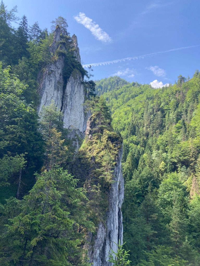
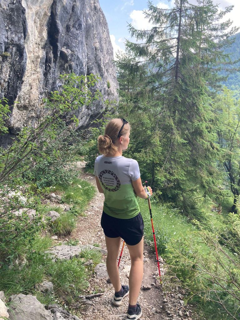
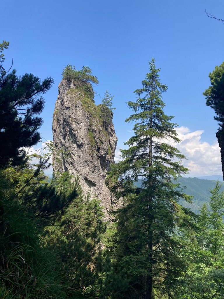
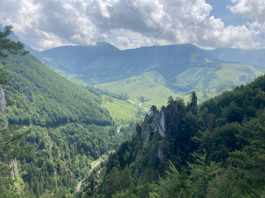
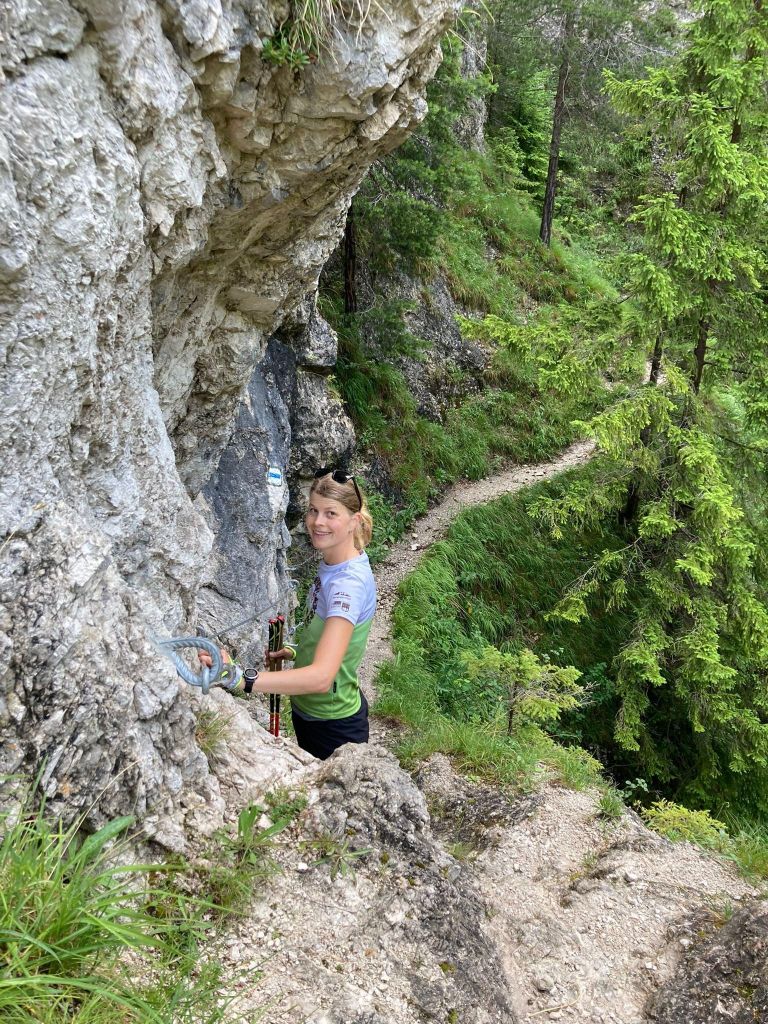
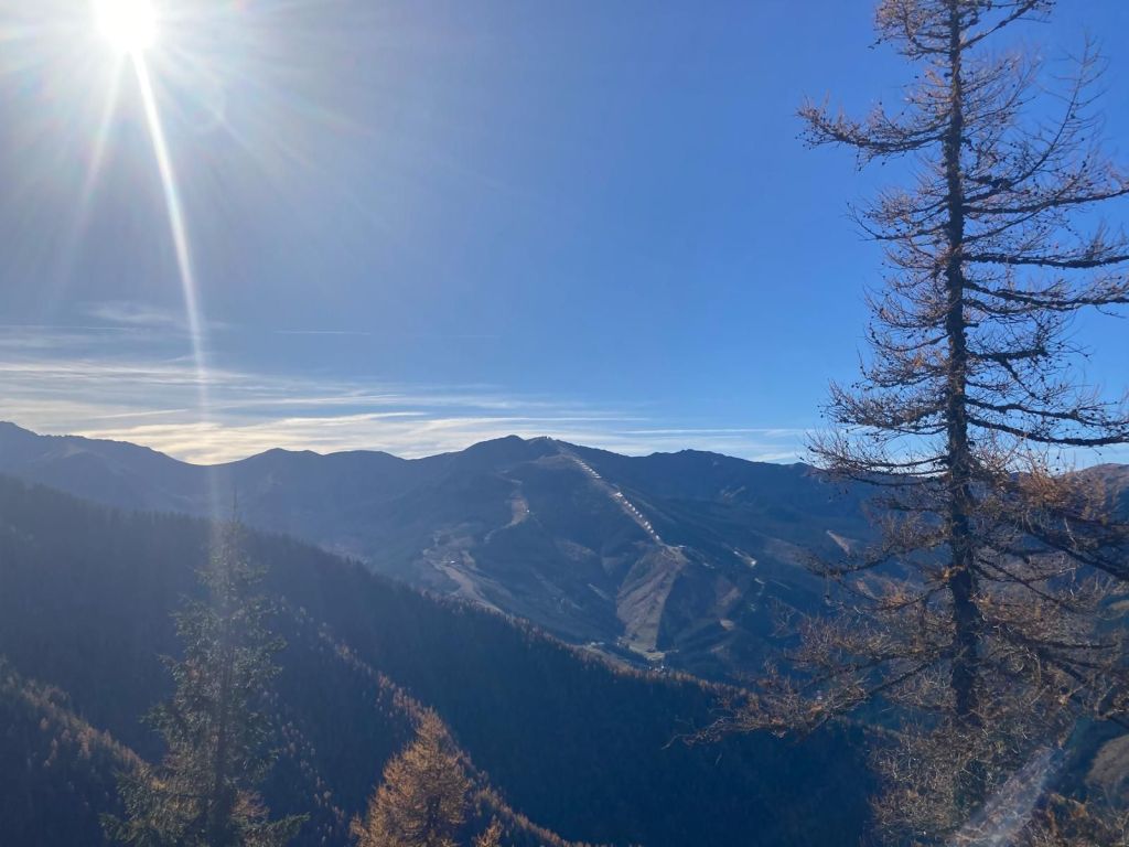
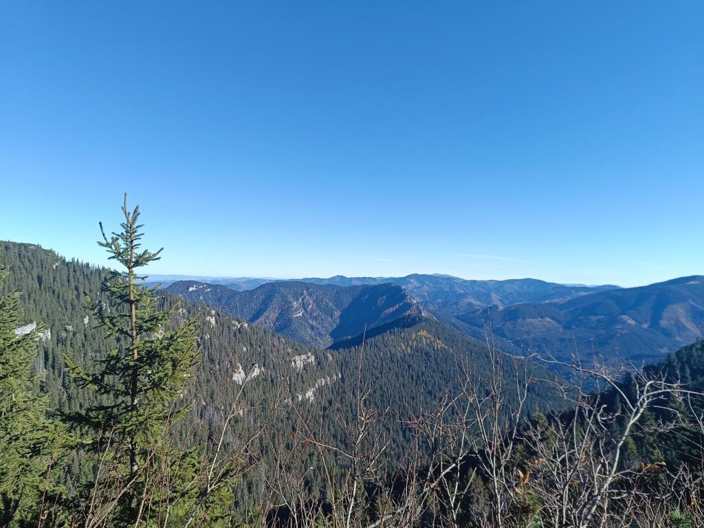
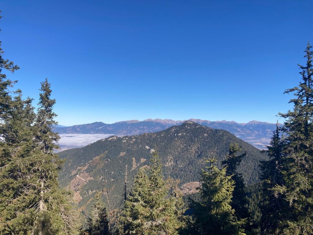
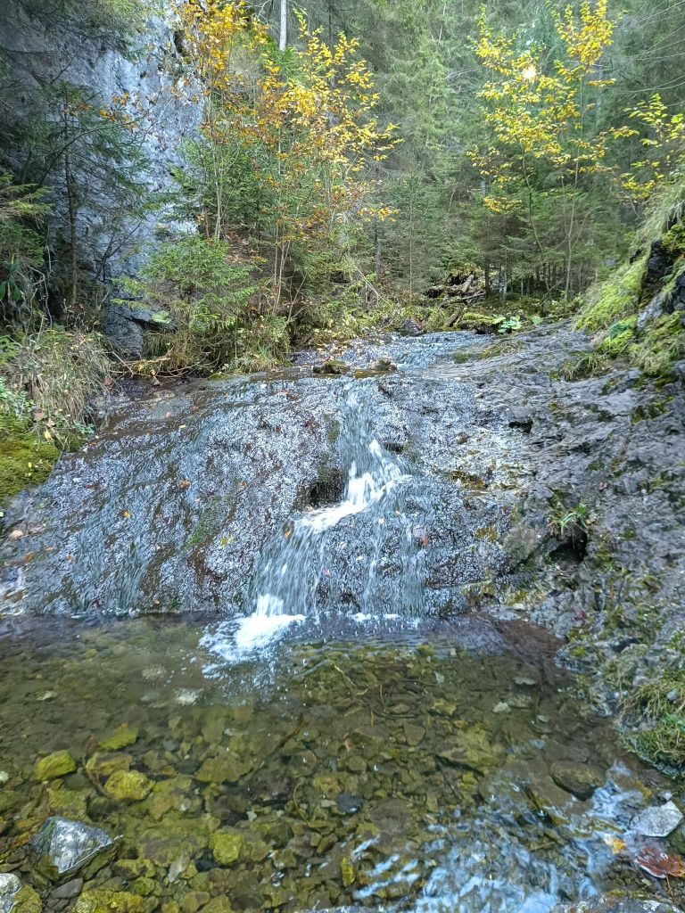
Zejmarská gorge is the shortest gorge in the Slovak Paradise, but it still contains everything that every gorge should have. Although this gorge does not have as many waterfalls as other gorges, you will find the waterfalls of Captain Ján Nálepka, which are definitely worth it.
The starting point of the gorge is the settlement of Biele Vody.The Zejmarská gorge is marked by a blue tourist trail and is only passable in one direction – upstream. It is 1 km long with a gradient of 227 m.
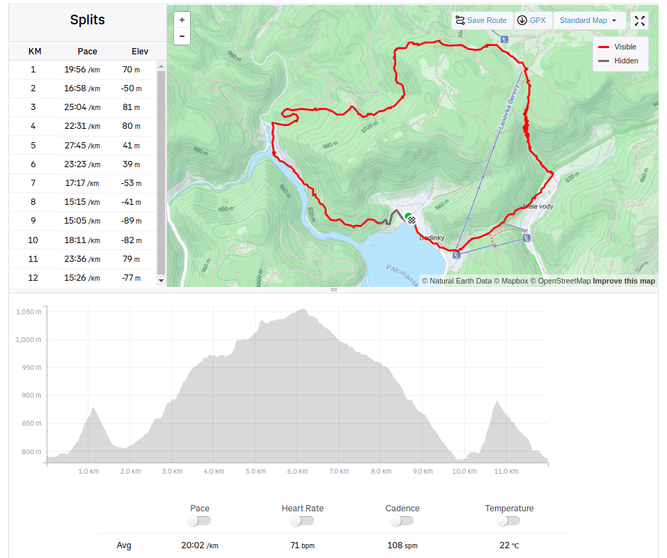
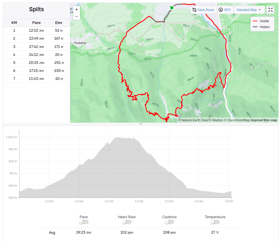
We choose a longer and more attractive circular route through Dedinky – Zejmarská roklina, mouth – Geravy – Veľké and Malé Zajfy – Stratenská píla – Dedinky, Palcmanská Maša (the circular route is 3:30 hours long – with kids a bit longer…, elevation gain 591 m)
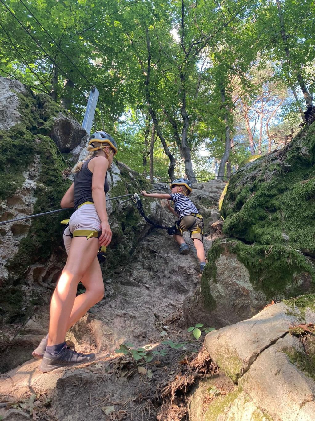
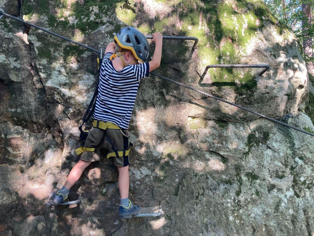
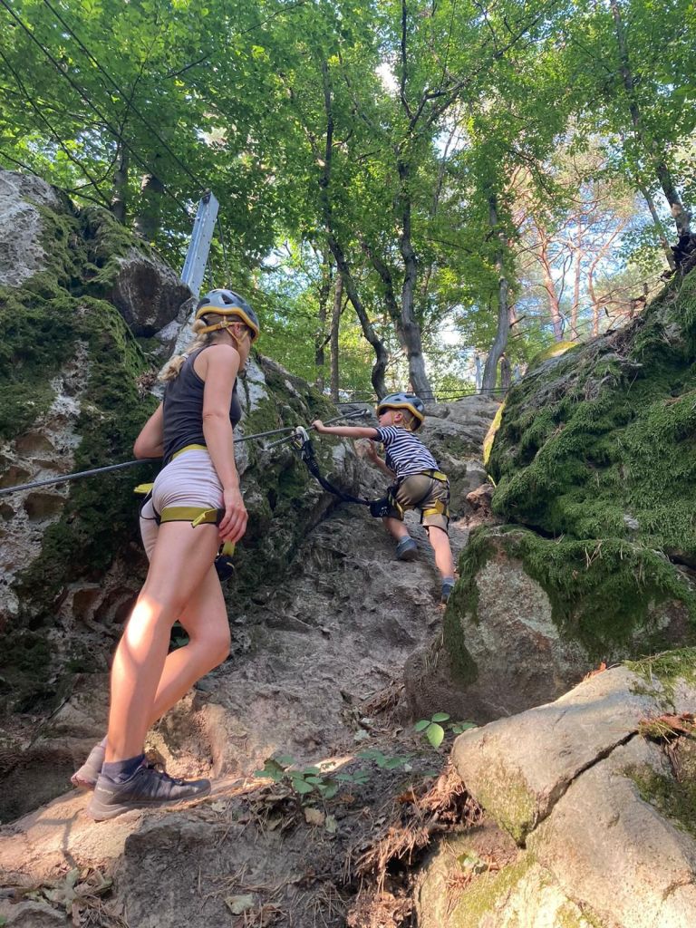
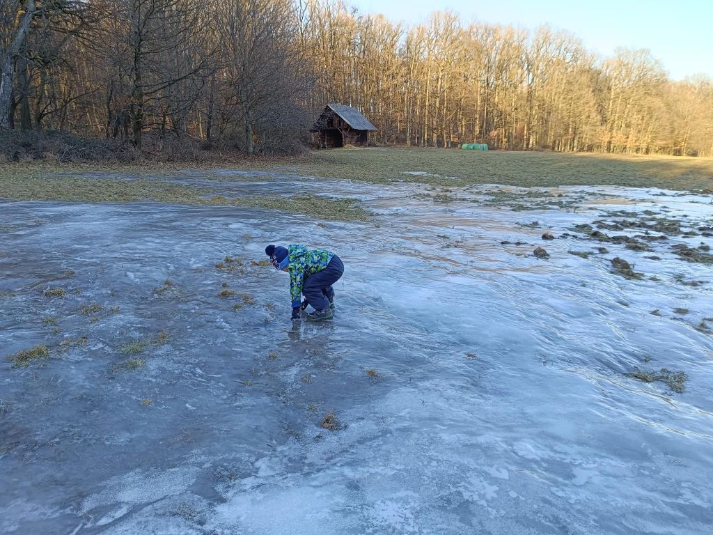
David was 5 years old at that time
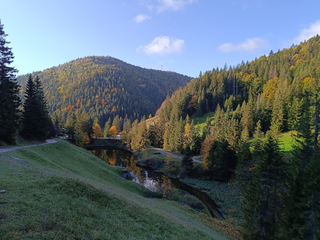
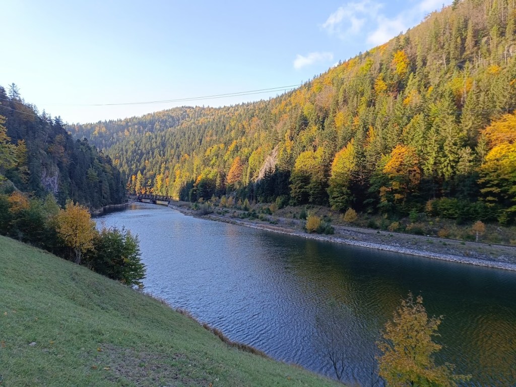
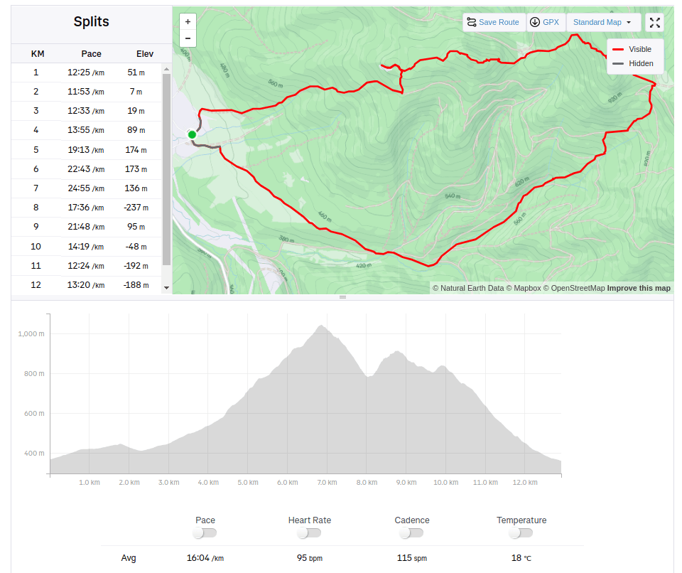
There were smaller waterfallsAnd a bigger ones.The entrance to Stratenská pílaPart of Palcmanská maša lake12km, 462m ascent, 4h 26min
The area around the ancient bell tower and the Háj mountain range breathes with history, it was a place where our ancestors were engaged in mining, mill wheel production and forestry. History can be felt at every step. The city of Nová Baňa decided to transform this precious place into a zone of active recreation associated with spending time in nature and exploring it. The bell tower with its educational trail, the Háj lookout tower, the Červená and Havraňá skala, the Kohútovo pilgrimage site, the Záhradný les and the newly opened Zvonička buffet currently creates a supra-regional dimension.
The children’s via ferrata area in the immediate vicinity of the Zvonička buffet enhances and completes the complexity of this precious and sunny place. The area was designed and created for families who are looking for active movement in a natural environment, where parents with children can spend their free time. Via ferratas, bridges, rope nets, falcon nests await their visitors, who will teach them how to move in the mountains on rocks, motor skills, overcoming themselves, overcoming fear of heights.
Of course, all this requires full compliance with safety measures and focusing on movement in exposed terrain. The Zvonička via ferrata area is unique in its design. 285 m of via ferrata routes have been built on small rock massifs in a steep forest environment. Adventure via ferratas offer unprecedented variations of movement, walking and balancing on ropes, nets, walkable acacia trunks and rock climbing.
The ferrata sectors are connected by forest trails. Not only children and parents will have fun, but also adults, especially beginners, whose first steps on the rock will be in our Zvonička area. And you don’t need to worry that you don’t have equipment, you can borrow one (or more) there.
We were there on David’s 5th birthday to celebrate.
He was begging me to go there for a long time He was really proud of himself
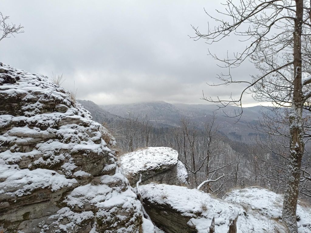
Buchlov and Žarnov are rocky hill in mountain range Vtáčnik. They are covered with mixed forest, the top of both are massive rocks with nice views.
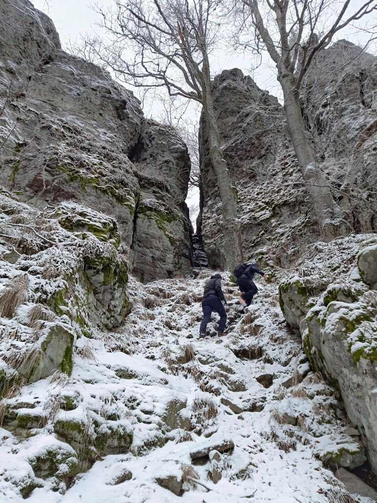
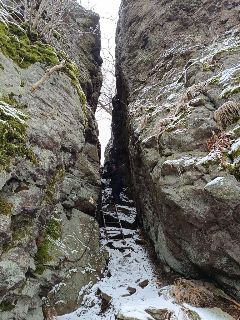
An interesting part is when the sign lead you under a massive rock wall. There is a narrow, steep crevice in it, and it is this that is the legendary key to the Buchlov fortress. You have to climb up through it. Fortunately, there are technical aids here, three metal ladders make the climb through the crevice much easier.
rock city on Sladna Skalato Buchlovchains and ladders to Buchlov
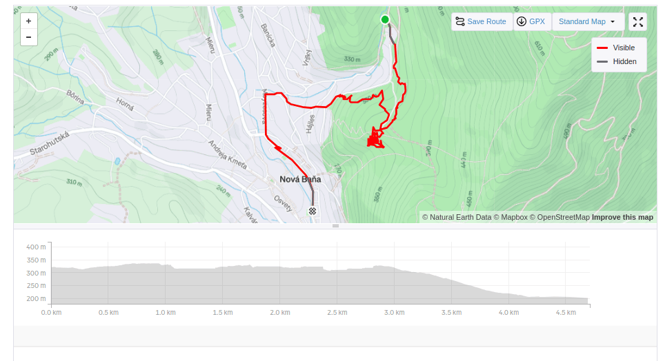
It is a nice hike, maybe summer will be a little bit better time to enjoy all the views, but the snow and foggy weather give it a bit of mystery
If you are looking for a little-visited and very attractive tourist spot in the vicinity of the village of Terchová, definitely plan this route. The Obšívanka Valley is beautiful and technically demanding in places. The entire route to Malé nočěhy and back via the Zbojnícky path is full of surprises that will truly enchant you.
The hike through Obšívanka offers many breathtaking and beautiful views, passes through rock terraces and the wild canyon of Tiesňava.
The route is secured with chains and climbing ropes. It is surprising that visitors consider this place the most attractive in the entire Malá Fatra, yet it remains undiscovered for many. The beginning of the Obšívanka valley is somewhat reminiscent of Jánošikove diery, but the frequency of tourists here is minimal.
And there are stairs. A lot of them.. Around 1734:D
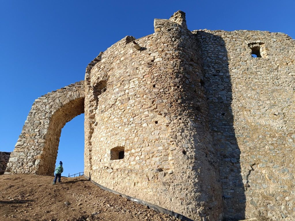
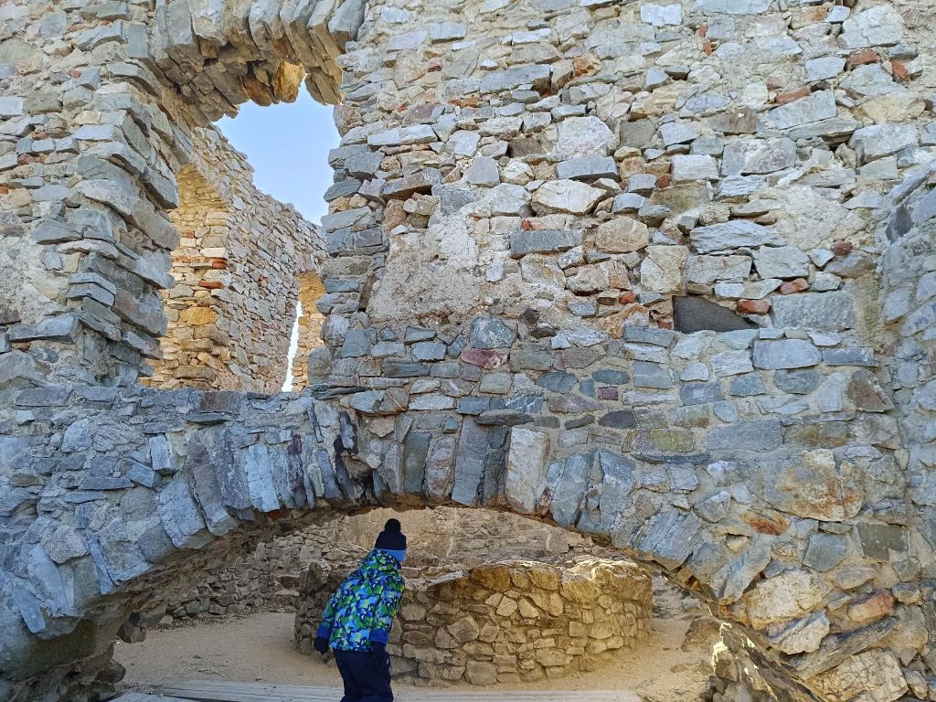
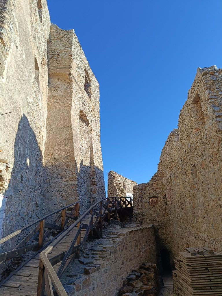
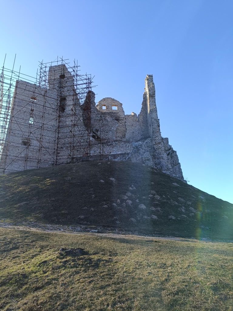
Several kilometres north of Topoľčianky in the Tribeč Mts. in west of Slovakia are the ruins ofthe Hrušov Castle towering on top of the Skalka Mt. at the height of 488 m.
This royal castle built in the 13th century guarded the trade road passing over the mountain range Tribeč. It was destroyed by the Imperial army in 1708 and is in decay since then. However, its surviving walls induce a romantic atmosphere and provide a nice panoramic view of the Tribeč and Pohronský Inovec Mts.
We started from village Hostie, which isn’t classical starting point, but the walk was really nice.
David was 4 years old at that time.
It is a lot of fun out there7.26km, 240m ascent, 3h 10 min
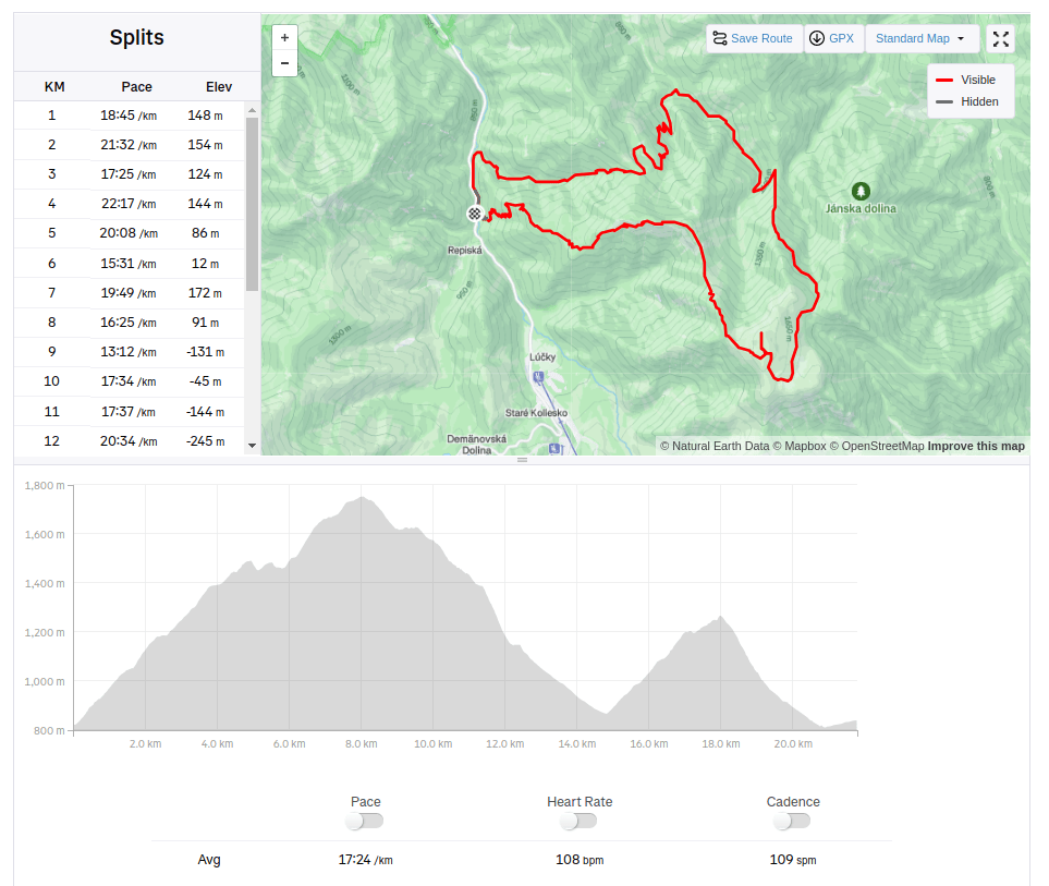
We started at Demänovská jaskyňa slobody. The Demänovská Caves National Natural Monument on the northern side of the Low Tatras is the longest cave system in Slovakia.
But we wasn’t there for the cave, we planned hike to Krakova hoľa, for me totally unknown place.
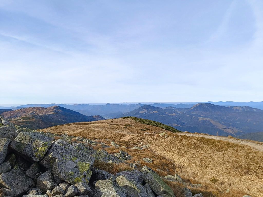
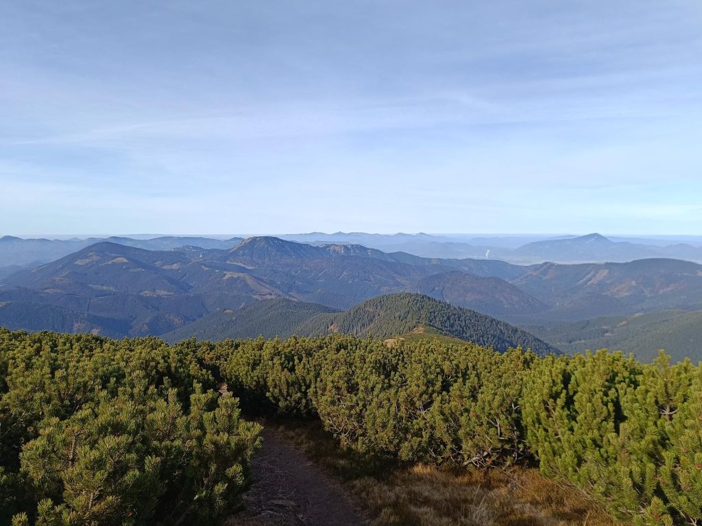
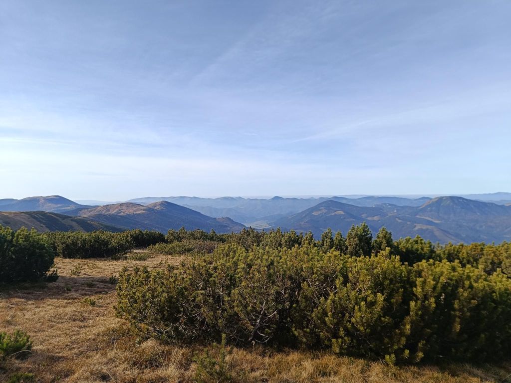
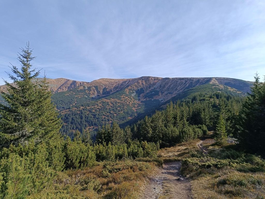
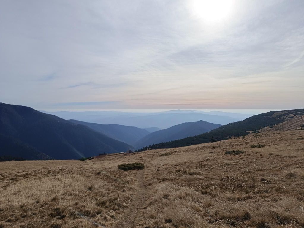
Krakova hoľa is a massive hill in the northern part of the Ďumbier Tatras. Thanks to its location, which is outside the main ridge at an altitude of 1751.6 m above sea level, it dominates the wide surroundings, above which it protrudes and provides an interesting circular view. Krakova hoľa is located between the Demänovská valley and the Jánská valley. The eastern and southern parts of the hoľa belong to the Ďumbier National Nature Reserve with the 5th level of protection.
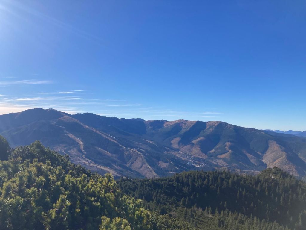
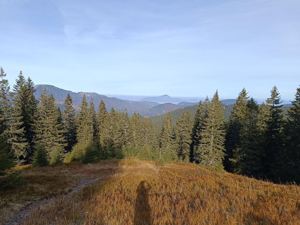
Under MachnatôViews to ChopokThat day, the visibility was excellent
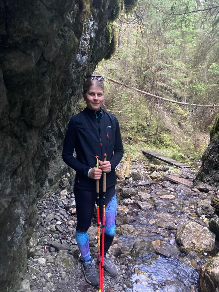
For me a surprise was the valley Vyvieranie on our path back.
We dive into the narrow Vyvieranie valley, and the trail often leads directly along the stream bed. It is neither deep nor wide, but it flows swiftly through the rocky bedrock. You often have to overcome rock gates, cascades, or jump over the stream. In some places, the route is led by bridges and here and there you will also come across chains. Overall, the valley in the lower part has the character of a small but wild gorge. It is humid here, which results in a beautiful forest. Since it is part of the National Park, fallen trees remain here, only here and there they are cut down so that tourists can get between them.
Vyvieranie valleyThrough Vyvieranie21.79km, 1478m ascent, 6h 34 min
Originally called the shelter under Chabenec (1623 m) is located just below the main ridge of the Low Tatras and is built on the site of a former mountain hut.
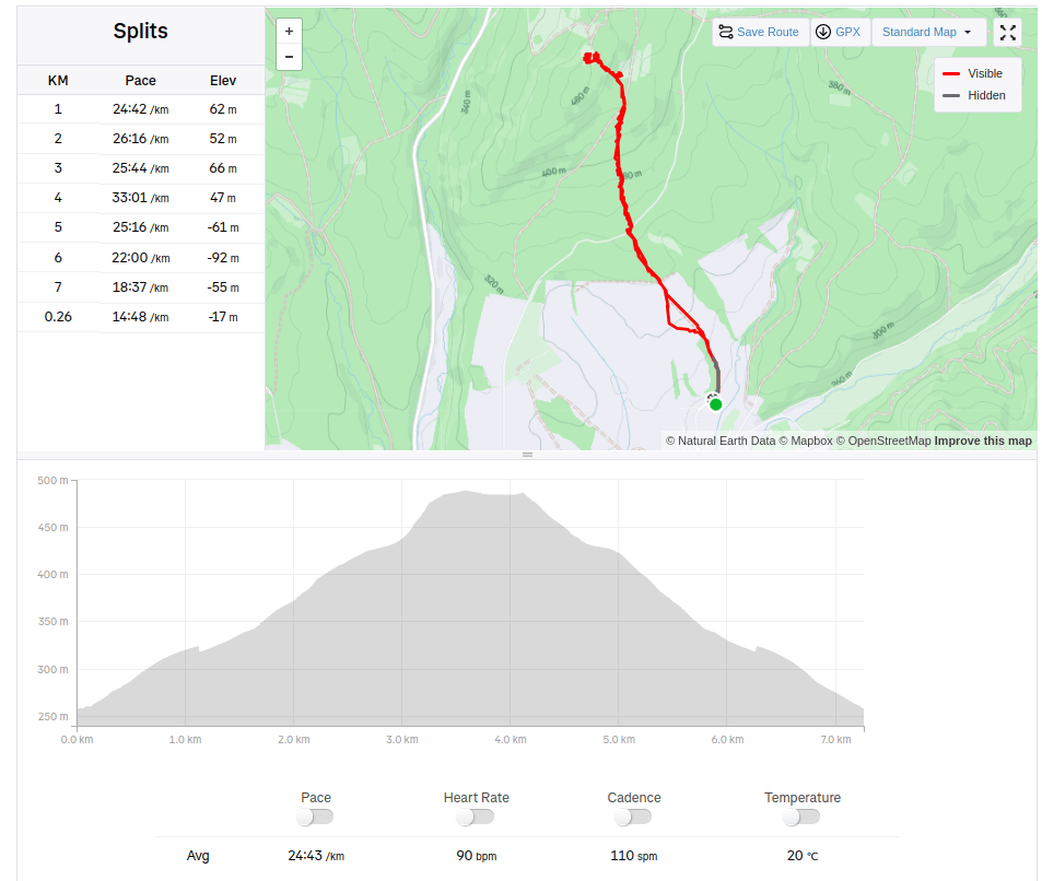
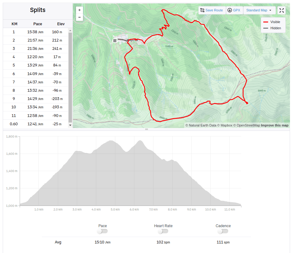
We started from village Magurka, located at an altitude of 1080 m. It is located in the beautiful natural environment of the Low Tatras at the end of the Ľupčianska valley under the peaks of Latiborská hola (1648 m.a.s.l.), Ďurková (1749 m.a.s.l.), Chabenec (1955 m.a.s.l.).
Magurka was founded in the 14th century as part of the mining business in its surroundings. Gold mining began around 1250. At that time, it was still privately owned. Later, Magurka was owned by the municipality and individuals, but the mined gold had to be handed over to the imperial treasury. During the reign of Maria Theresa, gold mining passed into the hands of the state. In 1835, new shafts were opened – Ritterstein and Kilian, and in 1848 the Ruseger adit. Gold was mined according to the old system, water steps and manual washing, later machine washing. In 1860, houses began to be built here and in 1888 250 miners worked here. In the same year, antimony was discovered on Magurka. 10-11 kg of gold, the same amount of silver and 3000 – 4000 m3 of antimony were extracted here annually. The largest was the Kilian shaft – 3 km long, Ruseger measured 1600 m, Ritterstein 1400 m. The others were shorter. The produced material was transported to Ružomberok, only later a cable car was built from the galleries to the entrances. This tedious work was the reason that production was much more expensive than the revenues from mining, and so in 1923 mining was stopped forever. The state transported the machines to Banská Štiavnica, the buildings were sold off, and only a few families remained in Magurka. In 1928, Magurka had 20 houses and 75 people. An exceptionally rare object is the mining church. In its tower, a huge rapkáč has been preserved to this day, which could be heard far and wide. In the past, it was used to call miners to work and announce the end of the “shift”, but it was also used on other occasions.
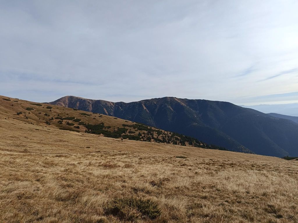
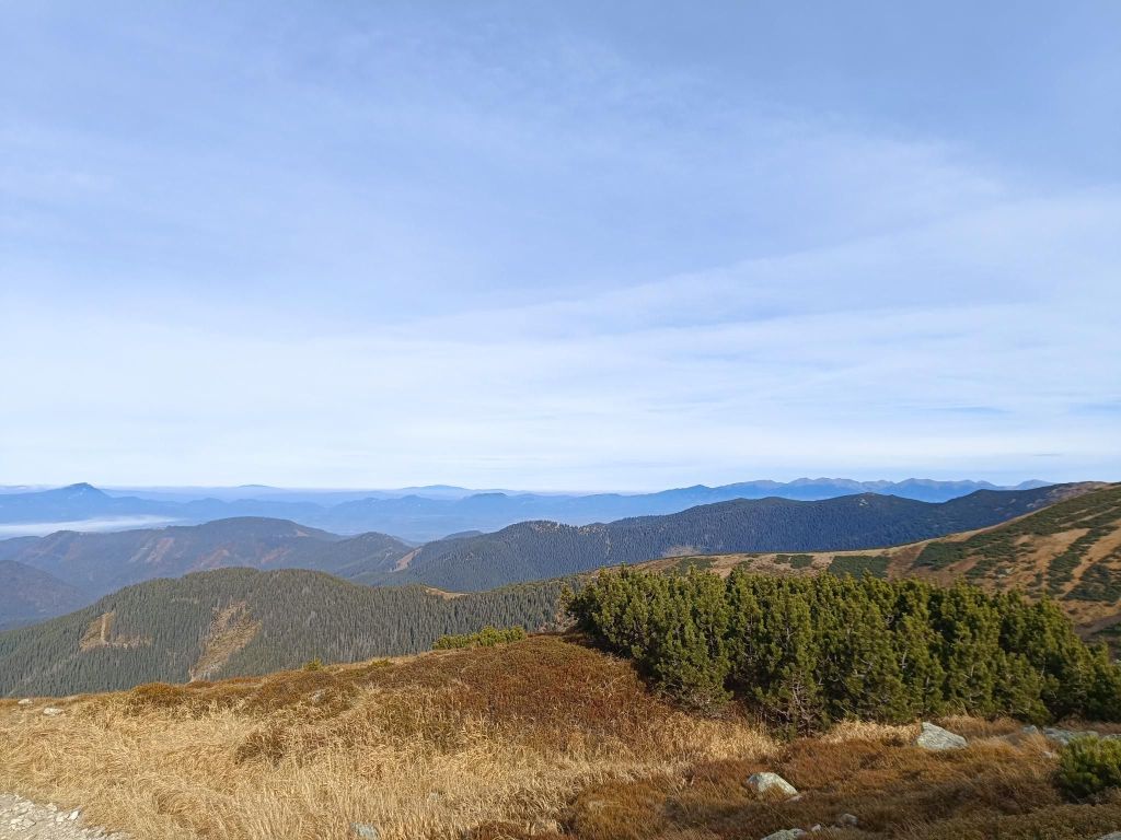
Trees are combined with blueberries at the beginningThen there was pinewoodsJust under the main ridge, there is ĎurkováBeautiful views from the main ridge11.6km, 912m ascent, 2:55 moving time, 4h 5min total
This route was shorter version of Fellsee, without the climb to the lake itself. But the beauty of the singletrails leads me here again.
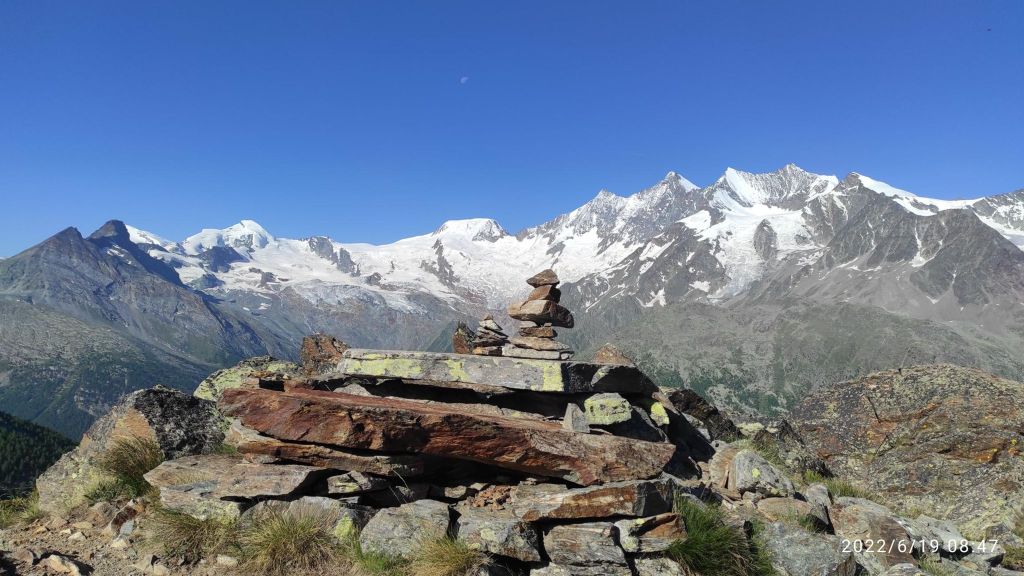
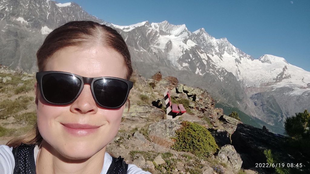
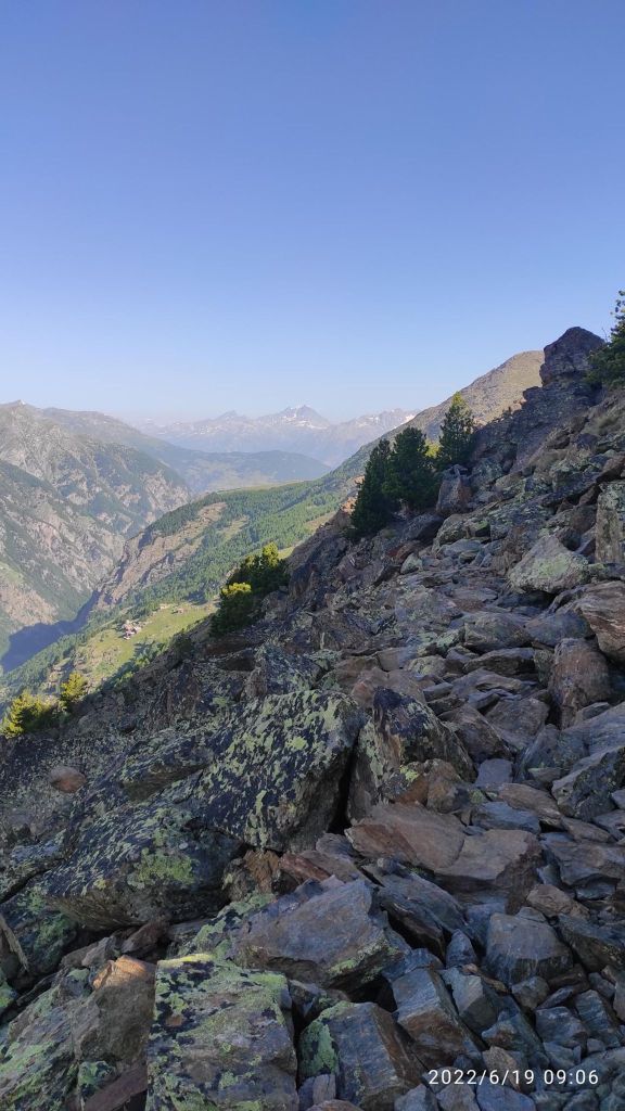
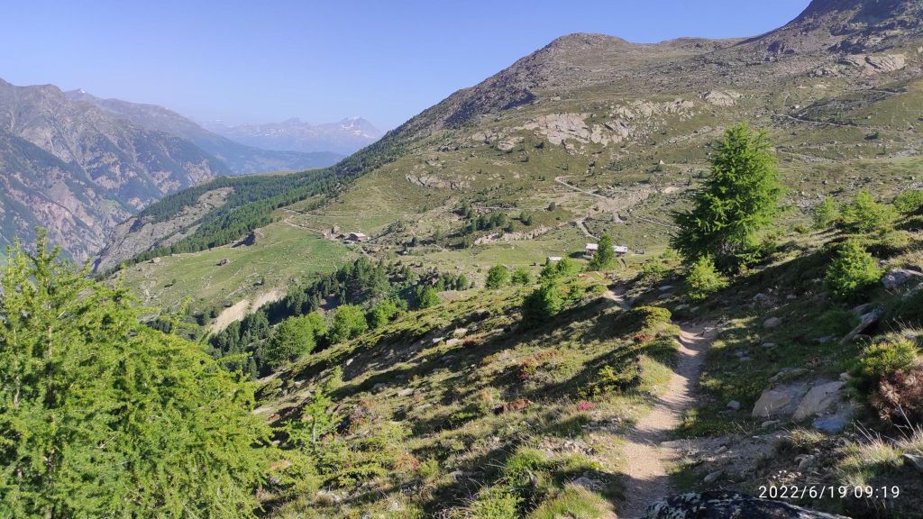
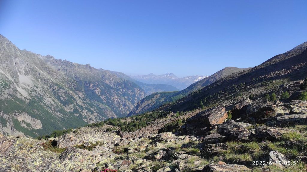
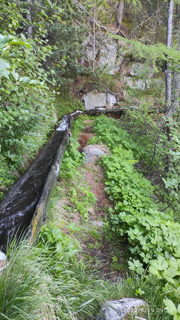
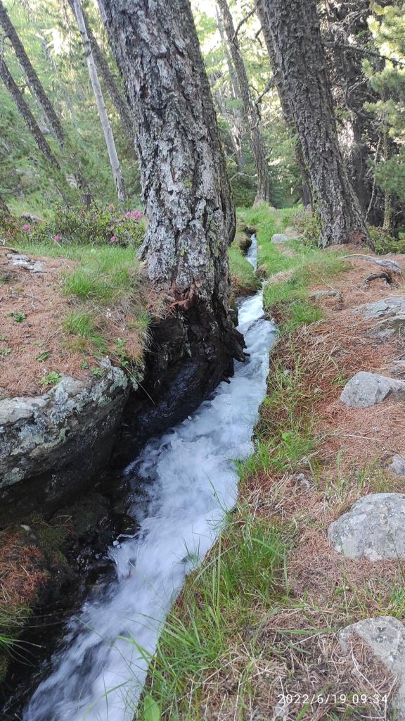
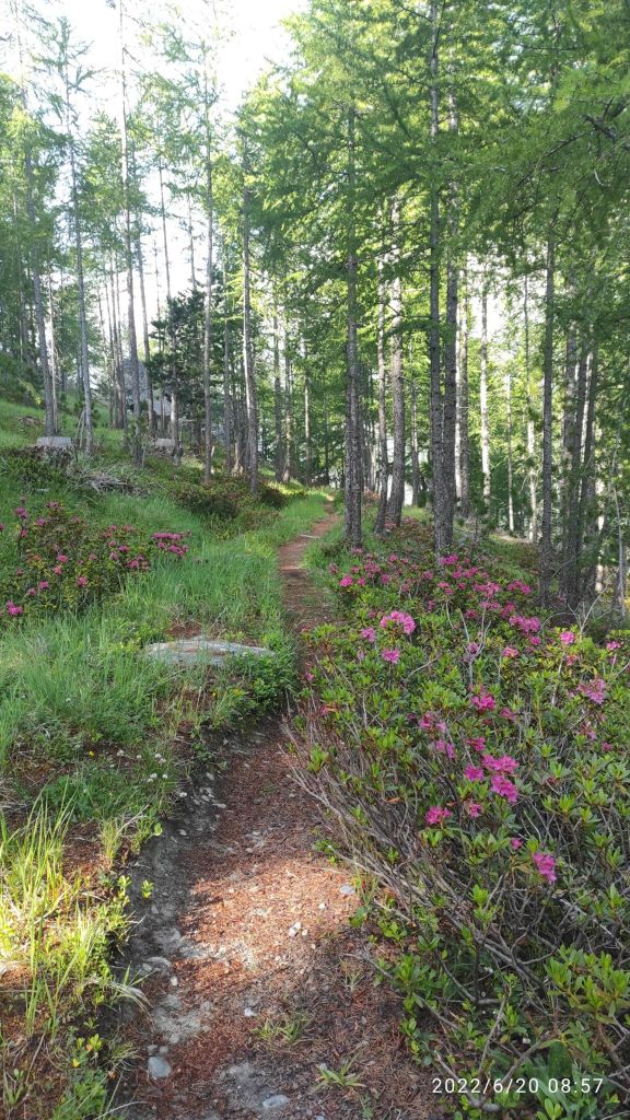
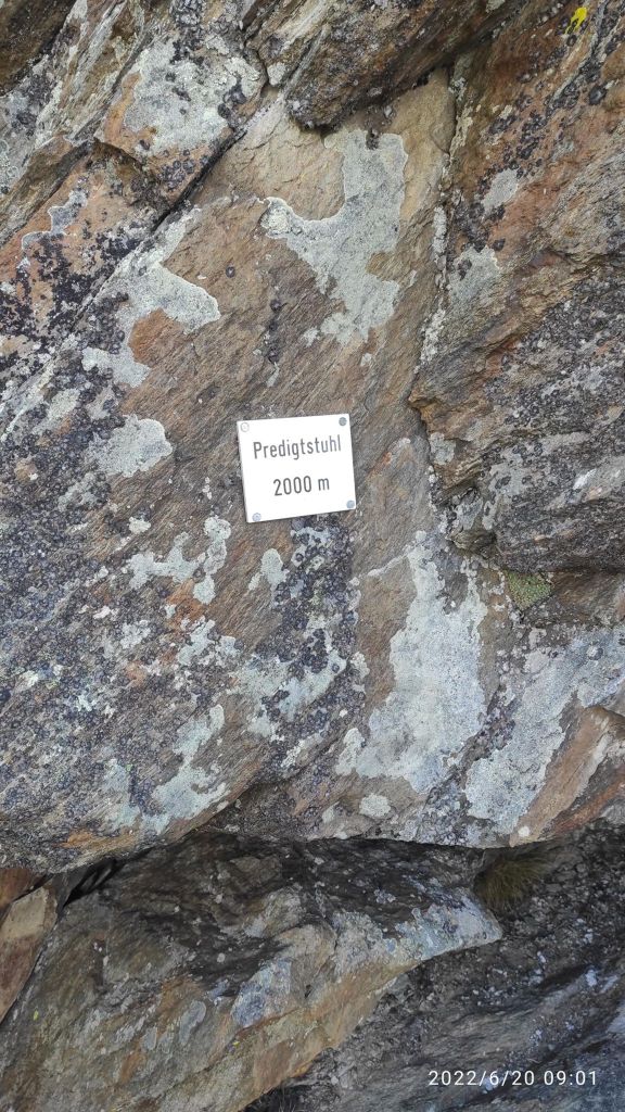
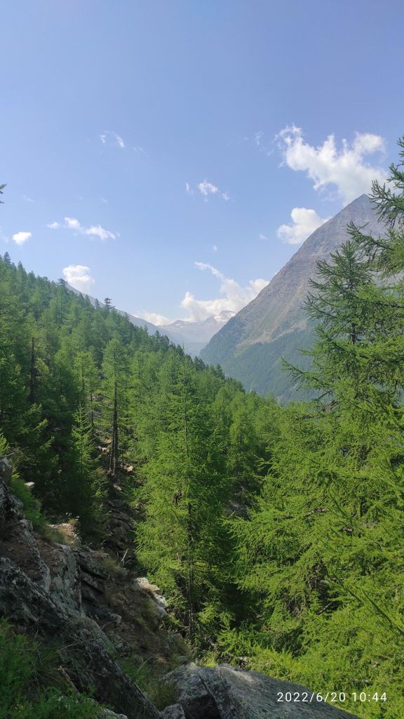
If you will to take a break, you will hardly find a better viewThe most technical path that I run in Switzerland. Yes there is a hike route on the right side of the picture 🙂It was hard to look under your foot when you have views like thisIn Switzerland every path is marked as red, but it is not so hard to find the right oneOne of my favorite path there, in hot weather it was really refreshingPart of it was under the ground level, part above and it sounded amazing11.17km, 596m ascent, 2h 14min
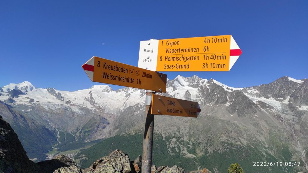
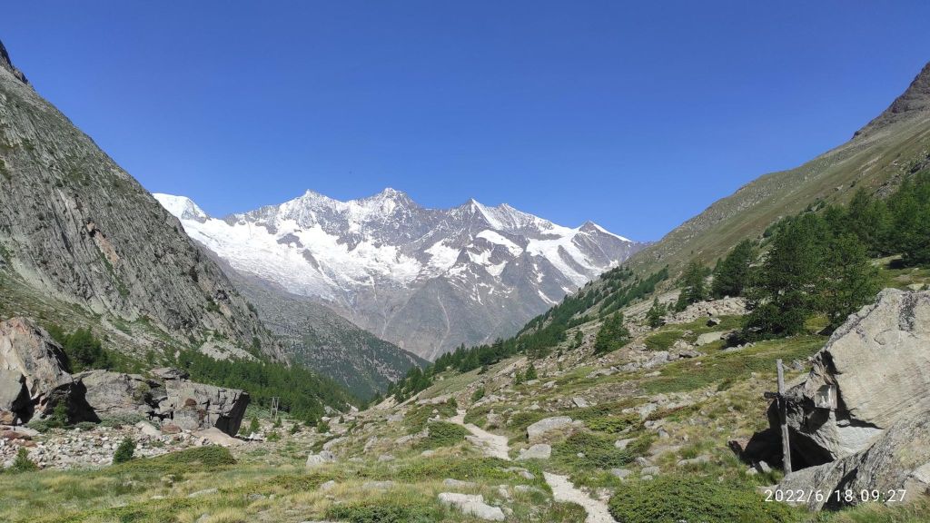
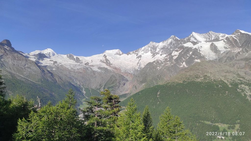
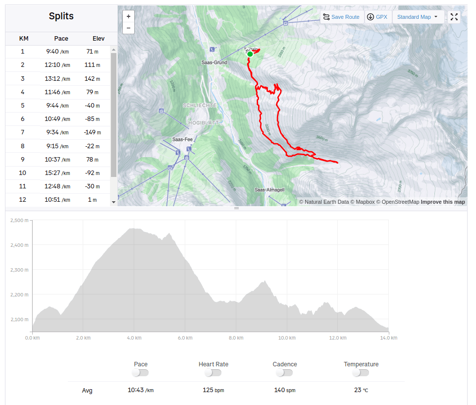
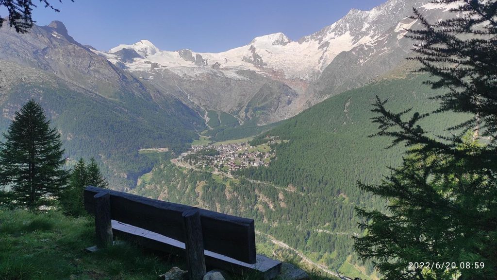
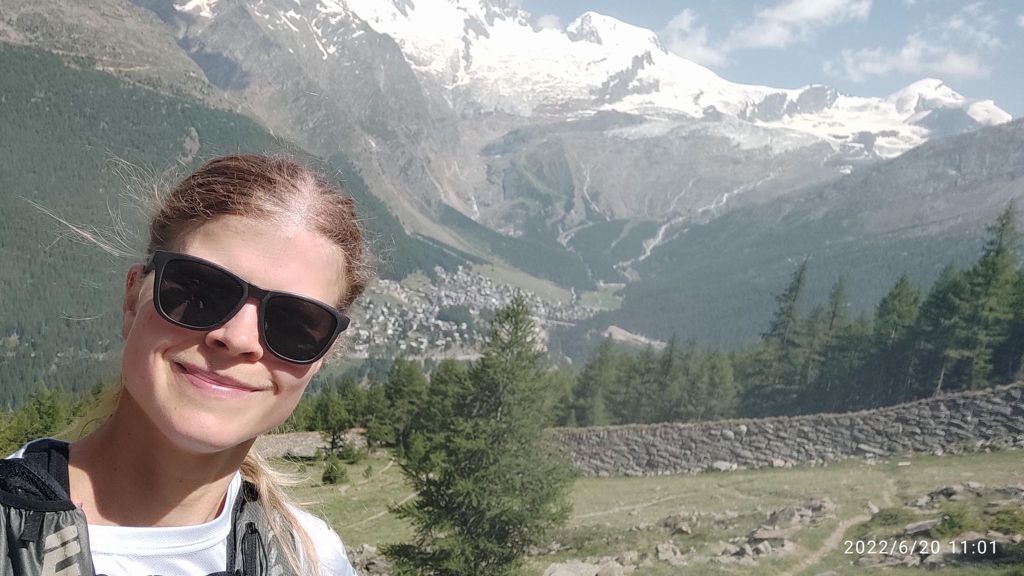
Saas-Grund (1559m above sea level) is situated at the heart of the holiday destination Saas-Fee/Saastal, enchanting visitors with its rustic houses and narrow streets. Just above Saas-Grund, you’ll find the starting points for numerous hiking trails, such as the Almagelleralp and Gspon high Alpine trails, starting at the Kreuzboden, and the famous ’18 4,000-metre Peaks’ trail at Hohsaas.
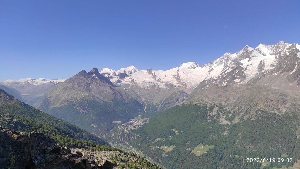
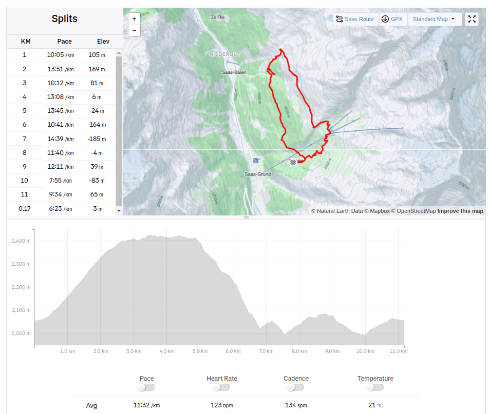
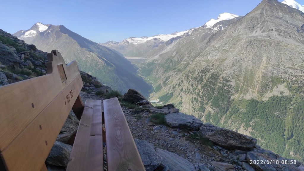
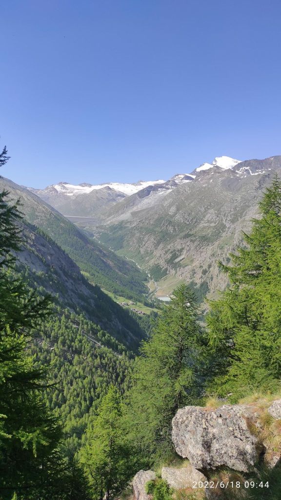
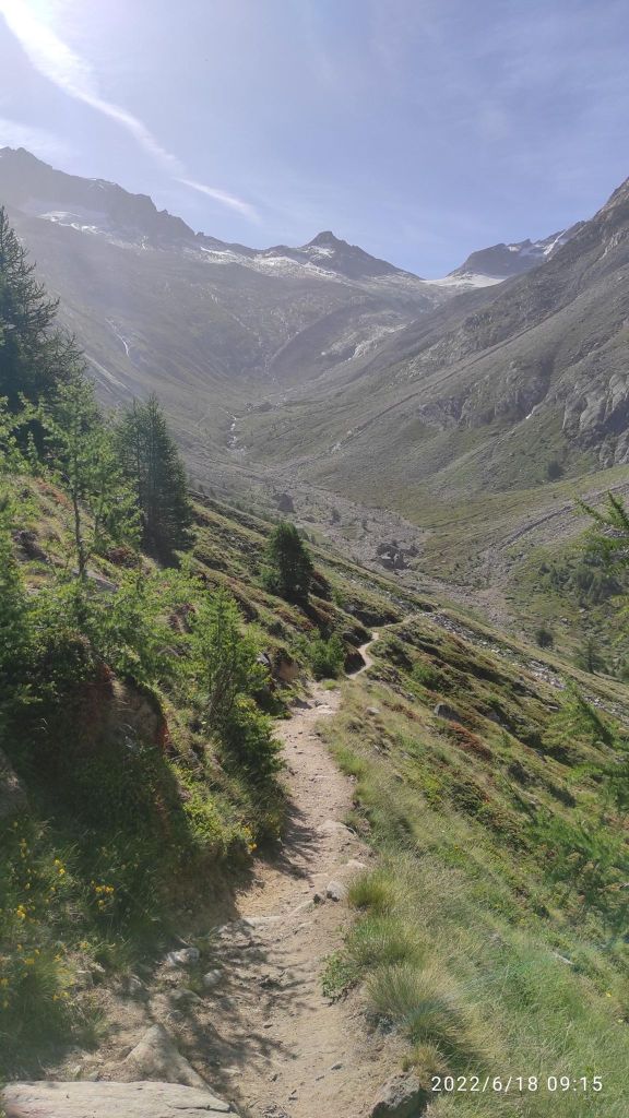
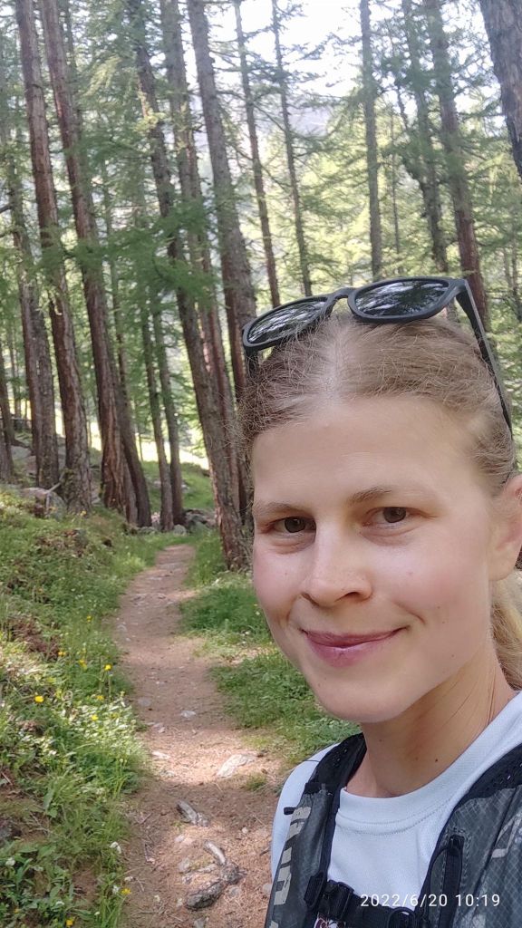
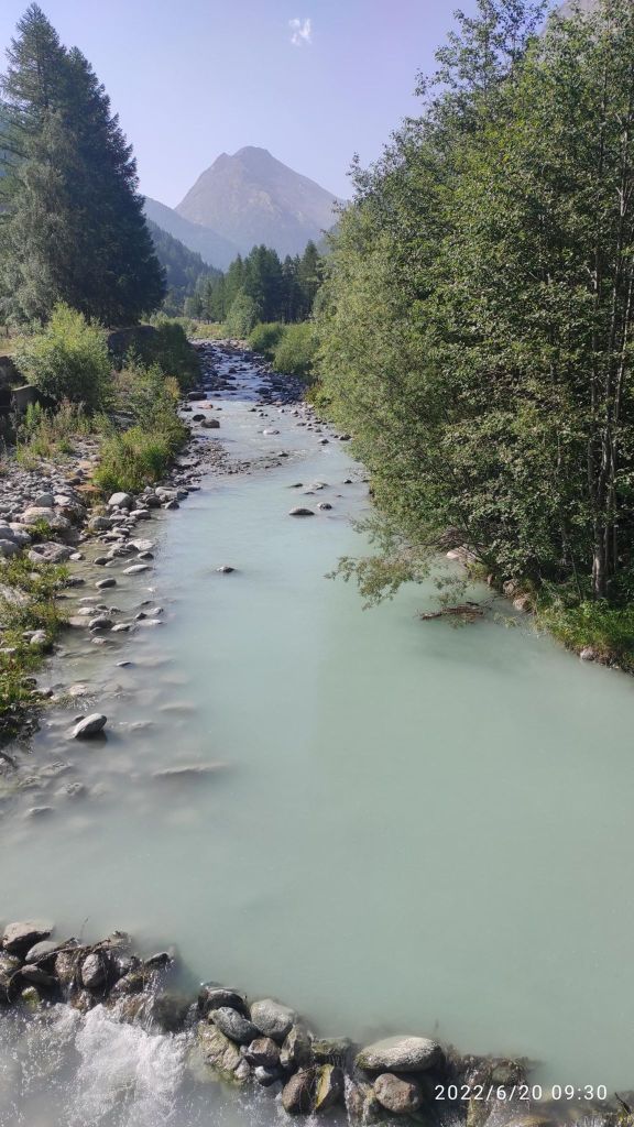
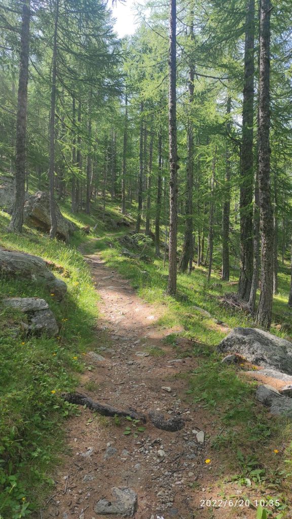
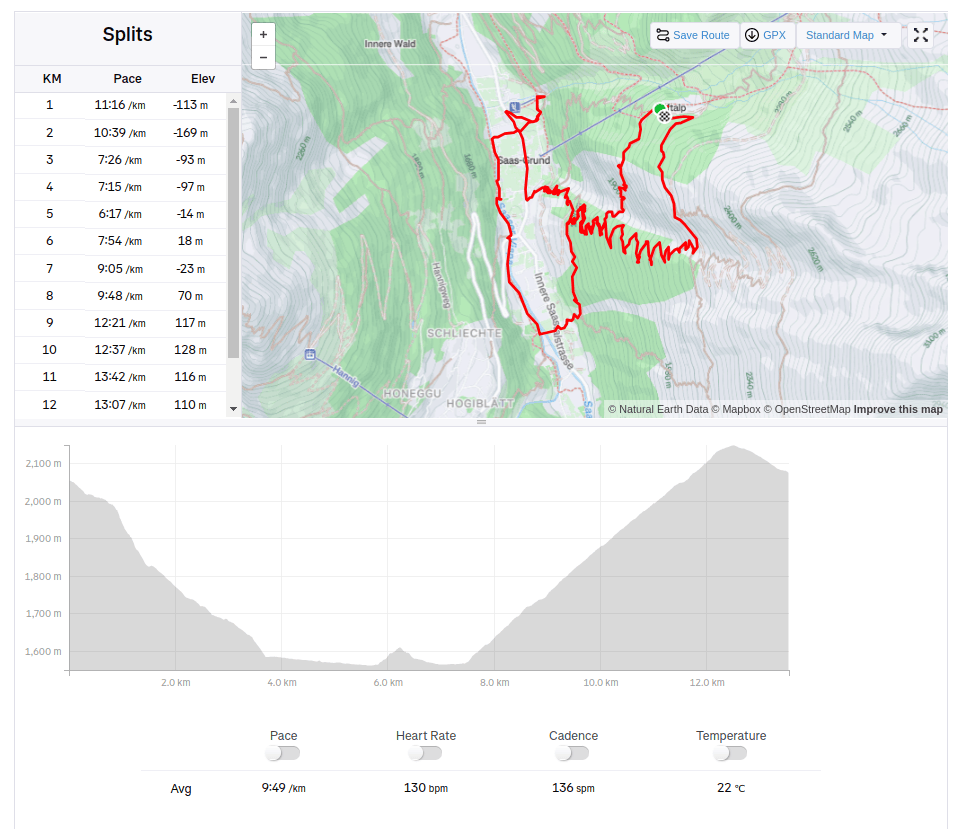
I love singletrailsViewpoint above Saas Grund. Under the mountains it Saas Fee villageThis is a running heaven for me a glacier river with it typical blue colorA nice forest singletrail13.54km, 638m ascent, 2h 22min