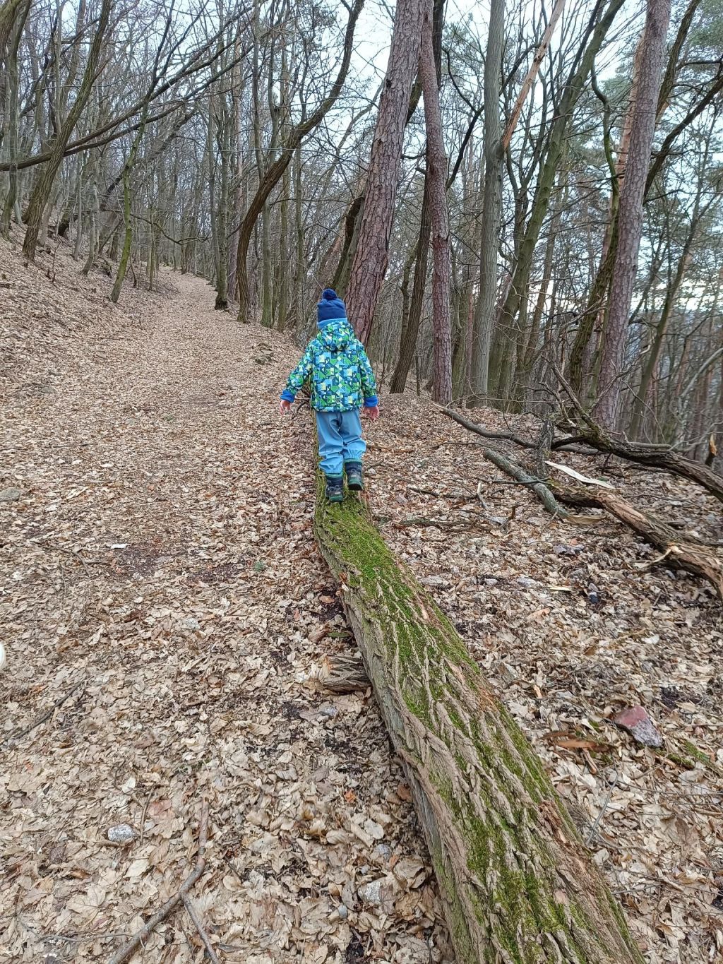
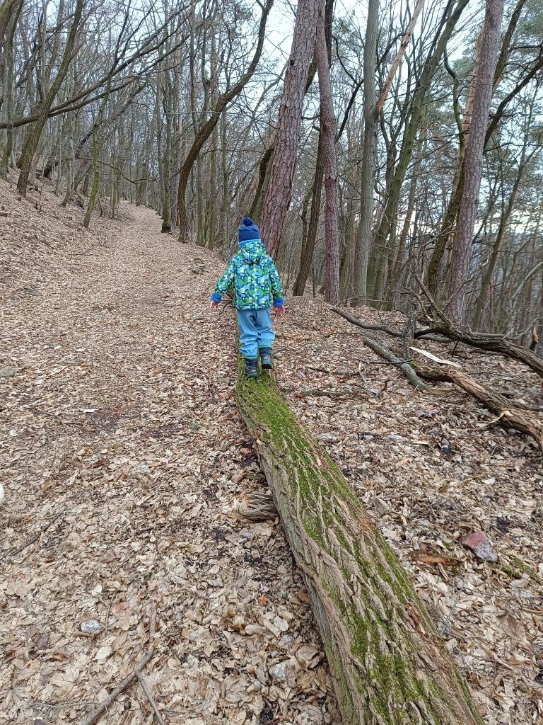
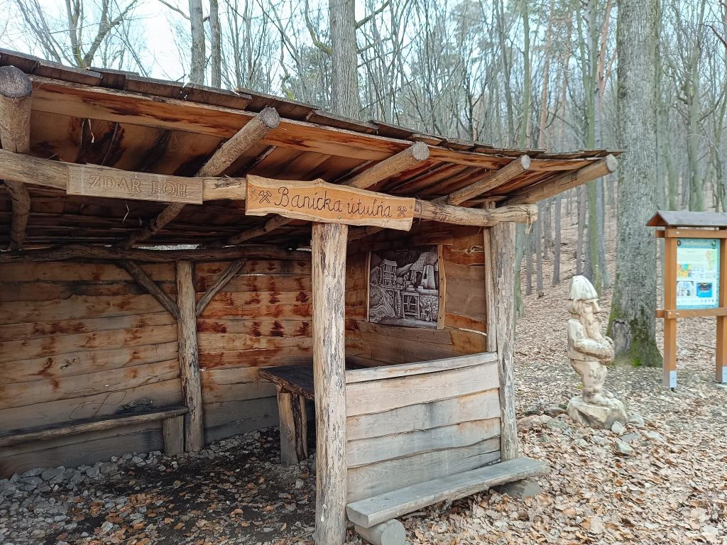
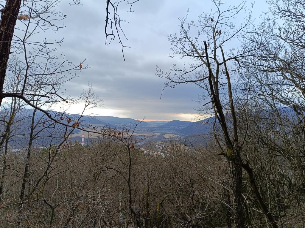
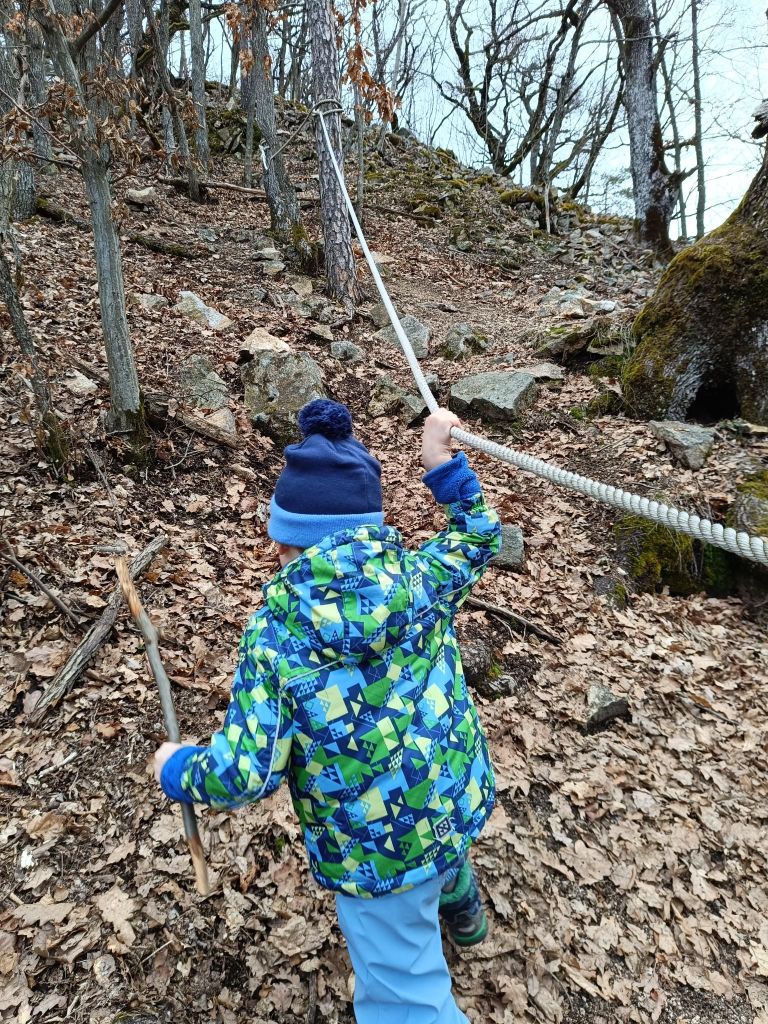
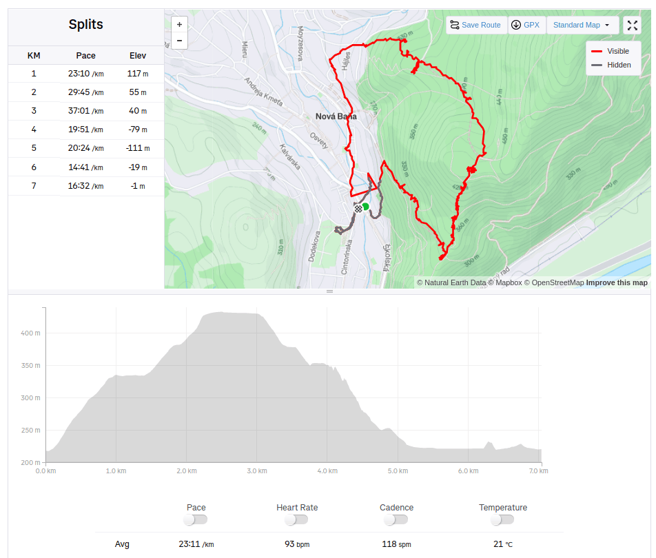
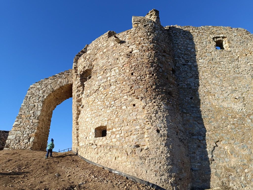
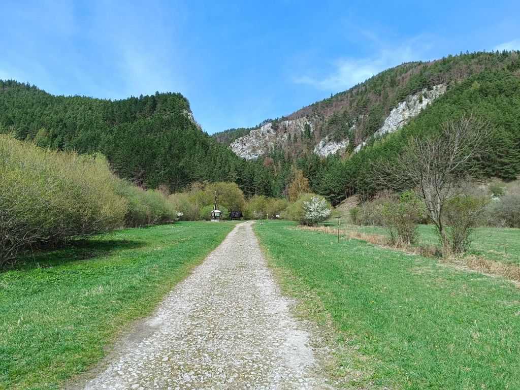
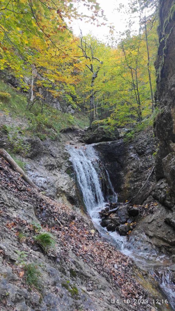
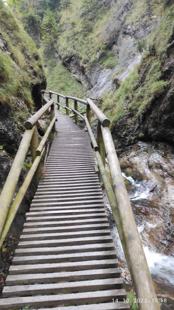
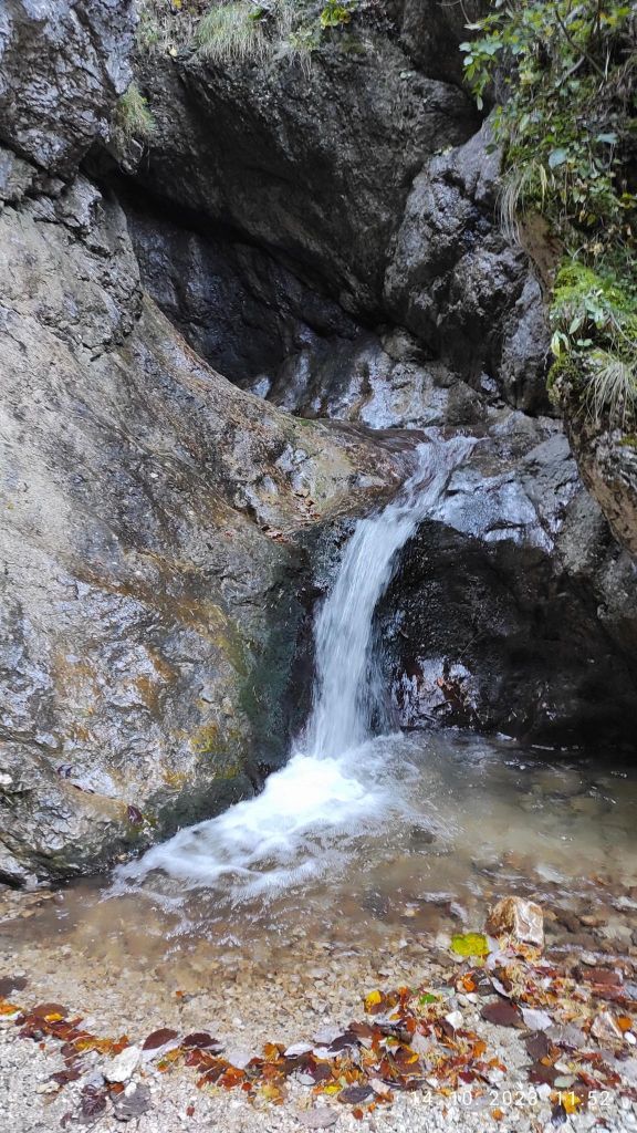
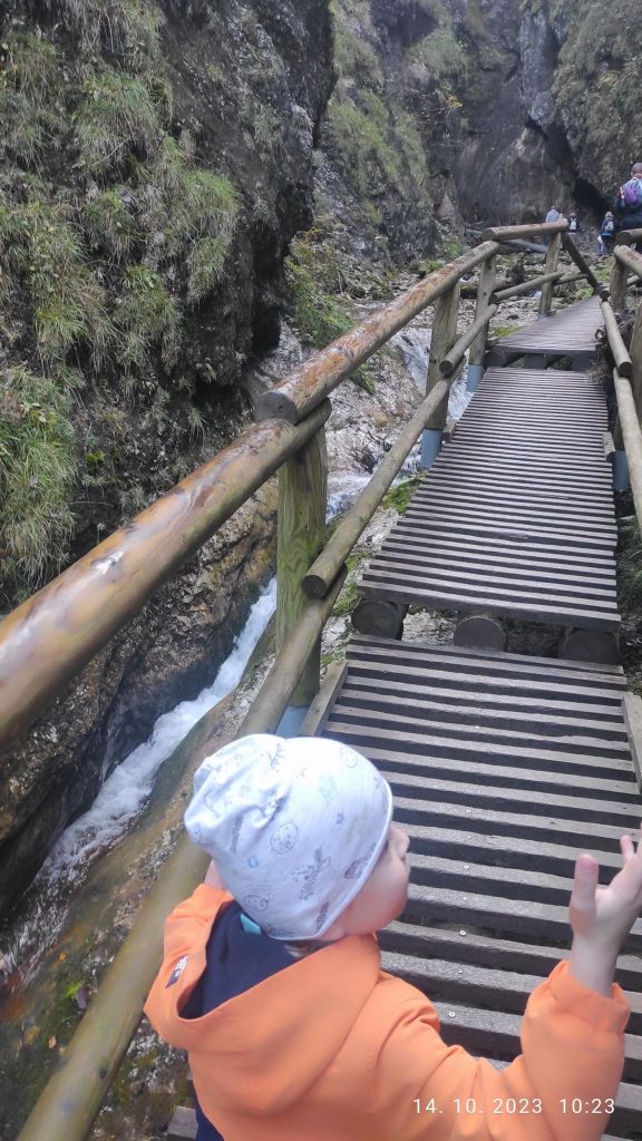
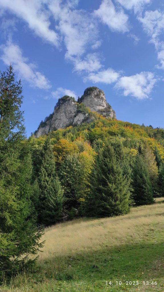
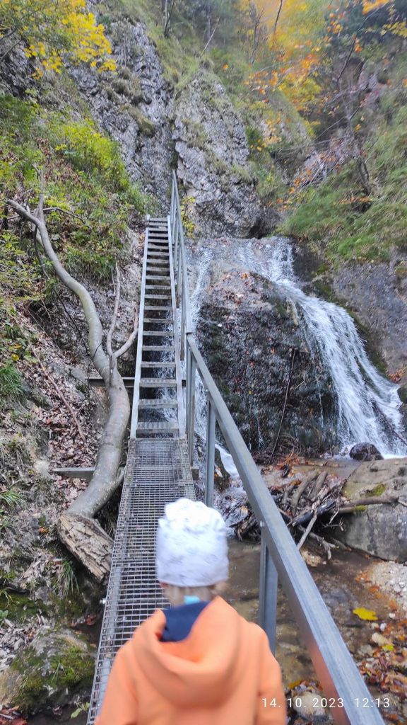
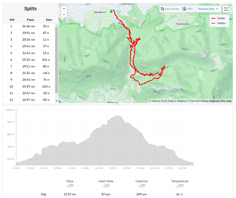
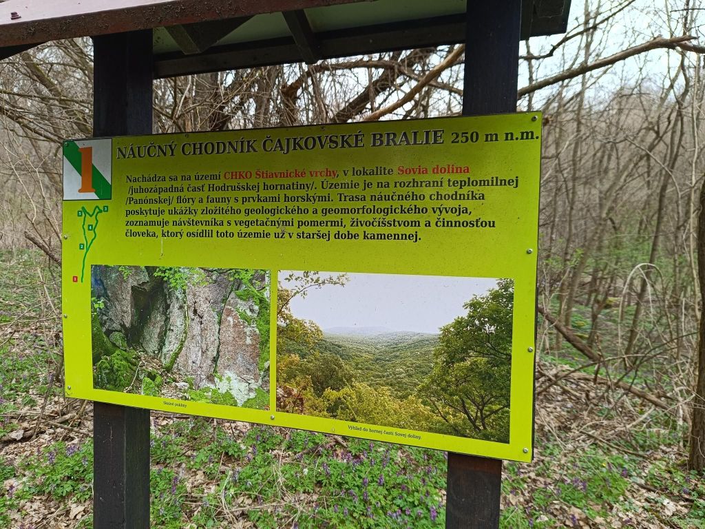
The route of the educational trail leads past the most important mining-technical and historical monuments related to the mining of precious metal ores in Nová Baňa. The trail is divided into two historical-thematic circuits. Route A (black), with a length of 4.3 km and an elevation of 210 m, leads along the traces of surface and underground mining activities in the Middle Ages, passing through more demanding forest terrain in the area of Mýtný vrch and Gupno in the southern part of the deposit. Route B (green) is slightly less demanding and leads mainly in the built-up area of the city in the Vŕšky part. It is 5.6 km long and has an elevation of 130 m. It mainly presents mining from the 16th to the 19th century, including ore treatment facilities and the mining water management system.
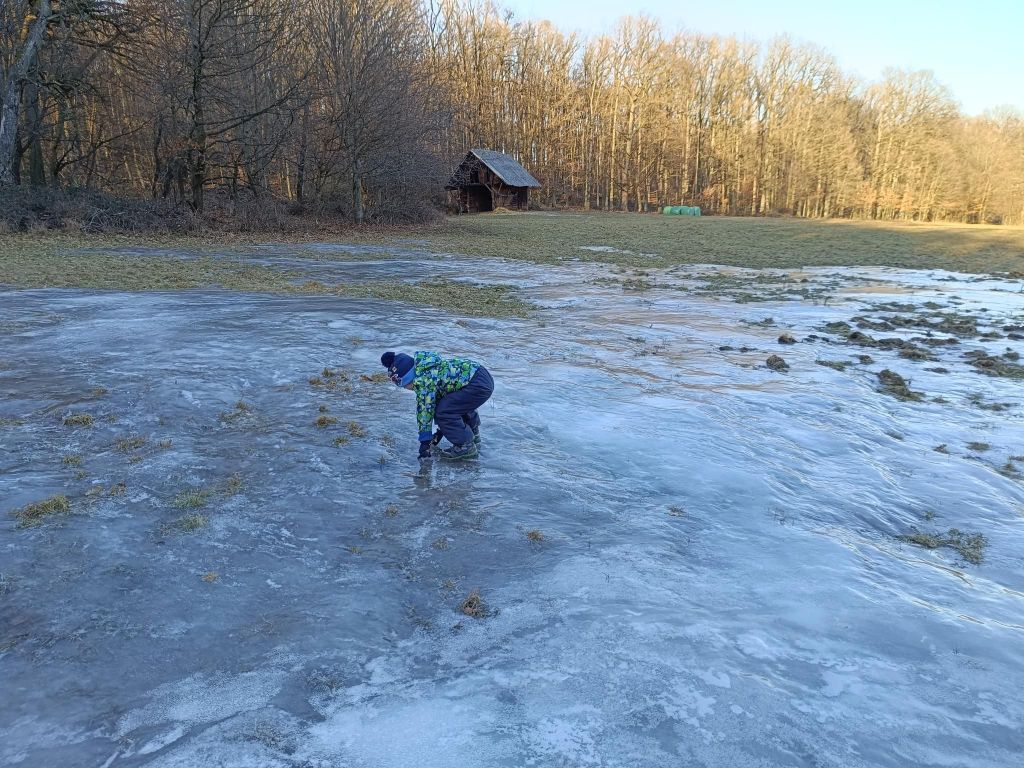
David was 4 years old at that time.
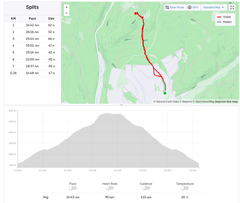
when the path isn’t so interesting, we try to find somethink to make it funnierStep at the educational pathThe only viewI’m here too, with a backpack full of snacks and teaYes, a bit of fun!7.04km, 240m ascend, 3h 12 min
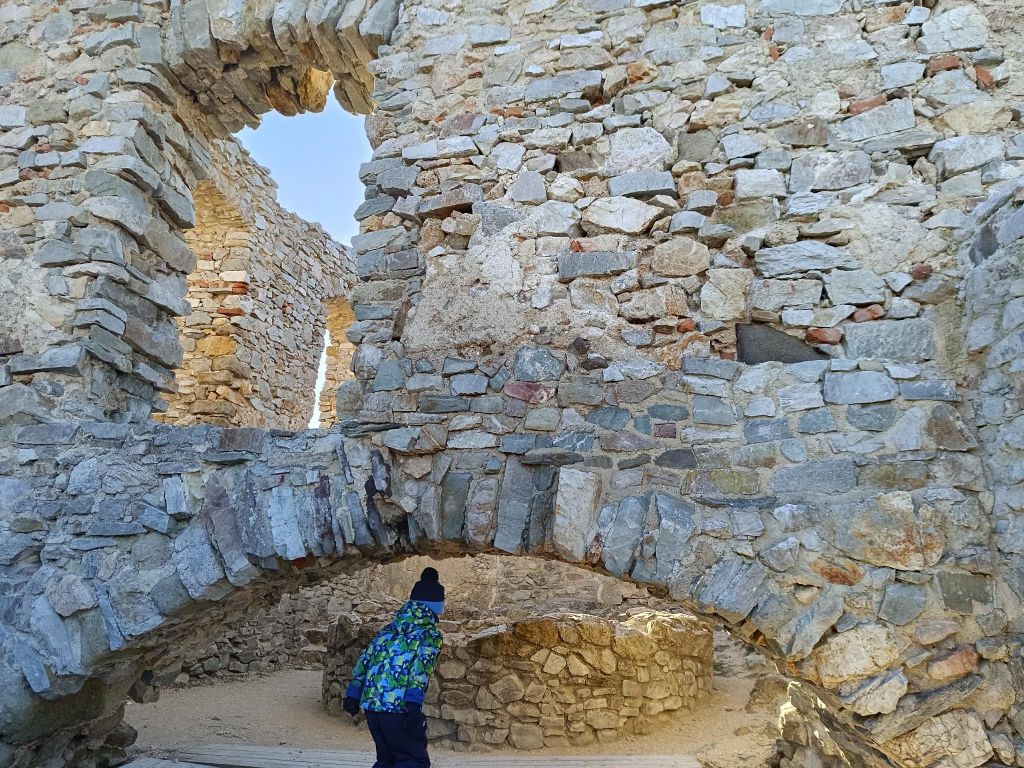
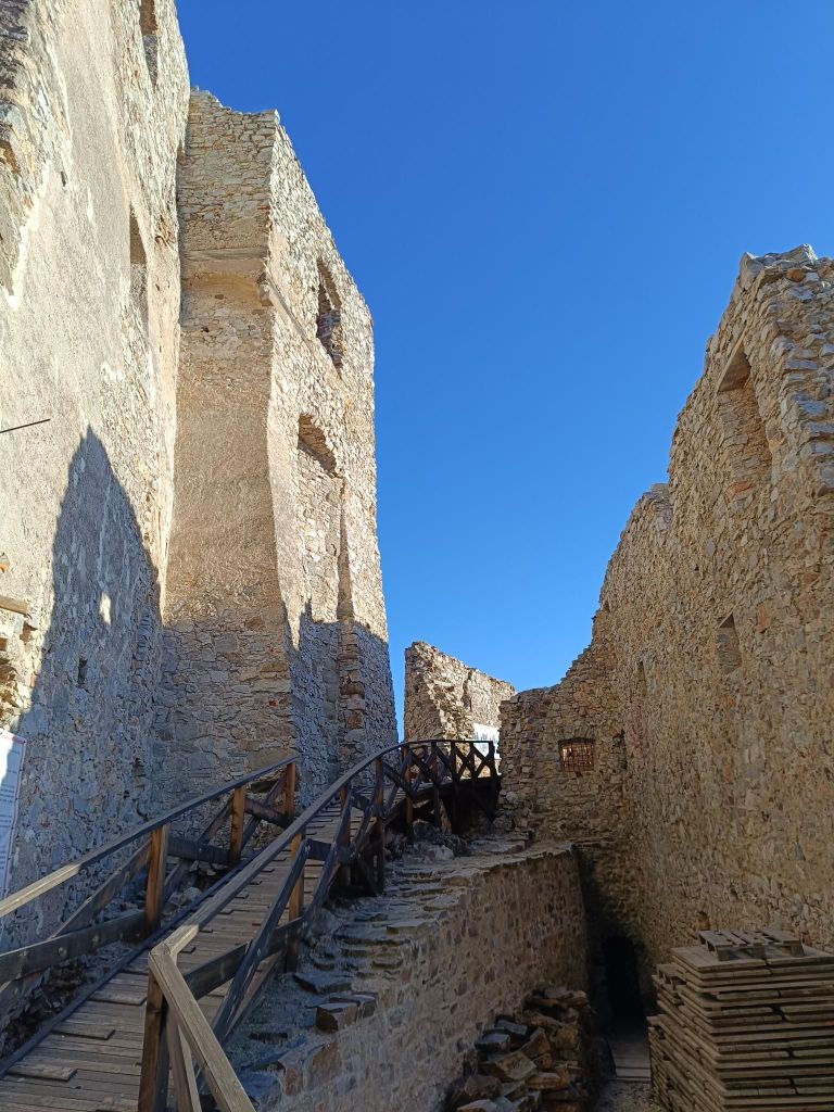
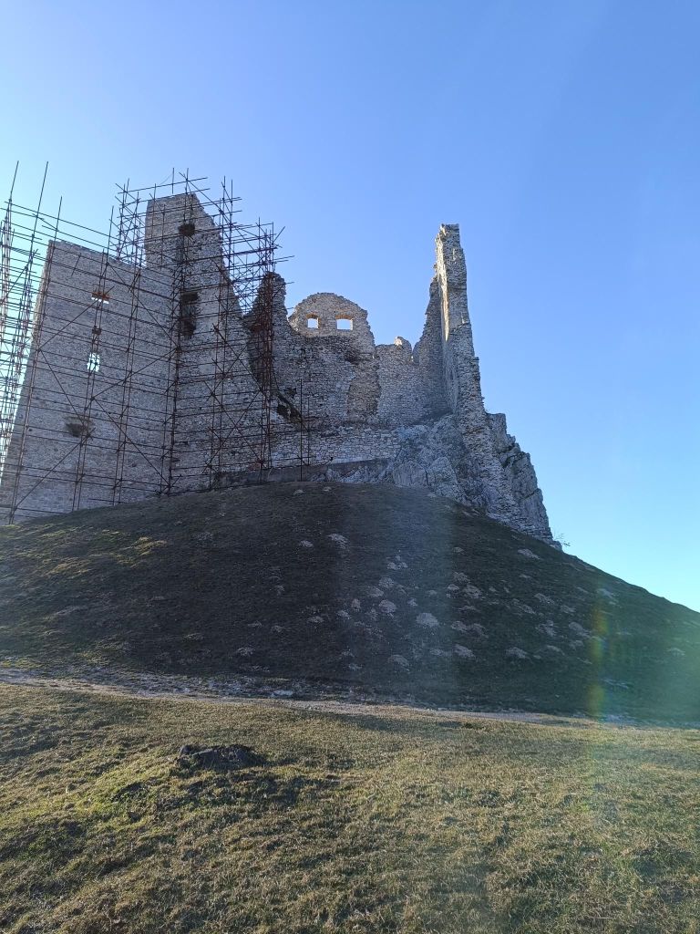
Several kilometres north of Topoľčianky in the Tribeč Mts. in west of Slovakia are the ruins ofthe Hrušov Castle towering on top of the Skalka Mt. at the height of 488 m.
This royal castle built in the 13th century guarded the trade road passing over the mountain range Tribeč. It was destroyed by the Imperial army in 1708 and is in decay since then. However, its surviving walls induce a romantic atmosphere and provide a nice panoramic view of the Tribeč and Pohronský Inovec Mts.
We started from village Hostie, which isn’t classical starting point, but the walk was really nice.
David was 4 years old at that time.
It is a lot of fun out there7.26km, 240m ascent, 3h 10 min
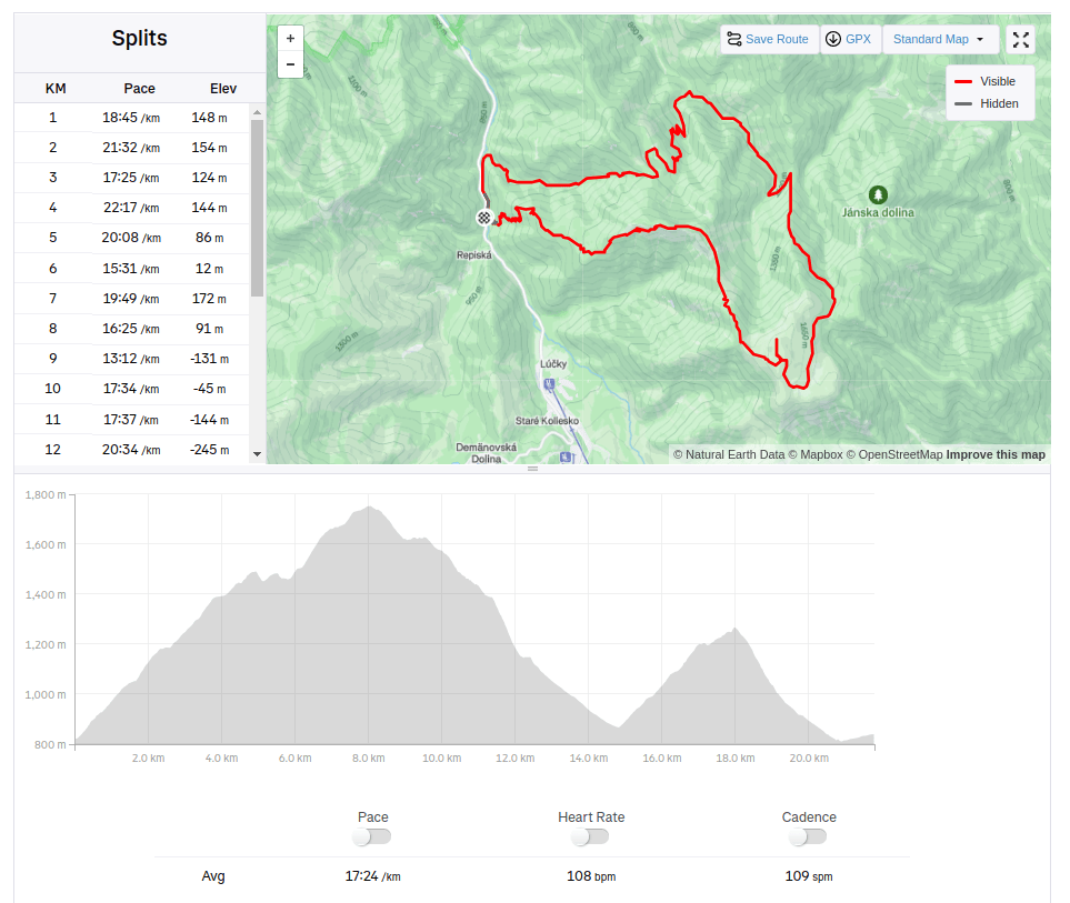
We started at Demänovská jaskyňa slobody. The Demänovská Caves National Natural Monument on the northern side of the Low Tatras is the longest cave system in Slovakia.
But we wasn’t there for the cave, we planned hike to Krakova hoľa, for me totally unknown place.
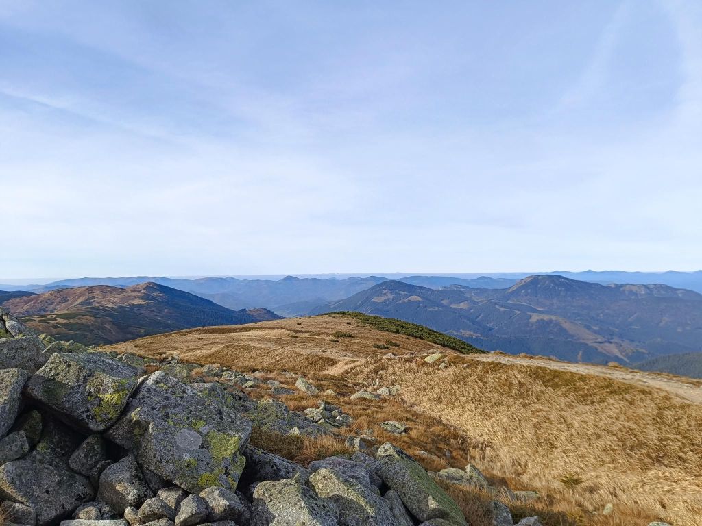
Krakova hoľa is a massive hill in the northern part of the Ďumbier Tatras. Thanks to its location, which is outside the main ridge at an altitude of 1751.6 m above sea level, it dominates the wide surroundings, above which it protrudes and provides an interesting circular view. Krakova hoľa is located between the Demänovská valley and the Jánská valley. The eastern and southern parts of the hoľa belong to the Ďumbier National Nature Reserve with the 5th level of protection.
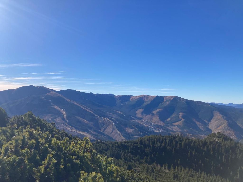
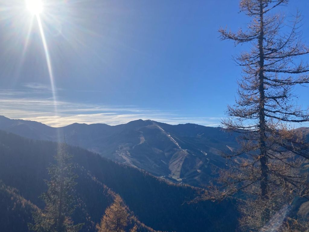
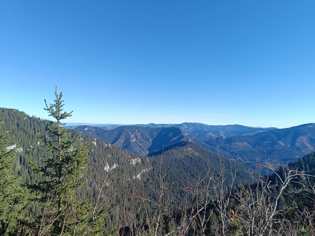
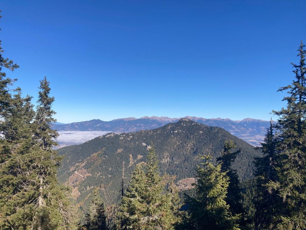
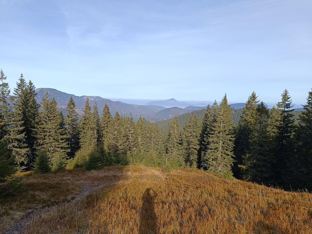
Under MachnatôViews to ChopokThat day, the visibility was excellent
For me a surprise was the valley Vyvieranie on our path back.
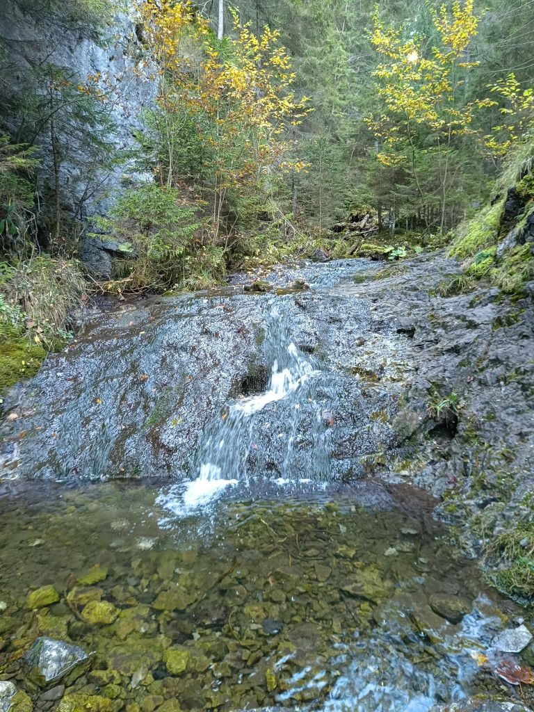
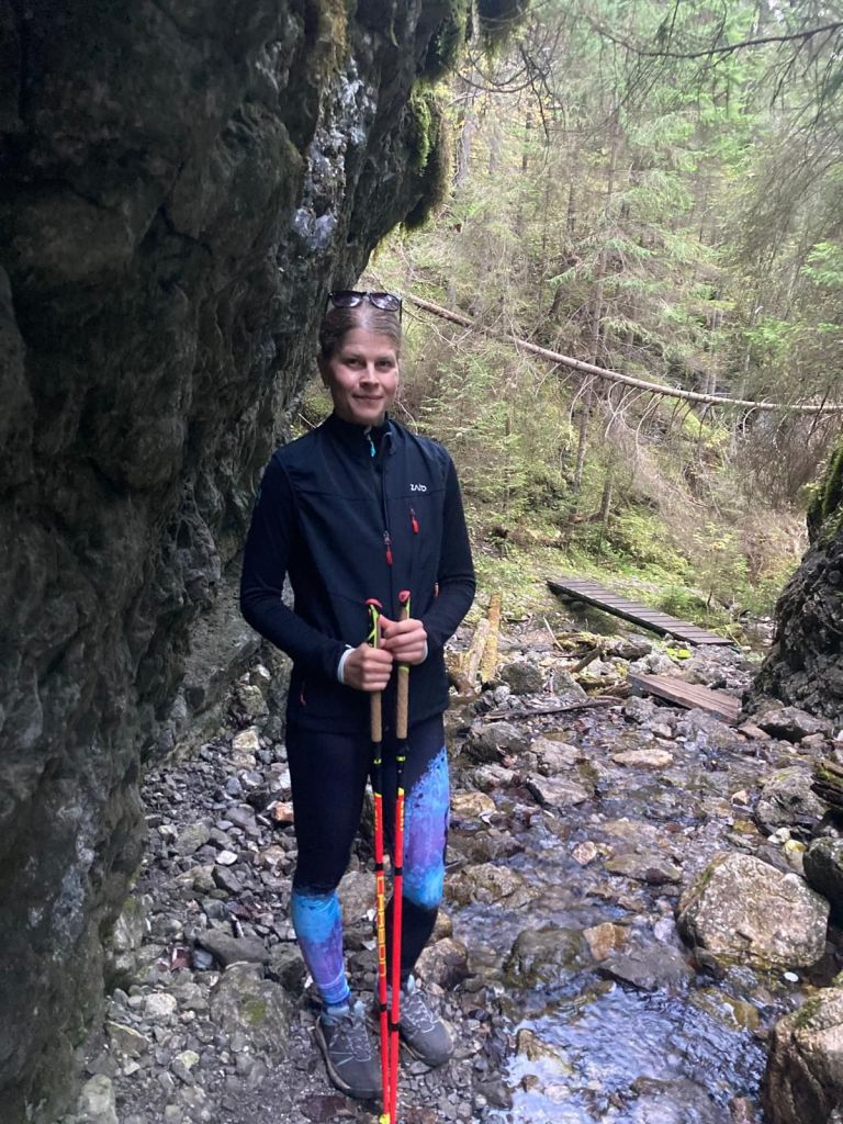
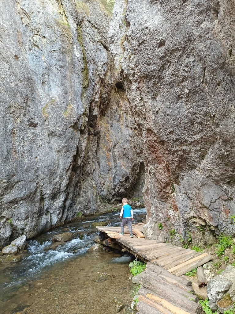
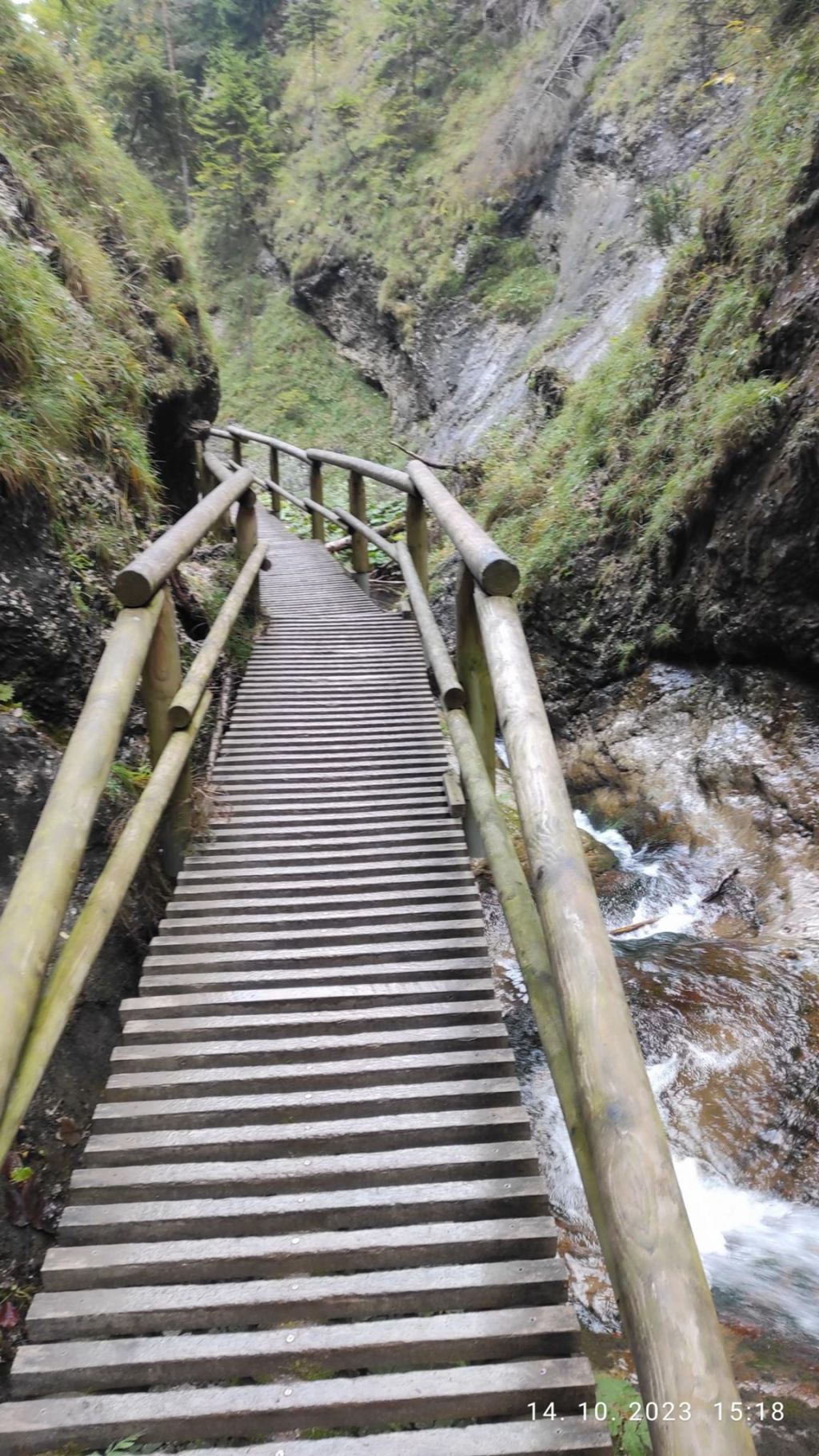
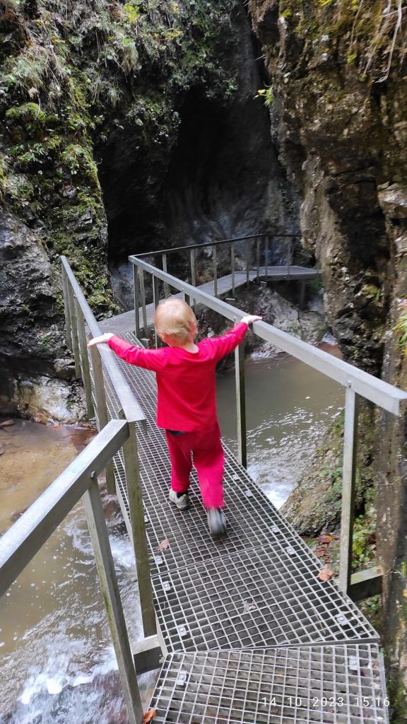
We dive into the narrow Vyvieranie valley, and the trail often leads directly along the stream bed. It is neither deep nor wide, but it flows swiftly through the rocky bedrock. You often have to overcome rock gates, cascades, or jump over the stream. In some places, the route is led by bridges and here and there you will also come across chains. Overall, the valley in the lower part has the character of a small but wild gorge. It is humid here, which results in a beautiful forest. Since it is part of the National Park, fallen trees remain here, only here and there they are cut down so that tourists can get between them.
Vyvieranie valleyThrough Vyvieranie21.79km, 1478m ascent, 6h 34 min
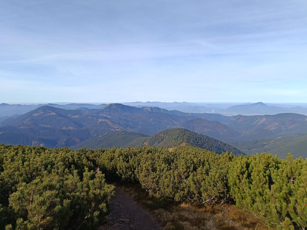
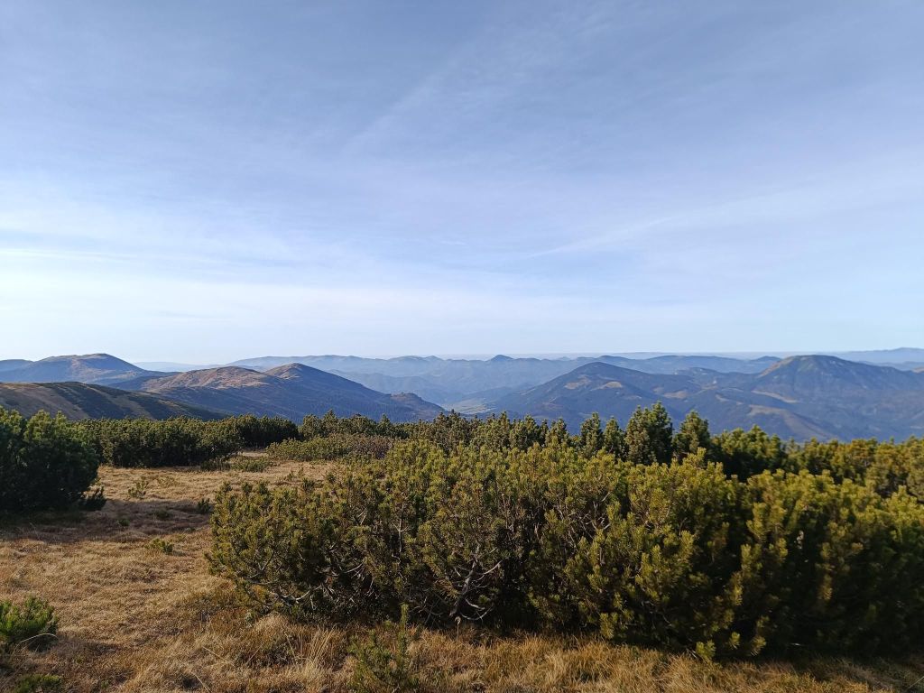
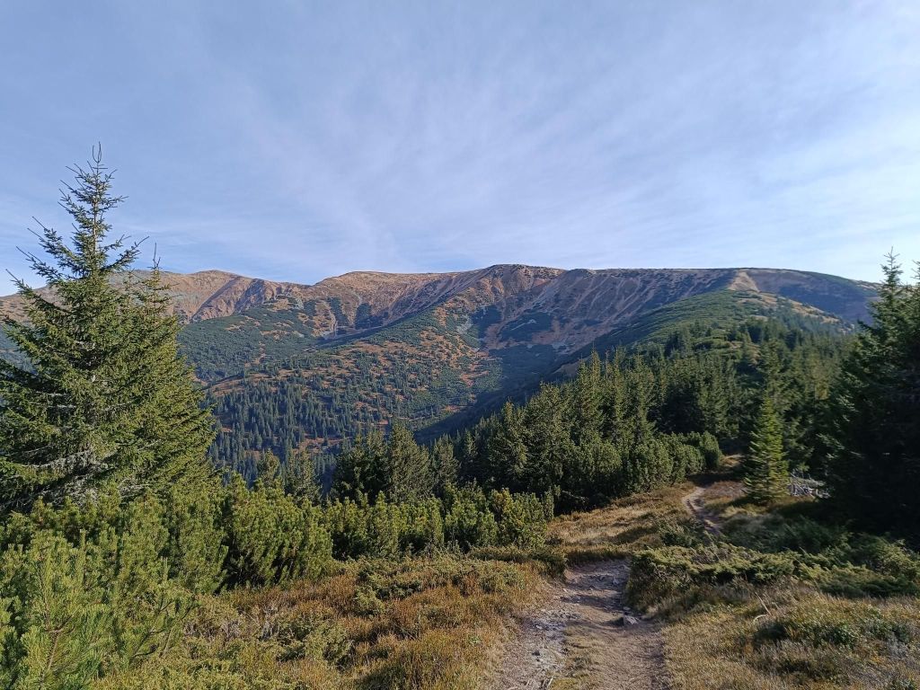
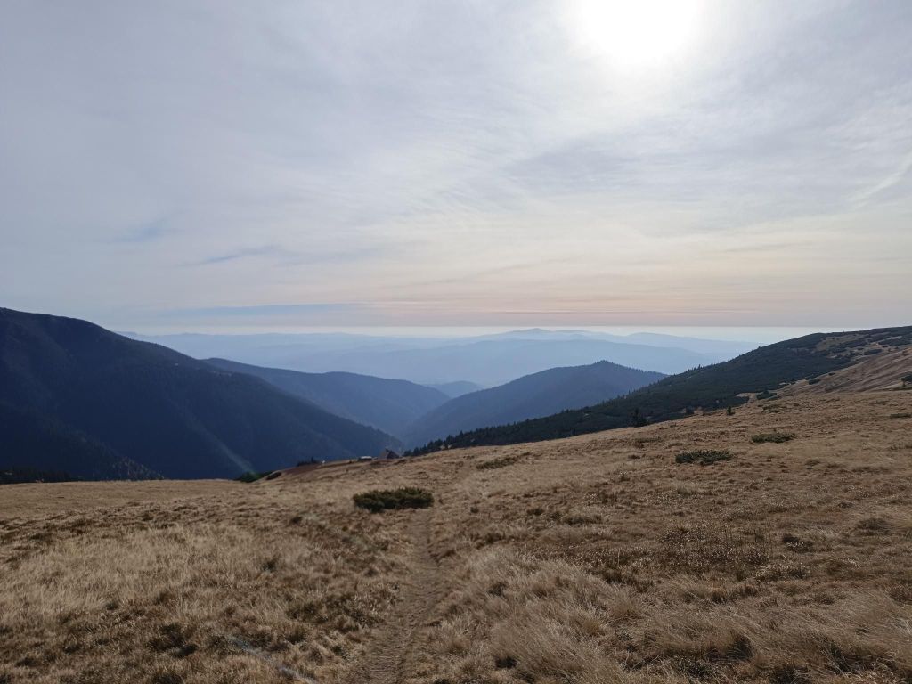
Originally called the shelter under Chabenec (1623 m) is located just below the main ridge of the Low Tatras and is built on the site of a former mountain hut.
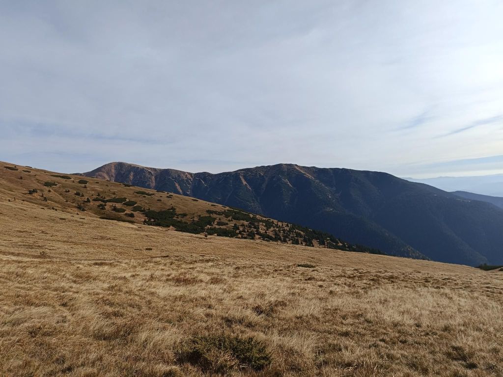
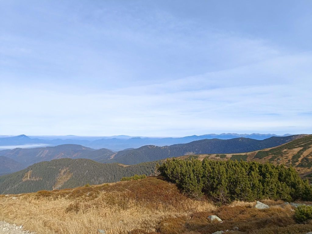
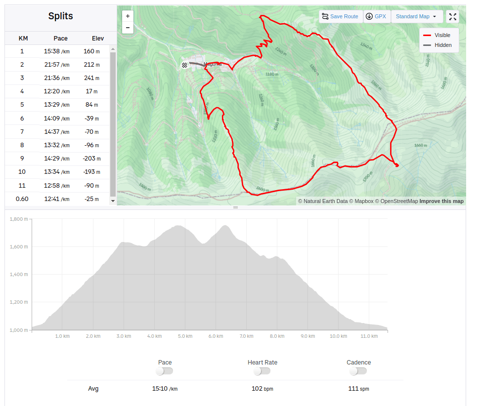
We started from village Magurka, located at an altitude of 1080 m. It is located in the beautiful natural environment of the Low Tatras at the end of the Ľupčianska valley under the peaks of Latiborská hola (1648 m.a.s.l.), Ďurková (1749 m.a.s.l.), Chabenec (1955 m.a.s.l.).
Magurka was founded in the 14th century as part of the mining business in its surroundings. Gold mining began around 1250. At that time, it was still privately owned. Later, Magurka was owned by the municipality and individuals, but the mined gold had to be handed over to the imperial treasury. During the reign of Maria Theresa, gold mining passed into the hands of the state. In 1835, new shafts were opened – Ritterstein and Kilian, and in 1848 the Ruseger adit. Gold was mined according to the old system, water steps and manual washing, later machine washing. In 1860, houses began to be built here and in 1888 250 miners worked here. In the same year, antimony was discovered on Magurka. 10-11 kg of gold, the same amount of silver and 3000 – 4000 m3 of antimony were extracted here annually. The largest was the Kilian shaft – 3 km long, Ruseger measured 1600 m, Ritterstein 1400 m. The others were shorter. The produced material was transported to Ružomberok, only later a cable car was built from the galleries to the entrances. This tedious work was the reason that production was much more expensive than the revenues from mining, and so in 1923 mining was stopped forever. The state transported the machines to Banská Štiavnica, the buildings were sold off, and only a few families remained in Magurka. In 1928, Magurka had 20 houses and 75 people. An exceptionally rare object is the mining church. In its tower, a huge rapkáč has been preserved to this day, which could be heard far and wide. In the past, it was used to call miners to work and announce the end of the “shift”, but it was also used on other occasions.
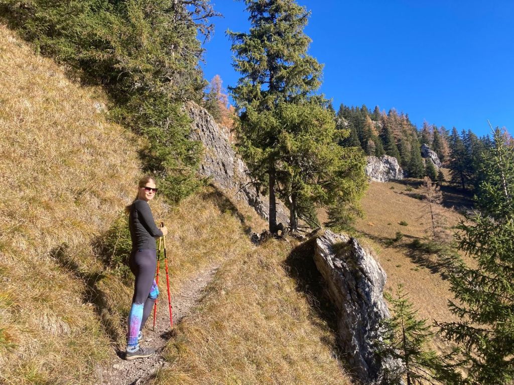
Trees are combined with blueberries at the beginningThen there was pinewoodsJust under the main ridge, there is ĎurkováBeautiful views from the main ridge11.6km, 912m ascent, 2:55 moving time, 4h 5min total
Prosiecka Valley is a karst valley located in the Choč Mountains, which it crosses from north to south. Its total length is 3.5 km.
From a geological point of view, it is a karst canyon-like valley of the Prosiečanka stream. The valley is made of limestone and dolomite, similar to the entire Choč Mountains. The erosion activity of the Prosiečanka has shaped the typical karst appearance of the valley, which is manifested by numerous rock cliffs and towers made of more resistant limestone. Typical external karst features are also numerous gorges, especially at the beginning and end of the valley. There are several springs and sinkholes in the valley
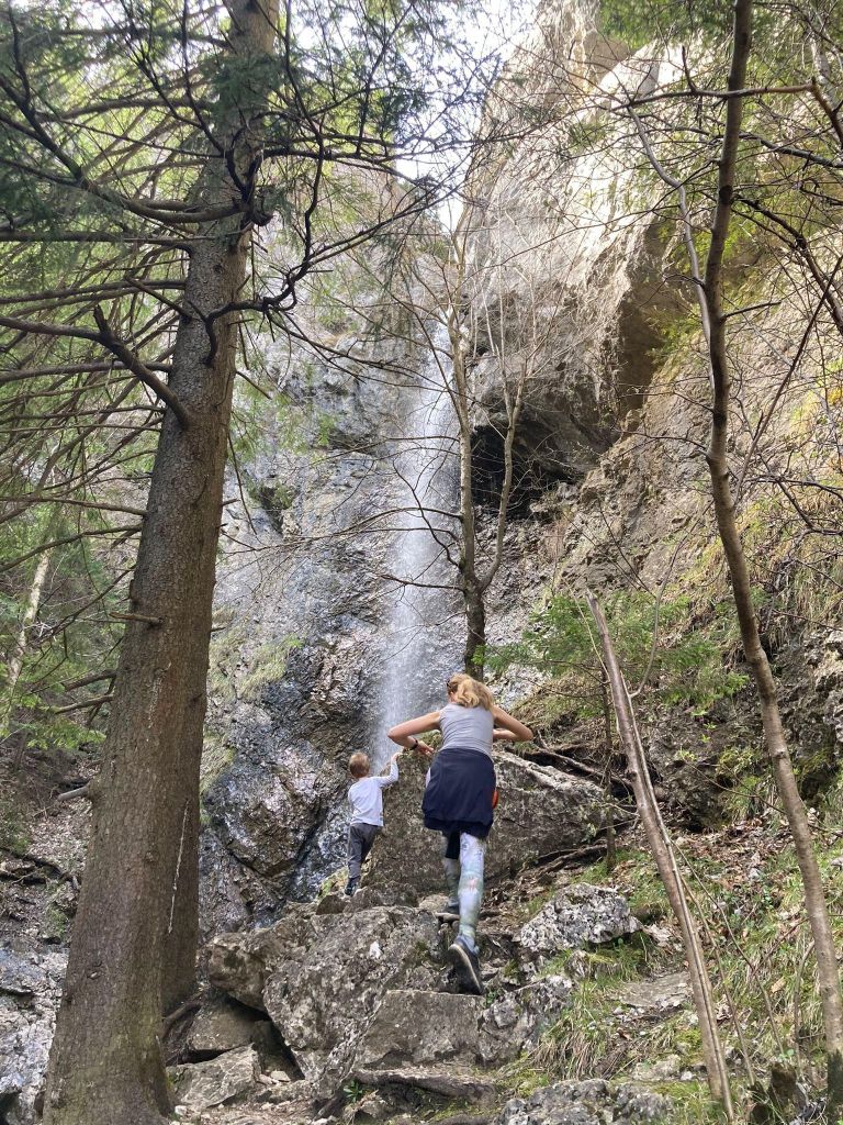
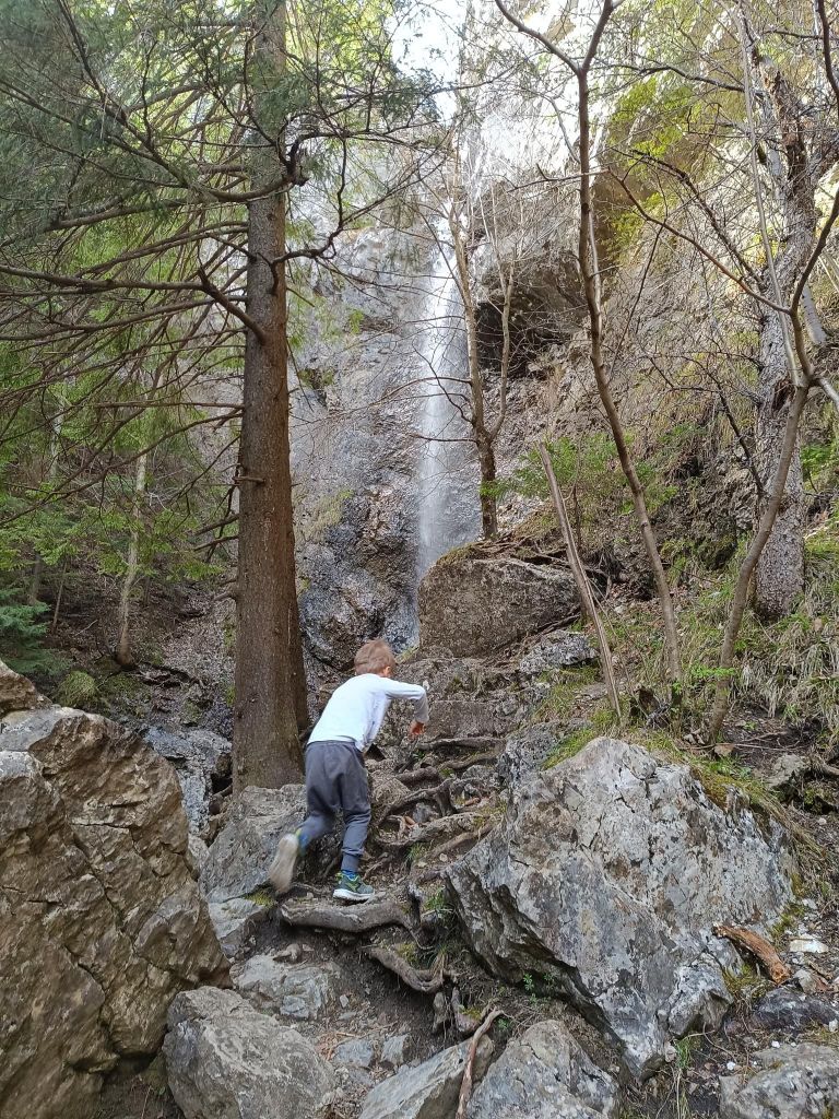
One of the biggest attractions is the waterfall at the end of the valley. David was 4 years old at that time.
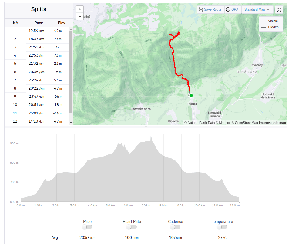
From distance, the beginning doesn’t look so interesting But when you came there…To the waterfallwe came in the summer, so it has not so much water
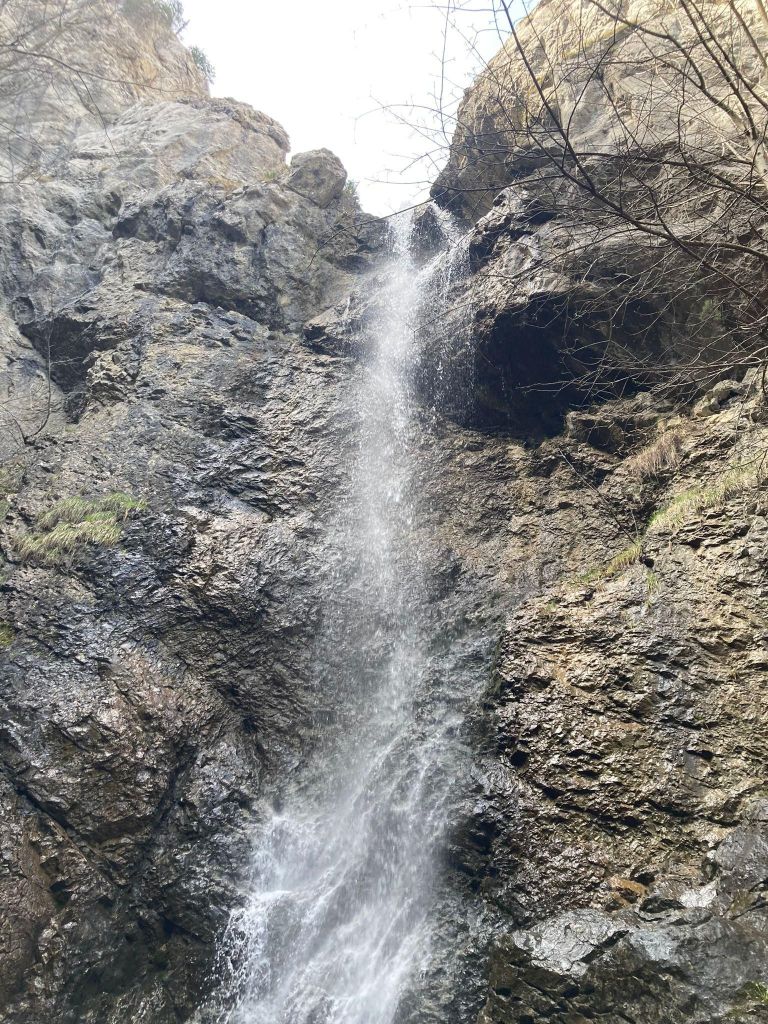
The Červené piesky waterfall is considered one of the most beautiful waterfalls in Slovakia.
You can reach it from the Vidová crossroads in the Prosiecká dolina valley, from where a short trail leads to the blind valley of Červené piesky, where this approximately 15-meter-high waterfall is located.
In dry periods, only a small strip of water flows in it, so if you want to see it in its full beauty, we recommend visiting in spring or after heavy rains.
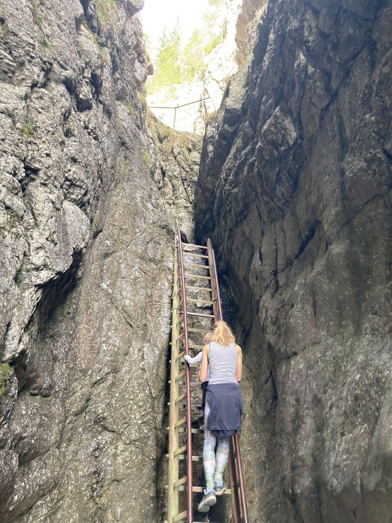
David’s favorite part – ladders and chainsClimbing is great too
If you go with a kid, take one extra pair of shoes, because we crossed the stream a few times..
Jánošíkove diery are located in the Rozsutec National Nature Reserve. They consist of three integral parts: Dolné diery, Nové diery and Horné diery. The Hlboký stream flows through them, which formed them. There are more than twenty waterfalls. Bizarre rock formations with a specific climate are home to several interesting species of plants and animals.
The starting point for Diery are the settlements namely Biely potok (Hotel Diery) and Štefanová. Jánošíkove diery is accessible by attractive marked hiking trails with footbridges, ladders and chains.
Some ladders reach a height of 12 to 15 m
David was 4 years old at that time.
I hope he will love nature as much as I doLots of waterfalls
Between Dolné and Horné diery there is Podžiar. Here you can find a resting place with a small shed, where you can buy some refreshment. Yeah, I like beer, so gues what?
It taste even better outdoorview on Poludňové rocks from PodžiarHe really enjoyed the ladders, don’t stop even for a second12.82km, 471m ascent, 4:41 moving time, 6h 4min total
Čajkovské bralie are groups of rock and smaller rock relief forms on the southern edge of the Štiavnické vrchy mountains northeast of Čajkov in the Varta – Smutný vrch relief between the valleys of the Čajkovského potok and Podlužianka streams. They are formed by the exposure and mechanical weathering of the Early Tertiary andesites. Individual rock formations (towers, blocks, needles, etc.) are separated along the cracks and, due to gravity, some of their parts slide down the steep slopes.
There is a educational path called Čajkovské brálie. David was 4 years old at that time.
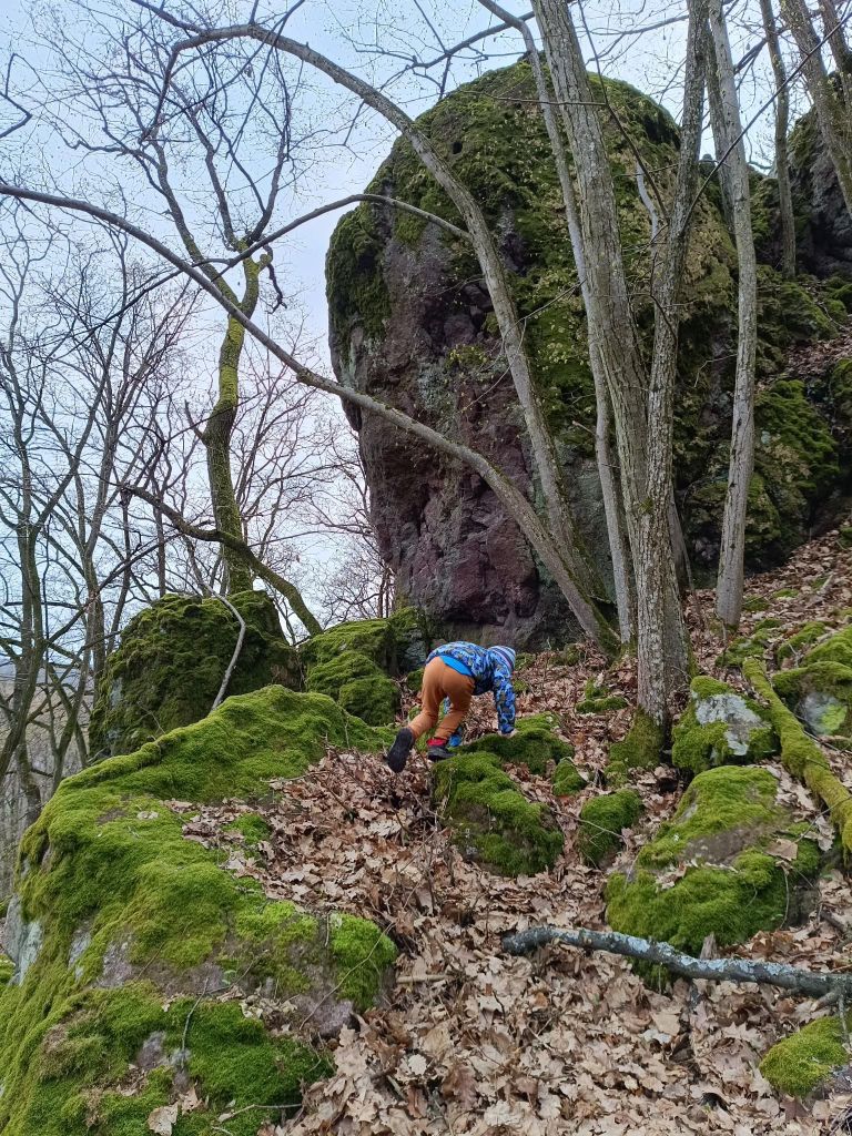
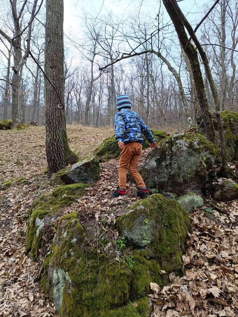
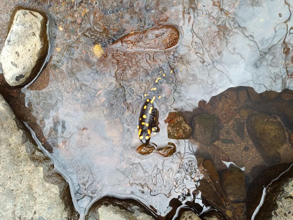
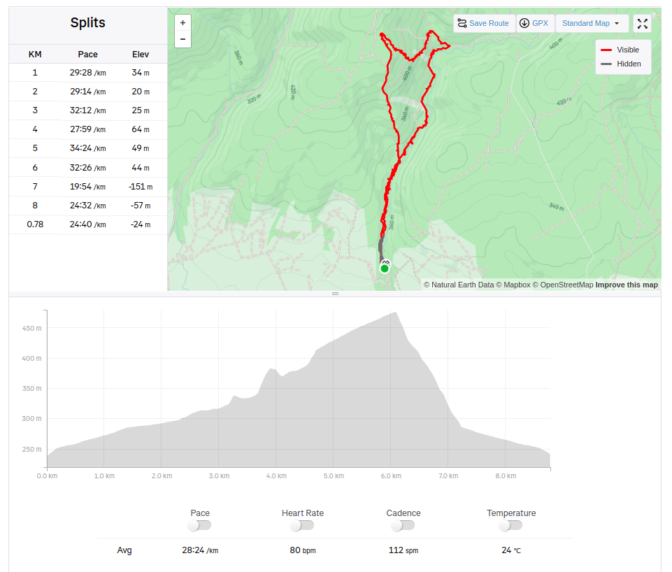
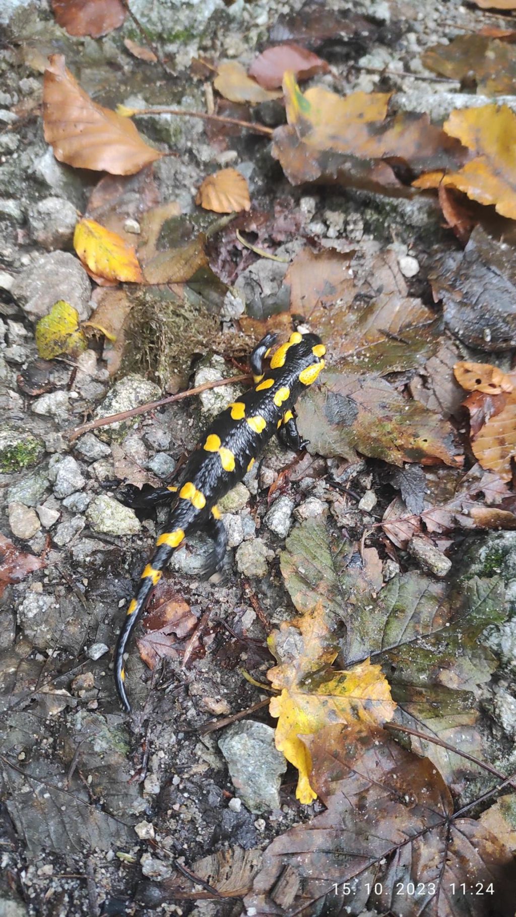
For him, it is fun to climb rocksHe must climb every one of them Educational pathSalamander living in the stream near the path8.78km, 253m ascent, 4h 9min
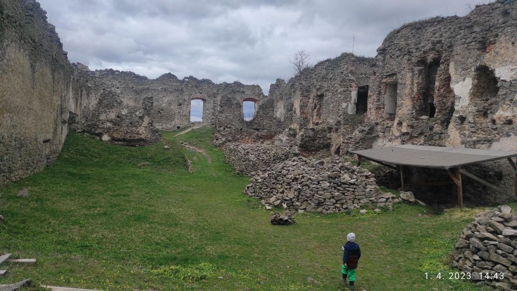
Čabraď or Litava is a castle ruin located near the village of Čabradský Vrbovok in the middle of the Krupinská plain on a hill above the Litava valley. Originally, this castle was called Litava.
It was built in the 13th century and the first written mention dates back to 1276. It belongs to a group of Central Slovak castles, the purpose of which was to protect the roads leading to the mining towns. In the second half of the 16th century, it was an important anti-Turkish fortress and the Turks tried in vain to conquer it several times. Its medieval core consisted of a central tower protected by four bastions and a castle palace, which stood above a well-controlled curved entrance to the upper courtyard. The last reconstructions in the 17th century transformed the inner castle into a comfortable manor house. When the Kohári family moved to a newly built, luxurious house in Svätý Anton in the 18th century, the importance of the castle rapidly declined. The decline was accelerated by the fact that the owners themselves had it set on fire in 1812 to prevent the castle from being occupied by marauding knights. The castle also includes a granary, which was added to the castle grounds in the 19th century. In the last drawings from the 19th century, it can still be seen as a functional building, but today, together with the castle, they are already ruins.
David was 3 years old at that time.
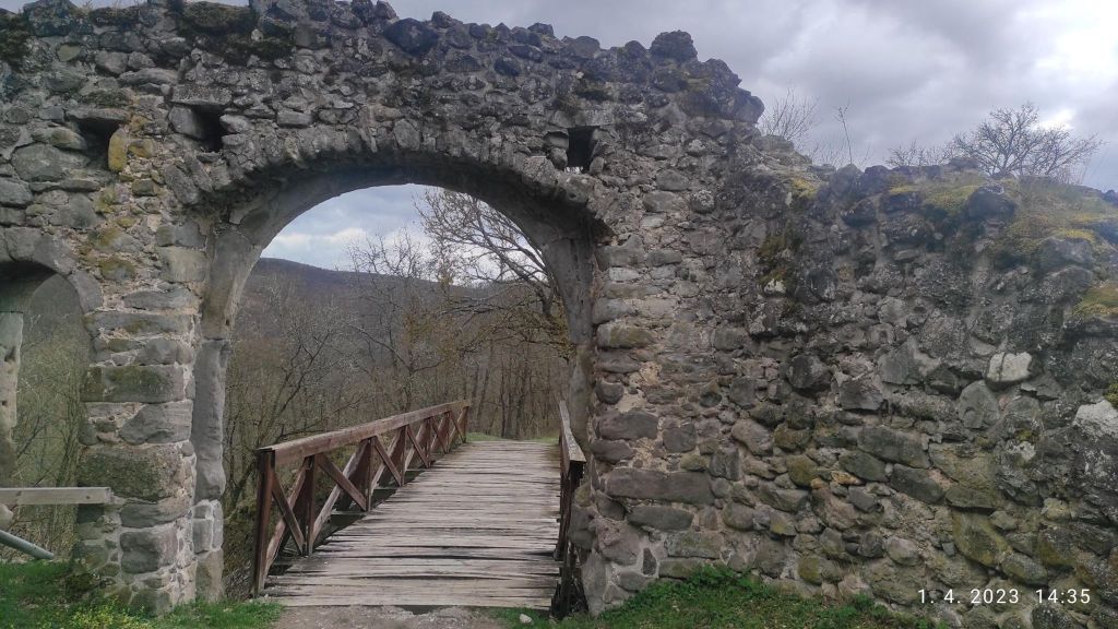
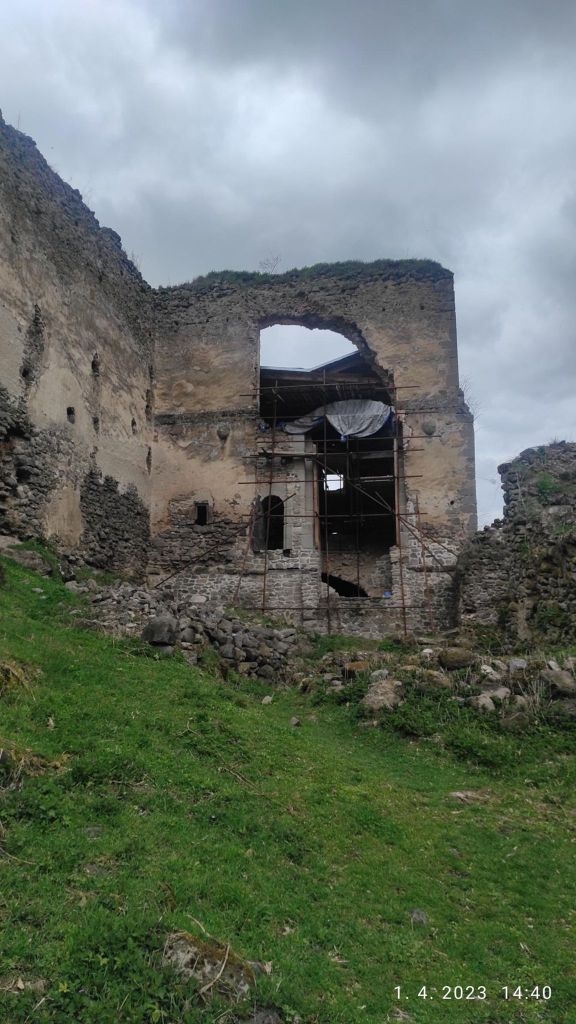
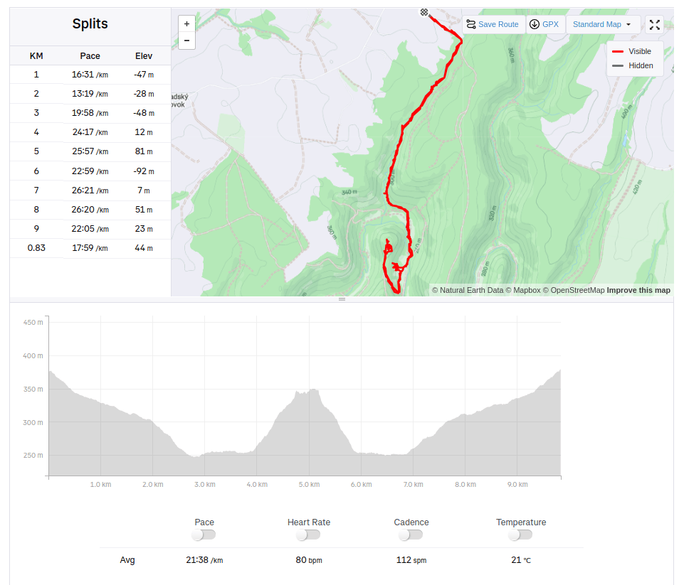
drawbridge at the entrance of the castlethe ruinsmaybe it will be reconstructed some day9.83 km, 248m ascent, 3h 46min
Šútovský waterfall is the fourth highest waterfall in Slovakia. It is located in Malá Fatra at an altitude of 830 m above sea level, approximately 4 km from the village of Šútovo. With a height of 38 m, it is the highest waterfall in Malá Fatra. It is fed by water from the Šútovský stream, which has its source in the unusual rock formation Mojžišove pramene. These are about 1 km away from the waterfall. The stream directly above the waterfall is 2.5 meters wide.
David was 4 years old at that time.
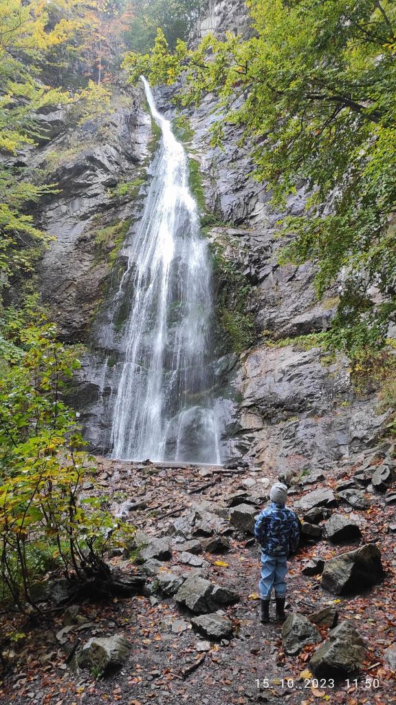
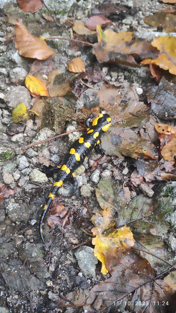
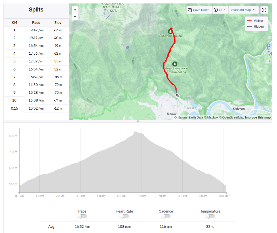
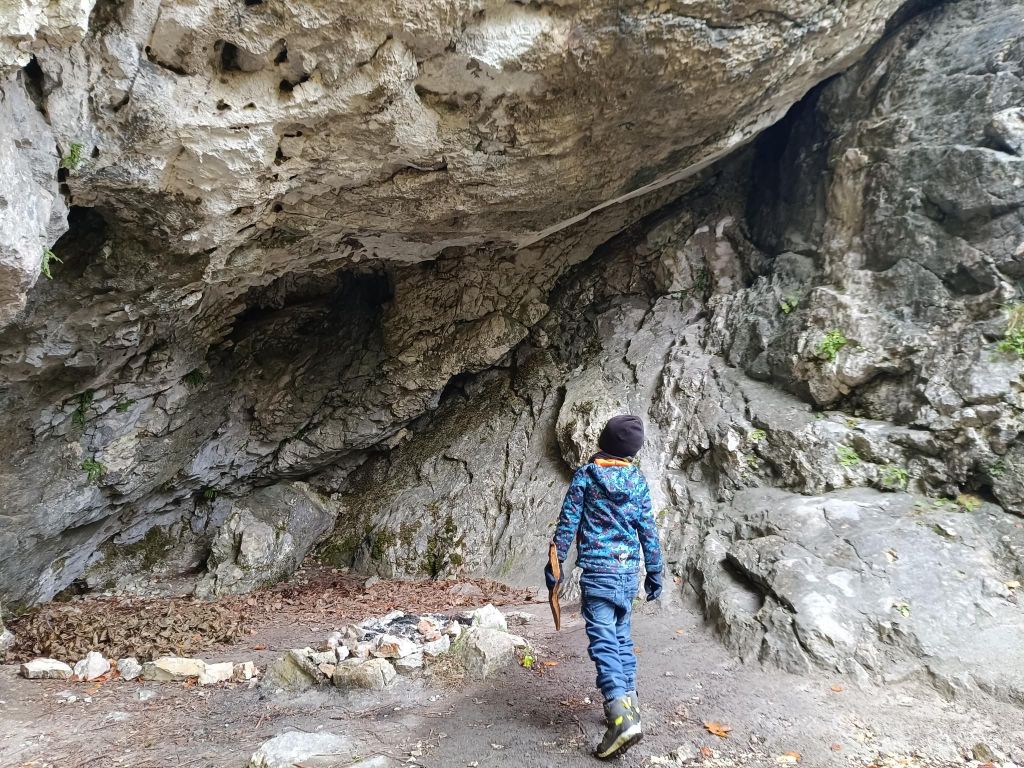
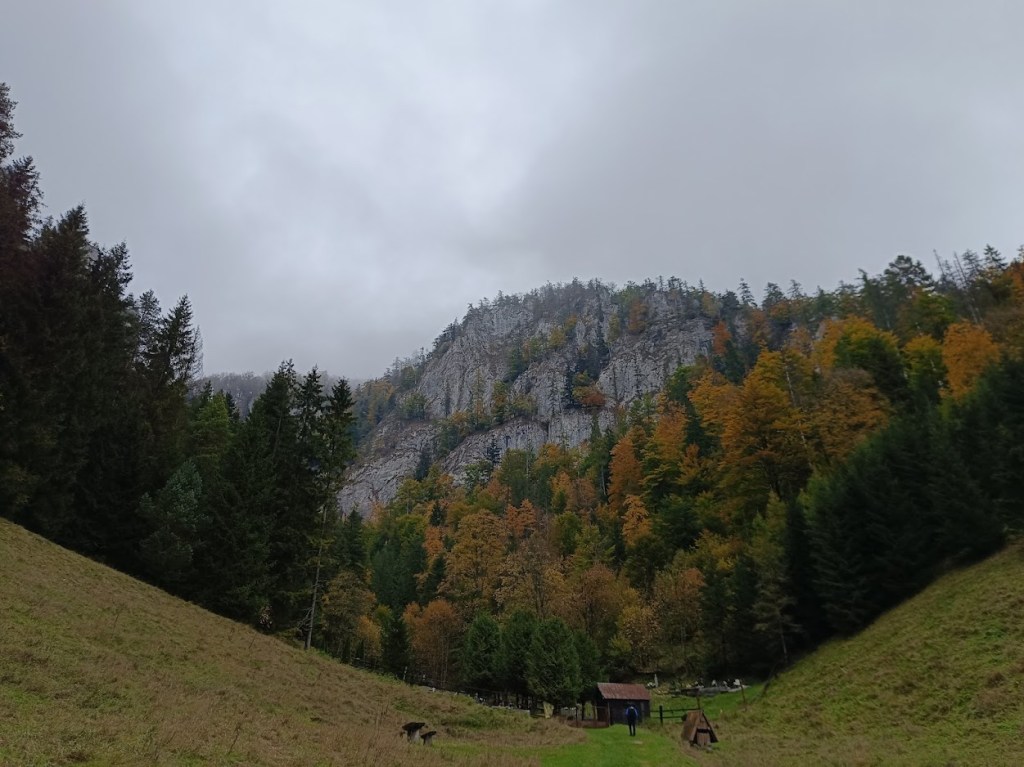
Šútovský waterfallŠútovský streamThe weather wasn’t so nice, it was drizzling and quite cold, but we made itSalamander10.15km, 335m ascent, 2h 51 min
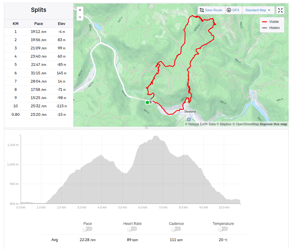
First we hike toward village Stratená. It is a village in the valley of the Hnilec River in the southern part of the Slovak Paradise. In the past, it was a mining settlement, known for its blast furnaces, which were built in 1783 by the Csáky family. Later, they were owned by the Coburg family. The last blast furnace operated until 1927. The population was engaged in logging, building nearby tunnels and working in blast furnaces. The village still preserves customs and celebrations of the Slovak National Uprising and the liberation of the village. The chapel, built around 1800, housed a wooden sculpture of Mary Magdalene from the workshop of Master Pavol of Levoča. Then we hiked between Sokolie rocks to the Stratenský canyon.
Real hike begins a few metres from Stratená.
Stratenský Canyon is the narrowest part of the deep mountain Stratenská Valley – i.e. a 14 km long section of the Hnilec Valley between Dobšinská Ľadová Jaskyňa and Dedinky in the Slovak Paradise. It has been developing over the last several million years by deep erosion of the Hnilec in places where massive layers of limestone and dolomite have been broken by faults. The result of this development is a valley with a transverse profile of “V” (it does not have a flat bottom), i.e. a gorge with locked meanders, rock walls with twisting pots, numerous caves, sinkholes, springs and waterfalls with peculiar plant and animal communities. “Canyon” – if it were really a canyon, it would have a wider bottom and therefore a transverse profile of “U”, such as e.g. in the section of the Slana Valley between Brzotín and Plešivec in the Slovak Kras – is accessible via a barrier-free nature trail for pedestrians and cyclists along the rest of the asphalt road, which was passable for cars until 1971. At that time, this complicated section was replaced and shortened by the 326 m long Stratená road tunnel. David was 5 years old at that time.