Author: Sona Volentierova

  • Skymaraton Chopok

    Skymaraton Chopok

    I haven’t raced in a long time, mainly because we have a lot of our own projects and few free weekends:)

    But when I received the entry fee for the Chopok Skymarathon, I didn’t refuse and so on September 6, 2025 I stood at the start under Chopok in front of the Srdiečko hotel.

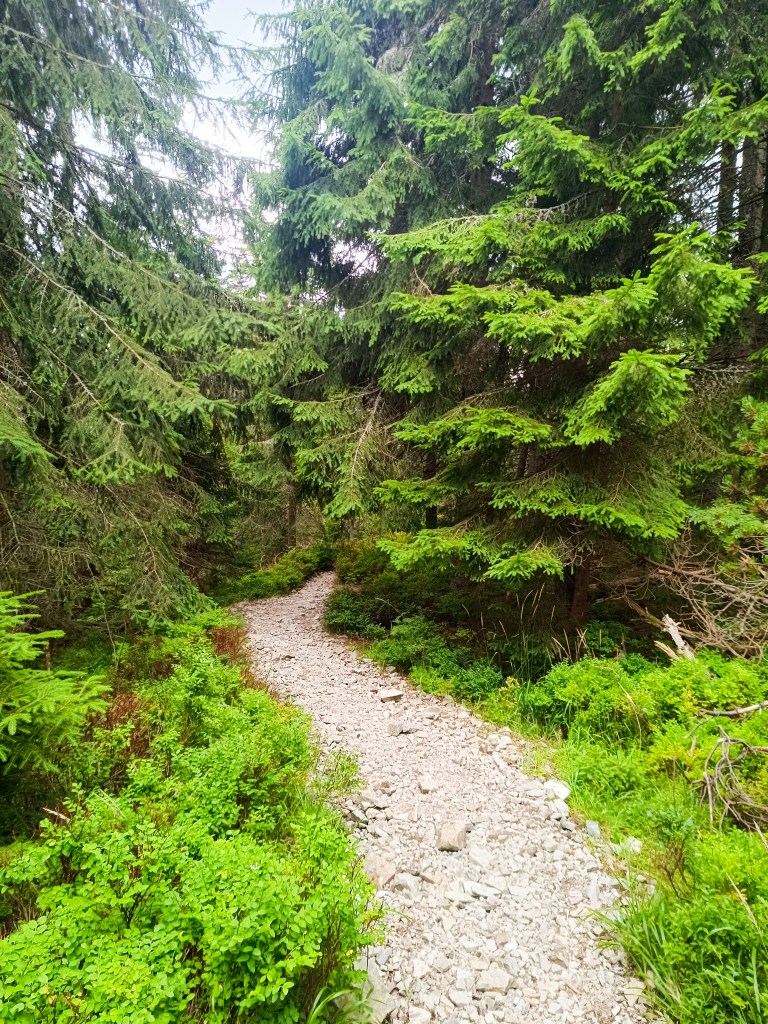
    The starting gun was accompanied by thunder in the background and even though the storms were predicted for the afternoon, they arrived right in the morning. Within 30 minutes I was soaked to the bone and the conditions were even more difficult, slippery roots, wet stones, mud.. But at least it wasn’t hot.
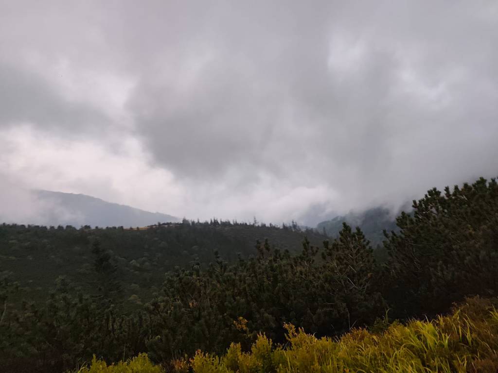
    During the storm

    After the initial climb to Kosodrevina, there was a traverse almost to the M.R. Štefánik hut and quite a few sections were runnable, from the hut there was a fairly long steep section down to the cave of dead bats, where it was quite slippery. I went relatively slowly and managed it without falling. There was a nice, quite runnable path back to Kosodrevina and so I ran as much as I could.
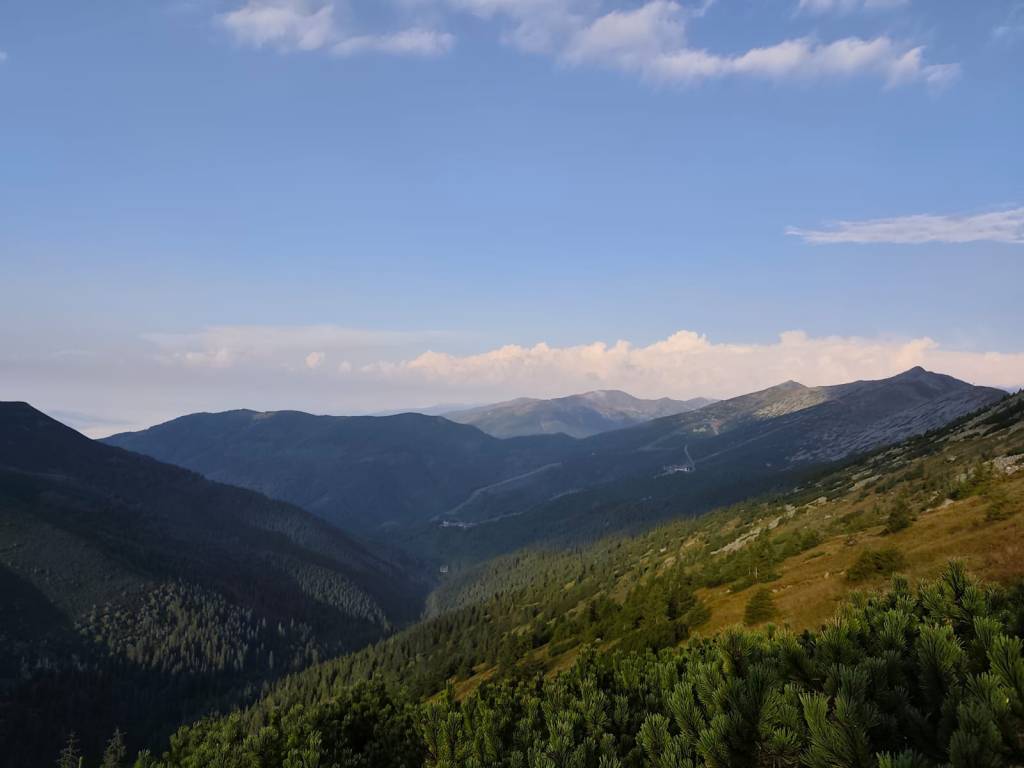
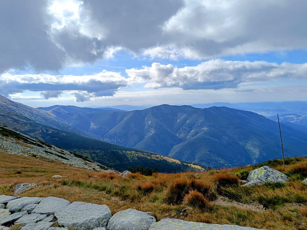
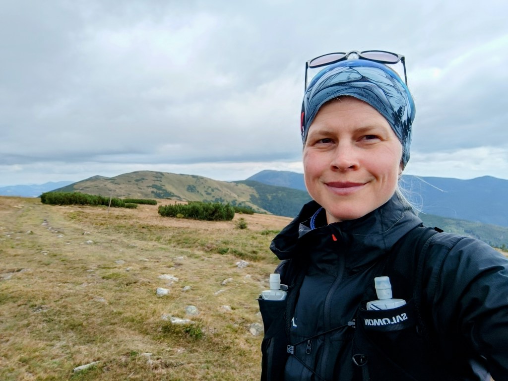
    There is sun after the storm

    I ran the refreshment stop only with a refill of ionts and a long, really long climb to the Krížské sedlo awaited me. Here I started to feel that my strength was waning and there was a reason, almost 20km and I had eaten almost nothing.. mistake..
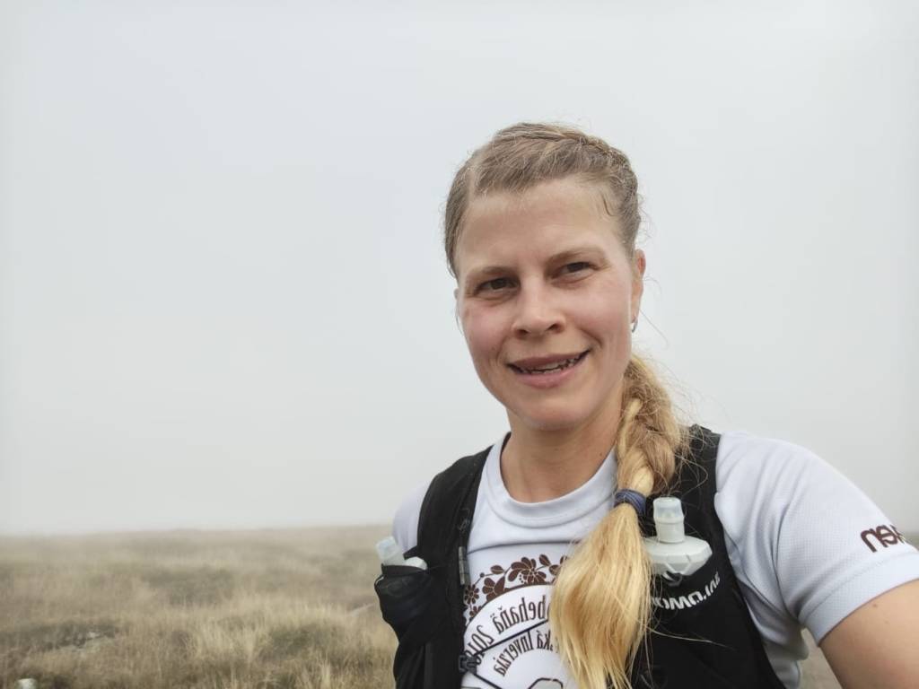
    After first half

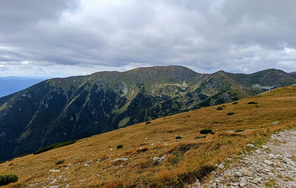
    I mostly walked to the refreshment stop on Chopok, where I stuffed myself with a banana and a chocolate bar, replenished my fluids, and jumped over the Tatra granite to the Demänovský saddle, where the trail started to rise again. I already felt that today would be very difficult, because I had less strength than I would have liked, especially uphill.
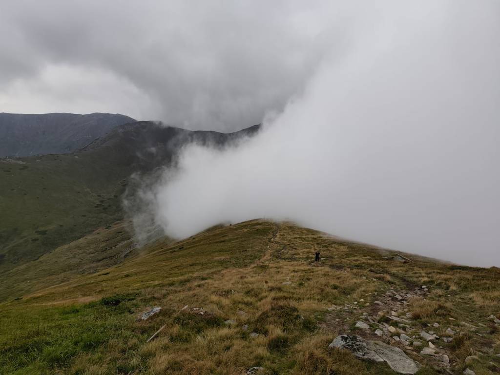
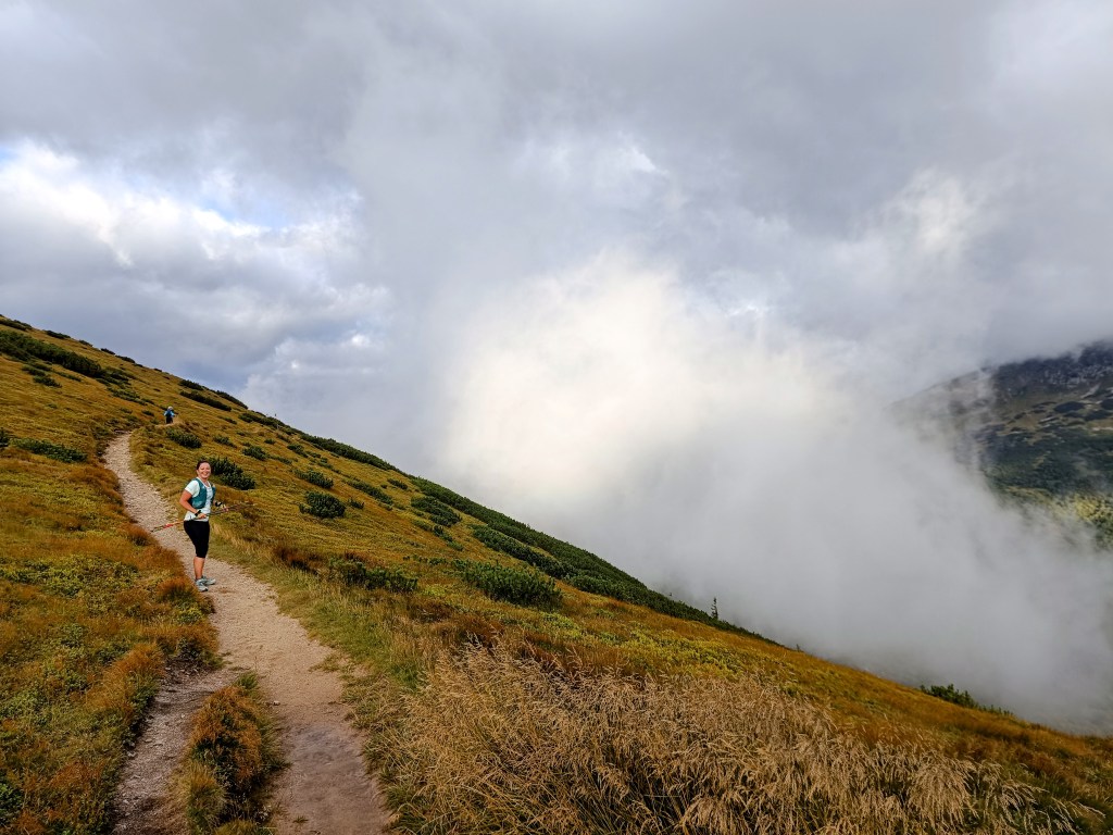
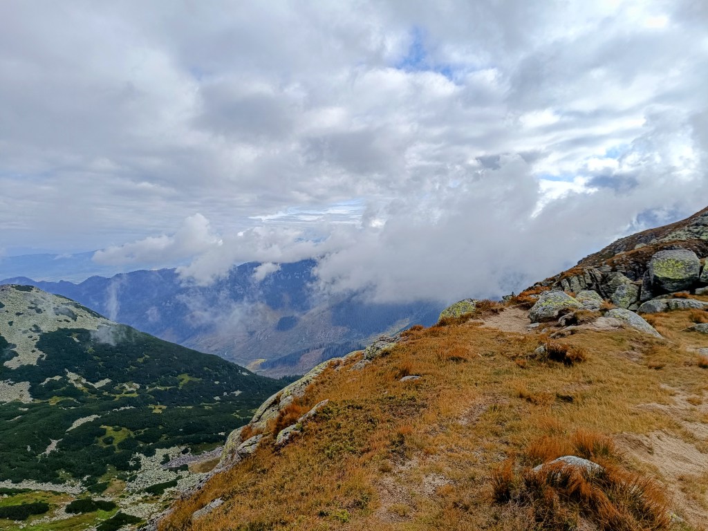
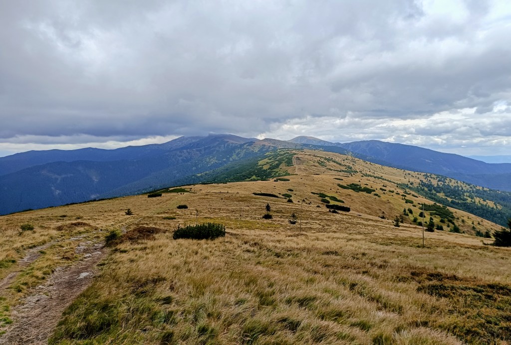
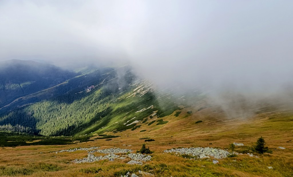
    Half foggy, half sunny

    The descent from Krúpov saddle was steep, rocky, muddy and strenuous, it took a lot of my strength, but the forest from Záver širokej doliny was beautifully foggy, mystical, covered in moss, I enjoyed it..
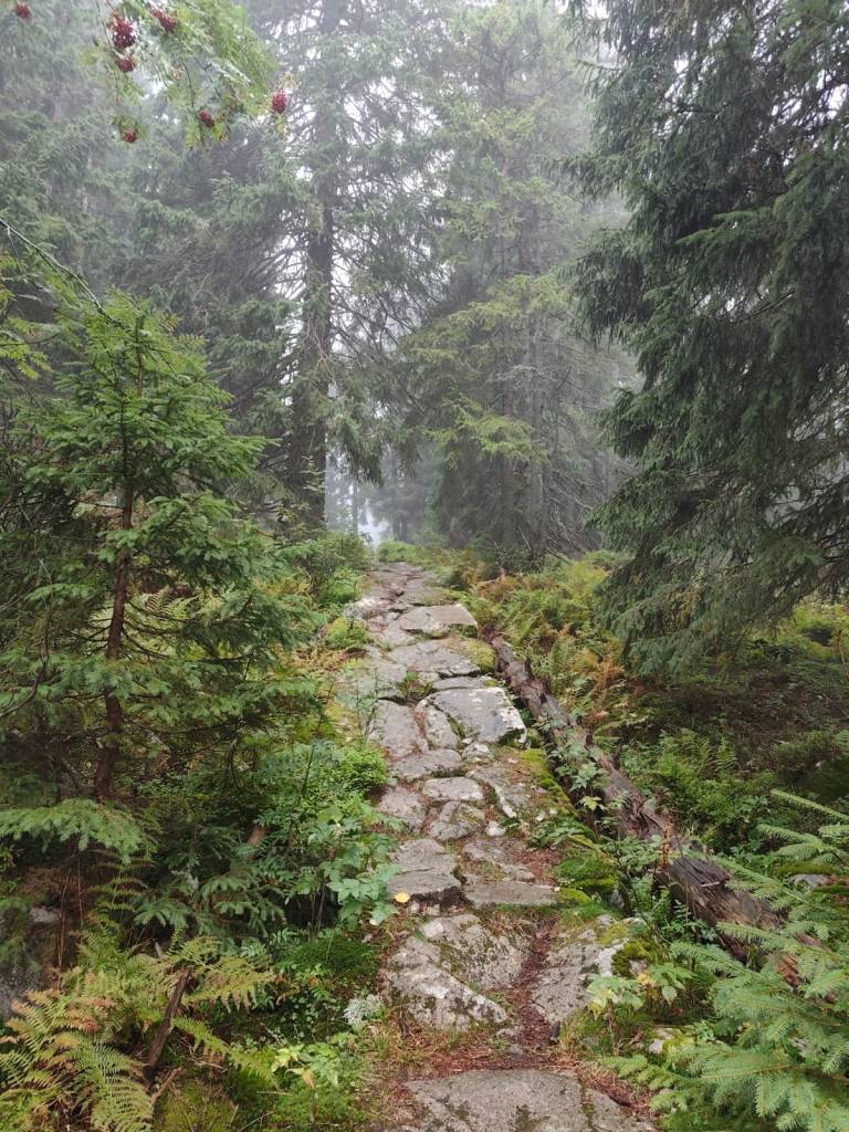
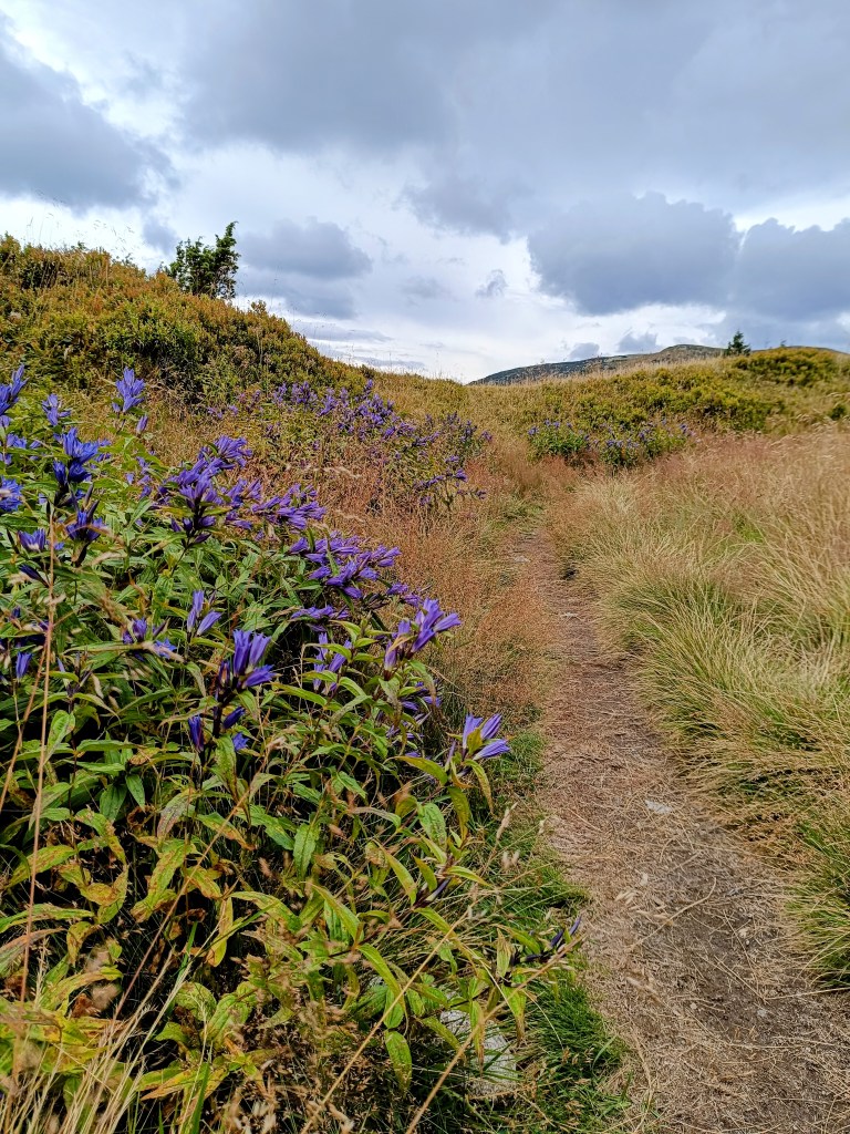
    Mystical forest

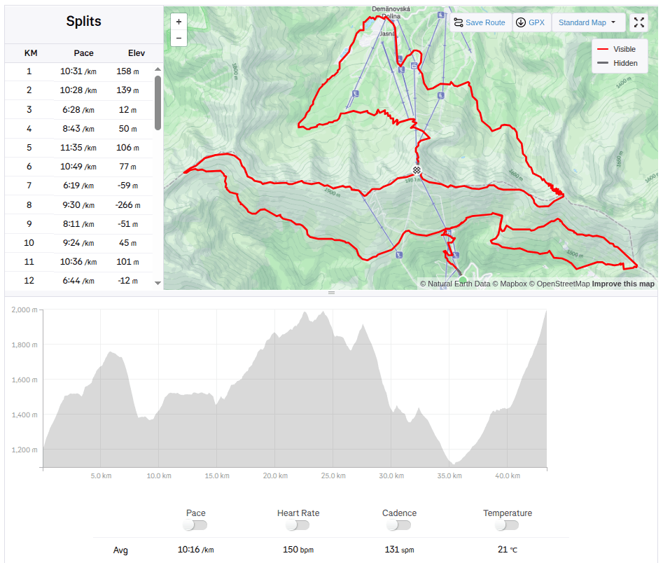
    The last refreshment stop on Biela Púť and now it’s just a climb, I tried to replenish my energy, but I knew that it would be more walking than running.. It was quite easy up to Orlia Skala, I walked quite briskly. But up the slope? That completely turned me off and I could barely move from one foot to the other, my head was starting to hurt, my stomach was protesting… It wasn’t the performance of the year, but I didn’t give up, and I walked all the way to the finish line, I was the 6th woman at the finish line with a time of 7h 33min.
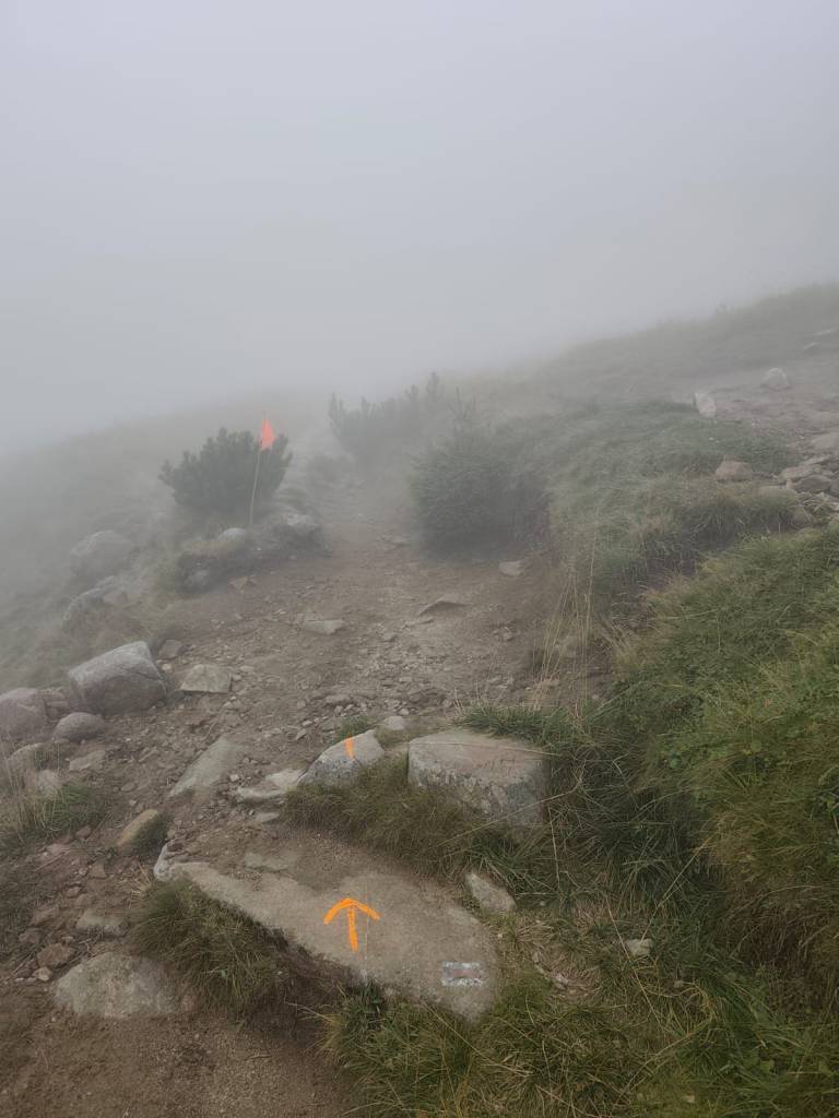
    Slowly and gloomily up the slope, in places the sign was almost invisible
    43,4 km, 7h 33min, 2680m ascend
  • Skymaraton Chopok

    Skymaraton Chopok

    Už dávno som nepretekala,hlavne z dôvodu, že máme kopu vlastných projektov a málo voľných víkendov:)

    Ale keď som dostala štartovné na skymaraton Chopok, neodmietla som a tak som sa 6.9.2025 postavila na štart pod Chopkom pred hotelom Srdiečko.

    Startovací výstrel spravádzalo hrmenie v pozadí a aj keĎ búrky predpovedali až na poobedie, prišli hneď ráno. V priebehu 30 minút som bola do nitky mokrá a podmienky boli o to ťažšie, šmykľavé korene, mokré kamene, blato.. Ale aspoň nebolo horúco.

    Počas búrky

    Po úvodnom stúpaní na Kosodrevinu nasledoval traverz skoro až po chatu M.R. Štefánika a dosť veľa úsekov sa dalo bežať, od chaty nasledoval dosť dlhý strmý úsek dole k jaskyni mŕtvych netopierov, kde bolo celkom šmykľavo, išla som relatívne pomaly a ustála som to bez pádu. Späť na Kosodrevinu viedol pekný celkom behateľný chodníček a tak som bežala koľko to len šlo.

    Po búrke aj slnko vyšlo

    Občerstvovačku som prebehla len s doplnením iontov a čakalo ma dlhé, naozaj dlhé stúpanie do Krížskeho sedla, tu som začala cítiť, že mi sily ubúdajú a veru mali prečo, skoro 20km a skoro nič som nezjedla.. chyba..

    prvá polka za mnou

    Na občerstvoačku na Chopku som to väčšinou odkráčala a tam som do seba napchala banán a horalku, doplnila tekutiny a po tatranskej žula preskákala až do Demänovského sedla, kde sa chodníček začal znovu dvíhať.. Už som cítila, že dnes to bude veľmi náročné, lebo síl bolo menej ako by som chcela, najmä do kopca..

    Ale zo strany od jasnej sa stále valila hmla

    Zbeh z Krúpovho sedla bol strmý, kamenisto blatitý a namáhavý, zobral mi veľa síl, ale lesík od Záveru širokej doliny bol nádherne hmlistý, mystický, machom pokrytý, ten som si užila.

    Mystický lesík

    Posledná občerstvovačka na Bielej púti a už len stúpanie, snažila som sa doplniť energiu, ale vedela som, že už to bude viac kráčanie ako behanie.. Až po Orliu skalu to ale celkom išlo, išla som celkom rezkým krokom. Ale hore zjazdovkou? To ma už totálne vyplo a ledva som išla z nohy na nohy, hlava ma chcela bolieť, žalúdok protestoval… Nebol to síce výkon roka, ale nevzdala som to, a vykráčala som to až do ciela, v ciely som bola ako 6ta žena s časom 7h 33min.
    Pomaly a ponuro hore zjazdovkou, miestami skoro značky nebolo vidieť
    43,4 km, 7h 33min, 2680m stúpania
  • Považský and Lietava castle

    Považský and Lietava castle

    We love castles, and we especially like ruins that we can explore on our own, without a guide. And during our weekend in the Súľovské vrchy, we managed to see two such castles.

    Považský hrad is the ruin of a castle on a steep hill on the right bank of the Váh River. According to unverified reports, the castle was built in 1128 to protect the important Považský road. However, the first mention of it dates back to 1316, where it is mentioned as Bystrický hrad.

    Entrance to Považskéhý castle

    The oldest part of the castle was the tower, standing on the highest point of the rampart, and the Gothic palace. The large oval-shaped forecourt was surrounded by a castle wall, which was protected from the NE by two prismatic towers. The access road, leading to the castle from the NE, is still visible in the terrain today. The entrance gate was protected by a prismatic tower with a barbican.

    Preserved walls of the castle

    The walls of the palace, towers and fortifications have been partially preserved. Window openings are visible on the palace, in places with preserved Renaissance cornices. Of the former farm buildings built in the courtyard, only parts of the walls, or their foundations, are visible. In some rooms there are remains of Renaissance vaults.

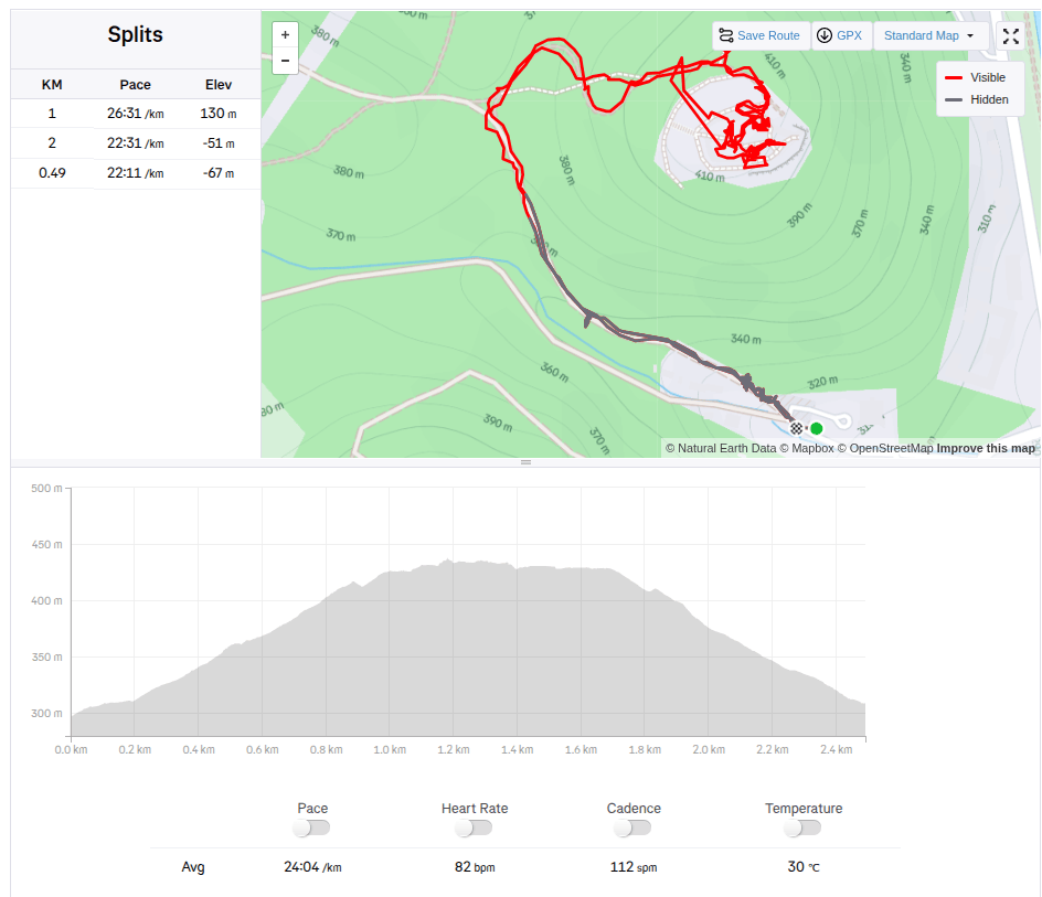
    2.5km, 1h

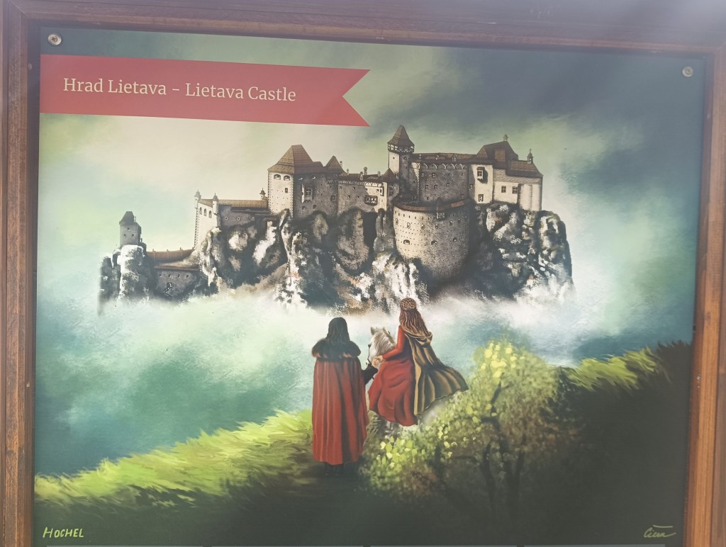
    Lietava Castle is located 10 km from the regional capital Žilina near the Cibuľník hill on the eastern edge of the Súľovské vrchy mountains.

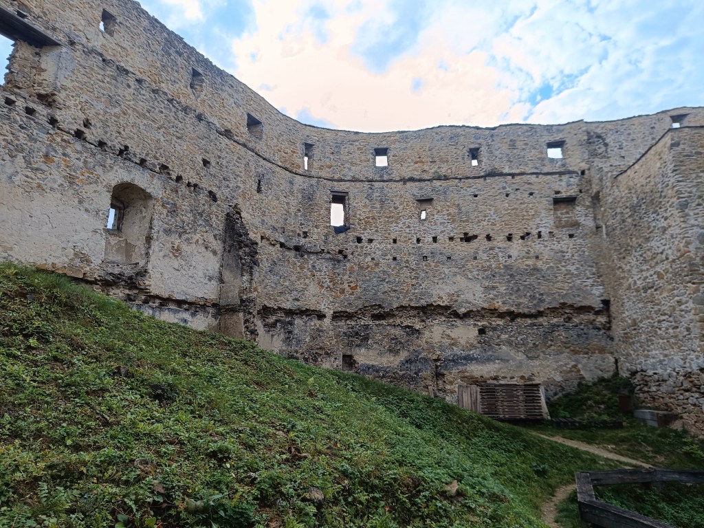
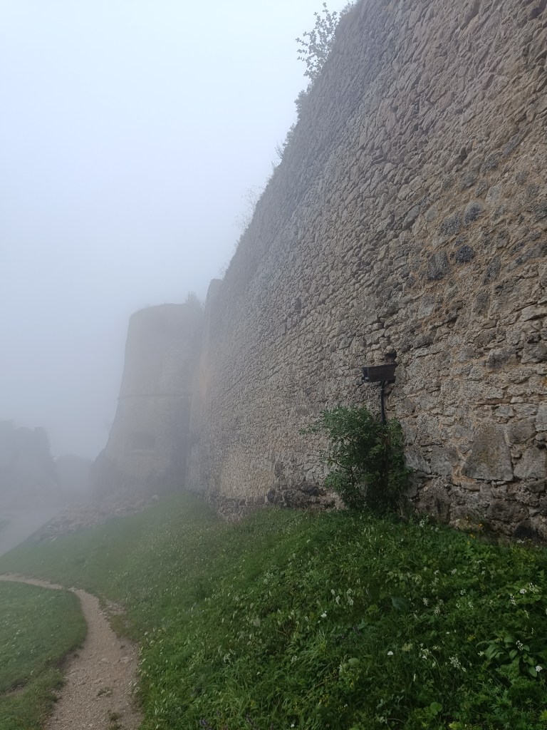
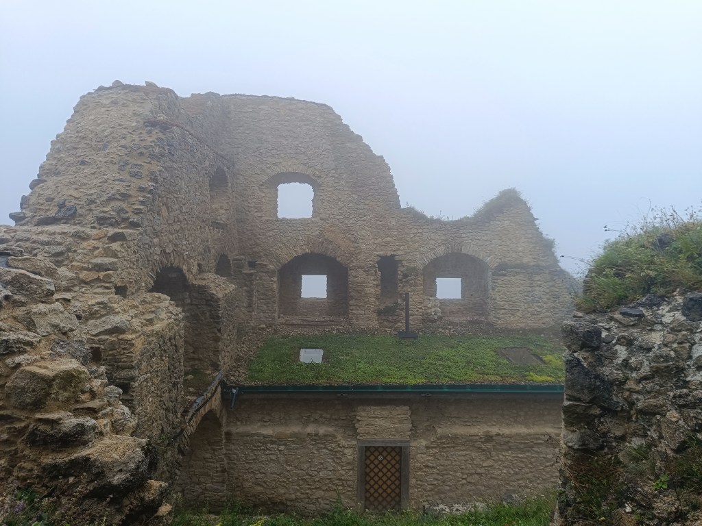
    Walls of Lietava

    In terms of its level of preservation, it is among the largest (1 hectare of built-up area) and most beautifully preserved ruins not only in Slovakia, but also in Central Europe.

    Lietava is pretty big

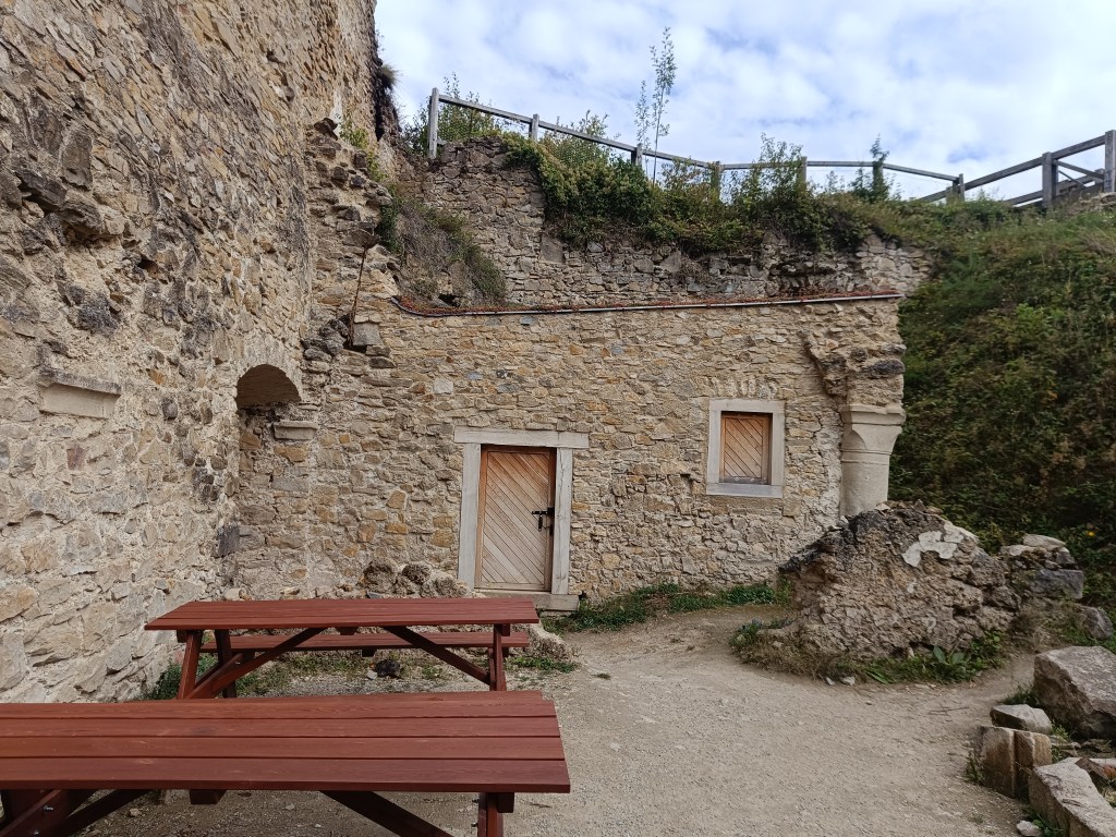
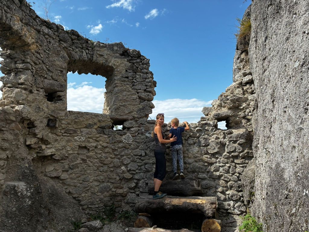
    The demise of the Gothic-Renaissance castle dates back to 1753 and the ruins were abandoned in the forest until 1999. That is when the Lietava Castle Preservation Association was established, which has been saving the buildings since 2003, through sensitive stabilization, conservation and partial restoration. The castle is still a freely accessible ruin.
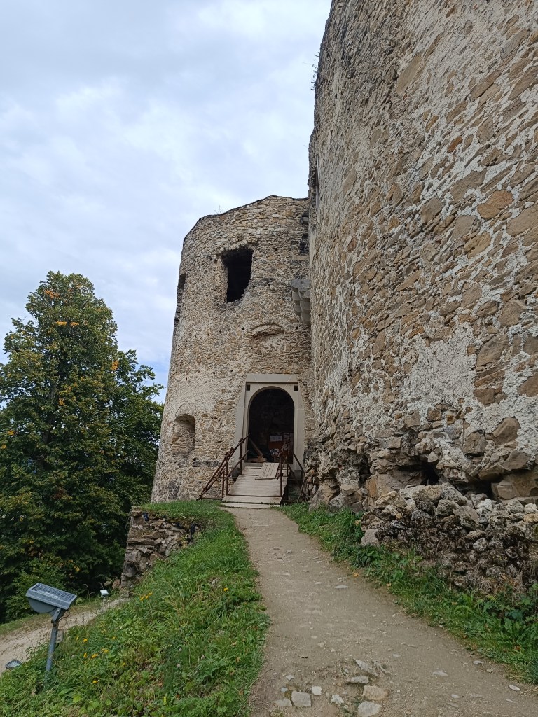
    The castle proudly towers over the landscape and offers a wonderful view of the surroundings. The castle walls of the individual buildings still stand to a considerable height. They have preserved window openings, possibly entrances and architectural details, stone profiled consoles of the former bay window, arched attics, cannon and key loopholes, and in places parts of profiled linings. In the premises of the former chapel, the ramparts of stone Gothic ribs and the remains of plaster on some walls have been preserved.

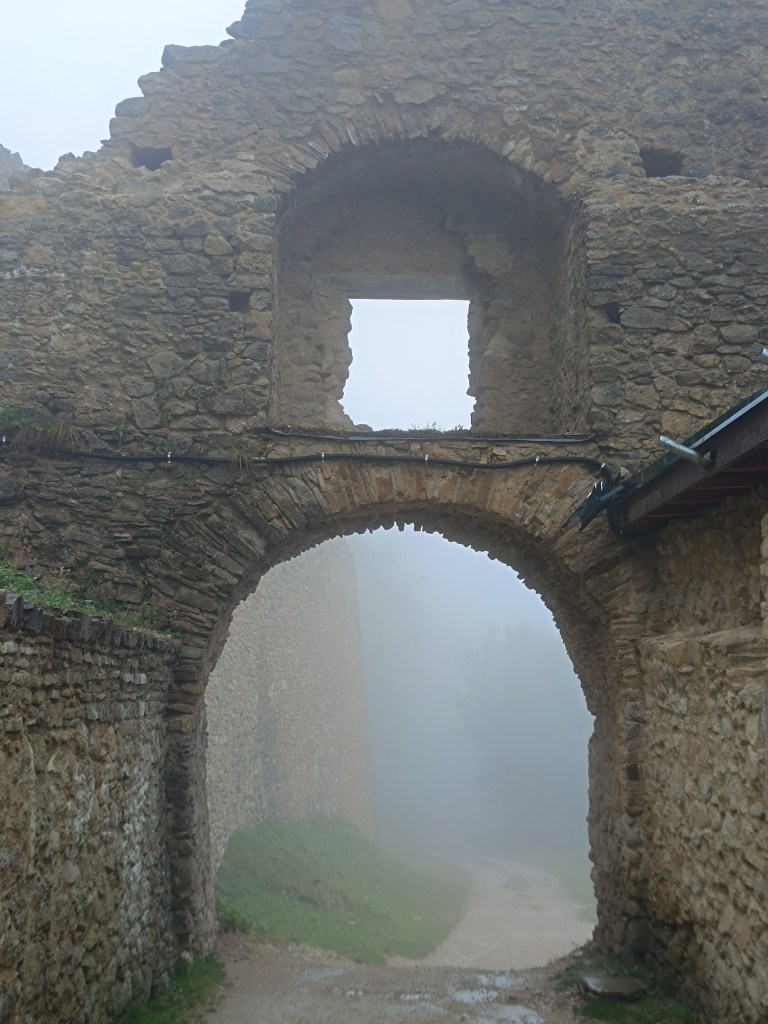
    Entrance gate

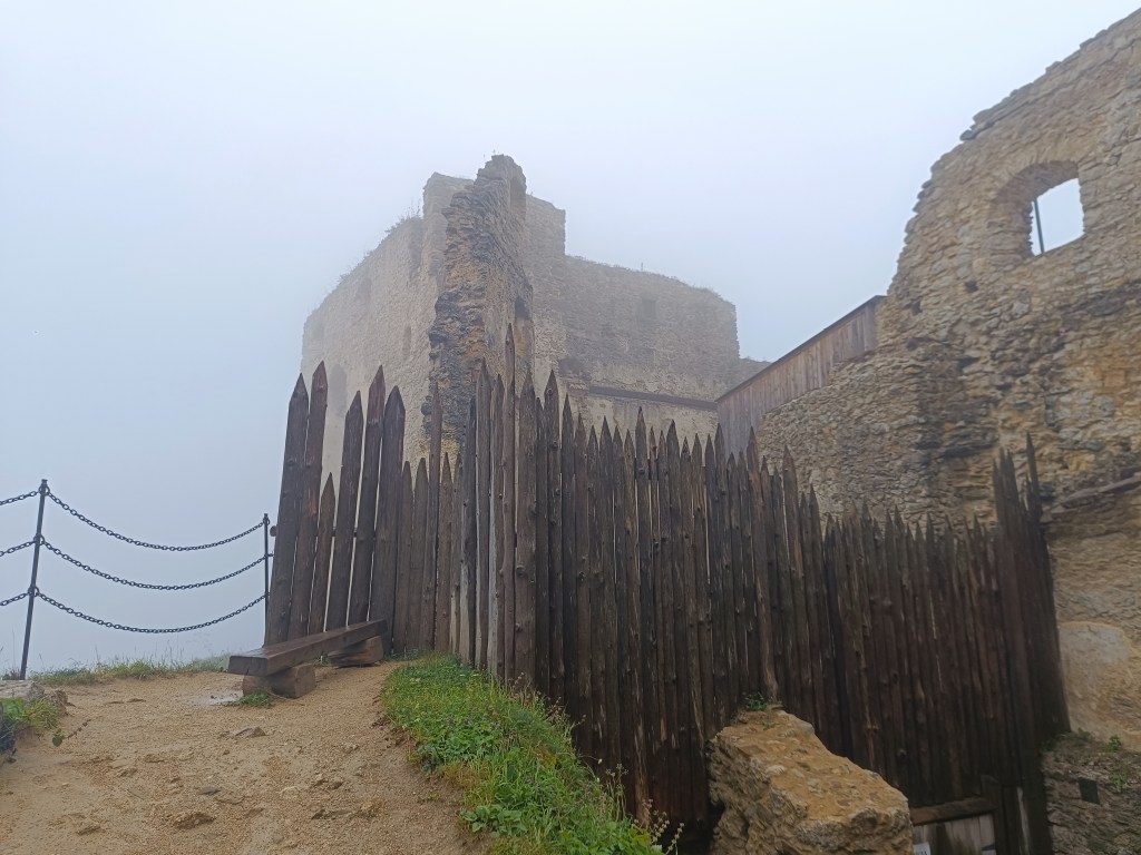
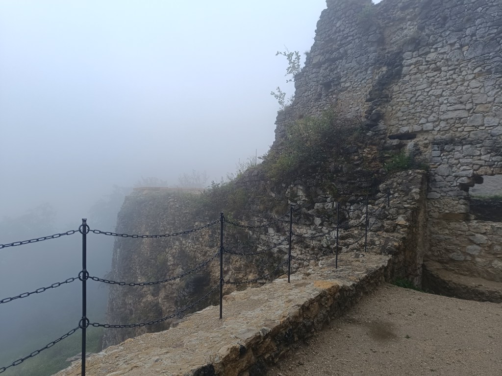
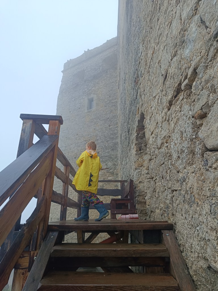
    However, we couldn’t enjoy the views because it rained the whole way up and the castle was surrounded by thick fog.

    Lietava in its most famous times
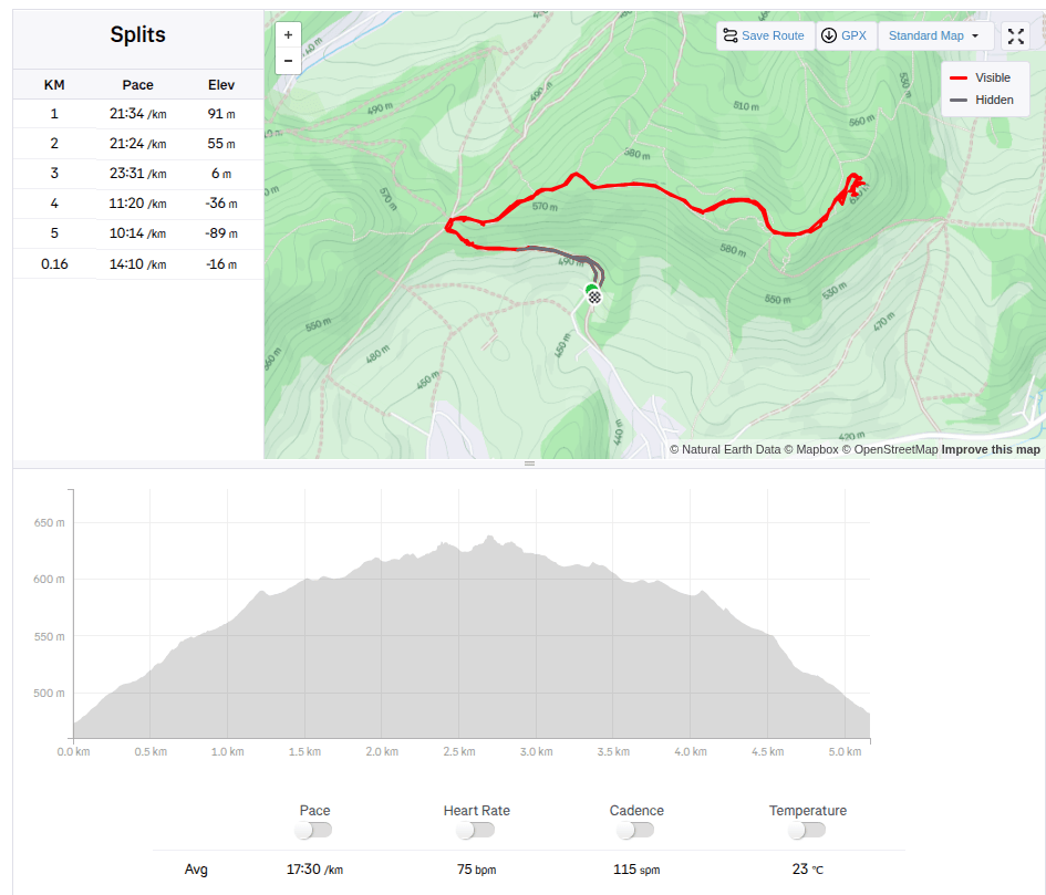
    5.16km, 1h 30 min active time, 2h total
  • Považský hrad a Lietava

    Považský hrad a Lietava

    Máme radi hrady, a najviac sa nám páčia zrúcaniny, ktoré môžeme prebádať sami, bez sprievodcu. A počas nášho víkendu v Súľovských vrchoch sa nám podarili hneď dva takéto hrady.

    Považský hrad je zrúcanina hradu na strmom vrchu na pravom brehu Váhu. Podľa neoverených správ hrad bol postavený už v roku 1128 na ochranu dôležitej považskej cesty. Prvá zmienka je však až z roku 1316, kde sa spomína ako Bystrický hrad.

    Vstup do Považského hradu

    Najstaršou časťou hradu bola veža, stojaca na najvyššom bode brala, a gotický palác. Veľké predhradie oválneho tvaru obklopoval hradný múr, ktorý chránili zo SV dve hranolové veže. Prístupová cesta, vedúca na hrad zo severovýchodu, je v teréne dodnes viditeľná. Vstupnú bránu chránila hranolová veža s barbakanom.

    Zachované múry

    Čiastočne sa zachovali múry paláca, veží a opevnenia. Na paláci sú viditeľné otvory okien, miestami so zachovanými renesančnými rímsami. Z bývalých hospodárskych budov, postavených na nádvorí, sú viditeľné len časti múrov, prípadne ich základy. V niektorých priestoroch sú zvyšky renesančných klenieb.

    2.5km, 1hod

    Hrad Lietava sa nachádza 10 km od krajského mesta Žilina v blízkosti vrchu Cibuľník na východnom okraji Súľovských vrchov.

    Múry Lietavy

    Svojou mierou zachovania patrí medzi najväčšie (rozloha 1 hektár zastavenej plochy) a najkrajšie zachované zrúcaniny nielen na Slovensku, ale aj v strednej Európe.

    Lietava je anozaj veľká hradná zrúcanina

    Zánik goticko-renesančného hradu je datovaný do roku 1753 a zrúcanina bola opustená v lesnom poraste do roku 1999. Vtedy vzniklo Združenie na záchranu Lietavského hradu, ktoré od roku 2003 vykonáva záchranu objektov, formou citlivej stabilizácie, konzervácie a čiastočnej obnovy. Hrad je stále voľne prístupnou zrúcaninou.

    Hrad sa pyšne vypína nad krajinou a je z neho nádherný výhľad do okolia. Hradné múry jednotlivých objektov stoja dodnes do značnej výšky. Majú zachované otvory okien, prípadne vstupov a architektonických detailov, kamenné profilované konzoly bývalého arkiera, oblúčikové atiky, delové a kľúčové strieľne, miestami aj časti profilovaných ostení. V priestoroch bývalej kaplnky sa zachovali nábehy kamenných gotických rebier a na niektorých múroch zvyšky omietok.

    Vstupná brána

    My sme si však výhľady nemohli užiť, lebo celou cestou hore nám pršalo a hrad obklopovala hustá hmla.

    Lietava v časoch svojej slávy
    5.16km, 1h 30 min aktívny čas, 2h spolu
  • Manínska Tiesňava

    Manínska Tiesňava

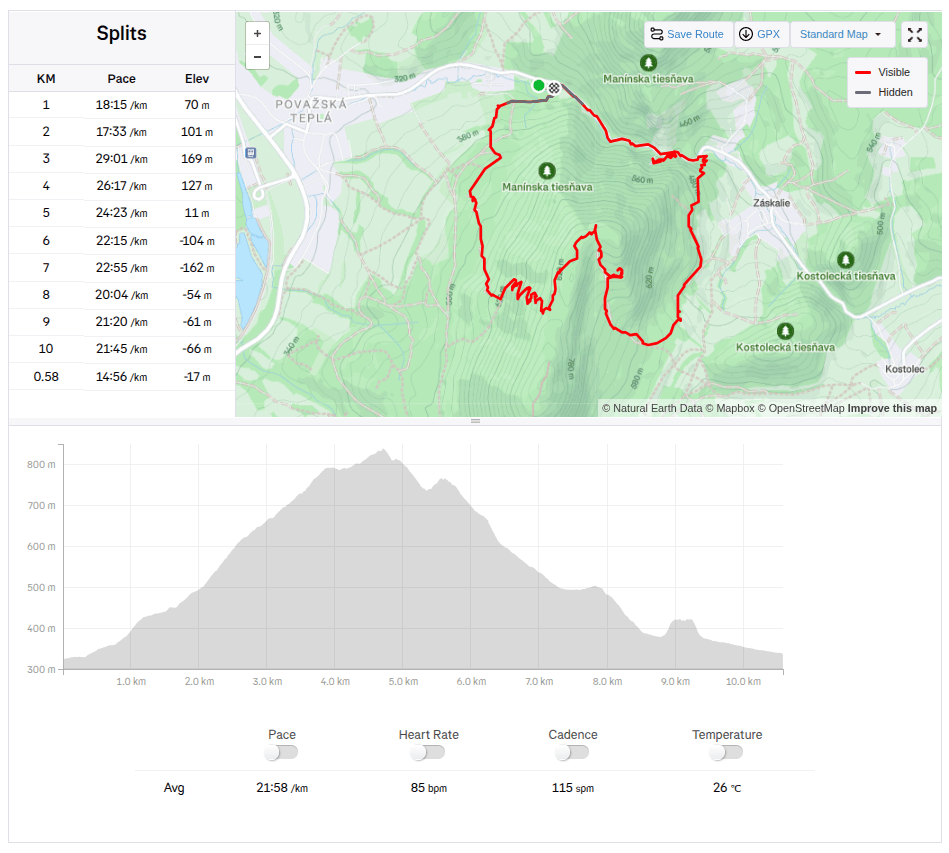
    Since the Manínska tiesňava itself is very short and I didn’t feel like traveling from such a distance just for about 200 meters, we decided to take a circuit through the Partizánska cave and end at the Manínska tiesňava.

    We parked at the campsite below the Manínskov tiesňava, where the yellow tourist sign also starts. The campsite is great with a swimming pool, new kitchen and sanitary facilities, we plan to come back here next year and spend a few nights here:)

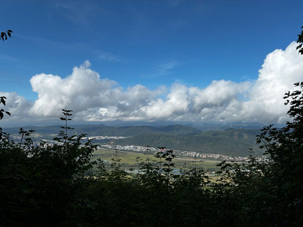
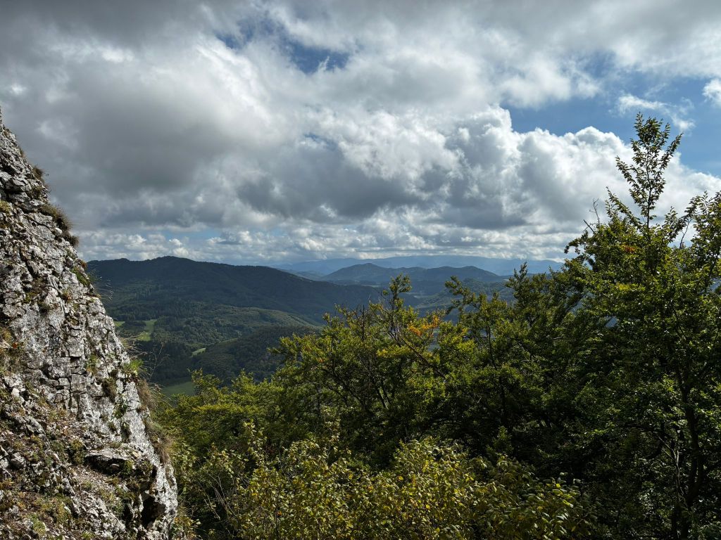
    View from switchbacks

    The sign after about a kilometer starts to climb quite steeply until it turns into switchbacks. Some of them offer a beautiful view of the Považský Castle and the valley in front of it. After climbing the switchbacks, we come to a resting place with a fireplace and prepared wood. However, we have nothing to grill, so we just quickly refresh ourselves and continue to the cave.

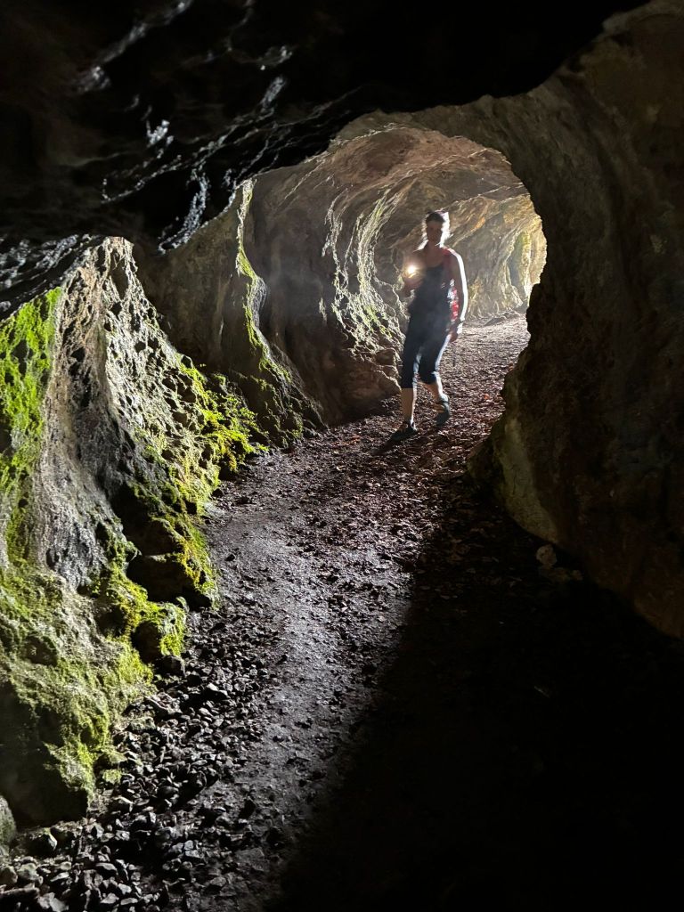
    Partizánska cave, at the end there is almost complete darkness

    Partizánska Cave is a freely accessible cave. It consists of a single passage, approximately 20 meters long. The cave itself is located on the rocky cliff of Veľký Manín and, despite the fact that it does not contain any karst decoration, it was very interesting for us. The last few meters to the cave lead along a rock with safety features. And Dávid loves that.

    View from the cave

    Apparently, just by the name, it will be clear to everyone what this cave was used for. It is a place where partisans hid during the SNP.

    From the cave we descend almost the whole time to the mouth of the Manínska tiesňava.

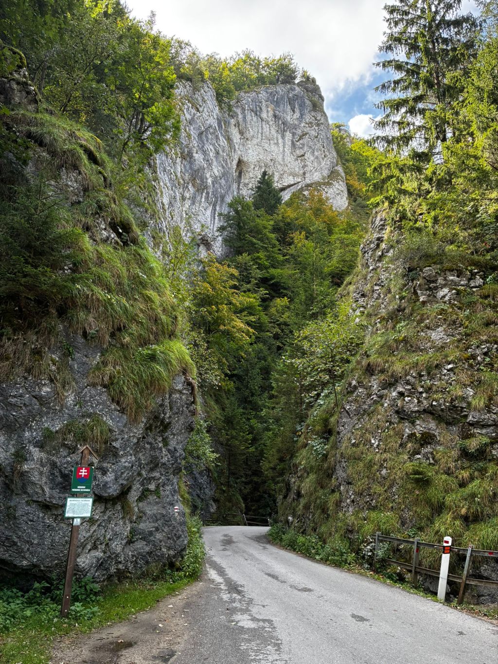
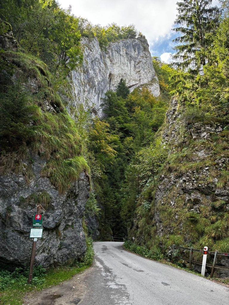
    Manínska tiesňava

    Just 100 years ago, the gorge had a completely different shape. Its rocks were not covered with vegetation, as they are today.

    The narrowest part was impassable for wagons, and the carters had to unload the load, disassemble the wagons and reassemble them after. This was the case until 1933, when part of the cliff was blasted away. At that time, a paved road was built across the gorge.

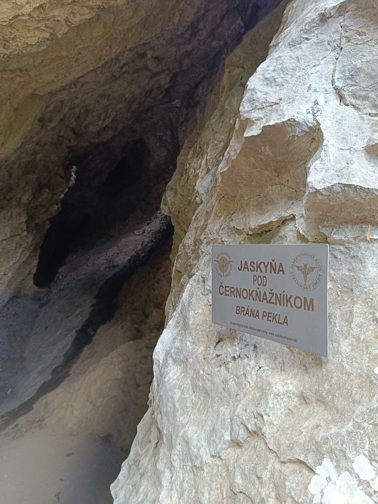
    One more cave

    After passing through the gorge, we turned to the cave under Černokňažník, which was smaller than the Partizánska cave, but we discovered a bat in it and the view was worth it.

    At the time of the hike, Dávid was just 6 years old.

    10.58km, 3h52min active time, 4h 25min total
  • Manínska Tiesňava

    Manínska Tiesňava

    Keďže samotná Manínska tiesňava je veľmi krátka a cestovať z takej diaľky len kvôli cca 200 metrom sa mi až tak nepozdávalo, rozhodli sme sa pre okruh cez Partizánsku jaskyňu a skončiť pri Manínskej tiesňave.

    Zaparkovali sme v kempe pod Manínskov tiesňavou, kde sa zároveň začína aj žltá turistická značka. Kemp je to parádny s bazénom, novou kuchynkou aj sociálnym zariadením, plánujeme sa sem budúci rok vrátiť a prespať tu pár nocí:)

    výhľad zo serpentín

    Značka po asi kilometri začína celkom prudko stúpať až sa zmení na serpentíny. Z niektorých je krásny výhľad na Považský hrad a dolinu pred ním. Po vystúpaní serpentín prichádzame na oddychové miesto s ohniskom a aj nachystaným drevom. My však nemáme čo opekať a tak sa len rýchlo občerstvíme a pokračujeme k jaskyni.

    Partizánska jaskyňa, na jej konci je takmer úplná tma

    Partizánska jaskyňa je voľne prístupnou jaskyňou.Tvorí ju jedna jediná chodba, dlhá približne 20 metrov. Samotná jaskyňa sa nachádza na skalnom brale Veľkého Manínu a aj napriek tomu, že neobsahuje žiadnu krasovú výzdobu, pre nás bola veľmi zaujímavá. Posledných prá metrov k jaskyni vedie ppo skale so zabezpečovacími prvkami. A to Dávid miluje.

    výhľad z pred jaskyne

    Zrejme už podľa názvu, bude každému jasné, na čo táto jaskyni slúžila. Je to miesto, kde sa počas SNP ukrývali partizáni.

    Od jaskyne skoro stále strmo klesáme až po ústie manínskej tiesňavy.

    Manínska tiesňava

    Ešte pred 100 rokmi mala tiesňava úplne iný tvar. Jej skaly neboli obrastené vegetáciou, ako je tomu dnes.

    Najužšie miesto bolo pre vozy neprejazdné a furmani museli náklad vyložiť, vozy rozobrať a opäť zložiť. Bolo tomu tak do roku 1933, kedy bola odstrelená časť brala. V tom čase bola cez tiesňavu vybudovaná spevnená cesta.

    Na záver ešte jedna jaskyňa

    Po prejdení tiesňavou sme ešte zabočili k jaskyni pod Černokňažníkom, ktorá bola síce menšia ako Partizánska jaskyňa, zato sme v nej objavili netopiera a výhľad tiež stáli zato.

    V čase túry mal Dávid čerstvýh 6 rokov.

    10.58km, 3h52min aktívny čas, 4h 25min spolu
  • Súľov castle

    Súľov castle

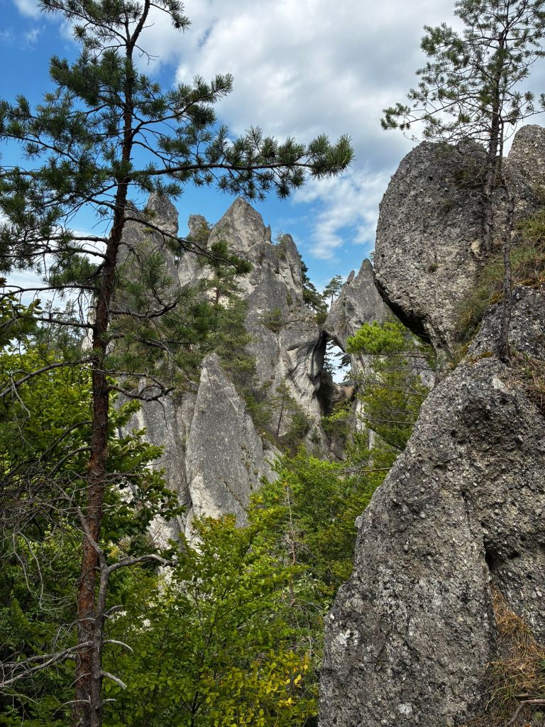
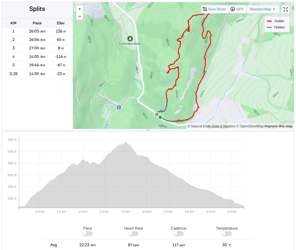
    Súľov Castle is located on a popular tourist route through the Súľov Rocks. Súľov Castle is built on a rocky cliff and offers beautiful views. The hike leads along an educational trail – it is an approximately 5km circuit with 17 stops.

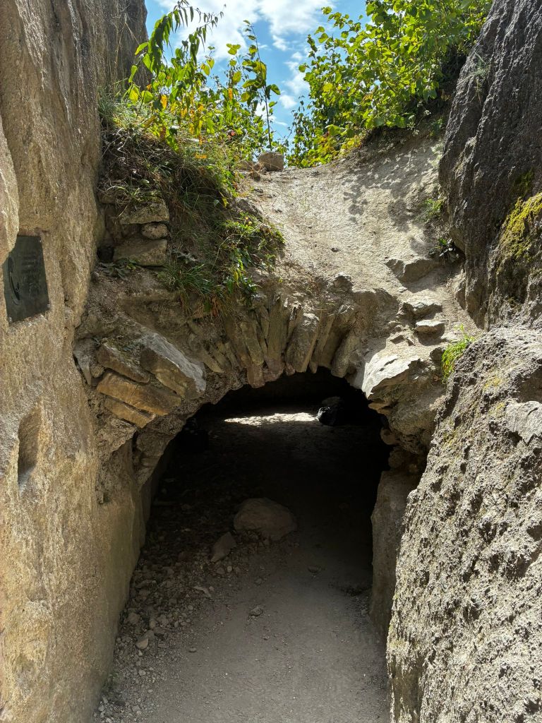
    rock window

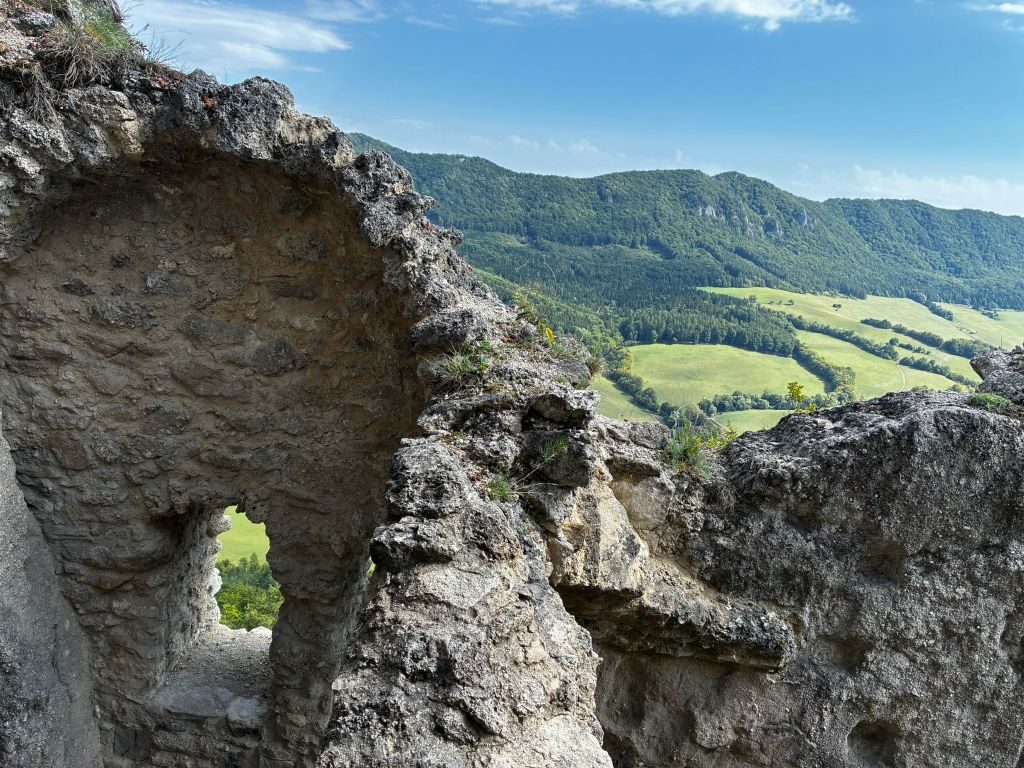
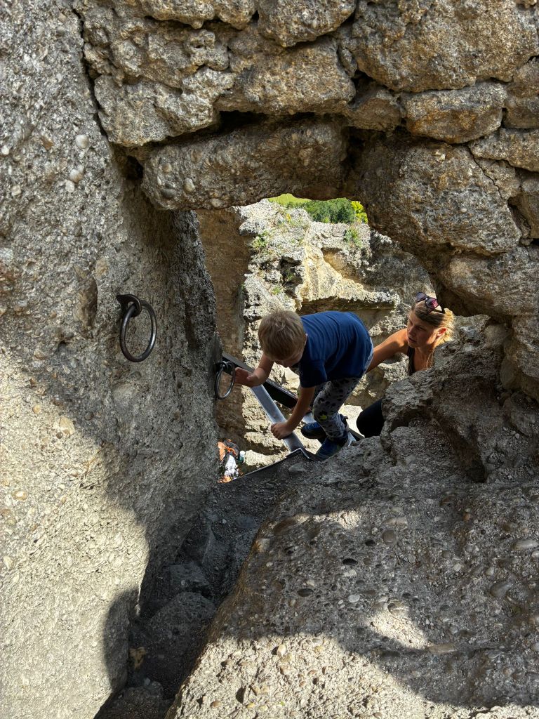
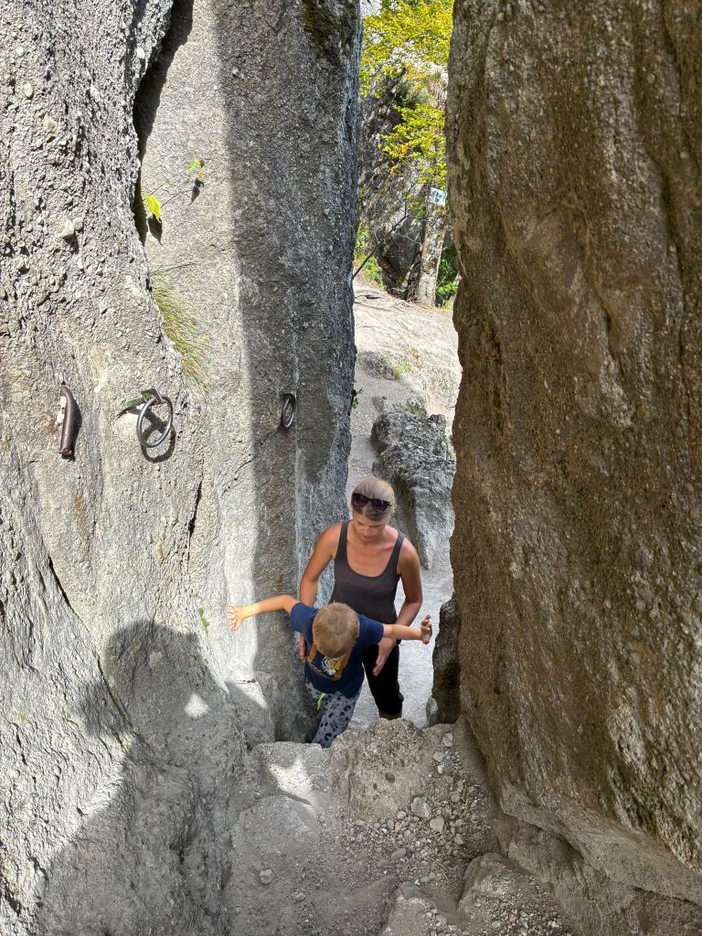
    The castle was built in the 13th century to protect a nearby road. It is also considered one of the most difficult castles to access in the area. The castle was built between three massive rock formations. The ruins still show how the foundations of the castle adapted to the terrain. The castle complex consisted of an upper and lower castle, with an estimated distance of 25 meters between the two parts of the castle, and a height difference of 14 meters from the level of the lower castle to the first floor of the upper castle. The height of the ruins is approximately 18 meters.
    to the castle

    The foundations of the buildings and traces of beams and anchors of the vault cut into the rock, as well as slight remains of walls with window openings, have been preserved from the constructions.

    In the lower castle, a part of the palace with an observation platform on its supporting rock is preserved, the entrance to the castle with an embrasure in the rock and a dug-out rock gorge before the entrance to the upper castle are also noticeable.

    In the upper castle, in the middle palace there is a vault and traces of a stone staircase, a rock pylon, which bears traces of a staircase and at which one enters the highest part of the castle with traces of a cistern and a lookout tower through a hole in the masonry and an iron ladder.

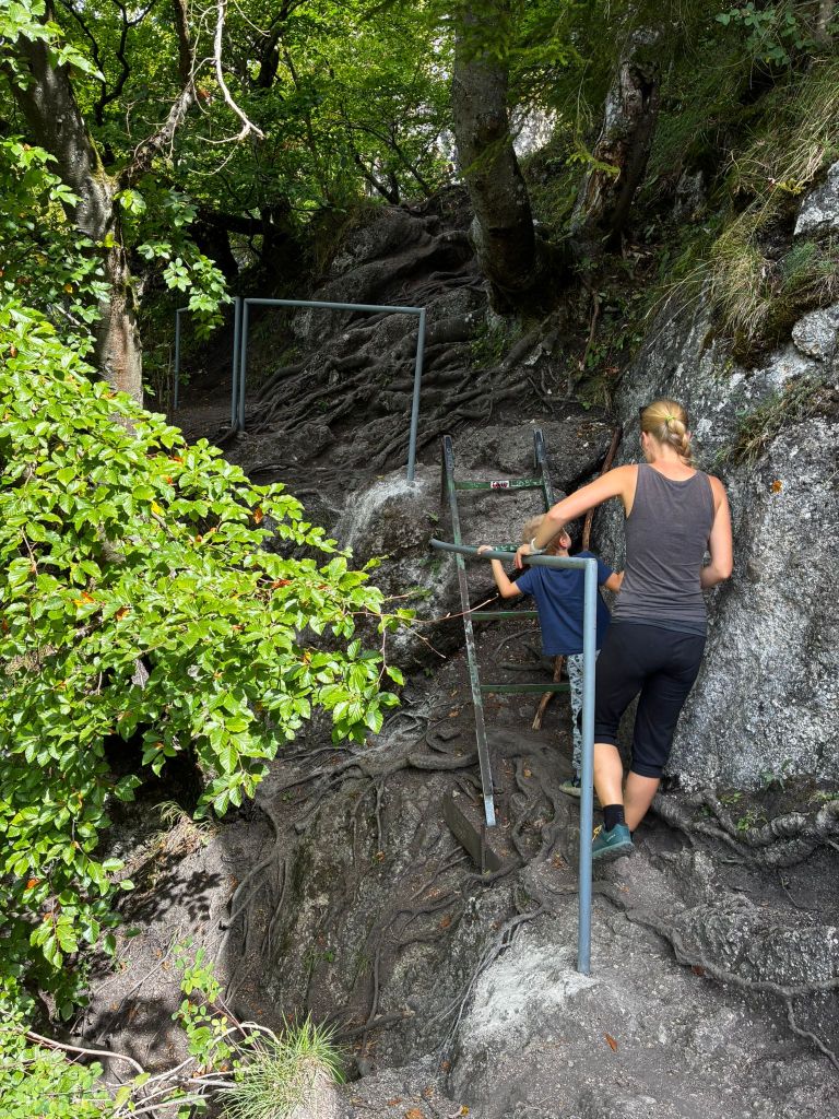
    path from the castle

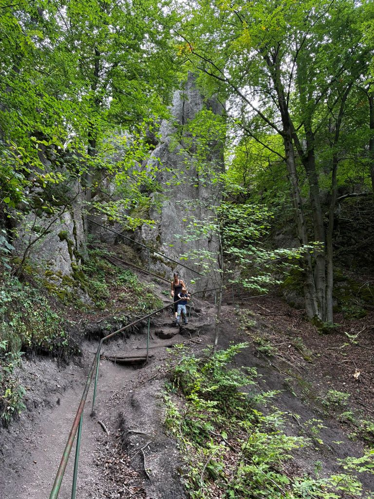
    The path from the castle is quite slippery for the first few hundred meters and even though there are handrails, it is still quite an adrenaline rush. But we managed it without falling. At the time of the hike, David was just 6 years old.

    5,28km, 1h 58min active time, 2h 53min total
  • Súľovský hrad

    Súľovský hrad

    Súľovský hrad sa nachádza na obľúbenej turistickej trase cez Súľovské skaly. Hrad Súľov je postavený na skalnom brale a ponúka krásne výhľady. Túra vedie náučným chodníkom – ide o cca 5km okruh so 17timi zastávkami.

    skalné okno

    Hrad vznikol v 13. storočí s cieľom ochrany neďalekej cesty.  Považuje sa tiež za najťažšie prístupné hrady tejto oblasti. Hrad bol postavený medzi troma mohutnými skalnými útvarmi. Na ruine možno ešte rozoznať, ako sa základy hradného objektu prispôsobovali terénu. Hradný areál sa skladal z horného a dolného hradu, pričom vzdialenosť medzi týmito dvoma časťami hradu možno odhadnúť na 25 metrov, výškový rozdiel od úrovne dolného hradu k podlažiu prvého poschodia horného hradu je 14 metrov. Výška ruiny je približne 18 metrov.

    cestou na hrad

    Zo stavieb sa zachovali základy budov a stopy po trámoch a kotveniach klenby vysekané v skale a nepatrné zvyšky múrov s otvormi po oknách.

    V dolnom hrade je zachovalá časť paláca s rozhľadnou plošinou na jeho opornej skale, badateľný je aj vstup do hradu so strieľňou v skale a prekopaná skalná tiesňava pred vstupom do horného hradu.

    V hornom hrade je v strednom paláci klenba a stopy po kamennom schodišti, skalný pylón, ktorý nesie stopy po schodišti a pri ktorom sa dierou v murive a železným rebríkom vchádza do najvyššie položenej časti hradu so stopami po cisterne a rozhľadnej veži.

    Cestou z hradu

    Chodníček z hradu je na prvých pár 100 metroch dosť vyšmýkaný a aj keď sú k dispozícií zábradlia, aj tak ide o celkom adrenalínovú záležitosť. Ale zvládli sme to bez pádu. V čase túry mal Dávid čerstvýh 6 rokov.

    5,28km, 1h 58min aktívny čas, 2h 53min spolu
  • SNP Girl’s project day 8

    SNP Girl’s project day 8

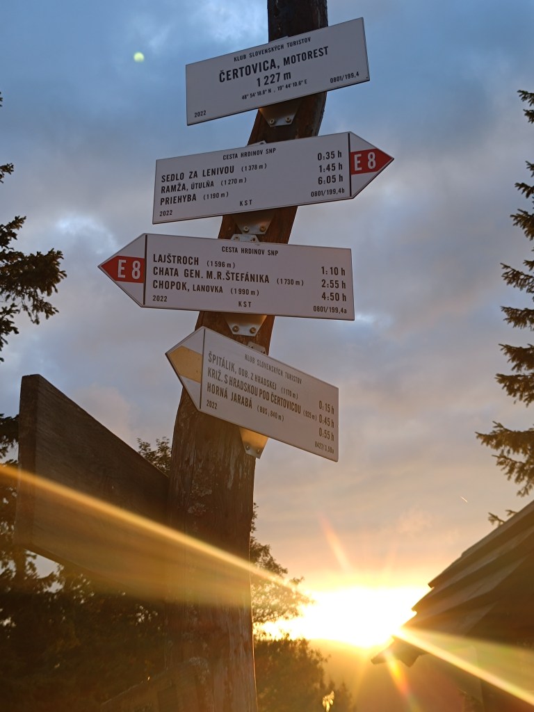
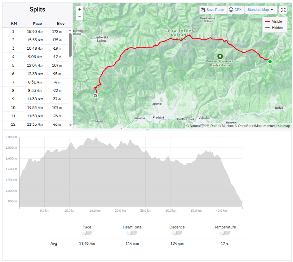
    Another stage of our journey on the SNP , this time from Čertovica to Hiadeľské sedlo.

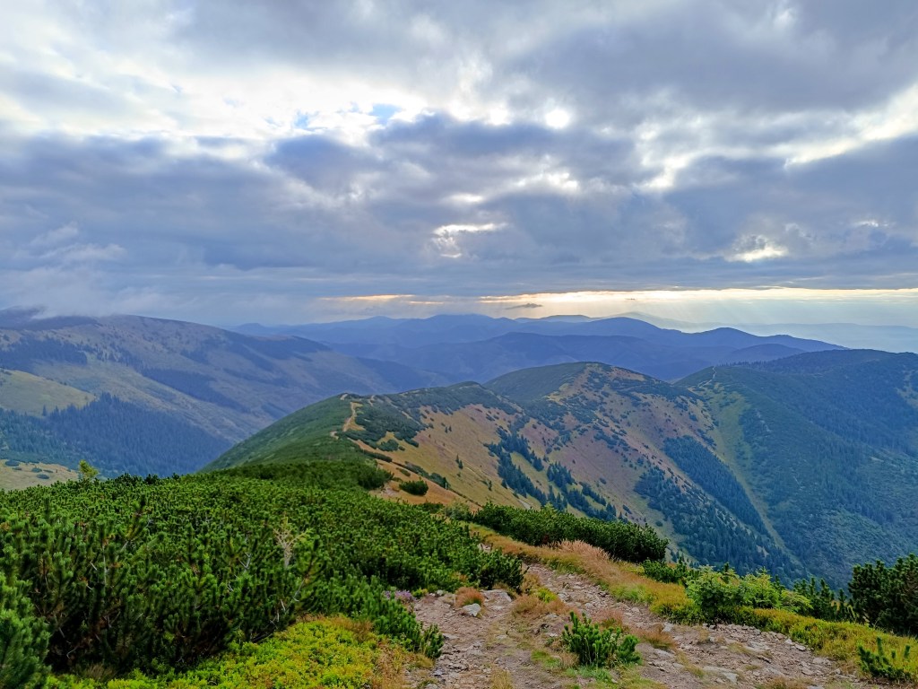
    For us, one of the most beautiful stages along the ridge of the Low Tatras, a bit more demanding in terms of logistics and also in terms of weather. We were mainly afraid of getting overheating, because on this part of the ridge you can only refill your water at mountain huts and surprisingly, in the end we were cold 😀 The 5 degrees in the morning barely climbed to 10 during the day and in the wind the feeling temperature was even lower. Half the way I ran with gloves and a headband was also a must. A day later it even snowed in the High Tatras.

    starting point – čertovica

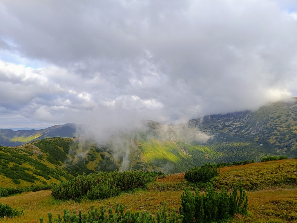
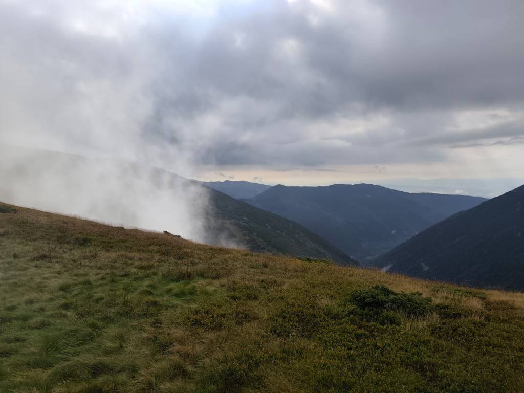
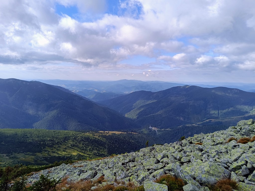
    The main peaks were in the clouds, but we still enjoyed the beautiful views. Also, this stage was much more visited by tourists than the previous ones.

    Clouds rolled over the hills all day

    From Čertovica, it starts with a climb to Kumštove sedlo, there are ripe raspberries and blueberries everywhere along the path, and higher even cranberries. But there really wasn’t time to graze on them. After less than 2 hours, we are at the M. R. Štefánik hut, but we don’t stop, bacause we plan to have coffee on a Kamenná hut. From štefánik hut, the path is much more technical, we pass through stone fields, which slows down our progress considerably, and we slowly start to feel hungry.

    Lucka on the way to Stefánik hut

    After three hours we arrive at Kamienná hut, where we enjoy a coffee, a great tea made from mountain herbs and a bun. 15km, 3 hours and 1100 meters climbed. Today will be a full-day trip 🙂

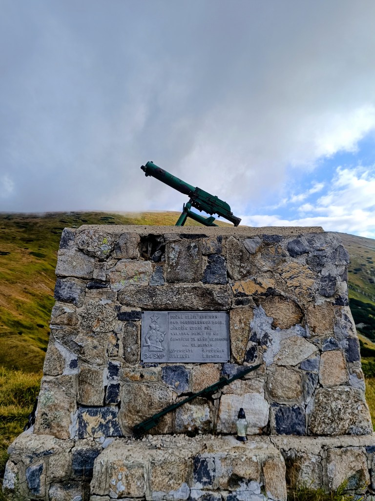
    Monument for the heroes of Slovak National Uprising (SNP)

    We continue through Dereše, Poľana, Chabenec to the saddle above the Ďurková shelter, where Jožko separates from us and returns to get the car. Lucka and I decide not to stop, we have enough water and it is not so hot that we have to refill it. We have covered 26km in almost 5 hours and we are eating another bun. Today we eat a lot 😀

    We are heading to Chochuľa, where we should meet Miloš and run the rest of the ridge with him. Lucka and I are really enjoying the ridge, even though I am cold sometimes, mainly on the higher peaks. Miloš is fast and manages to run down to the saddle under Skalka. Our legs are already quite tired and there are still 12km to go.

    We manage to run slowly most the time, but when we cross Prašiva, we slow down completely to a walk, the steep terrain and gravel pose too much of a risk of slipping for Lucka, her legs are tired and she’s afraid of falling. Actually, I don’t mind at all and I walk with her, my legs are already pretty sloppy.

    Mountain meadows

    We reach the Hiadeľ saddle and memories come flooding back to us of how we started the stage to the Šturec saddle at this very place. We walk down the steep slope, but when we get down to the asphalt, we heroically start running and run all the way to the car. A non-alcoholic radler, flip-flops and a dry T-shirt make us perfectly happy people:D We meet Jožko in a restaurant, where we have a late lunch of the size of “I ran all day”. It was great.

    44.19km, 8h 42 min active time (9:07 total), 2277m ascend

  • SNP Girl’s projekt deň 8

    SNP Girl’s projekt deň 8

    Ďaľšia etapa našej cesty SNPčkou, tentokrát z čertovice do Hiadeľského sedla.

    Pre nás jedna z najkrajších etáp hrebeňom Nízkych Tatier, o niečo náročnejšia na logistiku a aj na výber počasia. Báli sme sa hlavne aby sme sa neupiekli, lebo na tejto časti hrebeňa sa voda dá doplniť len na horských chatách a nakoniec nám bolo zima:D Ranných 5 stupňov sa cez deň vyšplhalo sotva na 10 a na vetre bola pocitovka ešte nižšie. Polku cesty som bežala s rukavicami a aj čelenka musela byť. O deň neskôr vo Vysokých Tatrách dokonca nasnežilo.

    štartovací bod – čertovica

    Hlavné vrcholy sedeli v oblaku, ale aj tak sme si užili krásne výhľady. Aj turisticky bola táto etapa omnoho navštevovanejšia ako tie tie predošlé.

    Oblaky sa prelievali cez kopce celý deň

    Z čertovice sa začína stupákom do Kumštovho sedla, všade popri chodníčku sú zrelé maliny a čučoriedky, dokonca vyššie aj brusnice. Ale na ich spásanie veru nebolo času. Po necelých 2 hodinách sme pri chate M. R. Štefánika, ale nezastavujeme, máme v pláne až kávu na kamienke. Od štefáničky je už chodník oveľa viac technickejší, prechádzame kamennými poliami, čo náš postup značne spomaluje, a pomaličky začíname cítiť aj hlad.

    Lucka cestou na Štefáničku

    Po troch hodinách dorážame na Kamienku, kde si vychutnávame kávičku, parádny čaj z horských bylín a žemlu. 15km, 3 hodiny a 1100 nastúpaných metrov. Dnes to bude celodenný výlet:)

    Aj o tomot je cesta hrdinov SNP

    Pokračujeme cez Dereše, Poľanu, Chabenec až do sedla nad útuľňou Ďurková, kde sa od nás odpája Jožko a vracia sa späť po auto. S Luckou sa rozhodujeme nezastavovať, vody máme dosť a nie je až také teplo aby sme ju museli nutne doplniť. Máme zasebou 26km v čase skoro 5h a v nás mizne ďaľšia žemľa. Dnes nám chutí:D

    Smerujeme na Chochuľu, kde by sme sa mali stretnúť s MIlošom a zvyšok hrebeňa dobehnúť s ním. Hrebeň si s Luckou naozaj užívame, i keď mne je miestami zima. Miloš je rýchly a stíha zbehnúť až do sedla pod Skalkou. Nohy už máme celkom unavené a do cieľa ešte 12km.

    Pomaly to odsýpa, ale keď prejdeme Prašivú, spomalujeme úplne do kroku, strmý terén a šotolina predstavuje pre Lucku priveľké riziko zbiehania, má unavené nohy a bojí sa aby sa nepotkla. Popravde, nijak mi to nevadí a kráčam s ňou, nohy mám už tiež celkom pekne rozflákané.

    horské lúky

    Dostávame sa do hiadeľského sedla a natískajú sa nám spomienky ako sme práve v tomto mieste začínali etapu do sedla Šturec. Strminu kráčame, ale keď zlezieme na aspfalt, hrdinsky sa rozbiehame a bežíme až k autu. Radler, šlapky a suché tričko z nás robí dokonale šťastných ľudí:D S jožkom sa stretávame v reštike, kde dávame neskorý obed o veľkosti “celý deň som bežala”. Bola to paráda.

    44.19km, 8h 42 min aktívny čas (9:07 total), 2277 nastúpaných metrov