-
Vyhne, Repište, Červená Studňa
Running at the beginning of March can still be treacherous, there can still be quite deep snow fields in the mountains, especially in shady sections the snow sometimes last until May. So we chose the route at lower altitudes. And this route is absolutely ideal for spring, it is runnable, often leads through meadows that would be too hot from the sun in summer. And in the middle of the hill there is a Hájovňa, where you can buy coffee, radler, cookies…
I recommend the route in this direction, with the first stop near Repiste, where Marcus Castle is located. It is a replica of a medieval castle, which was built only in the 21st century. It includes the Chapel of St. Barbara, which is one of the stops on the Barbora Trail. The chapel stands on the spot where miners once stopped on their way to work and prayed to their patron saint for good luck and protection. However, you will not be able to get to the bottom, as it is private property that is not accessible to the public.
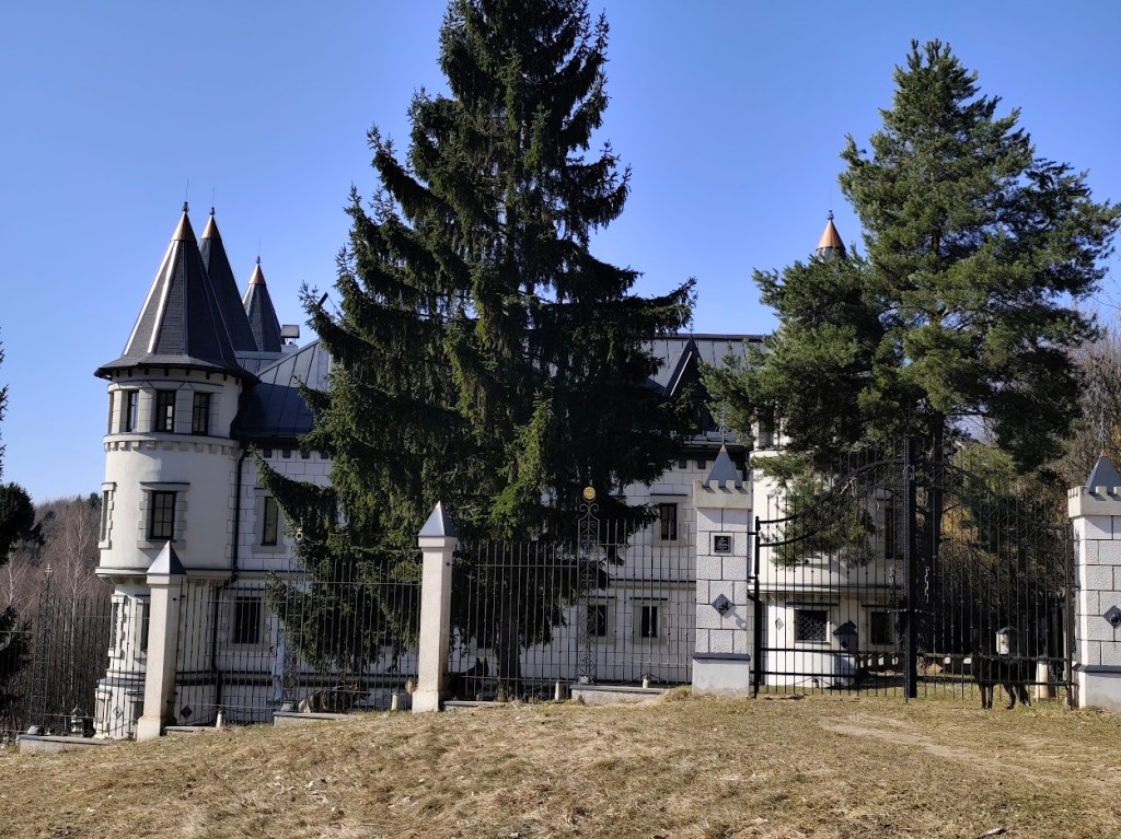
Marcus From the Marcus Castle we continue along the Barborska Road to the Červená Studňa saddle, where the Červená Studňa tajch and Hájovňa are located. The construction of the tajch was designed by J. K. Hell. He wanted to use its strategic location to build a driving ditch that would bring water to the Amália shaft to power a water column pumping machine.
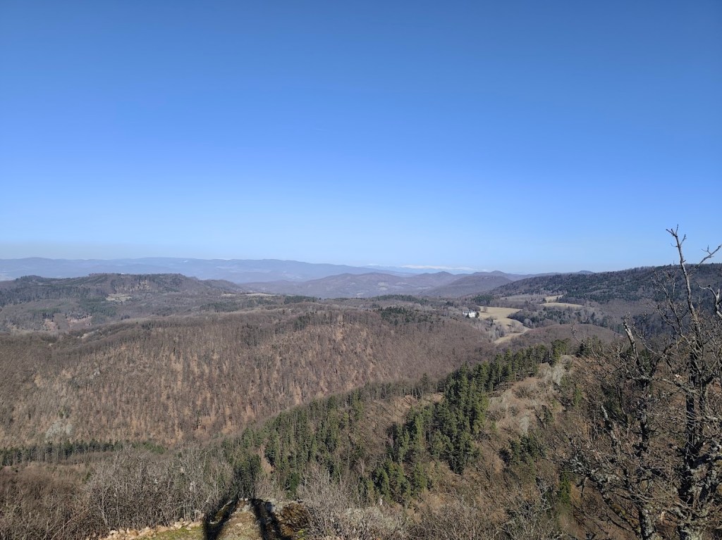
This route has a lot of beautiful views We had coffee and a radler in Hájovňa, and since it was warm, we enjoyed them in the sun on a bench in front of Hájovňa. Back to Vyhne we went along the ridge on the opposite side of the valley, along the Andrej Kmeť educational trail. This is a nice cycle path, which also offers views of the Marcus Castle. We turn off cycle path to follow yellow marking and to see the views from Jelenia skala. From its top, under favorable conditions, you can see the beautiful landscape from Tribeč to the Low Tatras. From the surrounding hills, you will see Vtáčnik, Kremnické vrchy or Pohronský Inovec.
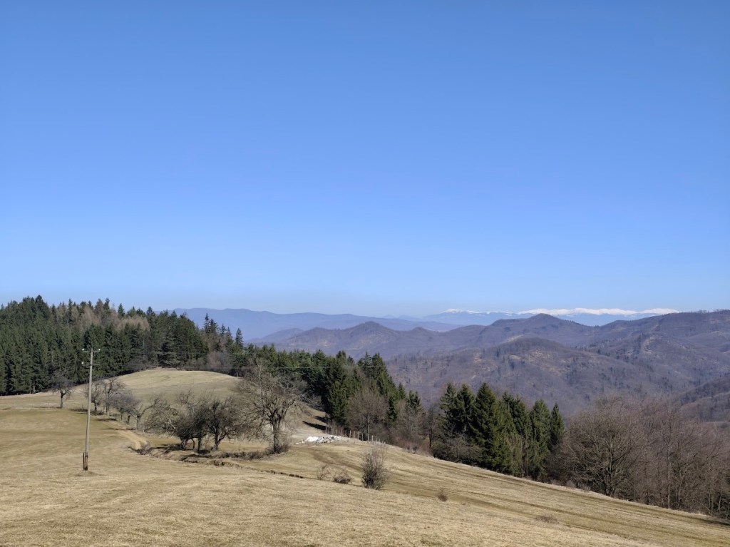
Snow covered Lower tatras in the background From Jelenia skala we descend along the green path down to the valley and make up for the lost meters by climbing steeply along an unmarked forest path. We reach a not-so-used green tourist trail and follow it, descending slightly, to Hájska skala.
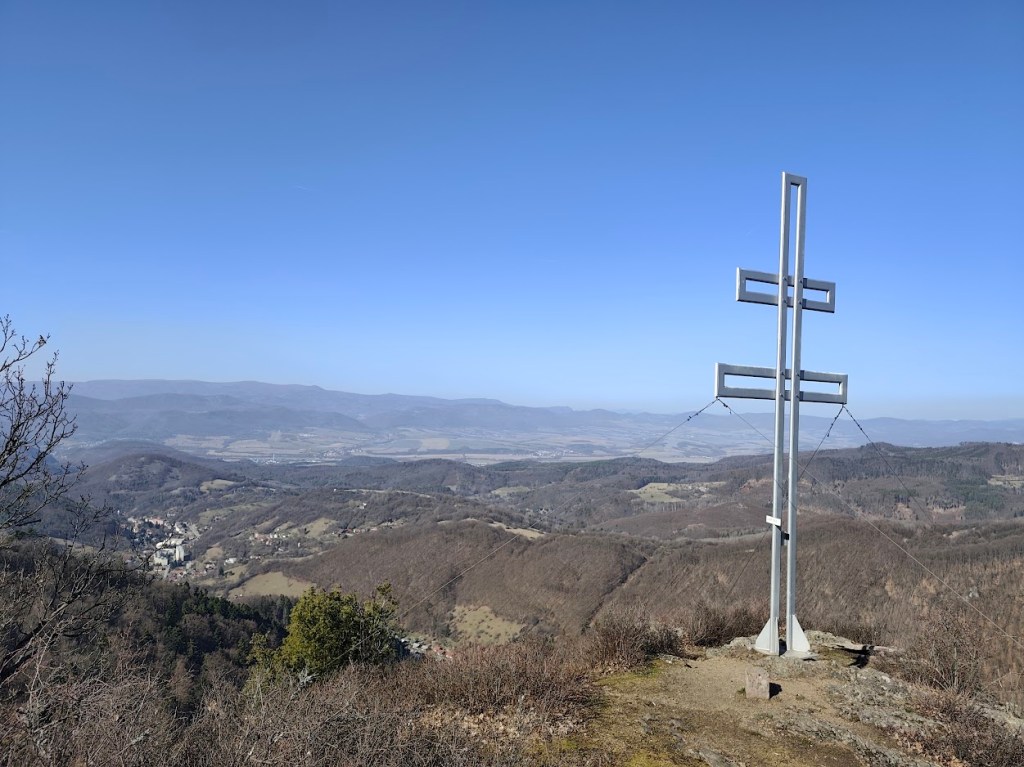
Cross on the top of Jelenia skala We return to the parking lot past the spa chapel of Our Lady of the Crown. This is an early work of the famous architect Ladislav Hudec. It survived the devastating spa fire in 1945 and today stands on a hill above the village as a monument to the spa’s past glory, hiding a sculpture of St. John of Nepomuk.
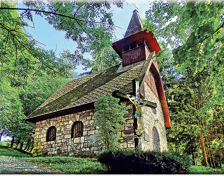
The chappel (source internet) 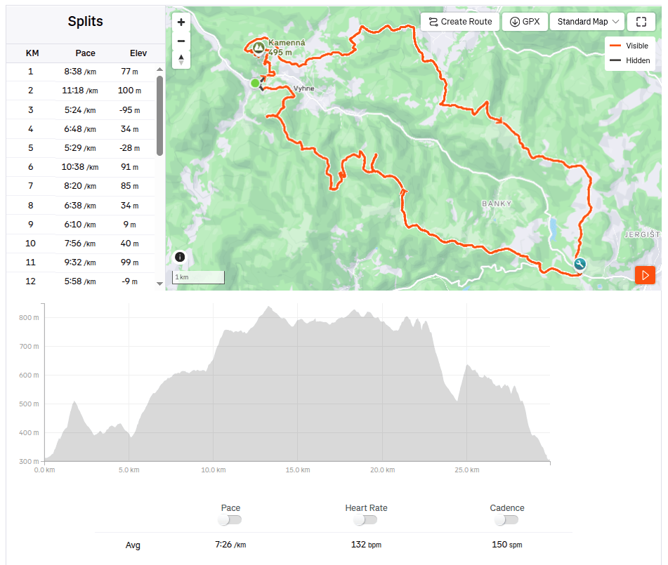
29.93km, 3:42 active time, 4:18 total, 1233 m ascend -
Stone sea in Vyhne
Spring and sun are finally here. Although nothing is green yet, you can already see the first flowers, even butterflies. And with that, more opportunities to rummage around outside. This time we went around Vyhne, to see Hájska skala and stone sea.
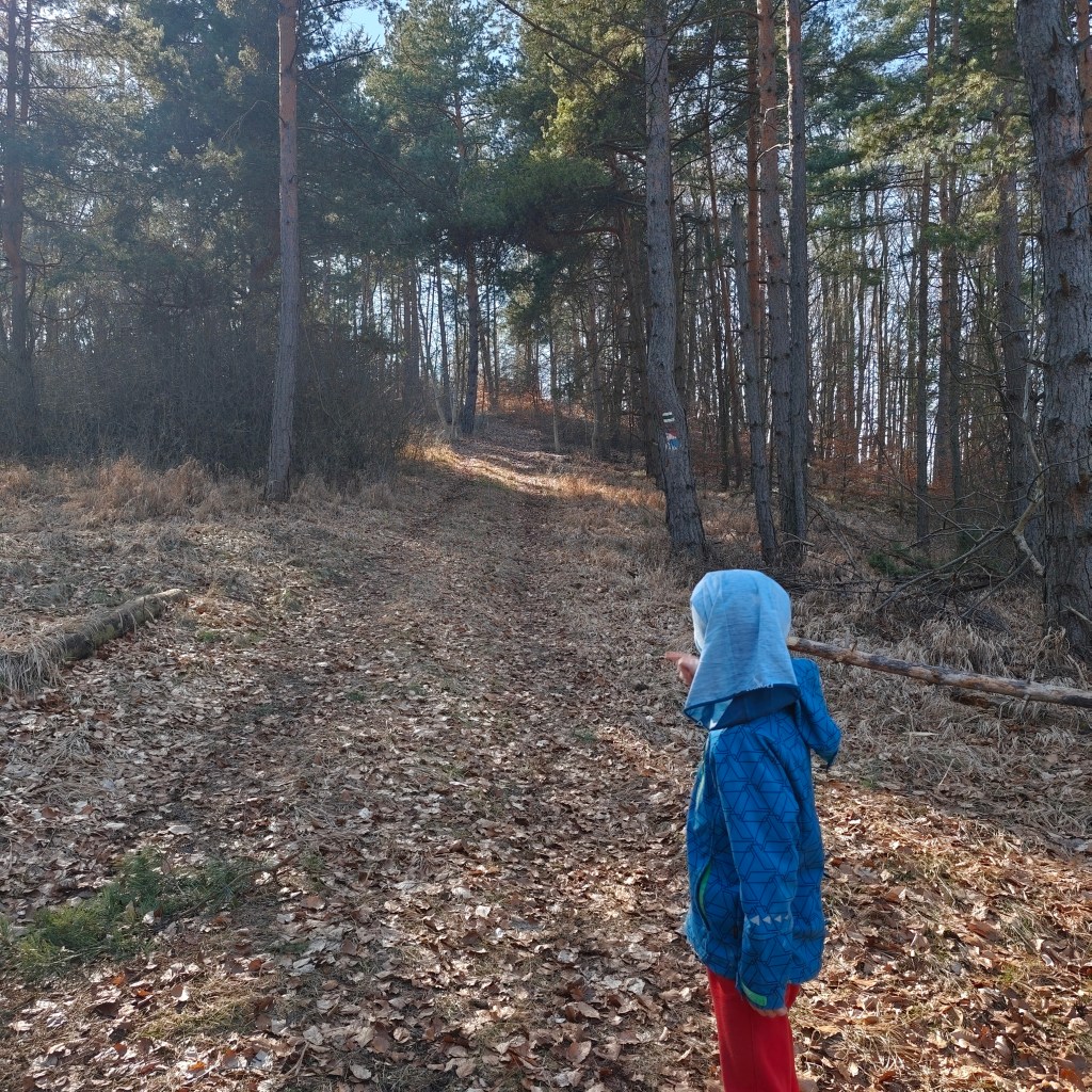
On the way to Hájska skala Hájska skala is a view point in the village of Vyhne, only 1.3 km away from the parking lot, along a nice narrow path between the trees. And it offers great views.
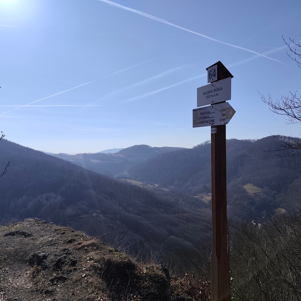
Hájska skala Stone sea is located on the opposite hill, so we have to go down from Hájská skala again to Vyhne and climb another hill. The stone sea in Vyhne is the largest rhyolite stone sea in the volcanic part of the Carpathians.
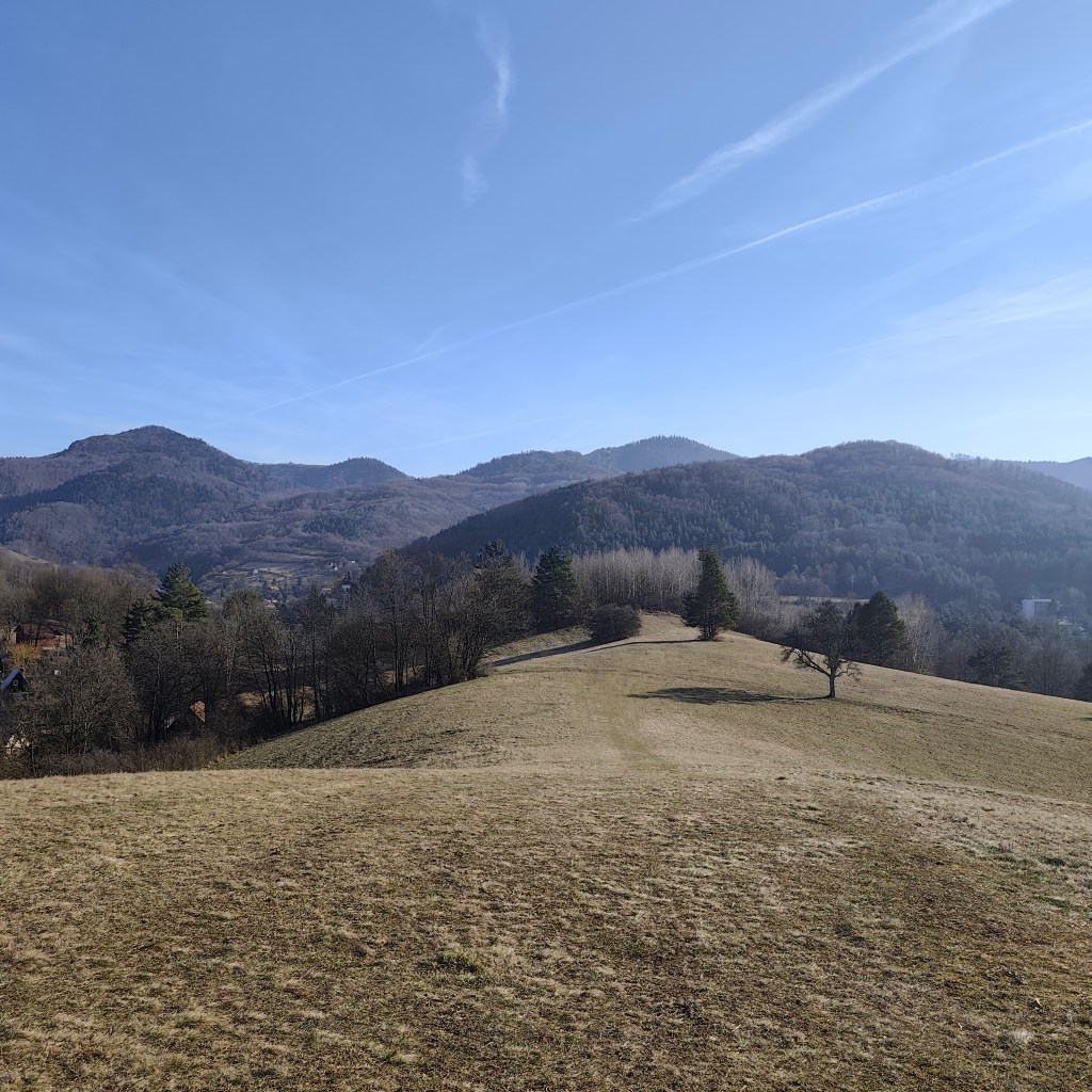
Local meadows In the past, rhyolite was mined in these places, which was also used for the production of millstones for several decades. This activity severely damaged the steep slope, and the higher debris therefore collapsed a significant part of the slope. Stone mining was stopped here in 1936, thanks to the declaration of the Stone Sea as a nature reserve.
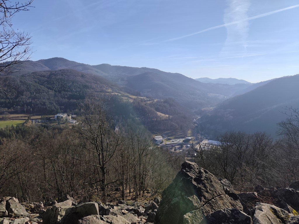
Viewpoint on the top of stone sea For Dávid, it was the best part of the trip, because he could jump and climb on rocks, and he loves it. The footpath was barely visible, so it was necessary to actively search for the path and markings.
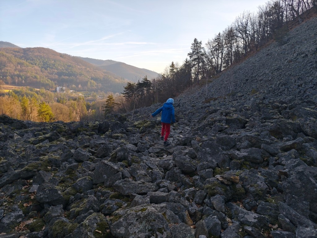
The tourist sign leads directly through the stone sea 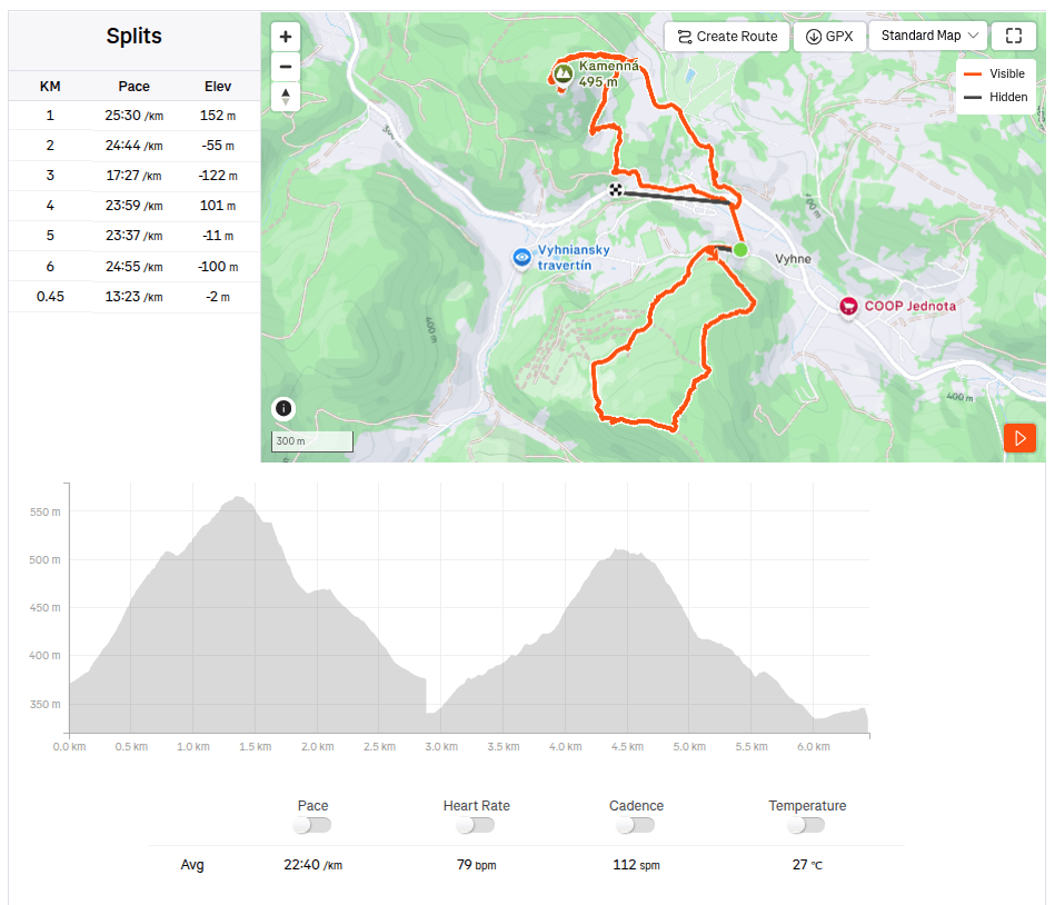
6.5km, 2h 26min, 388 m ascend
-
Subscribe
Subscribed
Have a WordPress.com account? Log in now.

