Tag: hiking

  • Jegihorn (Switzerland 2026)

    Jegihorn (Switzerland 2026)

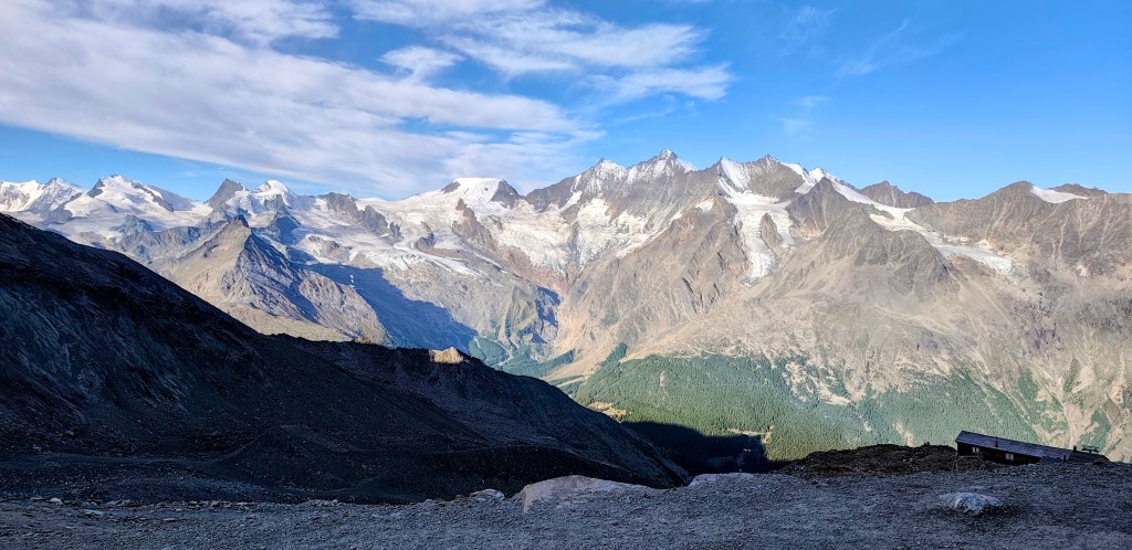
    In the morning, we drove from GrΓ€chen to Saas-Grund, where we bought one-way cable car tickets to Hohsaas (the adult fare was 37 francs). The cable car took us from an altitude of 1,550 meters up to a stunning 3,140 meters, saving us half a day of hiking πŸ™‚

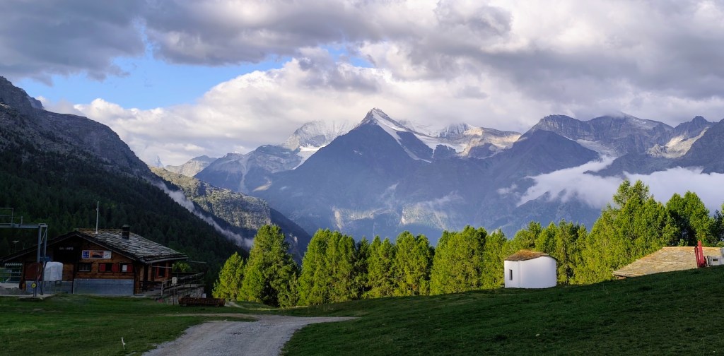
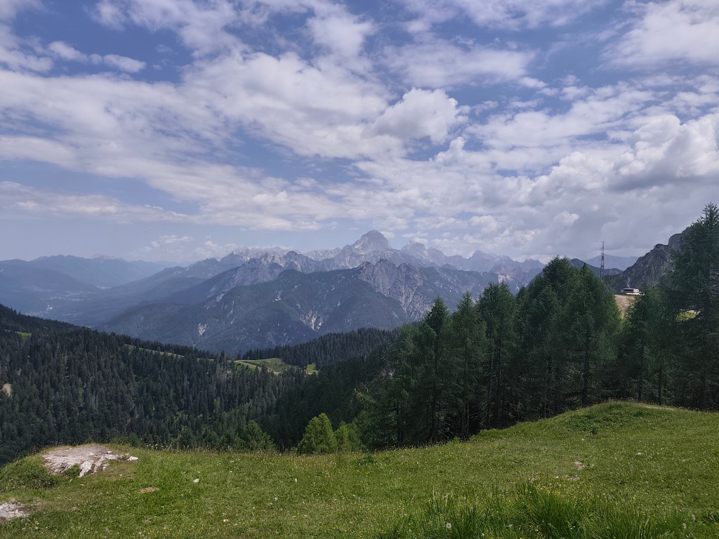
    View from the upper cable car station

    Not far from the cable car, you will find the Hochsaas mountain hut as well as a circular trail that took us past the 18 peaks of the Saas Valley that rise above 4,000 meters.
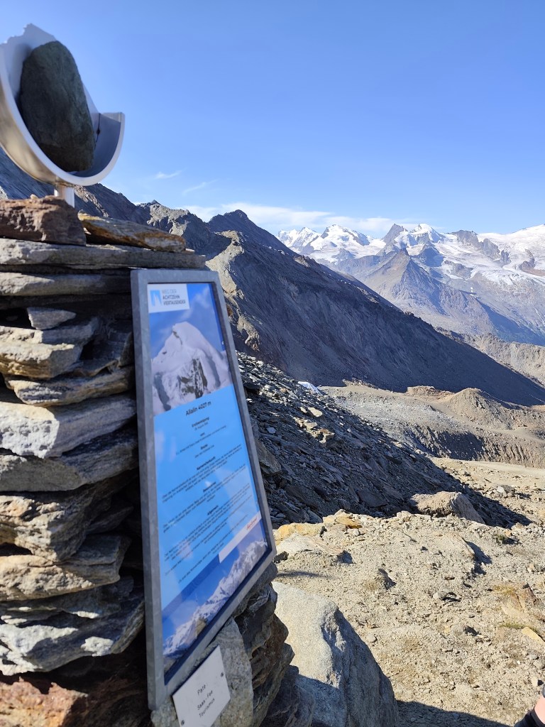
    There are information boards here where we could read about the specific characteristics of the peaks, as well as historical milestonesβ€”such as when a particular peak was first summited.
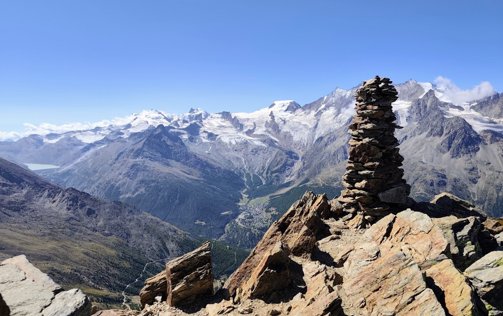
    Mattmark in the background

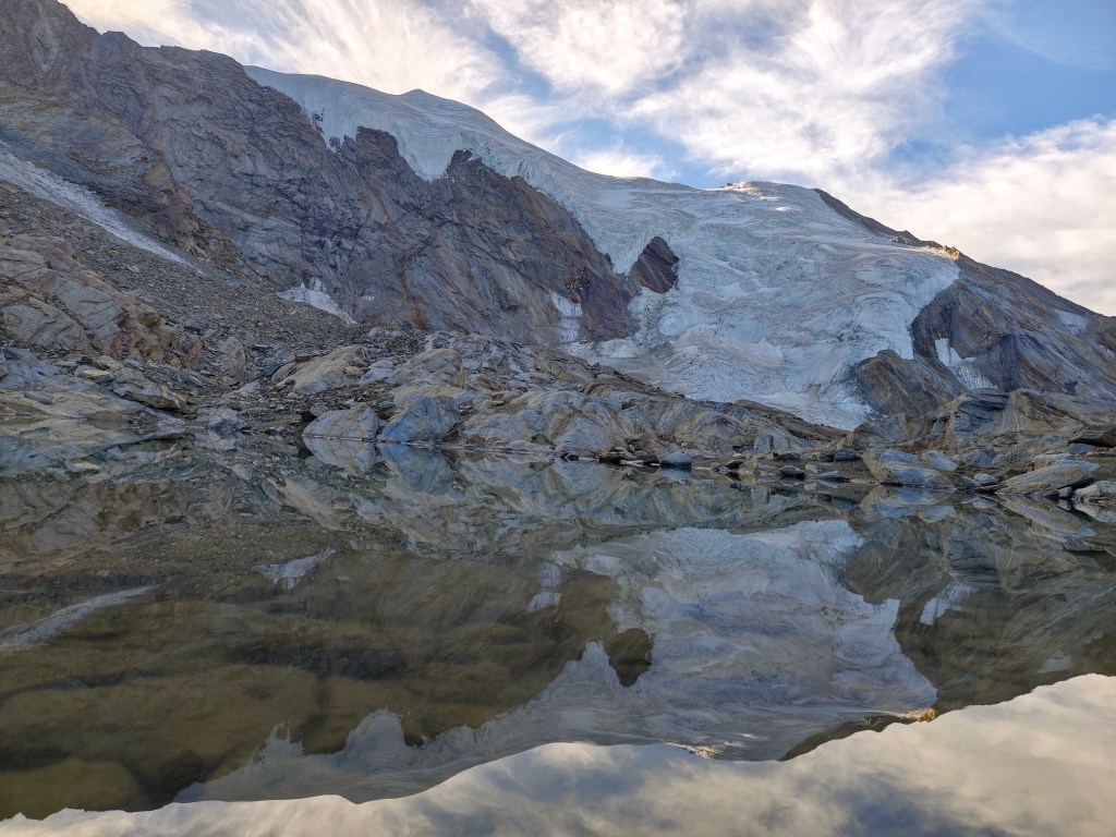
    We also walked past a small glacial lake, and a young capricorn posed for us; it wasn’t afraid of us at all and allowed us to approach within just about 20 meters.
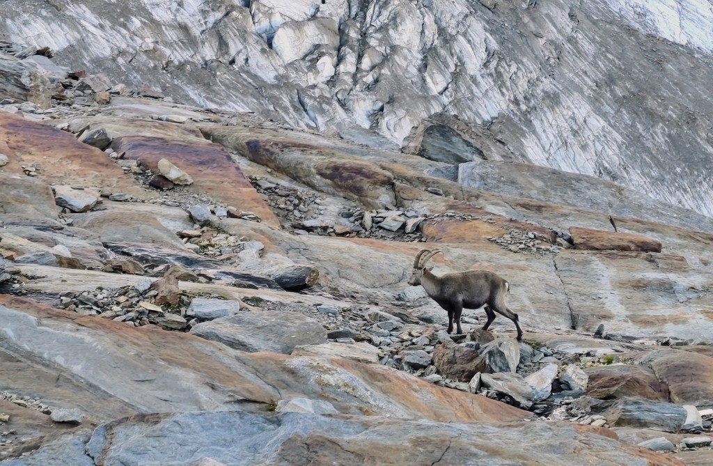
    Capricorn

    The next item on the itinerary was Jegihorn, which I was a bit affraid of, as the maps marked it not as a hiking trail, but as an easy climbing route.
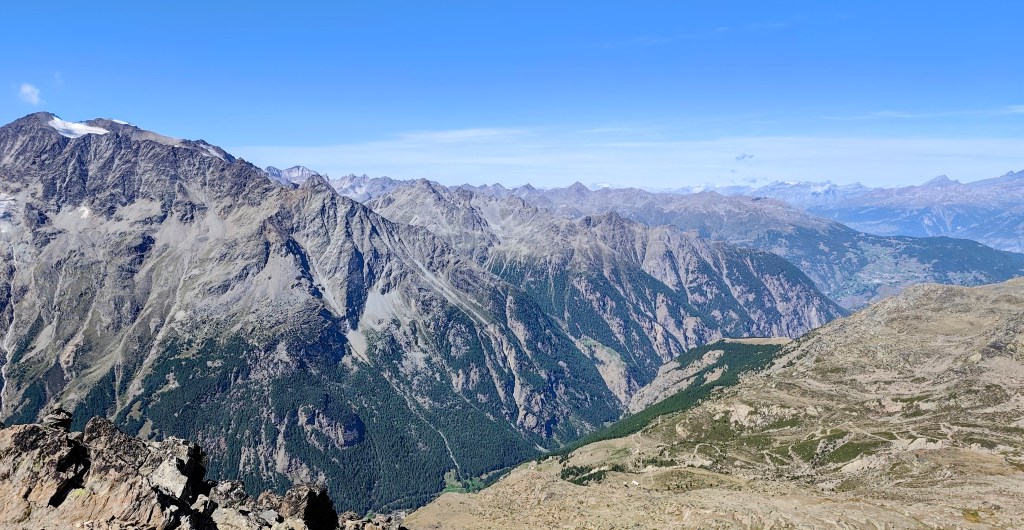
    From Jegihorn

    By the way, the highest via ferrata in Switzerland also leads up it. Jegihorn stands over 3,200 meters tall and offers a magnificent panoramic view of the surrounding area.
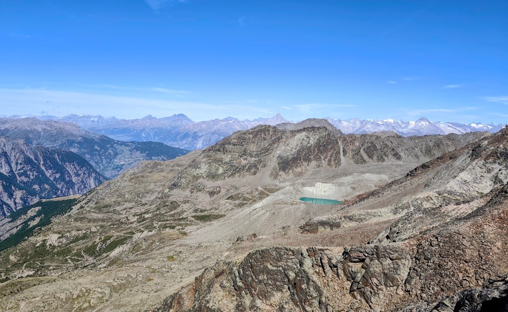
    Glacial lake – Fellsee

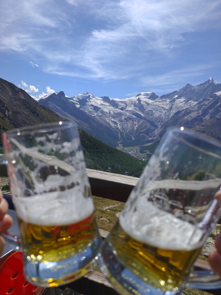
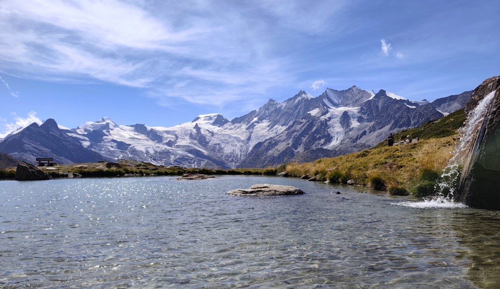
    We descend from Jegihorn to Kreuzboden, admire the reflection of the mountains in the small lake, and enjoy our only draft beer of the entire trip to Switzerland πŸ™‚

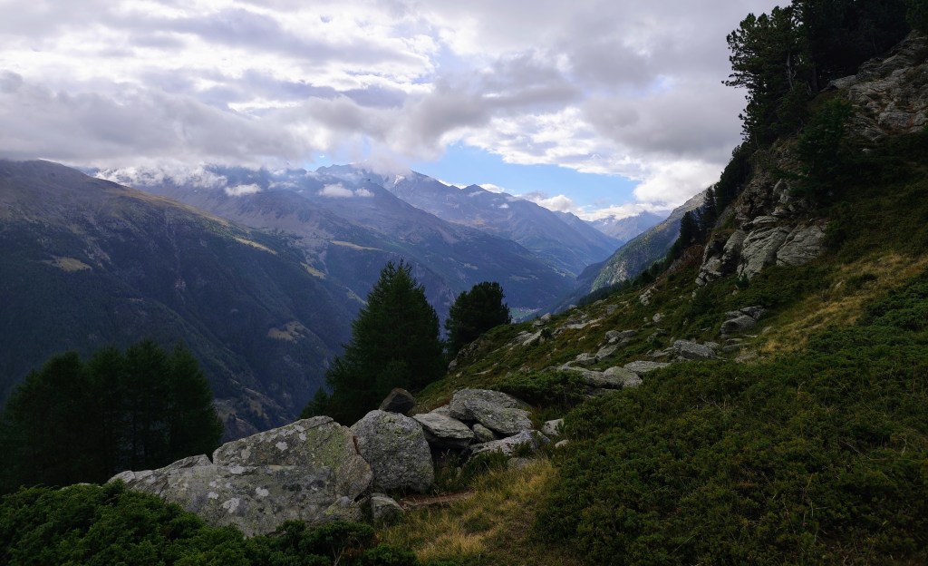
    View on Saas Fee
    One of the most beautiful views of the 4,000-meter peaks above the Saas Valley.

    We aren’t ready to head home just yet, though, so we opt for a detour via the Alpenblumenpromenade towards AlmagellerAlp.
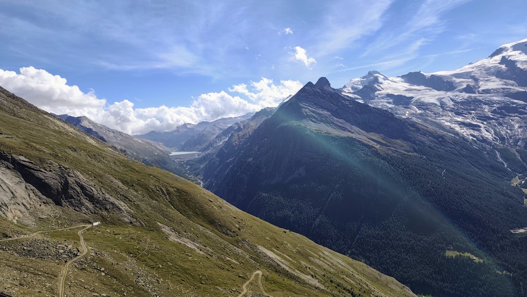
    On the Alpenblumenpromenade

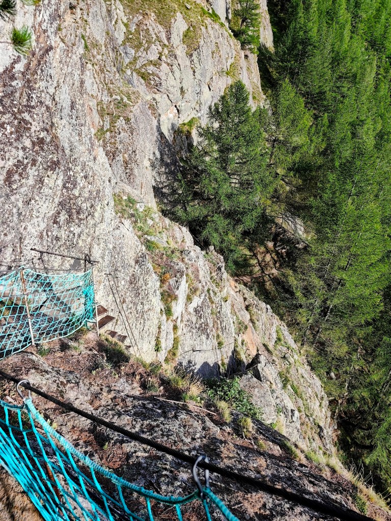
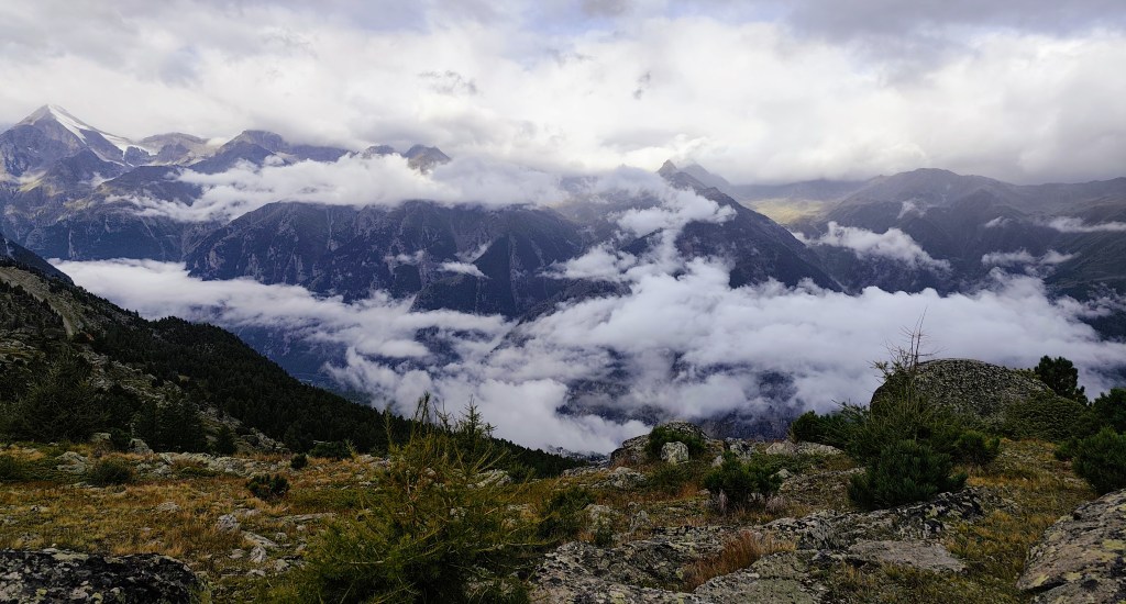
    Along the way, we are also treated to a view of the Mattmark Reservoir. We return to Saas-Almagell via the “Adventure Trail”β€”a route that is technically more demanding but far more interesting.
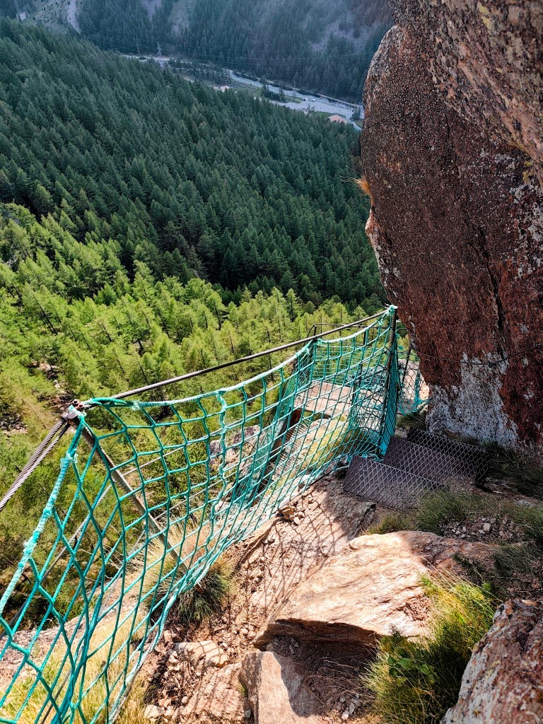
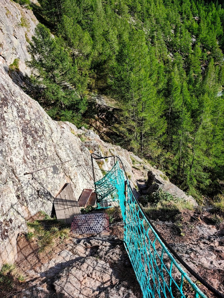
    It leads across two suspension bridges, ladders, and peg-style steps, making for a fantastic finale to a great day.
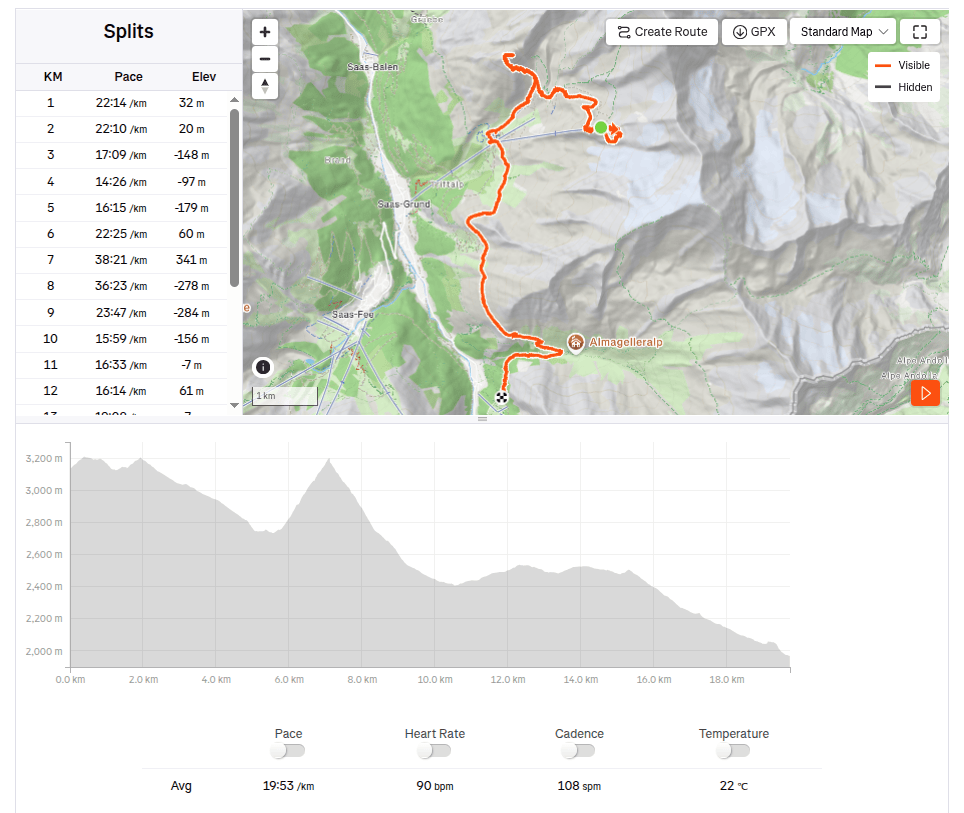
    19.73km, 6:32 moving time, 9:07 total, 918m ascend
  • Jegihorn (Ε vajčiarsko 2026)

    Jegihorn (Švajčiarsko 2026)

    RΓ‘no sme vyrazili z GrΓ€chenu do Saas Grundu autom, v Saas Grunde sme si kΓΊpili jednosmernΓ© lΓ­stky na lanovku smer Hochsaas (cena pre dospelΓ©ho bola 37 frankov. Lanovka nΓ‘s vyviezla z 1550mnm do krΓ‘snych 3140mnm a uΕ‘etrila nΓ‘m pol dňa Ε‘lapania πŸ™‚

    VΓ½hΔΎad po vystΓΊpenΓ­ z lanovky

    Kúsok od lanovky sa nachÑdza aj horskÑ chata Hochsaas a tiež aj okružnÑ cestička, ktorÑ nÑs previedla 18timi őtvortisíckami údolia Saas Valley.

    NachΓ‘dzajΓΊ sa tu informačnΓ© tabuΔΎky, kde sme si mohli prečítaΕ₯ o Ε‘pecifikΓ‘ch danΓ½ch vrcholov ako aj o historickΓ½ch mΓ­lnikoch, ako naprΓ­klad kedy bol danΓ½ vrchol prvΓ½ krΓ‘t zdolanΓ½.

    Mattmark v pozadΓ­

    PreΕ‘li sme sa aj popri malom ΔΎadovcovom jazierku a zapΓ³zoval nΓ‘m aj mladΓ½ kozoroΕΎec, ktorΓ½ sa nΓ‘s vlec nebΓ‘l a dovolil nΓ‘m prΓ­sΕ₯ do vzdialenosti len nejakΓ½ch 20 metrov.

    KozoroΕΎec

    Ďaľőím bodom programu bol Jegihorn, ktorého som sa trochu obÑvala, lebo na mapÑch bol značený nie ako turistickÑ trasa, ale ako ľahkÑ lezeckÑ trasa.

    Z jegihornu

    Mimochodom vedie naň aj najvyőőie položenÑ Via Ferrata vo Švajčiarsku. Jegihorn mÑ výőku cez 3200m a je z neho nÑdherný panoramatický výhľad na őiroké okolie.

    Δ½adovcovΓ© jazierko – Fellsee

    Z Jegihornu schÑdzame ku Kreuzbodenu, kochÑme sa odrazom hôr v jazierku a dÑvame si naőe jediné čapované pivko počas celého pobytu vo ővajčiarsku:)

    S vΓ½hΔΎadom na Saas Fee
    Jeden z najkrajΕ‘Γ­ch pohΔΎadov na Ε‘tvortisΓ­covky nad Saas valley

    EΕ‘te sa nΓ‘m ale nechce domov a tak volΓ­me obchΓ‘dzku cez Alpenblumenpromenade ku AlmagellerAlp.

    Cestou po Alpenblumenpromenade

    Cestou sa nΓ‘m otvorΓ­ vΓ½hΔΎad aj na priehradu Mattmark. Do Saas Almagellu sa vraciame technicky nΓ‘ročnejΕ‘ou, zato oveΔΎa zaujΓ­mavejΕ‘iu “Adventure Trail” trasou.

    Vedie cez dva vysuté mosty, rebríky, skoby a schody a je to parÑdna bodka za skvelým dňom.

    19.73km, 6:32 aktívny čas, 9:07 spolu, 918 nastúpaných metrov
  • Wannehorn (Switzerland 2026)

    Wannehorn (Switzerland 2026)

    Wannehorn rises to an elevation of 2,669 meters above sea level, towering over the village of GrΓ€chen in the Swiss canton of Valais. In good conditions, it offers a panoramic view of the surrounding area.

    HannigAlp

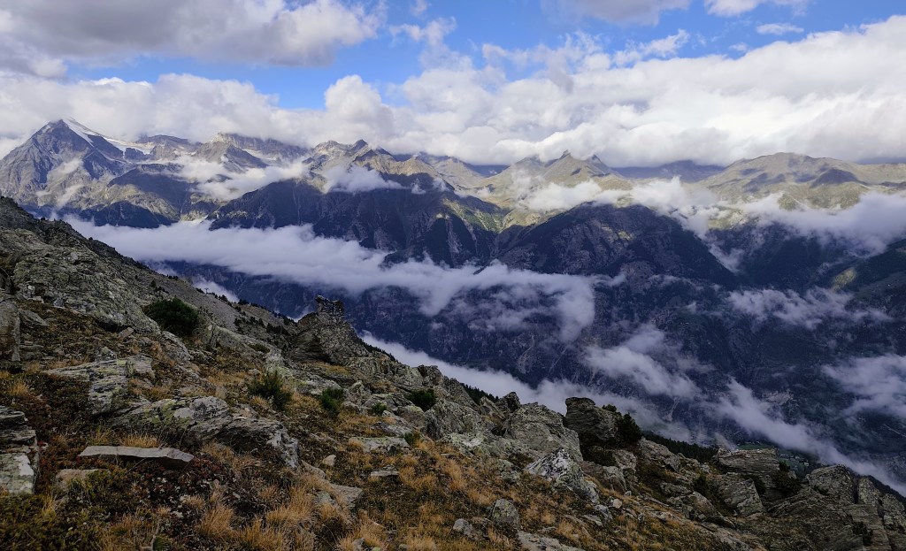
    We set out from GrΓ€chen in the morning and hiked up to Hannigalp (which is also accessible by cable car); after navigating a few switchbacks, we reached the ridge, revealing views of the neighboring valley. Cranberries and blueberries grew all around us, and most of them were beautifully ripe.

    View to Saas Valley

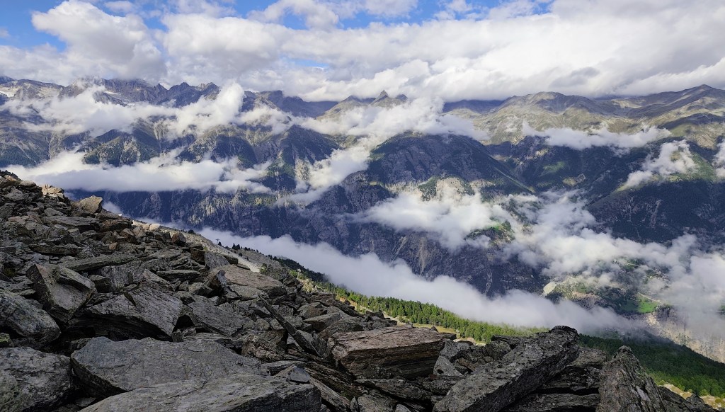
    A little higher up, however, the vegetation disappeared, and the path led across rocks and scree. We were unlucky that day, as a cloud rolled over the summit just as we arrived, so there were no views to speak ofβ€”the only thing we could see was the cross at the top.

    Clouds partially obscured the views.

    We had planned to reach GrΓ€chan via a loop beneath Seetalhorn, but the original hiking trail was closed due to a rockslide and a high risk of further falling rocks. We therefore chose to bypass this dangerous area, even though it meant gaining elevation again.

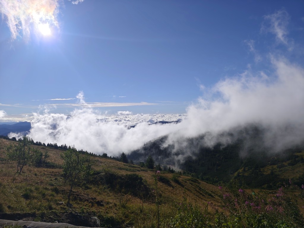
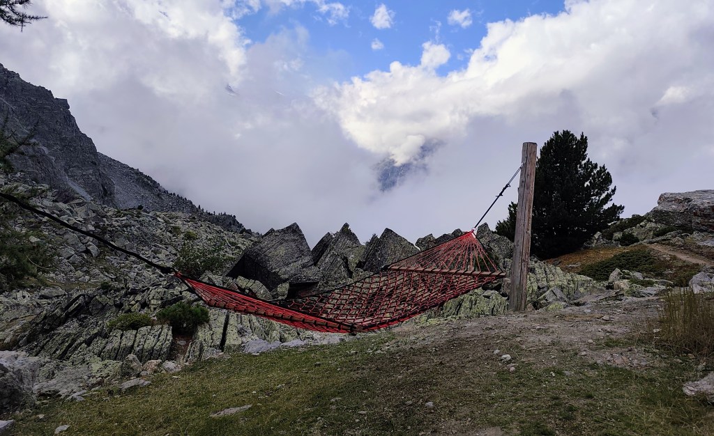
    On the way back to GrΓ€chan, we came across two more viewpoints, and this time the view really opened up. At one spot, we were even able to relax in a hammock.

    Relaxation spot under Seetalhorn

    We were returning past the “Zum See” pond, which is located just above the village of GrΓ€chen.

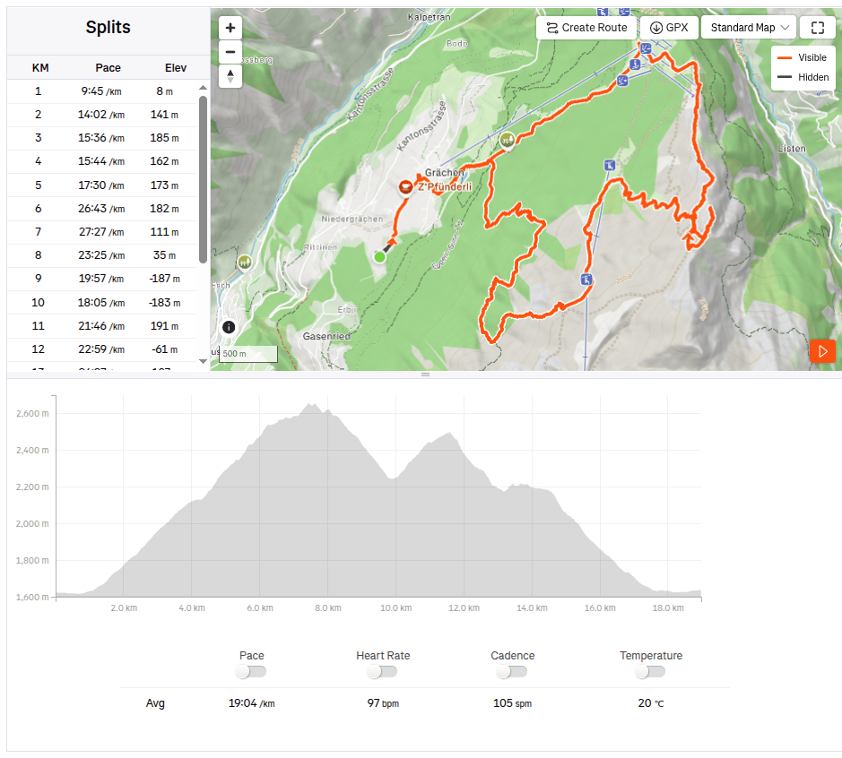
    18.97km, 6:01 active time, 8:27 total, 1441 meters ascend
  • Wannehorn (Ε vajčiarsko 2026)

    Wannehorn (Švajčiarsko 2026)

    Wannehorn mÑ výőku 2669 metrov nad morom a vypína sa nad dedinkou GrÀchen vo Švajčiarskom Vallais. Za dobrých podmienok ponúka panoramatický výhľad na őiroké okolie.

    HannigAlp

    My sme rΓ‘no vyrΓ‘ΕΎali z GrΓ€chanu a peΕ‘i sme vyΕ‘li na Hannigalp (kam je moΕΎnΓ© sa vyviezΕ₯ lanovkou), po pΓ‘r serpentΓ­nkach sme uΕΎ boli na hrebeni a odkryli s anΓ‘m vΓ½hΔΎady aj na susednΓ© ΓΊdolie. VΕ‘ade okolo nΓ‘s boli brusnice a čučoriedky a vÀčőina z nich uΕΎ bola krΓ‘sne zrelΓ‘.

    VΓ½hΔΎad do ΓΊdolia Saas

    KΓΊsok vyΕ‘Ε‘ie vΕ‘ak uΕΎ vegetΓ‘cia zmizla a chodnΓ­k viedol cez skaly a suΕ₯. My sme mali v tento deň smolu, pretoΕΎe sa nΓ‘m akurΓ‘t na vrchol prevalil oblak a z vΓ½hΔΎadov nebolo nič:) JedinΓ© čo sme videli bol krΓ­ΕΎ na jeho vrchole.

    Výhľady nÑm sčasti skrývali oblaky

    Do GrΓ€chanu sme plΓ‘novali Γ­sΕ₯ okruhom popod Seetalhorn, ale pΓ΄vodnΓ‘ turistickΓ‘ značka bola uzavretΓ‘ kvΓ΄li kamennej lavΓ­ne a veΔΎkΓ©mu riziku ďaΔΎΕ‘ieho padania skΓ‘l. A tak sme toto nebezpečnΓ© miesto radΕ‘ej obiΕ‘li, aj keď sme kvΓ΄li tomu museli znovu nastΓΊpaΕ₯ vΓ½Ε‘kovΓ© metre.

    Počas nΓ‘vratu do GrΓ€chanu sme narazili eΕ‘te na dva vΓ½hΔΎadovΓ© body a tento krΓ‘t sa nΓ‘m vΓ½hΔΎad pekne otvoril. Na jednom mieste sme si dokonca mohli oddΓ½chnuΕ₯ v hojdacej sieti.

    OddychovΓ© miesto pod Seetalhornom

    Vracali sme sa popri jazierku “Zum see” ktorΓ© sa nachΓ‘dza tesne nad obcou GrΓ€chen.

    18.97km, 6:01 aktívny čas, 8:27 spolu, 1441 nastúpaných metrov
  • SNP girl’s project, day 16

    SNP girl’s project, day 16

    We finally made it happen! We had planned this stage about five times before, but we always had to postpone it due to unsuitable weather on the ridge or other issues. And so, we finally ran from TelgÑrt all the way to Čertovica.

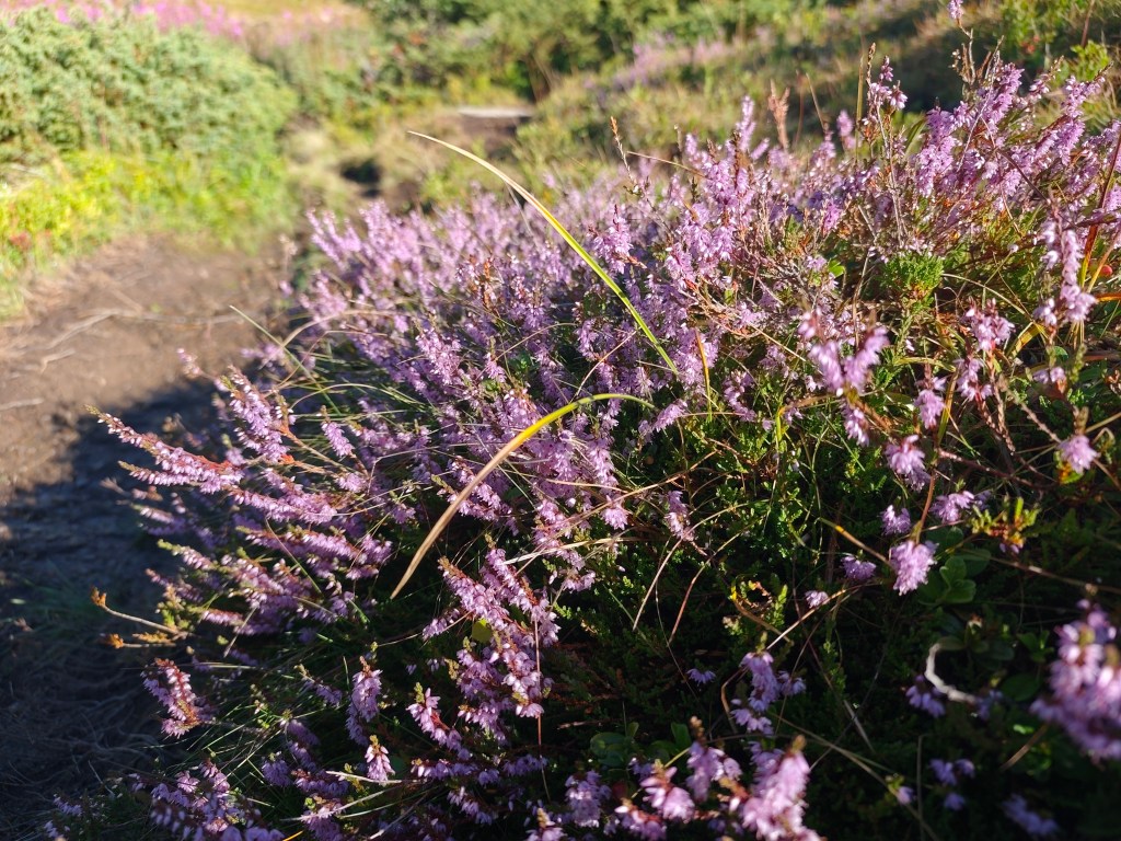
    Flowering heather

    We park in TelgΓ‘rt near the church, at the exact spot where our previous stage ended. We jog through the town and soon reach the turnoff into the woods. It rained yesterday, so the grass and trees are still wetβ€”which, of course, means my feet get wet after just a short while. We climb first through dense forest, then pass beneath power pylons up to the mountain pastures; the weather shifts between sun and fog, warmth and cold.

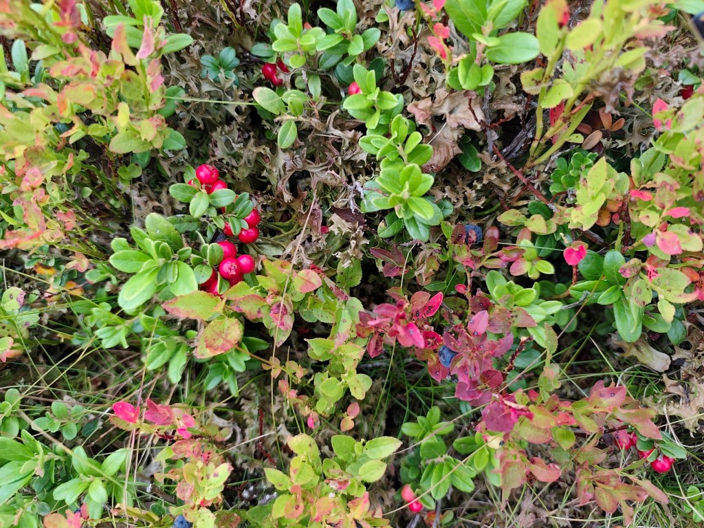
    Cranberries and blueberries

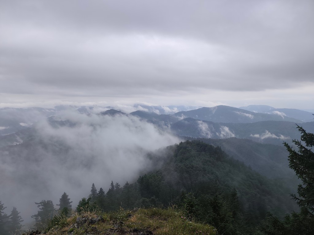
    On the way to KrΓ‘ΔΎova hoΔΎa, nature put on a magnificent spectacle for us, but at the summit itself, everything was shrouded in an impenetrable fog that clung to us for quite a few kilometers more.

    In ascend to KrΓ‘ΔΎova hola

    At AndrejcovΓ‘, we took a break for a beer and a bite to eat, and refilled our bottles at the spring. I had been looking forward to the view of the High Tatrasβ€”which is magnificent from thereβ€”but we weren’t granted that sight today, so we carried on.

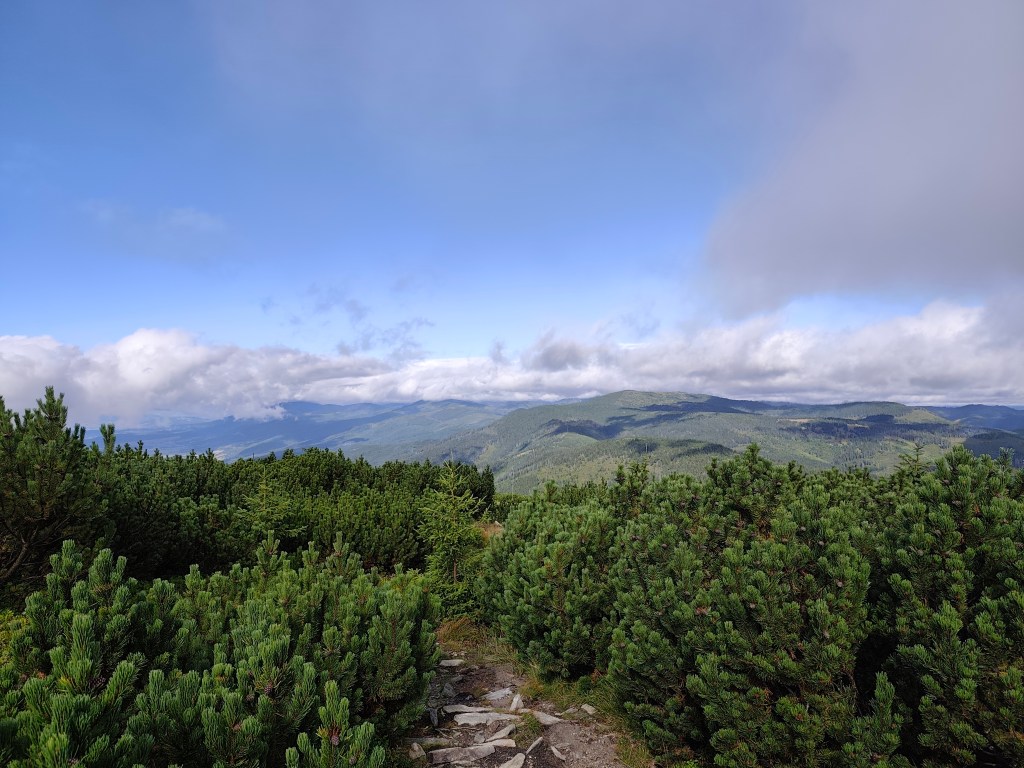
    A path through the mountain pine
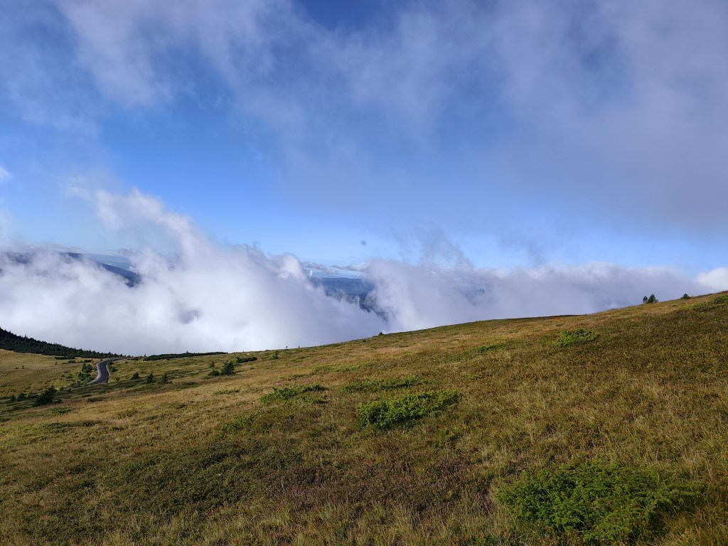
    Rolling fog

    The sun shone for the rest of the journey, and thanks to yesterday’s rain, the springs were full.

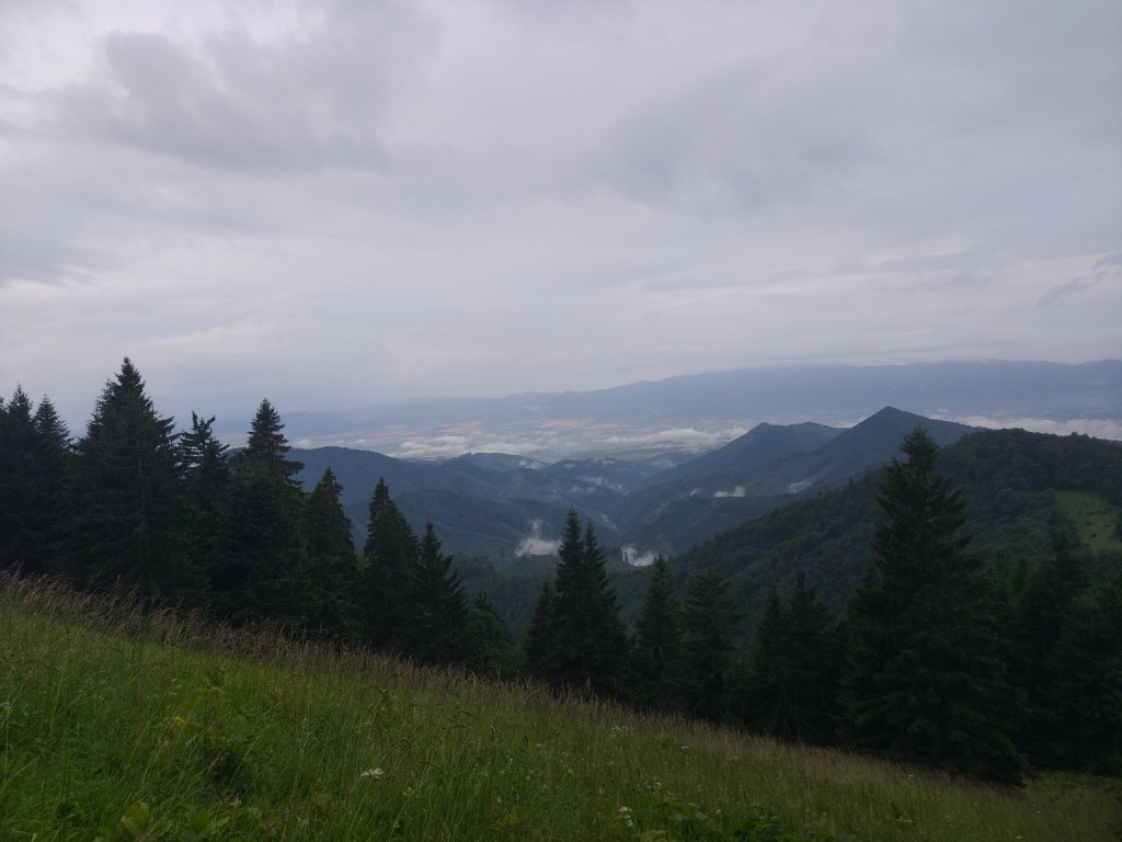
    Every now and then, a view would open up in the second half.

    However, from the Ramža shelter almost all the way to Čertovica, the trail was quite overgrown, so running was more or less out of the question, and we made slow progress. Personally, I enjoyed the first half of the day much more than the second, despite the strenuous climb up KrÑľova hoľa.

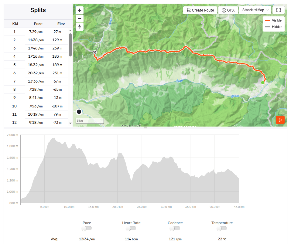
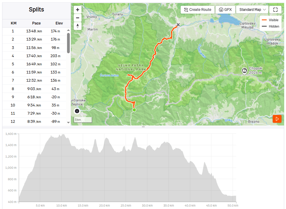
    45km, 9:25 active time, 9:46 total, 2704 meter ascend
  • Great Fatra mountain ridge

    Great Fatra mountain ridge

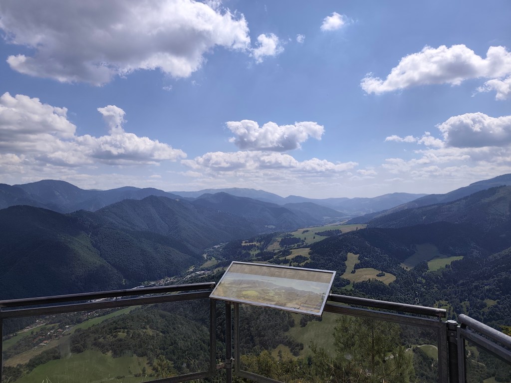
    This time we chose the easier option from StarΓ© hory to RuΕΎomberok. We parked the car in StarΓ© hory near the chapel at 5:30 in the morning and, following the blue hiking trail, we started climbing to Majerova skala, which offers a beautiful semicircular view of the surrounding hills and valleys from its rocky plateau at an altitude of 1283 meters above sea level.

    From Majerova skala to KrΓ­ΕΎna

    From Majerova skaly we continue to Krížna, on the ridge the wind is really blowing and it is cold, it feels like 8 degrees Celsius, so we continue through Frčkov, Ostredok and do not stop until we are in the lee below Ploska, where we turn to the cottage below Borisov. I have been to the cottage a few times, but never to Borisov itself, so we are going to warm up by climbing up. Borisov is 1510 meters high and the climb to it is steep. However, it will reward us with circular views, where with good visibility it is possible to see Poľana or the Low Tatras.

    From BoriΕ‘ov

    We gather at the hut below BoriΕ‘ov, where we have a radler and a sandwich (our proven source of energy for longer runs).

    The temperature rises and we climb Ploska, where by chance we become participants in the 43rd year of the Ploska climb, we even receive a participation certificate :). We leave the red mark and after a little praise, which is accompanied by yellow, we turn onto the green mark below Čierny Kameň. By the way, my favorite craft brewery is also named after this distinctive rock formation :). There is also a nature reserve of the same name here, which is supposed to protect the primeval forest of spruce, rowan and maple. It is really beautiful here.

    On PloskΓ‘

    We continue under Minčol to Rakytov. Rakytov (1,567 m above sea level) is the highest peak of the Liptov branch of the main ridge of the Great Fatra and provides a circular view, and when climbing it you have to pass through an impressive rock gate.

    Views from Rakytov, PloskΓ‘ in background

    The Smrekovica mountain hut awaits us and we are already looking forward to refreshment. However, we will not stay there for long, because we do not dare to estimate how long it will take us to Ružomberok, where we have to catch our only bus back to the Staré hory. We run along a path lined with ripe blueberries until the Šiprún saddle, if we had time, we could eat our fill, there are so many of them. The only piece of asphalt on the route from the saddles under VtÑčnik to the Vlkolínec meadows awaits us.

    Blooming thistles accompanied us everywhere

    Ahead of us lies the final major climb up to Sidorovo; the path is steep and our legs are already reluctant, but fortunately, the summit is less than a kilometer away, and a viewpoint awaits us at the top. VlkolΓ­nec lies spread out beneath us, and we can also see the Low Tatras, the Liptov Basin, and even the High Tatras. A few more undulations lie ahead, followed simply by the descent into RuΕΎomberok through the calvary.

    Sidorovo

    We arrived in RuΕΎomberok an hour before the bus, so we just walked through the city, bought orange mineral water at the store, and the 3 liters just disappeared inside us.

    View on Sidorovo

    Our legs are dirty with dust up to our knees, so we use the time to get to the bus and wash them in the local park with the water we had left in our bottles, the sight of us must have been comical πŸ˜€

    50.79km, 9:08 active time, 10:15 total, 3011m ascend
  • KΔΎak, VeΔΎkΓ½ Lysec, Katova skala

    KΔΎak, VeΔΎkΓ½ Lysec, Katova skala

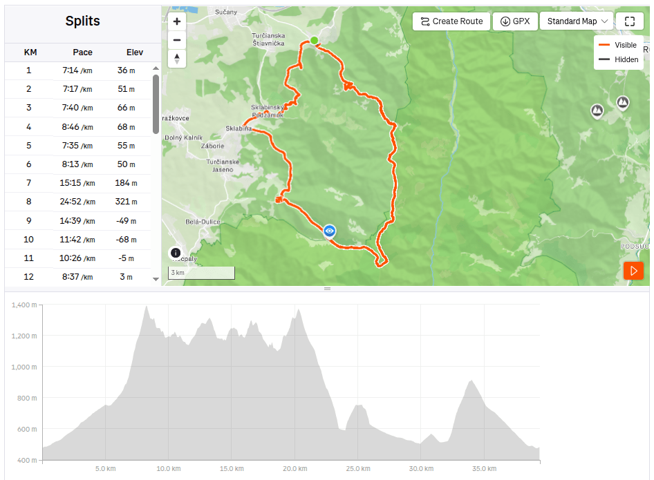
    The original plan for this day was MalΓ‘ Fatra, but when we arrived at the place it was raining heavily. We checked the forecasts (I use the Ventusky application, where I can see the weather development by the hour) and the decision was made to finally move to VeΔΎka Fatra, where it was not supposed to rain all day, but only for about two hours. A quick replanning of the route and off we go.

    We stop in the village of Podhradie, from where we climb almost 1000 vertical meters to KΔΎak. After about the first kilometer it starts to rain, so we put on waterproof jackets, but our feet are completely wet. The rain accompanies us all the way to the last meadow just below KΔΎak.

    Meadovw below KΔΎak

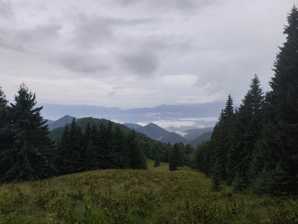
    But for me, it has its own charm, the water evaporating and creating a rolling fog is mystical, and we hardly meet anyone on the hiking trails.

    Meadow belowKΔΎak

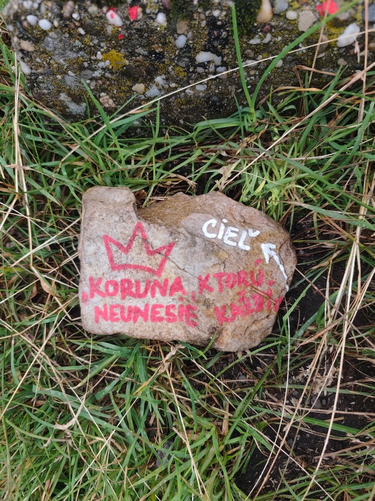
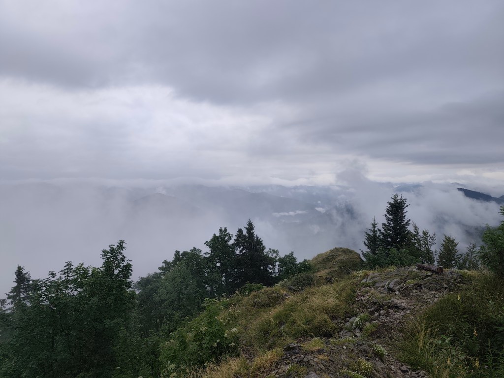
    I’ve been to KΔΎak once before, but now the surroundings, shrouded in mist, look completely different. At the top, I’m pleased with the stone with the inscription: A crown that not everyone can bear -> the goal. However, for us, KΔΎak is not the goal, but only part of the journey:)

    On the top of KΔΎak
    Fog on KΔΎak

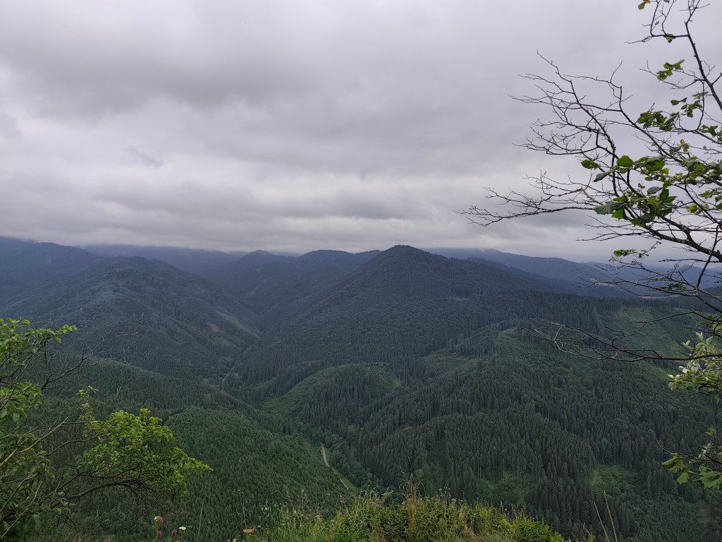
    We are considering whether to just go along JarabinΓ‘ and back from there, or turn off at MalΓ½ Lysec. It is not raining, although our feet are constantly wet, because the narrow path leads through dense blueberry bushes, on which a lot of water still remains. However, at JarabinΓ‘ we continue along the ridge, the running is good and we do not want to end prematurely.

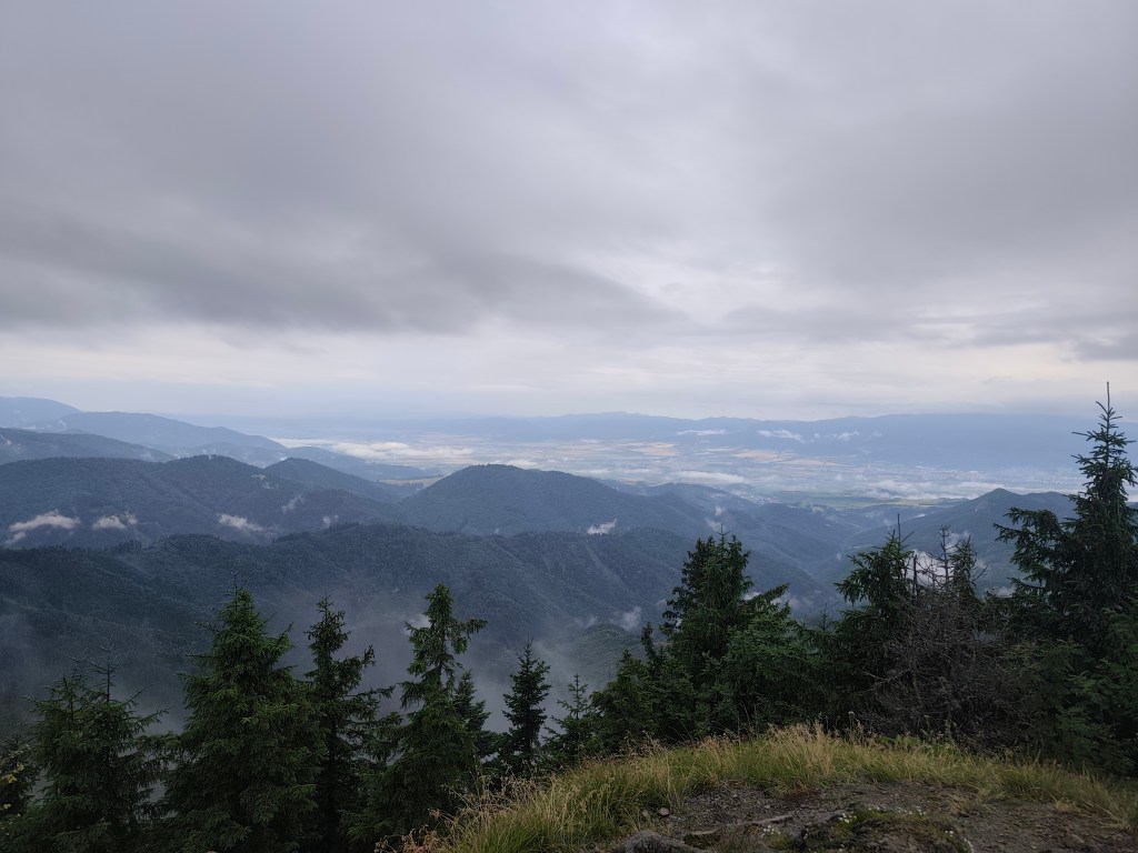
    Heavy clouds accompanied us almost the whole day

    After the small Lysec we turn to Lysec, the sun is breaking through the fog and it is hot, but at its peak the fog completely covers our views. It doesn’t matter, the path leads through a beautifully flowered mountain meadow and makes up for it. From Lysec we go down to the valley, the path is muddy and slippery, I don’t know how we managed to stay on our feet the whole time and not bathe in the mud:D

    Evaporating water

    We continue to Sklabinsky podzΓ‘mok, where the signposts promise craft beer, I’m starting to get excited. However, there’s a sign in front of the restaurant door that says they’re only opening at 4 today due to the rain. I like beer, but I’m definitely not going to wait two hours for it πŸ™‚

    From Katova skala ( Executioner’s Rock)

    We climb the Katova skala (Executioner’s Rock), a viewpoint from which we return to Podhradie. The Executioner’s Rock owes its name to the executioner from Sklabin Castle, for whom it served as a place of execution. The rock is also associated with a tragic legend. According to it, a young girl is cursed in the rock, who was locked in it by a tyrant to force her to become his wife.

    39.41km, 6:38 active time, 7:28 total, 2421m ascend
  • KΔΎak, VeΔΎkΓ½ Lysec, Katova skala

    KΔΎak, VeΔΎkΓ½ Lysec, Katova skala

    PΓ΄vodnΓ½ plΓ‘n na tento deň bola MalΓ‘ Fatra, ale keď sme dorazili na miesto tak lialo ako z krhly. Skontrolovali sme predpovede (pouΕΎΓ­vam aplikΓ‘ciu Ventusky, kde si viem pozriet vΓ½voj počasia po hodinΓ‘ch) a padlo rozhodnutie sa nakoniec presunΓΊΕ₯ do VeΔΎkej Fatry, kde nemalo prΕ‘aΕ₯ celΓ½ deň, ale asi len dve hodiny. RΓ½chle preplΓ‘novanie trasy a ide sa.

    Zastavujeme v obci Podhradie, odkiaΔΎ stΓΊpame skoro 1000 vΓ½Ε‘kovΓ½ch metrov na KΔΎak. Asi po prvom kilometri začne prΕ‘aΕ₯, tak obliekame nepremokavΓ© bundy, nohy vΕ‘ak mΓ‘me kompletne mokrΓ©. DÑžď nΓ‘s sprevΓ‘dza aΕΎ po poslednΓΊ lúčku tesne pod KΔΎakom.

    LΓΊka pod KΔΎakom

    Pre mňa to vőak mÑ svoje čaro, voda čo sa odparuje tvorí prevalujúcu sa hmlu je mystickÑ a na turistických chodníčkoch nestretneme skoro nikoho.

    LΓΊka pod KΔΎakom

    Na KΔΎaku som uΕΎ raz bola, teraz vΕ‘ak okolie zahalenΓ© zΓ‘vojmi hmly vyzerΓ‘ ΓΊplne inak. Na vrchole ma poteΕ‘Γ­ kamienok s napΓ­som: Koruna ktorΓΊ neunesie kaΕΎdΓ½ -> cieΔΎ. Pre nΓ‘s vΕ‘ak KΔΎak nie je cielom, ale len časΕ₯ou cesty:)

    Na vrchole KΔΎaku
    Hmla na KΔΎaku

    ZvaΕΎujeme, či Γ­sΕ₯ len po JarabinΓΊ a z tade spΓ€Ε₯, alebo odbočiΕ₯ aΕΎ na Malom Lysci. NeprΕ‘Γ­, aj keď nohy mΓ‘me konΕ‘tantne mokrΓ©, pretoΕΎe ΓΊzky chodníček vedie cez hustΓ© krΓ­ky čučoriedok, na kotrΓ½ch sa stΓ‘le drΕΎΓ­ veΔΎa vody. Na Jarabinej vΕ‘ak pokračujeme ďalej hrebeňom, beΕΎΓ­ sa dobre a tak sa nΓ‘m nechce končiΕ₯ predčasne.

    VΓ½hΔΎady smerom na Martin

    Za malΓ½m Lyscom odbÑčame na Lysec, cez hmlu sa prediera slnko a je sparno, ale na jeho vrchole nΓ‘m vΓ½hΔΎady ΓΊplne zahalΓ­ hmla. NevadΓ­, chodníček vedie krΓ‘sne zakvitnutou horskou lΓΊkou a nΓ‘m to vynahrΓ‘dza. Z lyscu ideme po modrej dole, stmo, blatisto, Ε‘mykΔΎavo, vΓ΄bec neviem ako sa nΓ‘m podarilo udrΕΎaΕ₯ sa na nohΓ‘ch po celΓ½ čas a nevykΓΊpaΕ₯ sa v tom blate:D

    Odparujúci sa dÑžď

    Pokračujeme do SklabinskΓ©ho podzΓ‘mku, kde smerovnΓ­ky sΔΎubujΓΊ remeselnΓ© pivo, začínam sa teΕ‘iΕ₯. Pred dverami pohostinstva vΕ‘ak stojΓ­ tabuΔΎa, ΕΎe dnes otvΓ‘rajΓΊ kvΓ΄li dažďu aΕΎ o 4tej. Pivo mΓ‘m sΓ­ce rada, ale dve hodiny naň rozhodne čakaΕ₯ nebudem:)

    Z katovej skaly

    StΓΊpame na katovu skalu, vΓ½hΔΎadovΓ© miesto, cez ktorΓ© sa vrΓ‘time do Podhradia. Katova skala vďačí za svoj nΓ‘zov katovi zo SklabinskΓ©ho hradu, ktorΓ©mu slΓΊΕΎila ako miesto poprΓ‘v. Skala je navyΕ‘e spΓ‘janΓ‘ s tragickou povesΕ₯ou. PodΔΎa nej je v skale zakliata mladΓ‘ dievčina, ktorΓΊ v nej zavrel tyran, aby ju donΓΊtil staΕ₯ sa jeho ΕΎenou.

    39.41km, 6:38 aktvny čas, 7:28 spolu, 2421 nastúpaných metrov
  • Alpe Adria Trail, second day

    Alpe Adria Trail, second day

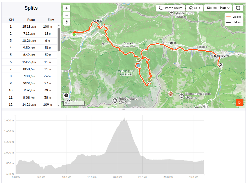
    The second day on the route was a bit more relaxing, we had a little less kilometers than the remaining two days, this time “only” 37. So we could afford to leave later and enjoy a great Italian breakfast (which of course paid off a little, because I ran for the first three hours with a completely full stomach and it was already very hot). But the croissant was worth it πŸ™‚

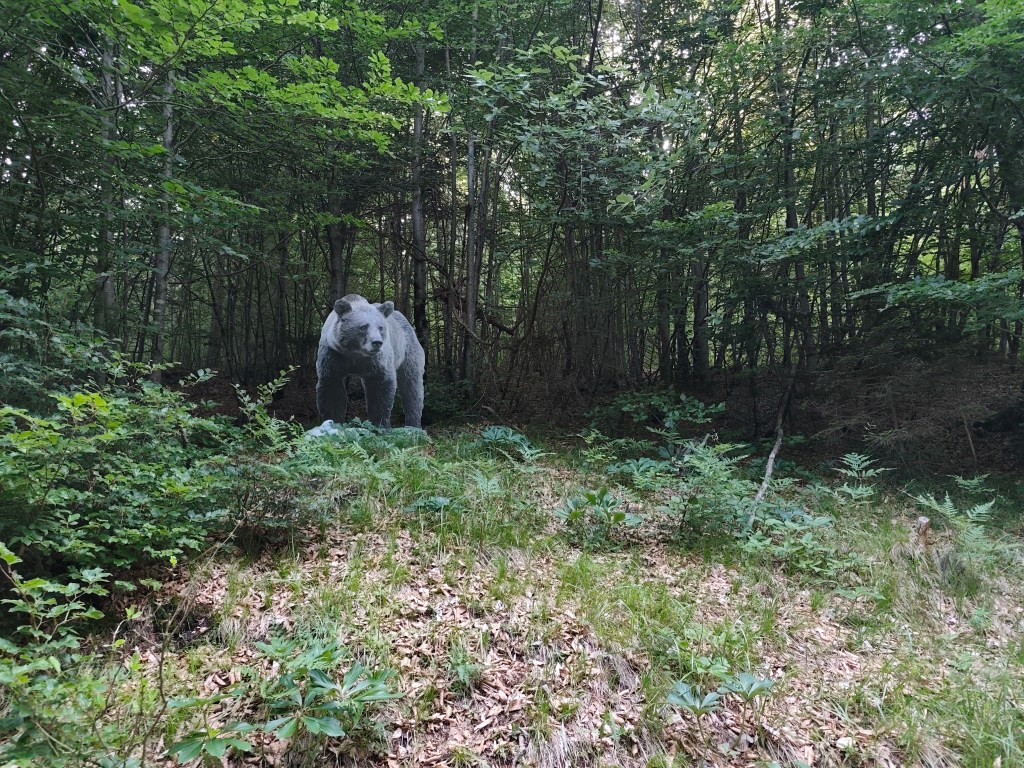
    I will be scared to go this path in night:)

    We started from Tarvisio at 8:00 in the direction of Coccau. A great forest trail enriched with life-size models of animals. After Coccau, an adrenaline attraction was waiting for us in the form of an old suspended bridge over the Gailitz river, with rotten boards.

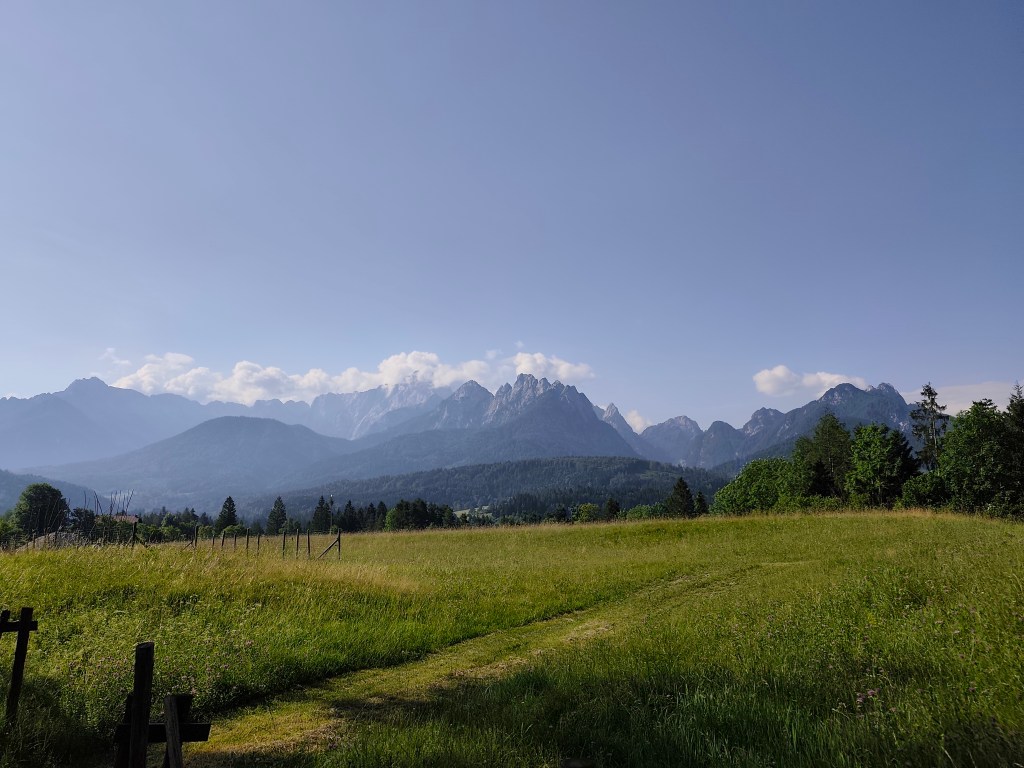
    meadows after Coccau

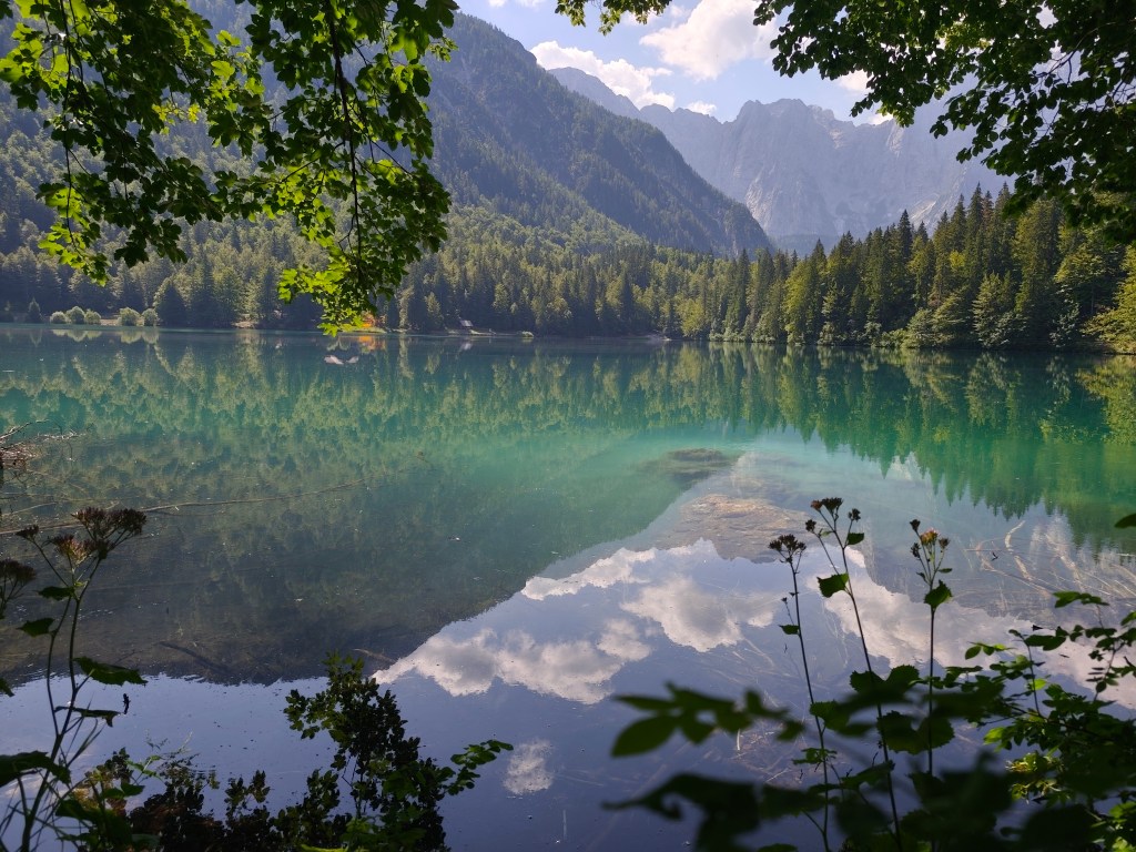
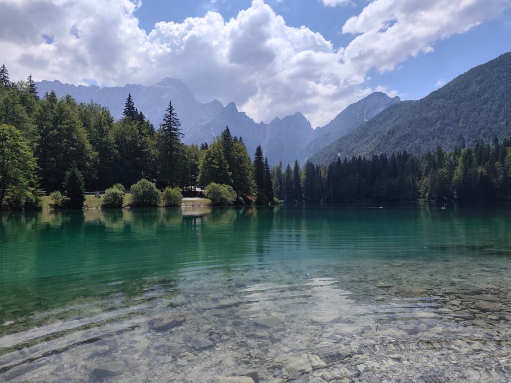
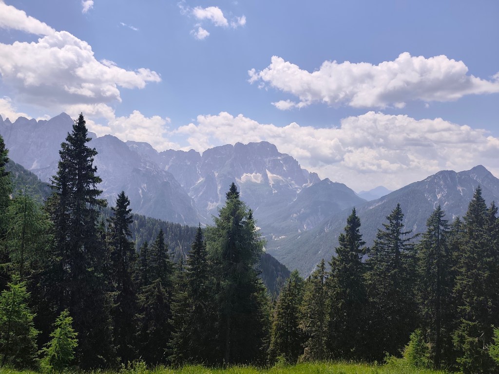
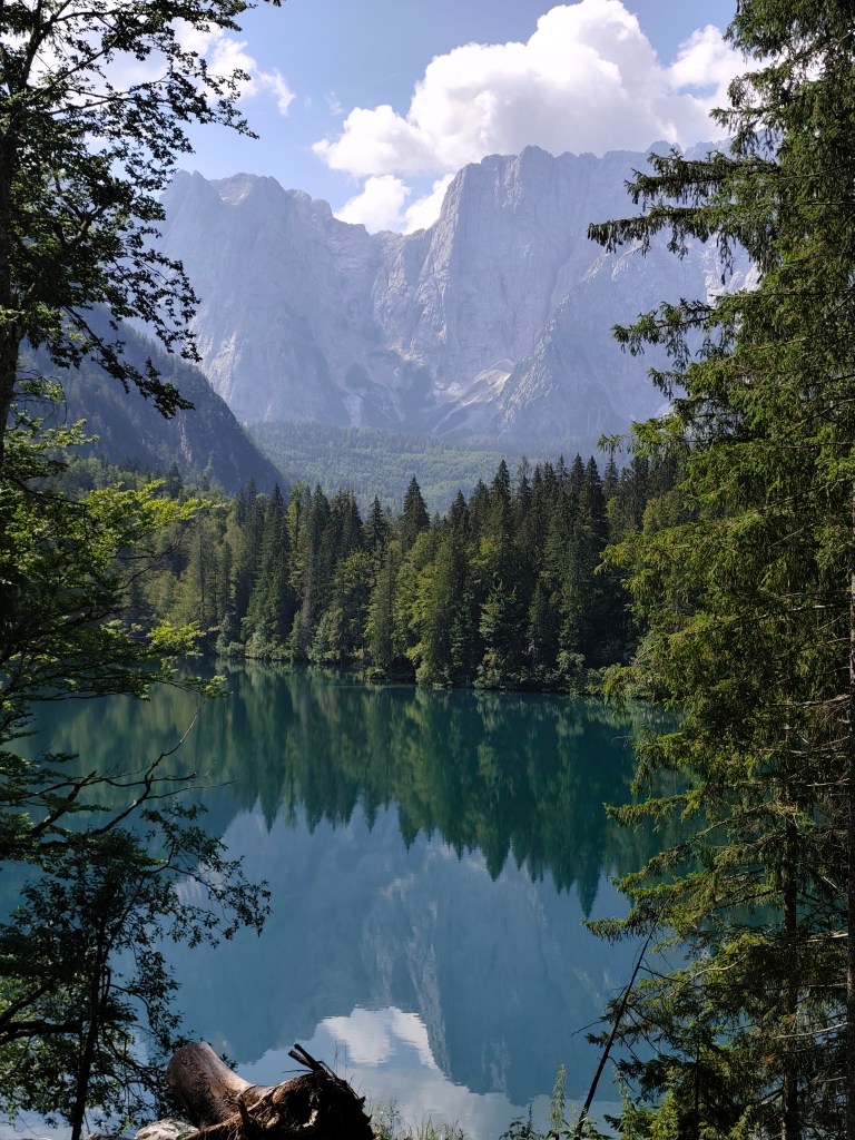
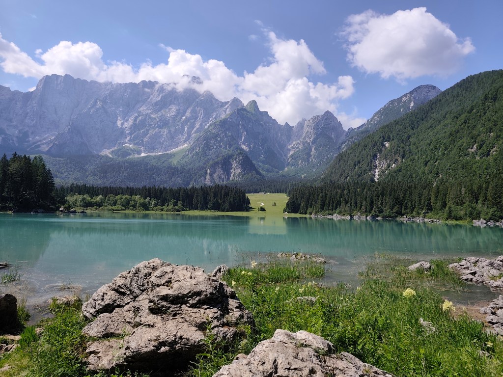
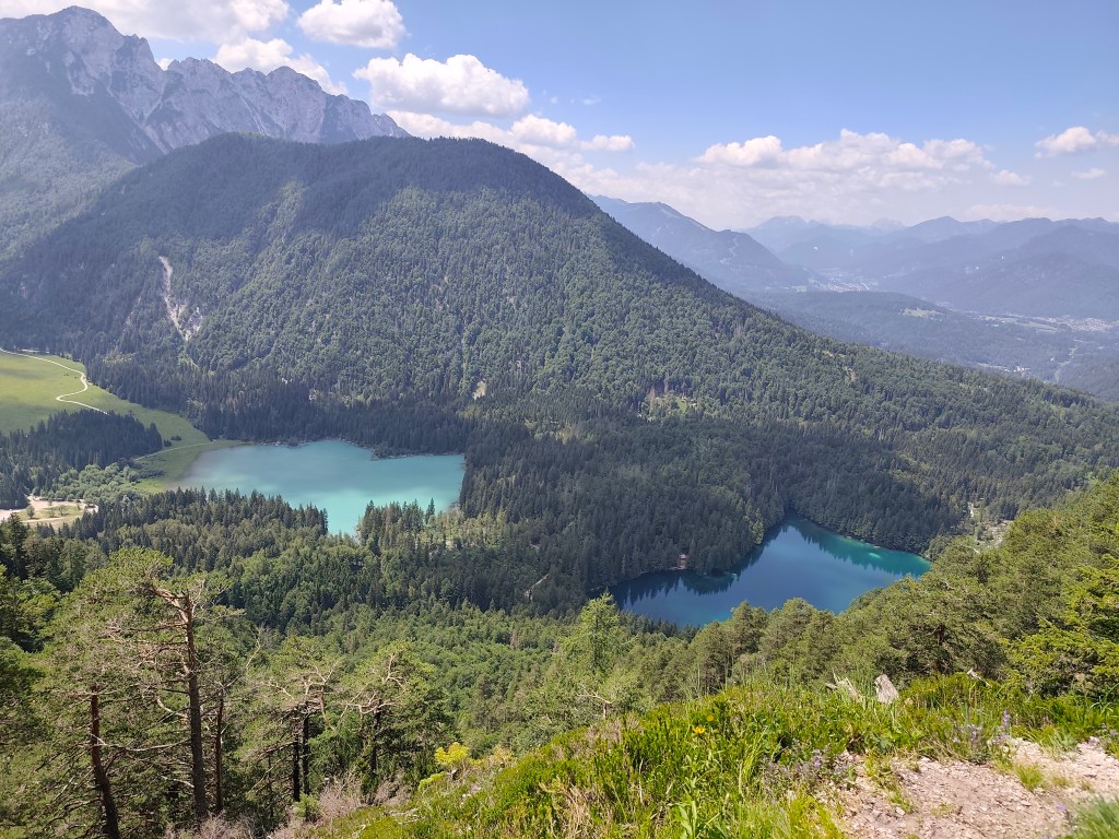
    Fortunately, they kept us and we could continue on the ever warmer meadows to the most beautiful part of today’s trail – Lagos di Fusine. These are two crystal glacial lakes on the border between Italy and Slovenia, surrounded by the Julian Alps.

    Our first view of Lago di Fusine
    Upper lake with Manghart mountain range in background

    We pass from the lower, darker, transparent lake to the upper lake with a beautiful blue surface. There is a buffet above the lakes, where we traditionally have a radler and start our ascent to the Rifugio Zacchi hut, located at 1380 meters above sea level.

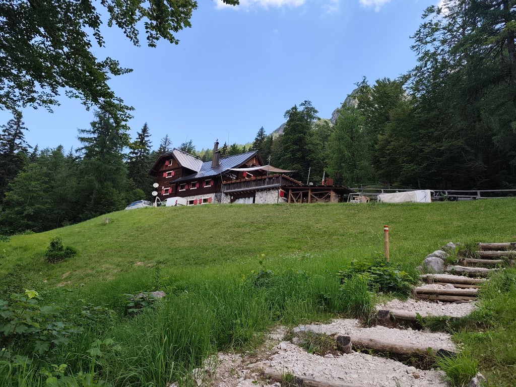
    Refugio Zachi

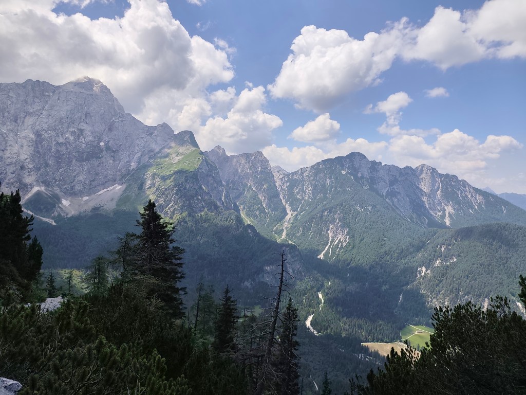
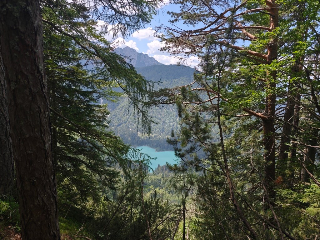
    We have a great coffee and continue towards the Ponza cottage, where beautiful views of the valley and the lakes open up.

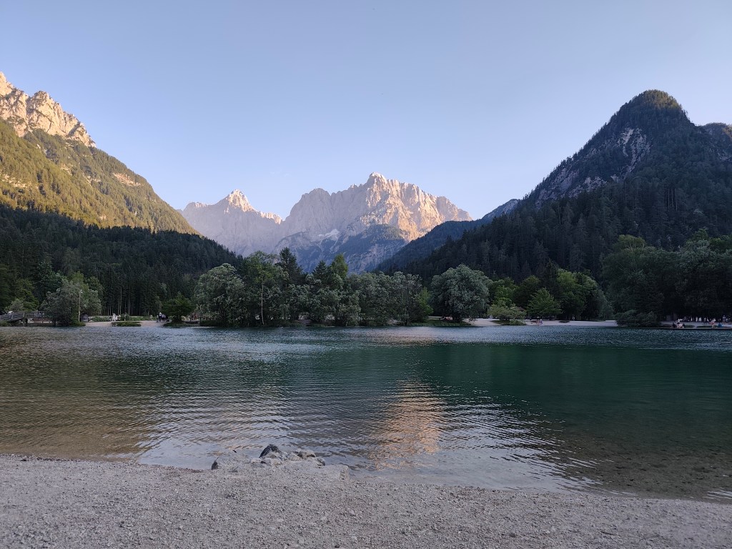
    After a while, however, we come to a section where the original walkway with chains has collapsed and we have to go around it on a rather steep path between rhombuses, it manage to go up quite well, but on the way down my legs were quite shaking and I had to be very careful not to slip on the unstable ground. we managed it, and then we run back to the lower lake, where we take our last break of the day. We enjoy the beauty of the mountains reflected on the surface of the lake.
    The end of the day is 12 km along a flat bike path, not covered by trees, and I can’t run it anymore, I’m overheating, so we alternate between running and walking. We found accommodation almost on the shore of Lake Jasna in KrajnskΓ‘ Gora, so we end today’s stage waist-deep in a cold water of glacial lake πŸ™‚ We cool our overheated muscles and enjoy the views of the surrounding mountains.

    Lake Jasnain Slovenia
    37.12km, 6:52 active time, 8:14 total, 1466m ascend

  • Alpe Adria Trail, first day

    Alpe Adria Trail, first day

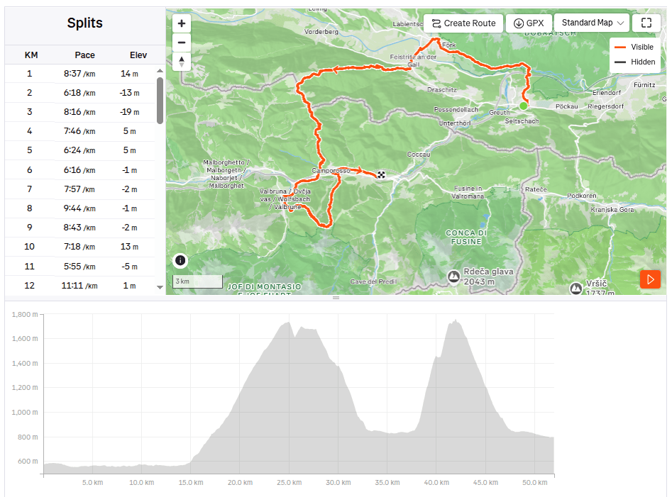
    Alpe Adria is a long-distance route leading from Austria (from under the Grosglocker) to the sea in northern Italy, the length of the entire route is 750km, but we didn’t have time to do it all, so we cut out at least a part of it: Alpe Adria Three-Country Circular Tour.

    It leads through Austria, Italy and Slovenia and is 140km long. It took a bit of planning, but in the end we managed to divide the route into 3 days (classic tourist guides divide it into 7 one-day stages). We arrived in Arnoldstein a day in advance, we chose it as our starting point, even though most guides start at Faaker See. Arnoldstein worked out best for us in terms of the distribution of kilometers and meters climbed. Even though it is not completely on the route (3km detour), we had to look for a place where we could stay and where we could leave the car there for 3 days.

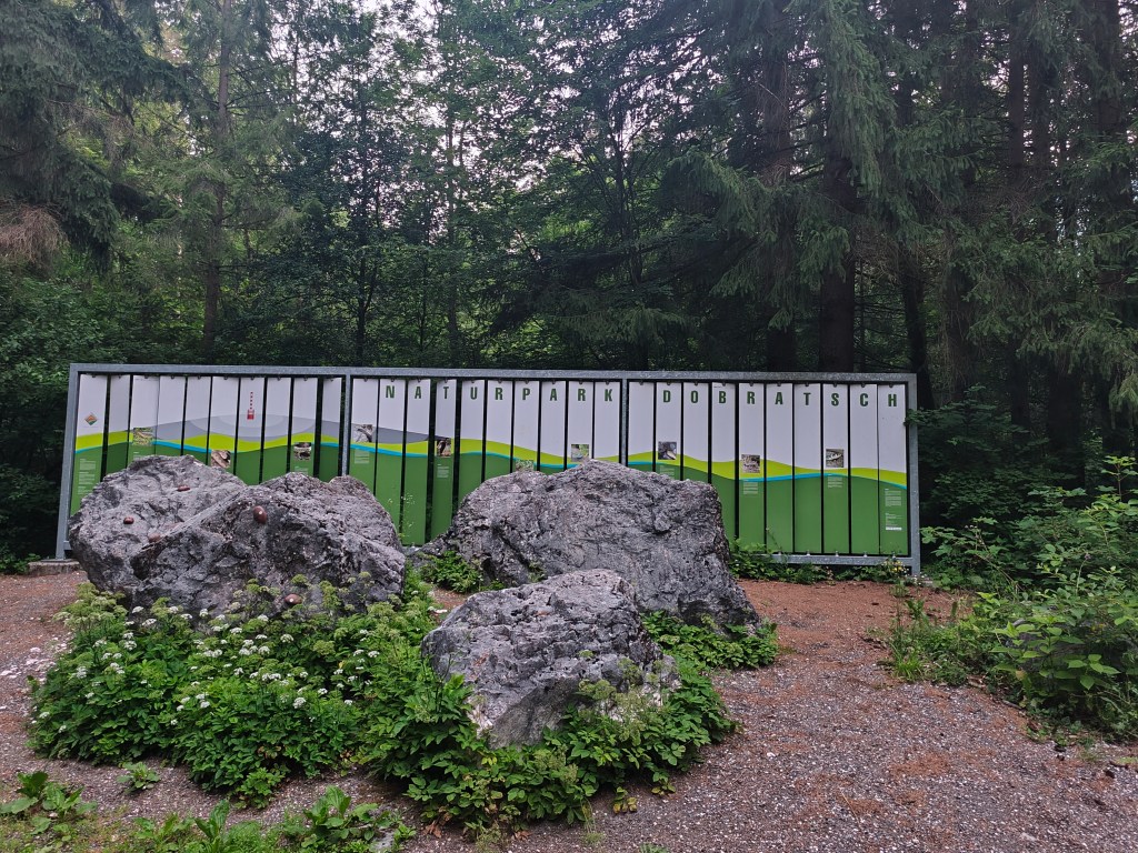
    Nature park Dobratsch near Arnoldstein

    We set off at 4:58 in the morning, the forecast promised a beautiful and quite warm day. After half an hour we spotted our first Alpe Adria Trail sign and continued along the cycle path towards Notsch, where we refilled our water for the first time.
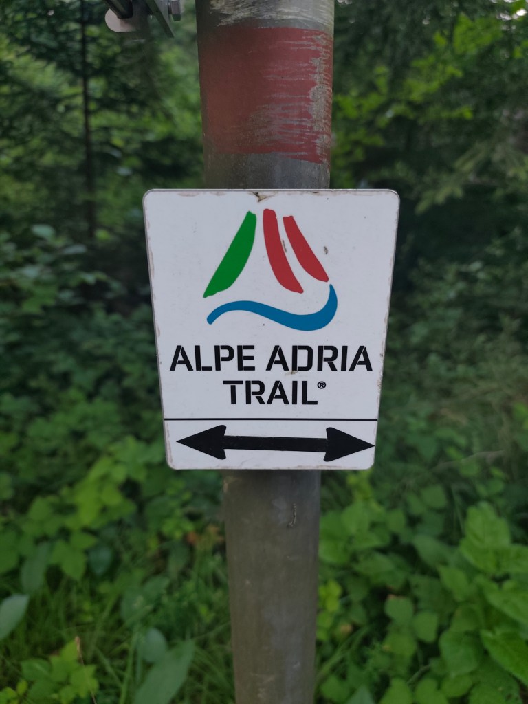
    This sign accompanied us for three whole days

    We keep running and after 15 kilometers we finally start climbing our first hill. And what a hill it is πŸ™‚ 1100 meters climbed in 10 kilometers. Fortunately we climb through the forest and there are at least 5 waterfalls along the way, which are not drinkable, but they served as a great refreshment.

    Feistritzer alm

    After a long day of hiking, we take our first break at the Feistritzer Alm, a mountain hut on the border with Italy. We enjoy a radler and our first great views. It is located at an altitude of 1735 meters above sea level and is located at the foot of the 2,052 meter high Oisternig.
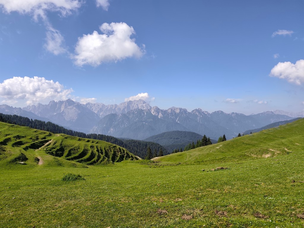
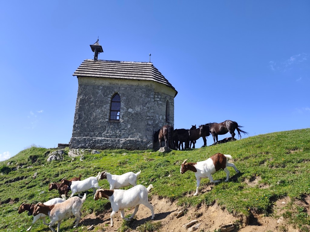
    Alpine pastures on the border between Austria and Italy

    We run through alpine pastures, among goats, horses and marmots, and from below Monte Acomizza we begin to descend towards Camporosso, but we only pass it by the wayside and continue to Valbruna for a real Italian espresso and radler.

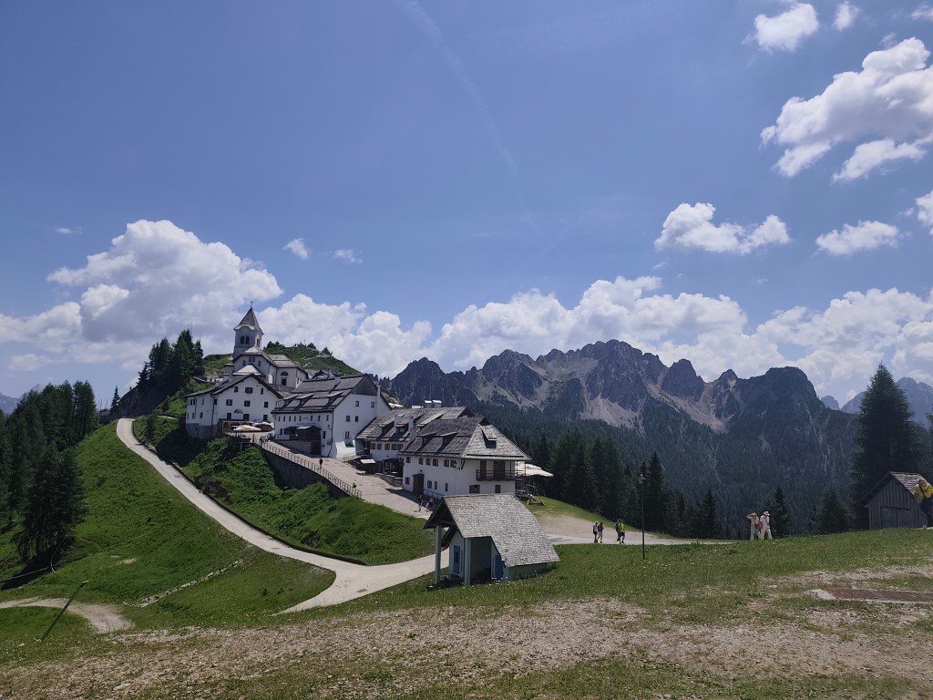
    The temperature is rising and we are facing our second big climb of the day up Monte Lussari. It was quite a massacre, I have never experienced such a steep climb before, 1000 elevation gain in 3 kilometers, they gave us a hard time in that heat.

    Monte Santo Lussari

    Monte Santo Lussari is a pilgrimage site with a beautiful view of the surrounding mountains. At the top of Monte Lussari (1,789 m above sea level) there is a church dedicated to the Virgin Mary. The history of this church dates back to the 14th century, when, according to legend, a shepherd found a statue of the Virgin Mary there. After this discovery, a church was built here, which became an important pilgrimage site.

    From the top of monte Lussari

    At the top, we can’t miss a radler (it will become our traditional drink on this trip :)) and after a few summit photos, we descend back to Camporosso, this time on the other side of the hill. Today we end in the town of Tarvisio, where we stuffed ourselves with great cheeses and real Italian prosciutto crudo.

    52km, 9:24 active time, 10:41 total, 2400 m. ascend