Tag: hiking

  • SNP girls project, day 15

    This time from Jahodná to Štós. We continue for the third day in a row, in the morning we get out of the car at the same place where we left off yesterday. It is morning, but the sun is already peeking out and promises us a warm day.
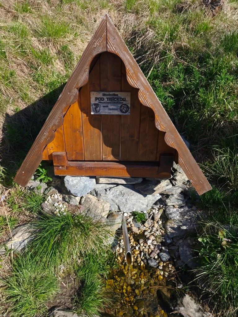
    well “pod Tisíckou”

    We climb up the slope to the top of Jahodná hill, followed by a nice forest path and arrive at Holý Vrch. We refill our water at the well below Tisícká – we can’t help it, because there is an inscription next to it that says whoever drinks from the well will conquer the SNP. So I guess we’ll conquer it 🙂
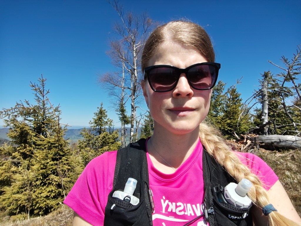
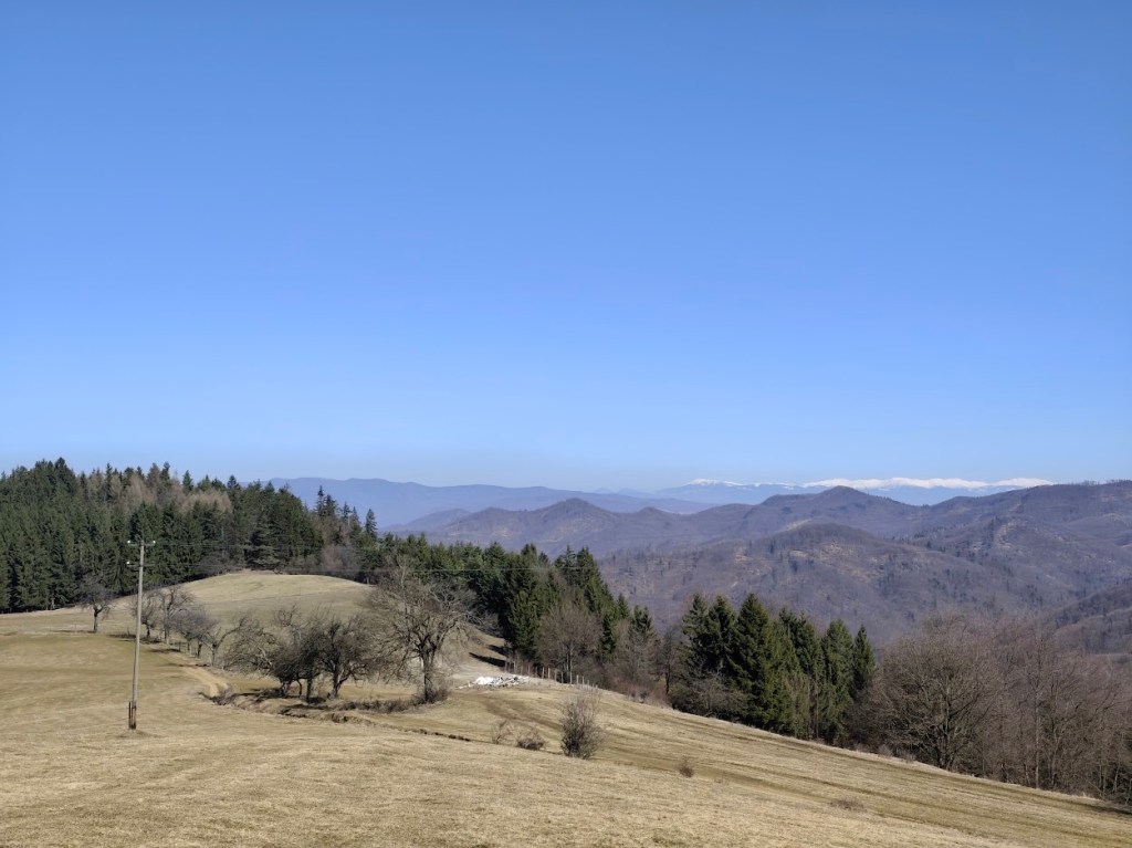
    We continue towards Kojšovská hola and to our surprise, the SNPčka does not lead through the very top, it turns to the Erika cottage in the saddle below Kojšovská hola. At the Erika cottage we admire the views, the High Tatras are in the palm of our hands and they accompany us on the road for a long time like silent guardians. It is beautiful here.
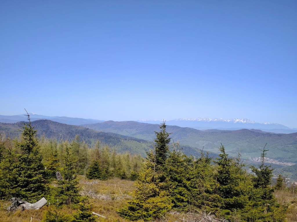
    High Tatras in background

    We continue to Kloptáň, where there is also a lookout tower – this lookout tower is only for the brave, steep ladders without a railing and only a small platform at the top. But I couldn’t resist and with shaking knees I climbed all the way to the top.
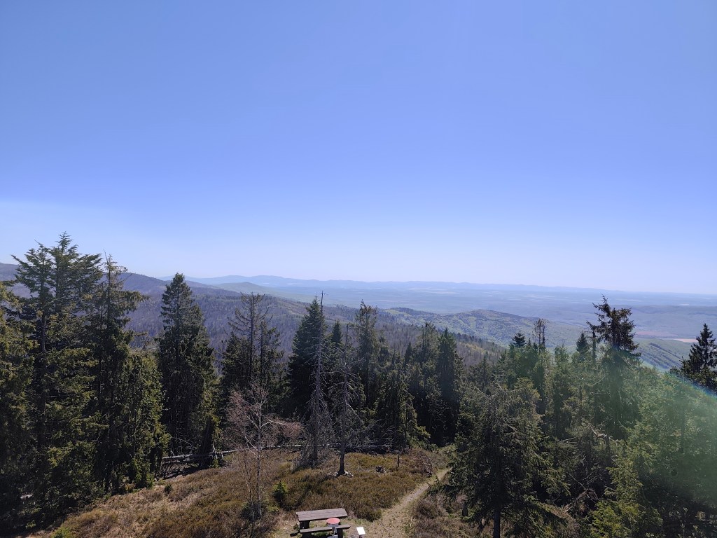
    From viewtower Kloptáň

    We enjoy one of the last views on Zbojnícká skala and slowly descend to the spa in Štós, where we have our last overnight stay on this route. The spa itself is a disappointment for us, it is too expensive and the buildings have already seen their best days. However, the air here is great, that must be admitted 🙂
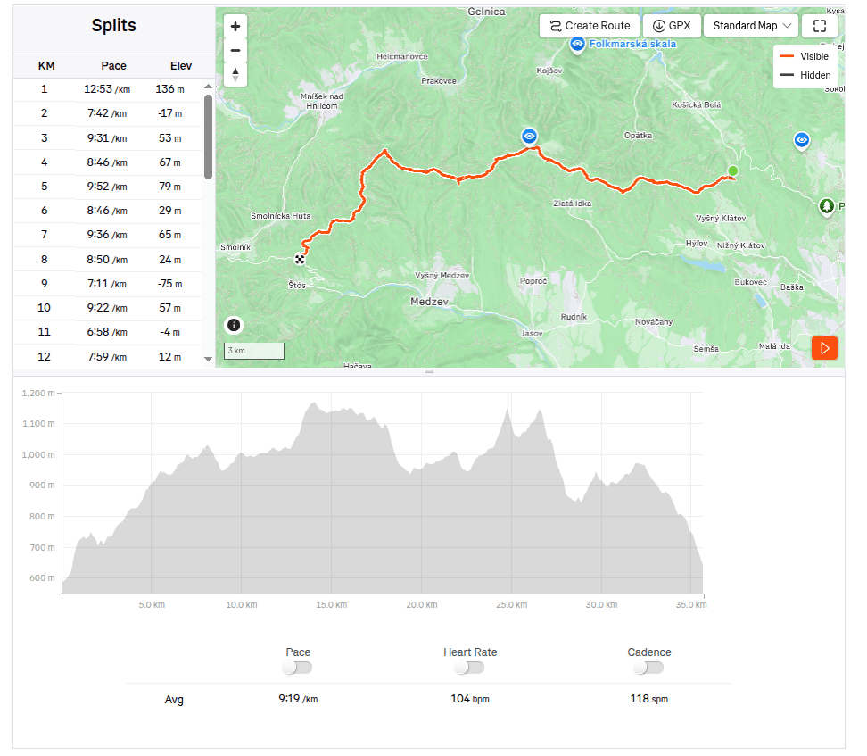
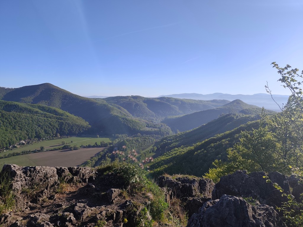
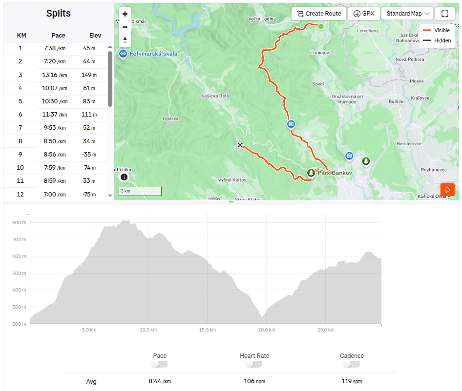
    35.7km, 5:32min, 1465 m ascend
  • SNP girls project day 14

    SNP girls project day 14

    Or from Kysak to Jahodná:)

    We start in the morning in front of the municipal office in Kysak, but we only walk through the village briefly and get to a forest path leading along a stream.

    Jánošíkova bašta

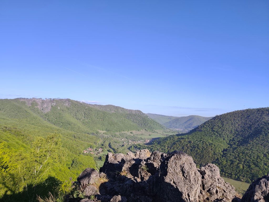
    We pass the cottage area and begin to climb to Janošík’s Bastion. It is an approximately 50-meter-high rock massif that acts as a natural fortress (probably hence the name), from which you can see panoramic views of the landscape around Košice. We enjoy the views for just a moment and then dive back into the forest, which has a wonderfully fresh green color.

    View from Jánošíkova bašta

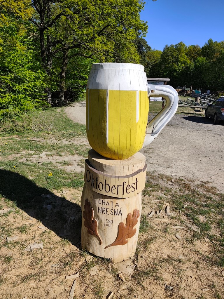
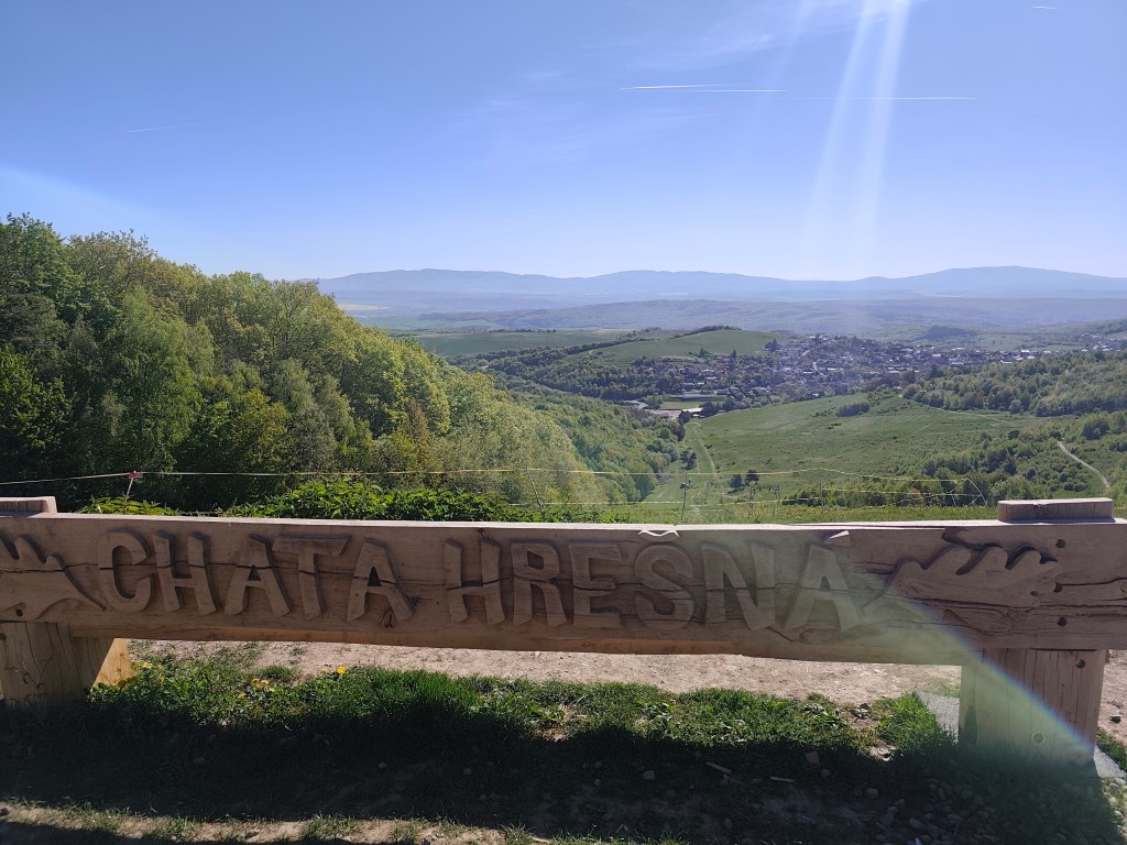
    These forest trails are a very pleasant change from yesterday. We continue through the forest to the Hrešná cottage, where there are cozy-looking chairs with a view of Košice.

    This time without a beer:)
    Hrešná

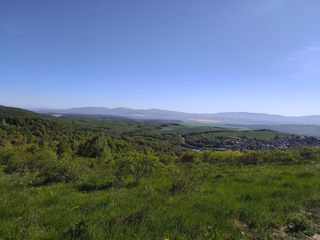
    We resist the temptation to sit down and just laze around and continue down the dirt road to Košice. The sun is starting to warm up and the water is running out, so we hope that the buffet in Čermel in Košice will be open. We’re probably too fast, we get there half an hour before opening 😀

    meadows around Košice

    We continue to Bankov, where we finally managed to find an open hotel café, refilling our water, coffee, radler…

    This stage was a reward after yesterday

    The last 7 kilometers await us, mostly a gentle climb, fortunately through the forest, which, thanks to refreshments in the café, pass relatively quickly. We end today’s stage in front of the cottage on Jahodná. Lucka and I have a grapefruit non-alcoholic beer from Bernard, which is simply divine and we remember the stage in Čičmany, where we drank it for the first time. Thanks to this project of ours, we got to know so many beautiful places in Slovakia that we had no idea existed and that’s still a few stages ahead of us 🙂
    29.7km 4:19 active time, 4:48 total, 1169m ascent.
  • Bojnice, Remata with David

    Bojnice, Remata with David

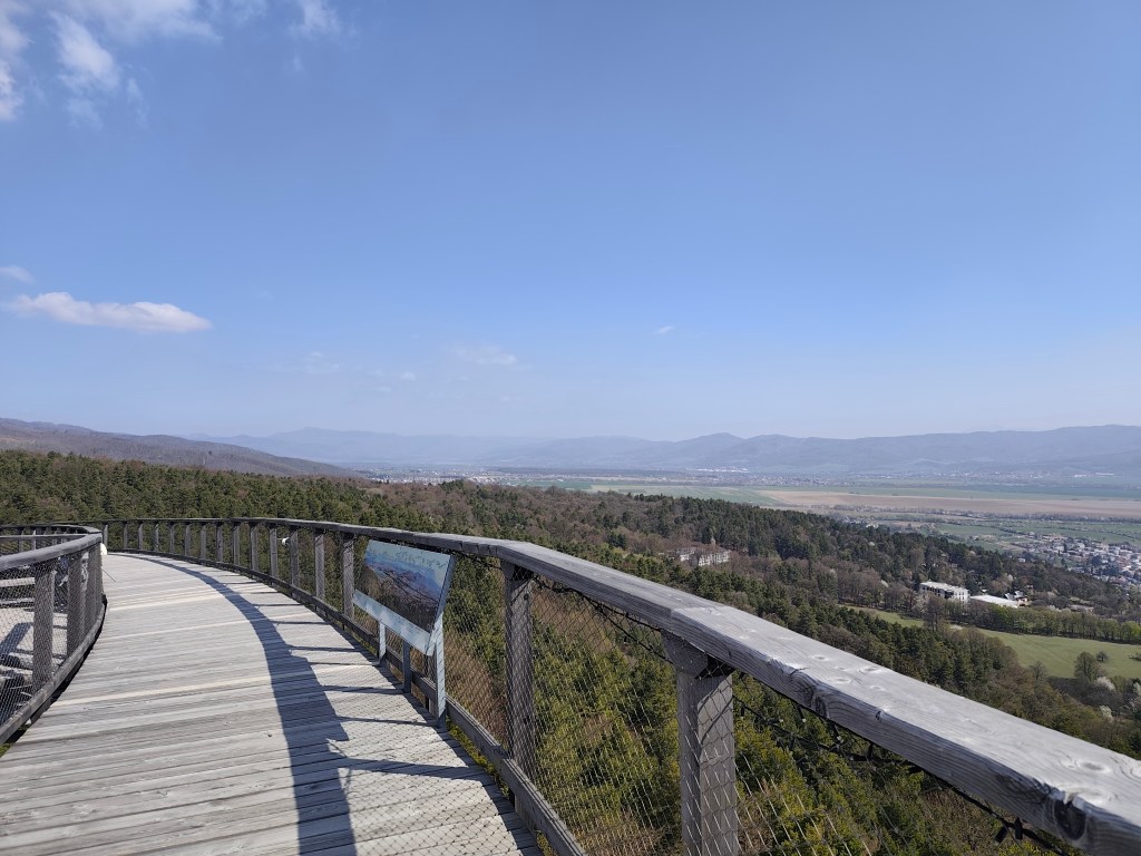
    In an effort to minimize screen time and maximize quality time spent together (ideally outdoors), I look for all kind of possibilities for trips. This time, the main target was the Čajka observation tower overlooking Bojnice.

    Čajka in the clouds

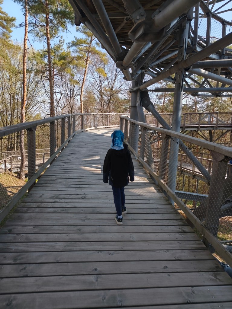
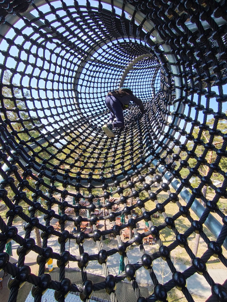
    Its total height is 30 meters and a wooden footbridge leads to its top. it offers really beautiful views, but in my opinion, the entrance fee for this attraction is set relatively high (12 euros/person), considering that we went around it in about half an hour.

    But a big bonus for us was the adjacent children’s playground, which is really huge. And not far from Čajka there is also a dinopark, which of course we couldn’t just bypass (also 12 euros/person).

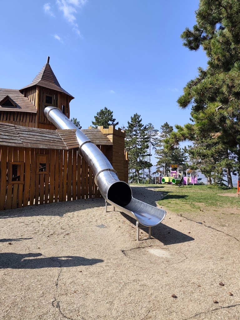
    The playground also included such a great castle with a sled, which even I couldn’t miss

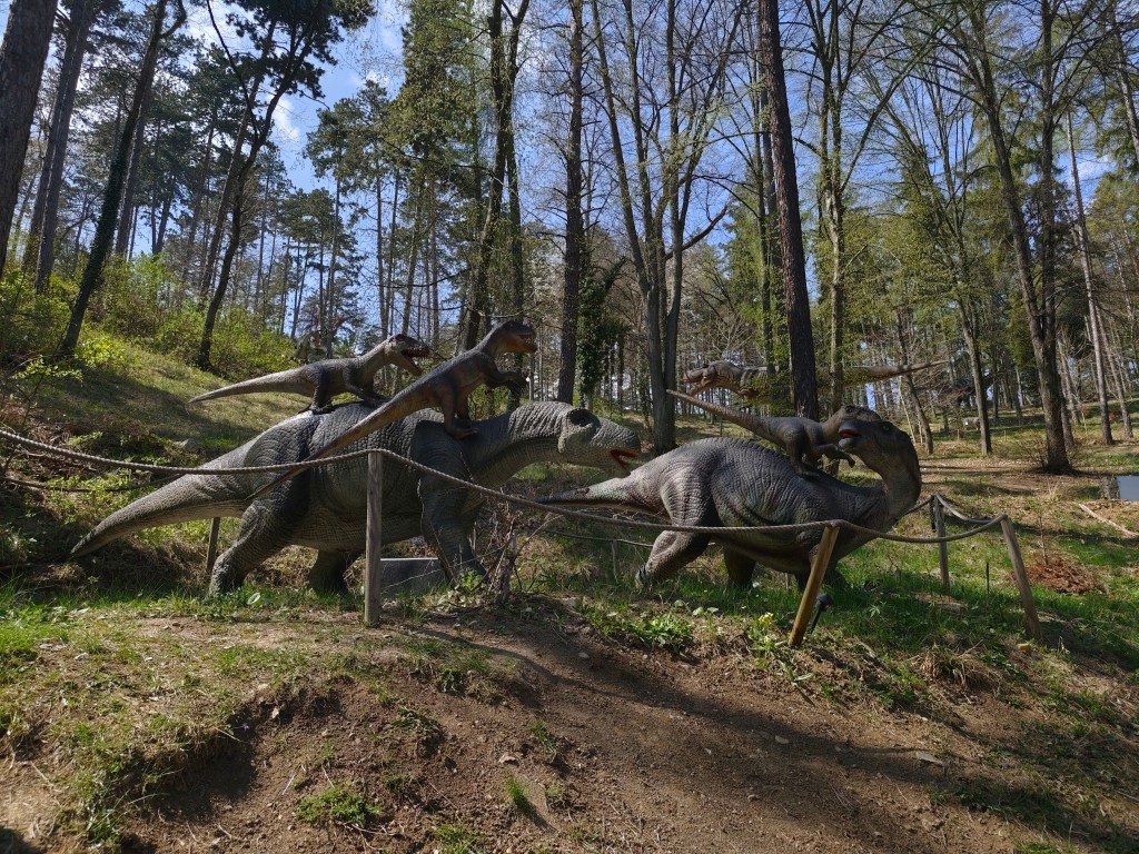
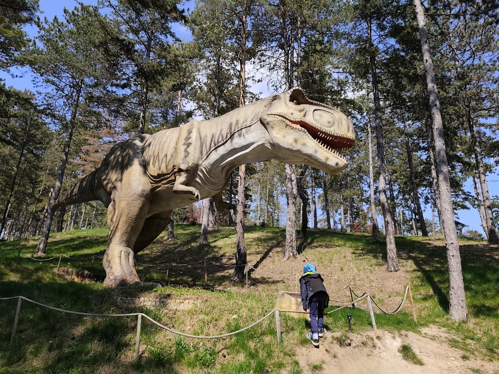
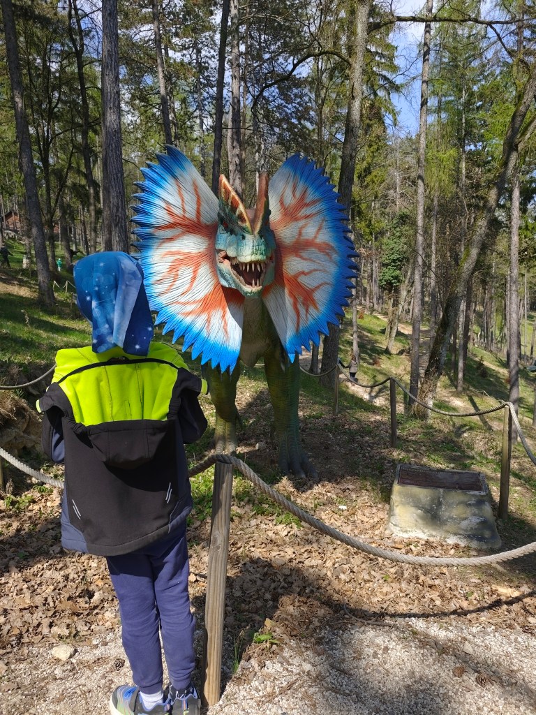
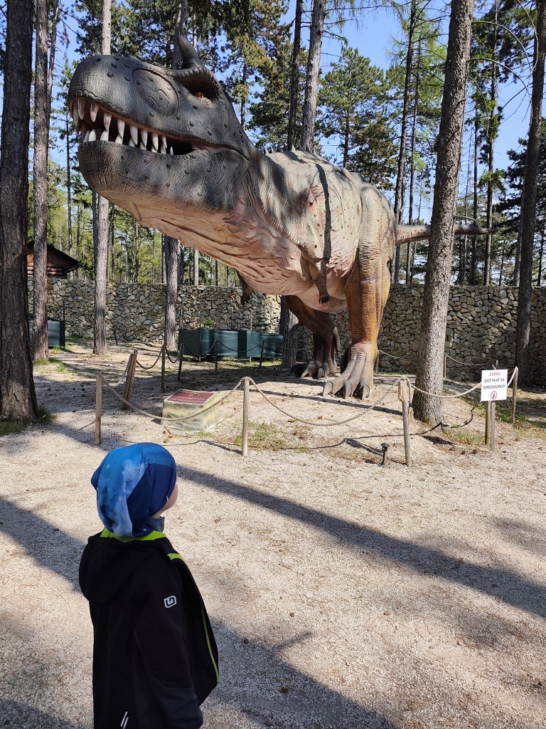
    However, we really liked the Dinopark, it was vast, with more than 100 exhibits, some of which were really huge. We liked that the paths led through the forest, which enhanced the atmosphere. Dinosaurs moved and made sounds.

    Dinopark

    We walked here for more than an hour and if we had other plans, I believe we would have had something to fight for another hour. For us, better minute money compared to the lookout tower.

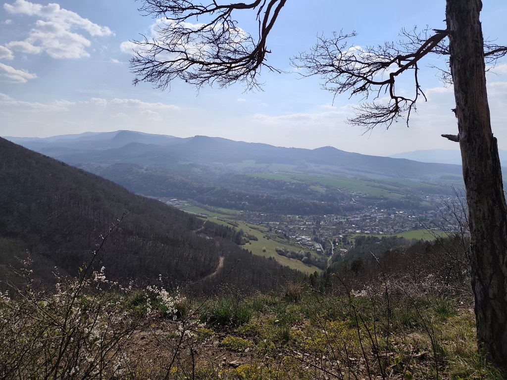
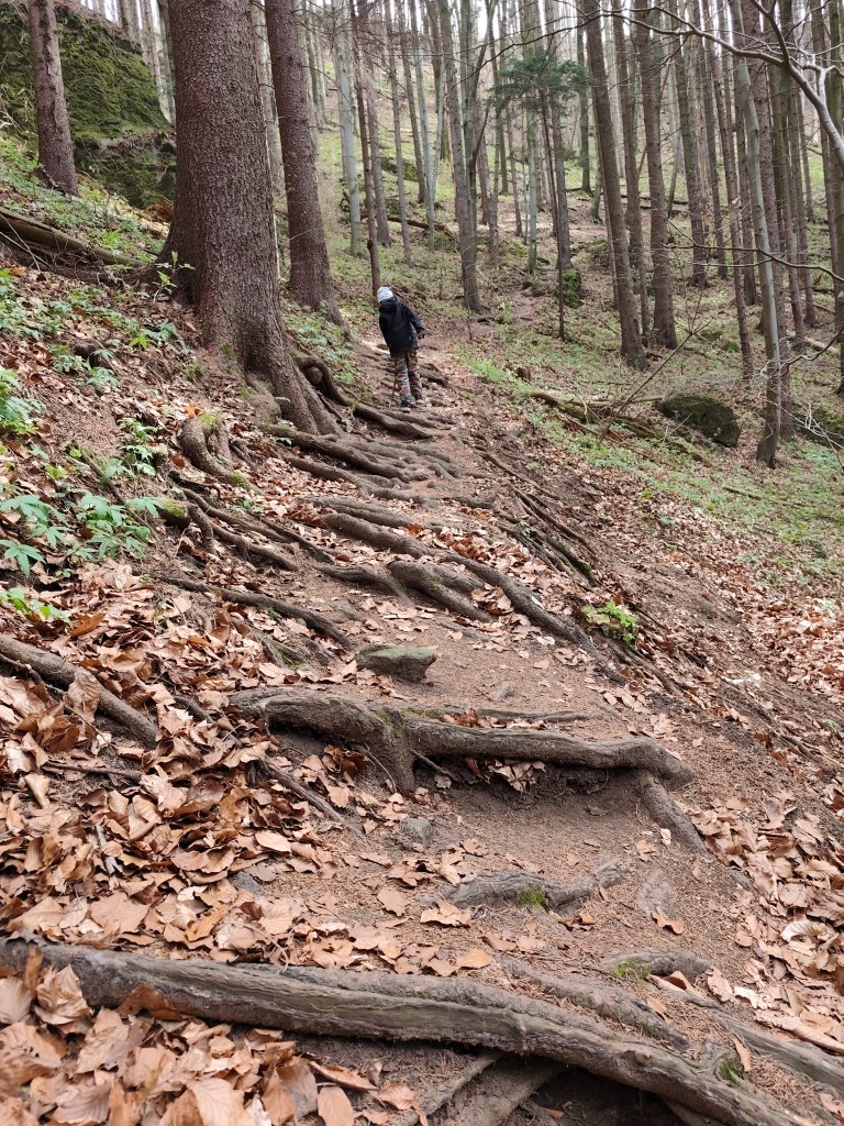
    On the way to Remata, where we had arranged accommodation, we had one more stop – Hájska skala above the village of Ráztočno. It’s about 2 kilometers to Hájska skala, but you have to climb quite a hill to get the great view.

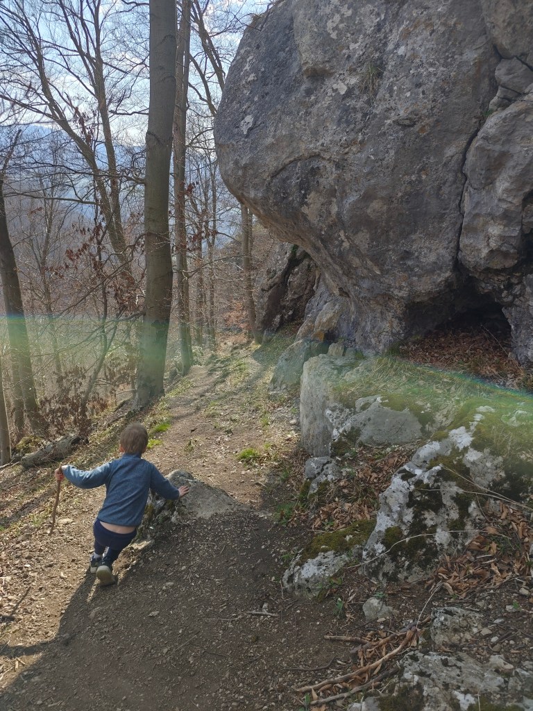
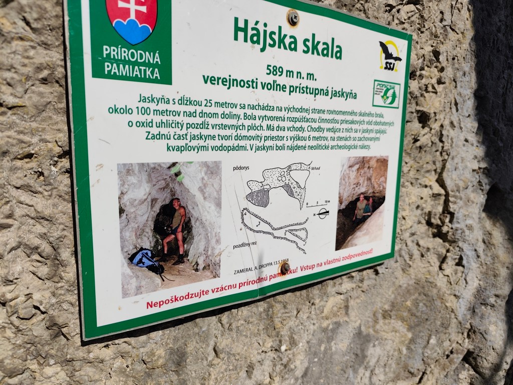
    Under the Hájská rock is also the Hájska cave – the only freely accessible cave in the Žar Mountains, it is 25 meters long with a 6-meter-high dome.

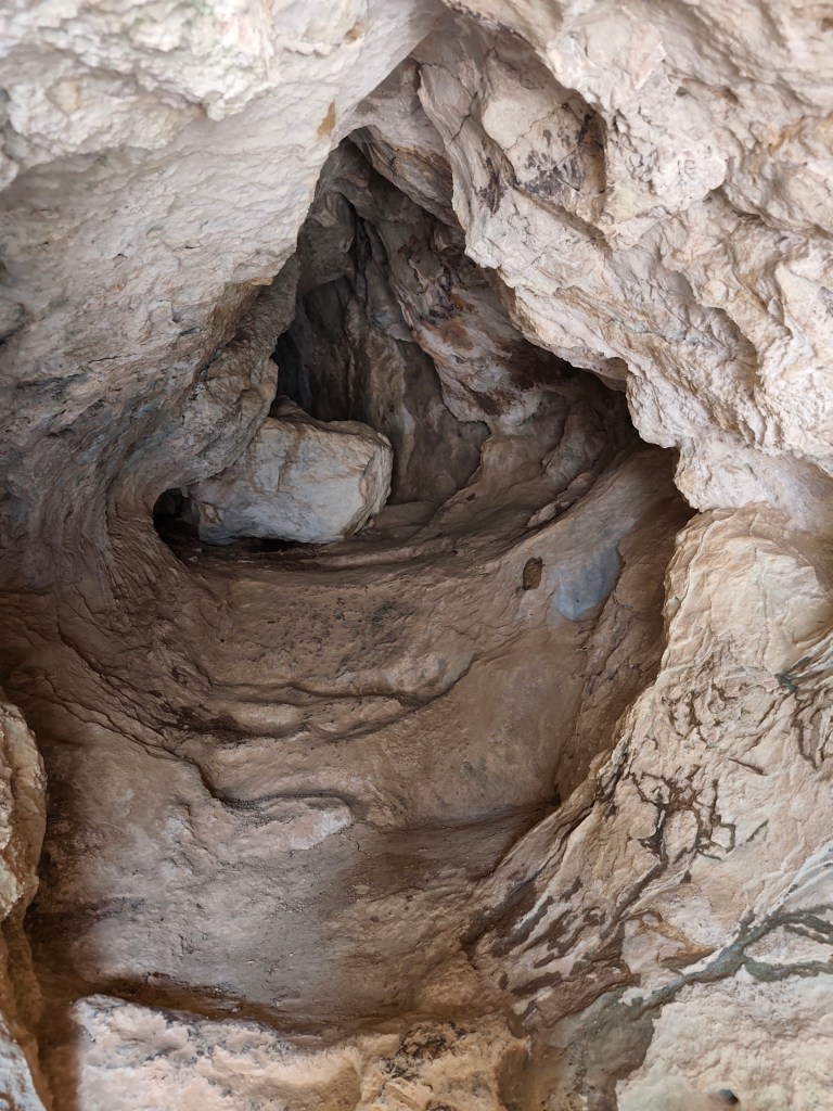
    Entrance to the cave
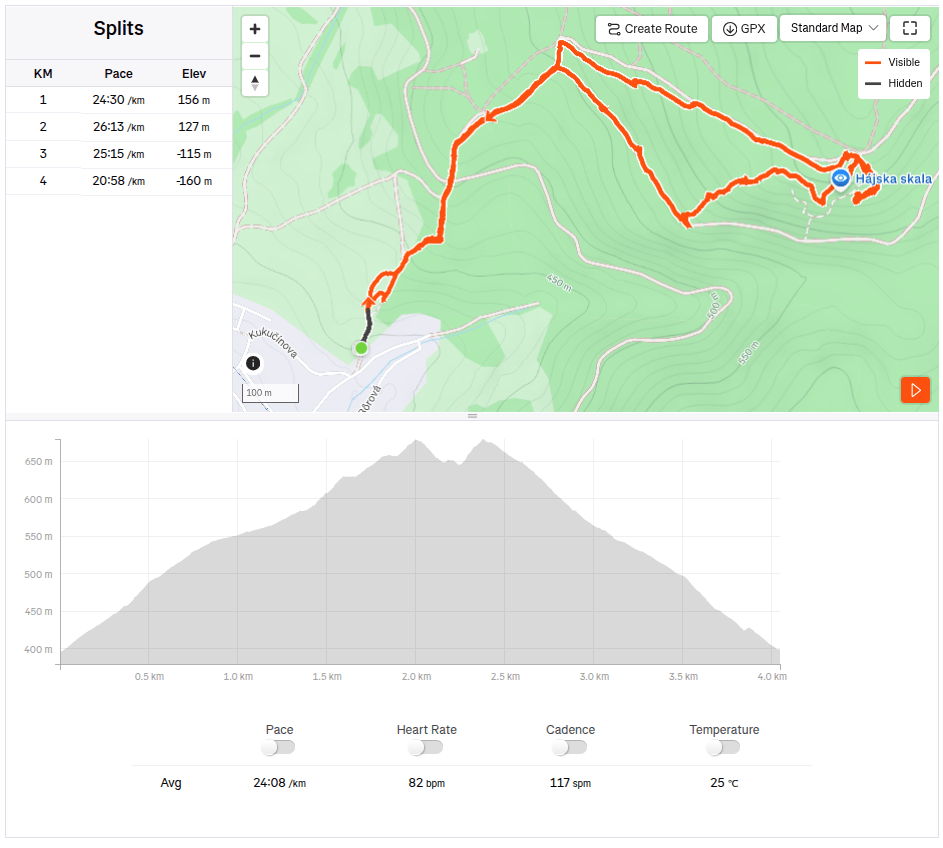
    4km, 1h 53 min, 320 meter ascend

    We slept at the Poniklec cottage. It is tourist accommodation in a “retro” style – but fully sufficient for us, and I must say that we slept like babies, curled up in fragrant duvets and woke up an hour later than we usually wake up:)

    On the way to Bralova skala

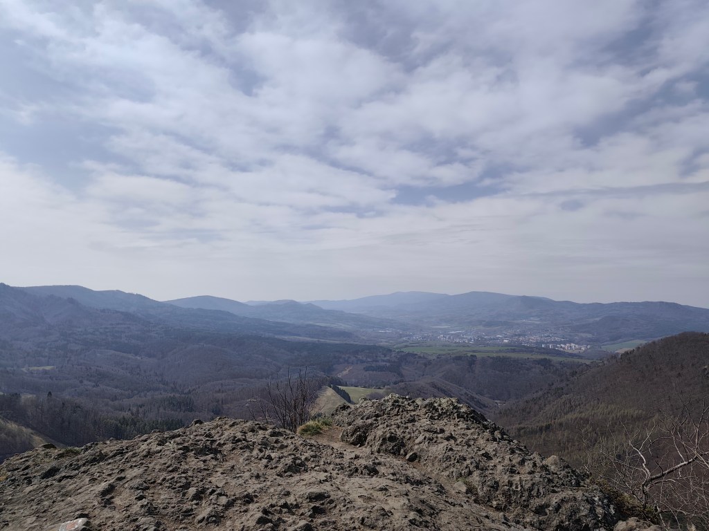
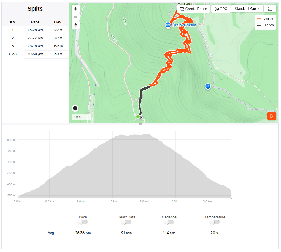
    The next day we went to see the Bralová skala, whose rocky cliff offers a very good view of the Handlovská and Turčianska basins, the Kremnické vrchy, Vtáčnik, or even Malá and Veľká Fatra. The ascent was only less than 2 kilometers long, but at the end it was quite steep.

    Bralova skala

    We ended the weekend with a visit to Rematské ornamental ponds – it is an agro-tourism area, it offers fishing, a great children’s playground, a mini-farm and a zipline. David really liked it here. He was 6 years old at that time.

    3.38km, 1h 46min, 280 meter ascend
  • Bojnice, Remata (s Dávidom)

    Bojnice, Remata (s Dávidom)

    V snahe minimalizovať screen time a maximalizovať spoločne strávený kvalitný čas (ideálne outdoor) vymýšľam a hľadám možnosti na výlety. Tento krát bola hlavným cielom vyhliadkovýá veža Čajka vypínajúca sa nad Bojnicami.

    čajka v oblakoch

    Jej celková výška je 30metrov a na jej vrcho vedie drevená lávka. ponúka naozaj krásne výhľady, ale podľa mňa je vstupné na túto atrakciu nastavené relatívne vysoko (12 eur/osoba), vzhľadom na to, že sme ju obehli asi za pol hodinku.

    Pre nás ale veľkým bonusom bolo priľahlé detské ihrisko, ktoré je naozaj obrovské. A kúsok od Čajky sa nachádza aj dinopark, ktorý sme samozrejme nemohli len tak obísť (taktiež 12 eur/ osoba).

    Súčasťou ihriska bol aj takýto parádny hrad so šúchačkou, ktorú som si ani ja nemohla nechať ujsť

    Dinopark sa nám však veľmi páčil, bol rozľahlý, s viac ako 100vkou exponátov, z ktorých niektoré boli naozaj obrovské. Páčilo sa nám, že chodníčky viedli lesom, čo umocňovalo atmosféru. Dinosaury sa dokonca hýbali a vydávali zvuky.

    Dinopark

    Tu sme sa prechádzali viac ako hodinu a keby sme ešte iné plány, verím, že ešte hodinu by sme mali čo bojavovať. Za nás lepšie minuté peniaze v porovnaní s vyhliadkovou vežou.

    Cestou do Rematy, kde sme mali dohodnuté ubytovanie sme mali ešte jednu zastávku – Hájsku skalu nad obcou Ráztočno. Na Hájsku skalu sú to asi 2 kilometre, avšak na ten parádny výhľad si treba vyšľapať celkom dobrý kopec.

    Pod Hájskou skalou sa nachádza aj Hájska jaskyňa – jediná voľne prístupná jaskyňa v pohorí žiar, je dlhá 25 metrov so 6metrov vysokým dómom.

    Vchod do jaskyne
    4km, 1h 53 min, 320 nastúpaných metrov

    Prespávali sme na chate Poniklec . Ide o turistické ubytovanie v “retro” štýle – pre nás ale plne postačujúce a musím povedať, že sme spali ako bábätká, zakutali sme sa do voňavých perín a zobudili sme sa až o hodinu neskôr ako bežne vstávame:)

    Cestou na Bralovu skalu

    Na druhý deň sme išli pozrieť Bralovú skalu, ktorej skalnaté bralo ponúka veľmi dobrý výhľad na Handlovskú a Turčiansku kotlinu, Kremnické vrchy, Vtáčnik, či dokonca Malú a Veľkú Fatru. Výstup mal len necelé 2kilometre, zato v závere bol poriadne strmý.

    Bralova skala

    Víkend sme zakončili návštevou Rematských okrasných rybníkov – ide o agroturistický areál, ponúka rybolov, parádne detské ihrisko, minifarmu a lanovú dráhu. Dávidovi sa tu veľmi páčilo. V tom čase mal 6 rokov.

    3.38km, 1h 46min, 280 nastúpaných metrov
  • Chata pod Suchým with David

    Chata pod Suchým with David

    Our first sleepover together at a mountain hut, where we had to carry everything we needed on our own backs. Great adventure in Mala Fatra.

    An ordinary thing for someone, for us it was something really big, Dávid packed his own backpack for the first time (lego and sweets, he obviously knows what’s important:) ) and I packed two people in one backpack for the first time.

    Starhrad

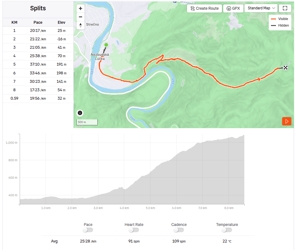
    Several hiking trails lead to Chata pod Suchým, and I chose the one from Nezbudská Lúčka around the ruins of Starhrad. We came to Nezbudská Lúčka by train, and from there it is 8.6 km and a healthy 931 meters of altitude up to the cottage.

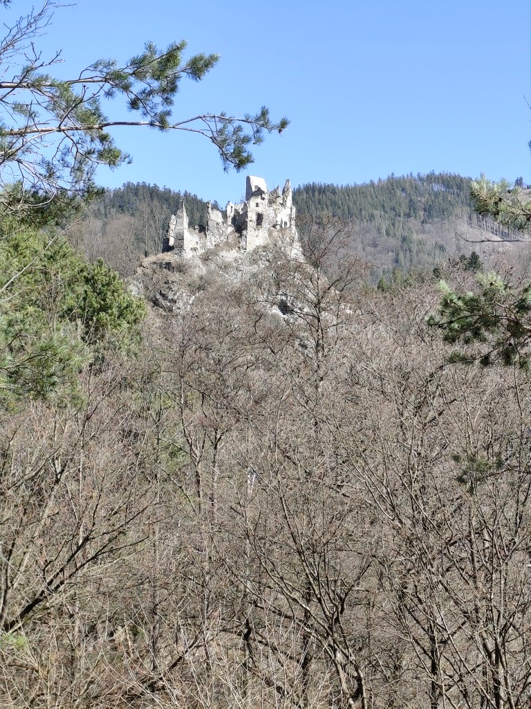
    Ruins of Starhrad

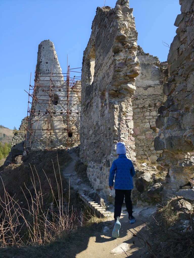
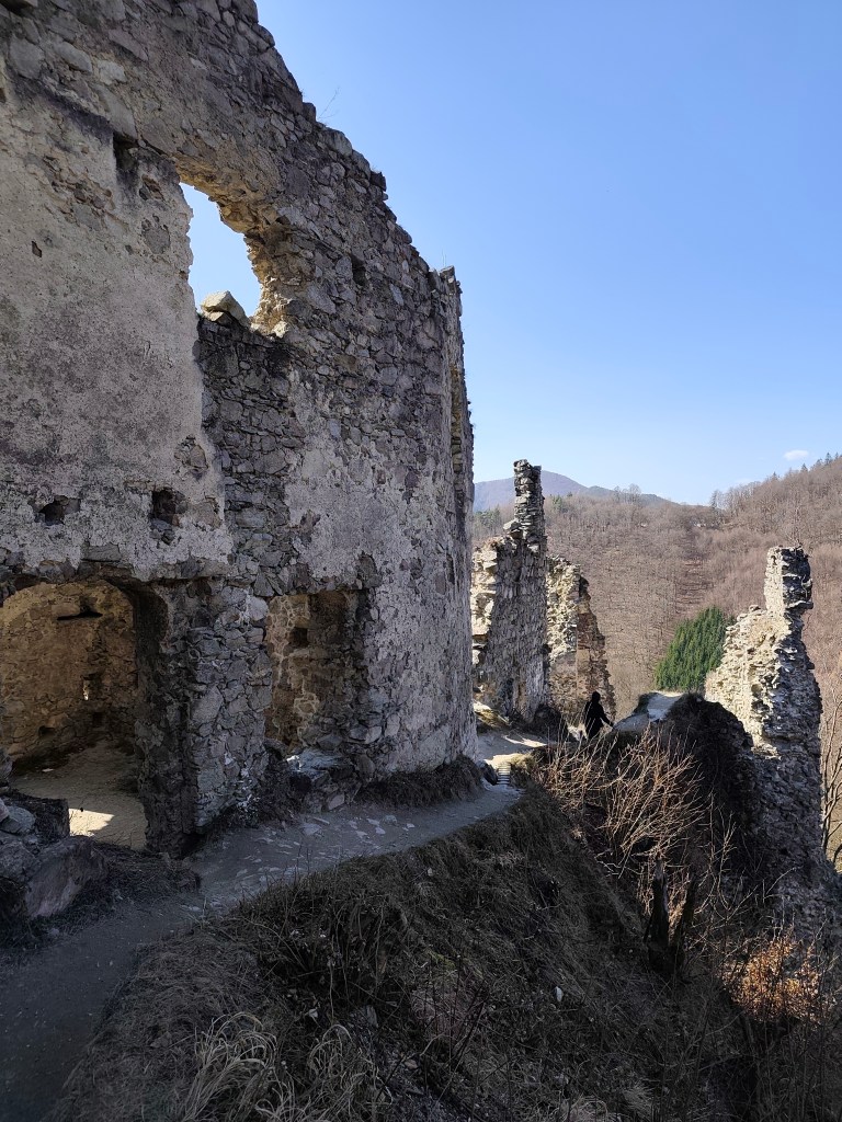
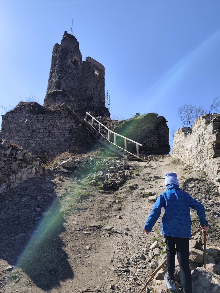
    Starhrad is located opposite of Strečno Castle, on the other bank of the Váh River above the Domašínsky meander. The castle has preserved the masonry and layout of a medieval castle. The tower is still preserved up to the height of the second floor. To the west of it, the remains of the palace are visible, and the other damaged walls trace the terrain of the rock cliff.The original windows and entrances have been preserved in some places. A part of the Gothic bay window can be seen on the palace. There is a beautiful view from the ruins. It is an ideal place to take a break and strengthen before the most demanding part of the ascent to the hut.

    This is followed by a really steep climb up to the Plešel hill, during which I heard “when will we be at the cottage?” about 47 times.

    steep climb begins

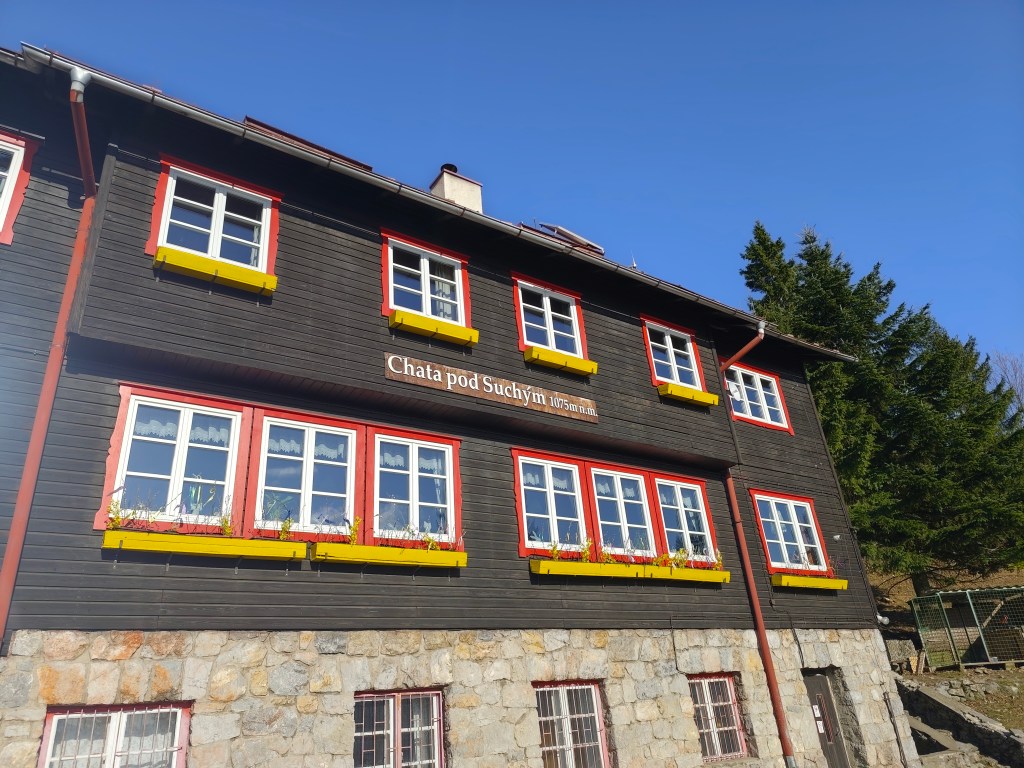
    The cottage itself is located at an altitude of 1075 m.a.s.l., under Suchý Hill. The original cottage was from 1938, the cottage was a two-story building with an attic, it was built in a very modern style and there were a total of 80 beds in the tastefully furnished rooms and the common dormitory. The generator-lit cottage also had a dining room and a kitchen where tourists could prepare their meals. There was also water supply. However, this cottage was set on fire by German soldiers in 1944, it burned for 25 hours and the cottagers were not allowed to put it out.

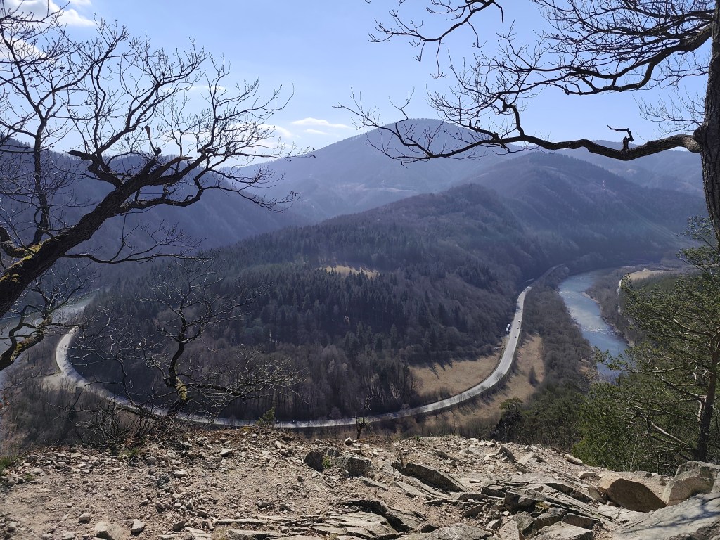
    View on Váh

    Only the foundations and the chimney remained from the original cottage, the construction of the new one began in 1947. First, the construction of the farm building began. The beginnings were very difficult, they lived in a tent, later in a lumberjack’s hut. The material was transported from Strečno on wagons under the Starhrad, there was a transshipment area covered with a tarpaulin, and from there it was carried up by people and mules along the sidewalks. The cottage was completed in the summer of 1949. It was almost identical to the first cottage, just without front windows in the attic part, as the gable roof was replaced with a symmetrical one.

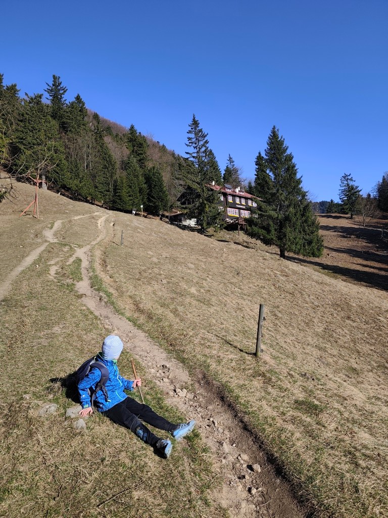
    We made it

    The current cottage offers a year-round kitchen and tourist rooms with shared bathroom facilities. Since the electricity is supplied by a generator, everything goes out at 10 and even hot water is only available in a limited amount 🙂
    But it was a wonderful experience for us that we managed the ascent together and enjoyed our stay even with such “uncomfortable” conditions for the modern world.

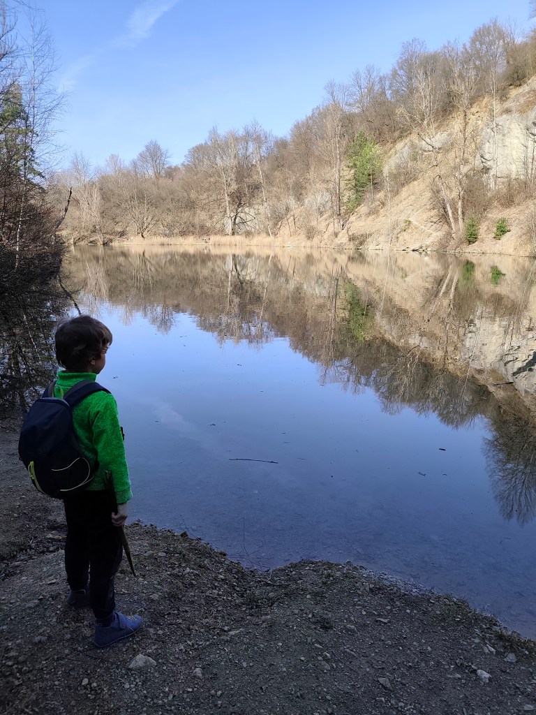
    The next day we literally ran down and therefore we had some time to see the Nezbud quarry before the train – it is a flooded quarry where asphalt crumb was once mined, it has a nice green-blue color and you can walk around it.

    Quarry Nezbud

    Dávid was 6 years old at that time.

    to the cottage: 8.6km, 3:39 active time, 5:13 total, 931 m ascend
  • Chata pod Suchým s Dávidom

    Chata pod Suchým s Dávidom

    Naša prvá spoločná prespávačka na horskej chate, kde sme si všetko čo potrebujeme museli vyniesť na vlastných chrbtoch. Veľké dobrodružstvo v Malej Fatre.

    Pre niekoho bežná vec, pre nás to bolo niečo naozaj veľké, Dávid si prvý krát balil svoj vlastný batoh (lego a sladkosti, očividne vie čo je dôležité:) ) a ja som prvý krát balila dvoch ľudí do jedného batoha.

    Starhrad

    Na Chatu pod Suchým vedie niekoľko turistických trás, aj som nám vybrala tú z Nezbudskej Lúčky okolo zrúcaniny Starhradu. Do Nezbudskej Lúčky sme prišli vlakom a hore na chatu je to 8.6km a výživných 931 výškových metrov.

    Ruiny Starhradu

    Starhrad sa nachádza oproti hradu Strečno, na opačnom brehu rieky Váh nad Domašínskym meandrom. Hrad si zachoval murivo a dispozíciu stredovekého hradu. Veža je dodnes zachovaná asi do výšky druhého poschodia. Na západ od nej sú viditeľné zvyšky paláca a ostatné poškodené múry sledujú terén skalného brala. V areáli sa miestami zachovali otvory pôvodných okien a vstupov. Na paláci je vidieť časť gotického arkiera. Zo zrúcaniny je krásny výhľad. Je to ideálne miesto na prestávku a posilnenie pred najnáročnejšou časťou výstupu na chatu.

    Nasleduje naozaj strmé stúpanie až po vrch Plešel, počas ktorého som si “kedy už budeme na chate” vypočula asi 47 krát.

    začína stúpanie

    Samotná chata sa nachádza v nadmorskej výške 1075 m.n.m, pod vrchom Suchý. Pôvodná chata bola z roku 1938, chata bola dvojposchodovou budovou s podkrovím, postavená bolo vo veľmi modernom štýle a vo vkusne zariadených izbách a spoločnej nocľahárni bolo celkovo až 80 lôžok. Generátorom osvetlená chata mala aj jedáleň a kuchynku, v ktorej si turisti mohli pripraviť jedlo. Nechýbal ani vodovod. Túto chatu však v roku 1944 podpálili nemecký vojaci, horela 25 hodín a hasiť ju chatári nesmeli.

    Výhľad na Váh

    Z pôvodnej chaty zostali len základy a komín, stavba novej začala v roku 1947. Najskôr sa začala výstavba hospodárskej budovy. Začiatky boli veľmi náročné, bývalo sa v stane, neskôr v drevorubačskej búde. Materiál sa vozil zo Strečna na vozoch pod Starý hrad, tam bolo prekladisko prekryté plachtou a odtiaľ ho nosili hore ľudia a mulice po chodníkoch. Chatu dokončili v lete 1949. Bola takmer identická s prvou chatou, akurát bez čelných okien v podkrovnej časti, keďže sedlová strecha bola nahradená symetrickou.

    Dokázali sme to

    Terajšia chata ponúka kuchyňu s celoročnou prevádzkou a turistické izby so spoločným sociálnym zariadením. Keďže elektrina je dodávaná pomocou generátora, tak o 10 všetko zhasne a aj teplá voda je dostupná len v obmedzenom množstve:)

    Ale pre nás to bol úžasný zážitok, že sme spolu zvládli výstup a pobyt sme si užili aj s takýmito pre moderný svet “nekomfortnými” podmienkami.

    Na druhý deň sme zbehli dole a stihli sme si pred vlakom ešte pozrieť lom Nezbud – ide o zatopený lom, v ktorom sa kedysi ťažila asfaltová drvina, má peknú zeleno-modrú farbu a dá sa obísť dookola.

    Lom Nezbud

    Dávid mal v čase výletu 6 rokov.

    cesta hore: 8.6km, 3:39 aktívny čas, 5:13 cekový čas, 931 nastúpaných metrov
  • Vyhne, Repište, Červená Studňa

    Vyhne, Repište, Červená Studňa

    Running at the beginning of March can still be treacherous, there can still be quite deep snow fields in the mountains, especially in shady sections the snow sometimes last until May. So we chose the route at lower altitudes. And this route is absolutely ideal for spring, it is runnable, often leads through meadows that would be too hot from the sun in summer. And in the middle of the hill there is a Hájovňa, where you can buy coffee, radler, cookies…

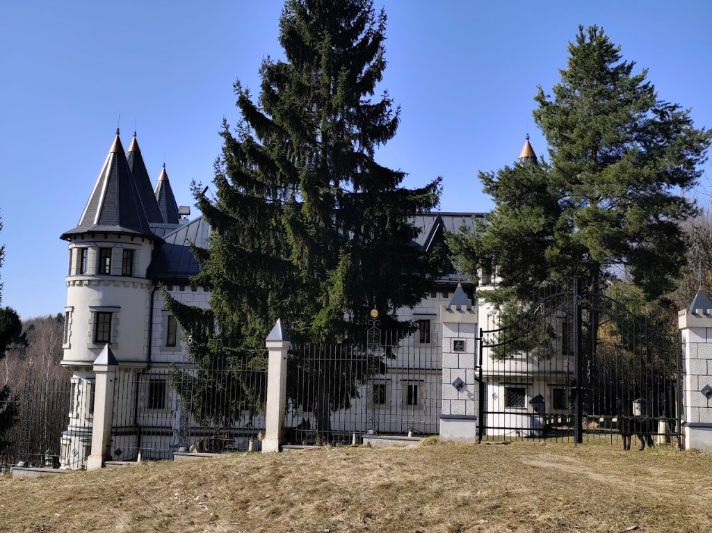
    I recommend the route in this direction, with the first stop near Repiste, where Marcus Castle is located. It is a replica of a medieval castle, which was built only in the 21st century. It includes the Chapel of St. Barbara, which is one of the stops on the Barbora Trail. The chapel stands on the spot where miners once stopped on their way to work and prayed to their patron saint for good luck and protection. However, you will not be able to get to the bottom, as it is private property that is not accessible to the public.

    Marcus

    From the Marcus Castle we continue along the Barborska Road to the Červená Studňa saddle, where the Červená Studňa tajch and Hájovňa are located. The construction of the tajch was designed by J. K. Hell. He wanted to use its strategic location to build a driving ditch that would bring water to the Amália shaft to power a water column pumping machine.

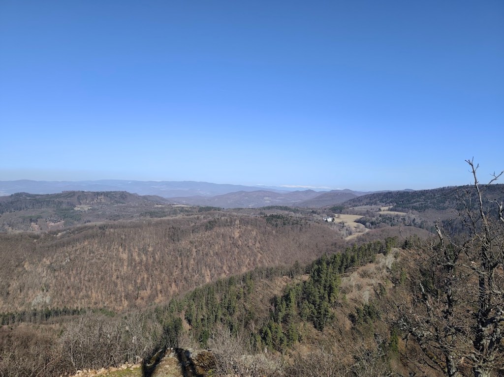
    This route has a lot of beautiful views

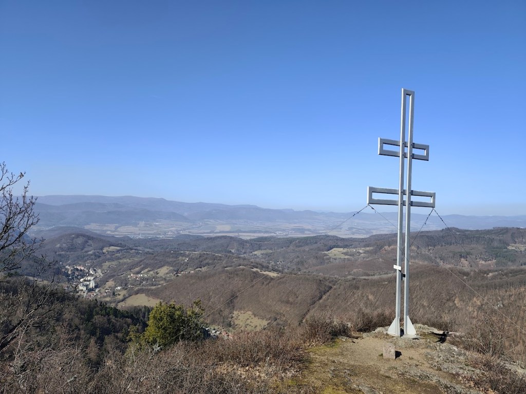
    We had coffee and a radler in Hájovňa, and since it was warm, we enjoyed them in the sun on a bench in front of Hájovňa. Back to Vyhne we went along the ridge on the opposite side of the valley, along the Andrej Kmeť educational trail. This is a nice cycle path, which also offers views of the Marcus Castle. We turn off cycle path to follow yellow marking and to see the views from Jelenia skala. From its top, under favorable conditions, you can see the beautiful landscape from Tribeč to the Low Tatras. From the surrounding hills, you will see Vtáčnik, Kremnické vrchy or Pohronský Inovec.

    Snow covered Lower tatras in the background

    From Jelenia skala we descend along the green path down to the valley and make up for the lost meters by climbing steeply along an unmarked forest path. We reach a not-so-used green tourist trail and follow it, descending slightly, to Hájska skala.

    Cross on the top of Jelenia skala

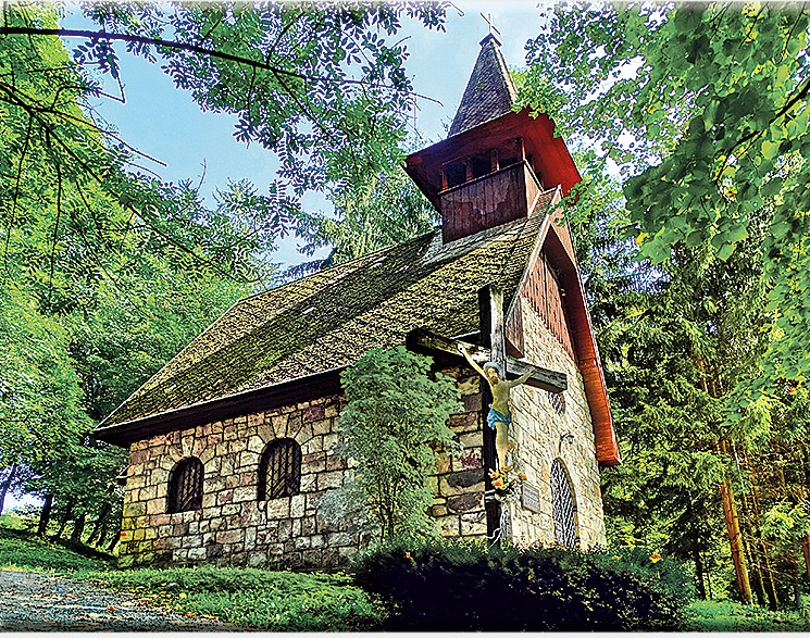
    We return to the parking lot past the spa chapel of Our Lady of the Crown. This is an early work of the famous architect Ladislav Hudec. It survived the devastating spa fire in 1945 and today stands on a hill above the village as a monument to the spa’s past glory, hiding a sculpture of St. John of Nepomuk.

    The chappel (source internet)
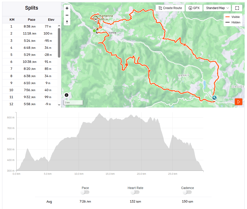
    29.93km, 3:42 active time, 4:18 total, 1233 m ascend
  • Stone sea in Vyhne

    Stone sea in Vyhne

    Spring and sun are finally here. Although nothing is green yet, you can already see the first flowers, even butterflies. And with that, more opportunities to rummage around outside. This time we went around Vyhne, to see Hájska skala and stone sea.

    On the way to Hájska skala

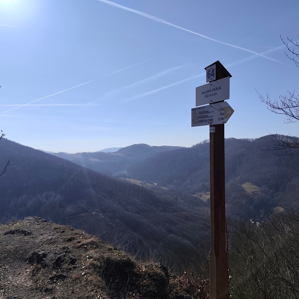
    Hájska skala is a view point in the village of Vyhne, only 1.3 km away from the parking lot, along a nice narrow path between the trees. And it offers great views.

    Hájska skala

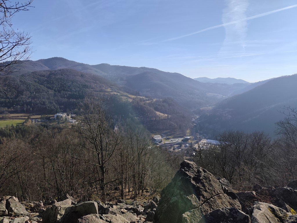
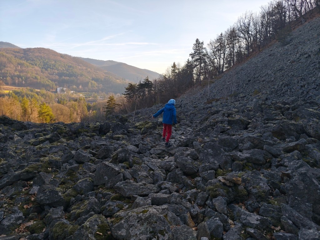
    Stone sea is located on the opposite hill, so we have to go down from Hájská skala again to Vyhne and climb another hill. The stone sea in Vyhne is the largest rhyolite stone sea in the volcanic part of the Carpathians.

    Local meadows

    In the past, rhyolite was mined in these places, which was also used for the production of millstones for several decades. This activity severely damaged the steep slope, and the higher debris therefore collapsed a significant part of the slope. Stone mining was stopped here in 1936, thanks to the declaration of the Stone Sea as a nature reserve.

    Viewpoint on the top of stone sea

    For Dávid, it was the best part of the trip, because he could jump and climb on rocks, and he loves it. The footpath was barely visible, so it was necessary to actively search for the path and markings.

    The tourist sign leads directly through the stone sea
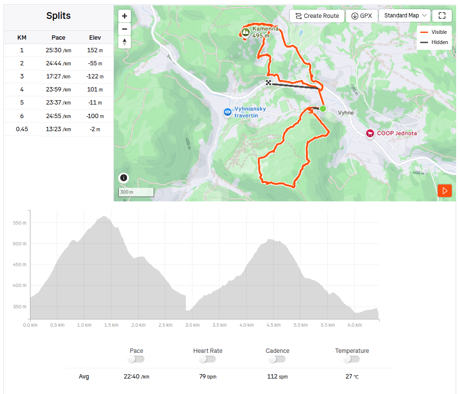
    6.5km, 2h 26min, 388 m ascend
  • Kamenné more vo Vyhniach

    Kamenné more vo Vyhniach

    Konečne je tu jar a slnko. Sice ešte nič nie je zelené, ale už vidno prvé kvietky, dokonca aj motýle. A s tým aj viac možností tárať sa po vonku. Tento krát sme si prešli okolie Vyhní, Hájsku skalu a Kamenné more.

    Cestou na Hájsku skalu

    Hájska skala je výhľadové miesto and obcou Vyhne, od parkoviska vzdialené len 1.3km, pekným úzkym chodníčkom pomedzi stromy. A ponúka parádne výhľady.

    Hájska skala

    Kamenné more leží na opačnom kopci a tak musíme z Hájskej skaly zísť znovu do Vyhní a vystúpať si ďaľší kopec. Kamenné more vo Vyhniach je najväčším ryolitovým kamenným morom vo vulkanickej časti Karpát.

    Lúky cestou na kamenné more

    V minulosti sa v týchto miestach ťažil ryolit, ktorý sa niekoľko desaťročí používal aj na výrobu mlynských kameňov. Táto činnosť silne poškodila strmý svah a vyššie položená sutina preto zavalila značnú časť svahu. Ťažba kameňa tu bola zastavená v roku 1936, vďaka vyhláseniu Kamenného mora za prírodnú rezerváciu.

    Výhľadové miesto na vrchu kamenného mora

    Pre Dávida to bola najlepšia časť výletu, lebo mohol skákať a liezť po kameňoch a to miluje. Chodníček bolo sotva vidno a tak bolo nutné cestu a značenie aktívne hľadať.

    Turistická značka vedie priamo cez kamenné more
    6.5km, 2h 26min, 388 nastúpaných metrov
  • Paradajs, Tanád

    Paradajs, Tanád

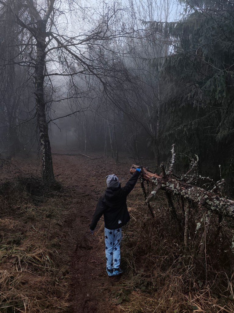
    A few days before Christmas, it was a foggy days, so we looked for the sun. This time above Banská Štiavnica, I parked my car in the parking lot near Hájovna in the Červená Studňa saddle.

    There is also a pond of the same name (at an altitude of 787 m above sea level). It was built as a taich in 1759 according to the design of the inventor Jozef Karol Hell, so that the drive ditch from it brought water to the Amália shaft to drive the water column pumping machine as well as to other mining works. The length of its dam is 117 m. It is the last built and still preserved Stiavnica tajch – six years after its construction, James Watt invented the steam engine.

    Ont he way to Paradajs

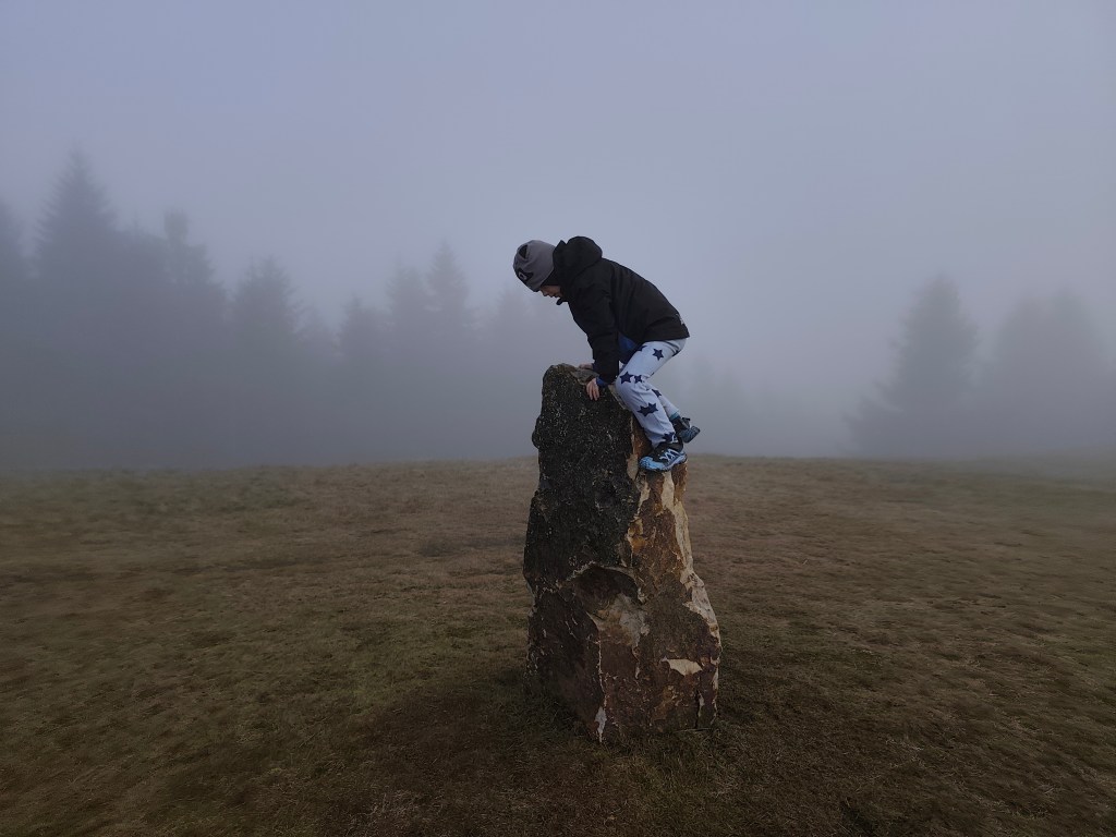
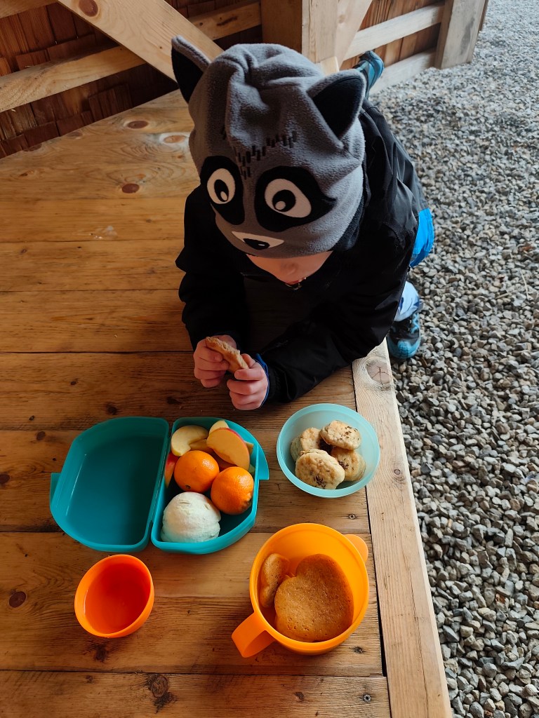
    We continue along the nature trail to Mount Paradajs (939 m.a.s.l.). It is the second highest peak of Štiavnické vrchy, it is interesting that further south along the ridge is the high Tanád hill. Paradajs has a flat unforested peak that provides wonderful views of Štiavnica (today it only provided us with menhirs emerging from the fog:) On its top there is also a newly built semi-circular shelter where you can have a great picnic.

    Dávid on one of the menhirs

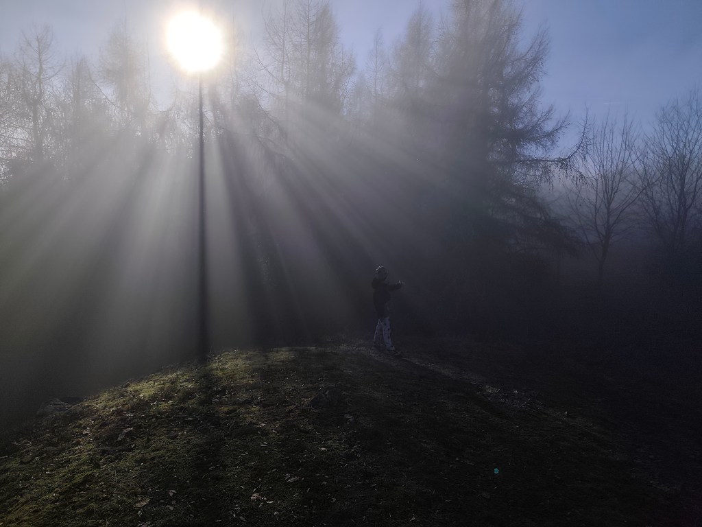
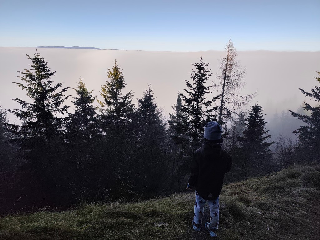
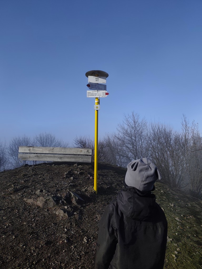
    We continued through the foggy forest to Tanád, where we finally managed to climb out of the fog into the sun for a while.

    Finally above the fog
    Sun on Tanád

    From Tanád, we turn onto the yellow road and descend steeply, then we turn onto the green educational path of Milan Kapusta, past the old tunnels and the Ottergrund tajch.

    We always found something, that makes it worth it

    Tajch Ottergrund is the highest artificial reservoir in Štiavnické vrchy. It is small, but it has one big advantage.Banská Štiavnica is right in the palm of your hand from here, including the iconic calvary (but of course it couldn’t be fog:D). The Tajch began to be built in 1751 and served as an energy source for the nearby mine shafts, as well as a source of drinking water for the city and a fire tank. Fortunately, it has been preserved to this day, it was recently renovated and a safety spillway was built here. The current depth is 6.6 meters.

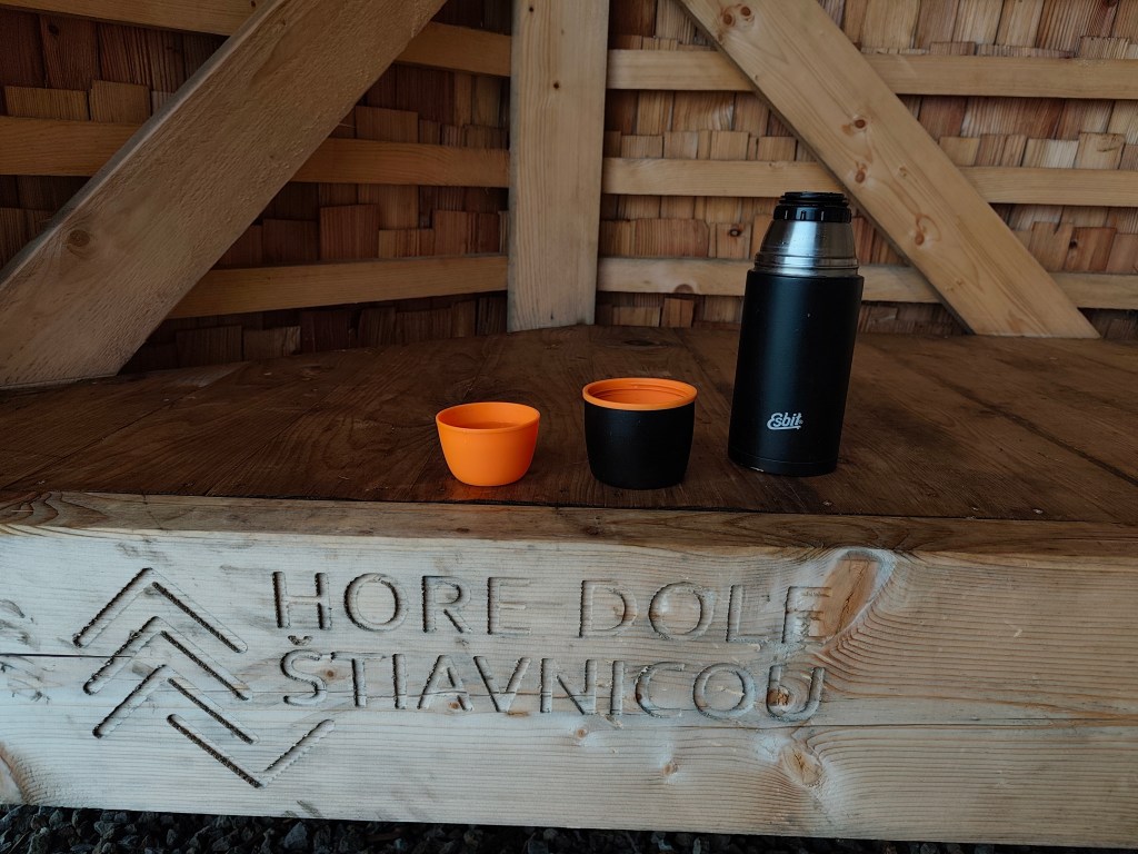
    Today we finish in Hájovňa in the saddle of Červená Studňa, where we warm up nicely after a foggy and wet day. As a reward, we treated ourselves to cappuccino and Dávid to sausages and juice.

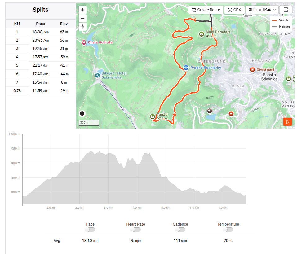
    7.78km, 3h, 321 m ascend