Tag: run

  • Veľký choč

    Veľký choč

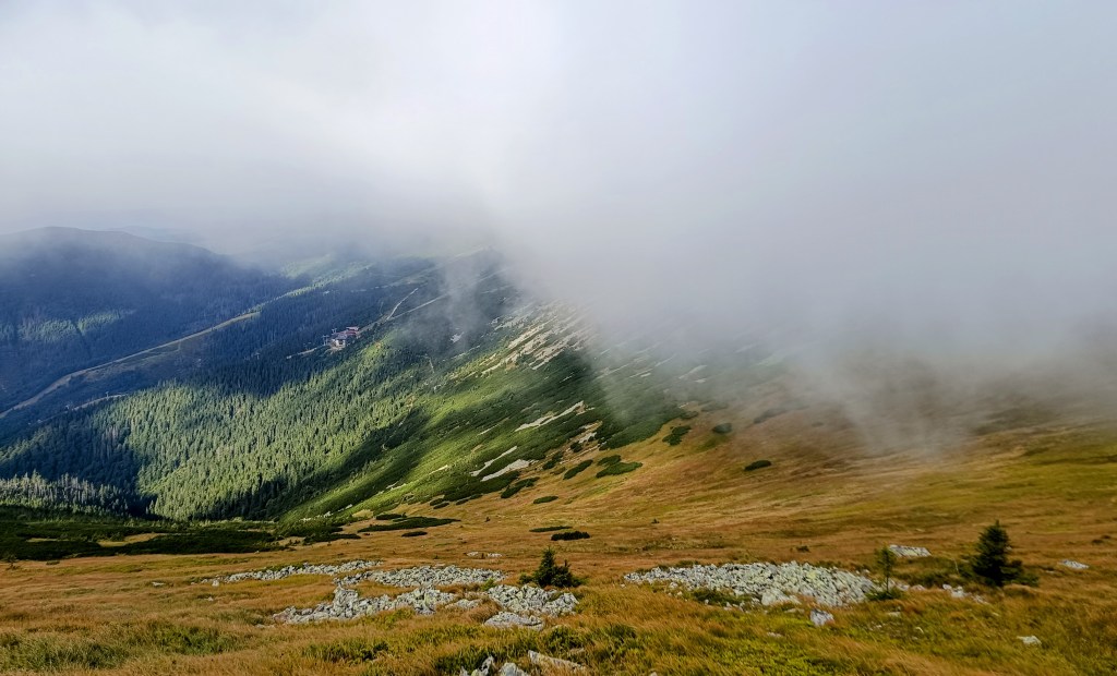
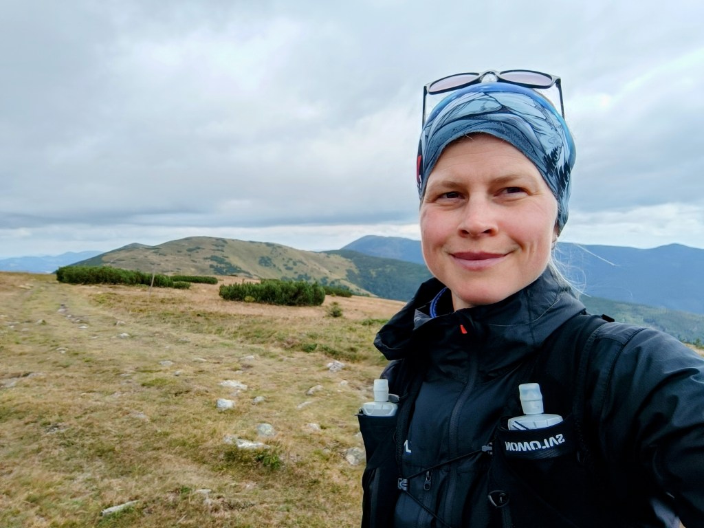
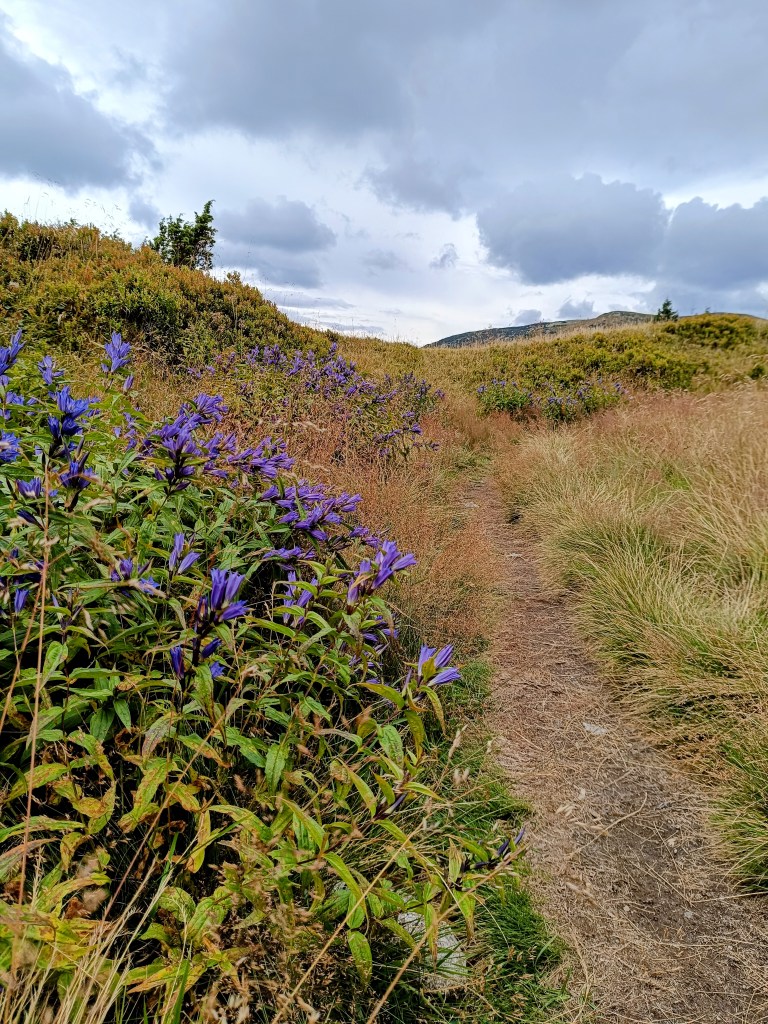
    A beautiful sunny autumn Sunday, perfect for the mountains.

    We started in Likavka near Ružomberok and after just a few kilometers we came across the first attraction – Likavka Castle, but we only saw its outer walls because it has been closed for a long time due to reconstruction.
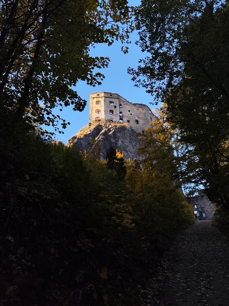
    Castle Likava

    Even so, it stands majestically on the rocky spur of Predný Choč and is worth visiting, as Likava is one of the largest castle buildings in central Slovakia, and the massiveness and height of the palace-like complex of the upper castle (more than 36 m measured at the highest point of the northern palace) ranks it among the highest castles in Slovakia.
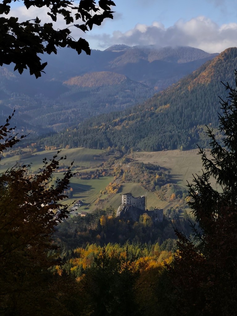
    Výhľad na hrad Likava

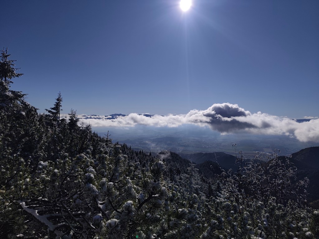
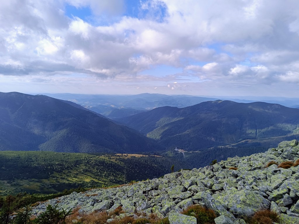
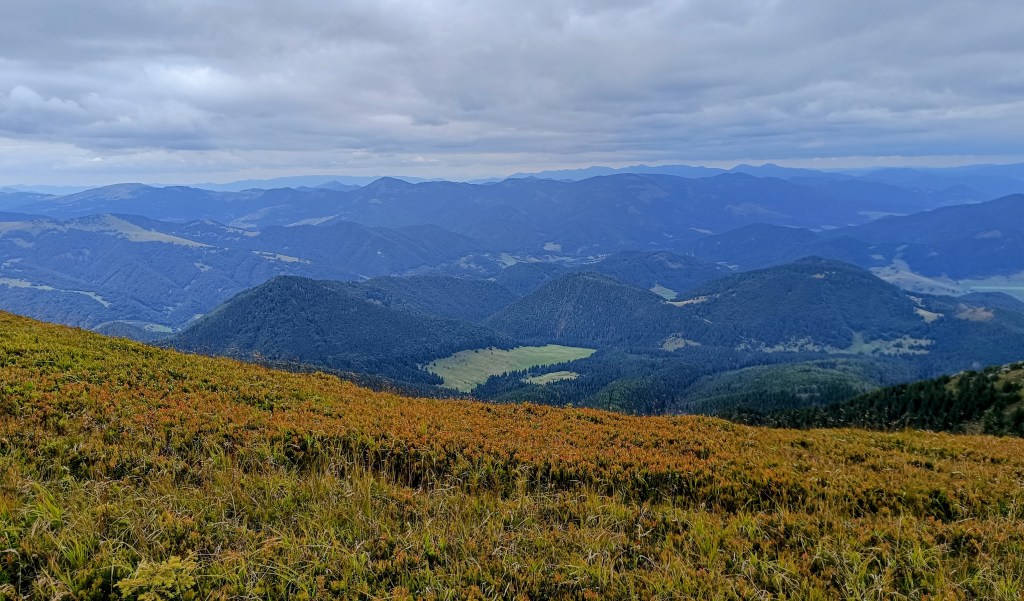
    We continue with the red mark, at the crossroads we also go to a viewpoint on a meadow below the peak of Predný Choč. The viewpoint is located at an altitude of 1170 m above sea level and consists of a meadow, surrounded by a forest on three sides. The viewpoint provides a view mainly to the south. From the viewpoint we will have a view of the city of Ružomberok, the Dolný Liptov region and the Veľká Fatra and Nízke Tatry mountains.
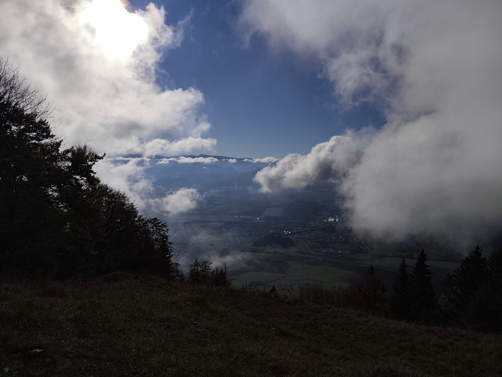
    At the Spuštiak saddle we continue to Stredná Poľana, from where we choose the winter road to Veľký Choč.
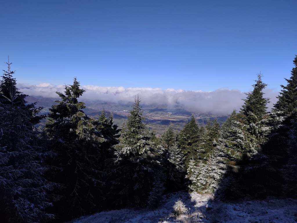
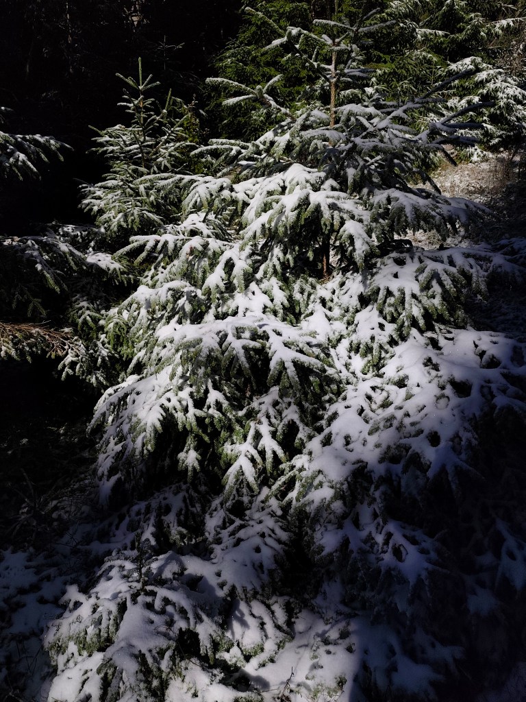
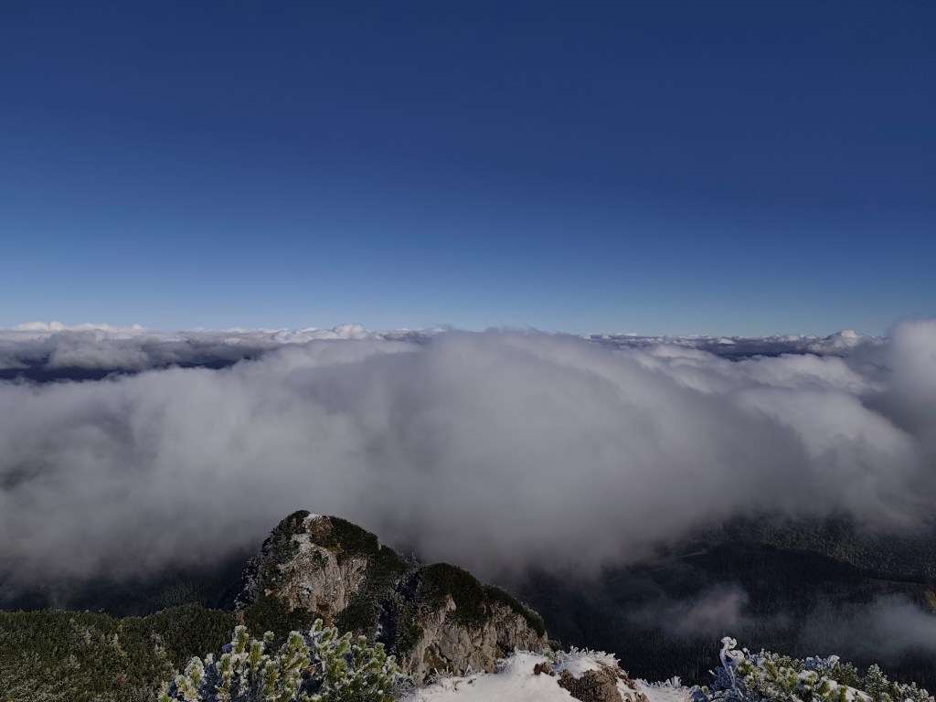
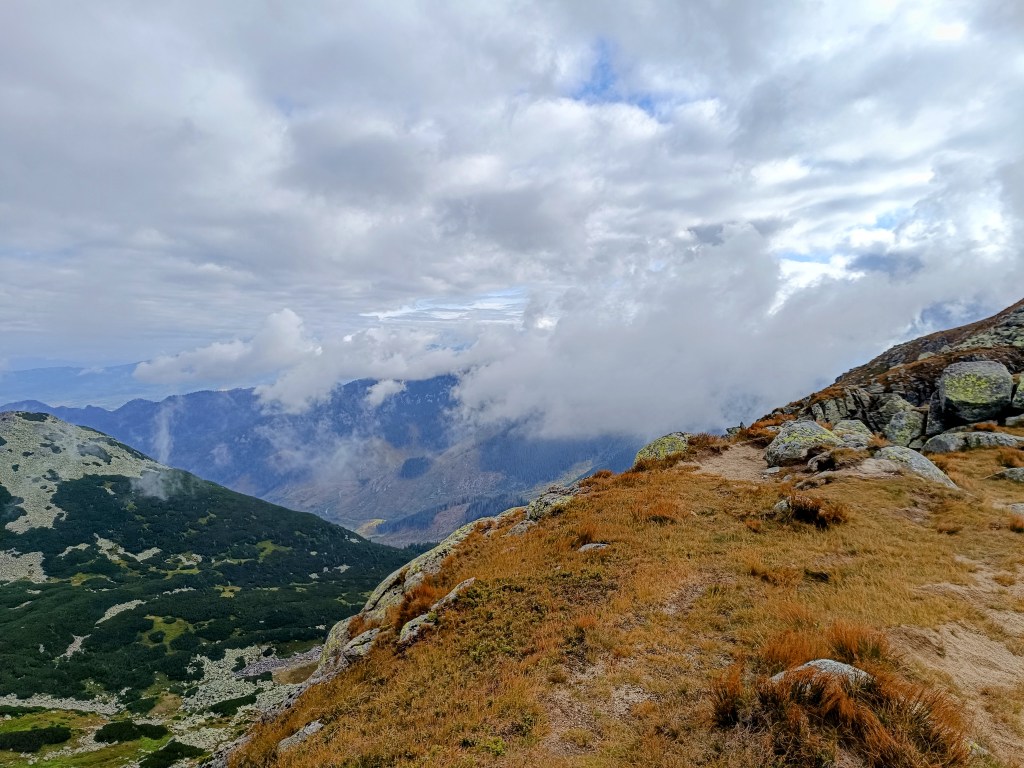
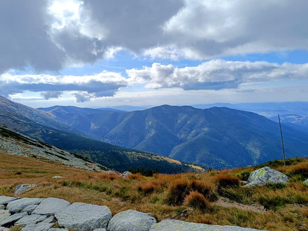
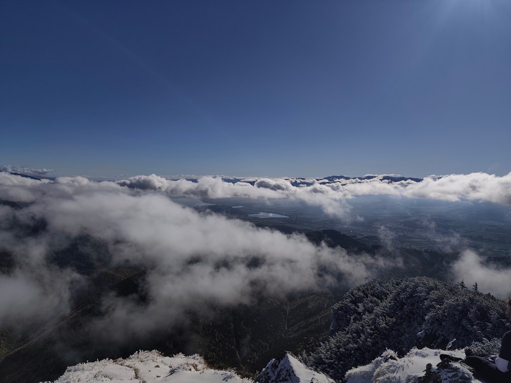
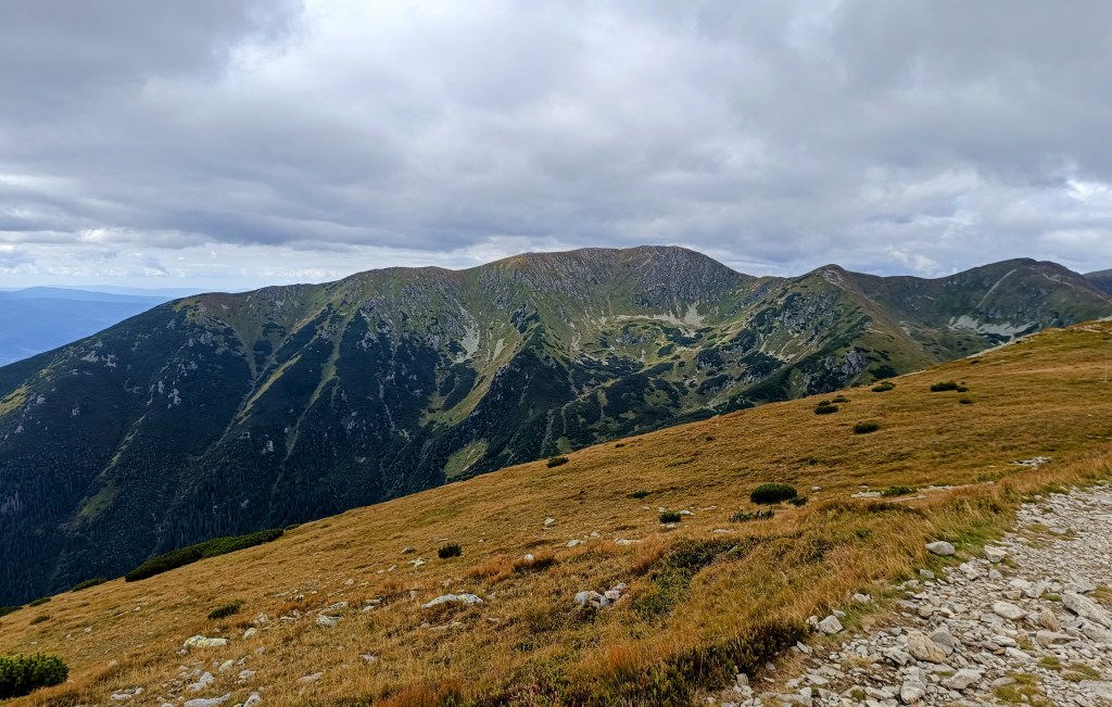
    Veľký Choč (1,611.0 m above sea level) is the highest peak in the Choč Mountains in Slovakia. The peak is very popular with tourists. It has the shape of an irregular pyramid with numerous cliffs. There is an excellent circular view from the top of Choč. Its peak is covered with pine trees, from Valaská Dubová it has a slightly rising shape, while from the north and from Lúčky it is in a steep slope. And it was this steep slope that we descended. Due to the snow, mud and rocky ground, we descended carefully and slowly. Fortunately, the most dangerous places were secured with chains.
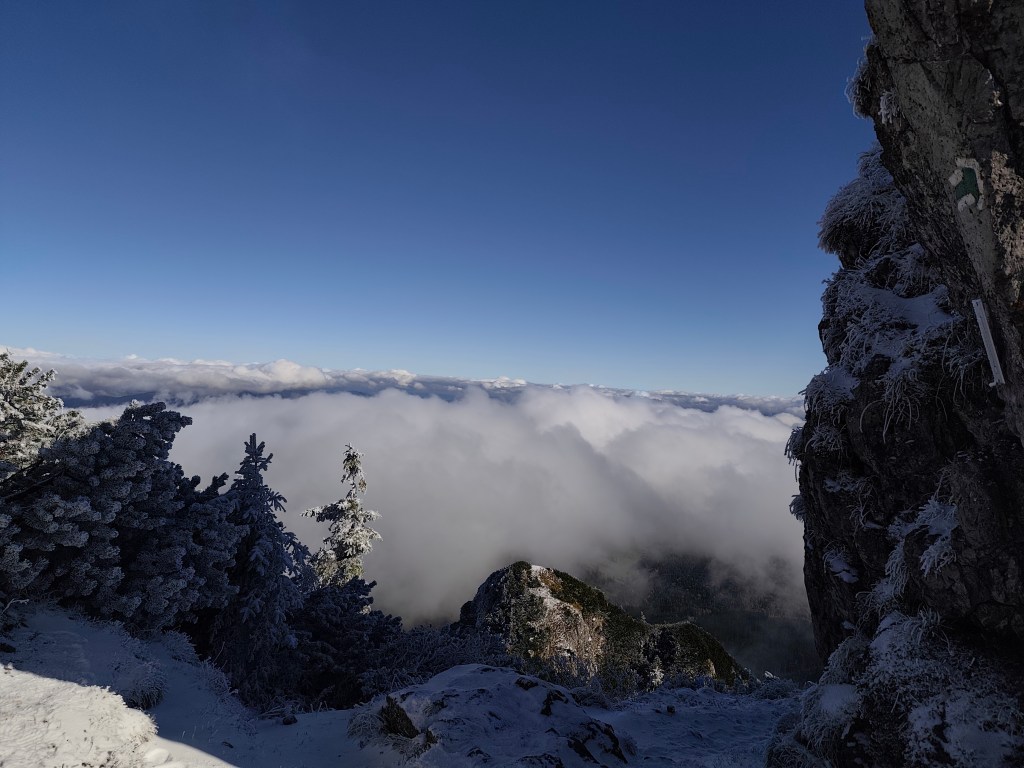
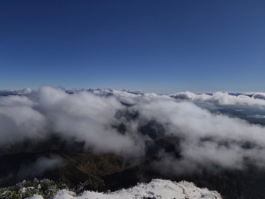
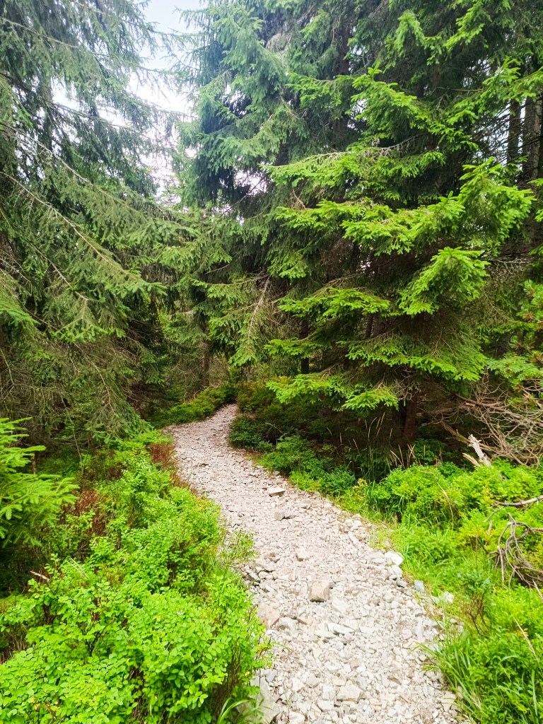
    At Žimerová we turned off the red one and headed towards Turícký tajch. It is a really small body of water, but at least it served as a reference point for us (we turned off here onto an inconspicuous forest path, which led us back to the blue tourist trail. We continued along the blue trail to Likavka (well, almost, because we took a wrong turn and ran across the field to the castle :D)
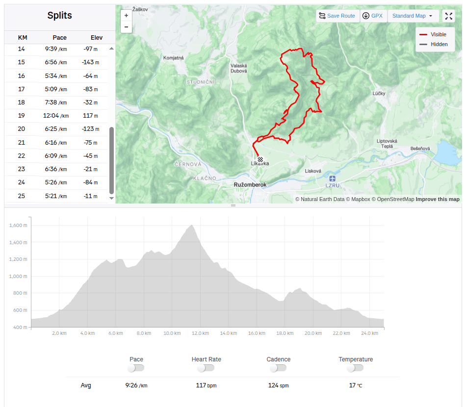
    25km, 3h56min active time, 4:38 total, 1566 metre ascend
  • Veľký choč

    Veľký choč

    Krásna slnečná jesenná nedeľa ako stvorená na hory.

    Začínali sme v Likavke pri Ružomberku a už po pár kilometroch sme natrafili na prvú zaujímavosť- hrad Likava, videli sme však len jeho vonkajšie múry, pretože je z dôvodu rekonštrukcie dlhodobo uzavretý.

    Hrad Likava

    Aj tak sa majestátne vypína na skalnatom výbežku Predného Choča a stojí za to ho vdieť, keďže Likava patrí k najväčším hradným stavbám na území stredného Slovenska, mohutnosťou a výškou palácovitého komplexu horného hradu (viac ako 36 m nameraných v najvyššom bode severného paláca) sa zaraďuje medzi najvyššie hrady na Slovensku.

    Výhľad na hrad Likava

    Pokračujeme červenou značkou, na rázcestí zachádzame aj na vyhliadkové miesto na lúke pod vrcholom Predného Choča. Vyhliadka sa nachádza vo výške 1170 m n. m. a tvorí ju lúka, okolo ktorej je z troch strán les. Vyhliadka poskytuje výhľad najmä na juh.  vyhliadky sa nám naskytne výhľad na mesto Ružomberok, región Dolný Liptov a pohoria Veľká Fatra a Nízke Tatry.

    V sedle Spuštiak pokračujeme na Strednú Poľanu, z ktorej volíme zimnú cestu na Veľký Choč.

    Veľký Choč (1 611,0 m n. m.) je najvyšší vrch v Chočských vrchoch na Slovensku. Vrchol je turisticky veľmi vyhľadávaný. Má tvar nepravidelnej pyramídy s početnými bralnými partiami. Z vrcholu Choča je vynikajúci kruhový výhľad. Jeho vrchol je porastený kosodrevinou, od Valaskej Dubovej má mierne stúpajúci tvar, kým zo severu a od Lúčok je v príkrom zráze. A práve týmto príkrym zrázom sme zostupovali. Kvôli snehu, blatu a skalnatému podložiu sme zostupovali opatrne a pomaly. Najnebezpečnejšie miesta boli naštastie istené reťazami.

    Na Žimerovej sme z červenej odbočili a nasmerovali sme si to k Turíckemu tajchu. Jedná sa o naozaj maličkú vodnú plochu, ale aspoň nám poslúžil ako orientačný bod (odbočili sme tu nenápadnou lesnou cestičkou, ktorá nás naviedla zas na modrú turistickú značku. Po modrej sme už pokračovali až do Likavky (teda skoro, lebo sme zle odbočili a ponad pole sme zas zbehli až k hradu:D)
    25km, 3h56min aktívny čas, 4:38 spolu, 1566 nastúpaných metrov
  • Slovenia 2025

    Slovenia 2025

    4 day short trip to Slovenia, on the edge of Triglav National Park. The guys were running the Julian Alps Trail Run and Lucka and I went to support them and do a little running.

    The first day we arrived in the afternoon so the only thing on the to do list was to find a good restaurant, buy groceries and see Lake Jasna.

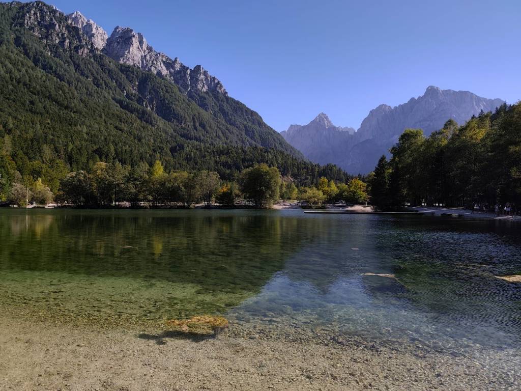
    Lake Jasna is the name of two interconnected lakes located just a short distance from Kranjska Gora. It is an alpine lake with crystal clear water and breathtaking mountain scenery.

    We also walked through the center of Krajnska Gora, where it was already bustling with the upcoming race. It is a smaller alpine town with a bunch of good restaurants and stalls in the center.

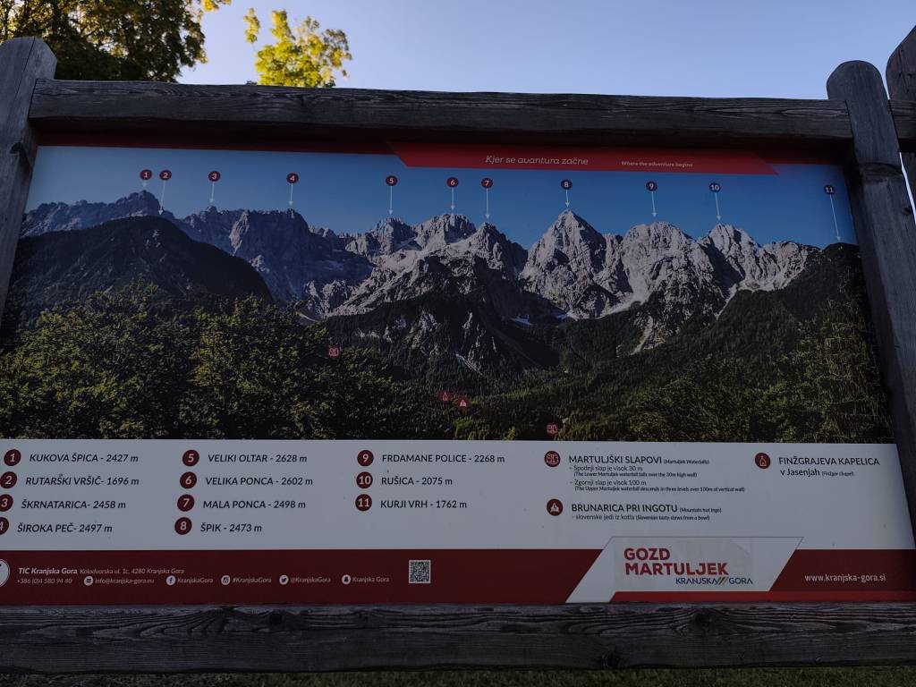
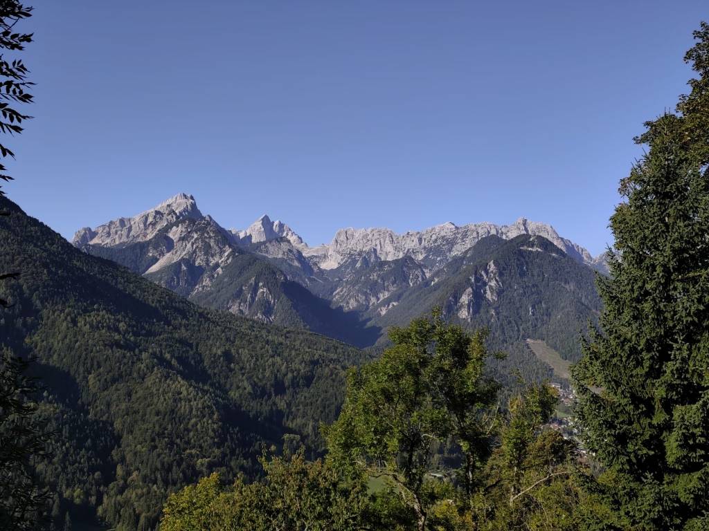
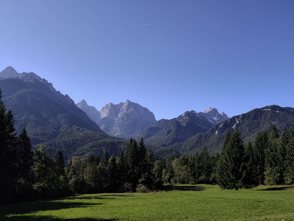
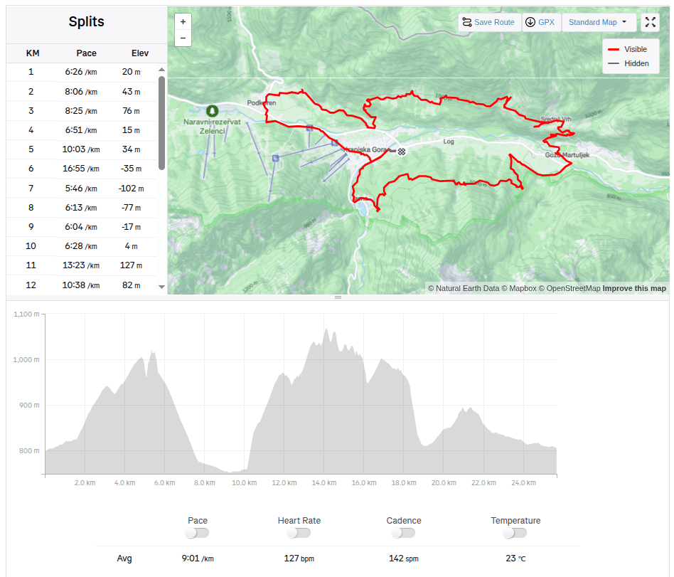
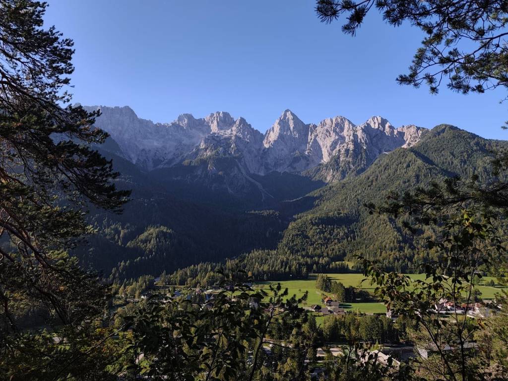
    The guys were supposed to start on Friday evening, and Lucka and I went to run one of the shorter routes from the Julian Alps Trail Run in the morning. We chose a 25km route that took us into the hills above the valley with great views of the Julian Alps, especially the Špik peak. But for our taste, there was quite a lot of asphalt on this route and not enough water:D It took us almost 4 hours to run. In the afternoon, we returned to the restaurant from the previous day (Figo restaurant) where we really enjoyed it.
    25.67km, 3h 51min, 875m ascend

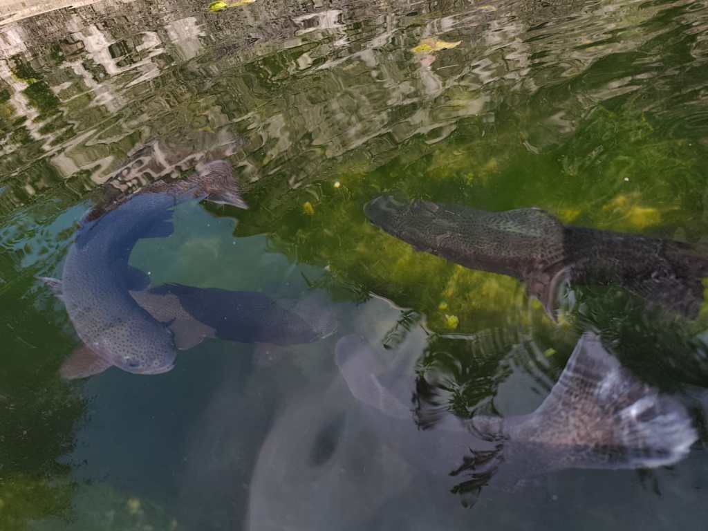
    On Saturday, the plan was to encourage the boys, so we packed the stroller and bike for Anton and ran 15km to the village of Gozd Matjulek – on the way we noticed a turnoff to the waterfalls and that really caught my attention. I would have liked to see them. But there was no time, we got to the refreshment station about half an hour before Jožko, so for now we walked through the village of Dovje, in the middle of it there was a reservoir with water and giant trout in it.

    Trouts

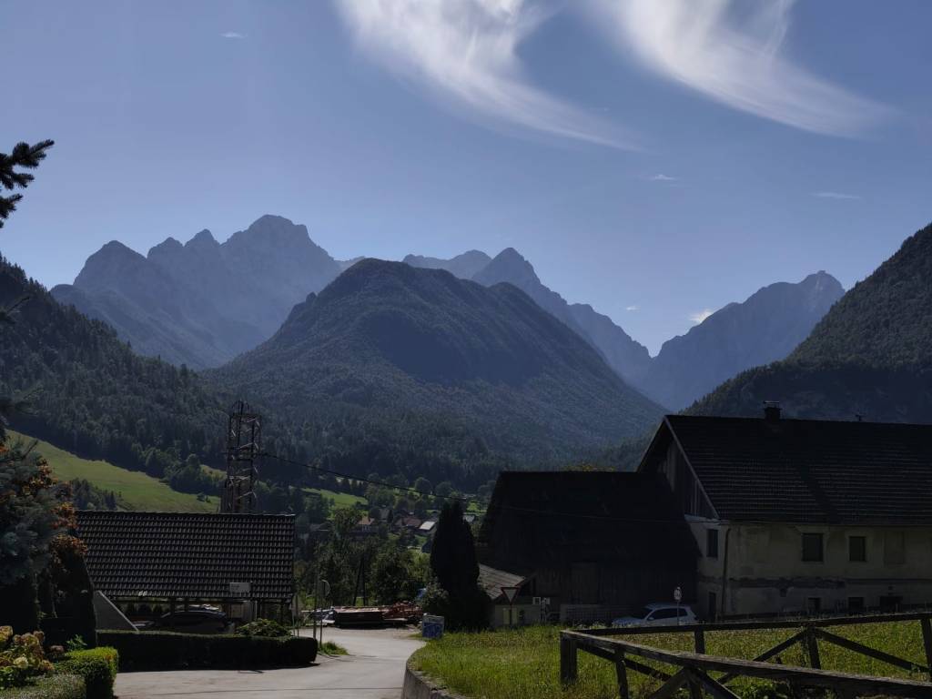
    And it had beautiful views of the Alps. Jožko finished his 107 kilometer at about 3 pm, he was really overheated and his stomach was protesting, but his legs were still going. Miloš was supposed to arrive at 6 pm and that was quite late, we couldn’t wait for him. So we continued running to the last refreshment stop and from there quickly to the finish line where we managed to arrive before Jožko by about a minute 🙂

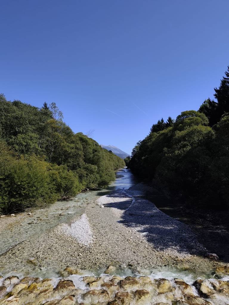
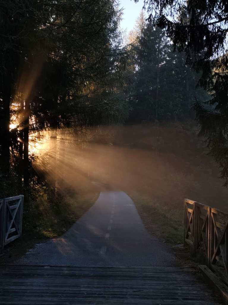
    From cycle path to Dovje

    And since we wanted to encourage Miloš too, we went back for the last refreshment stop and then back to the finish line. Both guys did it brilliantly in under 24 hours.

    Village Dovje

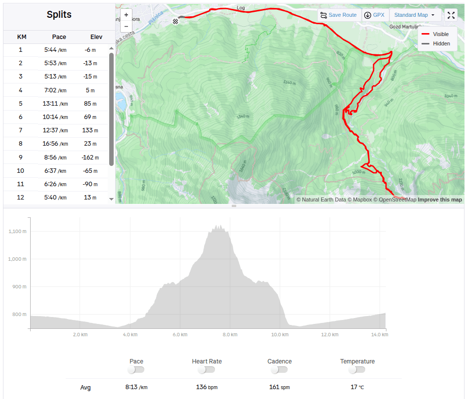
    On Sunday, no one wanted to go, but I just couldn’t get the waterfalls out of my head, so I set my alarm so I could get around them before the planned departure at 10 a.m. After 3 kilometers of asphalt, I ran into the Martujlek Valley, which is named after the Martujlek stream, which springs high in the mountains. As the stream descends, beautiful waterfalls appear.

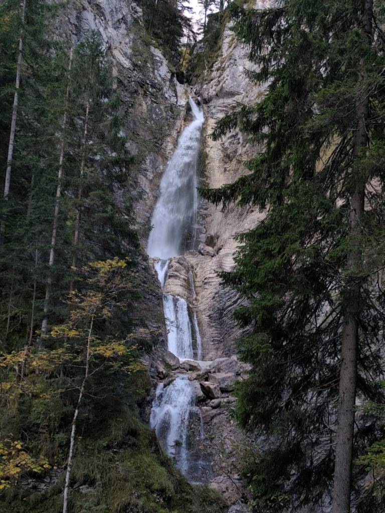
    The Lower Martuljek Waterfall is the largest and most impressive of the waterfalls, cascading into a picturesque canyon from a height of over 50 meters. It can be admired from viewing platforms on the hiking trail.

    Lower Martuljeks waterfall

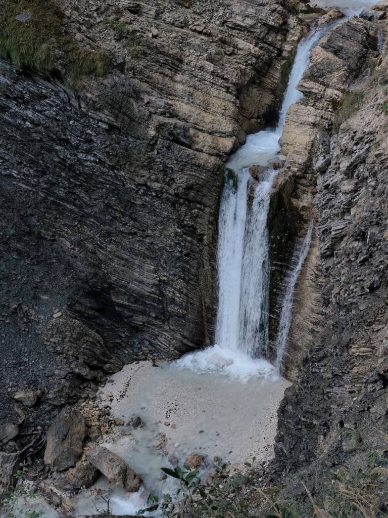
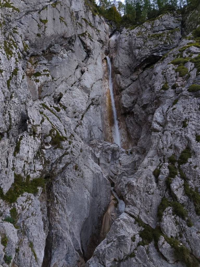
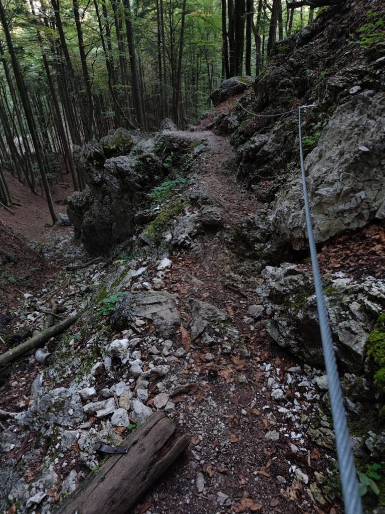
    Above the lower waterfall is the upper Martuljek waterfall, a hidden gem hidden among the rocks of the gorge. The upper waterfall is smaller, but no less magnificent. It is reached by a path secured with safety ropes.

    Upper Martuljeks waterfall
    Some parts of the path were even marked as a ferrata on the map (however, in the photo, the part is marked as a ladder)
    14.25km, 1h 57 min, 479m ascend
  • Slovinsko 2025

    Slovinsko 2025

    4 dňový krátky výlet do Slovinska, na okraj Triglavského národného parku. Chalani bežali Julian alps trail run a my s Luckou sme ich išli podporiť a trochu si zabehať.

    Prvý deň sme prišli poobede a tak bolo na programe už len nájsť dobrú reštauráciu, nakúpiť potraviny a pozrieť si jazero Jasna.

    Jazero Jasna je názov dvoch navzájom prepojených jazier, ktoré sa nachádzajú len kúsok od Krajnskej gory. Je to alpské jazero s kryštáľovo čistou vodou a úchvatnou horskou scenériou.

    Taktiež sme sa prešli centrom Krajnskej gory, kde to už žilo nastávajúcimi pretekami. Je to menšie alpské mestečko s kopou dobrých reštaurácií a stánkami v centre.

    V piatok večer mali chalani štartovať a my s luckou sme doobeda išli odbehnúť jednu z kratších trás z Julian alps trail run. Vybrali sme si 25km trasu, ktorá nás zaviedla do kopcov nad údolie s parádnymi výhľadmi na Julské alpy, hlavne vrch Špik. Na náš vkus ale na tejto trase bolo dosť veľa asfaltu a primálo vody:D Odbehnúť nám to trvalo necelé 4 hoďky. Poobede sme sa zas vrátili do reštiky z predchádzajúceho dňa (Figo restaurant) kde nám naozaj chutilo.

    25.67km, 3h 51min, 875nastúpaných metrov

    V sobotu bolo na pláne povzbudiť chalanov a tak sme zbalili kočík a bike pre Antonka a zabehli 15km do dediny Gozd Matjulek – cestou sme si všimli odbočku na vodopády a tá ma vcelku zaujala. Chcela by som ich vidieť. Ale nebolo času, na občerstvovačku sme sa dostali asi pol hodinku pred Jožkom a tak sme si zatiaľ prešli dedinku Dovje, v jej strede bola nádrž s vodou a v nej boli obrie pstruhy.

    Pstruhy

    A mala krásne výhľady na Alpy. Jožko dobehol na svoj 107kilometer asi o 3tej poobede, bol riadne prehriaty a žalúdok protestoval, ale nohy celkom išli. Miloš mal predpokladaný príchod až o 6tej a to bolo dosť neskoro, na neho sme nemohli čakať. A tak sme behom pokračovali na poslednú občerstvovačku a z tade rýchlo do ciela kde sme stihli prísť pred jožkom asi len o minútu:)

    Z cyklomosta cestou do Dovje

    A keďže sme chceli povzbudiť aj Miloša, zas sme sa vrátili na poslednú občerstvovačku a potom znovu do ciela. Obaja chalani to zvládli parádne pod 24hodín.

    Dedinka Dovje

    v nedeľu sa už nikomu nechcelo, ale mne tie vodopády proste nedali a tak som si nastavila budík aby som ich stihla obehnúť ešte pred plánovaných odchodom o 10tej. po 3kilometroch asfaltu som vbehla do údolia Martujlek, ktoré je pomenované podľa potoka Martujlek prameniaceho vysoko v horách, pri klesaní potoka sa objavujú nádherné vodopády.

    Dolný vodopád Martuljek je najväčší a najpôsobivejší z vodopádov, ktorého voda padá kaskádami do malebného kaňonu z výšky viac ako 50 metrov. Je možné ho obdivovať z vyhliadkových plošín na turistickom chodníku.

    Dolný Martuljekov vodopád

    Nad dolným vodopádom sa nachádza horný vodopád Martuljek, skrytý klenok ukrytý medzi skalami rokliny. Horný vodopád je síce menší, ale nemenej veľkolepý. Vedie k nemu chodníček zabezpečený istiacimi lanami.

    Horný Martuljekov vodopád
    Niektoré časti cestičky boli dokonca na mape značené ako ferrata (na foto je však časť značená ako rebrík)
    14.25km, 1h 57 min, 479 nastúpaných metrov
  • Skymaraton Chopok

    Skymaraton Chopok

    I haven’t raced in a long time, mainly because we have a lot of our own projects and few free weekends:)

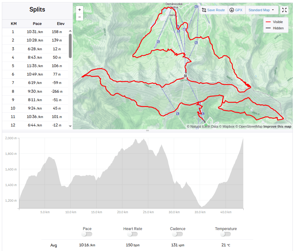
    But when I received the entry fee for the Chopok Skymarathon, I didn’t refuse and so on September 6, 2025 I stood at the start under Chopok in front of the Srdiečko hotel.

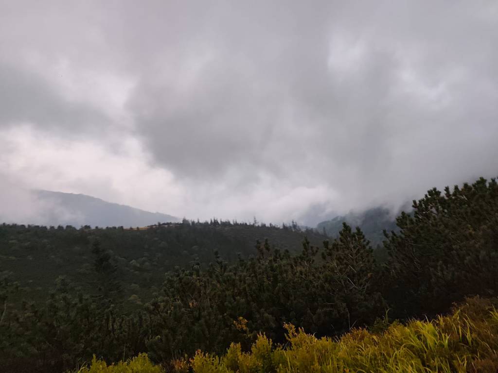
    The starting gun was accompanied by thunder in the background and even though the storms were predicted for the afternoon, they arrived right in the morning. Within 30 minutes I was soaked to the bone and the conditions were even more difficult, slippery roots, wet stones, mud.. But at least it wasn’t hot.

    During the storm

    After the initial climb to Kosodrevina, there was a traverse almost to the M.R. Štefánik hut and quite a few sections were runnable, from the hut there was a fairly long steep section down to the cave of dead bats, where it was quite slippery. I went relatively slowly and managed it without falling. There was a nice, quite runnable path back to Kosodrevina and so I ran as much as I could.

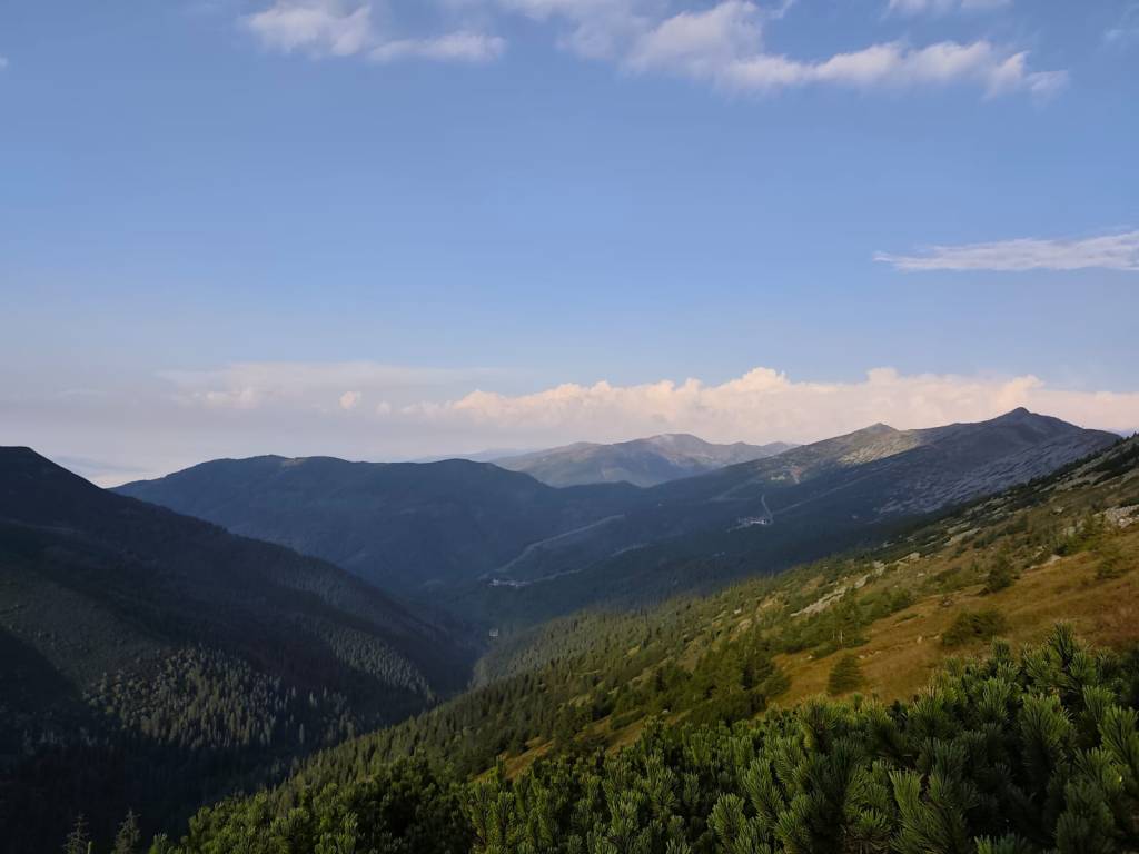
    There is sun after the storm

    I ran the refreshment stop only with a refill of ionts and a long, really long climb to the Krížské sedlo awaited me. Here I started to feel that my strength was waning and there was a reason, almost 20km and I had eaten almost nothing.. mistake..

    After first half

    I mostly walked to the refreshment stop on Chopok, where I stuffed myself with a banana and a chocolate bar, replenished my fluids, and jumped over the Tatra granite to the Demänovský saddle, where the trail started to rise again. I already felt that today would be very difficult, because I had less strength than I would have liked, especially uphill.

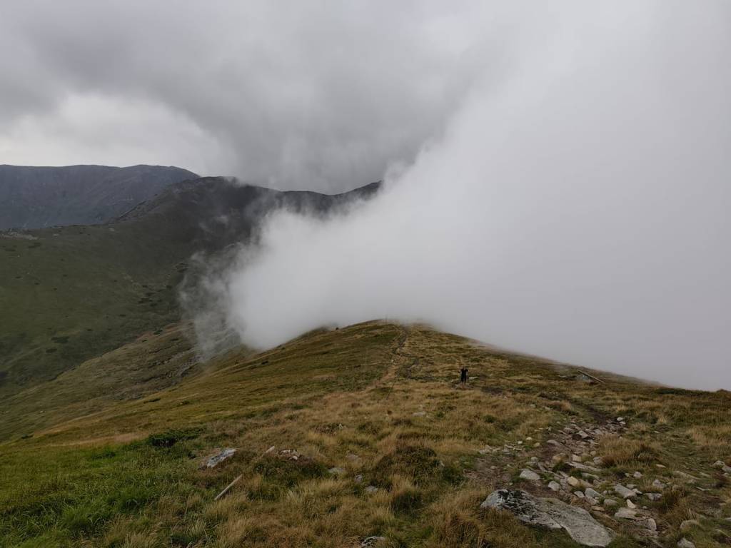
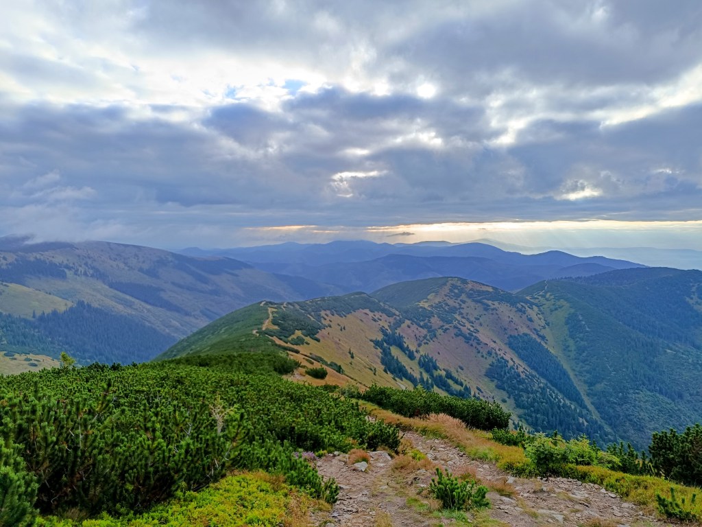
    Half foggy, half sunny

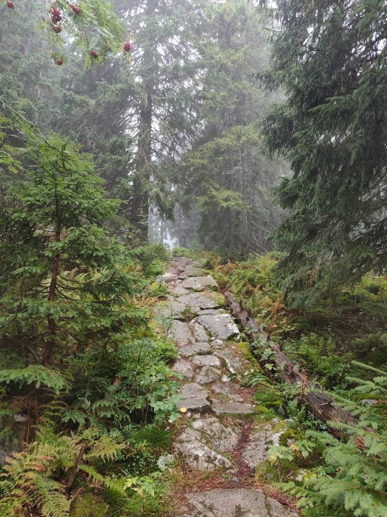
    The descent from Krúpov saddle was steep, rocky, muddy and strenuous, it took a lot of my strength, but the forest from Záver širokej doliny was beautifully foggy, mystical, covered in moss, I enjoyed it..

    Mystical forest

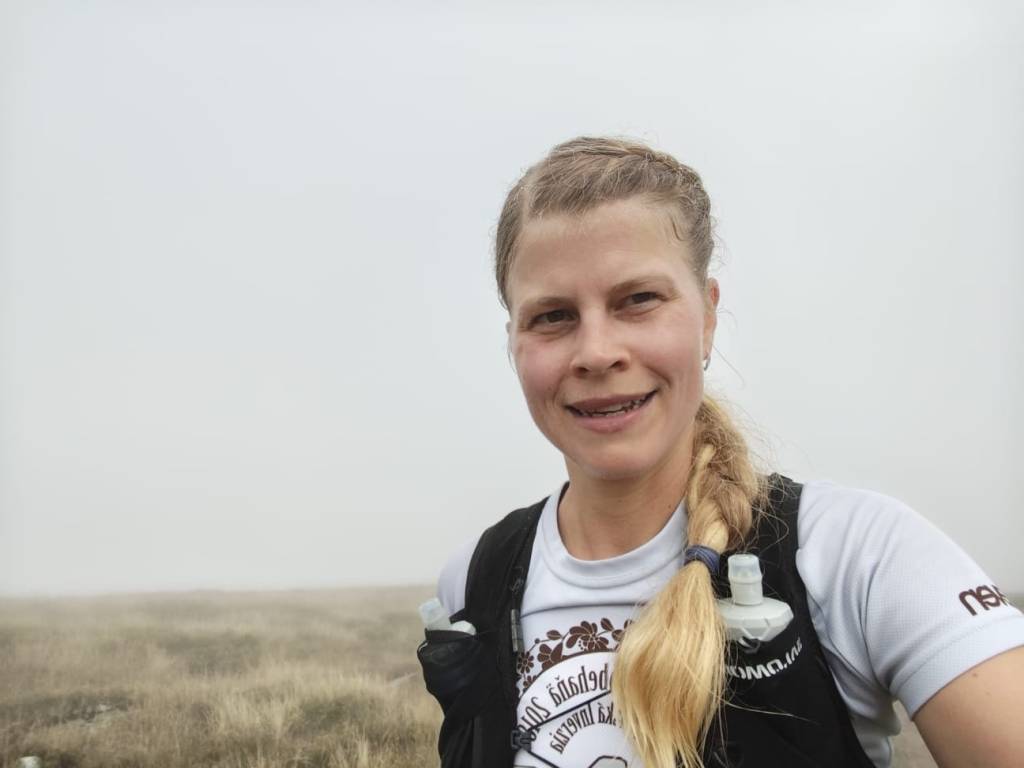
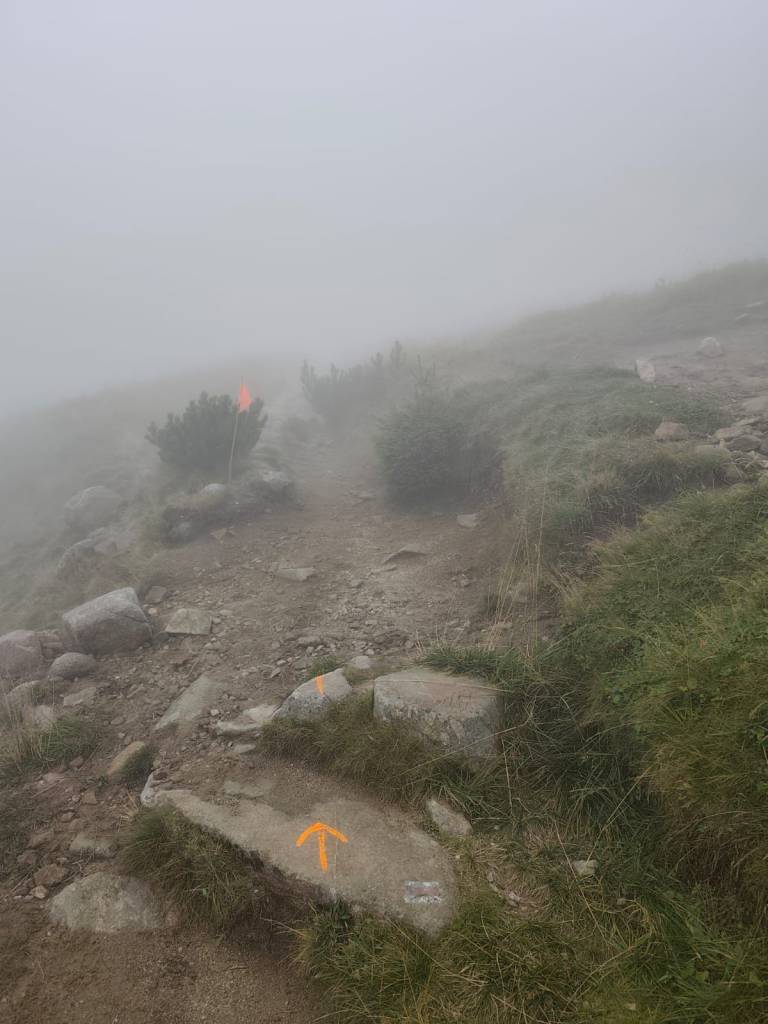
    The last refreshment stop on Biela Púť and now it’s just a climb, I tried to replenish my energy, but I knew that it would be more walking than running.. It was quite easy up to Orlia Skala, I walked quite briskly. But up the slope? That completely turned me off and I could barely move from one foot to the other, my head was starting to hurt, my stomach was protesting… It wasn’t the performance of the year, but I didn’t give up, and I walked all the way to the finish line, I was the 6th woman at the finish line with a time of 7h 33min.

    Slowly and gloomily up the slope, in places the sign was almost invisible
    43,4 km, 7h 33min, 2680m ascend
  • Skymaraton Chopok

    Skymaraton Chopok

    Už dávno som nepretekala,hlavne z dôvodu, že máme kopu vlastných projektov a málo voľných víkendov:)

    Ale keď som dostala štartovné na skymaraton Chopok, neodmietla som a tak som sa 6.9.2025 postavila na štart pod Chopkom pred hotelom Srdiečko.

    Startovací výstrel spravádzalo hrmenie v pozadí a aj keĎ búrky predpovedali až na poobedie, prišli hneď ráno. V priebehu 30 minút som bola do nitky mokrá a podmienky boli o to ťažšie, šmykľavé korene, mokré kamene, blato.. Ale aspoň nebolo horúco.

    Počas búrky

    Po úvodnom stúpaní na Kosodrevinu nasledoval traverz skoro až po chatu M.R. Štefánika a dosť veľa úsekov sa dalo bežať, od chaty nasledoval dosť dlhý strmý úsek dole k jaskyni mŕtvych netopierov, kde bolo celkom šmykľavo, išla som relatívne pomaly a ustála som to bez pádu. Späť na Kosodrevinu viedol pekný celkom behateľný chodníček a tak som bežala koľko to len šlo.

    Po búrke aj slnko vyšlo

    Občerstvovačku som prebehla len s doplnením iontov a čakalo ma dlhé, naozaj dlhé stúpanie do Krížskeho sedla, tu som začala cítiť, že mi sily ubúdajú a veru mali prečo, skoro 20km a skoro nič som nezjedla.. chyba..

    prvá polka za mnou

    Na občerstvoačku na Chopku som to väčšinou odkráčala a tam som do seba napchala banán a horalku, doplnila tekutiny a po tatranskej žula preskákala až do Demänovského sedla, kde sa chodníček začal znovu dvíhať.. Už som cítila, že dnes to bude veľmi náročné, lebo síl bolo menej ako by som chcela, najmä do kopca..

    Ale zo strany od jasnej sa stále valila hmla

    Zbeh z Krúpovho sedla bol strmý, kamenisto blatitý a namáhavý, zobral mi veľa síl, ale lesík od Záveru širokej doliny bol nádherne hmlistý, mystický, machom pokrytý, ten som si užila.

    Mystický lesík

    Posledná občerstvovačka na Bielej púti a už len stúpanie, snažila som sa doplniť energiu, ale vedela som, že už to bude viac kráčanie ako behanie.. Až po Orliu skalu to ale celkom išlo, išla som celkom rezkým krokom. Ale hore zjazdovkou? To ma už totálne vyplo a ledva som išla z nohy na nohy, hlava ma chcela bolieť, žalúdok protestoval… Nebol to síce výkon roka, ale nevzdala som to, a vykráčala som to až do ciela, v ciely som bola ako 6ta žena s časom 7h 33min.

    Pomaly a ponuro hore zjazdovkou, miestami skoro značky nebolo vidieť
    43,4 km, 7h 33min, 2680m stúpania
  • SNP Girl’s project day 8

    SNP Girl’s project day 8

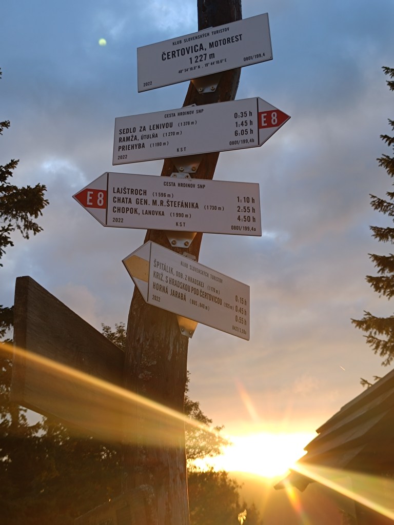
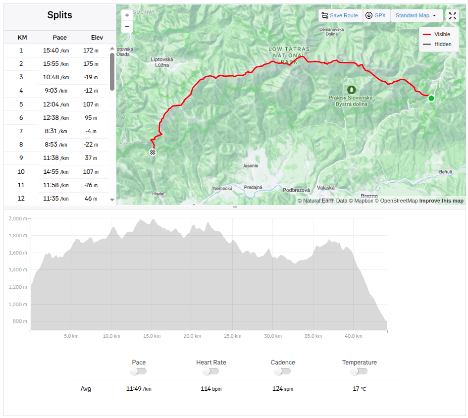
    Another stage of our journey on the SNP , this time from Čertovica to Hiadeľské sedlo.

    For us, one of the most beautiful stages along the ridge of the Low Tatras, a bit more demanding in terms of logistics and also in terms of weather. We were mainly afraid of getting overheating, because on this part of the ridge you can only refill your water at mountain huts and surprisingly, in the end we were cold 😀 The 5 degrees in the morning barely climbed to 10 during the day and in the wind the feeling temperature was even lower. Half the way I ran with gloves and a headband was also a must. A day later it even snowed in the High Tatras.

    starting point – čertovica

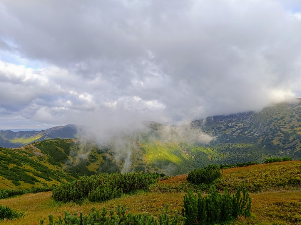
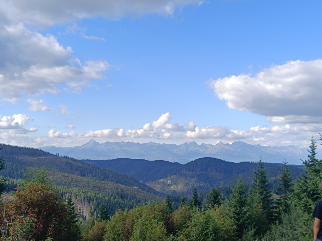
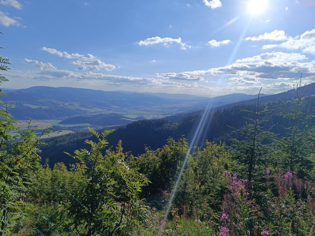
    The main peaks were in the clouds, but we still enjoyed the beautiful views. Also, this stage was much more visited by tourists than the previous ones.

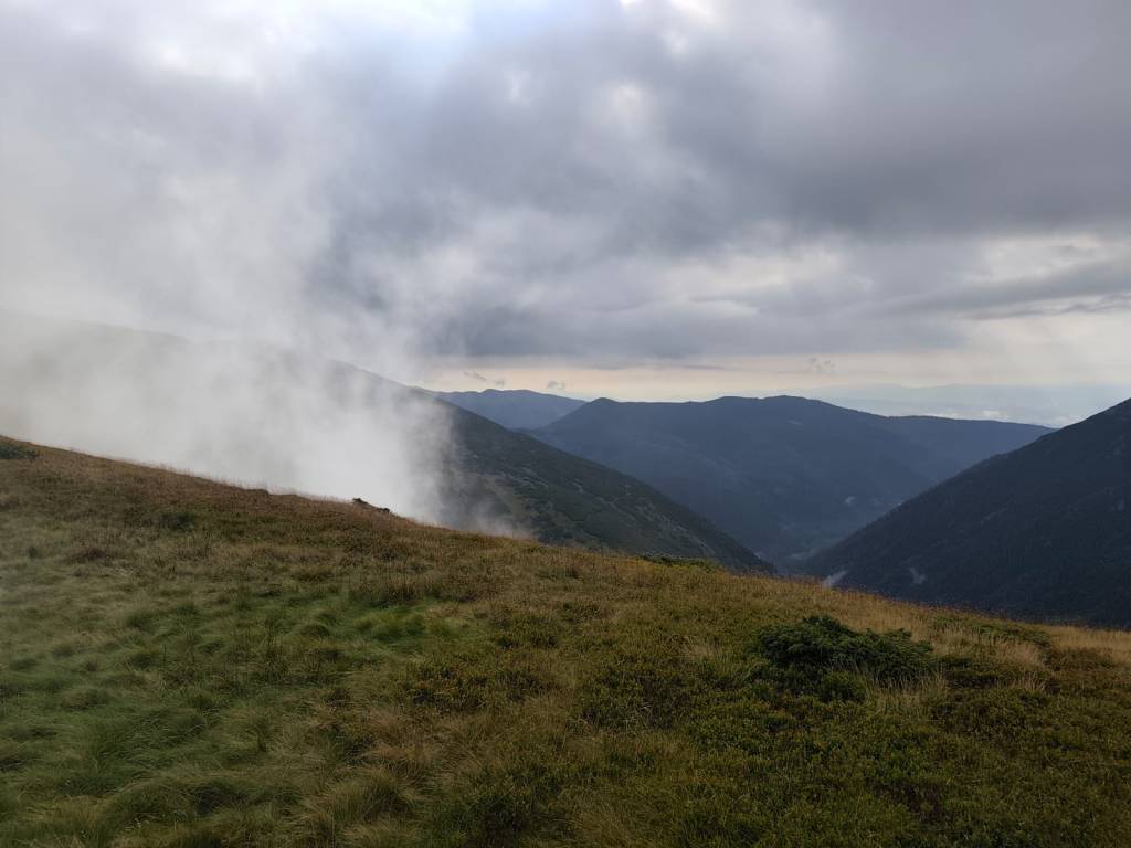
    Clouds rolled over the hills all day

    From Čertovica, it starts with a climb to Kumštove sedlo, there are ripe raspberries and blueberries everywhere along the path, and higher even cranberries. But there really wasn’t time to graze on them. After less than 2 hours, we are at the M. R. Štefánik hut, but we don’t stop, bacause we plan to have coffee on a Kamenná hut. From štefánik hut, the path is much more technical, we pass through stone fields, which slows down our progress considerably, and we slowly start to feel hungry.

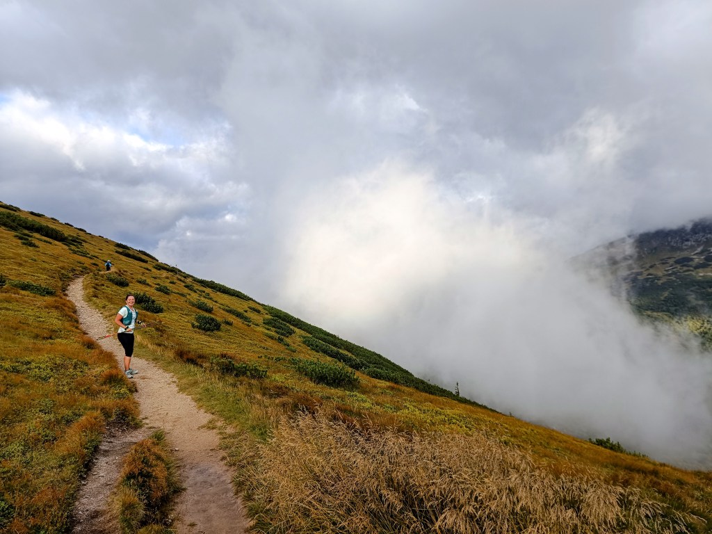
    Lucka on the way to Stefánik hut

    After three hours we arrive at Kamienná hut, where we enjoy a coffee, a great tea made from mountain herbs and a bun. 15km, 3 hours and 1100 meters climbed. Today will be a full-day trip 🙂

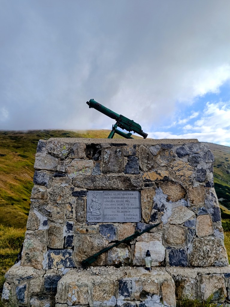
    Monument for the heroes of Slovak National Uprising (SNP)

    We continue through Dereše, Poľana, Chabenec to the saddle above the Ďurková shelter, where Jožko separates from us and returns to get the car. Lucka and I decide not to stop, we have enough water and it is not so hot that we have to refill it. We have covered 26km in almost 5 hours and we are eating another bun. Today we eat a lot 😀

    We are heading to Chochuľa, where we should meet Miloš and run the rest of the ridge with him. Lucka and I are really enjoying the ridge, even though I am cold sometimes, mainly on the higher peaks. Miloš is fast and manages to run down to the saddle under Skalka. Our legs are already quite tired and there are still 12km to go.

    We manage to run slowly most the time, but when we cross Prašiva, we slow down completely to a walk, the steep terrain and gravel pose too much of a risk of slipping for Lucka, her legs are tired and she’s afraid of falling. Actually, I don’t mind at all and I walk with her, my legs are already pretty sloppy.

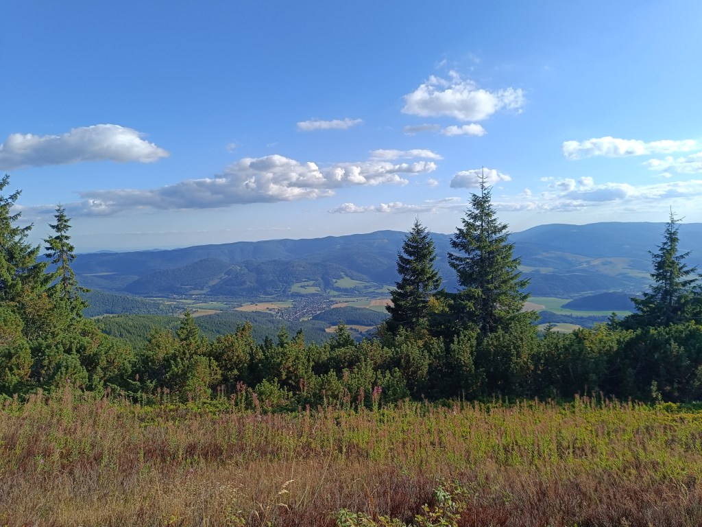
    Mountain meadows

    We reach the Hiadeľ saddle and memories come flooding back to us of how we started the stage to the Šturec saddle at this very place. We walk down the steep slope, but when we get down to the asphalt, we heroically start running and run all the way to the car. A non-alcoholic radler, flip-flops and a dry T-shirt make us perfectly happy people:D We meet Jožko in a restaurant, where we have a late lunch of the size of “I ran all day”. It was great.

    44.19km, 8h 42 min active time (9:07 total), 2277m ascend

  • SNP Girl’s projekt deň 8

    SNP Girl’s projekt deň 8

    Ďaľšia etapa našej cesty SNPčkou, tentokrát z čertovice do Hiadeľského sedla.

    Pre nás jedna z najkrajších etáp hrebeňom Nízkych Tatier, o niečo náročnejšia na logistiku a aj na výber počasia. Báli sme sa hlavne aby sme sa neupiekli, lebo na tejto časti hrebeňa sa voda dá doplniť len na horských chatách a nakoniec nám bolo zima:D Ranných 5 stupňov sa cez deň vyšplhalo sotva na 10 a na vetre bola pocitovka ešte nižšie. Polku cesty som bežala s rukavicami a aj čelenka musela byť. O deň neskôr vo Vysokých Tatrách dokonca nasnežilo.

    štartovací bod – čertovica

    Hlavné vrcholy sedeli v oblaku, ale aj tak sme si užili krásne výhľady. Aj turisticky bola táto etapa omnoho navštevovanejšia ako tie tie predošlé.

    Oblaky sa prelievali cez kopce celý deň

    Z čertovice sa začína stupákom do Kumštovho sedla, všade popri chodníčku sú zrelé maliny a čučoriedky, dokonca vyššie aj brusnice. Ale na ich spásanie veru nebolo času. Po necelých 2 hodinách sme pri chate M. R. Štefánika, ale nezastavujeme, máme v pláne až kávu na kamienke. Od štefáničky je už chodník oveľa viac technickejší, prechádzame kamennými poliami, čo náš postup značne spomaluje, a pomaličky začíname cítiť aj hlad.

    Lucka cestou na Štefáničku

    Po troch hodinách dorážame na Kamienku, kde si vychutnávame kávičku, parádny čaj z horských bylín a žemlu. 15km, 3 hodiny a 1100 nastúpaných metrov. Dnes to bude celodenný výlet:)

    Aj o tomot je cesta hrdinov SNP

    Pokračujeme cez Dereše, Poľanu, Chabenec až do sedla nad útuľňou Ďurková, kde sa od nás odpája Jožko a vracia sa späť po auto. S Luckou sa rozhodujeme nezastavovať, vody máme dosť a nie je až také teplo aby sme ju museli nutne doplniť. Máme zasebou 26km v čase skoro 5h a v nás mizne ďaľšia žemľa. Dnes nám chutí:D

    Smerujeme na Chochuľu, kde by sme sa mali stretnúť s MIlošom a zvyšok hrebeňa dobehnúť s ním. Hrebeň si s Luckou naozaj užívame, i keď mne je miestami zima. Miloš je rýchly a stíha zbehnúť až do sedla pod Skalkou. Nohy už máme celkom unavené a do cieľa ešte 12km.

    Pomaly to odsýpa, ale keď prejdeme Prašivú, spomalujeme úplne do kroku, strmý terén a šotolina predstavuje pre Lucku priveľké riziko zbiehania, má unavené nohy a bojí sa aby sa nepotkla. Popravde, nijak mi to nevadí a kráčam s ňou, nohy mám už tiež celkom pekne rozflákané.

    horské lúky

    Dostávame sa do hiadeľského sedla a natískajú sa nám spomienky ako sme práve v tomto mieste začínali etapu do sedla Šturec. Strminu kráčame, ale keď zlezieme na aspfalt, hrdinsky sa rozbiehame a bežíme až k autu. Radler, šlapky a suché tričko z nás robí dokonale šťastných ľudí:D S jožkom sa stretávame v reštike, kde dávame neskorý obed o veľkosti “celý deň som bežala”. Bola to paráda.

    44.19km, 8h 42 min aktívny čas (9:07 total), 2277 nastúpaných metrov

  • Andrejcová Challenge

    Andrejcová Challenge

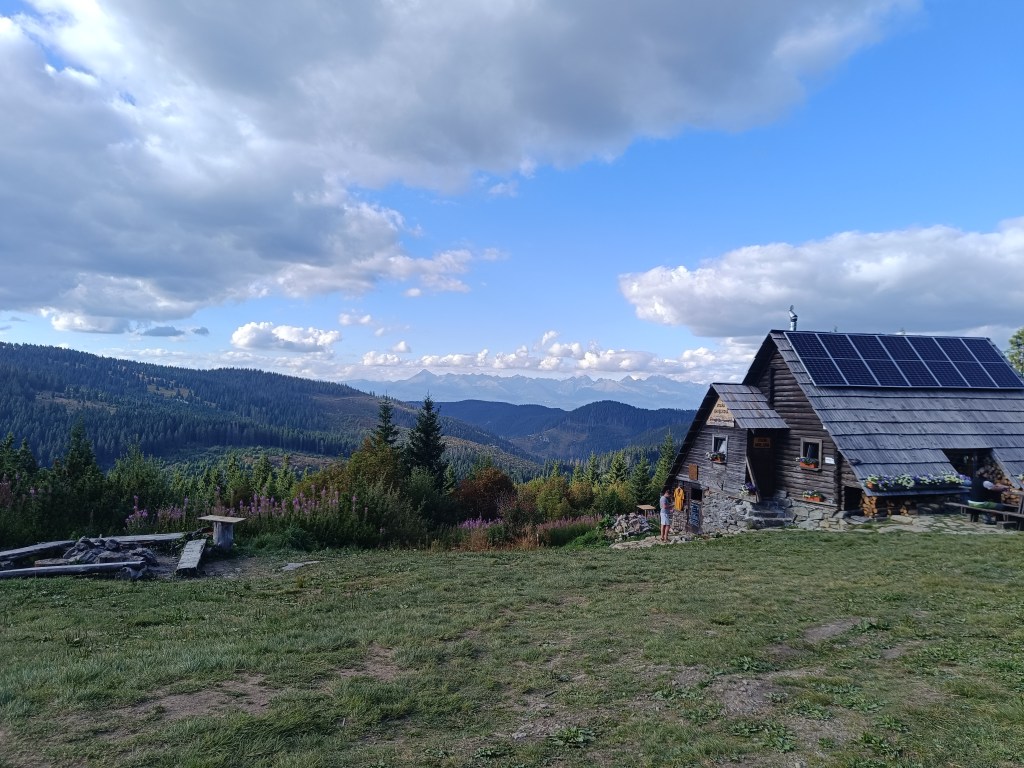
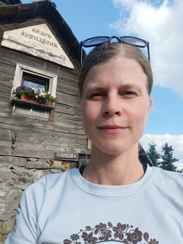
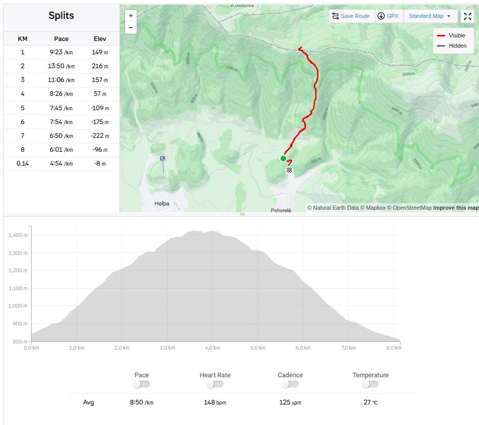
    This month there is a challenge to Andrejcová. Andrejcová is a shelter in the Low Tatras with beautiful views of the High Tatras. It is located at an altitude of 1410 meters above sea level. I have visited it once in the past, when we ran along the ridge of the Low Tatras, but I have never gone to it from Pohorela, where the start of this challenge was. So I decided to give it a try.

    927 / 5 000

    The route is relatively short (3.5km), but the climb is quite steep (595 m climbed). So I really sweated while I climbed to the top. I conquered this challenge in 39min and 22s.

    The construction of the shelter itself began in May 1968 and largely local raw materials were used; stone and wood. A nearby spring was also modified and the building was approved in October 1968. It was used from the beginning by tourists and hikers, and during the summer grazing of the mountain meadows it also provided shelter for shepherds and even the cattle themselves.

    The building fell into disrepair for a long time and was not significantly repaired until 2005, when the shelter was partially reconstructed.

    Since 2014, the shelter has been under the management of cottage owner Marek Šurina, who, with the help of local enthusiasts, is gradually revitalizing and improving the building and its surroundings. The roof covering was changed again, the chimney with the heating element was repaired, and the cottage was gradually completely insulated so that it could provide comfort and safety even in the winter months.

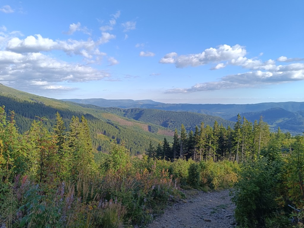
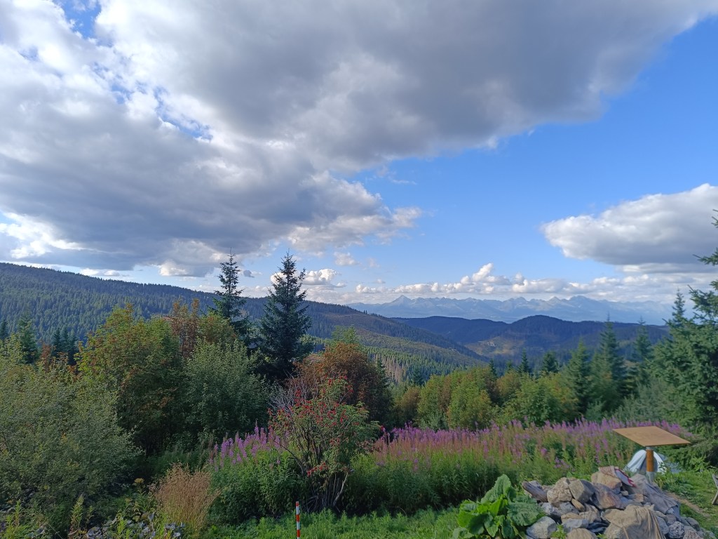
    The climb itself offers beautiful views and as a bonus you can eat sweet raspberries, of which there were truly plenty.

    Shelter with a nice view on High Tatras
    8.14km, 1h 11min, 595m ascend
  • Výzva na Andrejcovú

    Výzva na Andrejcovú

    Tento mesiac prebieha výzva na Andrejcovú a ja som sa rozhodla sa zapojiť. Andrejcová je útuľňa v Nízkych Tatrách s prekrásnymi výhľadmi na tie Vysoké. Je položená v nadmorskej výške 1410 metrov nad morom. Už som ju raz v minulosti navštívila, keď sme bežali hrebeňom Nízkych Tatier, nikdy som však na ňu nešla z Pohorelej, kde bol štart tejto výzvy. A tak som sa rozhodla to vyskúšať.

    Trasa je relatívne krátka (3.5km), ale stúpanie je celkom strmé (595 nastúpaných m). A tak som sa veru poriadne zapotila, kým som vyliezla hore. Túto výzvu som zdolala za 39min a 22s.

    Samotná výstavba začala v máji 1968 a z veľkej časti boli použité lokálne suroviny; kameň a drevo. Upravený bol i blízky prameň a v októbri 1968 bola stavba skolaudovaná. Využívaná bola od začiatku turistami a trampami, počas letného spásania hôľnych lúk poskytovala útočisko aj pastierom či dokonca samotnému dobytku.

    Objekt dlho chátral a výraznejšie bol opravený až v roku 2005, kedy útulňu zčasti zrekonštruovali.

    Od roku 2014 je útulňa pod správou chatára Marek Šurinu, ktorý postupne za pomoci miestnych nadšencov objekt ako aj okolie revitalizuje a zveľaďuje. Opäť sa menila krytina na streche, opravil sa komín s vyhrievacím telesom, chata sa postupne celá zaizolovala aby mohla poskytnúť komfort a bezpečie aj v zimných mesiacoch.

    Aj samotný výstup ponúka nádherné výhľady a ako bonus sa môžete najesť saldkých malín, ktorých bolo naozaj neúrekom

    Útuľňa s výhľadom na Vysoké Tatry
    8.14km, 1h 11min, 595 nastúpaných m