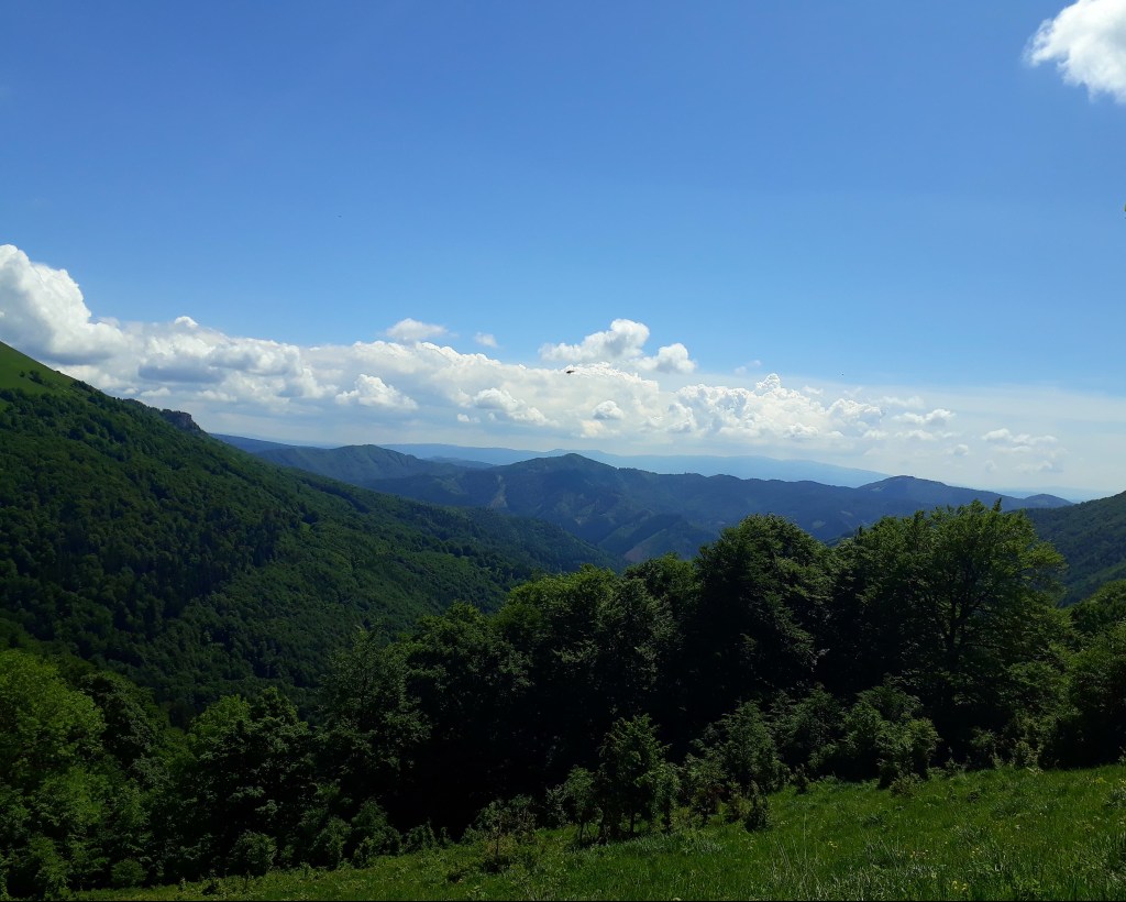
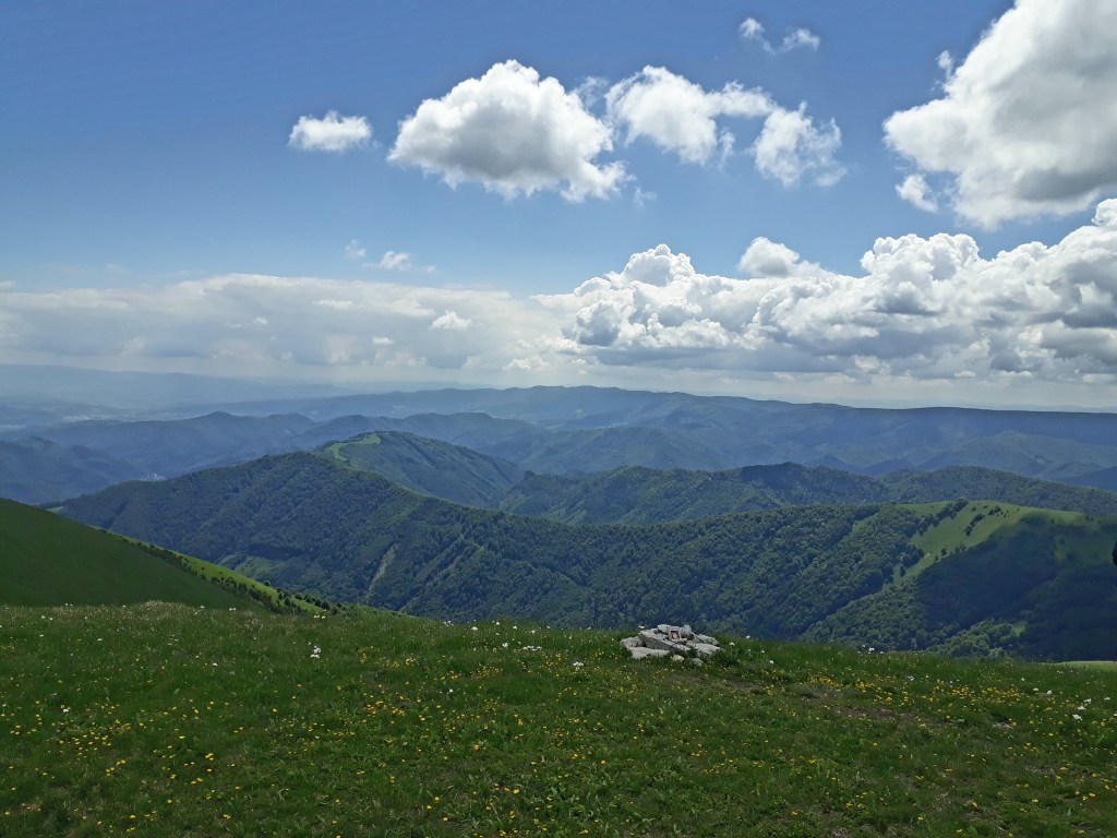
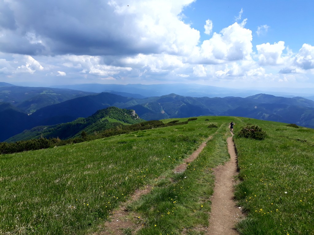
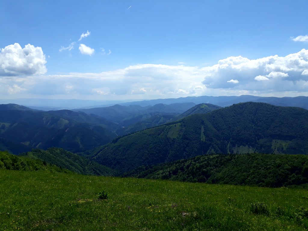
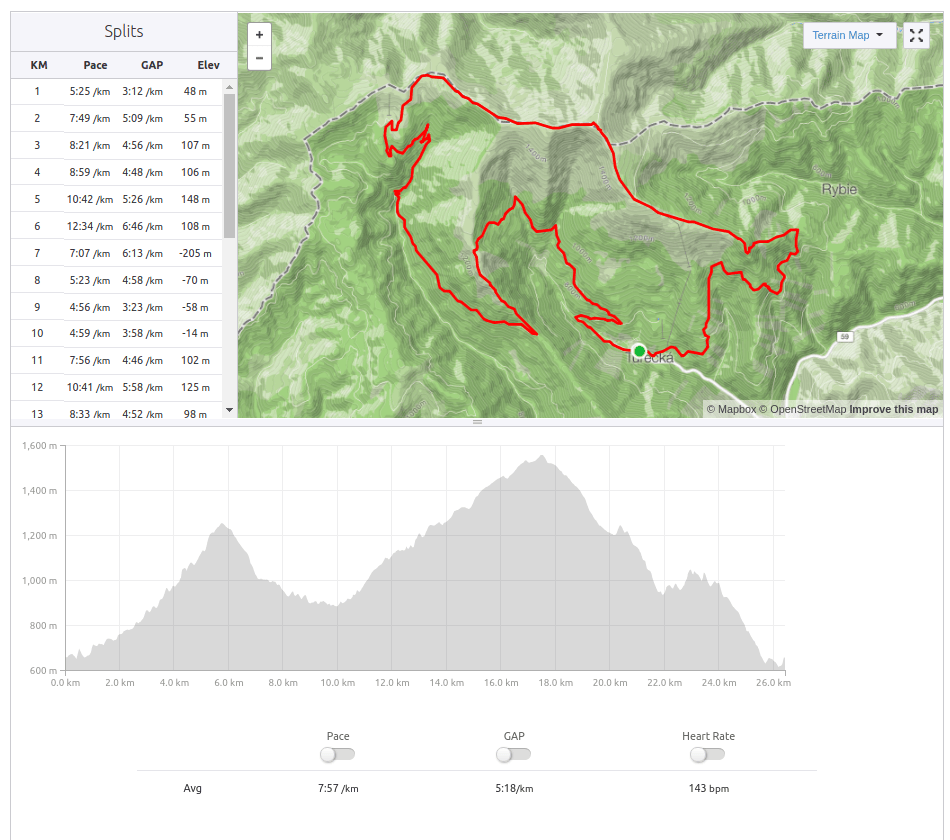
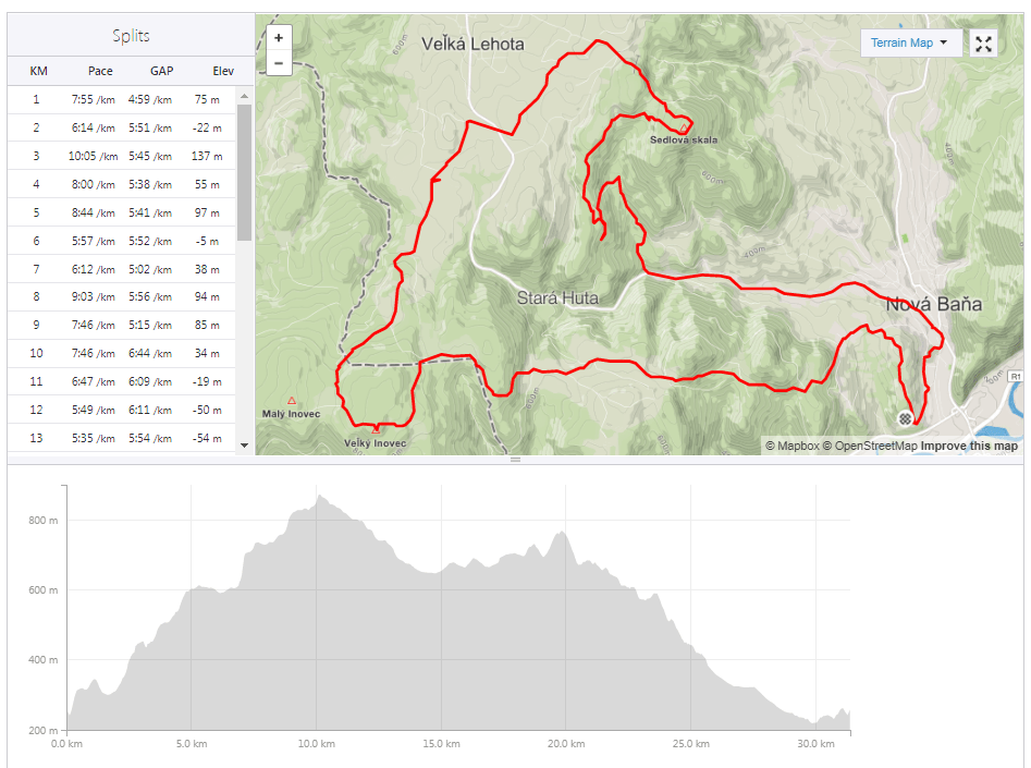
This was one of the most beautiful races I ever have done. And the hardest.
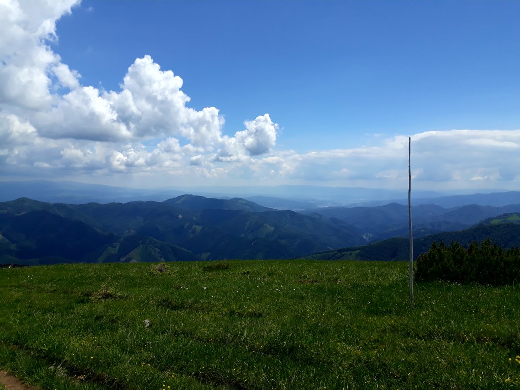
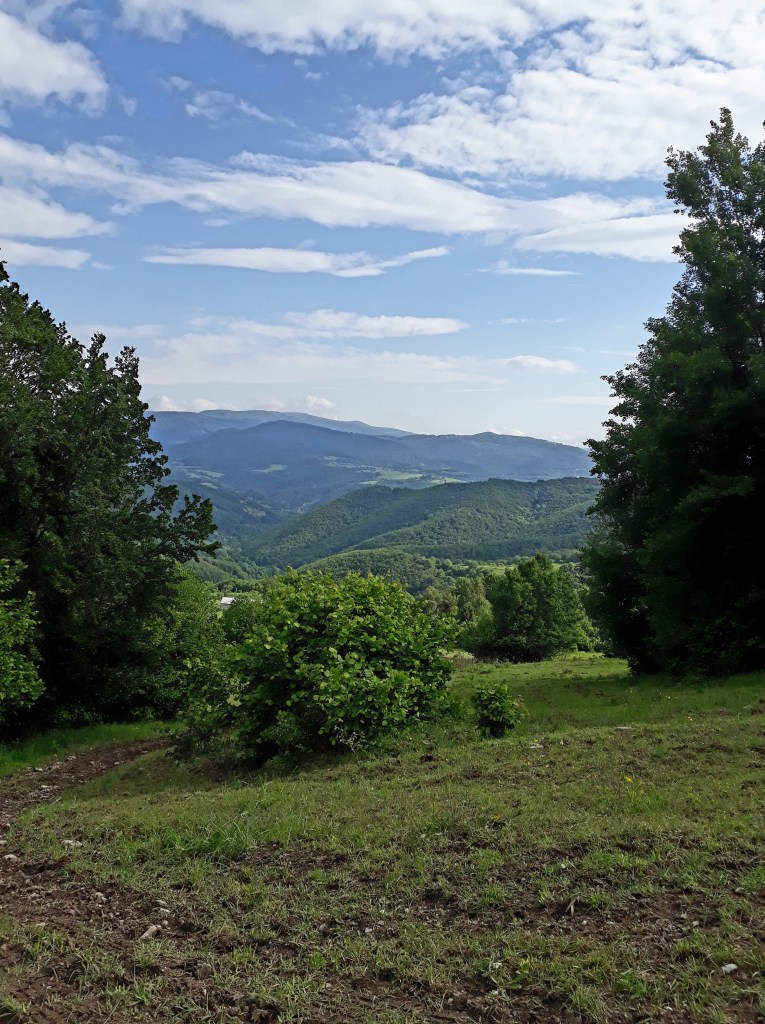
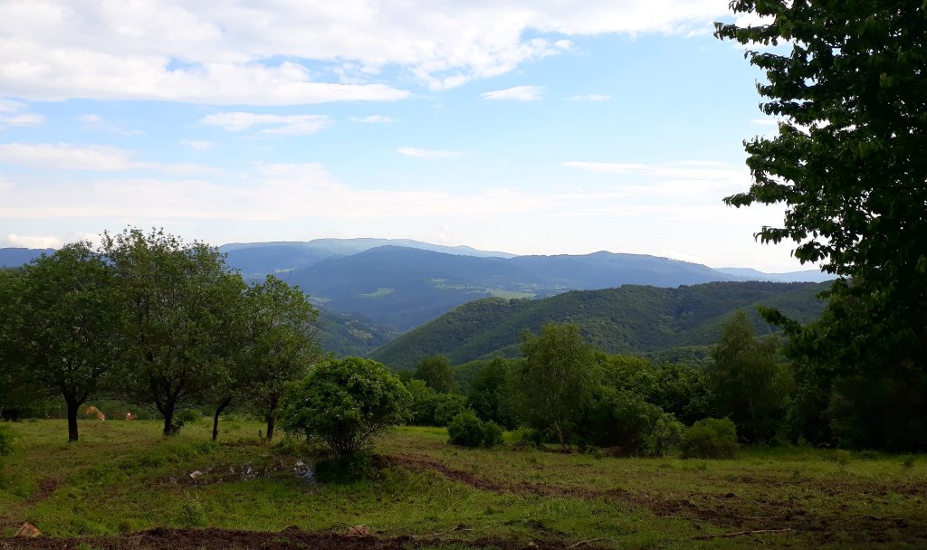
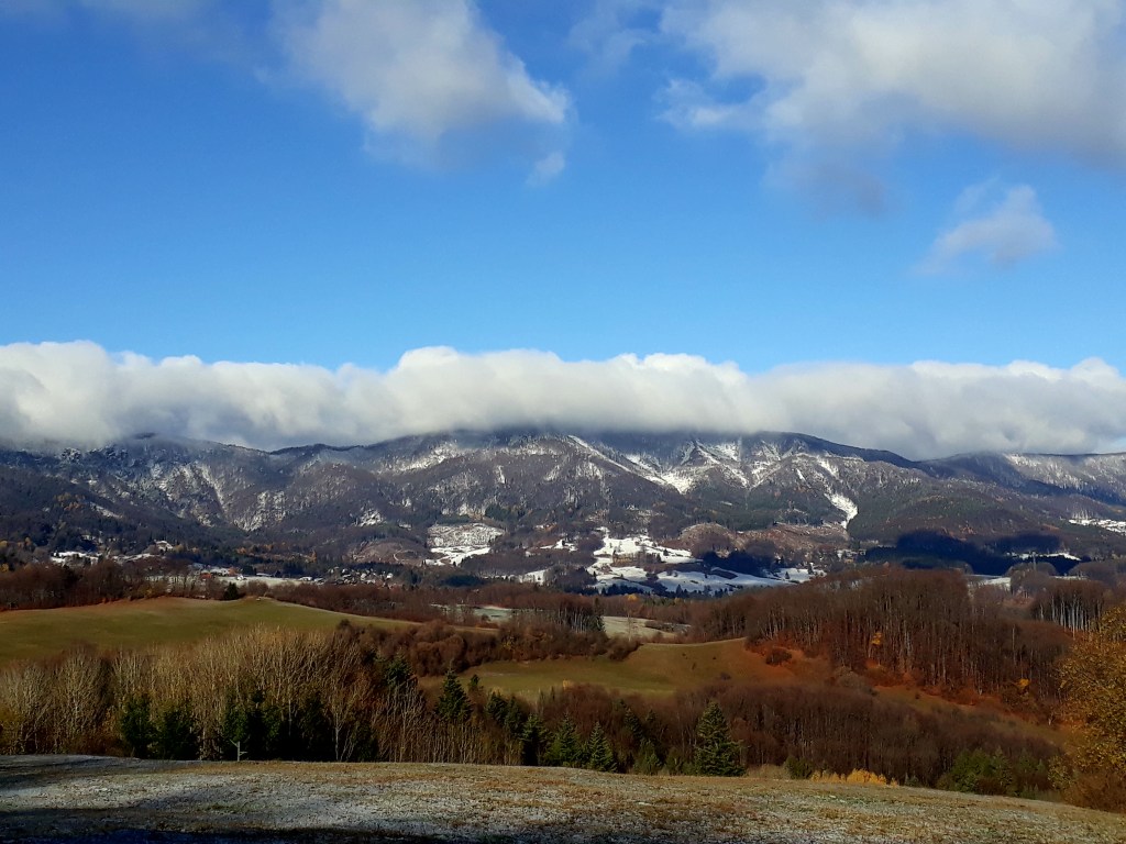
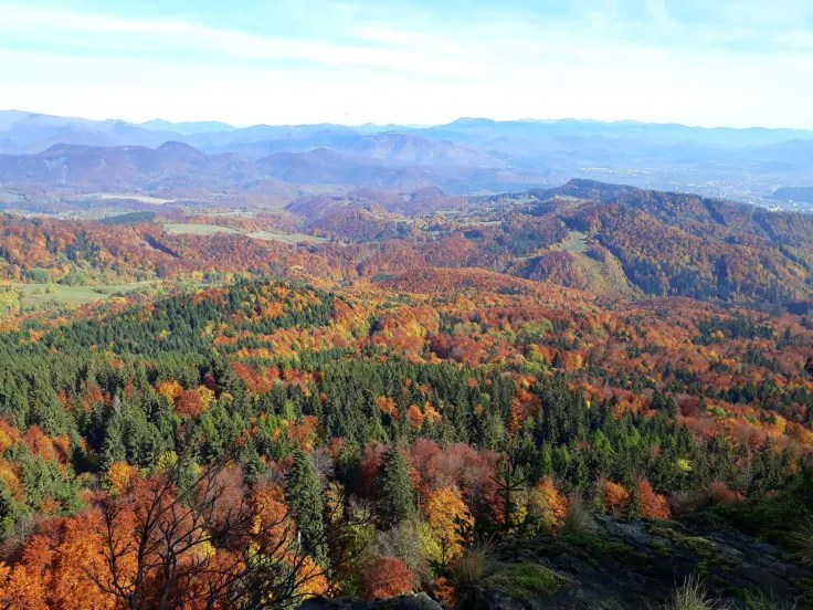
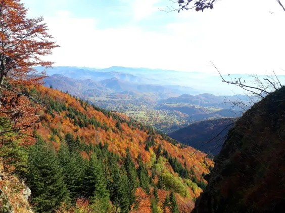
Start was at 11:00, so it was already quite hot (25 degrees C), first refreshment station was at 14th kilometer, after a lot of ascend (almost all of it). I was sweating like never before and i must to hike a lot. But then I reached the ridge of Krížna and there were breathtaking views… Suddenly all the effort was worth it.
ÚplazKrížna
I really enjoyed the views, usually I didn’t take photos during the race, but this time I cannot resist. Surprisingly the hardest part of this run was the downhill. It was really steep, muddy and slippery, so I needed to slowing down (ouch my thighs…) and carefully choose my next steps.
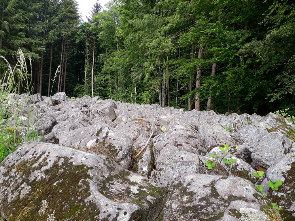
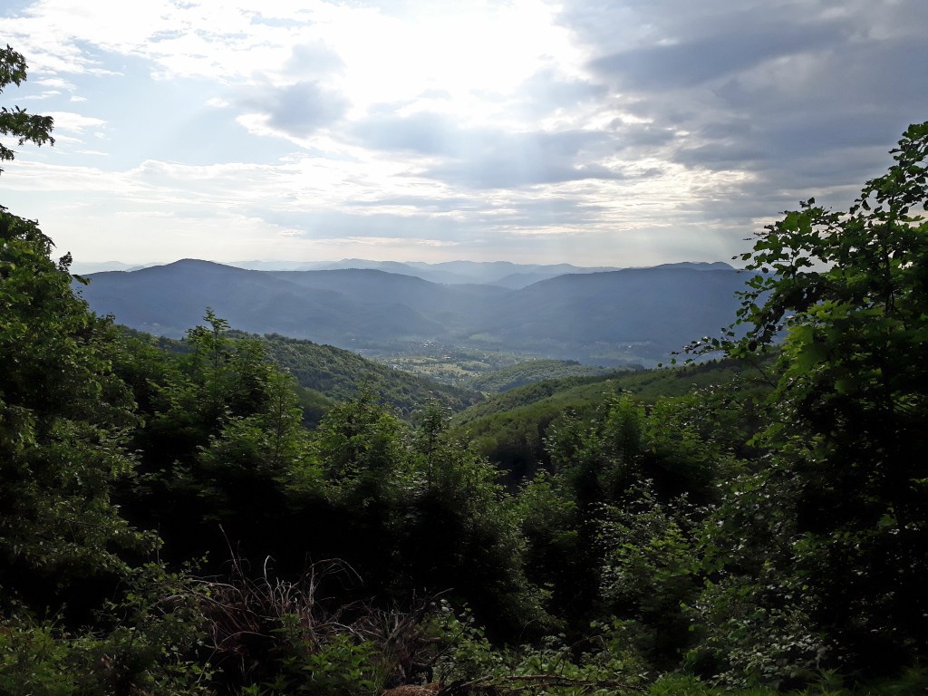
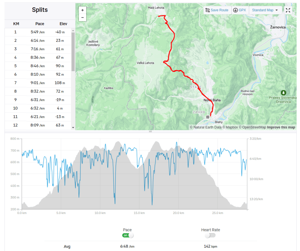
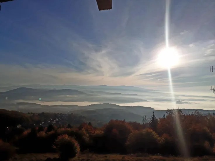
Another weekend at grandma’s. I was lucky, because the weather was pretty nice, around 15 degrees and partly cloudy. I chose to go for a run to a small village Malá Lehota, because there is a natural monument Andesite sea of rocks (it was formatted from magma which was quickly cooled, because temperatures in the Quaternary was around -60 degrees Celsius). In my way there I made a quick stop on Vojšín (third highest mountain of Pohronský Inovec), there are nice views.
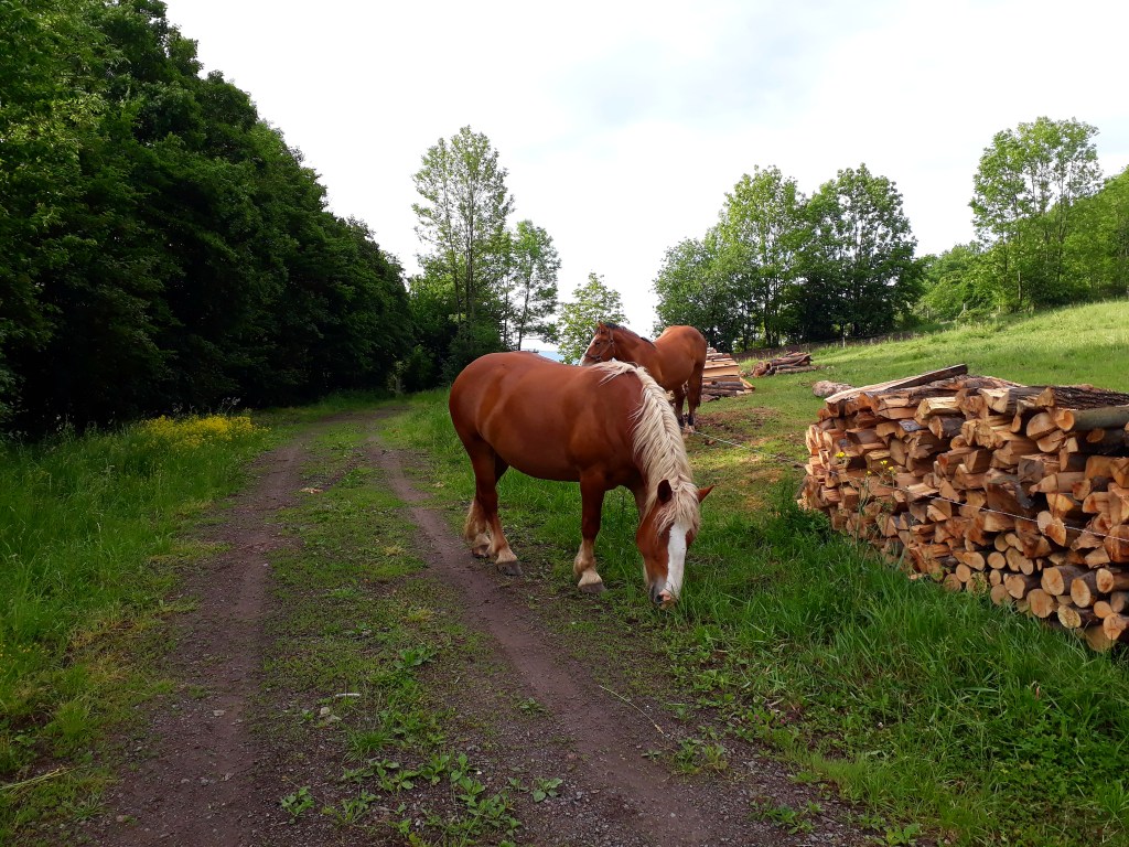
And the most important thing is that i met 1 stag, 4 deers, 1 rabbit, 3 horses and ZERO people I really love running in these not so frequently visited places in Slovakia.
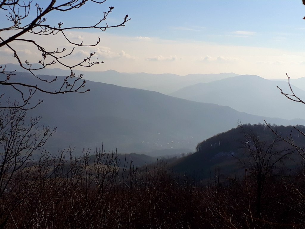
Near Sedlová skalaTypical working horse used to pull wood from forest.Sea of rocksAbove Malá LehotaMountains of Pohronský Inovec28.77km, 1139m ascent, 3h 31min
I planned a run to Pohronský Inovec during my weekend at grandma’s, but there was a few surprises this time… so…
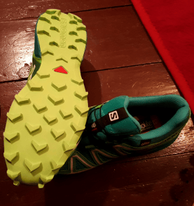
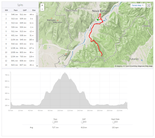
Originally my plan was either Baňa -> Inovec and back (around 20 km) or a little longer lap (24km). I left the decision open, to choose path on Inovec according to my feelings. The height profile promised first 10km of continual ascend and then descend. I decided to pack a whole set of clothes (only upper body – which proved like a really good idea) and 1 litre of water and one snack bar (yes like a hero -only one). I also planned to run for a first time i my new and shiny Salomon Speedcross 4 (which wasn’t a good idea…)
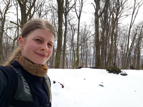
I got up early in the morning, had a breakfast, checked my stuff and got going. I was a little worried about finding the way to Inovec (I never went this way before). But the marking was pretty new and visible (and every time you need to choose a way the right way was uphill :). Temperature around -2 degrees (celsius) and the earth was frozen (I was lucky because otherwise there will be mud). In some places there was ice on road, but it was quite runnable. The snow started around 500 meters around the sea level, but it wasn’t so deep. Run from Baňa to Inovec took me 1:20 (I think it is a good time considering 600 ascend). I made a quick pause to change my clothes. The views was a little ruined with a mist, but I was sunny day, so that was enough for me:)
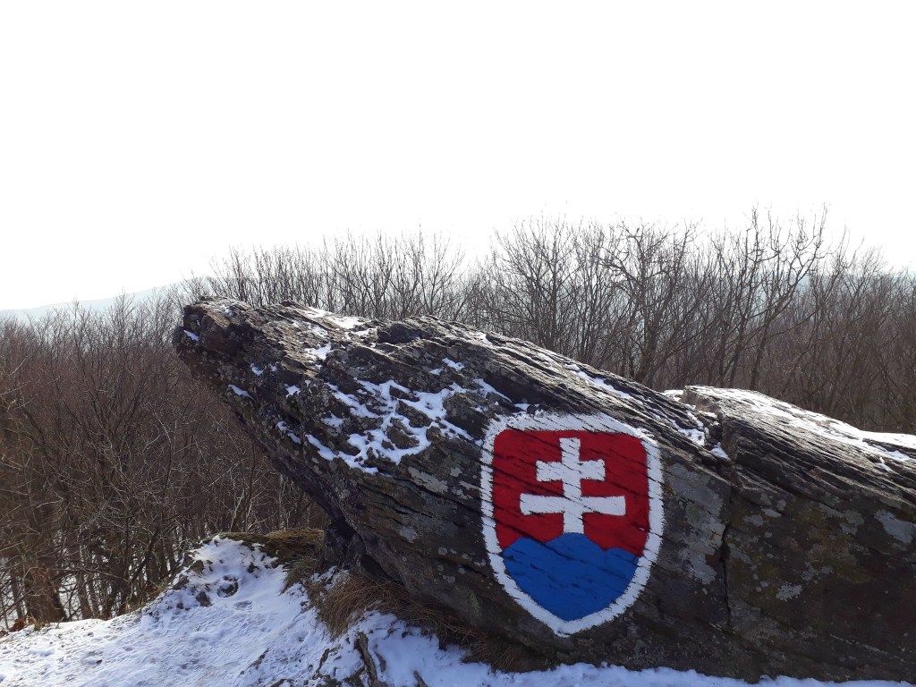
Slovak symbol on the top of Veľký Inovec (heighest hill in Pohronský Inovec mountains)
I had plenty of time left so I decided to go further instead of turn around a go home. Next plan was took a blue marks to Sedlo Kuchyňa and green marks from there to Nová Baňa. Next 5 km was pure descend, nice easy run, but I started to feel discomfort in my pretty new shoes (really good idea -long run in new shoes, it ended with 2 blisters). The blue mark was older and not so visible and I neded to look for the right way twice. Somewhere near Sedlo Kuchyňa I had a brilliant idea – what about to go through educational walkway instead of green mark? (I already was there so I thought I know the way – and there are 2 nice view poitns).
Sedlová skalamisty view from Sedlová Skala.
I already felt my legs, but I wasn’t really tired, I ate a snack a happily jogged down the hill. The mark was barely visible, sometimes I need to search for it, but so far, so good… Until I came to a place where there were 3 possible ways and the mark was nowhere to find. I tried first -nothing, second – nothing, so I went for the last. (I didn’t really remember this place…)
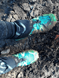
So I ran, mark nowhere, but it leaded down the hill and in good direction so I wasn’t really worried. Suddenly the way turns in OPPOSITE direction – not so OK, a looked back and there was like 4-5 km uphill. So I continued down (and said to myself , while it is going down it needs to end in that valley I am heading to). After a while I heard a stream -YES- in that valley where I am heading is a river, so the only think I need to do is following this stream… The last bonus was ankle deep mud – melted by the sun:)
Friday eveningSunday morning
Last 6 km was on the road and I find my way home.
31,38km 1071m ascend, 3:25 moving time(3:45 total time – 20 min searching for paths)
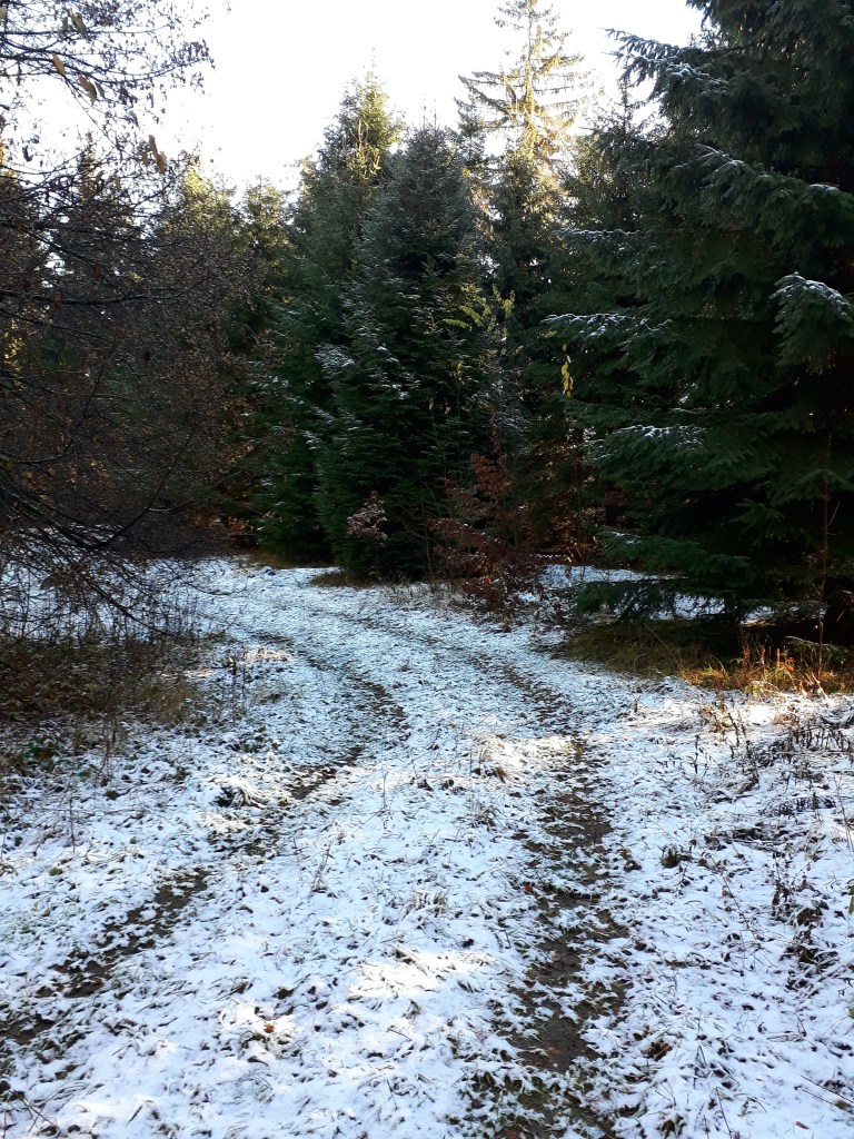
Weather forecast wasn’t ideal. But I was determined to go for a run nonetheless. So it was a nice surprise to get up to a sunny day. The air was chilly and in some places there was a snow on the ground. The sun was shinning through my whole run, so my joy of it cannot by ruined even by the muddy terrain.
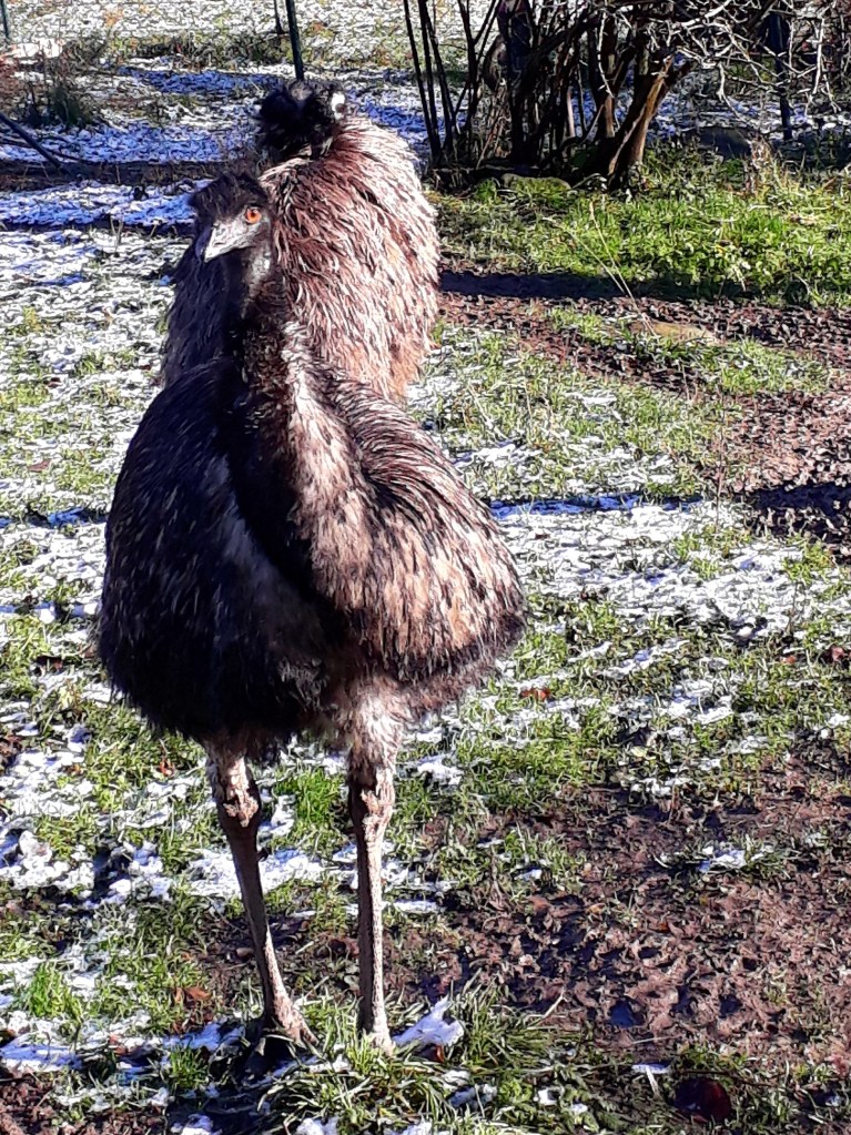
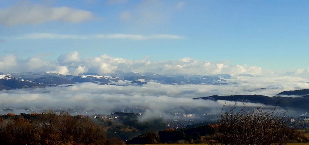
Somewhere in that clouds there is Skalka.Mud covered by snow – “ideal” terrain to run onIn the middle of Slovakian mountains you can find…..EMU! 13,5km 1:33 active, 594m ascend
Nová Baňa… Someone may think, that when I spent practically my entire childhood here I would know every corner.. But I only know a small part of it (mostly around my grandma’s house). I really started to discover neighborhood after I started running.
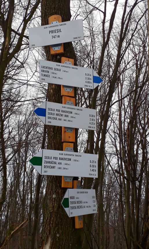
This time I chase hill Priesil. My original destination was castle situated on hill Hrádok above village Tekovká Breznica (of course didn’t find it). There are only ruins left from Breznica castle, which was built in 13th century. It was several times burned-out by Turks and at the end of 18th century it lost importance, deteriorated more and more. Rains and frosts destroyed walls. And then in more peaceful times people took it apart to built their houses. It is not known when the castle disappear completely. Big blocks from towers were used to build a church. The last standing memories are around 1 meter high, disintegrating remains of one tower.
Ascend to Hrádok
When I got going (around 8 o’clock in the morning), the waether wasn’t quite enjoyable – drizzle and gloomily looking clouds. This can be the reason why I run into a herd of 20 does and one deer (they ran away that moment I tried to take photo).
The ascend on Hrádok is quite demanding, I need to walk few times. The path is barely visible, but the signs are new and nicely visible. There is a viewpoint (only 200m from path)
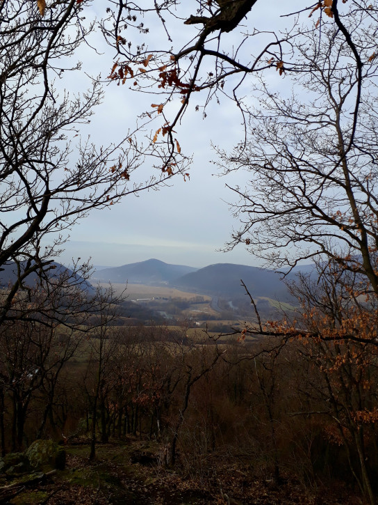
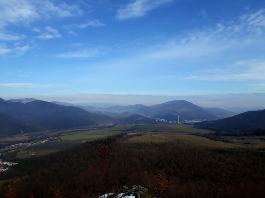
view on Tekovská Breznicaview on oposite site
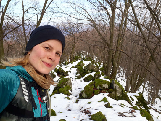
As I climbed to Priesil, there snow was deeper and deeper. Terrain was quite technical, lot of boulders and smaller rocks a the path was barely used. I entertain myself for a while with distinguishing animal tracks (fox, deer, stag, badger and of course wild boar). The snow was deep, climb difficult and I started to think about changing my plan (first plan was lap, with around 8 km in this snow ahead). I decided to go back from Priesil on the same path.
Closely to Priesil the snow was knee deep and as I stand under last climb, I almost gave up. But thanks to my stubbornness, I climb up (need to use my hands, pulse 200, sweaty…)
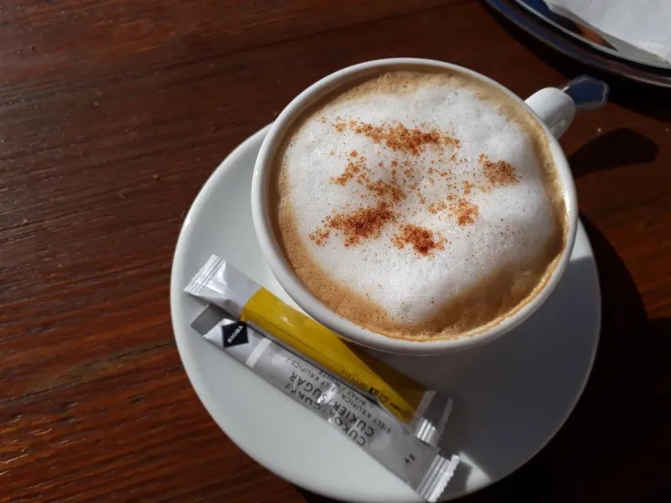
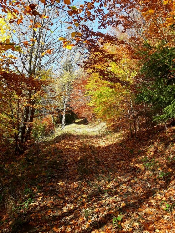
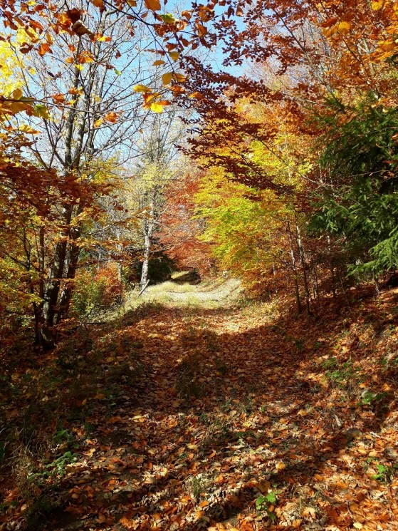
Our Slovak autumn is really beautiful with colorful trees, there is relatively warm outside and ground is covered with swooshing leaves. So the weekend is ideal time for longer trail run. And when you can make a stop for a coffee, what can be better?
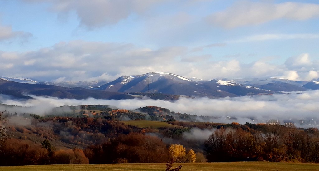
I left around 8 o’clock to catch morning fogs, but at the time I arrived at the top of the hill, the fog was already disappearing. But the sun sun was promising a nice day.
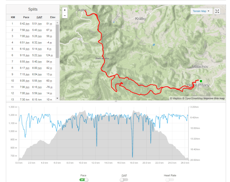
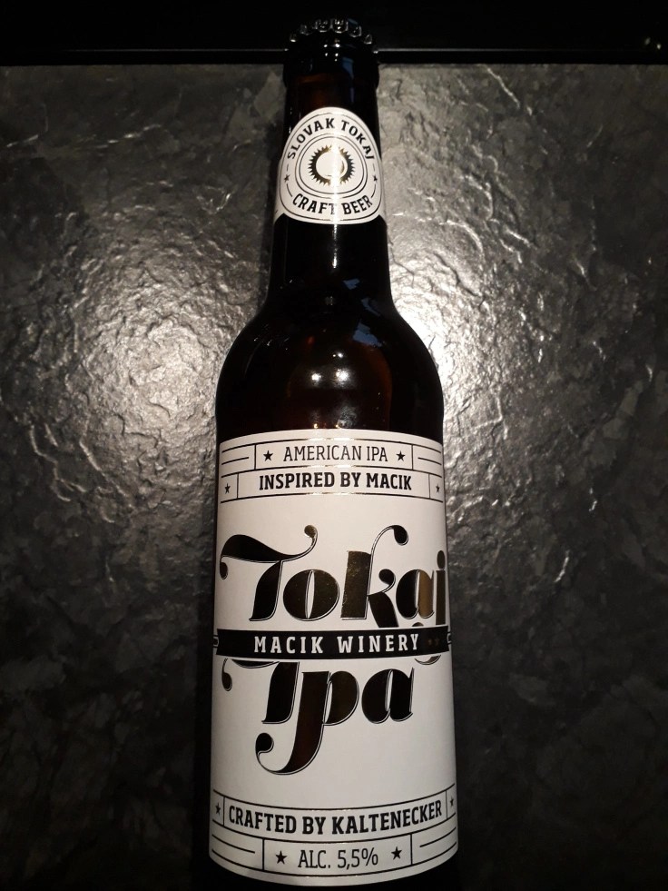
26 km, around 1000 m ascend, 4 hours including coffee break and some photo breaks.Well-earned reward, craft beer Tokaj-IPA.. Yeah I’m a big craft beer lover
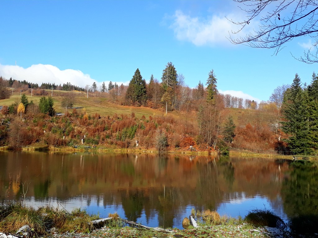
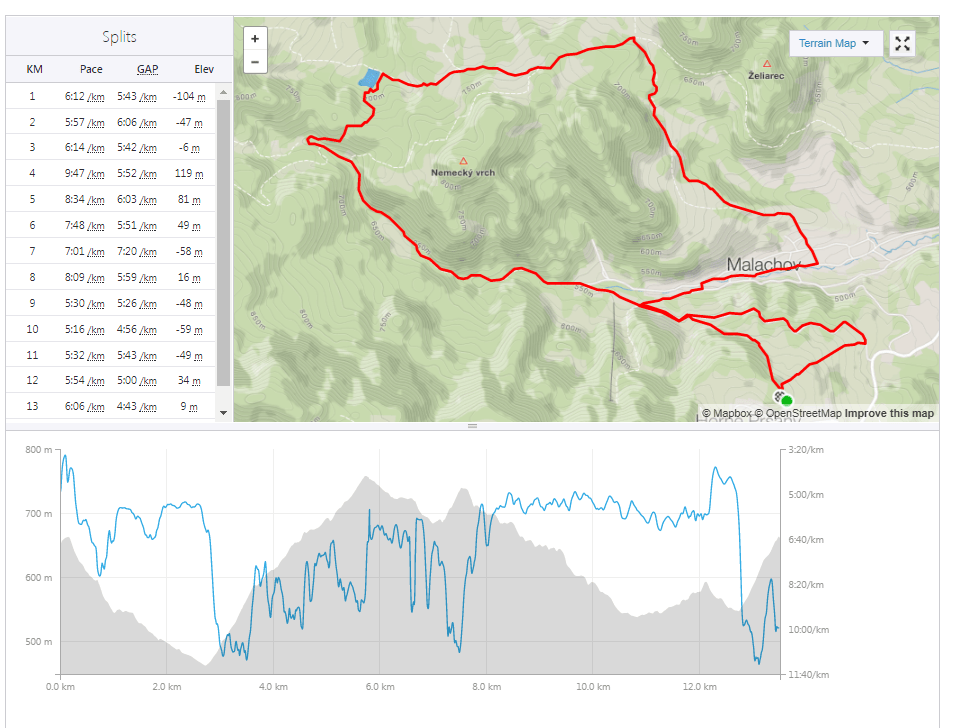
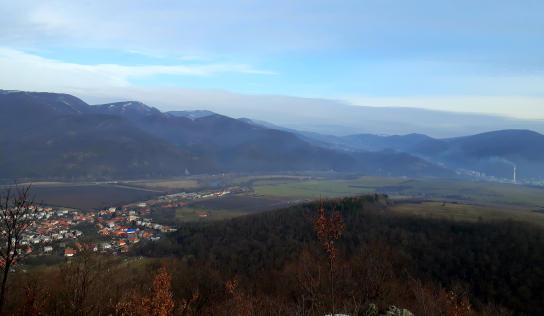
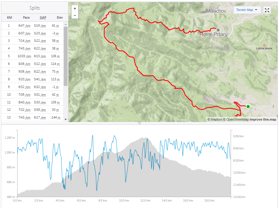
Indian summer is almost over so I decided to take advantage of one from the last few nice days to run. I took a halfday holiday from work a chose a route from Badín (small village near Banská Bystrica) through Tri kríže to Horné Pršany.
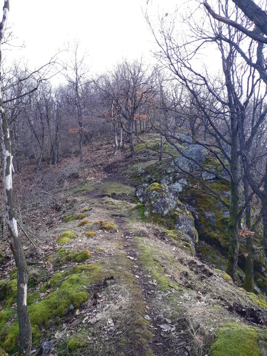
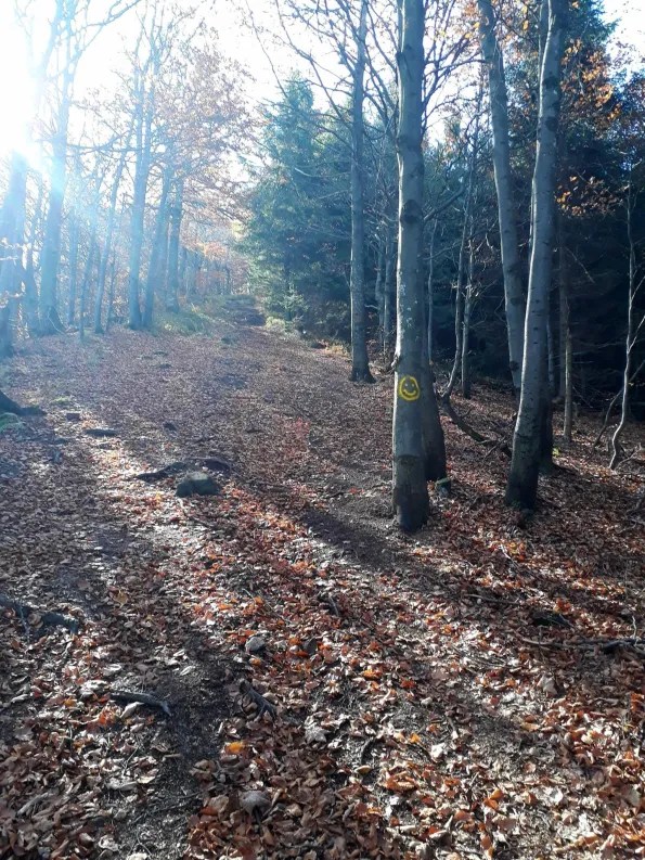
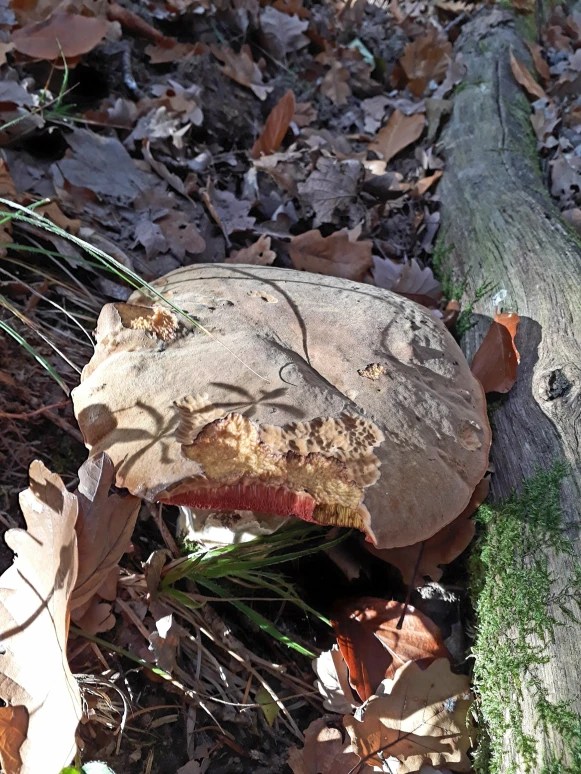
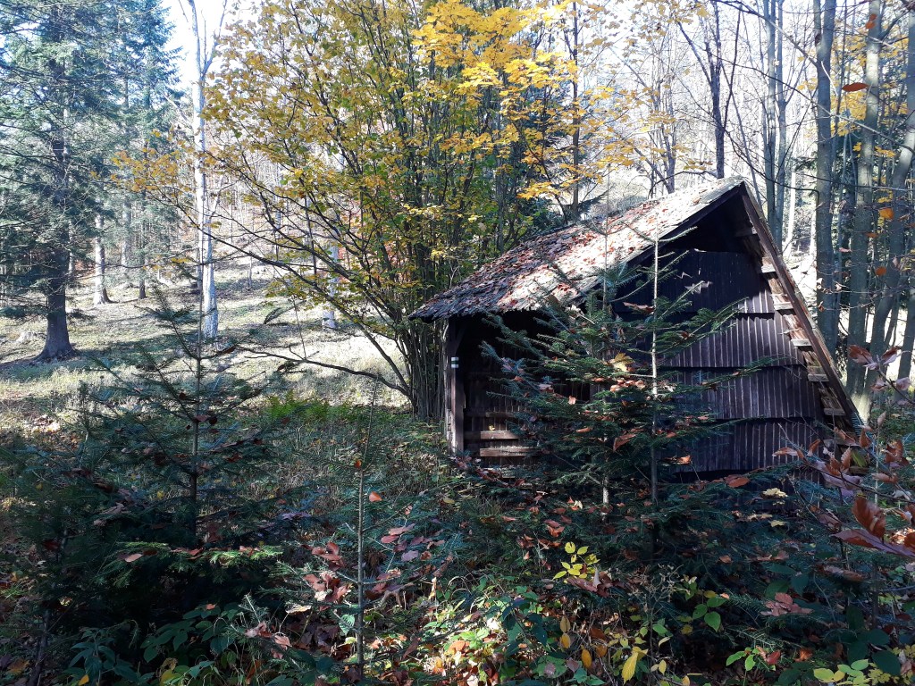
It is quite nice hiking trail, but its good times are over. This trail obviously isn’t used frequently, because the hike marks on trees was almost invisible. I even needed to went back twice and searched for path (and I think I have pretty good sense of direction). A lot of fallen leaves made it even harder to follow the path.
13 kilometers of continuous ascend is guite enough, so I was pretty happy when I came to tri Kríže, which means I am on the heighest point 🙂
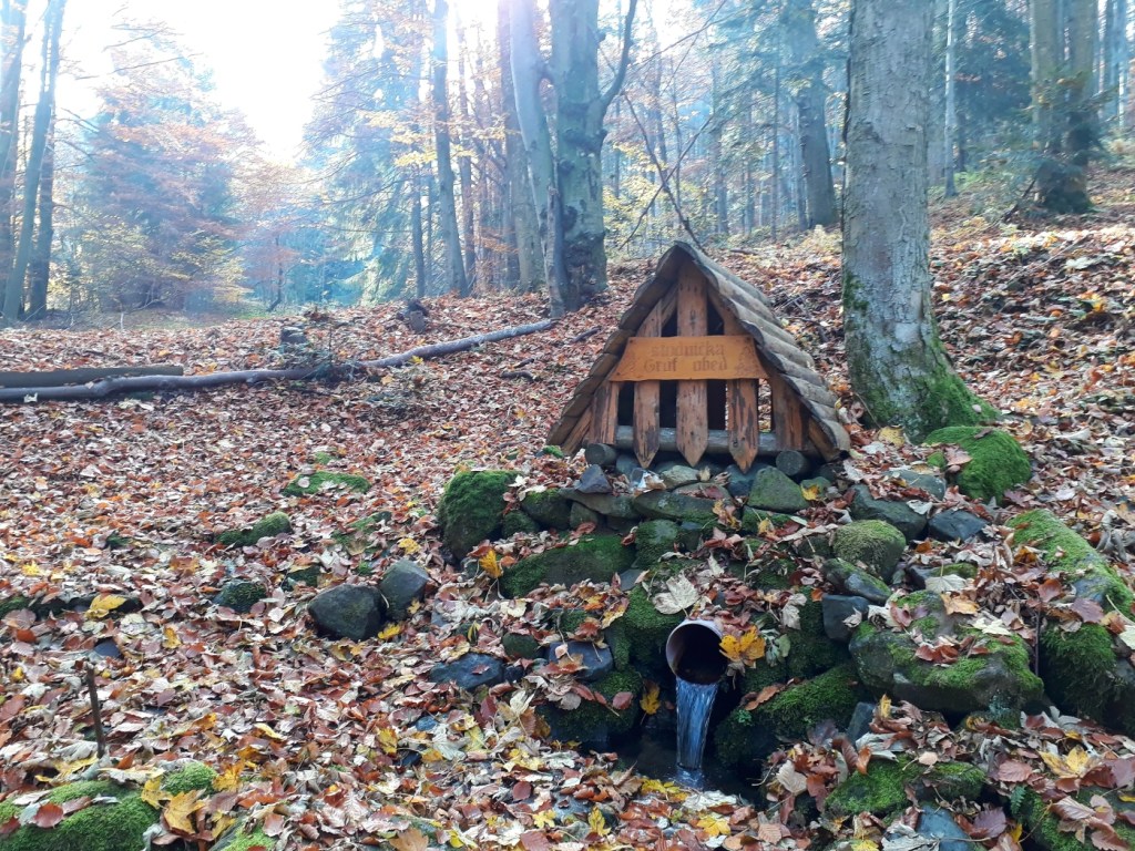
Drinking water, fresh and cold20 km, 1113 m ascend, 2:30 active time, around 3 hours total timeAn edible muschroom almost on the path is a proof that this trail isn’t used very often.Beautiful autumn day in the middle of Slovak forest (nobody out there, just you and trees)A tourist shelter with big holes in roof, trees groving in the middle of the path