Tag: trail

  • SNP – girl’s project #day1

    SNP – girl’s project #day1

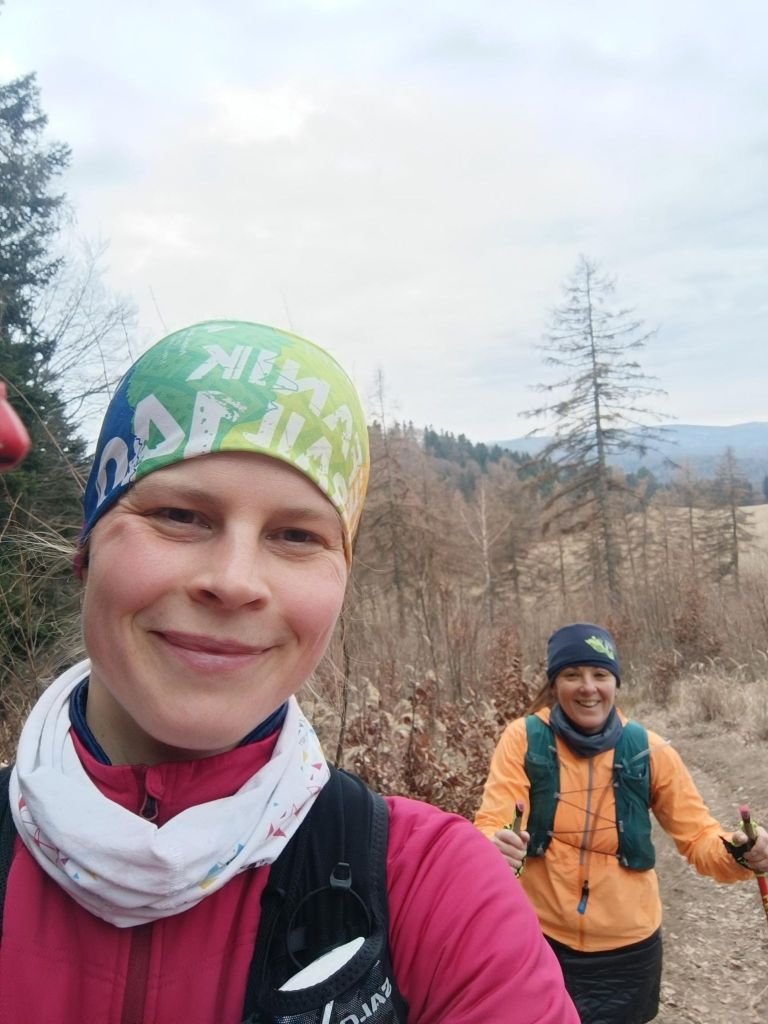
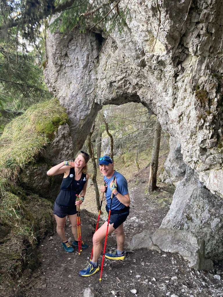
    Two working mothers, two trail runners, one dream. To run the whole E8 long distance hiking path – SNP trail. 770km, 31000m elevation. But we have full time jobs and kids, so we decided to divide it into stages and run a stage whenever we find time and then put it all together, start where we end, through every meter of this path. We hope to find enough time to finish it within this year. On the path we are selfsupported, but outside the path we have support from our men, they drive us to start, or from end of stage. First stage: Kremnické Bane-> Vrícke sedlo, temperature around 2°C. It was just BEAUTIFUL 

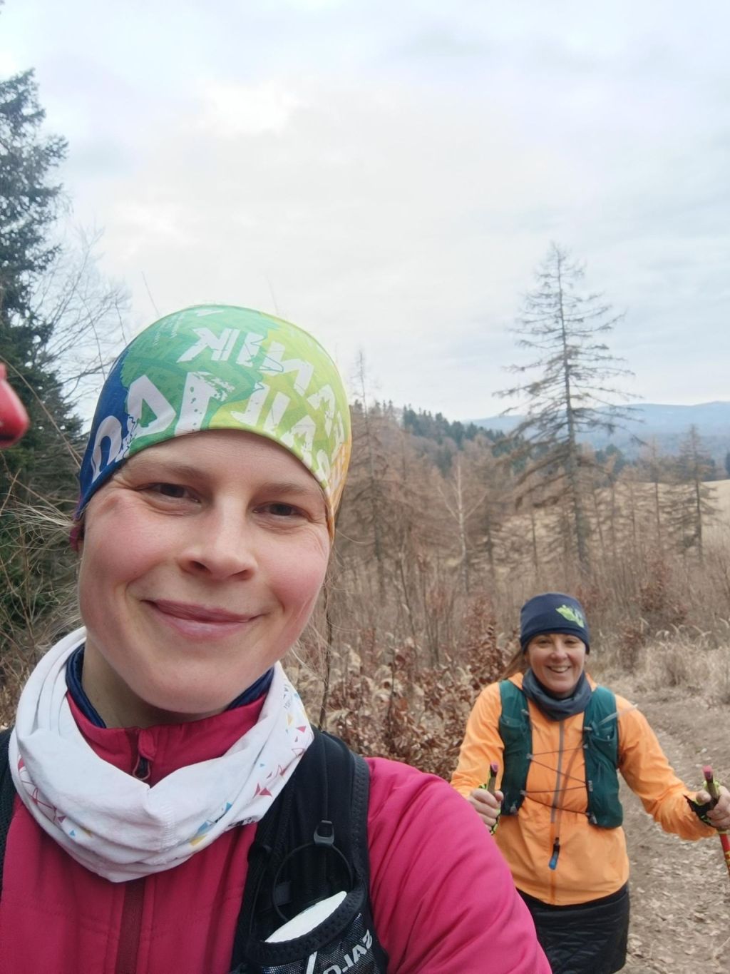
    When we started at Kremnické bane it was around -3 degrees Celsius, so we need to run to keep ourselves warm.. We were excited that it is really happening, we run and we talked a lot.

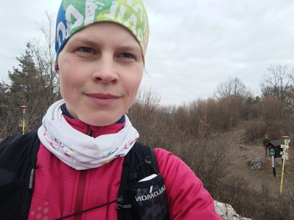
    We were so excited, that we forget to made the start photo:D
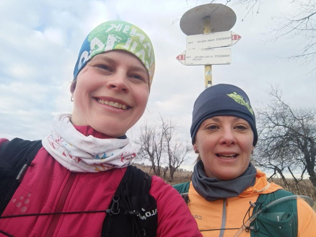
    First E8 sign
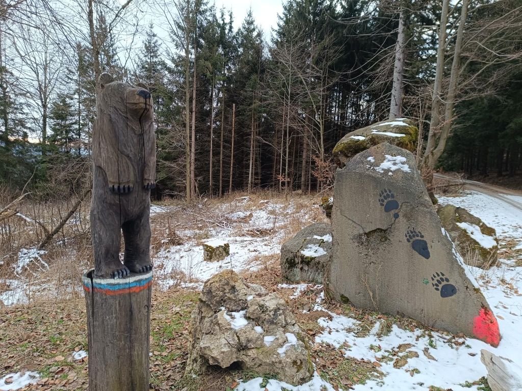
    Luckily the only bear we met
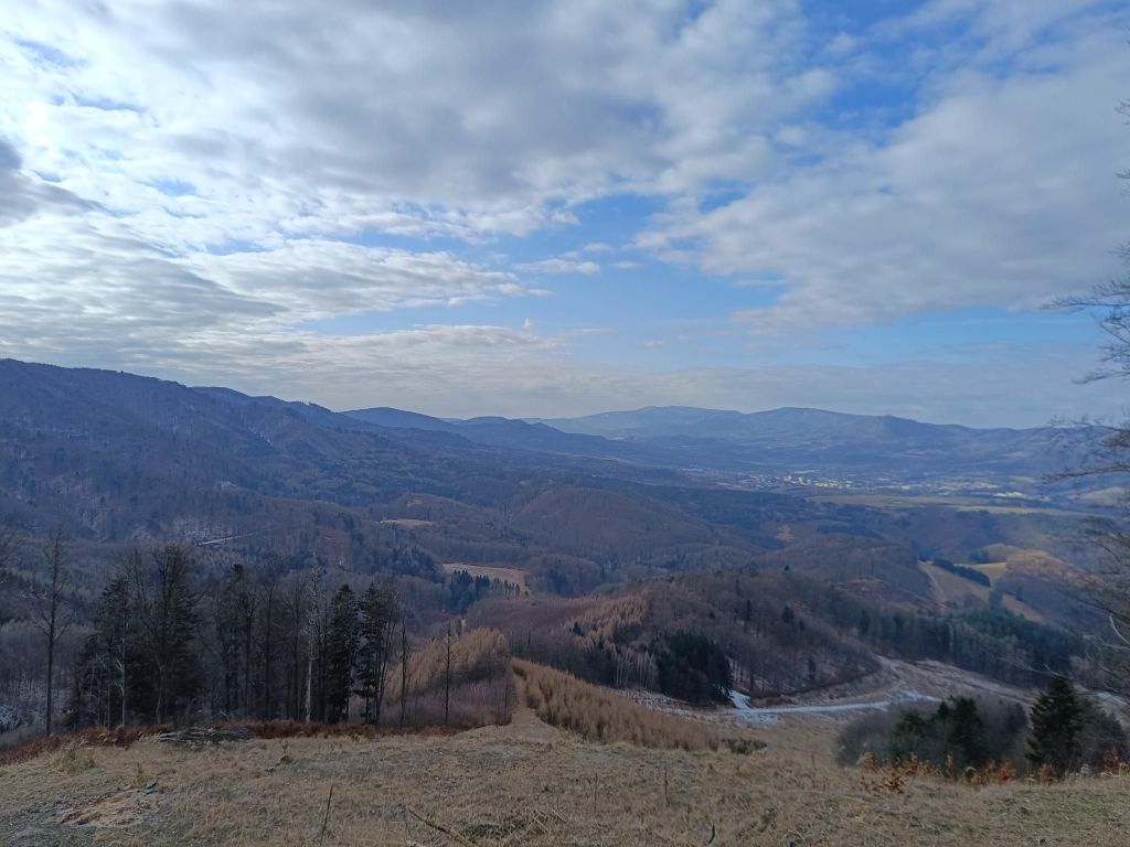
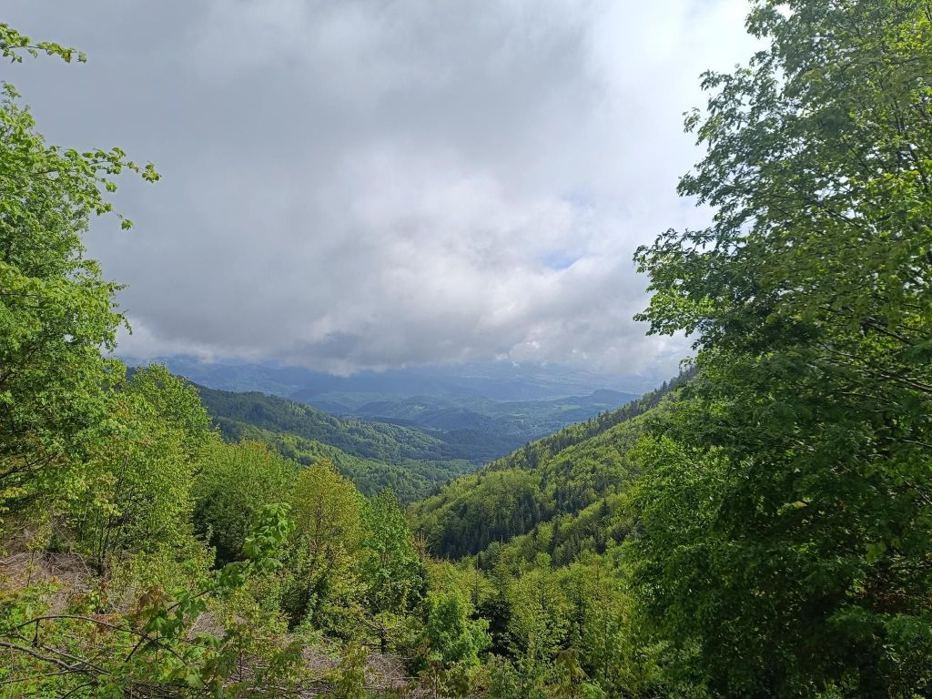
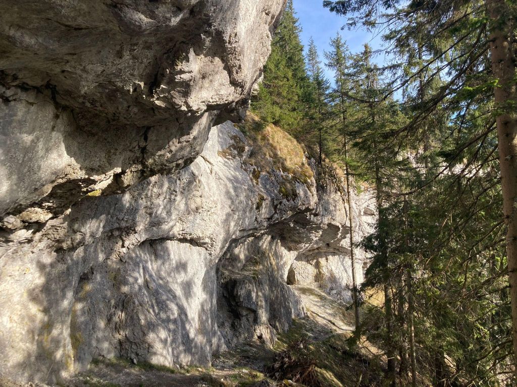
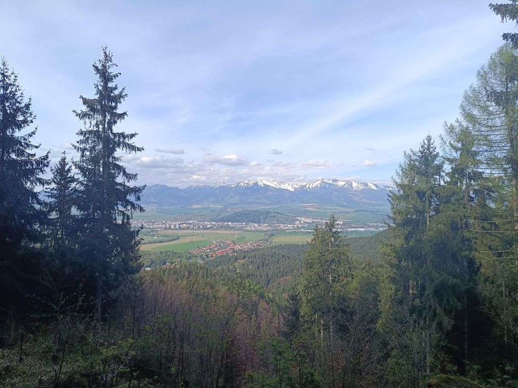
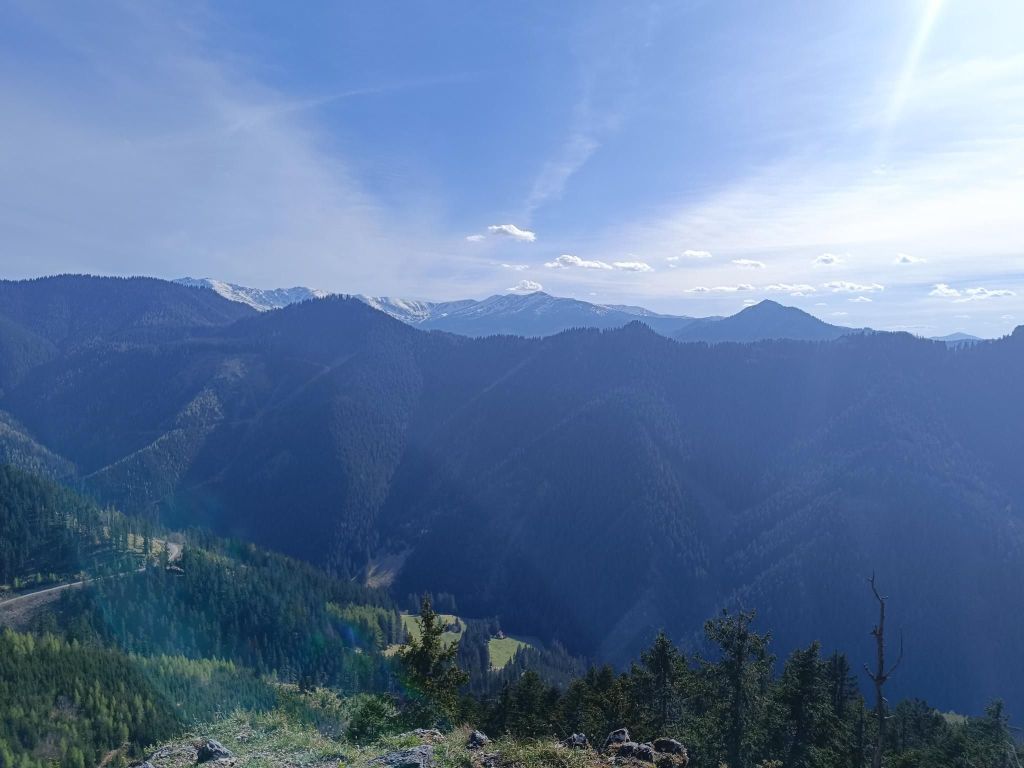
    The path leads mainly through forest, but sometimes it opens and show us views
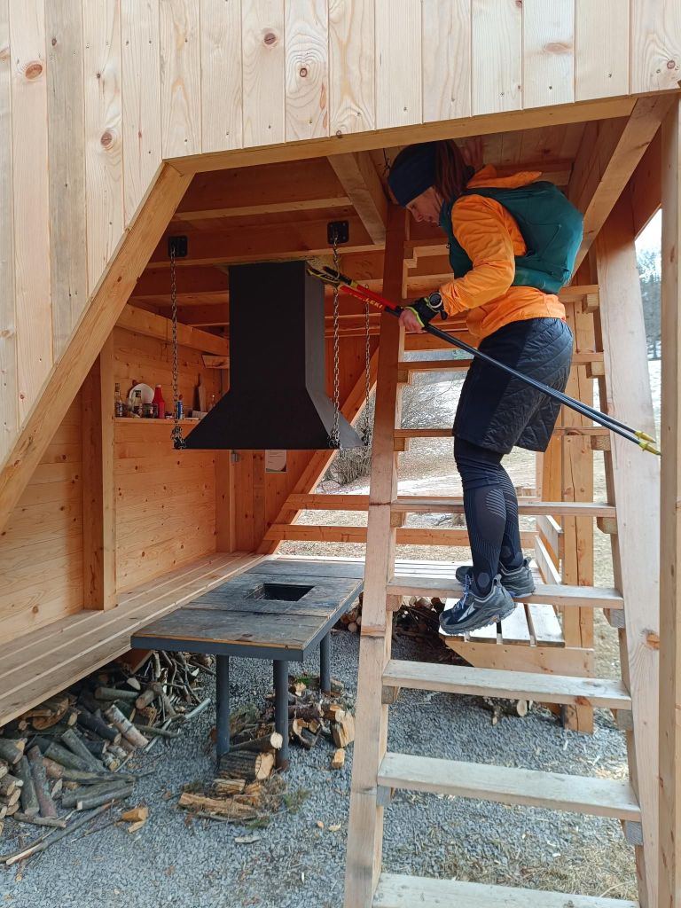
    Tourist shelter for SNP hikers – shelter Sklené
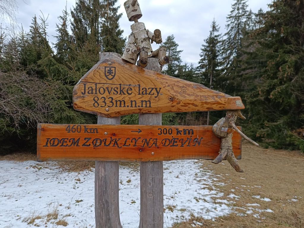
    I run from Dukla to Devín
    30 kilometers and smiling
    Vyšehrad

    The southwestern part of the Malá Fatra passes to the south into the forested Žiar Mountains. On the ridge of the Žiar Mountains, which is the border between Turiec and Nitra, there is the high-altitude Vyšehrad hillfort at an altitude of 829 m, which is one of the important archaeological and natural sites of the upper Ponitrie and Turiec.
    Due to its natural uniqueness and historical significance, and its extremely important geographical and strategic position at the crossroads of two regions along an ancient trade route, Vyšehrad became a protected natural and archaeological monument.

    The fort is bordered on the south and east by steep rocks, but access from the west is also relatively difficult. The total area is 455 ares. The entire area of ​​the fort has a powerful rampart fortification, separated from each other by a system of ramparts into four separate parts, in which we can clearly see the courtyards.
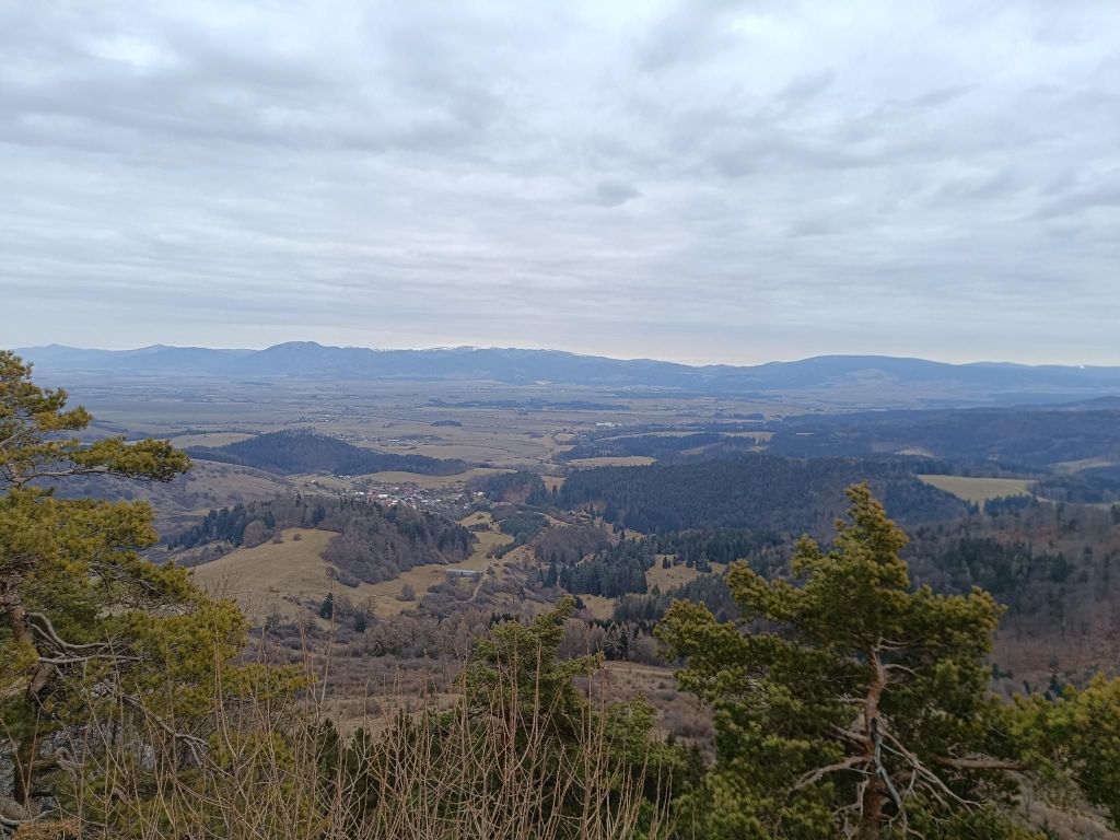
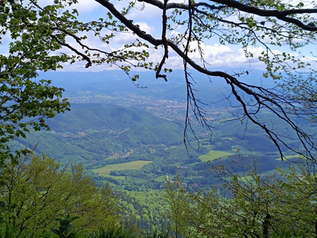
    View from Vyšehrad

    This part of SNP was covered by nice singletrails, forest roads and it was quite runnable. Unfortunately Lucka’s knees started to hurt, so we take it slowly and cannot run downhills. I hope that some compensation exercises will help and we can run another part soon.

    We left one car at the starting point and have support to pick up at the ending point, then go fr the first car.. I think this will be logistically interesting project too.
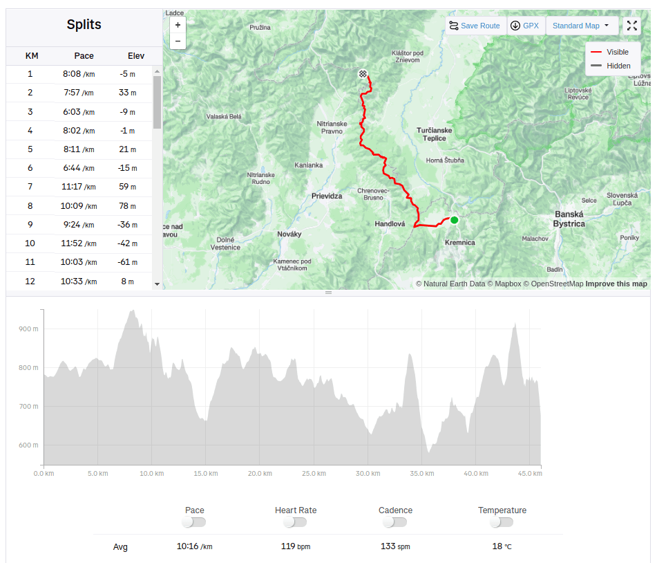
    46.02km, 1734m ascnet, 7h 57min
  • Skalka- Kordíky- Riečka- Tajov

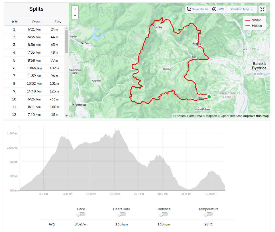
    Skalka- Kordíky- Riečka- Tajov

    Our run goes uphill to Skalka, then to Kordíky, Tajov and through Suchý vrch back to Malachov. Skalka is located in the Veľká Fatra mountains in the Kremnica Hills, near the medieval royal mining town of Kremnica.
    Tri Kríže- a view point and a crossing only a few kilometers before Skalka

    Kordíky is village under Kremnica mountains.The original inhabitants made their living by charcoal mining, making wooden utensils, herding, and raising cattle.

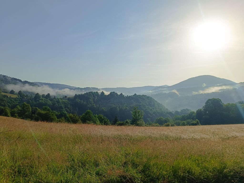
    A viewpoint between Skalka and Riečka

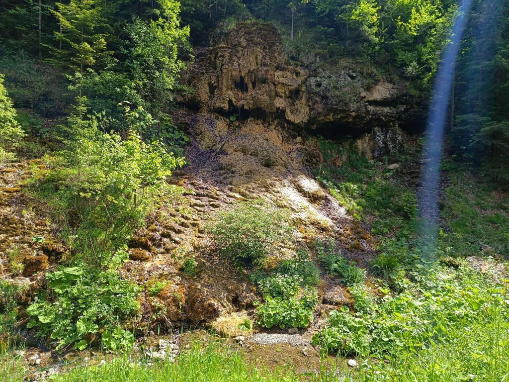
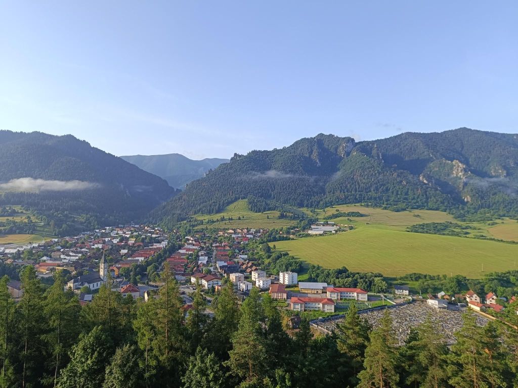
    Then we run to Tajov to check Tajovská kopa. Tajovská Kopa is a protected natural formation located near the village of Tajov in the Kremnické vrchy Mountains. It is an interesting 18-meter-high sloped travertine mound with a cascading waterfall and stalactite formations created by flowing calcareous water.

    Tajovská Kopa
    43.12km, 1672m ascent, 6h 56min
  • Mravenčík

    Mravenčík

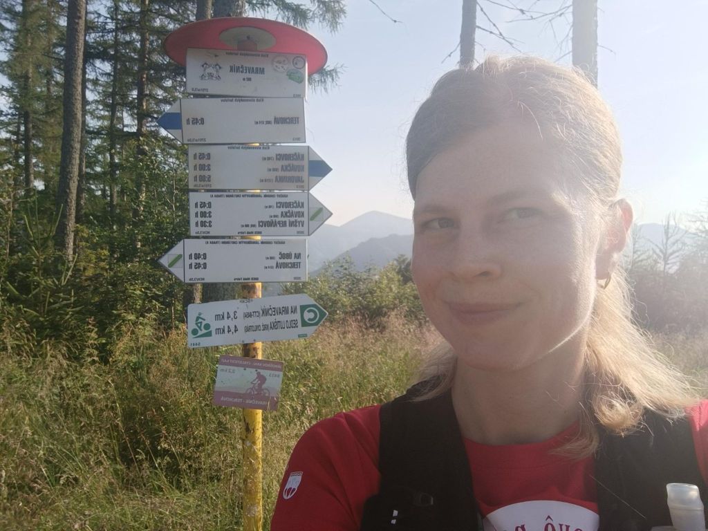
    Mravečník (992.5 m above sea level) is a peak in the Kysucká Highlands. It is located above the village of Terchová. The peak lies within the protection zone of the Malá Fatra National Park.

    The hiking trail begins in the village of Terchová and leads along the blue mark below the Terchovské srdce lookout tower.

    The 30-meter-high Terchovské srdce lookout tower is built on Oblaz Hill.

    The lookout tower was opened to tourists on October 28, 2015. The author of the design of the lookout tower is the famous folk artist Alojz Mucha. He was inspired by the gallows prop that stood in the same place on Oblaz Hill in 1935 during the filming of the now legendary Jánošík. The name Terchovské srdce is based on the song: “The Terchov heart is divided into two, one side is crying, the other is rejoicing…”

    There are 3 terraces on the observation tower, from which we can admire the views, especially of the village of Terchová and the surrounding peaks of Mala Fatra.

    On top of Terchovské srdce
    Meadows after Terchovské srdce
    Sometimes i feel comfortable being alone in the woods, sometimes the idea of that I will run into a bear comes into my mind.. But I try to fight my fears and don’t allow them to scare me enough that I will not follow my dreams
    Mravenčík hill
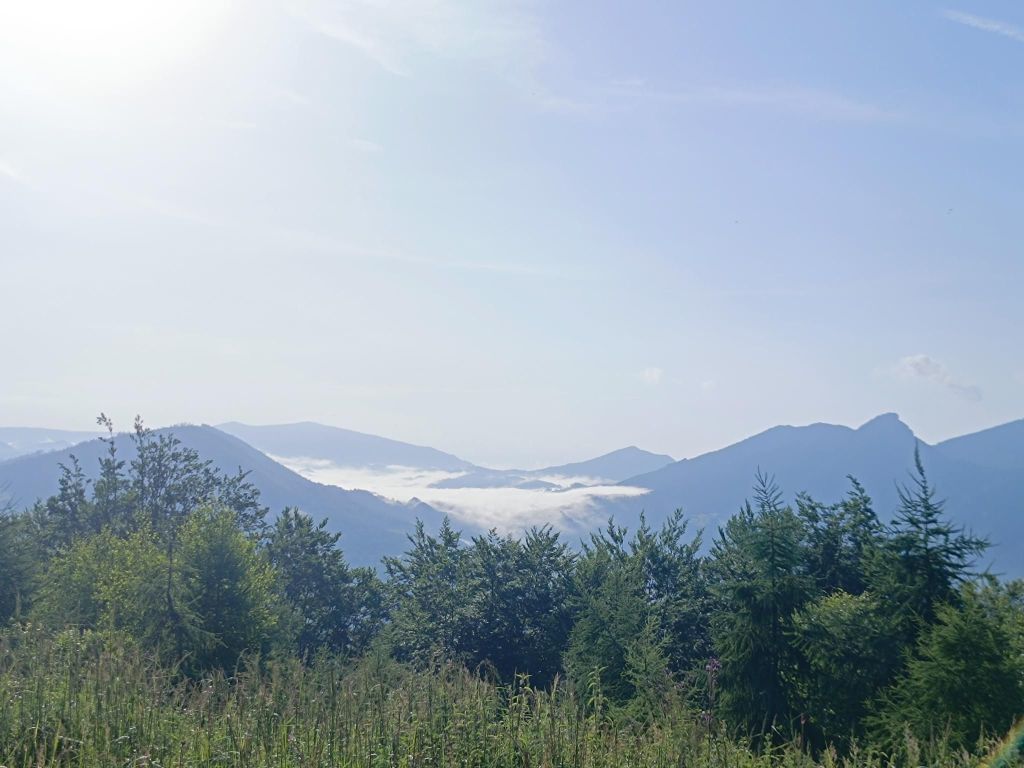
    I love fog in the mountains (when I’m not in it:D)
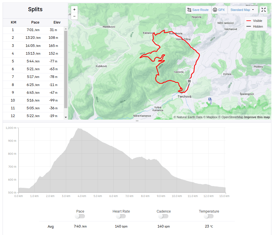
    13km, 511m ascent, 1h 40 min
  • Hannig (Switzerland)

    Hannig (Switzerland)

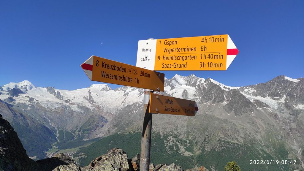
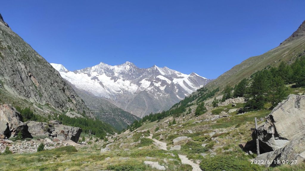
    This route was shorter version of Fellsee, without the climb to the lake itself. But the beauty of the singletrails leads me here again.

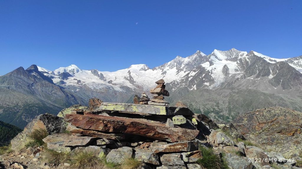
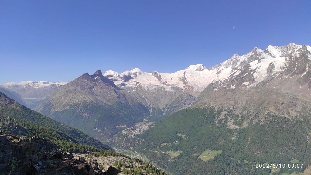
    If you will to take a break, you will hardly find a better view
    The most technical path that I run in Switzerland. Yes there is a hike route on the right side of the picture 🙂
    It was hard to look under your foot when you have views like this
    In Switzerland every path is marked as red, but it is not so hard to find the right one
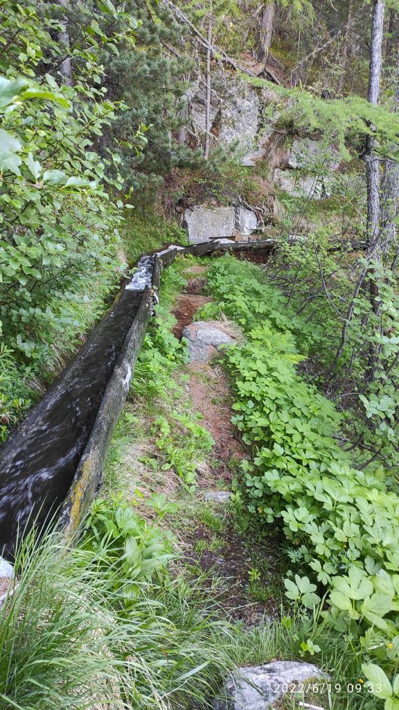
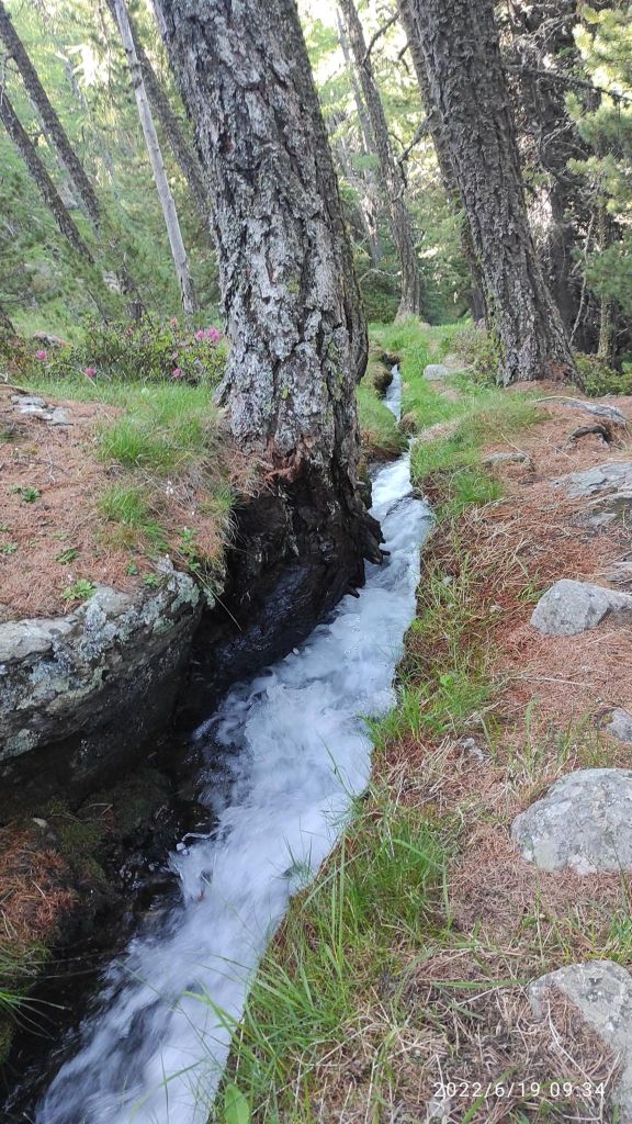
    One of my favorite path there, in hot weather it was really refreshing
    Part of it was under the ground level, part above and it sounded amazing
    11.17km, 596m ascent, 2h 14min
  • Poludnica

    Poludnica

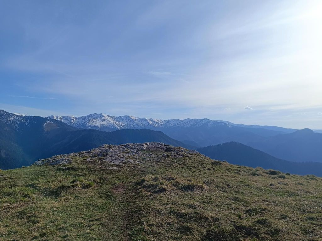
    Poludnica (1549 m above sea level) offers tourists an unforgettable panoramic view of the entire Liptov region.

    From the top of Poludnice you will have a unique view of Liptovská Mara, the Western and High Tatras. There is also a rocky outcrop from where you can take a legendary photo of the Tatra Kriváň.

    View from Poludnica
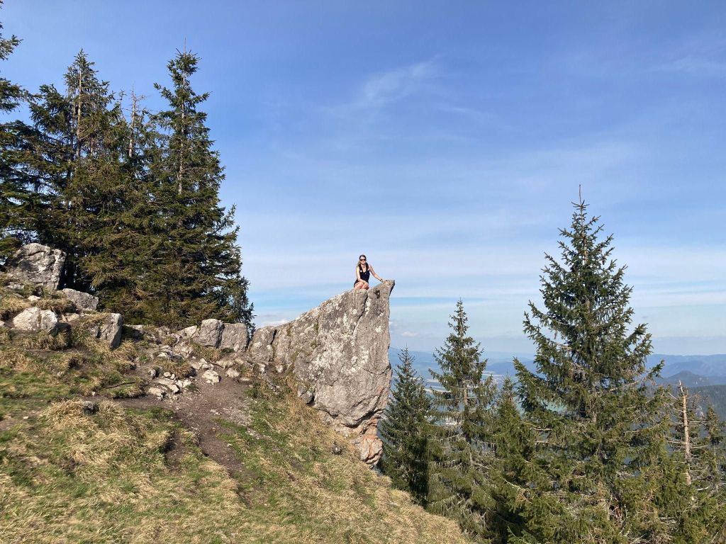
    I have a fear of heights, so I needed to fight myself to climb there
    on the top of the mountain
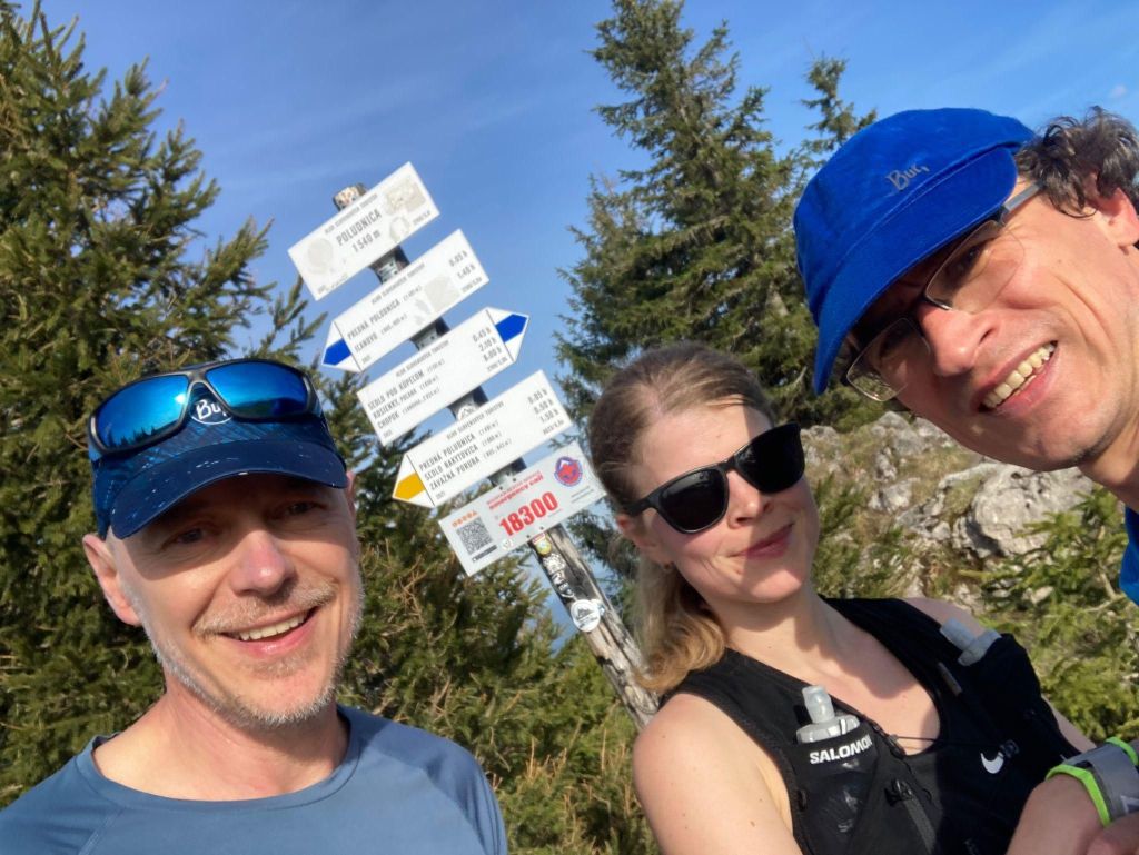
    When you find people with the same passion, the fun begins 😛
    A lots of interesting rock massifs were there

    It is said that the old Liptov people gave it its name, who noticed that when the sun reached its peak, it was noon (poludnie) – that is, lunch time.

    Descent through Ilanova valley was long and on road, so maybe it will be better to try other side to go down.

    14.39km, 948m ascent, 2h 29min
  • Almagelleralp (Switzerland)

    Almagelleralp (Switzerland)

    The Berghotel Almagelleralp is located on the Almagell High-Altitude Trail in the Almagellertal.

    14km, 700m ascent, 2h 30min
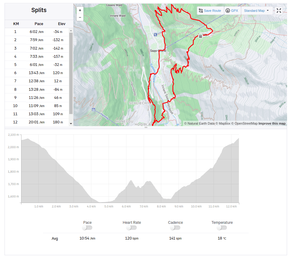
  • Saas Grund (Switzerland)

    Saas Grund (Switzerland)

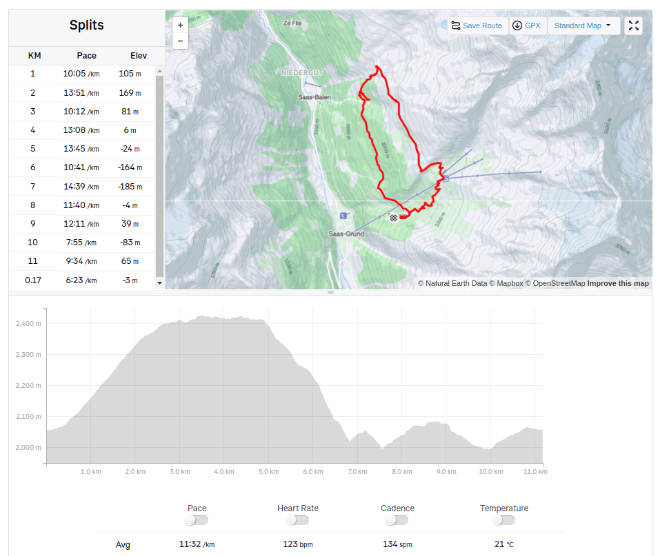
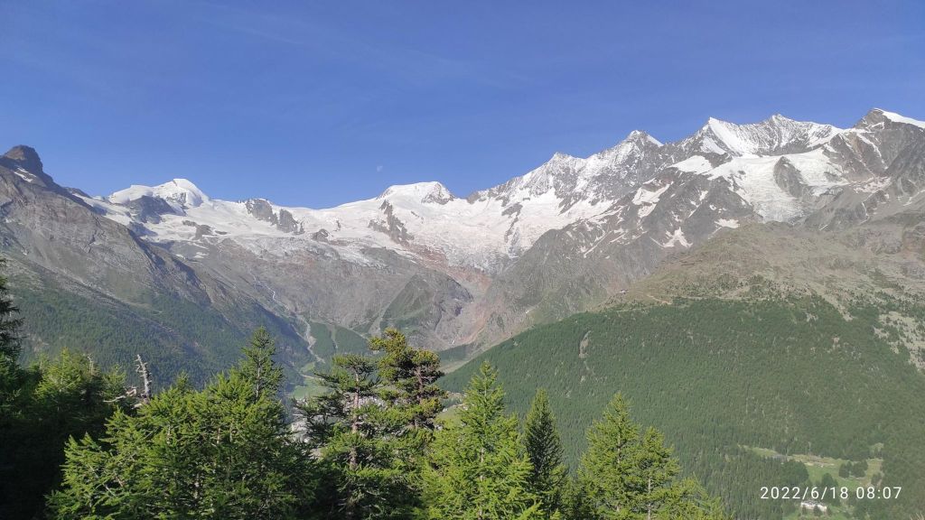
    Saas-Grund (1559m above sea level) is situated at the heart of the holiday destination Saas-Fee/Saastal, enchanting visitors with its rustic houses and narrow streets. Just above Saas-Grund, you’ll find the starting points for numerous hiking trails, such as the Almagelleralp and Gspon high Alpine trails, starting at the Kreuzboden, and the famous ’18 4,000-metre Peaks’ trail at Hohsaas.

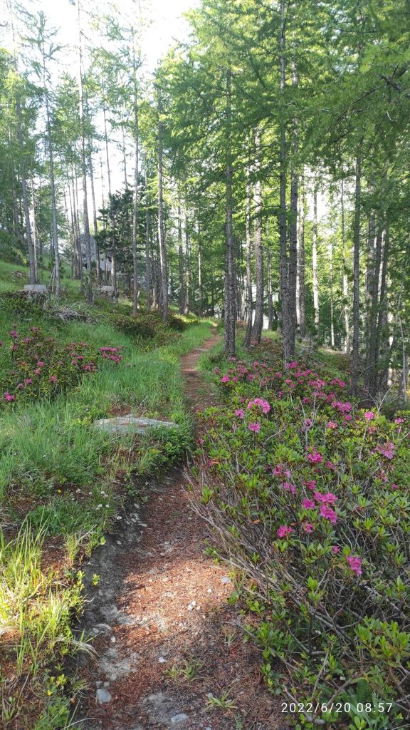
    I love singletrails
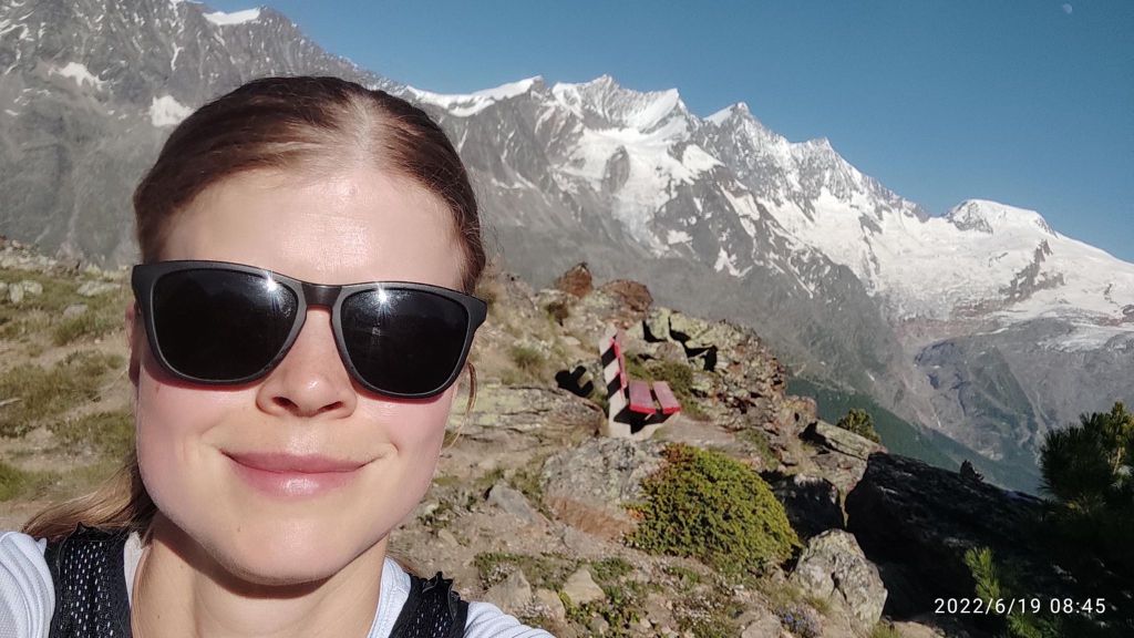
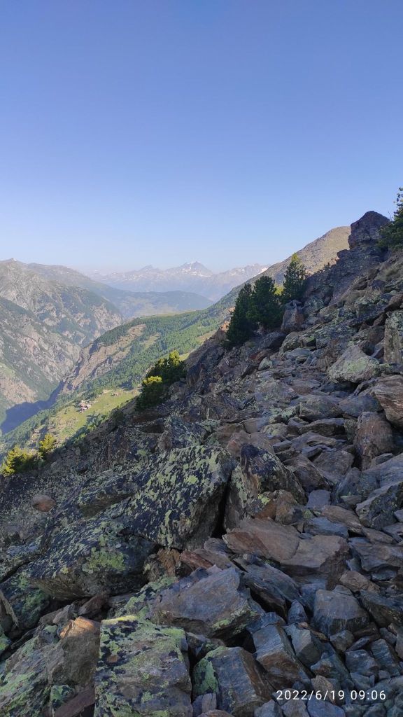
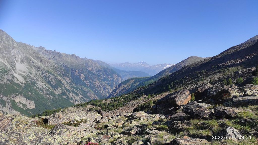
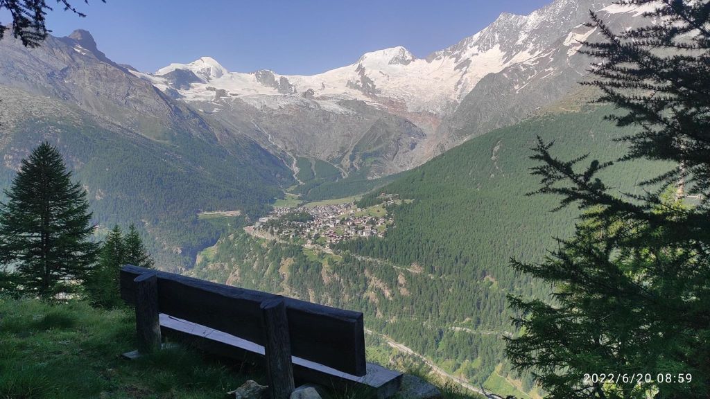
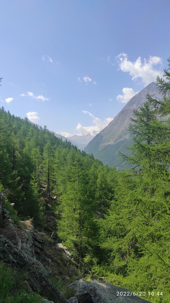
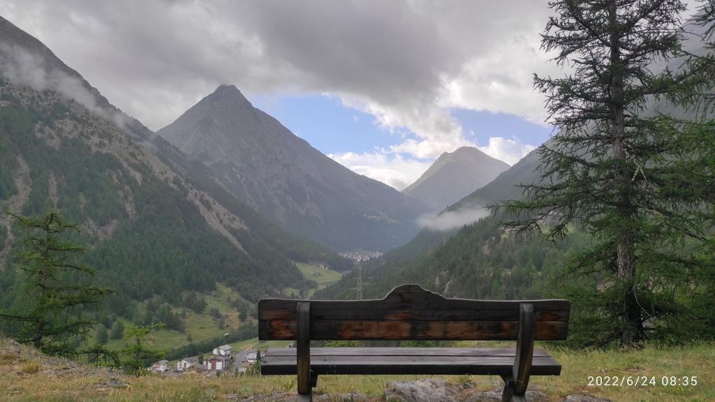
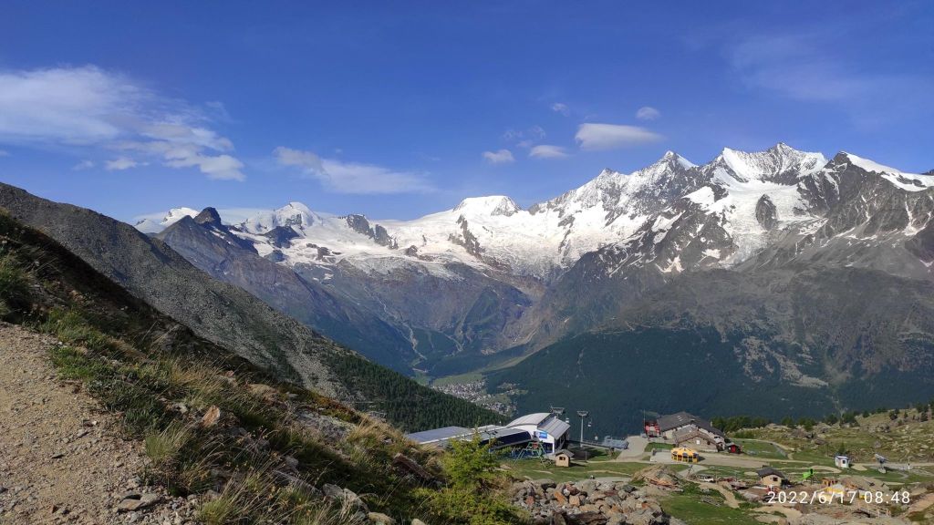
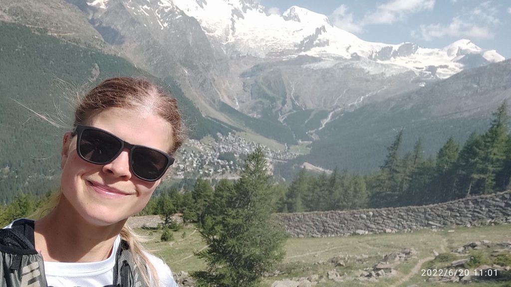
    Viewpoint above Saas Grund. Under the mountains it Saas Fee village
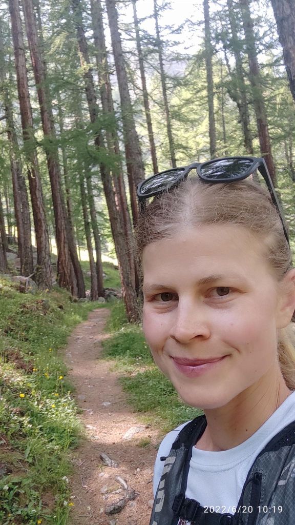
    This is a running heaven for me
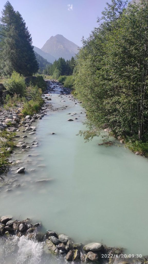
    a glacier river with it typical blue color
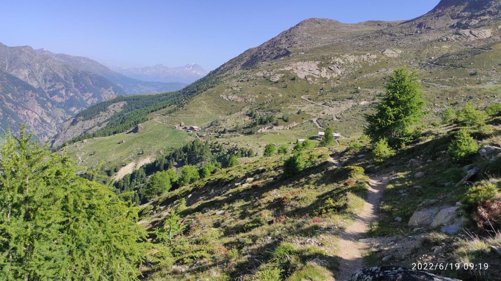
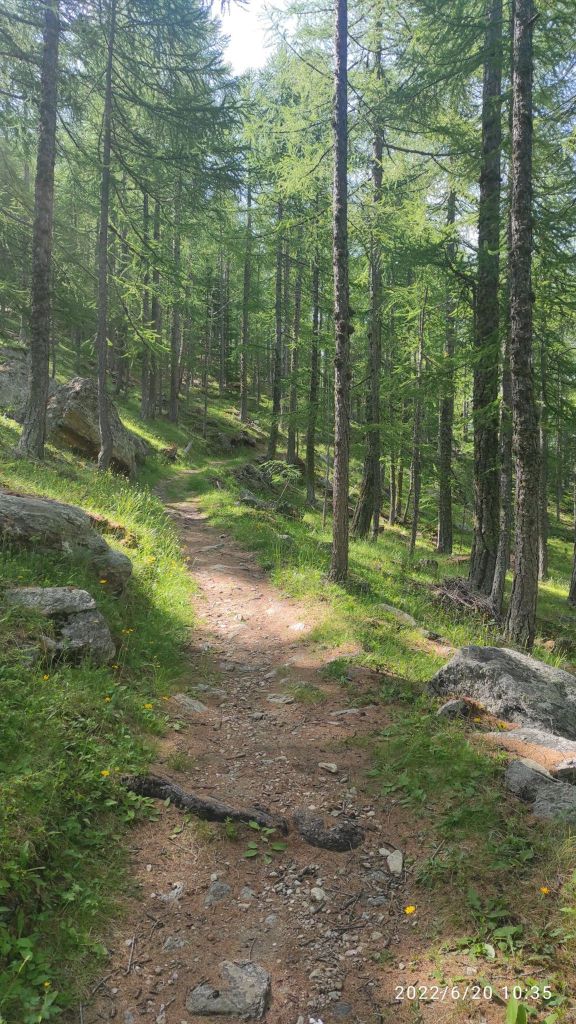
    A nice forest singletrail
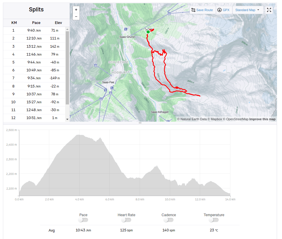
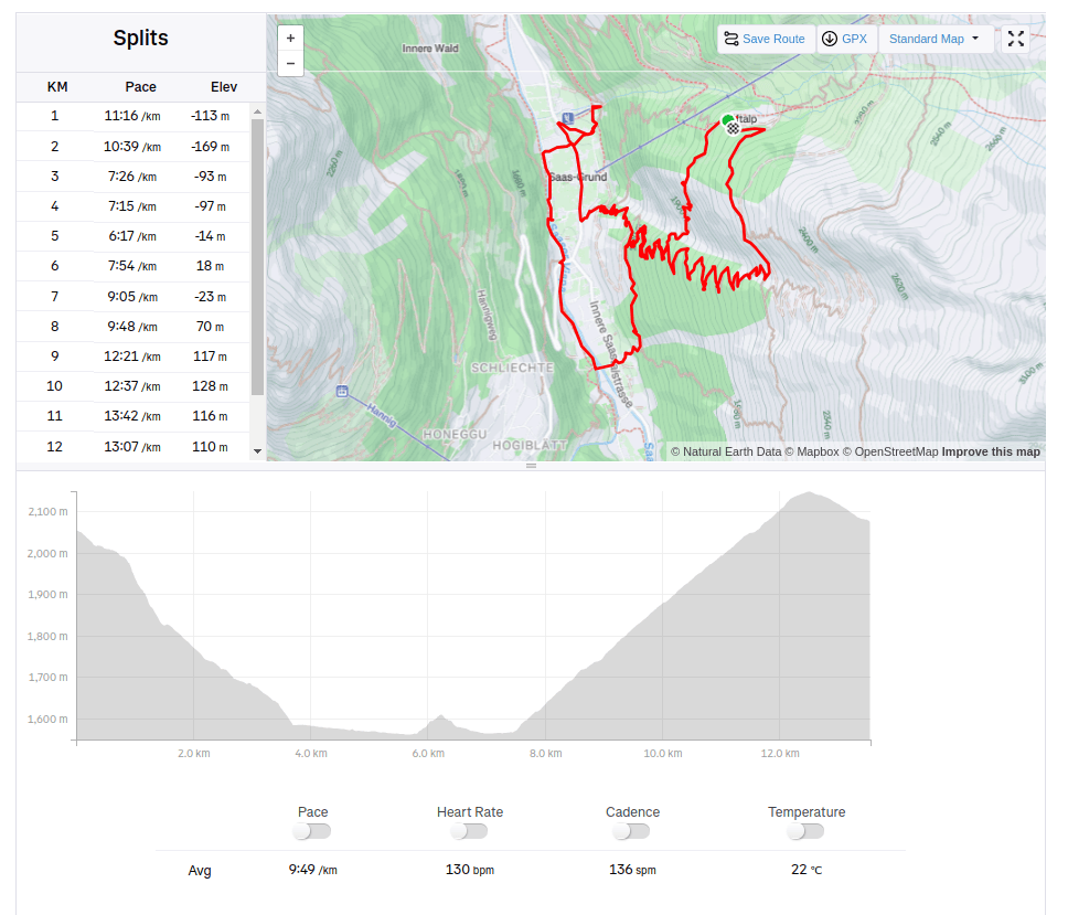
    13.54km, 638m ascent, 2h 22min
  • Saas Fee (Switzerland)

    Saas Fee (Switzerland)

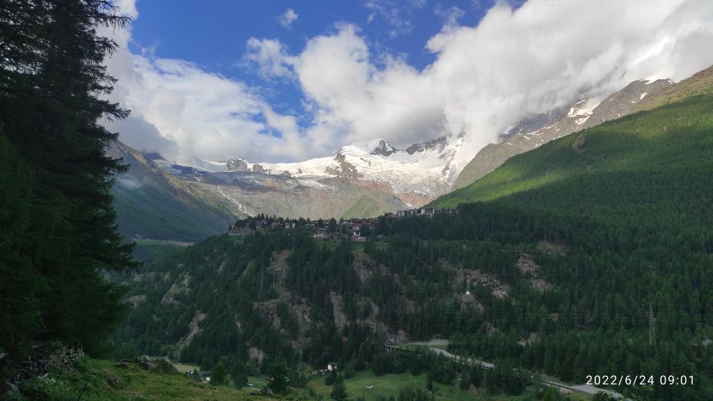
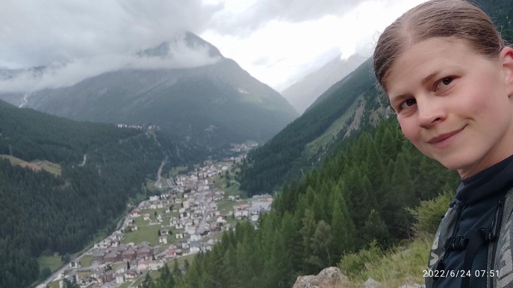
    Saas Fee is a world-famous glacier town. It has its own unique architecture and lives its own life, interesting for example that it is not allowed to drive a car in it. The Saas Valley is located in the middle of the highest mountains in Switzerland. It is located on a plateau at an altitude of 1800 m above sea level at the foot of the highest Swiss mountains of the so-called Mischabel chain.

    Saas Fee is surrounded by 18 four-thousanders – so there is something to see.The fact that it is a car-free village has preserved the classic romantic character of high-altitude Alpine villages.

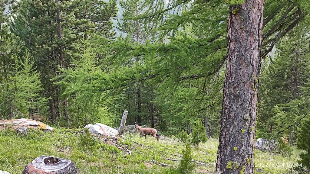
    You can see chamois in the woods in Saas valley
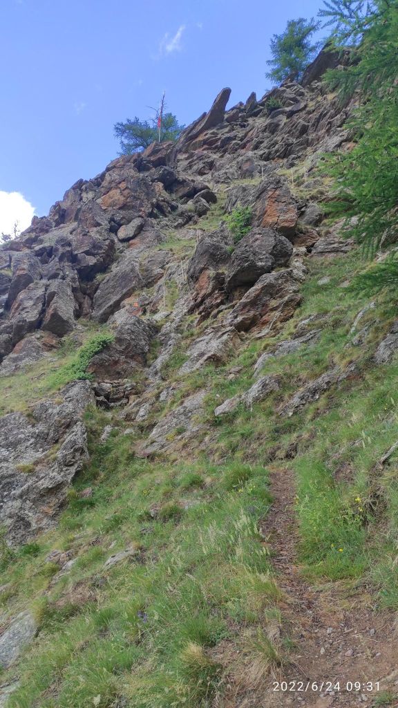
    sometimes it was more climbing than running
    12.43km, 740m ascent, 2h 17min

  • Bralce – Kapitulské bralá

    Bralce – Kapitulské bralá

    The Bralce Nature Reserve is located at the foot of Panská hora in the Štiavnické vrchy Mountains. Its highest point is Panský vrch (Kečka), which attracts hikers from afar. It is a very beautiful, although lesser-known location near the village of Hliník nad Hronom.

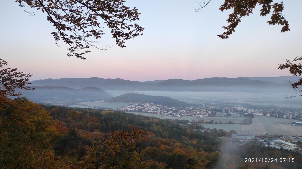
    Sunrise at Bralce

    There are also very interesting sections with iron rails and chains between massive rocks. There will also be a variety of rock formations such as ravines, rock needles, canyons, rock windows and seas created by ancient stone mining.

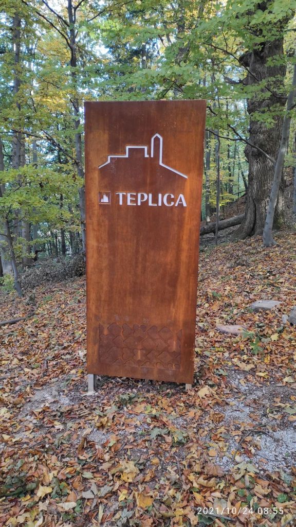
    On our path there was an old castle called Teplica, but only a few rocks forming a wall remains from it.

    Teplica castle sign.
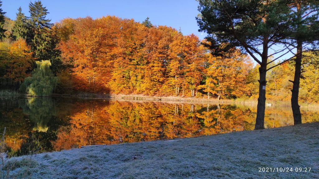
    Small pond under Kapitulské bralá in a nice autumn day.

    In the forests above the village of Lehôtka pod Brehmi, the Kapitulské bralá cliffs, formed by rhyolite lavas, rise up. During their activity, they created remarkable rock piles, seas and tall rock towers up to 20-30 meters high, which today form a kind of gateway to the Štiavnica Mountains.

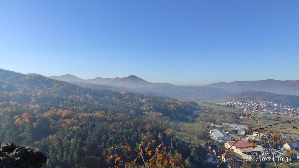
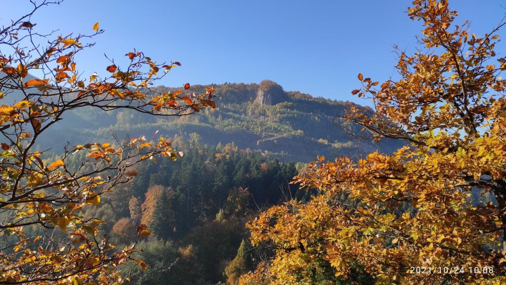
    View from Kapitulské bralá, you can see rock top of Kečka.

    Szabóova skala is an approximately 90-meter-high rock formation created by volcanic activity, which is typical for this area and the mountains in it. It belongs to the VCHU – Protected Landscape Area Štiavnické vrchy.

    It was named after the Hungarian geologist Jozef Szaba, who conducted geological research in the Štiavnické vrchy. Szabóova skala forms an impressive stone entrance to the Teplá Valley. Its coloration, which is made up of pink and gray rhyolite, is also interesting.

    On top of Szaboova skala
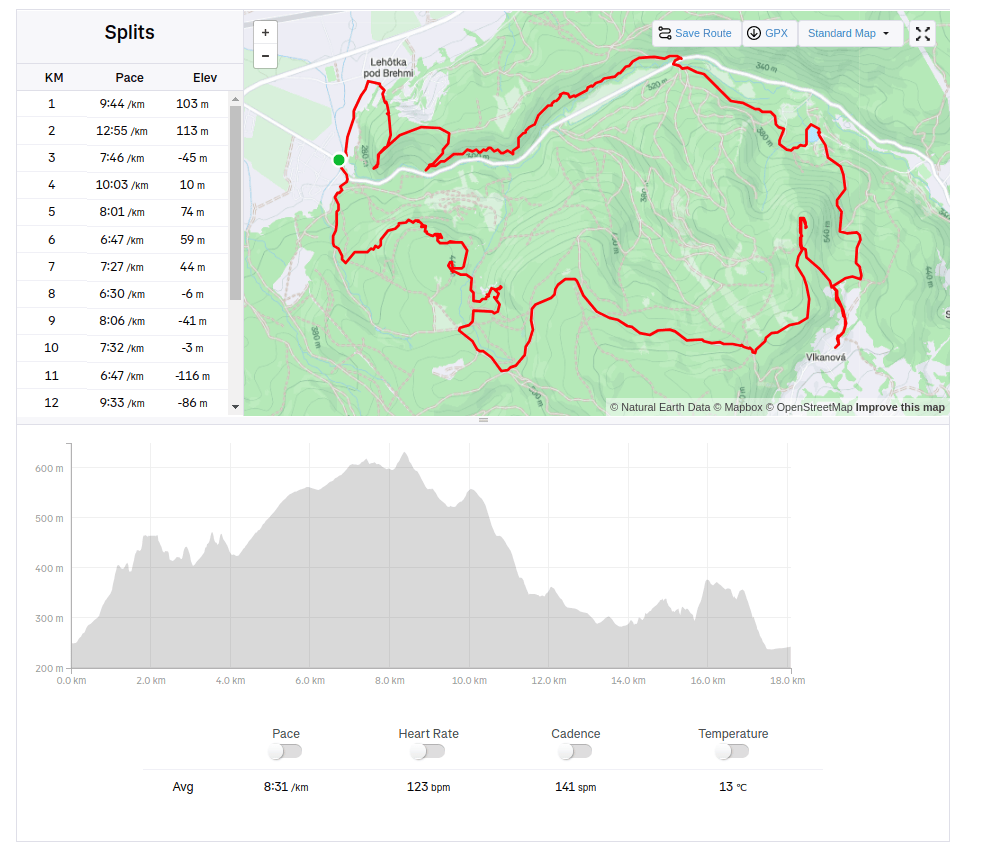
    18.9km, 883m ascent, 2h 33 min moving time
  • Hochsaas (Switzerland)

    Hochsaas (Switzerland)

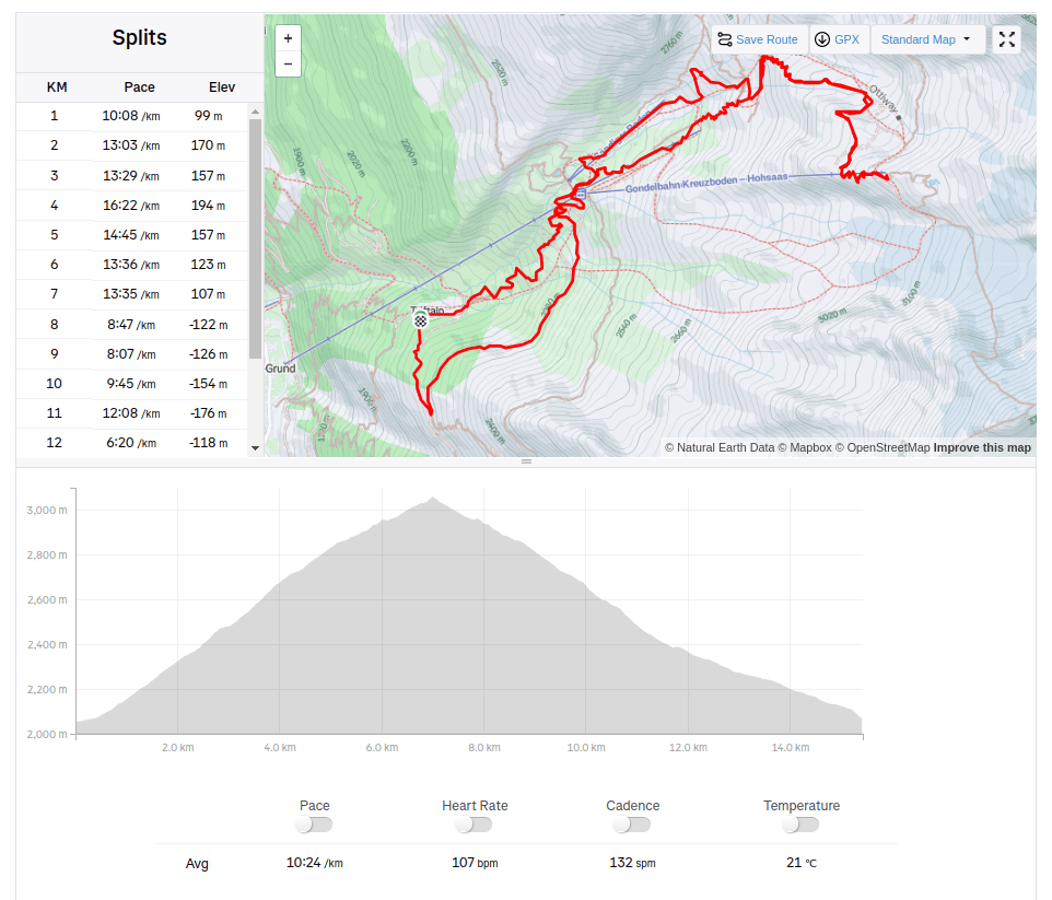
    From Triftalpt, through Kreuzboden, Weissmies hutte to the upper cable car station Hochsaas.

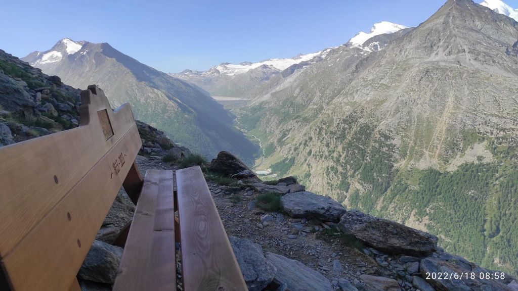
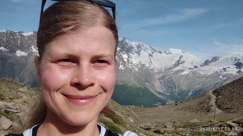
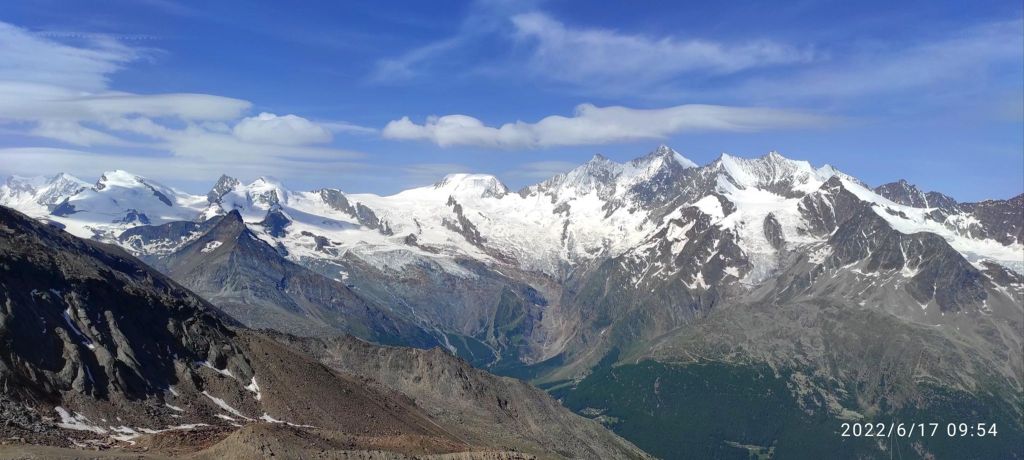
    Kreuzboden from above, with 4000m high moutains in the back
    500m ascend and I am completely wet and just happy that I can be there

    The Weissmieshütte of the SAC Olten section is located at 2726 m above sea level on a sun terrace above Saas Grund and with its panoramic view of 18 four-thousand-meter peaks it is one of the most beautifully situated mountain huts in the Valais.

    It is the starting point for the four-thousanders Weissmies and Lagginhorn, the almost four-thousand-meter Fletschhorn, the sport climbing routes in the Jegihorn south face, the highest fixed rope route in the Alps, the Gsponer Höhenweg as well as numerous ski and snowboard tours. And the man that work there is a runner too! I must admit, that he outrun me 😀

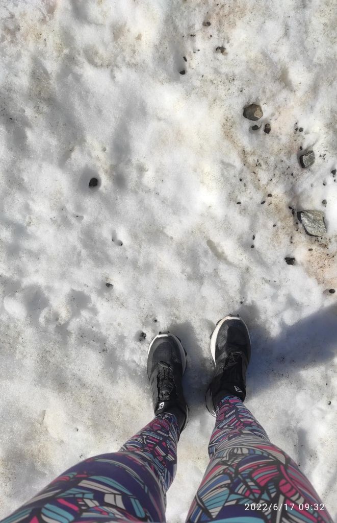
    Then the path started to cross a snowfields, i was lucky that the sun wasn’t strong enough yet to melt the snow more

    Snow in the middle of june
    From Hochsaas

    In Hochsaas there is a restaurant, cable car station and mostly unforgettable view of the Monte Rose massif and the imposing mountains of the Saas Valley. There is a starting point for the glacier hike on the Trift glacier.

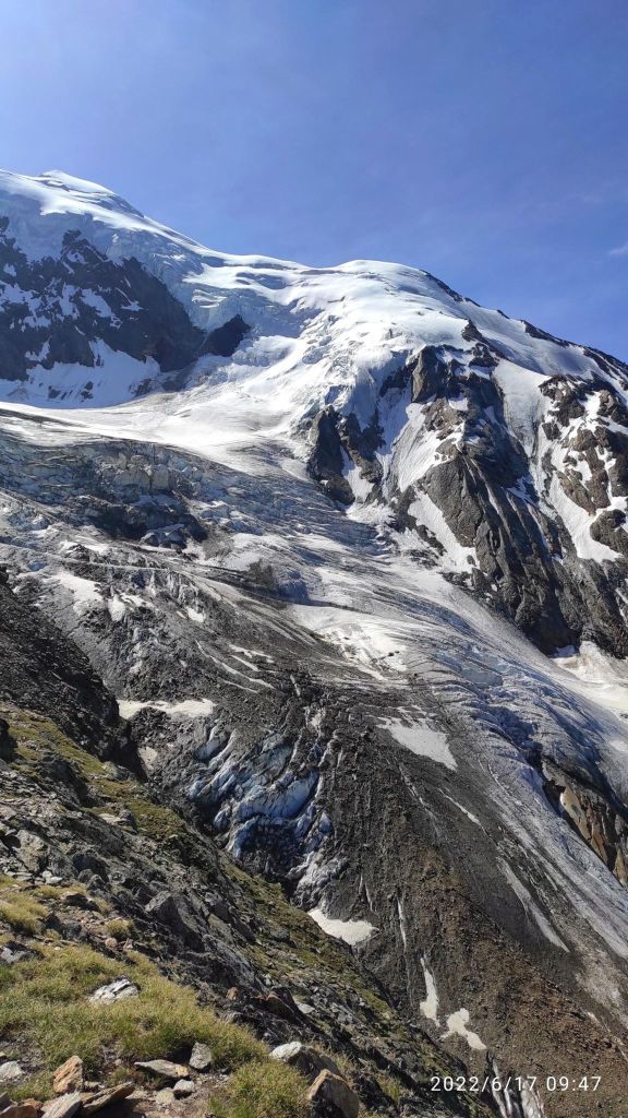
    Trift glacier
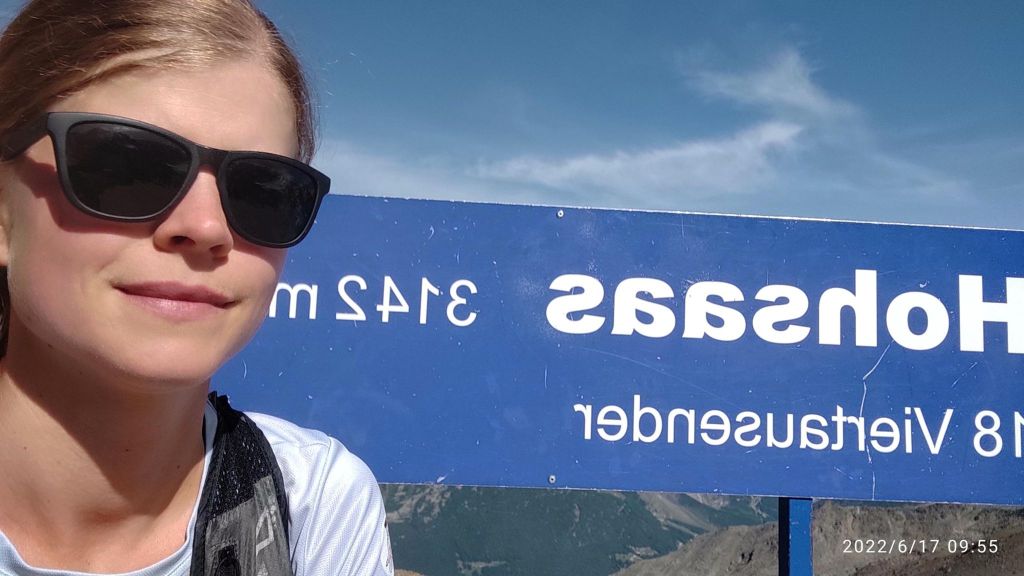
    My highest point
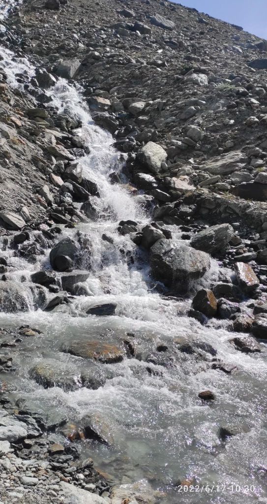
    Sometimes you just need to cross a small, really cold river. I took my shoes off and almost froze to death:D
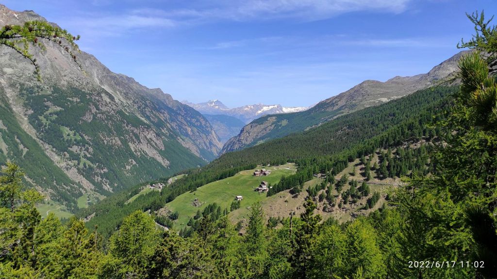
    Down there is completely another world, greener, more alive, more breathable for me:)

    I love running, I love that feeling, that I need just my legs to go somewhere, I love every part of it. When my thighs are burning, my heart is beating fast, lungs are full of fresh air, but what I love most is that feeling when you stand up there and you can tell yourself I made it, every step however hard it was, was worth it.

    And then there are that enjoyable descends, or singletrails, or views. There is a lot of beauty in it for me.

    15.42km, 1019m ascent, 2h 47min