Tag: trail

  • SNP girl’s project, day 17

    SNP girl’s project, day 17

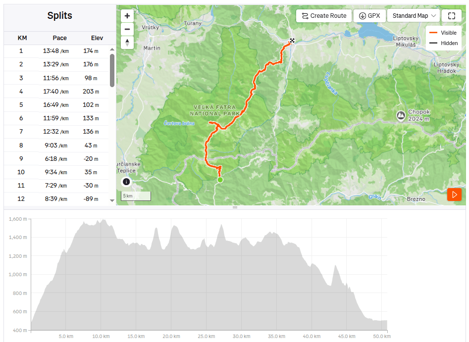
    The next stage of the SNP Heroes’ Trail,was taking us from the Štós Spa to Dobšinský Kopec. A long stage lay ahead, compounded by a lengthy drive that required a very early start. We left Bystrica at 4:30 AM, and I enjoyed my breakfast and morning coffee in the car along the way. We arrived at the Štós Spa at 7:15 AM, and just a few minutes later, we were already jogging along the red-marked trail.

    The air warmed up quickly, and after just a few kilometers, I was already changing from my jacket into shorts. There were supposed to be plenty of springs along the route, so we were each carrying only two half-liter bottles—supplies that were disappearing very fast. The first water source was supposed to be at the Pipitka hunting lodge, but when we ran up to it full of hope, there wasn’t a single drop of water. We quickly scanned the map for the next spring, as we were down to our last two deciliters of water. Fortunately, the nearest spring was only 3.5 km away, so we pressed on.
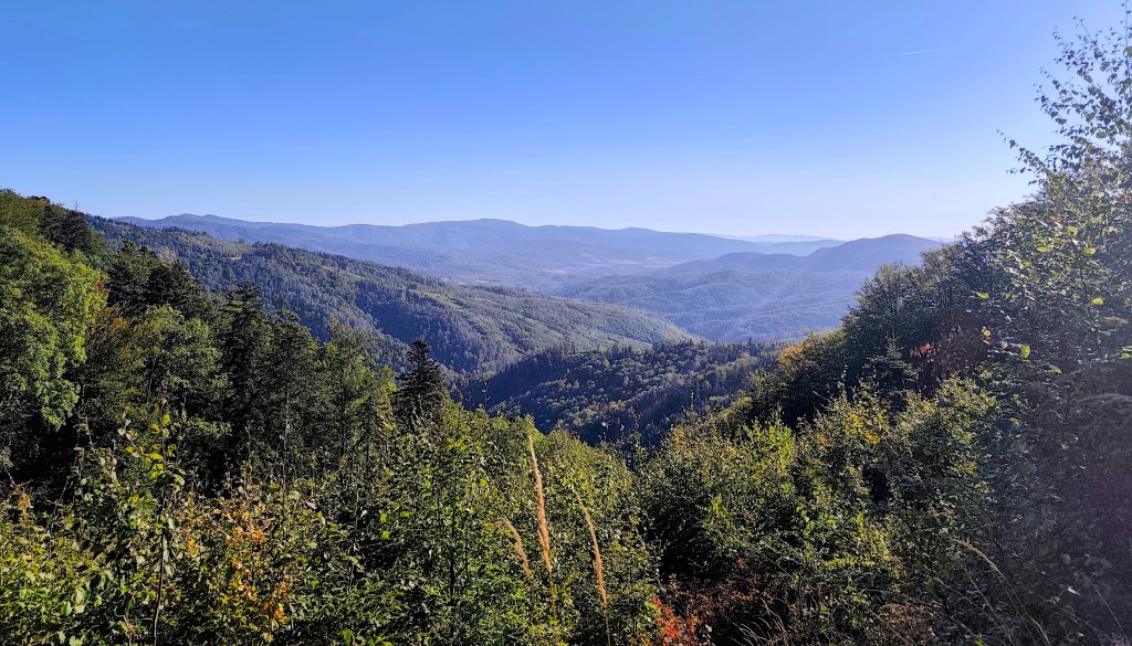
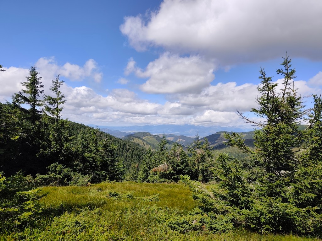
    At first, the route was less generous with views.

    At the SNP Úhorná shelter, we run into two guys who spent the night there and ask about water. They tell us that while there is water at the Smolník spring, it’s only a trickle; they had placed a cut-off bottle there the day before, and we are welcome to take whatever has collected in it. They saved us at least half an hour of waiting for the water to drip into all our bottles (thanks to them, we filled five out of six very quickly). And while we wait for that last half-liter, we snack on bread rolls and refuel.
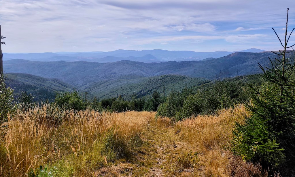
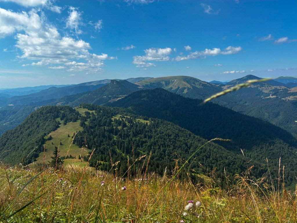
    The early autumn in Slovak mountains

    We are crossing the Úhorná Pass, and halfway to Skalisko we meet Jožko, who had driven the car to the finish point and was running back to meet us. He is much faster than we are, so we have covered almost the same distance—he has 30 kilometers, and we have 31.
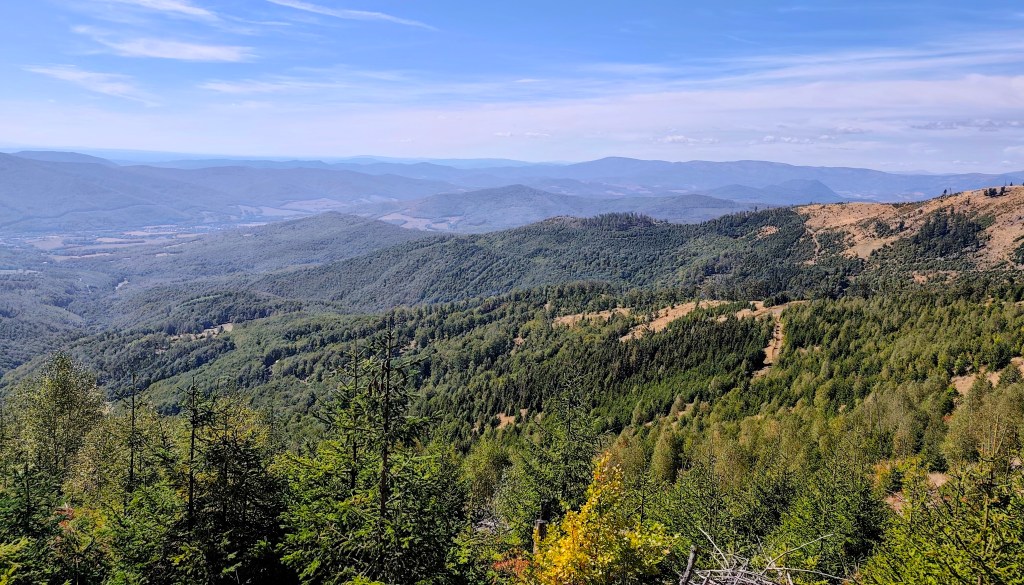
    After Volovec mountain hut

    We head down from Skalisko to the Volovec mountain hut—partly for a radler, and partly because we’re running out of water again, with the next supply 15 kilometers away. The radler is wonderfully refreshing for all of us, and after half an hour, we’re back on our feet, heading toward Súľová Saddle.
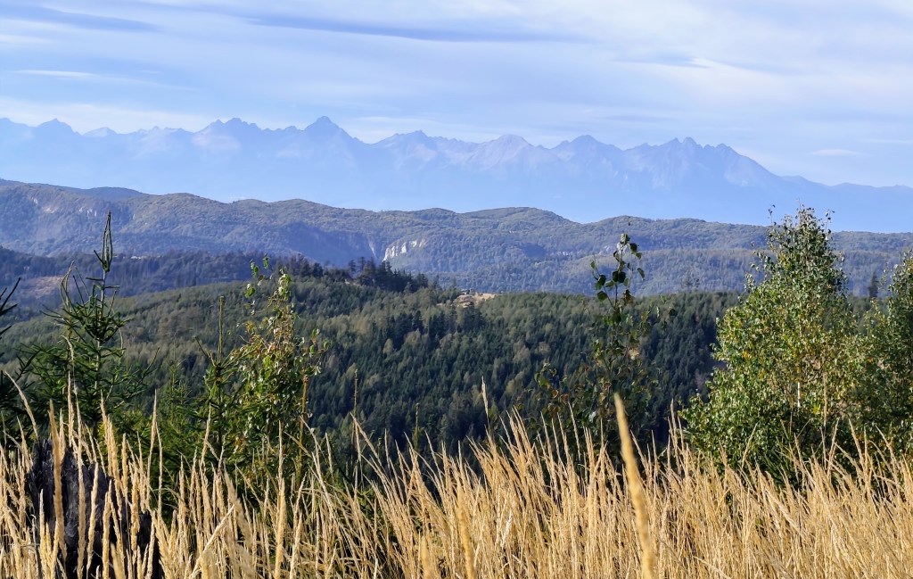
    View on HighTatras

    From the saddle, one more nasty climb awaits us, and after that, they say it’s just rolling hills. Well, you need energy for rolling hills, too! 😀
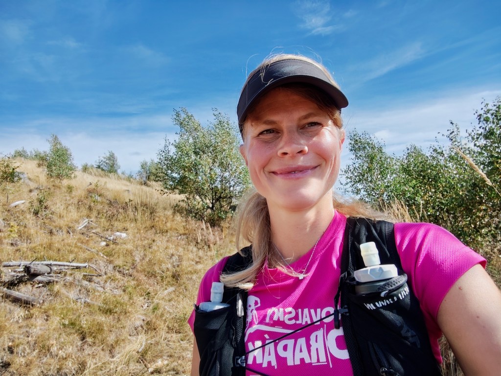
    On the climb from Súľová Saddle

    Along the way, we pass the Gálová shelter—a beautiful spot with a stunning view—though the cabin was closed for disinfection.
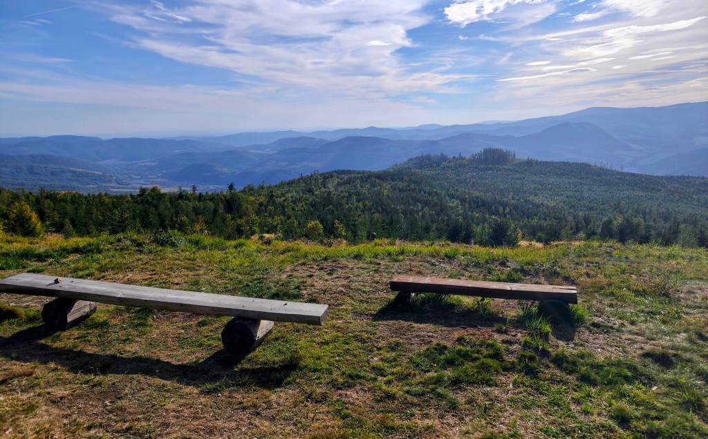
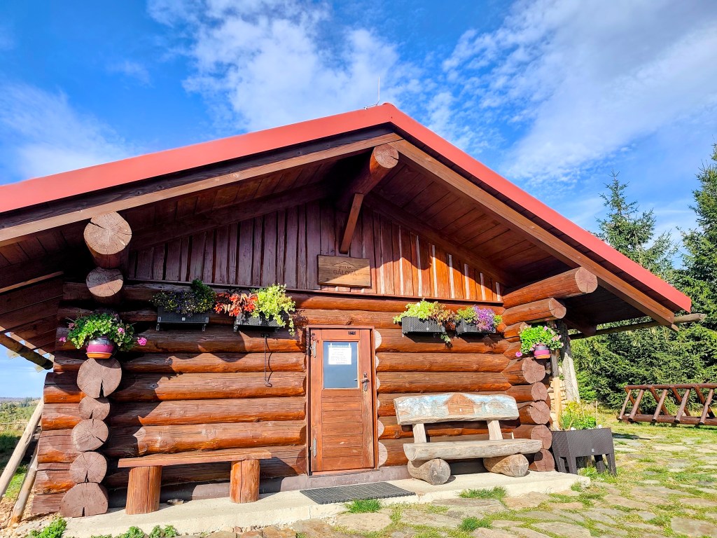
    View from Gálová
    Shelter Gálová

    Next comes a run down a forest path—finally a more relaxed stretch leading to the Suchý Vrch lookout tower, where we leave the cycle path and have to start climbing uphill again. Honestly, we’re pretty worn out; we’ve got over 50 kilometers in our legs, and every little hill is starting to feel like a challenge.
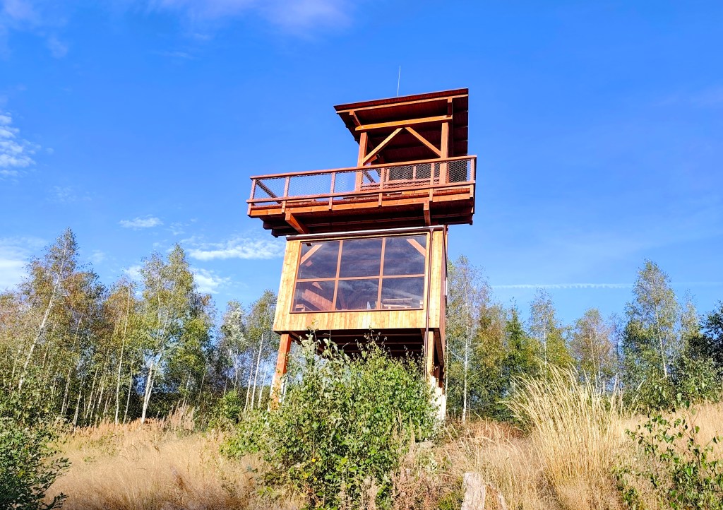
    Viewpoint Suchý vrch

    We finally reach the Kruhová saddle—a spot we already know, having run the next section from this point—and thanks God, there are only 5 kilometers left. We’re out of steam, so we walk the rest of the way as the sun sets. Even so, we’re all happy we made it.
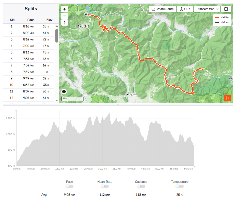
    62.1km, 9:23 active time, 10:55 total, 2399m ascend
  • SNP girl’s project, deň 17

    SNP girl’s project, deň 17

    Ďaľšia etapa trasy hrdinov SNP, tento krát z kúpeľov Štós až po Dobšinský kopec. Čakala nás dlhá etapa a k tomu sme museli prirátať aj dlhé cestovanie autom, čo znamenalo veľmi skoré ranné vstávanie. Z Bystrice sme odchádzali už o pol 5 ráno, raňajky aj rannú kávu som si vychutnávala cestou v aute. Do kúpeľov Štós sme dorazili o 7:15 a o pár minútiek neskôr sme už cupkali po červenej značke:)

    Vzduch sa rýchlo okrieval a ja som sa už po pár kilometroch prezliekala z bundičky až do kraťasov. Po ceste by malo byť dosť studničiek a tak máme všetci len po dve pollitrové fľašky, ktprých obsah v nás veľmi rýchlo mizne. Prvá voda mala byť pri poľovníckej chate Pipitka, keď sme však k nej s nádejou dobehli, nebola tam ani kvapka vody. Rýchlo prehľadávame mapu, kde by sa mala nachádzať ďaľšia studnička, pretože už nám ostáva asi len dva deci vody. Naštastie najbližšia studnička je len 3.5km od nás a tak bežíme ďaľej.

    Zo začiatku bola trasa na výhľady skúpejšia

    Pri útuľni SNP Úhorná stretávame dvoch chalanov čo tam prespávali a pýtame sa na vodu. Vravia, že voda v prameni Smolníka síce je, avšak iba kvapká, že včera tam dali zrezanú fľašku a že si kľúdne môžeme zobrať čo nakvapkalo. Ušetrili nám aspoň pol hodiny čakania, kým by nám voda nakvapkala do všetkých fľašiek (5 zo 6tich sme vďaka nim naplnili veľmi rýchlo). A kým čakáme na posledný polliter, desiatujeme žemle a dopĺňame energiu.

    Vo vzduchu je už cítiť predzvesť jesene

    Prechádzame úhornianskym sedlom a v polovici cesty na Skalisko stretávame jožka, ktorý išiel odviezť auto do cieľa a bežal nám oproti. Je oveľa rýchlejší ako mi a tak máme na konte skoro rovnaký počet kilometrov, on 30, my 31.

    Kúsok za chatou Volovec

    Zo Skaliska zbiehame na chatu Volovec, jednak na radler a jednak nám už zas dochádza voda a ďaľšia je až o 15 kilometrov. Radler nás všetkých parádne osvieži a po polhodinke už sme zas na nohách smer sedlo Súľová.

    Výhľad na Tatry

    Zo sedla na nás čaká ešte jedno nepríjemné stúpanie a potom vraj sú to už len vlnky. Nuž ale aj na vlnky treba mať energiu:D

    V stúpaní zo sedla Súľová

    Po ceste prebiehame popri útulni Gálová, krásne miesto s úžasným výhľadom, avšak kvôli dezinfekcii bola chata zavretá.

    Výhľad spred útulni Gálová
    Útuľňa Gálová

    Nasleduje zbeh lesnou cestičkou, konečne oddychovejší úsek až po vyhliadkovú vežu Suchý vrch, kde sa z cyklo cesty odpájame a zas musíme sľapať do kopca. Úprimne, máme už celkom dosť, v nohách cez 50 kilometrov a každý kopček začína byť výzvou.

    Vyhlaidka Suchý vrch

    Konečne dobiehame do sedla Kruhová, ktoré už poznáme, minule sme túto časť už prebehli, konečne, už len 5 kilometrov. Nevládzeme a zvyšok už len pri západe slnka odkráčame. Aj tak sme všetci spokojní, že sme to zvládli.

    62.1km, 9:23 aktívny čas, 10:55 spolu, 2399 nastúpaných metrov
  • 5 lakes trail with Matterhorn views

    5 lakes trail with Matterhorn views

    We had two possible routes planned for today: a shorter one starting from Zermatt, going up past the five lakes and back to Zermatt, or a longer one extending all the way to Täsch.

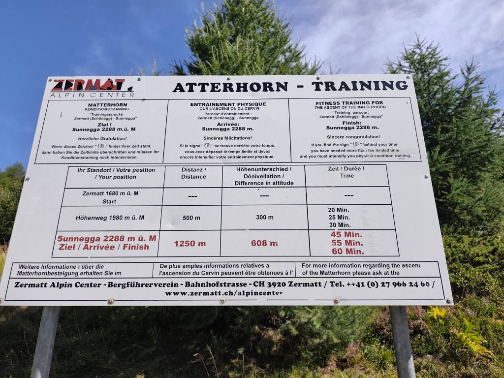
    Matterhorn training

    In the morning, we drove to Täsch—essentially the last point accessible by car; beyond that, you can only travel on foot or by the Zermatt train. Since we had big plans for the day, we opted for the train. It operates as a shuttle service running every half hour.

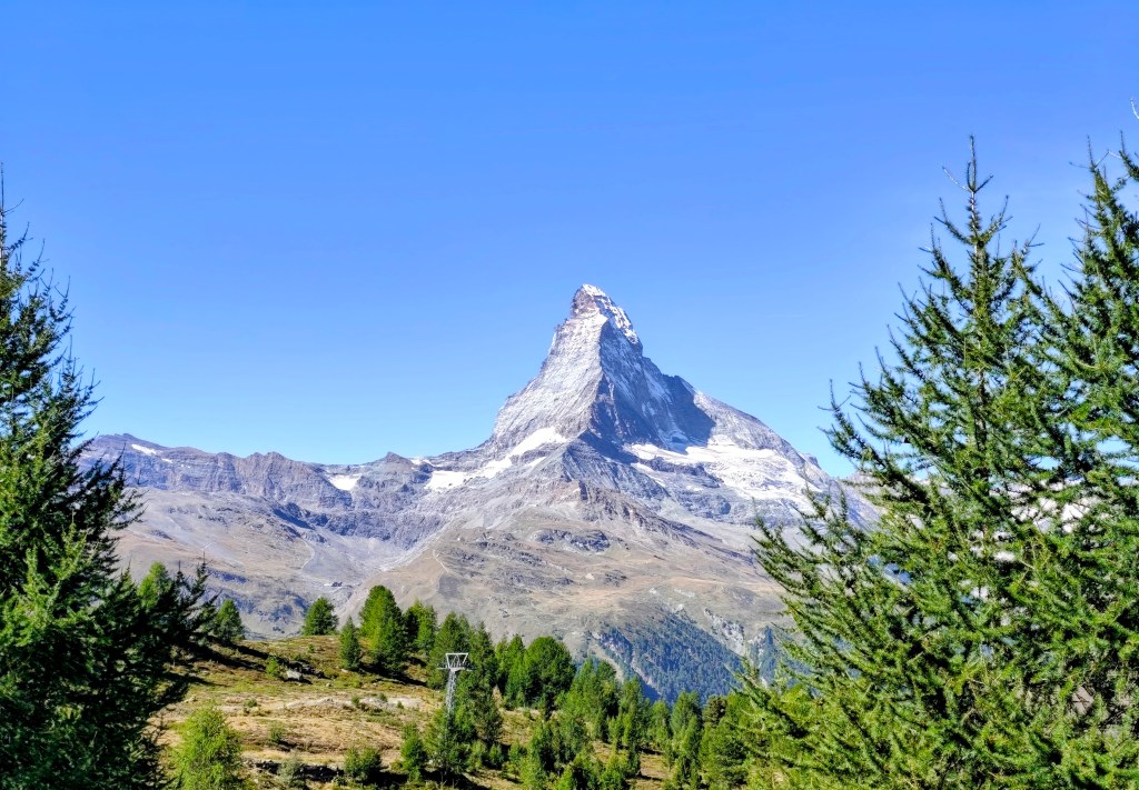
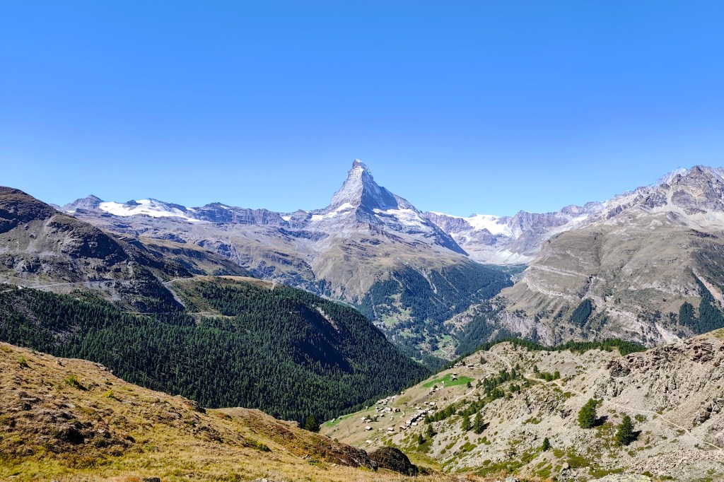
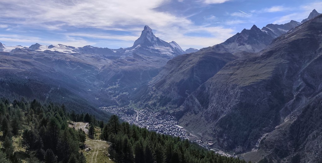
    First view on Matterhorn

    In Zermatt, we waited for the guys running the Ultra Trail Monte Rosa, cheered them on, and then headed towards the mountains 🙂

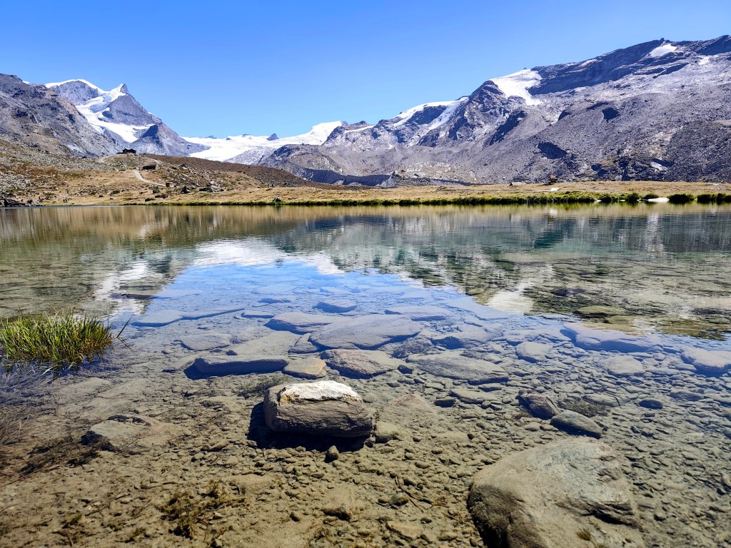
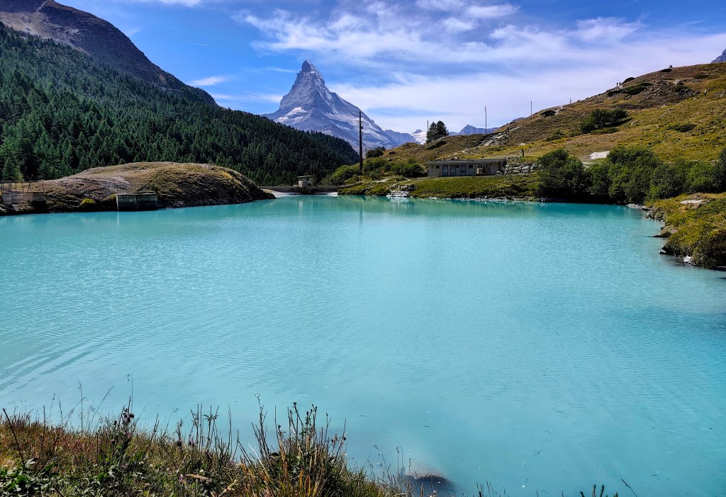
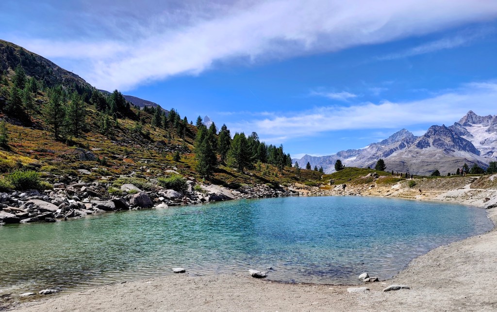
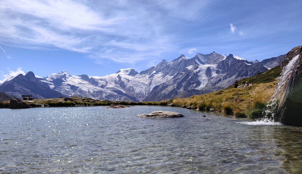
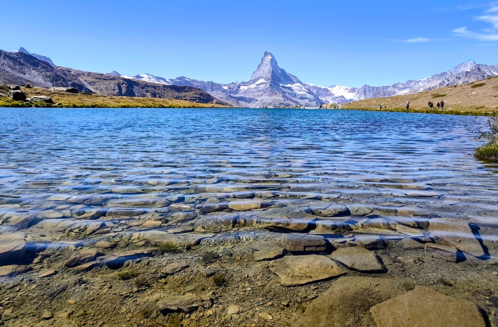
    Crystal-clear water reflecting the hills

    Our first challenge was a training route for the Matterhorn—a 1.1 km-long path from Zermatt to the Sunnegga cable car station. What makes it a training route is the 600-meter elevation gain from start to finish; it is truly steep!

    If you complete it in under 45 minutes, you’re “Matterhorn fit”; 55 minutes is borderline, and anything over 60 minutes puts you out of the running. I managed to hike it in 34 and a half minutes, though I was only carrying a fully packed running backpack—which probably doesn’t count as Matterhorn gear 🙂

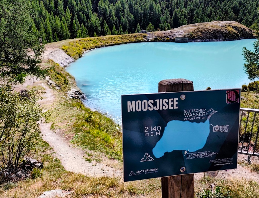
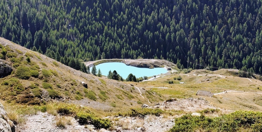
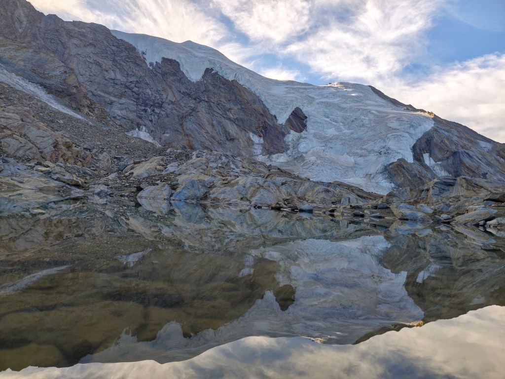
    Glacier water inMoosjisee

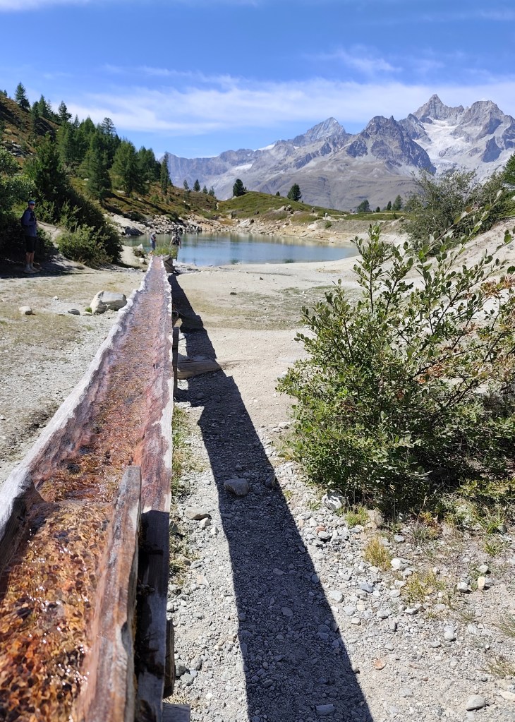
    The 5-Lakes Trail starts at Sunnega—taking in Tellisee, Grindjisee, Grünsee, Moosjisee, and Leisee—though I couldn’t say for sure which is which anymore 🙂

    The circuit around them is 10 kilometers long, and you can even swim in two of them. This loop offers beautiful views of the Matterhorn.

    A lake where you can swimm

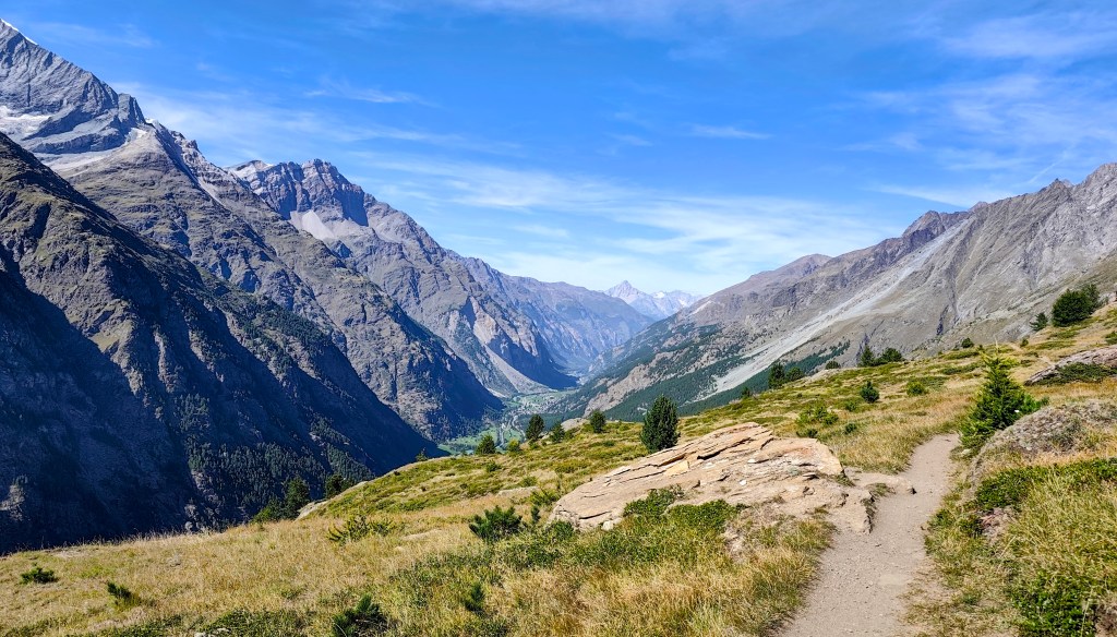
    Since we still had time and the will, we decided to save the 8-franc train fare and walk to Täsch instead. It’s a fantastic, scenic walk, as you spend most of the time above the tree line. One section was a bit unsettling due to the risk of rockfalls; along a stretch of about 900 meters, there were four shelters where one could take cover should such a slide occur. Fortunately, nothing happened while we were there.

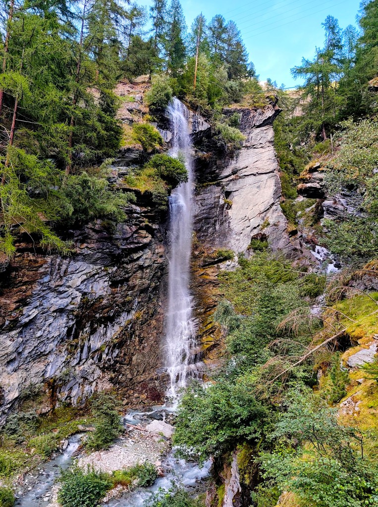
    And as a final bonus, there was a beautiful waterfall at the beginning of Tasch.

    Tasch Waterfall
    27.5km, 7:30 active time, 9:59 total, 1319 metres ascend
  • Cesta piatich jazier s výhľadom na Matterhorn

    Cesta piatich jazier s výhľadom na Matterhorn

    Na dnes sma mali naplánované dve možné trasy – kratšiu z Zermattu hore okolo 5tich jazier a naspäť do Zermatu, alebo dlhšiu až do Taschu.

    Matterhorn training

    Ráno sme sa odviezli autom do Taschu, čo je vlastne posledné možné miesto kam môžete ísť autom, ďalej sa dostanete už len pešo alebo vláčikom zo Zermattu. Keďže sme mali na dnes ešte veľké plány, tak sme zvolili vlak. Ide vlastne o kyvadlovú dopravu, ktorá premáva každú polhodinku.

    Prvý výhľad na Matterhorn

    V Zermatte sme počkali na chalanov, ktorí bežali Ultra Trail Monte Rosa, povzbudili sme ich a pokračovali sme smer kopce:)

    Priezračná voda s odrazom kopcov

    Našou prvou výzvou bola tréningová trasa na Matterhorn, jedná sa o 1.1km dlhú trasu z Zermattu k stanici lanovky Sunnegga. Čo z nej robí tréningovú trasu je jej 600 výškových metrov od začiatku do cieľa, čo je naozaj strmo:)

    Ak ju zvládnete do 45 minút, tak ste “Matterhorn fit”, do 55 minút je to na hrane a nad 60 minút ste už mimo hry. Mne sa ju podarilo prejsť za 34 a pol minúty, avšak mala som len plne nabalený bežecký batoh, čo sa asi ako výstroj na metterhorn neráta:)

    Ľadovcová voda v Moosjisee

    Zo Sunnegy už začína chodník 5tich jazier: Tellisee, Grindjisee, Grünsee, Moosjisee, Leisee, ktoré je ktoré Vám už s istotou nepoviem:)

    Okruh okolo nich má 10 kilometrov a v dvoch z nich sa dokonca môžete okúpať. Tento okruh ponúka krásne výhľady práve na Matterhorn.

    Jazierko kde sa mohlo kúpať

    Keďže sme stále mali čas a chuť, tak sme sa rozhodli ušetriť 8 frankov za lístok na vlak a prejsť sa do Taschu peši:) Ide o parádnu výhľadovú prechádzku, keďže sa väčšinu času anchádzate nad hranicou stromov. Trošku znepokojivý bol úsek, kde hrozili kamenné lavíny. N apribližne 900 metrovom úseku sa nachádzali 4 úkryty, kde sa mohol človek schovať, v prípade, že by k takémuto zosuvu došlo. Naštastie sa v čase, keď sme tam boli nič nestalo.

    A ako bonus na záver bol krásny vodopád na začiatku Taschu.

    Vodopád Tasch
    27.5km, 7:30 aktívny čas, 9:59 spolu, 1319 nastúpaných metrov
  • Jegihorn (Switzerland 2026)

    Jegihorn (Switzerland 2026)

    In the morning, we drove from Grächen to Saas-Grund, where we bought one-way cable car tickets to Hohsaas (the adult fare was 37 francs). The cable car took us from an altitude of 1,550 meters up to a stunning 3,140 meters, saving us half a day of hiking 🙂

    View from the upper cable car station

    Not far from the cable car, you will find the Hochsaas mountain hut as well as a circular trail that took us past the 18 peaks of the Saas Valley that rise above 4,000 meters.

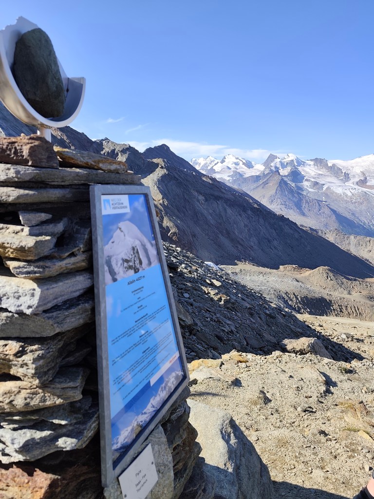
    There are information boards here where we could read about the specific characteristics of the peaks, as well as historical milestones—such as when a particular peak was first summited.

    Mattmark in the background

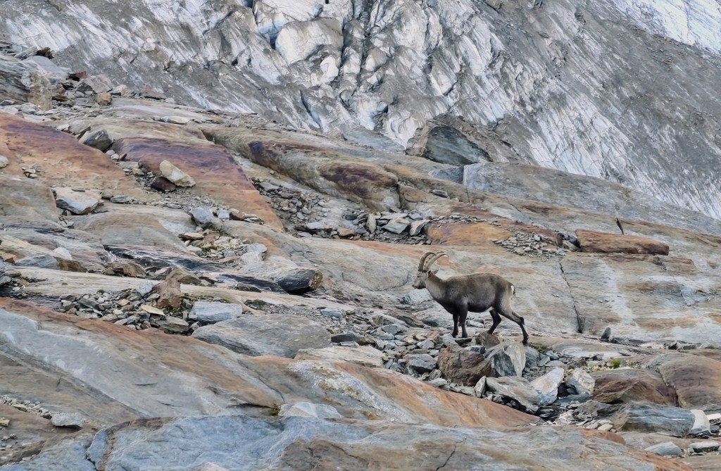
    We also walked past a small glacial lake, and a young capricorn posed for us; it wasn’t afraid of us at all and allowed us to approach within just about 20 meters.

    Capricorn

    The next item on the itinerary was Jegihorn, which I was a bit affraid of, as the maps marked it not as a hiking trail, but as an easy climbing route.

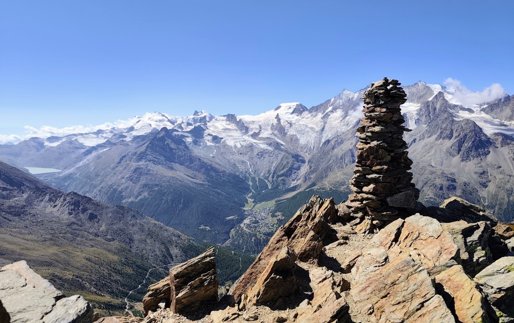
    From Jegihorn

    By the way, the highest via ferrata in Switzerland also leads up it. Jegihorn stands over 3,200 meters tall and offers a magnificent panoramic view of the surrounding area.
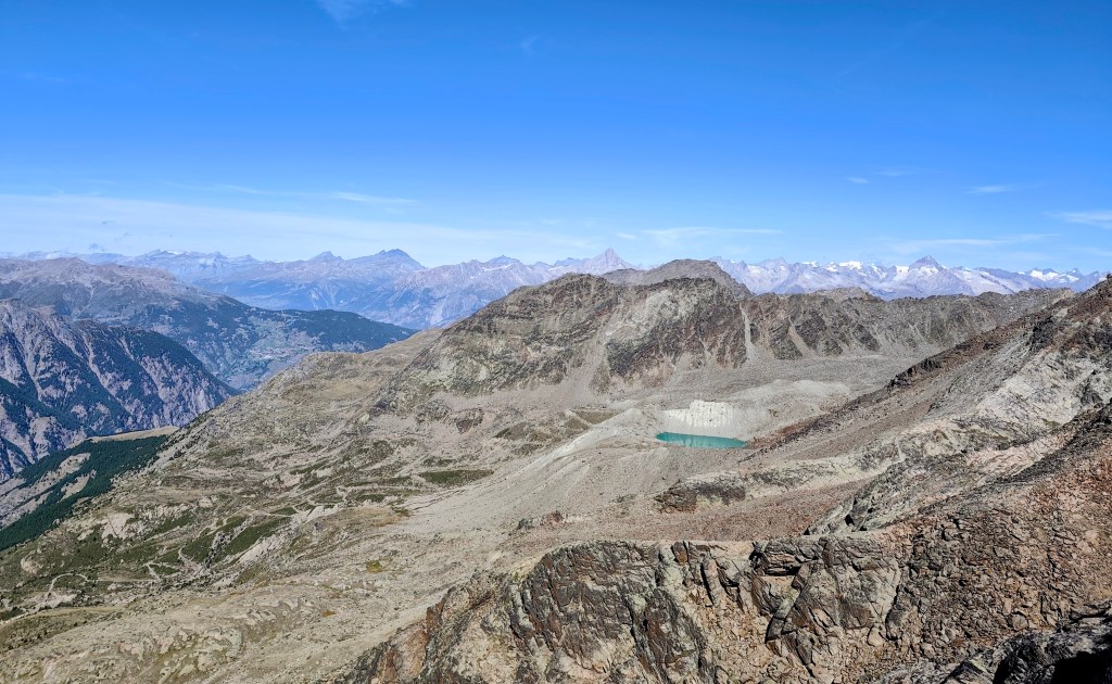
    Glacial lake – Fellsee

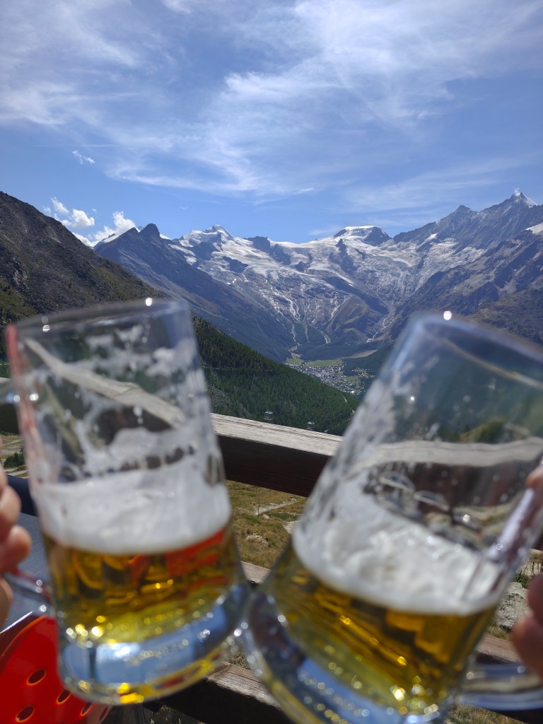
    We descend from Jegihorn to Kreuzboden, admire the reflection of the mountains in the small lake, and enjoy our only draft beer of the entire trip to Switzerland 🙂

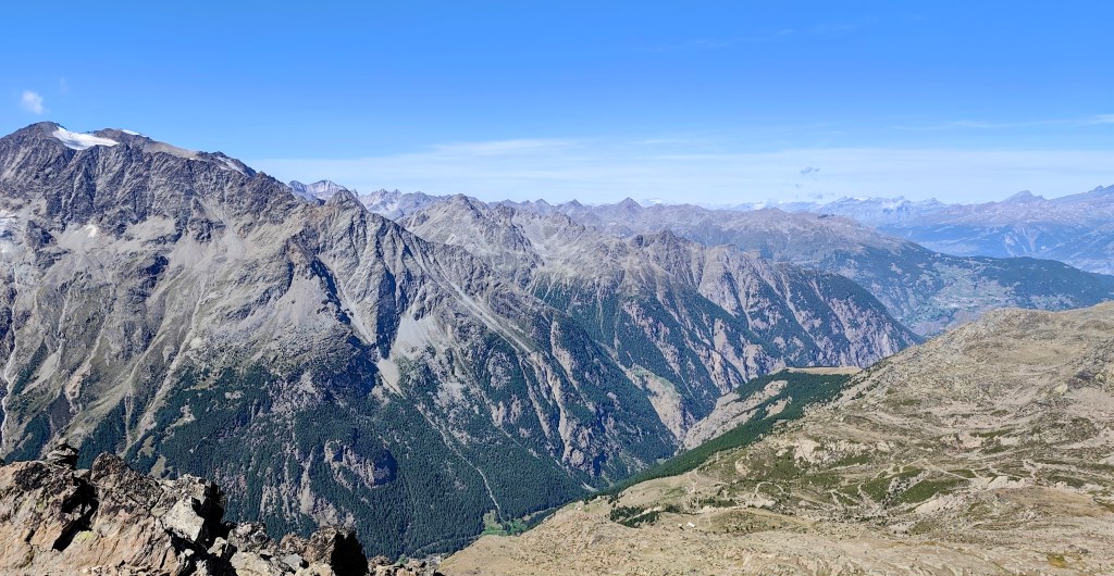
    View on Saas Fee
    One of the most beautiful views of the 4,000-meter peaks above the Saas Valley.

    We aren’t ready to head home just yet, though, so we opt for a detour via the Alpenblumenpromenade towards AlmagellerAlp.

    On the Alpenblumenpromenade

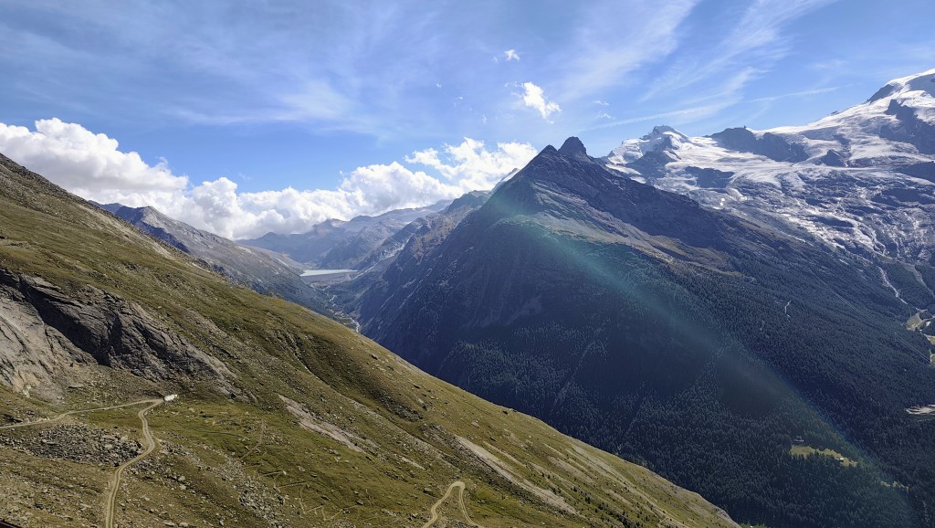
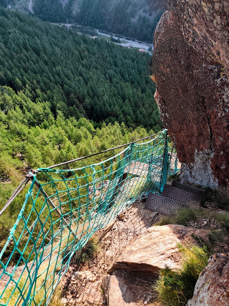
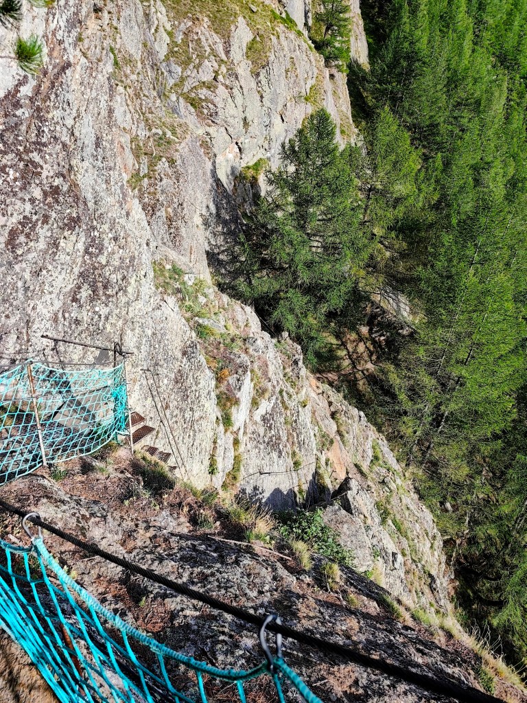
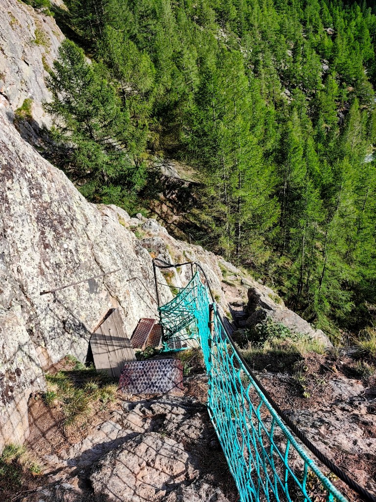
    Along the way, we are also treated to a view of the Mattmark Reservoir. We return to Saas-Almagell via the “Adventure Trail”—a route that is technically more demanding but far more interesting.

    It leads across two suspension bridges, ladders, and peg-style steps, making for a fantastic finale to a great day.

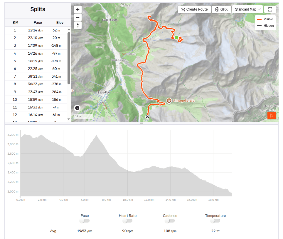
    19.73km, 6:32 moving time, 9:07 total, 918m ascend
  • Jegihorn (Švajčiarsko 2026)

    Jegihorn (Švajčiarsko 2026)

    Ráno sme vyrazili z Grächenu do Saas Grundu autom, v Saas Grunde sme si kúpili jednosmerné lístky na lanovku smer Hochsaas (cena pre dospelého bola 37 frankov. Lanovka nás vyviezla z 1550mnm do krásnych 3140mnm a ušetrila nám pol dňa šlapania 🙂

    Výhľad po vystúpení z lanovky

    Kúsok od lanovky sa nachádza aj horská chata Hochsaas a tiež aj okružná cestička, ktorá nás previedla 18timi štvortisíckami údolia Saas Valley.

    Nachádzajú sa tu informačné tabuľky, kde sme si mohli prečítať o špecifikách daných vrcholov ako aj o historických mílnikoch, ako napríklad kedy bol daný vrchol prvý krát zdolaný.

    Mattmark v pozadí

    Prešli sme sa aj popri malom ľadovcovom jazierku a zapózoval nám aj mladý kozorožec, ktorý sa nás vlec nebál a dovolil nám prísť do vzdialenosti len nejakých 20 metrov.

    Kozorožec

    Ďaľším bodom programu bol Jegihorn, ktorého som sa trochu obávala, lebo na mapách bol značený nie ako turistická trasa, ale ako ľahká lezecká trasa.

    Z jegihornu

    Mimochodom vedie naň aj najvyššie položená Via Ferrata vo Švajčiarsku. Jegihorn má výšku cez 3200m a je z neho nádherný panoramatický výhľad na široké okolie.

    Ľadovcové jazierko – Fellsee

    Z Jegihornu schádzame ku Kreuzbodenu, kocháme sa odrazom hôr v jazierku a dávame si naše jediné čapované pivko počas celého pobytu vo švajčiarsku:)

    S výhľadom na Saas Fee
    Jeden z najkrajších pohľadov na štvortisícovky nad Saas valley

    Ešte sa nám ale nechce domov a tak volíme obchádzku cez Alpenblumenpromenade ku AlmagellerAlp.

    Cestou po Alpenblumenpromenade

    Cestou sa nám otvorí výhľad aj na priehradu Mattmark. Do Saas Almagellu sa vraciame technicky náročnejšou, zato oveľa zaujímavejšiu “Adventure Trail” trasou.

    Vedie cez dva vysuté mosty, rebríky, skoby a schody a je to parádna bodka za skvelým dňom.

    19.73km, 6:32 aktívny čas, 9:07 spolu, 918 nastúpaných metrov
  • SNP girl’s project, day 16

    SNP girl’s project, day 16

    We finally made it happen! We had planned this stage about five times before, but we always had to postpone it due to unsuitable weather on the ridge or other issues. And so, we finally ran from Telgárt all the way to Čertovica.

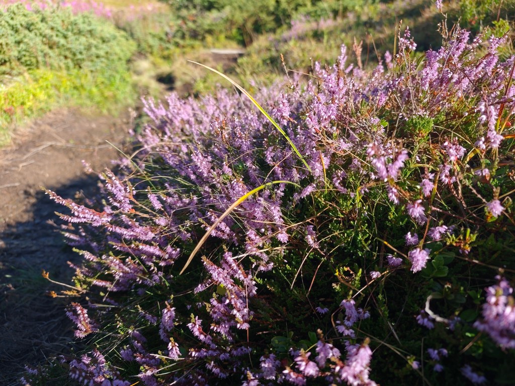
    Flowering heather

    We park in Telgárt near the church, at the exact spot where our previous stage ended. We jog through the town and soon reach the turnoff into the woods. It rained yesterday, so the grass and trees are still wet—which, of course, means my feet get wet after just a short while. We climb first through dense forest, then pass beneath power pylons up to the mountain pastures; the weather shifts between sun and fog, warmth and cold.

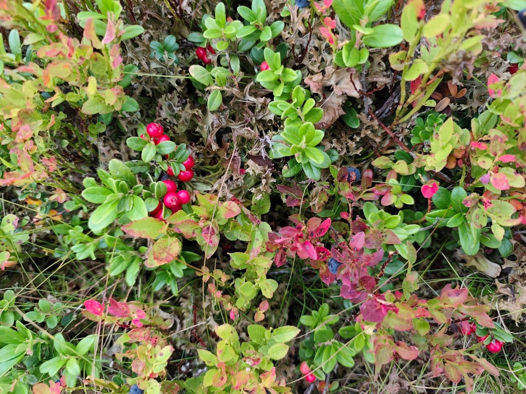
    Cranberries and blueberries

    On the way to Kráľova hoľa, nature put on a magnificent spectacle for us, but at the summit itself, everything was shrouded in an impenetrable fog that clung to us for quite a few kilometers more.

    In ascend to Kráľova hola

    At Andrejcová, we took a break for a beer and a bite to eat, and refilled our bottles at the spring. I had been looking forward to the view of the High Tatras—which is magnificent from there—but we weren’t granted that sight today, so we carried on.

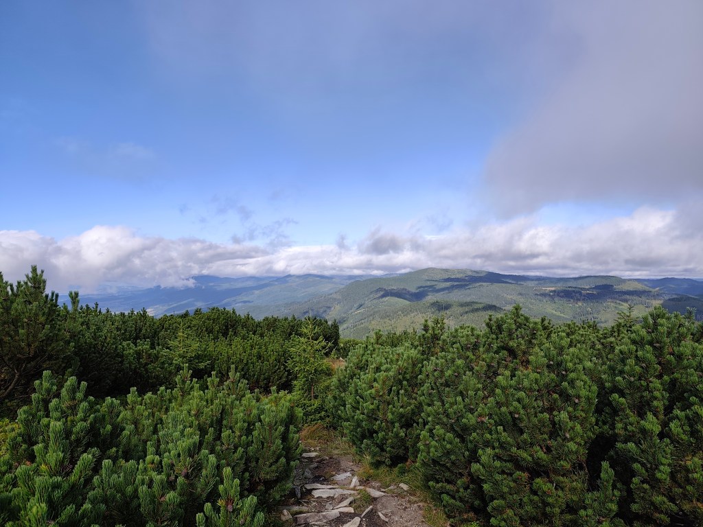
    A path through the mountain pine
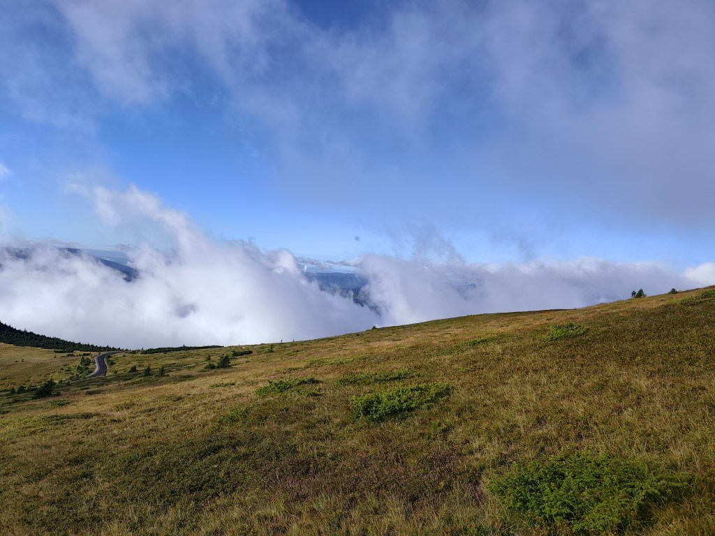
    Rolling fog

    The sun shone for the rest of the journey, and thanks to yesterday’s rain, the springs were full.

    Every now and then, a view would open up in the second half.

    However, from the Ramža shelter almost all the way to Čertovica, the trail was quite overgrown, so running was more or less out of the question, and we made slow progress. Personally, I enjoyed the first half of the day much more than the second, despite the strenuous climb up Kráľova hoľa.

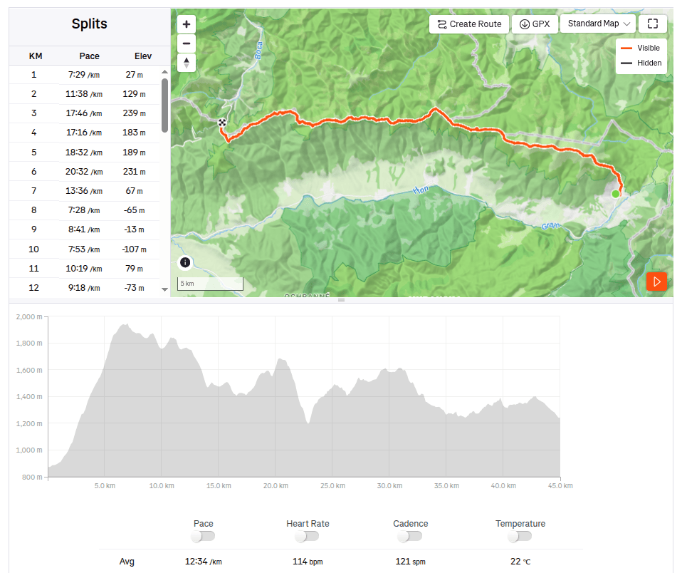
    45km, 9:25 active time, 9:46 total, 2704 meter ascend
  • SNP girl’s project, deň 16

    SNP girl’s project, deň 16

    Konečne sa to podarilo! Túto etapu sme mali v pláne už asi 5x, ale vždy sme ju museli presunúť kvôli nevhodnému počasiu an hrebeni, prípadne iným problémom. A tak sme konečne zabehli z Telgártu až na Čertovicu.

    Zakvitnutý vres

    V Telgárte parkujeme pri kostole, presne na tom istom mieste, kde minule naša etapa skončila. Prebehneme mestom a za chvíľočku sme na odbočke do lesa. Včera pršalo, a tak sú tráva aj stromčeky ešte mokré, čo samozrejme znamená, že po chvíľke sú mokré aj moje nohy:) Najskôr stúpame hustým lesom, potom popod stožiare až na horské pasienky, slnko sa strieda s hmlou, teplo so zimou.

    Brusnice a čučoriedky

    Cestou na Kráľovu hoľu nám príroda nachystala prekrásne divadlo, na Kráľovej holi však všetko zastrela nepriestupnou hmlou, ktorá sa s nami držala ešte pekných pár kilometrov.

    V stúpaní na Kráľovu holu

    Na Andrejcovej sme si dali prestávku, pivko, chlebík a doplniť fľašky z prameňa. Tešila som na výhľad na Vysoké Tatry, ktorý je z radeto nádherný, dnes nám však nebol dopiaty a tak sme pokračovali ďalej.

    Cestička kosodrevinou
    Prevalujúca sa hmla

    Po zvyšok cesty nám už slniečko svietilo a vďaka včerajšiemu daždu boli aj studničky plné.

    Sem tam sa v druhej polke odhalil aj nejaký ten výhľad

    Avšak od útuľne Ramža skoro až po Čertovicu bol chodník vcelku zarastený a tak sme o behu mohli viac menej len snívať a postupovali sme len pomaly. Mne osobne sa prvá polka dnešného dňa páčila oveľa viac ako druhé polovica, aj napiek výživnému stúpaniu na Kráľovu hoľu.

    45km, 9:25 aktívny čas, 9:46 spolu, 2704 nastúpaných metrov
  • Great Fatra mountain ridge

    Great Fatra mountain ridge

    This time we chose the easier option from Staré hory to Ružomberok. We parked the car in Staré hory near the chapel at 5:30 in the morning and, following the blue hiking trail, we started climbing to Majerova skala, which offers a beautiful semicircular view of the surrounding hills and valleys from its rocky plateau at an altitude of 1283 meters above sea level.

    From Majerova skala to Krížna

    From Majerova skaly we continue to Krížna, on the ridge the wind is really blowing and it is cold, it feels like 8 degrees Celsius, so we continue through Frčkov, Ostredok and do not stop until we are in the lee below Ploska, where we turn to the cottage below Borisov. I have been to the cottage a few times, but never to Borisov itself, so we are going to warm up by climbing up. Borisov is 1510 meters high and the climb to it is steep. However, it will reward us with circular views, where with good visibility it is possible to see Poľana or the Low Tatras.

    From Borišov

    We gather at the hut below Borišov, where we have a radler and a sandwich (our proven source of energy for longer runs).

    The temperature rises and we climb Ploska, where by chance we become participants in the 43rd year of the Ploska climb, we even receive a participation certificate :). We leave the red mark and after a little praise, which is accompanied by yellow, we turn onto the green mark below Čierny Kameň. By the way, my favorite craft brewery is also named after this distinctive rock formation :). There is also a nature reserve of the same name here, which is supposed to protect the primeval forest of spruce, rowan and maple. It is really beautiful here.

    On Ploská

    We continue under Minčol to Rakytov. Rakytov (1,567 m above sea level) is the highest peak of the Liptov branch of the main ridge of the Great Fatra and provides a circular view, and when climbing it you have to pass through an impressive rock gate.

    Views from Rakytov, Ploská in background

    The Smrekovica mountain hut awaits us and we are already looking forward to refreshment. However, we will not stay there for long, because we do not dare to estimate how long it will take us to Ružomberok, where we have to catch our only bus back to the Staré hory. We run along a path lined with ripe blueberries until the Šiprún saddle, if we had time, we could eat our fill, there are so many of them. The only piece of asphalt on the route from the saddles under Vtáčnik to the Vlkolínec meadows awaits us.
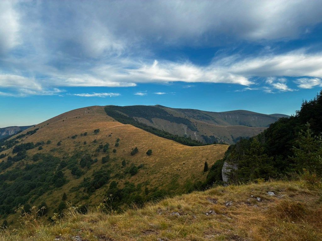
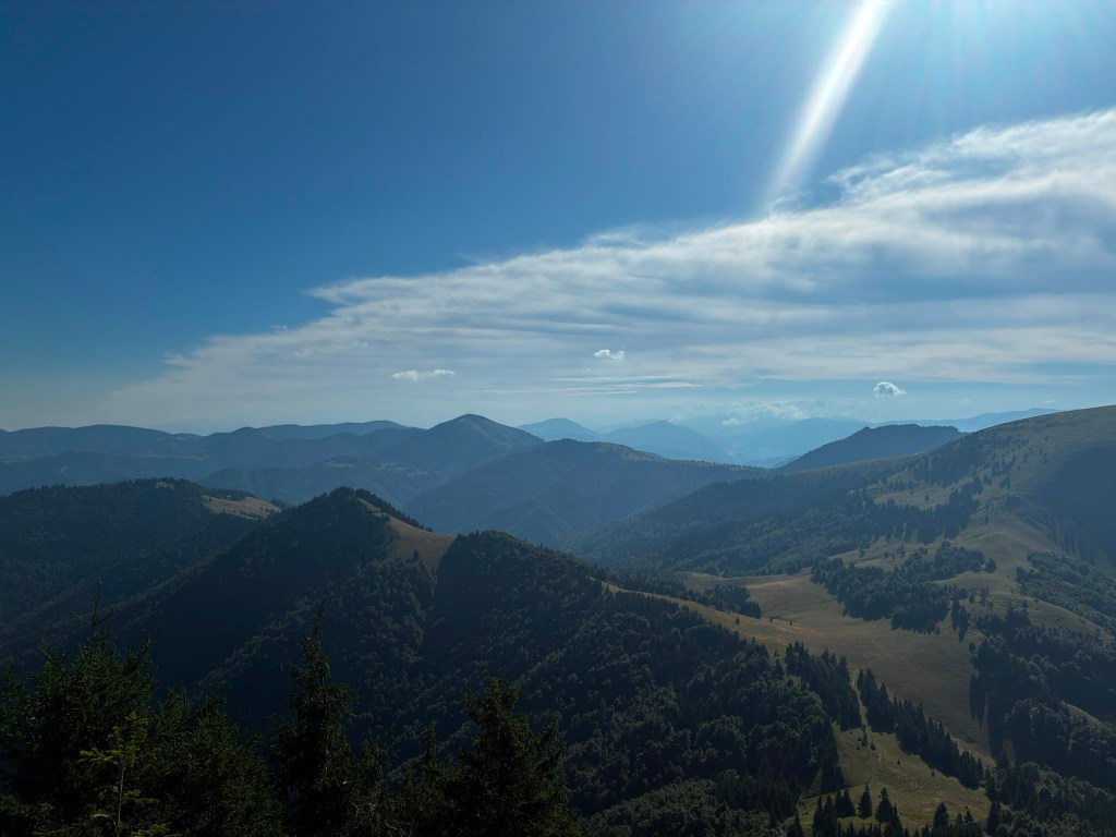
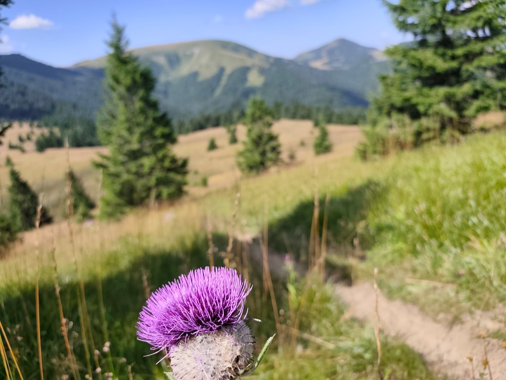
    Blooming thistles accompanied us everywhere

    Ahead of us lies the final major climb up to Sidorovo; the path is steep and our legs are already reluctant, but fortunately, the summit is less than a kilometer away, and a viewpoint awaits us at the top. Vlkolínec lies spread out beneath us, and we can also see the Low Tatras, the Liptov Basin, and even the High Tatras. A few more undulations lie ahead, followed simply by the descent into Ružomberok through the calvary.

    Sidorovo

    We arrived in Ružomberok an hour before the bus, so we just walked through the city, bought orange mineral water at the store, and the 3 liters just disappeared inside us.

    View on Sidorovo

    Our legs are dirty with dust up to our knees, so we use the time to get to the bus and wash them in the local park with the water we had left in our bottles, the sight of us must have been comical 😀

    50.79km, 9:08 active time, 10:15 total, 3011m ascend
  • Hrebeňom Veľkej Fatry

    Hrebeňom Veľkej Fatry

    Tento krát sme zvolili ľahšiu variantu zo Starých hôr do Ružomberka. Auto sme odstavili na Starých horách pri kaplnke o pol 6 ráno a po modrej turistickej značke sme začali stúpať na Majerovu skalu, ktorá ponúka zo svojej skalnej plošiny vo výške 1283mnm nádherný polkruhový výhľad na okolité kopce a doliny.

    Z majerovej skaly smerom na Krížnu

    Z Majerovej skaly pokračujeme na Krížnu, na hrebeni poriadne fúka a vietor je studený, pocitovo tak 8 stupňov Celzia a tak pokračujeme cez Frčkov, Ostredok a nezastavujeme až kým nie sme v závetrí pod Ploskou, kde odbáčame na chatu pod Borišovom. Na chate som už pár krát bola, ale na samotnom Borišove ešte nikdy a tak sa ideme zohriať výstupom hore. Borišov má výšku 1510 a výstup naň je strmý. Odmení nás však kruhovými výhľadmi, kde pri dobrej viditeľnosti je možné vidieť aj Poľanu, či Nízke Tatry.

    Z Borišova

    Zbiehame na chatu pod Borišovom, kde si dávame radler a obloženú žemlu (náš osvedčený zdroj energie na dlhše behy).

    Teplota stúpa a my stúpame na Ploskú, kde sa úplnou náhodou staneme účastníkmi 43. ročníka výstupu na Ploskú, dostávame dokonca účastnícky list:). Opúšťame červenú značku a po chváľočke, čo nás sprevádza žltá odbáčame na zelenú popod Čierny Kameň. Mimochodom po tomto výraznom skalnom útvare je pomenovaný aj môj obľúbený remeselný pivovar:). Nachádza sa tu aj rovnomenná prírodná rezervácia, ktorá má chrániť pralesovitý porast smreku, jarabiny a javora. Je tu naozaj krásne.

    Na Ploskej

    Pokračujeme popo Minčol na Rakytov. Rakytov (1 567 m n m) je najvyšší vrch liptovskej vetvy hlavného hrebeňa Veľkej Fatry a poskytuje kruhovytý výhľad a pri stúpaní naň musíte prejsť pôsobivou skalnou bránou.

    Výhľady z Rakytova, v pozadí Ploská

    Čaká nás horská chata Smrekovica a už sa tešíme na osvieženie. Nezdržíme sa však na nej dlho, pretože si netrúfame odhadnúť koľko nám to bude trvať do Ružomberka, kde musíme stihnúť náš jediný autobus naspäť na Staré hory. Až do šiprúnskeho sedla bežíme chodníčkom lemovaným zrelými čučriedkami, mať tak čas tak by sme sa vedeli najesť do sýta, toľko ich je. čaká nás jedniný kúsok asfaltu na trase zo sedal pod Vtáčnikom až po vlkolínske lúky.

    Všade nás sprevádzali zakvitnuté bodliaky

    Pred nami je posledné veľké stúpanie na Sidorovo, chodníček je strmý a nohám sa už veľmi nechce, našťastie to hore nie je ani kilometer a hore nás čaká vyhliadka. Vlkolínec máme ako na dlani, vidíme aj Nízke Tatry, Liptovská kotlina a dokonca aj Vysoké Tatry. čaká nás ešte pár vlniek a potom už len zostup do Ružomberka cez kalváriu.

    Sidorovo

    Do Ružomberka sme prišli hodinu pred autobusom a tak mestom už len kráčame, v obchode si kupujeme pomarančovú minerálku a 3 litre v nas len tak miznú.

    Vyhliadka na Sidorove

    Nohy máme až po kolená špinavé od prachu a tak využívame čas do autobusu a v miestom parčíku si ich umývame vodou čo nám ostala vo fľašiach, pohľad na nás musel byť komický:D

    50.79km, 9:08 aktívny čas, 10:15 spolu, 3011 nastúpaných metrov