Tag: adventure

  • Tematín and Beckov castle with David

    Tematín and Beckov castle with David

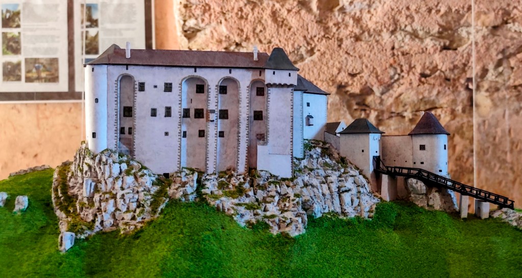
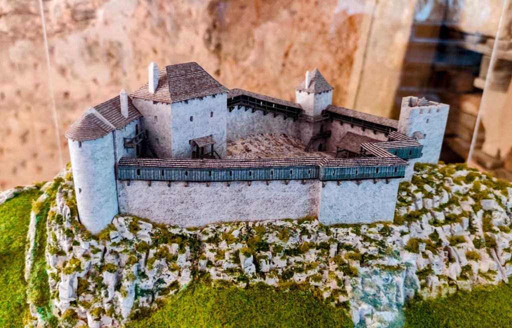
    Inspired by the mini-book Považská castle road, which we managed to get last time at Uhrovec castle and which immediately kicked me off to new adventures, we went to Tematín castle. Tematín is located in the Považský Inovec mountains in the west of Slovakia. It was created around the year 1250 near the border of Hungary after the invasion of Tatar troops on other territory. In 1710, the castle was damaged and has been abandoned since then, fortunately volunteers took over and its reconstruction began.
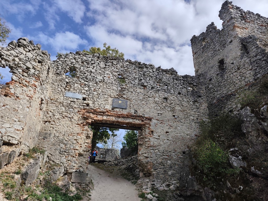
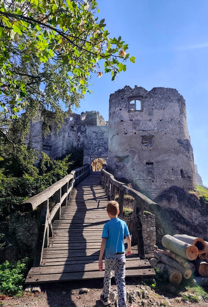
    Entrance to Tamatín castle

    Tematín is not one of the castles you can drive to by car, you have to step on it, and you can choose from several routes. We chose the 5-kilometer route from the village of Lúka, which at the end overcomes quite a large elevation gain.
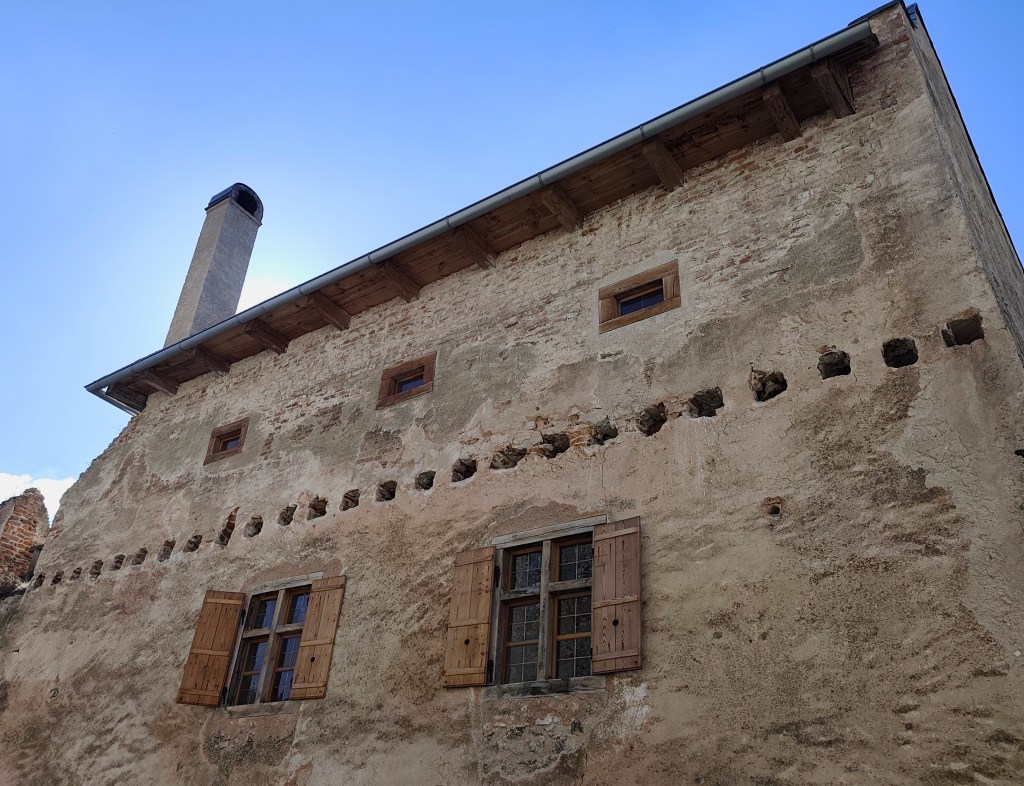
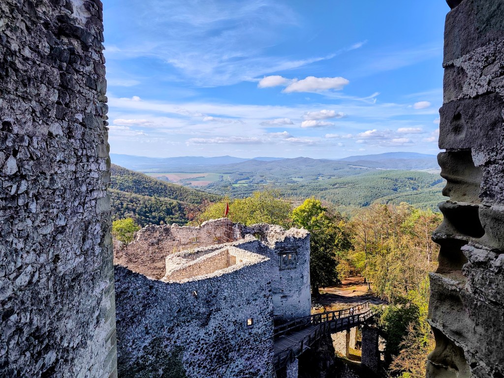
    Renovated buildings of Tematín Castle

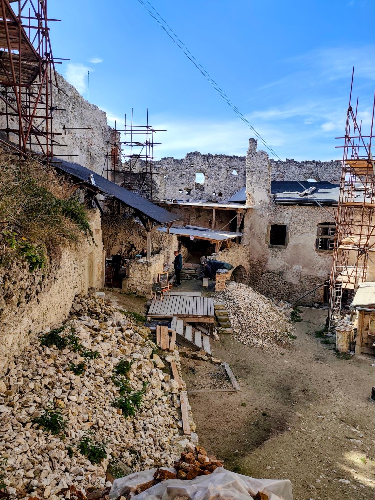
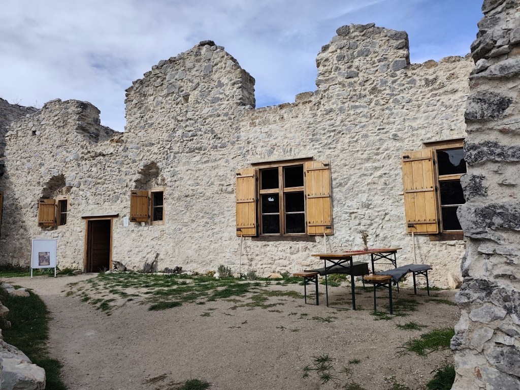
    At the castle there is a symbolic entrance fee, a buffet, and one beautifully reconstructed residential part, the remaining ruins are either partly reconstructed, or their reconstruction is still waiting.
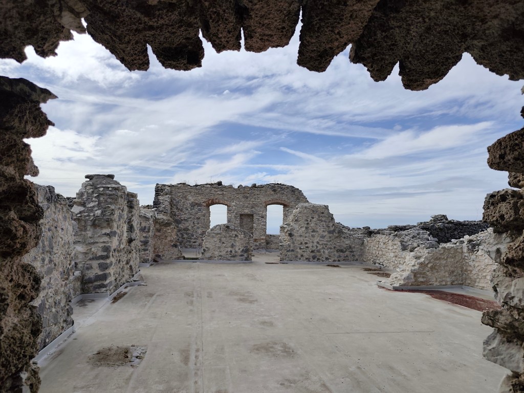
    Tematín

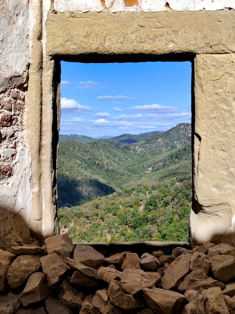
    There is a beautiful view from the castle and during our visit there were even workshops for children.
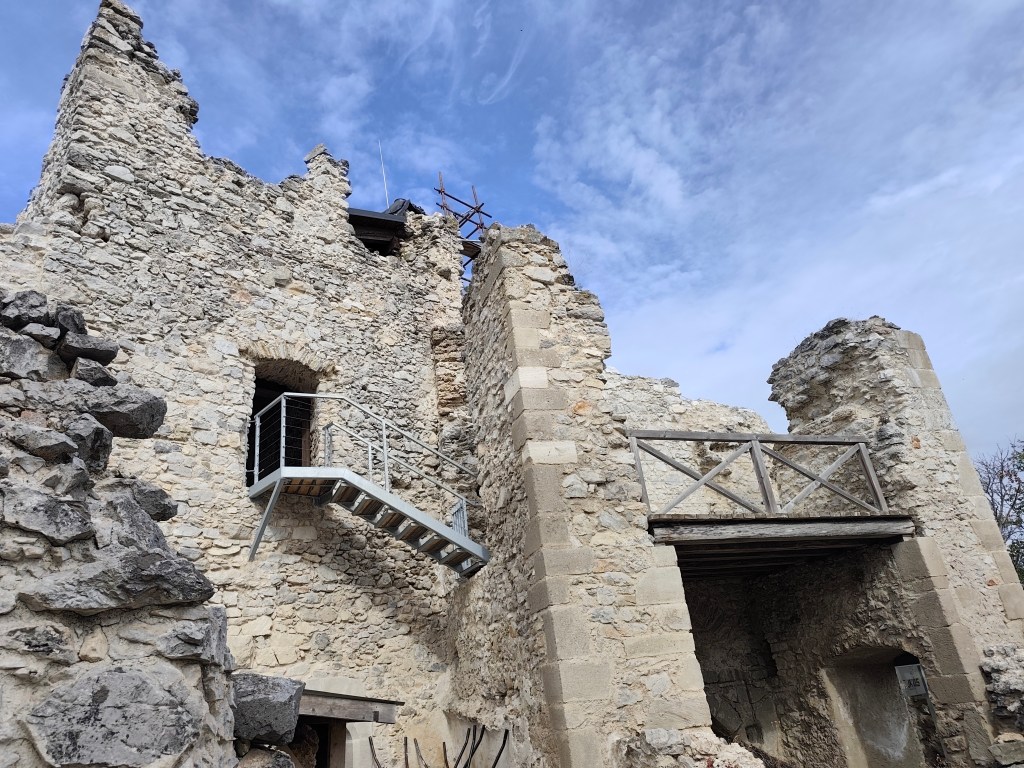
    Tematín

    There was also a map of the above-mentioned Považská castle road, and when I found out that the Beckov castle was only a short distance from us, there was no way back and it was the next (unplanned) stop on today’s trip.
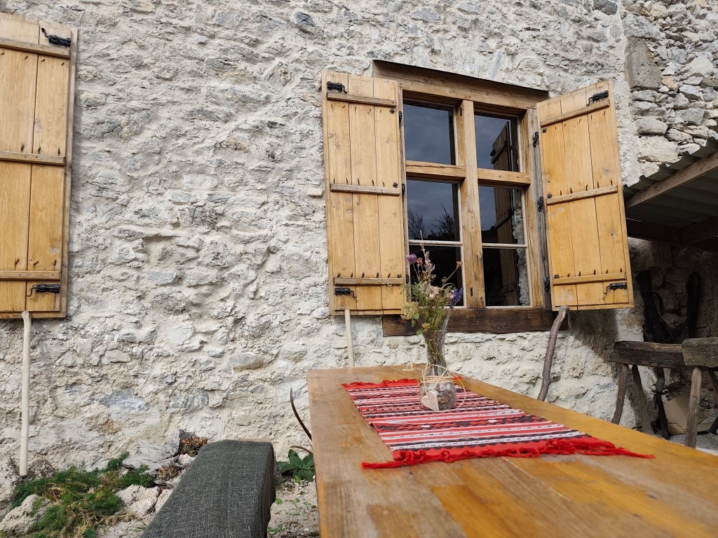
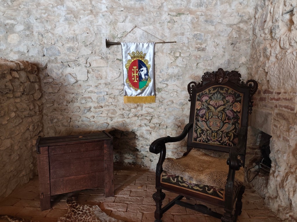
    As for Beckov, you can get almost to the castle by car, the castle is really big and largely renovated. What is no longer symbolic is the entrance fee and parking fee:D

    Inside the castle, there are even exhibitions with original ceramics, games, period clothing, you can put together a wooden puzzle of the castle, watch videos about life in the castle, or write with a quill pen. The chapel has beautifully restored windows and some rooms have also been restored. However, we liked the castle well the most, which was guarded by a dragon, even though we had to climb a lot of stairs to get to it.
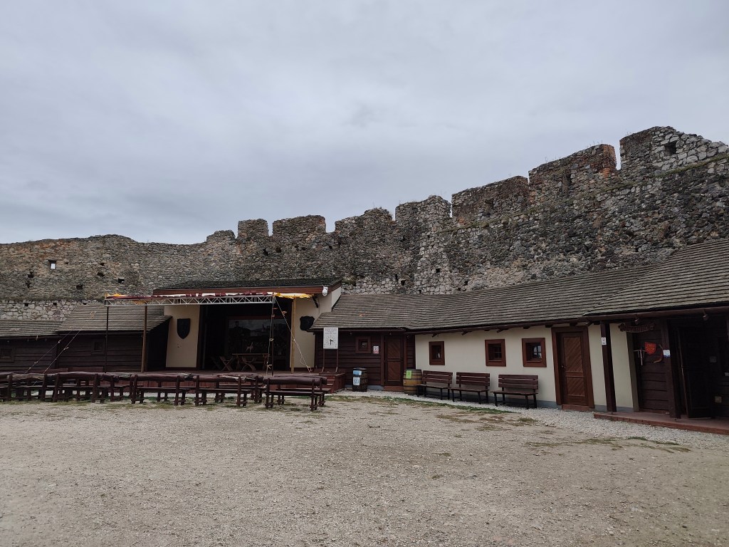
    The courtyard at the Beck castle

    For this castle, the hour we had left until the final session is definitely not enough, I recommend that you reserve at least two 🙂
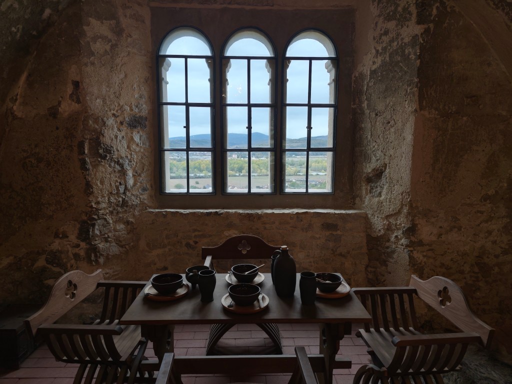
    Period dining at the Beck castle

    Dávid was 7 years old at that time.
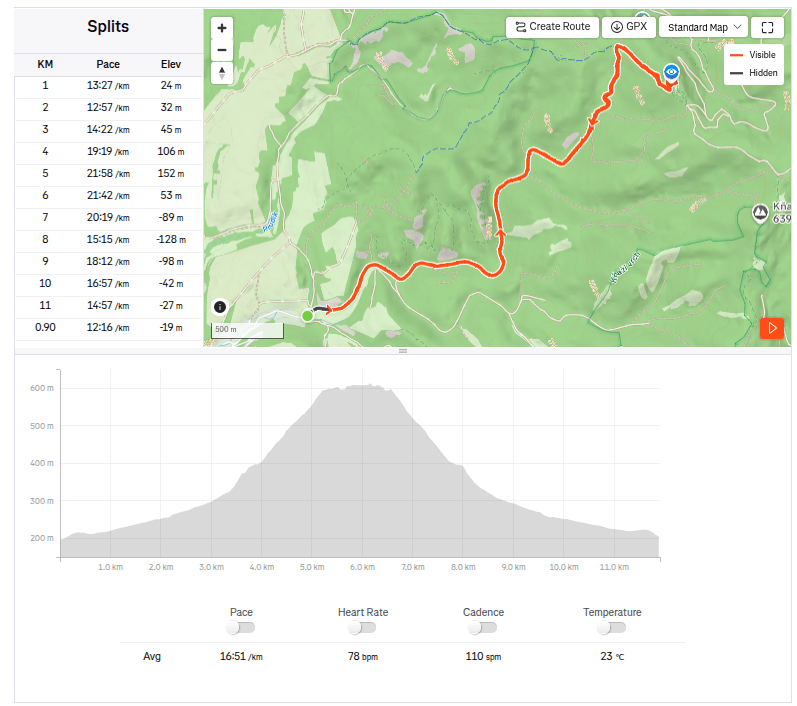
    11.91km, 3:20 active time, 4:24 total, 433 metre ascend
  • Tematín a Beckov s Dávidom

    Tematín a Beckov s Dávidom

    Inšpirovaná mini knižkou Považská hradná cesta, ktorú sa nám podarilo minule získať na hrade Uhrovec a ktorá ma hneď nakopla na nové dobrodruštvá sme sa vydali na hrad Tematín. Tematín sa nachádza v pohorí Považský Inovec na západe Slovenska. Vznikol okolo roku 1250 pri hranici Uhroska po vpáde tatárskych vojsk na anše územie. V roku 1710 bol hrad poškodený a odvtedy pustol, našťastie sa ho ujali dobrovoľníci a začala sa jeho rekonštrukcia.

    Vchod do hradu Tamatín

    Tematín nepatrí medzi hrady kam sa viete doviezť autom, je potrebné si naň vyšľapať, pričom si môžete vybrať z viacerých trás. My sme si vybrali 5 kilometrovú trasu z obce Lúka, ktorá na záver prekonáva celkom veľké prevýšenie.

    Zrekonštruované budovy hradu Tematín

    Na hrade je symbolické vstupné, bufet, a jedna krásne zrekonštruovaná obytná časť, zvyšné ruiny sú buď zrekonštruované z časti, alebo ich rekonštrukcia ešte len čaká.

    Tematín

    Z hradu je krásny výhľad a počas našej návštevy tu boli dokonca aj dielničky pre deti.

    Tematín

    Nachádzala sa tu aj mapka hore spomínanej Považskej hradnej cesty a keď som zistila, že hrad Beckov je od nás len kúštik, už nebolo cesty späť a bol ďalšou (neplánovanou) zastávkou na dnešnom výlete.

    Čo sa týka Beckova, autom sa dostanete skoro až na hrad, hrad je naozaj veľký a z veľkej časti zrekonštruovaný. Čo už však nie je symbolické je vstupné a parkovné:D

    Vo vnútri hradu sú dokonca výstavky s pôvodnou keramikou, hrami, dobovým oblečením, môžete si tu poskladať drevené puzzle hradu, pozrieť videá o živote na hrade, či písať brkom. Kaplnka má krásne obnovené okná a obnovené sú aj niektoré miestnosti. Nám sa však najviac páčilo pri hradnej studni, ktorú strážil drak, aj keď sme k nej museli prekonať množstvo schodov.

    Nádvorie na hrade Beckov

    Na tento hrad určite nestačí tá hodinka, ktorá nám ostávala do záverečnej, odporúčam si vyhradiť aspoň dve:)

    Dobové stolovanie na hrade Beckov

    Dávid mal v čase výletu 7 rokov.

    11.91km, 3:20 aktívny čas, 4:24 spolu, 433 nastúpaných metrov
  • Castle Uhrovec with Dávid

    Castle Uhrovec with Dávid

    We’ve already visited all the castles in our immediate area, so now we have to travel quite a bit further for adventure. I’d had my eye on Uhrovec Castle for a while, and when the timing finally worked out, we set off one sunny Saturday to explore it.

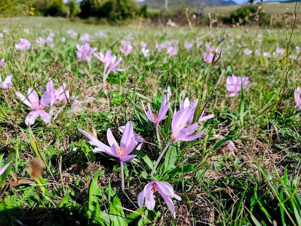
    It was just Dávid and me, so I entered “Uhrovecké Podhradie” into the GPS. Don’t trust the car’s navigation system! It led us to the end of the road and then tried to send us another 7 kilometers through the forest. After a quick look at the map, I managed to correct the destination, though we had already made a good half-hour detour. We didn’t drive right up to the foot of the castle; I chose a slightly longer route—after all, the weather was beautiful—so we walked across the meadows to Uhrovec instead. And the meadows rewarded us with lovely crocuses.

    Crocuses

    A hiking sign by the parking lot below the castle indicated it was a 45-minute walk to the top; Dávid took this as a challenge and practically ran up the hill. We reached the castle in 25 minutes—and even that was only because I couldn’t keep up. 😀

    On our way to castle

    Uhrovec Castle is located in the Strážov Mountains; it features a well-preserved chapel and towers, as well as a large palace where one can still see a fireplace, latrines, and cisterns.

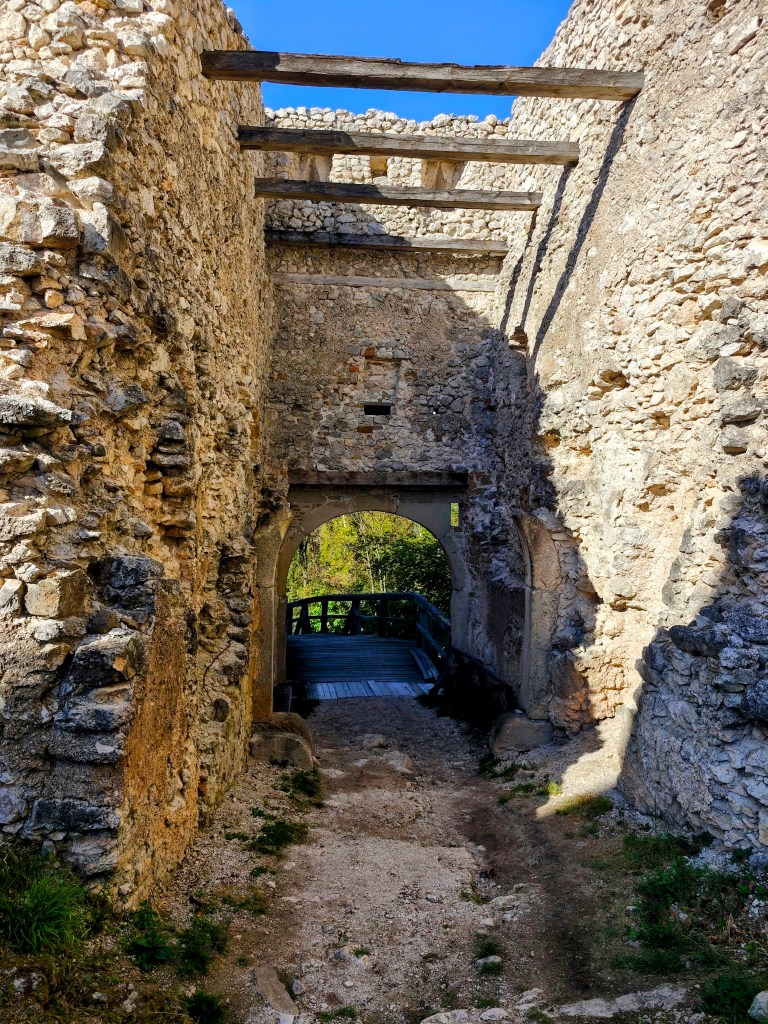
    Castle entrance gate

    The castle was very well situated; consequently, it did not become a center of combat, and it is said that for this reason, it was never conquered.

    However, the castle lost its original function during the 18th century and began to fall into ruin after a fire in 1848. Currently, there are efforts to save and restore it.

    partially renovated building

    There is even a snack bar at the castle, and if you’re lucky, very friendly ladies will be frying up fresh langoše and doughnuts (we were lucky enough to have one of those langoš as an afternoon snack).

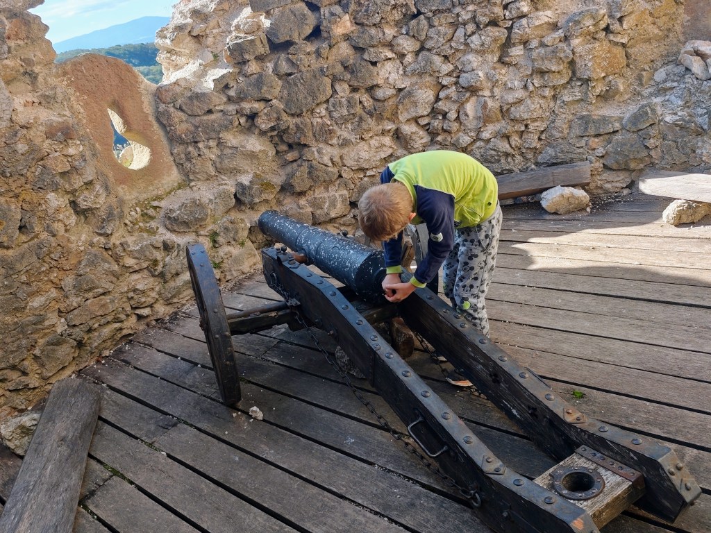
    Cannon and embrasure
    Castel ruins

    Dávid was 7 years old at the time of the trip.

    7.88km, 2:22 active time, 3:00 total, 379 metre ascend
  • SNP girl’s project, day 17

    SNP girl’s project, day 17

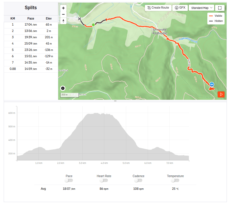
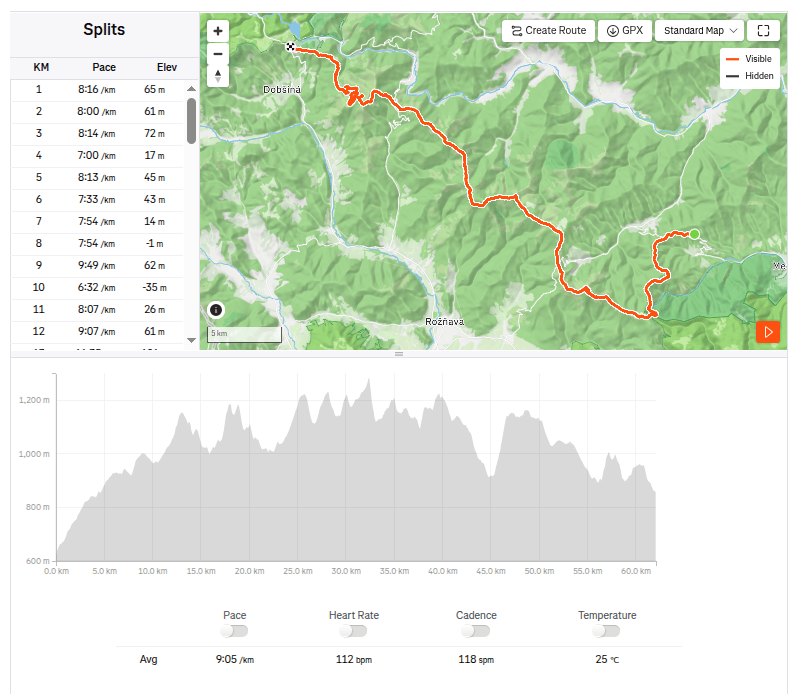
    The next stage of the SNP Heroes’ Trail,was taking us from the Štós Spa to Dobšinský Kopec. A long stage lay ahead, compounded by a lengthy drive that required a very early start. We left Bystrica at 4:30 AM, and I enjoyed my breakfast and morning coffee in the car along the way. We arrived at the Štós Spa at 7:15 AM, and just a few minutes later, we were already jogging along the red-marked trail.

    The air warmed up quickly, and after just a few kilometers, I was already changing from my jacket into shorts. There were supposed to be plenty of springs along the route, so we were each carrying only two half-liter bottles—supplies that were disappearing very fast. The first water source was supposed to be at the Pipitka hunting lodge, but when we ran up to it full of hope, there wasn’t a single drop of water. We quickly scanned the map for the next spring, as we were down to our last two deciliters of water. Fortunately, the nearest spring was only 3.5 km away, so we pressed on.

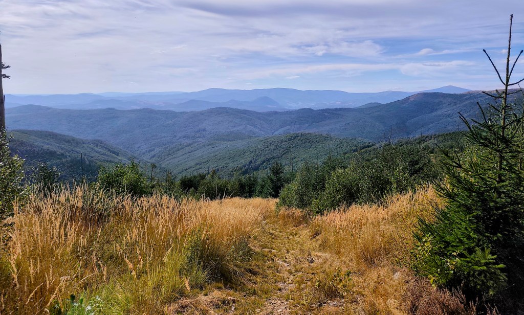
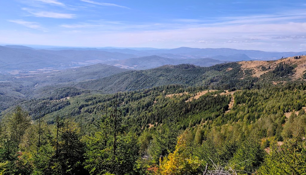
    At first, the route was less generous with views.

    At the SNP Úhorná shelter, we run into two guys who spent the night there and ask about water. They tell us that while there is water at the Smolník spring, it’s only a trickle; they had placed a cut-off bottle there the day before, and we are welcome to take whatever has collected in it. They saved us at least half an hour of waiting for the water to drip into all our bottles (thanks to them, we filled five out of six very quickly). And while we wait for that last half-liter, we snack on bread rolls and refuel.

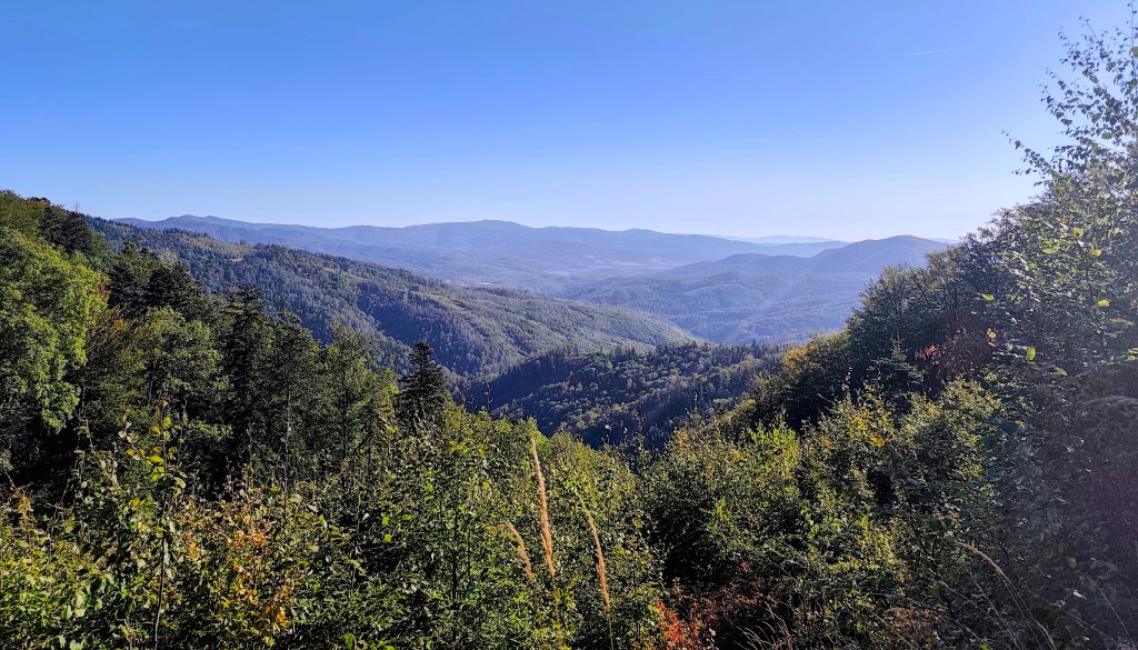
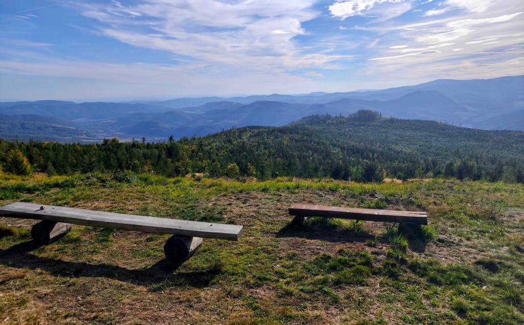
    The early autumn in Slovak mountains

    We are crossing the Úhorná Pass, and halfway to Skalisko we meet Jožko, who had driven the car to the finish point and was running back to meet us. He is much faster than we are, so we have covered almost the same distance—he has 30 kilometers, and we have 31.

    After Volovec mountain hut

    We head down from Skalisko to the Volovec mountain hut—partly for a radler, and partly because we’re running out of water again, with the next supply 15 kilometers away. The radler is wonderfully refreshing for all of us, and after half an hour, we’re back on our feet, heading toward Súľová Saddle.

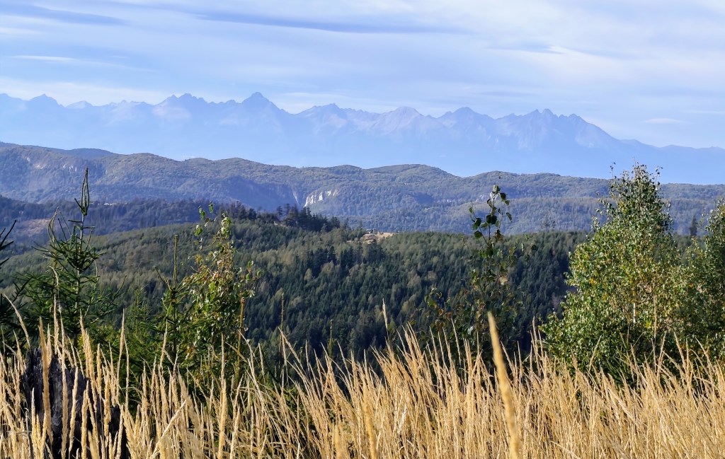
    View on HighTatras

    From the saddle, one more nasty climb awaits us, and after that, they say it’s just rolling hills. Well, you need energy for rolling hills, too! 😀

    On the climb from Súľová Saddle

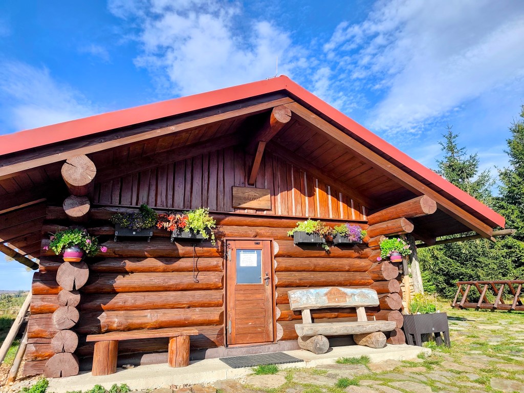
    Along the way, we pass the Gálová shelter—a beautiful spot with a stunning view—though the cabin was closed for disinfection.

    View from Gálová
    Shelter Gálová

    Next comes a run down a forest path—finally a more relaxed stretch leading to the Suchý Vrch lookout tower, where we leave the cycle path and have to start climbing uphill again. Honestly, we’re pretty worn out; we’ve got over 50 kilometers in our legs, and every little hill is starting to feel like a challenge.

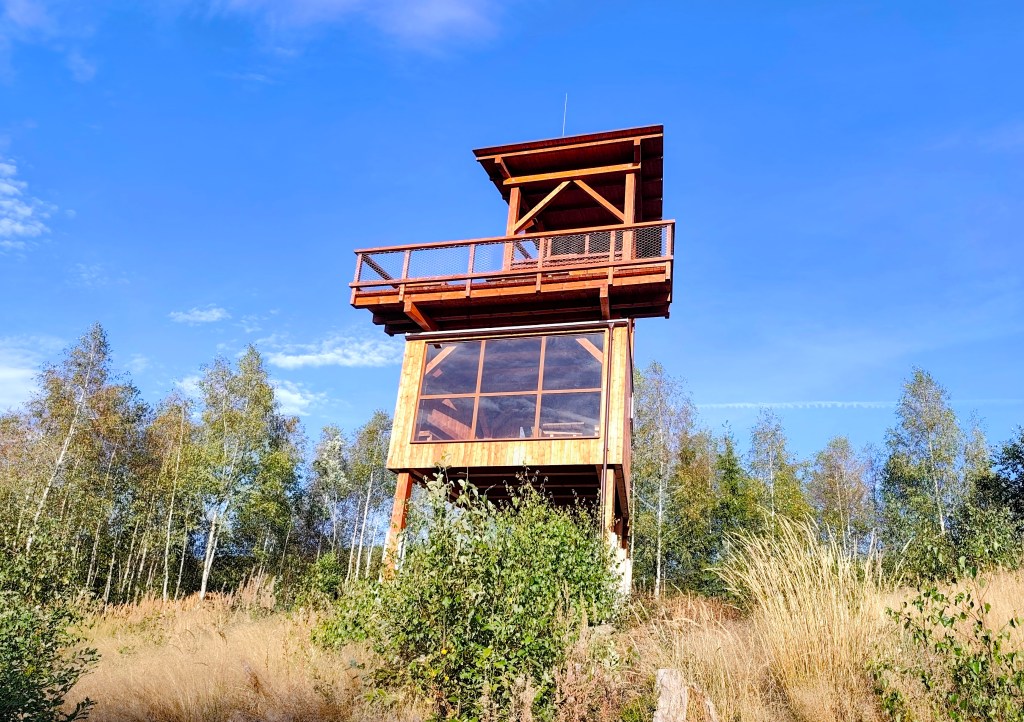
    Viewpoint Suchý vrch

    We finally reach the Kruhová saddle—a spot we already know, having run the next section from this point—and thanks God, there are only 5 kilometers left. We’re out of steam, so we walk the rest of the way as the sun sets. Even so, we’re all happy we made it.

    62.1km, 9:23 active time, 10:55 total, 2399m ascend
  • SNP girl’s project, deň 17

    SNP girl’s project, deň 17

    Ďaľšia etapa trasy hrdinov SNP, tento krát z kúpeľov Štós až po Dobšinský kopec. Čakala nás dlhá etapa a k tomu sme museli prirátať aj dlhé cestovanie autom, čo znamenalo veľmi skoré ranné vstávanie. Z Bystrice sme odchádzali už o pol 5 ráno, raňajky aj rannú kávu som si vychutnávala cestou v aute. Do kúpeľov Štós sme dorazili o 7:15 a o pár minútiek neskôr sme už cupkali po červenej značke:)

    Vzduch sa rýchlo okrieval a ja som sa už po pár kilometroch prezliekala z bundičky až do kraťasov. Po ceste by malo byť dosť studničiek a tak máme všetci len po dve pollitrové fľašky, ktprých obsah v nás veľmi rýchlo mizne. Prvá voda mala byť pri poľovníckej chate Pipitka, keď sme však k nej s nádejou dobehli, nebola tam ani kvapka vody. Rýchlo prehľadávame mapu, kde by sa mala nachádzať ďaľšia studnička, pretože už nám ostáva asi len dva deci vody. Naštastie najbližšia studnička je len 3.5km od nás a tak bežíme ďaľej.

    Zo začiatku bola trasa na výhľady skúpejšia

    Pri útuľni SNP Úhorná stretávame dvoch chalanov čo tam prespávali a pýtame sa na vodu. Vravia, že voda v prameni Smolníka síce je, avšak iba kvapká, že včera tam dali zrezanú fľašku a že si kľúdne môžeme zobrať čo nakvapkalo. Ušetrili nám aspoň pol hodiny čakania, kým by nám voda nakvapkala do všetkých fľašiek (5 zo 6tich sme vďaka nim naplnili veľmi rýchlo). A kým čakáme na posledný polliter, desiatujeme žemle a dopĺňame energiu.

    Vo vzduchu je už cítiť predzvesť jesene

    Prechádzame úhornianskym sedlom a v polovici cesty na Skalisko stretávame jožka, ktorý išiel odviezť auto do cieľa a bežal nám oproti. Je oveľa rýchlejší ako mi a tak máme na konte skoro rovnaký počet kilometrov, on 30, my 31.

    Kúsok za chatou Volovec

    Zo Skaliska zbiehame na chatu Volovec, jednak na radler a jednak nám už zas dochádza voda a ďaľšia je až o 15 kilometrov. Radler nás všetkých parádne osvieži a po polhodinke už sme zas na nohách smer sedlo Súľová.

    Výhľad na Tatry

    Zo sedla na nás čaká ešte jedno nepríjemné stúpanie a potom vraj sú to už len vlnky. Nuž ale aj na vlnky treba mať energiu:D

    V stúpaní zo sedla Súľová

    Po ceste prebiehame popri útulni Gálová, krásne miesto s úžasným výhľadom, avšak kvôli dezinfekcii bola chata zavretá.

    Výhľad spred útulni Gálová
    Útuľňa Gálová

    Nasleduje zbeh lesnou cestičkou, konečne oddychovejší úsek až po vyhliadkovú vežu Suchý vrch, kde sa z cyklo cesty odpájame a zas musíme sľapať do kopca. Úprimne, máme už celkom dosť, v nohách cez 50 kilometrov a každý kopček začína byť výzvou.

    Vyhlaidka Suchý vrch

    Konečne dobiehame do sedla Kruhová, ktoré už poznáme, minule sme túto časť už prebehli, konečne, už len 5 kilometrov. Nevládzeme a zvyšok už len pri západe slnka odkráčame. Aj tak sme všetci spokojní, že sme to zvládli.
    62.1km, 9:23 aktívny čas, 10:55 spolu, 2399 nastúpaných metrov
  • 5 lakes trail with Matterhorn views

    5 lakes trail with Matterhorn views

    We had two possible routes planned for today: a shorter one starting from Zermatt, going up past the five lakes and back to Zermatt, or a longer one extending all the way to Täsch.

    Matterhorn training

    In the morning, we drove to Täsch—essentially the last point accessible by car; beyond that, you can only travel on foot or by the Zermatt train. Since we had big plans for the day, we opted for the train. It operates as a shuttle service running every half hour.

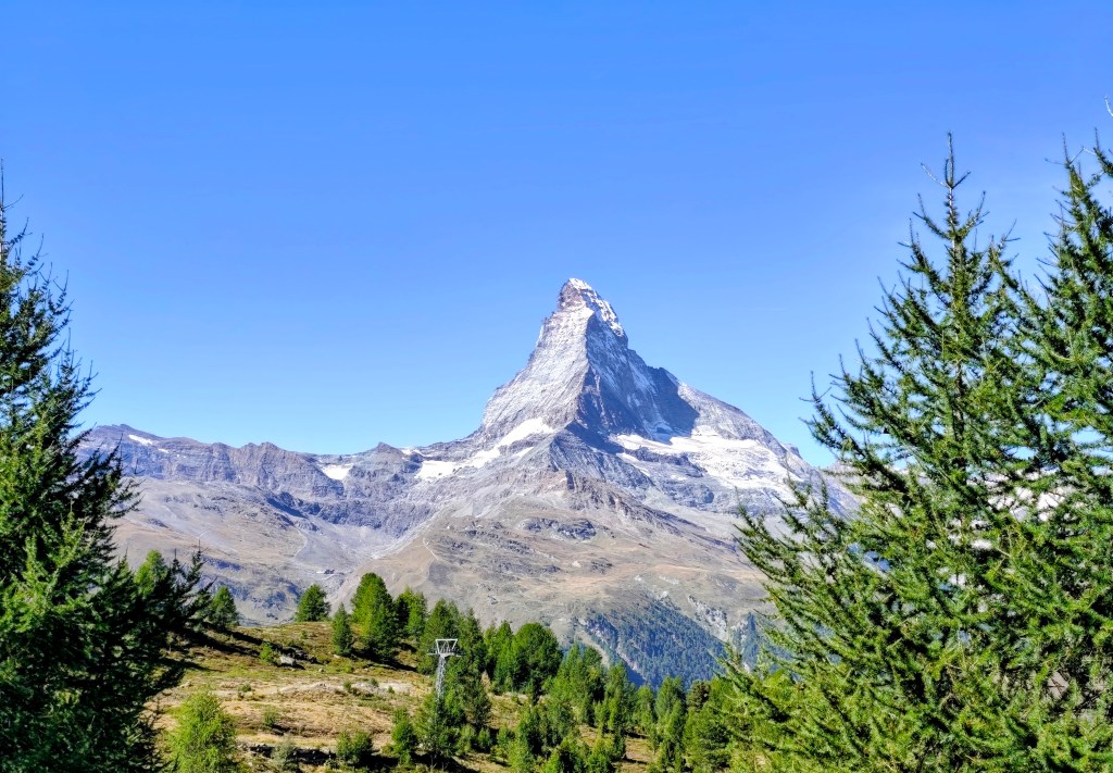
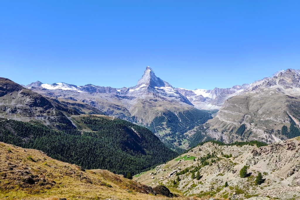
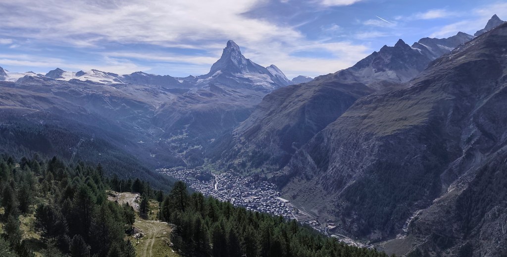
    First view on Matterhorn

    In Zermatt, we waited for the guys running the Ultra Trail Monte Rosa, cheered them on, and then headed towards the mountains 🙂

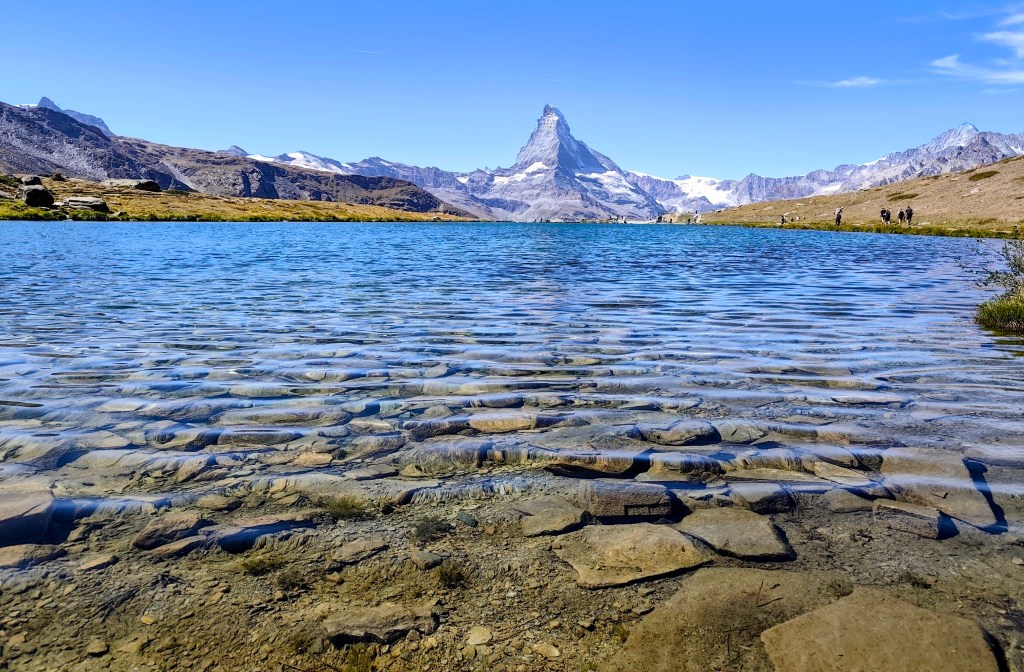
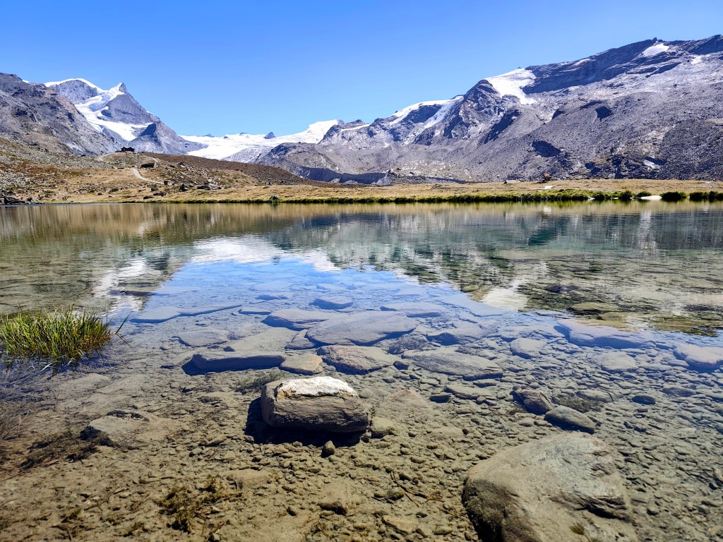
    Crystal-clear water reflecting the hills

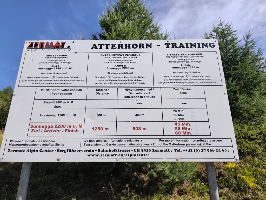
    Our first challenge was a training route for the Matterhorn—a 1.1 km-long path from Zermatt to the Sunnegga cable car station. What makes it a training route is the 600-meter elevation gain from start to finish; it is truly steep!

    If you complete it in under 45 minutes, you’re “Matterhorn fit”; 55 minutes is borderline, and anything over 60 minutes puts you out of the running. I managed to hike it in 34 and a half minutes, though I was only carrying a fully packed running backpack—which probably doesn’t count as Matterhorn gear 🙂

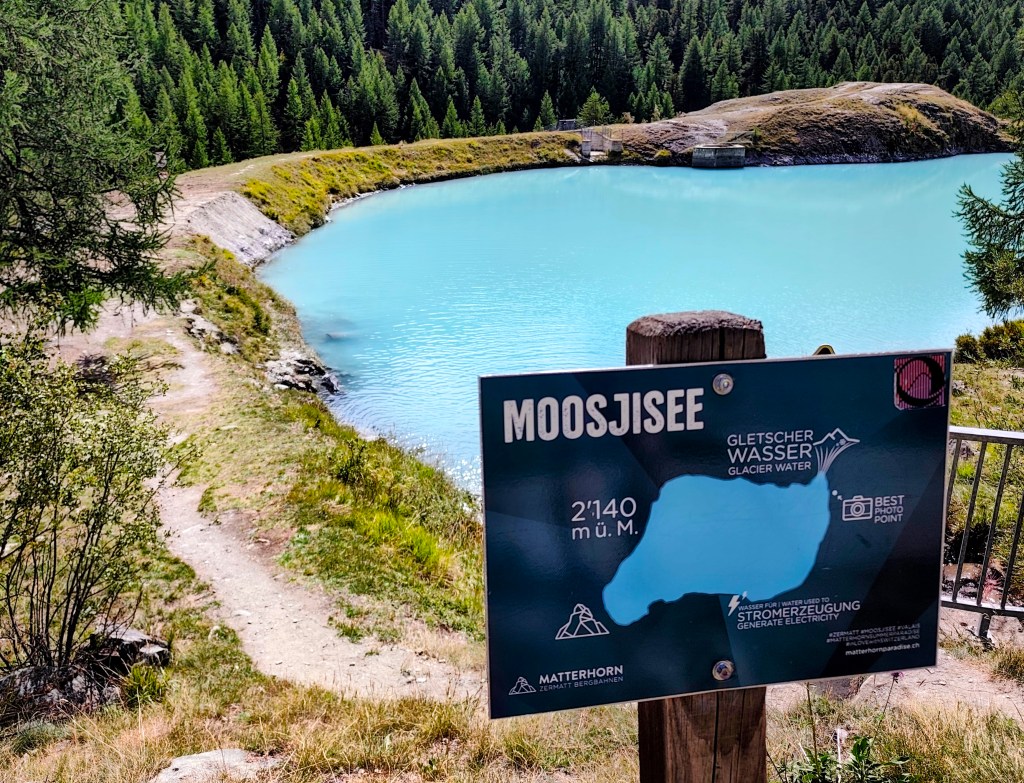
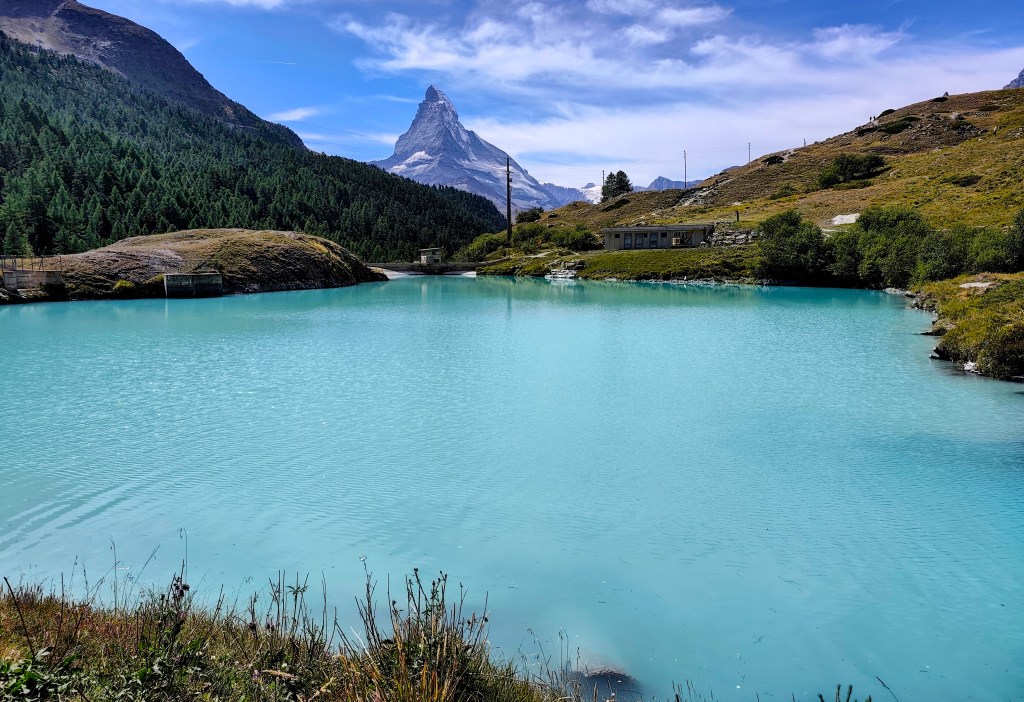
    Glacier water inMoosjisee

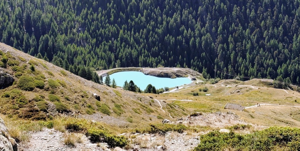
    The 5-Lakes Trail starts at Sunnega—taking in Tellisee, Grindjisee, Grünsee, Moosjisee, and Leisee—though I couldn’t say for sure which is which anymore 🙂

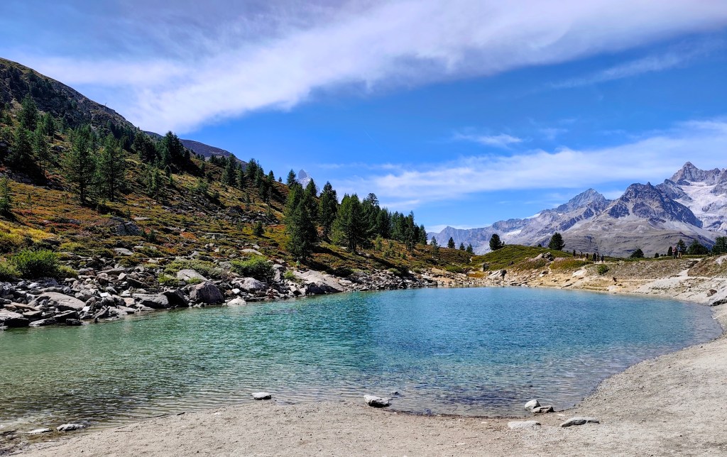
    The circuit around them is 10 kilometers long, and you can even swim in two of them. This loop offers beautiful views of the Matterhorn.

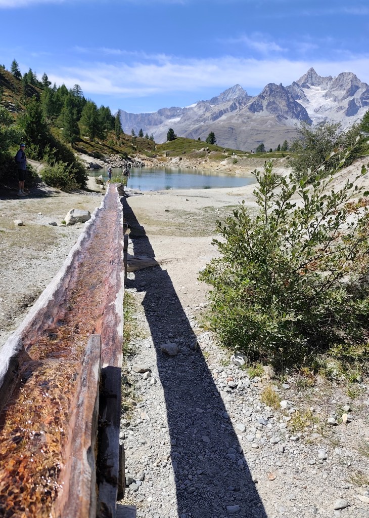
    A lake where you can swimm

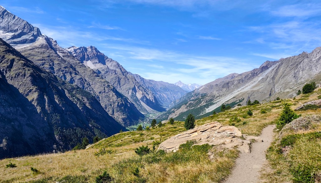
    Since we still had time and the will, we decided to save the 8-franc train fare and walk to Täsch instead. It’s a fantastic, scenic walk, as you spend most of the time above the tree line. One section was a bit unsettling due to the risk of rockfalls; along a stretch of about 900 meters, there were four shelters where one could take cover should such a slide occur. Fortunately, nothing happened while we were there.
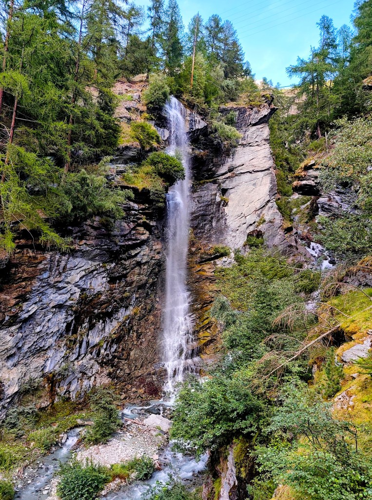
    And as a final bonus, there was a beautiful waterfall at the beginning of Tasch.

    Tasch Waterfall
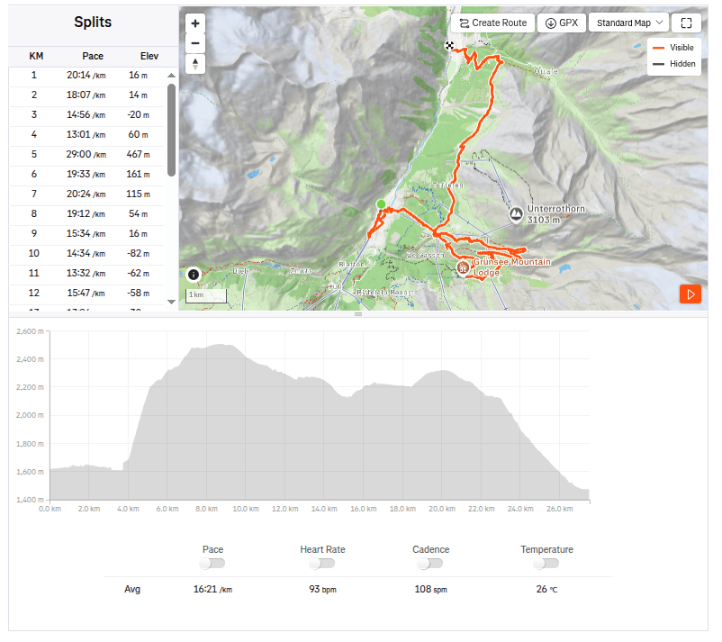
    27.5km, 7:30 active time, 9:59 total, 1319 metres ascend
  • Cesta piatich jazier s výhľadom na Matterhorn

    Cesta piatich jazier s výhľadom na Matterhorn

    Na dnes sma mali naplánované dve možné trasy – kratšiu z Zermattu hore okolo 5tich jazier a naspäť do Zermatu, alebo dlhšiu až do Taschu.

    Matterhorn training

    Ráno sme sa odviezli autom do Taschu, čo je vlastne posledné možné miesto kam môžete ísť autom, ďalej sa dostanete už len pešo alebo vláčikom zo Zermattu. Keďže sme mali na dnes ešte veľké plány, tak sme zvolili vlak. Ide vlastne o kyvadlovú dopravu, ktorá premáva každú polhodinku.

    Prvý výhľad na Matterhorn

    V Zermatte sme počkali na chalanov, ktorí bežali Ultra Trail Monte Rosa, povzbudili sme ich a pokračovali sme smer kopce:)

    Priezračná voda s odrazom kopcov

    Našou prvou výzvou bola tréningová trasa na Matterhorn, jedná sa o 1.1km dlhú trasu z Zermattu k stanici lanovky Sunnegga. Čo z nej robí tréningovú trasu je jej 600 výškových metrov od začiatku do cieľa, čo je naozaj strmo:)

    Ak ju zvládnete do 45 minút, tak ste “Matterhorn fit”, do 55 minút je to na hrane a nad 60 minút ste už mimo hry. Mne sa ju podarilo prejsť za 34 a pol minúty, avšak mala som len plne nabalený bežecký batoh, čo sa asi ako výstroj na metterhorn neráta:)

    Ľadovcová voda v Moosjisee

    Zo Sunnegy už začína chodník 5tich jazier: Tellisee, Grindjisee, Grünsee, Moosjisee, Leisee, ktoré je ktoré Vám už s istotou nepoviem:)

    Okruh okolo nich má 10 kilometrov a v dvoch z nich sa dokonca môžete okúpať. Tento okruh ponúka krásne výhľady práve na Matterhorn.

    Jazierko kde sa mohlo kúpať

    Keďže sme stále mali čas a chuť, tak sme sa rozhodli ušetriť 8 frankov za lístok na vlak a prejsť sa do Taschu peši:) Ide o parádnu výhľadovú prechádzku, keďže sa väčšinu času anchádzate nad hranicou stromov. Trošku znepokojivý bol úsek, kde hrozili kamenné lavíny. N apribližne 900 metrovom úseku sa nachádzali 4 úkryty, kde sa mohol človek schovať, v prípade, že by k takémuto zosuvu došlo. Naštastie sa v čase, keď sme tam boli nič nestalo.

    A ako bonus na záver bol krásny vodopád na začiatku Taschu.

    Vodopád Tasch
    27.5km, 7:30 aktívny čas, 9:59 spolu, 1319 nastúpaných metrov
  • Europahutte and one of Europe’s longest suspension bridges (Switzerland 2026)

    Europahutte and one of Europe’s longest suspension bridges (Switzerland 2026)

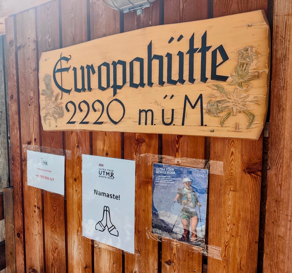
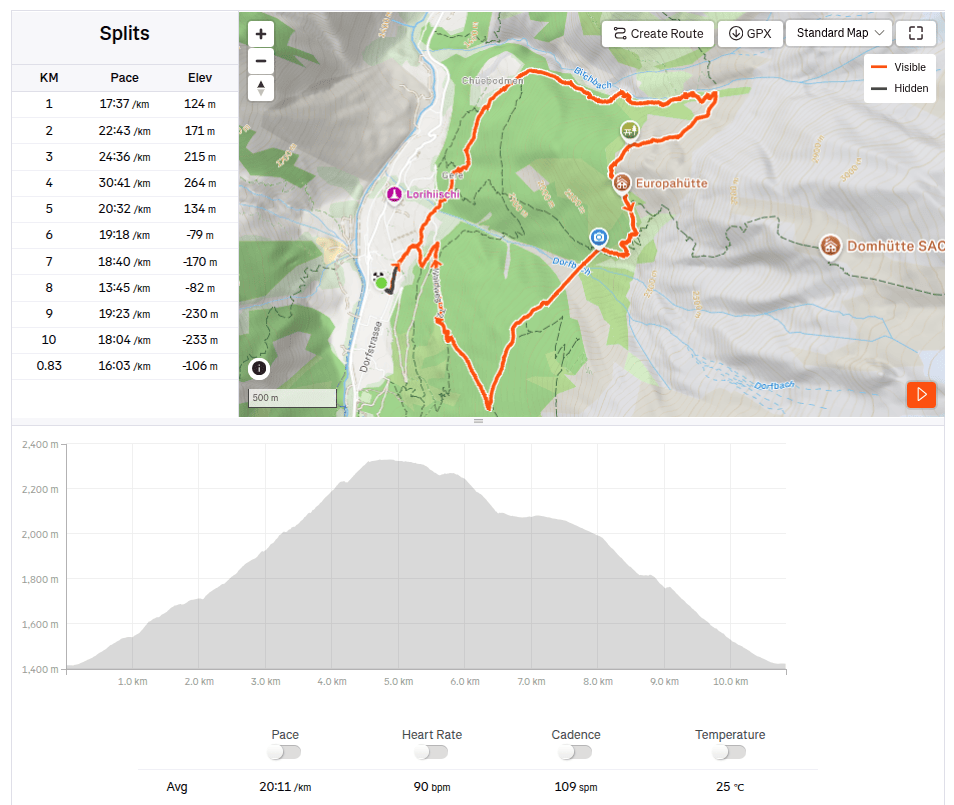
    We set off in the morning from the village of Randa towards the Europahütte. The Europahütte was built by the Randa community in 1999; it offers accommodation for up to 42 people, serves meals, and boasts a beautiful view from the terrace.

    waterfalls above Chuebodmen

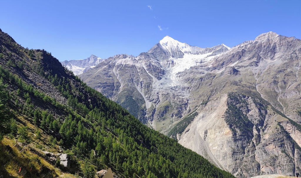
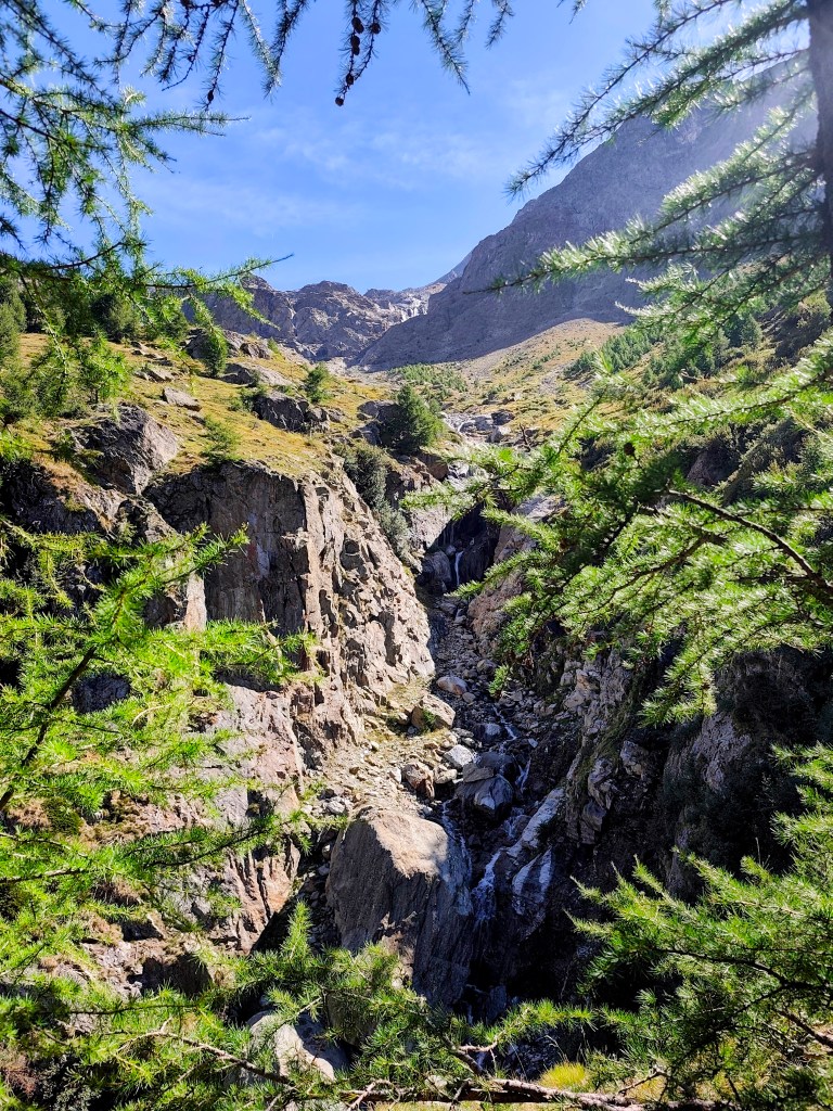
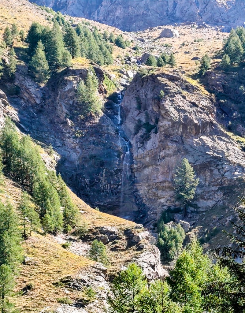
    The Europahütte can be reached via several hiking trails; we chose the route through Chuebodmen, followed by an ascent along the Birchbach stream, which features several waterfalls.

    Waterfall

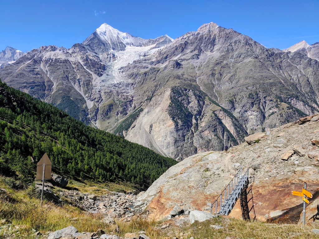
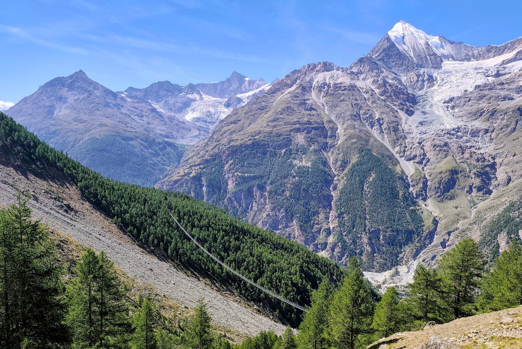
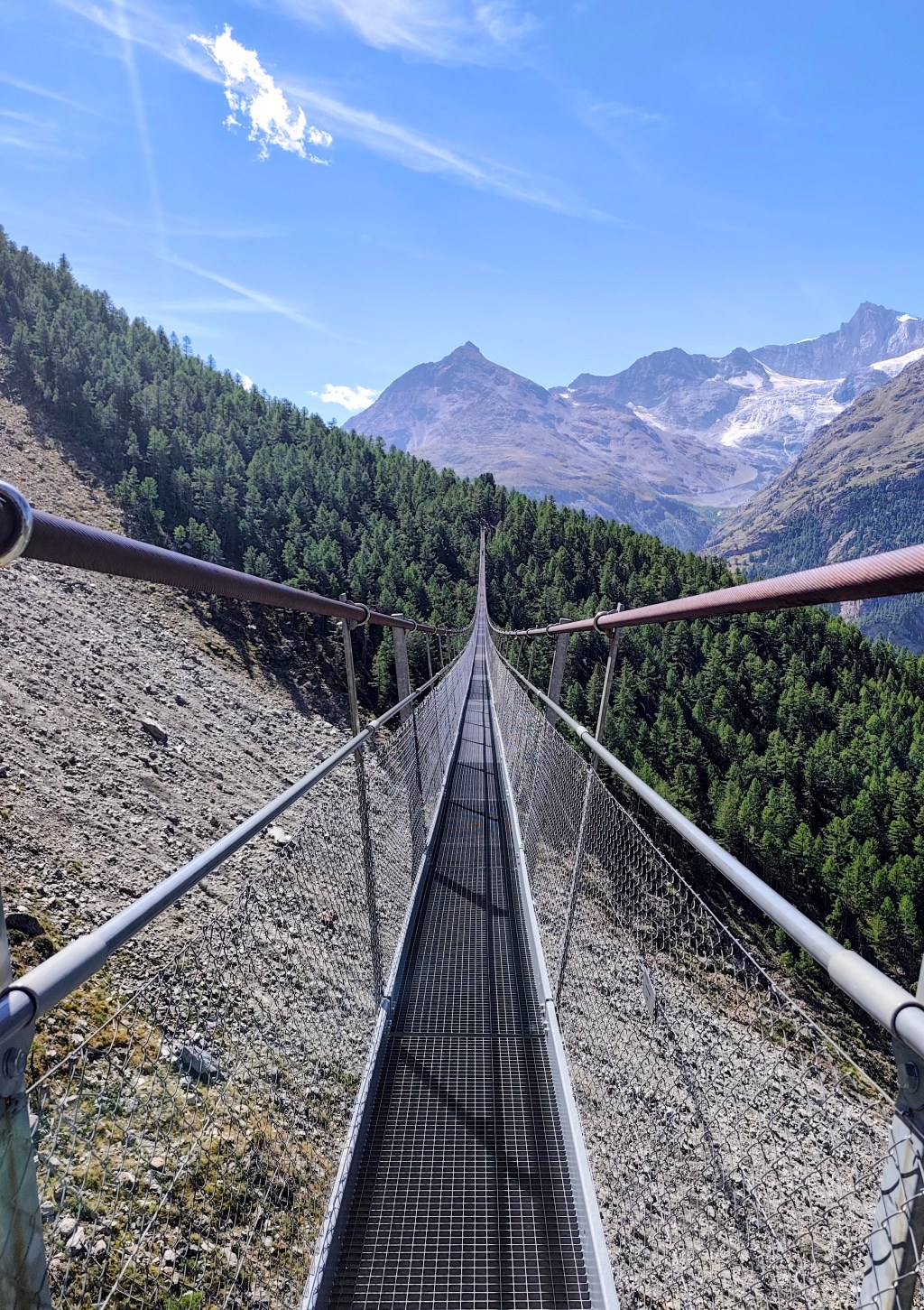
    From Europahütte, we descend to the Charles Kuonen Suspension Bridge (which is no longer the longest, though it held that title for five years).

    The climb is done; the Europahütte is just around the corner.
    A modern metal bridge replaced the original wooden one here.
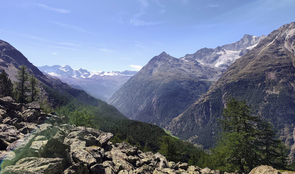
    View to the Zermatt valley
    Europahutte

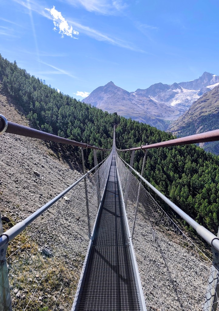
    The suspension bridge measures 500 meters in length, with an 85-meter drop beneath its deepest point. It opened in 2017 to replace the Europabrücke bridge; seven years earlier, that bridge had been destroyed by a rockslide after just two months of operation, forcing hikers to descend 500 meters into the valley—which made the route less attractive and caused visitor numbers to drop.

    The suspension bridge
    Seemingly endless

    Surprisingly, the construction of the bridge took a local company only two and a half months. Incidentally, Charles Kuonen is the owner of a local winery and was the main sponsor of the bridge’s construction.

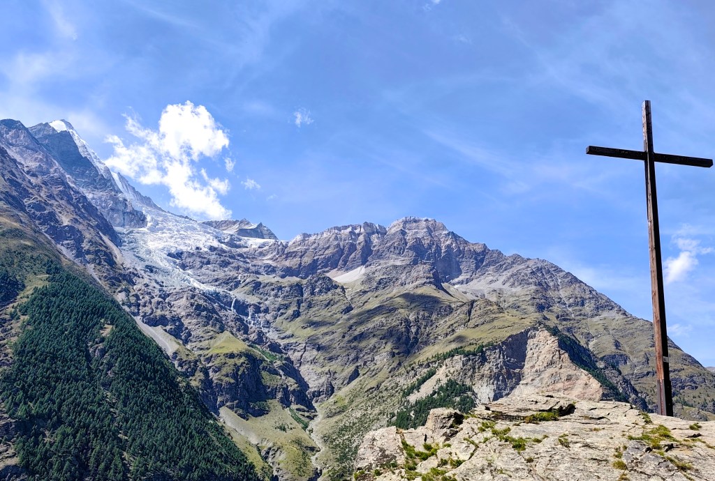
    On the way down, we could still admire the views of the glaciers. Who knows how much longer they’ll be there?
    10.83km, 3:38 moving time, 4:37 total, 949 meters ascend
  • Europahutte a jeden z najdlhších vysutých mostov Európy (Švajčiarsko 2026)

    Europahutte a jeden z najdlhších vysutých mostov Európy (Švajčiarsko 2026)

    Vyrazili sme ráno z dedinky Randa smerom na Europahutte. Europahutte bola vybudovaná komunitou ľudí z Randy v roku 1999 a ponúka možnosť prespania až pre 42 ľudí, taktiež tu varia a z terasy je krásny výhľad.

    Vodopády nad Chuebodmen

    Na Europahutte je možné dostať sa viacerími turistickými trasami, my sme zvolili trasu cez Chuebodmen a potom stúpaním popri riečke Birchbach, na ktorej je aj niekoľko vodopádov.

    Vodopád

    Z Europahutte schádzame dole k (momentálne už nie najdlhšiemu, ale 5 rokov ním bol) vysutému mostu Charlesa Kuonena.

    Vystúpané, Europahutte je už len za rohom
    Pôvodný drevený most tu nahrádil moderný kovový
    Výhľad do údolia Zermatu
    Europahutte

    Meria 500 metrov a v najhlbšom bode je pod ním 85 metrov. Otvorený bol v roku 2017 ako náhrada za most Europabrucke, ktorý sedem rokov predtým len po krátkych dvoch mesiacoch fungovania zničil zosuv skál a turisti tak museli zostupovať 500metrov do údolia (čím sa trasa stávala menej atraktívnou a počet návštevníkov klesal).

    Vysutý most
    Zdanlivo nekonečný

    Prekvapivé je, že výstavba mostu trvala miestnej firme len dva a pol mesiaca. Mimochodom Charles Kuonen je majiteľom miestneho vinárstva a bol hlavným sponzorom pri stavbe tohto mosta.

    Cestou dole sme sa ešte mohli kochať výhľadmi na ľadovce. Kto vie ako dlho tu ešte budú?
    10.83km, 3:38 aktívny čas, 4:37 spolu, 949 nastúpaných metrov
  • Jegihorn (Switzerland 2026)

    Jegihorn (Switzerland 2026)

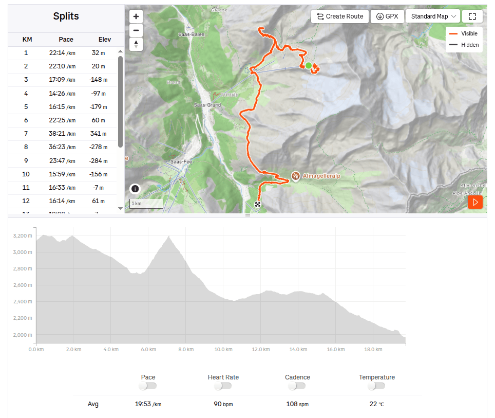
    In the morning, we drove from Grächen to Saas-Grund, where we bought one-way cable car tickets to Hohsaas (the adult fare was 37 francs). The cable car took us from an altitude of 1,550 meters up to a stunning 3,140 meters, saving us half a day of hiking 🙂

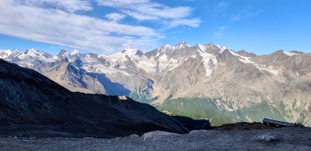
    View from the upper cable car station

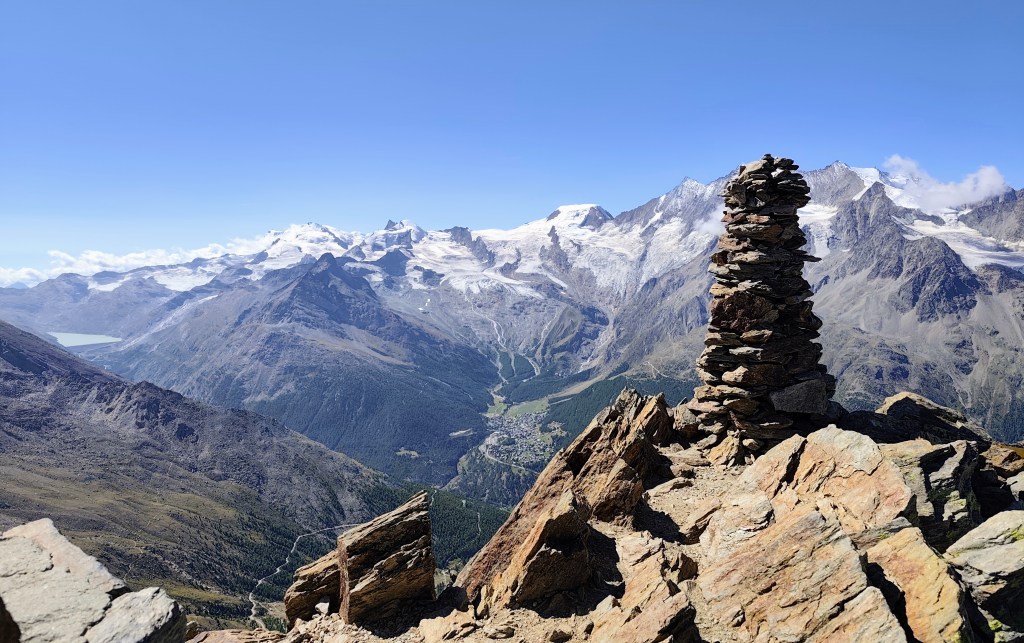
    Not far from the cable car, you will find the Hochsaas mountain hut as well as a circular trail that took us past the 18 peaks of the Saas Valley that rise above 4,000 meters.

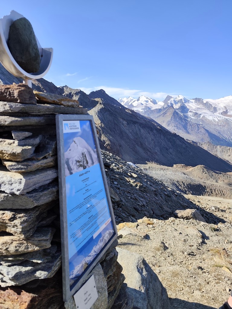
    There are information boards here where we could read about the specific characteristics of the peaks, as well as historical milestones—such as when a particular peak was first summited.

    Mattmark in the background

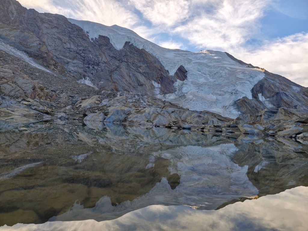
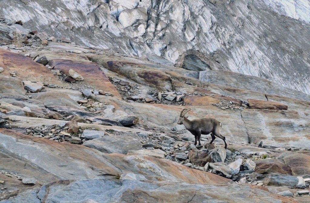
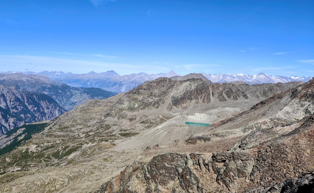
    We also walked past a small glacial lake, and a young capricorn posed for us; it wasn’t afraid of us at all and allowed us to approach within just about 20 meters.

    Capricorn

    The next item on the itinerary was Jegihorn, which I was a bit affraid of, as the maps marked it not as a hiking trail, but as an easy climbing route.

    From Jegihorn

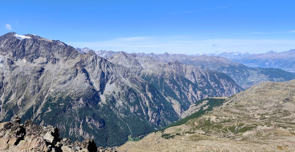
    By the way, the highest via ferrata in Switzerland also leads up it. Jegihorn stands over 3,200 meters tall and offers a magnificent panoramic view of the surrounding area.

    Glacial lake – Fellsee

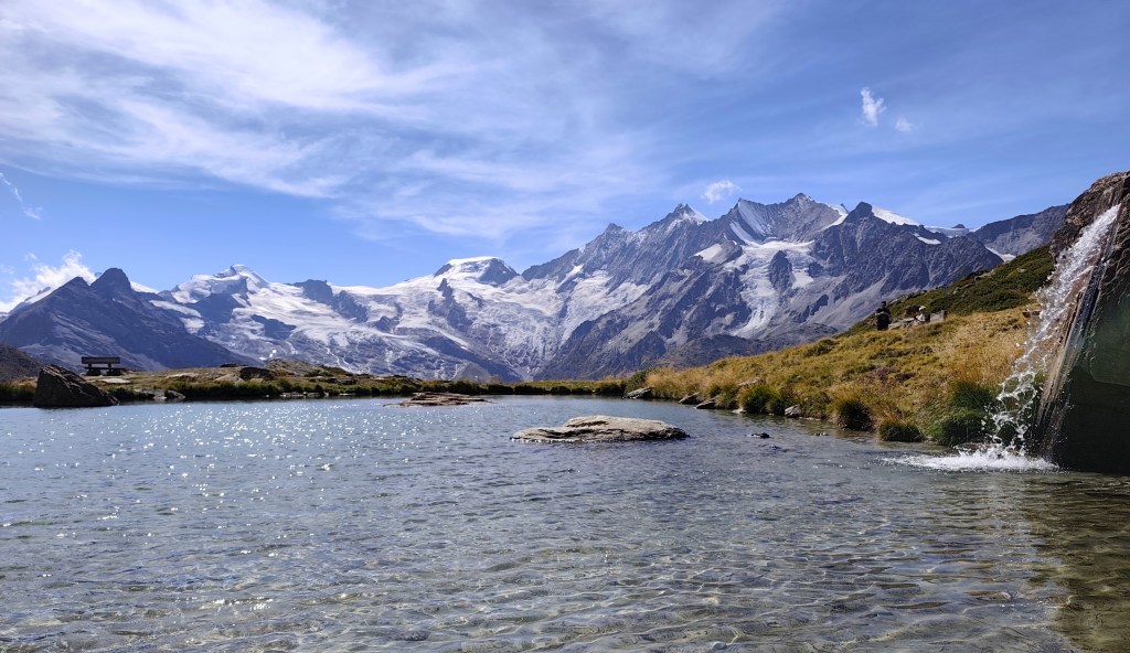
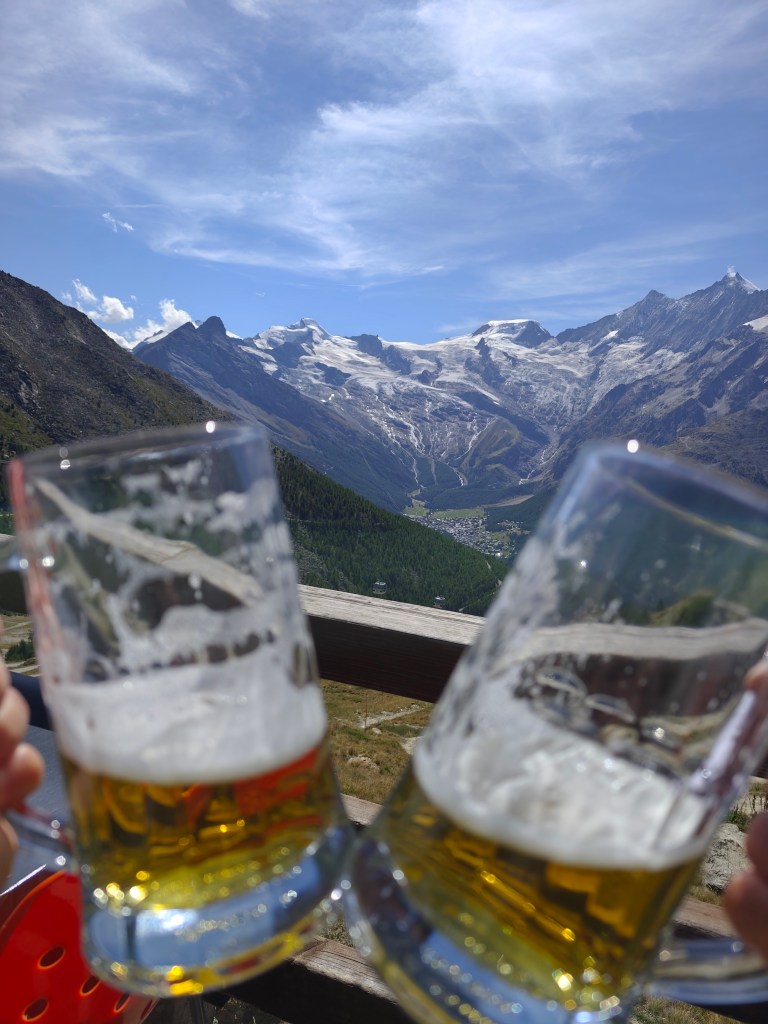
    We descend from Jegihorn to Kreuzboden, admire the reflection of the mountains in the small lake, and enjoy our only draft beer of the entire trip to Switzerland 🙂

    View on Saas Fee
    One of the most beautiful views of the 4,000-meter peaks above the Saas Valley.

    We aren’t ready to head home just yet, though, so we opt for a detour via the Alpenblumenpromenade towards AlmagellerAlp.

    On the Alpenblumenpromenade

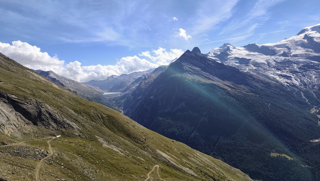
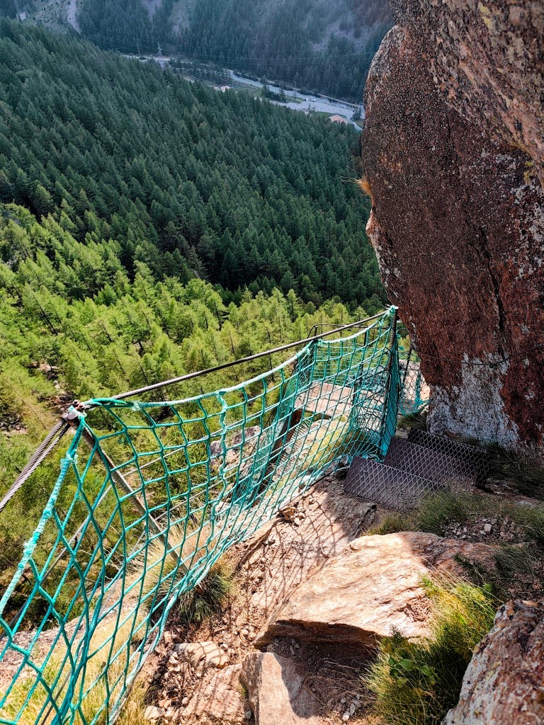
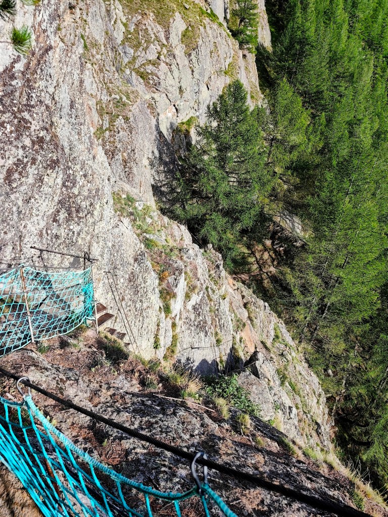
    Along the way, we are also treated to a view of the Mattmark Reservoir. We return to Saas-Almagell via the “Adventure Trail”—a route that is technically more demanding but far more interesting.

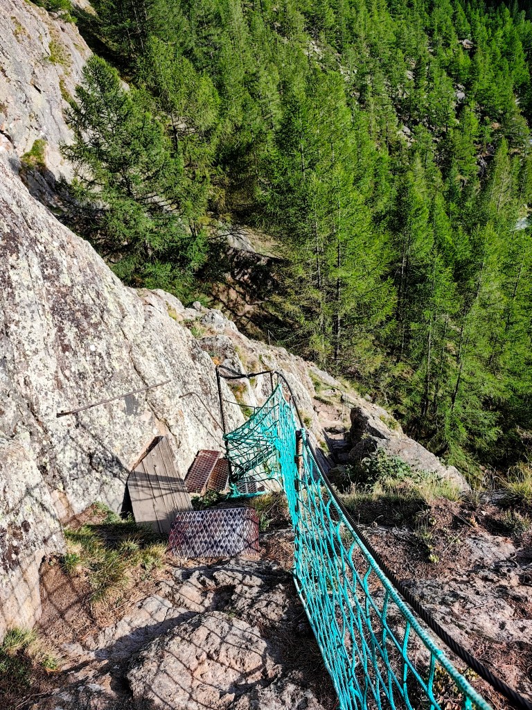
    It leads across two suspension bridges, ladders, and peg-style steps, making for a fantastic finale to a great day.

    19.73km, 6:32 moving time, 9:07 total, 918m ascend