Tag: adventure

  • Tlstá, Ostrá

    Tlstá, Ostrá

    These two peaks are among the most sought-after and popular climbs.

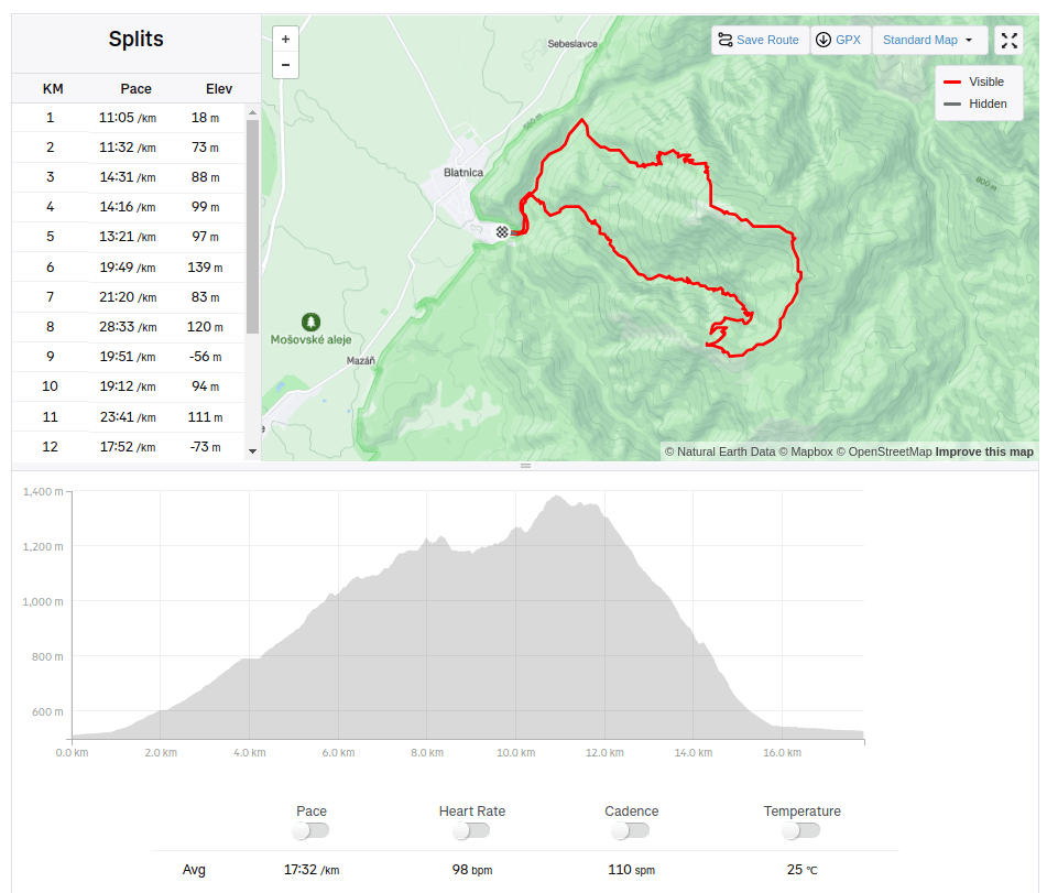
    You will start the climb from Gaderská dolina. Take the asphalt road towards the ruins of Blatnický hrad, until you reach the Mouth of the Vápenná Valley. From there, continue along the blue mark.

    You will be surrounded by beautiful rock overhangs and terraces. The biggest attraction of this road and Vápenná Valley, however, is the Mažarná cave, which is located about halfway up the Tlstá hill. The Mažarná cave is one of the largest in the Veľká Fatra, with a beautiful and at the same time impressive entrance gate almost 130 m long. The cave is not only interesting for its shape, but also for its significant archaeological discoveries. They found the remains of a cave bear and evidence that the cave was inhabited by humans in the Neolithic period.
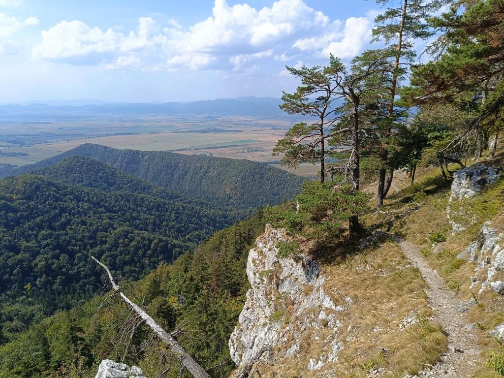
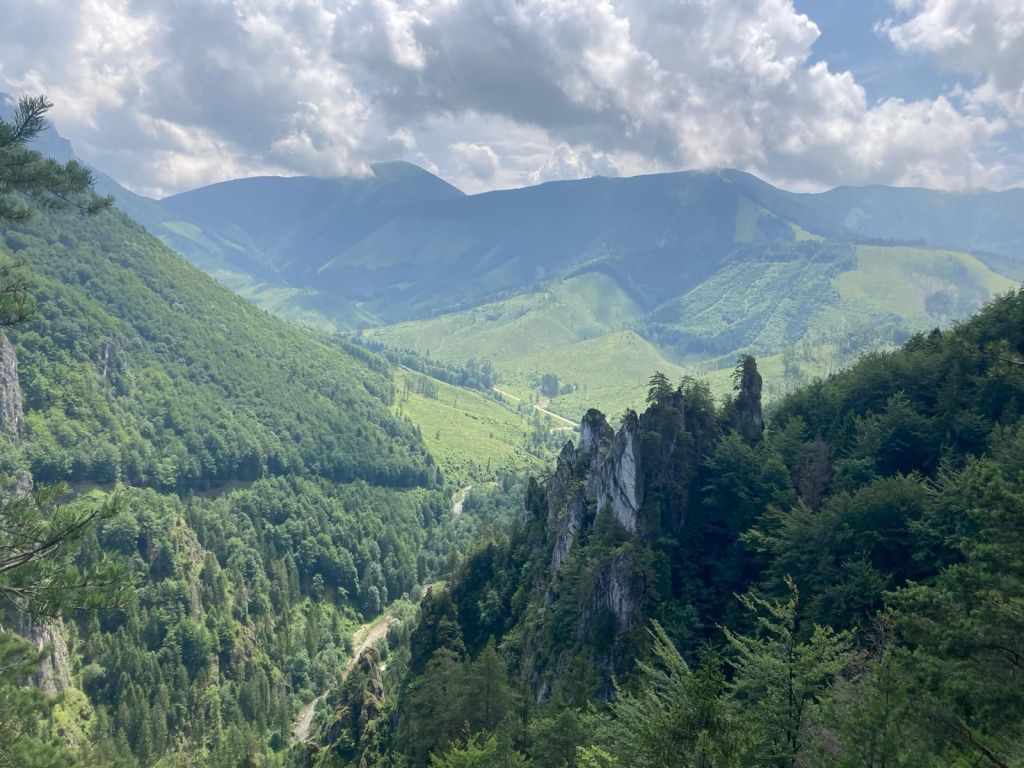
    First views above Mažarná cave.

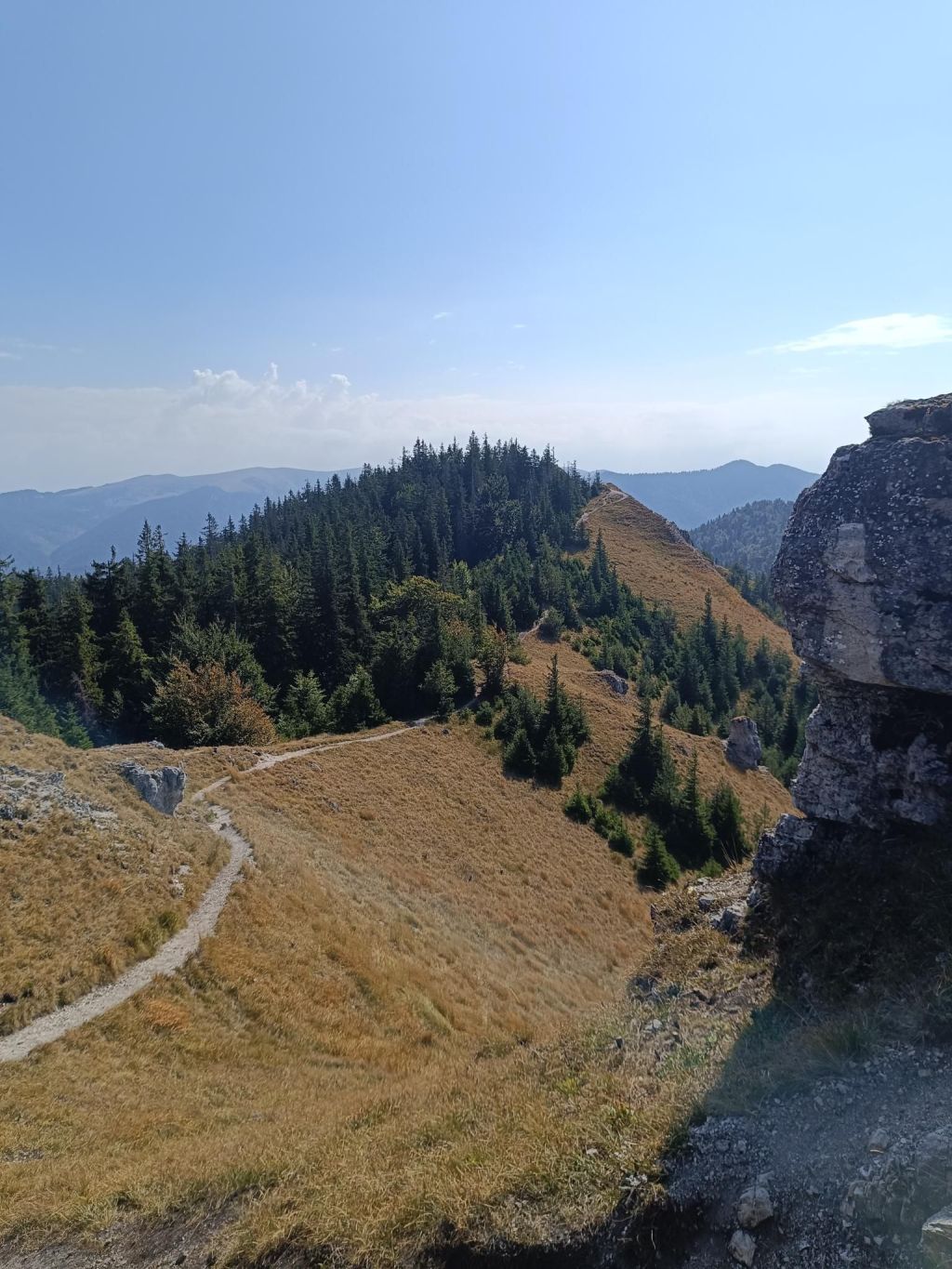
    On the way to the top, notice the sign Tlstá and you will find out what it owes its name to. It is a massive hill with a large meadow, which is held by huge rocks.

    From the top itself you will see the entire Turčianska kotlina, Malá Fatra with all the peaks such as Kľak, Veľká lúka, Malý or Veľký Kriváň
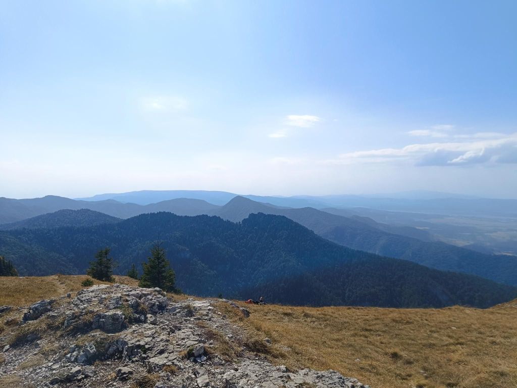
    The top of Tlstá hill.

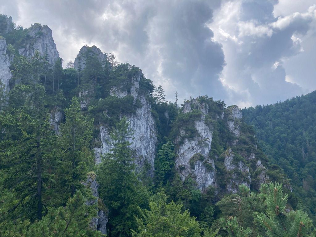
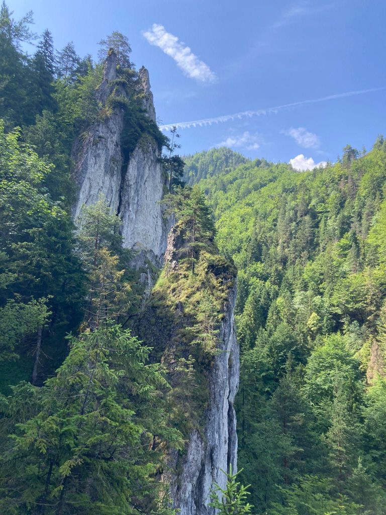
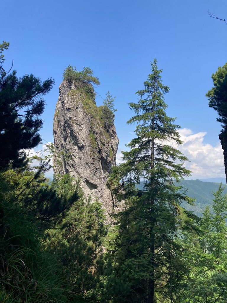
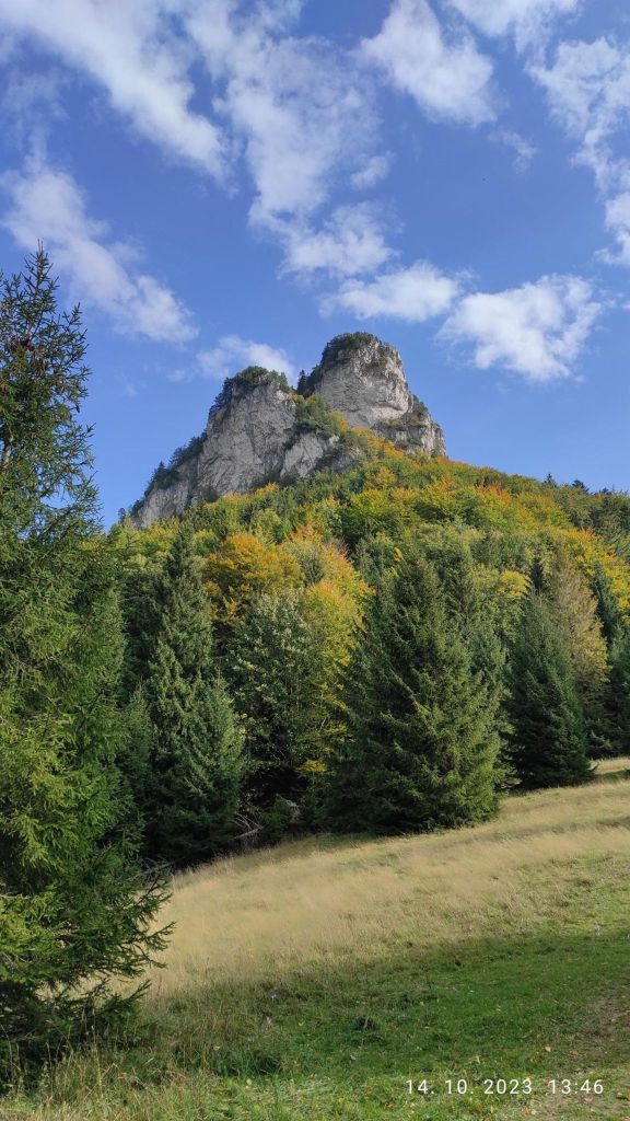
    From Tlsta you will notice a rock, it is said that Ostrá has one of the most beautiful rocky peaks not only in the Veľká Fatra, but in the whole of Slovakia.

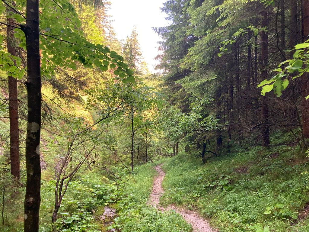
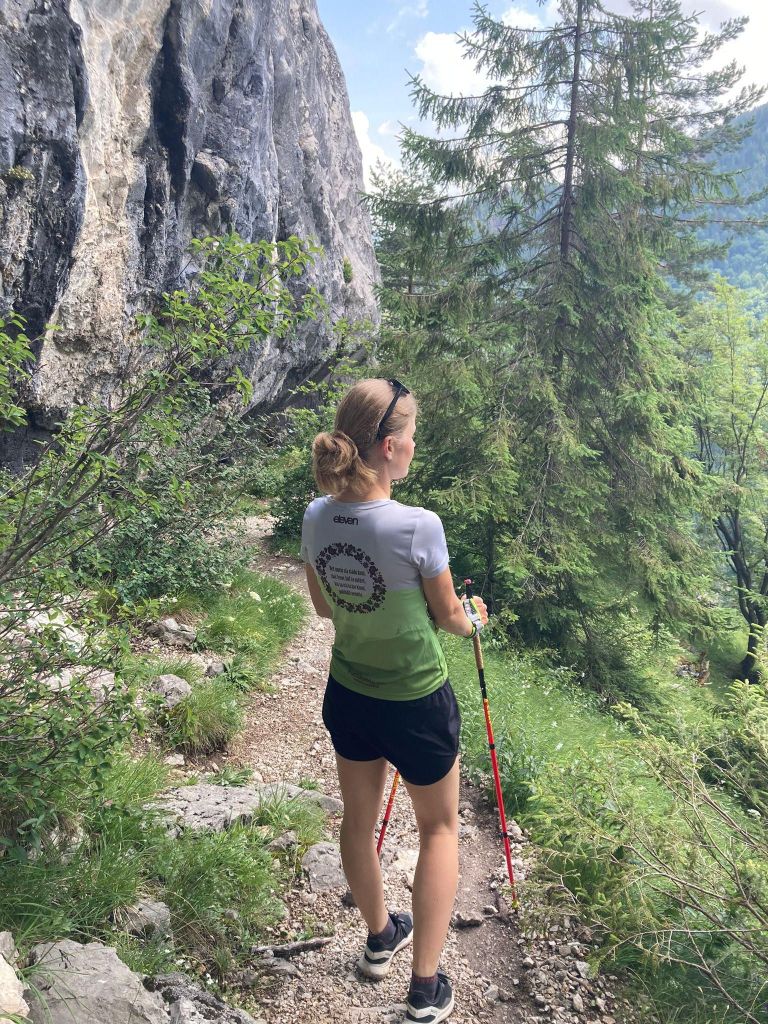
    You will take an approximately 30-minute walk along the ridge to the Ostrá peak, the route is marked with a green sign. In places you will walk along a narrow path and all the hills will be below you. A beautiful coniferous path with a gentle descent will take you to the eastern part of the Zadná Ostrá peak, from which you will continue to Ostrá, which is just a jump away.
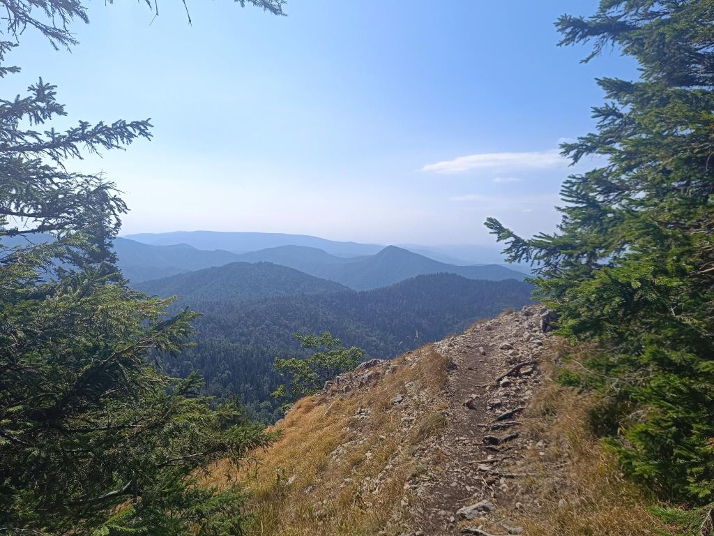
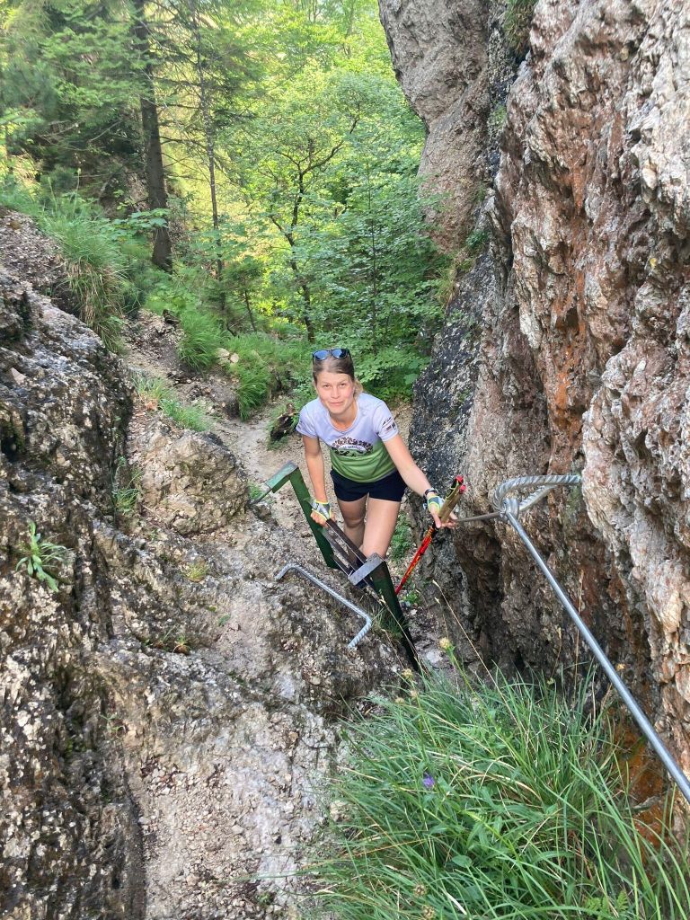
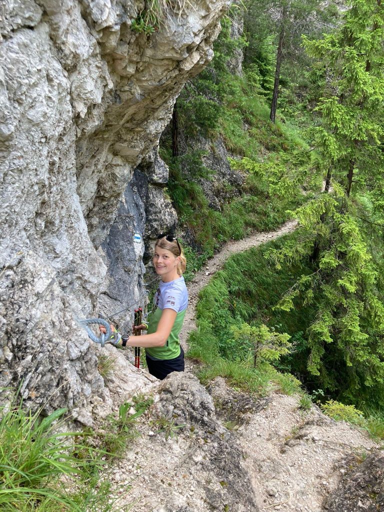
    The final ascent to Ostra is a rocky climb connected by a chain link walkway. Then you will reach a rocky window that you have to climb through.
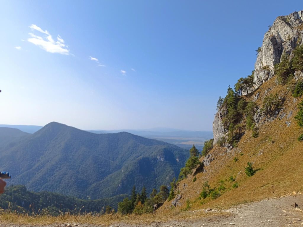
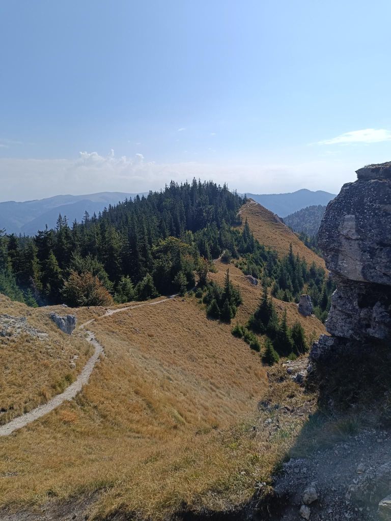
    Ostrá is on the right
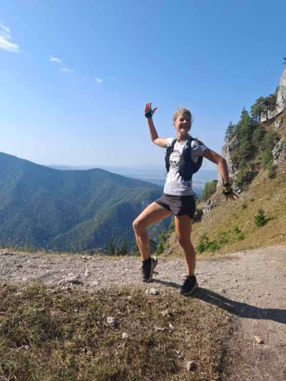
    There are plenty of views
    Happiness
    17.85km, 1053m ascent, 5h 45min
  • Obšívanka

    Obšívanka

    If you are looking for a little-visited and very attractive tourist spot in the vicinity of the village of Terchová, definitely plan this route. The Obšívanka Valley is beautiful and technically demanding in places. The entire route to Malé nočěhy and back via the Zbojnícky path is full of surprises that will truly enchant you.
    The hike through Obšívanka offers many breathtaking and beautiful views, passes through rock terraces and the wild canyon of Tiesňava.

    The route is secured with chains and climbing ropes.
    It is surprising that visitors consider this place the most attractive in the entire Malá Fatra, yet it remains undiscovered for many. The beginning of the Obšívanka valley is somewhat reminiscent of Jánošikove diery, but the frequency of tourists here is minimal.

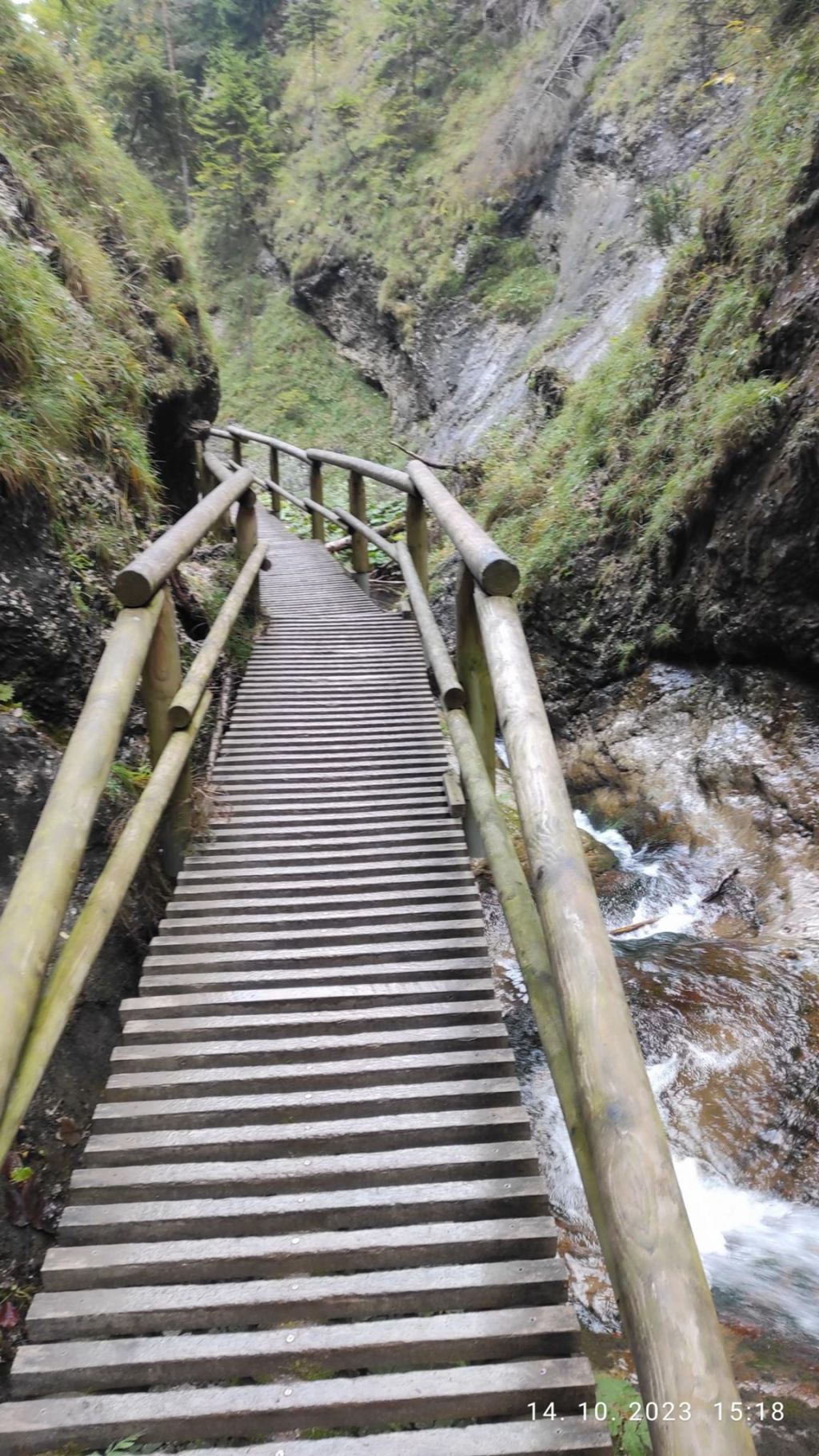
    And there are stairs. A lot of them.. Around 1734:D

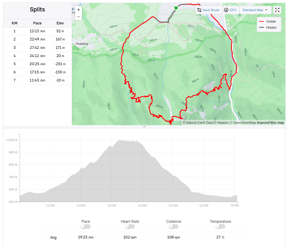
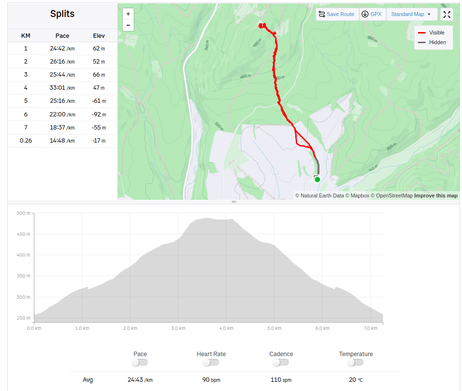
    7km, 545m ascent, 2h 19min
  • Gýmeš castle (with David)

    Gýmeš castle (with David)

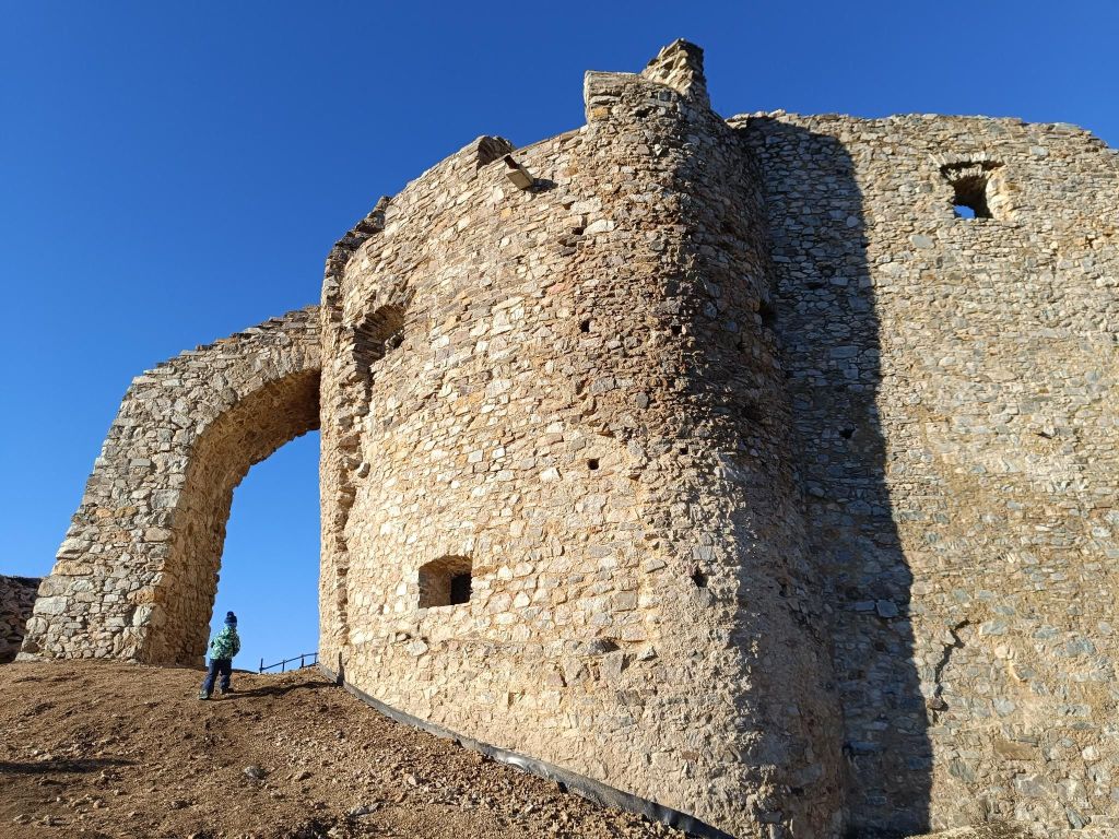
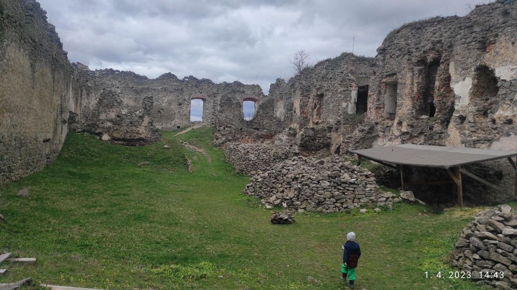
    Gýmeš is a castle ruin on the steep quartzite hill Dúň (514 m above sea level) on the southern slope of the Tribeč Mountains, approximately 5 km north of the village of Jelenec (Gýmeš). The ruin is a prominent landmark of the wide surroundings. Gýmeš is one of the ancestral castles of the noble Forgáč family – together with the Galician Castle.

    The castle was built in the 13th century and was one of the last where construction work was still underway in the 18th century. Gýmeš was finally abandoned only in the 19th century.

    There are several theories about the origin of the name. The word “gím” meant deer in Old Hungarian. The second version also speaks of the folk name of the hill “Dym” and from this name the village of Dýmeš, later Gýmeš, was also named.

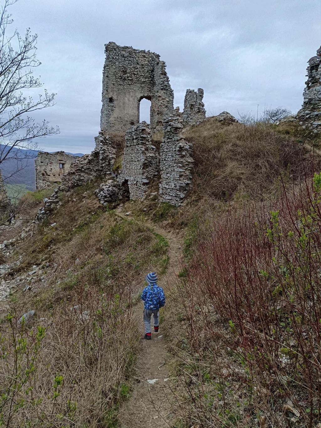
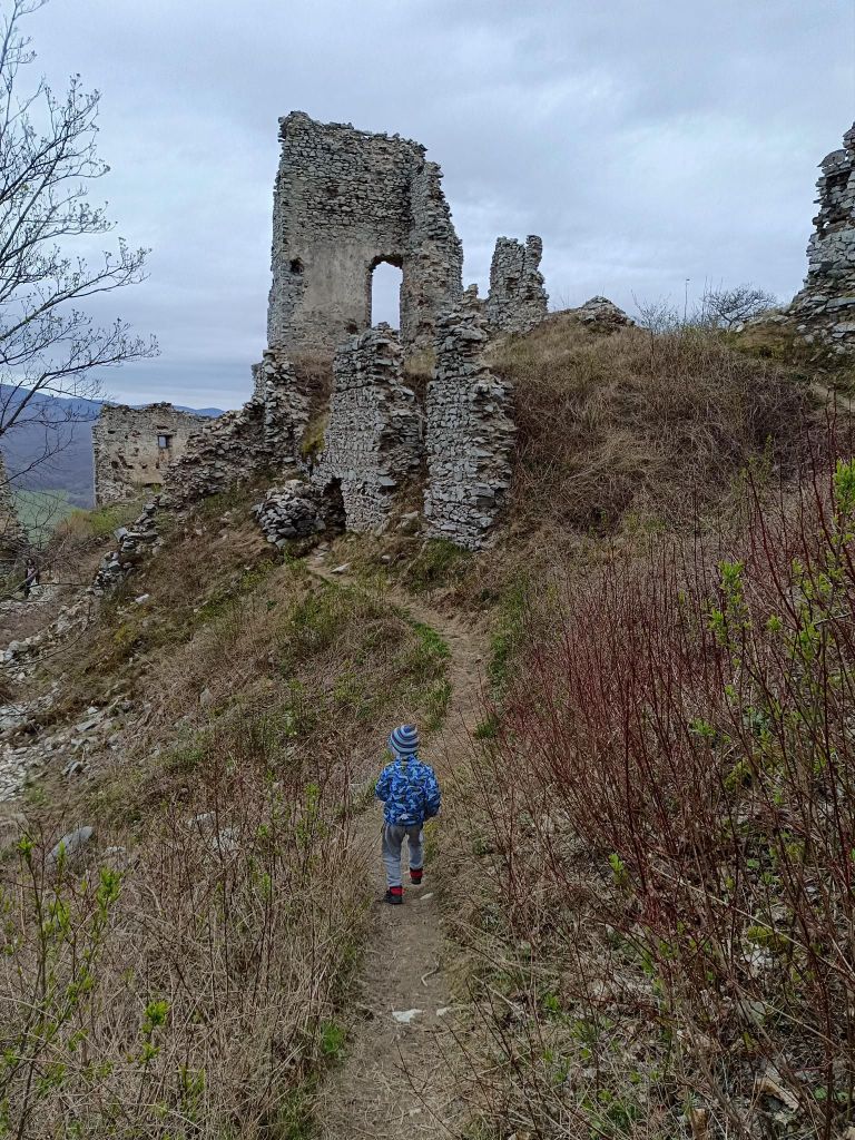
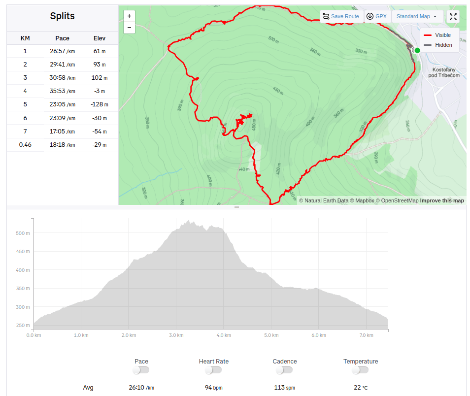
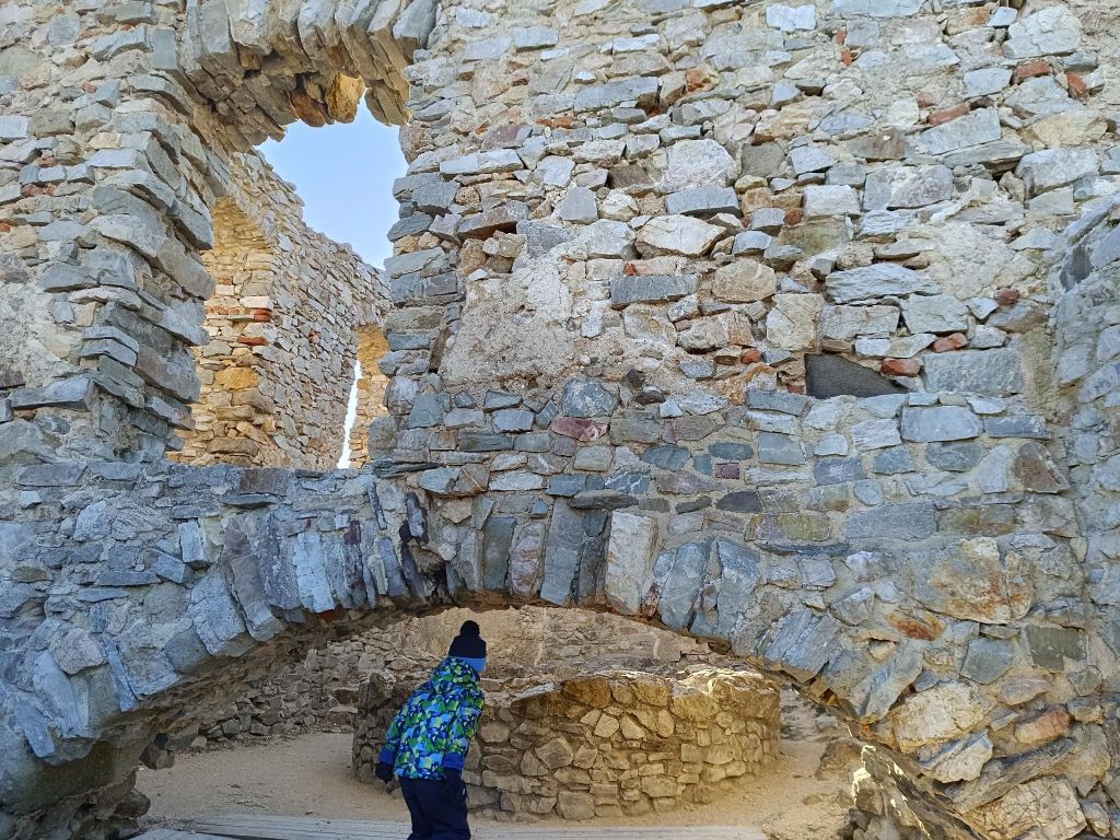
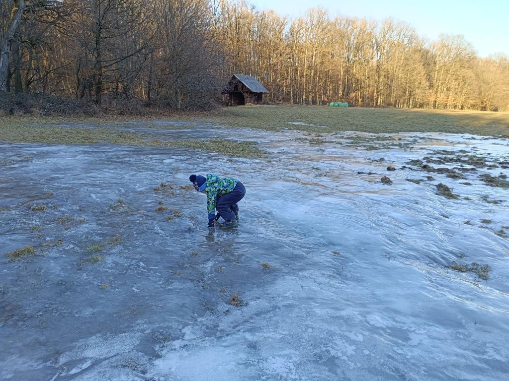
    We started from village Kostoľany pod Tribečom and made a circular hike. David was 4 years old at that time.

    He likes ruins, but a nice castles with commented tours are boring for him.
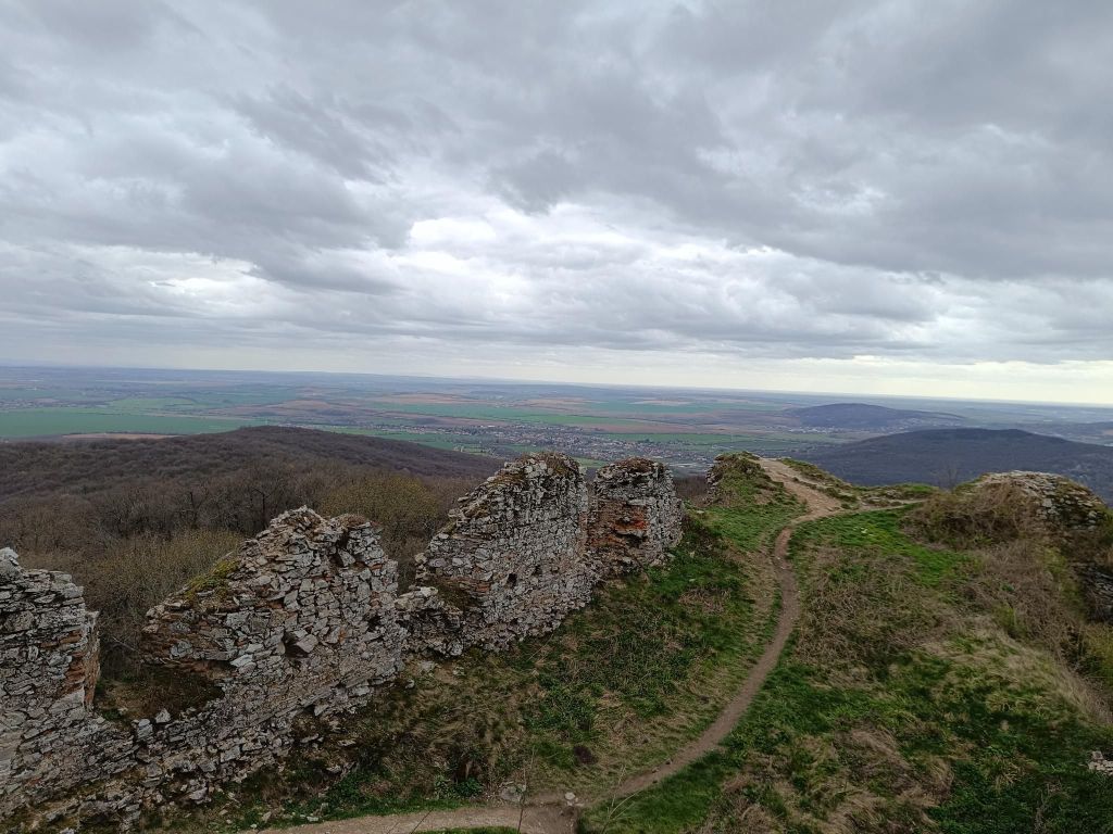
    the views are worth it too
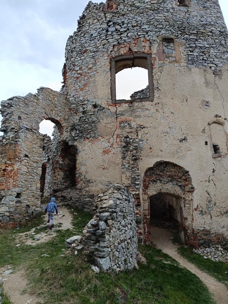
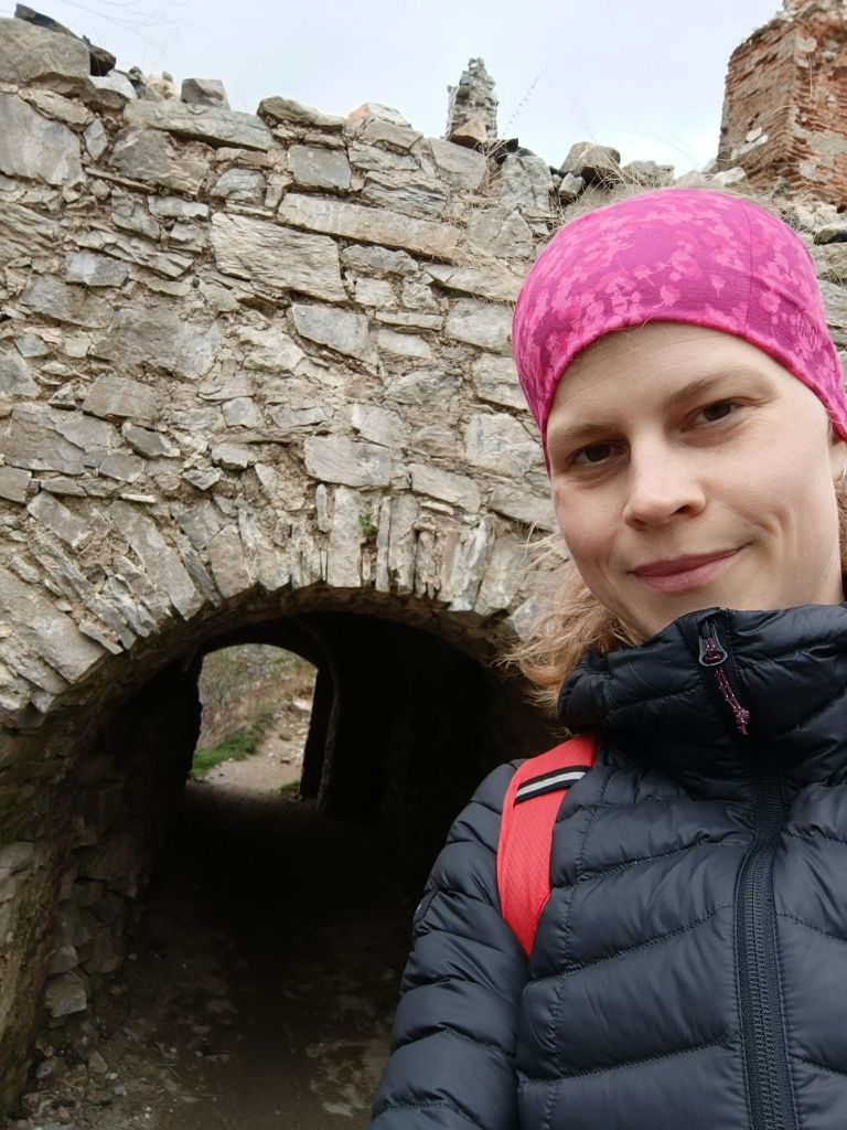
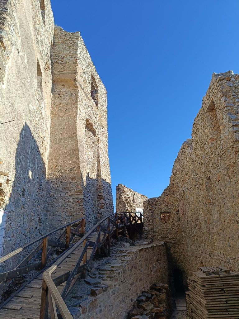
    Some passages are still standing
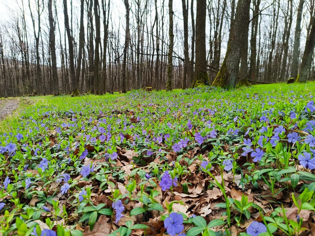
    If you pick the right time, flower beds like this are lining the path
    7.46km, 313m ascent, 3h 24min
  • Hrušov castle (with David)

    Hrušov castle (with David)

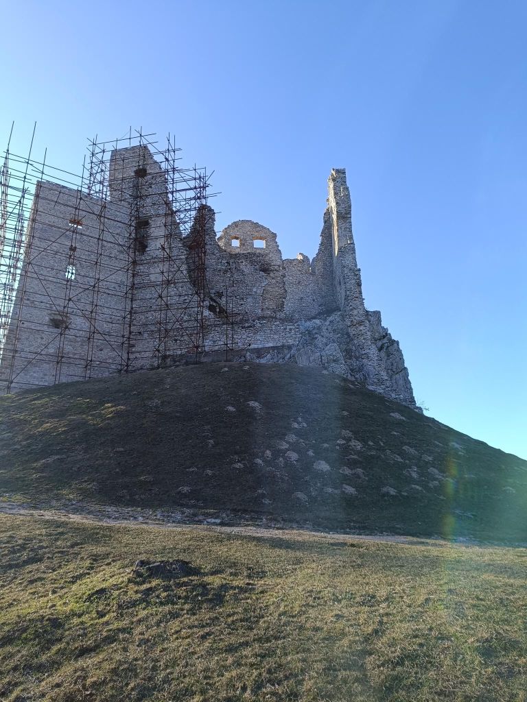
    Several kilometres north of Topoľčianky in the Tribeč Mts. in west of Slovakia are the ruins of the Hrušov Castle towering on top of the Skalka Mt. at the height of 488 m.

    This royal castle built in the 13th century guarded the trade road passing over the mountain range Tribeč. It was destroyed by the Imperial army in 1708 and is in decay since then. However, its surviving walls induce a romantic atmosphere and provide a nice panoramic view of the Tribeč and Pohronský Inovec Mts.

    We started from village Hostie, which isn’t classical starting point, but the walk was really nice.

    David was 4 years old at that time.

    It is a lot of fun out there
    7.26km, 240m ascent, 3h 10 min
  • Jánošíkove diery (with David)

    Jánošíkove diery (with David)

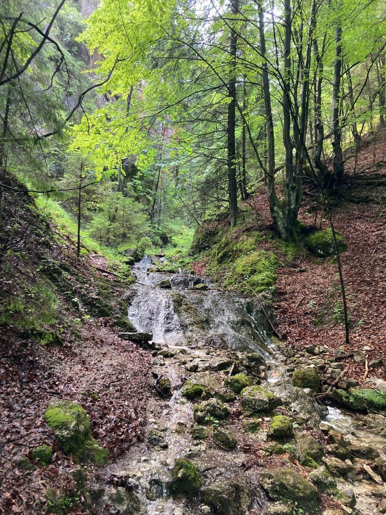
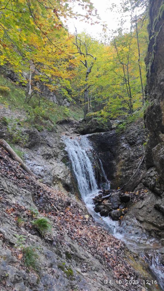
    Jánošíkove diery are located in the Rozsutec National Nature Reserve. They consist of three integral parts: Dolné diery, Nové diery and Horné diery. The Hlboký stream flows through them, which formed them. There are more than twenty waterfalls. Bizarre rock formations with a specific climate are home to several interesting species of plants and animals.

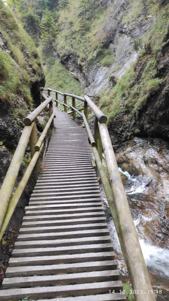
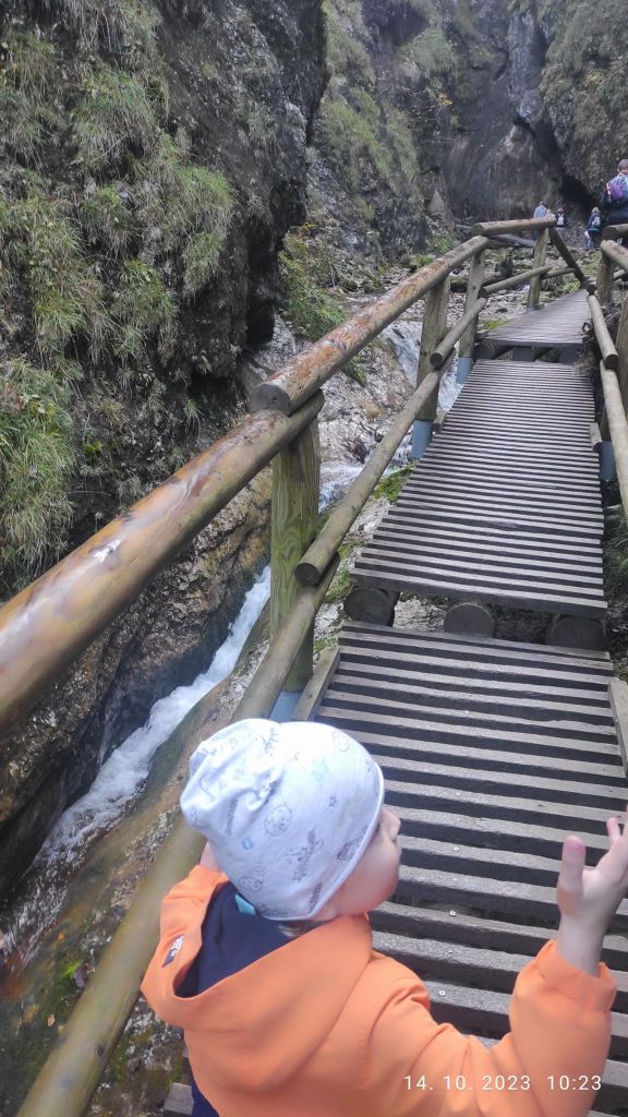
    The starting point for Diery are the settlements namely Biely potok (Hotel Diery) and Štefanová. Jánošíkove diery is accessible by attractive marked hiking trails with footbridges, ladders and chains.

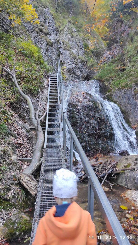
    Some ladders reach a height of 12 to 15 m

    David was 4 years old at that time.

    I hope he will love nature as much as I do
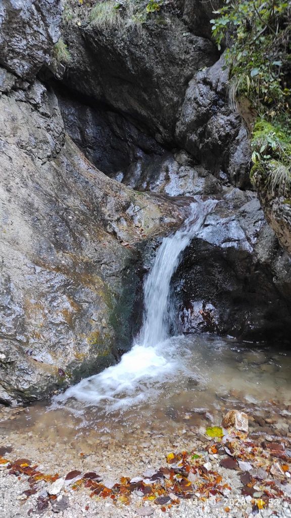
    Lots of waterfalls

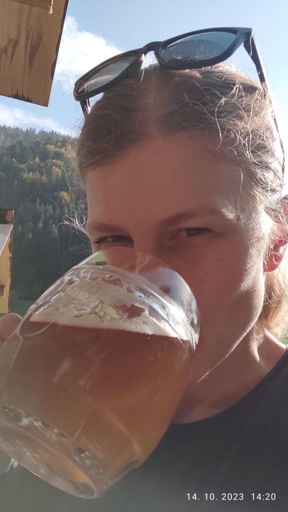
    Between Dolné and Horné diery there is Podžiar. Here you can find a resting place with a small shed, where you can buy some refreshment. Yeah, I like beer, so gues what?

    It taste even better outdoor
    view on Poludňové rocks from Podžiar
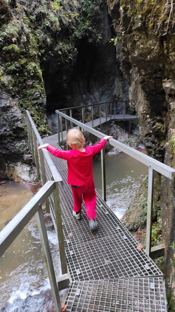
    He really enjoyed the ladders, don’t stop even for a second
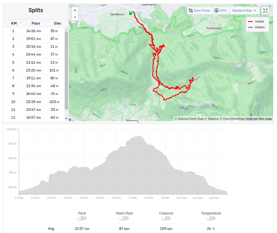
    12.82km, 471m ascent, 4:41 moving time, 6h 4min total
  • Čabraď castle (with David)

    Čabraď castle (with David)

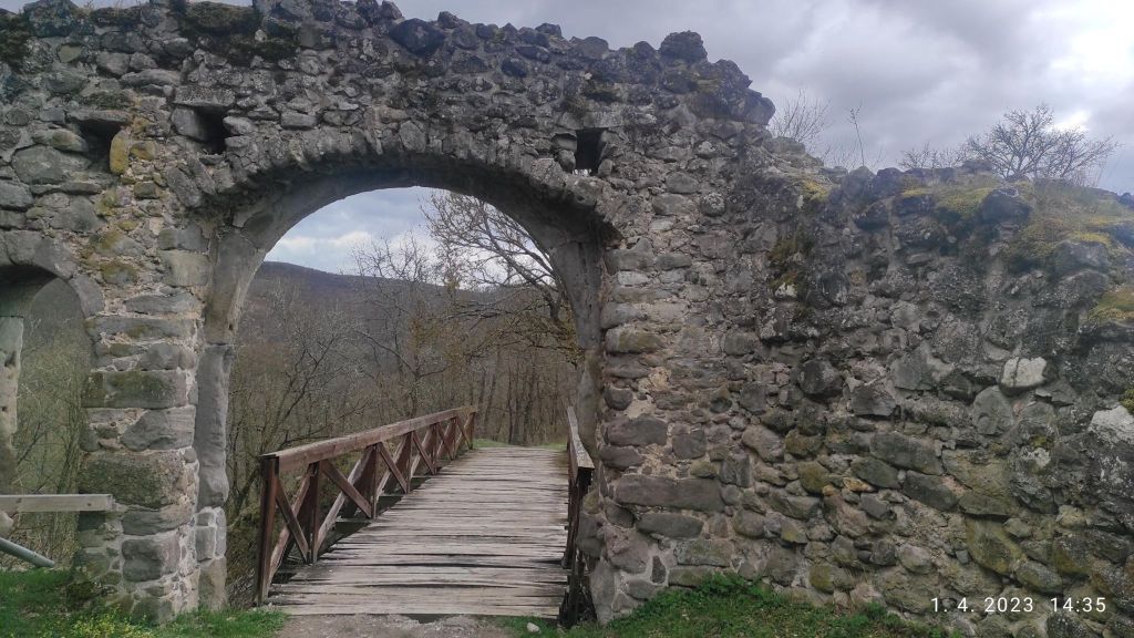
    Čabraď or Litava is a castle ruin located near the village of Čabradský Vrbovok in the middle of the Krupinská plain on a hill above the Litava valley. Originally, this castle was called Litava.

    It was built in the 13th century and the first written mention dates back to 1276. It belongs to a group of Central Slovak castles, the purpose of which was to protect the roads leading to the mining towns. In the second half of the 16th century, it was an important anti-Turkish fortress and the Turks tried in vain to conquer it several times. Its medieval core consisted of a central tower protected by four bastions and a castle palace, which stood above a well-controlled curved entrance to the upper courtyard. The last reconstructions in the 17th century transformed the inner castle into a comfortable manor house. When the Kohári family moved to a newly built, luxurious house in Svätý Anton in the 18th century, the importance of the castle rapidly declined. The decline was accelerated by the fact that the owners themselves had it set on fire in 1812 to prevent the castle from being occupied by marauding knights. The castle also includes a granary, which was added to the castle grounds in the 19th century. In the last drawings from the 19th century, it can still be seen as a functional building, but today, together with the castle, they are already ruins.

    David was 3 years old at that time.

    drawbridge at the entrance of the castle
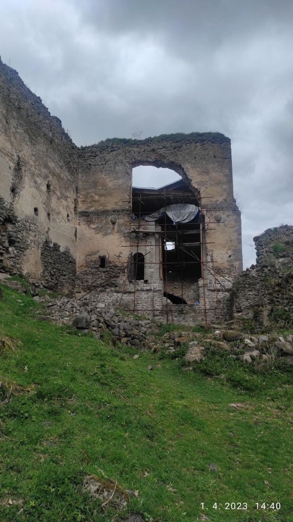
    the ruins
    maybe it will be reconstructed some day
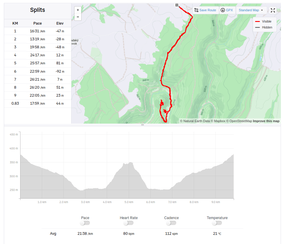
    9.83 km, 248m ascent, 3h 46min
  • Hochsaas (Switzerland)

    Hochsaas (Switzerland)

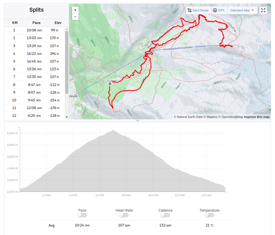
    From Triftalpt, through Kreuzboden, Weissmies hutte to the upper cable car station Hochsaas.

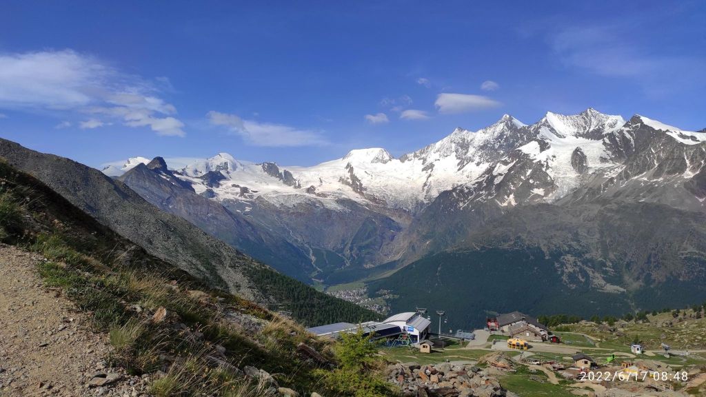
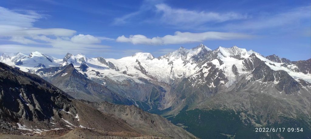
    Kreuzboden from above, with 4000m high moutains in the back
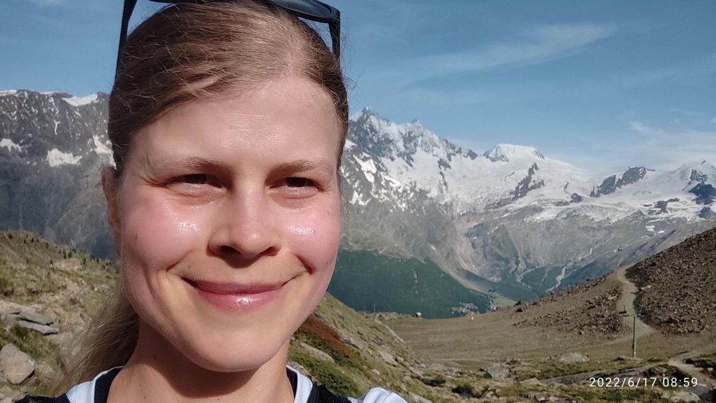
    500m ascend and I am completely wet and just happy that I can be there

    The Weissmieshütte of the SAC Olten section is located at 2726 m above sea level on a sun terrace above Saas Grund and with its panoramic view of 18 four-thousand-meter peaks it is one of the most beautifully situated mountain huts in the Valais.

    It is the starting point for the four-thousanders Weissmies and Lagginhorn, the almost four-thousand-meter Fletschhorn, the sport climbing routes in the Jegihorn south face, the highest fixed rope route in the Alps, the Gsponer Höhenweg as well as numerous ski and snowboard tours. And the man that work there is a runner too! I must admit, that he outrun me 😀

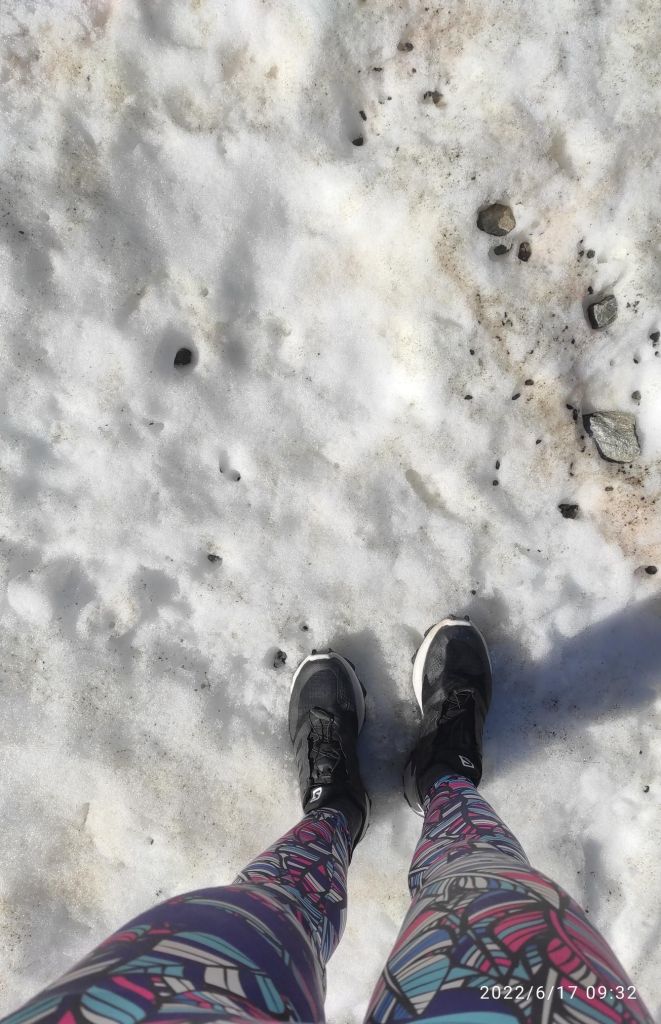
    Then the path started to cross a snowfields, i was lucky that the sun wasn’t strong enough yet to melt the snow more

    Snow in the middle of june
    From Hochsaas

    In Hochsaas there is a restaurant, cable car station and mostly unforgettable view of the Monte Rose massif and the imposing mountains of the Saas Valley. There is a starting point for the glacier hike on the Trift glacier.

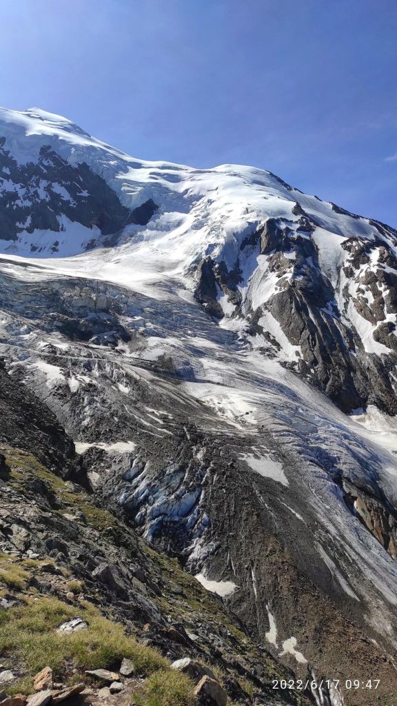
    Trift glacier
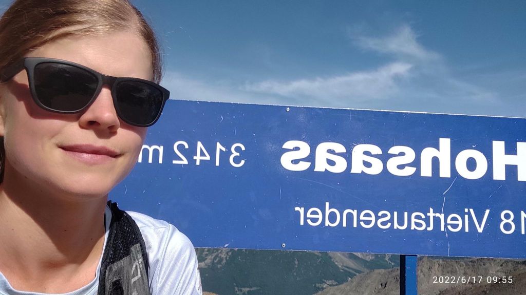
    My highest point
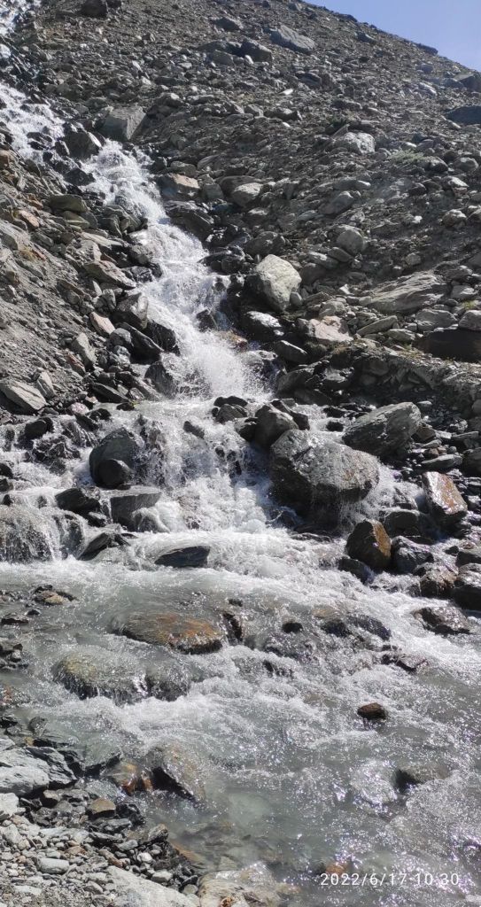
    Sometimes you just need to cross a small, really cold river. I took my shoes off and almost froze to death:D
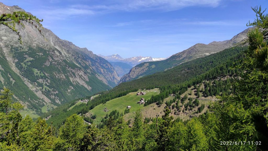
    Down there is completely another world, greener, more alive, more breathable for me:)

    I love running, I love that feeling, that I need just my legs to go somewhere, I love every part of it. When my thighs are burning, my heart is beating fast, lungs are full of fresh air, but what I love most is that feeling when you stand up there and you can tell yourself I made it, every step however hard it was, was worth it.

    And then there are that enjoyable descends, or singletrails, or views. There is a lot of beauty in it for me.

    15.42km, 1019m ascent, 2h 47min
  • Fellsee (Switzerland)

    Fellsee (Switzerland)

    I really love Switzerland, the majestic mountains, breathtaking views, steep hills, alpine streams, everything…

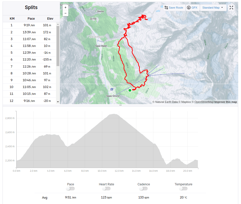
    Starting at Triftalp above Saasgrund, where I was visiting my brother, who worked there during the summer season. Triftalp is the main alpine pasture in the municipality of Saas-Grund. Every year it is farmed with dairy and Ering cows between mid-June and mid-September. The milk produced is used to make cheese directly on the alp.

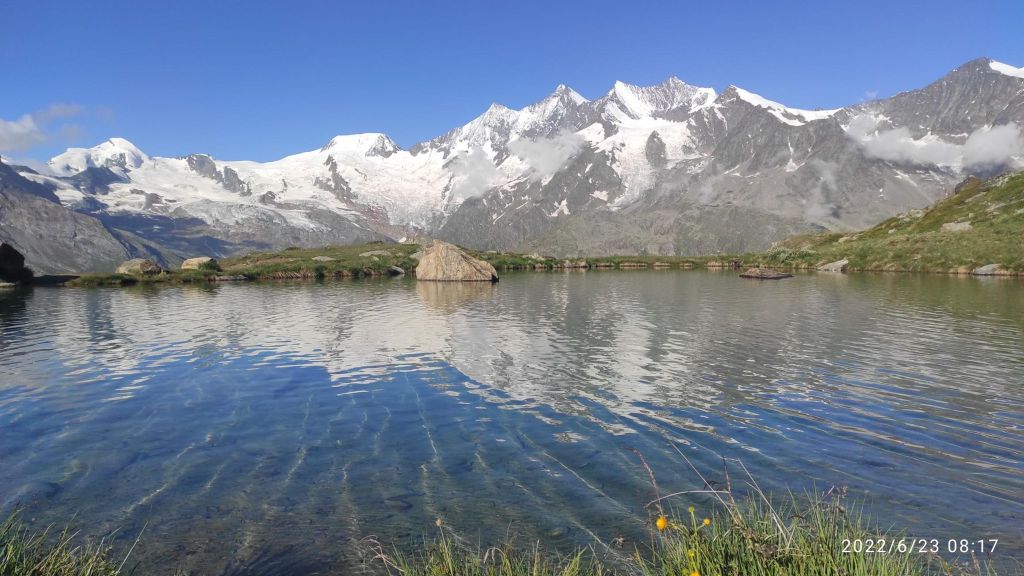
    First climb was to Kreuzboden, which is a popular destination for families in summer as well as in winter. There is a cable car station too. Lake Kreuzboden is a reservoir above the village of Saas-Grund, just across the valley. It is known for its picturesque views of the Mischabel mountains with the Allalinhorn, the Alphubel and Täschhorn, the Dom, the Lenzspitze, the Nadelhorn and other four-thousand-metre peaks. And, of course, it offers a magnificent view of the Alps.

    Lake at Kreuzboden, you can see 4000m high mountains from here

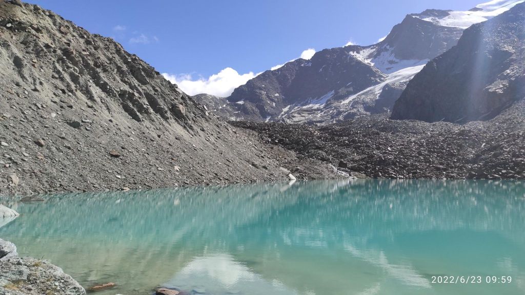
    Then I run maybe 3 kilometers on contour line to Grüebe-Alp. The path was rocky and technical, but with really nice views. From Grüebe-Alp the trail curves gently to the left and past a barrier. From there, there is a more strenuous climb comprising zigzagging switchback bends, but the effort is rewarded in the end. Fellsee stands at 2,768 metres above sea level.

    Fellsee

    For my back route I choose one through the forest maybe 500m lower. There was nice passages with water canals. For me is quite hard to run above 2000m above sea level, i didn’t have enough oxygen 🙂

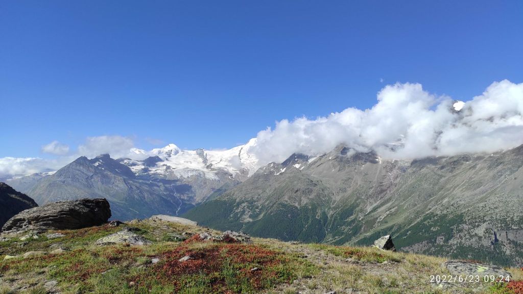
    View from Gruebe-alp.
    21.23km, 1044m ascent, 3h 36 min