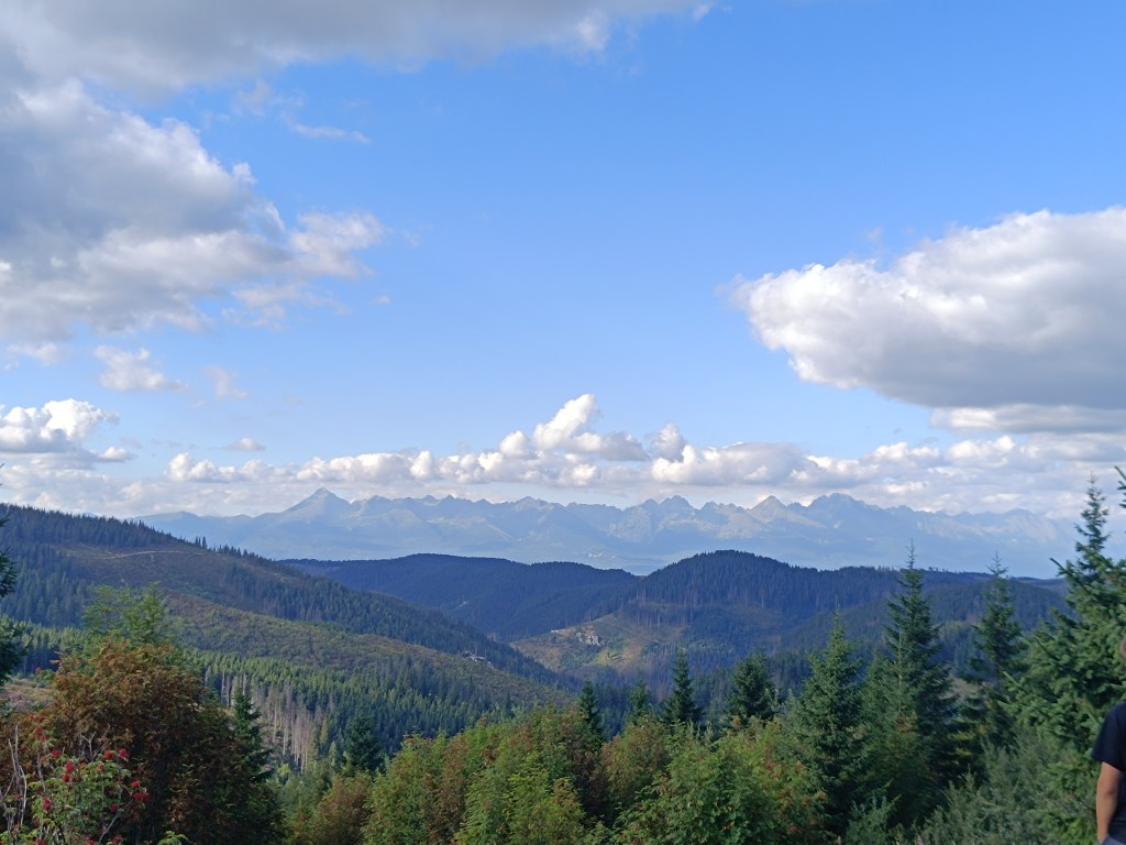
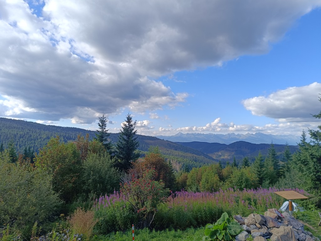
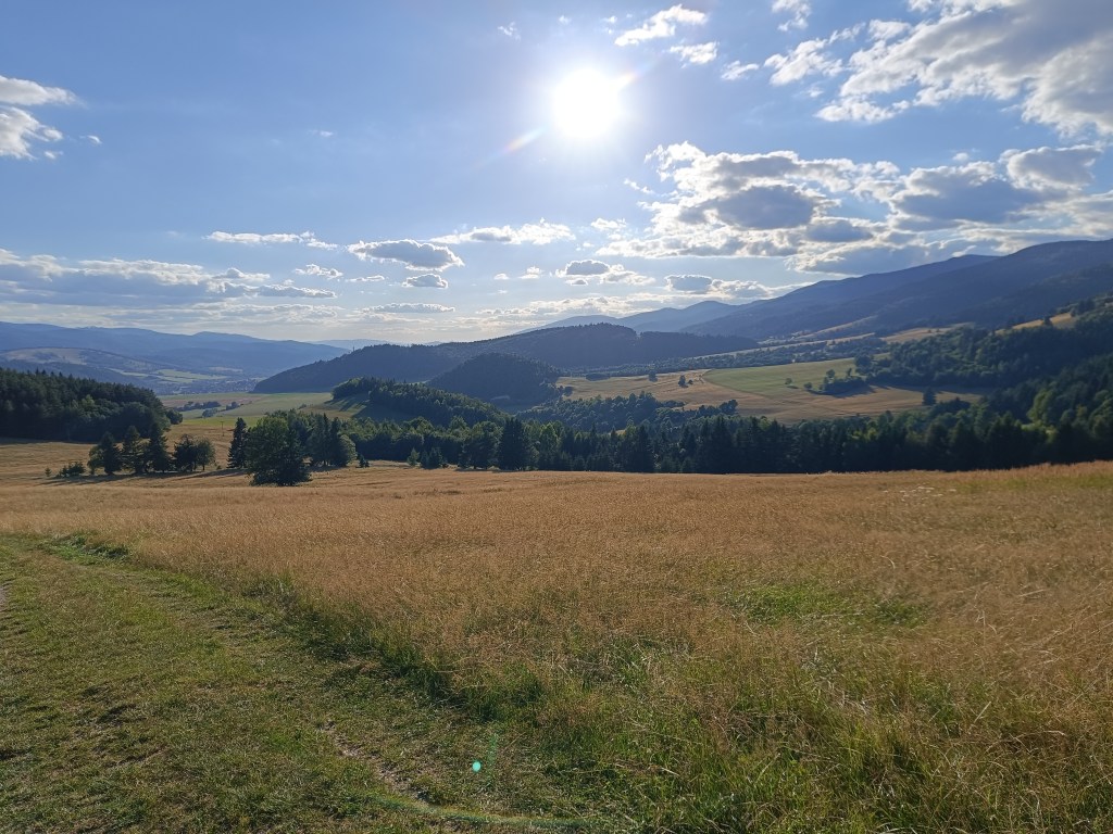
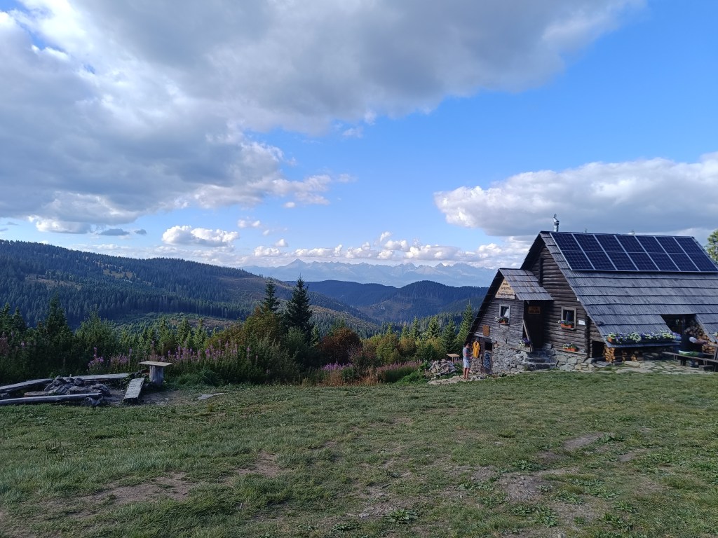
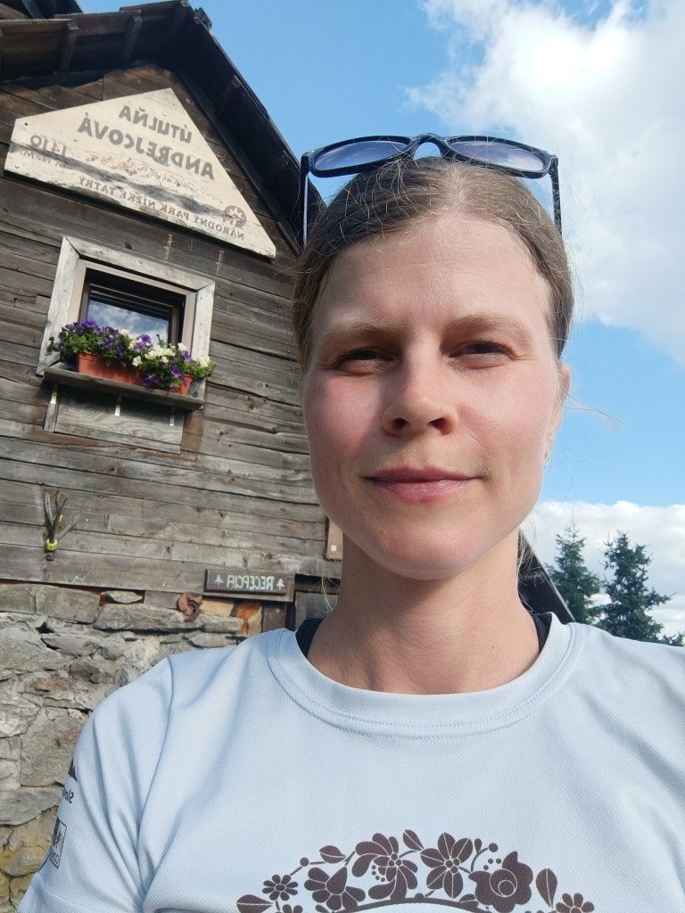
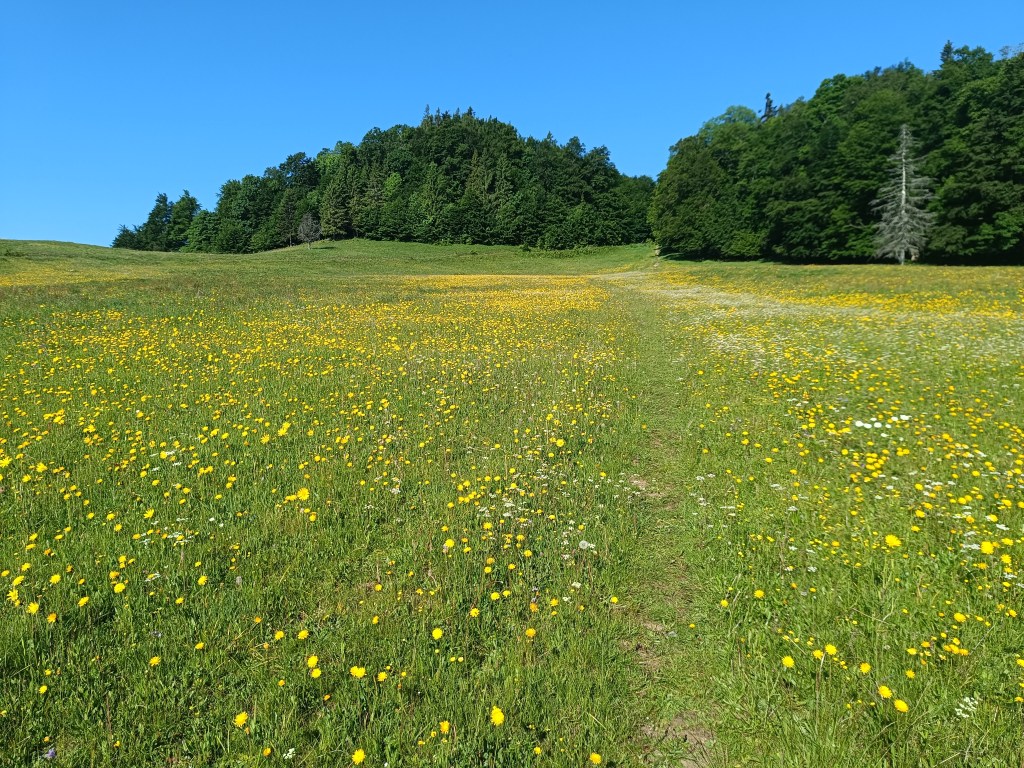
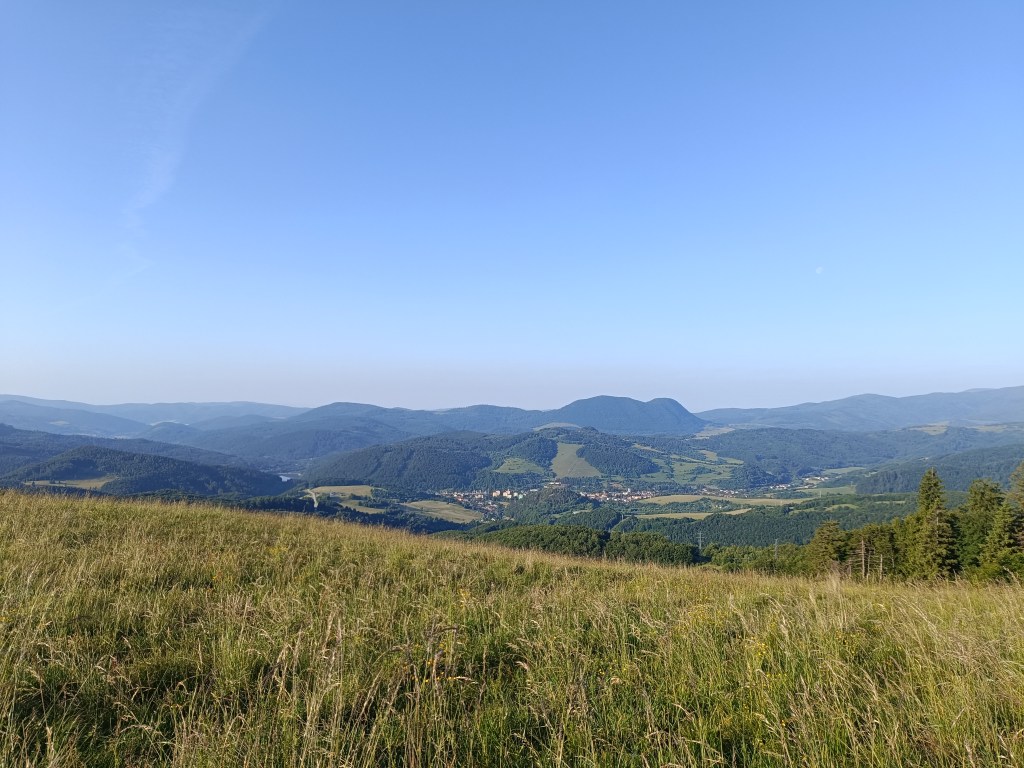
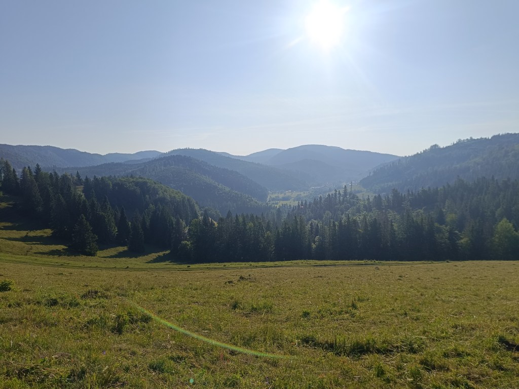
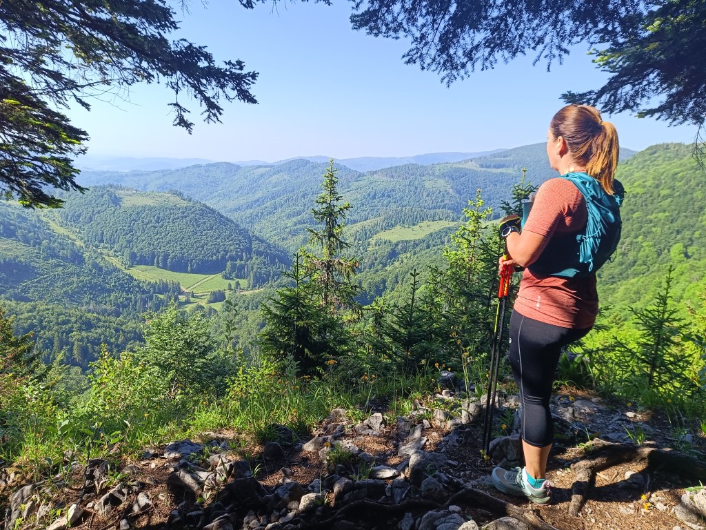
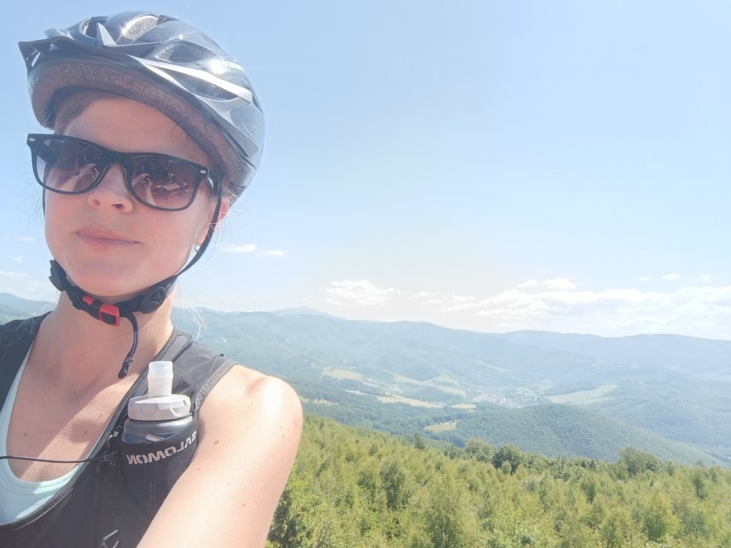
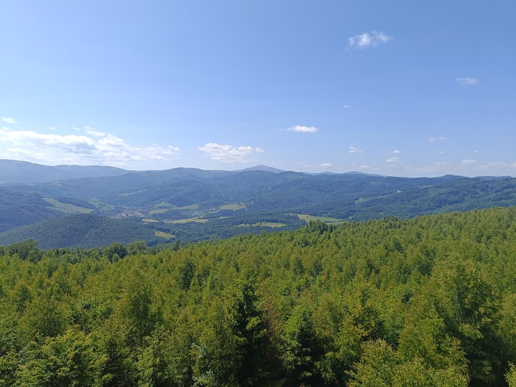
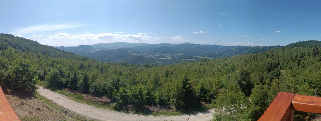
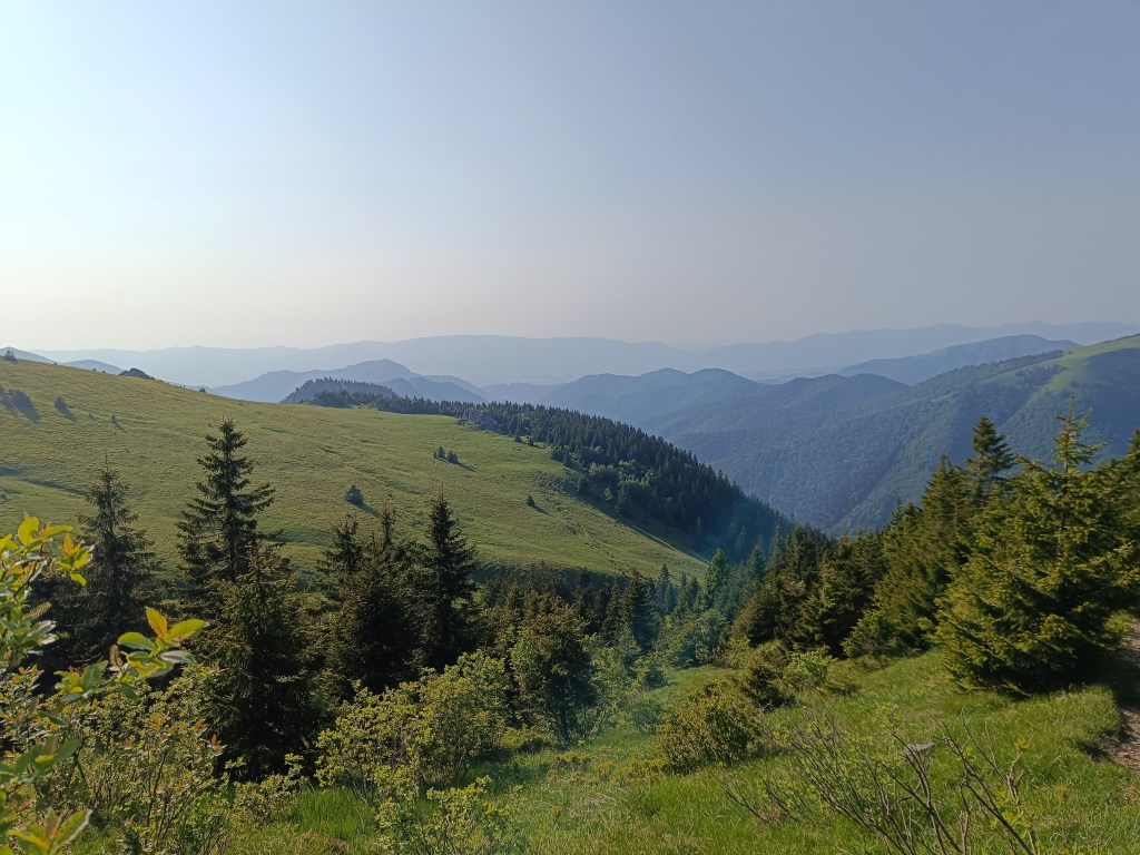
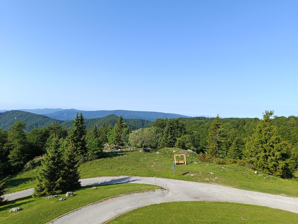
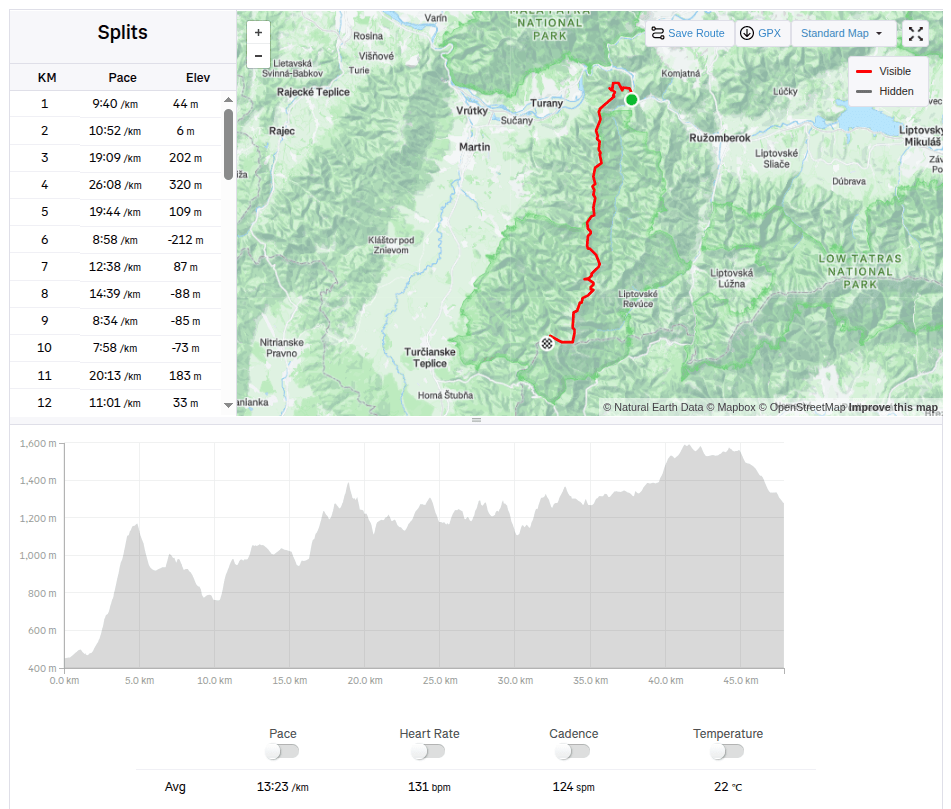
Tento mesiac prebieha výzva na Andrejcovú a ja som sa rozhodla sa zapojiť. Andrejcová je útuľňa v Nízkych Tatrách s prekrásnymi výhľadmi na tie Vysoké. Je položená v nadmorskej výške 1410 metrov nad morom. Už som ju raz v minulosti navštívila, keď sme bežali hrebeňom Nízkych Tatier, nikdy som však na ňu nešla z Pohorelej, kde bol štart tejto výzvy. A tak som sa rozhodla to vyskúšať.
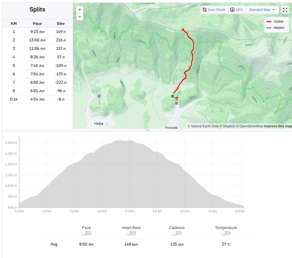
Trasa je relatívne krátka (3.5km), ale stúpanie je celkom strmé (595 nastúpaných m). A tak som sa veru poriadne zapotila, kým som vyliezla hore. Túto výzvu som zdolala za 39min a 22s.
Samotná výstavba začala v máji 1968 a z veľkej časti boli použité lokálne suroviny; kameň a drevo. Upravený bol i blízky prameň a v októbri 1968 bola stavba skolaudovaná. Využívaná bola od začiatku turistami a trampami, počas letného spásania hôľnych lúk poskytovala útočisko aj pastierom či dokonca samotnému dobytku.
Objekt dlho chátral a výraznejšie bol opravený až v roku 2005, kedy útulňu zčasti zrekonštruovali.
Od roku 2014 je útulňa pod správou chatára Marek Šurinu, ktorý postupne za pomoci miestnych nadšencov objekt ako aj okolie revitalizuje a zveľaďuje. Opäť sa menila krytina na streche, opravil sa komín s vyhrievacím telesom, chata sa postupne celá zaizolovala aby mohla poskytnúť komfort a bezpečie aj v zimných mesiacoch.
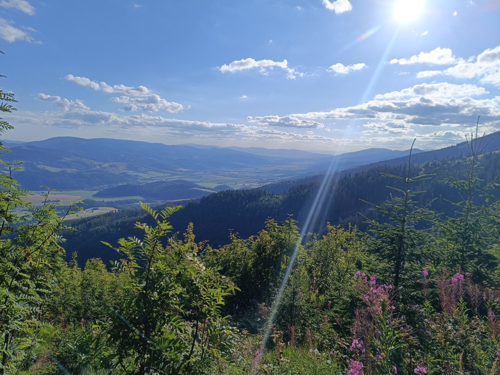
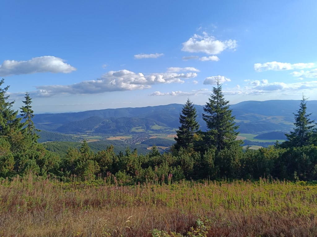
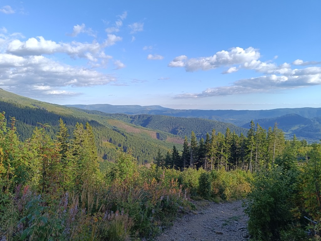
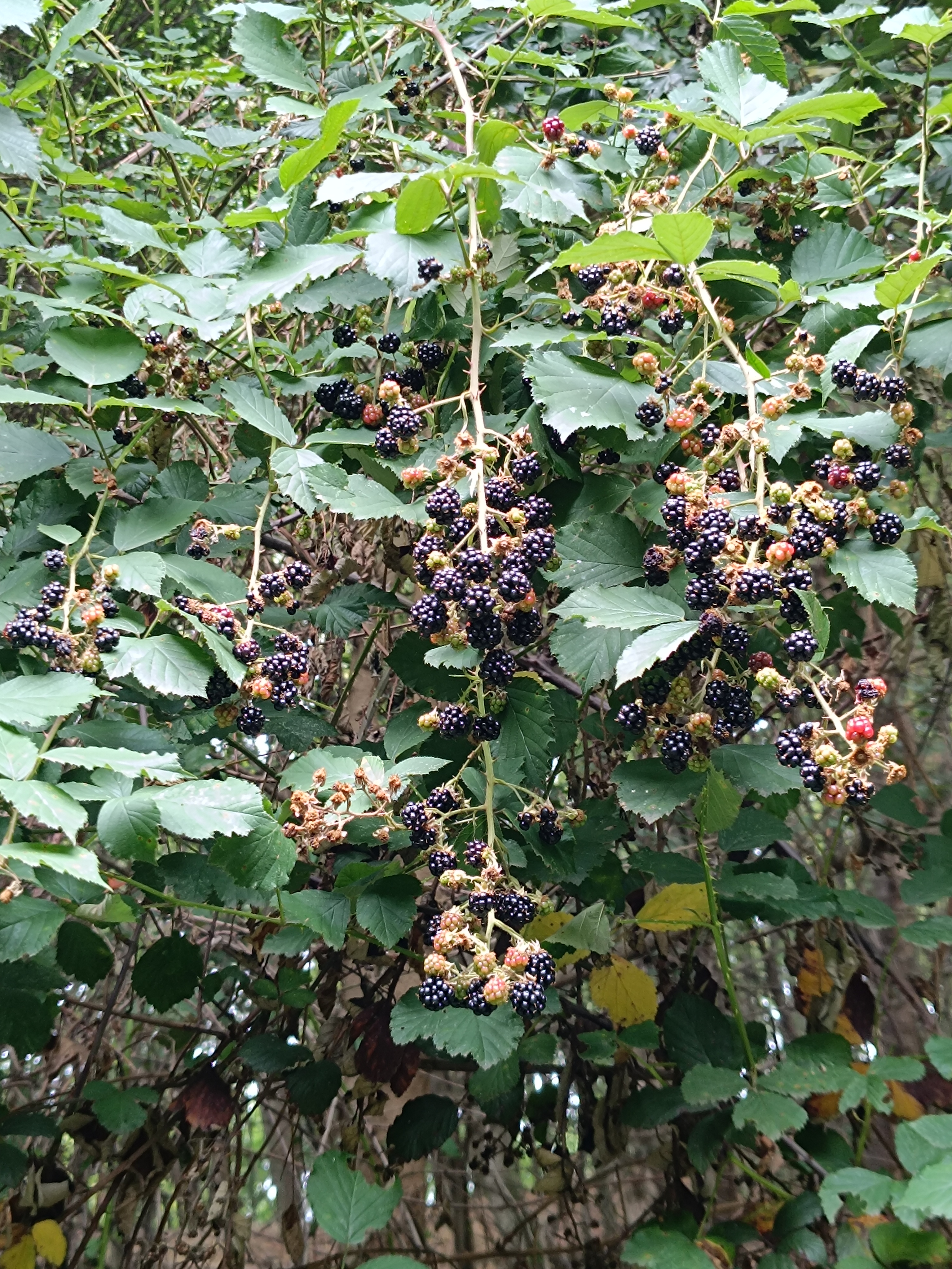
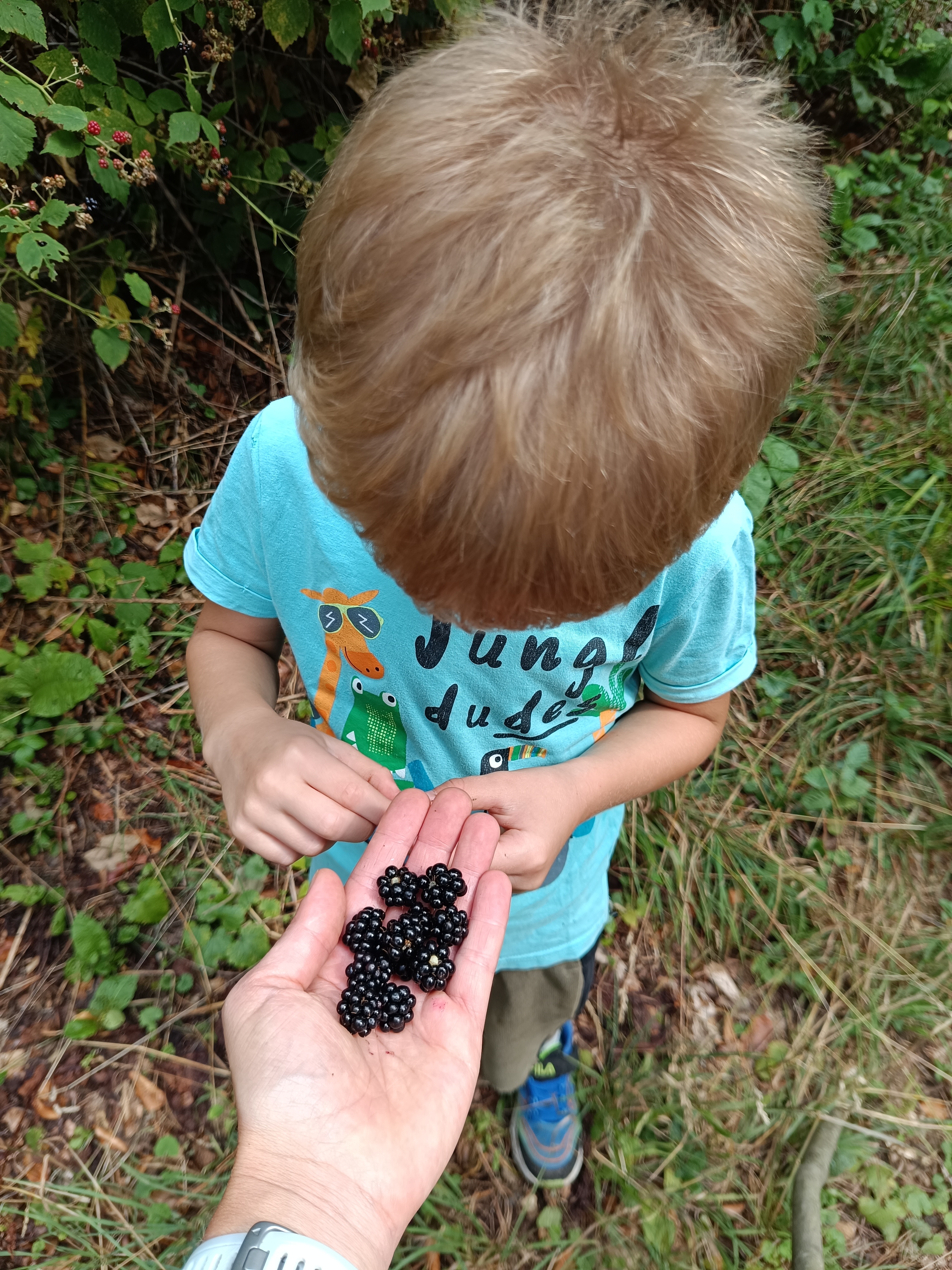
Aj samotný výstup ponúka nádherné výhľady a ako bonus sa môžete najesť saldkých malín, ktorých bolo naozaj neúrekom
Útuľňa s výhľadom na Vysoké Tatry8.14km, 1h 11min, 595 nastúpaných m
Our first big hike with David. Only me and him, the first time hiking, which could be called a ridge hike, without the possibility of shortening.
It mainly required courage, patience, playfulness and a lot of food and water 🙂
We start under the Calvary in Žarnovica and follow the blue hiking trail the whole time. As we climb, we enter the forest, where it is pleasantly cool, in some places we must climb over fallen logs – remnants of logging, in other places we stop to pick up lots of sweet blackberries.
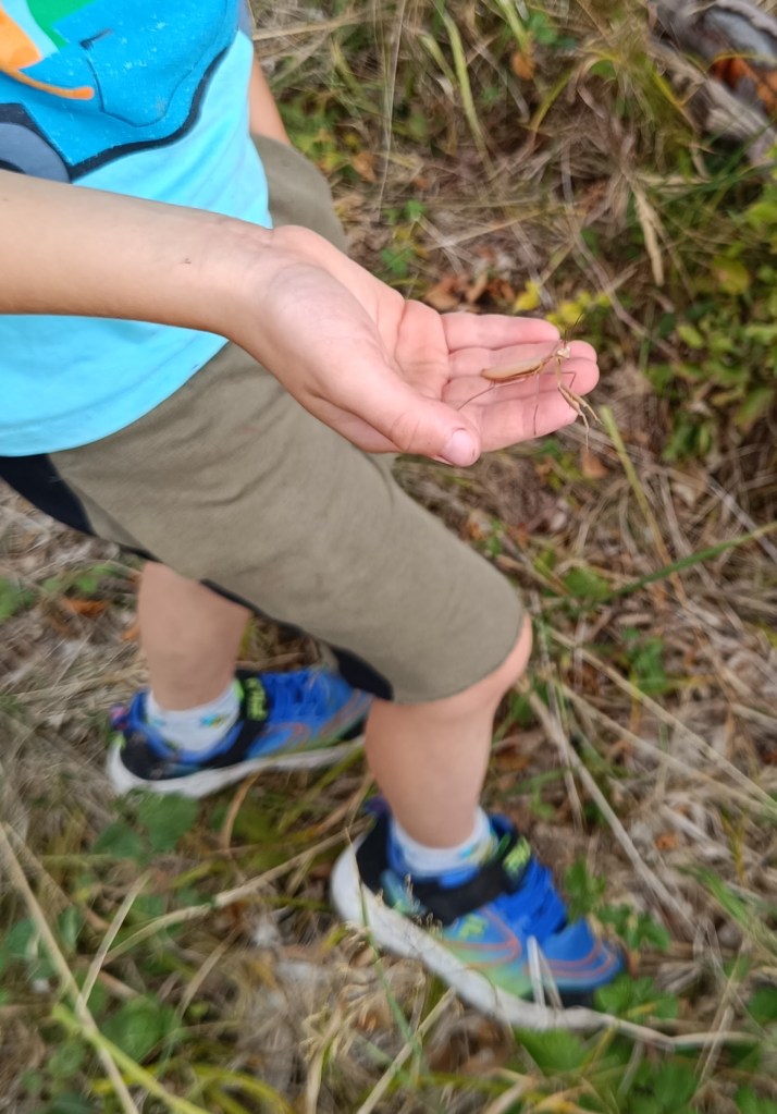
In a clearing under the power lines we managed to meet three small wild boars and a little further in the forest a deer. David even found a praying mantis, invisible to me because it was the color of dry grass.
praying mantis
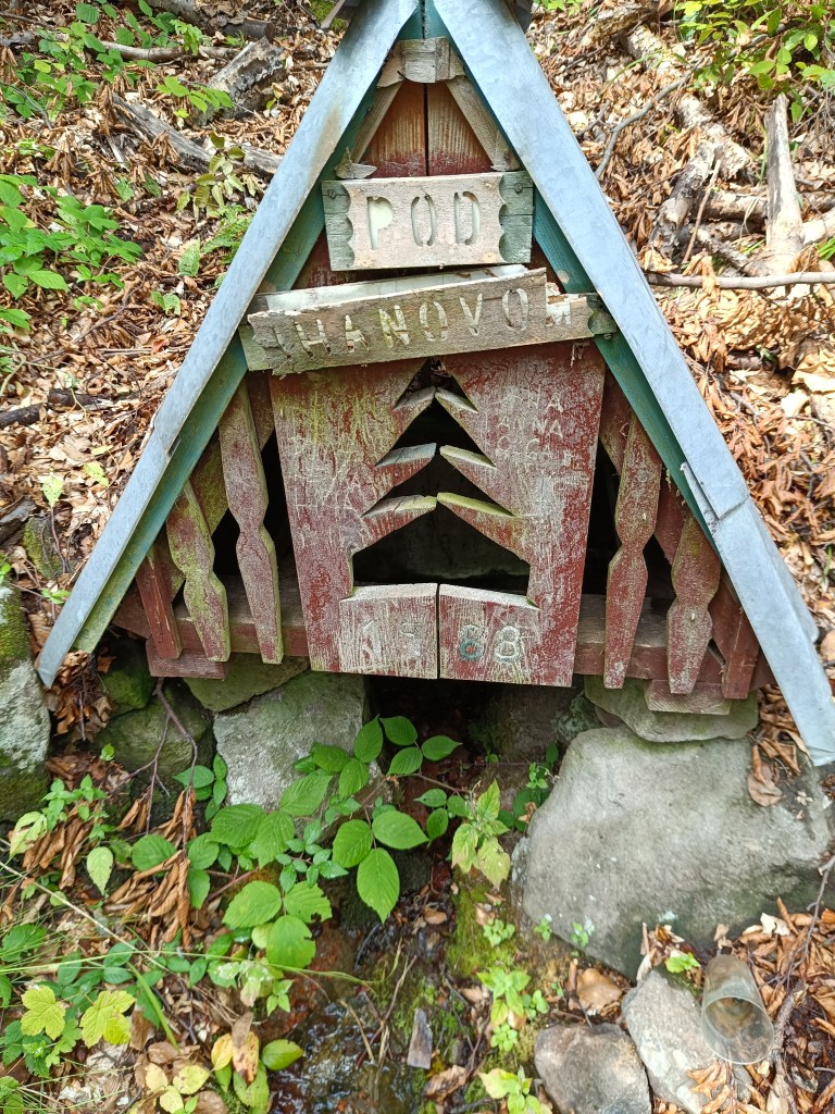
A picnic in the meadow gave us strength and a bag of sweets helped us overcome the crisis 🙂 We refreshed ourselves in a spring below Ihanovo, where there was plenty of water despite the dry summer.
well
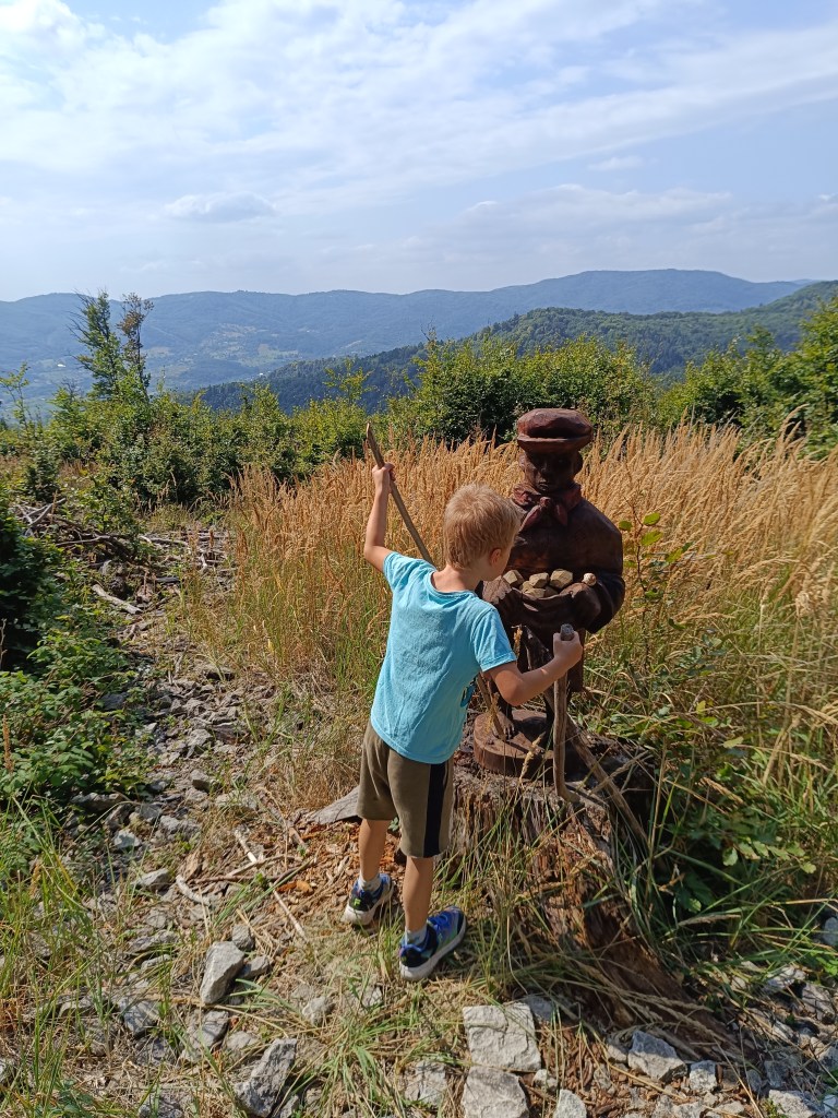
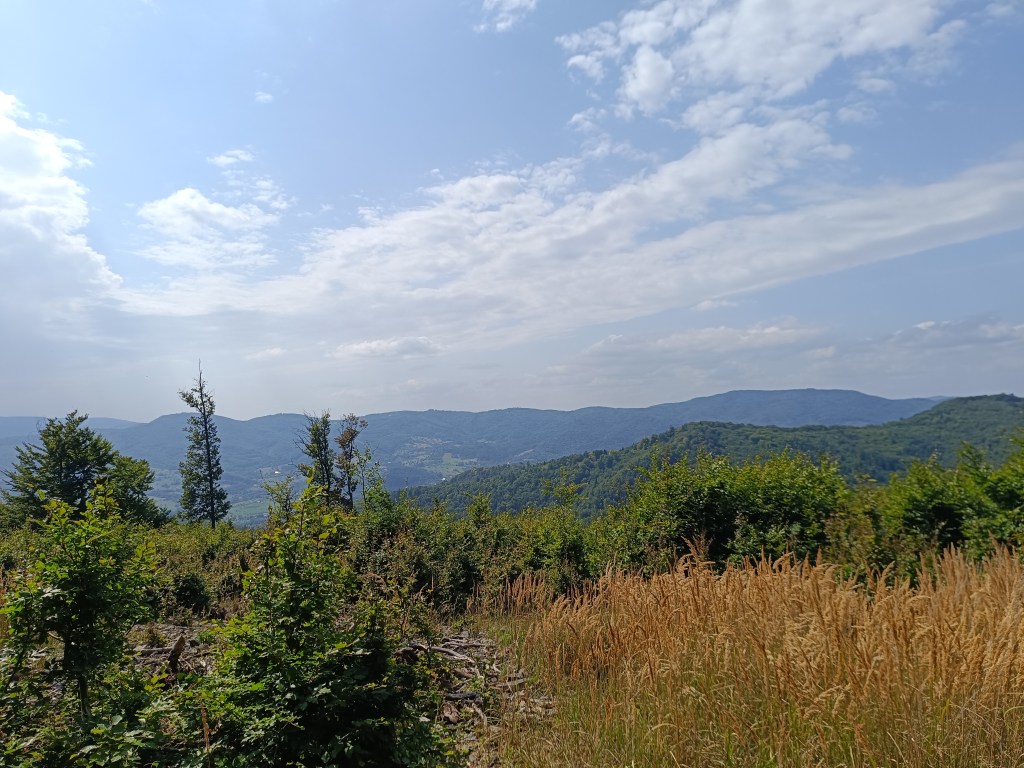
The highest point was hill Johan, which is also part of the Novobanské povesti educational trail. It also offers the most beautiful views.
hill Johan
The last few kilometers, Dávid made up games for us (now we can’t step on any stone…) and so it went by quickly. We ended the hike at the Zvonička in Nova Baňa, Dávid with a well-deserved popsicle and juice and I with a craft beer.
Views from Johan
Yes, it was long, sometimes challenging to motivate, and my legs were sore from standing and waiting, but it was also beautiful, and I am incredibly proud of him.
He was freshly 6 years old at the time of the hike.
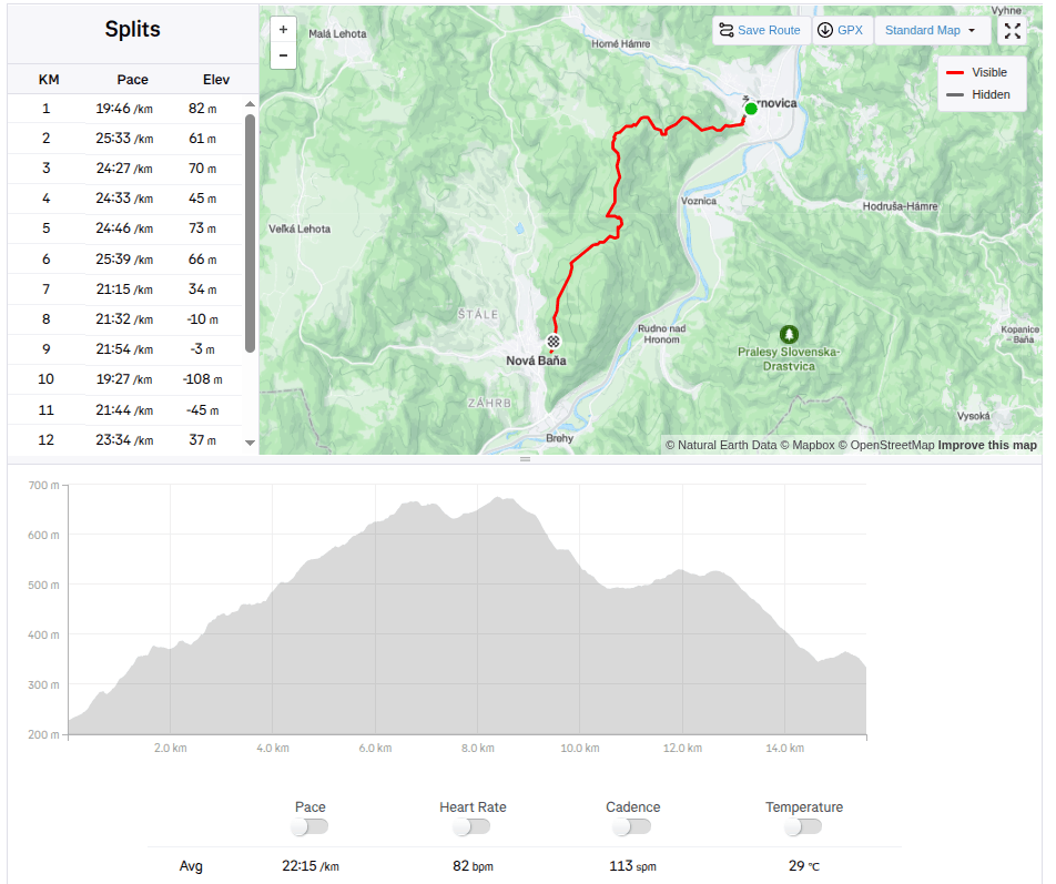
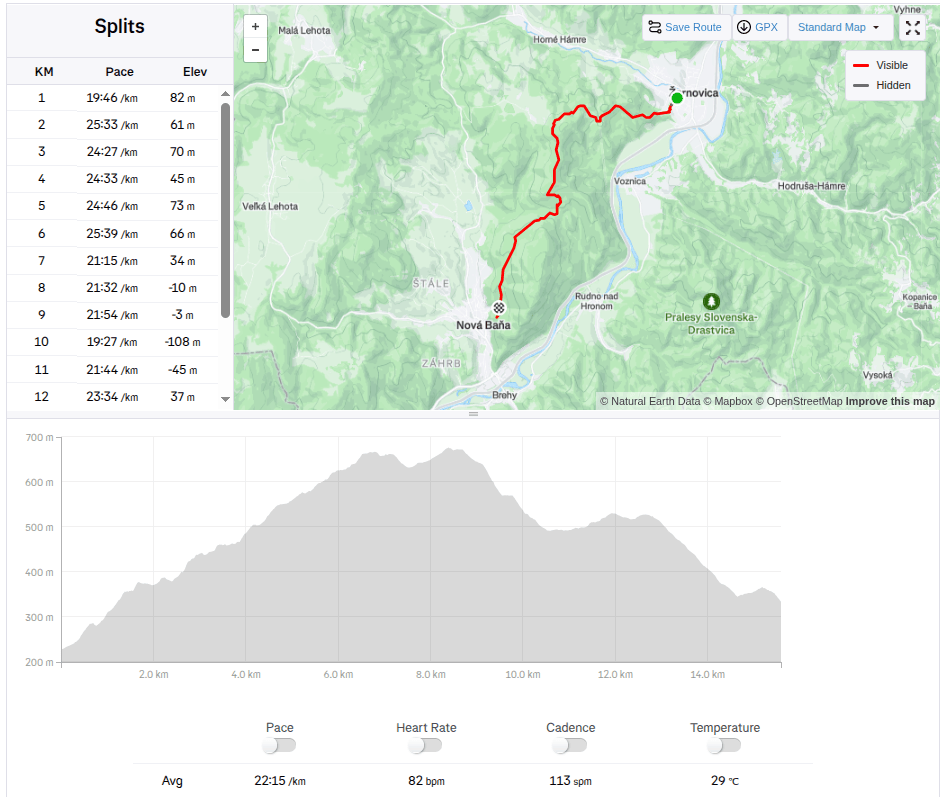
15.59km, 582m ascend, 5h46 min active time, 8h 33min total
Naša prvá veľká turistika s Dávidom. Iba vo dvojici, prvý krát turistika, ktorá by sa dala nazvať hrebeňovkou, bez možnosti skrátenia.
Chcelo to hlavne odvahu, trpezlivosť, hravosť a kopu jedla a veľa vody 🙂
Začíname pod kalváriou v Žarnovici a celý čas ideme modrou turistickou značkou. Stúpaním vstupujeme do lesa, kd eje príjemný chládok, miestami preliezame popadané haluziny – zvyšky po ťažbe, inde sa zas zastavujeme na sladkých černiciach.
V prieseku popod elektrické vedenie sa nám podarilo stretnúť tri malé diviačiky a kúsok ďalej v lese zas srnčeka. Dávid dokonca našiel modlivku, pre mňa neviditeľnú, keďže mala farbu suchej trávy.
Modlivka
Piknik na lúke nám dodal síl a sáčok cukríkov pomohol prekonať krízu 🙂 Osviežili sme sa v studničke pod Ihanovom, kde bolo dosť vody aj napriek suchému letu.
Studnička
Najvyšší bod bol vrch Johan, ktorý je aj súčasťou náučného chodníka Novobanské povesti. Zárovaň ponúka aj najkrajšie výhľady.
Vrch Johan
Posladných pár kilometrov nám Dávidko vymýšľal hry (teraz nemôžeme stupiť na žiadny kameň…) a tak nám to rýchlo ubiehalo. Túru sme zakončili na novobanskej Zvoničke, Dávidko zaslúženým nanukom a džúsom a ja craftovým pivkom.
Výhľady z vrchu Johan
Áno, bolo to dlhé, miestami na motiváciu náročnejšie, pre nohy od obstávania boľavé, ale bolo to aj krásne, a ja som na neho nesmierne hrdá.
V čase túry mal čerstvých 6 rokov.
15.59km, 582m stúpania, 5h46min aktívny čas, 8h 33min spolu
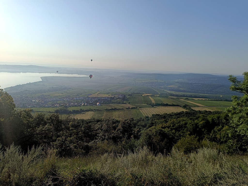
South Moravia is a region of endless vineyards, picturesque villages, castles, chateaux and lakes. It is located not far from the border with Slovakia and is ideal for cycling.
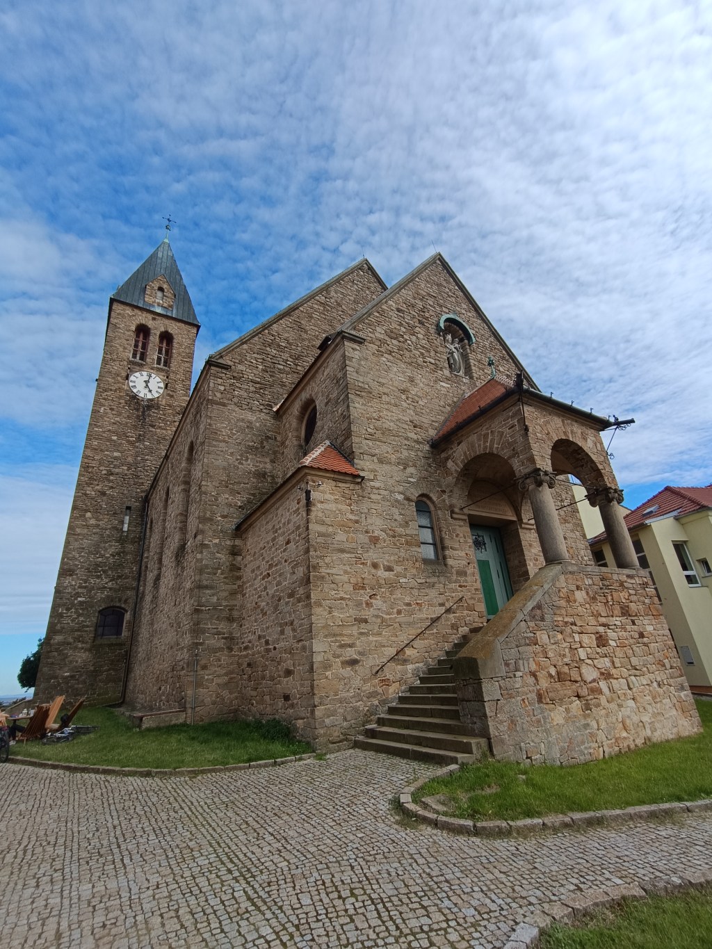
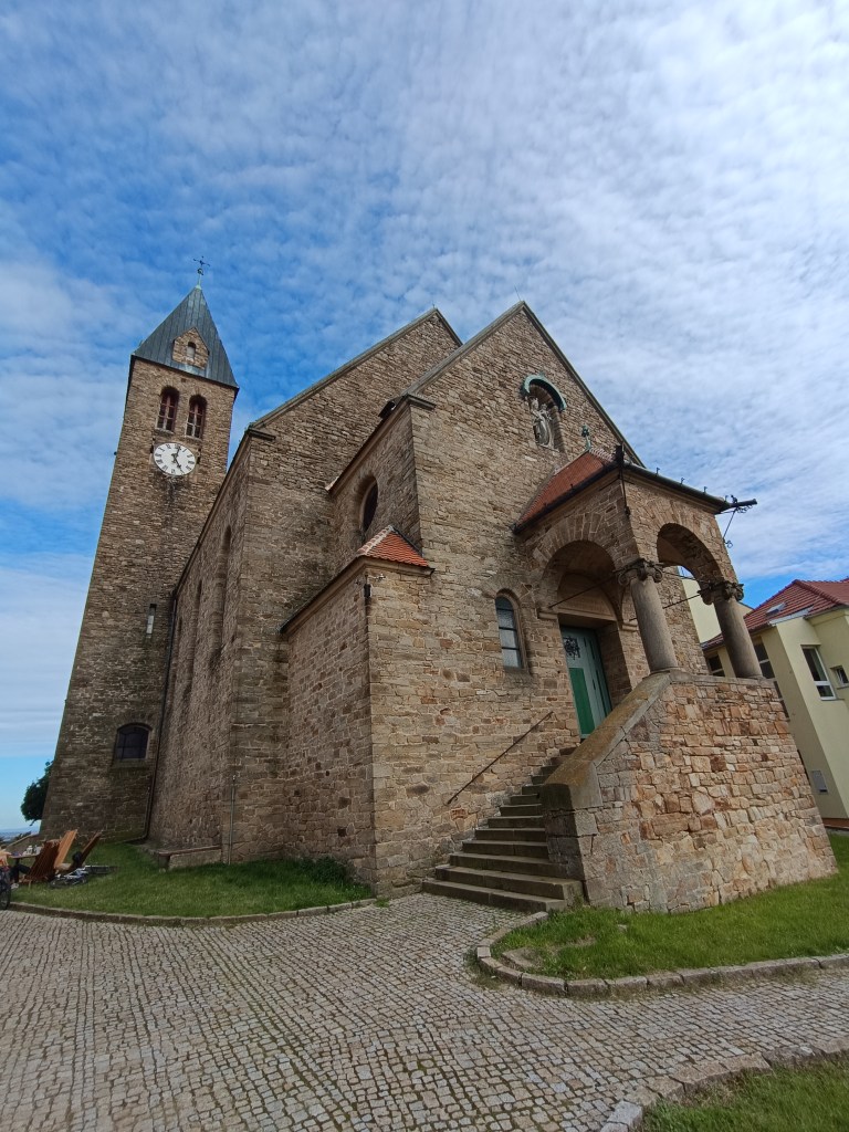
Church on a hill overlooking Zaječí
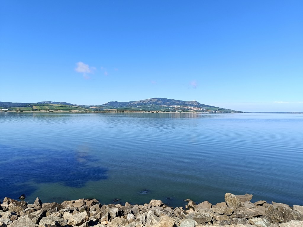
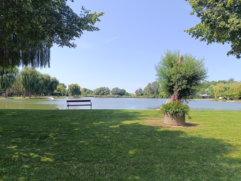
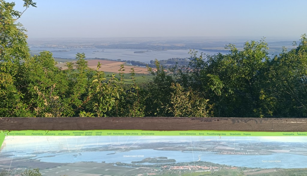
Our starting point was Zaječí, where we were staying. Every morning we started by running to the Nové mlyny reservoir, we ran along the water and returned through the vineyards. After breakfast we got on our bikes and went exploring the surroundings.
reservoir Nové Mlyny
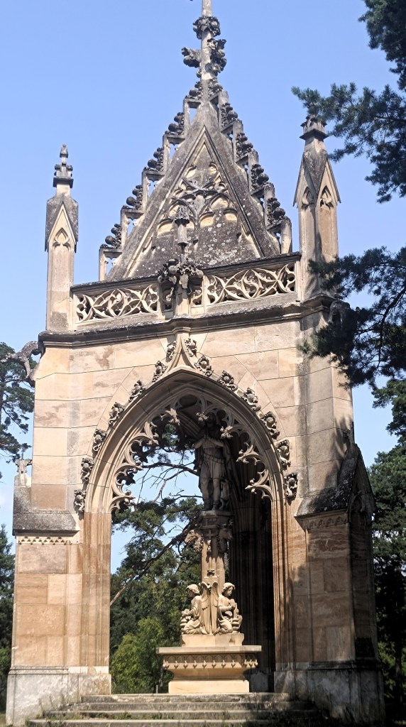
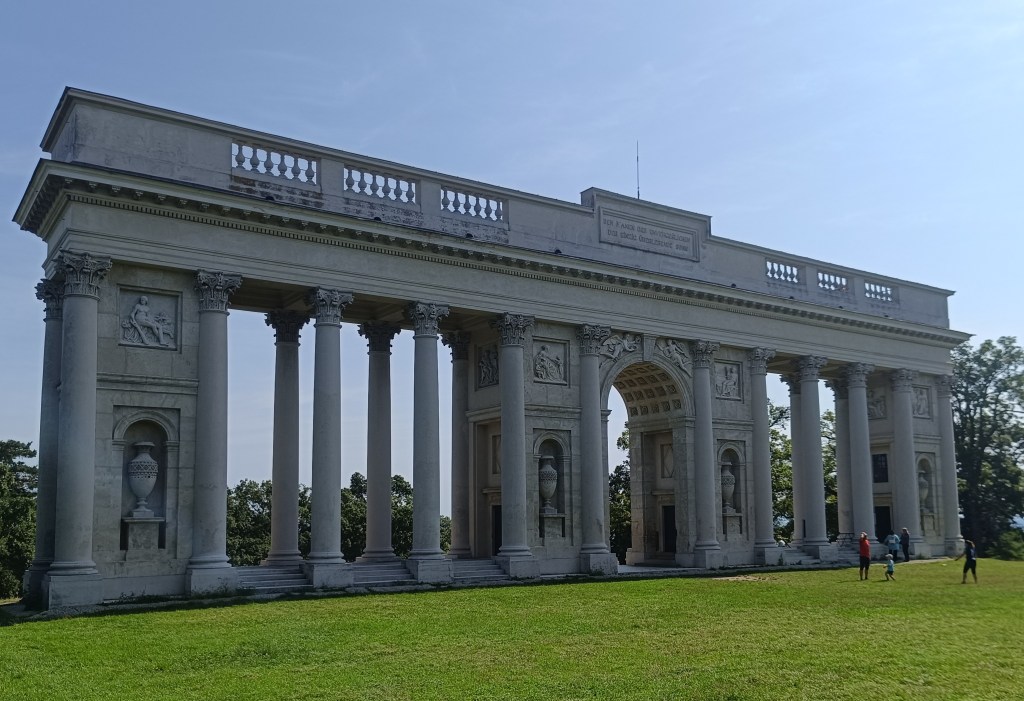
Very interesting are the monuments, seemingly randomly distributed in the Lednice-Valtice area, such as the Three Graces – a covered colonnade in front of which stands a sculpture group, for which the name Three Graces was deduced. The Chapel of St. Hubert is a three-sided building in the center of which is a statue of St. Hubert, standing on a pedestal with statues of angels.
Chapel of St. Hubert
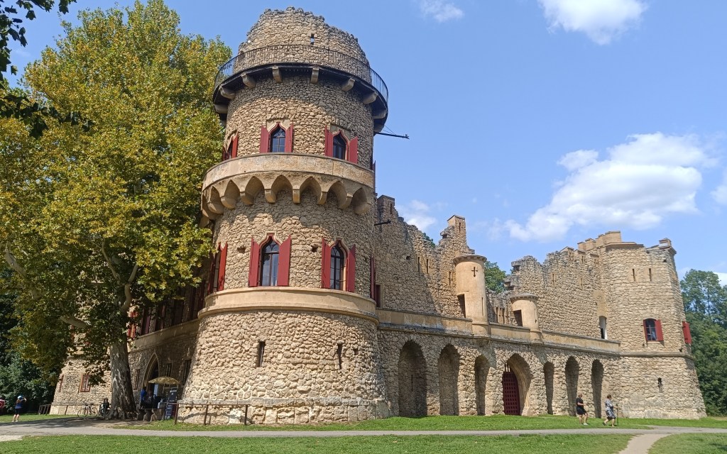
Janov Castle is an artificial ruin of a medieval castle, it was inhabited and served as a hunting lodge.
Janov Castle Lednice chateau
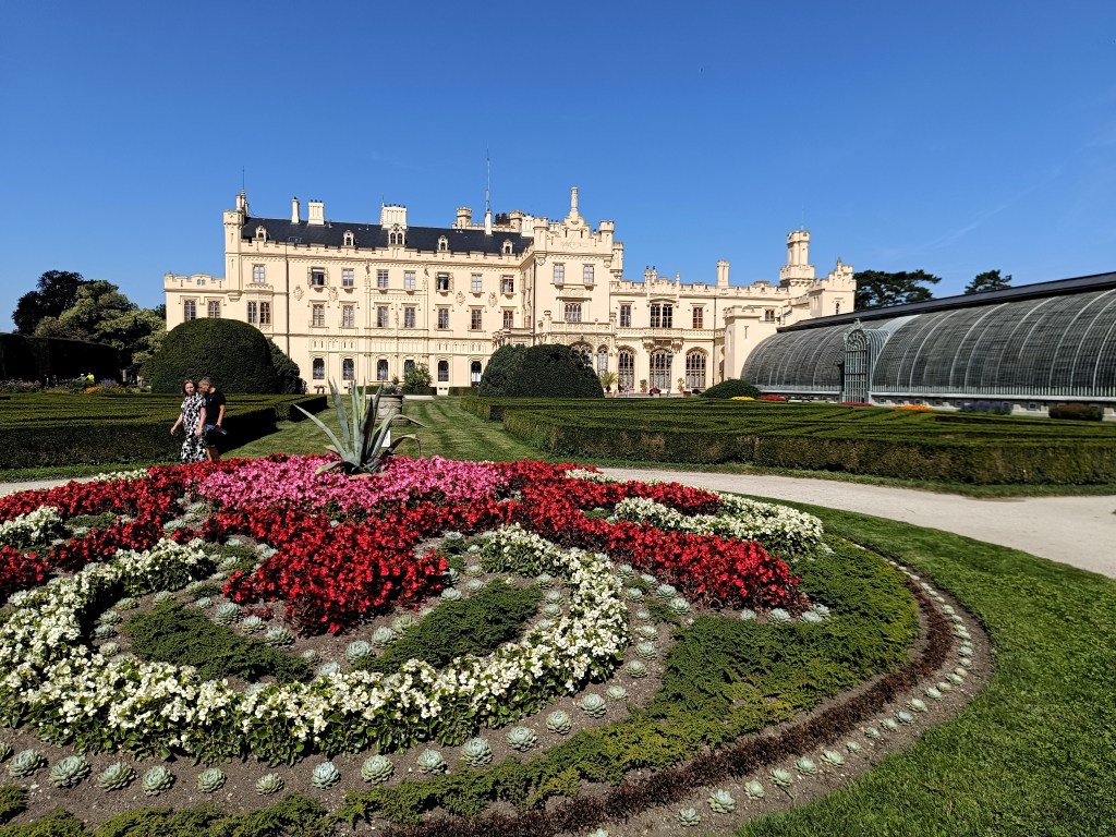
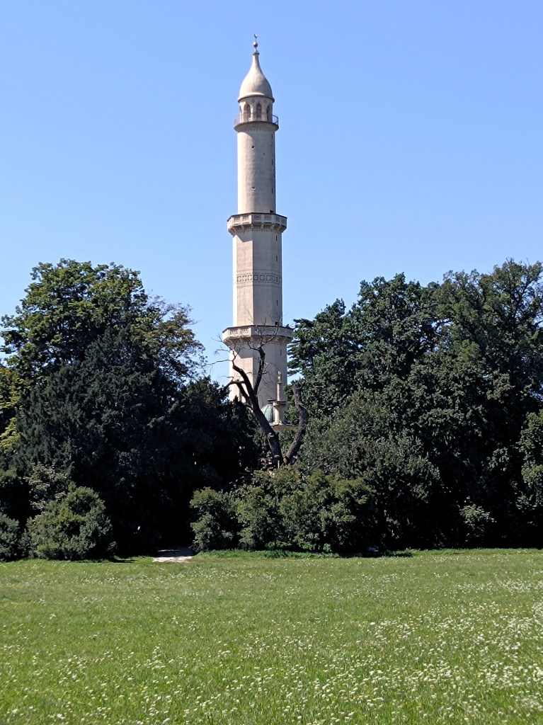
The state chateau in Lednice is one of the most visited monuments in the Czech Republic, surrounded by beautiful gardens and including a palm greenhouse. The adjacent park also includes an aqueduct, a Chinese pavilion, a Venetian fountain and a minaret.
minaret
One day we took a bike trip to Austria, on the way we saw the colonnade in Rejstno, but we all agreed that it was more interesting for us on the Czech side of the border.
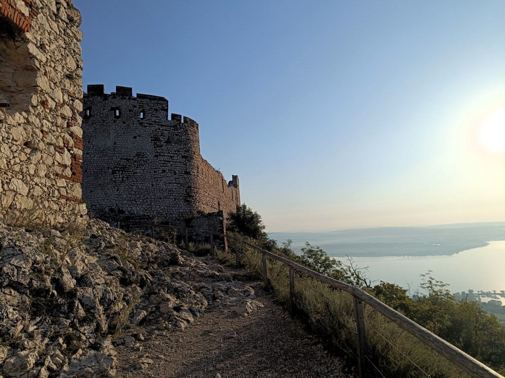
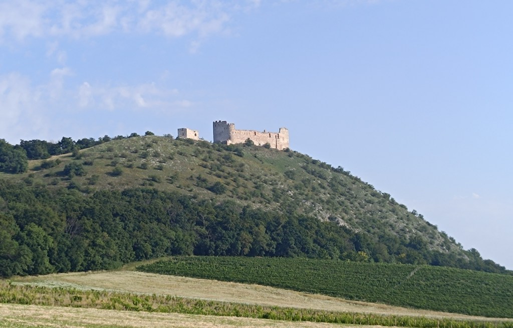
And since we love hills, we couldn’t resist running through the Pavlov Hills, a limestone mountain range above the village of Pavlov with the highest peak Devín (550 meters above sea level). There is also the Devičky castle ruin – according to legend, the name of the castle comes from three petrified girls, who today stand as three rocky cliffs in front of the castle.
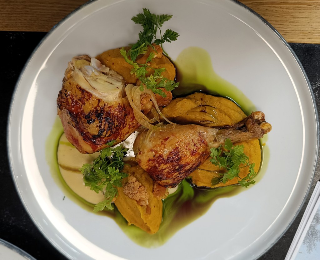
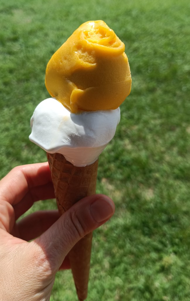
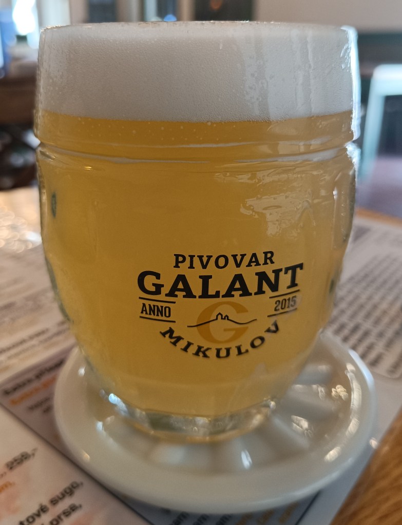
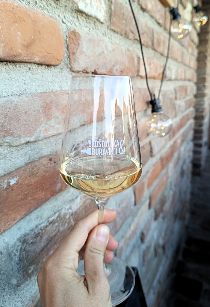
and of course we tasted: delicious wines, refreshing beers, sweet ice creams and some culinary specialties
In a week we cycled 185 km, ran another 85 and walked a few extra kilometers.
Južná Morava je krajom nekonečných viníc, malebných dediniek, hradov, zámkov a jazier. Leží kúsok od hraníc so Slovenskom a je ideálna na bicykle.
Kostol na kopci s výhľadom na Zaječí
Našim východiskovým bodom bolo Zaječí, kde sme boli ubytovaní. Každé ráno sme začínali behom k vodnej nádrži Nové mlyny, prebehli sme sa pori vode a vracali sme sa vinicami. Po raňajkách sme nasadli na bicykle a išli sme spoznávať okolie.
vodná nádrž Nové Mlyny
Veľmi zaujímavé sú monumenty akoby náhodne rozmiestnené v lednicko-valtickom areály, ako napríklad Tri Grácie – ide o kryté stĺporadie pred ktorým stojí súsošie, pre ktoré sa vzžil názov tri Grácie. Kaplnka svatého Huberta je trojboká stavba v ktoej strede sa nachádza socha sv. Huberta, stojaca na podstavci so sochami anjelov.
kaplnka sv. Huberta
Janov hrad je umelá zrúcanina stredovekého hradu, bol obyvateľný a slúžil ako lovecký zámoček.
Janov HradZámok v Ledniciach
Štátny zámok v Ledniciach patrí k najnavštevovanejším pamiatkam v česku, je obklopený prekrásnymi záhradami a jeho súčasťou je aj palmový skleník. Súčasťou priľahlého parku je aj akvadukt, čínsky pavilón, benátska fontána a minaret
minaret
Jeden deň sme si spravili cyklovýlet do Rakúska, cestou sme si pozreli kolonádu na Rejstne, ale všetci sme sa zhodli, že na českej strane hranice je to pre nás zaujímavejšie
A keďže máme radi kopce, nemohli sme si odpustiť prebehnúť Pavlovské vrchy, ide o vápencové pohorie nad obcou Pavlov s najvyšším vrchom Devín (550mnm). Nachádza sa tu aj hradná zrúcanina Devičky – názov hradu podla povesti pochádza od troch zkamenelých dievčat, ktoré dnes stoja ako tri skalné útesy pred hradom.
a samozrejme sme ochutnávali: lahodné vínka, osviežujúce pivá, sladké zmrzliny a nejaké tie kulinárske špeciality
za týždeň sme nabicyklovali 185 km, nabehali ďaľších 85 a k tomu prešli ešte zopár extra kilometrov.
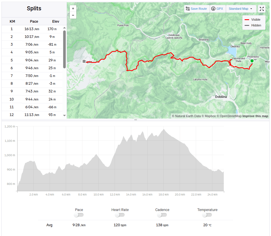
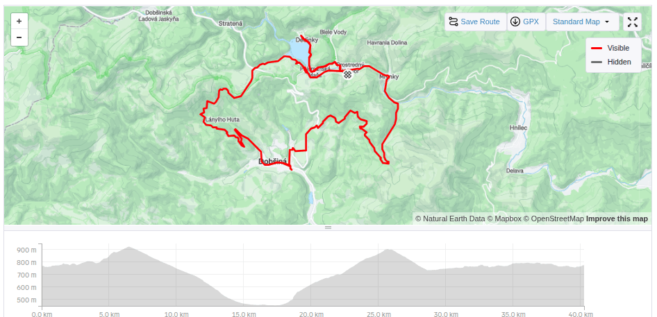
We start at 6 am from our accommodation in Mlynky. Today we have in plan Dobšinský kopec, Voniarky, Čuntava and we finish in Telgárt.
My legs haven’t fully recovered from Thursday’s run in the Veľká Fatra, running downhill really hurts. But we have to take advantage of the fact that we are already here, we’ll at least do a shorter stage.
From our accommodation, we need to go to the Kruhové saddle, to join red SNP path. It takes one kilometer and 170 vertical metres. It’s fresh morning and we’re making our way through a little wet raspeberries from the morning dew. We sometimes shout a little, after all, we saw warning signs about the increased incidence of bears yesterday.
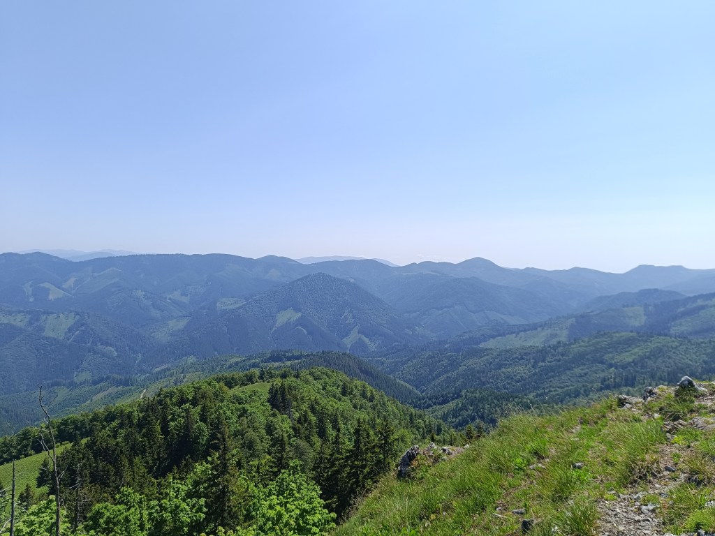
First morning views
We descend through the meadows to the Dobšiná hill, cross the asphalt and head towards Voniarky among a herd of cows. Yesterday we were here on bicycles, today on our own feet. I get water at the Gápel cottage. The path meanders through the trees, sometimes taking us to flowery meadows. It is beautiful here. Lucka and I agree that this is the most beautiful section for us so far.
As the sun rises, so does the temperatureMeadows with great biodiversity are beautifulVýhľad before Strmá prť
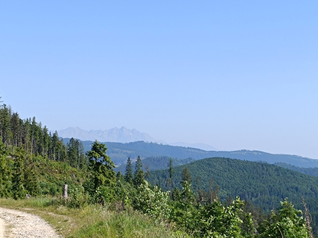
From the Čuntava spot, the route continues only on a gravel road, less interesting to us than the joyful forest paths. As if to excuse it, a view of the Tatras opens up and we admire it. We are guessing it is Lomnický štít.
Tatras in the background
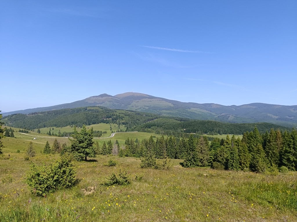
Around the last curve, Kráľova hoľa is now visible to us. But it will wait for us next time, during the Low Tatras ridge, we end today in Telgárt.
Kráľova hoľa
We’re already craving coffee, the route is taking us to asphalt, we don’t really like it, but whatever, there’s no getting off the red path:)
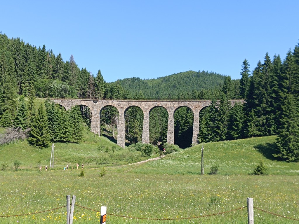
Chmaroššký viadukt
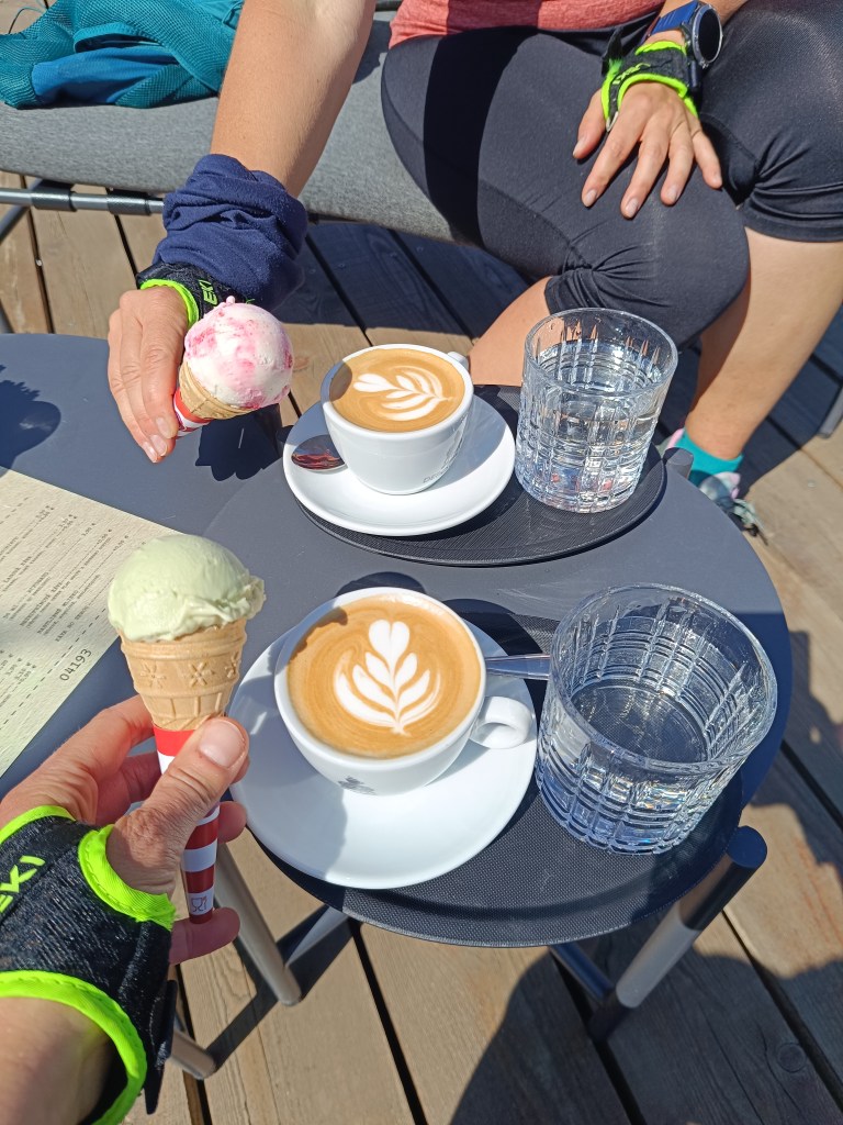
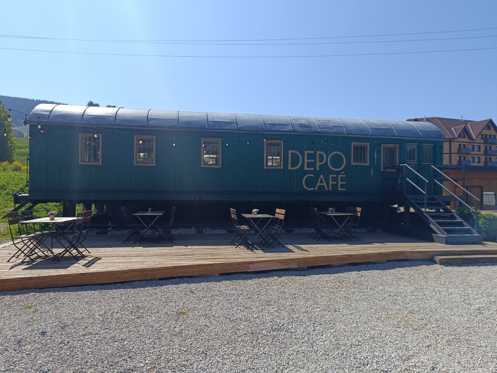
We run along the source of the Hron River and opposite of the Chmarošský Viaduct we take a break in the famous Depo Kafe. We have to admit, their coffee is good, but the ice cream could be much better. The bridge dates back to 1933 and is the first articulated arch structure made of reinforced concrete in Czechoslovakia. The Telgártska loop is one of the most demanding railway engineering structures in Slovakia, because thanks to the Telgárt tunnel, the Telgárt and Chmarošský Viaducts, it overcomes a difficult climb of up to 31 meters and a gradient of 12.5 %. The viaduct consists of 9 arches. It is 18 m high, 113 meters long and passes over the Gregorova dolina valley, called Chmaroška. This unique viaduct was built during the economic crisis in the 1930s and more than 7,000 people participated in its construction. Men and women, mostly local residents, worked on the construction site.
We reach Telgárt, where we meet Ľubka by the church, who very willingly brought our car from Mlynky and thus allowed us to run this stage. It was a truly beautiful stage, and a great morning in the mountains.
Štartujeme o 6tej ráno z ubytovania v Mlynkách. Dnes nás čaká Dobšinský kopec, Voniarky, Čuntava a v Telgárte končíme.
Nohy sa ešte úplne nespamätali zo štvrtkového prebehu Veľkej Fatry, bežať dole kopcom vyslovene bolí. Ale príležitosť treba využiť a keď sme už tu, dáme aspoň kratšiu etapu.
Z ubytovania to máme na červenú do sedla Kruhová kilometer a 170 výškových metrov, je sviežo a my sa predierame malinčím mokrým od rosy. Občas si trochu pokričíme, predsa len včera sme videli výstražné tabuľky o zvýšenom výskyte medveďov.
Prvé ranné výhľady
Lúkami zbiehame k dobšinskému kopcu, križujeme asfalt a pomedzi stádo kráv smerujeme na Voniarky. Včera sme tu boli na bicykloch, dnes po vlastných. Pri chate Gápel doberám vodu. Cestička sa kľukatí pomedzi stromy, chvíľami nás zavedie na zakvitnuté lúky. Je tu nádherne. S Luckou sa zhodujeme, že toto je pre nás zataiľ najkrajsí úsek.
So stúpajúcim slnkom stúpa aj teplotaLúky s veľkou biodiverzitou sú nádhernéVýhľad pred strmou prťou
Od čuntavy trasa pokračuje už len štrkovou cestou, pre nás menej zaujímavou ako kľukatiace sa lesné chodníčky. Akoby na ospravedlnenie sa nám otvára výhľad na Tatry a my sa kocháme. Tipujeme to na Lomnický štít.
Tatry v pozadí
Za poslednou zákrutou sa nám ako na dlani ukáže Kráľova hoľa, tá nás však čaká až nabudúce, počas hrebeňovky Nízkych Tatier, dnes sa končí v Telgárte.
Kráľova hoľa
Už si robíme chúťky na kávu, trasa nás privádza na asfaltku, až tak sa nám to nepáči, ale čo už, z červenej sa neschádza 🙂
Chmaroššký viadukt
Prebiehame popri prameni hrona a oproti Chmarošskému viaduktu dávame pauzu v slávnom Depo kafe. Musíme uznať, kávu majú dobrú, len tá zmrzka by mohla byť oveľa lepšia. Most pochádza z roku 1933 a je prvou členenou oblúkovou konštrukciou zo železobetónu v Československu. Telgártska slučka patrí medzi najnáročnejšie železničné technické stavby na Slovensku, pretože vďaka Telgártskemu tunelu, Telgártskemu a Chmarošskému viaduktu prekonáva náročné stúpanie, až 31 metrov a sklon 12,5 ‰ (promile). Viadukt tvorí 9 oblúkov. Je vysoký 18 m, dlhý 113 metrov a prechádza ponad Gregorovu dolinu, nazývanú Chmaroška. Tento unikátny viadukt bol postavený počas hospodárskej krízy v 30. rokoch 20. storočia a na jeho budovaní sa podieľalo viac ako 7 000 ľudí. Na stavbe pracovali muži a ženy, väčšinou miestni obyvatelia.
Dobiehame do Telgártu, kde sa pri kostole stretávame s Ľubkou, ktorá nám veľmi ochotne doviezla auto z Mlyniek a tým pádom nám umožnila si túto etapu prebehnúť. Bola to naozaj prekrásna etapa, a skvelé ráno v horách.
Mlynky is a small village on the edge of the Slovak Paradise and lies a short distance from Palcmanská maša.
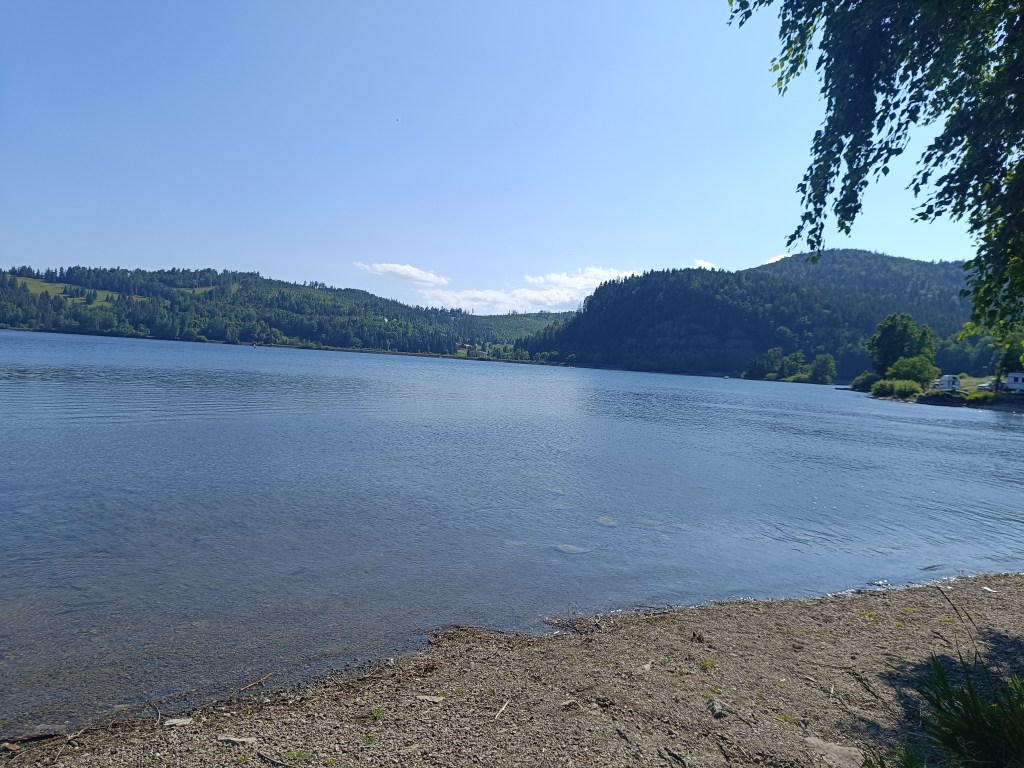
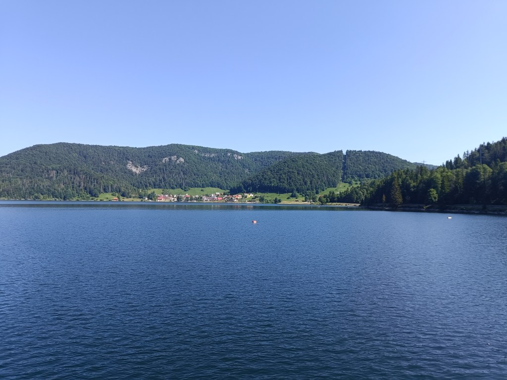
Palcmanská maša is the largest water reservoir in the Slovak Paradise, created on the upper reaches of the Hnilec River. This reservoir is an important part of the Dobšiná pumped-storage hydroelectric power plant, the first pumped-storage hydroelectric power plant in Slovakia.
Palcmanská maša
From Mlynky we went past Palcmanska maša to Dobšinský kopec, today it was certainly not a flat bike ride, the climb was quite steep. Next is the descent down to Dobšiná along the forest road, the girls have better technique and so they just fly past me 🙂 In Dobšiná we have a problem finding something open where we could refresh ourselves, but the locals are very nice and guided us to the side streets to a wonderful innkeeper. The beer has a real whipped cream foam, but since I don’t drink on my bike, I choose a non-alcoholic radler.
Next comes the climb up the Dobšiná hill, we have to walk a few kilometers on the main busy road. We are all happy when we turn off onto a forest path, heading towards some newly built lookout tower.
To viewpoint
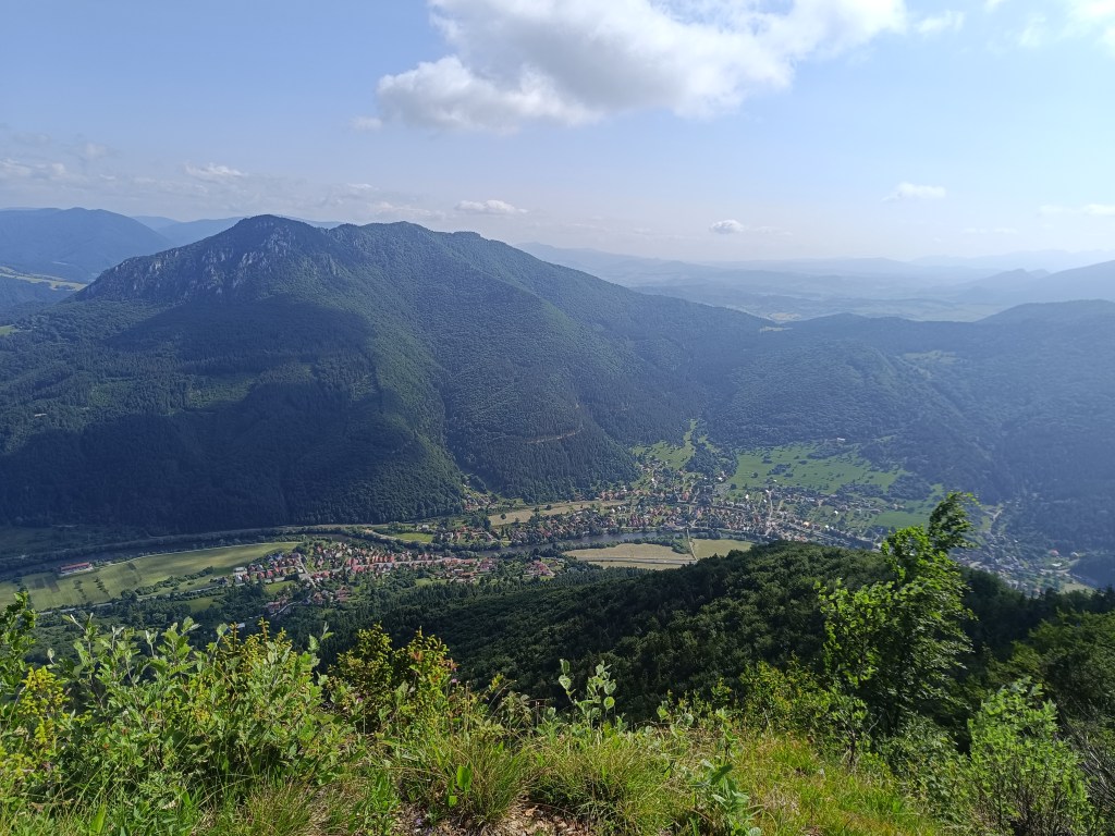
On the way to the lookout tower we climb almost 700 meters in altitude. But the view is worth it. We can see all the way to Kráľova hola.
Kráľova hoľa in the backgroundViews
All that’s left for us is the descent back to the Mlynky, the girls take their swimsuits and head to the water in Palcmanská maša. I dont like cold water and just stick my feet in there, but I admire them swimming in the cold water.
Mlynky sú malá obec na okraji Slovenského raja a ležia kúsok od Palcmanskej maše.
Palcmanská maša je najväčšia vodná nádrž na úzamí Slovenského raja, vytvorená na hornom toku rieky Hnilec, táto nádrž je dôležitou súčasťou prečerpávacej vodnej elektrárne Dobšiná, prvej prečerpávacej elektrárne na Slovensku.
Palcmanská maša
Z Mlyniek sme prešli popri Palcmanskej maši na Dobšinský kopec, dnes to veru nebola rovinatá bikovačka, stúpanie bolo celkom strmé. Nasleduje zjazd dole do dobšinej po lesnej ceste, baby majú techniku zvládnutú lepšie a tak si to okolo mňa len tak preletia 🙂 V Dobšinej máme problém nájsť neičo otvorené kde by sme sa osviežili, ale miestni obyvatelia sú veľmi milí a naviedli nás do vedľaších uliečiek k úžasnému pánovi krčmárovi. Pivo má priam šľahačkovú penu, ale keďže ja na bicykli nepijem, vyberám si nealko radler.
Nasleduje stúpanie dobšinským kopcom, pár kilometrov musíme prejsť po hlavnej frekventovanej ceste. Všetky sme radi keď odbáčame na lesnú cestičku, mierime k nejakej novovybudovanej rozhľadni.
K rozhľadni
cestou na rozhľadňu nastúpame skoro 700 výškových metrov. ale ten výhľad stojí za to. Vidíme až na Kráľovu hoľu.
Kráľova hoľa v pozadíVýhľady z rozhľadne
Už nás čaká len zjazd späť na mlynky, baby berú plavky a ide sa k maši. Ja som zimomravá a strčím tam len nohy, ale obdivujem ich ako v tej studenej vode plávajú.
Pláže na maši40km, 788 nastúpaných metrov, 3h 38min
The weather forecast was absolutely calling for taking a few days off and spending them outside the city. I immediately had the idea, let’s go through the Veľká Fatra. Jožko immediately agrees, but suggests a route that neither of us has ever done, the real Veľká Fatra ridge hiking trail, from Ľubochna (not from Ružomberok as most people, including me, usually hike). I agree without much thought.
The plan is to run the whole hiking trail in one day, sleep at Kráľová studna, and after breakfast run down to civilisation. We pack our little backpacks, they are full and heavy, because we also take things for the colder evening, sleeping, hygiene and more food than usual, after all 47km and 3500 meters climbed will take us some time.
View from Kopa
In the morning we get on the bus, have breakfast and get off in Ľubochňa at 8:20. The beginning is gentle, great for start moving the stiff body. But then the real fun begins 😀 We climb steeply towards Kopa, where on the top a cross and a beautiful view await us.
Water in Vyšný Rudno, first refreshment
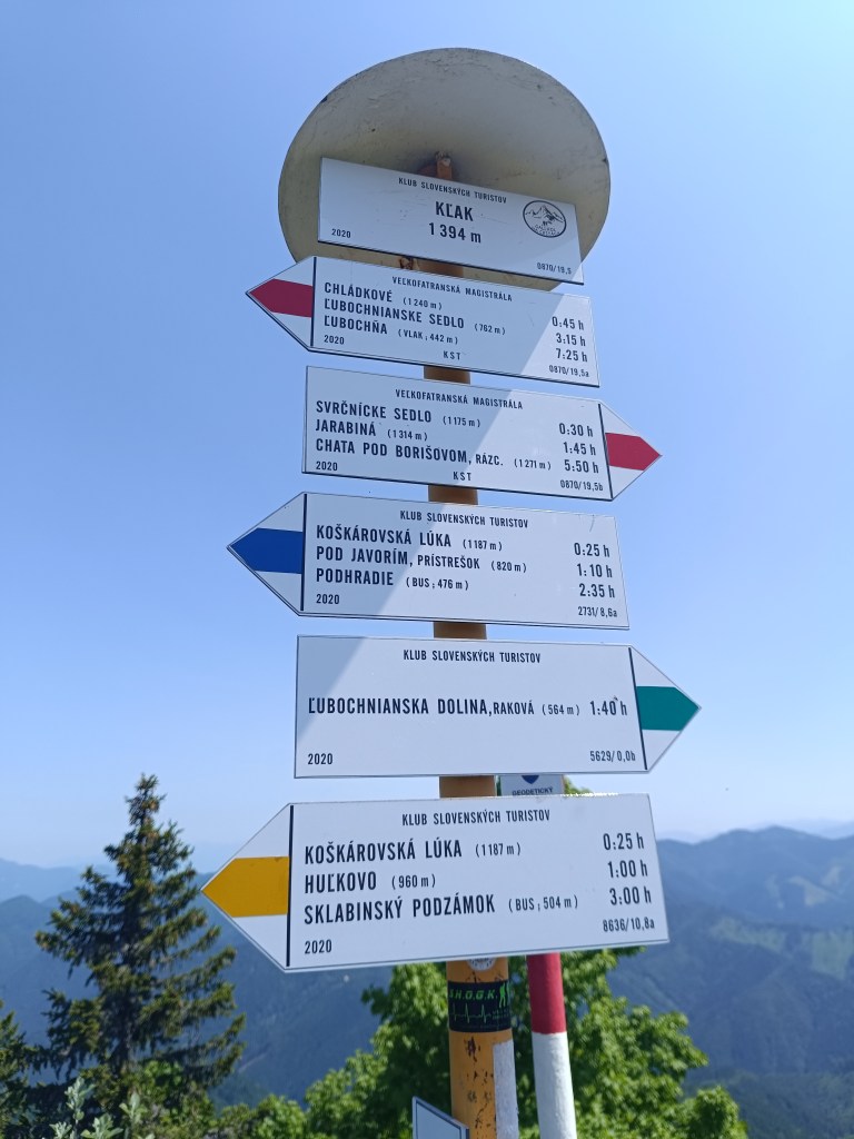
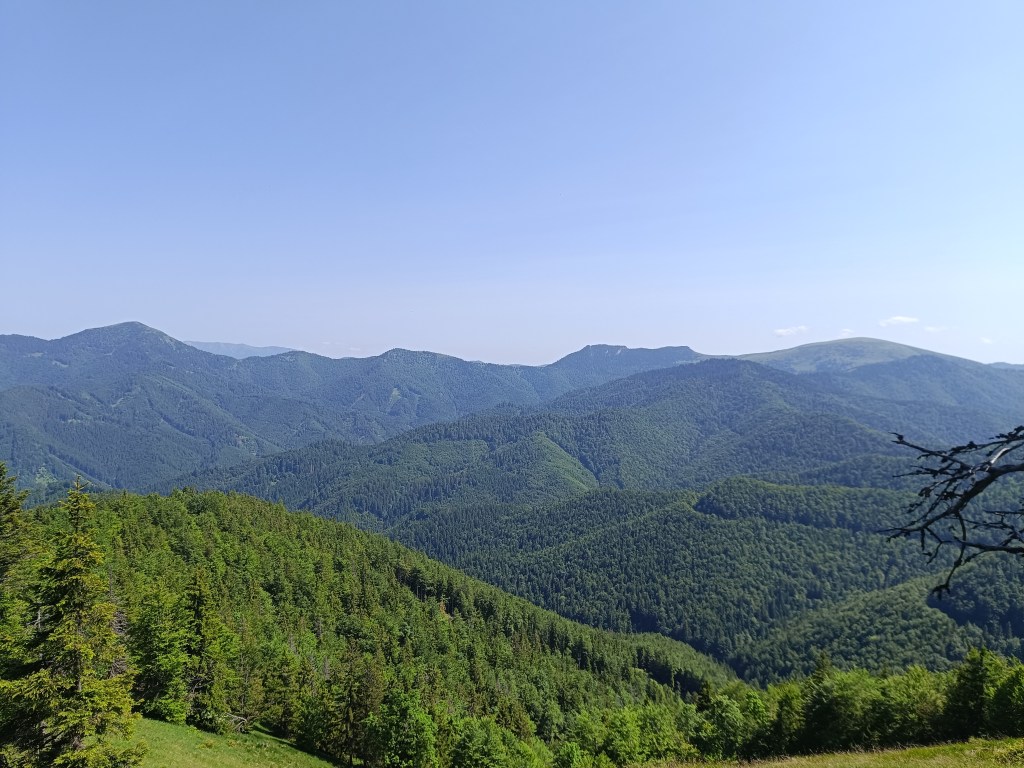
Then we descend to the Ľubochnianske saddle and again steeply up to Vyšné rudno. The road is either overgrown or there is no marking after logging and there are lots of big branches lying on the path. We push forward and through the Príslop saddle we begin the ascent to Kľak. The climb is long, because Kľak is 1394 meters above sea level, but at the top there is a great view in all directions, we sit on the rocks, take out lunch (meaning a slice of bread with butter and cheese:D ) and enjoy the views.
signpost on KľakView from Kľak
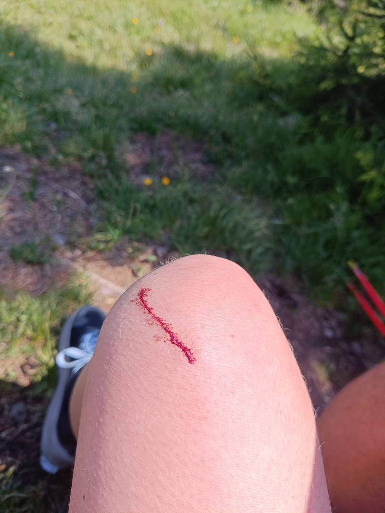
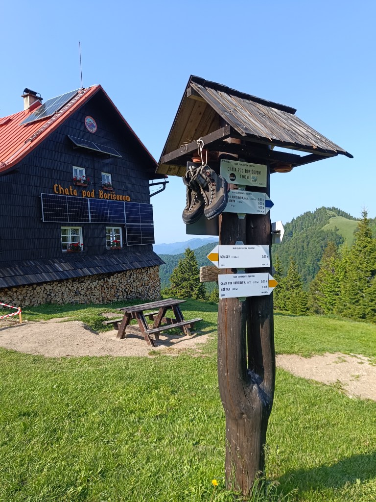
I say to myself: fine, there is already a cottage under Borišov, there I will have a beer, it will be good: D but the route still leads either steeply up or steeply down and my energy is declining, thighs from steep downhills hurt. And as a bonus, I lightly injured my knee when I climbed the fallen tree on the way to the second well (100 altitude down from the ridge, just because of a half -liter of water? but past experience has taught us that going without water is even worse than going down the hard-earned meters to it)
The knee then became quite swollen and turned blue.
We are climbing to Javorinka and I’m quite exhausted, I’m chewing a cookie at the top and the signpost says that we should be in Borisov in half an hour.
on the path to Javorinka
I tell myself, okay, she’ll be over the next hill. I climb up the hill and she’s really there… Except not under the hill I’m standing on, but on the opposite one, and not in the saddle, but a good bit uphill. I curse, grit my teeth and go.
Jožko is already waiting for me with beer and radler.
It’s still a long way from the hut under Borisov, but it seems surprisingly easier than before, the climbs are not as steep, the terrain less technical, but I don’t have as much energy as I would like. We walk for a while, we run for a while, the further we go, the more we walk and the less we run xD.
On the way to Krížna
These paths are already familiar to us, so I send Jožko ahead to arrange dinner for us on Krížna. We must hurry, so that they don’t close the kitchen, because we don’t have any food left. I run a few more straights, but then I’m definitely out of energy and from Kráľová skala I just walk.
From Kráľova studňa
I enter the room, lie down straight on the carpet, happy that I did it, but really exhausted.. And now Jožko is urging me to take a shower, we have 15 minutes until the kitchen closes 😀 My stomach is tight and it takes me a good hour to eat dinner. But I’m proud of myself, this was the hardest run of my life so far. We drink a beer and night falls on the Veľká Fatra.
47.89km, 3467m ascend , 11h15min, from which 10h40min active time