Tag: hike

  • Paradajs, Tanád

    Paradajs, Tanád

    A few days before Christmas, it was a foggy days, so we looked for the sun. This time above Banská Štiavnica, I parked my car in the parking lot near Hájovna in the Červená Studňa saddle.

    There is also a pond of the same name (at an altitude of 787 m above sea level). It was built as a taich in 1759 according to the design of the inventor Jozef Karol Hell, so that the drive ditch from it brought water to the Amália shaft to drive the water column pumping machine as well as to other mining works. The length of its dam is 117 m. It is the last built and still preserved Stiavnica tajch – six years after its construction, James Watt invented the steam engine.
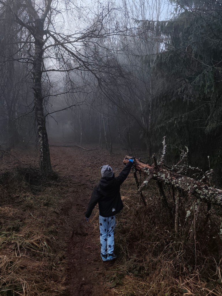
    Ont he way to Paradajs

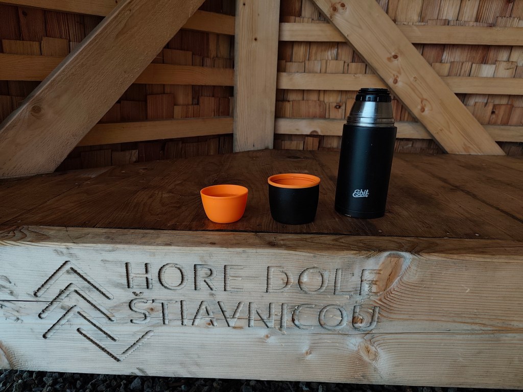
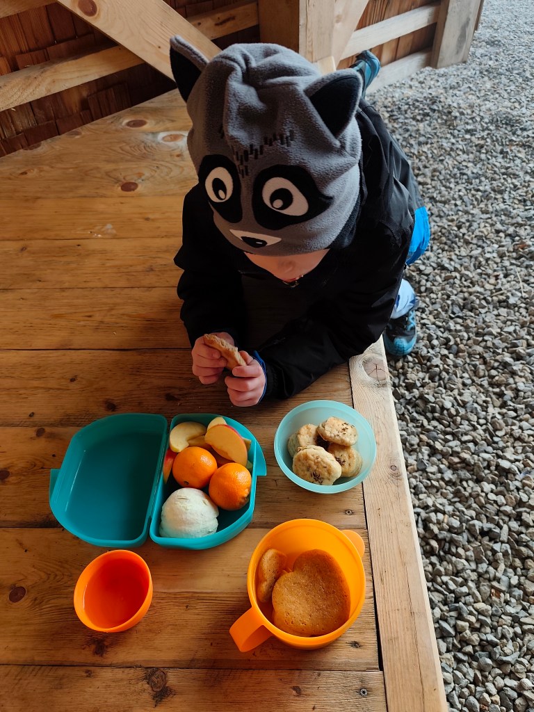
    We continue along the nature trail to Mount Paradajs (939 m.a.s.l.). It is the second highest peak of Štiavnické vrchy, it is interesting that further south along the ridge is the high Tanád hill. Paradajs has a flat unforested peak that provides wonderful views of Štiavnica (today it only provided us with menhirs emerging from the fog:) On its top there is also a newly built semi-circular shelter where you can have a great picnic.
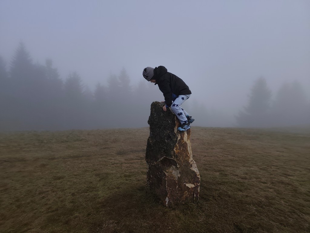
    Dávid on one of the menhirs

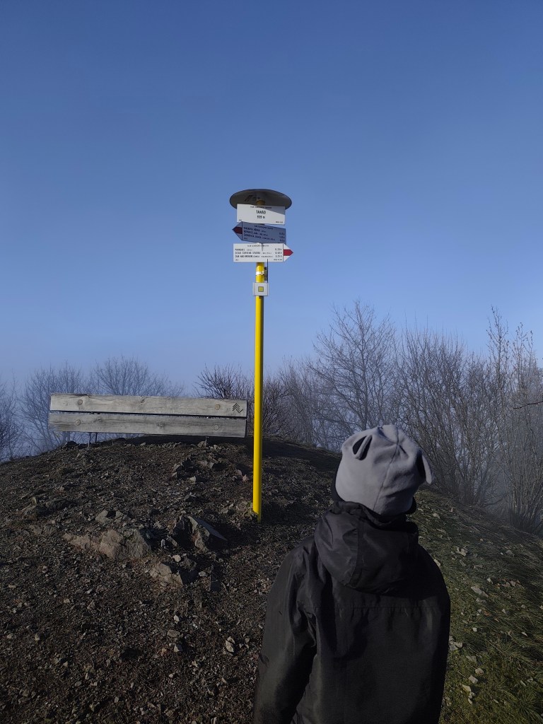
    We continued through the foggy forest to Tanád, where we finally managed to climb out of the fog into the sun for a while.
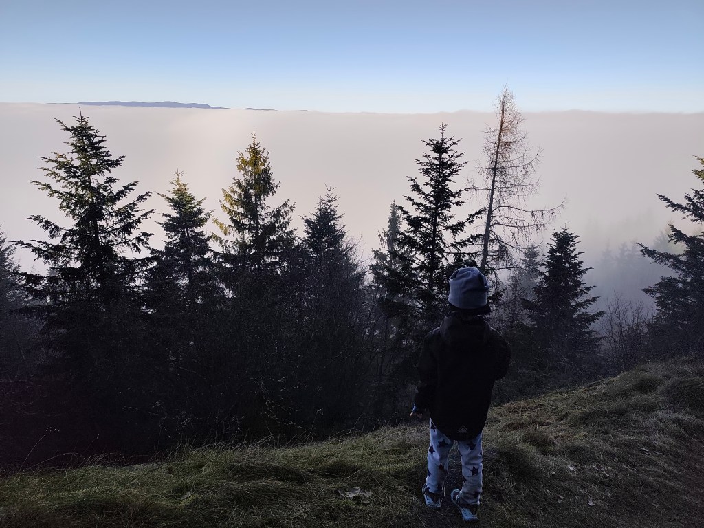
    Finally above the fog
    Sun on Tanád

    From Tanád, we turn onto the yellow road and descend steeply, then we turn onto the green educational path of Milan Kapusta, past the old tunnels and the Ottergrund tajch.
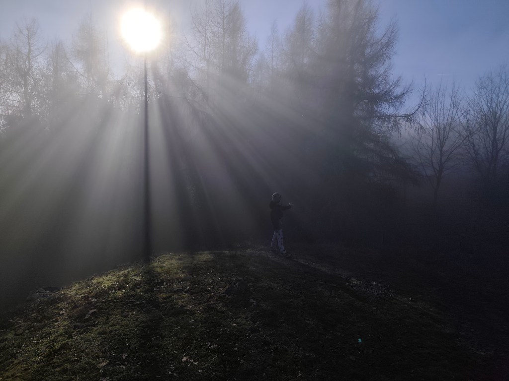
    We always found something, that makes it worth it

    Tajch Ottergrund is the highest artificial reservoir in Štiavnické vrchy. It is small, but it has one big advantage.Banská Štiavnica is right in the palm of your hand from here, including the iconic calvary (but of course it couldn’t be fog:D). The Tajch began to be built in 1751 and served as an energy source for the nearby mine shafts, as well as a source of drinking water for the city and a fire tank. Fortunately, it has been preserved to this day, it was recently renovated and a safety spillway was built here. The current depth is 6.6 meters.

    Today we finish in Hájovňa in the saddle of Červená Studňa, where we warm up nicely after a foggy and wet day. As a reward, we treated ourselves to cappuccino and Dávid to sausages and juice.
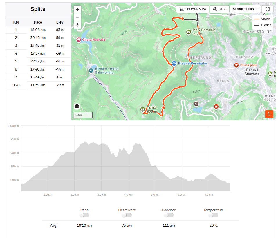
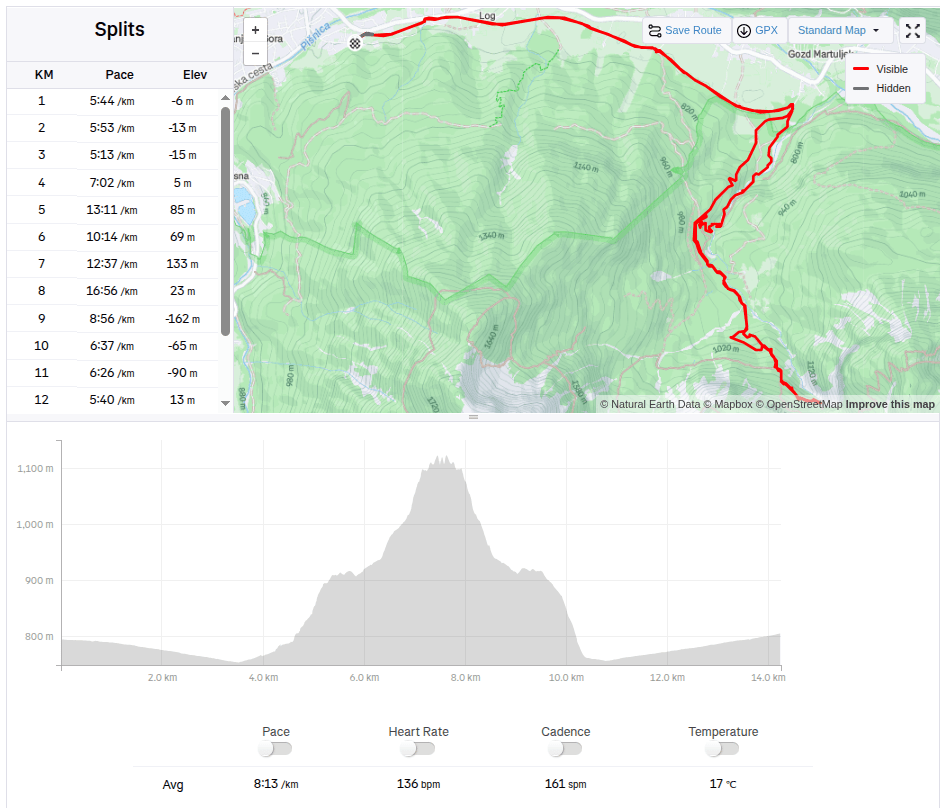
    7.78km, 3h, 321 m ascend

  • Paradajs, Tanád

    Paradajs, Tanád

    Pár dní pred vianocami u nás vládla hmla a tak sme sa vidali hľadať slnko. Tentokrát nad Banskú Štiavnicu, auto som zaparkorkovala na parkovisku pri Hájovni v sedle Červená Studňa.

    Nachádza sa tu aj rovnomenný rybník (v nadmorskej výške 787 m n. m.). Bol vybudovaný ako tajch v roku 1759 podľa návrhu vynálezcu Jozefa Karola Hella, aby náhonový jarok z neho privádzal vodu k šachte Amália na pohon vodostĺpcového čerpacieho stroja ako aj k iným banským dielam. Dĺžka jeho hrádze je 117 m. Je posledným postaveným a doteraz zachovaným štiavnickým tajchom – šesť rokov po jeho výstavbe James Watt objavil parný stroj.

    Cestou na Paradajs

    Pokračujeme náučním chodníkom na vrch Paradajs (939m.n.m). Ide o druhý najvyšší vech Štiavnických vrchov, zaujímavé je, že juženjšie po hrebeni je rovanko vysoký vrch Tanád. Paradajs má plochý nezalesnený vrchol, ktorý poskytuje nádherné výhľady na Štiavnicu (nám dnes poskytol len z hmly vynárajúce sa menhiry:) Na jeho vrchu sa nachádza aj novopostavený polkruhový prístrešok, kde sa dá spraviť parádny piknik.

    štavnické menhiry prežili aj jedno neposedné dieťa

    Pokračovali sme hmlistým lesíkom až na Tanád, kde sa nám konečne podarilo na chvíľu vyliezť z hmly na slnko.

    Konečne nad hmlou
    Slnko na Tanáde

    Z Tanádu bočíme na žltú a strmo klesáme, následne odbáčame na zelený náučný chodník Milana Kapustu, popri starých štôlňach a tajchu Ottergrund.

    Vždy nájdeme niečo, prečo to stojí za to:)

    Tajch Ottergrund je najvyššie postavená umelá nádrž v Štiavnických vrchoch. Je malý, ale má jednu veľkú prednosť. Banskú Štiavnicu máte odtiaľto ako na dlani aj s ikonickou kalváriou (to by ale samozrejme nemohla byť hmla:D). Tajch začali stavať v roku 1751 a slúžil ako energetický zdroj pre neďaleké banské šachty, ďalej ako zdroj pitnej vody pre mesto a požiarna nádrž. Našťastie sa zachoval dodnes, nedávno prebehla rekonštrukcia a vybudovali tu aj bezpečnostný prepad vody. Súčasná hĺbka je 6,6 metra.

    Dnešný deň končíme v Hájovni v sele Červená Studňa, kde sa po sychravom dni krásne zohrejeme. Ako odmenu sme si dopriali kapučíno a Dávid párky a džús.

    7.78km, 3h, 321 nastúpaných metrov

  • Caste Šomoška

    Caste Šomoška

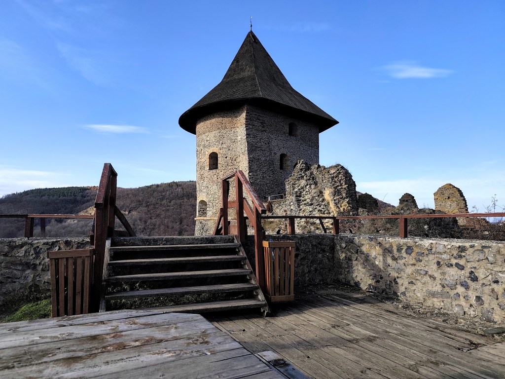
    I have wanted to visit this castle for a long time, but the distance from Banská Bystrica discouraged me. Now, however, a new section of the highway has finally opened and it shortened the journey to an acceptable hour and a half, so on Saturday, December 5th, we set out to explore the border castle and its surrounding area. And there is so much to see!

    You cannot miss the parking lot under the castle, the road to it is perfectly marked, and to my surprise, right next to the parking lot is a new and large playground and a buffet (which, however, is only open in season).

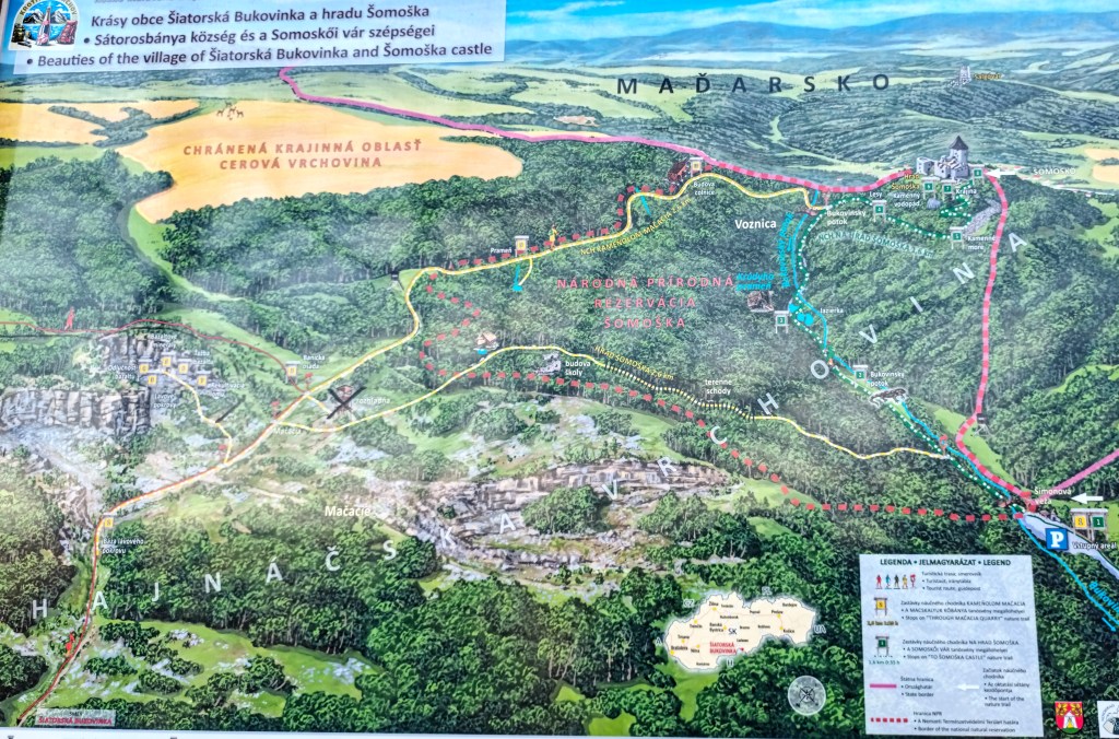
    There is also a map of the nature trail by the parking lot, or just a shortened version to the castle and back.

    nature trail map šomoška

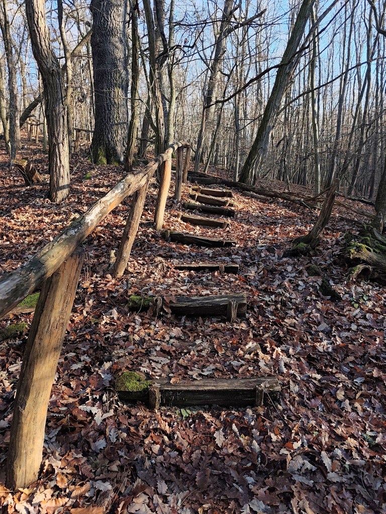
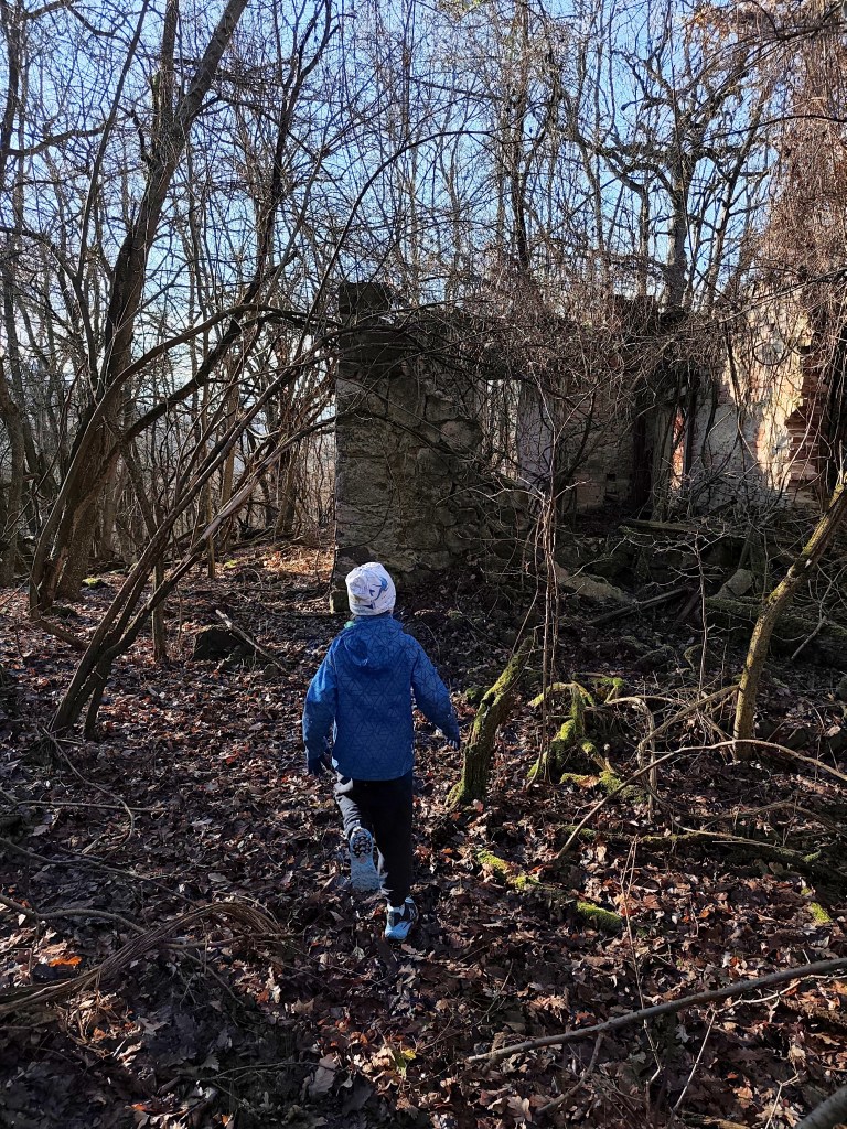
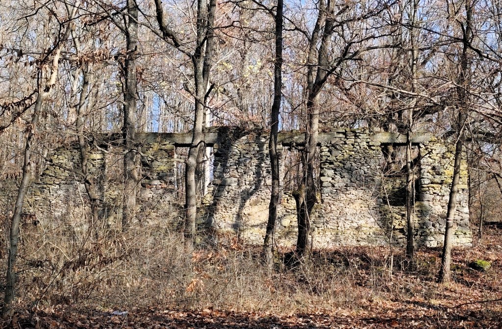
    We decided to walk the entire nature trail in the direction of the quarry first, then the castle 🙂 The path to the quarry was made special by the forest stairs and the former school building. It is a ruin of a medium-sized building from which the walls, a few old doors and fallen windows have been preserved. The rest is slowly but surely being reclaimed by the forest.

    The quarry is called Mačacia and was founded in 1880. At its peak, up to 1,500 people worked there. A mining settlement with a school, dormitories, a shop and two financial guard buildings gradually grew up around it. Basalt was mined here and cat’s heads were made from it, and the raw material was exported to many European countries.

    Former shop building

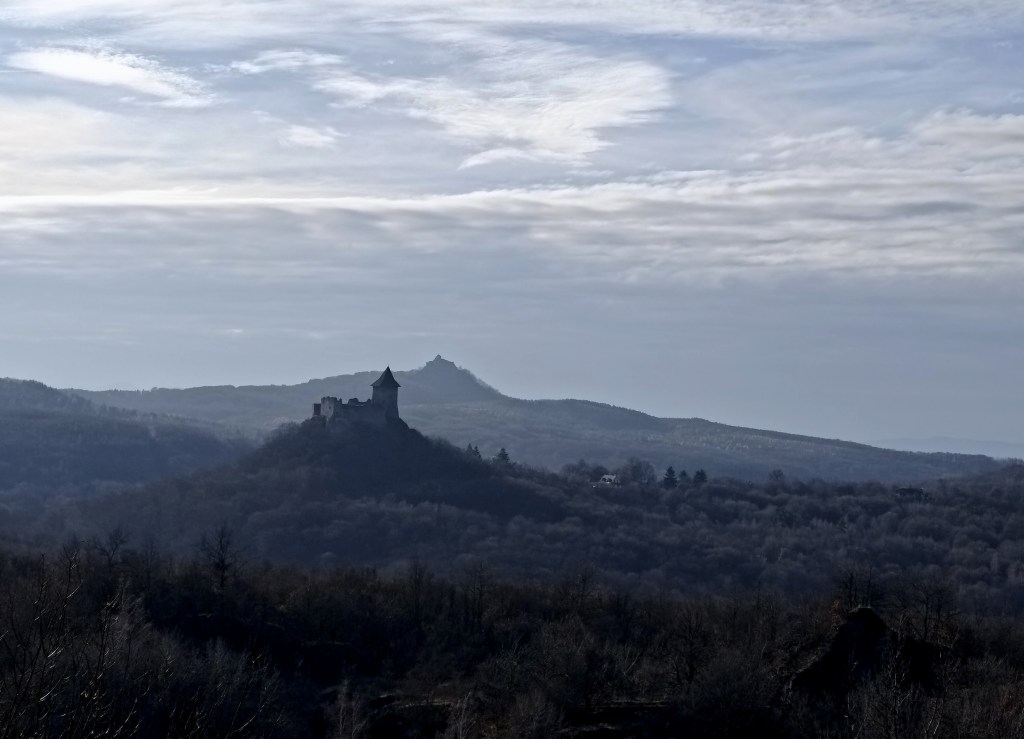
    Above the quarry there is a lookout tower with a beautiful view of Šomoška Castle and Šalgó Castle behind it (which is now in Hungary).

    From the lookout tower

    From the lookout we return along the nature trail past the shop building and then past the financial guard building. We descend into the valley, cross the bridge and then the climb to the castle awaits us.

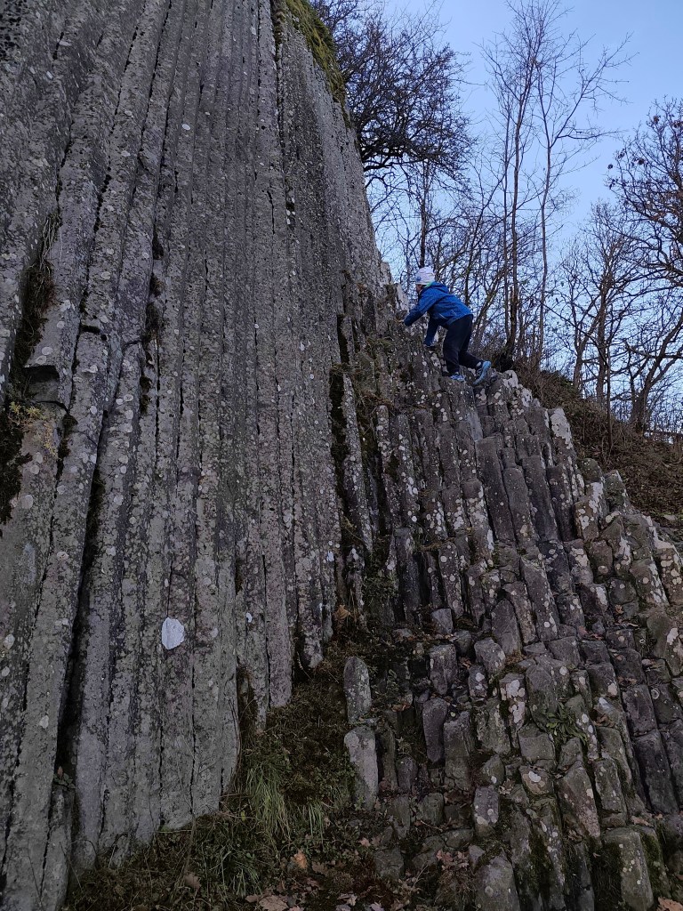
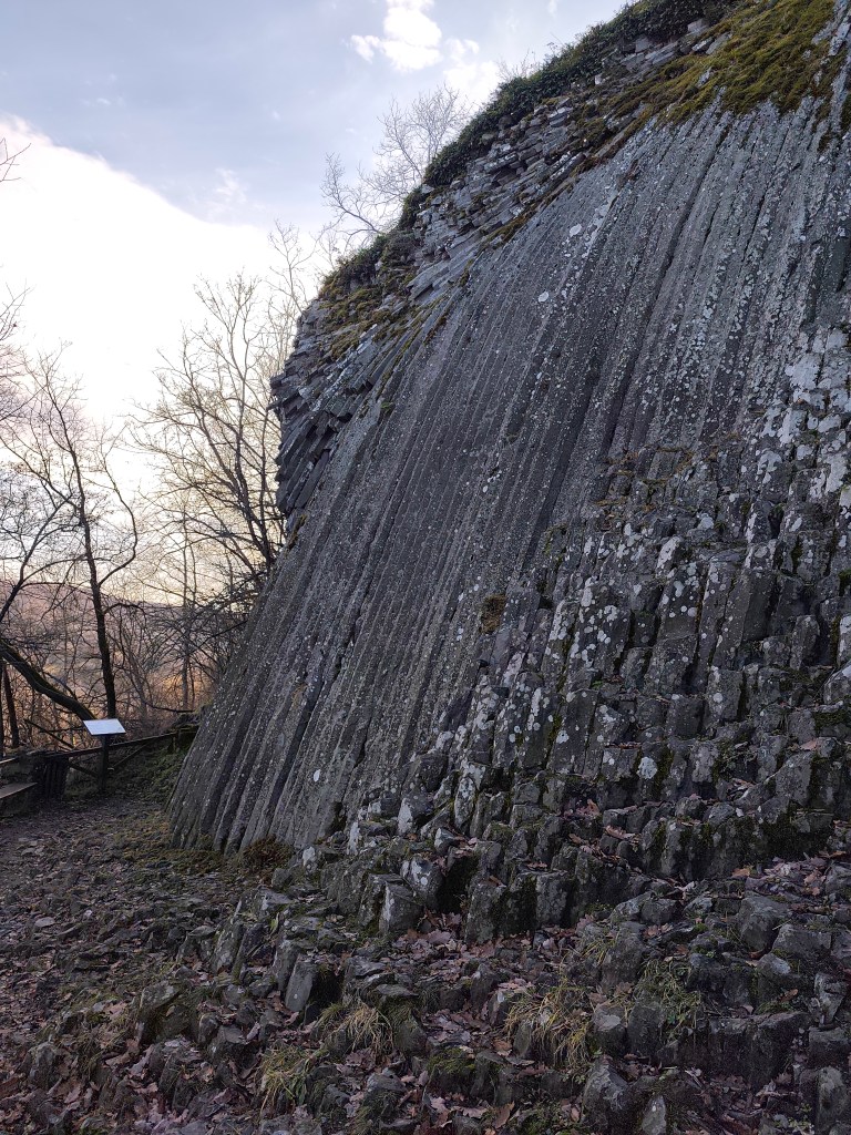
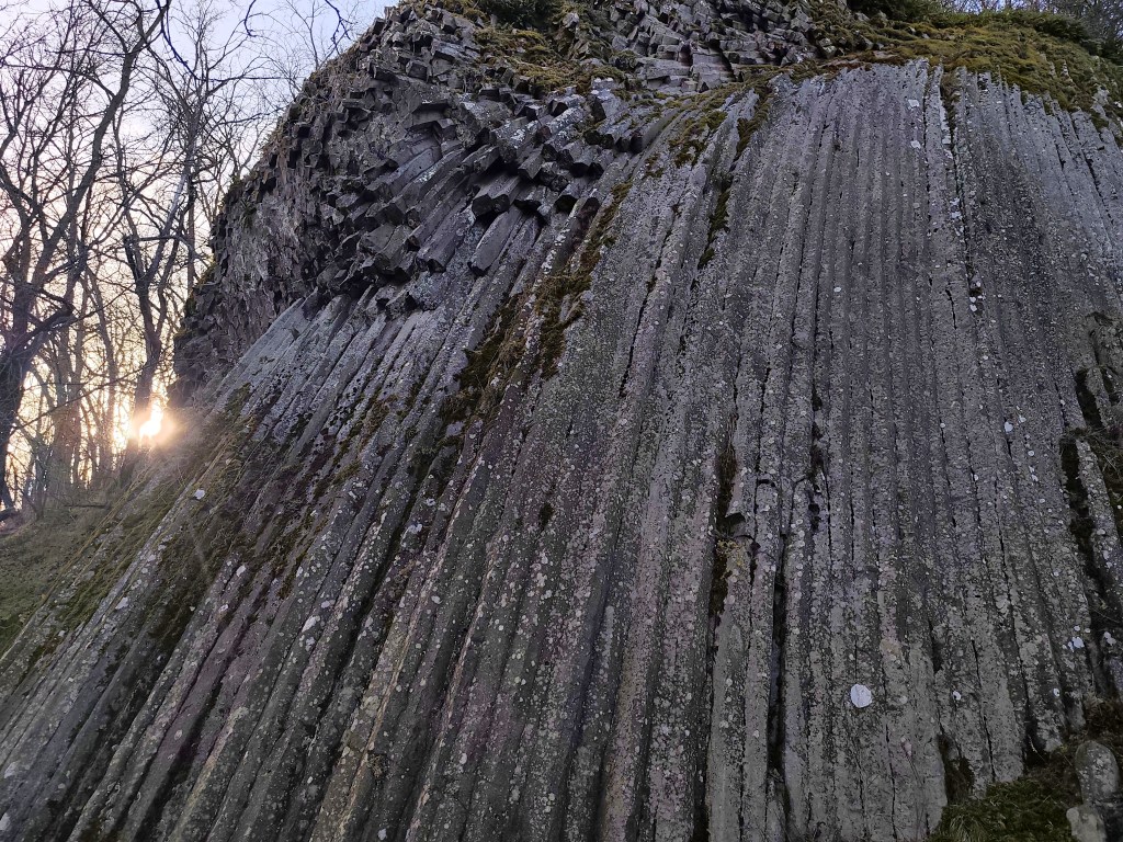
    Before we climb to the castle, we still have to see a sea of ​​stones and a basalt stone waterfall. David likes it very much, he would love to climb it all day long 🙂

    Stone waterfall

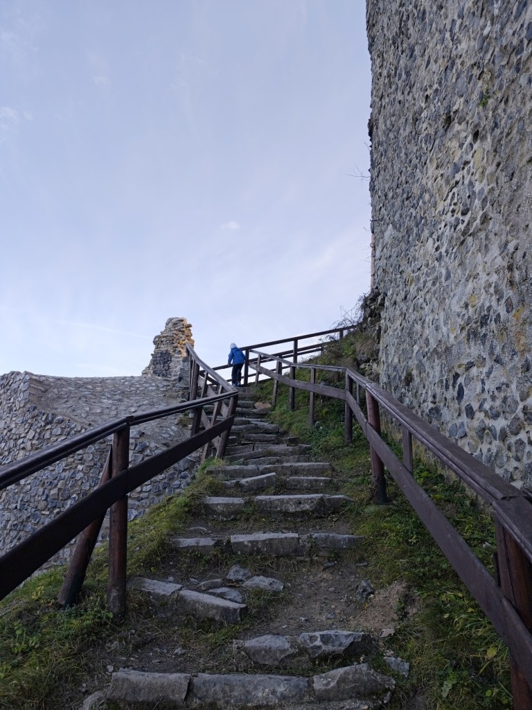
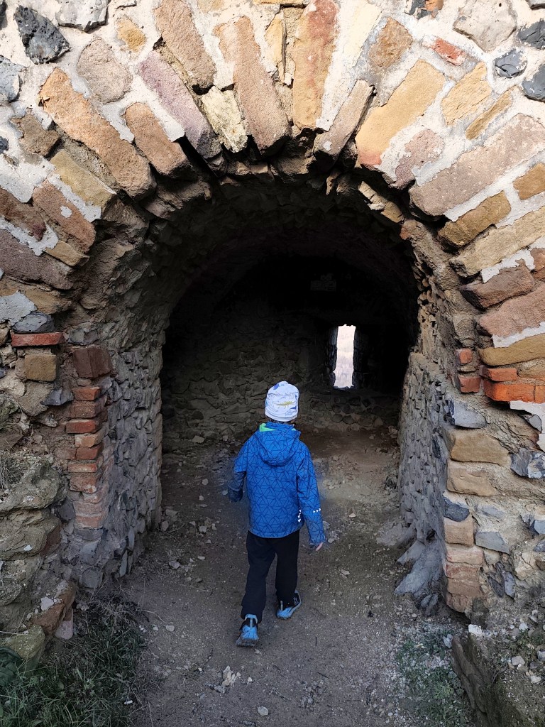
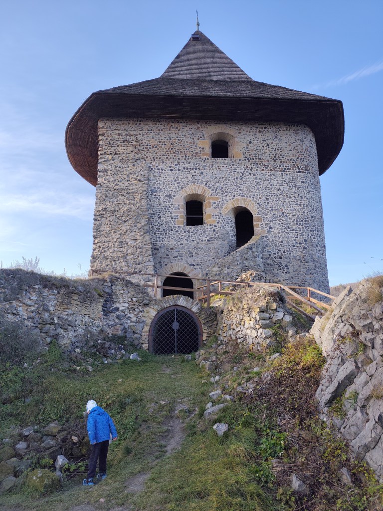
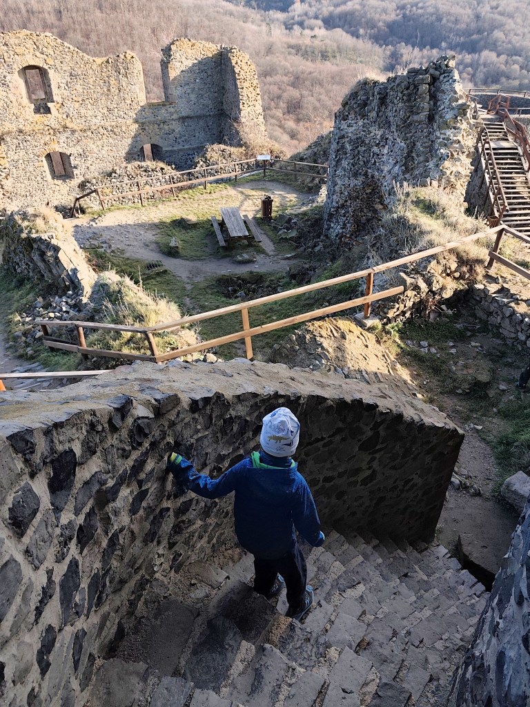
    The castle itself was founded in the late 13th or early 14th century by the Kačič family. It was built from basalt blocks, which were quarried directly from the castle hill. During the construction, a famous stone waterfall was also discovered. In 1310, it became the property of Matúš Čák.

    The original appearance of the castle is not clear. It is assumed that it originally consisted of a small towerless layout, approximately triangular in plan. Later in the Middle Ages it was expanded with a Gothic palace in the east and also with an entrance tower. A major reconstruction took place in the 16th century, when it was expanded with two cannon bastions, a barbican and two buildings on the north and south sides. The interiors were equipped with carved shaped elements.

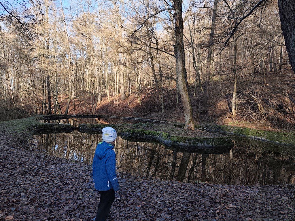
    On the way back to the parking lot, we were also impressed by the beautifully renovated ponds, which are supplied with water from a nearby spring. They are interconnected to allow for the migration of aquatic animals. David was 6 at that time.

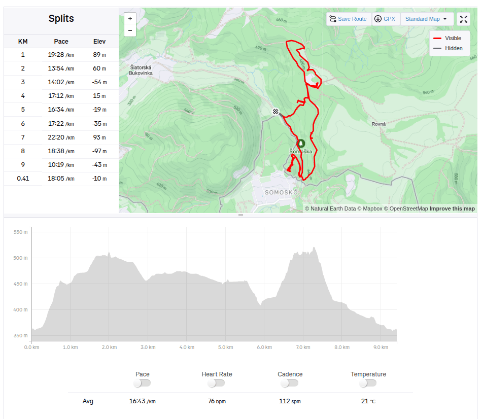
    9.41km, 2:37 active, 3:17 total, 315 metre ascent

  • Hrad Šomoška

    Hrad Šomoška

    Tento hrad som chcela navštíviť už dávno, ale odrádzala ma vzdialenosť od Banskej Bystrice. Teraz však konečne otvorili nový úsek diaľnice a cestu to skrátilo na prijateľnú hodinu a pol a tak sme sa v sobotu 5.12 vybrali prebádzať hraničný hrad a jeho priľahlé okolie. A že tam je čo vidieť!
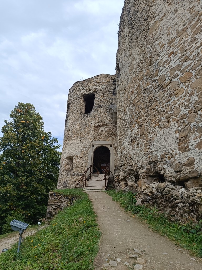
    Parkovisko pod hradom nemôžete minúť, cesta k nemu je parádne značená a na moje prekvapenie hneď pri parkovisku je nové a veľké detské ihrisko a aj bufet (ktorý však funguje len v sezóne).

    Pri parkovisku je aj mapka náučného chodníka, prípadene len skrátenej verzie na hrad a späť.

    Mapa náučného chodníka šomoška

    My sme sa rozhodli prejsť celý náučný chodník v smere najkôr kameňolom, potom hrad:) Cestu do kameňolomu nám obzvláštnili lesné schody a aj budova bývalej školy. Ide o zrúcaninu stredne veľkej budovy z ktorej sa zachovali múry, zopár starobilých dverí a spadnuté okná. Zvyšok si pomaly ale isto berie späť les.

    Kameňolom sa volá Mačacia a vznikol v roku 1880 a v dobách jeho najväčšej slávuy v ňom pracovalo až 1500 ľudí, postupne okolo neho vyrástla banícka osada so školou, noclahárňami, obchodom a dvomi budovami finančnej stráže. Ťažil sa tu bazalt a vyrábali sa z neho mačacie hlavy, surovina bola vyvážaná do mnohých európskych štátov.

    Bývalá budova obchodu.

    Nad kameňolomom stojí rozhľadňa s krásnym výhľadom na hrad Šomoška a za ním stojaci hrad Šalgó (ten už je však na území Maďarska).

    Výhľad z rozhľadne

    Z rohľadne sa vraciame náučným chodníkom popri budove obchodu a následne aj popri budove colnice. Zbiehame dolu do dolinky, mostíkom cez potom a už nás čaká výstup na hrad.
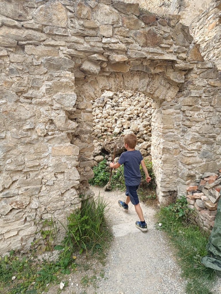
    Kým vystúpame na hrad, čaká nás ešte kamenné more a bazaltový kamenný vodopád. Ten sa Dávidovi veľmi páči, najradšej by po ňom lozil celý deň:)

    Kamenný vodopád

    Samotný hrad založili koncom 13. alebo začiatkom 14. storočia Kačičovci. Bol stavaný z čadičových kvádrov, ktoré boli ťažené priamo v hradnom kopci. Pri stavbe bol odkrytý i známy kamenný vodopád. V roku 1310 sa stal majetkom Matúša Čáka.

    Podoba pôvodného hradu nie je zrejmá. Podľa predpokladov ho pôvodne tvorila malá bezvežová dispozícia, približne trojuholníkového pôdorysu. Neskôr v stredoveku sa rozrástol o gotický palác na východe a tiež o vstupnú vežu. Zásadná prestavba prebehla v 16. storočí, keď bol rozšírený o dve delové bašty, barbakan a dve budovy na severnej a južnej strane. Interiéry boli vybavené tesanými tvarovanými článkami.
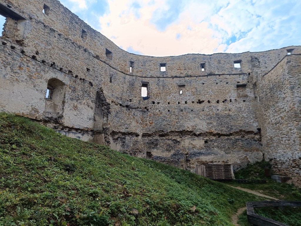
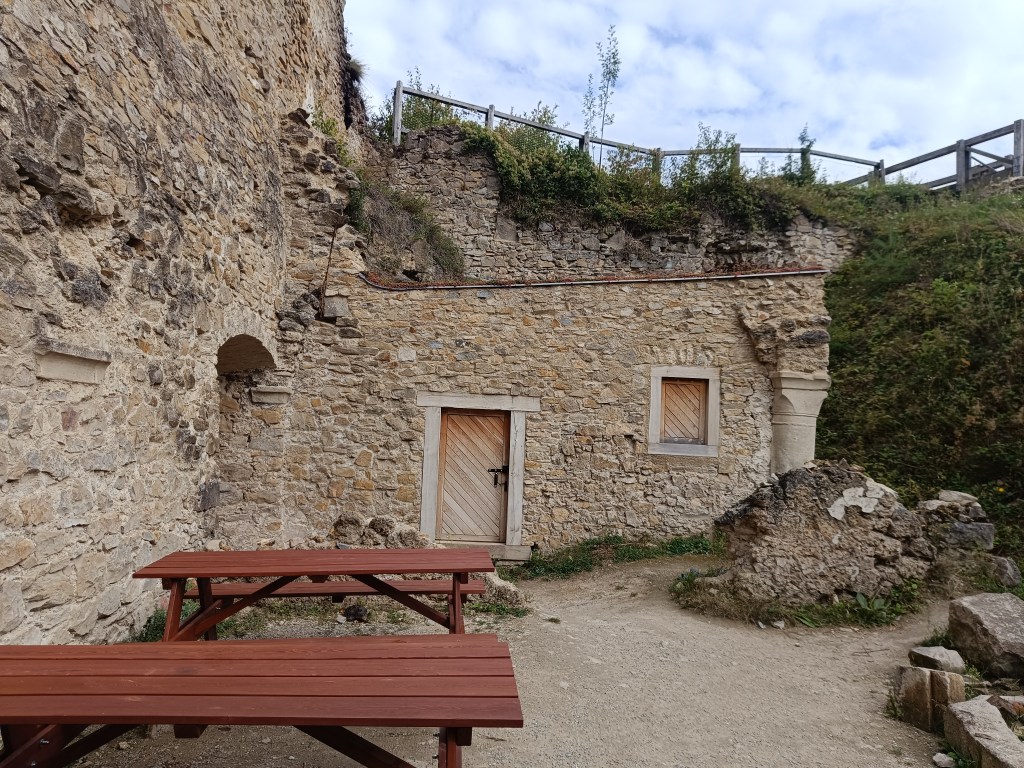
    Cestou späť na parkovisko nás ešte zaujali krásne zrekonštruované jazierka, ktoré sú zásobované vodou z neďalekého prameňa. Sú navzájom pospájané, aby umožnili migráciu vodných živočíchov. Dávid mal v čase výletu 6 rokov.

    9.41km, 2:37 aktívny čas, 3:17 spolu, 315 nastúpaných metrov

  • Slovenia 2025

    Slovenia 2025

    4 day short trip to Slovenia, on the edge of Triglav National Park. The guys were running the Julian Alps Trail Run and Lucka and I went to support them and do a little running.

    The first day we arrived in the afternoon so the only thing on the to do list was to find a good restaurant, buy groceries and see Lake Jasna.

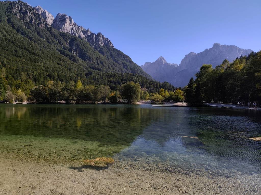
    Lake Jasna is the name of two interconnected lakes located just a short distance from Kranjska Gora. It is an alpine lake with crystal clear water and breathtaking mountain scenery.

    We also walked through the center of Krajnska Gora, where it was already bustling with the upcoming race. It is a smaller alpine town with a bunch of good restaurants and stalls in the center.

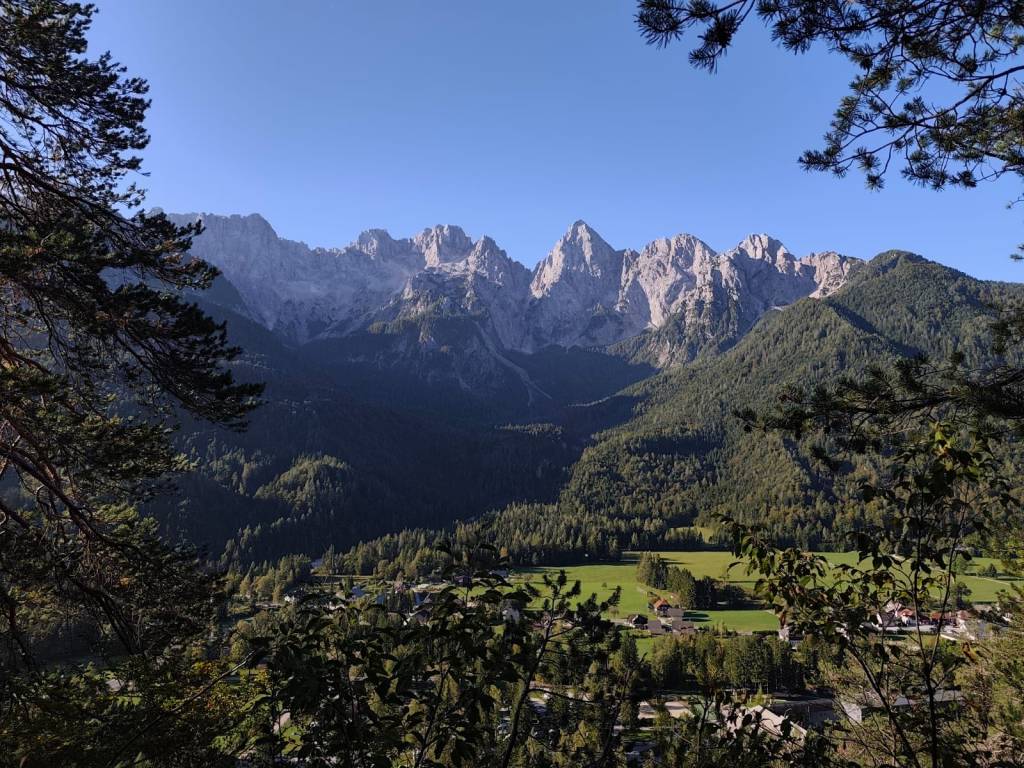
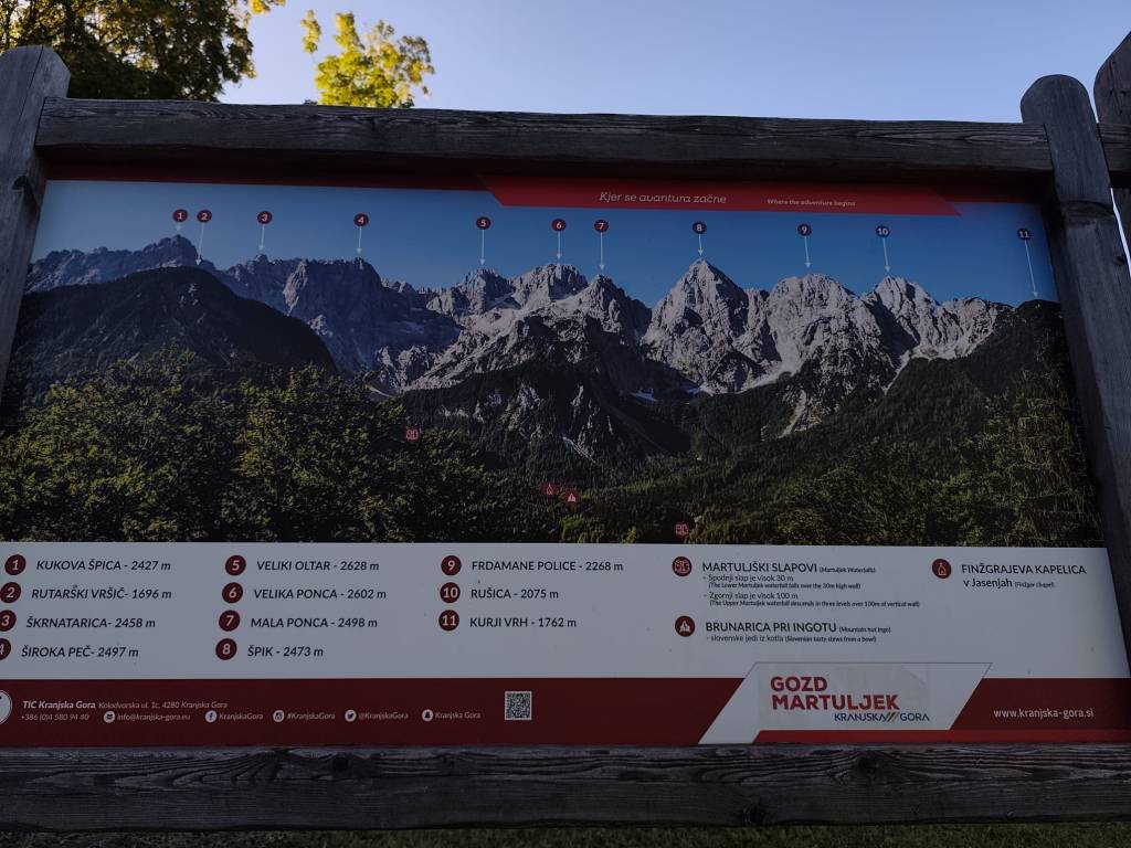
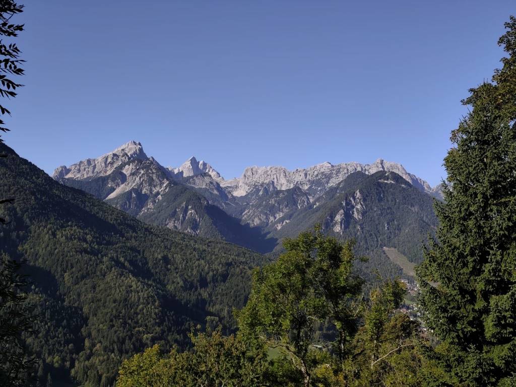
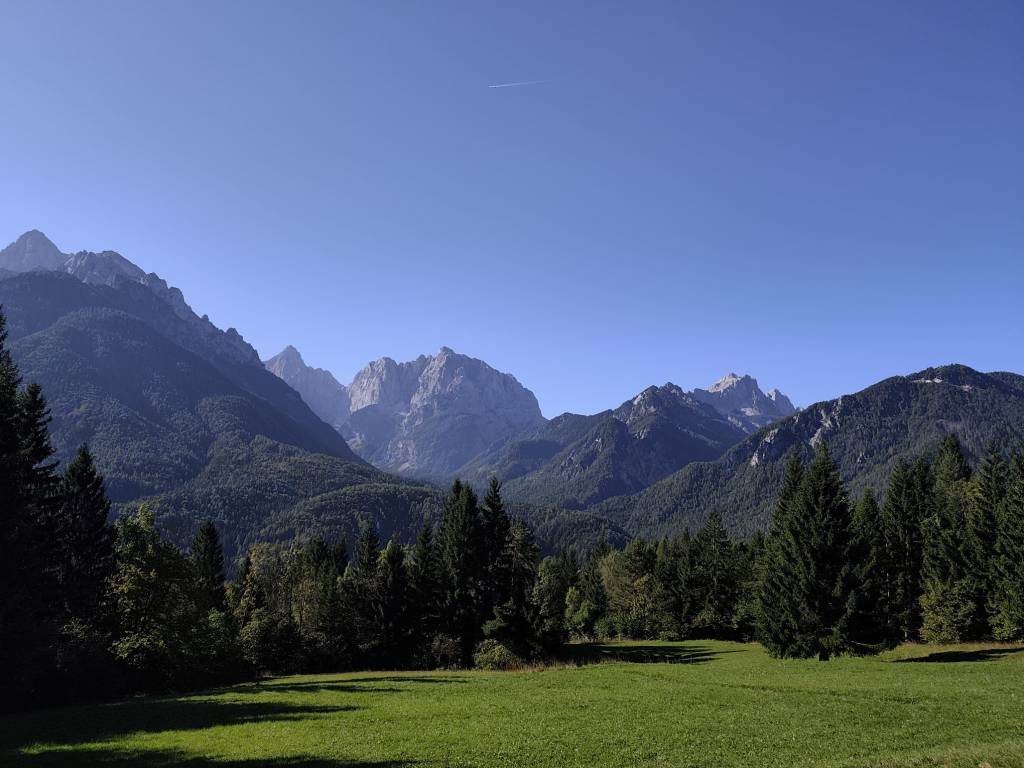
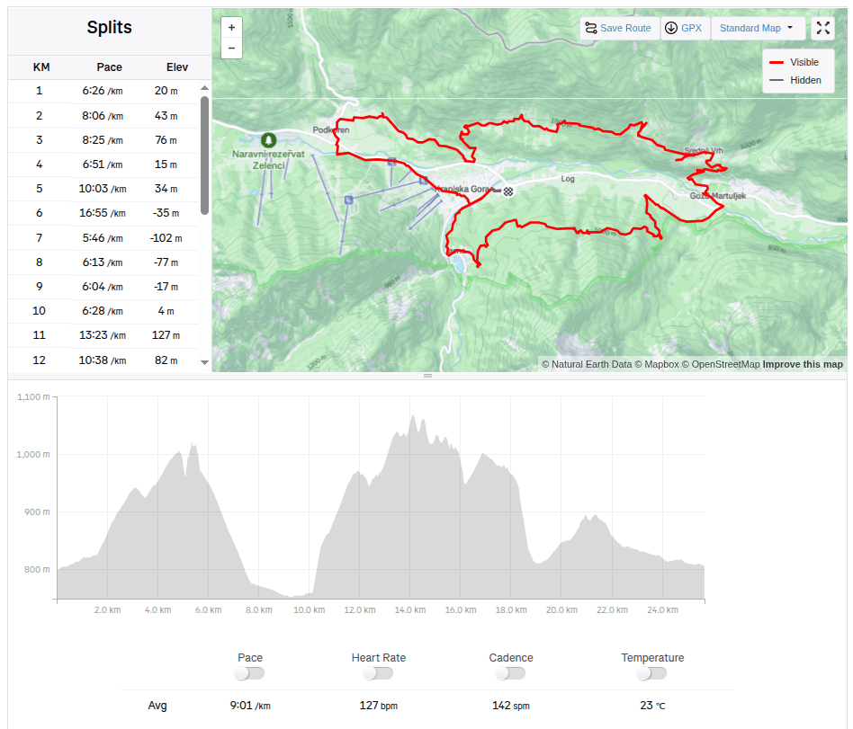
    The guys were supposed to start on Friday evening, and Lucka and I went to run one of the shorter routes from the Julian Alps Trail Run in the morning. We chose a 25km route that took us into the hills above the valley with great views of the Julian Alps, especially the Špik peak. But for our taste, there was quite a lot of asphalt on this route and not enough water:D It took us almost 4 hours to run. In the afternoon, we returned to the restaurant from the previous day (Figo restaurant) where we really enjoyed it.

    25.67km, 3h 51min, 875m ascend

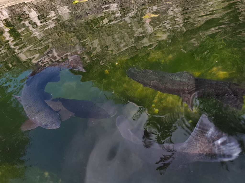
    On Saturday, the plan was to encourage the boys, so we packed the stroller and bike for Anton and ran 15km to the village of Gozd Matjulek – on the way we noticed a turnoff to the waterfalls and that really caught my attention. I would have liked to see them. But there was no time, we got to the refreshment station about half an hour before Jožko, so for now we walked through the village of Dovje, in the middle of it there was a reservoir with water and giant trout in it.

    Trouts

    And it had beautiful views of the Alps. Jožko finished his 107 kilometer at about 3 pm, he was really overheated and his stomach was protesting, but his legs were still going. Miloš was supposed to arrive at 6 pm and that was quite late, we couldn’t wait for him. So we continued running to the last refreshment stop and from there quickly to the finish line where we managed to arrive before Jožko by about a minute 🙂

    From cycle path to Dovje

    And since we wanted to encourage Miloš too, we went back for the last refreshment stop and then back to the finish line. Both guys did it brilliantly in under 24 hours.

    Village Dovje

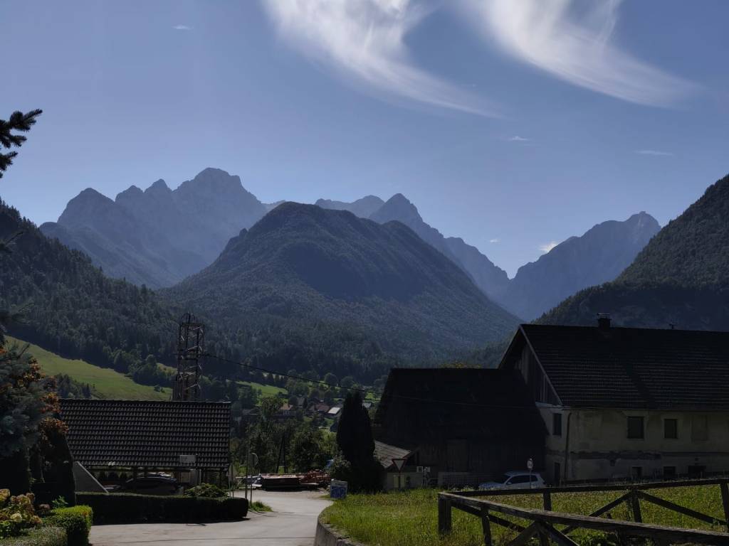
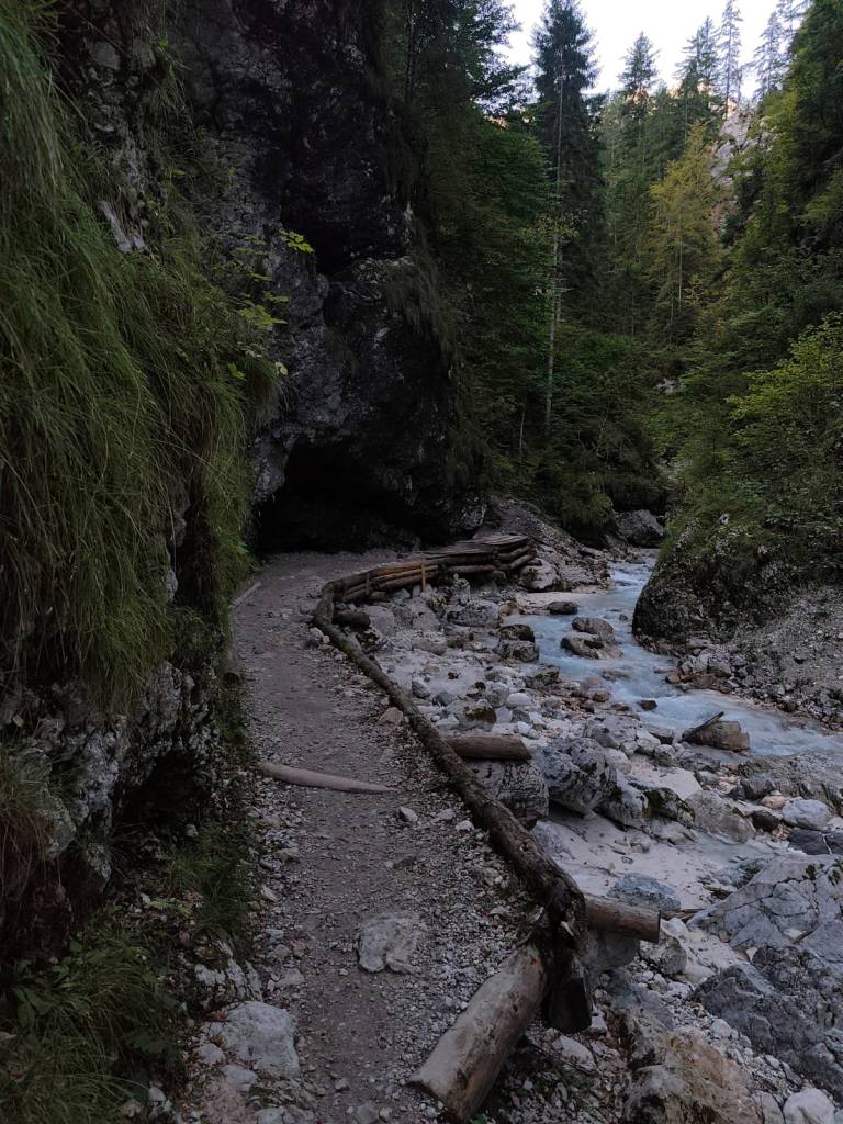
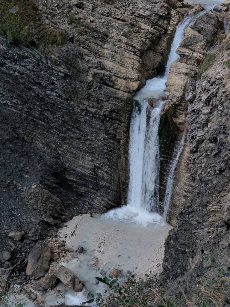
    On Sunday, no one wanted to go, but I just couldn’t get the waterfalls out of my head, so I set my alarm so I could get around them before the planned departure at 10 a.m. After 3 kilometers of asphalt, I ran into the Martujlek Valley, which is named after the Martujlek stream, which springs high in the mountains. As the stream descends, beautiful waterfalls appear.

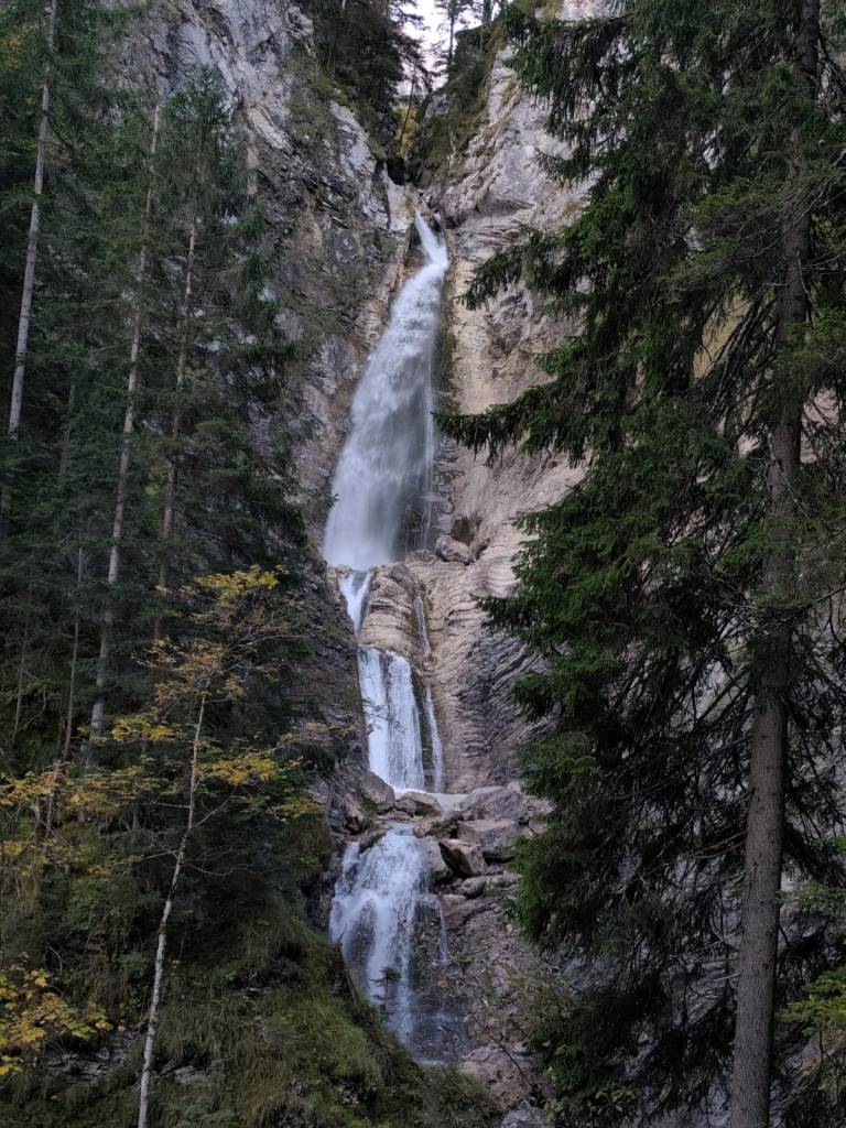
    The Lower Martuljek Waterfall is the largest and most impressive of the waterfalls, cascading into a picturesque canyon from a height of over 50 meters. It can be admired from viewing platforms on the hiking trail.

    Lower Martuljeks waterfall

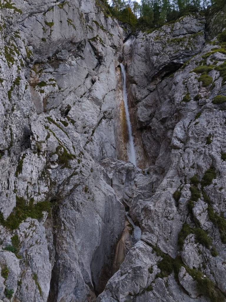
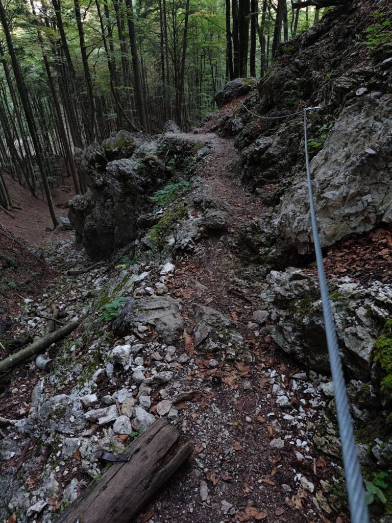
    Above the lower waterfall is the upper Martuljek waterfall, a hidden gem hidden among the rocks of the gorge. The upper waterfall is smaller, but no less magnificent. It is reached by a path secured with safety ropes.

    Upper Martuljeks waterfall
    Some parts of the path were even marked as a ferrata on the map (however, in the photo, the part is marked as a ladder)
    14.25km, 1h 57 min, 479m ascend
  • Považský and Lietava castle

    Považský and Lietava castle

    We love castles, and we especially like ruins that we can explore on our own, without a guide. And during our weekend in the Súľovské vrchy, we managed to see two such castles.

    Považský hrad is the ruin of a castle on a steep hill on the right bank of the Váh River. According to unverified reports, the castle was built in 1128 to protect the important Považský road. However, the first mention of it dates back to 1316, where it is mentioned as Bystrický hrad.

    Entrance to Považskéhý castle

    The oldest part of the castle was the tower, standing on the highest point of the rampart, and the Gothic palace. The large oval-shaped forecourt was surrounded by a castle wall, which was protected from the NE by two prismatic towers. The access road, leading to the castle from the NE, is still visible in the terrain today. The entrance gate was protected by a prismatic tower with a barbican.

    Preserved walls of the castle

    The walls of the palace, towers and fortifications have been partially preserved. Window openings are visible on the palace, in places with preserved Renaissance cornices. Of the former farm buildings built in the courtyard, only parts of the walls, or their foundations, are visible. In some rooms there are remains of Renaissance vaults.

    2.5km, 1h

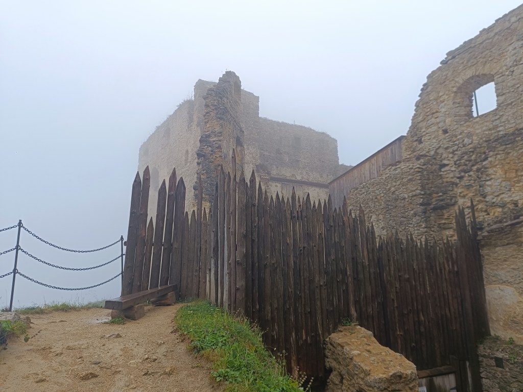
    Lietava Castle is located 10 km from the regional capital Žilina near the Cibuľník hill on the eastern edge of the Súľovské vrchy mountains.

    Walls of Lietava

    In terms of its level of preservation, it is among the largest (1 hectare of built-up area) and most beautifully preserved ruins not only in Slovakia, but also in Central Europe.

    Lietava is pretty big

    The demise of the Gothic-Renaissance castle dates back to 1753 and the ruins were abandoned in the forest until 1999. That is when the Lietava Castle Preservation Association was established, which has been saving the buildings since 2003, through sensitive stabilization, conservation and partial restoration. The castle is still a freely accessible ruin.

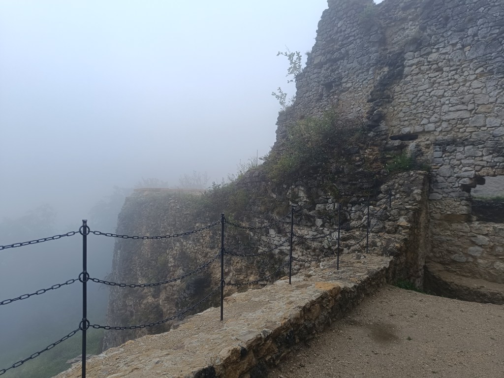
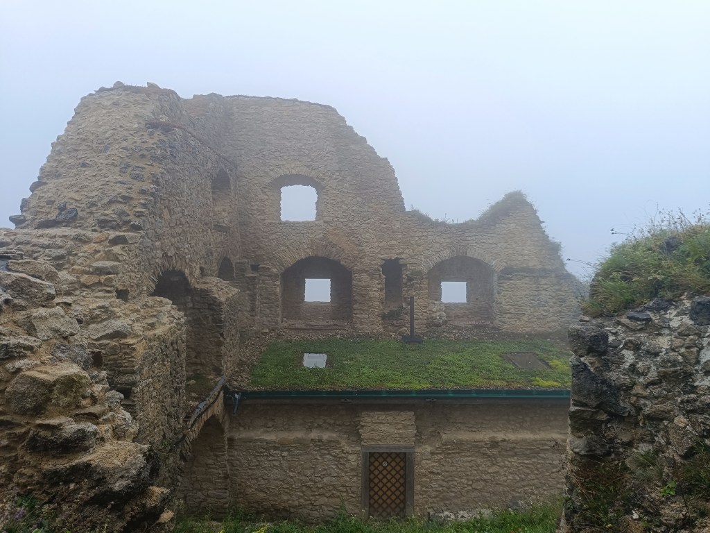
    The castle proudly towers over the landscape and offers a wonderful view of the surroundings. The castle walls of the individual buildings still stand to a considerable height. They have preserved window openings, possibly entrances and architectural details, stone profiled consoles of the former bay window, arched attics, cannon and key loopholes, and in places parts of profiled linings. In the premises of the former chapel, the ramparts of stone Gothic ribs and the remains of plaster on some walls have been preserved.

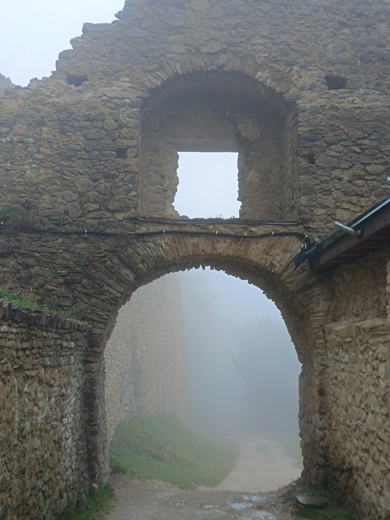
    Entrance gate

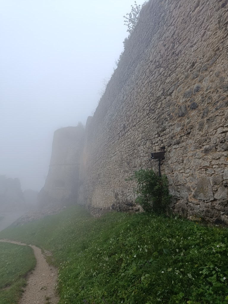
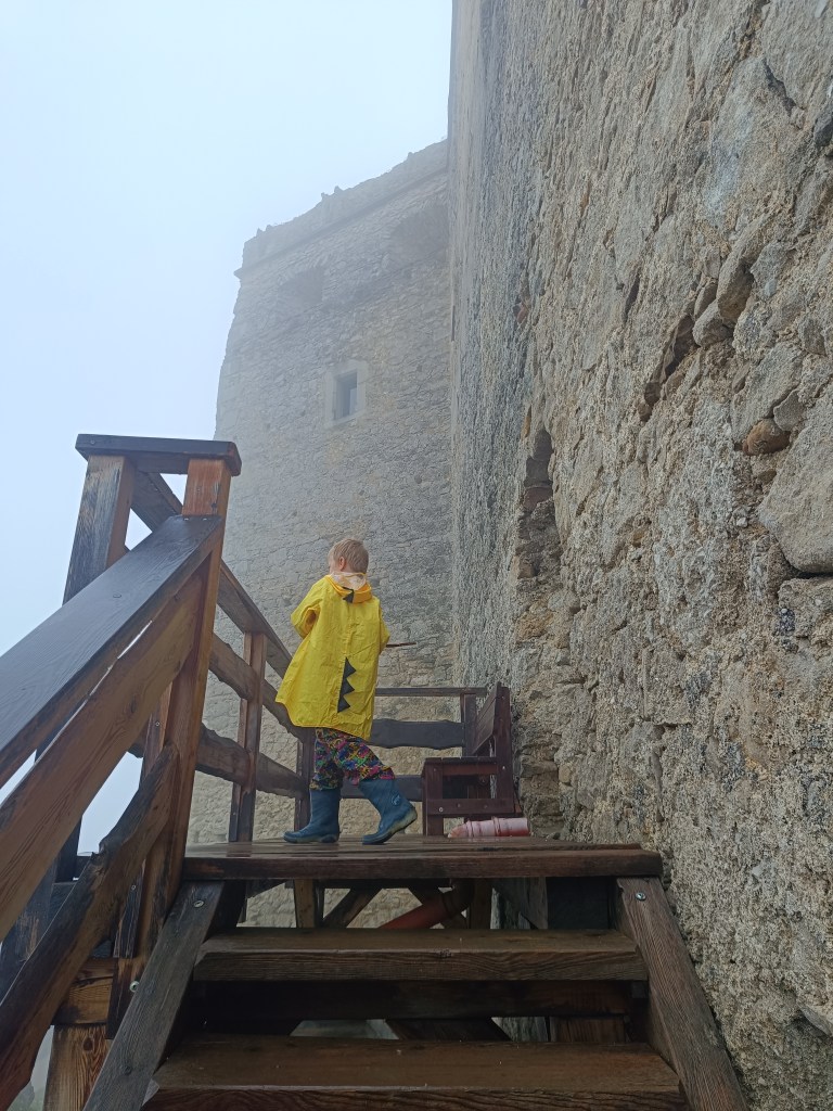
    However, we couldn’t enjoy the views because it rained the whole way up and the castle was surrounded by thick fog.

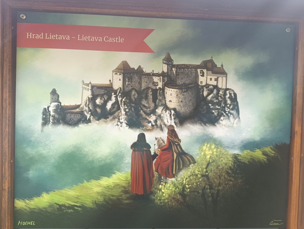
    Lietava in its most famous times
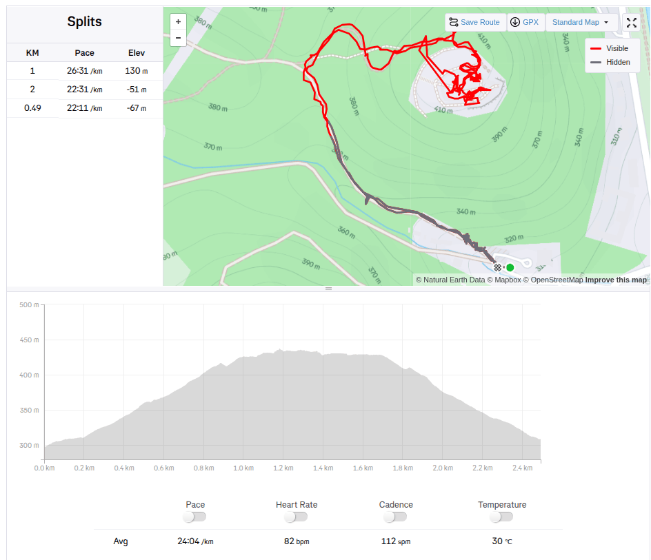
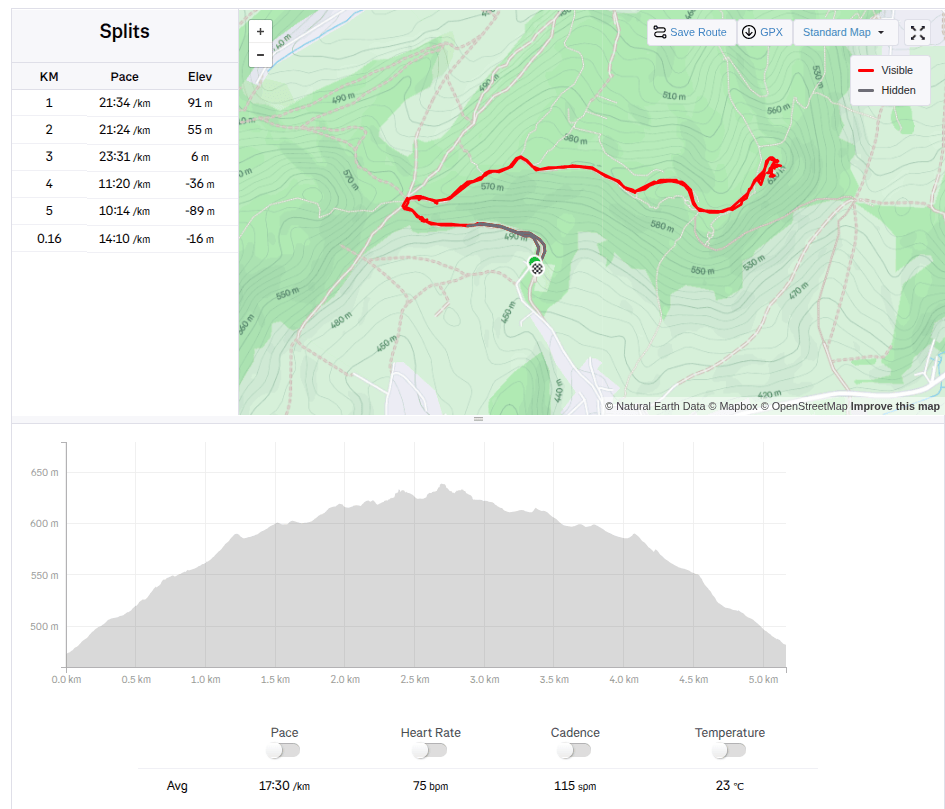
    5.16km, 1h 30 min active time, 2h total
  • Považský hrad a Lietava

    Považský hrad a Lietava

    Máme radi hrady, a najviac sa nám páčia zrúcaniny, ktoré môžeme prebádať sami, bez sprievodcu. A počas nášho víkendu v Súľovských vrchoch sa nám podarili hneď dva takéto hrady.

    Považský hrad je zrúcanina hradu na strmom vrchu na pravom brehu Váhu. Podľa neoverených správ hrad bol postavený už v roku 1128 na ochranu dôležitej považskej cesty. Prvá zmienka je však až z roku 1316, kde sa spomína ako Bystrický hrad.

    Vstup do Považského hradu

    Najstaršou časťou hradu bola veža, stojaca na najvyššom bode brala, a gotický palác. Veľké predhradie oválneho tvaru obklopoval hradný múr, ktorý chránili zo SV dve hranolové veže. Prístupová cesta, vedúca na hrad zo severovýchodu, je v teréne dodnes viditeľná. Vstupnú bránu chránila hranolová veža s barbakanom.

    Zachované múry

    Čiastočne sa zachovali múry paláca, veží a opevnenia. Na paláci sú viditeľné otvory okien, miestami so zachovanými renesančnými rímsami. Z bývalých hospodárskych budov, postavených na nádvorí, sú viditeľné len časti múrov, prípadne ich základy. V niektorých priestoroch sú zvyšky renesančných klenieb.

    2.5km, 1hod

    Hrad Lietava sa nachádza 10 km od krajského mesta Žilina v blízkosti vrchu Cibuľník na východnom okraji Súľovských vrchov.

    Múry Lietavy

    Svojou mierou zachovania patrí medzi najväčšie (rozloha 1 hektár zastavenej plochy) a najkrajšie zachované zrúcaniny nielen na Slovensku, ale aj v strednej Európe.

    Lietava je anozaj veľká hradná zrúcanina

    Zánik goticko-renesančného hradu je datovaný do roku 1753 a zrúcanina bola opustená v lesnom poraste do roku 1999. Vtedy vzniklo Združenie na záchranu Lietavského hradu, ktoré od roku 2003 vykonáva záchranu objektov, formou citlivej stabilizácie, konzervácie a čiastočnej obnovy. Hrad je stále voľne prístupnou zrúcaninou.

    Hrad sa pyšne vypína nad krajinou a je z neho nádherný výhľad do okolia. Hradné múry jednotlivých objektov stoja dodnes do značnej výšky. Majú zachované otvory okien, prípadne vstupov a architektonických detailov, kamenné profilované konzoly bývalého arkiera, oblúčikové atiky, delové a kľúčové strieľne, miestami aj časti profilovaných ostení. V priestoroch bývalej kaplnky sa zachovali nábehy kamenných gotických rebier a na niektorých múroch zvyšky omietok.

    Vstupná brána

    My sme si však výhľady nemohli užiť, lebo celou cestou hore nám pršalo a hrad obklopovala hustá hmla.

    Lietava v časoch svojej slávy
    5.16km, 1h 30 min aktívny čas, 2h spolu
  • Manínska Tiesňava

    Manínska Tiesňava

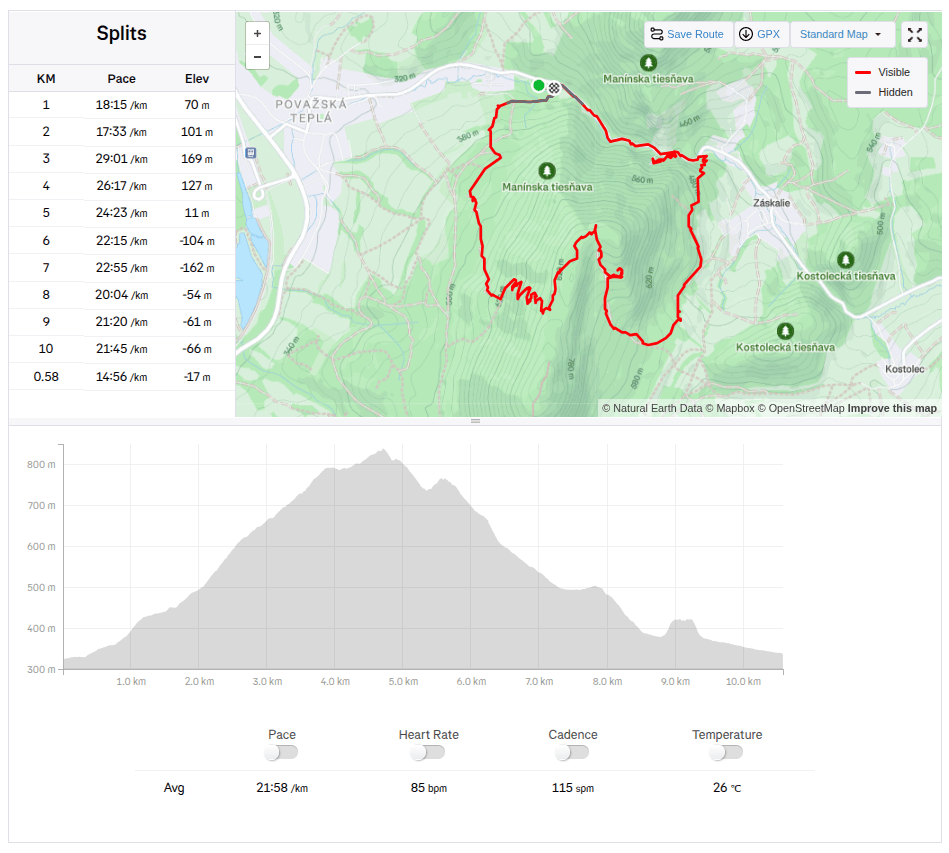
    Since the Manínska tiesňava itself is very short and I didn’t feel like traveling from such a distance just for about 200 meters, we decided to take a circuit through the Partizánska cave and end at the Manínska tiesňava.

    We parked at the campsite below the Manínskov tiesňava, where the yellow tourist sign also starts. The campsite is great with a swimming pool, new kitchen and sanitary facilities, we plan to come back here next year and spend a few nights here:)

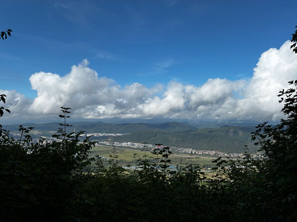
    View from switchbacks

    The sign after about a kilometer starts to climb quite steeply until it turns into switchbacks. Some of them offer a beautiful view of the Považský Castle and the valley in front of it. After climbing the switchbacks, we come to a resting place with a fireplace and prepared wood. However, we have nothing to grill, so we just quickly refresh ourselves and continue to the cave.

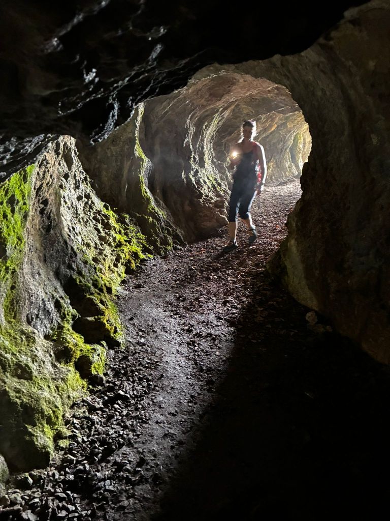
    Partizánska cave, at the end there is almost complete darkness

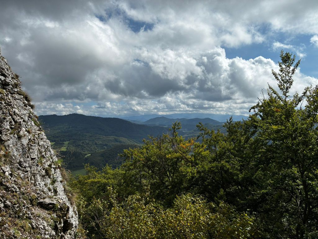
    Partizánska Cave is a freely accessible cave. It consists of a single passage, approximately 20 meters long. The cave itself is located on the rocky cliff of Veľký Manín and, despite the fact that it does not contain any karst decoration, it was very interesting for us. The last few meters to the cave lead along a rock with safety features. And Dávid loves that.

    View from the cave

    Apparently, just by the name, it will be clear to everyone what this cave was used for. It is a place where partisans hid during the SNP.

    From the cave we descend almost the whole time to the mouth of the Manínska tiesňava.

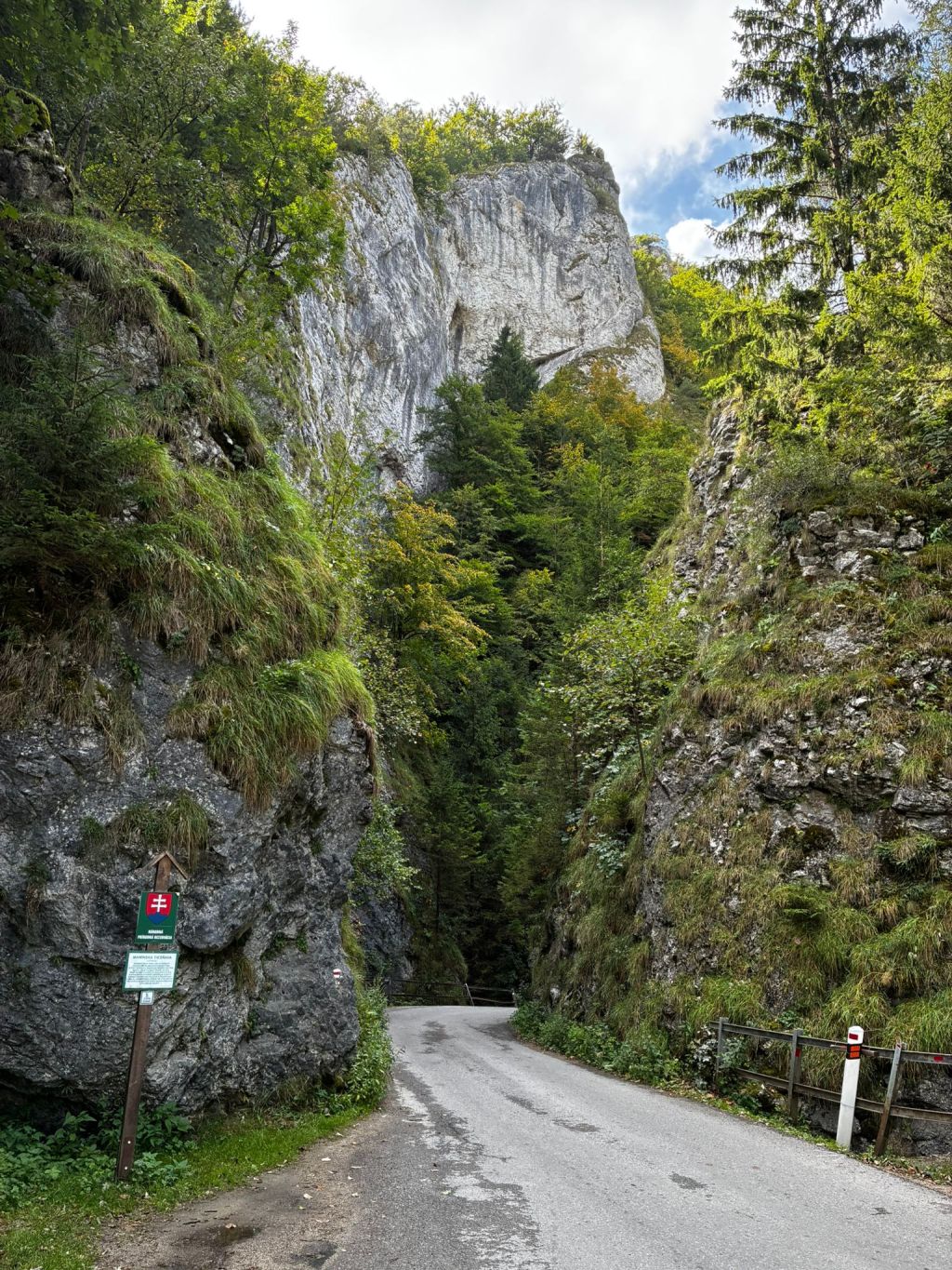
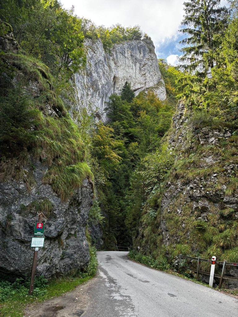
    Manínska tiesňava

    Just 100 years ago, the gorge had a completely different shape. Its rocks were not covered with vegetation, as they are today.

    The narrowest part was impassable for wagons, and the carters had to unload the load, disassemble the wagons and reassemble them after. This was the case until 1933, when part of the cliff was blasted away. At that time, a paved road was built across the gorge.

    One more cave

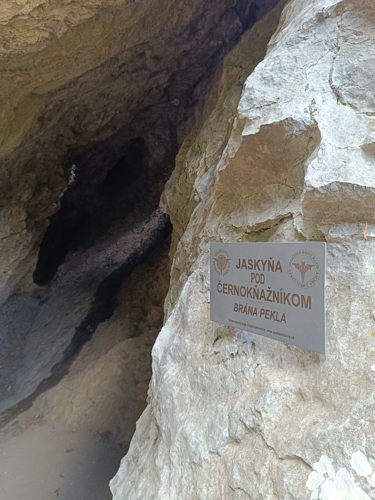
    After passing through the gorge, we turned to the cave under Černokňažník, which was smaller than the Partizánska cave, but we discovered a bat in it and the view was worth it.

    At the time of the hike, Dávid was just 6 years old.

    10.58km, 3h52min active time, 4h 25min total
  • Manínska Tiesňava

    Manínska Tiesňava

    Keďže samotná Manínska tiesňava je veľmi krátka a cestovať z takej diaľky len kvôli cca 200 metrom sa mi až tak nepozdávalo, rozhodli sme sa pre okruh cez Partizánsku jaskyňu a skončiť pri Manínskej tiesňave.

    Zaparkovali sme v kempe pod Manínskov tiesňavou, kde sa zároveň začína aj žltá turistická značka. Kemp je to parádny s bazénom, novou kuchynkou aj sociálnym zariadením, plánujeme sa sem budúci rok vrátiť a prespať tu pár nocí:)

    výhľad zo serpentín

    Značka po asi kilometri začína celkom prudko stúpať až sa zmení na serpentíny. Z niektorých je krásny výhľad na Považský hrad a dolinu pred ním. Po vystúpaní serpentín prichádzame na oddychové miesto s ohniskom a aj nachystaným drevom. My však nemáme čo opekať a tak sa len rýchlo občerstvíme a pokračujeme k jaskyni.

    Partizánska jaskyňa, na jej konci je takmer úplná tma

    Partizánska jaskyňa je voľne prístupnou jaskyňou.Tvorí ju jedna jediná chodba, dlhá približne 20 metrov. Samotná jaskyňa sa nachádza na skalnom brale Veľkého Manínu a aj napriek tomu, že neobsahuje žiadnu krasovú výzdobu, pre nás bola veľmi zaujímavá. Posledných prá metrov k jaskyni vedie ppo skale so zabezpečovacími prvkami. A to Dávid miluje.

    výhľad z pred jaskyne

    Zrejme už podľa názvu, bude každému jasné, na čo táto jaskyni slúžila. Je to miesto, kde sa počas SNP ukrývali partizáni.

    Od jaskyne skoro stále strmo klesáme až po ústie manínskej tiesňavy.

    Manínska tiesňava

    Ešte pred 100 rokmi mala tiesňava úplne iný tvar. Jej skaly neboli obrastené vegetáciou, ako je tomu dnes.

    Najužšie miesto bolo pre vozy neprejazdné a furmani museli náklad vyložiť, vozy rozobrať a opäť zložiť. Bolo tomu tak do roku 1933, kedy bola odstrelená časť brala. V tom čase bola cez tiesňavu vybudovaná spevnená cesta.

    Na záver ešte jedna jaskyňa

    Po prejdení tiesňavou sme ešte zabočili k jaskyni pod Černokňažníkom, ktorá bola síce menšia ako Partizánska jaskyňa, zato sme v nej objavili netopiera a výhľad tiež stáli zato.

    V čase túry mal Dávid čerstvýh 6 rokov.

    10.58km, 3h52min aktívny čas, 4h 25min spolu
  • Súľov castle

    Súľov castle

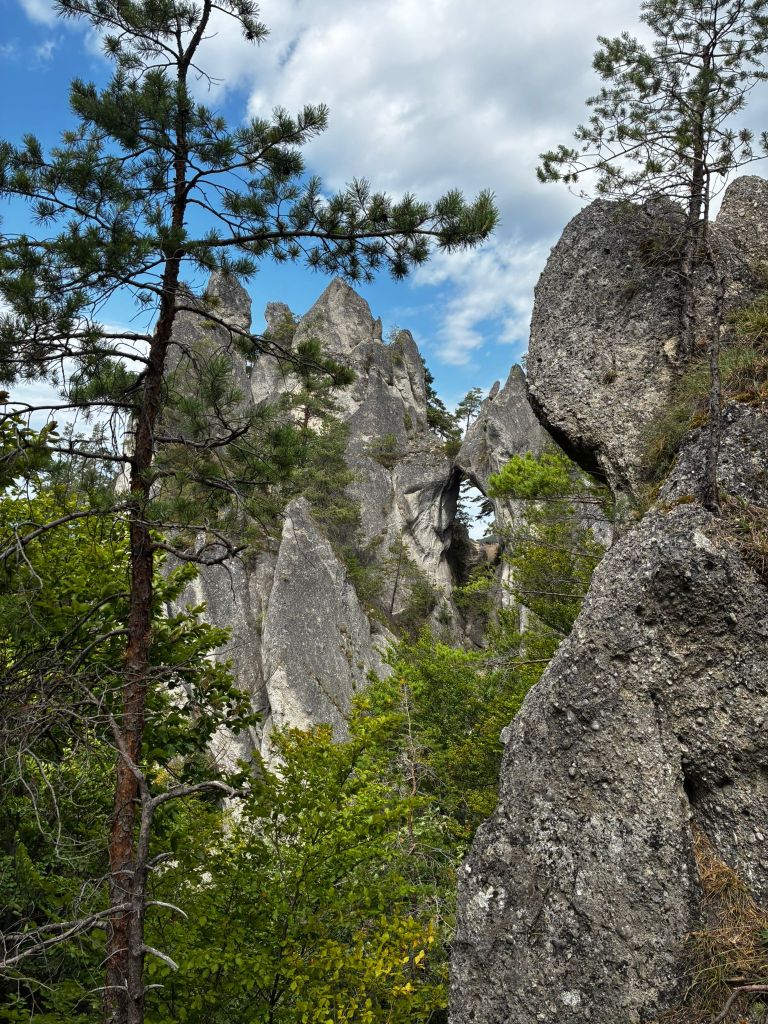
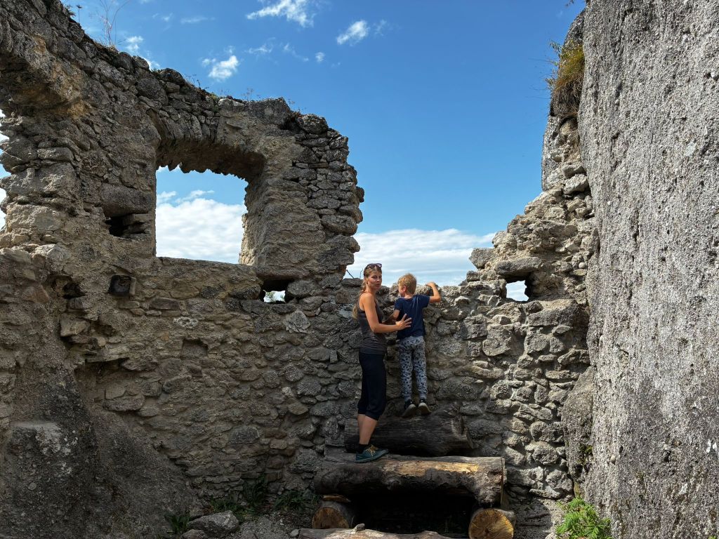
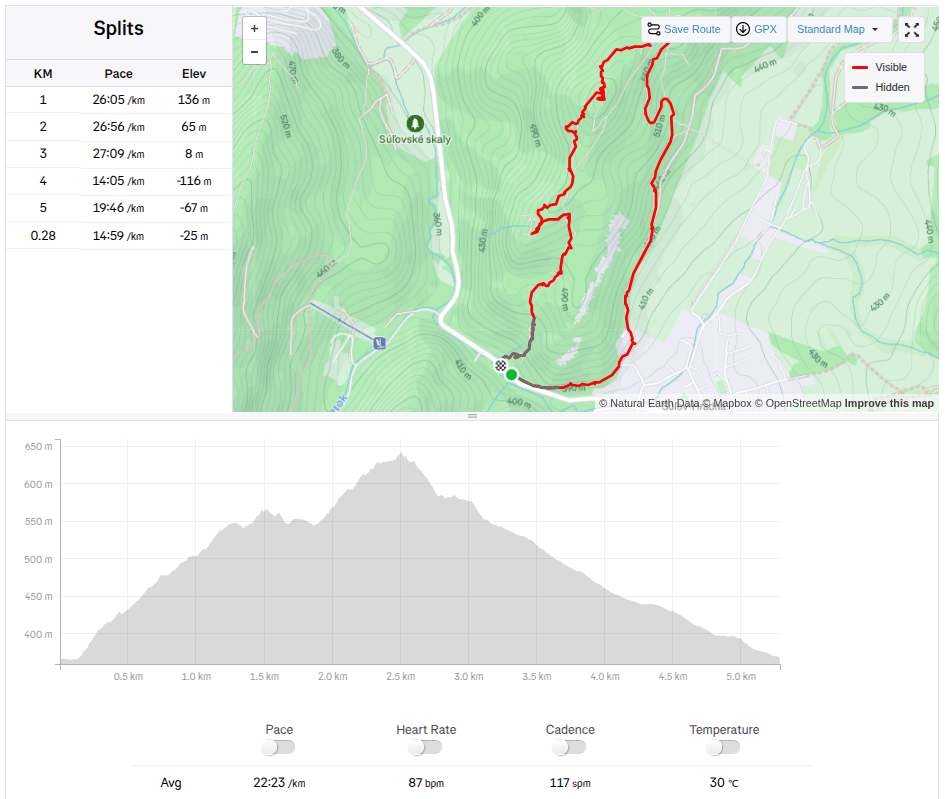
    Súľov Castle is located on a popular tourist route through the Súľov Rocks. Súľov Castle is built on a rocky cliff and offers beautiful views. The hike leads along an educational trail – it is an approximately 5km circuit with 17 stops.

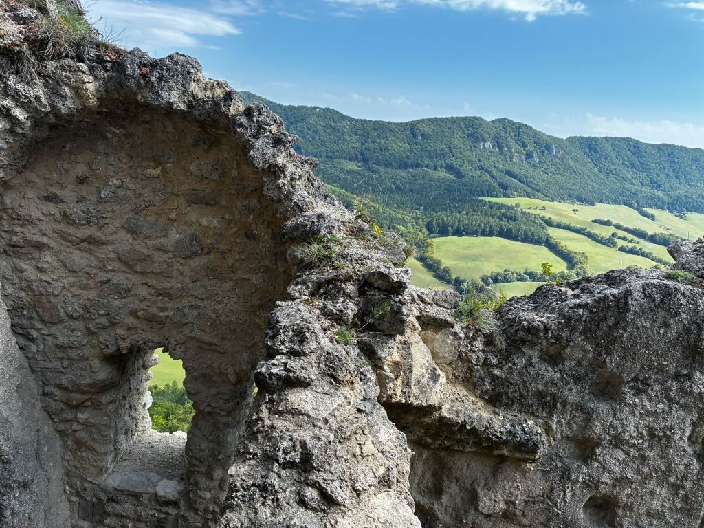
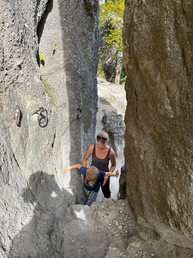
    rock window

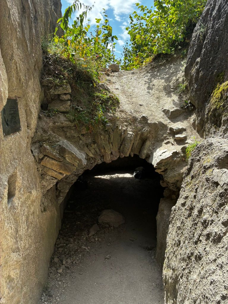
    The castle was built in the 13th century to protect a nearby road. It is also considered one of the most difficult castles to access in the area. The castle was built between three massive rock formations. The ruins still show how the foundations of the castle adapted to the terrain. The castle complex consisted of an upper and lower castle, with an estimated distance of 25 meters between the two parts of the castle, and a height difference of 14 meters from the level of the lower castle to the first floor of the upper castle. The height of the ruins is approximately 18 meters.

    to the castle

    The foundations of the buildings and traces of beams and anchors of the vault cut into the rock, as well as slight remains of walls with window openings, have been preserved from the constructions.

    In the lower castle, a part of the palace with an observation platform on its supporting rock is preserved, the entrance to the castle with an embrasure in the rock and a dug-out rock gorge before the entrance to the upper castle are also noticeable.

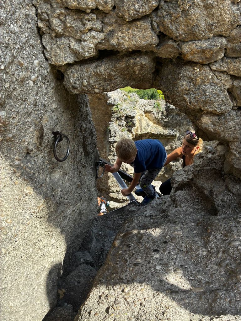
    In the upper castle, in the middle palace there is a vault and traces of a stone staircase, a rock pylon, which bears traces of a staircase and at which one enters the highest part of the castle with traces of a cistern and a lookout tower through a hole in the masonry and an iron ladder.

    path from the castle

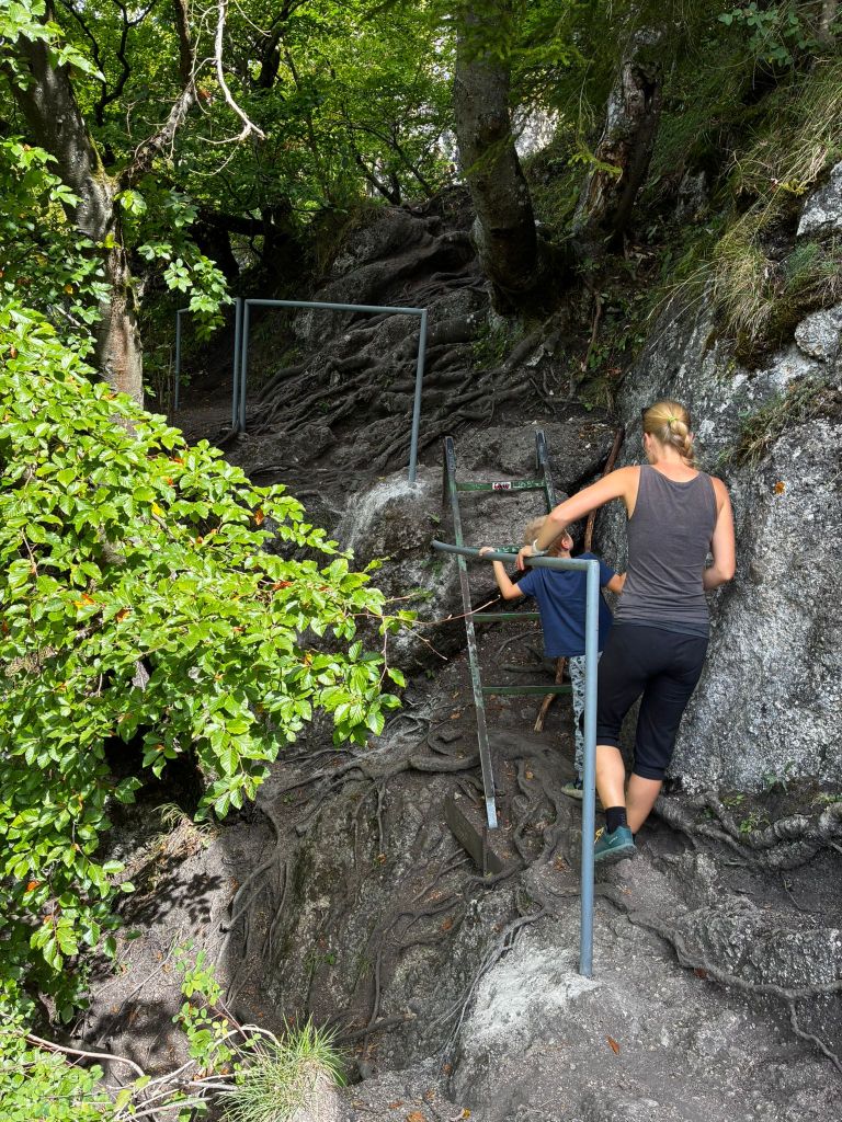
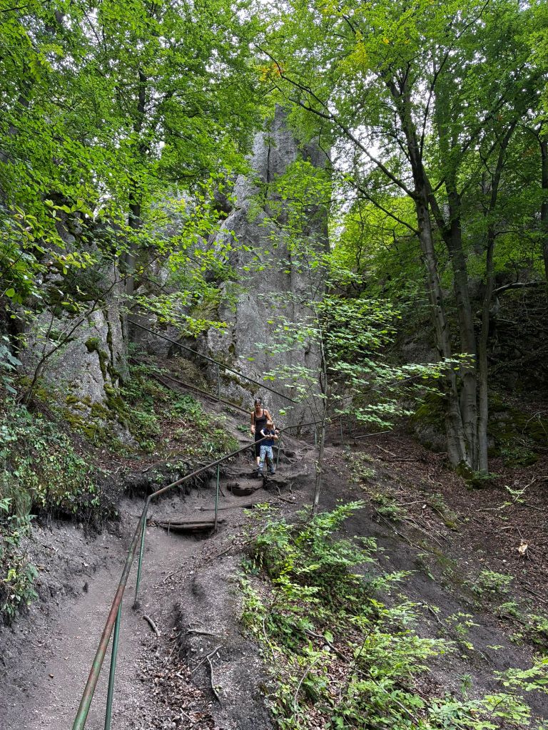
    The path from the castle is quite slippery for the first few hundred meters and even though there are handrails, it is still quite an adrenaline rush. But we managed it without falling. At the time of the hike, David was just 6 years old.

    5,28km, 1h 58min active time, 2h 53min total