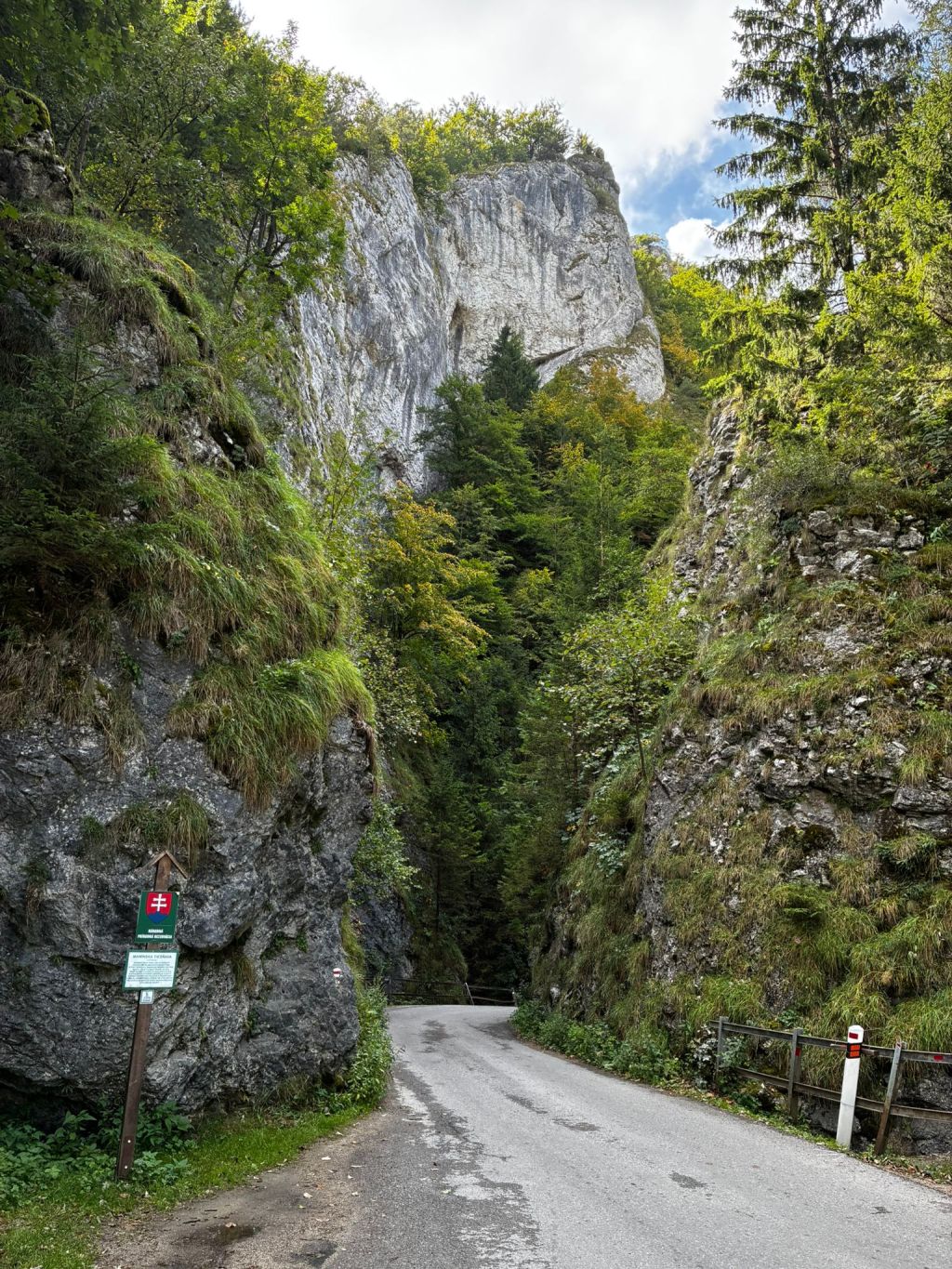
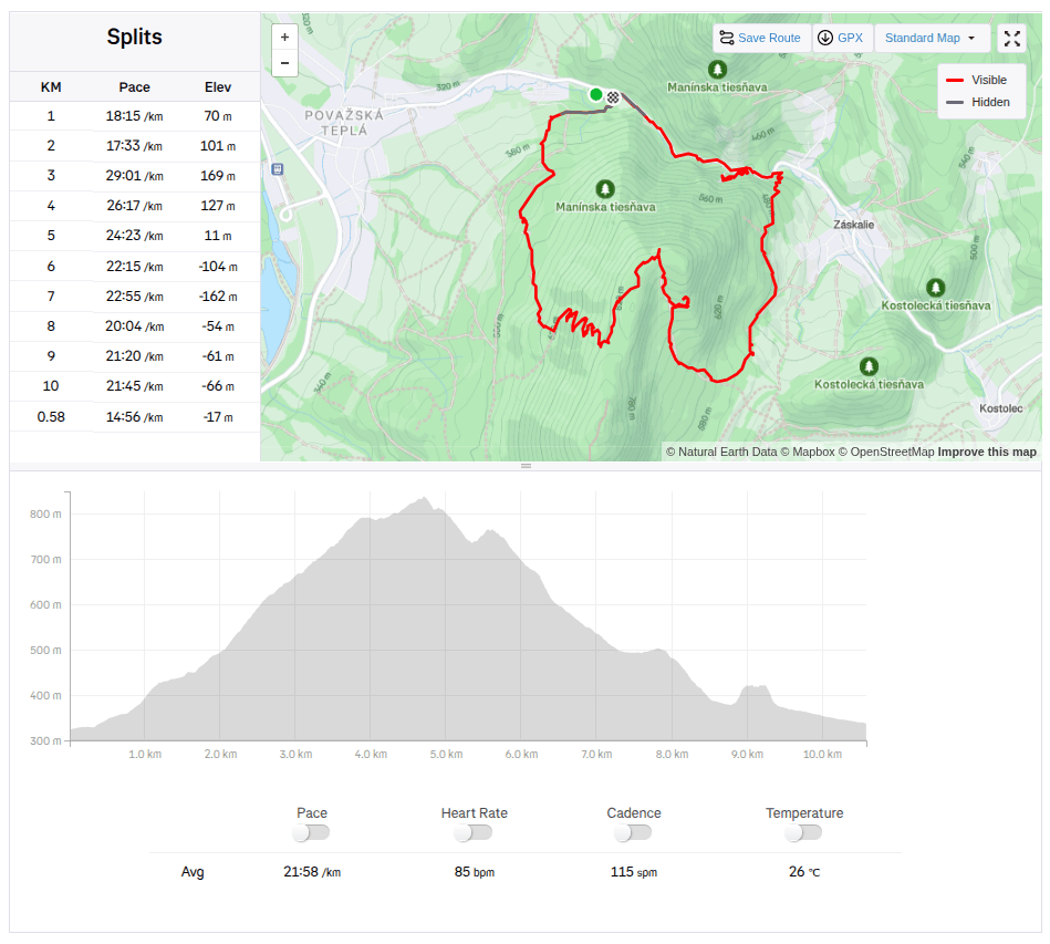
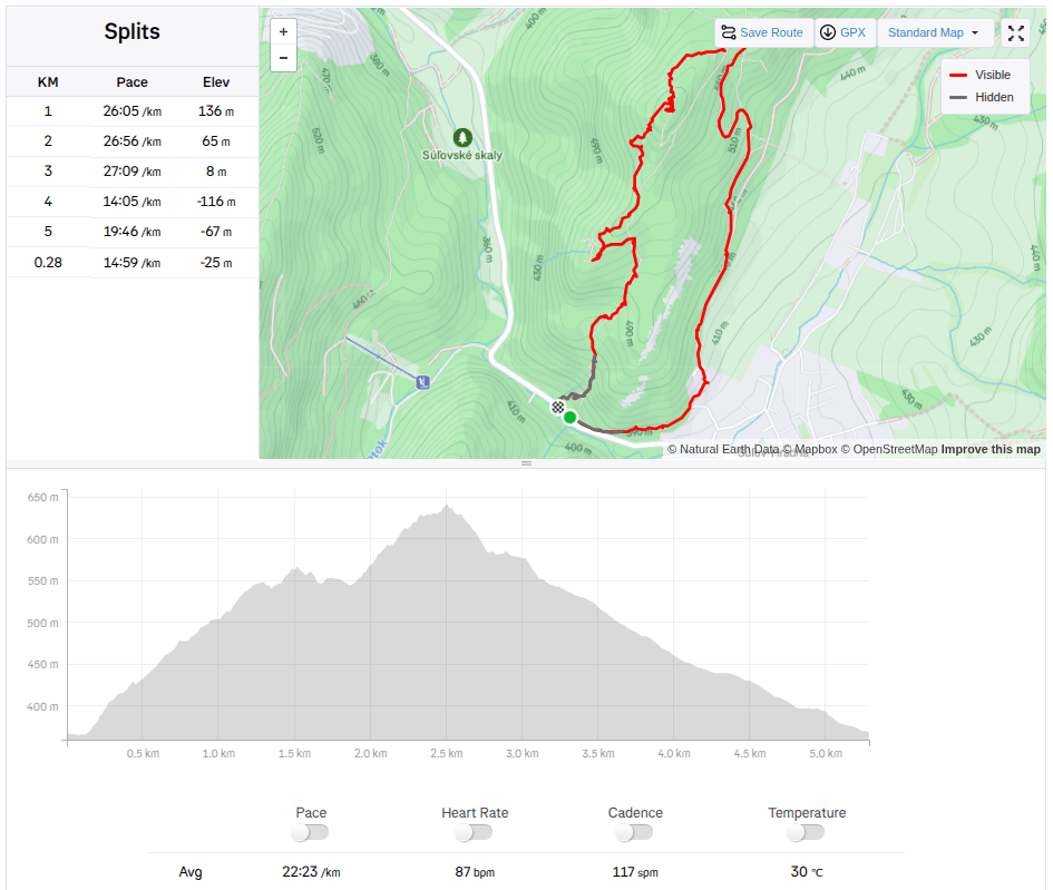
Keďže samotná Manínska tiesňava je veľmi krátka a cestovať z takej diaľky len kvôli cca 200 metrom sa mi až tak nepozdávalo, rozhodli sme sa pre okruh cez Partizánsku jaskyňu a skončiť pri Manínskej tiesňave.
Zaparkovali sme v kempe pod Manínskov tiesňavou, kde sa zároveň začína aj žltá turistická značka. Kemp je to parádny s bazénom, novou kuchynkou aj sociálnym zariadením, plánujeme sa sem budúci rok vrátiť a prespať tu pár nocí:)
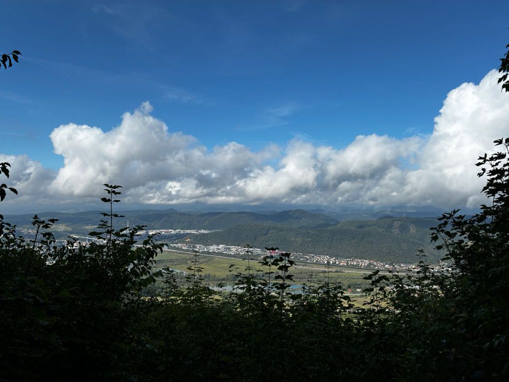
výhľad zo serpentín
Značka po asi kilometri začína celkom prudko stúpať až sa zmení na serpentíny. Z niektorých je krásny výhľad na Považský hrad a dolinu pred ním. Po vystúpaní serpentín prichádzame na oddychové miesto s ohniskom a aj nachystaným drevom. My však nemáme čo opekať a tak sa len rýchlo občerstvíme a pokračujeme k jaskyni.
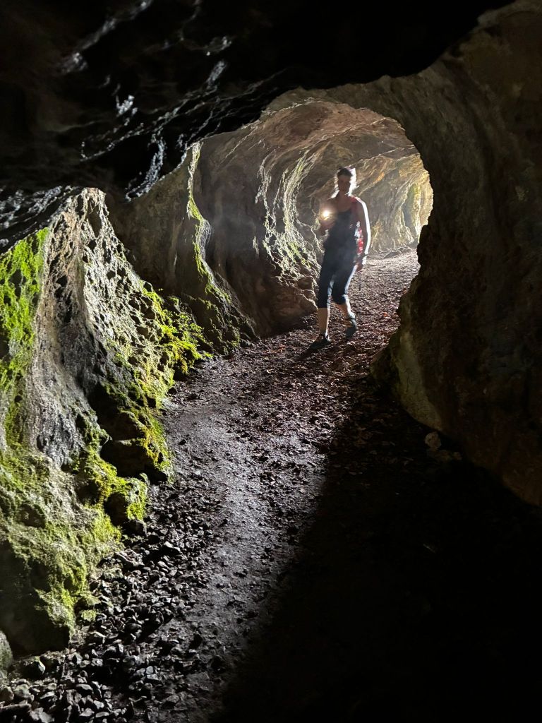
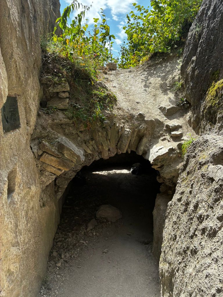
Partizánska jaskyňa, na jej konci je takmer úplná tma
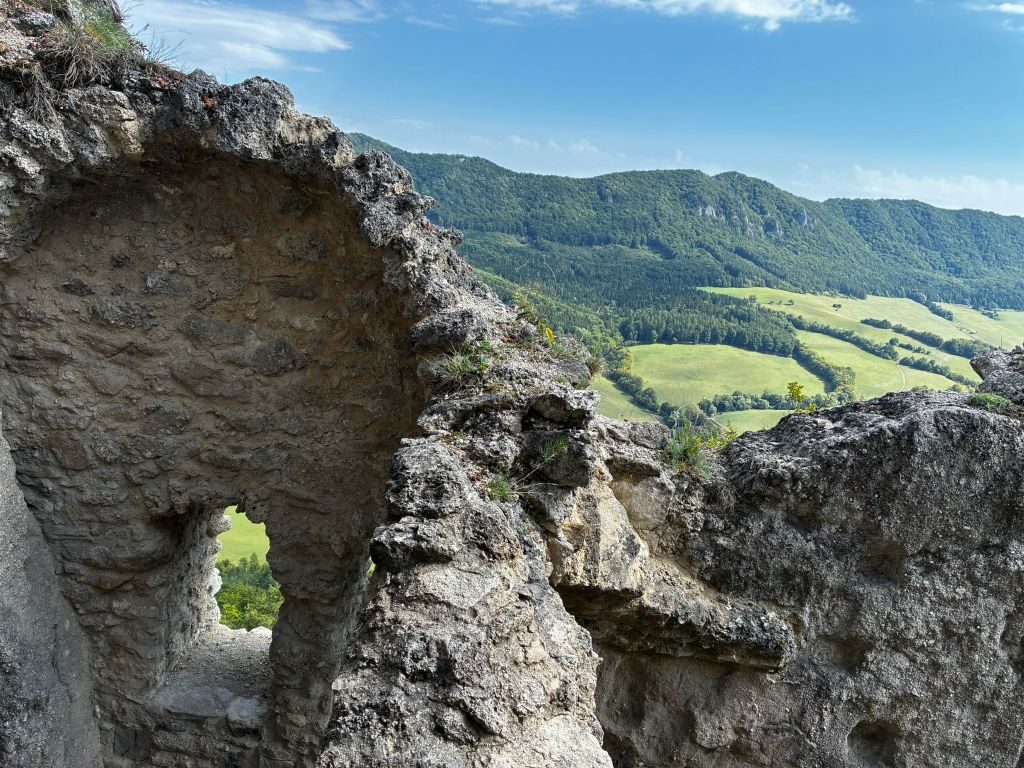
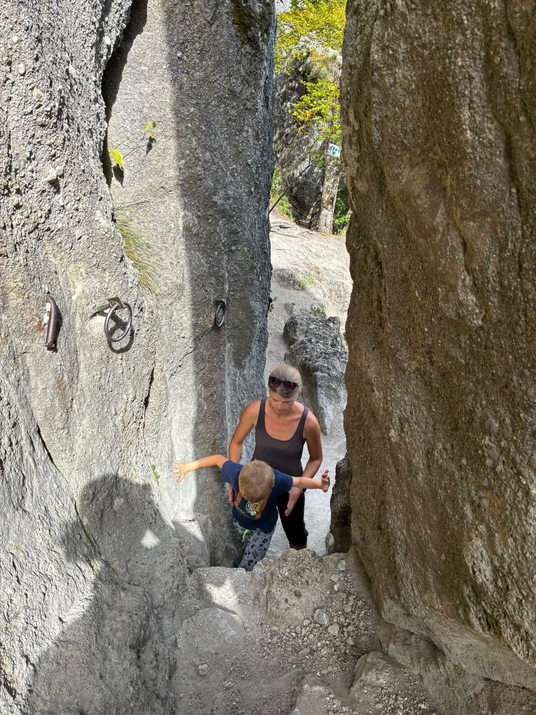
Partizánska jaskyňa je voľne prístupnou jaskyňou.Tvorí ju jedna jediná chodba, dlhá približne 20 metrov. Samotná jaskyňa sa nachádza na skalnom brale Veľkého Manínu a aj napriek tomu, že neobsahuje žiadnu krasovú výzdobu, pre nás bola veľmi zaujímavá. Posledných prá metrov k jaskyni vedie ppo skale so zabezpečovacími prvkami. A to Dávid miluje.
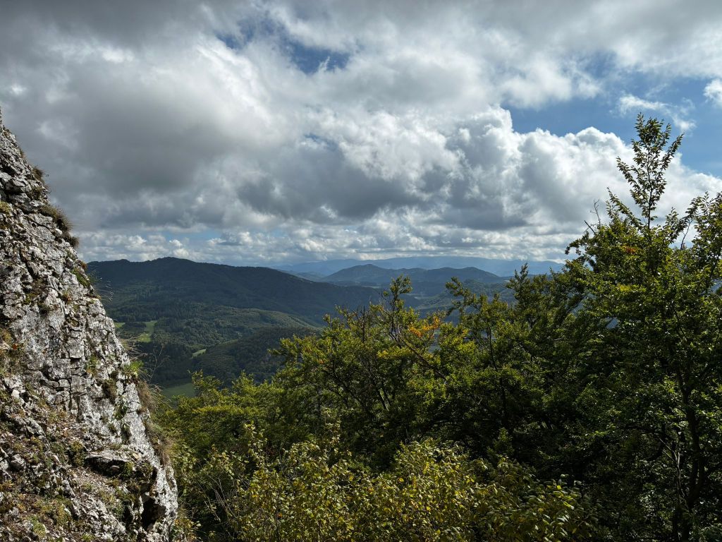
výhľad z pred jaskyne
Zrejme už podľa názvu, bude každému jasné, na čo táto jaskyni slúžila. Je to miesto, kde sa počas SNP ukrývali partizáni.
Od jaskyne skoro stále strmo klesáme až po ústie manínskej tiesňavy.
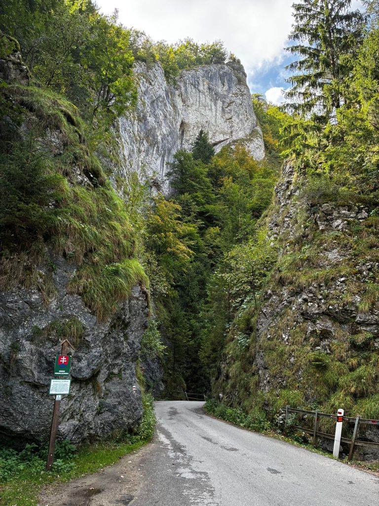
Manínska tiesňava
Ešte pred 100 rokmi mala tiesňava úplne iný tvar. Jej skaly neboli obrastené vegetáciou, ako je tomu dnes.
Najužšie miesto bolo pre vozy neprejazdné a furmani museli náklad vyložiť, vozy rozobrať a opäť zložiť. Bolo tomu tak do roku 1933, kedy bola odstrelená časť brala. V tom čase bola cez tiesňavu vybudovaná spevnená cesta.
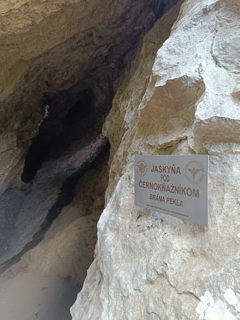
Na záver ešte jedna jaskyňa
Po prejdení tiesňavou sme ešte zabočili k jaskyni pod Černokňažníkom, ktorá bola síce menšia ako Partizánska jaskyňa, zato sme v nej objavili netopiera a výhľad tiež stáli zato.
Súľov Castle is located on a popular tourist route through the Súľov Rocks. Súľov Castle is built on a rocky cliff and offers beautiful views. The hike leads along an educational trail – it is an approximately 5km circuit with 17 stops.
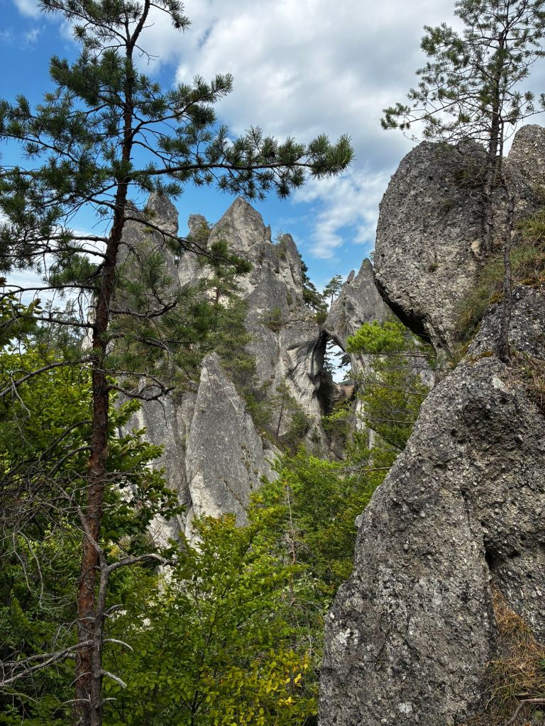
rock window
The castle was built in the 13th century to protect a nearby road. It is also considered one of the most difficult castles to access in the area. The castle was built between three massive rock formations. The ruins still show how the foundations of the castle adapted to the terrain. The castle complex consisted of an upper and lower castle, with an estimated distance of 25 meters between the two parts of the castle, and a height difference of 14 meters from the level of the lower castle to the first floor of the upper castle. The height of the ruins is approximately 18 meters.
to the castle
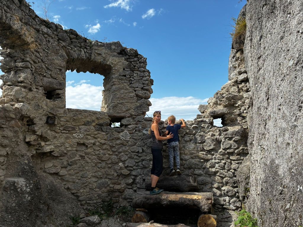
The foundations of the buildings and traces of beams and anchors of the vault cut into the rock, as well as slight remains of walls with window openings, have been preserved from the constructions.
In the lower castle, a part of the palace with an observation platform on its supporting rock is preserved, the entrance to the castle with an embrasure in the rock and a dug-out rock gorge before the entrance to the upper castle are also noticeable.
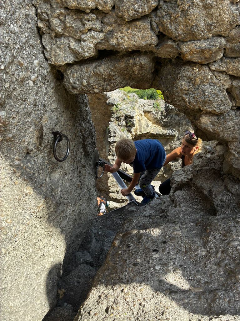
In the upper castle, in the middle palace there is a vault and traces of a stone staircase, a rock pylon, which bears traces of a staircase and at which one enters the highest part of the castle with traces of a cistern and a lookout tower through a hole in the masonry and an iron ladder.
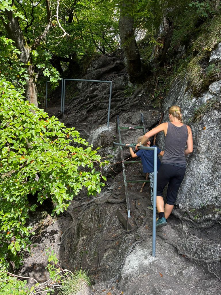
path from the castle
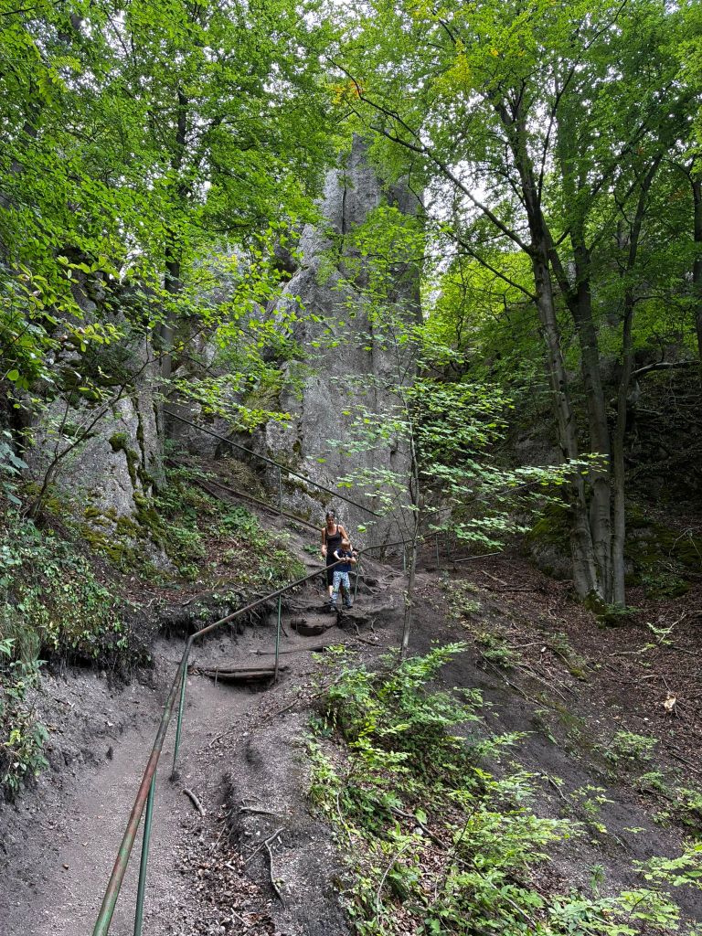
The path from the castle is quite slippery for the first few hundred meters and even though there are handrails, it is still quite an adrenaline rush. But we managed it without falling. At the time of the hike, David was just 6 years old.
Súľovský hrad sa nachádza na obľúbenej turistickej trase cez Súľovské skaly. Hrad Súľov je postavený na skalnom brale a ponúka krásne výhľady. Túra vedie náučným chodníkom – ide o cca 5km okruh so 17timi zastávkami.
skalné okno
Hrad vznikol v 13. storočí s cieľom ochrany neďalekej cesty. Považuje sa tiež za najťažšie prístupné hrady tejto oblasti. Hrad bol postavený medzi troma mohutnými skalnými útvarmi. Na ruine možno ešte rozoznať, ako sa základy hradného objektu prispôsobovali terénu. Hradný areál sa skladal z horného a dolného hradu, pričom vzdialenosť medzi týmito dvoma časťami hradu možno odhadnúť na 25 metrov, výškový rozdiel od úrovne dolného hradu k podlažiu prvého poschodia horného hradu je 14 metrov. Výška ruiny je približne 18 metrov.
cestou na hrad
Zo stavieb sa zachovali základy budov a stopy po trámoch a kotveniach klenby vysekané v skale a nepatrné zvyšky múrov s otvormi po oknách.
V dolnom hrade je zachovalá časť paláca s rozhľadnou plošinou na jeho opornej skale, badateľný je aj vstup do hradu so strieľňou v skale a prekopaná skalná tiesňava pred vstupom do horného hradu.
V hornom hrade je v strednom paláci klenba a stopy po kamennom schodišti, skalný pylón, ktorý nesie stopy po schodišti a pri ktorom sa dierou v murive a železným rebríkom vchádza do najvyššie položenej časti hradu so stopami po cisterne a rozhľadnej veži.
Cestou z hradu
Chodníček z hradu je na prvých pár 100 metroch dosť vyšmýkaný a aj keď sú k dispozícií zábradlia, aj tak ide o celkom adrenalínovú záležitosť. Ale zvládli sme to bez pádu. V čase túry mal Dávid čerstvýh 6 rokov.
Our first big hike with David. Only me and him, the first time hiking, which could be called a ridge hike, without the possibility of shortening.
It mainly required courage, patience, playfulness and a lot of food and water 🙂
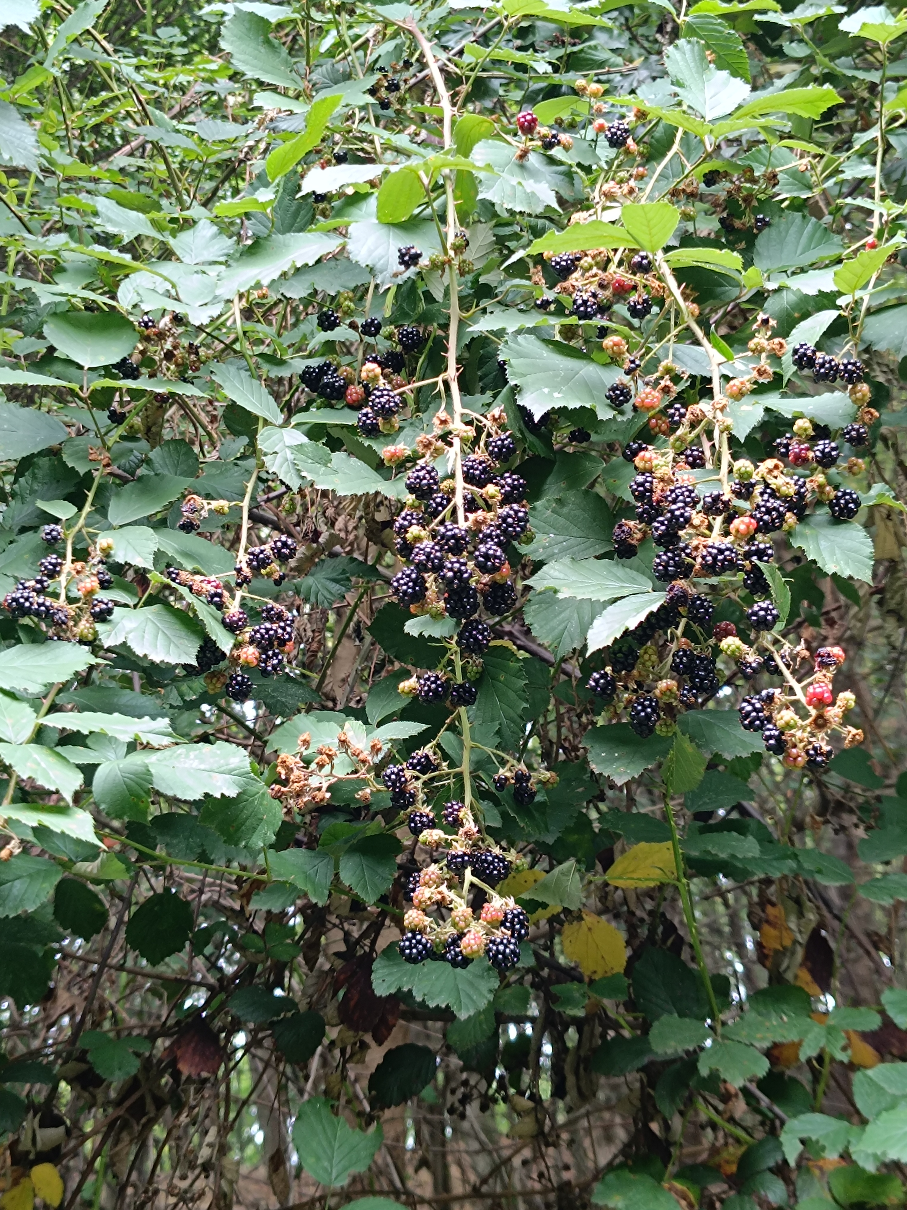
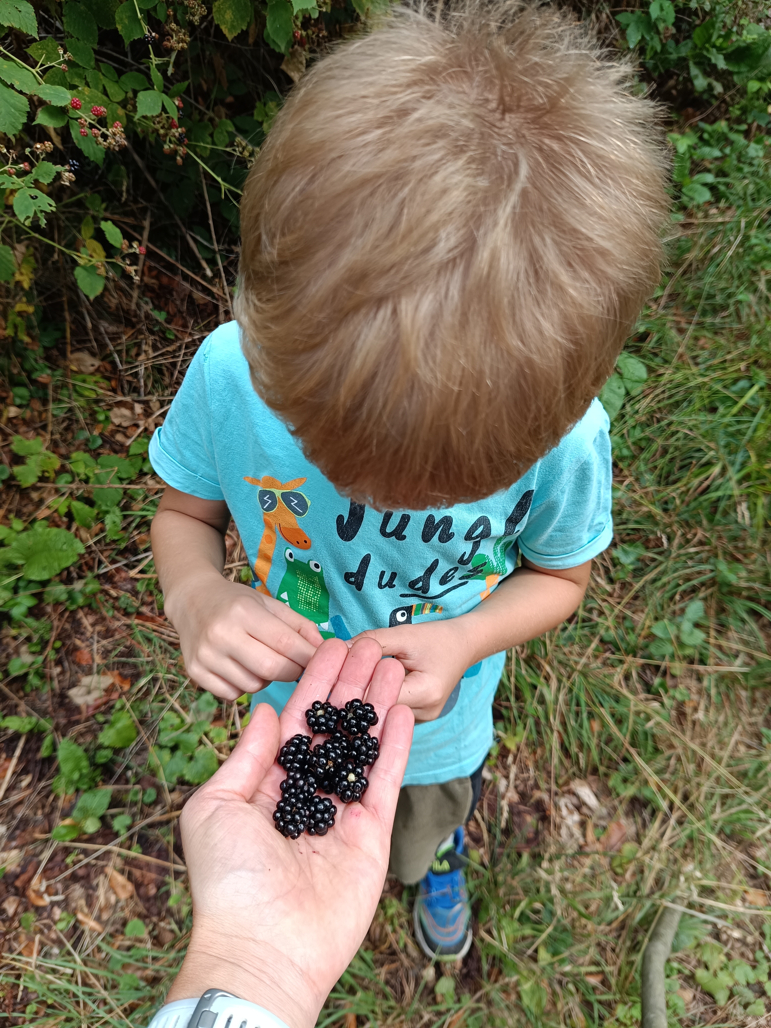
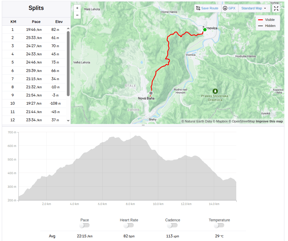
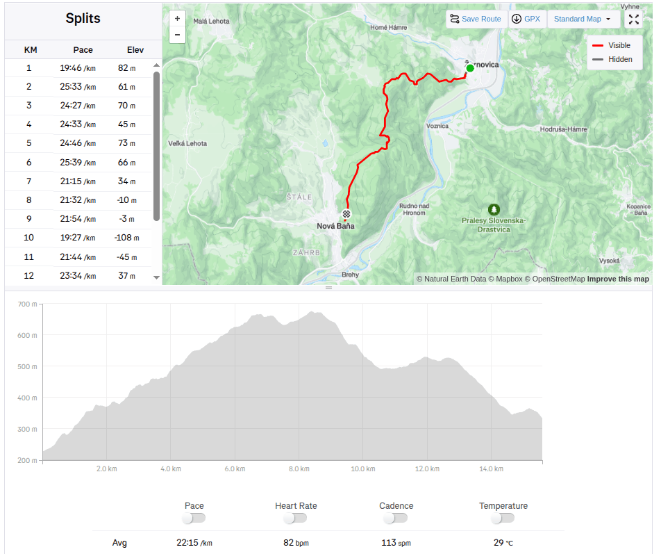
We start under the Calvary in Žarnovica and follow the blue hiking trail the whole time. As we climb, we enter the forest, where it is pleasantly cool, in some places we must climb over fallen logs – remnants of logging, in other places we stop to pick up lots of sweet blackberries.
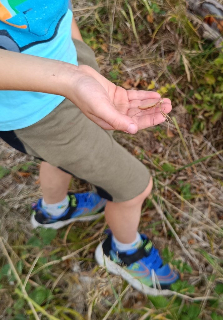
In a clearing under the power lines we managed to meet three small wild boars and a little further in the forest a deer. David even found a praying mantis, invisible to me because it was the color of dry grass.
praying mantis
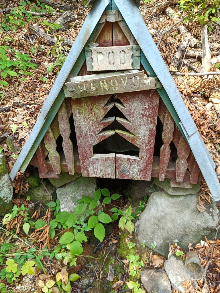
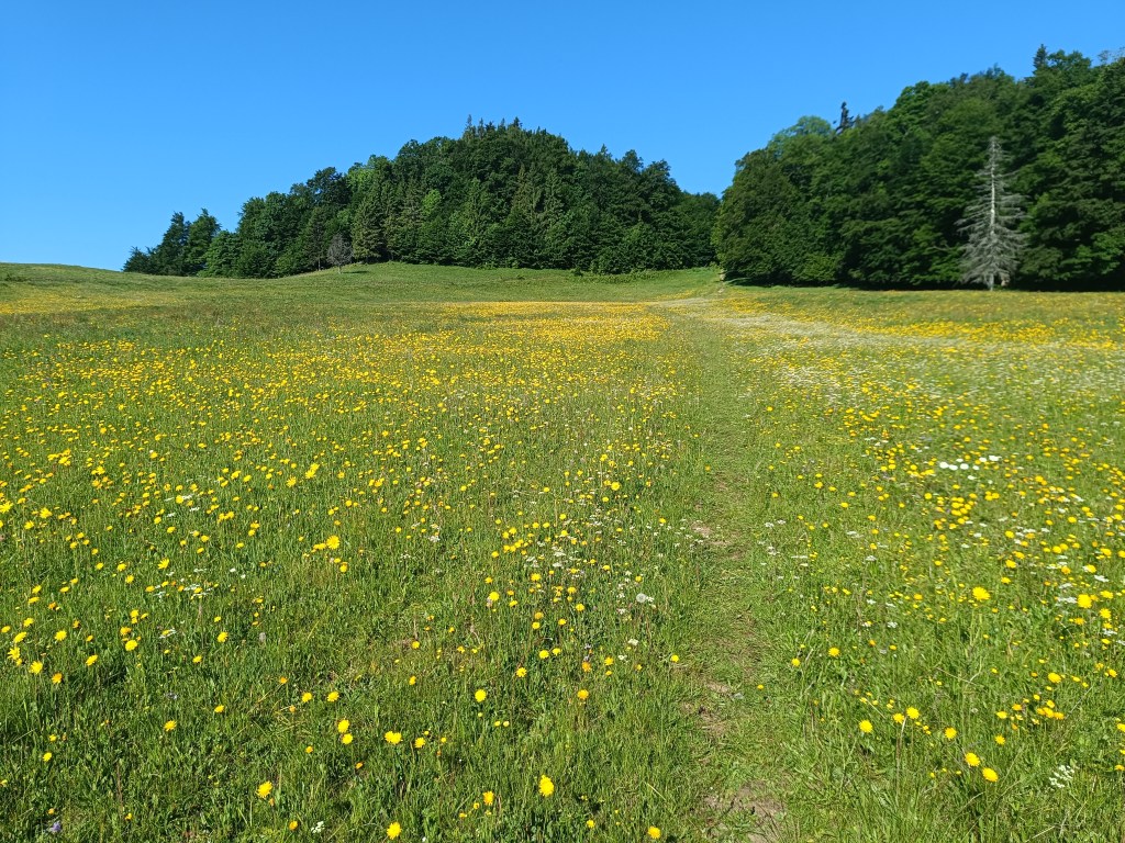
A picnic in the meadow gave us strength and a bag of sweets helped us overcome the crisis 🙂 We refreshed ourselves in a spring below Ihanovo, where there was plenty of water despite the dry summer.
well
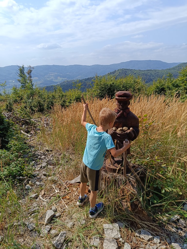
The highest point was hill Johan, which is also part of the Novobanské povesti educational trail. It also offers the most beautiful views.
hill Johan
The last few kilometers, Dávid made up games for us (now we can’t step on any stone…) and so it went by quickly. We ended the hike at the Zvonička in Nova Baňa, Dávid with a well-deserved popsicle and juice and I with a craft beer.
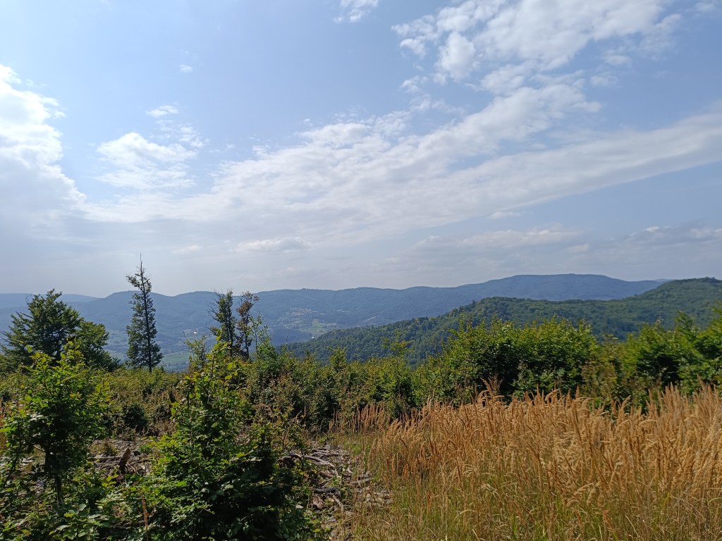
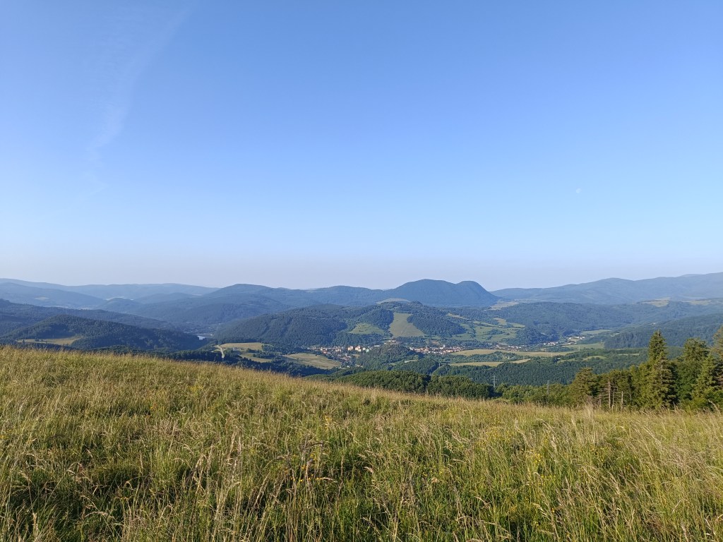
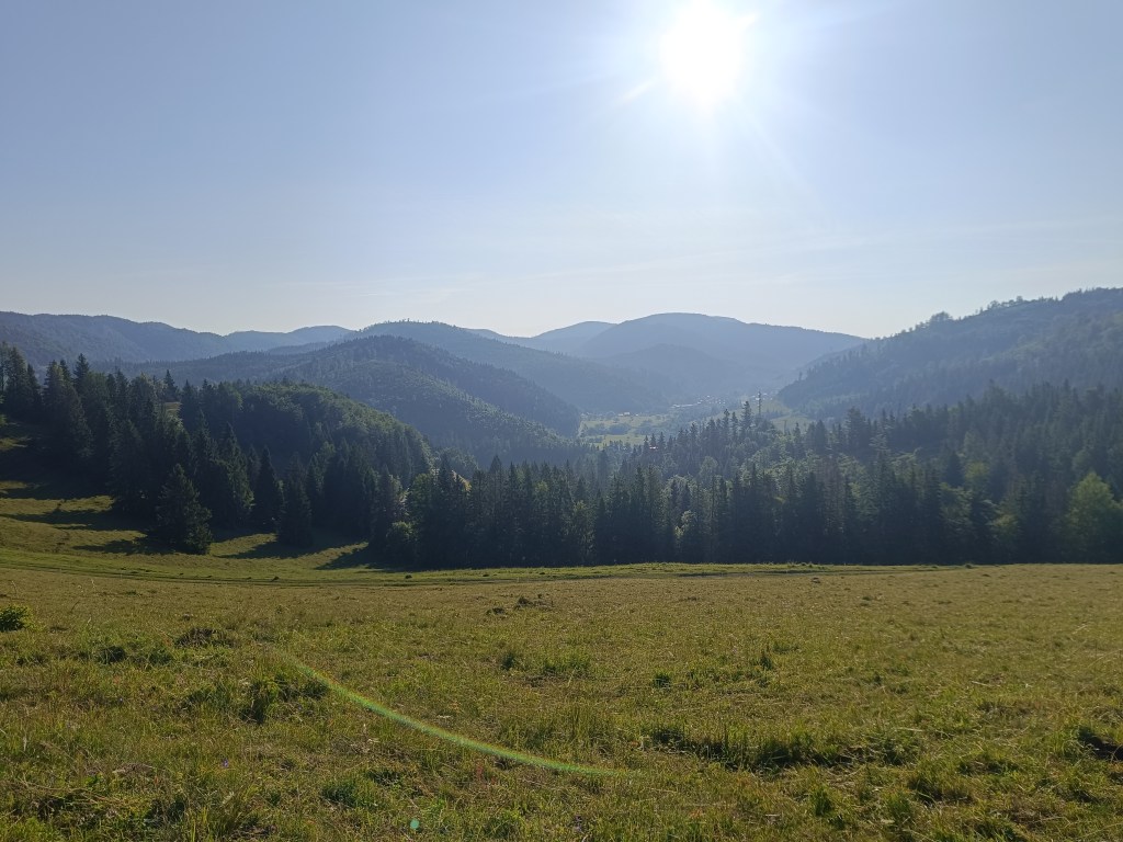
Views from Johan
Yes, it was long, sometimes challenging to motivate, and my legs were sore from standing and waiting, but it was also beautiful, and I am incredibly proud of him.
He was freshly 6 years old at the time of the hike.
15.59km, 582m ascend, 5h46 min active time, 8h 33min total
Naša prvá veľká turistika s Dávidom. Iba vo dvojici, prvý krát turistika, ktorá by sa dala nazvať hrebeňovkou, bez možnosti skrátenia.
Chcelo to hlavne odvahu, trpezlivosť, hravosť a kopu jedla a veľa vody 🙂
Začíname pod kalváriou v Žarnovici a celý čas ideme modrou turistickou značkou. Stúpaním vstupujeme do lesa, kd eje príjemný chládok, miestami preliezame popadané haluziny – zvyšky po ťažbe, inde sa zas zastavujeme na sladkých černiciach.
V prieseku popod elektrické vedenie sa nám podarilo stretnúť tri malé diviačiky a kúsok ďalej v lese zas srnčeka. Dávid dokonca našiel modlivku, pre mňa neviditeľnú, keďže mala farbu suchej trávy.
Modlivka
Piknik na lúke nám dodal síl a sáčok cukríkov pomohol prekonať krízu 🙂 Osviežili sme sa v studničke pod Ihanovom, kde bolo dosť vody aj napriek suchému letu.
Studnička
Najvyšší bod bol vrch Johan, ktorý je aj súčasťou náučného chodníka Novobanské povesti. Zárovaň ponúka aj najkrajšie výhľady.
Vrch Johan
Posladných pár kilometrov nám Dávidko vymýšľal hry (teraz nemôžeme stupiť na žiadny kameň…) a tak nám to rýchlo ubiehalo. Túru sme zakončili na novobanskej Zvoničke, Dávidko zaslúženým nanukom a džúsom a ja craftovým pivkom.
Výhľady z vrchu Johan
Áno, bolo to dlhé, miestami na motiváciu náročnejšie, pre nohy od obstávania boľavé, ale bolo to aj krásne, a ja som na neho nesmierne hrdá.
V čase túry mal čerstvých 6 rokov.
15.59km, 582m stúpania, 5h46min aktívny čas, 8h 33min spolu
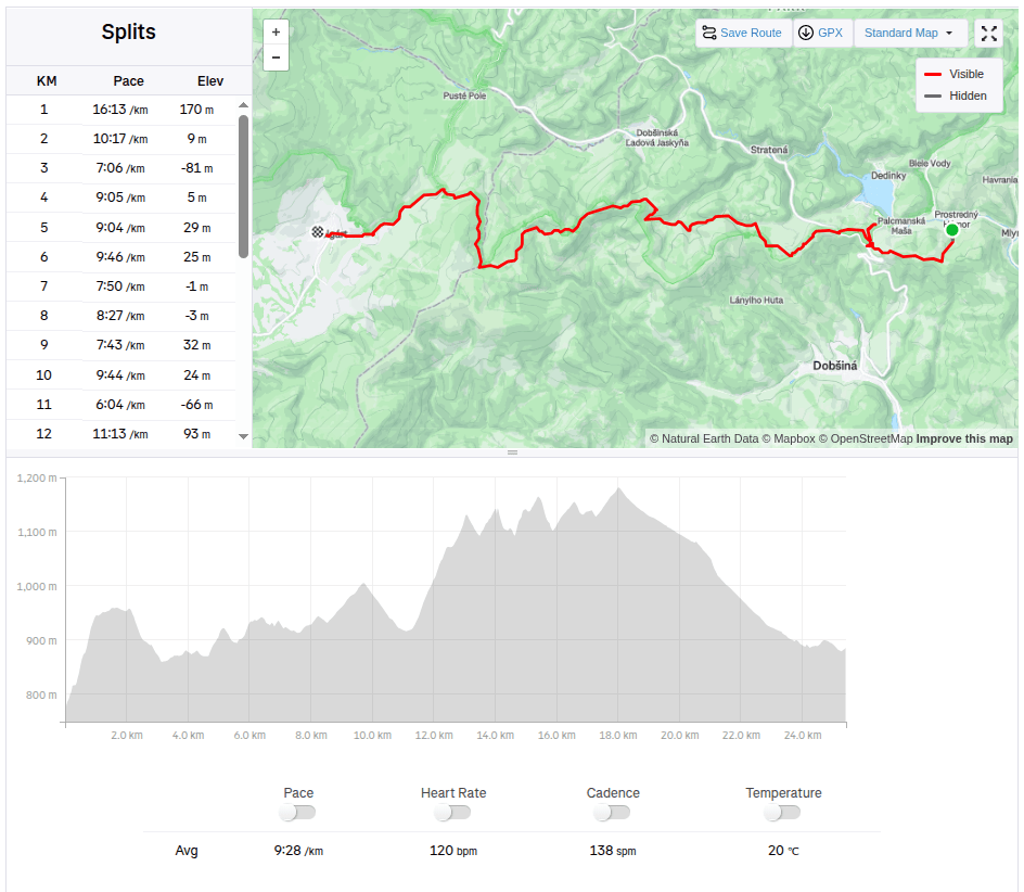
We start at 6 am from our accommodation in Mlynky. Today we have in plan Dobšinský kopec, Voniarky, Čuntava and we finish in Telgárt.
My legs haven’t fully recovered from Thursday’s run in the Veľká Fatra, running downhill really hurts. But we have to take advantage of the fact that we are already here, we’ll at least do a shorter stage.
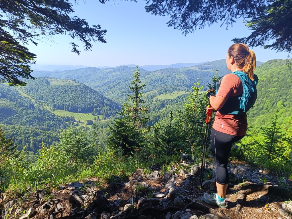
From our accommodation, we need to go to the Kruhové saddle, to join red SNP path. It takes one kilometer and 170 vertical metres. It’s fresh morning and we’re making our way through a little wet raspeberries from the morning dew. We sometimes shout a little, after all, we saw warning signs about the increased incidence of bears yesterday.
First morning views
We descend through the meadows to the Dobšiná hill, cross the asphalt and head towards Voniarky among a herd of cows. Yesterday we were here on bicycles, today on our own feet. I get water at the Gápel cottage. The path meanders through the trees, sometimes taking us to flowery meadows. It is beautiful here. Lucka and I agree that this is the most beautiful section for us so far.
As the sun rises, so does the temperatureMeadows with great biodiversity are beautifulVýhľad before Strmá prť
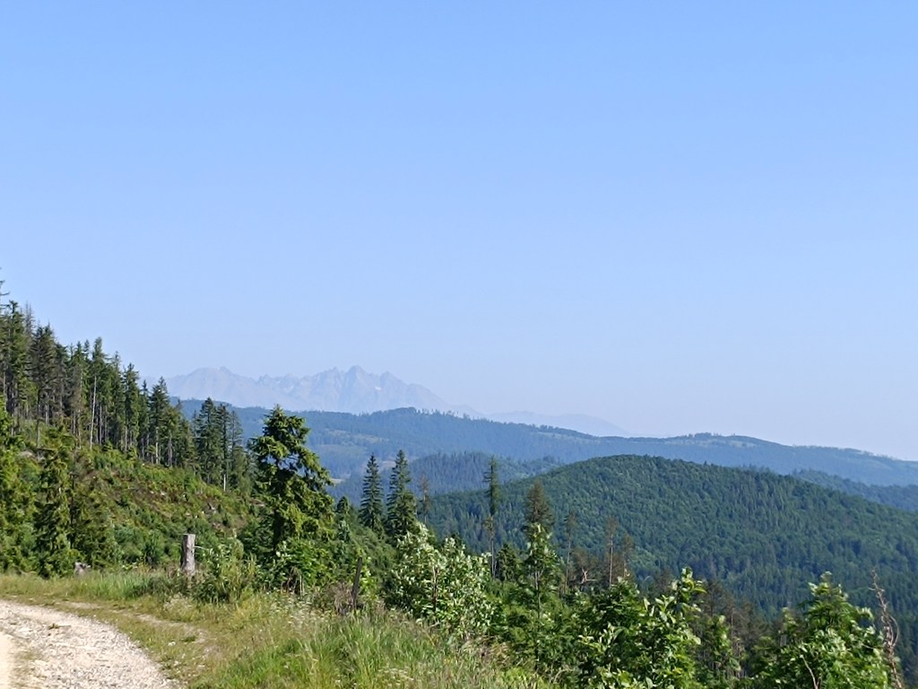
From the Čuntava spot, the route continues only on a gravel road, less interesting to us than the joyful forest paths. As if to excuse it, a view of the Tatras opens up and we admire it. We are guessing it is Lomnický štít.
Tatras in the background
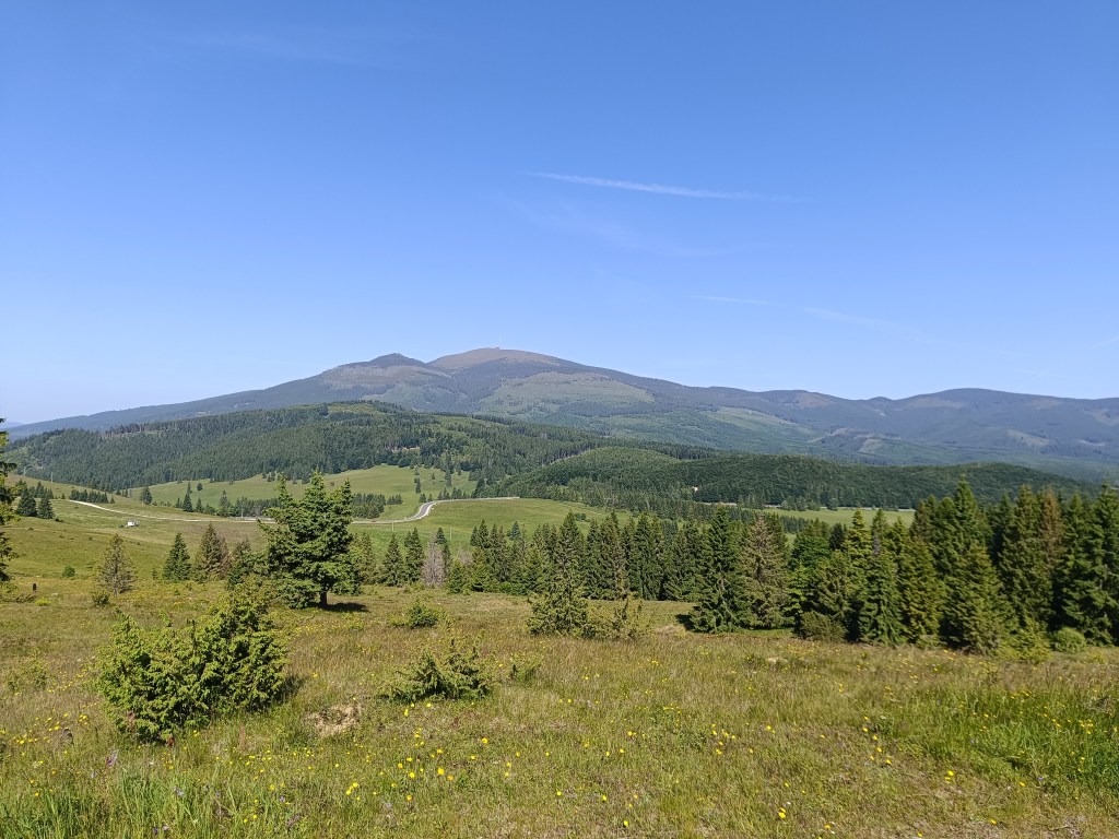
Around the last curve, Kráľova hoľa is now visible to us. But it will wait for us next time, during the Low Tatras ridge, we end today in Telgárt.
Kráľova hoľa
We’re already craving coffee, the route is taking us to asphalt, we don’t really like it, but whatever, there’s no getting off the red path:)
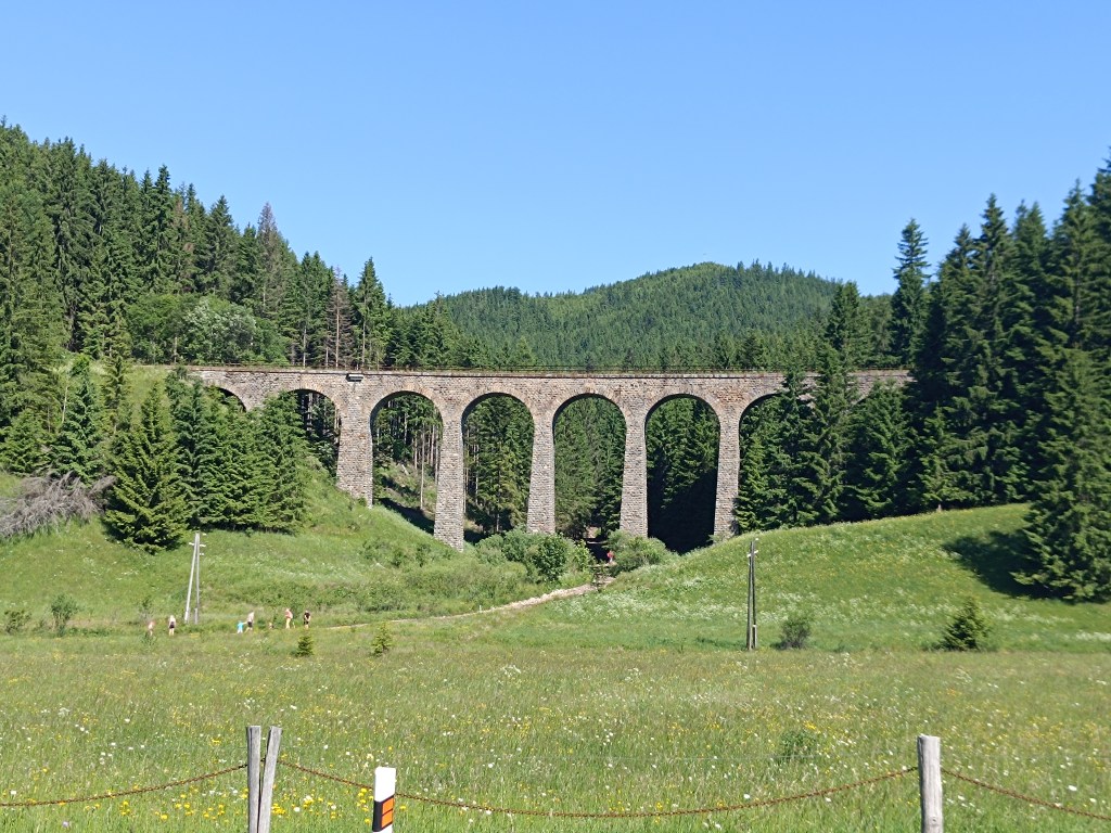
Chmaroššký viadukt
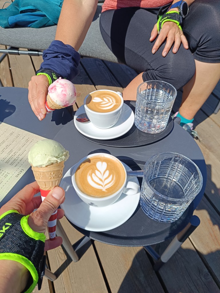
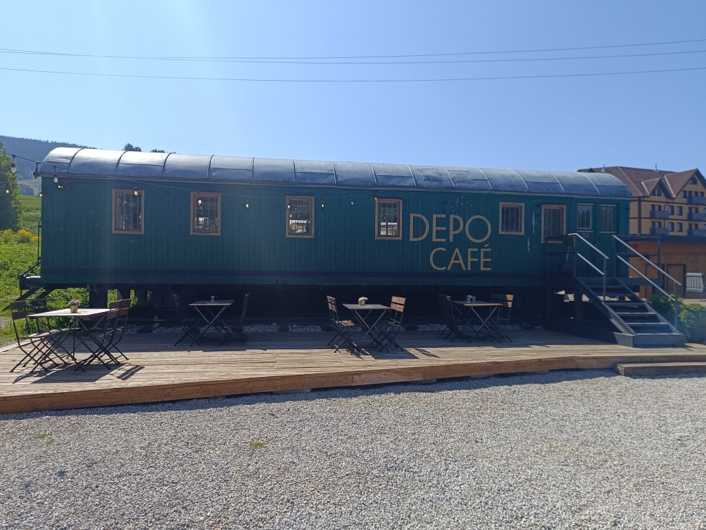
We run along the source of the Hron River and opposite of the Chmarošský Viaduct we take a break in the famous Depo Kafe. We have to admit, their coffee is good, but the ice cream could be much better. The bridge dates back to 1933 and is the first articulated arch structure made of reinforced concrete in Czechoslovakia. The Telgártska loop is one of the most demanding railway engineering structures in Slovakia, because thanks to the Telgárt tunnel, the Telgárt and Chmarošský Viaducts, it overcomes a difficult climb of up to 31 meters and a gradient of 12.5 %. The viaduct consists of 9 arches. It is 18 m high, 113 meters long and passes over the Gregorova dolina valley, called Chmaroška. This unique viaduct was built during the economic crisis in the 1930s and more than 7,000 people participated in its construction. Men and women, mostly local residents, worked on the construction site.
We reach Telgárt, where we meet Ľubka by the church, who very willingly brought our car from Mlynky and thus allowed us to run this stage. It was a truly beautiful stage, and a great morning in the mountains.
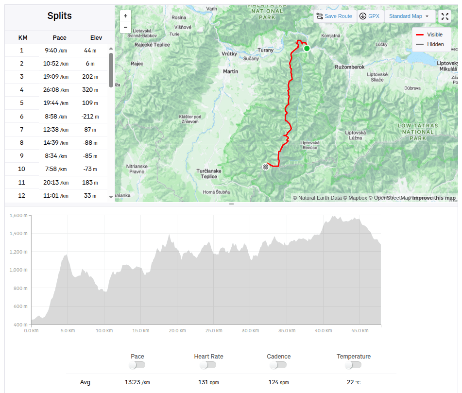
The weather forecast was absolutely calling for taking a few days off and spending them outside the city. I immediately had the idea, let’s go through the Veľká Fatra. Jožko immediately agrees, but suggests a route that neither of us has ever done, the real Veľká Fatra ridge hiking trail, from Ľubochna (not from Ružomberok as most people, including me, usually hike). I agree without much thought.
The plan is to run the whole hiking trail in one day, sleep at Kráľová studna, and after breakfast run down to civilisation. We pack our little backpacks, they are full and heavy, because we also take things for the colder evening, sleeping, hygiene and more food than usual, after all 47km and 3500 meters climbed will take us some time.
View from Kopa
In the morning we get on the bus, have breakfast and get off in Ľubochňa at 8:20. The beginning is gentle, great for start moving the stiff body. But then the real fun begins 😀 We climb steeply towards Kopa, where on the top a cross and a beautiful view await us.
Water in Vyšný Rudno, first refreshment
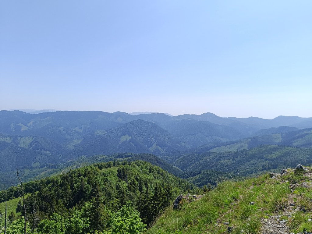
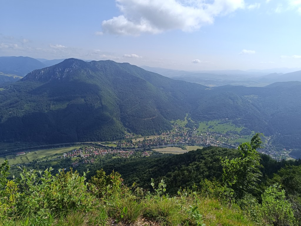
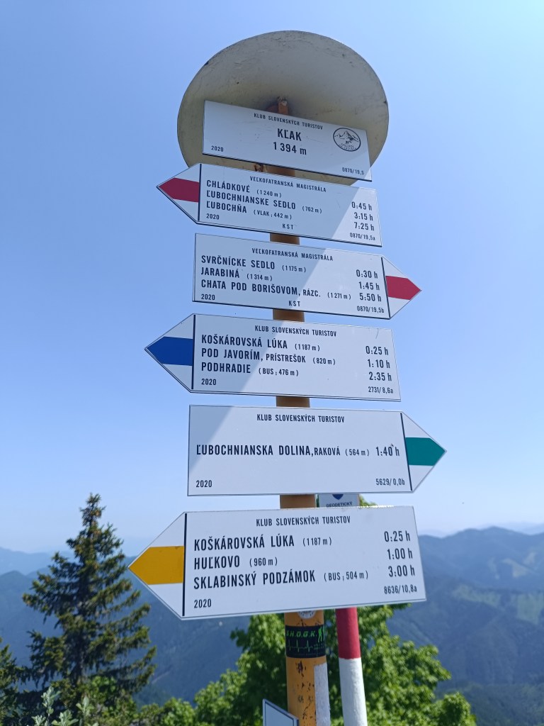
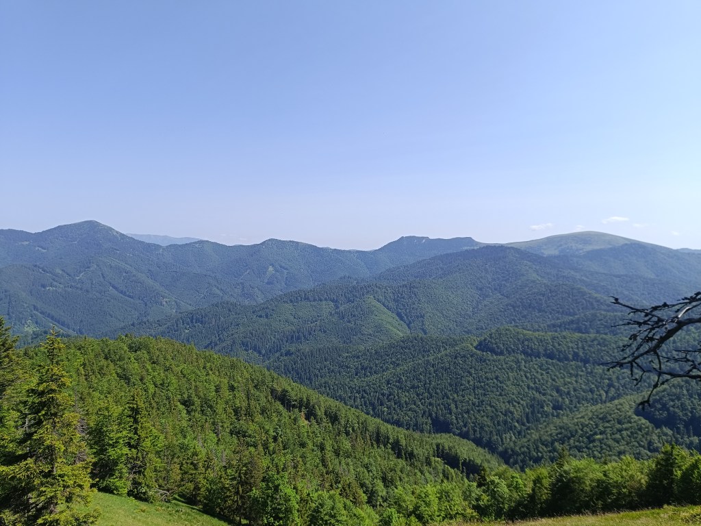
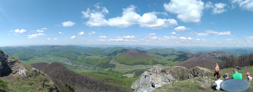
Then we descend to the Ľubochnianske saddle and again steeply up to Vyšné rudno. The road is either overgrown or there is no marking after logging and there are lots of big branches lying on the path. We push forward and through the Príslop saddle we begin the ascent to Kľak. The climb is long, because Kľak is 1394 meters above sea level, but at the top there is a great view in all directions, we sit on the rocks, take out lunch (meaning a slice of bread with butter and cheese:D ) and enjoy the views.
signpost on KľakView from Kľak
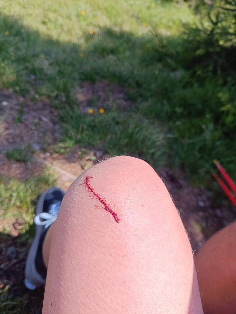
I say to myself: fine, there is already a cottage under Borišov, there I will have a beer, it will be good: D but the route still leads either steeply up or steeply down and my energy is declining, thighs from steep downhills hurt. And as a bonus, I lightly injured my knee when I climbed the fallen tree on the way to the second well (100 altitude down from the ridge, just because of a half -liter of water? but past experience has taught us that going without water is even worse than going down the hard-earned meters to it)
The knee then became quite swollen and turned blue.
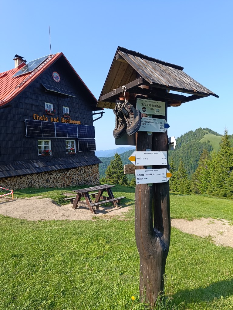
We are climbing to Javorinka and I’m quite exhausted, I’m chewing a cookie at the top and the signpost says that we should be in Borisov in half an hour.
on the path to Javorinka
I tell myself, okay, she’ll be over the next hill. I climb up the hill and she’s really there… Except not under the hill I’m standing on, but on the opposite one, and not in the saddle, but a good bit uphill. I curse, grit my teeth and go.
Jožko is already waiting for me with beer and radler.
It’s still a long way from the hut under Borisov, but it seems surprisingly easier than before, the climbs are not as steep, the terrain less technical, but I don’t have as much energy as I would like. We walk for a while, we run for a while, the further we go, the more we walk and the less we run xD.
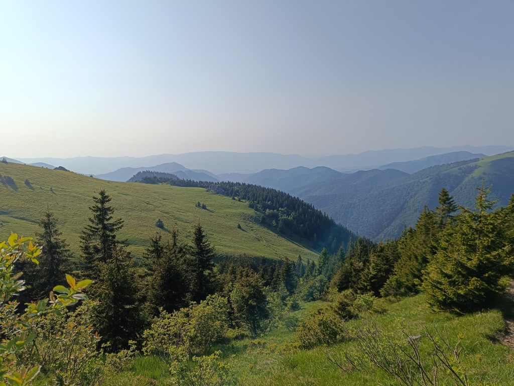
On the way to Krížna
These paths are already familiar to us, so I send Jožko ahead to arrange dinner for us on Krížna. We must hurry, so that they don’t close the kitchen, because we don’t have any food left. I run a few more straights, but then I’m definitely out of energy and from Kráľová skala I just walk.
From Kráľova studňa
I enter the room, lie down straight on the carpet, happy that I did it, but really exhausted.. And now Jožko is urging me to take a shower, we have 15 minutes until the kitchen closes 😀 My stomach is tight and it takes me a good hour to eat dinner. But I’m proud of myself, this was the hardest run of my life so far. We drink a beer and night falls on the Veľká Fatra.
47.89km, 3467m ascend , 11h15min, from which 10h40min active time
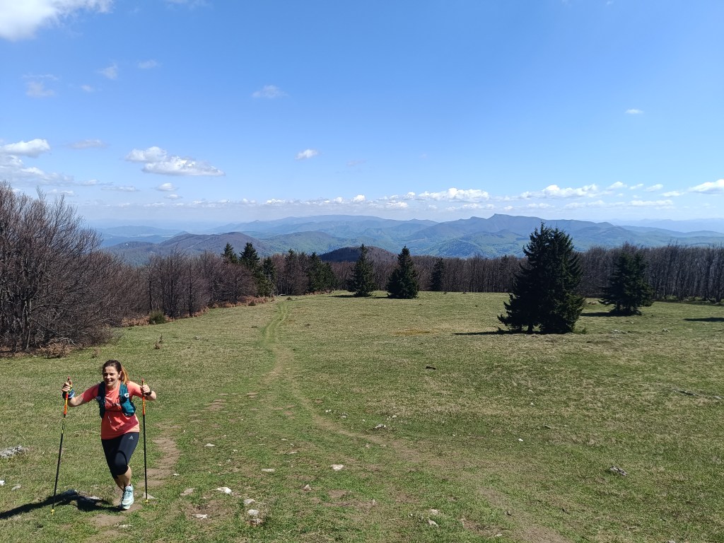
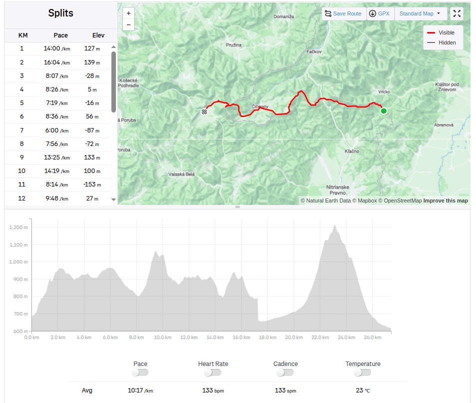
From Vrícké sedlo via Fačkovské sedlo, Čičmany, Strážov to Zlichov.
Yesterday was a perfect day for running, sun, 20 degrees, fresh green forests and blooming meadows.
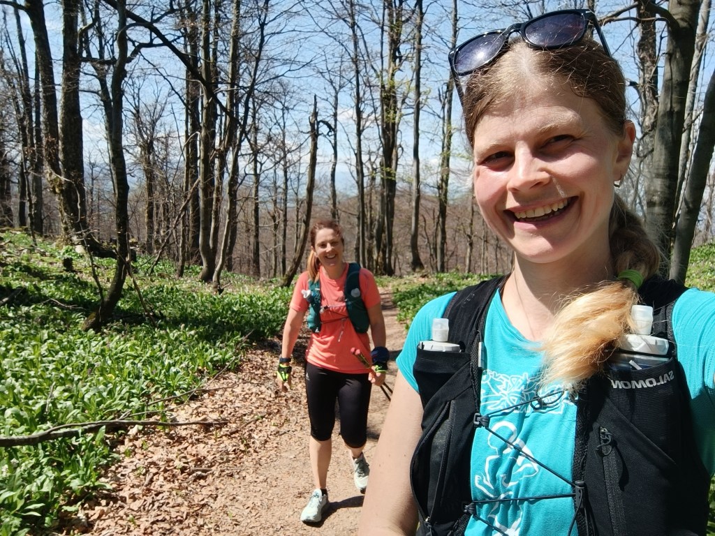
Jožko drove us to the start at Vrícké sedlo, we all still have a vivid memory of how we ended one stage exactly at this place. It is a fresh morning, 7 o’clock and after breakfast eaten on the way in the car and coffee from a thermos, Lucka and I set off. Jožko is going to drive the car to Zliechov and will go to meet us.
Near Fačkov saddle
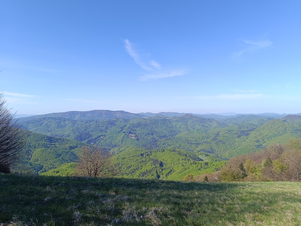
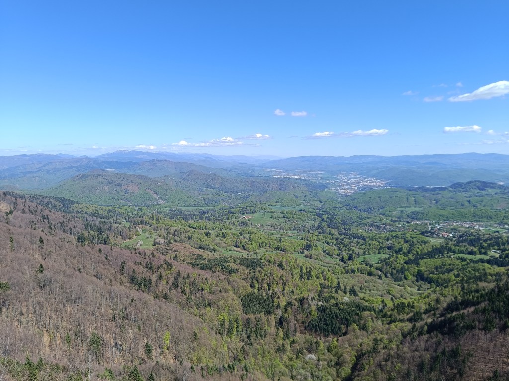
The forest path here and there runs out into a meadow and Lucka and I chat and don’t even know how the time flies. We reach the Fačkov saddle after about an hour and a half. Here we leave the Malá Fatra and enter the Strážovské Vrchy, which are a completely unexplored part of Slovakia for me. And it’s so beautiful here. There are great views from the top of the slope.
Views above Fačkov saddle
This is followed by a descent to Čičmany, just before them in the middle of the meadow we meet Jožko, the score is 15.6km for girls, 12.8km Jožko.
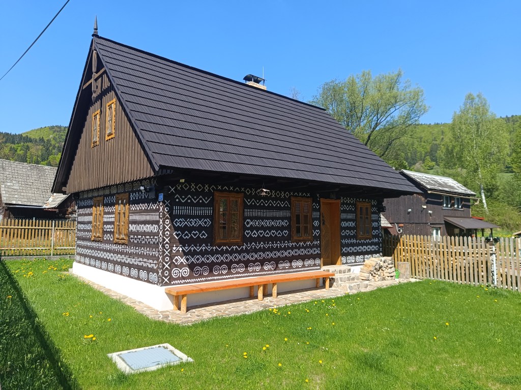
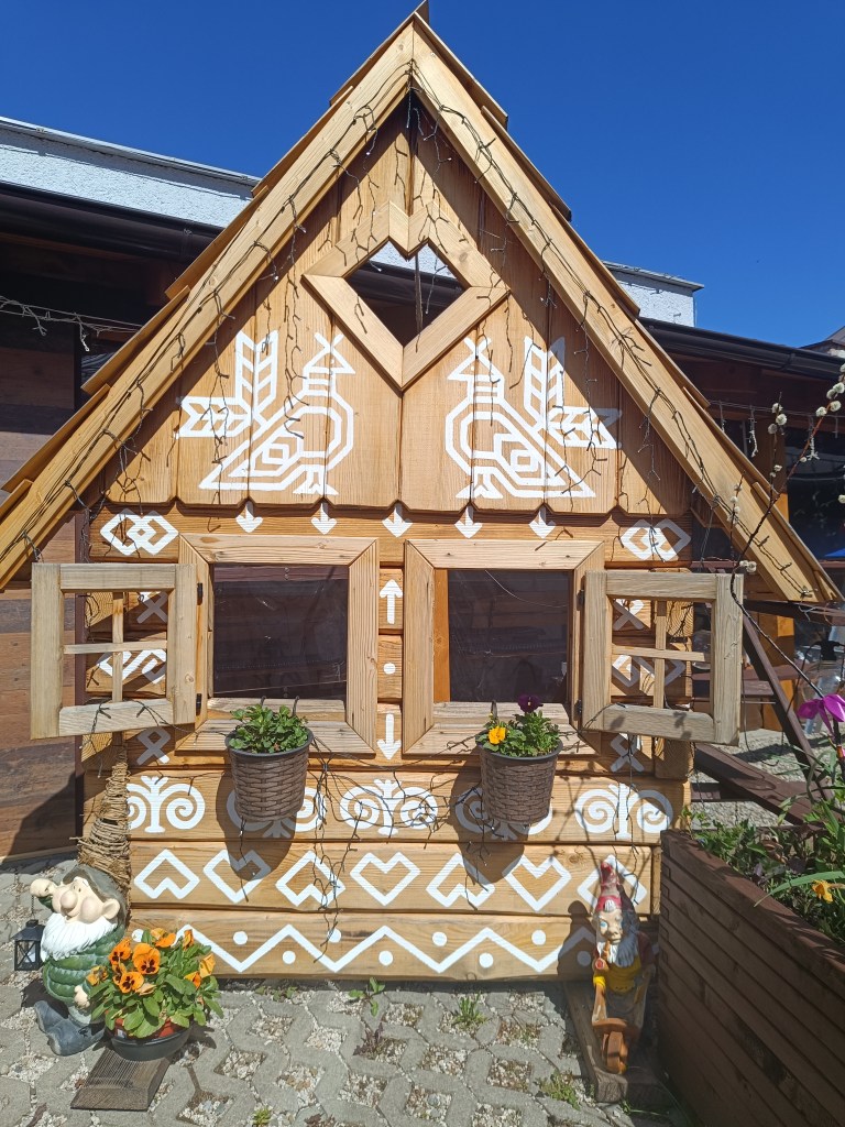
Čičmany are known for their preserved folk architecture – painted log cabins. The architecture here resembles gingerbread houses, mainly thanks to the exterior decoration of the houses. We admire them and in the center of the village we even find an open pub connected to a souvenir shop. The things they sell are beautiful and we would buy the entire shop. However, our backpacks can only hold a magnet map of Slovakia with the SNP route marked and the point where Čičmany are located. We have coffee and non-alcoholic beer. What a pleasure, Bernard’s Grep non-alcoholic beer is really divine. I pour half of mine into an already empty bottle – it will come in handy later.
Houses in ČičmanyČičmany
We climb to Strážov, the peak itself is a bit of a detour from the SNP route, but we can’t miss it. It has a height of 1213 m above sea level and is the highest peak of the Strážovské vrchy. Thanks to its altitude and location, Strážov offers interesting and distant views. The rocky peak offers a circular panorama of the surrounding hills and neighboring mountain ranges. Under suitable conditions, it is possible to see the Malá Fatra, the Vtáčnik mountain range or Považský Inovec. It is truly beautiful there.
A path lined with wild garlicMeadow under Strážov
At the end, we only have a steep descent and one gentle slope to go and we are in Zliechov. All three of us are smiling and satisfied, today it went great.
Strážov and its views28.4km, 4:41 aktive time, 1518m ascent
Dávid had wanted to go to Skalka for a long time, I don’t know why he chose this particular hill, but he mentioned it to me very often. So we decided to make this childhood dream come true.
We drove to Skalka by car and from there we walked to the red marked tourist trail – the path of the heroes of the SNP (and mommy, can we walk the entire path of the heroes of the SNP?) He really enjoyed climbing the rocks and was also fascinated by the via ferrata chimney on Skalka, where he also wants to go, of course:)
Feratta Chimney
We went along the ridge to the Görgely Tunnel. It was built in the 16th century and bears the name of the famous fighter for Hungarian independence, General Görgely Artur.
Its origin is attributed to the period after 1498, when Thurzo, as an experienced entrepreneur (Thurzo-Fugger mining company), was aware of the costs associated with transporting metals along circular roads from Banská Bystrica to Kremnica. The connection between Kremnica and Banská Bystrica existed only as a lengthy detour along two roads. Thus, the tunnel in the Kremnické vrchy was, and even after the demise of the Thurzo-Fugger mining company, remained an important connection between Kremnica and Banská Bystrica.
After World War II, the tunnel and its access roads fell into disrepair due to lack of interest, and in 1955 the tunnel was almost completely filled in. In an effort to save this unique historical monument and tourist attraction of the Kremnica Mountains, members of the Slovak Tourists’ Club from Banská Bystrica and Kremnica decided in 1996 to reconstruct and reinforce the tunnel with steel reinforcements. It is 30 meters long.
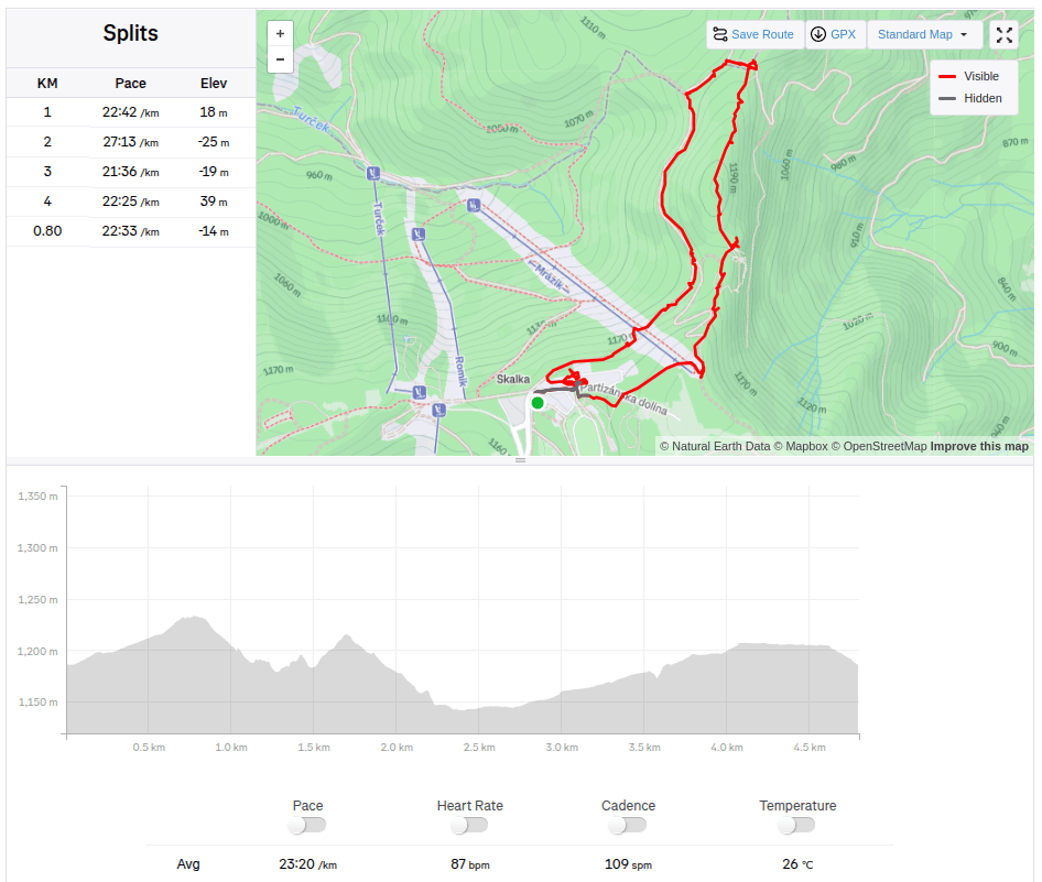
View with Banská Bystrica in the backgroundViewpoint on the ridge of the Kremnica Mountains4.8km, 1:51 active, 166m ascend
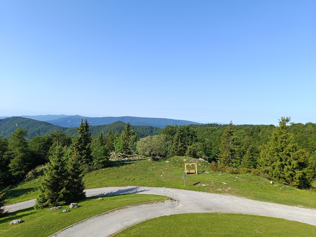
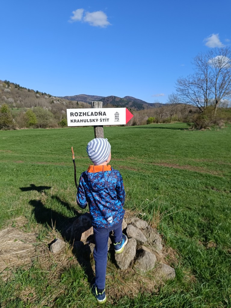
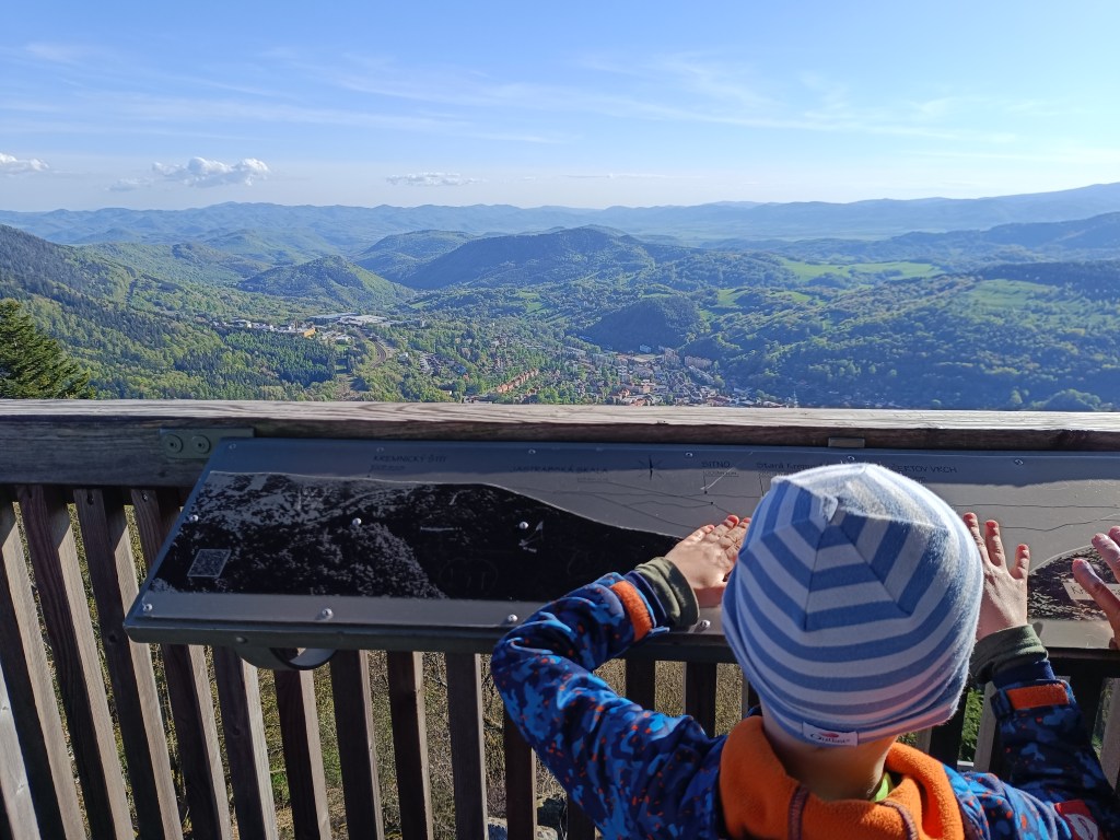
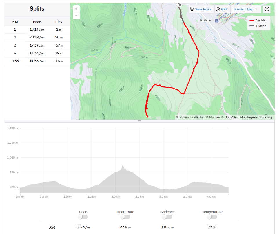
And since we had already been to this location, we also went to see the lookout tower on Krahulsky štít, it is about 2.5km from Krahule through fairly easy terrain. The lookout tower offers a beautiful view of Kremnica and the mountains in the background – Vtáčnik, Sitno…
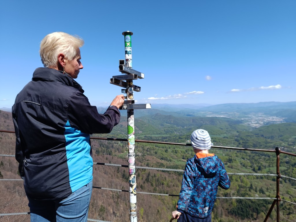
On its top floor we find signposts to well-known surrounding destinations with the distance as the crow flies, e.g. Center of Europe, Cottage Hostinec, etc. Directly below the observation tower is a wooden terrace with seating and a view of Kremnica. Wooden benches and tables are also located in the immediate vicinity of the observation tower.
Marking to Krahulský štítView from lookout tower
We stopped along the way to see the geographical center of Europe, but we were actually more interested in the church that is very close by. It has a beautiful blue altar and breathes history.
Dávi duž dlho chcel ísť na Skalku, neviem prečo si vybral práve tento kopec, ale spomínal mi to veľmi často. A tak sme sa rozhodli, že mu tento destký sen splníme.
Na skalku sme sa vyviezli autom a odtiaľ sme išli pešo na čersvenú turistickú značku – na cestu hrdinov SNP (a mamíííí môžeme prejsť aj celú cestu hrdinov SNP?) Veľmi ho bavilo loziť po skalách a fascinovala ho aj ferata komín na skalke, kam tiež samozrejme chce ísť:)
Výstup z feraty komín
Išli sme hrebeňom až po Gorgelyho tunel. Bol postavený v 16. st. a nesie meno známeho bojovníka za maďarskú samostatnosť, generála Görgeyho Artura.
Jeho vznik sa pripisuje obdobiu po roku 1498, kedy Thurzo ako skúsený podnikateľ (Thurzovsko-Fuggerovská banská spoločnosť) si uvedomoval náklady spojené s prepravou kovov po okružných cestách z Banskej Bystrice do Kremnice. Spojenie medzi Kremnicou a Banskou Bystricou existovalo iba zdĺhavou obkľukou po dvoch cestách. A tak cesta tunelom v Kremnických vrchoch bola, a aj po zániku Thurzovsko-Fuggerovskej banskej spoločnosti, zostávala významným spojením medzi Kremnicou a Banskou Bystricou.
Po II. svetovej vojne tunel a k nemu prístupové cesty pre nedostatok záujmu chátrali a v roku 1955 bol tunel skoro úplne zasypaný. V snahe zachrániť túto unikátnu historickú pamiatku a turistickú atrakciu Kremnických vrchov, členovia Klubu slovenských turistov z Banskej Bystrice a Kremnice sa v roku 1996 rozhodli tunel zrekonštruovaťa spevniť oceľovými výstužami. Má 30 metrov.
Výhľad na Banskú BystricuVýhľadové miesto na hrebeni Kremnických vrchov4.8km, 1:51 aktívny čas, 166 nastúpaných metrov
A keďže sme už boli v tejto lokalite, išli sme pozrieť aj rozhľadňu na Krahulskom štíte, z Krahulí je to cca 2.5km vcelku nenáročným terénom. Rozhľadna ponúka najmä výhlad smerom na Kremnicu a pohoria v pozadí – Vtáčnik, Sitno…
Na jej najvyššom poschodí nachádzame smerovníky k známym okolitým cieľom aj so vzdušnou vzdialenosťou k nim, napr. Stred Európy, Chata Hostinec, a pod. Priamo pod výhľadovou vežou je umiestnená drevená terasa s posedením a výhľadom na Kremnicu. Drevené lavice a stoly sú taktiež rozmiestnené aj v blízkom okolí rozhľadne.
Cesta je celkom dobre označenáVýhľad z rozhladne
Cestou sme sa ešte zastavili pozrieť si geografický stred Európy, ale popravde nás viac zaujal kostolík, ktorý je v tesnej blízkosti. Má krásny modrý oltár a dýcha z neho história.