Tag: hiking

  • Stratenský kaňon (s Dávidom)

    Stratenský kaňon (s Dávidom)

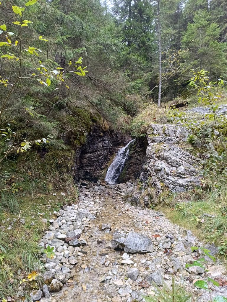
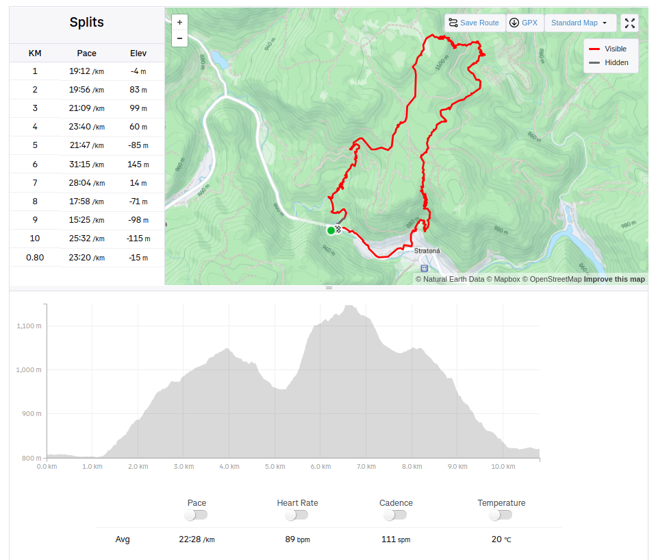
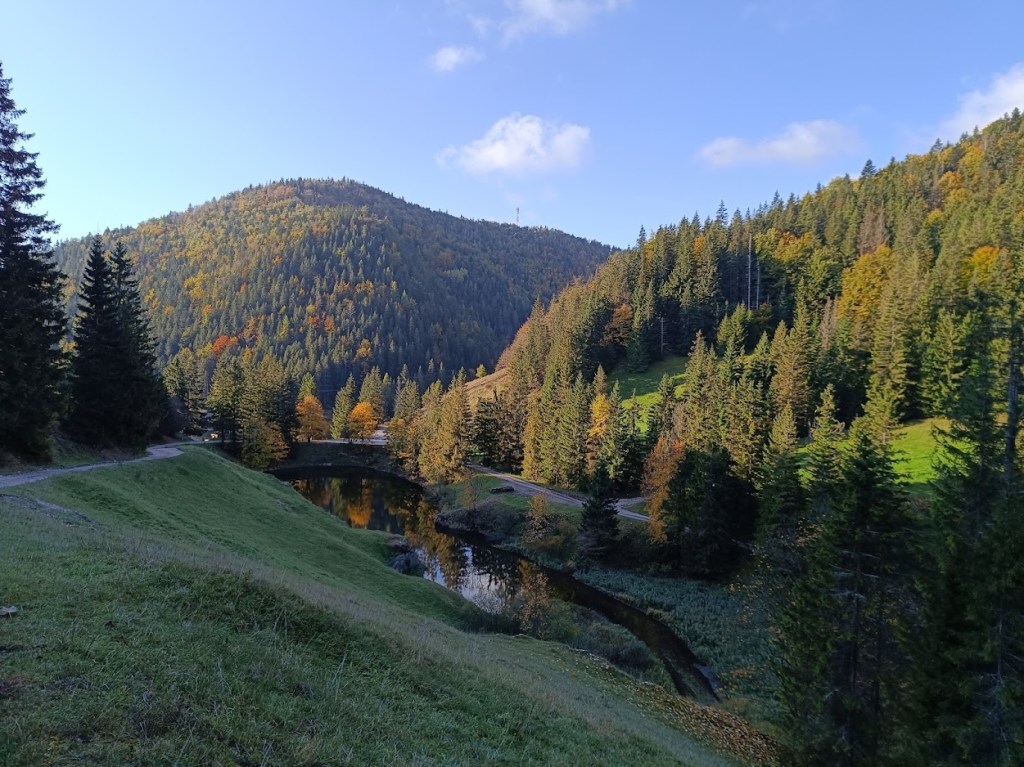
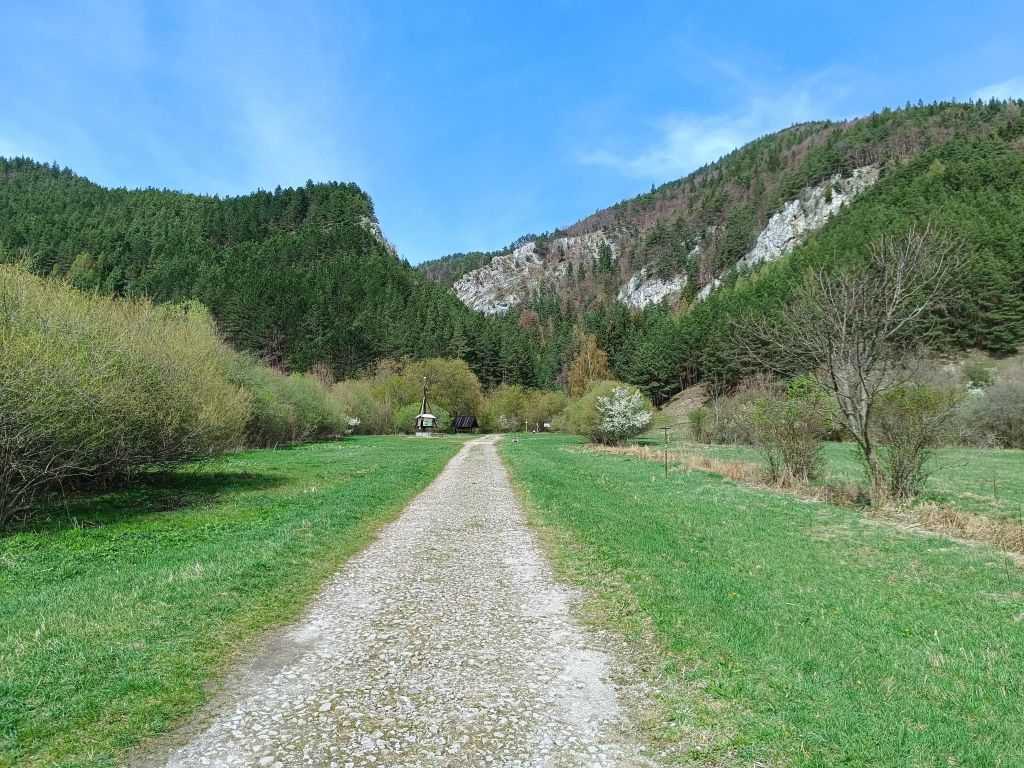
    Zaparkovali sme v ústí Stratenského kaňonu. Keďže máme radšej okruhy ako ísť jednu trasu dvakrát, tak sme najskôr museli zájsť popri ceste do dediny Stratená. Statená je dedina v údolí rieky Hnilec v južnej časti Slovenského raja. V minulosti to bola banícka osada, známa svojimi vysokými pecami, ktoré v roku 1783 postavili Csákyovci. Neskôr ich vlastnila rodina Coburgovcov. Posledná vysoká pec fungovala do roku 1927. Obyvateľstvo sa zaoberalo drevorubačstvom, stavbou blízkych štôlní a prácou vo vysokých peciach. V obci sa dodnes zachovávajú zvyky a oslavy Slovenského národného povstania a oslobodenia obce. V kaplnke postavenej okolo roku 1800 bola umiestnená drevená plastika Márie Magdalény z dielne Majstra Pavla z Levoče.

    Asi v polke dediny sme odbočili a začali stúpanie pomedzi Sokolie skaly na rázcestie Občasný prameň. Na rázcestí sme sa vybrali smerom k Havranej jaskyni a následne do Stratenského kaňonu.
    Skutočná turistika začína pár metrov za dedinou Stratená.

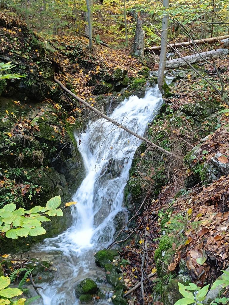
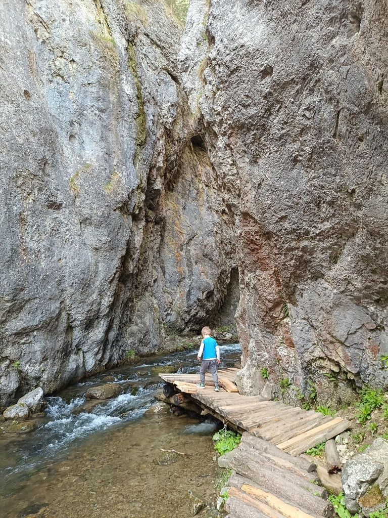
    Stratenský kaňon je najužšia časť hlbokej Stratenskej doliny – 14 km dlhého úseku Hnilca medzi Dobšinskou Ľadovou jaskyňou a Dedinkami v Slovenskom raji. Vyvíjala sa niekoľko miliónoch rokov hĺbkovou eróziou Hnilca v miestach, kde boli zlomami porušené mohutné vrstvy vápencov a dolomitov. Výsledkom tohto vývoja je dolina s priečnym profilom „V“ (nemá rovné dno), t. j. roklina so zomknutými meandrami, skalnými stenami, početnými jaskyňami, ponormi, vyvieračkami a vodopádmi ,so svojráznymi rastlinnými a živočíšnymi spoločenstvami. Kaňon (ak by to bol naozaj kaňon, takmal by širšie dno a teda aj priečny profil “U”, ako napr. v úseku doliny Slanej medzi Brzotínom a Plešivcom v Slovenskom krase) je prístupný bezbariérovým náučným chodníkom pre peších a cyklistov po zvyškoch asfaltovej cesty, ktorá bola pre autá zjazdná až do roku 1971. Vtedy tento komplikovaný úsek nahradil a skrátil cestný tunel Stratená v dĺžke 326 m. Dávid mal vtedy 5 rokov.
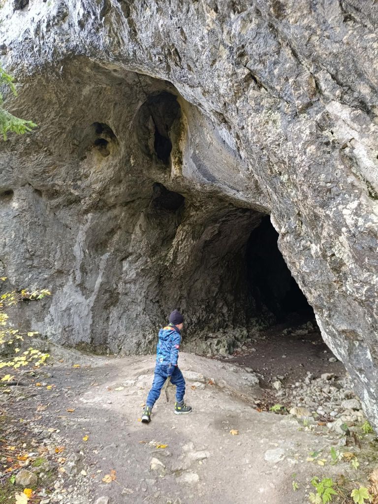
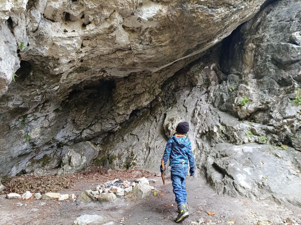
    10.8km, 476m výškových, 4h 4min
  • Zejmarská gorge (with David)

    Zejmarská gorge (with David)

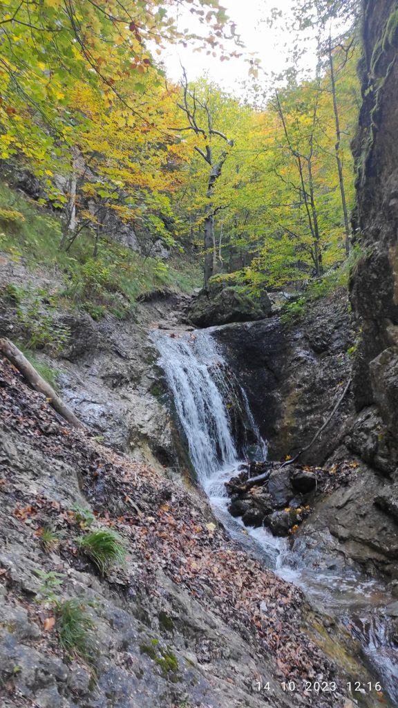
    Zejmarská gorge is the shortest gorge in the Slovak Paradise, but it still contains everything that every gorge should have. Although this gorge does not have as many waterfalls as other gorges, you will find the waterfalls of Captain Ján Nálepka, which are definitely worth it.
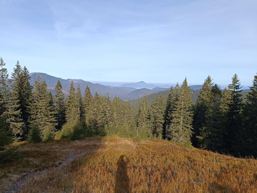
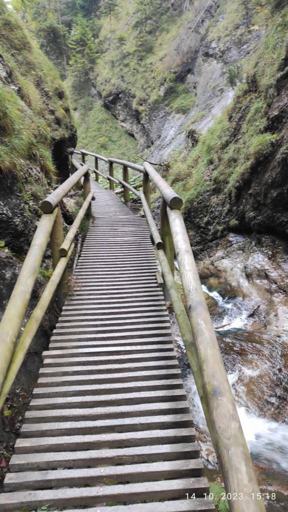
    The starting point of the gorge is the settlement of Biele Vody.The Zejmarská gorge is marked by a blue tourist trail and is only passable in one direction – upstream. It is 1 km long with a gradient of 227 m.

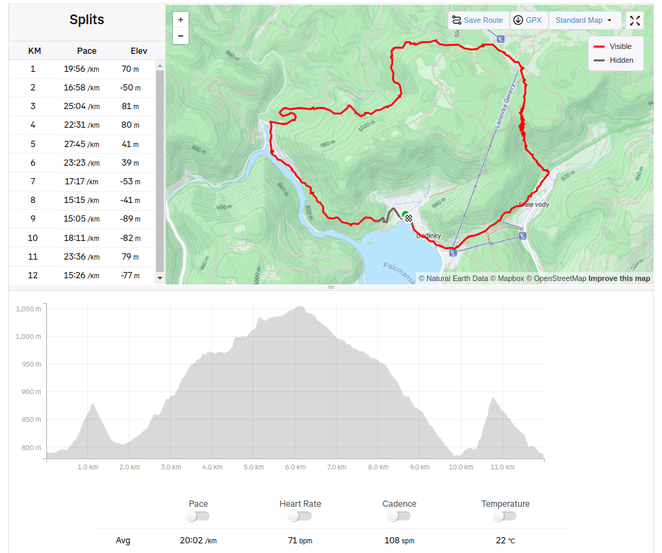
    We choose a longer and more attractive circular route through Dedinky – Zejmarská roklina, mouth – Geravy – Veľké and Malé Zajfy – Stratenská píla – Dedinky, Palcmanská Maša (the circular route is 3:30 hours long – with kids a bit longer…, elevation gain 591 m)

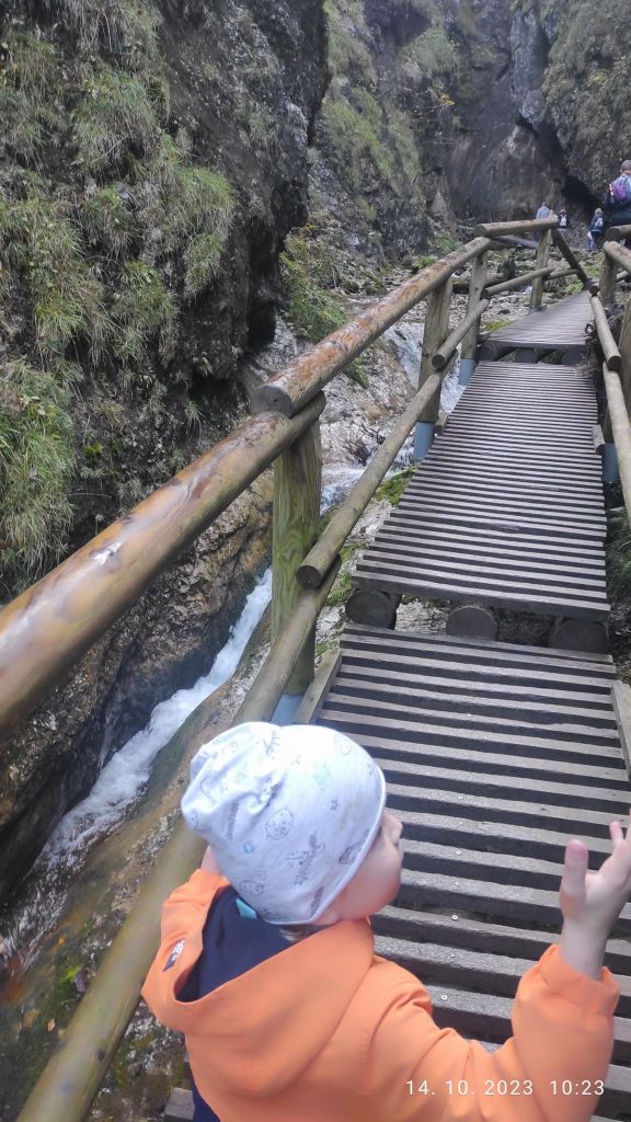
    David was 5 years old at that time

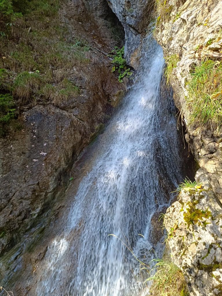
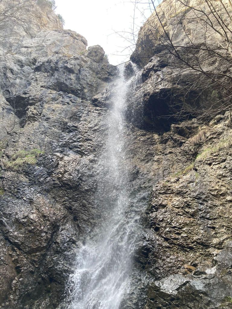
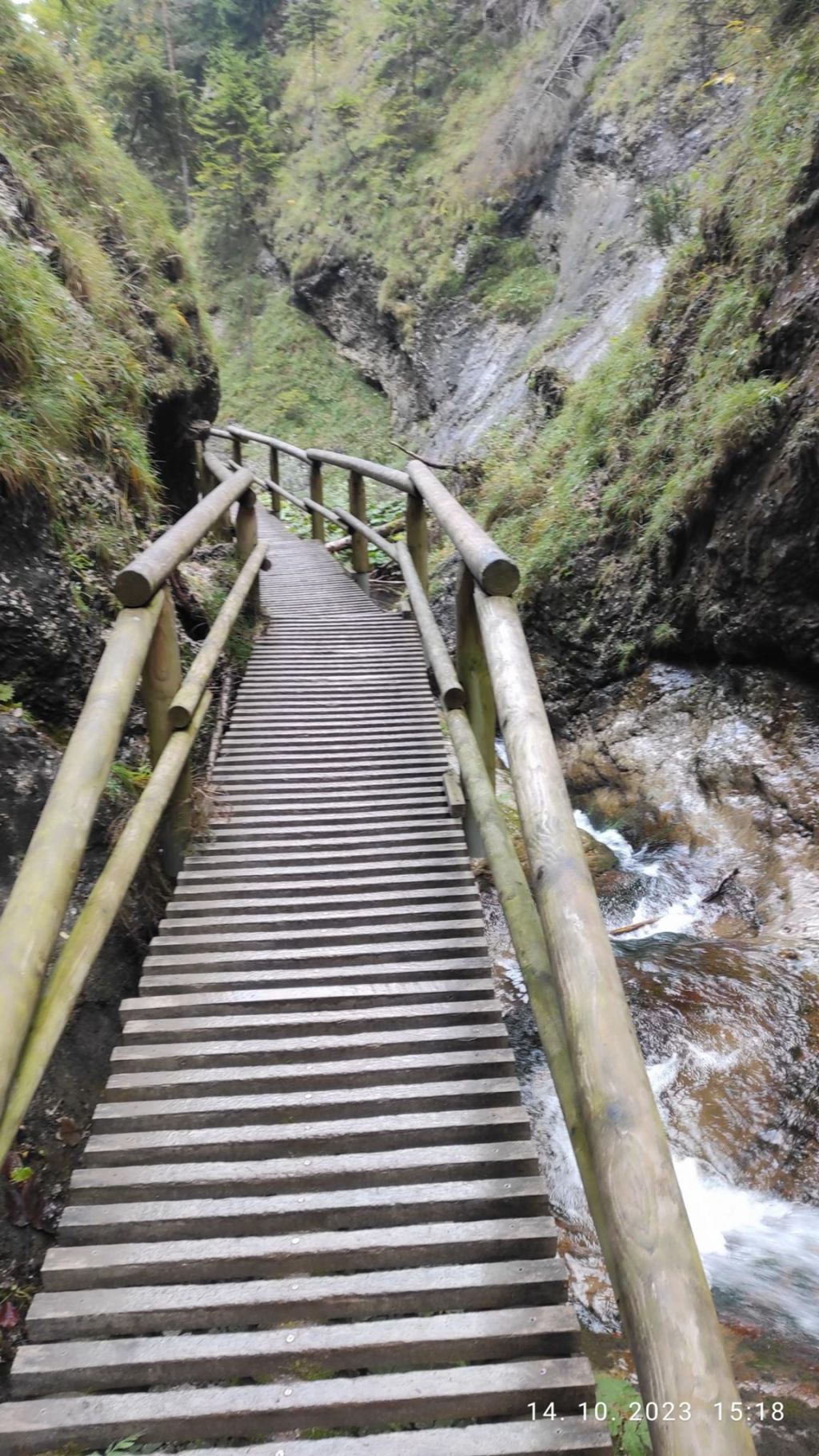
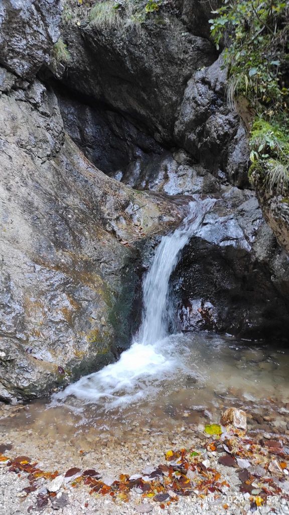
    There were smaller waterfalls
    And a bigger ones.
    The entrance to Stratenská píla
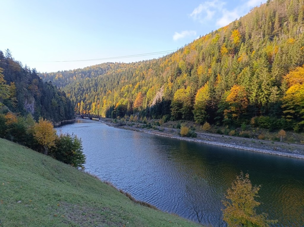
    Part of Palcmanská maša lake
    12km, 462m ascent, 4h 26min
  • Kids ferrata (with David)

    Kids ferrata (with David)

    The area around the ancient bell tower and the Háj mountain range breathes with history, it was a place where our ancestors were engaged in mining, mill wheel production and forestry. History can be felt at every step. The city of Nová Baňa decided to transform this precious place into a zone of active recreation associated with spending time in nature and exploring it. The bell tower with its educational trail, the Háj lookout tower, the Červená and Havraňá skala, the Kohútovo pilgrimage site, the Záhradný les and the newly opened Zvonička buffet currently creates a supra-regional dimension.

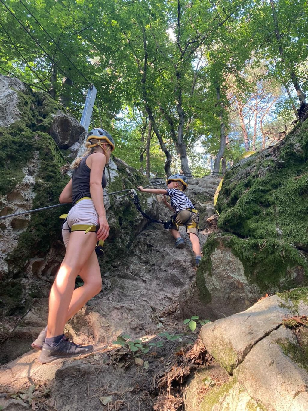
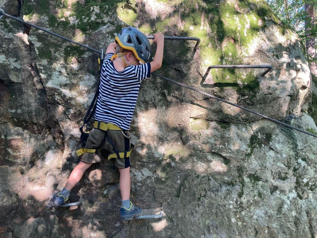
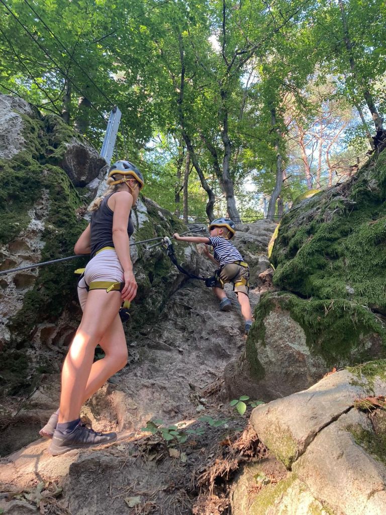
    The children’s via ferrata area in the immediate vicinity of the Zvonička buffet enhances and completes the complexity of this precious and sunny place. The area was designed and created for families who are looking for active movement in a natural environment, where parents with children can spend their free time. Via ferratas, bridges, rope nets, falcon nests await their visitors, who will teach them how to move in the mountains on rocks, motor skills, overcoming themselves, overcoming fear of heights.

    Of course, all this requires full compliance with safety measures and focusing on movement in exposed terrain. The Zvonička via ferrata area is unique in its design. 285 m of via ferrata routes have been built on small rock massifs in a steep forest environment. Adventure via ferratas offer unprecedented variations of movement, walking and balancing on ropes, nets, walkable acacia trunks and rock climbing.

    The ferrata sectors are connected by forest trails. Not only children and parents will have fun, but also adults, especially beginners, whose first steps on the rock will be in our Zvonička area. And you don’t need to worry that you don’t have equipment, you can borrow one (or more) there.

    We were there on David’s 5th birthday to celebrate.

    He was begging me to go there for a long time
    He was really proud of himself

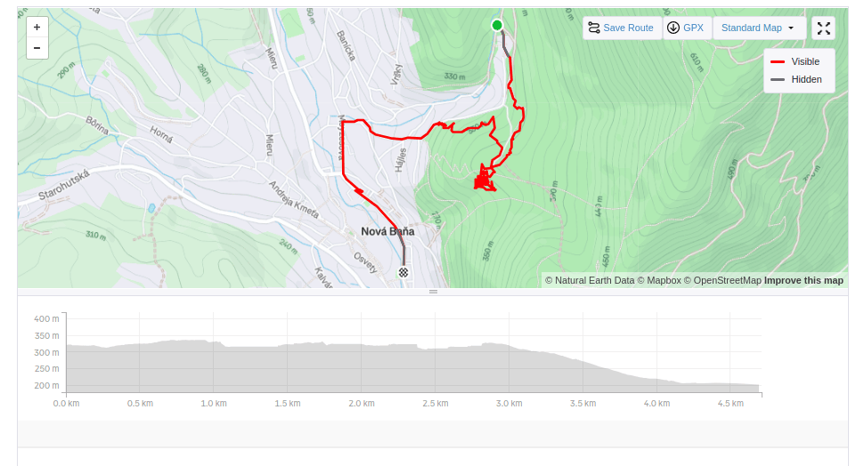
    we walked there and then back to the city

    4.7km, 1h 46min
  • Pohronský Inovec (with David)

    Pohronský Inovec (with David)

    Pohronský Inovec is a mountain range of volcanic origin, which is part of the Slovak Central Highlands.

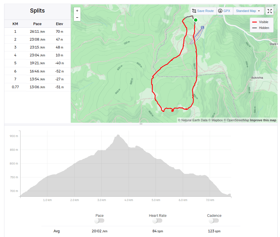
    The highest point is Veľký Inovec reaching a height of 901 meters. Andesite and rhyolite predominate in the mountain range. The southern part is covered with deciduous forests with the most represented oaks. The southern slopes fall steeply and the surrounding terrain of the Hronská pahorkatina rises by up to 600 meters. The northern part has the character of a plateau around Veľká Lehota, pastures and scattered settlements predominate.

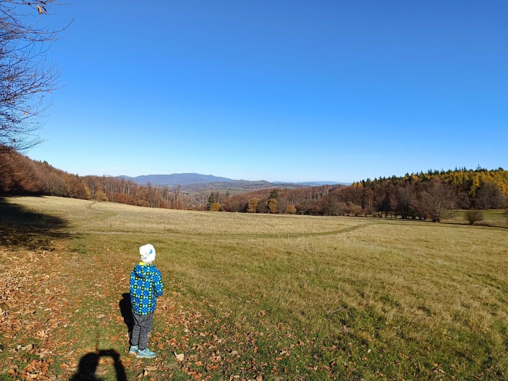
    We started at Drozdovo a make a circular hike to Inovec and back. The path is mainly through forest or meadows, with a few viewpoint. David was 5 at that time.

    Meadows between Drozdovo and Inovec
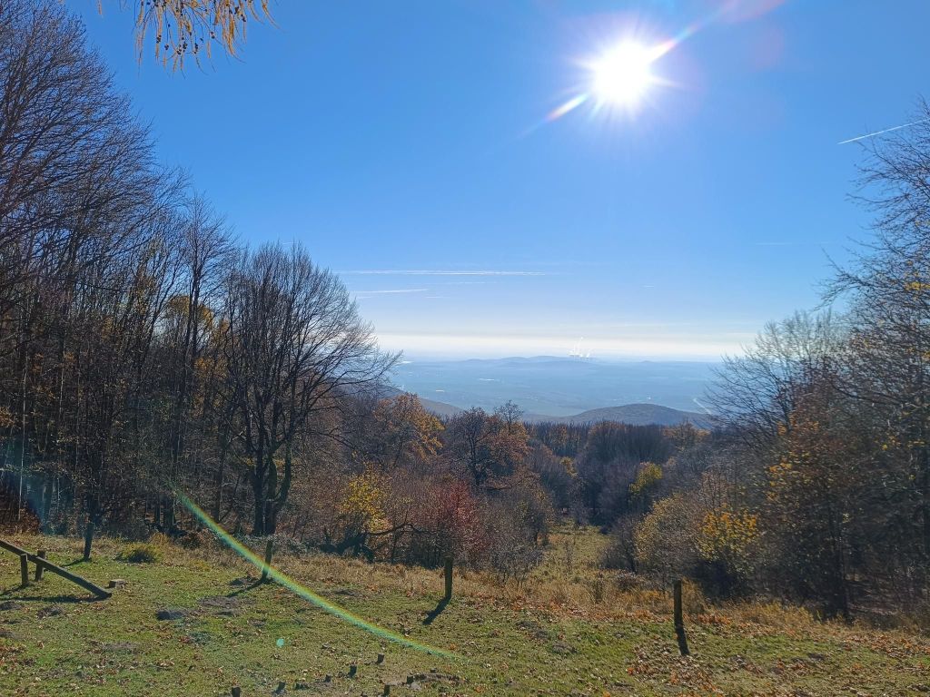
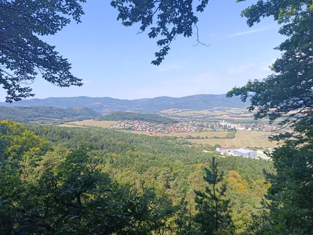
    View from Inovec tourist shelter, it is open during weekends and you can buy some refreshment there.
    7.77km, 231m ascent, 2:35 moving time, 3h43min total
  • Bralce (with David)

    Bralce (with David)

    We just love Bralce. This time with my mother, David and his cousin- my nephew.

    Kečka is a real gem, hidden in the heart of the Bralce Nature Reserve on the edge of the Štiavnica Mountains.

    The path to the top of Kečka is one-way and hides a number of fascinating places.

    The route is characterized by its amazing rock formations – remnants of pink rhyolite mining – and also protected flora. Places equipped with chains or ladders at least partially reminding of Slovak Paradise or Jánošíkove Diery. And of course, there is no shortage of amazing views of the surroundings.

    The hiking trail, marked in green, starts on the outskirts of the village of Hliník nad Hronom (on the road towards Sklené Teplice). At the beginning of the trail you will find a large information board with a map and information about the Szabóová skala and Bralce Nature Reserve, of which Kečka is also a part.

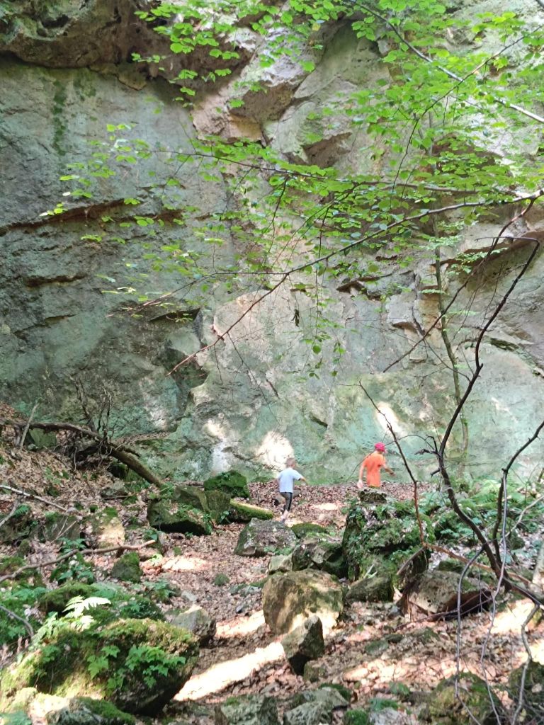
    After a few minutes you suddenly find yourself in a completely different world. In a world so fascinating that you don’t know whether to stop and admire your surroundings or continue on your journey and discover what lies behind the next rock. The landscape changes like a movie set – huge rock monuments, moss-covered stones, small stone seas, crevices, caves, steps, ladders, chains, and much more.

    David was 5 at that time.

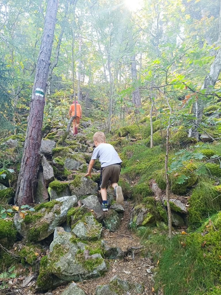
    view after first climb
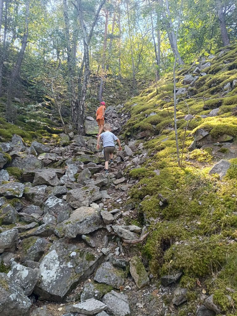
    kids almost run
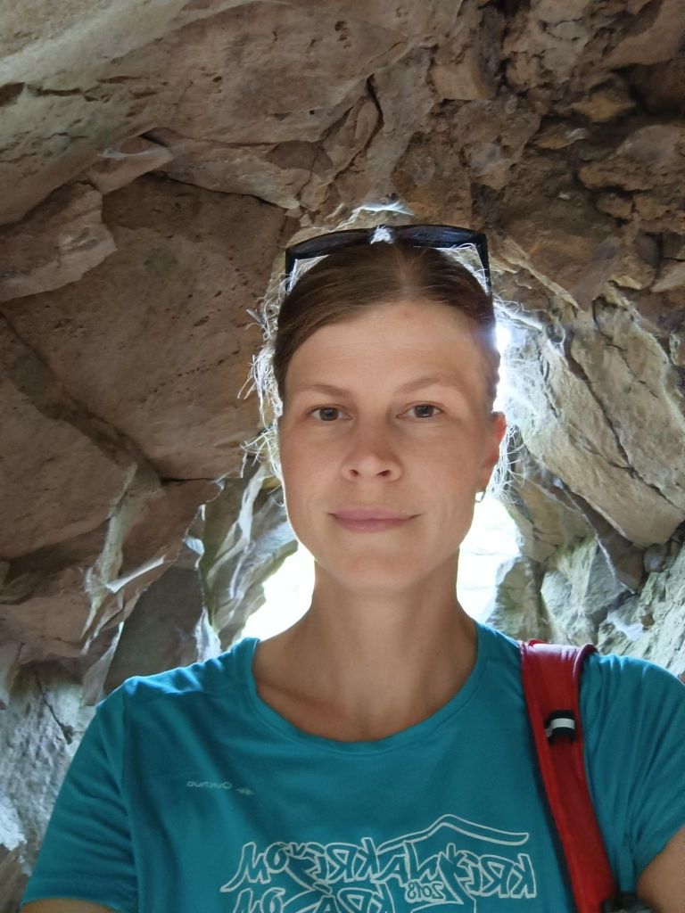
    inside a rock gateway
    we almost cannot keep the pace of the children
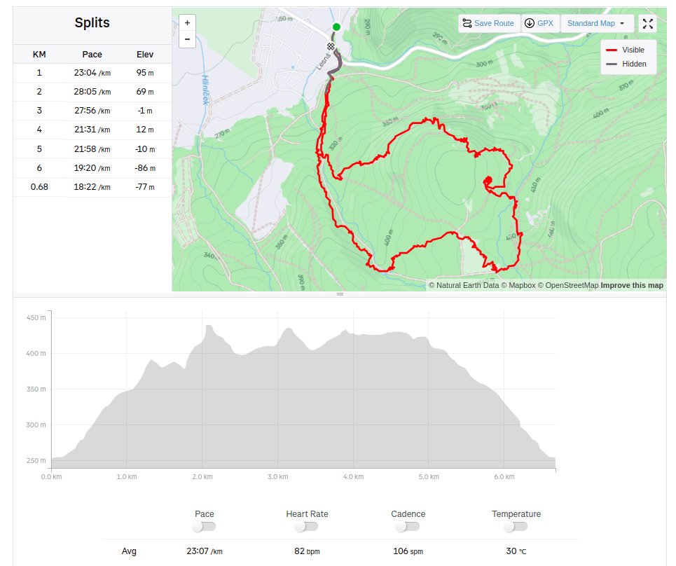
    6.68km, 280m ascent, 2h 37min
  • Mining educational path (with David)

    Mining educational path (with David)

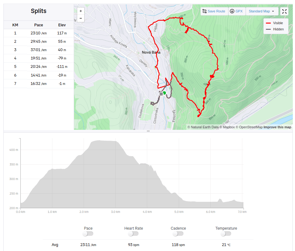
    The route of the educational trail leads past the most important mining-technical and historical monuments related to the mining of precious metal ores in Nová Baňa. The trail is divided into two historical-thematic circuits. Route A (black), with a length of 4.3 km and an elevation of 210 m, leads along the traces of surface and underground mining activities in the Middle Ages, passing through more demanding forest terrain in the area of ​​Mýtný vrch and Gupno in the southern part of the deposit. Route B (green) is slightly less demanding and leads mainly in the built-up area of ​​the city in the Vŕšky part. It is 5.6 km long and has an elevation of 130 m. It mainly presents mining from the 16th to the 19th century, including ore treatment facilities and the mining water management system.

    David was 4 years old at that time.

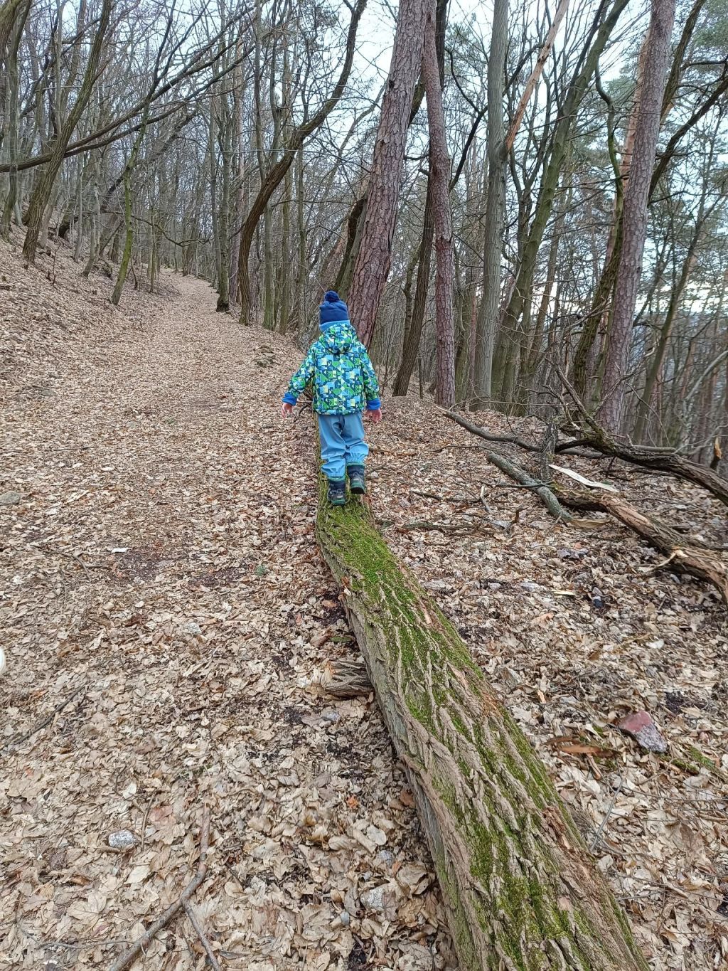
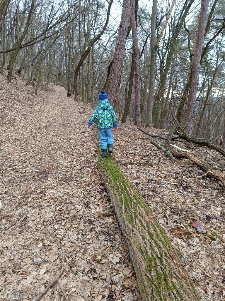
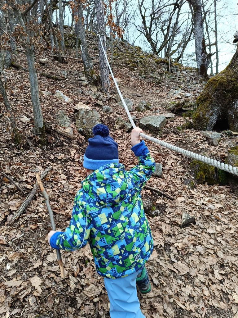
    when the path isn’t so interesting, we try to find somethink to make it funnier
    Step at the educational path
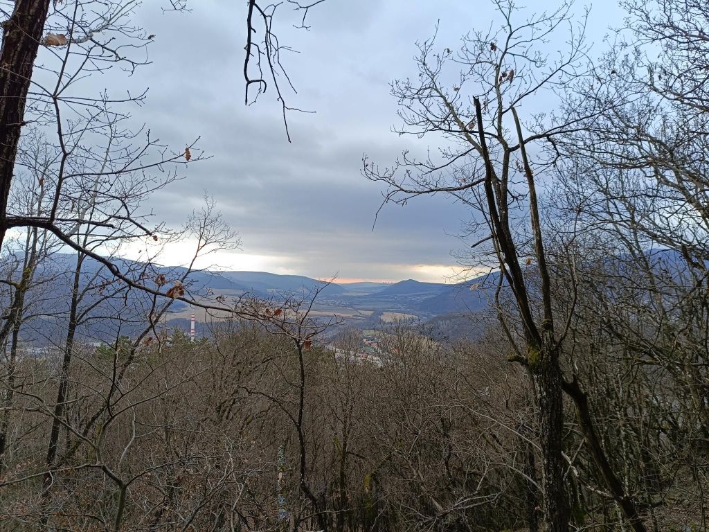
    The only view
    I’m here too, with a backpack full of snacks and tea
    Yes, a bit of fun!
    7.04km, 240m ascend, 3h 12 min
  • Krakova hoľa

    Krakova hoľa

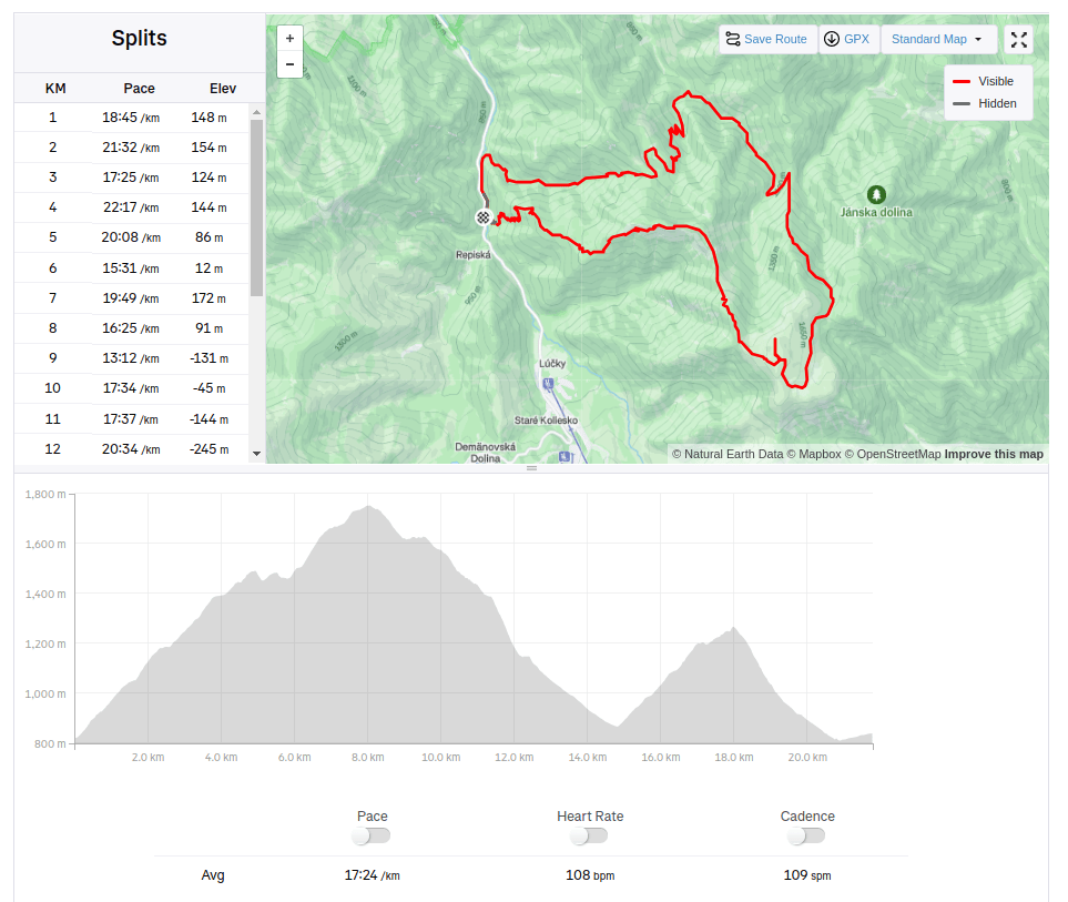
    We started at Demänovská jaskyňa slobody. The Demänovská Caves National Natural Monument on the northern side of the Low Tatras is the longest cave system in Slovakia.

    But we wasn’t there for the cave, we planned hike to Krakova hoľa, for me totally unknown place.

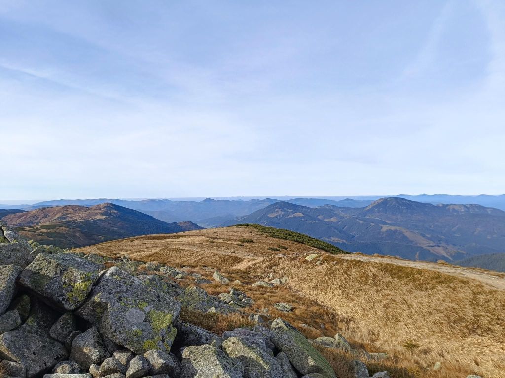
    Krakova hoľa is a massive hill in the northern part of the Ďumbier Tatras. Thanks to its location, which is outside the main ridge at an altitude of 1751.6 m above sea level, it dominates the wide surroundings, above which it protrudes and provides an interesting circular view. Krakova hoľa is located between the Demänovská valley and the Jánská valley. The eastern and southern parts of the hoľa belong to the Ďumbier National Nature Reserve with the 5th level of protection.

    Under Machnatô
    Views to Chopok
    That day, the visibility was excellent

    For me a surprise was the valley Vyvieranie on our path back.

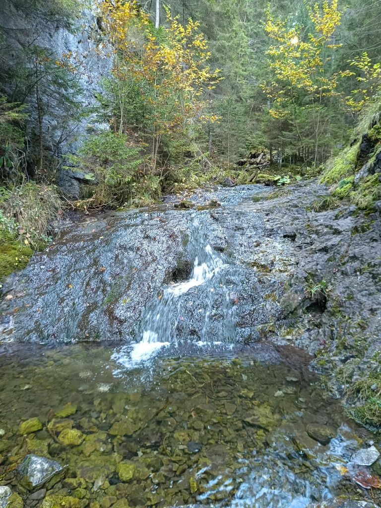
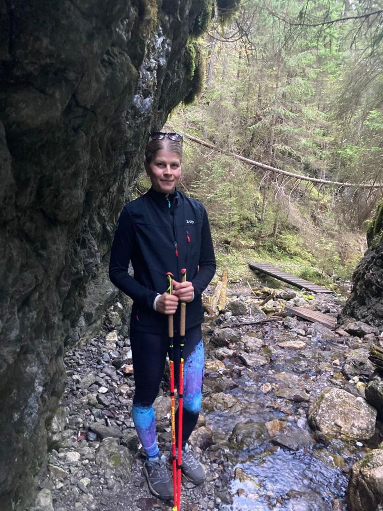
    We dive into the narrow Vyvieranie valley, and the trail often leads directly along the stream bed. It is neither deep nor wide, but it flows swiftly through the rocky bedrock. You often have to overcome rock gates, cascades, or jump over the stream. In some places, the route is led by bridges and here and there you will also come across chains. Overall, the valley in the lower part has the character of a small but wild gorge. It is humid here, which results in a beautiful forest. Since it is part of the National Park, fallen trees remain here, only here and there they are cut down so that tourists can get between them.

    Vyvieranie valley
    Through Vyvieranie
    21.79km, 1478m ascent, 6h 34 min
  • Ďurková

    Ďurková

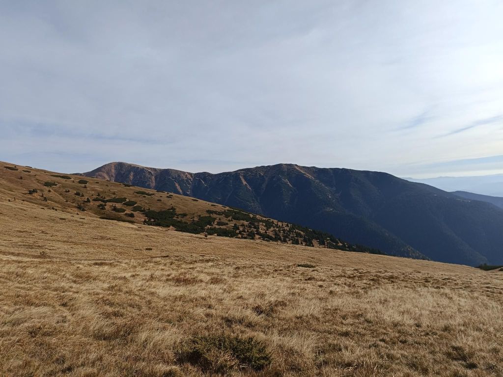
    Originally called the shelter under Chabenec (1623 m) is located just below the main ridge of the Low Tatras and is built on the site of a former mountain hut.

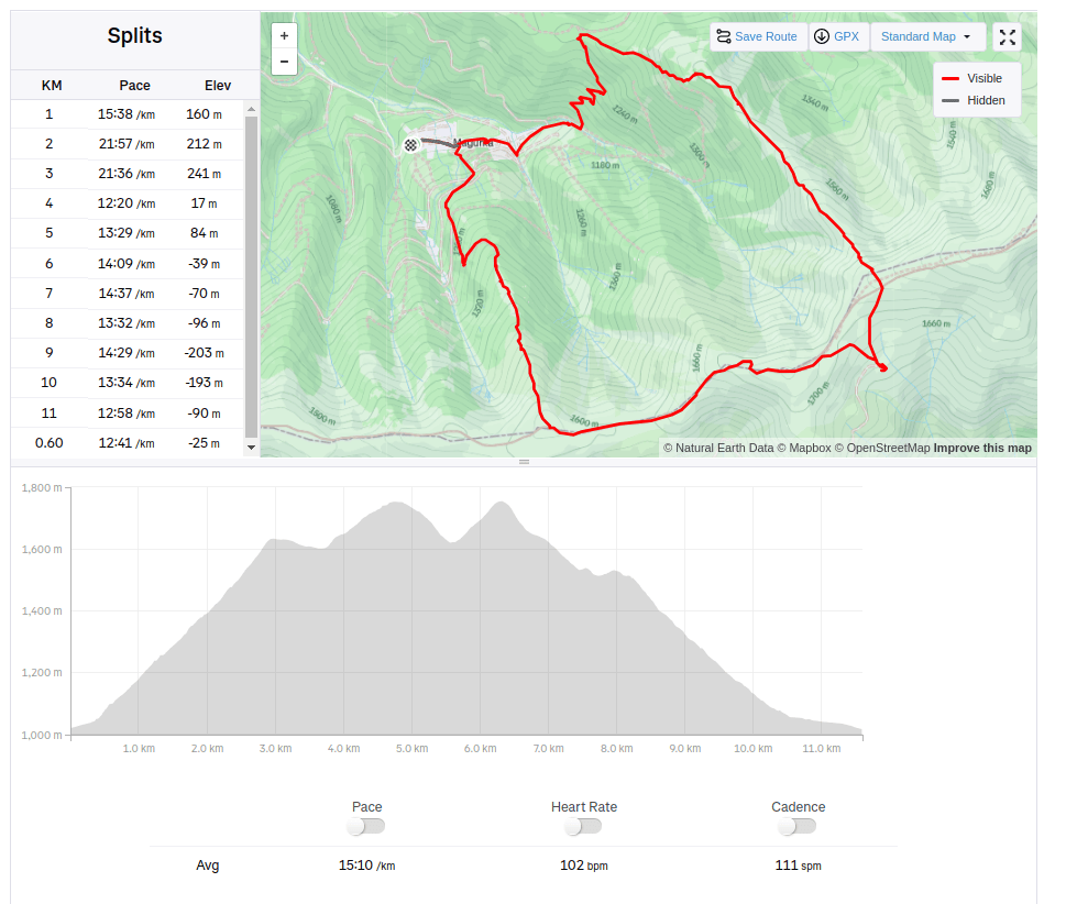
    We started from village Magurka, located at an altitude of 1080 m. It is located in the beautiful natural environment of the Low Tatras at the end of the Ľupčianska valley under the peaks of Latiborská hola (1648 m.a.s.l.), Ďurková (1749 m.a.s.l.), Chabenec (1955 m.a.s.l.).

    Magurka was founded in the 14th century as part of the mining business in its surroundings. Gold mining began around 1250. At that time, it was still privately owned. Later, Magurka was owned by the municipality and individuals, but the mined gold had to be handed over to the imperial treasury. During the reign of Maria Theresa, gold mining passed into the hands of the state. In 1835, new shafts were opened – Ritterstein and Kilian, and in 1848 the Ruseger adit. Gold was mined according to the old system, water steps and manual washing, later machine washing. In 1860, houses began to be built here and in 1888 250 miners worked here. In the same year, antimony was discovered on Magurka. 10-11 kg of gold, the same amount of silver and 3000 – 4000 m3 of antimony were extracted here annually. The largest was the Kilian shaft – 3 km long, Ruseger measured 1600 m, Ritterstein 1400 m. The others were shorter. The produced material was transported to Ružomberok, only later a cable car was built from the galleries to the entrances. This tedious work was the reason that production was much more expensive than the revenues from mining, and so in 1923 mining was stopped forever. The state transported the machines to Banská Štiavnica, the buildings were sold off, and only a few families remained in Magurka. In 1928, Magurka had 20 houses and 75 people. An exceptionally rare object is the mining church. In its tower, a huge rapkáč has been preserved to this day, which could be heard far and wide. In the past, it was used to call miners to work and announce the end of the “shift”, but it was also used on other occasions.

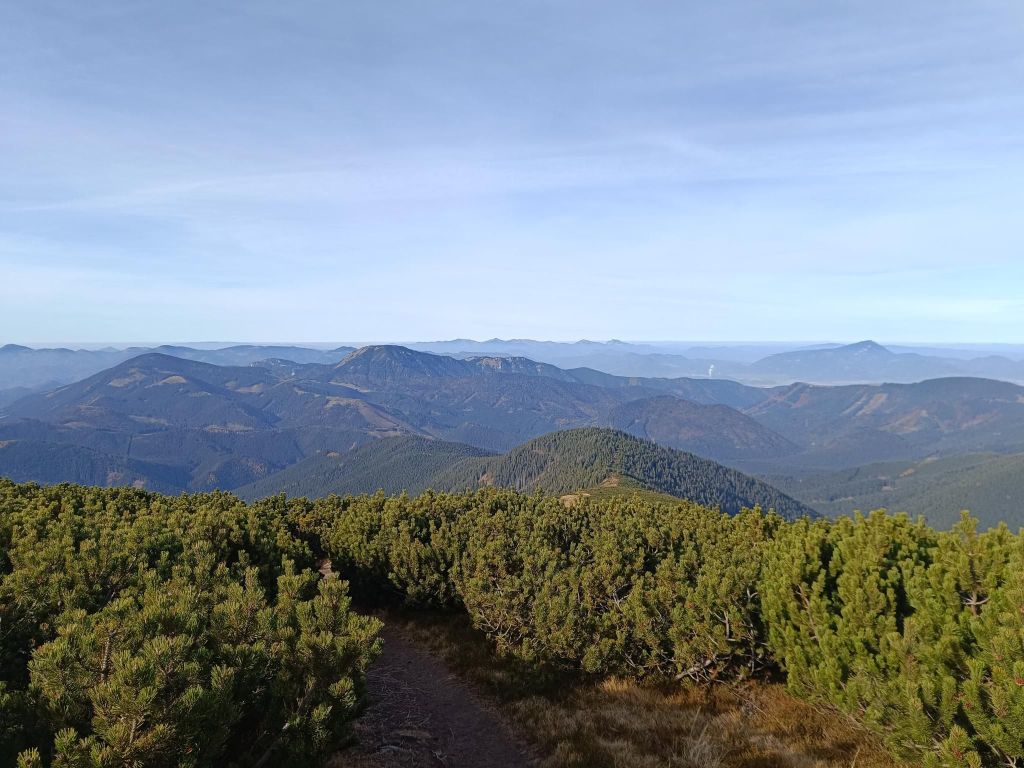
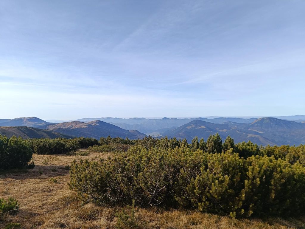
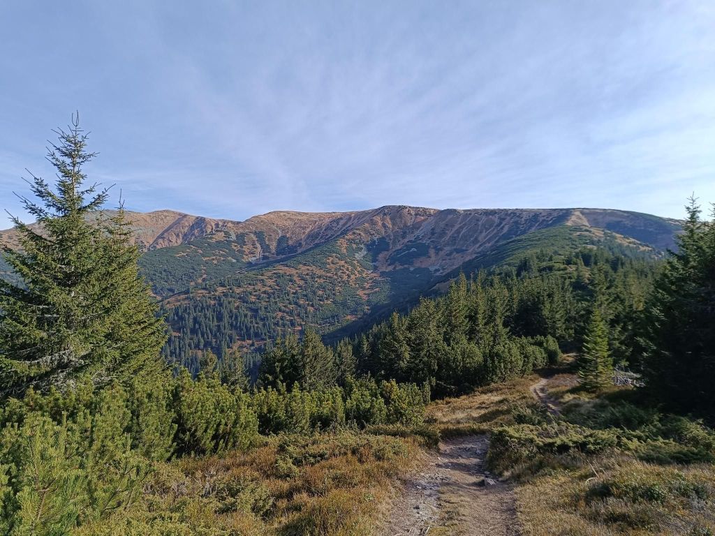
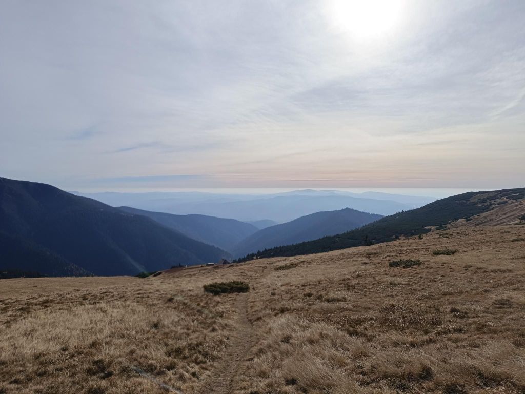
    Trees are combined with blueberries at the beginning
    Then there was pinewoods
    Just under the main ridge, there is Ďurková
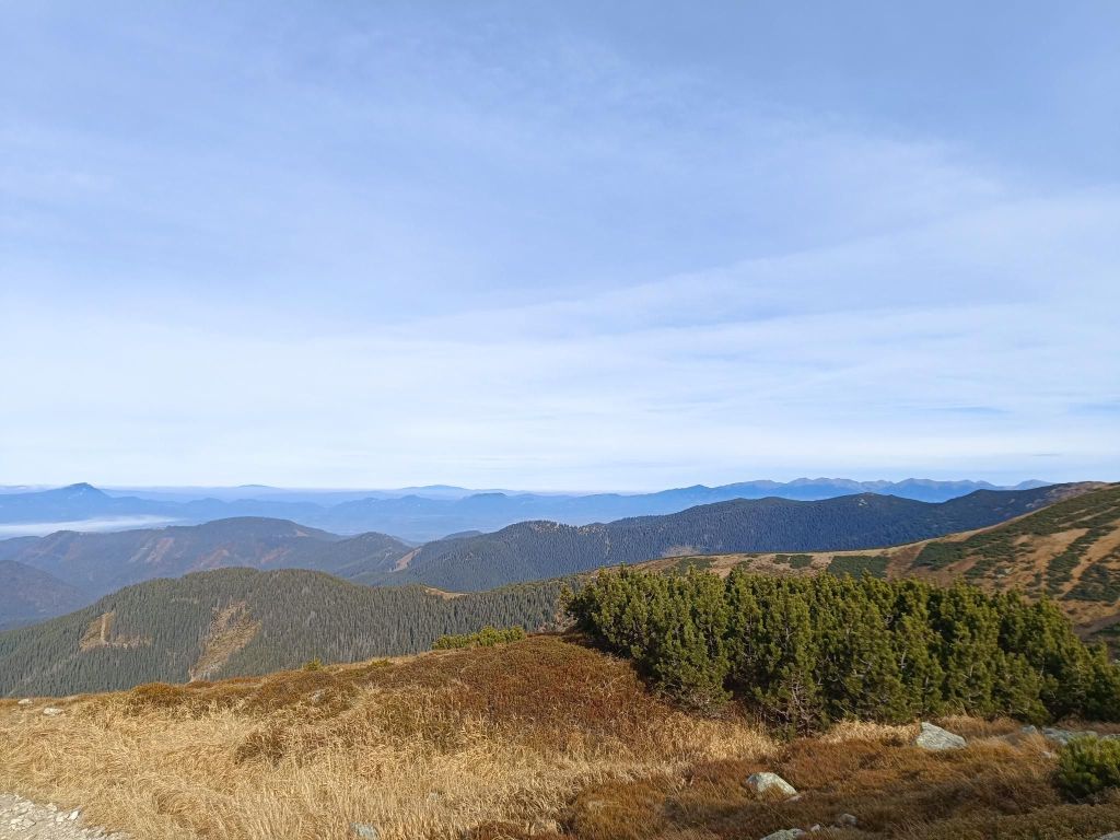
    Beautiful views from the main ridge
    11.6km, 912m ascent, 2:55 moving time, 4h 5min total
  • Prosiek (with David)

    Prosiek (with David)

    Prosiecka Valley is a karst valley located in the Choč Mountains, which it crosses from north to south. Its total length is 3.5 km.

    From a geological point of view, it is a karst canyon-like valley of the Prosiečanka stream. The valley is made of limestone and dolomite, similar to the entire Choč Mountains. The erosion activity of the Prosiečanka has shaped the typical karst appearance of the valley, which is manifested by numerous rock cliffs and towers made of more resistant limestone. Typical external karst features are also numerous gorges, especially at the beginning and end of the valley. There are several springs and sinkholes in the valley

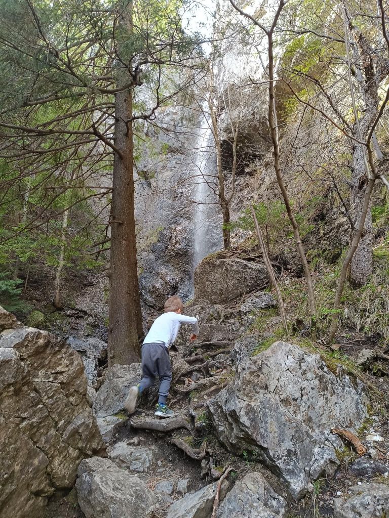
    One of the biggest attractions is the waterfall at the end of the valley. David was 4 years old at that time.

    From distance, the beginning doesn’t look so interesting
    But when you came there…
    To the waterfall
    we came in the summer, so it has not so much water

    The Červené piesky waterfall is considered one of the most beautiful waterfalls in Slovakia.

    You can reach it from the Vidová crossroads in the Prosiecká dolina valley, from where a short trail leads to the blind valley of Červené piesky, where this approximately 15-meter-high waterfall is located.

    In dry periods, only a small strip of water flows in it, so if you want to see it in its full beauty, we recommend visiting in spring or after heavy rains.

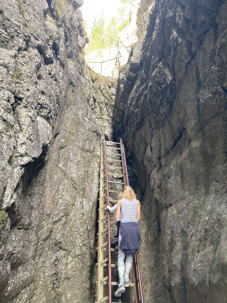
    David’s favorite part – ladders and chains
    Climbing is great too

    If you go with a kid, take one extra pair of shoes, because we crossed the stream a few times..

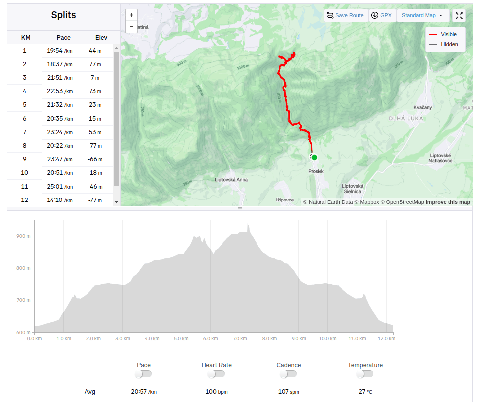
    12.23km, 428m ascent, 4h 16min
  • Jánošíkove diery (with David)

    Jánošíkove diery (with David)

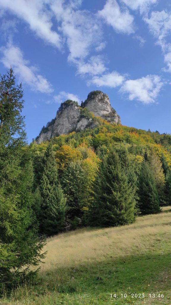
    Jánošíkove diery are located in the Rozsutec National Nature Reserve. They consist of three integral parts: Dolné diery, Nové diery and Horné diery. The Hlboký stream flows through them, which formed them. There are more than twenty waterfalls. Bizarre rock formations with a specific climate are home to several interesting species of plants and animals.

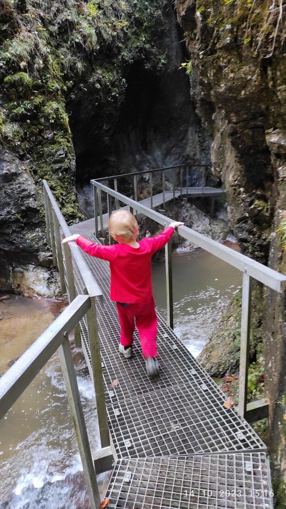
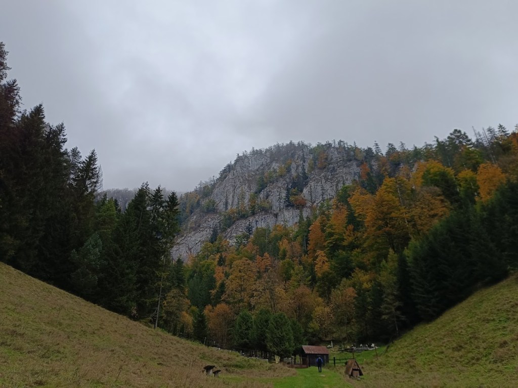
    The starting point for Diery are the settlements namely Biely potok (Hotel Diery) and Štefanová. Jánošíkove diery is accessible by attractive marked hiking trails with footbridges, ladders and chains.

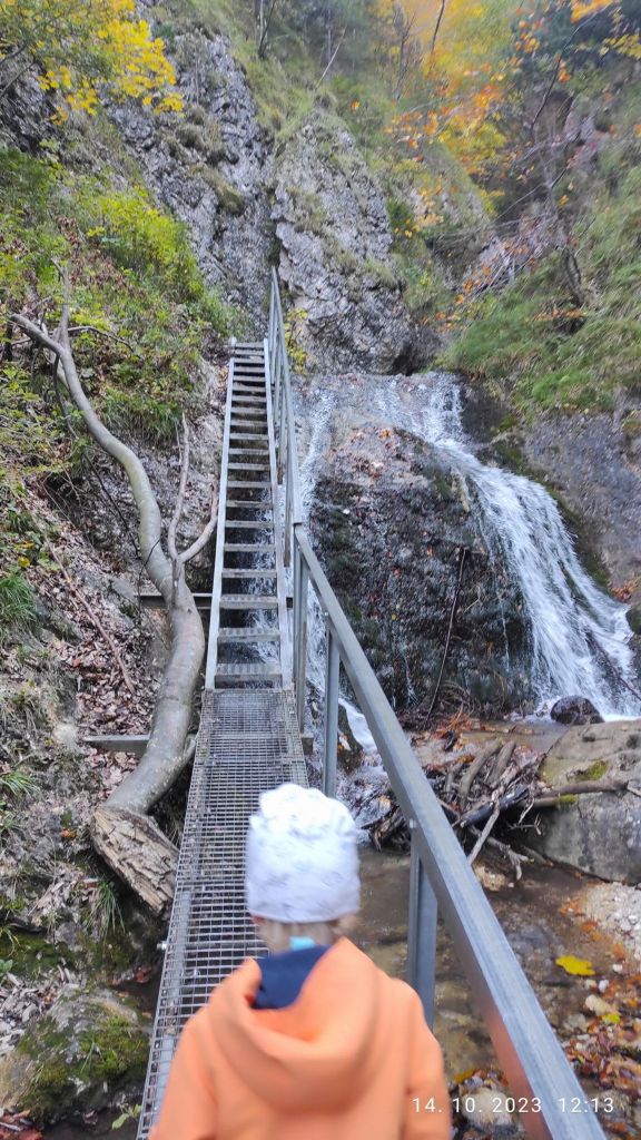
    Some ladders reach a height of 12 to 15 m

    David was 4 years old at that time.

    I hope he will love nature as much as I do
    Lots of waterfalls

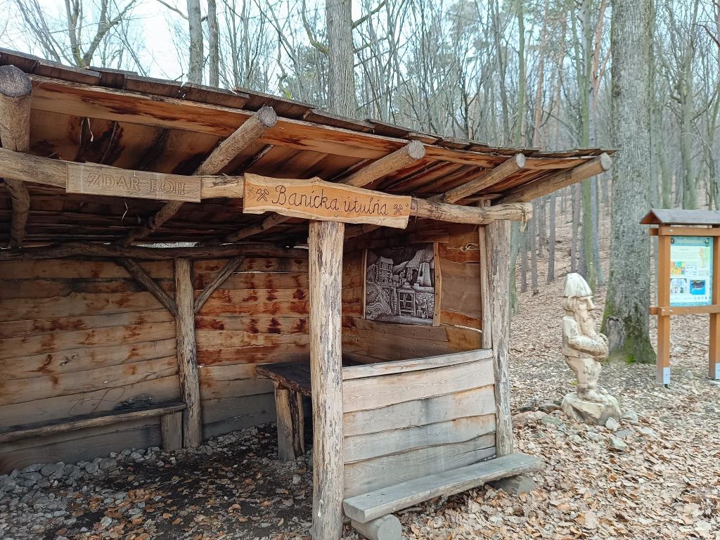
    Between Dolné and Horné diery there is Podžiar. Here you can find a resting place with a small shed, where you can buy some refreshment. Yeah, I like beer, so gues what?

    It taste even better outdoor
    view on Poludňové rocks from Podžiar
    He really enjoyed the ladders, don’t stop even for a second
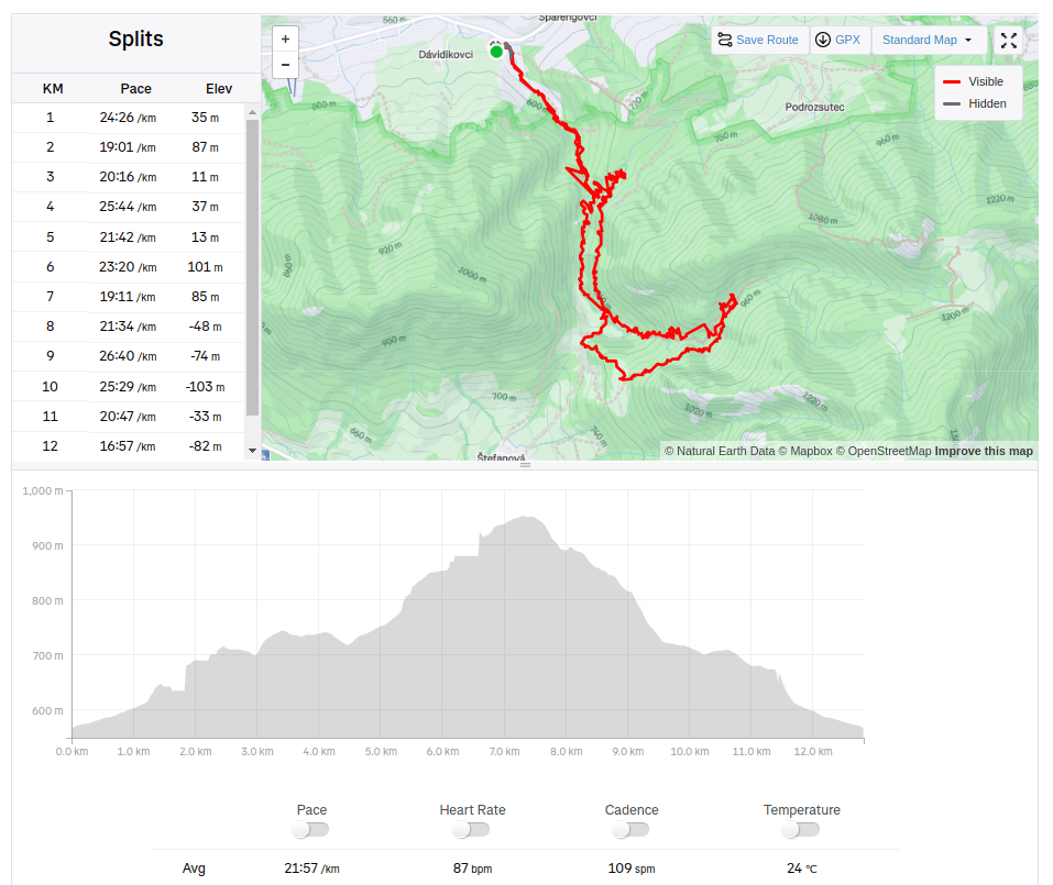
    12.82km, 471m ascent, 4:41 moving time, 6h 4min total