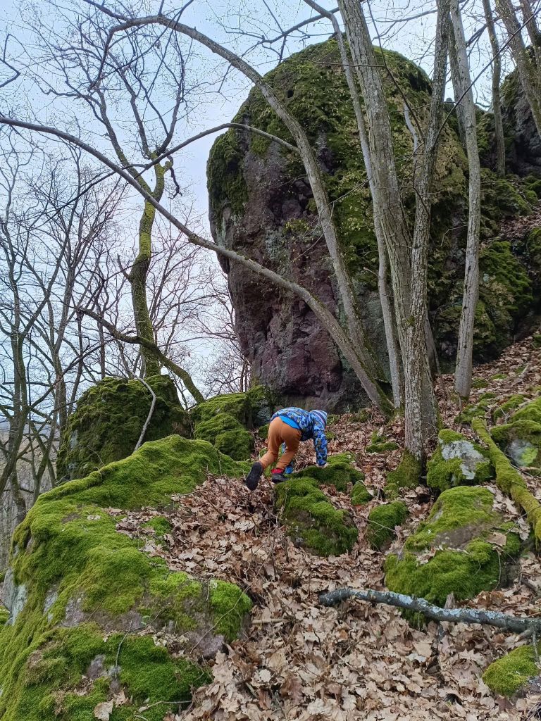
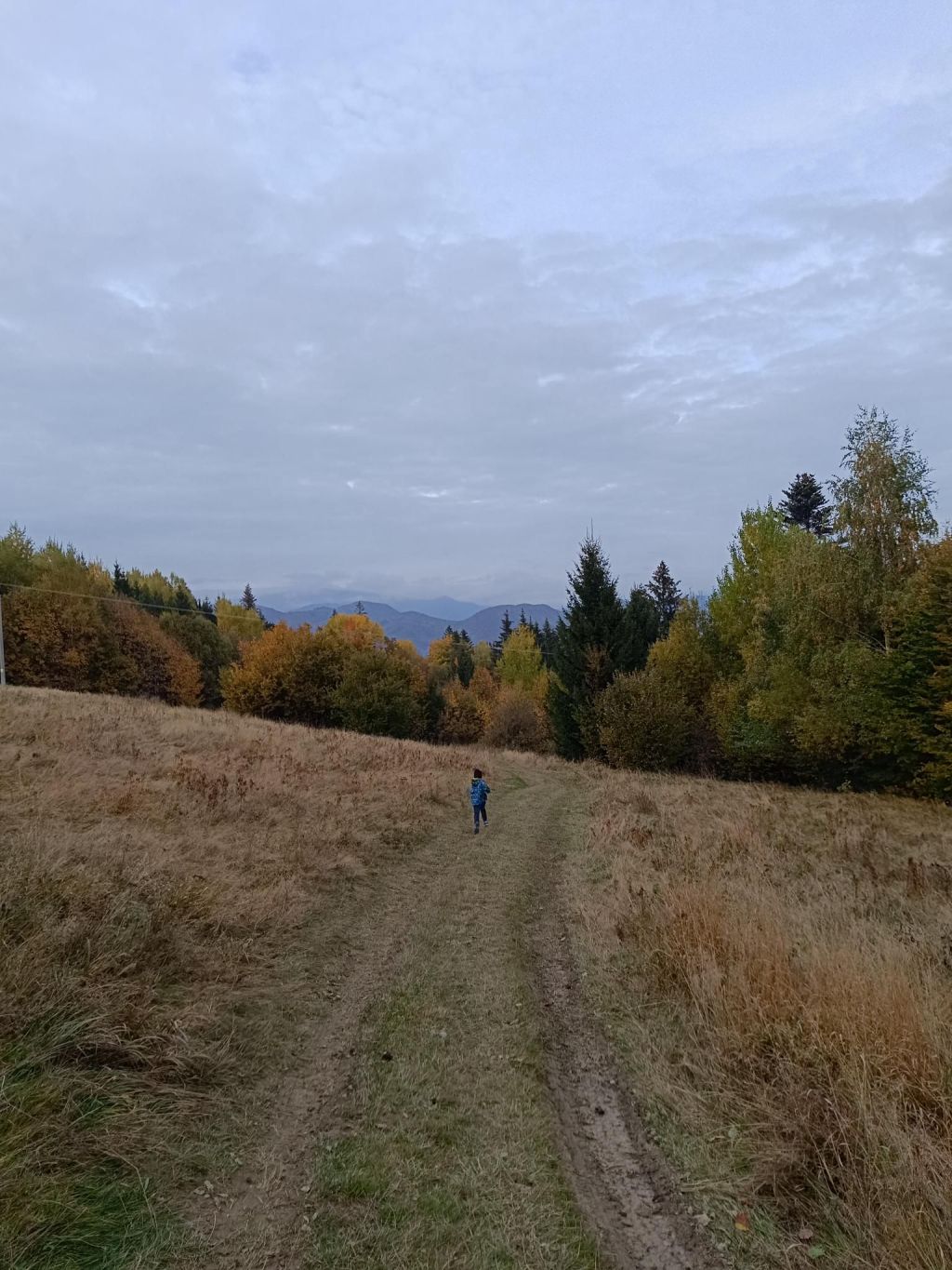
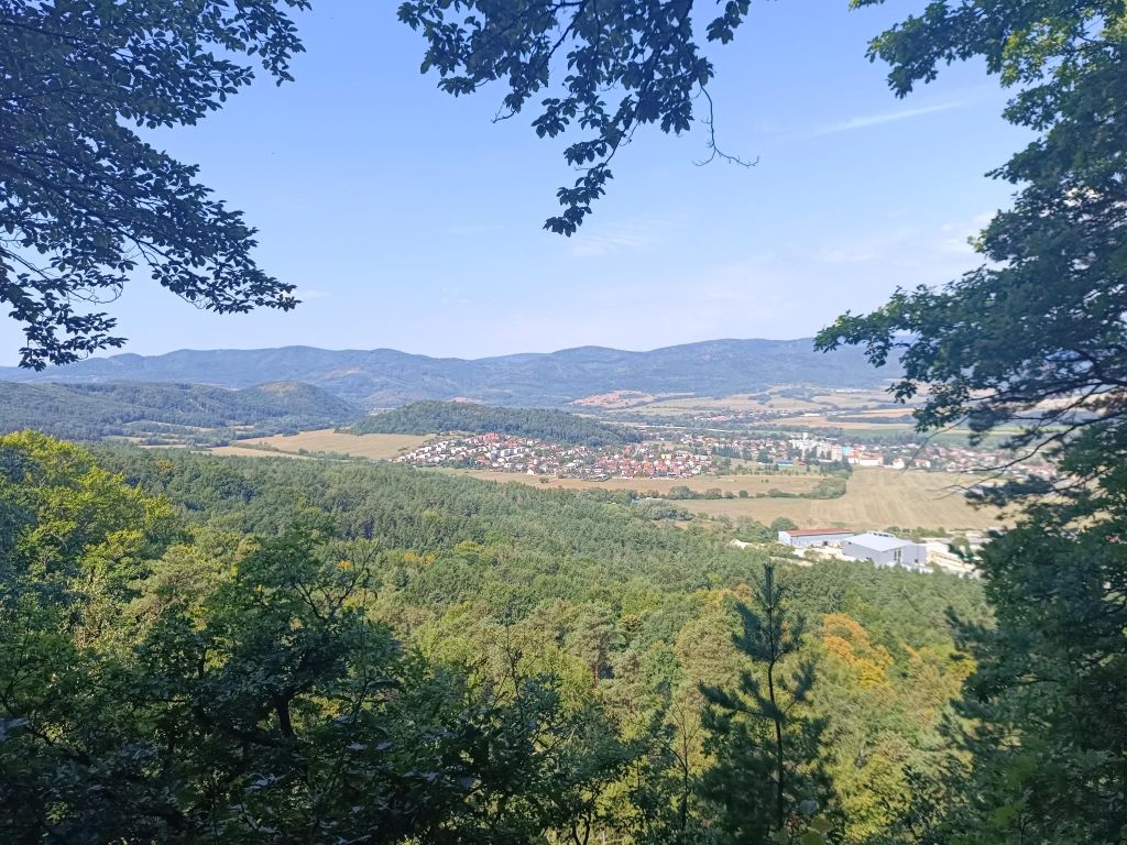
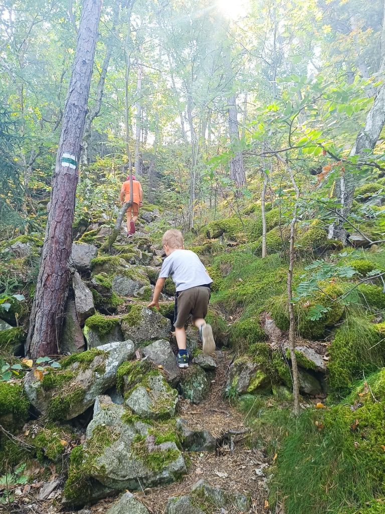
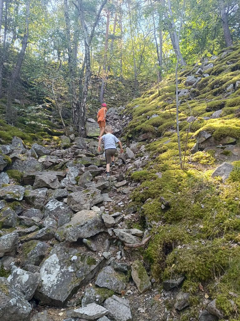
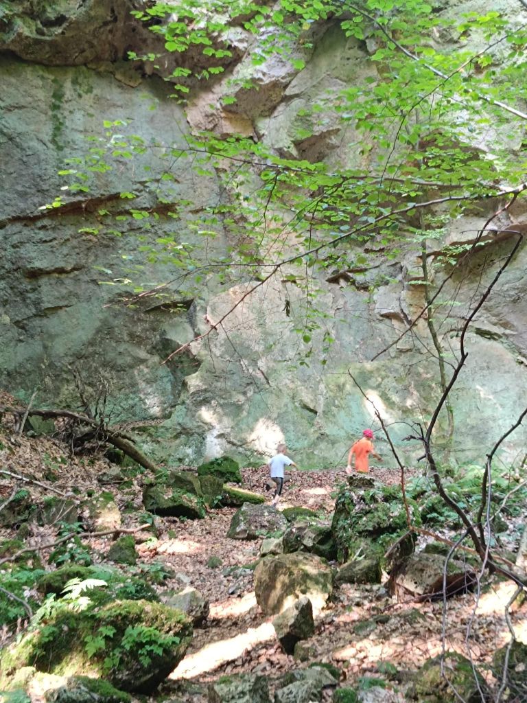
Čajkovské brálie sú skupiny väčších a menších skálných reliéfov na južnom okraji Štiavnických vrchov severovýchodne od Čajkova v časti Varta – Smutný vrch medzi dolinami Čajkovského potoka a Podlužianky. Vznikajú vystavením počasiu a mechanickým zvetrávaním starotreťohorných andezitov. Jednotlivé skalné útvary (veže, bloky, ihly a pod.) sú pozdĺž puklín oddelené a vplyvom gravitácie sa niektoré ich časti zosúvajú po strmých svahoch.
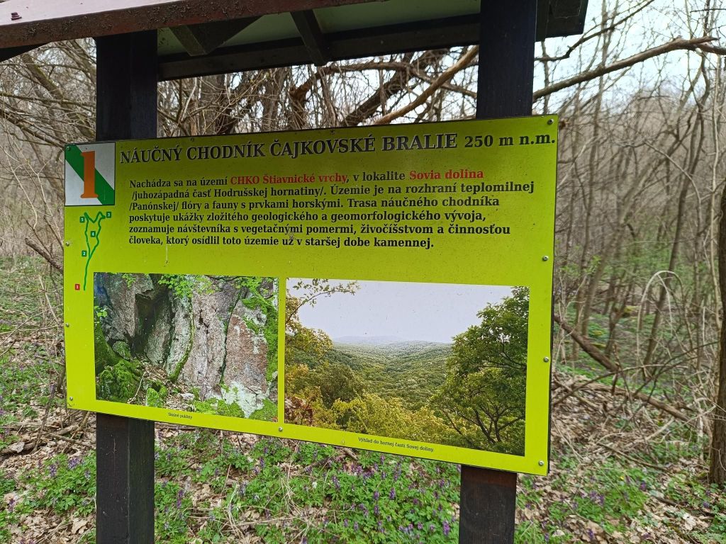
Nachádza sa tu náučný chodník Čajkovské brálie. Dávid mal v tom čase 4 years roky.
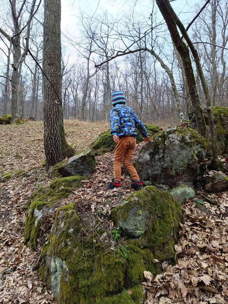
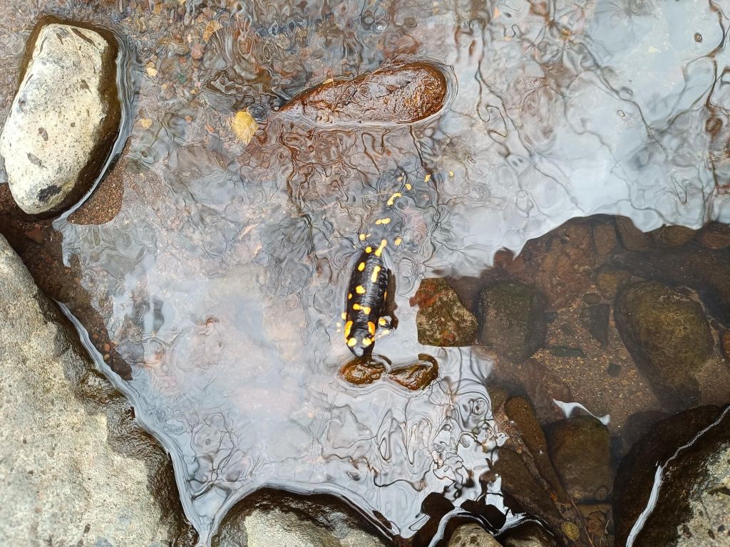
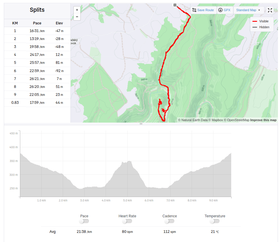
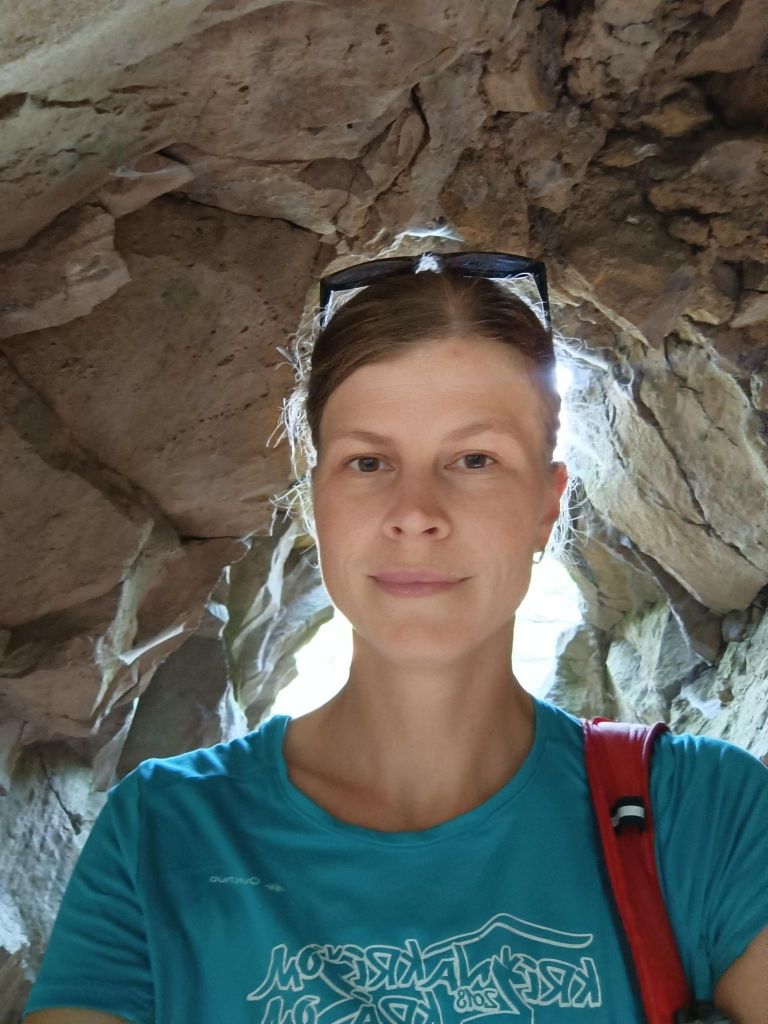
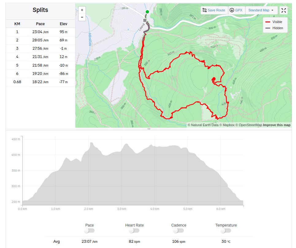
Pre neho je veľká zábava liezť po skaláchMusí sa vyštverať na každú z nichNáučný chodníkSalamandra žijúca pri potoku blízko náučného chodníka8.78km, 253m výkových, 4h 9min
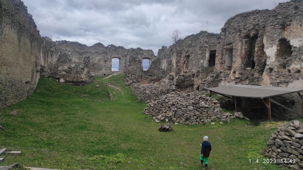
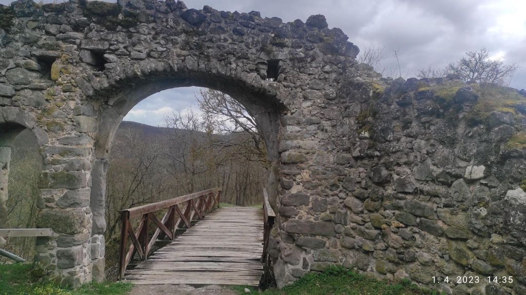
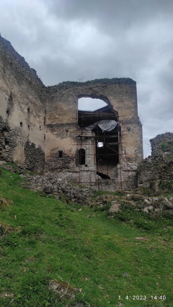
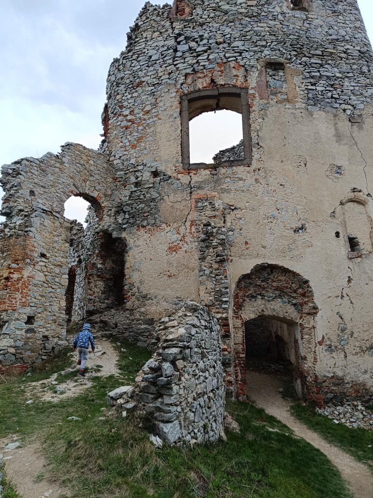
Čabraď alebo Litava je zrúcanina hradu nachádzajúca sa neďaleko obce Čabradský Vrbovok uprostred Krupinskej planiny na kopci nad údolím Litavy. Pôvodne sa tento hrad volal Litava.
Postavili ho v 13. storočí a prvá písomná zmienka je z roku 1276. Patrí do skupiny stredoslovenských hradov, ktorých účelom bolo chrániť cesty vedúce do banských miest. V druhej polovici 16. storočia to bola významná protiturecká pevnosť a Turci sa ju niekoľkokrát márne pokúšali dobyť. Jeho stredoveké jadro tvorila centrálna veža chránená štyrmi baštami a hradný palác, ktorý stál nad dobre kontrolovaným zakriveným vstupom na horné nádvorie. Posledné prestavby v 17. storočí premenili vnútorný hrad na pohodlný kaštieľ. Keď sa Koháriovci v 18. storočí presťahovali do novopostaveného luxusného domu vo Svätom Antone, význam hradu rapídne upadol. Úpadok urýchlila skutočnosť, že ho samotní majitelia dali v roku 1812 podpáliť, aby zabránili obsadeniu hradu lúpežnými rytiermi. K hradu patrí aj sýpka, ktorá bola k areálu hradu pristavaná v 19. storočí. Na posledných kresbách z 19. storočia ho možno ešte vidieť ako funkčnú stavbu, no dnes sú už spolu s hradom ruinami.
Dávid mal v tom čase 3 roky.
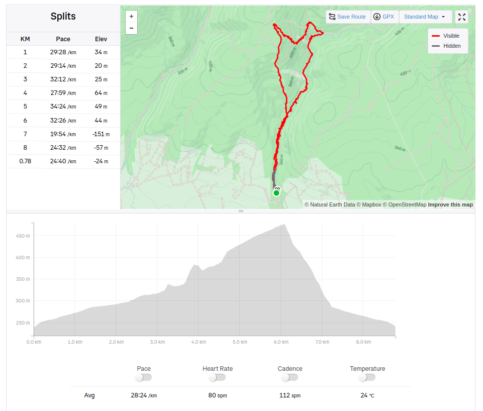
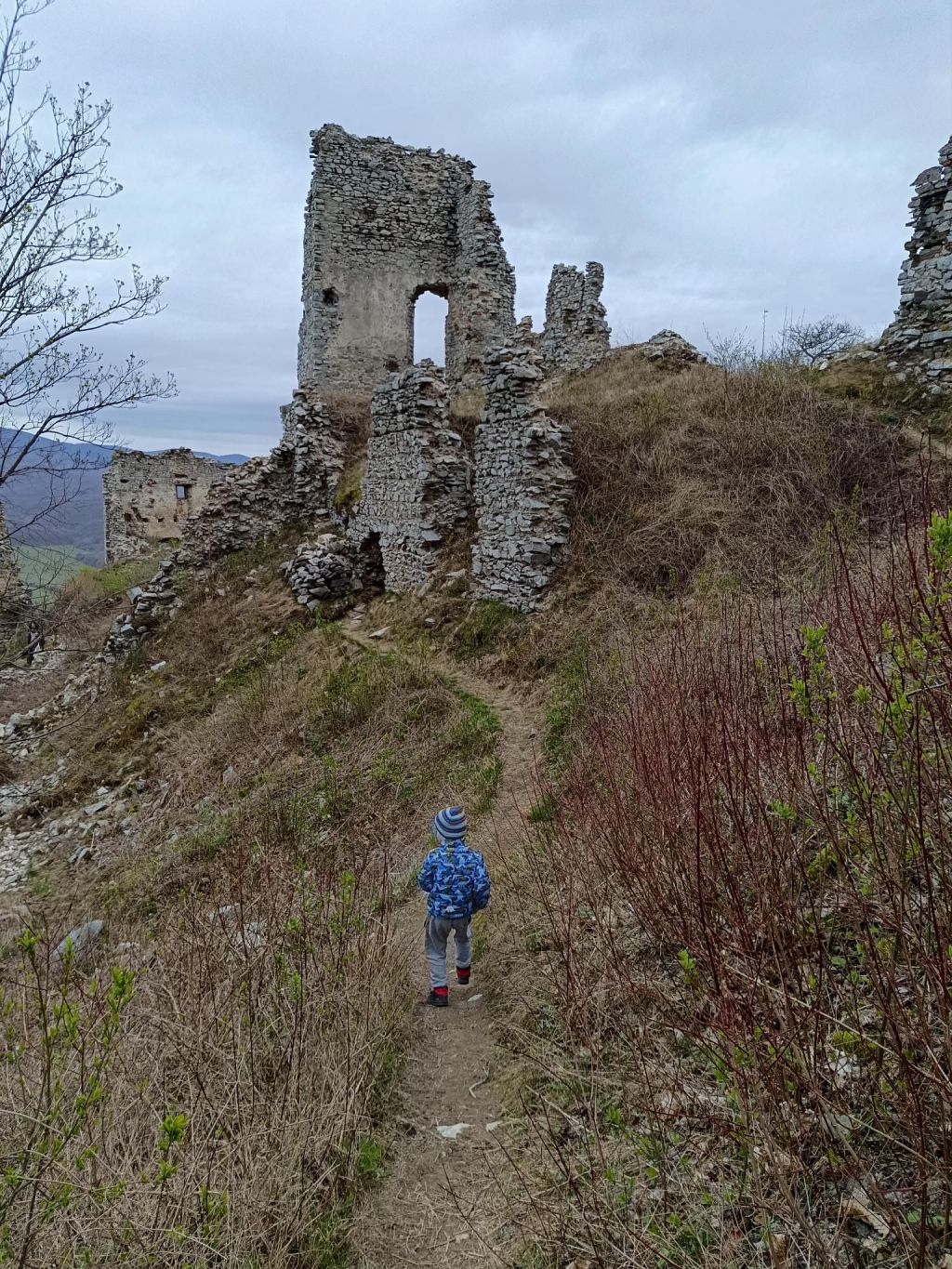
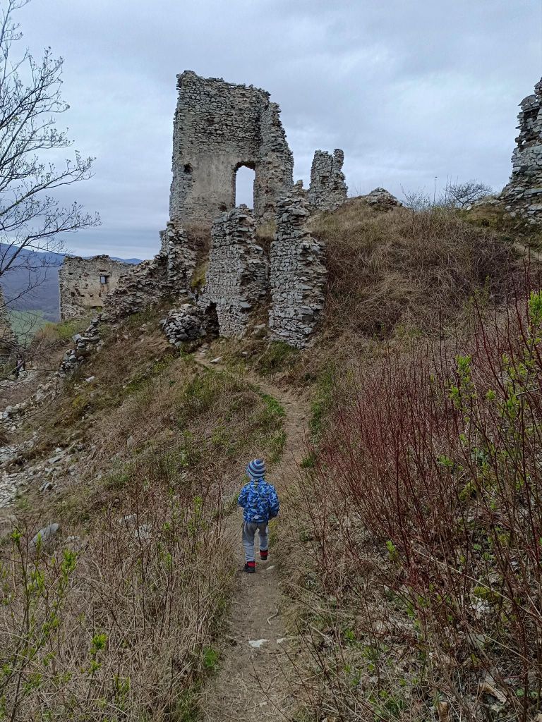
Pôvodne padací most pri vstupe do hradu.Ruiny hraduJedného dňa sa možno dočkáme rekonštrukcie9.83 km, 248m výškových, 3h 46min
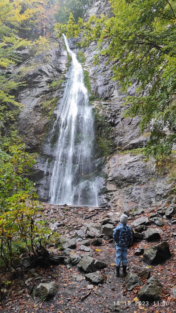
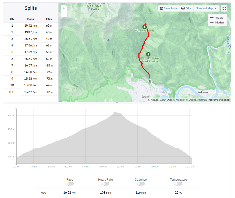
Šútovský vodopád je štvrtý najvyšší vodopád na Slovensku. Nachádza sa v Malej Fatre v nadmorskej výške 830 m n.m., približne 4 km od obce Šútovo. S výškou 38 m je najvyšším vodopádom v Malej Fatre. Je napájaný vodou zo Šútovského potoka, ktorý pramení v nevšednom skalnom útvare Mojžišove pramene. Tie sú od vodopádu vzdialené asi 1 km. Potok priamo nad vodopádom je široký 2,5 metra.
Dávid mal v tom čase 4 roky.
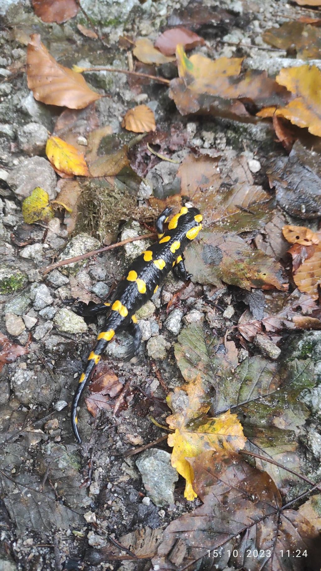
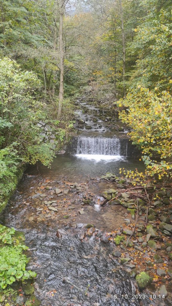
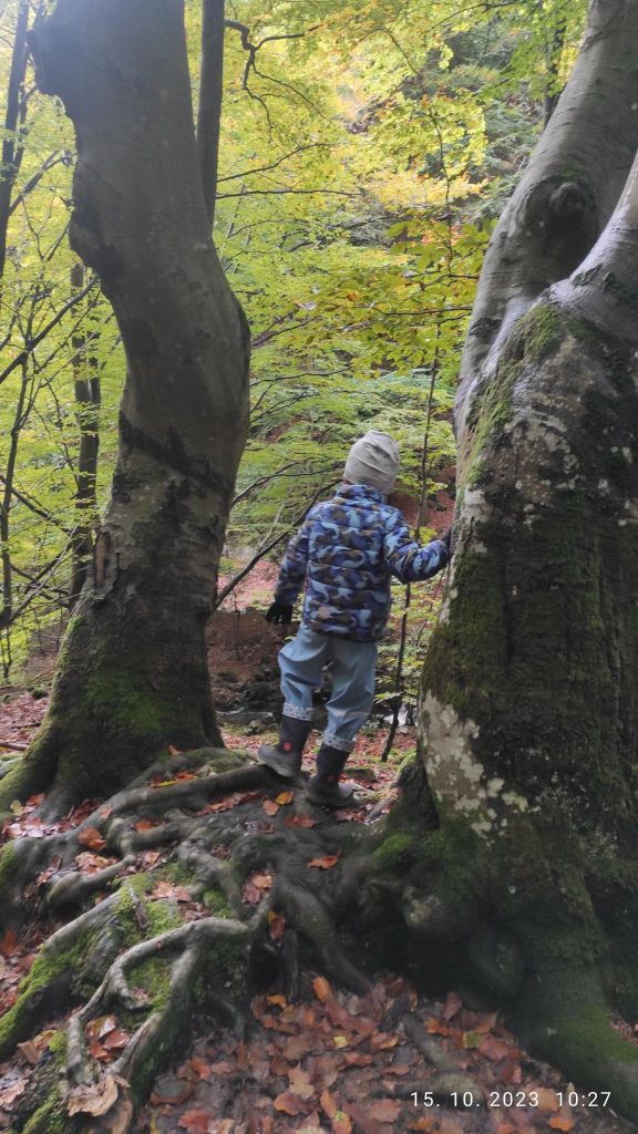
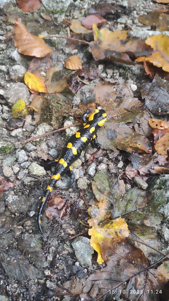
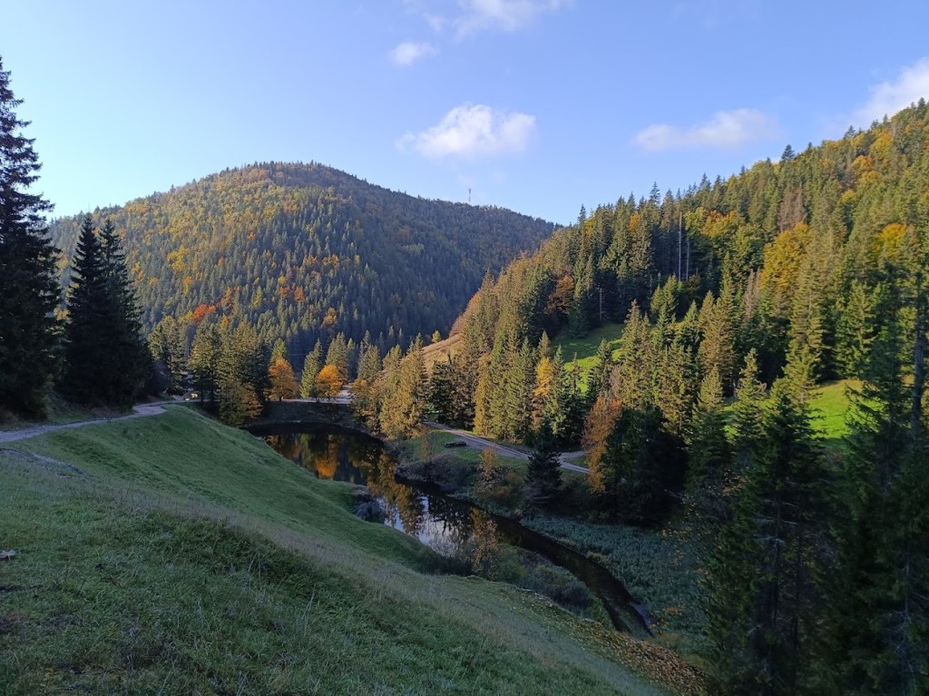
Šútovský vodopádŠútovský potokPočasie nebolo ideálne, mrholilo a bolo zima, ale zvládli sme toSalamandra10.15km, 335m výškových, 2h 51 min
Zejmarská gorge is the shortest gorge in the Slovak Paradise, but it still contains everything that every gorge should have. Although this gorge does not have as many waterfalls as other gorges, you will find the waterfalls of Captain Ján Nálepka, which are definitely worth it.
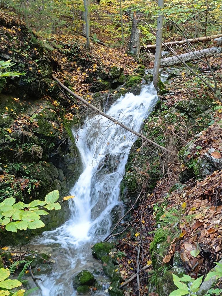
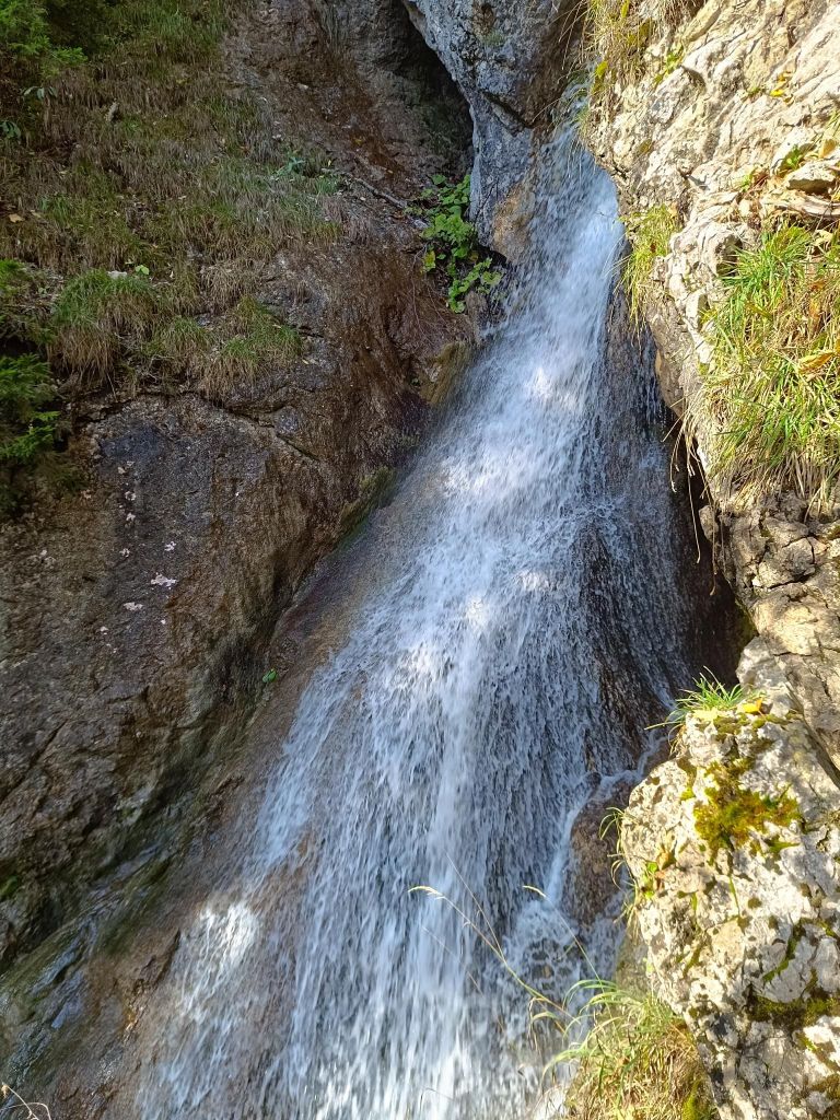
The starting point of the gorge is the settlement of Biele Vody.The Zejmarská gorge is marked by a blue tourist trail and is only passable in one direction – upstream. It is 1 km long with a gradient of 227 m.
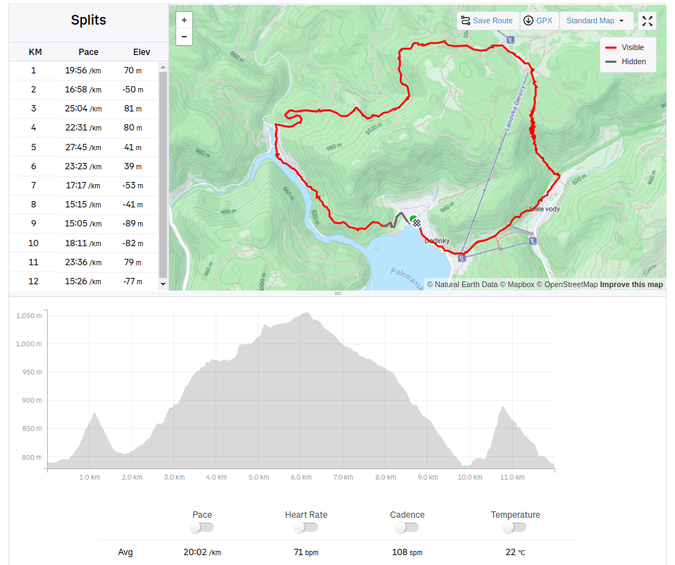
We choose a longer and more attractive circular route through Dedinky – Zejmarská roklina, mouth – Geravy – Veľké and Malé Zajfy – Stratenská píla – Dedinky, Palcmanská Maša (the circular route is 3:30 hours long – with kids a bit longer…, elevation gain 591 m)
David was 5 years old at that time
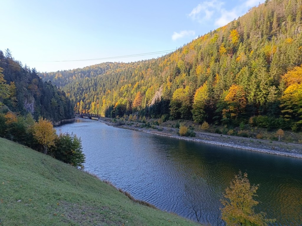
There were smaller waterfallsAnd a bigger ones.The entrance to Stratenská pílaPart of Palcmanská maša lake12km, 462m ascent, 4h 26min
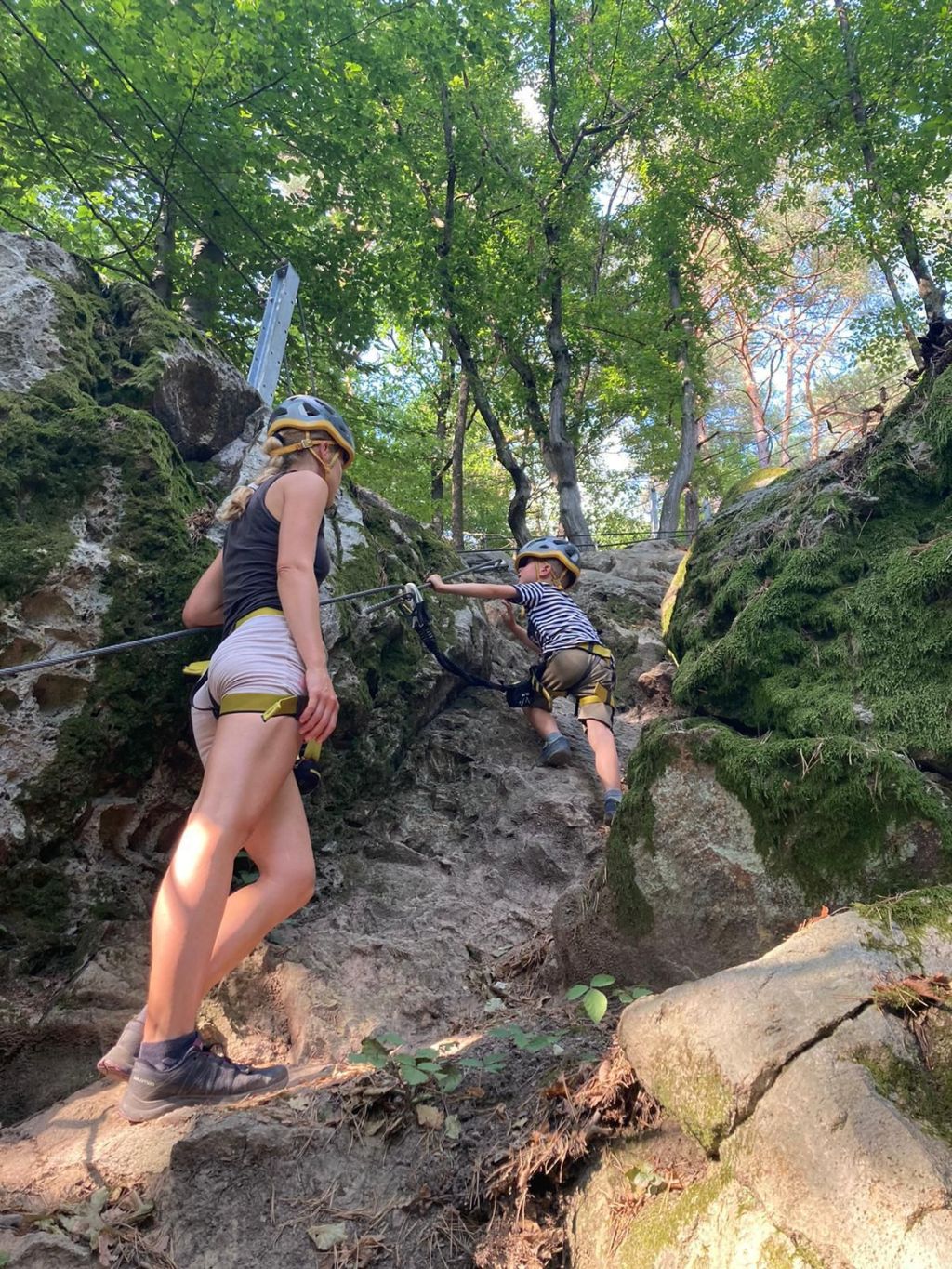
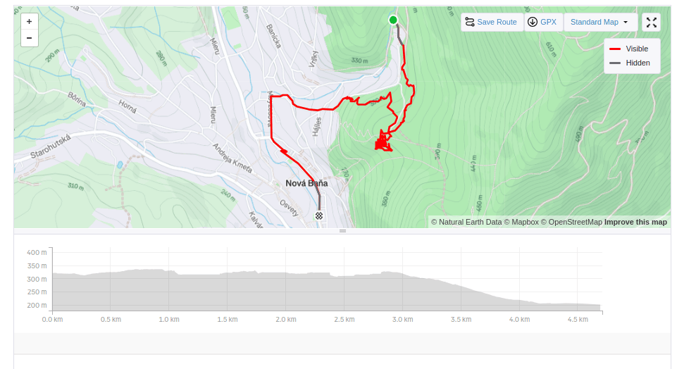
The area around the ancient bell tower and the Háj mountain range breathes with history, it was a place where our ancestors were engaged in mining, mill wheel production and forestry. History can be felt at every step. The city of Nová Baňa decided to transform this precious place into a zone of active recreation associated with spending time in nature and exploring it. The bell tower with its educational trail, the Háj lookout tower, the Červená and Havraňá skala, the Kohútovo pilgrimage site, the Záhradný les and the newly opened Zvonička buffet currently creates a supra-regional dimension.
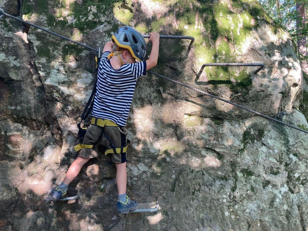
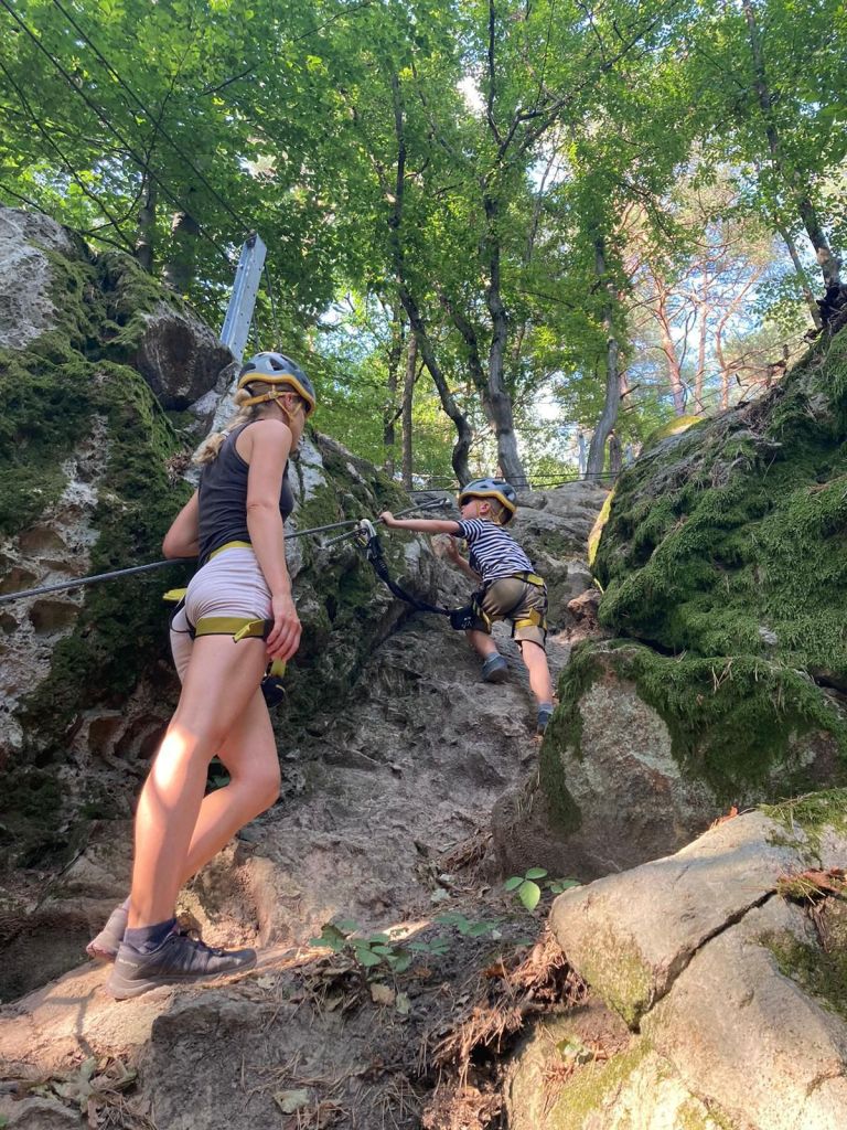
The children’s via ferrata area in the immediate vicinity of the Zvonička buffet enhances and completes the complexity of this precious and sunny place. The area was designed and created for families who are looking for active movement in a natural environment, where parents with children can spend their free time. Via ferratas, bridges, rope nets, falcon nests await their visitors, who will teach them how to move in the mountains on rocks, motor skills, overcoming themselves, overcoming fear of heights.
Of course, all this requires full compliance with safety measures and focusing on movement in exposed terrain. The Zvonička via ferrata area is unique in its design. 285 m of via ferrata routes have been built on small rock massifs in a steep forest environment. Adventure via ferratas offer unprecedented variations of movement, walking and balancing on ropes, nets, walkable acacia trunks and rock climbing.
The ferrata sectors are connected by forest trails. Not only children and parents will have fun, but also adults, especially beginners, whose first steps on the rock will be in our Zvonička area. And you don’t need to worry that you don’t have equipment, you can borrow one (or more) there.
We were there on David’s 5th birthday to celebrate.
He was begging me to go there for a long time He was really proud of himself
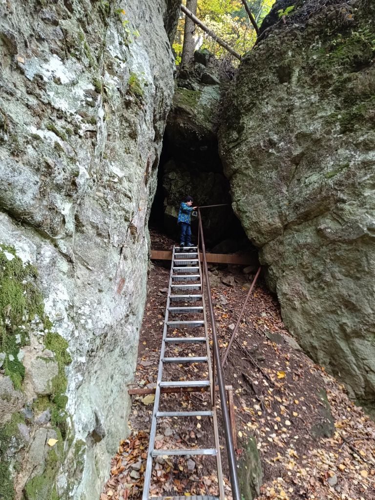
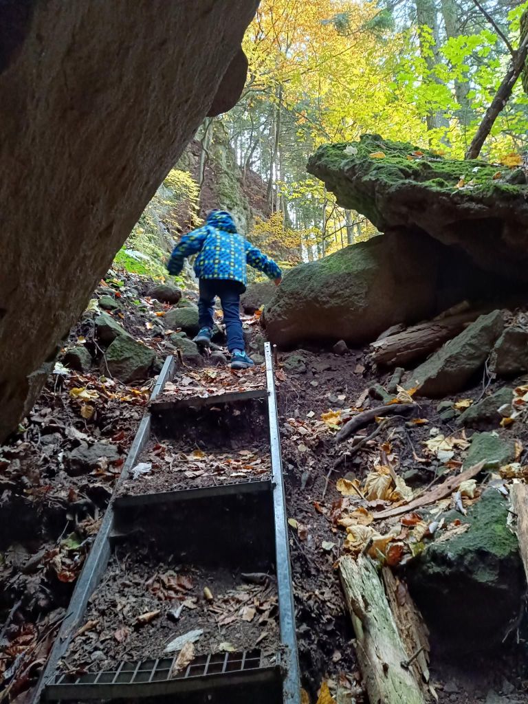
Above Banská Bystrica, you can find a piece of Slovak Paradise. It is called Trávny Ždiar rock lookout on Suchý vrch. There you will find a magical forest, rocks of various sizes and remarkable shapes, often covered with a carpet of moss, scattered under the rock wall before your eyes. You climb up the high cliff using a system of metal ladders that will help you overcome some exposed spots.
The circular route to the rock lookout is approximately 800 meters long, so it can be done relatively quickly. But it is definitely worth going to take a look at this picturesque mini-ravine, where the only thing missing to feel like you are in paradise is a waterfall.
It is quick and easily accessed by car, parking spot is nearby and we have real fun there. David was 5 years old at that time.
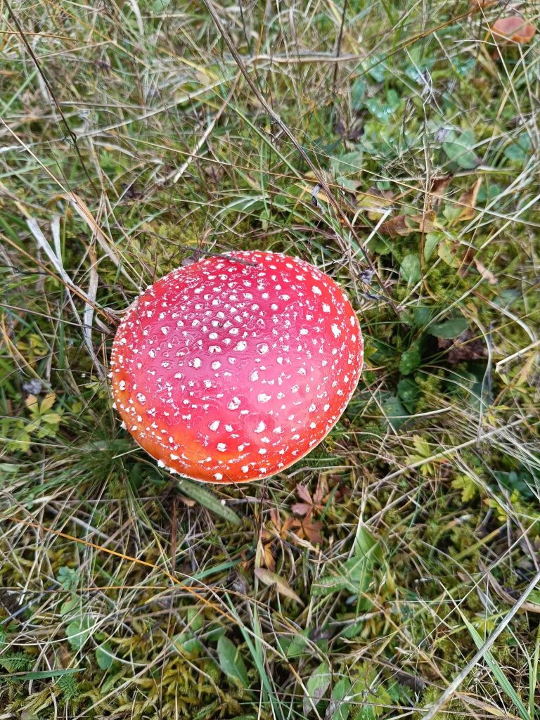
Edible mushrooms are there tooThere isn’t need for special equipment, but there is place, where you need to watch you headI really like to make memories like this2.1km, 104m ascent, 46min
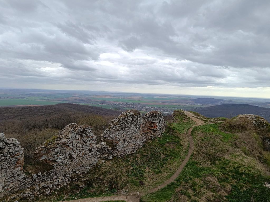
Gýmeš is a castle ruin on the steep quartzite hill Dúň (514 m above sea level) on the southern slope of the Tribeč Mountains, approximately 5 km north of the village of Jelenec (Gýmeš). The ruin is a prominent landmark of the wide surroundings. Gýmeš is one of the ancestral castles of the noble Forgáč family – together with the Galician Castle.
The castle was built in the 13th century and was one of the last where construction work was still underway in the 18th century. Gýmeš was finally abandoned only in the 19th century.
There are several theories about the origin of the name. The word “gím” meant deer in Old Hungarian. The second version also speaks of the folk name of the hill “Dym” and from this name the village of Dýmeš, later Gýmeš, was also named.
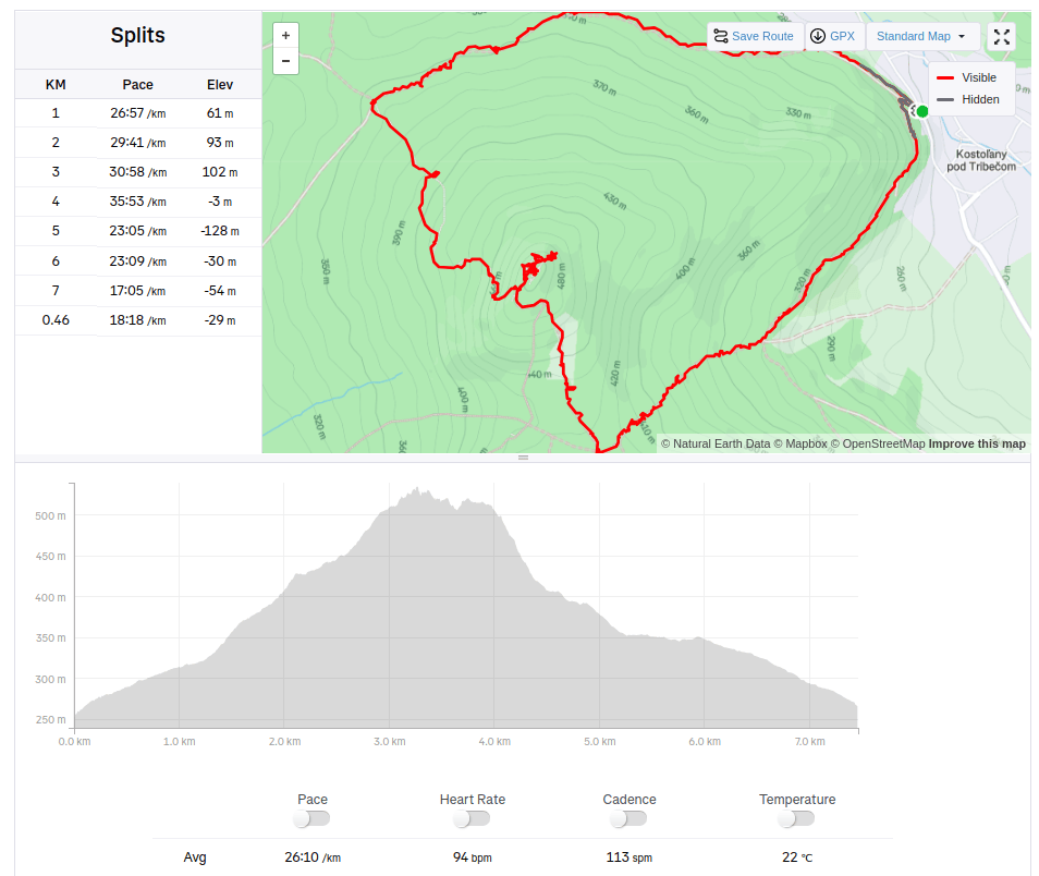
We started from village Kostoľany pod Tribečom and made a circular hike. David was 4 years old at that time.
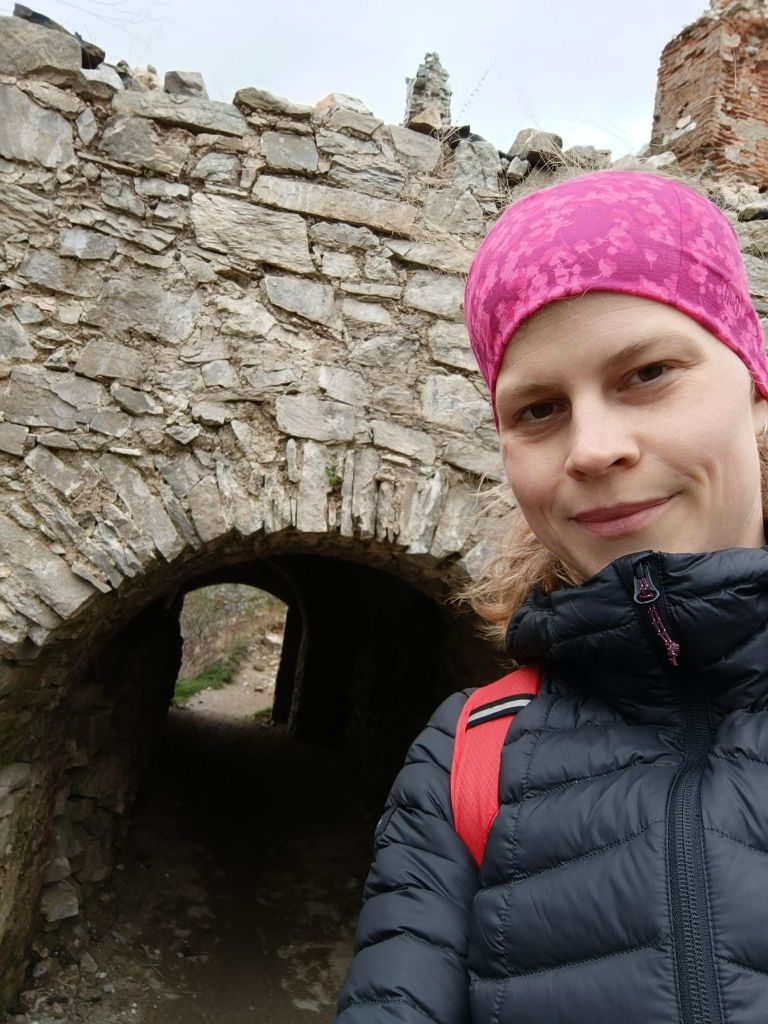
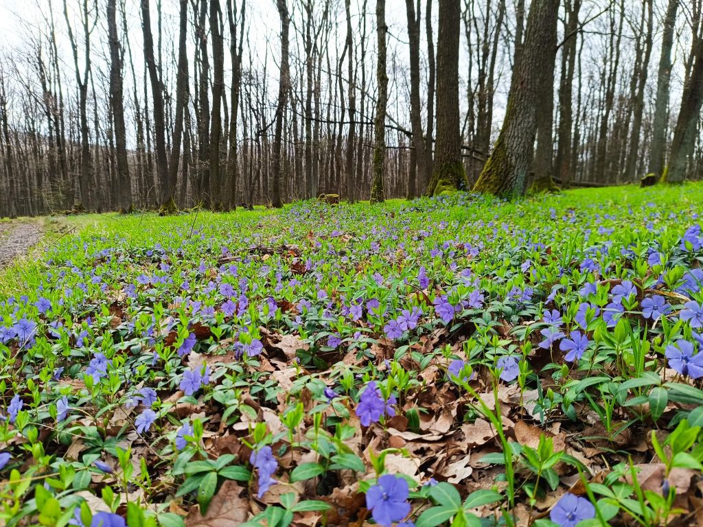
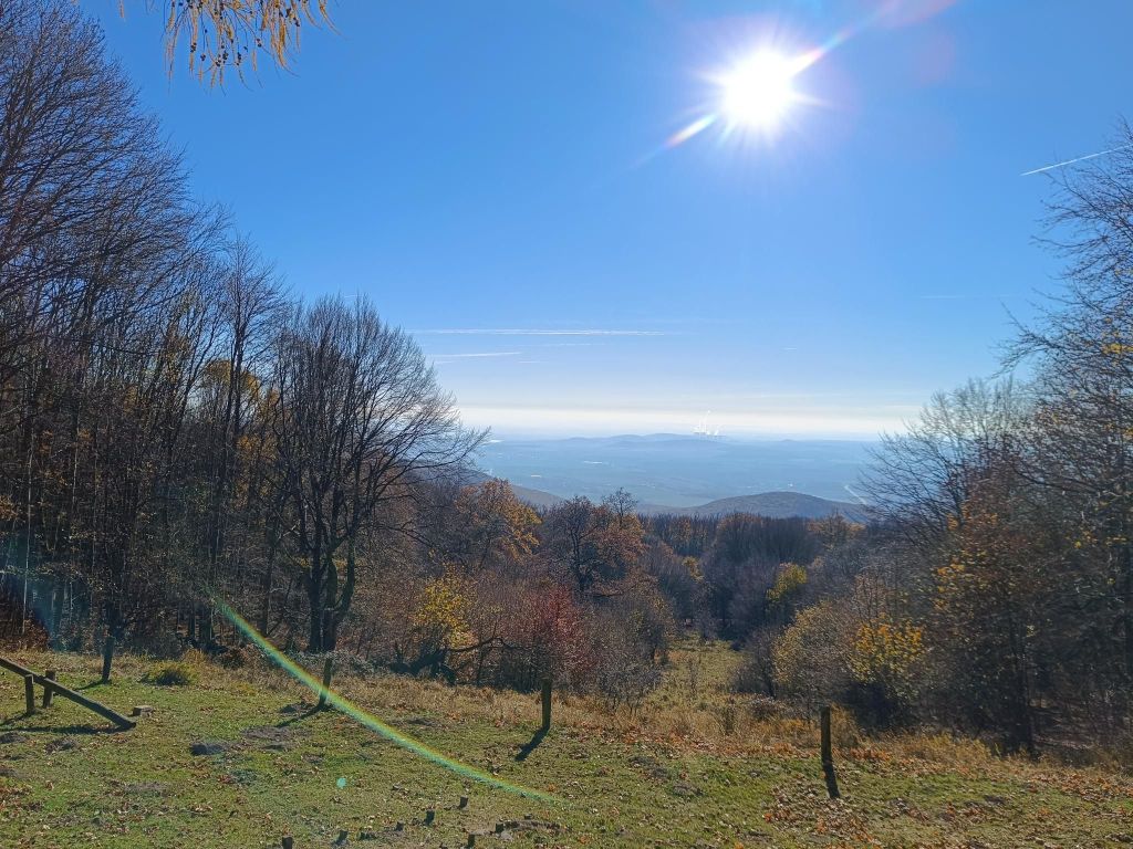
He likes ruins, but a nice castles with commented tours are boring for him.the views are worth it tooSome passages are still standingIf you pick the right time, flower beds like this are lining the path7.46km, 313m ascent, 3h 24min
Pohronský Inovec is a mountain range of volcanic origin, which is part of the Slovak Central Highlands.
The highest point is Veľký Inovec reaching a height of 901 meters. Andesite and rhyolite predominate in the mountain range. The southern part is covered with deciduous forests with the most represented oaks. The southern slopes fall steeply and the surrounding terrain of the Hronská pahorkatina rises by up to 600 meters. The northern part has the character of a plateau around Veľká Lehota, pastures and scattered settlements predominate.
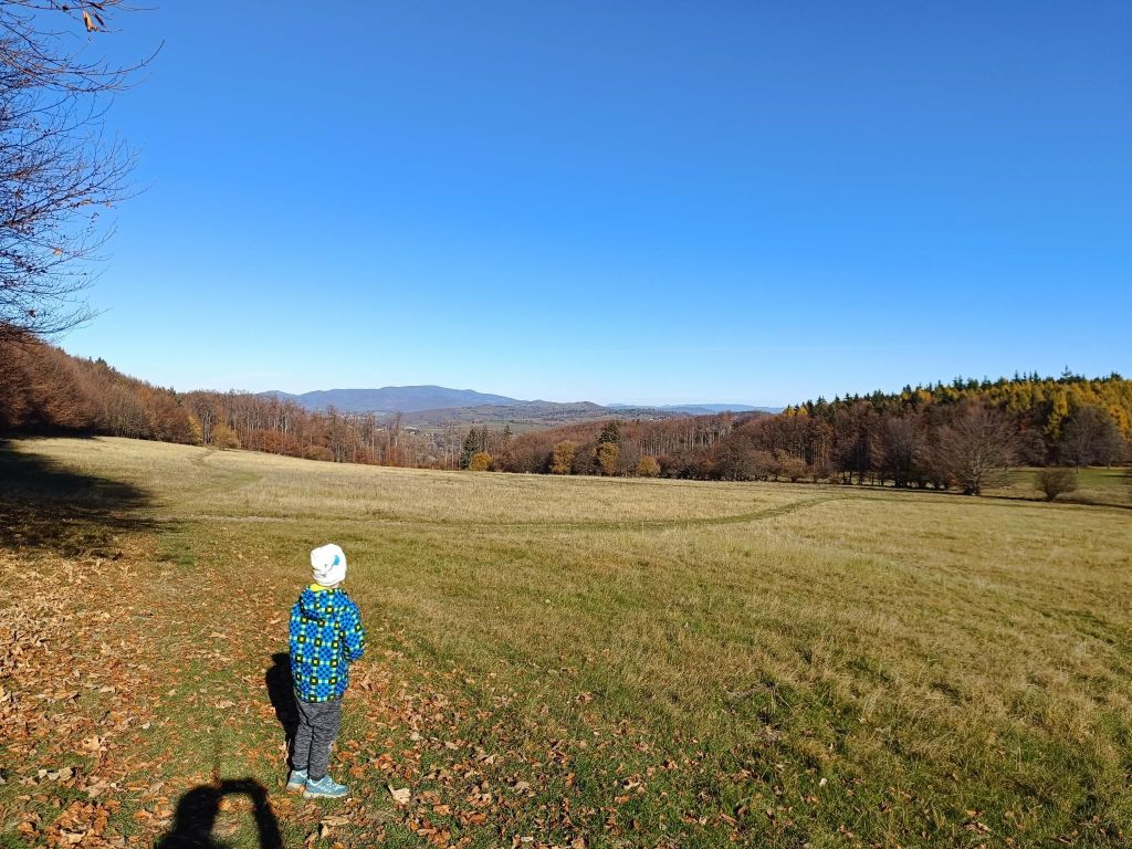
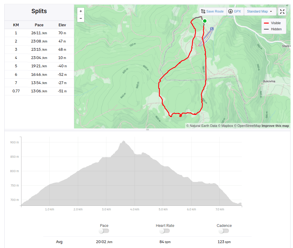
We started at Drozdovo a make a circular hike to Inovec and back. The path is mainly through forest or meadows, with a few viewpoint. David was 5 at that time.
Meadows between Drozdovo and InovecView from Inovec tourist shelter, it is open during weekends and you can buy some refreshment there.7.77km, 231m ascent, 2:35 moving time, 3h43min total
We just love Bralce. This time with my mother, David and his cousin- my nephew.
Kečka is a real gem, hidden in the heart of the Bralce Nature Reserve on the edge of the Štiavnica Mountains.
The path to the top of Kečka is one-way and hides a number of fascinating places.
The route is characterized by its amazing rock formations – remnants of pink rhyolite mining – and also protected flora. Places equipped with chains or ladders at least partially reminding of Slovak Paradise or Jánošíkove Diery. And of course, there is no shortage of amazing views of the surroundings.
The hiking trail, marked in green, starts on the outskirts of the village of Hliník nad Hronom (on the road towards Sklené Teplice). At the beginning of the trail you will find a large information board with a map and information about the Szabóová skala and Bralce Nature Reserve, of which Kečka is also a part.
After a few minutes you suddenly find yourself in a completely different world. In a world so fascinating that you don’t know whether to stop and admire your surroundings or continue on your journey and discover what lies behind the next rock. The landscape changes like a movie set – huge rock monuments, moss-covered stones, small stone seas, crevices, caves, steps, ladders, chains, and much more.
David was 5 at that time.
view after first climbkids almost run inside a rock gatewaywe almost cannot keep the pace of the children6.68km, 280m ascent, 2h 37min
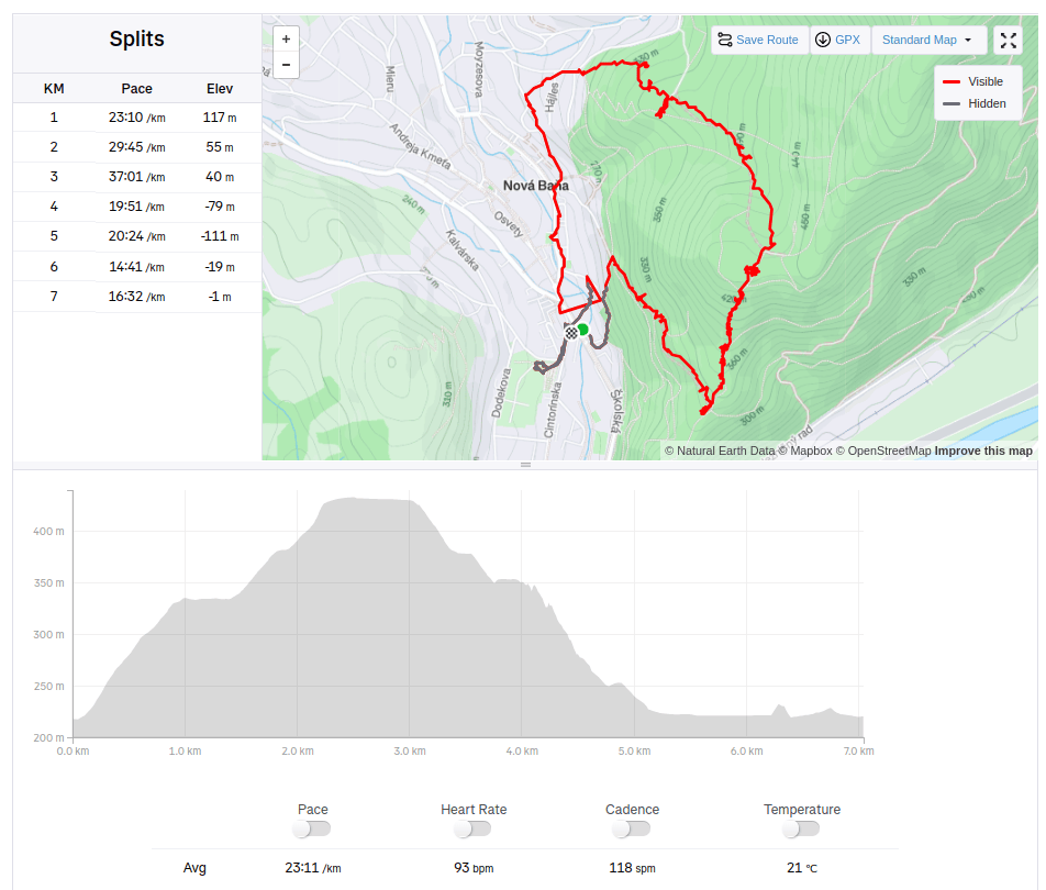
The route of the educational trail leads past the most important mining-technical and historical monuments related to the mining of precious metal ores in Nová Baňa. The trail is divided into two historical-thematic circuits. Route A (black), with a length of 4.3 km and an elevation of 210 m, leads along the traces of surface and underground mining activities in the Middle Ages, passing through more demanding forest terrain in the area of Mýtný vrch and Gupno in the southern part of the deposit. Route B (green) is slightly less demanding and leads mainly in the built-up area of the city in the Vŕšky part. It is 5.6 km long and has an elevation of 130 m. It mainly presents mining from the 16th to the 19th century, including ore treatment facilities and the mining water management system.
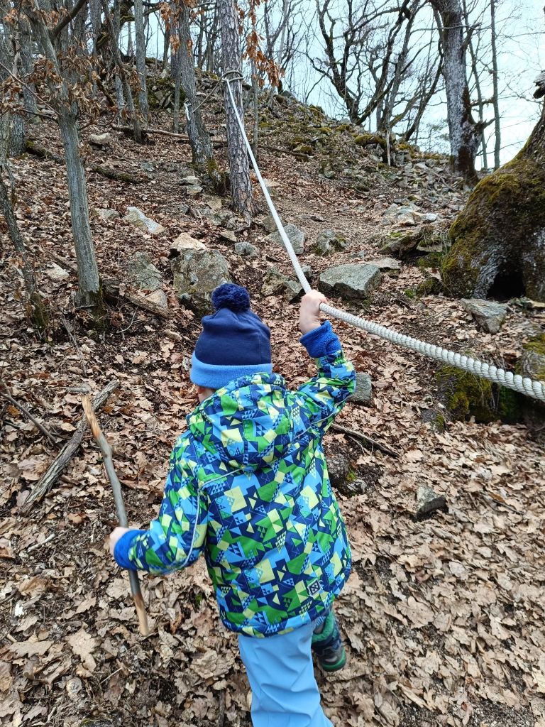
David was 4 years old at that time.
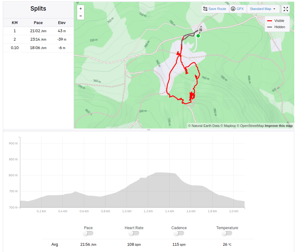
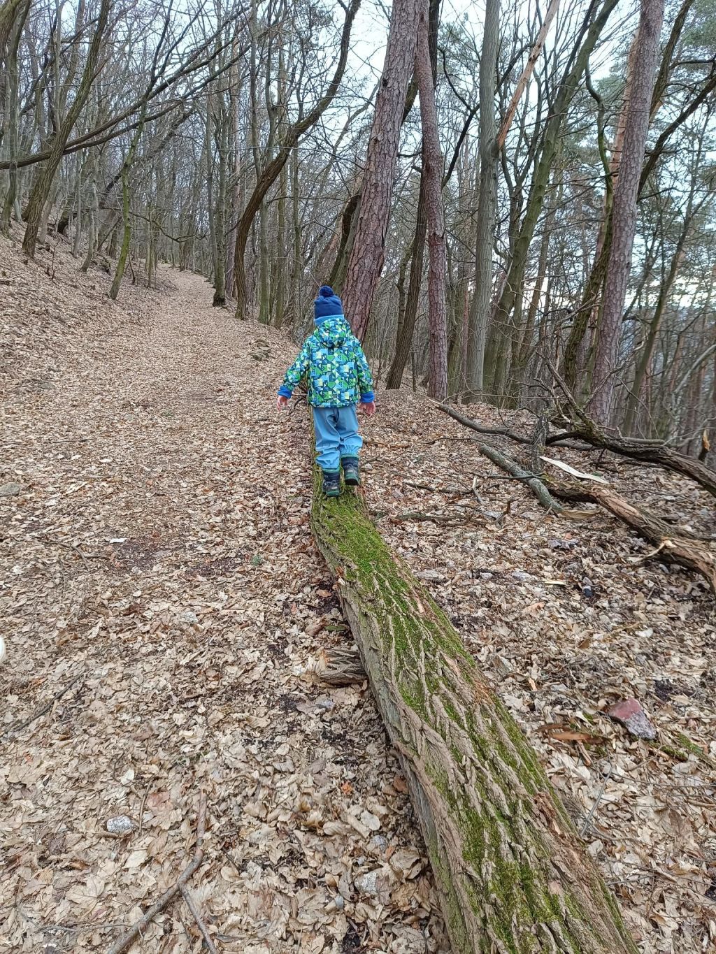
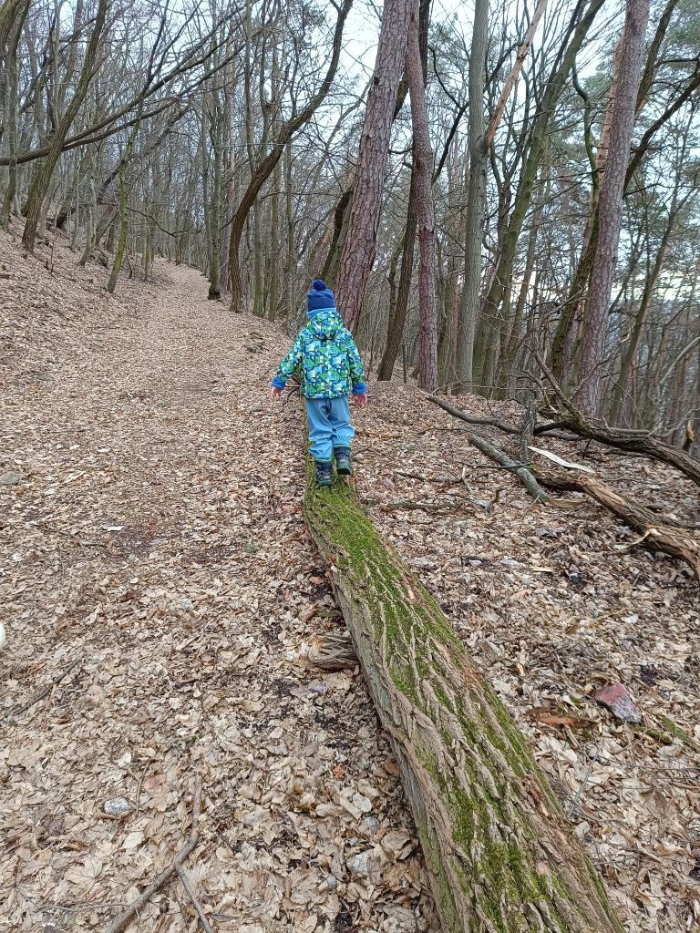
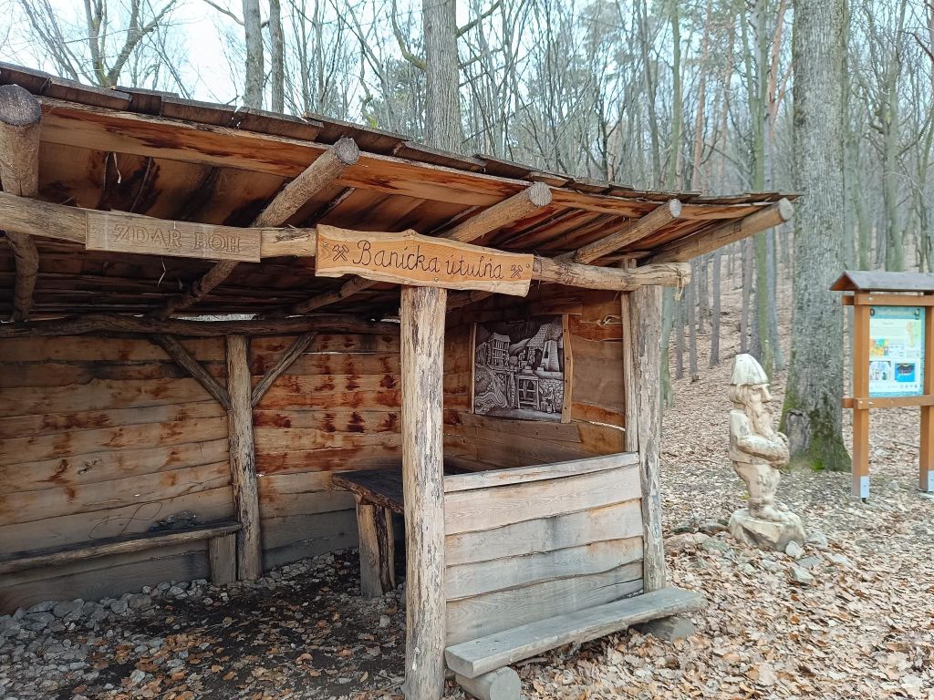
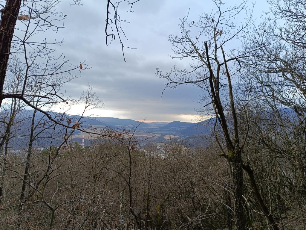
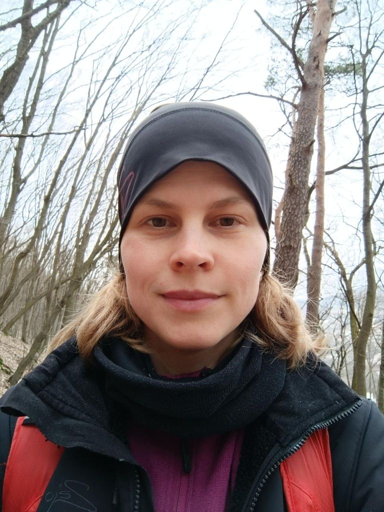
when the path isn’t so interesting, we try to find somethink to make it funnierStep at the educational pathThe only viewI’m here too, with a backpack full of snacks and teaYes, a bit of fun!7.04km, 240m ascend, 3h 12 min