Tag: adventure

  • SNP girls project deň 14

    SNP girls project deň 14

    Alebo z Kysaku do Jahodnej:)

    Ráno začíname pred obecným úradom v Kysaku, ale dedinou prechádzame len krátko a dostávame sa na lesný chodníček vedúci popri potôčiku.
    Jánošíkova bašta

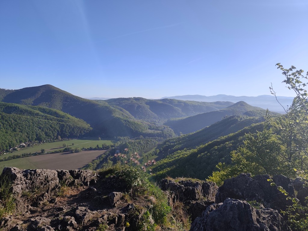
    Míňame chatovú oblasť a začíname stúpať k Janošíkovej bašte. Ide o približne 50 metrov vysoký skalný masív, ktorý pôsobí ako prirodzená pevnosť (asi preto ten názov), z ktorého sa je možné vidieť panoramatické výhľady na krajinu v okolí Košíc. Kocháme sa výhľadmi iba chvíľku a znovu sa ponárame do lesa, ktorý má nádherne sviežu zelenú farbu.
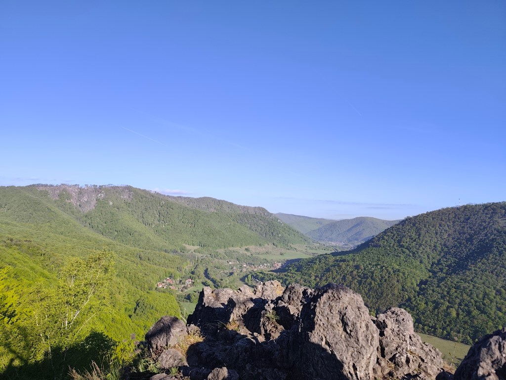
    Výhľad z Jánošíkovej bašty

    Oproti včerajšku sú tieto lesné traily veľmi príjemnou zmenou. Lesom pokračujeme až k chate Hrešná, pri ktorej sú porozkladané lákavo vyzerajúce kresielka s výhľadom na Košice.
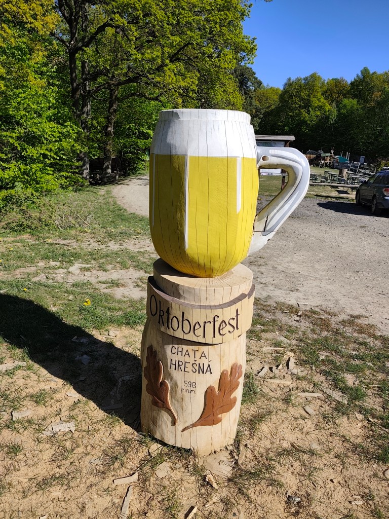
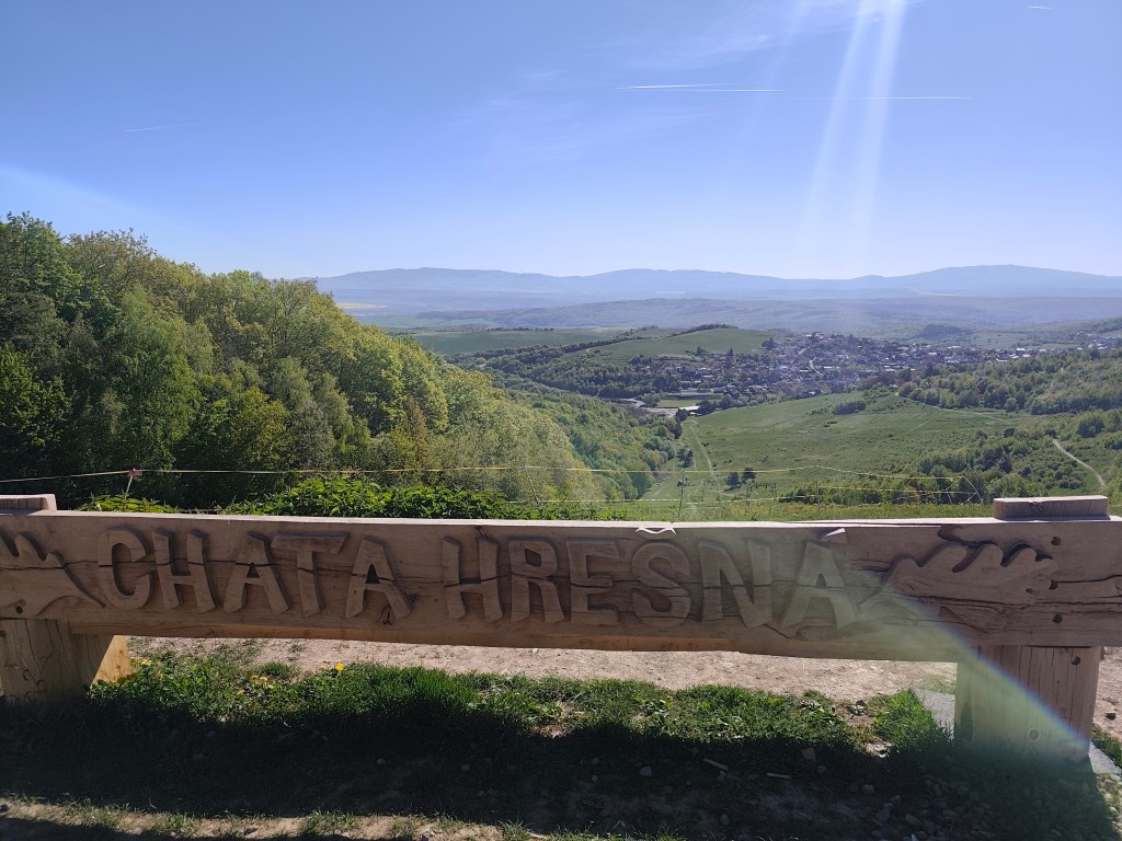
    Tento krát sme obišli bez piva:)
    Hrešná

    Odolávame pokušeniu sadnúť si a len tak leňošiť a pokračujeme poľnou cestou dole do Košíc. Slnko začína hriať a voda sa míňa a tak dúfame, že v Košiciach v Čermeli bude bufet otvorený. Asi sme príliš rýchly, prichádzame tam polhodinu pred otvorením:D
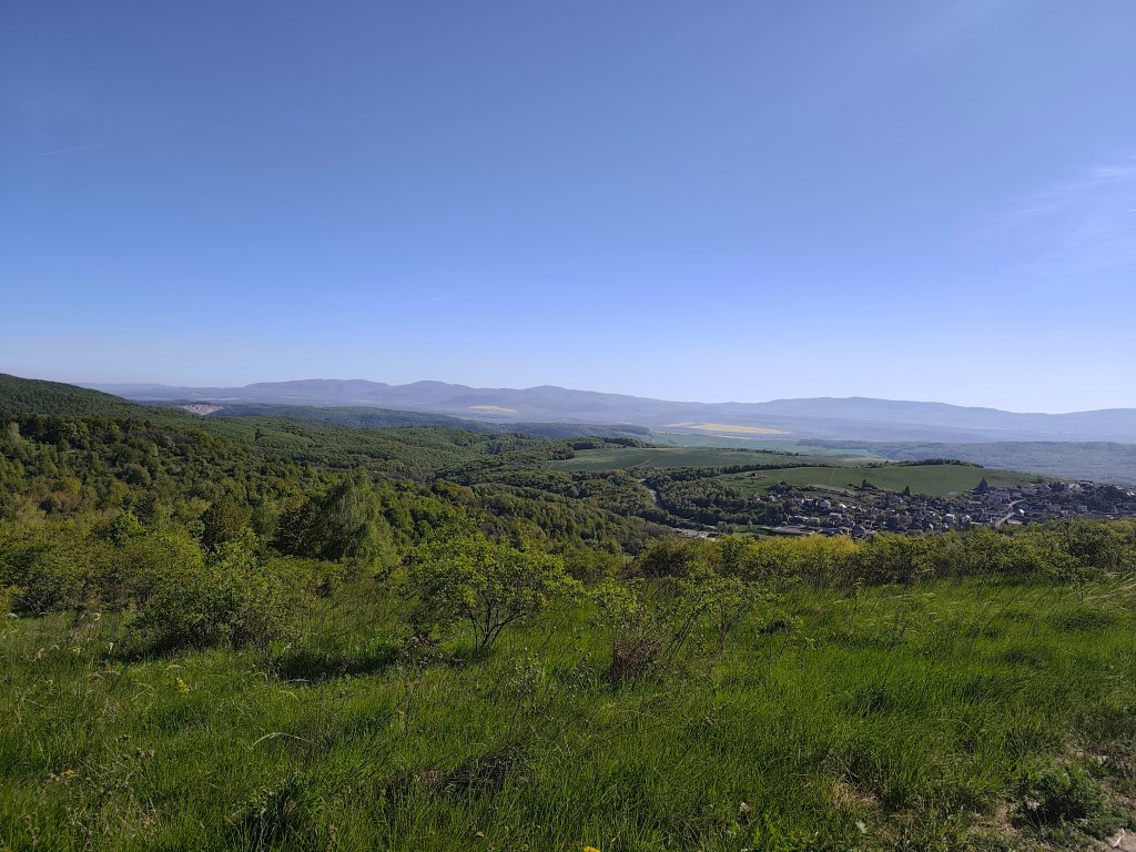
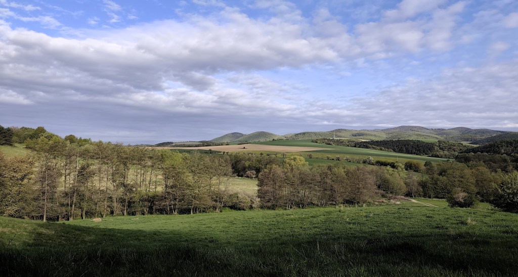
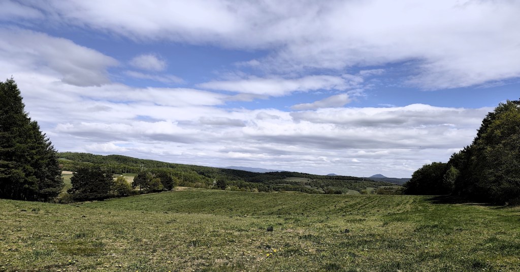
    Lúky v okolí Košíc

    Pokračujeme na Bankov, kde sa nám konečne podarilo nájsť otovrenú hotelovú kaviareň, dopĺňame vodu, kávu, radler…
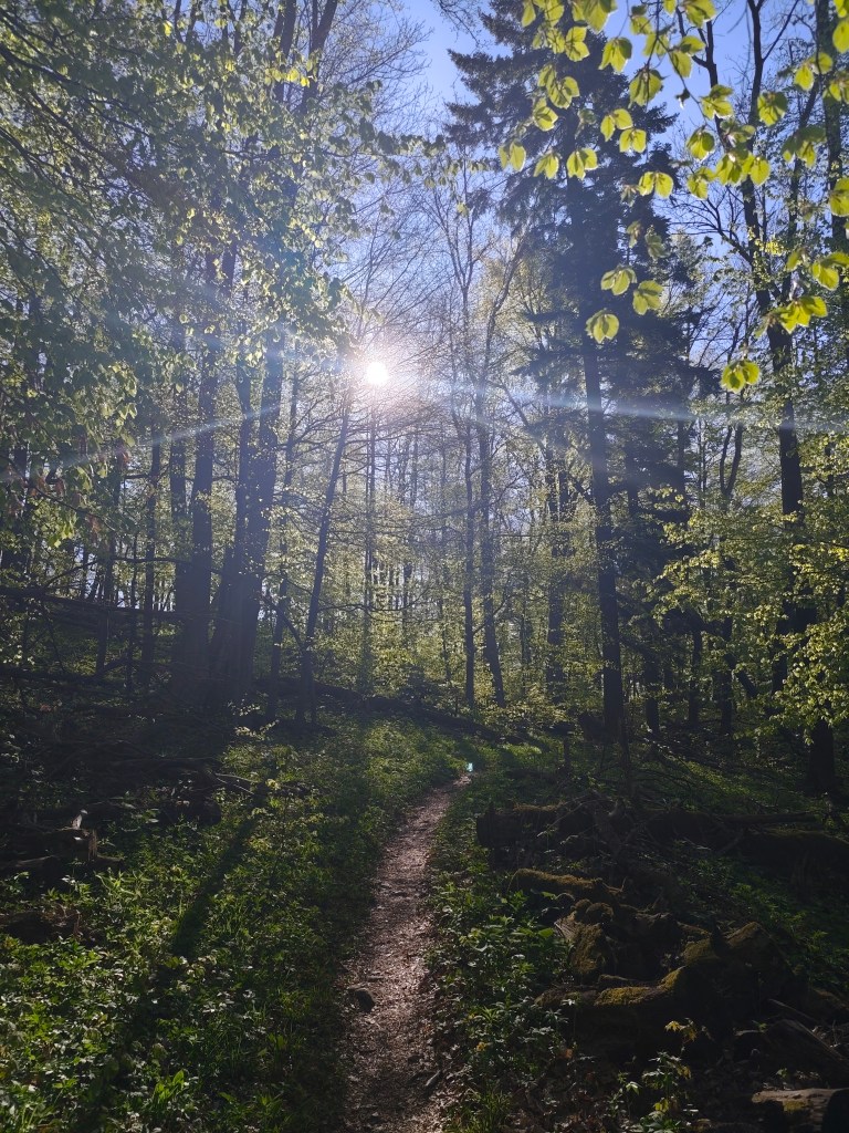
    Táto etapa bola po včerajšku za odmenu

    čaká nás posledných 7 kilometrov, prevažne mierneho stúpania, našťastie lesom, ktoré vďaka osvieženiu v kaviarni ubiehajú relatívne rýchlo. Dnešnú etapu končíme pred chatou na Jahodnej. S Luckou si dávame grepové nealko pivo od Bernarda, ktoré je jednoducho božské a spomíname na etapu v Čičmanoch , kde sme ho prvý krát pili minulý rok. Vďaka tomuto nášmu projektíku sme spoznali toľko krásnych miest na Slovensku, o ktorých sme ani netušili, že existujú a to nás ešte pár etáp čaká 🙂
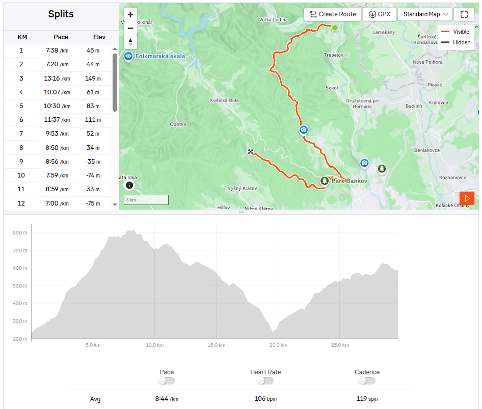
    29.7km 4:19 aktívny čas, 4:48 spolu, 1169 nastúpaných metrov.
  • SNP girl’s project, day 13

    SNP girl’s project, day 13

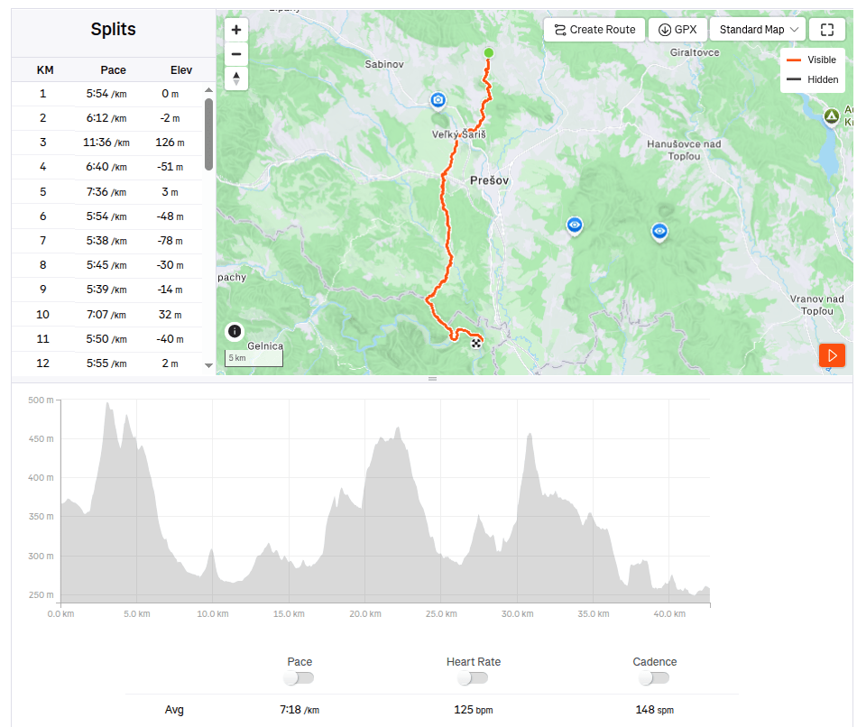
    In the morning we set off from Košice to Terno. We park the car in the same place by the church where we last finished the stage. It is partly cloudy and relatively warm, but fortunately not too much, because we have quite a lot of asphalt waiting for us on this stage.

    The asphalt alternates regularly with bits of meadows or forest. After about 20 kilometers, we all agree that this is the least interesting stage so far and the most interesting thing we saw was the brewery. We run through Veľký and Malý Šariš and it’s starting to get warm. I’m honestly glad that I’m just running this part of the SNP and don’t have to walk it all day on hot asphalt with a giant backpack.

    We reach Cemjata and here we run past a wild boar park and beautiful ponds, continue through Janov and Radice and meet Jožek, who has driven the car to the finish line in Kysak and is running towards us.

    Ahead of us is the most beautiful part of today’s run, a nice forest path bordering Hornád.

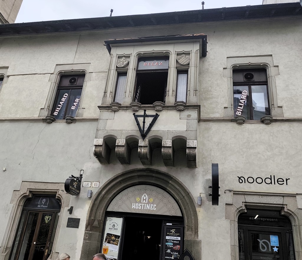
    In Kysak, we are all happy that today’s rather tiring asphalt stage is behind us 🙂 However, in the evening we will make ourselves happy and go see Košice, specifically the old town, and we will manage to come across the longest-running restaurant in Slovakia (over 500 years of operation), where they have great craft beer.
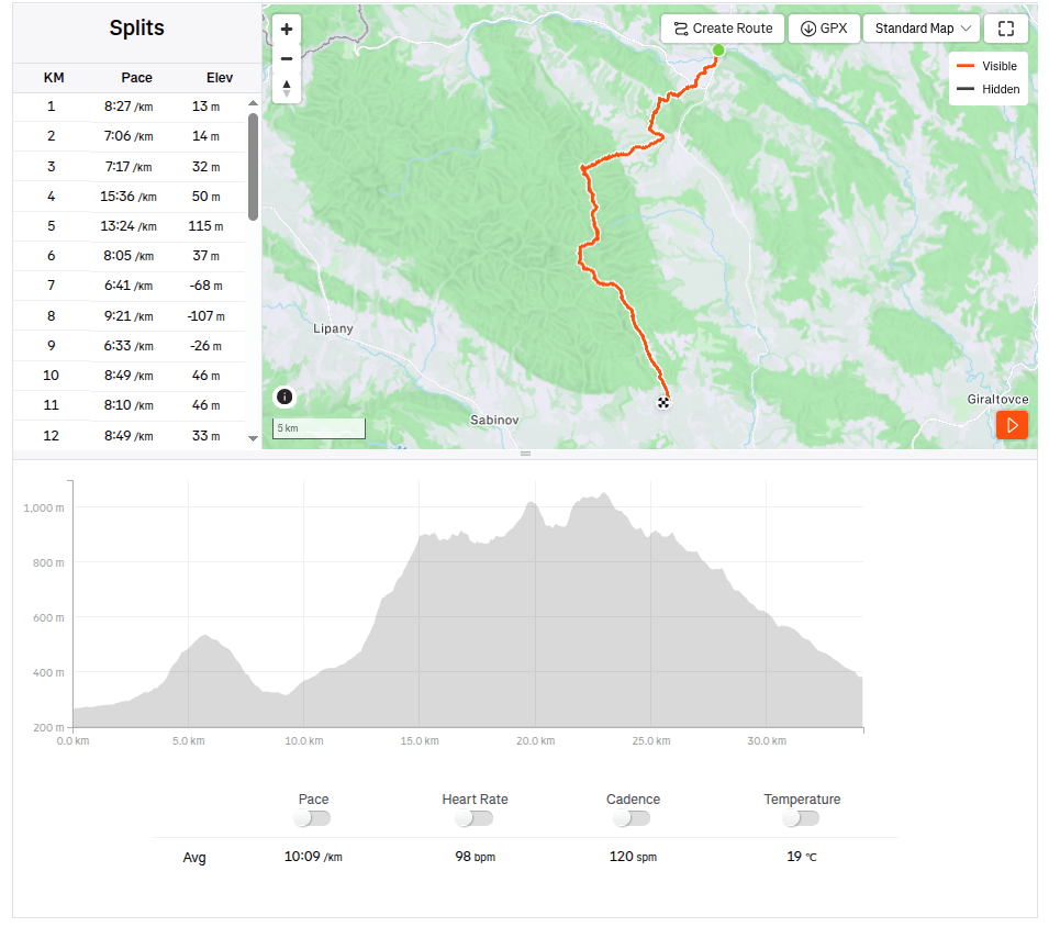
    42.67km, 5h 11min active time, 5h 28min total, 887 m ascent
  • SNP girl’s project, deň 13

    SNP girl’s project, deň 13

    Ráno vyrážame na štart z Košíc do Terne. Auto parkujeme na tom istom mieste pri kostole, kde sme nasposledy skončili etapu. Je polooblačno a relatívne teplo, no naštastie nie príliš, lebo na tejto etape nás čaká dosť veľa asfaltu.

    Pravidelne sa strieda asflatka, s kúskami lúk, či lesom. Po asi 20tich kilometroch sa všetci zhodneme, že zatiaľ je to najmenej zaujímavá etapa a to najzaujímavejšie čo sme videli bol pivovar. Prebiehame cez Veľký a Malý Šariš a začína byť teplo. Som úprimne rada, že túto časť SNP-čky len bežím a nemusím ju celý deň kráčať po rozohriatom asfalte s obrím batohom.

    Dostávame sa do Cemjaty a tu prebiehame popri diviačej obore a pekných rybníkoch, pokračujeme cez Janov a Radice a stretávame Jožka, ktorý odviezol auto do cieľa v Kysaku a beží nám naproti.

    Pred nami je najkrajšia časť dnešného behu a to pekná lesná cestička lemujúca Hornád.

    V Kysaku sme všetci radi, že dnešná asfaltová celkom úmorná etapa je za nami:) Večer si však spravíme radosť a ideme si pozrieť Košice, konkrétne staré mesto a podarí sa nám naraziť na najdlšie fungujúcu reštauráciu na Slovensku (viac ako 500 rokov prevádzky), kde majú parádne remeselné pivko.

    42.67km, 5h 11min aktívny čas, 5h 28min spolu, 887 nastúpaných metrov
  • Bojnice, Remata with David

    Bojnice, Remata with David

    In an effort to minimize screen time and maximize quality time spent together (ideally outdoors), I look for all kind of possibilities for trips. This time, the main target was the Čajka observation tower overlooking Bojnice.

    Čajka in the clouds

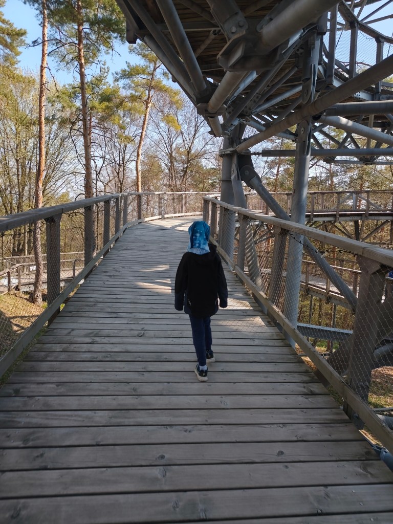
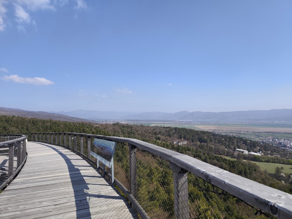
    Its total height is 30 meters and a wooden footbridge leads to its top. it offers really beautiful views, but in my opinion, the entrance fee for this attraction is set relatively high (12 euros/person), considering that we went around it in about half an hour.

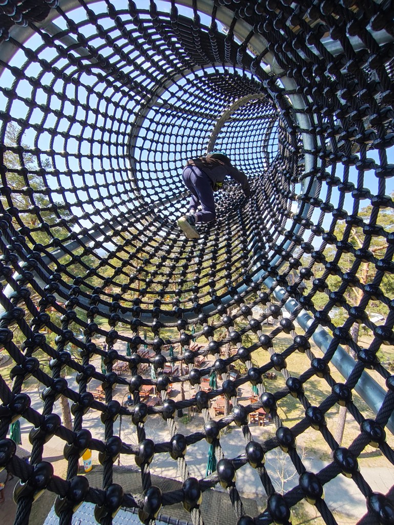
    But a big bonus for us was the adjacent children’s playground, which is really huge. And not far from Čajka there is also a dinopark, which of course we couldn’t just bypass (also 12 euros/person).

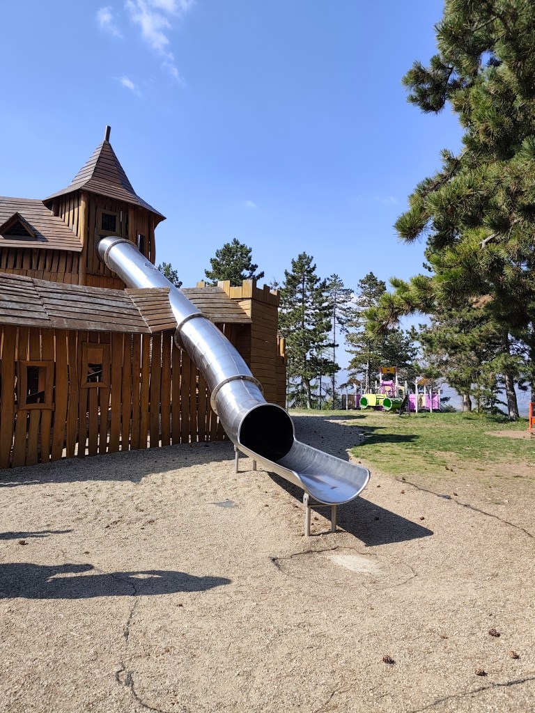
    The playground also included such a great castle with a sled, which even I couldn’t miss

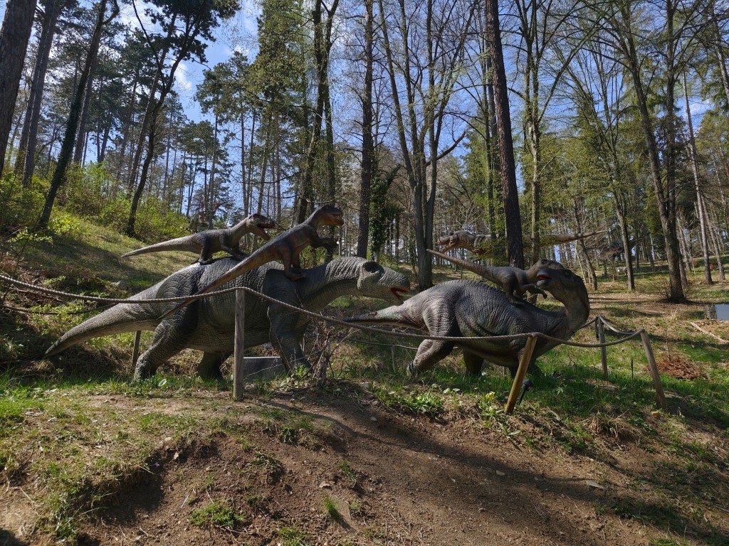
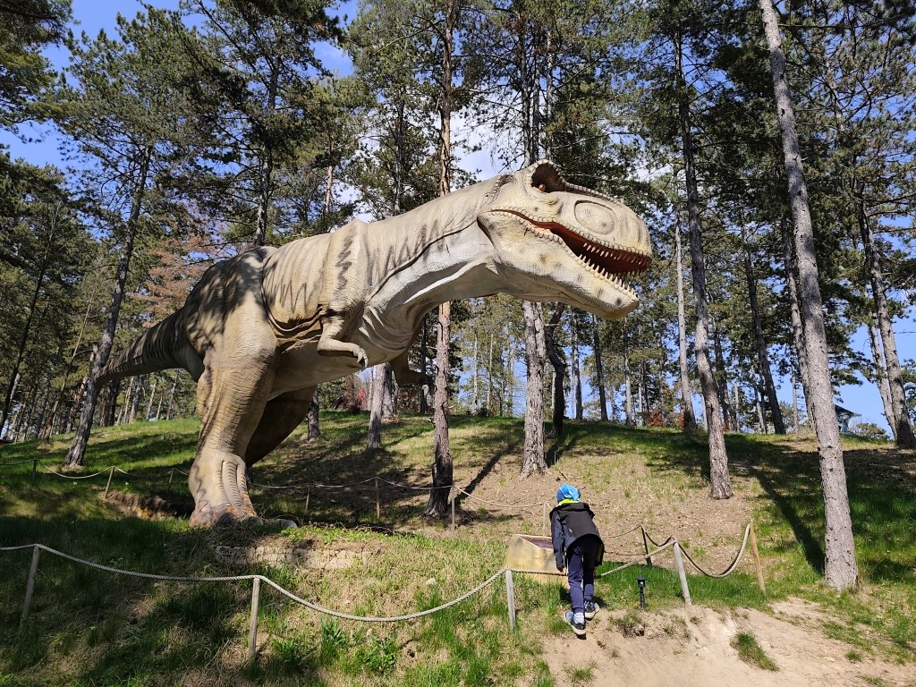
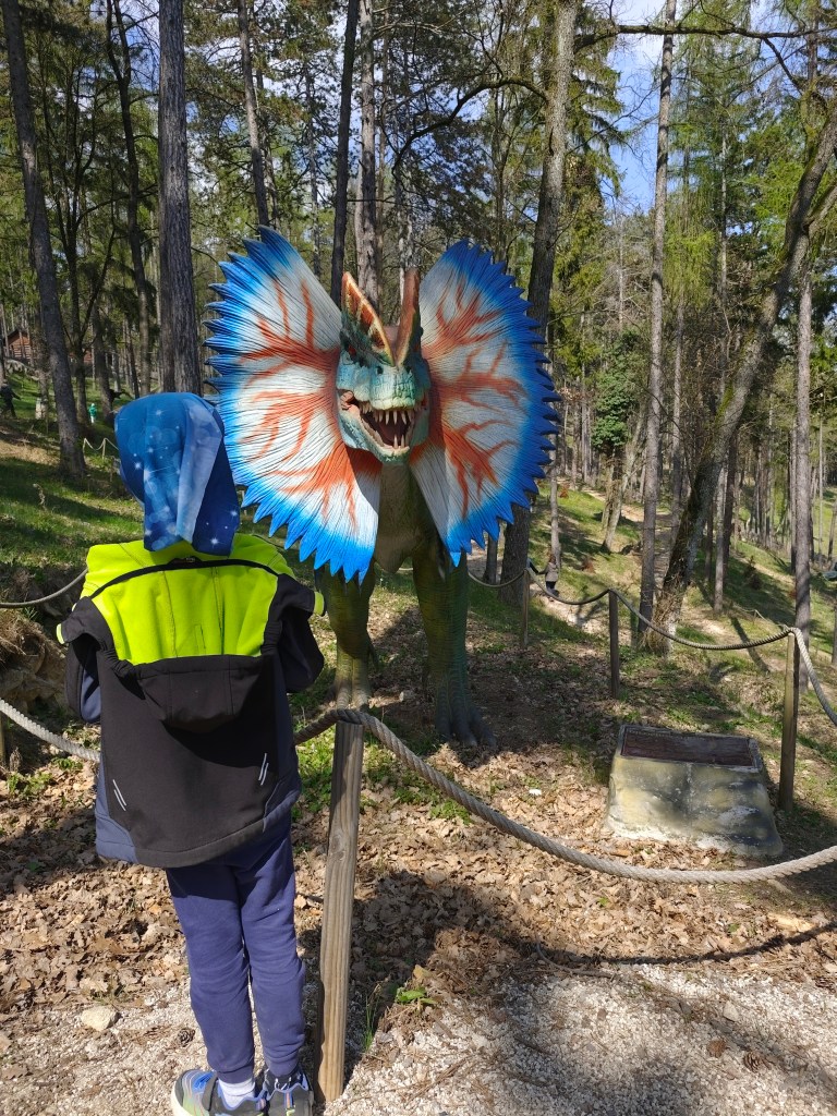
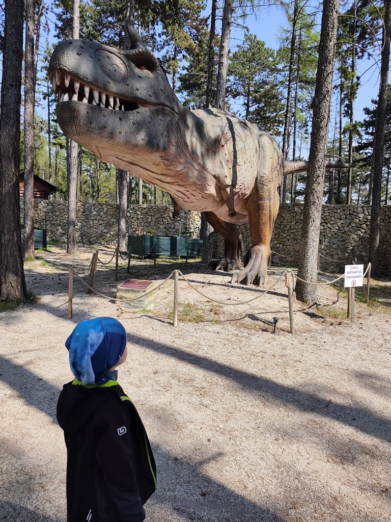
    However, we really liked the Dinopark, it was vast, with more than 100 exhibits, some of which were really huge. We liked that the paths led through the forest, which enhanced the atmosphere. Dinosaurs moved and made sounds.

    Dinopark

    We walked here for more than an hour and if we had other plans, I believe we would have had something to fight for another hour. For us, better minute money compared to the lookout tower.

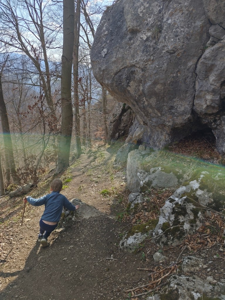
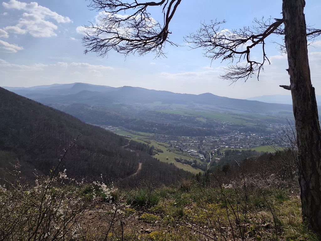
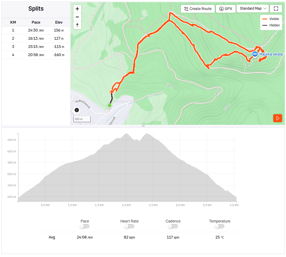
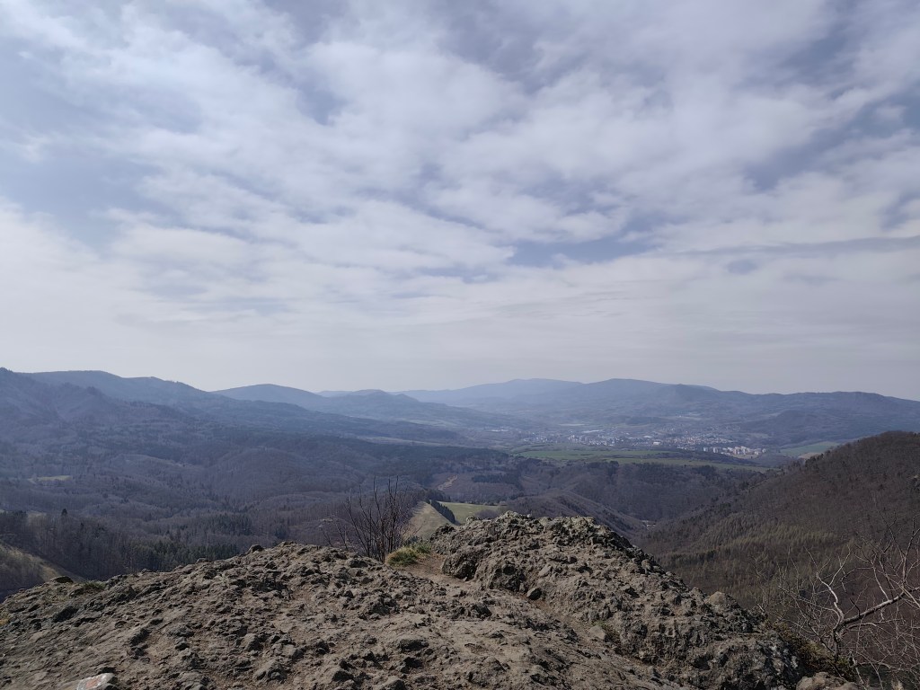
    On the way to Remata, where we had arranged accommodation, we had one more stop – Hájska skala above the village of Ráztočno. It’s about 2 kilometers to Hájska skala, but you have to climb quite a hill to get the great view.

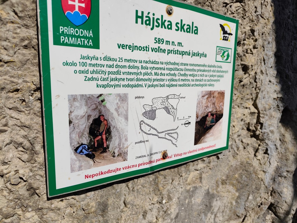
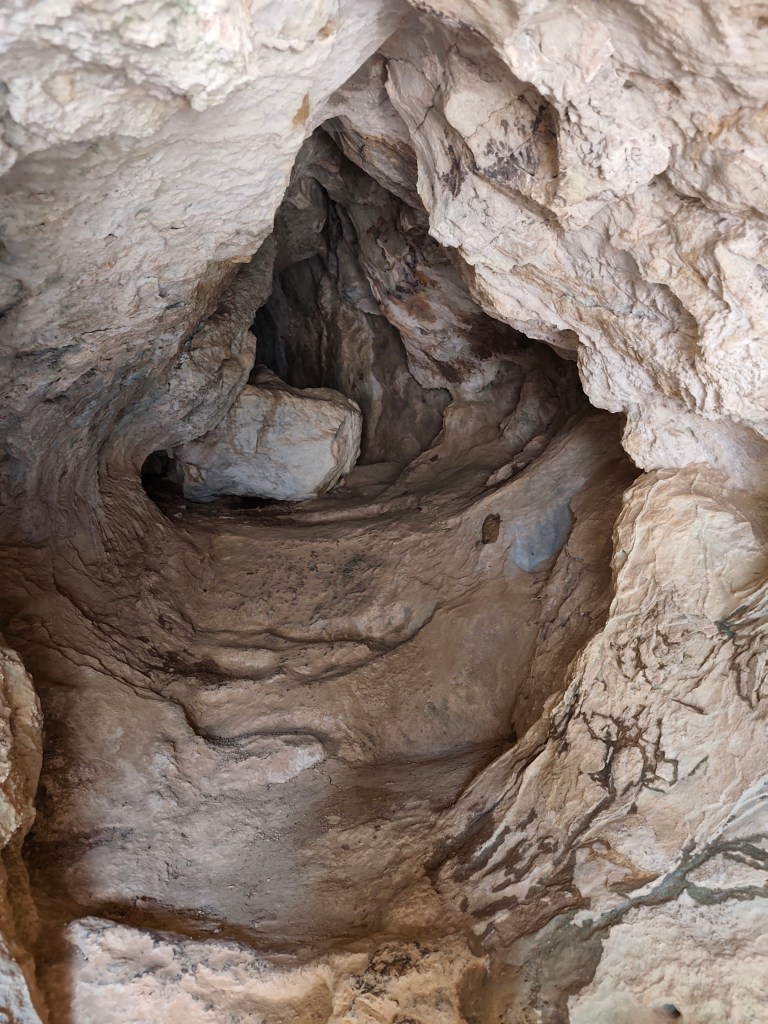
    Under the Hájská rock is also the Hájska cave – the only freely accessible cave in the Žar Mountains, it is 25 meters long with a 6-meter-high dome.

    Entrance to the cave
    4km, 1h 53 min, 320 meter ascend

    We slept at the Poniklec cottage. It is tourist accommodation in a “retro” style – but fully sufficient for us, and I must say that we slept like babies, curled up in fragrant duvets and woke up an hour later than we usually wake up:)

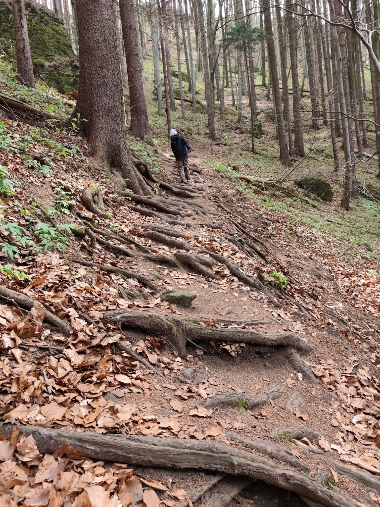
    On the way to Bralova skala

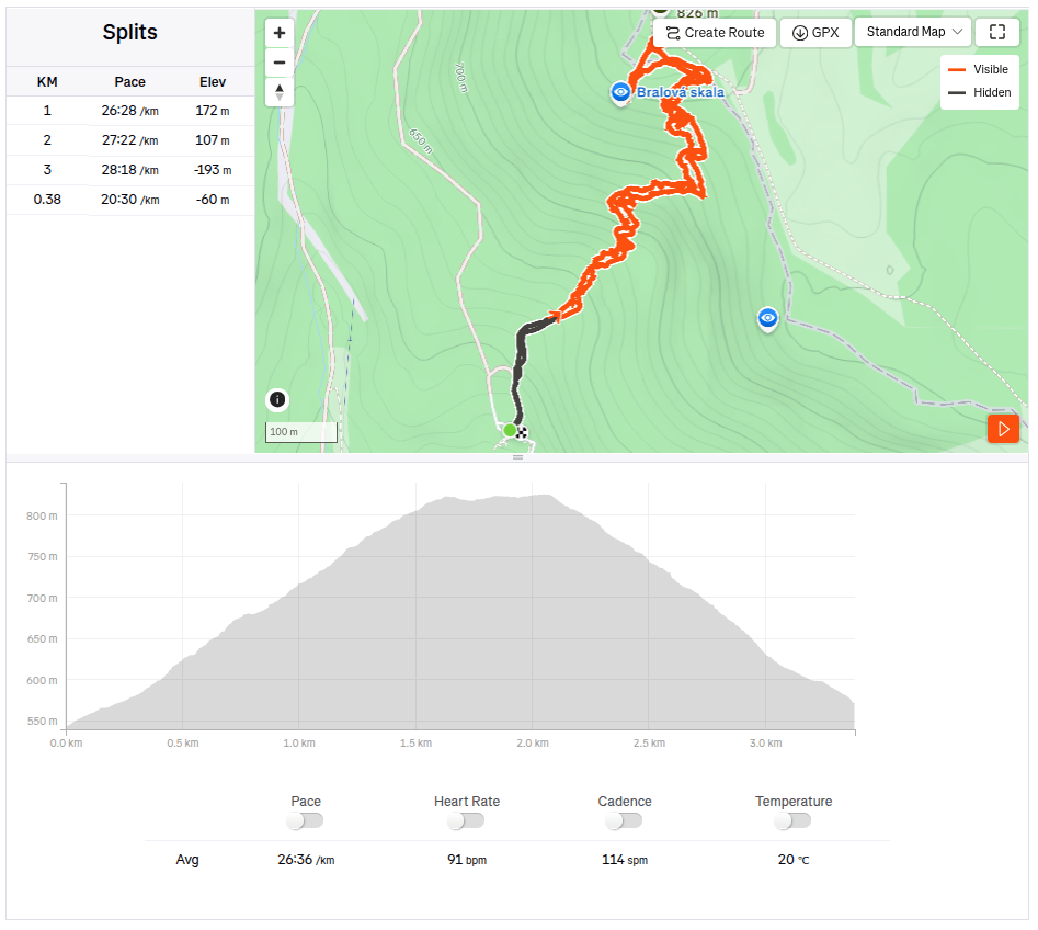
    The next day we went to see the Bralová skala, whose rocky cliff offers a very good view of the Handlovská and Turčianska basins, the Kremnické vrchy, Vtáčnik, or even Malá and Veľká Fatra. The ascent was only less than 2 kilometers long, but at the end it was quite steep.

    Bralova skala

    We ended the weekend with a visit to Rematské ornamental ponds – it is an agro-tourism area, it offers fishing, a great children’s playground, a mini-farm and a zipline. David really liked it here. He was 6 years old at that time.

    3.38km, 1h 46min, 280 meter ascend
  • Bojnice, Remata (s Dávidom)

    Bojnice, Remata (s Dávidom)

    V snahe minimalizovať screen time a maximalizovať spoločne strávený kvalitný čas (ideálne outdoor) vymýšľam a hľadám možnosti na výlety. Tento krát bola hlavným cielom vyhliadkovýá veža Čajka vypínajúca sa nad Bojnicami.

    čajka v oblakoch

    Jej celková výška je 30metrov a na jej vrcho vedie drevená lávka. ponúka naozaj krásne výhľady, ale podľa mňa je vstupné na túto atrakciu nastavené relatívne vysoko (12 eur/osoba), vzhľadom na to, že sme ju obehli asi za pol hodinku.

    Pre nás ale veľkým bonusom bolo priľahlé detské ihrisko, ktoré je naozaj obrovské. A kúsok od Čajky sa nachádza aj dinopark, ktorý sme samozrejme nemohli len tak obísť (taktiež 12 eur/ osoba).

    Súčasťou ihriska bol aj takýto parádny hrad so šúchačkou, ktorú som si ani ja nemohla nechať ujsť

    Dinopark sa nám však veľmi páčil, bol rozľahlý, s viac ako 100vkou exponátov, z ktorých niektoré boli naozaj obrovské. Páčilo sa nám, že chodníčky viedli lesom, čo umocňovalo atmosféru. Dinosaury sa dokonca hýbali a vydávali zvuky.

    Dinopark

    Tu sme sa prechádzali viac ako hodinu a keby sme ešte iné plány, verím, že ešte hodinu by sme mali čo bojavovať. Za nás lepšie minuté peniaze v porovnaní s vyhliadkovou vežou.

    Cestou do Rematy, kde sme mali dohodnuté ubytovanie sme mali ešte jednu zastávku – Hájsku skalu nad obcou Ráztočno. Na Hájsku skalu sú to asi 2 kilometre, avšak na ten parádny výhľad si treba vyšľapať celkom dobrý kopec.

    Pod Hájskou skalou sa nachádza aj Hájska jaskyňa – jediná voľne prístupná jaskyňa v pohorí žiar, je dlhá 25 metrov so 6metrov vysokým dómom.

    Vchod do jaskyne
    4km, 1h 53 min, 320 nastúpaných metrov

    Prespávali sme na chate Poniklec . Ide o turistické ubytovanie v “retro” štýle – pre nás ale plne postačujúce a musím povedať, že sme spali ako bábätká, zakutali sme sa do voňavých perín a zobudili sme sa až o hodinu neskôr ako bežne vstávame:)

    Cestou na Bralovu skalu

    Na druhý deň sme išli pozrieť Bralovú skalu, ktorej skalnaté bralo ponúka veľmi dobrý výhľad na Handlovskú a Turčiansku kotlinu, Kremnické vrchy, Vtáčnik, či dokonca Malú a Veľkú Fatru. Výstup mal len necelé 2kilometre, zato v závere bol poriadne strmý.

    Bralova skala

    Víkend sme zakončili návštevou Rematských okrasných rybníkov – ide o agroturistický areál, ponúka rybolov, parádne detské ihrisko, minifarmu a lanovú dráhu. Dávidovi sa tu veľmi páčilo. V tom čase mal 6 rokov.

    3.38km, 1h 46min, 280 nastúpaných metrov
  • SNP girl’s project, day 12

    SNP girl’s project, day 12

    The third day in the east, where we had covered more than 80 kilometers in the last two days, was slower. In the morning we start from the same point in Bardejov where we finished yesterday’s stage.

    By the way, Bardejov Town Hall Square is one of the most beautiful in Slovakia. It is a great pity that the SNP bypasses it, it is definitely worth making a small detour.

    The square is rectangular and is surrounded on three sides by a row of typical narrow townhouses. On the north side of the square is the dominant of the city – the Basilica Minor of St. Egidius, connected to the Renaissance building of the former city humanities school.

    The indescribable atmosphere of Bardejov Square is enhanced by its representative town hall building from the 16th century, built in the Gothic-Renaissance style. It houses the exhibition of the Šariš Museum dedicated to the history of the city.

    Mihaľov

    We pass through the picturesque village of Mihaľov and continue to Hervatov, running for a surprisingly long time on asphalt roads, which is significantly faster, but less fun :).

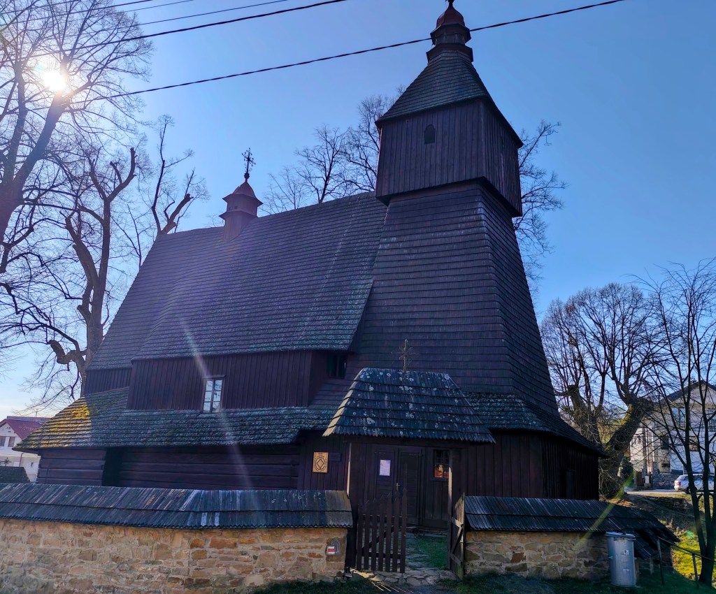
    Church of sv. Francis z Assisi

    In Hervatov there is a wooden church of St. Francis of Assisi and it is surrounded by a stone wall covered with wooden shingles. This church is also on the UNESCO World Heritage List. It was built at the end of the 15th century in the Gothic style and is our oldest preserved wooden church in the Gothic style. Its exterior has remained almost untouched even after more than half a millennium. However, we were unable to get inside.

    calvary on the way to Žobrák

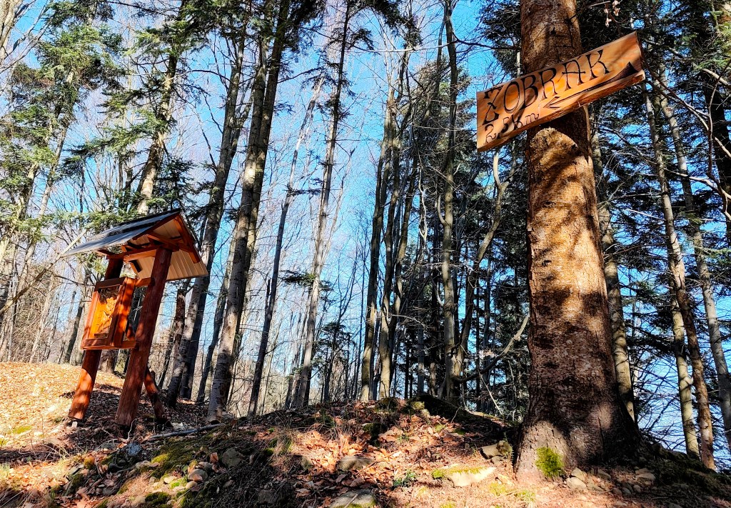
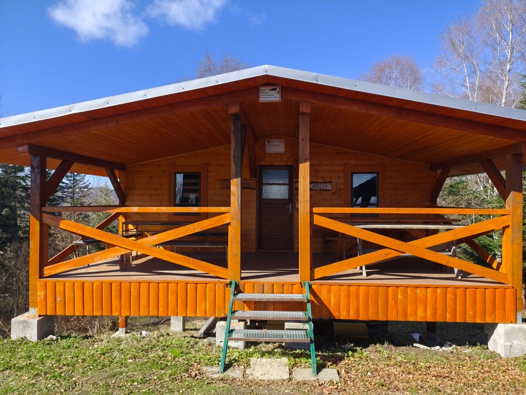
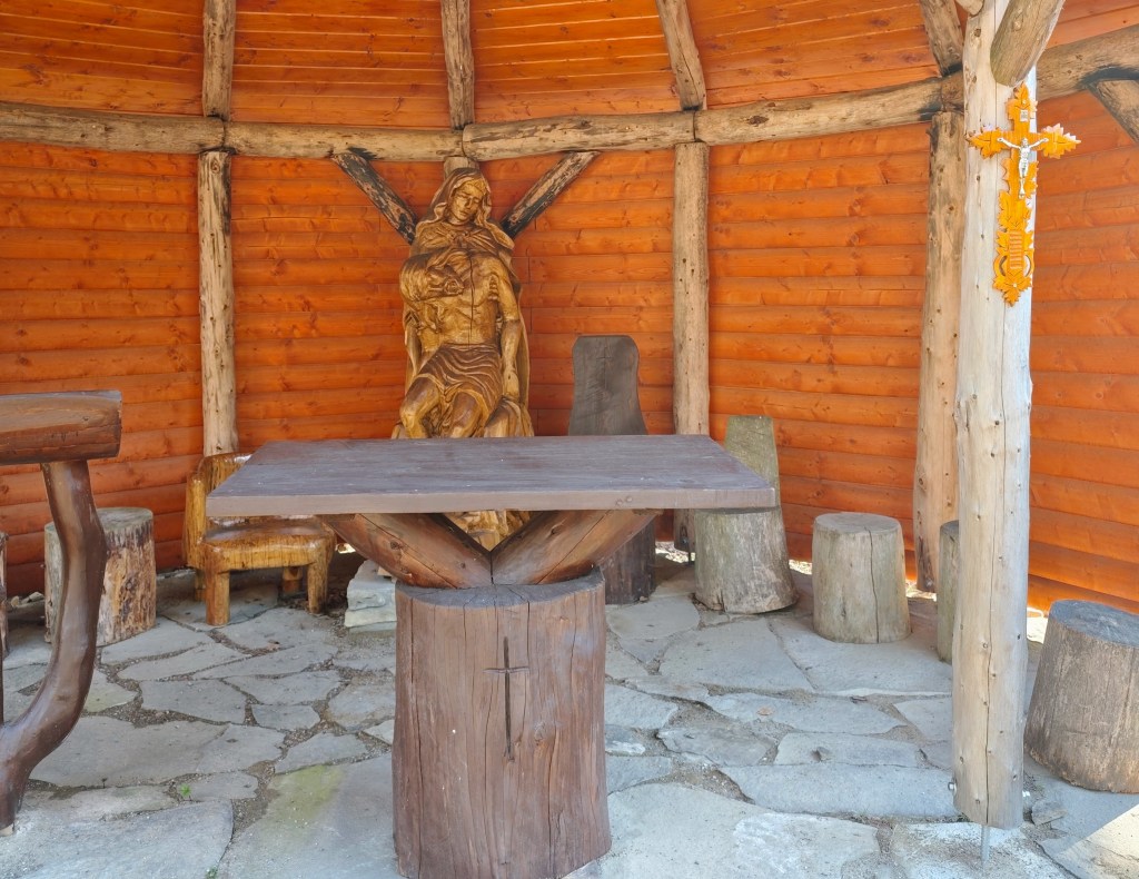
    We leave the asphalt and start climbing a really steep dirt road to Žobrák Hill. At its top there is a small chapel and a little further on there is a shelter and a lookout tower.

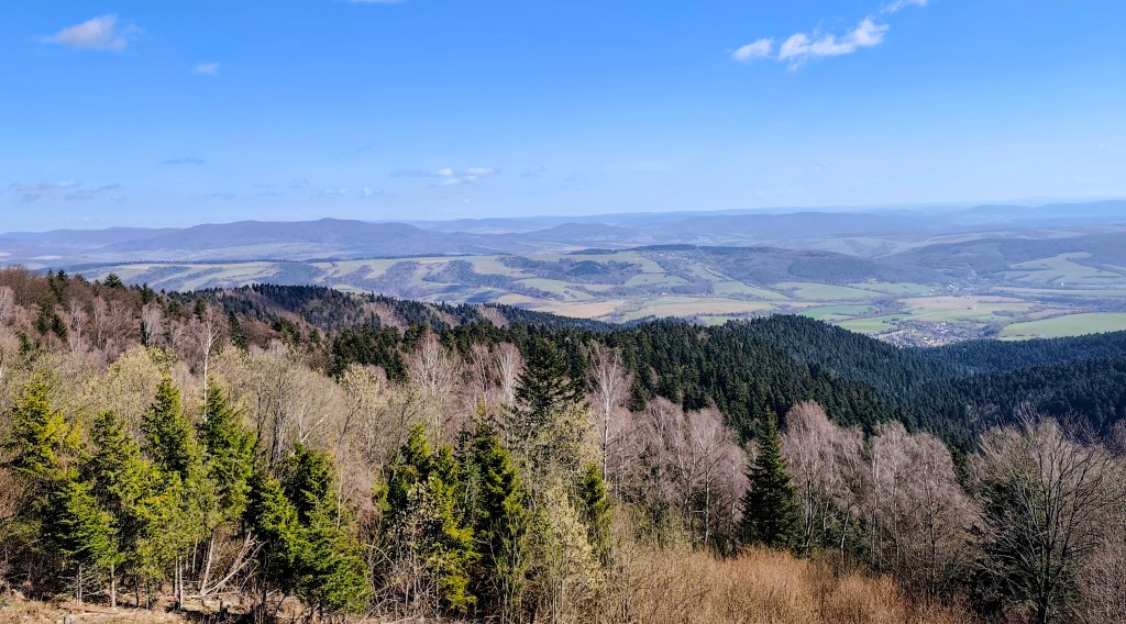
    Views from the viewpoint on the top of Žobrák

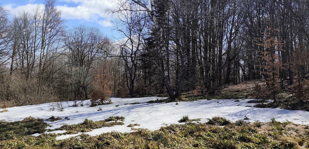
    We continue through Bukový vrch to Čergov, which is the highest point of today’s stage. Around Bukový vrch we still found remnants of snow cover.

    From Čergov, all that’s left for us is the descent to Terňa, it’s starting to get warm, we only have a pinch of water left and we’re already looking forward to the radler that we have left in the car at the finish line 🙂
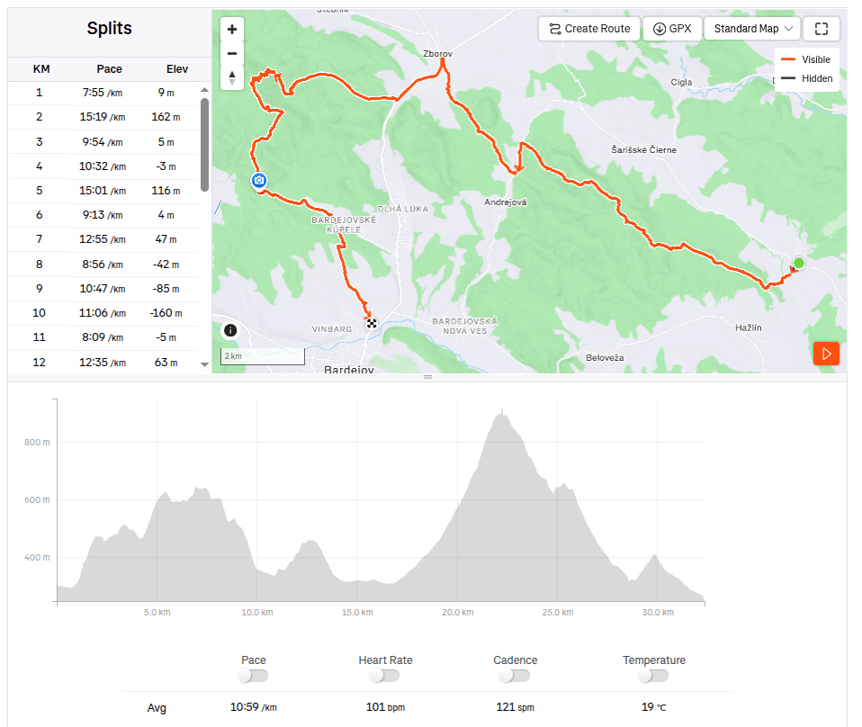
    34.19km, 5:47 active time, 1346m ascend
  • SNP girl’s project, deň 12

    SNP girl’s project, deň 12

    Tretí deň na východe, kedy sme mali v nohách za posledné dva dni viac ako 80 kilometrov, sa niesol v pomalšom duchu. Ráno štartujeme z toho istého bodu v Bardejove, kde sme ukončili včerajšiu etapu.

    Mimochodom Bardejovské radničné námestie patrí medzi jedno z najkrajších na Slovensku. Veľká škoda, že SNPčka ho obchádza, určite stojí za to si spraviť menšiu odbočku.

    Námestie je obdĺžnikové a je z troch strán obkolesené radovou zástavbou typických úzkych meštianskych domov. Na severnej strane námestia je dominanta mesta – Bazilika minor Sv. Egídia, prepojená s renesančnou budovou bývalej mestskej humanitnej školy.

    Neopísateľnú atmosféru bardejovského námestia umocňuje jeho reprezentačná budova radnice zo 16. storočia, postavená v goticko – renesančnom štýle. Nachádza sa v nej expozícia Šarišského múzea venujúca sa histórii mesta.

    Mihaľov

    Prechádzame cez malebnú dedinku Mihaľov a pokračujeme až do Hervatova, bežíme prekvapivo dlho po asfaltových cestách, čo je síce značne rýchlejšie, ale zas menej zábavné :).

    Kostol sv. Františka z Assisi

    V Hervatove sa nachádza drevený kostolík sv. Františka z Assisi a je obklopený kamennou hradbou pokrytou dreveným šindlom. Tento kostolík sa nachádza aj na zozname svetového dedičstva UNESCO. Bol postavený na konci 15. storočia v gotickom slohu a je naším najstarším zachovaným dreveným kostolom v gotickom slohu. Jeho exteriér zostal aj po viac ako polovici tisícročia takmer nedotknutý. Do vnútra sa nám však nepodarilo dostať.

    Krížová cesta smerom na Žobrák

    Opúšťame asfalt a začíname stúpať naozaj strmou krížovou cestou na vrch Žobrák. Na jeho vrchu sa nachádza malá kaplnka a o kúsok ďalej aj útulňa a rozhľadňa.

    Výhľady z rozhľadne na vrchu Žobrák

    Pokračujeme cez Bukový vrch na Čergov, ktorý je najvyšším bodom dnešnej etapy. Okolo Bukového vrchu sme ešte našli aj pozostatky snehovej pokrývky.

    Z Čergova nás čaká už len klesanie až do Terne, začína byť teplo, vody máme už len štipku a už sa tešíme na radler, čo máme odložený v aute v ciely:)

    34.19km, 5:47 aktívny čas, 1346 nastúpaných metrov
  • SNP girl’s project, day 11

    SNP girl’s project, day 11

    Our legs are working surprisingly well after yesterday and we are going on the next stage, this time from Kurimka to Bardejov.


    Three-dimensional coat of arms of Zborov

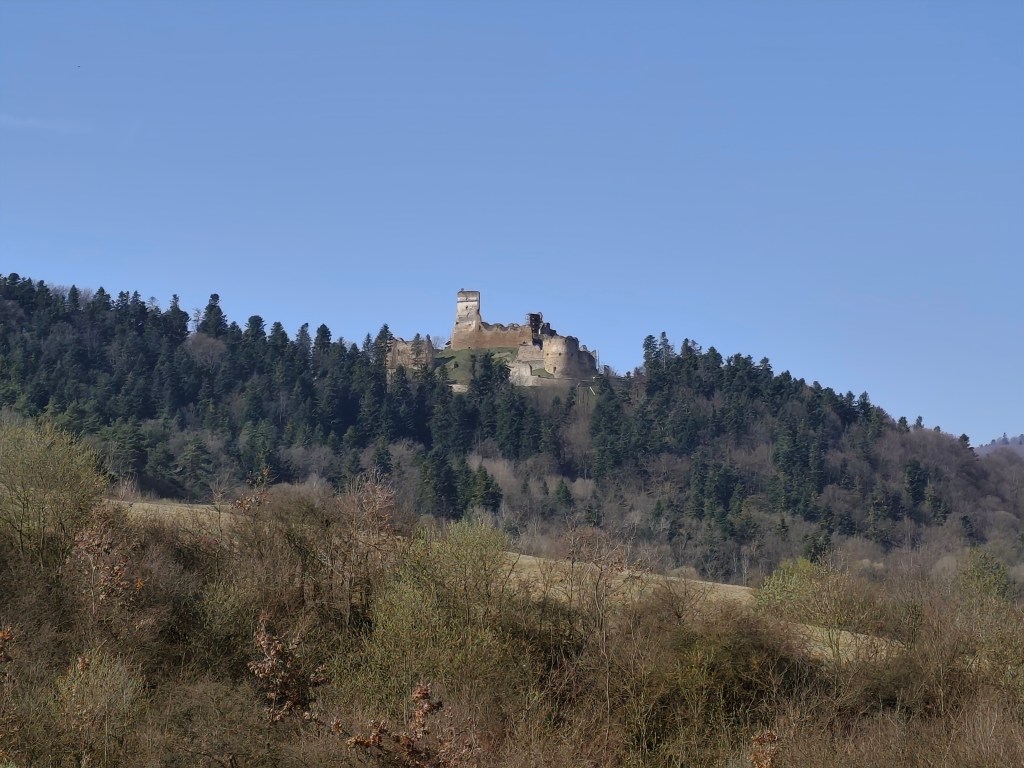
    A beautiful addition to the route is Zborov Castle (to which there is a detour, that’s why we went to see it yesterday as part of active regeneration:) The oldest mentions of Zborov Castle, or also nicknamed Makovický Castle, come from the beginning of the 14th century.In the past, it was an important defensive castle.

    The original royal Gothic castle did not initially have a large area. It consisted of a massive prismatic tower, a palace and an irregular courtyard, to which other buildings were added later. At a time when the country was preparing to defend itself against Ottoman aggression, this Gothic castle was rebuilt into a very modern Renaissance representative fortress with basic fortifications modeled after Italian architecture. The new owners renovated the oldest parts, expanded the living and farm premises and the walls. In addition to the reconstruction of the basic upper castle, they also rebuilt the second courtyard and added a third courtyard with a semicircular bastion, defensive wall and embrasures. The third courtyard was entered through an ingenious entrance gate on the southwest side with a drawbridge. The triple fortification system was supposed to prevent the castle from being raided and secure it against conquest even if the enemy occupied the entrance gate. However, it fell into disrepair from 1680, and its fate was sealed in 1914 by the fighting between the Russian army and the Austro-Hungarian army in the neighborhood of the village, which badly damaged the ruins of the castle. After the war, the castle continued to fall apart, and only ruins remained of the once majestic feudal residence.

    Inner courtyard of Zborov

    Today, the walls and torso of the architecture have been preserved in the area of ​​Zborovské hrad. In some places, embrasures, corner framing, window and door openings have been preserved in the walls. Since 2010, the castle has been undergoing revitalization works.

    Castle Zborov

    From Zborov we start to climb Stebnícka Magura, it is warm, the sun is shining and snowdrops are blooming in the forest. That’s beautiful, but bottled water runs out suspiciously quickly 🙂

    Viewpoint at Stebníckej Magure

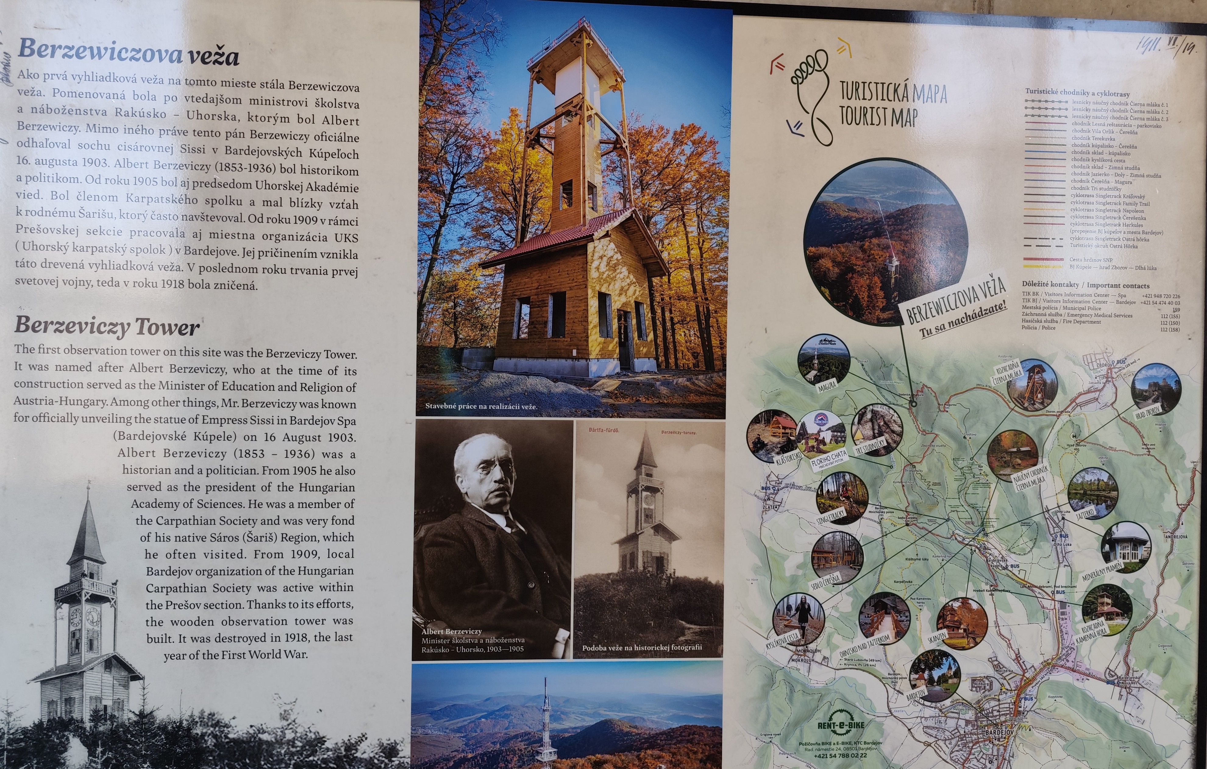
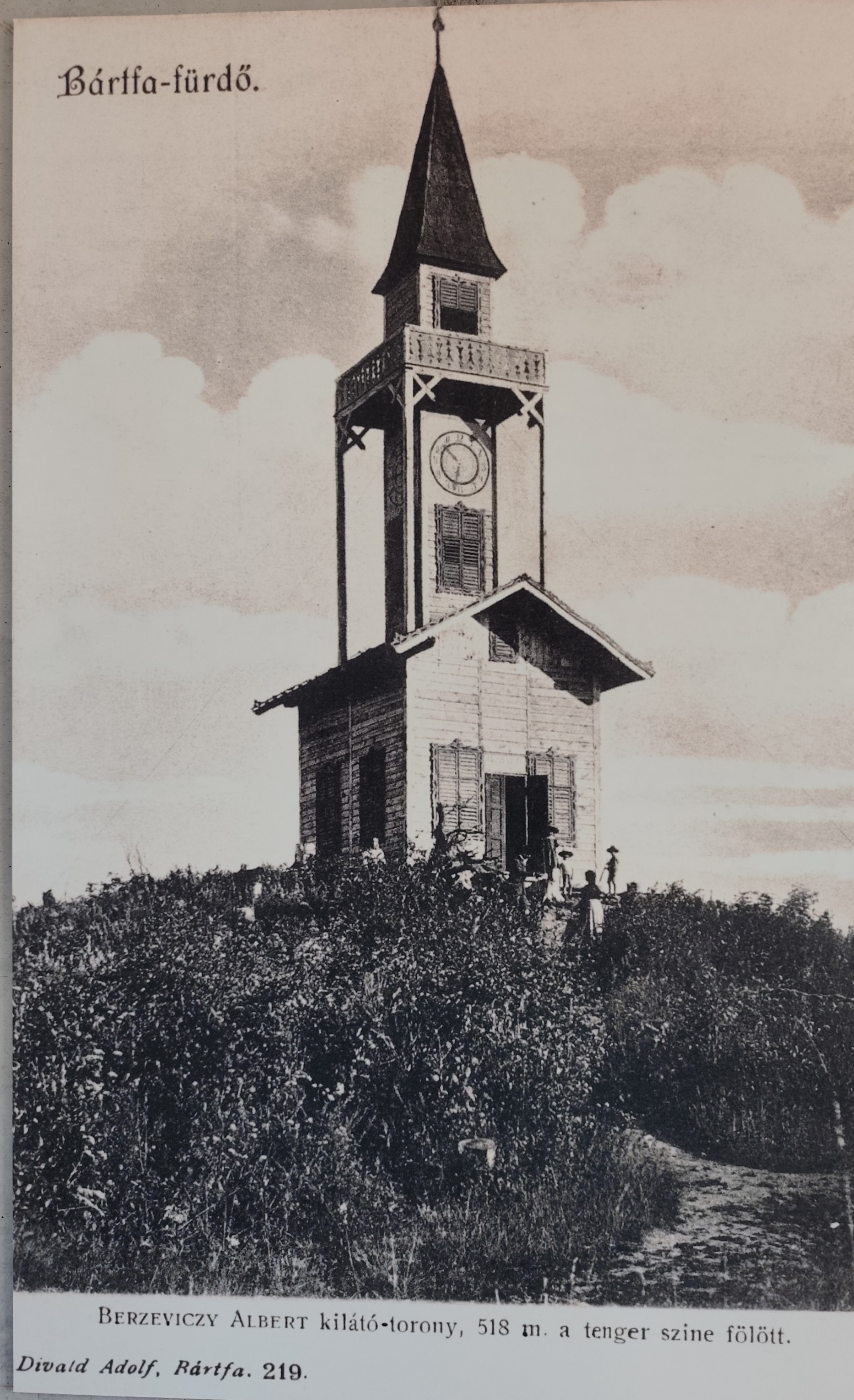
    At the top of Stebník Magura there is a wonderful lookout tower (to which an endless spiral staircase leads). The newly built observation tower resembles the so-called Berzewicz Tower built in 1905 on the same site, which was destroyed during the First World War in 1918, the replica tower reflects the original design.

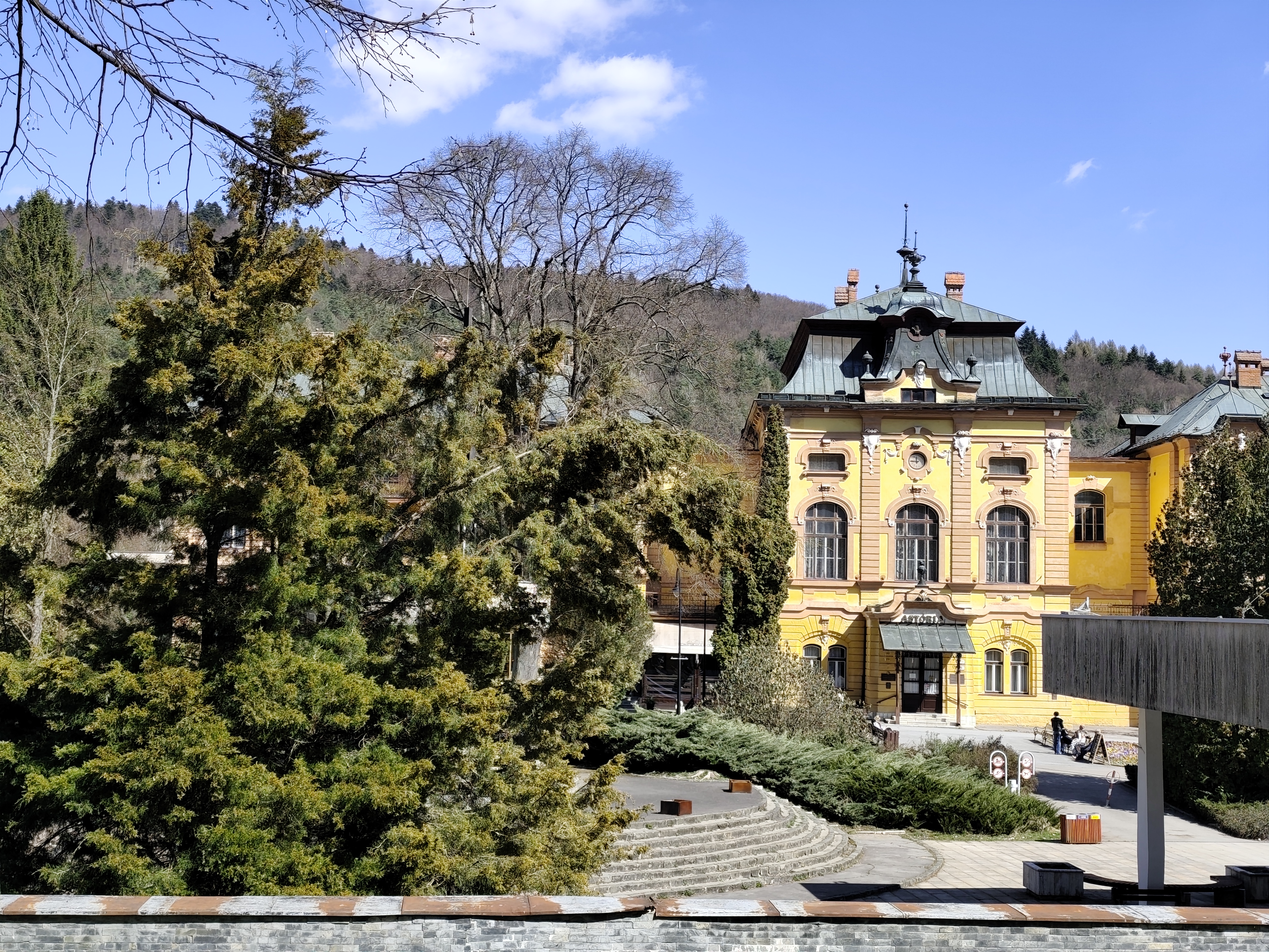
    Thirsty, we run down to the Bardejov spa, where after a while of wandering and searching we find mineral springs.

    They are our salvation, we refill the bottles and set off along the spa promenade to the last hill that separates us from Bardejov.

    Bardejov mineral springs
    32.34km, 5:55 active time, 1402 m ascend
  • SNP girl’s project, deň 11

    SNP girl’s project, deň 11

    NOhy po včerajšku prekvapivo fungujú a my sa vydávame na ďalšiu etapu, tento krát z Kurimky do Bardejova.

    Trojrozmerný erb Zborova

    Krásnym spestrením trasy je hrad Zborov (na ktorý ale vedie zachádzka, preto sme si ho boli pozrieť včera v rámci aktívnej regenerácie:) Najstaršie zmienky o Zborovskom hrade, alebo tiež prezývanom Makovický hrad pochádzajú zo začiatku 14. storočia.  V minulosti bol dôležitým obranným hradom.

    Pôvodný kráľovský gotický hrad nemal spočiatku veľkú rozlohu. Skladal sa z mohutnej hranolovitej veže, paláca a nepravidelného nádvoria, do ktorého pribúdali neskôr ďalšie budovy. V čase, keď sa krajina pripravovala na obranu pred osmanskou agresiou, bol tento gotický hrad prestavaný na veľmi modernú renesančnú reprezentatívnu pevnosť so základným opevnením podľa vzoru talianskej architektúry. Noví majitelia zrekonštruovali najstaršie časti, rozšírili obytné aj hospodárske priestory a hradby. Okrem prestavby základného horného hradu prestavali tiež druhé nádvorie a k nemu pribudlo ešte tretie nádvorie s polkruhovou baštou, obranným múrom a strielňami. Na tretie nádvorie sa vstupovalo dômyselnou vstupnou bránou na juhozápadnej strane s padacím mostom. Systém trojitého opevnenia mal znemožniť prepadnutie hradu a zaistiť ho pred dobytím aj v prípade, že by nepriateľ obsadil vstupnú bránu. Od roku 1680 však chátral a jeho osud spečatili v roku 1914 boje medzi ruskou armádou a rakúsko-uhorským vojskom v chotári obce, ktoré ruiny hradu ťažko poškodili . Po vojne sa hrad ďalej rozpadal a z kedysi majestátneho feudálneho sídla zostali len ruiny.

    Vnútorné nádvorie Zborova

    Dnes sa v areáli Zborovského hradu zachovali múry a torzá architektúr. Miestami sú v múroch zachované strieľne, nárožné kvádrovanie, otvory okien či dvier. Od roku 2010 prebiehajú na hrade revitalizačné práce.

    Hrad zborov

    Zo Zborova začíname stúpať na Stebnícku Maguru, je teplo, slniečko svieti a v lese kvitnú snežienky. To je síce krásne, ale voda vo fľaškách sa podozrivo rýchlo míňa 🙂

    Rozhľadňa na Stebníckej Magure

    Na vrchole stebnícke Magury sa nachádza parádna rozhľadňa (na ktorú vedie nekonečné točité schodisko). Novopostavená vyhliadková veža sa podobá na takzvanú Berzewiczovú vežu postavenú v roku 1905 na rovnakom  mieste, ktorá bola zničená počas prvej svetovej vojny v roku 1918, replika veže odráža pôvodný dizajn.

    Vysmädnutí zbiehame do Bardejovských kúpeľov, kde po chvíli blúdenia a hľadania nachádzame mionerálne pramene.

    Sú našou záchranou, dopĺňame fľaše a vyrážame kúpeľnou promenádou k poslednému kopčeku, ktorý nás delí od Bardejova.

    Bardejovské minerálne pramene
    32.34km, 5:55 aktívny čas, 1402 nastúpaných metrov
  • SNP girl’s project, day 10

    SNP girl’s project, day 10

    We finally managed to get to the east and stand at the start of the SNP, which begins in the Dukla Pass on the border with Poland. The legendary Slovak ridge path is almost a hundred years old. It originated as the Štefánik Trail, which disappeared and was revived as The path  of the heroes of the Slovak National Uprising.

    This stage was mainly accompanied by tanks

    The new form of the highway was brought about by a meeting of the chairmen of the regional sign commissions in 1956, where it was decided to build the Slovak Highway from Devín to Dukla. Despite the fact that the period after 1938 was not favorable for tourism, about ¾ of the original Štefánik Road was preserved and incorporated into the new long-distance route with number 001. The name “The Path of the Heroes of the Slovak National Uprising” was introduced only in 1959.

    So that what happened here in the past is never forgotten

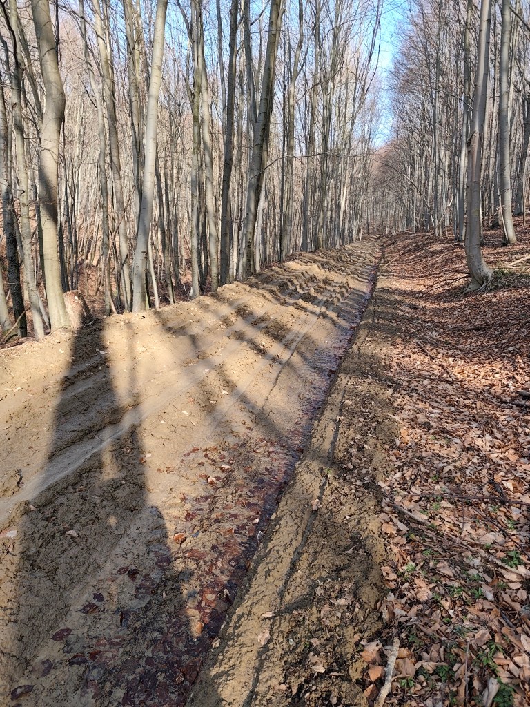
    And the Dukla Pass was still dangerous in the first years after the war, because there were minefields there, so we tried to deviate from the route as little as possible, which was not always easy, especially on the approximately 3-kilometer section damaged by mining, which was full of mud up to the ankles.

    This is a tourist path too

    This stage was special for us, mainly because it was the first time we encountered monuments and remnants of the war. At the Dukla Pass itself, there is a monument and cemetery of the members of the 1st Czechoslovak Army Corps, in the cemetery there are graves with the names of 1,265 fallen soldiers. Under the saddle stands a stone pylon (it is truly monumental, it is 28 m high).

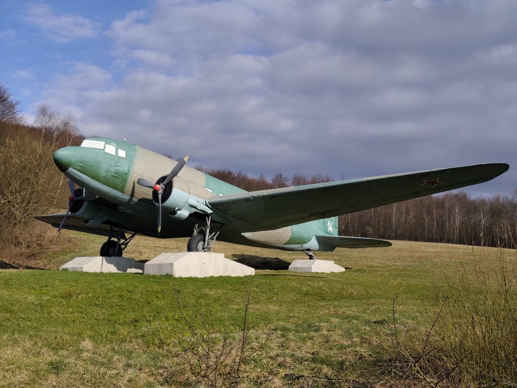
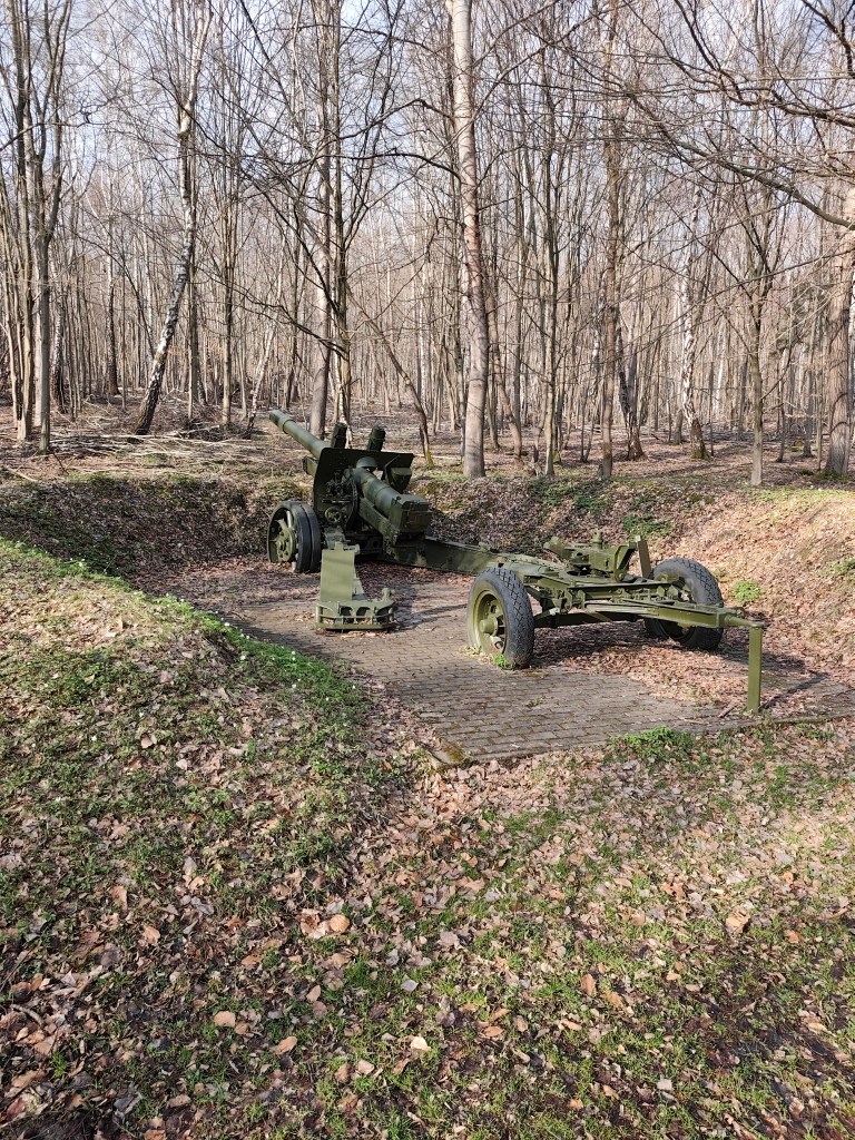
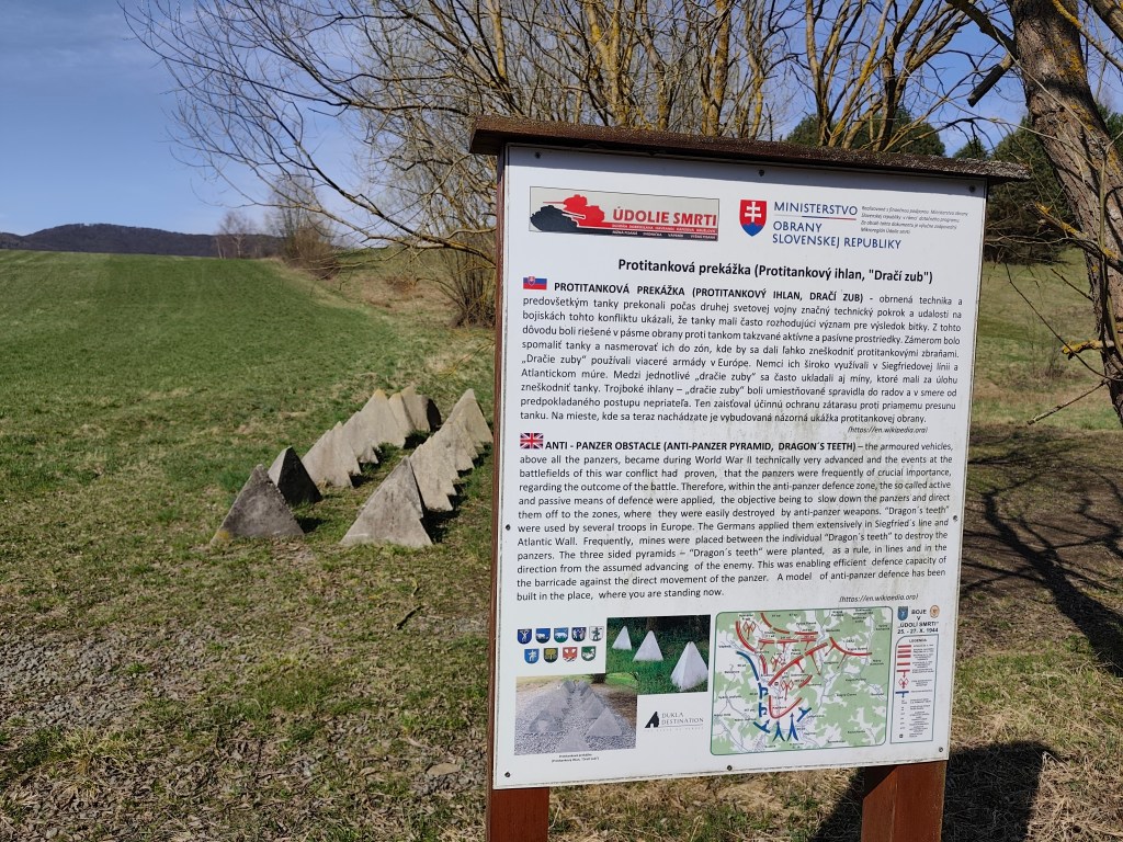
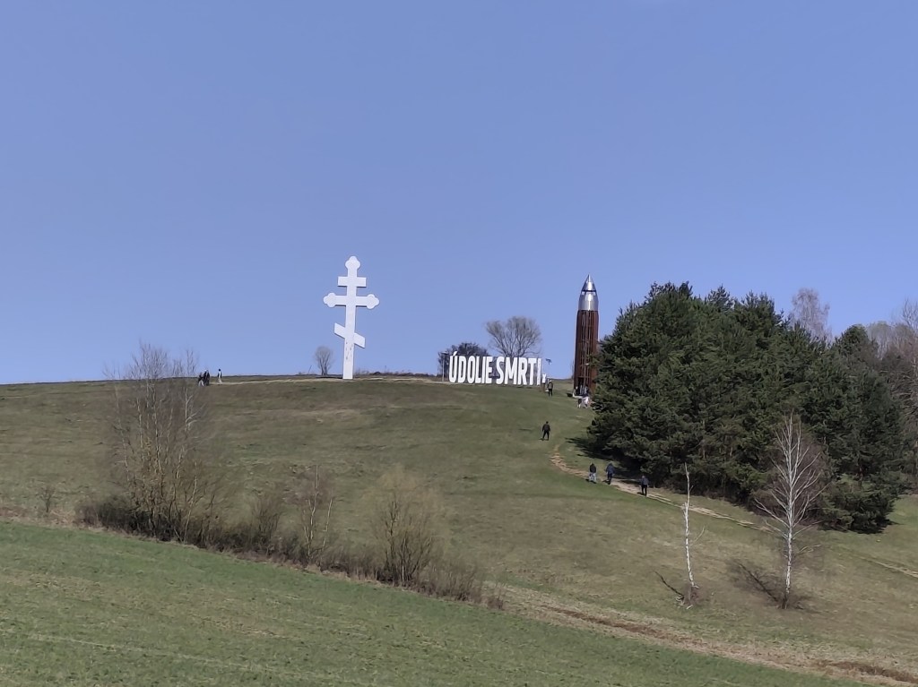
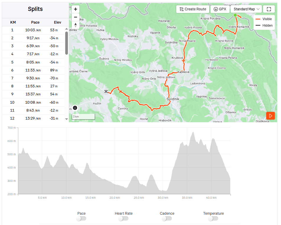
    Then we ran around the plane and between the tanks and after a few kilometers we reached the Valley of Death. In 1969, a so-called tank company in attack was built in the area of ​​the Valley of Death as a symbol of heavy tank battles. It consists of eight medium tanks deployed in a combat position on a meadow located between the villages of Kapišová, Kružlová and Nižná Pisaná. Along with the installation of tank technology, trenches were also created in this area and German anti-tank obstacles in the form of so-called dragon teeth were installed. In April 2019, the inscription “ÚDOLIE SMRTI” with dimensions of 9.98 x 2.90 meters was also installed in the tank company area. This is the largest horizontal inscription placed outdoors in Slovakia. In October 2021, a 13.5-meter-high four-story observation tower was subsequently built next to it, which with its specific shape resembles a cartridge for a Czechoslovak model 24 rifle.

    anti-tank dragon teeth
    The valley of death

    651

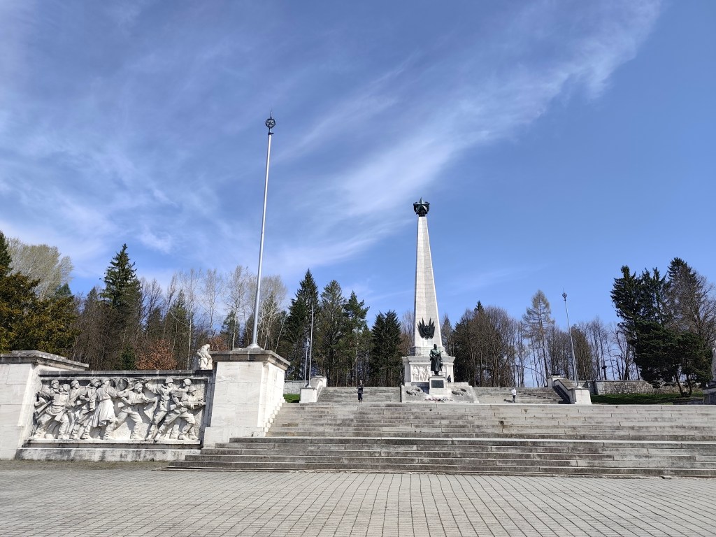
    We reach Svidník and right on its edge is the area of ​​the Dukla battlefield with the monumental Soviet Army Memorial. The pylon of the memorial itself has the shape of a four-sided pyramid and its total height reaches 37 meters. It is topped by a five-pointed star measuring 3.5 meters. Large-scale artistic reliefs were installed in the square pedestal of the pylon. Spiš travertine, which was imported from Spišské Podhradie, was used as the basic building material. The original memorial dates from 1954, but in 2017-2021 it underwent a complete revitalization. Next to the memorial there is also an outdoor museum exhibition with exhibits of military equipment.

    Memorial in Svidníku

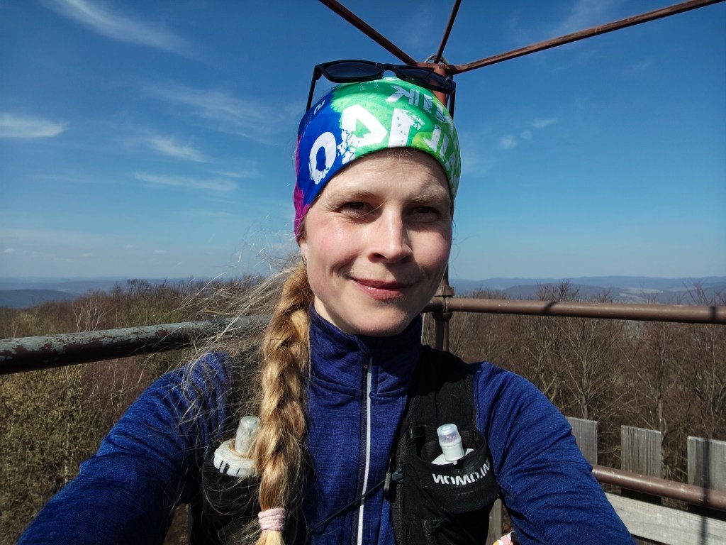
    We leave the city and climb to Čierna Hora, where there is a relatively newly built shelter and an observation tower, which is quite an adrenaline attraction when the wind blows.

    On the obervation tower

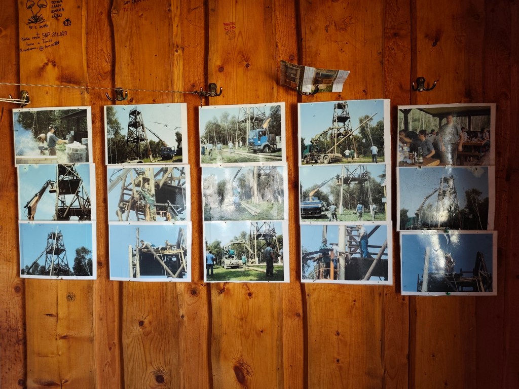
    There are interesting photos in the shelter documenting the construction of this observation tower.

    Inside the shelter

    Dnešnú etapu končíme v Kurimke, odkiaľ plánujeme zajtra pokračovať.

    44km, 7:08 active, 1277m ascend