Spring and sun are finally here. Although nothing is green yet, you can already see the first flowers, even butterflies. And with that, more opportunities to rummage around outside. This time we went around Vyhne, to see Hájska skala and stone sea.
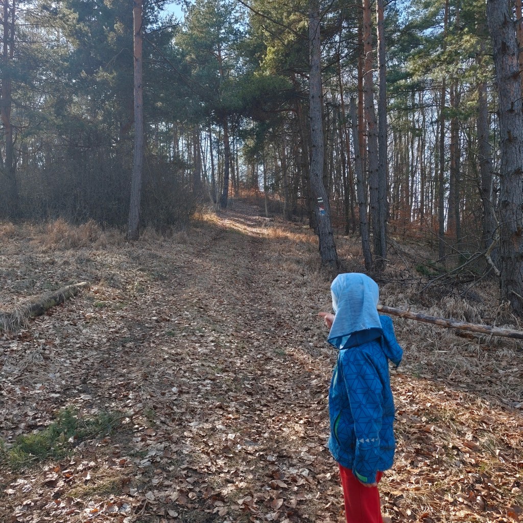
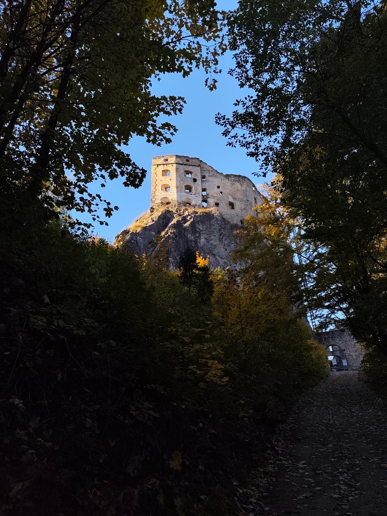
On the way to Hájska skala
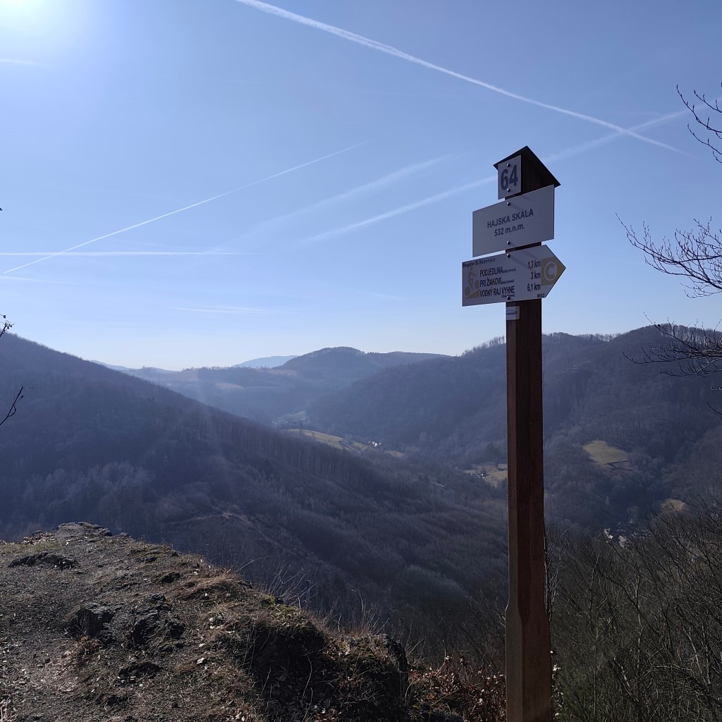
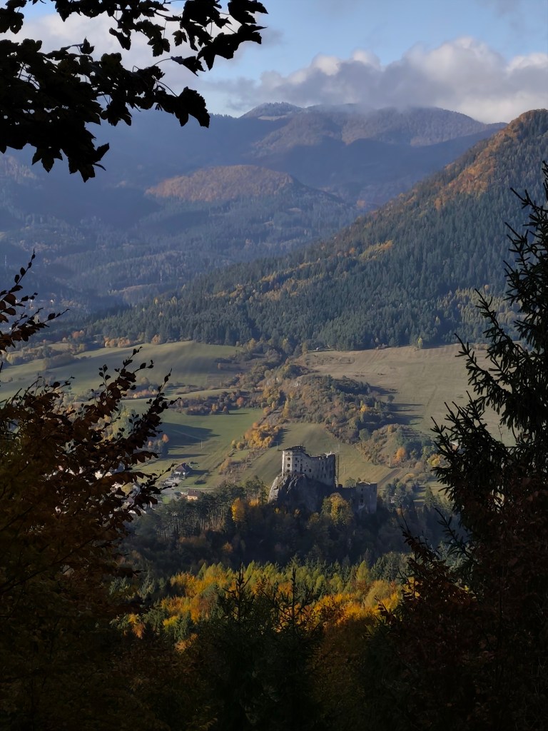
Hájska skala is a view point in the village of Vyhne, only 1.3 km away from the parking lot, along a nice narrow path between the trees. And it offers great views.
Hájska skala
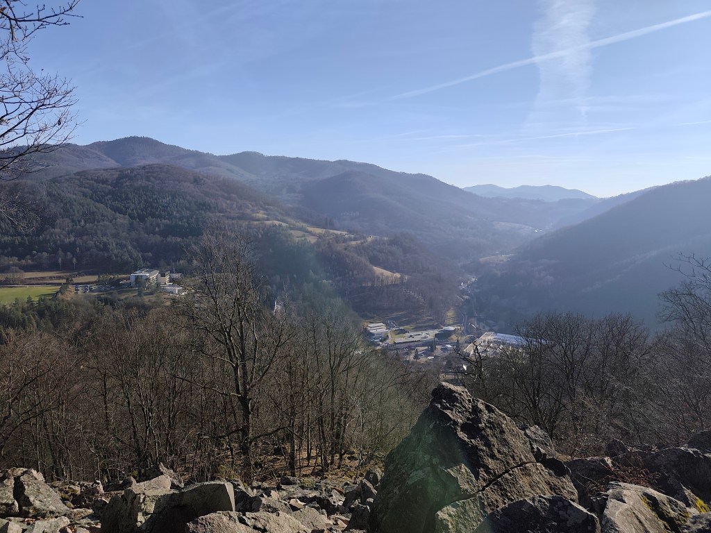
Stone sea is located on the opposite hill, so we have to go down from Hájská skala again to Vyhne and climb another hill. The stone sea in Vyhne is the largest rhyolite stone sea in the volcanic part of the Carpathians.
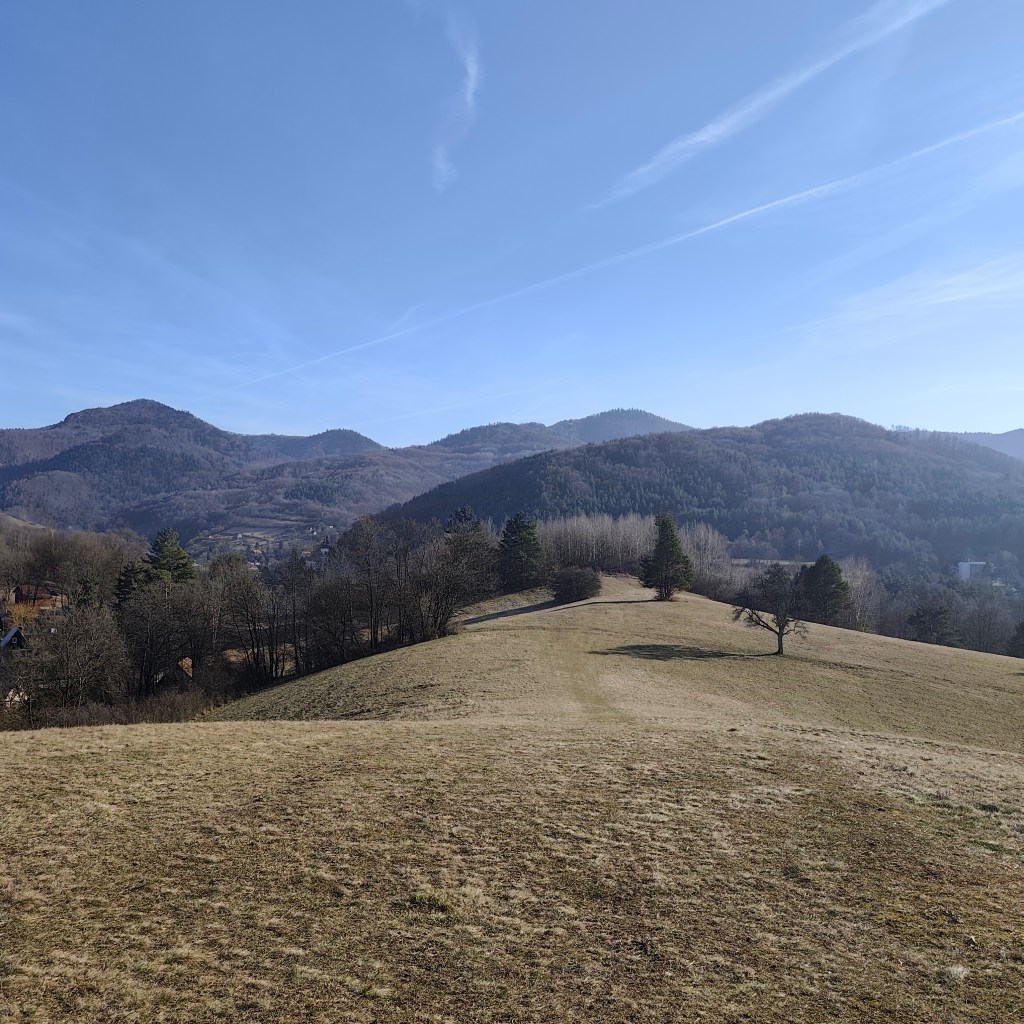
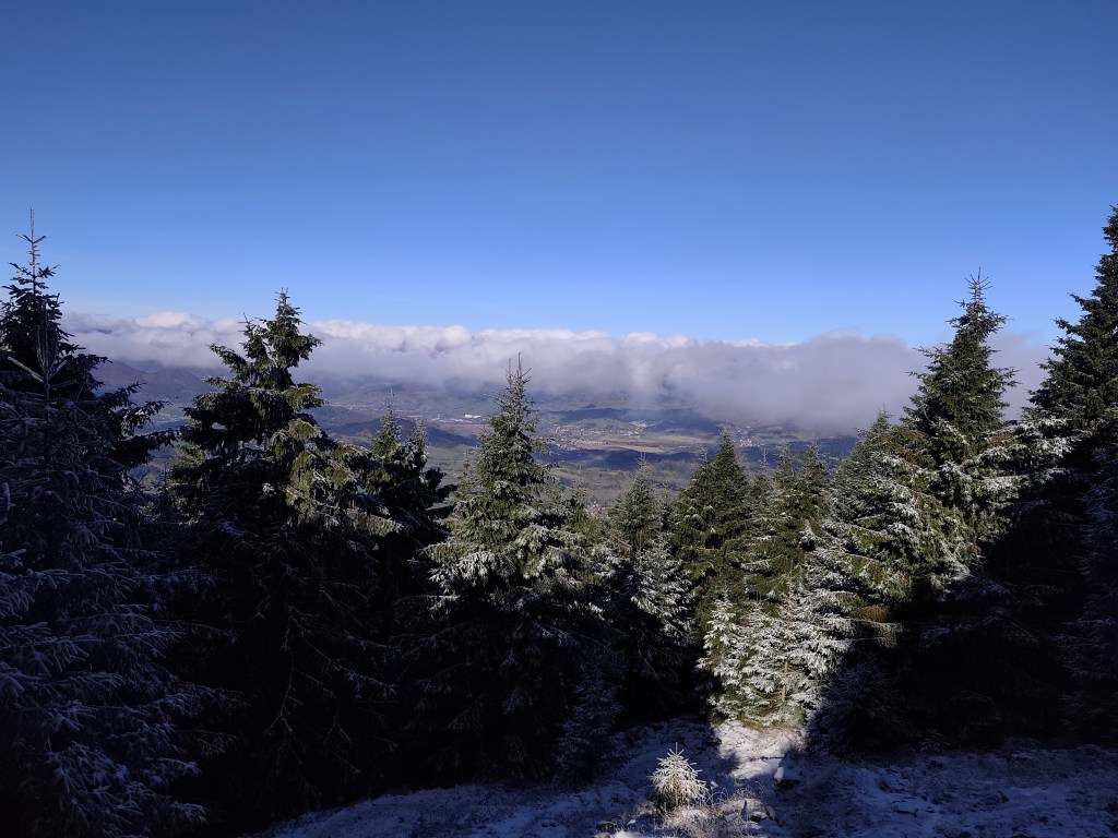
Local meadows
In the past, rhyolite was mined in these places, which was also used for the production of millstones for several decades. This activity severely damaged the steep slope, and the higher debris therefore collapsed a significant part of the slope. Stone mining was stopped here in 1936, thanks to the declaration of the Stone Sea as a nature reserve.
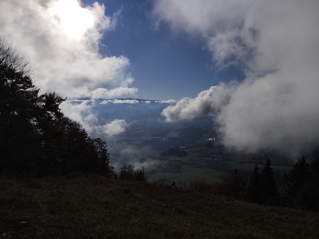
Viewpoint on the top of stone sea
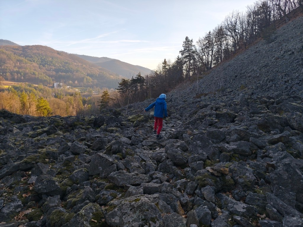
For Dávid, it was the best part of the trip, because he could jump and climb on rocks, and he loves it. The footpath was barely visible, so it was necessary to actively search for the path and markings.
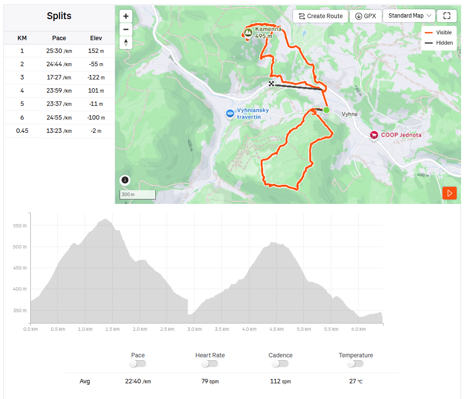
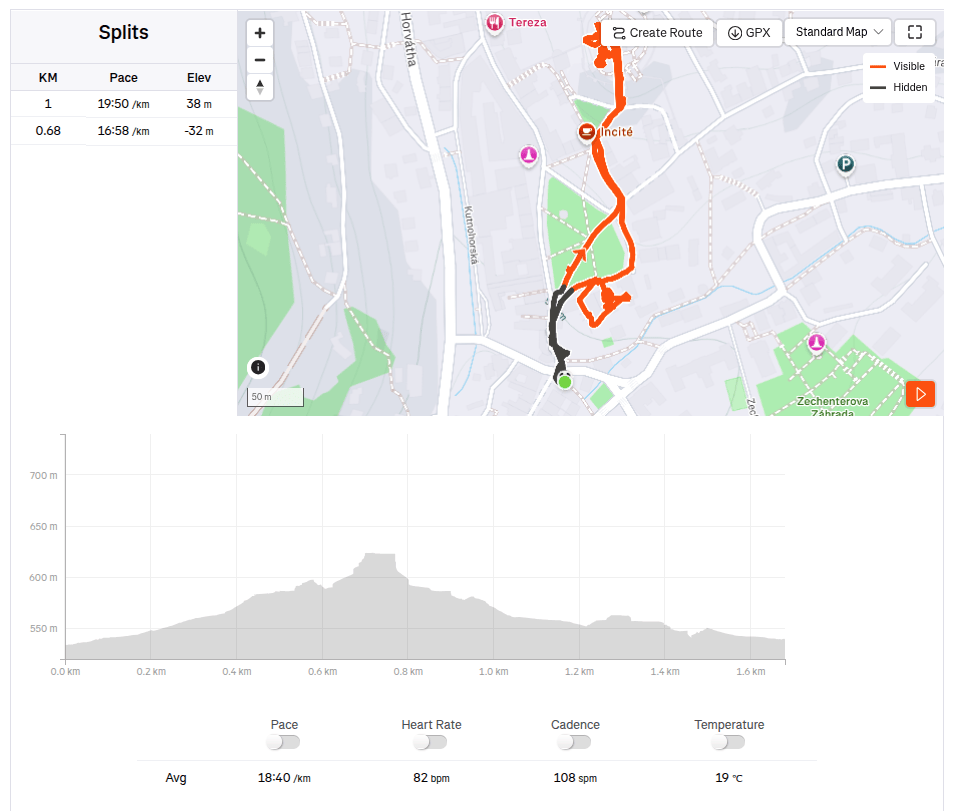
The tourist sign leads directly through the stone sea6.5km, 2h 26min, 388 m ascend
Konečne je tu jar a slnko. Sice ešte nič nie je zelené, ale už vidno prvé kvietky, dokonca aj motýle. A s tým aj viac možností tárať sa po vonku. Tento krát sme si prešli okolie Vyhní, Hájsku skalu a Kamenné more.
Cestou na Hájsku skalu
Hájska skala je výhľadové miesto and obcou Vyhne, od parkoviska vzdialené len 1.3km, pekným úzkym chodníčkom pomedzi stromy. A ponúka parádne výhľady.
Hájska skala
Kamenné more leží na opačnom kopci a tak musíme z Hájskej skaly zísť znovu do Vyhní a vystúpať si ďaľší kopec. Kamenné more vo Vyhniach je najväčším ryolitovým kamenným morom vo vulkanickej časti Karpát.
Lúky cestou na kamenné more
V minulosti sa v týchto miestach ťažil ryolit, ktorý sa niekoľko desaťročí používal aj na výrobu mlynských kameňov. Táto činnosť silne poškodila strmý svah a vyššie položená sutina preto zavalila značnú časť svahu. Ťažba kameňa tu bola zastavená v roku 1936, vďaka vyhláseniu Kamenného mora za prírodnú rezerváciu.
Výhľadové miesto na vrchu kamenného mora
Pre Dávida to bola najlepšia časť výletu, lebo mohol skákať a liezť po kameňoch a to miluje. Chodníček bolo sotva vidno a tak bolo nutné cestu a značenie aktívne hľadať.
Turistická značka vedie priamo cez kamenné more6.5km, 2h 26min, 388 nastúpaných metrov
It’s the end of January and it’s still cold, so I decided to brighten up this cloudy and cold day with a trip to Kremnica. We’ve passed through it many times, but we’ve never been here before. We came mainly to see the Kremnica Castle, but as a bonus, we got entry to the Museum of Coins and Medals with our ticket.
Kremnica has beautiful historical centre
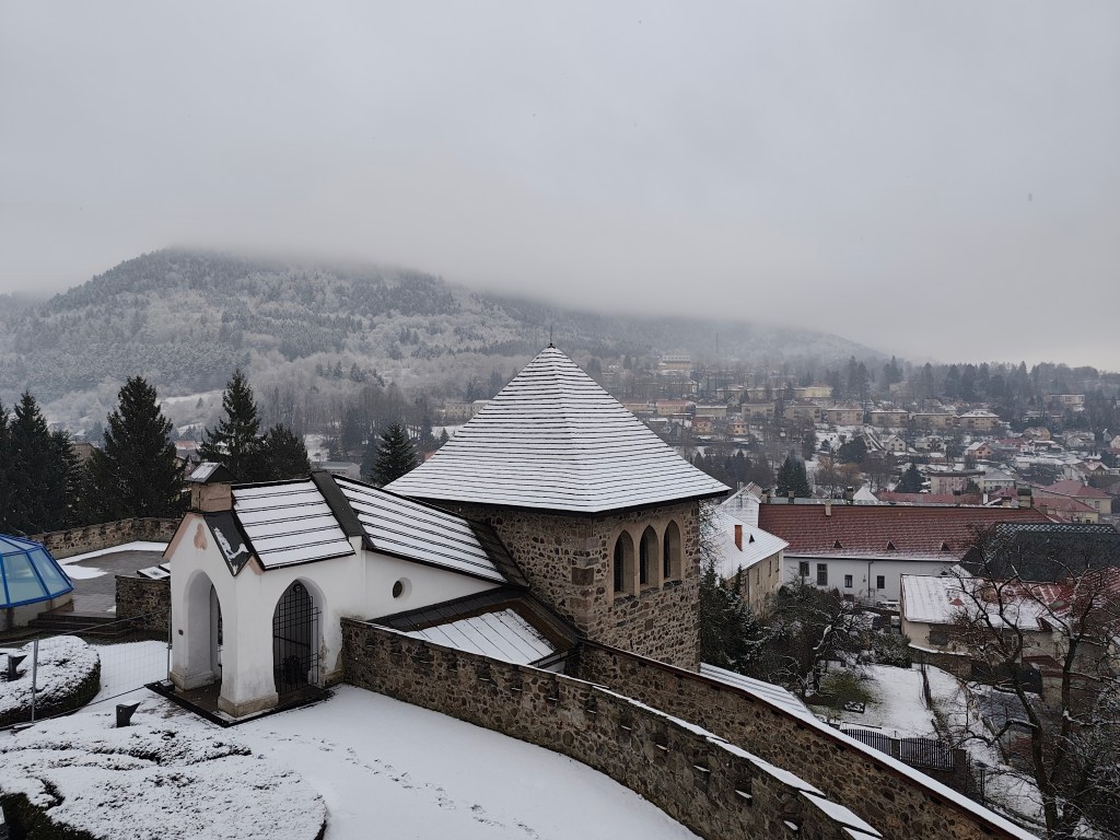
The Kremnica Castle is a complex of buildings from the 14th-15th centuries, protected by a double fortification, which is joined by some of the best-preserved city walls in Slovakia. In the center of the complex stands the dominant Gothic Church of St. Catherine.
The castle also includes other buildings such as a rectory, an entrance gate with a barbican, and defensive bastions. The construction was undertaken by the townspeople exclusively for the needs of the administration and defense of their town, and they were its sole owners.
We enter through the fortifications
A tower was loosely attached to the church in the 15th century. For centuries, it housed guards and announced danger.
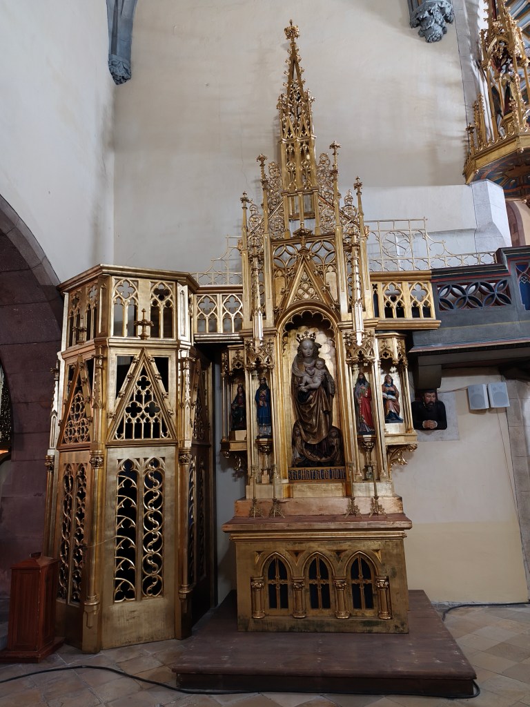
In the church of ST. Catherine
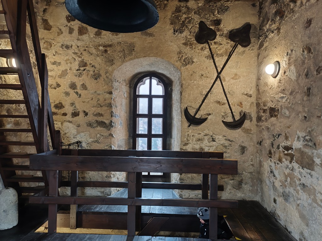
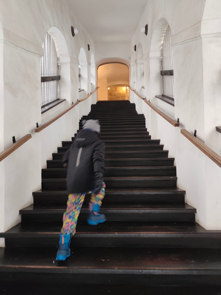
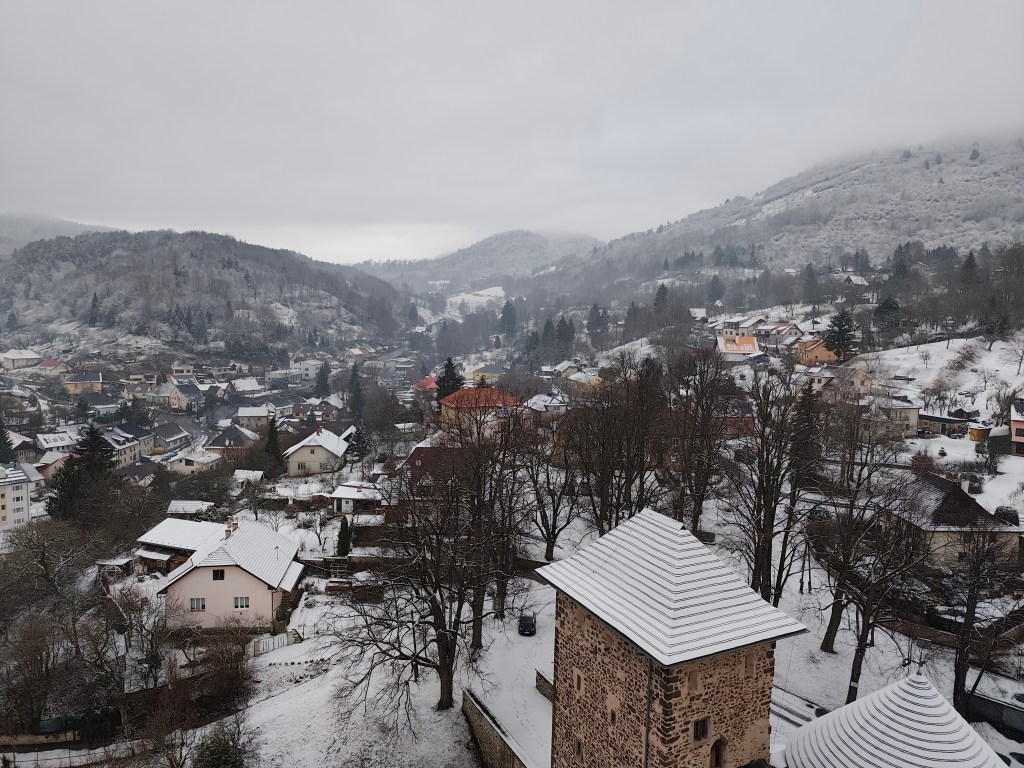
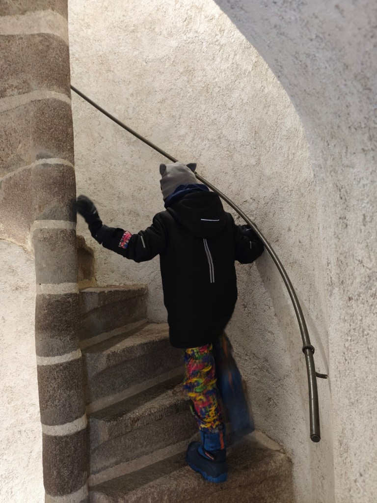
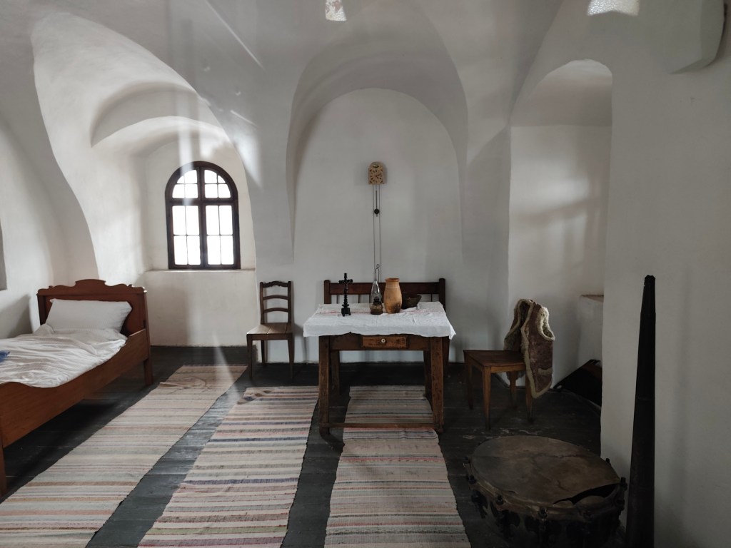
The guards’ room currently functions as an exhibition and offers the most beautiful view of the city skyline and surrounding hills. Visitors can reach it by climbing 127 winding stone steps.
From the castle we went to the Museum of Coins and Medals, which has 4 floors. Each floor has a different exhibition: the history of money in Slovakia, the history of the city of Kremnica, Kremnica mining and metallurgy, and a section dedicated to medals.
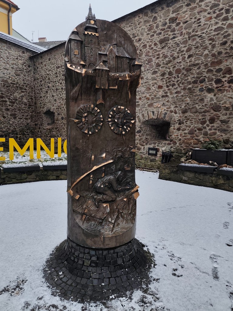
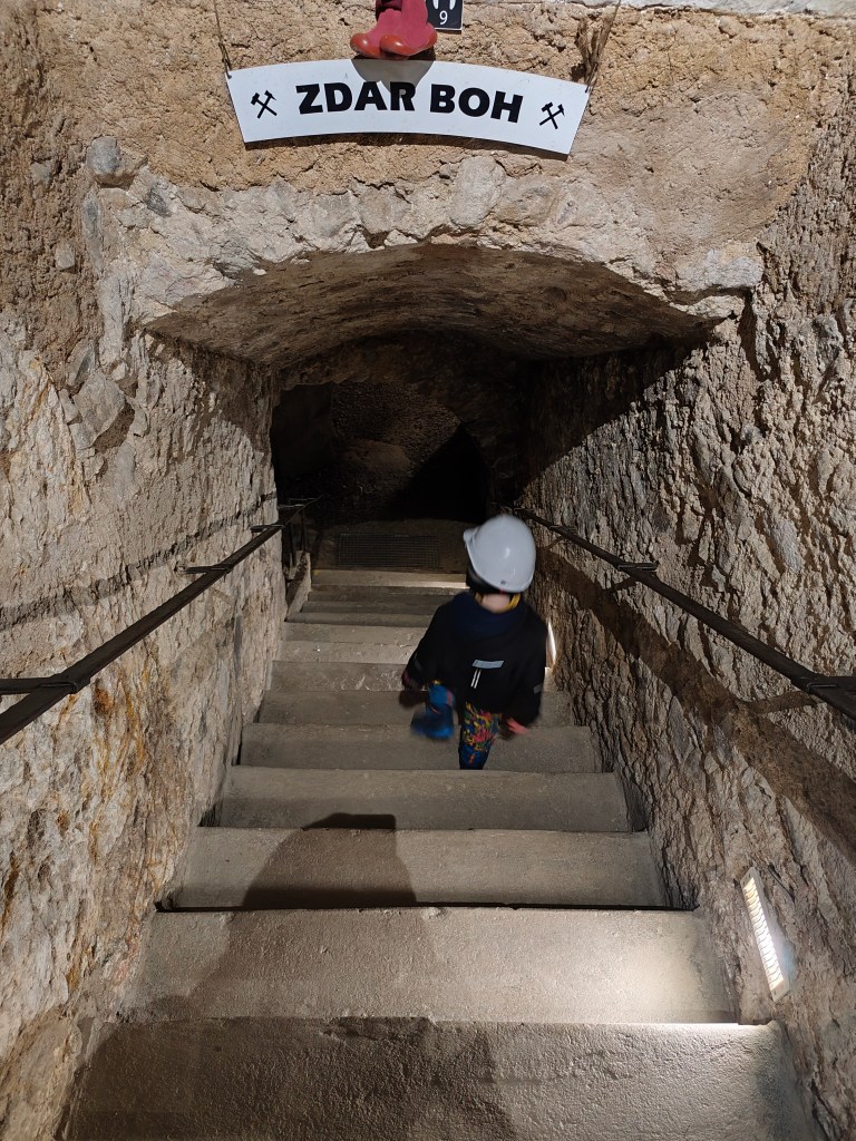
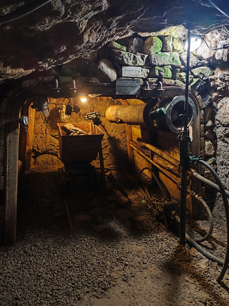
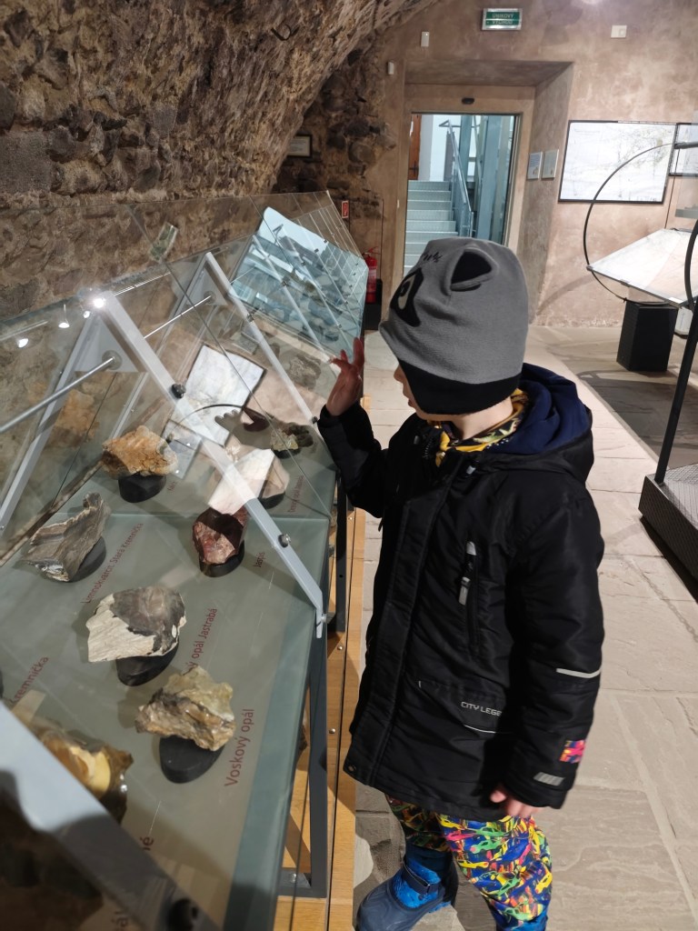
We liked the lowest floor about mining the most, there were various minerals, gold and machines used to mine and process ores on display. There is also a small gallery.
Je koniec januára a stále je zima a tak som sa rozhodla nám spestriť tento zamračenýa studený deň výletom do Kremnice. Už sme cez ňu prechádzali veľa krát,a le doteraz sme sa sem nikdy na výlet nedostali. Prišli sme si pozrieť hlavne Kremnický hrad, ale ako bonus sme so vstupenkou získali vstup do múzea mincí a medailí.
Kremnica má krásne hostorické centrum
Mestský hrad v Kremnici tvorí súbor stavieb zo 14. – 15. storočia, chránený dvojitým opevnením, na ktoré sa pripájajú jedny z najzachovalejších mestských hradieb na Slovensku. V strede areálu stojí dominantný gotický kostol sv. Kataríny.
Súčasťou hradu sú aj ďaľšie objekty ako fara, vstupná brána s barbakanom a obranné bašty. Výstavbu si zabezpečovali mešťania výhradne pre potreby správy a obrany svojho mesta a boli jeho výhradnými vlastníkmi.
Vstupujeme cez opevnenie
Ku kostolu bola v 15. storočí voľne pristavaná veža. Po stáročia v nej sídlili strážcovia a ohlasovali nebezpečenstvo.
V kostole sv. Kataríny
V súčasnosti funguje izba strážcov ako expozícia a zároveň je odtiaľ najkrajší výhľad na panorámu mesta a okolité kopce. Návštevníci sa k nej dostanú výstupom po 127 točitých kamenných schodoch.
Z hradu sme išli do múzea mincí a medailí, ktoré má 4 poschodia. Na každom poschodí je iná expozícia: dejiny peňazí na slovensku, dejiny mesta kremnica, kremnické baníctvo a hutníctvo a časť venovaná medailám.
Nám sa najviac páčilo najspodnejšie poschodie o baníctve, boli tu vystavené rôzne minerály, zlato a stroje pomocou ktorých ťažili a spracovávali rudy. Súčasťou je tiež malá štôlňa.
A few days before Christmas, it was a foggy days, so we looked for the sun. This time above Banská Štiavnica, I parked my car in the parking lot near Hájovna in the Červená Studňa saddle.
There is also a pond of the same name (at an altitude of 787 m above sea level). It was built as a taich in 1759 according to the design of the inventor Jozef Karol Hell, so that the drive ditch from it brought water to the Amália shaft to drive the water column pumping machine as well as to other mining works. The length of its dam is 117 m. It is the last built and still preserved Stiavnica tajch – six years after its construction, James Watt invented the steam engine.
Ont he way to Paradajs
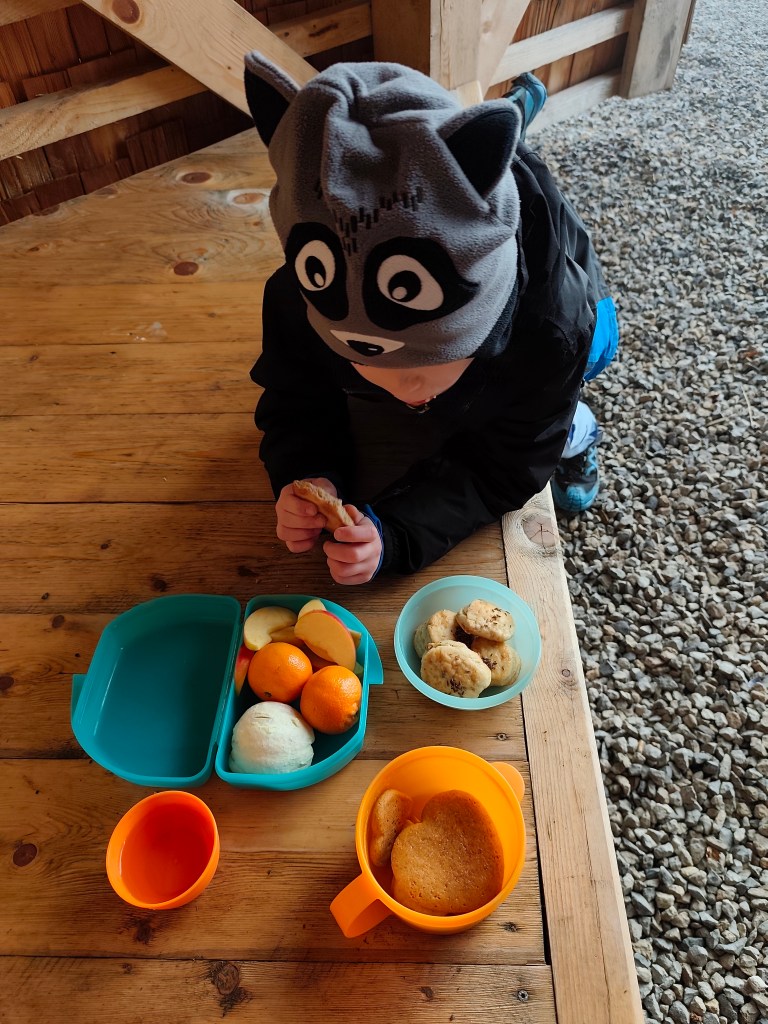
We continue along the nature trail to Mount Paradajs (939 m.a.s.l.). It is the second highest peak of Štiavnické vrchy, it is interesting that further south along the ridge is the high Tanád hill. Paradajs has a flat unforested peak that provides wonderful views of Štiavnica (today it only provided us with menhirs emerging from the fog:) On its top there is also a newly built semi-circular shelter where you can have a great picnic.
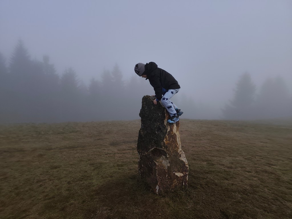
Dávid on one of the menhirs
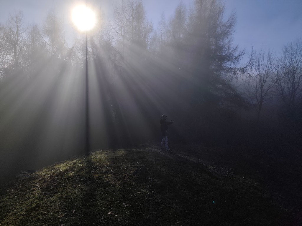
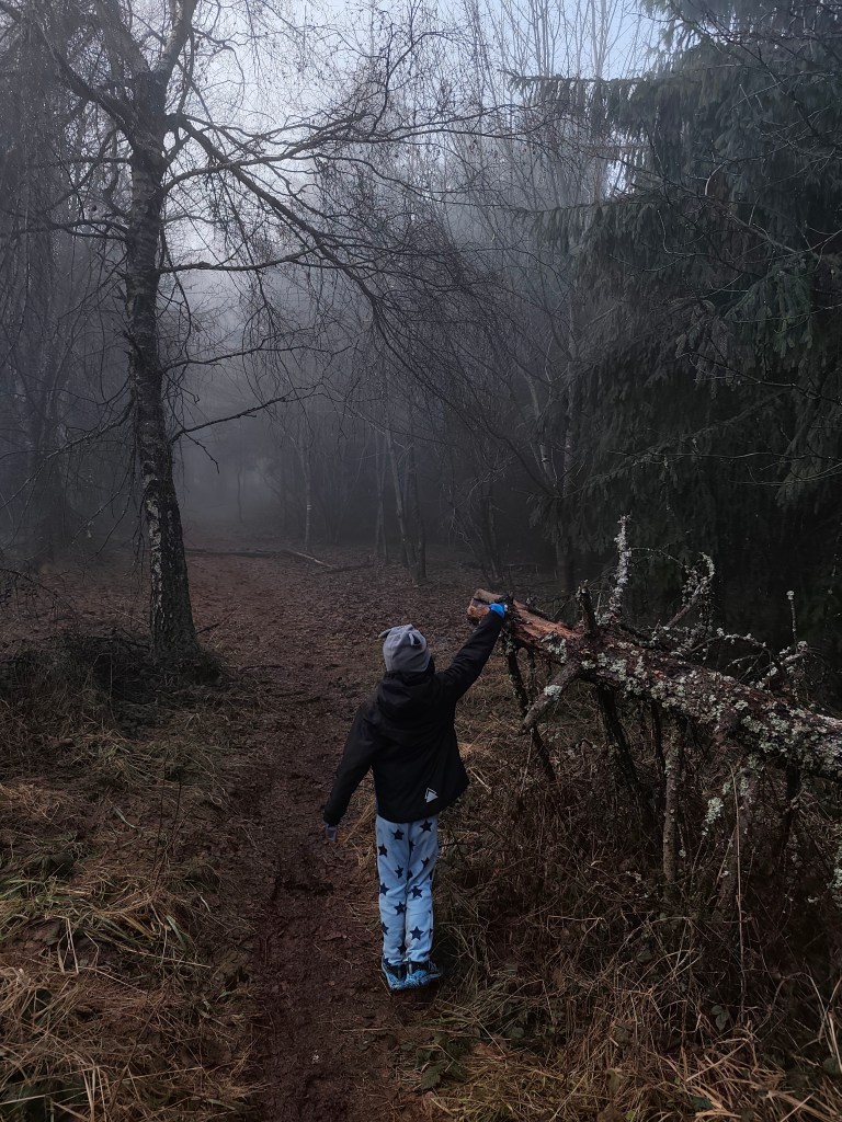
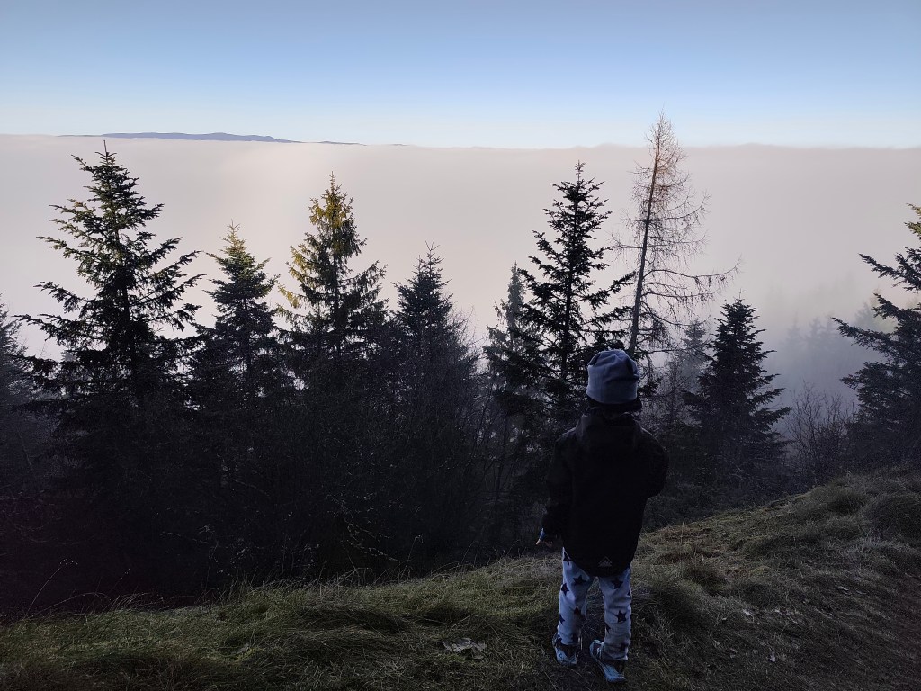
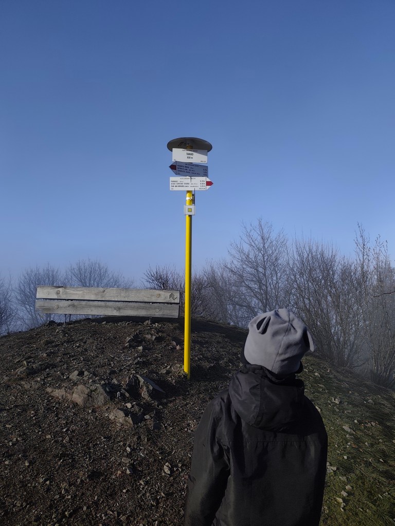
We continued through the foggy forest to Tanád, where we finally managed to climb out of the fog into the sun for a while.
Finally above the fogSun on Tanád
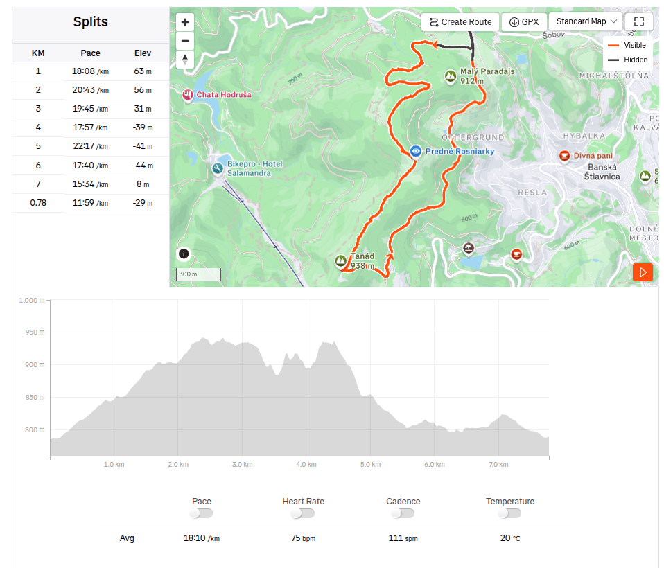
From Tanád, we turn onto the yellow road and descend steeply, then we turn onto the green educational path of Milan Kapusta, past the old tunnels and the Ottergrund tajch.
We always found something, that makes it worth it
Tajch Ottergrund is the highest artificial reservoir in Štiavnické vrchy. It is small, but it has one big advantage.Banská Štiavnica is right in the palm of your hand from here, including the iconic calvary (but of course it couldn’t be fog:D). The Tajch began to be built in 1751 and served as an energy source for the nearby mine shafts, as well as a source of drinking water for the city and a fire tank. Fortunately, it has been preserved to this day, it was recently renovated and a safety spillway was built here. The current depth is 6.6 meters.
Today we finish in Hájovňa in the saddle of Červená Studňa, where we warm up nicely after a foggy and wet day. As a reward, we treated ourselves to cappuccino and Dávid to sausages and juice.
Pár dní pred vianocami u nás vládla hmla a tak sme sa vidali hľadať slnko. Tentokrát nad Banskú Štiavnicu, auto som zaparkorkovala na parkovisku pri Hájovni v sedle Červená Studňa.
Nachádza sa tu aj rovnomenný rybník (v nadmorskej výške 787 m n. m.). Bol vybudovaný ako tajch v roku 1759 podľa návrhu vynálezcu Jozefa Karola Hella, aby náhonový jarok z neho privádzal vodu k šachte Amália na pohon vodostĺpcového čerpacieho stroja ako aj k iným banským dielam. Dĺžka jeho hrádze je 117 m. Je posledným postaveným a doteraz zachovaným štiavnickým tajchom – šesť rokov po jeho výstavbe James Watt objavil parný stroj.
Cestou na Paradajs
Pokračujeme náučním chodníkom na vrch Paradajs (939m.n.m). Ide o druhý najvyšší vech Štiavnických vrchov, zaujímavé je, že juženjšie po hrebeni je rovanko vysoký vrch Tanád. Paradajs má plochý nezalesnený vrchol, ktorý poskytuje nádherné výhľady na Štiavnicu (nám dnes poskytol len z hmly vynárajúce sa menhiry:) Na jeho vrchu sa nachádza aj novopostavený polkruhový prístrešok, kde sa dá spraviť parádny piknik.
štavnické menhiry prežili aj jedno neposedné dieťa
Pokračovali sme hmlistým lesíkom až na Tanád, kde sa nám konečne podarilo na chvíľu vyliezť z hmly na slnko.
Konečne nad hmlouSlnko na Tanáde
Z Tanádu bočíme na žltú a strmo klesáme, následne odbáčame na zelený náučný chodník Milana Kapustu, popri starých štôlňach a tajchu Ottergrund.
Vždy nájdeme niečo, prečo to stojí za to:)
Tajch Ottergrund je najvyššie postavená umelá nádrž v Štiavnických vrchoch. Je malý, ale má jednu veľkú prednosť. Banskú Štiavnicu máte odtiaľto ako na dlani aj s ikonickou kalváriou (to by ale samozrejme nemohla byť hmla:D). Tajch začali stavať v roku 1751 a slúžil ako energetický zdroj pre neďaleké banské šachty, ďalej ako zdroj pitnej vody pre mesto a požiarna nádrž. Našťastie sa zachoval dodnes, nedávno prebehla rekonštrukcia a vybudovali tu aj bezpečnostný prepad vody. Súčasná hĺbka je 6,6 metra.
Dnešný deň končíme v Hájovni v sele Červená Studňa, kde sa po sychravom dni krásne zohrejeme. Ako odmenu sme si dopriali kapučíno a Dávid párky a džús.
I have wanted to visit this castle for a long time, but the distance from Banská Bystrica discouraged me. Now, however, a new section of the highway has finally opened and it shortened the journey to an acceptable hour and a half, so on Saturday, December 5th, we set out to explore the border castle and its surrounding area. And there is so much to see!
You cannot miss the parking lot under the castle, the road to it is perfectly marked, and to my surprise, right next to the parking lot is a new and large playground and a buffet (which, however, is only open in season).
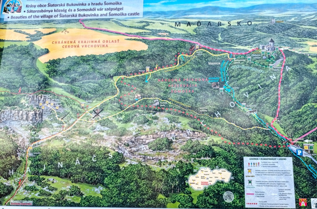
There is also a map of the nature trail by the parking lot, or just a shortened version to the castle and back.
nature trail map šomoška
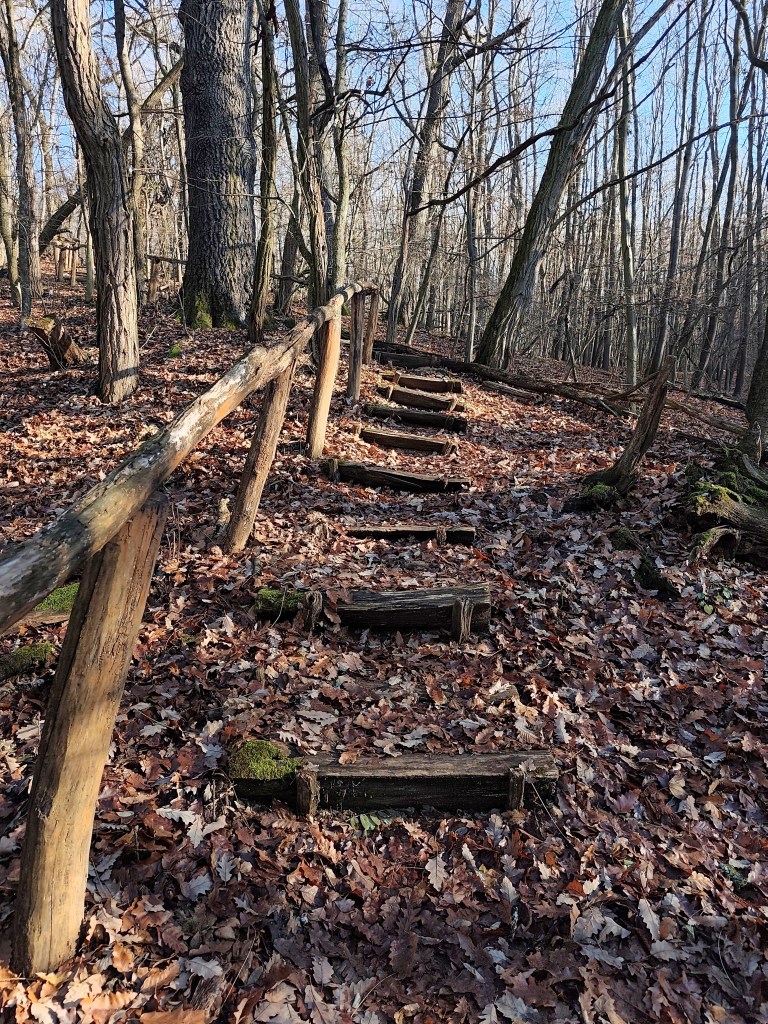
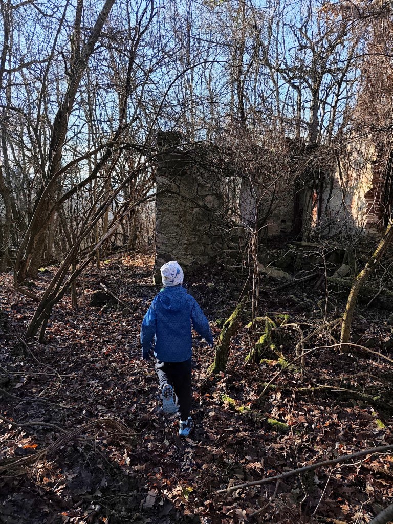
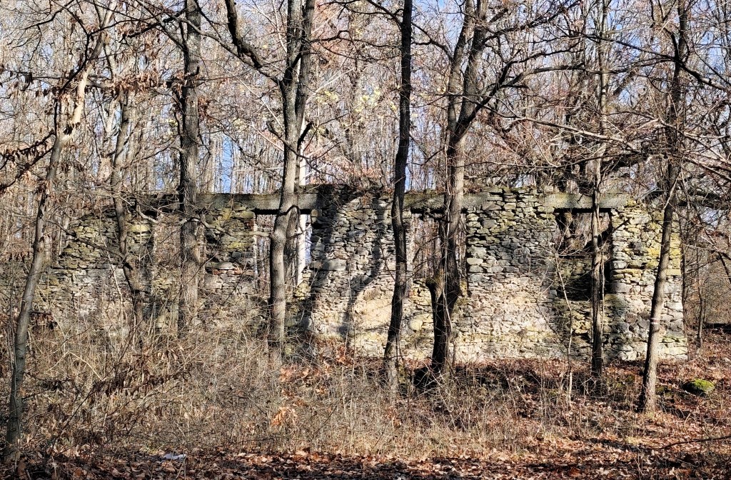
We decided to walk the entire nature trail in the direction of the quarry first, then the castle 🙂 The path to the quarry was made special by the forest stairs and the former school building. It is a ruin of a medium-sized building from which the walls, a few old doors and fallen windows have been preserved. The rest is slowly but surely being reclaimed by the forest.
The quarry is called Mačacia and was founded in 1880. At its peak, up to 1,500 people worked there. A mining settlement with a school, dormitories, a shop and two financial guard buildings gradually grew up around it. Basalt was mined here and cat’s heads were made from it, and the raw material was exported to many European countries.
Former shop building
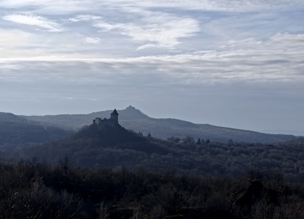
Above the quarry there is a lookout tower with a beautiful view of Šomoška Castle and Šalgó Castle behind it (which is now in Hungary).
From the lookout tower
From the lookout we return along the nature trail past the shop building and then past the financial guard building. We descend into the valley, cross the bridge and then the climb to the castle awaits us.
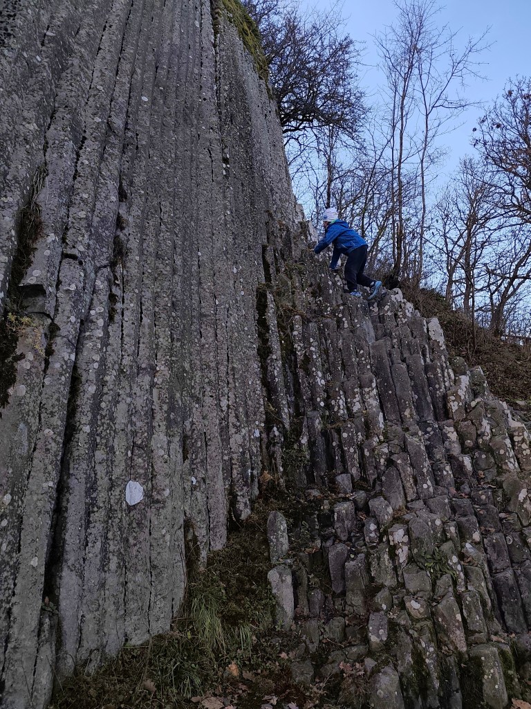
Before we climb to the castle, we still have to see a sea of stones and a basalt stone waterfall. David likes it very much, he would love to climb it all day long 🙂
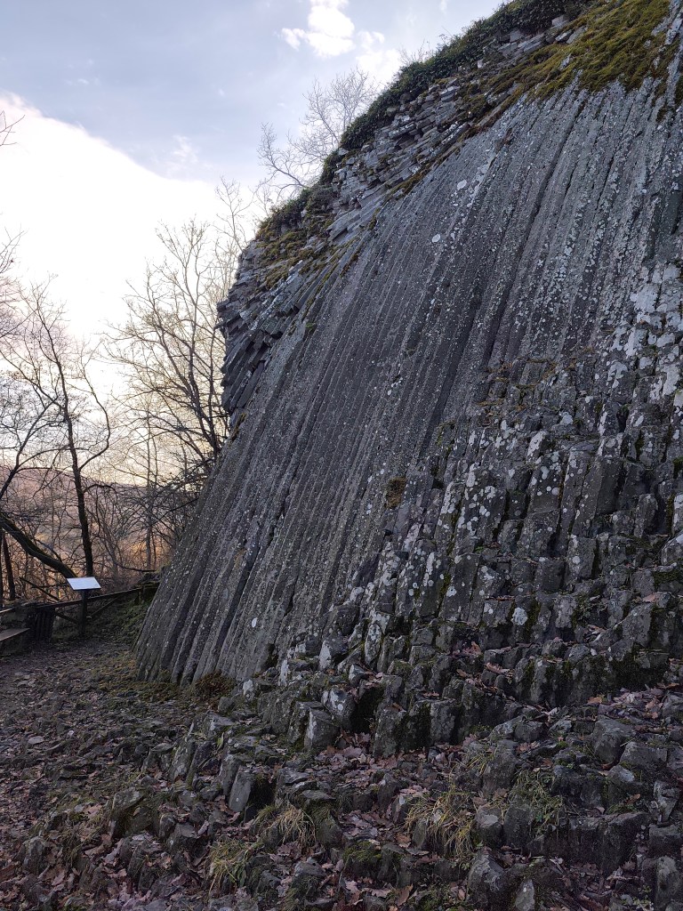
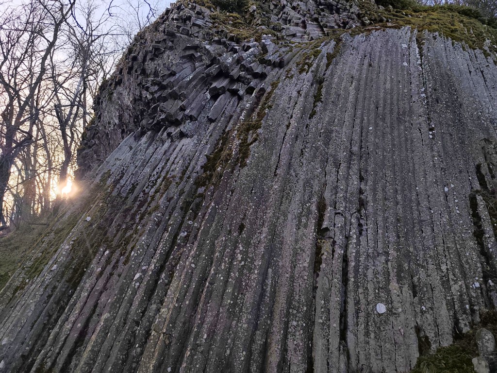
Stone waterfall
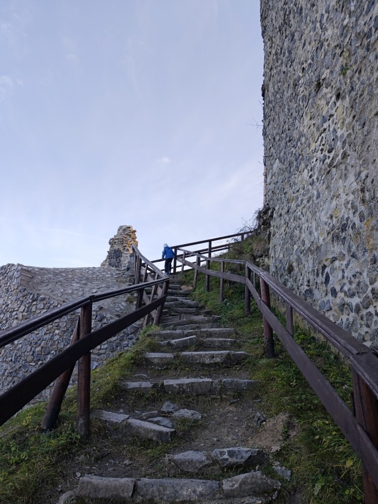
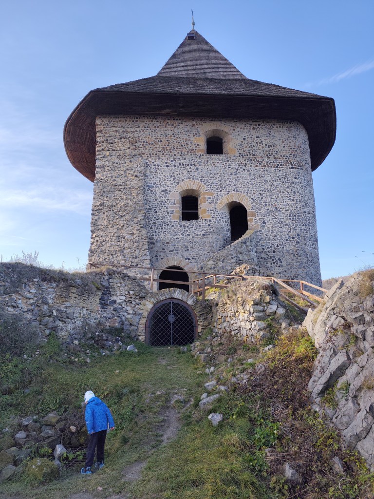
The castle itself was founded in the late 13th or early 14th century by the Kačič family. It was built from basalt blocks, which were quarried directly from the castle hill. During the construction, a famous stone waterfall was also discovered. In 1310, it became the property of Matúš Čák.
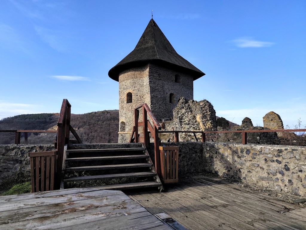
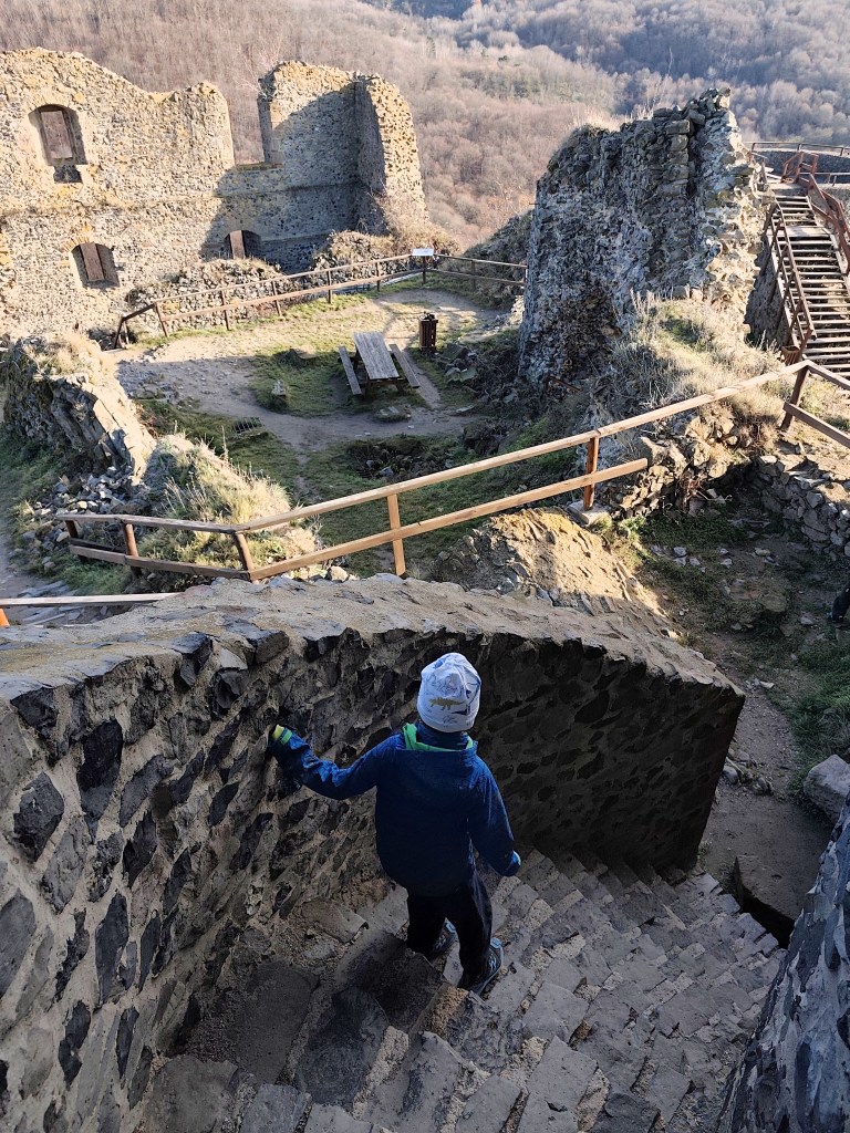
The original appearance of the castle is not clear. It is assumed that it originally consisted of a small towerless layout, approximately triangular in plan. Later in the Middle Ages it was expanded with a Gothic palace in the east and also with an entrance tower. A major reconstruction took place in the 16th century, when it was expanded with two cannon bastions, a barbican and two buildings on the north and south sides. The interiors were equipped with carved shaped elements.
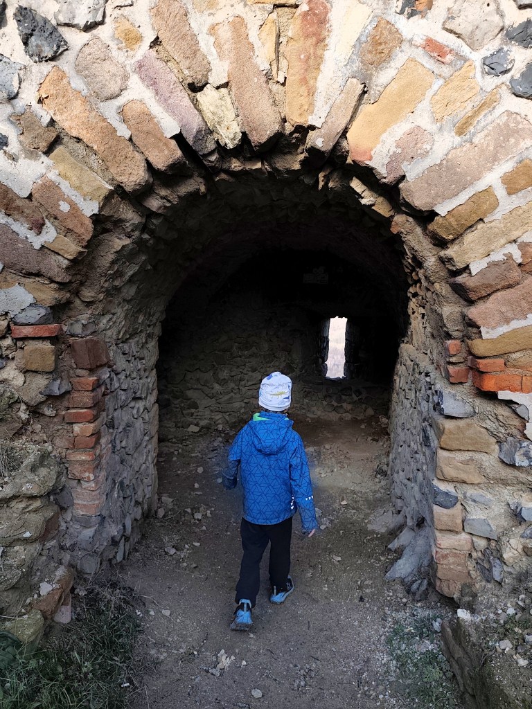
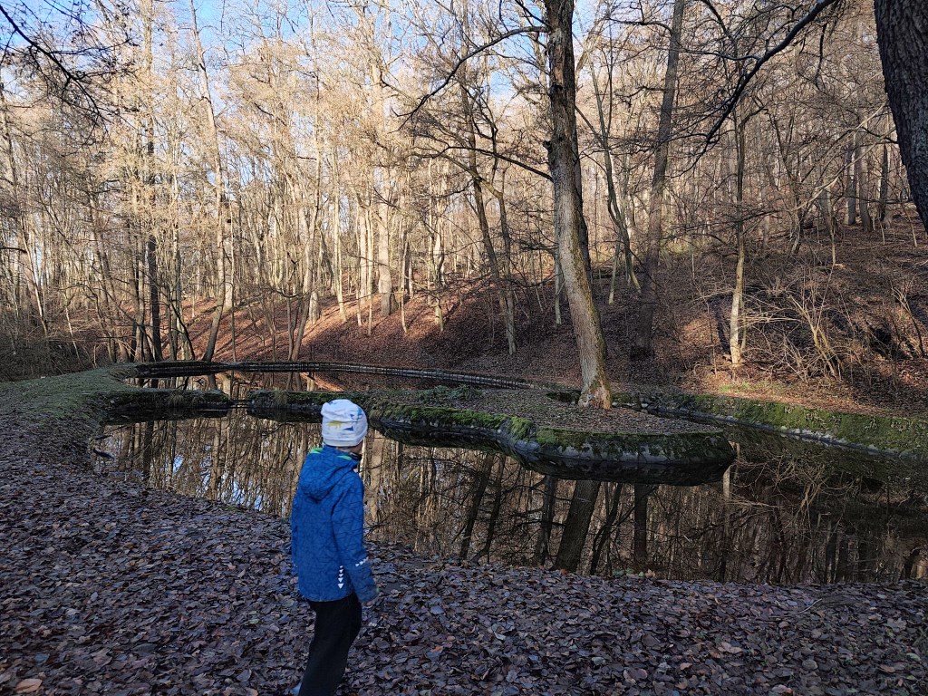
On the way back to the parking lot, we were also impressed by the beautifully renovated ponds, which are supplied with water from a nearby spring. They are interconnected to allow for the migration of aquatic animals. David was 6 at that time.
Tento hrad som chcela navštíviť už dávno, ale odrádzala ma vzdialenosť od Banskej Bystrice. Teraz však konečne otvorili nový úsek diaľnice a cestu to skrátilo na prijateľnú hodinu a pol a tak sme sa v sobotu 5.12 vybrali prebádzať hraničný hrad a jeho priľahlé okolie. A že tam je čo vidieť!
Parkovisko pod hradom nemôžete minúť, cesta k nemu je parádne značená a na moje prekvapenie hneď pri parkovisku je nové a veľké detské ihrisko a aj bufet (ktorý však funguje len v sezóne).
Pri parkovisku je aj mapka náučného chodníka, prípadene len skrátenej verzie na hrad a späť.
Mapa náučného chodníka šomoška
My sme sa rozhodli prejsť celý náučný chodník v smere najkôr kameňolom, potom hrad:) Cestu do kameňolomu nám obzvláštnili lesné schody a aj budova bývalej školy. Ide o zrúcaninu stredne veľkej budovy z ktorej sa zachovali múry, zopár starobilých dverí a spadnuté okná. Zvyšok si pomaly ale isto berie späť les.
Kameňolom sa volá Mačacia a vznikol v roku 1880 a v dobách jeho najväčšej slávuy v ňom pracovalo až 1500 ľudí, postupne okolo neho vyrástla banícka osada so školou, noclahárňami, obchodom a dvomi budovami finančnej stráže. Ťažil sa tu bazalt a vyrábali sa z neho mačacie hlavy, surovina bola vyvážaná do mnohých európskych štátov.
Bývalá budova obchodu.
Nad kameňolomom stojí rozhľadňa s krásnym výhľadom na hrad Šomoška a za ním stojaci hrad Šalgó (ten už je však na území Maďarska).
Výhľad z rozhľadne
Z rohľadne sa vraciame náučným chodníkom popri budove obchodu a následne aj popri budove colnice. Zbiehame dolu do dolinky, mostíkom cez potom a už nás čaká výstup na hrad.
Kým vystúpame na hrad, čaká nás ešte kamenné more a bazaltový kamenný vodopád. Ten sa Dávidovi veľmi páči, najradšej by po ňom lozil celý deň:)
Kamenný vodopád
Samotný hrad založili koncom 13. alebo začiatkom 14. storočia Kačičovci. Bol stavaný z čadičových kvádrov, ktoré boli ťažené priamo v hradnom kopci. Pri stavbe bol odkrytý i známy kamenný vodopád. V roku 1310 sa stal majetkom Matúša Čáka.
Podoba pôvodného hradu nie je zrejmá. Podľa predpokladov ho pôvodne tvorila malá bezvežová dispozícia, približne trojuholníkového pôdorysu. Neskôr v stredoveku sa rozrástol o gotický palác na východe a tiež o vstupnú vežu. Zásadná prestavba prebehla v 16. storočí, keď bol rozšírený o dve delové bašty, barbakan a dve budovy na severnej a južnej strane. Interiéry boli vybavené tesanými tvarovanými článkami.
Cestou späť na parkovisko nás ešte zaujali krásne zrekonštruované jazierka, ktoré sú zásobované vodou z neďalekého prameňa. Sú navzájom pospájané, aby umožnili migráciu vodných živočíchov. Dávid mal v čase výletu 6 rokov.
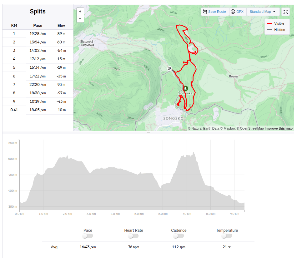
9.41km, 2:37 aktívny čas, 3:17 spolu, 315 nastúpaných metrov
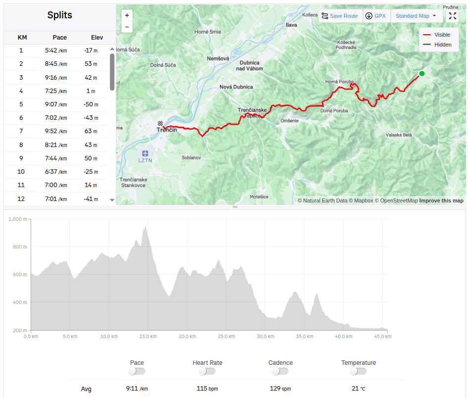
This time we had a 45km long stage from Zliechov to Trenčín. In the morning at 7:00 we stopped the car in front of the same grocery store where we ended the stage last time. It was an above-average warm day for November, the sun shone through the clouds, ideal weather for running.
Steep part of the climb
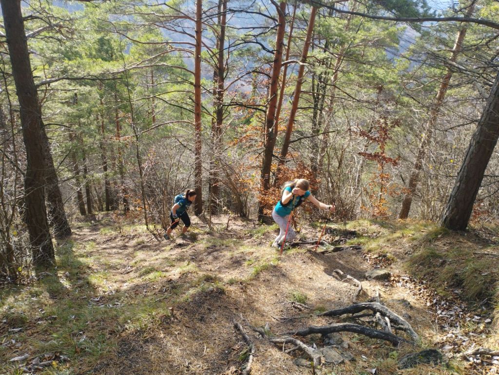
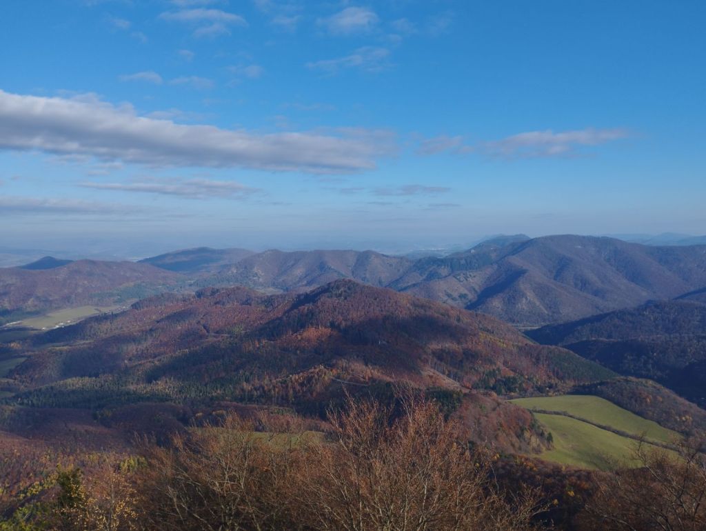
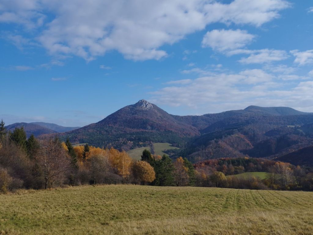
The path undulated up and down through meadows, later turning into a forest path and we slowly climbed to Vápeč. The climb was long, I think about 10 kilometers, but only very gentle. The very end was steeper, but Vápeč rewarded us with a beautiful circular view of the wide surroundings.
On VápečView from Vápeč
Then we descended to Horná Poruba and continued along a long forest path covered with leaves. The leaves covered puddles, mud and even roots or stones, so each of us jumped into at least one puddle. Somewhere near the stone gate we met Jožko, who was going to drive the car to the destination in Trenčín and was running towards us. We were all looking forward to some refreshments in Trenčianske Teplice. We found a pub by the lake and the non-alcoholic radler just disappeared inside us.
After Horná Poruba
From Teplice to Trenčín it was again a leafy forest path, so to speak just over the hill. However, Trenčín tormented us, 5 kilometers on asphalt, running from one side of the road to the other and the only interesting thing it offered us along the way was the silhouette of the castle in the background.
But overall we enjoyed it, this autumn day was perfect for such a beautiful stage with rustling leaves.
A beautiful sunny autumn Sunday, perfect for the mountains.
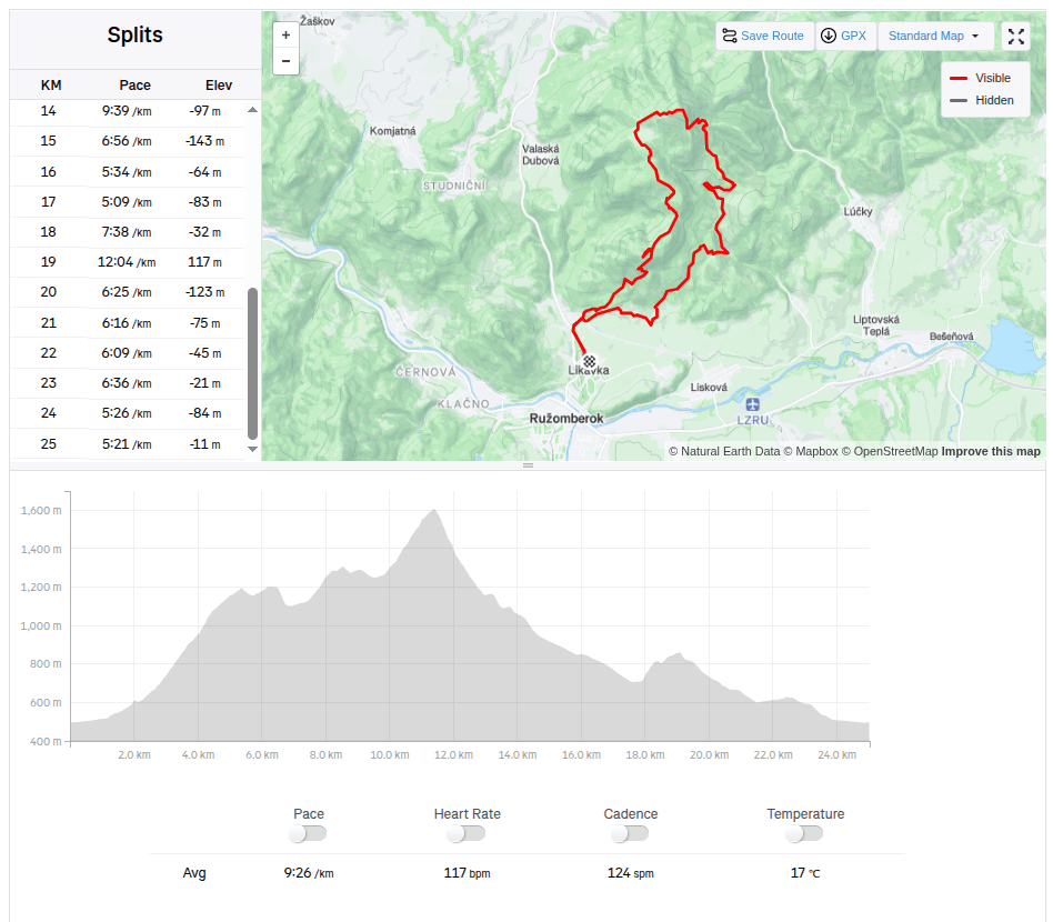
We started in Likavka near Ružomberok and after just a few kilometers we came across the first attraction – Likavka Castle, but we only saw its outer walls because it has been closed for a long time due to reconstruction.
Castle Likava
Even so, it stands majestically on the rocky spur of Predný Choč and is worth visiting, as Likava is one of the largest castle buildings in central Slovakia, and the massiveness and height of the palace-like complex of the upper castle (more than 36 m measured at the highest point of the northern palace) ranks it among the highest castles in Slovakia.
Výhľad na hrad Likava
We continue with the red mark, at the crossroads we also go to a viewpoint on a meadow below the peak of Predný Choč. The viewpoint is located at an altitude of 1170 m above sea level and consists of a meadow, surrounded by a forest on three sides. The viewpoint provides a view mainly to the south. From the viewpoint we will have a view of the city of Ružomberok, the Dolný Liptov region and the Veľká Fatra and Nízke Tatry mountains.
At the Spuštiak saddle we continue to Stredná Poľana, from where we choose the winter road to Veľký Choč.
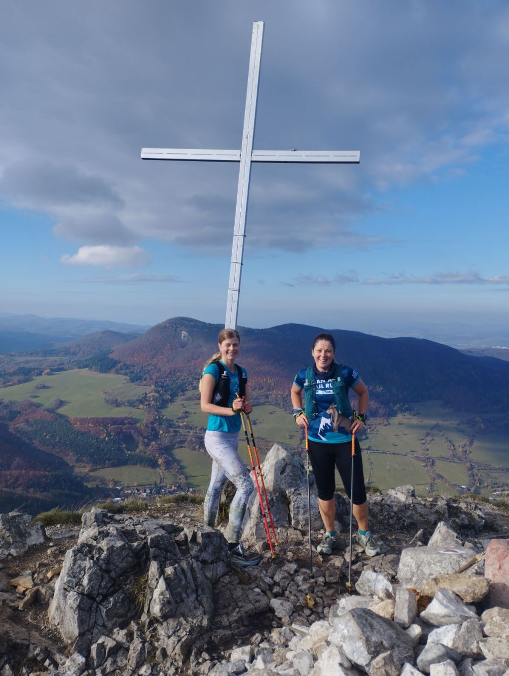
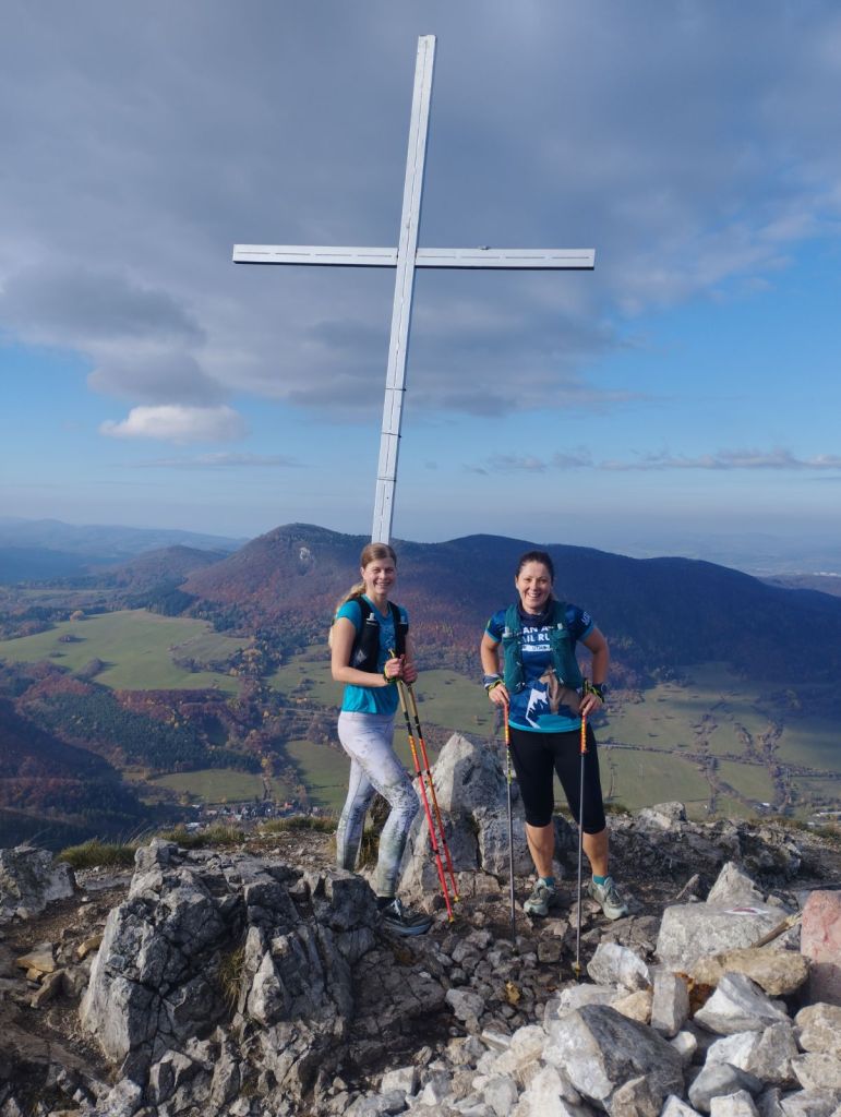
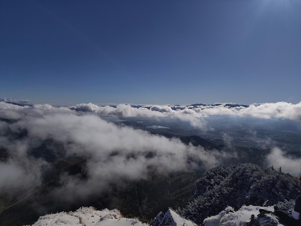
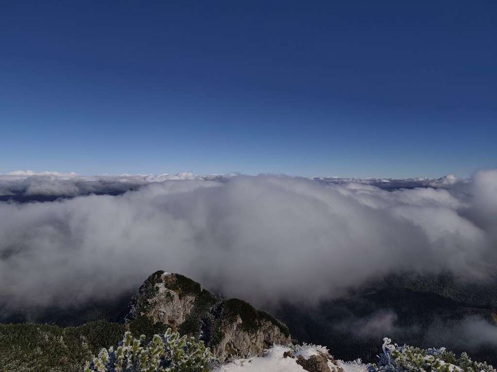
Veľký Choč (1,611.0 m above sea level) is the highest peak in the Choč Mountains in Slovakia. The peak is very popular with tourists. It has the shape of an irregular pyramid with numerous cliffs. There is an excellent circular view from the top of Choč. Its peak is covered with pine trees, from Valaská Dubová it has a slightly rising shape, while from the north and from Lúčky it is in a steep slope. And it was this steep slope that we descended. Due to the snow, mud and rocky ground, we descended carefully and slowly. Fortunately, the most dangerous places were secured with chains.
At Žimerová we turned off the red one and headed towards Turícký tajch. It is a really small body of water, but at least it served as a reference point for us (we turned off here onto an inconspicuous forest path, which led us back to the blue tourist trail. We continued along the blue trail to Likavka (well, almost, because we took a wrong turn and ran across the field to the castle :D)
25km, 3h56min active time, 4:38 total, 1566 metre ascend