Tag: travel

  • Alpe Adria, third day

    Alpe Adria, third day

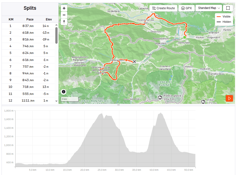
    Our last day on the route, we will cross the Karavan Mountains back into Austria followed by a 30 km long relatively straight section back to Arnoldstein.
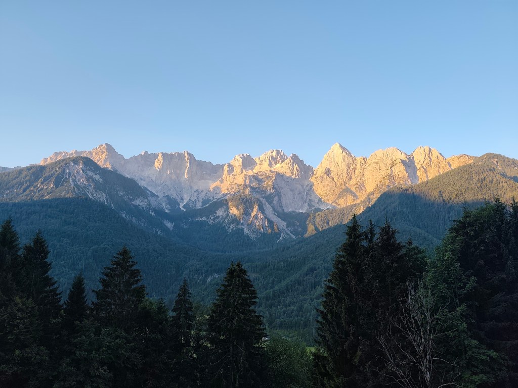
    Morning sun over Gozd-Matjulek

    We wake up at 4 in the morning, our hostel’s cafeteria is fortunately open non-stop, also with a coffee machine, so we have a quick coffee and leave the hostel at 4:42 in the morning. We have breakfast on the way through Krajnska gora, enjoying the morning chill. Today is supposed to be hot, the forecast says 33 degrees, so we just hope that the second half of the route through Austria will not be sunny, because we will boil ourselves alive.
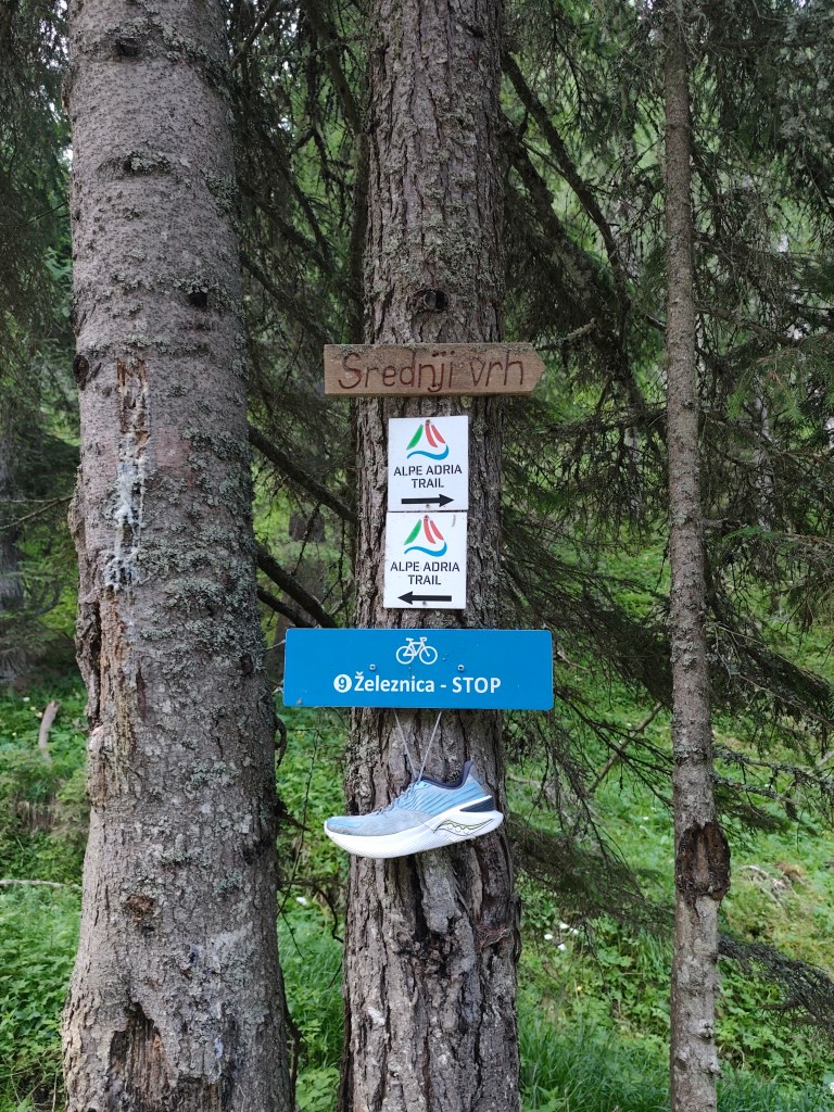
    Strednji vrh,in ascend to Mittasgkogel

    We leave the Krajnska gora behind and for the first few kilometers we run along the foot of the mountain along the river. At the 5th kilometer we start to climb and climb steeply to the ridge. However, at the top we leave the Alpe Adria trail for a moment and go less than a kilometer to the Techantinger Mittagskogel with an altitude of 1823 meters above sea level. It offers beautiful views not only of the Karavanke Mountains, but also of the lowlands in Austria and also of Faaker See.
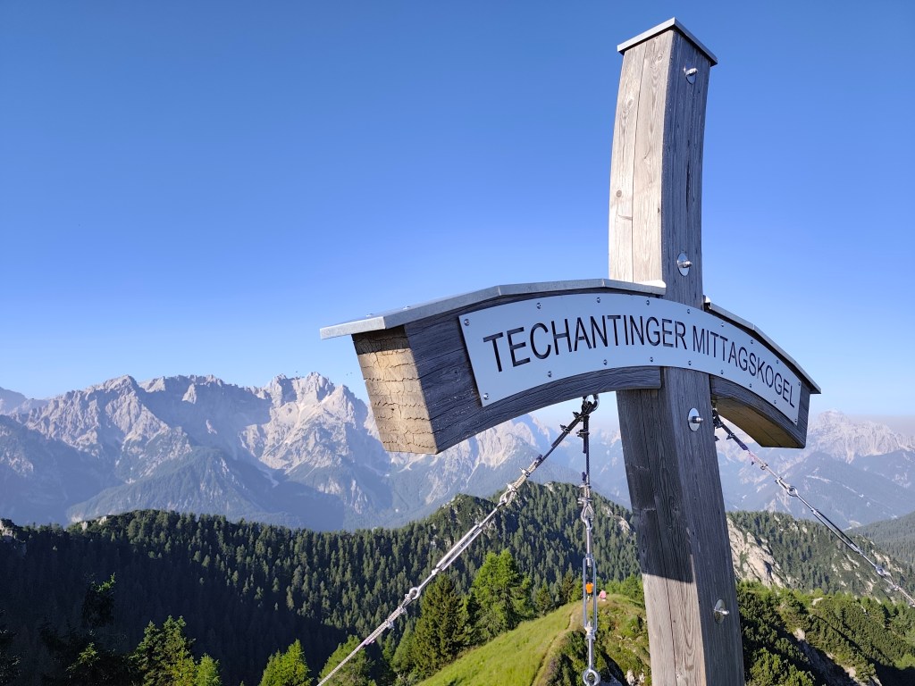
    Mittagskogel

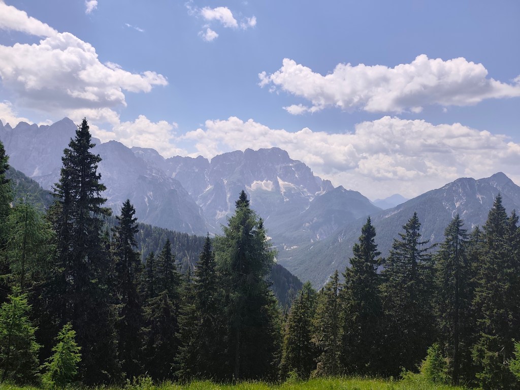
    It follows a 6km run on beautiful ridge with breathtaking views, we would have liked to run much further along it. However, Alpe Adria leads us in a different direction.
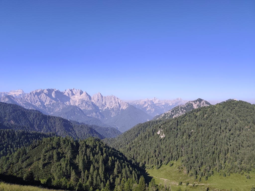
    From ridge of Karavanke Mountains

    We start to descend and the route becomes flatter and flatter. We run through a few villages to Faaker See, where, almost out of water, we stop at a buffet on the shore of Faaker See. Radler is a classic, we refill our bottles and wash our sweaty faces, the temperature rises, it feels like it’s over 30.
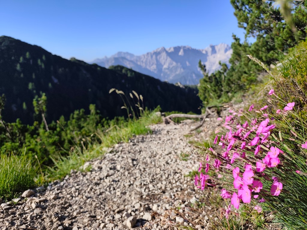
    Going off the trail to Mittagskogel was worth it

    Next for us is one of the most difficult parts, through the Finkenstein moor, a marsh with tall reeds, through which a long straight dirt road leads, in the midday sun, without a single bit of shade. Fortunately, a forest followed it and a few kilometers further we came across the Gail River, we couldn’t resist and went to it to cool down. It’s a shame that in that heat we were dry again in just a few minutes.
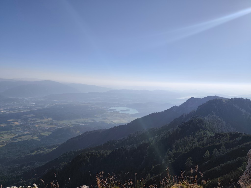
    Faaker See in background

    We arrive in the spa town of Warmbad, and since we can smell how many kilometers we have behind us, we prefer to stay on the terrace of a local restaurant, even though the interior is air-conditioned. The Radler in us quickly disappears and we have no choice but to continue riding 🙂 The spa park is truly beautiful with carpets of meadow flowers.
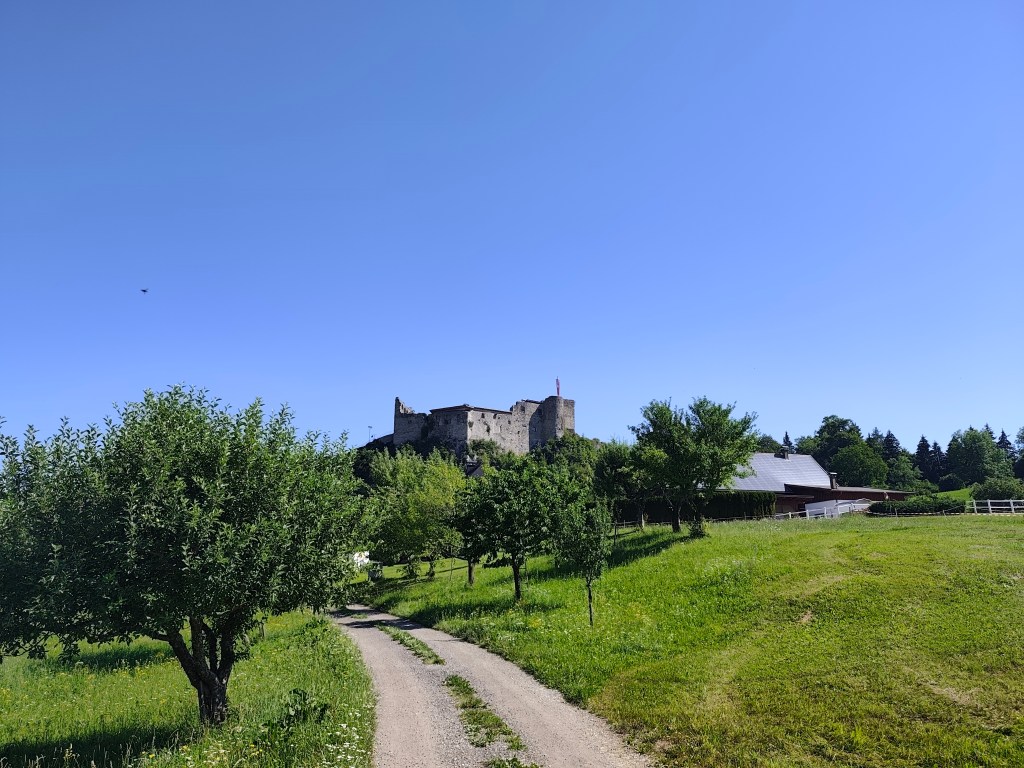
    Austria

    We continue along the old Roman road, which is still visible today thanks to the deep ruts left in the rock by the wheels of the carts. There should also be a waterfall and a spring here, but it is too dry and we only find a dry riverbed. We are saved by a stream a few kilometres before Oberschutt, where we at least cool down, and then a spring in the square in Oberschutt, where we fill our completely empty bottles. I almost jump from joy when we saw it there, I was already overheated and really thirsty.
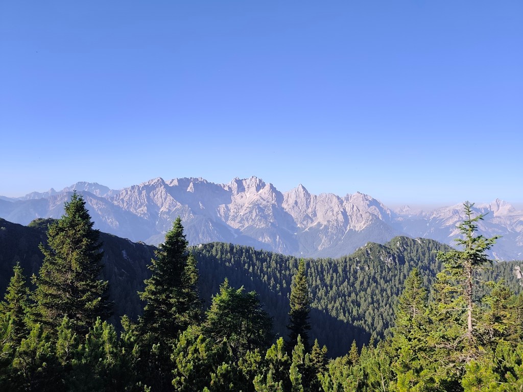
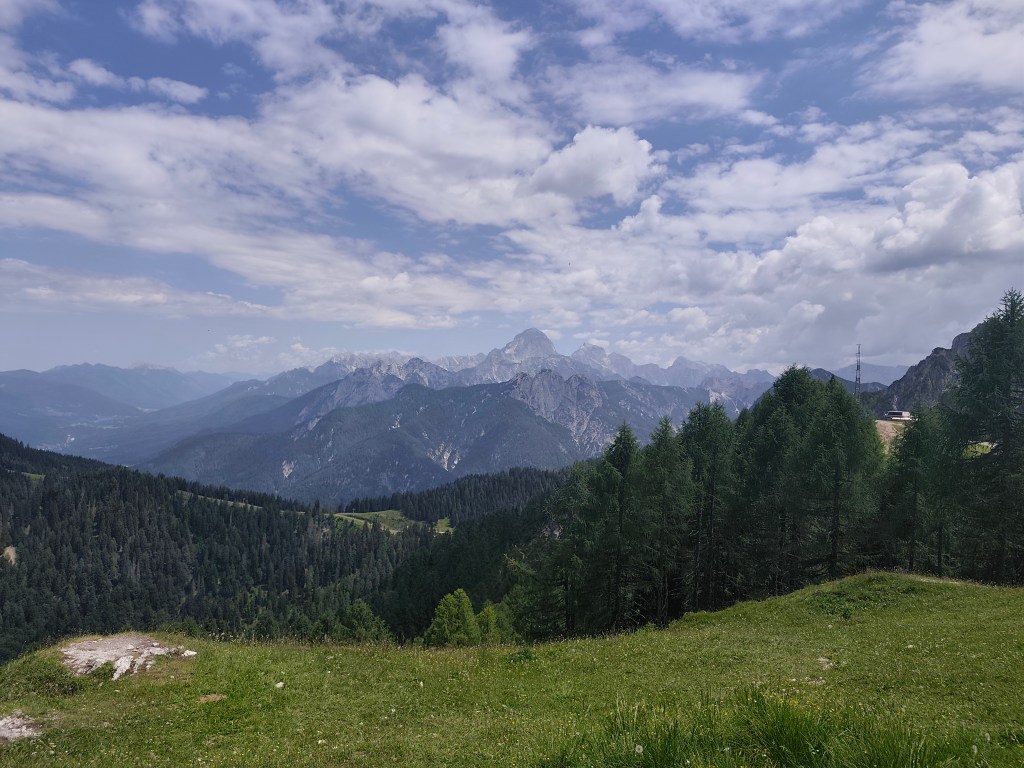
    Karavanke Mountains

    The last 10 kilometers await us, mostly on a cycle path that is fortunately mostly covered with trees. After an hour and a half we reach Arnoldstein and our destination is not out accommodation, but a local shop, because we have been looking forward to a flavored orange mineral water for at least an hour 😀

    It was a great experience full of emotions, views, steep climbs and equally steep descents, adrenaline and sweat, which I will remember for a long time.
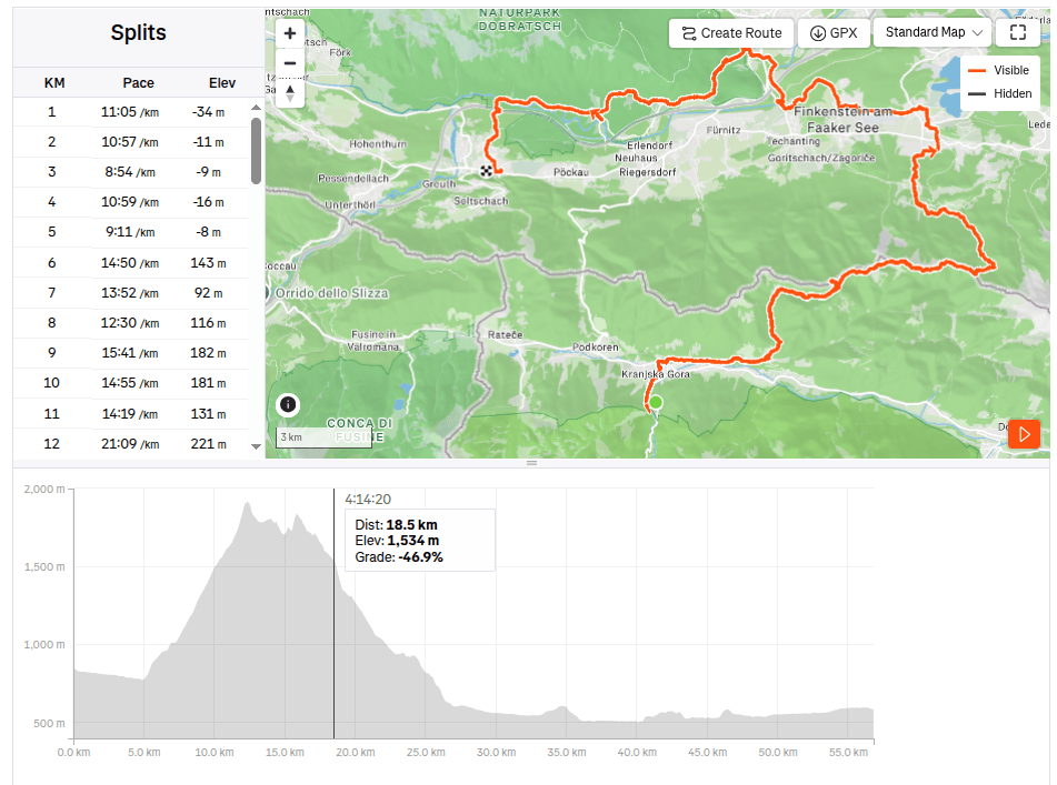
    56.81km, 10:15 active time, 10:49 total, 1858 m ascend
  • Alpe Adria, deň tretí

    Alpe Adria, deň tretí

    Náš posledný deň na trase, čaká nás prechod cez Karavanské hory naspäť do Rakúska a potom ešte 30km dlhý relatívne rovný úsek späť do Arnoldsteinu.

    Ranné slnko nad Gozd-Matjulekom

    Vstávame ráno o 4tej, jedálenička nášho hostelu je naštastie otvorená nonstop, aj s kávovarom a tak dávame rýchlu kávu a hostel opúštame ráno o 4:42. Raňajkujeme cestou cez Krajnsku goru, vychutnávame si ranný chlad. Dnes má byť horúco, predpoveď hovorí o 33 stupňoch a tak len dúfame, že druhá polovička trasy rakúskom nepôjde po slnku, lebo sa uvaríme zaživa.

    Strednji vrh, v stúpaní na Mittasgkogel

    Krajnsku goru nechávame za sebou a prvých pár kilometrov bežíme popri úpätí hory popri riečke. Na 5tom kilometri začíname stúpať a strmo stúpame až na hrebeň. Hore však na chvíľu opúšťame Alpe Adria trail a zachádzame necelý kilometrík na Techantinger Mittagskogel s nadmorskou výškou 1823mnm. Ponáka nádherné výhľady nie len na Karavanky, ale aj do nížin v Rakúsku a aj na Faaker See.

    Mittagskogel

    Nasleduje 6kilomtrov prekrásnym hrebeňom s dychberúcimi výhľadmi, najradšej by sme ním bežali oveľa ďalej. Avšak Alpe Adria nás vedie iným smerom.

    Z hrebeňa Karavaniek

    Začiname klesať a trasa sa stáva čím ďalej rovinatejšou. Prebehneme cez pár dedín až k Faaker See, kde už takmer bez vody zastavujeme v bufete na brehu Faaker See. Radler je už klasika, dopĺňame fľašky a umývame spotené tváre, teplota stúpa, pocitovo je cez 30.

    Zísť z trasy na Mittagskogel sa oplatilo

    Nasleduje pre nás jedna z najťažších častí, cez Finkenstein moor, močarisko s vysokou trstinou, cez ktorý vedie dlhá rovná prašná cesta, na obednom slnku, bez kúska tieňa. Našťastie po nej nasledoval lesík a o pár kilometrov ďalej sme narazili na rieku Gail, neodolali sme a išli sme sa k nej schladiť. škoda len, že v tom teple sme boli zas suchý už za pár minút.

    Faaker See v pozadí

    Prichádzame do kúpeľného mestečka Warmbad, a keďže je už z nás cítiť koľko kilometrov máme zasebou, radšej ostávame na terase miestnej reštaurácie, aj keď vnútorné priestory sú klimatizované. Radler v nás rýchlo mizne a nám neostáva iné, len pokračovať v jazde:) Kúpeľný park je naozaj nádherný s kobercami nasadených lúčných kvetov.

    Rakúsko

    Pokračujeme starou rímskou cestou, ktorá je dodnes viditeľná vďaka hlbokým koľajám, ktoré ostali v skale po kolesách vozov. Mal by tu byť aj vodopád a prameň, avšak je príliš sucho a tak nachádzame len suché koryto. Zachraňuje nás potôčik pred Oberschutom, kde sa aspoň schladíme a následne prameň na námestíčku v Oberschute, kde plníme už úplne prázdne fľaše. Dobre, že som neskákala od radosti, keď sme ho tam zbadali, už som bola zas prehriata a aj poriadne smädná.

    Karavanky

    Čaká nás posledných 10 kilometrov, väčšinou po cykloceste naštastie väčšinou krytej stromamy. Po hodinke a pol doniehame do Arnoldsteinu a naším cielom nie je ubytko, ale miestny obchod, lebo už aspoň hodinu sa tešíme na ochutenú pomarančovú minerálku 😀

    Bol to parádny zážitok plný emócií, výhľadov, strmých stúpaní a rovnako strmých zbehov, adrenalínu a potu, na ktorý budem ešte dlho spomínať.

    56.81km, 10:15 aktívny čas, 10:49 celkový čas, 1858 nastúpaných metrov.
  • Alpe Adria Trail, second day

    Alpe Adria Trail, second day

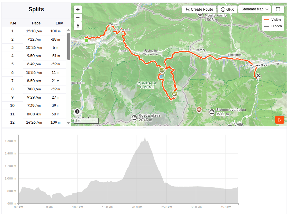
    The second day on the route was a bit more relaxing, we had a little less kilometers than the remaining two days, this time “only” 37. So we could afford to leave later and enjoy a great Italian breakfast (which of course paid off a little, because I ran for the first three hours with a completely full stomach and it was already very hot). But the croissant was worth it 🙂

    I will be scared to go this path in night:)

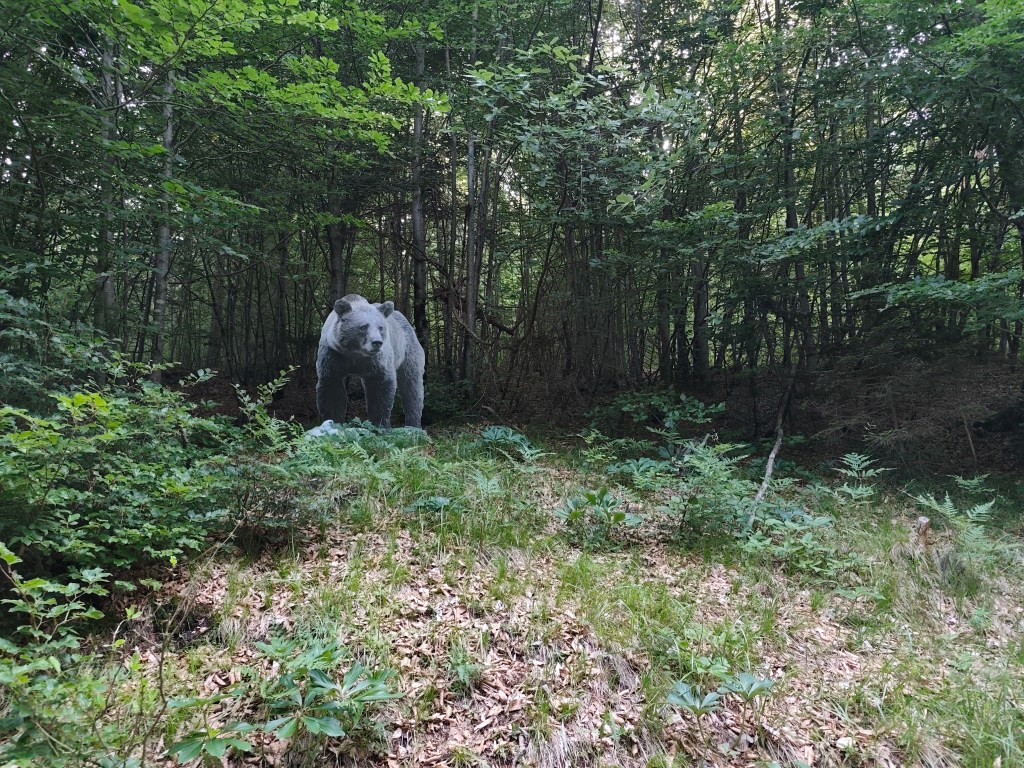
    We started from Tarvisio at 8:00 in the direction of Coccau. A great forest trail enriched with life-size models of animals. After Coccau, an adrenaline attraction was waiting for us in the form of an old suspended bridge over the Gailitz river, with rotten boards.

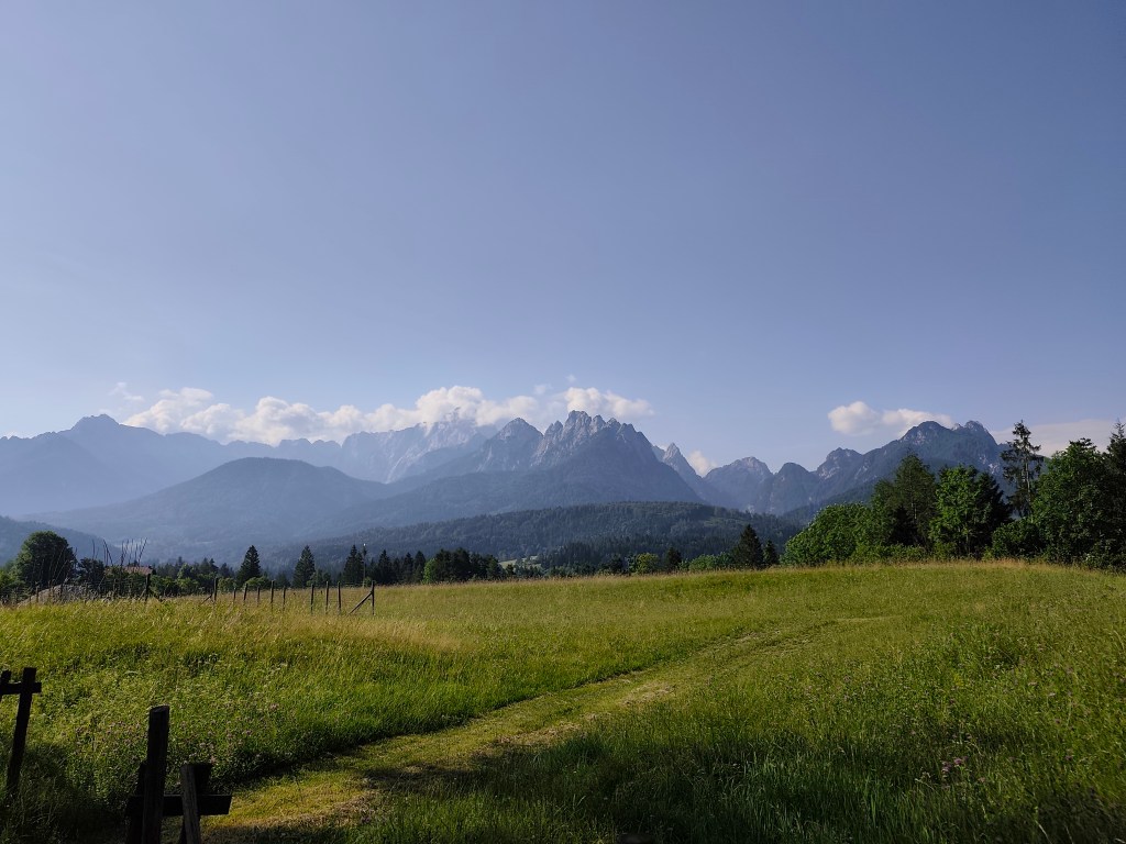
    meadows after Coccau

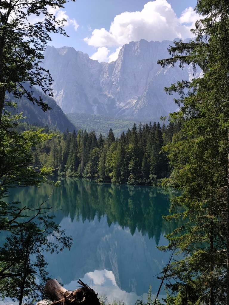
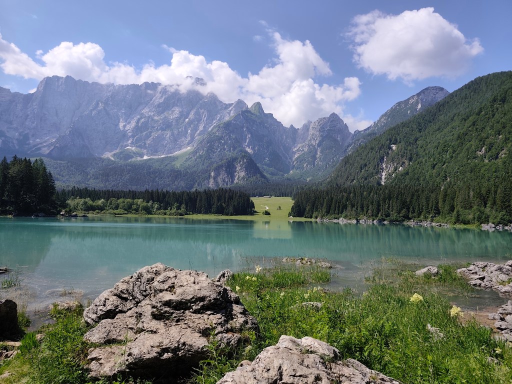
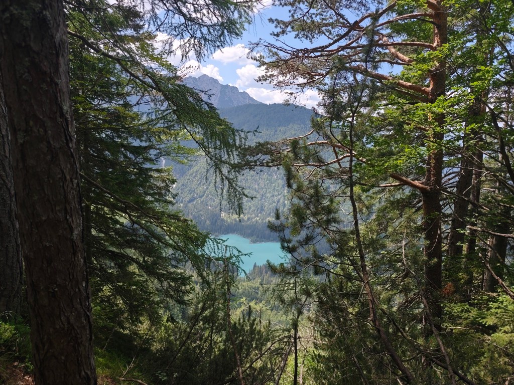
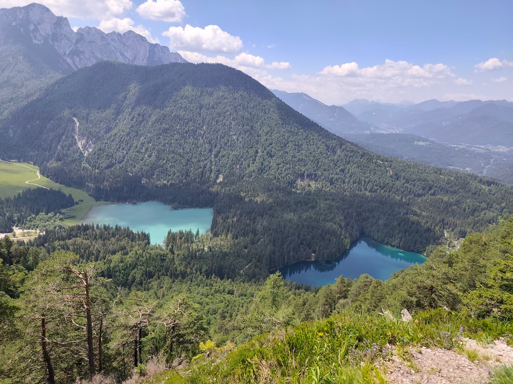
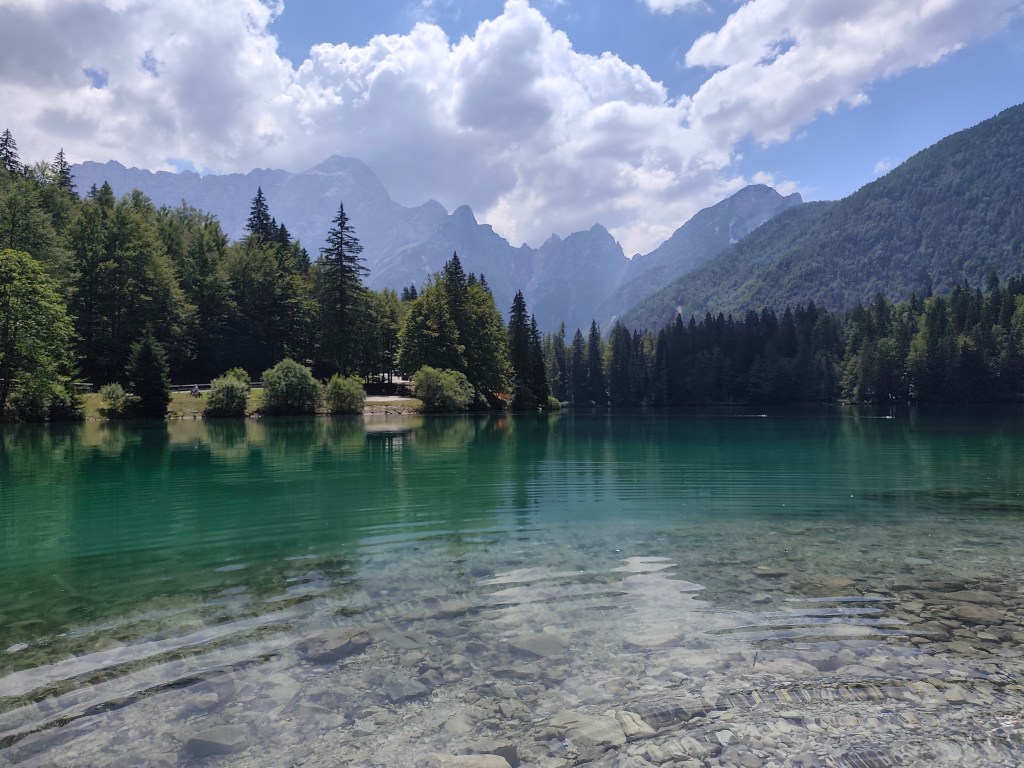
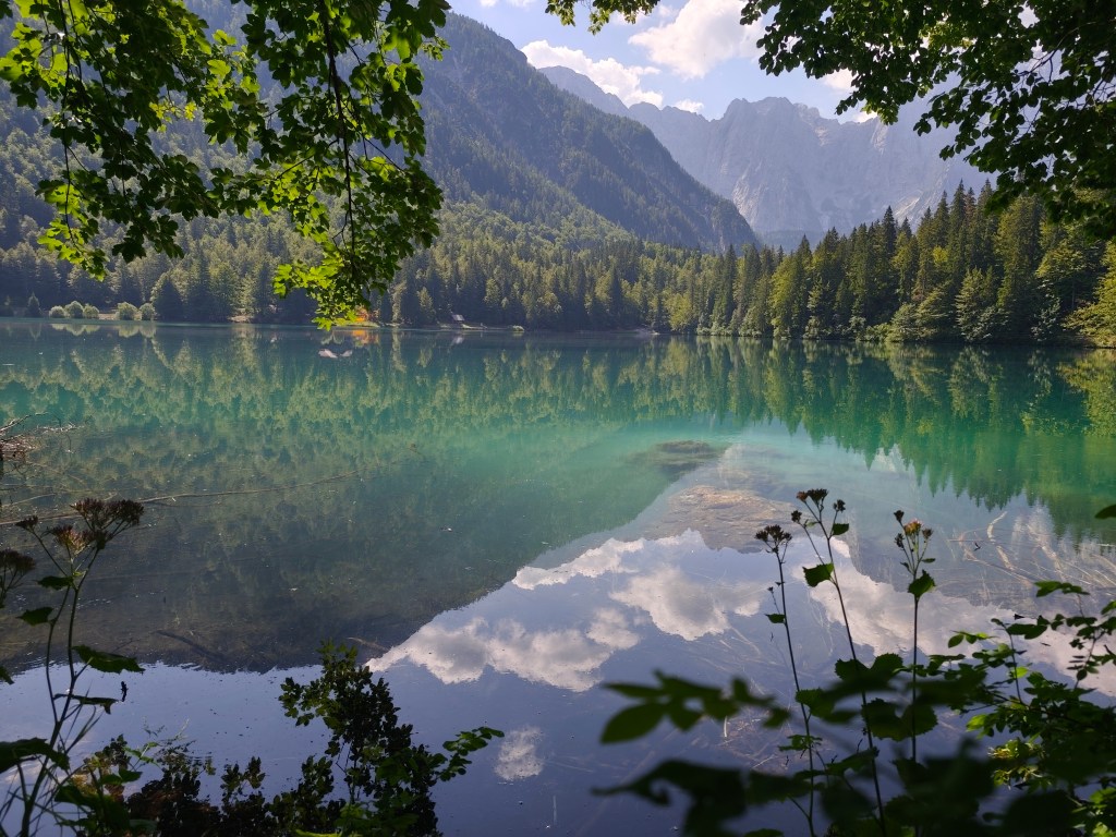
    Fortunately, they kept us and we could continue on the ever warmer meadows to the most beautiful part of today’s trail – Lagos di Fusine. These are two crystal glacial lakes on the border between Italy and Slovenia, surrounded by the Julian Alps.

    Our first view of Lago di Fusine
    Upper lake with Manghart mountain range in background

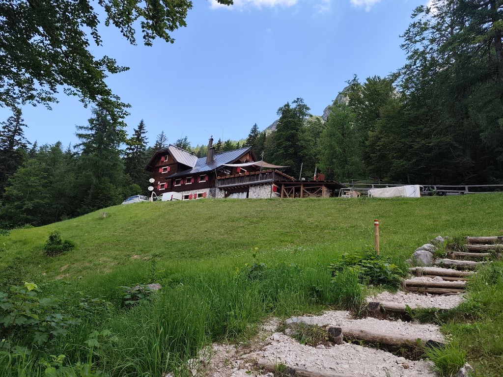
    We pass from the lower, darker, transparent lake to the upper lake with a beautiful blue surface. There is a buffet above the lakes, where we traditionally have a radler and start our ascent to the Rifugio Zacchi hut, located at 1380 meters above sea level.

    Refugio Zachi

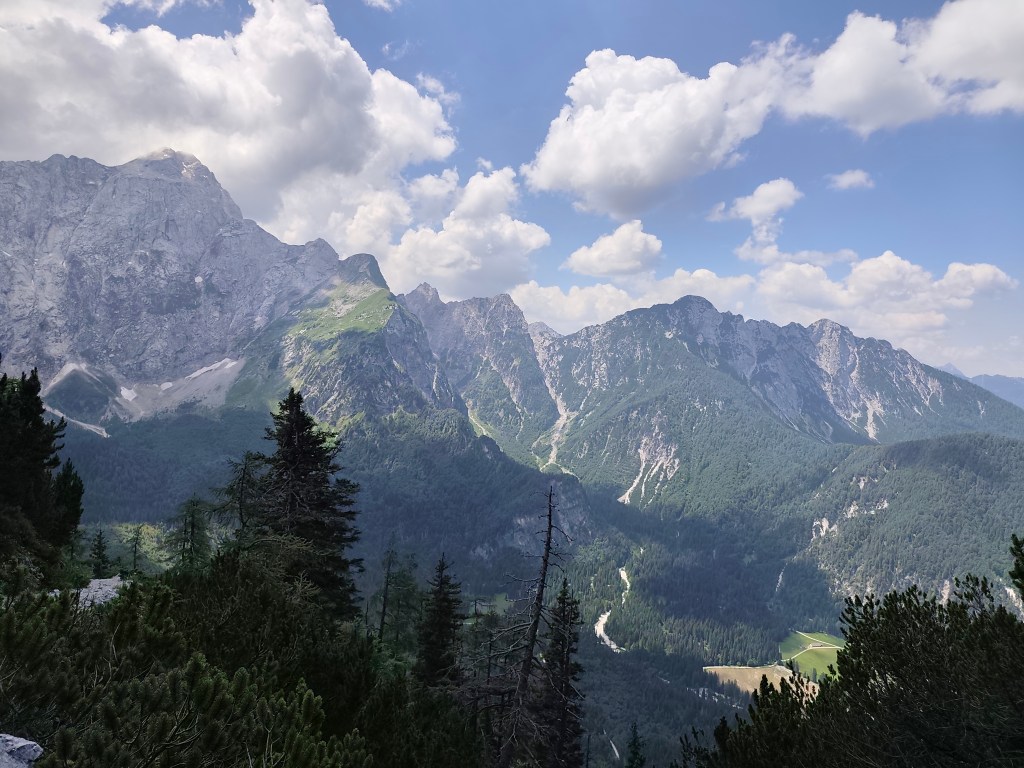
    We have a great coffee and continue towards the Ponza cottage, where beautiful views of the valley and the lakes open up.

    After a while, however, we come to a section where the original walkway with chains has collapsed and we have to go around it on a rather steep path between rhombuses, it manage to go up quite well, but on the way down my legs were quite shaking and I had to be very careful not to slip on the unstable ground. we managed it, and then we run back to the lower lake, where we take our last break of the day. We enjoy the beauty of the mountains reflected on the surface of the lake.

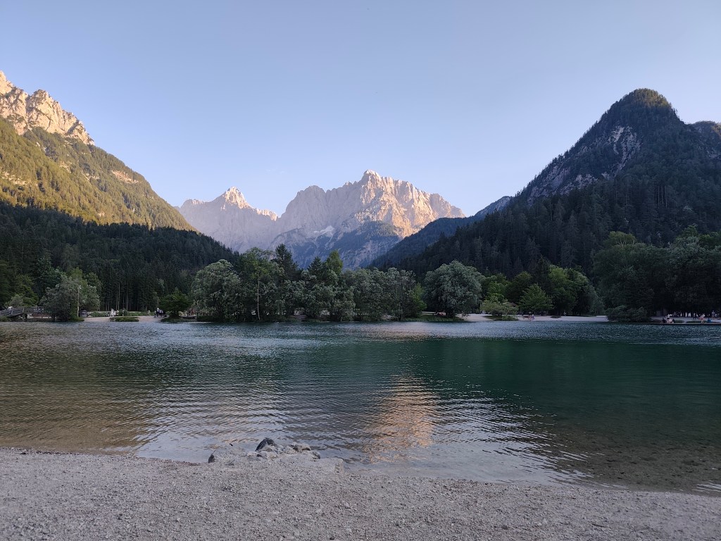
    The end of the day is 12 km along a flat bike path, not covered by trees, and I can’t run it anymore, I’m overheating, so we alternate between running and walking. We found accommodation almost on the shore of Lake Jasna in Krajnská Gora, so we end today’s stage waist-deep in a cold water of glacial lake 🙂 We cool our overheated muscles and enjoy the views of the surrounding mountains.

    Lake Jasnain Slovenia
    37.12km, 6:52 active time, 8:14 total, 1466m ascend

  • Alpe Adria Trail, deň druhý

    Alpe Adria Trail, deň druhý

    Druhý deň na trase bol trochu oddychovejší, čakalo nás o niečo menej kilometrov ako zvyšné dva dni, tentokrát “len” 37. A tak sme si mohli dovoliť vyraziť neskôr a vychutnať si parádne talianske raňajky ( čo sa nám samozrejme tak trochu vypomstilo, lebo prvé tri hodiny som bežala s totálne plným žalúdkom a už bolo aj veľmi teplo). Ale ten croissant stál zato:)

    V noci by mi veru nebolo všetko jedno

    Vyštartovali sme z Tarvisia až o 8:00 smer Coccau. Parádny lesný trailík obohatený o makety zvieratiek v životnej veľkosti. Za Coccau nás čakala adrenalínová atrakcia v podobe starého vysutého mosta cez rieku Gailitz, s prehnitými doskami.

    Lúky za dedinou Coccau

    Naštastie nás udržali a my sme mohli pokračovať čím ďalej tým vyhriatejšími lúčkami k najkrajšej časti dnešného dňa – Lagos di Fusine. Ide o dve kryštálové ľadovcové jazeré na pomedzí Talianska a Slovinska, obklopené Julskými alpami.

    Náš prvý pohľad na Lago di Fusine
    Horné jazero s pohorím Manghart v pozadí

    Prechádzame od spodného jazera, tmavšieho, priezračného k hornému jazeru s krásne modrou hladinou. Nad jazerami je bufet, kde si už klasicky dávame radler a začíname naše stúpanie k chate Rifugio Zacchi, nachádzajúcu sa v 1380mnm.

    Refugio Zachi

    Dávame si parádnu kávu a pokračujeme smerom na chatu Ponza, kde sa otvárajú krásne výhľady na údolie a aj na jazerá.

    Po chvíli však prichádzame k šasti kde sa pôvodný chodník s reťazami zrútil a musíme ho obchádzať dosť strmým chodníčkom pomedzi kosodrevinu, hore to ešte ide, ale cestou dole sa mi celkom trasú nohy a musím si dávať veľký pozor aby som sa nepošmykla na nestabilnom podklade. zvládli sme to a nasleduje zbeh naspäť k spodnému jazeru, kde si dávame poslednú prestávku dnešného dňa. Vychutnávame si krásu hôr odrazených na hladine jazera.

    Záver predstavuje 12km po rovinatej cyklotrase, nekrytej stromami a ja ju už nevládzem stále bežať, prehrievam sa a tak striedame beh s chôdzou. Ubytovanie sme si našli skoro na brehu jazera Jasna v Krajnskej gore a tak dnešnú etapu končíme po pás ponorený do ľadovcového jazera 🙂 Chladíme prehriate svaly a užívame si výhľady na okolité hory.

    Lake Jasna v Slovinsku
    37.12km, 6:52 aktívny čas, 8:14 spolu, 1466 nastúpaných metrov

  • Alpe Adria Trail, first day

    Alpe Adria Trail, first day

    Alpe Adria is a long-distance route leading from Austria (from under the Grosglocker) to the sea in northern Italy, the length of the entire route is 750km, but we didn’t have time to do it all, so we cut out at least a part of it: Alpe Adria Three-Country Circular Tour.

    It leads through Austria, Italy and Slovenia and is 140km long. It took a bit of planning, but in the end we managed to divide the route into 3 days (classic tourist guides divide it into 7 one-day stages). We arrived in Arnoldstein a day in advance, we chose it as our starting point, even though most guides start at Faaker See. Arnoldstein worked out best for us in terms of the distribution of kilometers and meters climbed. Even though it is not completely on the route (3km detour), we had to look for a place where we could stay and where we could leave the car there for 3 days.

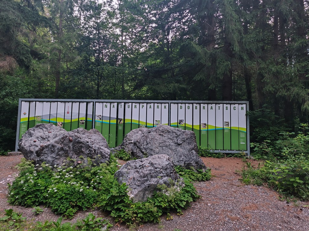
    Nature park Dobratsch near Arnoldstein

    We set off at 4:58 in the morning, the forecast promised a beautiful and quite warm day. After half an hour we spotted our first Alpe Adria Trail sign and continued along the cycle path towards Notsch, where we refilled our water for the first time.
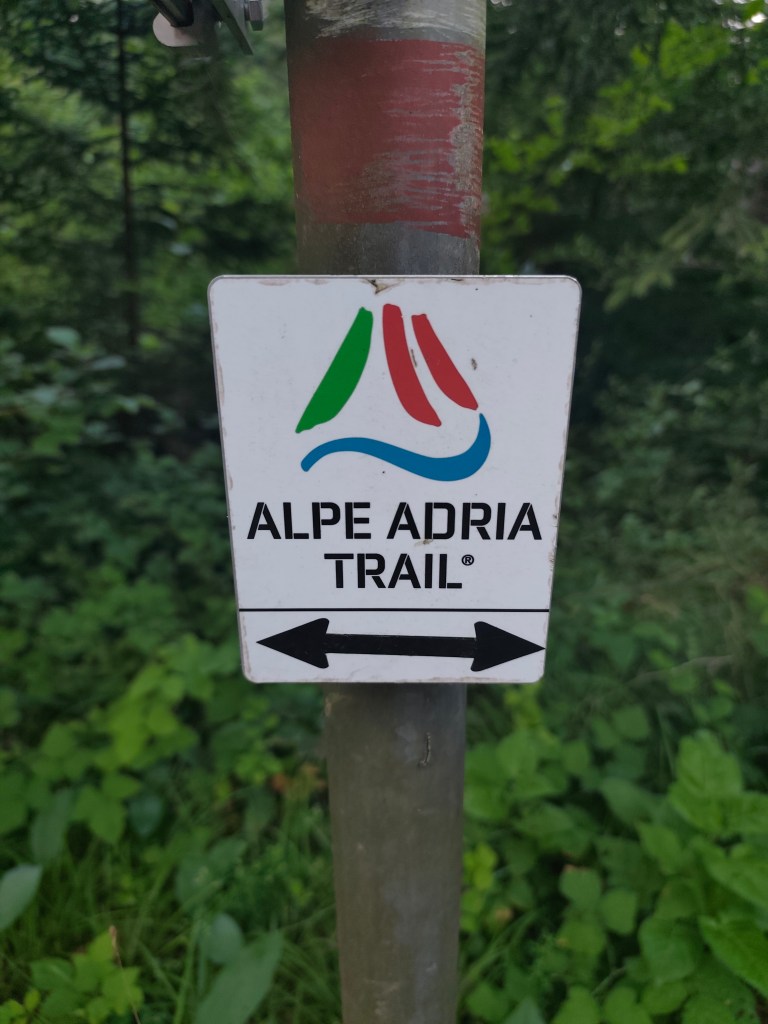
    This sign accompanied us for three whole days

    We keep running and after 15 kilometers we finally start climbing our first hill. And what a hill it is 🙂 1100 meters climbed in 10 kilometers. Fortunately we climb through the forest and there are at least 5 waterfalls along the way, which are not drinkable, but they served as a great refreshment.

    Feistritzer alm

    After a long day of hiking, we take our first break at the Feistritzer Alm, a mountain hut on the border with Italy. We enjoy a radler and our first great views. It is located at an altitude of 1735 meters above sea level and is located at the foot of the 2,052 meter high Oisternig.

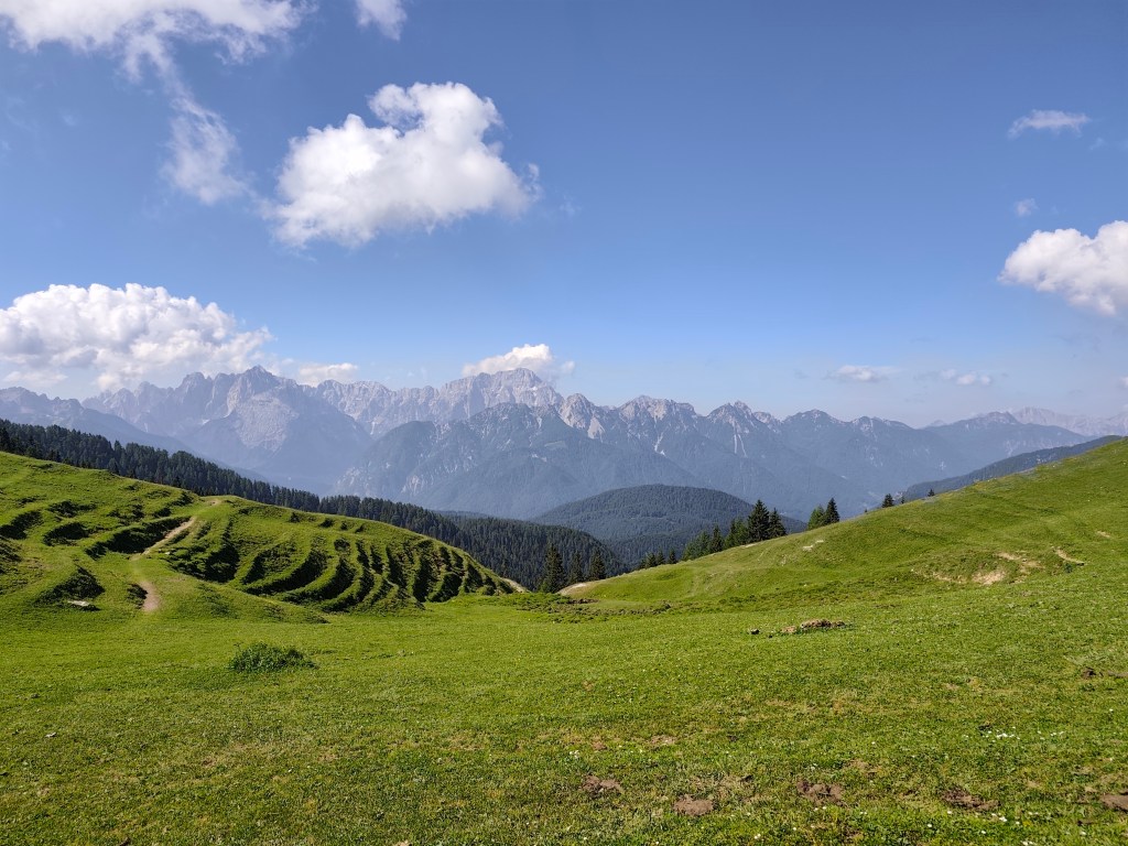
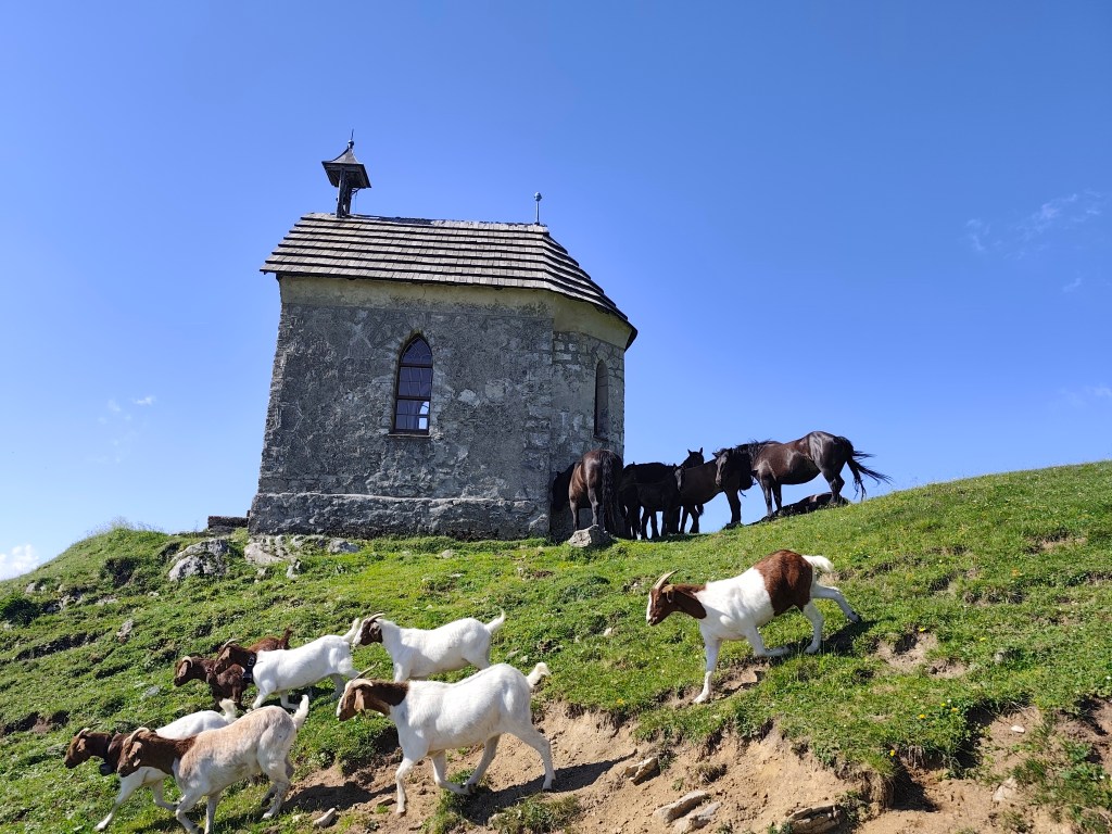
    Alpine pastures on the border between Austria and Italy

    We run through alpine pastures, among goats, horses and marmots, and from below Monte Acomizza we begin to descend towards Camporosso, but we only pass it by the wayside and continue to Valbruna for a real Italian espresso and radler.

    The temperature is rising and we are facing our second big climb of the day up Monte Lussari. It was quite a massacre, I have never experienced such a steep climb before, 1000 elevation gain in 3 kilometers, they gave us a hard time in that heat.

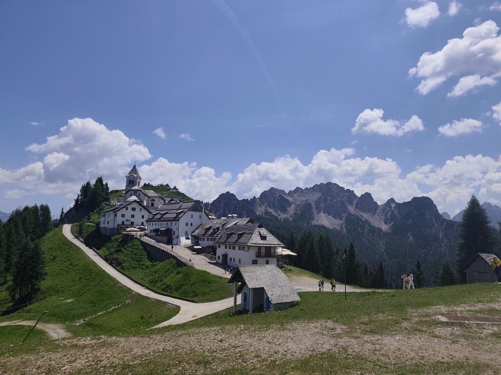
    Monte Santo Lussari

    Monte Santo Lussari is a pilgrimage site with a beautiful view of the surrounding mountains. At the top of Monte Lussari (1,789 m above sea level) there is a church dedicated to the Virgin Mary. The history of this church dates back to the 14th century, when, according to legend, a shepherd found a statue of the Virgin Mary there. After this discovery, a church was built here, which became an important pilgrimage site.

    From the top of monte Lussari

    At the top, we can’t miss a radler (it will become our traditional drink on this trip :)) and after a few summit photos, we descend back to Camporosso, this time on the other side of the hill. Today we end in the town of Tarvisio, where we stuffed ourselves with great cheeses and real Italian prosciutto crudo.

    52km, 9:24 active time, 10:41 total, 2400 m. ascend
  • Girls bike training camp

    Girls bike training camp

    For me, this was the second year of a fantastic two-day biking trip, this time in the area around Kokava nad Rimavicou. We stayed at the Old School in Kokava, a classic “box-shaped” building from the 1970s that has been given a modern interior with references to the glassmaking tradition of Zlatá Zuzana. The complex also hosts various exhibitions aimed at breathing new life into the glassmaking craft.

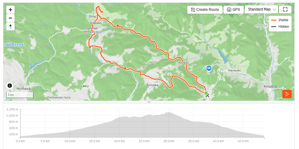
    On the first day, we started in Kokava, and our first stop was the Finnish cottages in Utekáč. These are wooden prefabricated houses from Northern Europe, which local glassmakers received sometime in the 1950s in exchange for a train carload of thermos flasks.

    According to local historian Ján Haluka, the houses from Finland were transported to Lučenec by rail. The prefabricated components of two large houses were then transported by car by glass factory workers to Utekáč, where they were assembled in the Salajka neighborhood.

    Above Marek’s farmstead

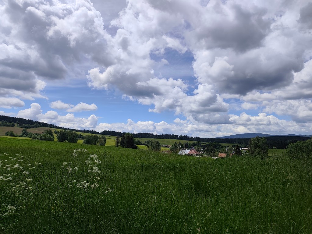
    From Utekáč, we continued on to Sihla, where we were welcomed at Marek’s farmstead; they prepared a nice lunch and coffee for us, and, refreshed, we set off through Lom nad Rimavicou on the final descent all the way to Kokava.

    Sihla
    49.26 km, 3h36min active time, 933 m ascend.

    The second day was more focused on cultural experiences. The plan was to visit the old churches in Rimavská Baňa and Kraskov and the Kyjatice Culture burial ground.

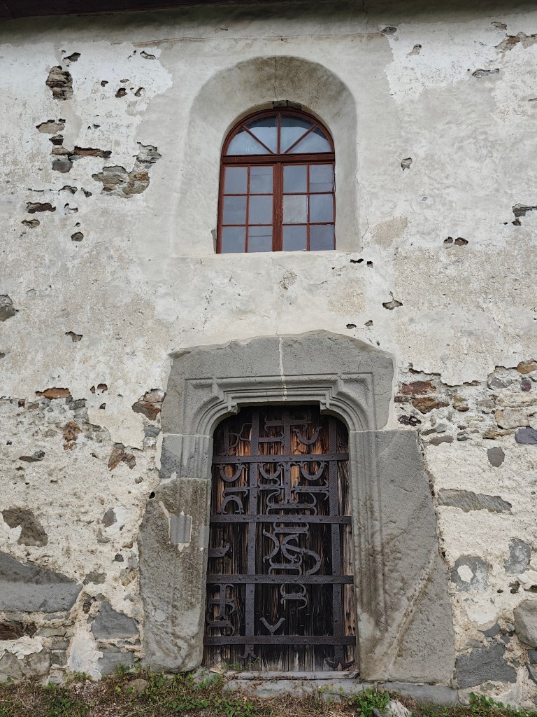
    The church in Rimavská Baňa is located within a fortified complex and remains a prominent landmark of the village and the surrounding countryside, visible from afar. It was likely built around the year 1300. The church was originally painted both inside and out. I. Groh partially uncovered the paintings in 1893, but the complete uncovering and restoration did not take place until 1956–1958.

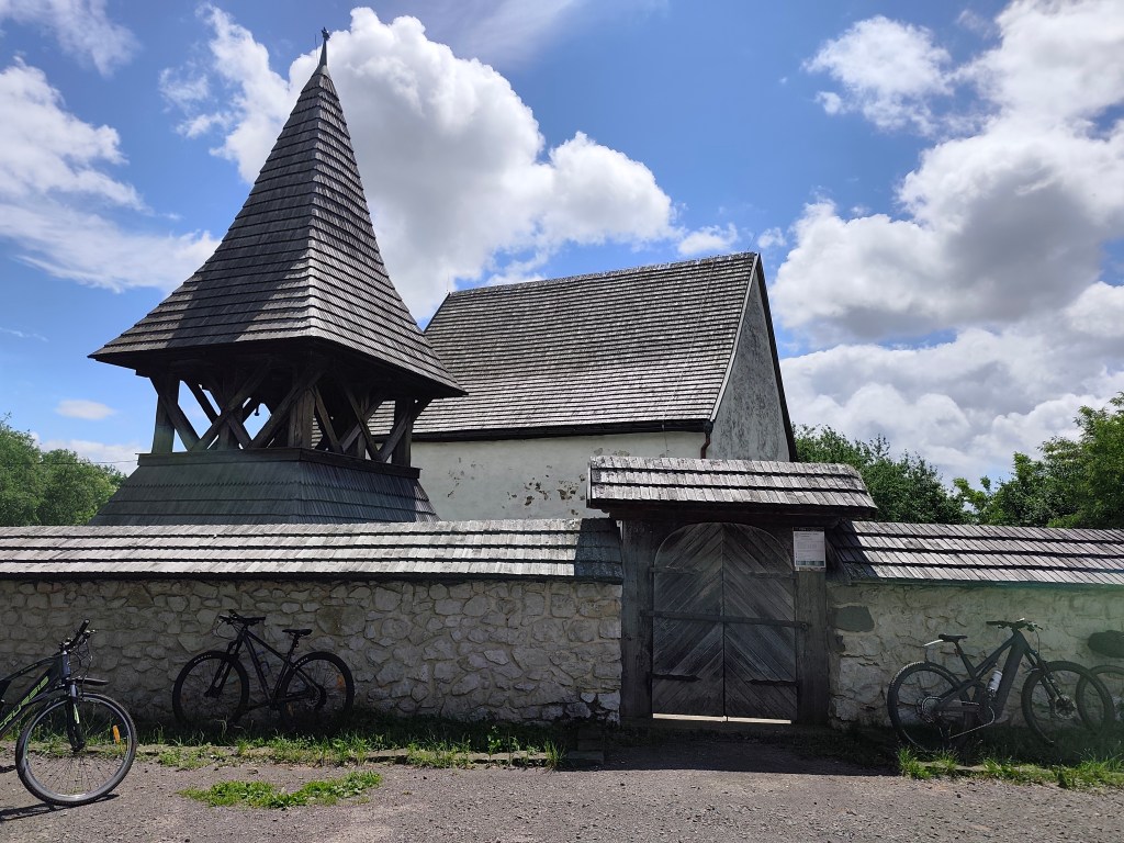
    Entrance to the church in Rimavská Baňa

    The best-preserved painting in the church, on the north wall of the nave, depicts the legend of St. Ladislaus—a dynamic composition celebrating heroism and the life of a knight. The story begins on the left, where the walls of Varadín rise up, behind which one can see the anxious gazes of women and the mourning figure of a young maiden at the foot of the walls. In the center is depicted the battle between the Hungarian and Cumans cavalry at Čerhalm. In contrast to the peaceful depiction of the legend in Kraskov, this scene captures a relentless battle full of emotion. The artist took great care to depict in detail the harnesses, the colors of the horses, the clothing, and the headgear that distinguish the Hungarian and Cumans armies. Although the subsequent parts of the scene—St. Ladislaus’s struggle with a Cumans, Ladiva’s assistance in his killing, and the king’s rest in her lap—are significantly damaged, they still allow us to form a picture of this medieval story, composed into a dramatic narrative framework through the use of bold lines.

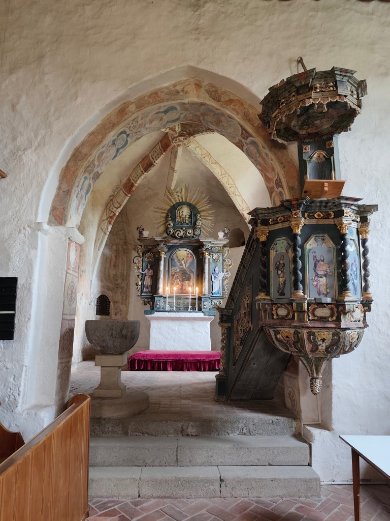
    inside the church in Rimavská Baňa

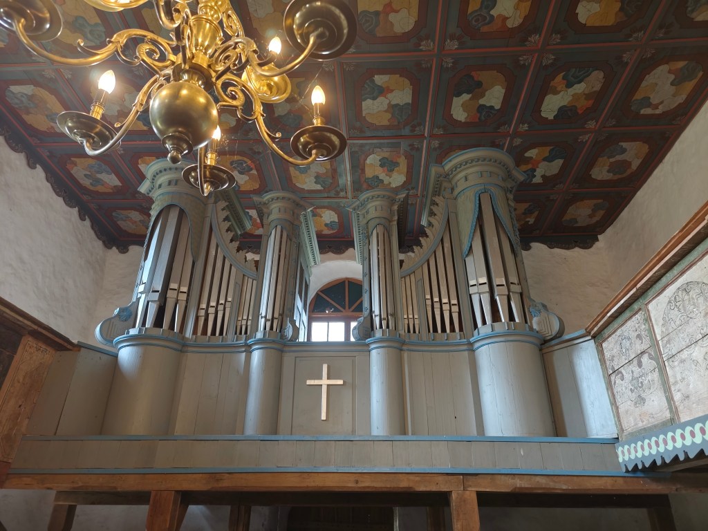
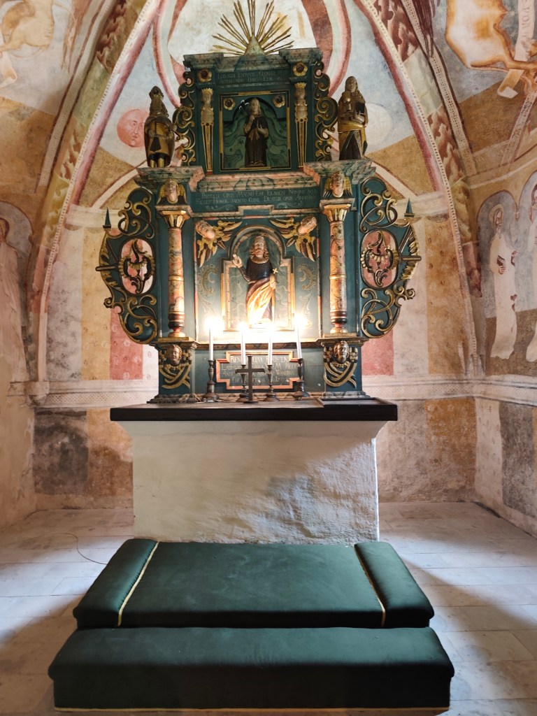
    The interior also features a valuable, recently restored coffered ceiling from 1783, a Baroque altar from 1745 with a pulpit from 1747, and a carved stallum from 1695.

    The organ and the pulpit ceiling in Rimaska Baňa.

    The small church in Kraskov was built on elevated ground sometime in the first half of the 14th century on the site of a slightly older structure. It was a typical early Gothic building of that era, still featuring some Romanesque elements. Sometime between the 1360s and 1380s, it was decorated with frescoes, likely painted by a master from Italy.

    Kraskovo

    In the 15th century, the building was fortified and remodeled in the Late Gothic style. In 1555, the small church was damaged during a raid by Turkish troops. Since 1596, it has belonged to the Evangelicals, who adapted it to their liturgical needs and painted over the murals.

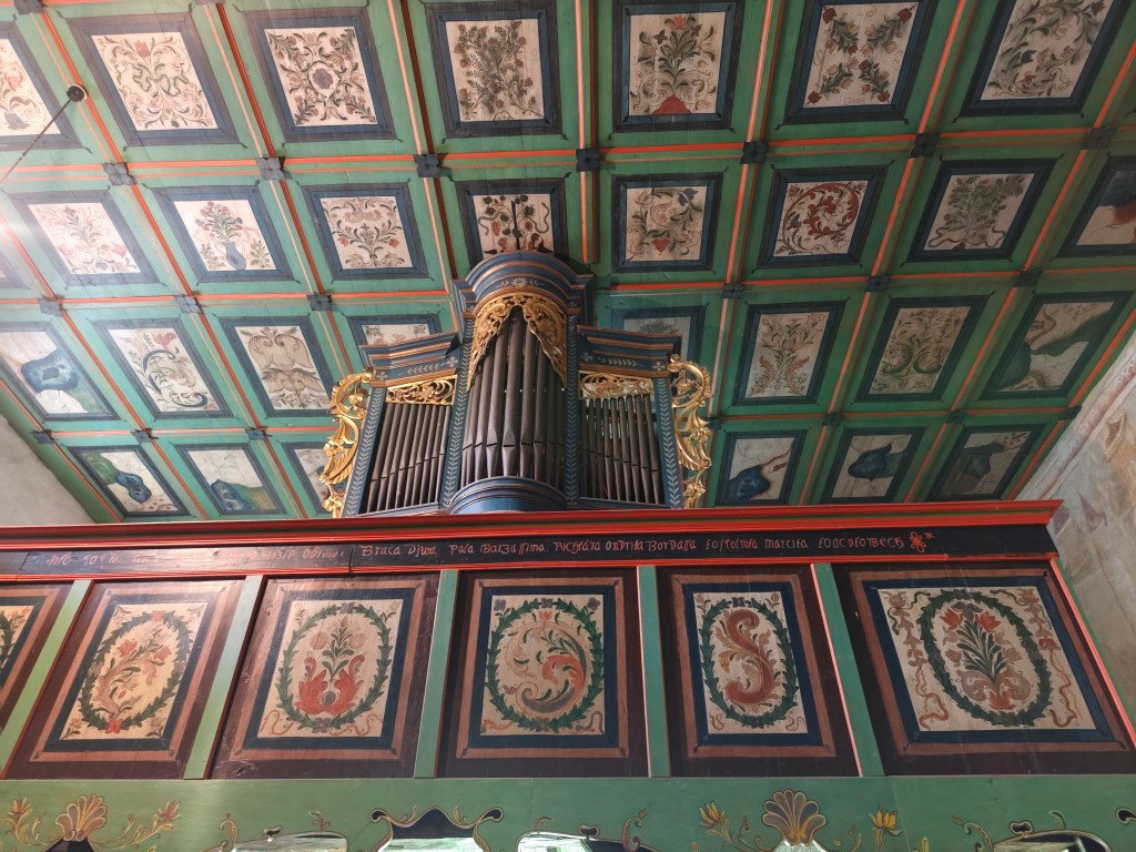
    The Organ and the Coffered Ceiling in Kraksovo

    In 1751, the building was given a new roof; the coffered ceiling in the nave dates to 1758–68. In 1814, the original Gothic windows were enlarged.
    In 1901, I. Huszko discovered medieval frescoes, and in 1906, he restored them—albeit not entirely successfully.

    The Altar in Kraskovo

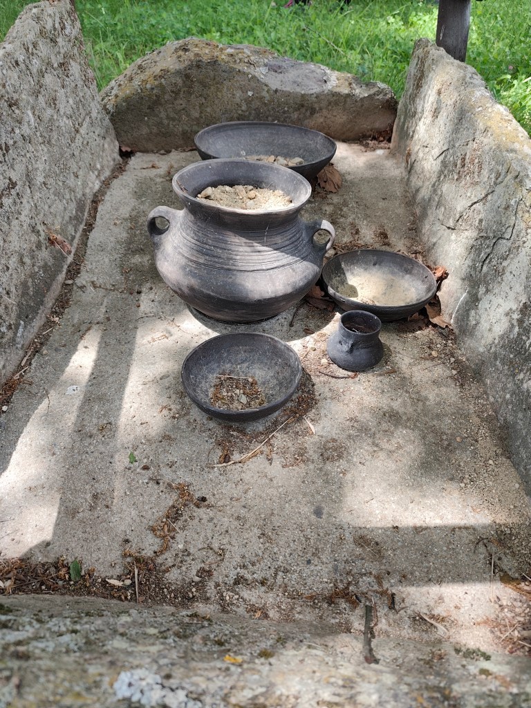
    In the mountains above Kyjatice stands the archaeological Monument to the People of the Kyjatice Culture, depicting a prehistoric cremation cemetery from the Middle and Late Bronze Ages (1100–700 BCE).

    Burial Ground of the Kyjatice Culture

    It consists of three burial mounds, beneath which are chamber cremation graves, a funeral pyre, and two chamber graves containing imitation pottery. Archaeological research examined a total of 192 cremation graves, identified the location of the settlement, and uncovered a bronze hoard and other bronze objects. The people of the Kyjatice culture were engaged in agriculture, had developed bronze metallurgy, and had also mastered iron production. They inhabited caves and built massive hillforts. The burial ground is of European significance.

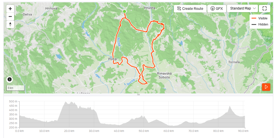
    90.7km, 5:07 active time, 979 m ascend

  • Babské bike sústredenie

    Babské bike sústredenie

    Pre mňa už druhý ročník parádnej 2 dňovej bikovačky, tentokrát v okolí Kokavy nad Rimavicou. Ubytované sme boli v Starej škole v Kokave, ide o klsickú “kocku” zo 70. rokov, ktorej vdýchli moderné interiéry s odkazom na sklársku tradíciu Zlatej Zuzany. V areály sa totižto konajú aj rôzne výstavy s cieľom znovu vdýchnuť žvot sklárskemu remeslu.

    Prvý deň sme začínali v Kokave a prvou zastávkou boli fínske domčeky v Utekáči. Ide o drevené skladacie domy zo severu Európy, ktorédostali miestni sklári niekedy v 50. rokoch minulého storočia výmenou za vagón termosiek.

    Podľa miestneho pamätníka Jána Haluku domy z Fínska prišli do Lučenca po železnici. Poskladané dielce dvoch rozmerných domov potom previezli sklárski robotníci autom do Utekáča a v časti Salajka ich aj zmontovali.

    Nad Marekovým dvorom

    Z Utekáča sme pokračoval na Sihlu, kde nás prichýlili v Markeovom dvore, nachystali nám fajný obed a kávičku a my sme sa mohli občerstvené pustiť cez Lom nad Rimavicou do záverečného zjazdu až do Kokavy.

    Lazy okolo Sihly
    49.26 km, 3h36min aktívny čas, 933 nastúpaných metrov.

    Druhý deň bol viac v znamení kultúrnych zážitkov. Na pláne bolo pozrieť si staré kostoly v Rimavskej Bani a Kraskove a pohrebisko Kyjatickej kultúry.

    Kostol v Rimavskej Bani je v opevnenom areáli a predstavuje dodnes výraznú dominantu obce a krajin viditeľnú zďaleka. Postavili ho zrejme okolo roku 1300. Kostol bol pôvodne vymaľovaný zvnútra i zvonka. Maľby čiastočne odkryl v roku 1893 I. Groh, celkový odkryv a reštaurovanie však prebehli až v rokoch 1956 – 1958.

    Vstup do kostola v Rimavskej Bani

    Najzachovalejšia maľba kostola na severnej stene lode zobrazuje legendu o sv. Ladislavovi, dynamickú kompozíciu oslavujúcu hrdinstvo a rytiersky život. Príbeh sa začína vľavo, kde sa vypínajú hradby Varadína, spoza ktorých vidieť úzkostlivé pohľady žien a smútiacu postavu mladej devy pod hradbami. Uprostred je zobrazený boj uhorského a kumánskeho jazdectva pri Čerhalme. Na rozdiel od pokojného podania legendy v Kraskove je tu zachytený neľútostný boj plný emócií. Autor si dal záležať na detailnom zobrazení postrojov, farby koní, odevov a pokrývok hlavy, ktoré rozlišujú uhorské a kumánske vojsko. Hoci ďalšie pokračovania výjavu – zápas sv. Ladislava s Kumánom, pomoc Ladivy pri jeho zabití a oddych kráľa v jej lone – sú značne poškodené, umožňujú utvoriť si predstavu o tomto stredovekom príbehu komponovanom do dramatickej dejovej osnovy pomocou výrazných línií.

    Interiér kostola v Rimavskej Bani

    V interiéri sa nachádza aj hodnotný, v nedávnej dobe reštaurovaný kazetový strop z roku 1783, barokový oltár z roku 1745 s kazateľnicou z roku 1747 a vyrezávané stallum z roku 1695.

    Organ a kazatový strop v Rimaskej Bani.

    Kostolík v Kraskove postavili vo vyvýšenej polohe niekedy v prvej polovici 14. storočia na mieste o niečo staršej stavby. Išlo o typickú ranogotickú stavbu tých čias, ešte s niektorými románskymi prvkami. Niekedy v 60. – 80. rokoch 14. storočia dostala freskovú výzdobu, ktorej autorom bol zrejme majster z Talianska.

    Kraskovo

    V 15. storočí stavbu opevnili a neskorogoticky upravili. V roku 1555 bol kostolík poškodený pri nájazde tureckých vojsk. Od roku 1596 patrí evanjelikom, ktorí si ho prispôsobili svojim liturgickým potrebám a zamaľovali nástenné maľby.

    Organ a kazetový strop v Kraksove

    V roku 1751 dostal objekt novú strechu, do roku 1758/68 je datovaný kazetový strop v lodi. V roku 1814 boli pôvodné gotické okná zväčšené.
    V roku 1901 boli I. Huszkom objavené stredoveké fresky a v roku 1906 ich tento maliar aj nie celkom šťastne reštauroval.

    Oltár v Kraskove

    V horách nad Kyjaticami je umiestnený archeologický Pamätník ľudu kyjatickej kultúry znázorňujúci prehistorické žiarové pohrebisko z mladšej a neskorej doby bronzovej ( 1100 – 700 pred naším letopočtom).

    Pohrebisko kyjatickej kultúry

    Pozostáva z troch mohylových násypov, pod ktorými sú uložené skrinkové žiarové hroby, pohrebnej hranice a dvoch skrinkových hrobov s imitáciou keramiky. Archeologickým výskumom sa preskúmalo spolu 192 žiarových hrobov, zistila sa poloha osady, našiel sa bronzový poklad a ďalšie bronzové predmety. Ľud kyjatickej kultúry sa zapodieval poľnohospodárstvom, mal rozvinutú metalurgiu bronzu a zvládol aj výrobu železa. Osídľoval jaskyne a budoval mohutné hradiská. Pohrebisko má európsky význam.

    90.7km, 5:07 aktívny čas, 979 nastúpaných metrov

  • SNP girls project, day 15

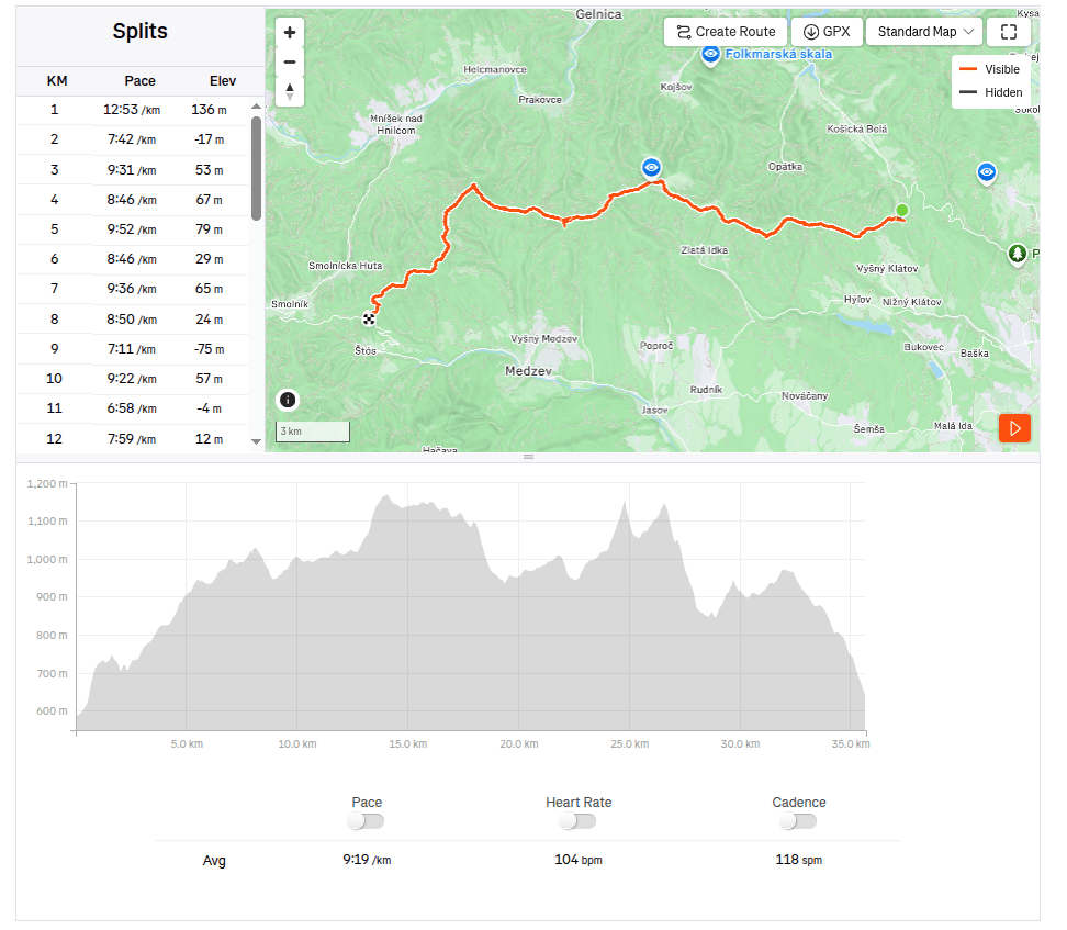
    This time from Jahodná to Štós. We continue for the third day in a row, in the morning we get out of the car at the same place where we left off yesterday. It is morning, but the sun is already peeking out and promises us a warm day.

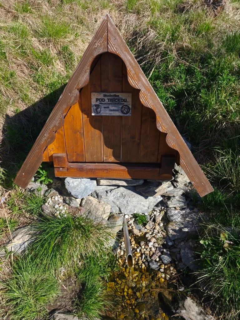
    well “pod Tisíckou”

    We climb up the slope to the top of Jahodná hill, followed by a nice forest path and arrive at Holý Vrch. We refill our water at the well below Tisícká – we can’t help it, because there is an inscription next to it that says whoever drinks from the well will conquer the SNP. So I guess we’ll conquer it 🙂

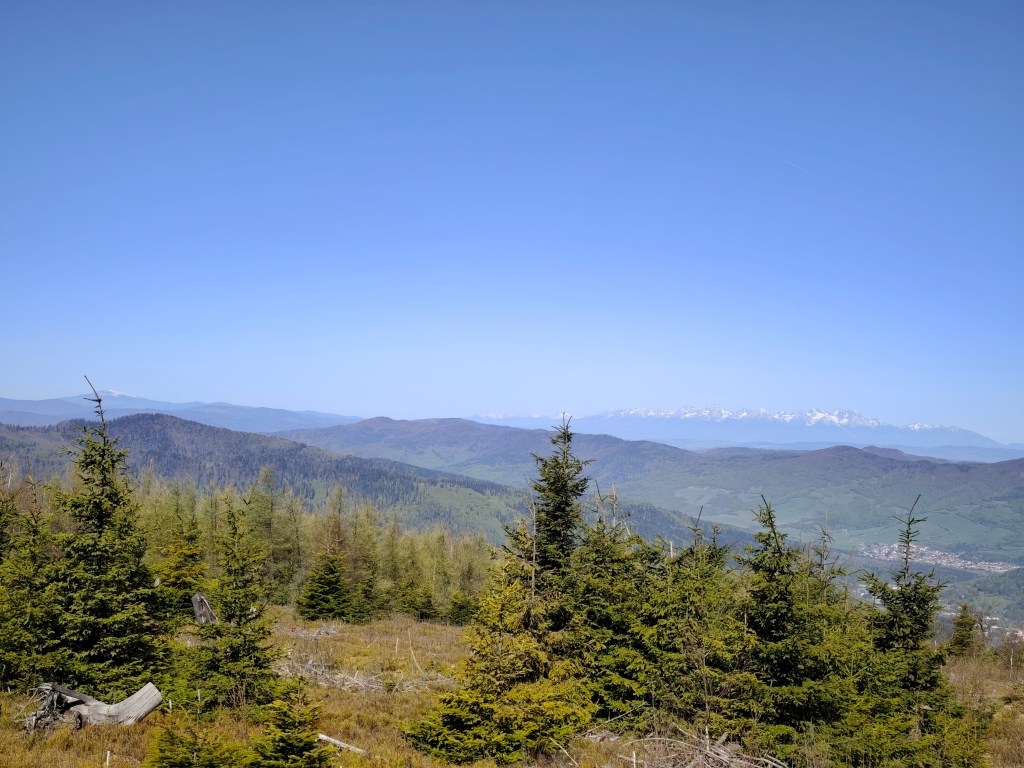
    We continue towards Kojšovská hola and to our surprise, the SNPčka does not lead through the very top, it turns to the Erika cottage in the saddle below Kojšovská hola. At the Erika cottage we admire the views, the High Tatras are in the palm of our hands and they accompany us on the road for a long time like silent guardians. It is beautiful here.

    High Tatras in background

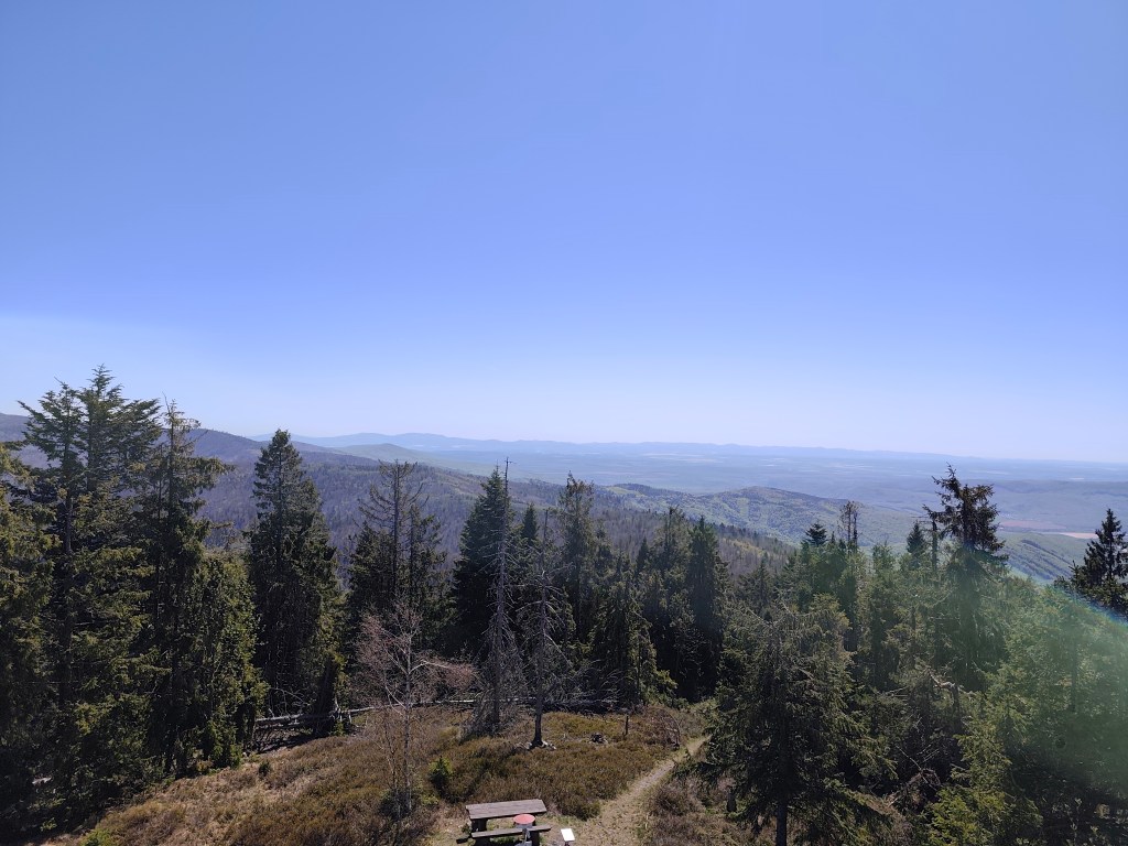
    We continue to Kloptáň, where there is also a lookout tower – this lookout tower is only for the brave, steep ladders without a railing and only a small platform at the top. But I couldn’t resist and with shaking knees I climbed all the way to the top.

    From viewtower Kloptáň

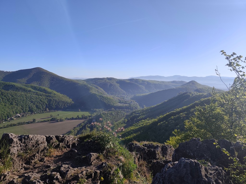
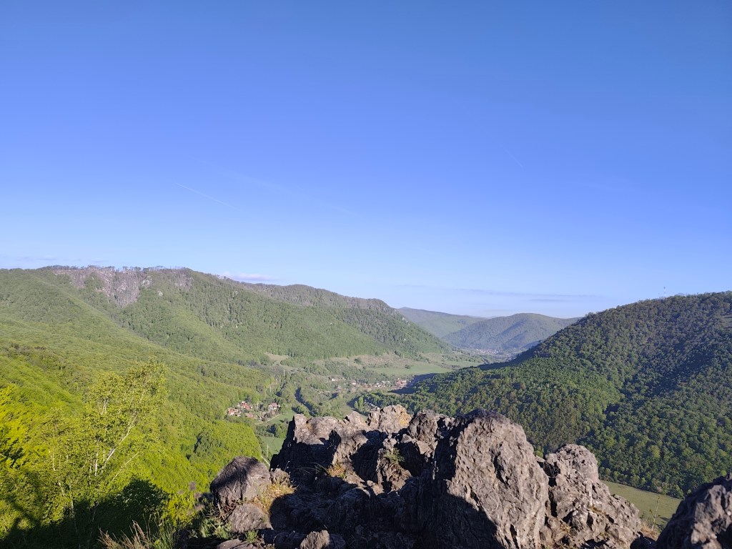
    We enjoy one of the last views on Zbojnícká skala and slowly descend to the spa in Štós, where we have our last overnight stay on this route. The spa itself is a disappointment for us, it is too expensive and the buildings have already seen their best days. However, the air here is great, that must be admitted 🙂

    35.7km, 5:32min, 1465 m ascend
  • SNP girls project, deň 15

    Tentokrát z Jahodnej do Štósu. Pokračujeme tretí deň po sebe, ráno vystupujeme z auta na tom istom mieste, kde sme včera skončili. Je ráno, ale slniečko už vykúka a sľubuje nám teplý deň.

    Studnička pod Tisíckou

    Stúpame hore zjazdovkou na vrch kopca Jahodná, nasleduje pekná lesná cesta a prichádzame k Holému Vrchu. V studničke pod Tisíckou doplňame vodu – ani nemôžeme inak, pri nej je totiž nápis, že kto sa z vladenky napije, SNP-čku dobyje. Tak hádam ju zdoláme 🙂

    Pokračujeme smerom na Kojšovskú hoľu a na naše prekvapenie cez samotný vrchol SNPčka nevedie, stočí sa k chate Erika v sedle pod Kojšovskou hoľou. Pri chate Erika sa kocháme výhľadmi, Vysoké Tatry máme ako na dlani a ešte dlho nás po ceste sprevádzajú ako nemý strážcovia. Je tu nádherne.

    Vysoké Tatry v pozadí

    Pokračujeme na Kloptáň, kde je aj rozhľadňa – táto rozhľadňa je však len pre odvážnych, strmé rebríky bez zábradlia a len malá plošinka na jej vrchu. Ale aj tak som neodolala a s trasúcimi kolenami som vyšla až na úplný vrch.

    Z rozhľadne Kloptáň

    Jedny z posledných výhľadov si užívame na Zbojníckej skale a pomaly klesáme ku kúpeľom v Štóse, kde máme naše posledné prenocovanie na tejto trase. Kúpele samotné sú pre nás sklamaním, sú pridrahé a budovy majú už tie najlepšie časy za sebou. Avšak vzduch tu je skvelý, to sa musí uznať:)

    35.7km, 5:32min, 1465 nastúpaných metrov
  • SNP girls project day 14

    SNP girls project day 14

    Or from Kysak to Jahodná:)

    We start in the morning in front of the municipal office in Kysak, but we only walk through the village briefly and get to a forest path leading along a stream.

    Jánošíkova bašta

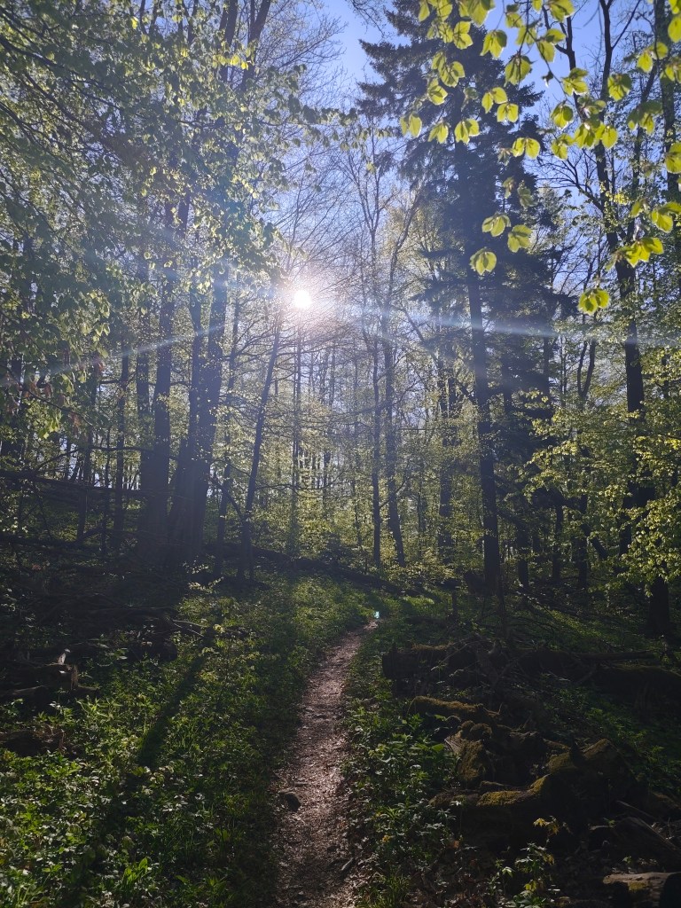
    We pass the cottage area and begin to climb to Janošík’s Bastion. It is an approximately 50-meter-high rock massif that acts as a natural fortress (probably hence the name), from which you can see panoramic views of the landscape around Košice. We enjoy the views for just a moment and then dive back into the forest, which has a wonderfully fresh green color.

    View from Jánošíkova bašta

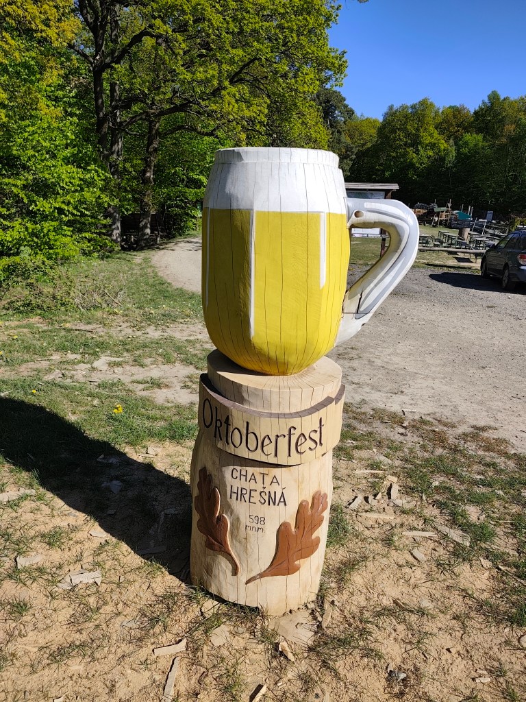
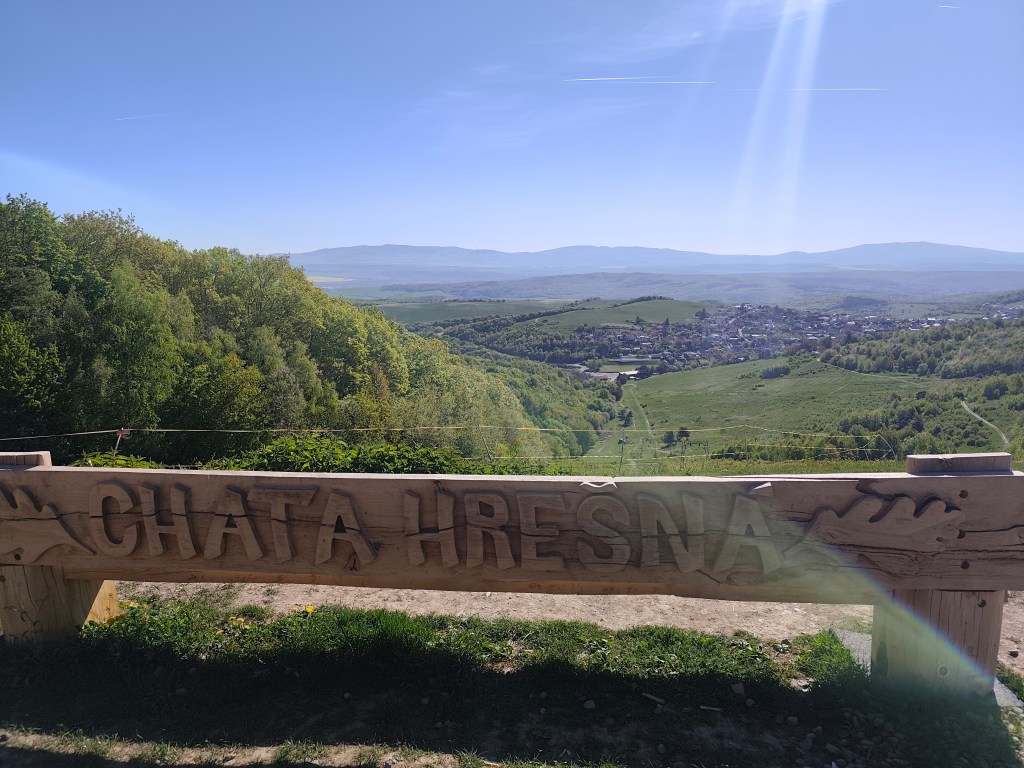
    These forest trails are a very pleasant change from yesterday. We continue through the forest to the Hrešná cottage, where there are cozy-looking chairs with a view of Košice.

    This time without a beer:)
    Hrešná

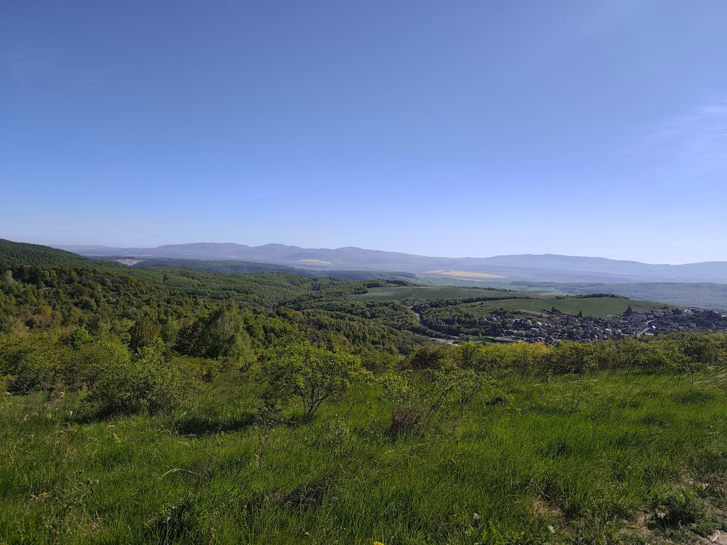
    We resist the temptation to sit down and just laze around and continue down the dirt road to Košice. The sun is starting to warm up and the water is running out, so we hope that the buffet in Čermel in Košice will be open. We’re probably too fast, we get there half an hour before opening 😀

    meadows around Košice

    We continue to Bankov, where we finally managed to find an open hotel café, refilling our water, coffee, radler…

    This stage was a reward after yesterday

    The last 7 kilometers await us, mostly a gentle climb, fortunately through the forest, which, thanks to refreshments in the café, pass relatively quickly. We end today’s stage in front of the cottage on Jahodná. Lucka and I have a grapefruit non-alcoholic beer from Bernard, which is simply divine and we remember the stage in Čičmany, where we drank it for the first time. Thanks to this project of ours, we got to know so many beautiful places in Slovakia that we had no idea existed and that’s still a few stages ahead of us 🙂
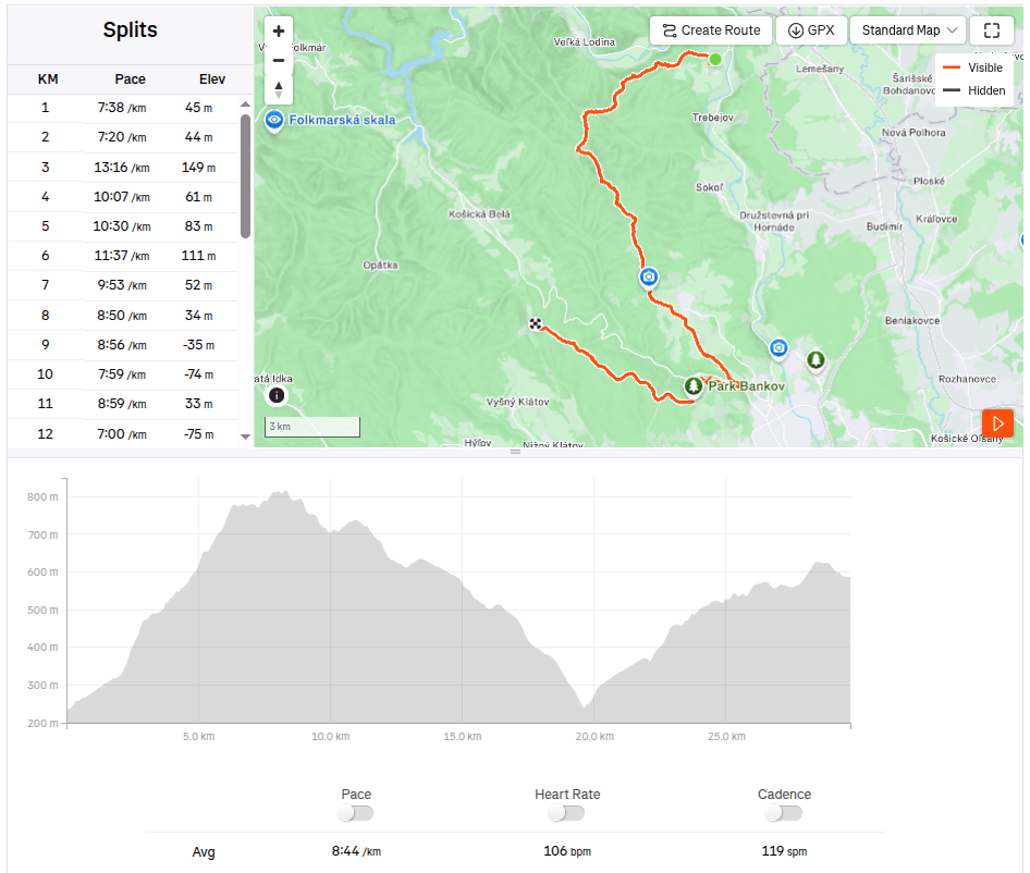
    29.7km 4:19 active time, 4:48 total, 1169m ascent.