Tag: travel

  • SNP girls project deň 14

    SNP girls project deň 14

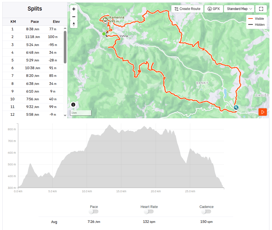
    Alebo z Kysaku do Jahodnej:)

    Ráno začíname pred obecným úradom v Kysaku, ale dedinou prechádzame len krátko a dostávame sa na lesný chodníček vedúci popri potôčiku.
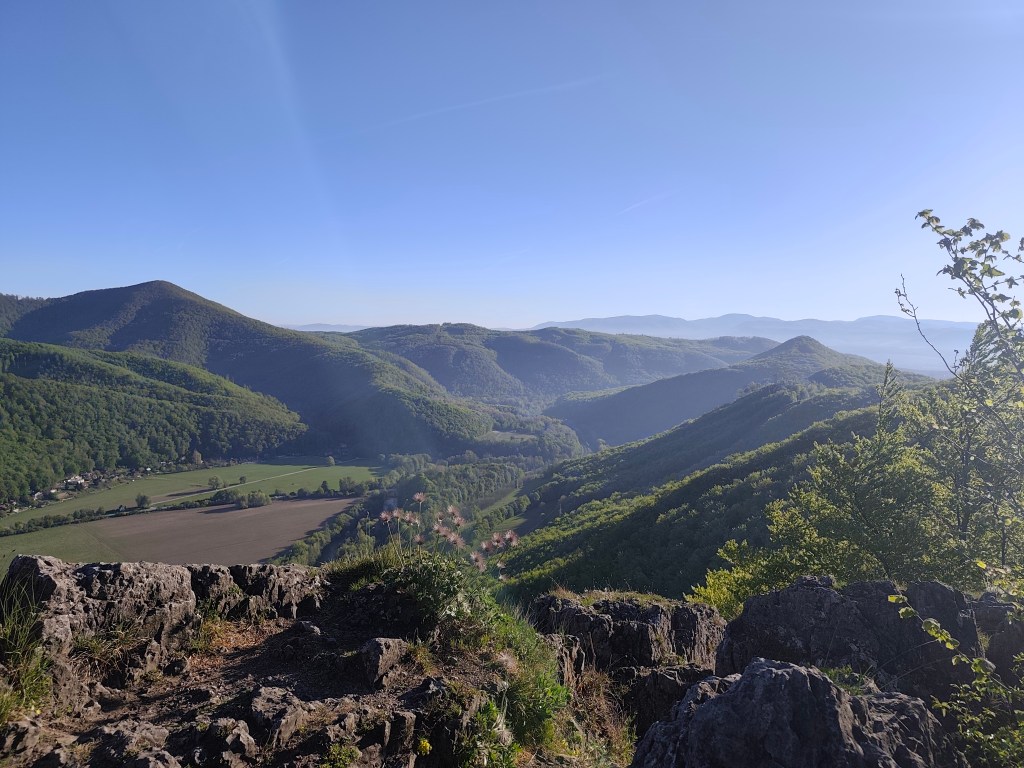
    Jánošíkova bašta

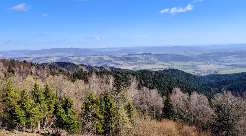
    Míňame chatovú oblasť a začíname stúpať k Janošíkovej bašte. Ide o približne 50 metrov vysoký skalný masív, ktorý pôsobí ako prirodzená pevnosť (asi preto ten názov), z ktorého sa je možné vidieť panoramatické výhľady na krajinu v okolí Košíc. Kocháme sa výhľadmi iba chvíľku a znovu sa ponárame do lesa, ktorý má nádherne sviežu zelenú farbu.
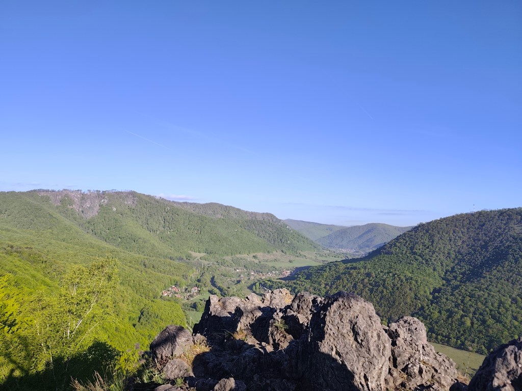
    Výhľad z Jánošíkovej bašty

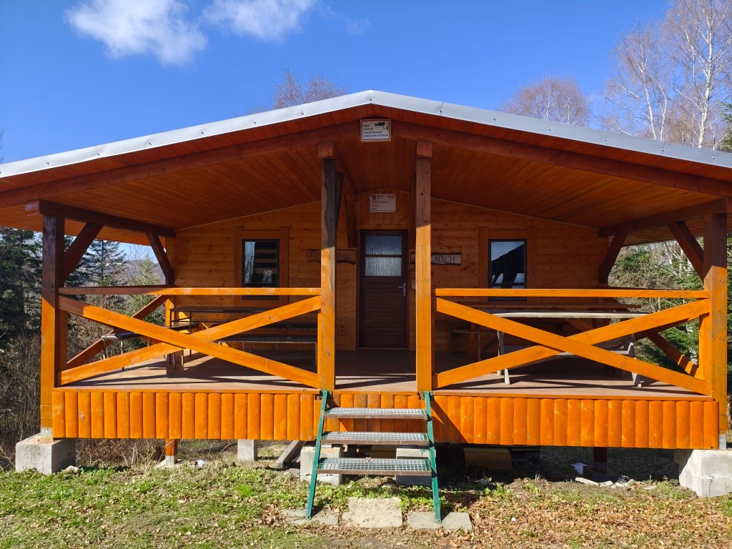
    Oproti včerajšku sú tieto lesné traily veľmi príjemnou zmenou. Lesom pokračujeme až k chate Hrešná, pri ktorej sú porozkladané lákavo vyzerajúce kresielka s výhľadom na Košice.
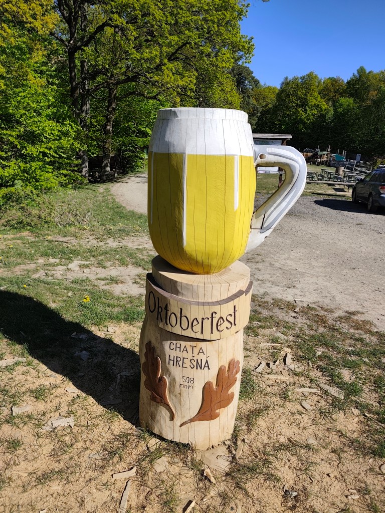
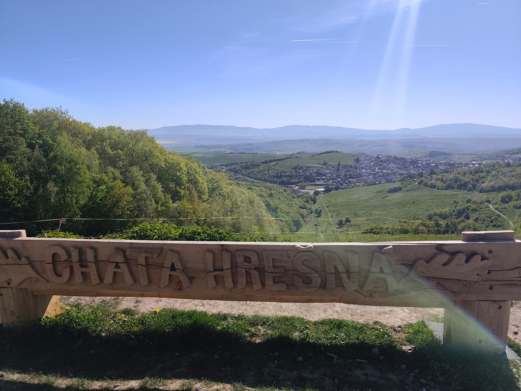
    Tento krát sme obišli bez piva:)
    Hrešná

    Odolávame pokušeniu sadnúť si a len tak leňošiť a pokračujeme poľnou cestou dole do Košíc. Slnko začína hriať a voda sa míňa a tak dúfame, že v Košiciach v Čermeli bude bufet otvorený. Asi sme príliš rýchly, prichádzame tam polhodinu pred otvorením:D
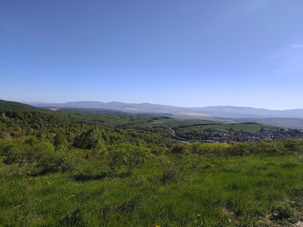
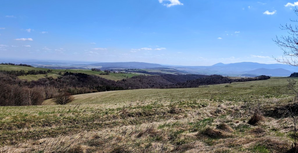
    Lúky v okolí Košíc

    Pokračujeme na Bankov, kde sa nám konečne podarilo nájsť otovrenú hotelovú kaviareň, dopĺňame vodu, kávu, radler…
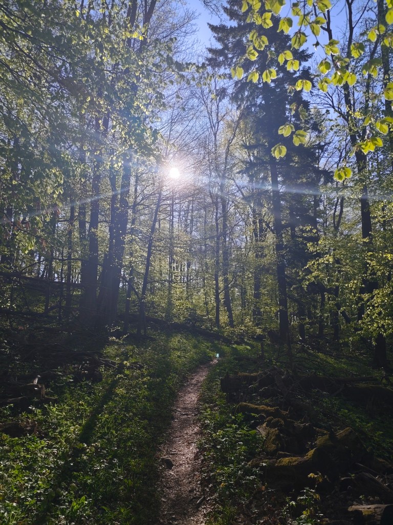
    Táto etapa bola po včerajšku za odmenu

    čaká nás posledných 7 kilometrov, prevažne mierneho stúpania, našťastie lesom, ktoré vďaka osvieženiu v kaviarni ubiehajú relatívne rýchlo. Dnešnú etapu končíme pred chatou na Jahodnej. S Luckou si dávame grepové nealko pivo od Bernarda, ktoré je jednoducho božské a spomíname na etapu v Čičmanoch , kde sme ho prvý krát pili minulý rok. Vďaka tomuto nášmu projektíku sme spoznali toľko krásnych miest na Slovensku, o ktorých sme ani netušili, že existujú a to nás ešte pár etáp čaká 🙂
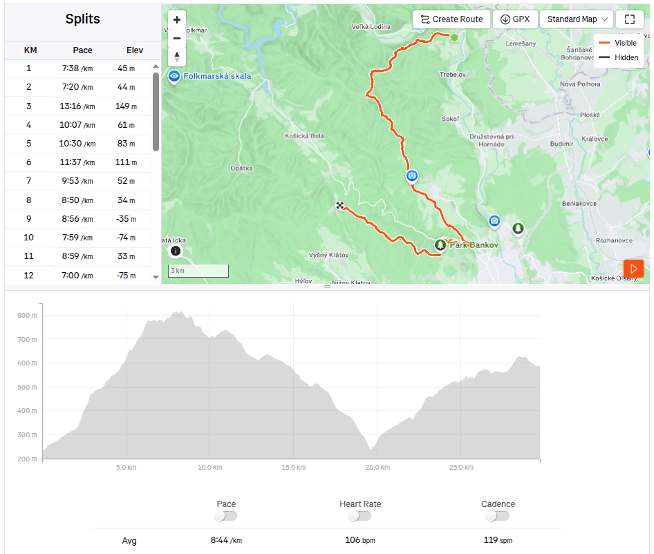
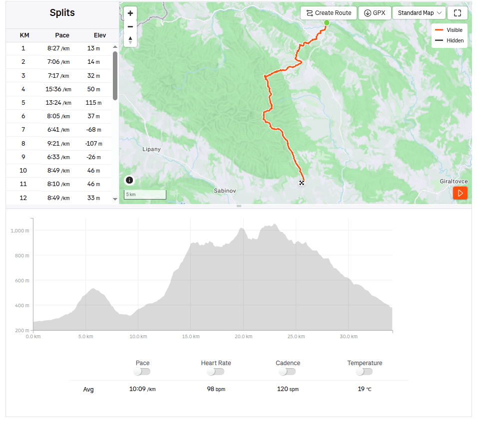
    29.7km 4:19 aktívny čas, 4:48 spolu, 1169 nastúpaných metrov.
  • Bojnice, Remata with David

    Bojnice, Remata with David

    In an effort to minimize screen time and maximize quality time spent together (ideally outdoors), I look for all kind of possibilities for trips. This time, the main target was the Čajka observation tower overlooking Bojnice.

    Čajka in the clouds

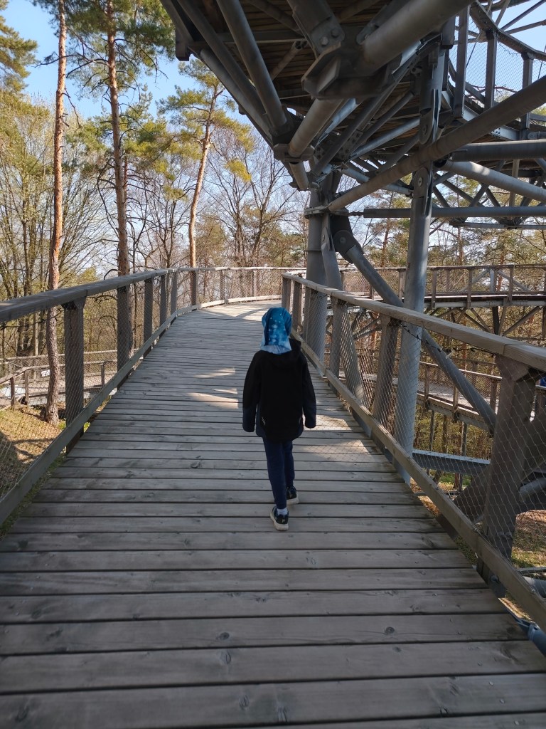
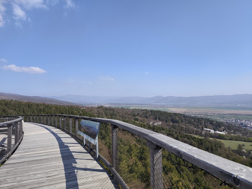
    Its total height is 30 meters and a wooden footbridge leads to its top. it offers really beautiful views, but in my opinion, the entrance fee for this attraction is set relatively high (12 euros/person), considering that we went around it in about half an hour.

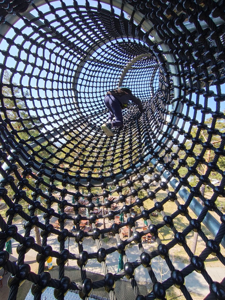
    But a big bonus for us was the adjacent children’s playground, which is really huge. And not far from Čajka there is also a dinopark, which of course we couldn’t just bypass (also 12 euros/person).

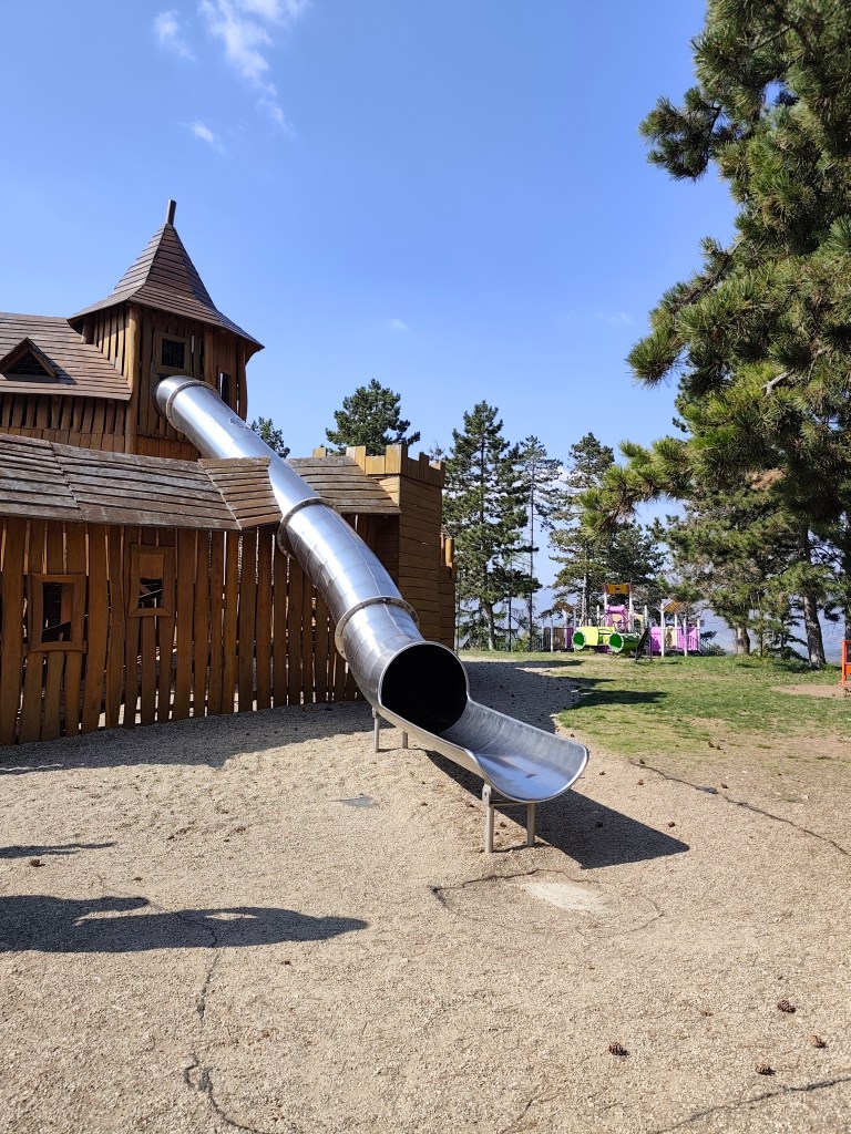
    The playground also included such a great castle with a sled, which even I couldn’t miss

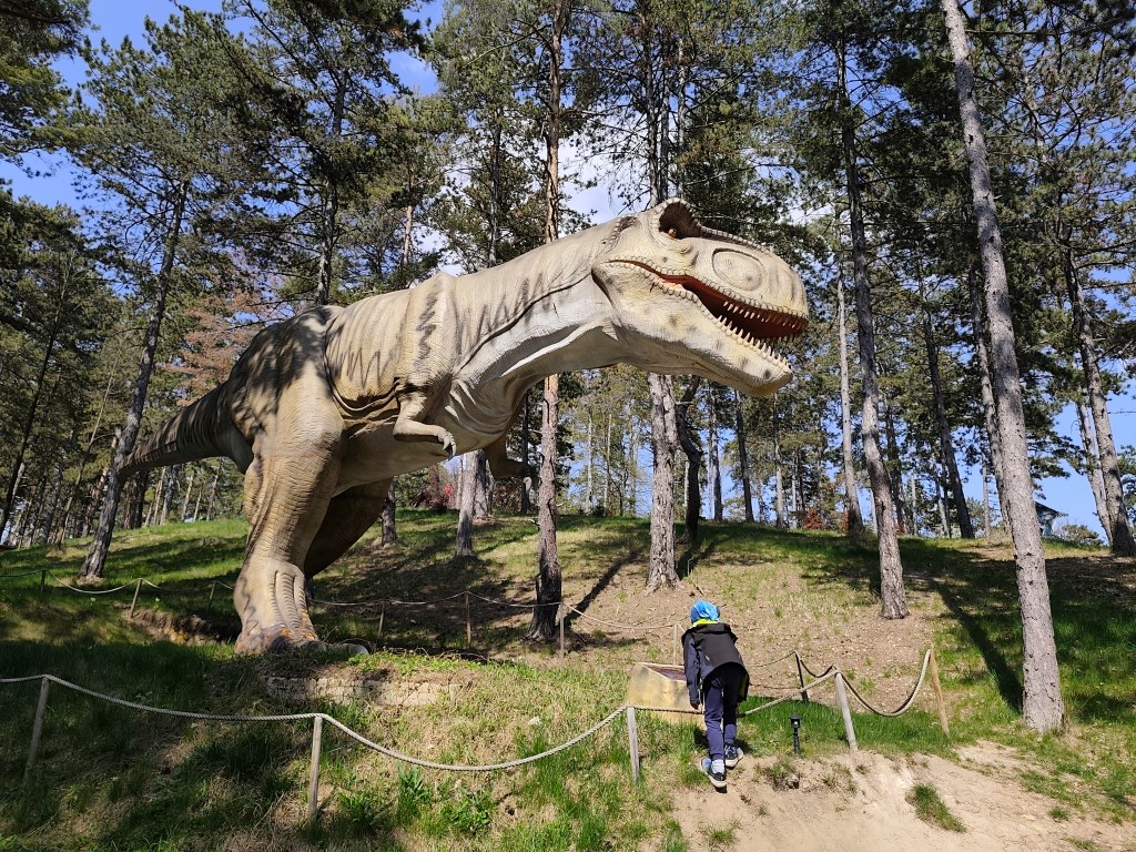
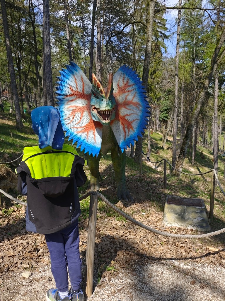
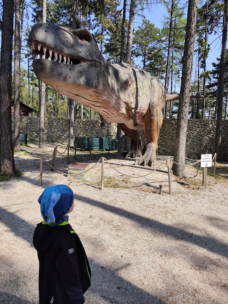
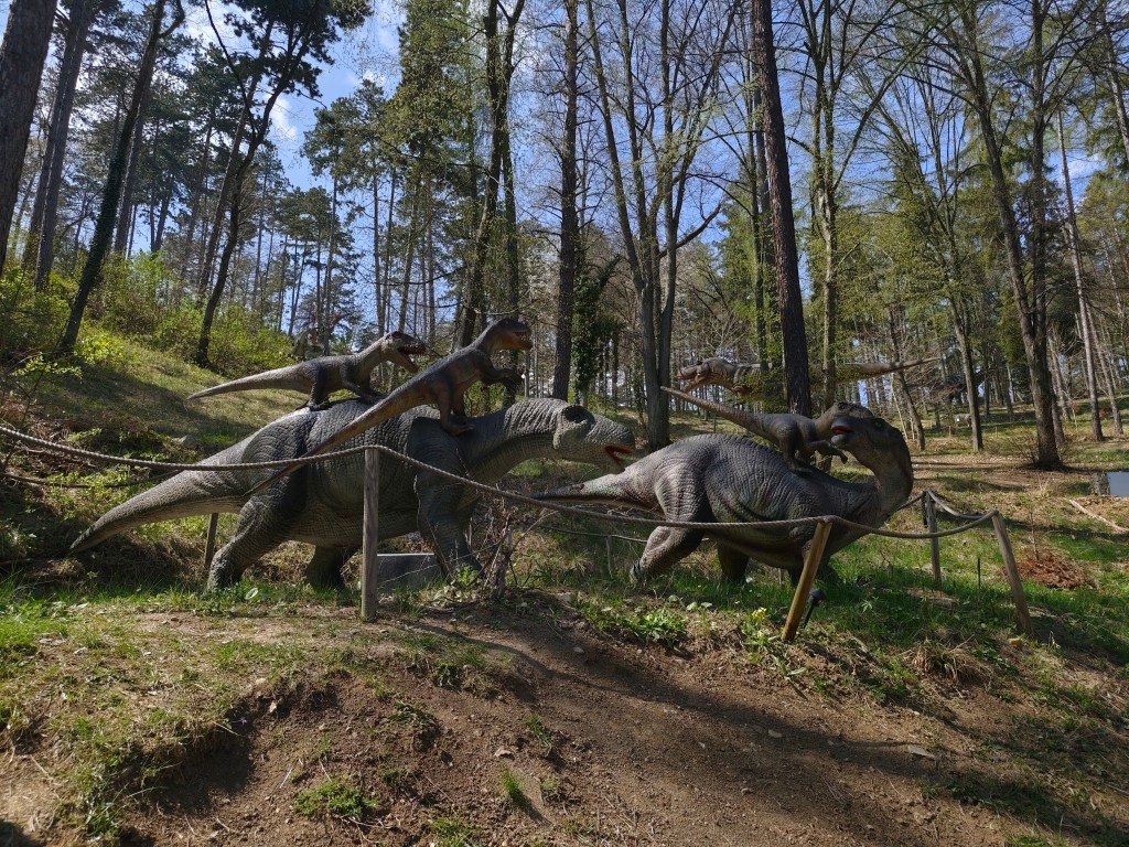
    However, we really liked the Dinopark, it was vast, with more than 100 exhibits, some of which were really huge. We liked that the paths led through the forest, which enhanced the atmosphere. Dinosaurs moved and made sounds.

    Dinopark

    We walked here for more than an hour and if we had other plans, I believe we would have had something to fight for another hour. For us, better minute money compared to the lookout tower.

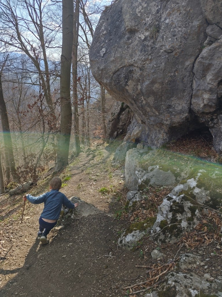
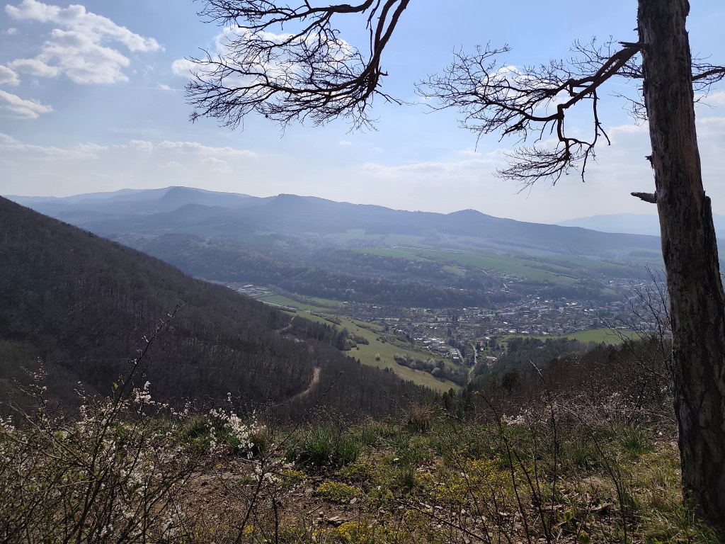
    On the way to Remata, where we had arranged accommodation, we had one more stop – Hájska skala above the village of Ráztočno. It’s about 2 kilometers to Hájska skala, but you have to climb quite a hill to get the great view.

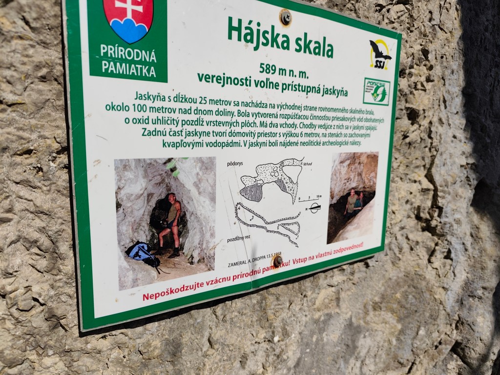
    Under the Hájská rock is also the Hájska cave – the only freely accessible cave in the Žar Mountains, it is 25 meters long with a 6-meter-high dome.

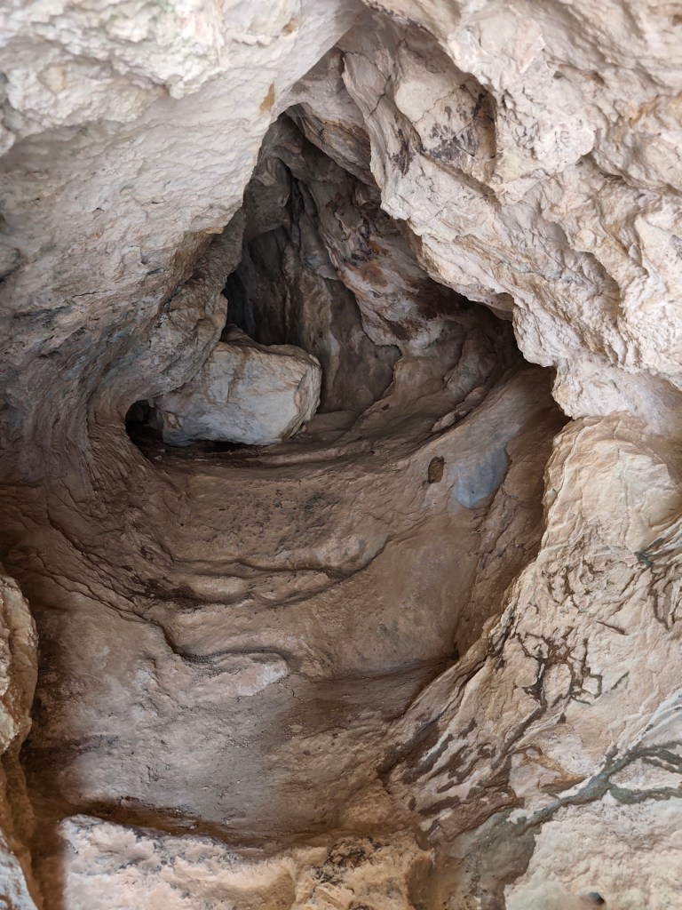
    Entrance to the cave
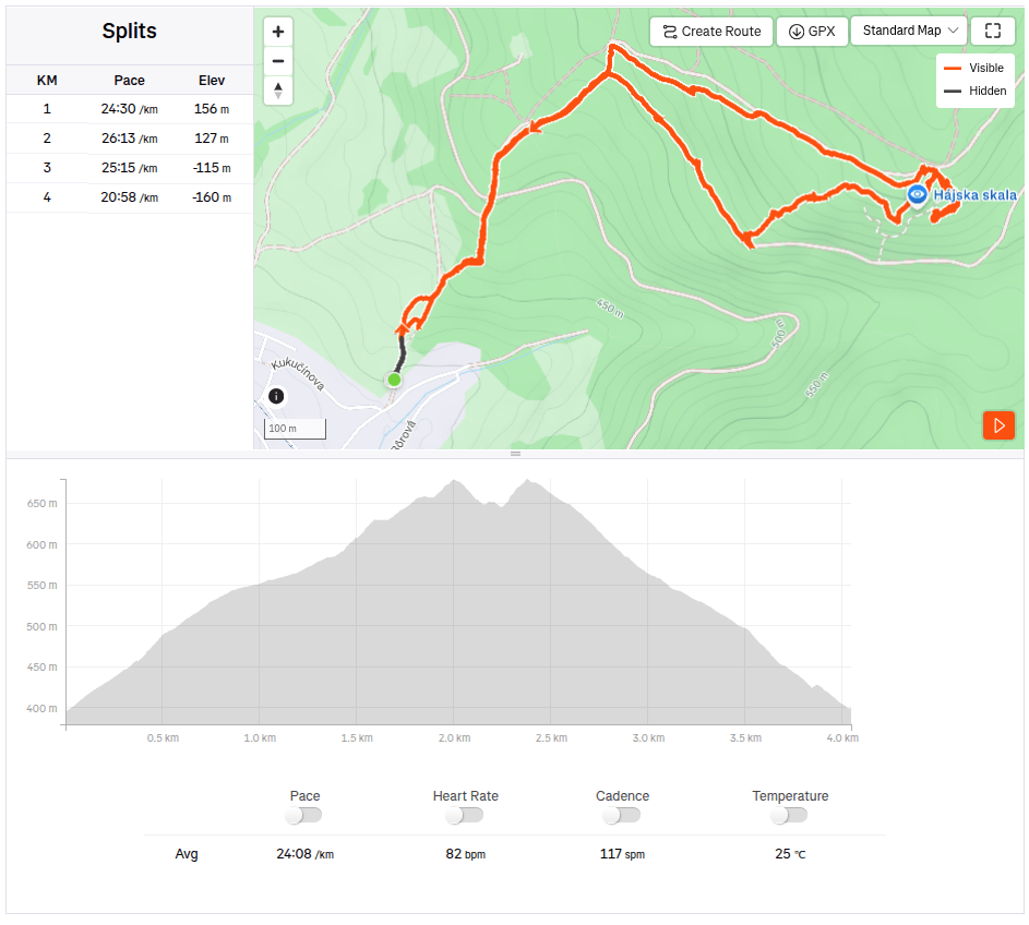
    4km, 1h 53 min, 320 meter ascend

    We slept at the Poniklec cottage. It is tourist accommodation in a “retro” style – but fully sufficient for us, and I must say that we slept like babies, curled up in fragrant duvets and woke up an hour later than we usually wake up:)

    On the way to Bralova skala

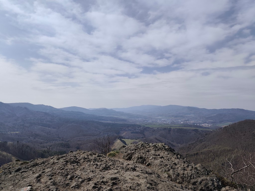
    The next day we went to see the Bralová skala, whose rocky cliff offers a very good view of the Handlovská and Turčianska basins, the Kremnické vrchy, Vtáčnik, or even Malá and Veľká Fatra. The ascent was only less than 2 kilometers long, but at the end it was quite steep.

    Bralova skala

    We ended the weekend with a visit to Rematské ornamental ponds – it is an agro-tourism area, it offers fishing, a great children’s playground, a mini-farm and a zipline. David really liked it here. He was 6 years old at that time.

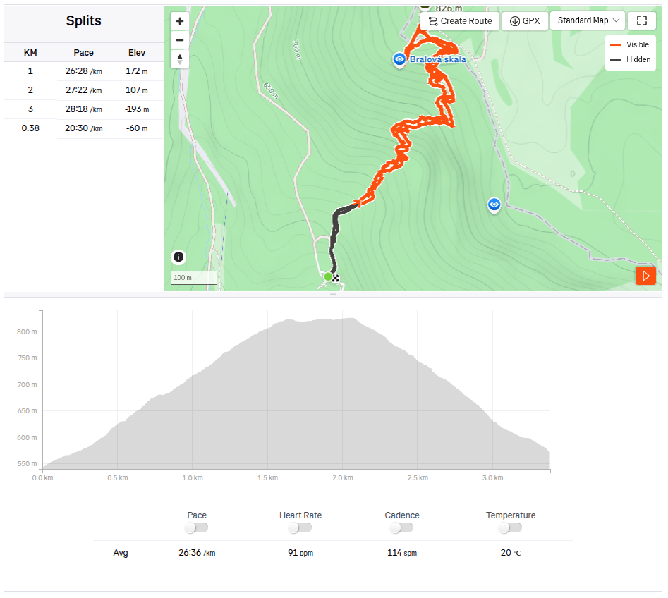
    3.38km, 1h 46min, 280 meter ascend
  • Bojnice, Remata (s Dávidom)

    Bojnice, Remata (s Dávidom)

    V snahe minimalizovať screen time a maximalizovať spoločne strávený kvalitný čas (ideálne outdoor) vymýšľam a hľadám možnosti na výlety. Tento krát bola hlavným cielom vyhliadkovýá veža Čajka vypínajúca sa nad Bojnicami.

    čajka v oblakoch

    Jej celková výška je 30metrov a na jej vrcho vedie drevená lávka. ponúka naozaj krásne výhľady, ale podľa mňa je vstupné na túto atrakciu nastavené relatívne vysoko (12 eur/osoba), vzhľadom na to, že sme ju obehli asi za pol hodinku.

    Pre nás ale veľkým bonusom bolo priľahlé detské ihrisko, ktoré je naozaj obrovské. A kúsok od Čajky sa nachádza aj dinopark, ktorý sme samozrejme nemohli len tak obísť (taktiež 12 eur/ osoba).

    Súčasťou ihriska bol aj takýto parádny hrad so šúchačkou, ktorú som si ani ja nemohla nechať ujsť

    Dinopark sa nám však veľmi páčil, bol rozľahlý, s viac ako 100vkou exponátov, z ktorých niektoré boli naozaj obrovské. Páčilo sa nám, že chodníčky viedli lesom, čo umocňovalo atmosféru. Dinosaury sa dokonca hýbali a vydávali zvuky.

    Dinopark

    Tu sme sa prechádzali viac ako hodinu a keby sme ešte iné plány, verím, že ešte hodinu by sme mali čo bojavovať. Za nás lepšie minuté peniaze v porovnaní s vyhliadkovou vežou.

    Cestou do Rematy, kde sme mali dohodnuté ubytovanie sme mali ešte jednu zastávku – Hájsku skalu nad obcou Ráztočno. Na Hájsku skalu sú to asi 2 kilometre, avšak na ten parádny výhľad si treba vyšľapať celkom dobrý kopec.

    Pod Hájskou skalou sa nachádza aj Hájska jaskyňa – jediná voľne prístupná jaskyňa v pohorí žiar, je dlhá 25 metrov so 6metrov vysokým dómom.

    Vchod do jaskyne
    4km, 1h 53 min, 320 nastúpaných metrov

    Prespávali sme na chate Poniklec . Ide o turistické ubytovanie v “retro” štýle – pre nás ale plne postačujúce a musím povedať, že sme spali ako bábätká, zakutali sme sa do voňavých perín a zobudili sme sa až o hodinu neskôr ako bežne vstávame:)

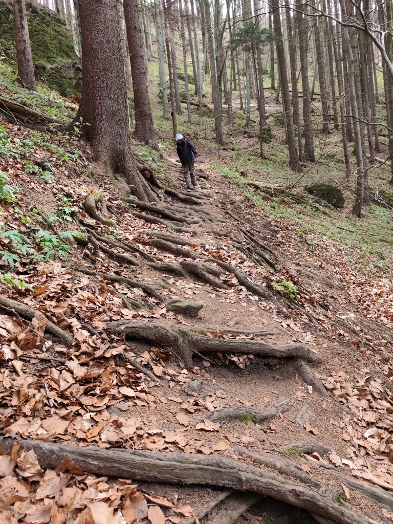
    Cestou na Bralovu skalu

    Na druhý deň sme išli pozrieť Bralovú skalu, ktorej skalnaté bralo ponúka veľmi dobrý výhľad na Handlovskú a Turčiansku kotlinu, Kremnické vrchy, Vtáčnik, či dokonca Malú a Veľkú Fatru. Výstup mal len necelé 2kilometre, zato v závere bol poriadne strmý.

    Bralova skala

    Víkend sme zakončili návštevou Rematských okrasných rybníkov – ide o agroturistický areál, ponúka rybolov, parádne detské ihrisko, minifarmu a lanovú dráhu. Dávidovi sa tu veľmi páčilo. V tom čase mal 6 rokov.

    3.38km, 1h 46min, 280 nastúpaných metrov
  • SNP girl’s project, day 12

    SNP girl’s project, day 12

    The third day in the east, where we had covered more than 80 kilometers in the last two days, was slower. In the morning we start from the same point in Bardejov where we finished yesterday’s stage.

    By the way, Bardejov Town Hall Square is one of the most beautiful in Slovakia. It is a great pity that the SNP bypasses it, it is definitely worth making a small detour.

    The square is rectangular and is surrounded on three sides by a row of typical narrow townhouses. On the north side of the square is the dominant of the city – the Basilica Minor of St. Egidius, connected to the Renaissance building of the former city humanities school.

    The indescribable atmosphere of Bardejov Square is enhanced by its representative town hall building from the 16th century, built in the Gothic-Renaissance style. It houses the exhibition of the Šariš Museum dedicated to the history of the city.

    Mihaľov

    We pass through the picturesque village of Mihaľov and continue to Hervatov, running for a surprisingly long time on asphalt roads, which is significantly faster, but less fun :).

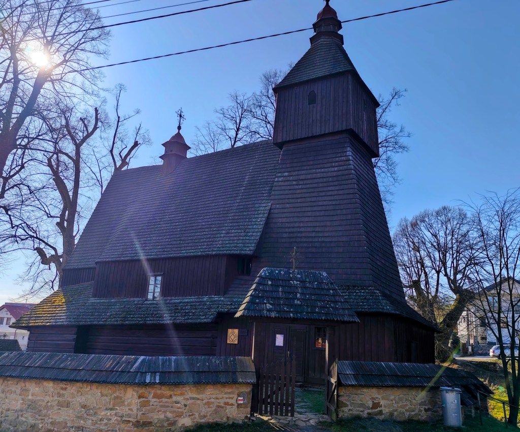
    Church of sv. Francis z Assisi

    In Hervatov there is a wooden church of St. Francis of Assisi and it is surrounded by a stone wall covered with wooden shingles. This church is also on the UNESCO World Heritage List. It was built at the end of the 15th century in the Gothic style and is our oldest preserved wooden church in the Gothic style. Its exterior has remained almost untouched even after more than half a millennium. However, we were unable to get inside.

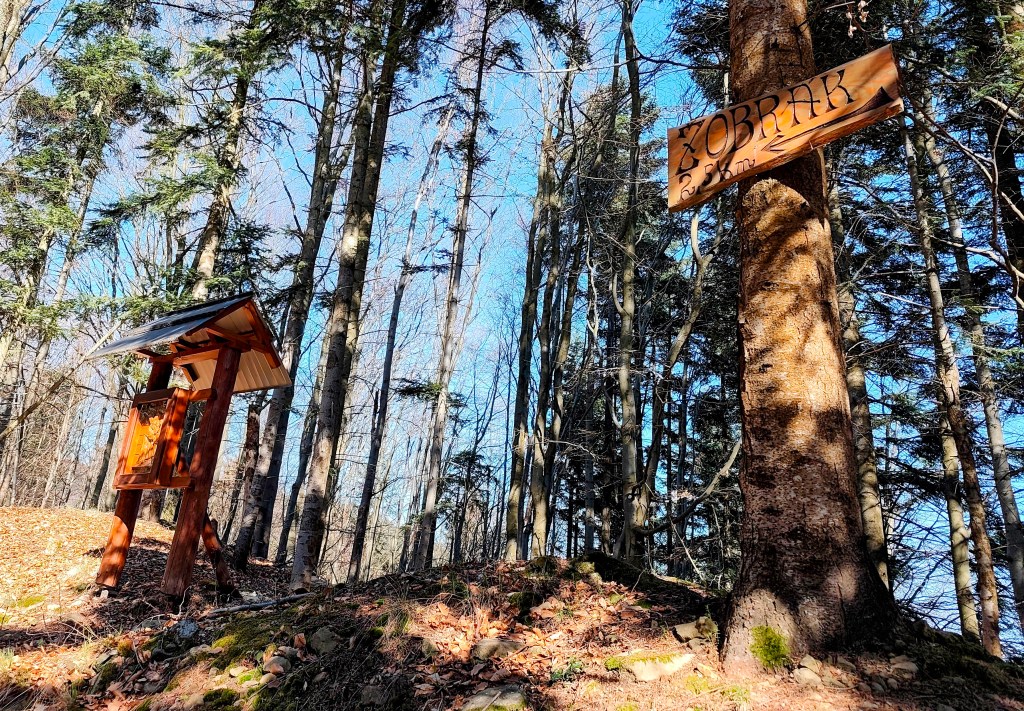
    calvary on the way to Žobrák

    We leave the asphalt and start climbing a really steep dirt road to Žobrák Hill. At its top there is a small chapel and a little further on there is a shelter and a lookout tower.

    Views from the viewpoint on the top of Žobrák

    We continue through Bukový vrch to Čergov, which is the highest point of today’s stage. Around Bukový vrch we still found remnants of snow cover.

    From Čergov, all that’s left for us is the descent to Terňa, it’s starting to get warm, we only have a pinch of water left and we’re already looking forward to the radler that we have left in the car at the finish line 🙂
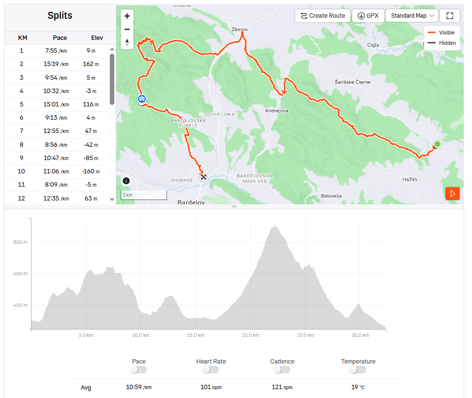
    34.19km, 5:47 active time, 1346m ascend
  • SNP girl’s project, day 11

    SNP girl’s project, day 11

    Our legs are working surprisingly well after yesterday and we are going on the next stage, this time from Kurimka to Bardejov.


    Three-dimensional coat of arms of Zborov

    A beautiful addition to the route is Zborov Castle (to which there is a detour, that’s why we went to see it yesterday as part of active regeneration:) The oldest mentions of Zborov Castle, or also nicknamed Makovický Castle, come from the beginning of the 14th century.In the past, it was an important defensive castle.

    The original royal Gothic castle did not initially have a large area. It consisted of a massive prismatic tower, a palace and an irregular courtyard, to which other buildings were added later. At a time when the country was preparing to defend itself against Ottoman aggression, this Gothic castle was rebuilt into a very modern Renaissance representative fortress with basic fortifications modeled after Italian architecture. The new owners renovated the oldest parts, expanded the living and farm premises and the walls. In addition to the reconstruction of the basic upper castle, they also rebuilt the second courtyard and added a third courtyard with a semicircular bastion, defensive wall and embrasures. The third courtyard was entered through an ingenious entrance gate on the southwest side with a drawbridge. The triple fortification system was supposed to prevent the castle from being raided and secure it against conquest even if the enemy occupied the entrance gate. However, it fell into disrepair from 1680, and its fate was sealed in 1914 by the fighting between the Russian army and the Austro-Hungarian army in the neighborhood of the village, which badly damaged the ruins of the castle. After the war, the castle continued to fall apart, and only ruins remained of the once majestic feudal residence.

    Inner courtyard of Zborov

    Today, the walls and torso of the architecture have been preserved in the area of ​​Zborovské hrad. In some places, embrasures, corner framing, window and door openings have been preserved in the walls. Since 2010, the castle has been undergoing revitalization works.

    Castle Zborov

    From Zborov we start to climb Stebnícka Magura, it is warm, the sun is shining and snowdrops are blooming in the forest. That’s beautiful, but bottled water runs out suspiciously quickly 🙂
    Viewpoint at Stebníckej Magure

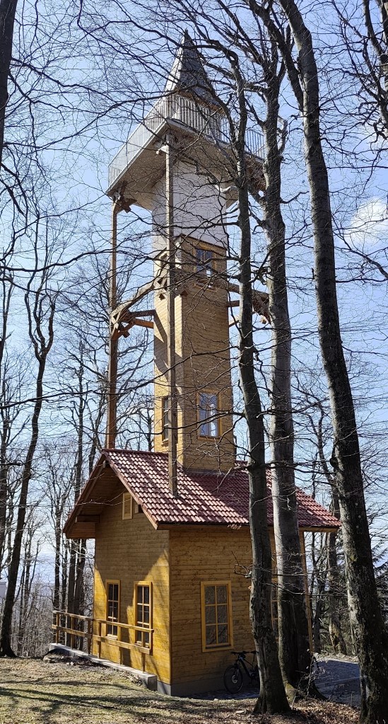
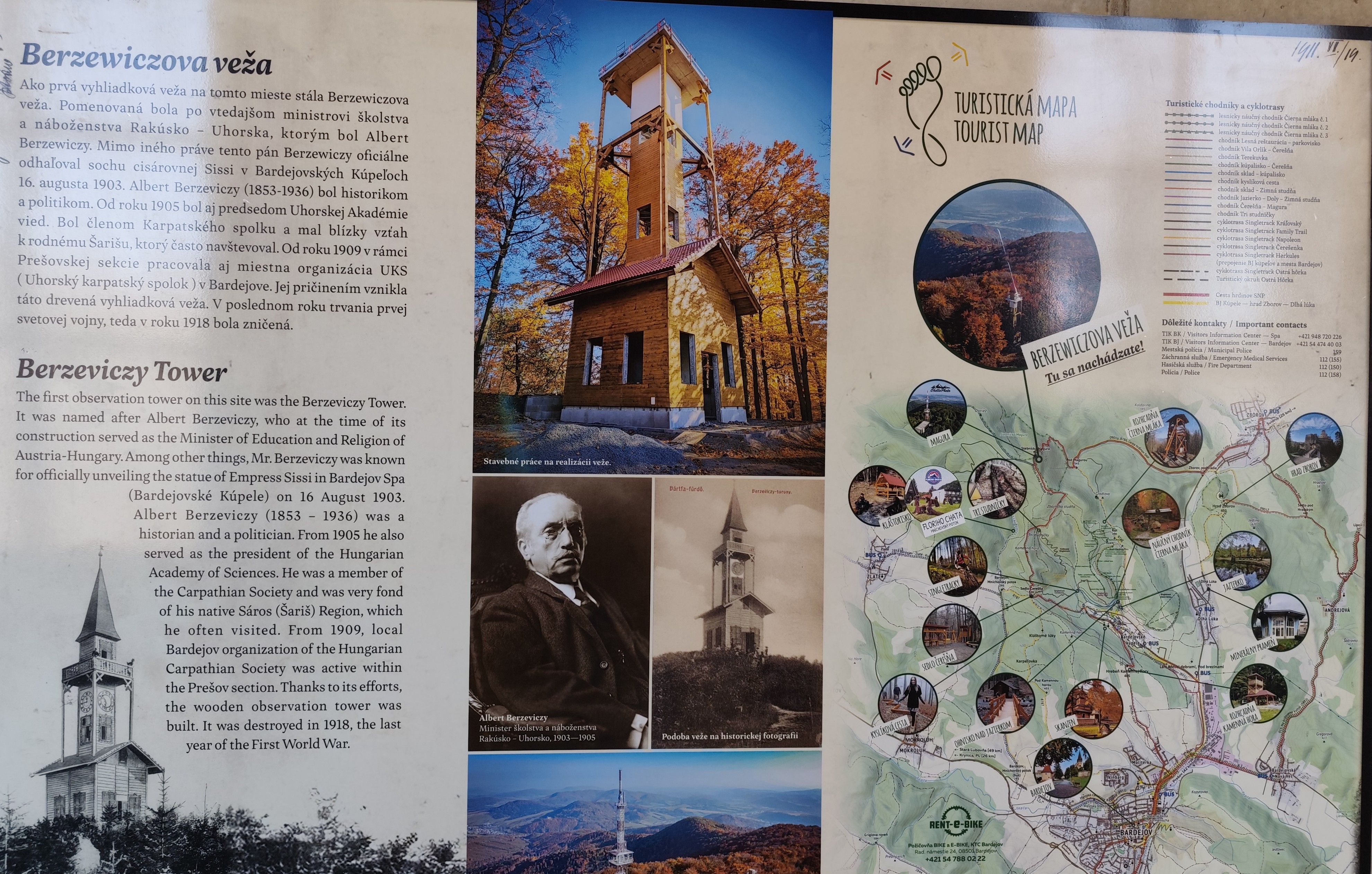
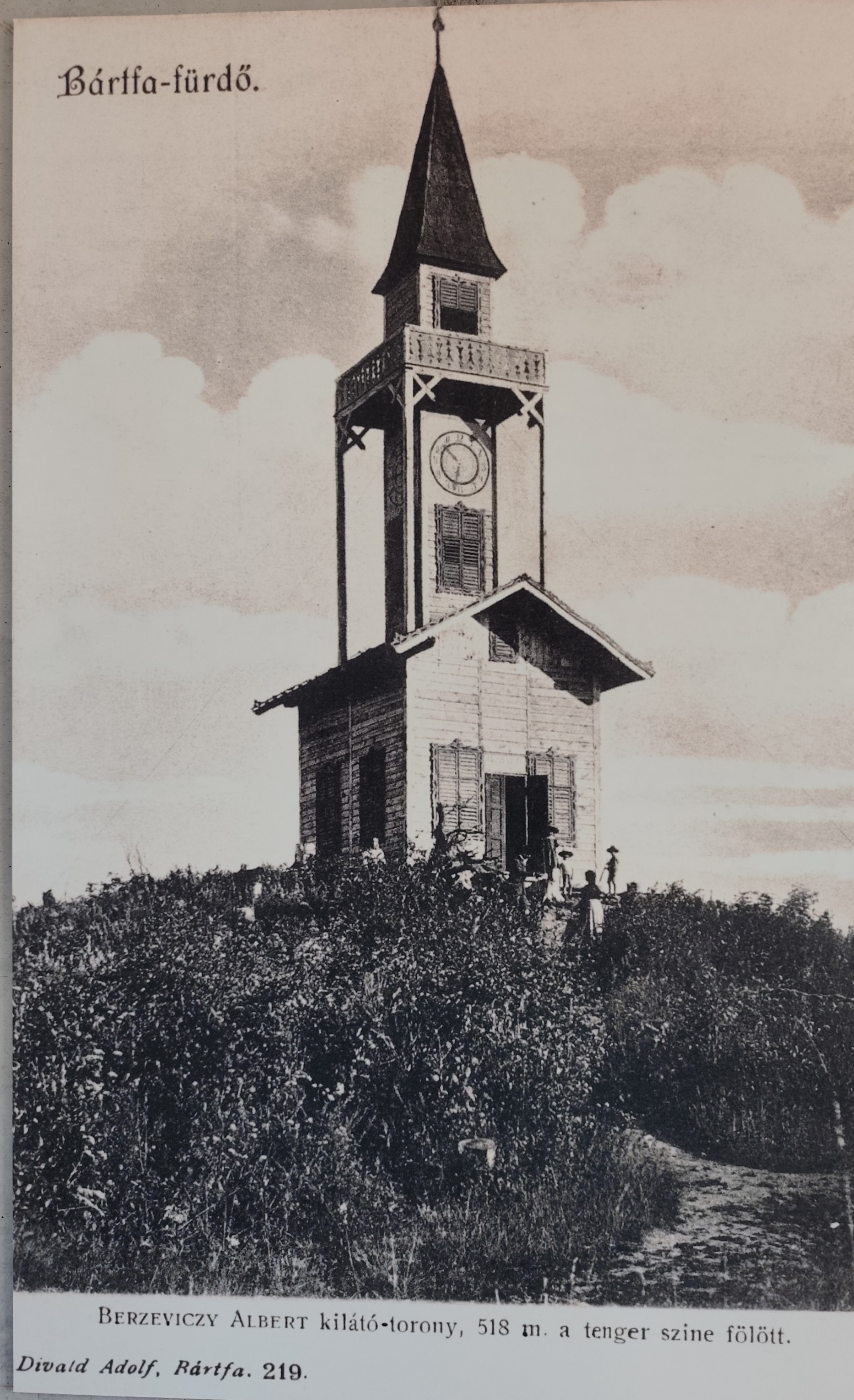
    At the top of Stebník Magura there is a wonderful lookout tower (to which an endless spiral staircase leads). The newly built observation tower resembles the so-called Berzewicz Tower built in 1905 on the same site, which was destroyed during the First World War in 1918, the replica tower reflects the original design.

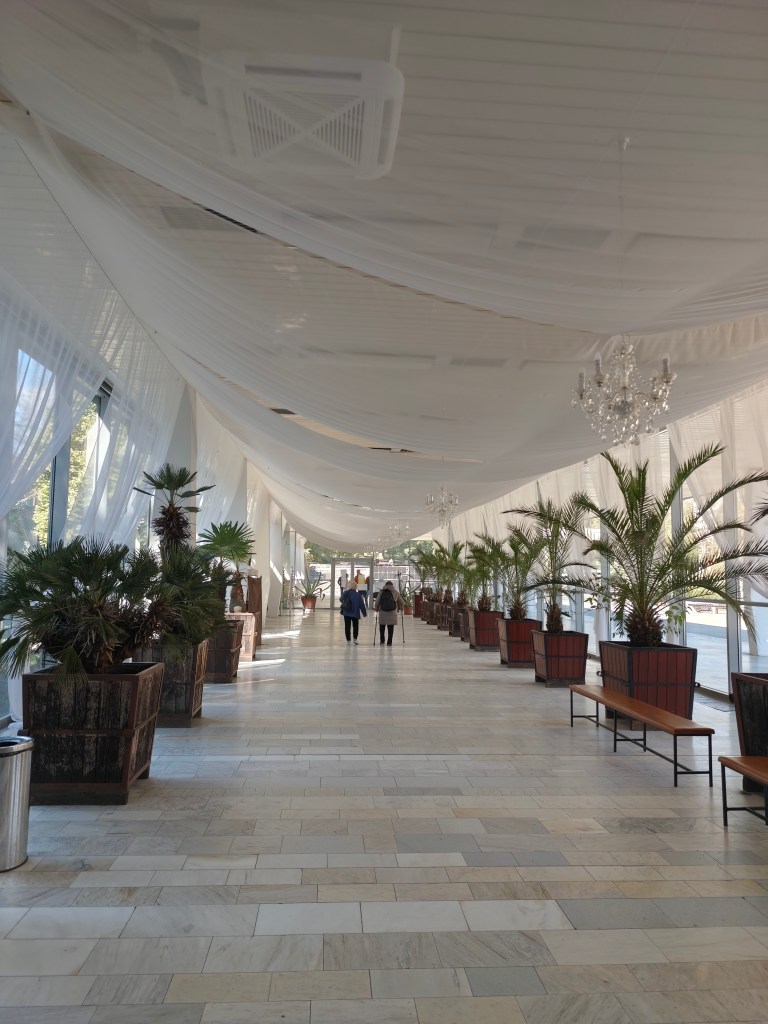
    Thirsty, we run down to the Bardejov spa, where after a while of wandering and searching we find mineral springs.

    They are our salvation, we refill the bottles and set off along the spa promenade to the last hill that separates us from Bardejov.

    Bardejov mineral springs
    32.34km, 5:55 active time, 1402 m ascend
  • SNP girl’s project, day 10

    SNP girl’s project, day 10

    We finally managed to get to the east and stand at the start of the SNP, which begins in the Dukla Pass on the border with Poland. The legendary Slovak ridge path is almost a hundred years old. It originated as the Štefánik Trail, which disappeared and was revived as The path  of the heroes of the Slovak National Uprising.

    This stage was mainly accompanied by tanks

    The new form of the highway was brought about by a meeting of the chairmen of the regional sign commissions in 1956, where it was decided to build the Slovak Highway from Devín to Dukla. Despite the fact that the period after 1938 was not favorable for tourism, about ¾ of the original Štefánik Road was preserved and incorporated into the new long-distance route with number 001. The name “The Path of the Heroes of the Slovak National Uprising” was introduced only in 1959.

    So that what happened here in the past is never forgotten

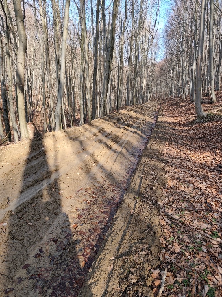
    And the Dukla Pass was still dangerous in the first years after the war, because there were minefields there, so we tried to deviate from the route as little as possible, which was not always easy, especially on the approximately 3-kilometer section damaged by mining, which was full of mud up to the ankles.

    This is a tourist path too

    This stage was special for us, mainly because it was the first time we encountered monuments and remnants of the war. At the Dukla Pass itself, there is a monument and cemetery of the members of the 1st Czechoslovak Army Corps, in the cemetery there are graves with the names of 1,265 fallen soldiers. Under the saddle stands a stone pylon (it is truly monumental, it is 28 m high).

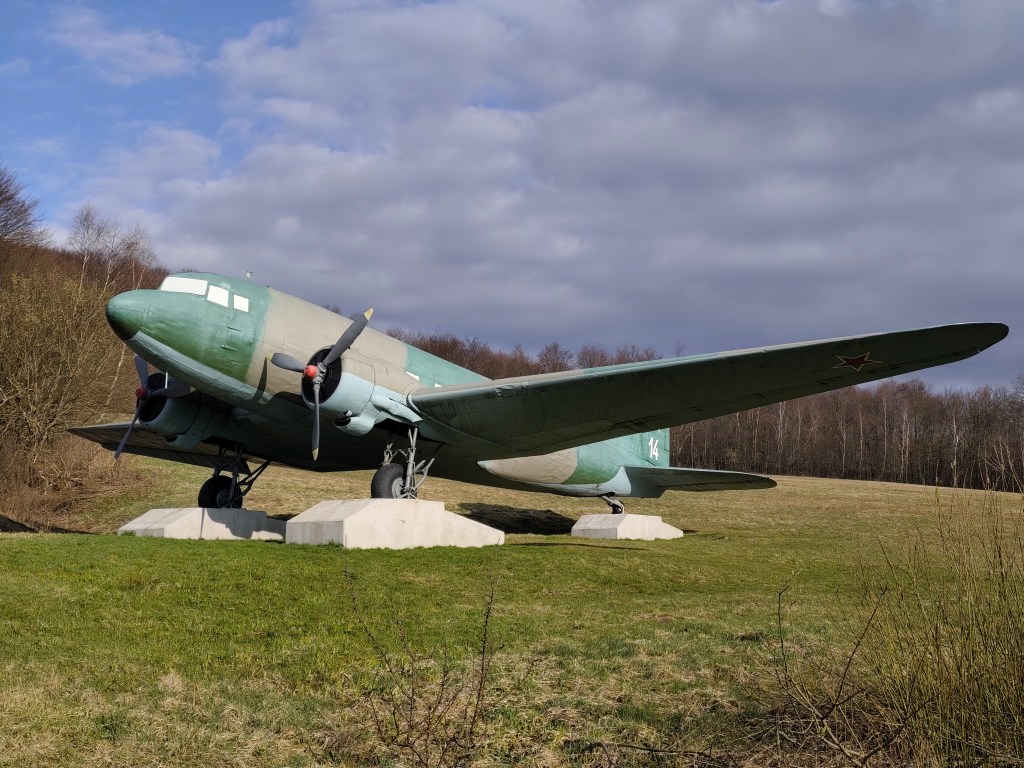
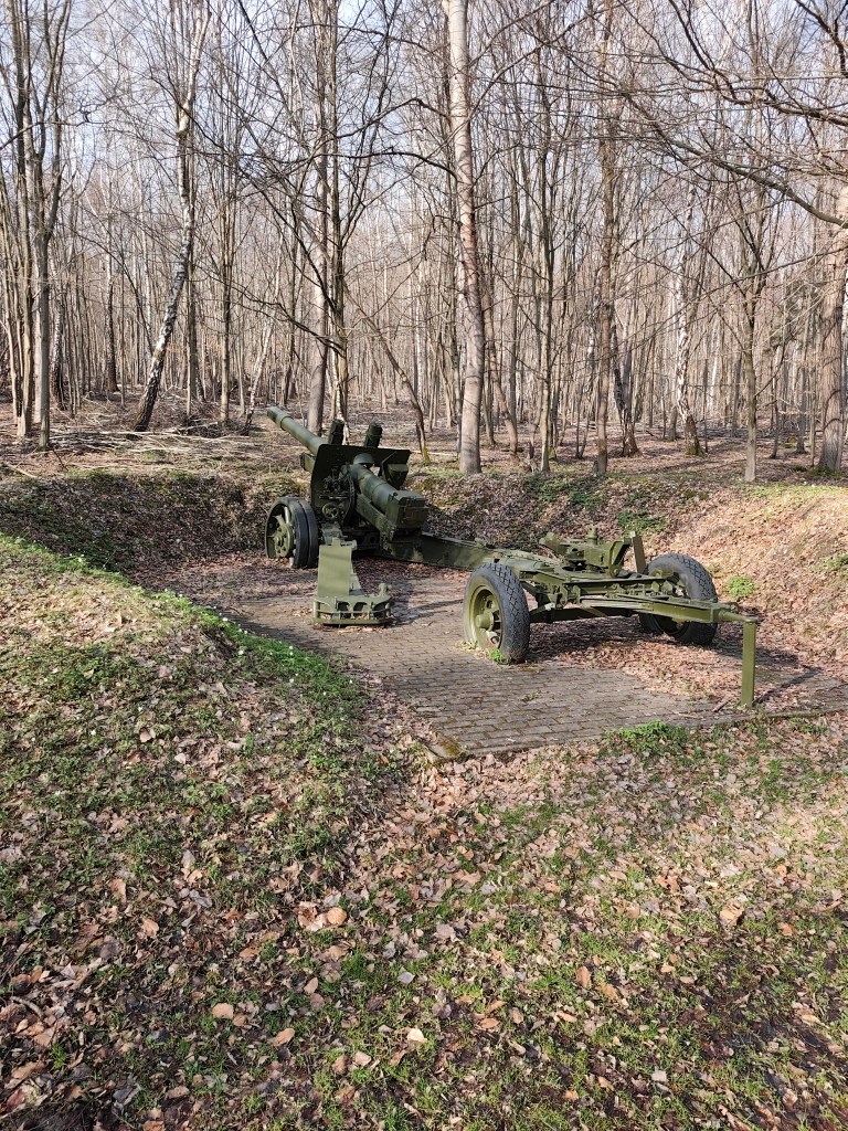
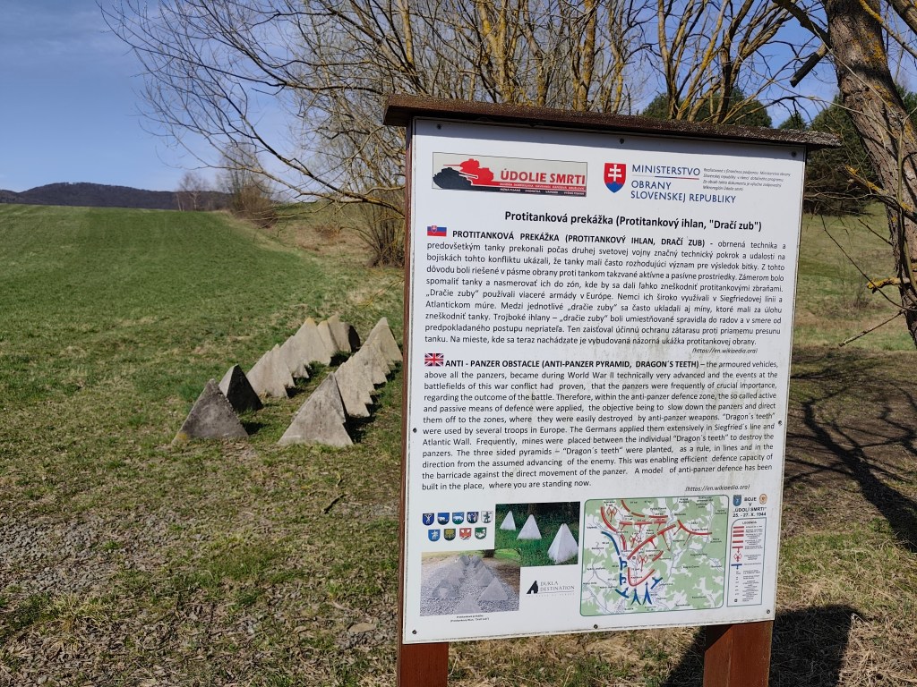
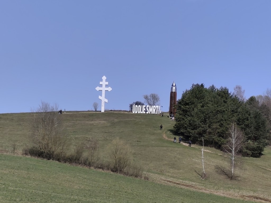
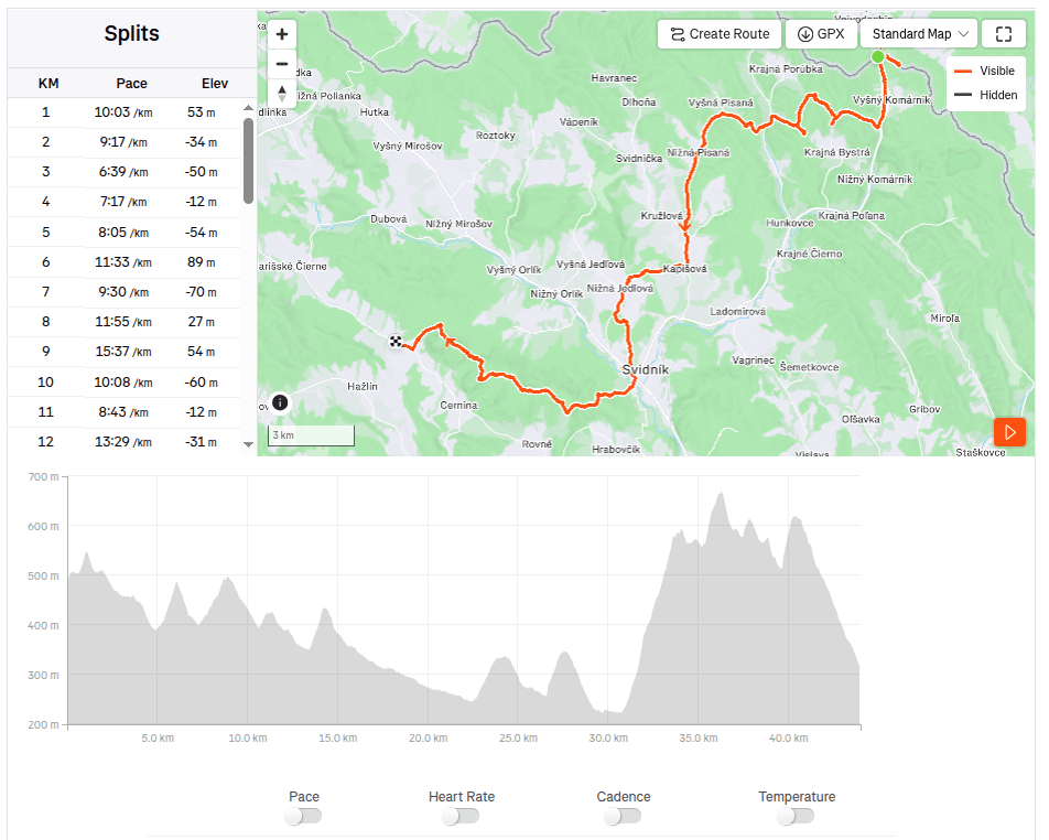
    Then we ran around the plane and between the tanks and after a few kilometers we reached the Valley of Death. In 1969, a so-called tank company in attack was built in the area of ​​the Valley of Death as a symbol of heavy tank battles. It consists of eight medium tanks deployed in a combat position on a meadow located between the villages of Kapišová, Kružlová and Nižná Pisaná. Along with the installation of tank technology, trenches were also created in this area and German anti-tank obstacles in the form of so-called dragon teeth were installed. In April 2019, the inscription “ÚDOLIE SMRTI” with dimensions of 9.98 x 2.90 meters was also installed in the tank company area. This is the largest horizontal inscription placed outdoors in Slovakia. In October 2021, a 13.5-meter-high four-story observation tower was subsequently built next to it, which with its specific shape resembles a cartridge for a Czechoslovak model 24 rifle.

    anti-tank dragon teeth
    The valley of death

    651

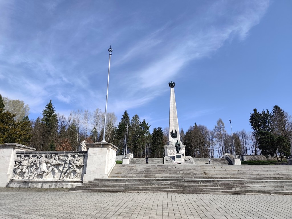
    We reach Svidník and right on its edge is the area of ​​the Dukla battlefield with the monumental Soviet Army Memorial. The pylon of the memorial itself has the shape of a four-sided pyramid and its total height reaches 37 meters. It is topped by a five-pointed star measuring 3.5 meters. Large-scale artistic reliefs were installed in the square pedestal of the pylon. Spiš travertine, which was imported from Spišské Podhradie, was used as the basic building material. The original memorial dates from 1954, but in 2017-2021 it underwent a complete revitalization. Next to the memorial there is also an outdoor museum exhibition with exhibits of military equipment.

    Memorial in Svidníku

    We leave the city and climb to Čierna Hora, where there is a relatively newly built shelter and an observation tower, which is quite an adrenaline attraction when the wind blows.

    On the obervation tower

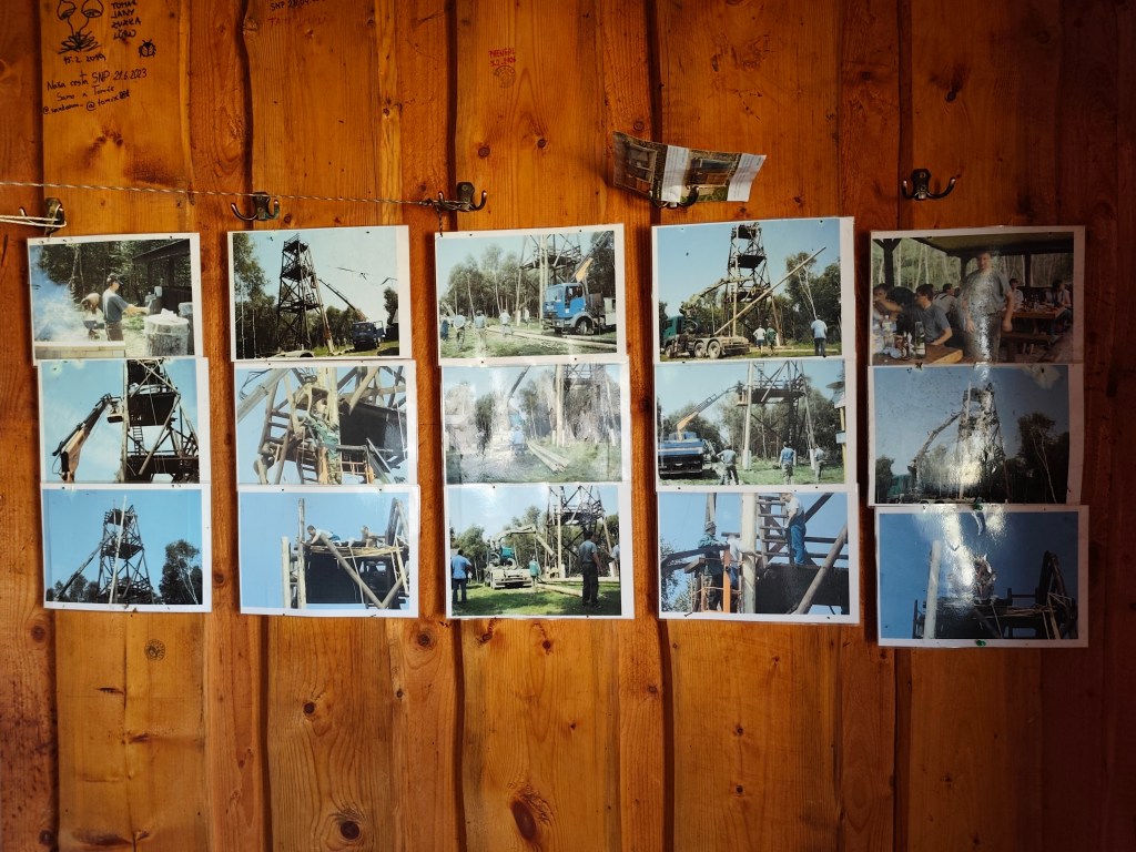
    There are interesting photos in the shelter documenting the construction of this observation tower.

    Inside the shelter

    Dnešnú etapu končíme v Kurimke, odkiaľ plánujeme zajtra pokračovať.

    44km, 7:08 active, 1277m ascend
  • SNP girl’s project, deň 10

    SNP girl’s project, deň 10

    Konečne sa nám podarilo dostať sa na východ a postaviť sa na štart cesty hrdinov SNP, ktorá začína v Duklianskom priesmyku na hraniciach s Poľskom. Legendárna slovenská hrebeňovka má za sebou takmer sto rokov. Vznikla ako Štefánikova cesta, ktorá zanikla a znovu ožila ako Cesta hrdinov SNP. 

    Túto etapu sprevádzali najmä tanky

    Novú podobu magistrály prinieslo stretnutie predsedov krajských značkárskych komisií v roku 1956, kde bolo rozhodnuté o vybudovaní Slovenskej magistrály z Devína na Duklu. Napriek tomu, že obdobie po roku 1938 turizmu neprialo, asi ¾ pôvodnej Štefánikovej cesty sa podarilo zachovať a začleniť do novej diaľkovej trasy s číslom 001. Názov „Cesta hrdinov SNP“ bol zavedený až v roku 1959.

    Aby sa nikdy nezabudlo, čo sa tu v minulosti odohralo

    A práve Dukliansky priesmyk bol v prvých rokoch po vojne stále nebezpečný, pretože v ňom nachádzali mínové polia, takže sme sa snažili, čo najmenej odbáčať z trasy, čo nie vždy bolo ľahké, najmä na asi 3kilometrovom úseku znehodnotenom ťažbou, ktorý bol plný blata vyše členkov.

    Aj takto vyzerá turistická trasa

    Táto etapa bola pre nás zvláštna, hlavne preto, že sme sa prvý krát stretali s pamätníkmi a pozostatkami z vojny. Pri samotnom Duklianskom priesmyku sa nachádza pamätník a cintorín príslušníkov 1. československého armádneho zboru, na cintoríne sú hroby s menami 1 265 padlých bojovníkov. Pod sedlom stojí kamenný pylón (je naozaj monumentálny, má výšku 28 m).

    Následne sme bežali aj okolo lietadla a pomedzi tanky a po pár kilometroch sme sa dostali do Údolia smrti. V roku 1969 bola v priestore Údolia smrti ako symbol ťažkých tankových bojov vybudovaná tzv. tanková rota v útoku. Tvorí ju osem stredných tankov rozmiestnených do bojového postavenia na lúke nachádzajúcej sa medzi obcami Kapišová, Kružlová a Nižná Pisaná. Spolu s inštaláciou tankovej techniky boli v tomto priestore vytvorené aj zákopy a osadené nemecké protitankové prekážky v podobe tzv. dračích zubov. V apríli 2019 bol v priestore tankovej roty tiež osadený nápis „ÚDOLIE SMRTI“ s rozmermi 9,98 x 2,90 metra. V rámci Slovenska ide pritom o najväčší horizontálny nápis umiestnený v exteriéri. V októbri 2021 bola pri ňom následne postavená aj 13,5 metra vysoká štvorposchodová rozhľadňa, ktorá svojim špecifickým tvarom pripomína náboj do československej pušky vzor 24.

    protitankové dračie zuby
    Údolie smrti

    Dobiehame do Svidníka a hneď na jeho okraji sa nachádza areál duklianskeho bojiska s monumentálnym Pamätníkom sovietskej armády. Samotný pylón pamätníka má tvar štvorbokého ihlanu a jeho celková výška dosahuje 37 metrov. Ukončený je päťramennou hviezdou, ktorá meria 3,5 metra. Do štvorcového piedestálu pylónu boli osadené veľkorozmerné umelecké reliéfy. Ako základný stavebný materiál bol použitý predovšetkým spišský travertín, ktorý sa dovážal zo Spišského Podhradia. Pôvodný pamôtník je z roku 1954, avšak v rokoch 2017-2021 prešiel celkovou revitalizáciou. Vedľa pamätníka sa ešte nachádza vonkajšia expozícia múzea s exponátmi bojovej techniky.

    Pamätník vo Svidníku

    Opúšťame mesto a stúpame na Čiernu horu, kde sa nachádza pomerne novopostavená útuľňa a aj vyhliadková veža, ktorá je pri vetre celkom adrenalínovou atrakciou.

    Na vyhlaidkovej veži

    V útulni sú zaujímavé fotky dokumentujúce stavbu tejto vyhliadkovej veže.

    V útulni čierna hora

    Dnešnú etapu končíme v Kurimke, odkiaľ plánujeme zajtra pokračovať.

    44km, 7:08 aktívny čas, 1277 nasúpaných metrov.
  • Chata pod Suchým with David

    Chata pod Suchým with David

    Our first sleepover together at a mountain hut, where we had to carry everything we needed on our own backs. Great adventure in Mala Fatra.

    An ordinary thing for someone, for us it was something really big, Dávid packed his own backpack for the first time (lego and sweets, he obviously knows what’s important:) ) and I packed two people in one backpack for the first time.

    Starhrad

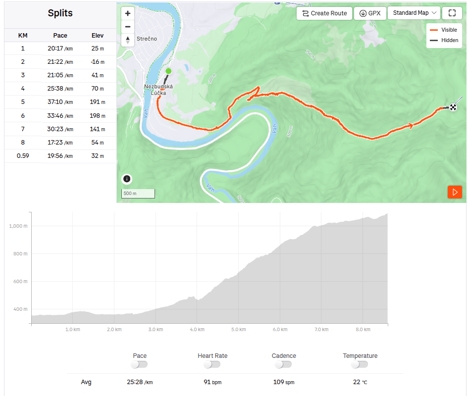
    Several hiking trails lead to Chata pod Suchým, and I chose the one from Nezbudská Lúčka around the ruins of Starhrad. We came to Nezbudská Lúčka by train, and from there it is 8.6 km and a healthy 931 meters of altitude up to the cottage.

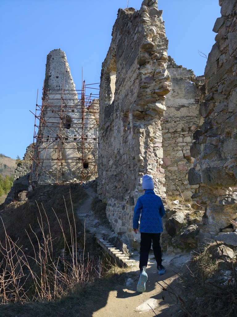
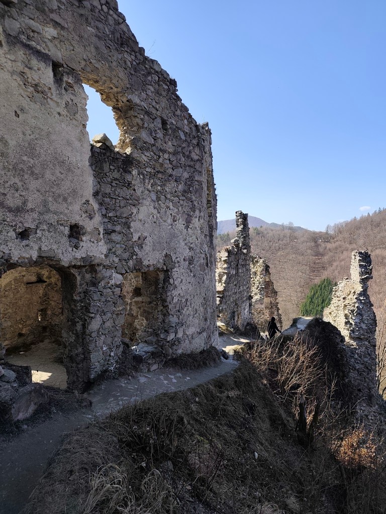
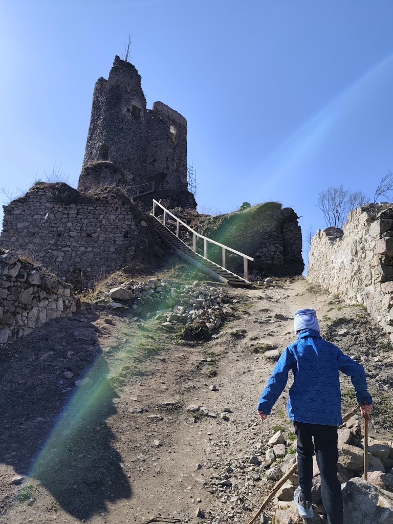
    Ruins of Starhrad

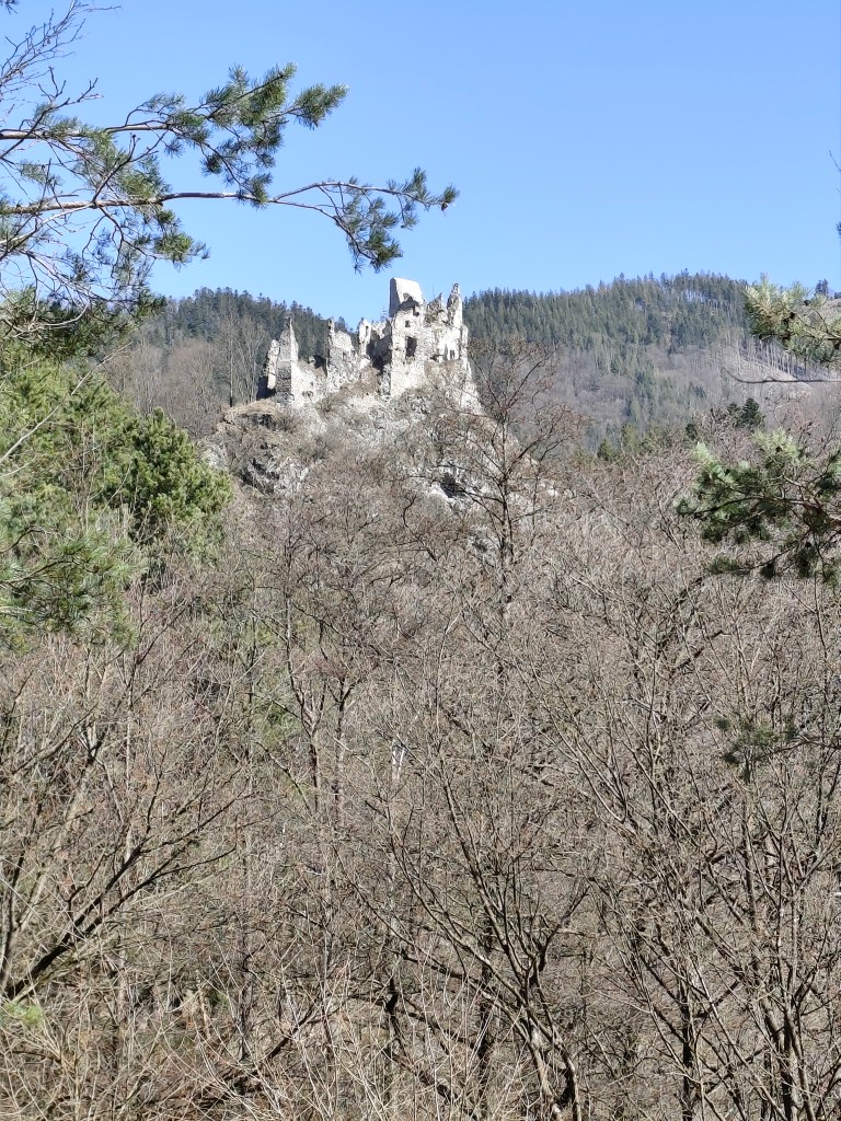
    Starhrad is located opposite of Strečno Castle, on the other bank of the Váh River above the Domašínsky meander. The castle has preserved the masonry and layout of a medieval castle. The tower is still preserved up to the height of the second floor. To the west of it, the remains of the palace are visible, and the other damaged walls trace the terrain of the rock cliff.The original windows and entrances have been preserved in some places. A part of the Gothic bay window can be seen on the palace. There is a beautiful view from the ruins. It is an ideal place to take a break and strengthen before the most demanding part of the ascent to the hut.

    This is followed by a really steep climb up to the Plešel hill, during which I heard “when will we be at the cottage?” about 47 times.

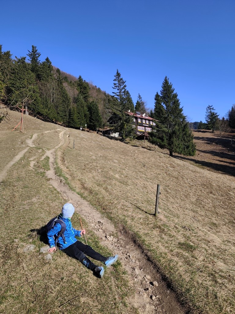
    steep climb begins

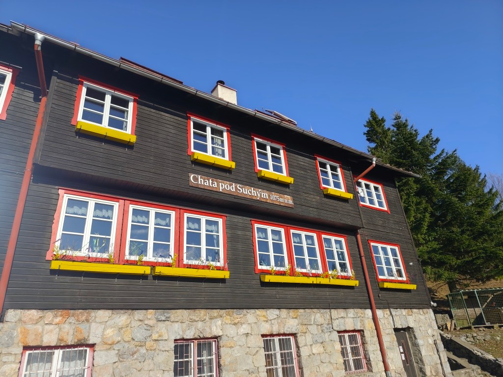
    The cottage itself is located at an altitude of 1075 m.a.s.l., under Suchý Hill. The original cottage was from 1938, the cottage was a two-story building with an attic, it was built in a very modern style and there were a total of 80 beds in the tastefully furnished rooms and the common dormitory. The generator-lit cottage also had a dining room and a kitchen where tourists could prepare their meals. There was also water supply. However, this cottage was set on fire by German soldiers in 1944, it burned for 25 hours and the cottagers were not allowed to put it out.

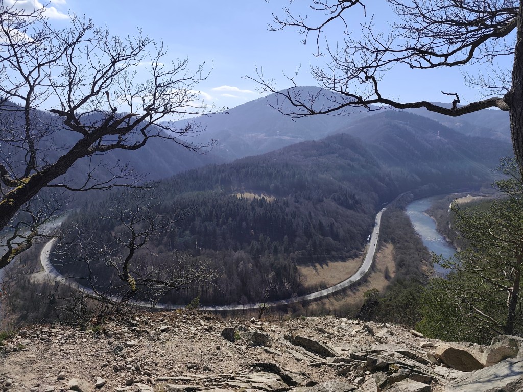
    View on Váh

    Only the foundations and the chimney remained from the original cottage, the construction of the new one began in 1947. First, the construction of the farm building began. The beginnings were very difficult, they lived in a tent, later in a lumberjack’s hut. The material was transported from Strečno on wagons under the Starhrad, there was a transshipment area covered with a tarpaulin, and from there it was carried up by people and mules along the sidewalks. The cottage was completed in the summer of 1949. It was almost identical to the first cottage, just without front windows in the attic part, as the gable roof was replaced with a symmetrical one.

    We made it

    The current cottage offers a year-round kitchen and tourist rooms with shared bathroom facilities. Since the electricity is supplied by a generator, everything goes out at 10 and even hot water is only available in a limited amount 🙂

    But it was a wonderful experience for us that we managed the ascent together and enjoyed our stay even with such “uncomfortable” conditions for the modern world.

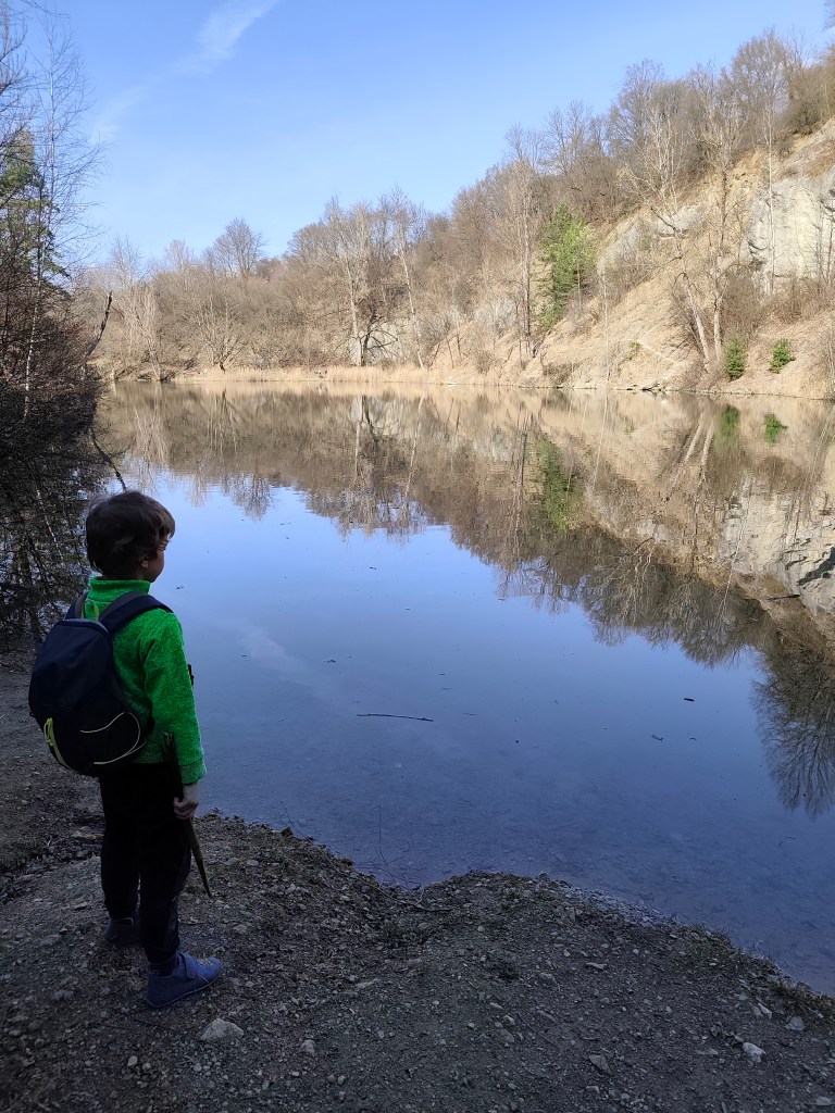
    The next day we literally ran down and therefore we had some time to see the Nezbud quarry before the train – it is a flooded quarry where asphalt crumb was once mined, it has a nice green-blue color and you can walk around it.

    Quarry Nezbud

    Dávid was 6 years old at that time.

    to the cottage: 8.6km, 3:39 active time, 5:13 total, 931 m ascend
  • Chata pod Suchým s Dávidom

    Chata pod Suchým s Dávidom

    Naša prvá spoločná prespávačka na horskej chate, kde sme si všetko čo potrebujeme museli vyniesť na vlastných chrbtoch. Veľké dobrodružstvo v Malej Fatre.

    Pre niekoho bežná vec, pre nás to bolo niečo naozaj veľké, Dávid si prvý krát balil svoj vlastný batoh (lego a sladkosti, očividne vie čo je dôležité:) ) a ja som prvý krát balila dvoch ľudí do jedného batoha.

    Starhrad

    Na Chatu pod Suchým vedie niekoľko turistických trás, aj som nám vybrala tú z Nezbudskej Lúčky okolo zrúcaniny Starhradu. Do Nezbudskej Lúčky sme prišli vlakom a hore na chatu je to 8.6km a výživných 931 výškových metrov.

    Ruiny Starhradu

    Starhrad sa nachádza oproti hradu Strečno, na opačnom brehu rieky Váh nad Domašínskym meandrom. Hrad si zachoval murivo a dispozíciu stredovekého hradu. Veža je dodnes zachovaná asi do výšky druhého poschodia. Na západ od nej sú viditeľné zvyšky paláca a ostatné poškodené múry sledujú terén skalného brala. V areáli sa miestami zachovali otvory pôvodných okien a vstupov. Na paláci je vidieť časť gotického arkiera. Zo zrúcaniny je krásny výhľad. Je to ideálne miesto na prestávku a posilnenie pred najnáročnejšou časťou výstupu na chatu.

    Nasleduje naozaj strmé stúpanie až po vrch Plešel, počas ktorého som si “kedy už budeme na chate” vypočula asi 47 krát.

    začína stúpanie

    Samotná chata sa nachádza v nadmorskej výške 1075 m.n.m, pod vrchom Suchý. Pôvodná chata bola z roku 1938, chata bola dvojposchodovou budovou s podkrovím, postavená bolo vo veľmi modernom štýle a vo vkusne zariadených izbách a spoločnej nocľahárni bolo celkovo až 80 lôžok. Generátorom osvetlená chata mala aj jedáleň a kuchynku, v ktorej si turisti mohli pripraviť jedlo. Nechýbal ani vodovod. Túto chatu však v roku 1944 podpálili nemecký vojaci, horela 25 hodín a hasiť ju chatári nesmeli.

    Výhľad na Váh

    Z pôvodnej chaty zostali len základy a komín, stavba novej začala v roku 1947. Najskôr sa začala výstavba hospodárskej budovy. Začiatky boli veľmi náročné, bývalo sa v stane, neskôr v drevorubačskej búde. Materiál sa vozil zo Strečna na vozoch pod Starý hrad, tam bolo prekladisko prekryté plachtou a odtiaľ ho nosili hore ľudia a mulice po chodníkoch. Chatu dokončili v lete 1949. Bola takmer identická s prvou chatou, akurát bez čelných okien v podkrovnej časti, keďže sedlová strecha bola nahradená symetrickou.

    Dokázali sme to

    Terajšia chata ponúka kuchyňu s celoročnou prevádzkou a turistické izby so spoločným sociálnym zariadením. Keďže elektrina je dodávaná pomocou generátora, tak o 10 všetko zhasne a aj teplá voda je dostupná len v obmedzenom množstve:)

    Ale pre nás to bol úžasný zážitok, že sme spolu zvládli výstup a pobyt sme si užili aj s takýmito pre moderný svet “nekomfortnými” podmienkami.

    Na druhý deň sme zbehli dole a stihli sme si pred vlakom ešte pozrieť lom Nezbud – ide o zatopený lom, v ktorom sa kedysi ťažila asfaltová drvina, má peknú zeleno-modrú farbu a dá sa obísť dookola.

    Lom Nezbud

    Dávid mal v čase výletu 6 rokov.

    cesta hore: 8.6km, 3:39 aktívny čas, 5:13 cekový čas, 931 nastúpaných metrov
  • Vyhne, Repište, Červená Studňa

    Vyhne, Repište, Červená Studňa

    Running at the beginning of March can still be treacherous, there can still be quite deep snow fields in the mountains, especially in shady sections the snow sometimes last until May. So we chose the route at lower altitudes. And this route is absolutely ideal for spring, it is runnable, often leads through meadows that would be too hot from the sun in summer. And in the middle of the hill there is a Hájovňa, where you can buy coffee, radler, cookies…

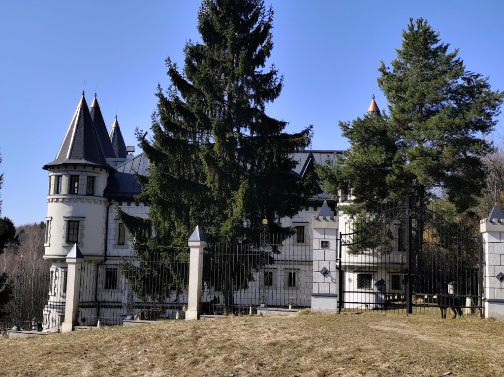
    I recommend the route in this direction, with the first stop near Repiste, where Marcus Castle is located. It is a replica of a medieval castle, which was built only in the 21st century. It includes the Chapel of St. Barbara, which is one of the stops on the Barbora Trail. The chapel stands on the spot where miners once stopped on their way to work and prayed to their patron saint for good luck and protection. However, you will not be able to get to the bottom, as it is private property that is not accessible to the public.

    Marcus

    From the Marcus Castle we continue along the Barborska Road to the Červená Studňa saddle, where the Červená Studňa tajch and Hájovňa are located. The construction of the tajch was designed by J. K. Hell. He wanted to use its strategic location to build a driving ditch that would bring water to the Amália shaft to power a water column pumping machine.

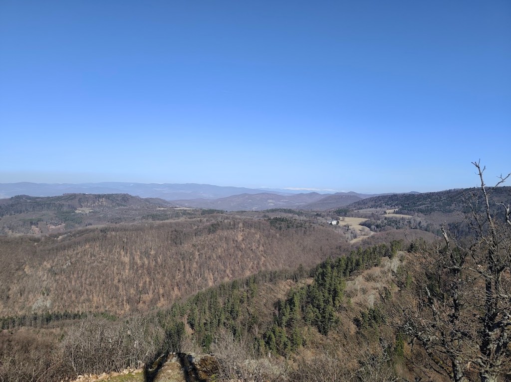
    This route has a lot of beautiful views

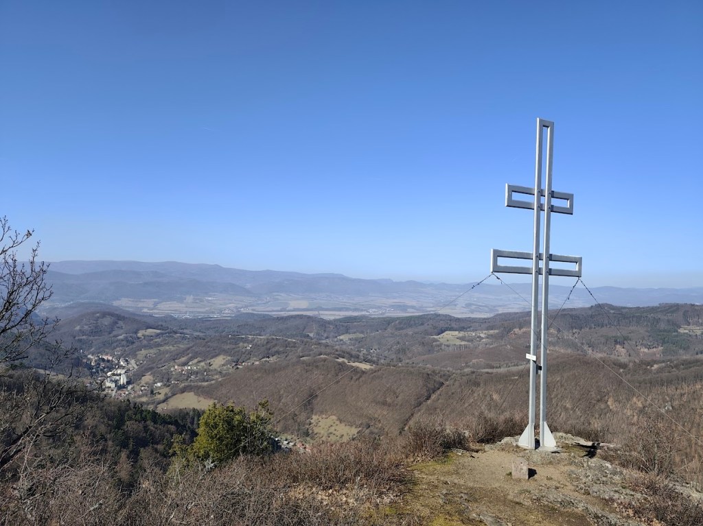
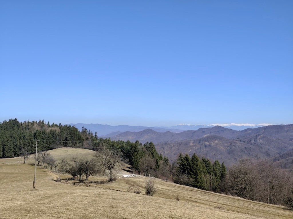
    We had coffee and a radler in Hájovňa, and since it was warm, we enjoyed them in the sun on a bench in front of Hájovňa. Back to Vyhne we went along the ridge on the opposite side of the valley, along the Andrej Kmeť educational trail. This is a nice cycle path, which also offers views of the Marcus Castle. We turn off cycle path to follow yellow marking and to see the views from Jelenia skala. From its top, under favorable conditions, you can see the beautiful landscape from Tribeč to the Low Tatras. From the surrounding hills, you will see Vtáčnik, Kremnické vrchy or Pohronský Inovec.

    Snow covered Lower tatras in the background

    From Jelenia skala we descend along the green path down to the valley and make up for the lost meters by climbing steeply along an unmarked forest path. We reach a not-so-used green tourist trail and follow it, descending slightly, to Hájska skala.

    Cross on the top of Jelenia skala

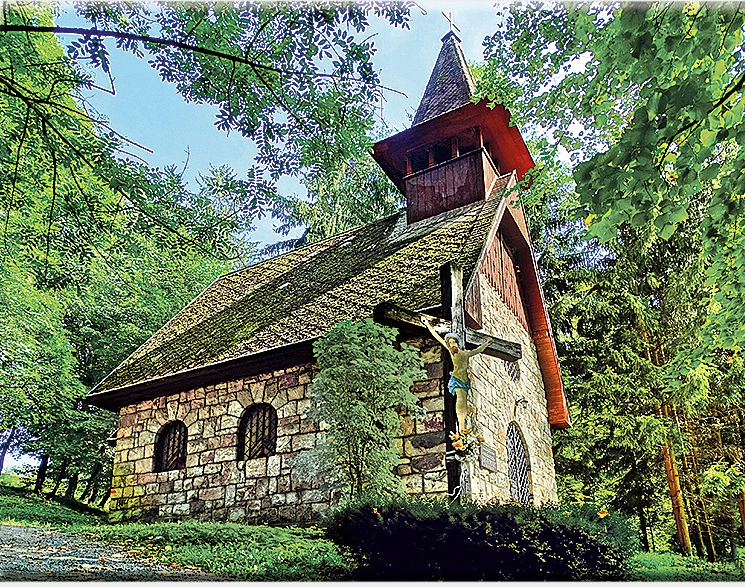
    We return to the parking lot past the spa chapel of Our Lady of the Crown. This is an early work of the famous architect Ladislav Hudec. It survived the devastating spa fire in 1945 and today stands on a hill above the village as a monument to the spa’s past glory, hiding a sculpture of St. John of Nepomuk.

    The chappel (source internet)
    29.93km, 3:42 active time, 4:18 total, 1233 m ascend