Tag: travel

  • SNP girl’s project – deň 6

    SNP girl’s project – deň 6

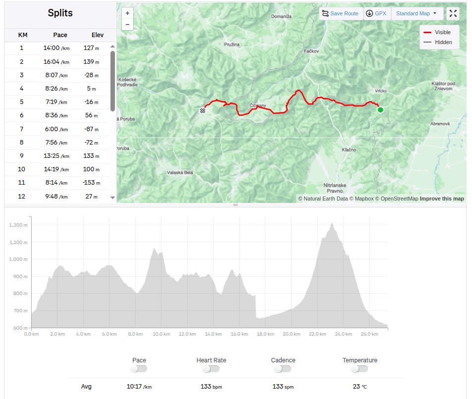
    Z Vríckeho sedla cez Fačkovské sedlo, Čičmany, Strážov do Zlichova.

    Včera to bol deň ako stvorený na behanie, slnko, 20stupňov, svieže zelené lesy a zakvitnuté lúky.

    Na štart do Vríckeho sedla nás doviezol Jožko, ešte máme vetci v živej pamäti ako sme presne na tomto mieste jednu etapu ukončili. Ja svieže ráno, 7 hodín a po raňajkách zjedených cestou v aute a káve z termohrnčeka s Luckou vyrážame. Jožko ide zaviezť auto do Zliechova a pôjde nám oproti.
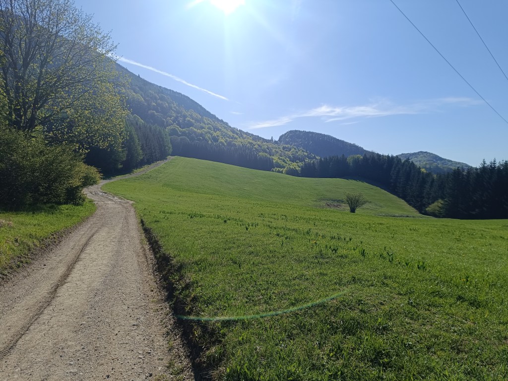
    Pri Fačkovskom sedle

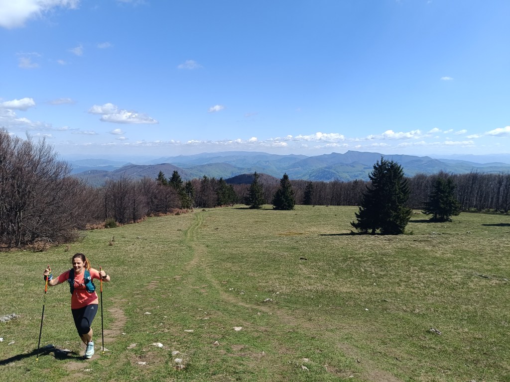
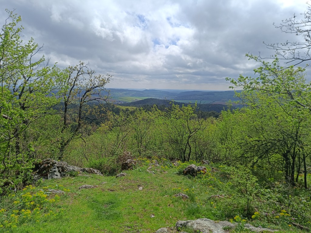
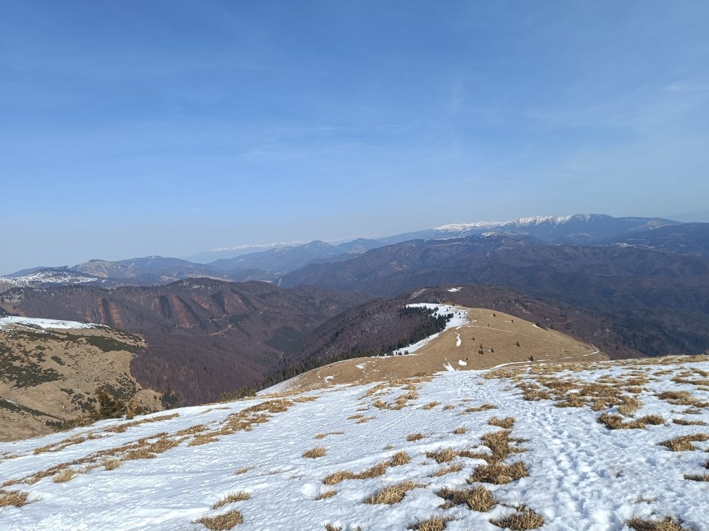
    Lesný chodníček sem tam vybehne na lúku a my s Luckou kecáme a ani nevieme ako nám ide čas. Do fačkovského sedla sa dostávame asi po hodine a pol. Tu opúšťame Malú Fatra a vstupujeme do Strážovskýcyh vrchov, ktoré sú pre mňa úplne neprebádanou časťou Slovenska. A že je tu kráááásne. Z vrchu zjazdovky sú parádne výhľady.
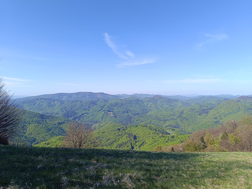
    Výhľady nad Fačkovským sedlom

    Nasleduje klesanie až do Čičmán, tesne pred nimi v strede lúky stretáme Jožka, skóre je 15.6km baby, 12.8km Jožko.

    Čičmany sú známe svojou zachovalou ľudovou architektúrou – maľovanými zrubovými drevenicami. Architektúra tu pripomína perníkové domčeky a to hlavne vďaka vonkajšej výzdobe domčekov. Kocháme sa nimi a v strede obce dokonca nájdeme otvorenú krčmu spojenú so suvenírovým obchodíkom. Veci ktoré predávajú sú nádherné a anjradšej by sme vykúpili celý obchod. Batôžky však pojmú iba magnetku mapy slovenska s vyznačenou trasou SNP a bodom, kde ležia Čičmany. Dávame si kávu a nealko pivo. Všetci ochkáme, lebo Grepové nealko od Bernarda je fakt božské. Polku môjho si lejem do už prázdnej fľašky – ešte sa bude hodiť.
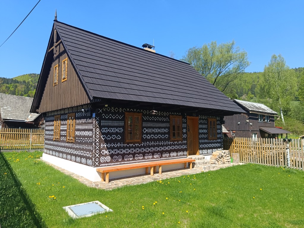
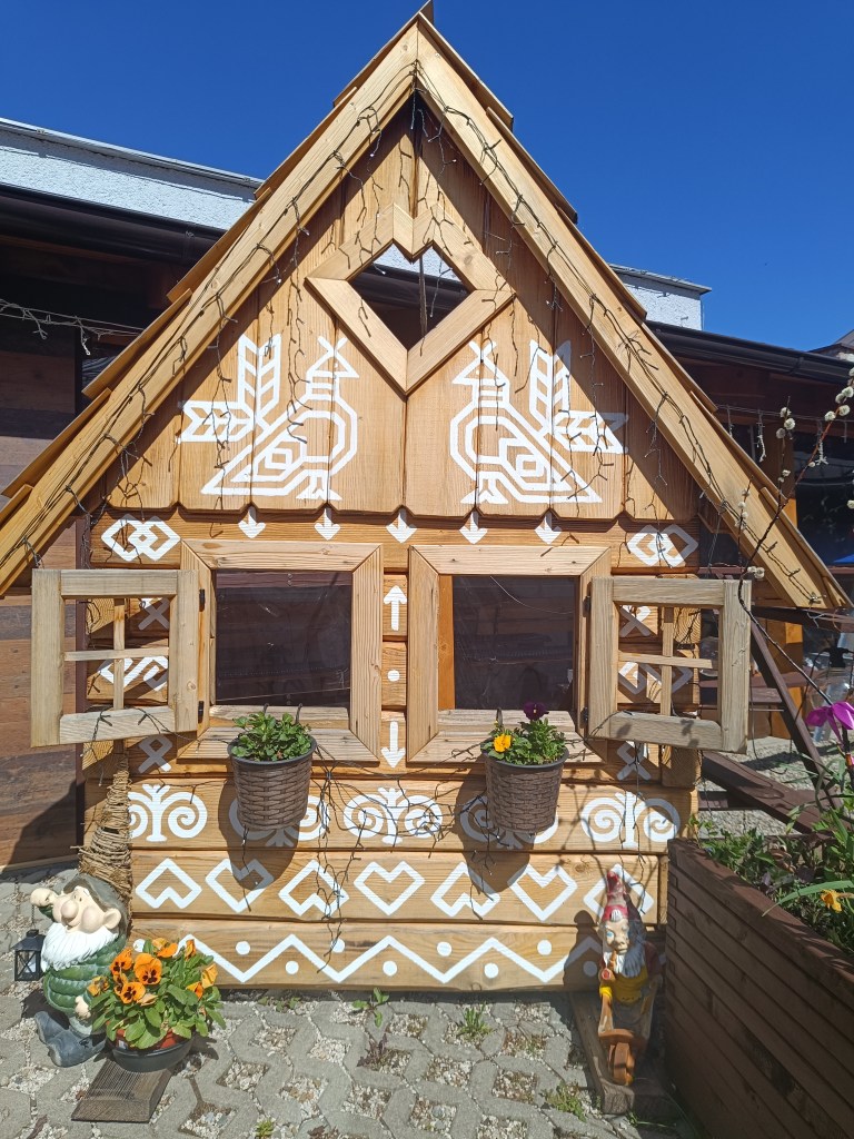
    Domčeky v Čičmanoch
    Čičmany

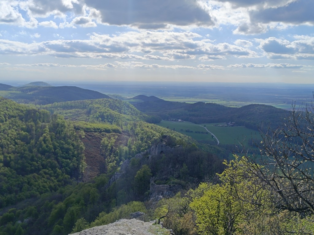
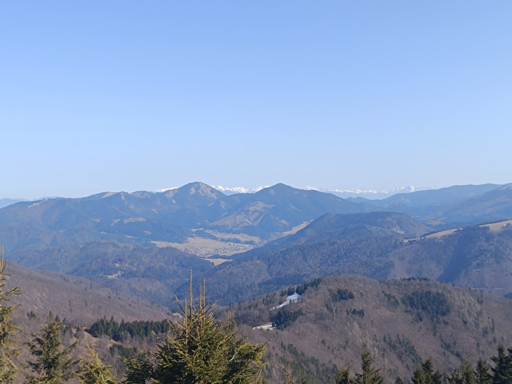
    Stúpame na Strážov, samotný vrchol je trochu zachádzka z trasy SNP, ale my si nemôžeme nechať ujsť. Má výšku 1213 mnm a je to najvyšší vrch Strážovských vrchov. Vďaka nadmorskej výške a polohe umožňuje Strážov zaujímavé a ďaleké výhľady. Bralnatá vrcholová časť ponúka kruhovú panorámu na okolité vrchy a susedné pohoria. Pri vhodných podmienkach je možné zhliadnuť Malú Fatru, pohorie Vtáčnik či Považský Inovec. Je tam naozaj nádherne.
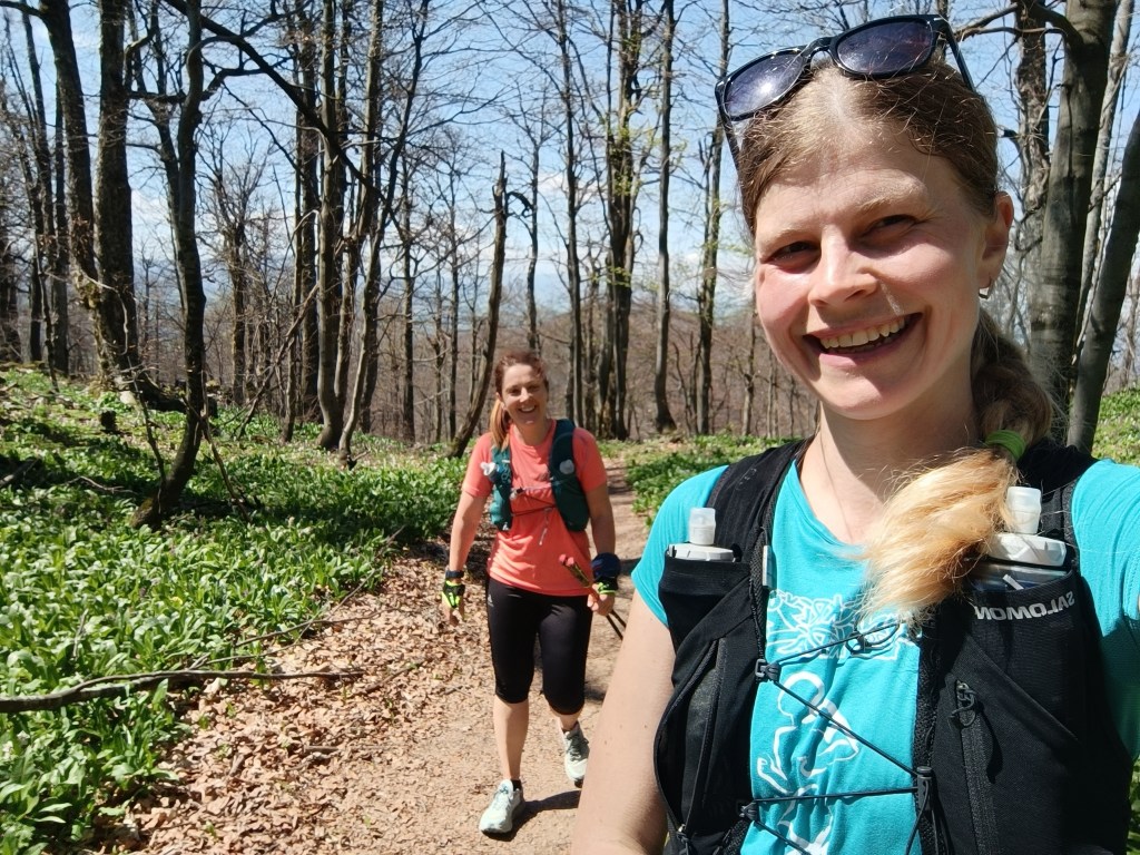
    Cesta lemovaná medvedím cesnakom
    Lúka pod Strážovom

    Na záver nás už čaká len strmý zbeh a jedna mierna lúčka a sme v Zliechove. Všetci traja usmiaty a spokojní, dnes to išlo parádne.
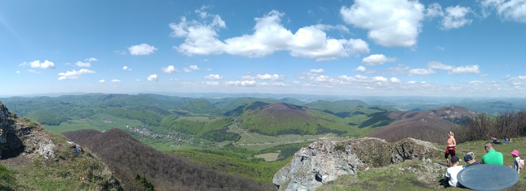
    Strážov a jeho výhľady
    28.4km, 4:41 aktívny čas, 1518 nastúpaných metrov

  • Skalka, Krahulský štít

    Skalka, Krahulský štít

    Dávid had wanted to go to Skalka for a long time, I don’t know why he chose this particular hill, but he mentioned it to me very often. So we decided to make this childhood dream come true.

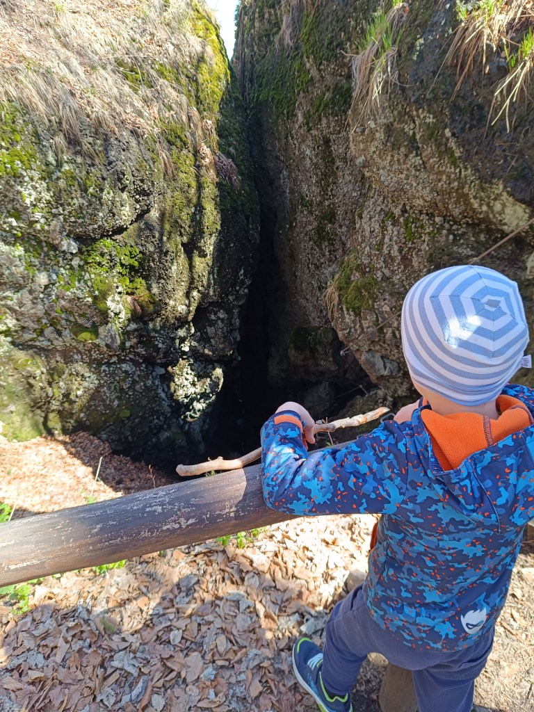
    We drove to Skalka by car and from there we walked to the red marked tourist trail – the path of the heroes of the SNP (and mommy, can we walk the entire path of the heroes of the SNP?) He really enjoyed climbing the rocks and was also fascinated by the via ferrata chimney on Skalka, where he also wants to go, of course:)

    Feratta Chimney

    We went along the ridge to the Görgely Tunnel. It was built in the 16th century and bears the name of the famous fighter for Hungarian independence, General Görgely Artur.

    Its origin is attributed to the period after 1498, when Thurzo, as an experienced entrepreneur (Thurzo-Fugger mining company), was aware of the costs associated with transporting metals along circular roads from Banská Bystrica to Kremnica. The connection between Kremnica and Banská Bystrica existed only as a lengthy detour along two roads. Thus, the tunnel in the Kremnické vrchy was, and even after the demise of the Thurzo-Fugger mining company, remained an important connection between Kremnica and Banská Bystrica.

    After World War II, the tunnel and its access roads fell into disrepair due to lack of interest, and in 1955 the tunnel was almost completely filled in. In an effort to save this unique historical monument and tourist attraction of the Kremnica Mountains, members of the Slovak Tourists’ Club from Banská Bystrica and Kremnica decided in 1996 to reconstruct and reinforce the tunnel with steel reinforcements. It is 30 meters long.

    View with Banská Bystrica in the background
    Viewpoint on the ridge of the Kremnica Mountains
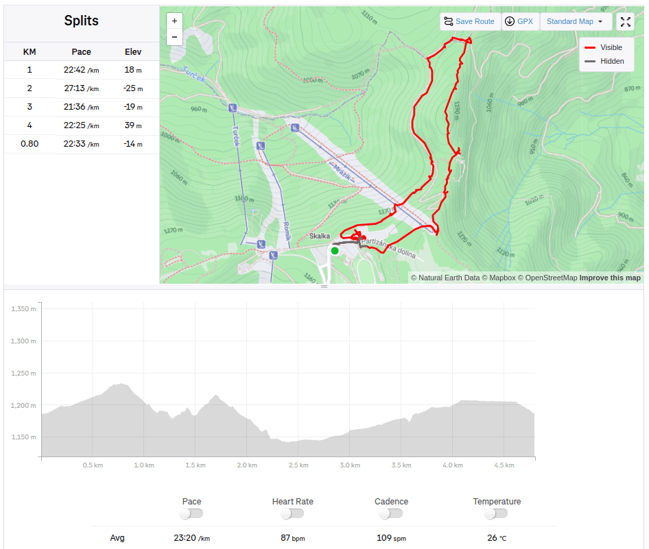
    4.8km, 1:51 active, 166m ascend

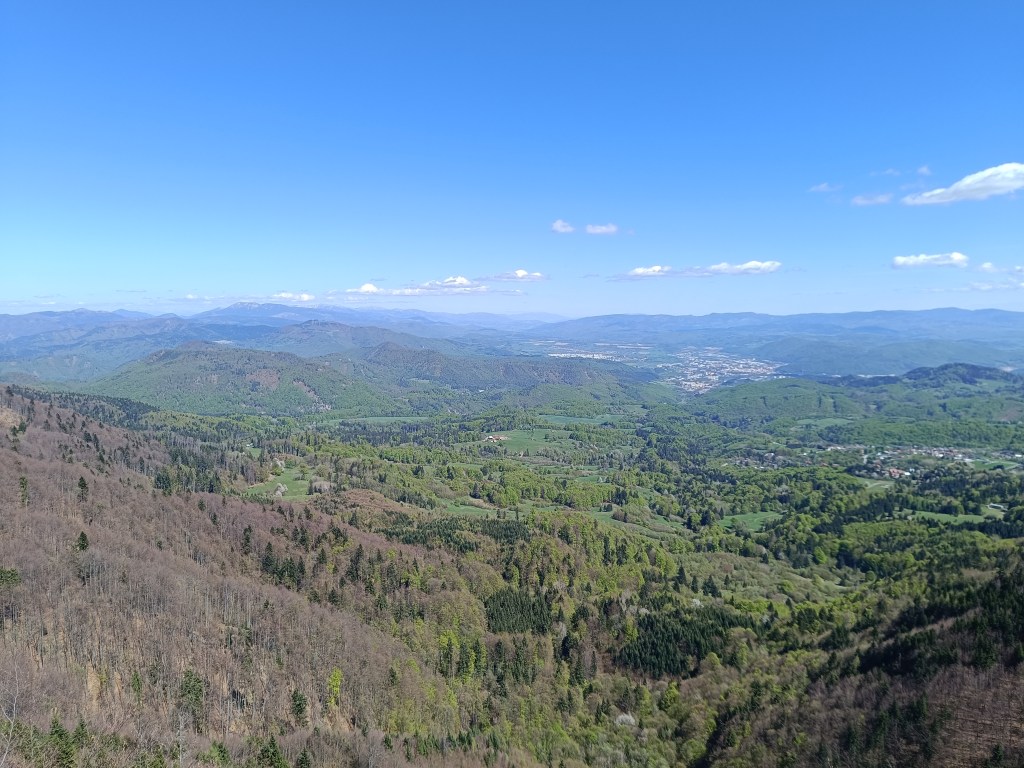
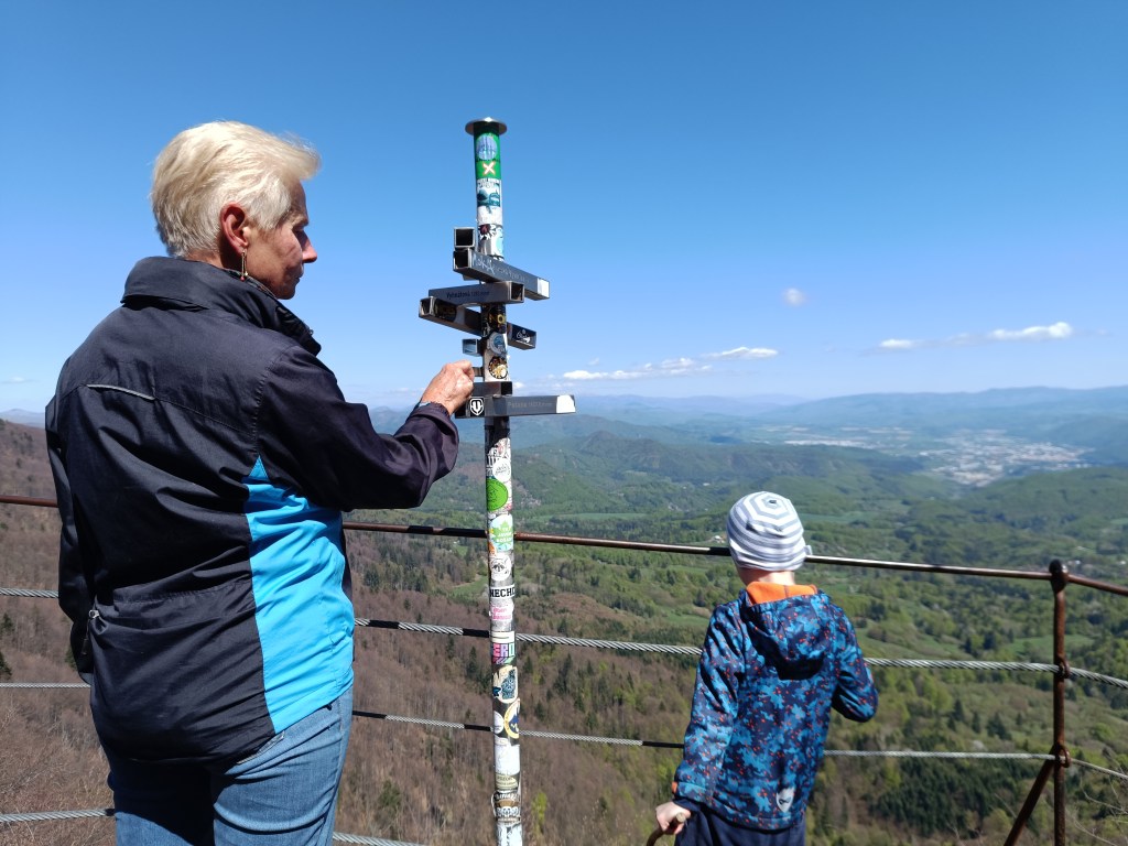
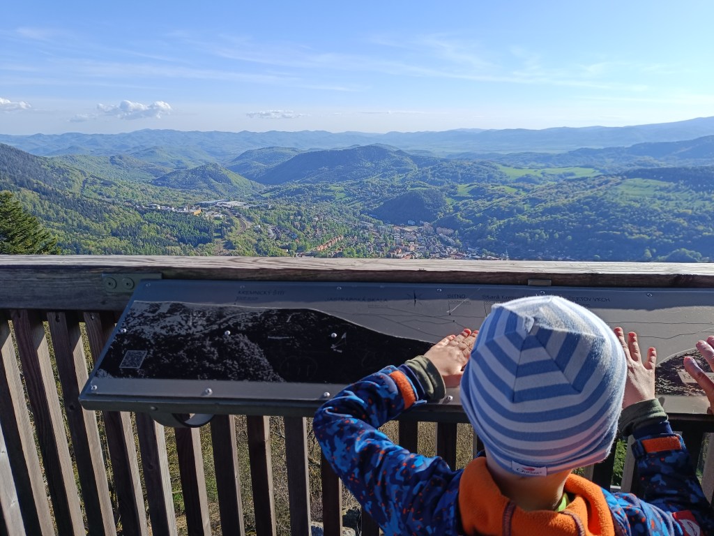
    And since we had already been to this location, we also went to see the lookout tower on Krahulsky štít, it is about 2.5km from Krahule through fairly easy terrain. The lookout tower offers a beautiful view of Kremnica and the mountains in the background – Vtáčnik, Sitno…

    On its top floor we find signposts to well-known surrounding destinations with the distance as the crow flies, e.g. Center of Europe, Cottage Hostinec, etc. Directly below the observation tower is a wooden terrace with seating and a view of Kremnica. Wooden benches and tables are also located in the immediate vicinity of the observation tower.

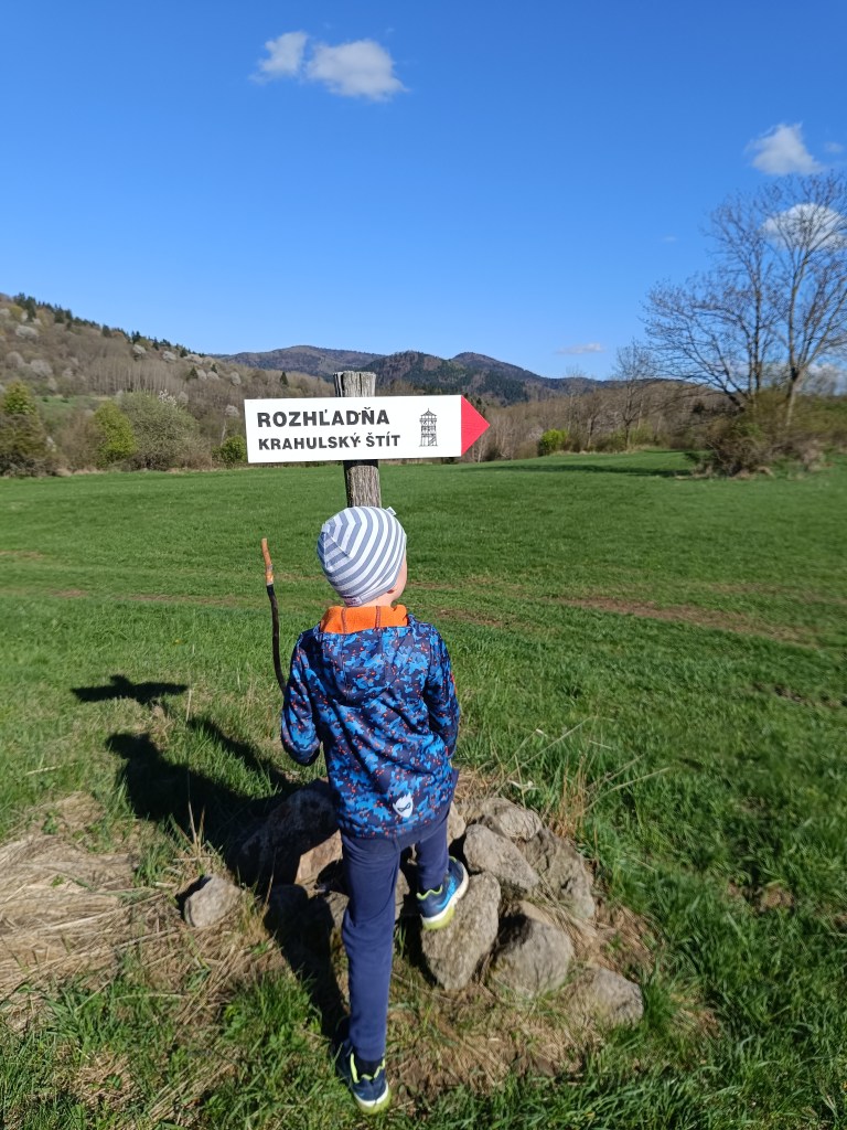
    Marking to Krahulský štít
    View from lookout tower

    We stopped along the way to see the geographical center of Europe, but we were actually more interested in the church that is very close by. It has a beautiful blue altar and breathes history.

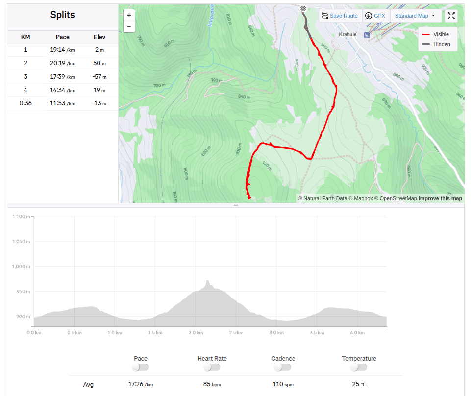
    4.36km, 1:16 active, 126m ascend
  • SNP girls project day 5

    SNP girls project day 5

    Jožko drove us to the place where we finished yesterday’s stage. The asphalt road later turns into a forest cycle path, the gentle waves are a easy, simple path for now, and we managed to cut the hiking times in half.

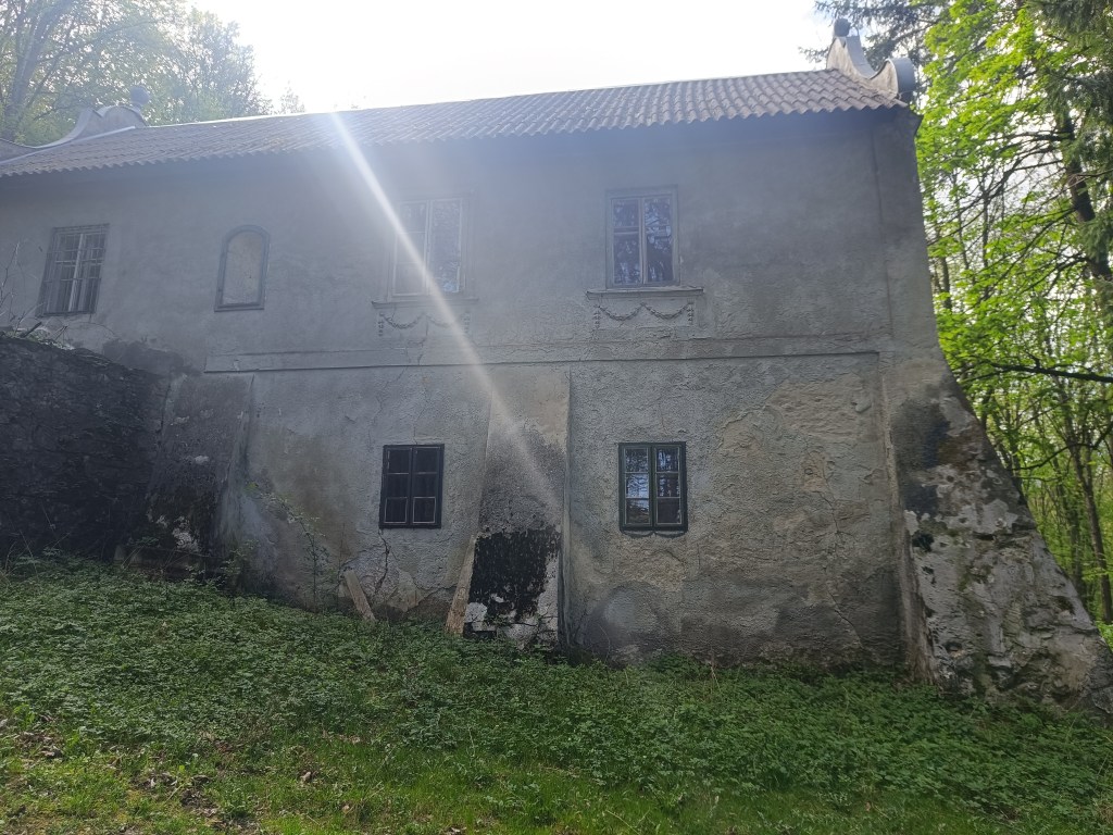
    The first interesting point is the magical chateau – the former Pálffy mountain lodge Mon Repos.

    Mon Repos

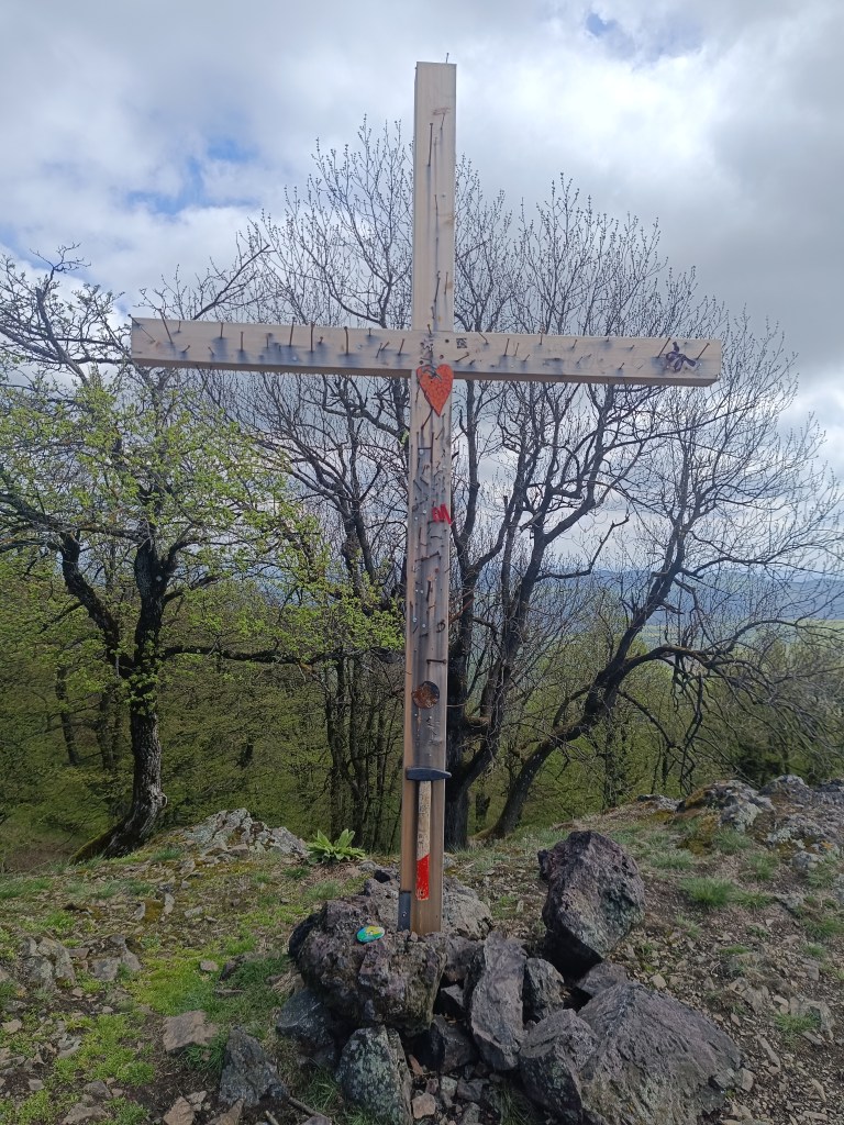
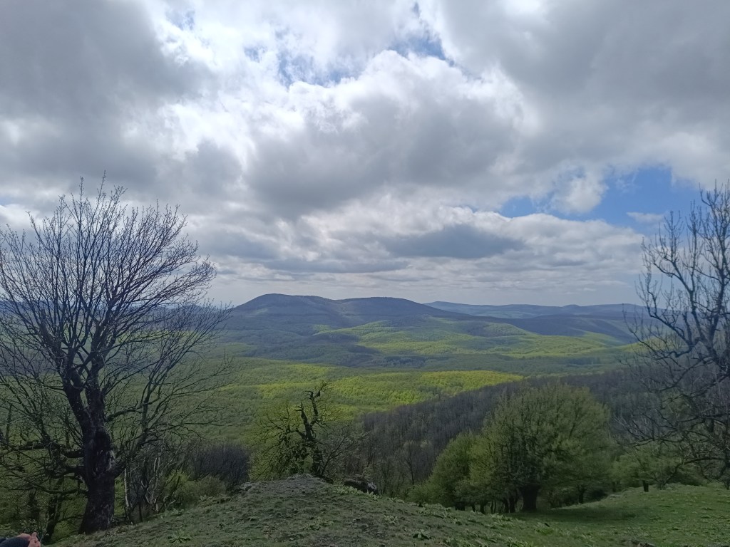
    Through Amon’s meadow we climb to Klokoč, where we meet Jožko, who was running towards us from the finish line. The Klokoč nature reserve, which also includes the hill of the same name, is completely different in character from the surrounding hills. Thanks to its volcanic origin and significant wild vegetation, it seems as if it does not even belong to the Little Carpathians. From the top and the entire ridge there are beautiful views of the surrounding ridges of the Little Carpathians. The peak of Klokoč itself is marked with a small wooden cross, into which you can hammer a nail.
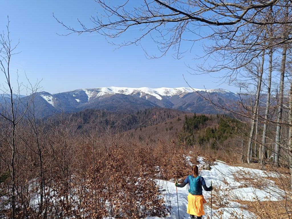
    Wooden cross on Klokoč
    Views from Klokoč

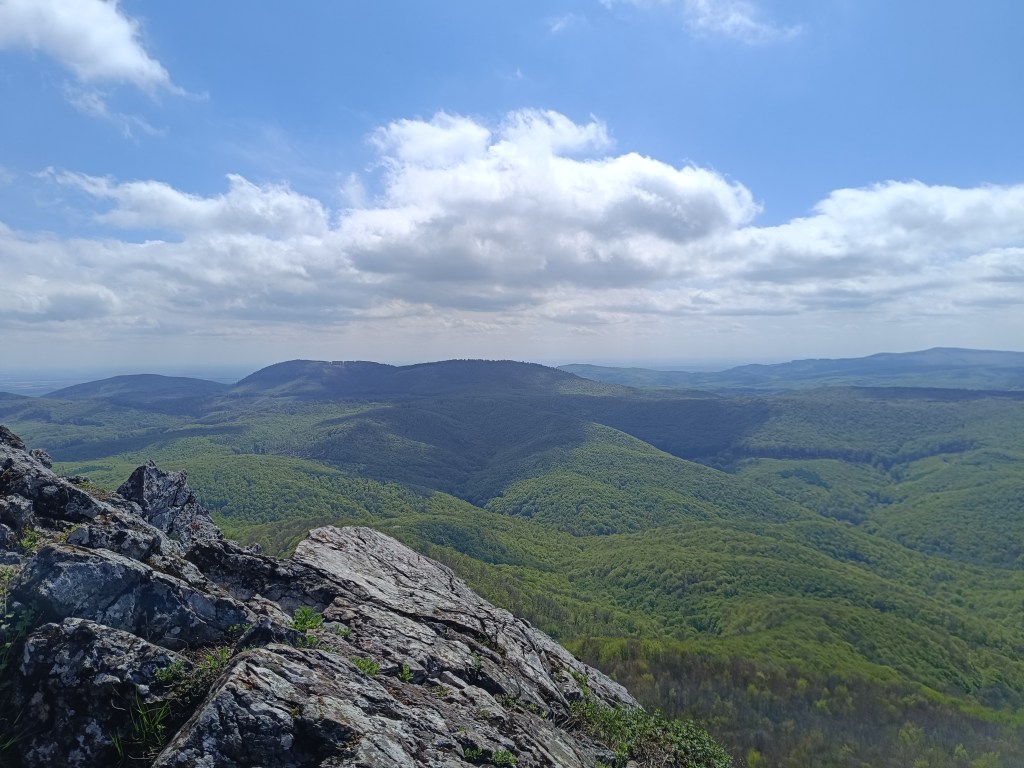
    Only Vápenná, or Roštún, awaits us today. It is the third highest peak of the Little Carpathians. Its altitude is 752 meters and it is located between the villages of Plavecké podhradie and Sološnica. It is one of the most beautiful peaks of the Little Carpathians. There is a beautiful view not only of the rocky cliffs and limestone fragments, but also of the vast surroundings.

    From Vápenná

    A 3-kilometer steep descent follows and we are at the finish line of today’s stage – in Sološnická dolina.

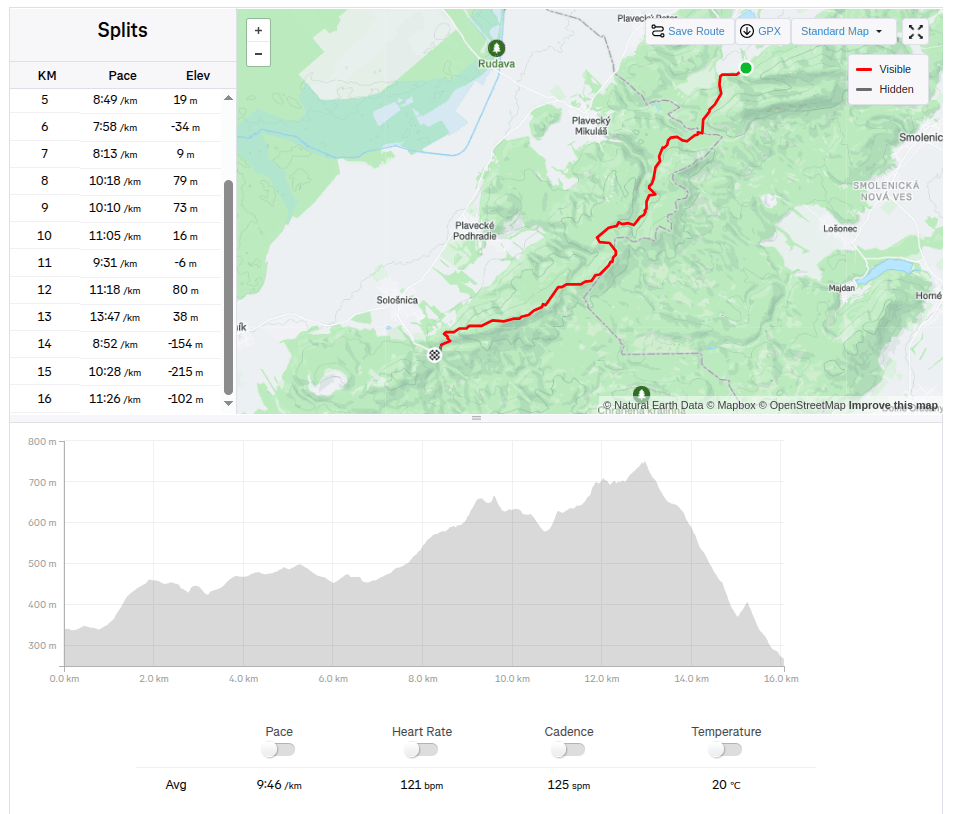
    16km, 2:36 aactive time, 733m ascend
  • SNP girls project deň 5

    SNP girls project deň 5

    Jožko nás odviezol na miesto kde sme skončili včerajšiu etapu. Asfaltka sa neskôr mení na lesnú cyklotrasu, jemné vlnky sú zataiľ oddychovka, turistické časy skracujeme na polovicu.

    Prvým zaujímavým bodom je čarovný zámoček -bývalá Pálffyovská horáreň Mon Repos.

    Mon Repos

    Cez Amonovu lúku stúpame na Klokoč, kde sa už stretávame z Jožkom, ktorý nám bežal oproti z ciela. Prírodná rezervácia Klokoč, ktorej súčasťou je i rovnomenný vrch je svojím charakterom úplne odlišná od okolitých vrchov, vďaka vulkanickému pôvodu a výrazným porastom divozelu pôsobí, akoby ani nepatrila do Malých Karpát. Z vrcholu i celého hrebeňa sú krásne výhľady na okolité hrebene Malých Karpát. Samotný vrchol Klokoča je označený neveľkým dreveným krížom, do ktorého je možné si zatĺcť klinec.

    Drevený Kríž na Klokoči
    Výhľad z Klokoča

    Už nás čaká iba Vápenná, alebo inak Roštún. Je tretím najvyšším vrchom Malých Karpát. Jej nadmorská výška je 752 metrov a nachádza sa medzi obcami Plavecké podhradie a Sološnica. Patrí k najkrajším vrcholom Malých Karpát. Je tu krásny výhľad nielen na skalné bralá a úlomky vápencov, ale aj na rozsiahle okolie.
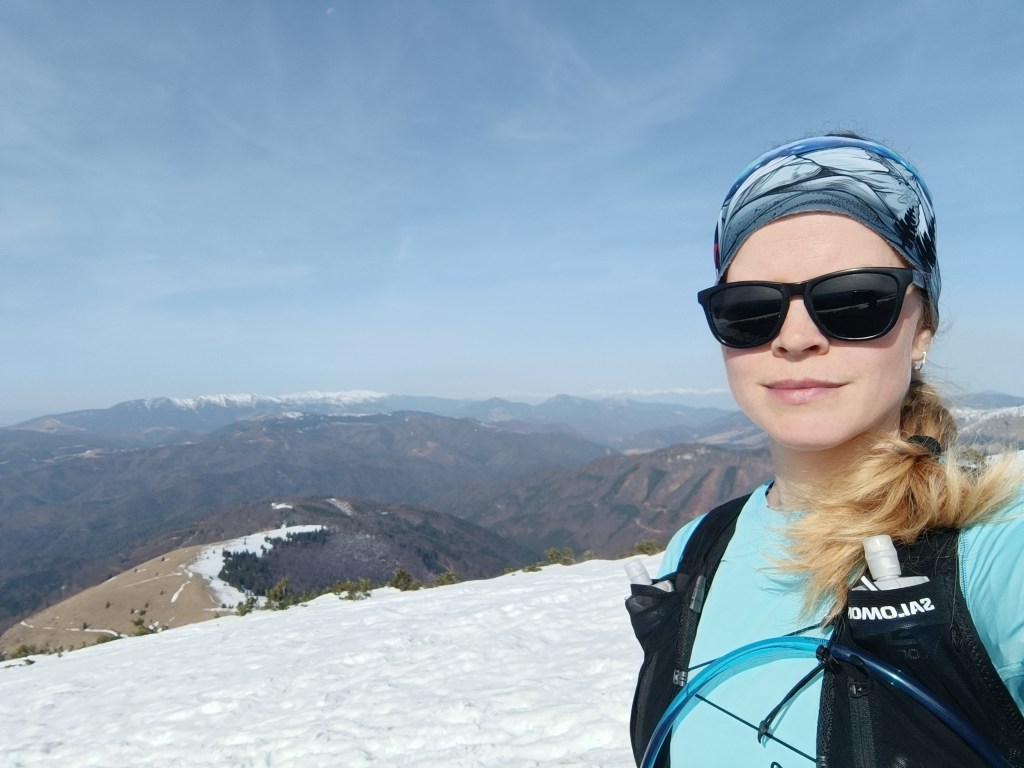
    Z Vápennej

    Nasleduje 3 kilometrový strmý zbeh a sme v ciely dnešnej etapy- v Sološnickej doline.
    16km, 2:36 aktívny čas, 733 nastúpaných metrov
  • SNP girl’s project day 4

    SNP girl’s project day 4

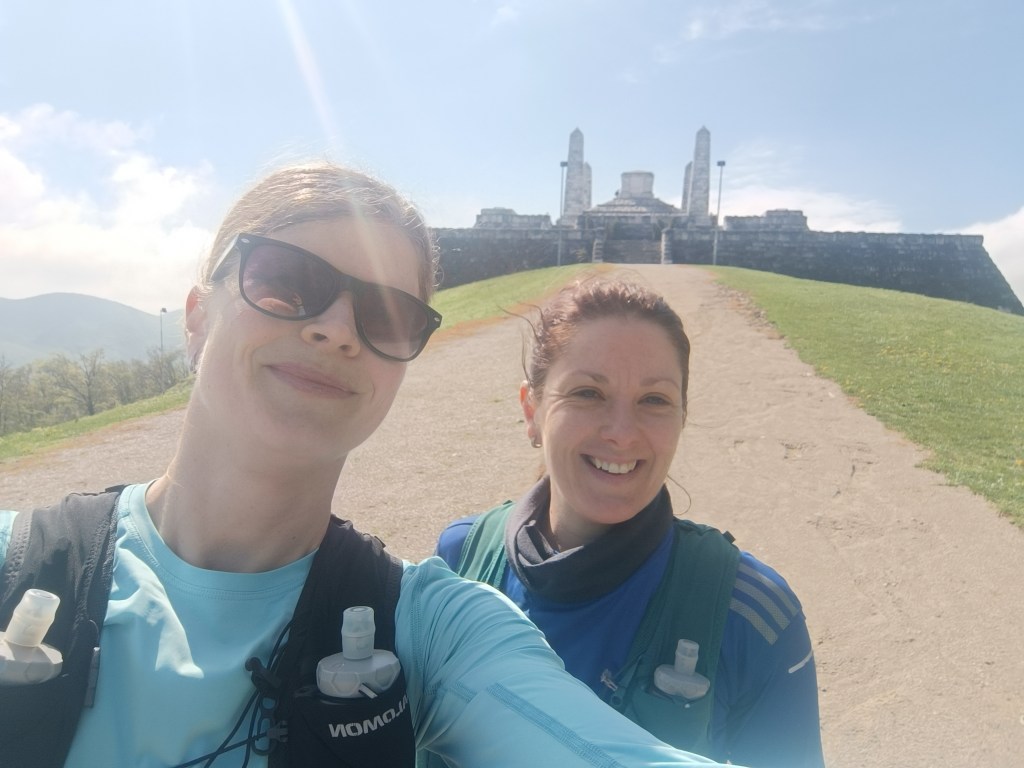
    We start at 8:30 in the morning in Myjava, after 2 hours in the car our stiff body doesn’t feel like it. We head to Bradlo. Bradlo is the highest peak of the Myjava Hills. However, it is mainly known for the fact that on its top stands the mound of M.R. Štefánik.

    M.R.Štefánik mound

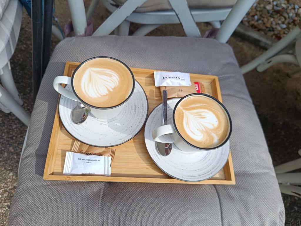
    Below Bradlo is the beautifully renovated Bradlo cottage, where we had a great cappuccino.

    First refreshment

    From Bradlo we run through Brezová pod Bradlom, a fairly long asphalt section. Then we find ourselves again in a forest, which is beautifully scented with wild garlic. We enjoy the first spring greenery.

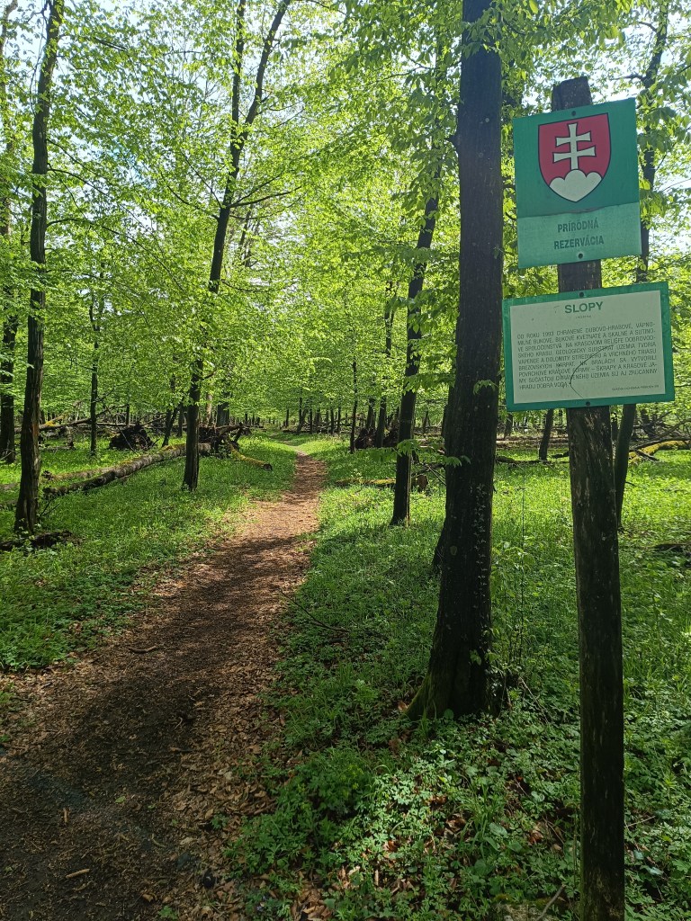
    Beautiful, minimally human-impacted forests

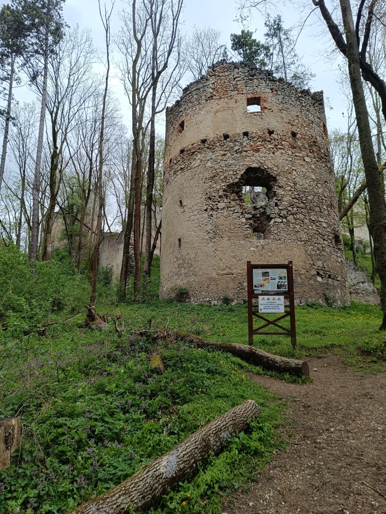
    We turn off the route to the Dobrá voda castle, because we still have strength and the table shows only 10 minutes. The Dobrá Voda castle is a Gothic castle located in the central part of the Little Carpathians and is part of the Slopy nature reserve, covering 8467 square meters. The name of the castle is derived from the numerous water springs in the area. The castle is now in ruins. Of the buildings, part of the masonry with fortifications and the remains of several buildings have been preserved. The process of its destruction is also affected by the amount of greenery that overgrows the entire object. Nevertheless, its ruins are a picturesque addition to this part of the Little Carpathian landscape.

    Dobrá voda

    We run to the village of Dobrá voda, where Jožko is already waiting for us, who ran to us from the finish line where he parked his car. He has not entirely encouraging news for us, that we still have 25 km to go (we counted with 19). But there is no other way, but to go 😀 We climb to Mihalová, where there is a beautiful Jozef Mak shelter, which serves mainly long-distance tourists.

    The sun is shining and the temperature is rising, we no longer like hte taste of water and we dream of a non-alcoholic radler or kofola. My knees are starting to hurt, my ITB tendons are starting to hurt due to neglected yoga.

    However, Jožko boosts morale, he noticed a sign near the cottage area that if we walk 250 meters from path, we should reach Stan’s pub. We don’t hesitate, and in 5 minutes we are enjoying a fresh pomelo grapefruit radler.

    Next comes an unpleasant stretch of asphalt without a sidewalk, since it is a main road, we have a bad feeling about it. Fortunately, it is only about a kilometer and we run into the trees again. Next comes the climb to Záruby. Záruby is the highest peak of the Little Carpathians.

    Path to Záruby

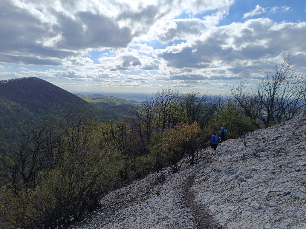
    In many parts, limestone cliffs, characteristic of this part of the mountain range, stand out. They provide interesting views of the surroundings. At the top stands a cross.

    A bit dangerous path to Ostrý kameň castle
    Ruins of Ostrý kameň

    Ostrý kameň Castle was a border castle built to protect the Czech Road in the 13th century. After being damaged during the Rákóczi Uprising, the castle turned into ruins. It was built at the end of a steep mountain ridge, from which it is separated by a moat cut into the rock. It consisted of a residential palace, an observation and guard-defense prismatic tower.

    A steep descent follows, where my knees are already suffering considerably. Another 2 kilometers on asphalt to the car and we are at the finish line. Parched, we open non-alcoholic radlers to replenish fluids and sugar. Today was a difficult section, but thanks to that, tomorrow we only have a 15km long stage.

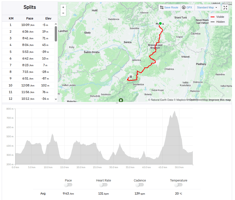
    54.2km 8:46 active time, 1733m ascend

  • SNP girl’s project deň 4

    SNP girl’s project deň 4

    Štartujeme 8:30 ráno v Myjave, po 2 hodinách v aute sa stuhnutému telu veľmi nechce. Mierime na Bradlo. Bradlo je najvyšší vrch Myjavskej pahorkatiny. Známy je však hlavne tým, že na jeho vrchu stojí mohyla M.R. Štefánika.

    Mohyla M.R.Štefánika

    Pod Bradlom je krásne zrekonštruovaná chata Bradlo, kde sme si dali skvelé kapučíno.

    Prvá občerstvovačka

    Z Bradla prebehneme Brezovou pod Bradlom, celkom dlhý asfaltový úsek strieda stúpanie. Znovu sa ocitáme v lese, ktorý je krásne prevoňaný medvedím cesnakom. Užívame si prvú jarnú zeleň.

    Krásne, človekom minimálne ovplyvnené lesy

    Zachádzame z trasy na dobrovodský hrad, veĎ sily ešte máme a tabuľka ukazuje len 10 minút. Hrad dobrá voda, je gotický hrad, teda už len zrúcanina ležiaca v strednej časti Malých Karpát a je súčasťou prírodnej rezervácie Slopy, zaberajúca 8467 metrov štvorcových. Názov hradu je odvodený od početných vodných prameňov v okolí. Hrad je dnes v stave rozvalín. Zo stavieb sa zachovala časť muriva s opevnením a zvyšky niekoľkých stavieb. Do procesu jeho deštrukcie zasahuje i množstvo náletovej zelene, ktorá celým objektom prerastá. Napriek tomu jeho ruiny sú malebným doplnkom tejto časti malokarpatskej krajiny.

    Dobrá voda

    Zbiehame do obce Dobrá voda, kde nás už čaká Jožko, ktorý k nám bežal z ciela, kde odparkoval auto. Má pre nás nie úplne potešujúcu správu, že do ciela to máme ešte 25 km (rátali sme s 19timi). Už sa ale inak nedá, len ísť 😀 Stúpame k Mihalovej, kde sa nachádza krásna útulňa Jozefa Maka slúžiaca hlavne diaľkovým turistom.

    Slnko svieti a teplota stúpa, voda nám už dávno prestala chutiť a snívame o nealko radleri, alebo kofole. Mňa začínajú trápiť kolená, kvôli zanedbanej jóge sa začali ozývať ITB šľachy.

    Jožko však dvíha morálku, pri chatovej oblasti zbadal tabuľku, že ak si zájdeme 250 metrov, tak by sme mali dojsť ku krčme u Stana. Neváhame, a o 5 minút si už užívame svieži pomelo grep radler.

    Nasleduje nepríjemný úsek po asfaltke bez chodníka, keĎže je to hlavná cesta, máme z toho nepríjemný pocit. Našťastie je to asi len kilometer a znovu vbiehame medzi stromy. Nasleduje stúpanie na Záruby. záruby sú najvyšším vrchom Malých Karpát.

    Cestou na Záruby

    Na mnohých častiach vystupujú vápencové bralá, charakteristické pre túto časť pohoria. Poskytujú zaujímavé pohľady na okolie. Na vrchole stojí kríž.

    Nepríjemný úsek na Hrad Ostrý kameň
    Ruiny hradu Ostrý kameň

    Hrad Ostrý kameň bol pohraničný hrad postavený na ochranu Českej cesty v 13. storočí. Po poškodení za Rákociho povstania sa hrad zmenil na ruiny. BOl postavený na konci strmého horského hrebeňa, od ktorého ho oddeľuje priekopa vysekaná do skaly. Skladal sa z obytného paláca, pozorovacej a strážno-obrannej hranolovej veže.

    Nasleduje prudký zostup, kde už moje kolená značne trpia. Ešte 2 kilometre asfaltom k autu a sme v ciely. Vyprahnutý otvárame nealko radlery a dopĺňame tekutiny a cukor. Dnes to bol náročný úsek, ale vďaka tomu nás zajtra čaká už len 15km dlhá etapa.

    54.2km 8:46 aktívny čas, 1733 nastúpaných metrov

  • Sivý kameň Castle, Končita

    Sivý kameň Castle, Končita

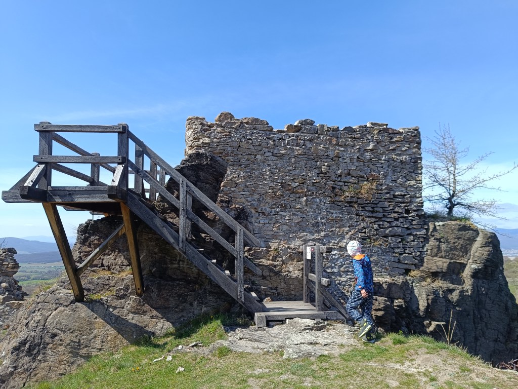
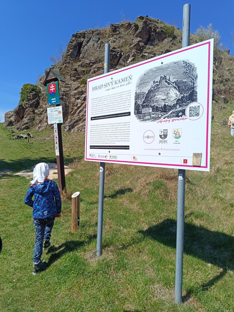
    The ruins of the Sivý kameň Castle are located on an andesite cliff above the village of Podhradie near Prievidza. Although relatively little of the castle has survived to this day, the castle cliff provides a beautiful view of the surrounding landscape.

    Under the castle

    The remains of the castle from the mid-14th century are visible directly from the village. A short climb from the village center will soon take you to a dirt road. Here, a sign with the inscription Sivý Kameň will alert you to the right direction. The entire climb to the castle takes approximately 15 minutes.

    Nowadays, when visiting the castle, we can observe its small remains, which at least indicate its size and the remains of the masonry. From the inner Gothic castle, the perimeter walls of the prismatic tower have been preserved.

    Andessite cliff, on which the castle is build
    One of the few remains of the castle

    The Sivý Kameň Castle was built shortly before 1350 as a royal castle. The construction of the castle was necessitated by the circumstances that arose after the death of Matúš Čák in 1321. Since there was no other castle in the vicinity besides Bojnice Castle, the need arose to build another administrative center.

    Later the castle belonged to different families. In 1430 both castles reverted to the crown. In 1431 the king donated the castle of Sivý Kameň to Gregor Majthényi and his heirs. Since then the castle and the estate have remained in permanent possession of the Majthényi family.

    The castle began to decline in the late 16th and early 17th centuries. In 1626, Gabriel Bethlen’s rebels attacked the castle and other Majthényi properties and thoroughly plundered them.

    The first decade of the 18th century brought further attacks on the castle, this time by Rákoczi’s soldiers. Soon the important estate became a ruin. The remains of the castle were subsequently dismantled by the inhabitants of Podhradie.

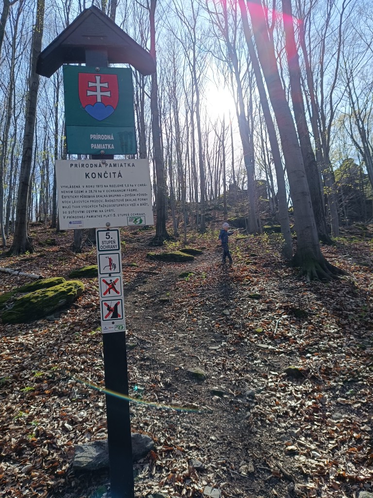
    Končitá

    Natural monument končitá

    From the cottage below Končita, in Gebňárova Valley, which we can reach from the village of Kamenec pod Vtáčnikom, an unmarked trail leads to the peak cliffs of Končita.

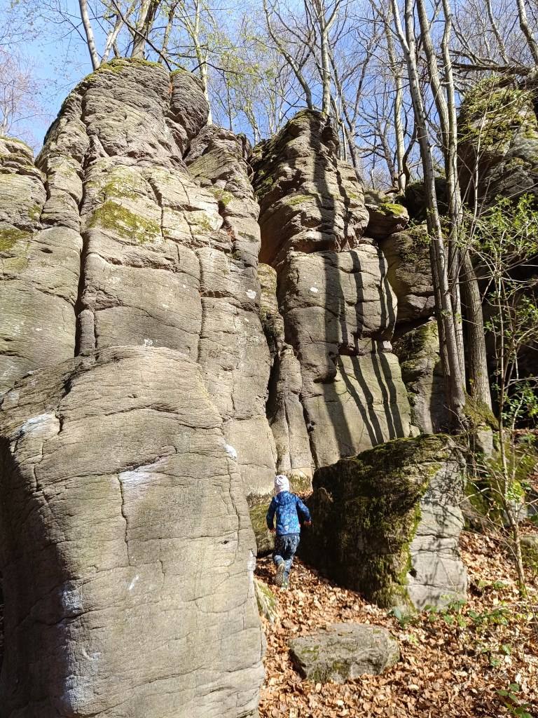
    Behind the stream rise the rock formations of Končita, to which a well-trodden path leads. Končita was declared a Natural Monument in 1973.

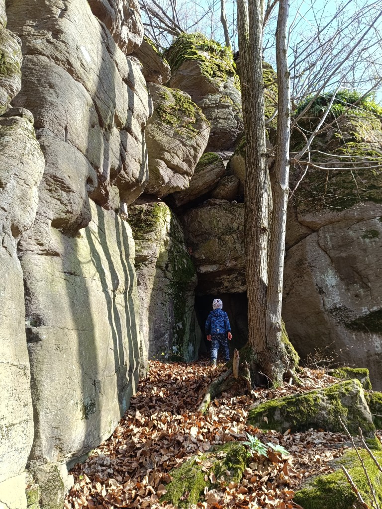
    In the vicinity there are smaller and larger rockeries covered with deep green moss. The Končitaj cliffs are dominated by a 30-meter-high andesite tower. From Končita, following the ridge to the left, we come to the Devil’s Paths. There are huge boulders also covered with green moss, rocky cliffs, windows and narrow gorges.

    Devil’s Paths
    a cave in the stone

  • Bzovík

    Bzovík

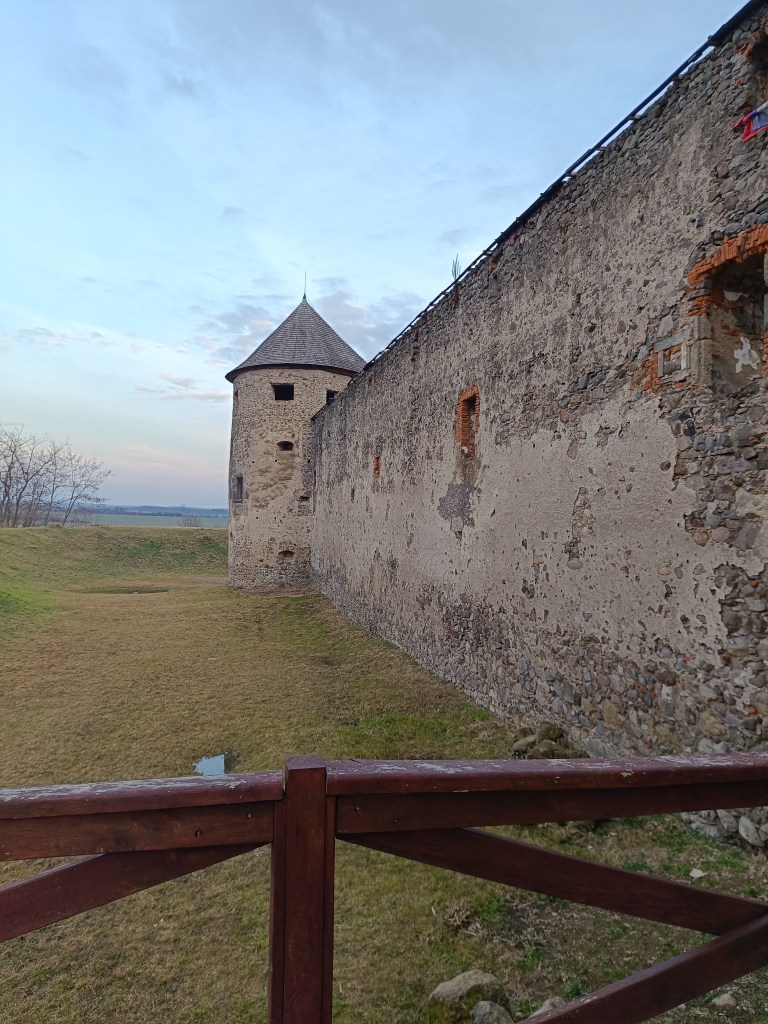
    It is originally a Benedictine (later Premonstratensian) monastery rebuilt into a fortress (castle), near the village of Bzovík.

    The monastery in Bzovík was founded in the first half of the 12th century. The Benedictines were replaced sometime between 1179 and 1181 by the Premonstratensians from Olomouc, who spread spiritual culture and education, but also new economic knowledge and new methods of tilling the land.

    Outside walls

    The Romanesque double-towered church, to which a monastery building with a paradise courtyard and a cloister was later added after renovations, was one of our most important Romanesque architectural monuments. The church and monastery were often the target of attacks during the 15th century; the building burned down several times, after which it was immediately repaired and partially rebuilt.

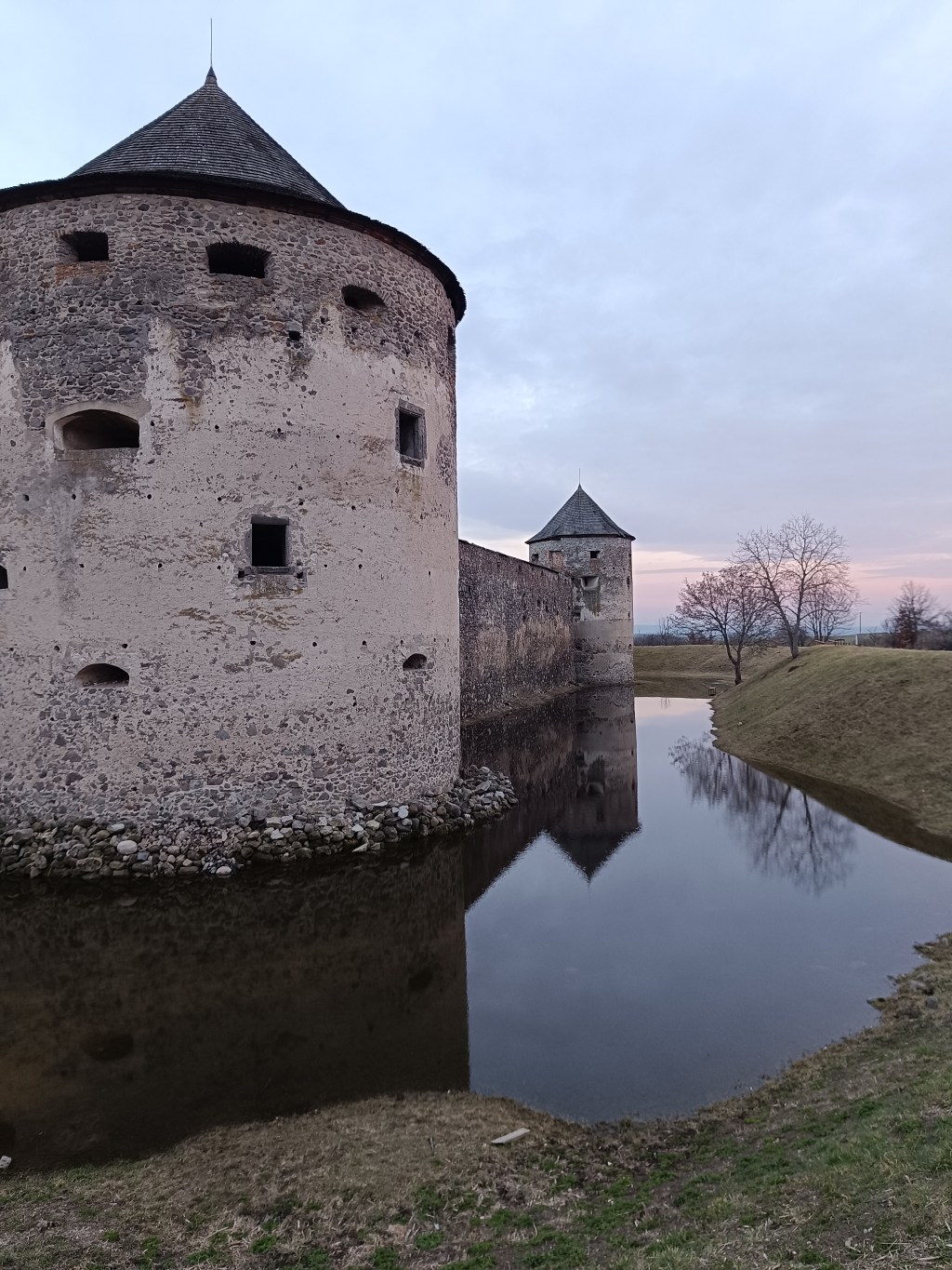
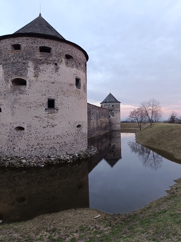
    Sigismund Balaša expelled the monks from the monastery around 1530 and immediately began rebuilding the monastery into a manor house surrounded by massive fortifications. The walls were given massive shooting range and internal galleries. Dwellings for soldiers and farm buildings were added to them from the inside. The entire area was protected by wide moats and massive corner bastions.

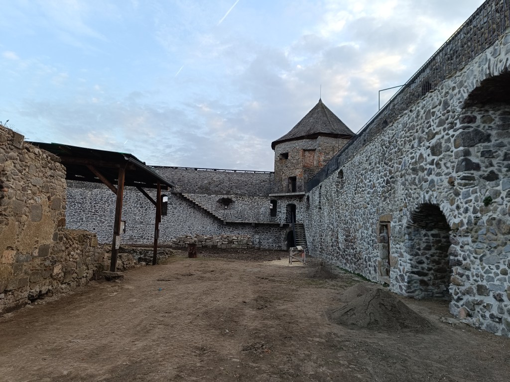
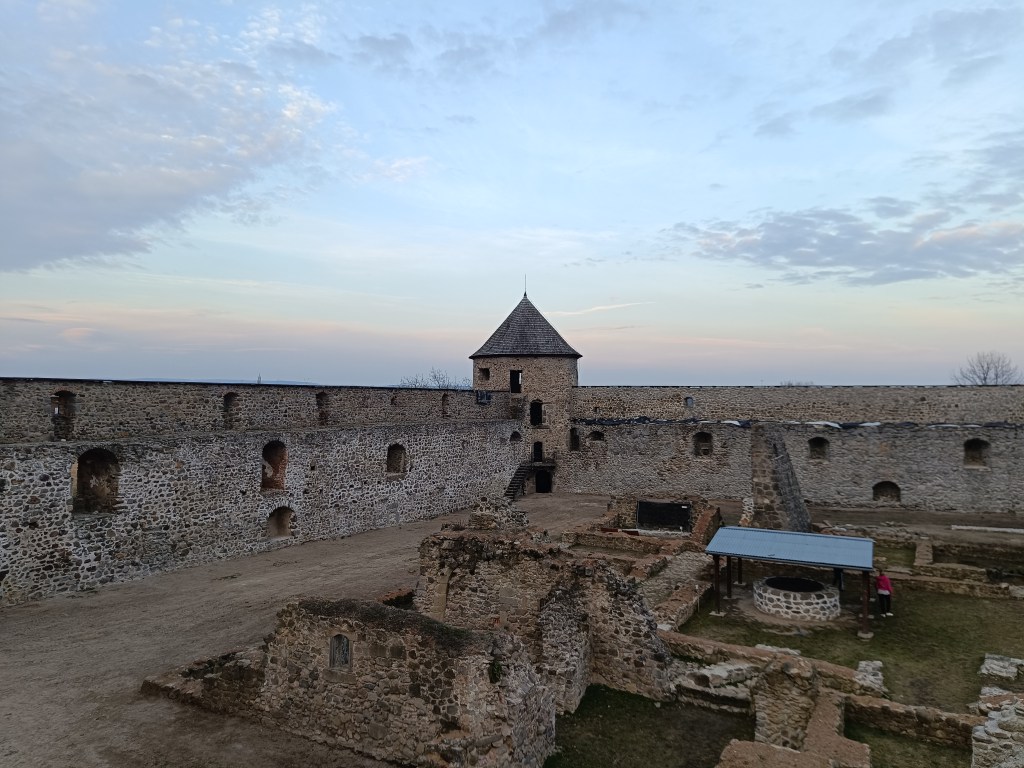
    Object is in reconstruction

    In 1620 the monastery burned down, but at the end of the 17th century it was returned to the church. In 1678 it was conquered by the rebels of Imrich Tököli.

    The next period was already approaching its demise. After a short ownership by the Jesuit order and the Archbishop of Esztergom, the building began to fall into disrepair at the beginning of the 19th century. The final blow in the process of decay was dealt to it by the fighting during World War II and the subsequent destruction by the local population.

    The outer walls are better preserved than the inner structures.

    The former monastery complex is in ruins, except for the outer fortifications, which show signs of preservation and reconstruction. You can park right next to the building.

    Moat with water in it

  • SNP – girl’s project #day3

    SNP – girl’s project #day3

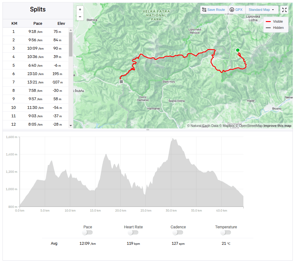
    The third stage was from Hiadeľské sedlo to Šturec sedlo. And since Hiadeľské sedlo cannot be reached by car, we had to hike there. This added the first extra kilometers to the SNP route, namely 5.1km and 287 vertical meters. However, the weather was beautiful and the initial -2degrees celsius quickly turned into plus values, so we even took off our jackets in the saddle and continued only in long-sleeved shirts. Today, the problem wasn’t that our water freeze, it was more a problem to have enough of it.

    Kozí Chrbát

    We continue to Kozí Chrbát, a hill with a beautiful view, I definitely recommend it, then continue via Kečka to Donovaly. There is still some snow on the ridge in shady places, but most of it has already disappeared. The descent through the forest to Donovaly was worse, where ice cover is still present on the cross-country ski trails. But we managed it and in Donovaly we take a break for coffee and radler. It is warm and we are thirsty.

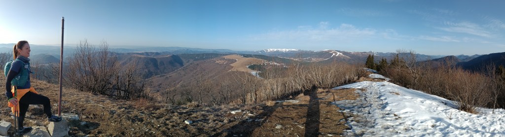
    The visibility was great, the High Tatras are visible in the background

    Refreshed, we climb to Zvolen, overcoming approximately 400 meters in altitude, but we are rewarded with great views. From Zvolen we continue along the forested ridge to the Veľký Šturec saddle (which is still quite far from the Malý Šturec saddle, where we end the stage).

    The ridge between Zvolen and Križna (in the background)

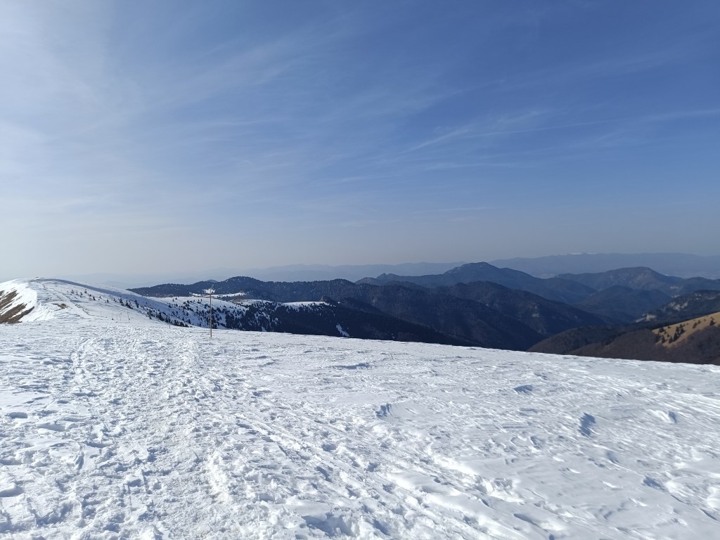
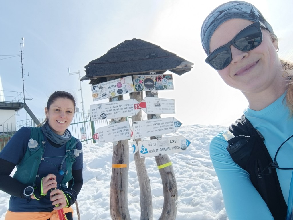
    We climb over larger and smaller hills until we reach Krížna, which is still completely covered in snow. On the last big climb we wade through the snow, our feet are wet, the snow is melting, but with the vision of the last climb we climb up to Krížna (1574 meters above sea level).

    At the bottom of climb to Križna
    And the last few metres
    Križna finally

    The descent to Kráľova studňa turns into dancing in wet snow, in some places there was up to 5 cm of water on the path. We have a flood in our shoes, but cola at Kráľova studňa raises our morale. The last 10 km downhill run to the finish. But half of them were covered in wet snow with water flowing through them.

    Cez 10km na snehu

    Jožko is waiting for us at the finish line with a non-alcoholic beer, a great surprise.

    44.33km, 2263m ascend, 8h 58 min active time, 9h 41min total
  • Divín castle and Kalamárka

    Divín castle and Kalamárka

    Near the Ružiná reservoir in the south of central Slovakia lies the village of Divín, above which the ruins of Divín Castle rise.

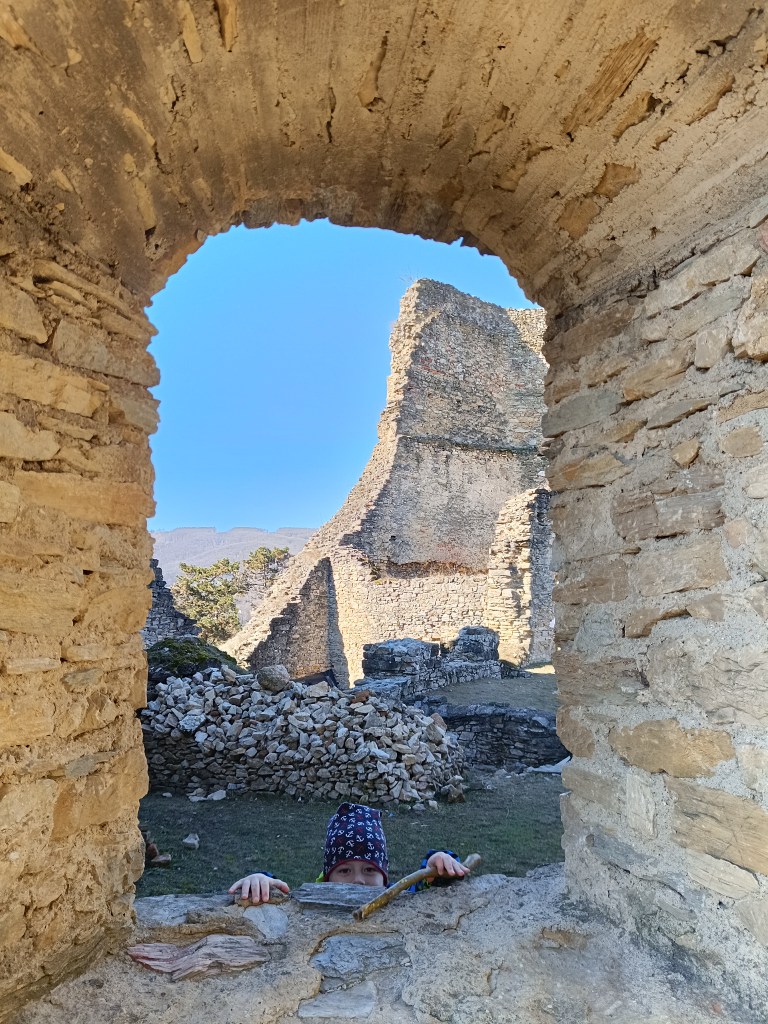
    The castle was built at the end of the 13th century to protect the road to the central Slovak mining area. Especially in the second half of the 16th century, it played an important role in the defense system of central Slovak towns against the Turks. In the second half of the 17th century, it was unfortunately made famous by its owner Imrich Balassa, who raided and plundered the surrounding villages. After his death in 1683, the imperial army captured the castle and it has been in ruins since then. Only some of the walls, window openings and loopholes have been partially preserved.

    Caslte Divín

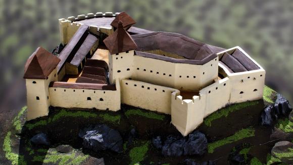
    The original castle, today’s upper castle, was built on top of a limestone cliff. The castle’s ground plan is elongated in a west-east direction. It is adapted to the shape of the top of the rocky cliff. A thick perimeter wall, which regularly bends according to the unevenness and irregularity of the terrain, formed the outer shell of the castle. Residential and farm wings were added to it inside. Between them was a small courtyard, on which a cistern can be assumed. The perimeter wall was not reinforced with bastions or other protrusions that would allow flanking – protecting the wall by shooting from the sides. The castle builders probably counted more on passive protection than active. Passive protection was enabled by a massive, about 2 m thick wall. Active defense was shooting through slit windows in the wall, which are still noticeable in places despite the latest brickwork.

    How the castle probably looked

    The tourist attraction of Kalamárka is one of the most important natural sites in Podpoľanie. What will enchant you in this location is the extremely rugged relief, which has a long climbing tradition, which is why it is called the andesite bastion of sport climbing.

    In addition to climbers, many tourists who crave adrenaline experiences from these rock walls also come here every year. The entire summit plateau on Zadná Kaľamárka is freely accessible to tourists. There is a prehistoric hillfort there – an archaeological site, where you can see a water cistern as a trace of the first inhabitants of Kaľamárka. For climbers, this andesite cliff offers two climbing sectors, namely the upper rocks on Zadná Kaľamárka and the lower rocks on Predná Kaľamárka, which are up to 20 meters high. There is also a viewpoint over the Detva Basin and one of the most beautiful rock climbing routes in Slovakia – Indián.

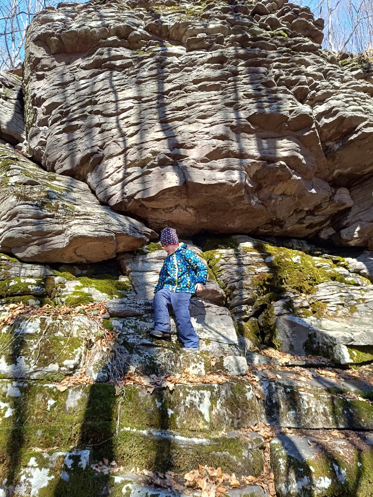
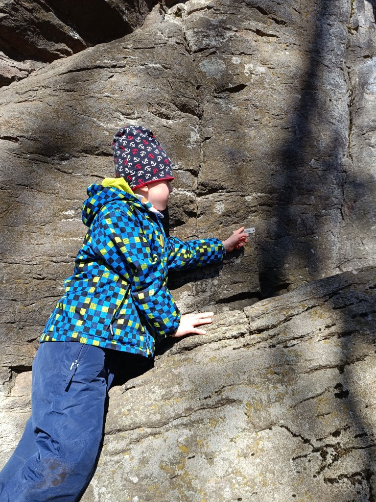
    A liitle bit of climbing can be done there with small children too
    Some of the paths has names there

    This is a very easy hike, as there is a parking lot very close to both.

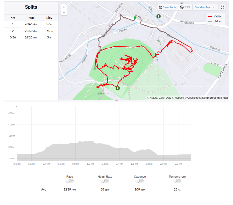
    Divín, 2.36km, 1 hod
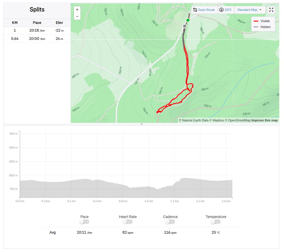
    Kalamárka: 1.6km, 40 min